When it comes to historic ruins in Delhi, the Mughals aren’t the only game in town. Qutb Minar, a 238-foot pre-Mughal legacy of the Delhi Sultanate, rises above the southern part of the metro, part of a larger complex that’s a World Heritage Site. That was how it went for us as tourists in modern India. Another day, another World Heritage Site.
I’d say Qutb Minar deserves its modern status.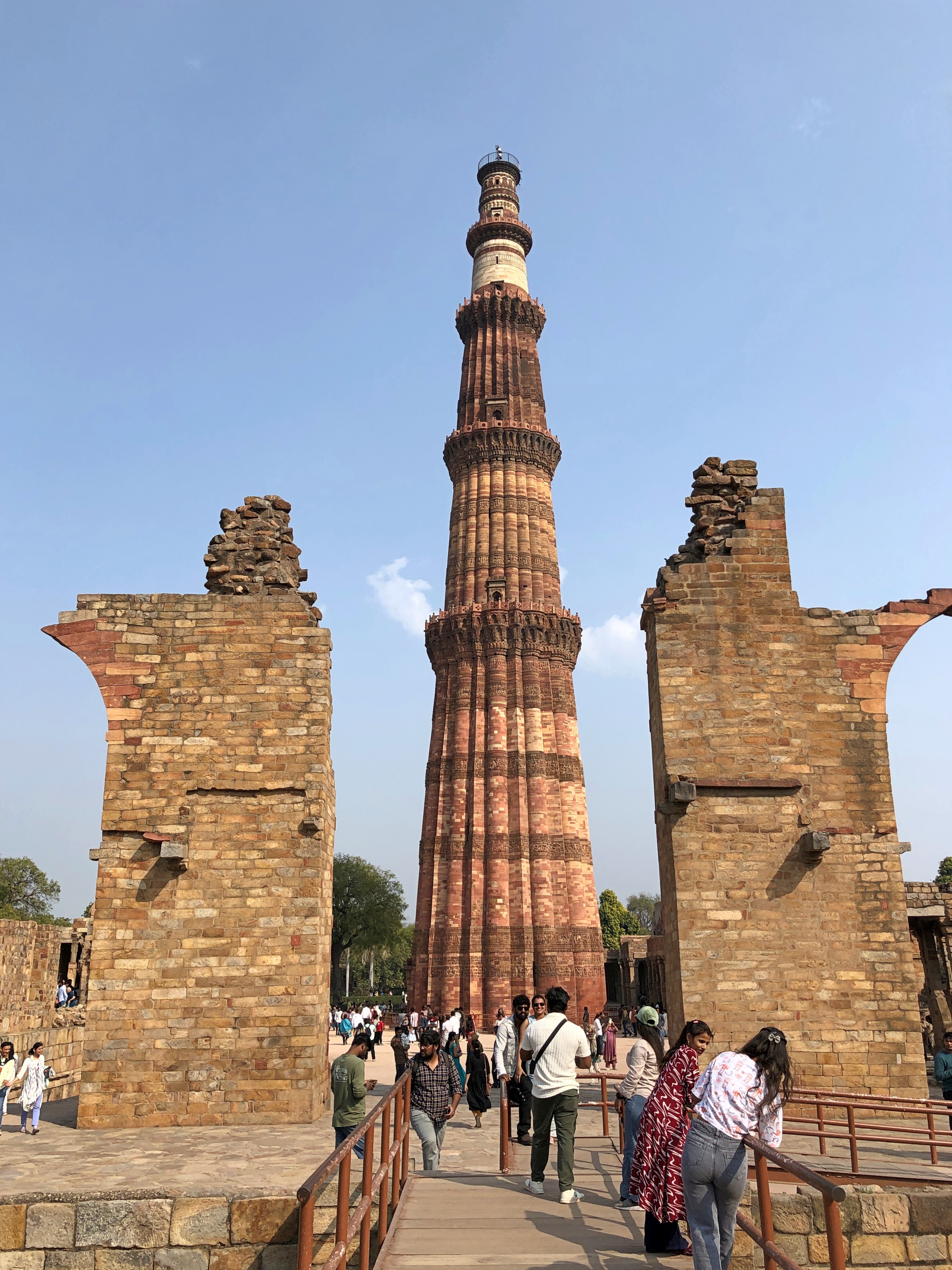
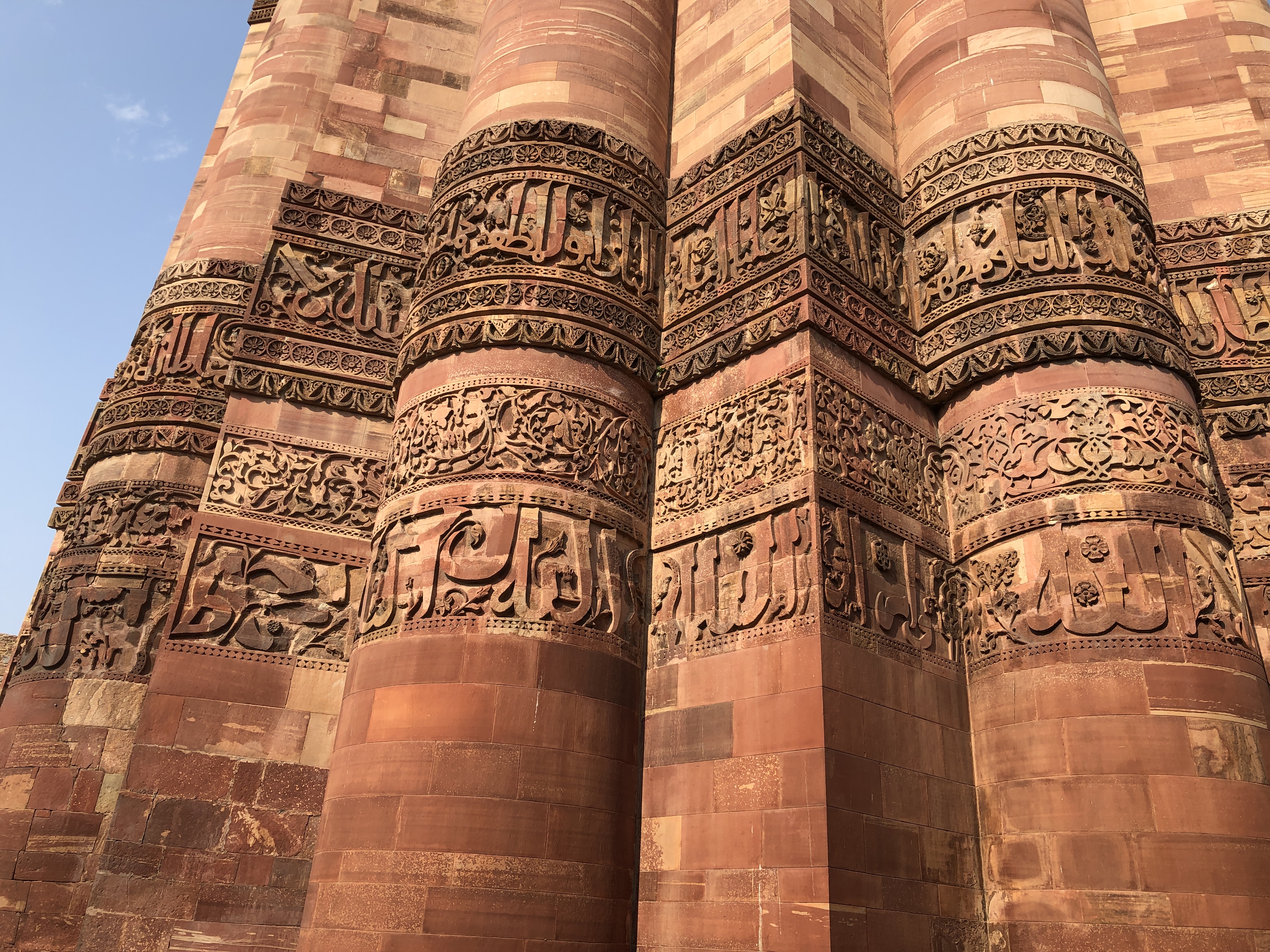
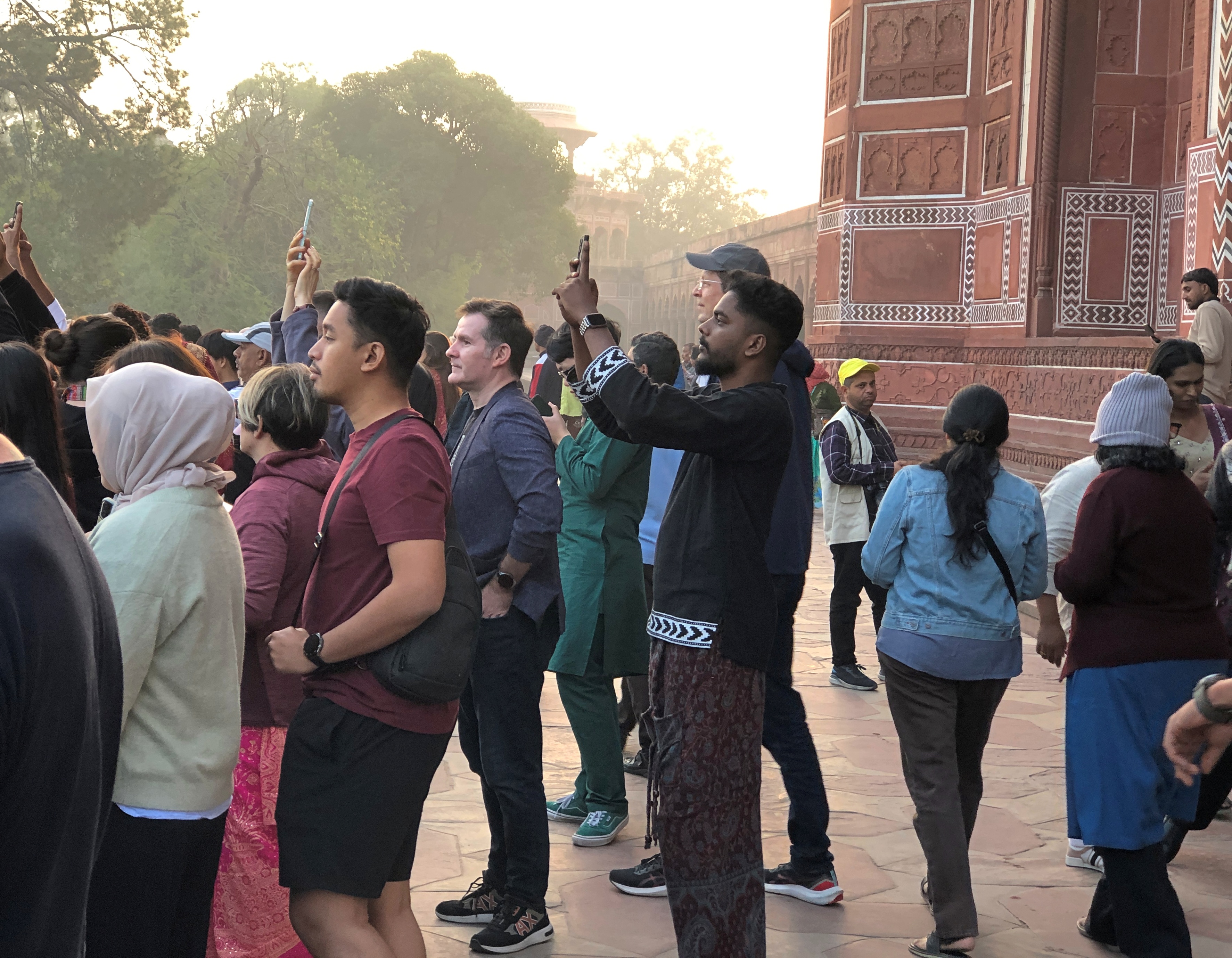
Casual visitors can’t climb to the top any more and I’m not sure I could have anyway. “Access to the top ceased after 2000 due to suicides,” asserts Wiki. But you can stand right under the tower and behold the detail, as we did on the afternoon of February 20.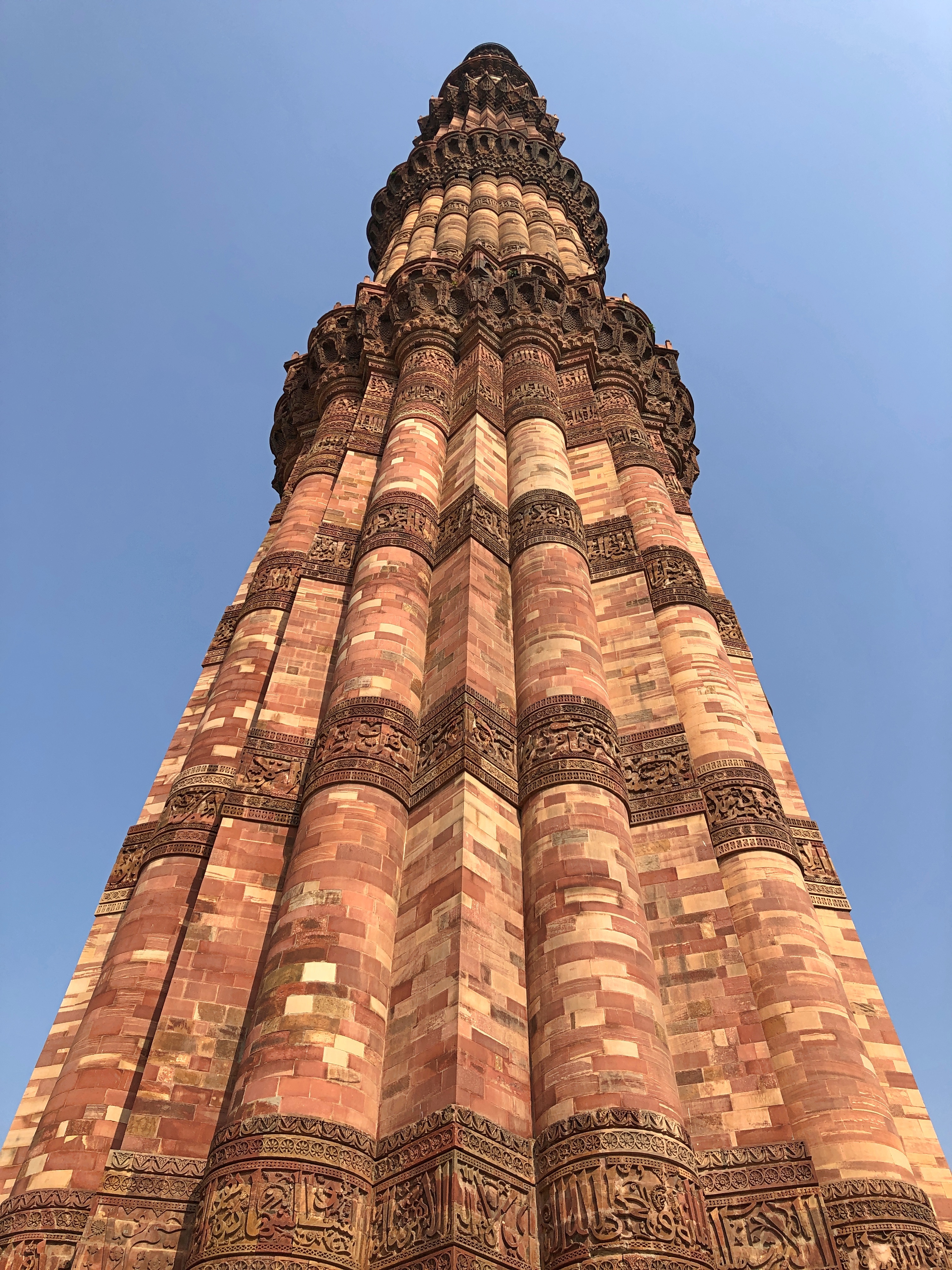

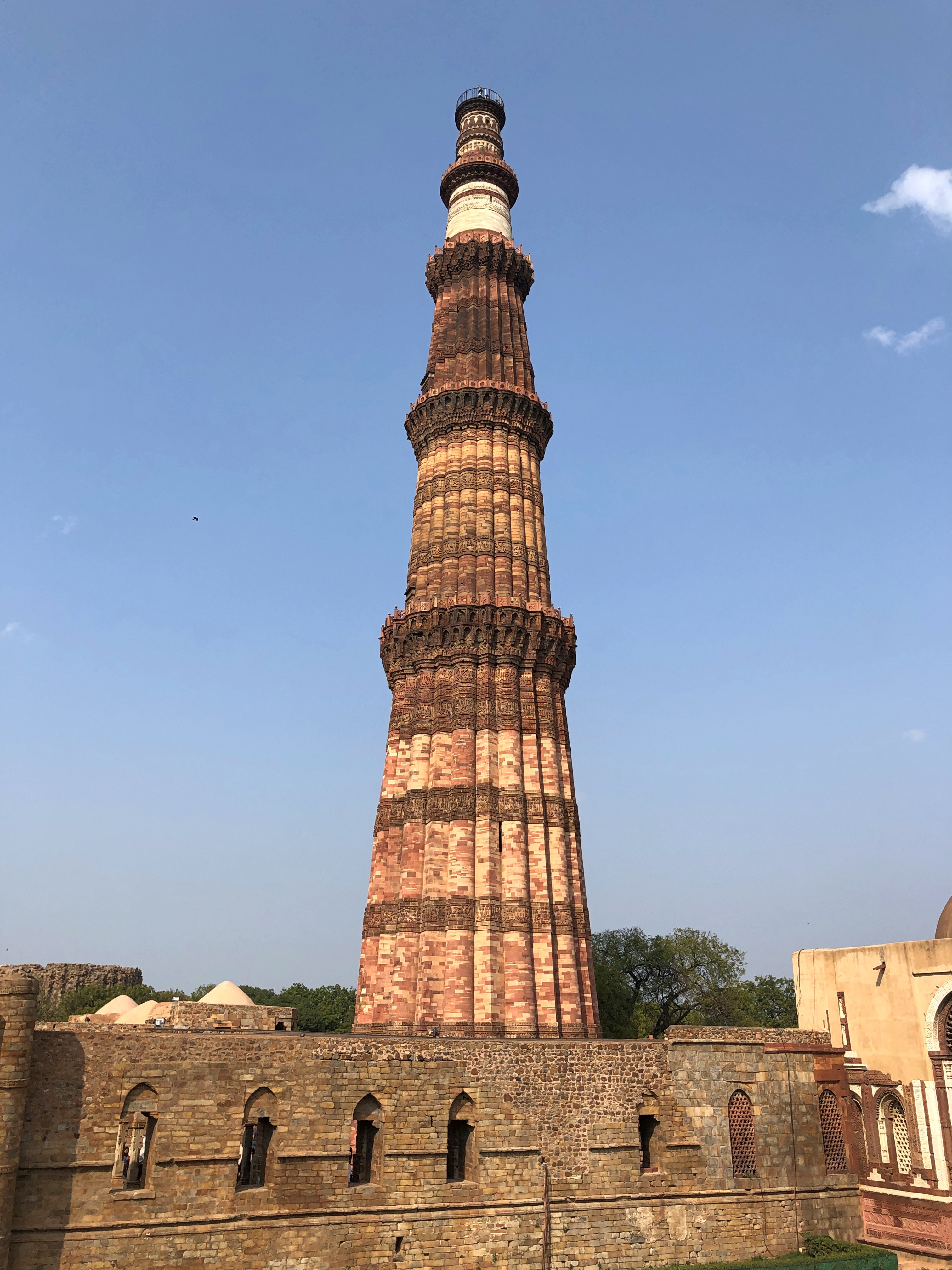
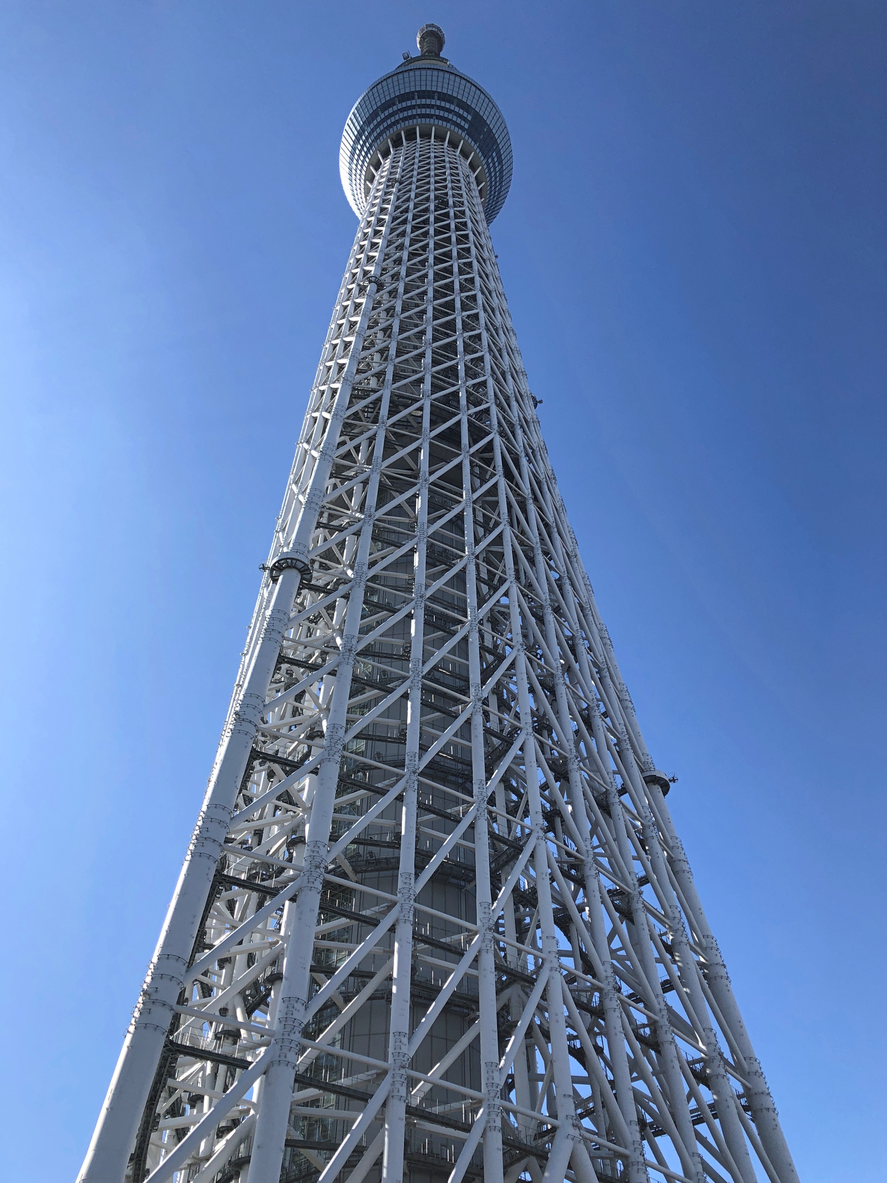
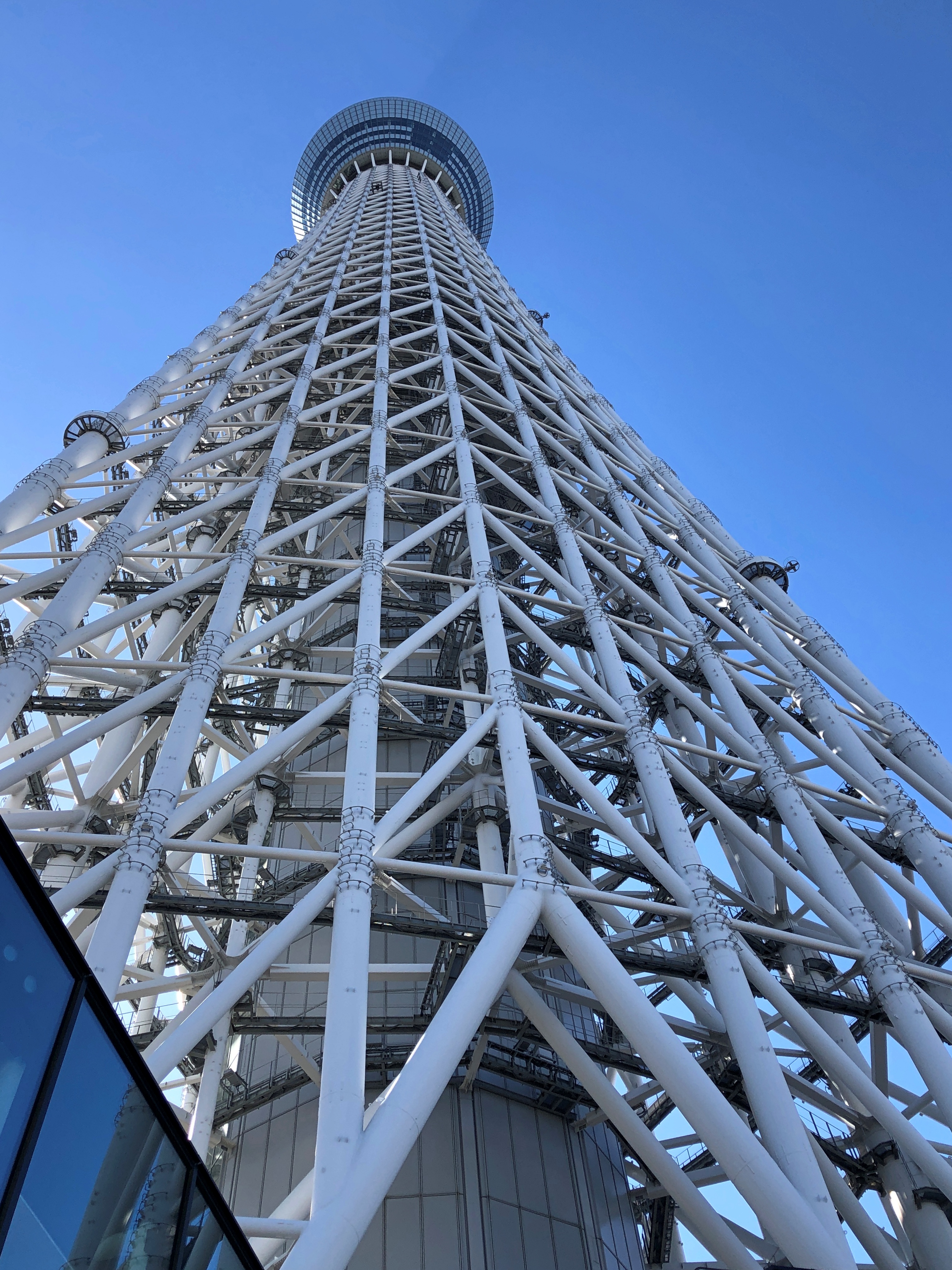
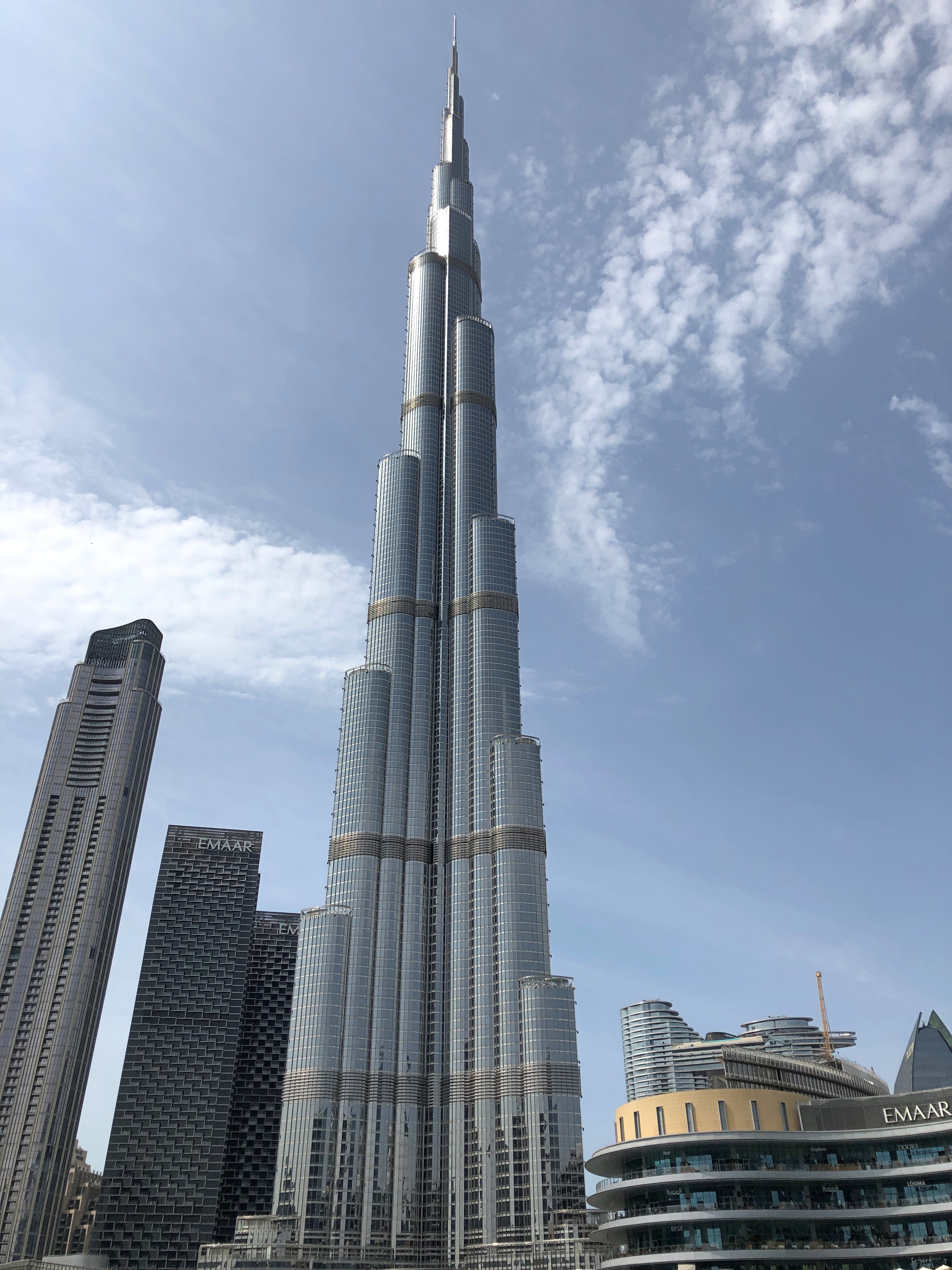
Monumental structures this old come with extra layers of marvel, at least in my reckoning. It’s one thing to admire a tower like Tokyo Skytree or Burj Khalifa, which are certainly impressive, but whose construction also had the benefit of all sorts of machines and experts in their use — enormous cranes come to mind, as do CAD systems with more computing power than the entire Apollo program.
On the other hand, Qutb Minar is essentially an artful stack of brick, one of whose characteristics turned out to be longevity. I’m certain some machines were available for the task, but I also imagine much of the building involved human and animal power. How did builders beginning around AD 1200 – around what, AH 620? — undertake such a feat? It only goes to show that machines might augment the result, but technique lies in the human mind.
Various sources tell me that Qutb Minar counts as a minaret for the nearby Quwwatu’l-Islam mosque, built around the same time and now a ruin, and as a “victory tower.” That is, presumably to remind the local population who was in charge now: one Qutb al-Din Aibak, the Ghurid-aligned conqueror of Delhi and founder of the Delhi Sultanate, whose military efforts were part of the hard-to-follow wave of Central and South Asian conquests and counter-conquests that played across centuries now remote.
The Ghurids, who were Tajiks, seem to be one of those peoples that pop up in history with some regularity, a minor group from somewhere remote from most urbanized civilizations, suddenly expanding by conquering its neighbors and basically kicking butt for a few centuries across a wide area before fizzling out. They also had the distinction of being also first Muslim conquerors of north-central India.
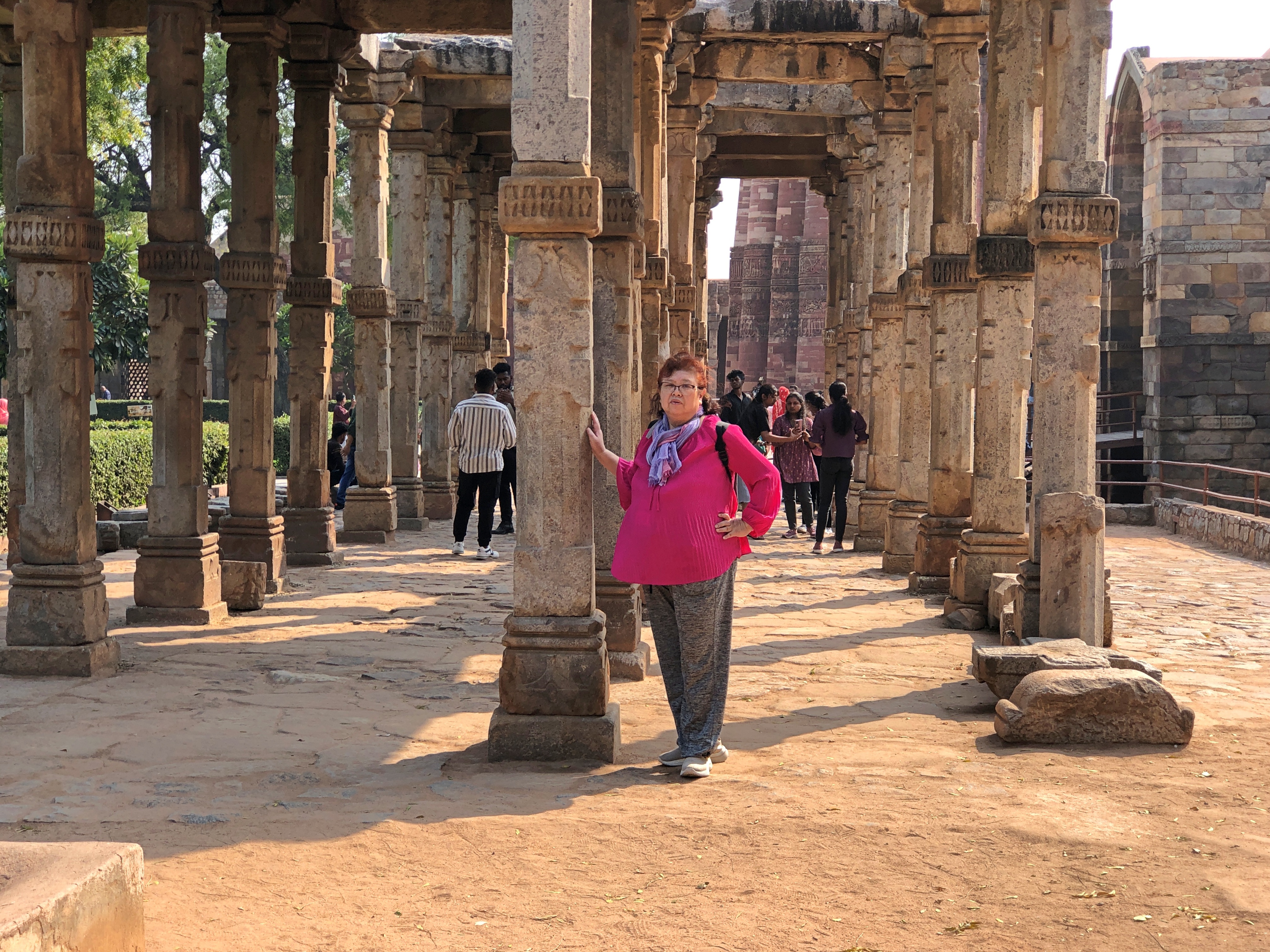
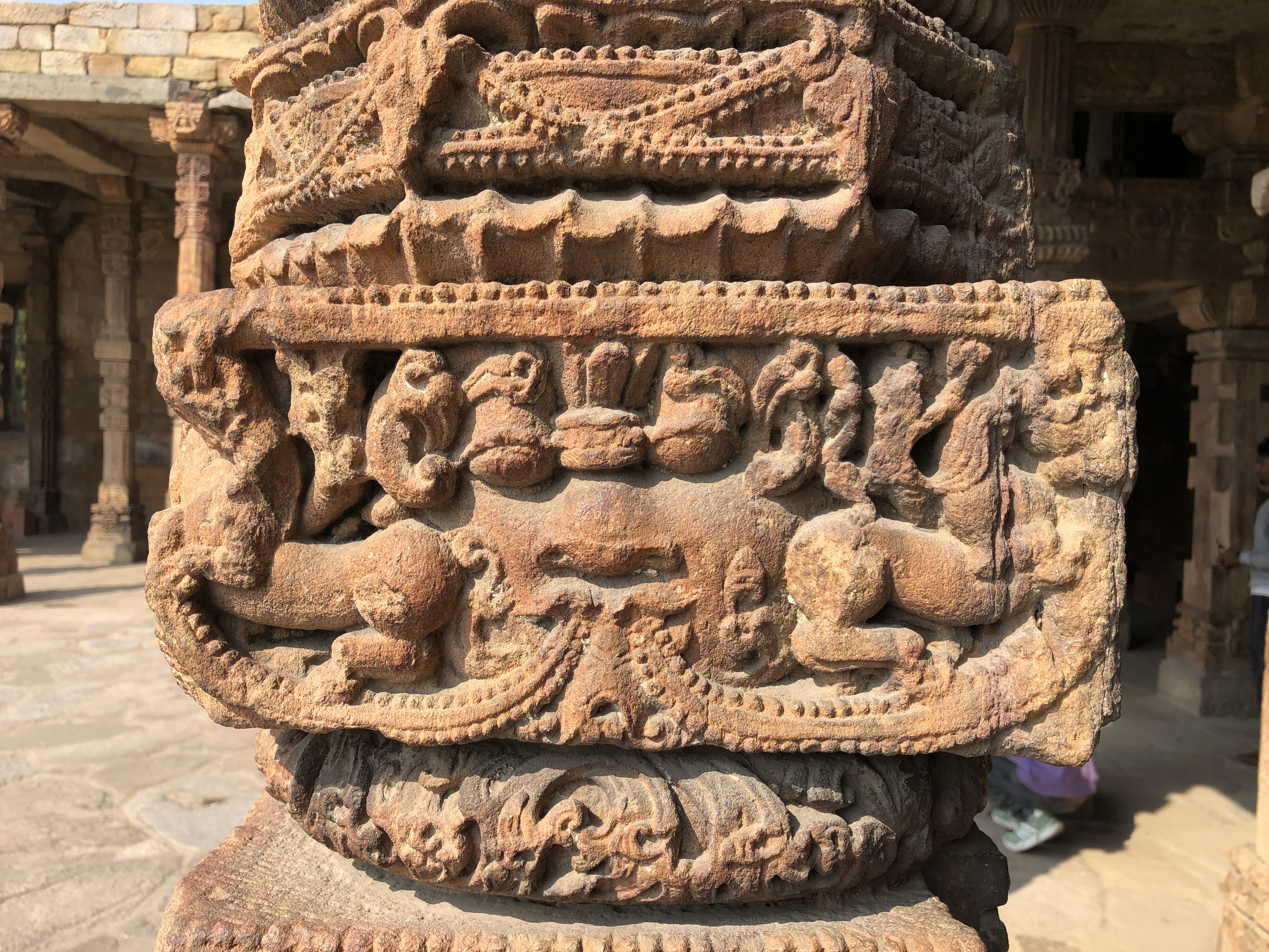
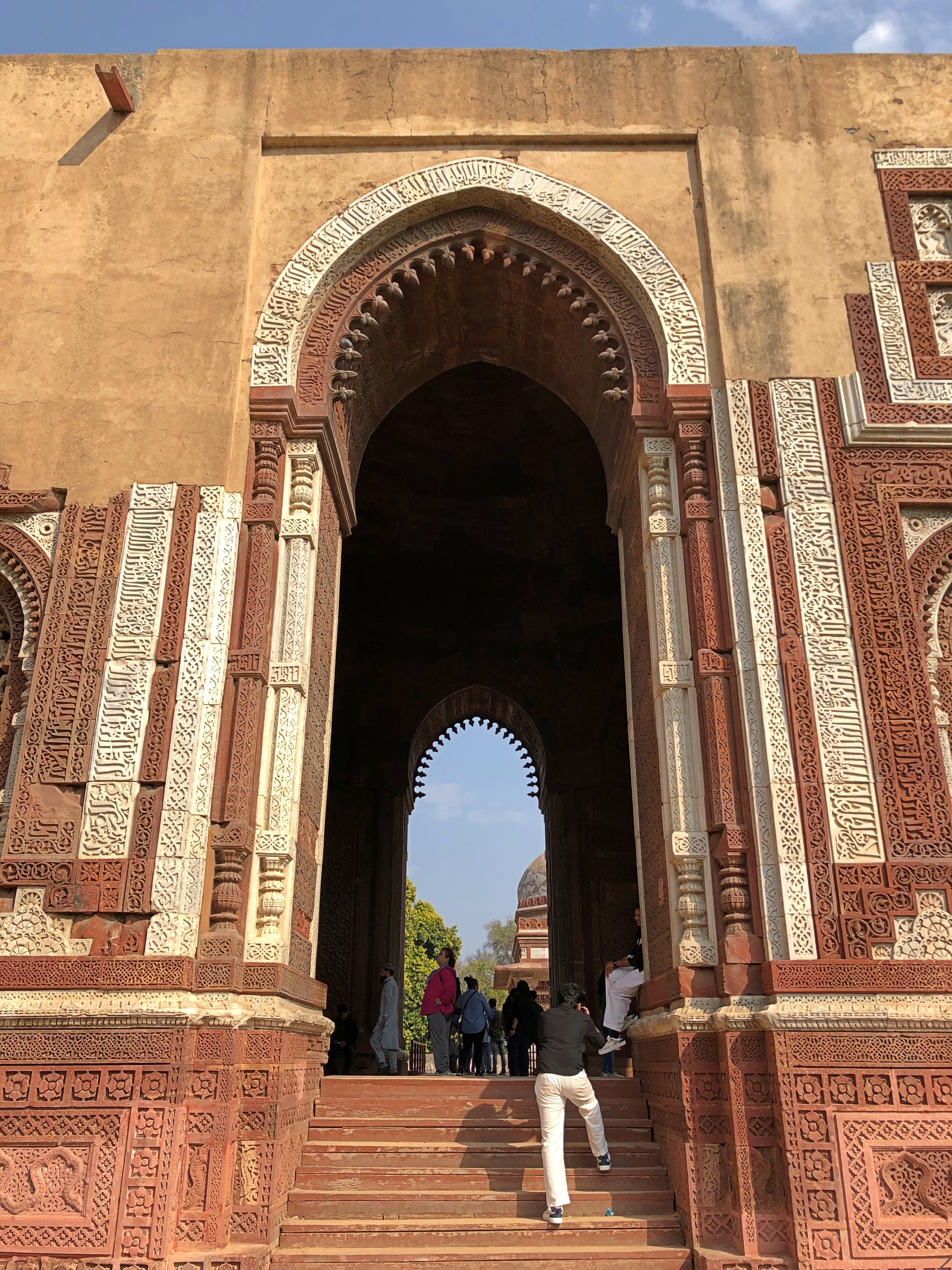
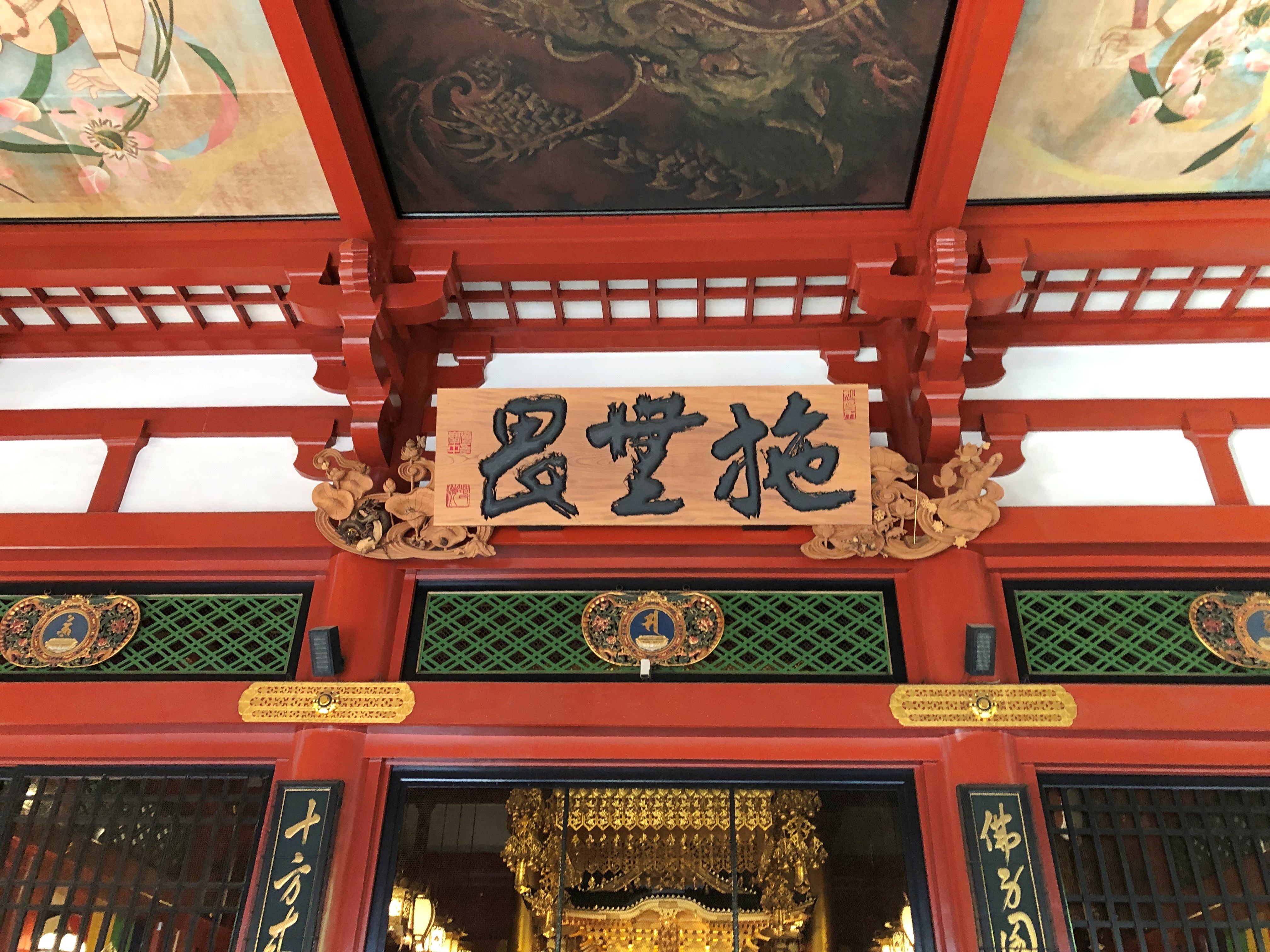
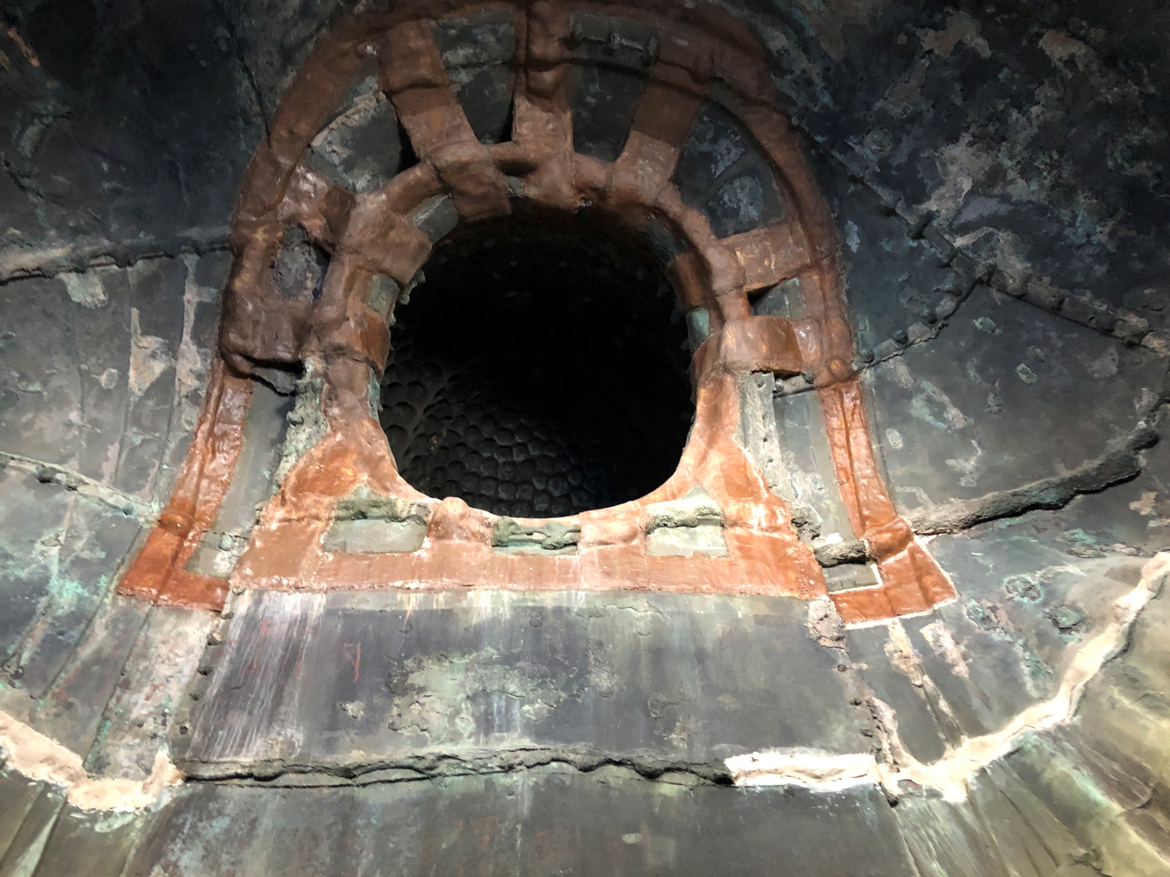
Quwwatu’l-Islam is noted for any number of reasons, including its columns.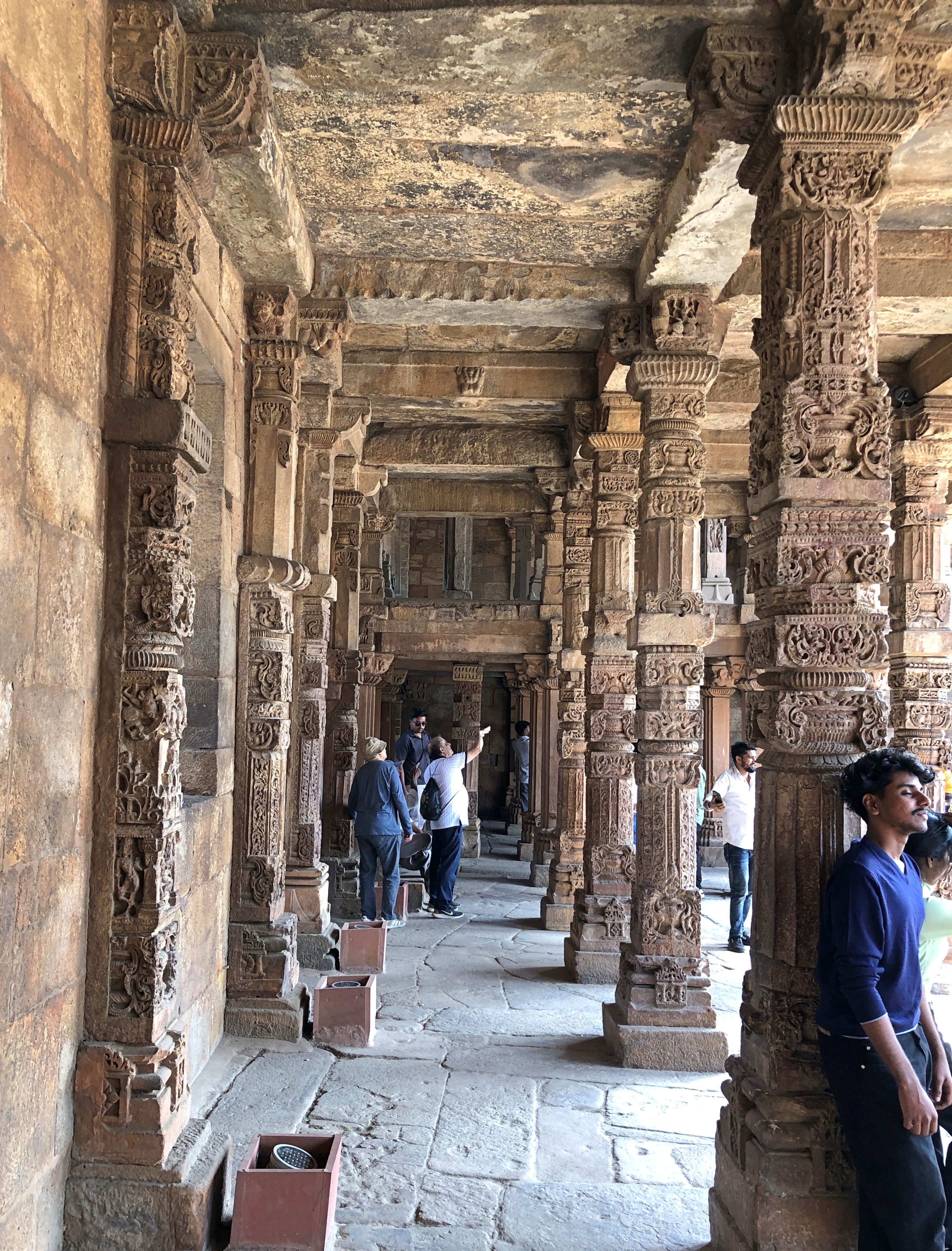
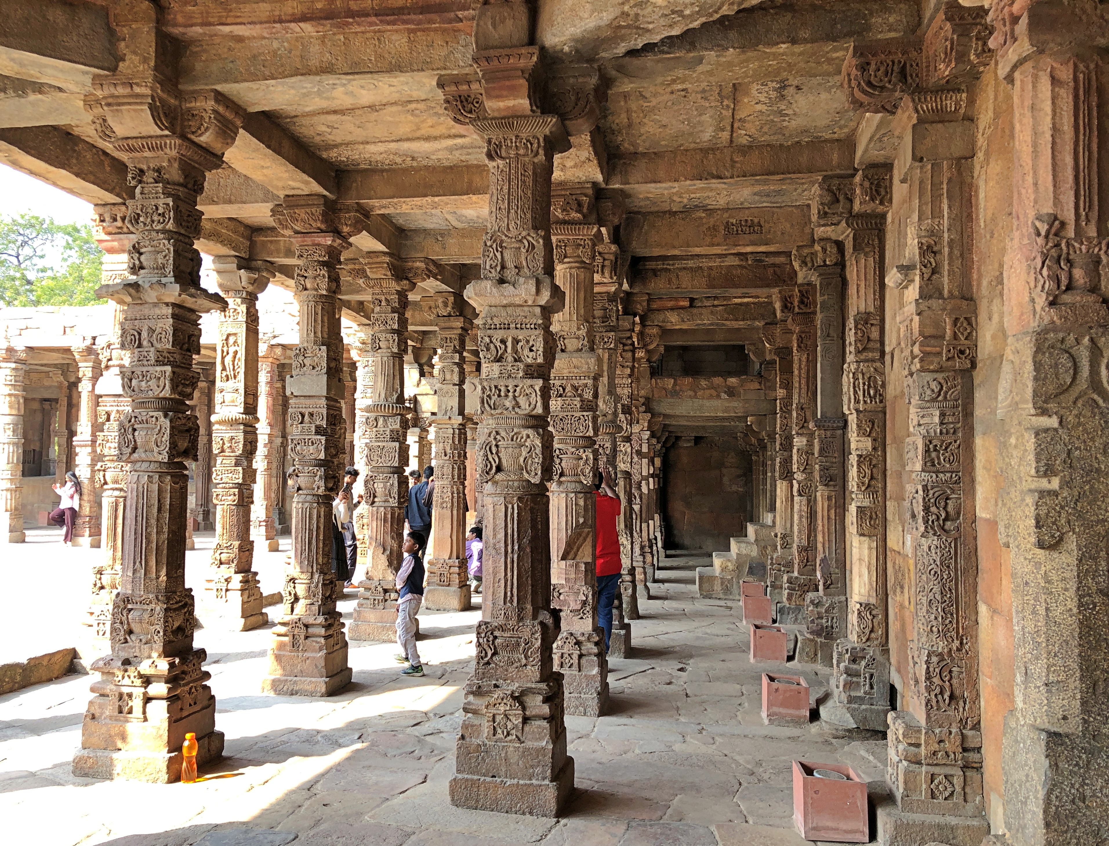
Their distinctiveness has been long noted. From Treasure spots of the world, by Walter Bentley Woodbury (1875): “… no two columns of this structure are alike, and this peculiarity applies also to the almost endless number forming the colonnade surrounding the building… the portico of the Quwwat ul-Islam Mosque framing the courtyard area consists of columns/pillars from destroyed Hindu and Jain temples…”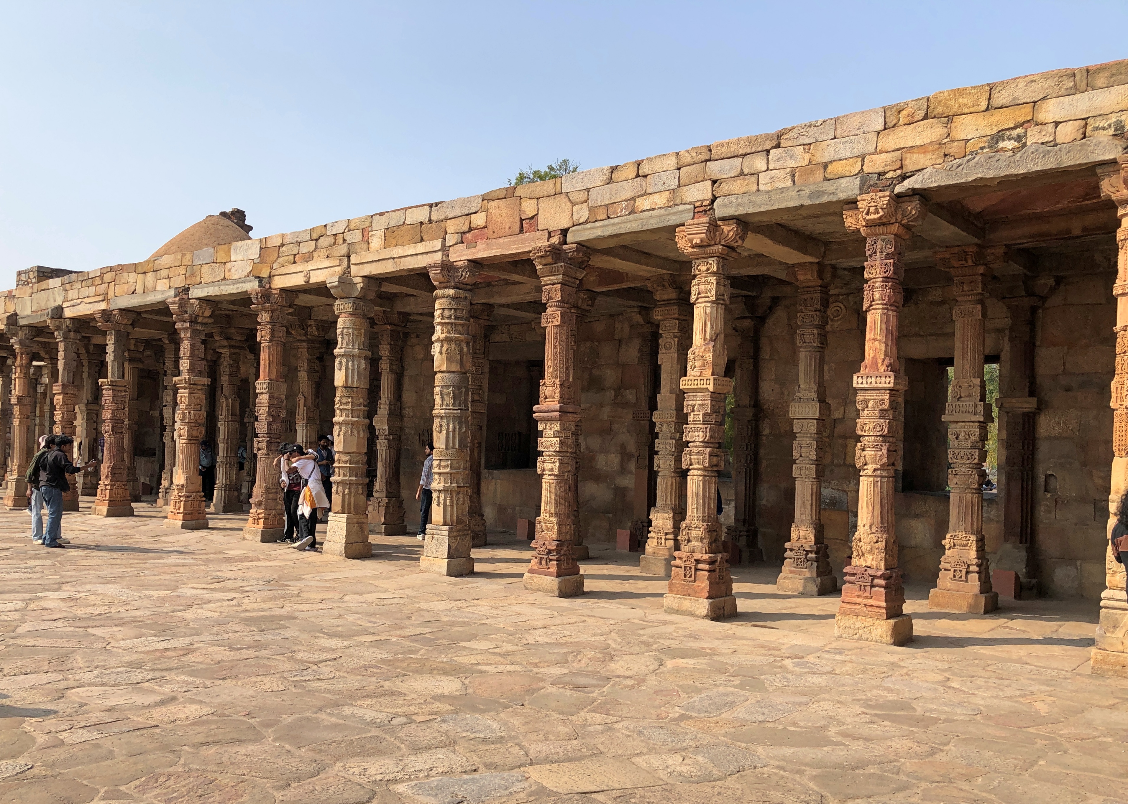
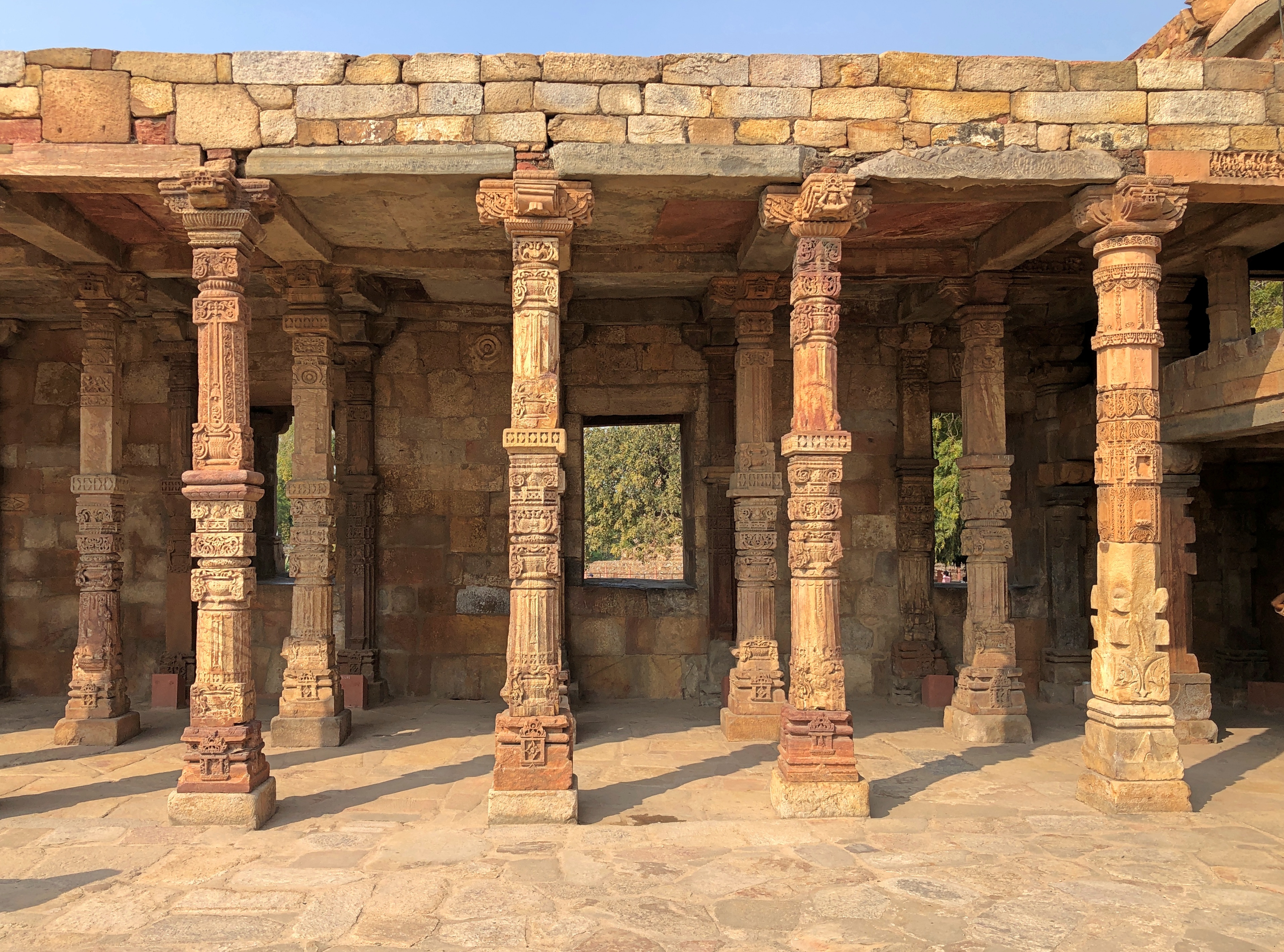
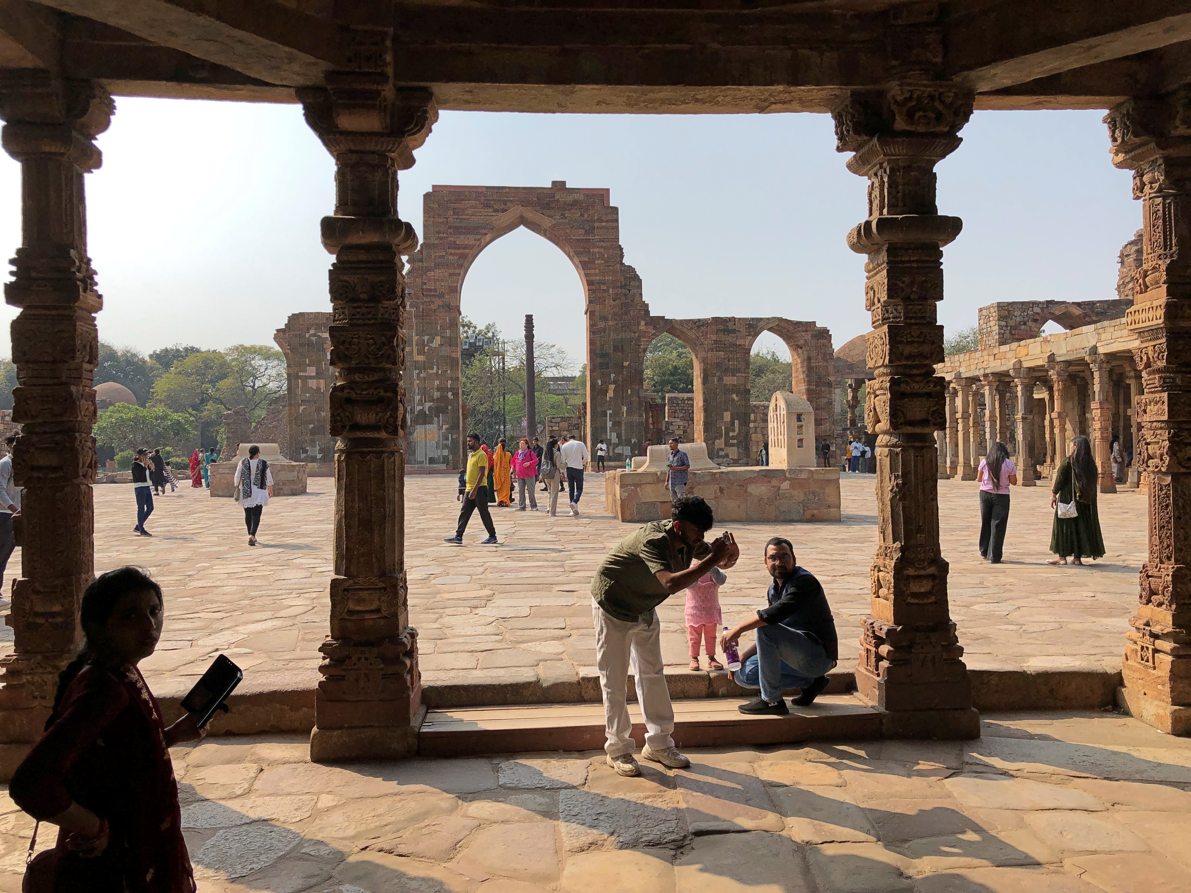
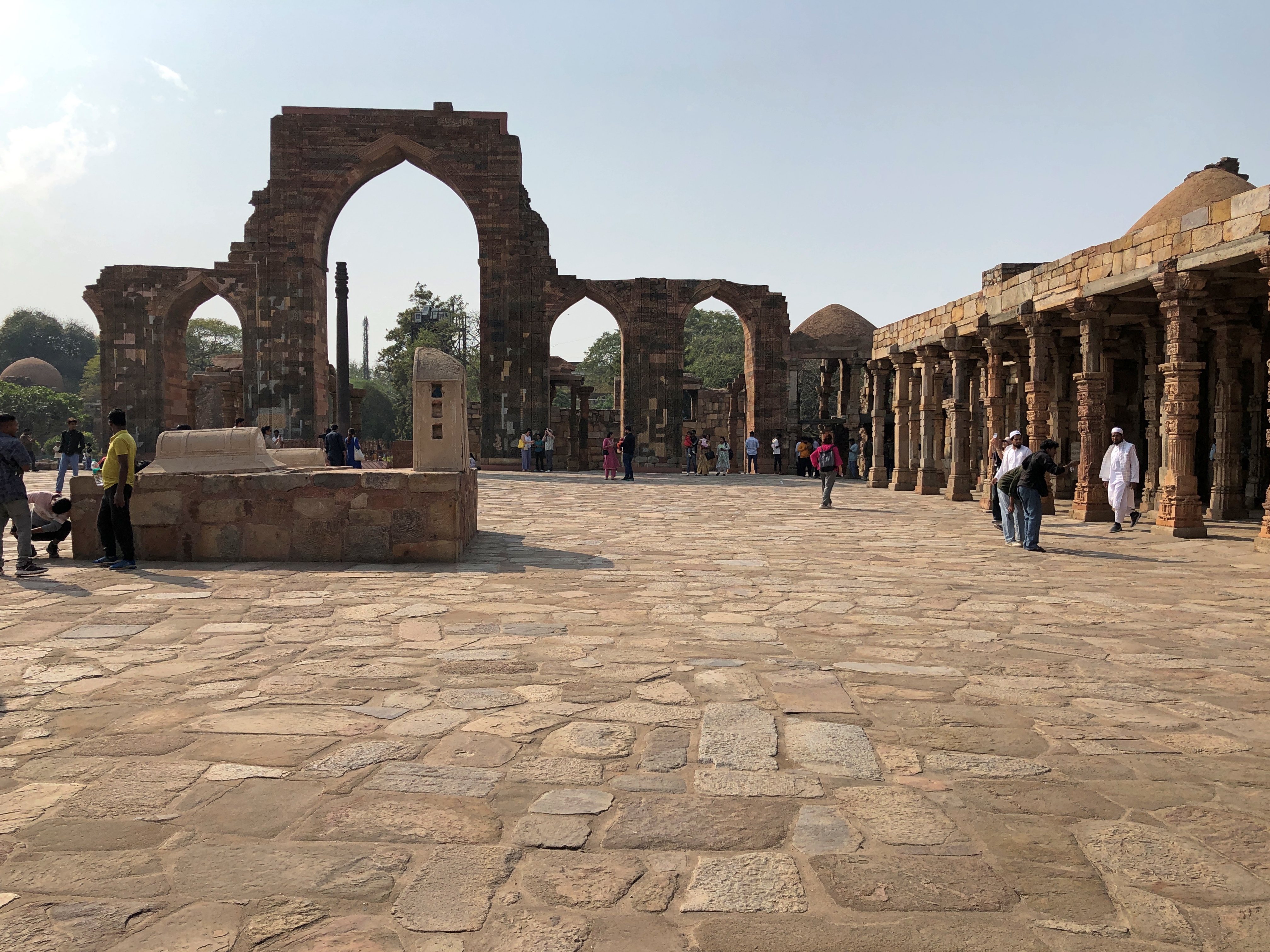
Views of the courtyard.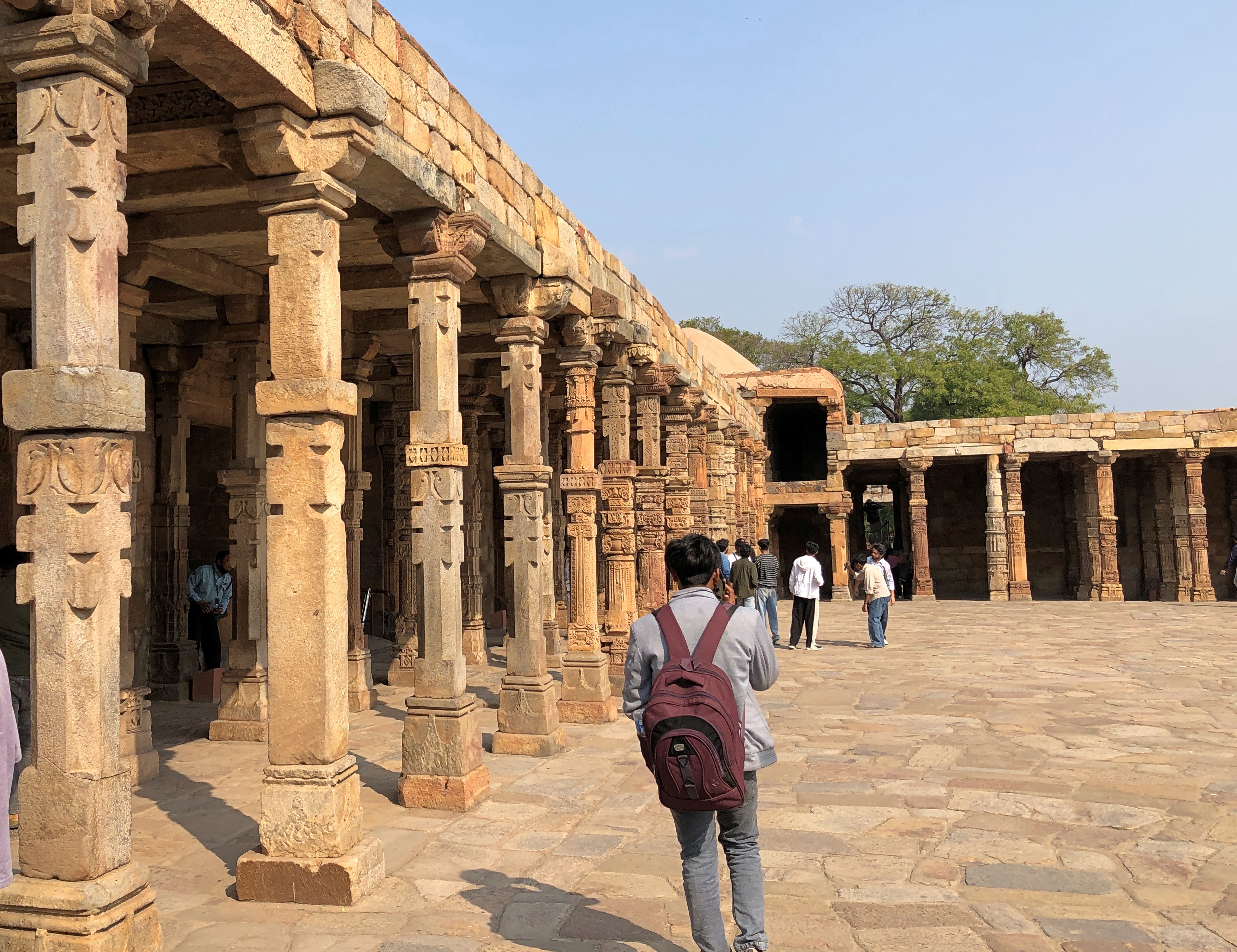
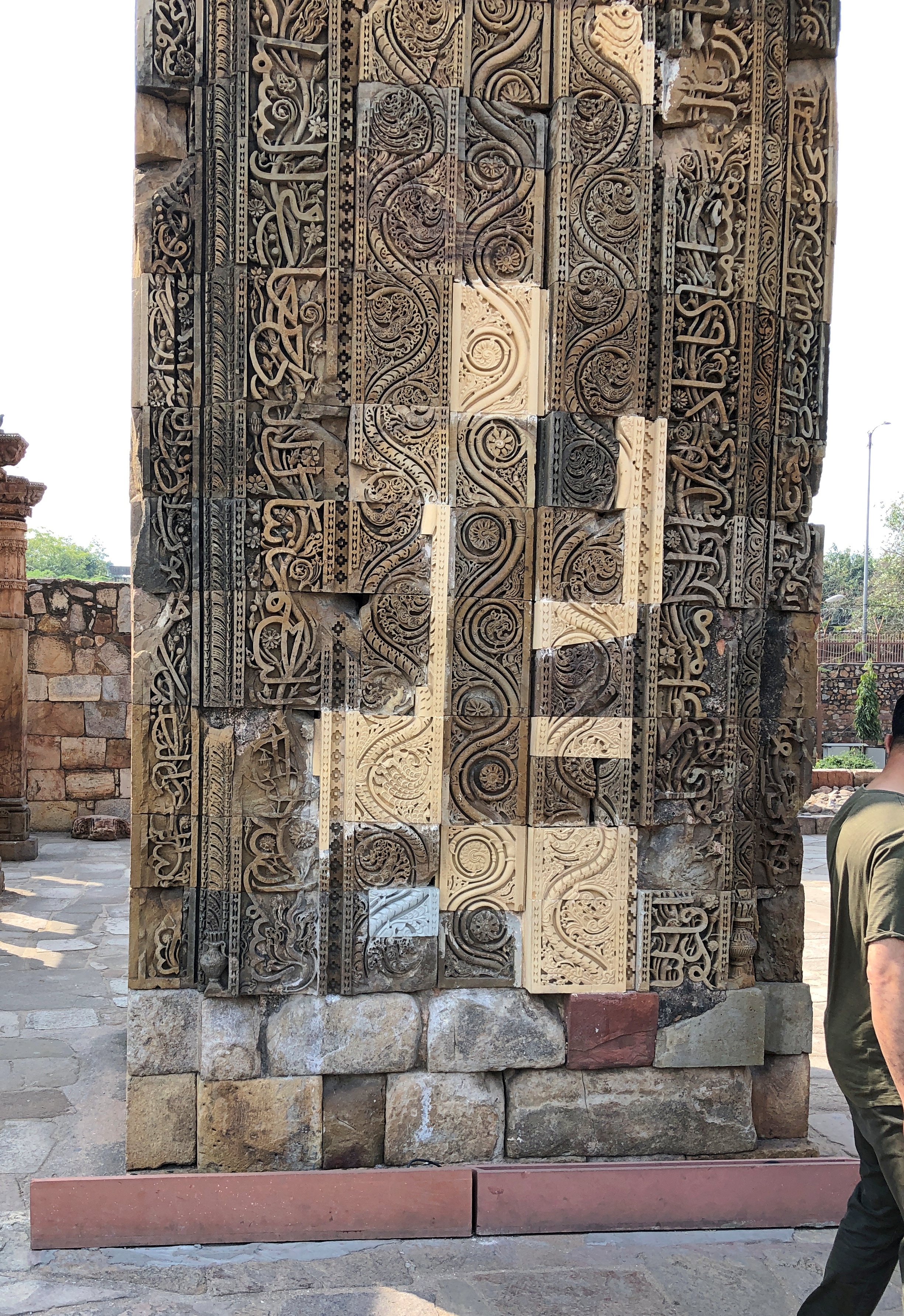
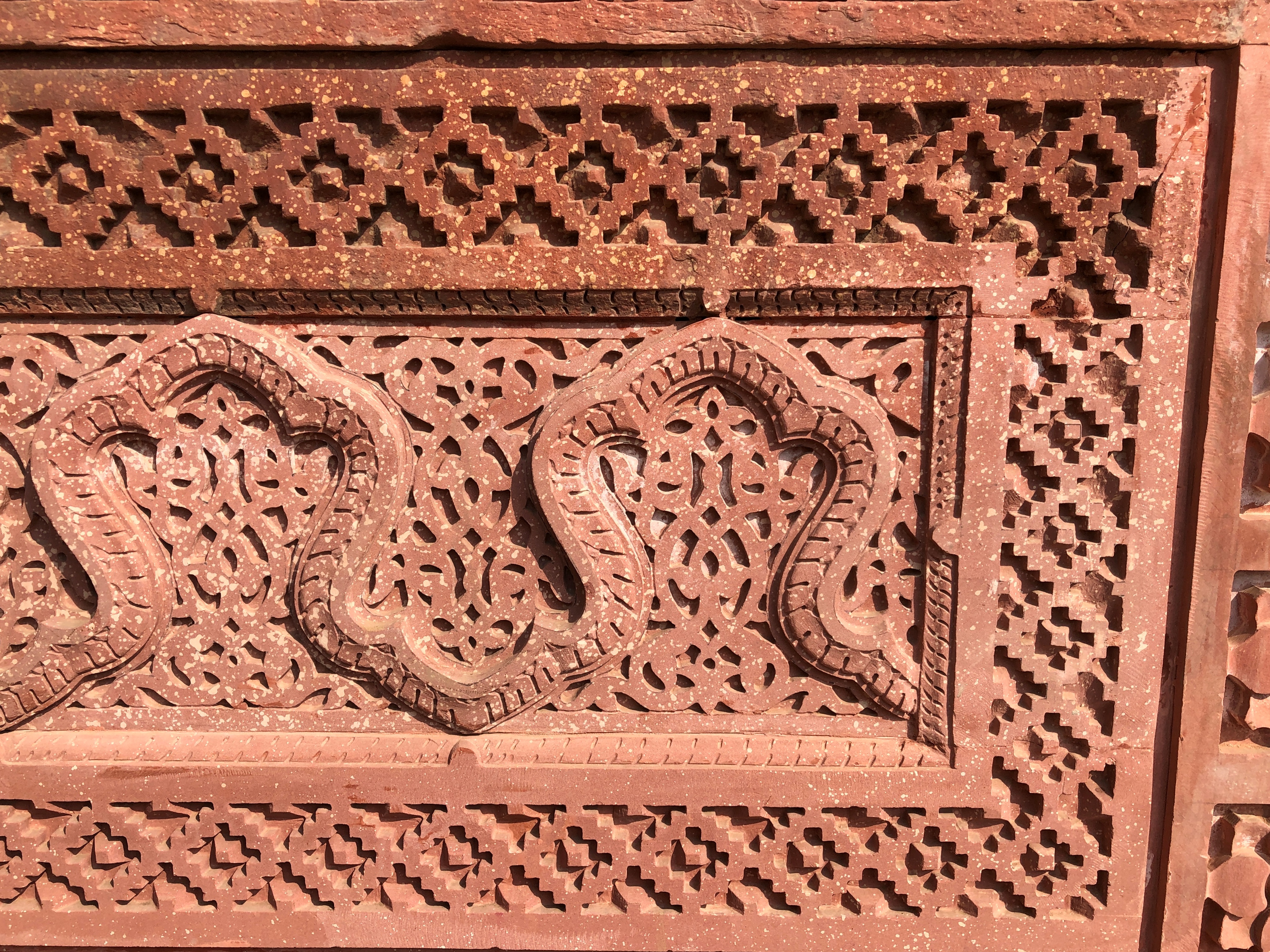
Details. including what look like restorations.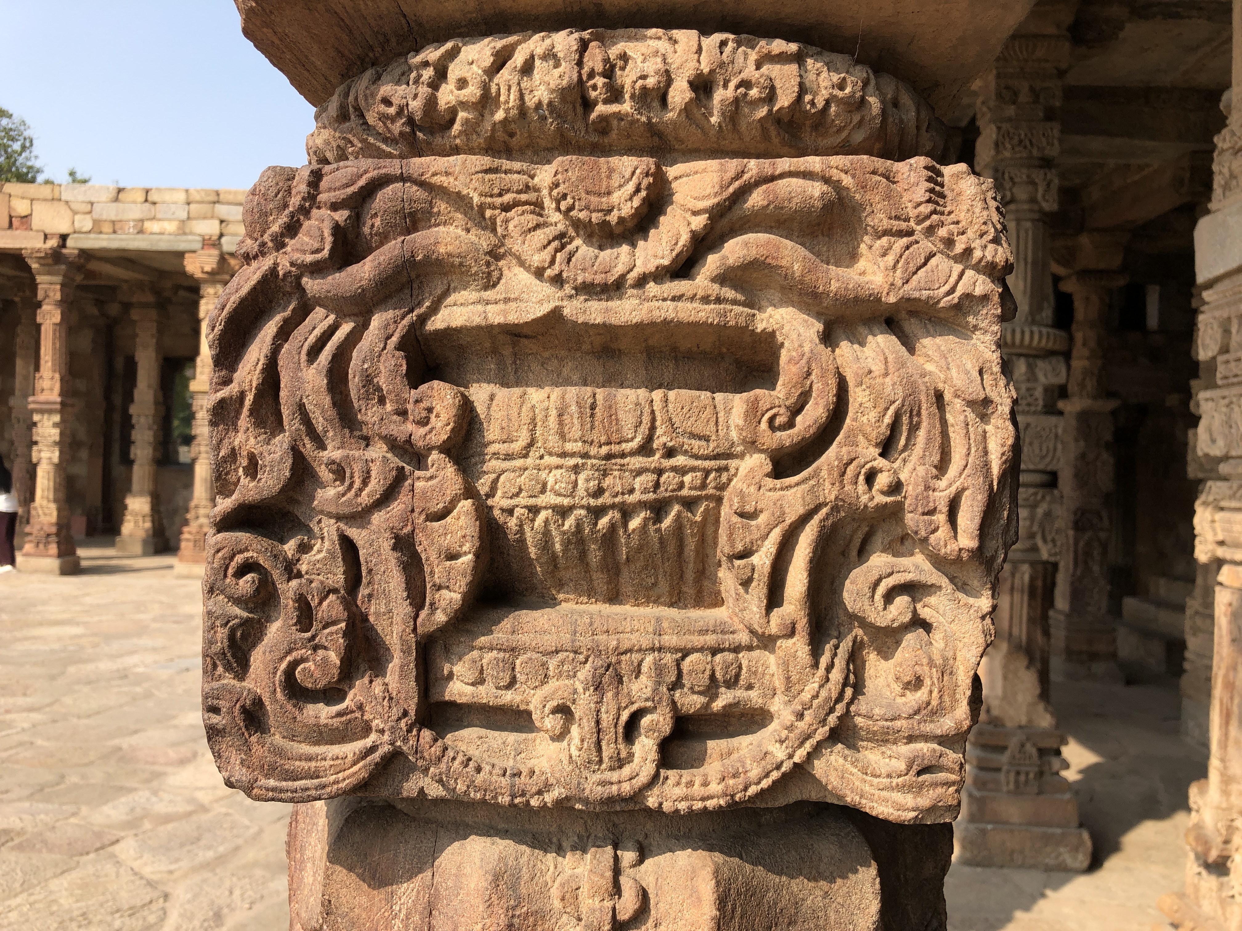
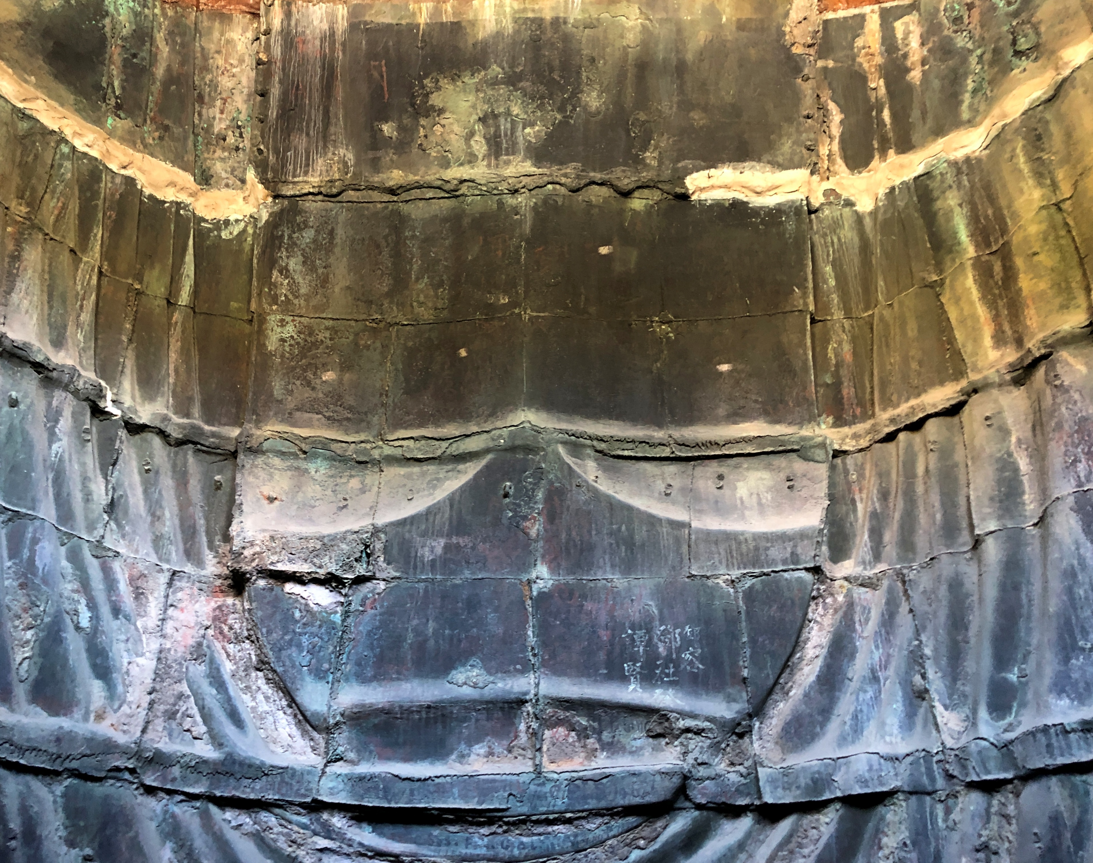
In the middle of the courtyard is the Iron Pillar, covered with faint inscriptions.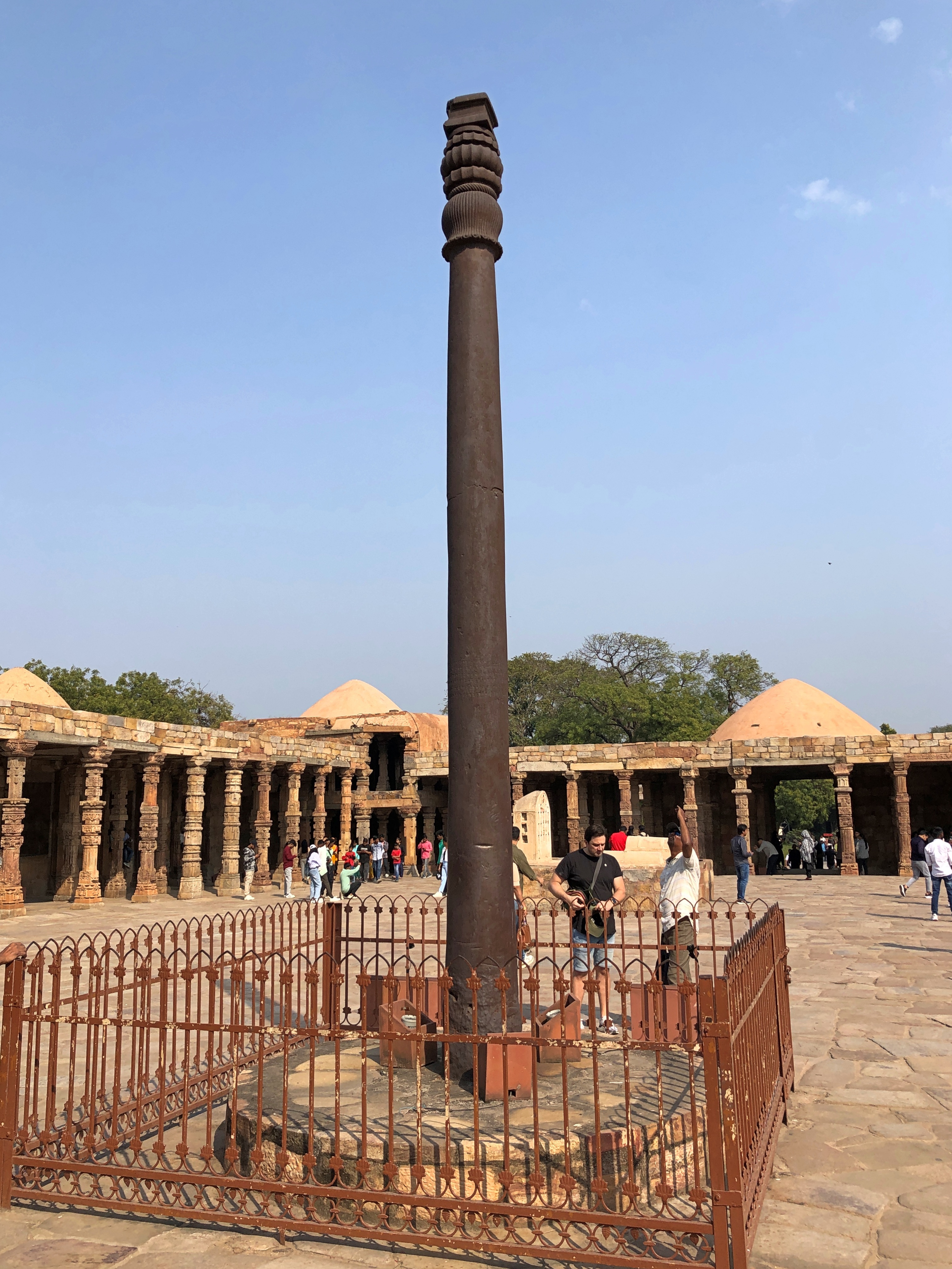
Three Raj-era tablets offer translation in Arabic, Hindi and English. Perhaps not up to the latest translation standards, but worth a read all the same.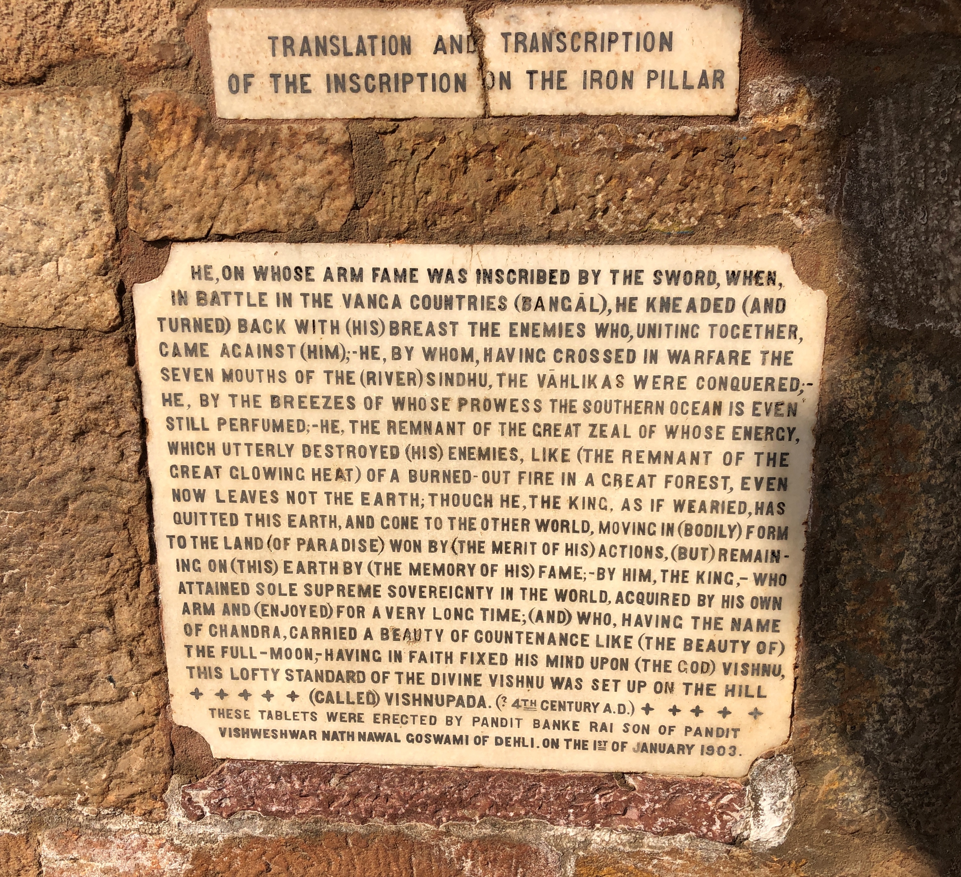
The pillar is an echo of an even earlier time, created during the Gupta Empire in the fourth to the sixth centuries as reckoned by the Gregorian calendar, and thought to laud the warrior deeds and memory of Chandragupta II (d. 415), also known as Chandra. What is it doing at Quwwatu’l-Islam? Brought from somewhere else as a bit of loot by one ruler or another many years after its creation, though exactly who or when or from where are matters of scholarly debate.
More.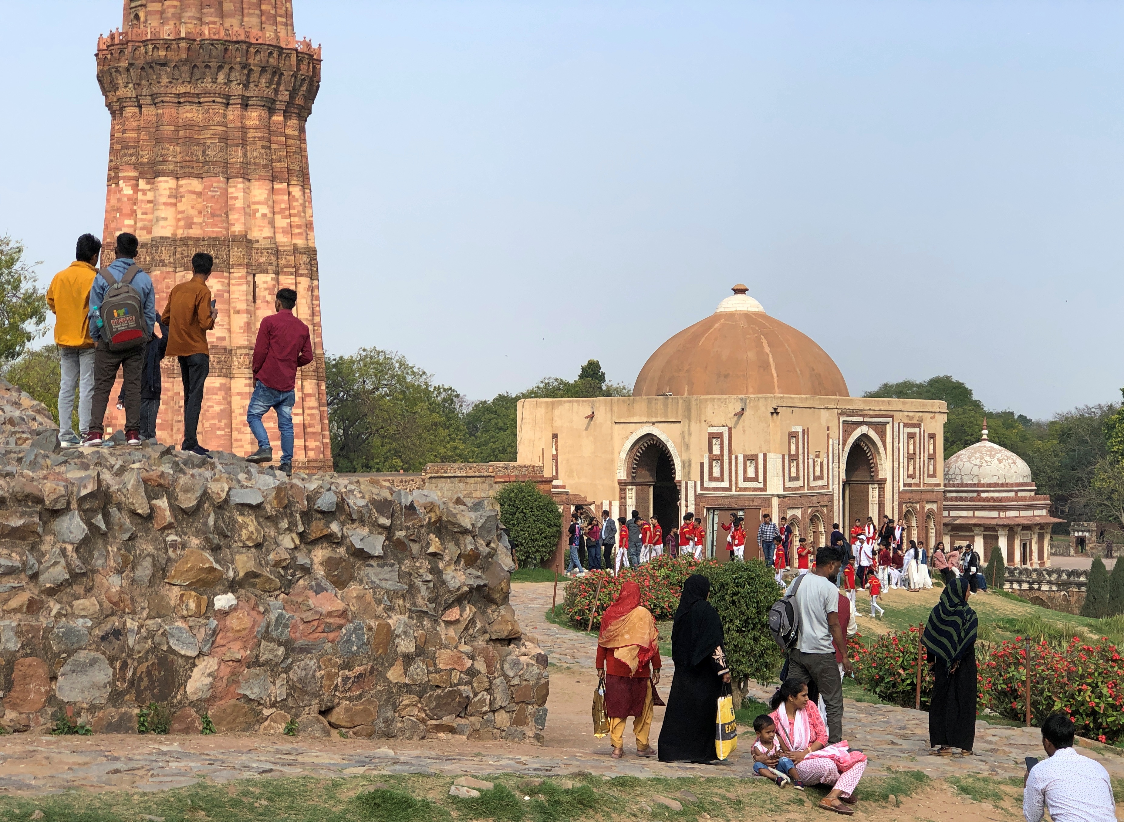
The grounds also include a surprising amount of green space.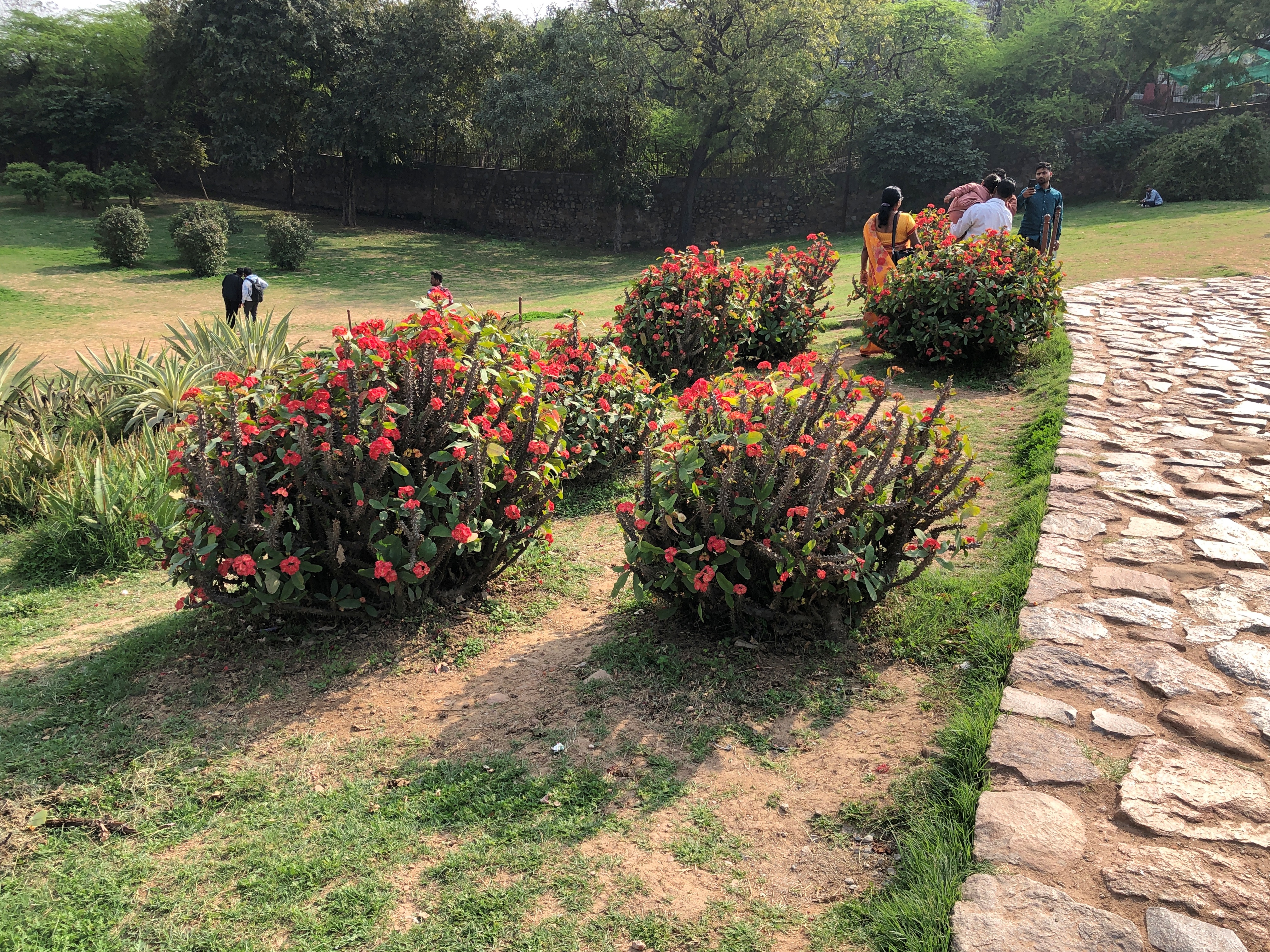
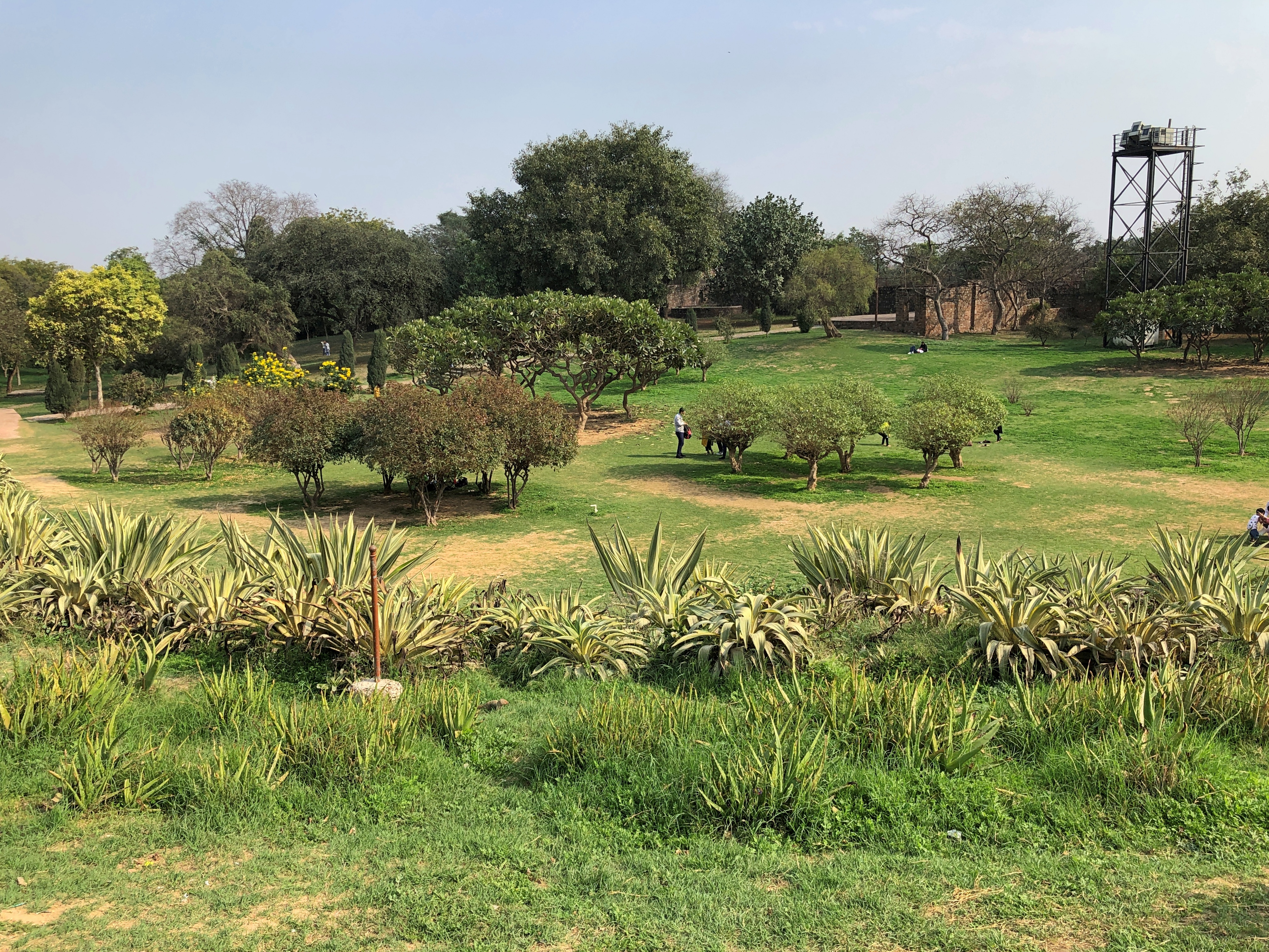
We only spent a short time in Delhi, but it didn’t seem overloaded with green space.


