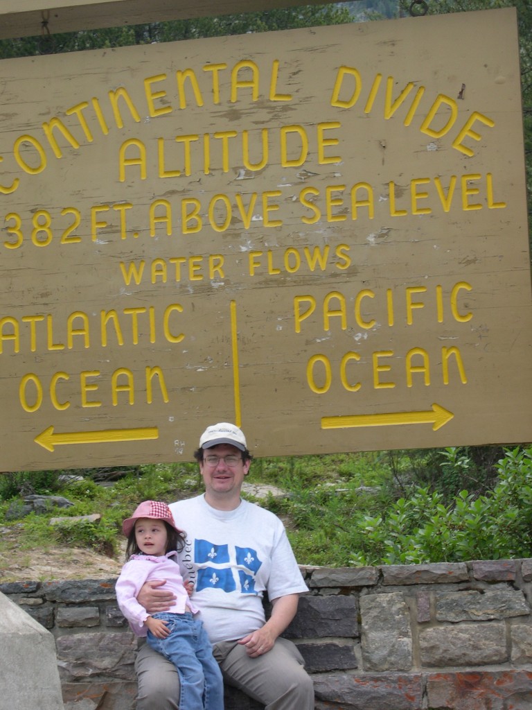
In July 2006 we found ourselves – because of much sustained effort, mostly in the form of driving long distances – at a triple border. I can’t think of anywhere else I’ve been quite like it. The spot is at the meeting of British Columbia and Alberta; of Banff National Park and Kootenay National Park; and on the Continental Divide. On one side of the road are three flagpoles, with the Maple Leaf flying between the provincial flags of British Columbia and Alberta.
 On the other side of the road is a large wooden sign offering some geographic information (it says 5,382 ft). I wore my Route of Seeing cap, and a shirt acquired on a previous visit to Canada, for a snap with the three-year-old Ann. (Be sure to read about Ed and Haleakala and that thing called Death.)
 Not too far away, or at least northward on the British Columbia-Alberta border, is a triple continental divide, the Snow Dome of the Columbia Icefield. Our guide on the Icefield pointed it out to us, but that’s as close as we got. At that point water drains either to the Atlantic, Pacific or Arctic oceans.