Saturday started cool, but evolved into a pleasant, almost warm day. A good day for walking around in a light jacket, which is what we did. We participated in the 31st Logan Square Preservation House & Garden Walk, during which seven houses, one church, and two gardens were open for inspection with the assistance (and under the watchful eyes) of volunteer docents.
Though named for Logan Square, the walk actually focused on structures in Palmer Square, which is a smaller neighborhood within the larger Logan Square neighborhood, and some blocks south of Logan Square itself – the place with the Illinois Centennial Memorial, described last week – and north of Humboldt Park, described in late August.
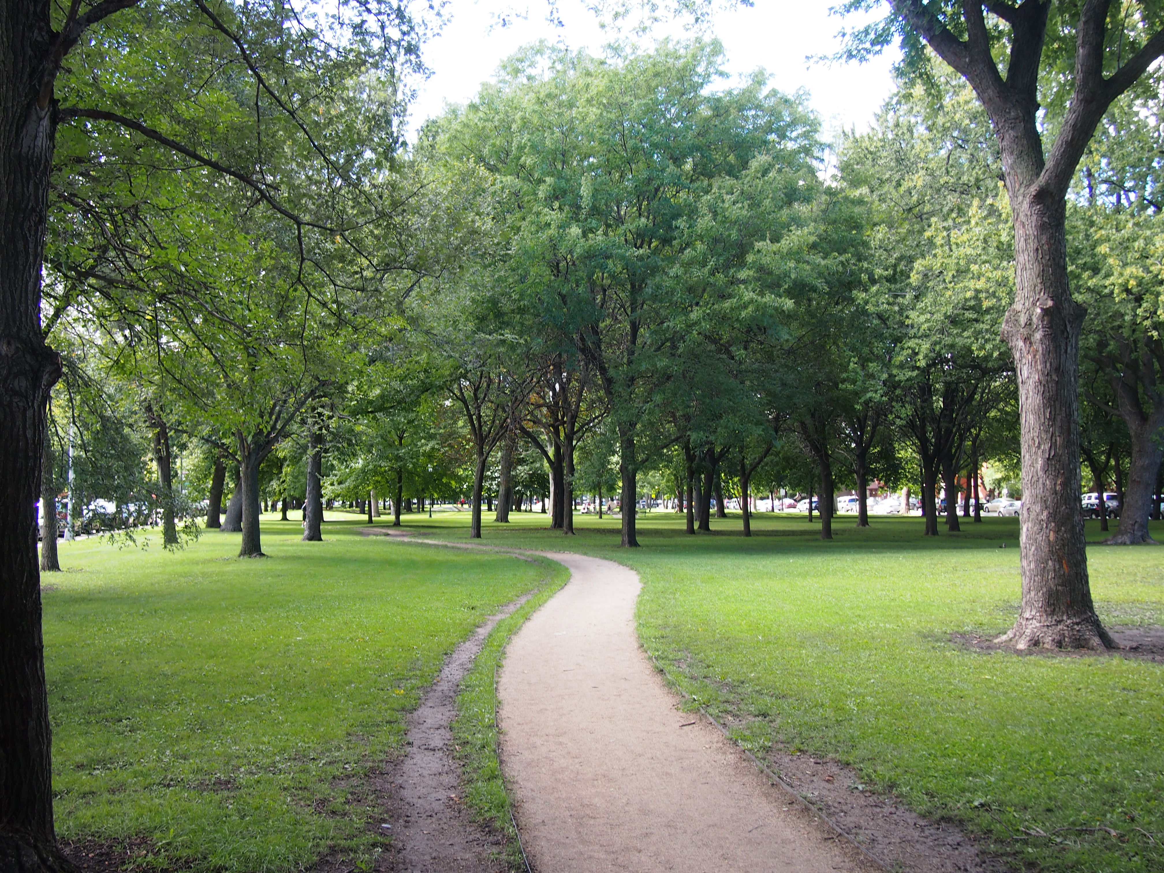
The focus of the Palmer Square neighborhood is Palmer Square, a rectangular park a few blocks long with a circular running track, a charming little playground with figures from The Velveteen Rabbit, and a lot of shade trees. The city, with money from the state, redeveloped the park in the mid-2000s, and I understand tree planting has been going on vigorously since well before that. A previous generation of sheltering elms had been lost to Dutch Elm Disease.
This is at the eastern edge of Palmer Square, looking west. On either side to the north and south are streets, and across those streets mostly are handsome residential structures that date from the late 19th and early 20th centuries. More about those later.
 On Saturday, walkers, joggers, and a lot of dog walkers were using the park. A fair number of parents and children were enjoying the playground. Pretty much everything Saturday in the park should be.
Palmer Square and Logan Square (the urban feature, not the neighborhood), are both part of the Chicago Boulevard System, a series of boulevards that connect parks and encircle the central part of the city – a 28-mile chain of parks, or an emerald necklace, to be more fanciful. The system dates to the late 1800s, and as usual with such things, suffered from neglect during much of the 20th century.
I haven’t confirmed it with my own eyes, but I’ve read that the section in Logan Square (the neighborhood, not the urban feature) is the best preserved of the original lot. I know that no one I knew in Chicago in the 1980s ever mentioned the boulevards, so it’s likely that they were largely forgotten by that time. (Or maybe I didn’t hang out with the right people.) These days, there’s some awareness.
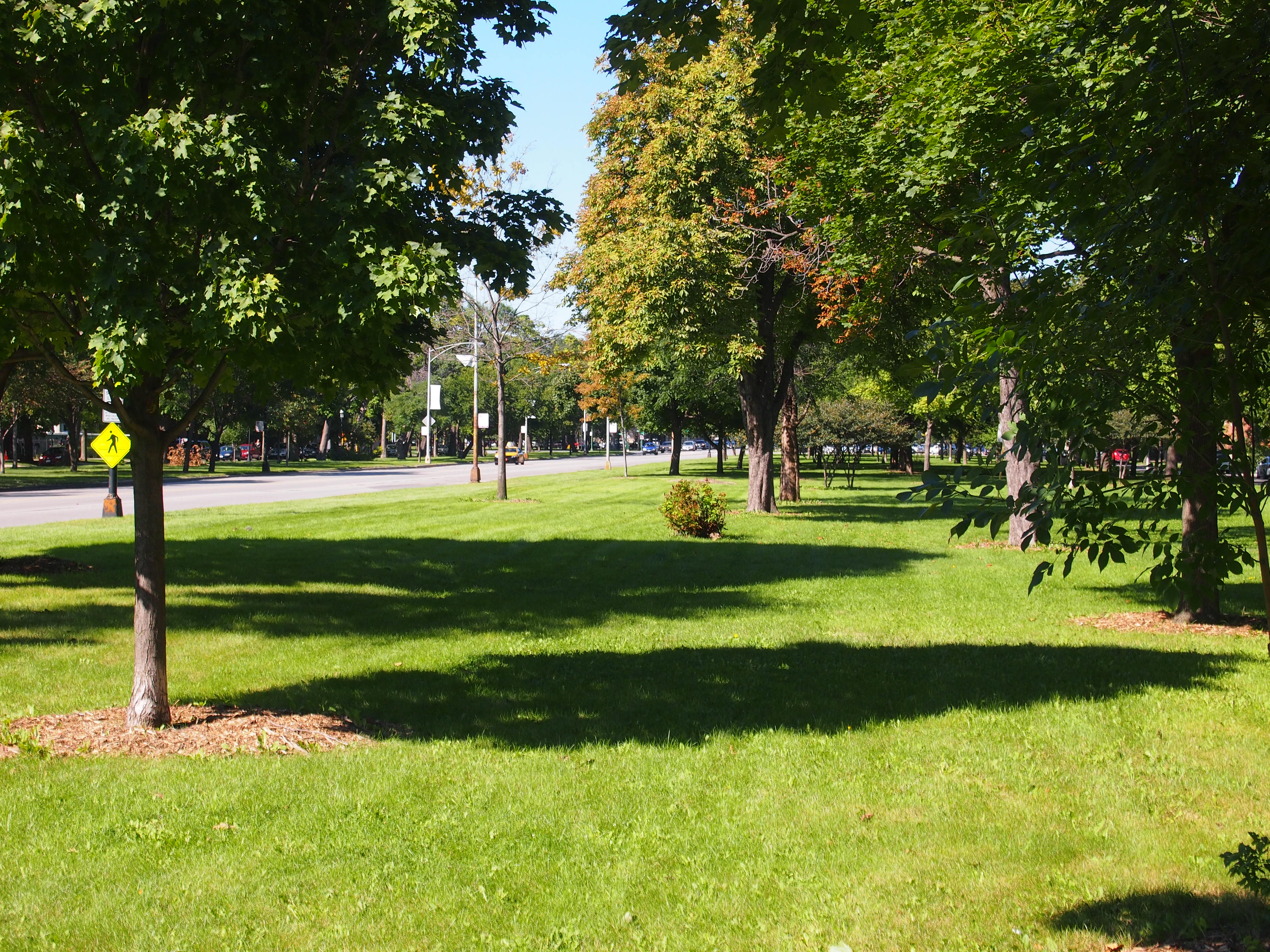
This is a view of Humboldt Blvd. from Armitage Ave., looking north, and a good number of blocks north of Humboldt Park, and a bit south of Palmer Square. To the left of the narrow parkland is the main street, and to the left of that is another strip of narrow parkland.
 Flanking both strips of narrow parkland are small streets, where it seems mostly residents park their cars. It’s a lot better than many major Chicago streets, which may have six lanes, but two of those are parked up on either side.