Vexillologists, I understand, are fond of the Chicago flag. So are the people of Chicago. I’ll go along with them on that.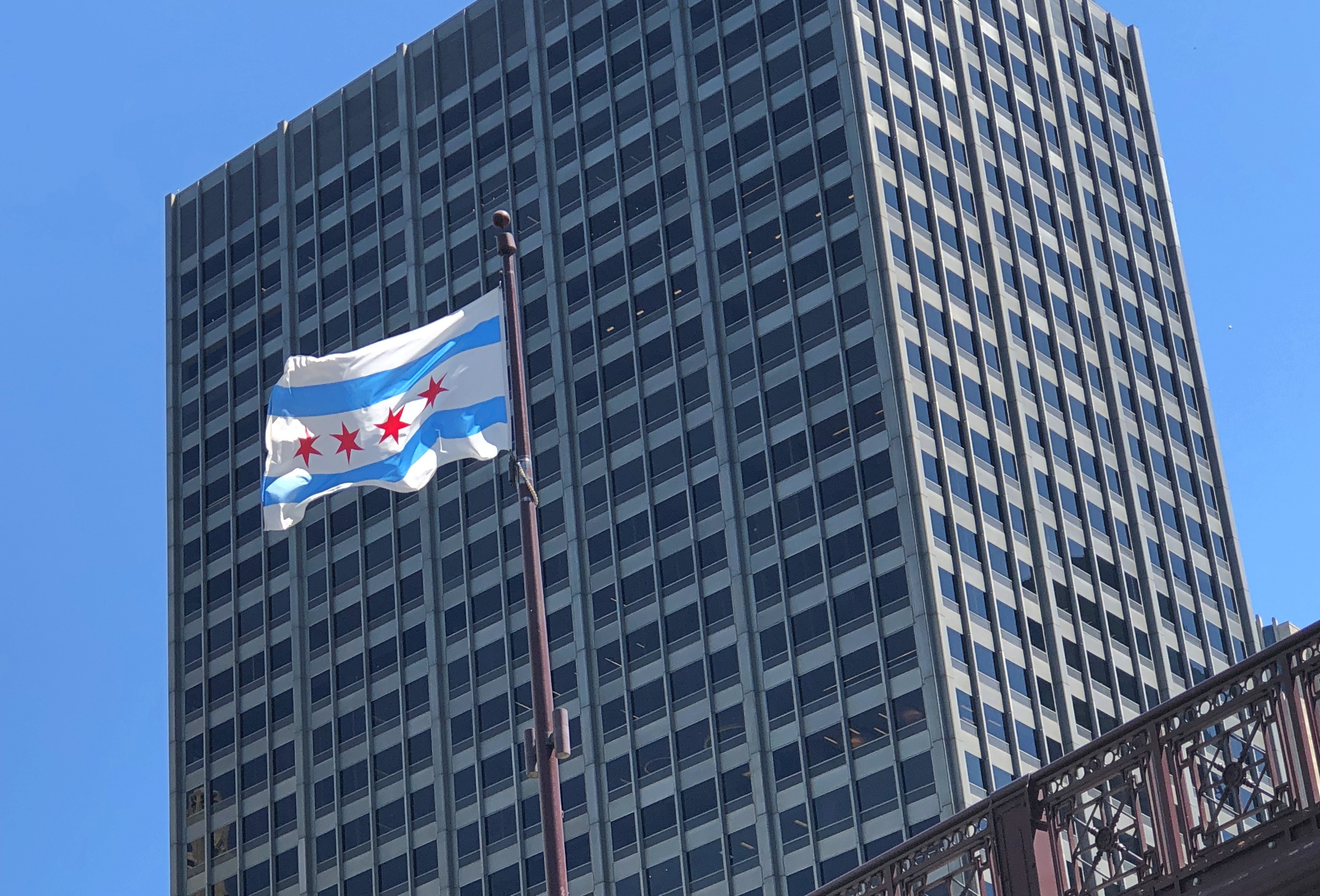
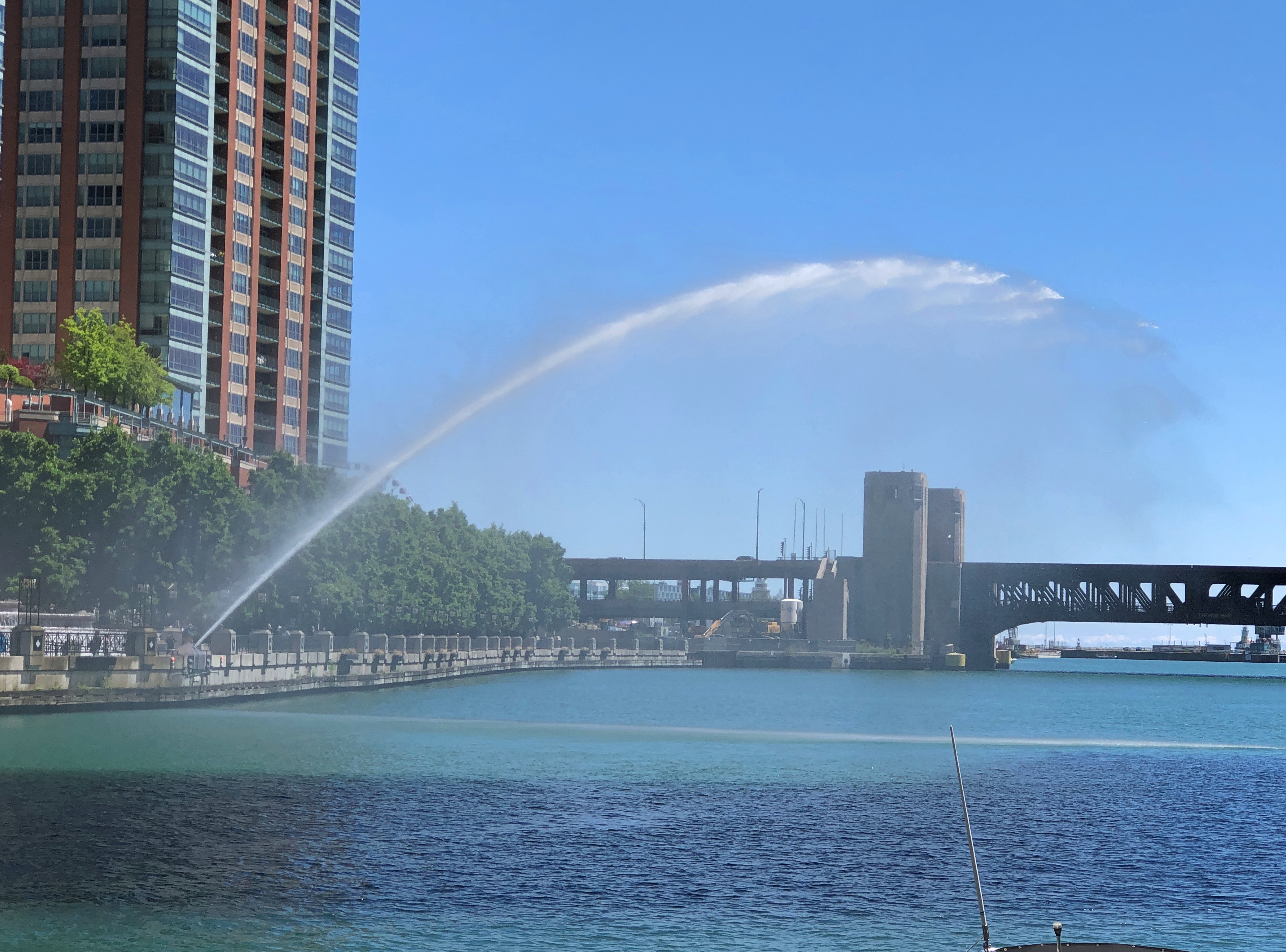
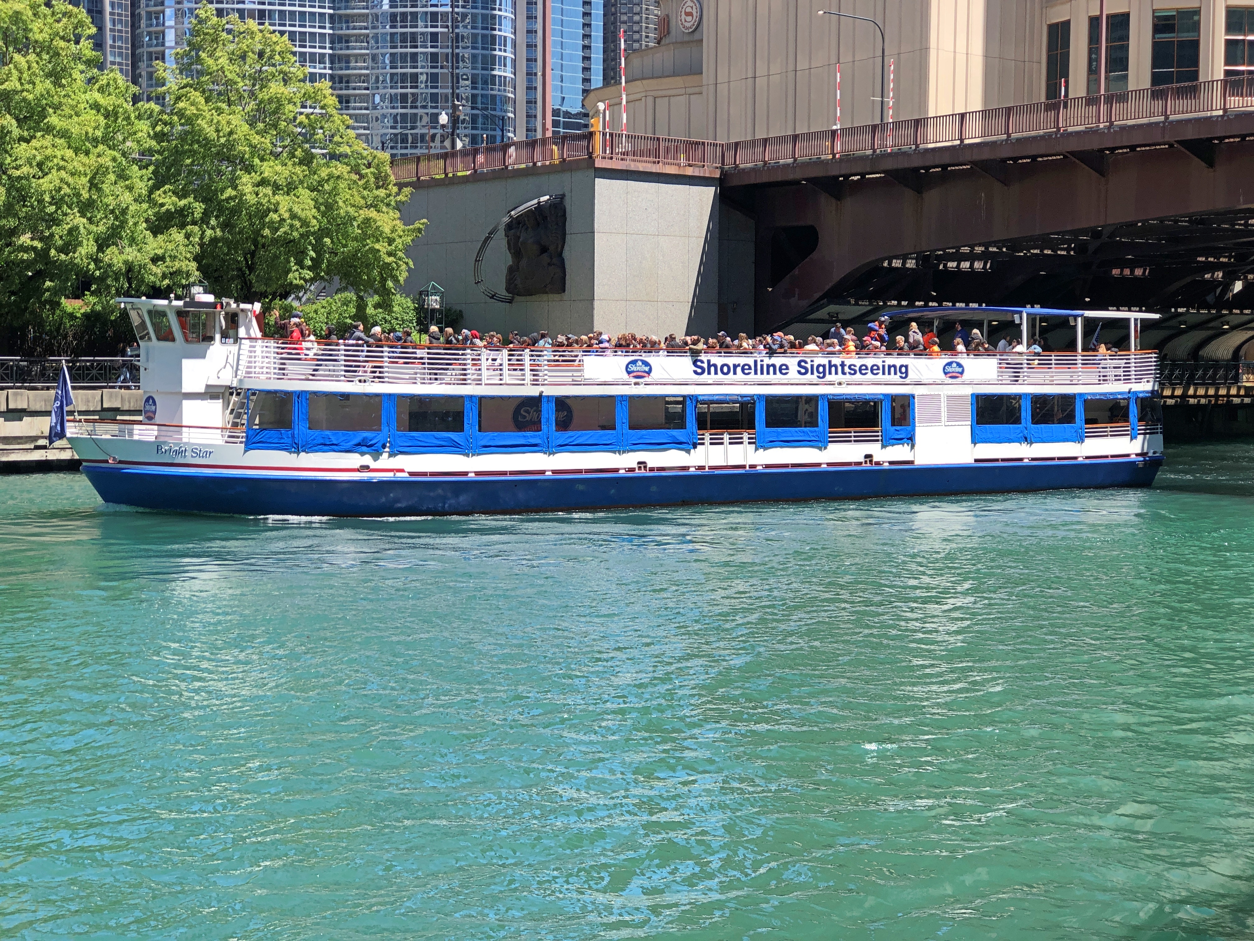
Walking along the Chicago Riverwalk last Friday, how could I say no to this?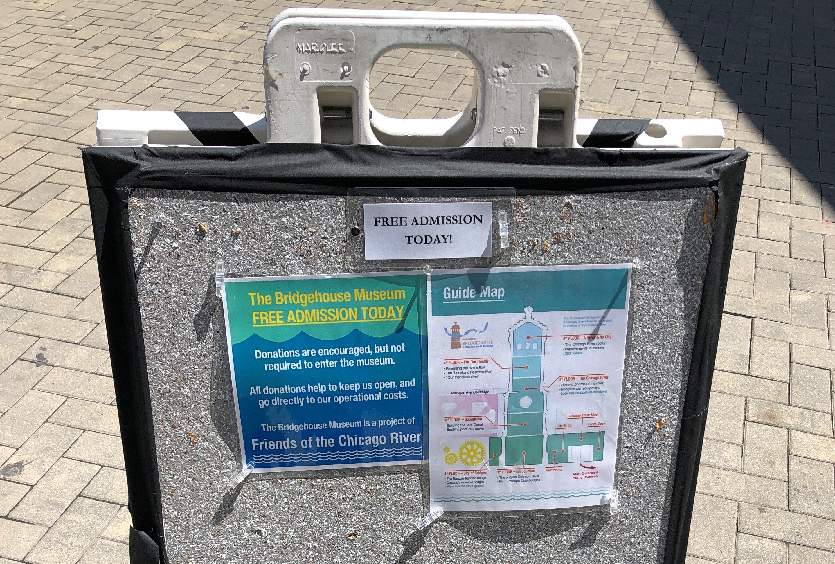
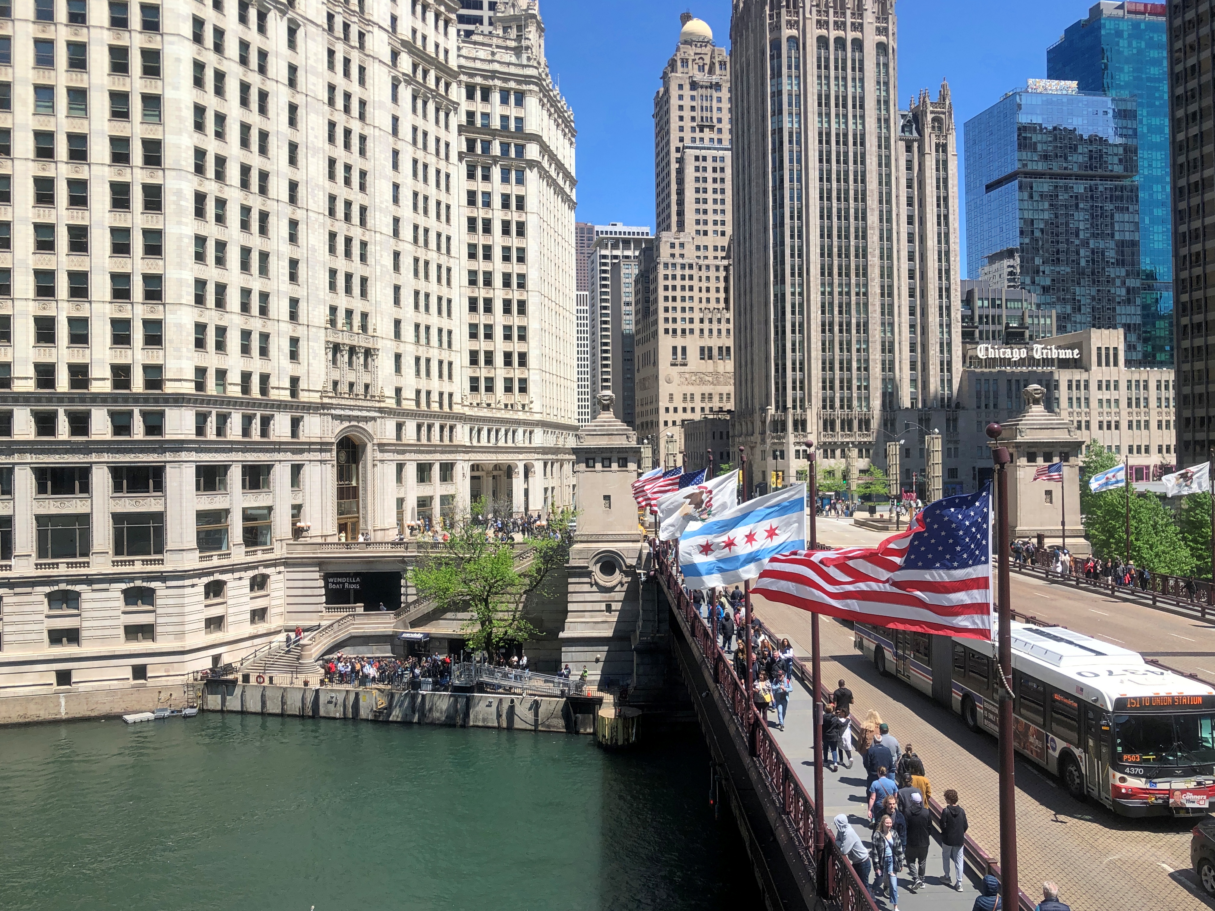
By happy chance, I’d arrived at the Bridgehouse Museum, whose entrance is on the Riverwalk level on the Chicago River next to Michigan Avenue bridge, on a free admission day.
Actually not next to the bridge. The museum is part of the bridge, consisting of one of the four bridgehouses at each corner of the Michigan Avenue bridge, which houses the Machine Age equipment that raises and lowers part of the bridge. In full, it is the McCormick Bridgehouse & Chicago River Museum.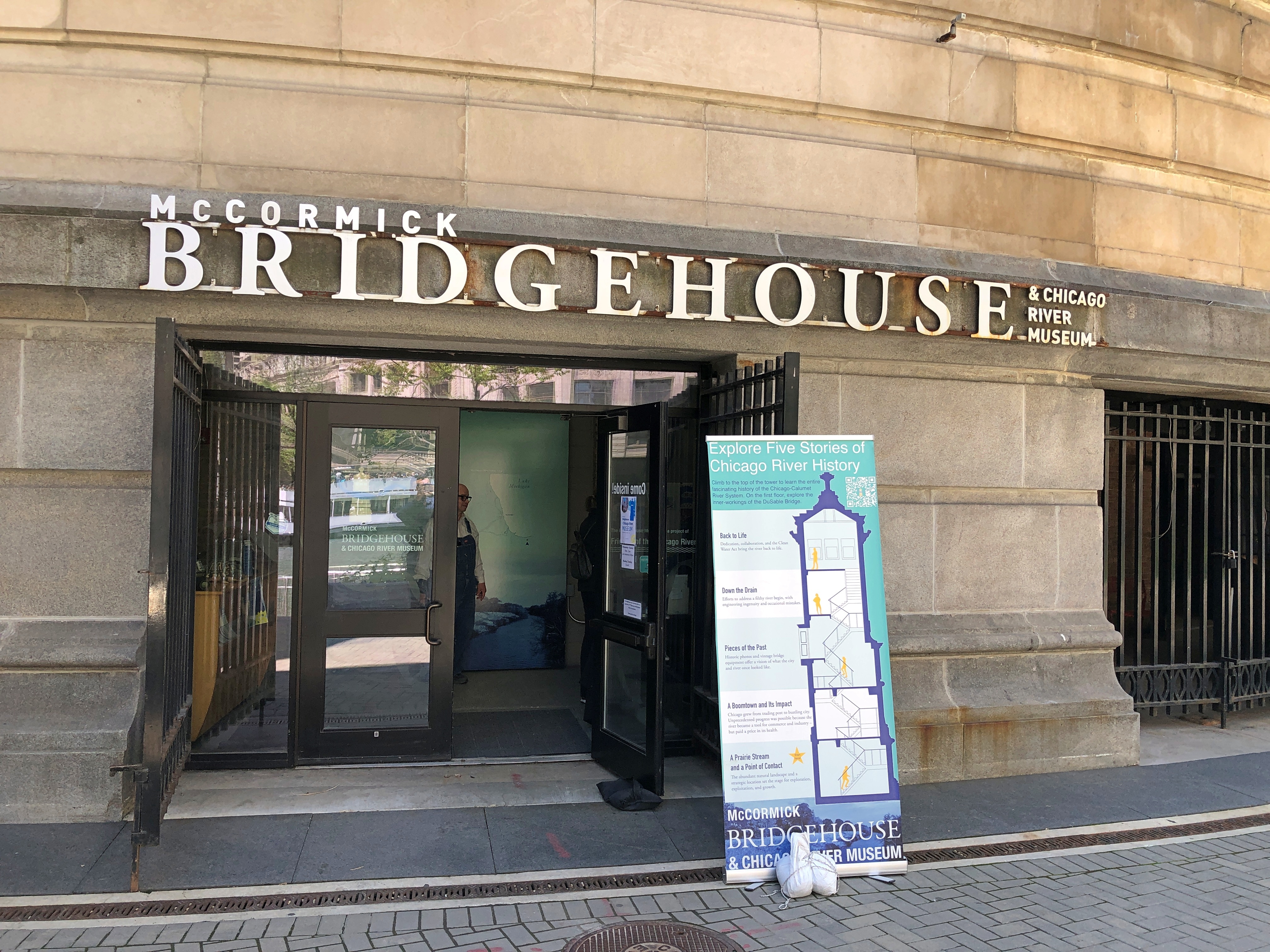
The museum tells the story of the bridge, completed in 1920, and the Chicago River, which has the distinction (among others) of having its course reversed by the U.S. Army Corps of Engineers in 1909, during the heroic age of American civil engineering. The story arc of the Chicago River is that of a modern urban river beginning as a sluggish, marshy stream in pre-settlement times that gave way to periods as an open sewer and home to a welter of commercial docks and warehouses; long periods of unhealthy levels of pollution and its abandonment (mostly) as a working river; and more recent efforts to remediate the waters.
Mr. Dooley on the river as it was: “Twas the prettiest river f’r to look at that ye’ll iver see …. Green at th’ sausage facthry, blue at th’ soap facthry, yellow at th’ tannery, ye’d not thrade it f’r annything…”
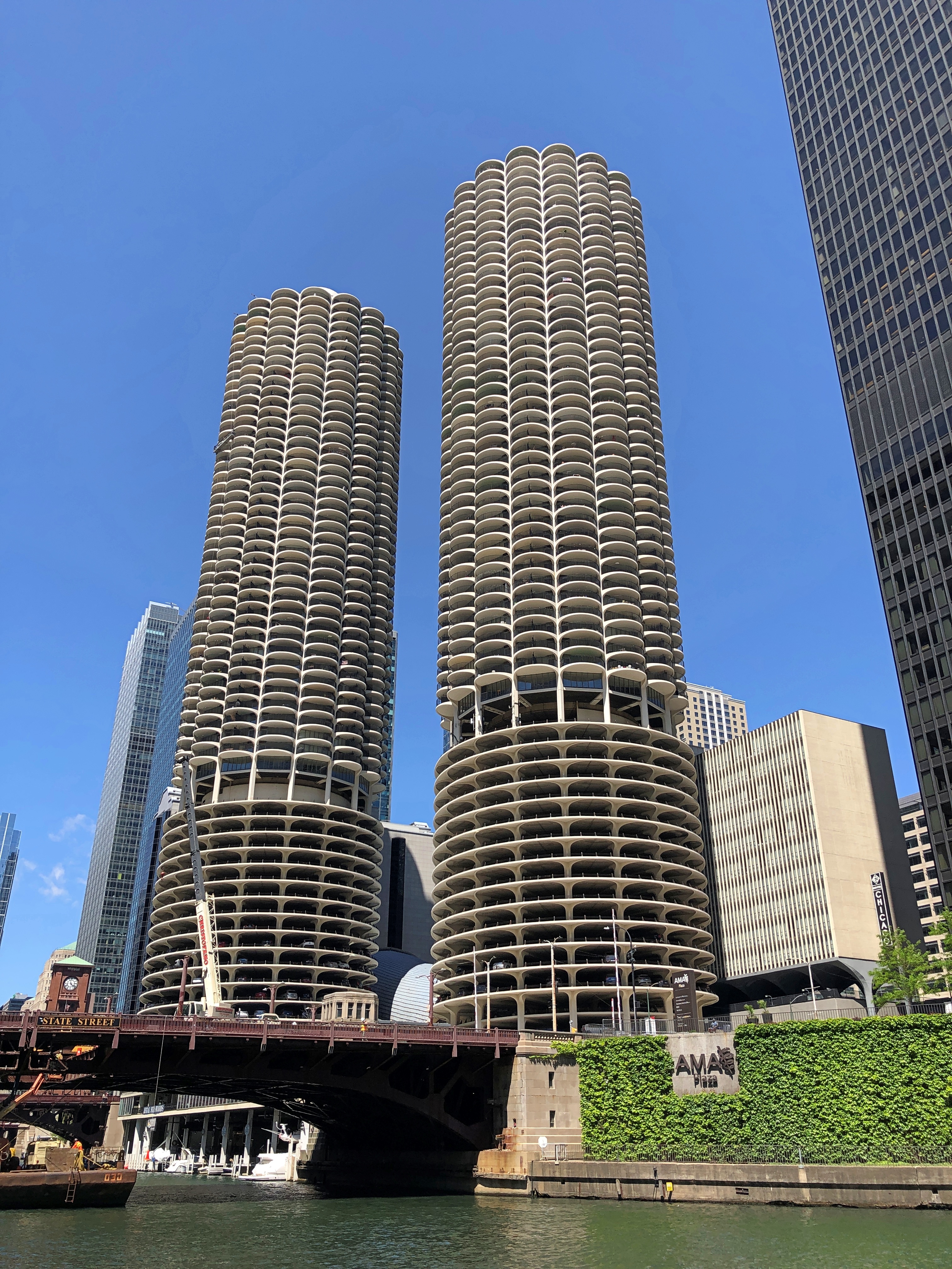
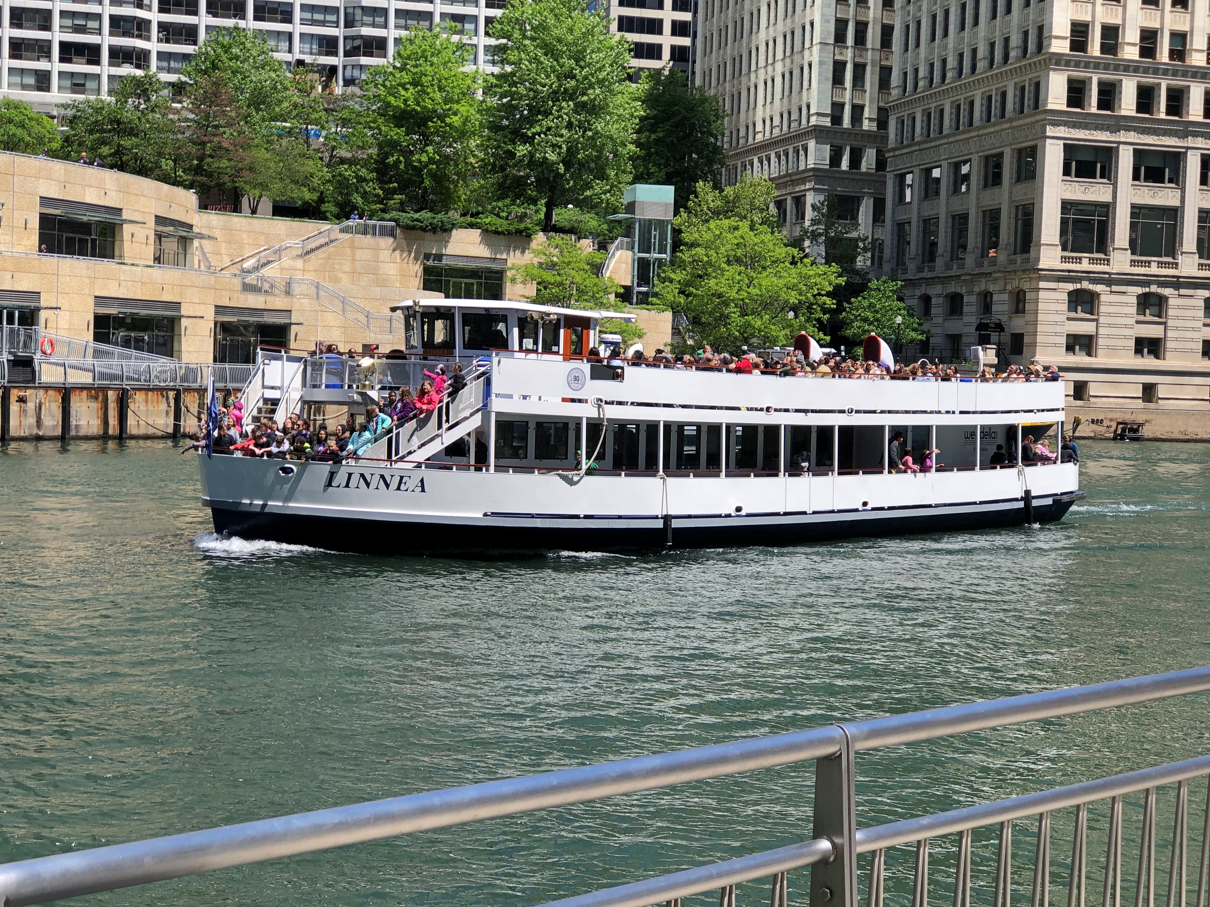
The challenge posed by the river to the free movement of vehicles and pedestrians in downtown Chicago was solved by a raft of bridges, most of which are bascule, as is the one at Michigan Ave. The river sees the life of the city along its shore and on its bridges, and it has seen death, such as the almost comic collapse of the Rush Street bridge under the weight of cattle in 1863 and the nightmarish capsizing of the pleasure vessel Eastland in 1915.
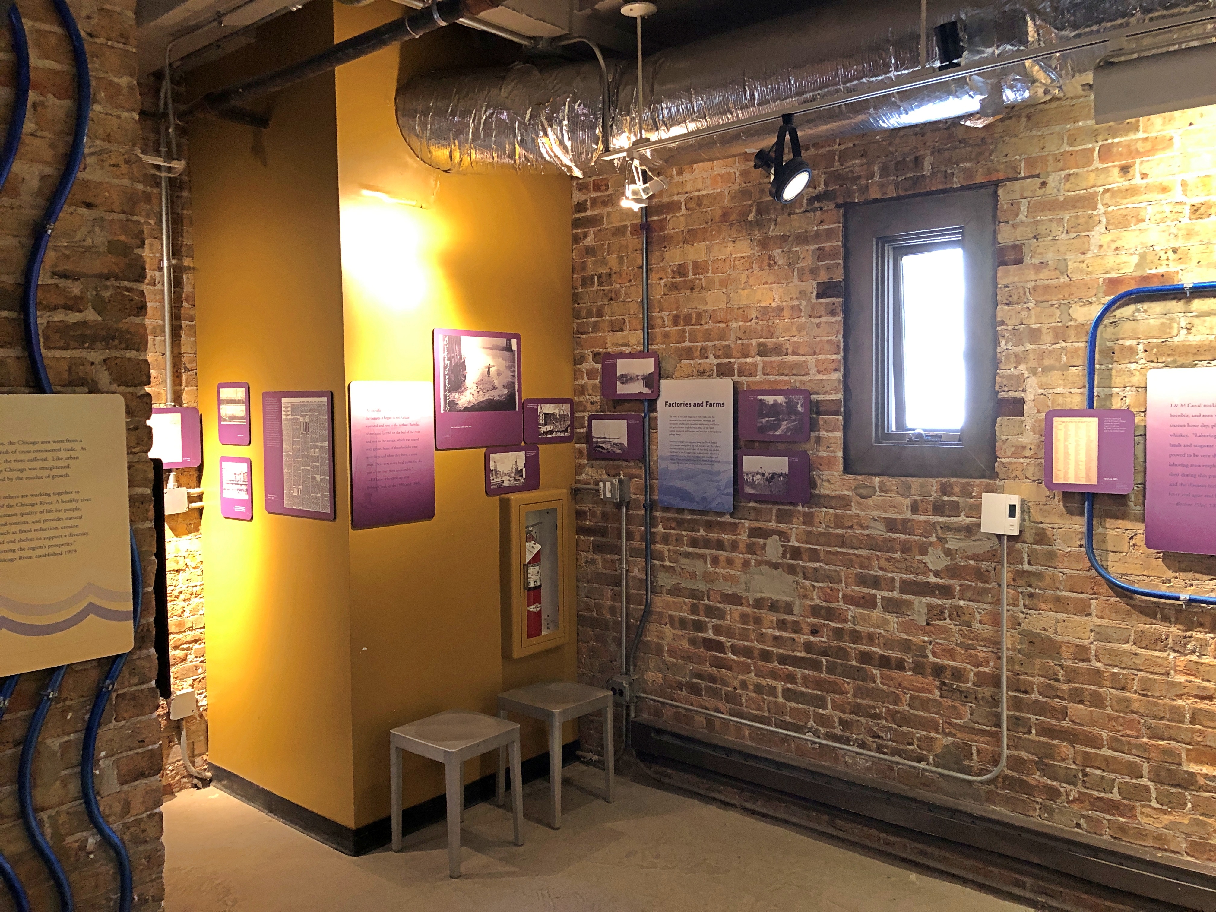
The museum consists of five floors, each a smallish room connected by concrete steps. Brick walls and battleship gray floors form the dominate color palate of the place. There is a fair amount to read and images to see, with each room covering a different subject, such as the bridge itself and the ecology of the river.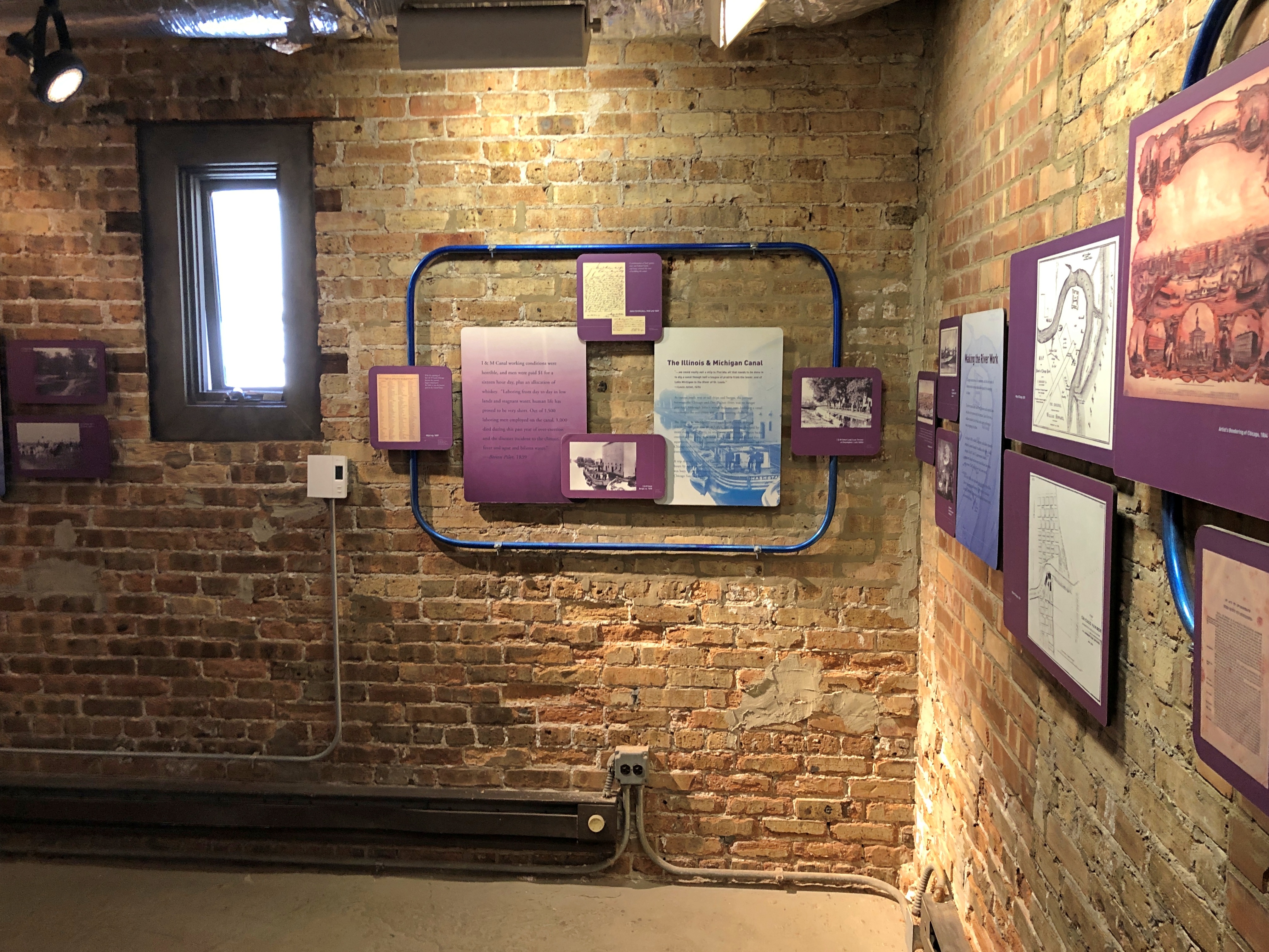
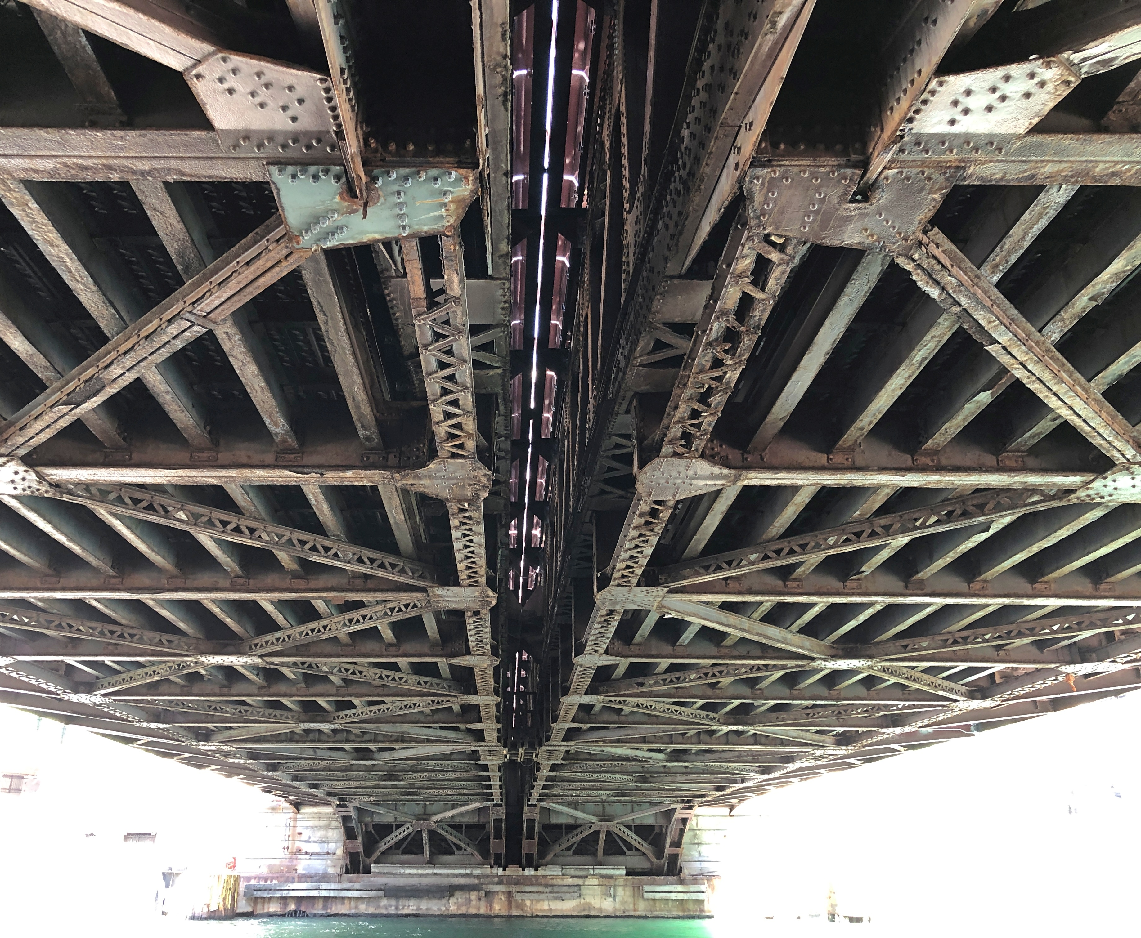
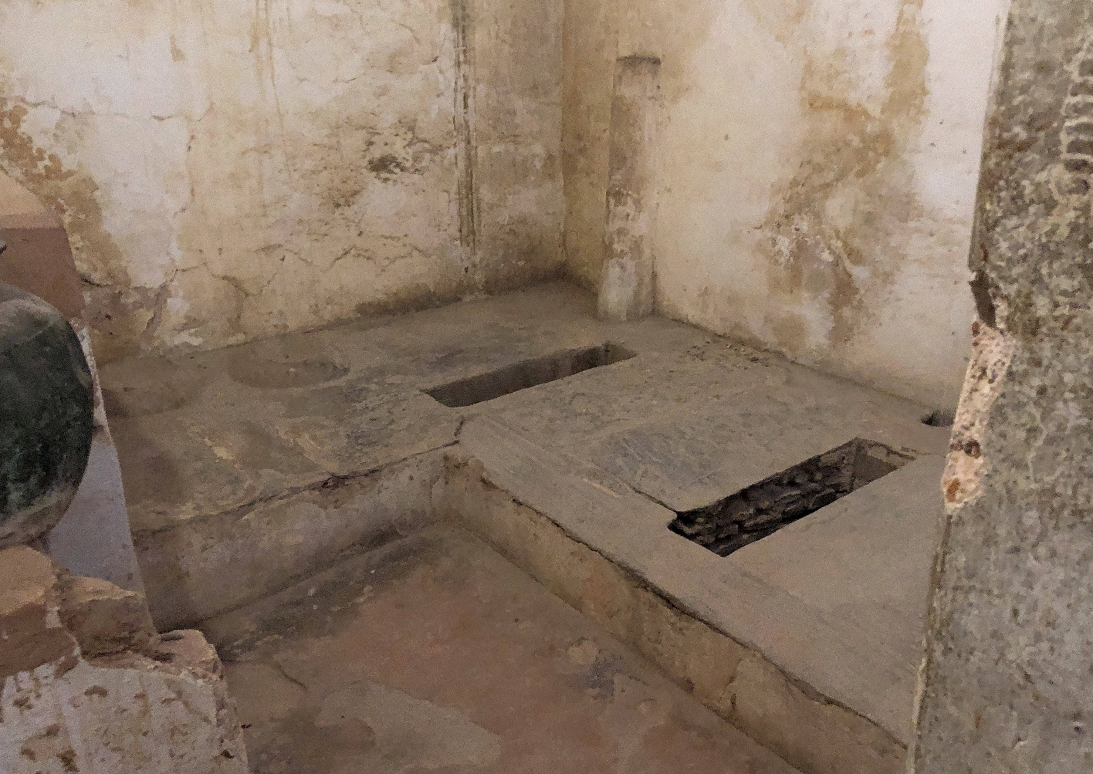
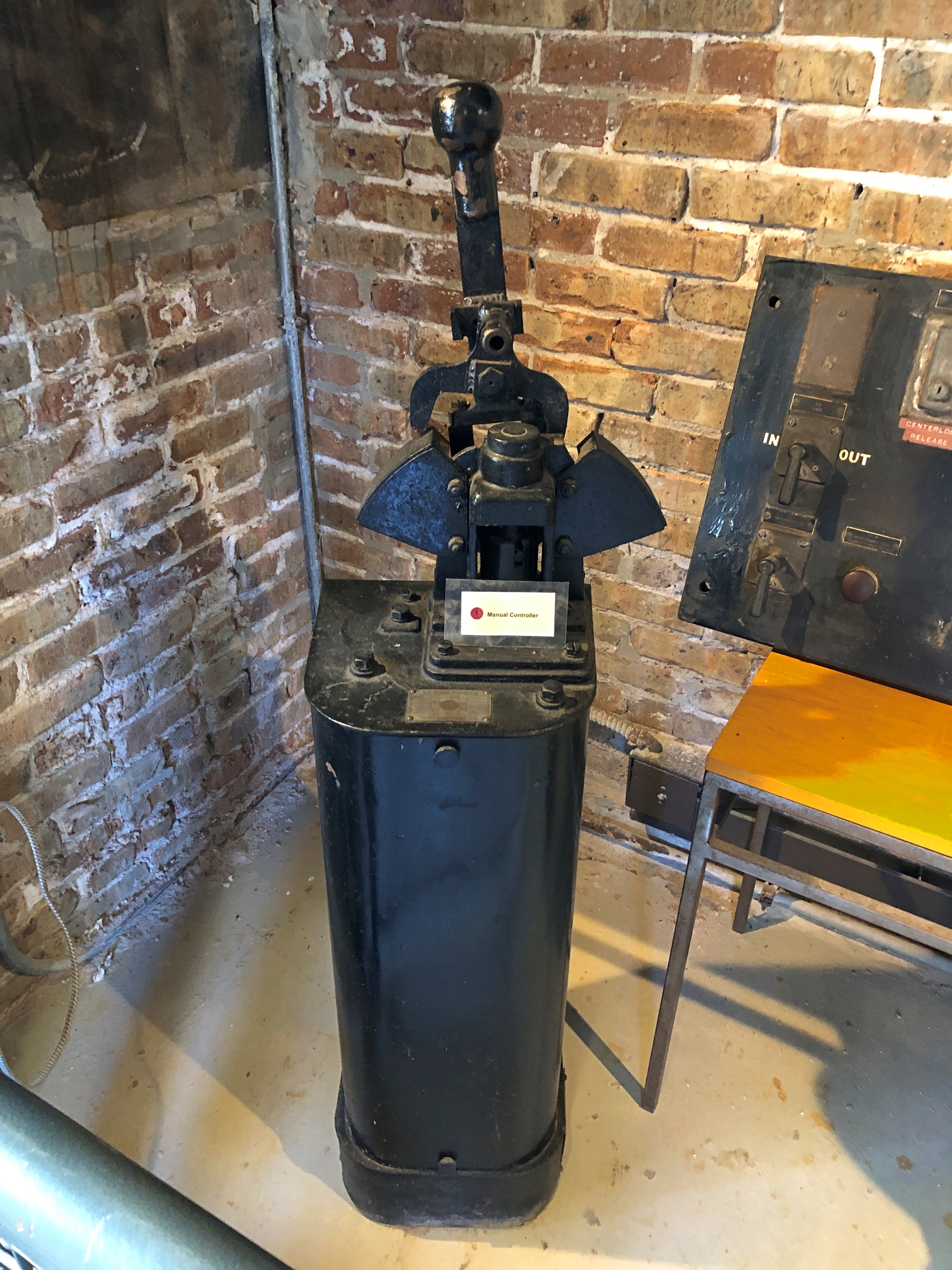
A door from the first-floor room leads to a view of some of the steel equipment that makes the bridge move, such as this massive pinion.
Not everyone likes reading at museums, but I do. You just have to be selective. Some bridge facts.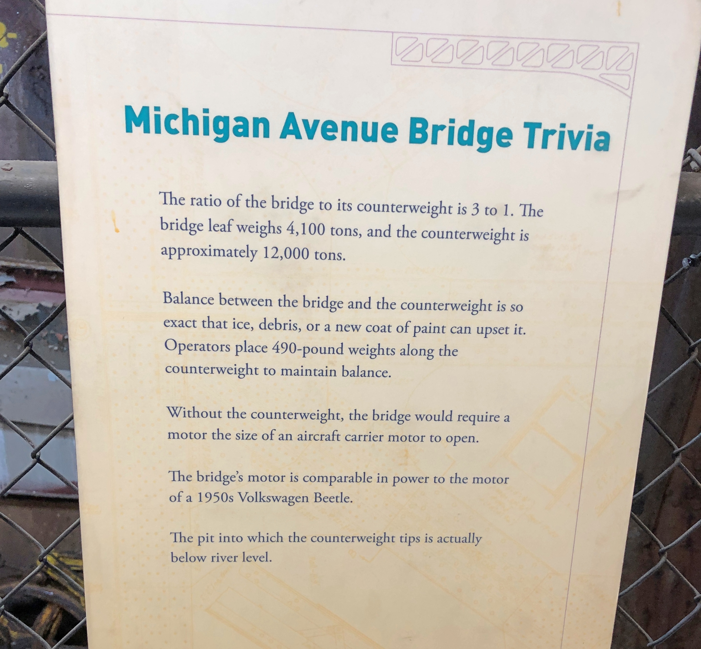
A display about a time the Chicago River caught fire. Cleveland shouldn’t be the only place known for that, though of course the incident at the Cuyahoga was recent enough to be on TV news.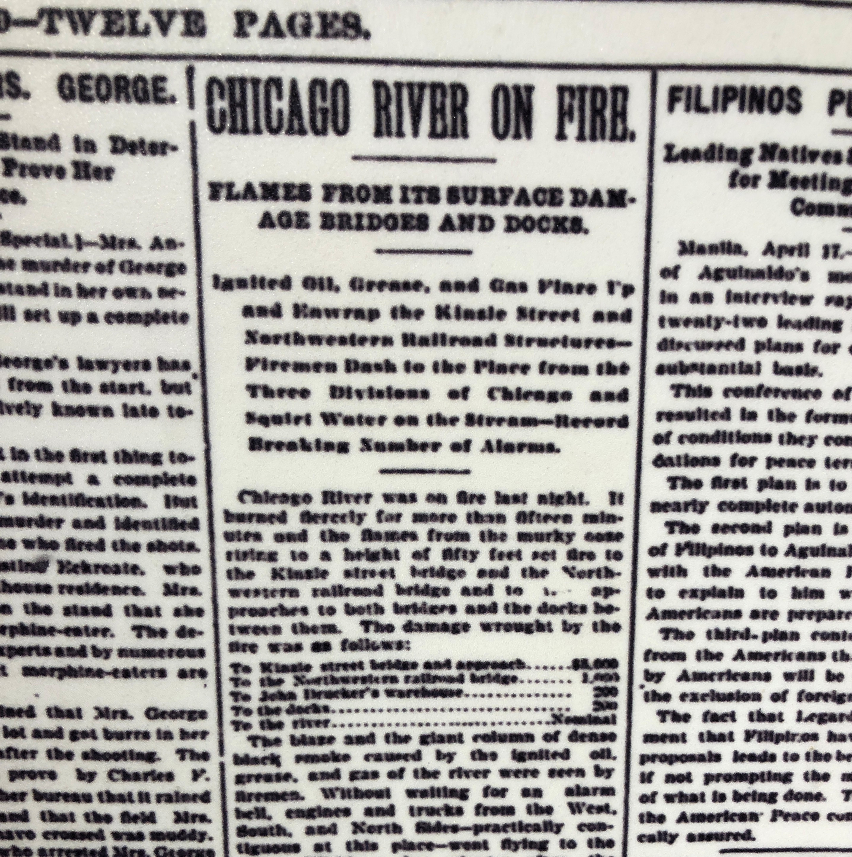
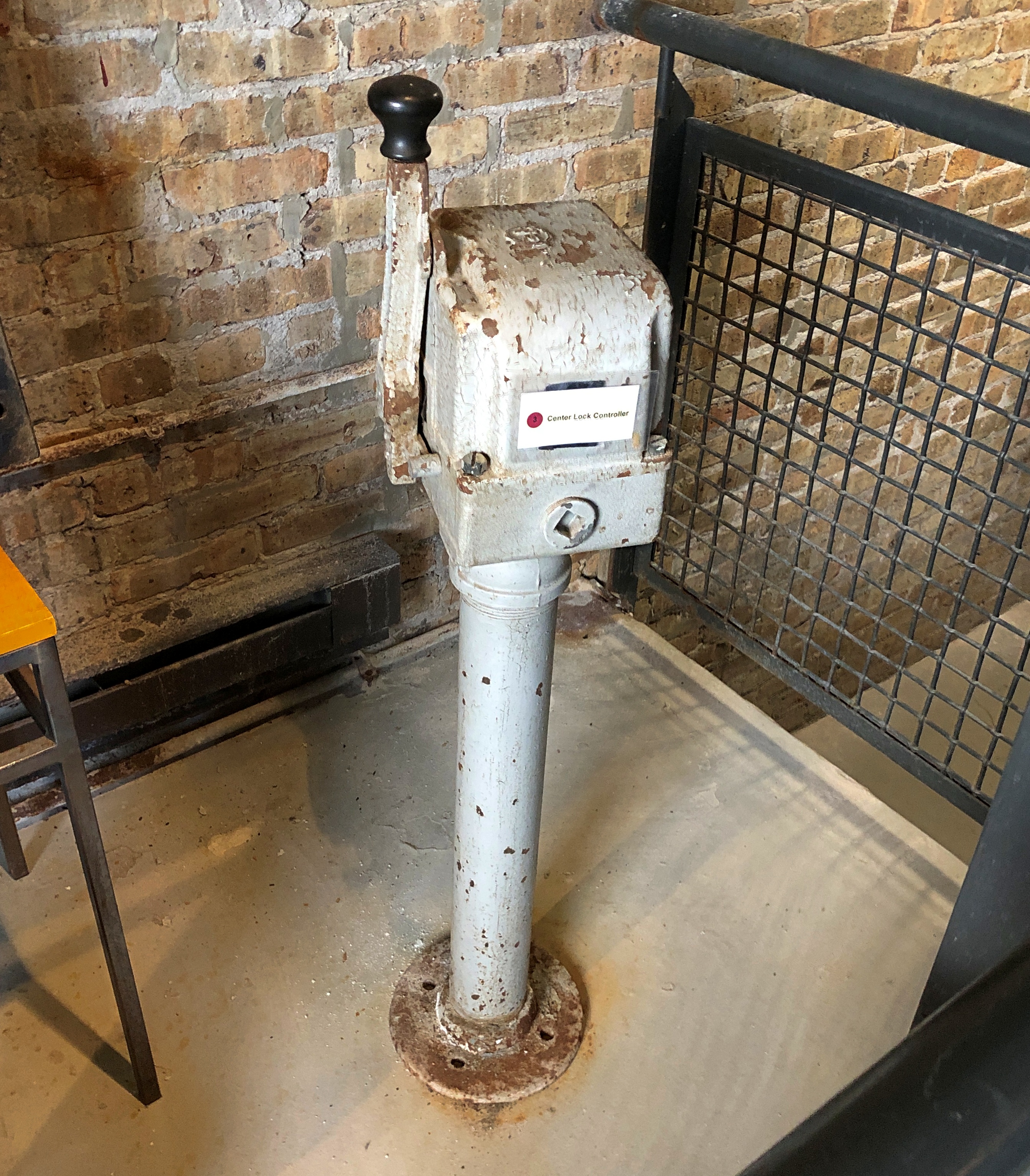
Antique bridge equipment.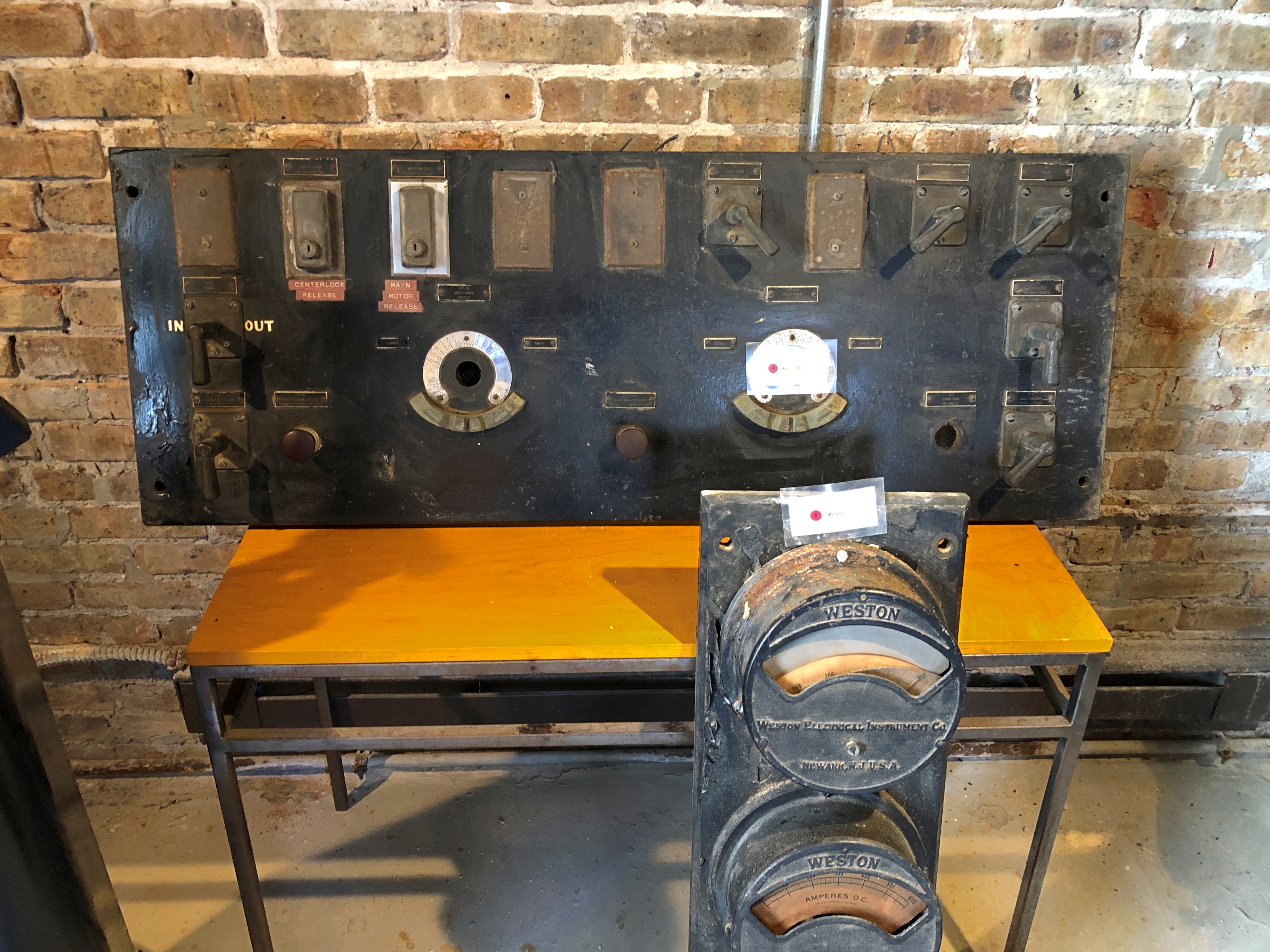
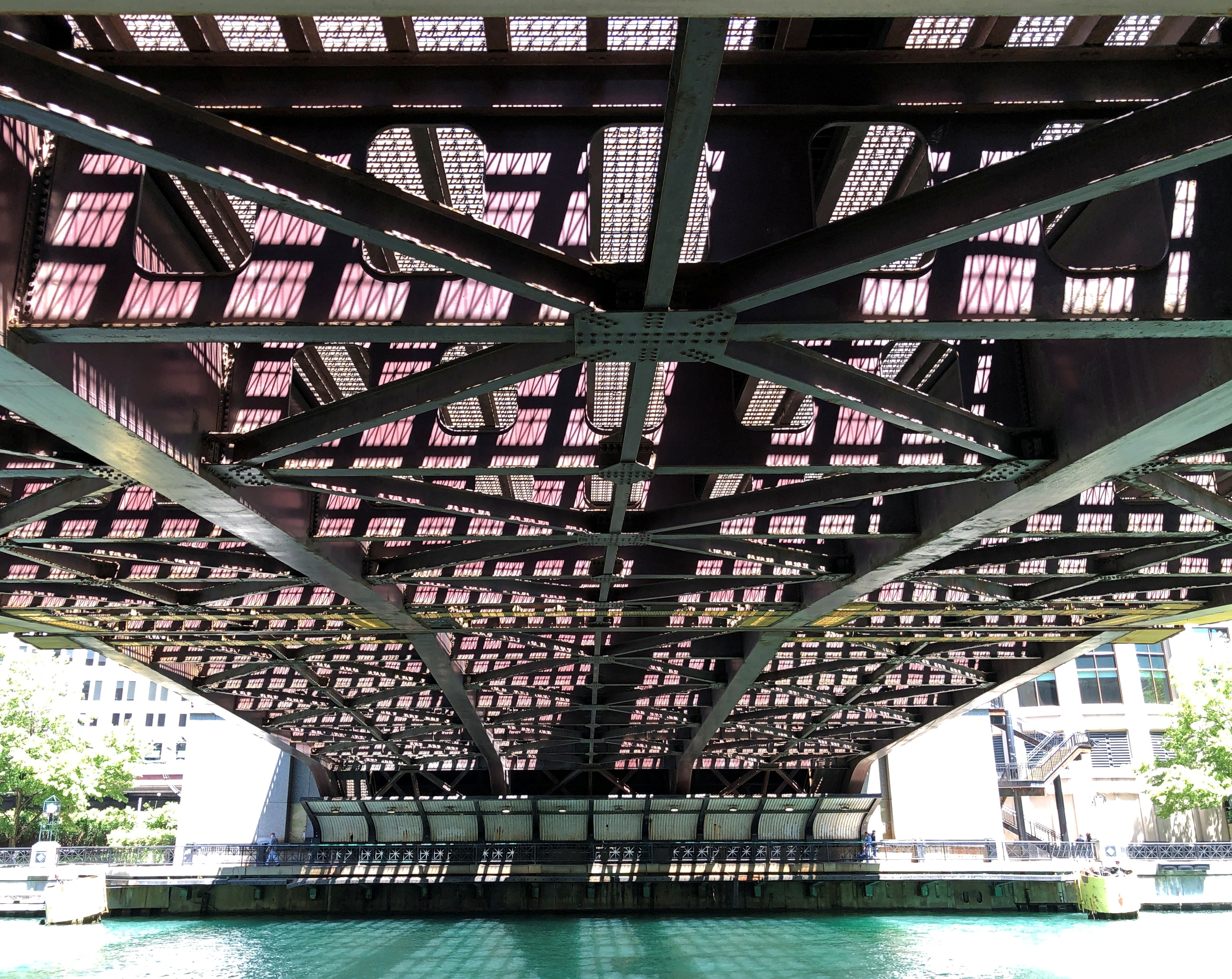
Small windows in the bridgehouse offer large views, especially from the top levels.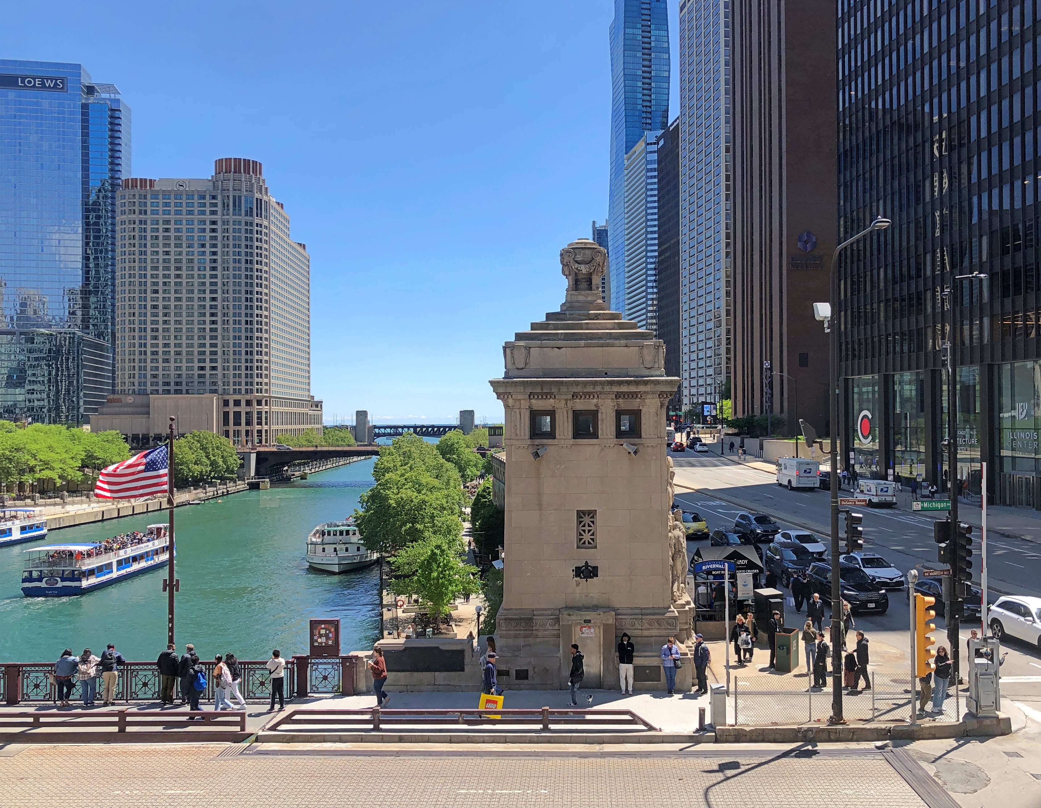
The other three bridgehouses are visible, for one thing. Then I wondered: why four and not two, since the bridge has two leaves that are raised and lowered? Later, I found out that each leaf is actually two separate sections, divided in the middle of the road, so in fact there are four parts being raised and lowered in unison.
There are two reasons, I understand. One is that each quarter section is lighter, and thus easier to move. Another consideration is what happens when a ship hits the bridge — an incident apparently more common in the 1920s than now, with a higher volume of ship traffic on the river in those days. Even if the damaged section has to be raised for repair, its companion on the same side of the bridge can (probably) stay in place, so the bridge wouldn’t need to be completely closed, which would be disruptive indeed for the city.
All in all, a good little museum. I made a small donation. One complaint, though — and I see this much more than I used to — no postcards at the gift shop. Note cards, yes. But not postcards. If there had been reproductions of this one, I would have bought at least one.