Big Bend National Park

When I was young, I was a fan of the Texas highway maps produced by the Texas Highway Department (these days TexDOT), which were published annually and usually available at highway rest stops, though I think one year in the early ’70s I wrote to the department, and it mailed me one.

I admired those maps, unconsciously at that age, for good reasons. They were precise, easy to understand, useful and aesthetic, everything you need in a map. I found the color scheme for the cities and towns particularly fascinating. The largest cities were yellow. Mid-sized cities were green and large towns were brown. Or maybe those last two were the other way around; I don’t have an old map in front of me. To my thinking, that’s a brilliant way to depict population centers by relative size.

My 7th-grade Texas History teacher, the prickly Mrs. Carico, taught us map-reading skills one day using Texas highway maps. Imagine any teacher doing that now. I think I already knew most of what she said, though I did learn from her the difference between red mileage numbers (marked with red arrows) and black numbers that didn’t use arrows.

She didn’t care for the yellow-green-brown system, though I don’t remember why. Maybe because the national forests in East Texas and Big Bend National Park in West Texas were a slightly different shade of green. But I never found that confusing.

It’s probably from those maps that I got my first notion of Big Bend. There it was, hugging the Rio Grande, far from most everything else, thrusting into a remote part of Mexico, marked by the brown smears that denoted mountains on the map. A few roads went there. A few towns were nearby — but not that near. Somehow that place was a national park.

But I didn’t feel an aching need to go there. In 1972, when we took a family vacation to Carlsbad Cavern National Park, we could have just as easily have gone to Big Bend, but we didn’t, and the thought never occurred to me. In 1980, when I drove to El Paso from San Antonio, a little creativity on my could have resulted in a day in Big Bend, but it didn’t occur to me. In the 1990s, reports of his visits to the park by my brother Jay were interesting, but it seemed even further away than ever from my vantage in the Midwest.

Last year, I planned to go with Jay and Lilly, but circumstances prevented it. This year, I decided it was time, though by myself. So on April 24, 2018, in mid-morning, I found myself at the park entrance.
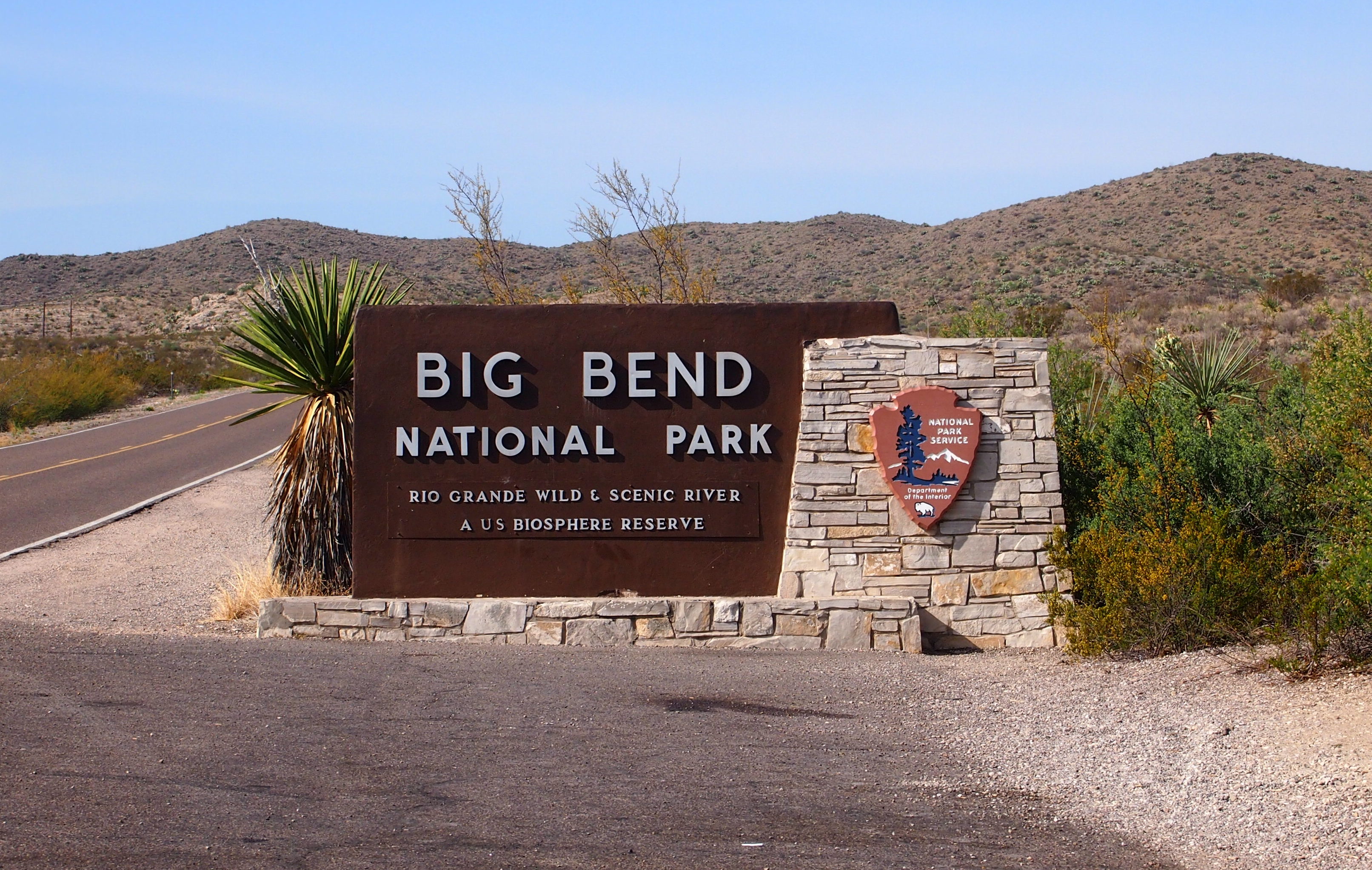
The road from the town of Marathon to the park entrance, U.S. 385, was a lonely one. I was almost by myself on the way down that morning. According to the National Park Service, Big Bend isn’t a top 10 national park by visitors. It isn’t even in the top 25.

In 2017, it was 41st out of 60 national parks, and 130th out of all of the 377 units of the NPS (Gates of the Arctic NP is last among national parks, unsurprisingly). A lot people probably have the same feeling about Big Bend that I had for many years: I’m sure it’s scenic, but it’s far away.

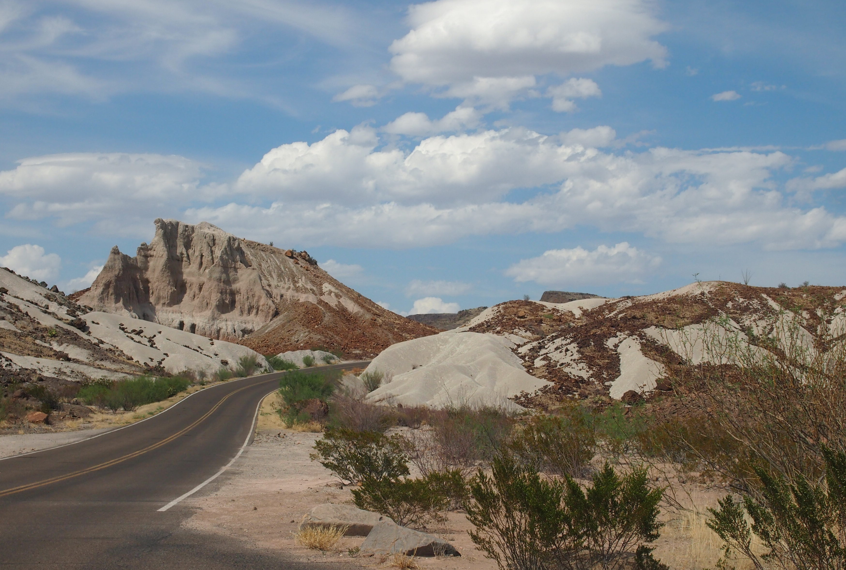
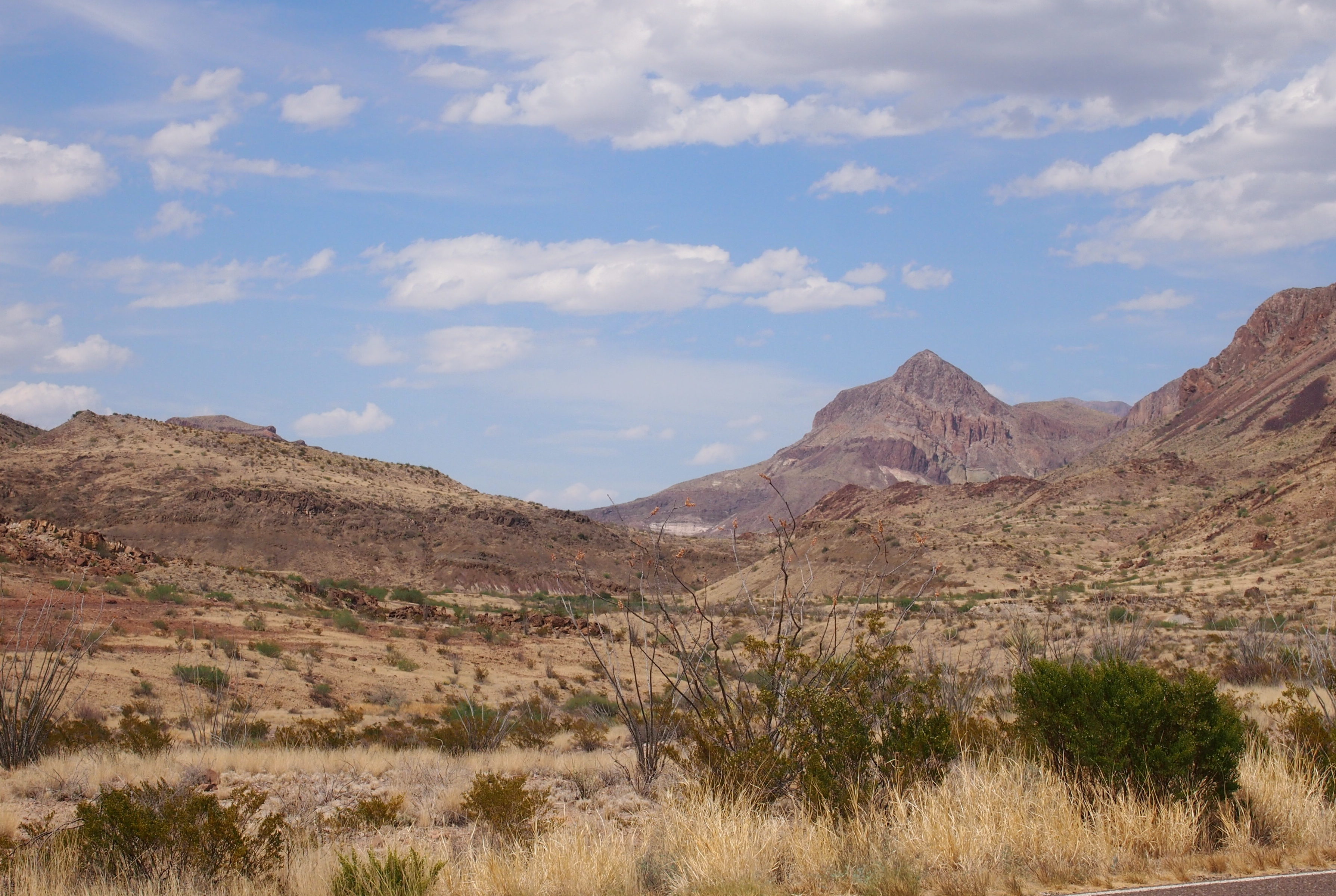
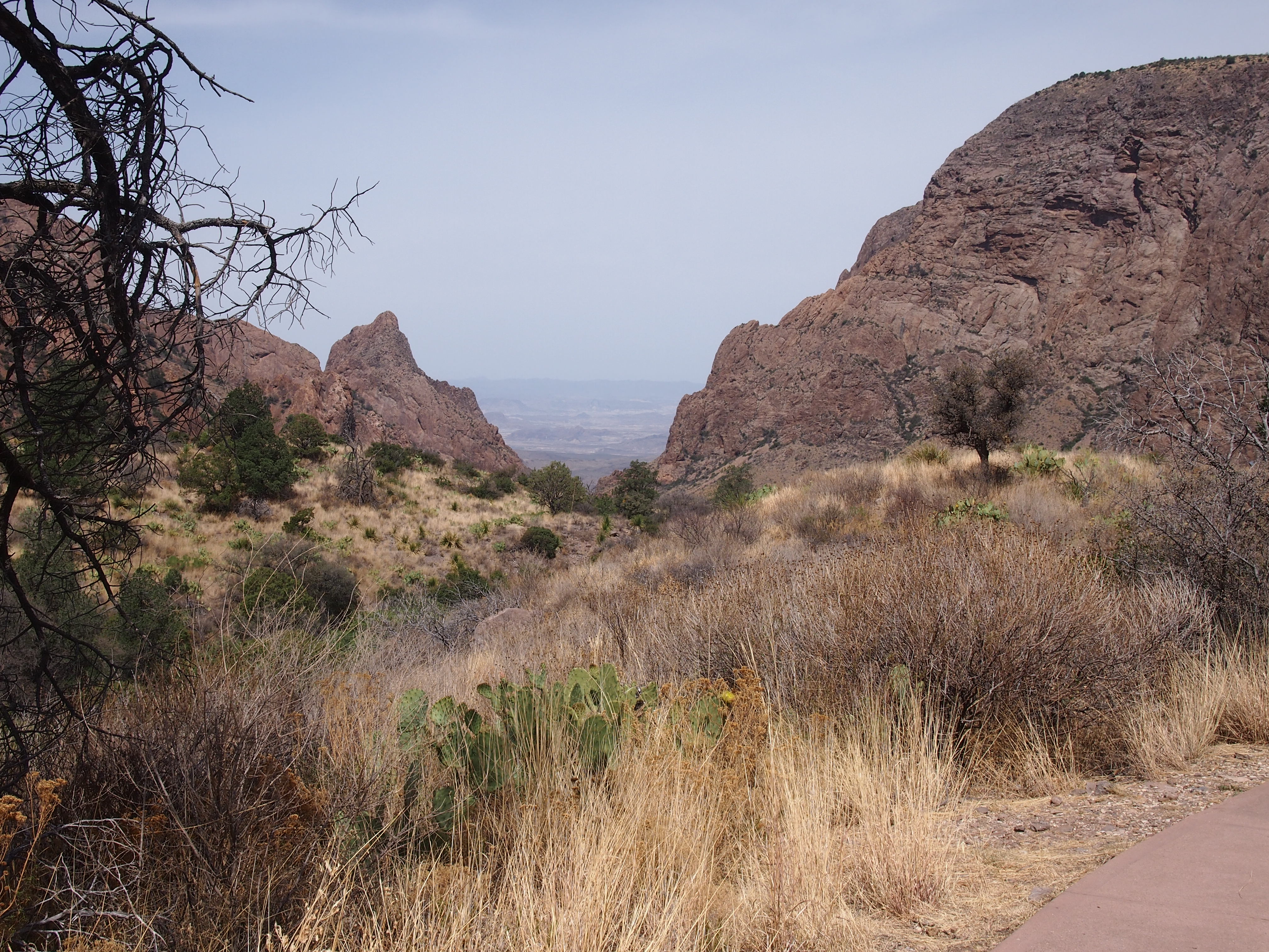
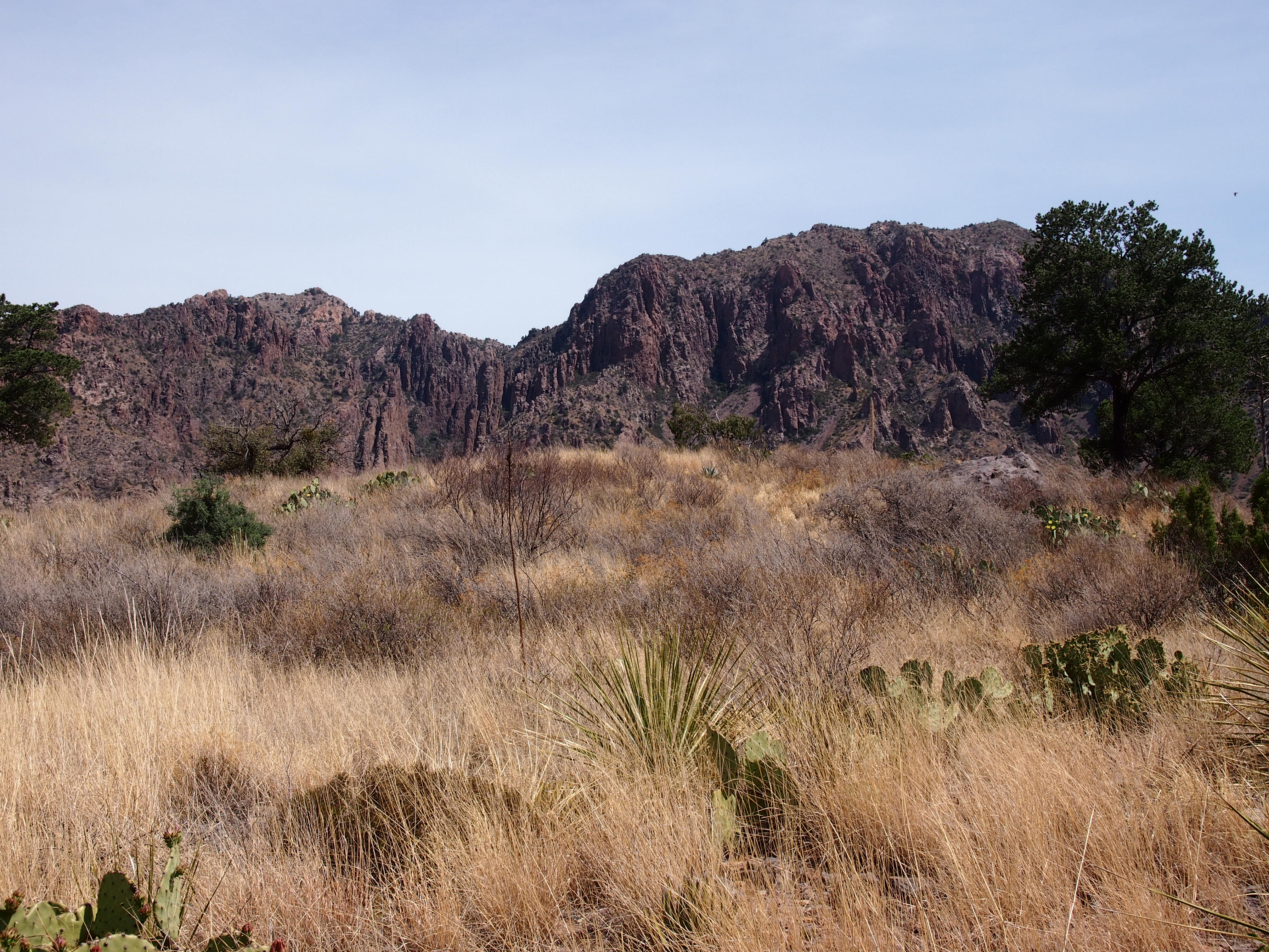
Glad I made the effort. It’s well worth the drive.

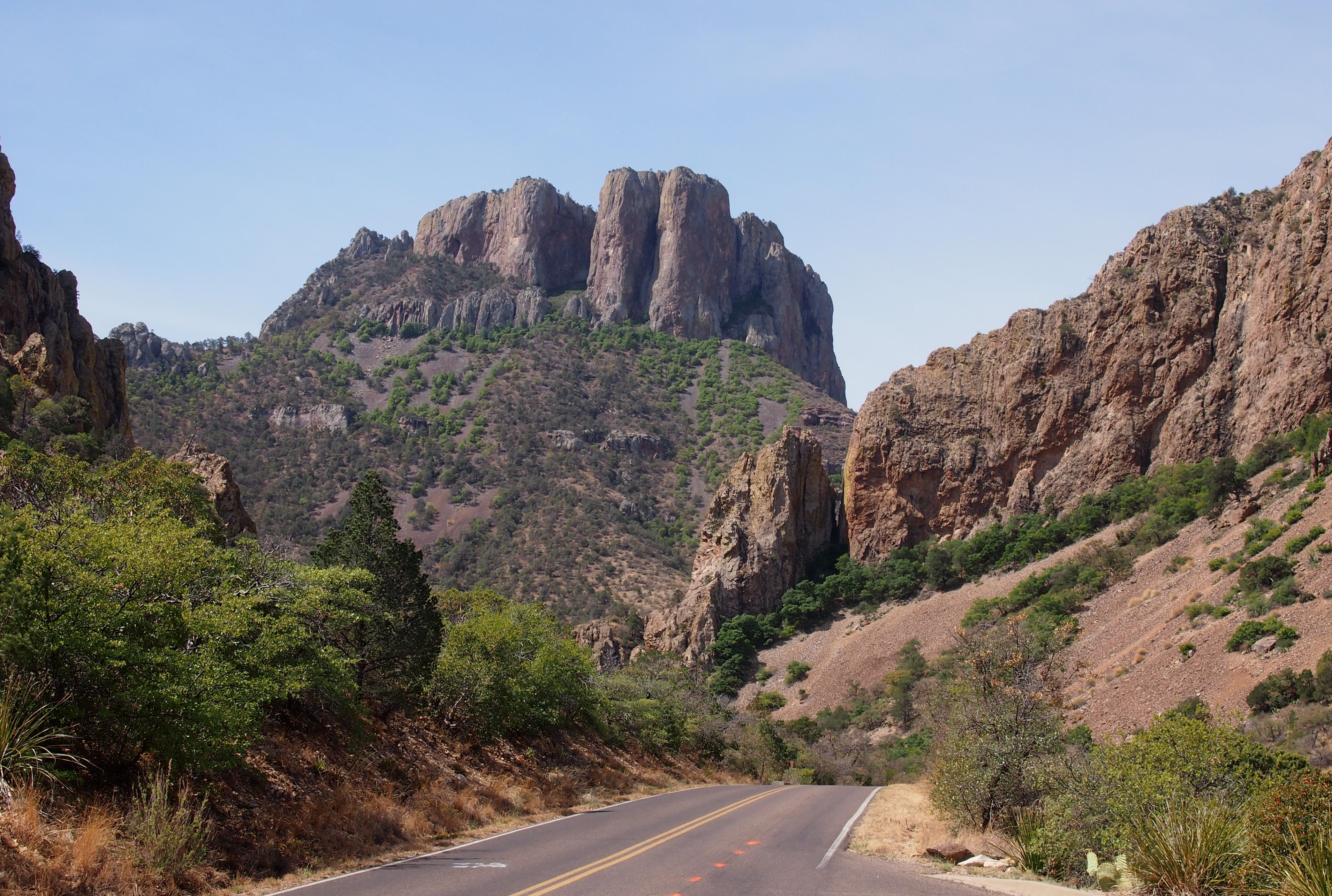
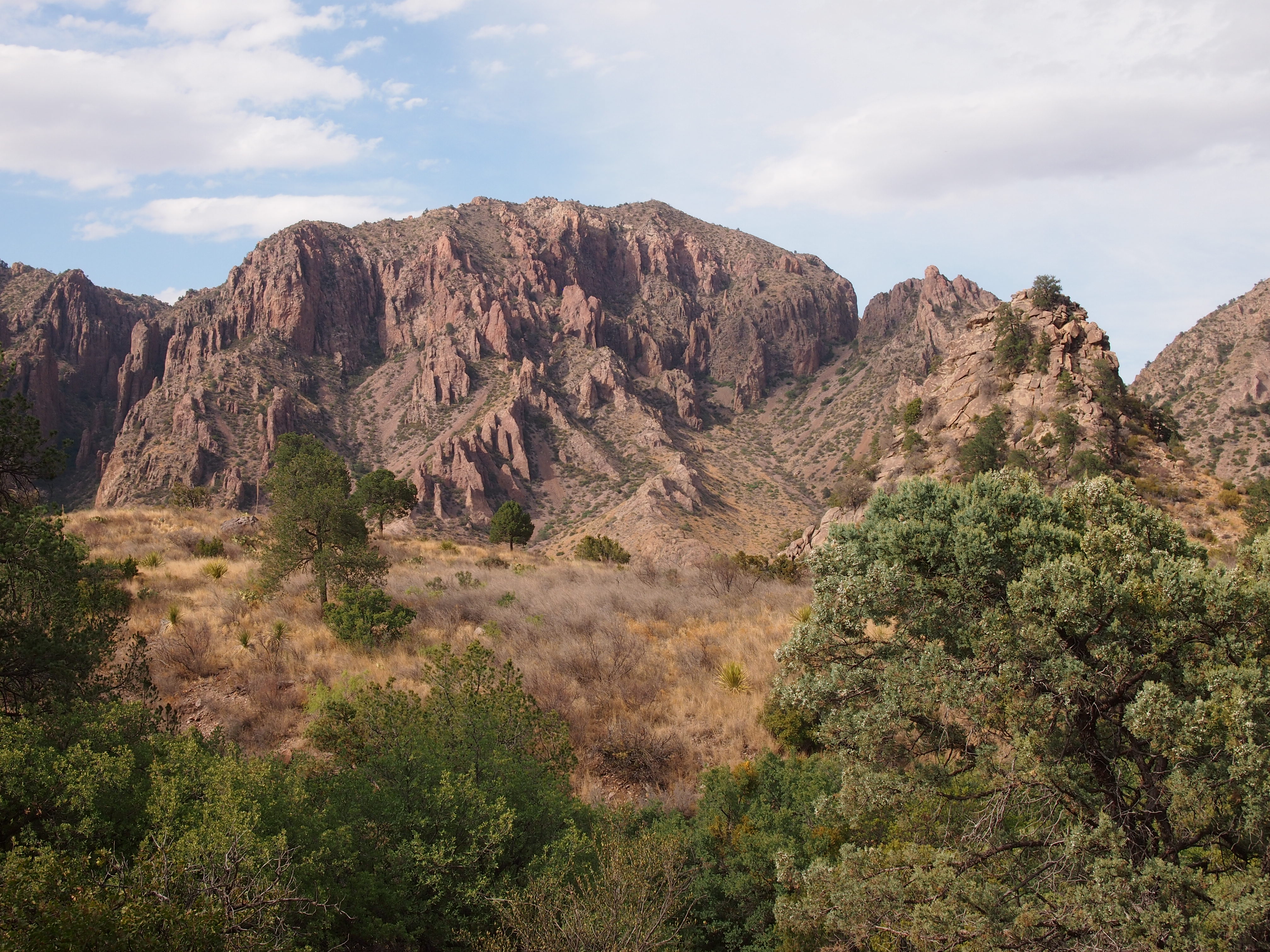
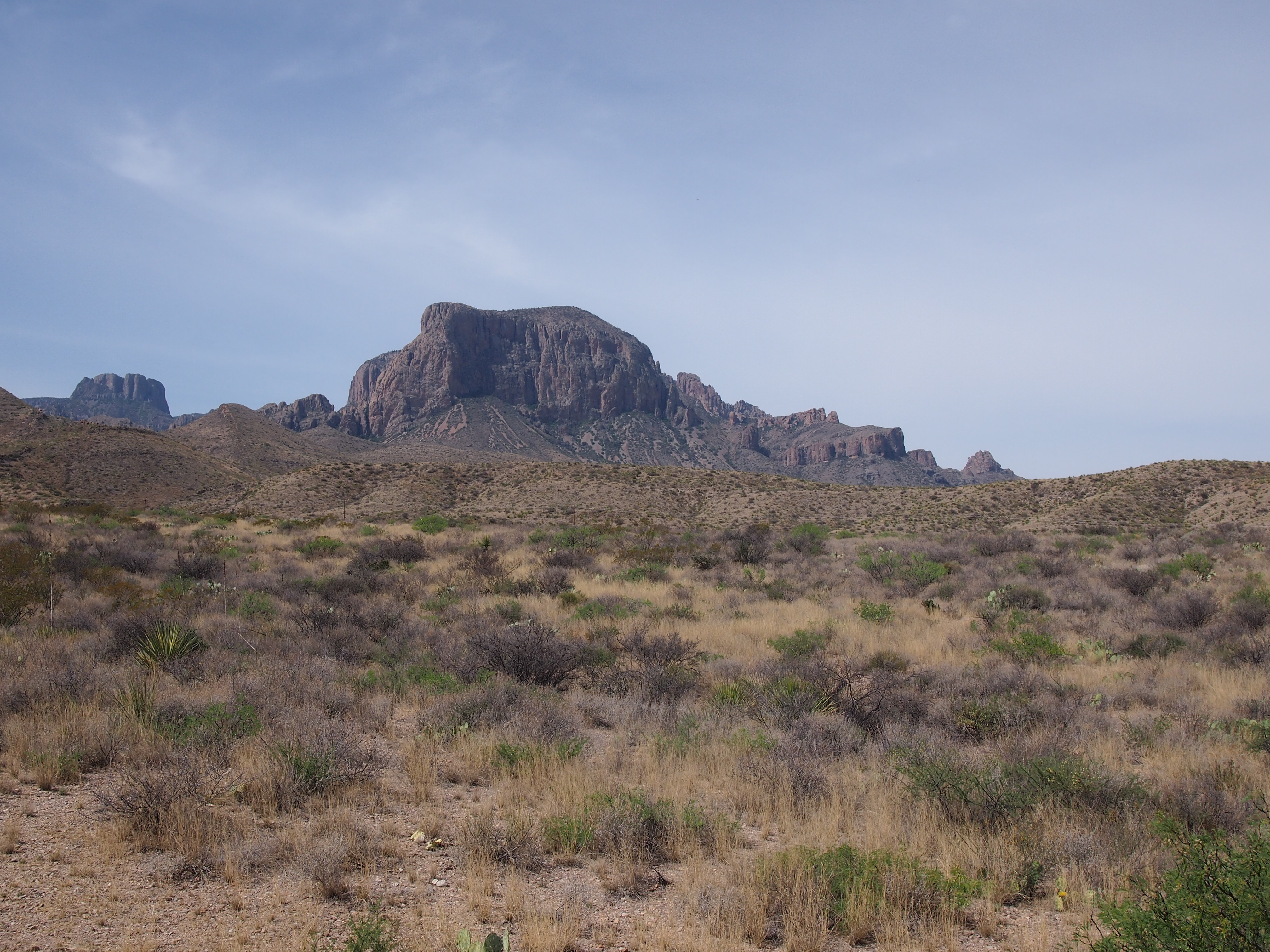
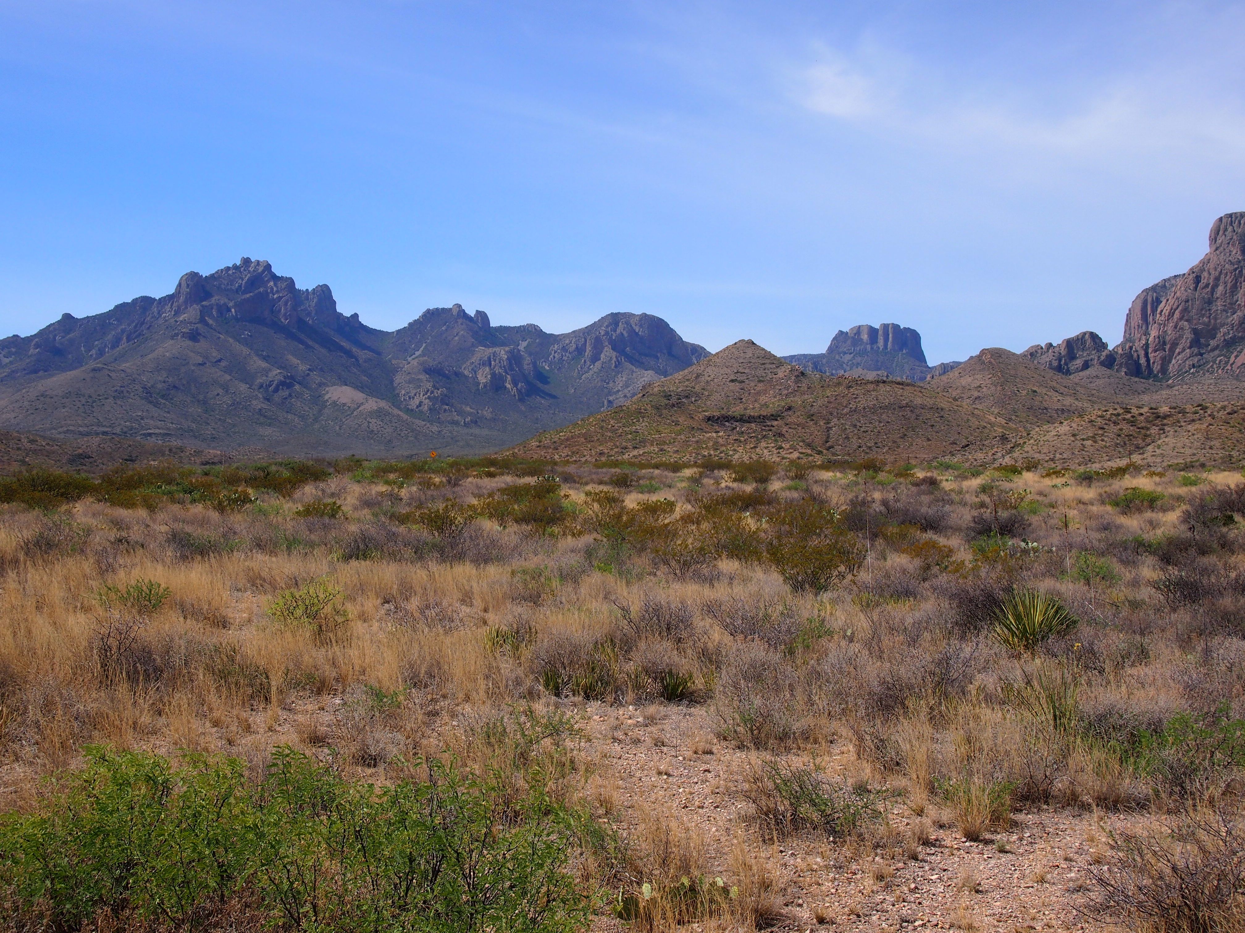
Those views were even before I got to the main places I visited in the park, such as the Chisos Mountains.

The Ross Maxwell Scenic Drive winds south to the Rio Grande, through the Chihuahuan Desert landscape.
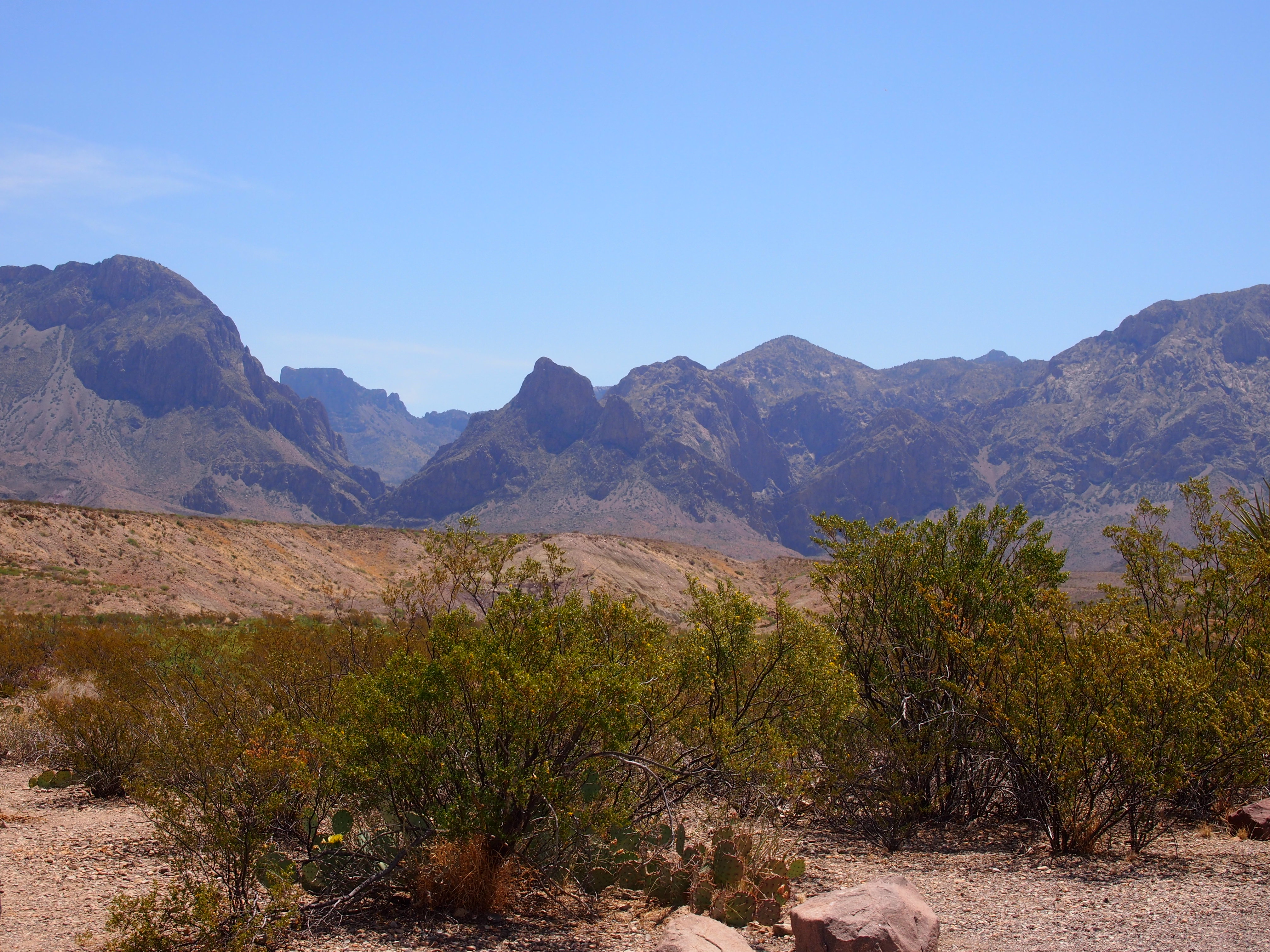
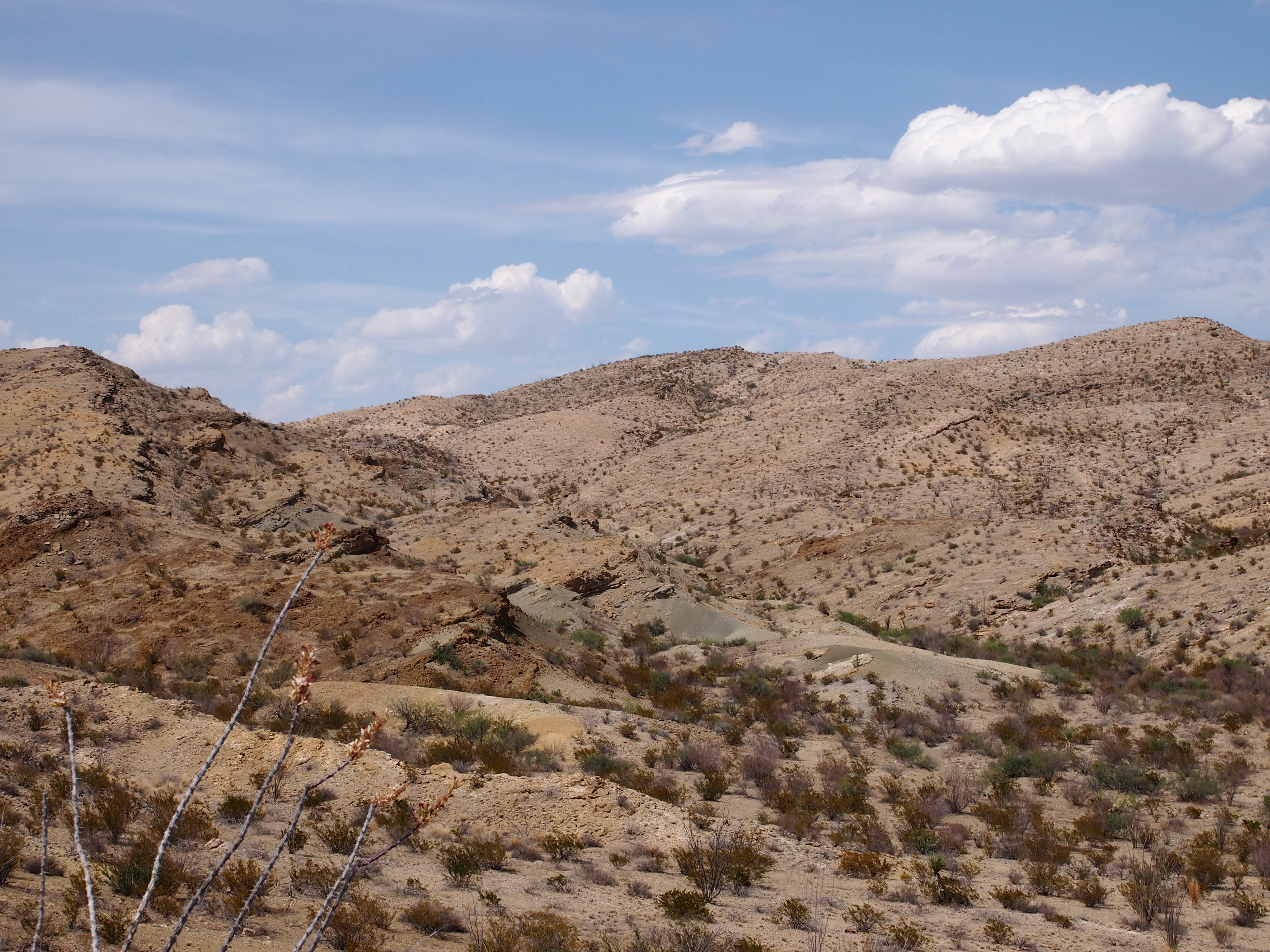
Ross Maxwell was easily the most scenic drive I’ve taken since the Icefields Parkway in the Canadian Rockies. What is it about mountains, wet or dry?

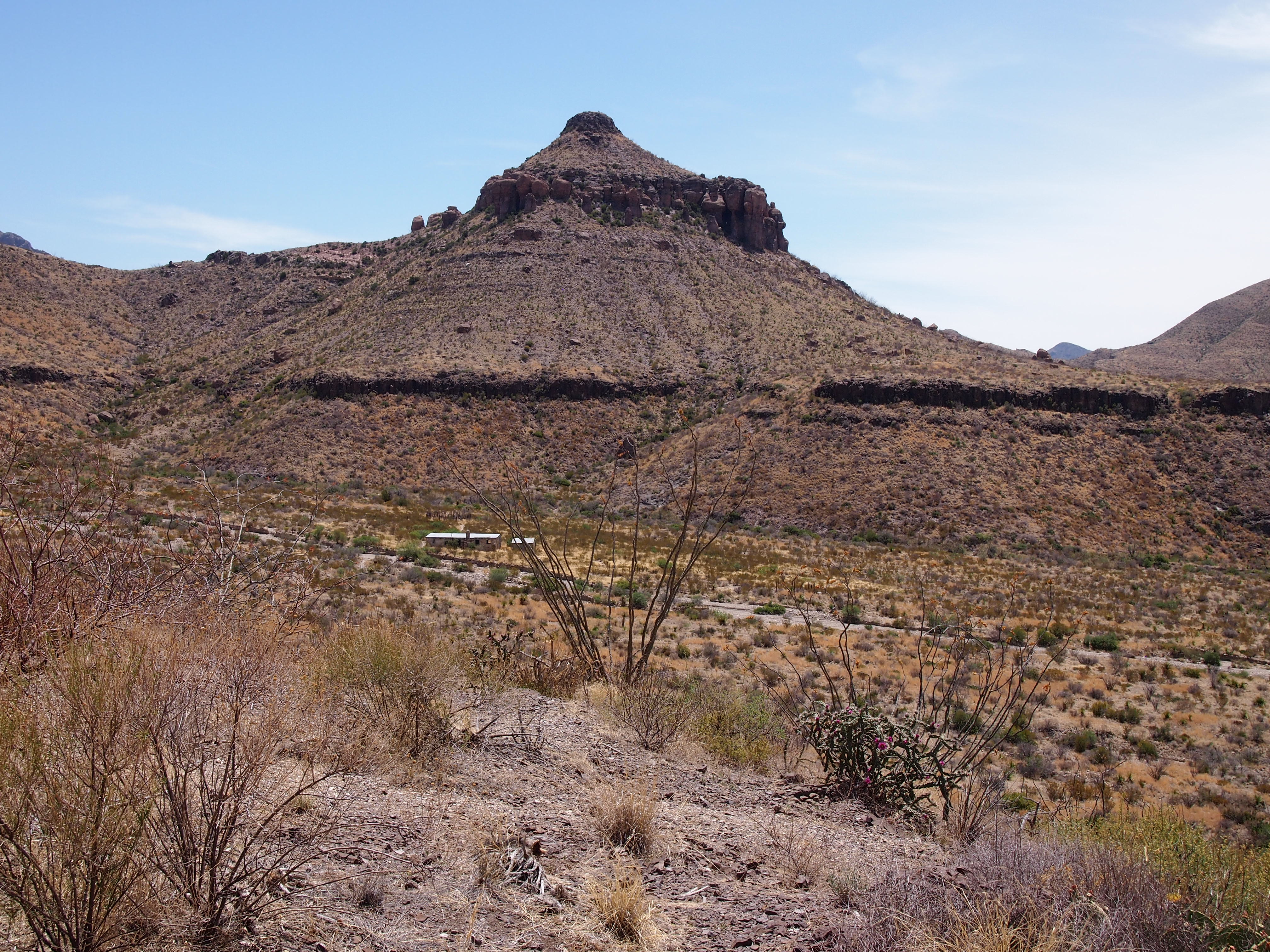
Though it was very warm — upper 80s F., I’d say — I had a hat, sunscreen and water, so I took some walks. One was down into a shallow valley to the former Homer Wilson ranch, to see the abandoned buildings.

No one else was on the trail, going there or back. It was on this short hike that I appreciated the quiet of the park. In a city, or the suburbs, the din of traffic is always coming from all directions, strongly or faintly, except maybe right after a large snowstorm.

In the remote Chihuahua Desert, if you hear a car, it’s a single car, and it goes away. Mostly you hear the wind, birds, and your footsteps, until you stand still. Listening for traffic and not hearing it was as much a pleasure as drawing in air without any hint of pollution.

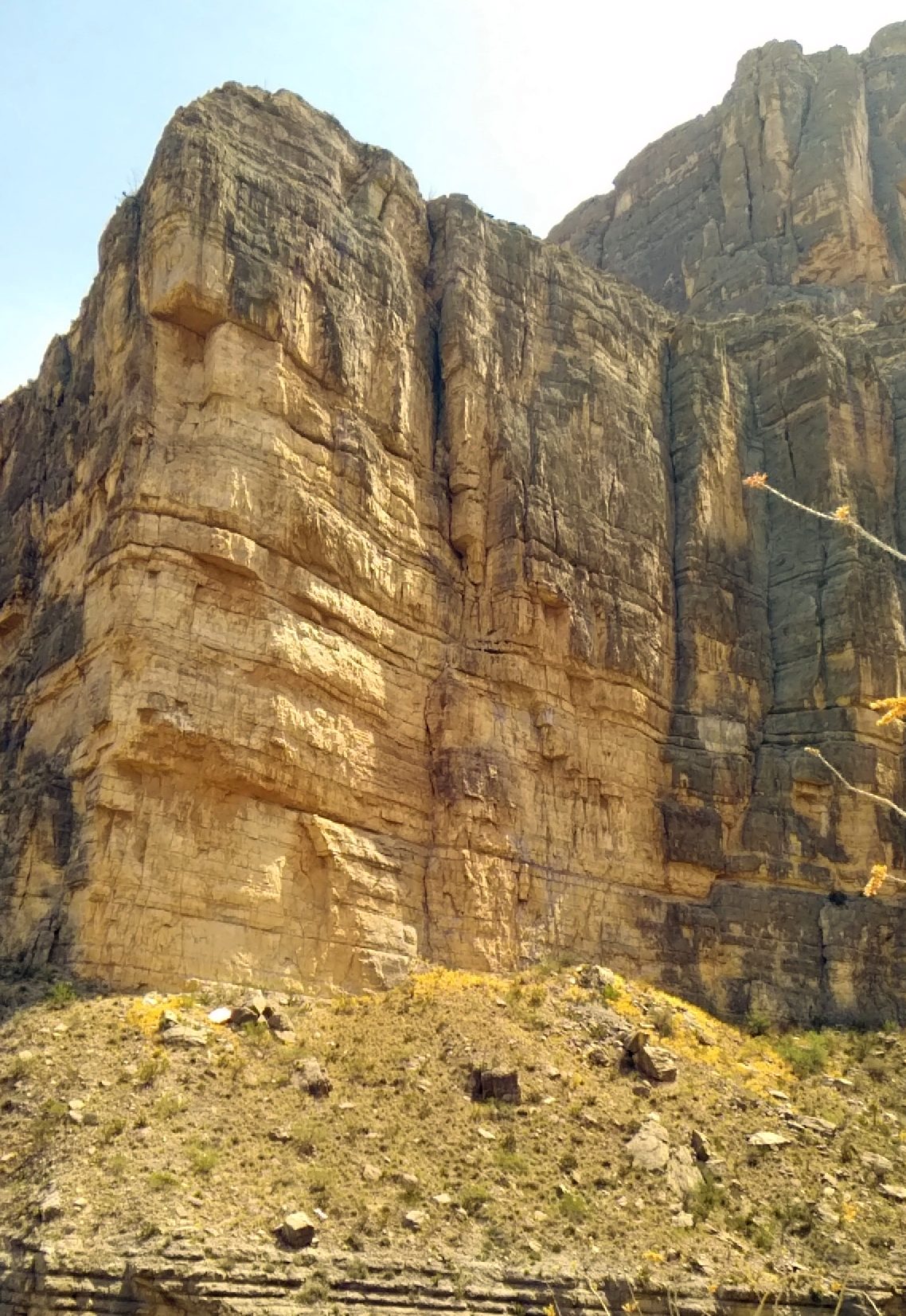
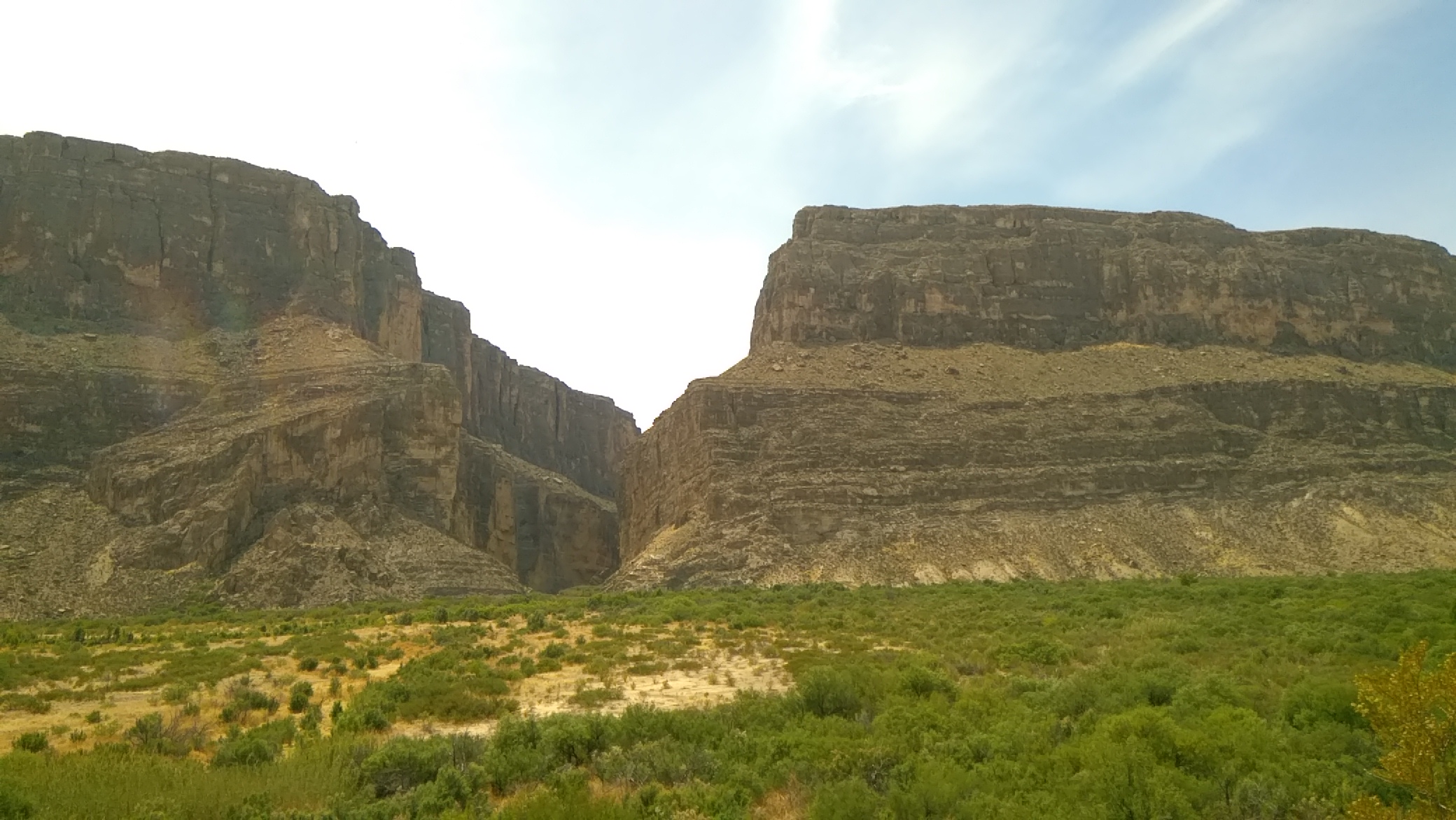
I also spent time on foot in the Chisos Basin, but the best walk by far was into Santa Elena Canyon on the Rio Grande. At that point, the limestone cliffs of the canyon are 1,500 feet high and as majestic as anything I’ve seen in nature. Photos do the massive shapes little justice, but I took some anyway.
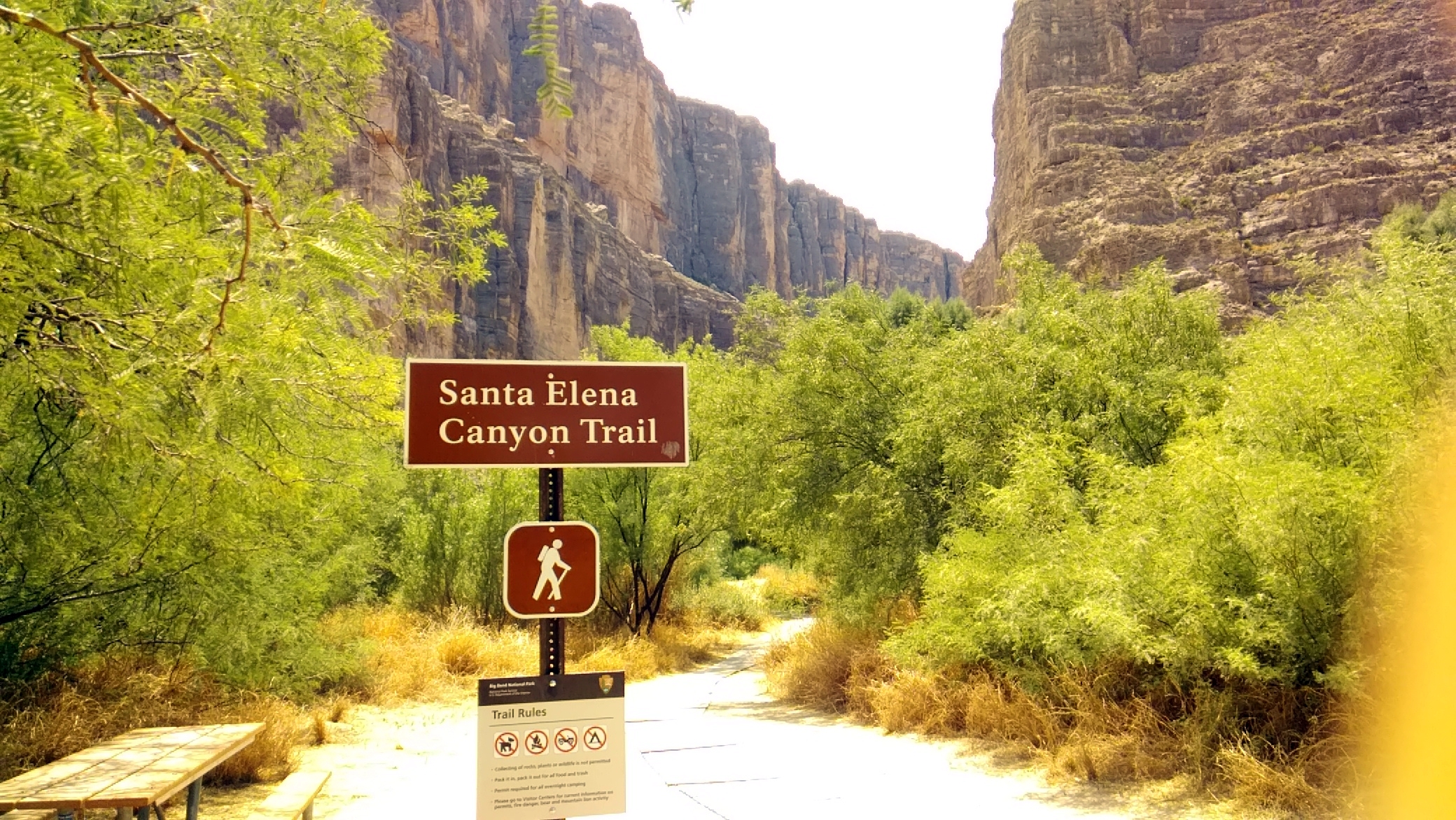
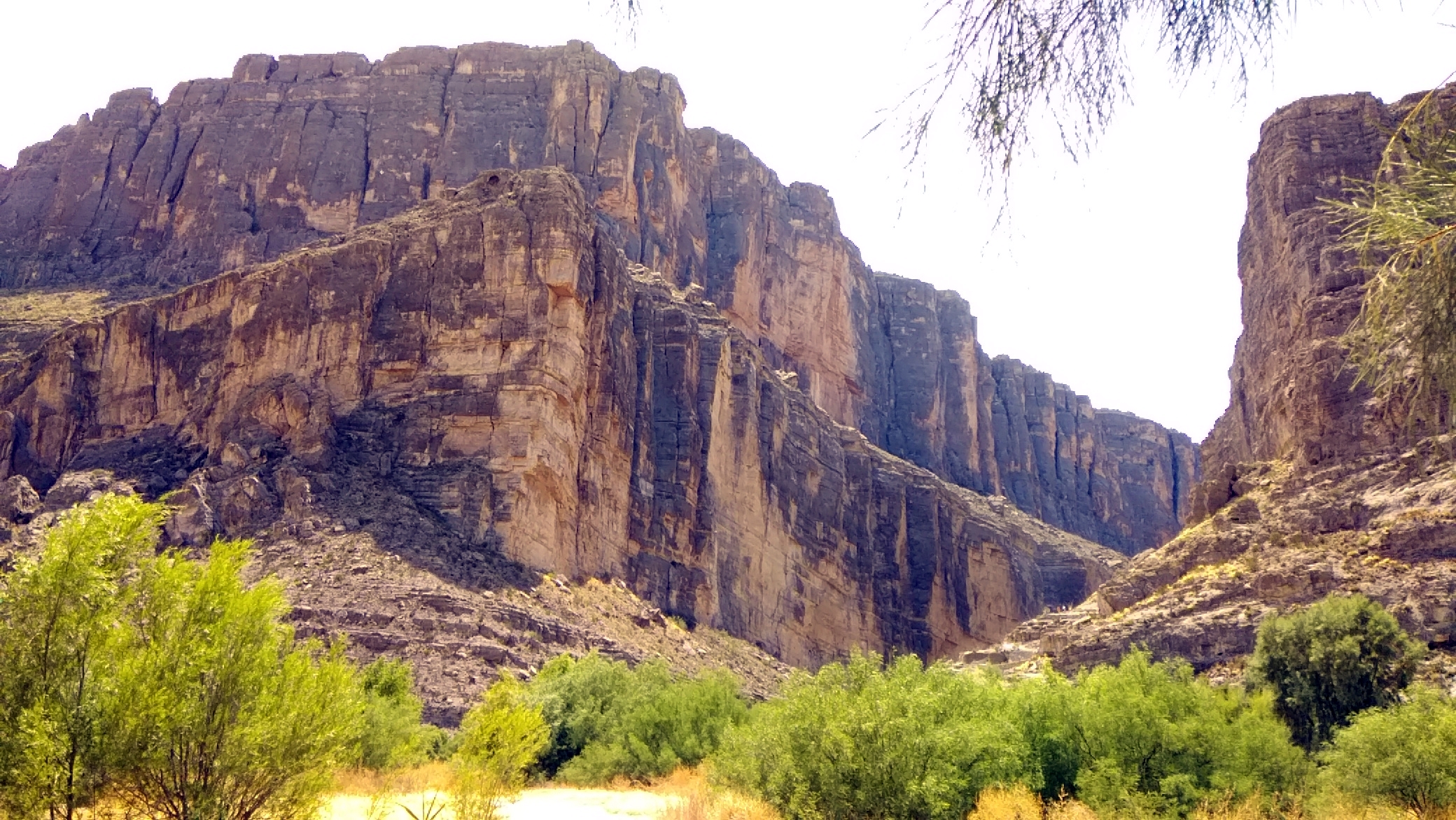
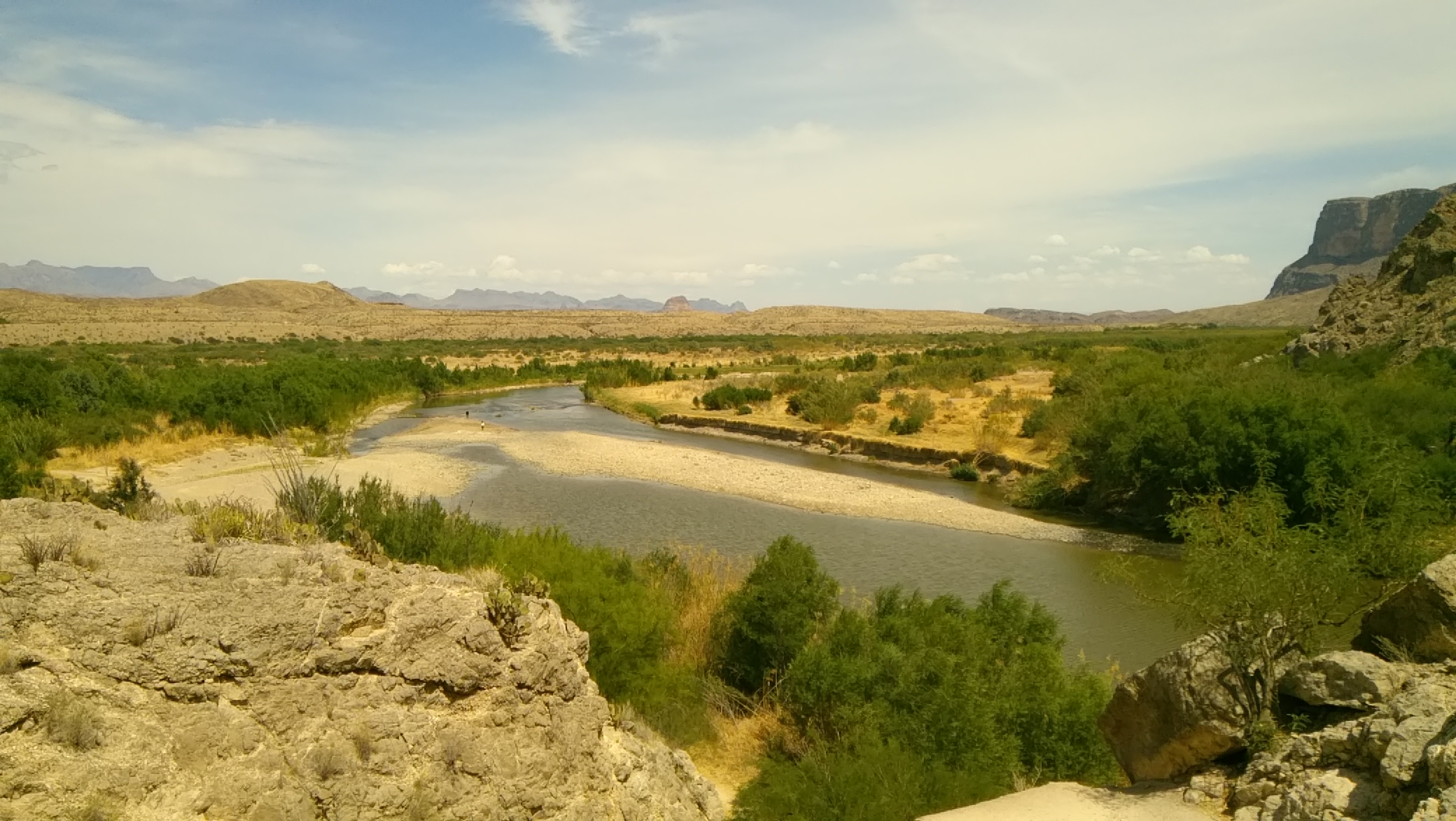
The trail led a short way into the canyon, and up some hundreds of feet. I was exhausted by the time I got up into it, but the view of the Rio Grande from that vantage was some compensation. Sure, let’s build a wall here.

When I got back to the river, I took off my shoes and put my feet in. Cool but not cold, and it felt good.
The Trans-Pecos & Llano Estacado

Back on April 14, I headed for Texas by car. I spent most of following two weeks in that state, arriving home today. Along the way, I drove 3,691 miles and change.

The main event was the wedding of my nephew Dees and his betrothed Eden on April 21 at Hummingbird House, a gorgeous outdoor wedding venue just south of Austin in the full flush of a Texas spring. An actual warm and green spring, unlike the cold and still brown spring I left in Illinois.

Rain had been predicted for the day, as it often is this time of the year, and there was an indoor pavilion just for that circumstance, but the Texas spring accommodated the bride and groom and wedding party and all the guests by not raining. If fact, the sun came out just before the ceremony, which was picturesque as could be.

I was remiss in taking pictures of Dees and Eden or anyone else, except for a few shots of my family.They’d flown to Austin the day before the wedding, in time for the rehearsal dinner, which was a pizza party in Dees and Eden’s back yard. The logistics of my family getting to Austin were a little involved, but everything worked out.

As for me, I’d spent most of the week before the wedding with my brother Jay in Dallas, arriving in Austin the Thursday before the wedding. The morning after the wedding, a week ago now, Yuriko, Lilly and Ann and I drove to San Antonio, where we all visited my mother and brother Jim. They flew back home that evening, leaving me to drive back to Illinois.

I wanted to return a different way than I’d came, especially since I had the week off from work (the week before the wedding was a work week). So I didn’t pick the most direct route home.

Namely, I drove west from San Antonio to Marathon, Texas, a town of a few hundred people in West Texas whose main distinction is its proximity to Big Bend National Park, which I visited last Tuesday. There are many impressive things to see there, but I was most astonished by the cliffs on the Rio Grande that form Santa Elena Canyon.

The next day I went to the Trans-Pecos towns of Alpine, Marfa and especially Fort Davis. Not far from Fort Davis is the McDonald Observatory, which I’ve had a mind to visit for years. It was cloudy and misty and a little cold when I got there, but that doesn’t matter when you’re looking at impressive telescopes. In Fort Davis itself, I visited the Fort Davis National Historic Site.

The next day, I drove north, through Midland-Odessa and Lubbock and finally to Amarillo, a shift in scenery from the desert of the Trans-Pecos to the high plains of the Llano Estacado. Along the way I made a few stops: the Presidential Archives and Leadership Library in Midland and the Buddy Holly Center in Lubbock.

While in Amarillo, a city I had not seen since a brief visit in 1979, I took the opportunity on Friday to see Palo Duro Canyon State Park, which is about 30 minutes outside of town. It’s a great unknown among natural areas in Texas and, for that matter, the United States.

I had enough time that day after visiting Palo Duro — the days are getting longer — to drop by and see the Cadillac Ranch, famed oddball tourist attraction, which is on the western outskirts of town.

This weekend was a long drive home: Amarillo to Lebanon, Missouri, on Saturday (I’d stopped in Lebanon the first day out, on the way to Dallas), and Lebanon to home in metro Chicago today. Tiring, but I did squeeze in two more sites. In Claremore, Okla., on Saturday, I saw the Will Rogers Museum. Not bad for an entertainer who’s been dead more than 80 years.

Today I stopped just outside St. Louis and took a walk around the Cahokia Mounds State Historic Site. Not bad for a culture that’s been gone for about 800 years.

One More Spring Break

The Quasi-Spring Break I had in March lived up to its name, as winter-lite conditions persisted both in metro Chicago and greater New York. Essentially, wherever I was. Even through April until yesterday, we joined much of the nation in complaining about the cold (though I read that Phoenix had its first 100-degree F. day of the year not long ago).

So time again for another Spring Break. Maybe a warmer one. Back posting around April 29.

Till then, some entertaining music videos to watch. Such as the delightful animated video for Caro Emerald’s “That Man,” released in 2010. A fine homage to Saul Bass, and that mid-century style.

For something with a different vibe, “Ghost of Stephen Foster,” a song by the Squirrel Nut Zippers (2000), and another work of homage. This time to the cartoons of Fleischer Studios.

Finally, a charming video for Joni Mitchell’s cover of “Twisted,” which she released in 1974.

I’ve long enjoyed her version, and in fact it’s the first I heard. Listen for the Cheech and Chong vocal cameo.

These Vagabond Shoes Are Longing to Stray Right Through the Very Heart of It

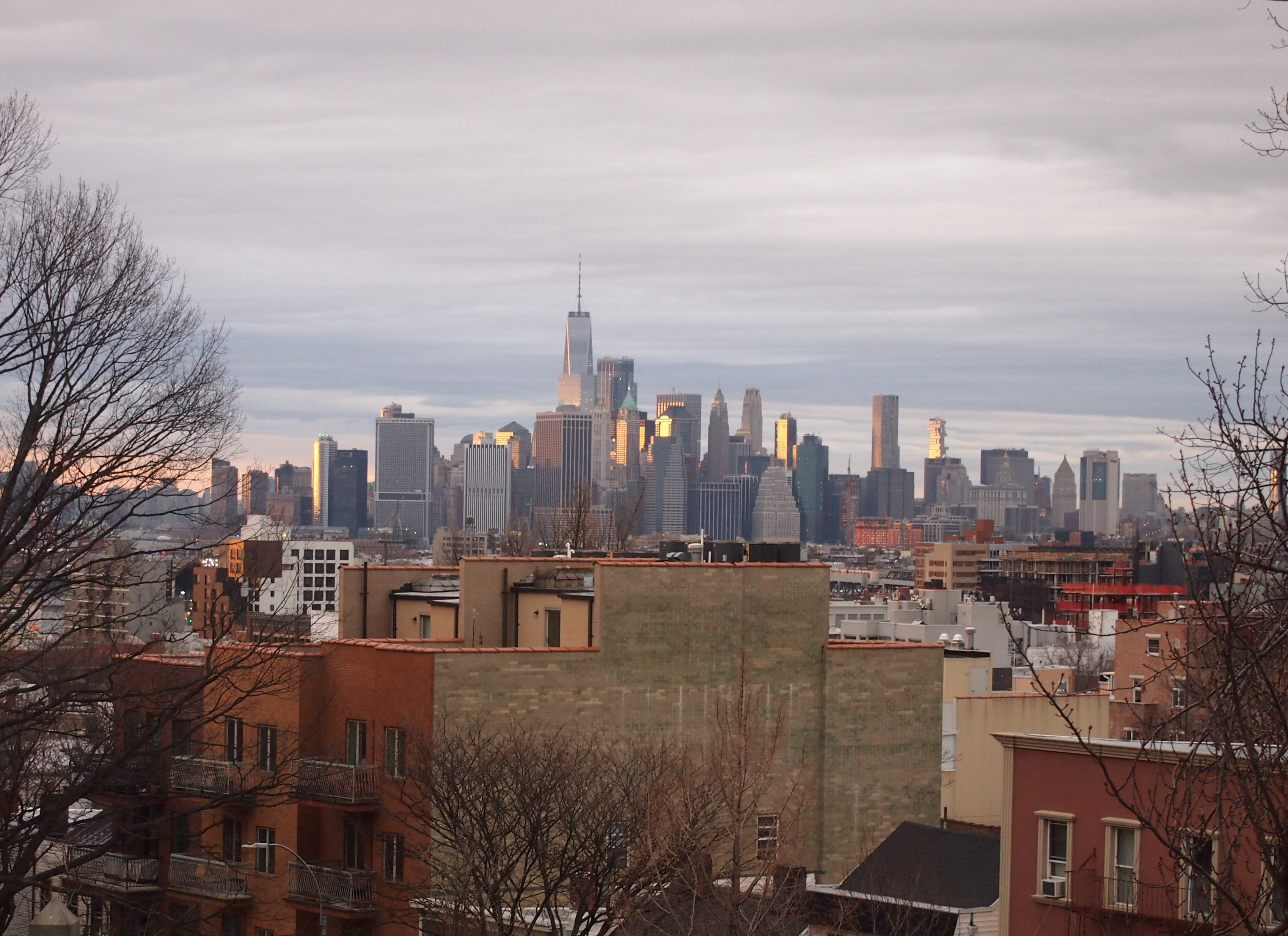
I try to take skyline pictures when I can, such as the modest skylines of Birmingham or Little Rock. I had the good luck of being near the highest point in Brooklyn when I was able to take a shot of Manhattan.

Actually, Brooklyn in the foreground, Manhattan in the background.

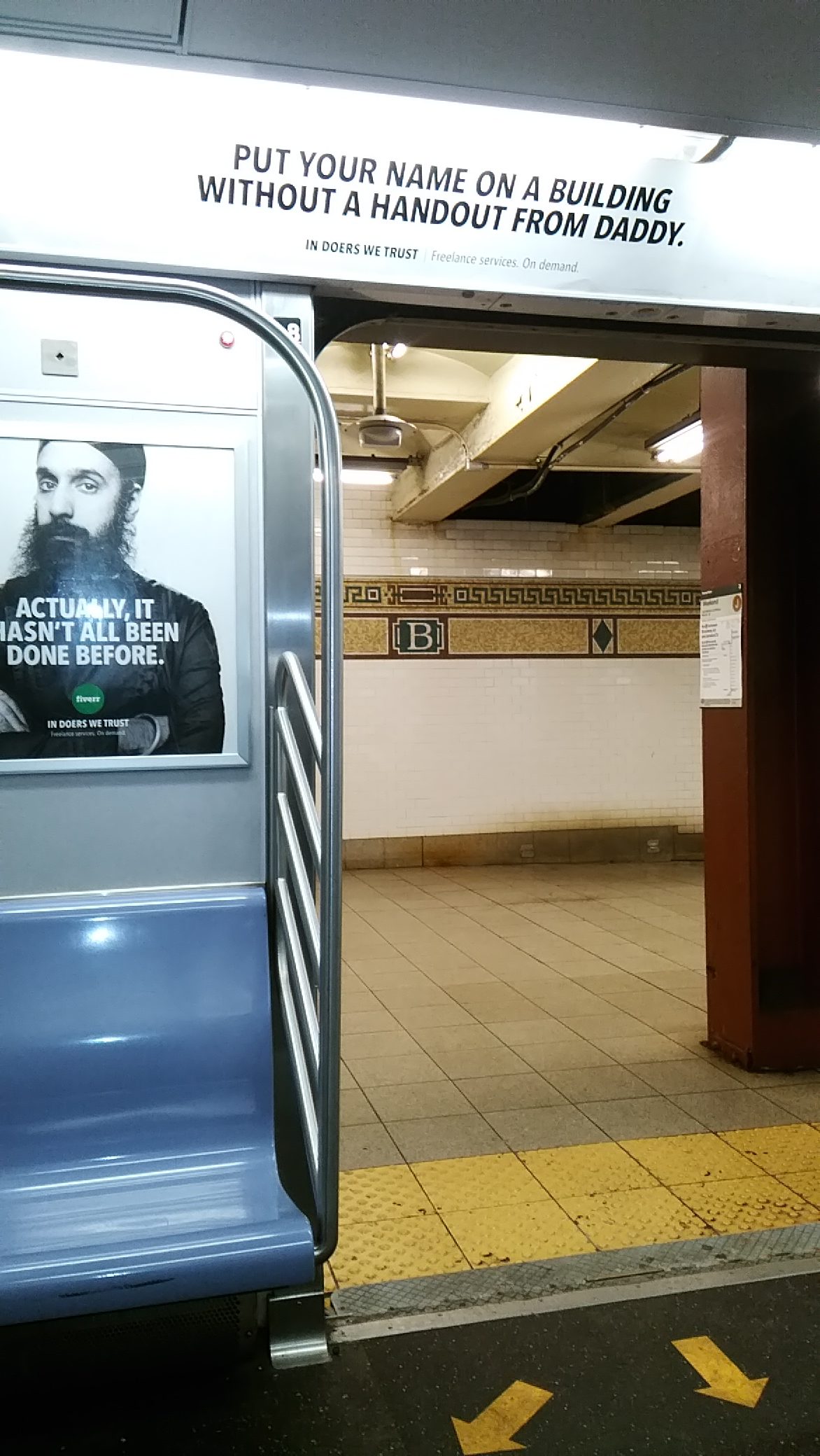
Topical humor, spotted on the subway.

A sign in Brooklyn offering a novel interpretation of “all day.”

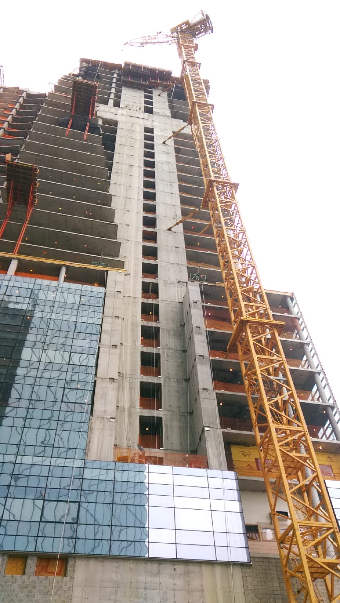
I had an idea of taking pictures of construction sites in New York during this visit, as I managed to do in Denver last year. Pretty soon I got tired of it. The air was chilly, for one thing, but more importantly, construction sites seem to be everywhere. If nothing else, New York is a city always reinventing itself.

I took a few. Such as a high-rise underway at 161 Maiden Lane in Lower Manhattan.

It will be a residential tower. More deluxe apartments in the sky. Not all has gone smoothly.

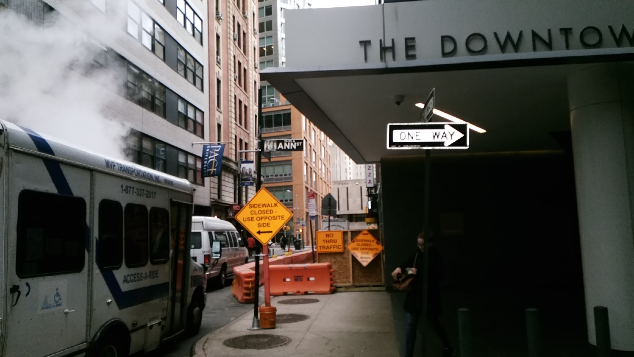
I was also able to get a shot of the Ann St. sign, which I sent to Ann for her amusement.

As part of my walk in Lower Manhattan, I got a look at the South Street Seaport district, which I’d read about, probably even written about (it’s hard to keep track), but never seen.

From Wiki: “It features some of the oldest architecture in downtown Manhattan, and includes the largest concentration of restored early 19th-century commercial buildings in the city. This includes renovated original mercantile buildings, renovated sailing ships, the former Fulton Fish Market, and modern tourist malls featuring food, shopping, and nightlife.”

The drizzle made my walk-through a little less pleasant than it could have been, but I did enjoy seeing the restored buildings. I can imagine that on a pleasant summer weekend, the place is probably pretty busy.

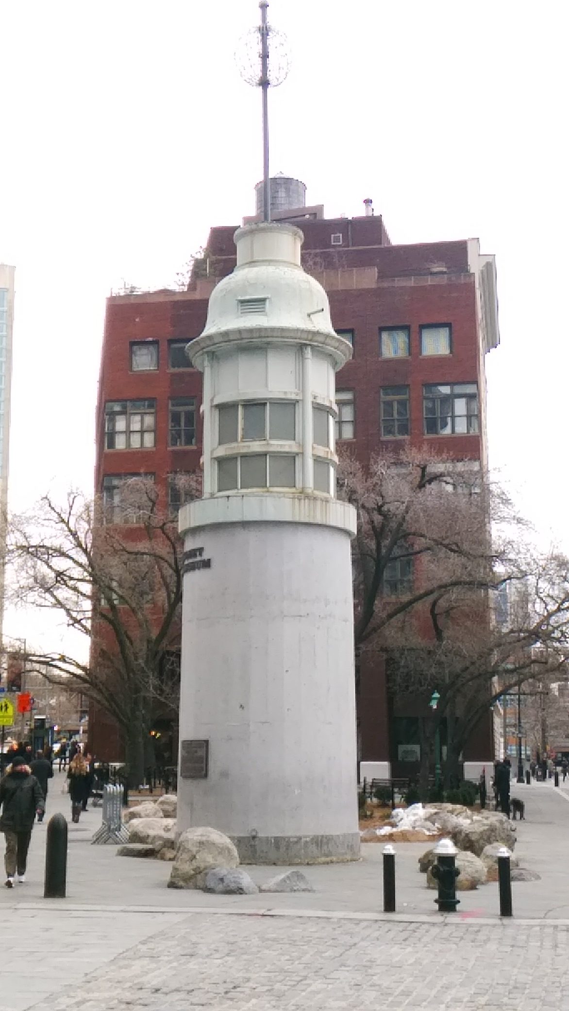
At the edge of the district is South Street Seaport Museum, which I didn’t have time for. I did get a look at the nearby Titanic memorial, which is in the form of a lighthouse.

The plaque on the lighthouse says: “The lighthouse was originally erected by public subscription in 1913. It stood above the East River on the roof of the old Seamen’s Church Institute of New York and New Jersey at the corner of South Street and Coenties Slip. From 1913 to 1967 the time ball at the top of the lighthouse would drop down the pole to signal twelve noon to the ships in the harbor. This time ball mechanism was activated by a telegraphic signal, from the Naval Observatory in Washington D.C.

“In July 1968 the Seamen’s Church Institute moved to 15 State Street. That year, the Titanic Memorial Lighthouse was donated by the Kaiser-Nelson Steel & Salvage Corporation to the South Street Seaport Museum. It was erected at the entrance to the museum complex, on the corner of Fulton and Pearl streets, in May 1976, with funds provided by the Exxon Corporation.”

I got a look at, but did not board, the Wavertree, which is docked permanently at one of the piers, and which is part of the museum. It was built in 1885.

Wiki again: “The ship was launched in Southampton. It is 325 feet (99 m) long including spars and 263 feet (80 m) on deck. The ship is the largest remaining wrought iron vessel. Initially it was used for transporting jute from east India to Scotland, and then was involved in the tramp trade. In 1947 it was converted into a sand barge, and in 1968 it was acquired by the South Street Seaport Museum.”

One more image, also from Lower Manhattan, though at some distance from South Street Seaport. I just happened to walk by.

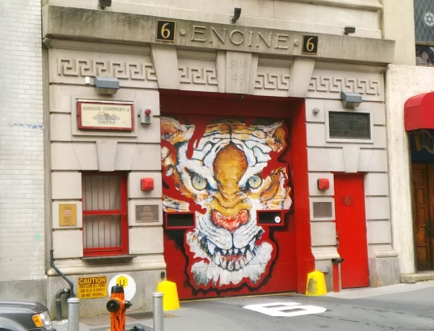
Engine 6 of the FDNY. The Tigers.

The New York State Museum says, showing a picture from before the tiger was added to the door: “On September 11, 2001, six firefighters from the FDNY Engine 6 Company were dispatched to the World Trade Center where they hooked the Engine 6 Pumper into a Trade Center standpipe on West Street. Four men from the Company — Lieutenant Thomas O’Hagan, Firefighter Paul Beyer, Firefighter William Johnson, and Firefighter Thomas Holohan — were killed in the tower’s collapse. Firefighters Billy Green and Jack Butler survived.”

The Mitzvah Tank

Some New York subway platforms have electronic signs advising you how many minutes it will be until the next train. Sometimes I would notice x minutes to the next train, and then a few minutes later, it would still be x minutes. Gives new and opposite meaning to the term New York minute.

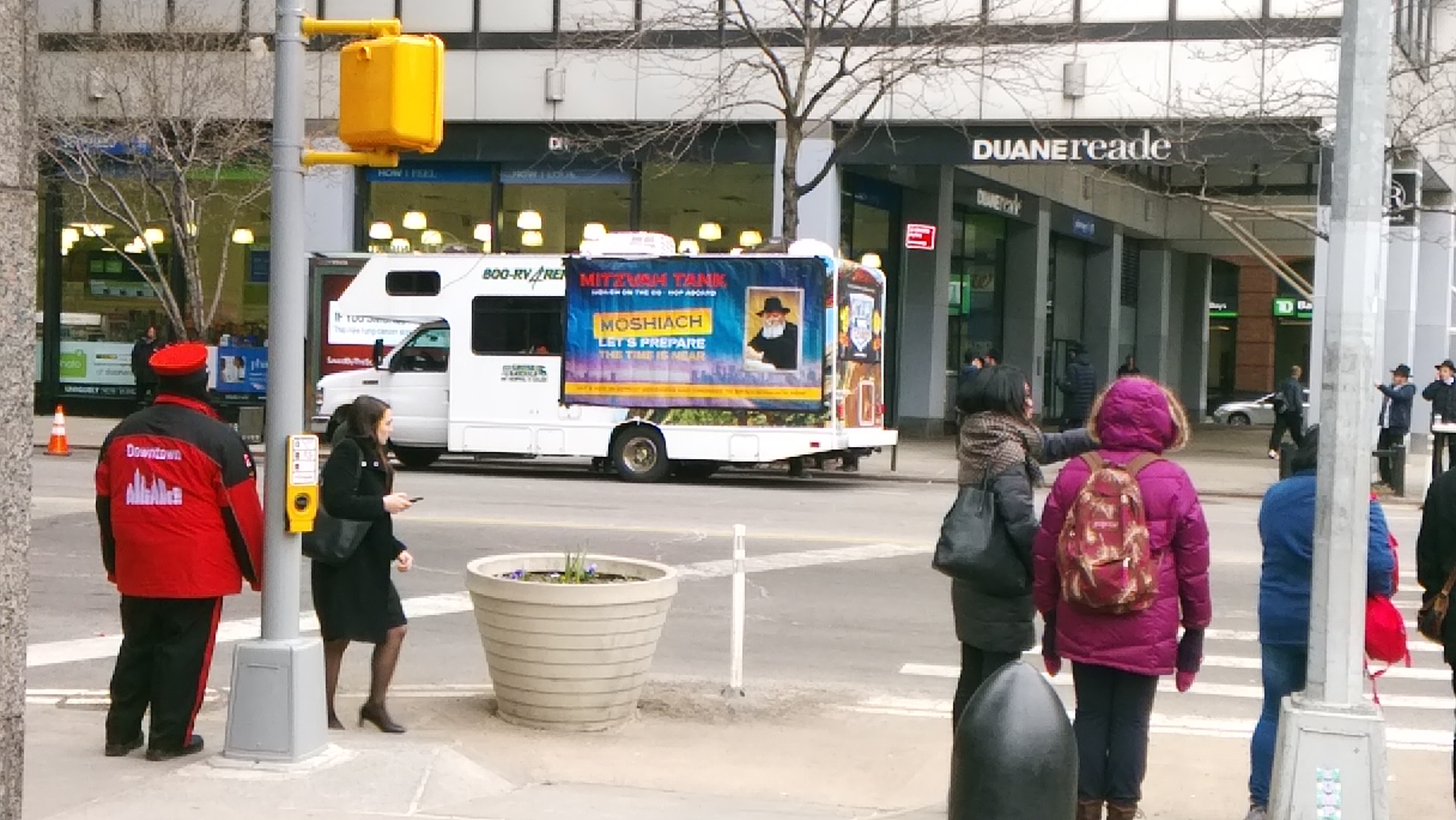
While wandering around Lower Manhattan during my recent visit, I had a New York experience — or at least one associated with the city. One of a small group of young Hasidim, who must have been no older than his late teens, approached me and asked if I were Jewish. I said I wasn’t, and on the group went.

They weren’t far from this RV.

It’s a Chabad Lubavitch “mitzvah tank.” Further investigation — the tank has its own web site — tells me that they first appeared in 1974.
“The Rebbe, Rabbi Menachem Mendel Schneerson, of righteous memory, had sent his tanks into the battle for the soul of the American Jew,” explains the web site.

“If a large part of American Jewry had ceased to come to shul each morning to don tefilIin and pray, the Rebbe was going to bring the tefillin to them. He was going to send one of his students to stop the American Jew on a city sidewalk. ‘Excuse me, sir,’ the lad would say. ‘Are you Jewish?’

“If the answer is affirmative, the young man would continue: ‘Would you like to put on tefillin today? It’s a mitzvah.’ The American Jew will be invited to step up onto the truck, roll up his left sleeve, bind the tefillin to his arm and head and recite a short prayer.

“If the American Jew is a she, she would be offered a free kit containing a small tin candlestick, a candle, and a brochure with all the information necessary to light Shabbat Candles that Friday evening — the proper time (18 minutes before sunset), the blessings in Hebrew and English, and a short message on the importance of ushering Shabbat into her home. He or she would also be offered literature on the Rebbe’s other ‘mitzvah campaigns’ or assistance in anything from having a mezuzah checked to finding Jewish school for their child.”

Apparently mitzvah tanks are on the move the eve of major Jewish holidays and Fridays before Shabbat. Passover was coming up when I saw the tank, actually a rental truck, so that fit. Also, though the trucks first rolled out in New York, they can be found anywhere Chabad is active.

I was asked the same question while wandering around Lower Manhattan during our short visit in 1995, though I didn’t see a truck at that time. Which reminds me of something else. Lower Manhattan seems to be a lot more busy these days on the weekend, especially with pedestrians. It has, in the 20-odd years since I spent much time there, become more of a residential neighborhood.

Back to the Bronx

Early in the afternoon of Easter Saturday, I boarded a 4 train at Atlantic Ave.-Barclays Ctr. in Brooklyn and rode it all the way to the Woodlawn station in the Bronx, which is the end of the line and nearly as far as you can go in New York City in that direction. It was a local train. As far as I could tell, there were no expresses to be had on that line that day, though I might have been wrong.

It was a long ride: the better part of two hours. But it was a ride I wanted to take, watching a shifting array of passengers get on and off, and when the train got to the Bronx, watching the borough go by, since the train is elevated up that way.

Some time ago, I wrote about my passage through the South Bronx in 1983: “Before long I was on the #5 IRT, which after leaving Manhattan becomes an elevated train and gave me a full look at the wasteland that is the south Bronx. Blocks of rundown buildings are one thing, but what’s astonishing is how few buildings stand on many blocks, and how much rubble there is. I’ve never seen the aftermath of a city shelled by an enemy, but I’d think it would look like this place.”

That impression of the South Bronx never quite left me. Of course things were different this time, because of the passage of 35 years, and the fact that the 4 takes a very different course than the 5 (which, note, I called the IRT 5 in those days). The 4 train took me past block after block of large apartment buildings, as you’d expect in much of New York, as well as by Yankee Stadium. A casual look at the route of the 5 on Google shows that much redevelopment has been done in that part of the borough, which I’ve also read about.

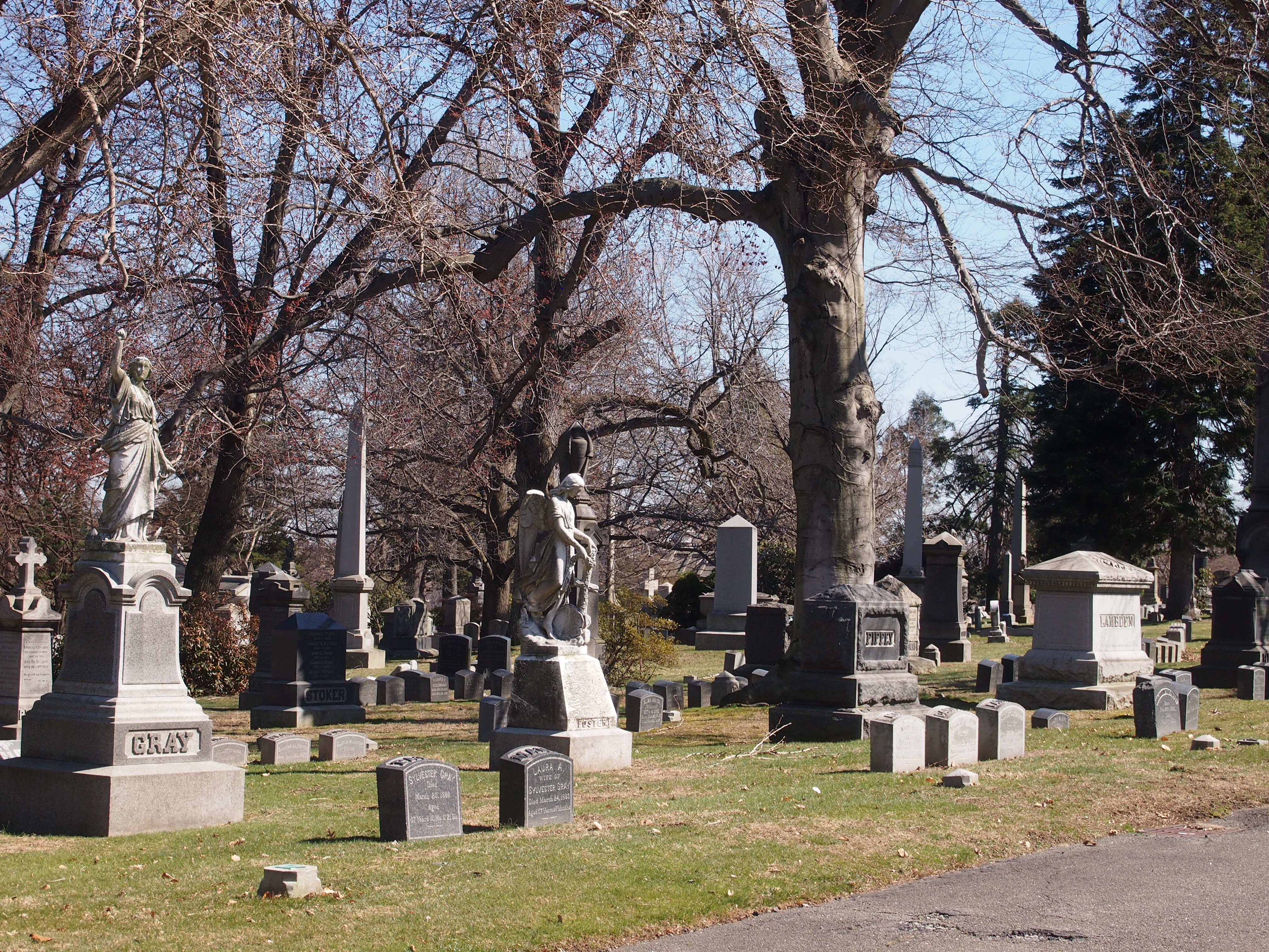
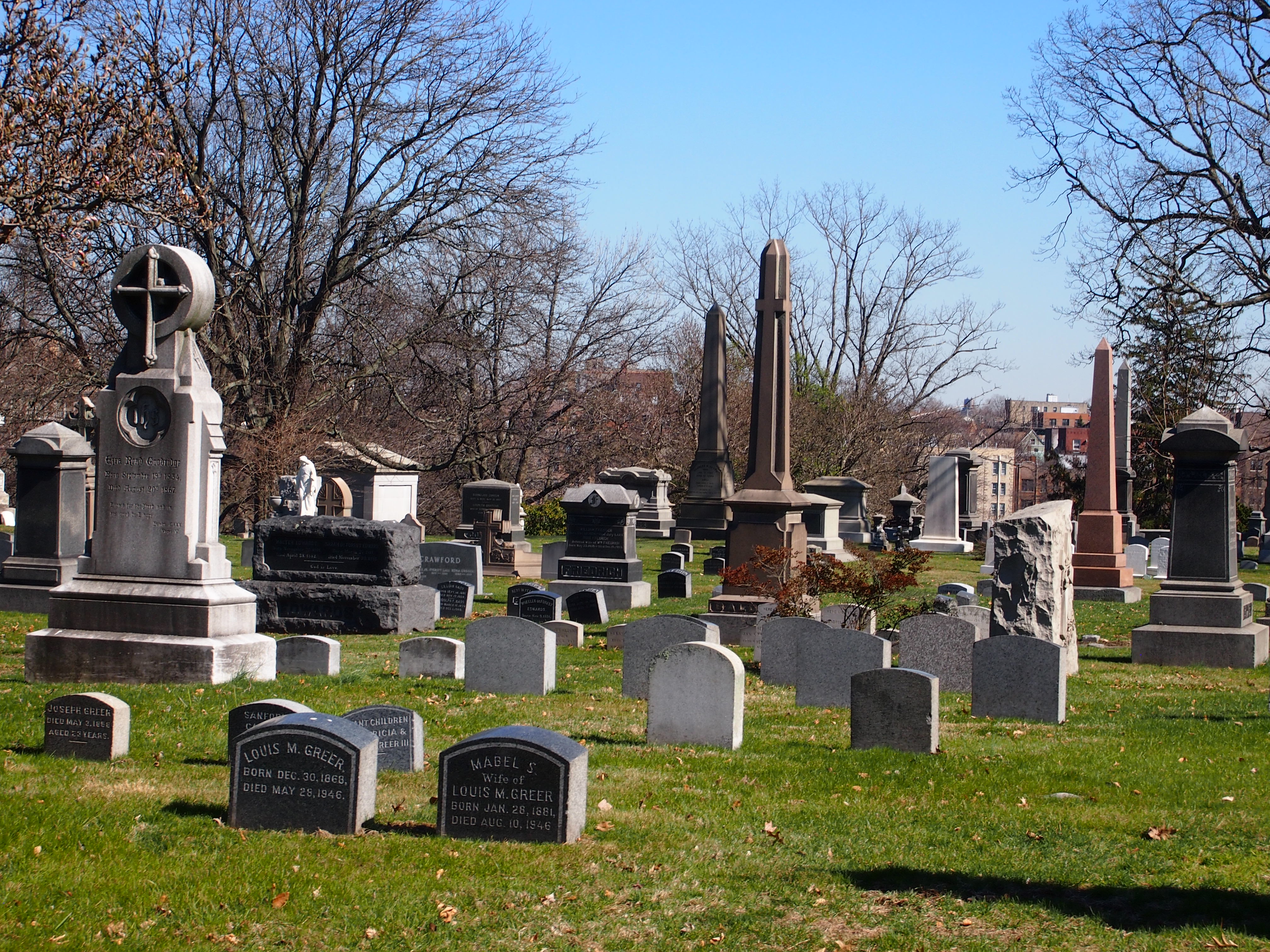
My goal for the day wasn’t riding the train, but walking through Woodlawn Cemetery. After I first visited Green-Wood Cemetery, I became intrigued with the prospect of seeing Woodlawn, which is an equivalent historic, park-like cemetery in the Bronx, founded in 1863 and so part of the rural cemetery movement. More than 300,000 people are interred there. When Saturday turned out to be clear and almost warm, that tipped my decision toward taking the trip up to Woodlawn.

The cemetery’s web site says: “Our 400-acre cemetery has become an outdoor museum to more than 100,000 visitors who tour our grounds each year. Our celebrated lot owners comprise artists and writers, business moguls, civic leaders, entertainers, jazz musicians, suffragists, and more, including Herman Melville, Joseph Pulitzer, Fiorello LaGuardia, Celia Cruz, Duke Ellington, Irving Berlin, and Elizabeth Cady Stanton, just to name a few.

“The cemetery’s collection of monuments — including over 1300 mausoleums — were designed by American architects, landscape designers, and sculptors. The work of McKim, Mead & White, Carrere & Hastings, Beatrix Farrand, Louis Comfort Tiffany, and Daniel Chester French graces Woodlawn’s grounds.”

I entered at the Jerome Ave. entrance and walked across the cemetery, generally heading northeast along the main road toward the main entrance. The cemetery isn’t kidding about its many mausoleums. A lot of really large ones seem to be concentrated close to the Jerome Ave. entrance. The result of lots of wealthy people imagining they would be remembered when, of course, they are not.

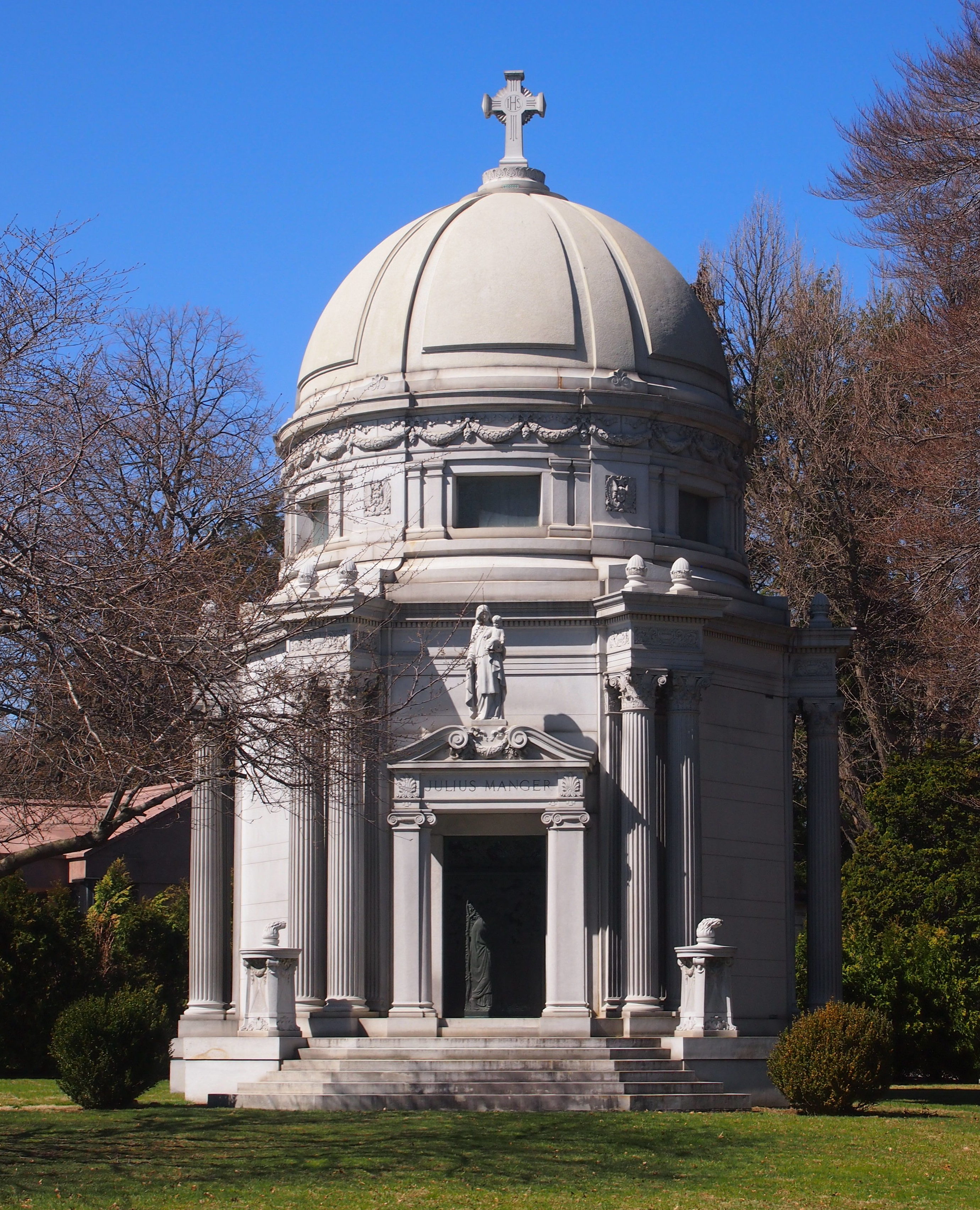
Still, they’re wonderful to look at. Here’s the stately mausoleum of Julius Manger, early 20th century hotel mogul.

A Greek temple of a mausoleum for Francis Patrick Garvan, lawyer and long-time president of the Chemical Foundation.

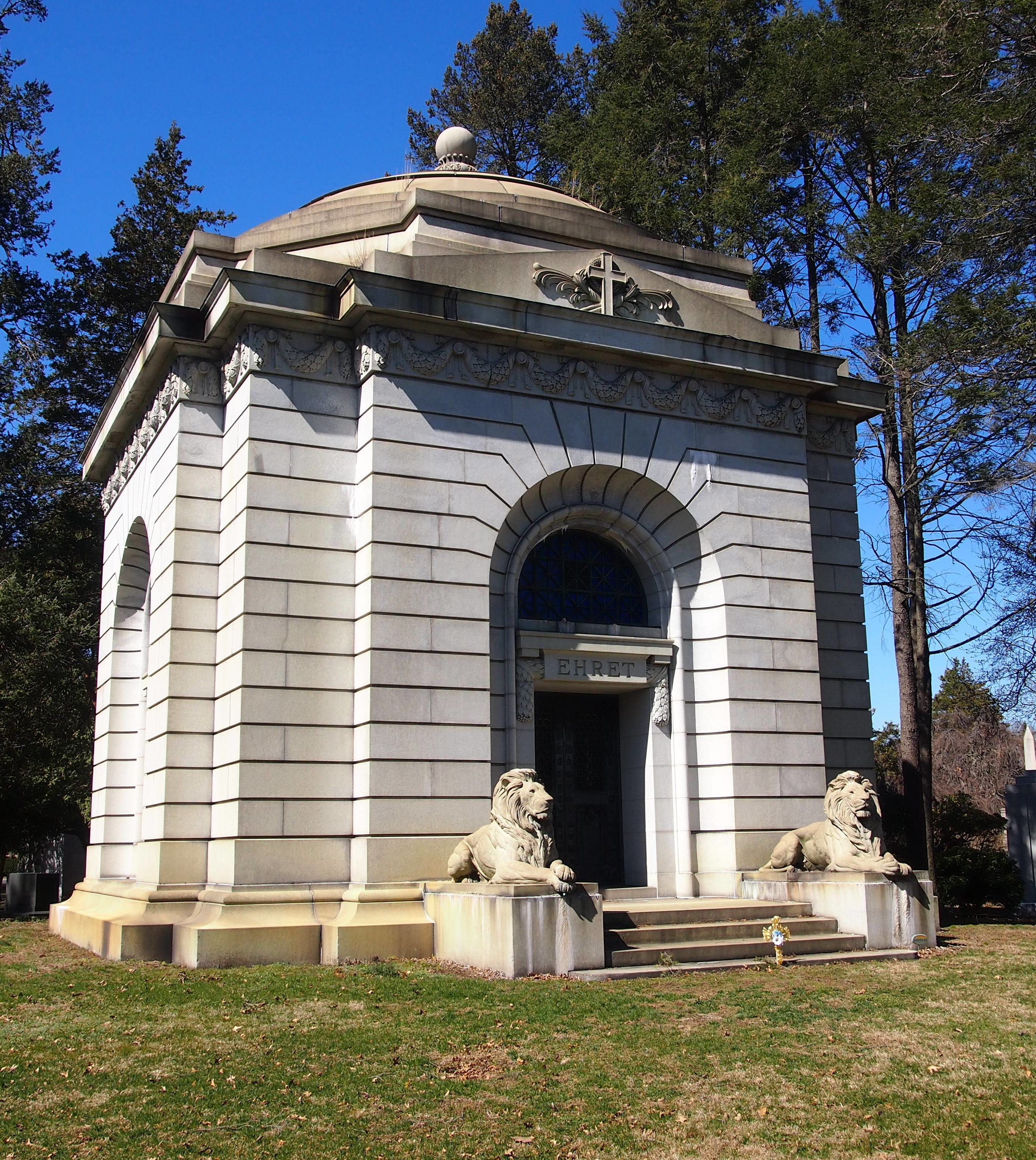
The resting place of George Ehret, early 20th century beer baron. I was hoping it was the food faddist Arnold Ehret, but no.

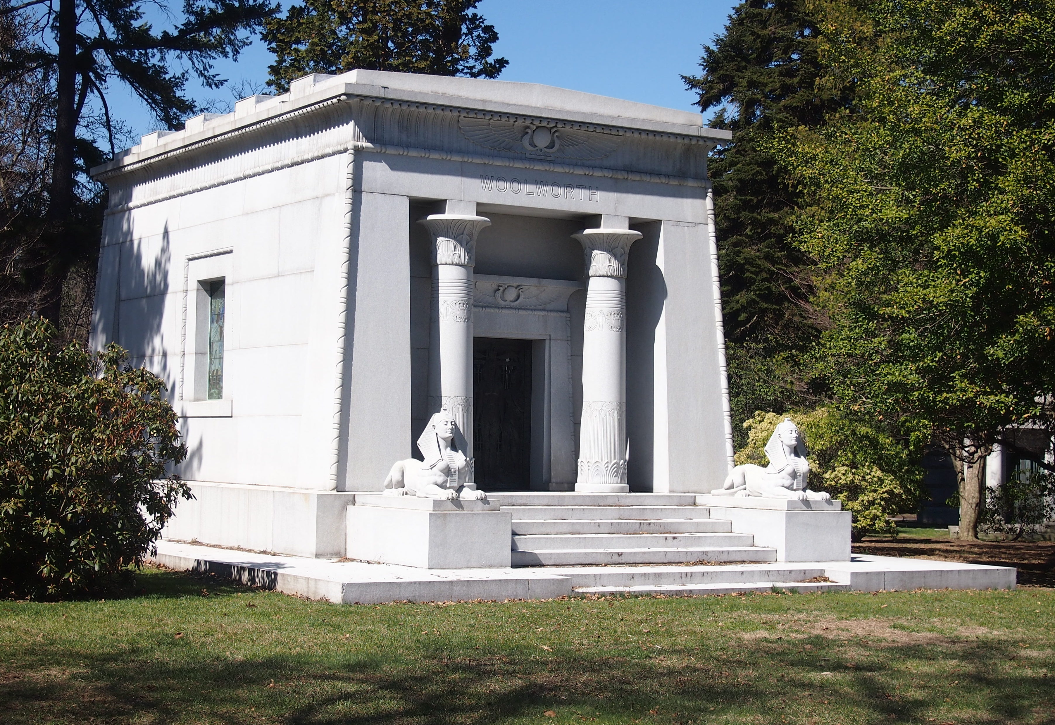
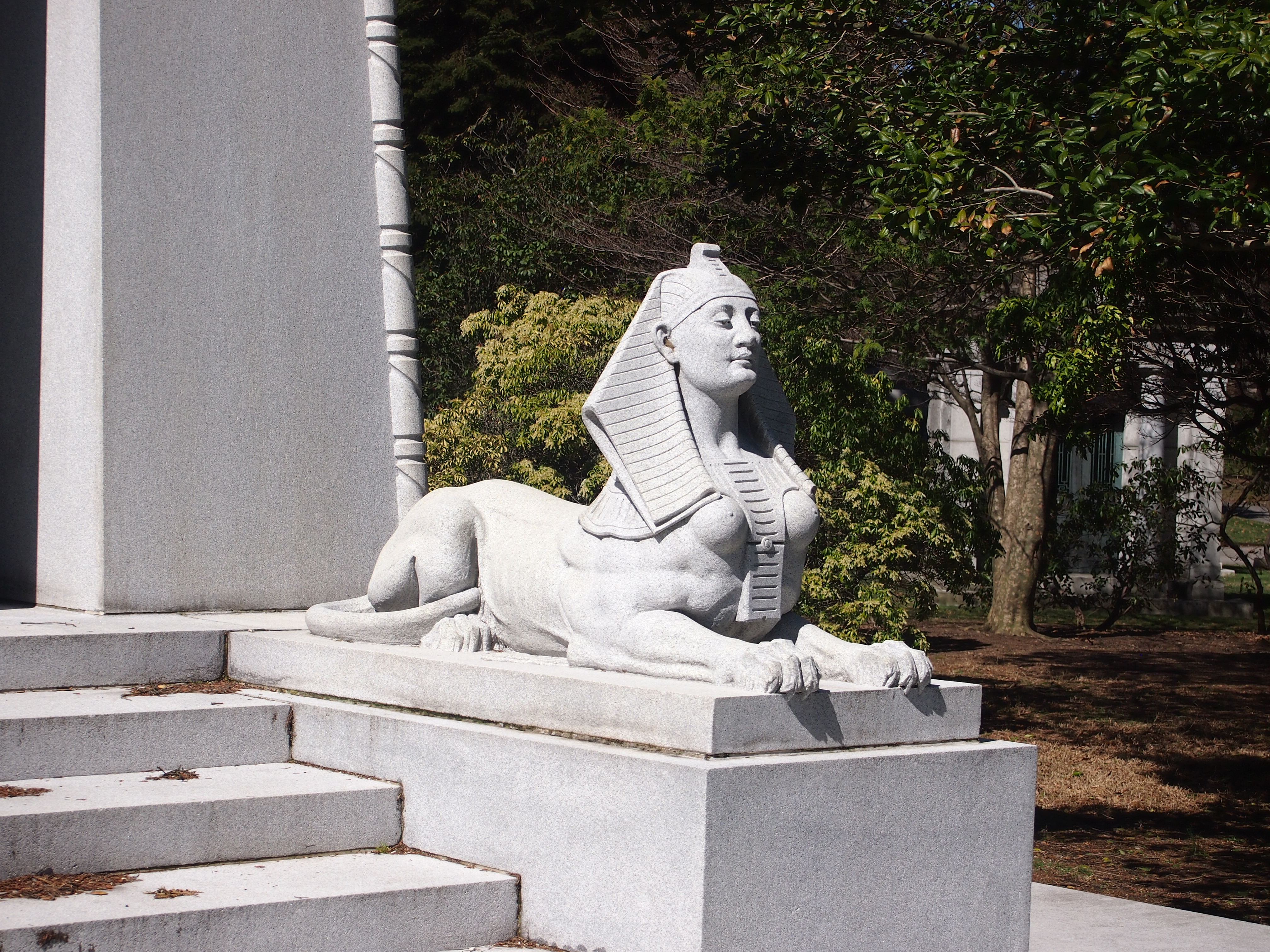
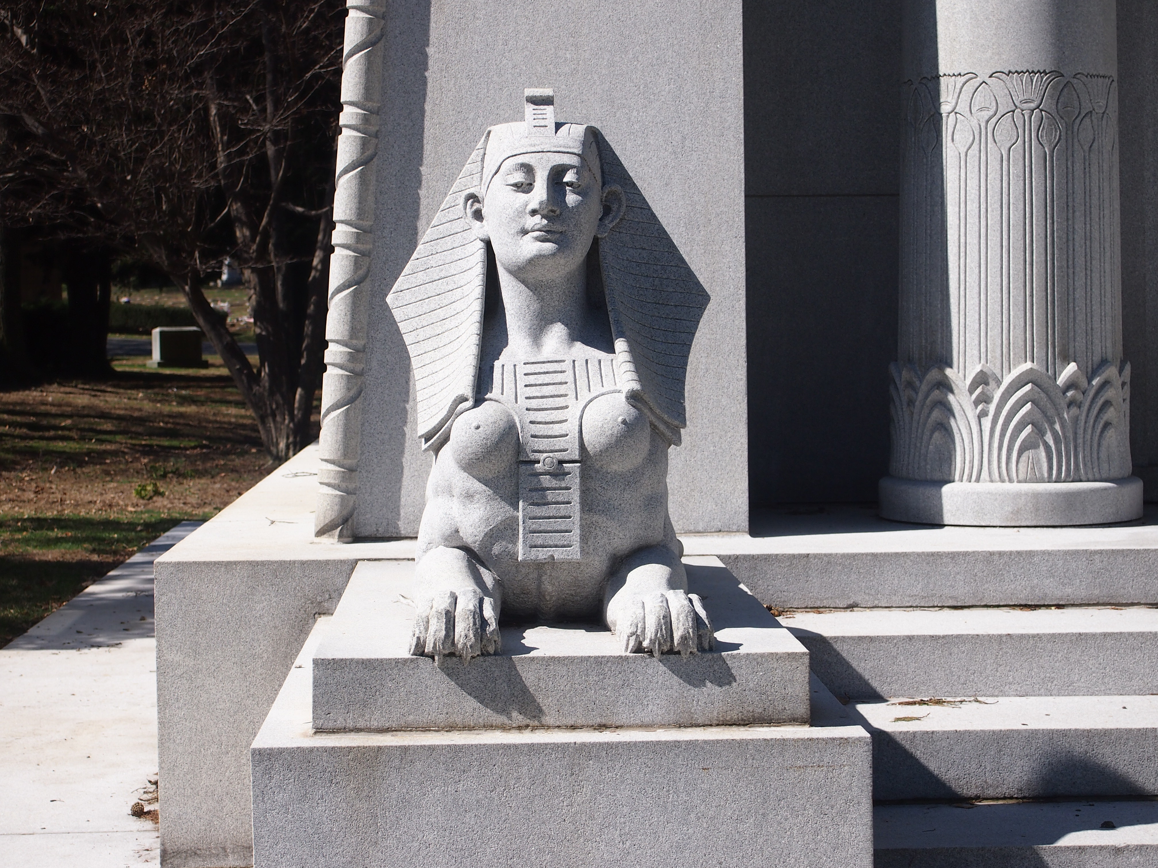
Here’s more Egyptian revival. Always makes my day to run across an example of it.
Woolworth? That Woolworth? Yes, indeed. F.W. Woolworth, the king of the dime store, who died in 1919.

Among these major mausoleums, Woolworth was the only one I’d heard of before looking them up. I wasn’t out to look for famous graves, though I knew Woodlawn has plenty. I had no guide or map. I was just walking to see what I could see.

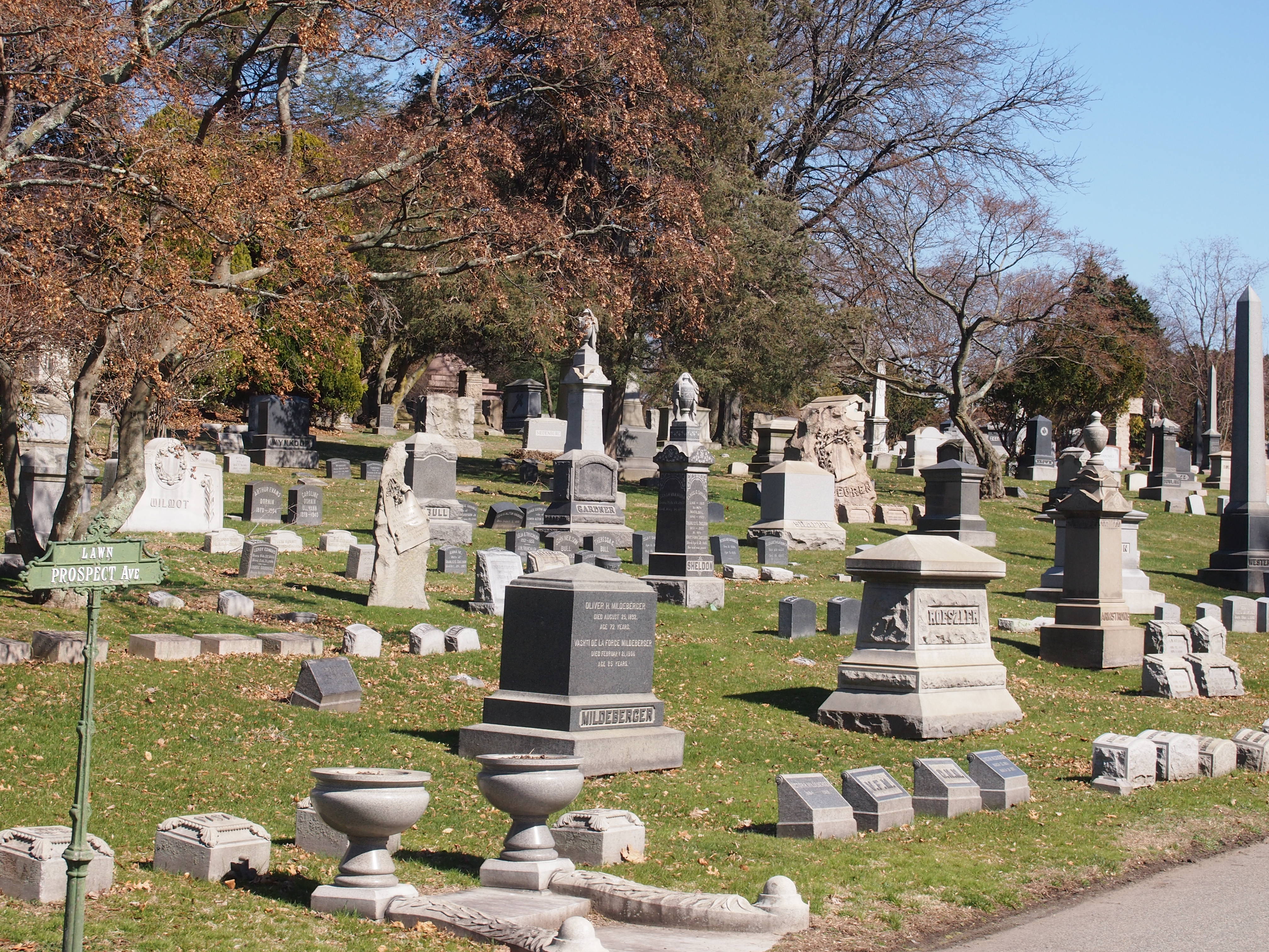
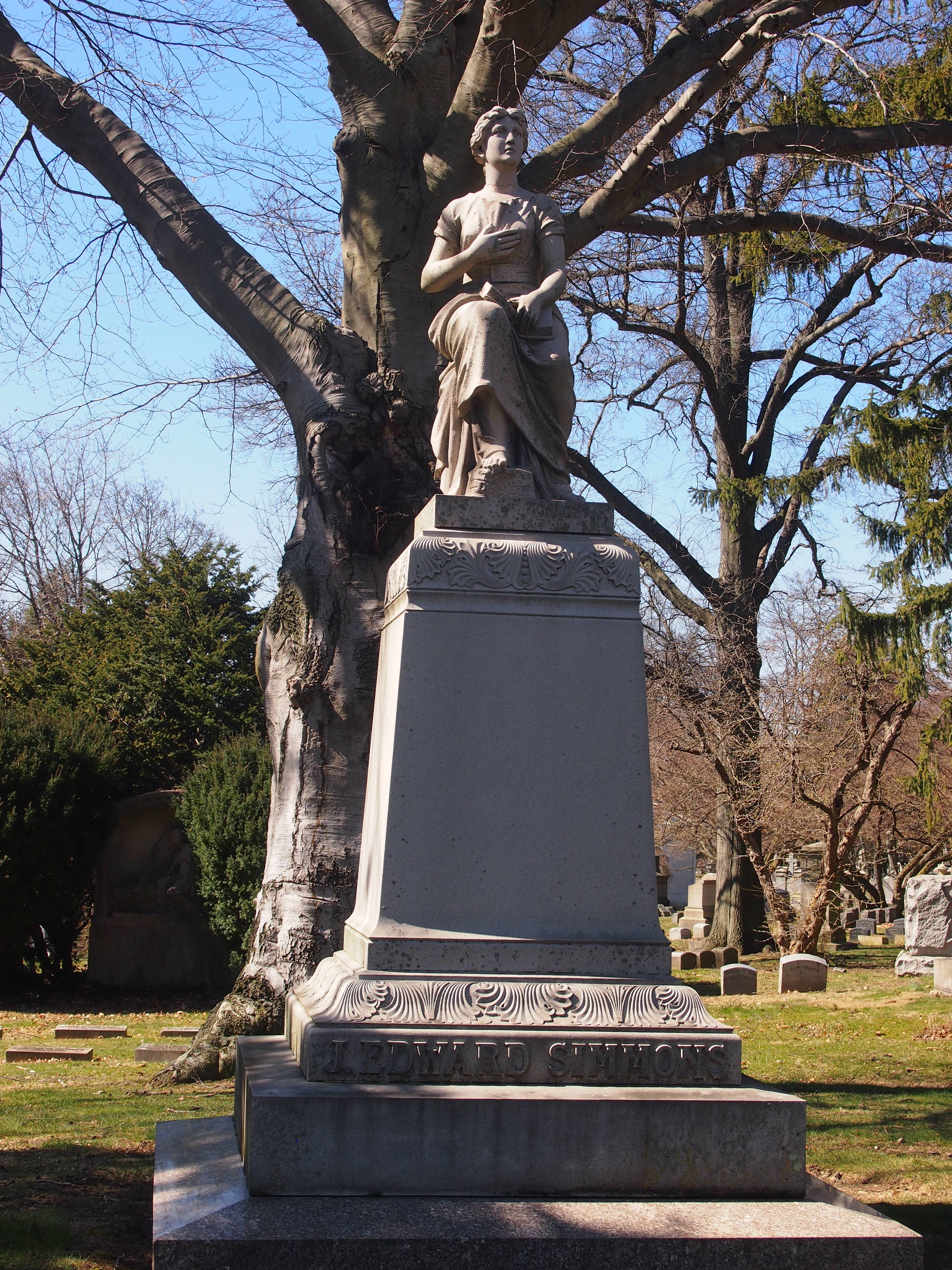
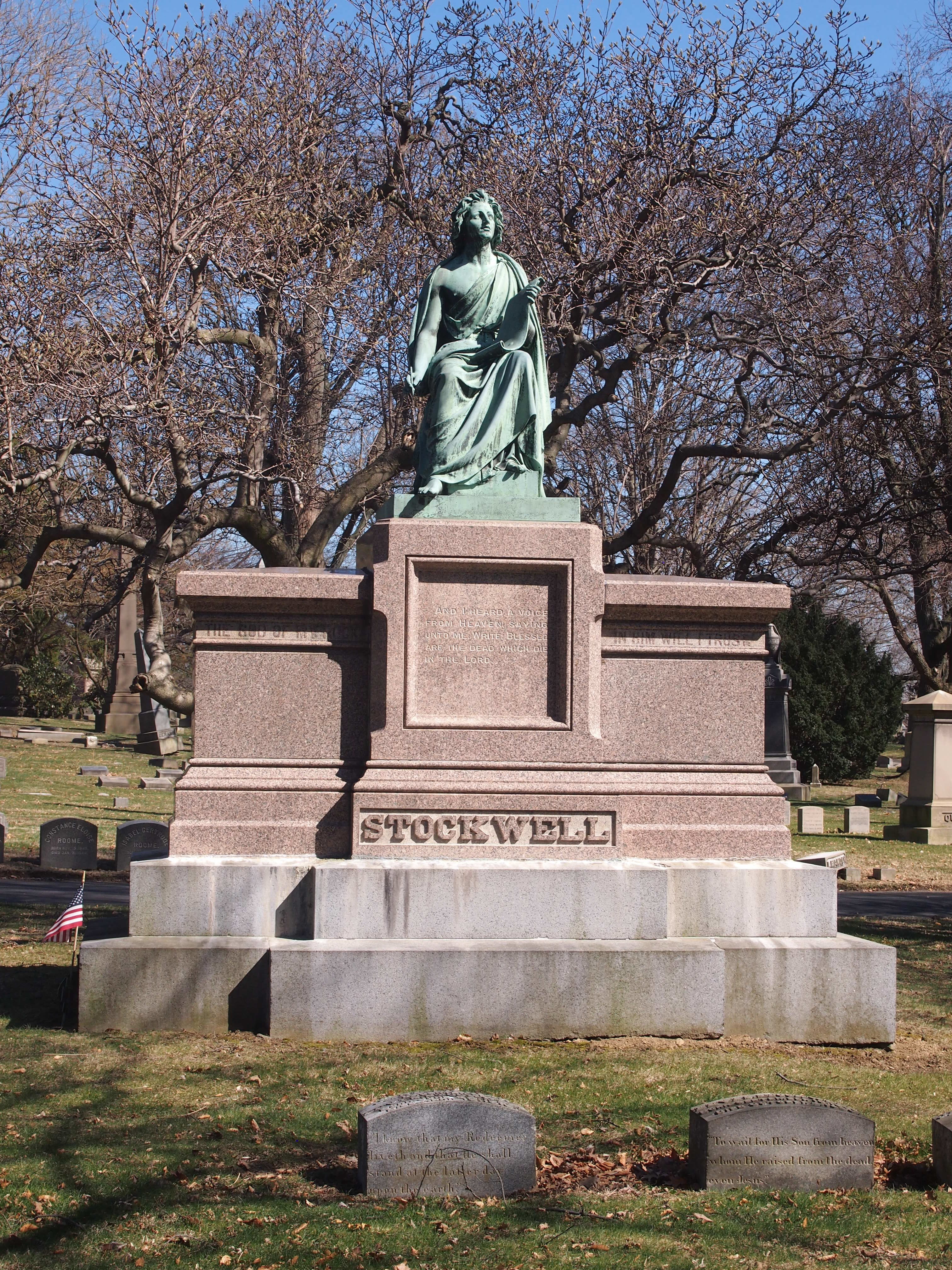
Mausoleums weren’t the entire scope of the cemetery. I saw many more modest markers, or not so modest, some very elegant.

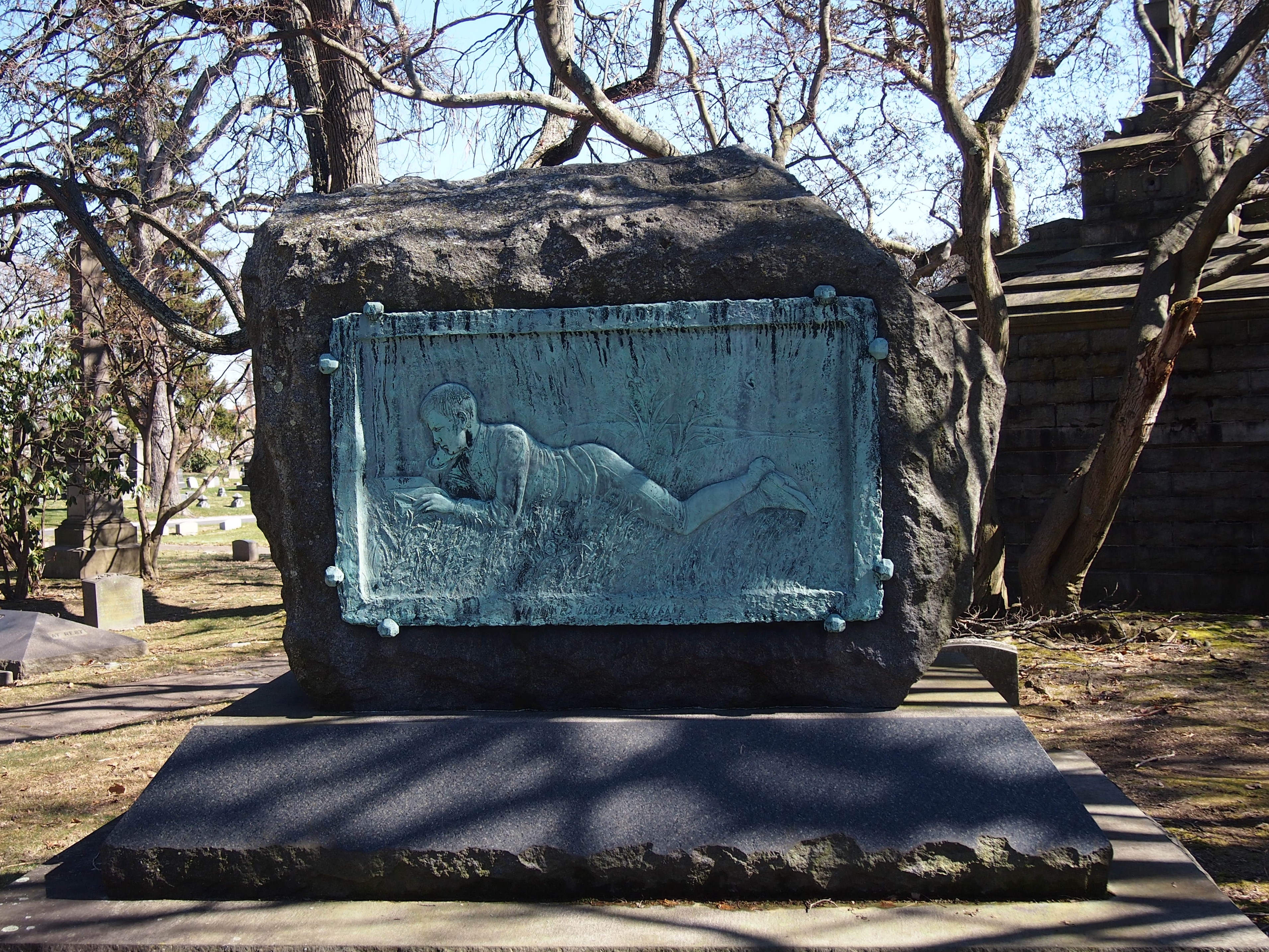
This one was unusual: Jerome Byron Wheeler (1842-1918). Seems like he wanted to be remembered as a man of refined literary tastes. Or at least as a lover of books.

Wiki, at least, claims his mother was a second cousin of Ralph Waldo Emerson. That didn’t pay for the stone and the relief, however: Wheeler owned mines in Colorado.

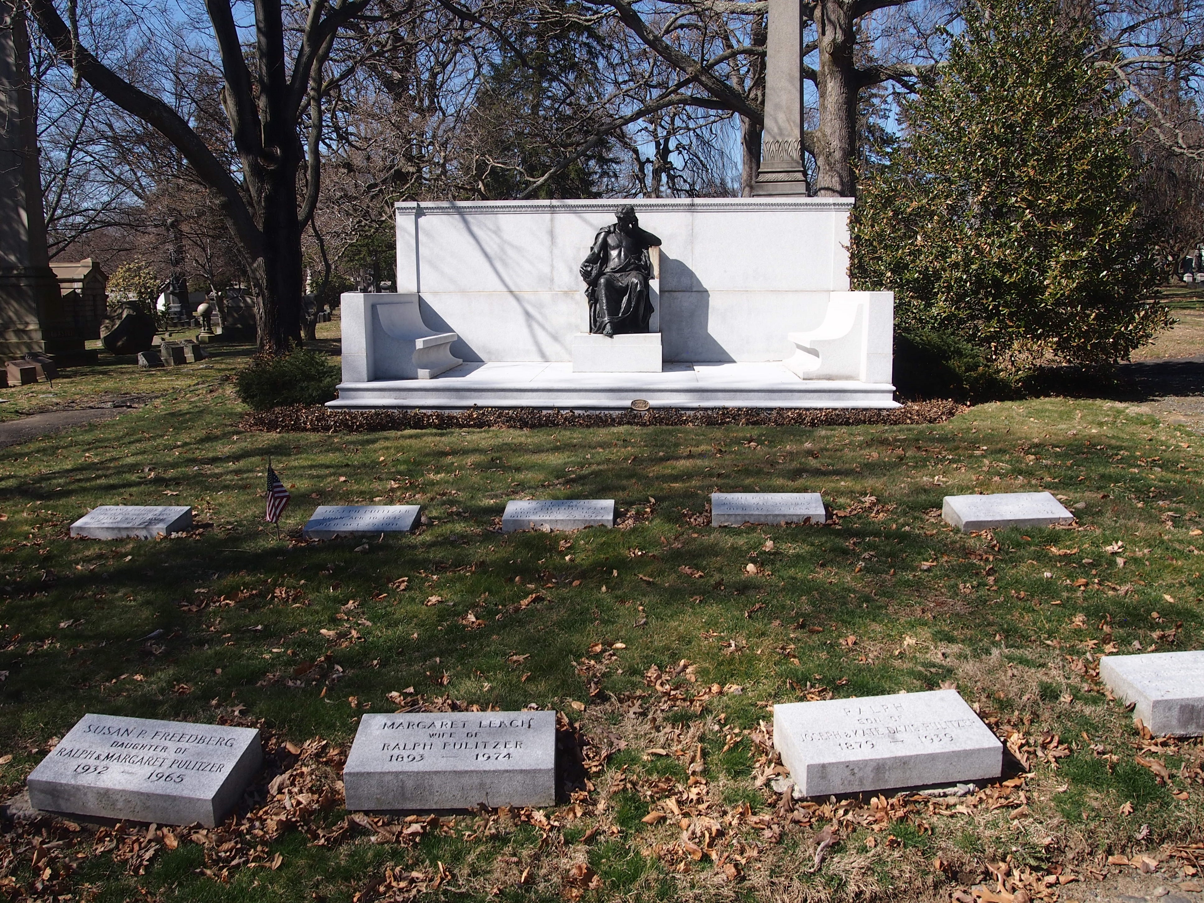
One more grave of a noted person: Joseph Pulitzer and other family members, which I found by chance.

Near the main entrance, I saw this wood carving.
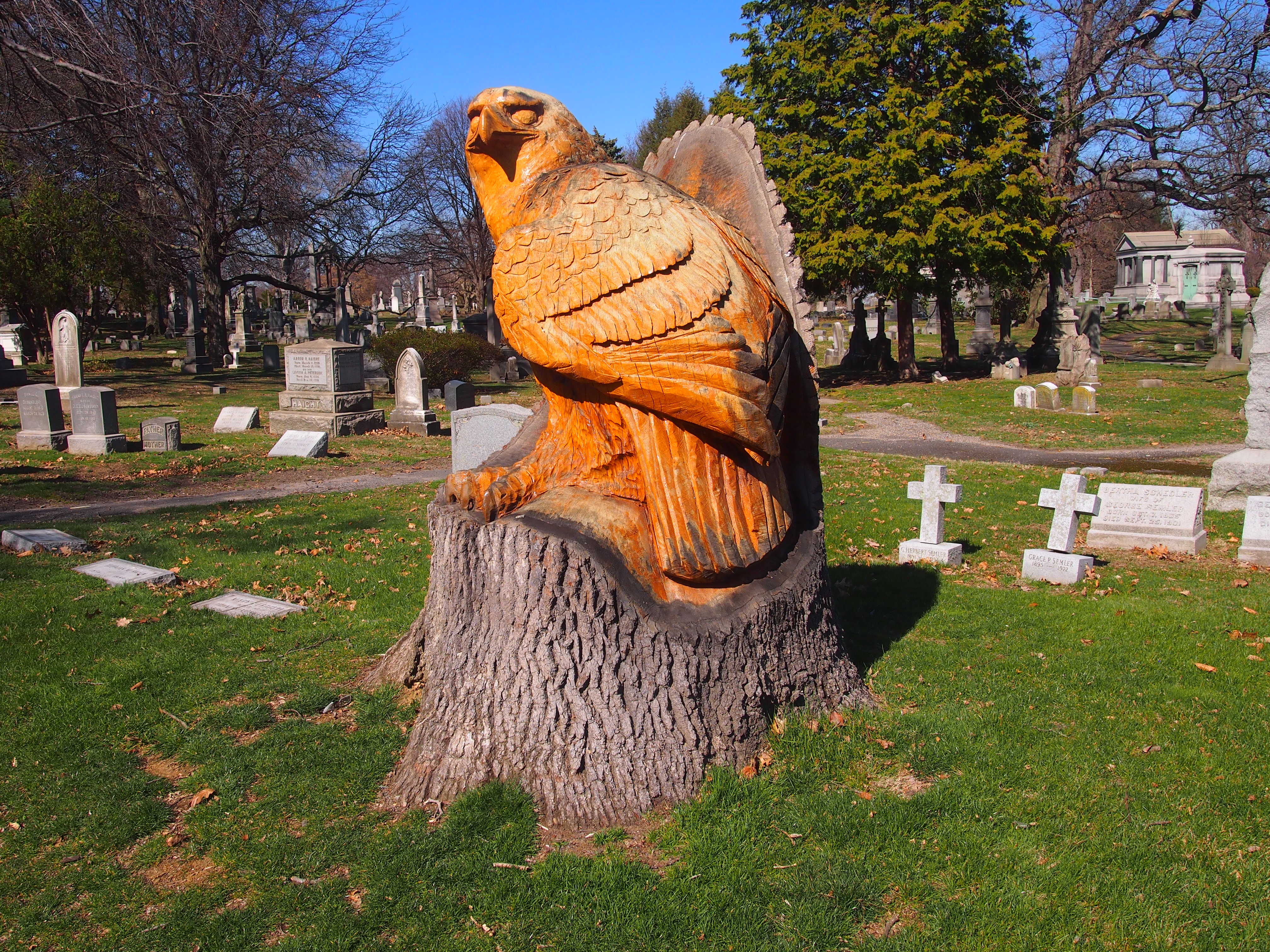
Glad to see that the cemetery didn’t simply rip the stump out. Like all the best rural cemeteries, Woodlawn is an arboretum too. This is a kind of memorial to the tree.

Return to Green-Wood

About three and a half years ago, I took a brisk walk through Green-Wood Cemetery in Brooklyn, a hilly, wooded place featuring a vast array of headstones and funerary art. The very model of a Victorian rural cemetery, you might say, except that the city has grown around it. Also, it’s still an active cemetery in the 21st century.

I wanted to go back, especially since I spent the latter part of my recent trip to New York staying with my nephew Robert and his girlfriend Meredith at their apartment in Brooklyn, which happens to be two subway stops away from the main entrance of Green-Wood. Even better, I discovered that a tour — the Twilight Tour — ran from 6 to 8 p.m. on Friday, March 30, after my work obligations were over.

So I bought a ticket online, and showed up at the main gate not long before 6. The gate itself is a striking bit of Victorian Gothic Revival. Outside the entrance:
None other than Richard Upjohn, the same architect who did Trinity Church Wall Street, designed the gate. Looks like it, too. Inside the entrance:
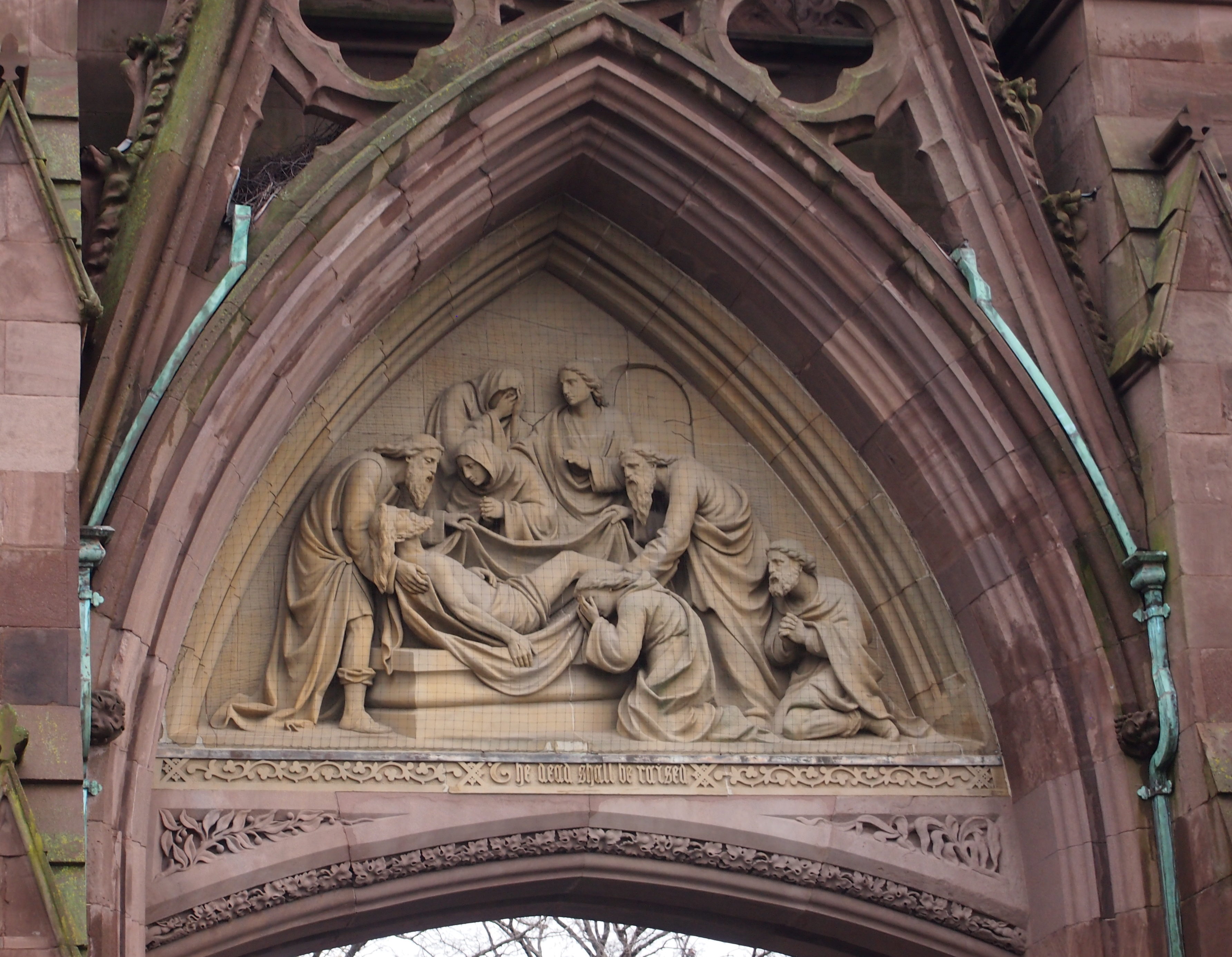
A resurrection-themed detail on the gate, one of four by John M. Moffitt.
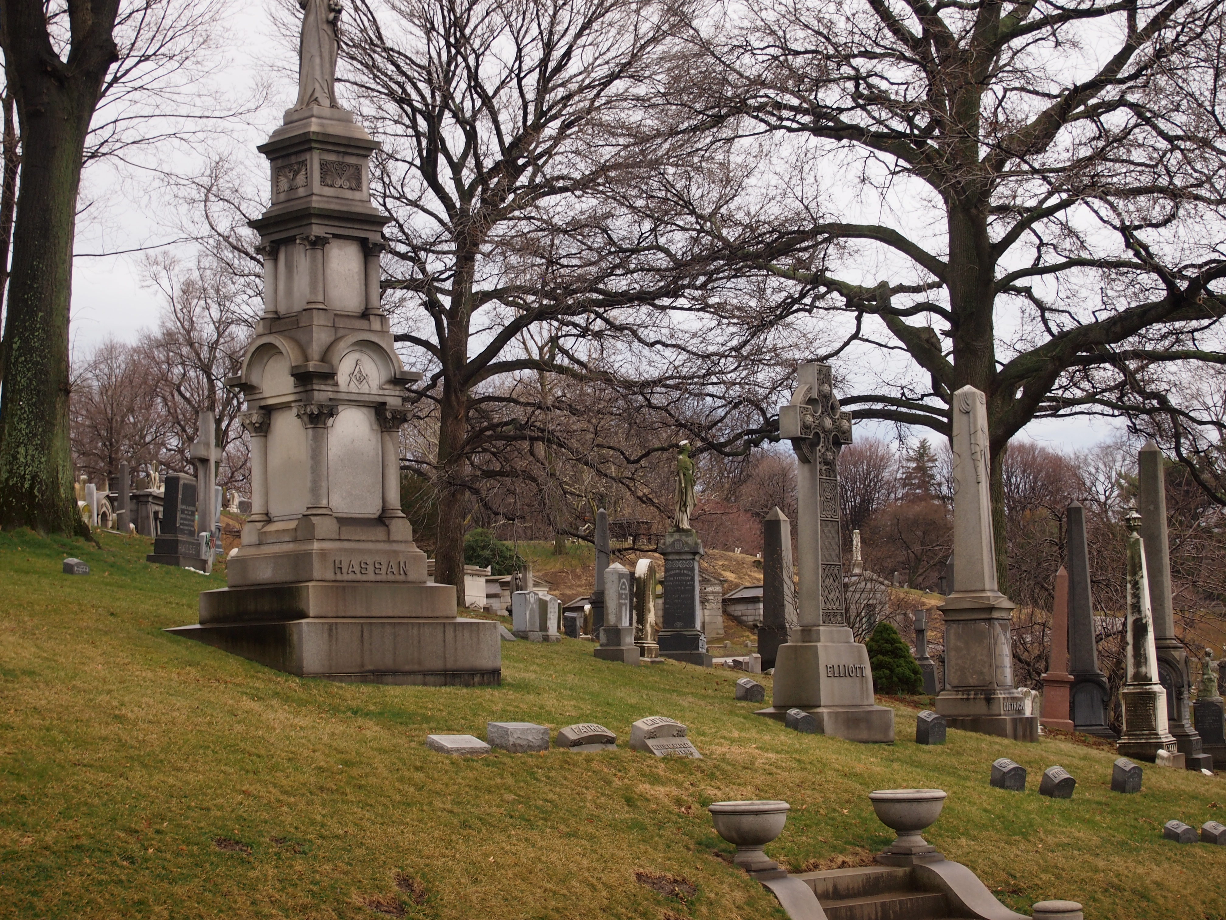
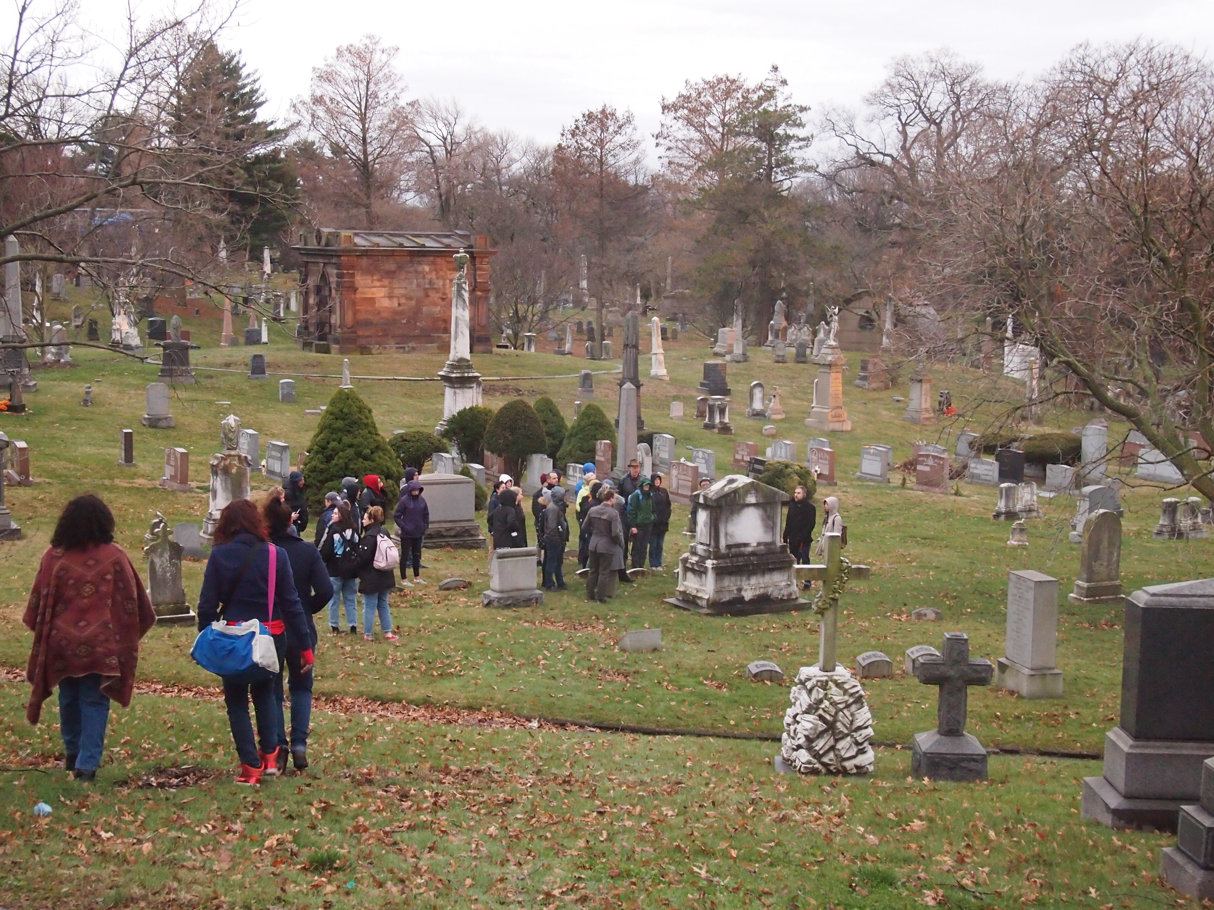
Gray clouds hung over the cemetery and there was occasional drizzle. But I was dressed for it, so that didn’t interfere with the pleasure of walking through Green-Wood again, into parts I didn’t go to last time, so vast is the cemetery.

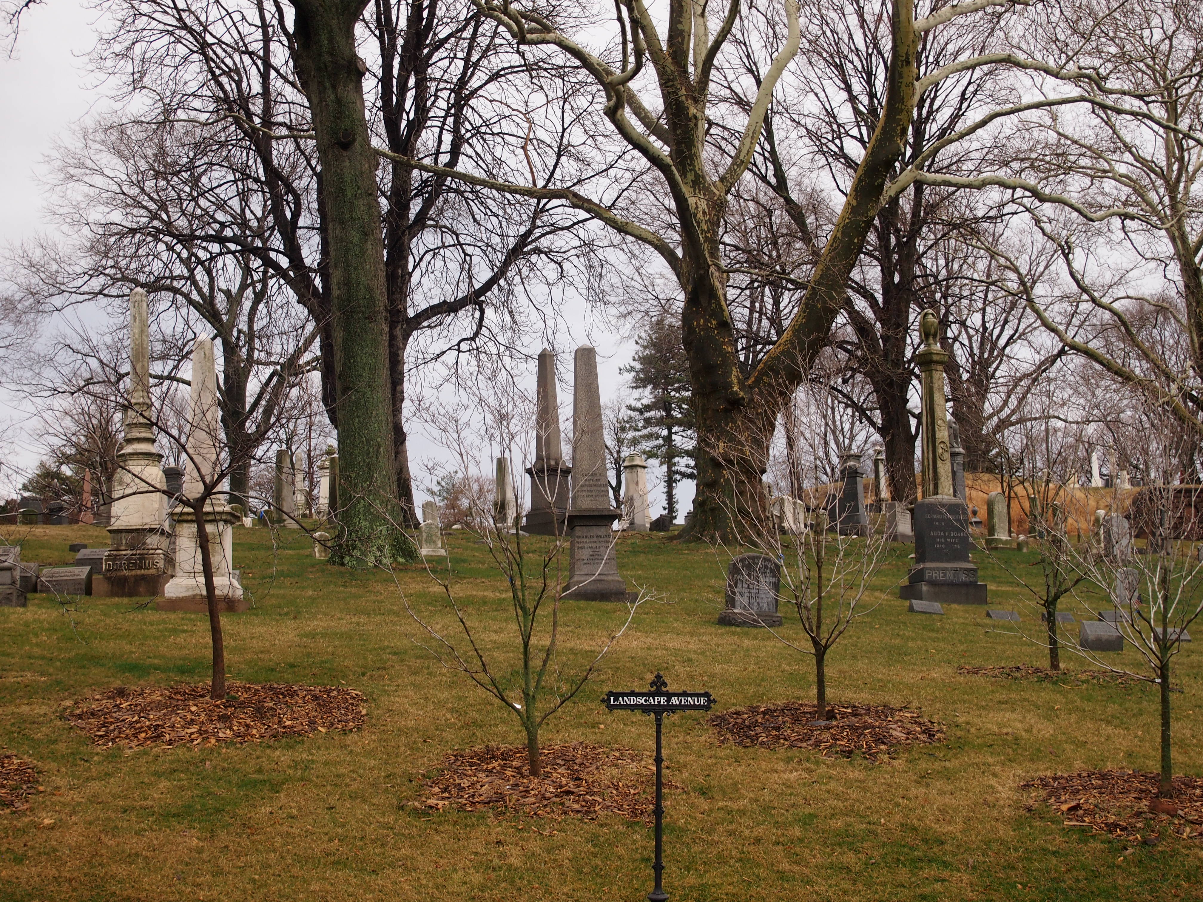
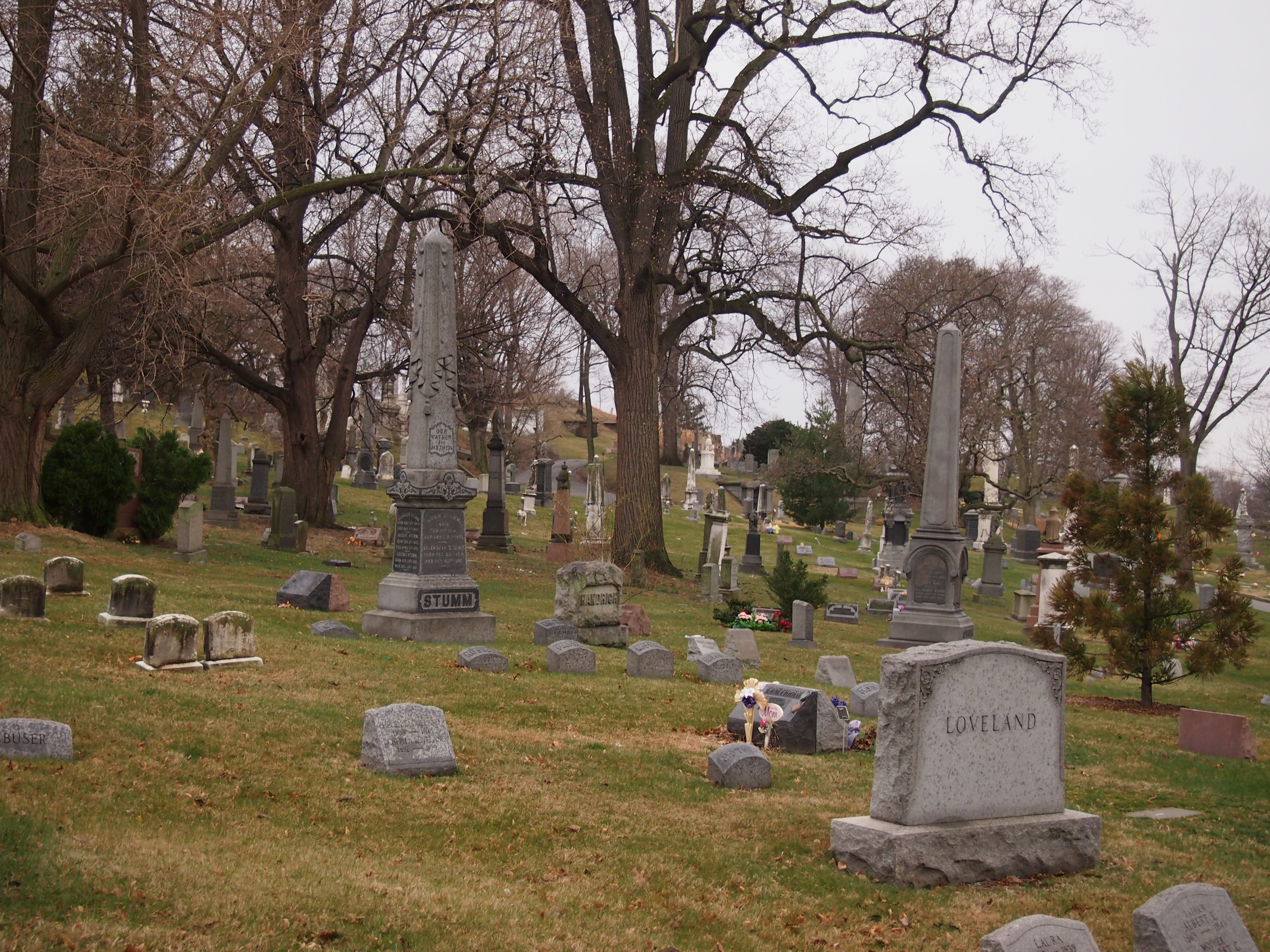
Even the bare trees and brown-green grass had their charms.

The tour wound up hills and down and around. I didn’t even bother trying to keep track of where we were. I just followed and listened to the guide, who knew a lot and pointed out things you might otherwise miss.

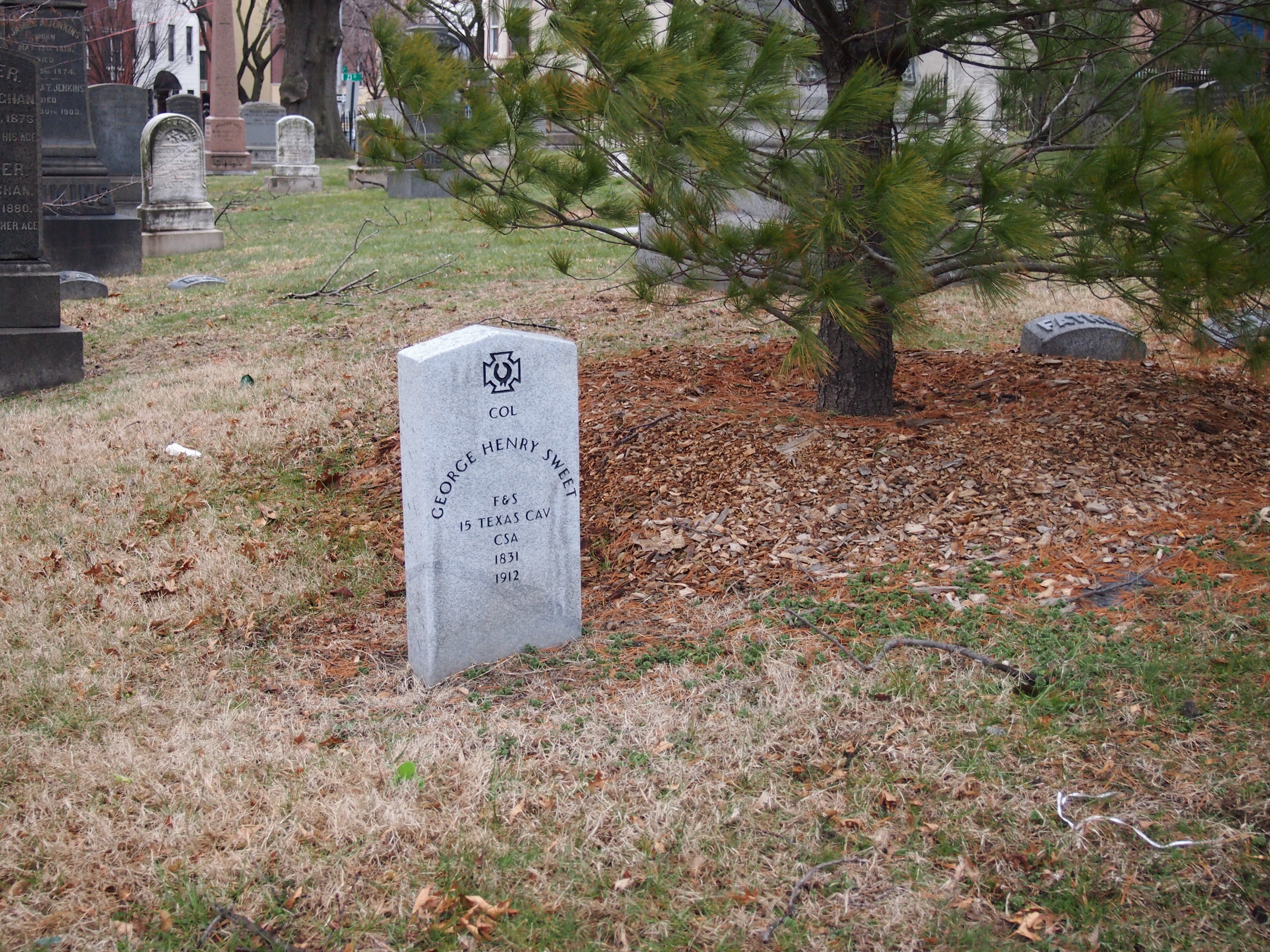
For instance, there aren’t that many Confederates in the cemetery, but there are a few. Such as Col. George Henry Sweet.
We soon came to the highest point in the cemetery, and in fact in Brooklyn, called Battle Hill for its part in a bloody episode in the Battle of Long Island (a.k.a. the Battle of Brooklyn) in the Revolution.
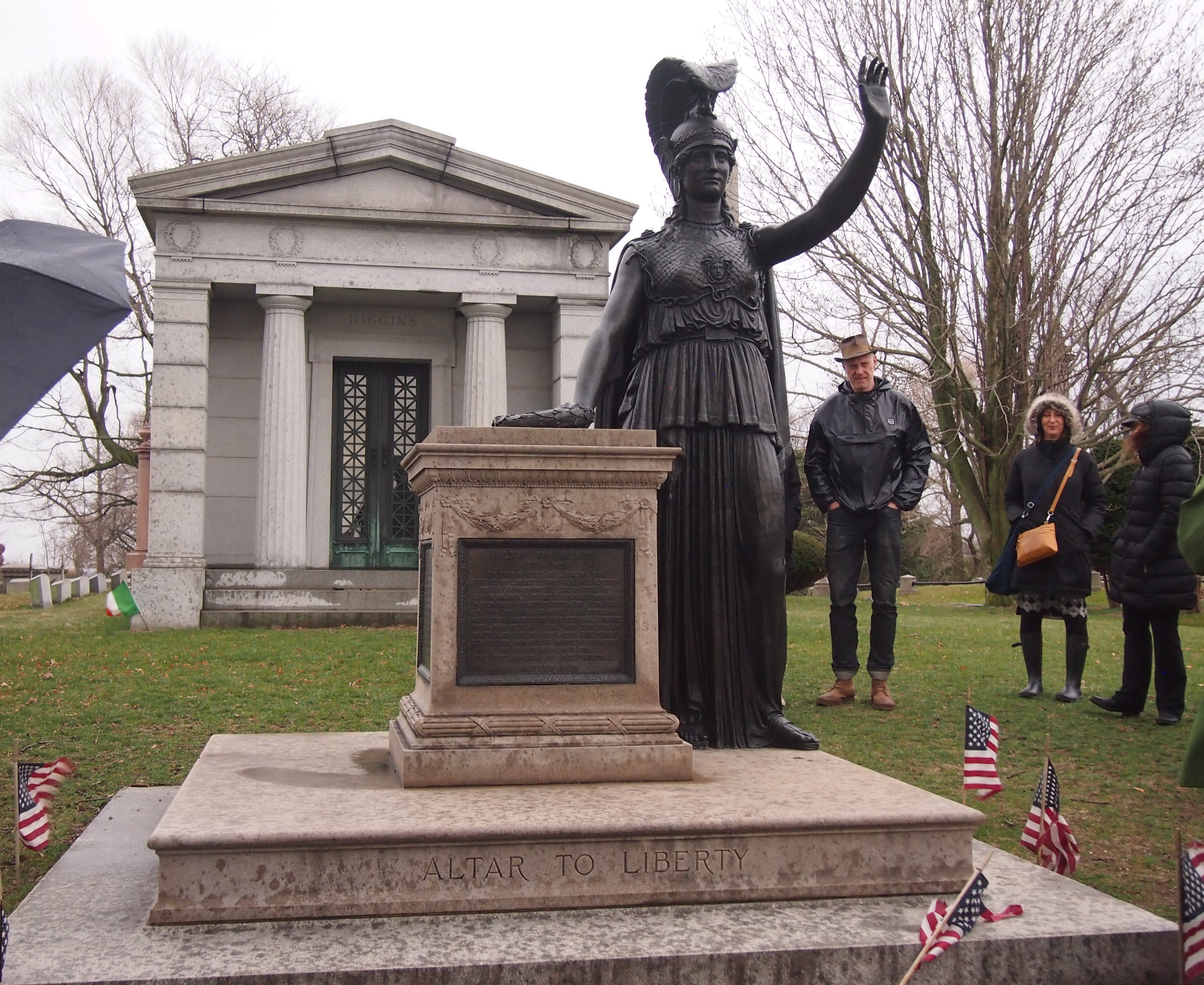
About 100 years ago, that event was memorialized on the hill by a sculpture called “Altar to Liberty: Minerva” by Frederick Ruckstull, which faces toward New York Harbor.

On a clear day, you can see the Statue of Liberty from Minerva’s perch, but we didn’t have a clear day. I understand that that particular the sightline is protected by law, like views of the capitol in Austin.
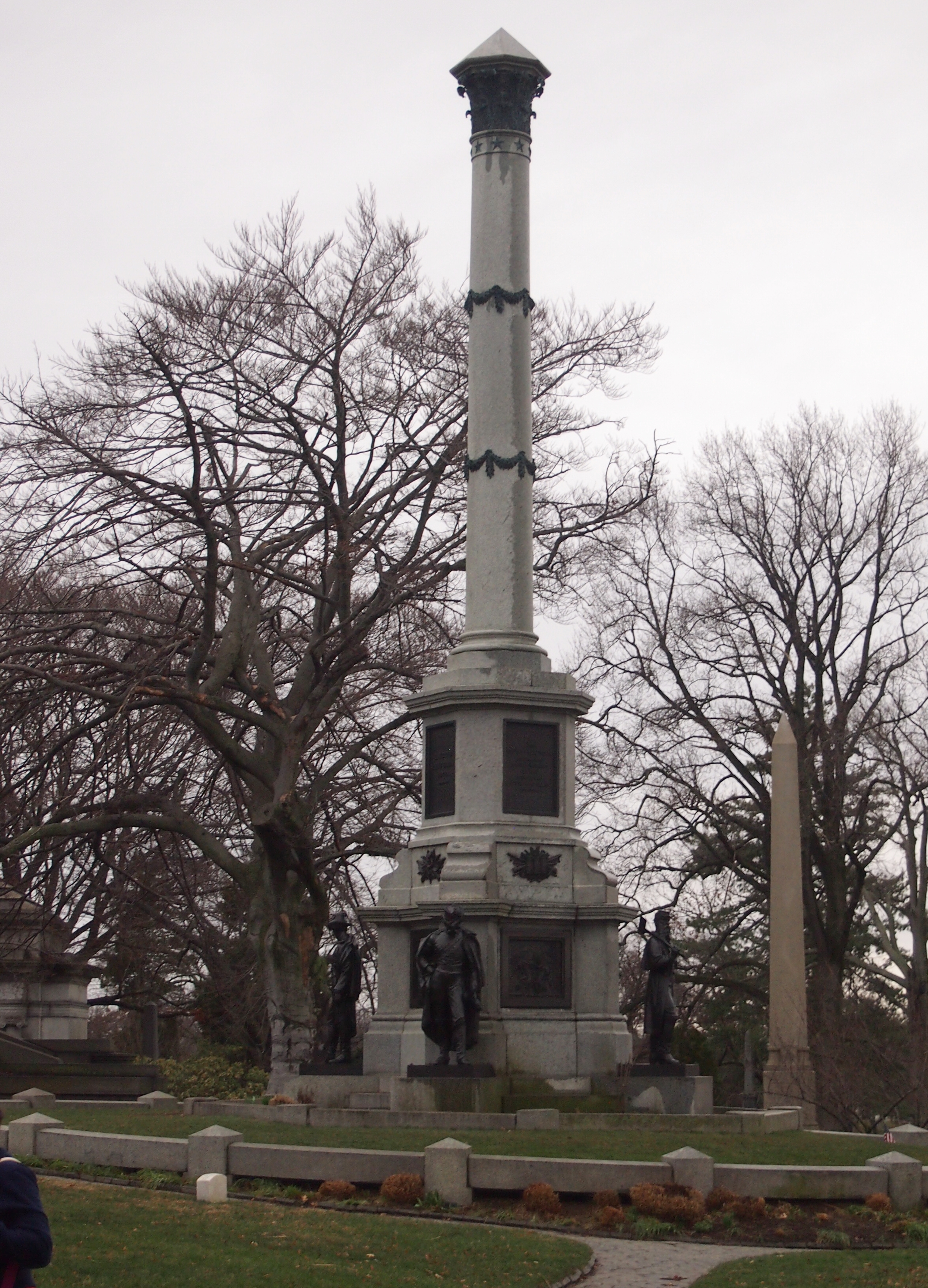
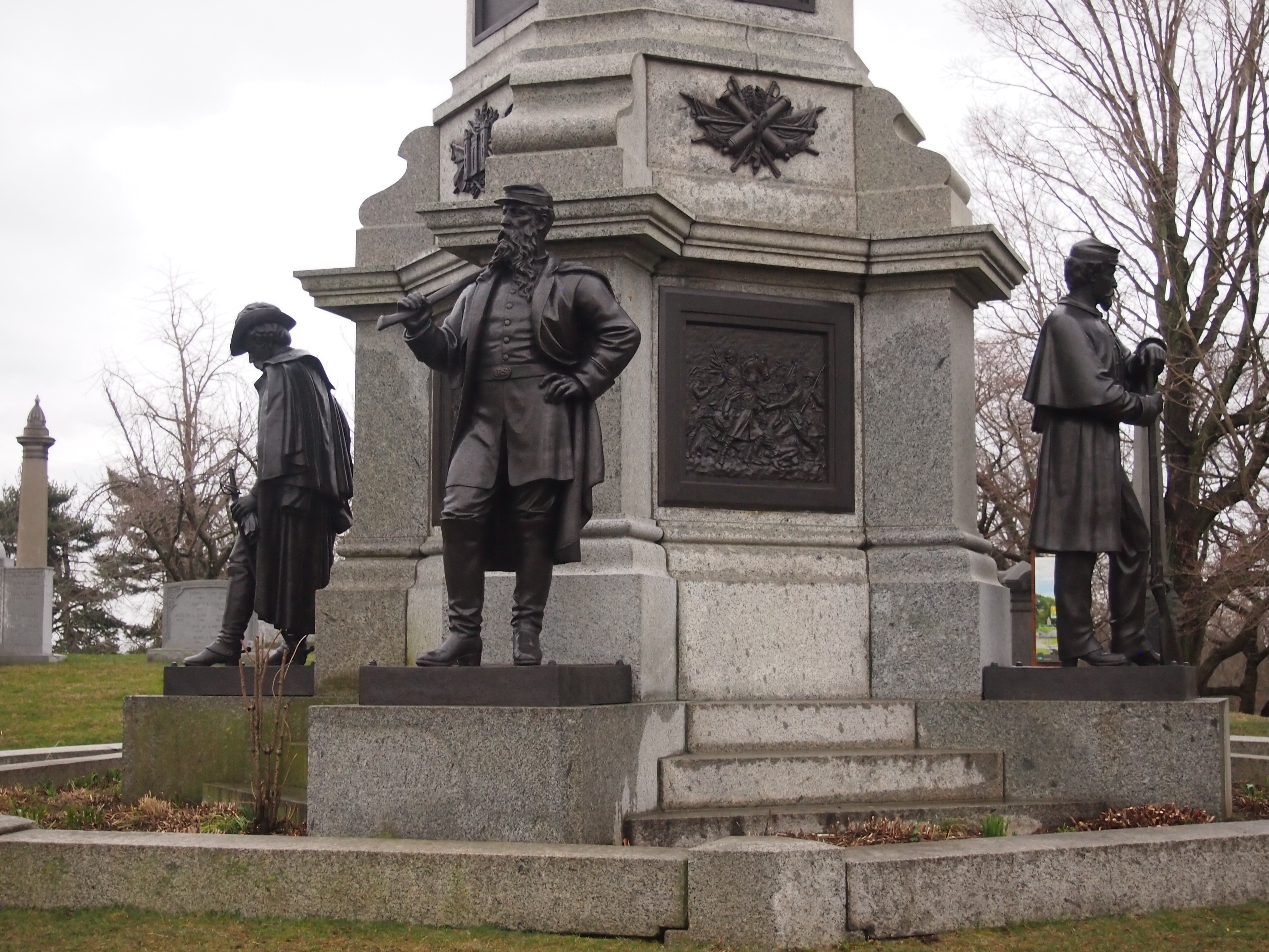
Also on Battle Hill is a sizable monument to New Yorkers who fought for the Union.

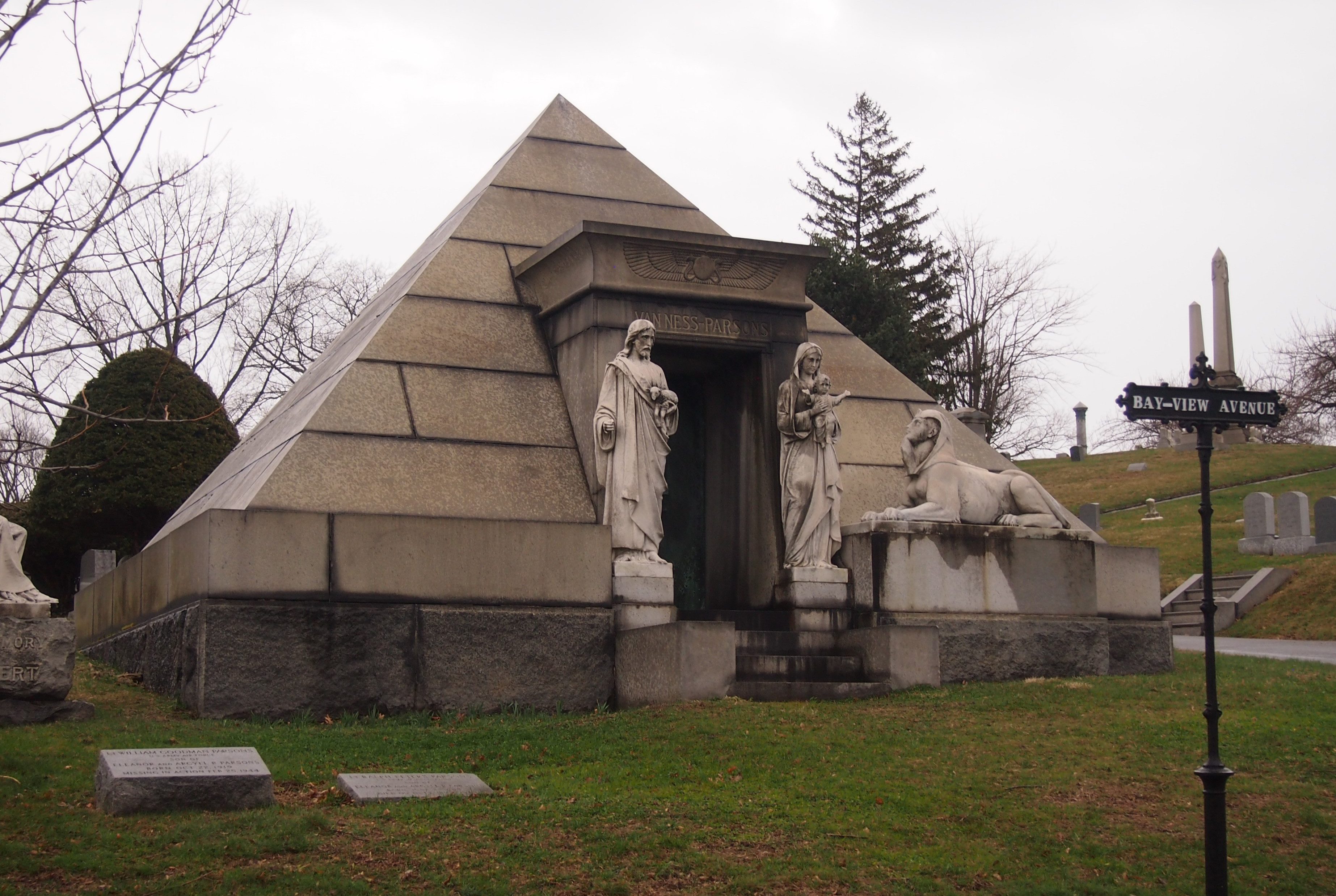
Not far away is the Van Ness-Parsons Egyptian Revival tomb. Pianist, teacher, organist and composer Albert Ross Parsons is interred there, among others.

Clearly they wanted everyone to know that the tomb doesn’t evoke pagan Egypt, but rather Christian Egypt.

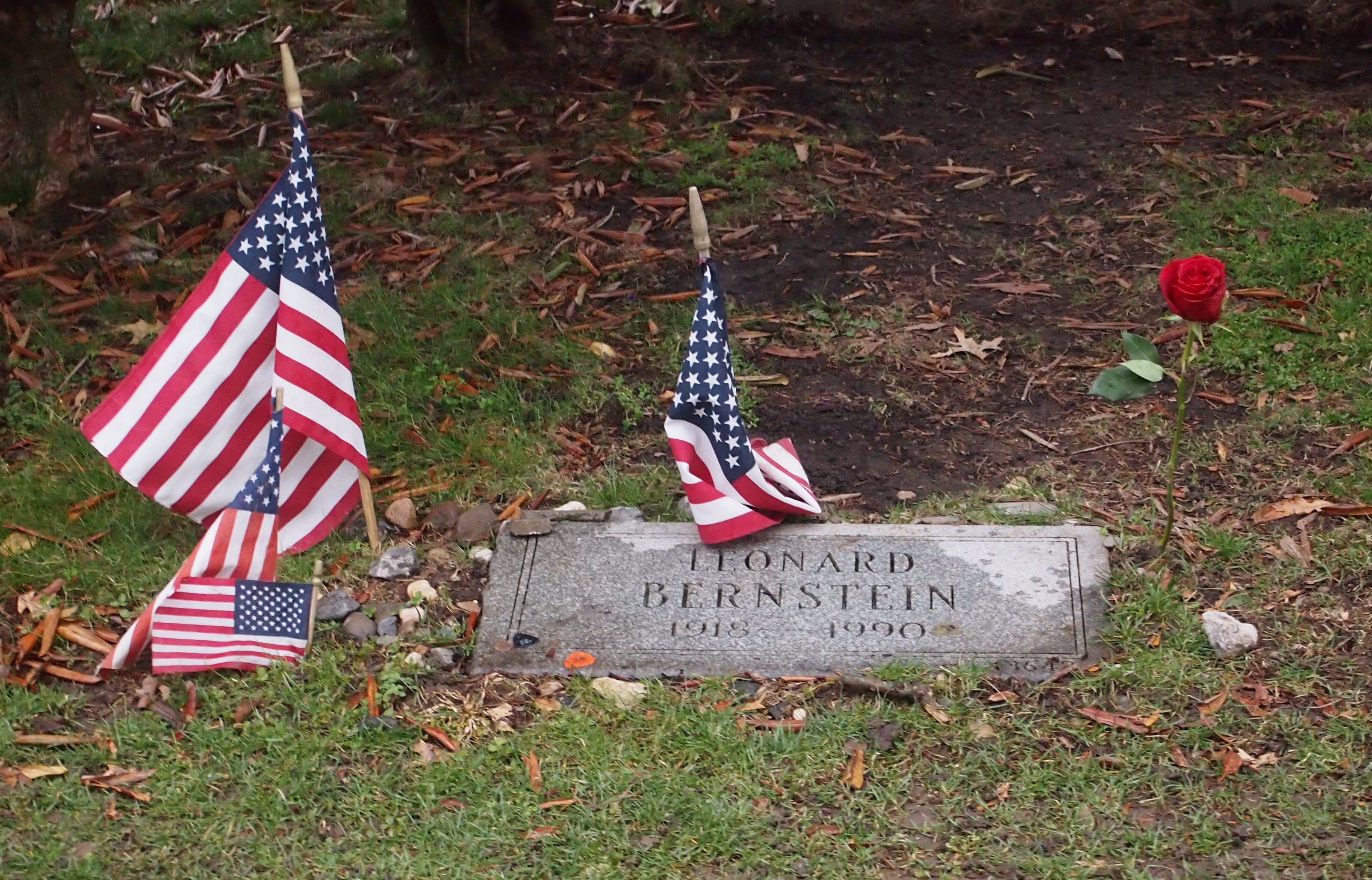
Soon we came to the grave of Leonard Bernstein.
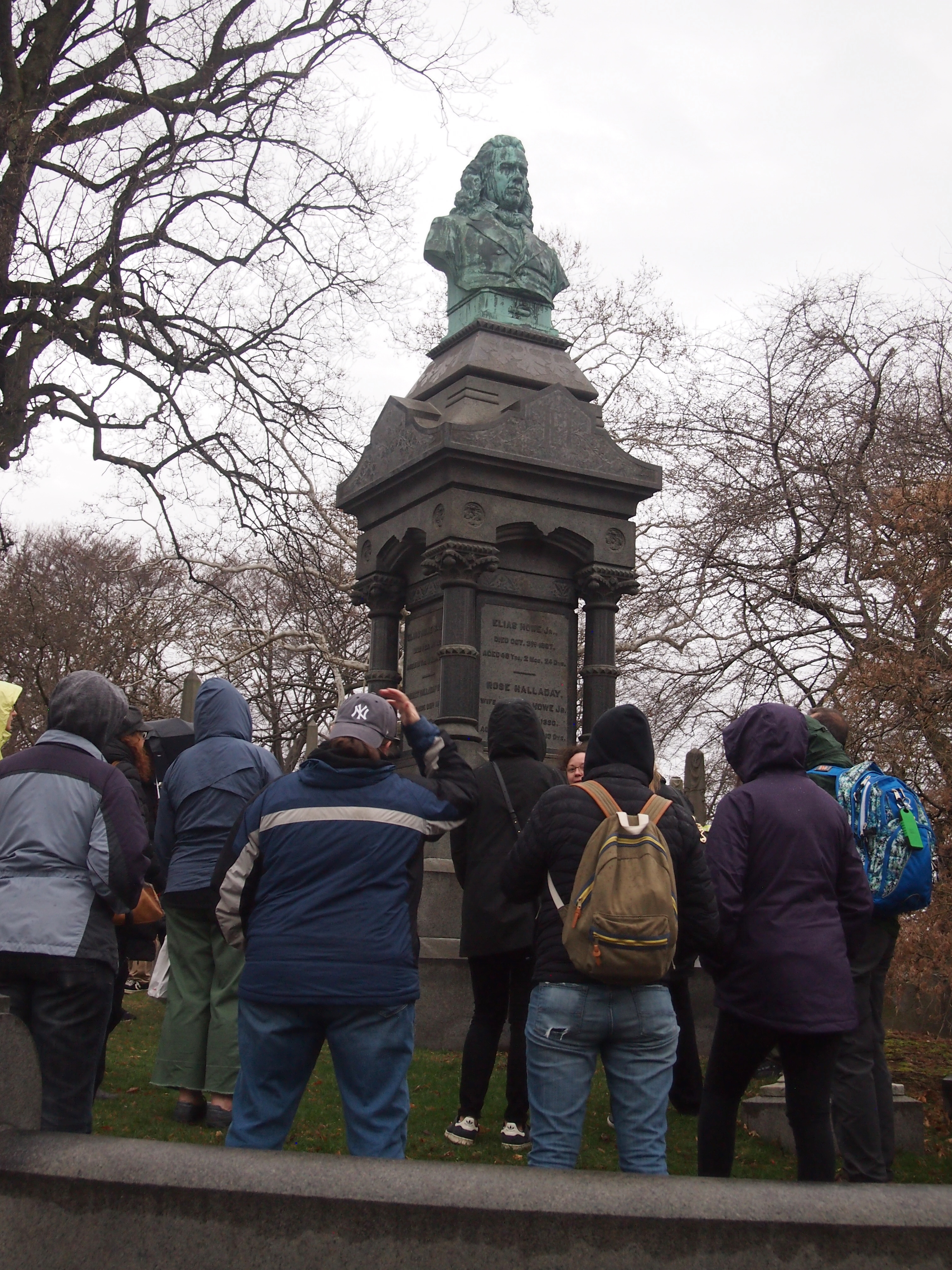
Then the more elaborate memorial to Elias Howe, improver of the sewing machine and archenemy of Issac Singer.
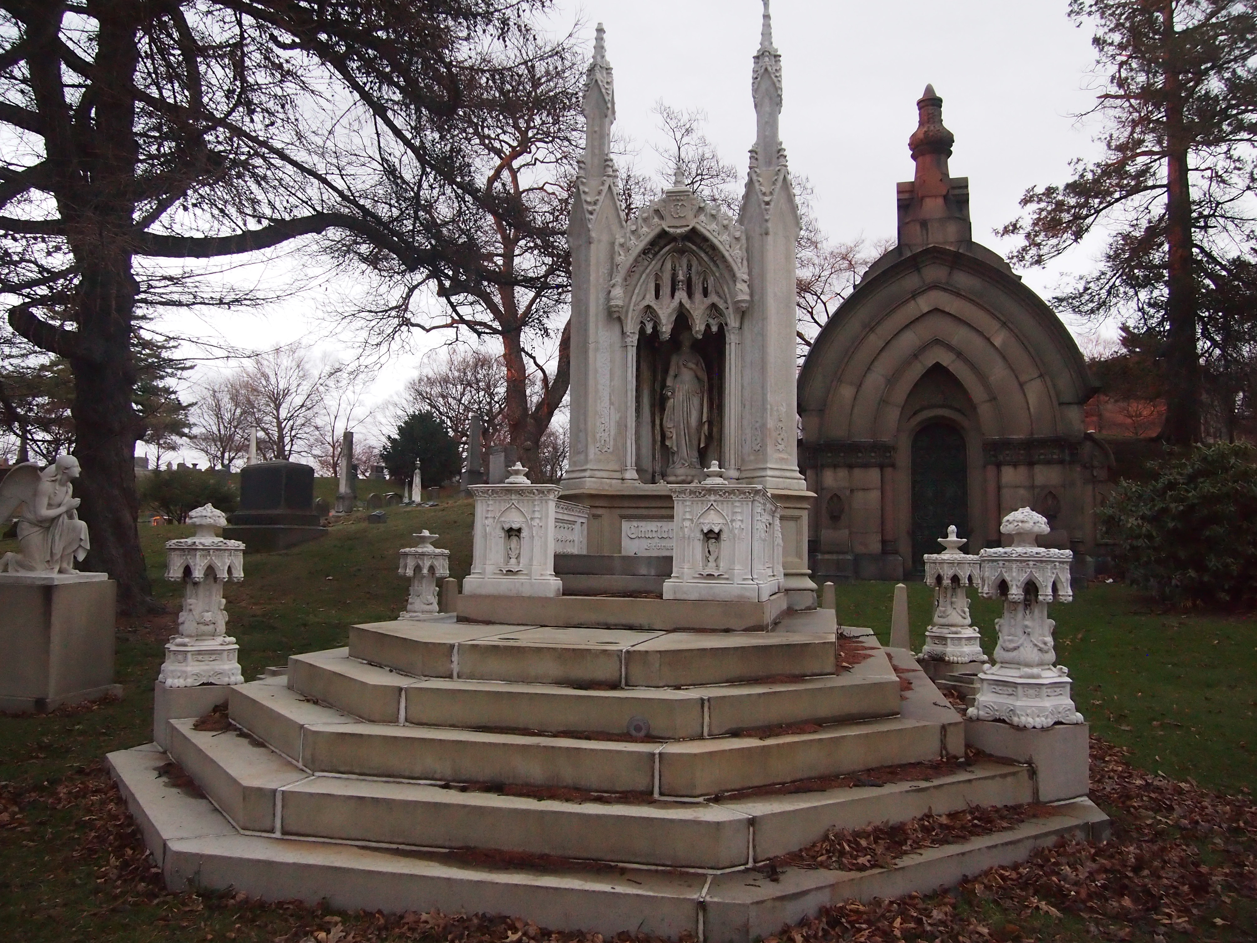
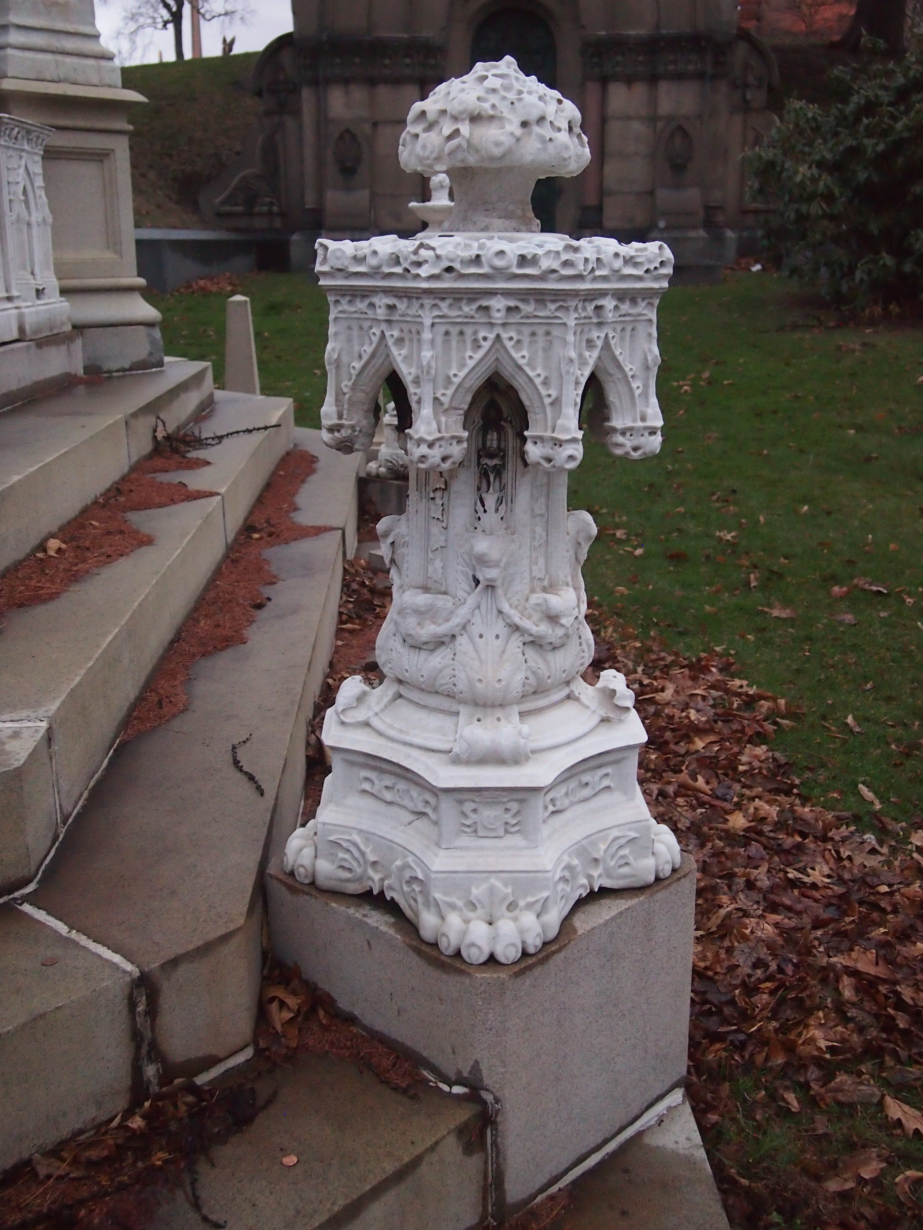
As promised, the tour started to become a twilight tour after sunset. The last large tomb I had light enough to shoot was a doozy, though: Charlotte Canda.
I didn’t know the story of Charlotte Canda. The guide informed us. Charlotte, daughter of a wealthy New Yorker, died on her 17th birthday in a carriage accident in 1845. Her tomb is based on unused sketches she made herself a few months earlier, for an aunt of hers who had predeceased Miss Canda.
Restoration efforts have been underway in recent years. According to the guide, back when Green-Wood was treated as a city park, Miss Canda’s tomb was an especially popular place to visit and picnic. The pathos of her story appealed to Victorians, I guess.

We carried on in the near-dark, often using smartphone flashlights, and saw the remarkable gravestone of Cortland Hempstead, chief engineer of the steamship Lexington, which burned and sank in Long Island Sound in January 1840. Of the 143 souls aboard, only four are known to have survived. Hempstead wasn’t one of them.

As seen here, the stone includes a relief based on a Nathaniel Currier lithograph originally published in the New York Sun: “Awful Conflagration of the Steam Boat ‘Lexington’ in Long Island Sound on Monday Eveg Jany 13th 1840, by Which Melancholy Occurrence Over 100 Persons Perished.”

We also saw Green-Wood’s catacombs, which are usually closed to the public. They aren’t remotely as extensive as the catacombs of Rome or Paris, but they were interesting: a long concrete tunnel dug into a hill with some dozens of chambers off to the sides, and people interred in the walls of the chambers. The place was dank and smelled like a cave. According to the guide, the catacombs were a more economic alternative than burial in a plot for a while in the 19th century, but they never really caught on, probably because water always made its way in.

After leaving the catacombs, we passed by the single grave at Green-Wood that I wanted to see more than any other: Boss Tweed. Not for the aesthetics of the marker — it’s large but fairly ordinary — but for making the passing acquaintance of such an infamous scoundrel, when he’s no longer in a position to pick one’s pocket.

Stonewall National Monument

Last Saturday, which was my last full day in New York City, I made a brief late afternoon foray into Greenwich Village. Been awhile since I’d been there, but I have a special fondness for the Village. Not because of the Beats or bohemians or the like, which are certainly interesting, but because I stayed in an apartment there for a couple of weeks in August 1983.

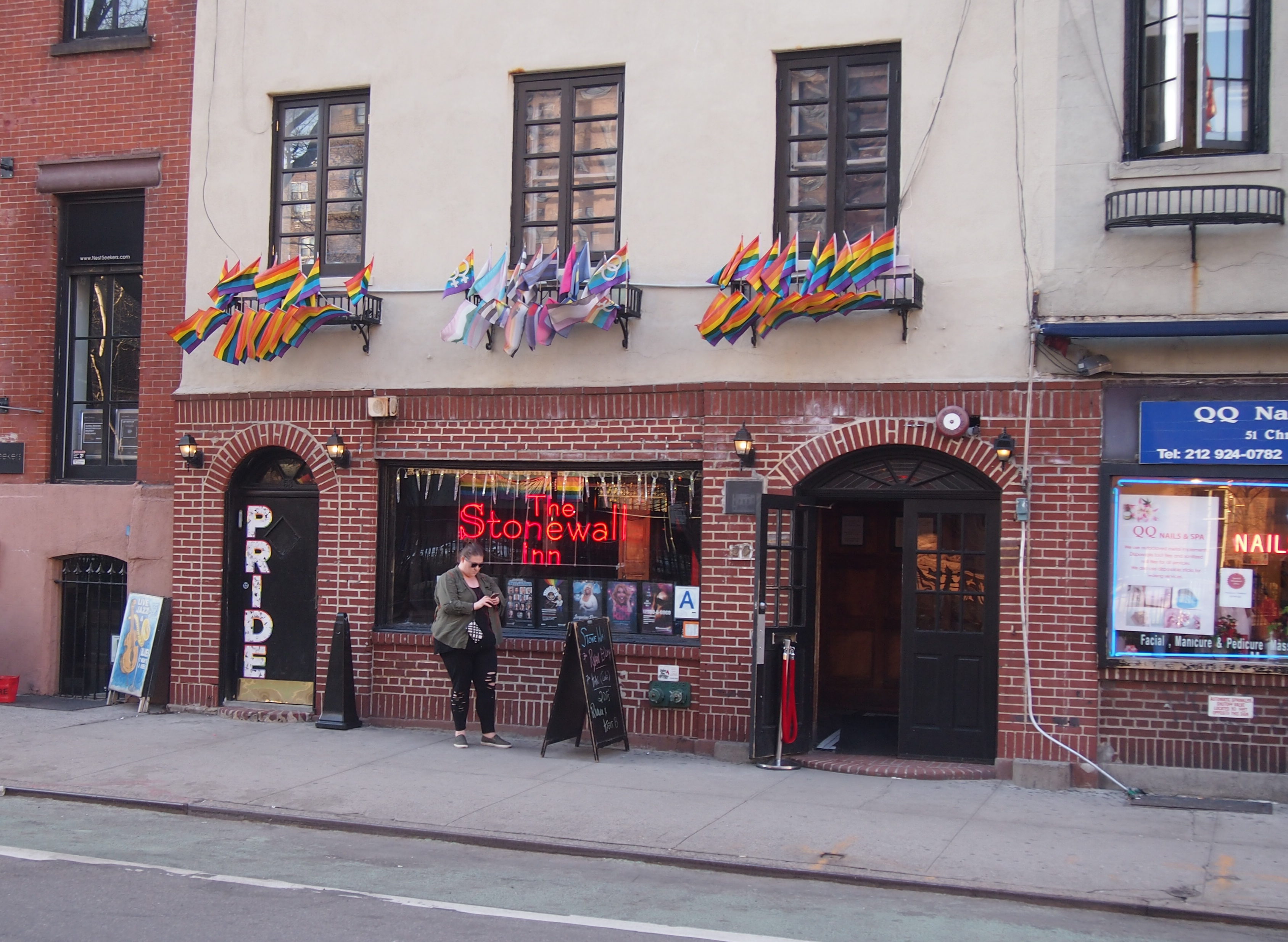
The place I stayed back then had a Sheridan Square address, so I wandered over that way, which isn’t far from the excellent Washington Square Park, though it was a little chilly on Saturday to fully appreciate it. Pretty soon I came across a place I’d heard and read about, but hadn’t fixed in my mind as being where it is: Stonewall National Monument, on Christopher St.

As national monuments go, Stonewall is small, about 7.7 acres. It’s also new, designated only in June 2016, near the anniversary of the Stonewall Riots.

NYC Parks has a short history of the place: “Located at 51-53 Christopher Street, Stonewall Inn was formerly two adjacent two-story stable houses erected in 1843 and 1846. After numerous alterations, the two buildings were joined into a restaurant by the 1930s. By the 1950s the place was known as Stonewall Inn Restaurant.

“In 1966, it closed for renovations, and reopened in the following year as a private club known as Stonewall Inn – a bar and dance hall which, like numerous local establishments, catered to the homosexual community of Greenwich Village.

“In the early hours of June 28, 1969, police raided the Stonewall Inn and a melee ensued in which 13 people were arrested. Word of the raid and the resistance to it soon spread, and the next day hundreds gathered to protest the crackdown and advocate the legalization of gay bars.

“Further protests erupted in early July, and on July 27, a group of activists organized the first gay and lesbian march, from Washington Square to Stonewall. The events of that summer and their aftermath are often credited as the flashpoint for the gay rights movement in the United States.”

In 1983, I had no notion the Stonewall Inn was there. I’d heard the story of the riots a few years before, but I don’t remember anything to mark the site when I was there, and by then the building was being used for something else anyway.

Christopher Park, which is across the street from Stonewall Inn, was being renovated at that time. “The restoration of Christopher Park was initiated in 1983 by the Friends of Christopher Park, a community volunteer group organized in the late 1970s to maintain and beautify the park,” NYC Parks says.

“Under the direction of landscape architect Philip Winslow, over $130,000 was spent in order to restore the site to its 19th-century splendor. The renovated park, including a new gate, benches, lampposts, walkways, and numerous trees and shrubs, was officially reopened in 1986.”

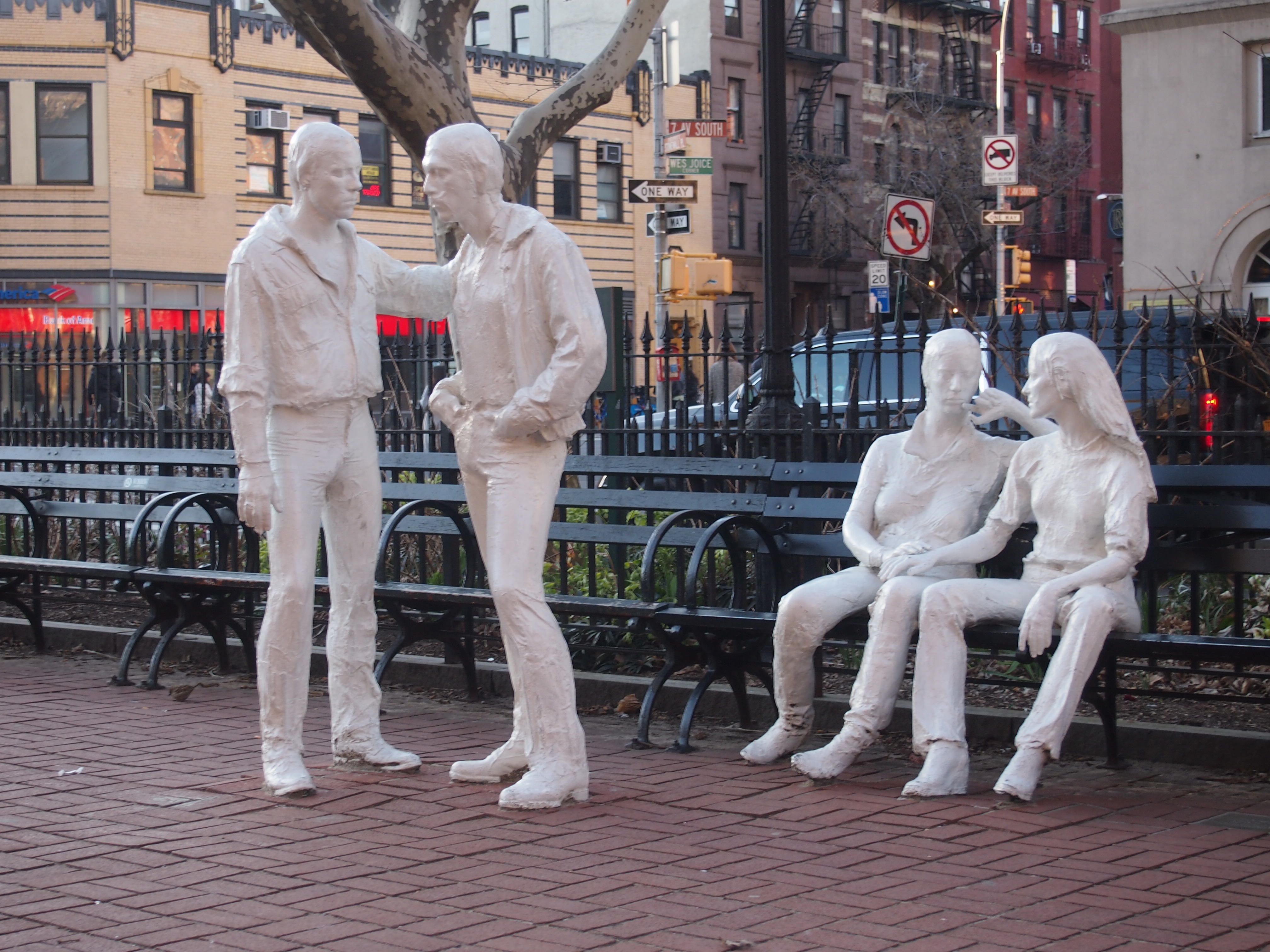
This time around, I spent a few minutes resting at Christopher Park, even though it was distinctly cool by that time in the afternoon. (In New York, one walks a lot, or should.) There are three memorials in the small park. One is “Gay Liberation” by George Segal, unveiled in 1992.

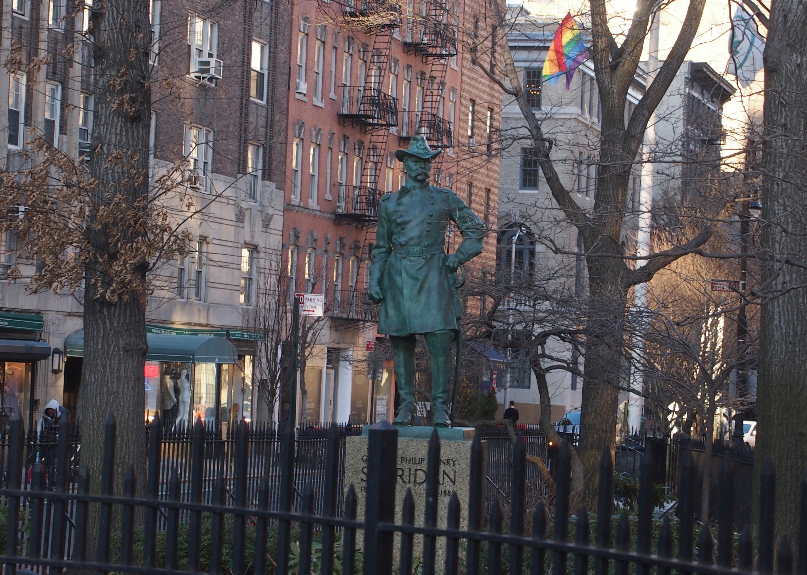
A more traditional statue, erected in the 1930s, also stands in the park: Phillip Sheridan, by Joseph P. Pollia.

Finally, according to NYC Parks, there’s a flagpole in the park honoring the 1861 Fire Zouaves. Damn, how did I miss that? What the ’61 Fire Zouaves need is a statue on the site, or somewhere in New York. A bright, colorful statue.

The Oculus

Not everybody likes the Oculus, which is the unofficial name of World Trade Center Transportation Hub in Lower Manhattan, opened in 2016 to replace the facilities destroyed in the 2001 attack. The last time I was in town, it was still under construction, but now it’s done.

A good deal of the criticism is about how much it cost, and it certainly was expensive ($4.4 billion, I’ve read). As a non-New Yorker, I can easily be sanguine about that. Besides, with a GDP of $1.3 trillion or so annually, which is in the same league as Spain or South Korea, I suspect metro New York can afford a few grand public works. But it’s also short-term thinking. If the structure lasts even 100 years, who’s going to care about cost overruns?

Then there are the visceral reactions to Santiago Calatrava’s design. Some of these can be found at TripAdvisor, in the one- or two-star comments. A selection follows, all sic.

“White sterile, soulless, limited shopping, resembling a rotting beached whale. This place does not look as if it belongs in NY. More suited to a Middle Eastern theme park.”

“Cavernous: much better to look at from the outside; although, it really just looks like some animal’s ribcage.”

“Although many reviews praise the style of architecture as ‘impressive’, the underlining truth about this architecture is that it was designed in a style similar to that of Soviet Constructivism in order to purposefully induce feelings of tension, intimidation, a global or “one-world” identity rather than a traditional or local one.”

That last one’s an odd notion. Soviet was about the last thing I thought of when inside the Oculus.

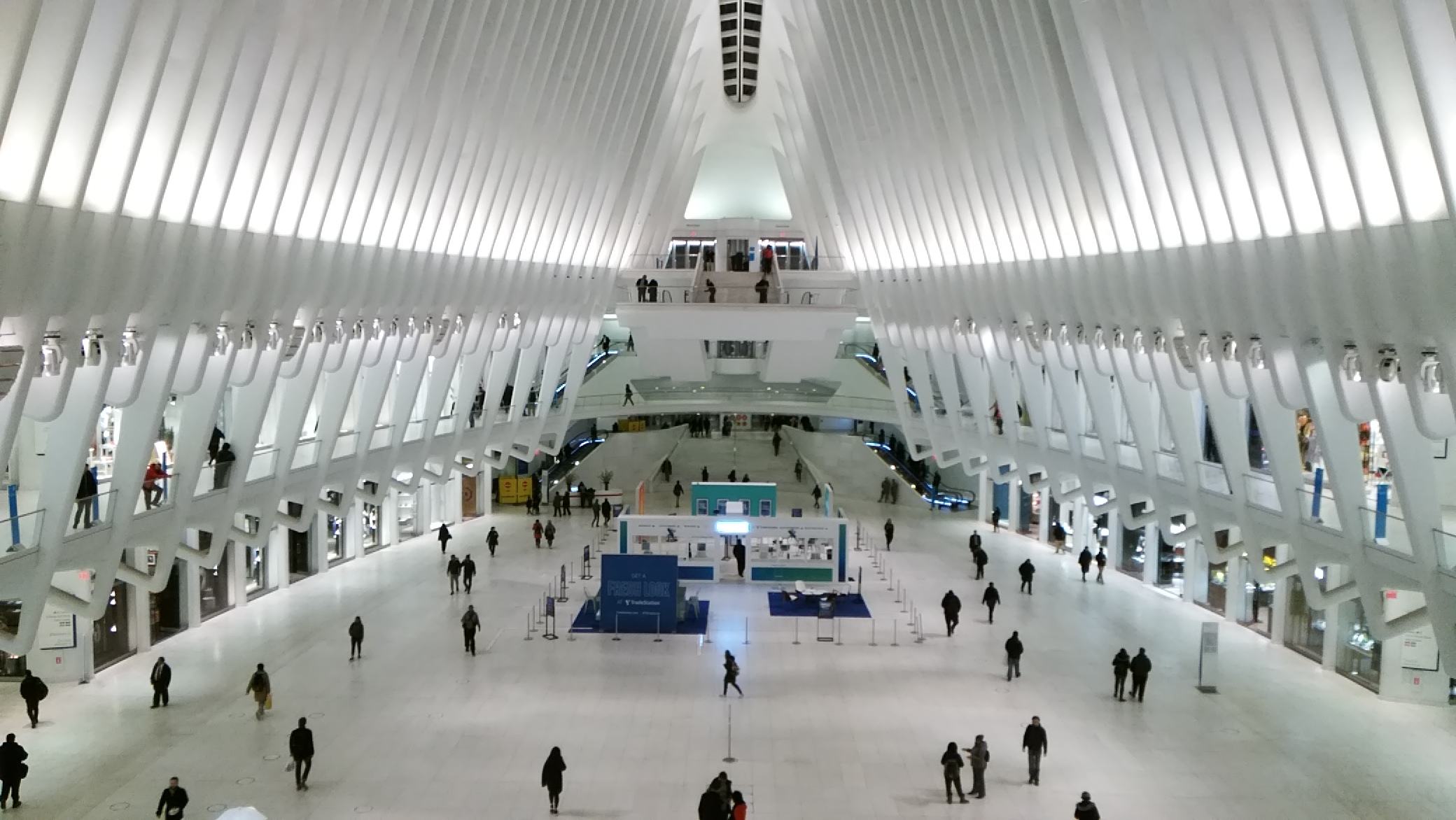
That’s the view from one of the balconies on one side of the main hall. I got the sense of a large, vaulting open space — like a major train terminal of old, but looking nothing like one. I have a few quibbles, though. The space could use more places to sit, for instance.

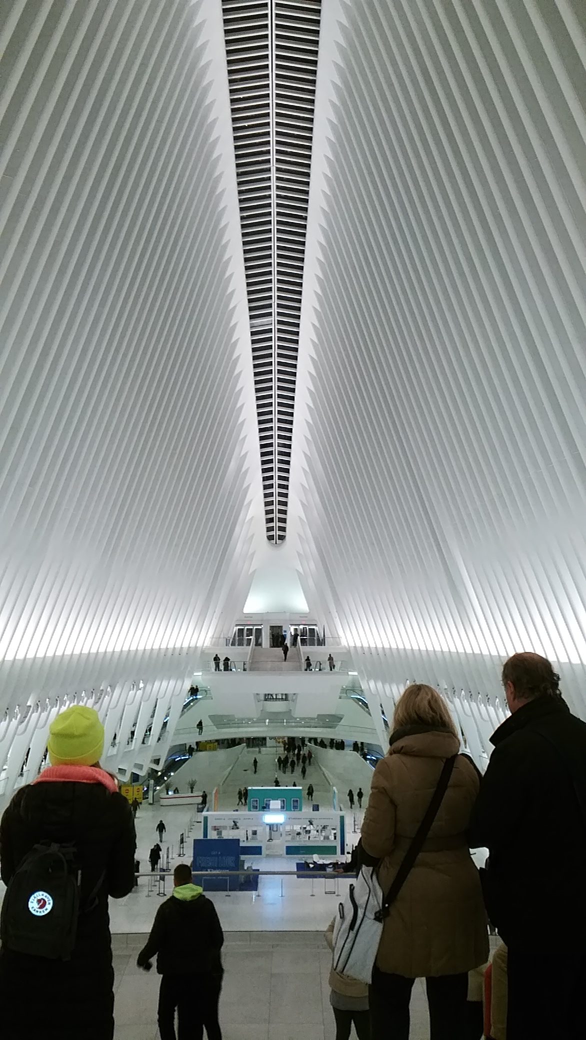
Turning the camera to the vertical from the same perch.

I’d walked to the Oculus from the Downtown restaurant where Geof and his wife Karen and I had had dinner. They wanted to show me the Oculus.
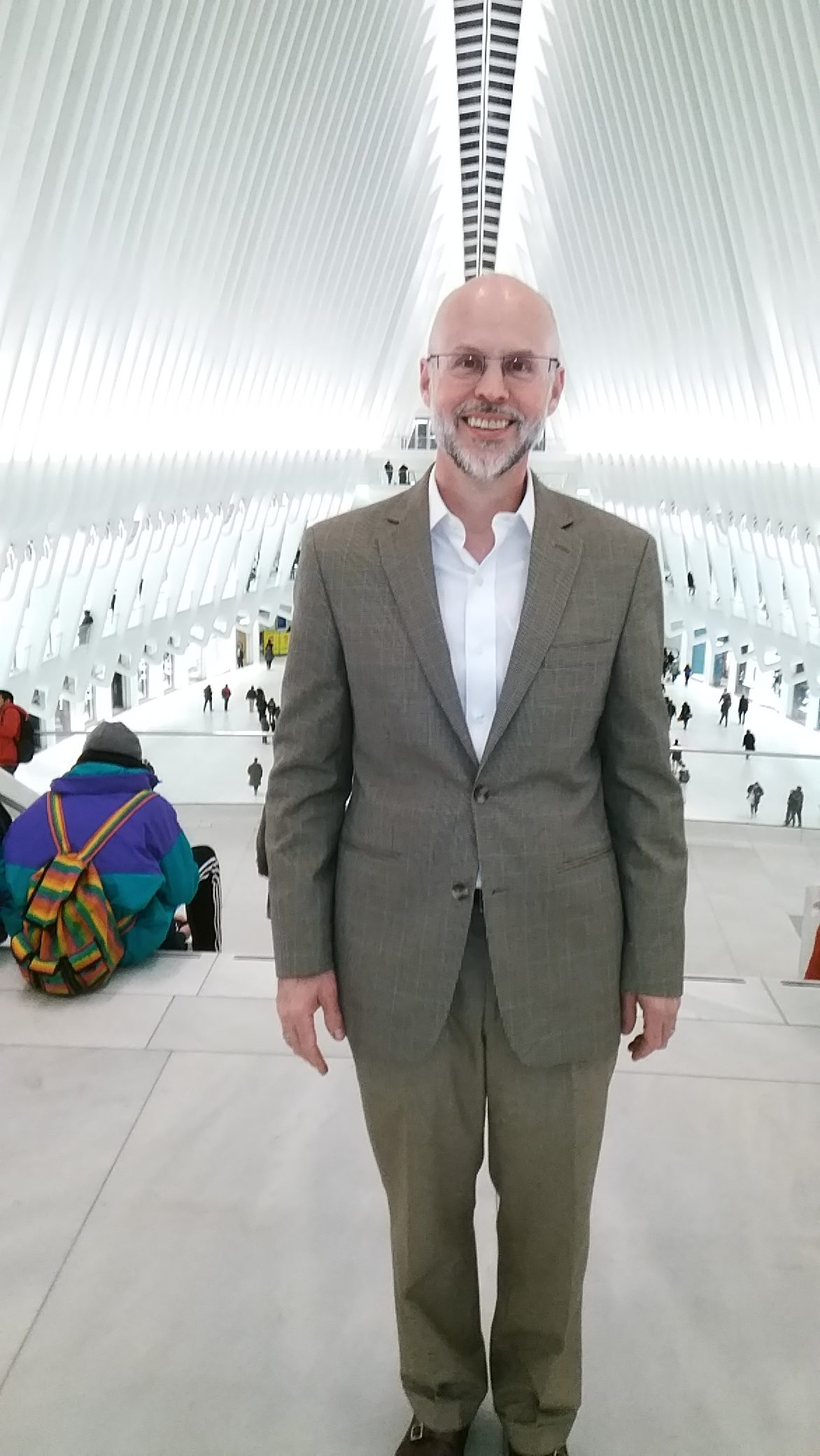
This is Geof Huth. Known him for over 35 years now.

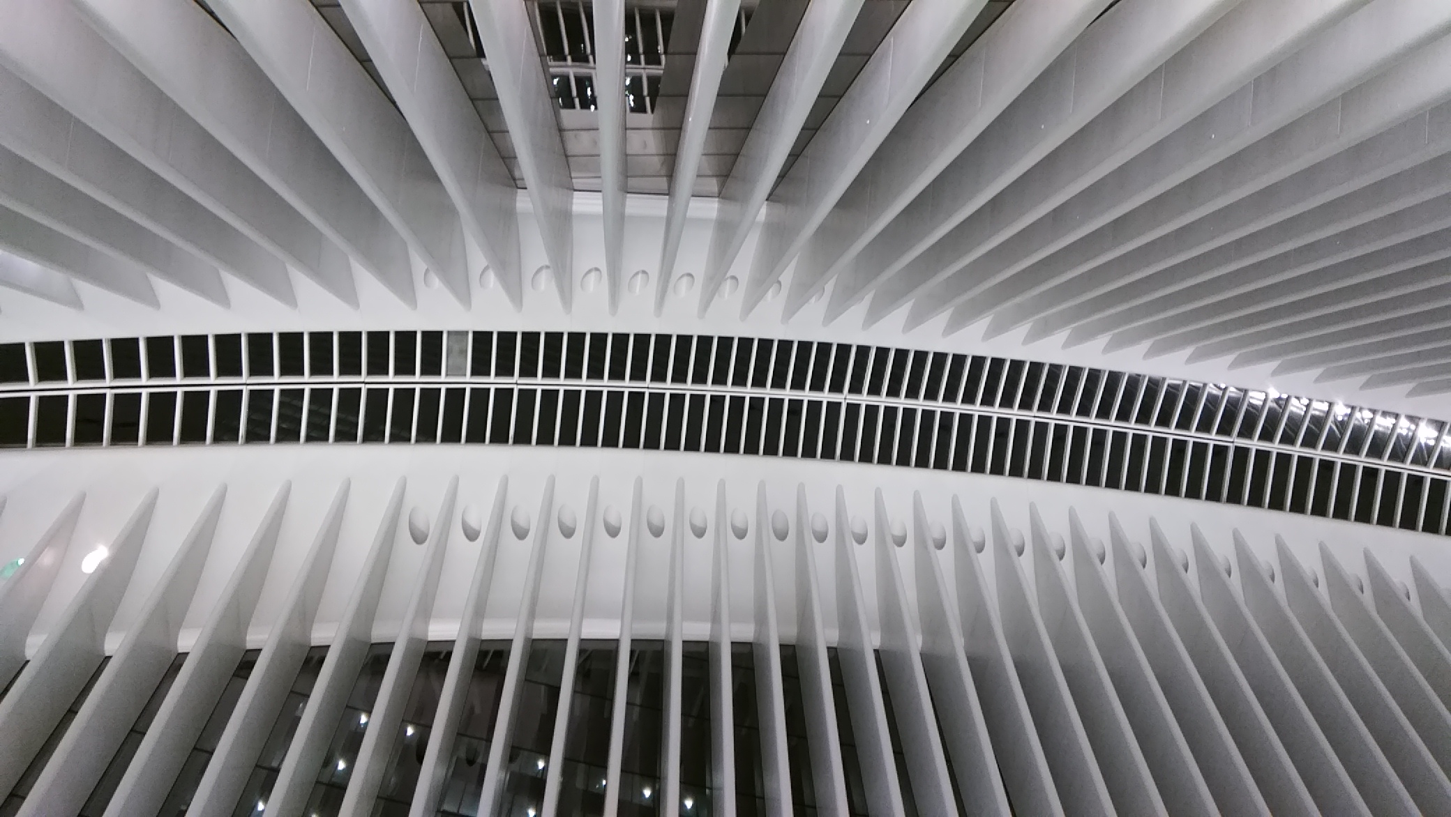
A look at the ceiling from down on the main floor.

I’m not going to spend time intellectualizing my experience at the Oculus. Enough to say that I liked it. I was impressed. It’s a wow. It isn’t like anything else I’ve seen. It may or may not be worth the money, but it is worth spending a few minutes standing in the space and looking up and all around.

Trinity Church Wall Street, Alexander & Eliza Hamilton, and Norges Bank Investment Management

On Broadway in Lower Manhattan, near the intersection with the storied Wall Street, stands the church and graveyard of Trinity Church Wall Street. Looking at the property means you’re peering deep into the history of New York and the early days of the Republic — and into a modern-day real estate story involving Norwegians.

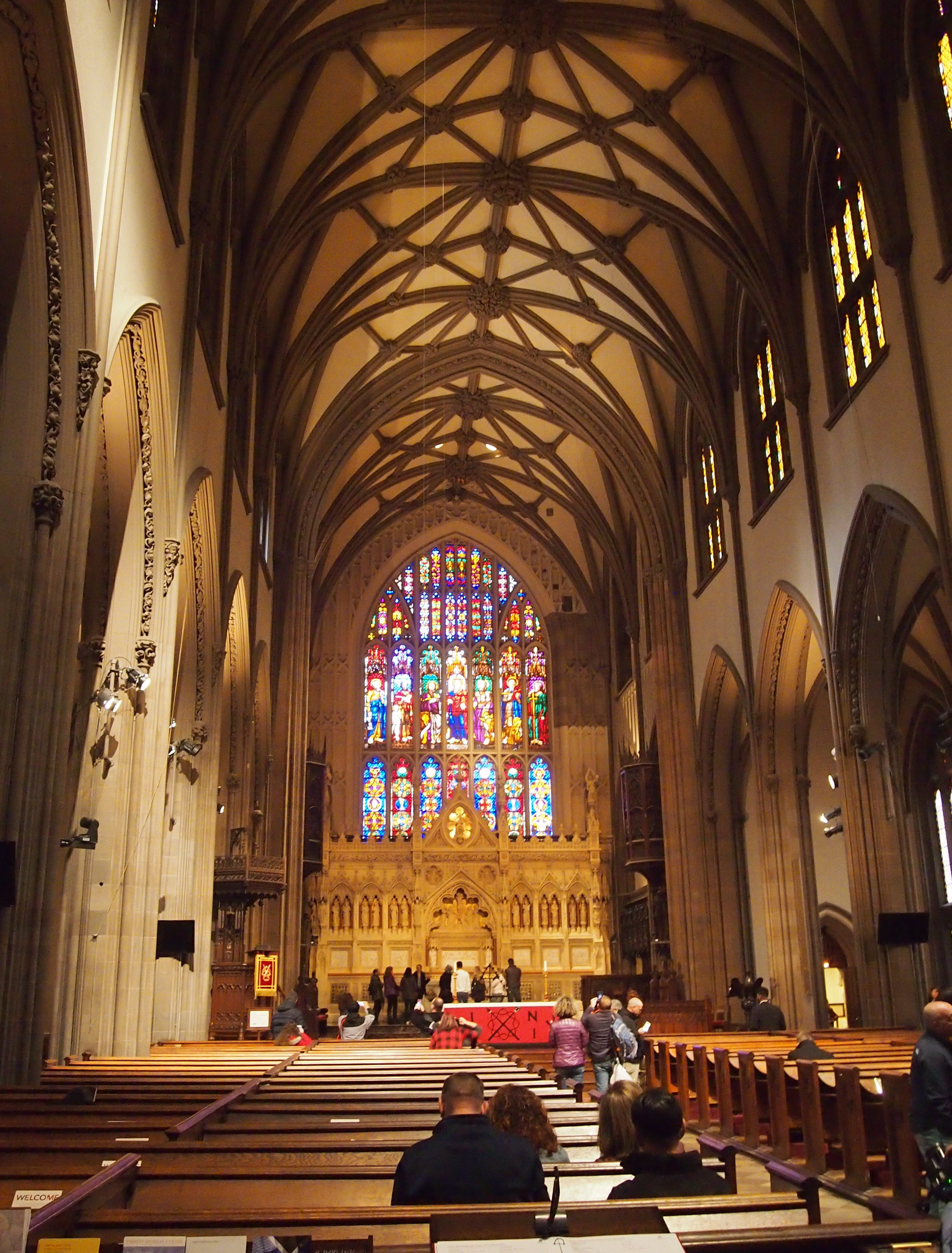
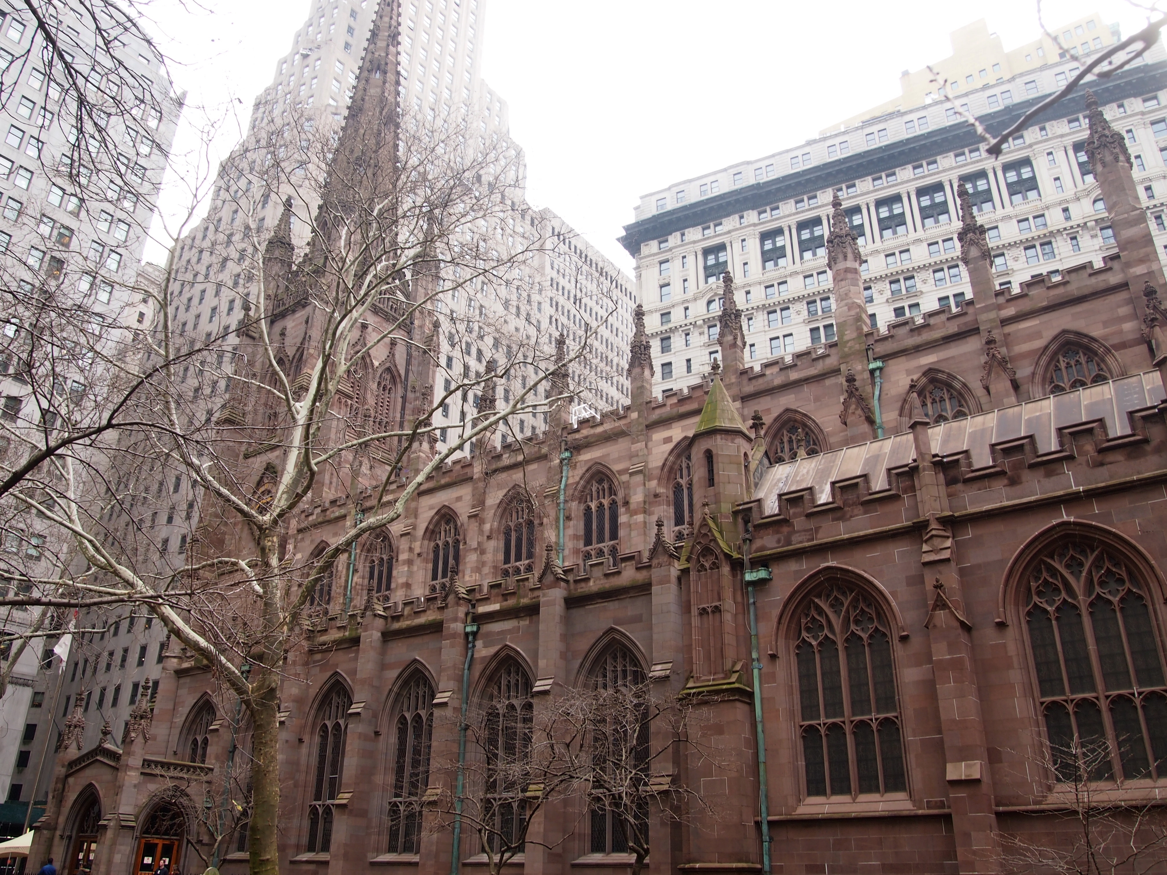
First, the church building.

The current church is the third one on the site, completed in 1846, so it isn’t the building that George Washington and especially Alexander Hamilton would have known. The second building was completed in 1790 to replace the original, which burned down in the Fire of 1776.

Richard Upjohn designed the current Gothic Revival structure as one of the first in a very long list of churches that he did. For a good many years, it was the tallest building in New York, or in the United States for that matter, which is a little hard to imagine in its current setting among taller buildings.

Being Holy Week, the church was fairly busy, though no service was going on when I visited.
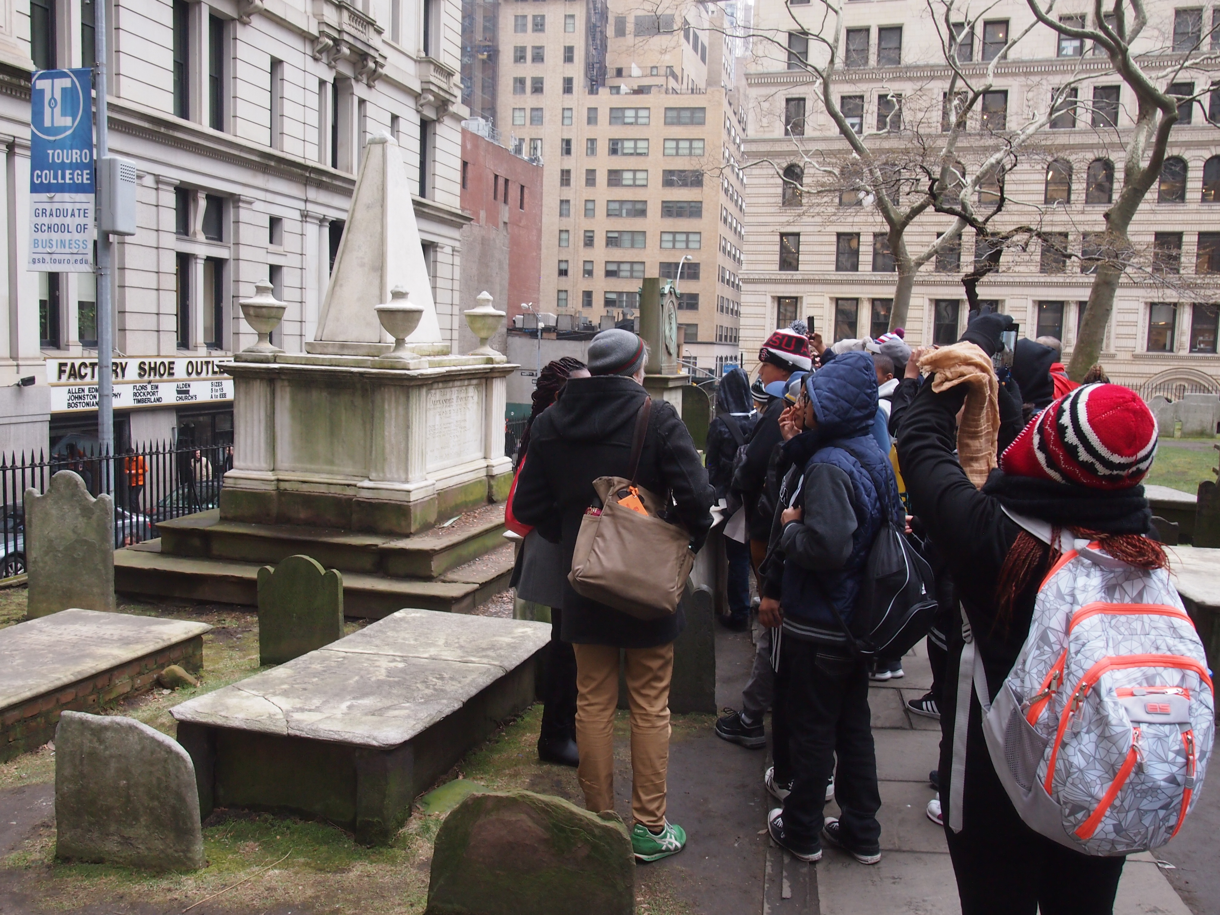
Busy inside, but the real crowd was outside, in the graveyard.
A school group happened to be wandering through when I arrived. They might have come for the history of the entire place, but who had they really come to see?

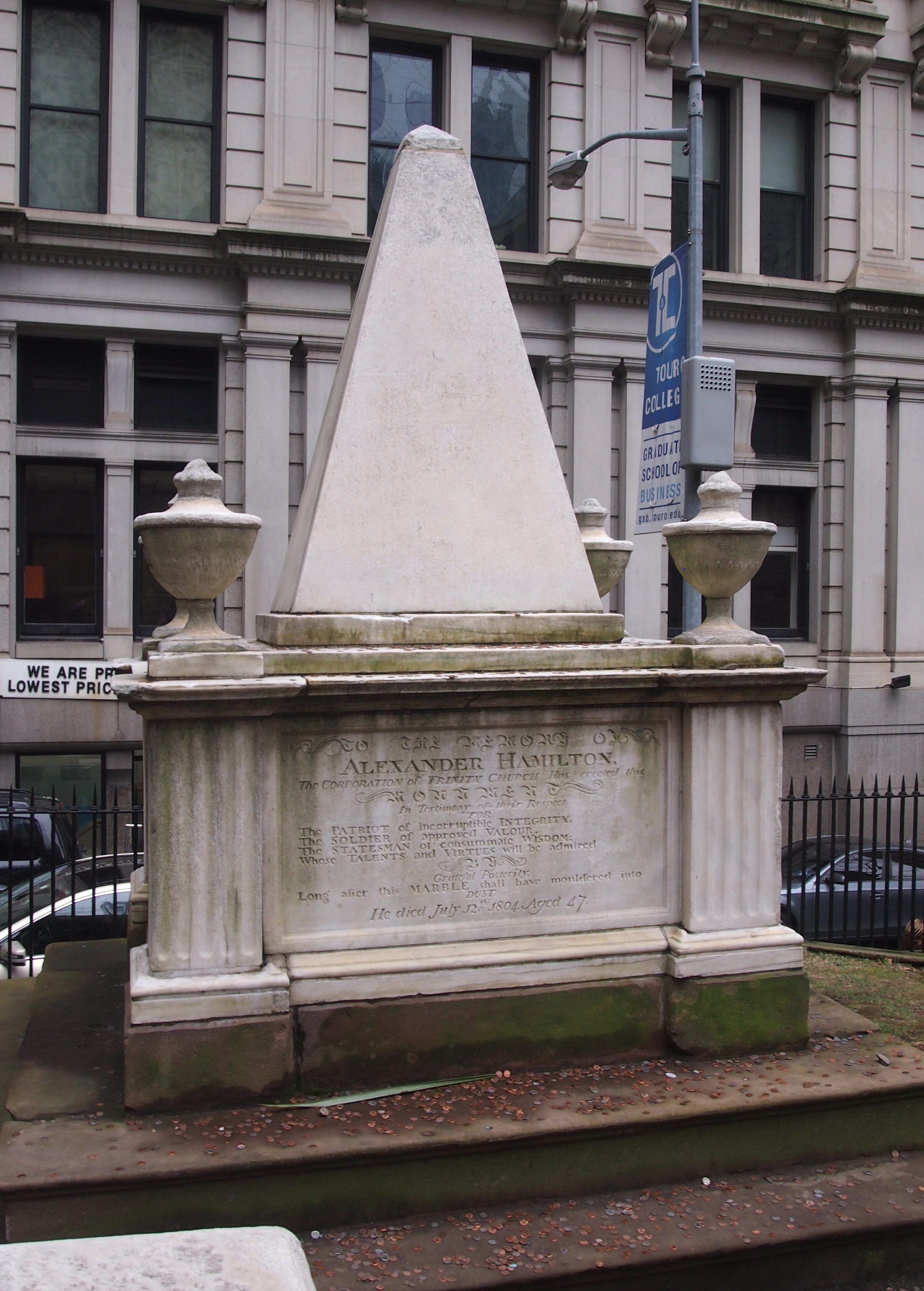
Alexander Hamilton, of course.
I have to admit that I either didn’t know, or had forgotten, that he is buried at Trinity. In a way, that was a good thing, since it was a nice surprise.
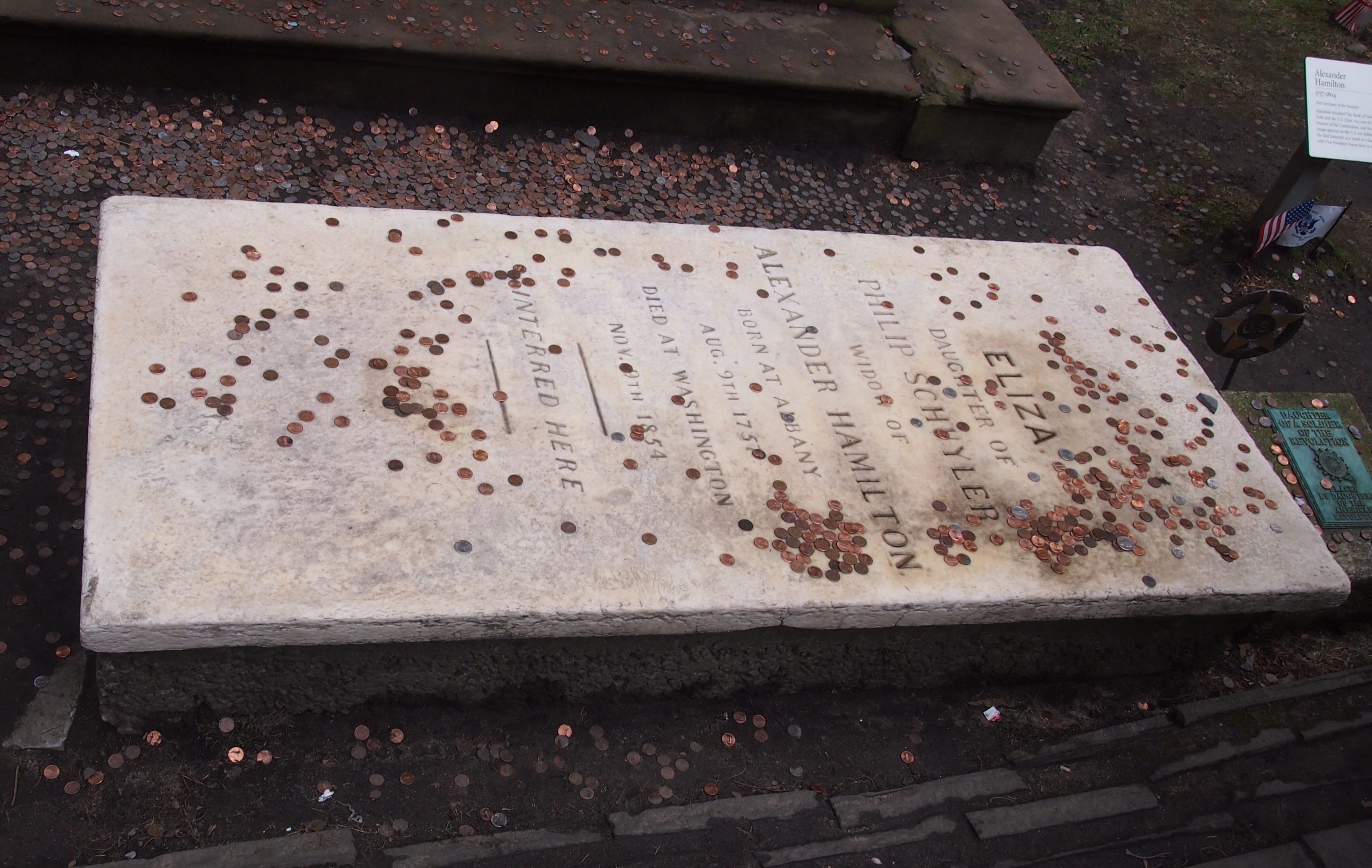
Note the enormous number of pennies and other coins at the base of his stone. Seemed like even more than I saw at Benjamin Franklin’s grave, who had the benefit of being associated with “a penny saved is a penny earned.”

Eliza Hamilton, who outlived Alexander by more than 50 years and is buried next to him, collected her share of pennies, too.
That’s what you get for being the subject of a very popular musical in our time. Even I’ve heard some of the songs. Ann plays them in the car. They’re interesting. I’m all for musicals about major historical figures, but I’m not going to pay hundreds of dollars for a ticket.

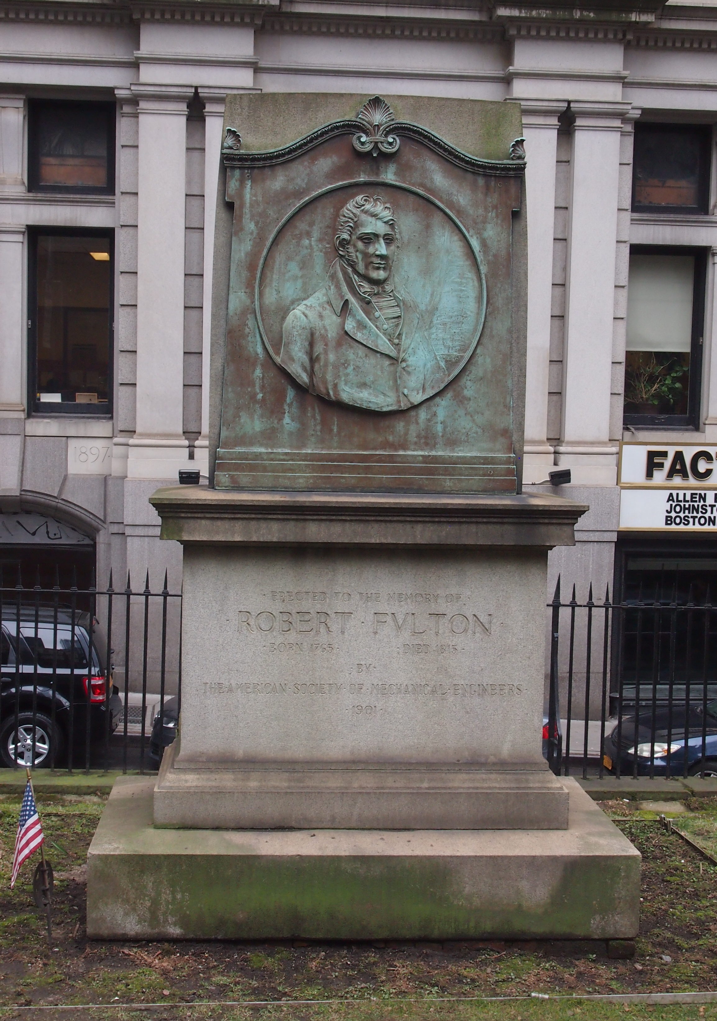
The Hamiltons weren’t the only famed permanent residents of the graveyard. There’s steamboat popularizer Robert Fulton, who has a memorial fittingly erected by the American Society of Mechanical Engineers.

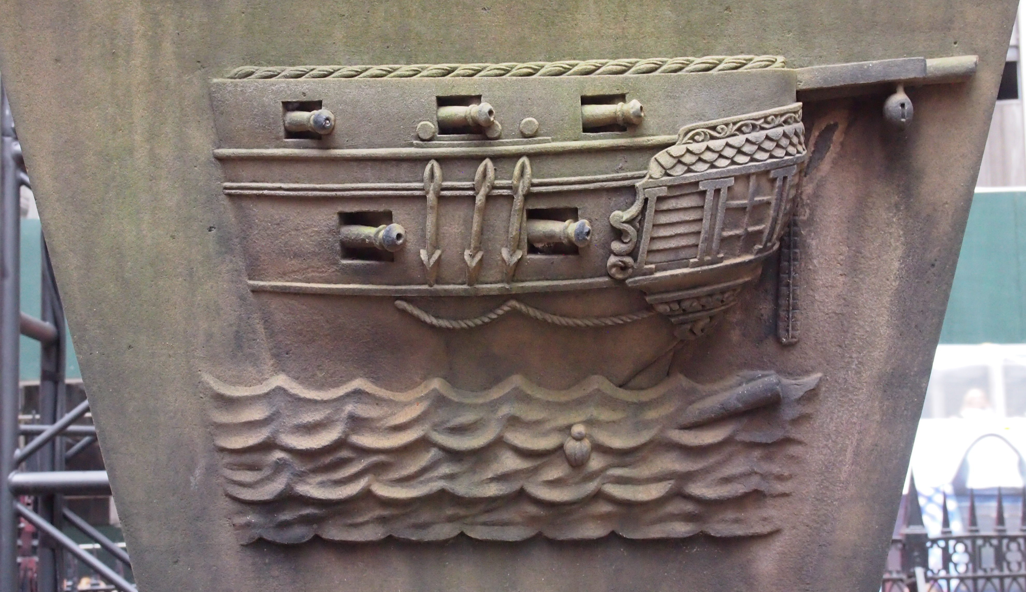
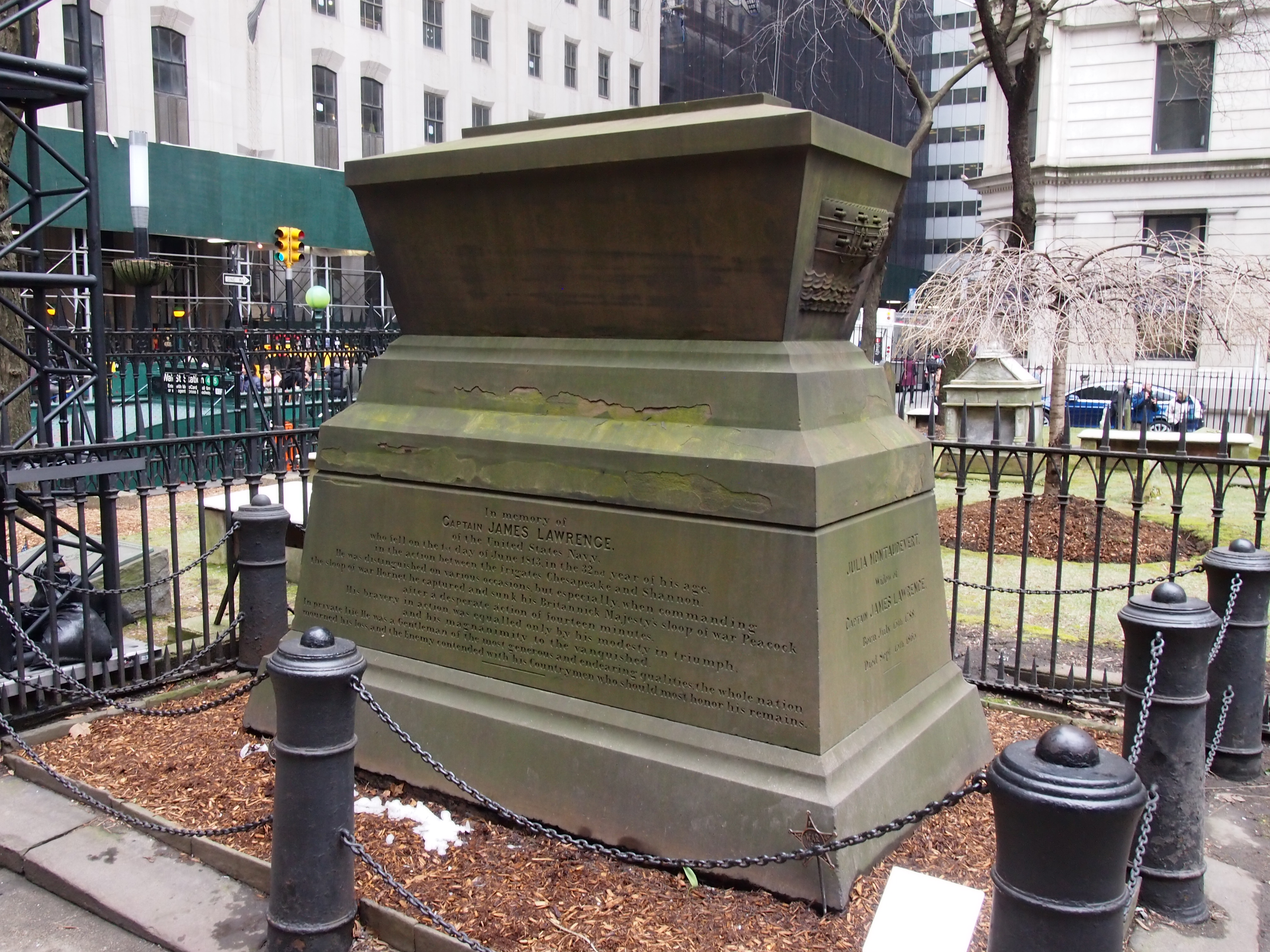
Here’s Capt. James “Don’t Give Up the Ship” Lawrence, hero of the War of 1812. His memorial’s looking a little green these days.
Nice detail on one side.

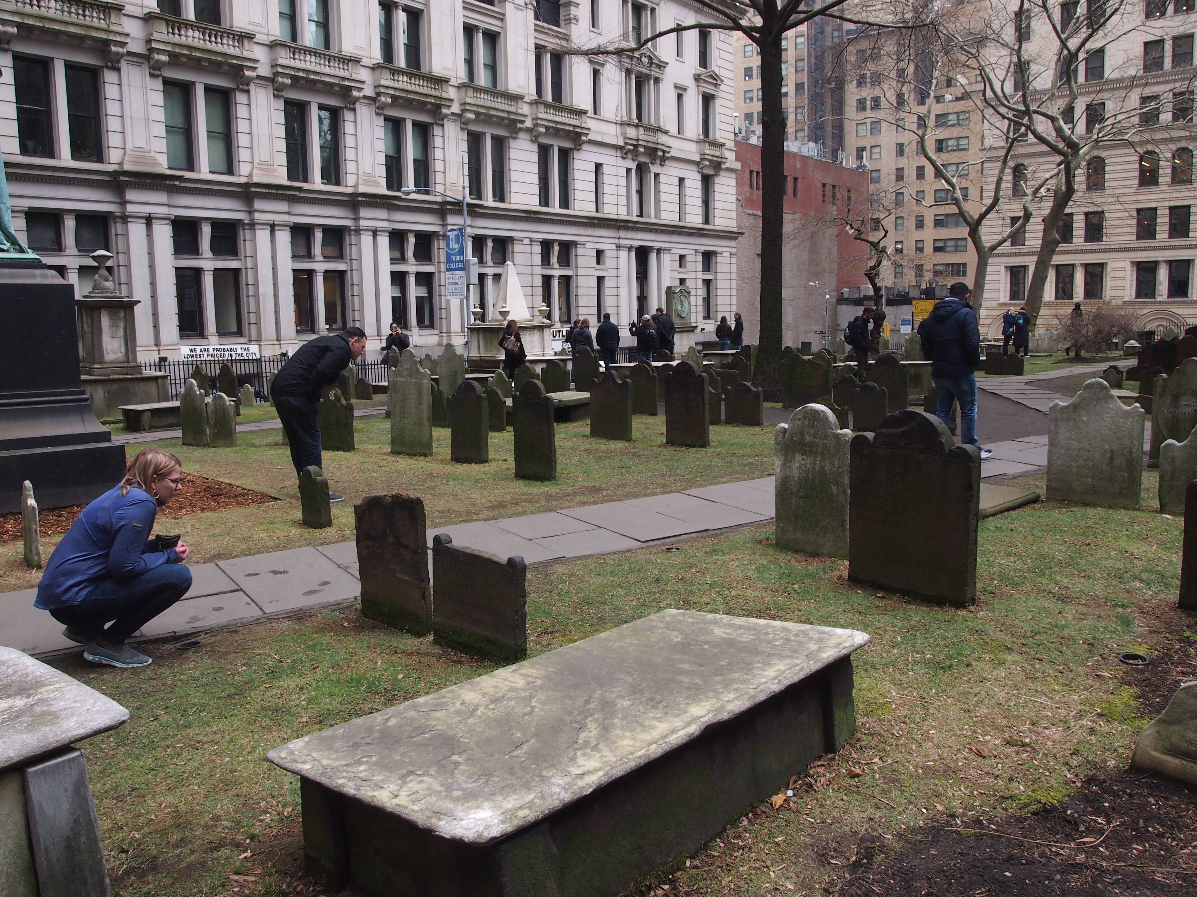
There are also plenty of memorials for regular 18th- and 19th-century folks. I’m glad to say they were getting some attention.

There are stones the likes of which aren’t made any more.

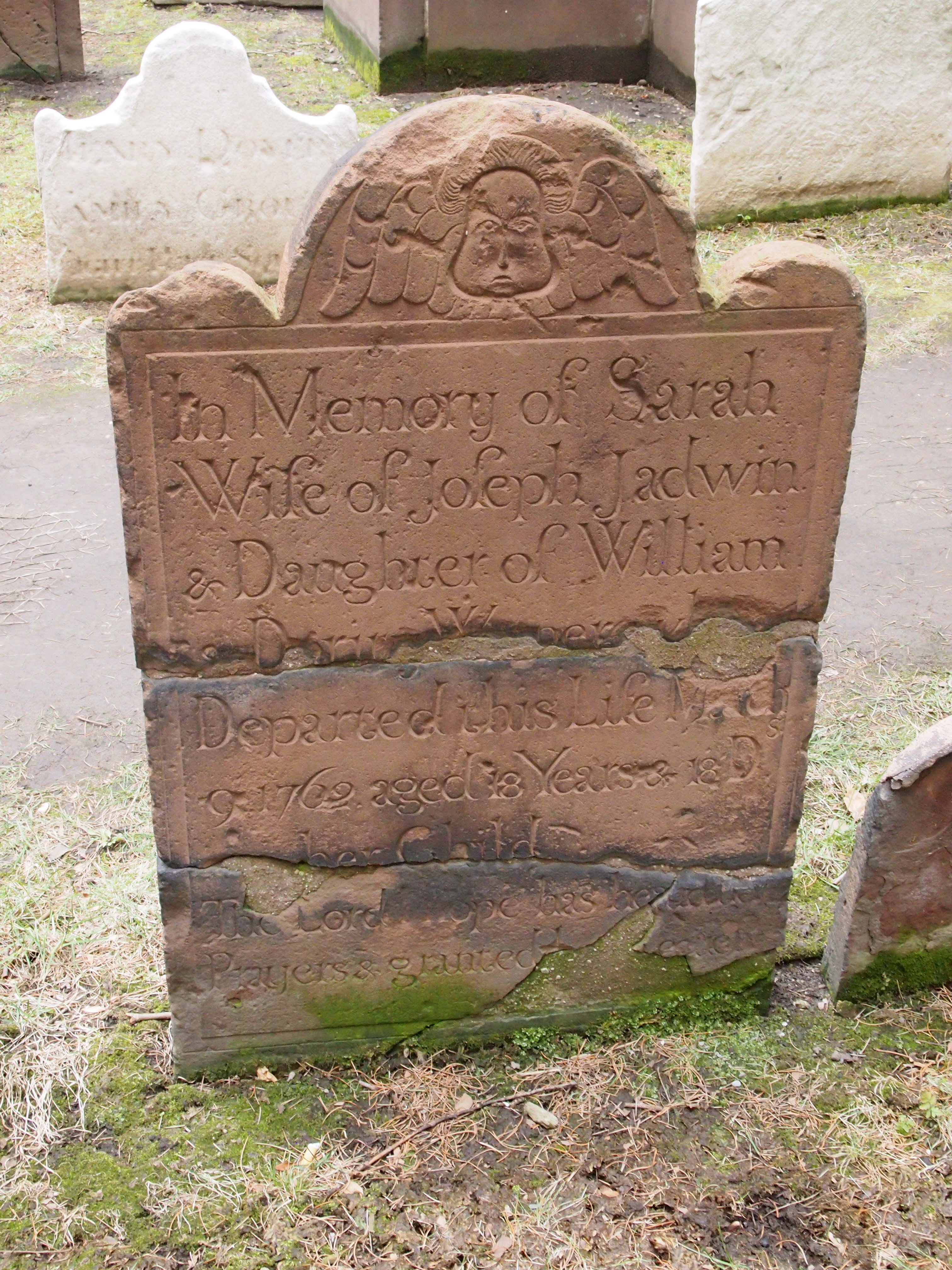
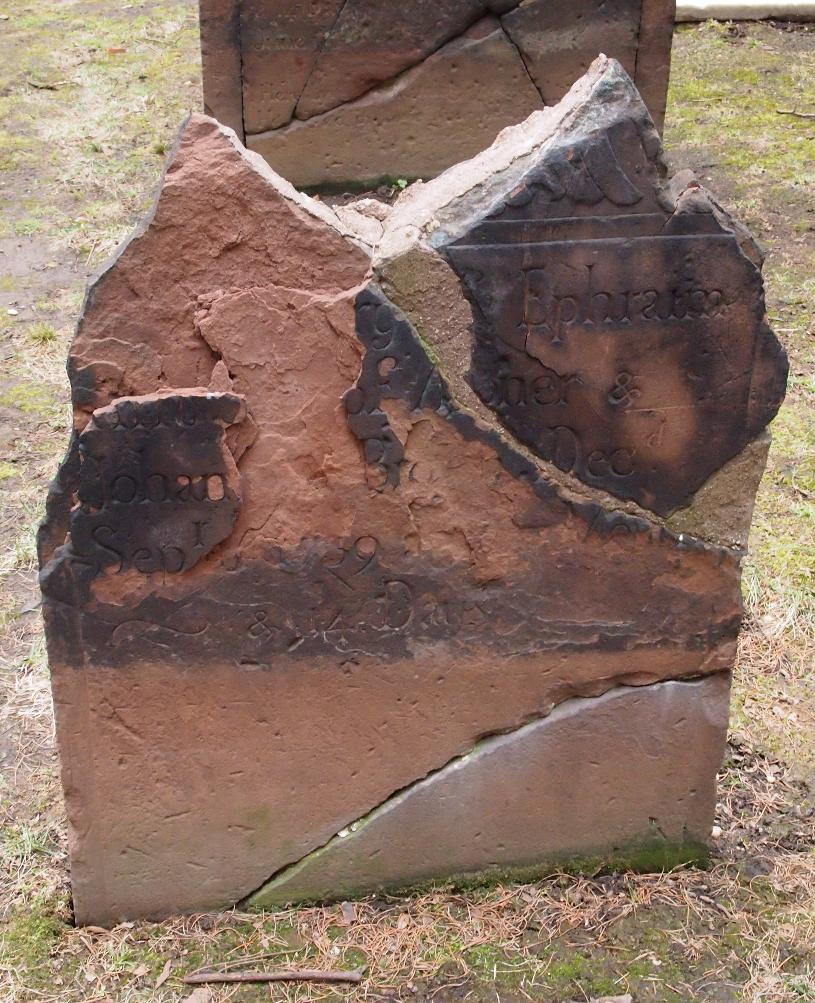
Or on which time has taken its toll.
About those Norwegians. Trinity Church Wall Street, which is part of the Episcopal Diocese of New York, is known for is being one of the wealthiest parishes in the nation. In 1705, Queen Anne granted the church 215 acres on the island of Manhattan. It still holds 14 of those acres, which these days are home to millions of square feet of commercial property. That kind of acreage would make anyone very rich indeed.

Recently —  in 2015 — the church monetized 11 of its office buildings by striking a deal with Norges Bank Investment Management, which oversees Norway’s sovereign wealth fund (a lot of North Sea oil money, I reckon). It’s no secret. I quote from the press release the church published:

“Norges Bank Investment Management will acquire its 44 percent share in a 75-year ownership interest for 1.56 billion dollars, valuing the properties at 3.55 billion dollars. The assets will be unencumbered by debt at closing.”

Unencumbered by debt. The sweetest words you can write about real estate.

“The properties are about 94 percent leased and total over 4.9 million square feet. They are all located in the Hudson Square neighborhood of Midtown South in Manhattan… The buildings were originally built in the early 1900s to house printing presses, but have been redeveloped by Trinity Church to attract a mix of creative office tenants.”