Hot-and-sweaty weekend until a steady warm wind came on Sunday afternoon, a baby sirocco you might call it, and blew away the humidity. That left the golden glow of dusk warm but dry.
All of us, dog included, took an in-state overnight (30-hour) trip over the weekend, with Starved Rock State Park as the prime destination. Been a while since we’d all been there together, but each of the girls had visited with friends in more recent years.
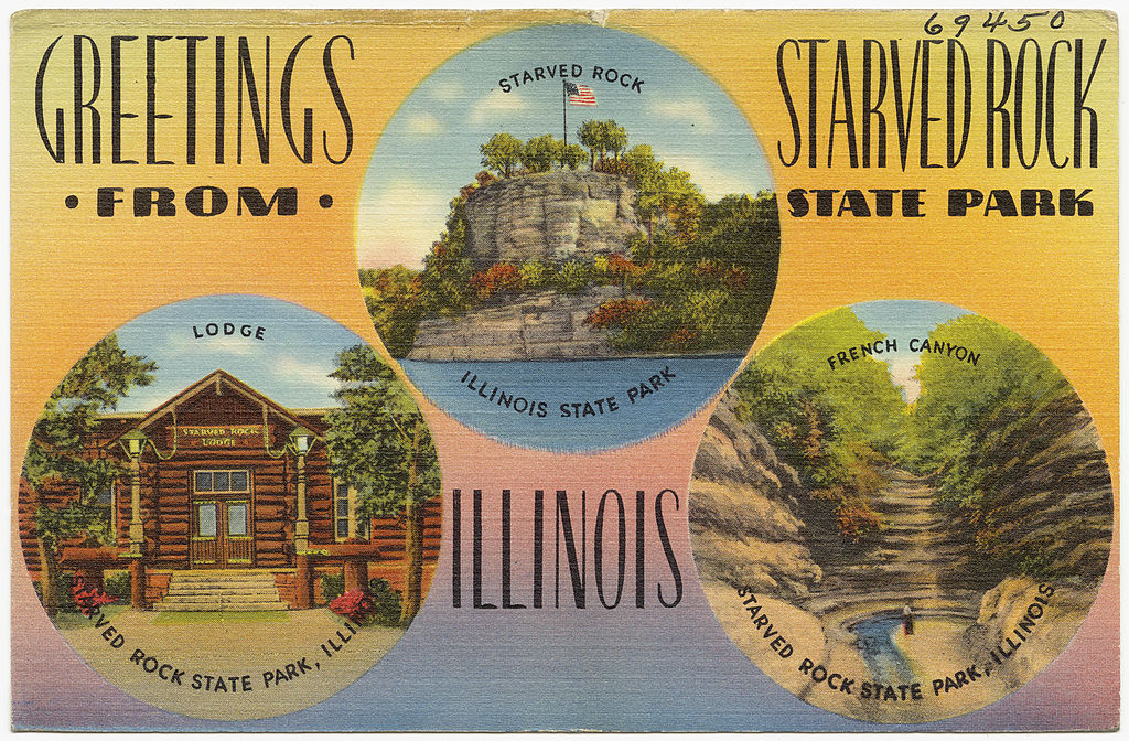 That isn’t a postcard of mine, though if the state sold it at the park, I’d buy one.
The 2,630-acre Starved Rock SP hews close to the south banks of the Illinois River in LaSalle County, its distinctive topography a creation of long-ago floods and glacial movement. The state acquired the land in 1911 and (of course) the CCC did park infrastructure work during that agency’s short existence. It’s a popular place, more so now than ever. Guess that’s because driving destinations are the thing at our moment in history.
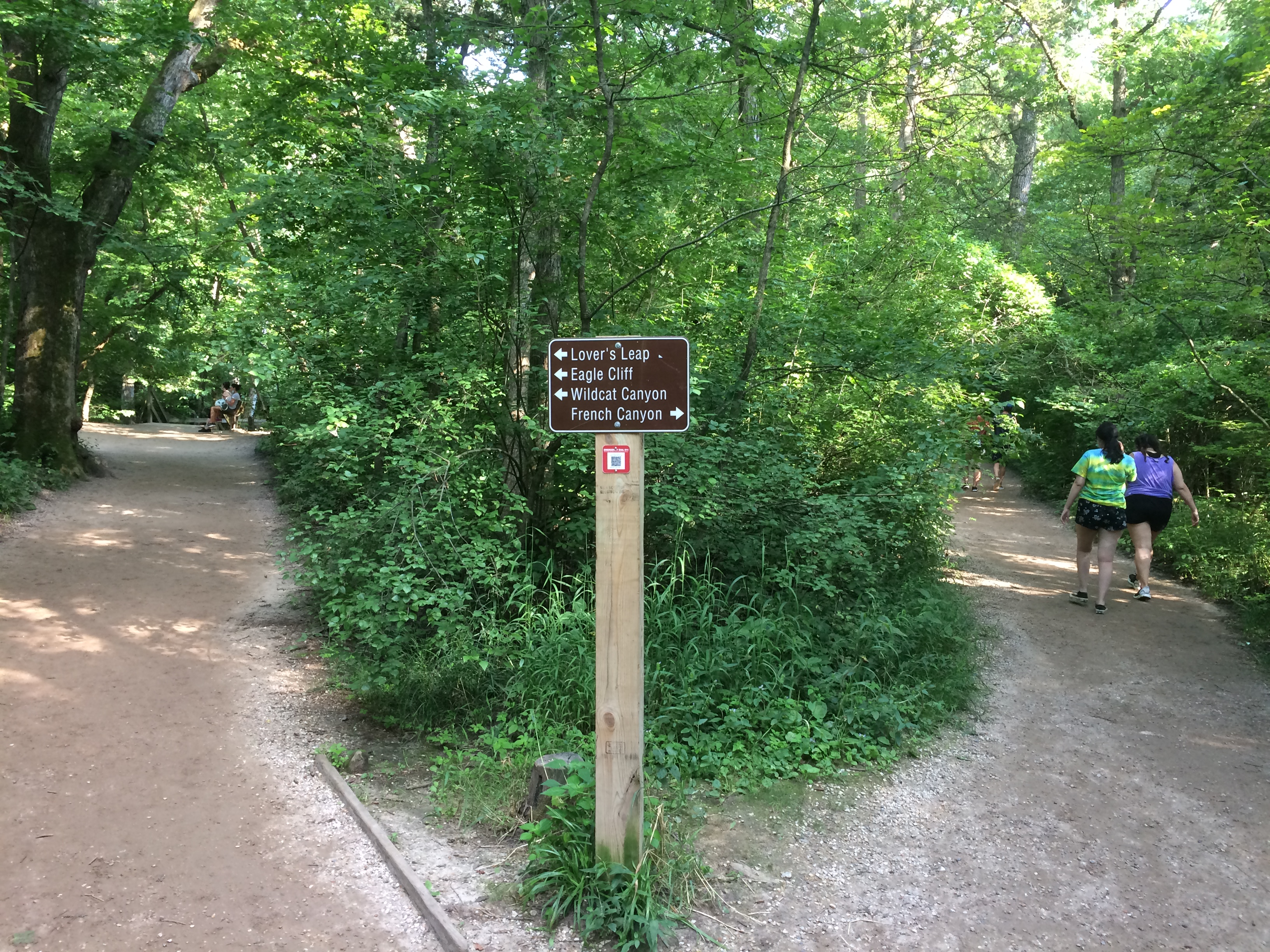
We waited until after the highest early afternoon heat had passed on Saturday to take our hikes. Late afternoon was still steamy, but tolerable, especially under trees. When we came to this fork, we took the path to French Canyon.
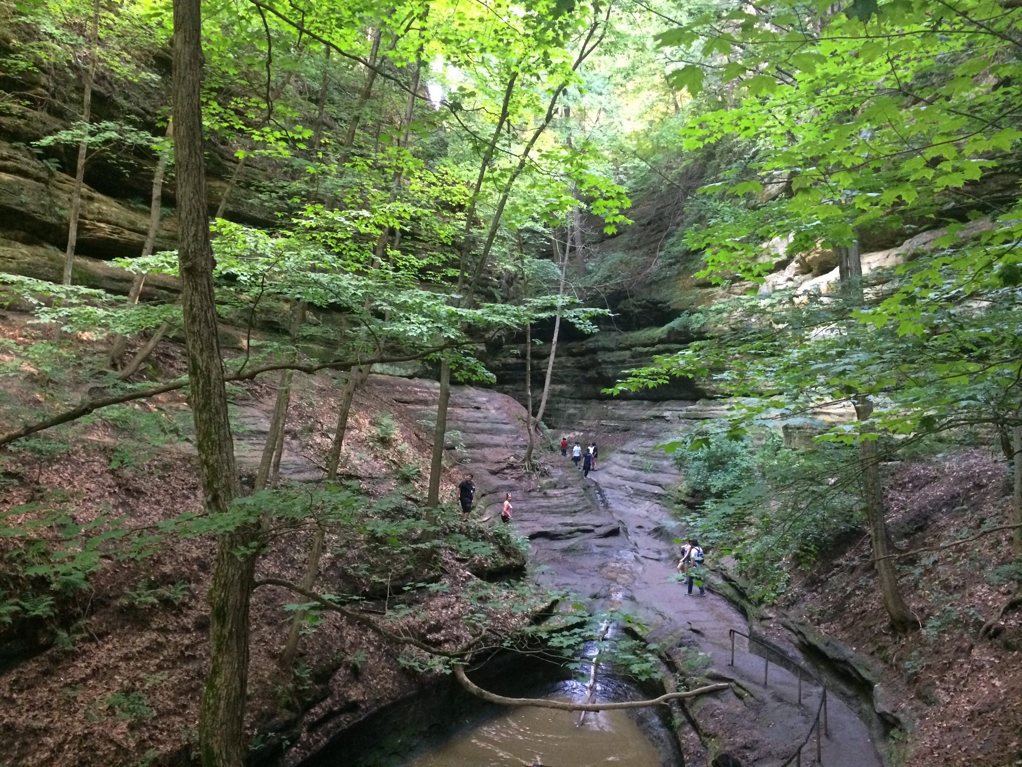
 It isn’t long before the French Canyon walls rise around you.
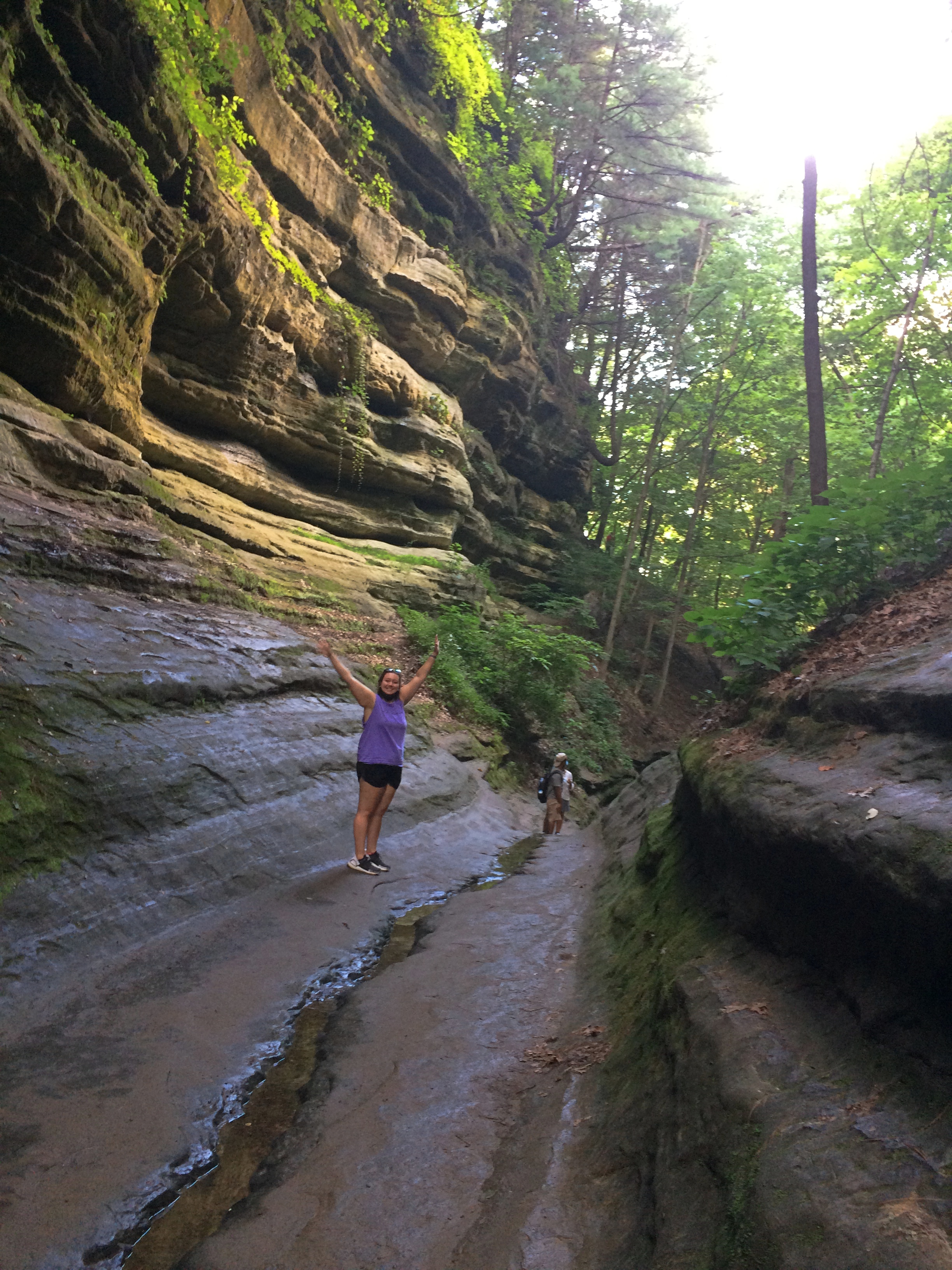 Before long, you reach a waterfall. Just a trickle in late July.
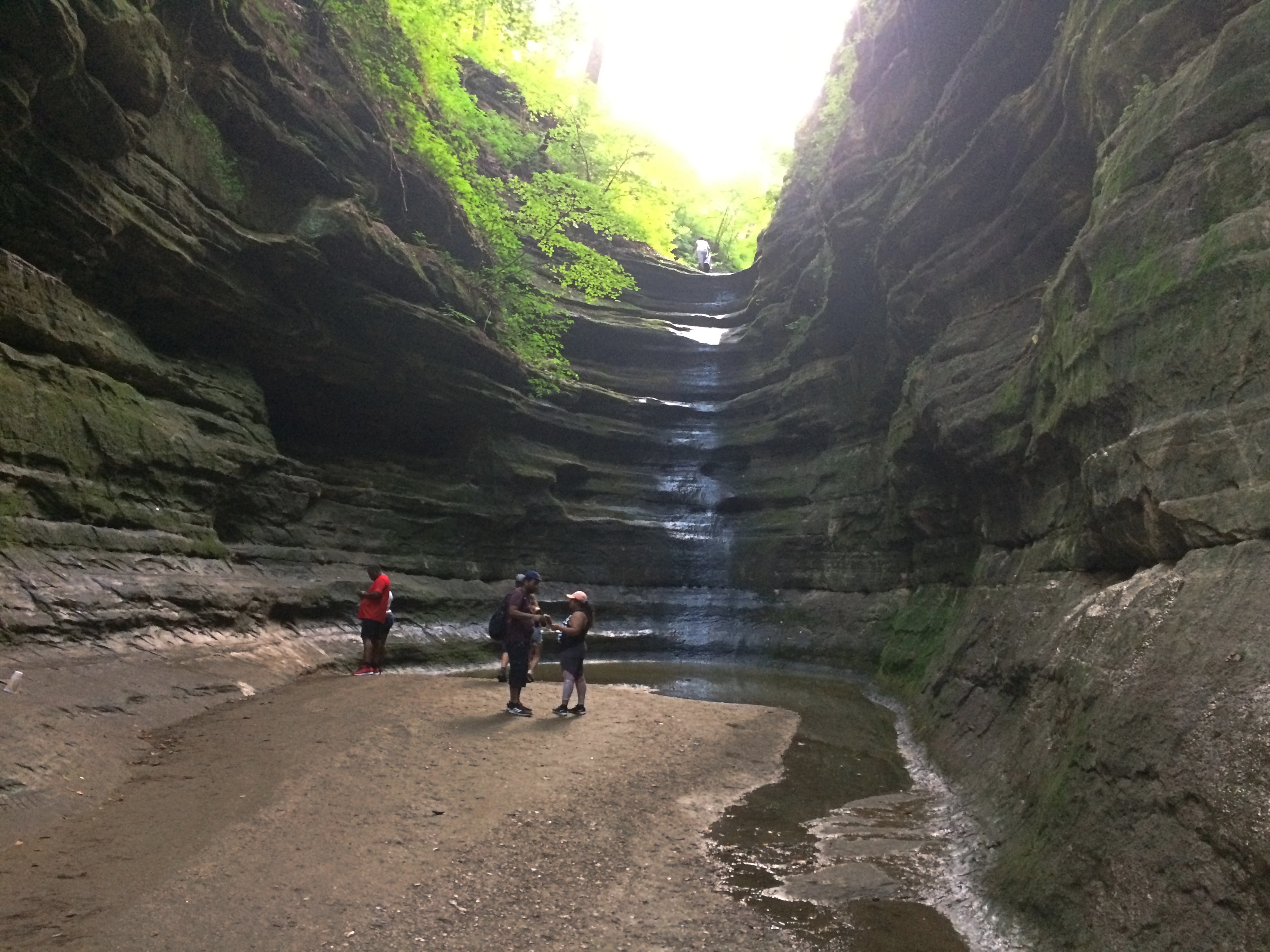 Doubling back to the fork, we then followed a trail that’s mostly boardwalk, plus a lot of stairs that I didn’t document.
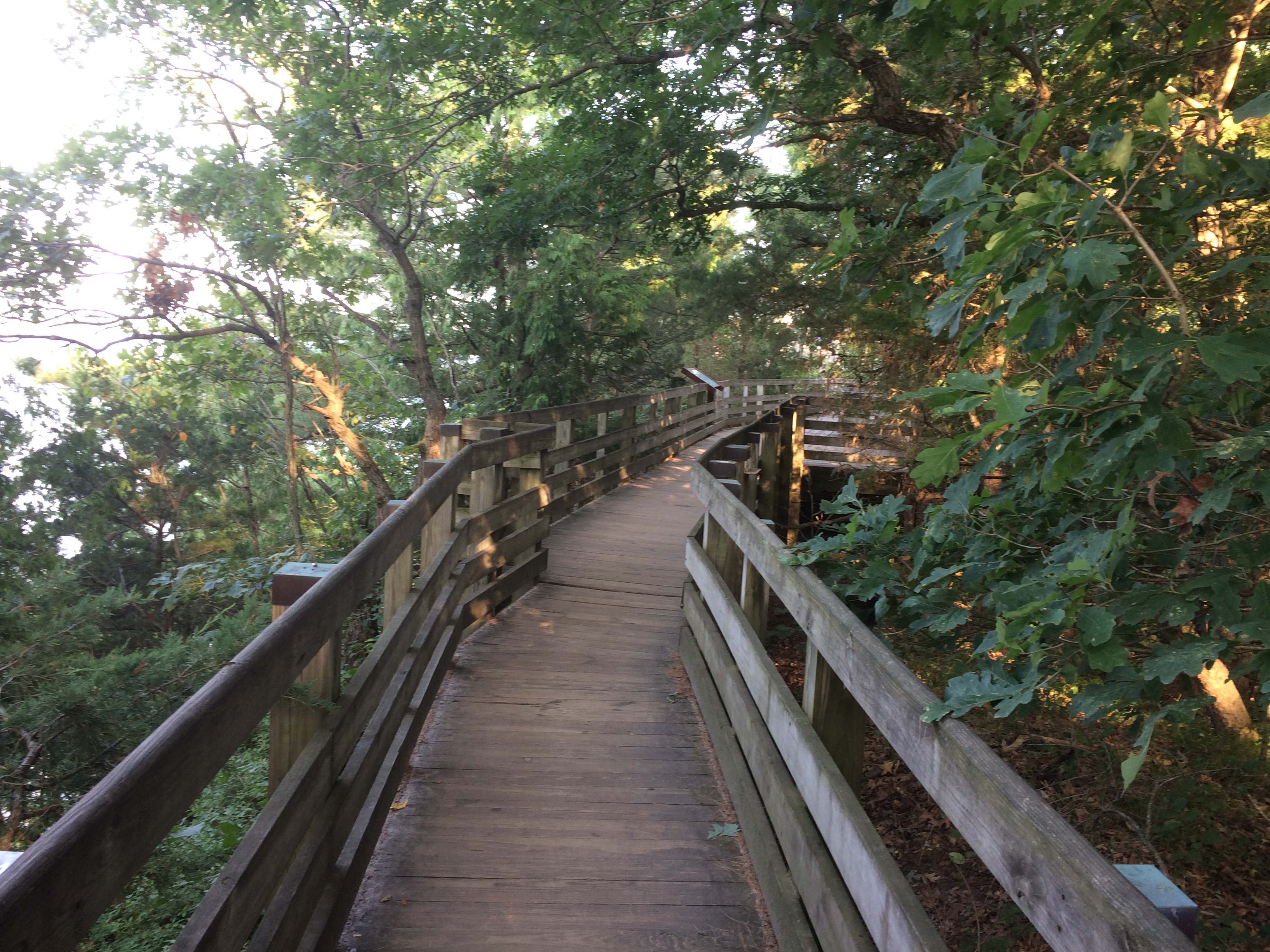 To the view from Lover’s Leap.
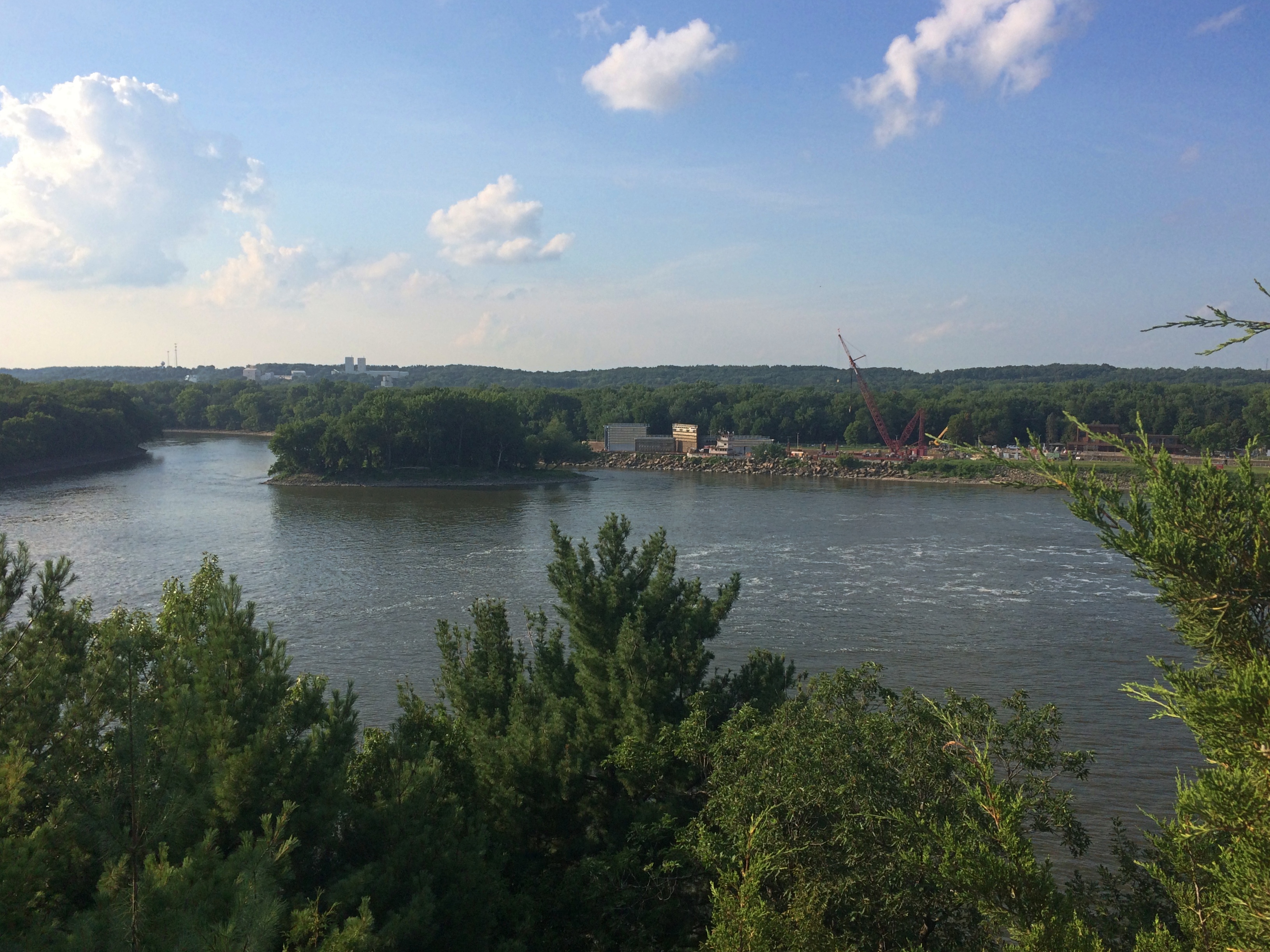 The nearby Eagles Cliff vista, looking upriver.
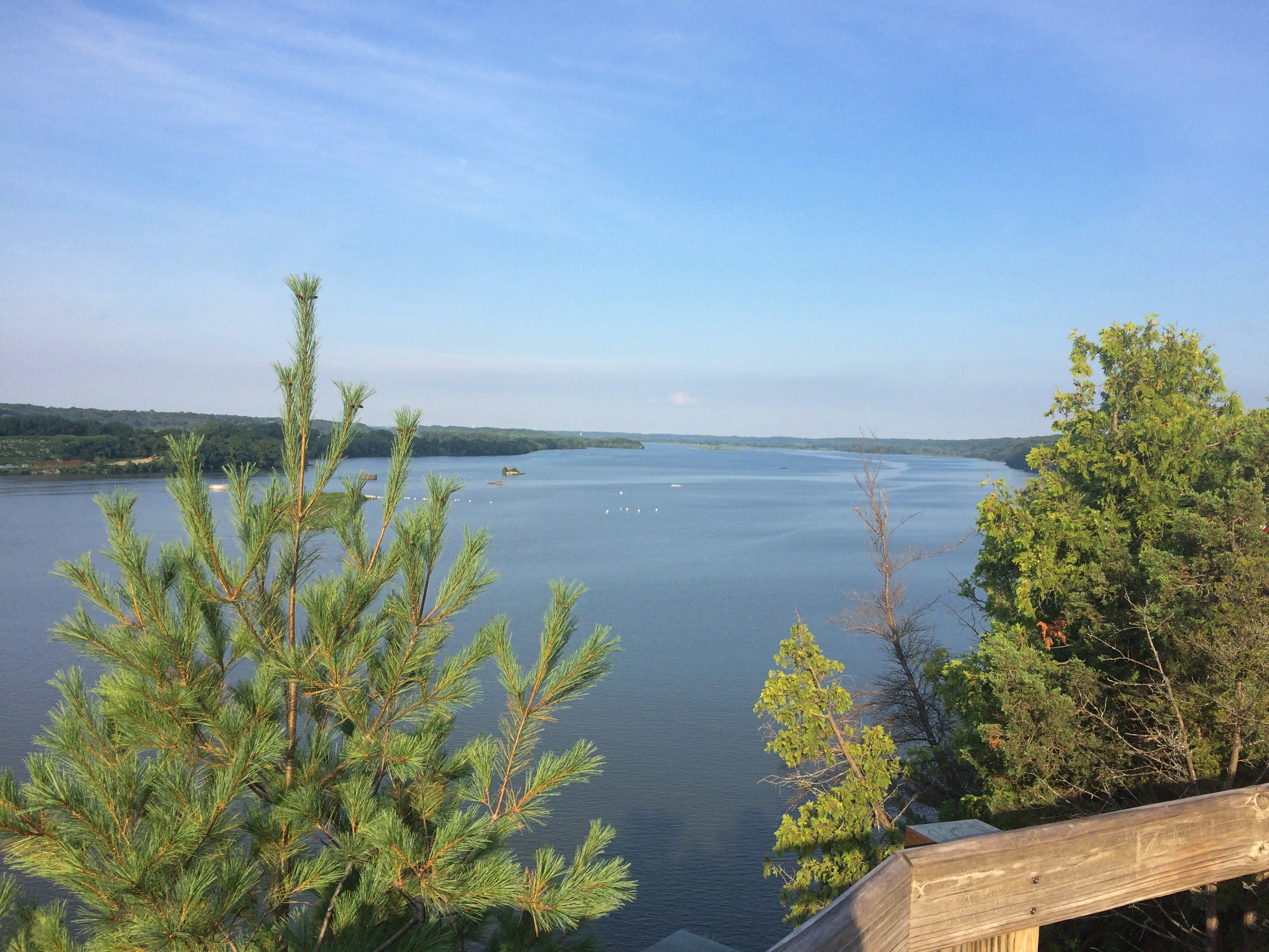 Look a little downriver and you see why the Illinois is so wide just below Eagle Cliff.
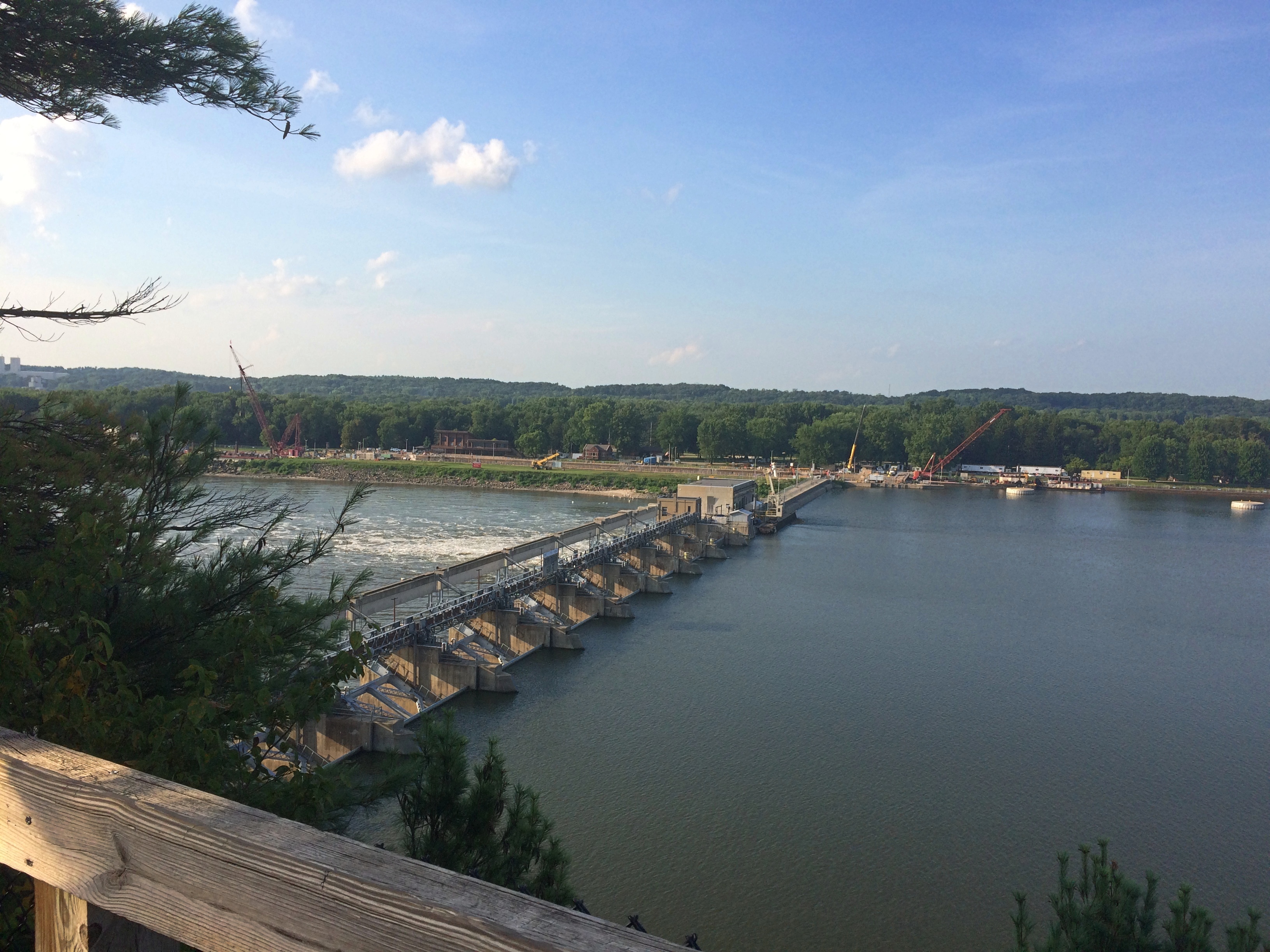 The Starved Rock Lock and Dam, also known as Lock and Dam No. 6, completed in 1933 and operated by the Army Corps of Engineers.
We might have walked further into other canyons after that, or up to the Starved Rock feature, but the heat and stair climbing spent our energy. Mine, anyway. We ought to go back some cooler day in the fall. I’ve been visiting the place since the late ’80s and still haven’t seen some of the other canyons.