If you drive east from Carbondale along Illinois 13, you’ll pass through a number of towns connected by that four-lane highway: Cartersville, Marion and finally Harrisburg, after which the road narrows to two lanes. That was our route on the afternoon of October 10.
There’s a branch of 17th Street Barbecue in Marion, with the original in Murphysboro, Illinois. It’s a barbecue joint of some local renown. I can’t remember when I first heard about it. Some Internet list, probably, but anyway I knew about it and decided to get lunch there in Marion.
Meals on the road in 2020 have involved takeout in all cases, either to eat in the car, or our room, or when possible at an outdoor public picnic table. We found a table in a small park in Marion to eat our 17th Street ‘cue.
We both got barbecue pork sandwiches. The meat was fine, but whoever made the sandwiches shorted us on the sauce, so the meal was a little dry. I’d be willing to try the place again if ever I’m down that way, but I’m going to insist on sauce.
The eastern terminus of Illinois 13 is Old Shawneetown on the banks of the Ohio River. Too close to the river, and thus prone to flooding. The Great Ohio River Flood of 1937 finally drove most of the residents away to found a new Shawneetown a few miles to the west. But Old Shawneetown isn’t a ghost town in our time, since 160 or so people live there, just the residuum of a larger place.
The town’s main intersection.
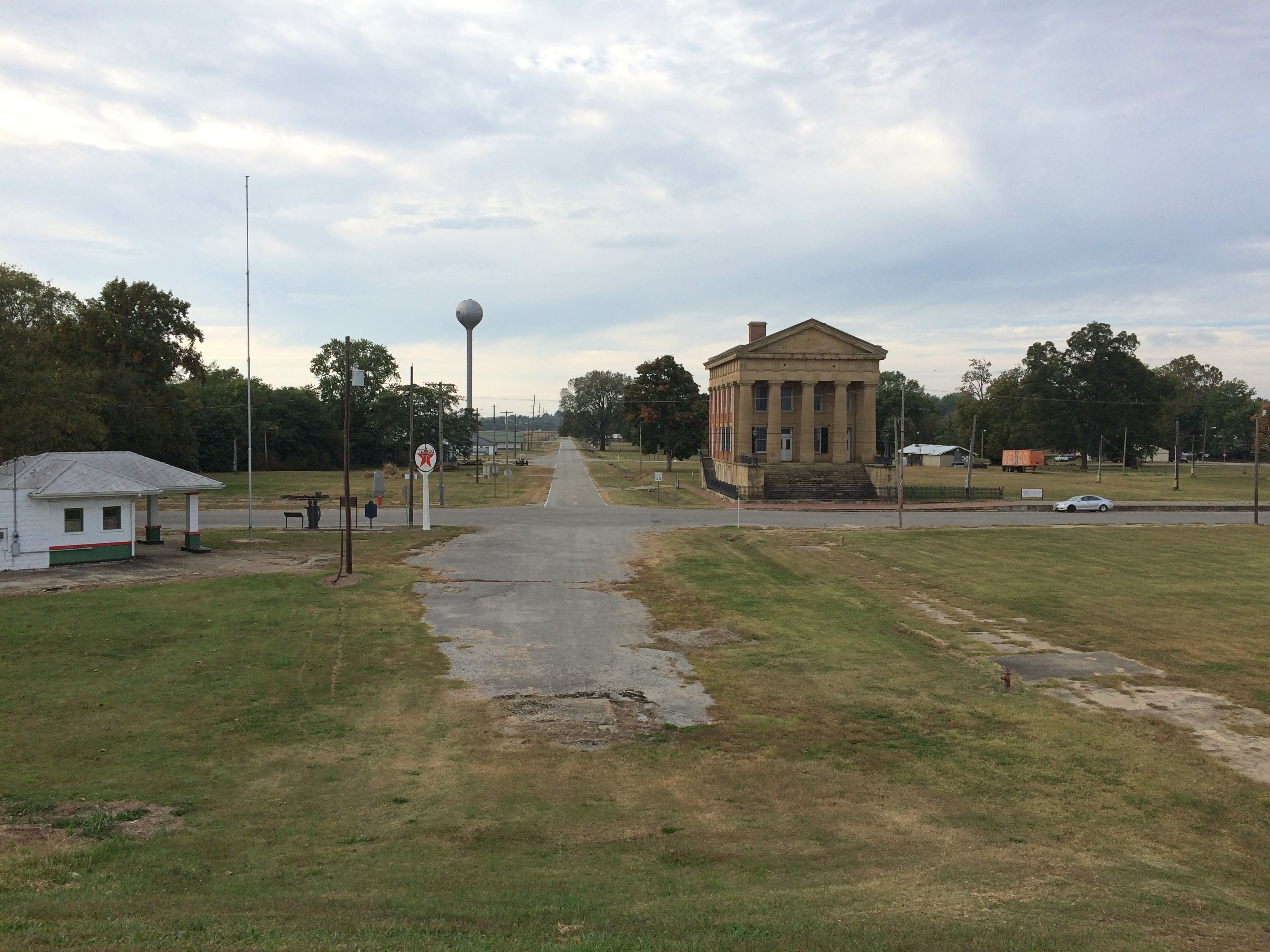 The original Shawneetown had its moment, a little more than 200 years ago, when it was home to a federal government land office for the Illinois Territory, and as a transshipment point for salt extracted nearby. During the famed 1825 tour of the U.S. by Gen. Lafayette, Shawneetown was on his itinerary, surely marking the town’s peak of fame if not population.
Peaked too soon, looks like. No railroad passed through Shawneetown in the following decades, at least by the time this map was published in 1855. That tells me that Shawneetown never really prospered after the land office and salt mine closed.
I’ve known about the place for a long time. I knew girl in college from around Shawneetown, a coaxing elf of full Irish ancestry who grew up on a nearby popcorn farm. Gallatin County even now is a nexus of popcorn agriculture. Last I heard, she lived in Ankara with her French husband. People get around.
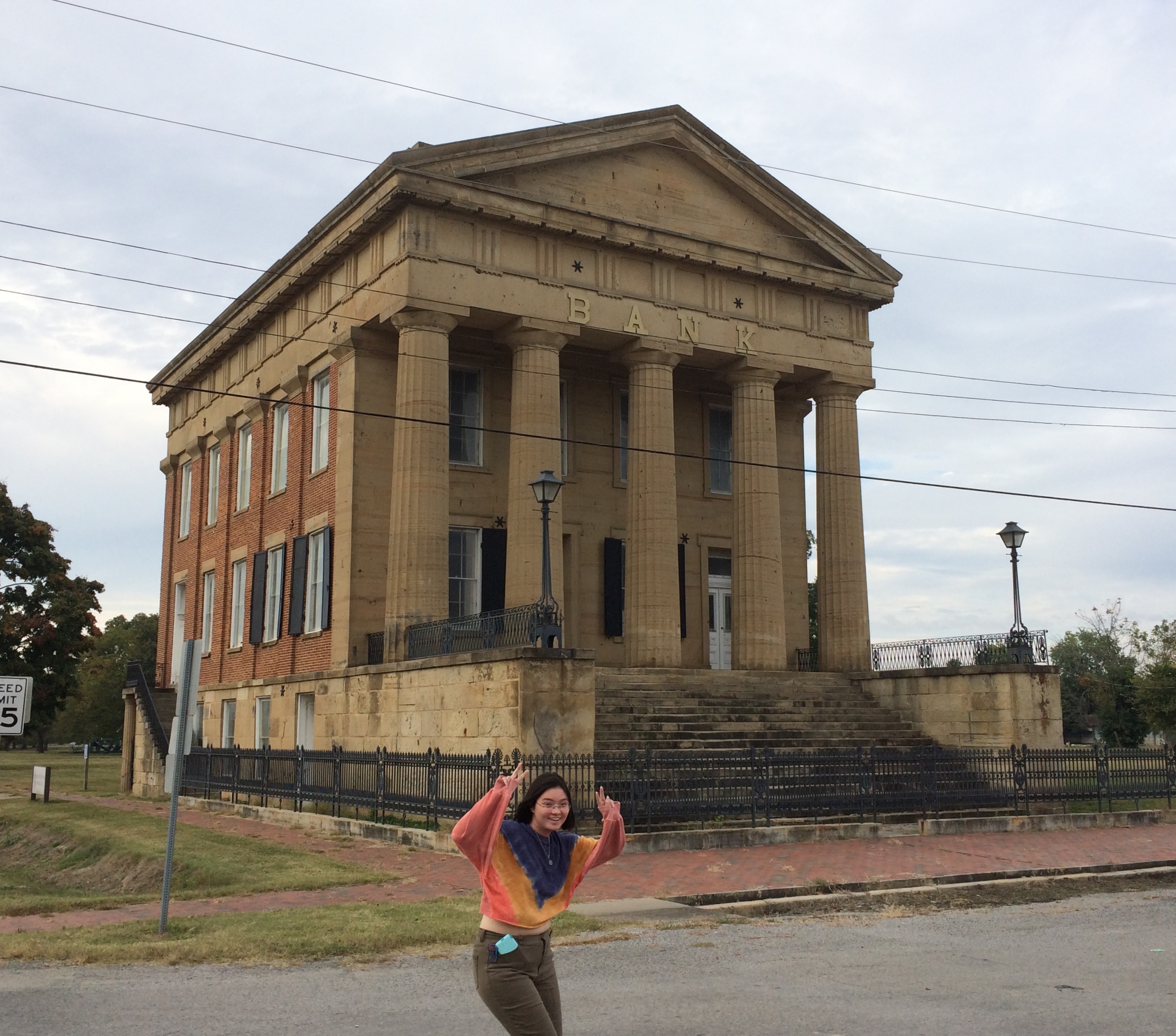
The main surviving building from the town’s storied past is the Shawneetown Bank State Historic Site, dating from 1840. Home to banks for about 100 years — they seem to have come and gone with various financial panics — it stands neglected these days.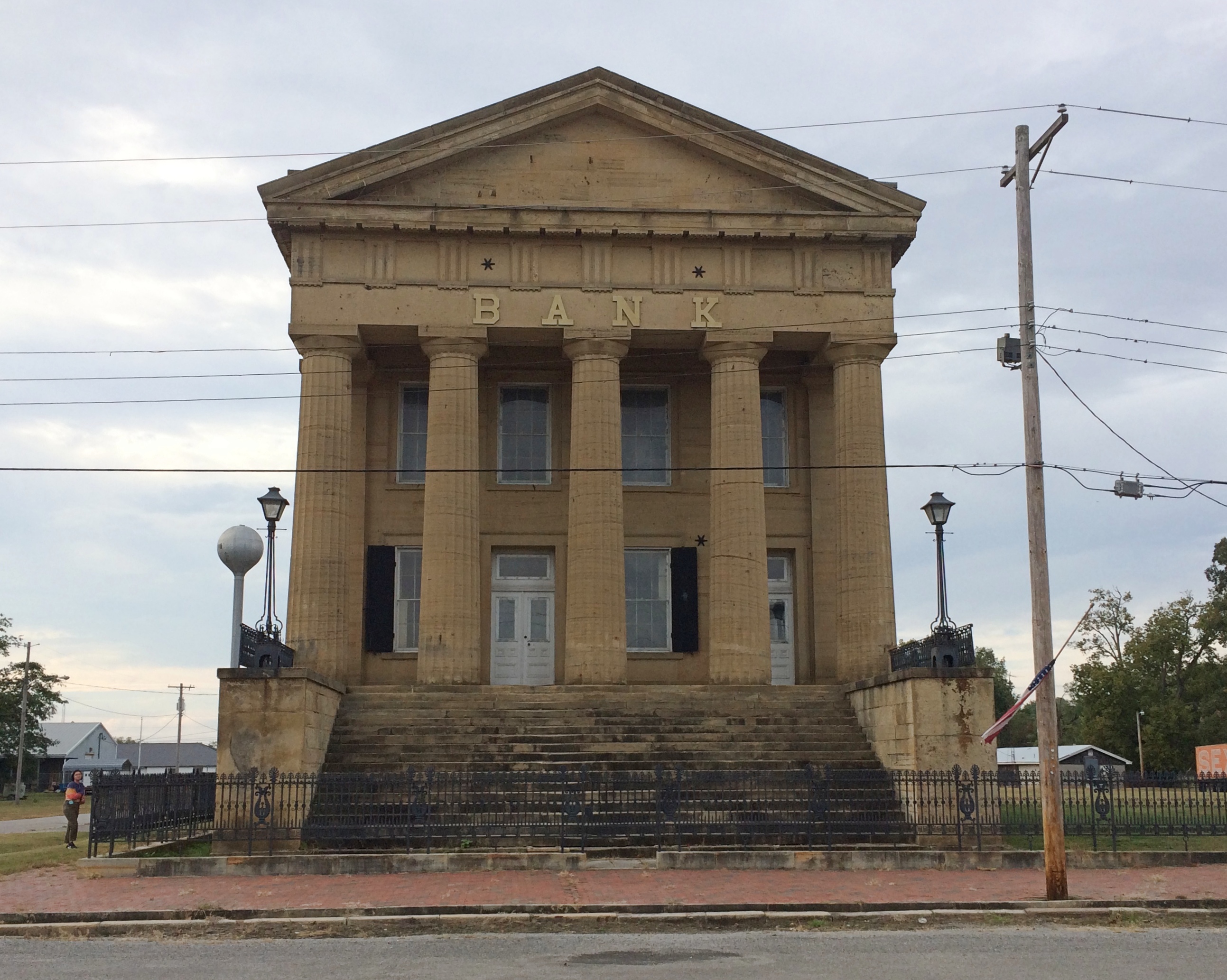
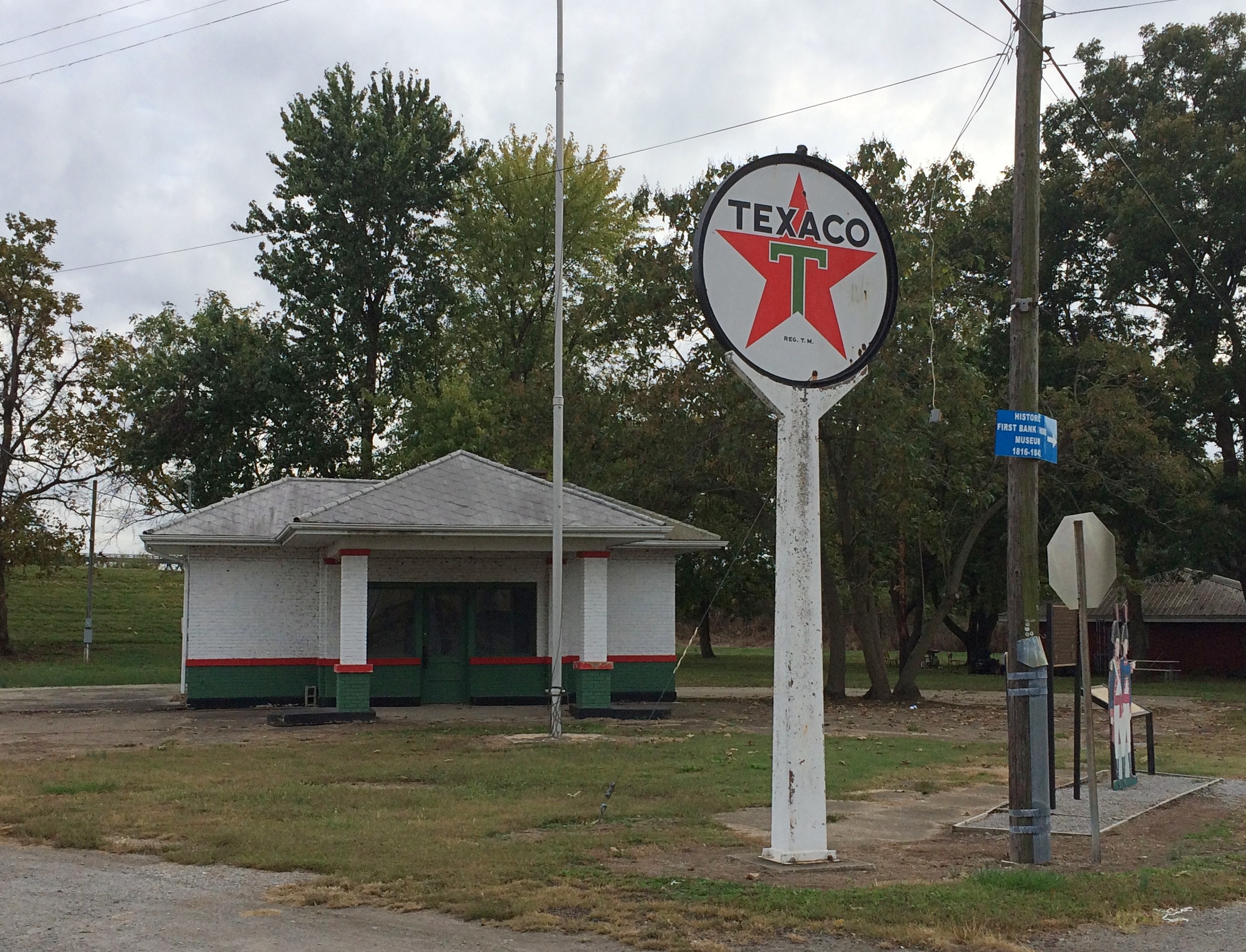
It’s not the only abandoned structure in the neighborhood. A white Texaco station is catercorner across from the bank. If it were on U.S. 66, it might be a little museum. Maybe someone has that in mind. Though abandoned, the structure looks in fairly good shape, especially the sign.
There are a few plaques and other acknowledgments of the town’s history. Such as cutouts of Lewis & Clark, who passed this way just before there was a town.

I like to think that the Corps of Discovery made a stop here at the only gas station along their route.
As Lewis wrote in his journal, Nov. 6, 1803: Arrived at Swanee Txco Station. Pay’d owner 2 dollards for provisions, — Cheetos, other divers chips, Coke & Pepsi, choco bars etc. Men also bought provis. for own use Mr Wm. Jones store mger, reports recent visit by Indian band from furth. north. — buying his entr. stock of funyuns.
Down the street from the abandoned bank and the abandoned gas station is Hogdaddy’s Saloon, an abandoned entertainment venue, though not so long ago, from the looks of it.
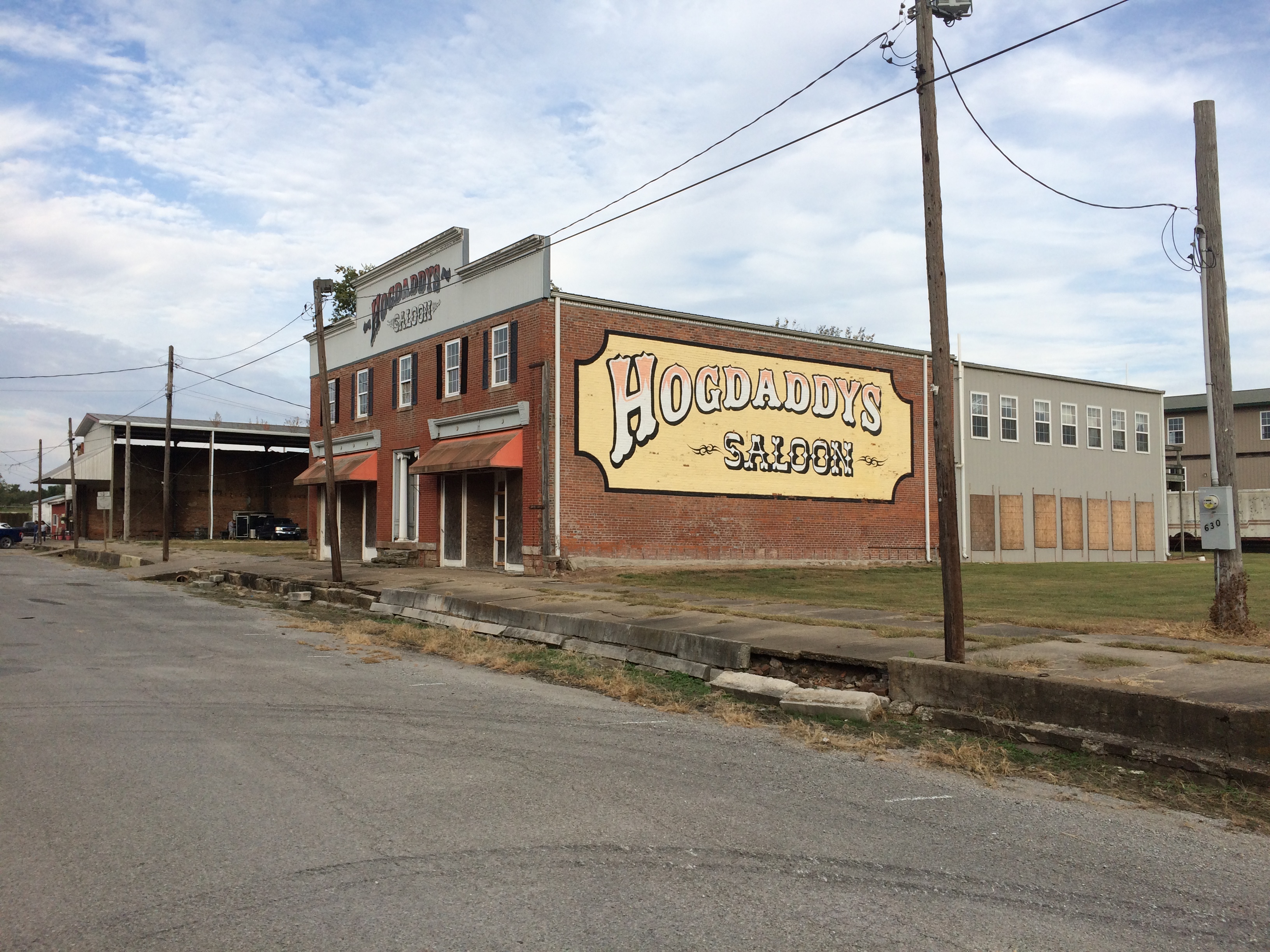 What Old Shawneetown needs (in more normal times) is a music festival right there on the main street. If Bonnaroo can, so can Shawneetown. Something for the hipsters to discover, to put the town on the hipster map and attract hipster dollars. As long as they believe the place is authentic somehow, they will come. That way a place like Hogdaddy’s could make a go of it.
An embankment separates the town from the river, part of a levee system built long ago to keep out flood waters — in vain. The always interesting WPA Guide to Illinois (1939) tells the story better than any online source I’ve found (p. 436). For that book, the ’37 flood was a recent event.
“The town bore the yearly invasions of the Ohio unprotected until the unusually severe flood of 1884, after which it constructed a comprehensive levee system,” the Guide notes. “But in 1898, and again in 1913, Shawneetown was under water. In 1932, the levee was raised five feet above the 1913 high-water mark….
“But Shawneetown had not envisioned anything like the 1937 flood. By January 24 of that year, menacing yellow waters were slipping silently past the town, only inches from the levee top… Small groups of people huddled on street corners, terrified, waiting; the telephone service ceased; hemmed in by the ever-swelling Ohio, Shawneewtown flashed a desperate cry for help over an amateur’s short-wave radio.
“Responding to the call, a river packet and several motorboats evacuated the townspeople just as the waters began to trickle over the levee. A roaring crashing avalanche soon inundated the cuplike townsite…
“The 1937 flood marked the end of Shawneetown’s ‘pertinacious adhesion’ to the riverbank. Gone were the packets and keelboats which induced her to hazard annual submersion. Gone was the steady traffic of settlers, goods and singing rivermen. With the aid of the State, the RFC, and the WPA, a project is under way for transplanting the town to the hills 4 miles back from the river… The State plans to establish a State park at the present site of Shawneetown.”
Guess the state never quite got around to that, maybe because not everyone wanted to leave.
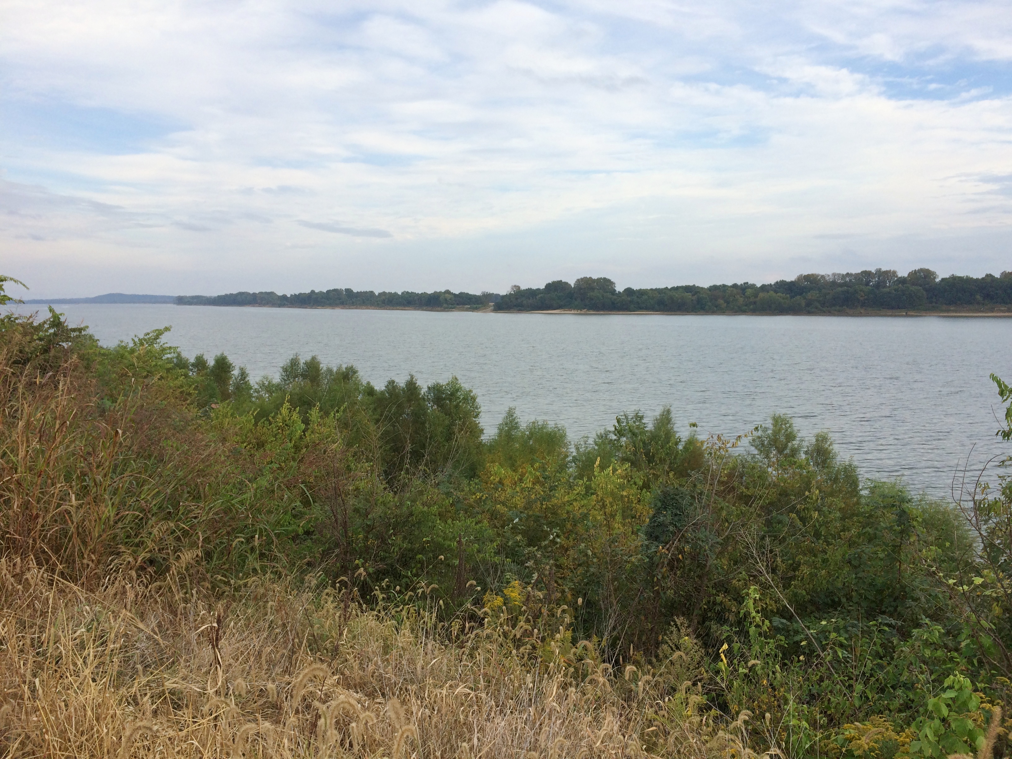
A stairway leads to the embankment’s top, which offers a view of the Ohio. Looking upriver.
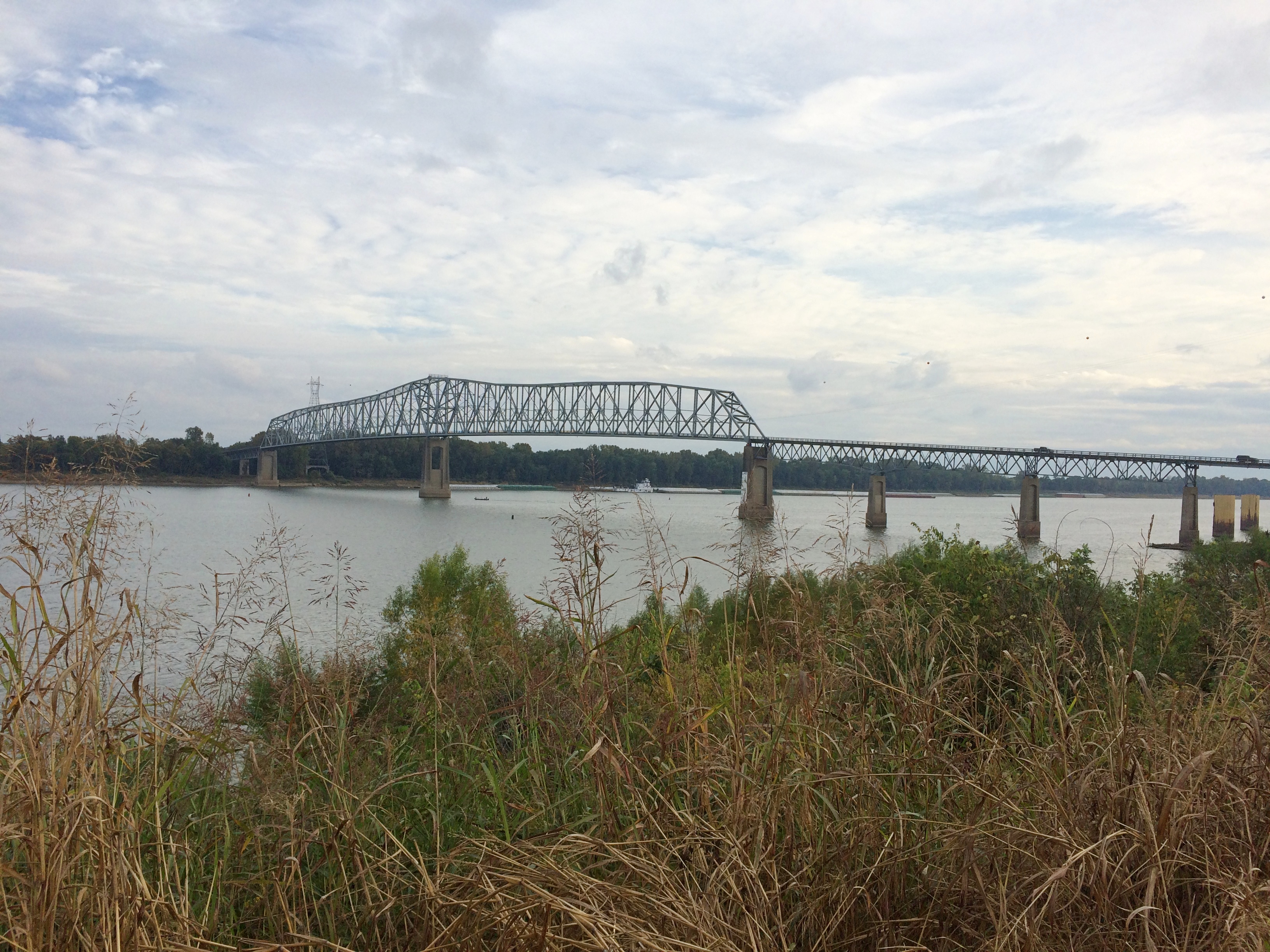
And downriver, looking at the bridge that crosses over to Kentucky.
On the side of the embankment is a graffito. Any graffiti would be a little odd in such a town, but this would be odd anywhere.
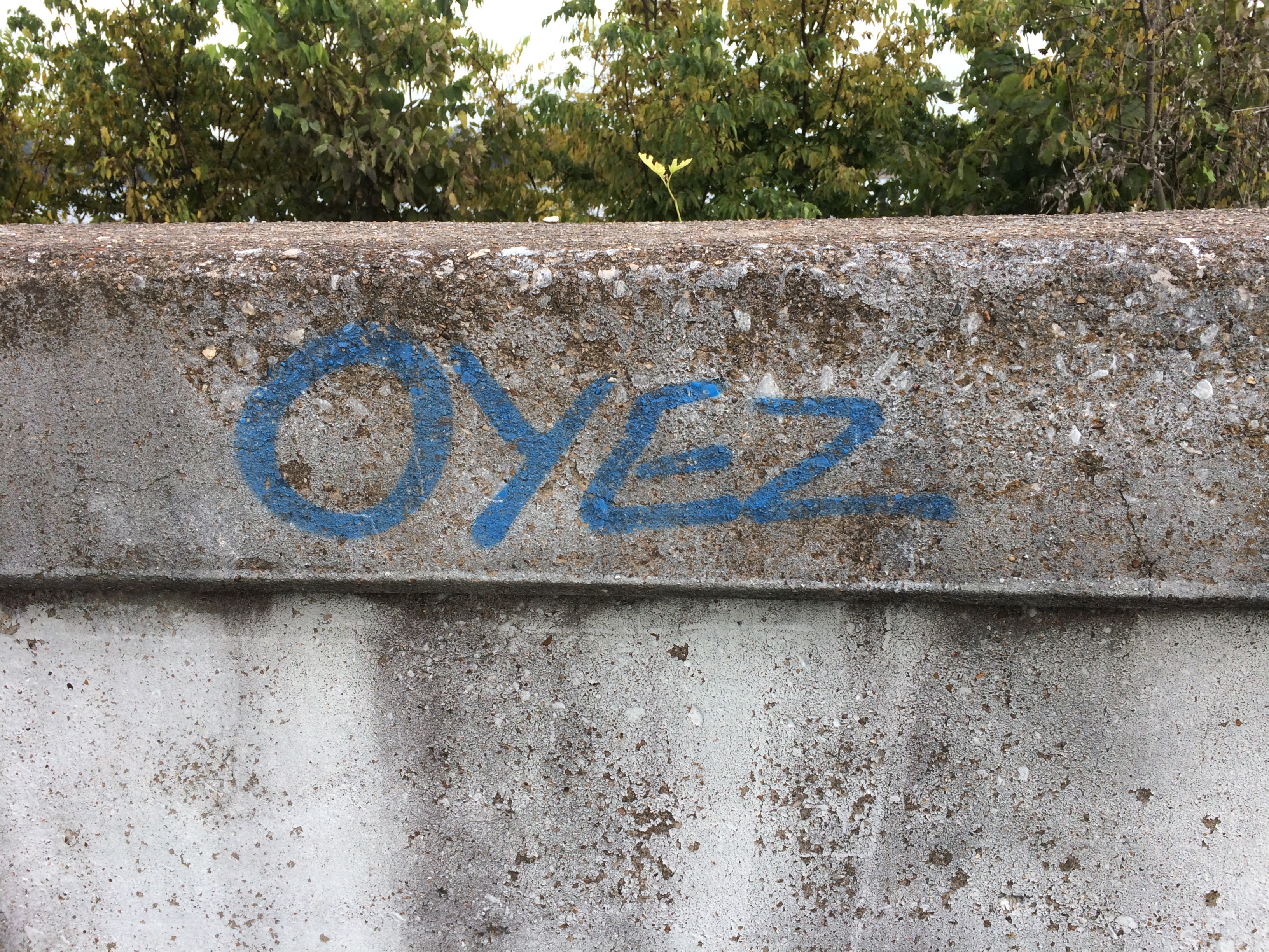
Left by a passing bailiff with a can of spray paint?