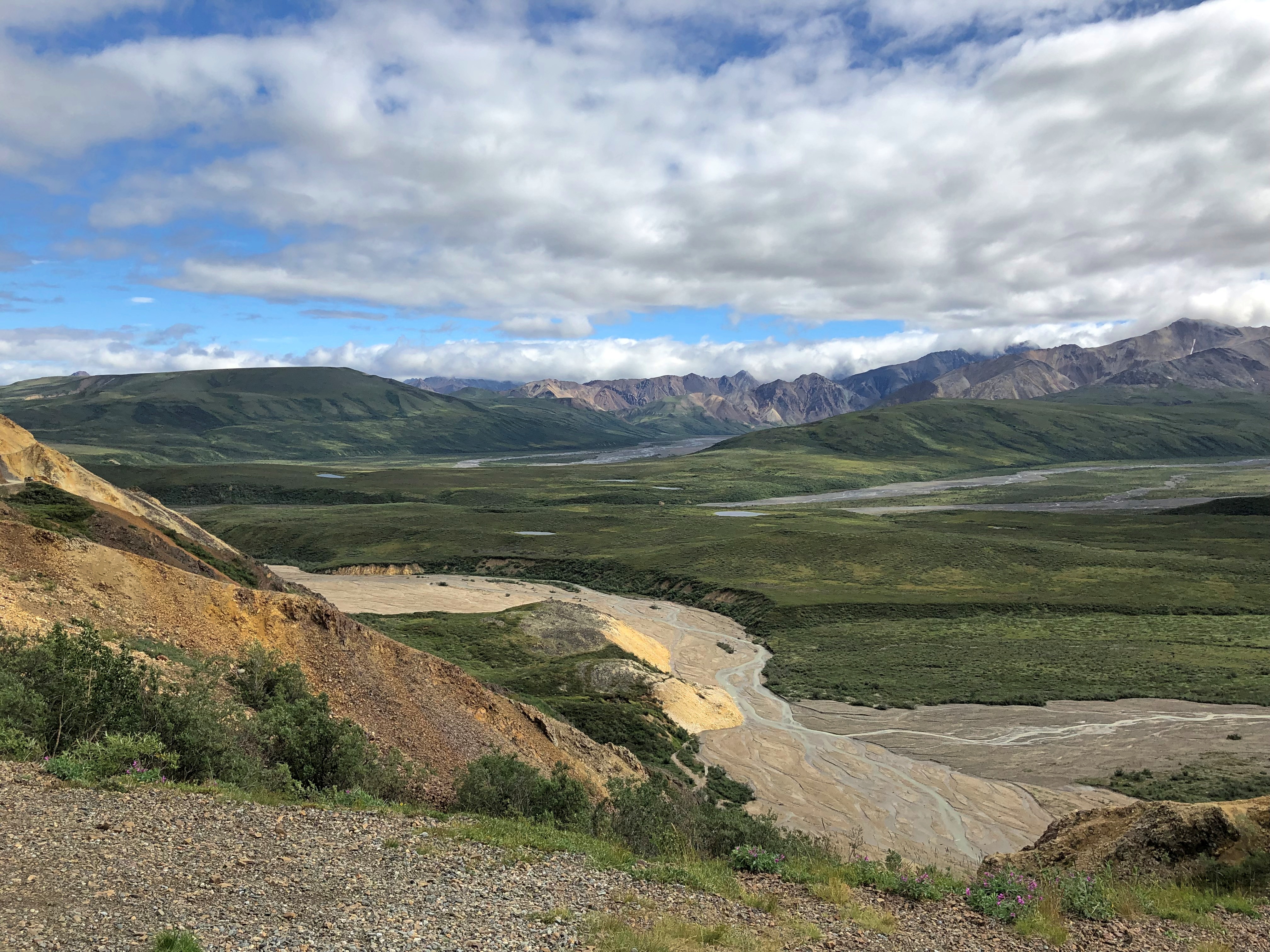
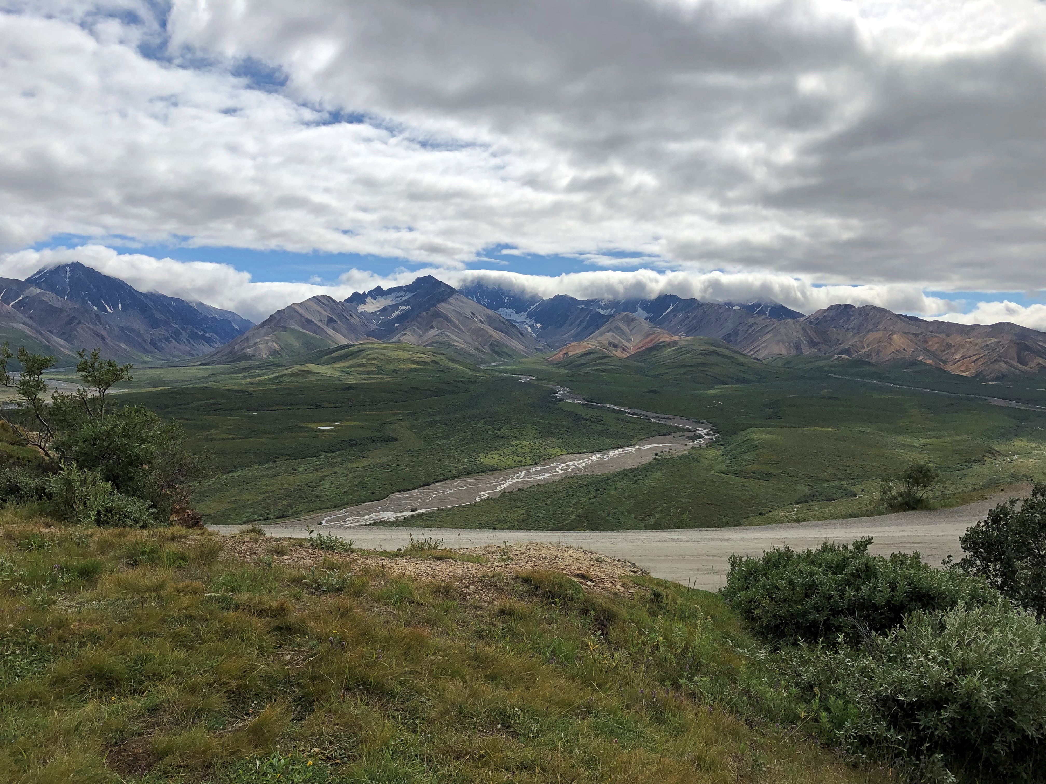
Far North Leftovers

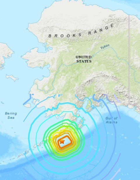
I got a couple of concerned text messages after the 8.2 magnitude earthquake off the Alaska Peninsula late on the evening of July 28. Did I feel it? Was I all right? Didn’t feel a thing, I answered. Alaska is big.

During the quake — which is thought to be largest affecting Alaska since the Good Friday disaster of 1964, but nothing like it in terms of damage — I was in Fairbanks, not too far from the words United States on the USGS map I clipped.

Curious, I got out my physical atlas and a ruler, and measured the distance between Perryville, the town on the Alaska Peninsula closest to the epicenter, and Fairbanks. As the crow flies. A tough old crow, used to the freezing temps.

Total, about 1,200 miles, very roughly. But the point is, I no more felt the earthquake than someone in Texas is going to feel a California earthquake, unless it’s really big.

Near the main building of the Museum of the North is a blockhouse that used to be part of the Kolmakovsky Redoubt.Kolmakovsky Redoubt
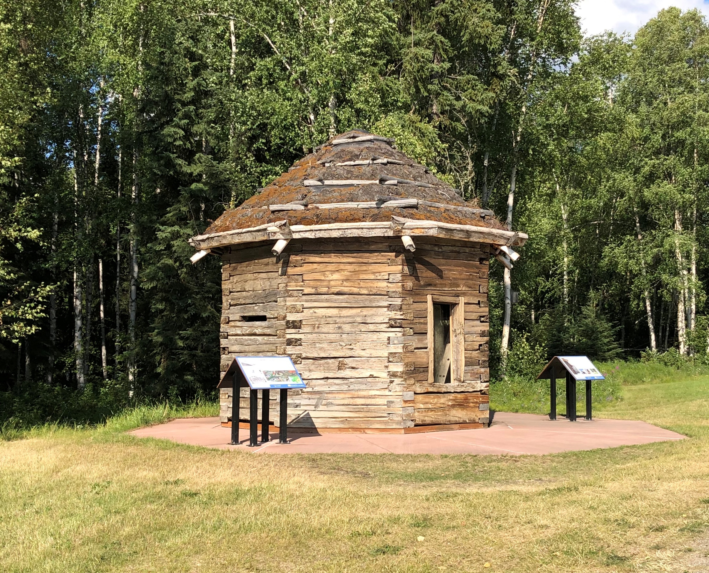
The museum explains: “In 1841, the Russian-American Company (RAC), seeking to obtain the rich beaver and land otter furs of the Interior of Alaska, set about the construction of Kolmakovsky Redoubt on the middle Kuskokwim River in Western Alaska. As the only redoubt (fort) deep in the Interior, it became the major trading center along the river for the next 25 years…

“Relations between the RAC and the local Yup’ik Eskimos and Athabascan Indians was amicable and instead of acting as a means of defense, the building served other purposes, including at one time a fish cache and during the gold rush, a jail. The blockhouse stood at the site for over 80 years before being dismantled and shipped to the University of Alaska in Fairbanks in 1929.”

More recently, the museum restored the blockhouse, including the replacement of rotten timber and putting tundra sod on the roof, “complete with blueberries, Labrador tea, and all manner of tundra flora.”

A building of a difference sort, but also Alaskan, near the auto museum: Joy Elementary School.
Joy Elementary School, Fairbanks

One look and I thought, 1960.

Sure enough: “Construction of our original circular school began July 21, 1960. It was completed and dedicated as Louis F. Joy Elementary on November 9, 1961. Louis F. Joy was Fairbanks City School Board President and a member for over 25 years. Lee S. Linck, the school’s engineer and architect, received an award for the school’s unique and beautiful design at the 1962 Seattle World Fair.”

A quick peek at the first place I ate in Fairbanks.Bahn Thai, Fairbanks
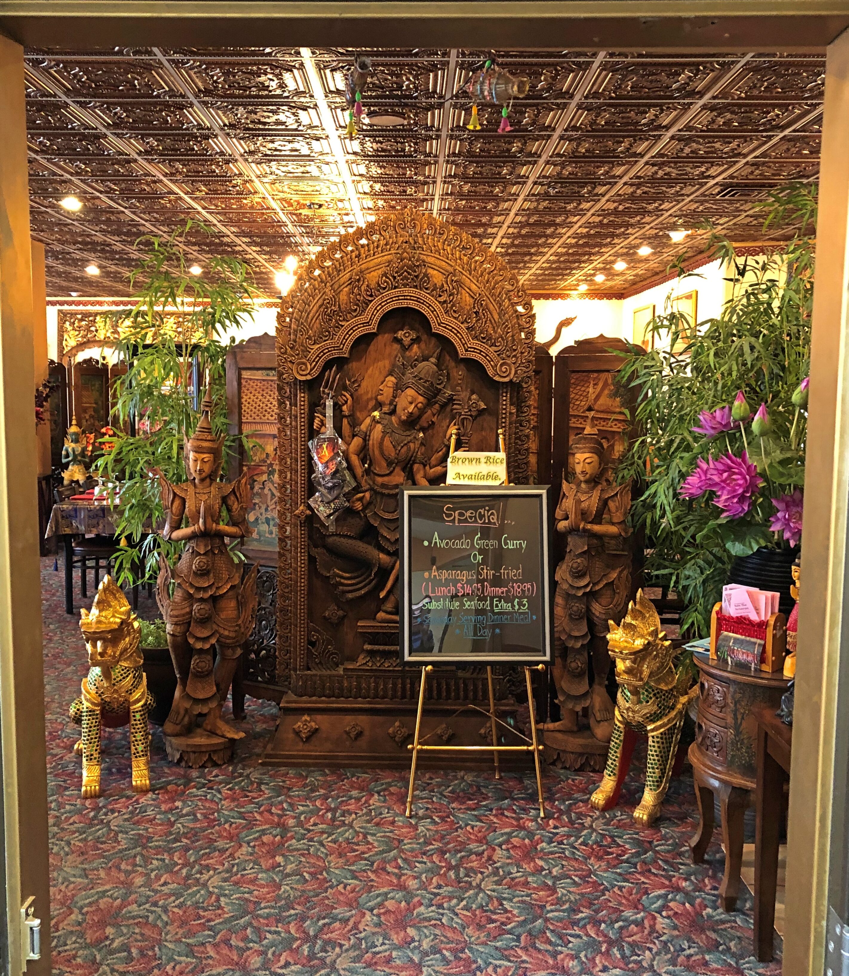
Bahn Thai. Had a good massaman curry.

Another lunch place in Fairbanks.
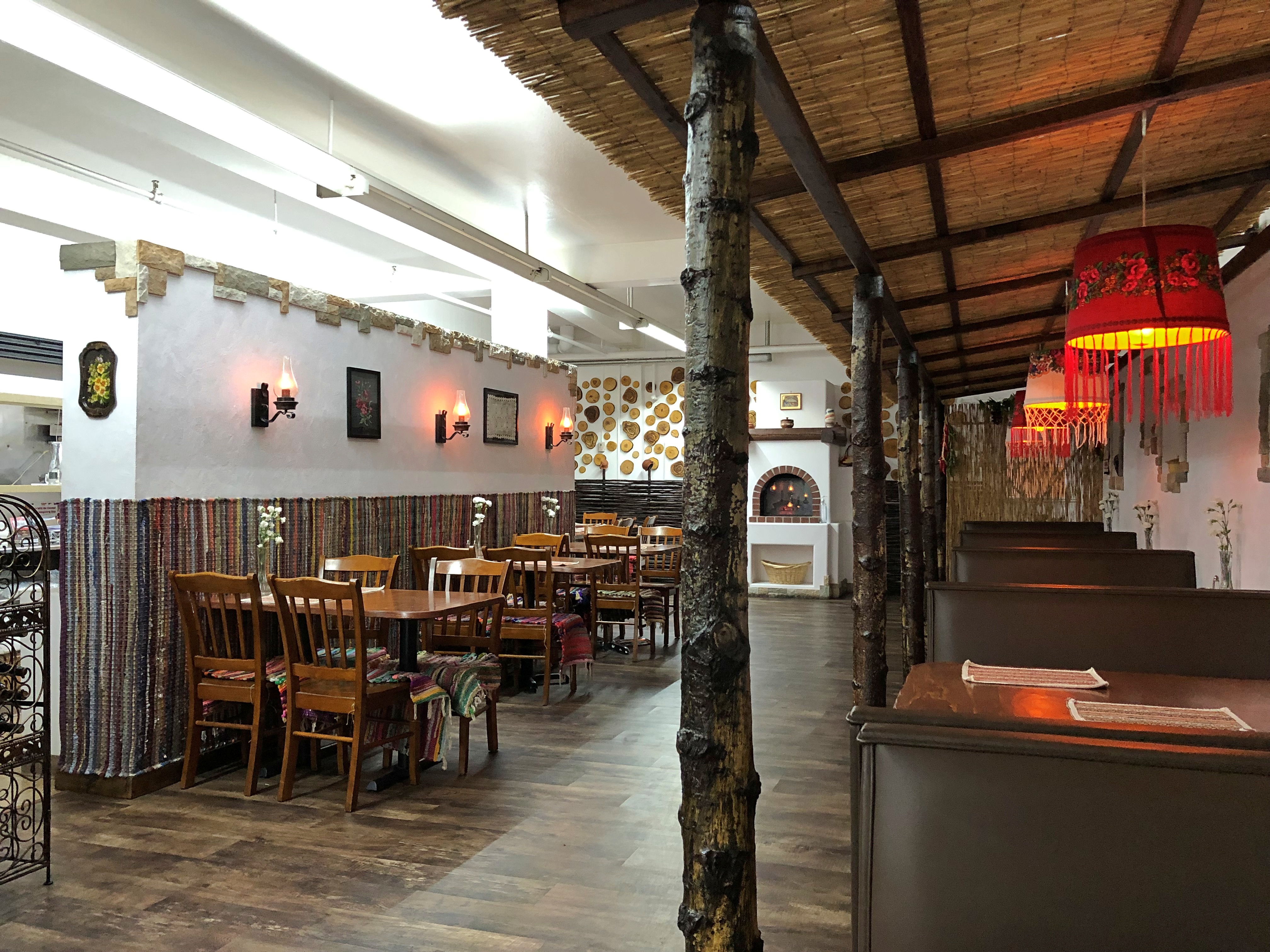
Soba restaurant Fairbanks

Soba. A Moldovan restaurant. That was the main reason I went. Glad I did, since the dumplings I had were wonderful, though massively filling. I asked the waitress, whose English I took to be Moldovan flavored, how she came to be in Fairbanks. She said she came with her husband and members of his family, which no doubt was true, but didn’t quite answer the question.

Speaking of immigrants to the Far North, this is the last place I had lunch in town, The Crepery.

The Crepery, Fairbanks

Had a delicious salmon crepe there. I sat way in the back, and instantly noticed a wall covered with photos of Sophia, Bulgaria. I asked the girl who brought me the order about that. The owner’s from Bulgaria, she said. People get around.

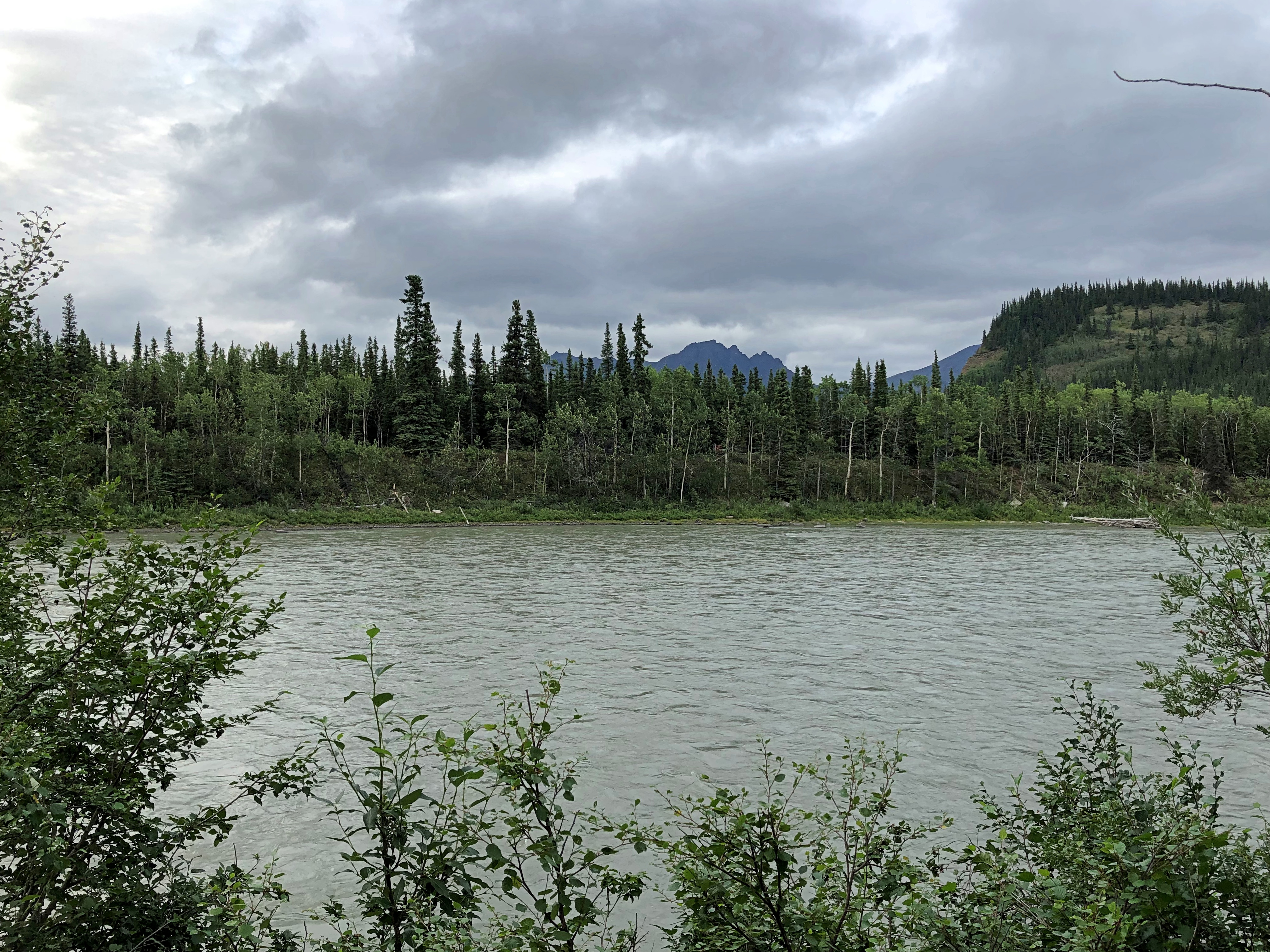
The Nenana River.
Nenana River

At this point, it forms one of the borders of Denali NP. I was on the non-park side, looking into the park.

As I was driving southward on the highway Alaska 3 after my stop in the town of Nenana, I passed by a military installation without noticing it. No signs point the way, and while the place isn’t precisely hidden, it is off the main road. It’s the Clear Space Force Station.

Not only that, the facility only recently became part of the Space Force.

“Clear Air Force Station, a remote military installation outside of Fairbanks, Alaska, was officially renamed from Clear Air Force Station to Clear Space Force Station during a ceremony on June 15, 2021,” the Air Force reports.

“Clear will continue to serve as home to Arctic Airmen and Guardians assigned to the 13th and 213th Space Warning Squadrons, providing 24/7 missile warning, missile defense, and space domain awareness…

“The history and mission of the base began in 1958 when the U. S. Air Force acquired the site to set up a Ballistic Missile Early Warning Systems and became fully operational in November of 1961 as the second detachment of the 71st Missile Warning Wing. The detachment became the 13th Missile Warning Squadron in January 1967. The unit was re-designated as the 13th Space Warning Squadron and reassigned under the 21st Space Wing at Peterson Air Force Base, Colorado.”

With any luck, the nation will endure, its current political dyspepsia forgotten, and in 100 years the only thing people will remember about the Trump administration is that it founded the Space Force. That might be more important than we can know.

On my last day in Fairbanks, I took a walk along some of the trails at Creamer’s Field Migratory Waterfowl Refuge, on the outskirts of town. Formerly a diary farm with a lot of surplus land, the place is now devoted to keeping birds happy and providing a place for people like me to walk.

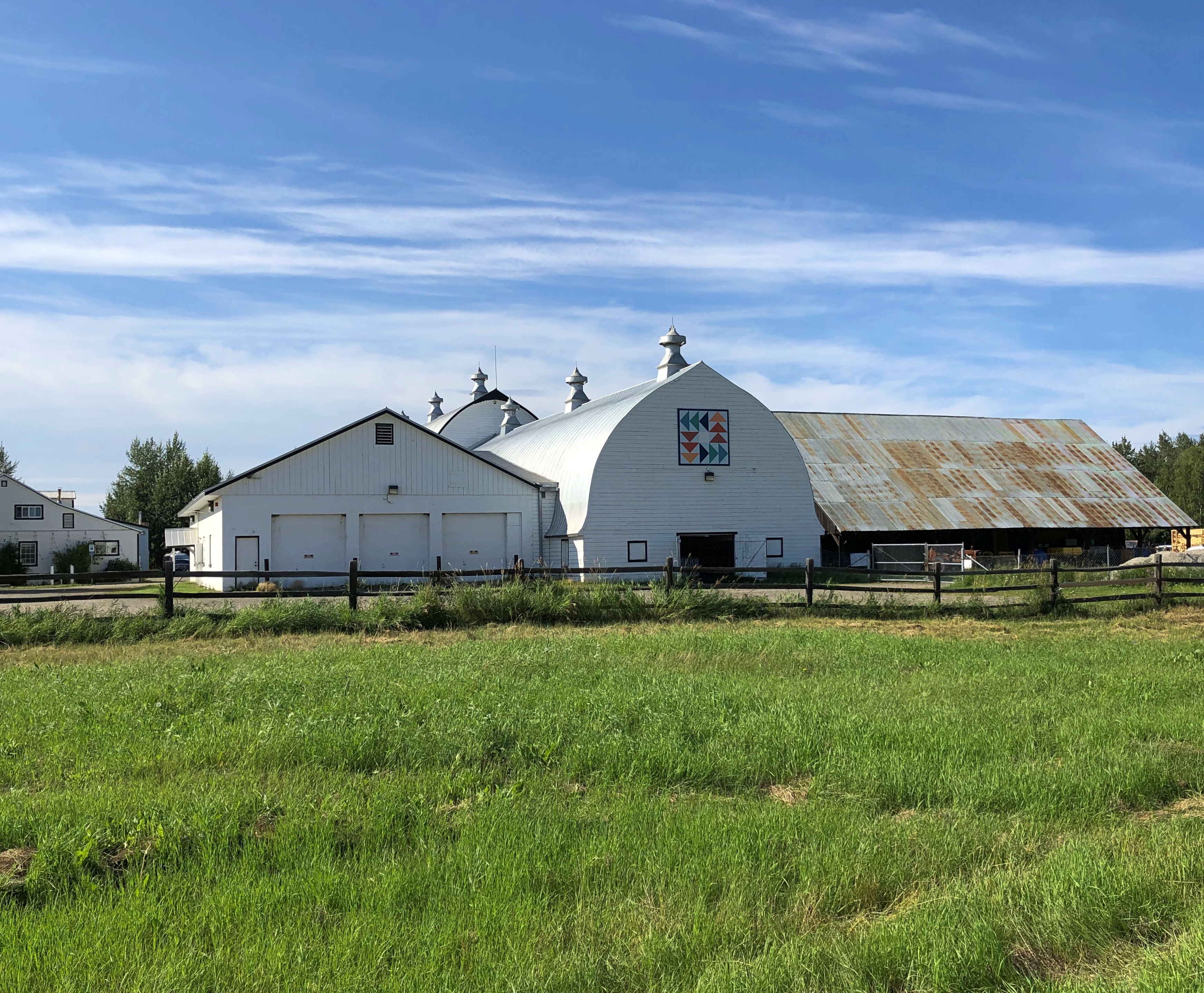
There are buildings.
Creamer's Field Migratory Waterfowl Refuge

But mostly it’s undeveloped, except for the trails themselves.
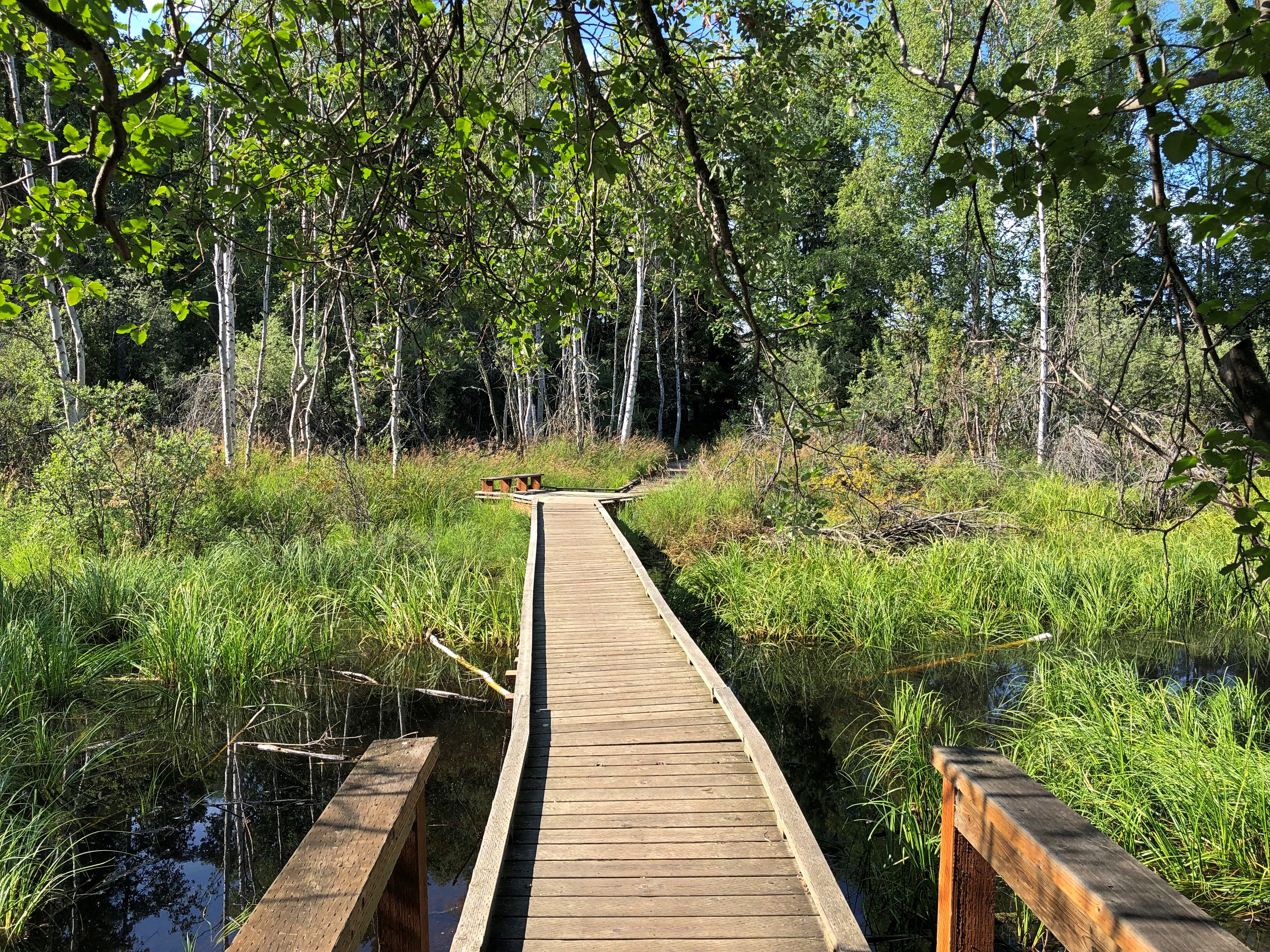
Creamer's Field Migratory Waterfowl Refuge

Revealing scenes like this.
Creamer's Field Migratory Waterfowl Refuge

Looks remote, no? I parked my car only about 20 minutes’ walk away, so the place is close to the infrastructure of Fairbanks. Then again, Fairbanks is a manmade place surrounded by wilderness, so what I drove and then walked to was merely the leading edge of something vast.

One more thing.

Alaska makes 50.
Fountainhead Antique Auto Museum

Usually it isn’t a good idea to quote promotional material too much, since it has a tendency to exaggerate. But for Fountainhead Antique Auto Museum in Fairbanks, I’m going to borrow an entire paragraph from its site, so fitting is it.
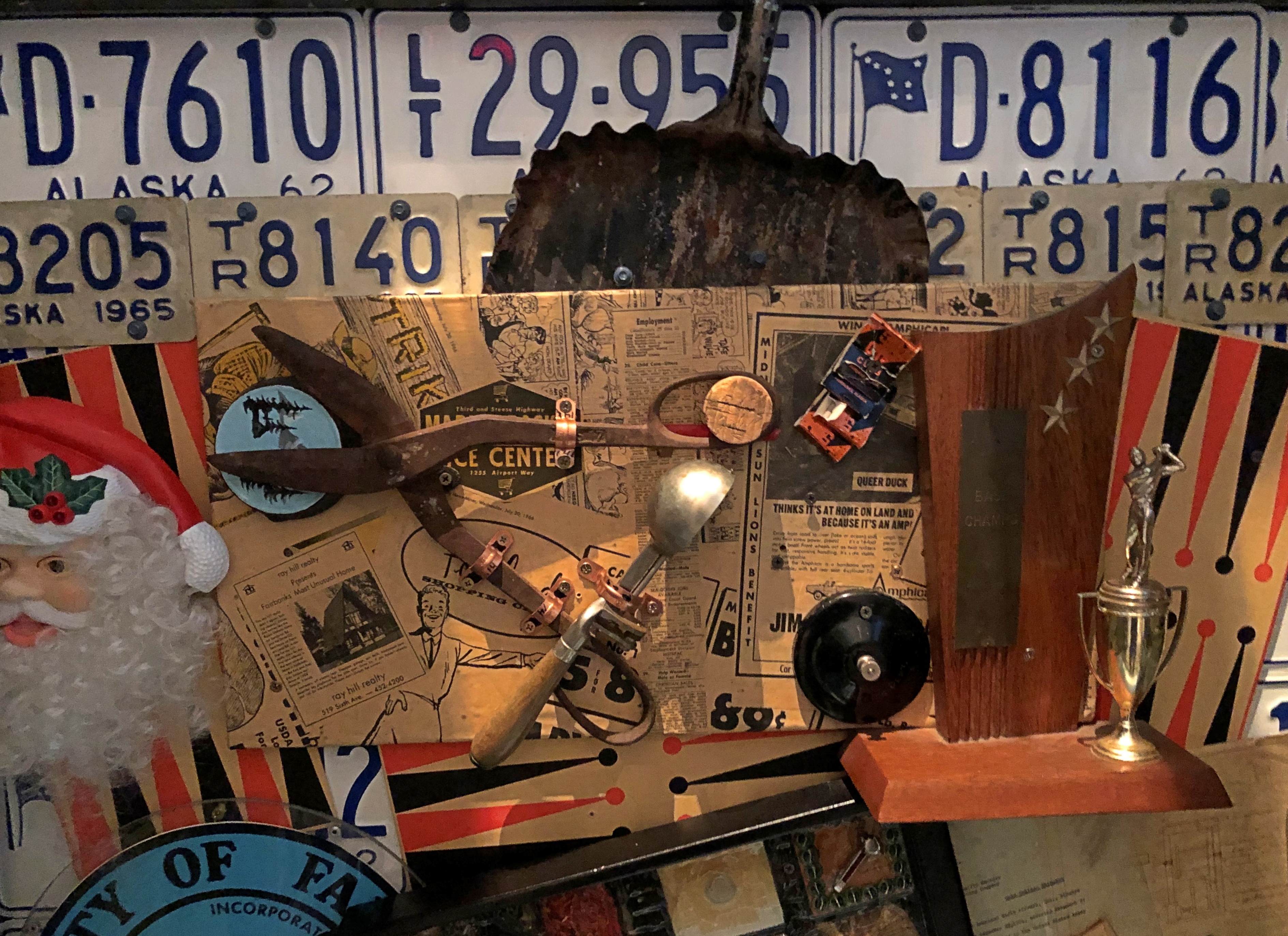
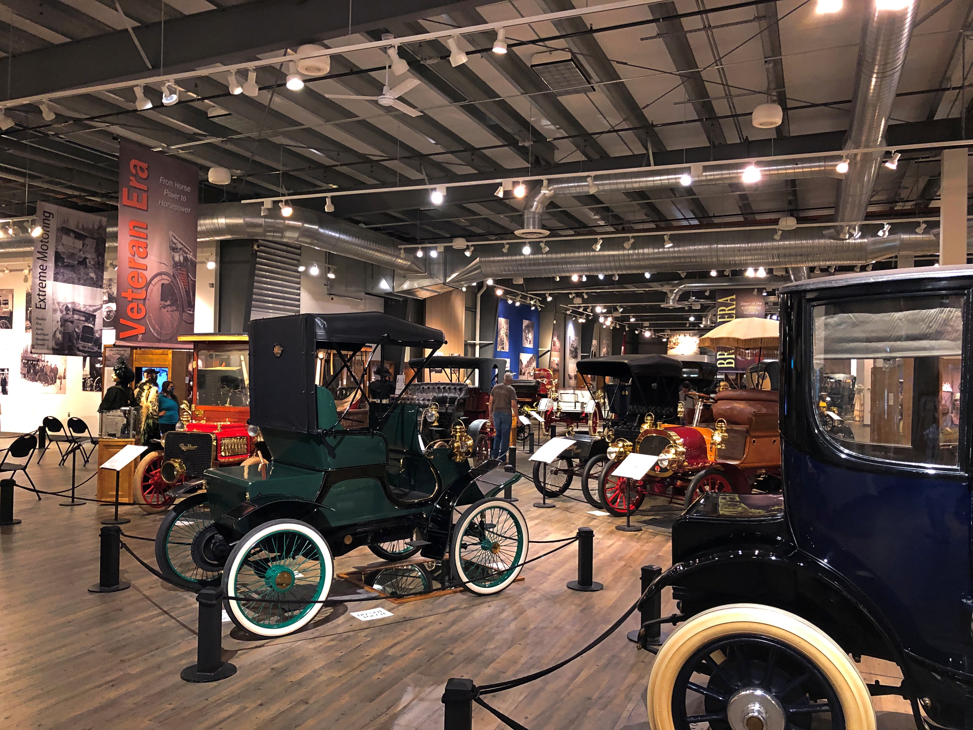
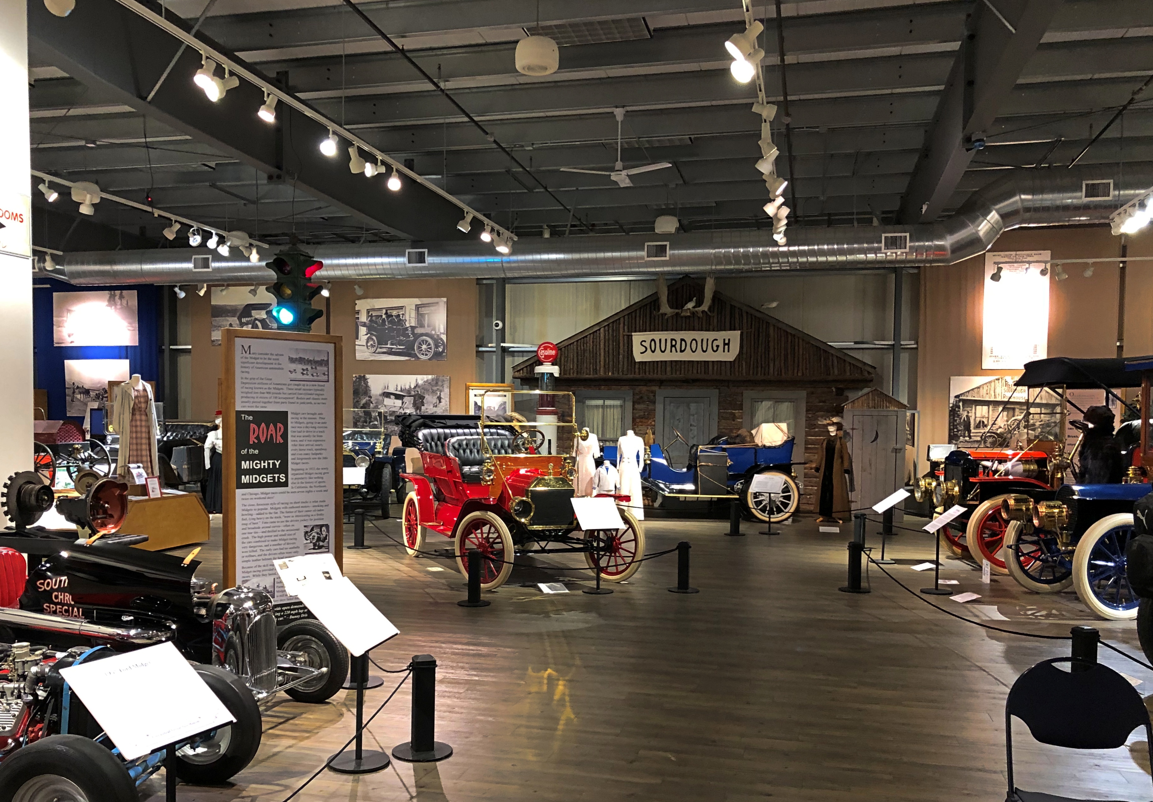
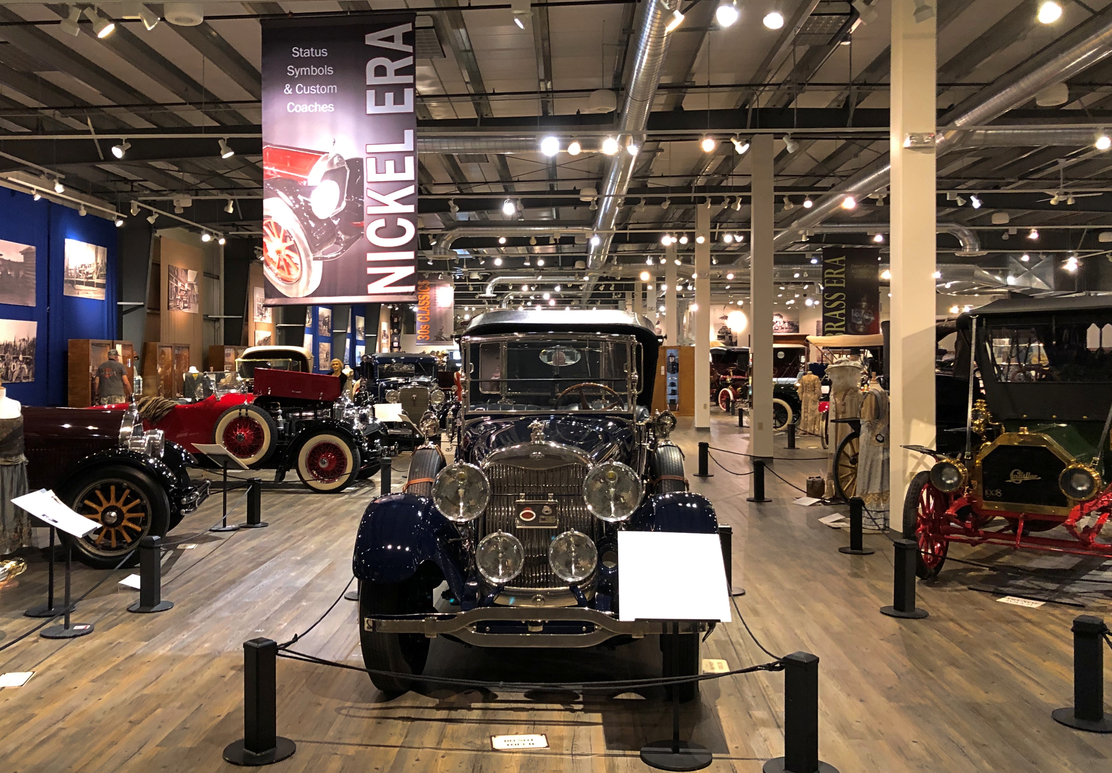
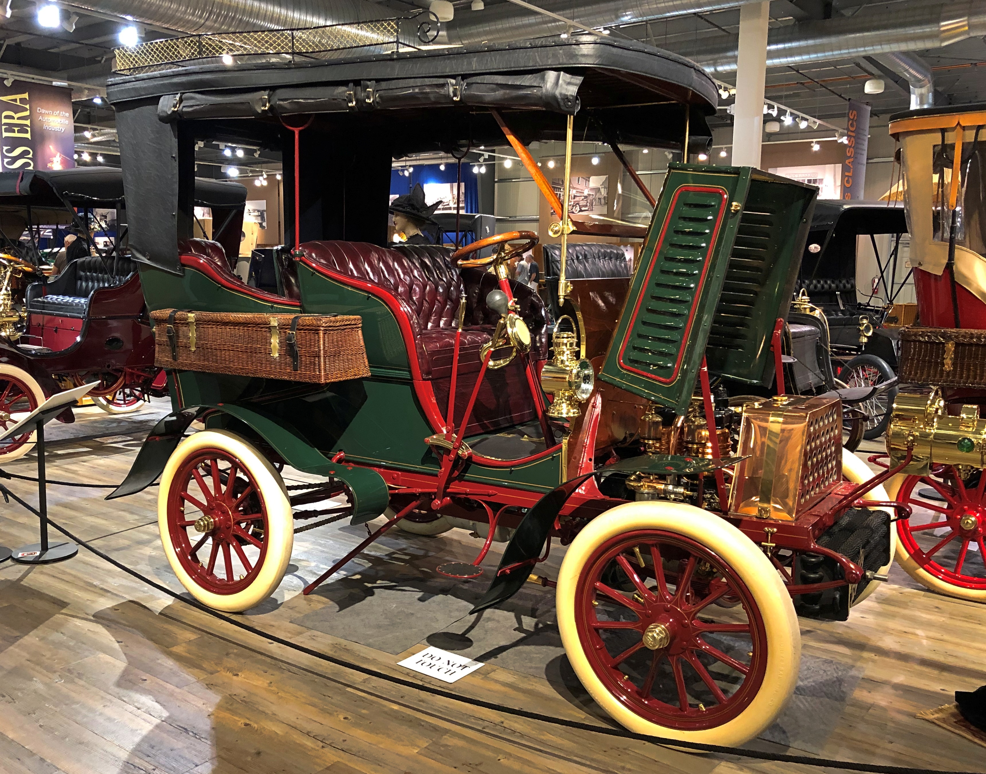
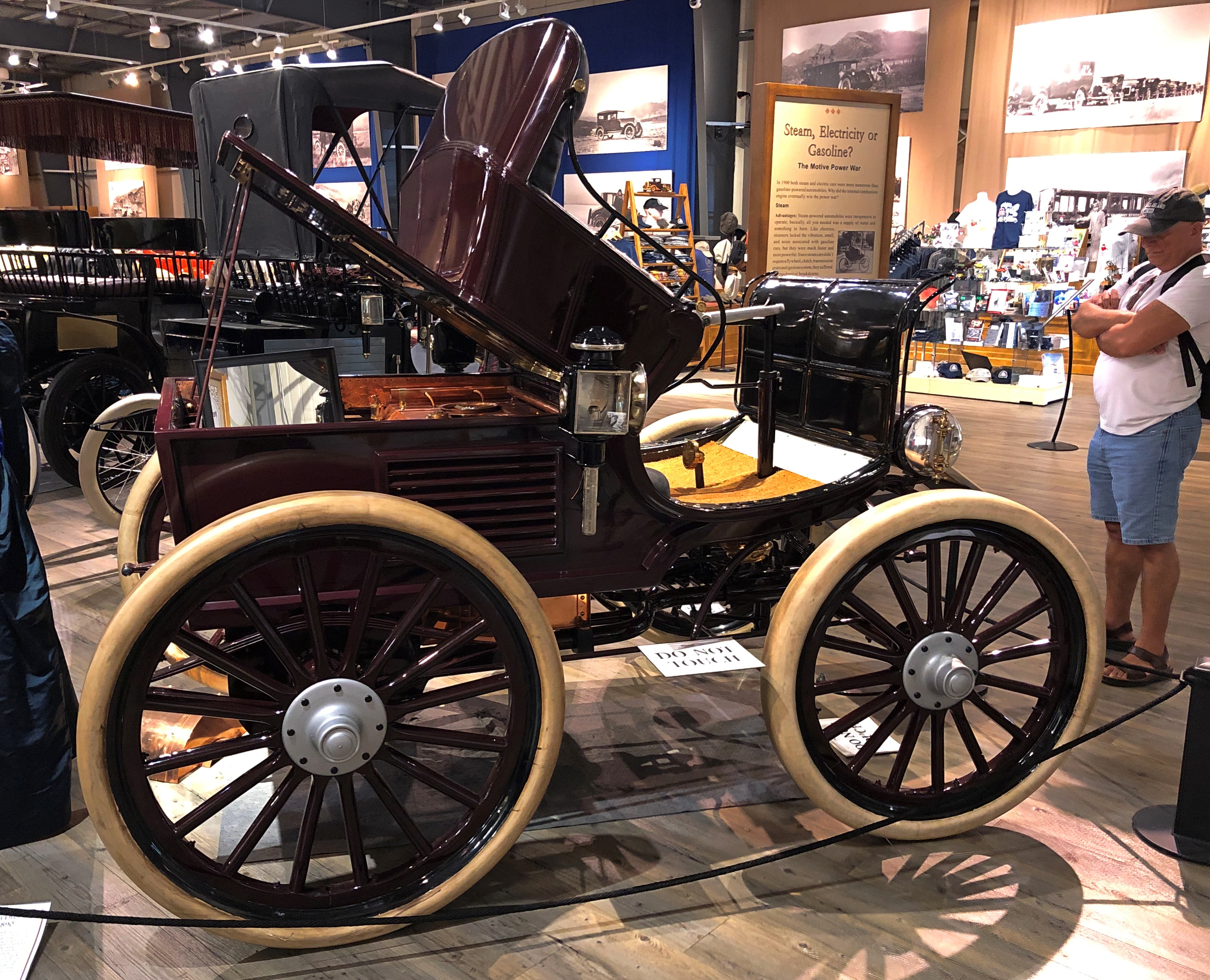
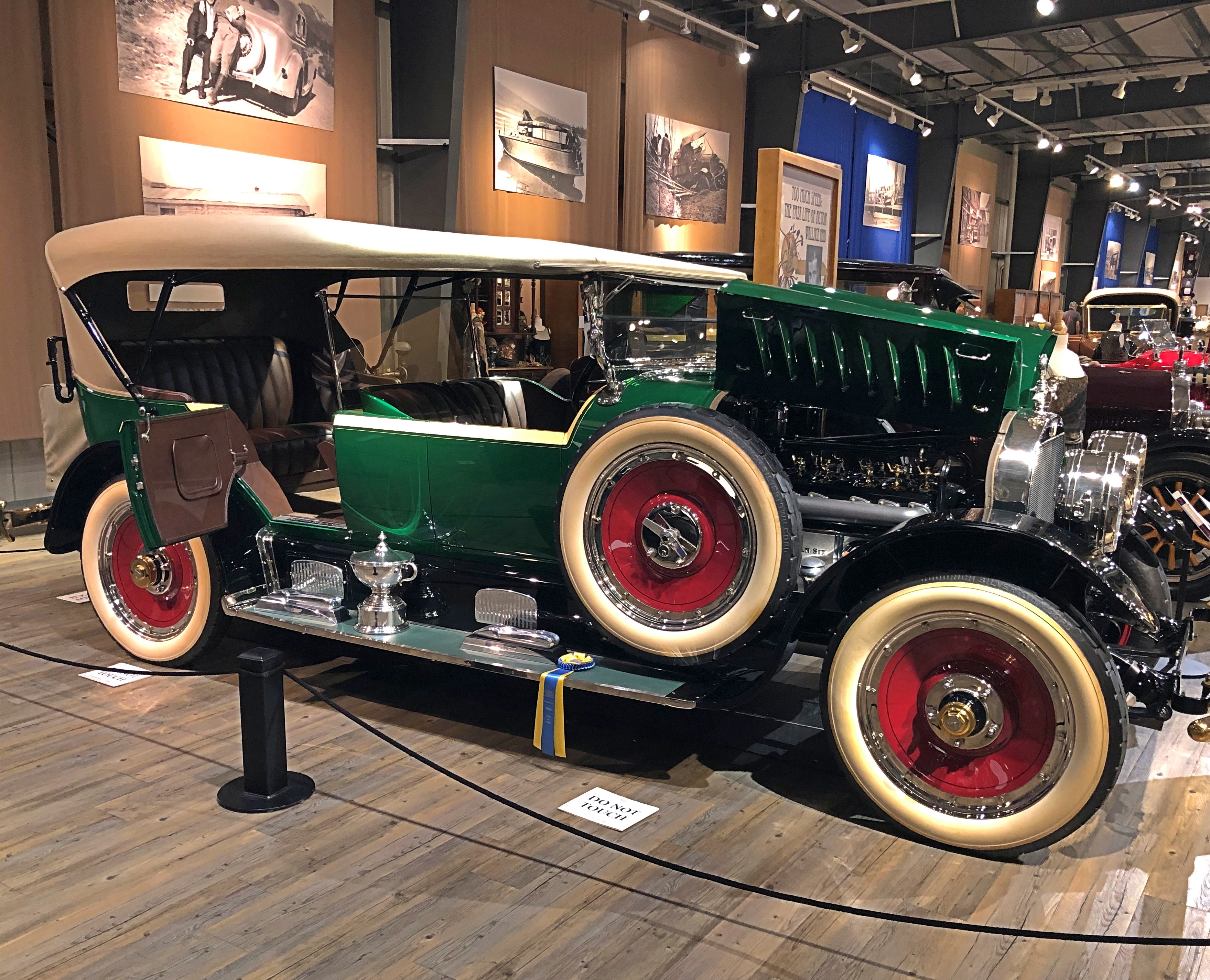
This “living museum” is home to over 95 pre-World War II automobiles, with 65 to 75 stunningly lit and staged rare automobiles at all times. This expansive collection encompasses horseless carriages, steamers, electric cars, speedsters, cyclecars, midget racers and ’30s classics.

Not just stunningly lit and staged, but each vehicle is described by a concise and expertly written sign. Also, the museum displays period clothing on mannequins, artfully interspersed with the autos, so that the two kinds of artifacts complement each other to evoke their precise period in the history. Yet another array of period detail is found in the large photographs from early 20th-century Alaska on the walls.

As if that isn’t enough, popular music of the period — from roughly the first four decades of the 20th century — plays not quite in the background. Unobtrusively at first, but then you begin to hear it as a worthwhile background. Once I started listening to the songs, I found the variety remarkable: the popular jazz tunes you’d expect, but also other kinds of hits from the period, such as a few opera or opera-inspired songs.

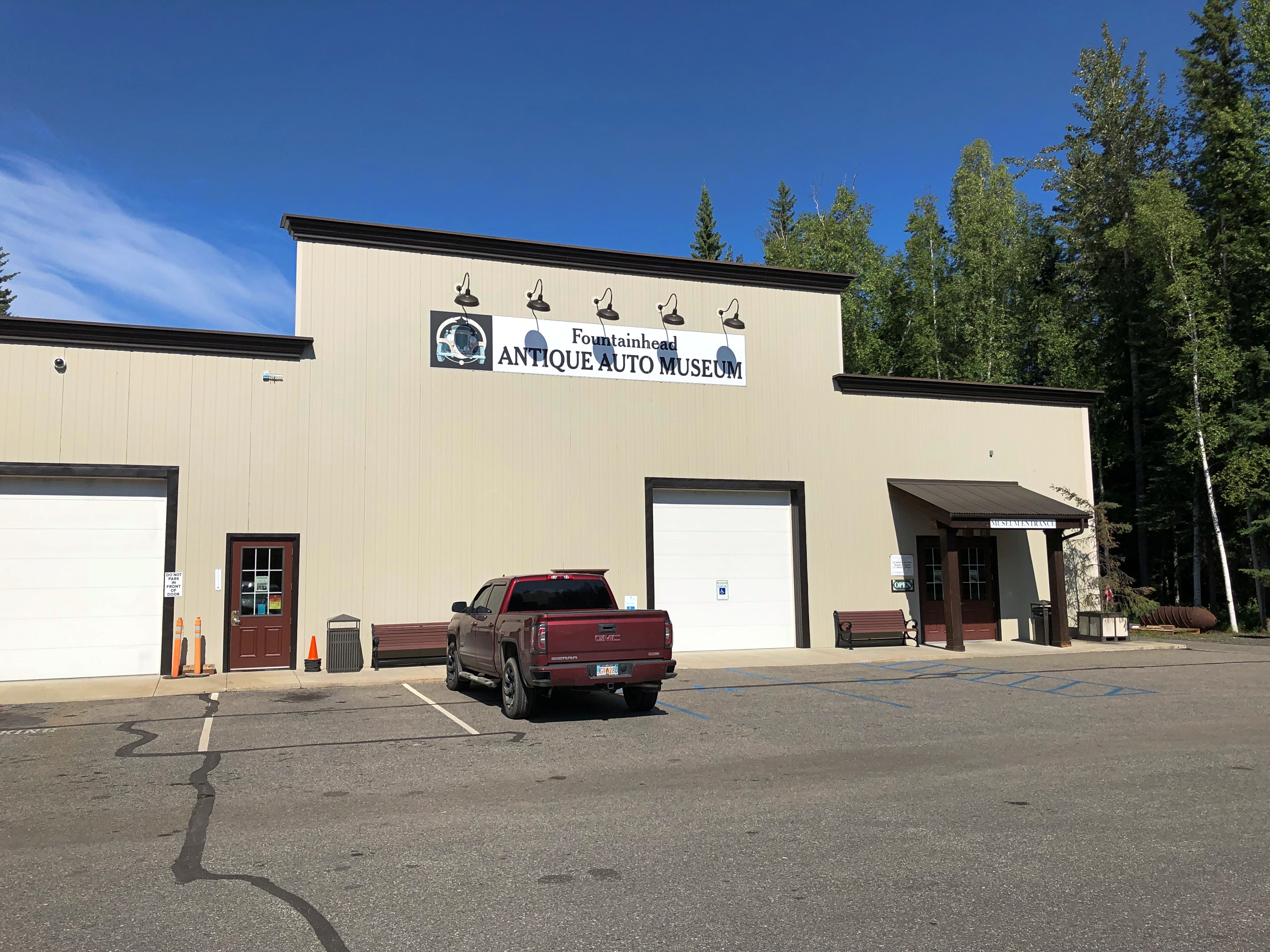
The museum entrance gives no hint of what’s ahead. But the place doesn’t need a fancy, name-architect structure; it’s got content.Fountainhead Antique Auto Museum

Once inside, the museum’s sizable scope becomes clear.Fountainhead Antique Auto Museum

Fountainhead Antique Auto Museum
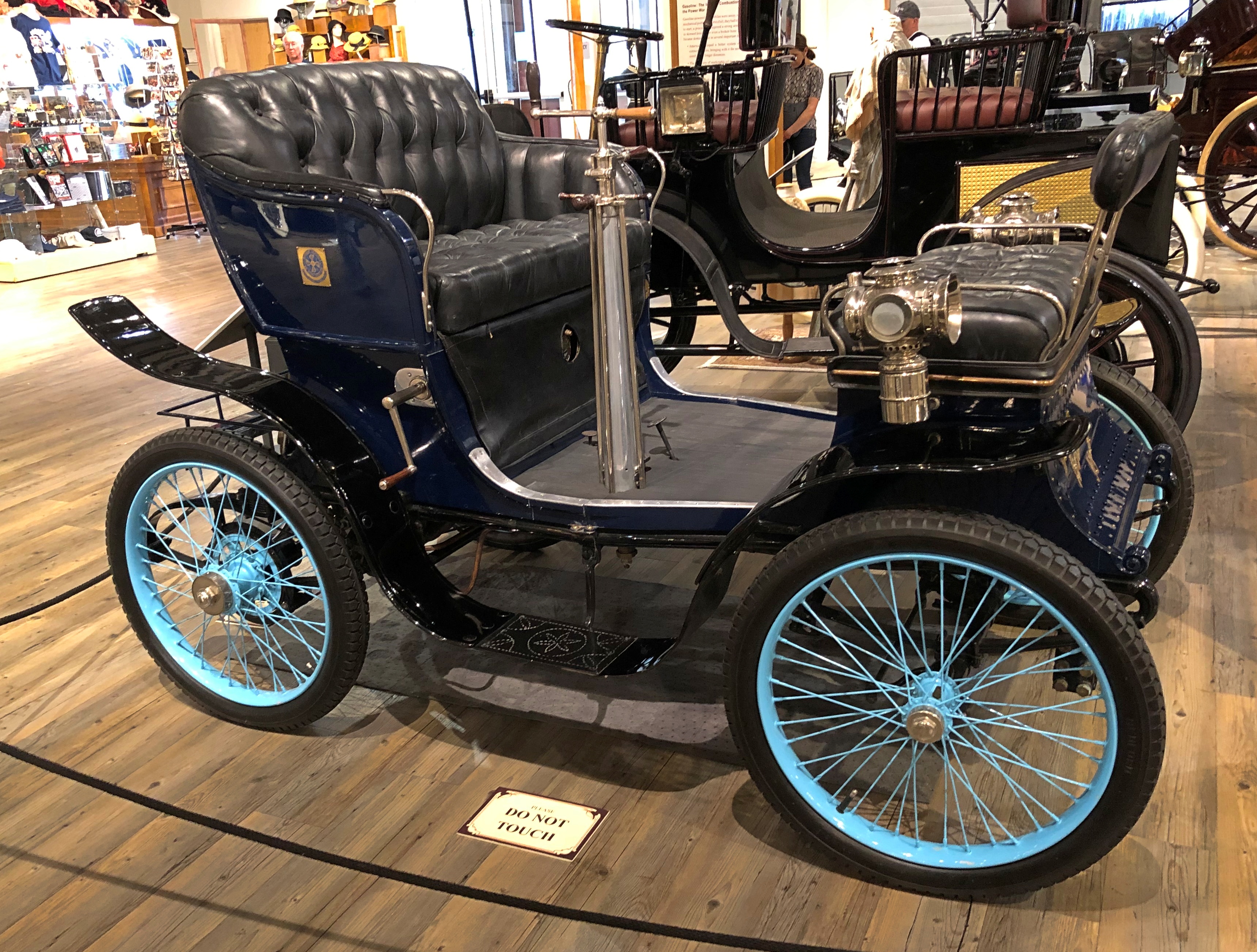
Most of the vehicles have been restored to factory appearance, or at least to highly presentable, and according to the museum, all but a handful are functional. There were many vehicles I’d never heard of.

A 1901 De Dion-Bourton.
Fountainhead Antique Auto Museum

A 1903 Toledo. “This is the only gasoline-powered Toledo known to survive.”
Fountainhead Antique Auto Museum

A 1917 Owen Magnetic.
Fountainhead Antique Auto Museum

Plus others, such as an Argonne, Auburn, Grant, Heine-Velox, Hupmobile and Oakland. The display also included a 1911 EMF. Nickname: “Every Morning Frustration.”

Plus plenty of models I knew, but maybe not much about their early models beyond the names: Brush, Cadillac, Lincoln, Packard and Rambler.

Plus at least one celebrity car. Mostly the museum doesn’t go in for that sort of thing, but it does have Wallace Reid’s 1919 McFarlan. It was a speedy car to suit Reid, whose motto seems to have, “die young, stay pretty.” He did.Fountainhead Antique Auto Museum

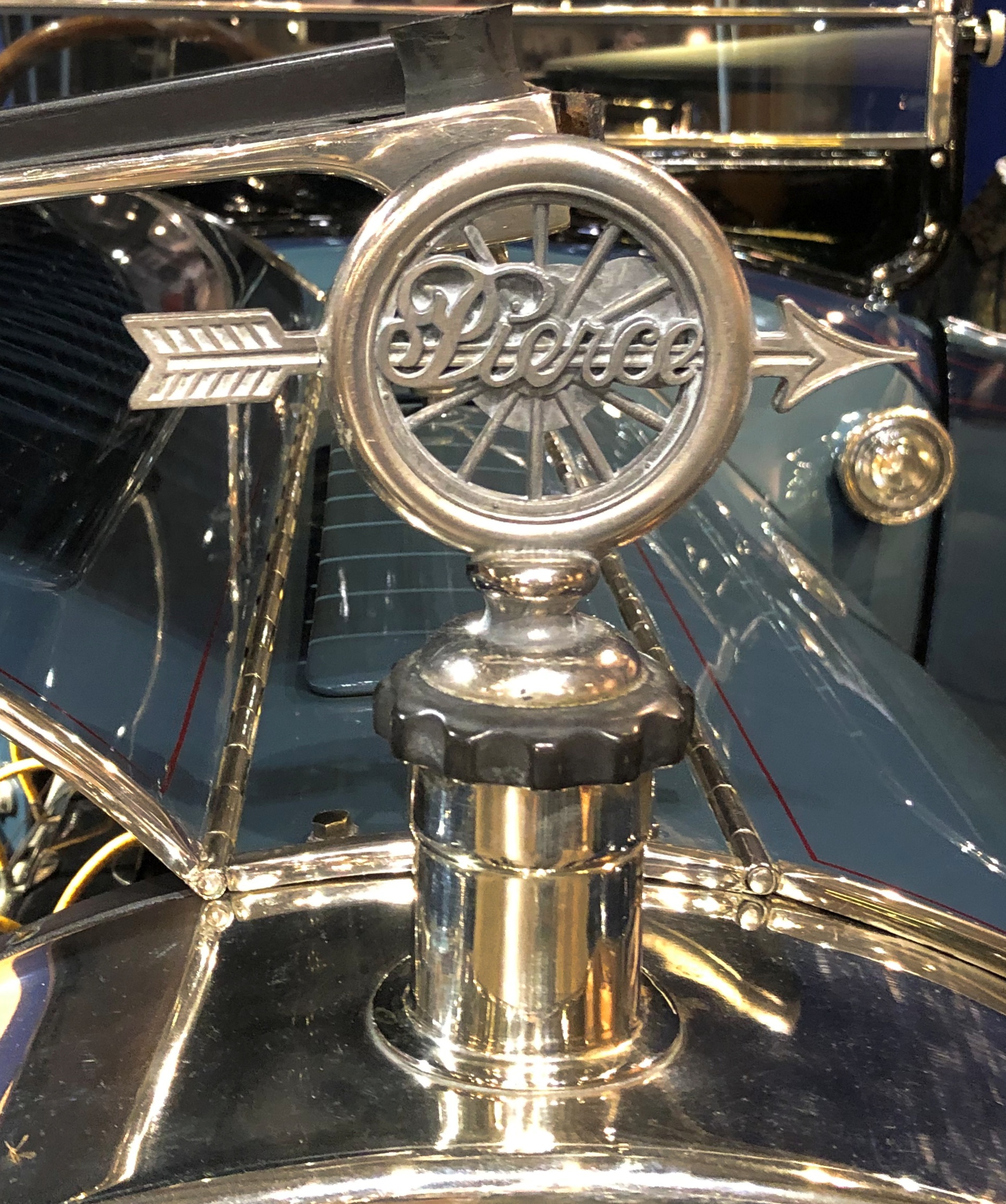
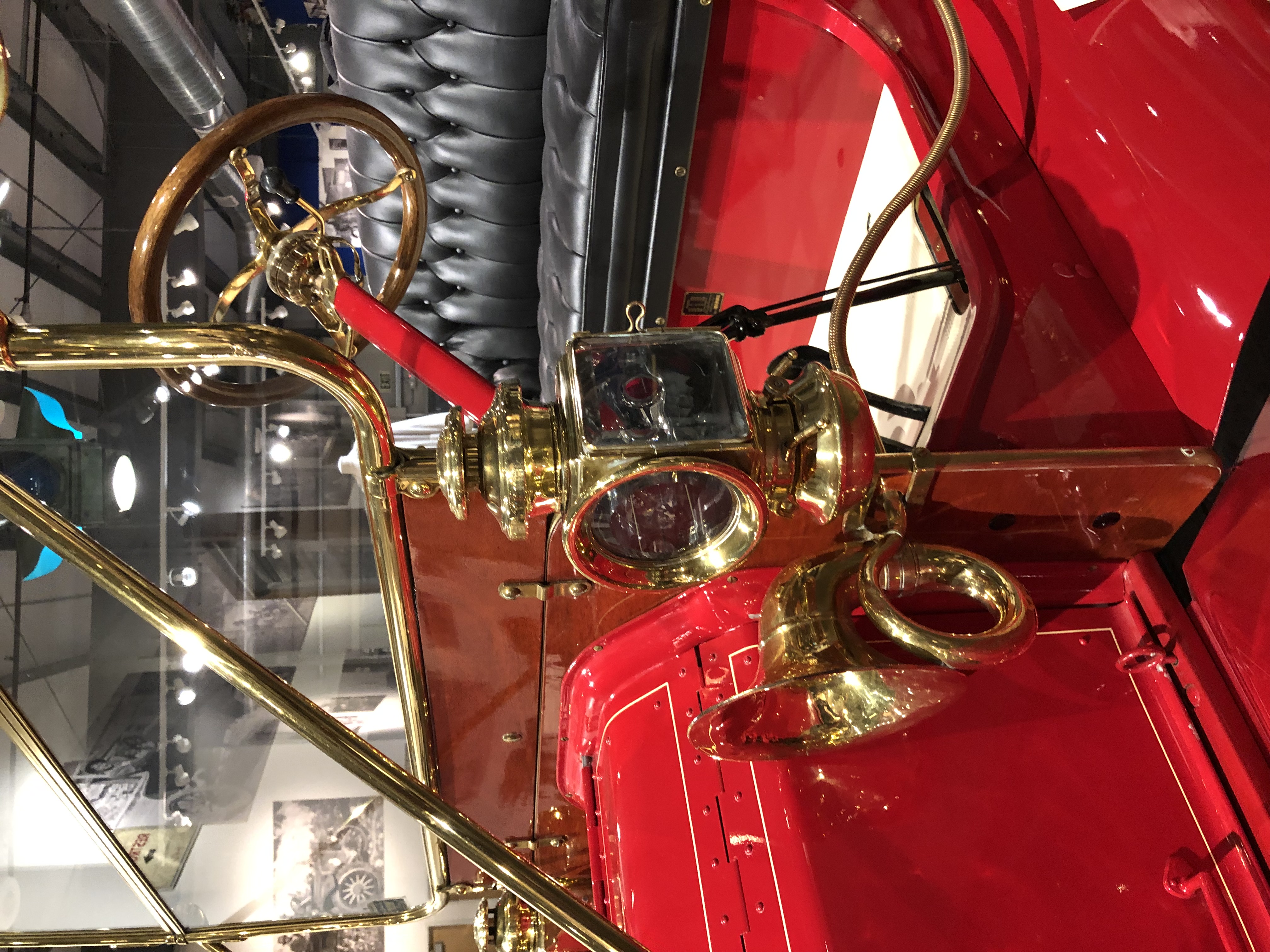
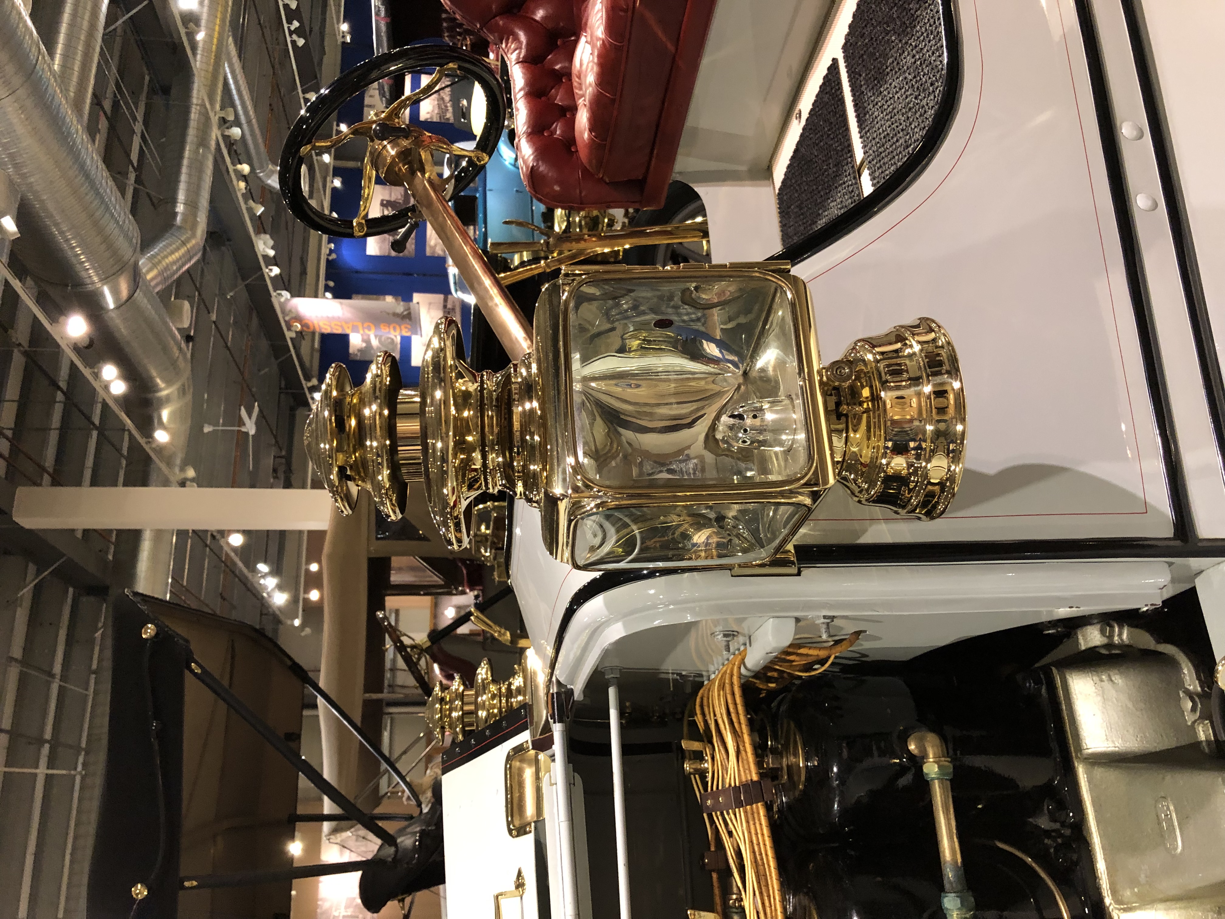
I could make a entire long posting from the hood ornaments, nameplates, horns and lamps I saw.Fountainhead Antique Auto Museum

Fountainhead Antique Auto Museum

Fountainhead Antique Auto Museum

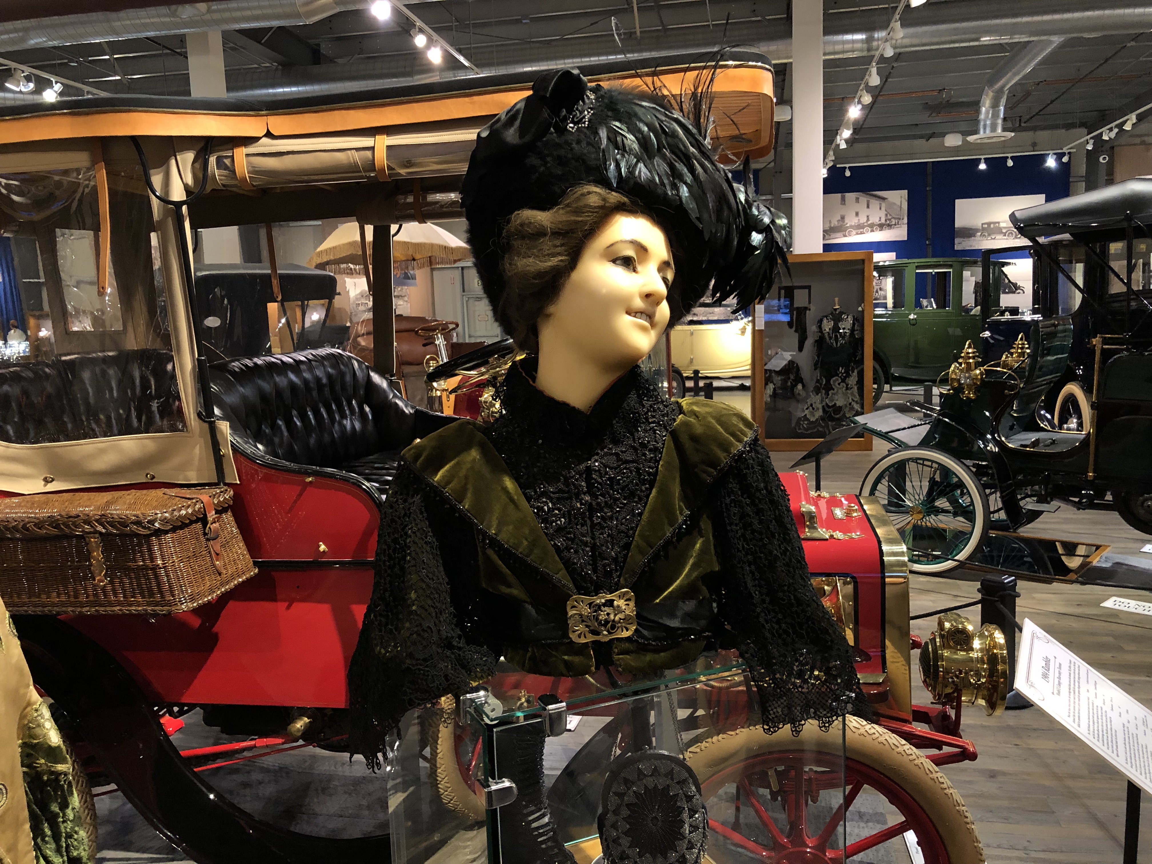
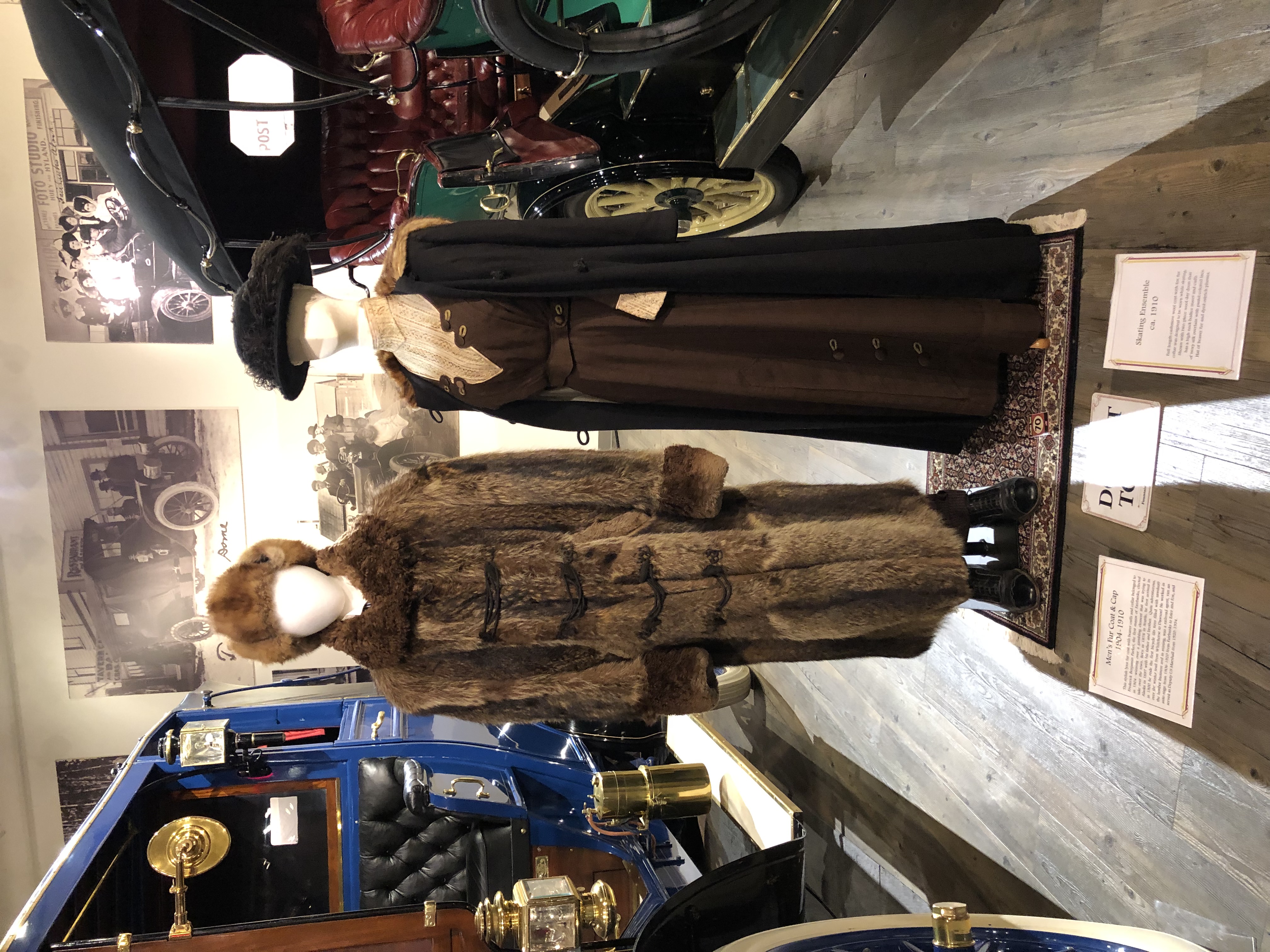
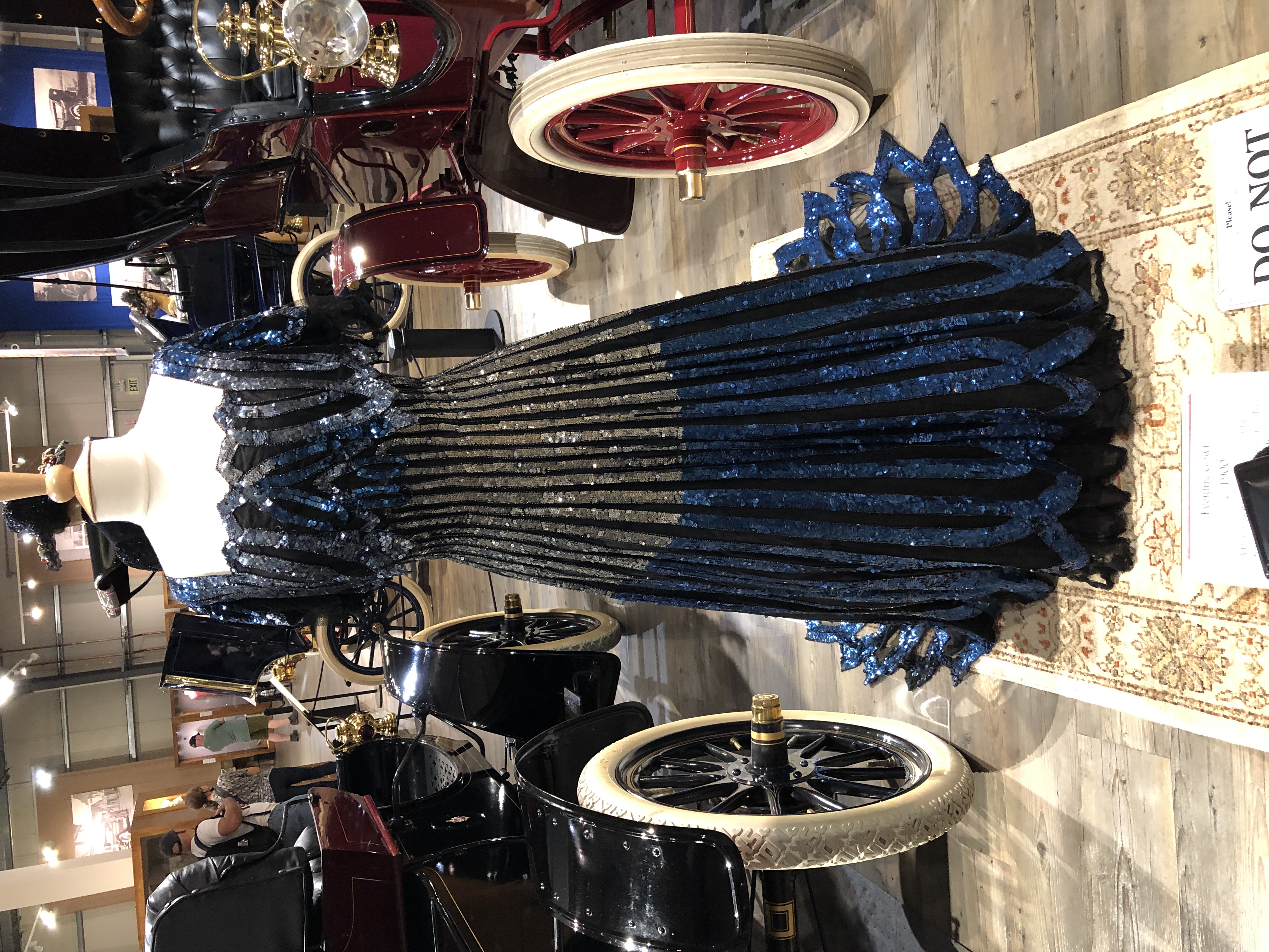
Let’s not forget the period clothing. Tended to be on the posh side, but what else survives?Fountainhead Antique Auto Museum

Fountainhead Antique Auto Museum
The fur set in the second picture is described as men’s wear. This is early 20th-century Alaska, after all.

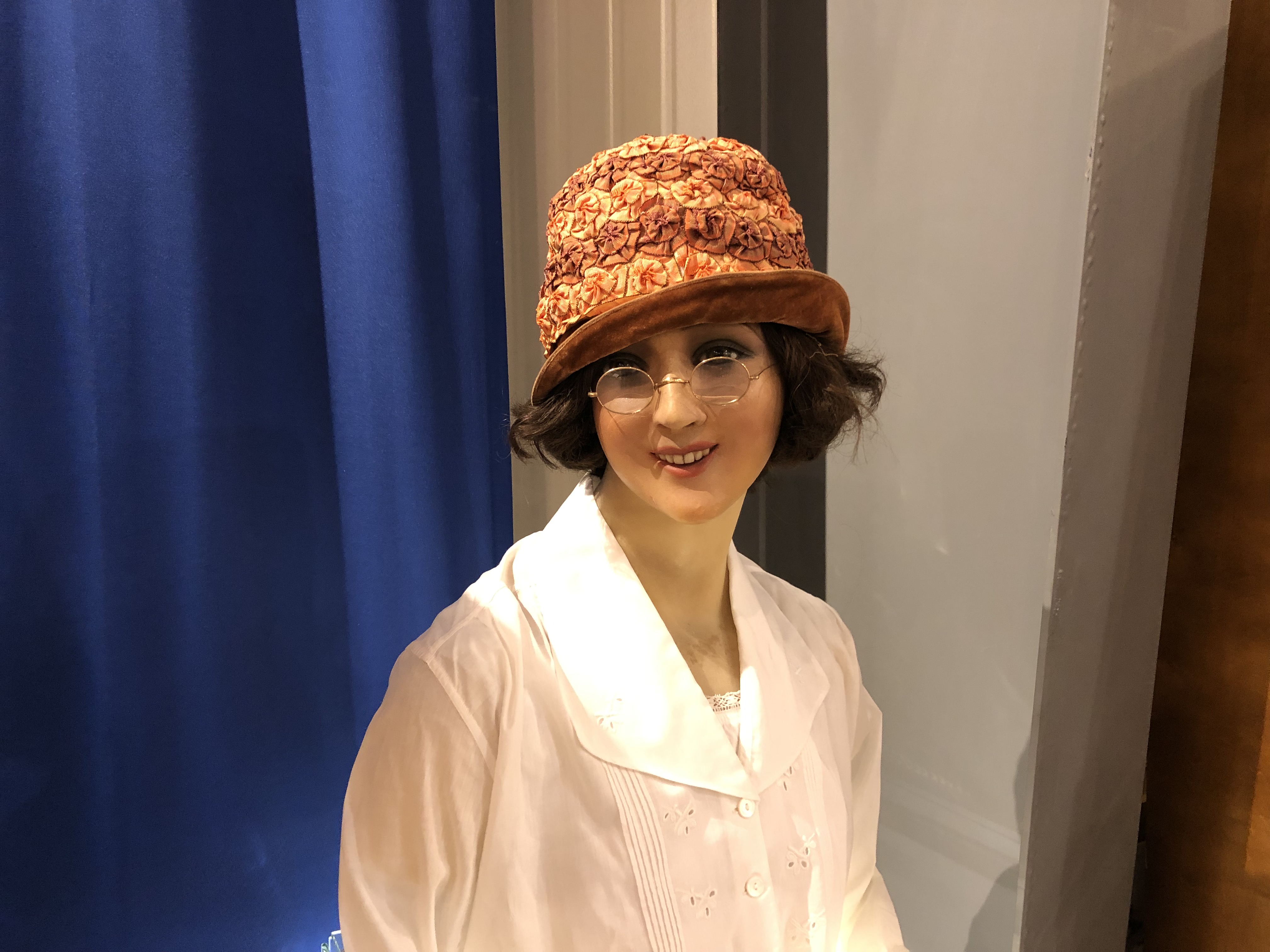
This displayed not so much the bonnet or the dress.
Fountainhead Antique Auto MuseumBut rather the eyeglasses. Nearby was a glass display case of glasses from the period.

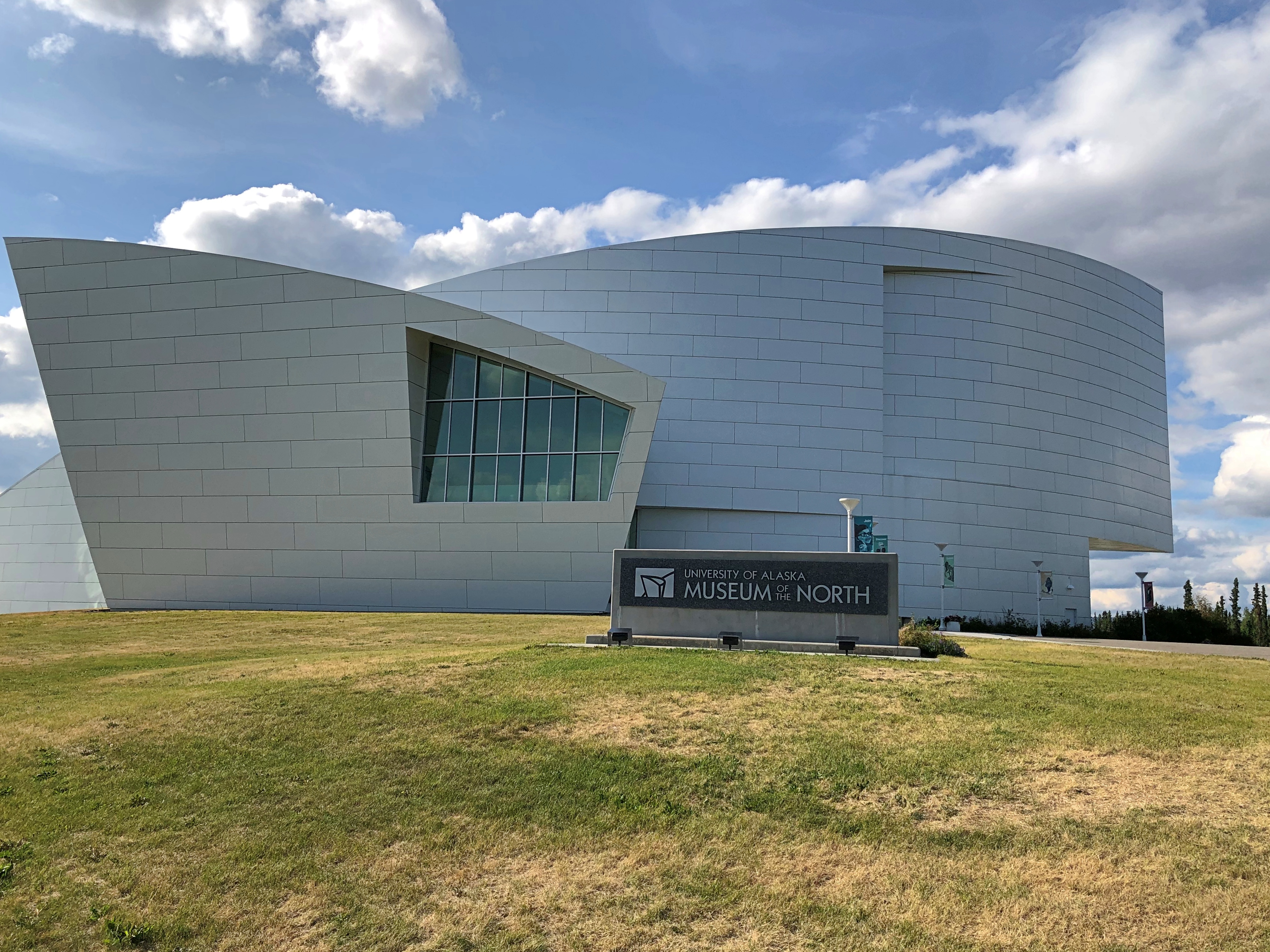
The Museum of the North

The flight from Seattle to Fairbanks actually isn’t that long, only three hours or so. I expect getting to Anchorage is even shorter, something to keep in mind for the future.
I could see parts of Vancouver Island not long after takeoff, including the city of Victoria from on high. Only a few days earlier, I’d seen it from a vista in Olympic National Park, far away but distinct on the shore of the Salish Sea.

Soon, however, British Columbia and whatever I might have seen of southeast Alaska were obscured by clouds. Closer to Fairbanks, the clouds thinned, and in places I got to see just how undeveloped the interior of Alaska is. A structure here, one there, a place that looked like cultivated land (maybe giant cabbages), but not much else manmade.

I arrived in Fairbanks on July 26 to find partly cloudy skies and comfortable temps, in the low 70s. It was mid-afternoon, with a lot of light ahead, so I made my way to the Museum of the North, which is on the campus of the University of Alaska Fairbanks and thoughtfully open until 7 pm during the summer. Seemed like a good choice for the first place I went in Alaska. Not much else looks like it in Fairbanks.The Museum of the North, Fairbanks
Joan Soranno and the GDM/HGA architectural team designed the building to convey a sense of Alaska,” says the museum web site. Hm.

A sign inside the building expands on that idea: “The design is a composition of four abstract forms. Angled, curved, tipped and cantilevered, these forms reflect the lines and shapes found in Alaska’s coastlines, mountains and glaciers.”

The exhibits cover a lot of ground. “The museum’s research collections — 2.5 million artifacts and specimens — represent millions of years of biological diversity and thousands of years of cultural traditions in the North,” the museum says.

The university began exhibiting artifacts as long ago as 1929, with various places for its displays, but the current building wasn’t completed until 2006.

“The collections are organized into 10 disciplines: archaeology, birds, documentary film, earth sciences, ethnology/history, fine arts, fishes/marine invertebrates, insects, mammals, and plants,” the museum says.

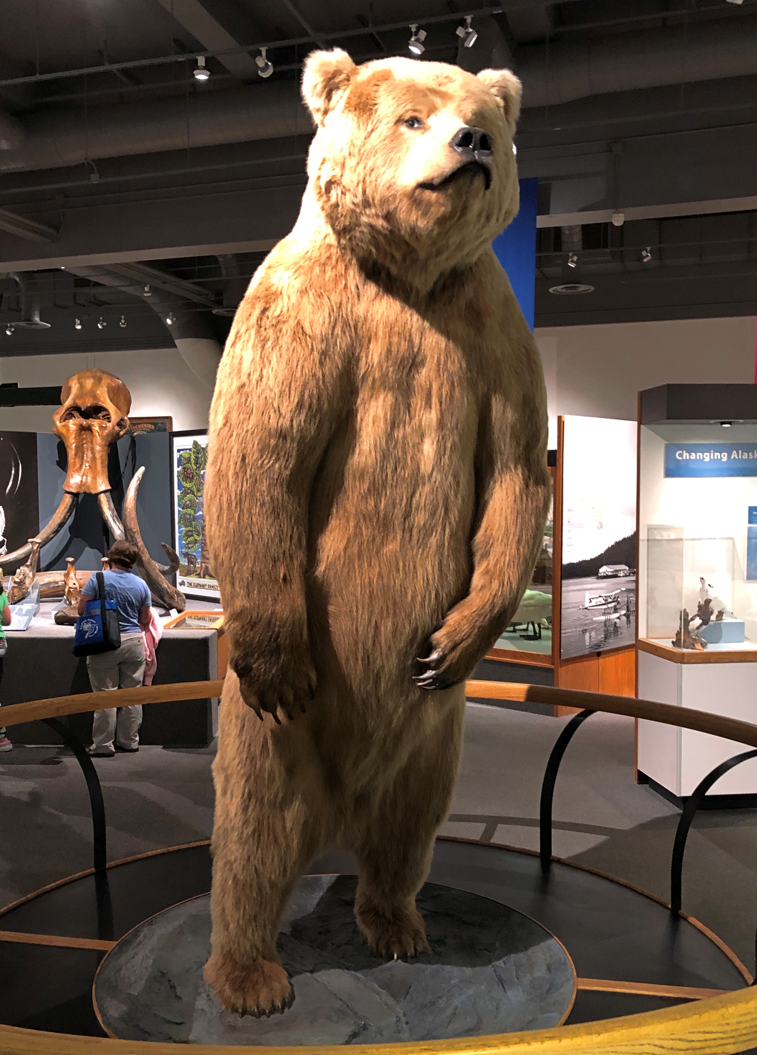
Let’s start with one of those mammals. He greets you at the entrance to the first-floor gallery.

The Museum of the North, Fairbanks

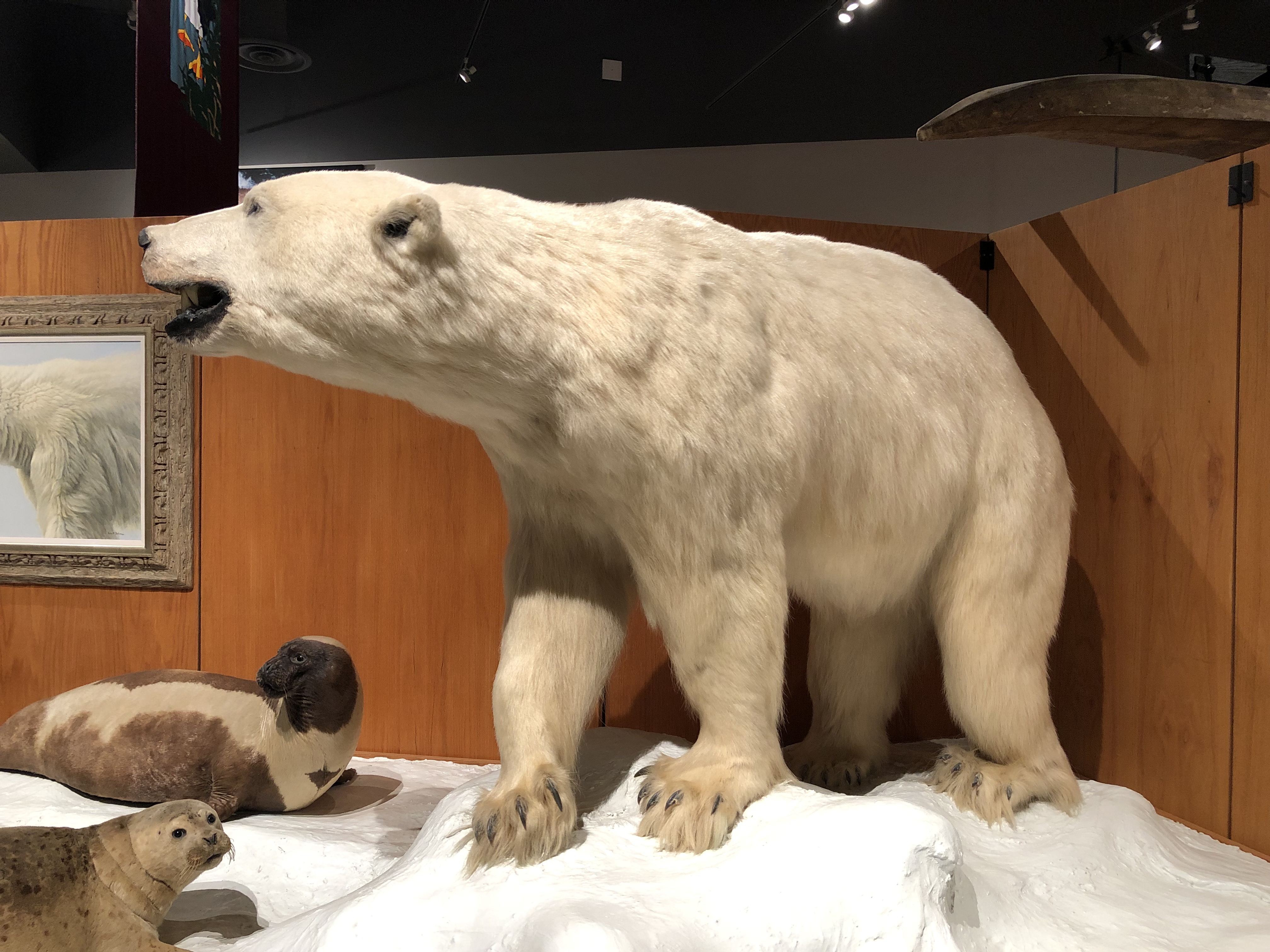
Followed by plenty of other sizeable creatures of a stuffed nature.The Museum of the North, Fairbanks

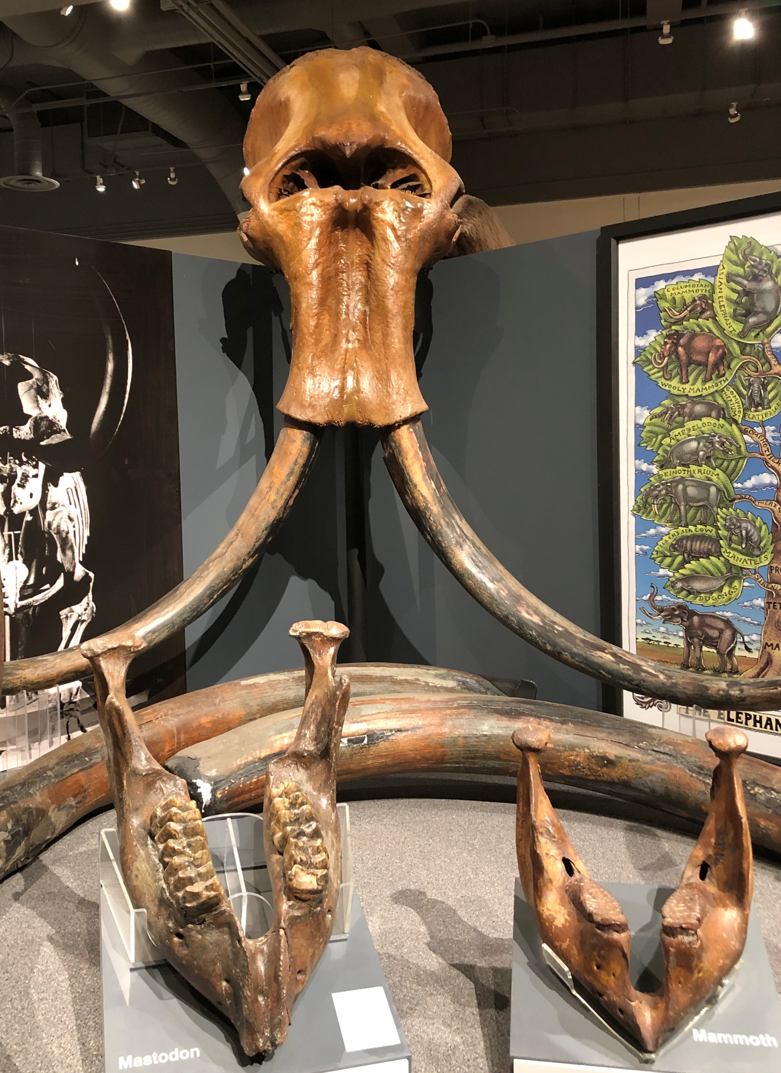
Along with prehistoric relics.
The Museum of the North, Fairbanks

The first-floor Gallery of Alaska is organized geographically, with sections for the Southeast, South-Central, Interior, Western Arctic Coast and Southeast. The exhibits include much more than large stuffed animals.

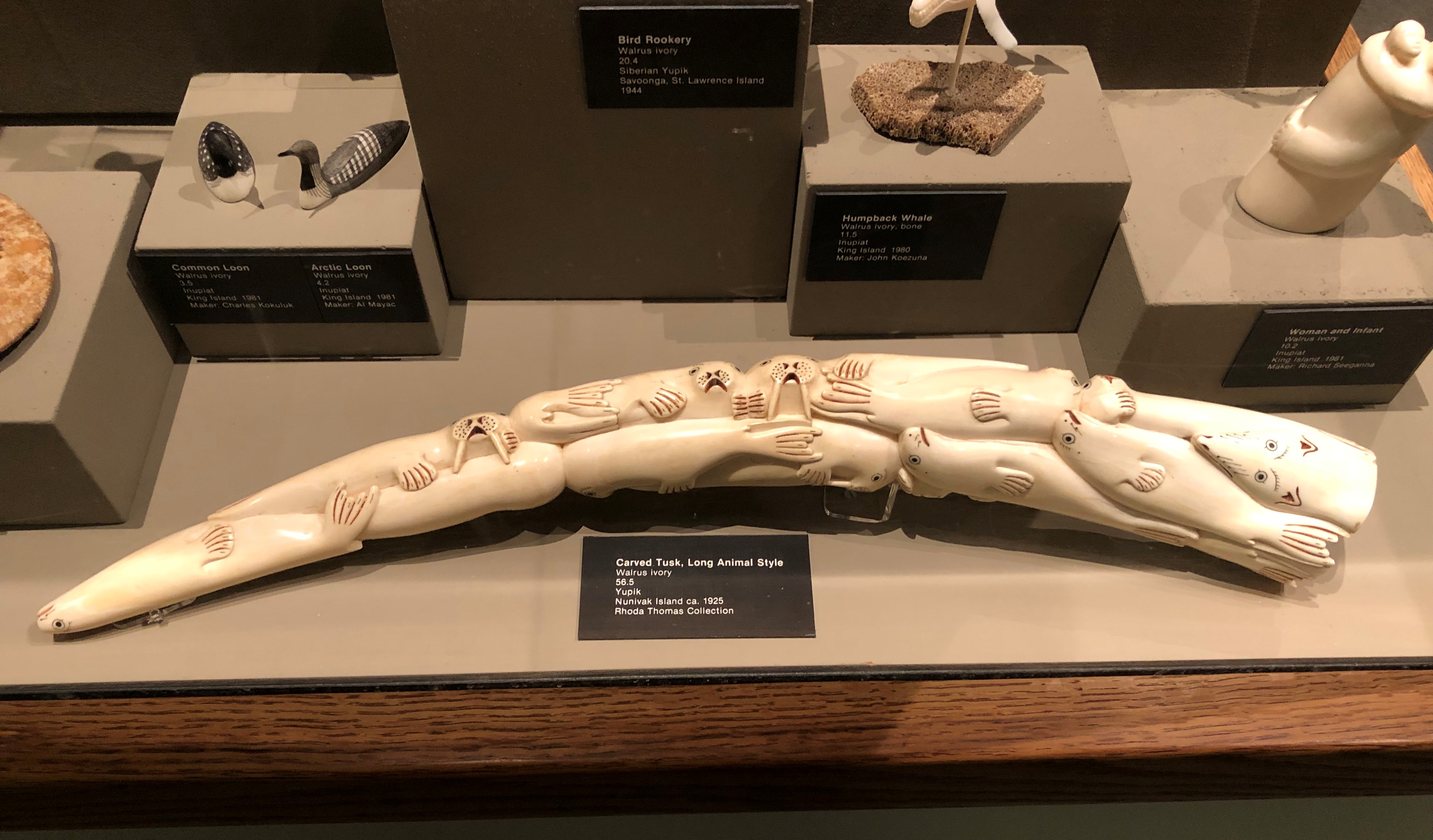
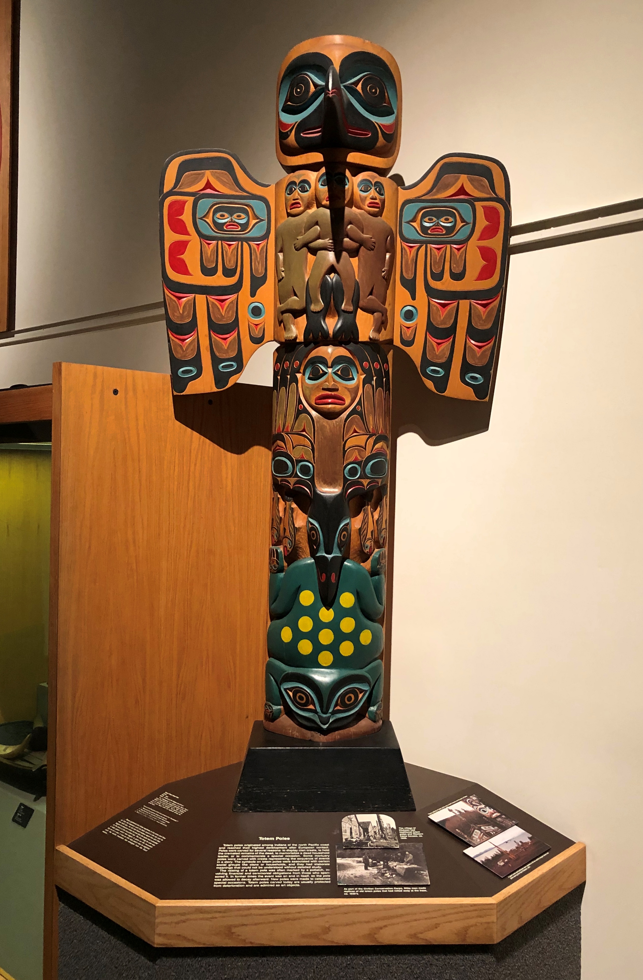
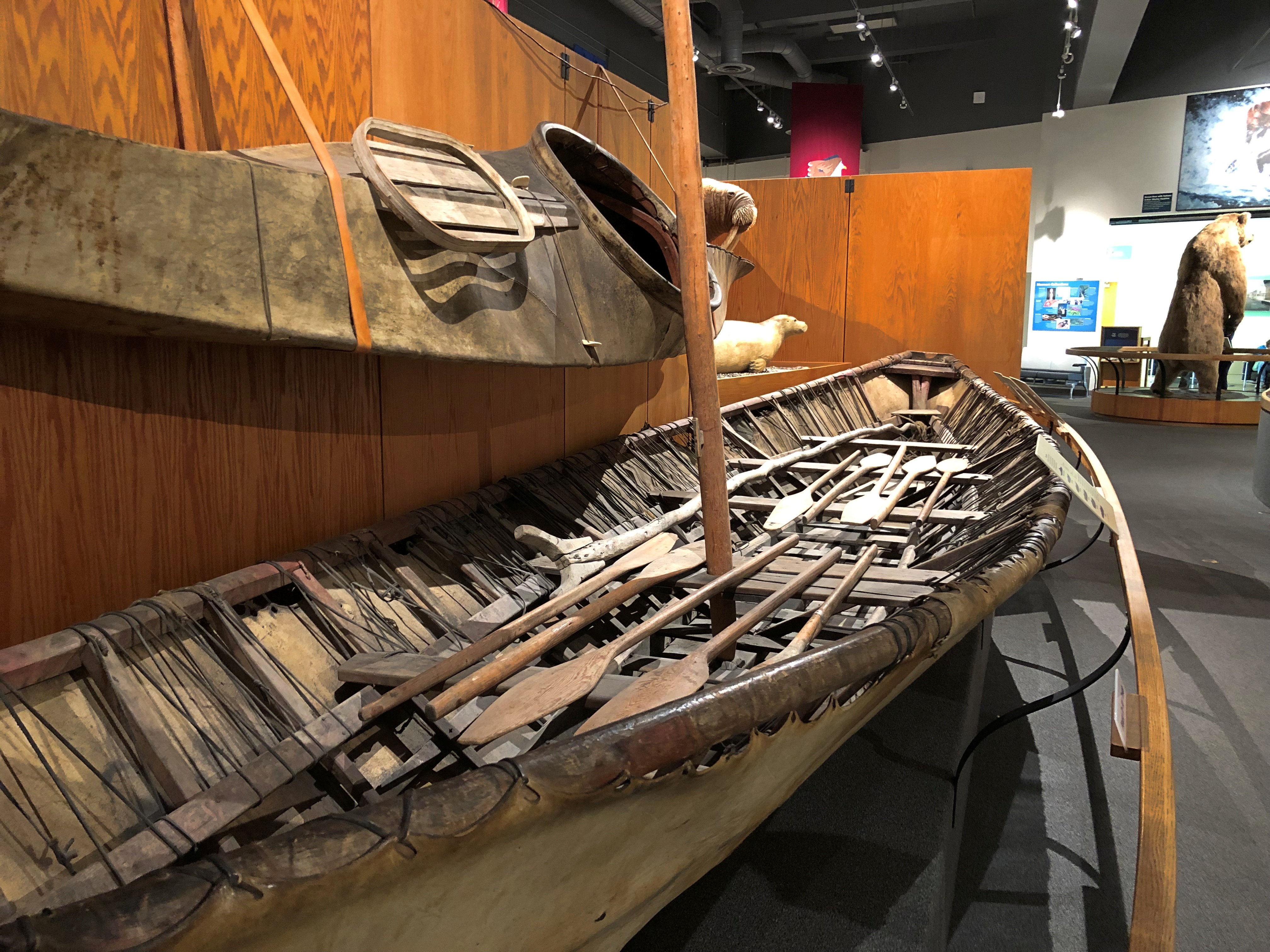
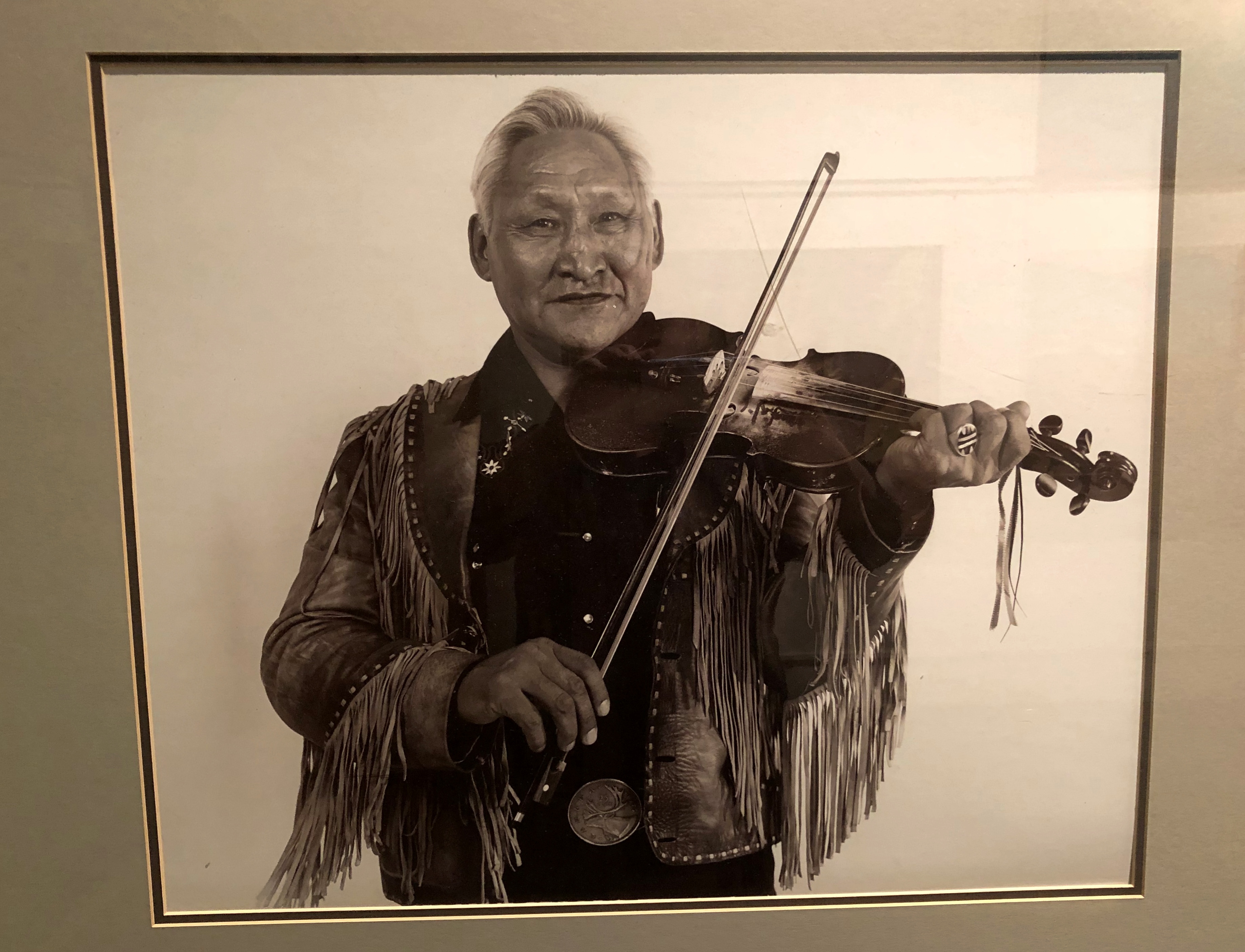
The Native presence is well covered.The Museum of the North, Fairbanks

The Museum of the North, Fairbanks
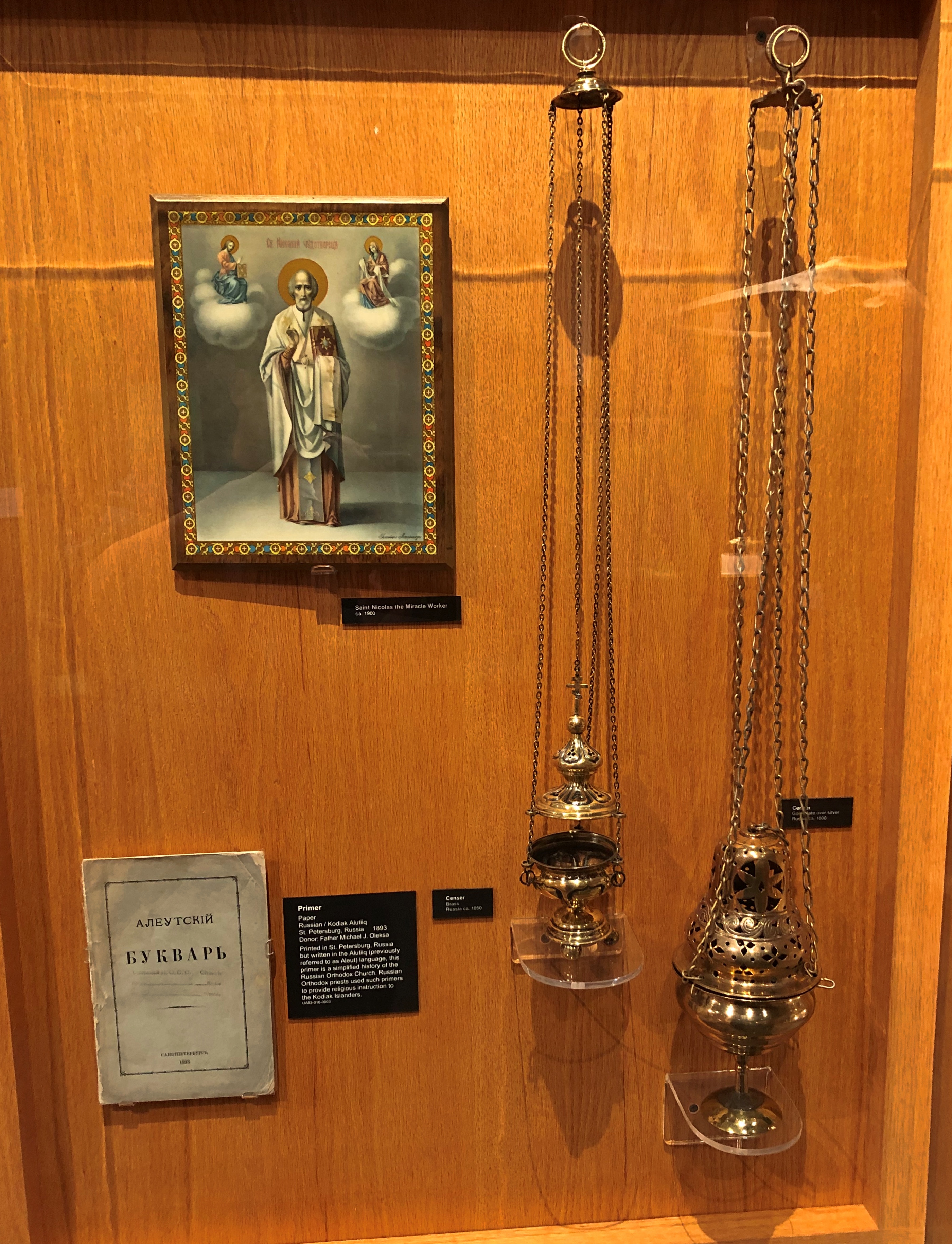
Nods to the Russian period.
The Museum of the North, Fairbanks

And the early U.S. years.
The Museum of the North, Fairbanks

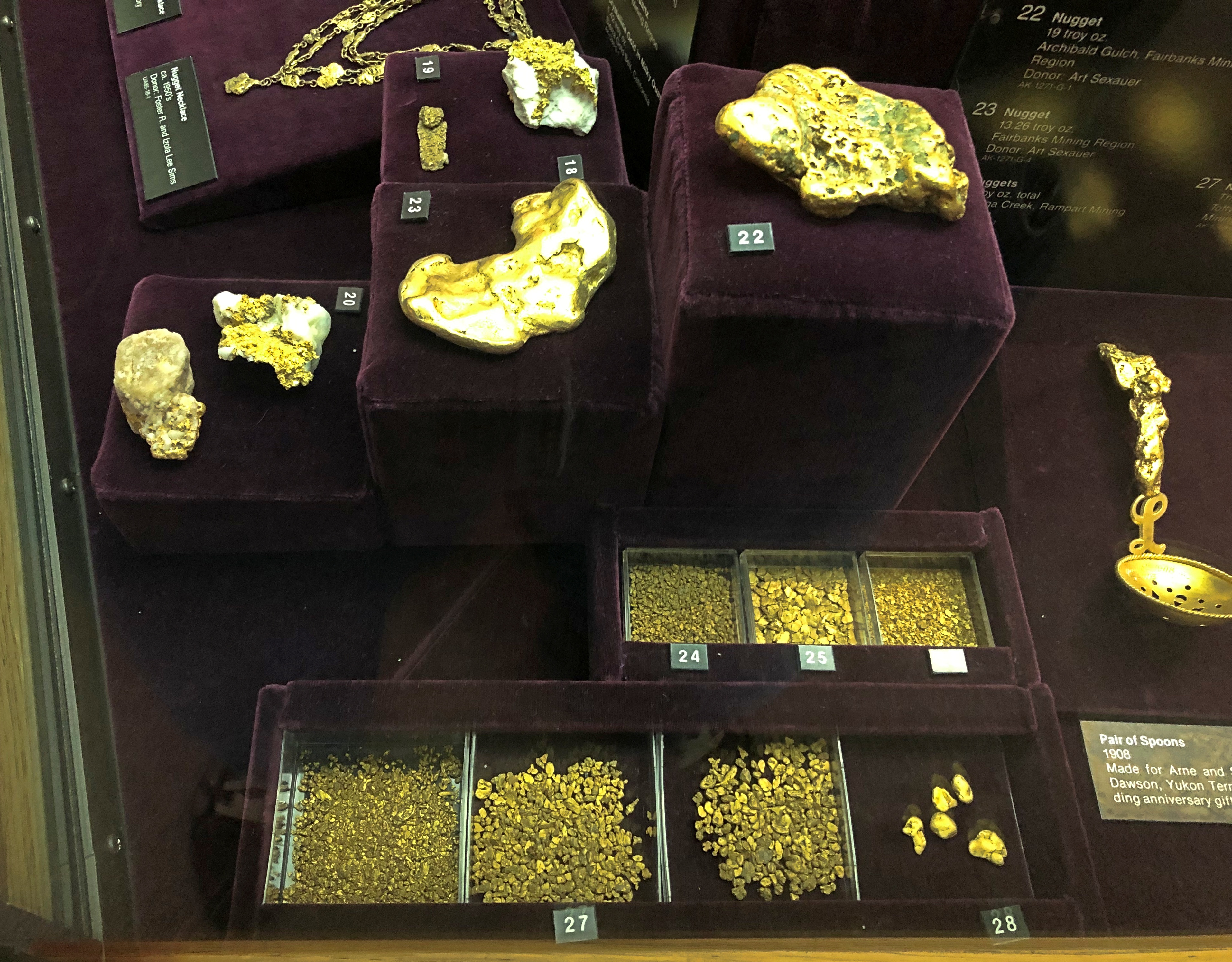
If genuine, there’s a 19-oz. gold nugget in there among others nearly that large. I assume the display is wired against theft.

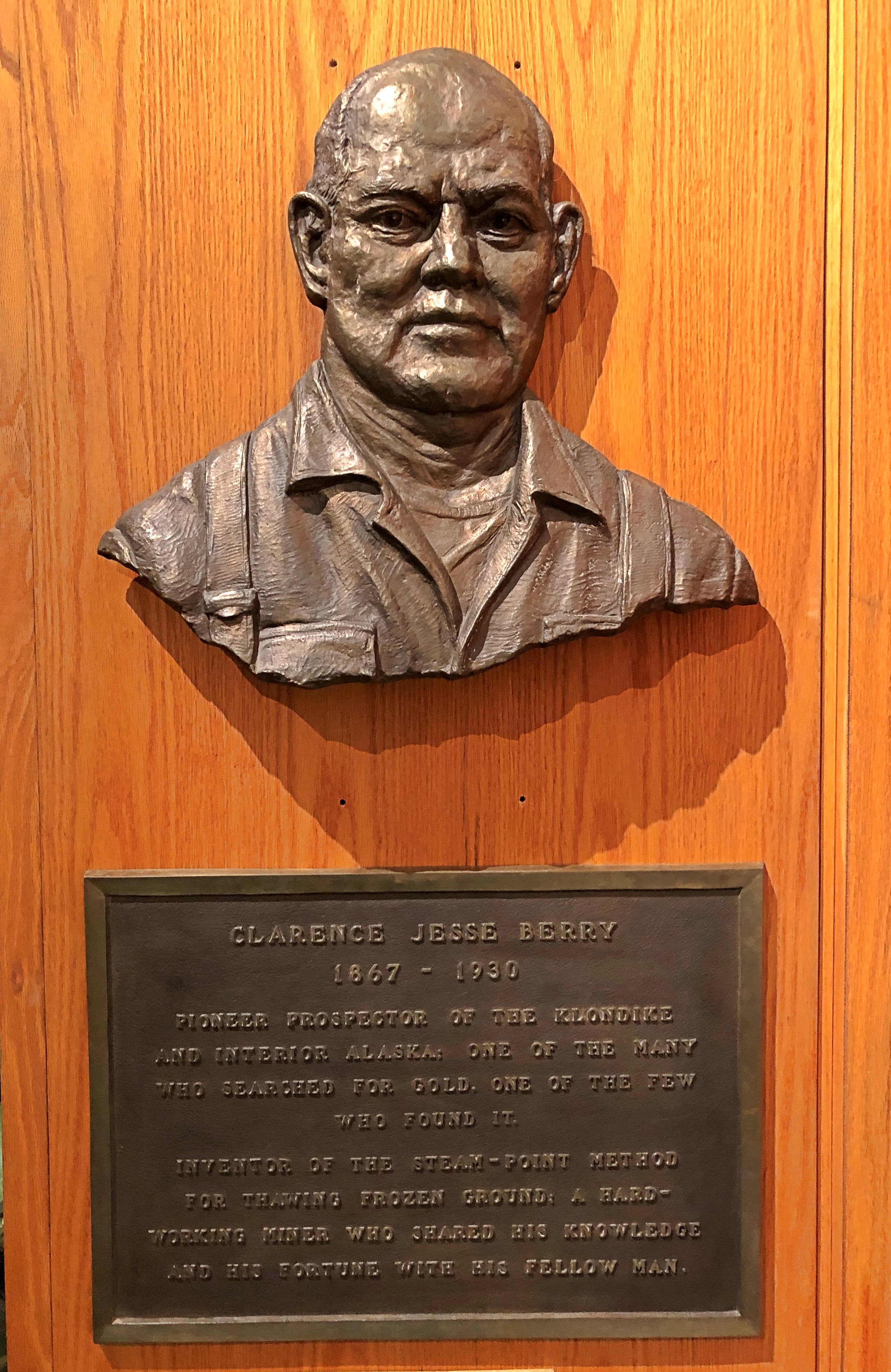
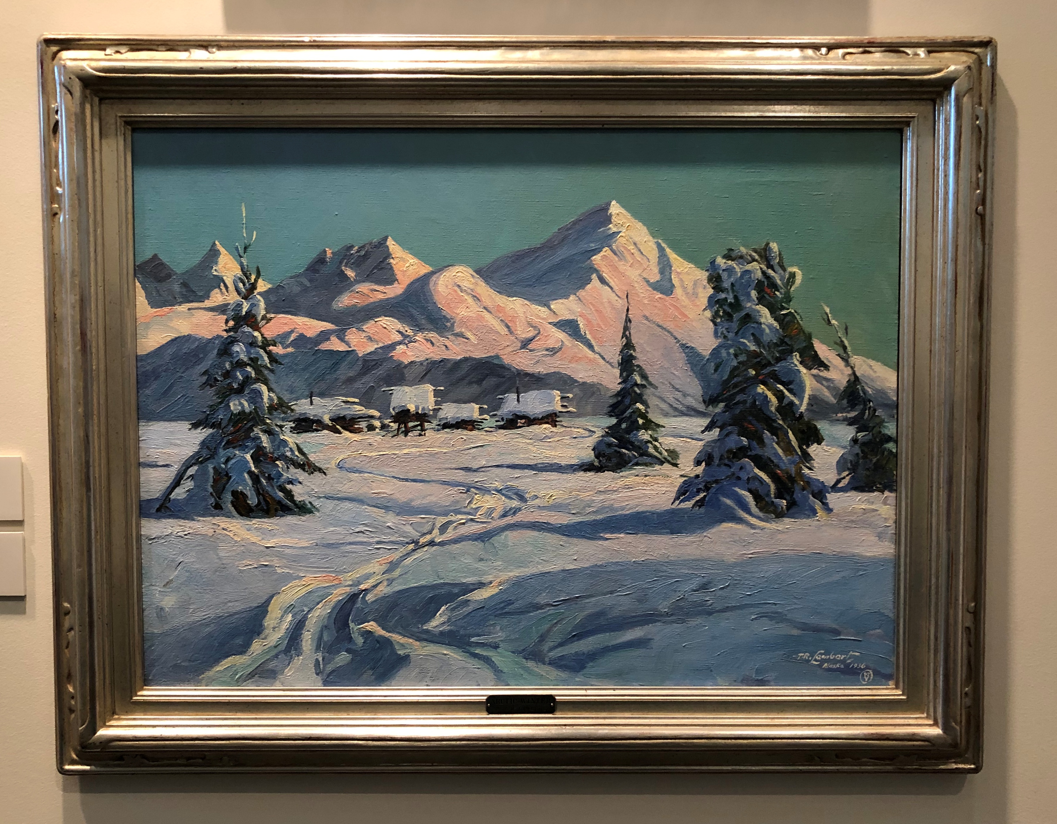
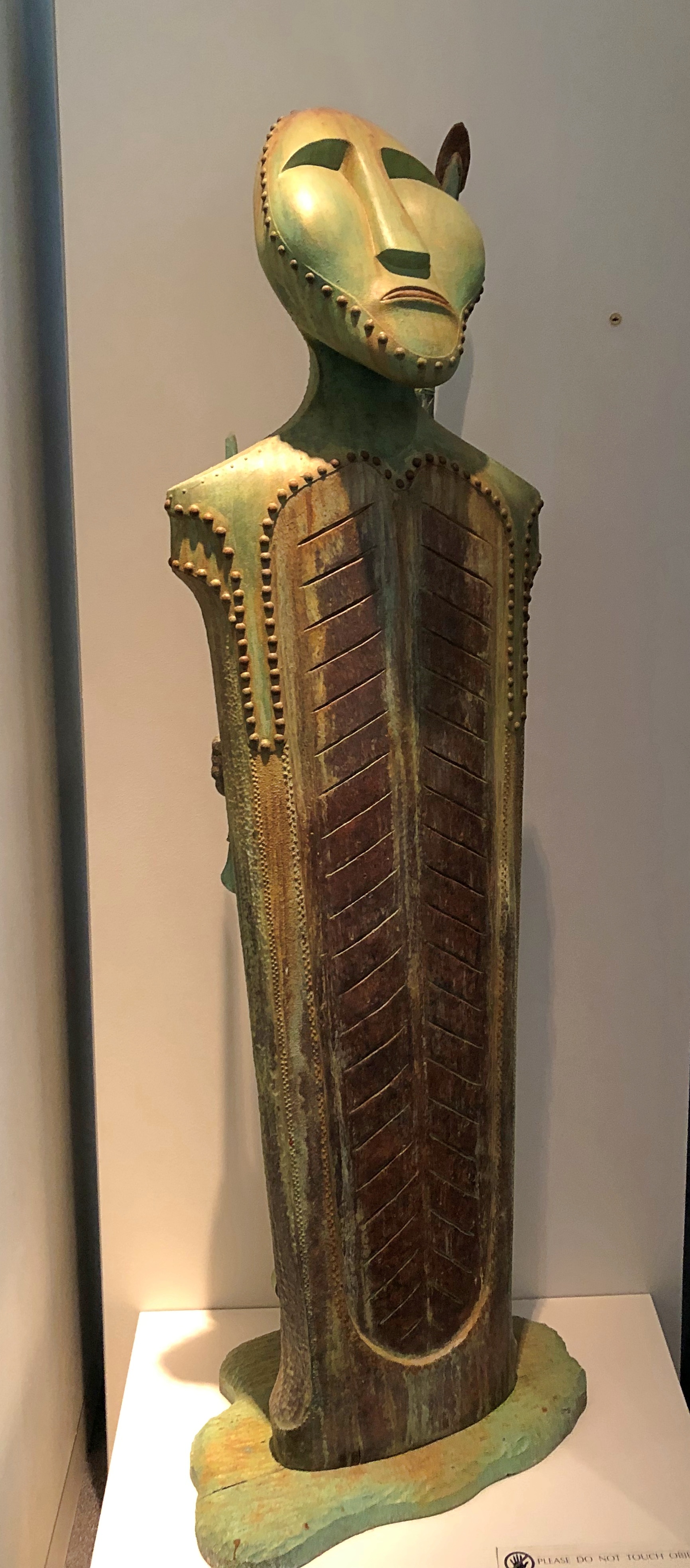
On the second floor is the Rose Berry Alaska Art Gallery, which includes an eclectic mix. The only thing all the works have in common is that they were created by Alaskan artists.

“Arctic Winter” by Theodore R. Lambert, 1936.
The Museum of the North, Fairbanks

“Iron Eskimo” by T. Mike Croskrey, 2002.
The Museum of the North, Fairbanks

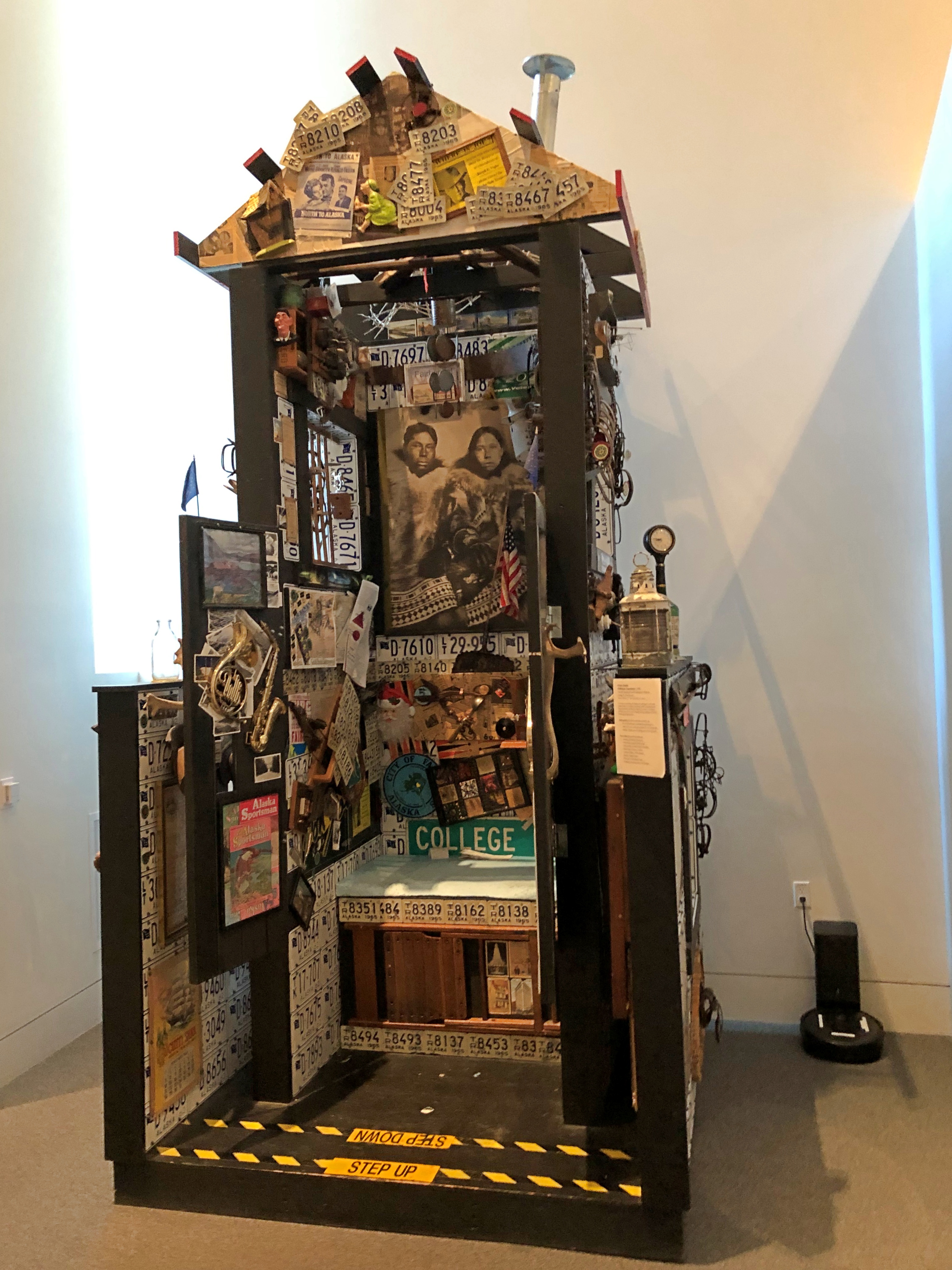
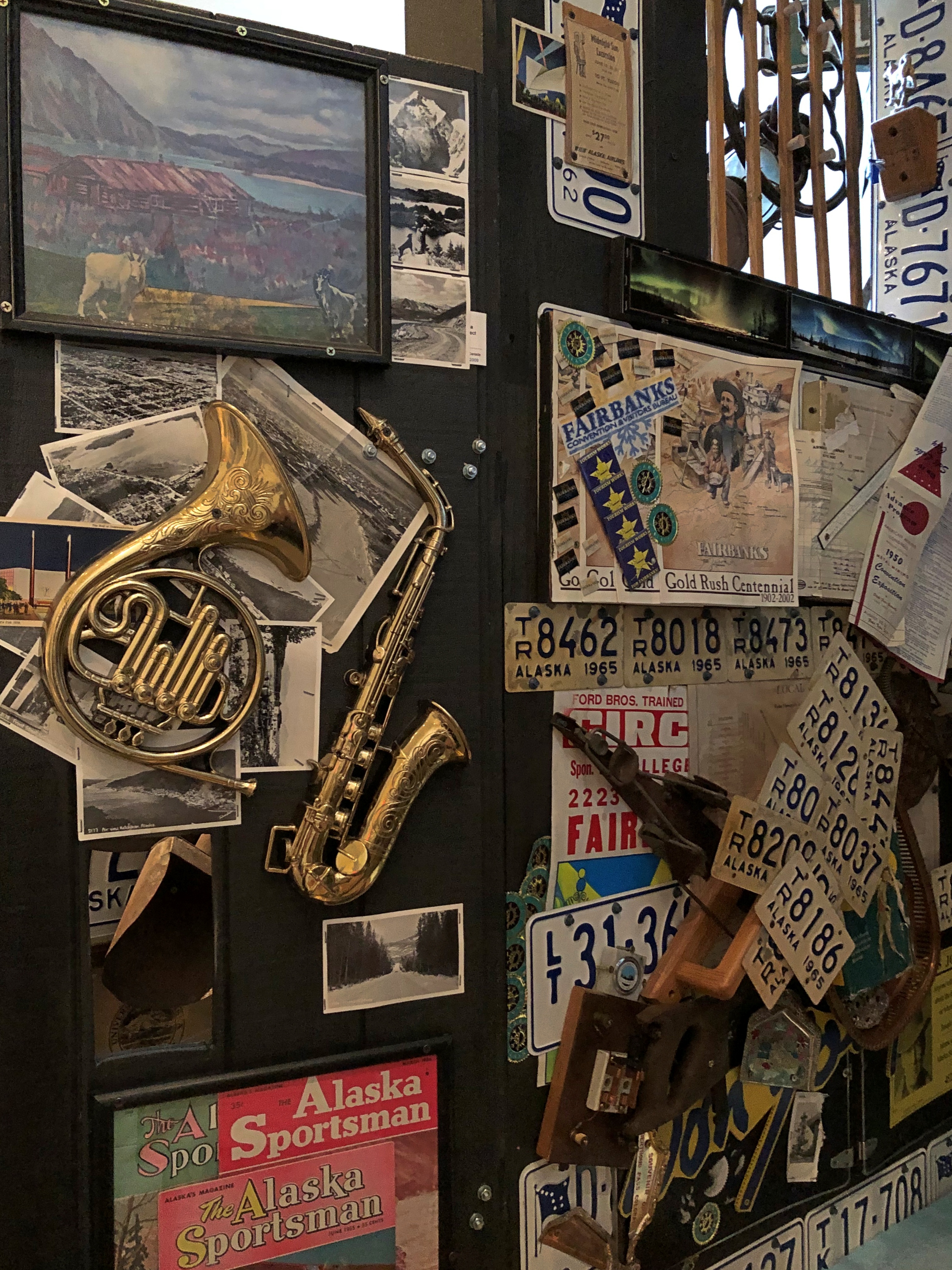
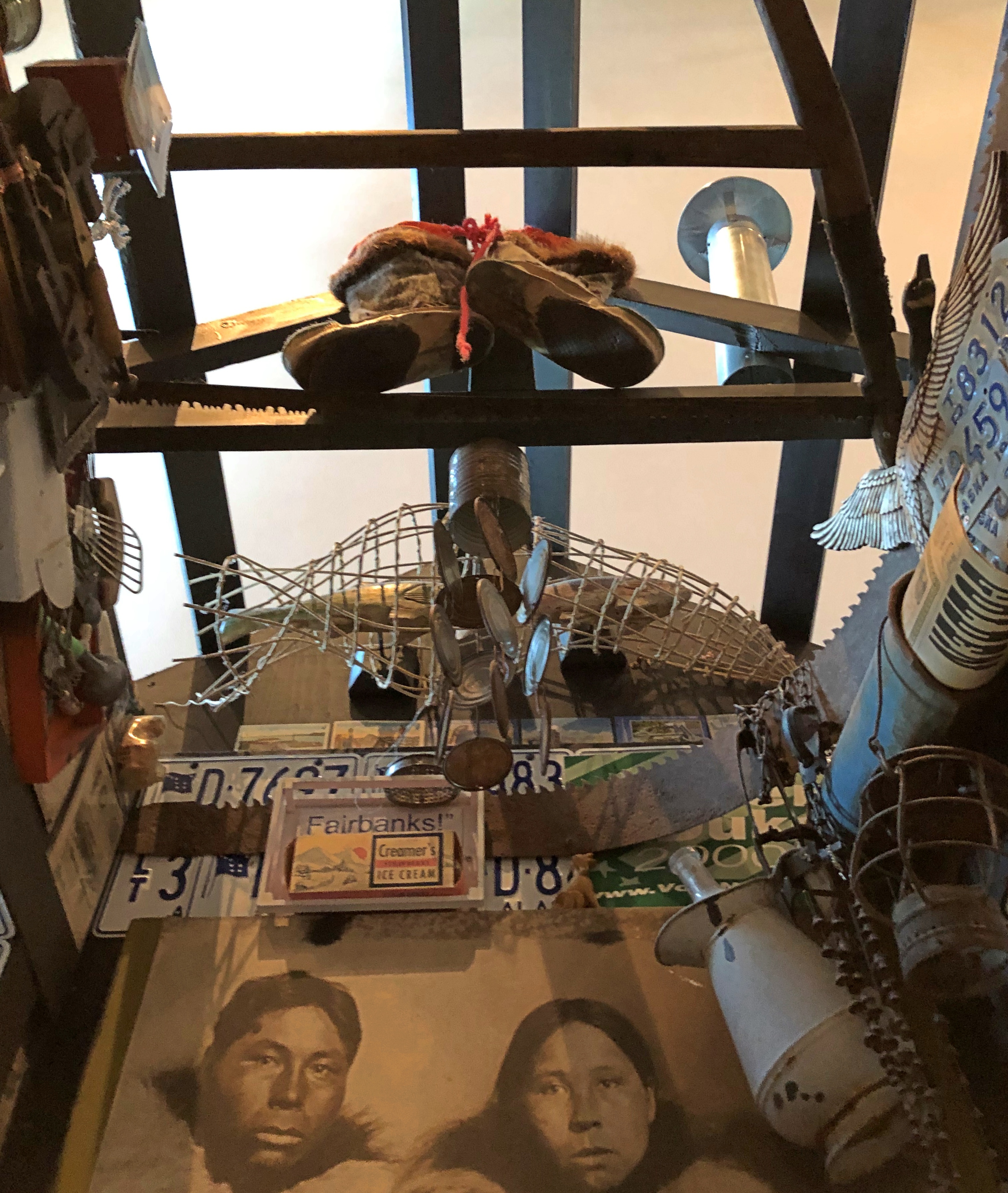
“Great Alaska Outhouse Experience” by Craig N. Buchanan, 2005
The Museum of the North, Fairbanks

That one has an interactive element. You can enter the structure and sit down. You’ll then be up close to the walls and something of a ceiling.The Museum of the North, Fairbanks
The Museum of the North, Fairbanks

All in all, the museum turned out to be a pretty good way to start my visit to Alaska.

Immaculate Conception, St. Matthew’s & Other Fairbanks Churches

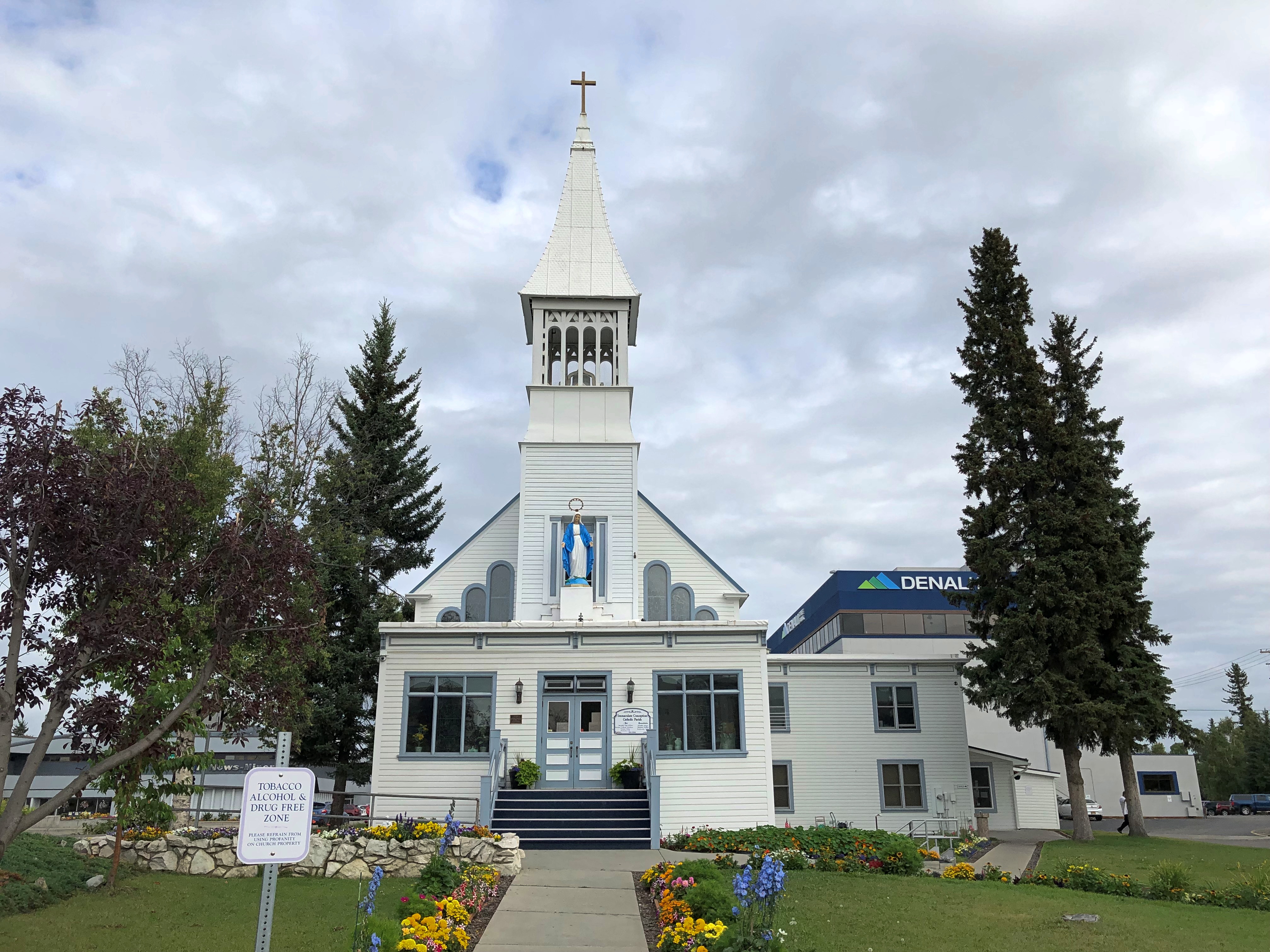
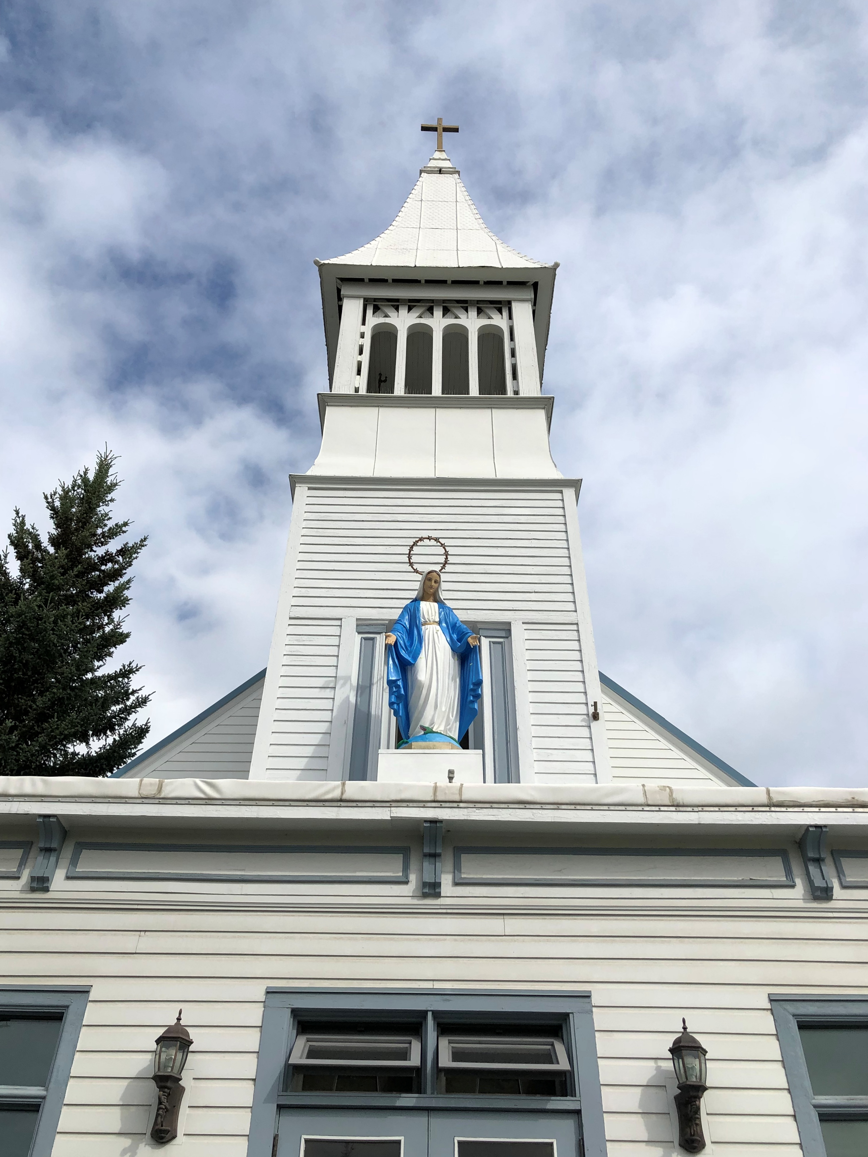
On the Chena River across from Fairbank’s Golden Heart Plaza is Immaculate Conception Church, built by Father Francis Monroe, S.J. early in the city’s history (1904) south of the river, but moved to its present position (north of the river) across the frozen Chena in the winter of 1911-12. Modern moving techniques weren’t available, so townspeople were taking bets as to whether the building would actually make it across.

Immaculate Conception Church, Fairbanks

Immaculate Conception Church, Fairbanks

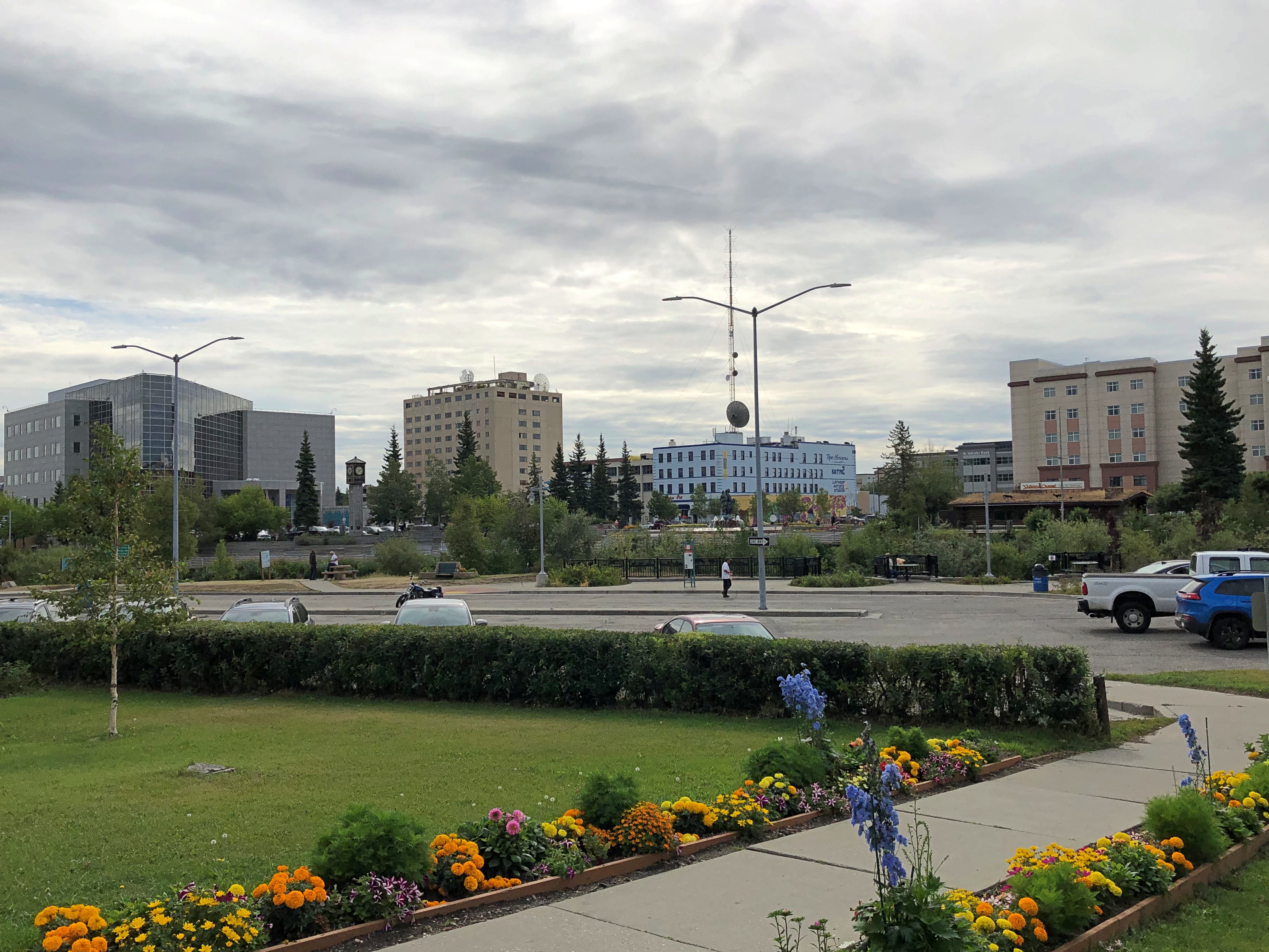
The view of downtown from the church.

Downtown Fairbanks

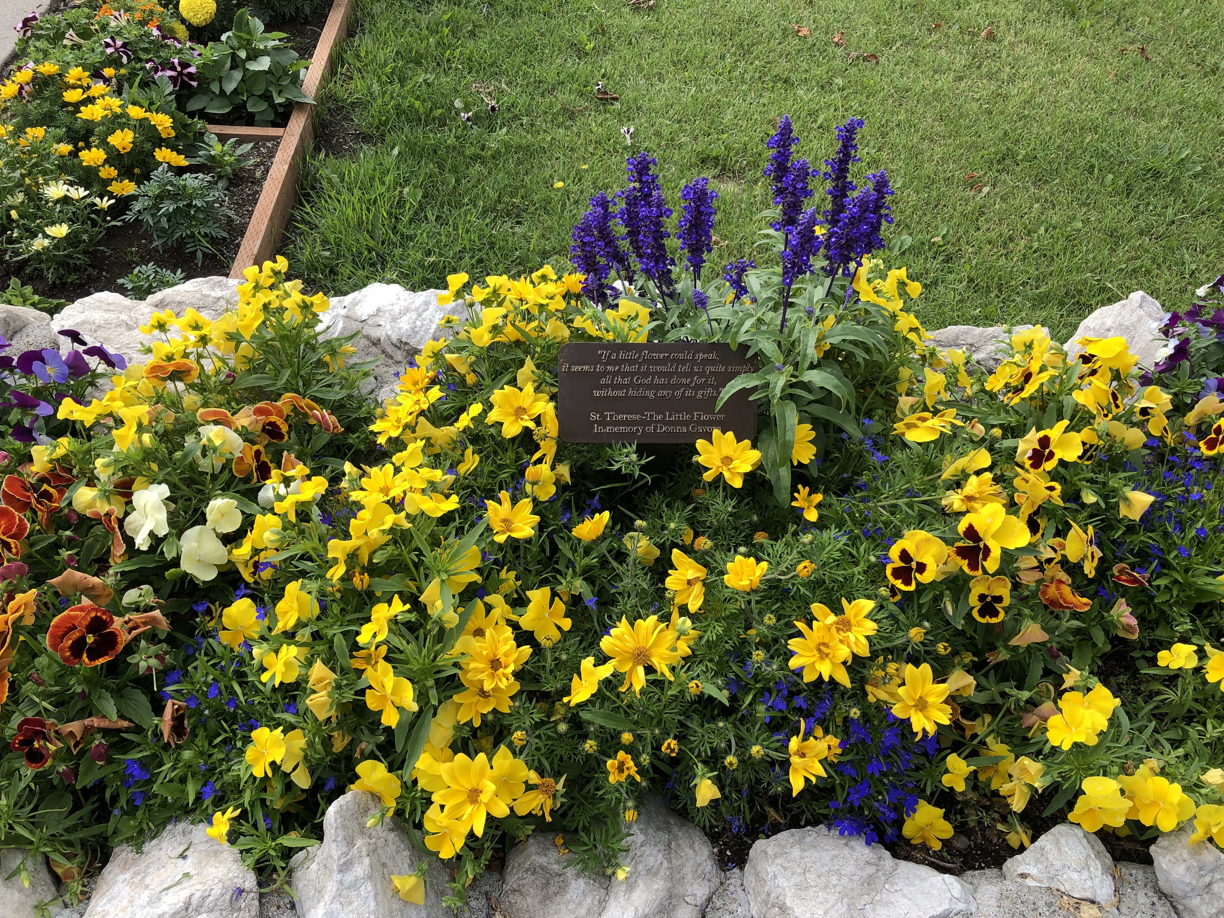
Nice flowerbeds, too.Immaculate Conception, Fairbanks

Immaculate Conception is the oldest Catholic church in the interior of Alaska, and at one time counted as a cathedral. That title and the seat of the Diocese of Fairbanks is elsewhere these days, at Sacred Heart Cathedral, which I drove by but didn’t stop at.

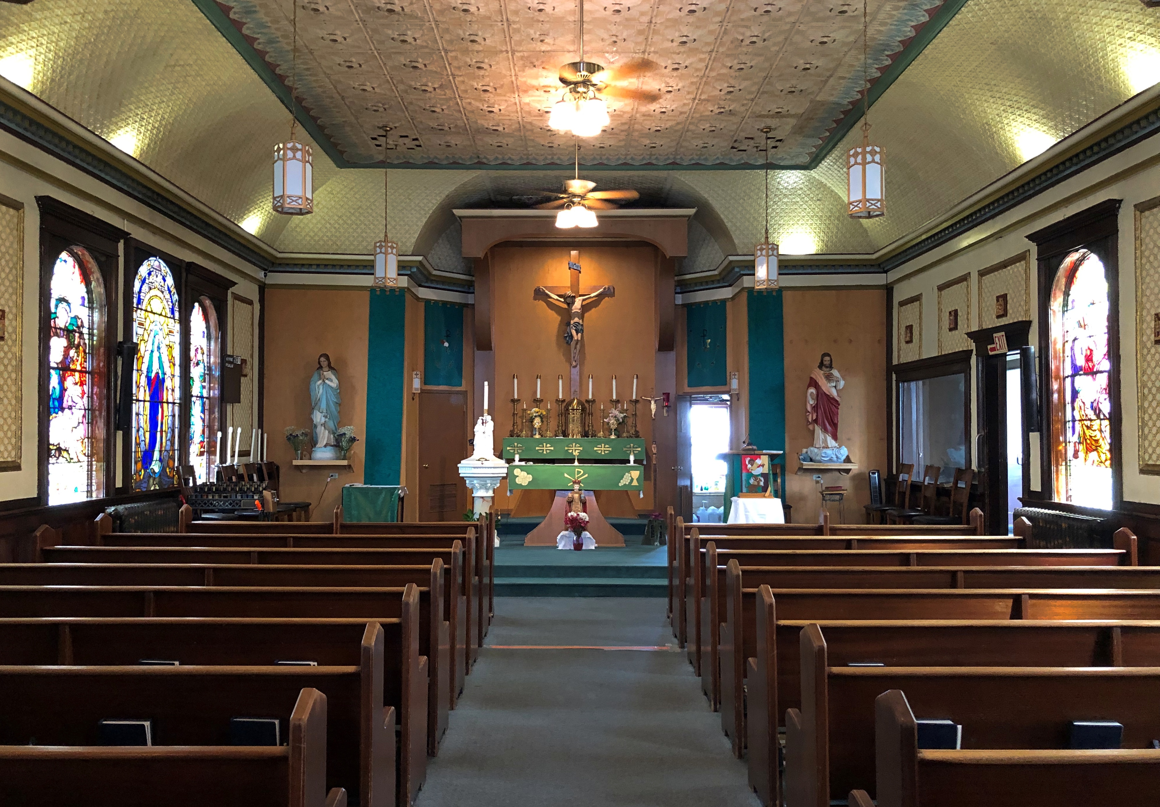
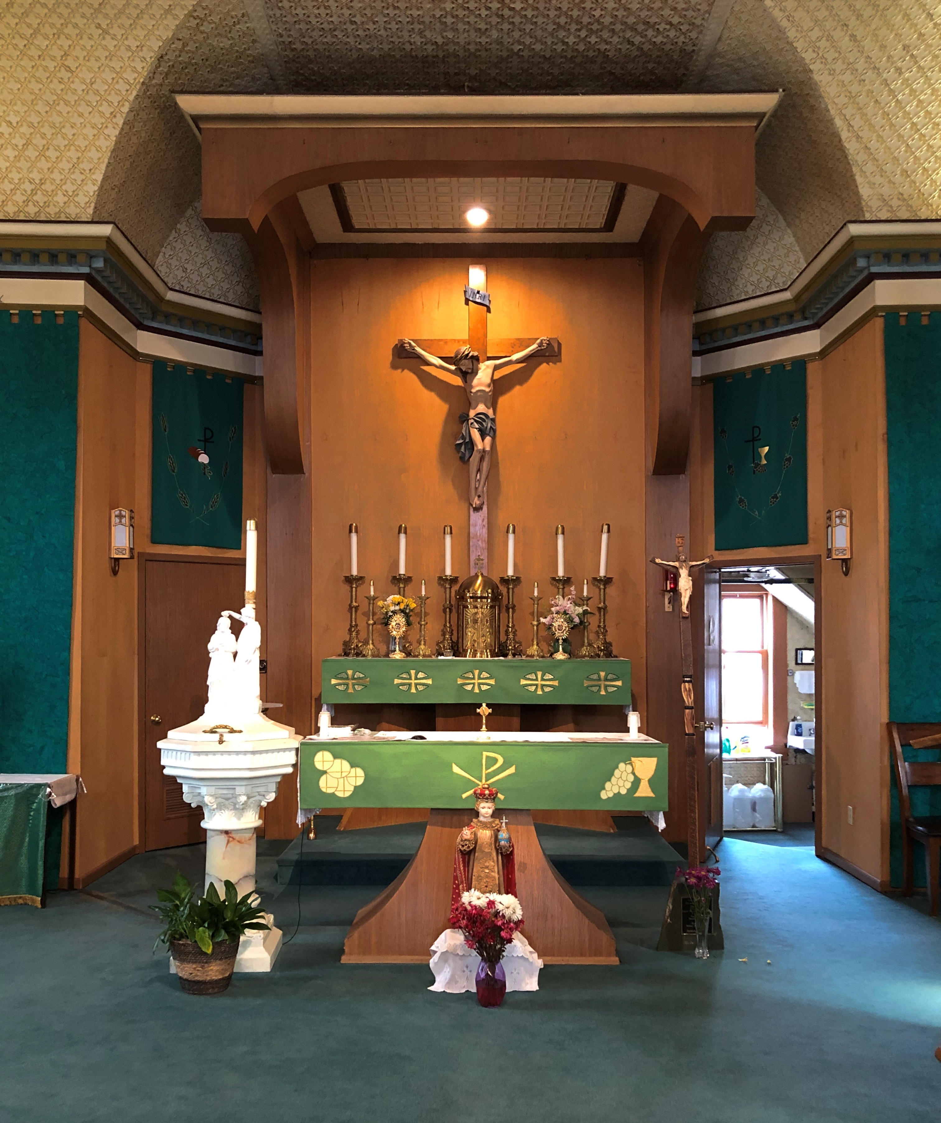
I was glad to find the church open.
Immaculate Conception Church, Fairbanks

That was the only Fairbanks church I ventured inside of, but I did stop for a look at a few other exteriors, such as First United Methodist, just outside downtown.
First Methodist Church, Fairbanks

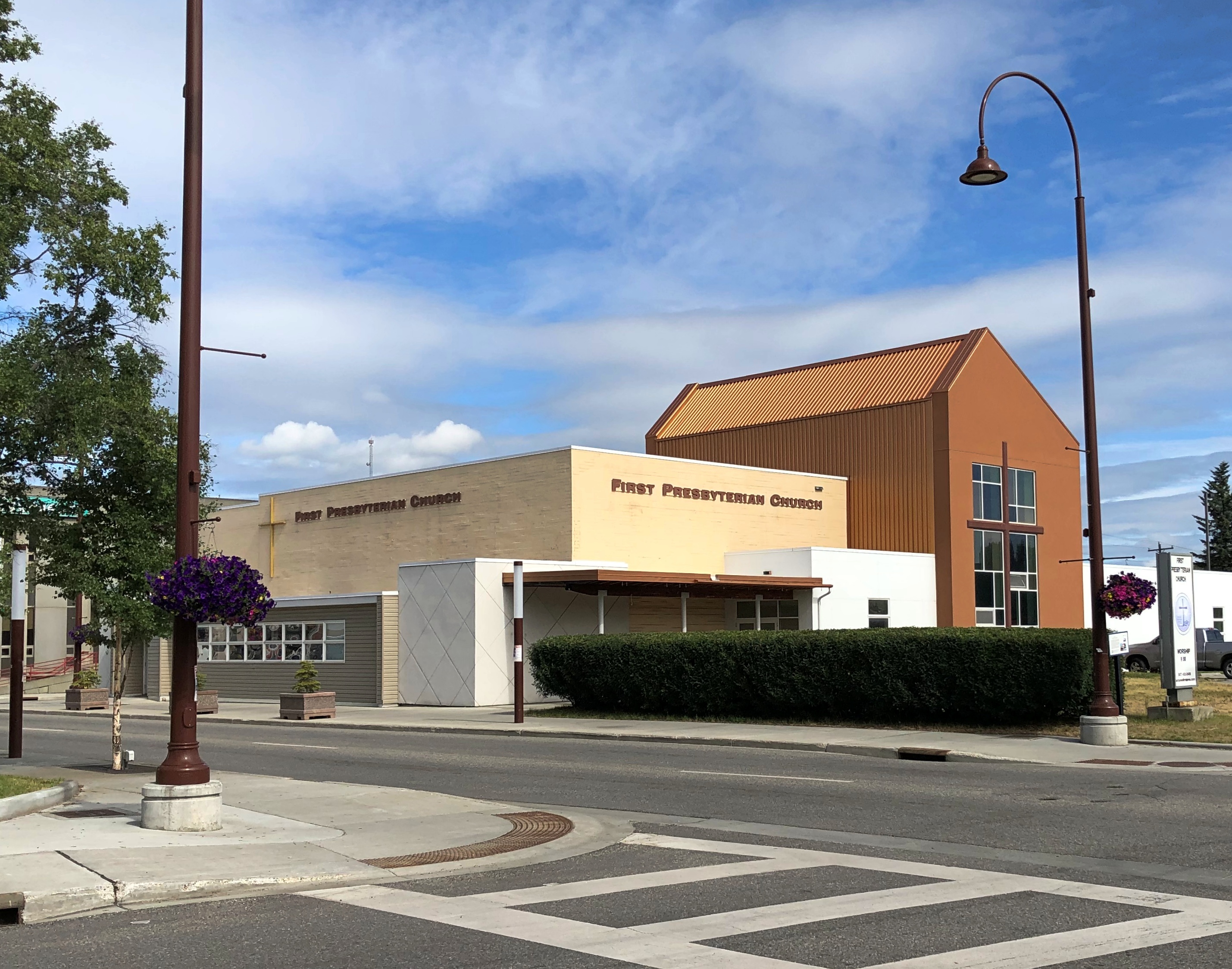
The more modernist First Presbyterian, not far from city hall.
First Presbyterian Church, Fairbanks

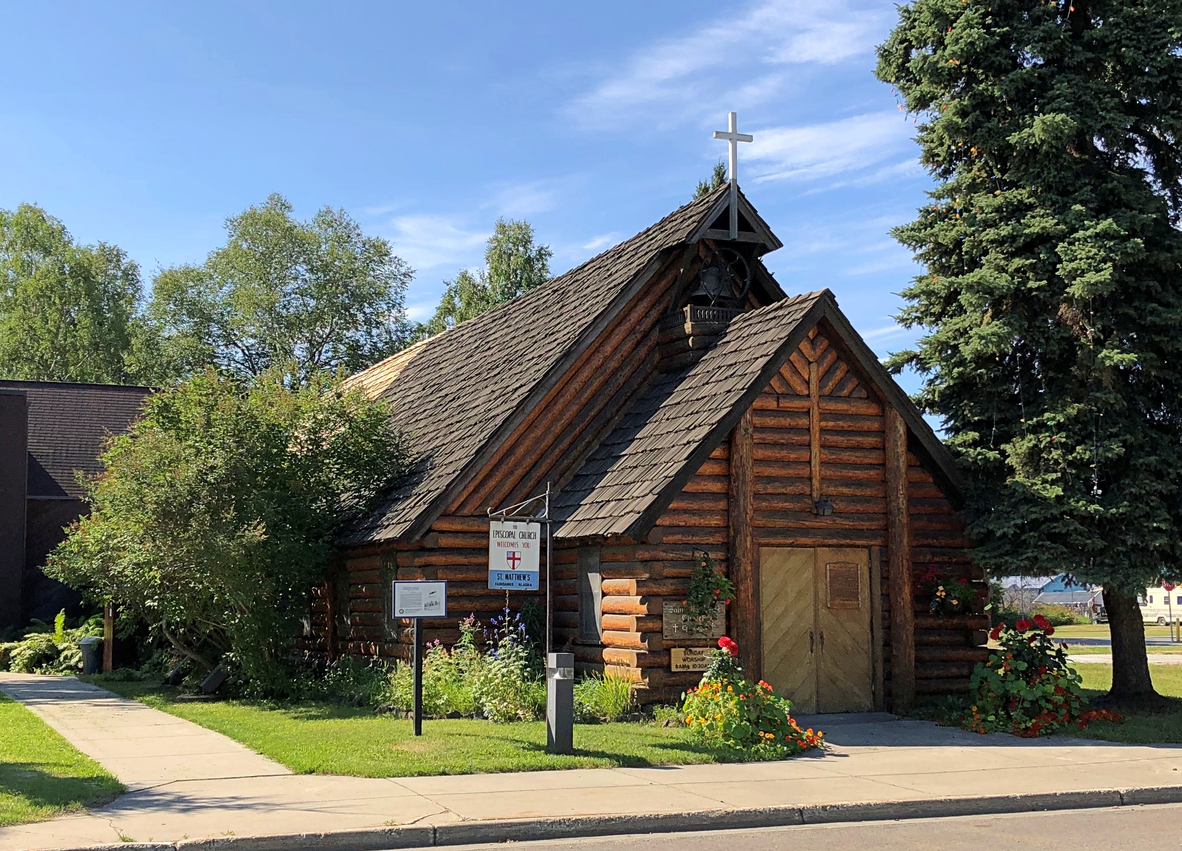
And the Episcopalian St. Matthew’s, founded in 1904.St. Matthew's Episcopal, Fairbanks

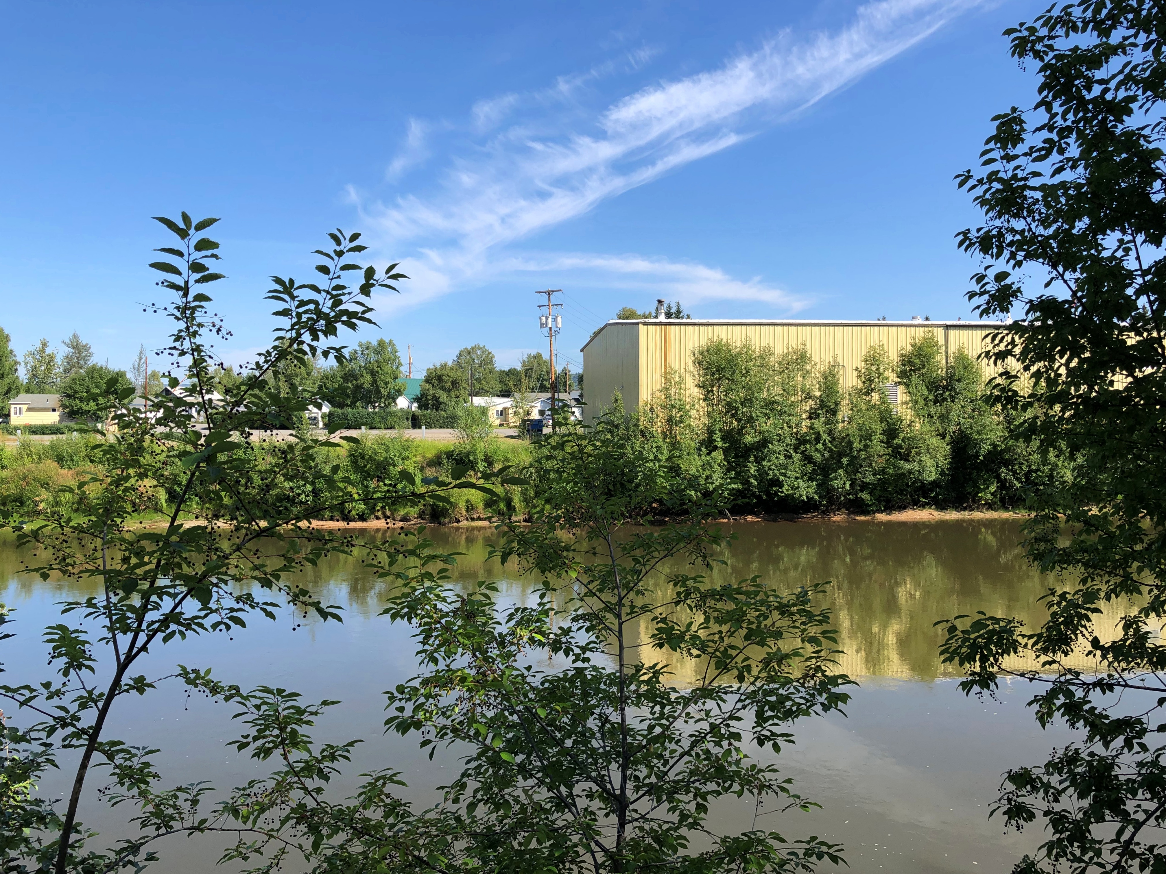
“St. Matthews is one of the three oldest churches in Fairbanks, located on First Avenue, across the street from the Chena River,” the church web site says. (South of the river.) The view of the Chena at that point:Chena River, Fairbanks

“The original church building burned in 1947, but the great wooden altar and other carvings were saved, and were replaced with the present St. Matthew’s Church building. First services in the new church were held Christmas Eve, 1948. Its congregation numbers about 1,200, over half of which are Alaskan Native. The Lord’s Prayer is prayed nearly every Sunday (if a speaker is present) in the Gwitch’in, the Athabaskan language, as well as in English.”

The church also has a deep and unexpected (to me, anyway) connection with the first ascent of Mt. Denali. The Episcopal Archdeacon of Alaska and the Yukon, Hudson Stuck, held the first service at St. Matthew’s on October 16, 1904.

Less than nine years later, in the spring of 1913, Stuck led the first expedition to summit Denali, or McKinley, as it was known at the time. Three other men were with him: “Walter Harper, the youngest at age twenty, half Alaskan Native, fit and confident; Harry Karstens, thirty-four, calmly competent from his years in the Alaskan backcountry; and Robert Tatum, twenty-one, the greenest member of the team,” the Daily Beast notes.

The final push came on June 7. “They had launched this expedition eight weeks earlier, enduring bitter cold, severe altitude, and the loss of key supplies to a campfire…

“How did an Episcopal Archdeacon, well into middle age by the standards of the time, come to find himself in the freezing final summit push on the highest, coldest peak on the continent? The answer lay in two equally potent forces, woven into his being. Just as strong as Hudson Stuck’s belief in doing good — “I am sorry for a life in which there is no usefulness to others,” he once wrote — was his love of wild places.

“For Stuck, Alaska was a place where his physical and spiritual aspirations, his goals for himself and for his mission, could be united into a single purpose. ‘I would rather climb Mount McKinley than own the richest gold mine in Alaska,’ he claimed. He was not alone in his desire.”

A fascinating tale about someone I’d never heard of. Stuck was not, however, the first to the summit that day. He tapped Walter Harper for that honor.

“Harper was born in late 1892 and was the son of a Koyukon-Athabascan mother, Seentaána, and a legendary gold prospector father, Arthur Harper,” the NPS says.
“Walter was raised by his mother and was fluent in Koyukon-Athabascan. Tanana was his home village and he eventually attended the Saint Mark’s Mission school in Nenana before becoming a guide for Missionary Hudson Stuck. Stuck’s faith in Harper as a skilled guide and outdoorsman eventually led to his participation in the Denali summit expedition.”

Harper might well have become an important figure in the Alaska Territory, but he had the great misfortune to be aboard the Princess Sophia in October 1918, which sank en route from Skagway to Vancouver after striking Vanderbilt Reef, with the loss of all 350-plus souls — another story I’d never heard.

Two Fairbanks Cemeteries

Bound to miss the Perseids again tonight. A thunderstorm is supposed to roll through tonight — third night in a row here — and besides, metro Chicago is no place to see celestial phenomena very well, except maybe a bright moon or planet.

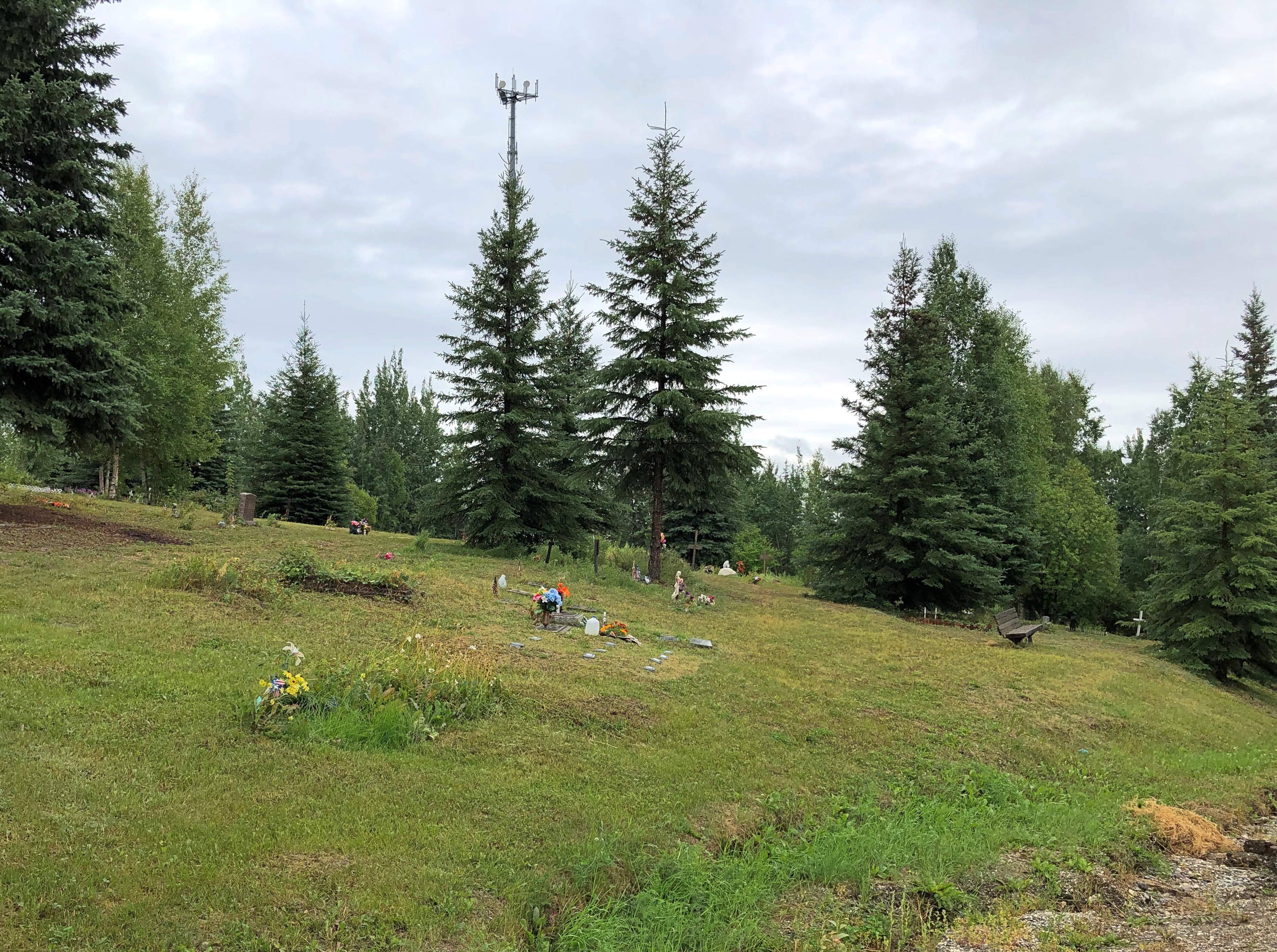
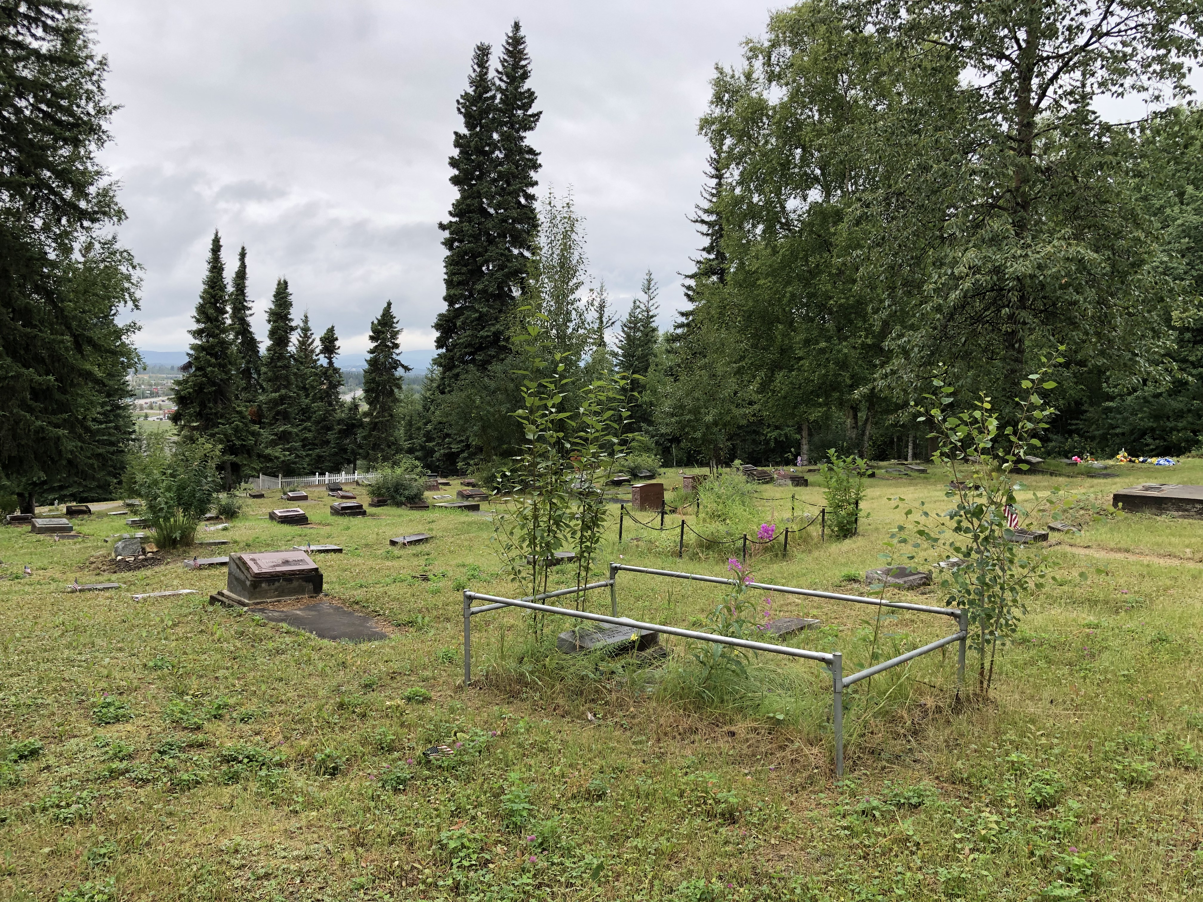
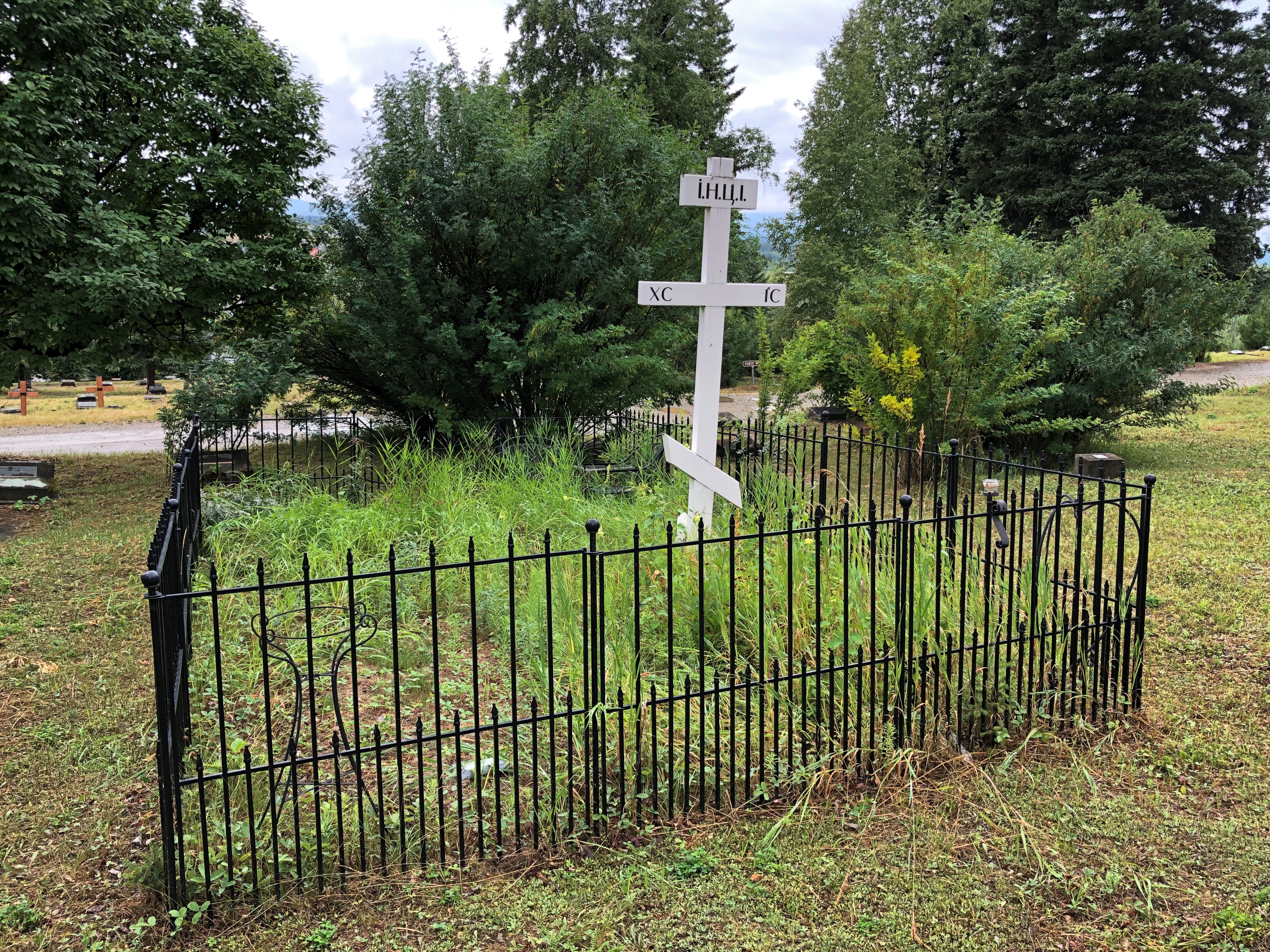
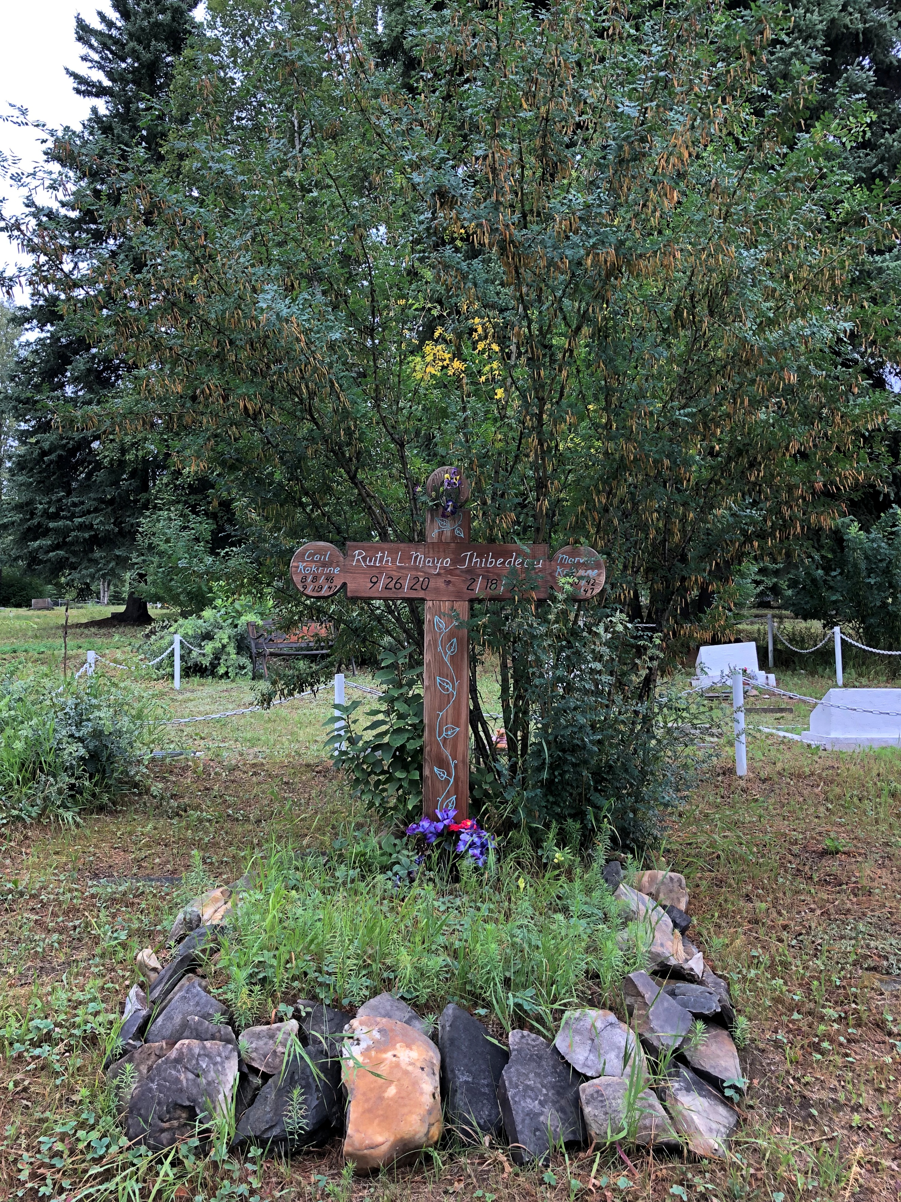
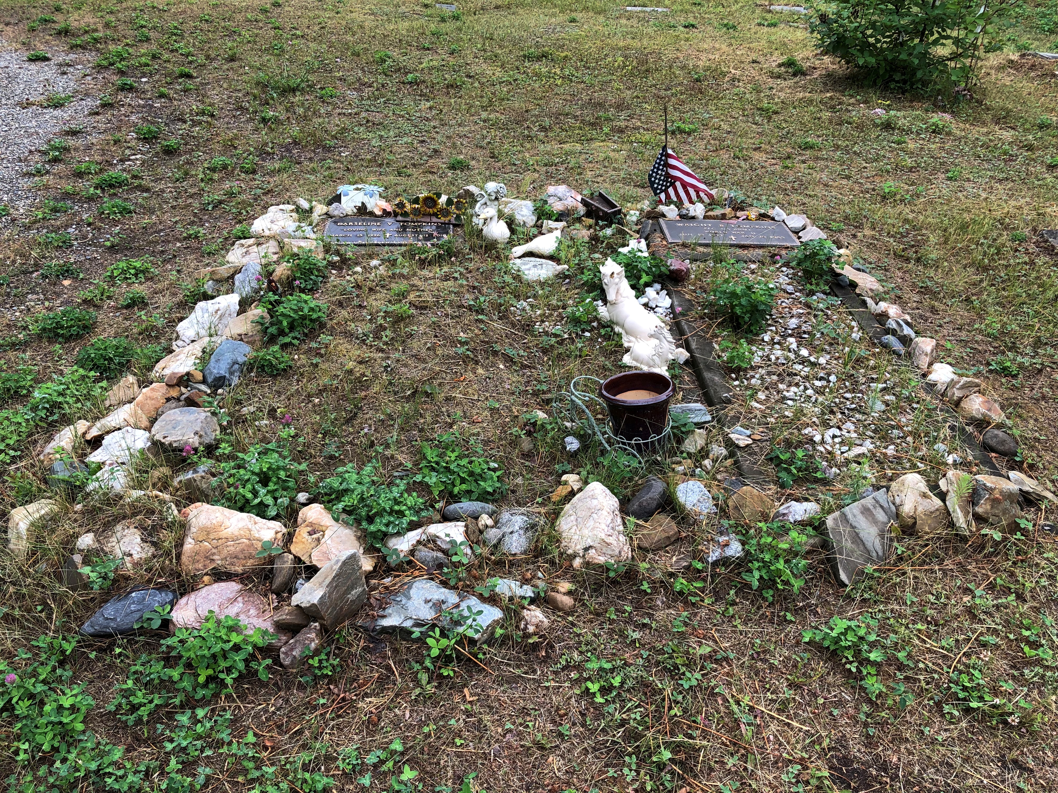
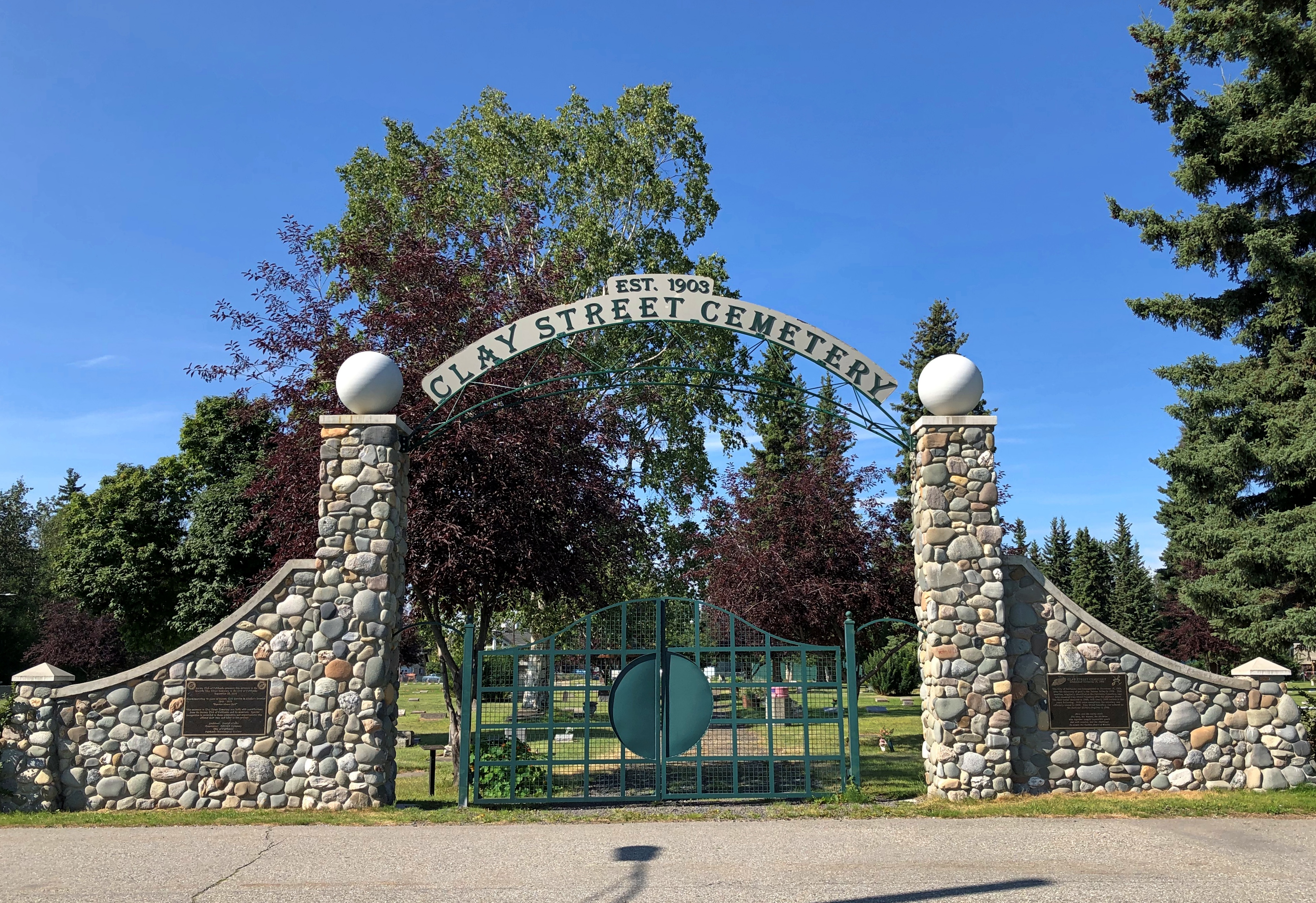
I visited two major Fairbanks cemeteries during my late July visit, in reverse chronological order. First I went to Birch Hill Cemetery, founded in 1938 as an alternative to Clay Street Cemetery closer to downtown, which was founded simultaneously with the settlement itself in 1903.

As the name implies, Birch Hill is on a hill. In our time, the hill overlooks the Steese Highway, where it meets the Johansen Expressway. At that particular junction are such major retailers as Home Depot, Costco, Fred Meyer, REI and Walgreen’s, so the traffic is relatively heavy and the cemetery relatively noisy. You get used to that.

Though they aren’t on this interesting list, I imagine that those Home Depot and Costco locations are the northernmost of the respective chains.

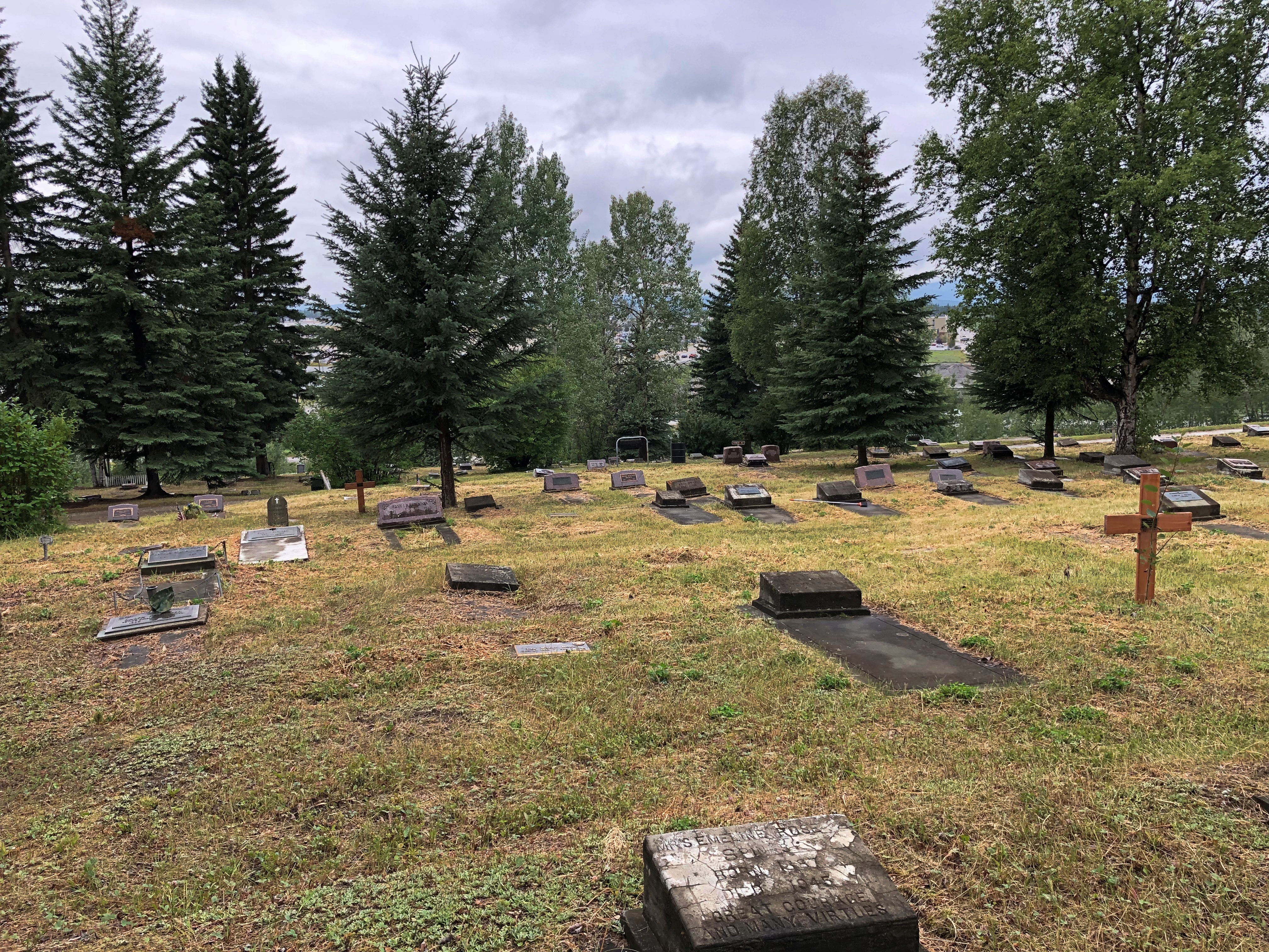
I tromped around Birch Hill for a good half hour.Birch Hill Cemetery, Fairbanks

Birch Hill Cemetery, Fairbanks

Birch Hill Cemetery, Fairbanks

Birch Hill Cemetery, Fairbanks

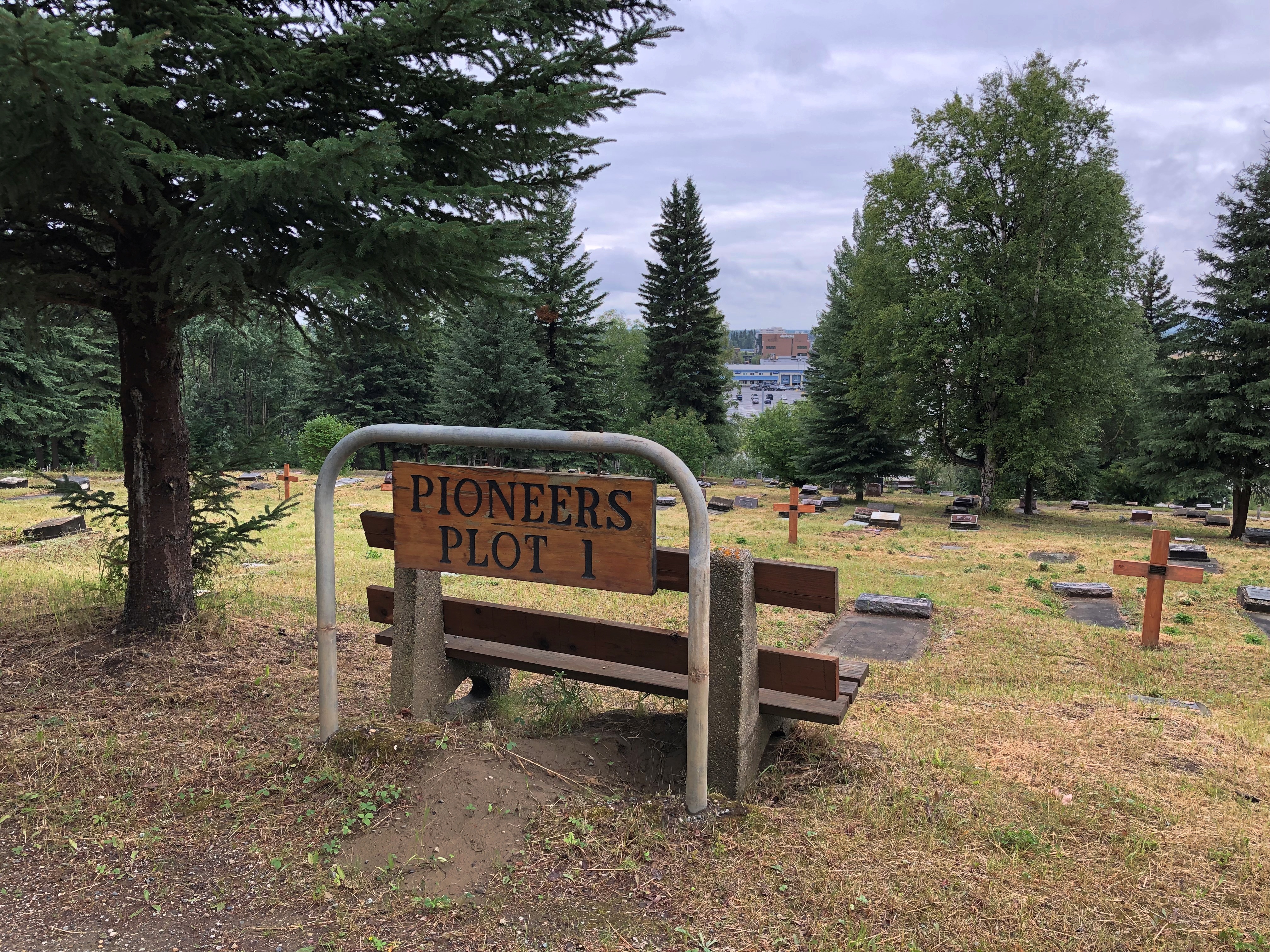
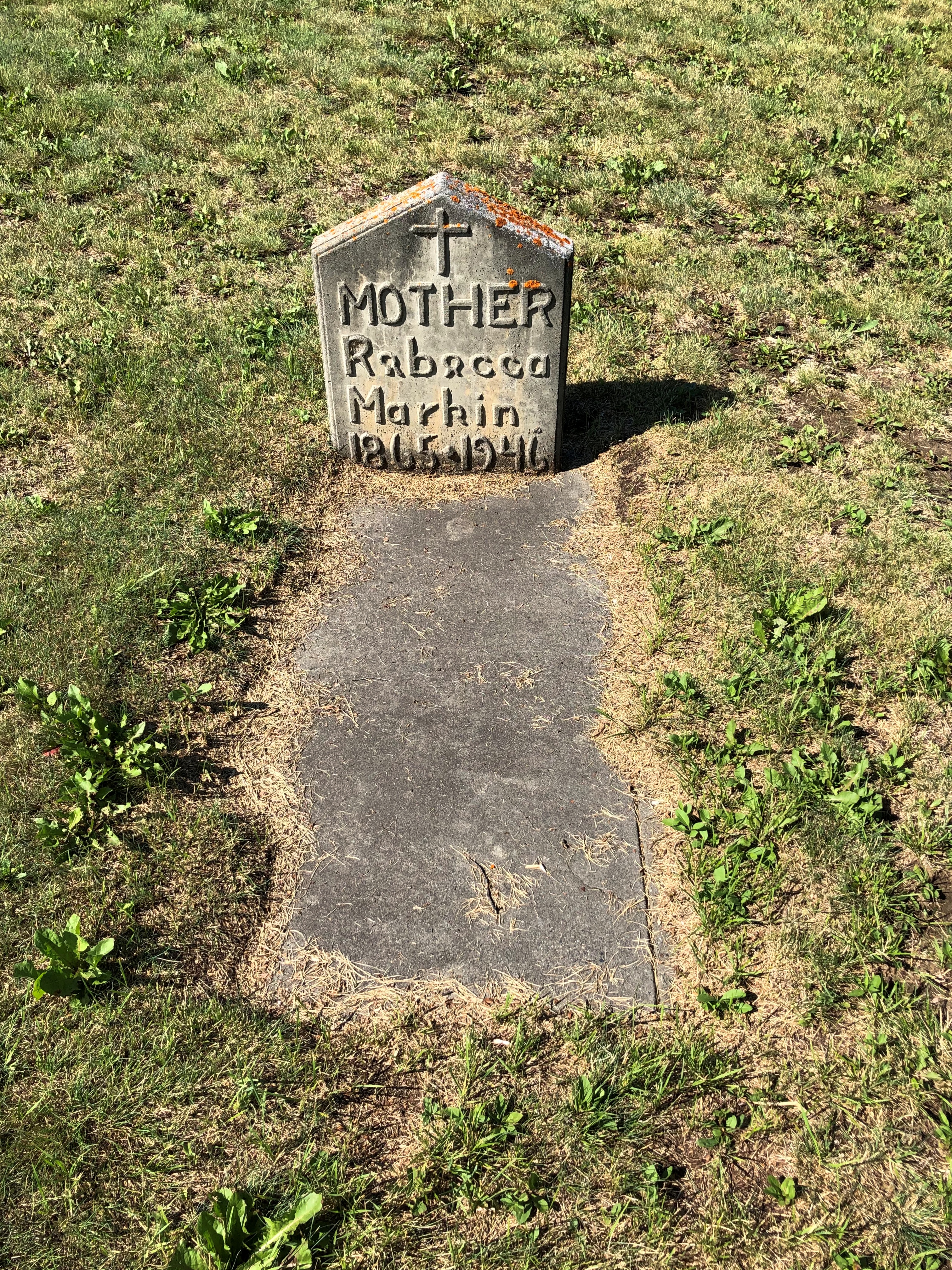
The cemetery included a number of special sections, such as Pioneers Plot 1.
Birch Hill Cemetery, Fairbanks

In that section, there (unsurprisingly) are old stones.
Birch Hill Cemetery, Fairbanks

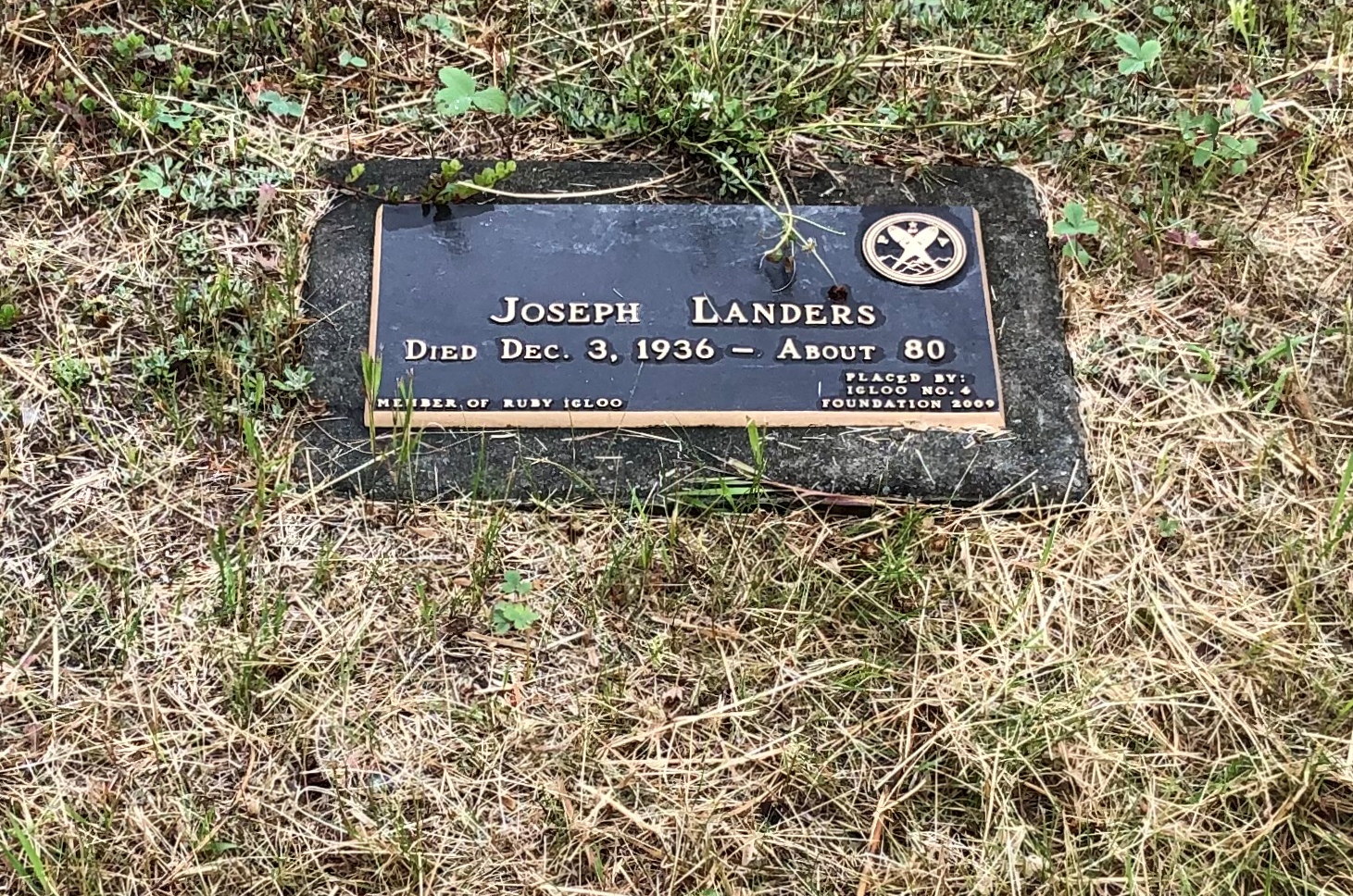
And newer markers for people who came to Fairbanks in its pioneer years, such as one Joseph Landers, who died “About 80” in 1936. He might have come when he was about 50 already; couldn’t have been too much earlier. Must have been a tough old bird.
Birch Hill Cemetery, Fairbanks

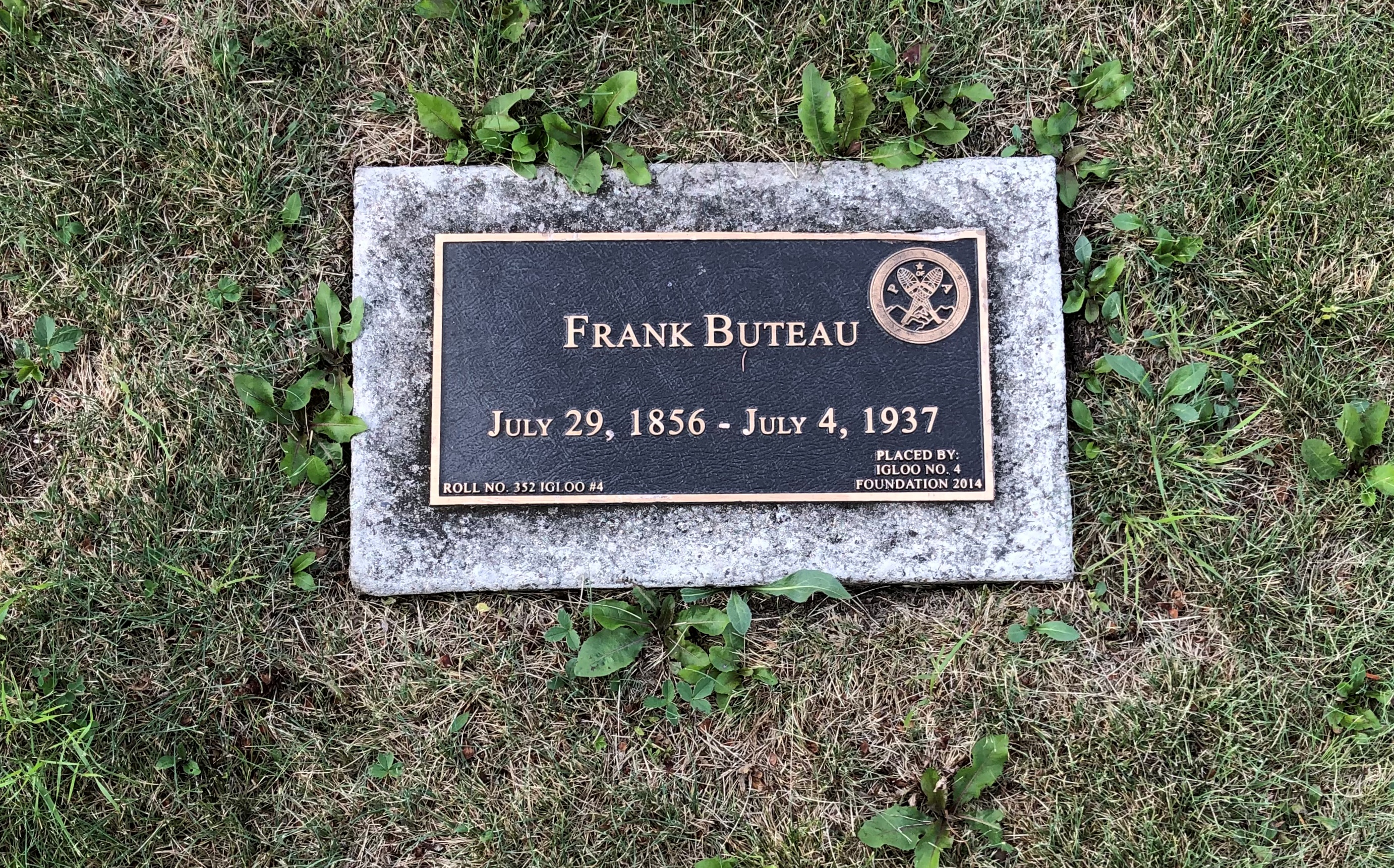
The memorial, which is obviously newer than 1936, says it was put there by Igloo No. 4. Eh? I looked it up. That’s the Fairbanks lodge of the the Pioneers of Alaska.

The Pioneers’ web site says: “[The organization was] first organized in Nome on February 14, 1907, with the mission:

To preserve the names of Alaska’s pioneers on its rolls;
To collect and preserve the literature and incidents of Alaska’s history;
And to promote the best interests of Alaska.”

That seems to include fixing plaques to Alaska pioneer graves, presumably unmarked or whose markers had been ravaged by the northern climate. There were others besides Mr. Landers in Pioneer Plot 1.

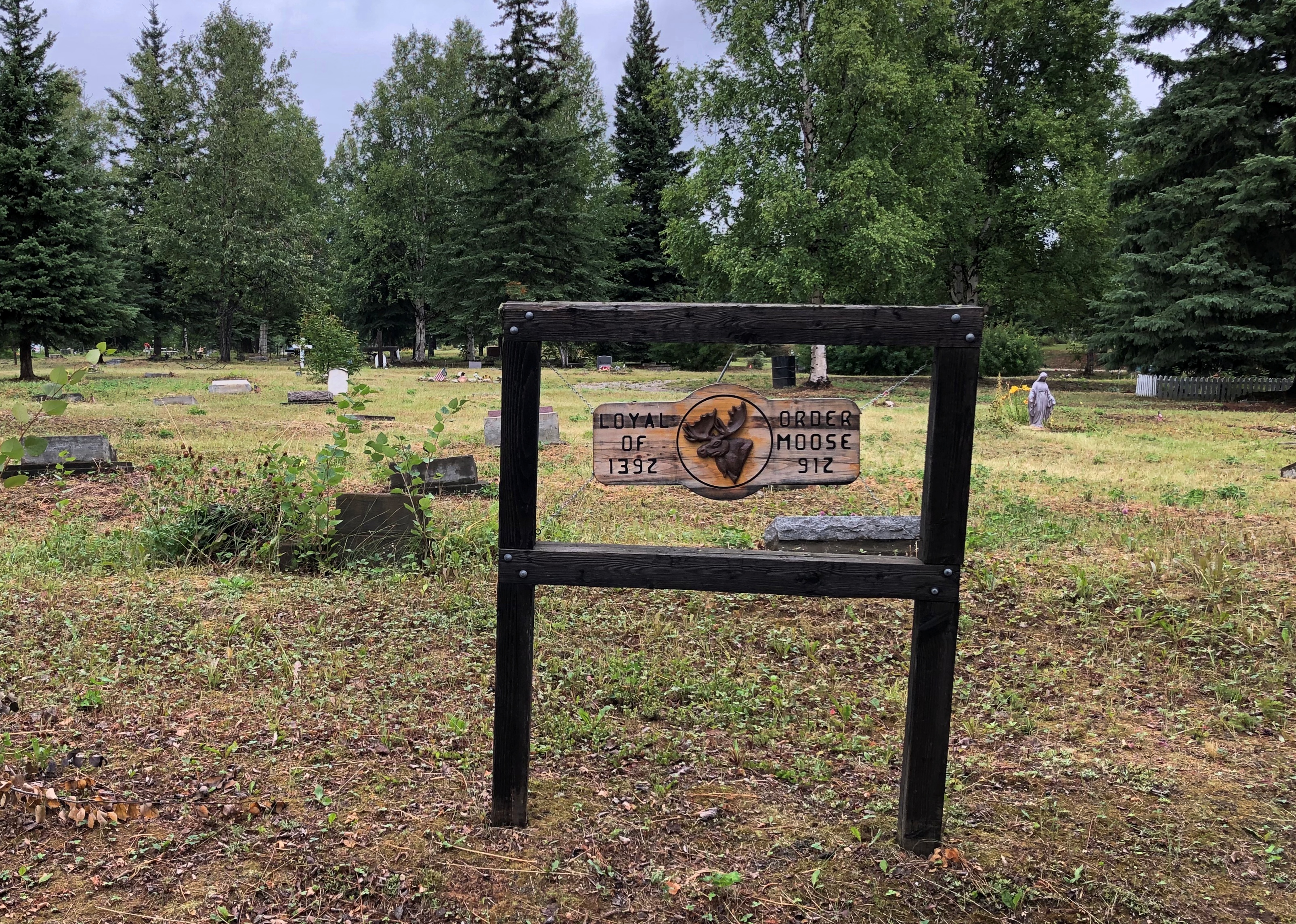
Loyal Order of Moose are on the hill, too.
Birch Hill Cemetery, Fairbanks

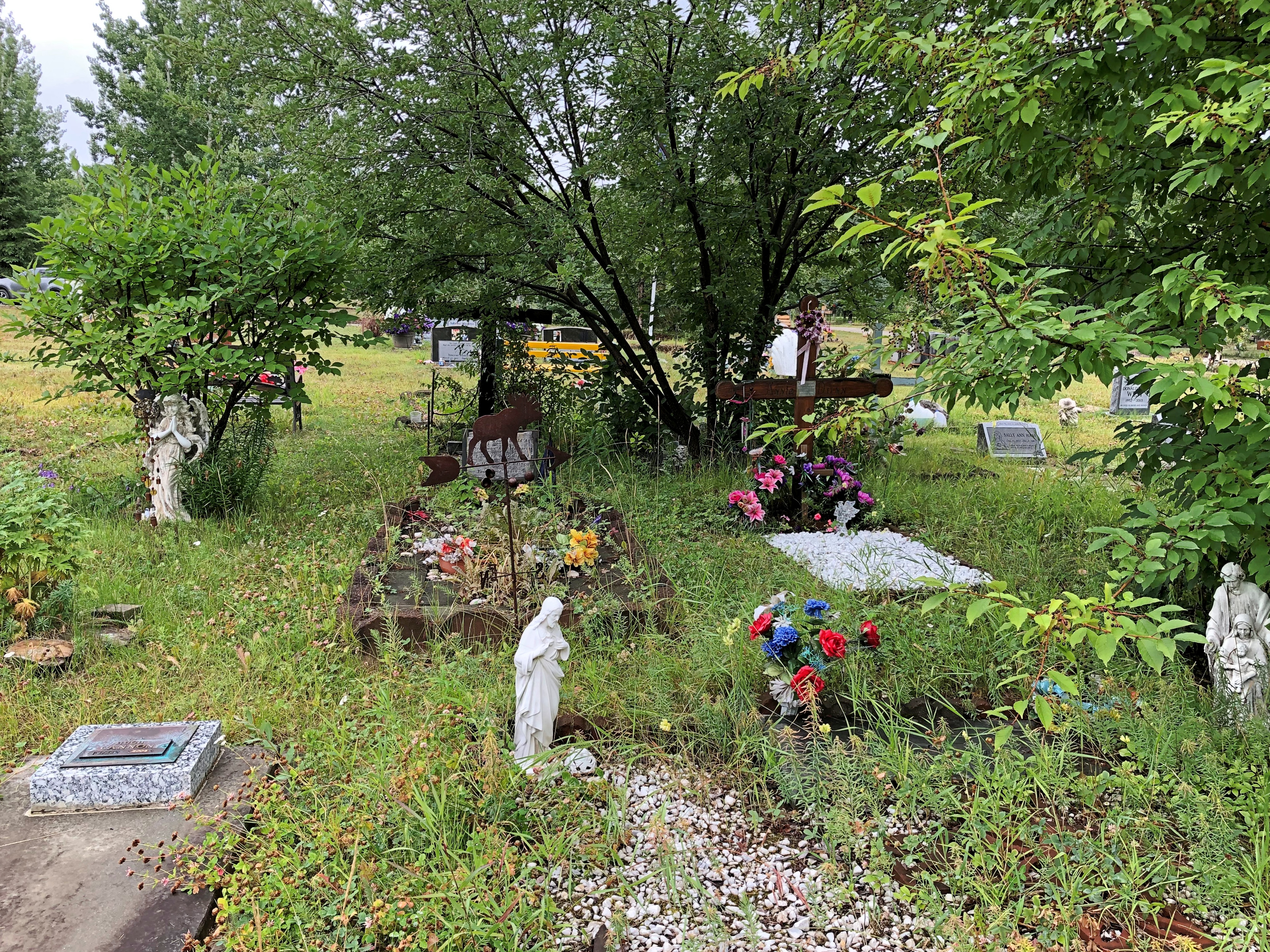
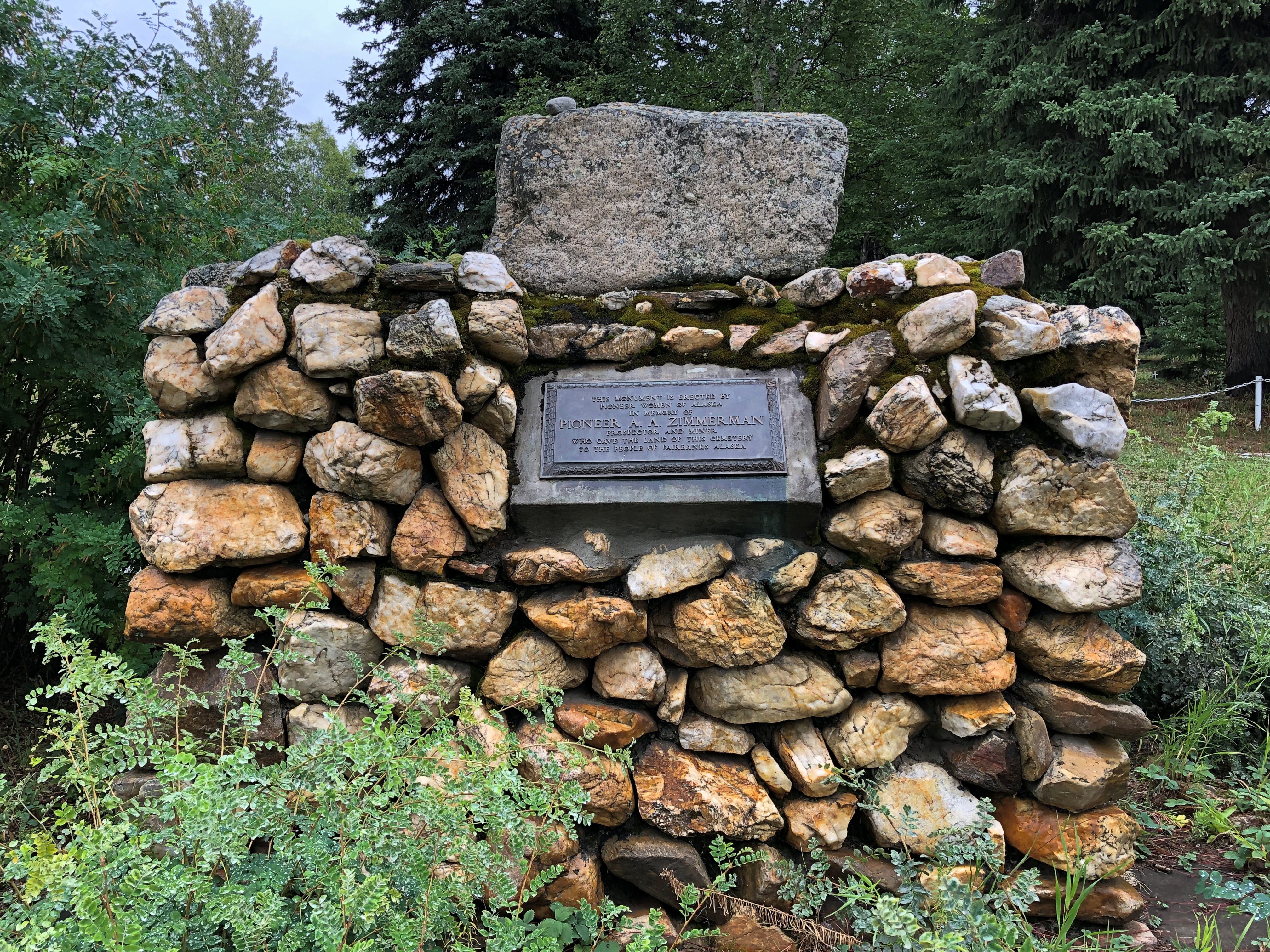
Along with unusual gravesites whose honorees may or may not have belonged to a fraternal organization, such as A.A. Zimmerman, whom the plaque says donated the land for the cemetery.Birch Hill Cemetery, Fairbanks

Birch Hill Cemetery, Fairbanks
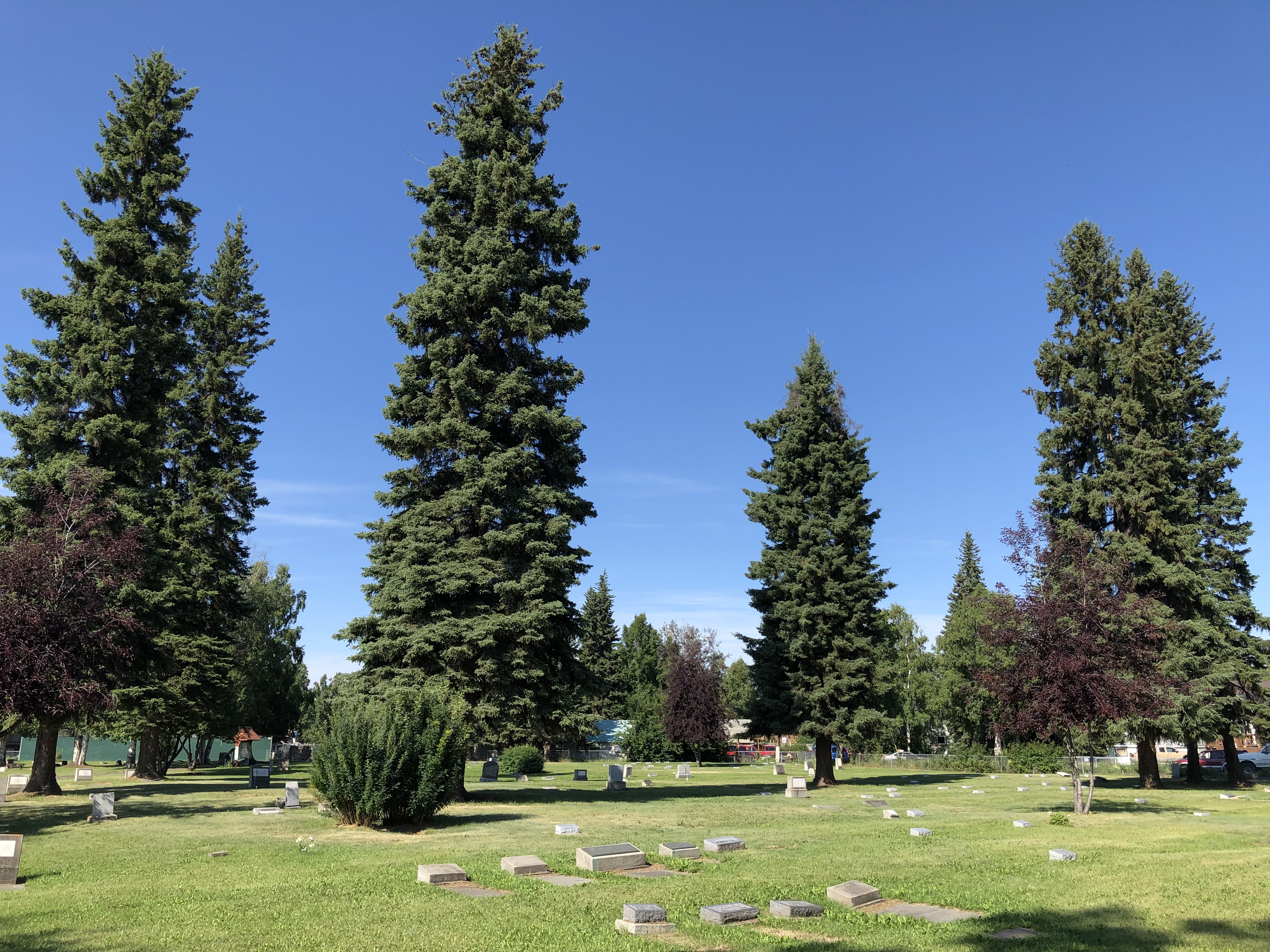
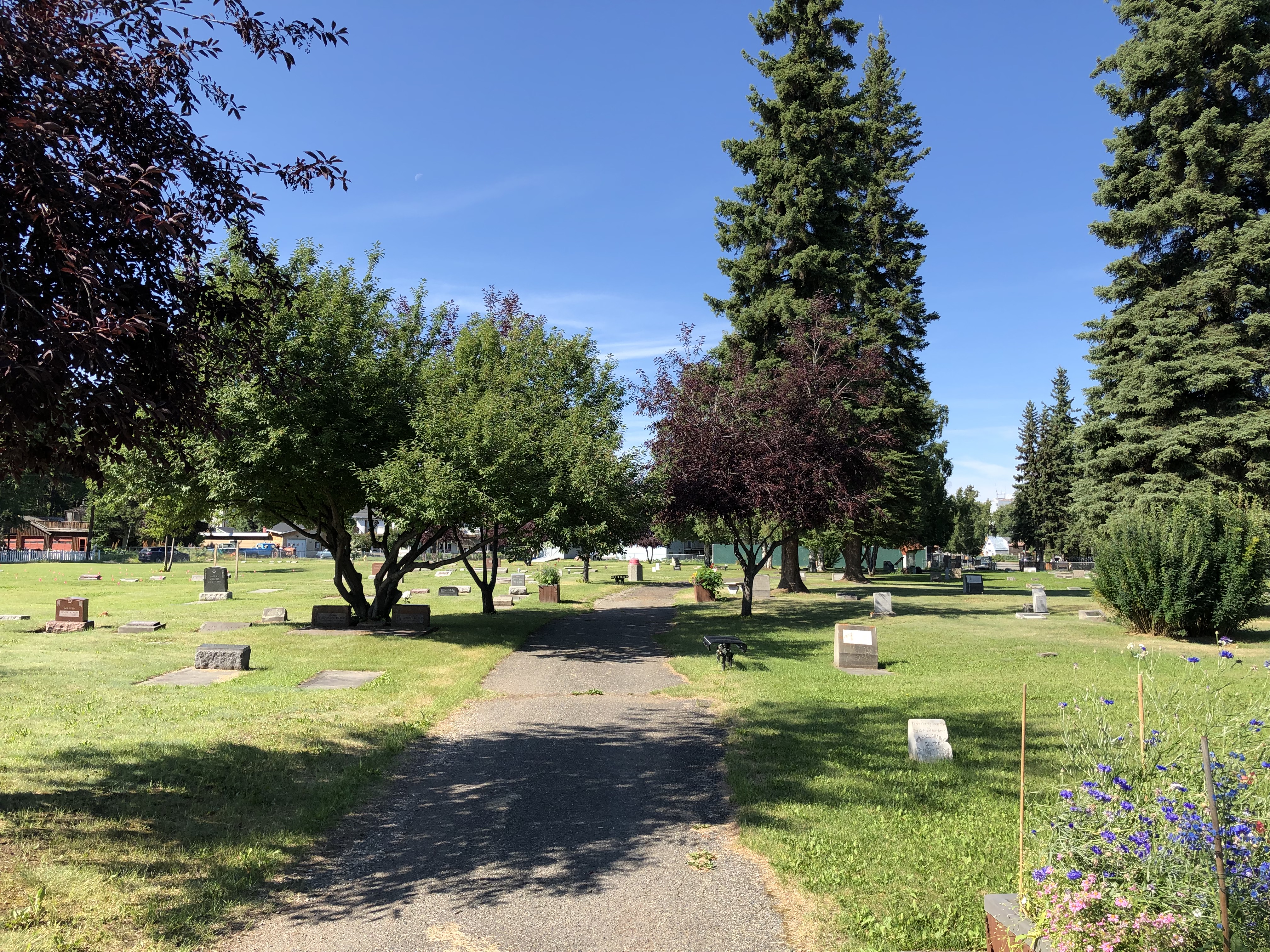
A few days later, I made my way to the Clay Street Cemetery, which is tucked away in a residential neighborhood near downtown Fairbanks.
Clay Street Cemetery, Fairbanks

Clay Street Cemetery, Fairbanks

It’s a flat parcel, but not without its charms.Clay Street Cemetery, Fairbanks

Clay Street Cemetery, Fairbanks
Igloo No. 4 put in a few memorials here, too.
Clay Street Cemetery, Fairbanks

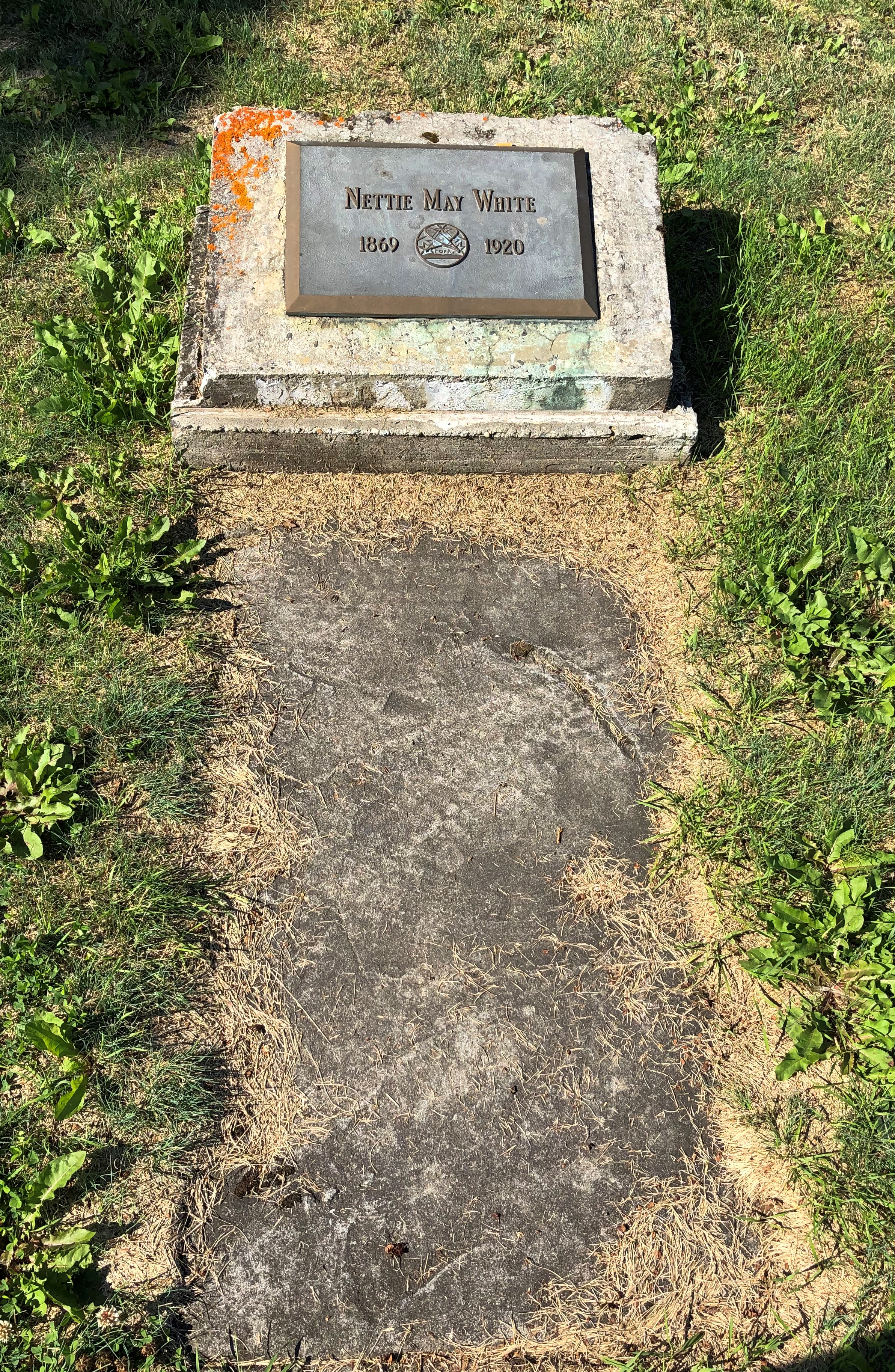
Other individual graves. Pioneer women, in these cases.
Clay Street Cemetery, Fairbanks

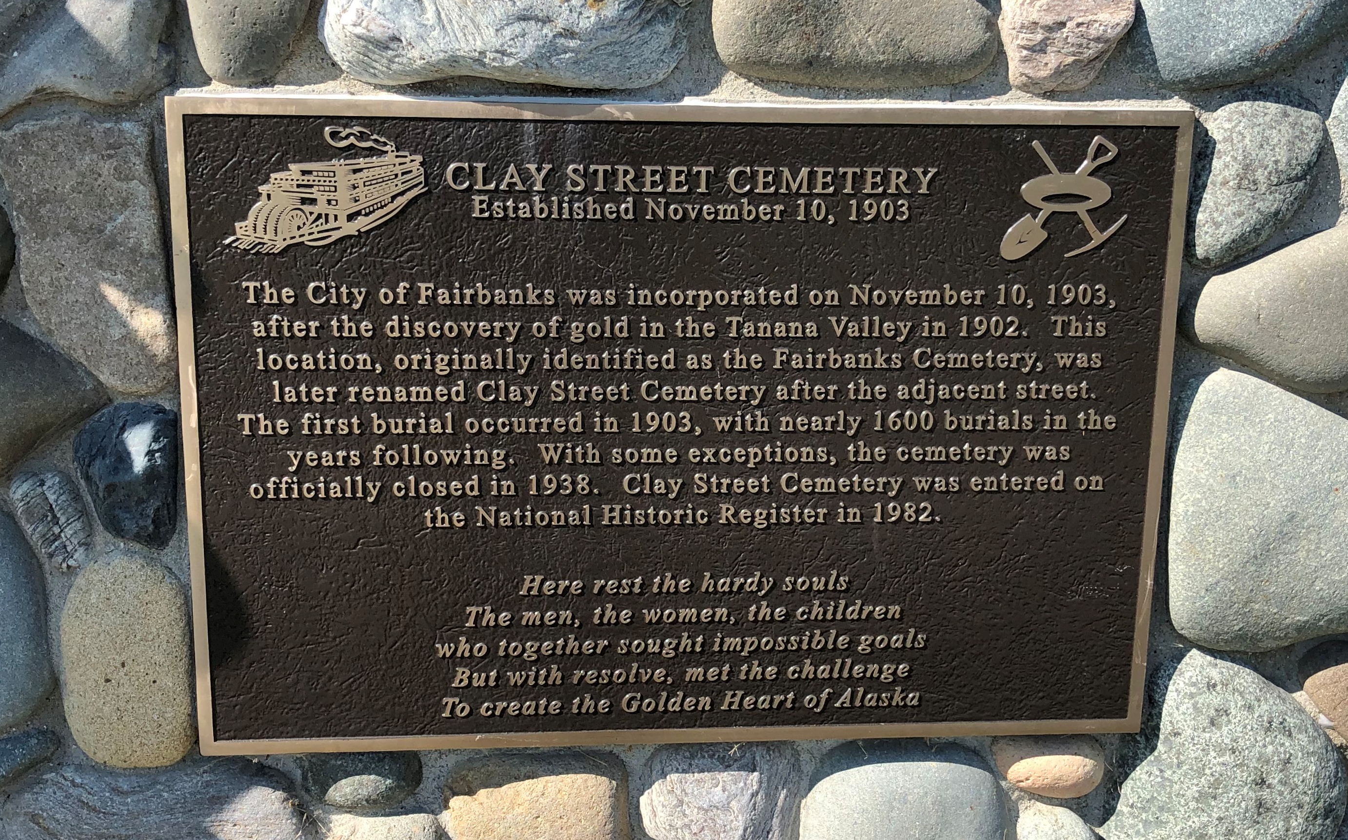
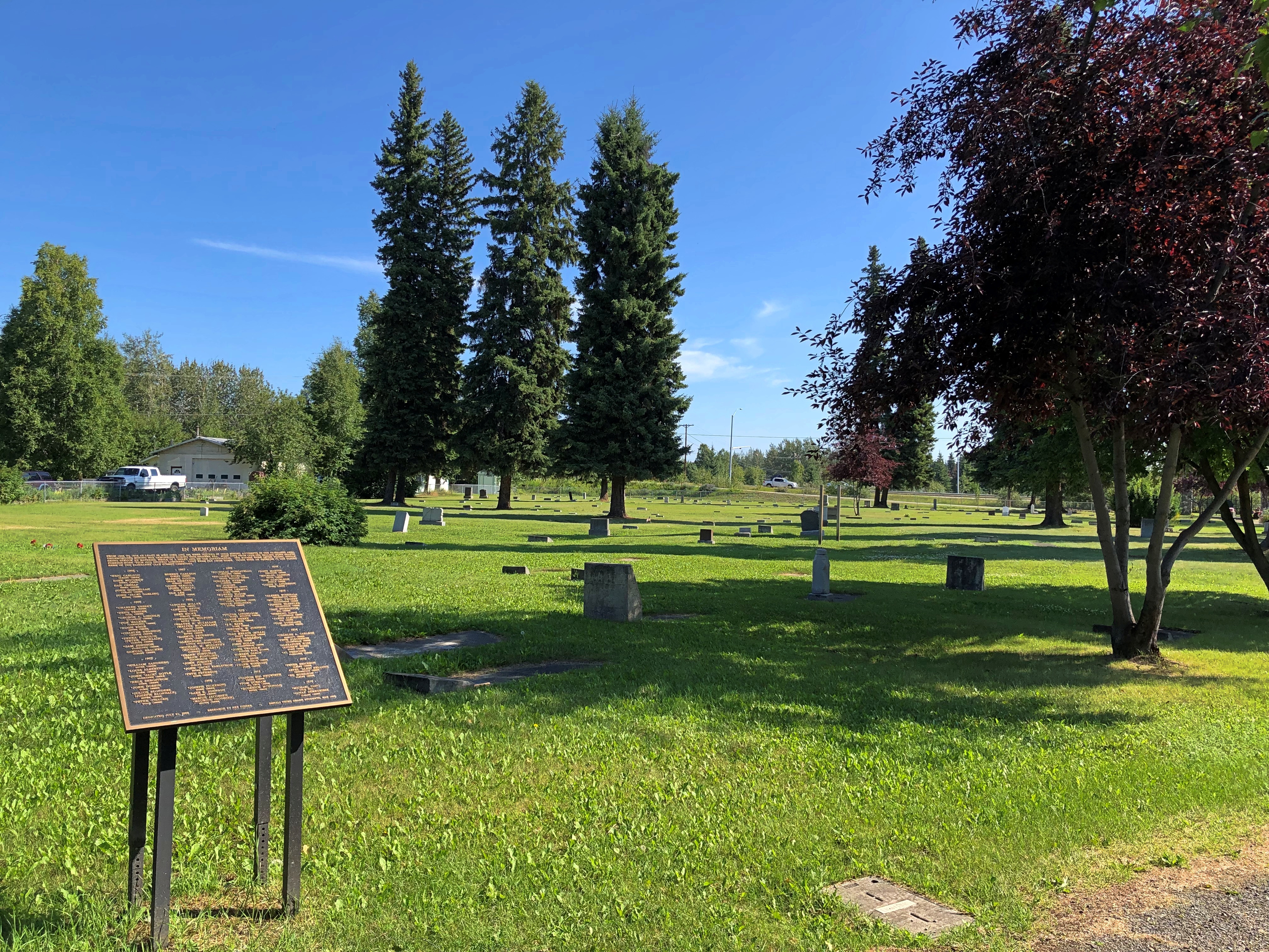
This plaque, dedicated in 2002, lists 89 men, mostly buried in the cemetery, who died in gold mining accidents near Fairbanks from 1905 to 1918.
Clay Street Cemetery, Fairbanks

“Underground mining was dangerous during this pioneer era,” the plaque says. “Most died from cave-ins, falling down shafts, being struck by material while in a shaft, and gas asphyxiation. The miners were often young, single, foreign-born ‘pick and shovel’ laborers. They were far from home.”

The Georgeson Botanical Garden & Other Alaskan Flora

One of the channels on my hotel TV in Fairbanks was essentially a continuous commercial for places to visit in that part of Alaska. All kinds of tourist activities or things to buy to remind you of your visit.

Here’s a thought for the Great Alaskan Bowl Co. of Fairbanks: noting that your product was featured in the 2017 “Made in America Week” event at the White House, however much of an honor that might seem to be, and however excellent your paper-birch wood bowls might be, could be a way to alienate as many potential buyers as it impresses. Just a thought.

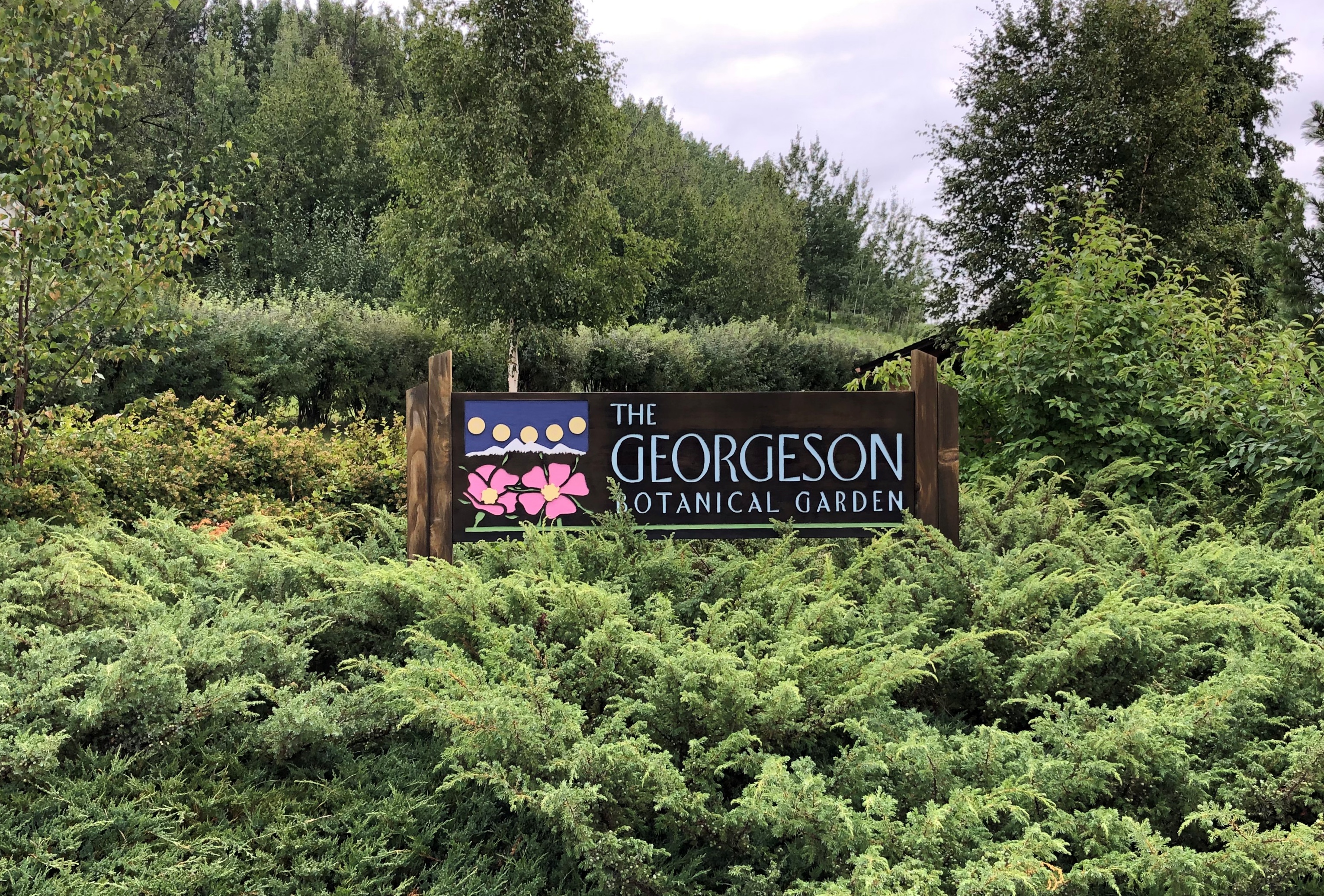
The only TV recommendation I took to heart was a suggestion to visit the Georgeson Botanical Garden on the campus of the University of Alaska Fairbanks.

Georgeson Botanical Gardens, Fairbanks

Georgeson Botanical Gardens, Fairbanks
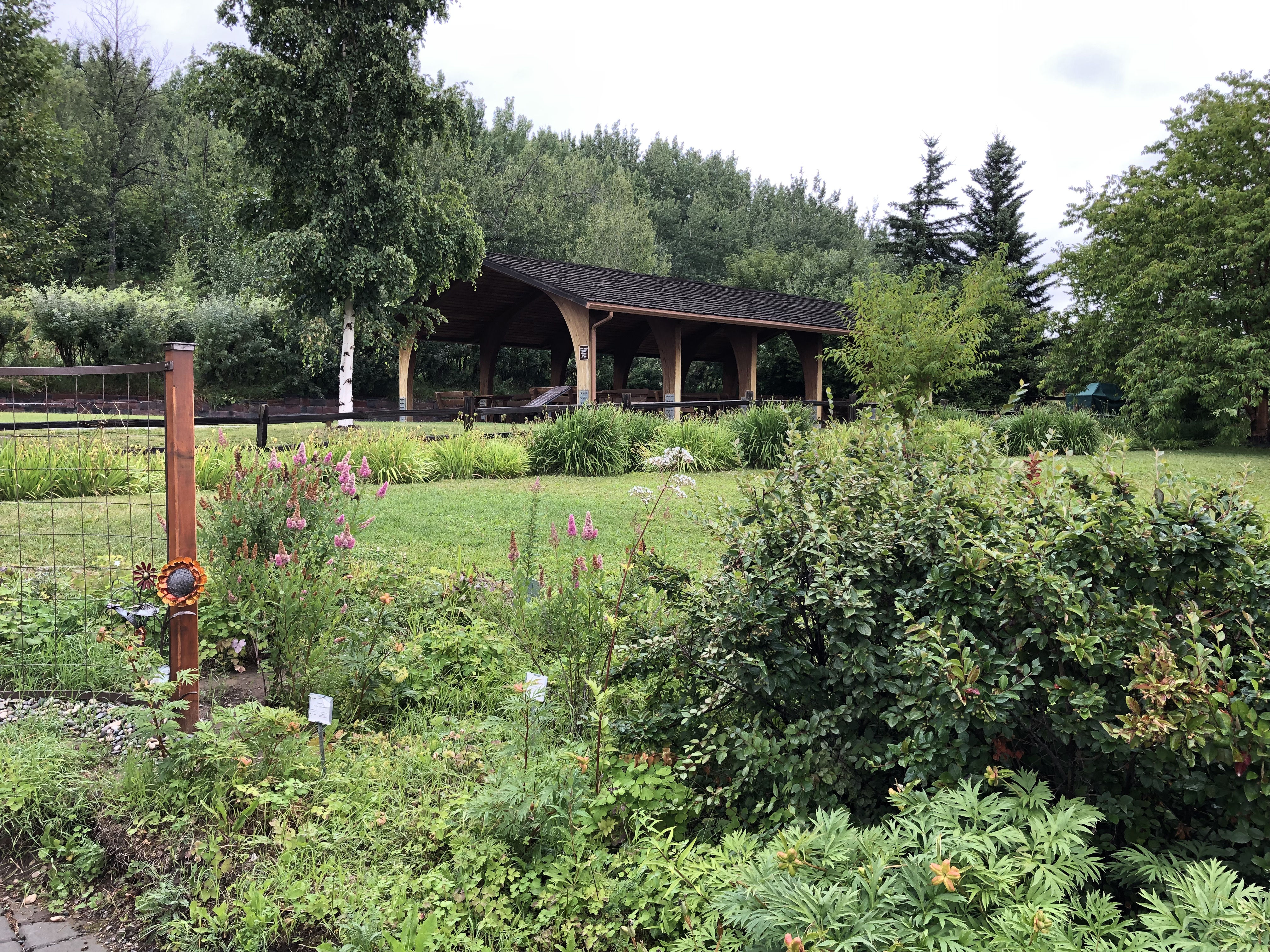
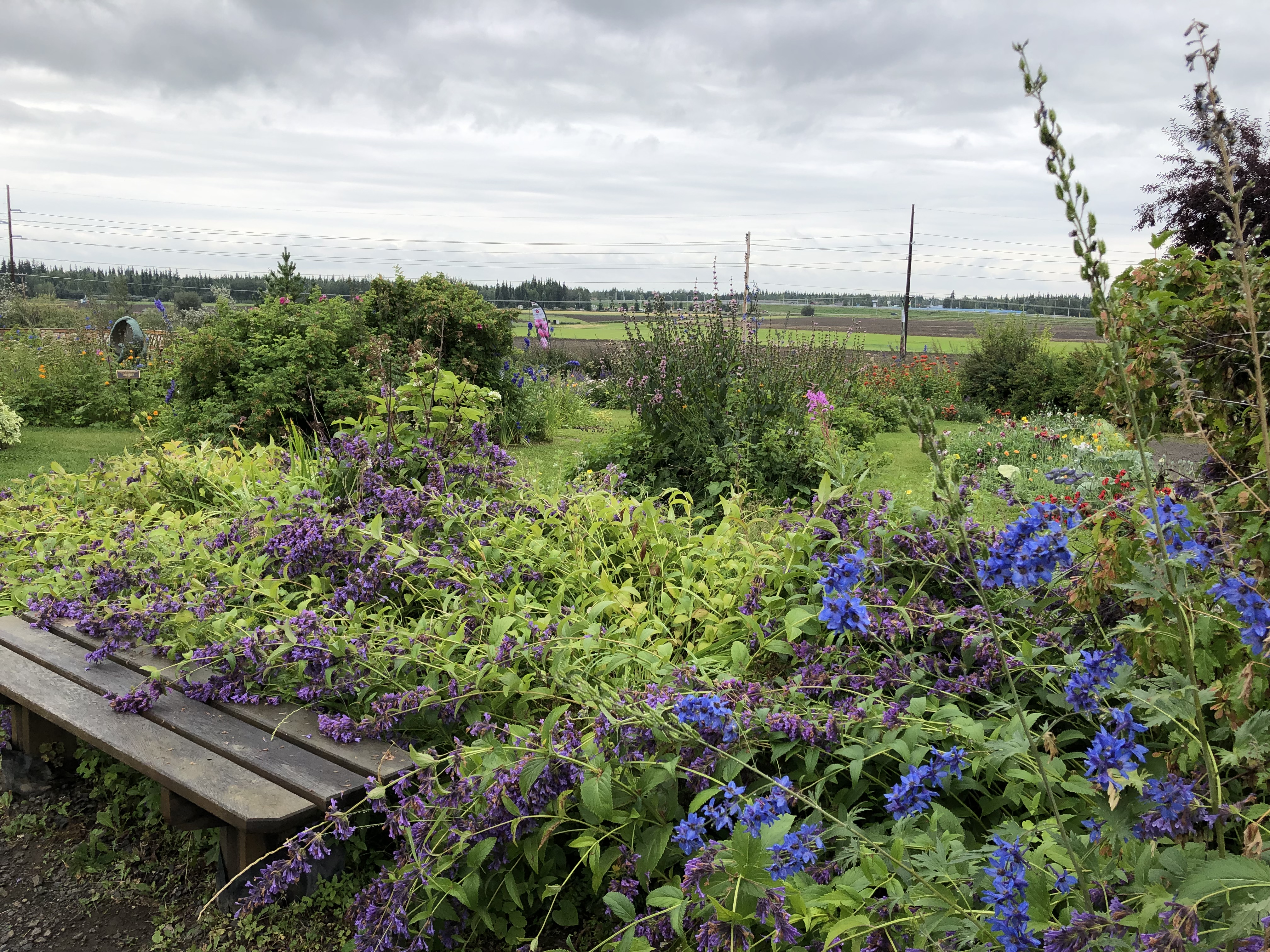
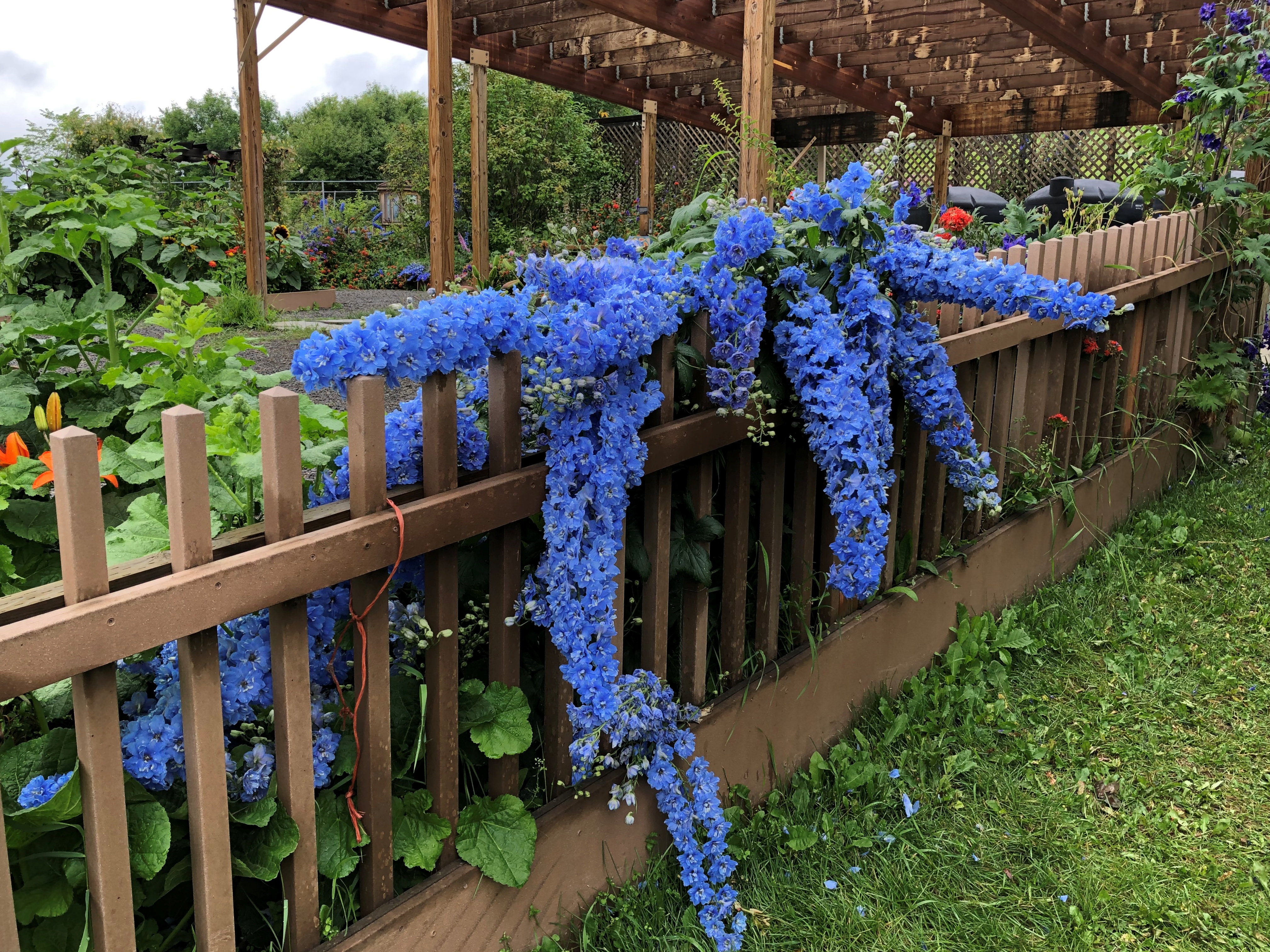
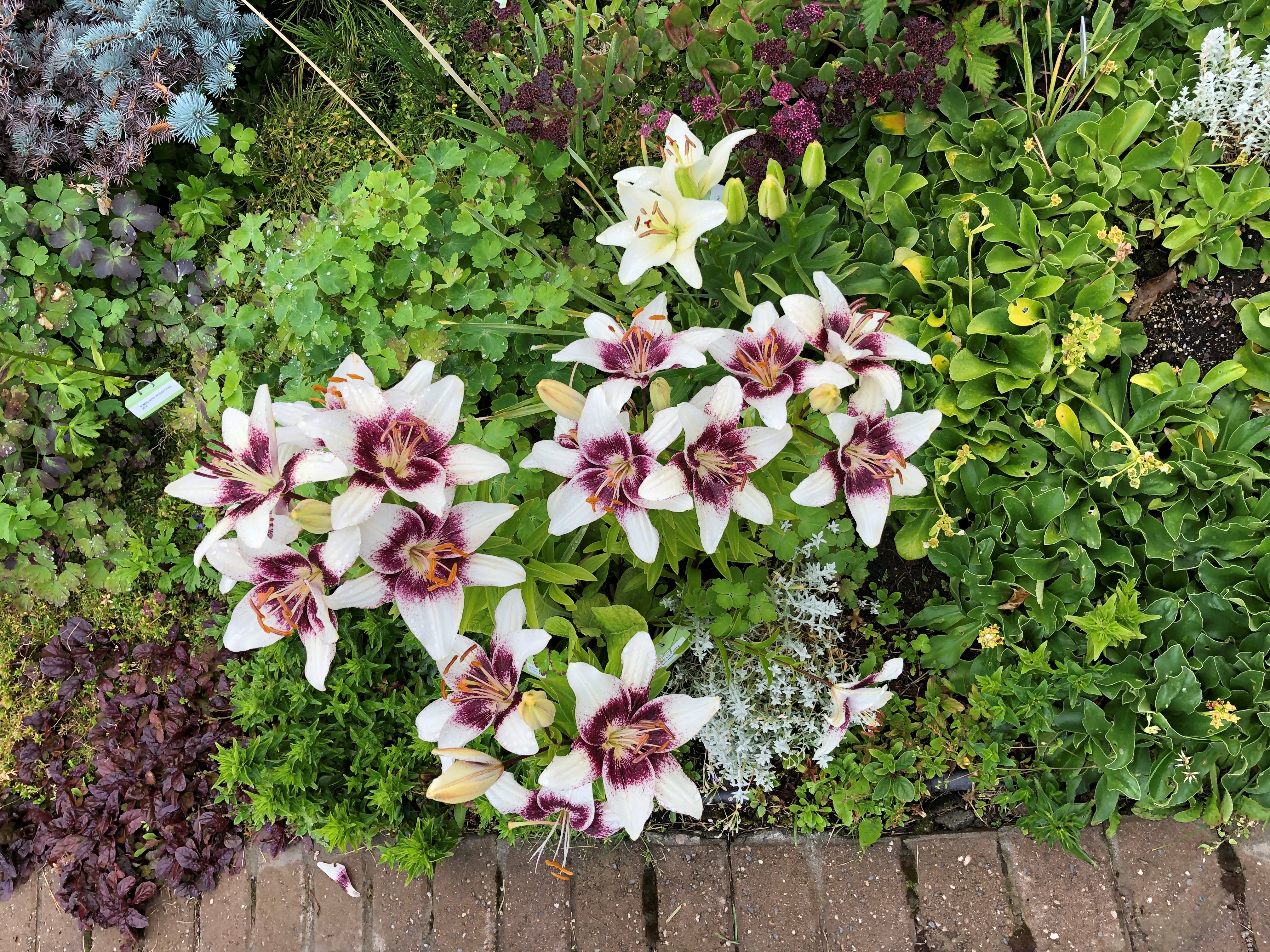
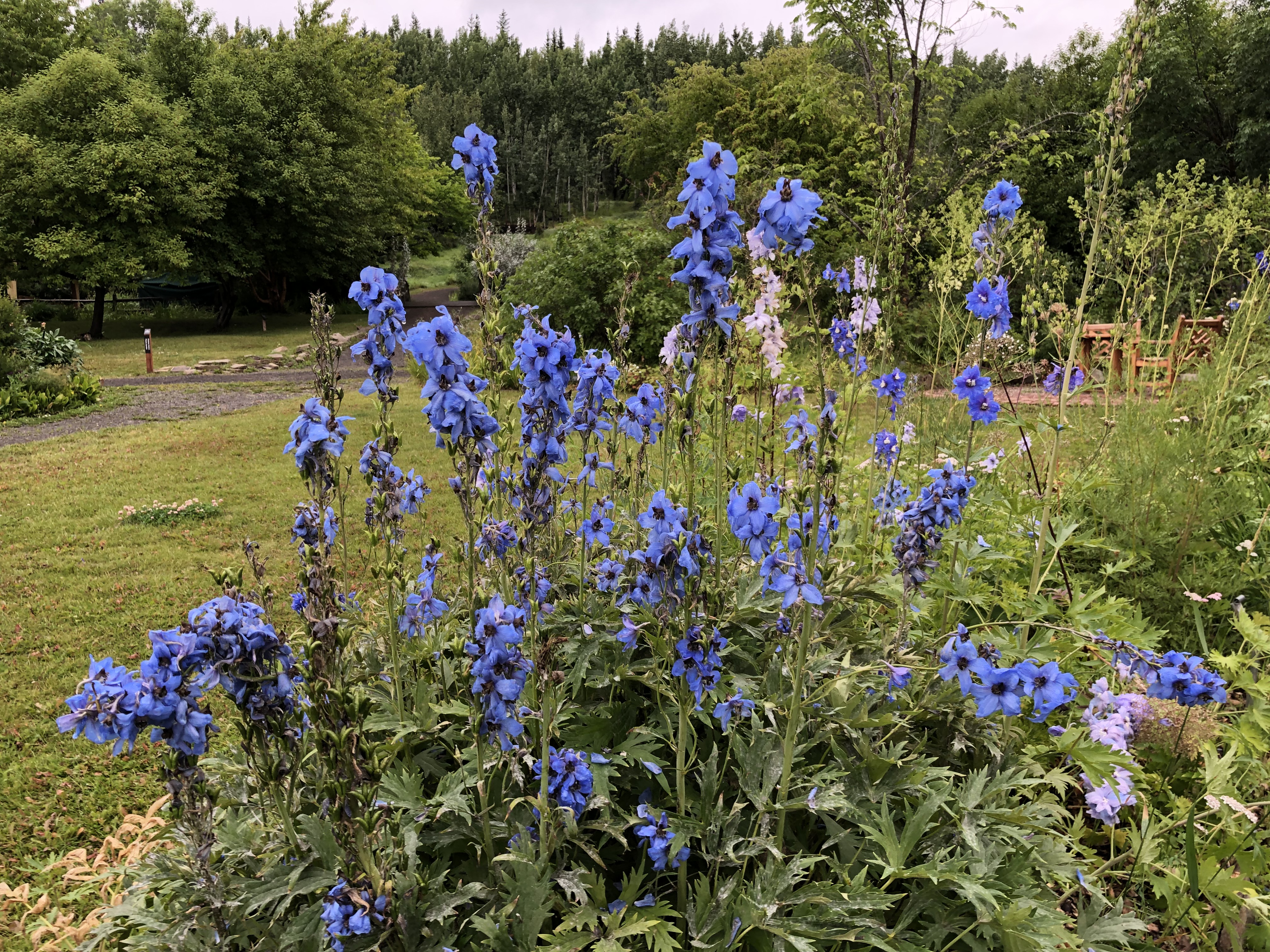
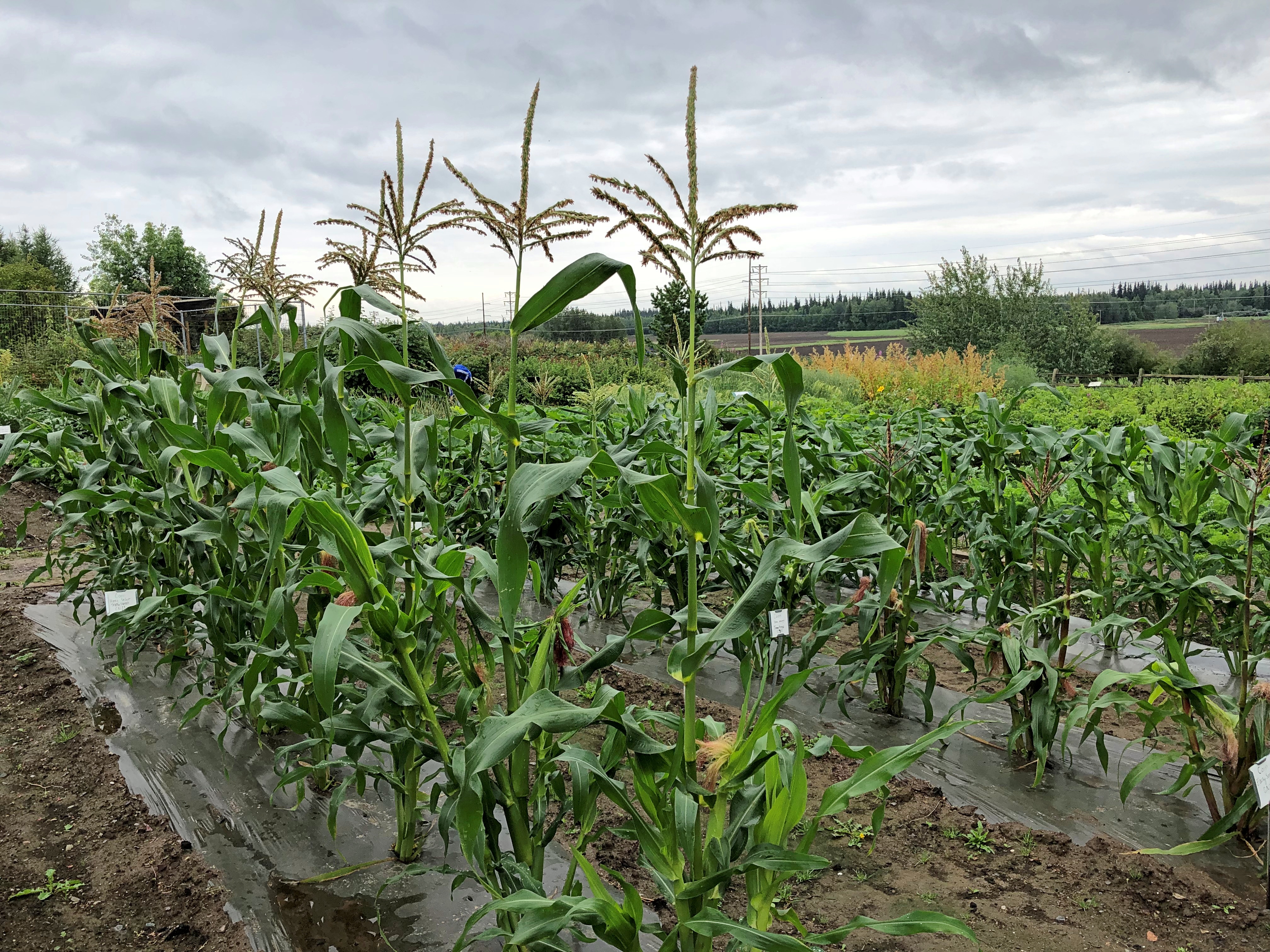
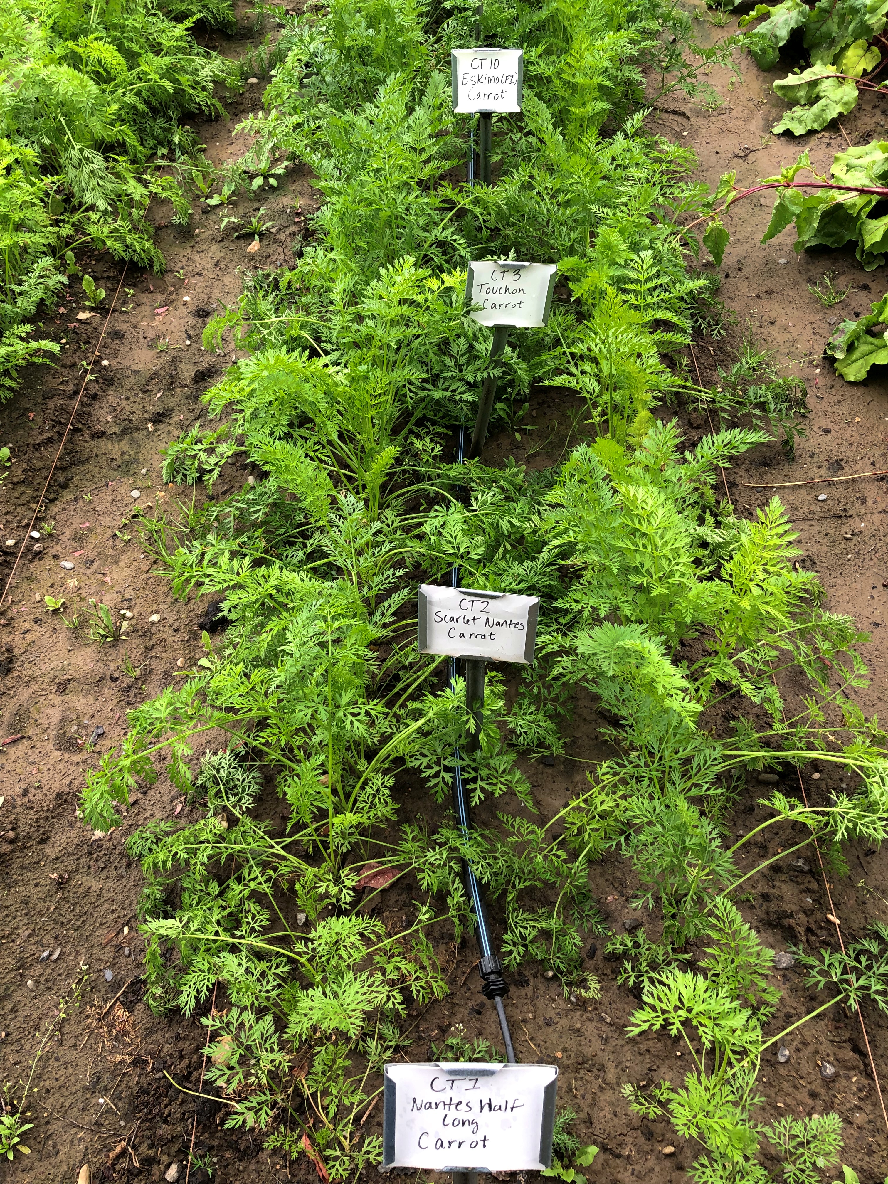
At the end of July, the eight-acre garden is a lush place, flush with flowers and varieties of vegetables I wouldn’t have associated with Alaska. But I am horticulturally ignorant. The growing season is short in the subarctic, but there is a growing season.

Flowers.Georgeson Botanical Gardens, Fairbanks

Georgeson Botanical Gardens, Fairbanks

Georgeson Botanical Gardens, Fairbanks
Vegetables.
Georgeson Botanical Gardens, Fairbanks

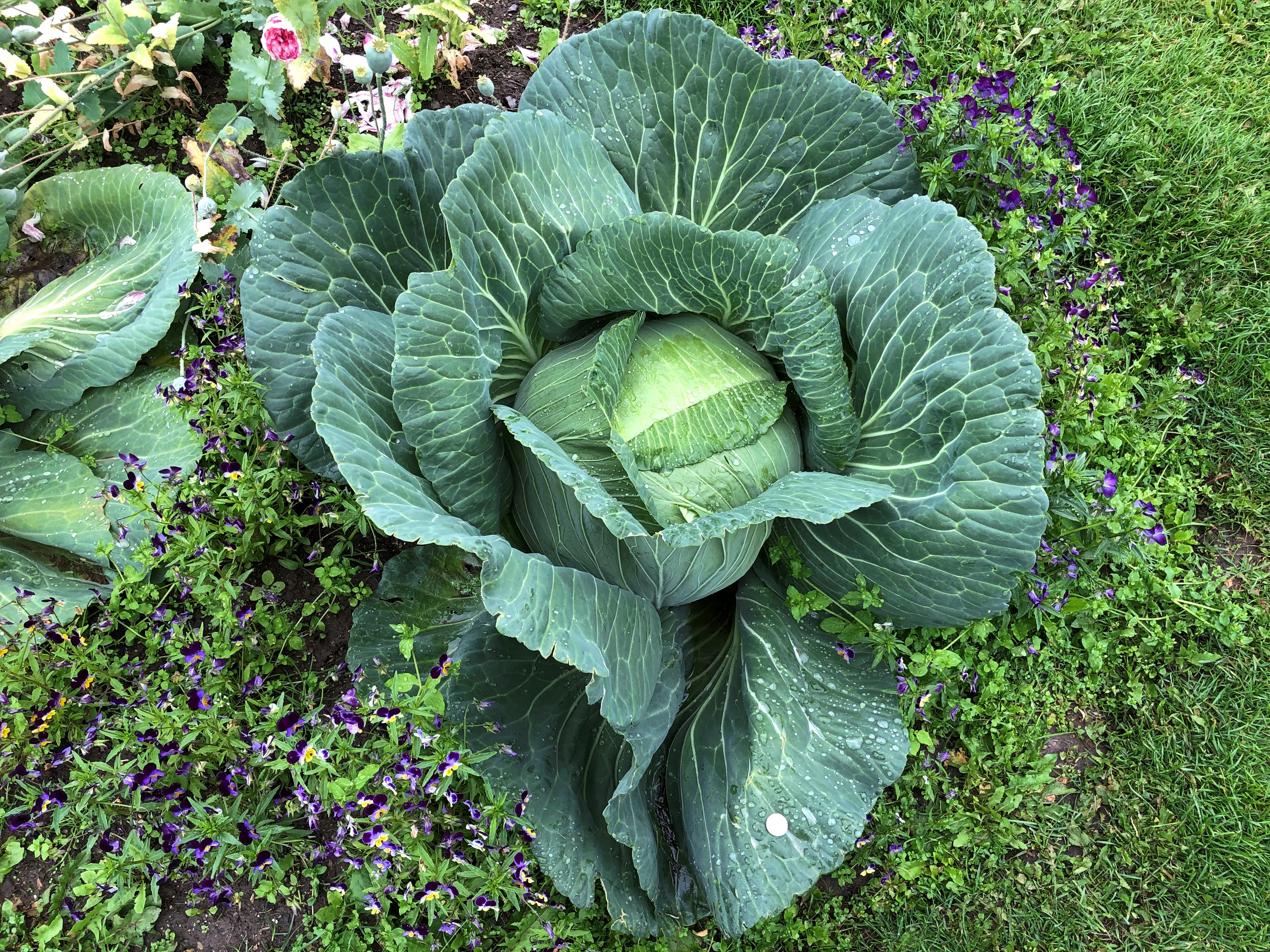
Including the largest cabbages I’ve ever seen.
Georgeson Botanical Gardens, Fairbanks

“The Georgeson Botanical Garden began in 1989 as a research, educational, and public outreach program,” the garden web site says. “However, its roots lie much deeper. In 1898, 31 years after the US purchased Alaska, the Secretary of Agriculture of the USDA sent [a] special agent of agriculture, Charles Christian Georgeson, to Alaska to explore the agricultural potential of the state.”

Georgeson established seven agriculture stations in the territory, two of which still exist, one in Fairbanks and one in Matanuska.

“The Fairbanks experiment station was established in 1906 and in 1931 the farm was incorporated into the Alaska Agricultural College and School of Mines (renamed the University of Alaska Fairbanks in 1935). [By the 1980s]… UAF proposed turning the muddy paths and straight rows of trial plants into a space that is more accessible and welcoming to the public.”

Why do cabbages (and cantaloupes and broccoli and others) grow so large in Alaska? It might be counterintuitive, but NPR offers an explanation.

“It’s Alaska’s summer sun that gives growers an edge, says Steve Brown, an agricultural agent at the University of Alaska Fairbanks. Basking in as much as 20 hours of sunshine per day, Alaskan crops get a photosynthesis bonus, allowing them to produce more plant material and grow larger. Brassicas like cabbage do especially well, says Brown.”

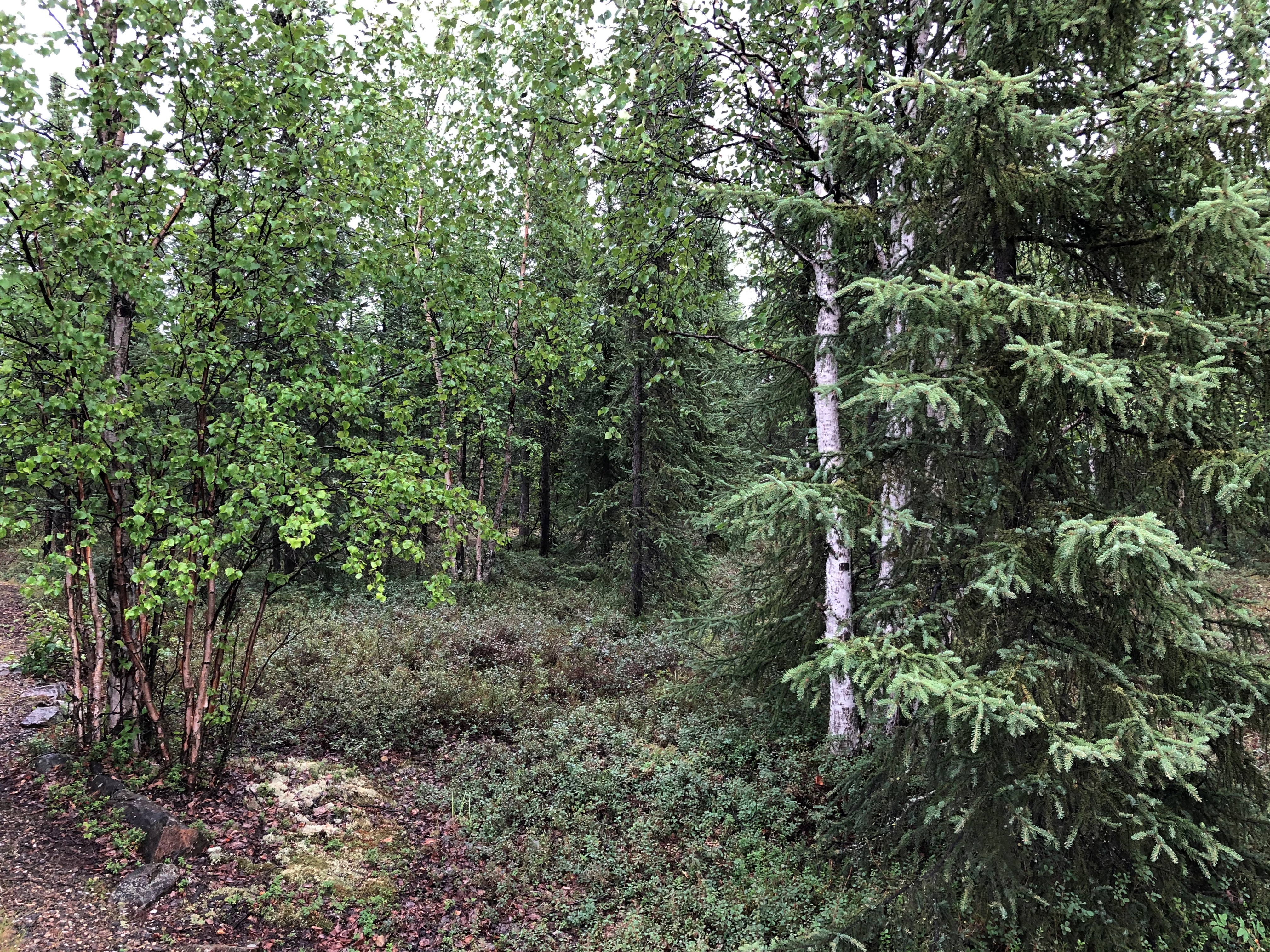
Elsewhere I saw plenty of other intriguing flora, including the main kinds of trees in the state, such as spruces, black cottonwood, paper birch, quaking aspen, alder and balsam poplar.Alaskan bush

Alaskan bush

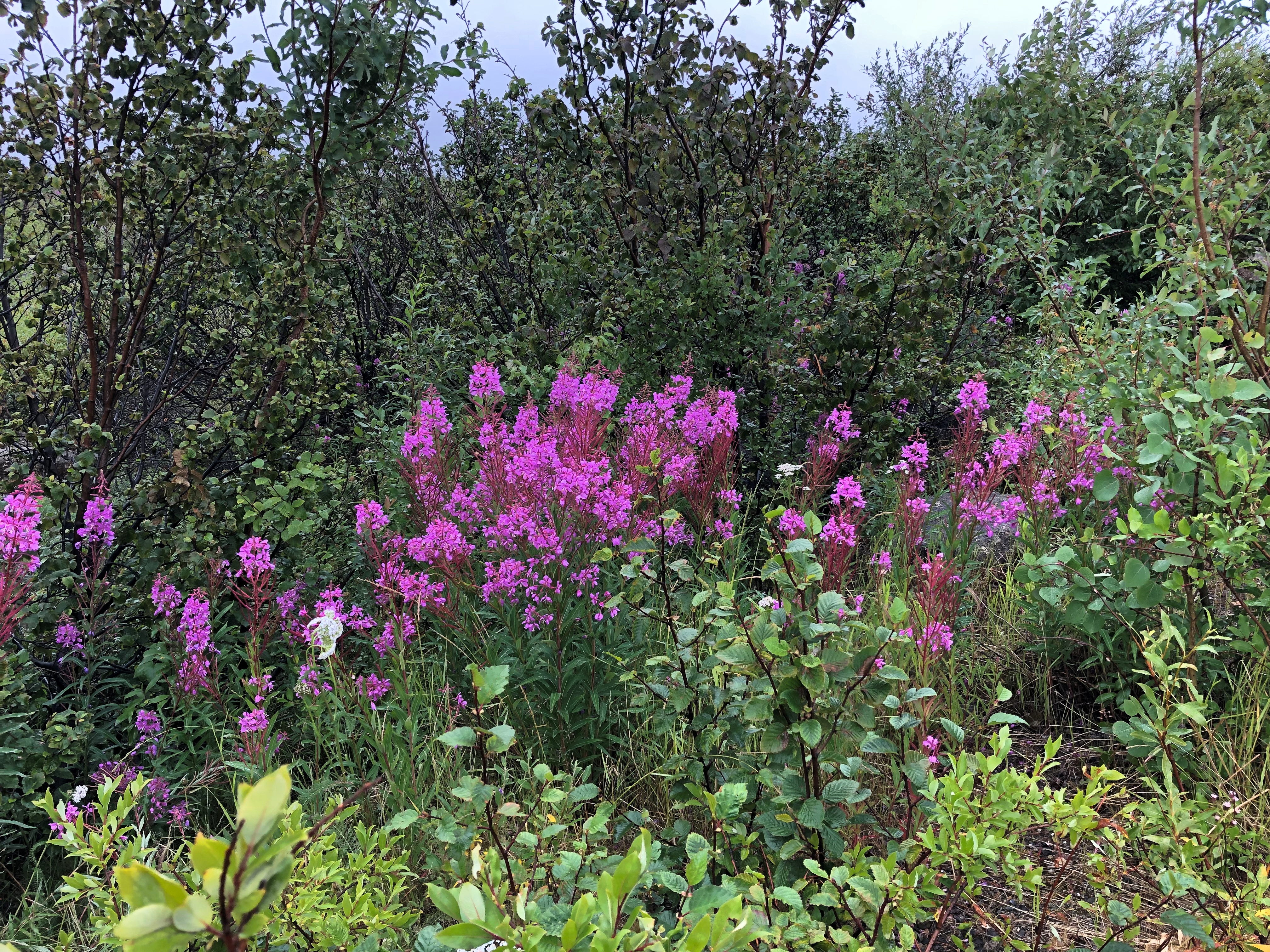
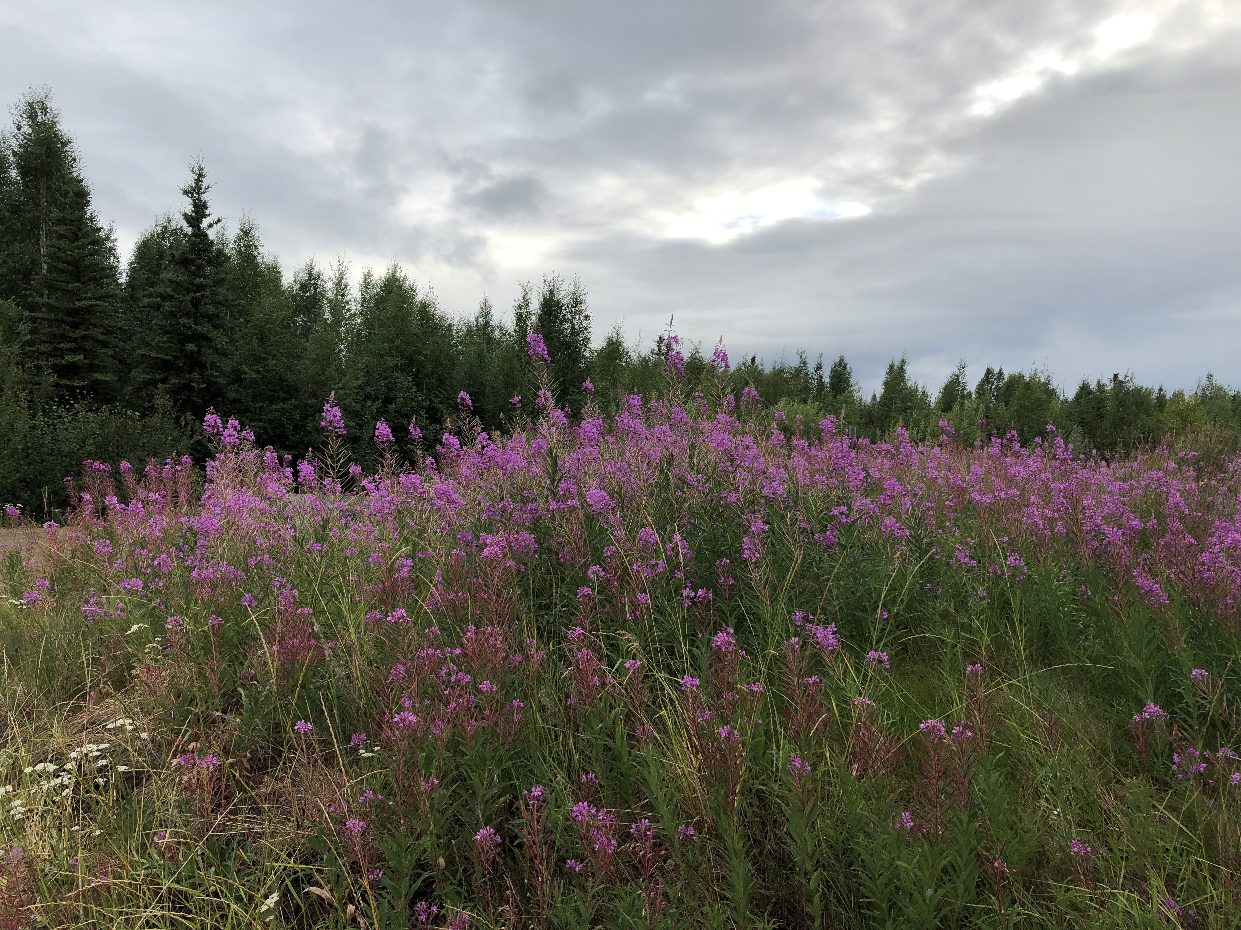
Fireweed. Late summer is its time, and I saw it everywhere.
Alaskan fireweed
Alaskan fireweed

Alaskan fireweed

“The fireweed we know in Alaska — Chamerion angustifolium — proliferates during summer, aggressively erupting in open spaces before cottoning in the turn toward fall,” the Anchorage Daily News says.

“Fireweed is common throughout much of the northern hemisphere. In Canada, it is the willowherb. In the United Kingdom, it is rosebay willowherb….

“The ‘fire’ in the name derives not just from the vivid color of the flower itself but from its tendency to grow in areas cleared by fire. As fireweed favors open, cleared and dry land, it was among the first plants to grow in the wake of the 1980 Mount St. Helens volcanic eruption in Washington state.”

North Pole, Alaska

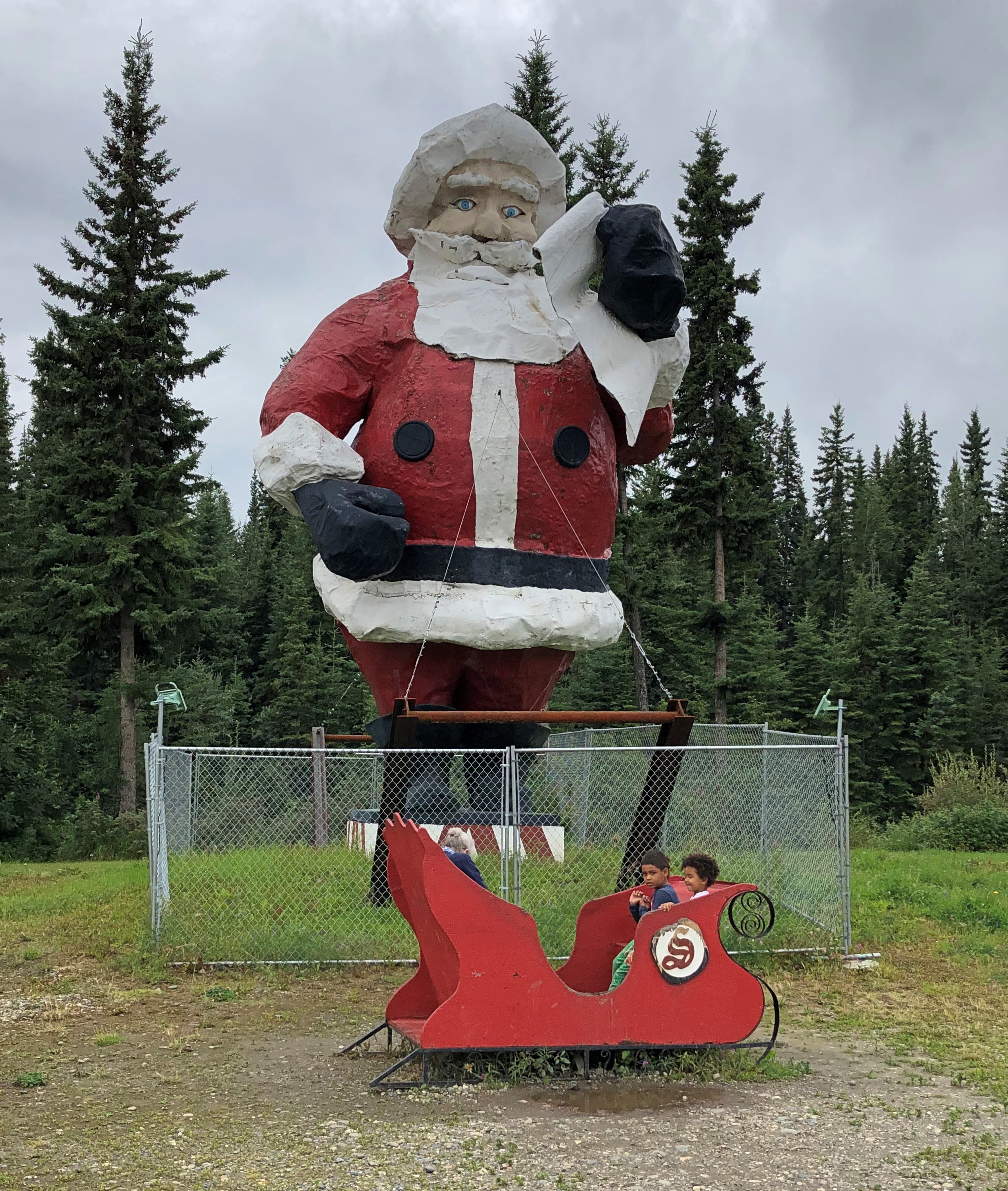
Here’s a question I’ve never considered at all before, for any reason: Where is the world’s largest Santa Claus statue? Guinness World Records and other sources put it in Portugal, where the municipality of Águeda erected a 69-foot Claus made of aluminum and iron and LED lighting in time for Christmas 2016.

Yet other sources assert that the 42-foot-tall, 900-pound fiberglass Santa statue in North Pole, Alaska, deserves the honor, as a more permanent fixture. It is definitely older, having graced the Fairbanks suburb since 1983 after making its way up from the Lower 48 (Seattle, specifically) in a tale told by Roadside America.

I don’t have an opinion about the champion Santa statue. I did see the North Pole Santa, though, not long before I drove down to Denali NP.Santa Claus House, North Pole, Alaska

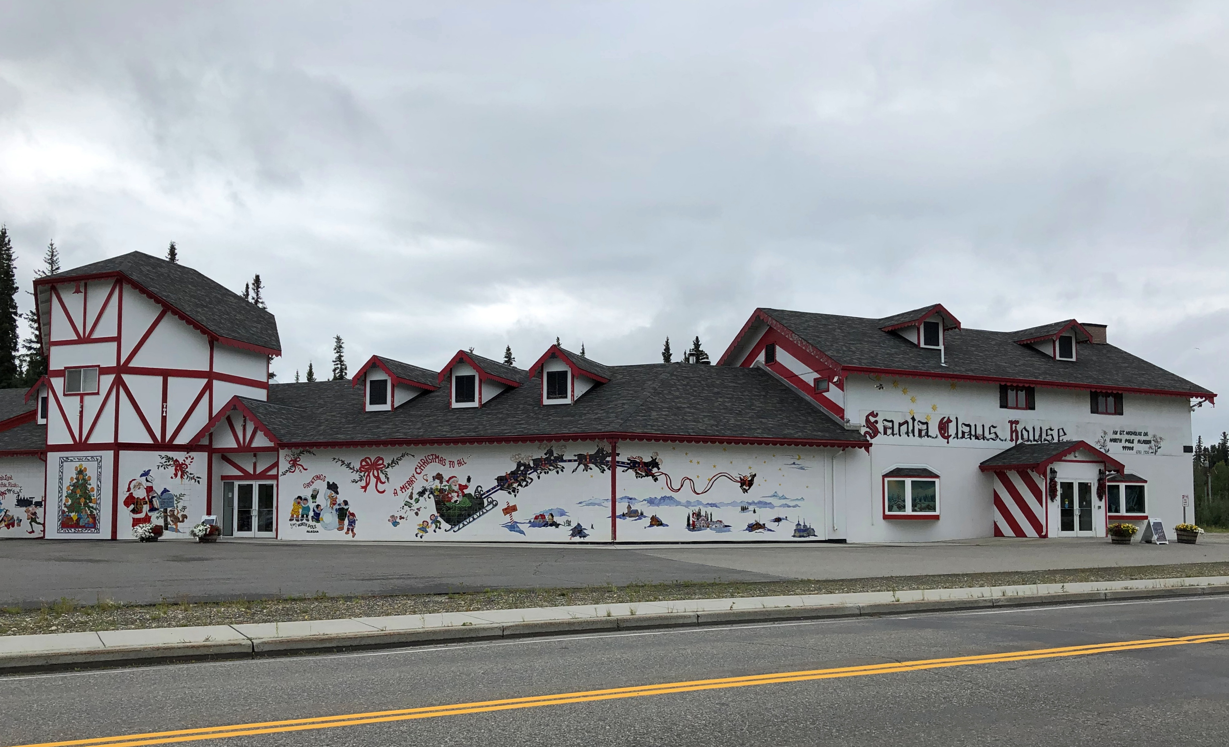
Santa stands at the Santa Claus House in North Pole, pop. 2,090 or so. I couldn’t come to greater Fairbanks and not see that. The establishment dates from nearly 70 years ago in the early days of the town, which supposedly renamed itself North Pole to attract a toy factory that never materialized (“Made at North Pole” could be stamped on such toys.) One Con Miller and his wife Nellie capitalized on the name, however, by calling their trading post Santa Claus House.

These days the place isn’t particularly a trading post, but most definitely a tourist attraction, still owned by the Miller family. I came myself exactly because it is a tourist attraction.Santa Claus House, North Pole, Alaska

Santa Claus House, North Pole, Alaska
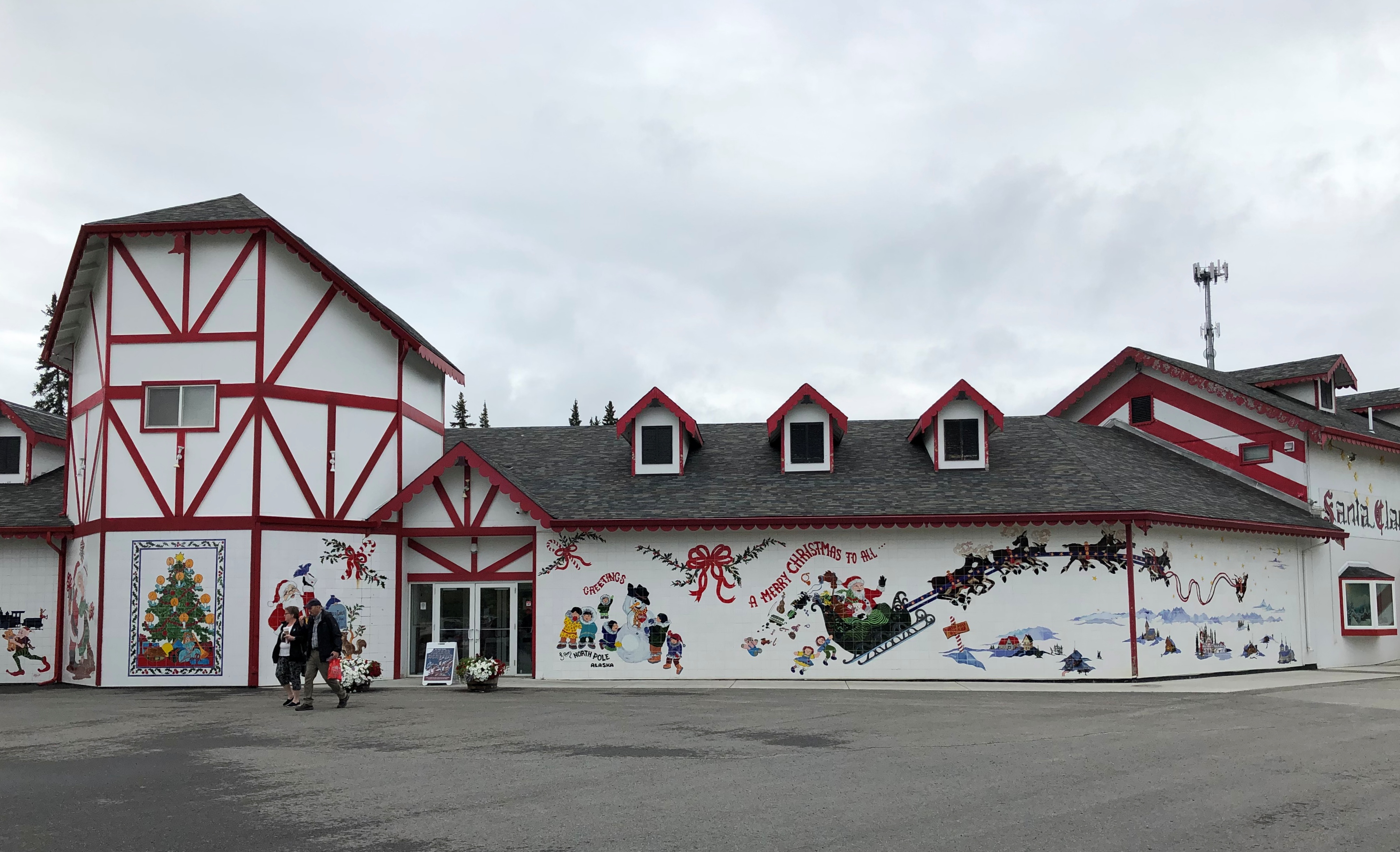
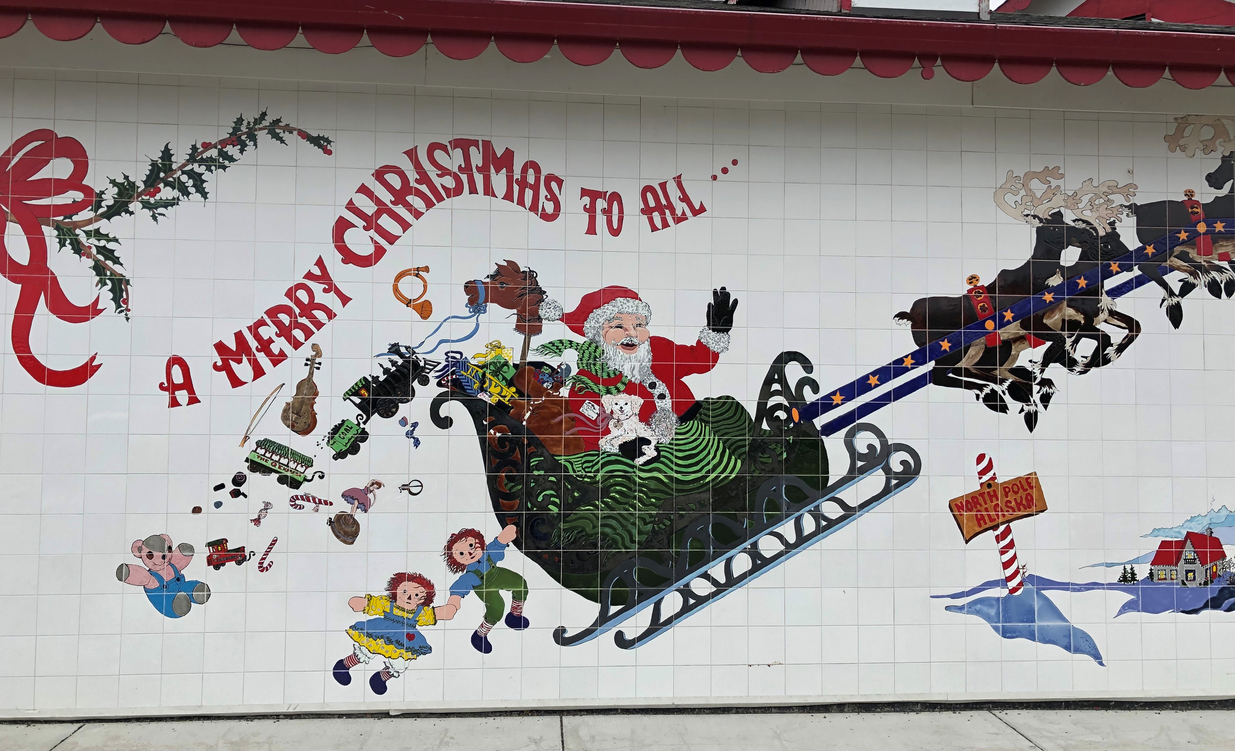
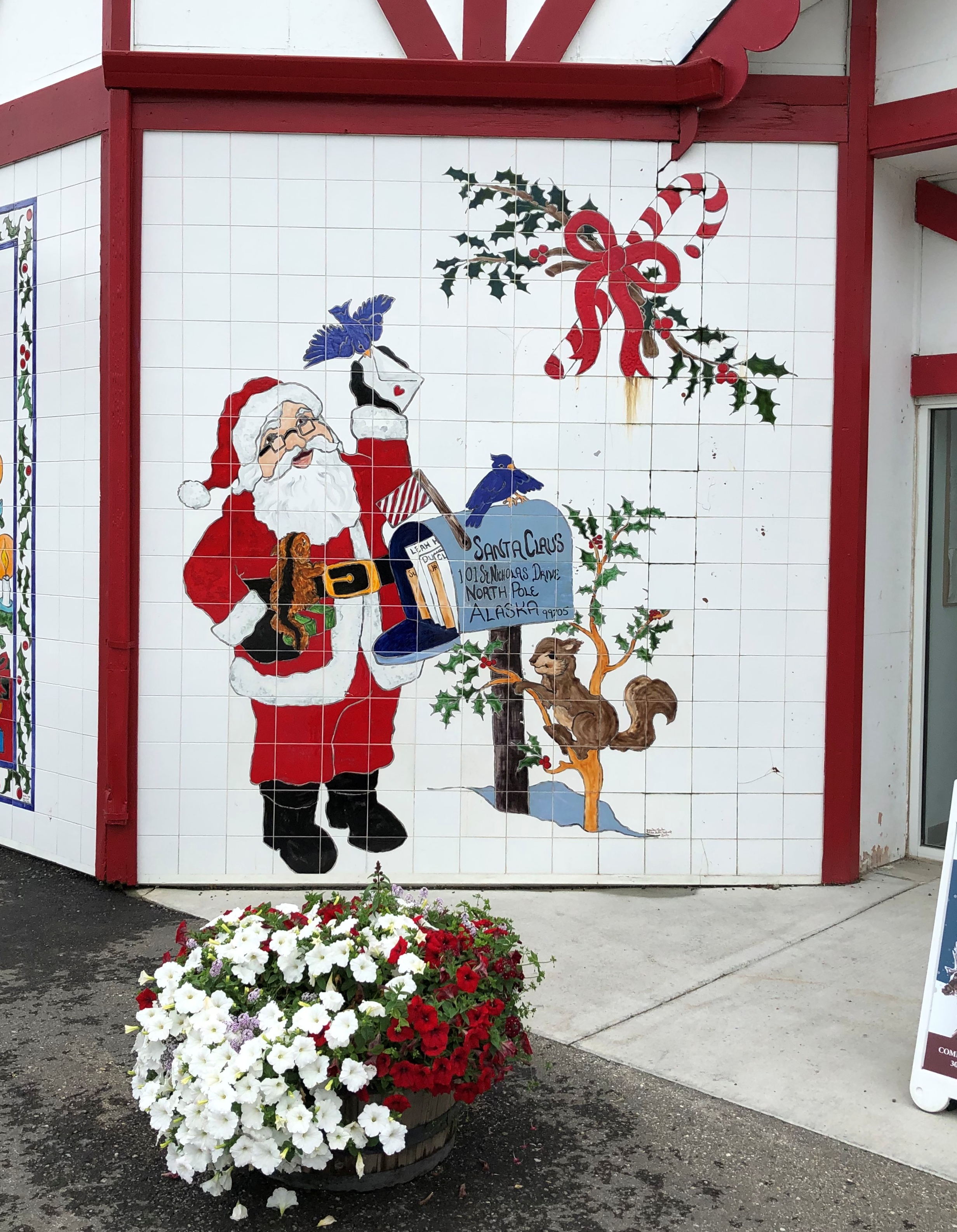
Santa-themed murals decorate the exterior walls.

Santa Claus House, North Pole, Alaska

Santa Claus House, North Pole, Alaska
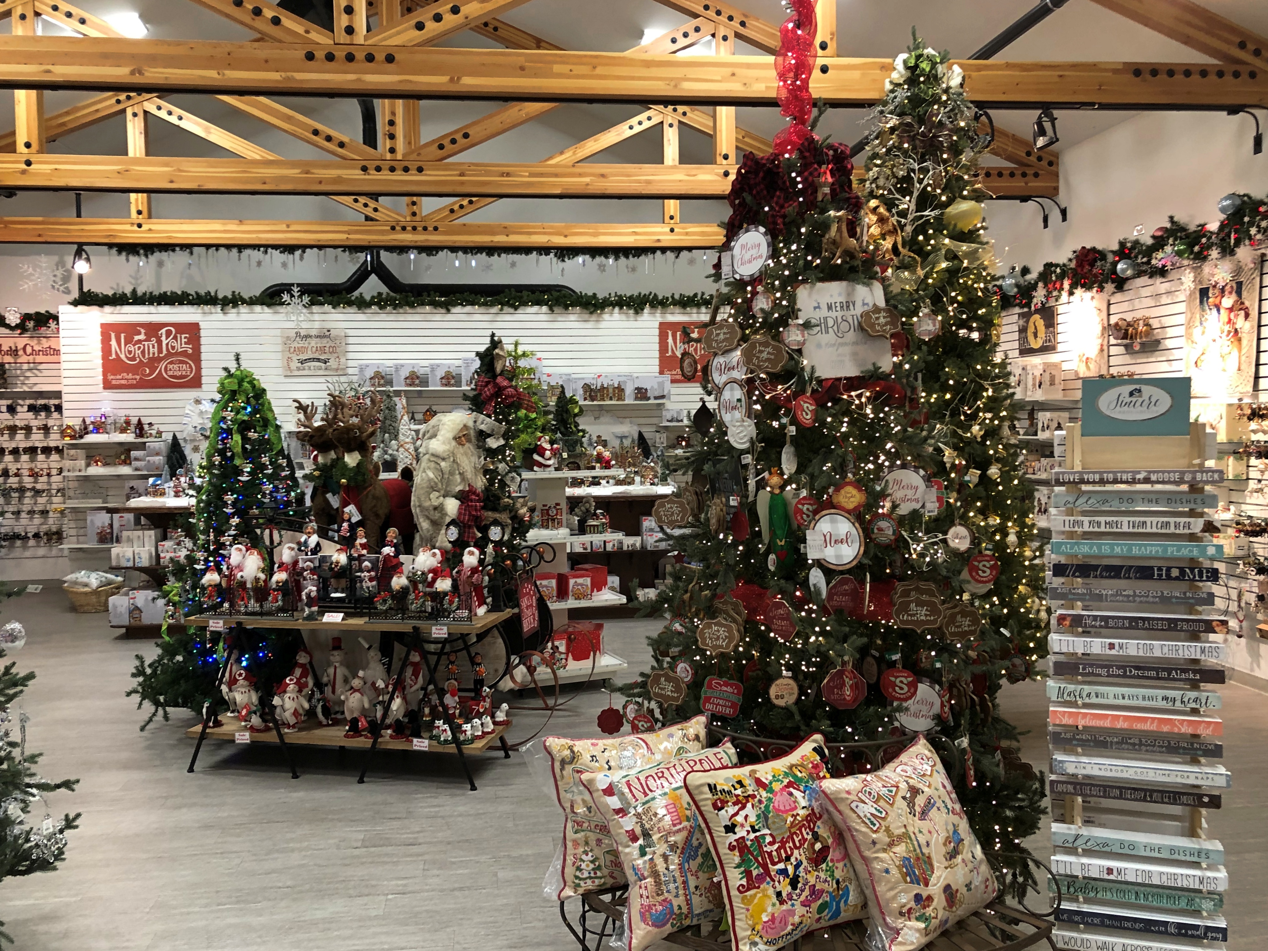
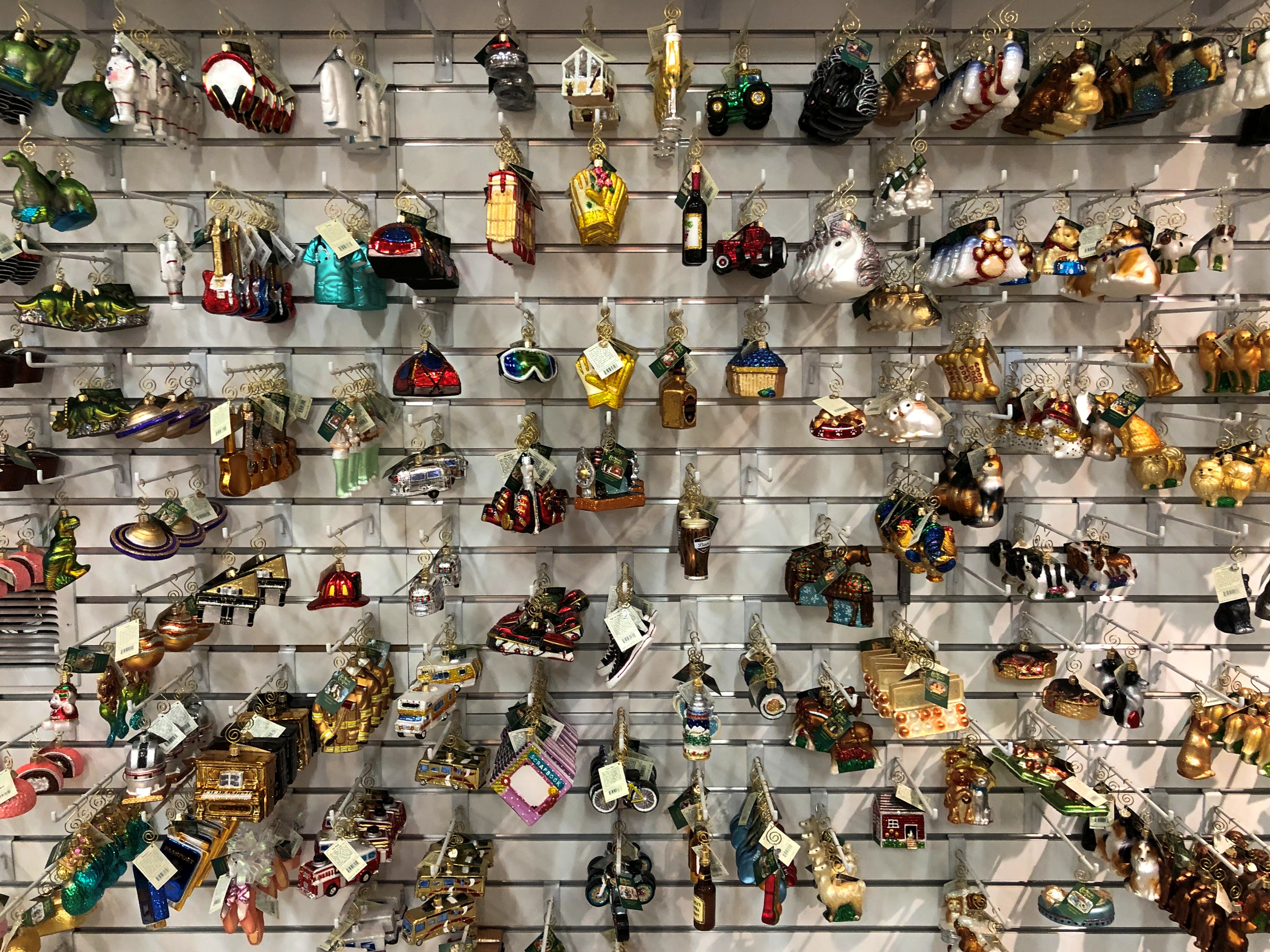
Inside, as you’d expect, is a large retail store devoted to Christmas decorations and other holiday paraphernalia.Santa Claus House, North Pole, Alaska

Santa Claus House, North Pole, Alaska

Santa Claus House, North Pole, Alaska
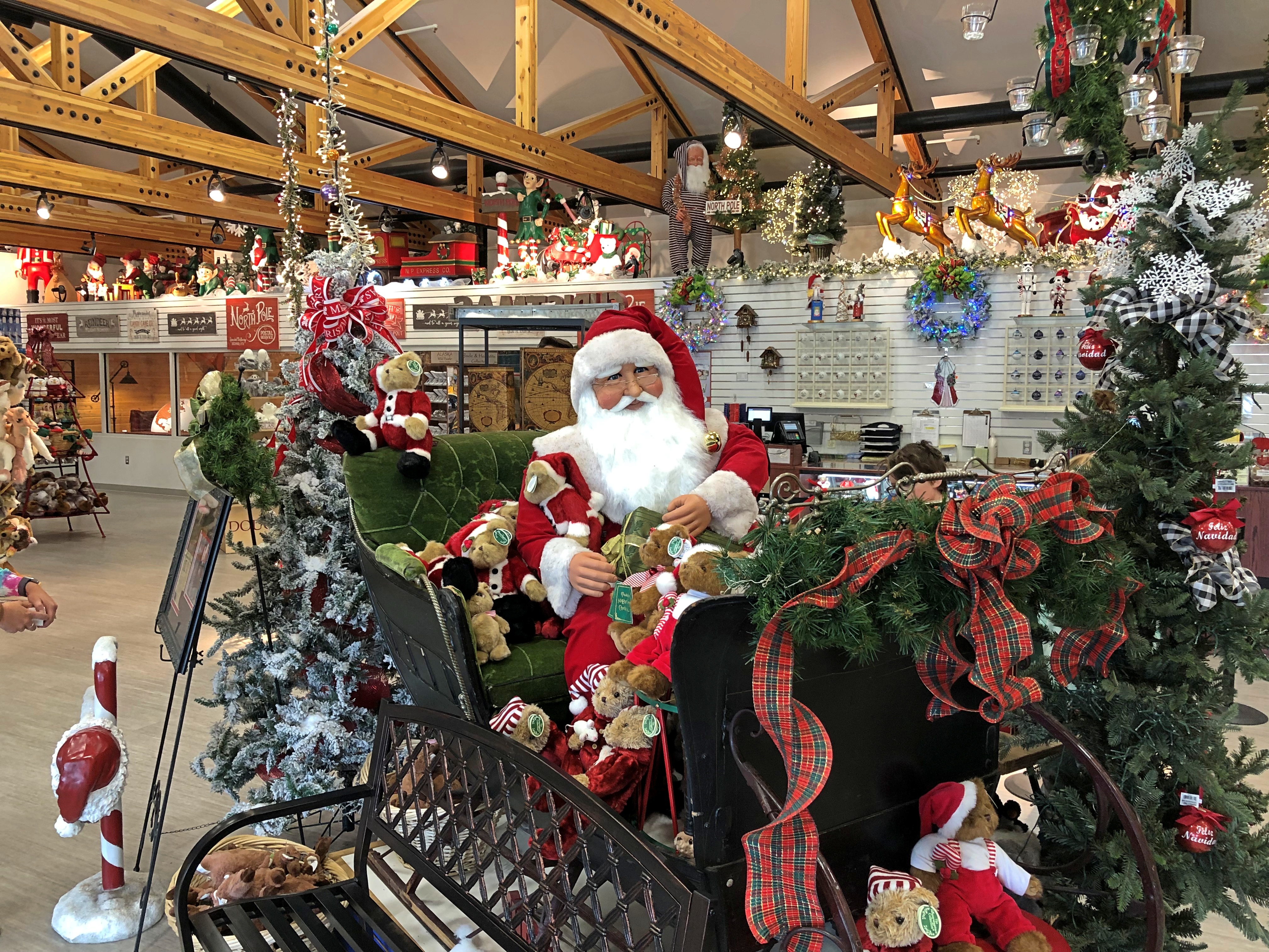
Not as large as the Bronner’s Christmas Wonderland in Frankenmuth, Michigan, but pretty impressive all the same. In one corner, a Santa and an elf were standing by, waiting for children to visit. I understand that a Santa always stands by at the store, no matter what time of the year it is.

Santa Claus House might be the main tourist attraction in North Pole, but other parts of the city play to the theme. For instance, visible from the highway is Universal Welding, and its locally themed sign. Local street names include Santa Claus Lane (what else could that be?), Snowman Lane, Mistletoe Drive, Kris Kringle Drive and Donner and Blitzen drives.

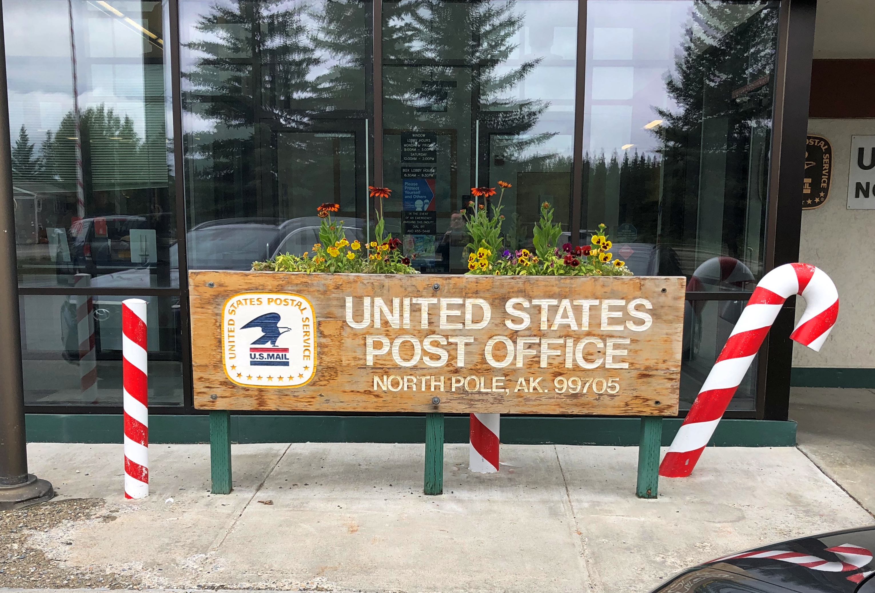
Then there’s the North Pole post office.North Pole, Alaska, post office

I had lunch at a diner in North Pole, Country Cafe. A nice ham and cheese sandwich. The place didn’t have a Christmas theme, but rather model military airplanes. No surprise, really. Eielson Air Force Base isn’t far down the Richardson Highway (Alaska 2) from North Pole. Santa Claus House and its tourist draw is nice, but I’m sure it’s Eielson that supports the local economy.

Alaska 3, Nenana & Warren Gamaliel Harding

One way to get from Fairbanks to the entrance of Denali NP is to ride the Alaska Railroad. In fact, that was the original route for tourism into the interior of Alaska, though I suspect from the 1920s to the early ’70s, most people came up from the port of Seward to access the grandeur of McKinley NP, as it was then known.

I considered taking the train down from Fairbanks myself — the wonderfully named Denali Star. That would have been a cool ride. But the pandemic bollixed up its schedule. Last year, the passenger trains didn’t run. This year, at least as I planned things back in April, service was more limited than it had been before 2020, such that I couldn’t make the train work for me logistically.

That’s how, on July 28, I came to be in a rental car heading west and then south from Fairbanks on the route Alaska 3. I picked the car up at the airport in Fairbanks at noon that day. Along with the other documents, the rental company gave me a list of proscribed roads.

Mostly gravel roads. During my ride on the Dalton Highway the day before, the driver told us that if you look closely, you’ll notice that a lot of cars and trucks in Alaska have cracked windshields. Insurance typically doesn’t cover that kind of damage, since gravel roads tend to dish it out too regularly.

The list is interesting for another reason, in that it gives names instead of route numbers. Most Alaska highways, it seems, are known by their names rather than numbers. I asked the bus driver on the Dalton whether that road had a number, and he had to think before he told me. It’s Alaska 11, but no one calls it that, and I didn’t see any signs along the way using the number.
In Fairbanks and a little ways south, I also drove on Alaska 2, but the signs called it the Steese Highway (not to worry, I was well south of Mile Post 81).

Later I learned that Alaska 2, the Steese, is the Alaskan portion of the Alaska Highway. I smile at the thought that I’ve driven on the Alaska Highway, even if only about 12 miles of it between Fairbanks and the town of North Pole.

As for the road between Fairbanks and Denali NP, its name is the George Parks Highway, named for a mining engineer and governor of the Alaska Territory in the 1920s and ’30s. Remarkably, he lived to see his name attached to the road, since he died at age 100 in 1984.

I didn’t see too many signs calling it the Parks Highway, though. Mostly I saw the Alaska 3 signs, featuring the state name, the number, and the Big Dipper and Polaris, arrayed as they are in the northern sky and the Alaska flag. An excellent design, one that made me think, damn — I’m in Alaska. For miles at a time, those were the only signs I saw. The road the was remarkably free of most the signage you might see elsewhere: directional signs, mileage signs, billboards and so on.

Alaska 3 was mostly a two-lane shot through the boreal forest. The terrain between Fairbanks and Denali NP, which runs about 125 miles, follows the Tanana River, and then passes by the Minto Flats and the Tanana Flats, so it isn’t a mountainous crossing. I suppose that facilitated the road’s construction, completed only 50 years ago.

That isn’t a long drive, certainly not for someone who learned to drive in Texas. But it was mesmerizing in a way that few roads are. Traffic was light, so my eyes were able to wander sometimes from the road ahead to the forested expanse on either side.

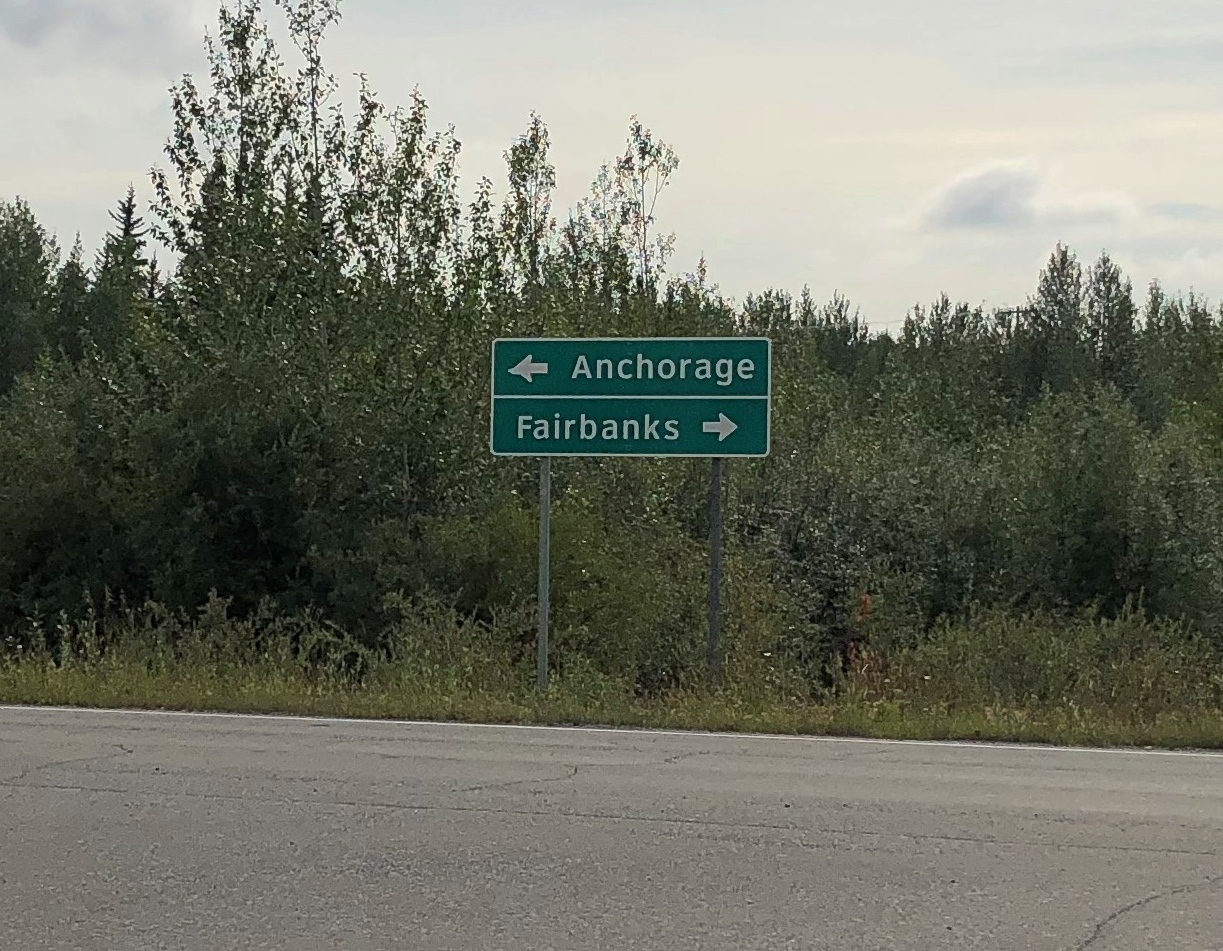
The were a few directional signs. My favorite.

Alaska 3

That was at an intersection with Alaska 3 in the town of Nenana, the only settlement of any size (pop. 341) between suburban Fairbanks and the tourist town of Healy, just north of the entrance to Denali NP.

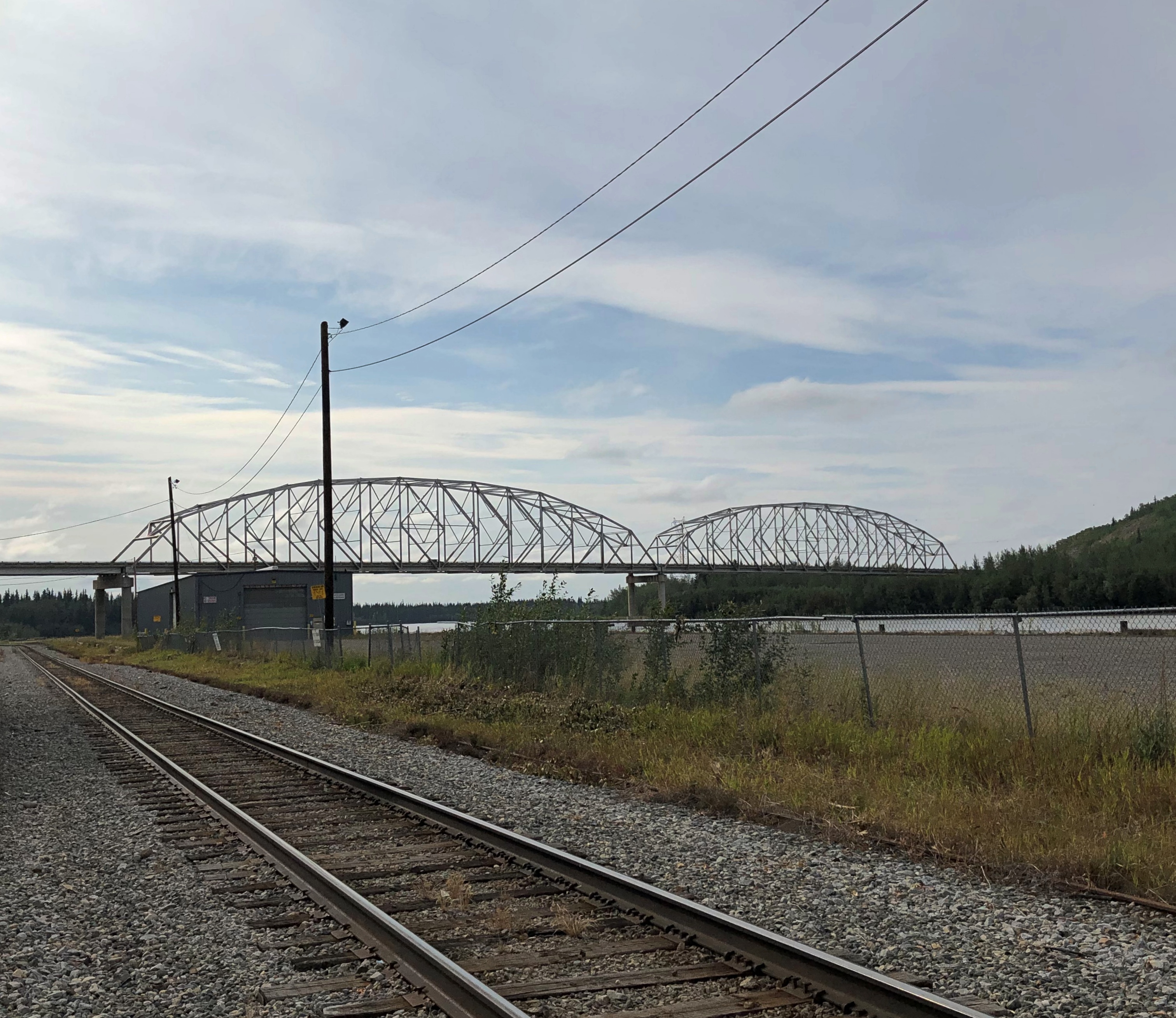
The road crosses the Tanana River at the town of Nenana, very near where the Nenana River — which I would see later, near the national park — joins the Tanana, on its way to the Yukon River.Nenana, Alaska
The other bridge in the town of Nenana (across the Tanana River) is the Mears Memorial Bridge, which takes the railroad across the river. More about that shortly.

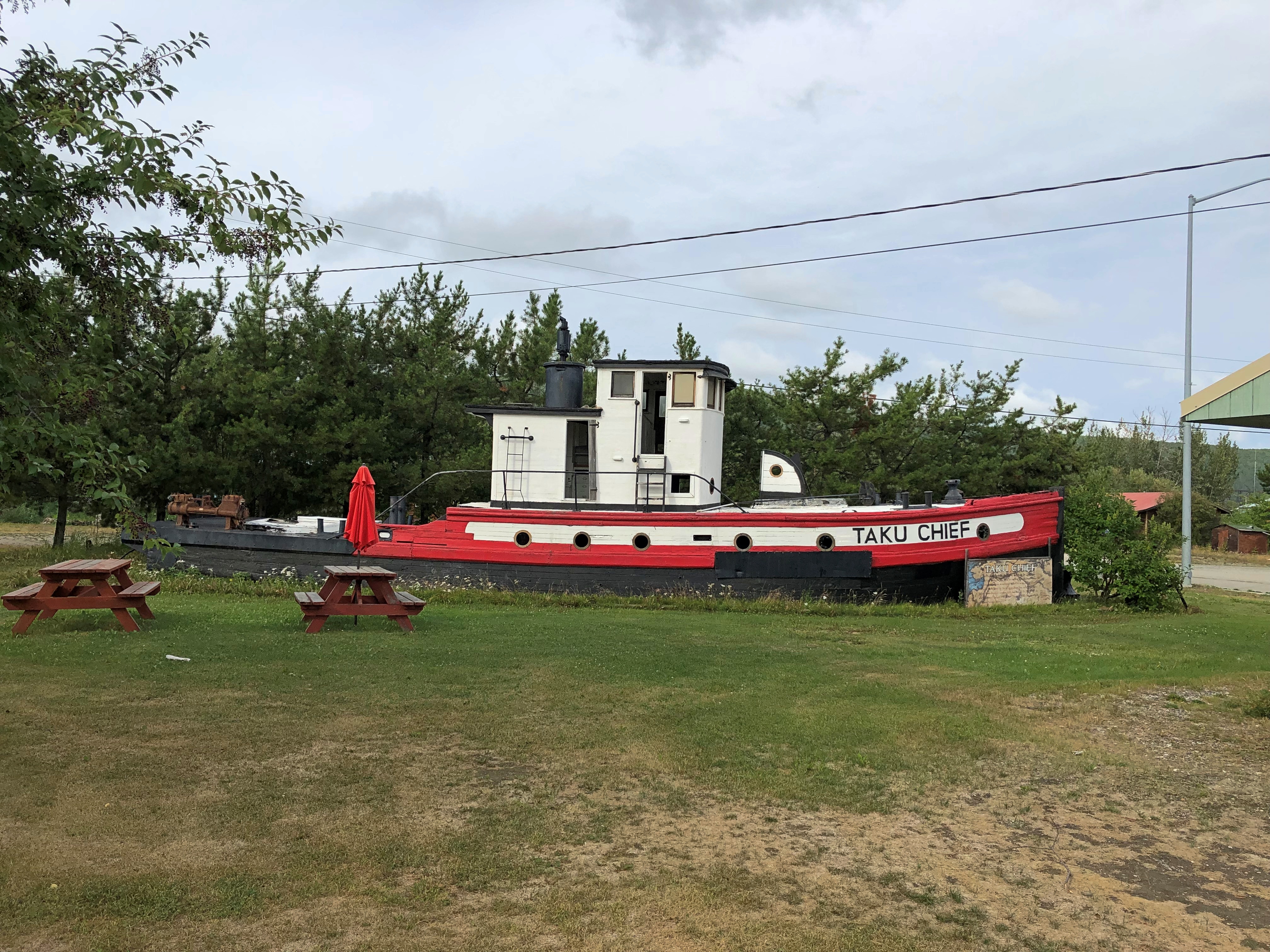
Nenana seemed like a good place to look around. Near the highway is a cluster of tourist and memorial structures, including a boat out of water, the Taku Chief.Nenana, Alaska Taku Chief
The nearby sign says: “The last commercial wooden tug to ply the Yukon and Tanana River Basins, the Taku began her career in 1938 in Southeast Alaska. After 7 years in service she was requisitioned by the CAA for use on the rivers of the Interior. In 1956, she joined the fleet of Yutana Barge Lines, and after a colorful history, the sandbars and sweepers finally took their toll. On July 18, 1978, she was condemned. She rests in her last port, Nenana, a tribute to the heartbeat of Alaska transportation.”

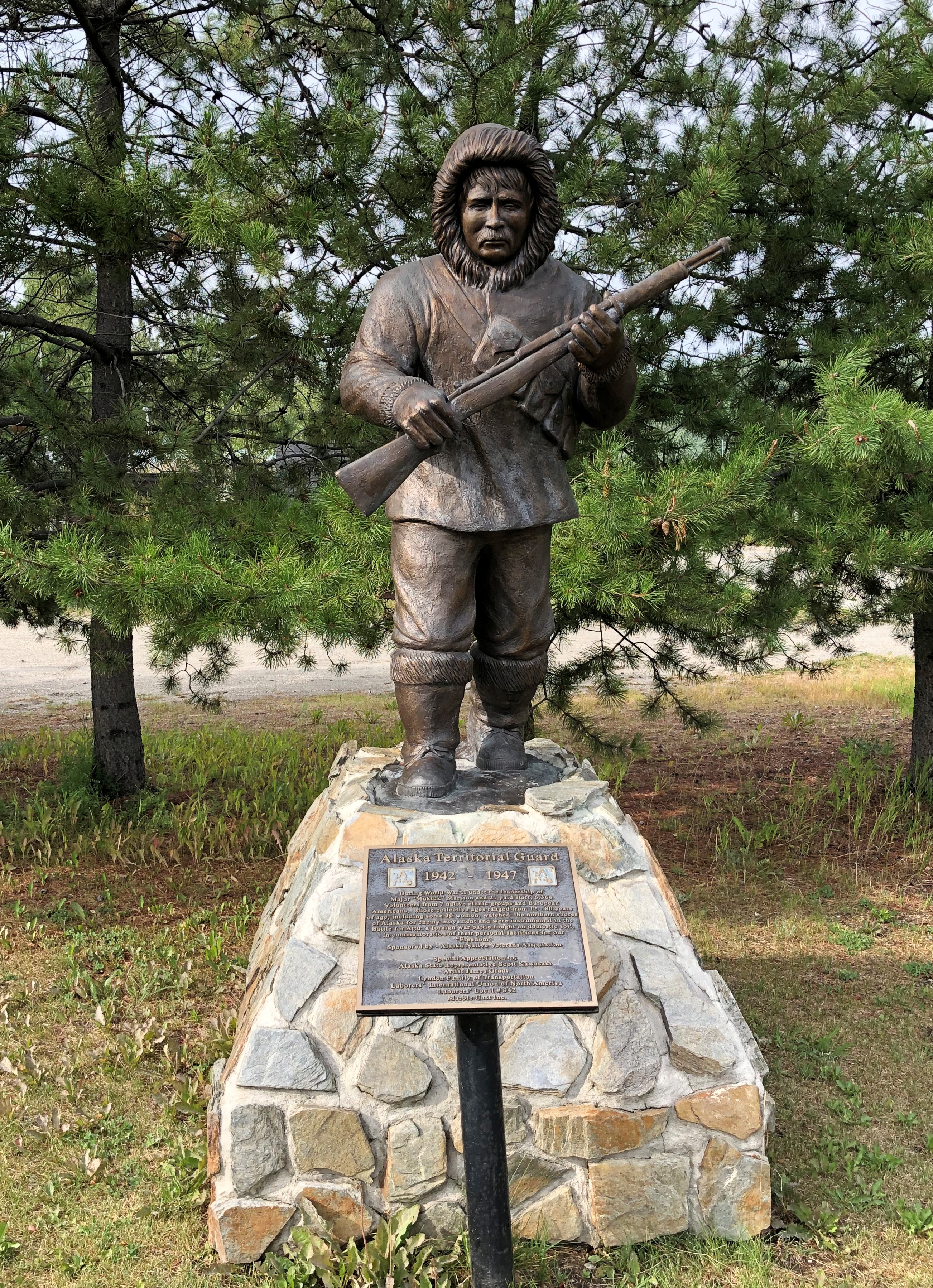
Near the ship is another casting of the James Grant work memorializing the Alaska Territorial Guard, 1942-47.Nenana, Alaska - Alaska Territorial Guard, 1942-47

The town’s main street (besides the highway) is A Street, with a scattering of houses, buildings, abandoned buildings and empty lots. The pandemic might have done in this business; or maybe it closed before then.

Tenana, Alaska

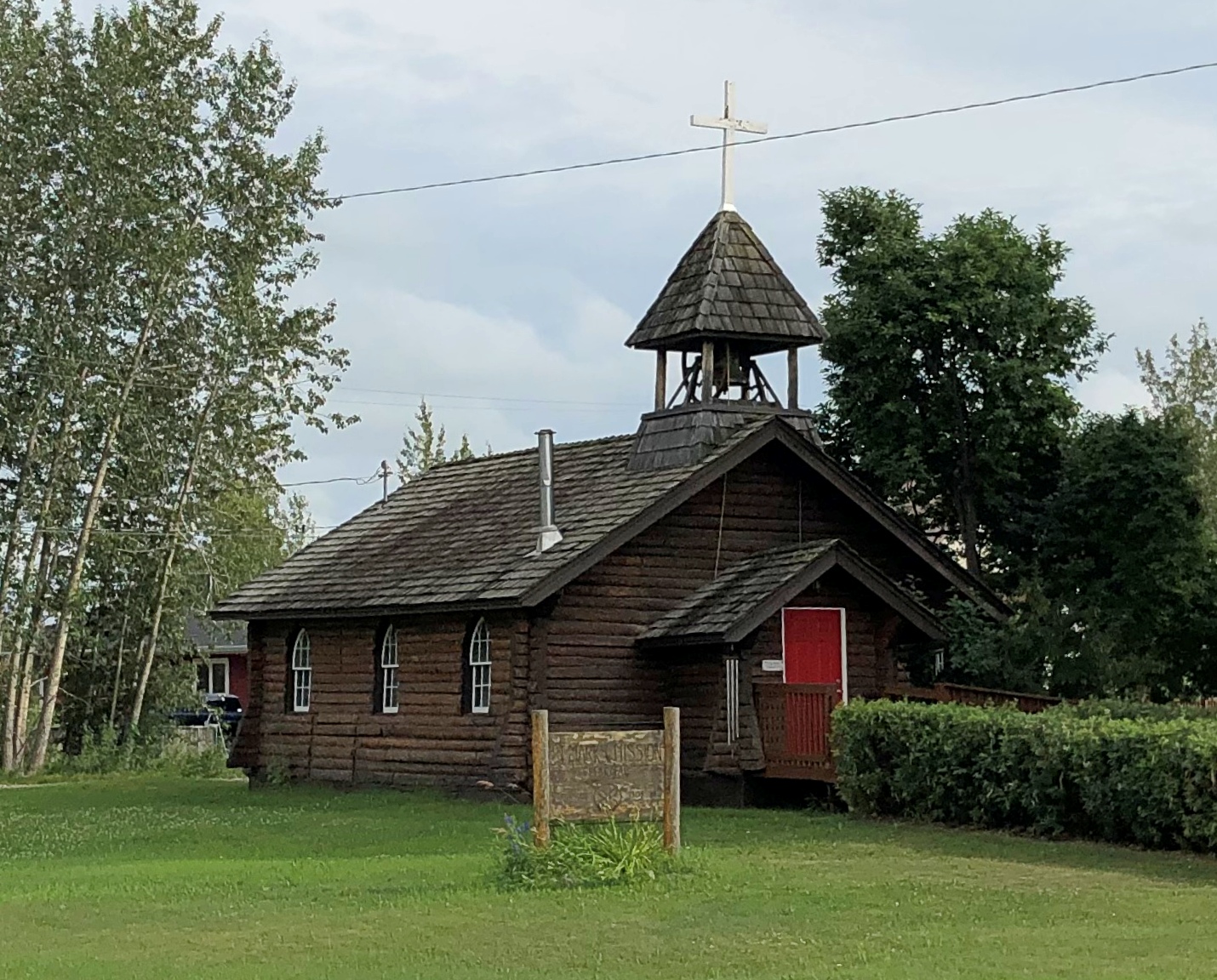
St. Mark’s Mission church.

Tenana, Alaska - St. Mark's

“The Episcopal Church, continuing work done by Episcopal and Anglican missionaries along the Yukon River, envisioned a series of missions throughout the Tanana basin to serve its Native population,” Sketches of Alaska says. “Eventually four missions were established: St. Barnabas at Chena Native Village, Luke’s at Salcha, St. Timothy’s at Tanacross (near Tok), and St. Mark’s at Nenana…

“The picturesque church is similar in design to other Episcopal mission churches throughout Interior Alaska — a log structure with gable front and bell tower. The 22-foot by 28-foot building is constructed of logs squared on three sides, with the bottom courses of logs flaring outwards. Gothic arched windows contain stained glass, and the building is topped by a shake roof.”

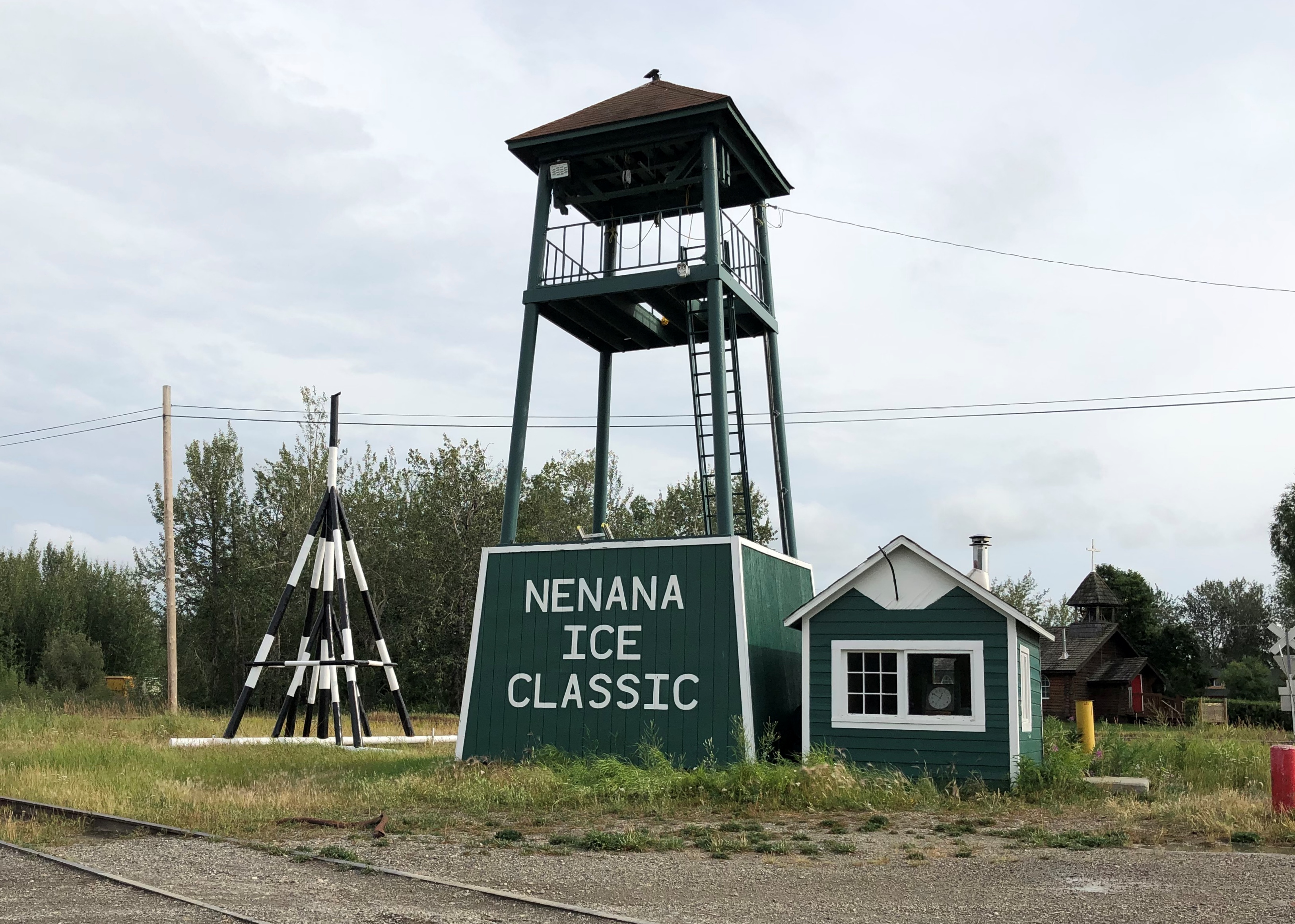
At A Street and Front Street near the Tanana River is a curious tower.Nenana, Alaska - tripod

I didn’t look that up till I got home. I’d assumed it was some kind of winter sporting event, but no. Wiki: “The Nenana Ice Classic is an annual ice pool contest held in Nenana, Alaska. It is an event in which individuals attempt to guess the exact time the Tanana River ice will break up at Nenana.

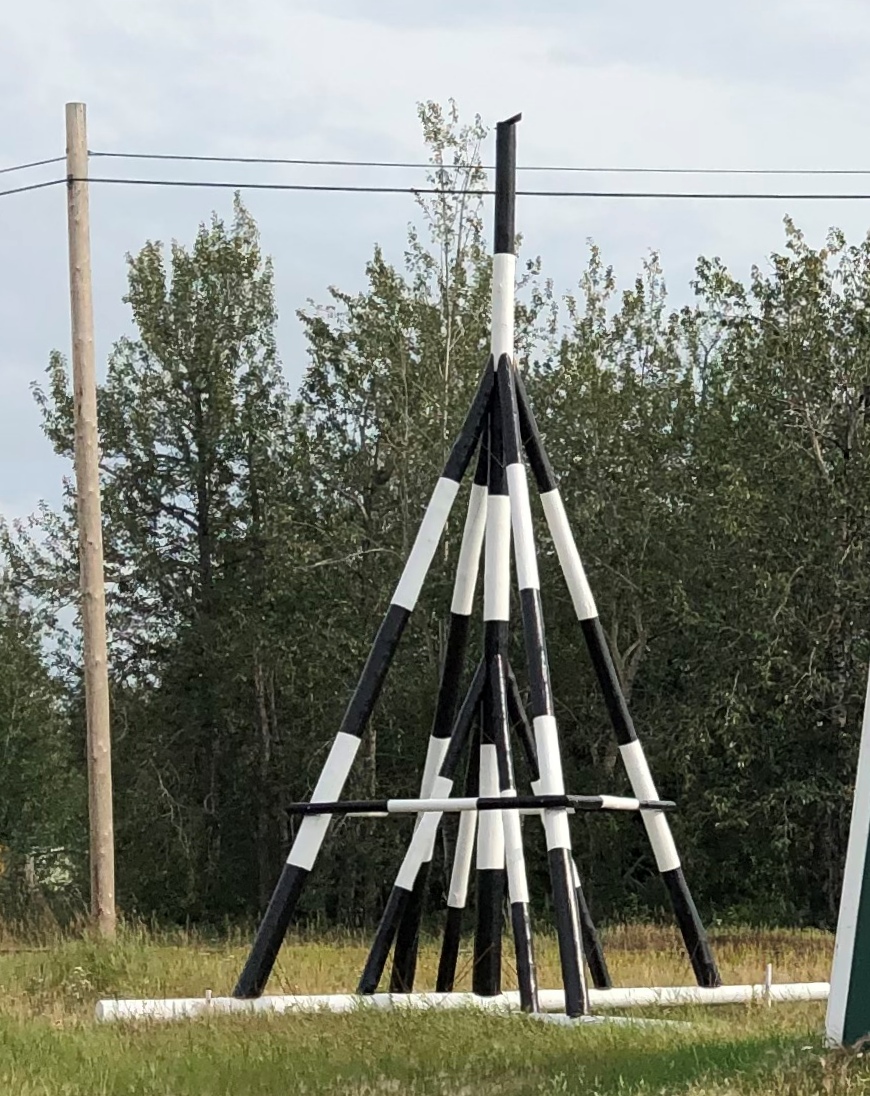
“The ‘tripod,’ which actually has four supports, is planted on the river ice between the highway and railroad bridges in Nenana, 300 ft from the shore… A line is attached to the top of the tripod and once that end is anchored the other end is taken to the Ice Classic tower nearby on the banks of the river. Attached there to the clock inside the tower, when the ice goes out and moves the tripod 100 feet the line breaks and stops the clock.”

The pool is no small potatoes. According to the pool web site, the prize money in 2021 totaled $233,591. The clock stopped on April 30 at 12:50 pm and the prize was split among 12 winners. The rest of the funds generated by the pool go to local charities.

The Wiki photo of the tripod looked awfully familiar. Then I remember that I’d seen the tripod, standing next to the tower (and there was another one near the Taku Chief). There was nothing to explain what they were. Tourist photographer that I am, I took a picture of one of them anyway.

Nenana, Alaska - tripod
Finding out what it was produced a bit of mild amazement, here during the post-trip writeup. What a fun thing to learn about, like the Sopchoppy Worm Gruntin’ Festival. How often do we look at things on the road, or near home for that matter, without the slightest idea what they are?

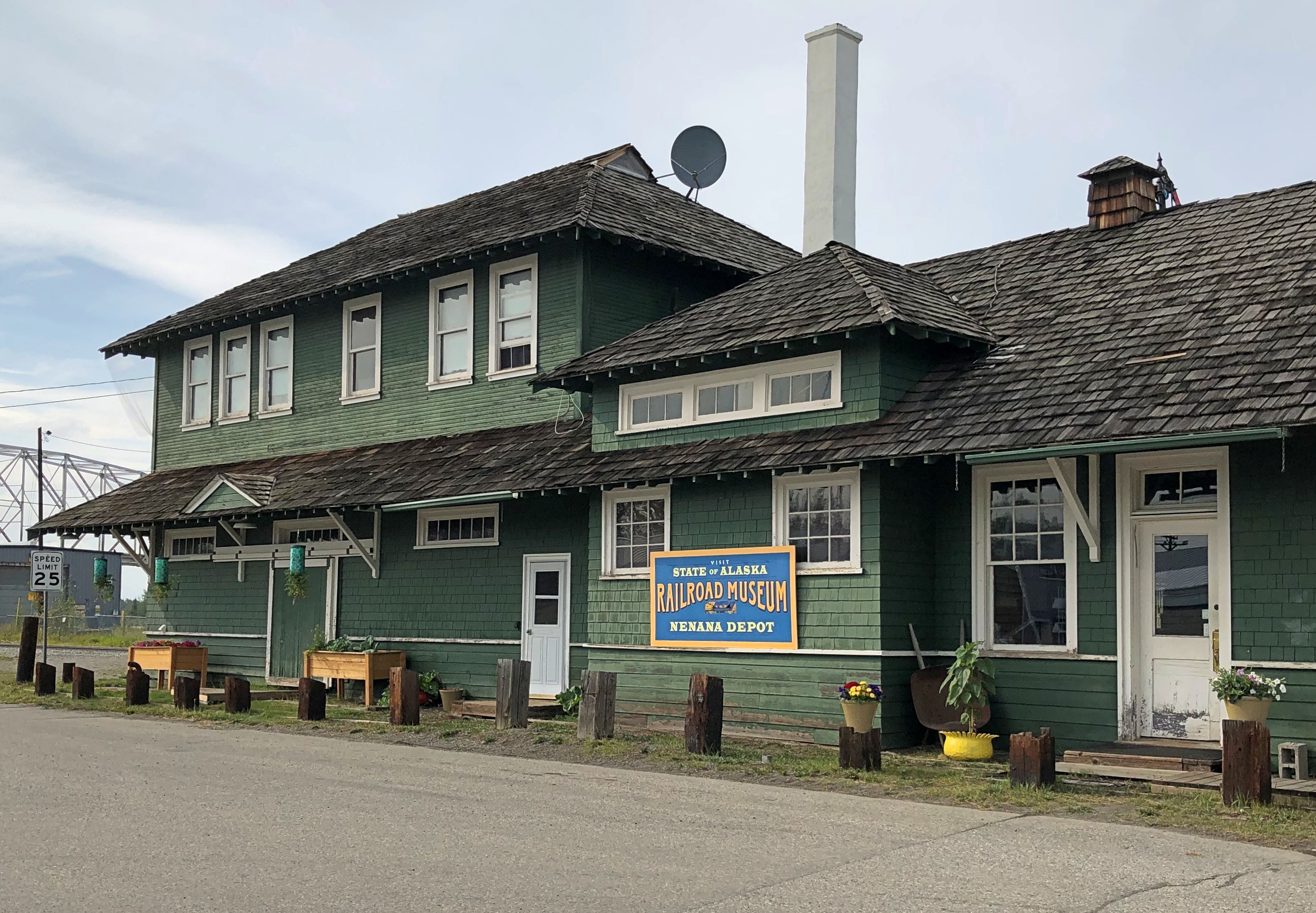
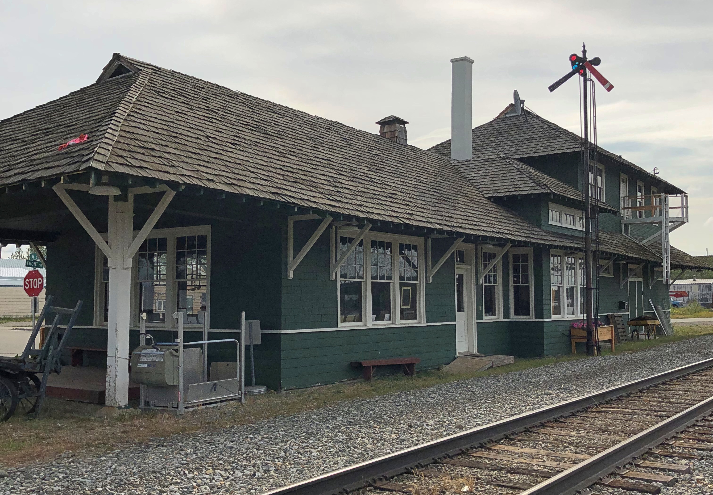
At the meeting of A Street and Front is the handsome Nenana depot, which still seems to be a stop on the Alaska Railroad, but it’s also the State of Alaska Railroad Museum. It was closed when I got there.Nenana, Alaska - depot
Nenana, Alaska - depot

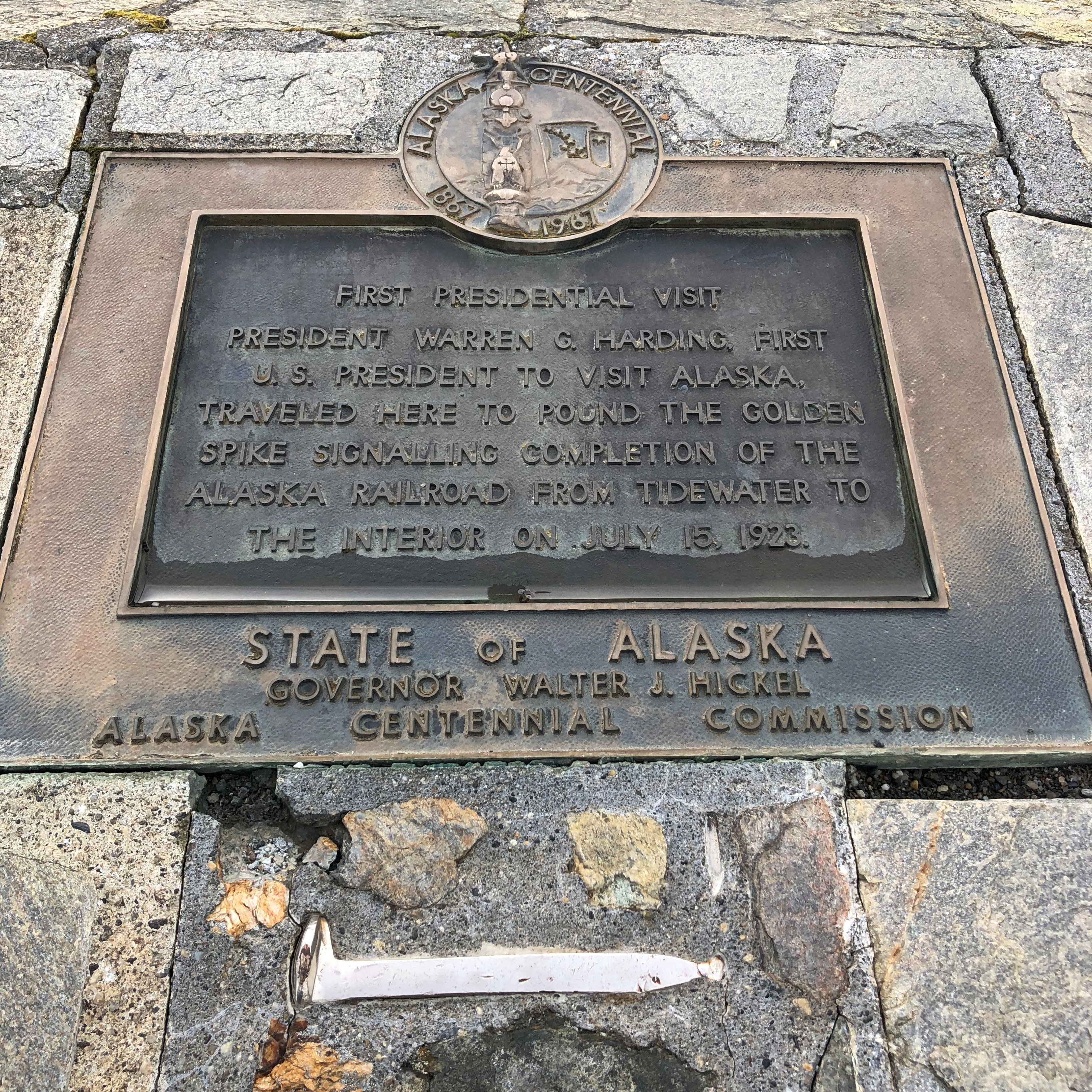
Next to the depot is a plaque and, I assume, the same golden (colored) spike that Warren G. Harding pounded on July 15, 1923, to mark the completion of the railroad. The last part completed was the Mears Memorial Bridge.Nenana, Alaska - Warren Harding golden spike

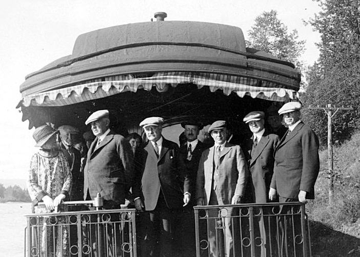
The Anchorage Daily News published an article a few years ago about presidential visits to Alaska. “The most ambitious trip to Alaska, by far, was Harding’s,” the article says. “He departed from Seattle on July 5, 1923, and returned to Vancouver, British Columbia, on July 16, 1923. During his tour he spoke in Metlakatla, Ketchikan, Juneau, Skagway, Valdez, Seward, Anchorage, Nenana and Fairbanks, among other stops.”

President_Harding_in_Alaska_on_Presidential_Train
At that moment, he was running out of days, though neither he nor the nation knew it. President Harding died in San Francisco on August 2, 1923, not long after his visit to Alaska.

Fairbanks Walkabout

When planning my trip to Alaska, I set up two tentpoles: the visits to the Arctic Circle and Denali NP. The marquee attractions, you might say. But I also wanted to see Fairbanks. More than Anchorage, considering Fairbanks’ position as the northernmost city of the nation and its intriguing origin as a gold rush camp.

The city clings to the Chena River, a tributary of the Tanana, which eventually empties into the Yukon River. Downtown Fairbanks is the spot on the Chena where the buildings are slightly larger and slightly closer together than elsewhere in the city, but by no stretch of the imagination is Fairbanks a dense place with tall buildings, even downtown.

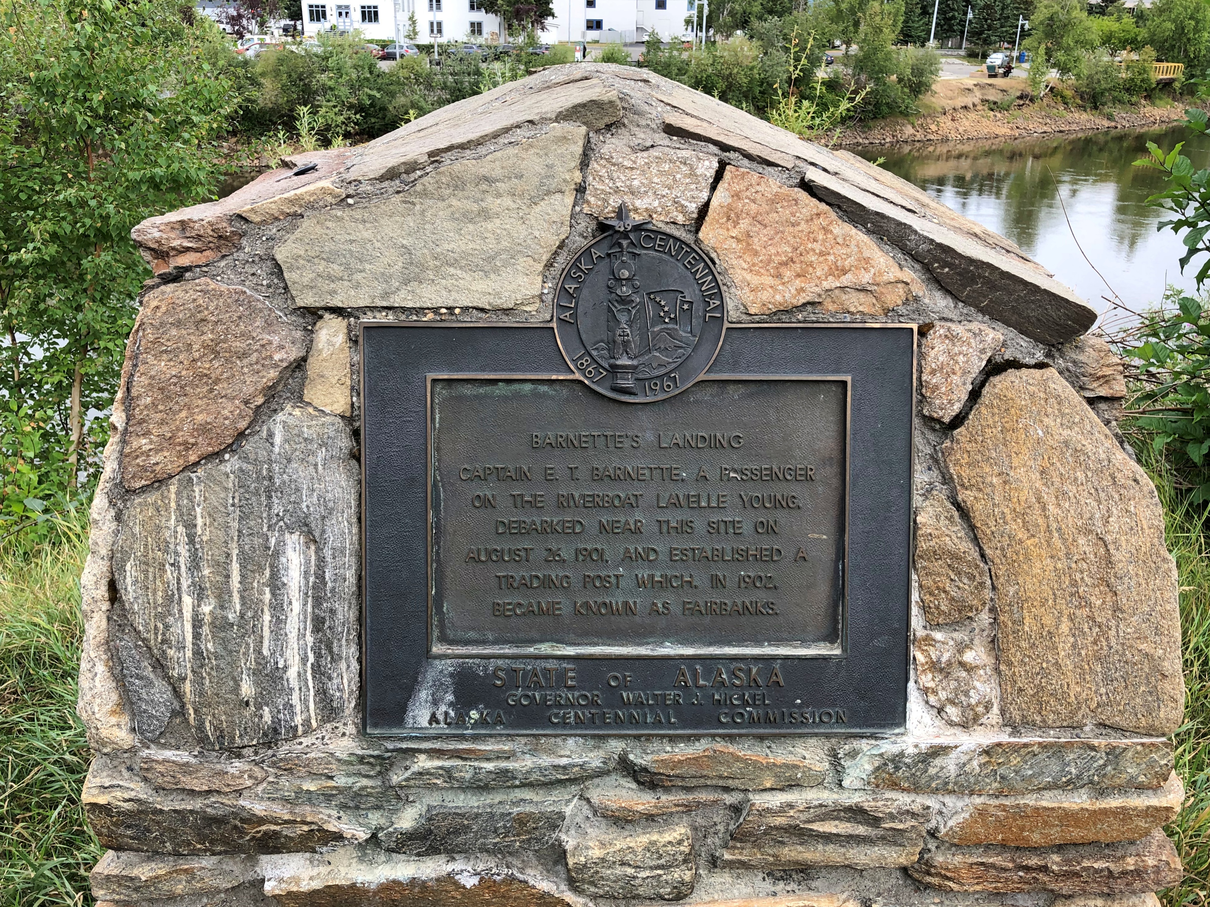
A plaque marks the city’s spot of origin, put up for the centennial of the Alaska purchase. It’s the site of where Fairbanks founder E.T. Barnette set up a riverside trading post in 1901, which prospered as gold seekers swarmed to the area. (These days, Barnette is a downtown street.)Fairbanks origin plaque

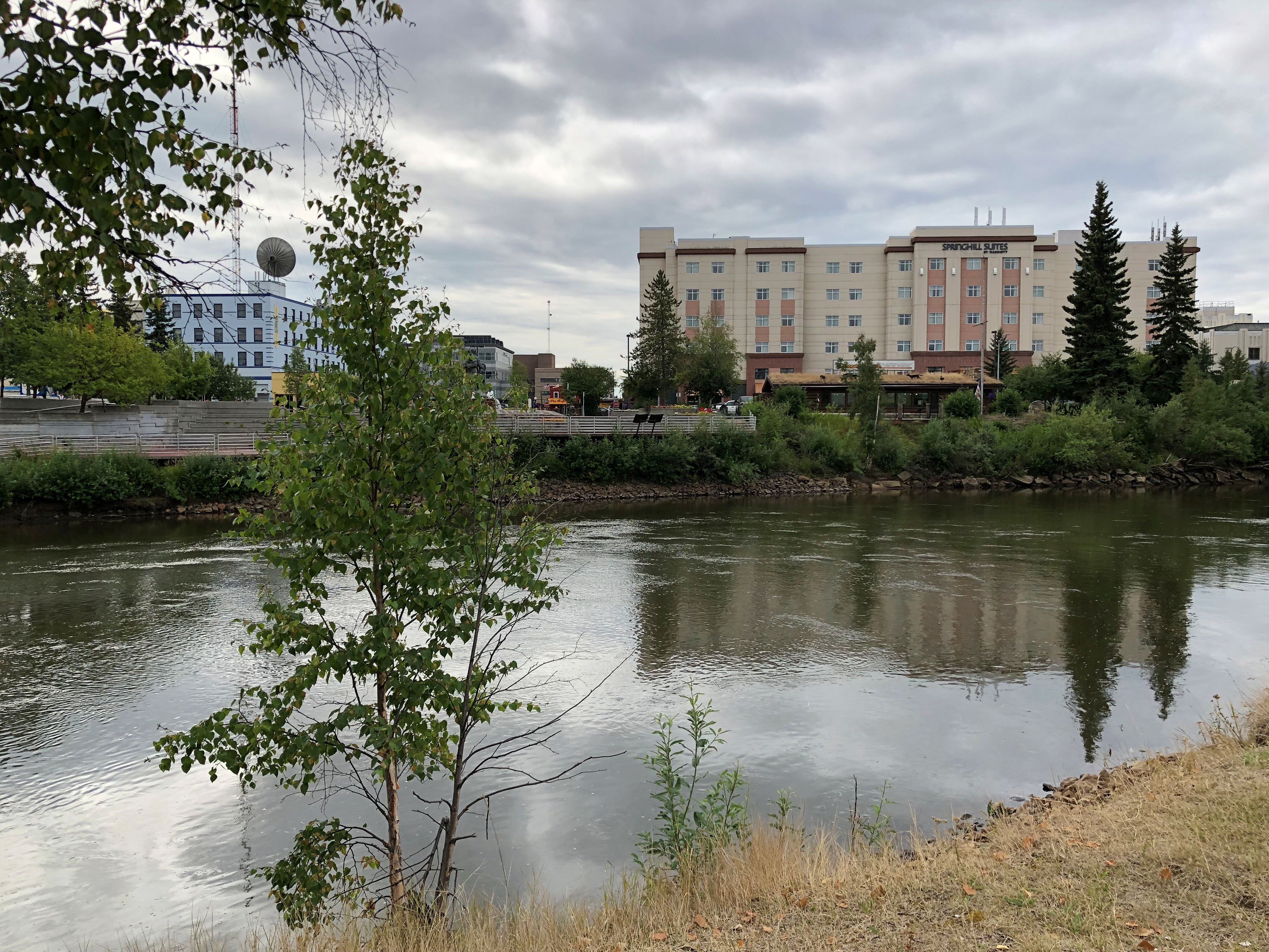
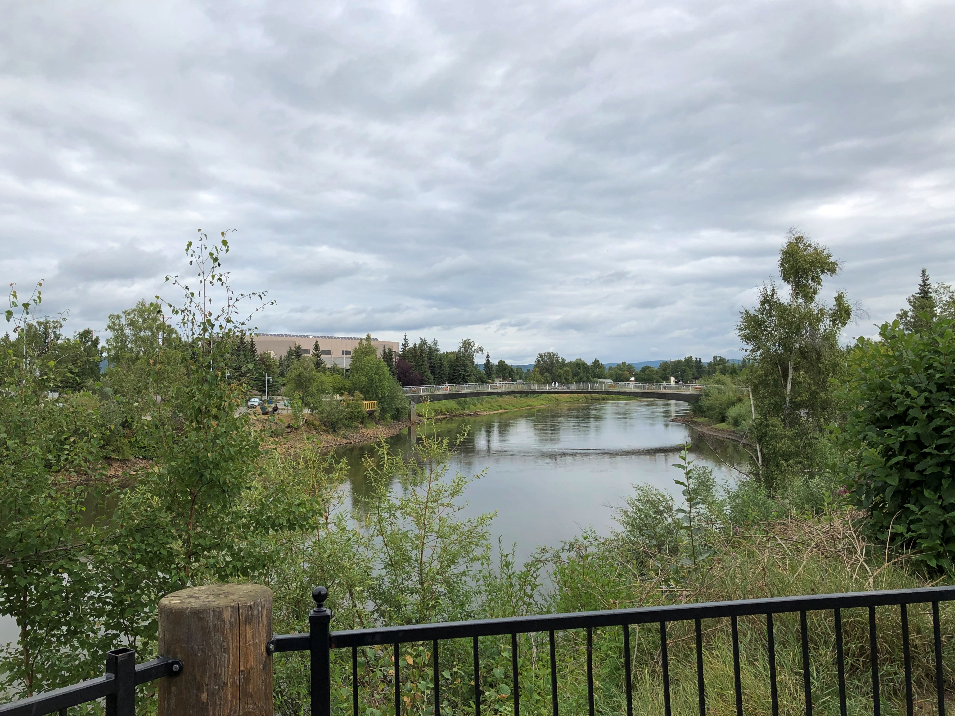
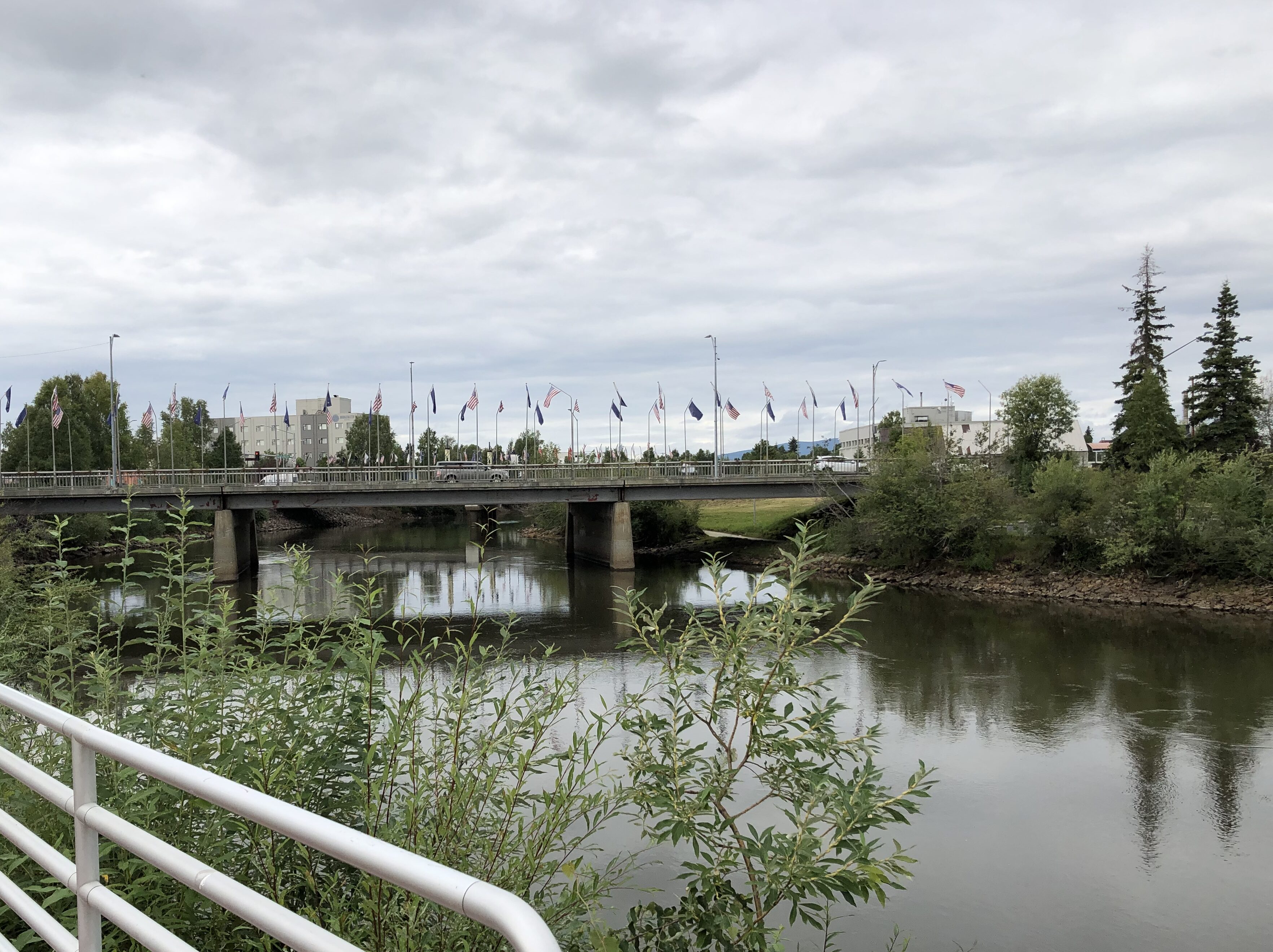
Views of the Chena at Fairbanks.Chena River Chena River Chena River

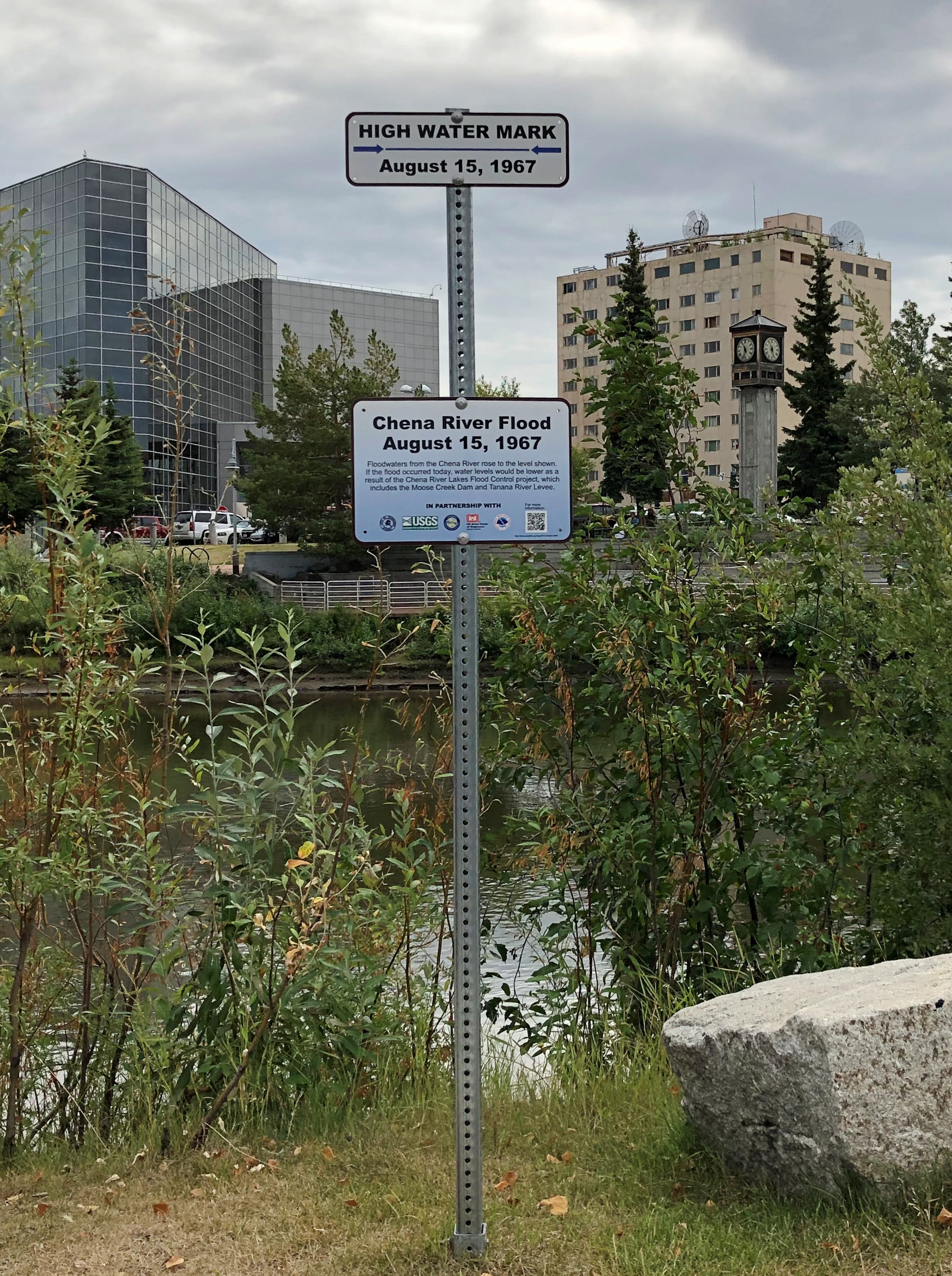
The high water mark for the flood of August 15, 1967. It was a whopper. Flood control infrastructure has been built since.Chena River flood 1967

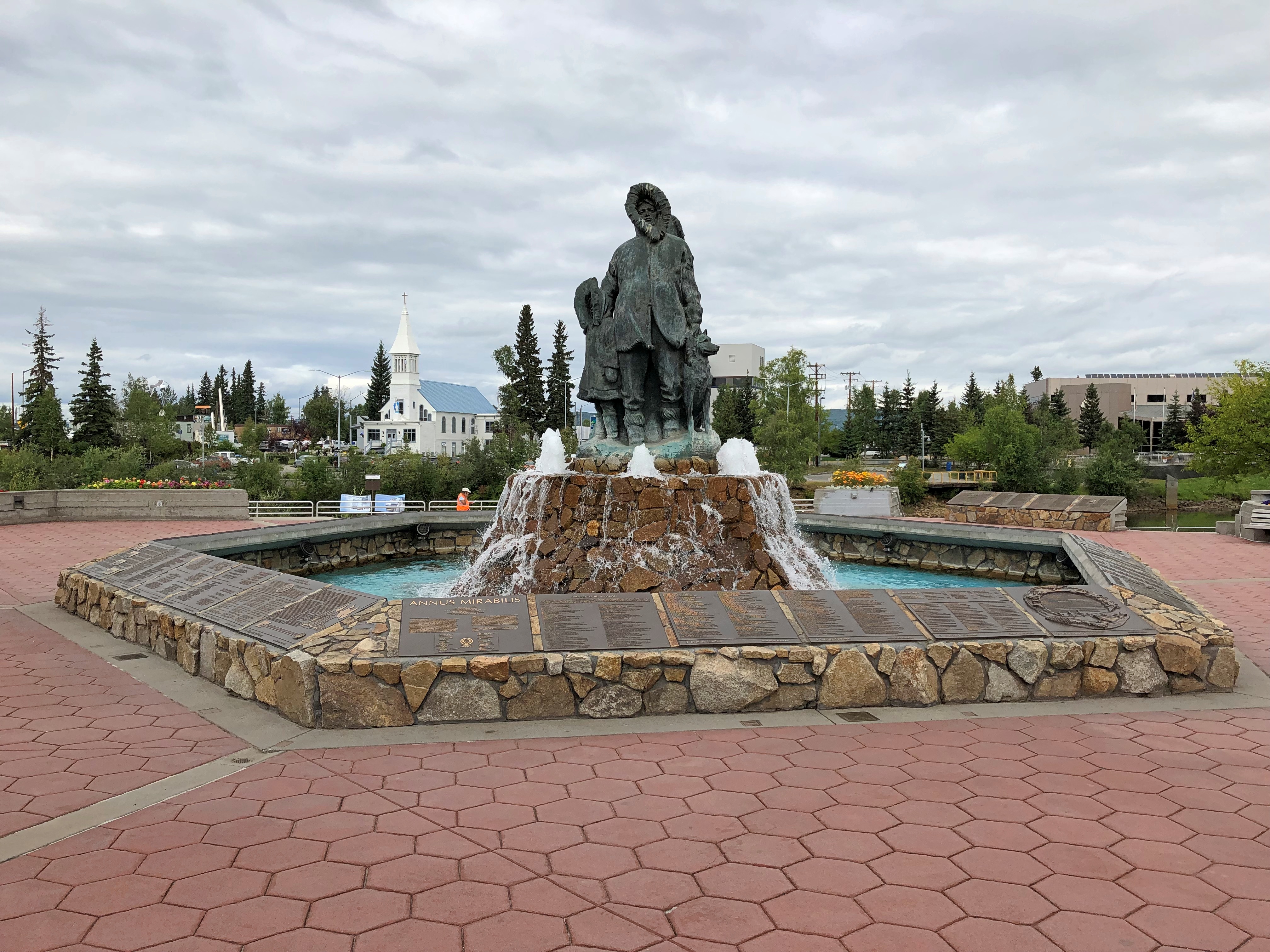
Smack on the south banks of the Chena is Golden Heart Plaza.

“Completed in 1986, Golden Heart Plaza is located where the center of gold-rush activity occurred,” notes the American Planning Association on its page on Great Places in America. Don’t know about great, but the plaza seemed pretty good.

“The decorative-concrete plaza features a ramp that leads directly down to the river, the literal and figurative heart of Fairbanks. The plaza boasts more than 70 bronze plaques that act as a permanent register of names of Interior Alaska families, organizations, and institutions, along with historical vignettes.

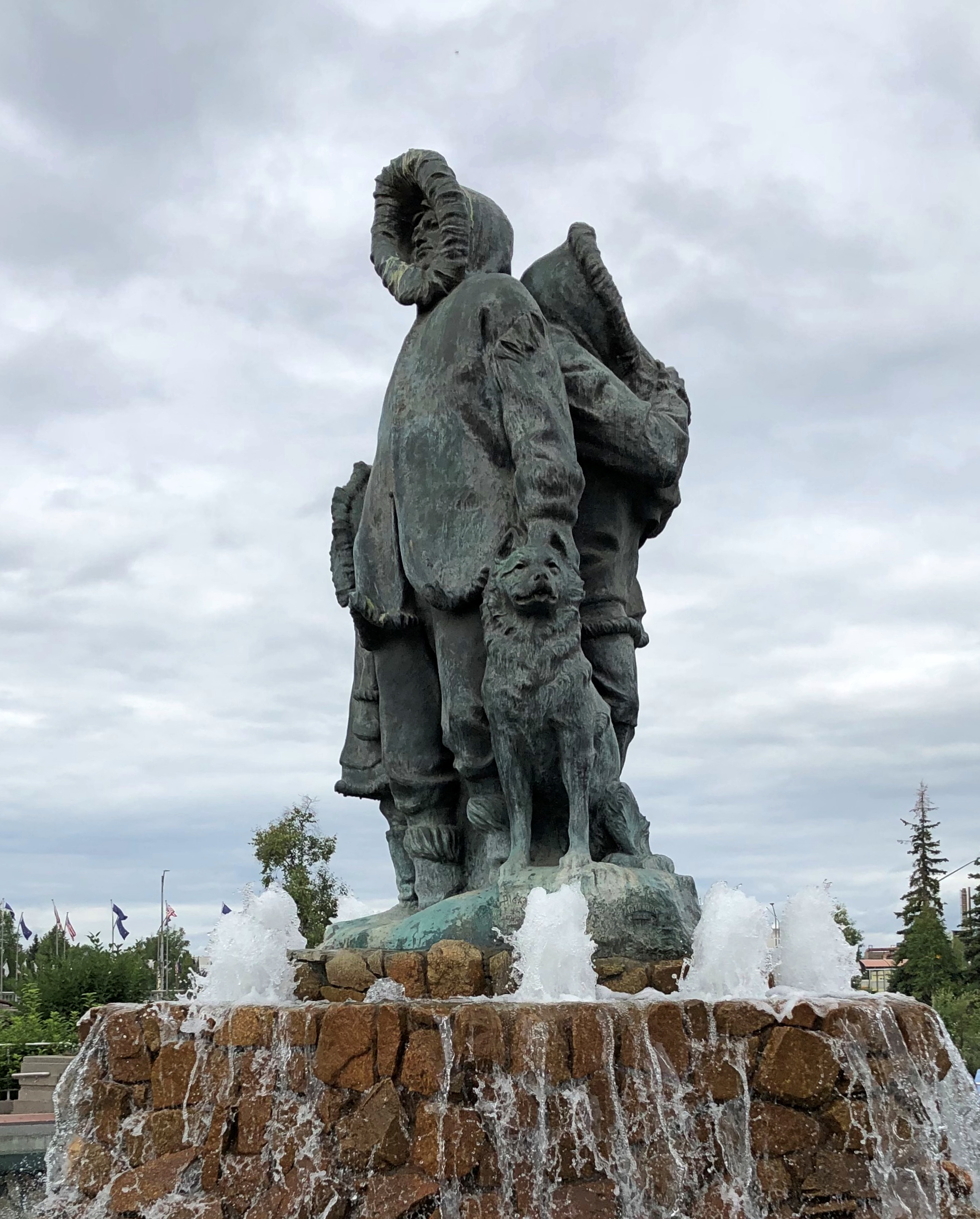
“The plaza’s central feature is a fountain statue, ‘Unknown First Family’ by Malcolm Alexander. Standing 18 feet high with water cascading over it into the surrounding pool, the statue has been dedicated to all the Alaska families of the past, present, and future.”

Cascading in the summer, anyway.

Golden Heart Plaza

Golden Heart Plaza
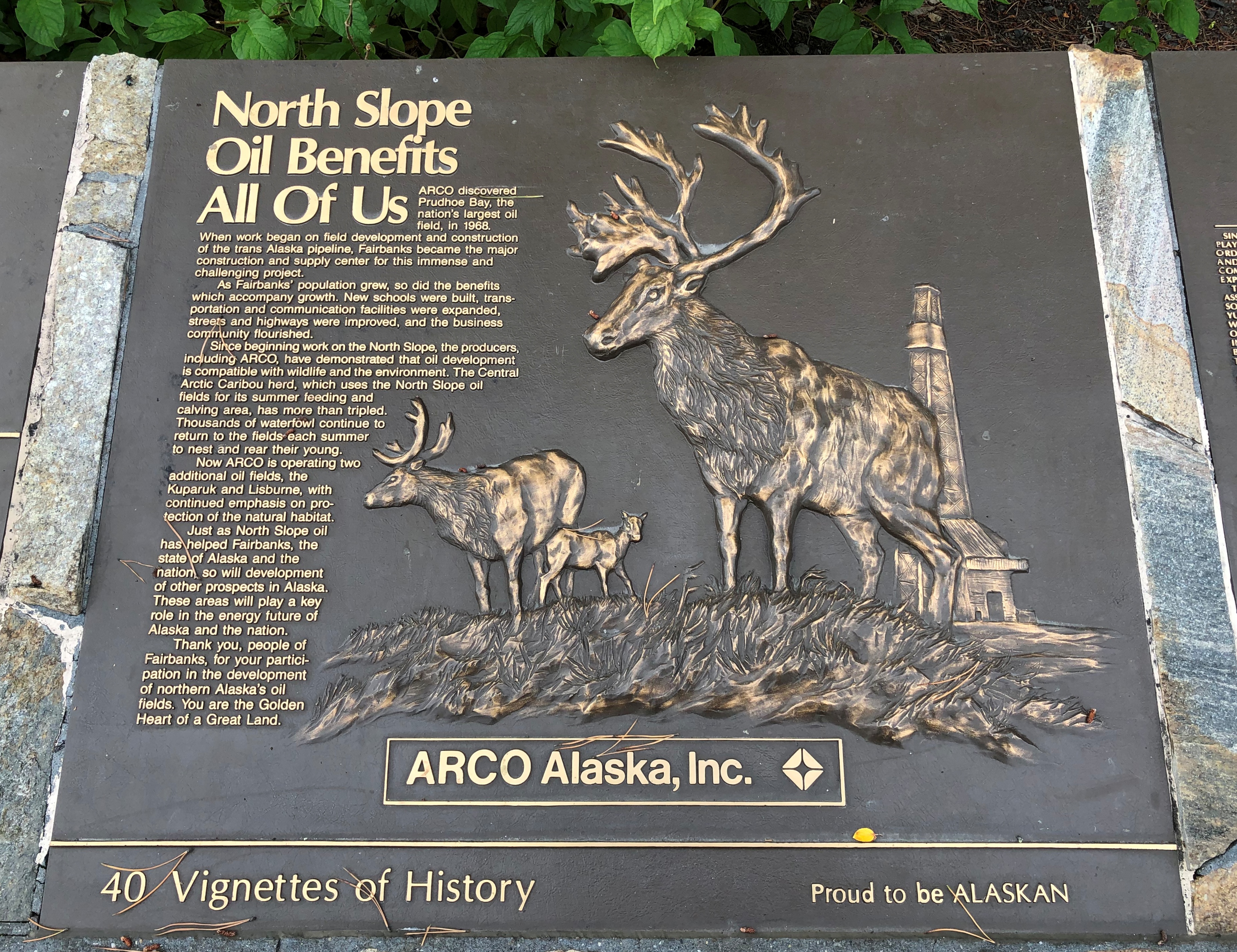
I read some of the many plaques. Some were straightforward history, others honored various organizations or groups of people, and yet others were corporate propaganda.
Golden Heart Plaza oil plaque

As I wandered around downtown, I took note of other public art. This is the “Interior Alaska Antler Arch,” made of more than 100 moose and caribou antlers, and a few skulls. A local artist and outdoorsman, Sandy Jamieson, put the arch together.Interior Alaska Antler Arch

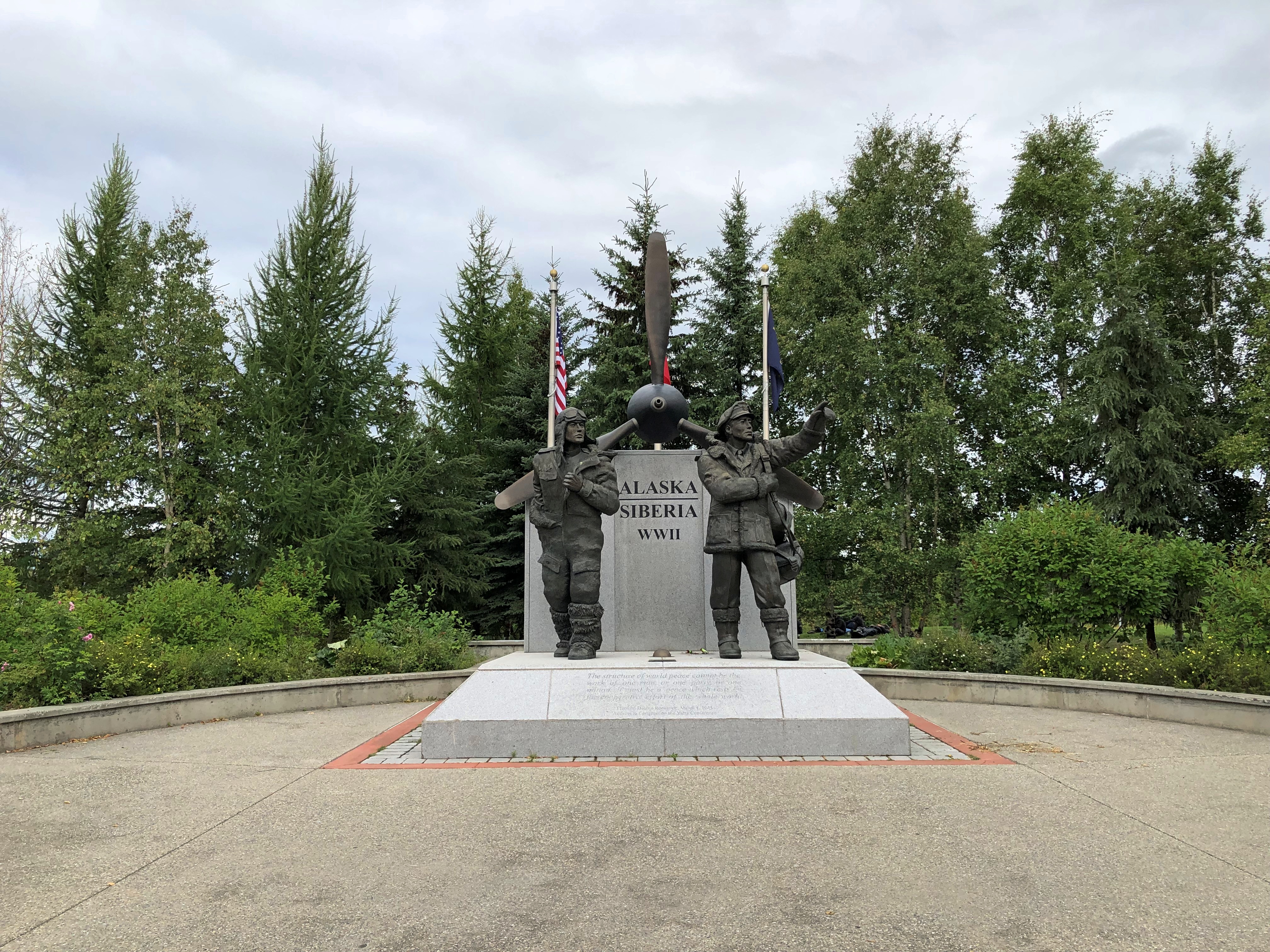
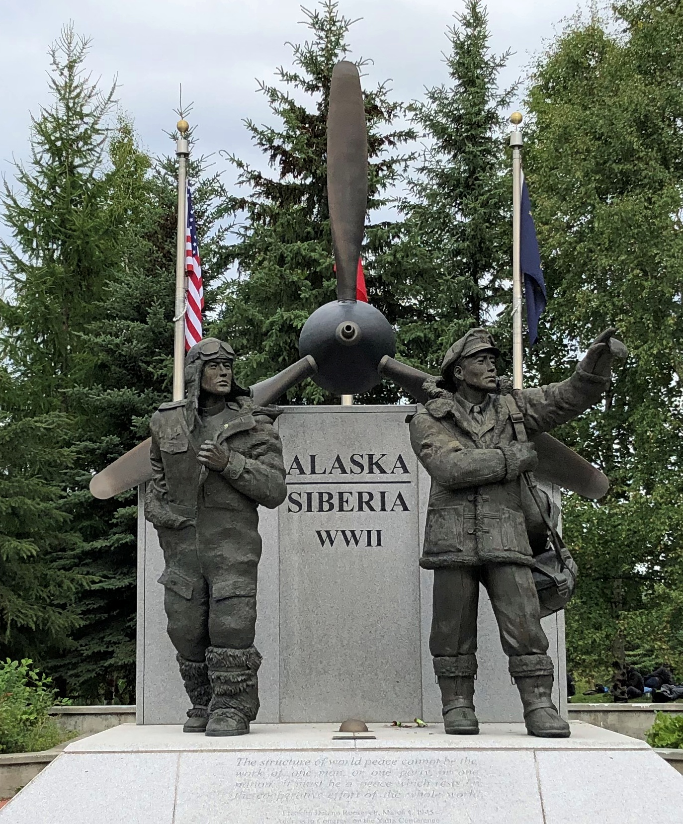
A memorial to the Alaska-Siberia Lend Lease Airway, designed and created by Alaskan sculptor R.T. Wallen and erected only in 2006.

Alaska-Siberia Lend Lease Airway memorial

Alaska-Siberia Lend Lease Airway memorial

One hears about the Murmansk Run, but that was only one of the four Lend-Lease routes to provide war materiel to the Soviet Union. Aircraft flew from North America via Alaska to Siberia and then on from there.

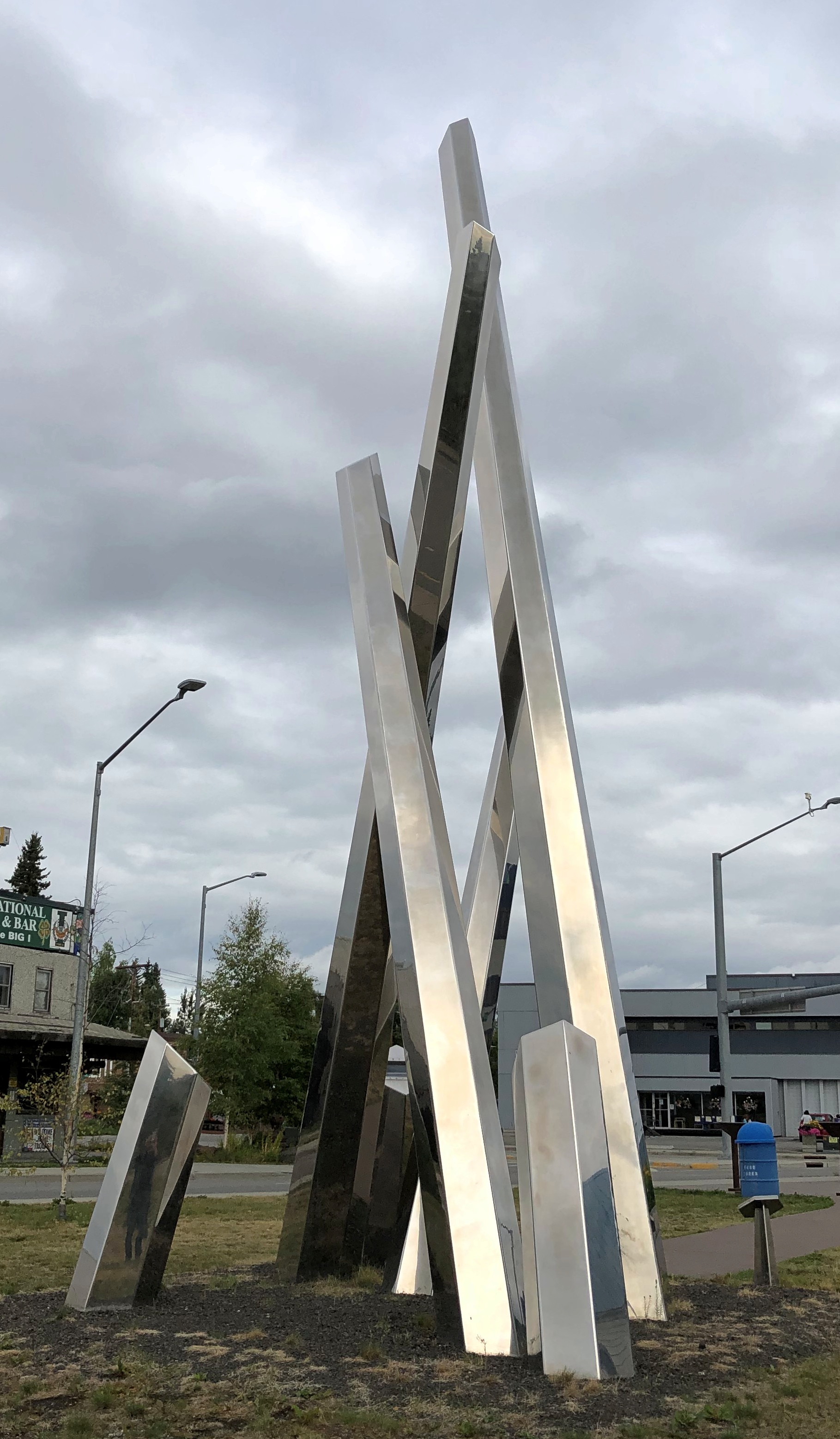
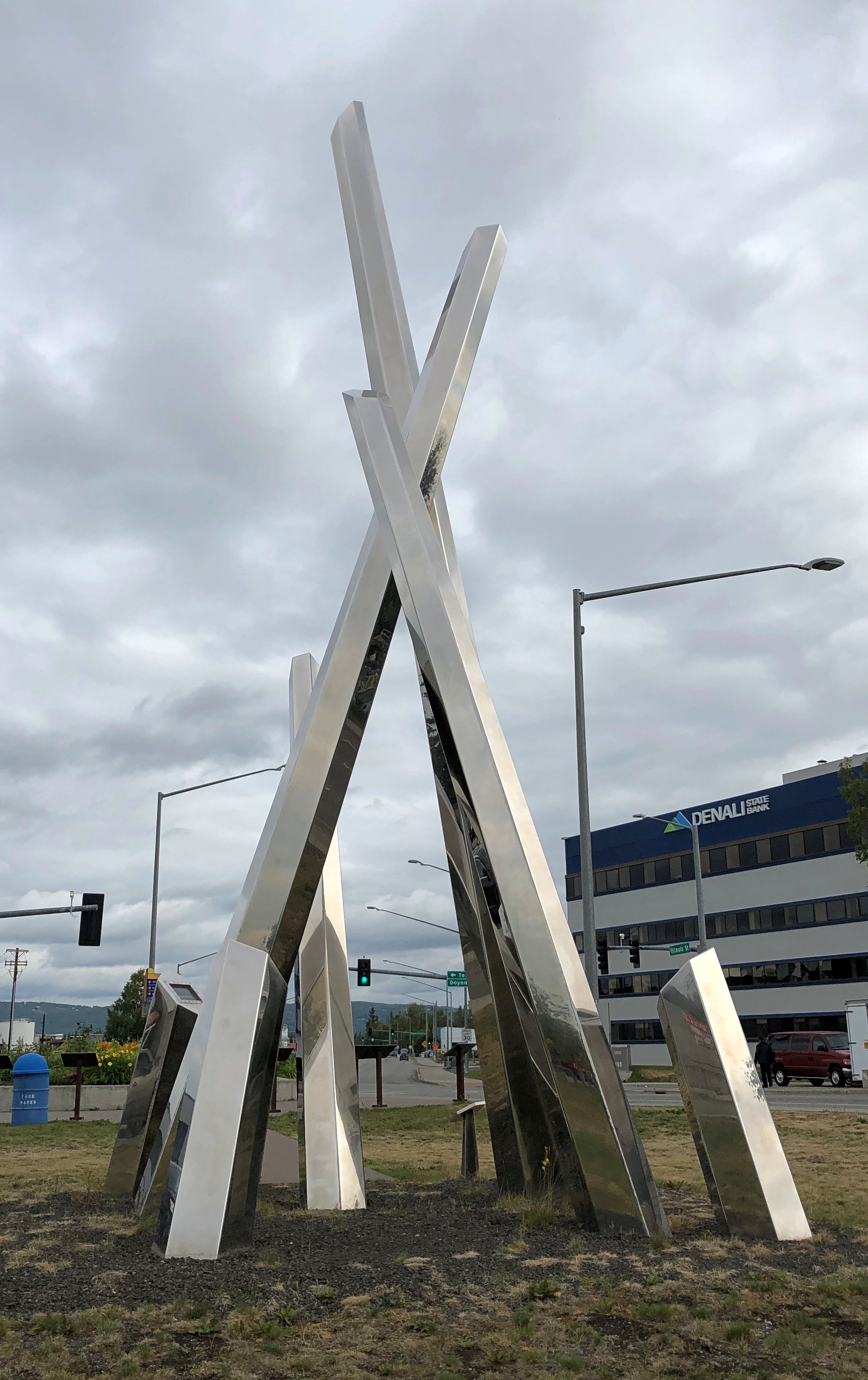
“Polaris.”"Polaris."

"Polaris."
“An arresting collection of crossing steel spires, ‘Polaris’ combines the ideas of ice, quartz, and the Aurora Borealis, the world-famous nightly electrical atmospheric phenomenon that Fairbanks, Alaska, is ideally positioned for,” says Atlas Obscura.

“Its longest spire points directly at the North Star. The artwork was designed and constructed by artists Michael Vandermeer and Cheryl Hamilton in Vancouver, Canada, and then transported to Fairbanks.”

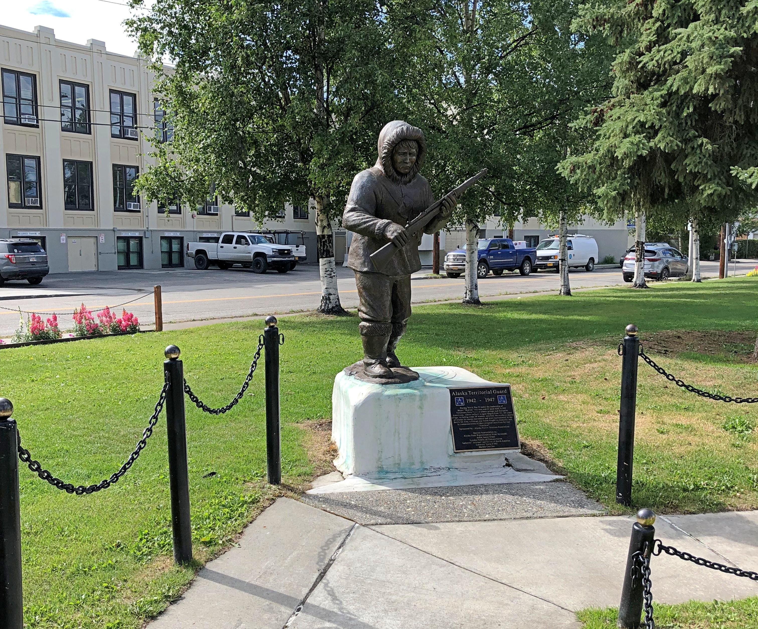
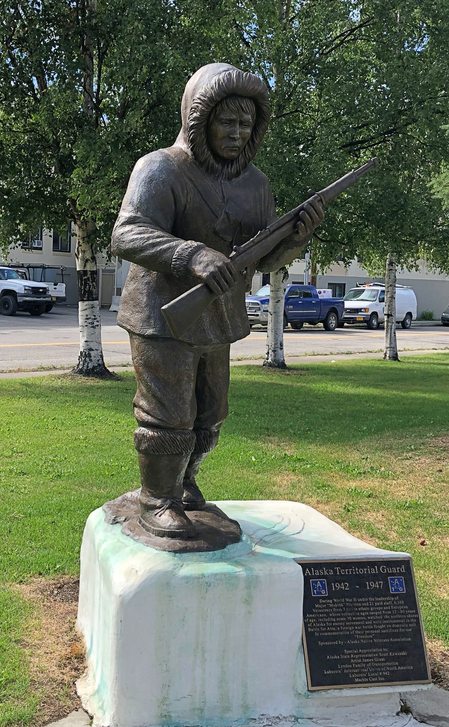
A memorial statue to the Alaska Territorial Guard, 1942-47, by Athabascan artist James Grant.A memorial statue to the Alaska Territorial Guard

A memorial statue to the Alaska Territorial Guard
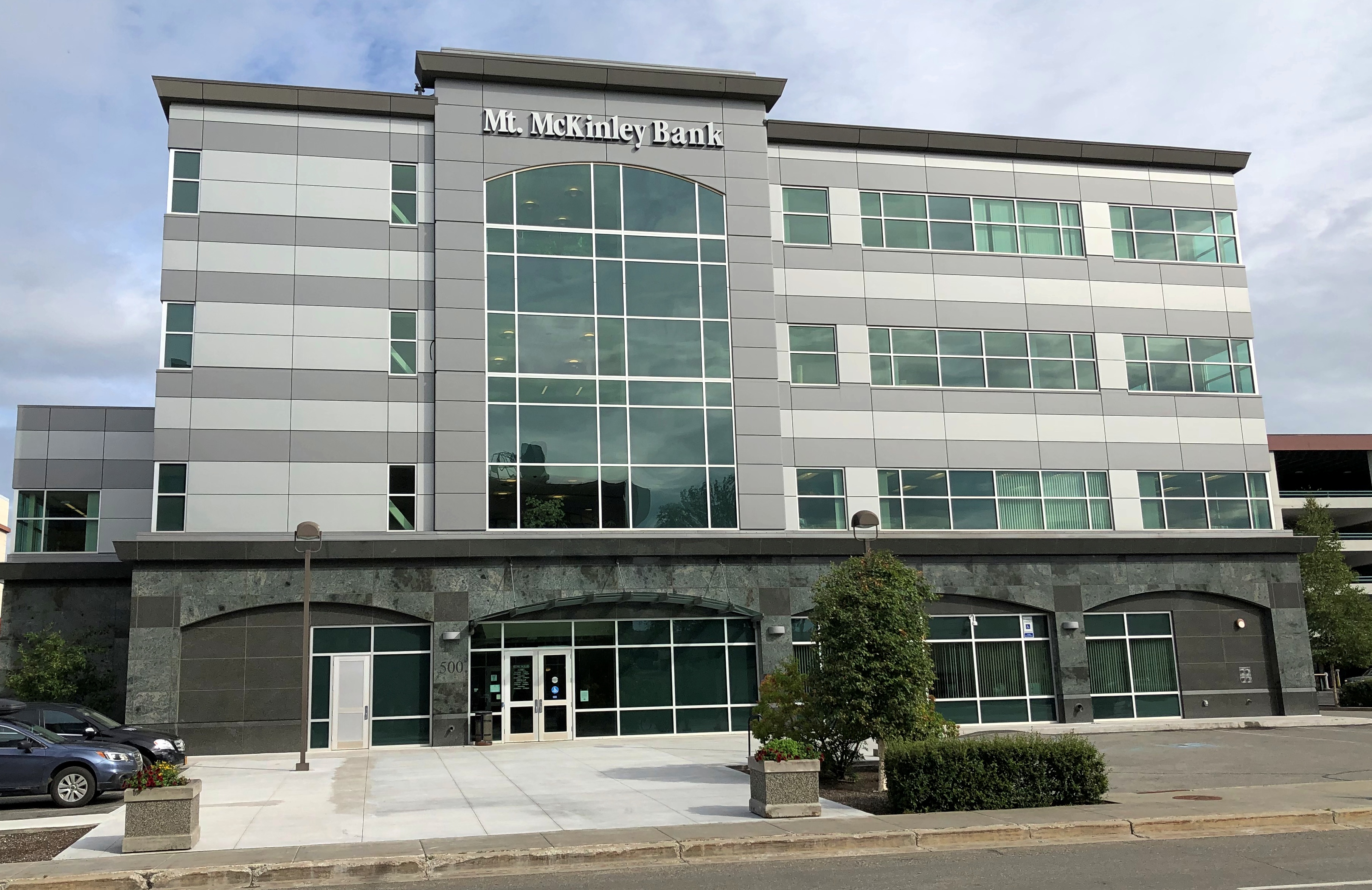
I also got a look at some downtown buildings (or near downtown), though not in any systematic way. Just whatever I thought interesting. For instance, no Denali for this bank.

Mt McKinley Bank

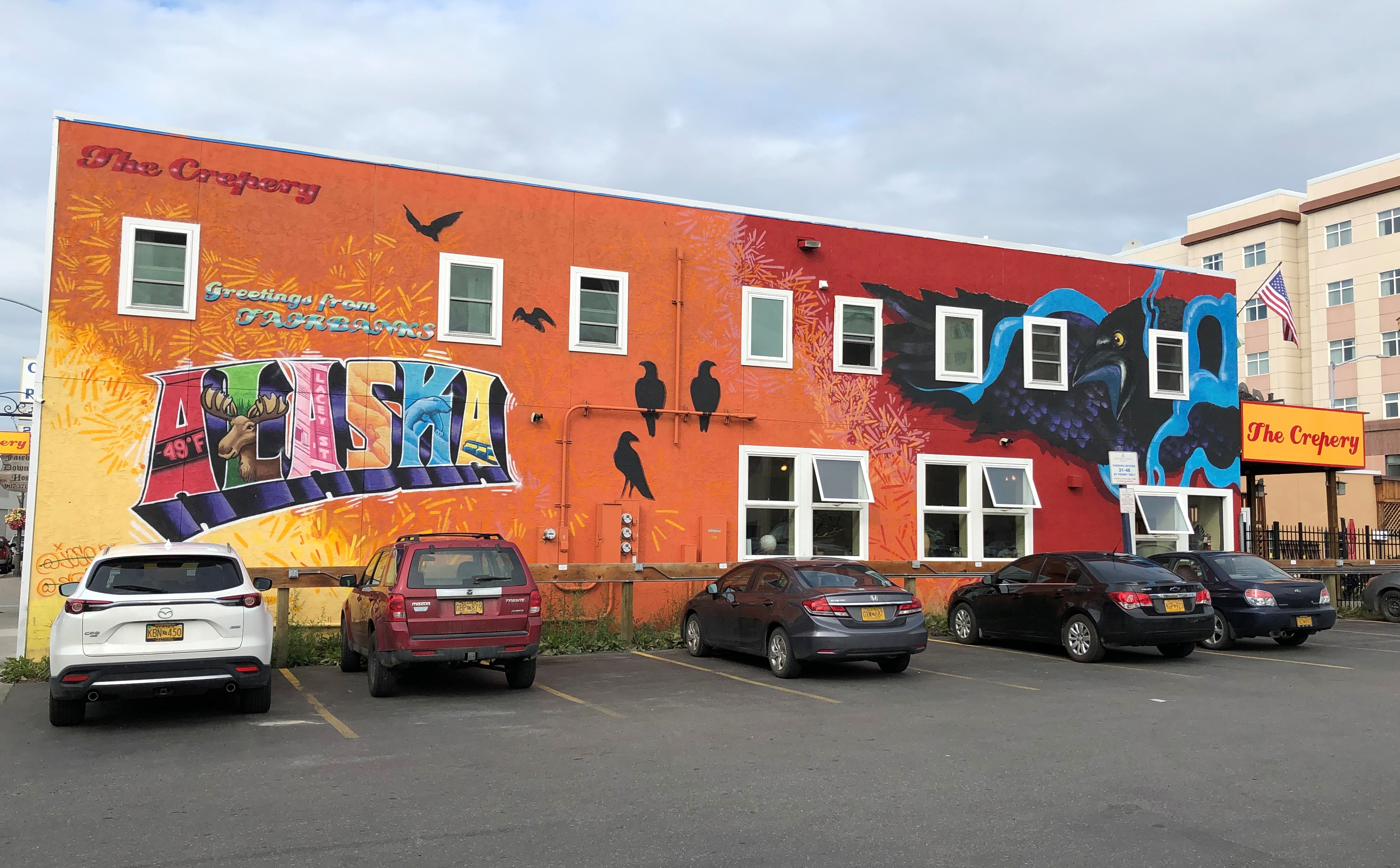
The mural on side of the Crepery, where I had lunch one day.
Crepery mural

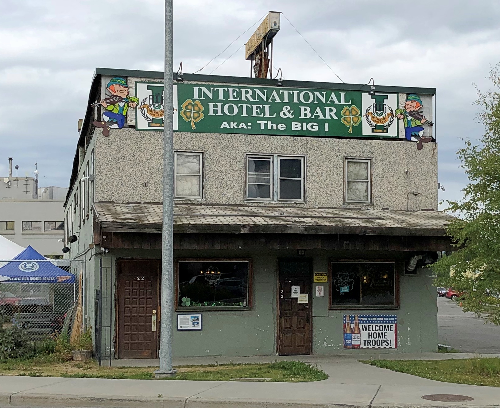
An Irish bar, far from Ireland.
The I Fairbanks

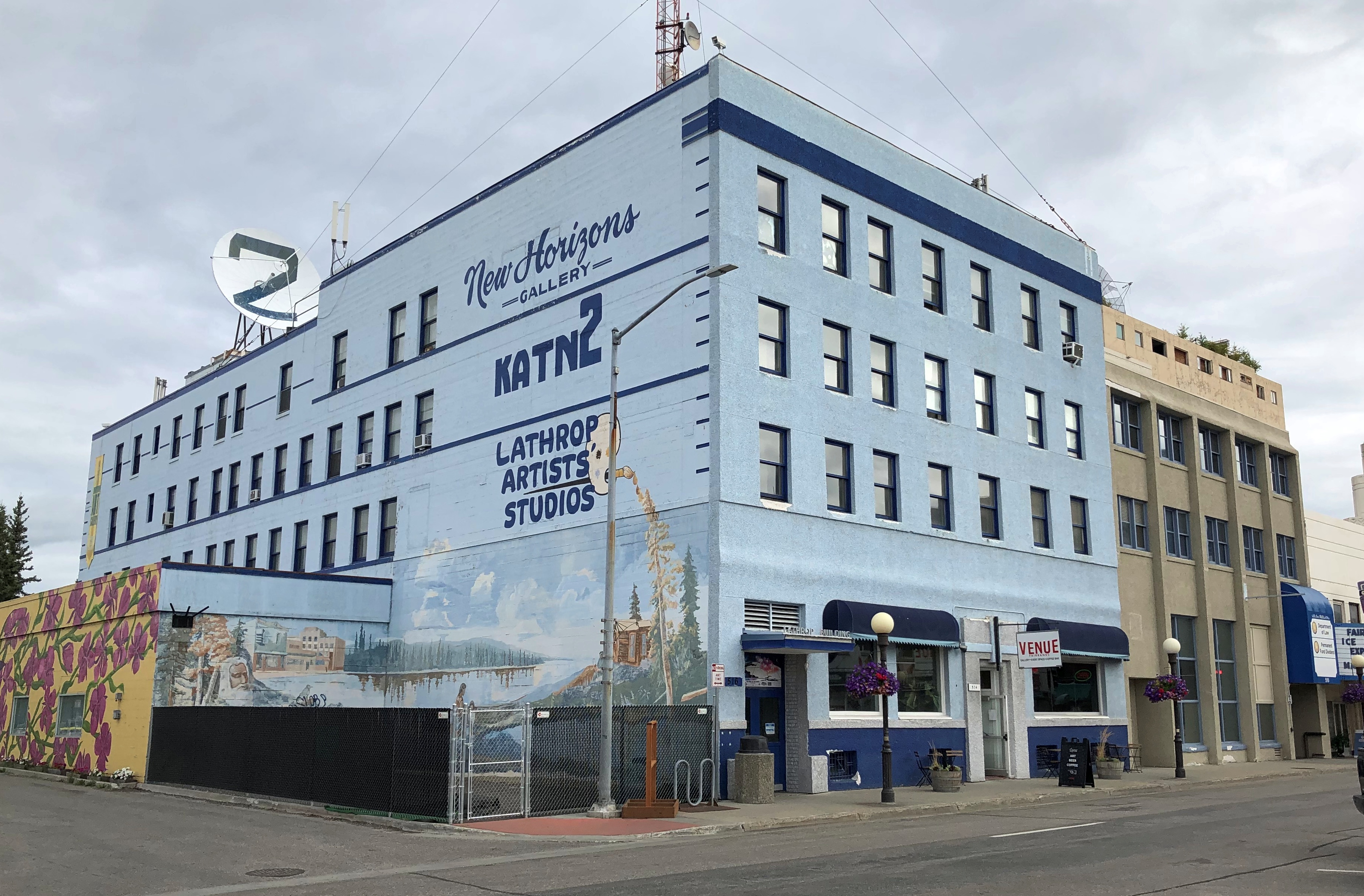
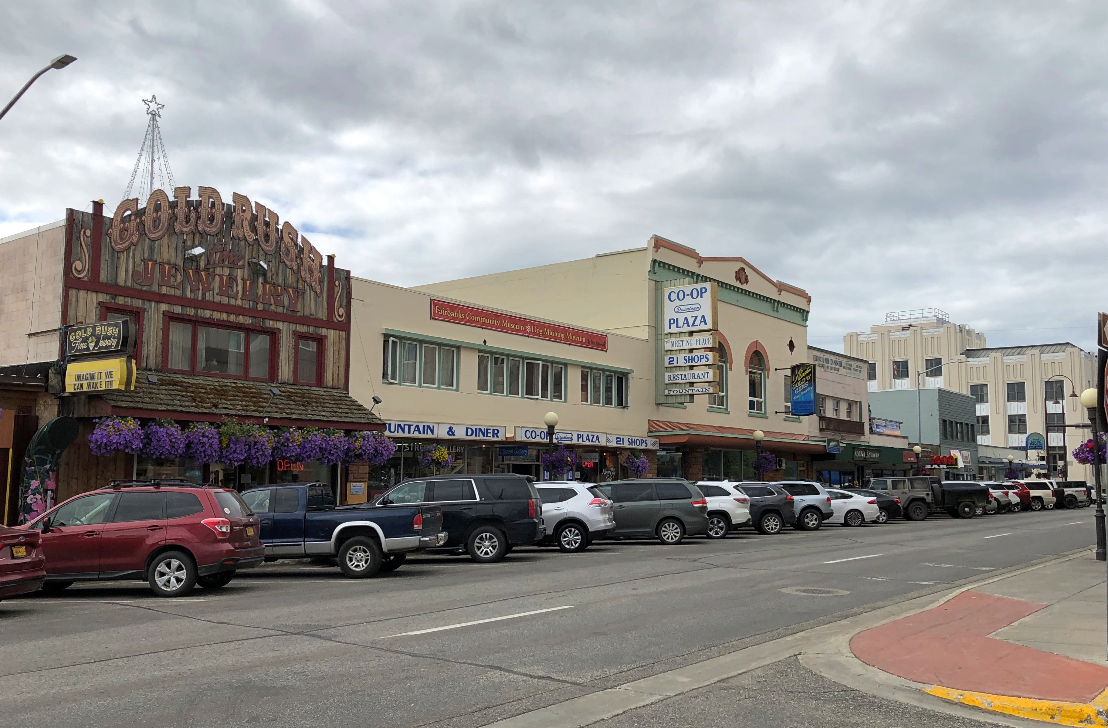
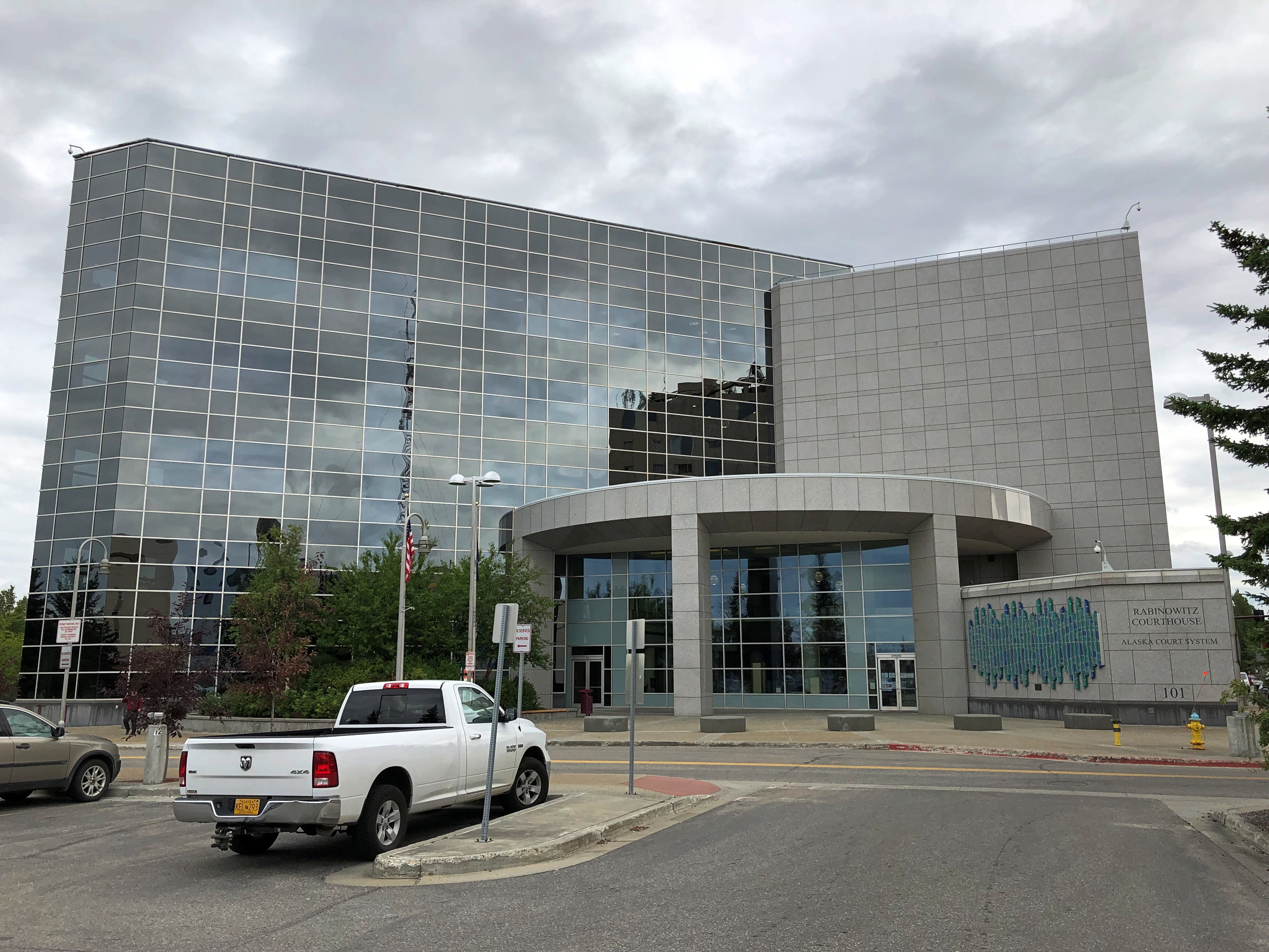
More.

Downtown Fairbanks

Downtown Fairbanks

Downtown Fairbanks

I didn’t go.
Downtown Fairbanks

I thought it strange that a building this large was boarded up.
Downtown Fairbanks closed hotel

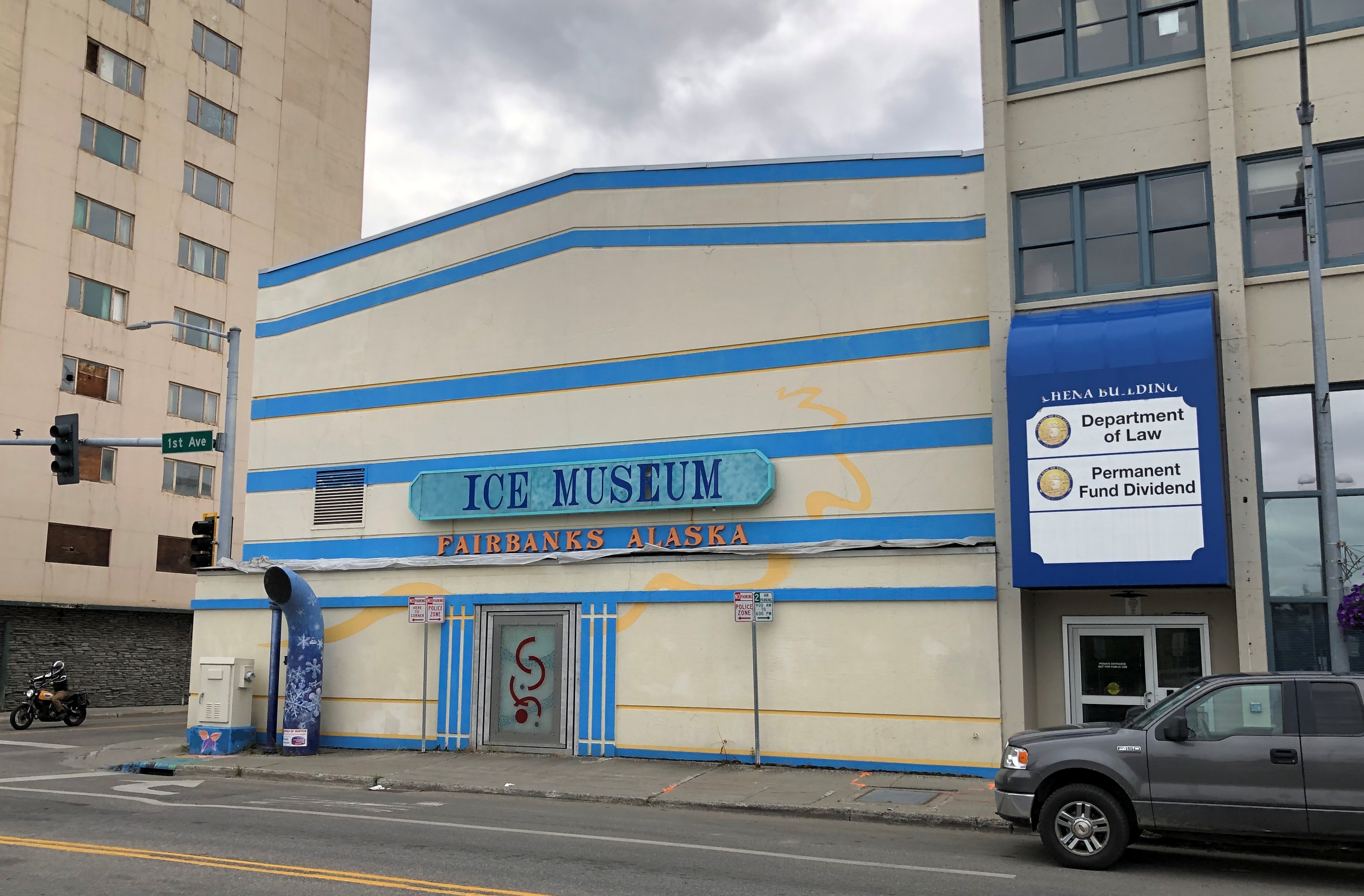
I didn’t look it up until I got home. It’s an abandoned hotel and the tallest building in Fairbanks. Looks to be 11 stories. Quite a story.

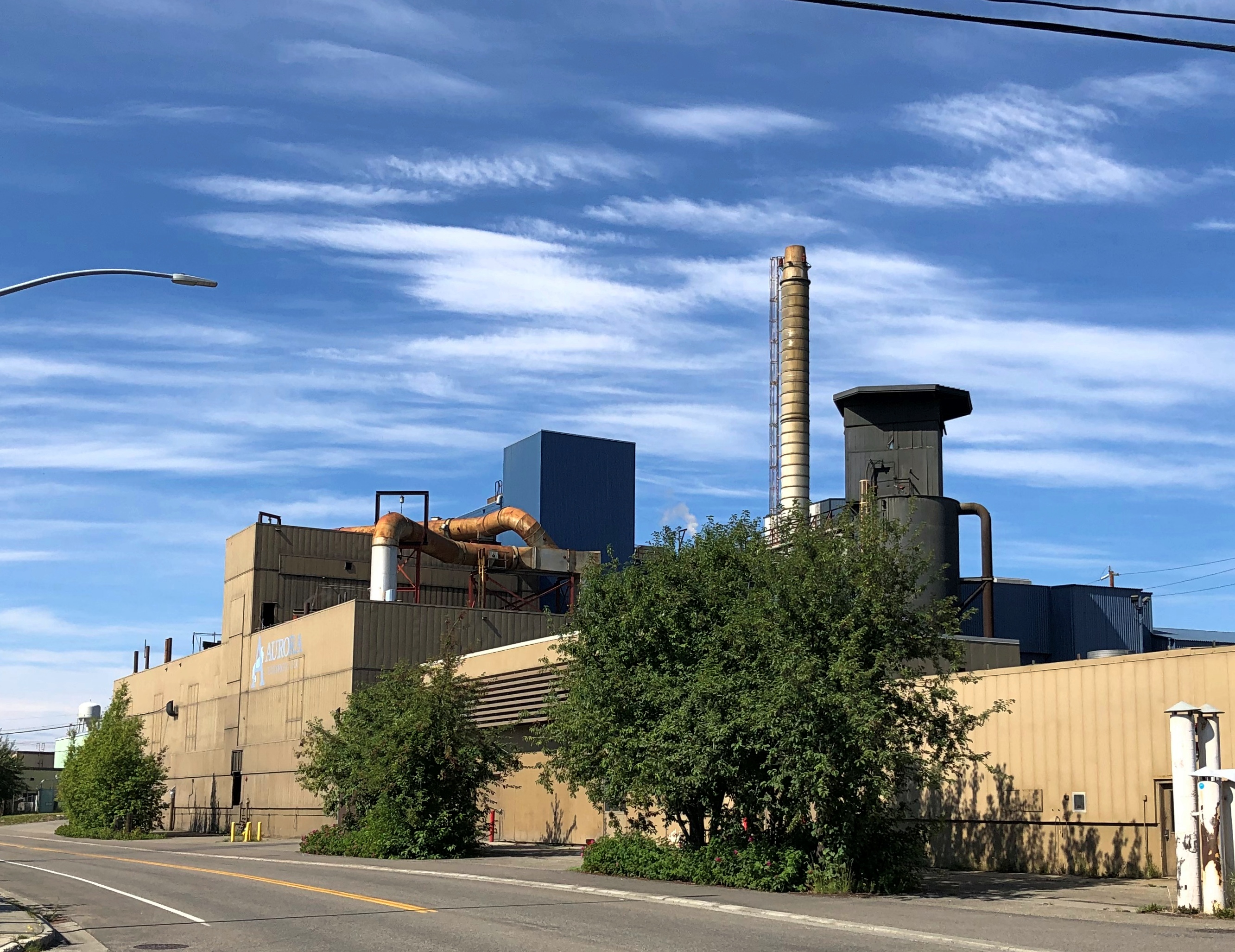
A couple more buildings, somewhat further from downtown, though still within walking distance of everything else I saw. First, a major riverside facility of Aurora Energy, an electric utility.Aurora Energy Fairbanks

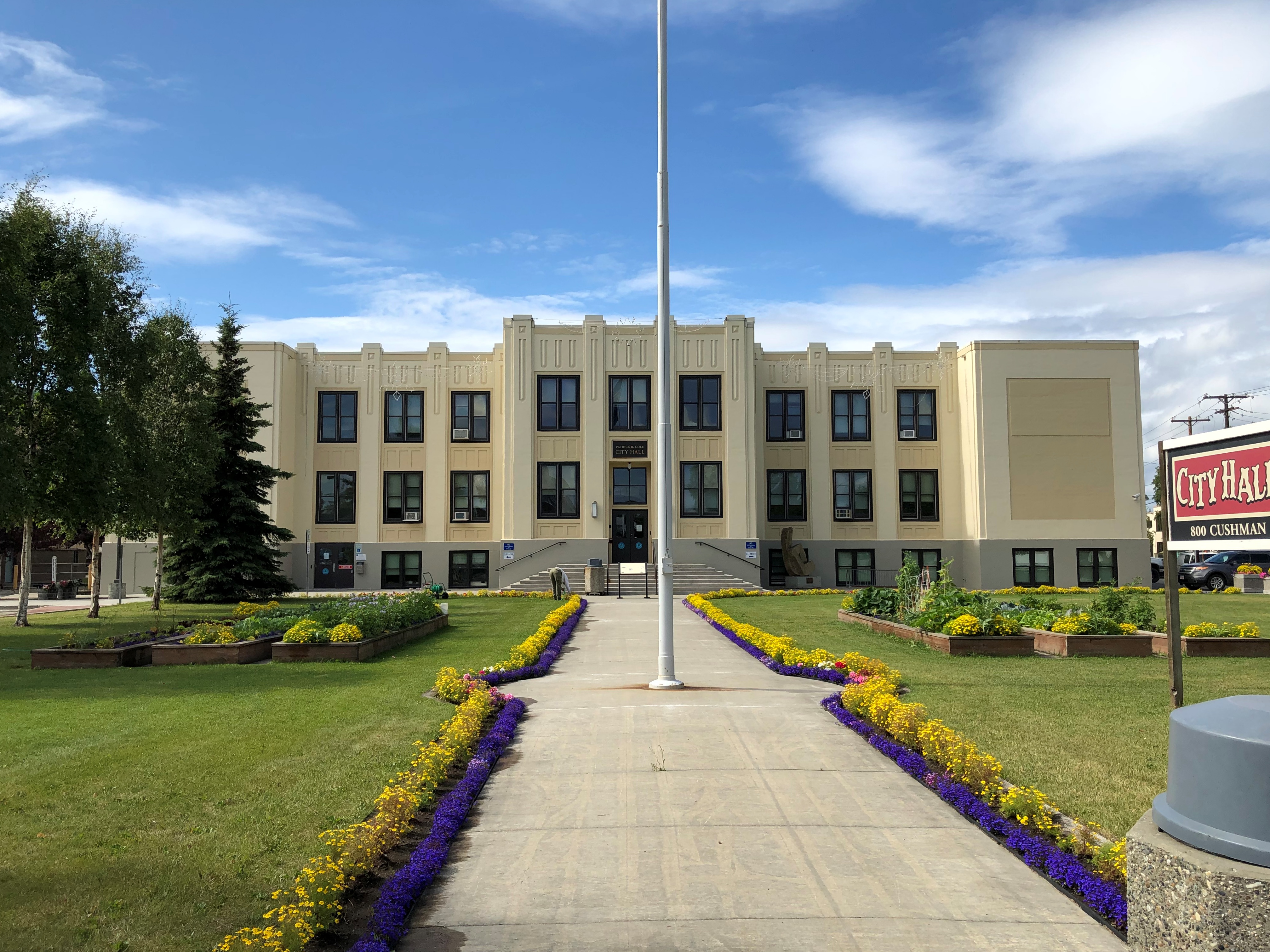
Fairbanks has a handsome deco city hall, designed by Tourtellotte & Hummel, who has offices in Boise and Portland, Oregon. Developed in the 1930s, it was a school for decades. Fairbank’s only school until 1951.

Fairbanks City Hall

I went in. No guard or metal detectors. No one paid the slightest bit of attention to me. That was refreshing.

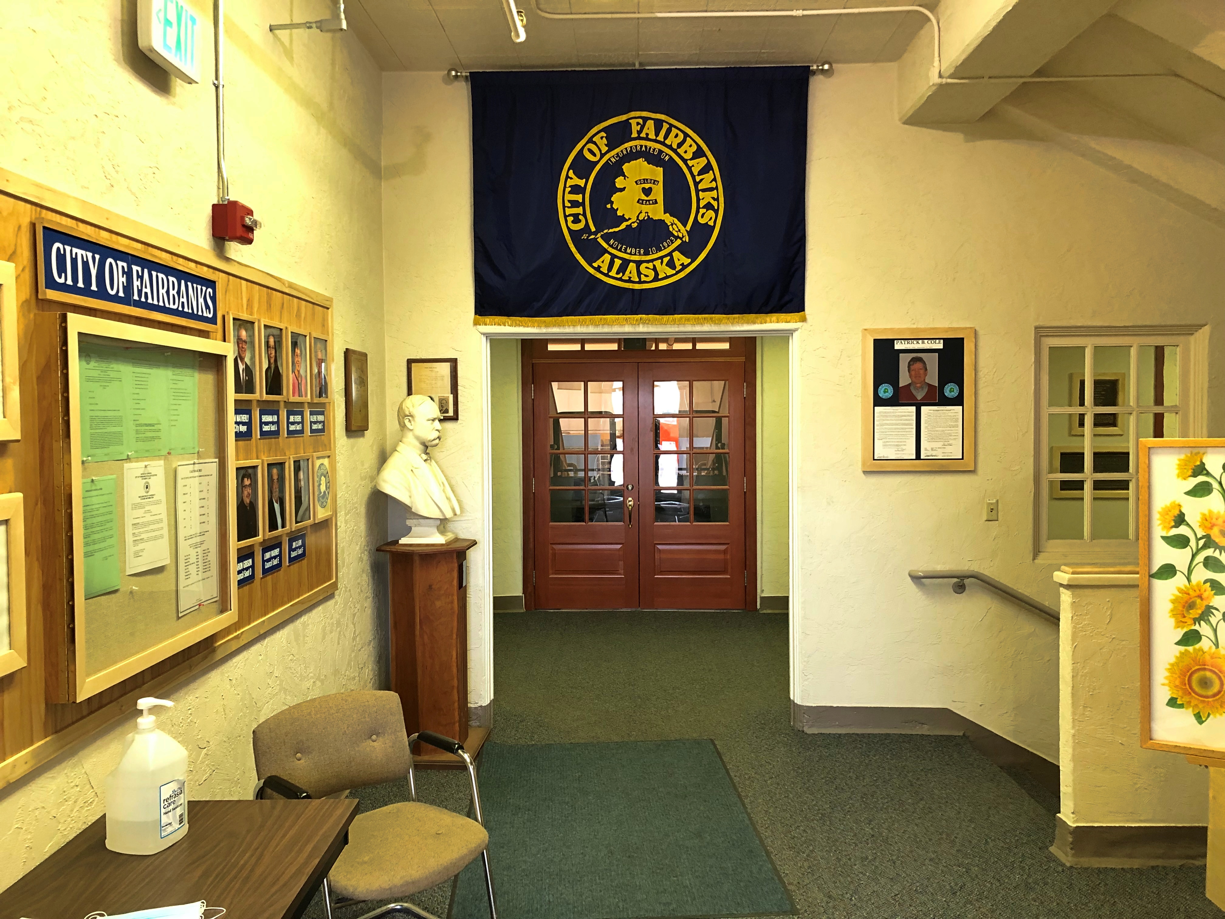
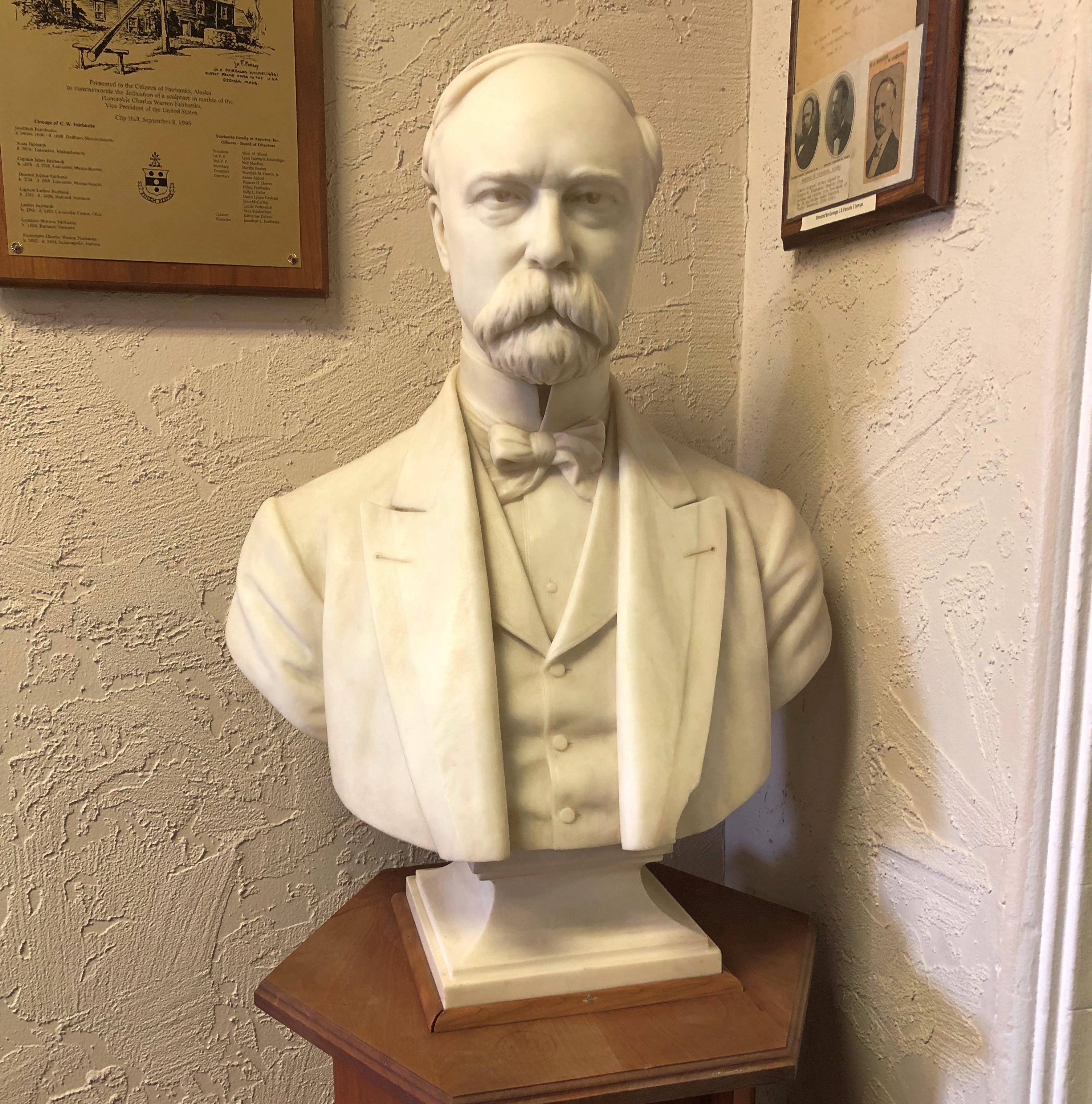
City Hall is one of Fairbank’s more aesthetic buildings, but that wasn’t the only reason I went in. A pamphlet I picked up on public art in Fairbanks tipped me off to artwork inside that I had to see. A bust by Franklin Simmons.Fairbanks City Hall
Fairbanks City Hall - Charles Fairbanks

It’s Vice President Charles Fairbanks.

Denali National Park and Preserve

Up in Coldfoot, we were within Alaskan spitting distance of Gates of the Arctic National Park and Preserve, maybe ten miles on foot to the park’s invisible demarcation line. Gates of the Arctic, which is about the size of Maryland or Belgium, has no human infrastructure or services of any kind.

That’s an evocative national park name if there ever was one, summoning dreams of primeval remoteness. Only about 10,500 people ventured there in 2019, making it the least-visited U.S. national park even in an ordinary year, since the logistics of a visit are quite involved. I was no more prepared to visit Gates of the Arctic last week than to go to the Moon, so it was close but no cigar.

Denali National Park and Preserve is another story. It’s easily accessible to everyday folk, at least those willing to spend the time and money to go to Alaska, and willing to forgo private-car travel into the park. I was all in.

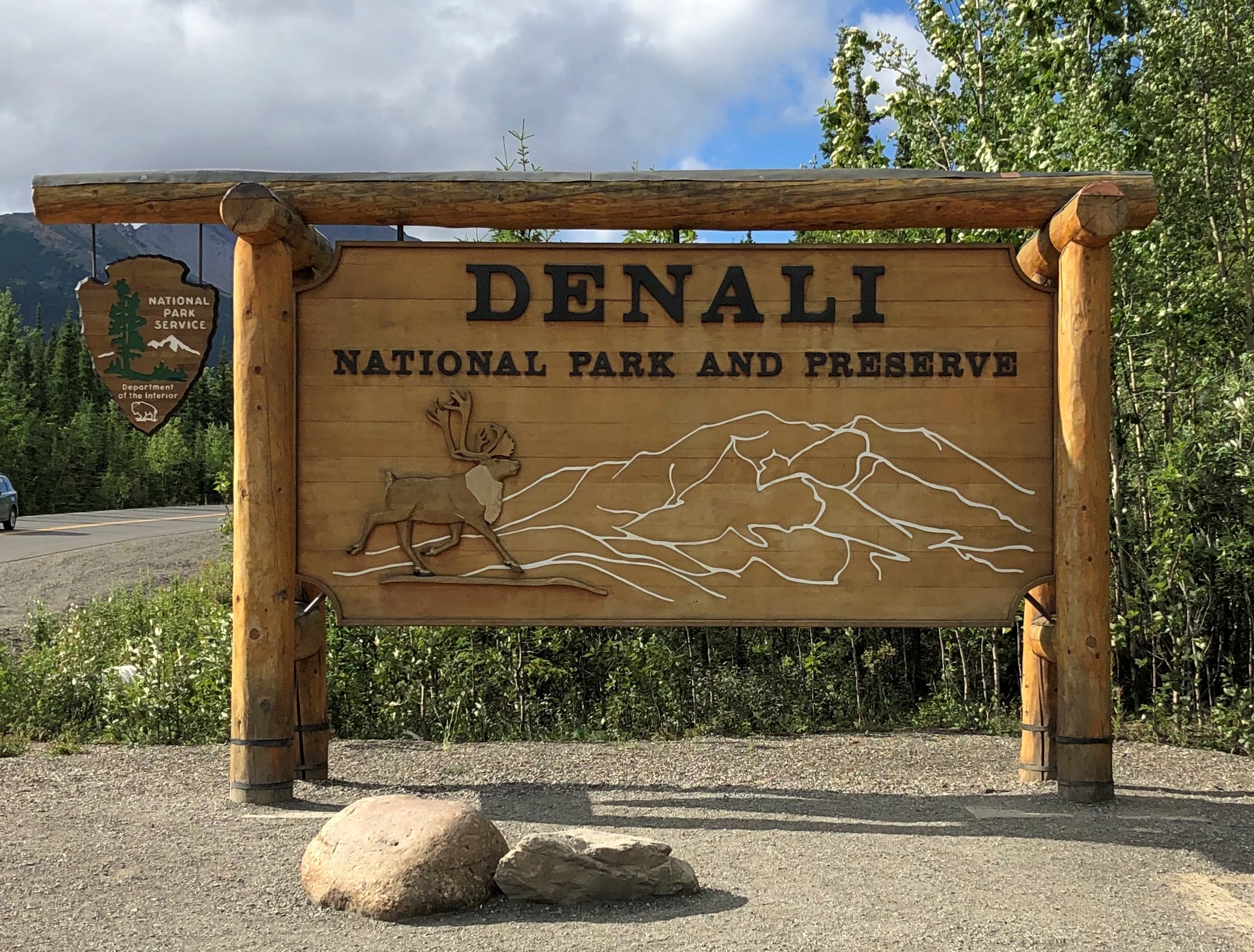
Chronologically, the sign was the last picture I took at Denali, but never mind. It marks the entrance off the highway Alaska 3.Denali NP

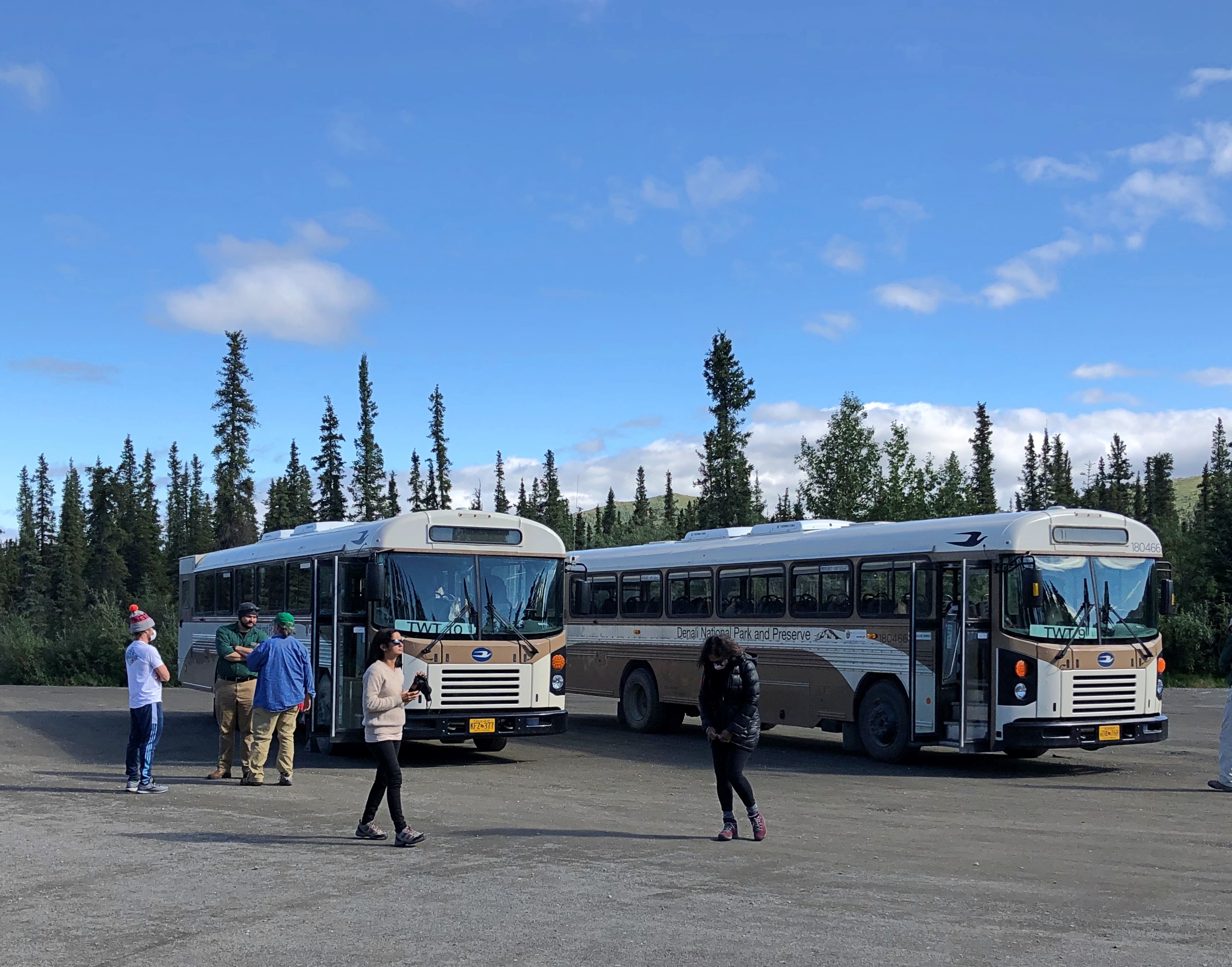
This image is also out of order, strictly speaking, since it was taken mid-tour. Our bus was the one on the left.
Denali NP buses

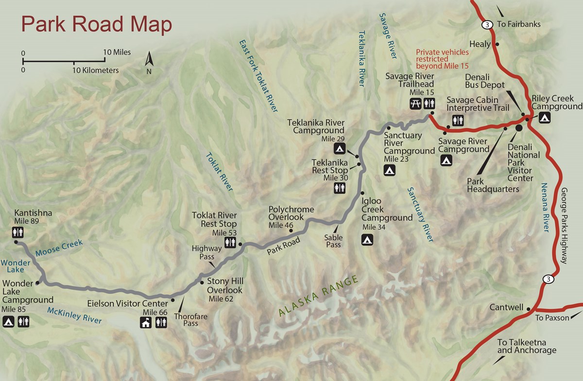
The bus traversed part of the 92-mile Denali Park Road, which roughly parallels the Alaska Range. The tour took us to Mile 53, a spot called the Toklat River Rest Stop.
Denali Park-Road-Map_5

“During summer, roughly late May through early September, private vehicles may drive the first fifteen miles of this road, to a place called Savage River,” the National Park Service says. “The road to Savage River is paved, and features numerous pull-outs for folks to stop and snap some scenic photos. ‘The Mountain’ can be seen as early as Mile 9, if the day isn’t too overcast, and animals of all sorts can sometimes be seen on this stretch of road — although chances to see wildlife increase greatly with a bus trip farther down the Park Road.”

Lest anyone think that mandated bus transportation is some new innovation by the feds to restrict freedom of movement, the NPS points out that banning private cars on most of the road goes back almost 50 years.

“Prior to the 1972 completion of the George Parks Highway (Alaska Route 3), which is the main travel artery into interior Alaska, visitation to Denali National Park and Preserve was fairly low. Anticipation of major increases in traffic resulting from a direct route to the park prompted park officials to implement a mass transit system beyond Mile 15 on the Denali Park Road.”

Good thing, I believe. It’s a narrow, mostly gravel road after that point. Even a few dozen cars at a time could easily jam the thing up, and fools would sometimes (often?) get stuck. Occasional unlucky souls would be in cars that pitch over the edge of some pretty steep slopes without guardrails.

So at about 9:30 on the morning of July 29, I boarded a Bus #10 outside the park and spent the day in my 24th or 25th U.S. national park (I’m never sure whether to count Guadalupe Mountains NP). One of the most magnificent so far, too.

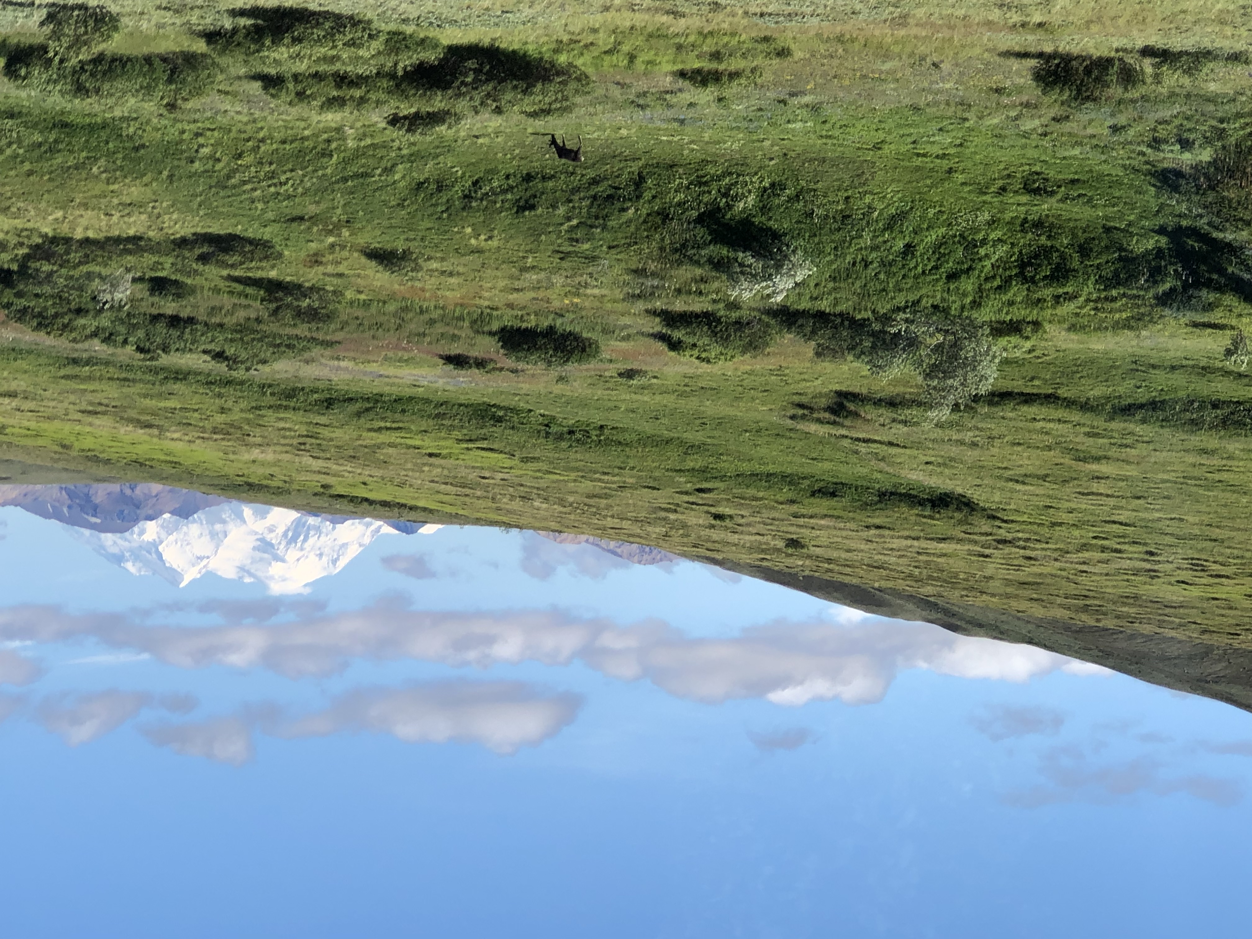
The magnificence started early in the drive. Even before Mile 15, we could see a mostly cloudless Mount Denali, the peak I probably learned as McKinley poring over maps in elementary school, the tallest in North America. Actually there are twin summits.Mt Denali
Tour guide, bus driver and all-around effusive fellow Brian told us that maybe three out of 10 visitors to the park actually get to see Mount Denali. Like Fuji and some other mountains of renown, clouds often cloak it. Later in the tour, when we were closer to the mountain, it was invisible. Throughout the day, in fact, clouds came and went with rapidity over our entire field of view.

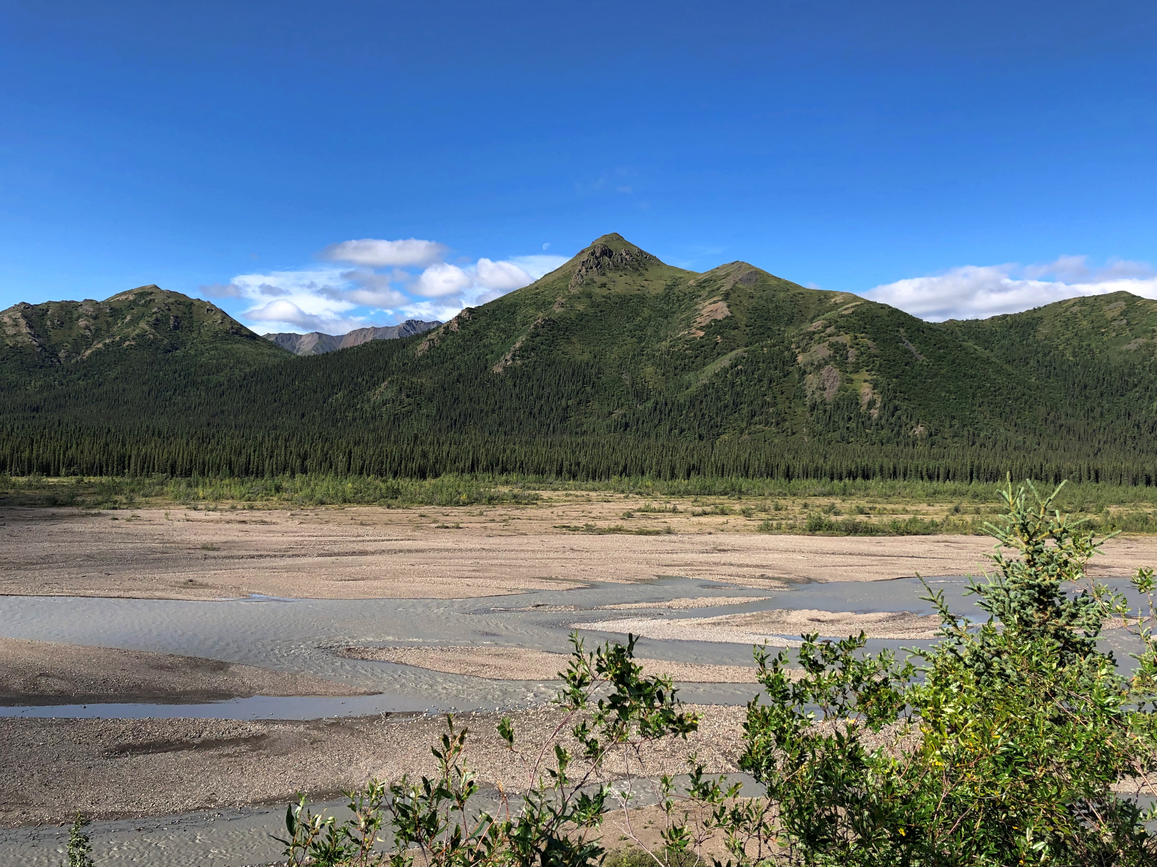
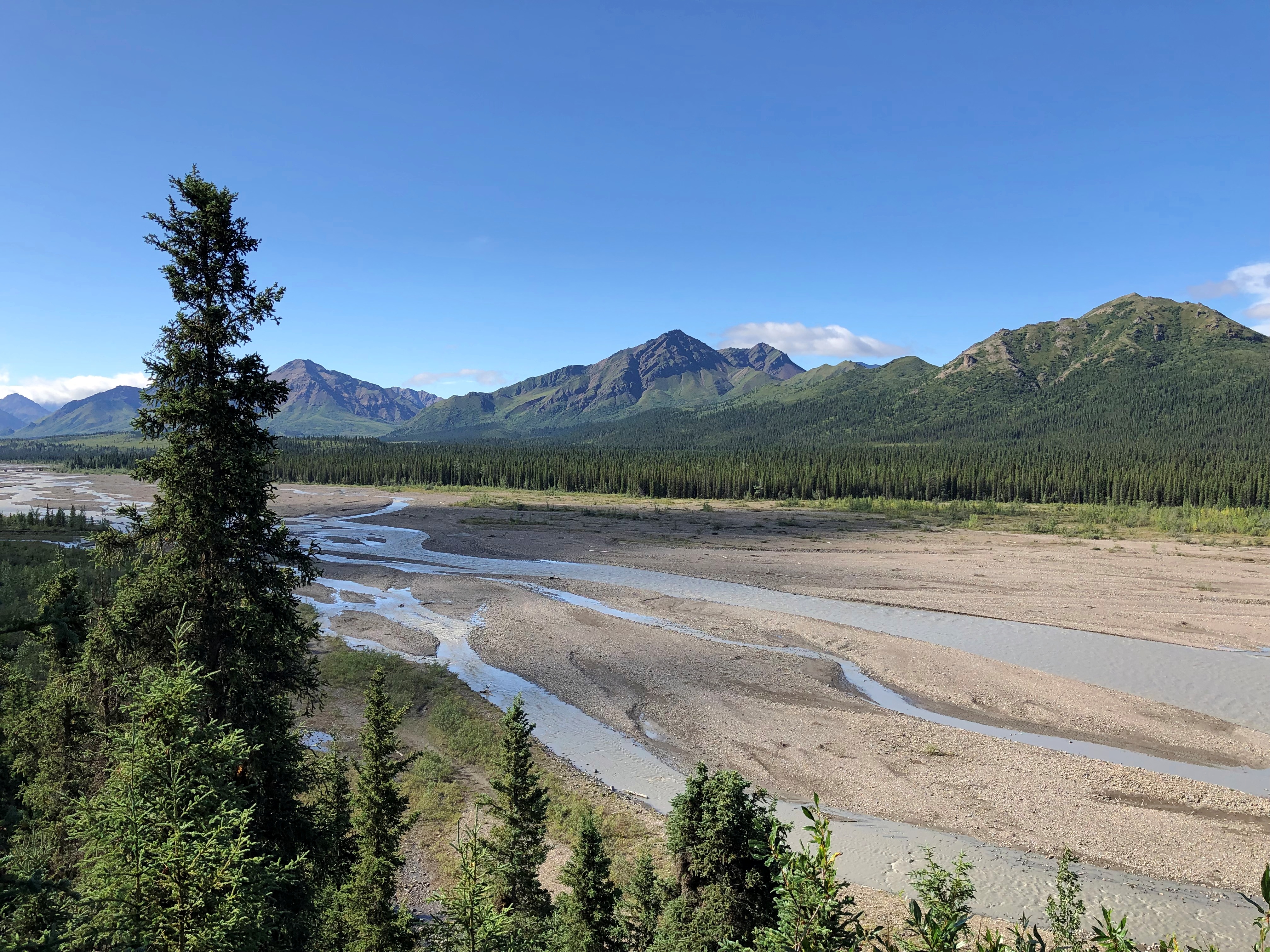
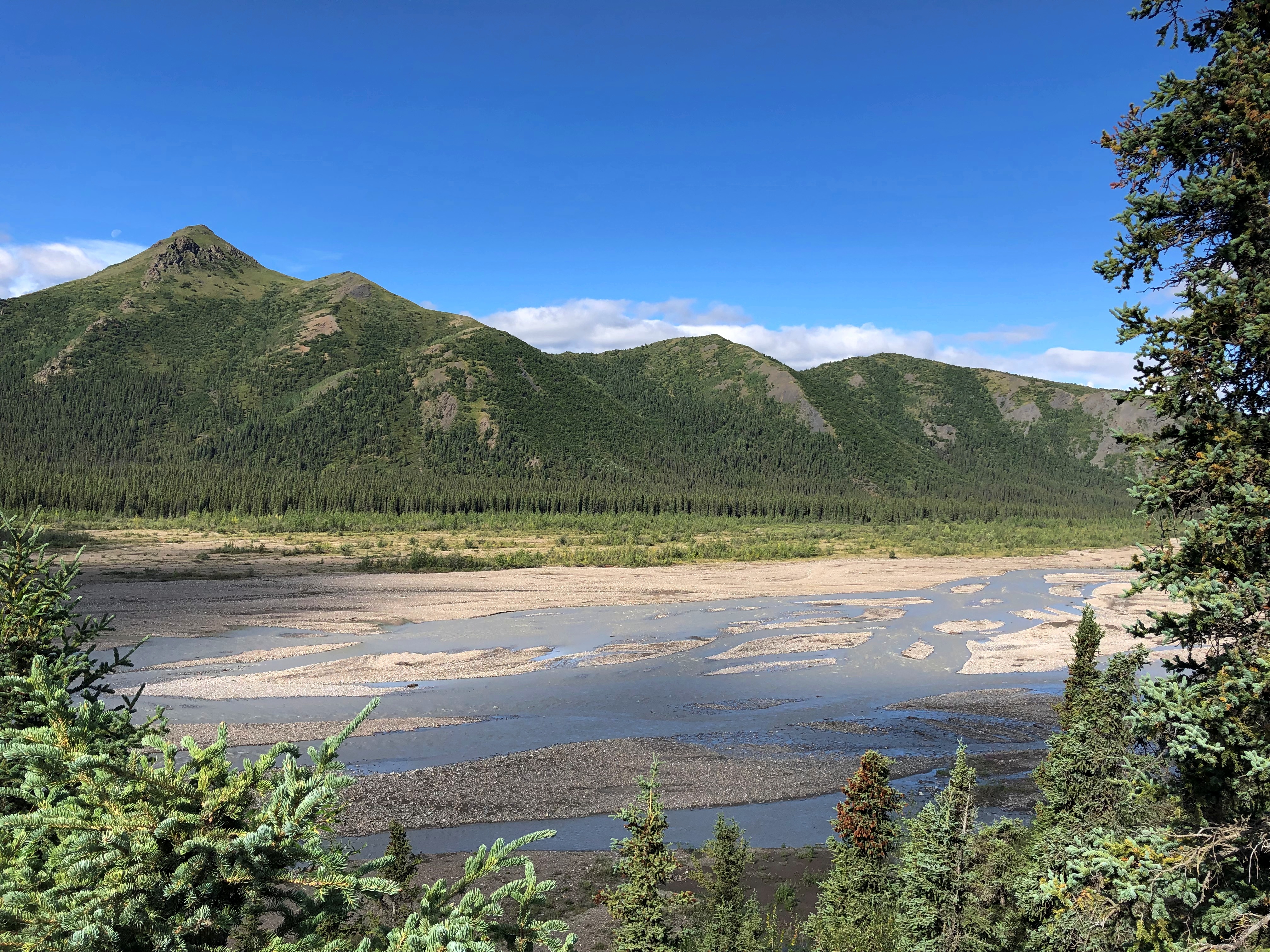
At Mile 15 is the wide view of the Savage River.Teklanika River
Teklanika River
Teklanika River

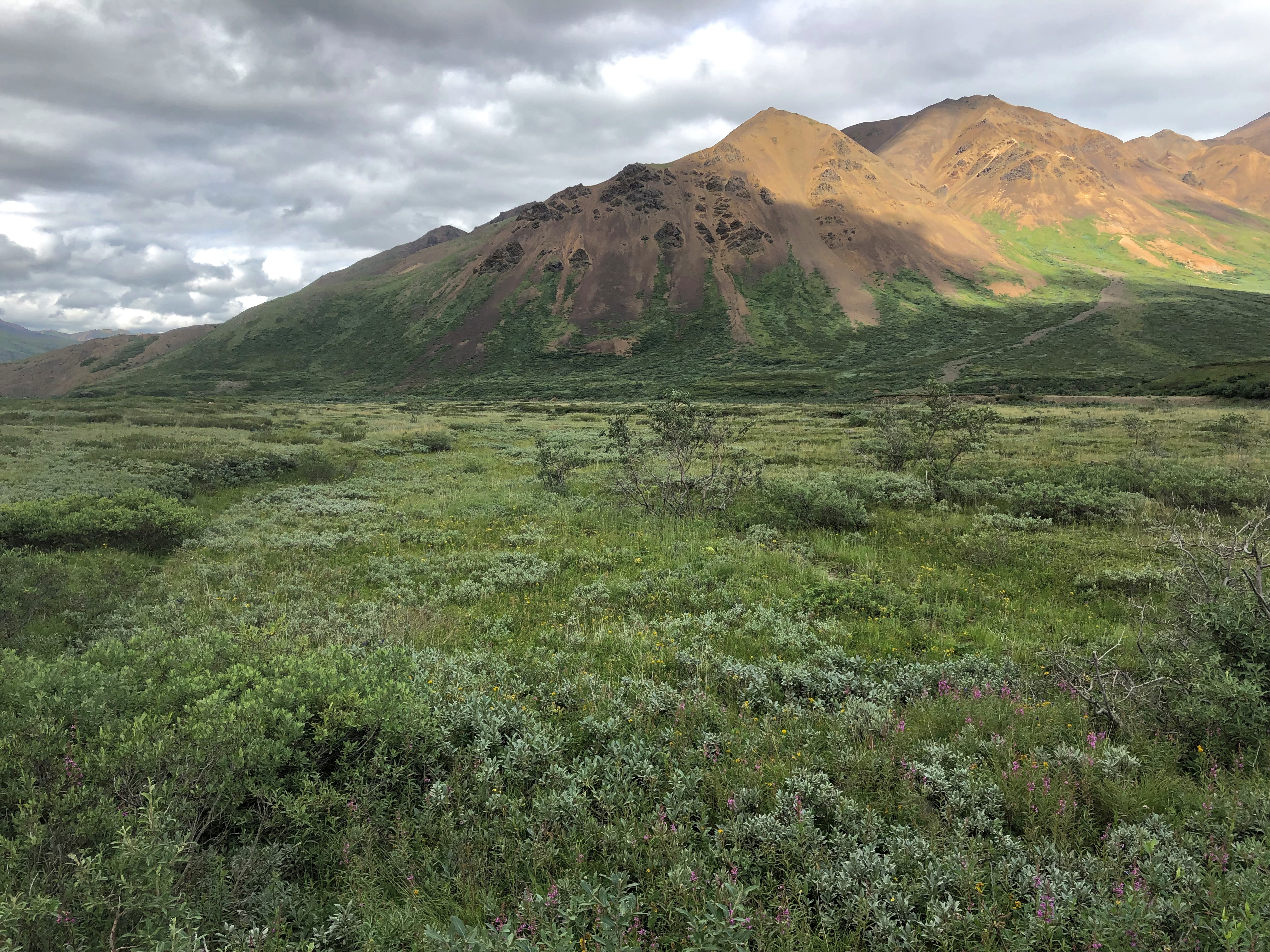
Further along the road, an illustration of how far greenery can reach up mountainsides.
Denali NP

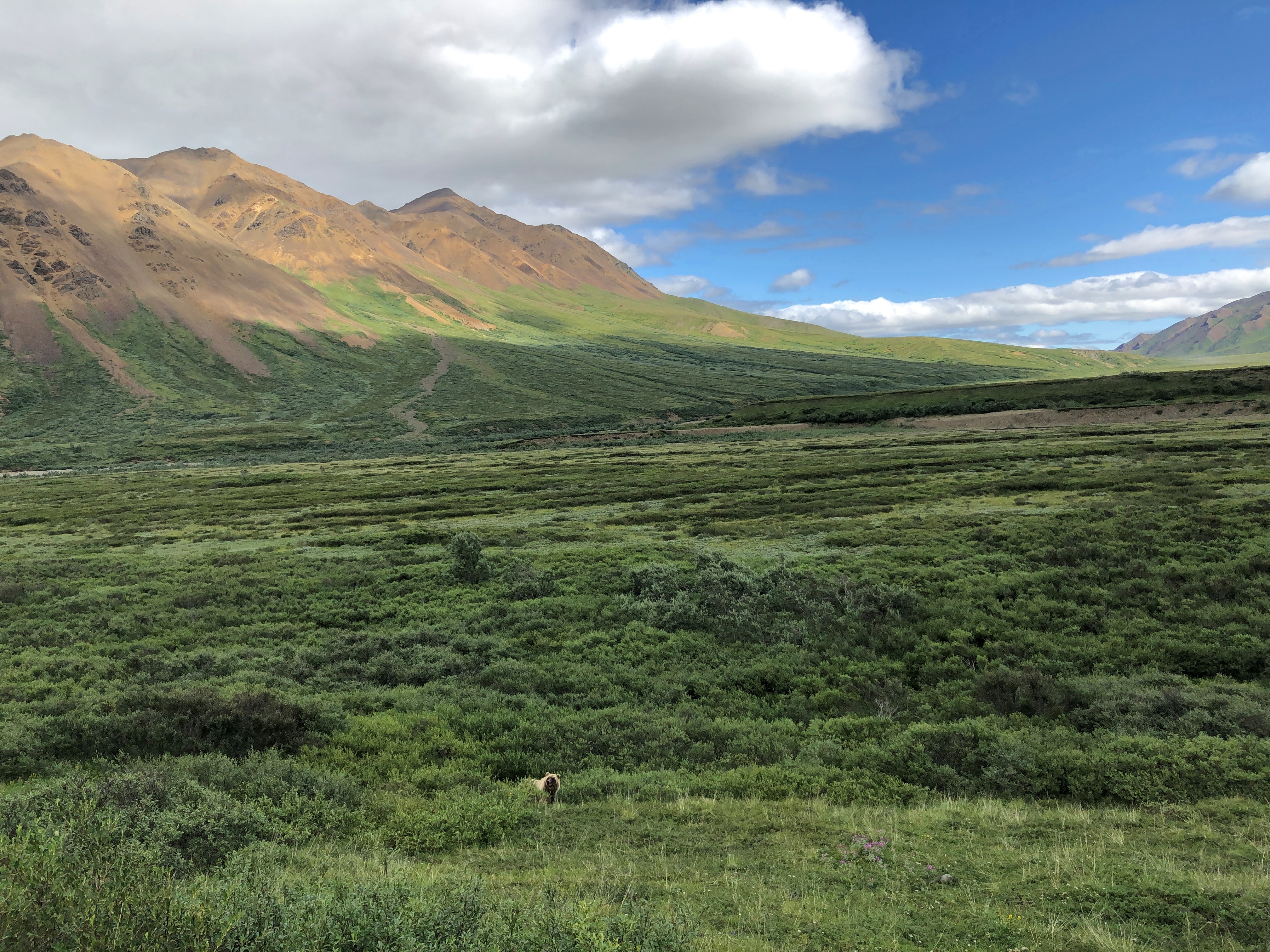
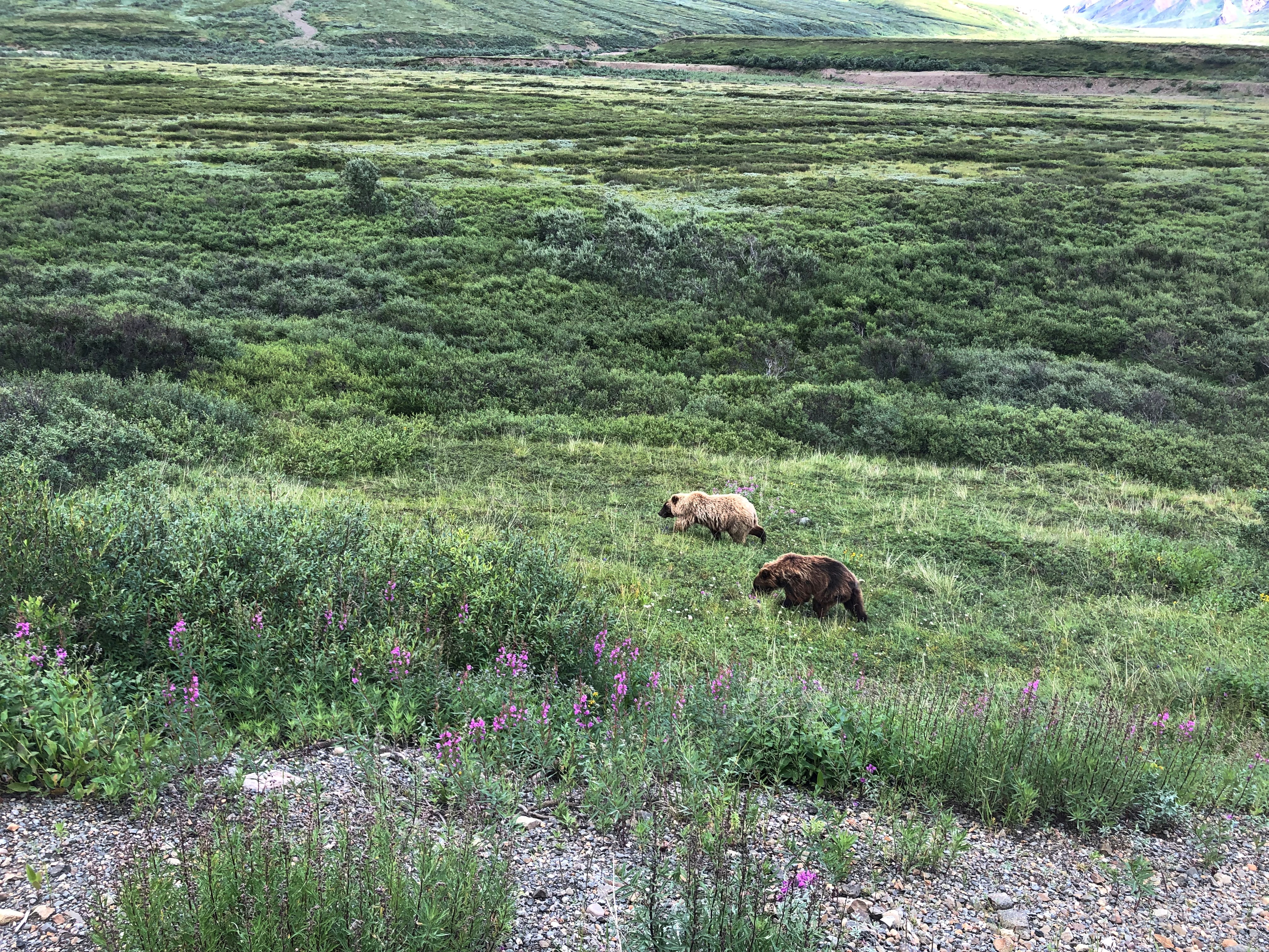
Around there, we spotted a bear. Brian stopped the bus for a few minutes for us to watch. It wouldn’t be the last time he did so.
Denali NP bears

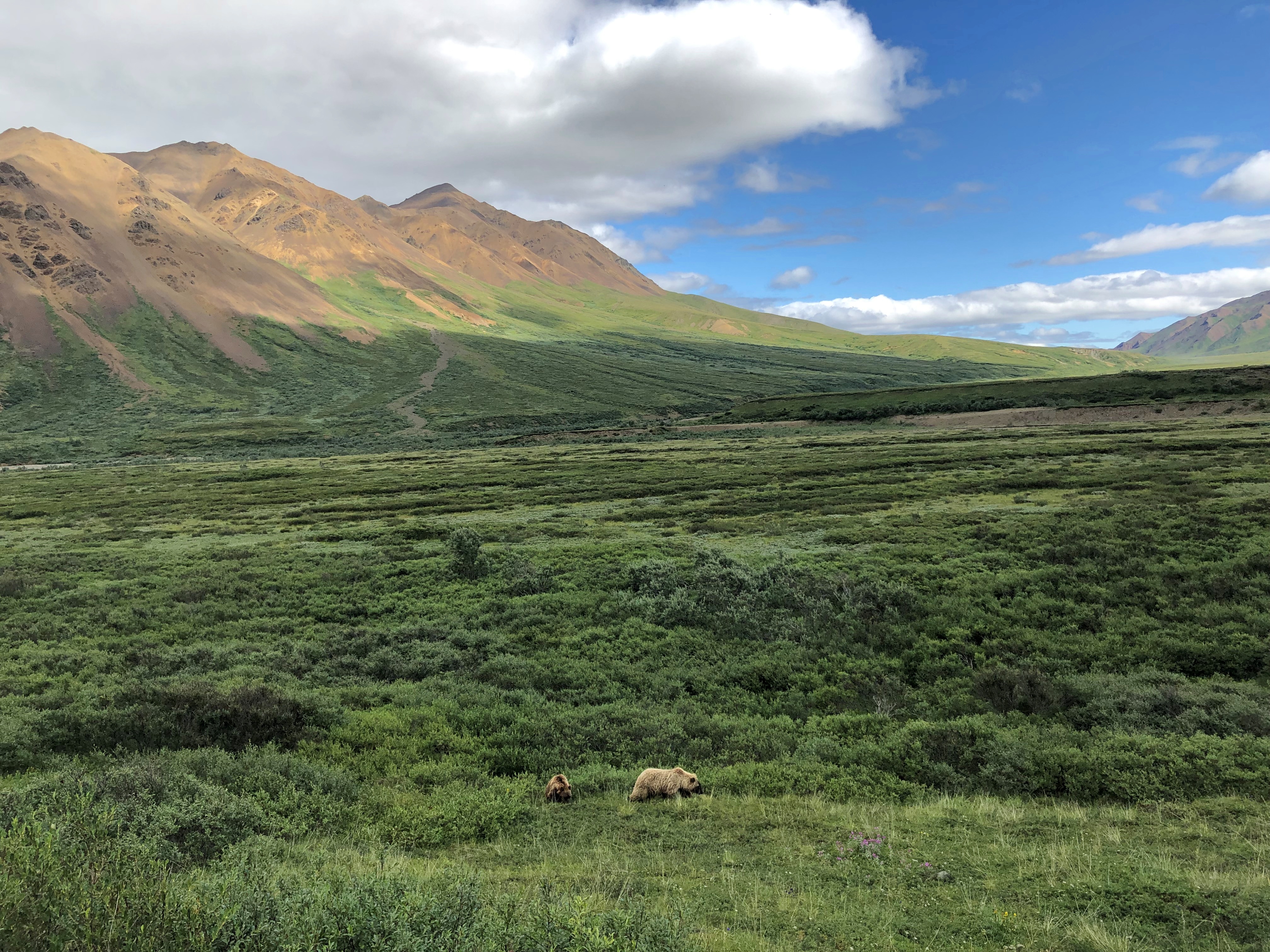
Make that two bears.
Denali NP bears

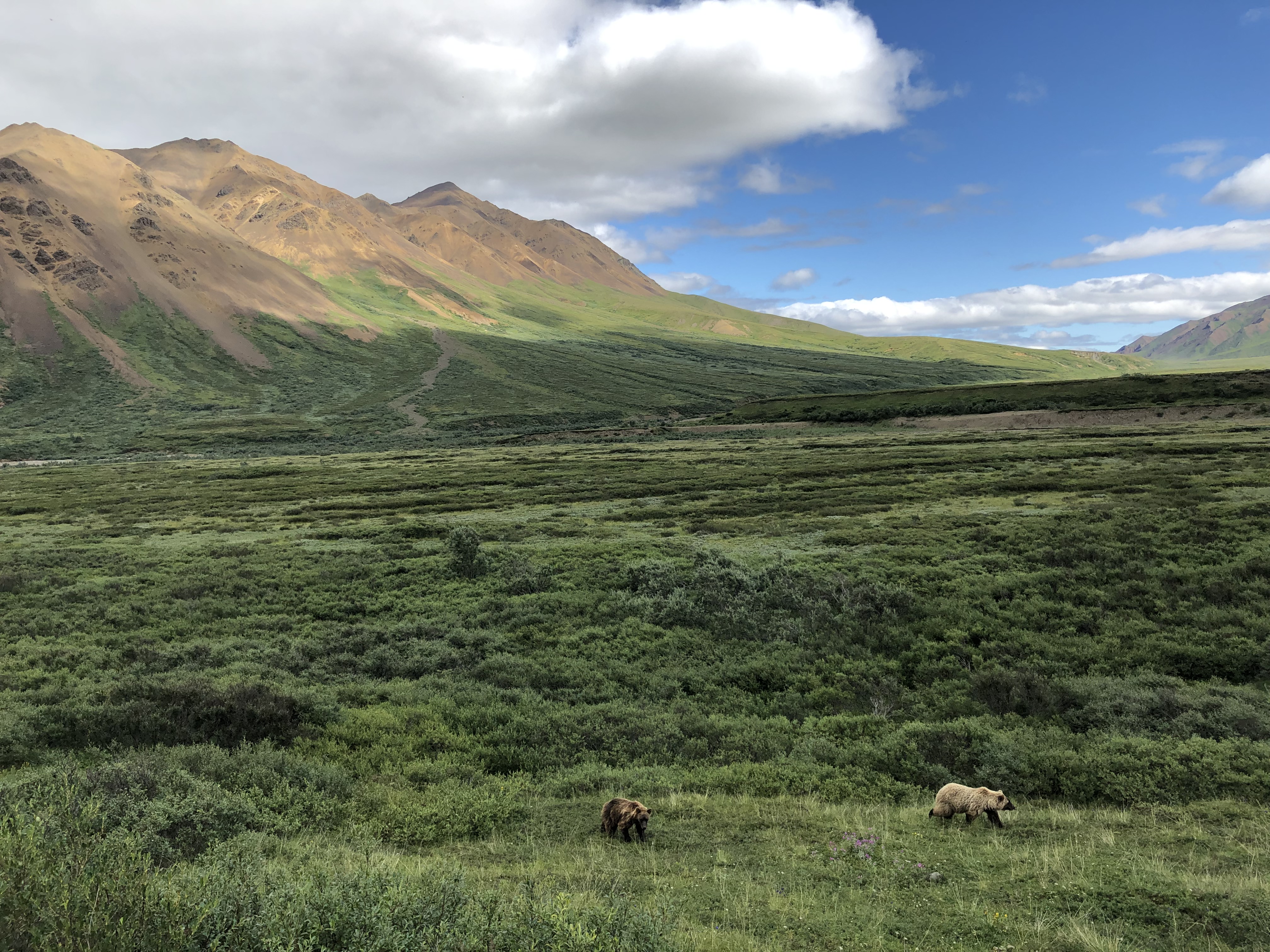
In the fullness of the day, we spotted a total of five brown bears, some of whose coats were actually blondish. Brian noted that an estimated 300 bears live in the park, and if so, we saw nearly 2 percent of them. He further said that often enough tours buses see no bears at all, the creatures being as elusive as Mount Denali. So we were a charmed bus almost from the get-go.Denali NP bears
Denali NP bears

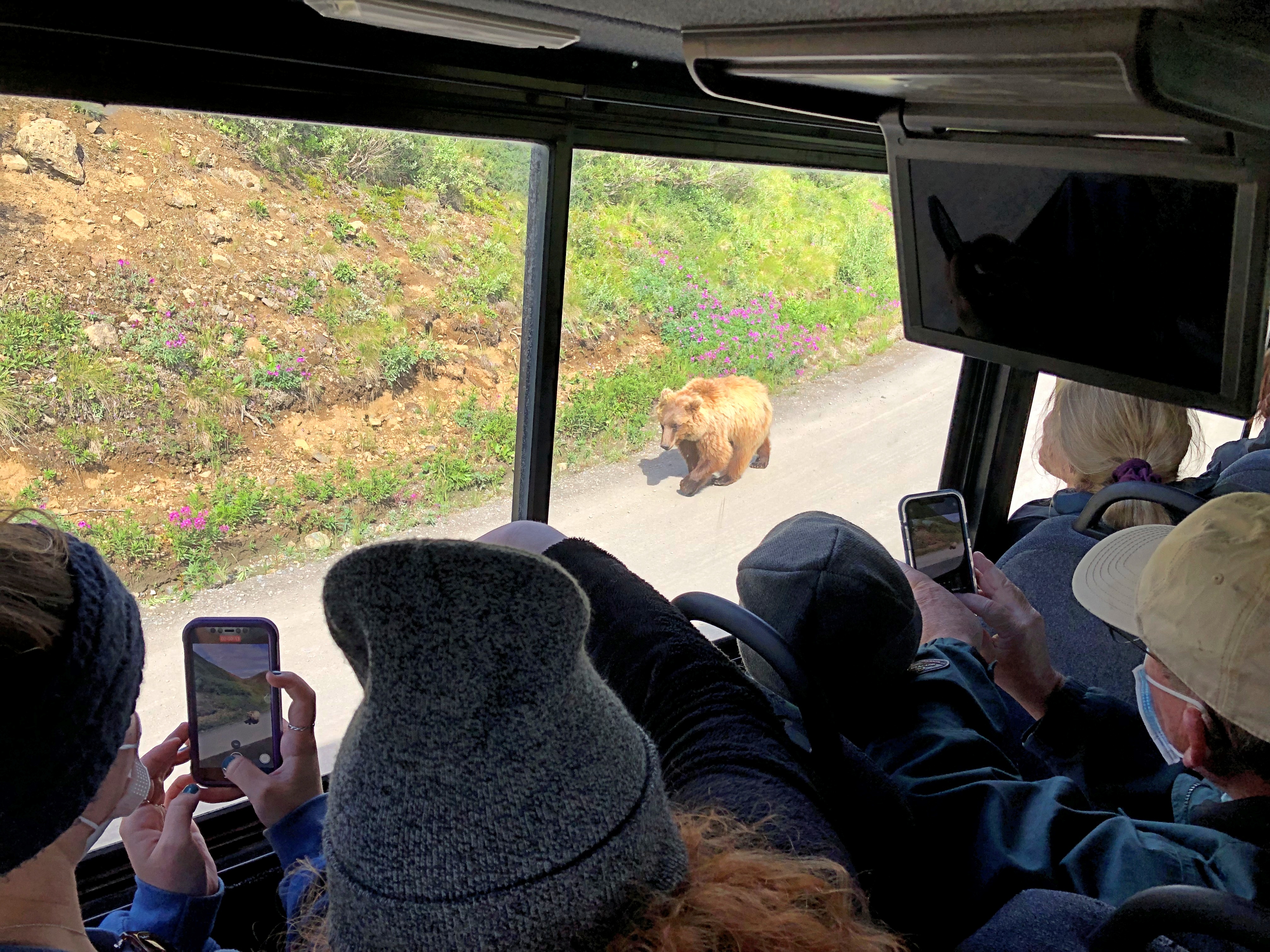
One of the bears took a stroll on the road. Why not? For all we know, the bear considered the bus just a big lumbering animal that posed no harm, and could not be eaten, and so deserved no further consideration.
Denali NP bear

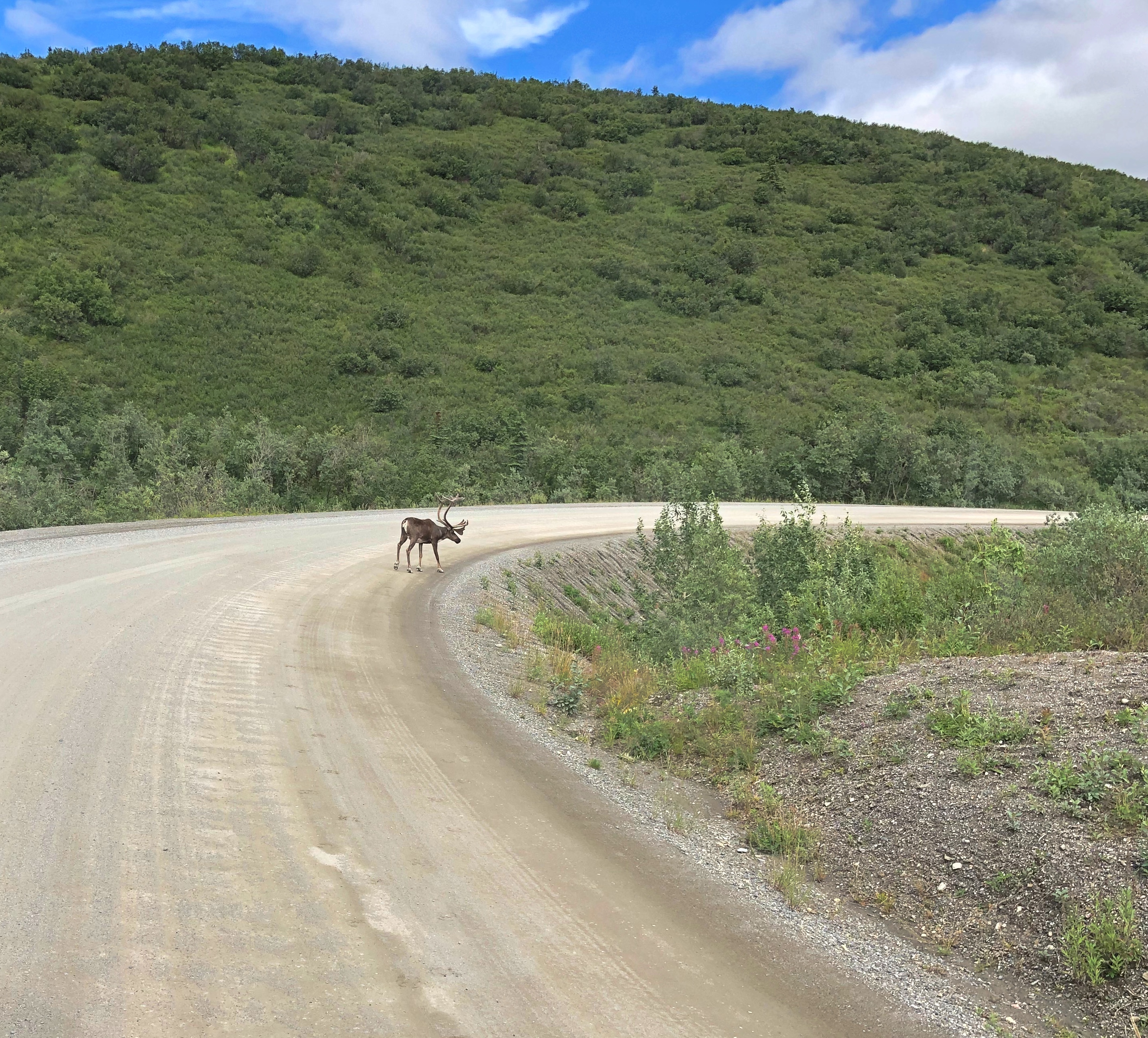
Caribou probably felt the same way.
Denali NP caribou

We also managed to see, as the day went on, Dall sheep, moose, and a lynx — another animal the guide said was rarely seen on a tour. As for the Dall sheep, they were white spots way up a mountainside, walking where I thought no animal ought to be able to walk. That only reflected my ignorance of all things Dall.

The conservation of Dall sheep was the original motive for creating Mount McKinley NP, as it was known when established in 1917. One Charles Sheldon, who made a fortune in mining and retired young to the life of a naturalist, successfully advocated for the creation of the park in the early 20th century to keep Dall from being wiped out by hunting.

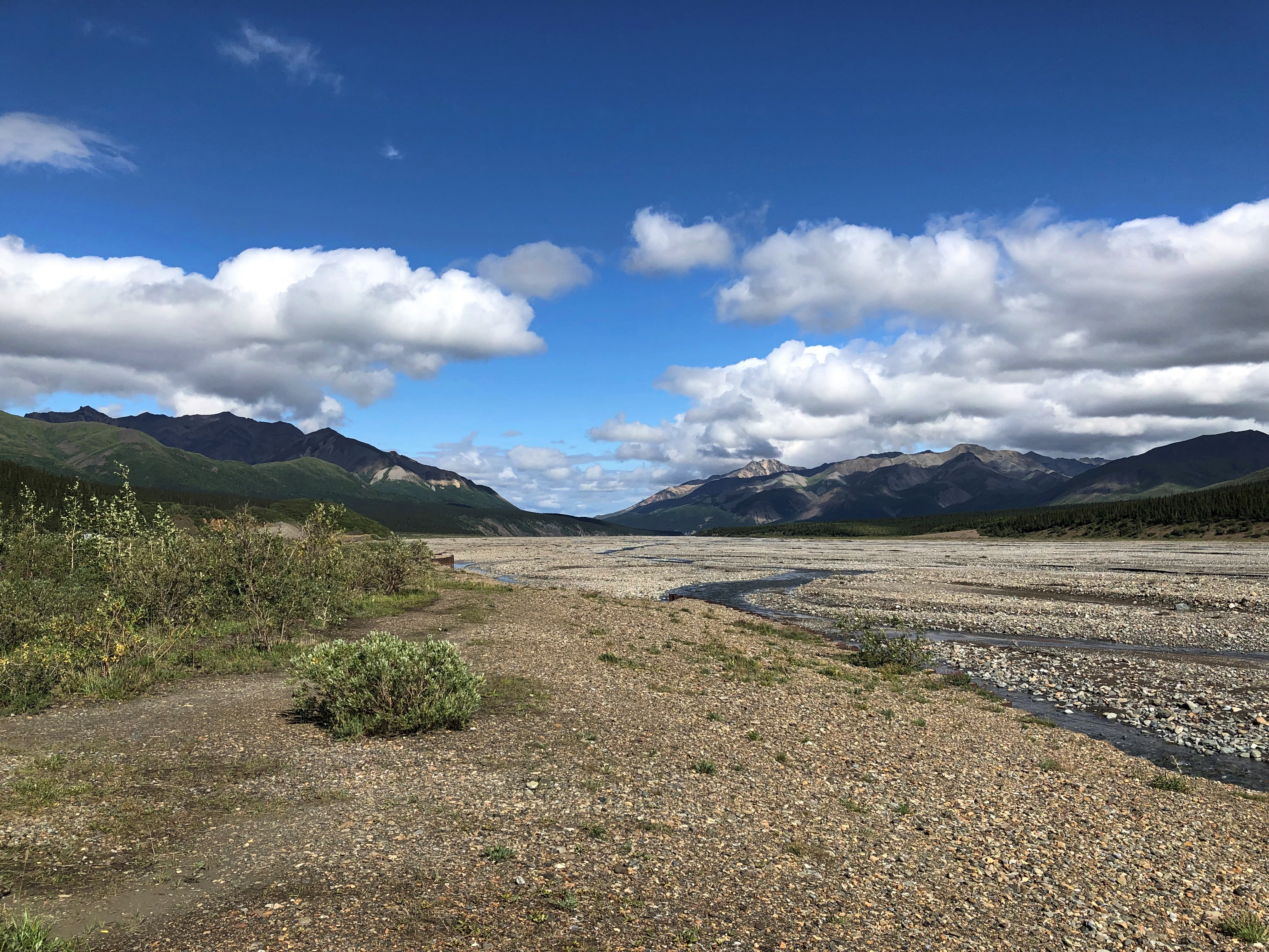
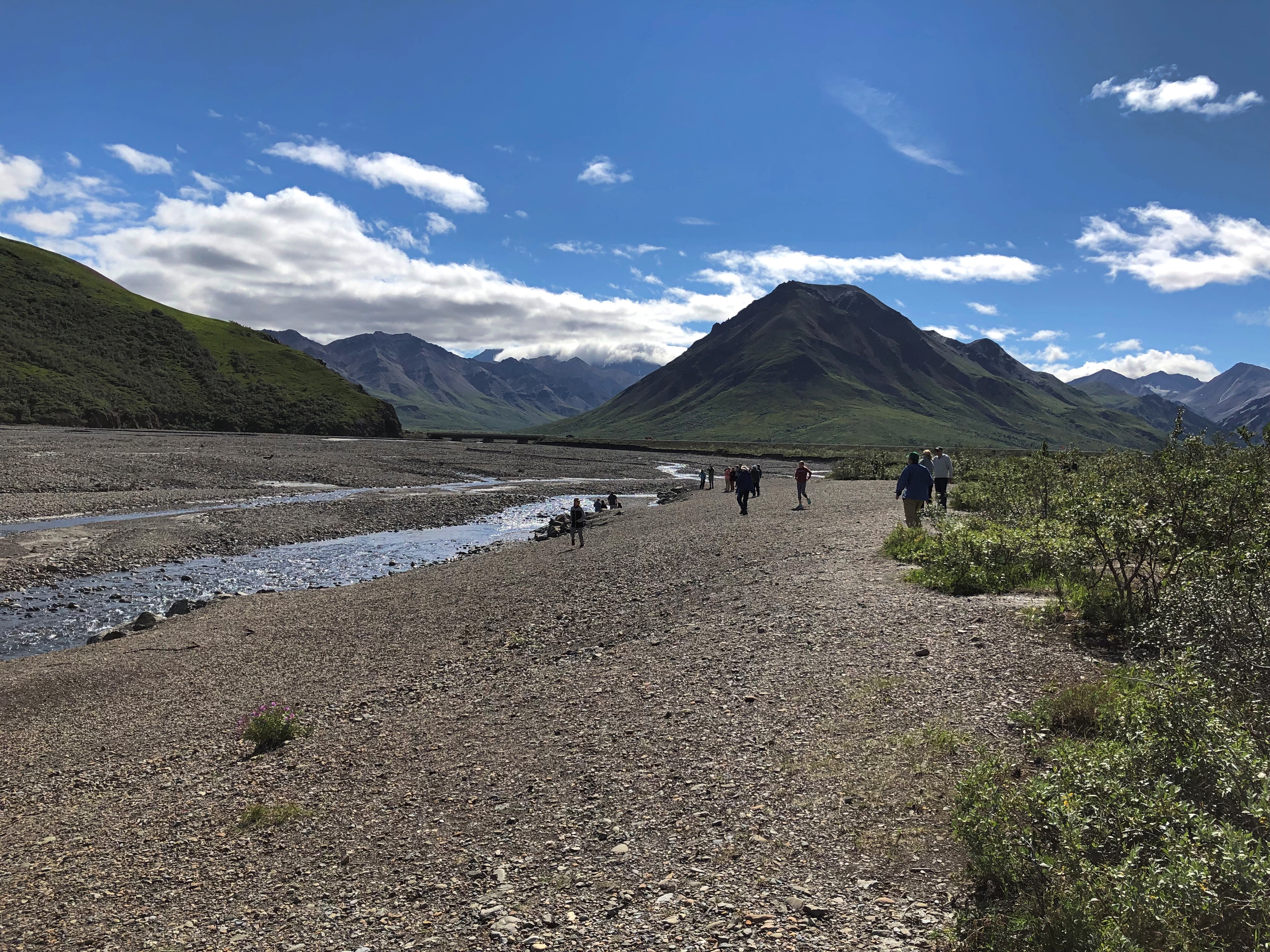
At Mile 30, the rocky Teklanika River.Denali NP

Denali NP

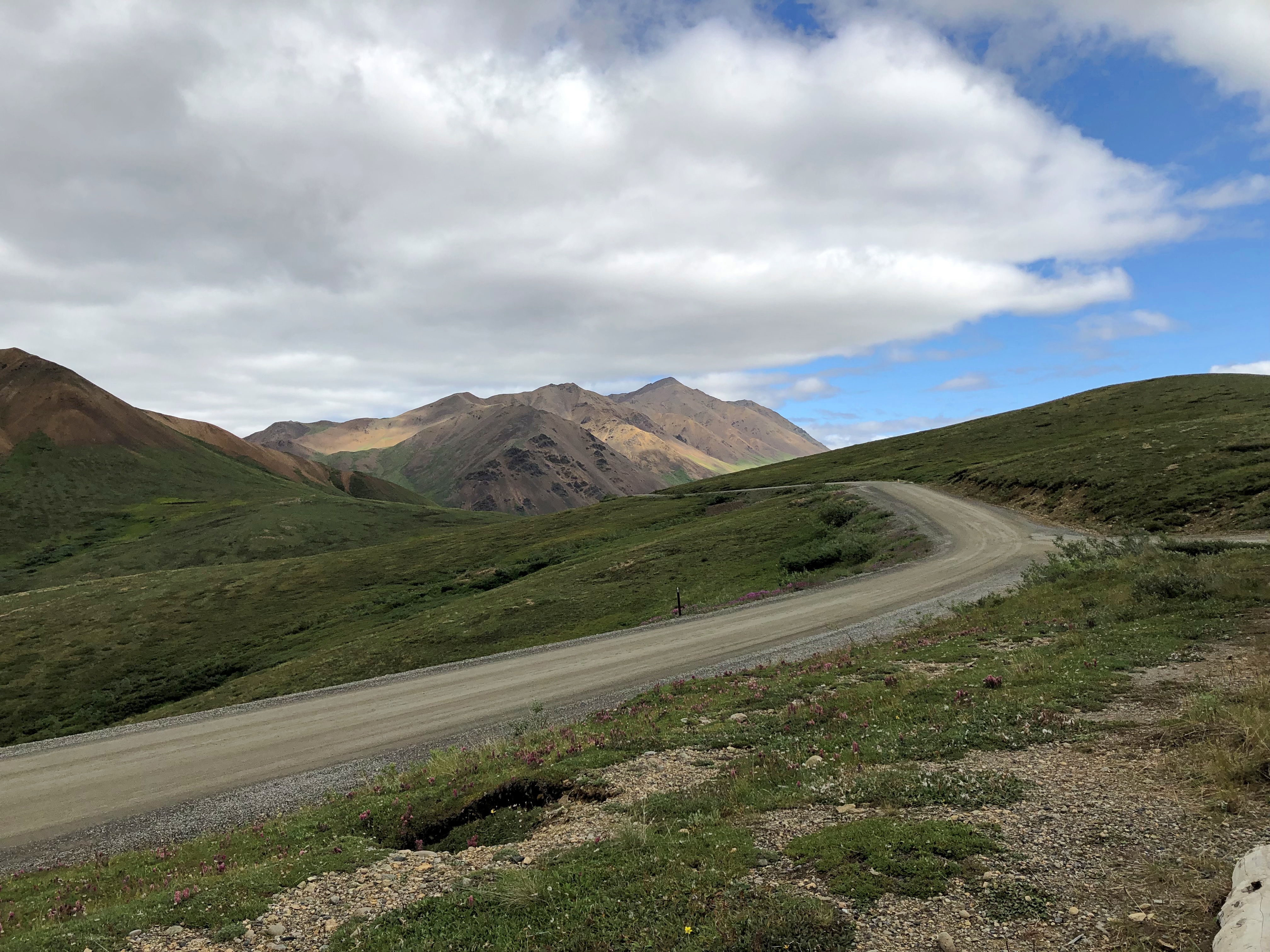
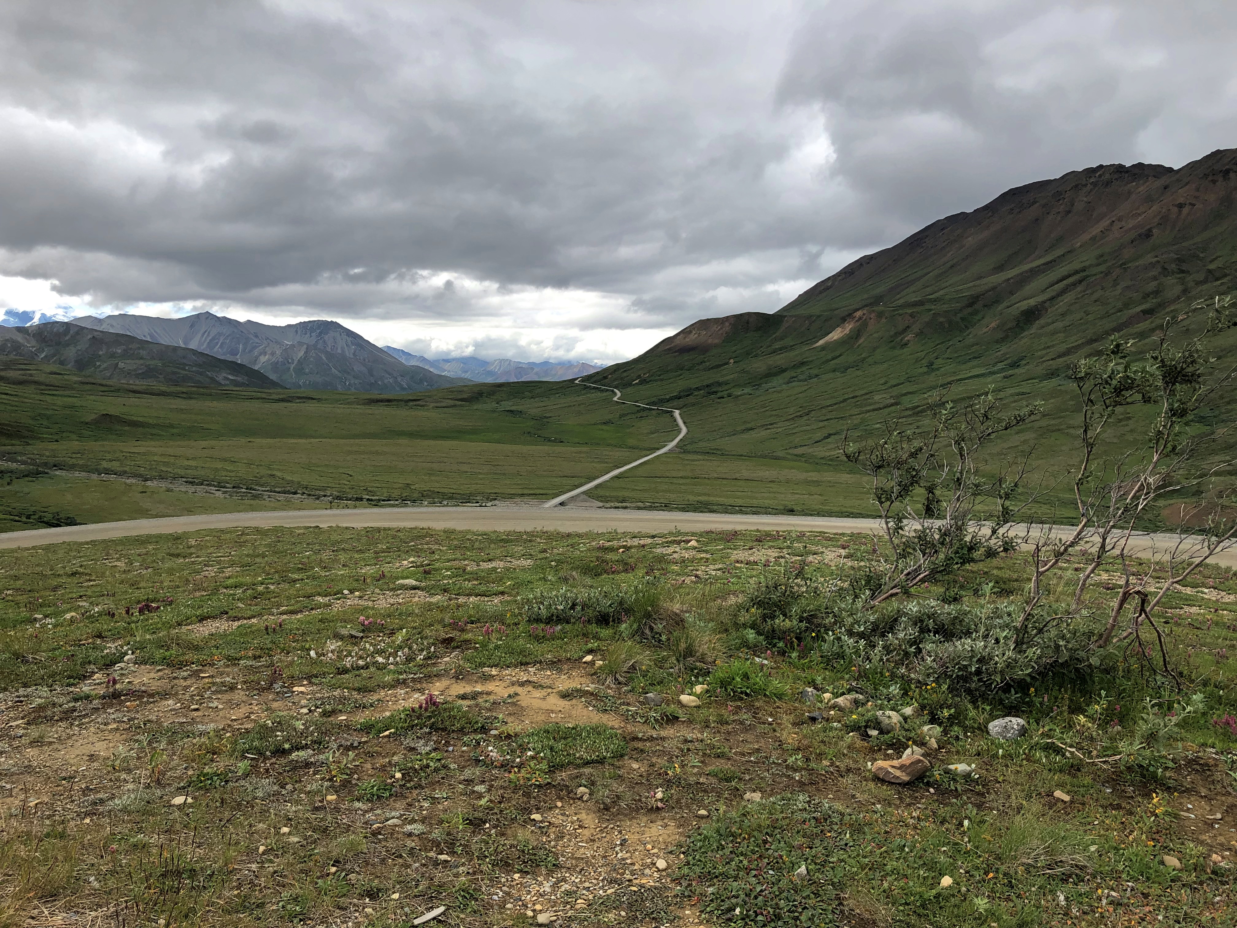
Further in: more views of the road, which winds around. The second image looks like another road branches off, but there’s only one road in all of Denali NP.Denali NP road
Denali NP road

The purest of the purists might object to this work of man in the park, but it’s the thinnest of ribbons in a vast wilderness, built from 1923 to 1938. Since Alaska 3 didn’t exist until 1972, visitors who wanted to travel the park road before then came up by railroad to the entrance of the park.

The road went on, but our tour made its turnaround at the Toklat River Rest Stop, Mile 53.

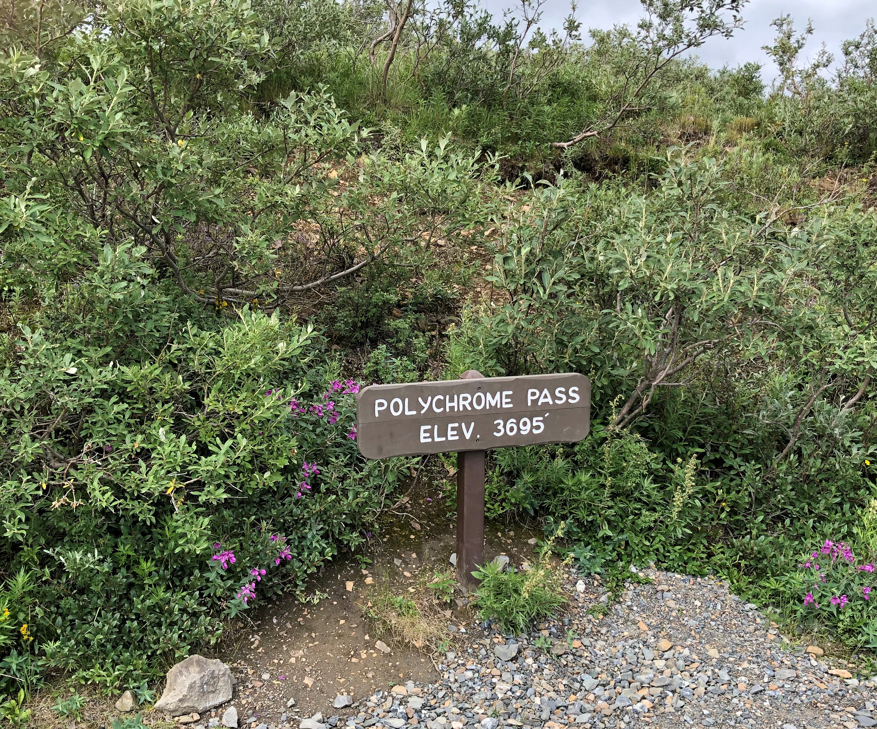
On our return, we stopped at a place that we had bypassed earlier, Polychrome Pass, at Mile 46.Denali NP Polychrome Pass

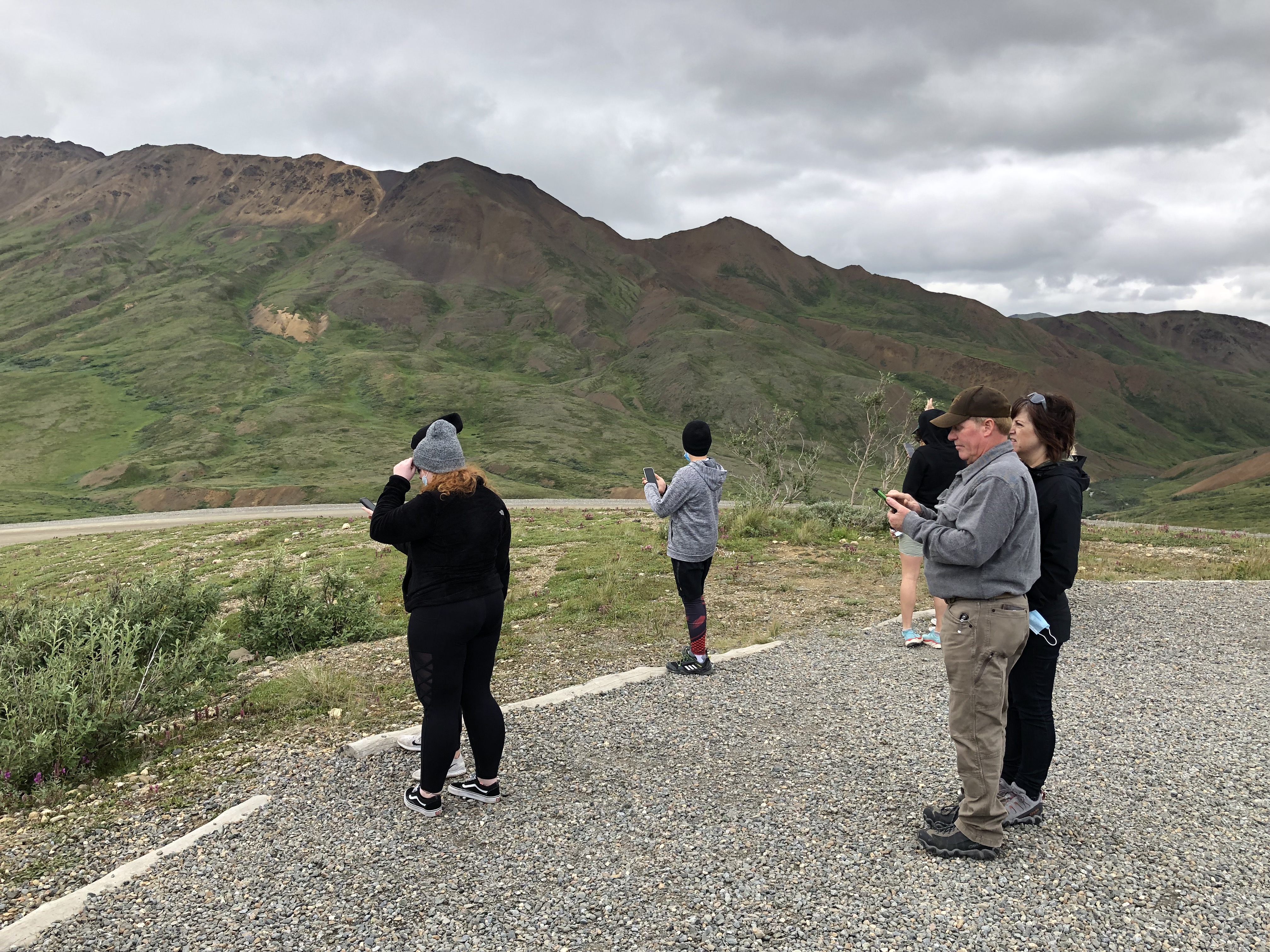
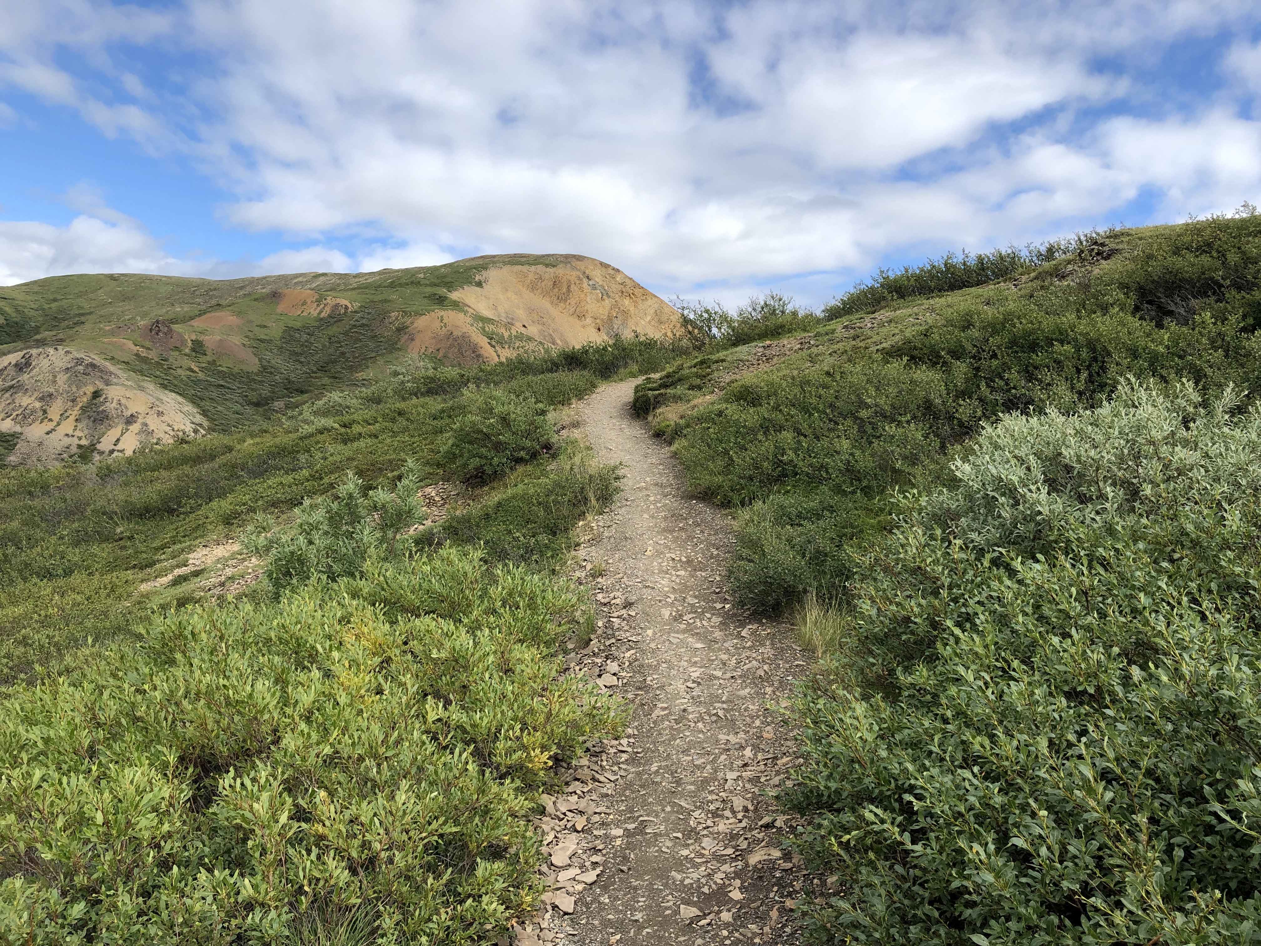
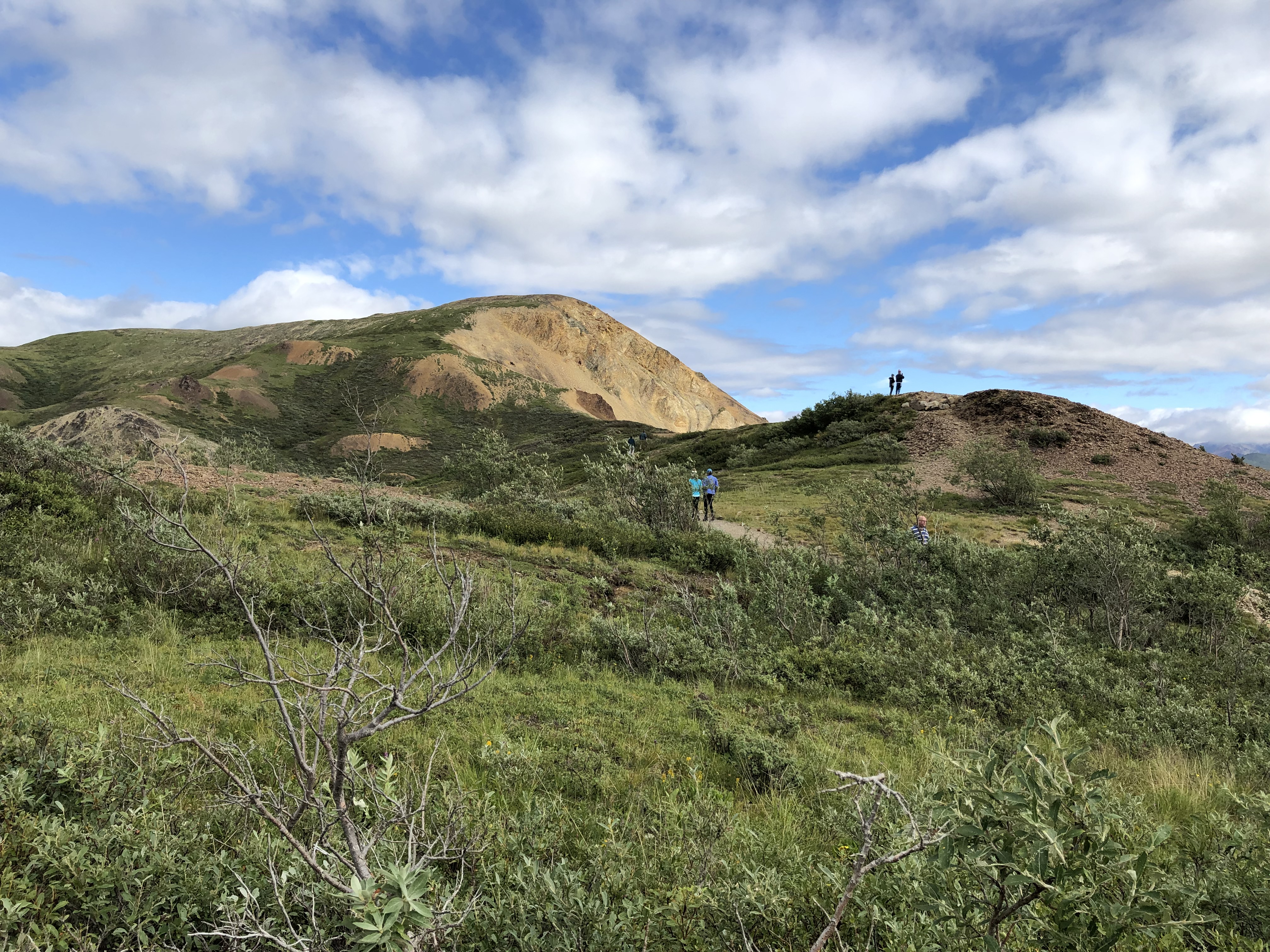
Most of us climbed the hill next to the road.
Denali NP Polychrome Pass

The view more-or-less north, into what are known as the Wyoming Hills, was nice.
Denali NP Polychrome Pass

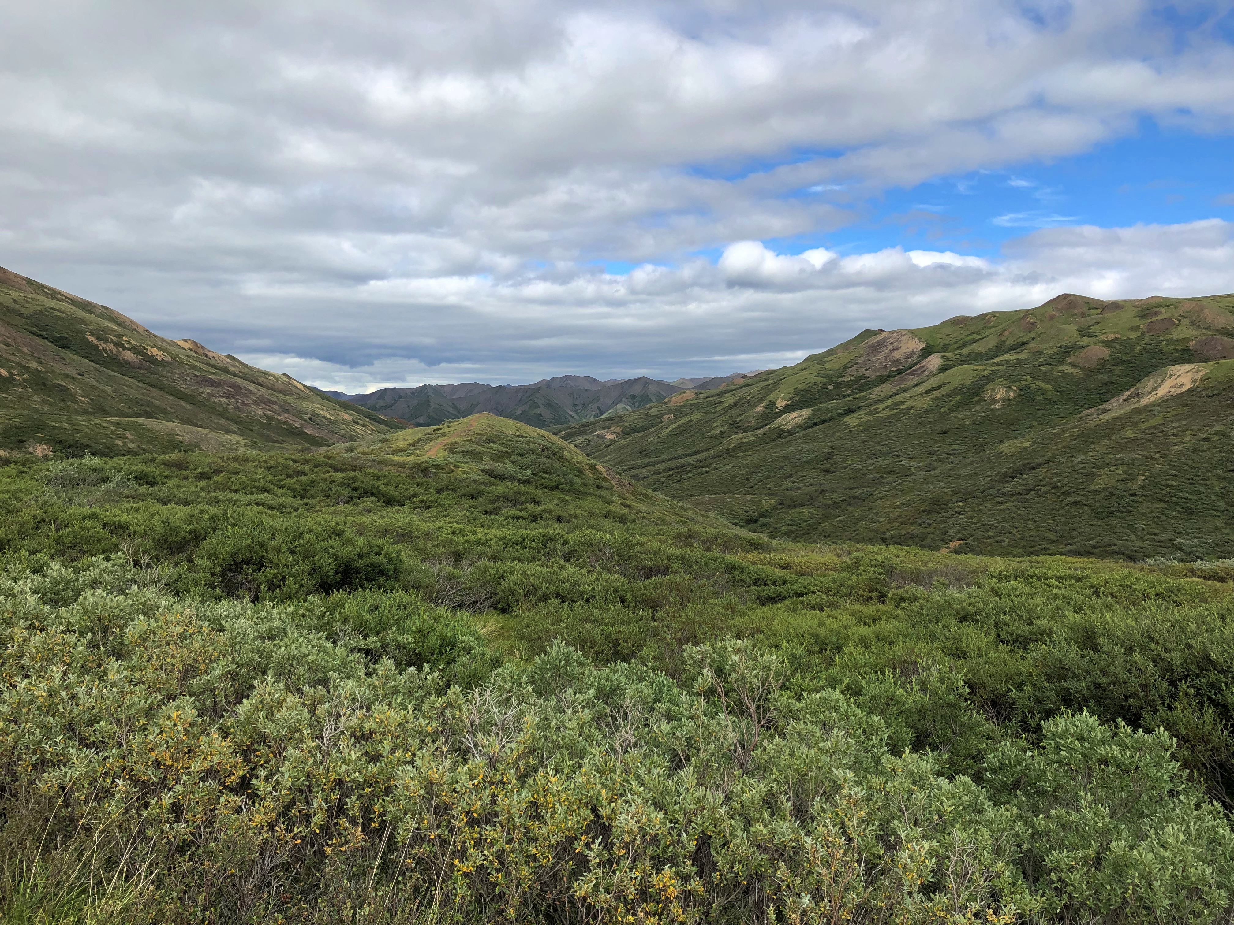
The view to the south proved to be my favorite in Denali NP, and in fact my favorite of the small slice of Alaska I got to see last week. Colorful, as the name implies, but much more than that. The cool brisk wind in otherwise absolute quiet added to the impression, but it was more than that too.

I will publish pictures here, but even more than all the others, they’re poor substitutes for the way the sweeping vista impressed my eyes. The view toward the Alaska Range at Polychrome Pass is, I believe, the grandest vista I’ve ever seen.Denali NP Polychrome Pass

Denali NP Polychrome Pass

How so? Even now, a week later, the enormity of the scene staggers me. It isn’t obvious from the image, but the mountains are at least 10 miles away, leaving me the impression of the largest valley, the longest sweep of vision over a wild plain, that I’d ever encountered.

Maybe that’s the conditioning of Romantic ideas about nature, echoing down the last few centuries and taking the form of TV specials, coffee table books and a tourist industry that takes people to such vistas for a fee. Maybe God speaks through the grandeur of a place like Denali NP. Maybe I have wholly idiosyncratic ideas of worthwhile vistas, because to me the view from Victoria Peak over the nighttime illuminated urban canyons of Hong Kong was almost as grand. Maybe I don’t really care about any of those ruminations. All I know is I was exceptionally glad to be there in Denali NP and see that.