My old friend Geof Huth has been known to post images of figures – glyphs – he draws in the sand, and so I took some inspiration from him. His glyphs are unique, probably in the history of the world. My are a touch more conventional.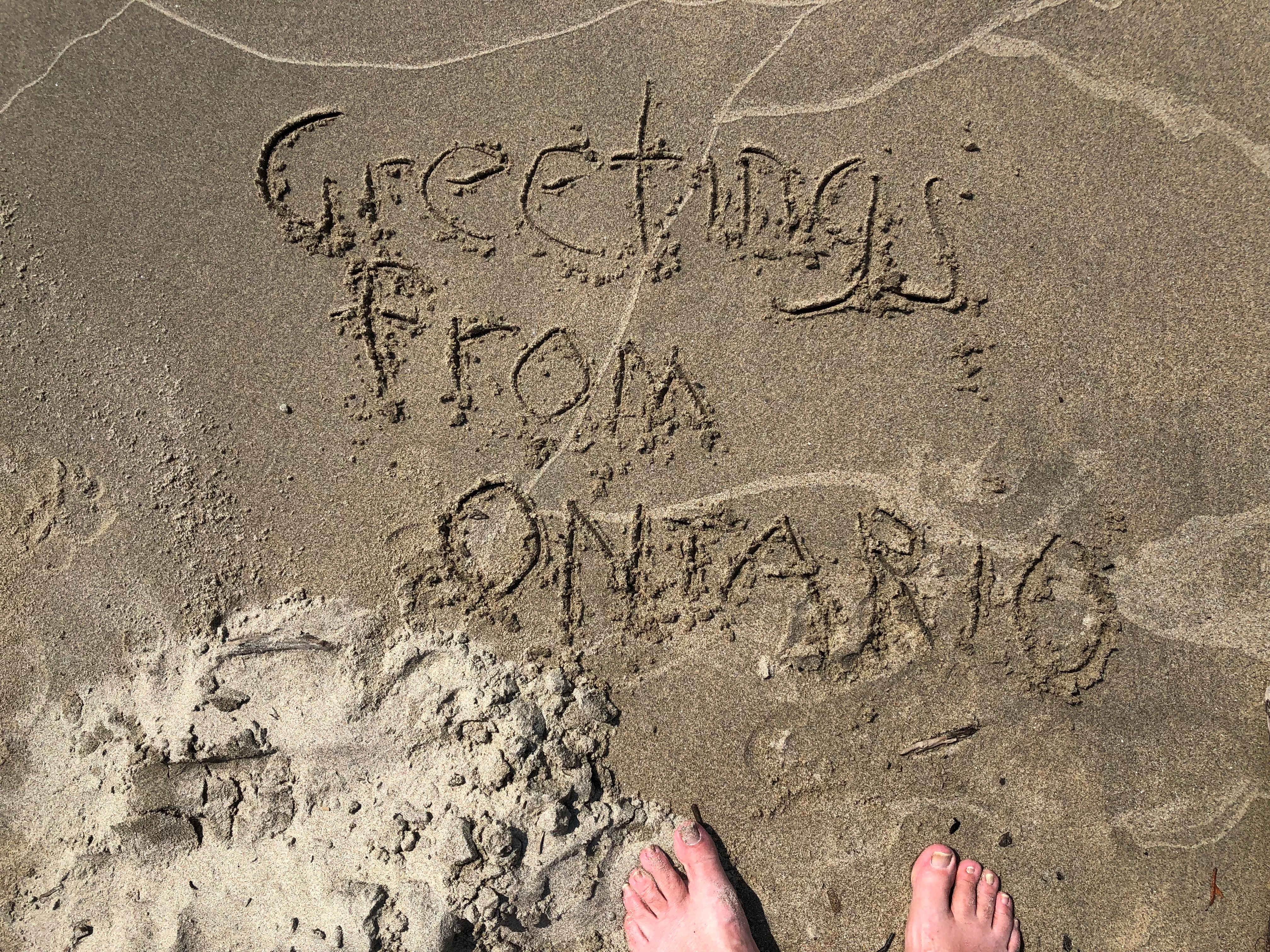
I took a similar image on my crummy cell phone camera, but one good enough for snaps, and sent it to Geof. From the edge of the wilderness in northwest Ontario to a tower in Lower Manhattan, the message went.
It might look like the wilderness.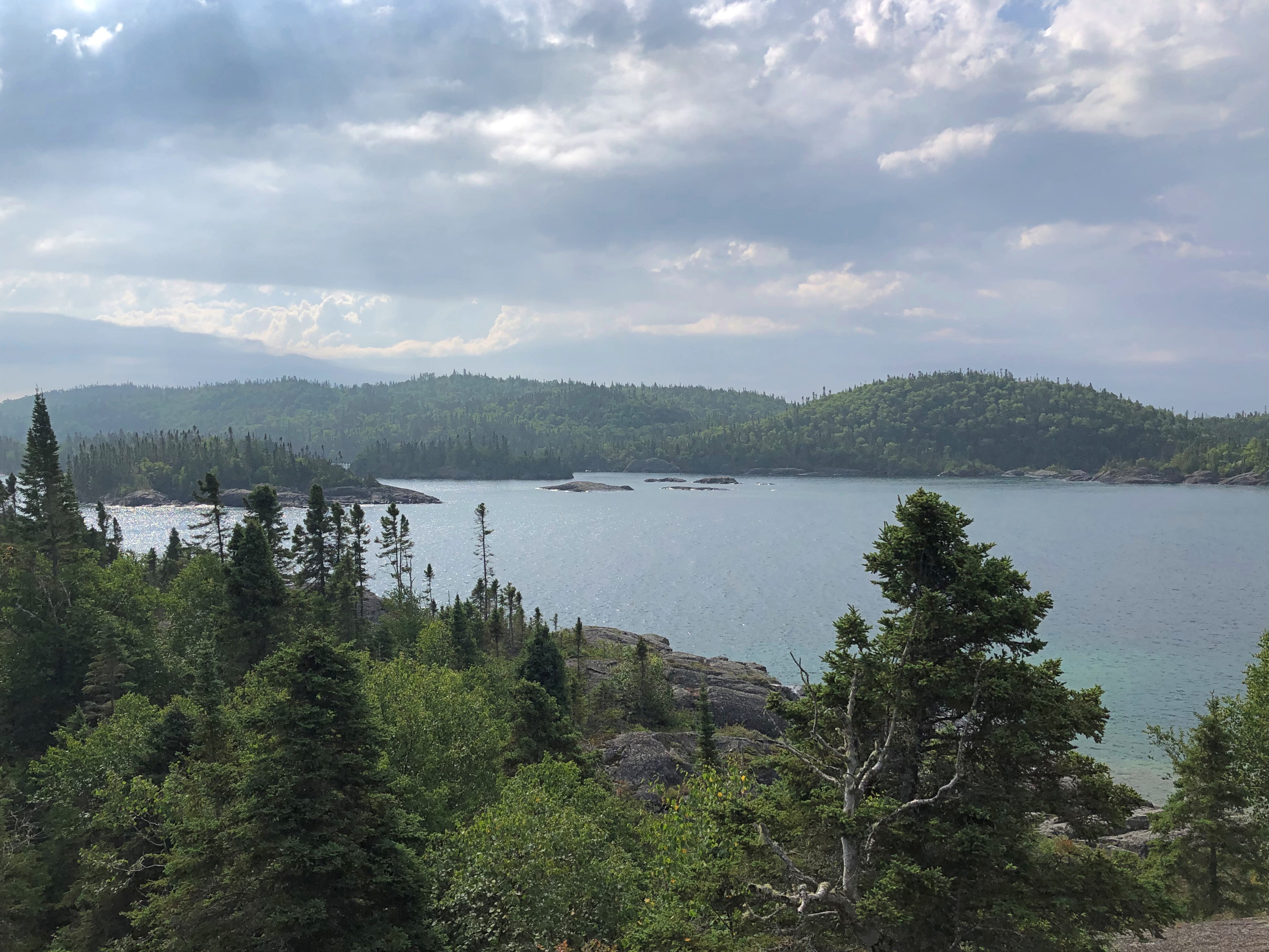

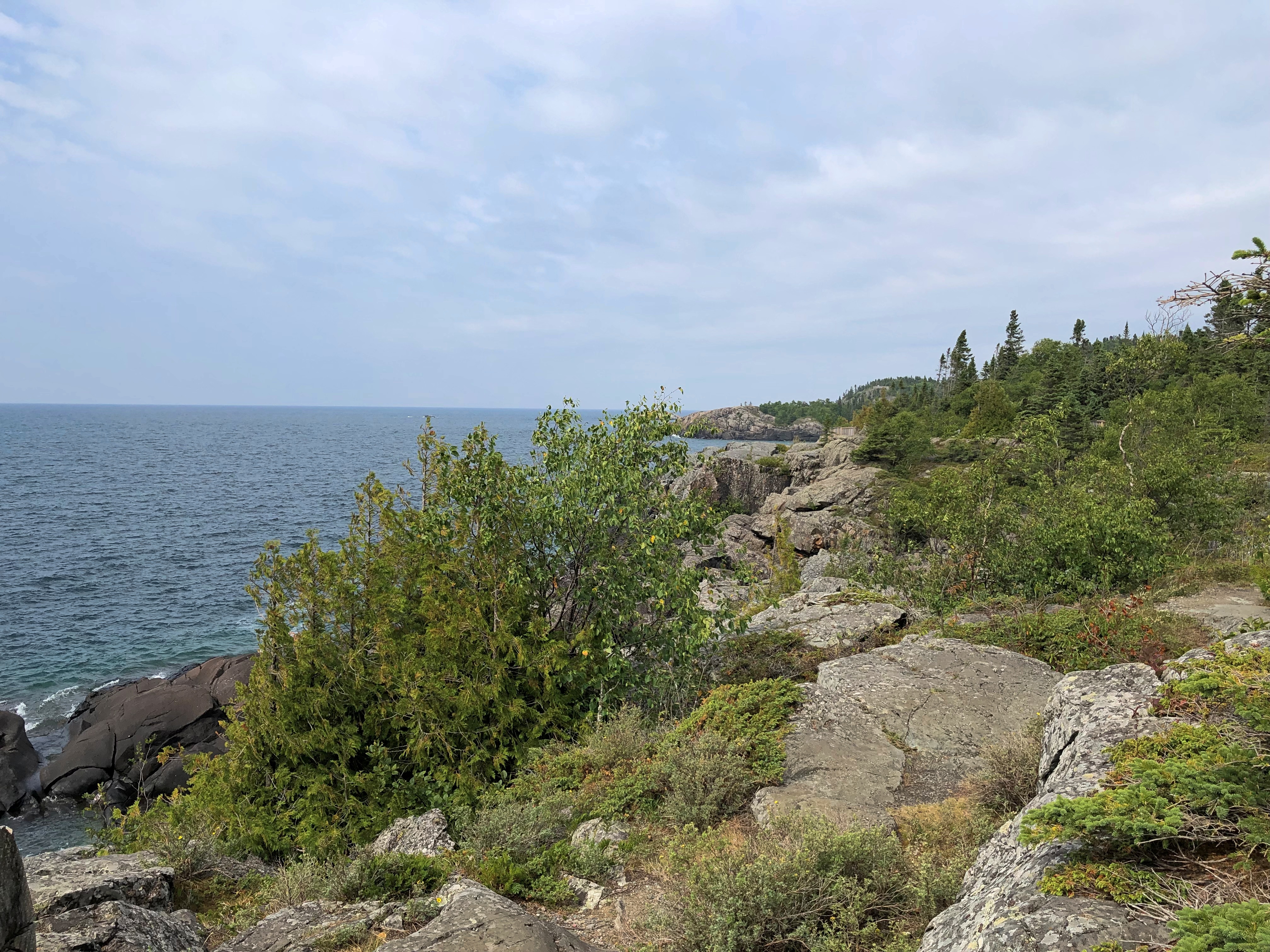
But no. Edge it was. I might have been within the bounds of Pukaskwa National Park, but only a few miles in, with access by road.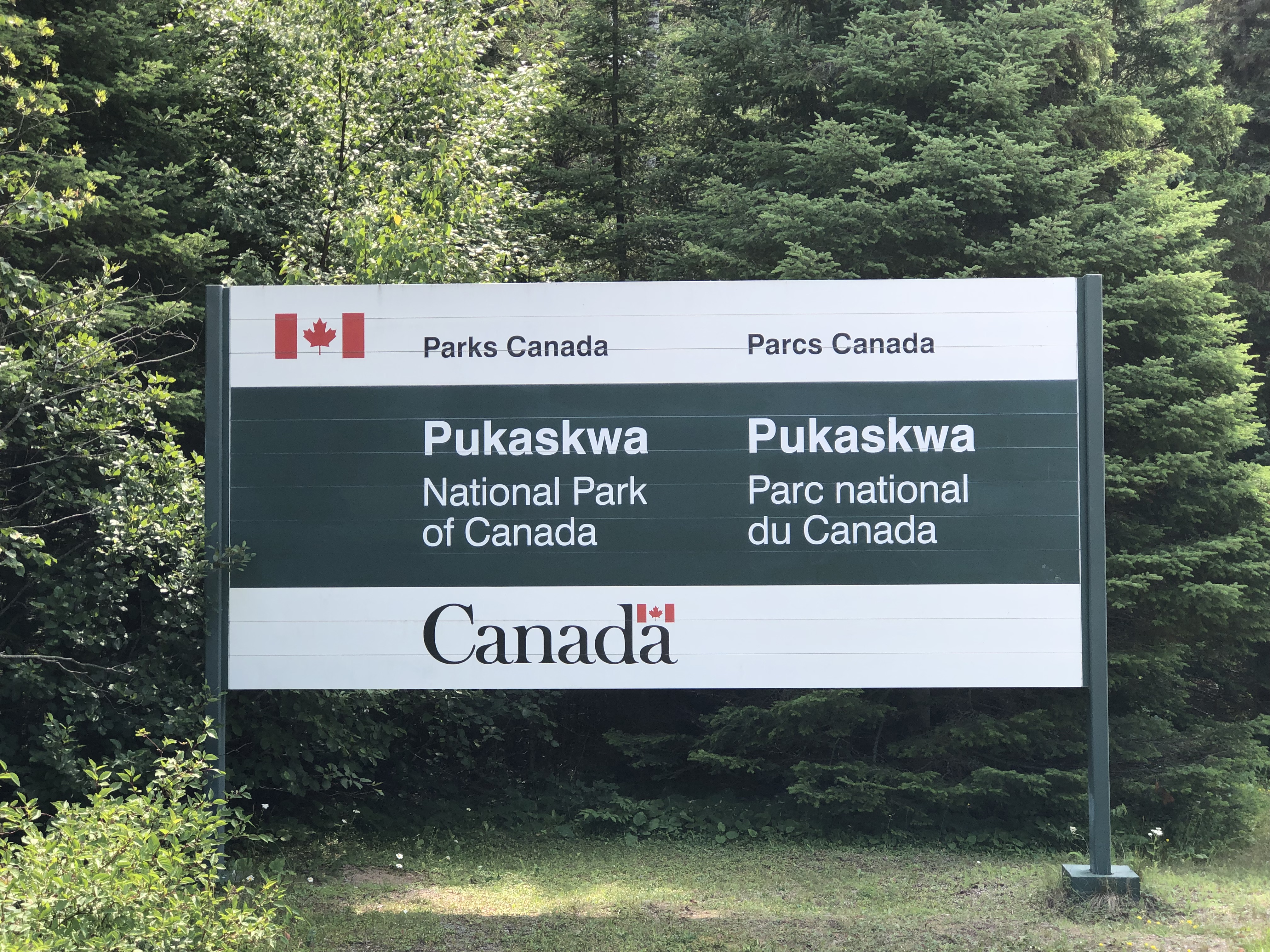
Pukaskwa (PUK-ə-saw), a sizable slice of Ontario (725 sq. mi.) on the shore of Lake Superior, is mostly back country. Rugged is the inevitable term for its back country, so much so that the mostly wooded terrain mostly thwarted efforts to mine and even log it, back when that was legally possible. The park reportedly protects the longest undeveloped stretch of coastline on Lake Superior and, indeed, the Great Lakes.
A feature of the park: there are clusters of Pukaskwa Pits at remote locations. Wiki is succinct on those human-made structures: they are “rock-lined depressions near the northern shore of Lake Superior dug by early inhabitants, ancestors of the Ojibwa. Estimates of their age range from as recent as 1100-1600 CE to as ancient as 3000-8000 BCE.”
That’s a pretty wide range of age estimates. You might say their origin is “lost in the mists of time,” but that lacks academic rigor. Modern Canada created the park in the 1970s.
I wasn’t anywhere near the pits. At least, I don’t think so. The park’s single road leads to a few trailheads, such as Southern Headland.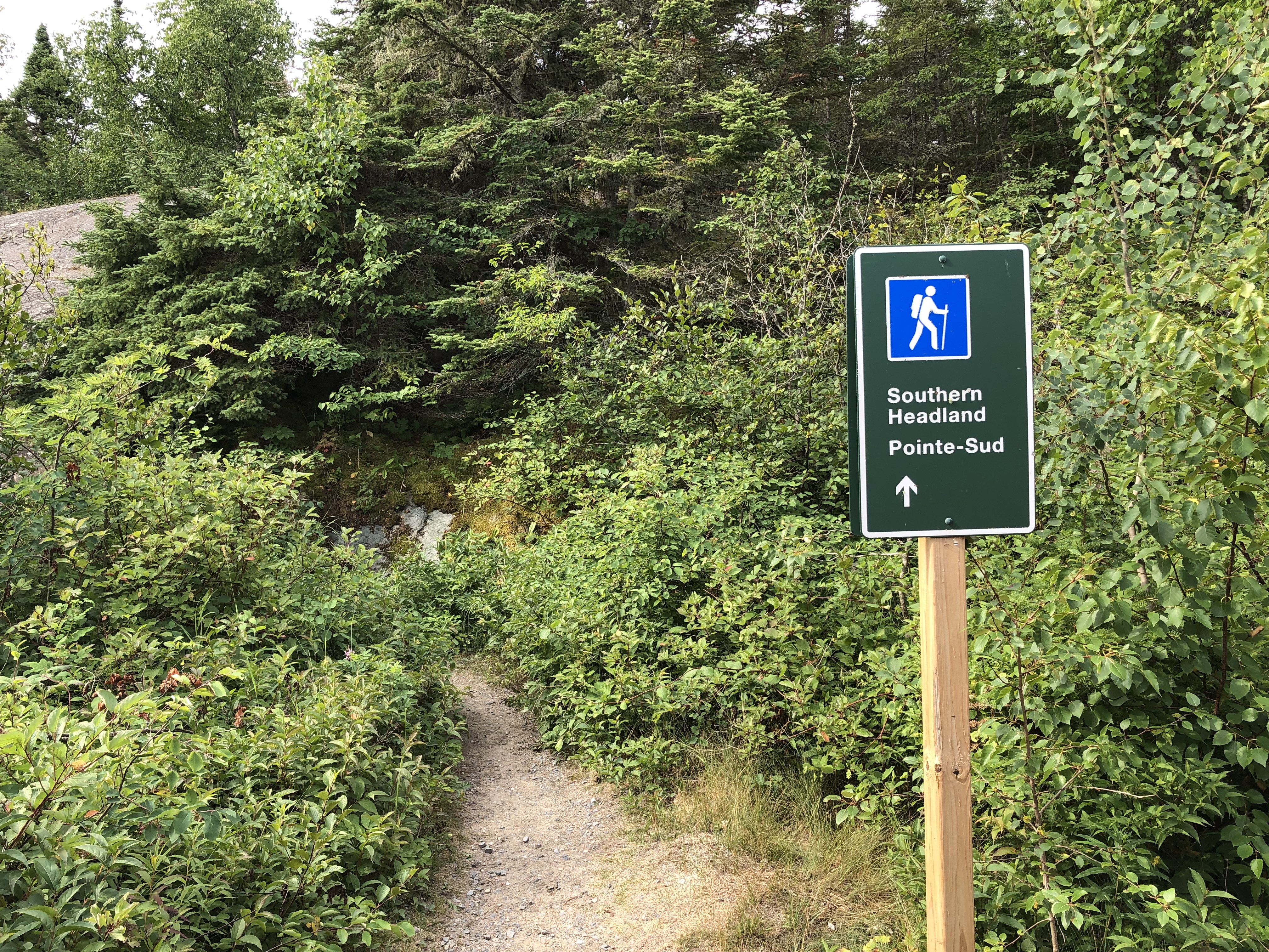
It winds around some hills near Lake Superior, with a variety of under-foot topography as you walk along. Nothing that hard. This time around, I had a walking stick and water to go with my decent hiking shoes.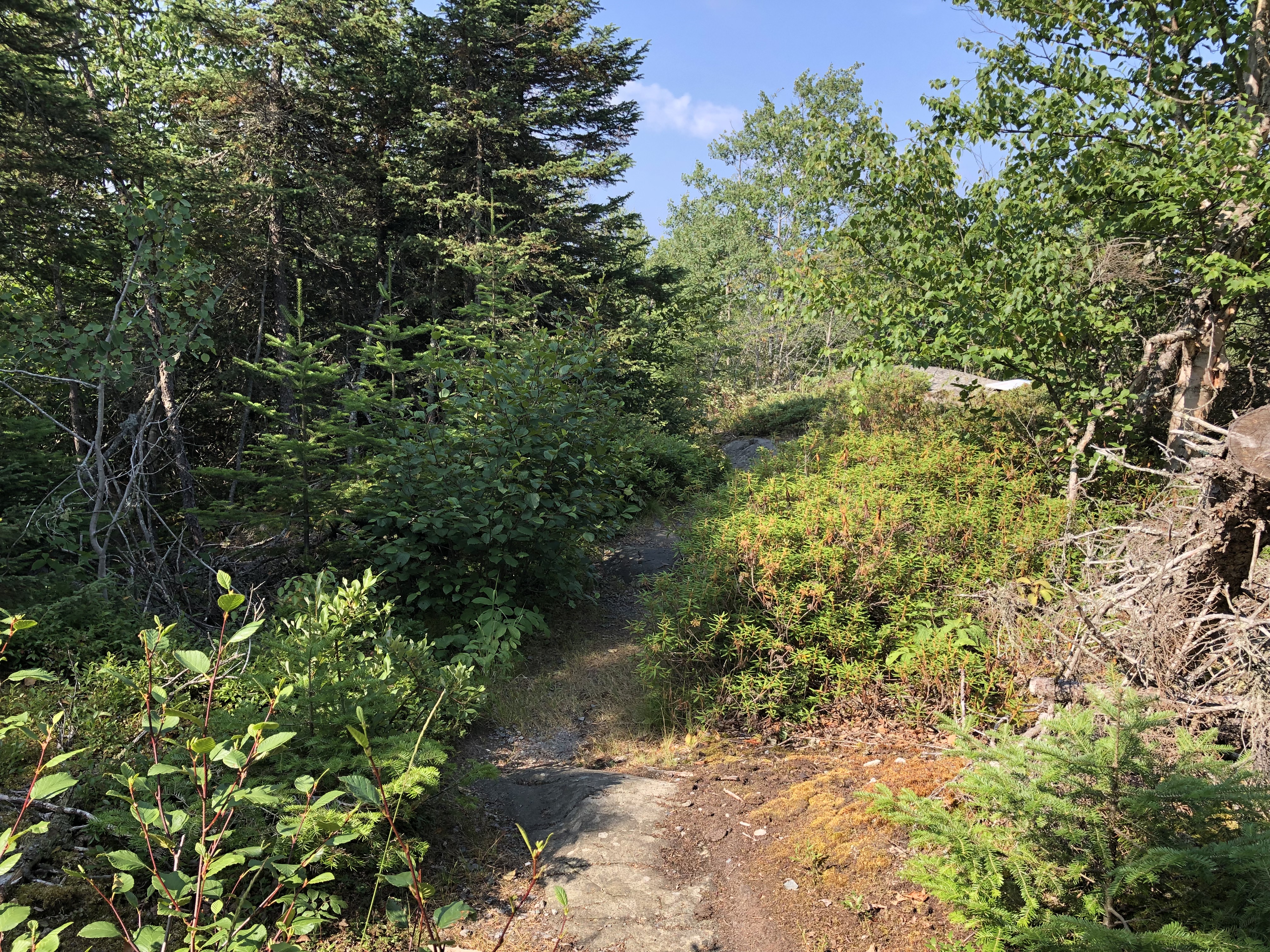
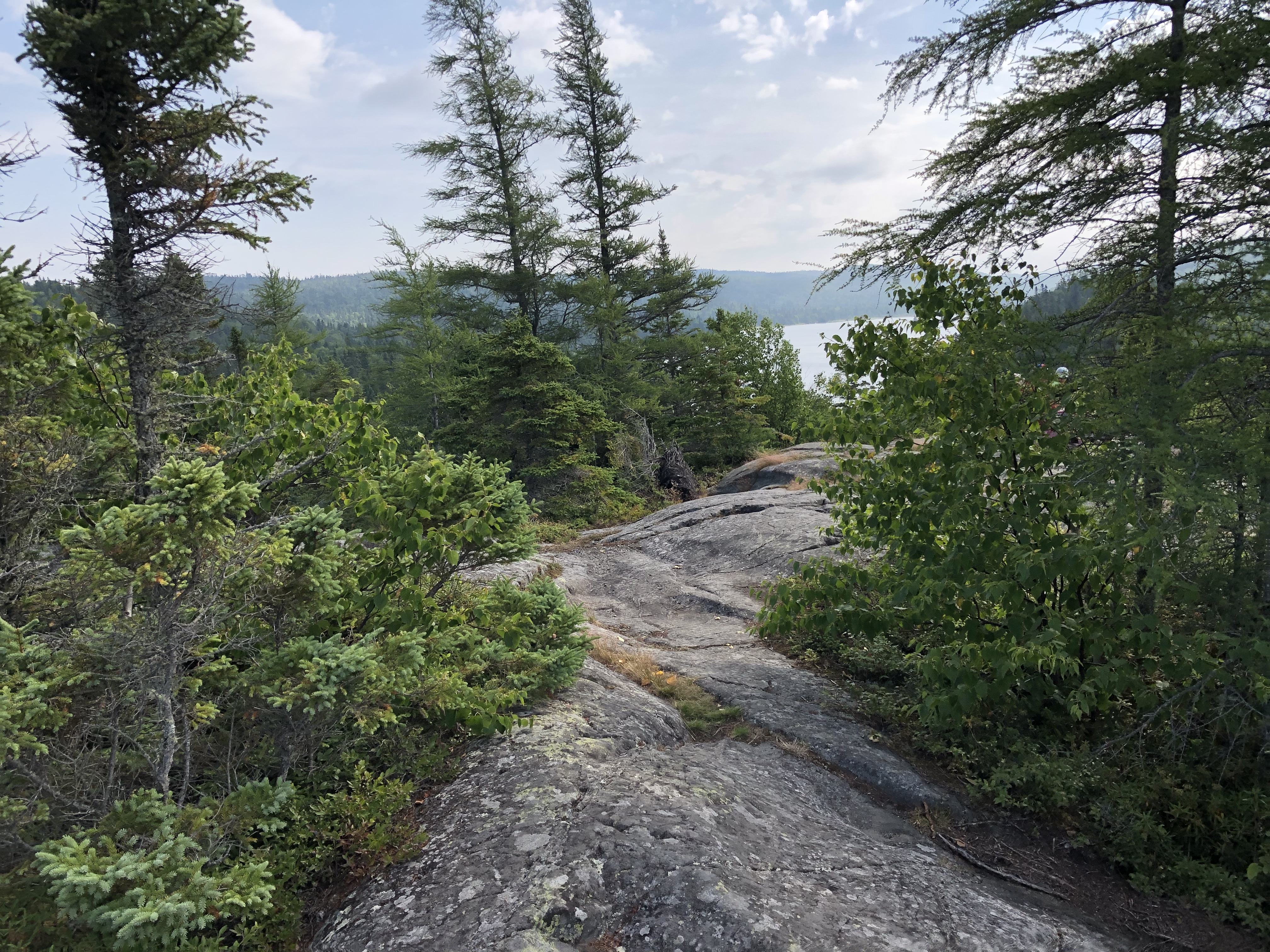
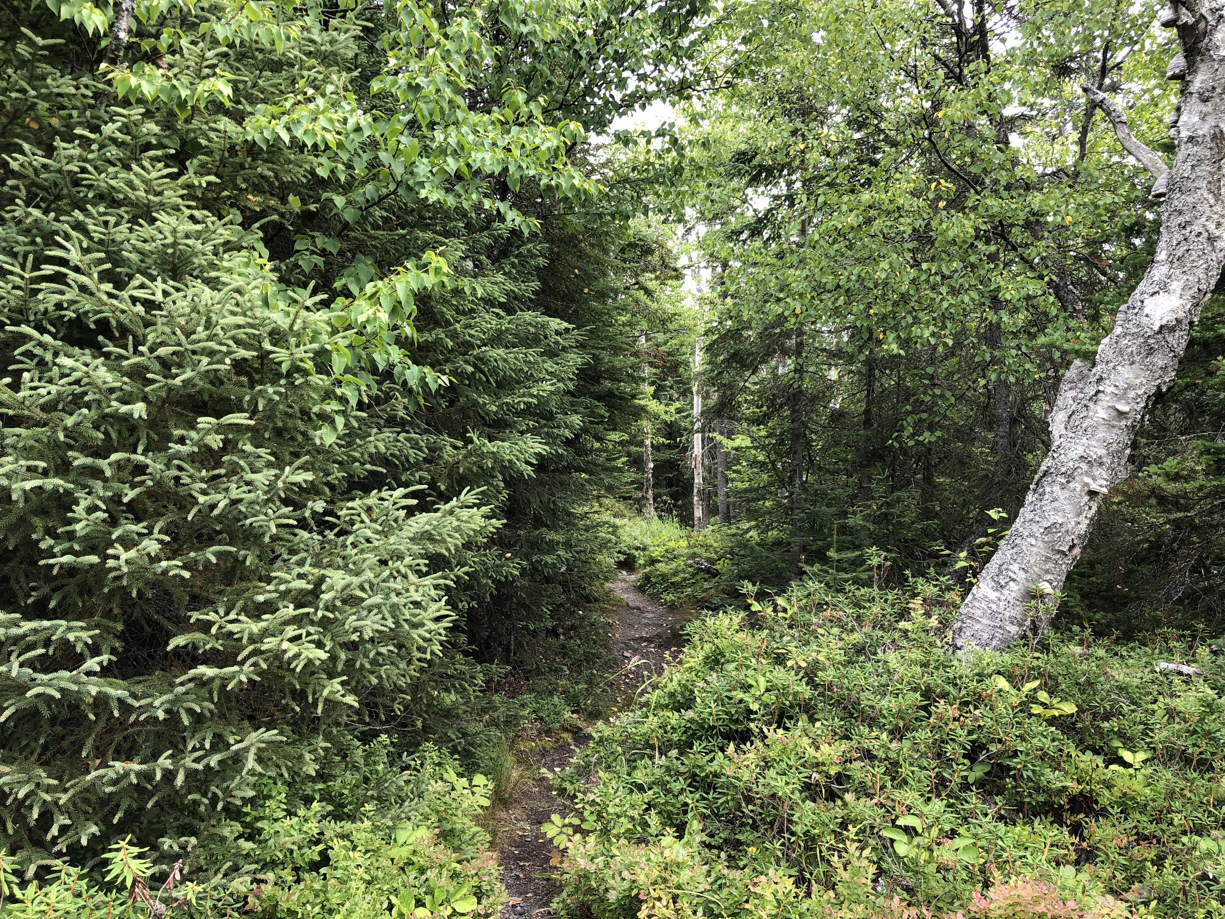
The trail eventually leads to a deadwood-strewn beach.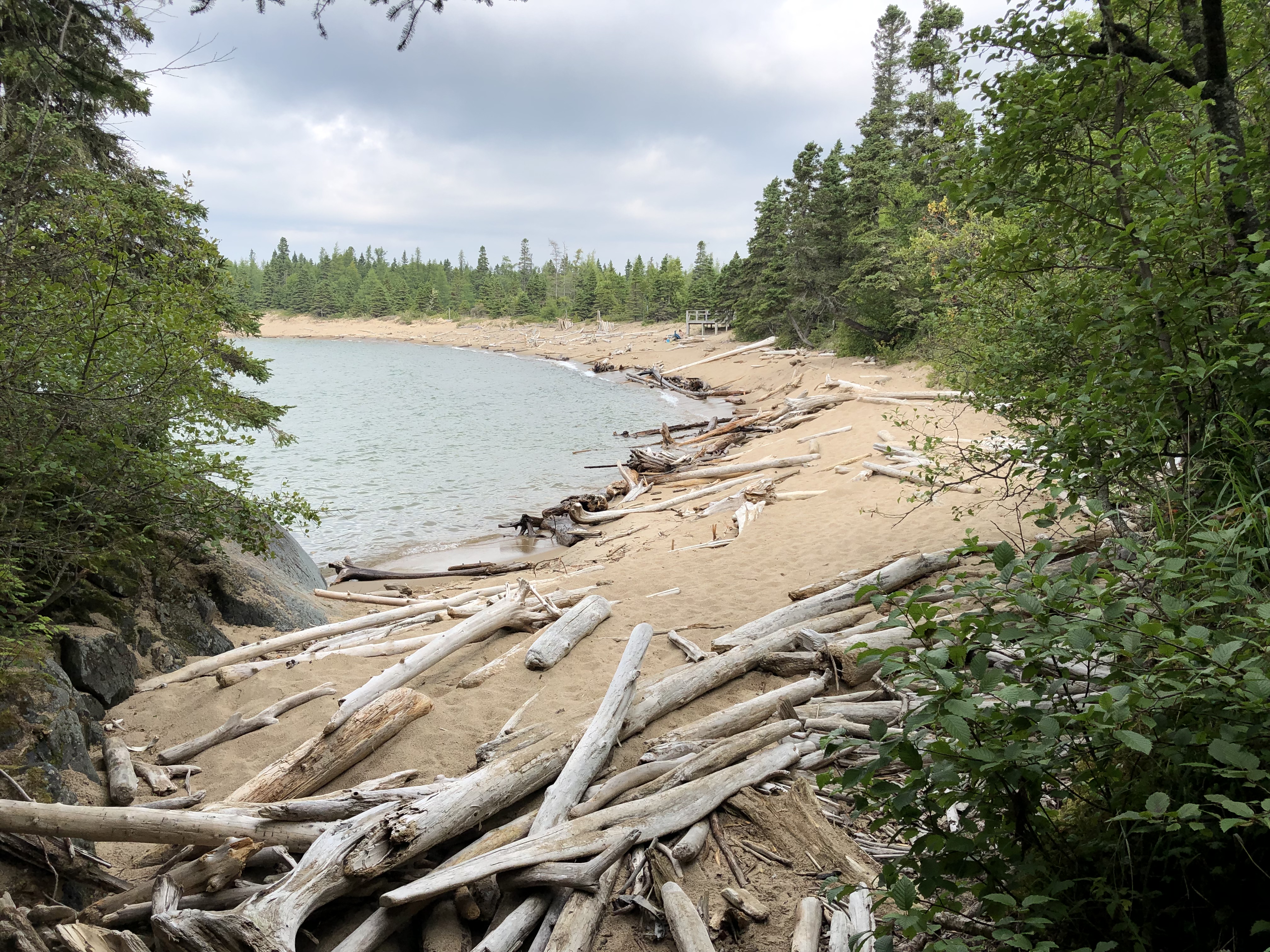

A different, much shorter trail from the beach leads to another beach. I spent a few hours there, cooling my heels and drawing a few words in the sand. That is, I did once I’d crossed a horizontal forest of driftwood.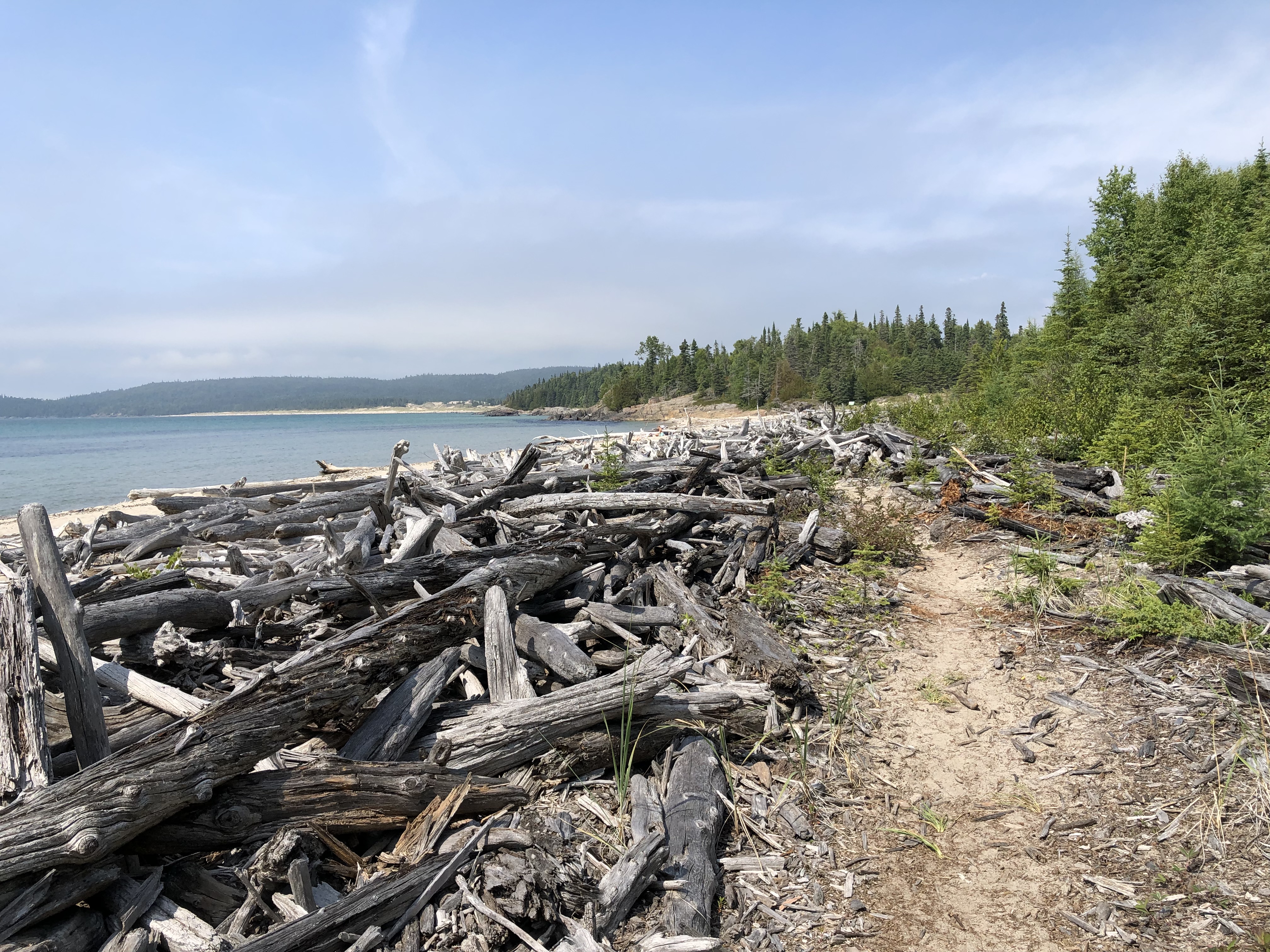
A long stretch along Superior.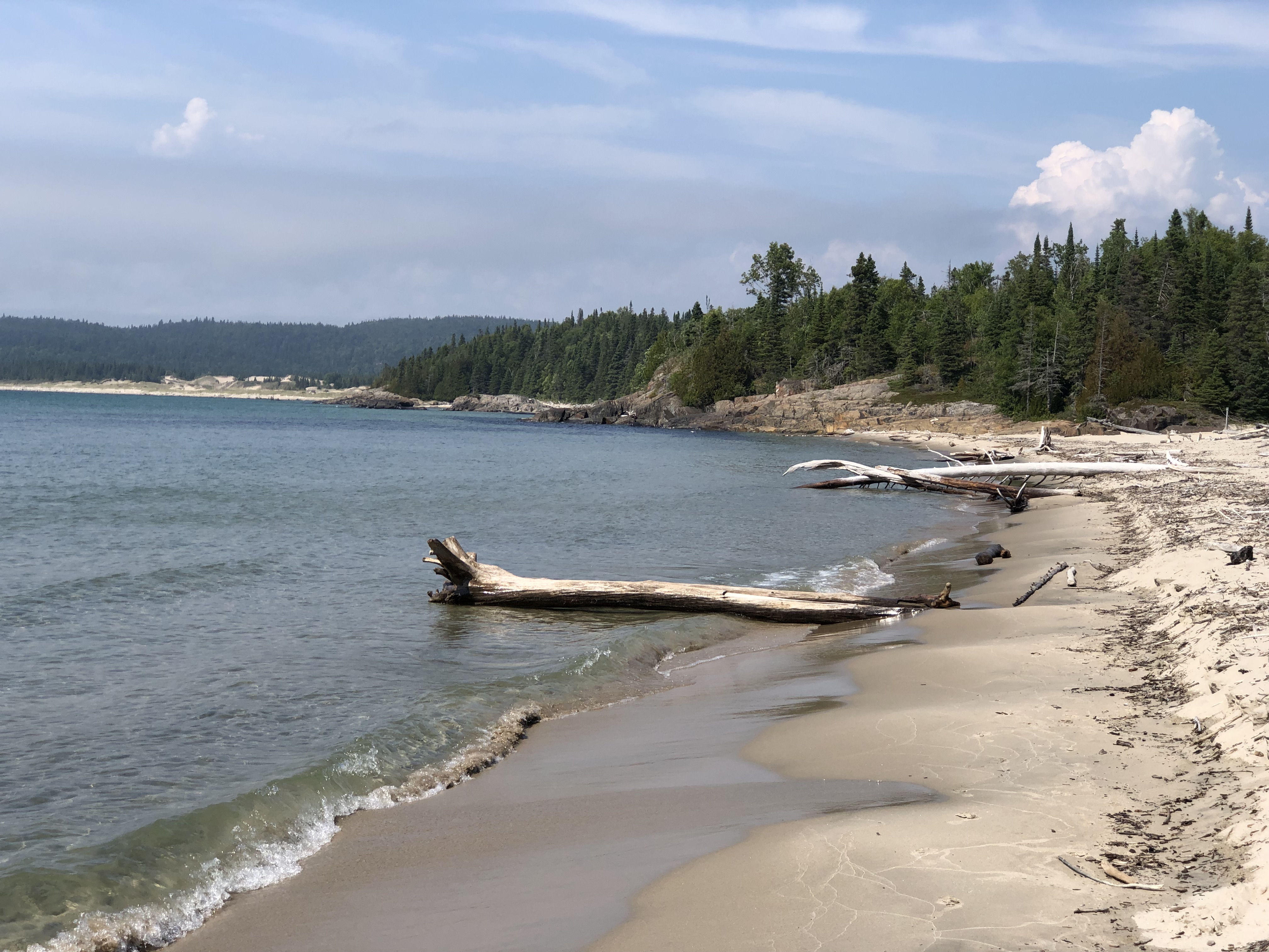
There were about ten people on the whole beach. And as few on the Southern Headland trail, where the rocks meet the water and sky. From the beach, I captured an image of hikers on the rock outcropping where I’d been earlier in the day.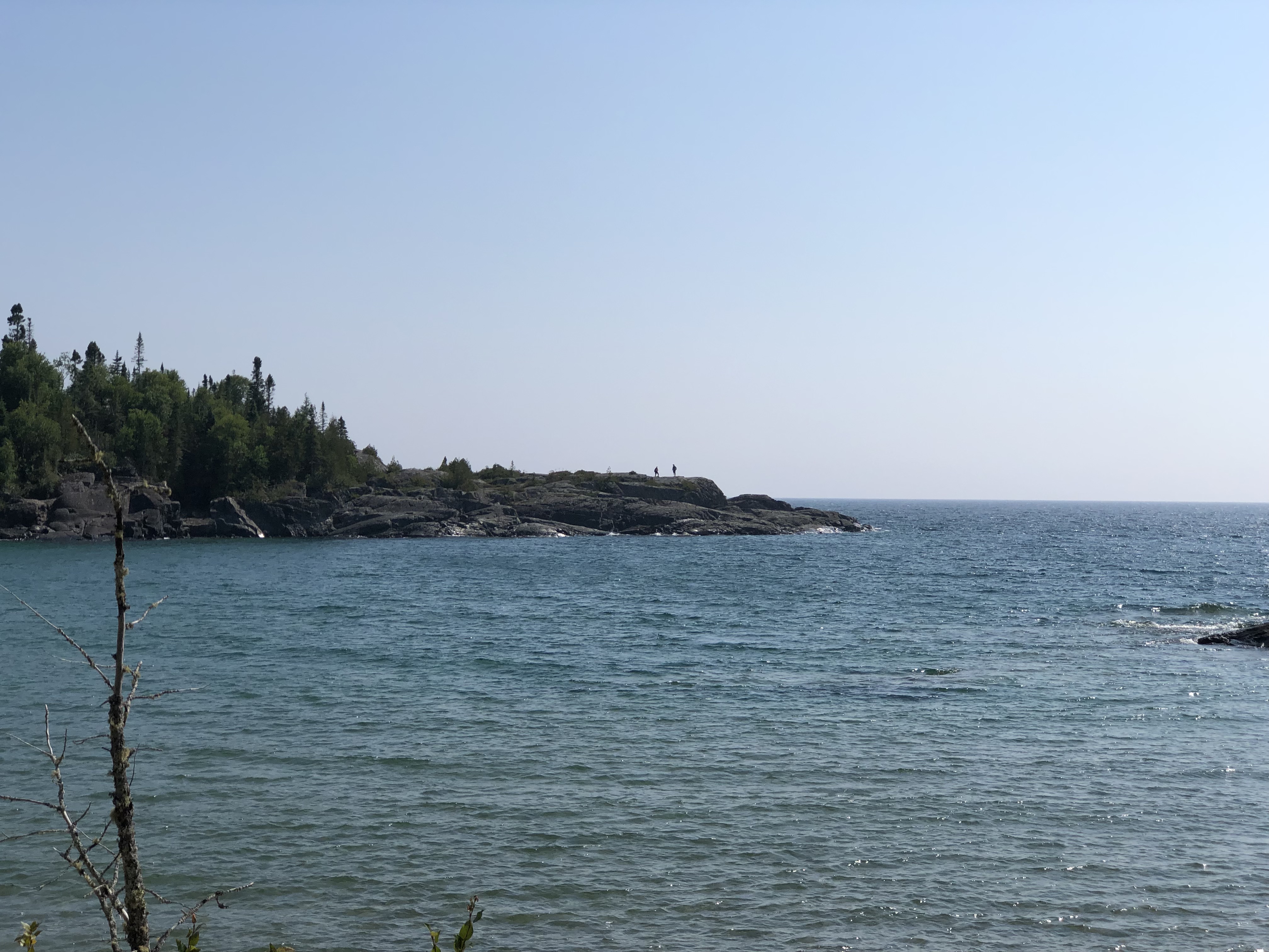
Rocks meeting water and wind and sun, because the sun came out in the afternoon. The four elements all together.