I have no images made during the best drive of the trip, only a vivid memory of the ten minutes or so, after dark and after driving most of the day last Friday, that we traversed a part of US 14 not far west of Sheridan, Wyoming, in the Bighorn Mountains.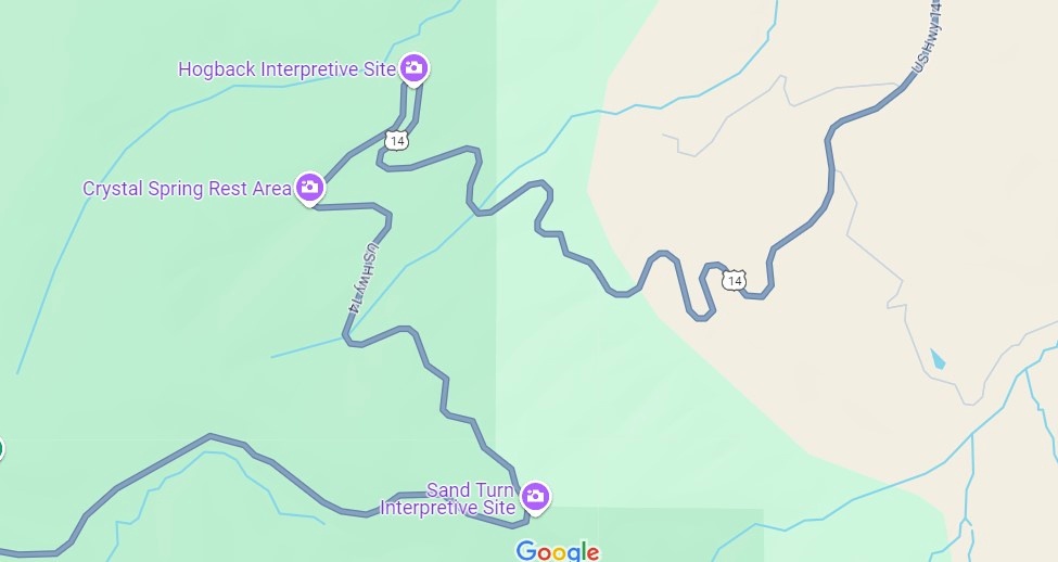
That’s only a small section of the road, and it isn’t even the highest point in the Bighorns. All those curves came as we headed down from Granite Pass, which is more than 9,000 feet above sea level.
I know that mountain driving isn’t for everyone (such as Yuriko). But talk about a way to be in the moment. If you aren’t in the moment, you have no business driving such a switchback-y route. There you are, applying just the right amount of pressure on the brakes, edging the wheel just in the right direction, as the winding track unfolds ahead, each moment unlike the last. It’s almost as if you aren’t pressing those brakes or tipping that wheel. You and the machine are.
For bonus points, flip off your brights just the instant you’re aware of an oncoming car, and back on again the instant it passes. I did that too, but only two or three times, since it wasn’t a crowded road. More traffic would have raised the stress level a lot and harshed this particular buzz for me.
One more detail, for most of the twists and turns, and unique to our transit of the mountains: “All I Wanna Do” was on the radio at that moment, coming in clear despite our location. Somehow, that added to the experience, though I can’t call it a driving song. Still, it’s one of best capture-a-moment songs I know of.
Earlier in the day, we headed east from Yellowstone on US 14/16/20 – as we went eastward, the other two higher numbers eventually disappeared – and found it to be more of a straight road. Sometimes the drive revealed scenery equal of anything in a national park, rolling through the Absaroka Range and Shoshone National Forest, and, after passing through Cody, Wyoming, the Bighorn Basin, as an approach to the Bighorn Mountains. Part of of road is the Buffalo Bill Cody Scenic Byway.
Browns and dry yellow predominated. Just east of Yellowstone, you’re among the impressive Absarokas. They lent their name to a lesser-known new state movement in the 1930s. Lesser-known to me, anyway.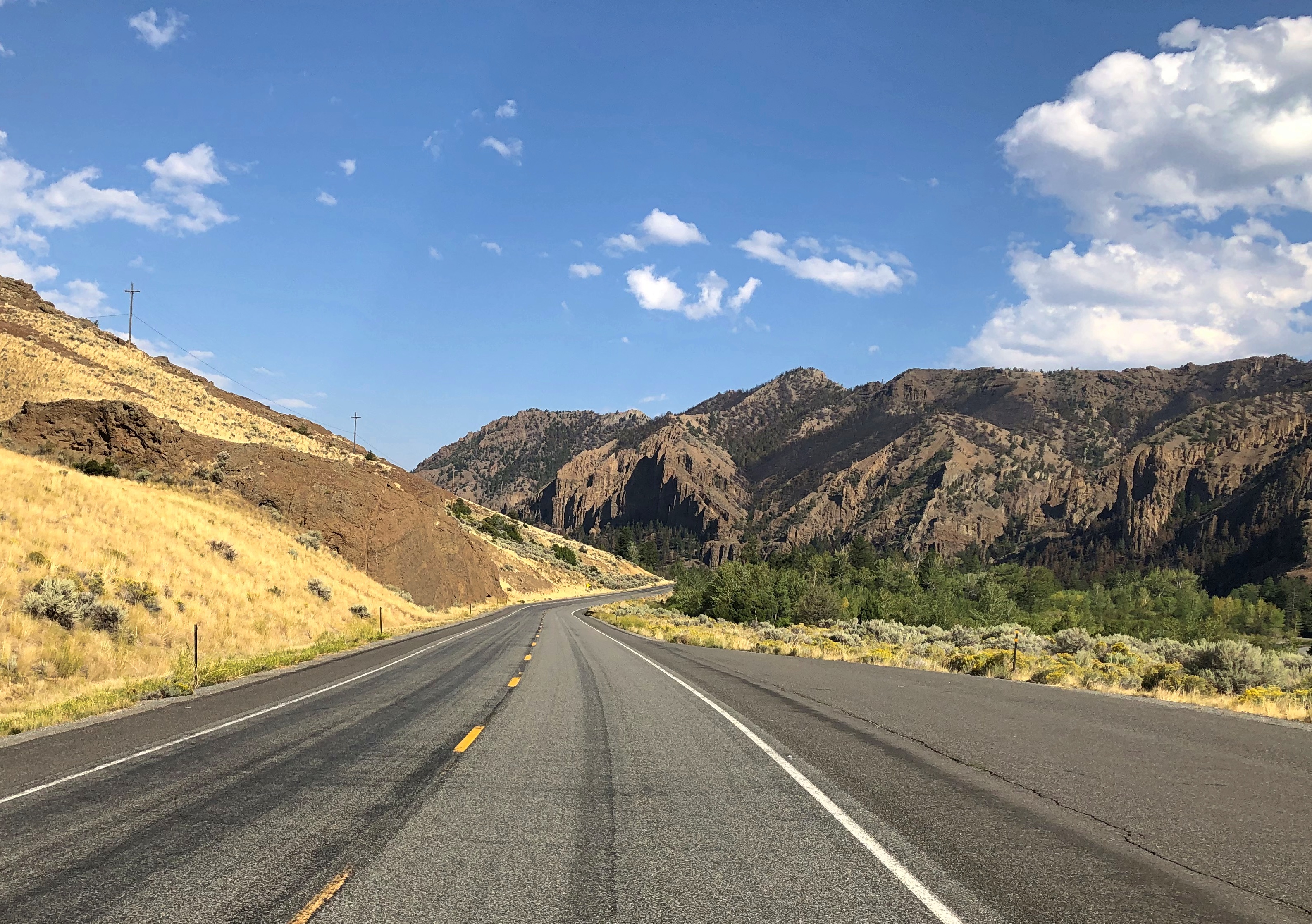
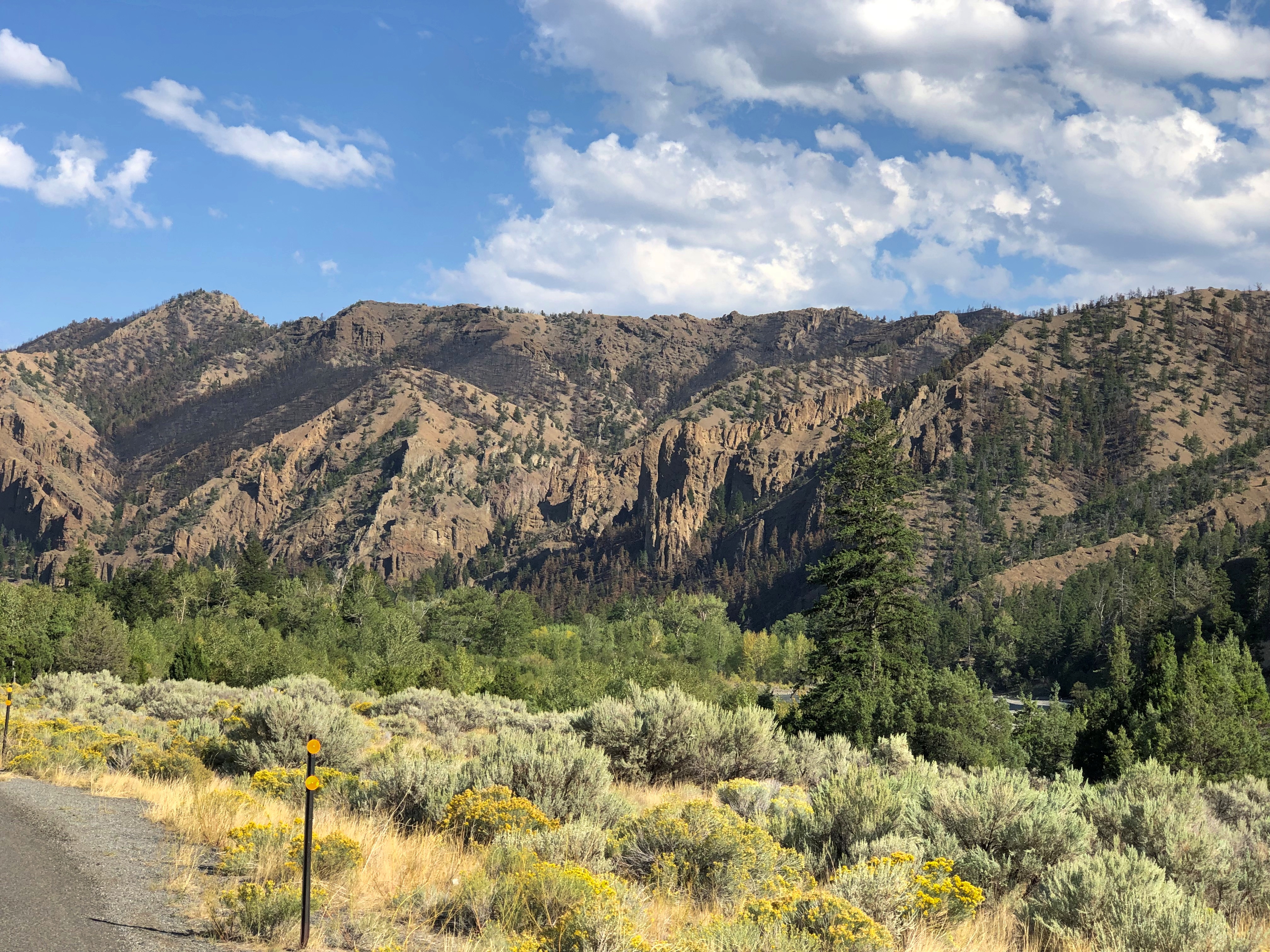
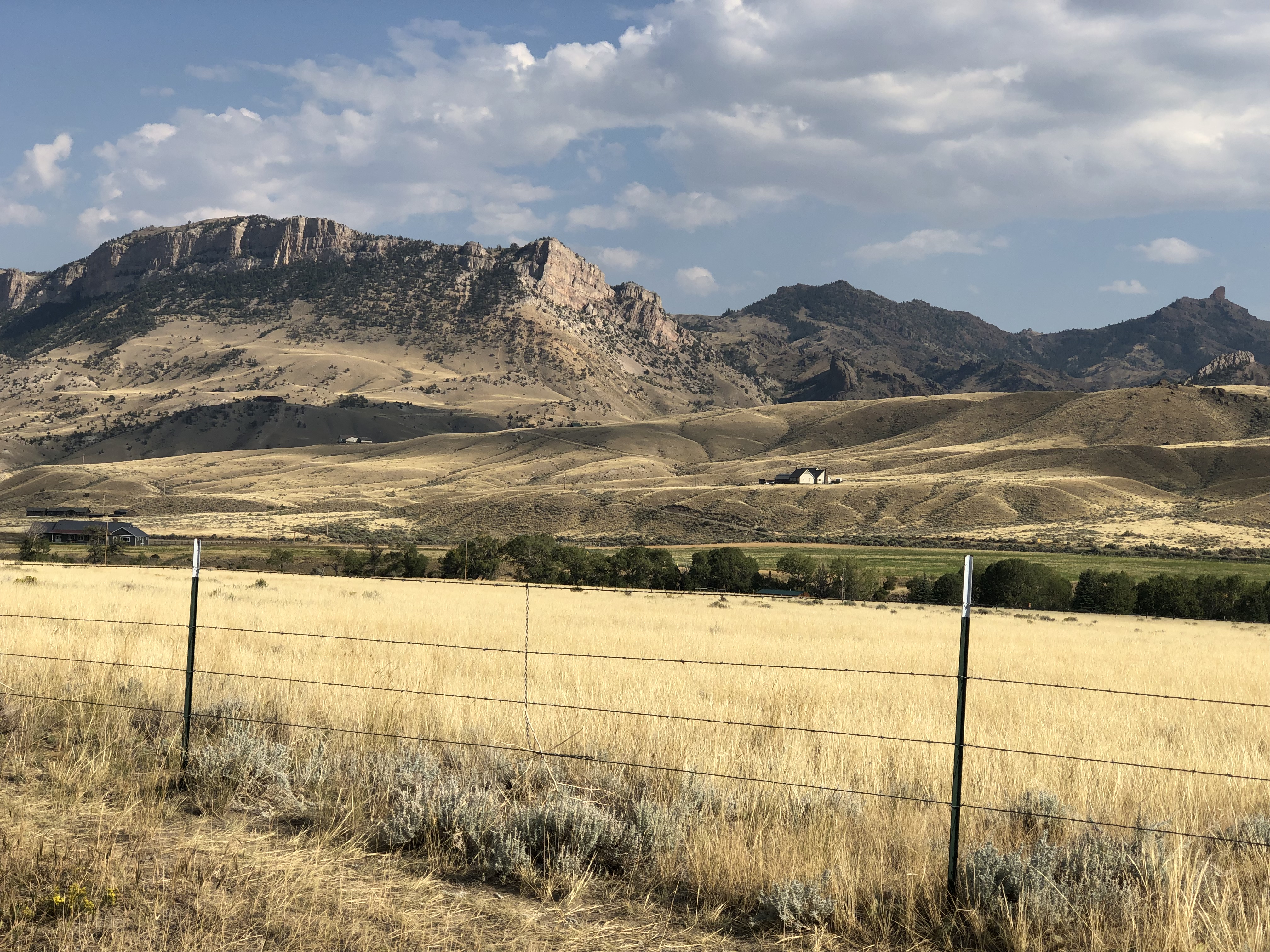
The mountains receded and the road passes through a broad valley.
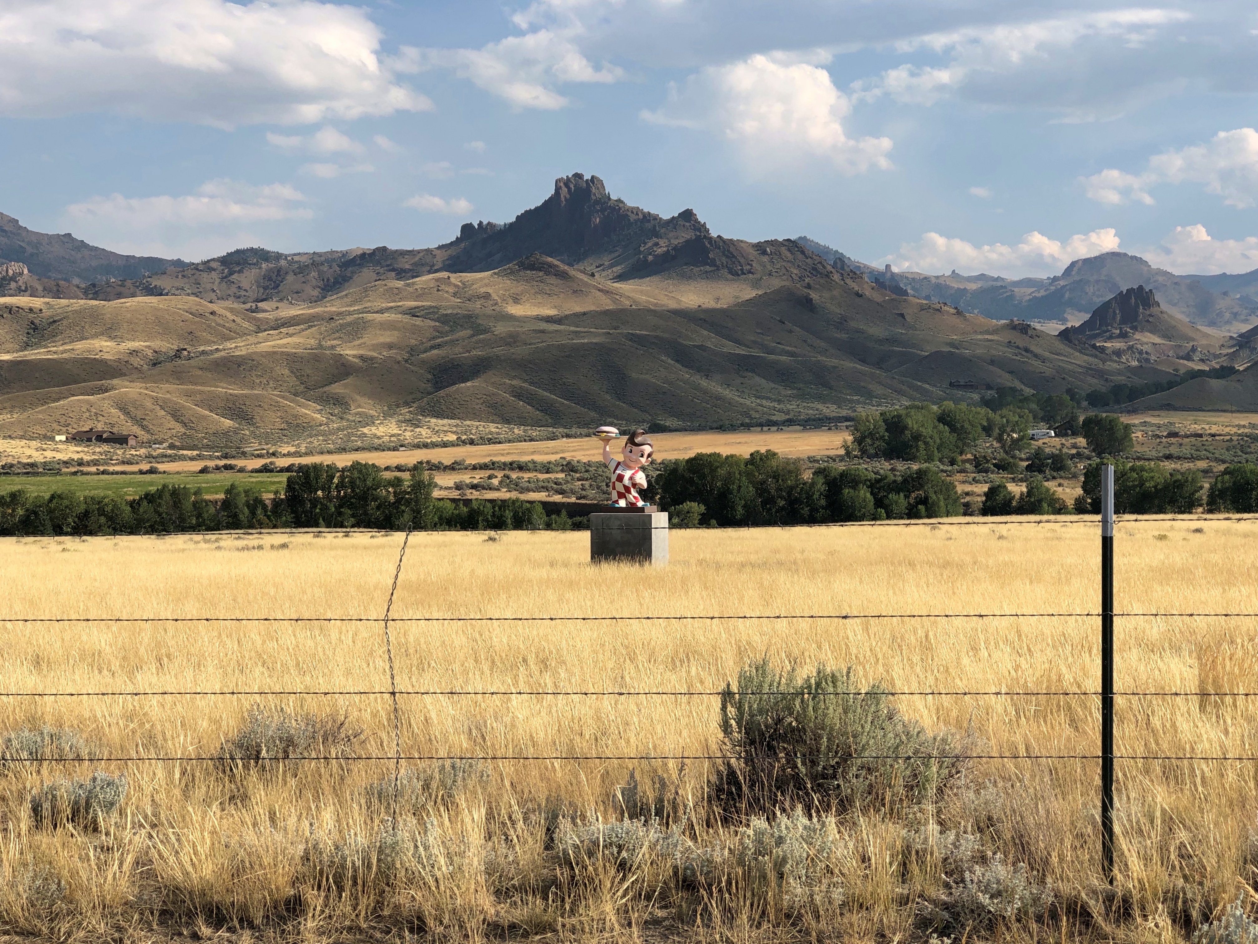
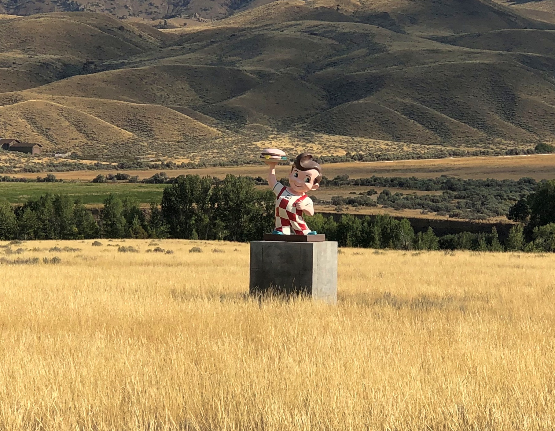
The Wapiti Big Boy, the Cowboy State Daily calls it, after the valley, and the nearest town.
“ ‘Big Boy restaurants were everywhere (at one time), and I’ve always wanted to have a Big Boy and celebrate what’s great about the Big Boy,’ said James Geier, who owns the Wapiti Big Boy statue and the land it now calls home,” CSD reports.
“ ‘I’m a sculptor and have a design business,’ he said. ‘My art and the placement of Big Boy was really all about wanting the conversation to go on, whether you’re a tourist going through the world or a local.’ ”
The road then passes Buffalo Bill Reservoir. A manmade lake on the Shoshone River. Once upon a time, William Cody owned much of the land now covered by the lake.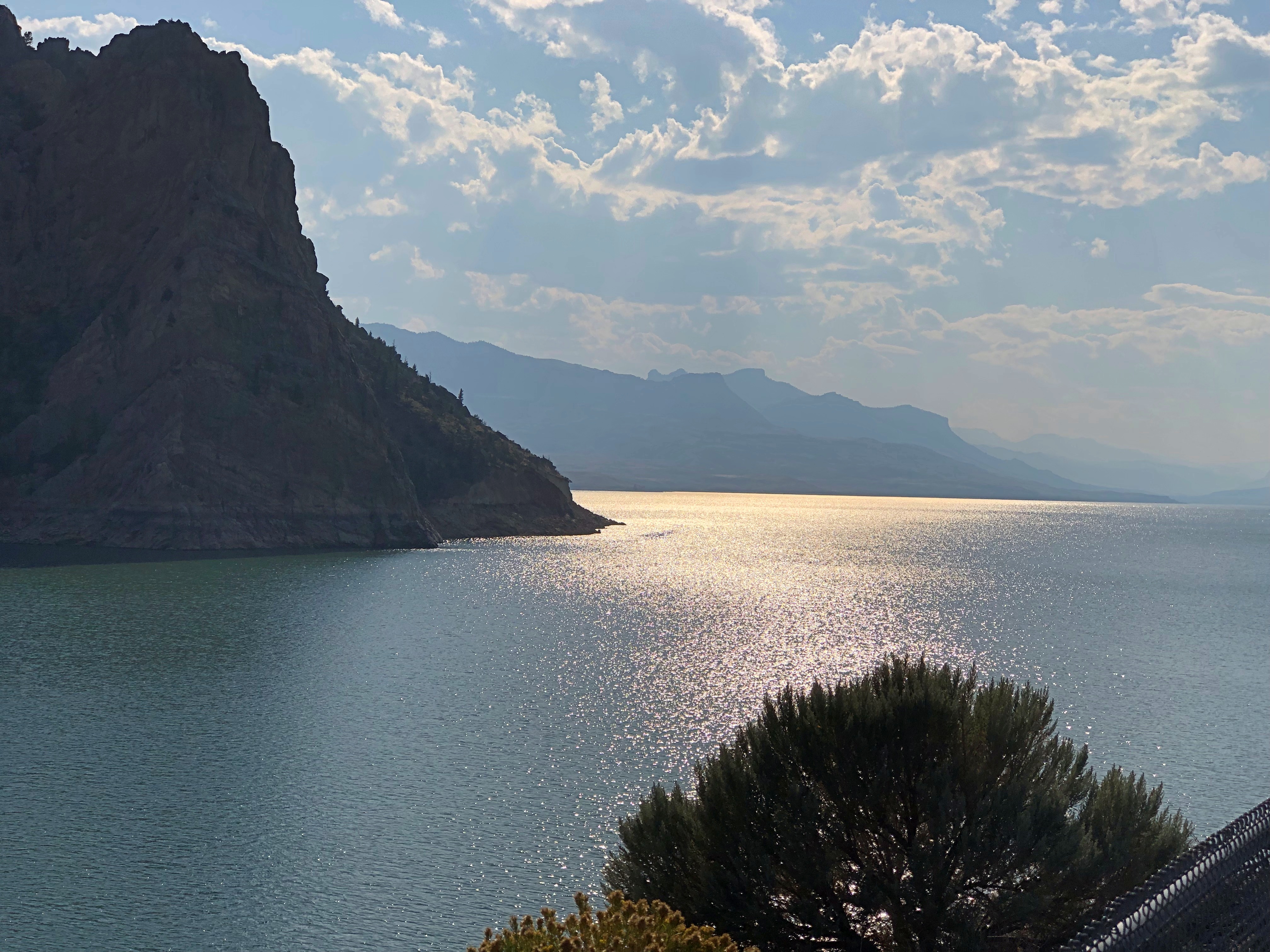

Beyond that is the town of Cody, where we tarried to buy barbecue and eat it in the main city park for dinner. I can recommend Fat Racks BBQ. Its pulled pork, specifically.
Heading into the Bighorn Mountains east of Cody.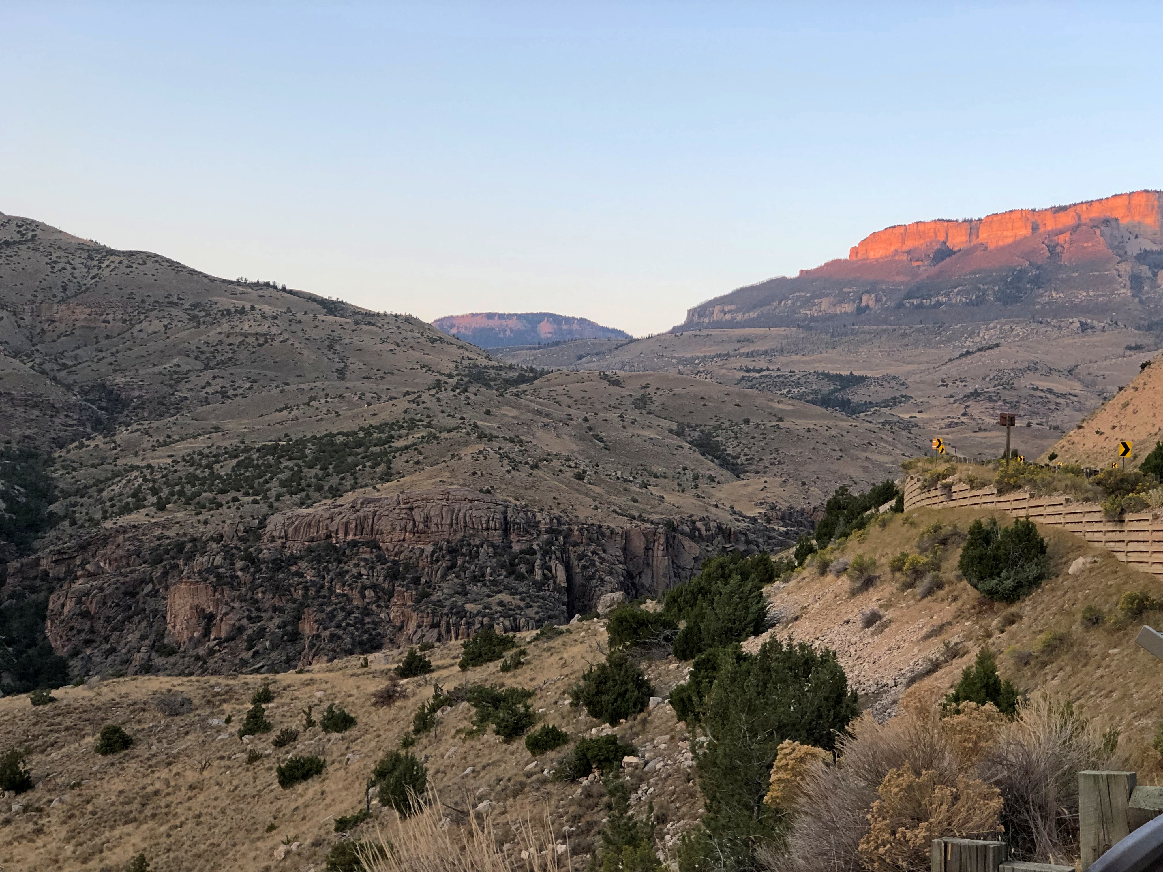
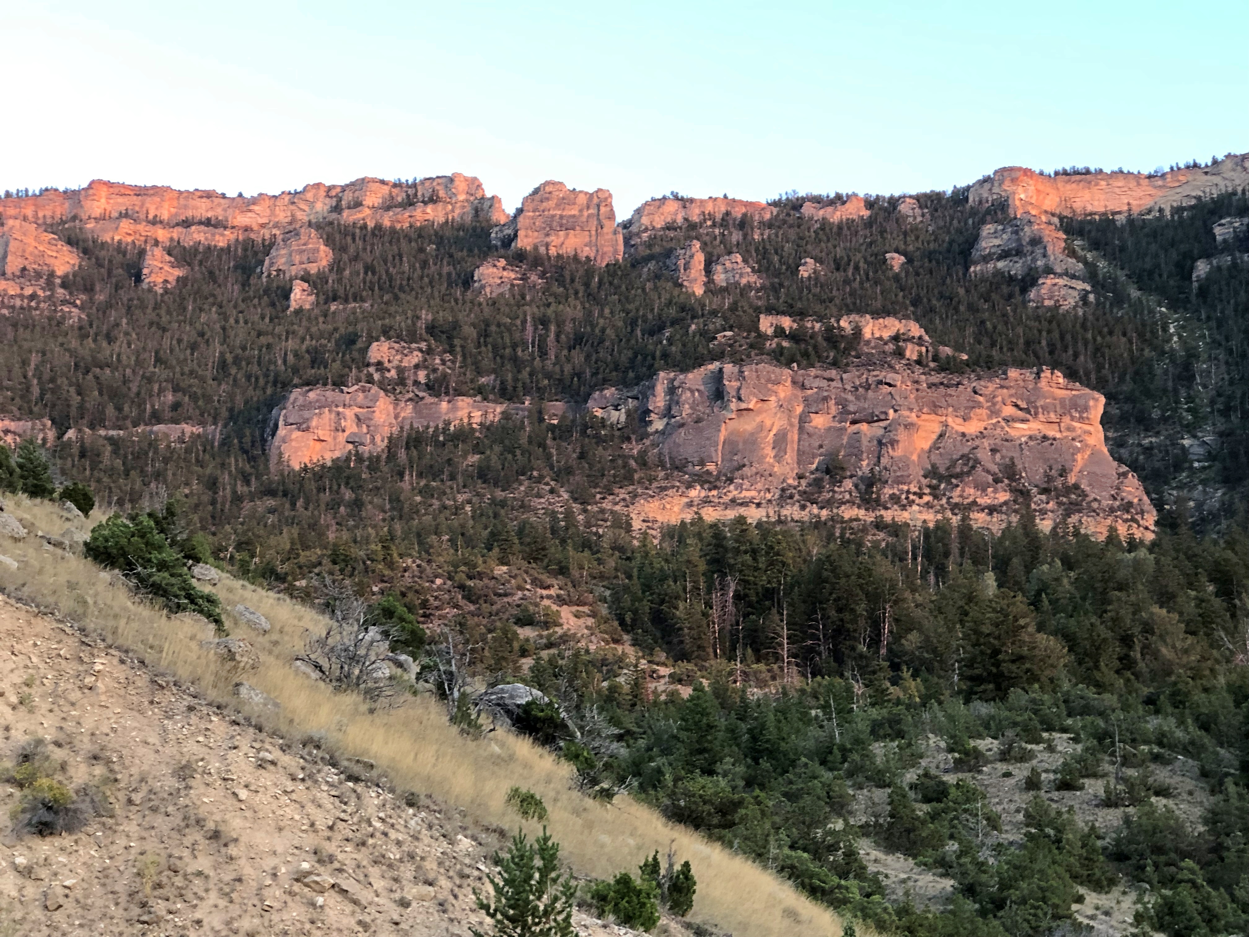
By that time, the light was fading, and soon enough we were driving in the dark, though the road was well marked by reflectors, and illuminated by our headlights. Once we emerged from the twists, the drive to the motel in Sheridan was only about 20 more minutes, so the downward grade on US 14 essentially capped off a capital day of driving.
