It’s one thing to expect a scenic drive experience and then experience it. That can be outstanding, such as driving on the Going-to-the-Sun Road through Glacier NP. (Which has a remarkably poetic official name for a government project.)
Then there’s the class of excellent drives you were not expecting. Such as the Moki Dugway, to cite an example from a previous trip. Or the following road.
Washington 155
From the Grand Coulee Dam and the adjacent town of Grand Coulee southwest to the town of Coulee City, which isn’t near the dam, is about 30 miles on a highway known as Washington 155. I wasn’t expecting much.
Immediately you launch into arid, rocky country, and soon high cliffs appear, facing a long lake most of the way. The road runs between the cliffs and lake. Off to the right headed in our direction is the narrow Banks Lake, part of the massive Columbia Basin Project to create power and capture water for crop irrigation. Beyond the lake were some mountains, but in the distance.
Reading about it later, I discovered that the lake, while manmade, doesn’t dam any river, much less the Columbia. The lake submerges part the formerly dry Grand Coulee with water pumped in from Roosevelt Lake, the much larger body of water formed by the Grand Coulee Dam.
All that was nice enough to look at, but nothing like the towering black cliffs to the left of the road. Walls of black stone, crumbling in many places, devoid of much vegetation, inspiring to contemplate. Closer to the town of Grand Coulee, the road briefly cuts through two rock walls, one of them part of the impressive Steamboat Rock State Park. At least I’m pretty sure that’s what the road does. It’s a little fuzzy even about a week later, but a good kind of fuzzy.
Mostly I have images of a highway in the shadow of dark cliffs, but all brightly lighted by the late summer sun, and the (apparently) moving forms of the rocks themselves. No two sections of the cliff were quite alike.
This series of images, though going the opposite direction as we did, conveys a bit of the scenery.
US 20 East of Boise
If you’re going to cross Idaho from Boise across the Snake River Plain, at least by car, you can take I-84, which generally follows the river and passes through the most populated sector of the state, with Boise, Mountain Home, Twin Falls, Pocatello, Blackfoot and Idaho Falls as beads on that particular string.
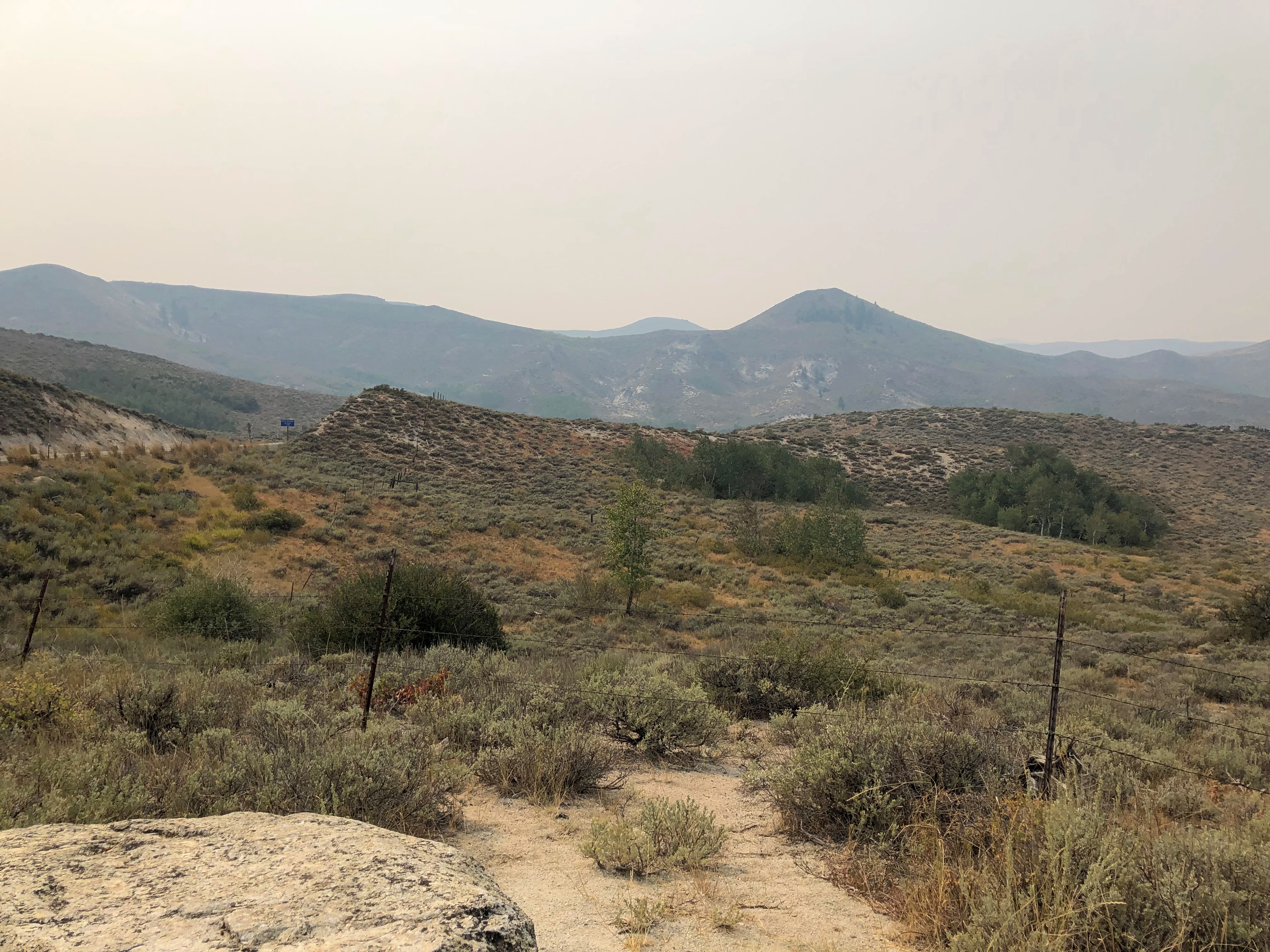
Or you can take I-84 to Mountain Home, and then head east on US 20 across to Idaho Falls. That’s what we did. Good old US 20, a road to Boston in that direction, if you want to go that far. In Idaho, it’s a road through dry, hilly, sparsely populated territory.
This summer, with the haze of a not-too-distant wildfire.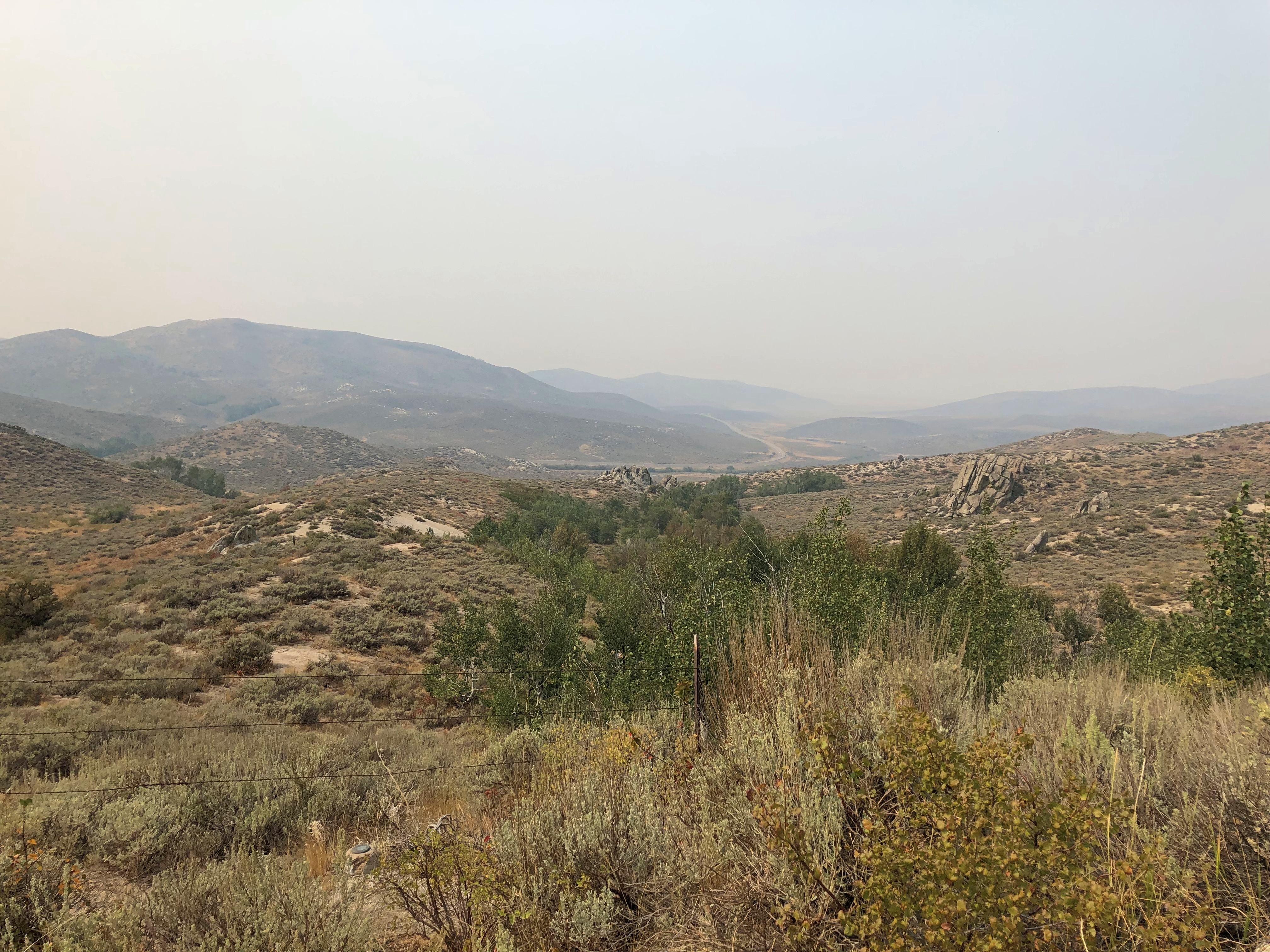
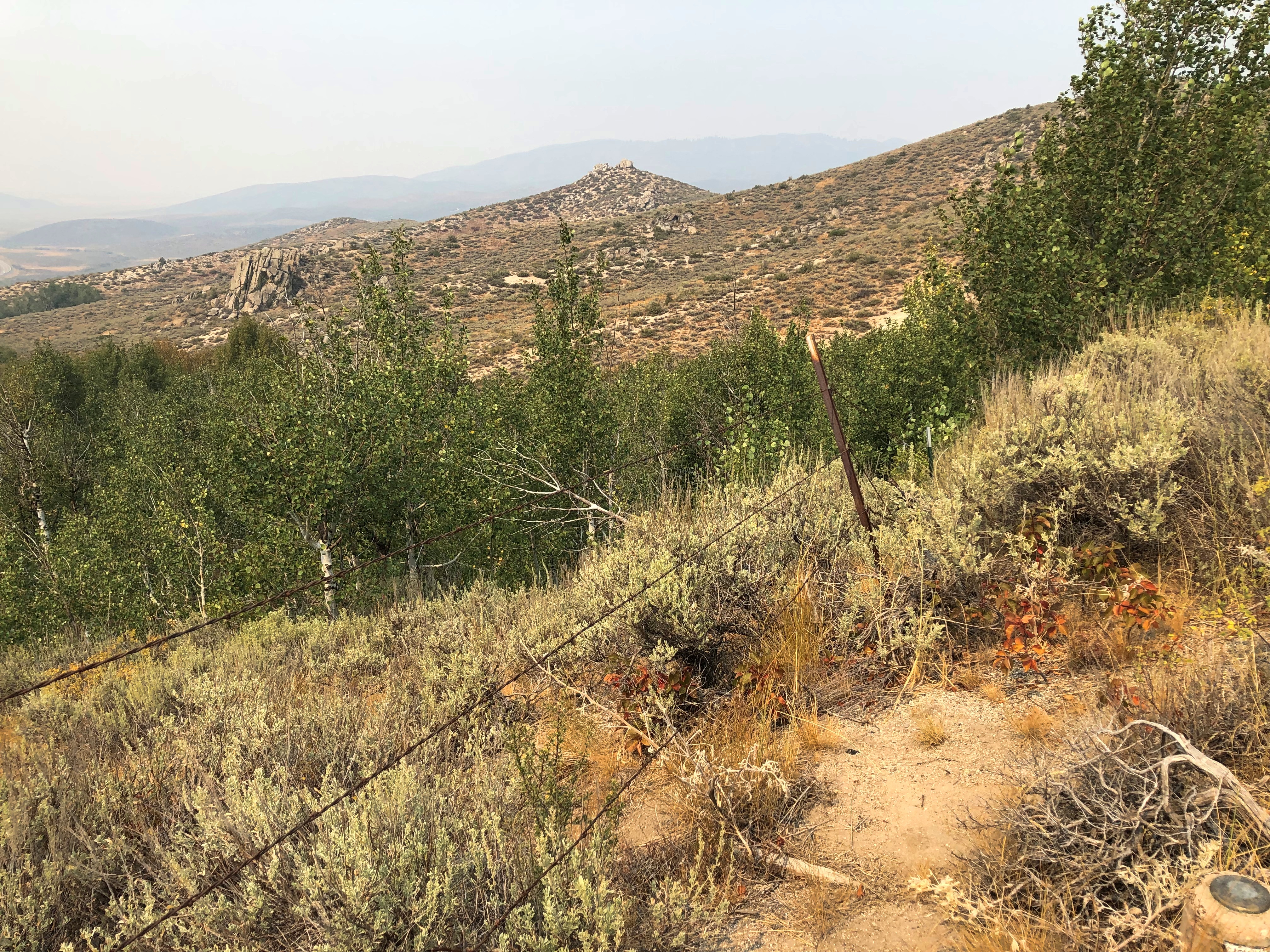
An Idaho State Highway survey marker of considerable age. No doubt built to last. 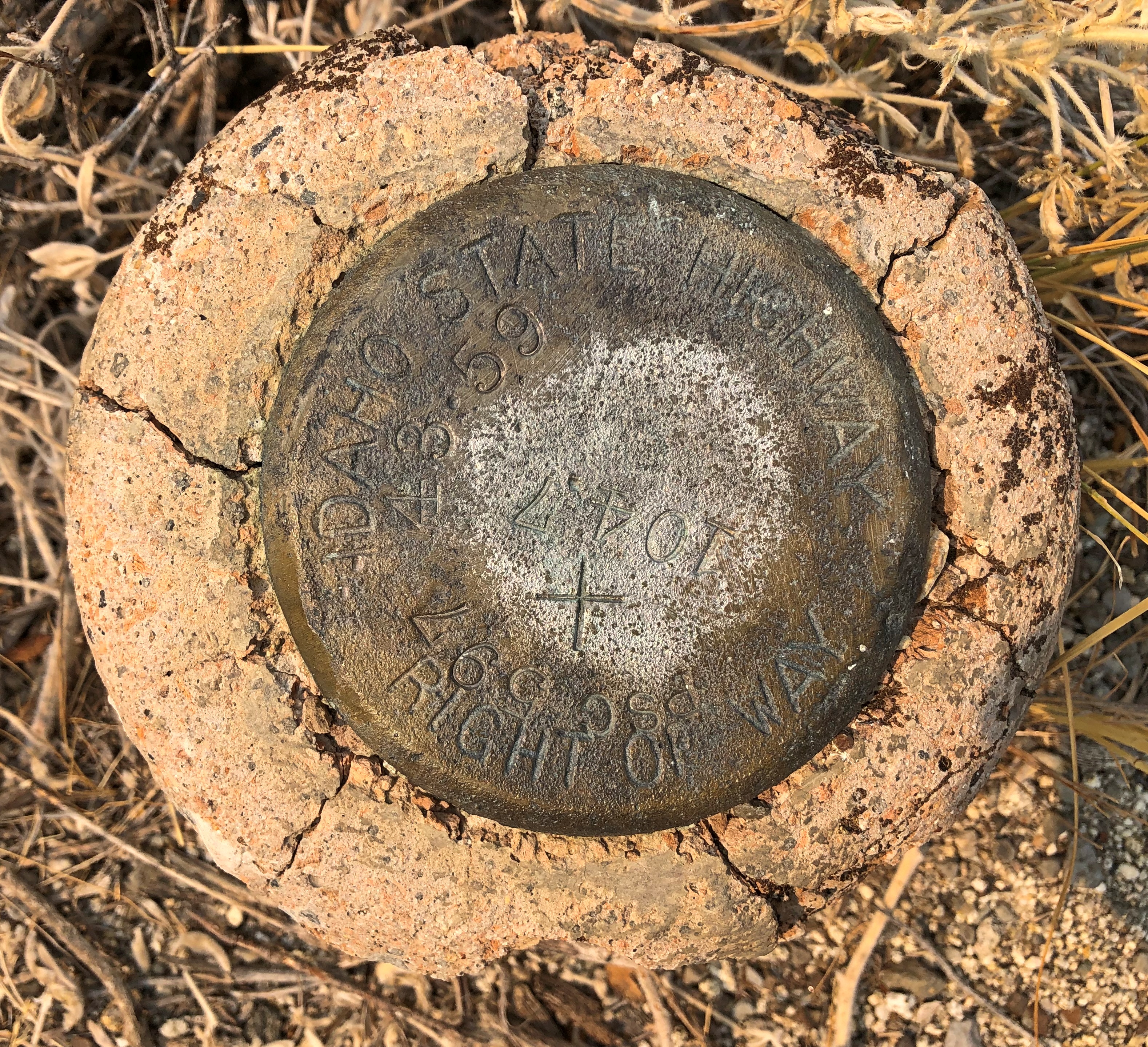
The route was, I suspect, a state highway originally, only later (in the 1940s) becoming part of the US system. Or maybe even US routes had to bear these markers, at least in Idaho. The answer is in some paper files in storage somewhere.
US 20 in Idaho also connects with the entrance, and only paved driving, in Craters of the Moon National Monument. East from there, the road goes through flatter country, including a few small towns, such as Arco (pop. 879), which has the distinction of being the first town to be lighted using atomic power, in 1955, by the nearby National Reactor Testing Station, now the Idaho National Laboratory. Also, the Butte County HS senior class paints its graduation year on the side of a high hill near the town. Since the 1920s, so that’s a lot of numbers. They were so distracting I pulled over for a moment to look at them,
Teton Pass Highway
Back in June, a section a winding mountain road, Wyoming 22, collapsed. The road’s eastern terminus is in Jackson, Wyoming, tourist hub and wealth magnet. The western terminus is at the border with Idaho, where the road becomes Idaho 33, which takes you to Victor, Idaho, just a few miles west of the border. For simplicity, I’ll call both sections the Teton Pass Highway.
I read about the collapse at the time, since I knew we might go that way, and promptly forgot about it when we set off and, more importantly, when we booked a place to stay in Victor, for the same reason anyone stays (or lives) in Victor: the avoid the high costs of Jackson. I’m glad to say WYDOT had the stretch open by the time we first drove there, on September 4, though it was a slow spot, with a lot of construction equipment still active on and near the road.
The Teton Pass Highway is an exercise in climbing a steep grade (signs say 10%) and then rolling down another one. You and your machine, that is. Our engine growled fairly hard, but nothing sounding like it was being overtaxed. There are some winding stretches on the highway, but they aren’t that numerous. Traffic is fairly thick. So on the whole, it isn’t the best of scenic drives.
But if you stop at the pass itself, elevation 8,431 feet, you get your first glimpse of the Grand Tetons. First ever for us.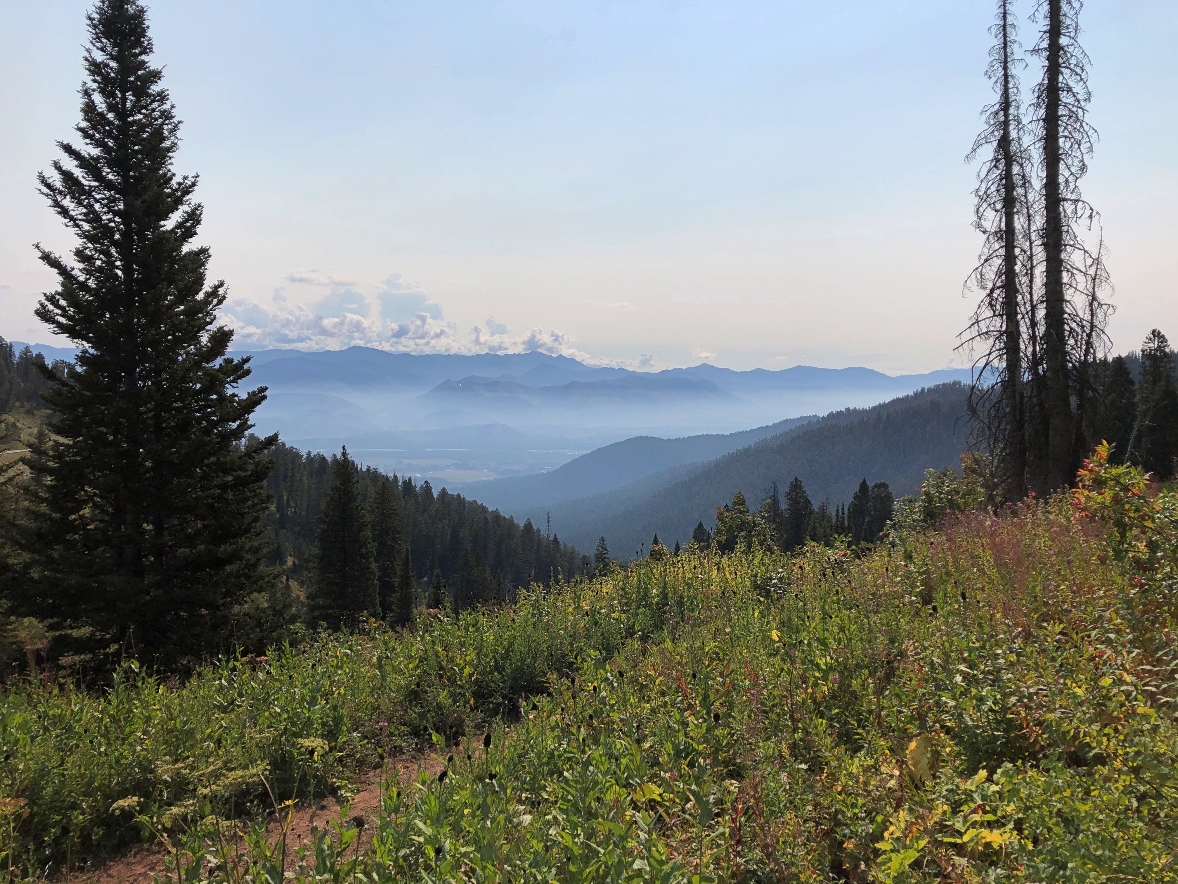
Honorable Mention: I-84 in Eastern Oregon
After paralleling the Columbia River, eastbound I-84 dips sharply to the southeast, taking a route between the Blue Mountains and the Wallowa Mountains in parts of Wallowa-Whitman National Forest. Not that I knew those names when we were barreling down that mostly empty, very black blacktop. But I could see them along the way. The mountains, that is: some of the yellowest mountains I’ve ever seen, with some brown blended in, but also a healthy dose of gold.