No point in burying the lead. Going-to-the-Sun Road in Glacier NP is famed for its splendid mountain scenery, and for good reason. 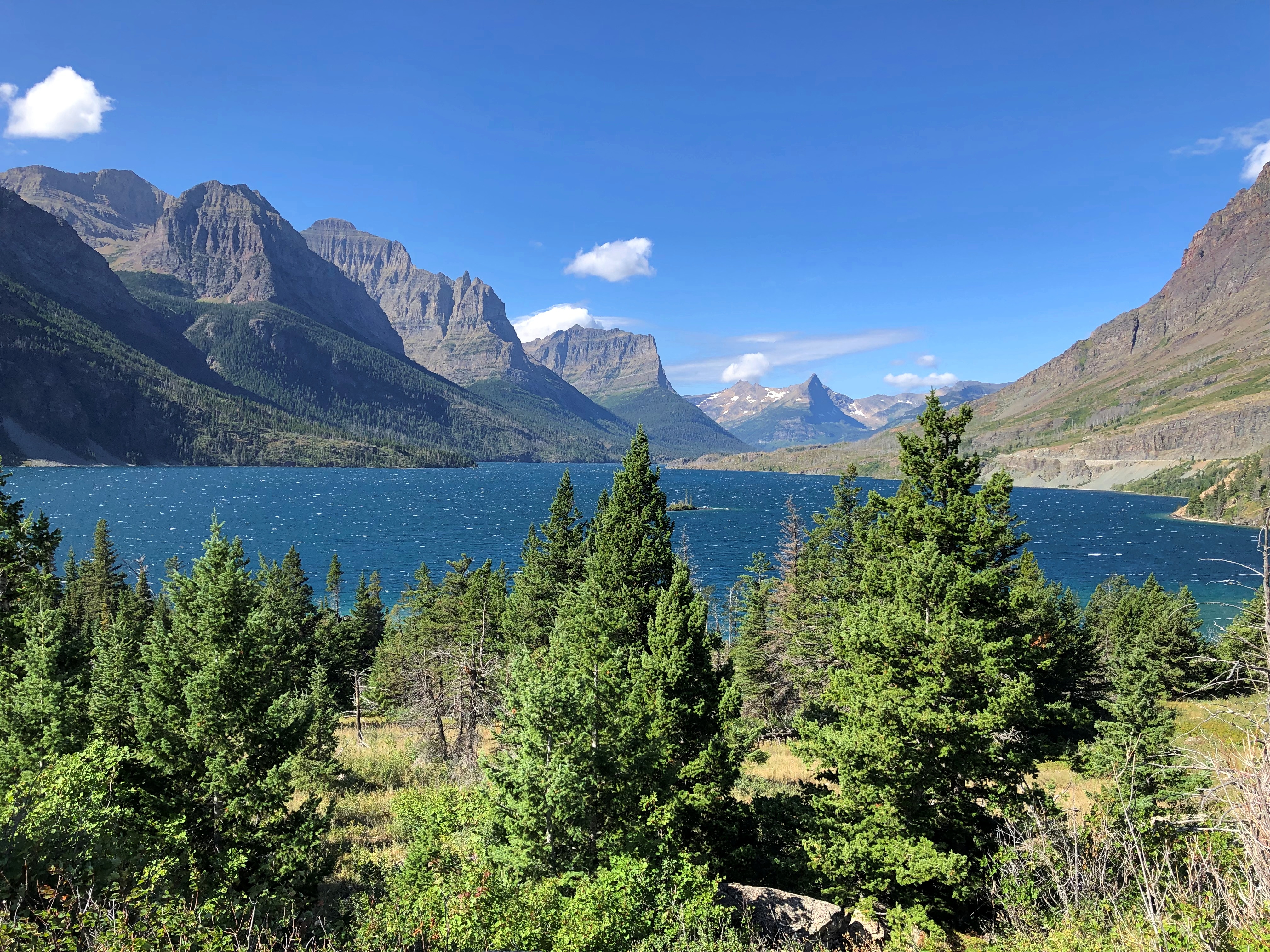

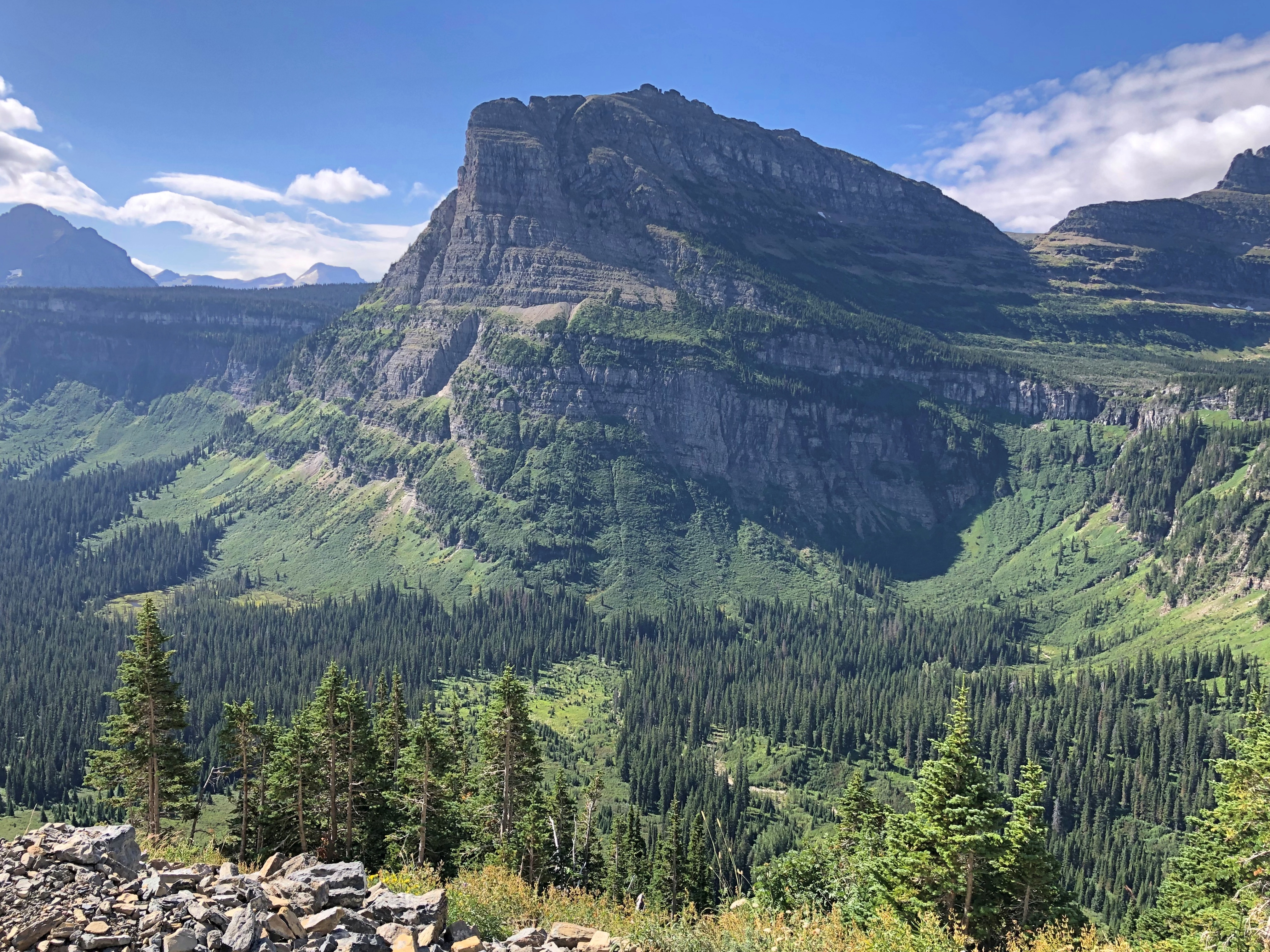
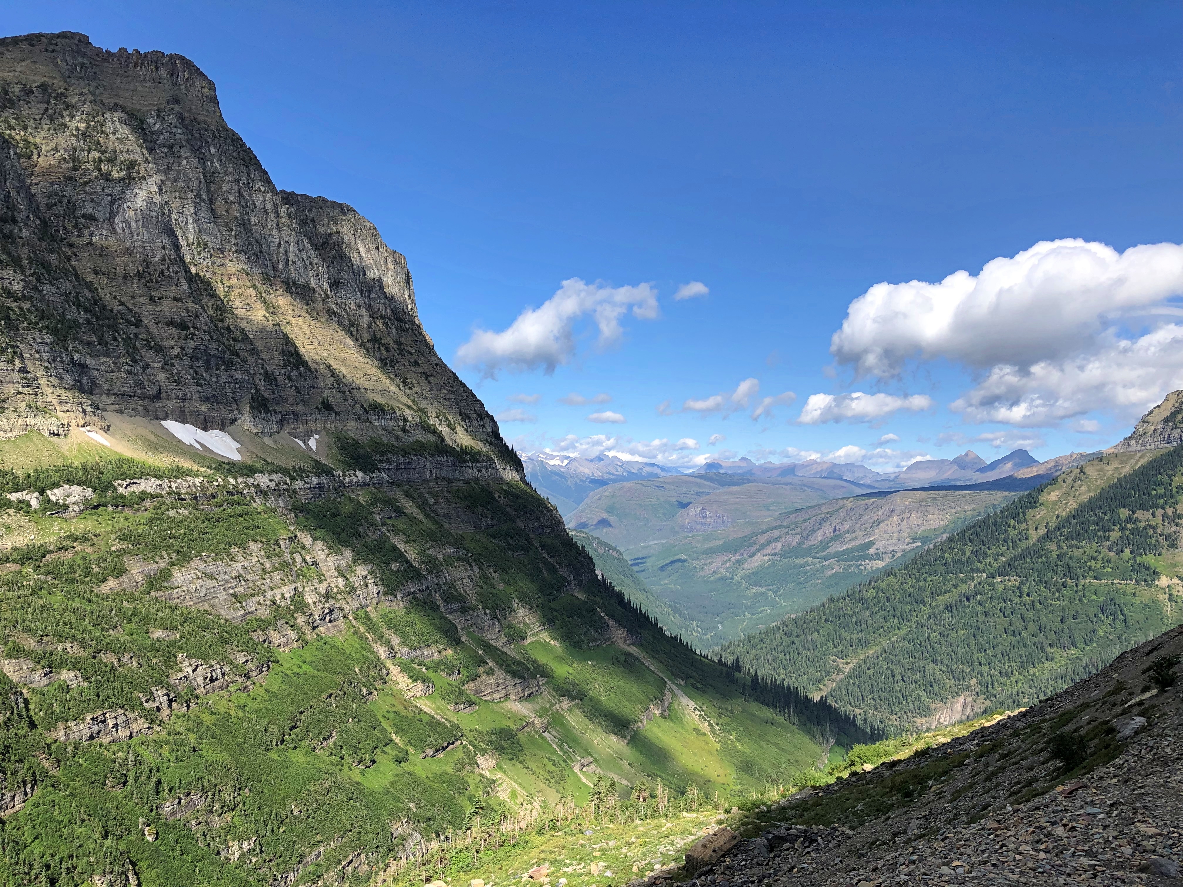
The road is also an epic feat of civil engineering. With its large pullouts for auto tourism, it dates from what you might call the golden age of road building in national parks, which was spurred by the prospect of auto tourism. Beginning about 100 years ago, that is, and a key factor in making Glacier a tourist magnet over the years.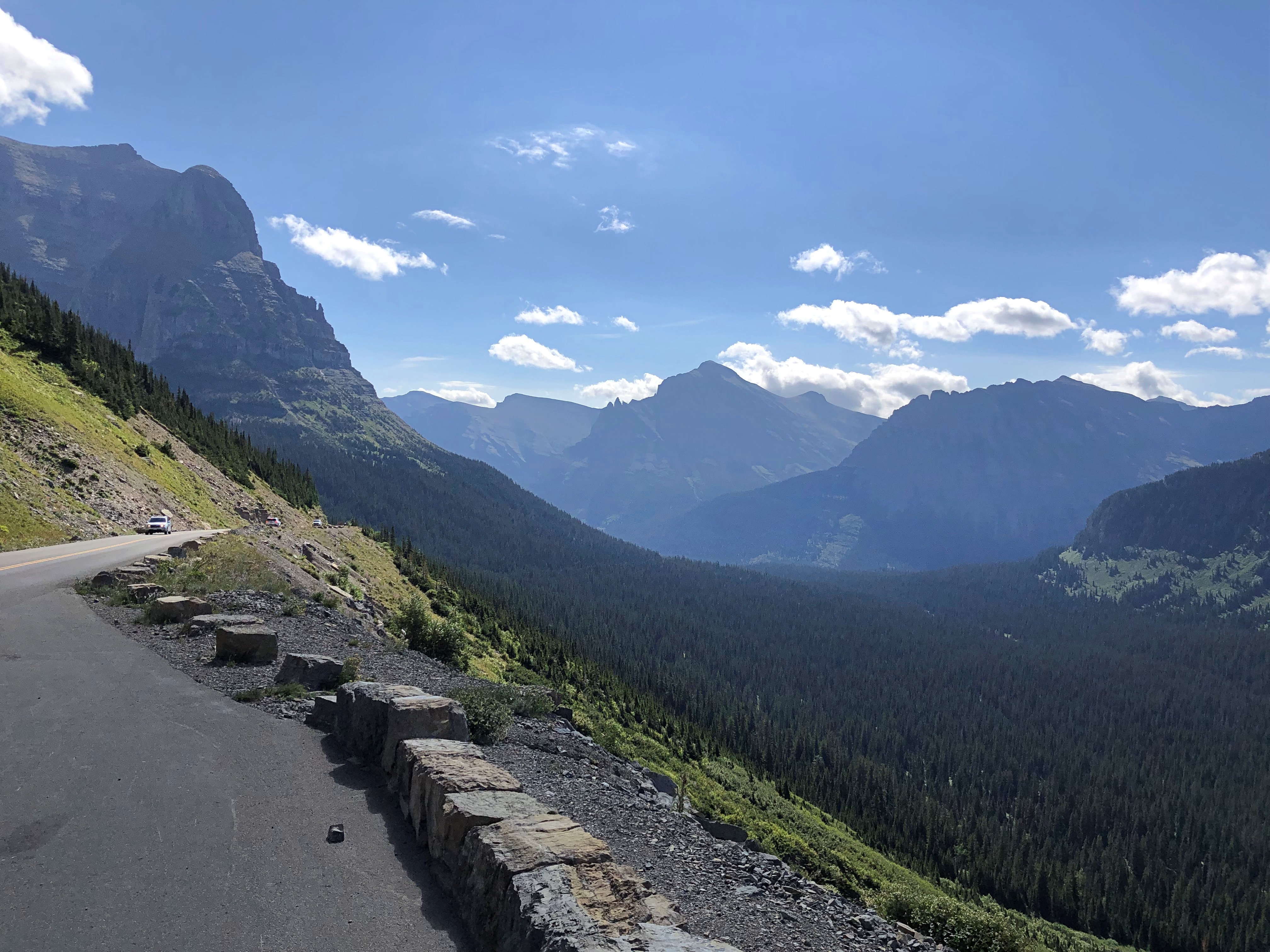
Nearly or over 3 million visitors have visited each year since 2016, except for 2020. In 2022, Glacier was tenth-most visited of the 63 national parks.
On August 24, we drove westward on the two-lane Going-to-the-Sun Road, which winds across Glacier for 50 miles or so. Hard to believe that such a poetic name is government sanctioned, but so it is, named for the nearby Going-to-the-Sun Mountain, which in turn had been named that by the remarkable, and mostly forgotten, James Willard Schultz. Apparently he took it upon himself to name features in the future Glacier National Park long before it was a park, which it became in 1910, with President Taft’s signature on the bill.
The eastern entrance to the road has a visitor center, which flies two flags of nearby nations, along with the Stars and Stripes.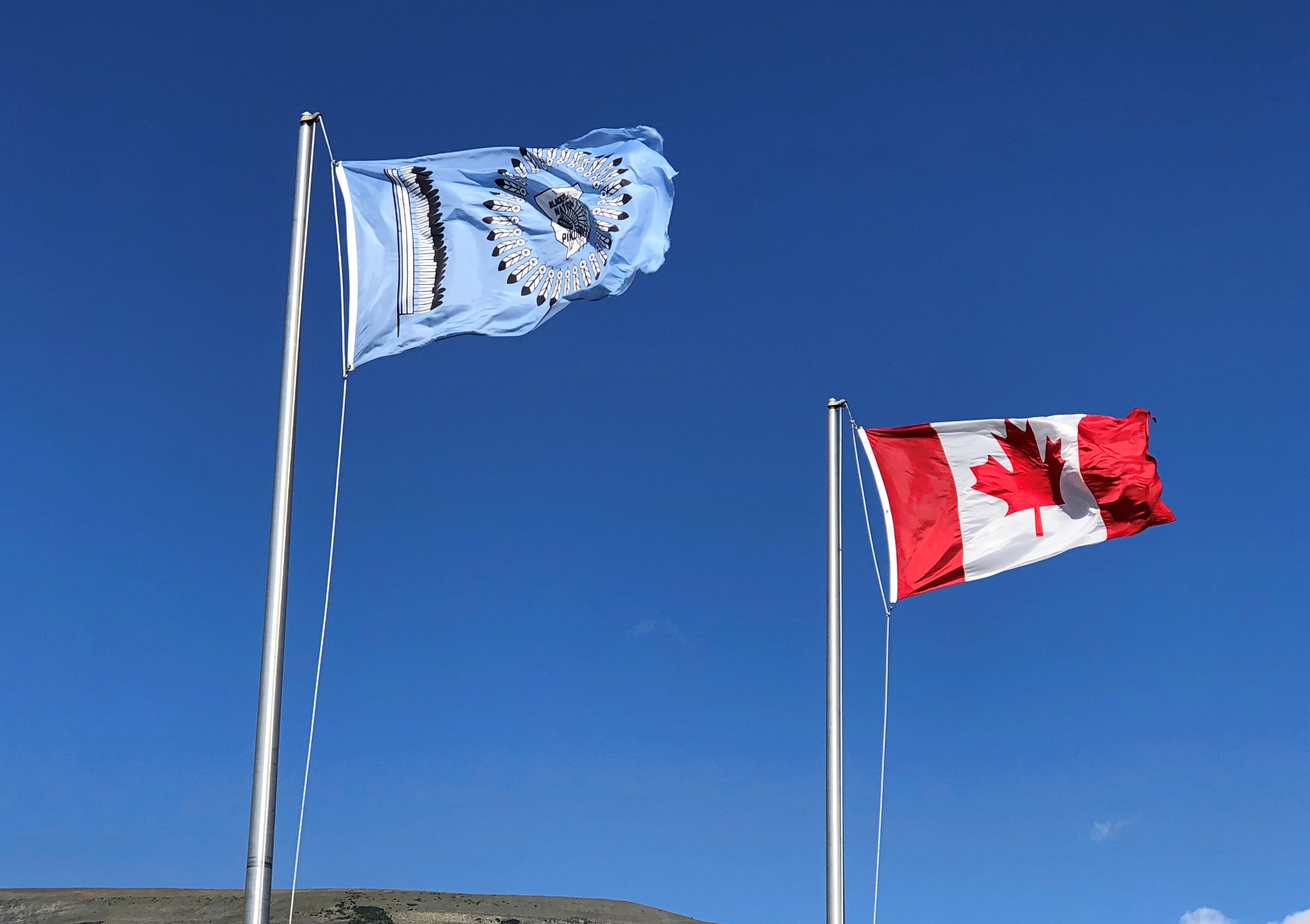
The less familiar one is the Blackfeet Nation.
The Blackfeet Reservation, at 1.5 million acres, is half again as large as Glacier NP, which comes in at about a million acres. The reservation is due east of the park, and in fact they share a border on the eastern side of the park. Indeed, much of the park was part of the reservation until the tribe was obliged to cede the land in the 1890s.
Another digression: “The Chief Mountain Hotshots are a Native American elite firefighting crew based out of the Blackfeet Indian Reservation located at Browning, MT with Glacier National Park as their backyard,” the Bureau of Indian Affairs says.
“The Chief Mountain Hotshots are a highly trained self-sufficient hotshot crew working in wildland firefighting. On average, the Crew works 15-20 large fire incidents and travels 10,000-20,000 miles a year.” More about the hotshots is here.
All good to know, but I’m glad there were no wildfires in the vicinity for them to fight. As the road passes along the north shore of cold-water Saint Mary Lake — 
— clearly there has been some wildfire.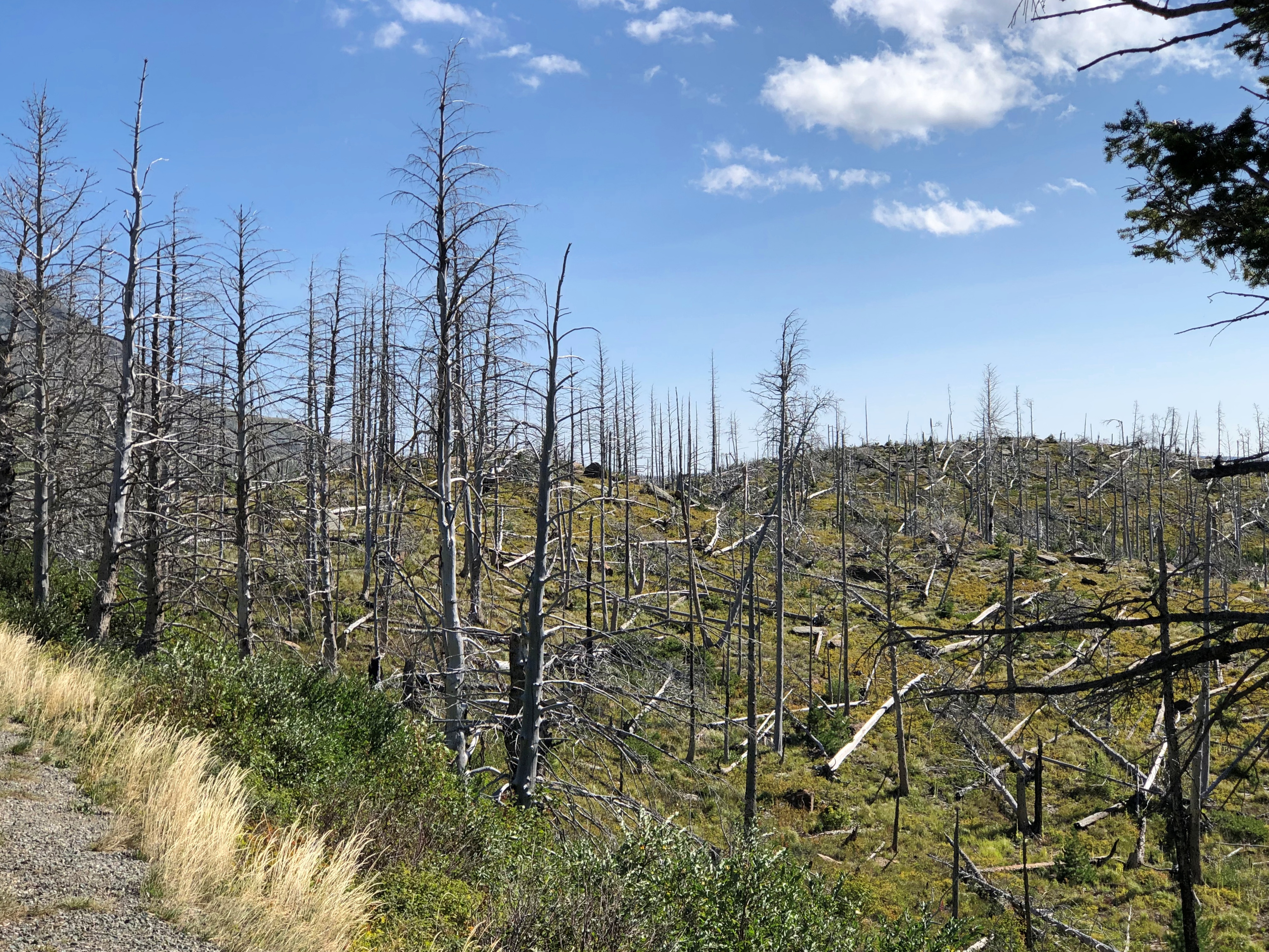
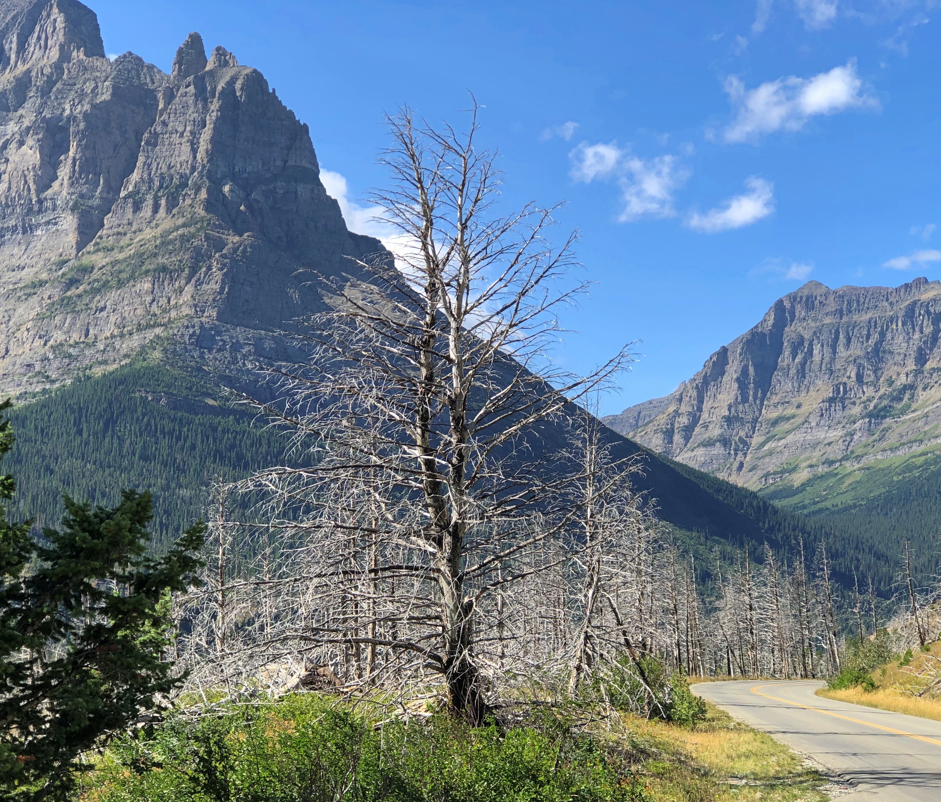
The road rises from the lake, elevation 4,484 feet, toward the Continental Divide at Logan Pass, elevation 6,646 feet.
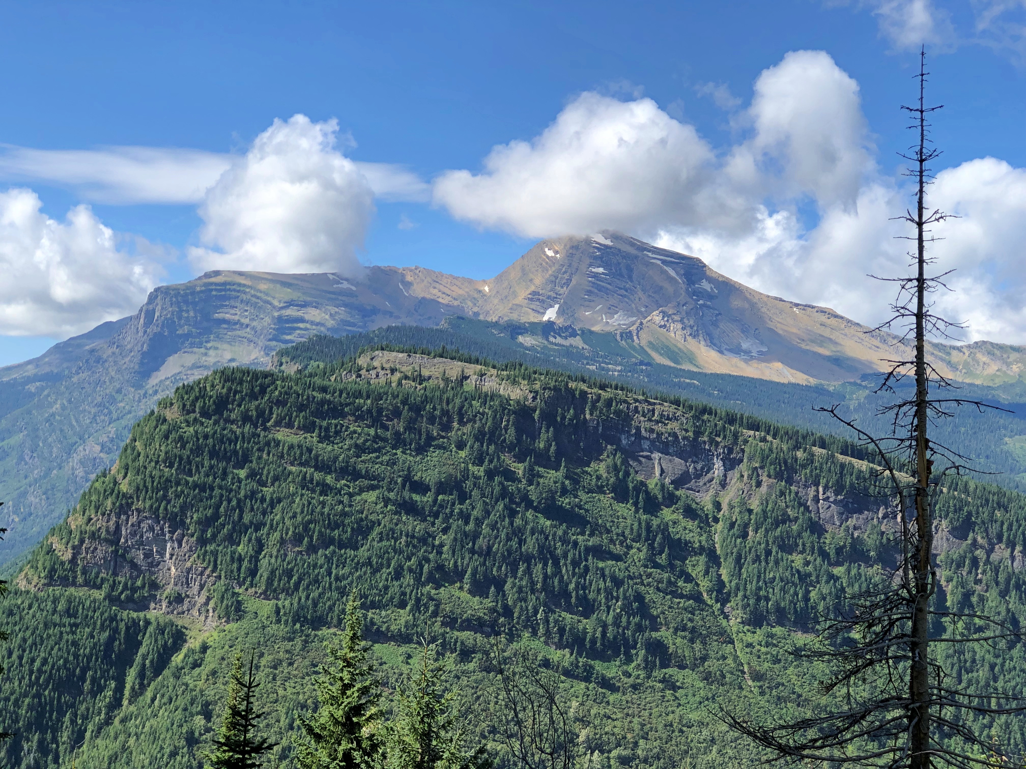

Logan Pass is the kind of place we would stop, but there was no available parking. This pic was taken by a photographer named Ken Thomas, who thoughtfully put it in the public domain.
No trucks or RVs allowed on the road, since they wouldn’t fit in some (many) places. That doesn’t keep drivers off the road, however. During the warm months when it’s open, Going-to-the-Sun is a busy place.
Even so, much of it still has that classic mountain appeal of low traffic.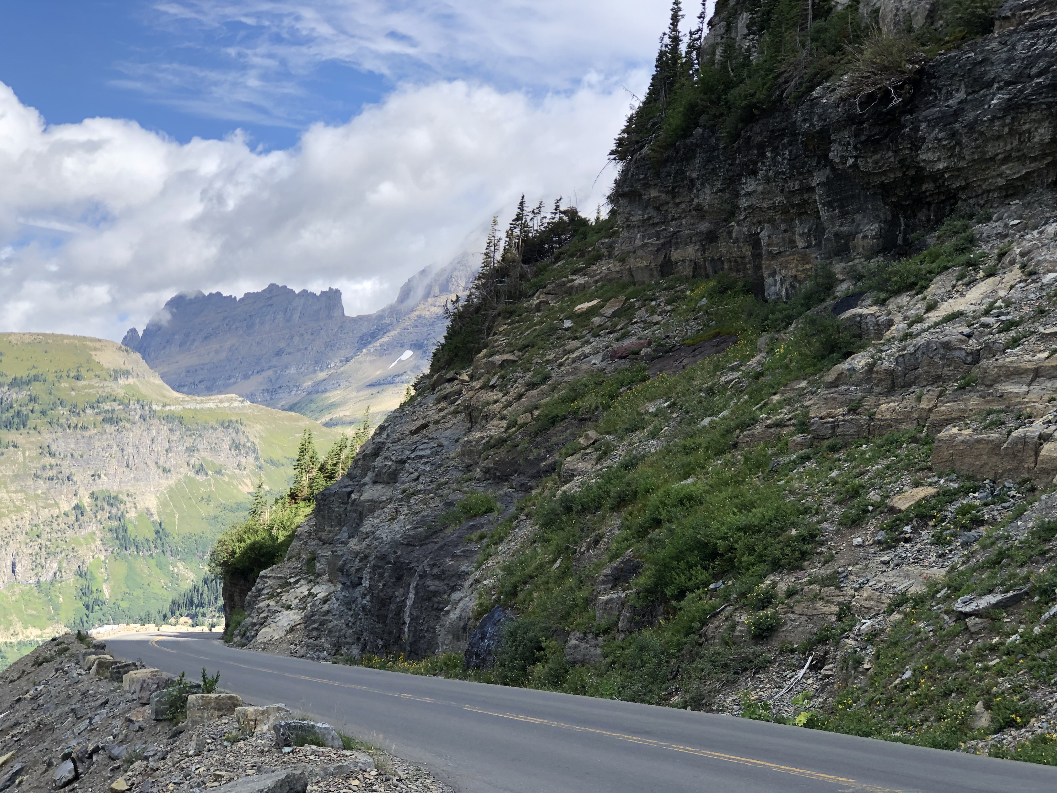
Except when there are knots of traffic. Just a few.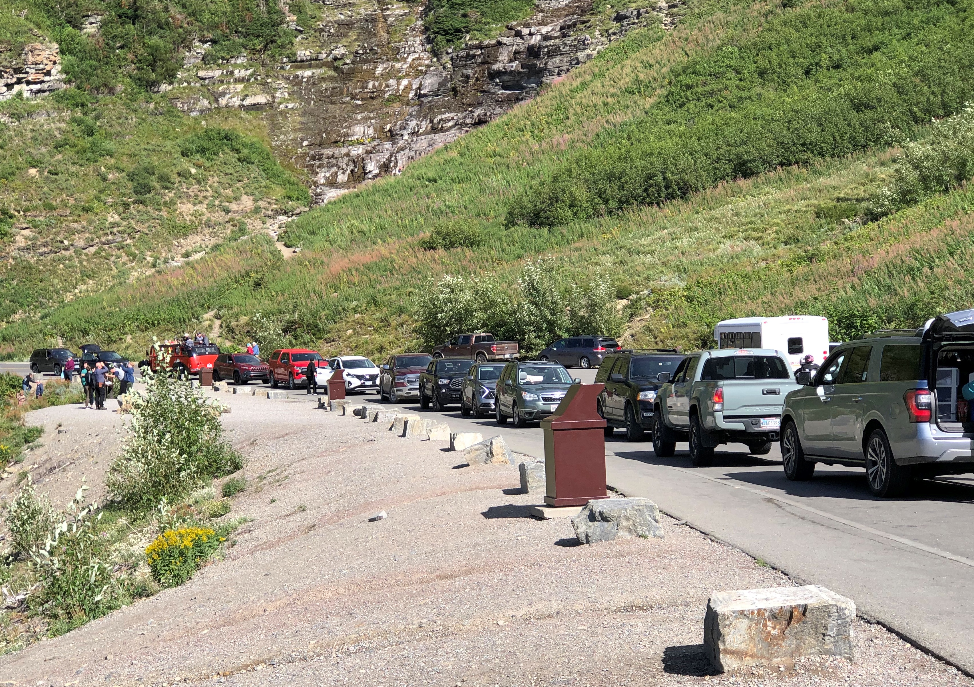
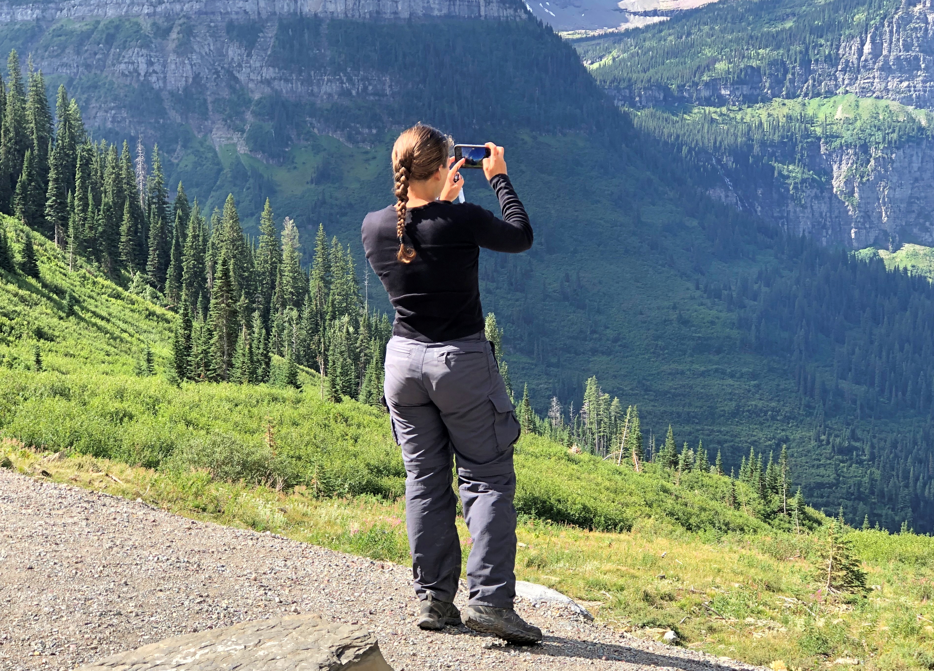
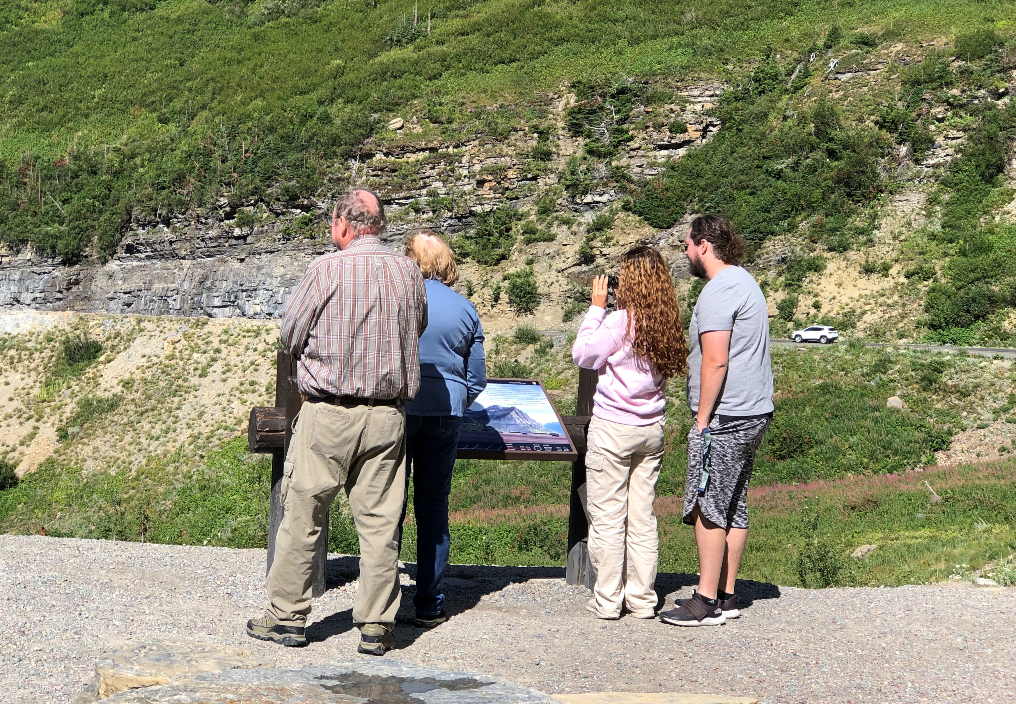
Mountain scenery has a broad appeal.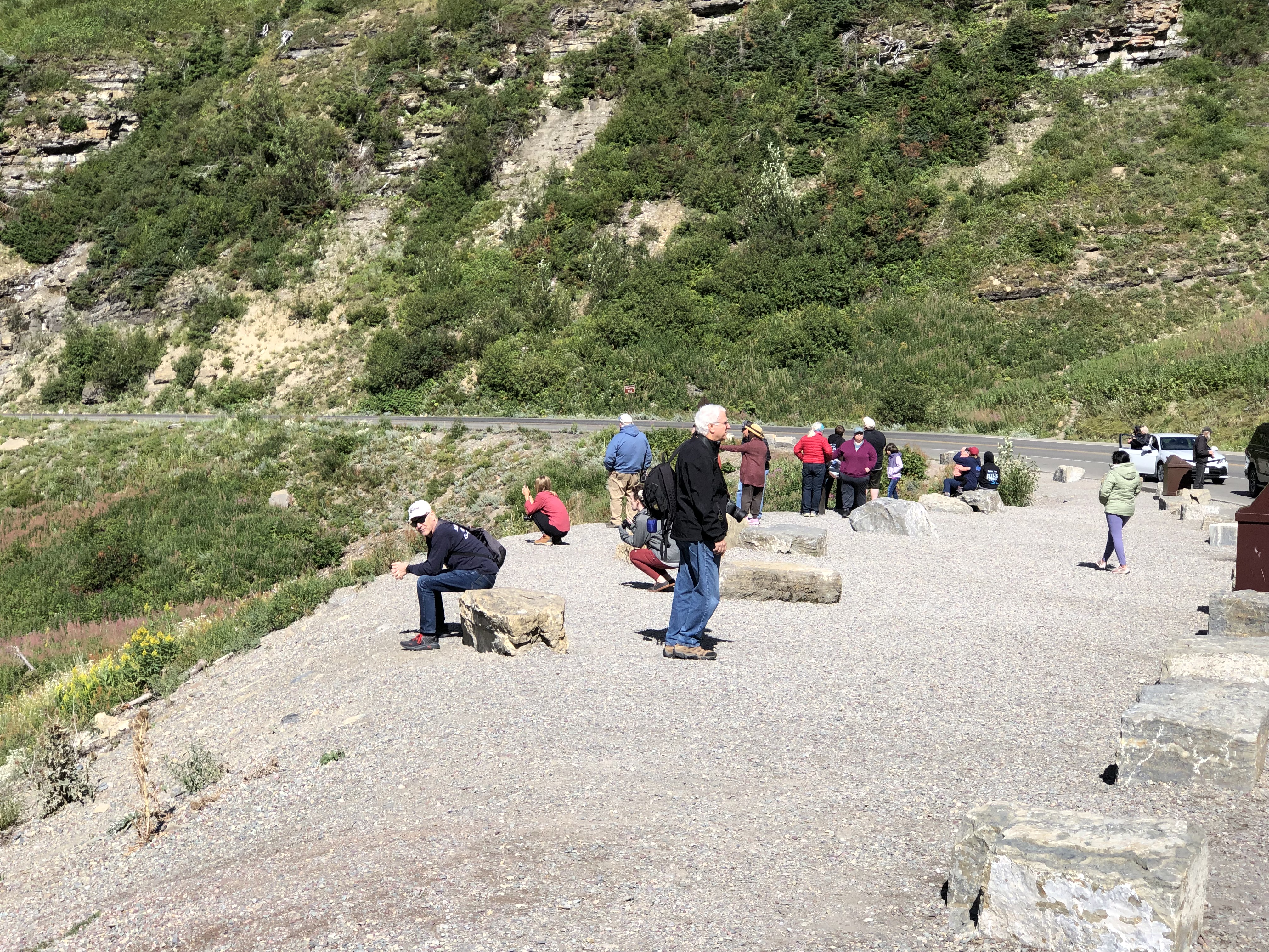
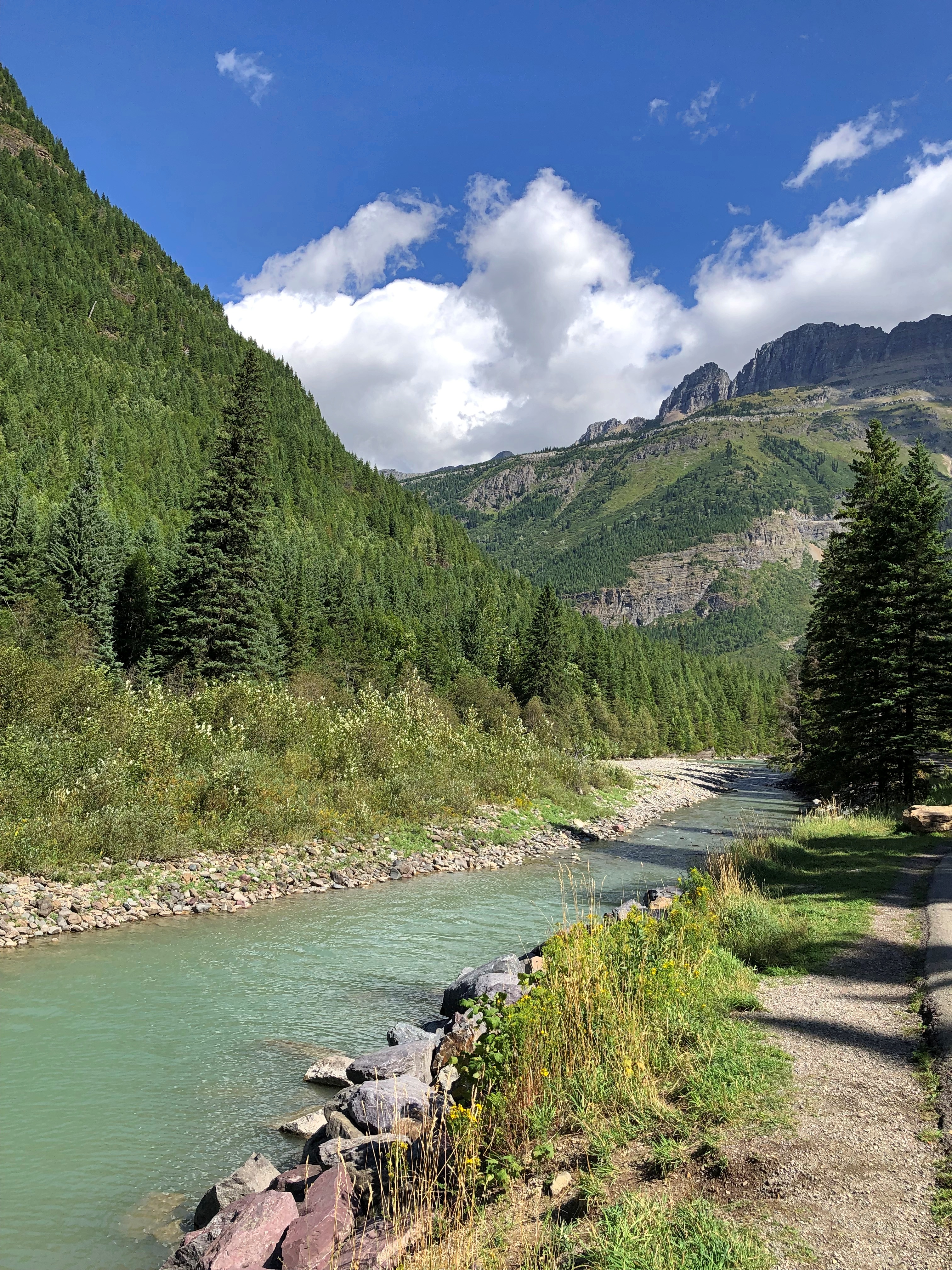
Toward the east end of the park, the road parallels McDonald Creek for a number of miles before it connects with Lake McDonald, the larger of the park’s two major lakes, and the lower, at 3,153 feet elevation. Some of the creek has more of a river look.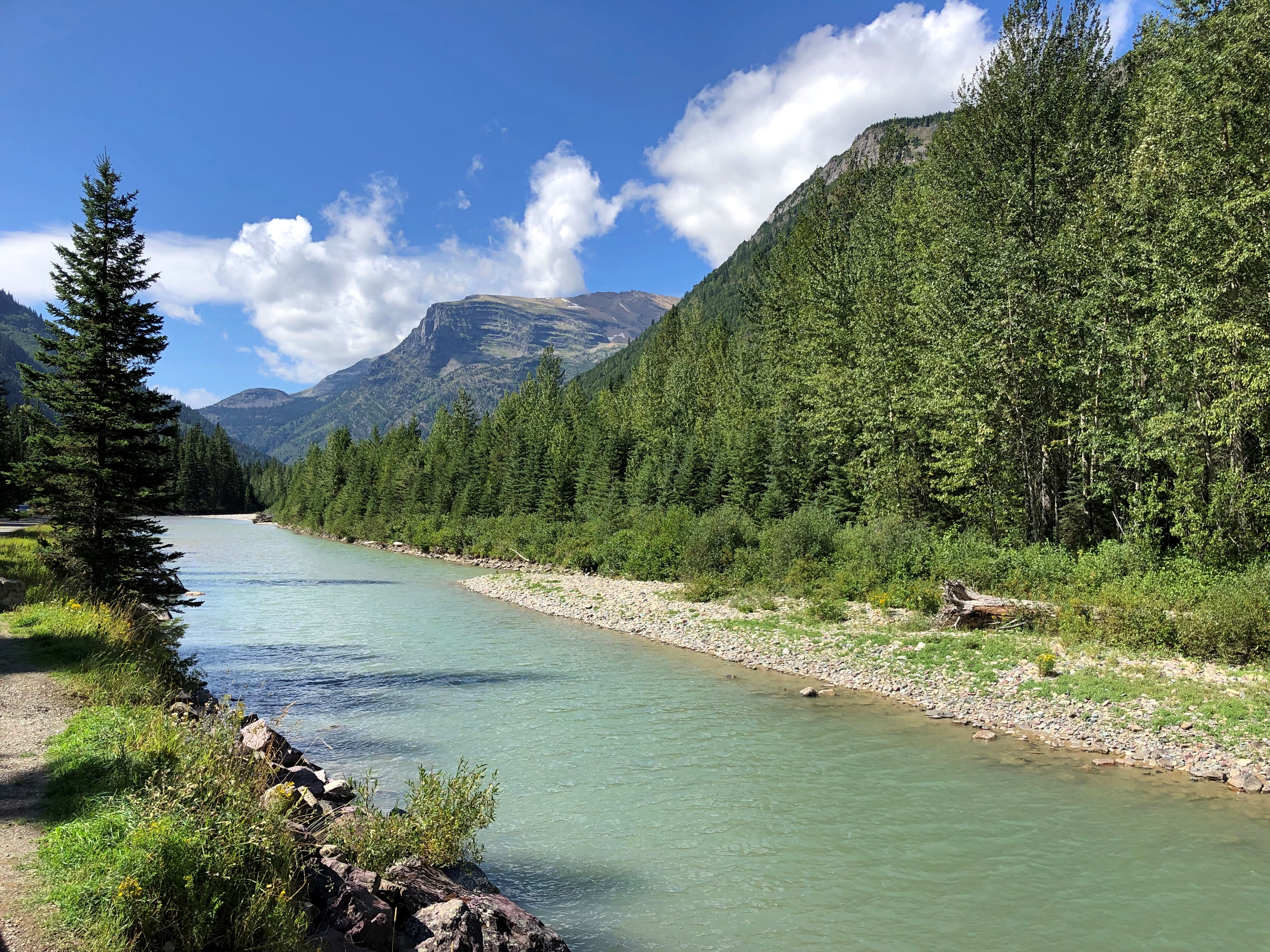
Closer to the lake, the creek is rocky.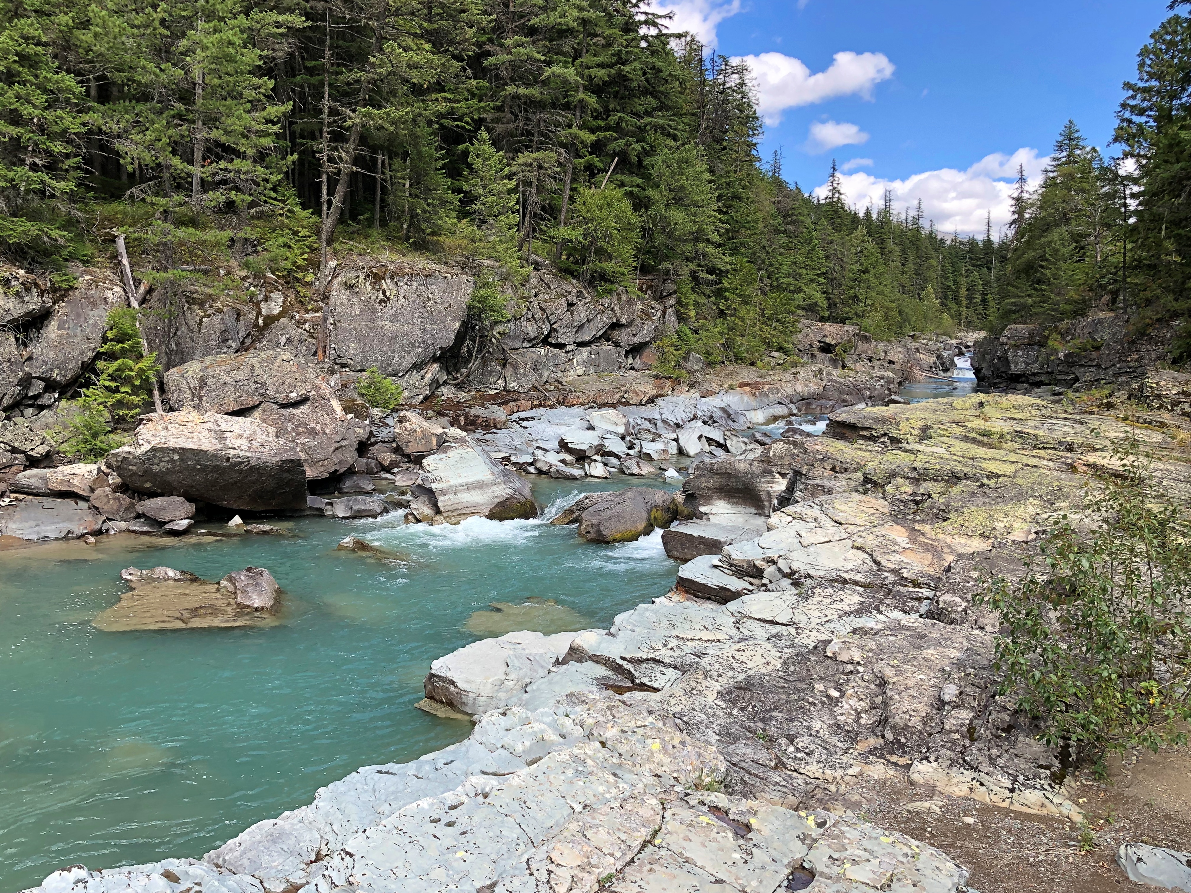
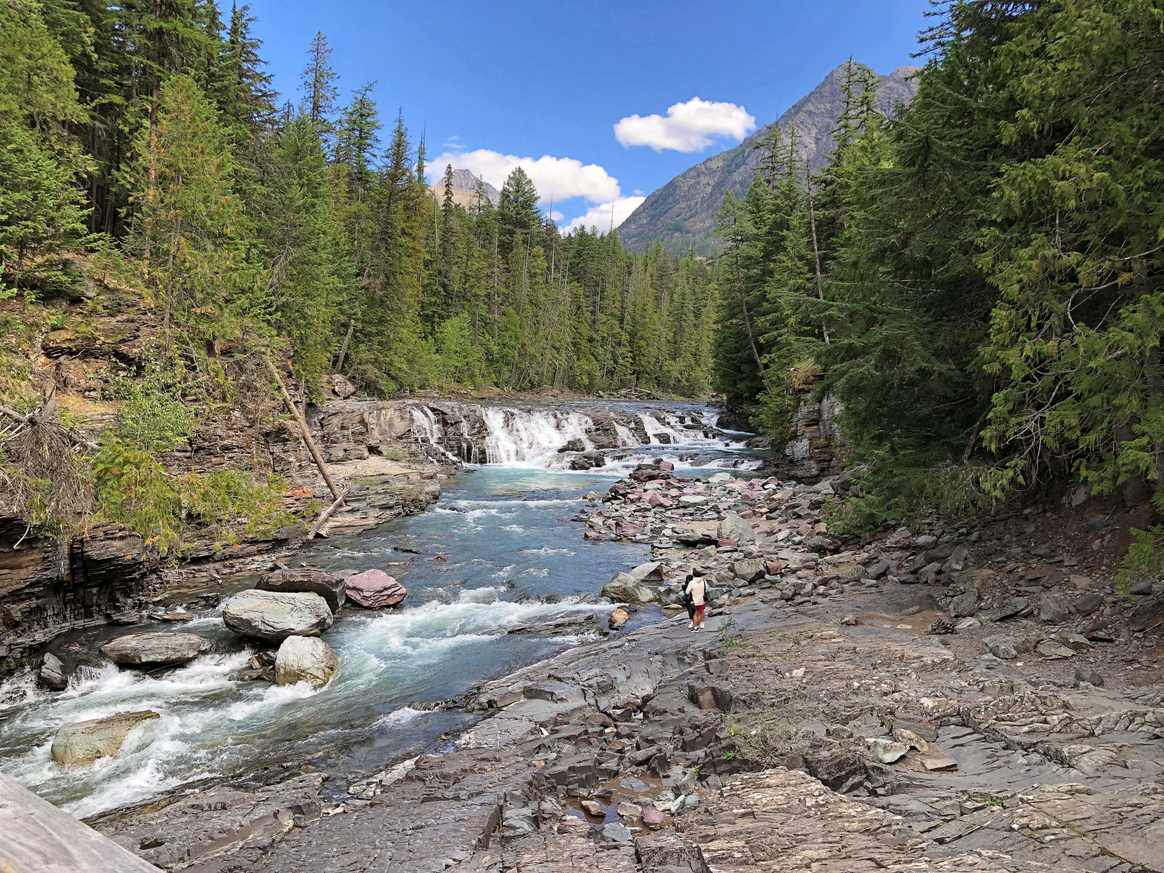
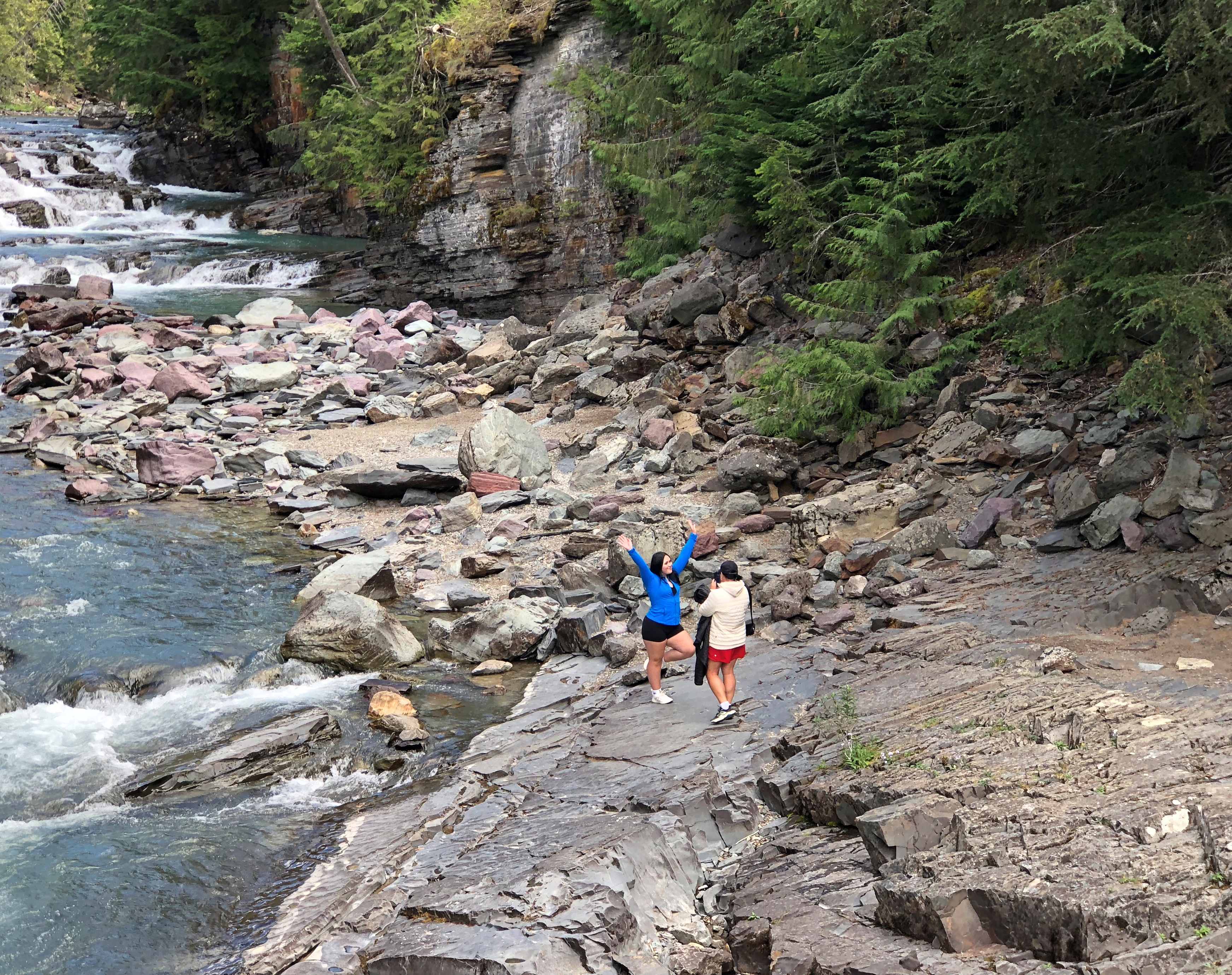
The water is bound for the Flathead River, a tributary of the mighty Columbia. We stopped at a wooden bridge across the creek.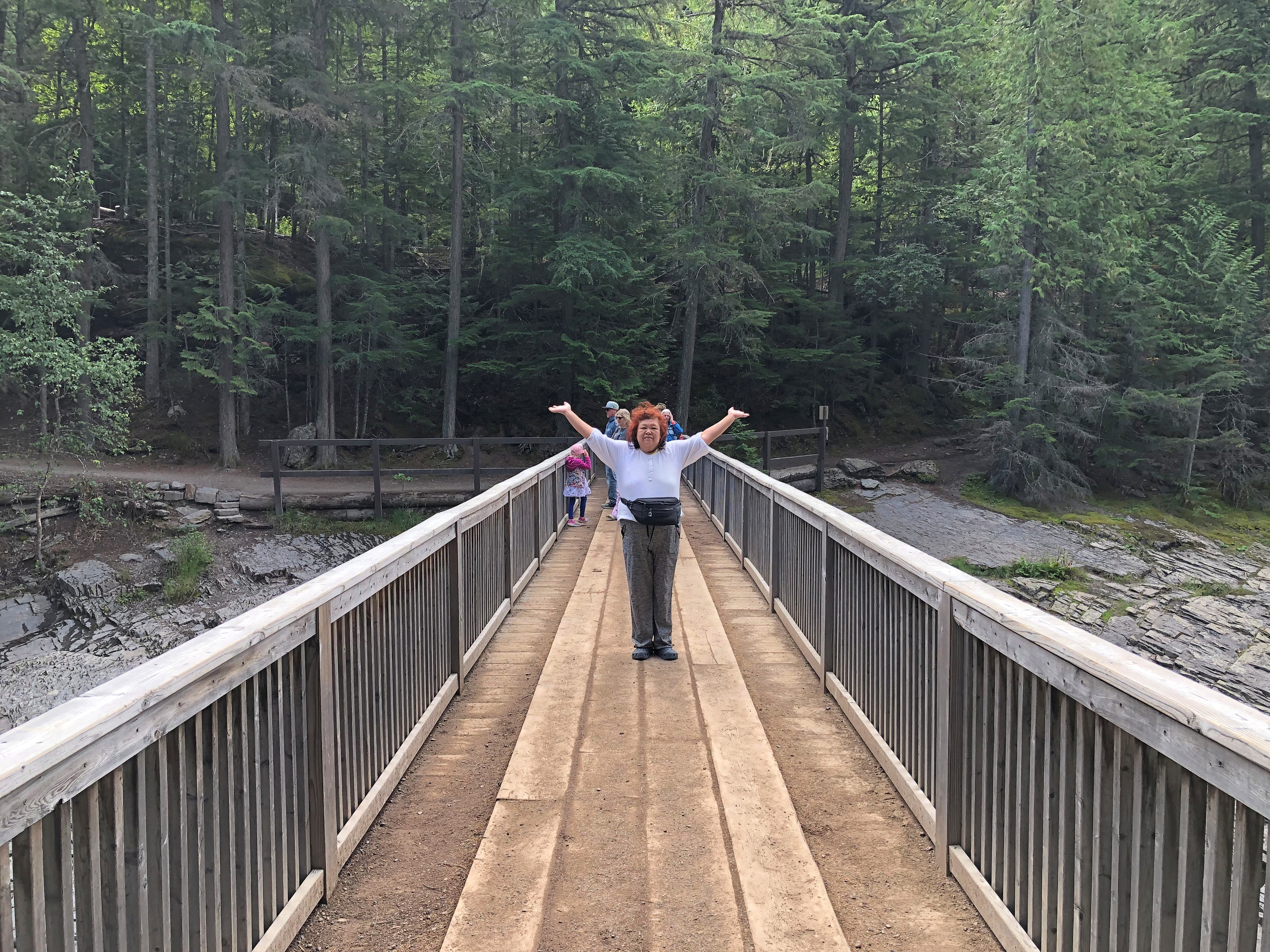
Pedestrians can cross, but a sign warns that horse traffic has the right of way.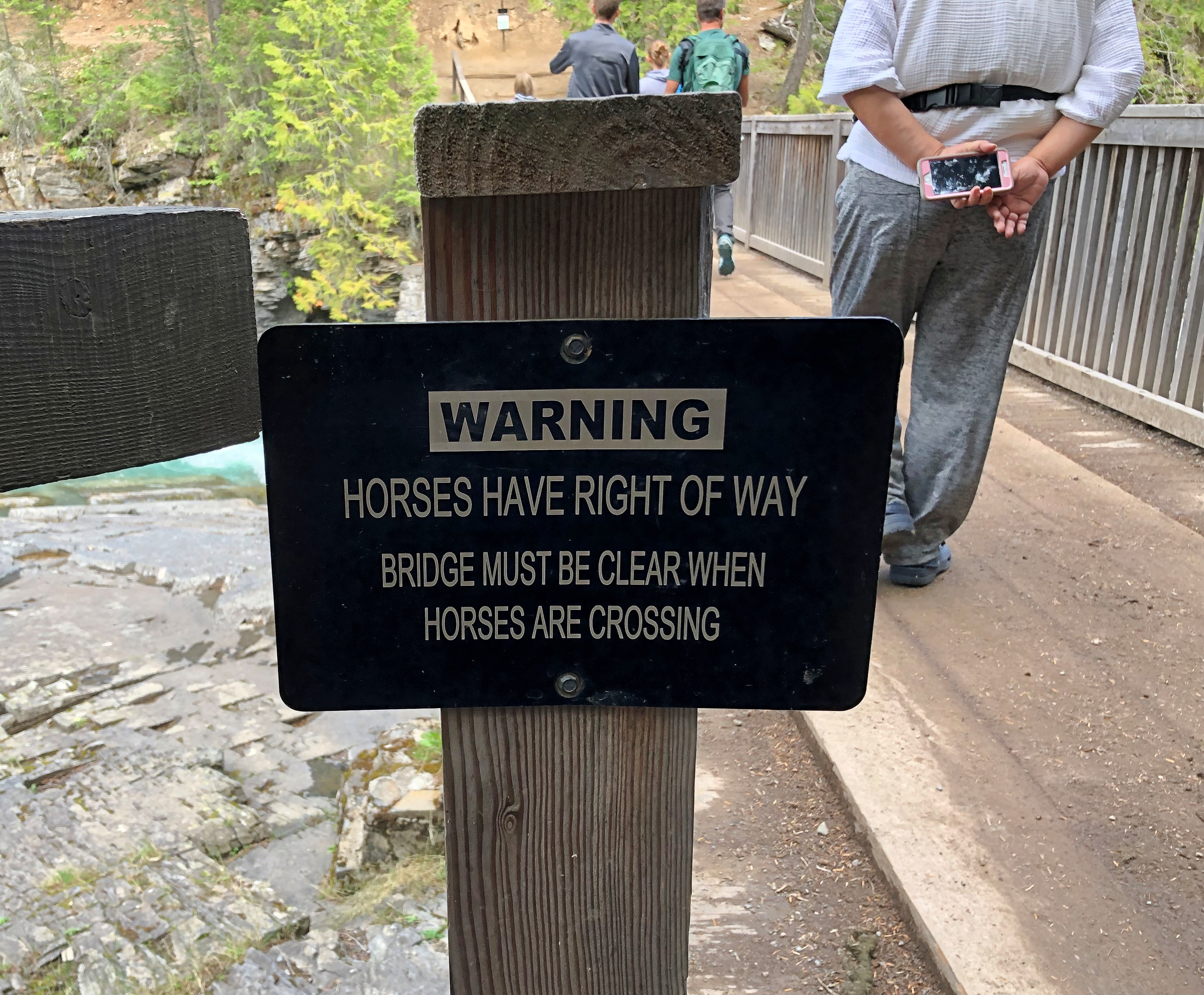
Not something you see too often. I assume that’s horses with riders, as part of a horse-riding trail, though maybe wild horses might have the right of way too. Like bears or moose, they’re large and might insist.