A happy birthday to Jimmy Carter, president of my adolescence, who some years ago outlasted every other holder of that high office, now reaching 100. I can’t presume to know the secret of his longevity, but can speculate that lasting long enough to vote against you-know-who might have been an inspiration to hang on.
While reading about President Carter today, I came across the conclusion of a speech at the dedication of the Carter Presidential Library in Atlanta on October 1, 1986.
I must tell you, Mr. President, that your countrymen have vivid memories of your time in the White House still. They see you working in the Oval Office at your desk with an air of intense concentration, repairing to a quiet place to receive the latest word on the hostages you did so much to free, or studying in your hideaway office for the meeting at Camp David that would mark such a breakthrough for peace in the Middle East. Others will speak today, Mr. President, of all phases of your political career and your policies. For myself, I can pay you no higher honor than to say simply this: You gave of yourself to this country, gracing the White House with your passion and intellect and commitment. And now you have become a permanent part of that grand old house, so rich in tradition, that belongs to us all. For that, Mr. President, I thank you, and your country thanks you.
Who said that? Ronald Reagan.
A month ago today we headed east from Portland on US 30, which soon becomes the Historic Columbia River Highway, beginning at the sizable town of Troutdale, an intriguing place that seems to count as exurban Portland. As highways go, the road is antediluvian, first surveyed in the 1910s, partly following a 19th-century wagon route. Old, but well maintained, it’s a smooth drive in our time, though fairly busy.
The highway’s engineer, Samuel C. Lancaster, got himself a plaque along the way, which calls the road a highway of “poetry and drama.” He collaborated with business tycoon and good roads promoter Sam Hill to get the road built.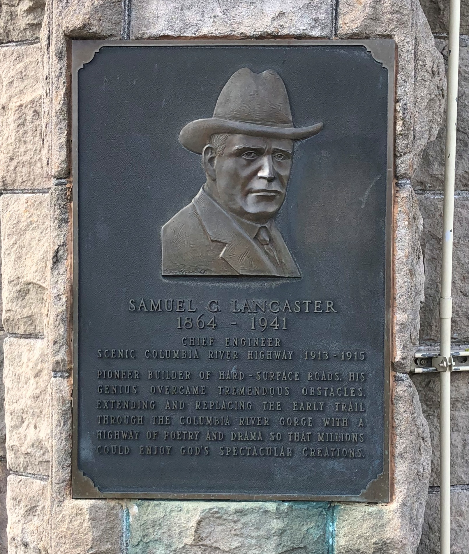
That is, he left a legacy of vistas. One could do a lot worse.
At Chanticleer Point.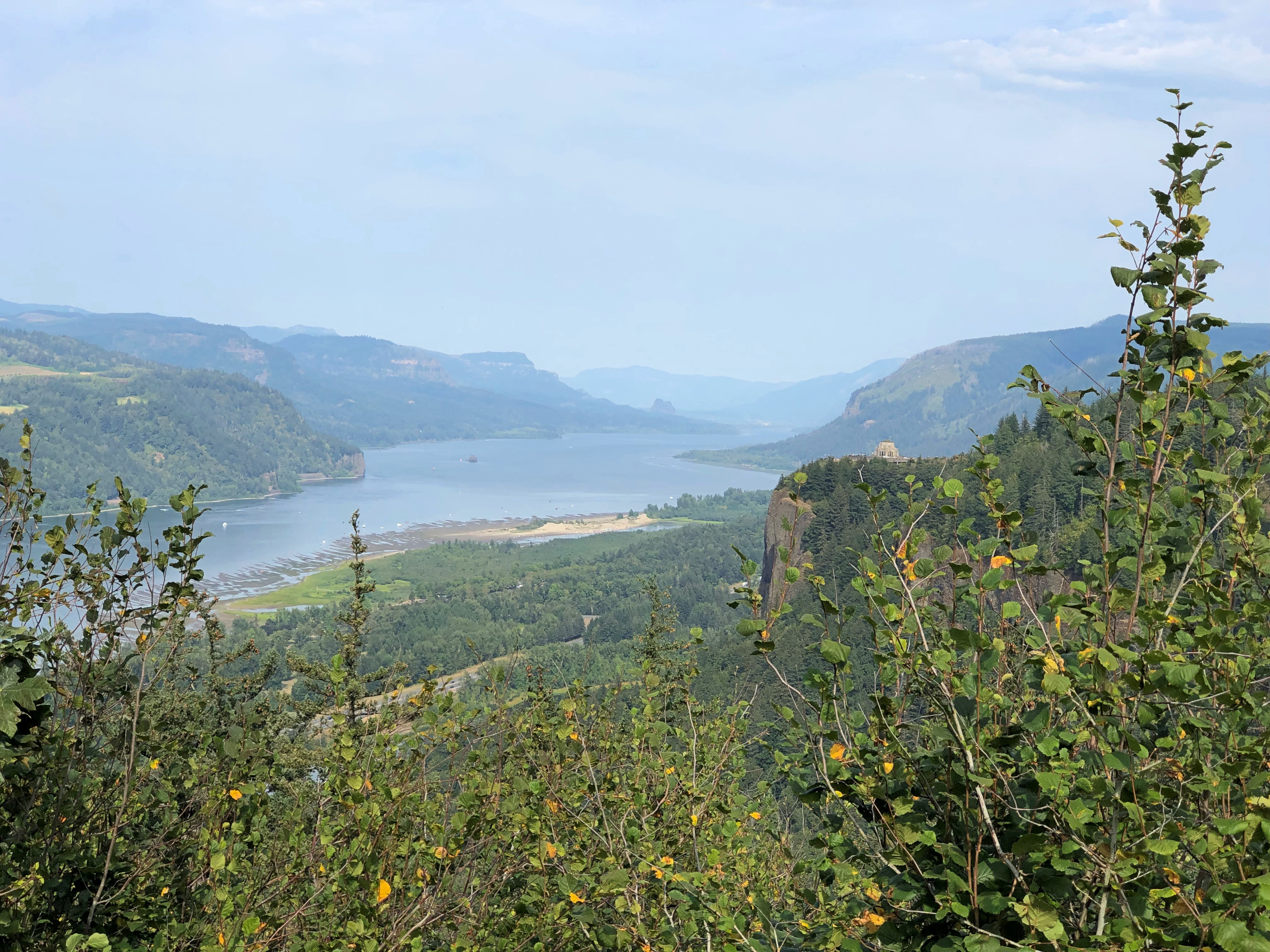
Further east is Crown Point, a promontory more than 700 feet high, with an even more sweeping view of the mighty Columbia. The builders of the highway knew this too, and included an observation tower: Vista House.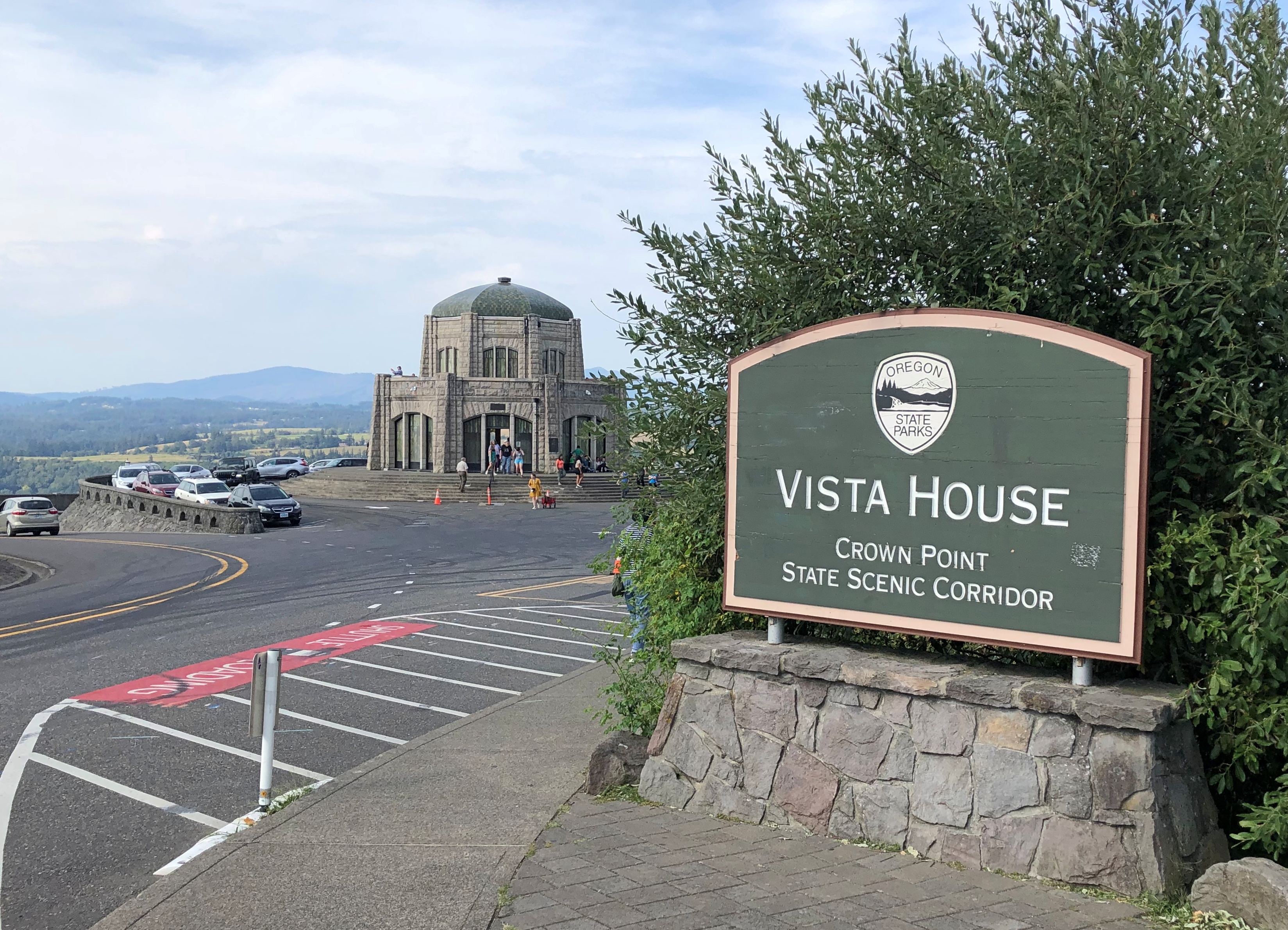
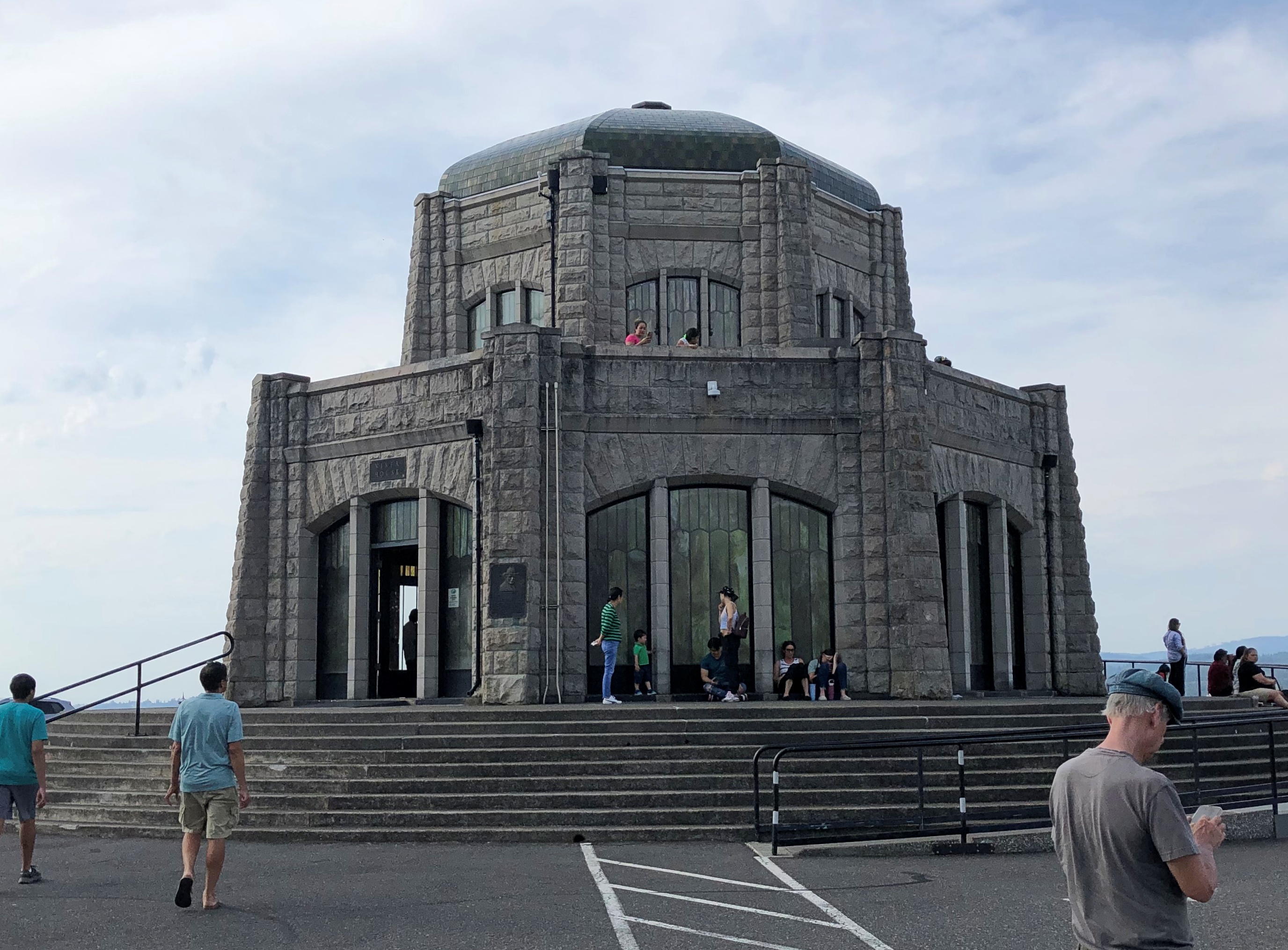
Designed by Edgar M. Lazarus and completed in 1918. Elegant stonework, and an expensive development, I’ve read. I’d say worth it, for providing more than a century of vistas.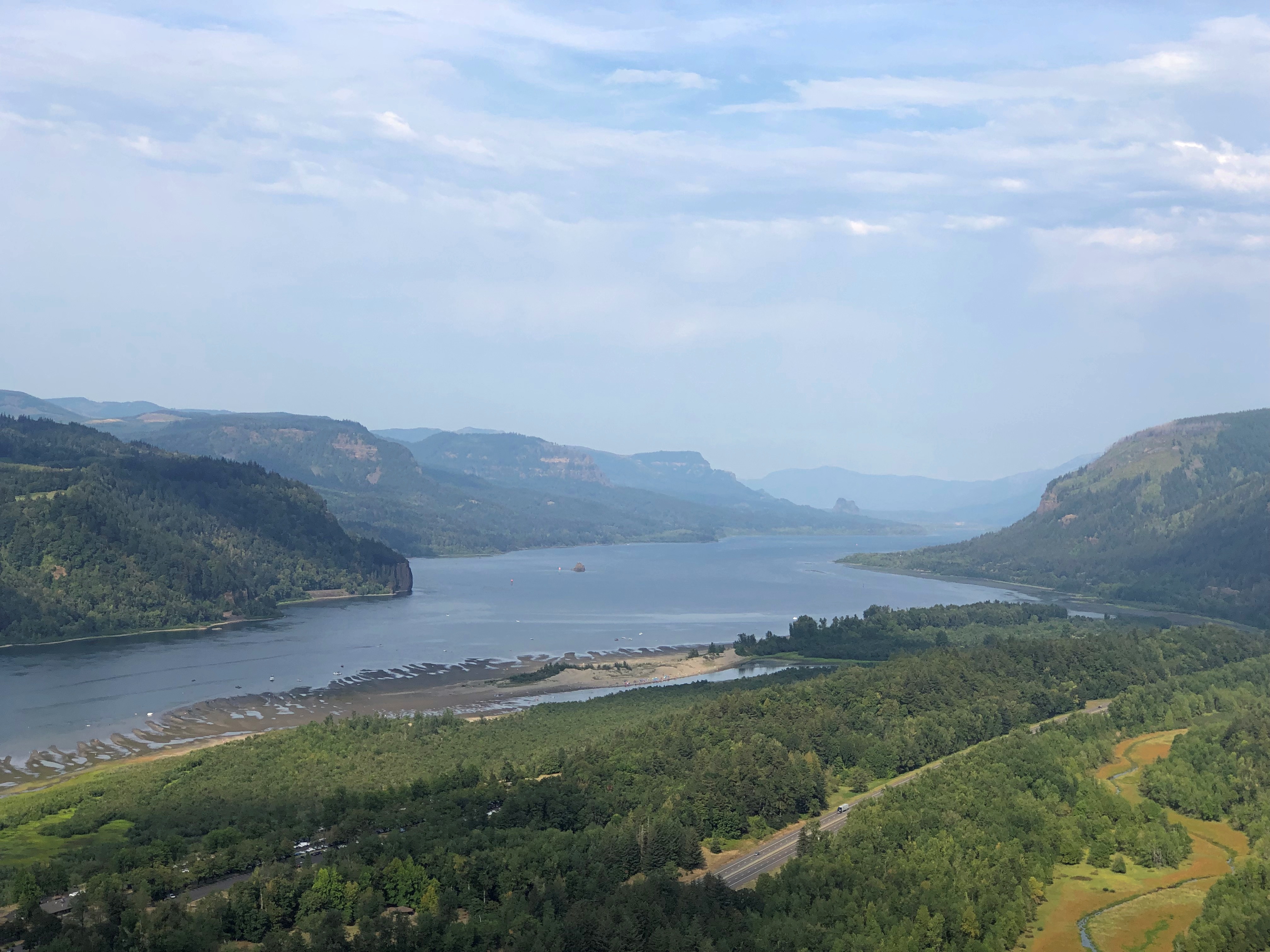
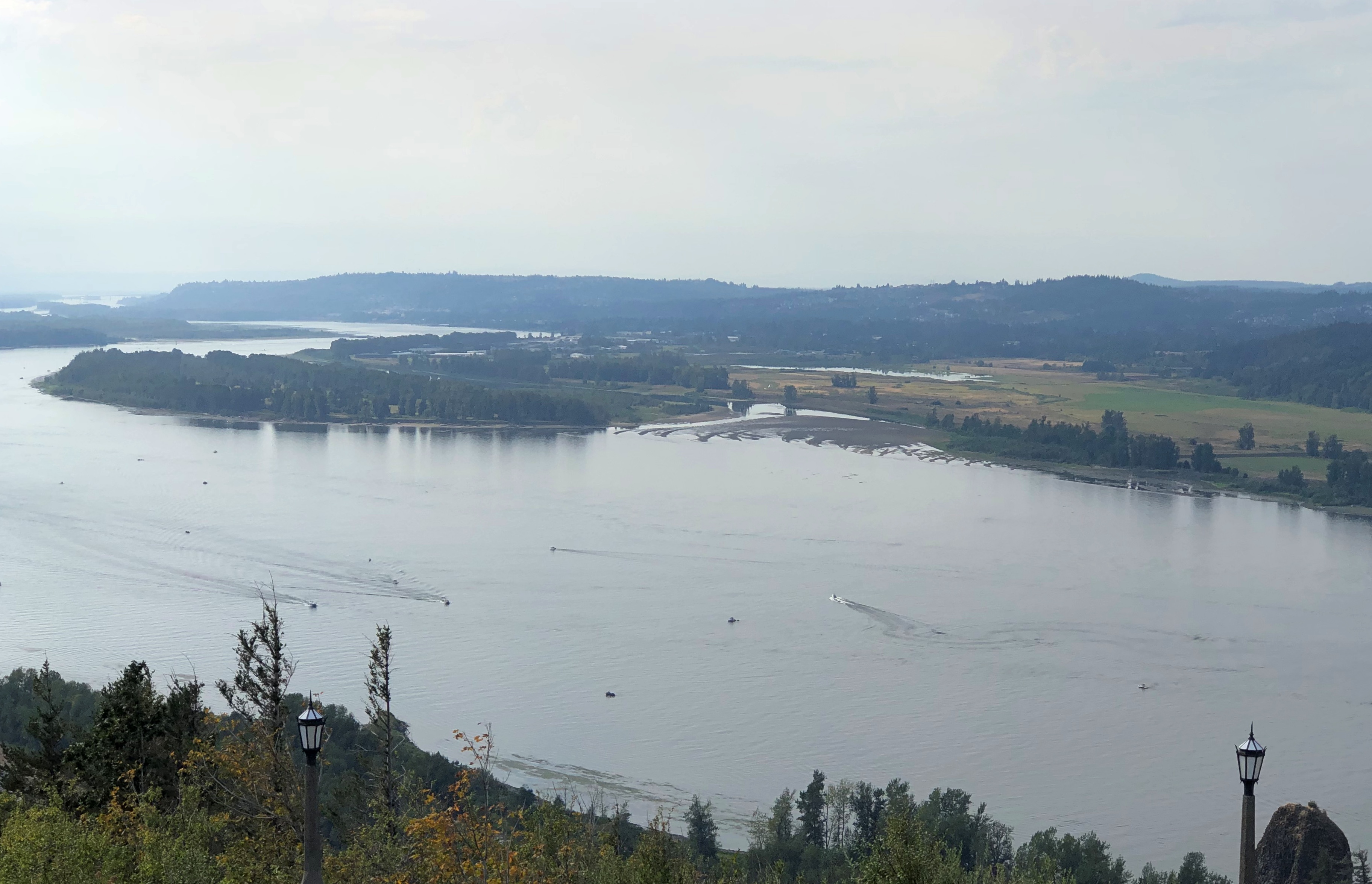
Inside Vista House is a small museum, gift shop, and an information kiosk where we got helpful information from the person at the desk. She said that the highway (US 30) was closed for construction a few miles to the east, and that if we wanted to visit Multnomah Falls, we’d need to backtrack a few miles and then take I-84, the modern road that also passes through the Columbia River Gorge.
That we did.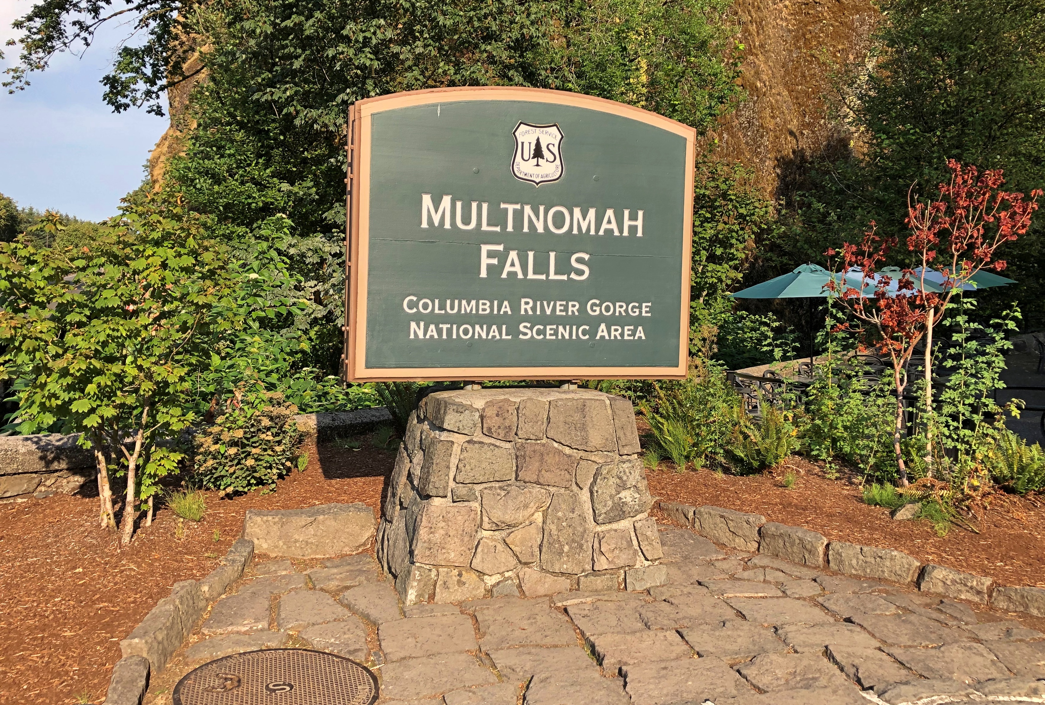
To see the falls, at least on September 1, you needed to book a slot, and we did that as well. Tall falls near a highway draws a crowd, though that isn’t apparent at a distance.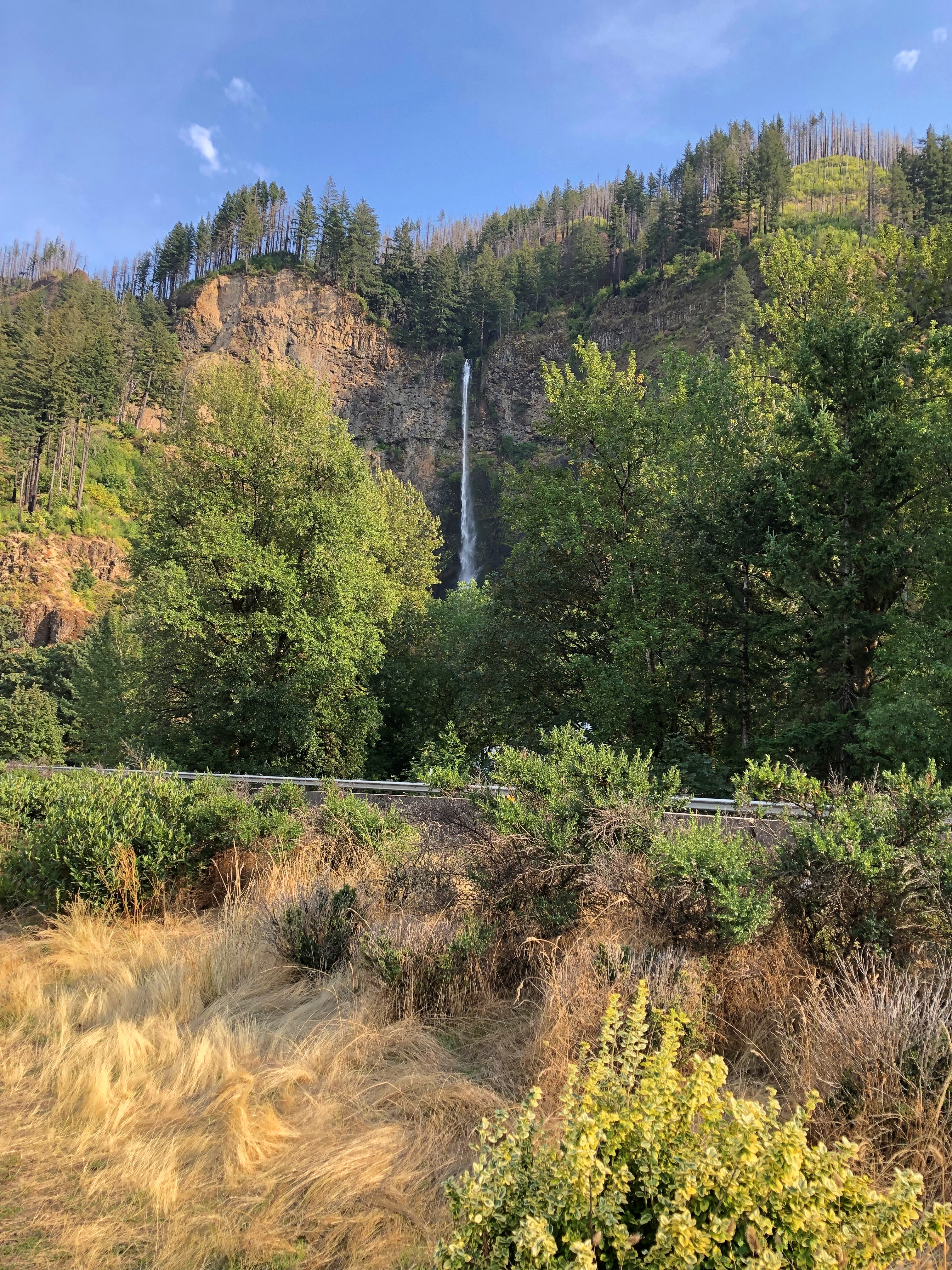
If you edit just so, that isn’t apparent closer up either.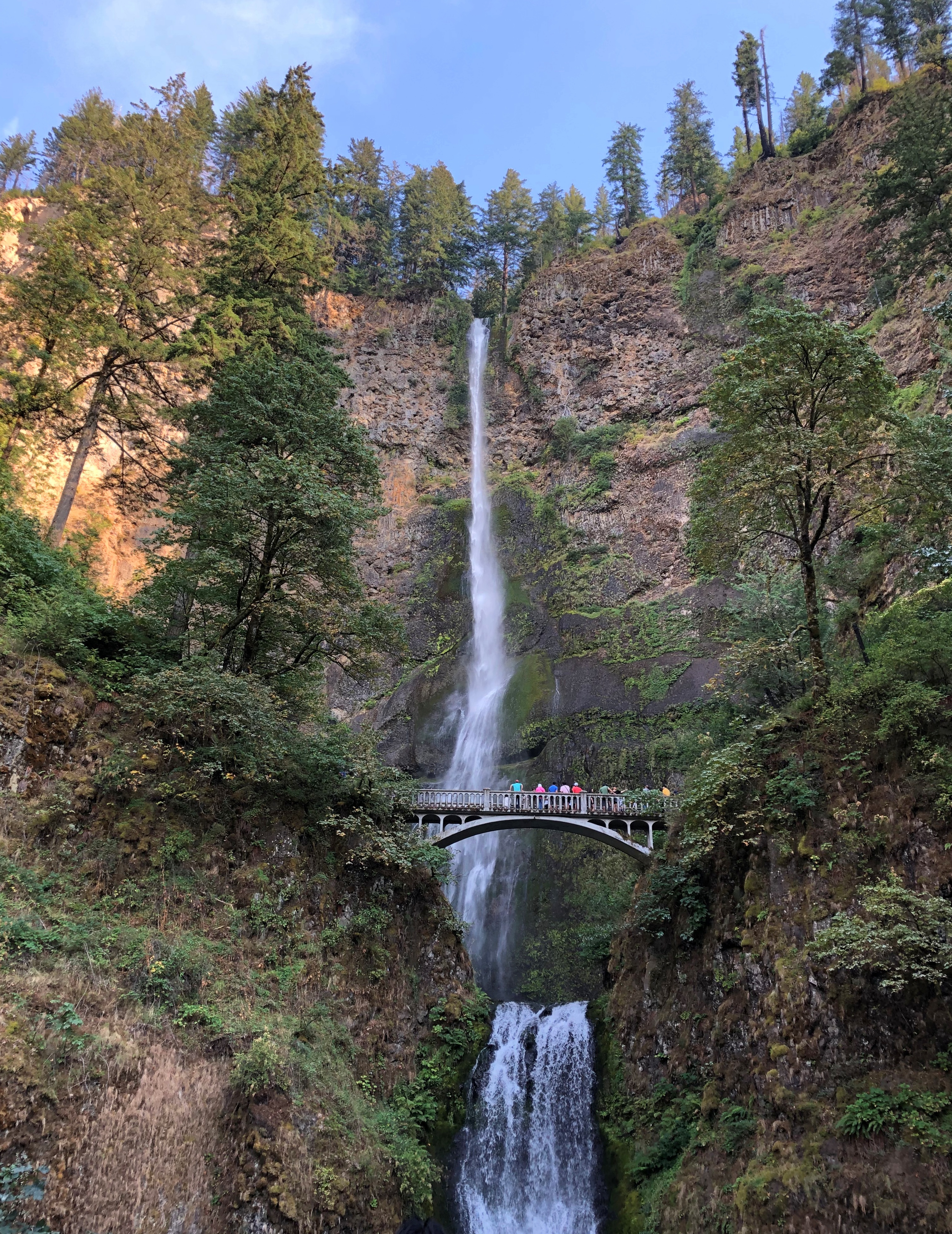
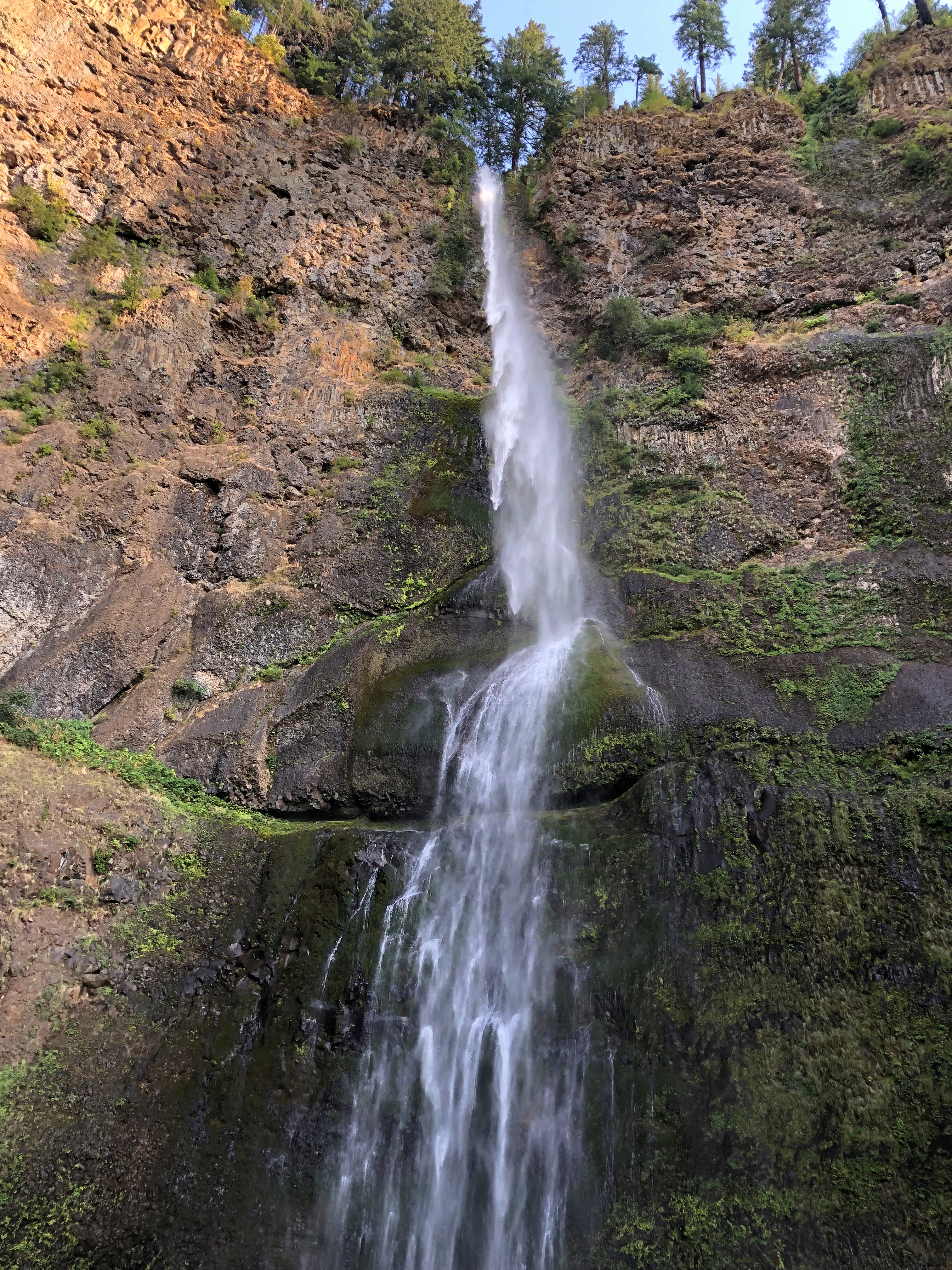
But on a visit to the falls, which drop 635 feet in two plunges, you won’t be alone.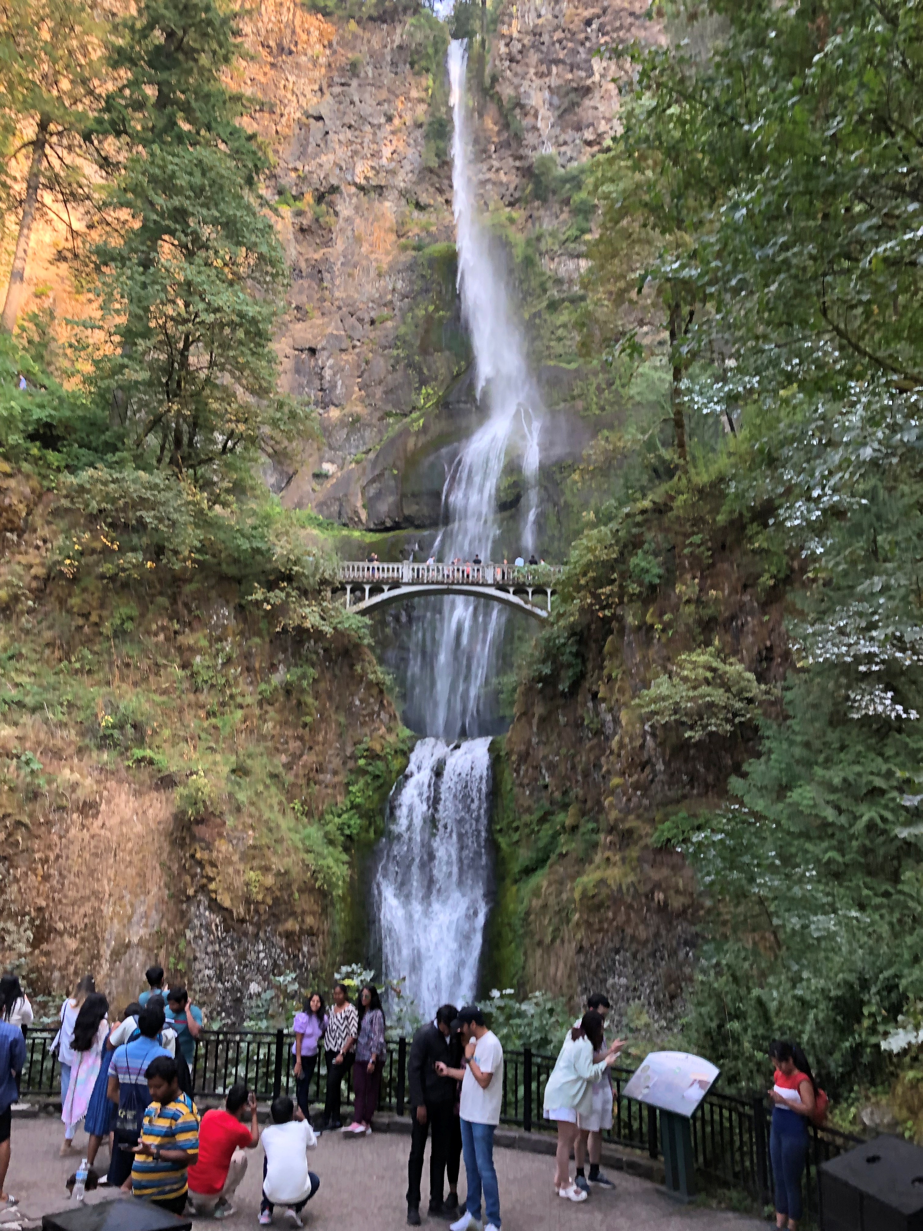
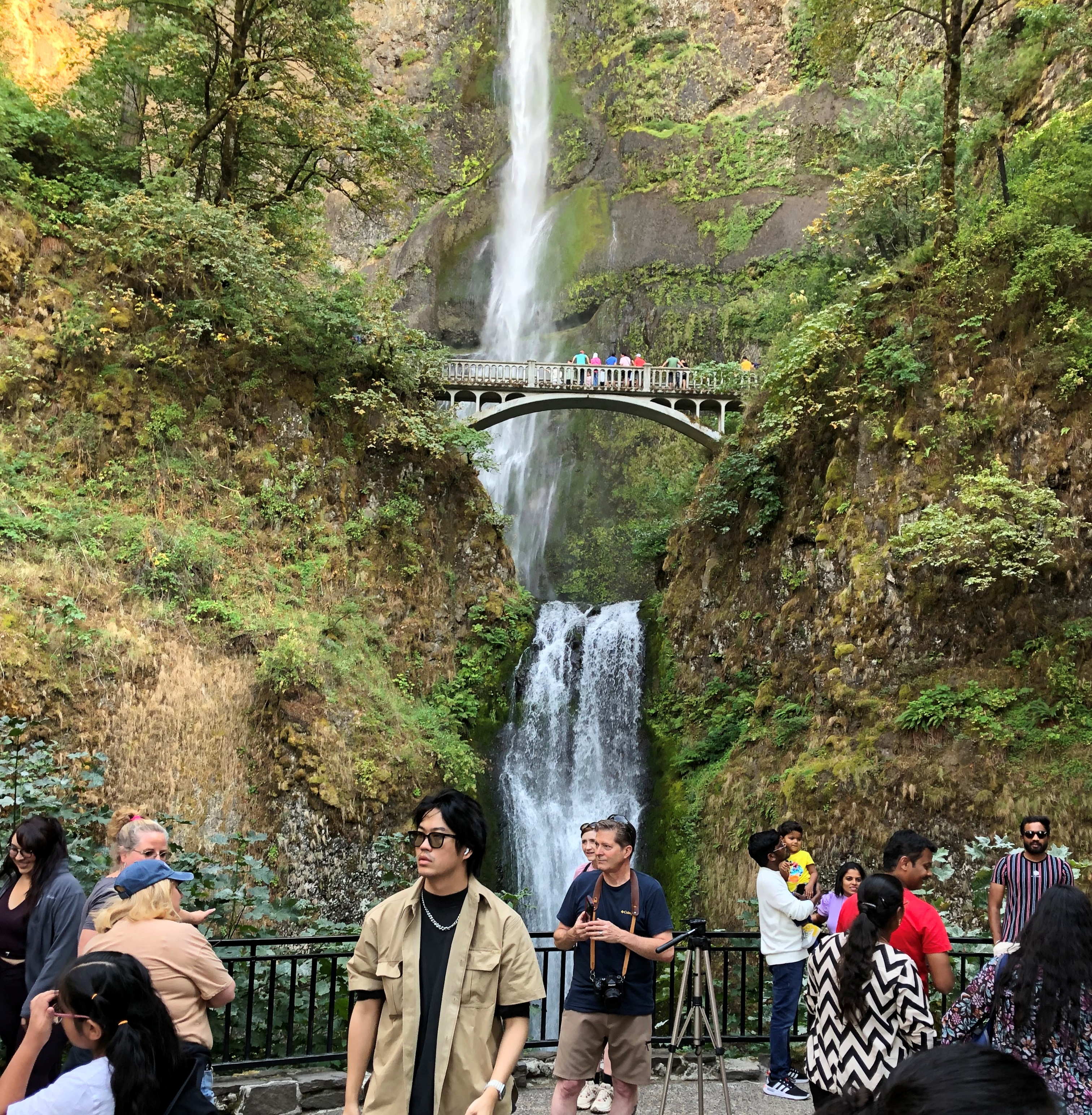
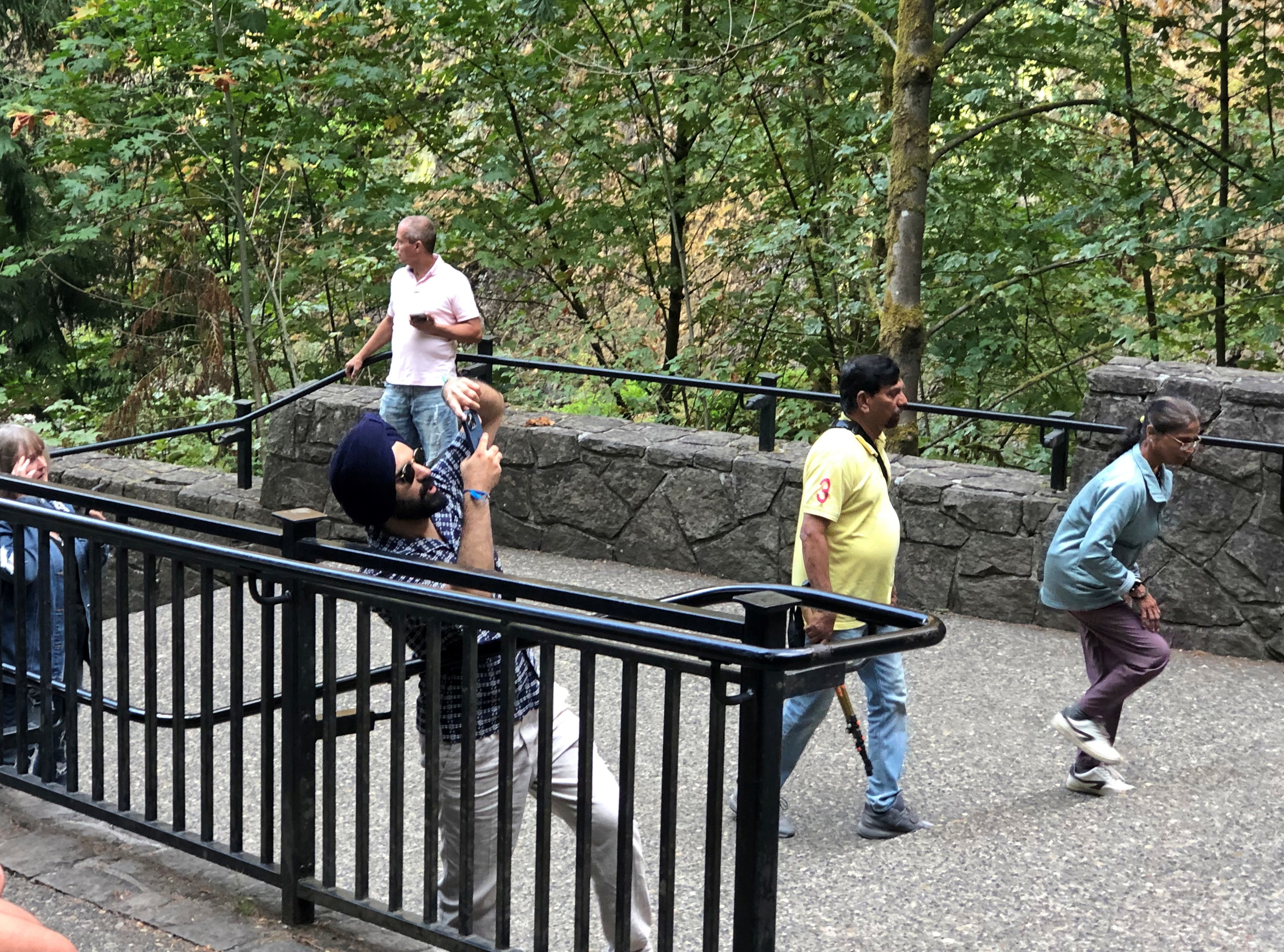
A stone footbridge 100 feet above the lower pool is the place to climb to and point your camera.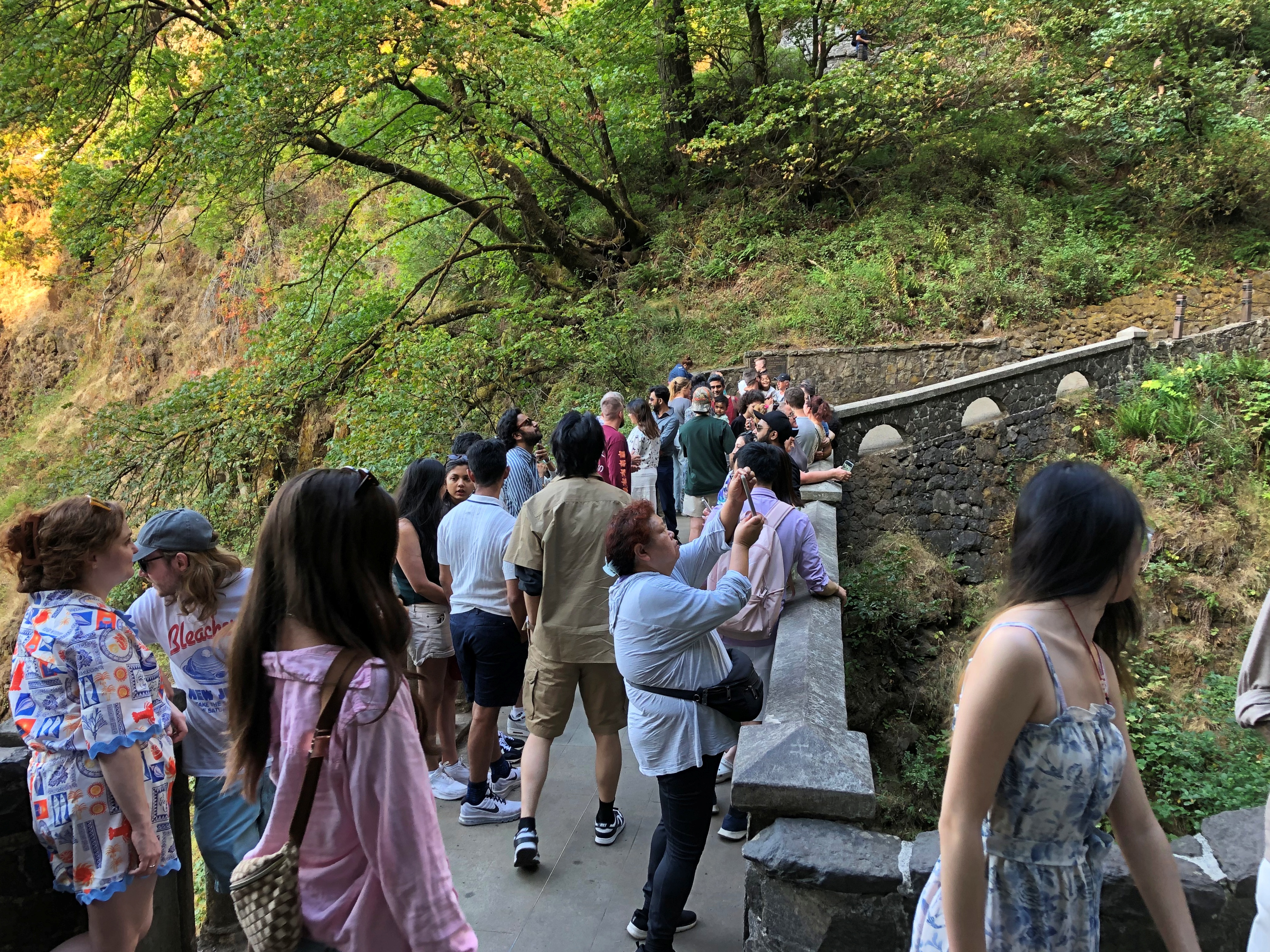
“Formed by the cataclysmic Missoula Floods beginning 15,000 years ago and fed mainly by underground springs, Multnomah Falls drops… in two major tiers down basalt cliffs,” says the office of the Oregon Secretary of State. “It ranks as the tallest waterfall in Oregon and is one of the most visited tourism sites in the state.”
Two million visits a year, to quantify that statement. As I’ve noticed in a fair number of other places, that’s not much of an issue, since the crowd is in a pretty good mood.
Missoula Floods?
“After millennia of relative calm, the colossal Missoula Floods crashed through the [Columbia River] gorge several times between 12,000 and 18,000 years ago,” wrote science writer Richard Hill in the Oregonian. “The source of the floods was the 2,000-foot-deep, 200-mile-wide Glacial Lake Missoula. Until the last ice age started to thaw, an ice sheet at the mouth of the Clark Fork River in northern Idaho and Montana blocked it.
“But slowly, melted water cut a channel into or under the ice, collapsing the dam and unleashing the lake’s 500 cubic miles of water. It sped into the narrower confines of the gorge at 75 mph and submerged Crown Point. The ice dam repeatedly would reform, and the flood process would start again.
“Recent studies… found evidence of at least 25 massive floods. They calculated the largest flood discharged roughly 2.6 billion gallons a second — about 2,000 times larger than the Columbia’s 1996 flood.”
1996 flood?
Another one of those things I’m sure I heard about, but memory of it has evaporated as surely as the flood waters. Epic, the Oregonian calls it.