It’s becoming clear that my approach to travel — to finding things to see, anyway — has had two distinct phases. One is before I started using Google Maps, the other after I did, a phase that I expect to continue for the rest of my life.
Visiting Voyageur Landing (see yesterday) only counts as travel in the technical sense that we went to a place that isn’t home, or even in our neighborhood. Even so, it was a new destination and before we went, I scouted it on Google Maps.
 Pratt’s Castle? I had to found out more about that, and I did.
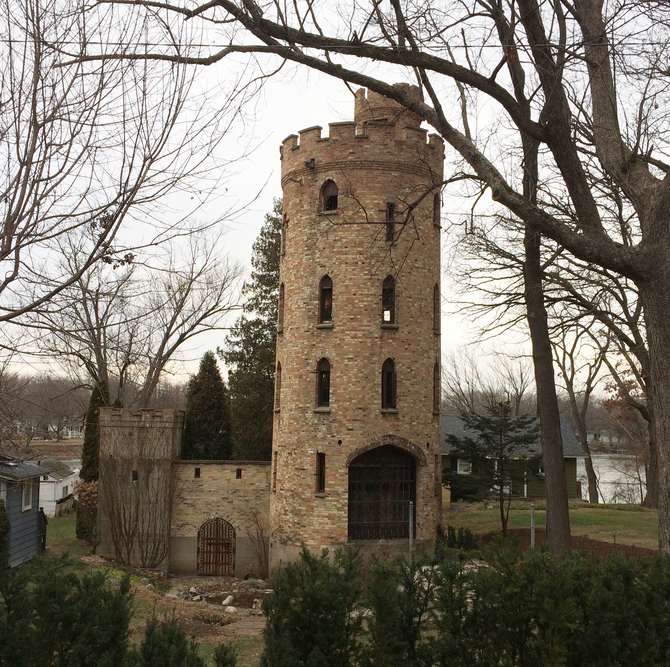
“A man’s home may be his castle but when was the last time you actually saw a castle in a residential neighborhood?” says Historic Elgin. “Medieval history buff Harold S. Pratt built this imposing replica in 1937. His real home was nearby on Douglas Avenue.
“Pratt modeled the design on a castle he saw along the Rhine River while serving in World War I. This building was a private museum housing Pratt’s personal collection of medieval artifacts. The 50 foot tall tower is surrounded by a mini-moat and a working draw bridge.
“The castle is still in private ownership, although, [sic] Pratt’s collection is no longer here. So, please respect the privacy of those living here and stay on the bike path.”
More about the castle is here, but I haven’t found out much else about the fate of Pratt’s collection, probably because I haven’t bothered to contact the Elgin History Museum. Since we were planning to visit the nearby Voyageur Landing, I made a point of seeking out the castle as well. Google Maps at work, in other words.
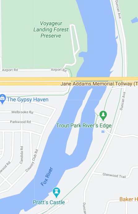
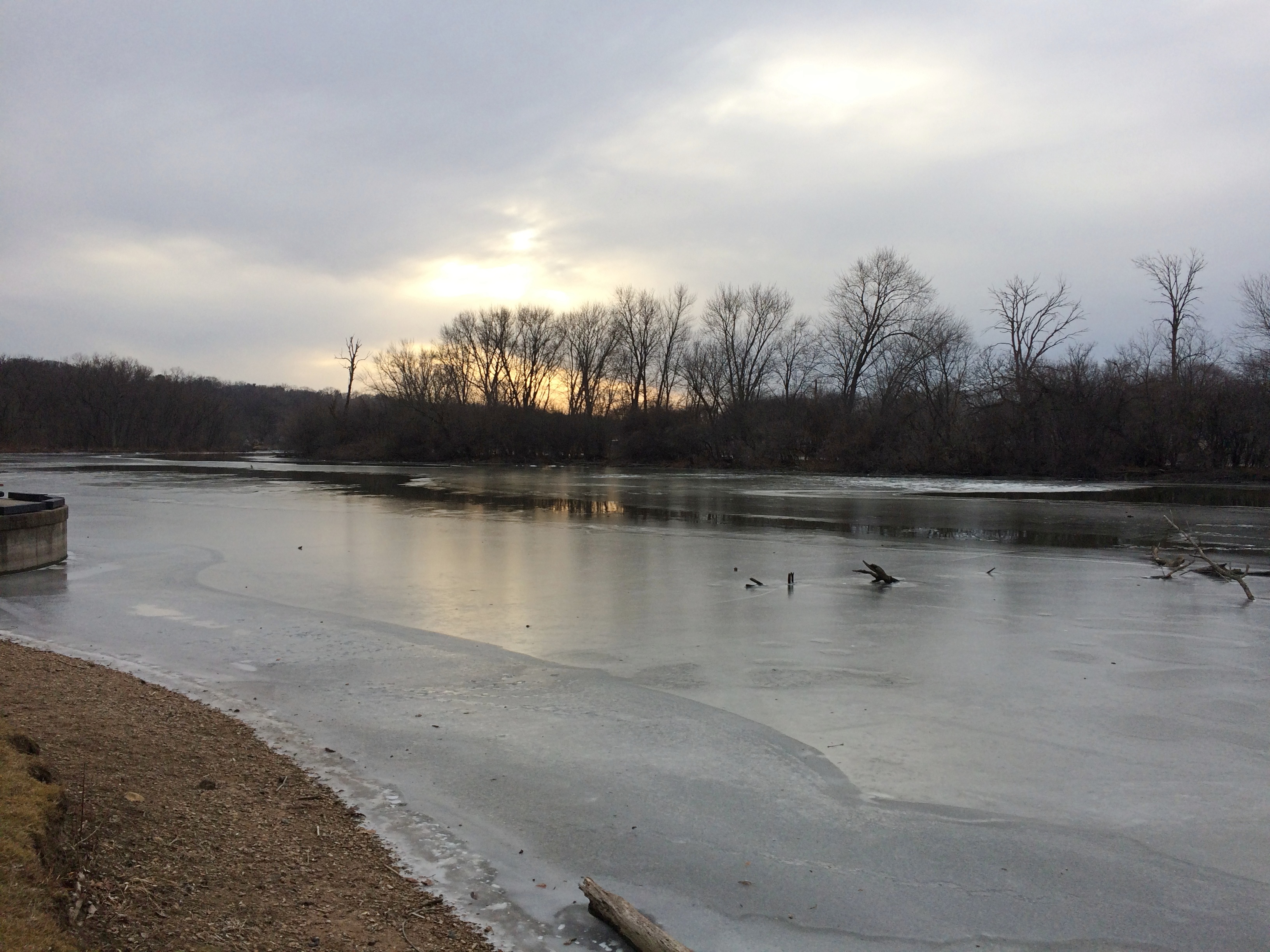
First you go to Trout Park River’s Edge, which sure enough is at the river’s edge.
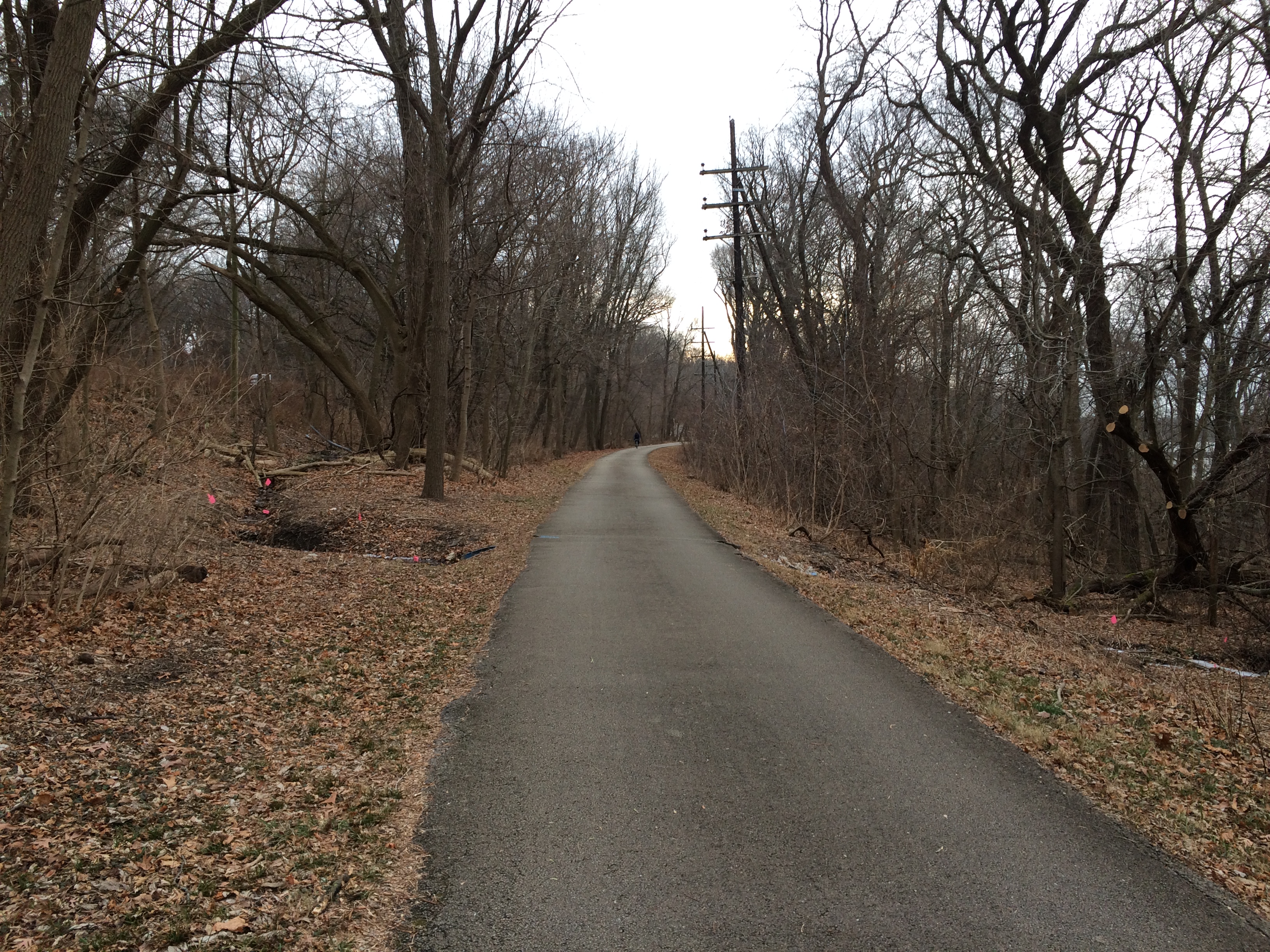
 A trail leads both north and south from there, part of the lengthy Fox River Trail, formerly a railroad line (and the green line on the map above).
 A ten-minute walk southward takes you to the castle.
 Structure. It’s about as much of a castle as Mars Cheese Castle. Still, worth going (slightly) out of our way to see.