On April 10, after leaving Illinois via a white-knuckle, two-lane bridge across the Mississippi into the state of Missouri, I headed south to catch the ferry back across the river at Hickman, Kentucky (green arrow). The point of this exercise was to continue from Hickman on small roads to the Kentucky Bend, marked here with a pink arrow.
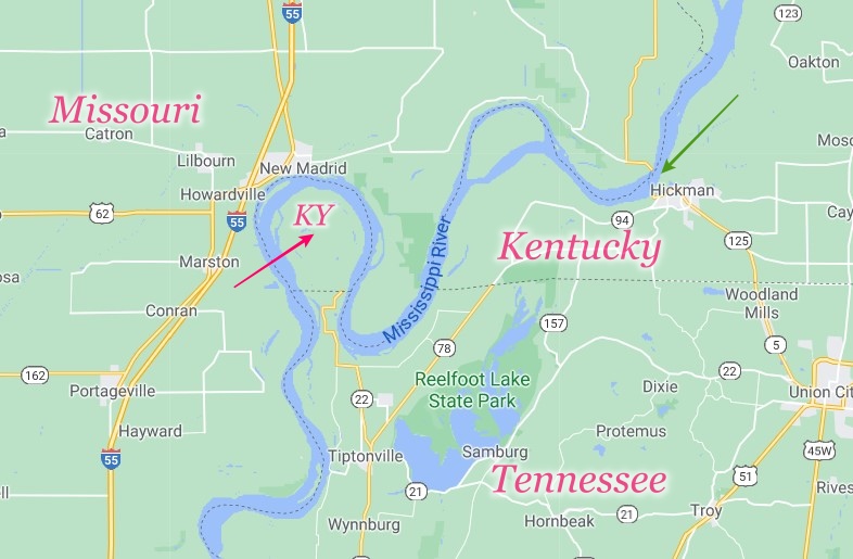
There’s nothing distinctive about the Kentucky Bend except its odd status as an exclave of the commonwealth of Kentucky. I’d planned to snap a picture of whatever sign was at the Tennessee-Kentucky border at that point, and maybe visit the small cemetery just inside the bend.
It wasn’t to be. When I got to the ferry, the Mississippi looked a mite testy, swollen from the storms the night before, and probably other spring rains. A phone call confirmed that the ferry wasn’t running.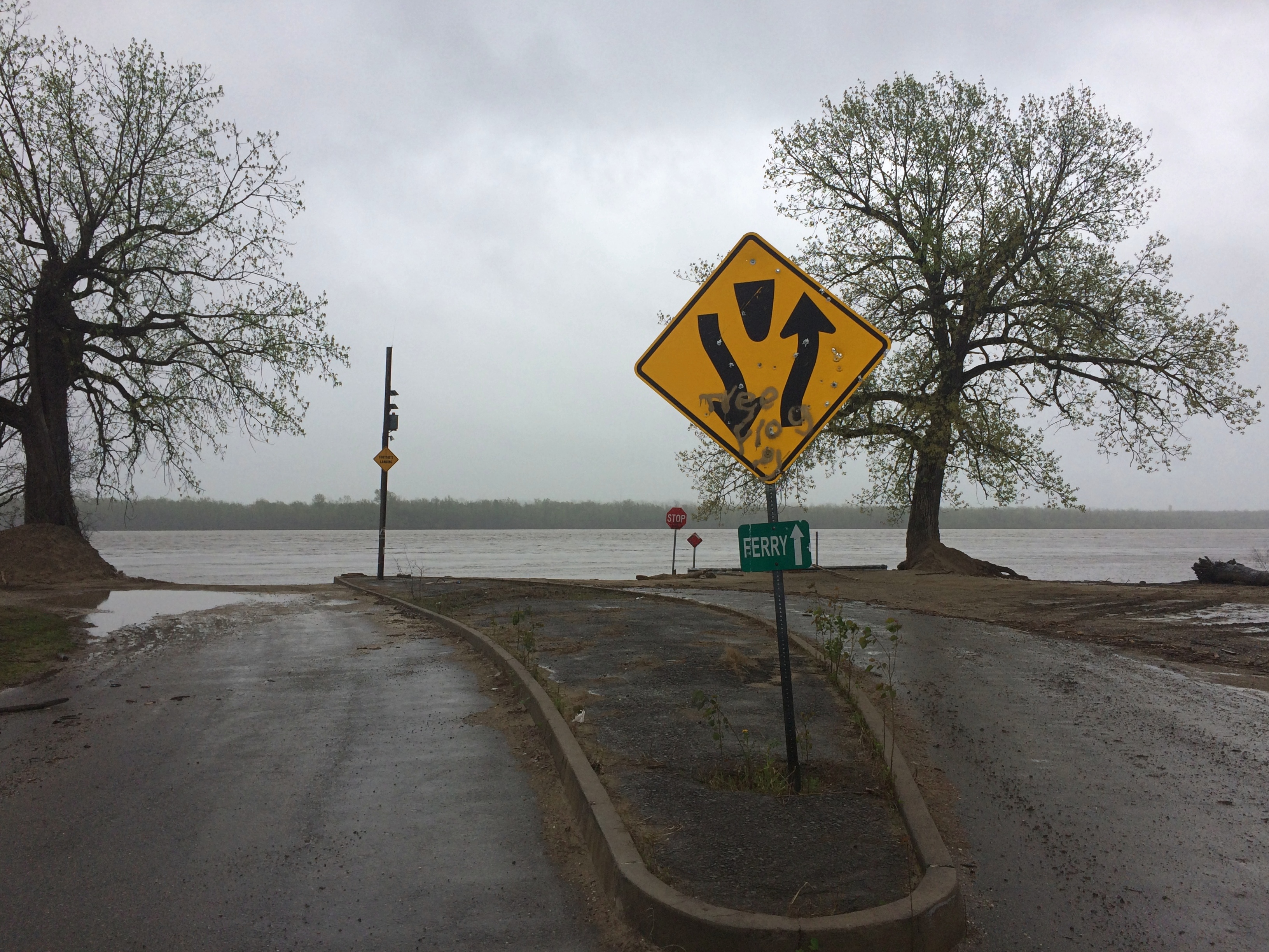
Without the ferry crossing, visiting the Kentucky Bend would have meant considerable backtracking, so I blew it off, and continued southward in Missouri. I got a glimpse of the bend from the riverfront at New Madrid, but I didn’t linger because I needed to find a bathroom.
Later I crossed into Tennessee on I-155 and soon connected with U.S. 51, which goes straight into Memphis. Despite the years I lived in Tennessee once upon a time, it was a part of the state I’d never seen, except for Memphis itself.
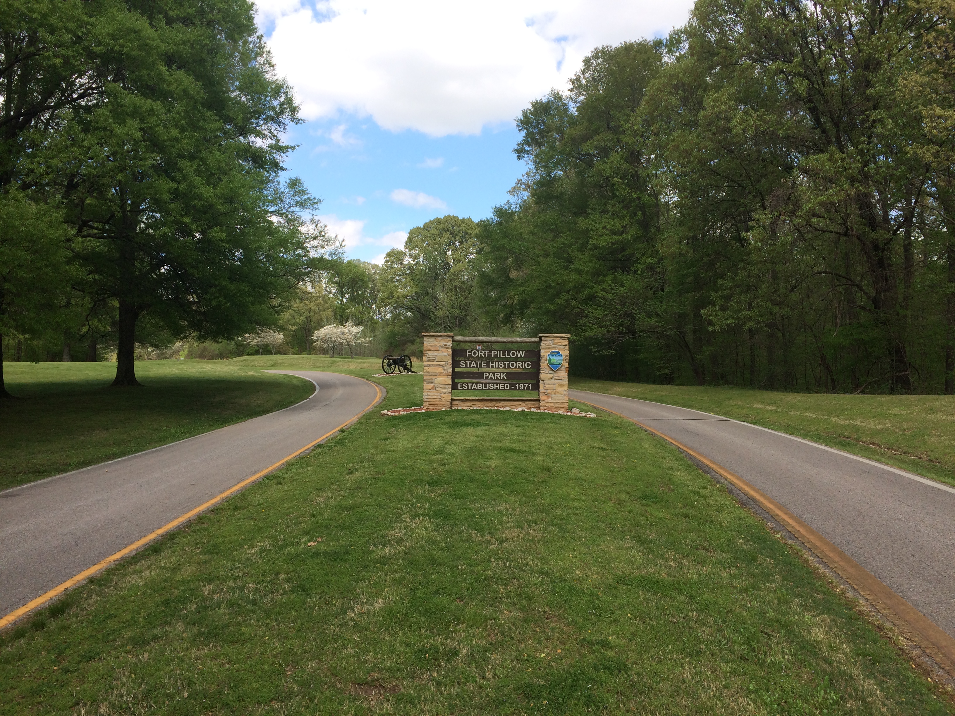
I didn’t quite make the straight shot into the city. Not far from U.S. 51 is Fort Pillow State Historic Park, site of the Battle of Fort Pillow, also known as the Fort Pillow Massacre, on bluffs overlooking the Mississippi. It’s been a state park for 50 years now. The day was as brilliant and warm as a spring day could be by that time, a contrast from the cool rain and less lush conditions further north.
I only spent a little while at the museum and visitor center, but got the impression that the bloody history of Fort Pillow isn’t emphasized. Be that as it may, I was keen to see whatever was left of the fort, or what had been rebuilt. Signs pointed the way.
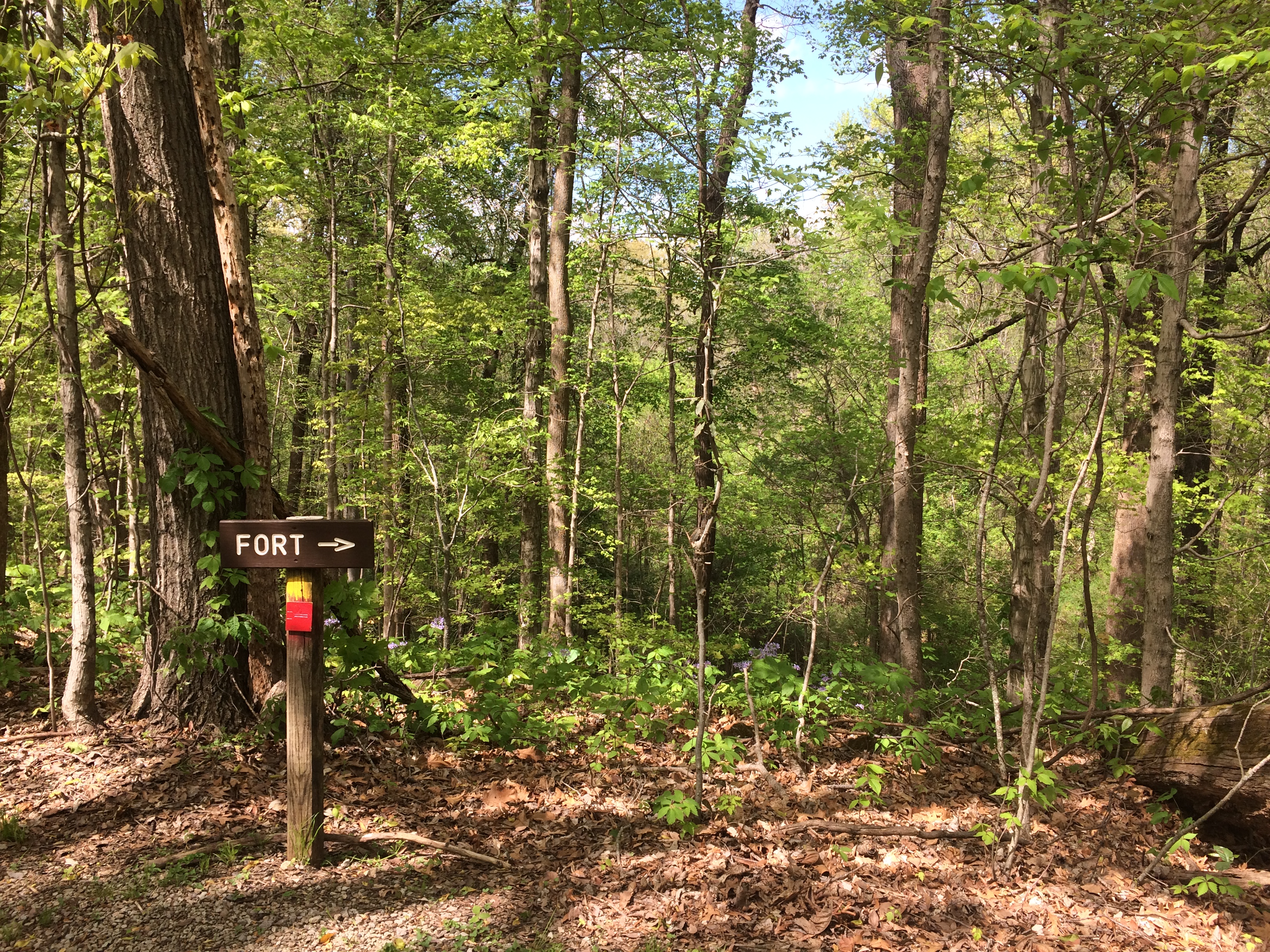
An longer interpretive sign at this clearing said Nathan Bedford Forrest set up his command there.
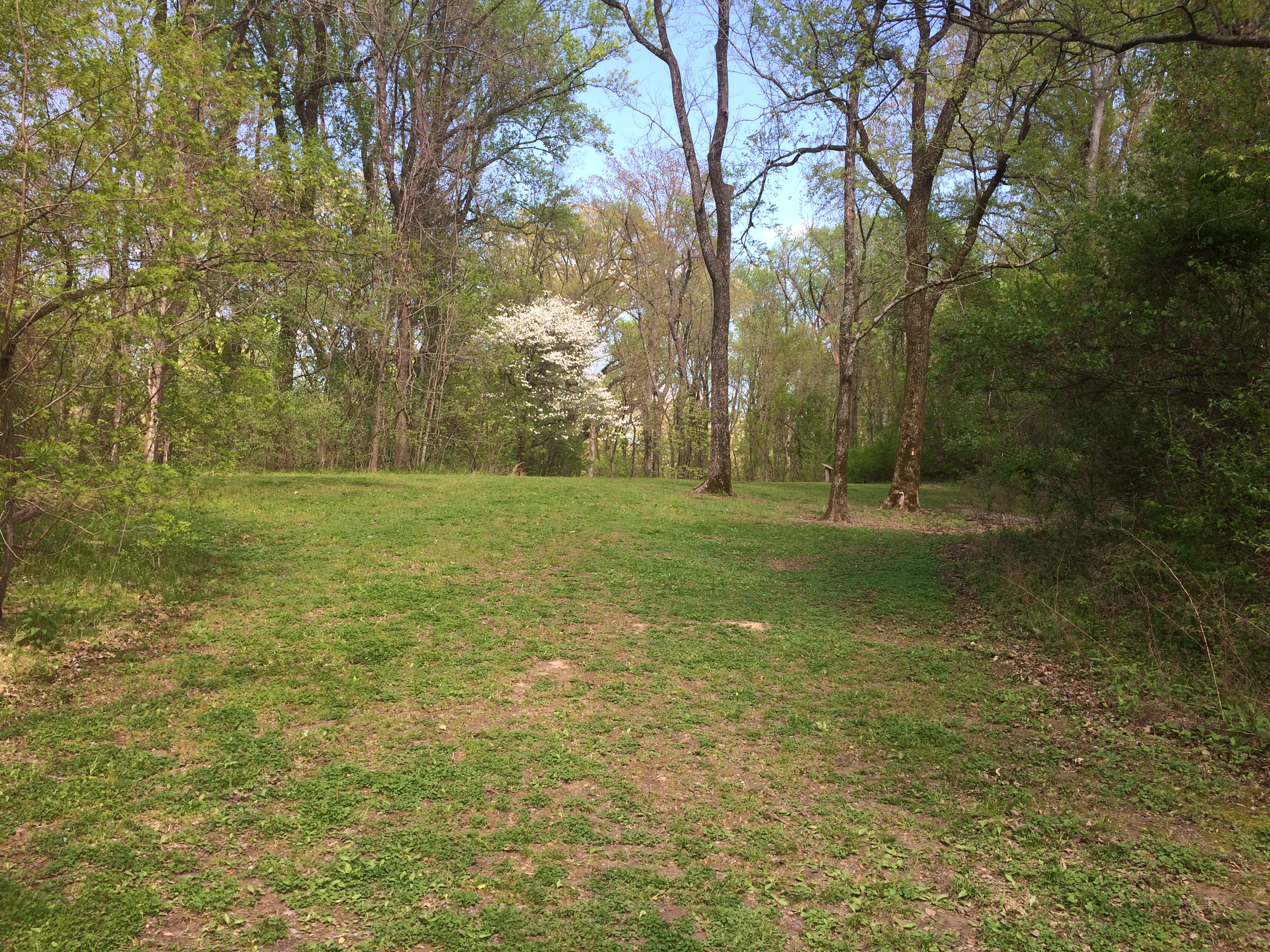
On the trail went.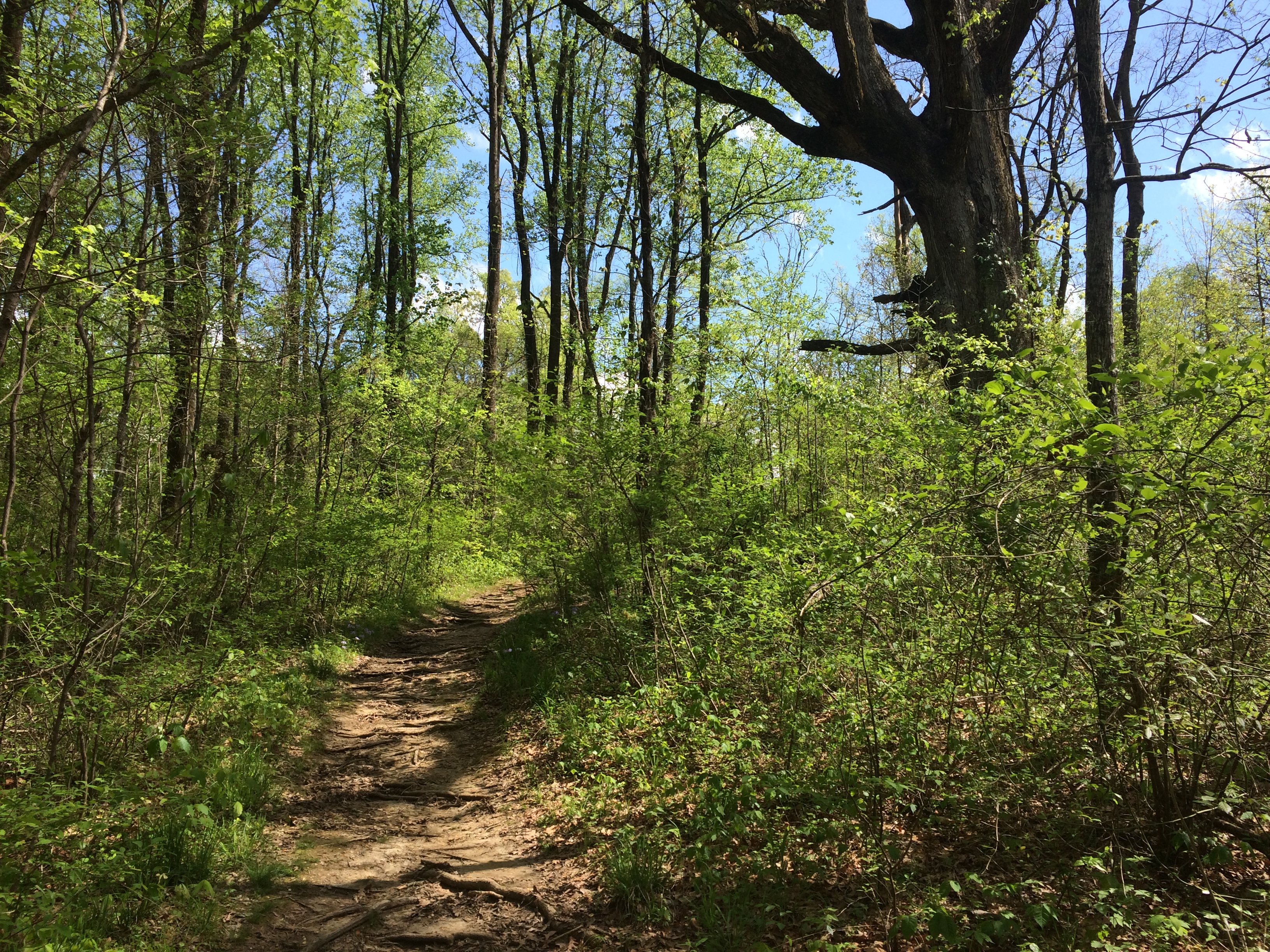
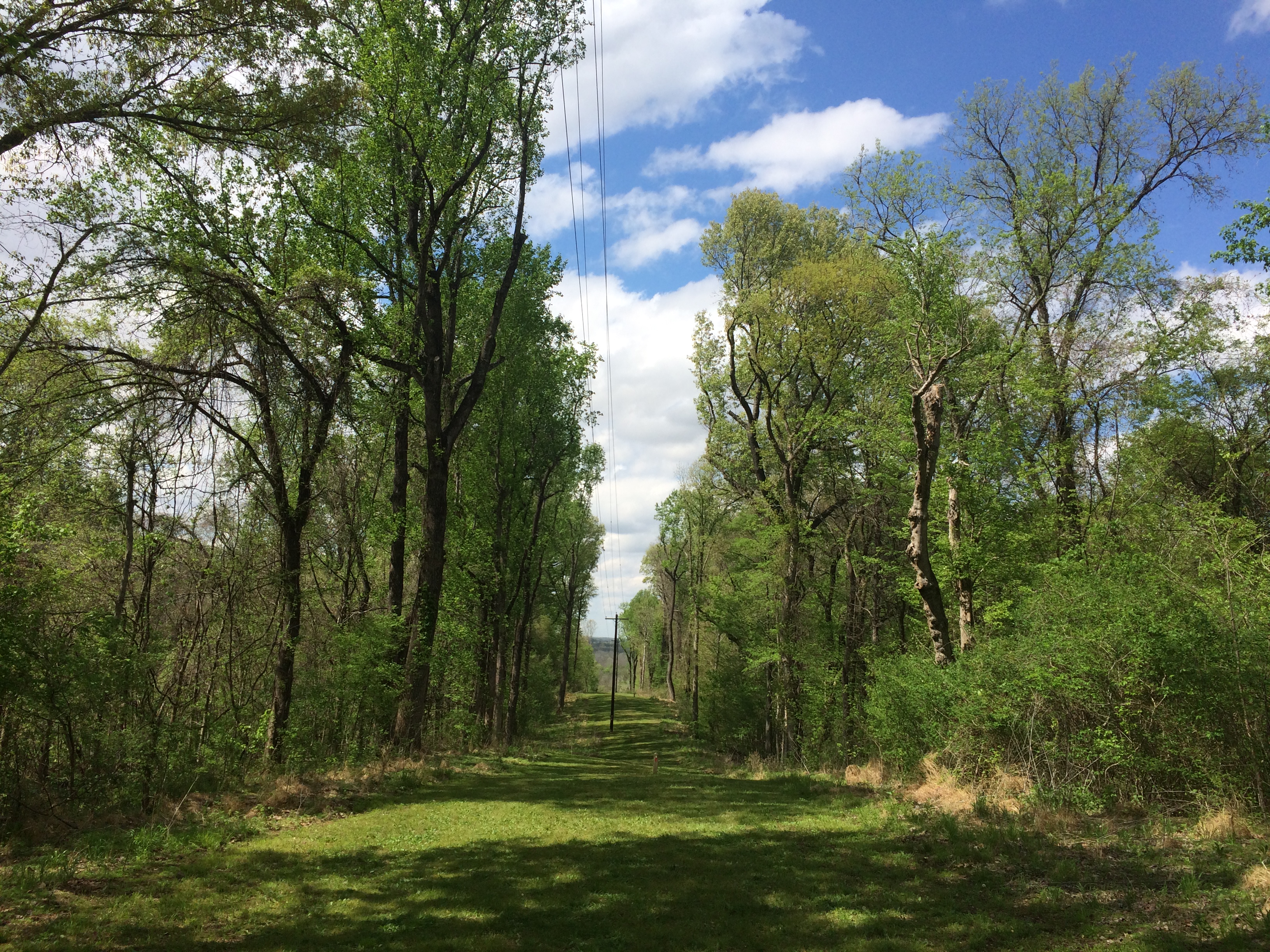
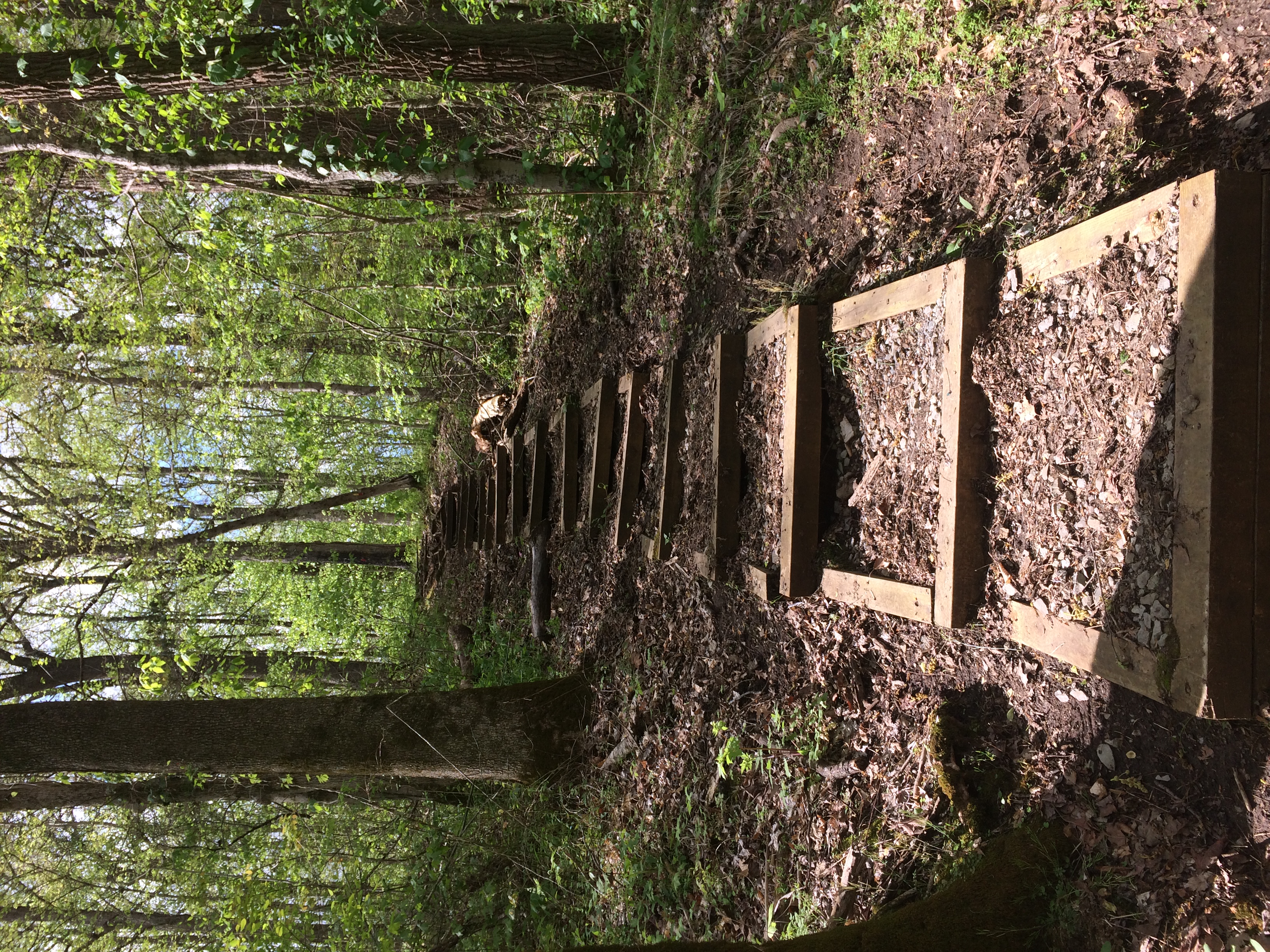
It would have been nice had the FORT –> signs said how far was left to go. Also, I couldn’t quite follow the track I was taking, as compared to the map I acquired at the visitors center, which was a little unusual. Anyway, I climbed another couple of rises and came to a spot where I could just barely see the river.
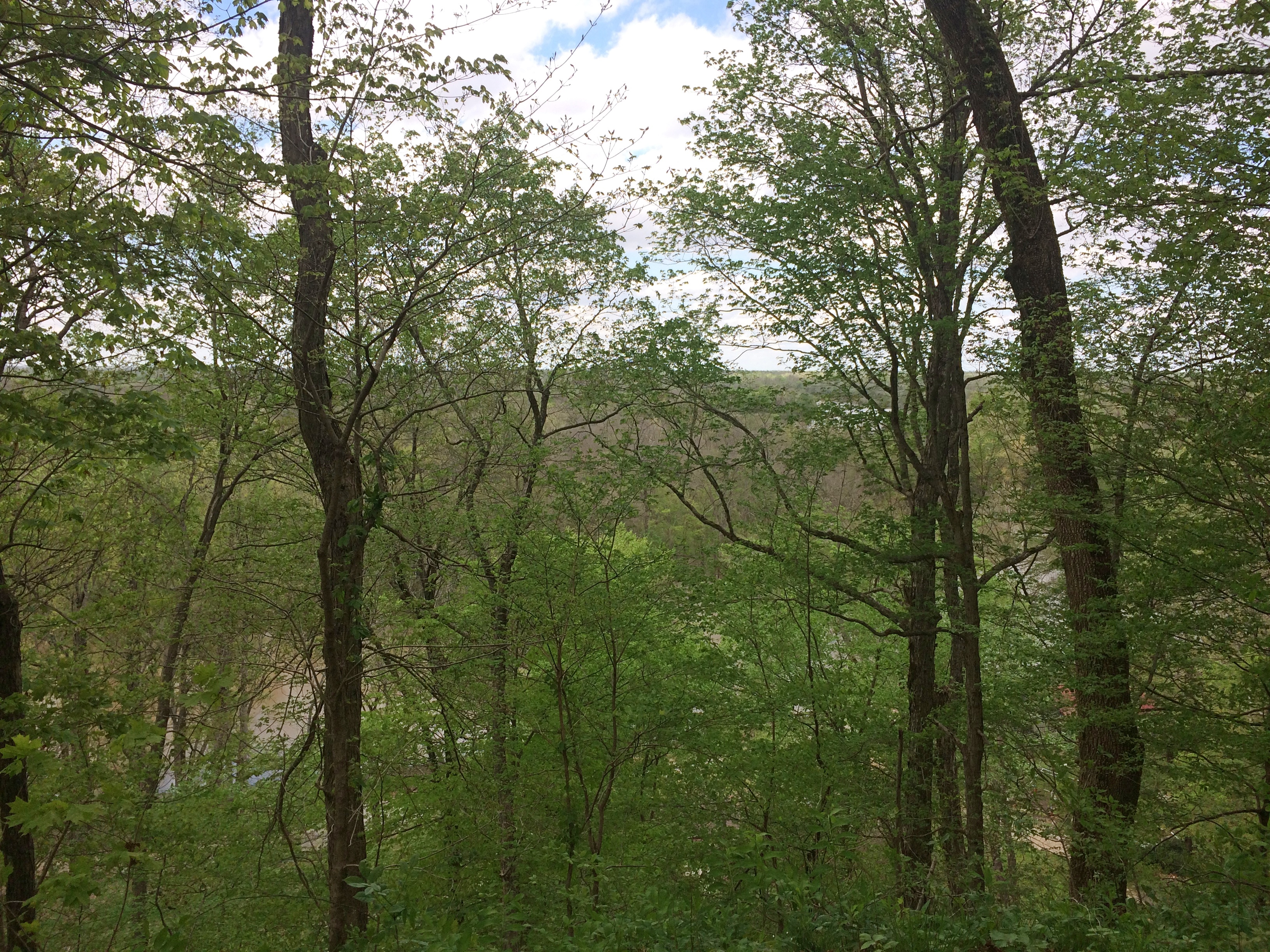
I figured surely there must be earthworks or something at such a high point, but I didn’t see anything. Then I noticed another FORT –> sign pointing me down another staircase. That meant I’d have to go up again somewhere, because forts aren’t built in lower places. Then to return, I’d have go down and then up again. I didn’t have the energy for all that, I decided, so I made my way back. Still, I had a good walk. By the end of the day, I’d walked about two and a half miles.
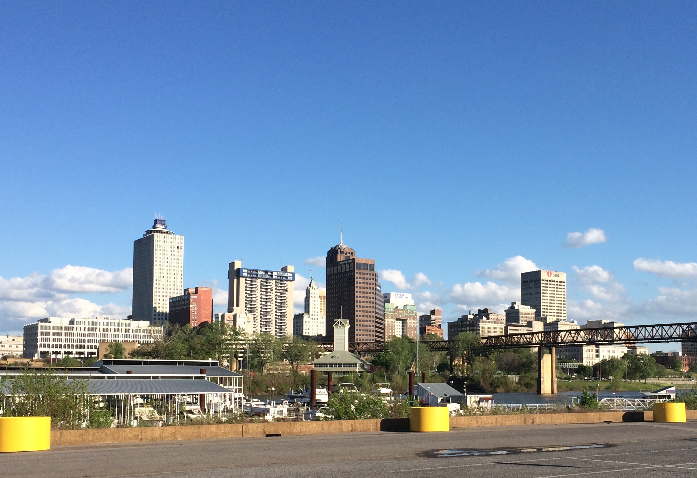
Besides, I wanted to get to Memphis. When I arrived about an hour later, I found a spot in Mud Island Park with a view of the skyline.
The Hernando de Soto Bridge. More bridges ought to be named after explorers.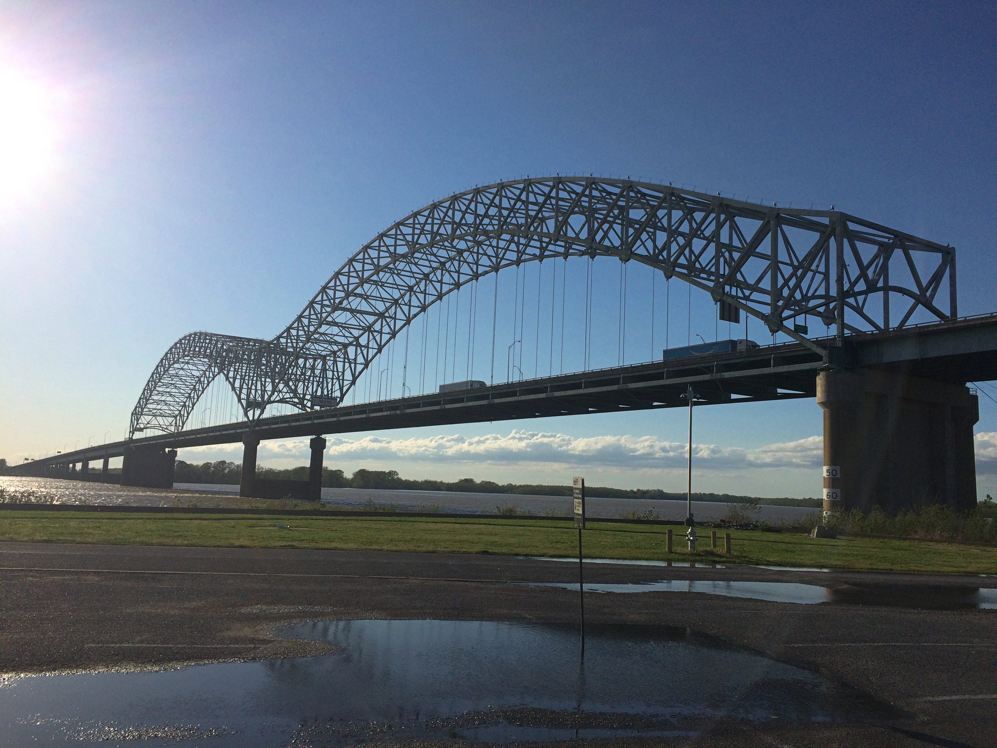
Back on the mainland, I found the Memphis Pyramid. It wasn’t hard to spot.
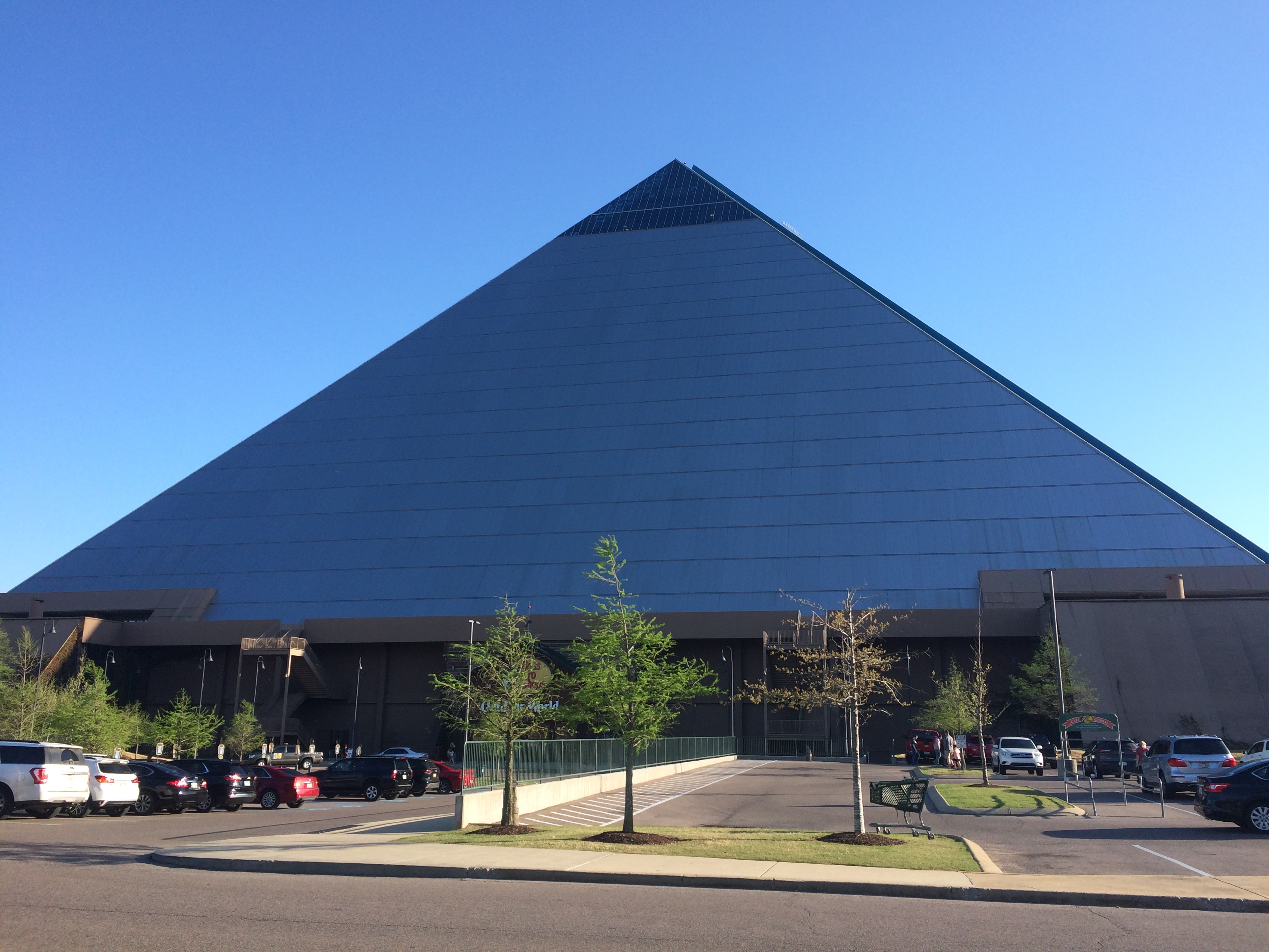
Or more formally, Bass Pro Shops at the Pyramid.
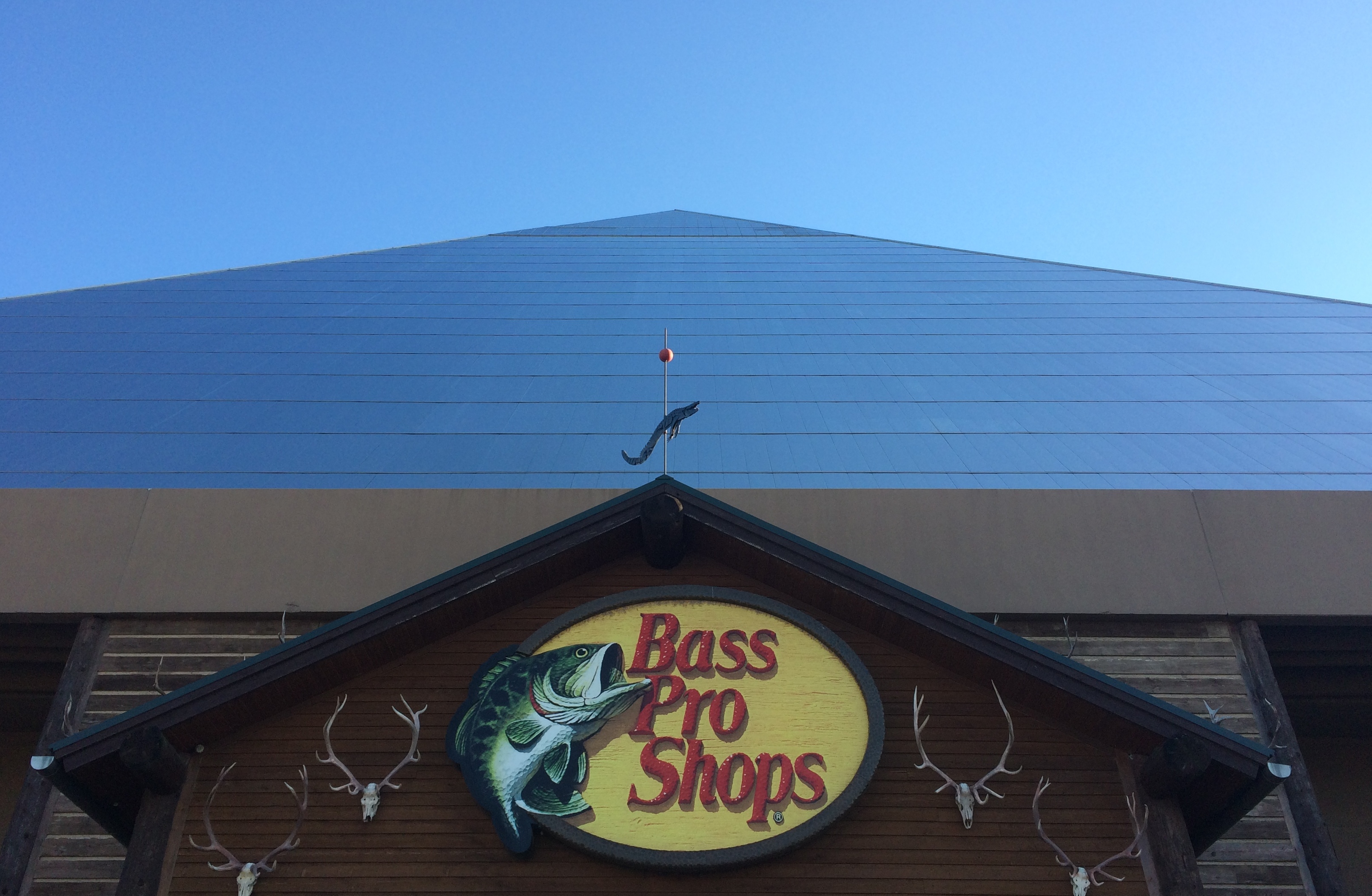
Taller than the Pyramid of the Sun in Mexico, according to this source, but somehow that ancient Mesoamerican structure has much more of a presence. The Memphis Pyramid has been standing for 30 years now, and seems to be making it as a retail store, after failing as a municipal arena.
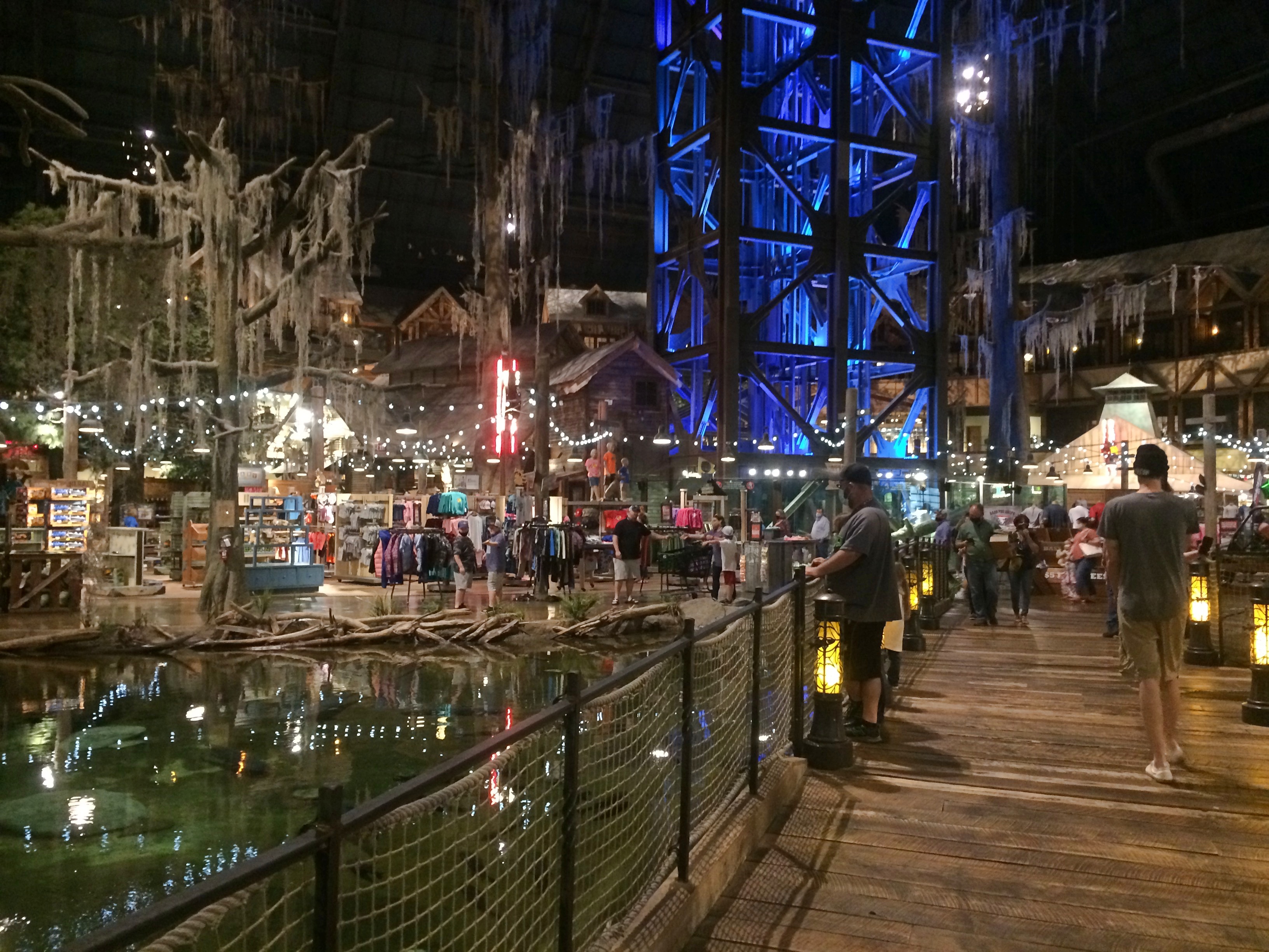
The blue-lit structure is an elevator to a view from the top of the pyramid.
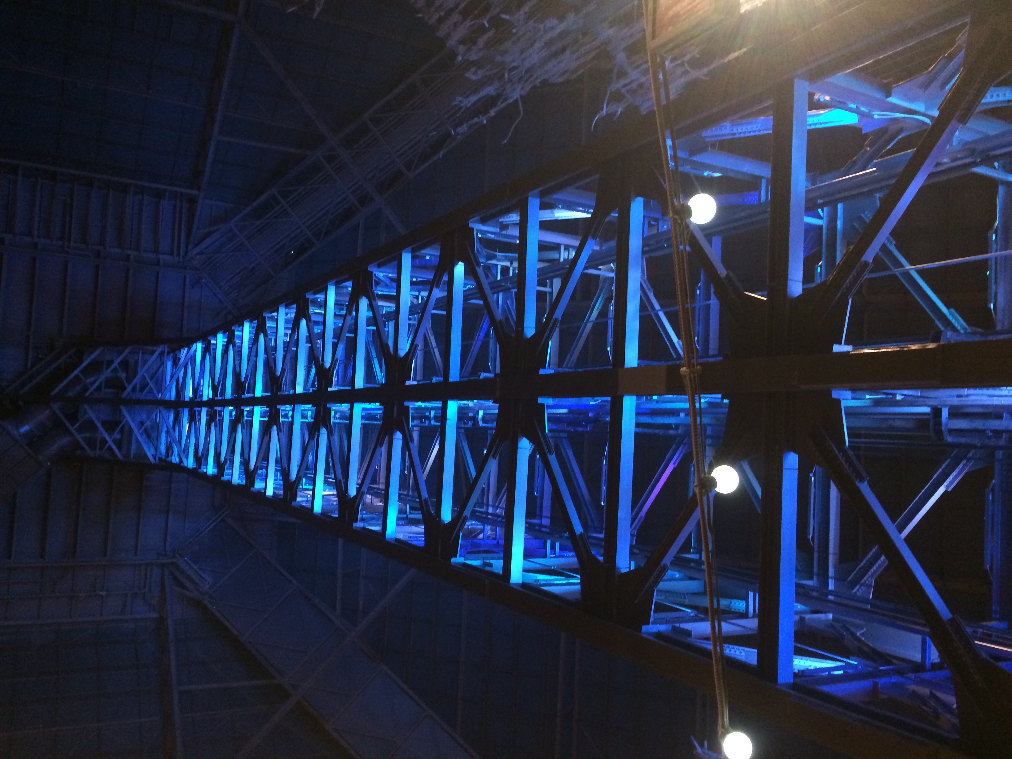
Probably worth the price, but the line was long, so I headed for the exit. But I couldn’t leave without buying something to support the Memphis Pyramid, so I bought a box of Moon Pies.
