Devils Tower National Monument

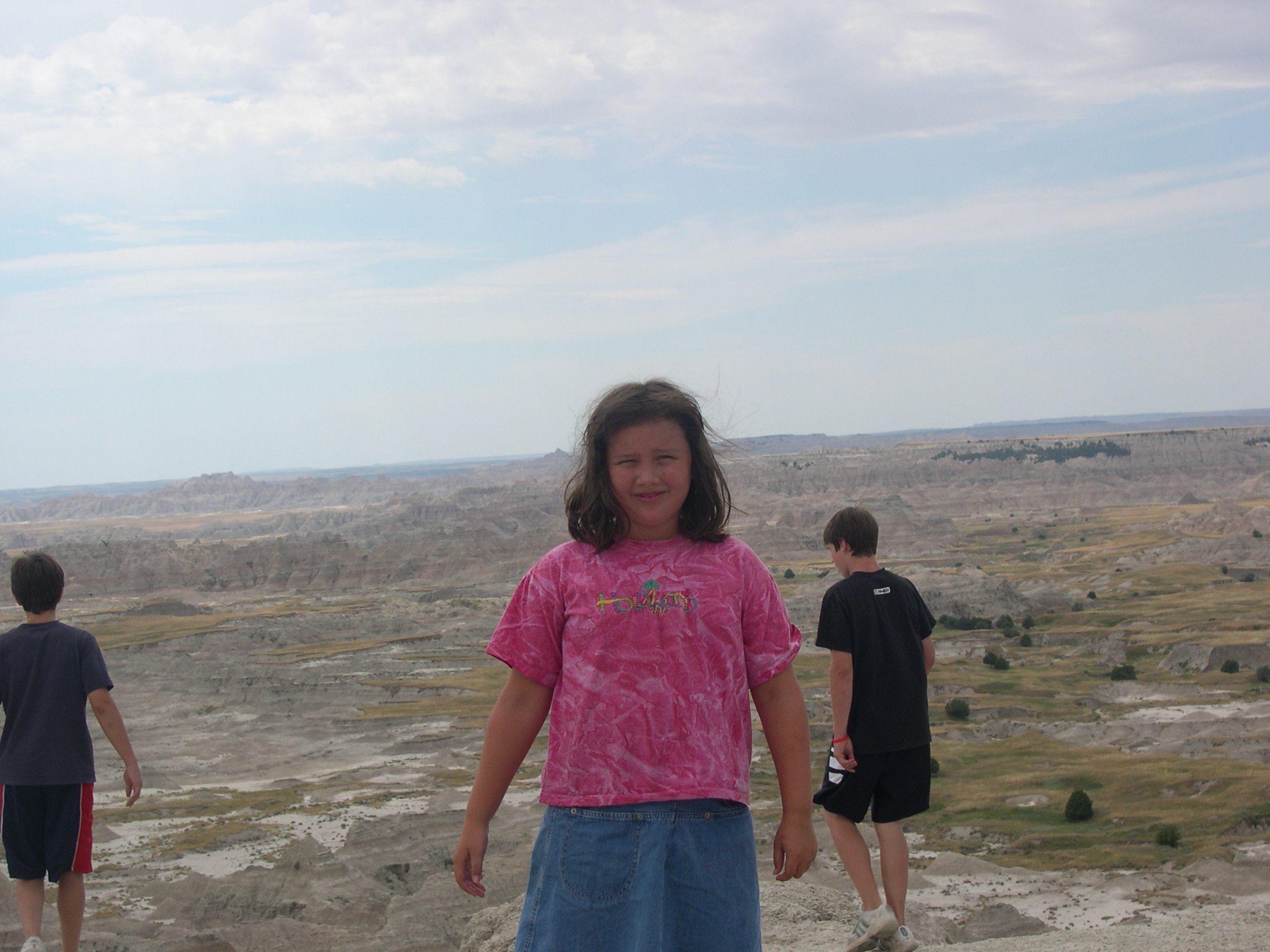
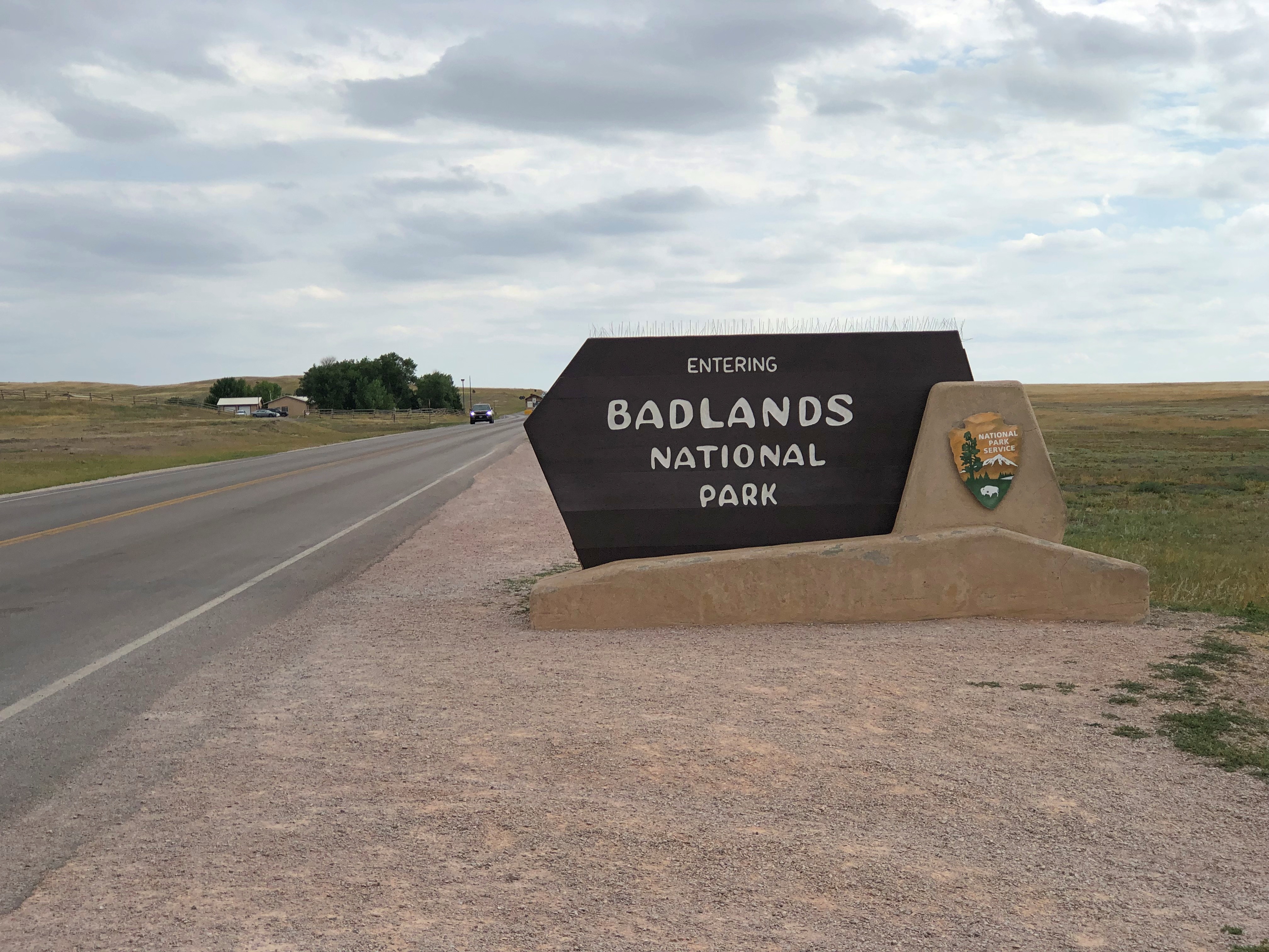
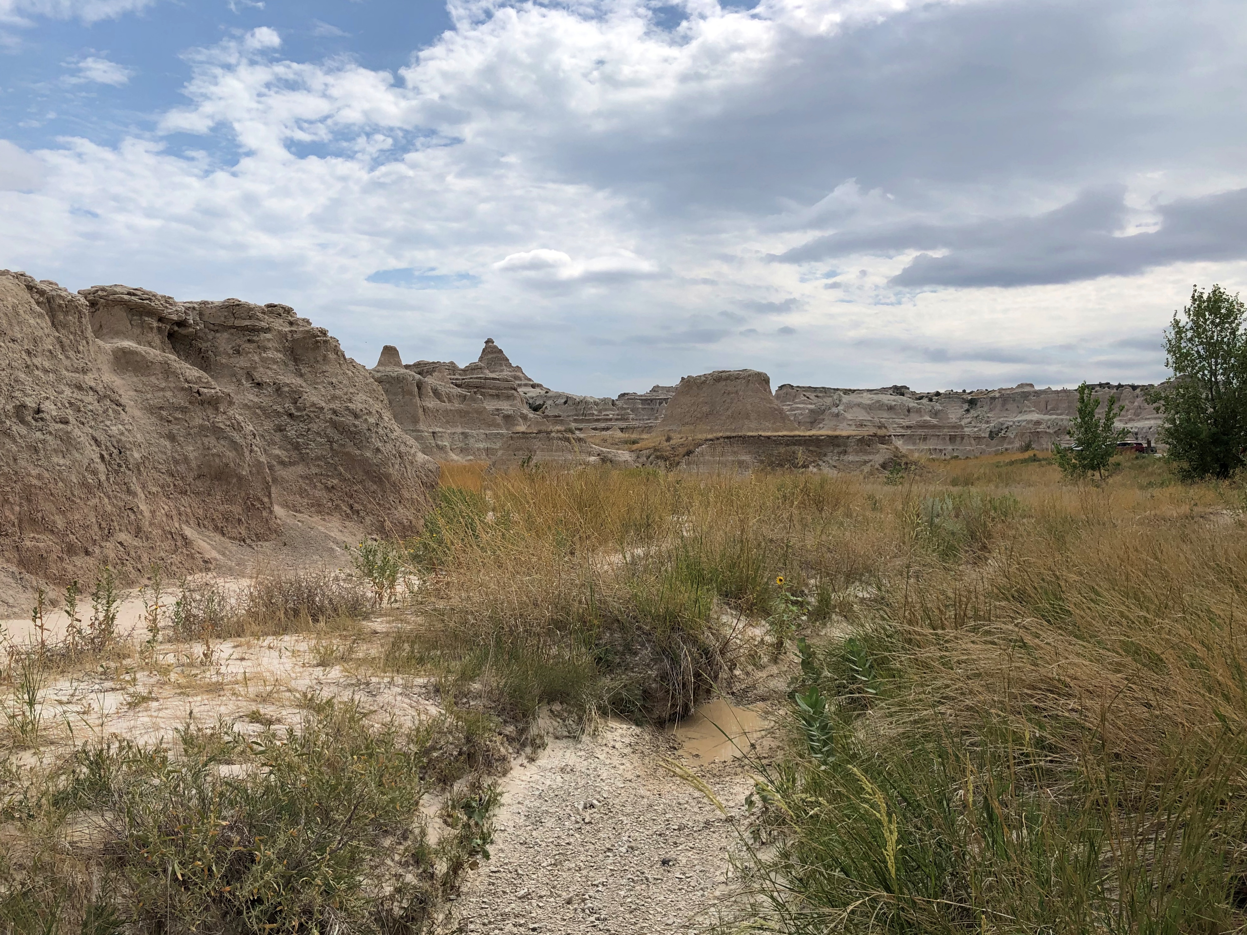
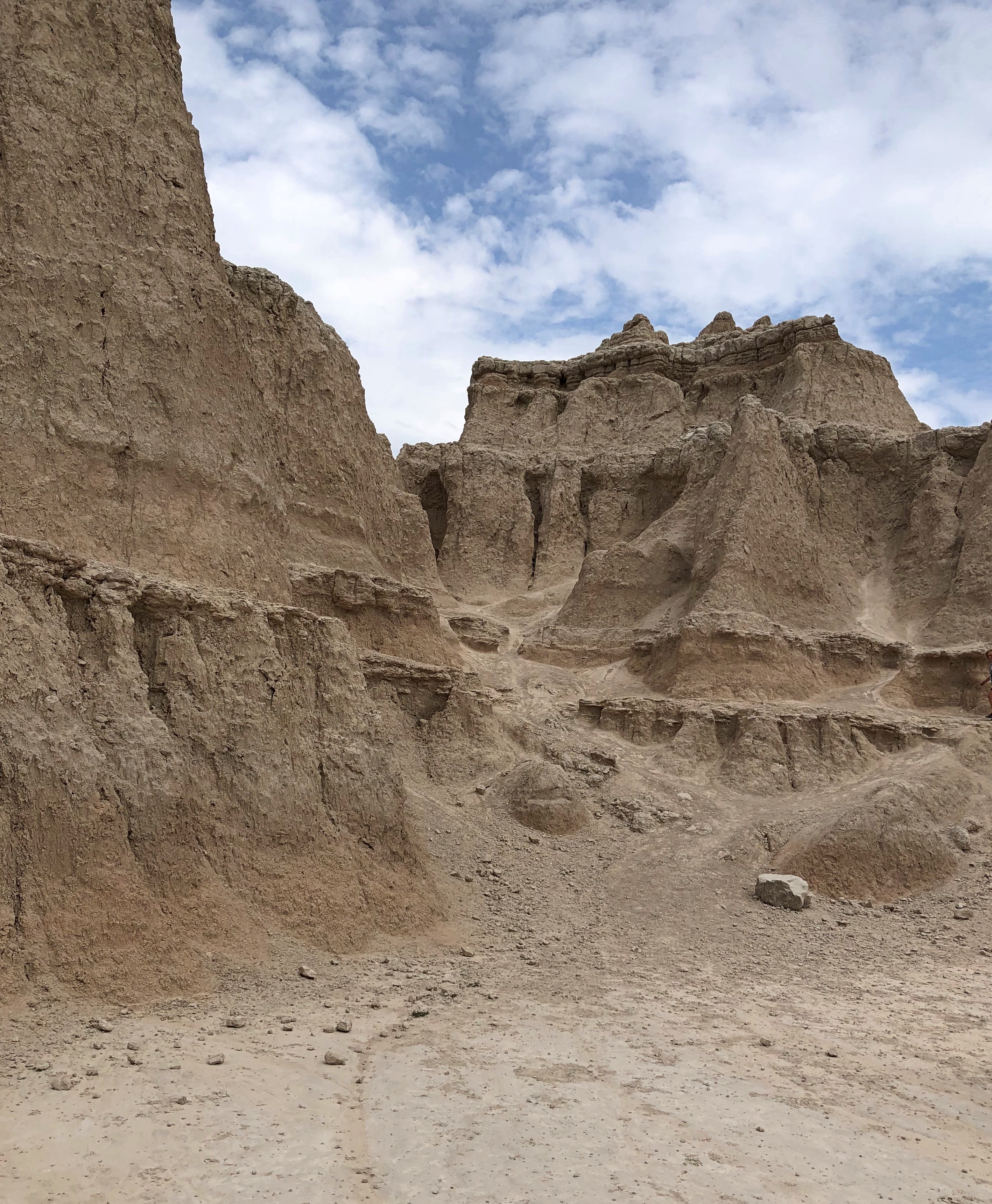
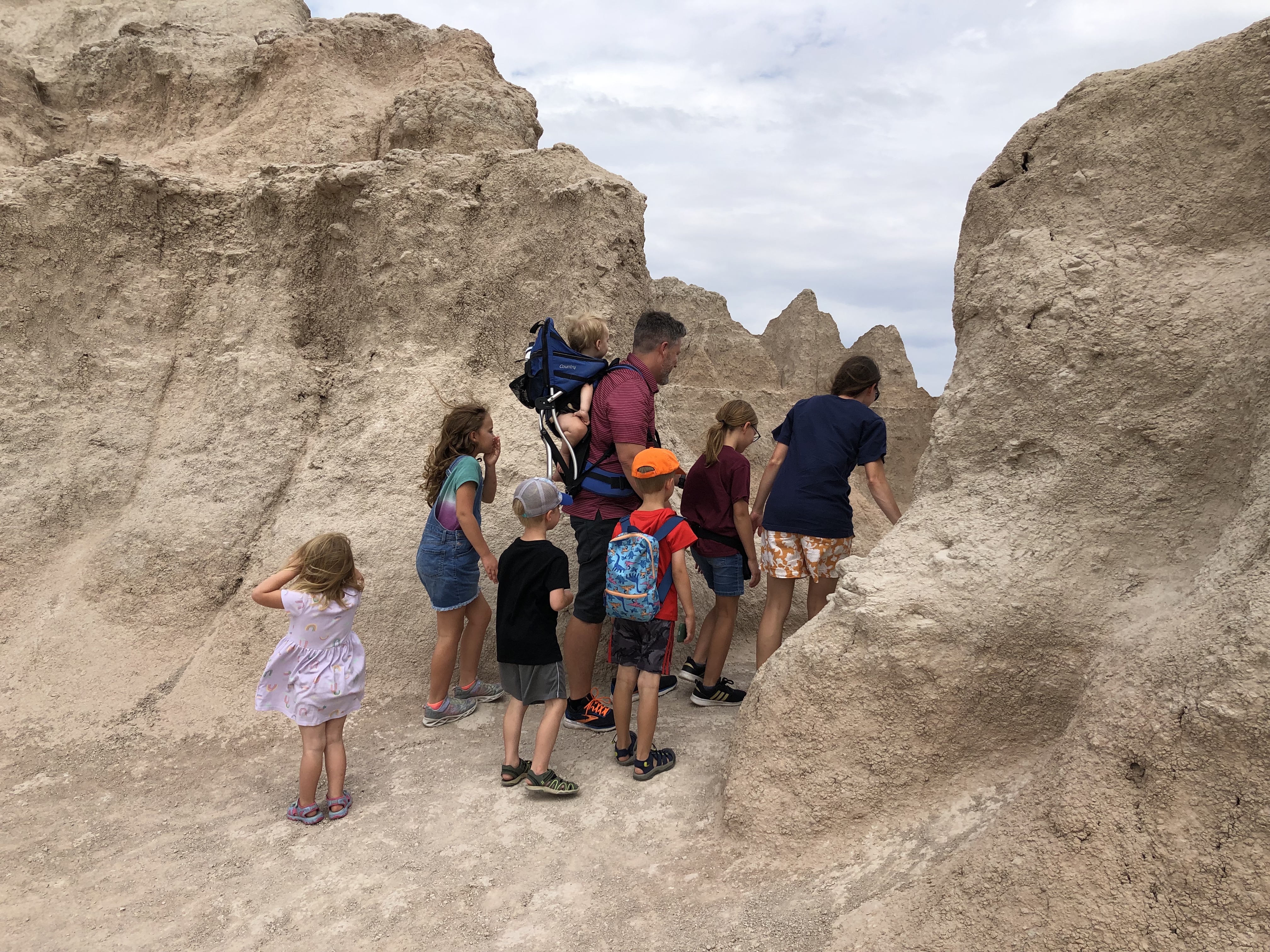
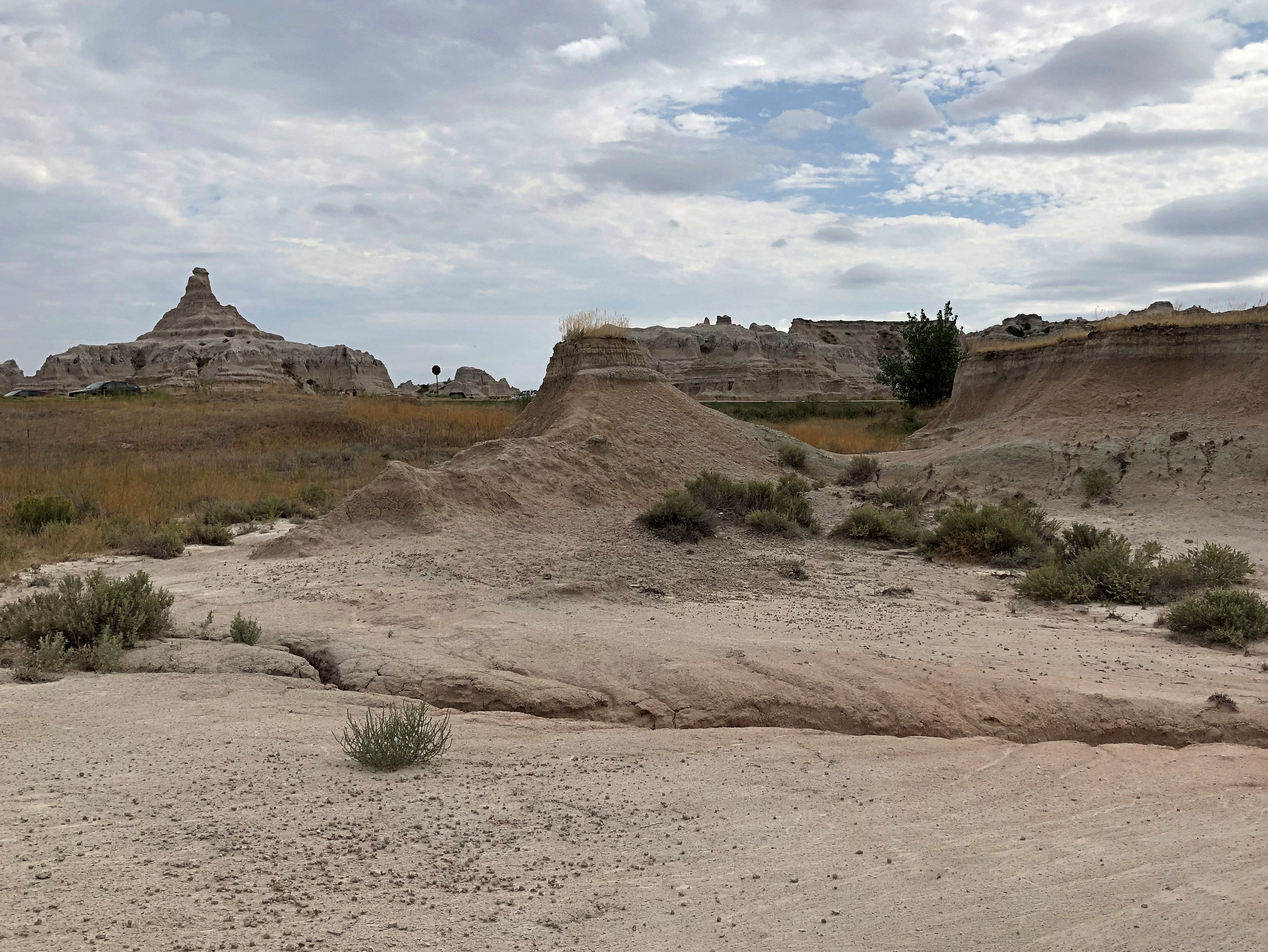
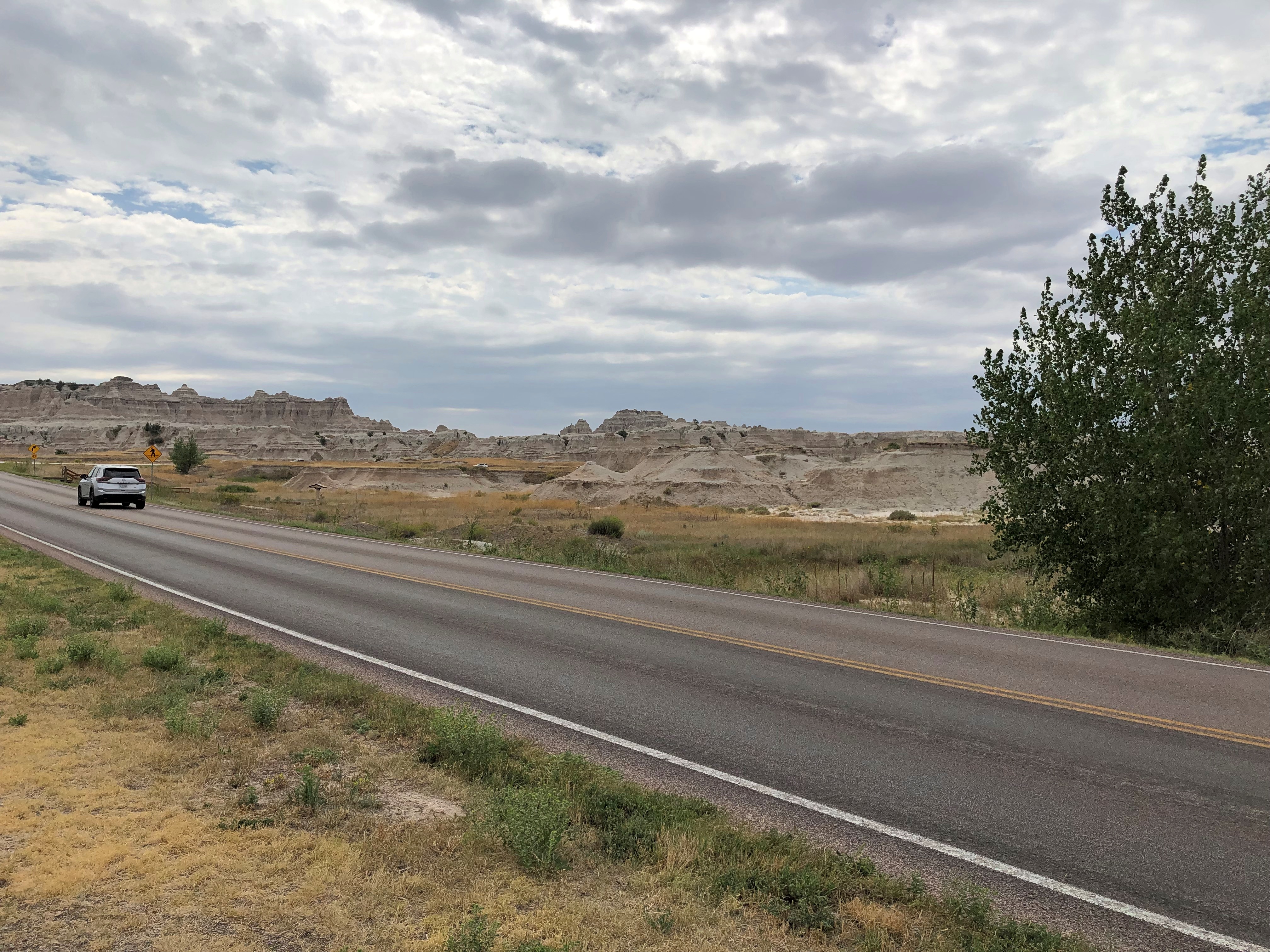
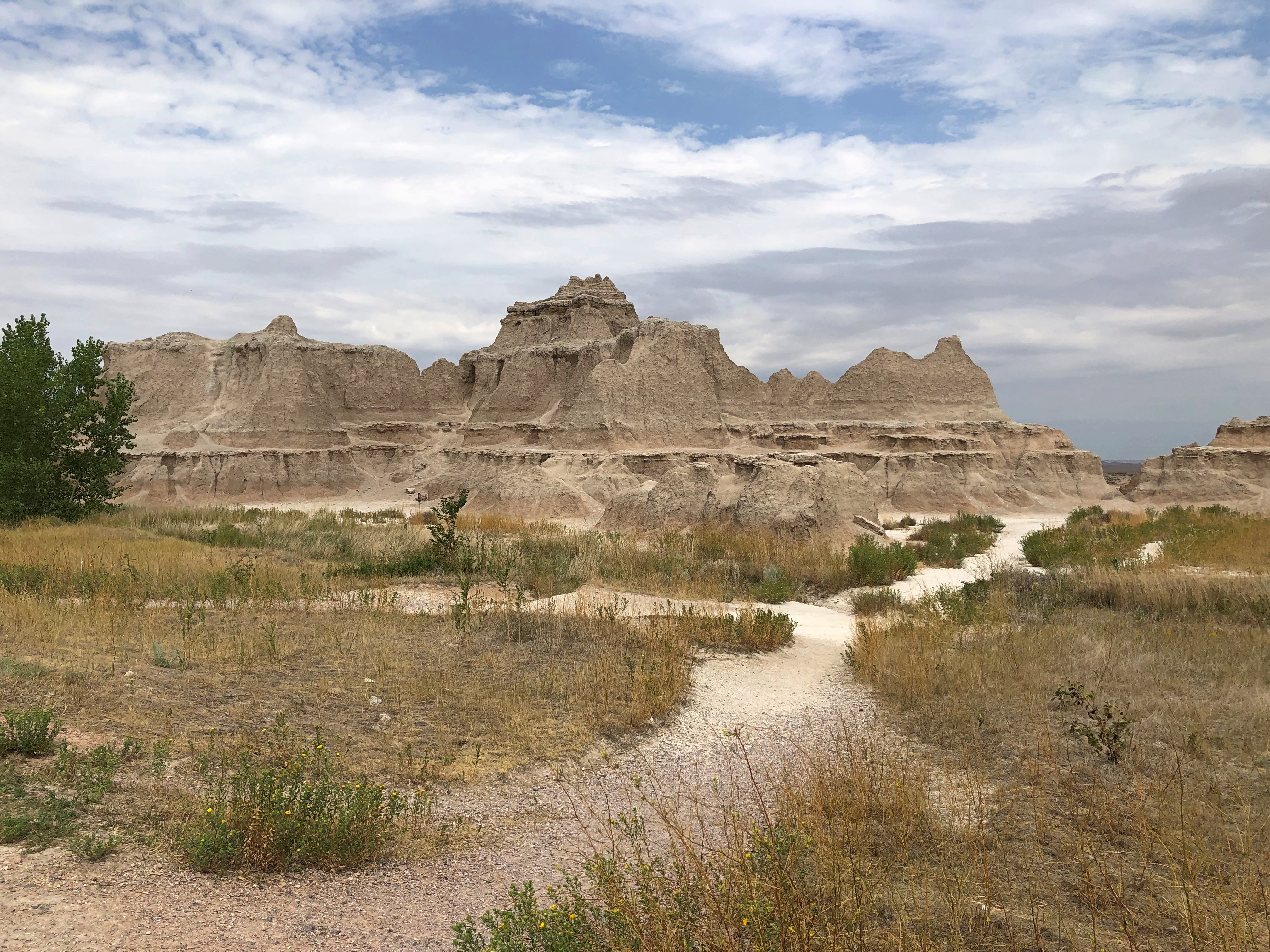
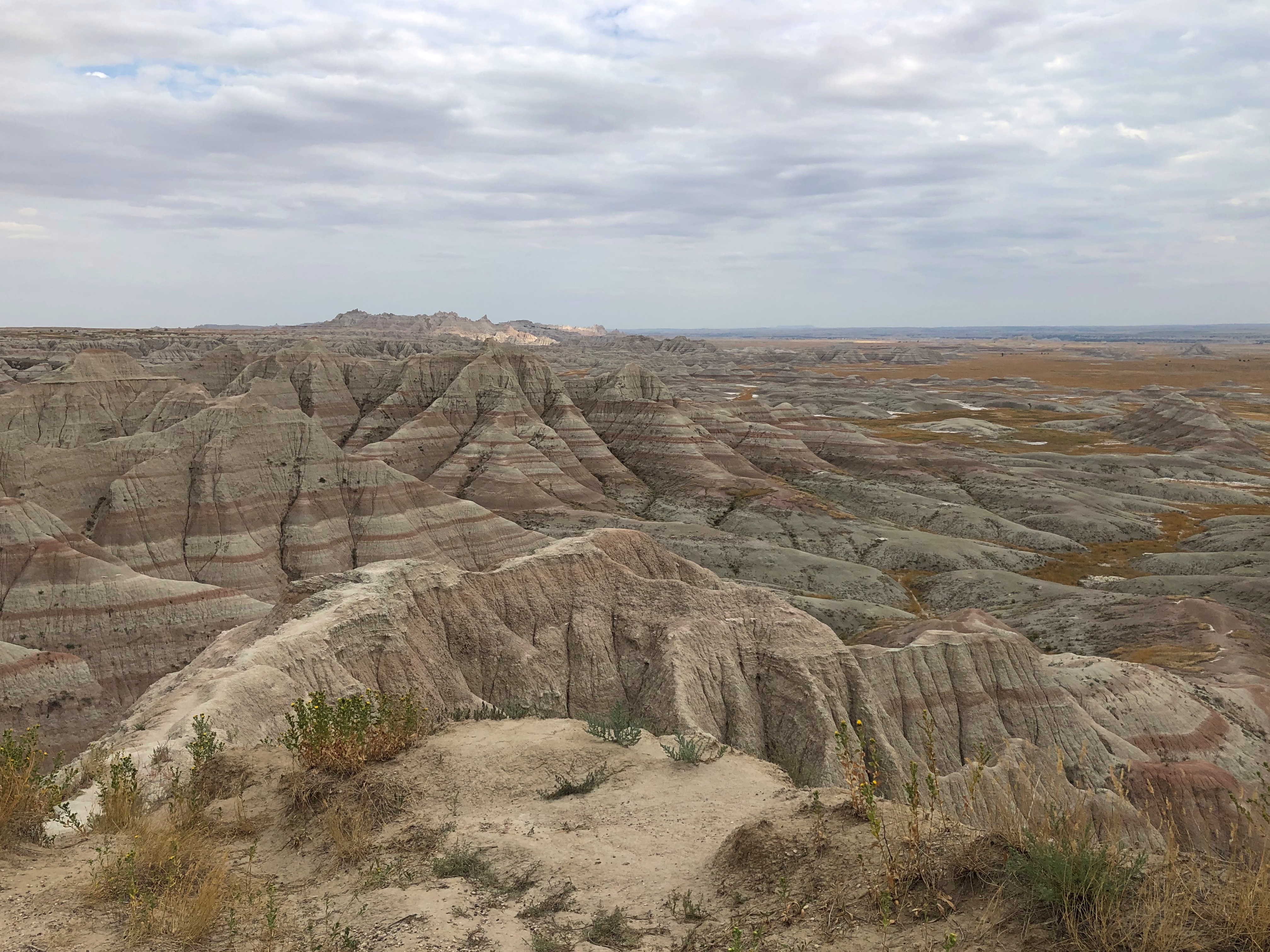
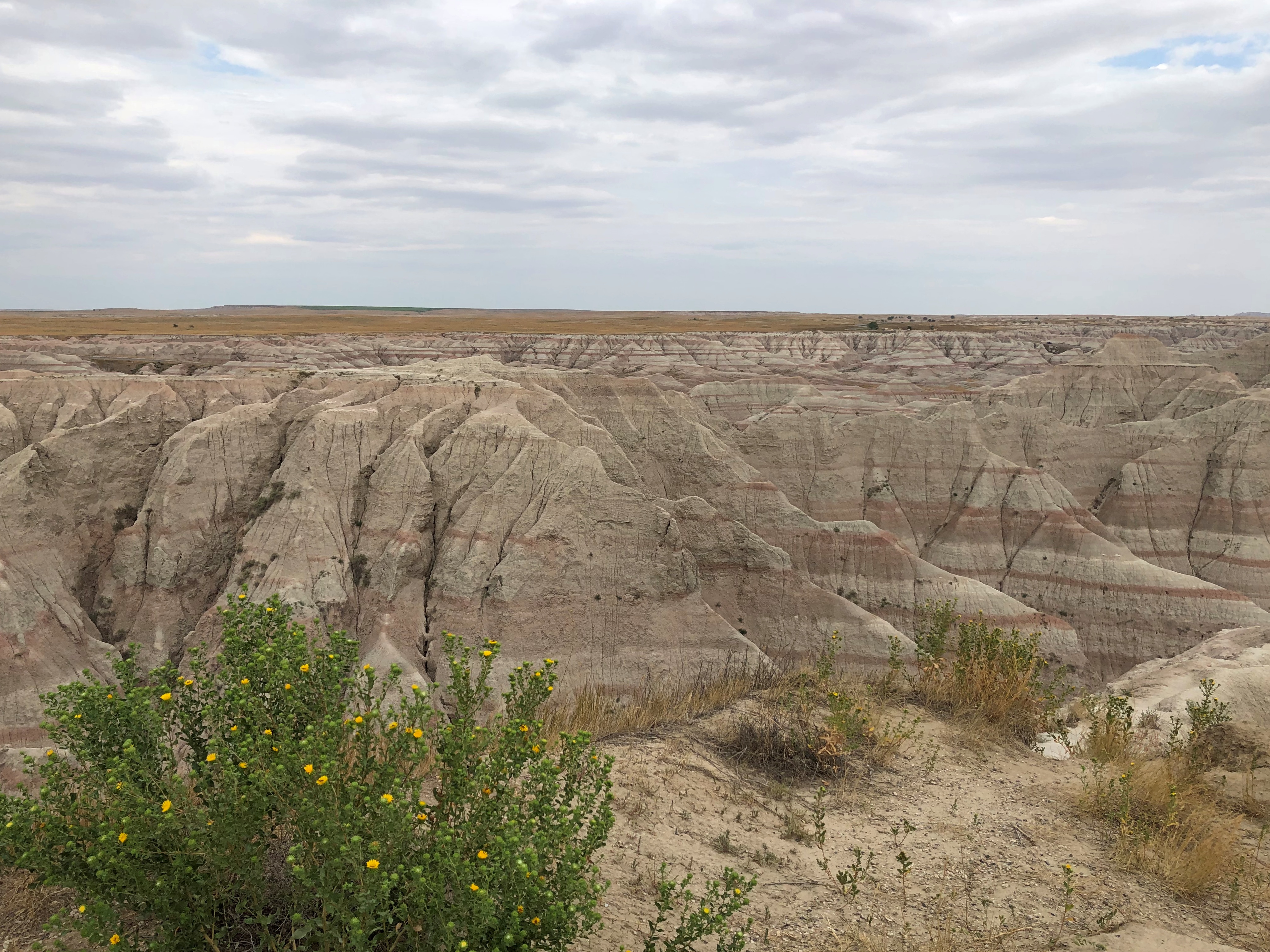
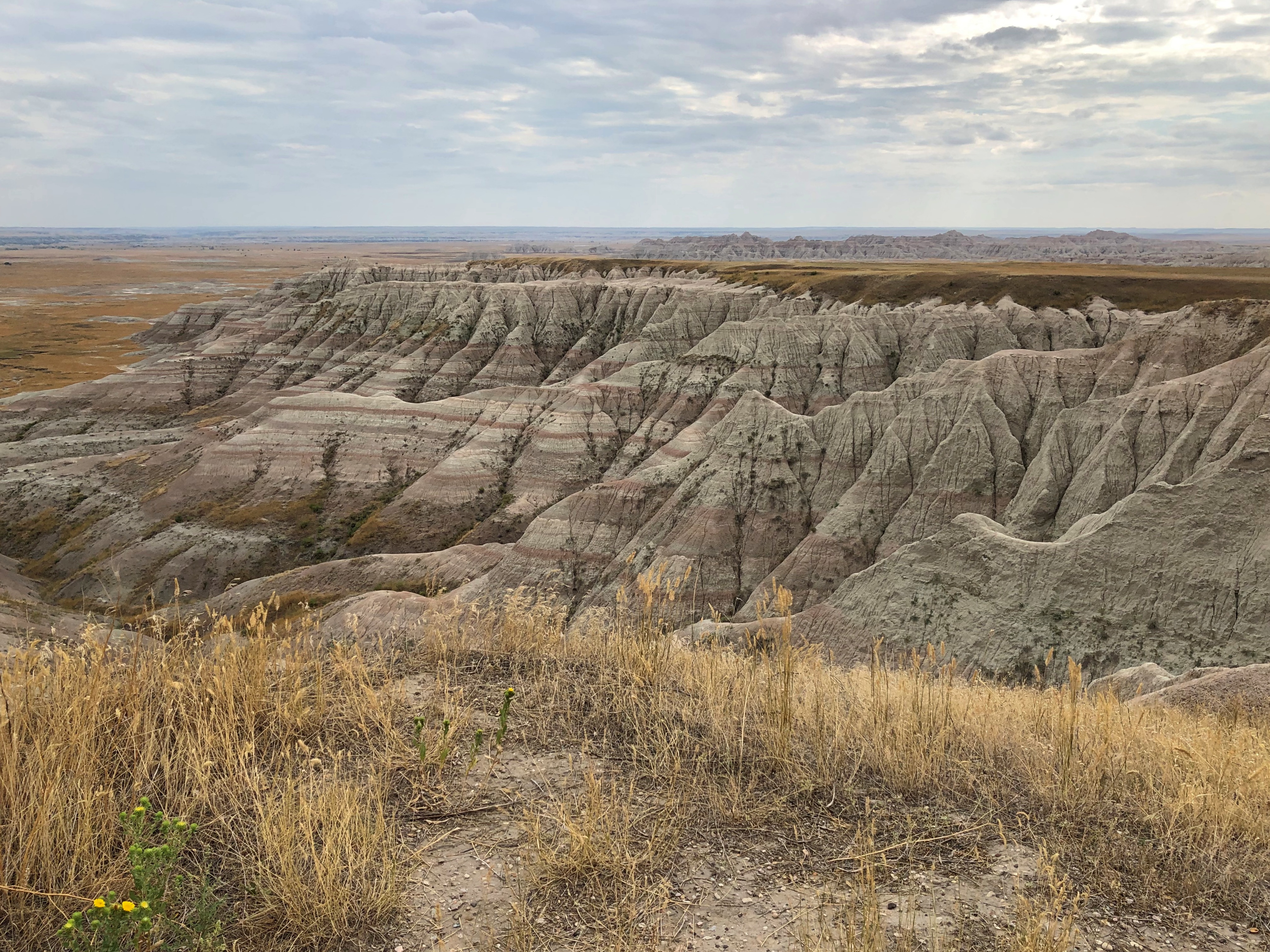
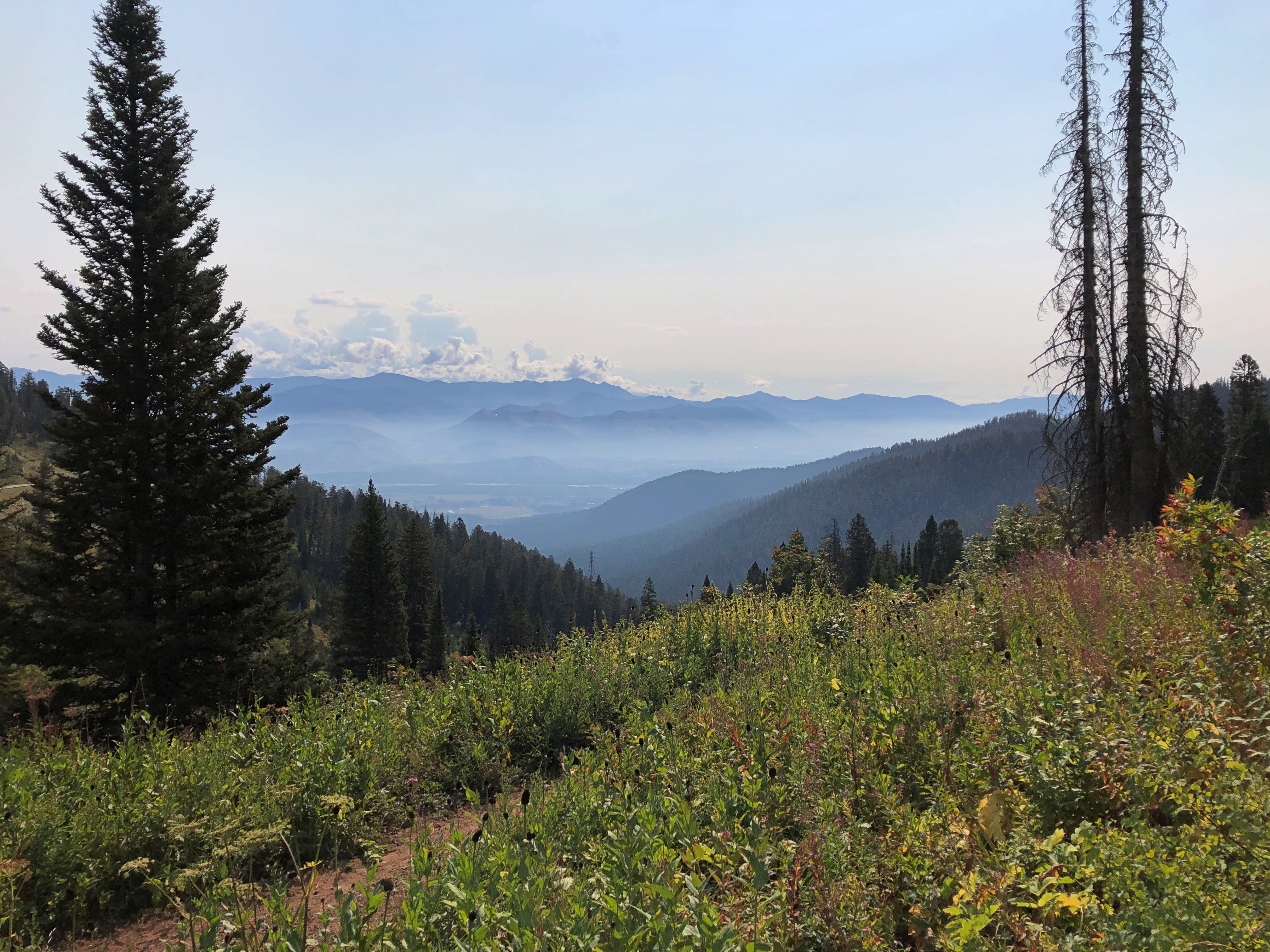
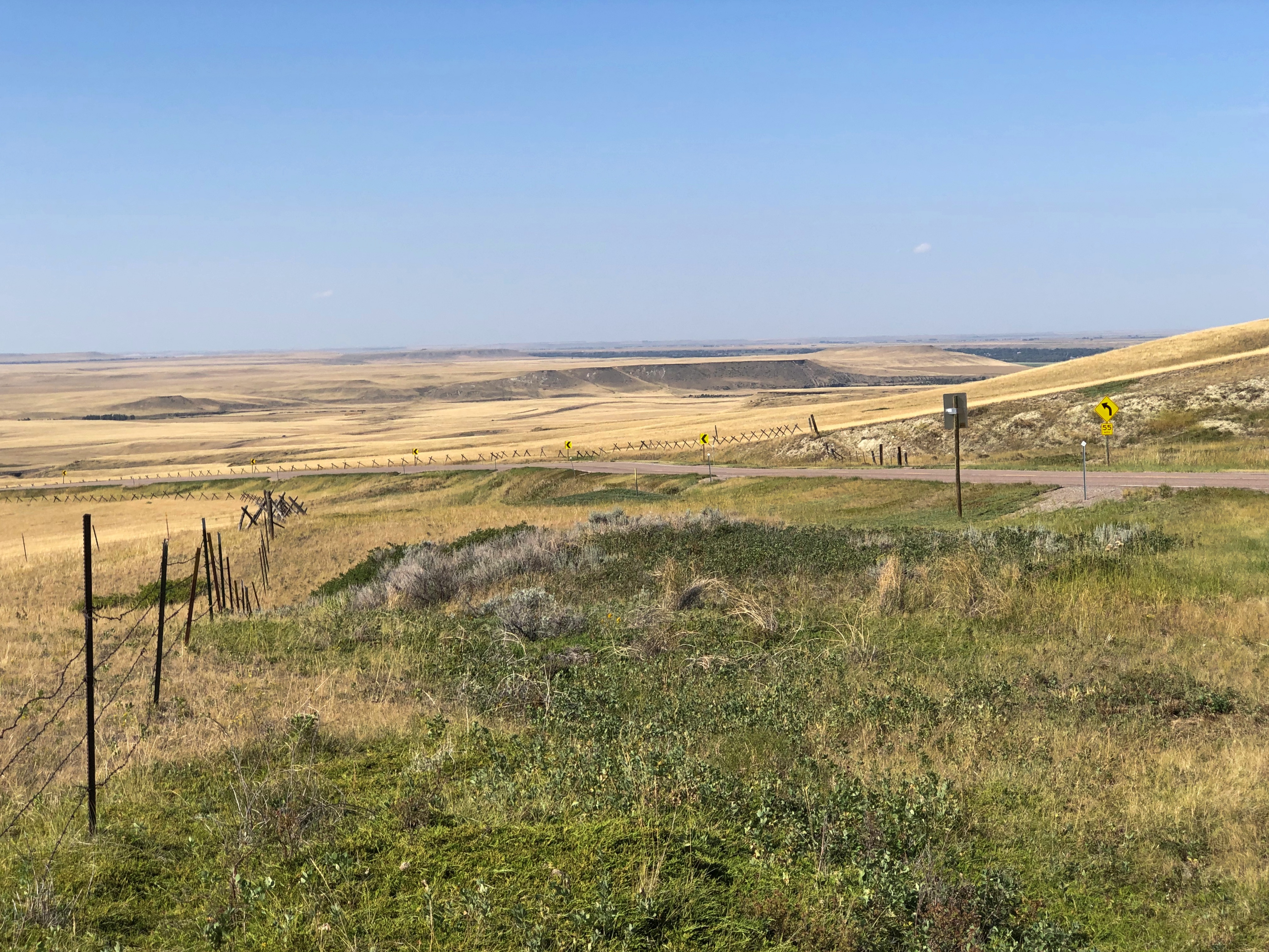
Days are still fairly long in mid-August, so spending some time at Badlands NP before driving to Wyoming wasn’t a bad idea. As long as we got to our campsite with some light left, setting things up wouldn’t be difficult.

I’d checked the weather for our destination, Devils Tower National Monument, and the only time rain was expected was the late afternoon on August 19, exactly when we would arrive. Ah, well. Nothing to do about that but press on.

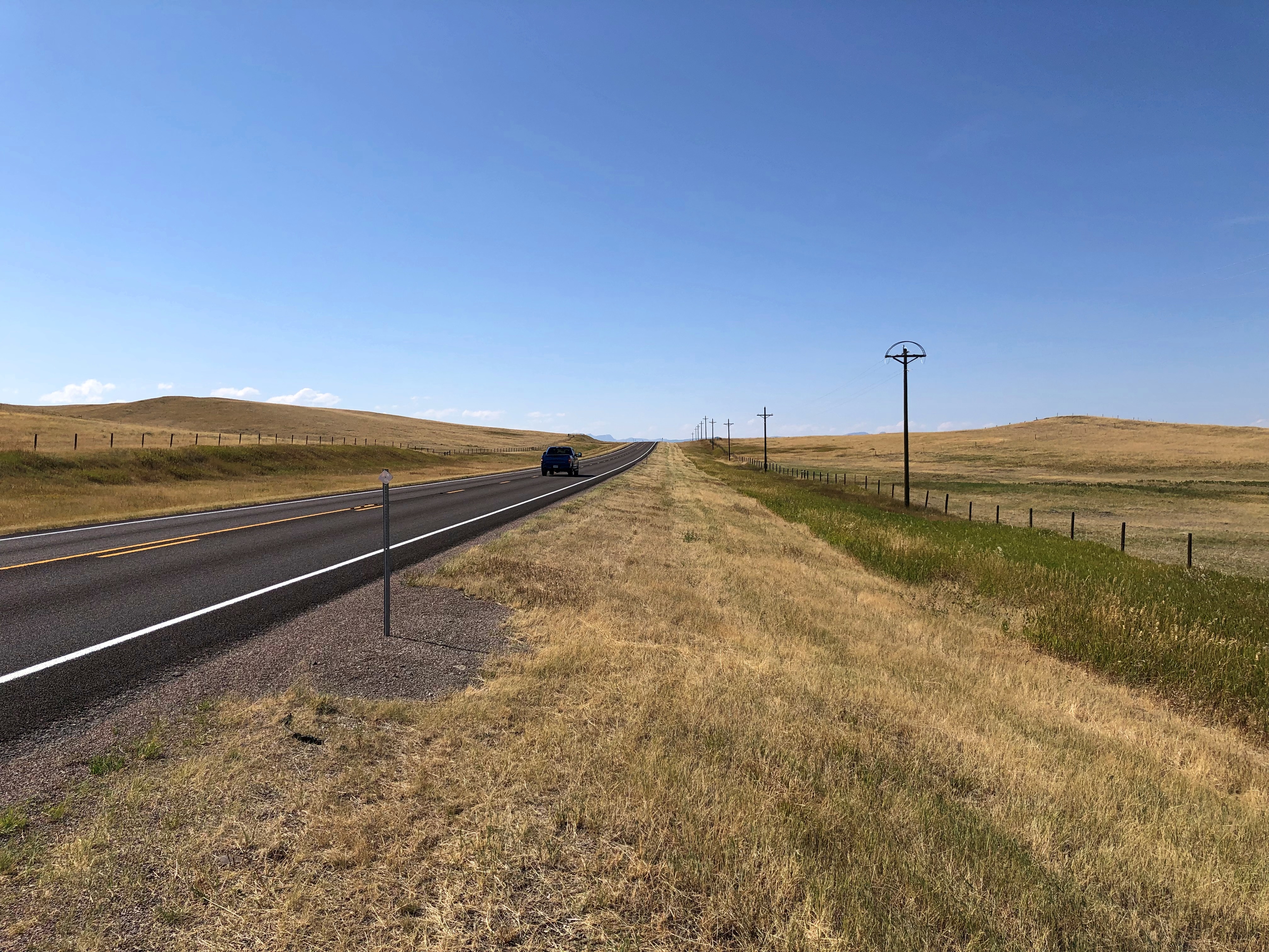
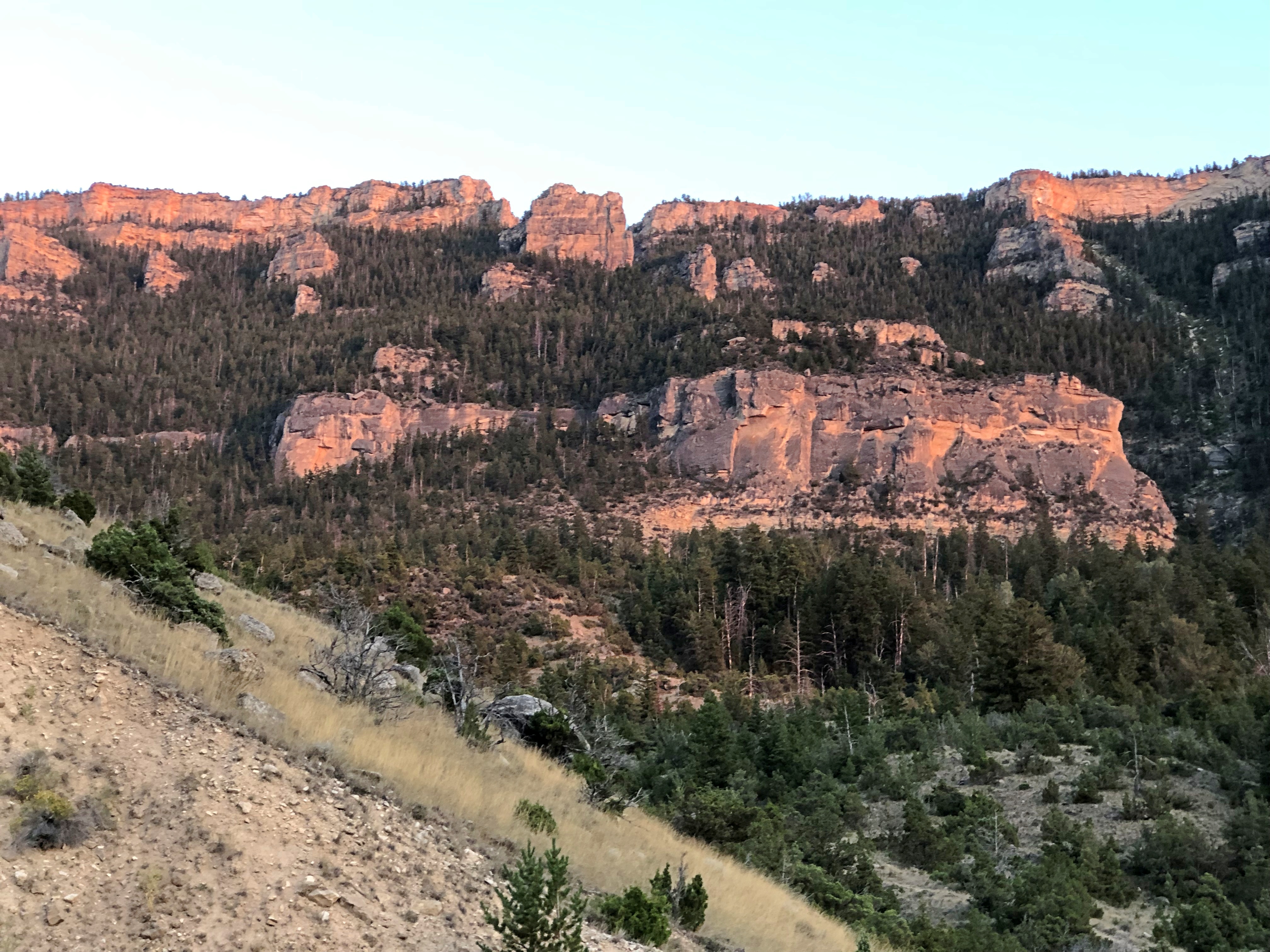
Skies were cloudy and the wind was up by the time we got to Wyoming.Wyoming

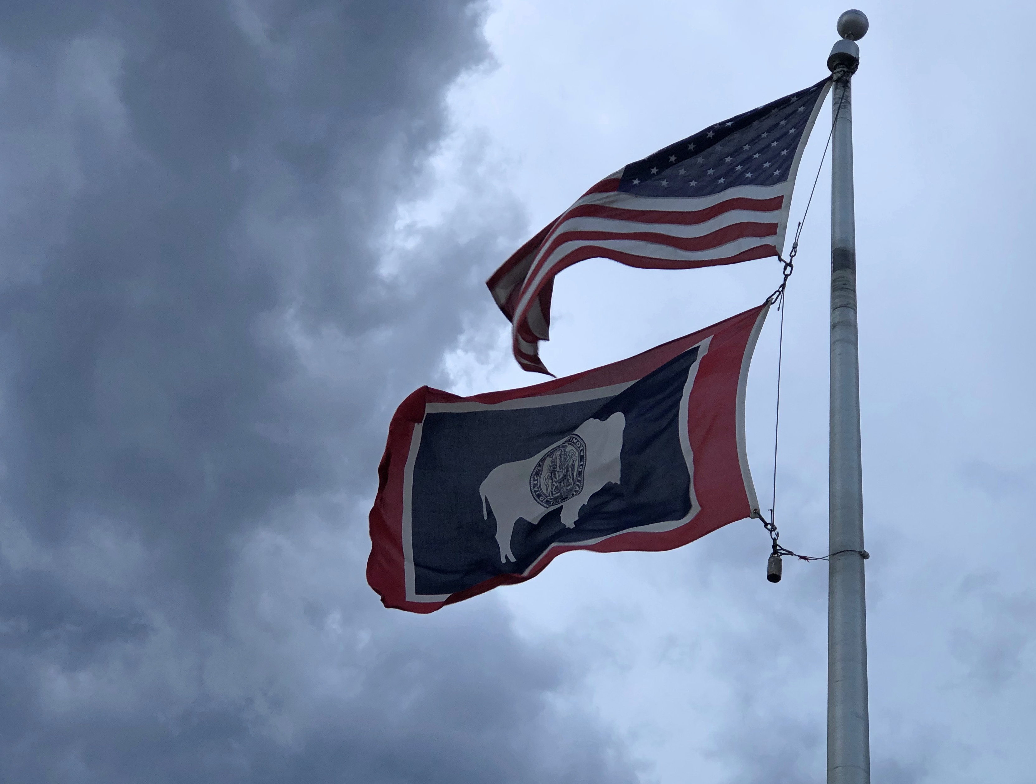
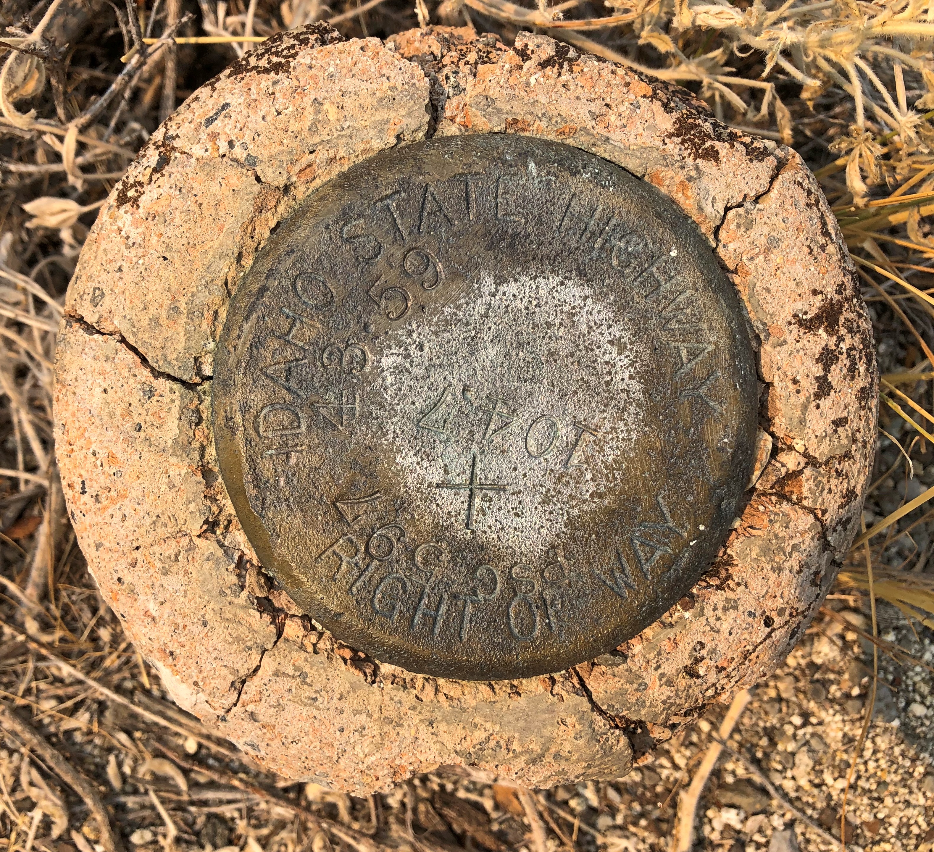
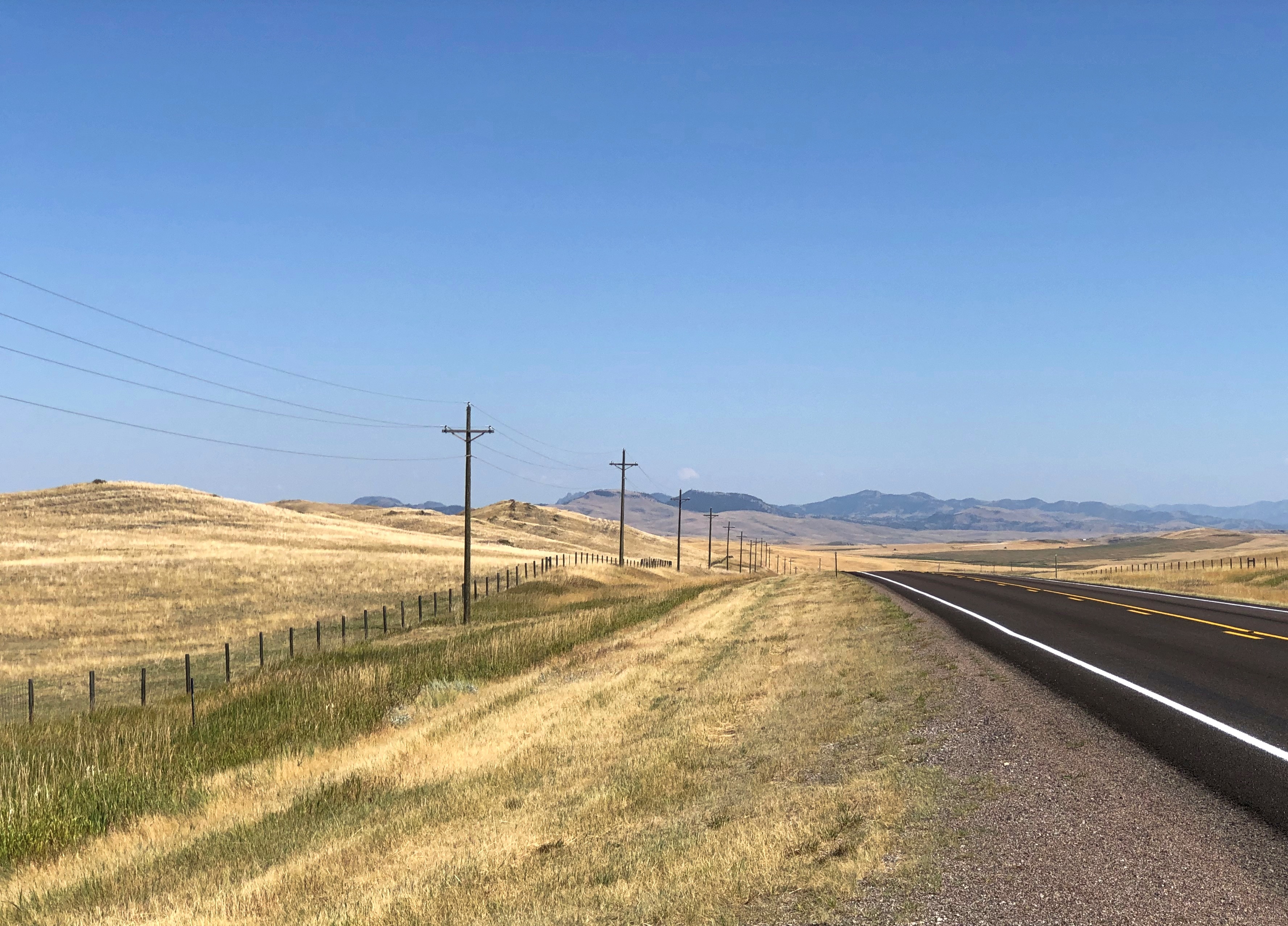
The monument isn’t far from the border with South Dakota. Take I-90 to Sundance, then US 14 and then a short stretch of Wyoming 24 to the monument. Soon after we got off the Interstate, that ominous gray cut loose some fierce rain, so heavy at times that it was best to find a wide place in the road to stop and wait for it to pass. That happened more than once as the rain variously intensified and slacked off.

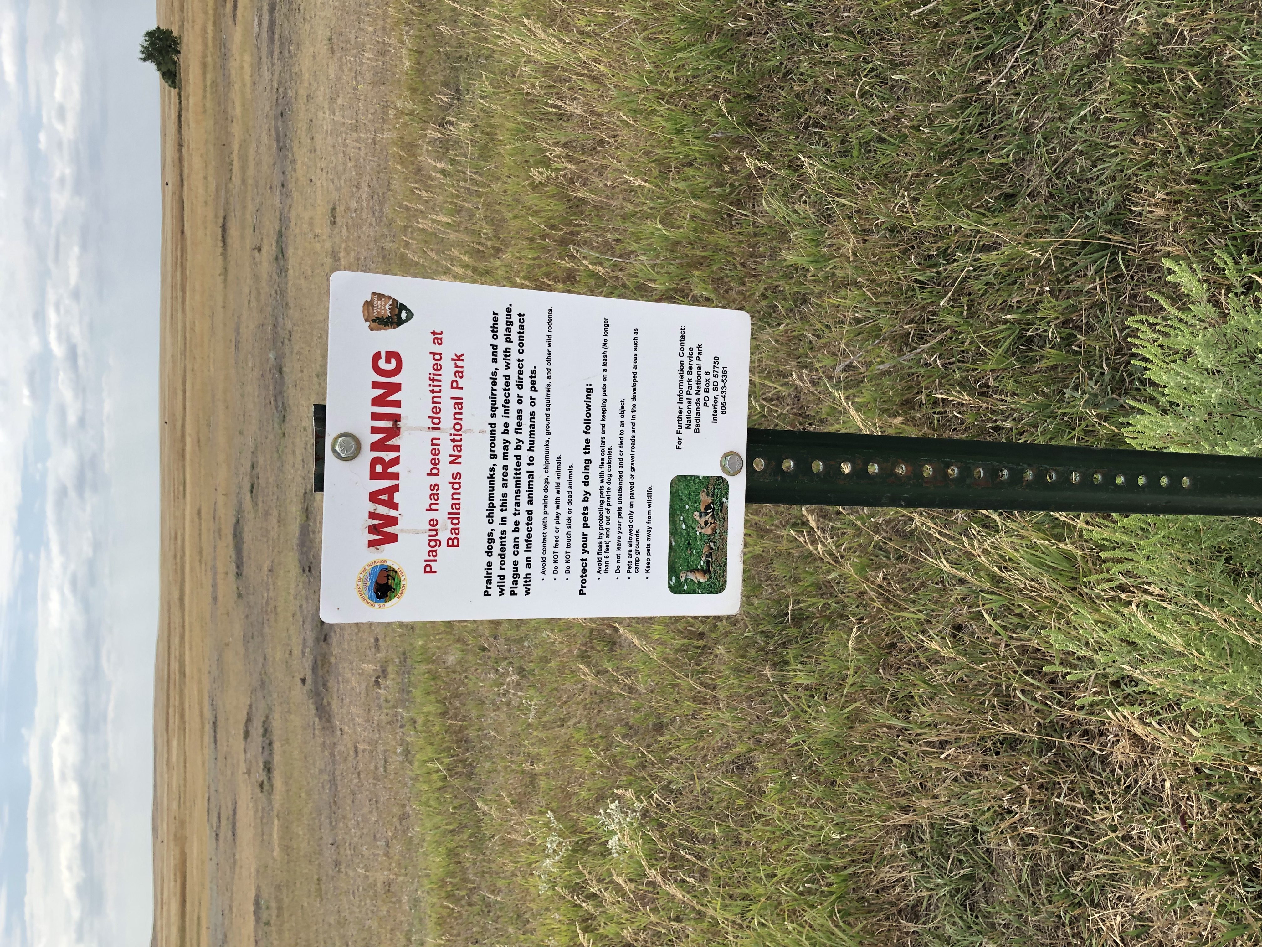
Even so, we got the the entrance to the monument – and the campground just outside the entrance – well before dark. No worries. Did it snow here while it was raining on us a few miles away?Devils Tower National Monument

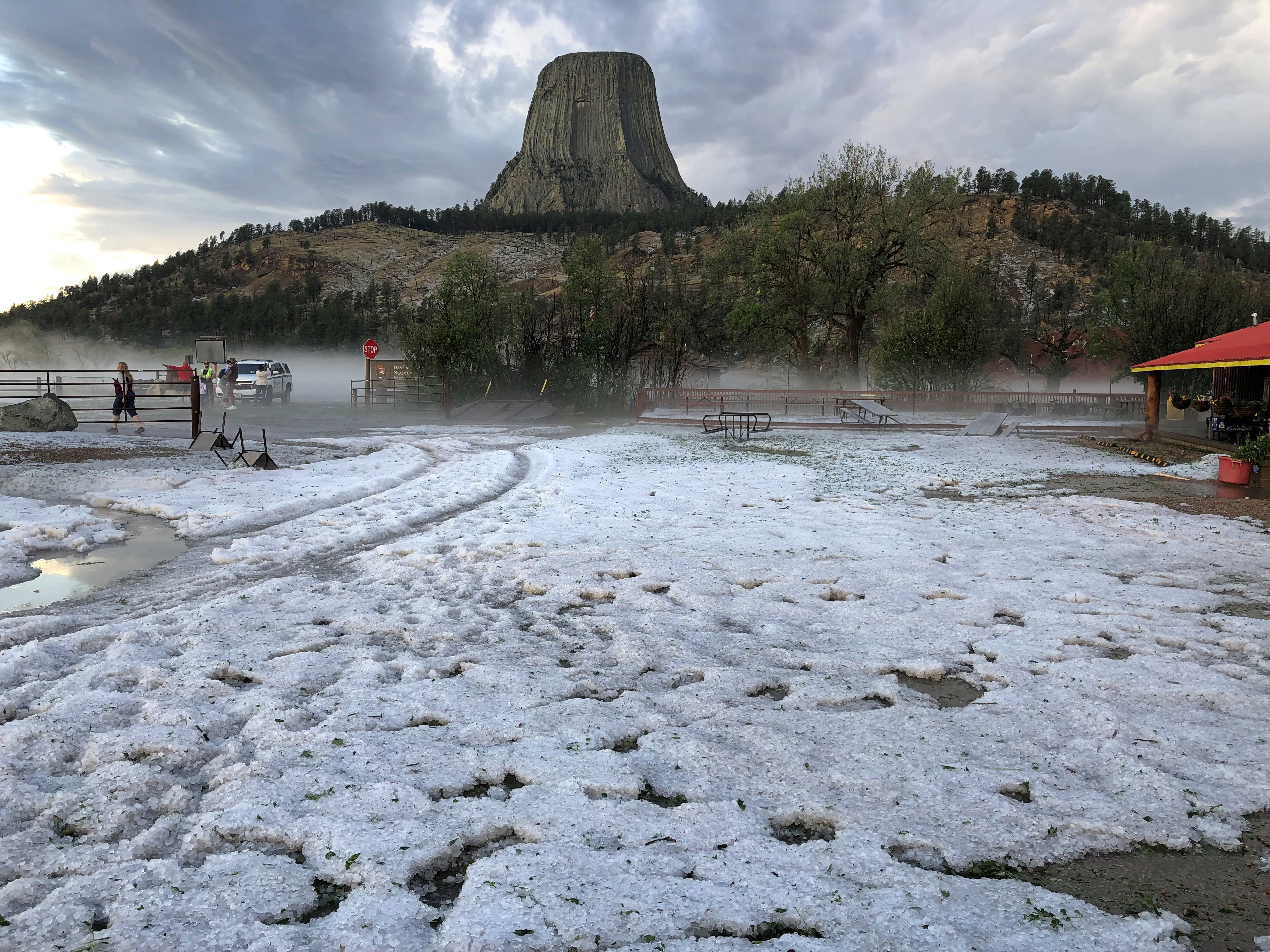
No. That was hail. Some fairly big hailstones, too; not quite golf ball-sized, but not too far off the mark. We went in to register to find that the campground had lost its power.

“Storm knocked out your power?” I asked the clerk, a middle-aged woman. It had, she said, and done a lot of other damage, including to vehicles parked in the campground. She also explained that the places where tent campers go was probably covered by melting ice. She offered to do a refund for the day’s worth of camping we’d paid as a down payment on two days — as soon as the computers were up again.

And she did. Cell service was possible in the area, to my surprise, and I looked into a couple of motels in Sundance, about 20 or 30 minutes away. The Bear Lodge Motel had what we needed: two nights at a middling price. The motel was a comfortable independent with a fairly traditional streak when it came to motel décor and amenities, though (damn it) no bottle opener attached under the sink outside the bathroom and no Sanitized For Your Protection ribbon. Nice beds, though, and bathroom for that matter.

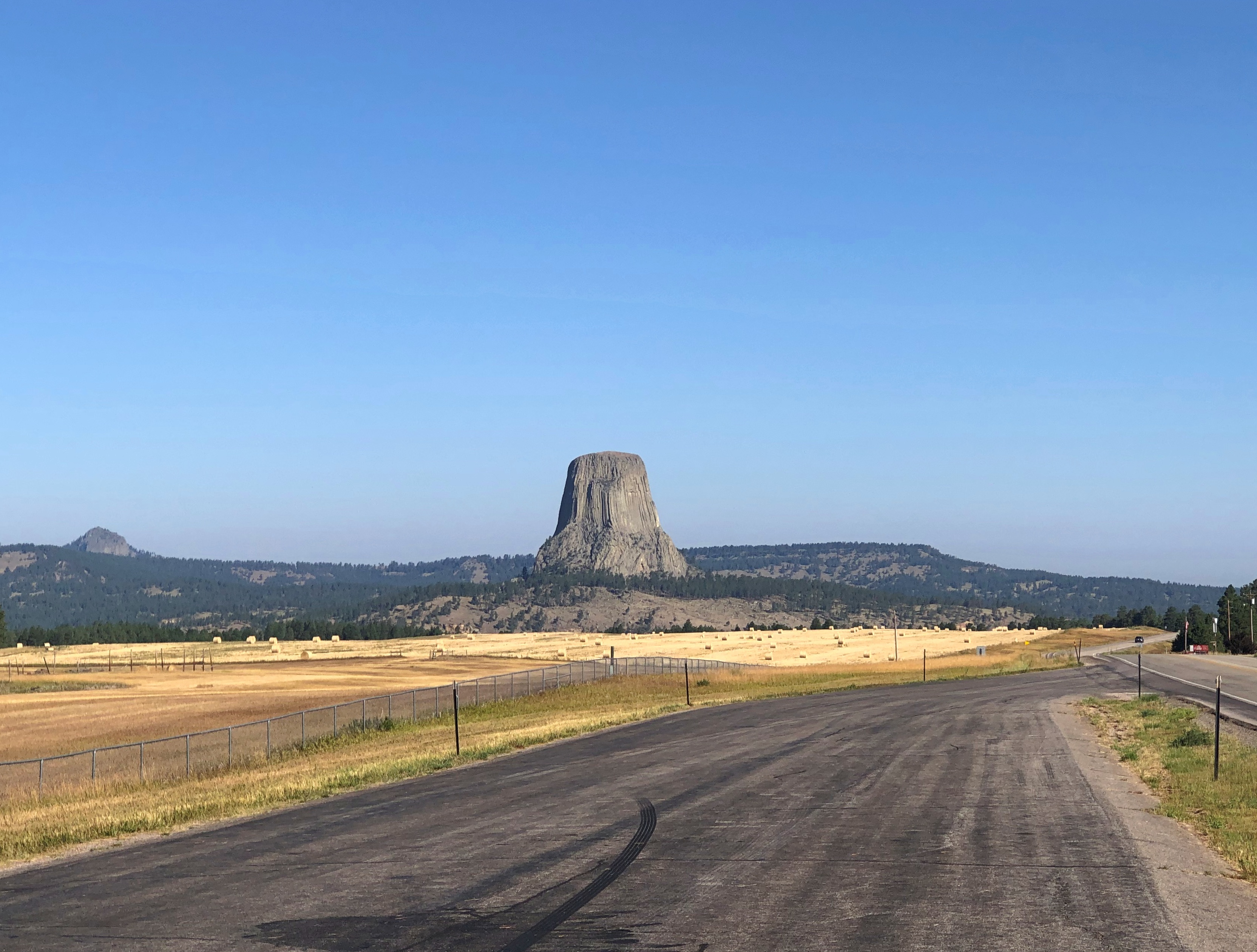
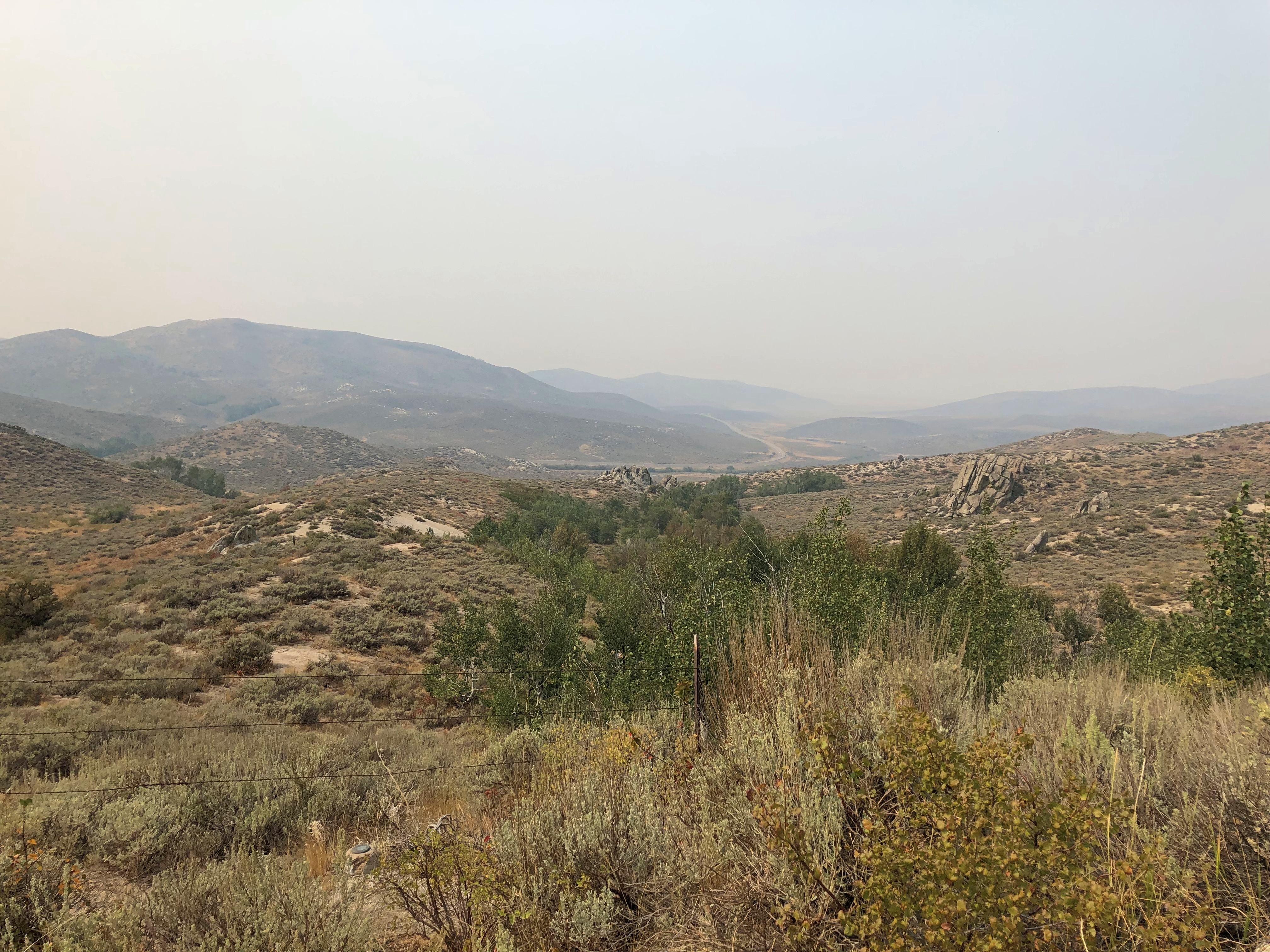
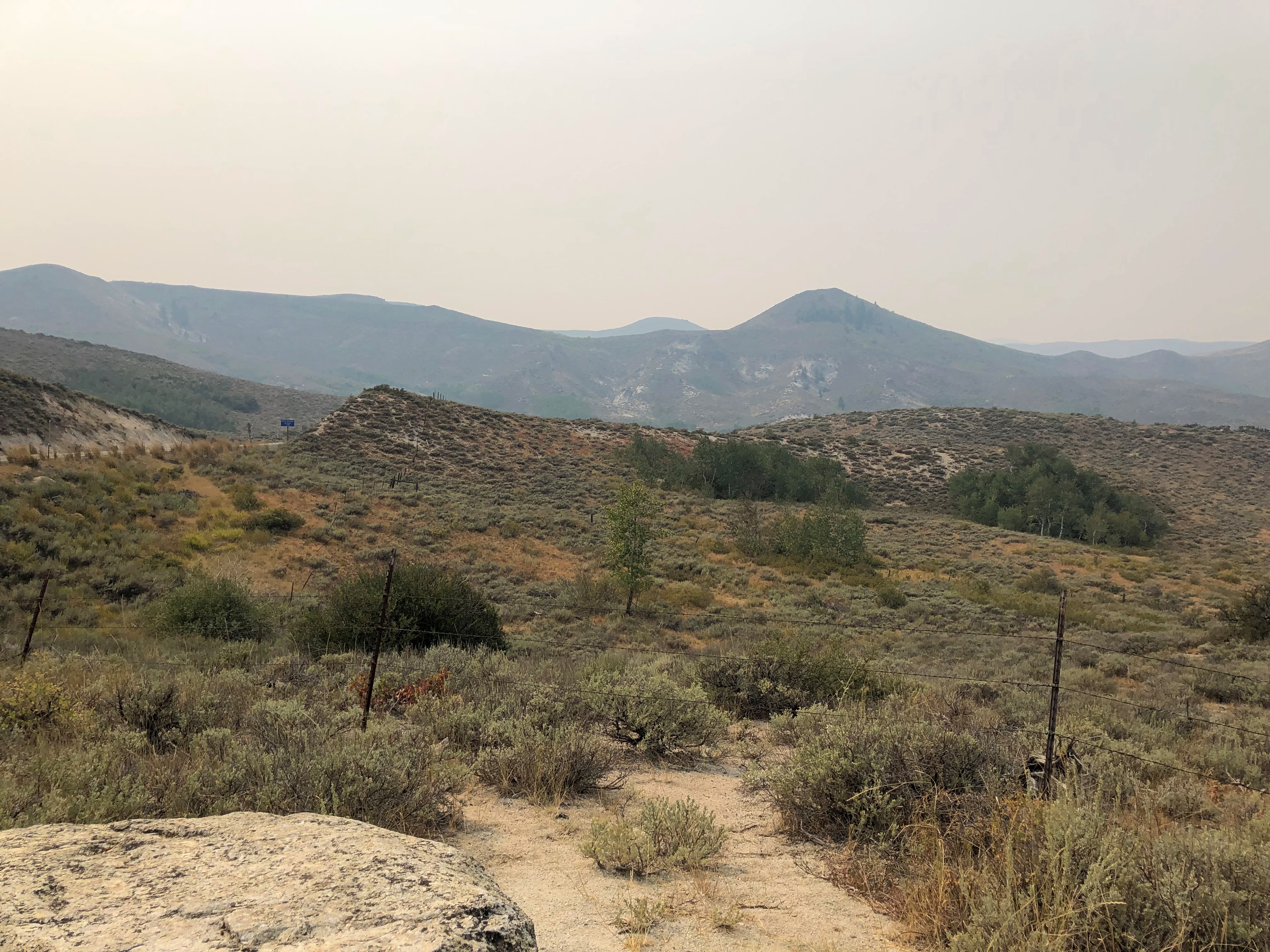
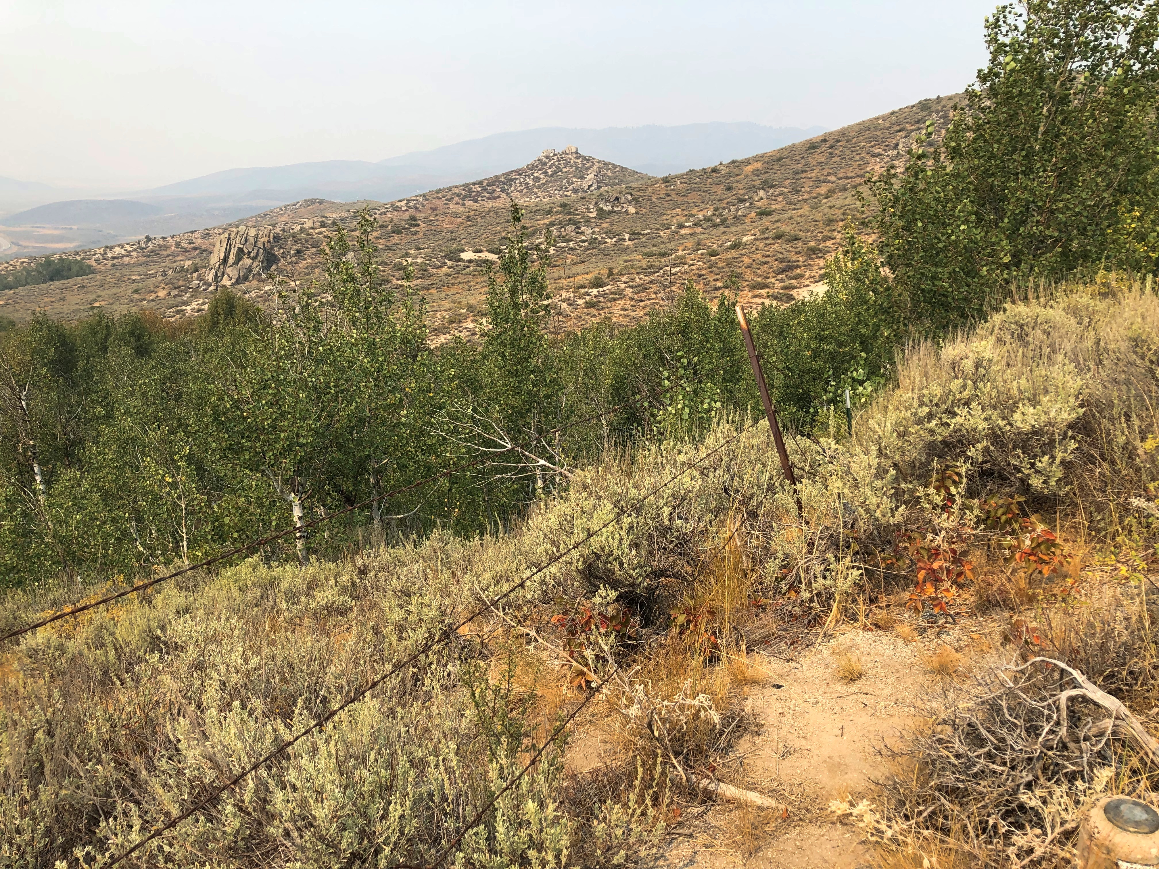
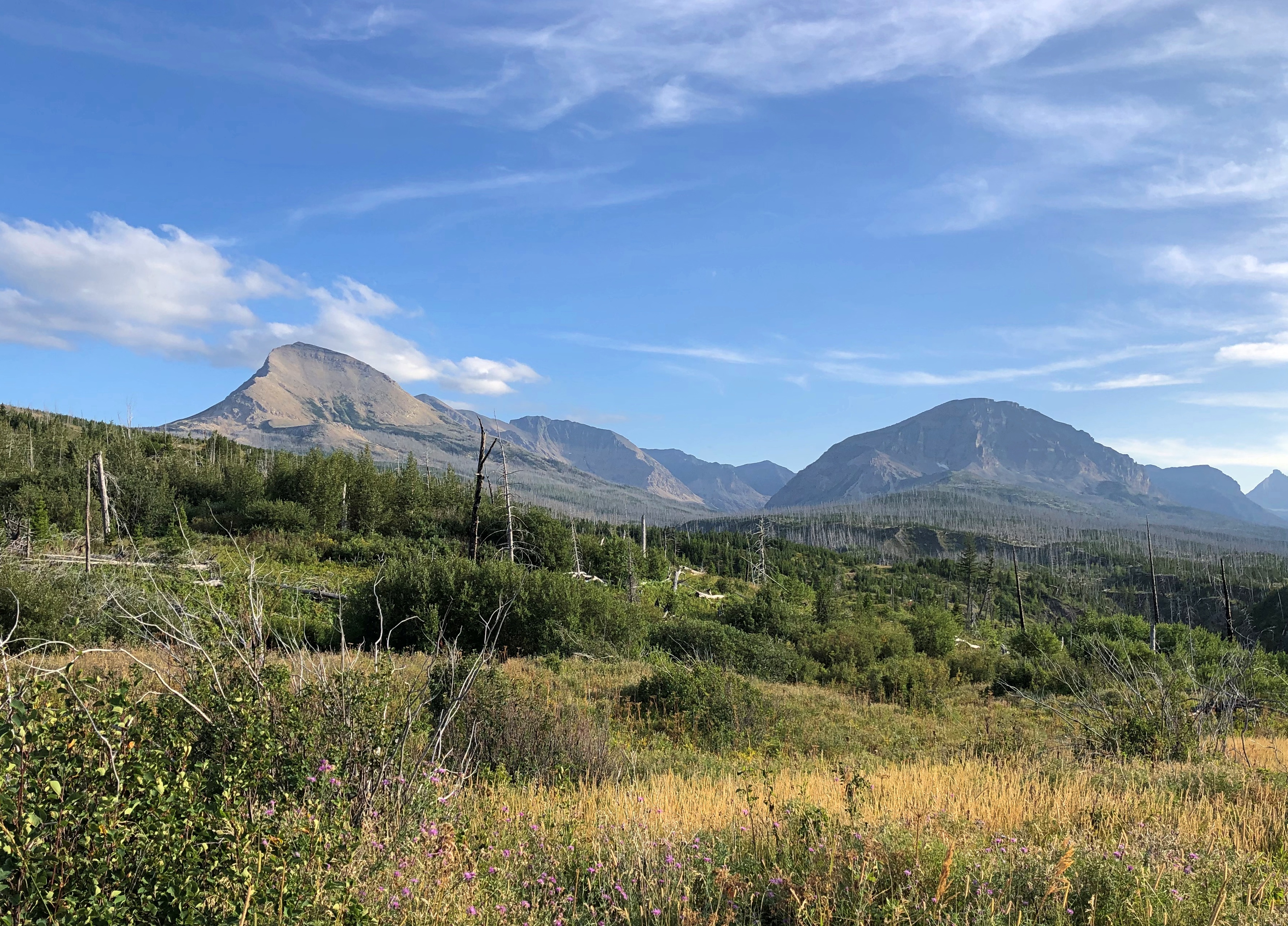
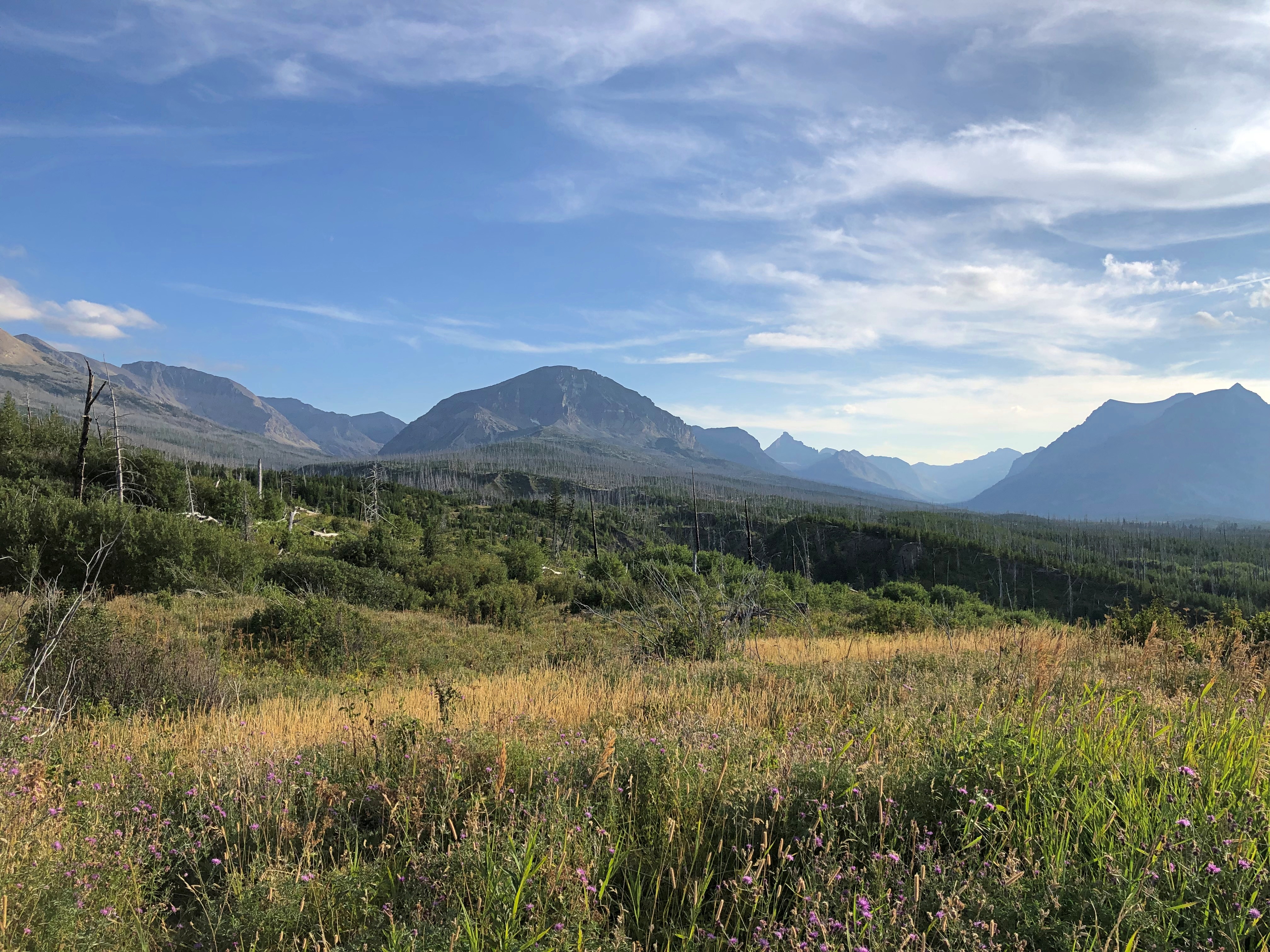
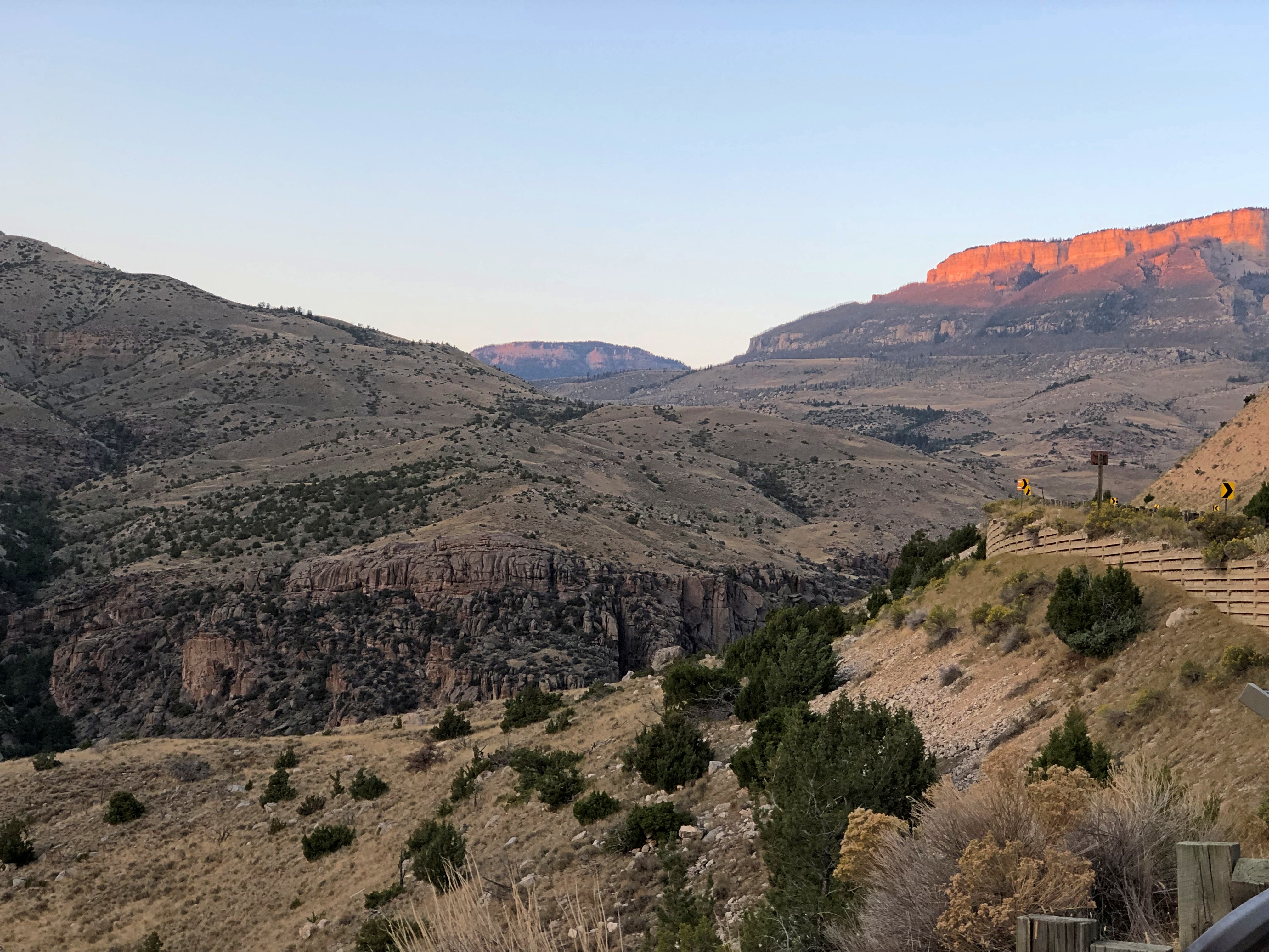
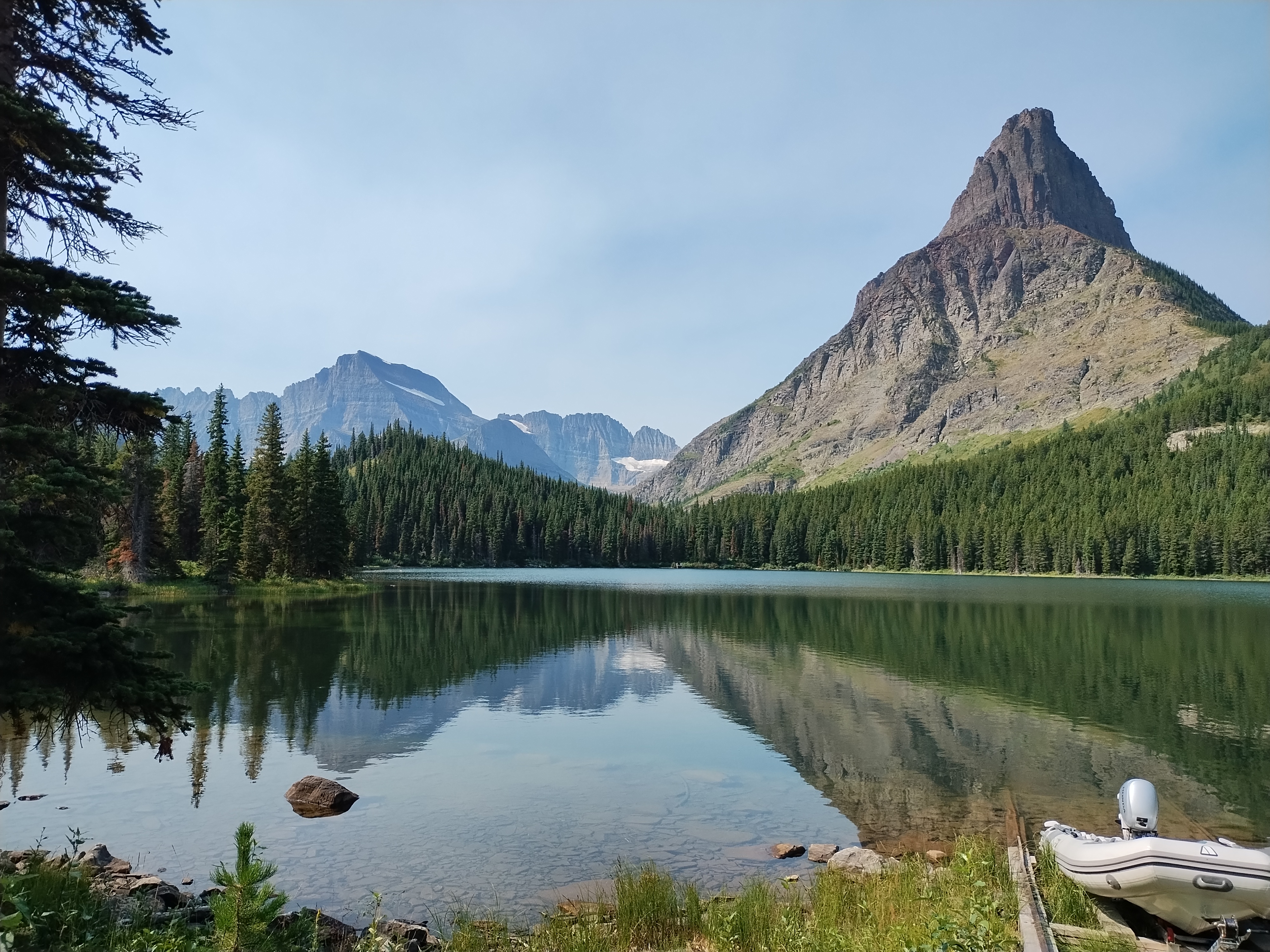
The next morning was clear and after a simple breakfast in the room, we returned to Devils Tower with the idea that we’d hike the trail that circles the tower. This time I had the leisure to document the approach to the monument.Devils Tower National Monument Devils Tower National Monument Devils Tower National Monument

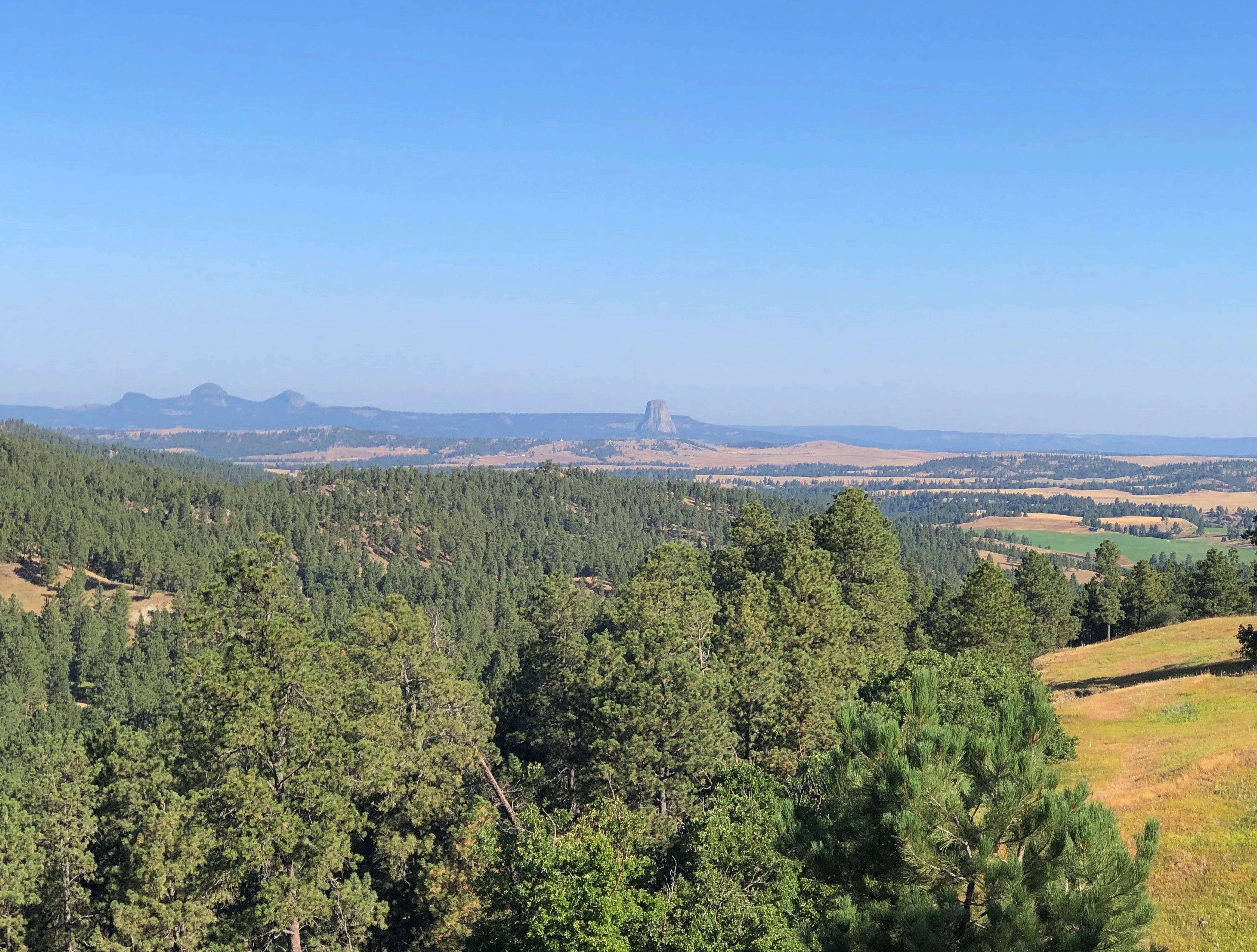
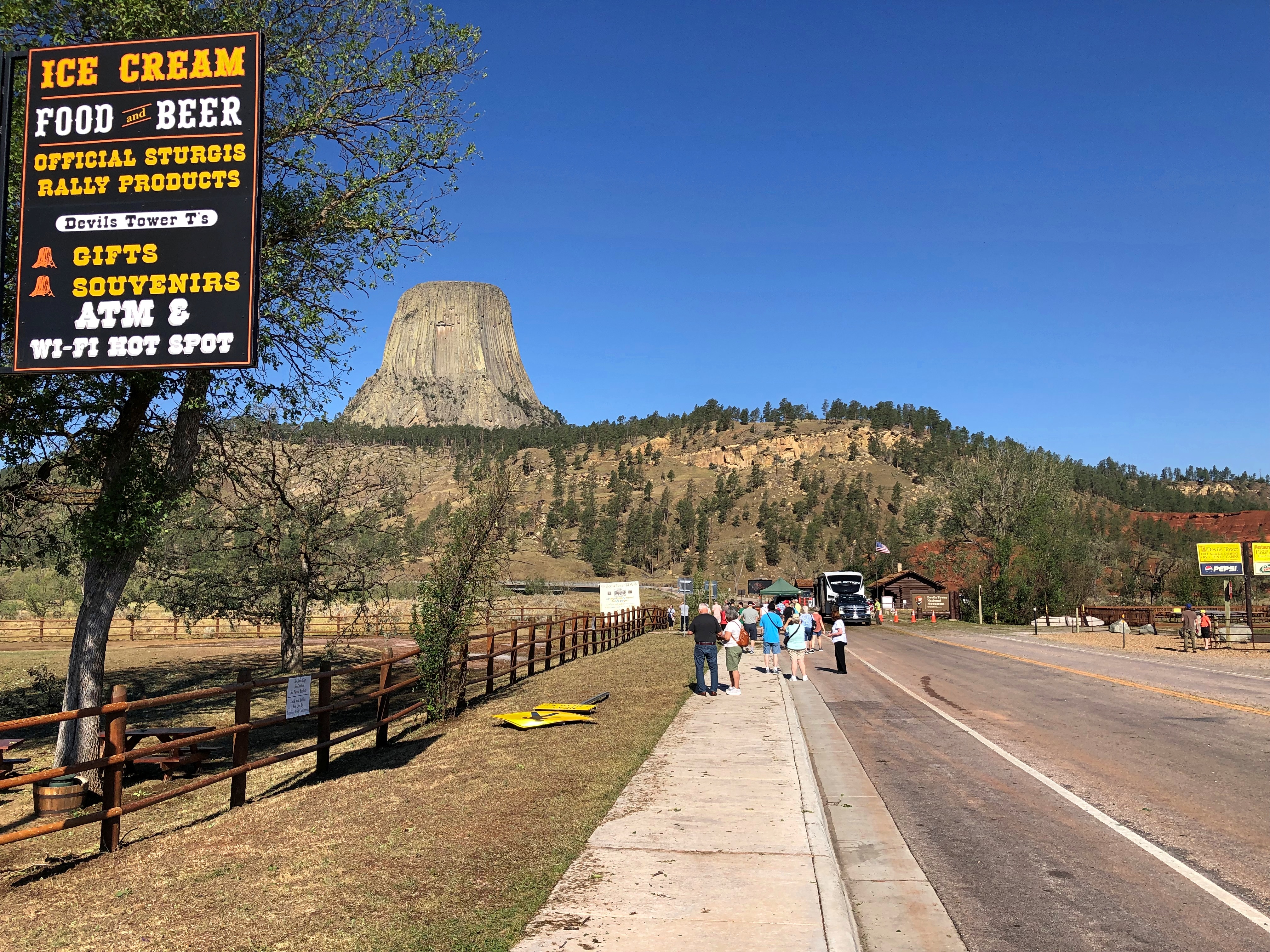
Soon we discovered that the monument was closed. People from their cars and tour buses found out the very same thing.Devils Tower National Monument Devils Tower National Monument

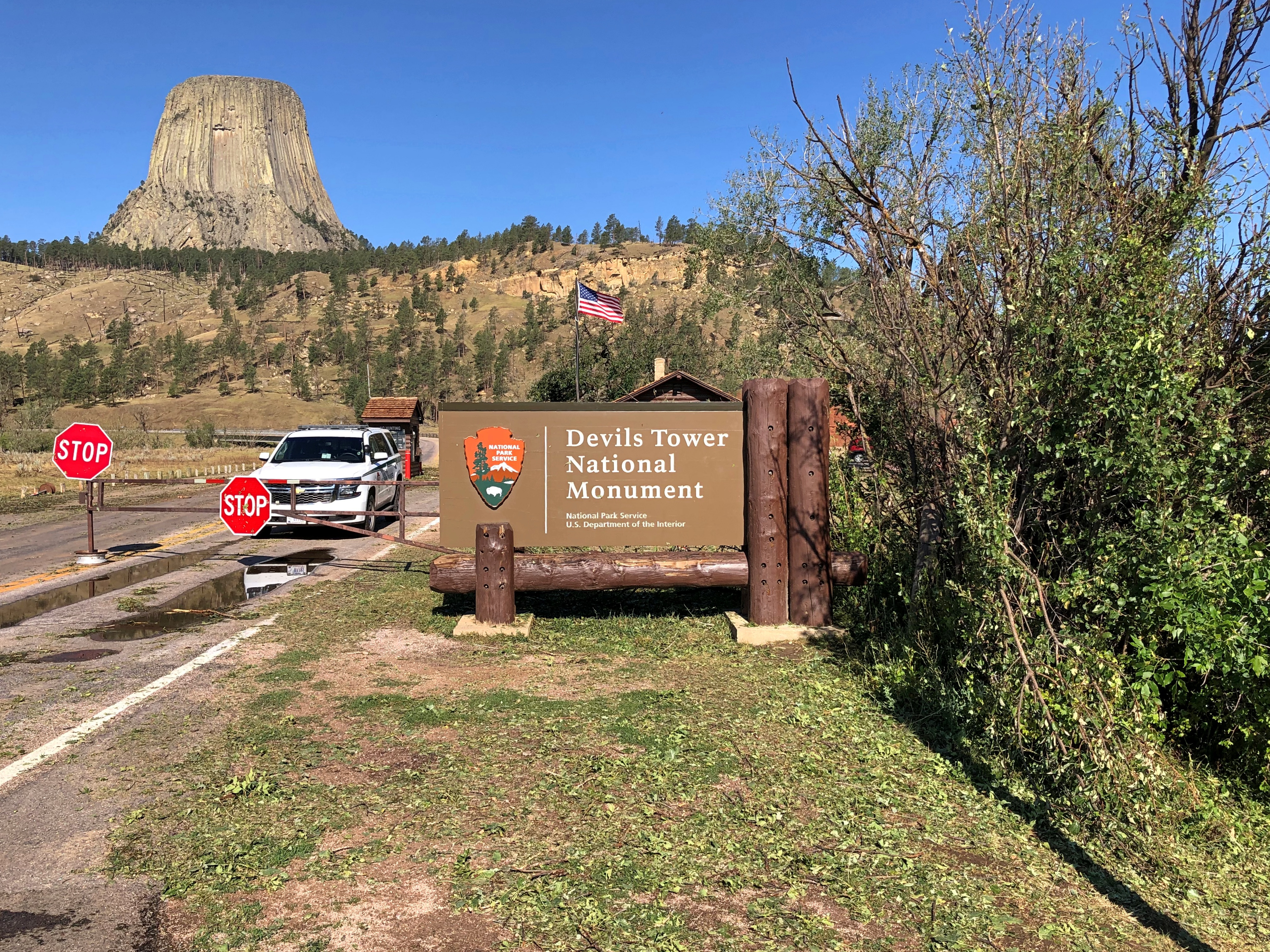
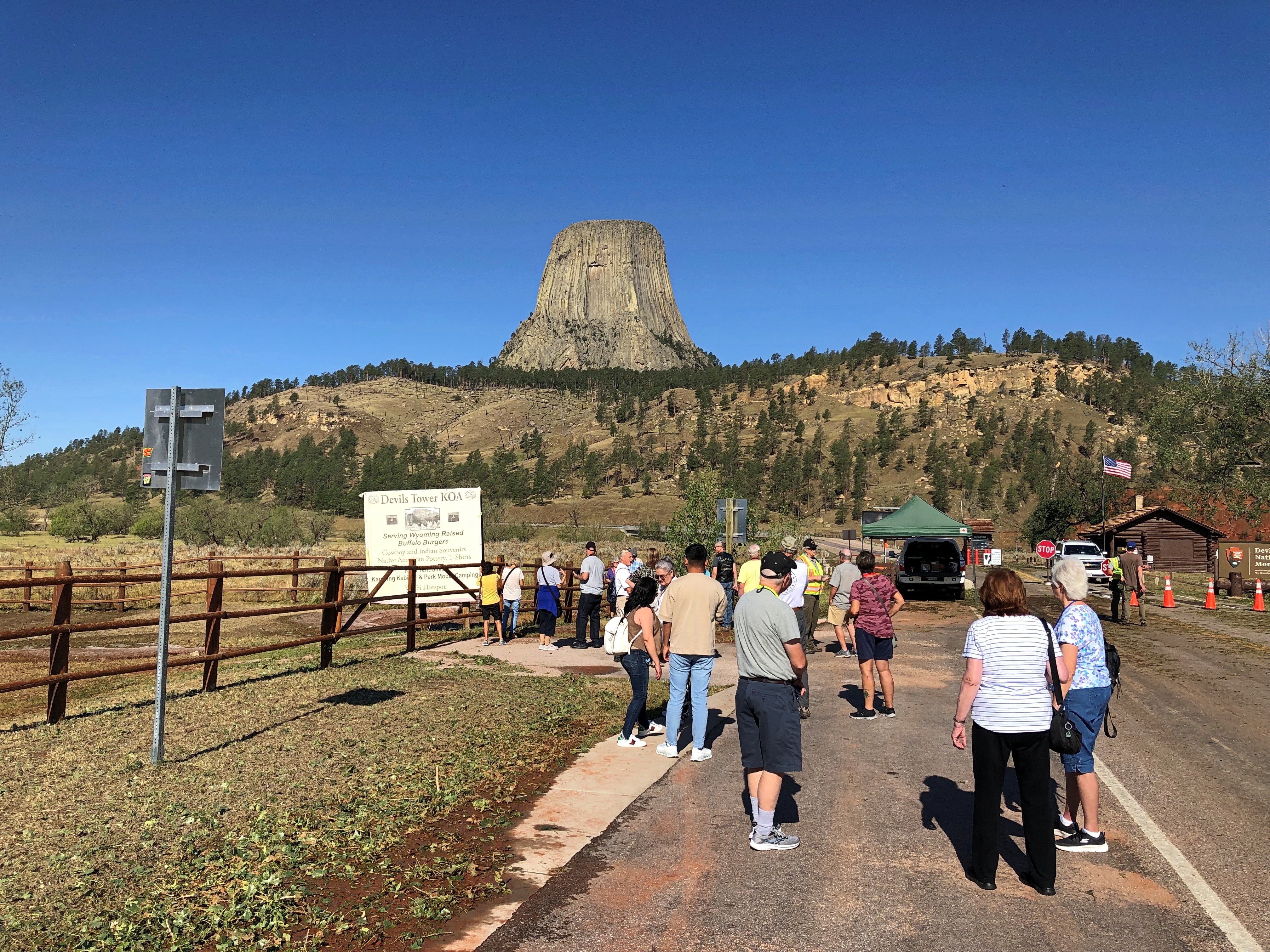
I asked a NPS ranger at the entrance about it, and he said that a lot of trees and maybe rocks and other debris had fallen on the road inside the monument, and he didn’t know when it would open again – though he guessed not today, stressing that that wasn’t the official word. I thanked him and we figured, not today was about the size of it.

We wandered around a bit, taking a look at the thing. “Bear Lodge” is the translation of native names for the tower. The reference to the Devil was a Victorian-era creation (another of the four fonts of the modern world, and a particularly big one).Devils Tower National Monument

Impressive. If I understand what I read, scientific opinion isn’t quite solid on the exact process that caused the rising of the tower, but there it was: an igneous tower rising over sedimentary plains. Lording over the plains? There’s nothing that can’t be anthropomorphized.

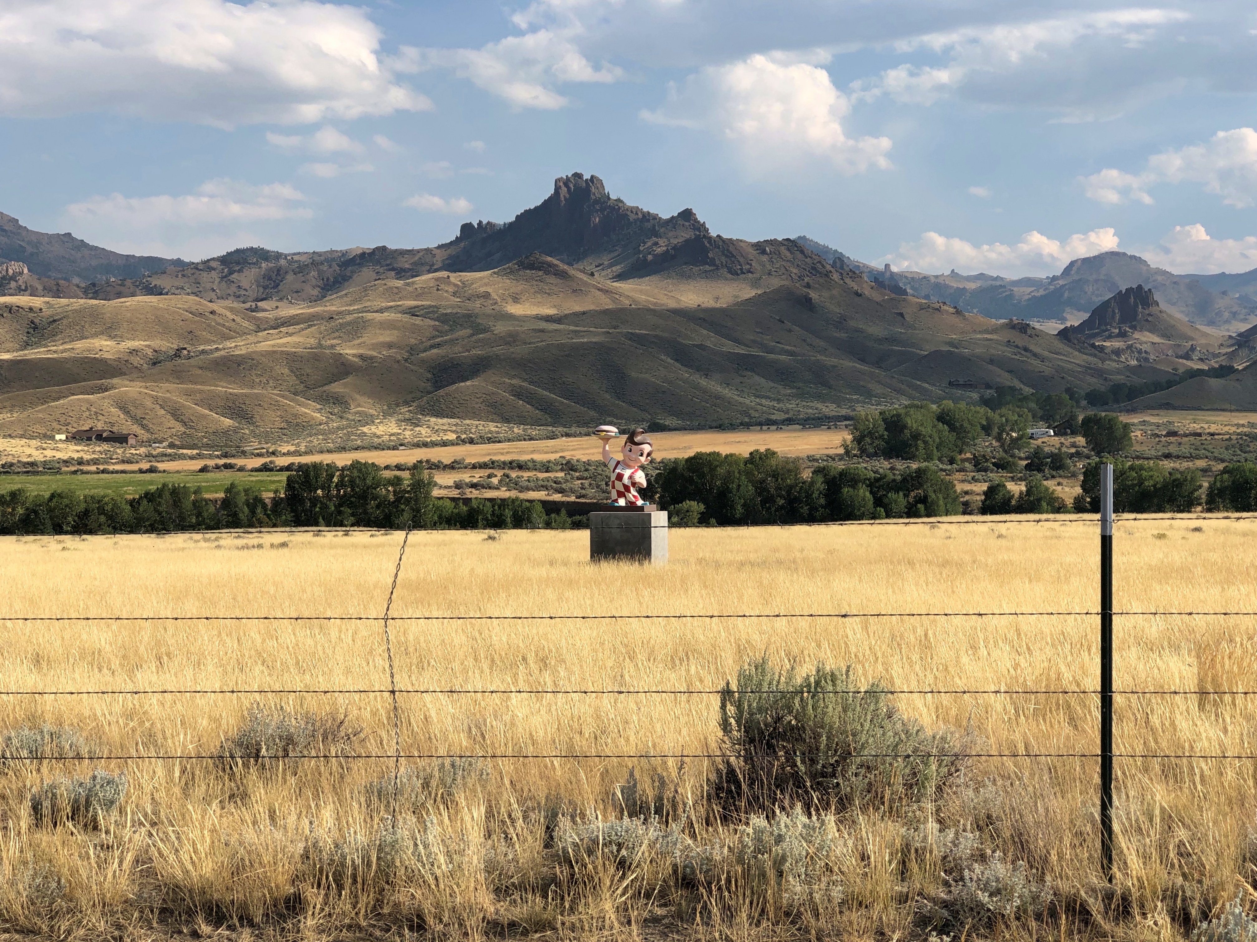
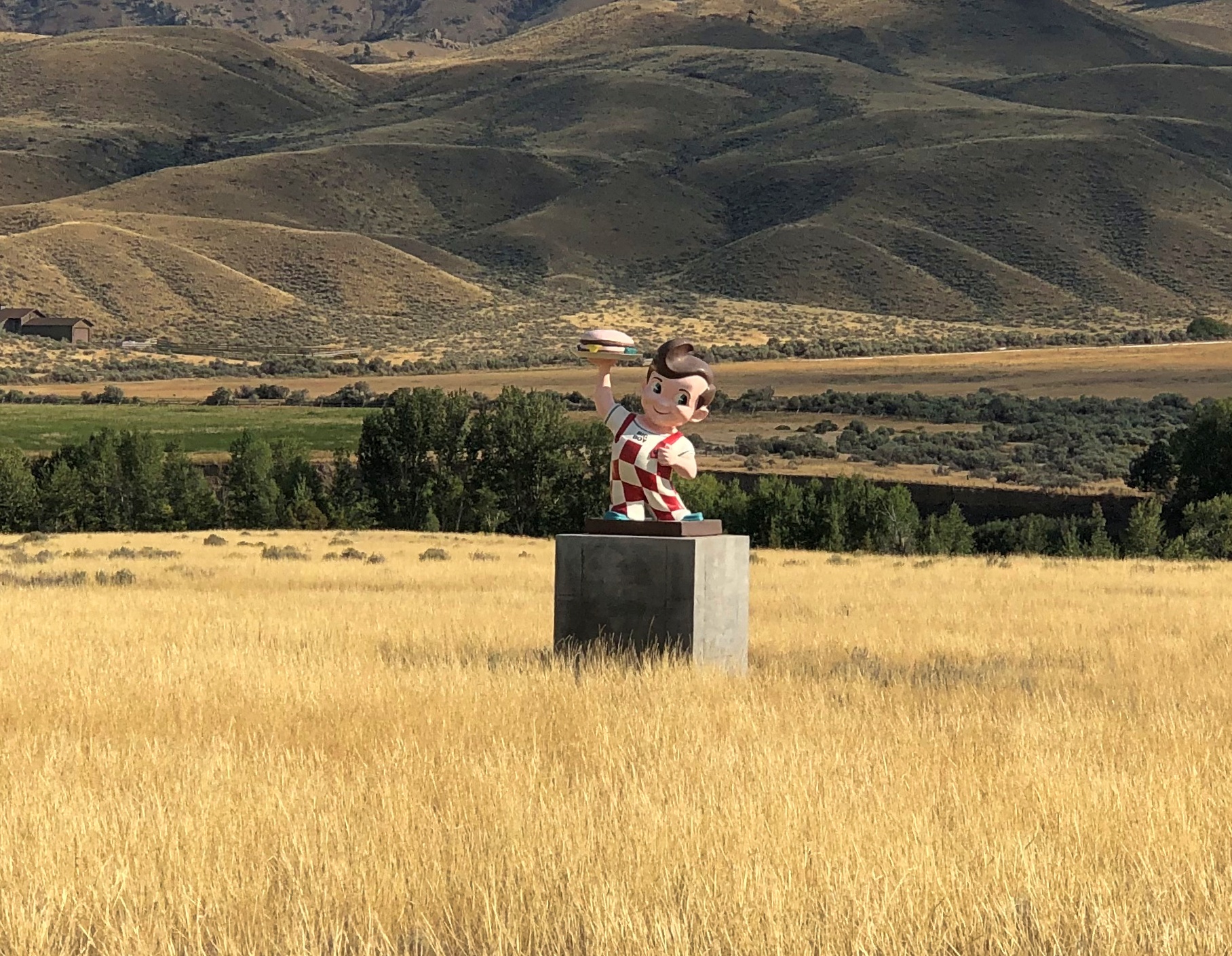
Speaking of which, bipedal and stretched-body space aliens of a distinct green hue can be found in the main gift shop outside the entrance (not a NPS shop).Devils Tower National Monument Devils Tower National Monument

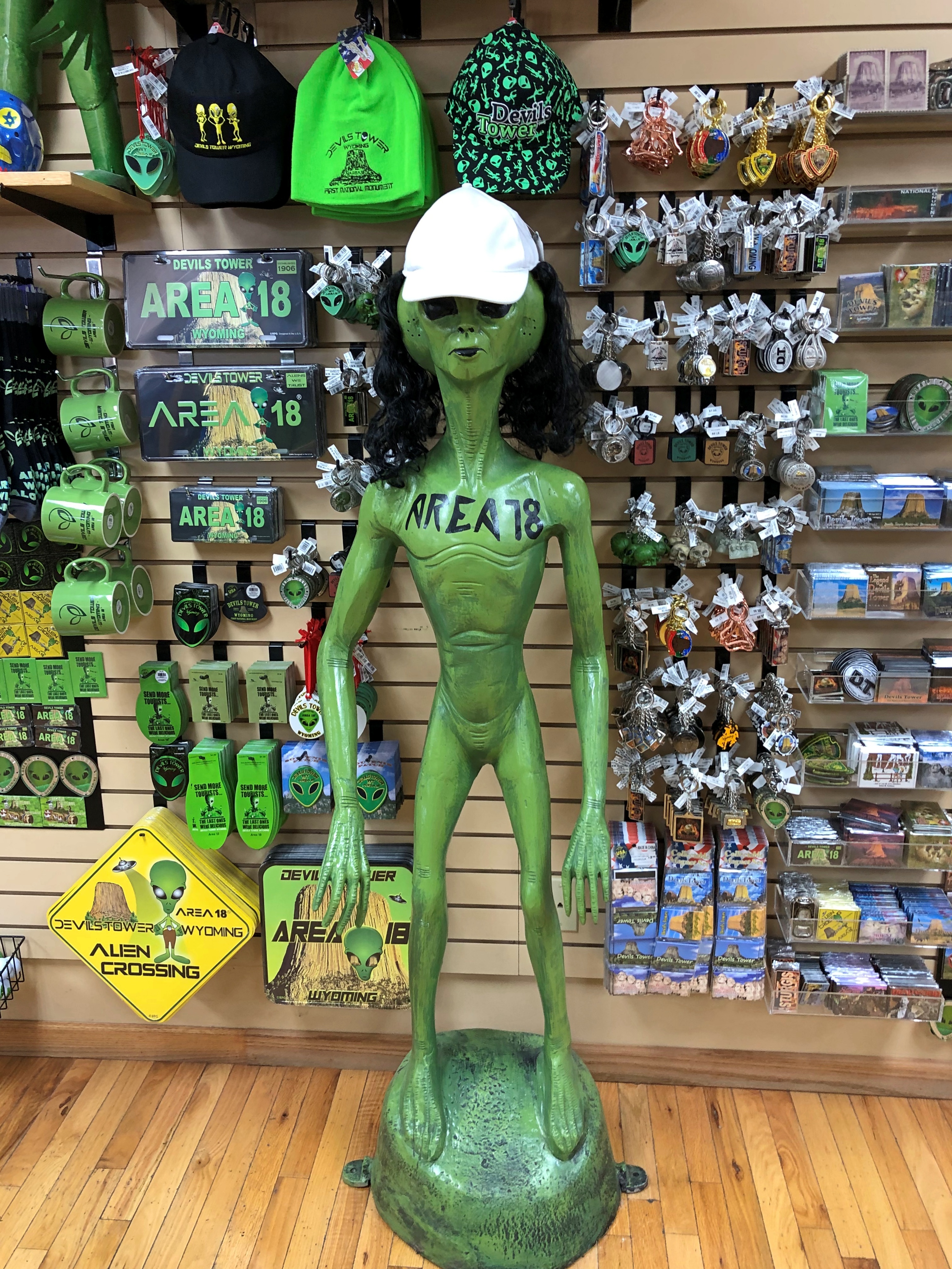
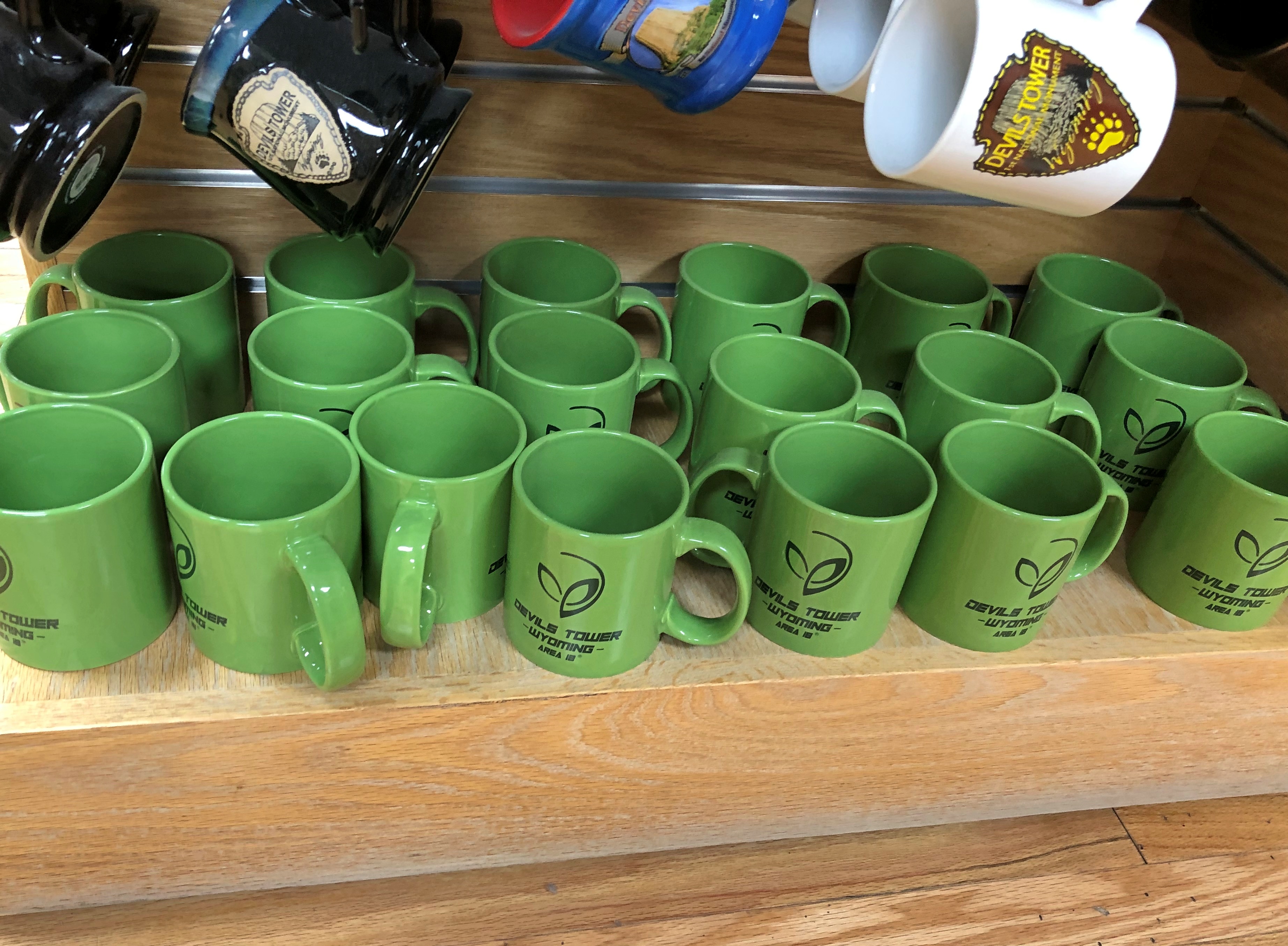
Remarkable, the ongoing influence (though admittedly minor) of a movie that came out nearly 50 years ago. Guess that shows the value of putting a catchy tune in your movie.

I hadn’t thought about that movie in years, much less seen it. In fact, I’ve seen it only once, as a new movie in late 1977, in those heady first months of having a drivers license, which meant I could take girls out. I did to Close Encounters of the Third Kind, though I’m not quite certain now which girl I took.

If you asked me, the gift shop had too much space alien bric-a-brac and not enough Teddy Roosevelt. His name is on the presidential proclamation creating the monument, the very first one under the Antiquities Act of 1906.

I sent a picture of the tower to my old friend Tom.

Tom responded with a text: *Hears the movie theme to Close Encounters*

Me: Looking at the gift shop, you’d think there was a permanent alien settlement on top.

Tom: *Looks around shiftily.* Isn’t there? Have you actually been up there to find out? They could have their own Starbucks up there for all we know.

Me: The truth is out there.

Tom: And it might be caffeinated!

Badlands National Park ’24

A little over 19 years ago, we visited Badlands National Park, which is easily accessible from I-90. Our visit ended up being short.

Lilly wasn’t impressed. Could have been the heat. Must of been pushing 100 F. pretty hard. Also, the austere beauty might have been lost on a seven-year-old.

On the afternoon of August 19 this year, conditions were dry and warm at Badlands, but not oppressively hot. This time we spent a few hours longer.Badlands National Park

At the entrance, I also made an investment in my future travels. One that has already paid off: an America the Beautiful National Parks and Federal Recreational Lands Pass, of the Senior Lifetime variety. You need to be 62 or older to get one, but if you are, the NPS employee at the entrance station can issue you one on the spot. If I can keep track of the physical card – which is exactly the same size and composition as a credit card – I can use for admission to NPS units until I go to that jurisdiction beyond federal oversight, namely the Great Beyond.

All for $80. Considering that vehicular admission to this particular park is ordinarily $30, I was already on my way to my money’s worth. Later on just this trip, we used the pass for admission to Glacier National Park (ordinarily $35), Olympic National Park ($30), Craters of the Moon National Monument ($20), Grand Teton National Park ($35) and Yellowstone National Park ($35). A good deal. You’d think the government was encouraging old people to travel.

I don’t need the encouragement.Badlands National Park
Badlands National Park

“For hundreds of years, the Lakota people have called this area mako sica, which literally translates to ‘bad lands,’ the NPS notes. “When early French fur trappers passed through this area, they called the area les mauvaises terres a traveser (‘bad lands to travel across’). Since the French trappers spent time with the Lakota, it is likely that the French name is derived directly from the Lakota one. Badlands National Park Badlands National Park

“The Badlands presents many challenges to easy travel,” the NPS publication notes wryly. (Government pubs get to be wry?)

Except, of course, for the road that dips into the park and runs through the North Unit. Other parts of the park, which extends to the southwest away from the reach of paved roads, look remote indeed.Badlands National Park

“When it rains in the Badlands, the wet clay becomes slick and sticky, making it very difficult to cross. The jagged canyons and buttes that cover the landscape also make it hard to navigate. The winters are cold and windy, the summers are hot and dry, and the few water sources that exist are normally muddy and unsafe to drink. These factors make the land difficult to survive in, and evidence of early human activity in the Badlands points to seasonal hunting rather than permanent habitation.

‘In 1922, when Badlands was first proposed as a national park, the suggested name was Wonderland National Park!”Badlands National Park Badlands National Park Badlands National Park Badlands National Park

One more detail. A little more bad in the badlands. Badlands National Park

No buboes so far, so I figure we’ve avoided the plague for now. But I can’t say I wasn’t warned. In case you’re curious: The three most endemic countries for plague are the Democratic Republic of the Congo, Madagascar, and Peru, according to WHO. Not South Dakota, at least not yet.

South Dakota Dash ’24

The first day of the trip was a slog from Illinois through Wisconsin and most of southern Minnesota. The second day, August 19, we woke up in Luverne, Minnesota and went to bed in Sundance, Wyoming. Less of a slog, mainly because we stopped a few places in South Dakota along I-90.South Dakota flag

First of all, Sioux Falls. How can you stop in Sioux Falls and not see the falls?Sioux Falls Falls Park Sioux Falls Falls Park

Hard to believe, if you crop things right, you’re in a city of around 200,000. Sioux quartzite, it’s called.Falls Park, Sioux Falls

Once a hub of water-power industries — the ruins of a mill are on the grounds — these days the falls travel through the municipal Falls Park. Sioux Falls has thoughtfully erected an observation tower on top of a rise in the park, for better views.Sioux Falls Falls Park

Naturally, we went to the top, for the view of the falls, downtown Sioux Falls, and – off in a different direction – a major Smithfield meat processing plant. Sioux Falls isn’t just about credit card HQs, the result of a race-to-the-bottom concerning usury laws. It still has industry, too.Sioux Falls Falls Park

Before leaving town, we sought out the Cathedral of St. Joseph, a work by Emmanuel Louis Masqueray (d. 1917), another of those famed architects mostly lost to time. Among other things, he was chief of design at the 1904 St. Louis world’s fair (one of the four fonts of the modern world).Sioux Falls Cathedral St. Joseph Sioux Falls Cathedral St. Joseph

It was open. Not all city churches can say that on a Monday.Sioux Falls Cathedral St. Joseph Sioux Falls Cathedral St. Joseph

Nice. Westward on I-90, at one of the rest stops, we found a much smaller religious structure, though elegant in its simplicity.wayside chapel, South Dakota wayside chapel, South Dakota


It too was open.wayside chapel, South Dakota

Lunch that day was in the burg of Kennebec, SD (pop. 281), which happened to have a place, Benji’s Diner, with a distinctive ag-town vibe, and serious meat on the menu.

It’s a little hard to tell, but there’s beef under that sea of gravy, and I found it mighty filling. Signs on the highway promote the SD beef industry and beef eating on principle, and they get no argument from me.

We took a look around town. When I saw this, I concluded that every town, no matter how small, has one of these murals as a little expression of civic pride. Seems that way, anyway.Kennebec, SD

Kennebec is the Lyman County seat. Lyman County Courthouse, Kennebec South Dakota Kennebec South Dakota Kennebec South Dakota

The built environment isn’t just buildings.Kennebec South Dakota Kennebec South Dakota

Despite our large lunch, we managed to stay awake for the drive to Wall, SD, stopping for a few minutes at Wall Drug and then Badlands National Park, where we spent a few hours. That decision factored heavily into what happened next in Wyoming, more about which later. Enough to say that by the end of the day, we were in Sundance, Wyo.

But we weren’t done with South Dakota. For reasons I won’t bore anyone with, especially myself, we had to backtrack the next day to take care of a minor issue with the car, so it wouldn’t be major later on. For that, we went to Rapid City, which we had bypassed the day before. I’m glad we got to go, because the mechanical issue didn’t actually take long to deal with, which left us with time to see a bronze James K. Polk.Rapid City presidents

Plus U.S. Grant, Franklin Roosevelt, and Calvin Coolidge, among other U.S. presidents at street corners in downtown Rapid City that I managed to see.Rapid City presidents Rapid City presidents Rapid City presidents

“When a local man noticed people interacting with a temporarily placed statue of President Lincoln outside the Hotel Alex Johnson [in downtown Rapid City], an idea sparked. This man was Don Perdue, and he came up with the idea to put a president on every corner in Downtown Rapid City,” explains Visit Rapid City.

“It took a lot of convincing, a lot of fundraising, and hours of research before it started. In 1999, Perdue proposed the idea to the city as a way to honor the legacy of the American Presidency. The project was approved and in 2000 the first four presidents were unveiled: George Washington, John Adams, Ronald Reagan and George H.W. Bush… Over the next ten years, a group of local artists worked to create and place all 40 of the remaining statues.”

I didn’t have time to see all of them. Or the inclination. It was in the low 90s F. that day, so I only wanted to spend a few minutes seeking them out, while Yuriko more rationally waited in our air conditioned car.

She was willing to get out and look at Rapid City’s older attraction a few minutes later, however: Dinosaur Park. I later checked with my brother Jim. He said he does indeed remember, a little, our family’s visit to the park in 1960, before I was born.Dinosaur Park, Rapid City

There’s a good view of Rapid City from atop the park’s hill.Dinosaur Park, Rapid City

But you’re up there to look at wire-mesh-frame dinosaurs with concrete skins, originally dating from the 1930s but obviously maintained into our time and (maybe?) tinkered with a little to more closely match current thinking about dinosaurs.Dinosaur Park, Rapid City Dinosaur Park, Rapid City Dinosaur Park, Rapid City

Even better, I learned that the park was originally a WPA project, consciously designed to draw tourists to Rapid City with something distinctive. Of all the various WPA projects one can encounter, this has to be unique among the lot.

Other Sweet Drives, Part 2

It’s one thing to expect a scenic drive experience and then experience it. That can be outstanding, such as driving on the Going-to-the-Sun Road through Glacier NP. (Which has a remarkably poetic official name for a government project.)

Then there’s the class of excellent drives you were not expecting. Such as the Moki Dugway, to cite an example from a previous trip. Or the following road.

Washington 155

From the Grand Coulee Dam and the adjacent town of Grand Coulee southwest to the town of Coulee City, which isn’t near the dam, is about 30 miles on a highway known as Washington 155. I wasn’t expecting much.

Immediately you launch into arid, rocky country, and soon high cliffs appear, facing a long lake most of the way. The road runs between the cliffs and lake. Off to the right headed in our direction is the narrow Banks Lake, part of the massive Columbia Basin Project to create power and capture water for crop irrigation. Beyond the lake were some mountains, but in the distance.

Reading about it later, I discovered that the lake, while manmade, doesn’t dam any river, much less the Columbia. The lake submerges part the formerly dry Grand Coulee with water pumped in from Roosevelt Lake, the much larger body of water formed by the Grand Coulee Dam.

All that was nice enough to look at, but nothing like the towering black cliffs to the left of the road. Walls of black stone, crumbling in many places, devoid of much vegetation, inspiring to contemplate. Closer to the town of Grand Coulee, the road briefly cuts through two rock walls, one of them part of the impressive Steamboat Rock State Park. At least I’m pretty sure that’s what the road does. It’s a little fuzzy even about a week later, but a good kind of fuzzy.

Mostly I have images of a highway in the shadow of dark cliffs, but all brightly lighted by the late summer sun, and the (apparently) moving forms of the rocks themselves. No two sections of the cliff were quite alike.

This series of images, though going the opposite direction as we did, conveys a bit of the scenery.

US 20 East of Boise

If you’re going to cross Idaho from Boise across the Snake River Plain, at least by car, you can take I-84, which generally follows the river and passes through the most populated sector of the state, with Boise, Mountain Home, Twin Falls, Pocatello, Blackfoot and Idaho Falls as beads on that particular string.

Or you can take I-84 to Mountain Home, and then head east on US 20 across to Idaho Falls. That’s what we did. Good old US 20, a road to Boston in that direction, if you want to go that far. In Idaho, it’s a road through dry, hilly, sparsely populated territory.

This summer, with the haze of a not-too-distant wildfire.US 20 east of Mountain Home US 20 east of Mountain Home US 20 east of Mountain Home

An Idaho State Highway survey marker of considerable age. No doubt built to last. ID Highway Survey Marker

The route was, I suspect, a state highway originally, only later (in the 1940s) becoming part of the US system. Or maybe even US routes had to bear these markers, at least in Idaho. The answer is in some paper files in storage somewhere.

US 20 in Idaho also connects with the entrance, and only paved driving, in Craters of the Moon National Monument. East from there, the road goes through flatter country, including a few small towns, such as Arco (pop. 879), which has the distinction of being the first town to be lighted using atomic power, in 1955, by the nearby National Reactor Testing Station, now the Idaho National Laboratory. Also, the Butte County HS senior class paints its graduation year on the side of a high hill near the town. Since the 1920s, so that’s a lot of numbers. They were so distracting I pulled over for a moment to look at them,

Teton Pass Highway

Back in June, a section a winding mountain road, Wyoming 22, collapsed. The road’s eastern terminus is in Jackson, Wyoming, tourist hub and wealth magnet. The western terminus is at the border with Idaho, where the road becomes Idaho 33, which takes you to Victor, Idaho, just a few miles west of the border. For simplicity, I’ll call both sections the Teton Pass Highway.

I read about the collapse at the time, since I knew we might go that way, and promptly forgot about it when we set off and, more importantly, when we booked a place to stay in Victor, for the same reason anyone stays (or lives) in Victor: the avoid the high costs of Jackson. I’m glad to say WYDOT had the stretch open by the time we first drove there, on September 4, though it was a slow spot, with a lot of construction equipment still active on and near the road.

The Teton Pass Highway is an exercise in climbing a steep grade (signs say 10%) and then rolling down another one. You and your machine, that is. Our engine growled fairly hard, but nothing sounding like it was being overtaxed. There are some winding stretches on the highway, but they aren’t that numerous. Traffic is fairly thick. So on the whole, it isn’t the best of scenic drives.

But if you stop at the pass itself, elevation 8,431 feet, you get your first glimpse of the Grand Tetons. First ever for us.Teton Pass Sept 2024

Honorable Mention: I-84 in Eastern Oregon

After paralleling the Columbia River, eastbound I-84 dips sharply to the southeast, taking a route between the Blue Mountains and the Wallowa Mountains in parts of Wallowa-Whitman National Forest. Not that I knew those names when we were barreling down that mostly empty, very black blacktop. But I could see them along the way. The mountains, that is: some of the yellowest mountains I’ve ever seen, with some brown blended in, but also a healthy dose of gold.

Other Sweet Drives, Part 1

Our trip to the West wasn’t just about driving. But it’s the West, after all. Driving was the keystone of the trip, and sometimes the icing on the cake.

North from Helena, Montana on US 287 & US 89

Helena, Montana, and its surprising charms fade pretty quickly into scrubby, arid high hills north of town on I-15. That day, August 22, was bright as summer, but not blazing hot. That Interstate will take you to the Montana towns of Great Falls and Shelby, and on to one of those border posts with Canada that closes for the night after 10 pm.

We weren’t going there. Destination: a campground just outside the east entrance of Glacier National Park. So soon we left the Interstate for US 287, a main road through Lewis and Clark County and then Teton County, and which passed through the most golden brown territory I’ve ever seen.

Many signs were up in Montana and Wyoming warning one and all about the extreme dryness and the high risk of wild fire, and I believed them. Still, no roads were closed, so we went on. We drove past a lot dry grasslands, much of which was probably for grass crops, just a cigarette flicked out of a pickup away from a dangerous inferno. But a what a great color.North of Helena

That the photos barely capture.North of Helena

US 287 ends at the Teton county seat, Choteau, from which you take US 89 north. The dry grasslands continued, looking less like cropland, so dry even cattle are scarce.North of Helena

A steppe, yes?North of Helena

Yes. But with mountains growing larger, off to the west, the further north we went. Off in that direction, that is, west – was the beginning of the Mountain West, the foothills and low ranges marking the beginning of the Rockies. By the time we got to St. Mary’s, an entrance on the east side of Glacier NP, the mountains were lording over the flatlands, just off in the distance, and getting closer all the time.near Glacier NP near Glacier NP

All in all, a fairly low stress, high scenic value road. At times we were the only car, and only humans, within sight, though that’s something of an illusion. There are people around, just not that many.

US 14, Yellowstone to Sheridan, By Way of the Bighorn Mountains

I have no images made during the best drive of the trip, only a vivid memory of the ten minutes or so, after dark and after driving most of the day last Friday, that we traversed a part of US 14 not far west of Sheridan, Wyoming, in the Bighorn Mountains.

That’s only a small section of the road, and it isn’t even the highest point in the Bighorns. All those curves came as we headed down from Granite Pass, which is more than 9,000 feet above sea level.

I know that mountain driving isn’t for everyone (such as Yuriko). But talk about a way to be in the moment. If you aren’t in the moment, you have no business driving such a switchback-y route. There you are, applying just the right amount of pressure on the brakes, edging the wheel just in the right direction, as the winding track unfolds ahead, each moment unlike the last. It’s almost as if you aren’t pressing those brakes or tipping that wheel. You and the machine are.

For bonus points, flip off your brights just the instant you’re aware of an oncoming car, and back on again the instant it passes. I did that too, but only two or three times, since it wasn’t a crowded road. More traffic would have raised the stress level a lot and harshed this particular buzz for me.

One more detail, for most of the twists and turns, and unique to our transit of the mountains: “All I Wanna Do” was on the radio at that moment, coming in clear despite our location. Somehow, that added to the experience, though I can’t call it a driving song. Still, it’s one of best capture-a-moment songs I know of.

Earlier in the day, we headed east from Yellowstone on US 14/16/20 – as we went eastward, the other two higher numbers eventually disappeared – and found it to be more of a straight road. Sometimes the drive revealed scenery equal of anything in a national park, rolling through the Absaroka Range and Shoshone National Forest, and, after passing through Cody, Wyoming, the Bighorn Basin, as an approach to the Bighorn Mountains. Part of of road is the Buffalo Bill Cody Scenic Byway.

Browns and dry yellow predominated. Just east of Yellowstone, you’re among the impressive Absarokas. They lent their name to a lesser-known new state movement in the 1930s. Lesser-known to me, anyway.US 14 Bighorn Mountains US 14 Bighorn Mountains

The mountains receded and the road passes through a broad valley.
US 14 Wyoming

Wait, what was that?US 14 Big Boy US 14 Big Boy

The Wapiti Big Boy, the Cowboy State Daily calls it, after the valley, and the nearest town.

“ ‘Big Boy restaurants were everywhere (at one time), and I’ve always wanted to have a Big Boy and celebrate what’s great about the Big Boy,’ said James Geier, who owns the Wapiti Big Boy statue and the land it now calls home,” CSD reports.

“ ‘I’m a sculptor and have a design business,’ he said. ‘My art and the placement of Big Boy was really all about wanting the conversation to go on, whether you’re a tourist going through the world or a local.’ ”

The road then passes Buffalo Bill Reservoir. A manmade lake on the Shoshone River. Once upon a time, William Cody owned much of the land now covered by the lake.US 14 Buffalo Bill Cody Lake US 14 Buffalo Bill Cody Lake

Beyond that is the town of Cody, where we tarried to buy barbecue and eat it in the main city park for dinner. I can recommend Fat Racks BBQ. Its pulled pork, specifically.

Heading into the Bighorn Mountains east of Cody.US 14 Bighorn Mountains US 14 Bighorn Mountains

By that time, the light was fading, and soon enough we were driving in the dark, though the road was well marked by reflectors, and illuminated by our headlights. Once we emerged from the twists, the drive to the motel in Sheridan was only about 20 more minutes, so the downward grade on US 14 essentially capped off a capital day of driving.

The I-90 Western States Road Epic

I marvel that what Yuriko and I just did is even possible. Between Sunday, August 18, and Sunday, September 8, inclusive, we drove from metro Chicago to metro Seattle and back.

The kind of trip I call an epic. Which just means a long one. All together, we drove 5,916 miles across nine states. We visited cities, towns, remote farm and ranch land and forests, crossed plains, rivers small and mighty, hills, and mountain ranges. We visited our eldest daughter in far-off Washington state and reached the Pacific Ocean.

I call it an epic, but that’s only my idiosyncratic label. By historical standards, our trip was laughably easy. All we needed were some (but not a lot) of those three basic ingredients of modern travel in North America, and a fair number of other places: time, money and – perhaps the most elusive for many people, though of course the other two are often limiting – the will to go.

We did not need a supply train or pack wagons. We carried all the communications equipment we needed in our pockets. Food and fuel were easily purchased.

We did not need the permission of any authority at any level of government, beyond a drivers license or license plates, which aren’t specific to interstate travel. We paid no gang a toll, no one baksheesh to pass through their land.

We did not need to be armed. We encountered no hostility of any kind. Crime, of course, is possible anywhere, and I like to think we were careful. I was only really anxious about the possibility once, but even then nothing happened.

I’m positive that the greatest risk to life and robust health was the fact that we just drove nearly 6,000 miles over roads of varying size and traffic density, some of which were a bit hairy. I like to think we were careful about that, too, putting our combined 72 years’ driving experience to the task, and we got home with nary a dent nor a scratch, much less anything worse.

The epic was conceived and carried out in three parts of roughly a week each: the drive out west, the visit in the Pacific Northwest, and the drive back east. On that structure we hung four main events and many other smaller ones. And by events, I mean seeing places in three cases, and visiting family and friends in one. On the way out, we saw Glacier National Park. In Seattle, we visited Lilly and Dan, as well as two old friends of mine, Bill and Tom, and their spouses, but also spent a couple of days at Sol Duc Hot Springs at Olympic National Park. On our return, we saw Grand Teton National Park.

Some of the driving counted as a necessary chore, such as the route through Wisconsin, Minnesota, South Dakota and ultimately Wyoming: I-90. If you want to, you can drive all the way to Seattle on I-90, a total of just a little more than 2,000 miles, according to Google Maps. We didn’t want to do that. We used I-90 to get to Wyoming and then Montana on the way out, and return from Wyoming on the way back. For us, that was two days’ worth of driving each way.

Once we got to Montana, we took smaller roads that crossed that state and Idaho and Washington state. On the return, we crossed another part of Washington, Oregon and Idaho, back to Wyoming, also mostly using smaller roads, except for a stretch of I-84. Those small roads sometimes provided exceptionally scenic driving, or driving through territory the likes of which we hadn’t seen before. And there was some fun mountain driving. By fun, I mean curves.

Going out, we reached the vicinity of Devils Tower National Monument after two days on I-90, and stayed there for two nights; next, Helena, Montana for a night; then a campground outside the St. Mary’s entrance of Glacier National Park for two nights. Spokane for one night; and into Seattle.

A view in Glacier NP.Glacier National Park

It would have been six nights in Seattle, but we spent one camping in Olympic NP in the middle of that week. The return began with two nights in Portland; a night in Boise; a visit to Craters of the Moon National Monument and then three nights near Grand Teton NP; one in Sheridan, Wyoming, and then back to the I-90 funnel back home.

A view in Grand Teton NP.Grand Teton NP

Squint and you can imagine randy Frenchmen of yore saw mammaries.

Cucumber Time

Rain early this morning and clouds all day, and fairly warm. In the afternoon, we paid a visit to a warehouse store. In the retail world, Halloween is just around the corner.

As Halloween décor goes, I’ll say they’re impressive, though I’m not in the market for any such ghoulish simulations. Not even the Werewolves of Schaumburg (a lesser-known follow-up to the Werewolves of London?).

They retail for about $200 and $250, though I can’t remember which one was for which price. They’re a bit animatronic. For instance, the werewolf’s jaw opens and closes.

I can’t vouch for the accuracy of this long sentence in the Wiki article about the Silly Season, but I like the term “Cucumber Time,” so I’m quoting it here.

“In many languages, the name for the silly season references cucumbers (more precisely: gherkins or pickled cucumbers). Komkommertijd in Dutch, Danish agurketid, Icelandic gúrkutíð, Norwegian agurktid (a piece of news is called agurknytt or agurknyhet, i.e.,  ‘cucumber news’), Czech okurková sezóna (‘pickle season’), Slovak uhorková sezóna, Polish Sezon ogórkowy, Hungarian uborkaszezon, and Hebrew עונת המלפפונים (onat ha’melafefonim, ‘season of the cucumbers’) all mean ‘cucumber time’ or ‘cucumber season.’ ”

Considering the fraught politics of our time, and the equally fraught – if somewhat more permanent – 24/7 news cycle, and the way people glue themselves to their hand-held boxes, I’m not sure the Silly Season is an active concept any more, whatever you call it. Either there is no such season specific to August any more, or it’s all Silly Season.

No matter, I’m taking a long break for the Silly Season. Once upon a time, I worked for a news organization that didn’t publish during the week before Labor Day, just like the week between Christmas and New Years, and it was a paid week, no less. I thought that was a fine company practice; but it didn’t last.

Back to posting around September 9, assuming I survive the Silly Season, and I’d say the actuaries would still be on my side in that matter. But who knows. The Yellowstone Caldera (say) might blow, ruining everyone’s end-of-summer plans.

Virtual Lightbulbs & Cats

Something new in the world of robots asking whether I’m a robot.

Or at least something new to me. Previously I’ve tended to run into a challenge to click on buses or motorcycles or traffic lights or the like. Maybe those have been cracked by nefarious robots pretending to be people, and so we need cats to foil them.

Whatever the case, there was a reason for the CAPTCHA photos of objects you’d find driving.

“In 2012, Google started snippets of photos from Google Street View,” says the Grove Street Auto Repair Blog. “By 2014, the CAPTCHA system was primarily focused on training AI. Google has mentioned that by this time, they used CAPTCHA to teach self-driving cars, such as the new rideshare Waymo vehicles.”

I think I’d read about that before. It’s a steep learning curve for the robot cars, apparently.

It licks the air with crimson flare

Wood debris fire in my grill, just after sunset, August 13, 2024.

Prompt for the free version of Chat GPT: Write a short poem in the style of the Romantic poets about the tongue of flame in my grill.

Result:

Amidst the twilight’s dusky veil,
Where shadows dance and spirits sail,
There roars a tongue of fierce delight,
In the grill’s embrace, so wild, so bright.

It licks the air with crimson flare,
A fleeting dragon’s breath laid bare,
Each flicker whispers ancient songs,
Of passion’s fire where heart belongs.

O, fiery serpent, weave your tale,
Of embers lost and moments frail,
In your embrace, the night does sing,
A hymn to life’s consuming spring.

Beneath your blaze, the dark recedes,
And dreams take flight on fiery steeds,
Till dawn shall break, and still you’ll stay,
A spark of dusk that lights the day.

Eh. It licks the air with crimson flare? Each flicker whispers ancient songs, of passion’s fire where heart belongs? Dreams take flight on fiery steeds?

This isn’t bad: O, fiery serpent, weave your tale, of embers lost and moments frail. Still, the effort’s underwhelming.