Milwaukee Doors Open ’17

Temps have cooled down some, but it’s still warmer than usual for this time of year. At about 12:30 this afternoon, I saw an ice cream truck drive down our street. I can’t ever remember seeing one in October.

Last weekend, Yuriko and I drove up to Milwaukee to participate in Milwaukee Doors Open. Ann couldn’t make it, even if she’d wanted to, because she was attending her first high school speech tournament.

That’s a good thing. Her joining speech inspired me, while in Texas recently, to open up one of my high school yearbooks, the 1979 edition, to the page devoted to the National Forensic League. I was a member.
NFL AHHS 1979I discovered when Ann signed up for debate that it isn’t the NFL any more, but the National Speech & Debate Association, only since 2014. What kind of name is that? Hopelessly bland. It’s as distinctive as the name of a suburban office park in a mid-sized market.

Note in the picture above: the club’s officers (I was one of those, too) had fun with belonging to the NFL. We lined up like football players for the picture.

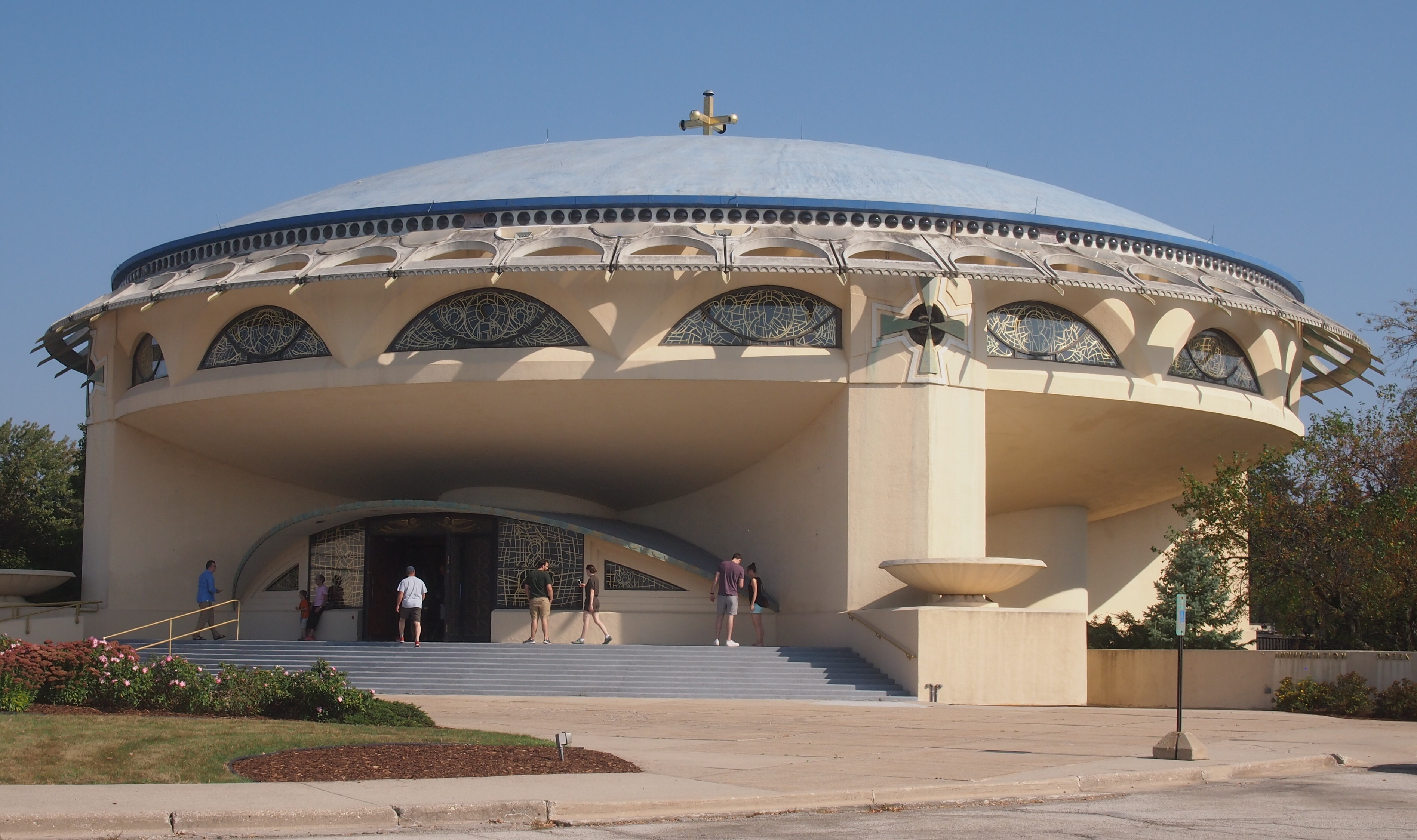
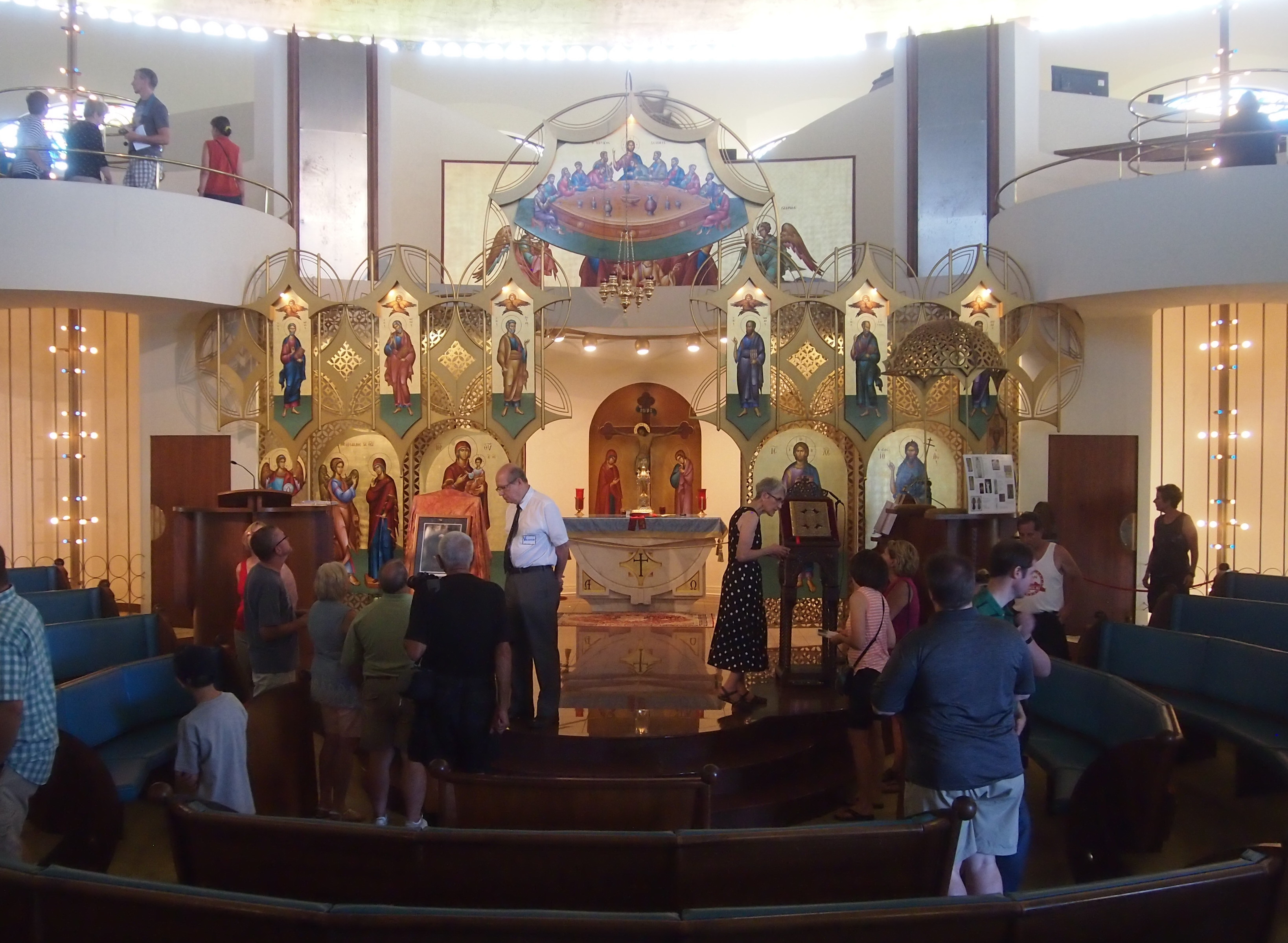
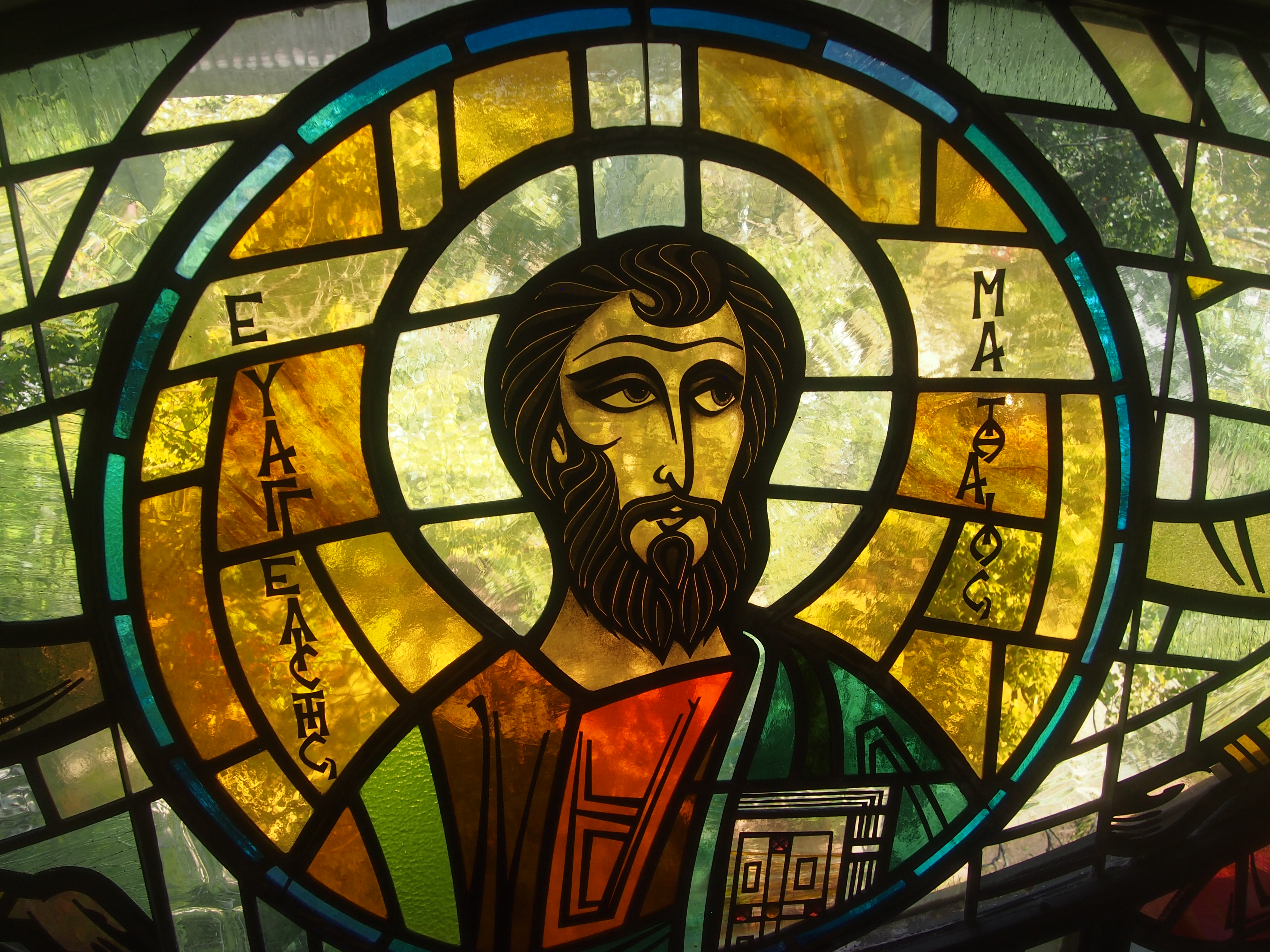
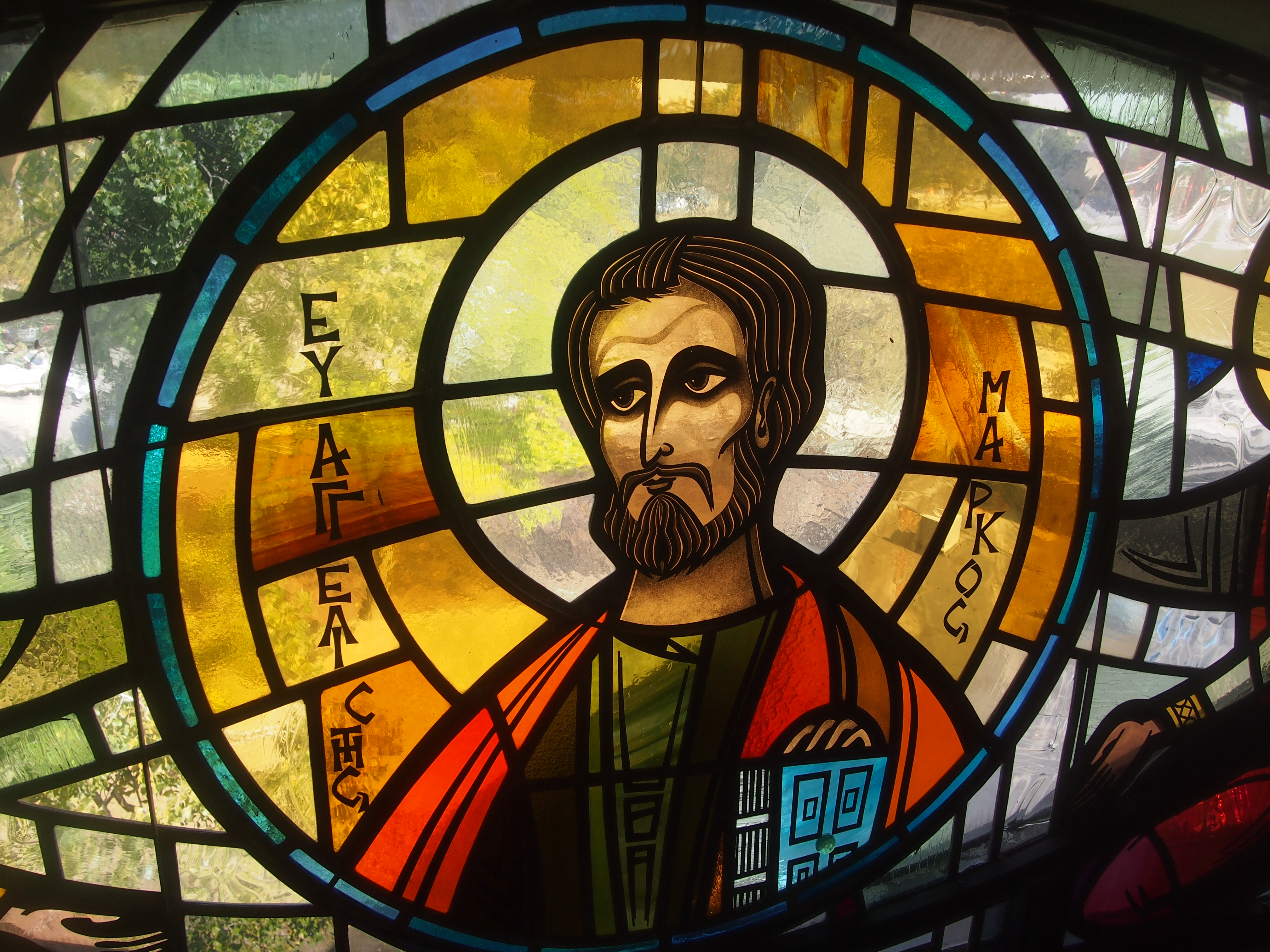
Doors Open Milwaukee 2017First we went to Annunciation Greek Orthodox Church, which is in the near suburb of Wauwatosa. It’s best known for being one of Frank Lloyd Wright’s last works, and in fact was completed after he died. As I read, and as I saw, this 1950s church is informed by traditional Byzantine forms. But I also couldn’t help thinking of space age forms.

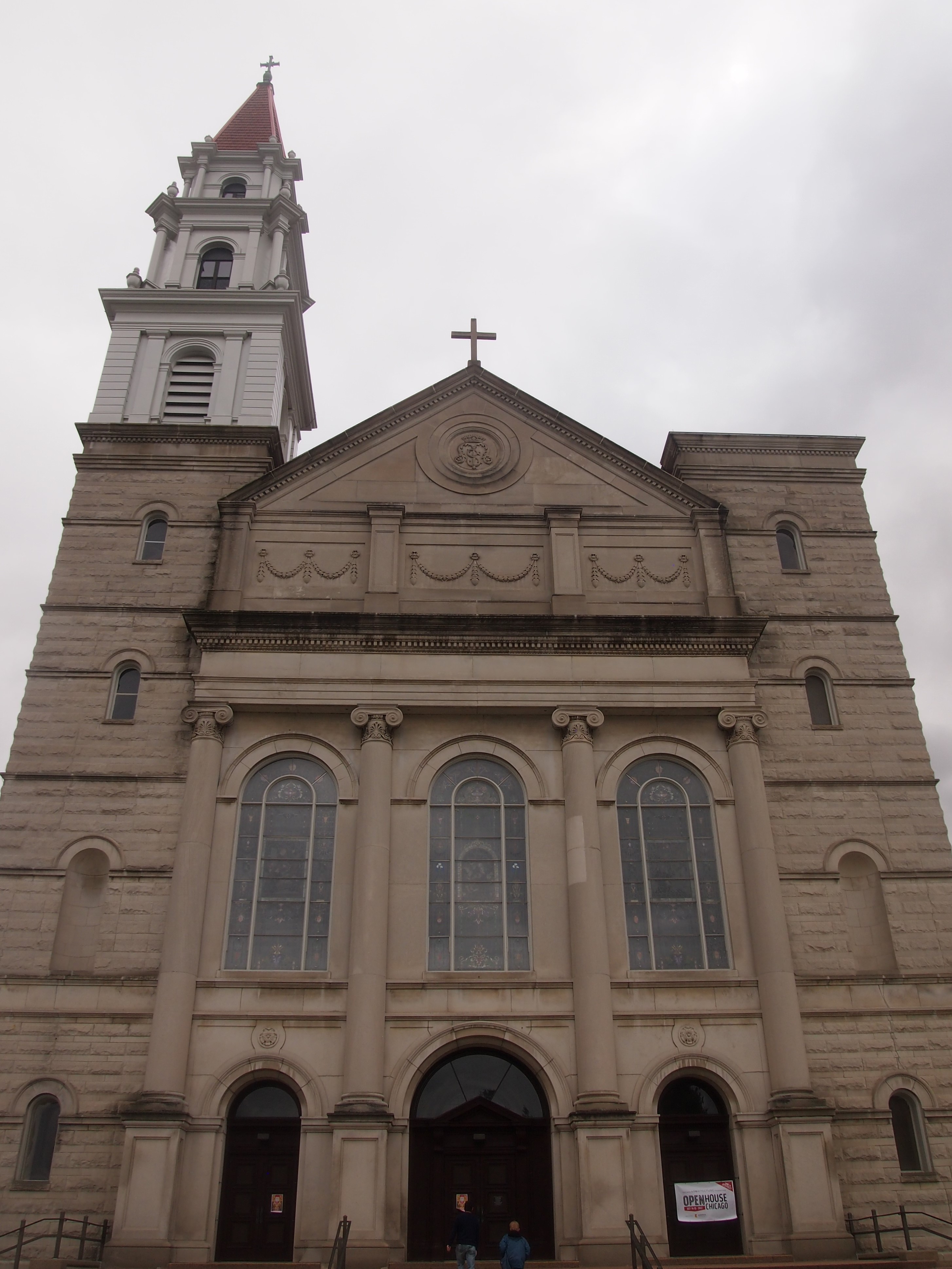
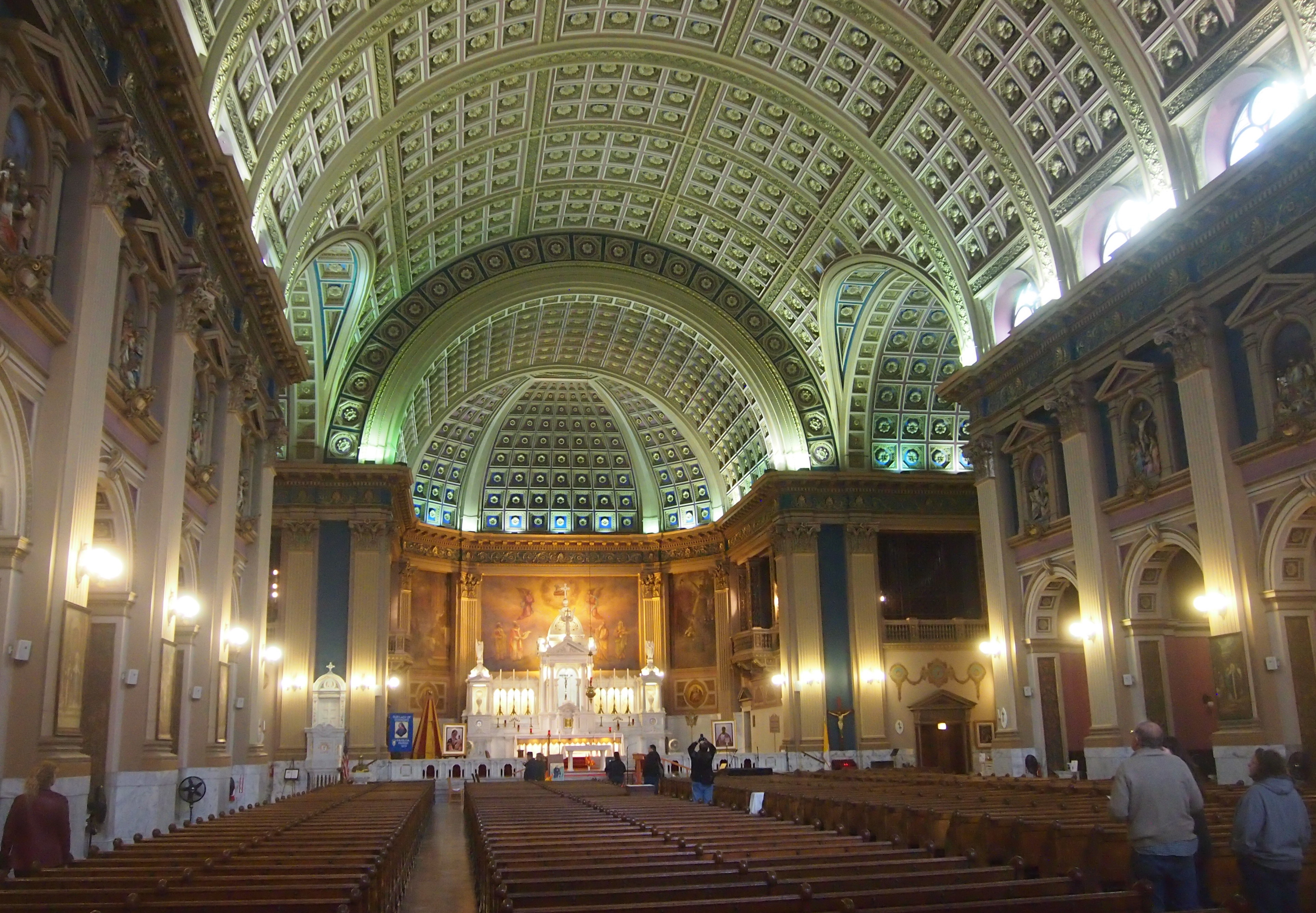
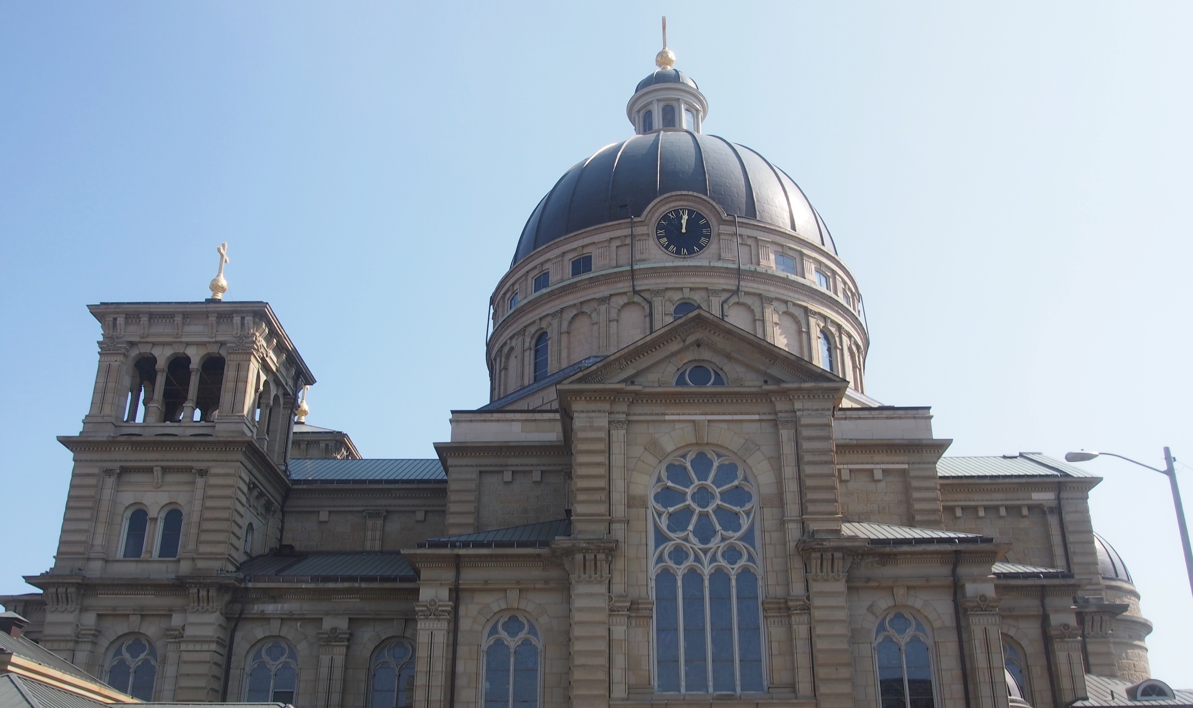
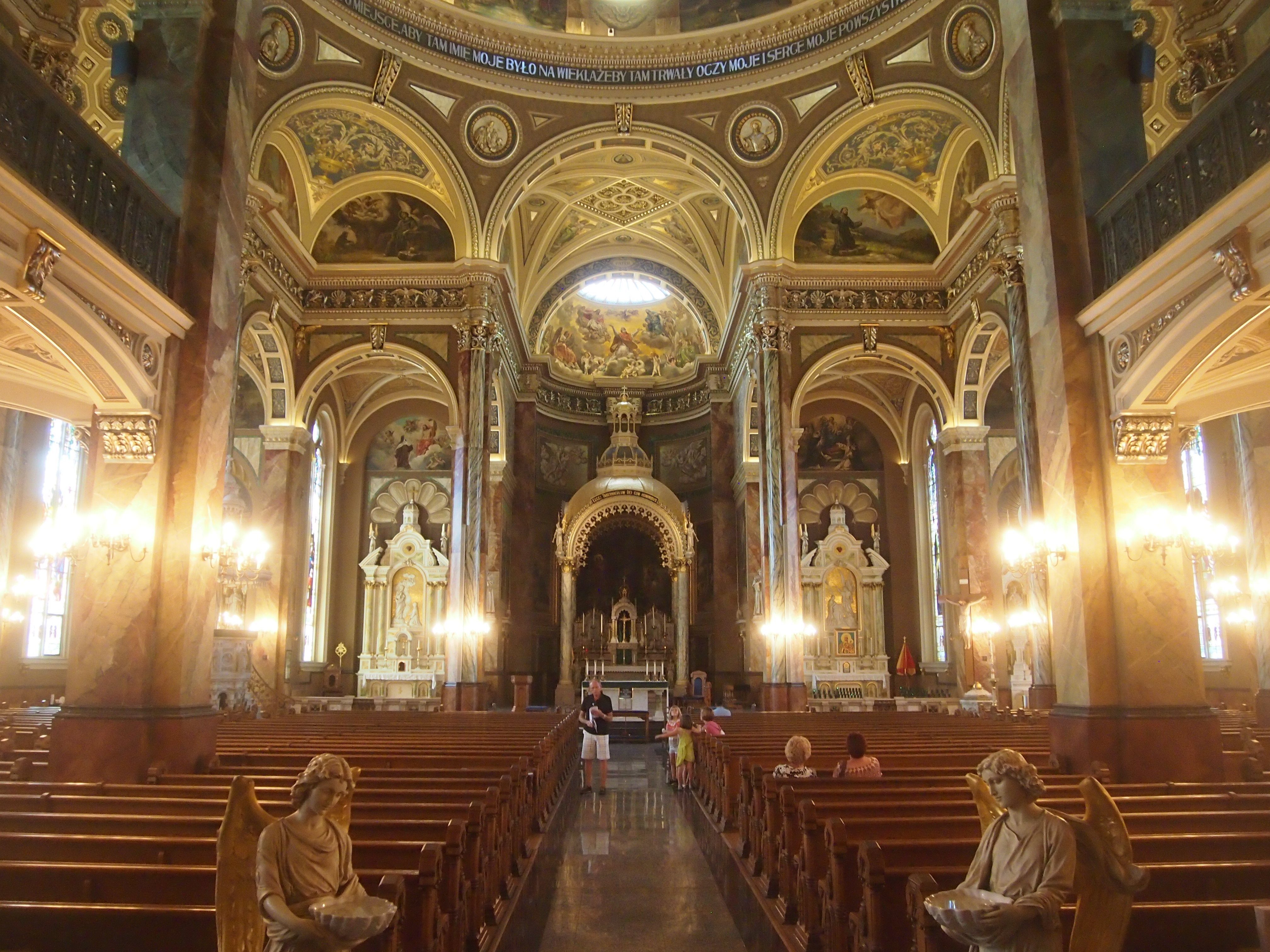
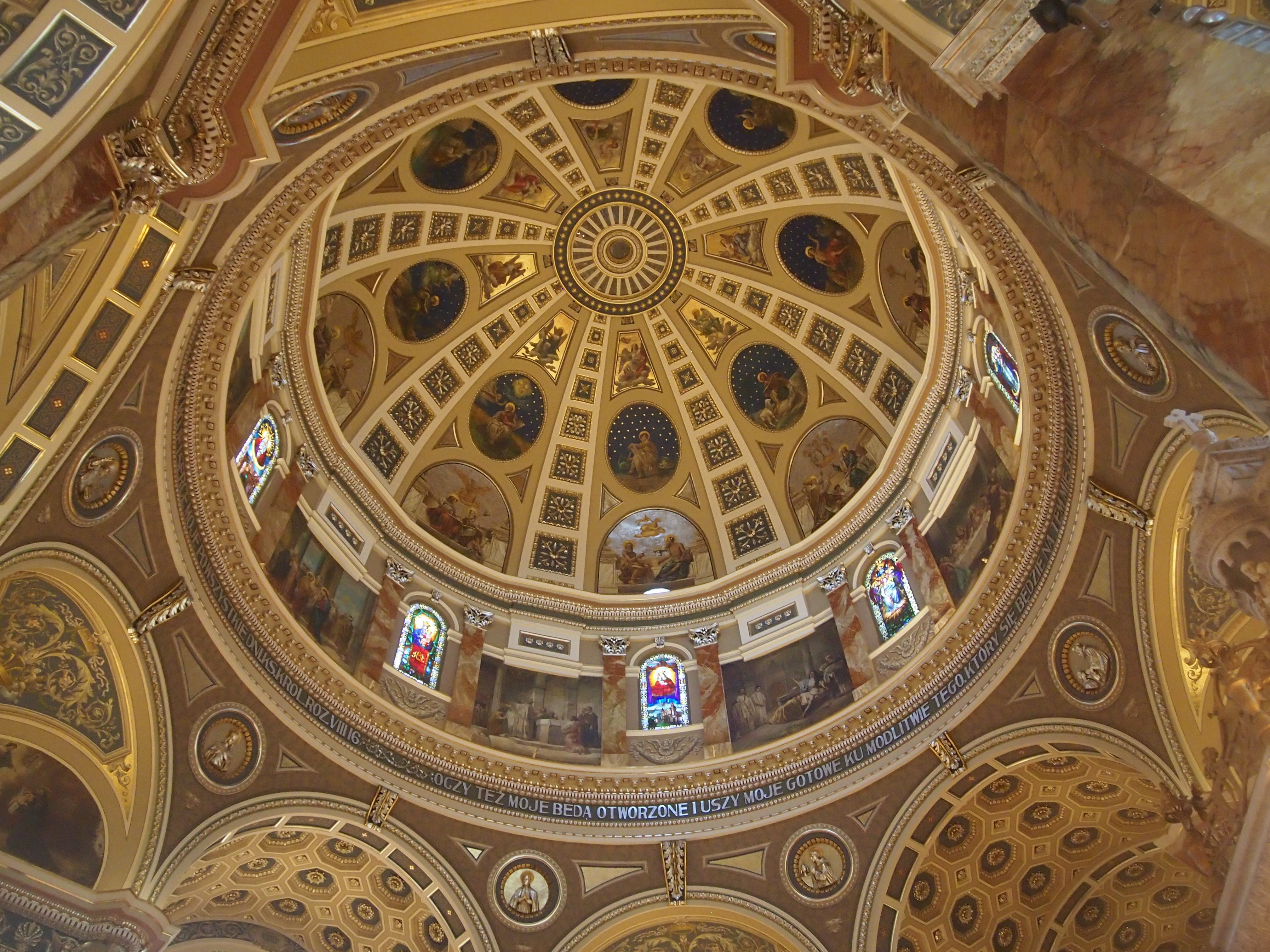
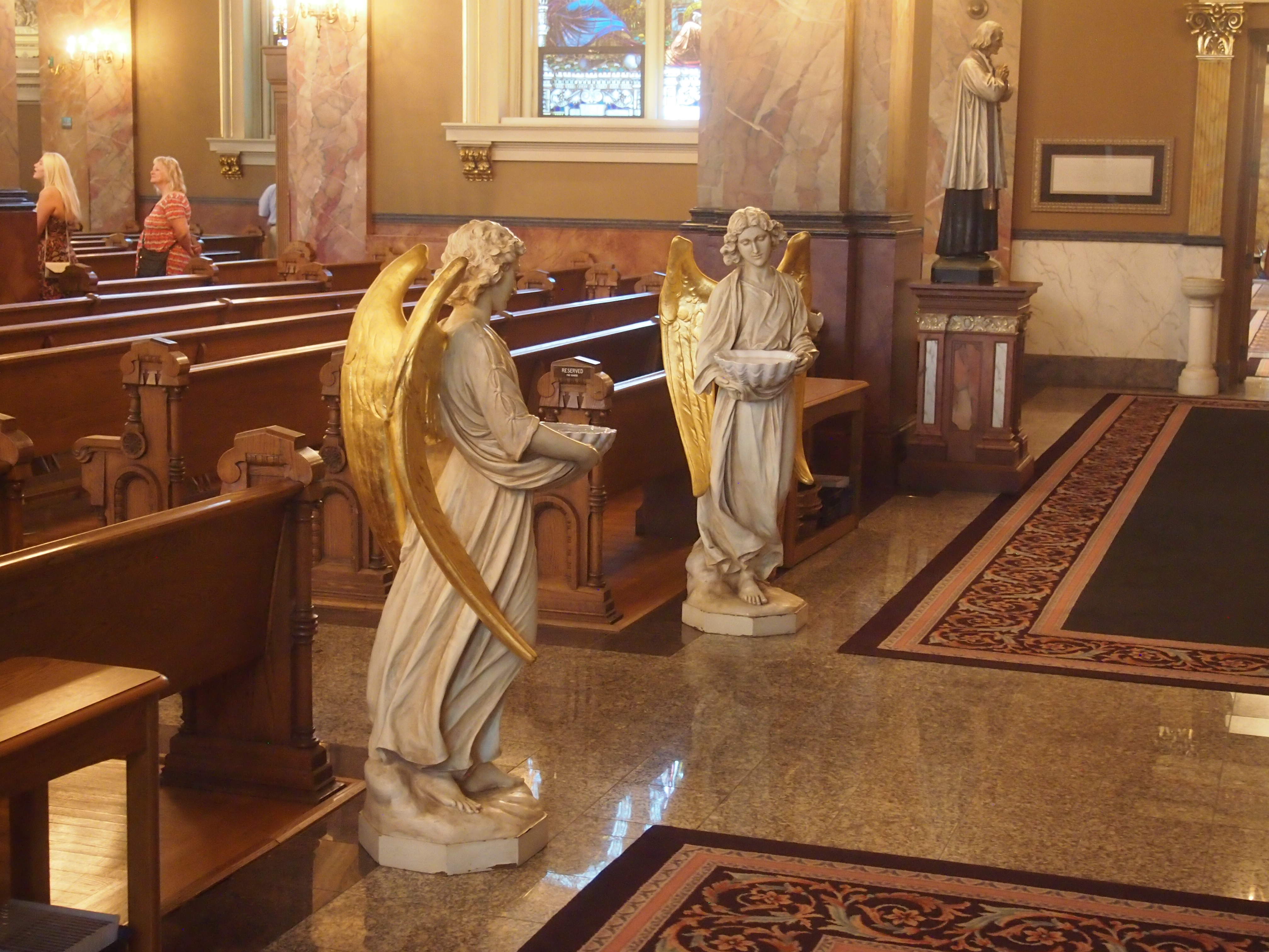
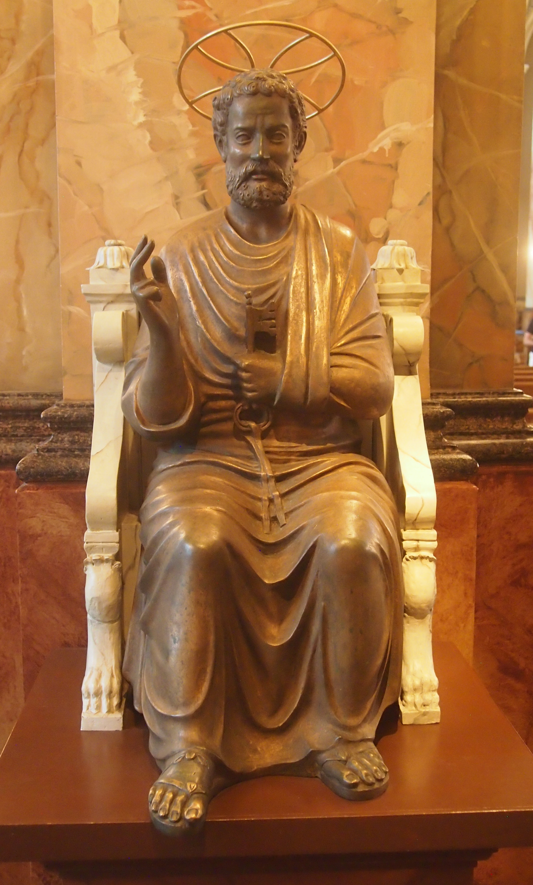
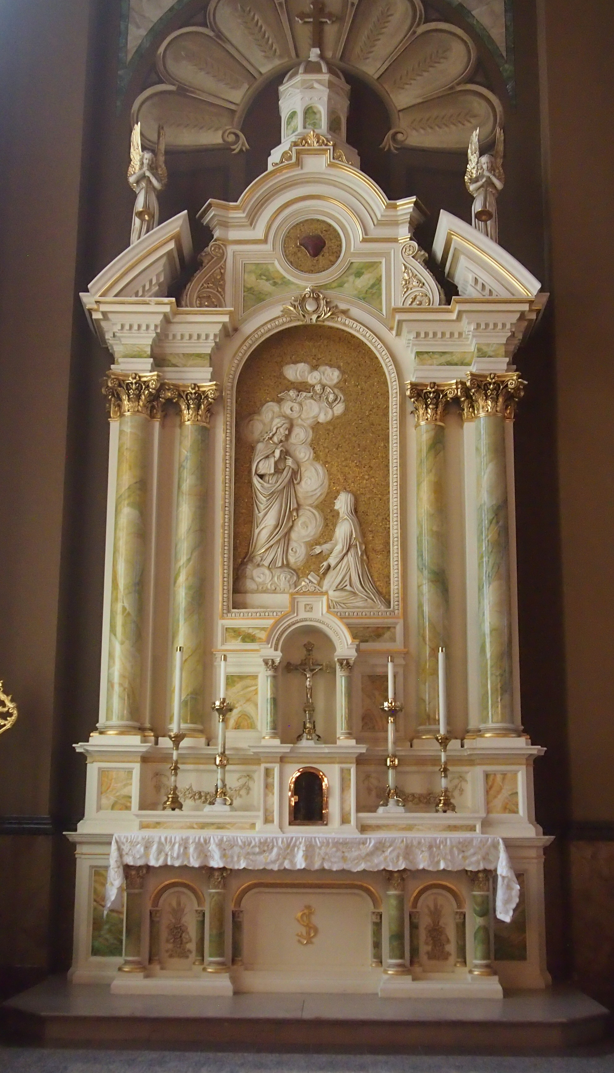
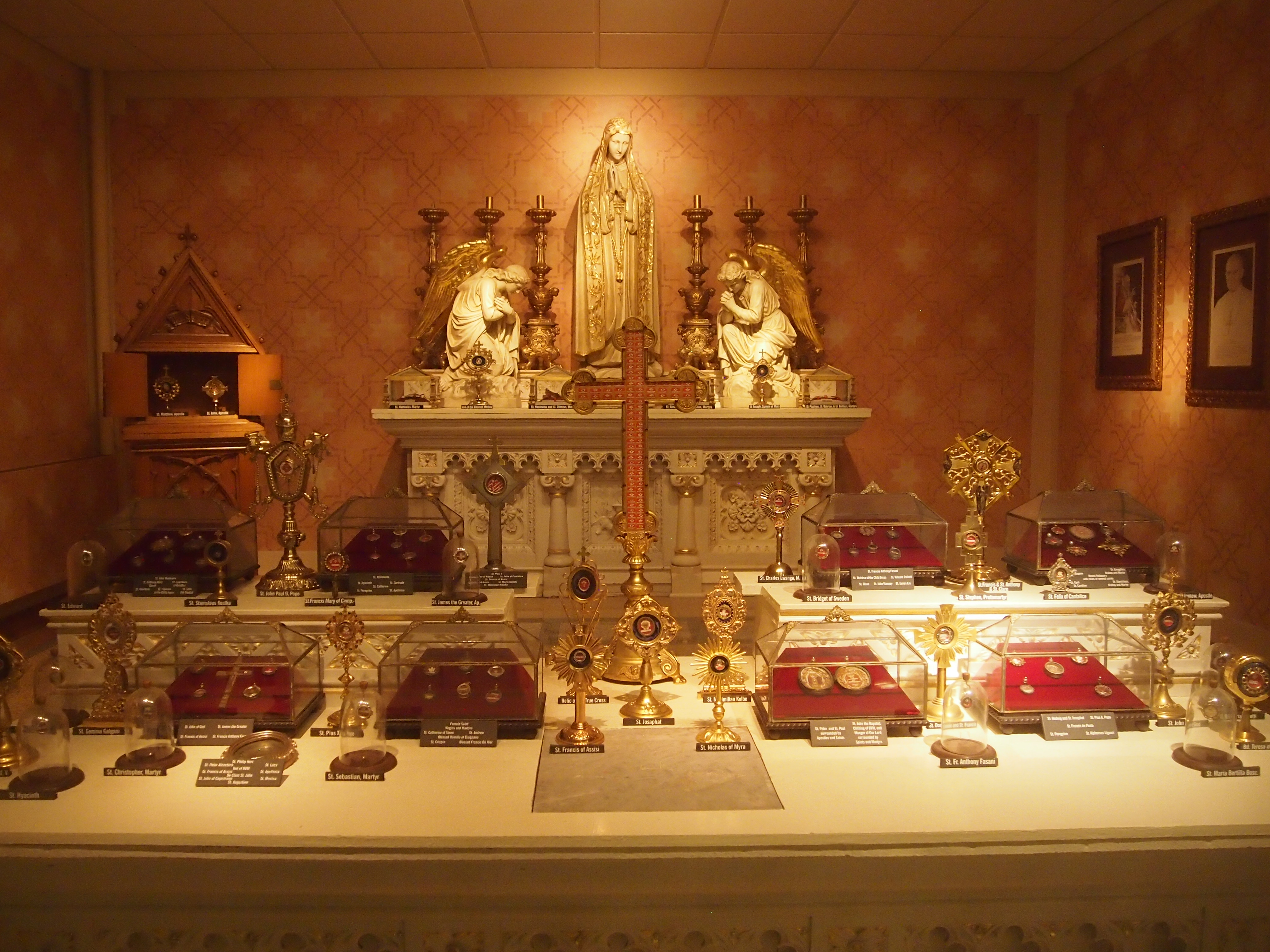
From there, we went into the city and revisited the Basilica of Saint Josaphat. Last time we were there was Good Friday 2011, and as you’d guess, the church was fairly busy that day. This time, it was open just for a look, so we were able to do that at some length.

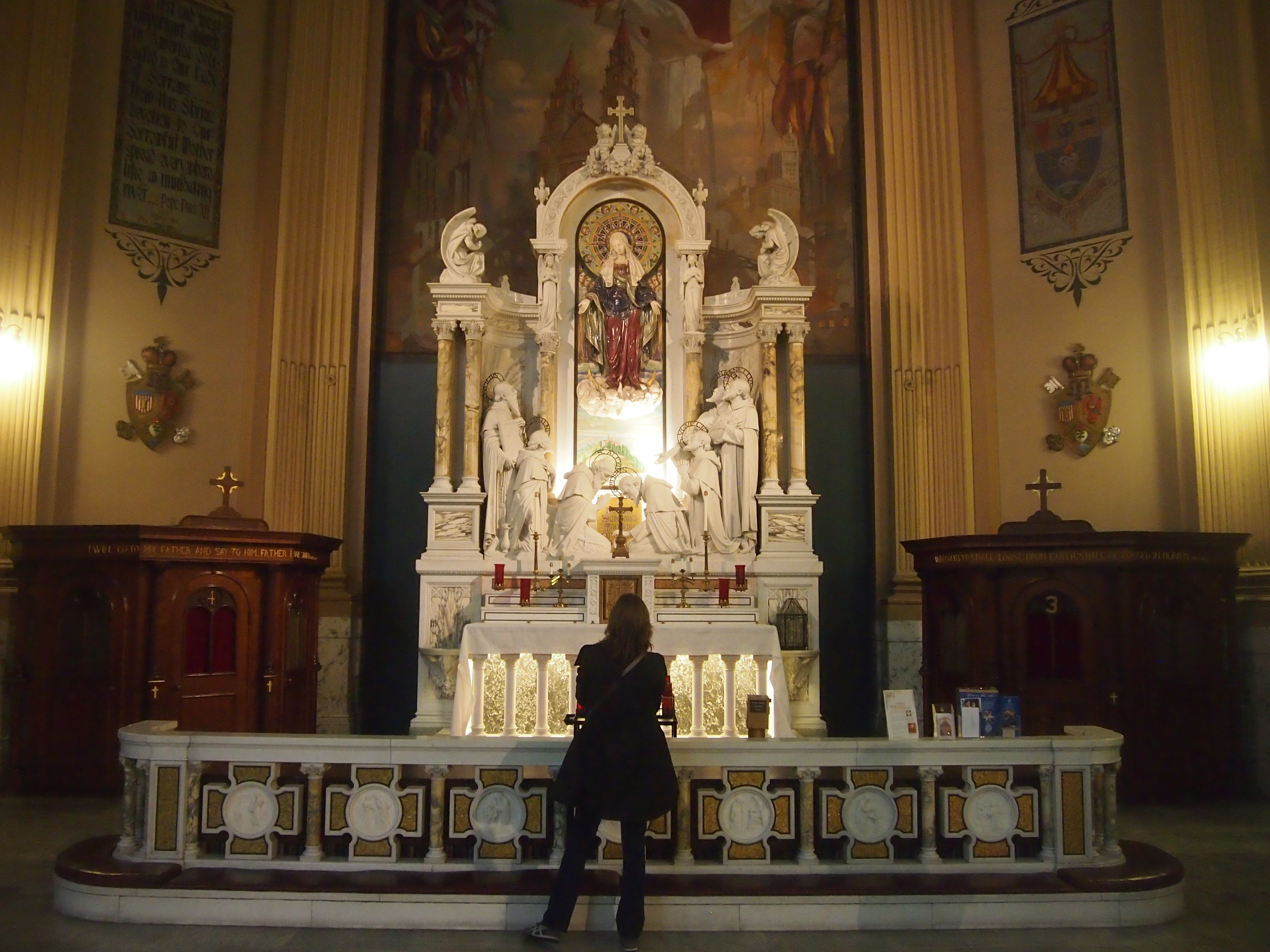
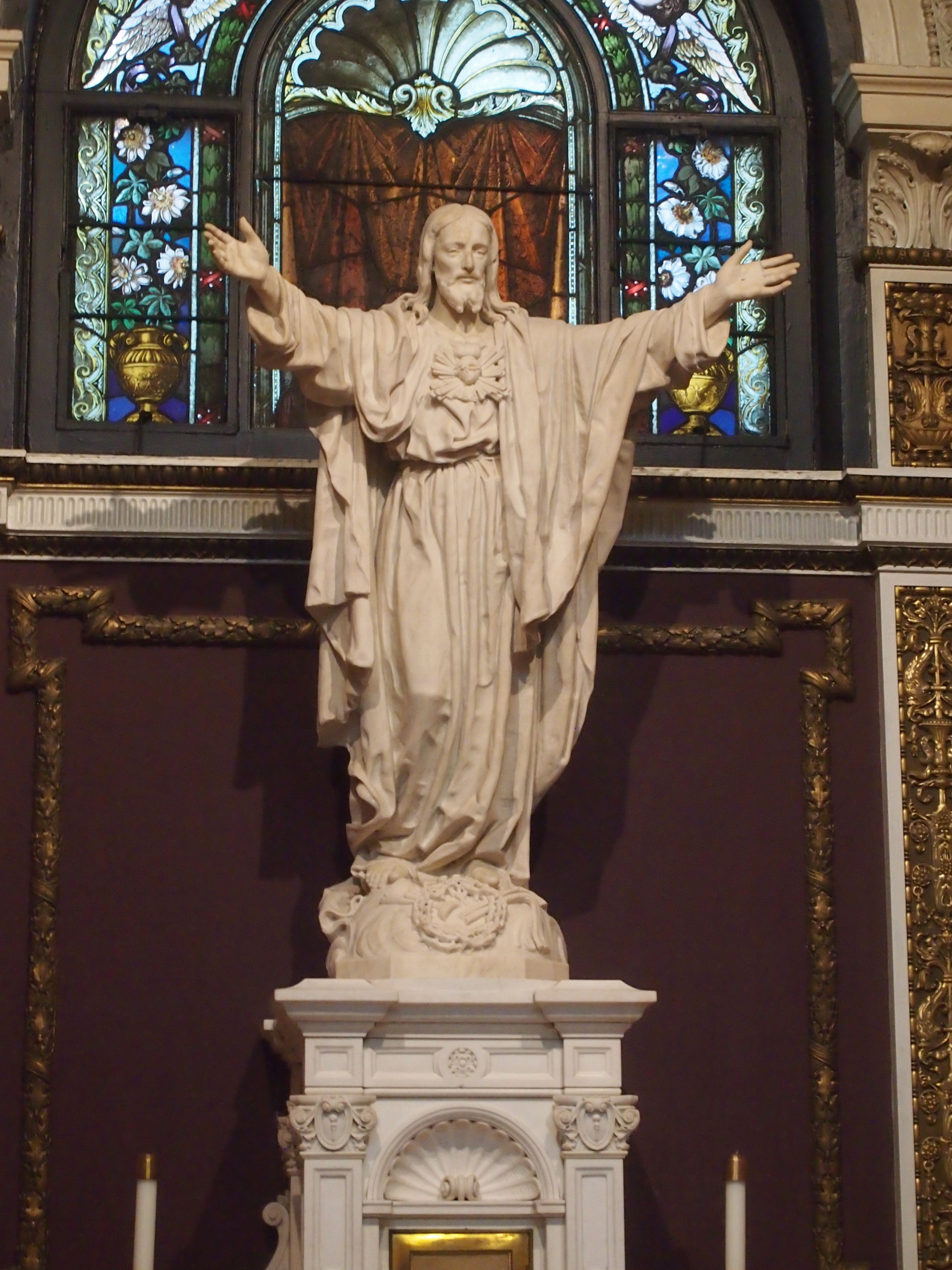
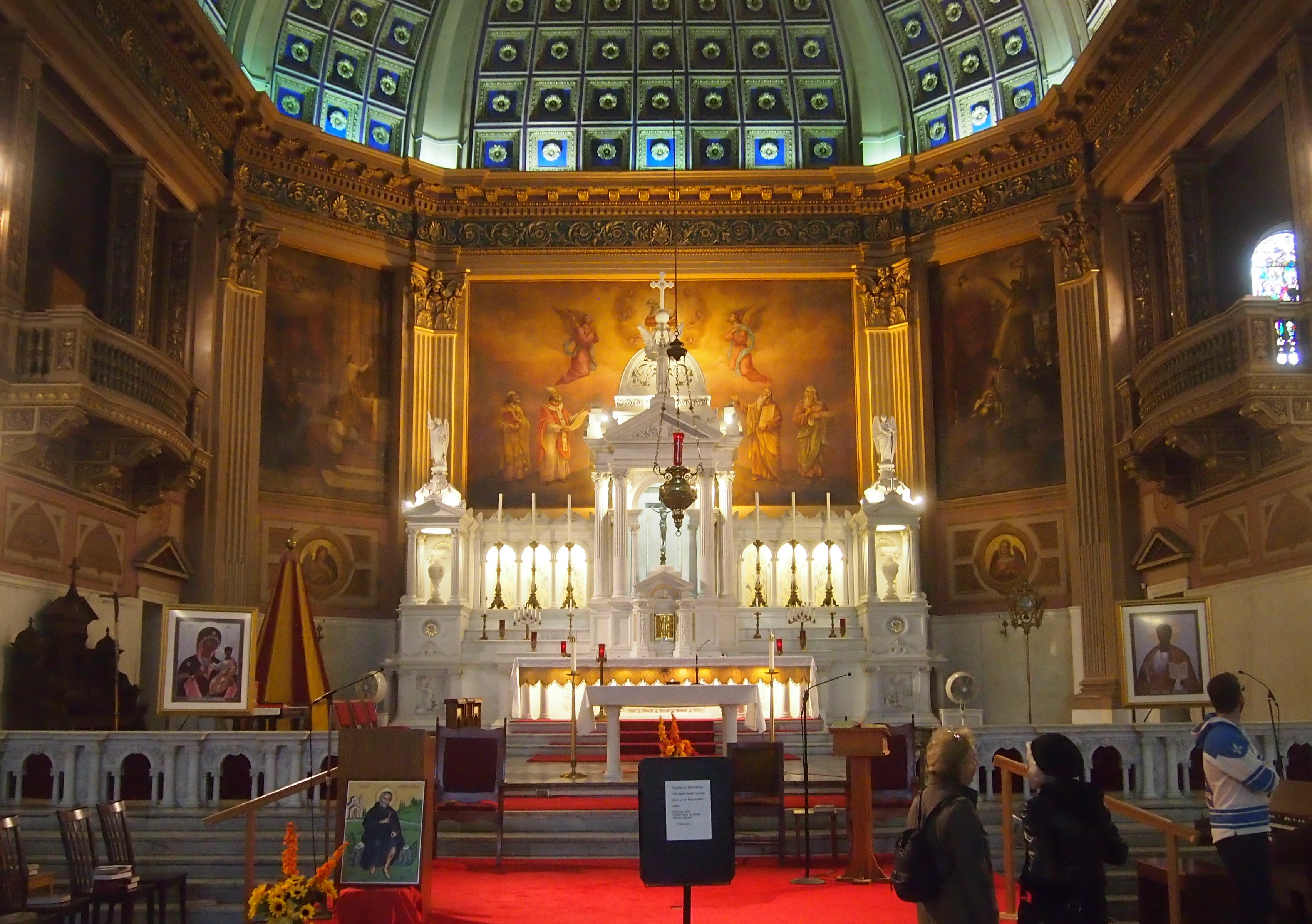
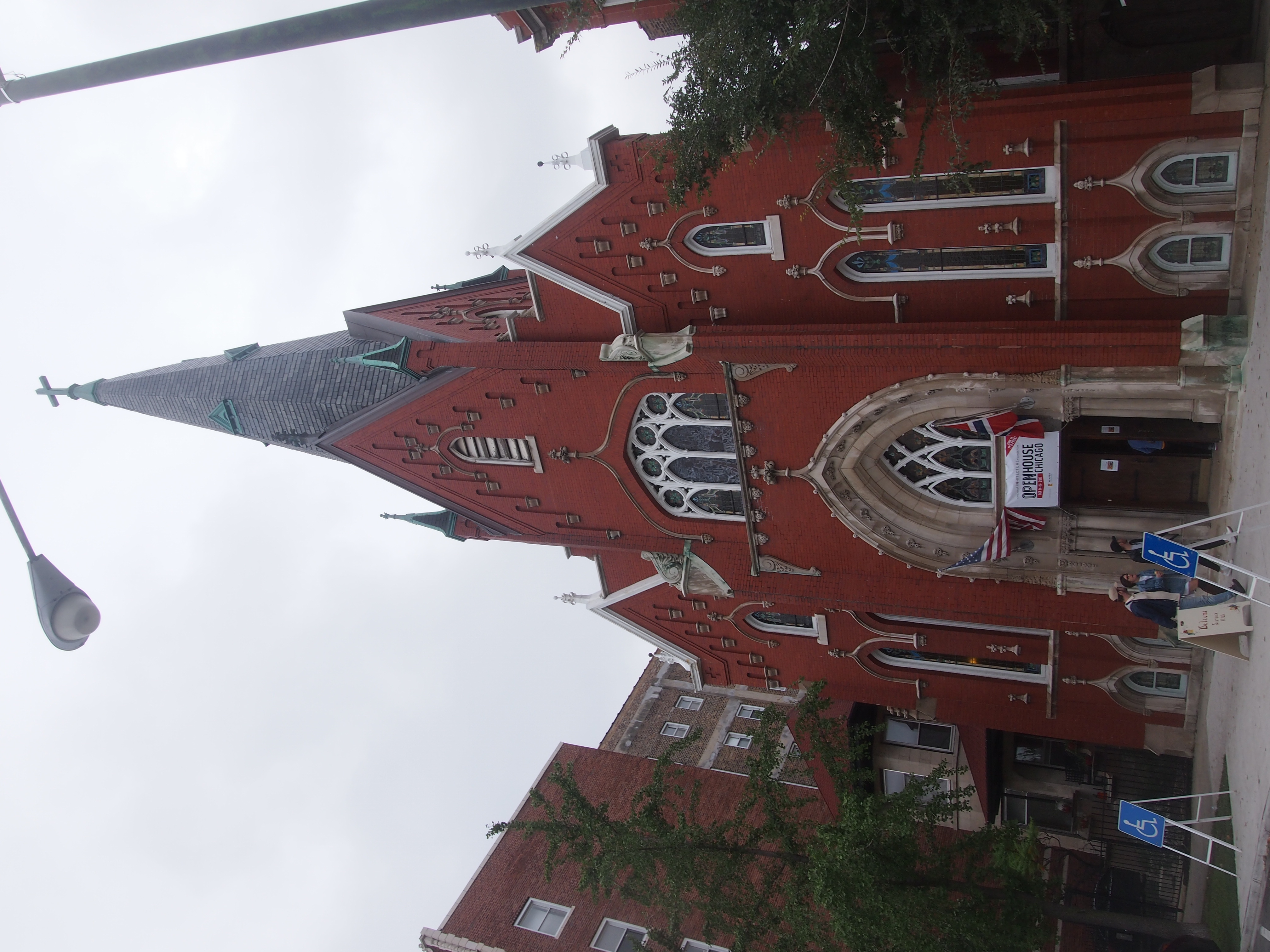
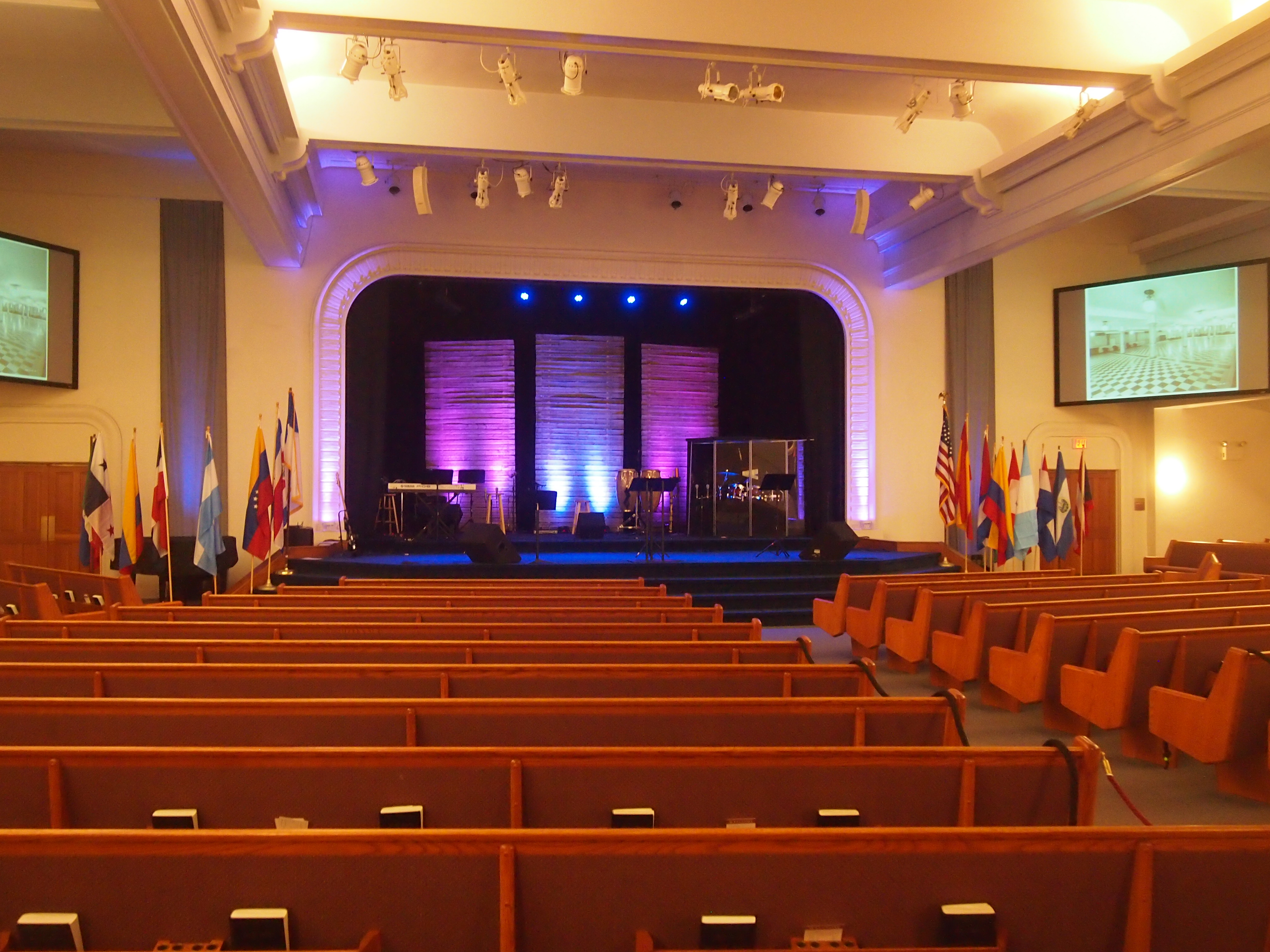
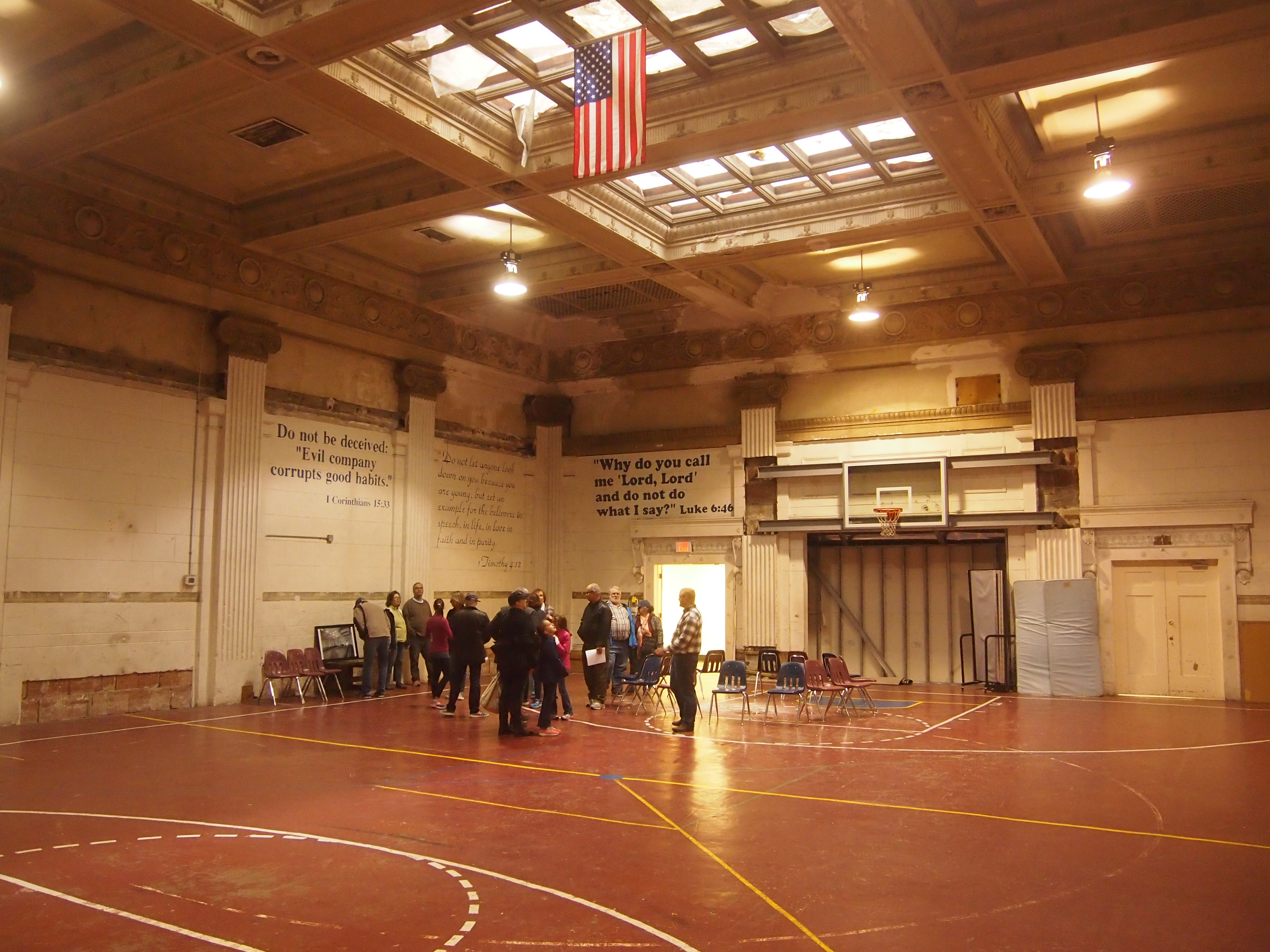
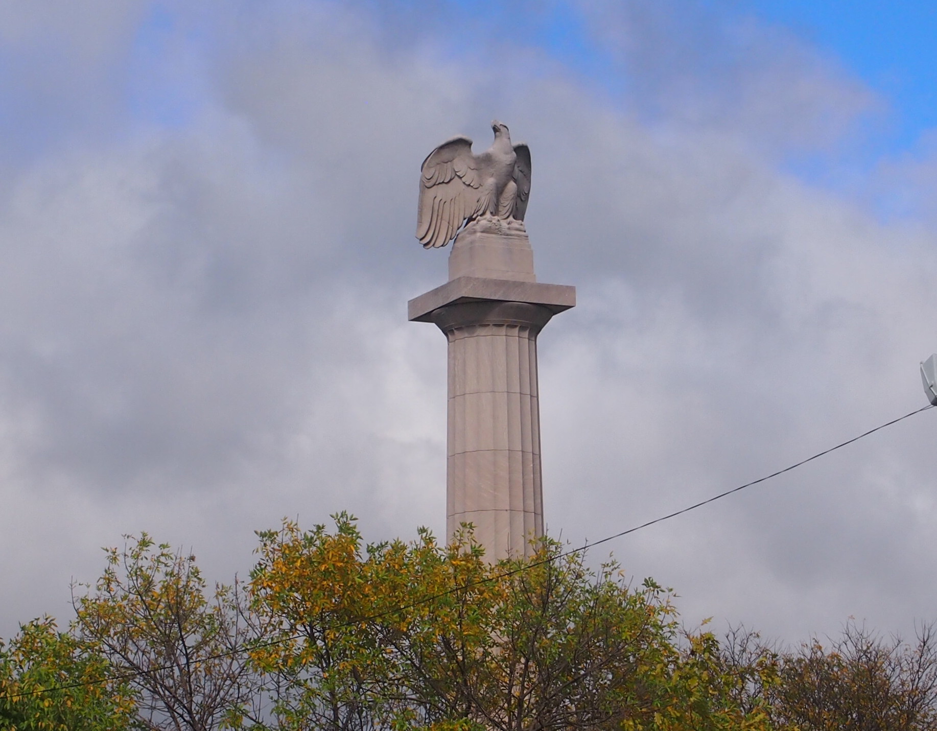
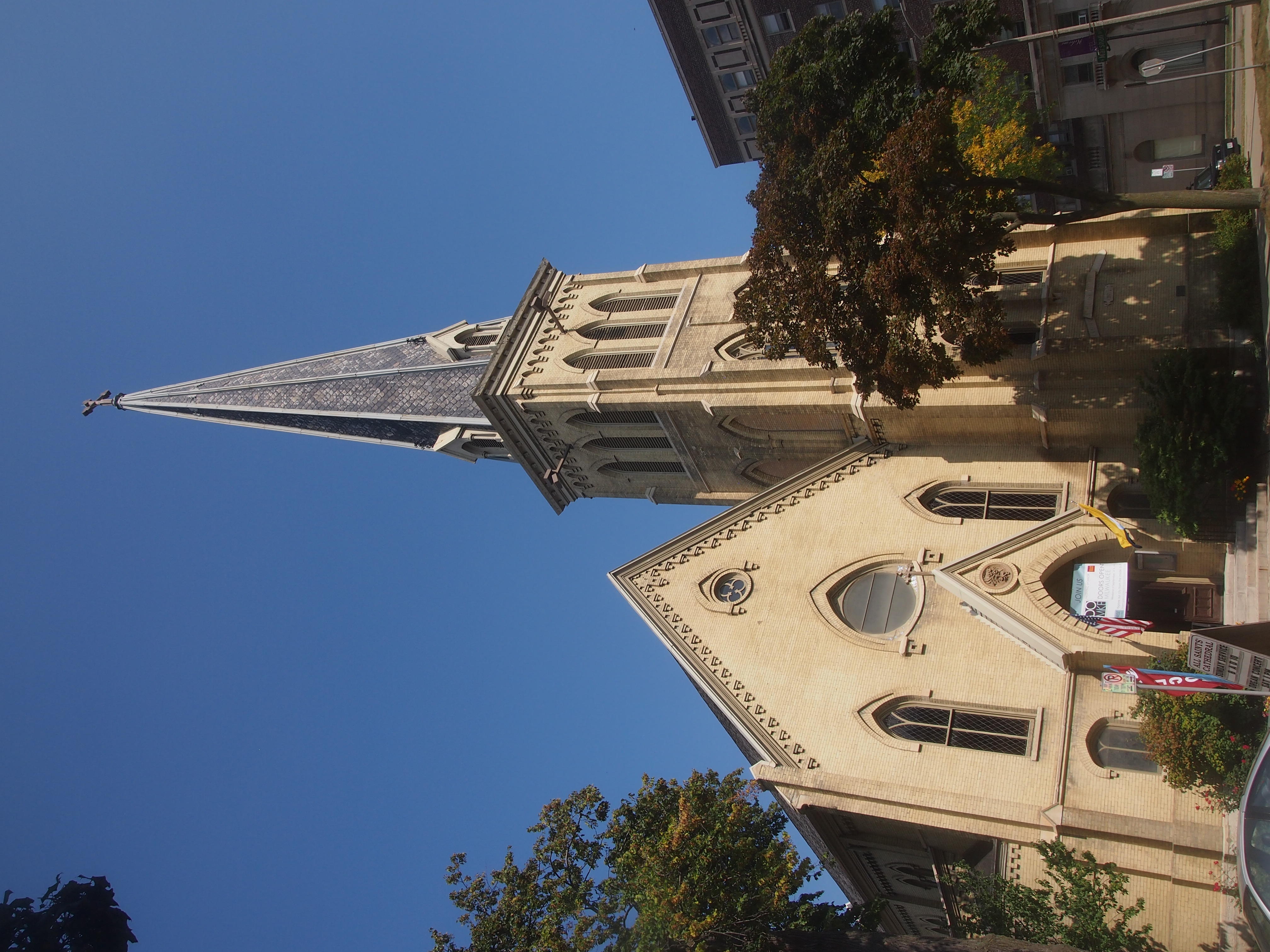
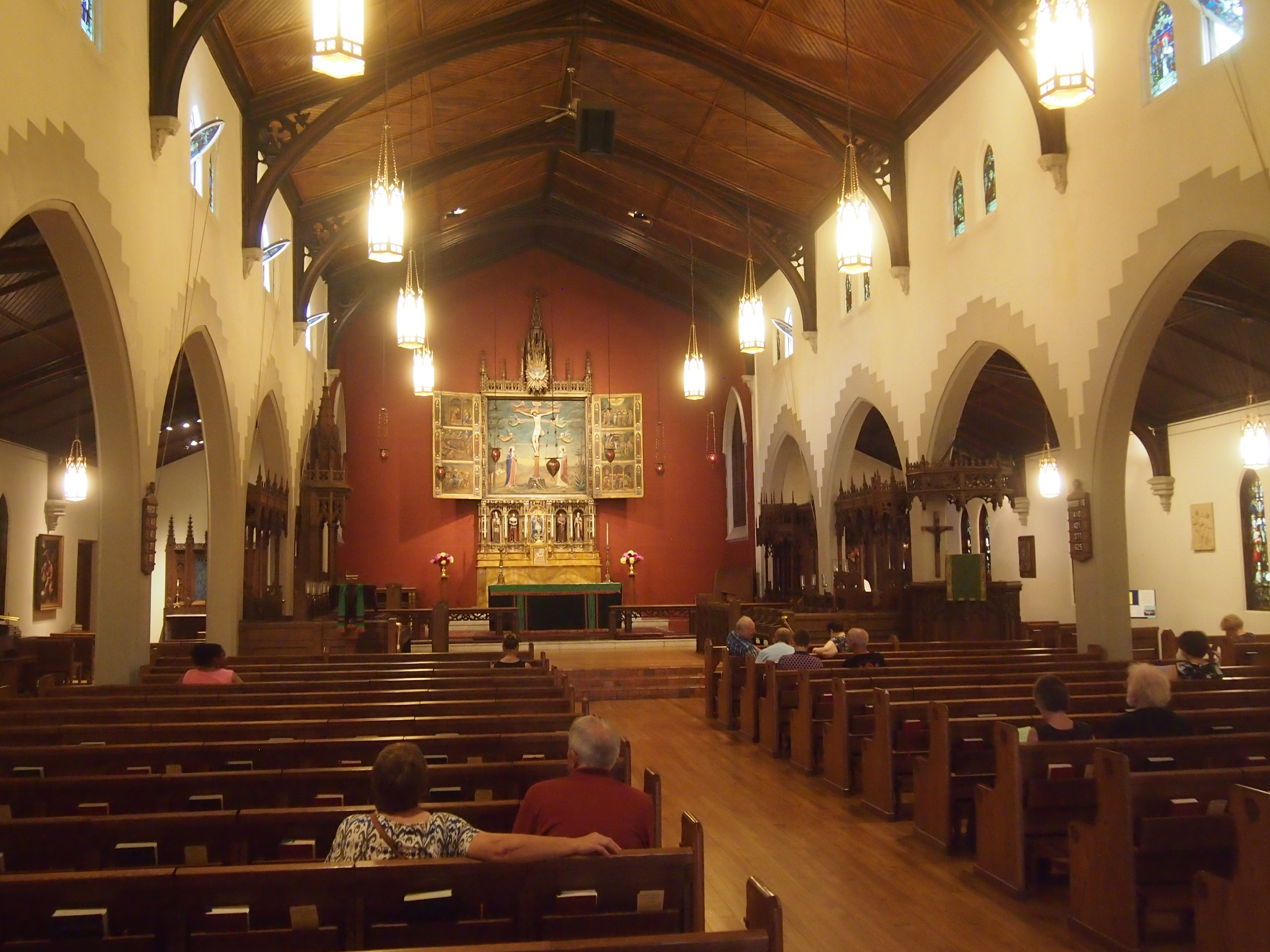
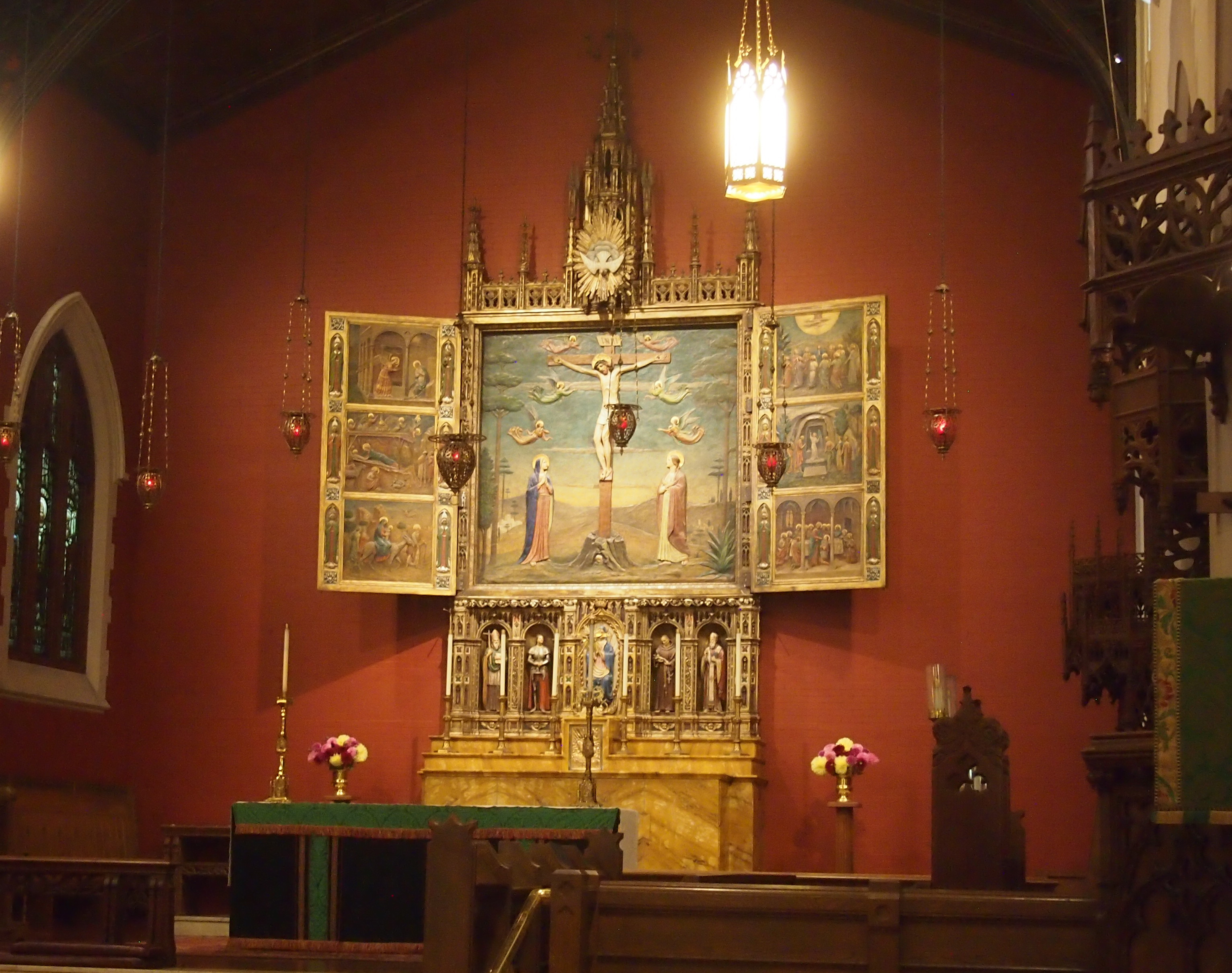
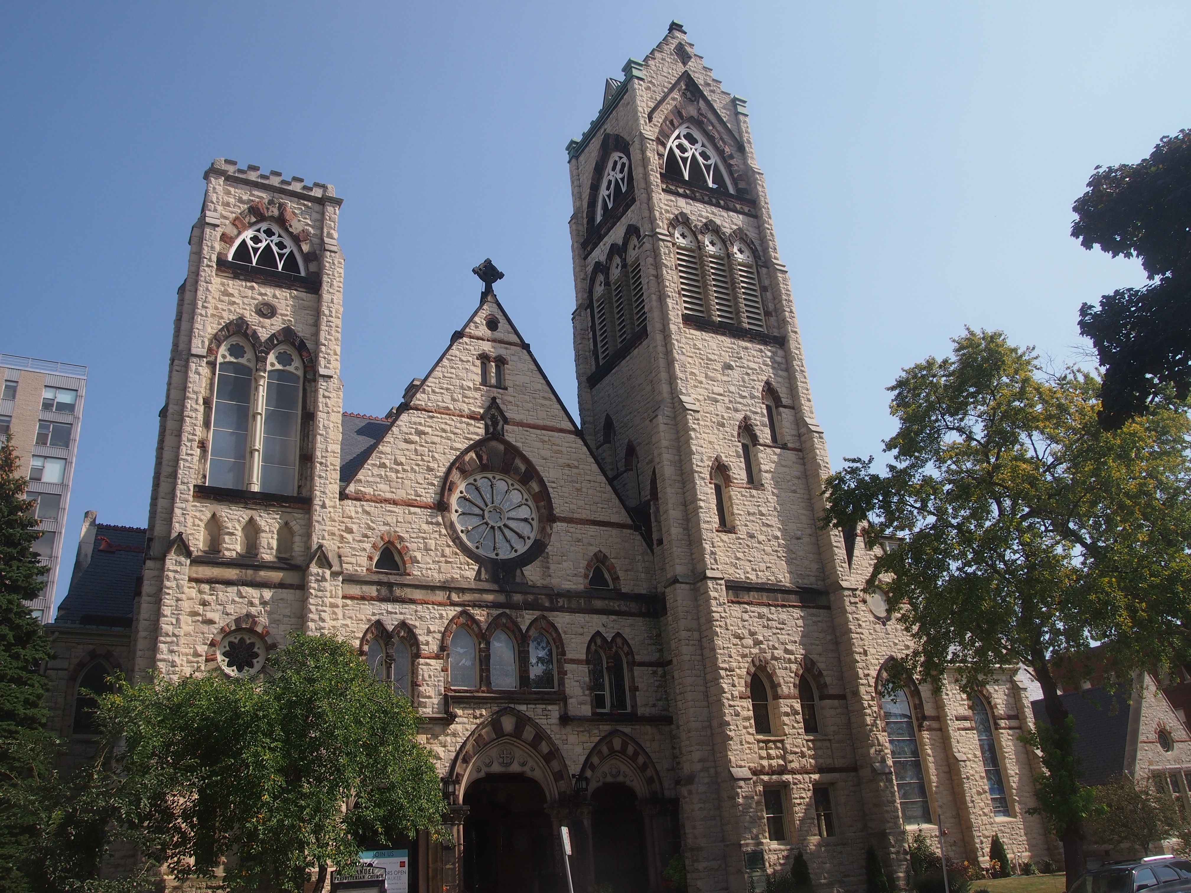
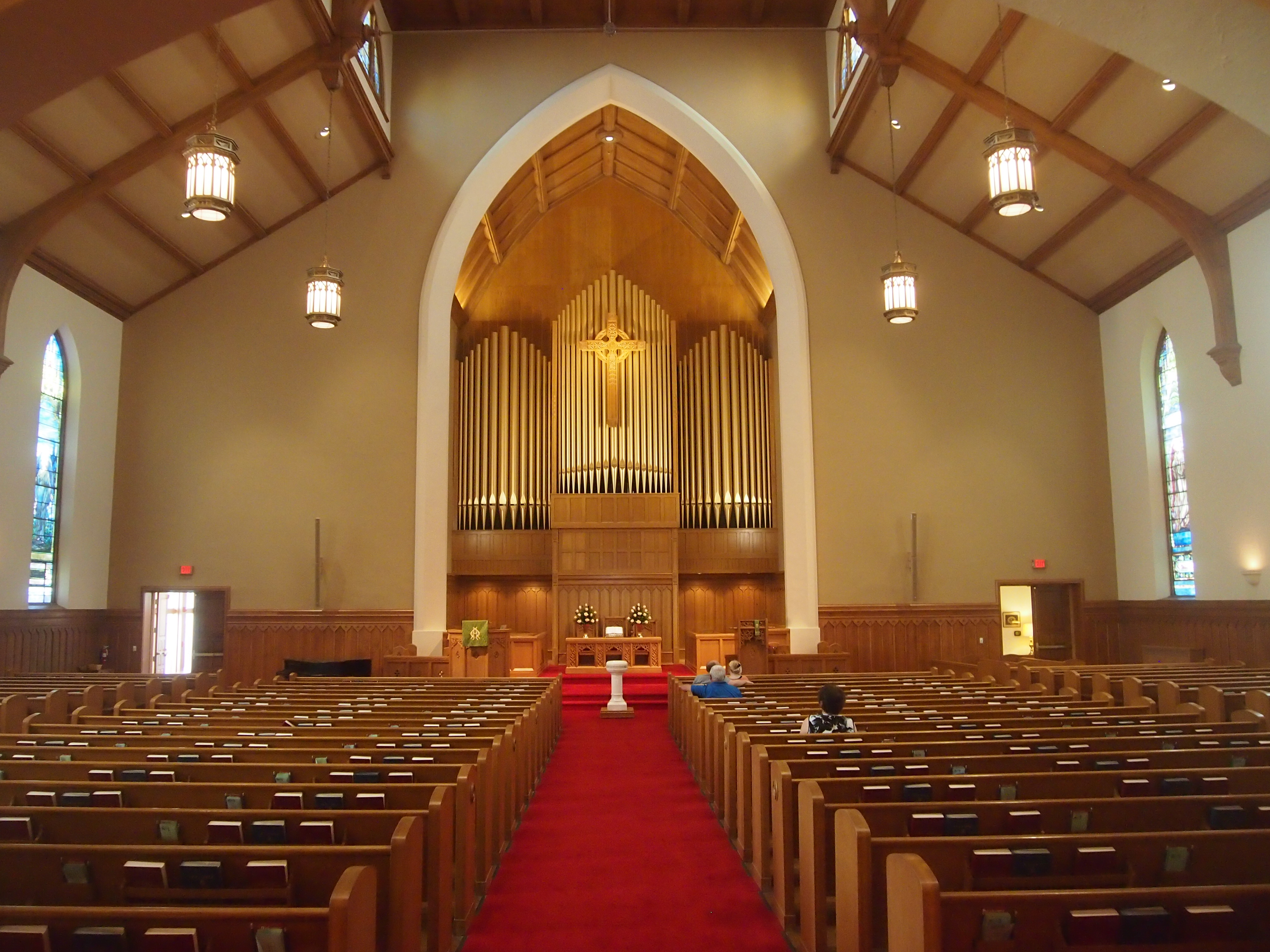
East Town, the part of downtown Milwaukee east of the Milwaukee River, was next. A number of churches along or near Juneau St. were open, so they became the focus. Doors Open features a lot more than churches, but with so many clustered together, I figured that would be a good theme for this year.

They included All Saints’ Cathedral (Episcopal), Summerfield United Methodist Church and Immanuel Presbyterian Church. All were worth seeing.

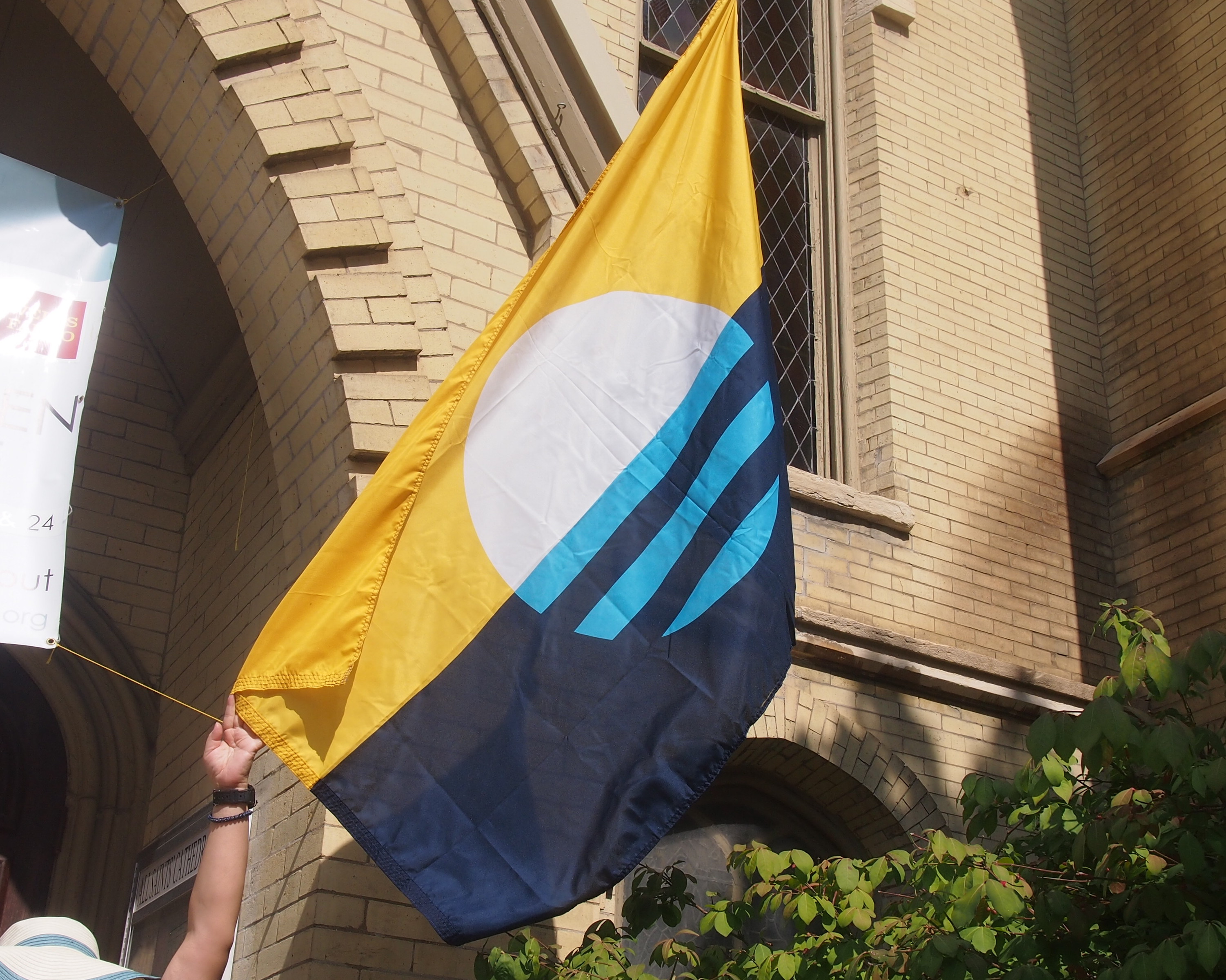
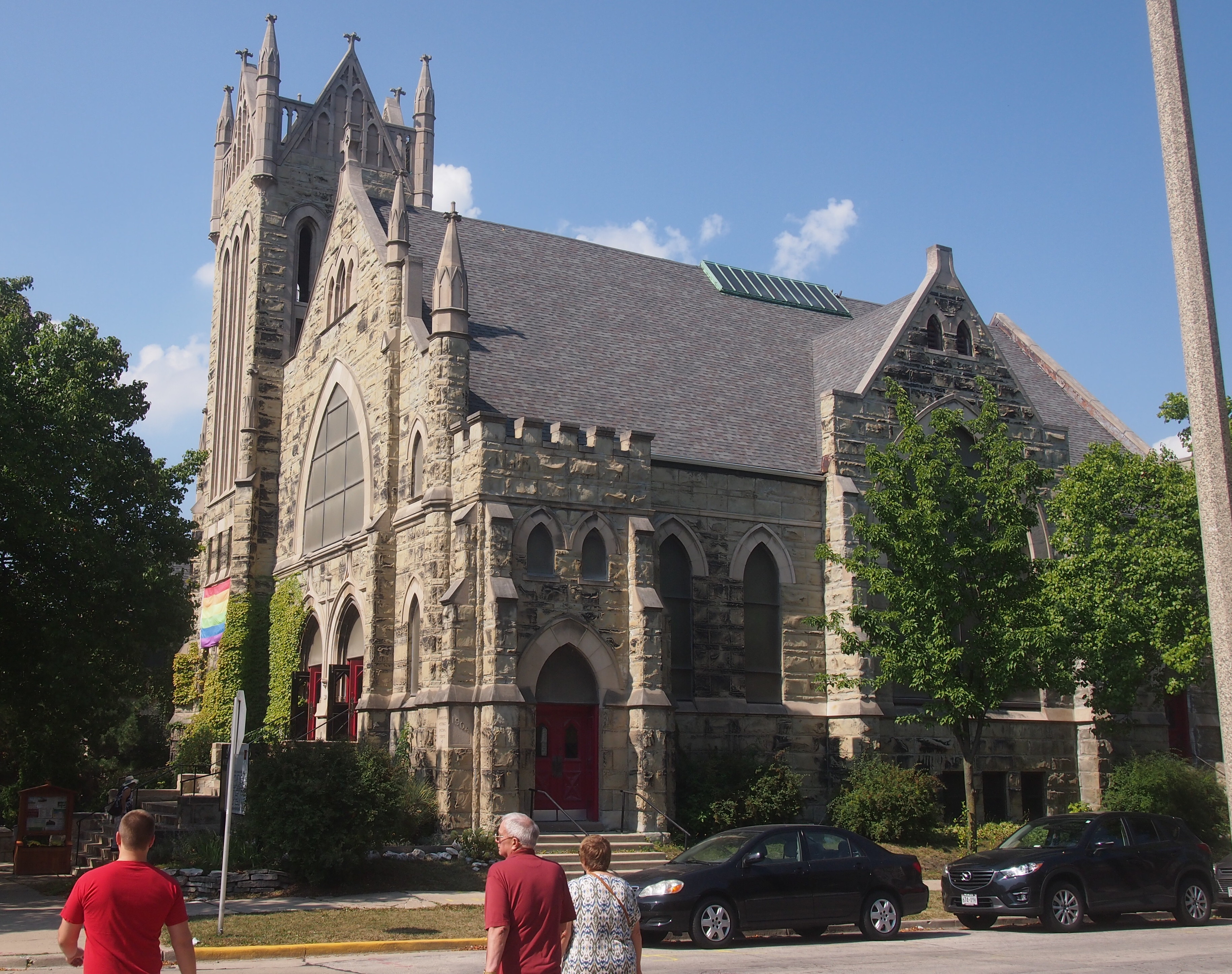
At one of them, a U.S. flag and another flag graced the entrance. The other one, which I’d never seen before, intrigued me. Y held it so I could take a picture, since the wind wasn’t up.
The People's Flag of MilwaukeeI asked the volunteer inside the door about it, and she told me it was the new flag of Milwaukee. I took that to mean officially, but that’s not so. There’s a movement to make it the official flag, to replace this embarrassment, but it hasn’t happened yet.

Currently it’s the People’s Flag of Milwaukee. Sounds like the banner under which the proletariat would storm City Hall, but I don’t think the organizers of online poll to pick a new design had that in mind. I’ll go along with it, though I don’t live in Milwaukee. It’s a good design. Vexillologists hate the current flag, and I agree with them.

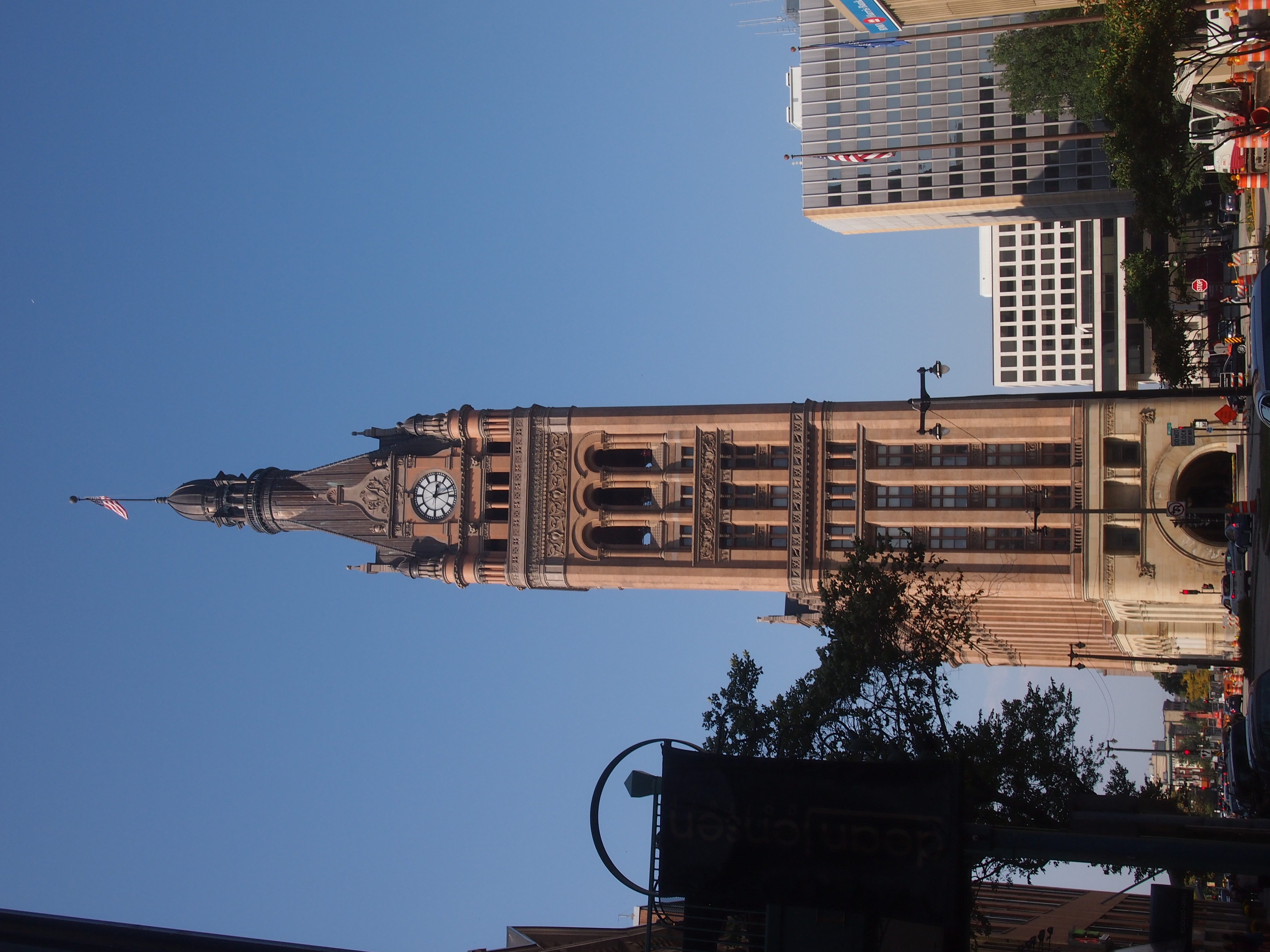
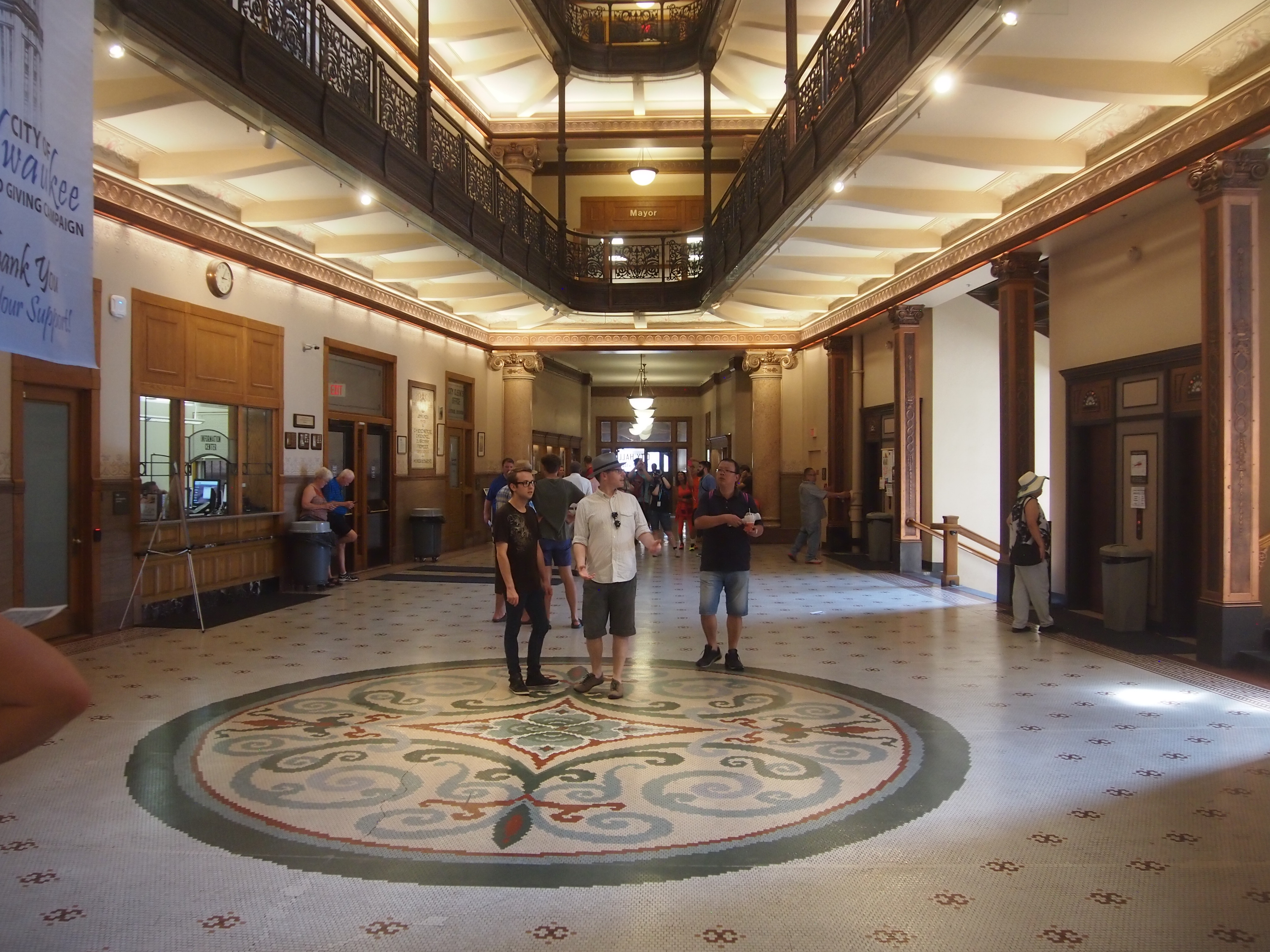
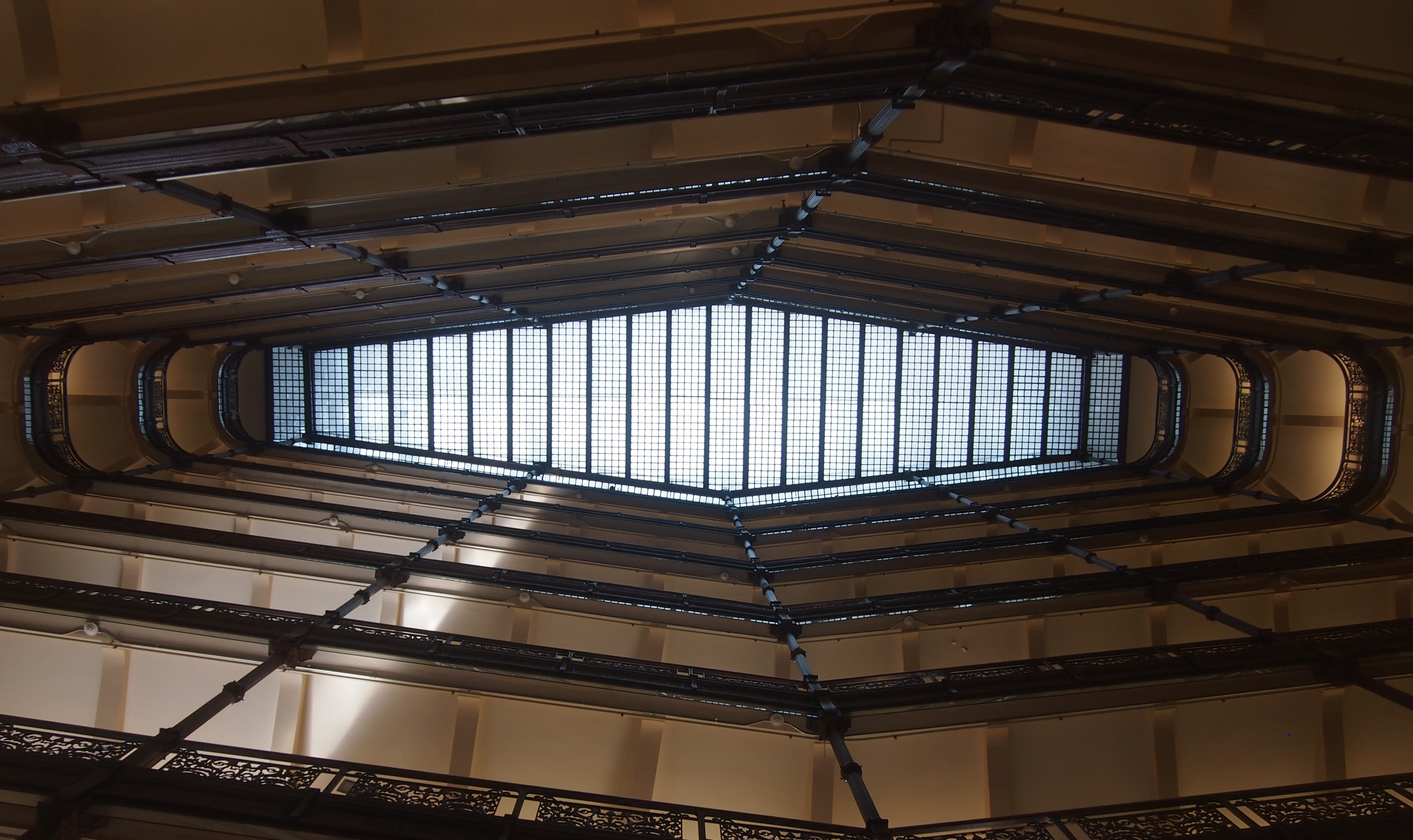
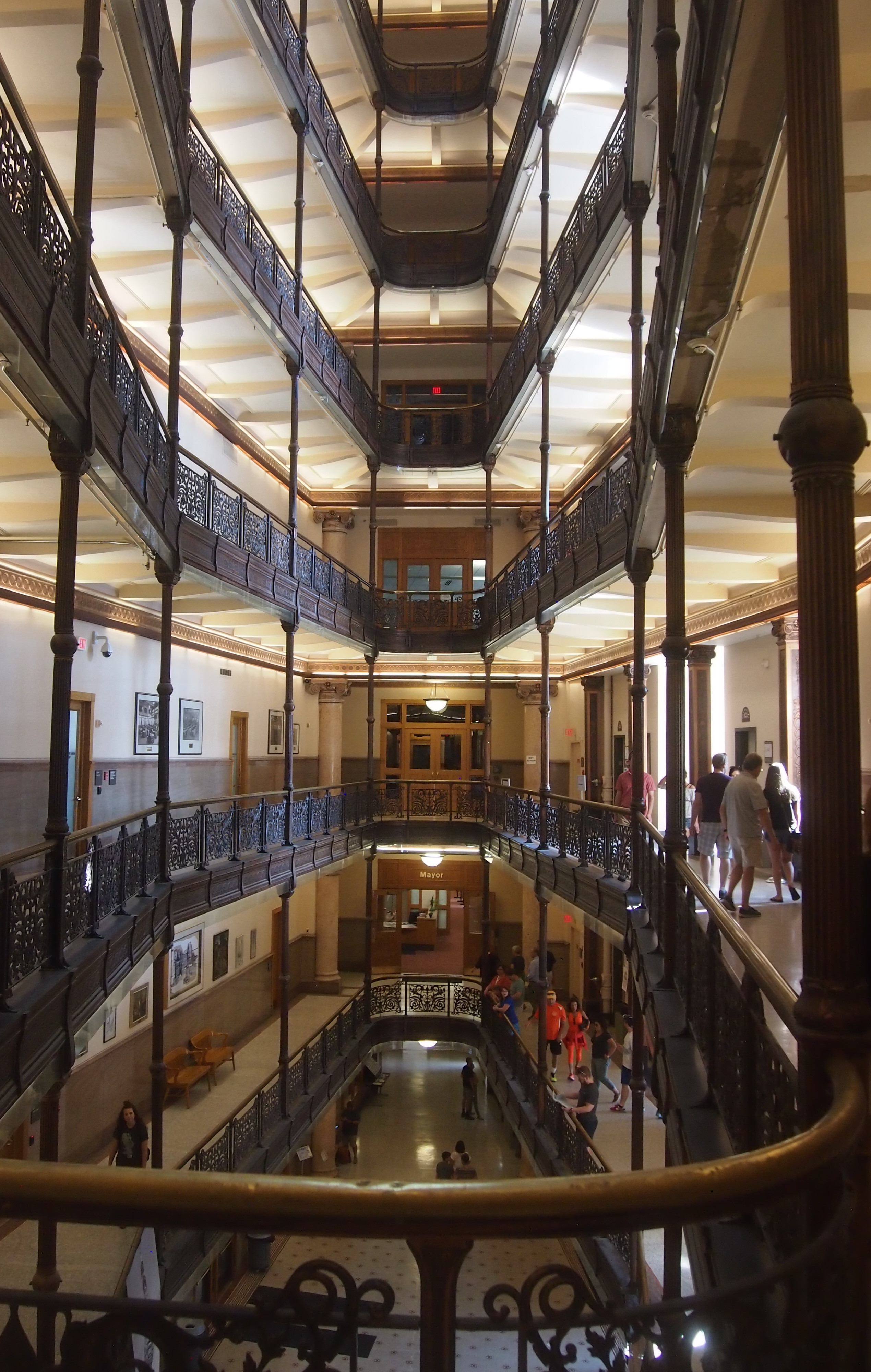
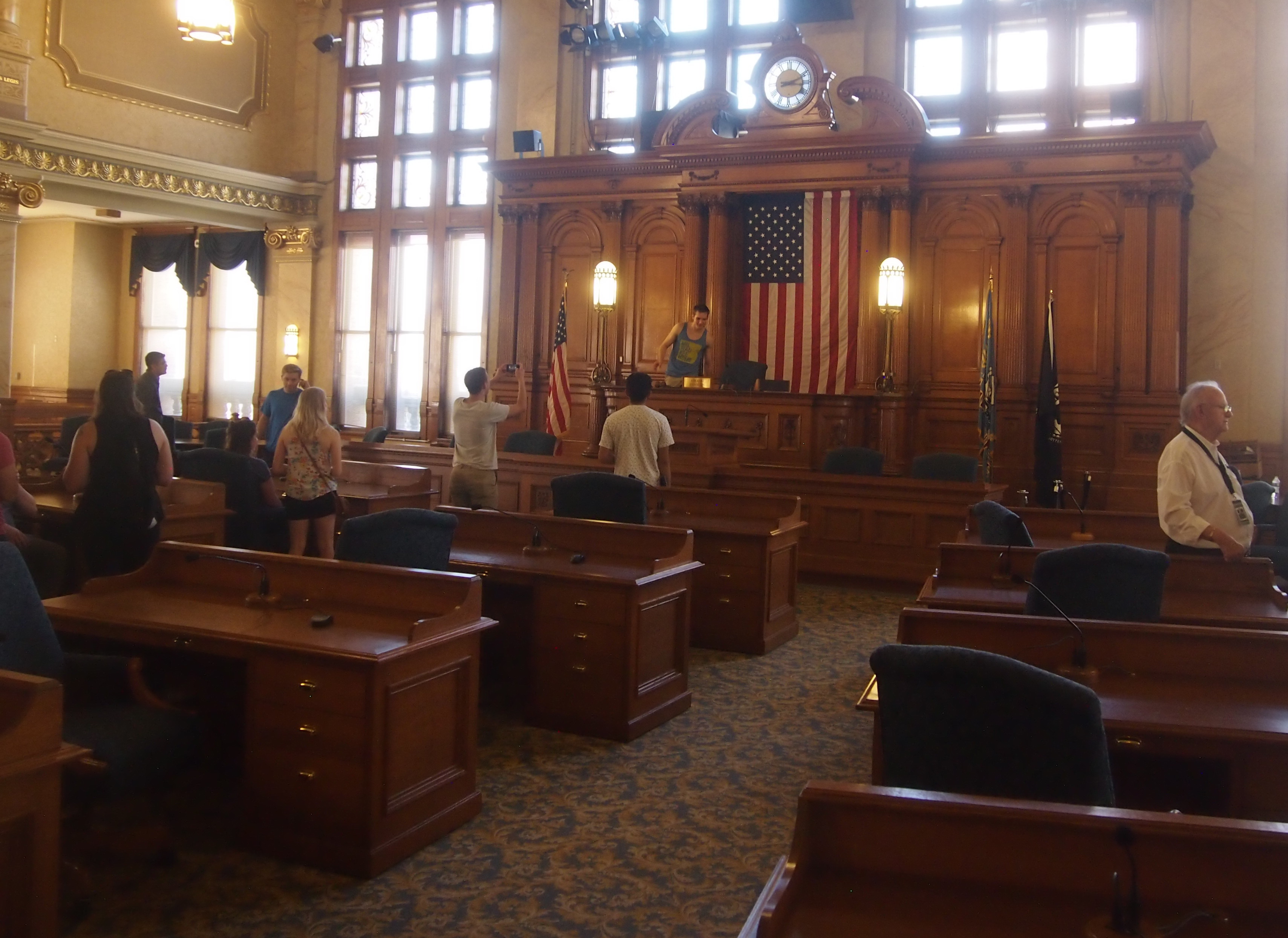
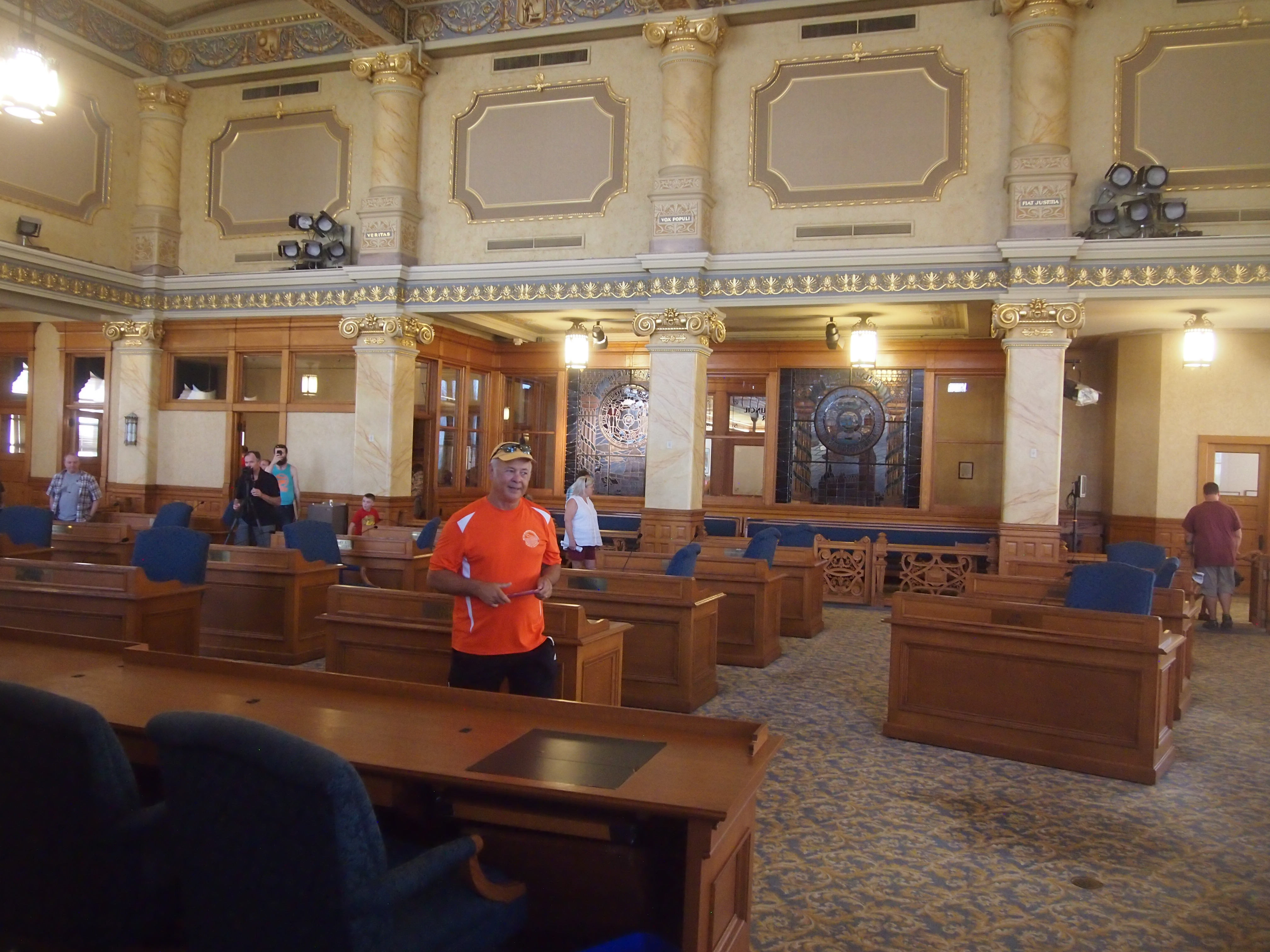
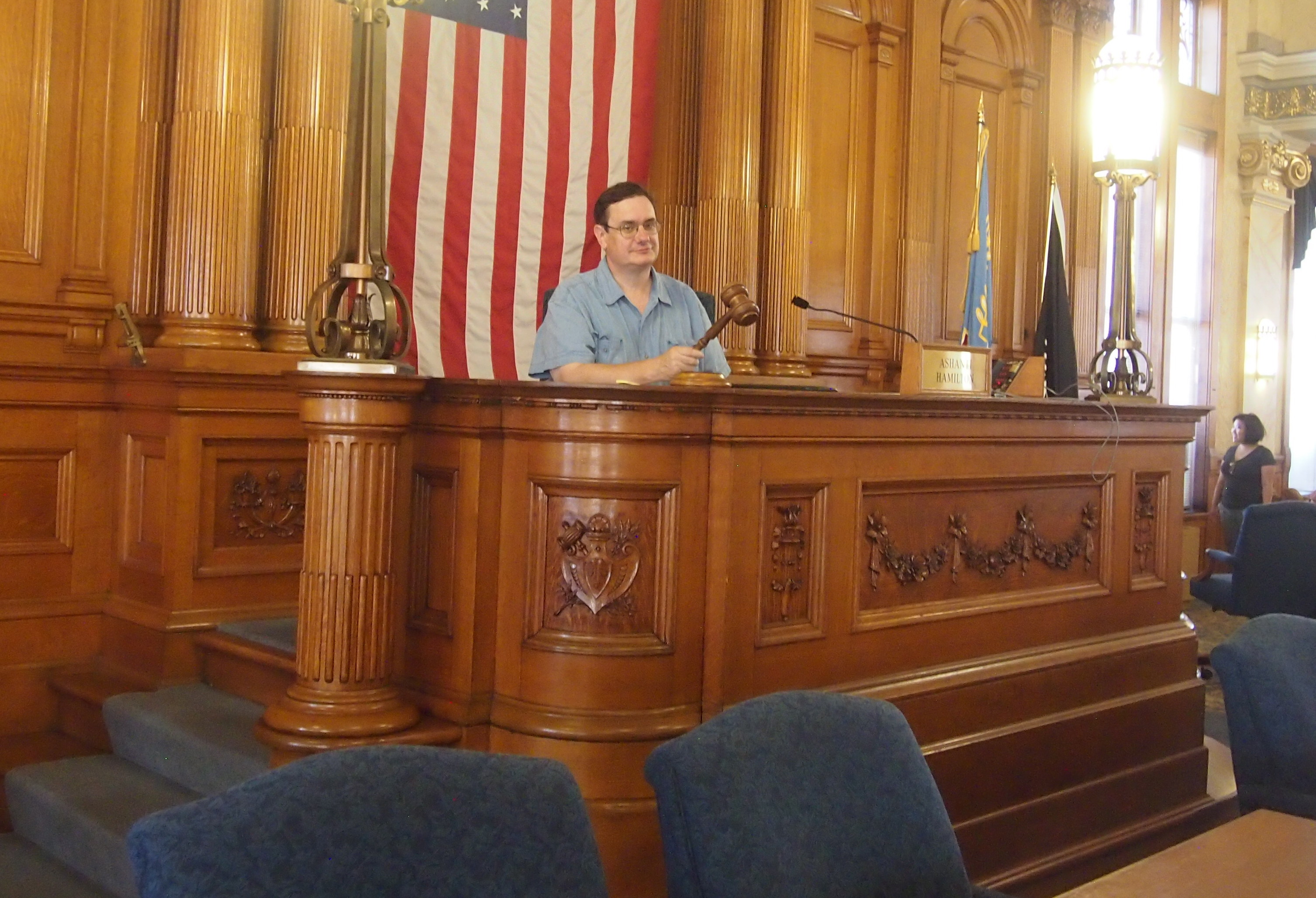
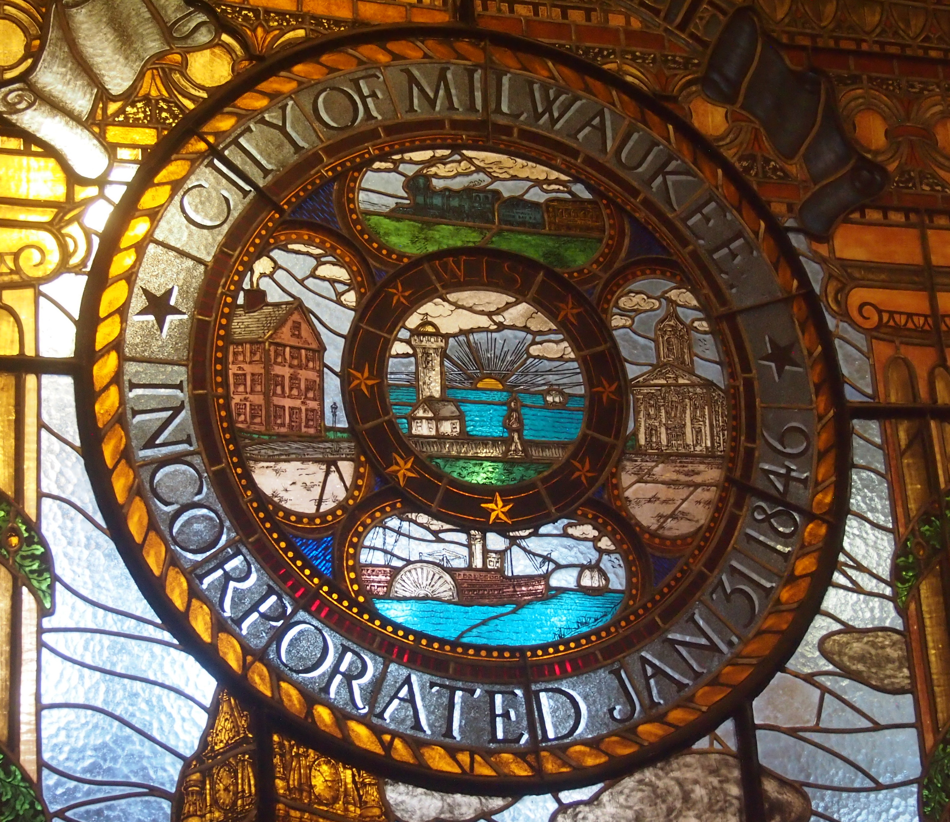
Speaking of Milwaukee City Hall, that was the last place we went for Doors Open Milwaukee after a late lunch at the downtown George Webb, the local diner chain with two clocks. I interviewed the mayor of Milwaukee in his office at City Hall in 2003, but I really didn’t get to look around. It’s a splendid public building, dating from the Progressive Era.

Denver Debris

No matter how much you prepare to visit a city you don’t know well — and I try not to overdo it — surprises will turn up. Details you’ll only encounter in person. Such as Denver’s Rainbow Row.

Bail Bond Row Denver

That’s just my name for it, borrowed from the genteel Rainbow Row of Charleston. Denver’s version is not genteel. For one thing, it’s across the street from the 488,000-square-foot Denver Justice Center. That is, the city/county jail.

The colorful buildings all house bail bondsmen. It’s only speculation, but I’d guess that one of them painted its building a bright color to stand out, then the others did.

Speaking of colorful structures, not far away is the Denver Central Library.
Denver Public LibraryMore of a pastel effect. Though maybe “pastel” is too banal a term when you’re aiming to challenge assumptions about public spaces and discourse, or fracture public library paradigms, or something.

Anyway, Michael Grave Architecture & Design, which designed a major expansion of the library in the 1990s, notes: “This project, won through a design competition, included the preservation and renovation of the 1956 147,000 SF modernist library by Burnham Hoyt, and a 390,000 SF expansion. The expansion is composed as a series of elements to allow the existing building to read as one part of a larger composition.”

The library is across the street from the Denver Art Museum. Outside the museum is this sculpture.
The Big SweepLooks familar. Yes indeed, it’s a Claes Oldenburg and Coosje van Bruggen work, “Big Sweep” (2006). (What, that wasn’t the name of one of Raymond Chandler’s best books?)

Art etiquette is right there in bronze, next to the work.
The Big SweepAfter visiting the museum, I spent a while at the Friendship Powwow and American Indian Cultural Celebration just outside on the plaza. Featuring dancers.
Denver PowwowAnd drummers. Cool.
Denver PowwowOutside of Union Station, I saw a Tesla Model X. Haven’t seen those very often. Ever, actually.
Tesla X, Denver Union StationClose inspection shows that it belongs to the Crawford Hotel, which is part of Union Station. An upper-crust guest shuttle, no doubt.

On my last day in town, I worked in some shared office space — all the rage right now. I prefer my own office most of the time, but it was pleasant space. I didn’t mind working there for a few hours. Had a nice outdoor component, for one thing, with the Front Range off in the distance.
Shared office space, DenverI worked at this counter. People came and went, preparing light eats for themselves.
Shared office space, DenverAbove the counter was this. A hell of a light fixture, I’d say. Machine Age chic for Millennials.
Shared office space, DenverIn the same room were old machines made into illuminated works of art. Such as this typewriter + light bulbs, the likes of which I’d never seen before.
Shared office space, DenverA semi-circular, very old (late 19th century) Hammond machine. Looks like a 1b. Non-qwerty. Light bulbs added for effect, presumably.

Then there’s this curiousity. Again, light bulbs added.
The Davis & Kidder Patent Magneto-Electric Machine for Nervous DiseasesQuestionable Medical DevicesA 19th-century medical device. Reminds me of the Museum of Questionable Medical Devices in Minneapolis, now unfortunately closed.

I had the good fortune to visit that museum in 1998, and retain a pamphlet from it to this day.

The machine I saw in Denver is a specific device. The Wood Library Museum says: “In 1854, manufacturer W.H. Burnap produced a well-known electrotherapy device that was purchased by the general consumer as well as some physicians and hospitals: The Davis & Kidder Patent Magneto-Electric Machine for Nervous Diseases.

“The operator of this electromagnetic generator would place handles in the patient’s hands or elsewhere on the patient’s body and then turn a crank to deliver a ‘mild’ alternating current to the patient. The force of the current depended upon the speed with which the crank was turned.

“The makers claimed that it could relieve pain, as well as cure numerous diseases, including cancer, consumption (tuberculosis), diabetes, gangrene, heart disease, lockjaw (tetanus), and spinal deformities.”

One more thing. No Double Turn? What’s that supposed to mean? I saw several of these signs downtown.

NO DOUBLE TURN! What?

I think I figured it out. No left turns except from the left lane. Denver is the only place I’ve ever seen such a sign.

A Few Views From the Wells Fargo Center, Denver

During my stay in Denver, I had an event to attend in the Wells Fargo Center, the third tallest building in Denver, big enough (about 1.2 million square feet) for its own zip code: 80274.
Wells Fargo Center, DenverThe 1983-vintage building’s distinctive curving roof, a Philip Johnson touch, was barely visible from where I stood, near 17th Ave. and Sherman St. The neighboring streets there are Lincoln, Sherman, Grant and Logan. I sense a postbellum naming scheme.

The event was about mid-way up the tall tower, high enough for views of the city and surrounding territory, though glare from the window glass and haze in the sky obscured things a bit. Still, here’s another view of the capitol.
Colorado capitolSome neighboring tall buildings.
Downtown DenverThis caught my eye.
Sherman Street Event Center, DenverIt’s the prosaically named Sherman Street Event Center, 1770 Sherman St., catching the late summer morning sun. It used to have better names: in order, the Mosque of the El Jebel Shrine, the Rocky Mountain Consistory, and the Scottish Rite Temple. The Shriners had it built in 1907, onion domes and all.

Denver Union Station and Larimer Square

Hot dry days here in northern Illinois around the equinox. Seems like September making up for the cool August, and the wet spring, but in any case it can’t last. It’s like walking on a shallow ledge far away from shore. Without warning the water’s going to get deep, just as you got used to ambling along only getting your feet wet. The cold will come just like that.

This is what Denver Union Station looks like, from across Wynkoop St. toward the grand entrance, in the early years of the 21st century. That is, earlier this month.
Denver Union StationIt’s easy to get sentimental about trains (this song does so too, but remarkably also addresses the evil done with trains at times). It’s especially easy to get sentimental in the presence of a refurbished structure from the golden age of American railroading.

In the late 19th century, a number of railroads serving Denver collaborated to erect Union Station. A fire and some rebuilding put it in its 20th century form by 1914. The years passed and countless thousands of people passed through the station at the edge of the Rockies.

By the latter years of the century, the place was run down, as passenger train service became a shadow of its former self. In our time — the 2010s — the ad hoc Union Station Alliance revived the place. Kudos to all those Denver companies in the Alliance: Urban Neighborhoods Inc., Sage Hospitality, Larimer Associates, REGen, and McWhinney.

As befitting more recent times, the station is now more than a transit nexus, though it’s still that, with Amtrak serving the station, as well as light rail, commuter rail and buses. Modern Union Station also includes the 112-room Crawford Hotel and 22,000 square feet of ground-floor shops and restaurants.

The 12,000-square-foot Great Hall serves as the hotel lobby, public space, and train waiting room. And as a place for me to rest during my walkabout in downtown Denver.
Denver Union StationBut I didn’t rest too long. I wanted to see the other side.

Denver Union Station

The shed in front (or behind) the main structure is where three RTD light rail lines converge. Directly underground is the bus station. A good idea: less aesthetic buses are underground, better-looking (and cooler) light rail runs at ground level, easy to see. Note also that there are places to lock up bicycles. Multimodal for sure.

From Union Station I wandered through parts of Lower Downtown — known to the real estate industry as LoDo — passing other redevelopment projects.

LoDo Denver 2017 Ice HouseDenver 2017But I didn’t go as far as Coors Field.
LoDo Denver 2017Before long I came to Larimer Square. The heart of the square, the 1400 block of Larimer St., was temporarily blocked off; a gastronomic event was slated for later in the evening, under lights and Colorado flags.

Larimer Square 2017Larimer Square 2017This stretch of Larimer St. is historic as it gets in Denver: the oldest commercial block in the city, laid out by land speculator and Denver City founder William Larimer Jr. in the late 1850s. He was also instrumental in establishing the Colorado Territory (until 1861, Denver City and environs were in the western part of the Kansas Territory).

For much of the 20th century, the neighborhood was a skid row, and by the mid-60s, that rapacious destroyer of interesting historic neighborhoods, Urban Renewal, threatened to raze the area. Fortunately the efforts of citizens, especially Dana Crawford, saved the block — and a lot more of old Denver. Crowford’s still at work.

In The Past and Future City: How Historic Preservation is Reviving America’s Communities (2016), Stephanie Meeks and Kevin C. Murphy write:

“True to the time, the original proposal to turn Larimer Square and its environs around, as conceived by the Denver Urban Renewal Authority, was a massive 117-acre project called Skyline that threatened to raze thirty blocks of the historic downtown. Dana Crawford had another vision for Larimer Square.

” ‘Downtown Denver was pretty much intact from its Victorian boom days and it reminded me a lot of Boston,’ said Crawford. So, even as Jane Jacobs was going toe-to-toe with Robert Moses for the future of Lower Manhattan, Crawford… with her friends and neighbors, began buying older buildings in the blighted area, often for little more than the price of the land they sat on.”

Much more effort followed, but that was the beginning of modern Larimer Square — a superb example of adaptive reuse of historic buildings, ongoing for five decades now, and currently owned by Larimer Associates, who carries on the revitalization.

Larimer Square 2017

Larimer Square 2017Larimer Square 2017I enjoyed just walking around, looking at the buildings. The fact that the street was about to be given over to an event added to the sensation.

Red Rocks Park and Amphitheatre

Not far west of Denver, near Morrison, Colo., is Red Rocks Park and Amphitheatre, occupying about 900 acres in the iron-oxide tinted sandstone foothills of the Rockies. At the heart of the park, enormous outcroppings, roughly 300 feet high, form a natural amphitheater. It’s a place to stand and gape. That’s what I did.
Red Rocks Amphitheatre 2017Red Rocks Amphitheatre 2017

Red Rocks Amphitheatre 2017

So did a lot of other people. One thing to do was stand at the top of the man-made structure within the natural amphitheater, and look down.
Red Rocks Amphitheatre 2017Down at the stage, which is backed by an outcropping.
Red Rocks Amphitheatre 2017Red Rocks Amphitheatre 2017Or wander down toward the stage and look back.
Red Rocks Amphitheatre 2017When there are no concerts, which is most of the time, the hard seats attract fitness enthusiasts to walk, run, do push-ups.
Red Rocks Amphitheatre 2017In prehistoric times, Utes lived around here, and I wonder if they gathered in the natural amphitheater. I like to think they did, for religious ceremonies, or maybe just to party. By the early 20th century, concerts and other events were being held there.

The City and County of Denver acquired the property in the 1920s, and in the 1930s, the CCC built a structure nestled into the natural amphitheater, using a design by Denver architect Burnham Hoyt, who reportedly modeled it after the Theater of Dionysus at the Acropolis in Athens.

I didn’t have time to take in a concert there. But if I ever make it back to Denver in the summer, I’m going to make the effort. The acoustics are supposed to be jim-dandy. Almost everyone who’s anyone has played at Red Rocks since the end of WWII. More about the venue is here.

The CCC workers haven’t been forgotten.
Red Rocks CCC worker statue, 2017Not officially, anyway. CCC Alumni Chapter 7, along with the City and County of Denver, dedicated the statue in 1988. The plaque at the base of the statue says:
Dedicated as a memorial to all who served at Mt. Morrison and the 3 million who served in the CCC nation-wide [sic], 1933-1942. The CCC left its heritage in the preservation of America’s natural resources for enjoyment by all generations.

Guess CCC alumni are pretty thin on the ground these days — and former WPA workers, too — like veterans of WWII.

As the name says, the area is more than just the amphitheater, as excellent as that is. The park sprawls out in all directions, offering the kind of views you just don’t get in the Midwest.

Red Rocks Park, Colorado, 2017Red Rocks Park, Colorado, 2017Red Rocks Park, Colorado, 2017Red Rocks Park, Colorado, 2017Red Rocks Park, Colorado, 2017Red Rocks Park, Colorado, 2017Off to the east, suburbs, and downtown Denver, are visible from the amphitheater, as well as from perches elsewhere in the park. But on September 10, the view that far was a little hazy.
That was because of the thin smoke of Colorado forest fires, I found out later. A hint of the natural disasters that seem to be stalking the Earth with special intensity right now, though that’s an illusion. There’s always something bad (for humans) happening somewhere.
George Rogers Clark National Historical Park

There’s probably no way to measure this, but I believe that the George Rogers Clark Memorial, which looks very much like it belongs on the National Mall or somewhere equally prominent, is the most obscure large memorial in the country. Who’s ever heard of it, especially outside Indiana? But at more than 80 feet high and 90 feet across at the base, with walls two feet thick, it cries out to be acknowledged as Founding Father-class memorial.George Rogers Clark MemorialThe structure is the centerpiece of the George Rogers Clark National Historical Park, which is near the Wabash River in Vincennes, Indiana, just across from Illinois. In early 1779, when Indiana and Illinois were unrealized political entities contingent on a Patriot victory in the Revolution, Fort Sackville stood on the site — more or less. It was around the area somewhere, and occupied by a British garrison.

Above the memorial’s 16 Doric columns, the inscription says: The Conquest of the West – George Rogers Clark and The Frontiersmen of the American Revolution.
George Rogers Clark MemorialIn a tour de force, days-long maneuver in the dead of a Midwestern winter, George Rogers Clark led the forces that assaulted Fort Sackville and took it from the British. But that was just the climax of his efforts.

“Clark began his campaign of attempting to weaken the British position by influencing the French settlers in the area to support the American cause,” the NPS says. “Through these efforts, Clark was able to capture the Illinois Country posts of Kaskaskia, Prairie du Rocher, and Cahokia. Soon after, this French influence was extended over 150 miles to the settlers in Vincennes, and they also declared themselves allies to the Americans.

“… George Rogers Clark in the late summer of 1778 [was] in Cahokia, at a council he called with local Indian tribes in an effort to negotiate peace. By convincing [British Lt. Gov. Henry] Hamilton’s Indian allies to switch sides, Clark could further diminish the resources available to the British.

“Although Clark’s forces at this council were far outnumbered by the Indians in attendance, he impressed the warriors with his bold manner. Many of the leaders of these tribes were convinced to accept the white belt of peace rather than the red belt of war. While this council certainly strengthened Clark’s efforts, there were still many tribes who chose to continue their alliances with the British.”

In older histories, at least, Clark is thus credited with allowing the United States to acquire the Northwest Territory under the terms of the Treaty of Paris in 1783. Of course, more recent historians disagree about how important Clark’s campaign was in influencing that outcome, as historians do.

Probably the Crown considered that part of North America lost anyway, since newly independent Americans would surely pour into the territory. On the other hand, who knows? Had there been a British garrison in Indiana, and more British-aligned Indians, they might have tried to hang on to the area, as they did Canada.

Also, just in passing, Clark established a settlement in Kentucky that would become Louisville. Finally, he’s William Clark’s elder brother; he of Lewis & Clark fame, whom everyone has heard of. So why is George Rogers Clark so obscure? (Well, not completely to Hoosiers.)

Such is the ebb and flow of historic reputation. Still, Clark got himself a spiffy monument eventually, at the insistence of the people of Vincennes and probably a fair number of Indiana politicians in Washington, around the time of the 150th anniversary of the battle.

New York architect Frederic Charles Hirons designed the memorial, and it was considered important enough for President Roosevelt himself to come dedicate it in 1936 (though the Coolidge administration got the process started).

Inside — air conditioned in our time, a good thing — is a bronze of Clark. On the floor is Clark’s statement to the Virginia Council in 1775, requesting aid for Kentucky: If a country is not worth protecting, it is not worth claiming.

George Rogers Clark statue, Vincennes

Hermon Atkins MacNeil did the sculpture. I’d heard of him already — he also designed the aesthetic Standing Liberty Quarter, which I’d argue we should go back to, once Washington’s been on the quarter 100 years (coming up in 2032).

The murals depicting the campaign are by Ezra Winter. Some details:

George Rogers Clark Memorial

George Rogers Clark Memorial - muralAfter I wrote about Geo. Rogers Clark and his NHP, I mulled over how many National Historical Parks there are, and how many I’ve been to. Fifty-one all together — not the same as National Historical Sites, of which there are 78. I remember visiting 13 such NHPs, two of which were only this year, though I might have forgotten a few. As for sites, only 11. I need to get out more.

The Basilica of St. Francis Xavier, Vincennes

Ah, woe is Houston. It could have easily been my hometown. Even though it isn’t, I hate to see it underwater.

Vincennes, Indiana, has a handsome downtown, or at least a well-appointed main street. We drove on that street on August 20, but didn’t stop because the 90-plus temps that day discouraged walking around. Elsewhere in the town, I noticed the grass as it should be in August: brown, indicating sustained heat and not a lot of rain recently.

A few blocks away from downtown Vincennes is the Greek Revival-style Basilica of St. Francis Xavier, dating from 1826 and built on the site of two previous churches, the first going back to Frenchmen building a log structure ca. 1732. A plaque near the entrance calls it The Old Cathedral.

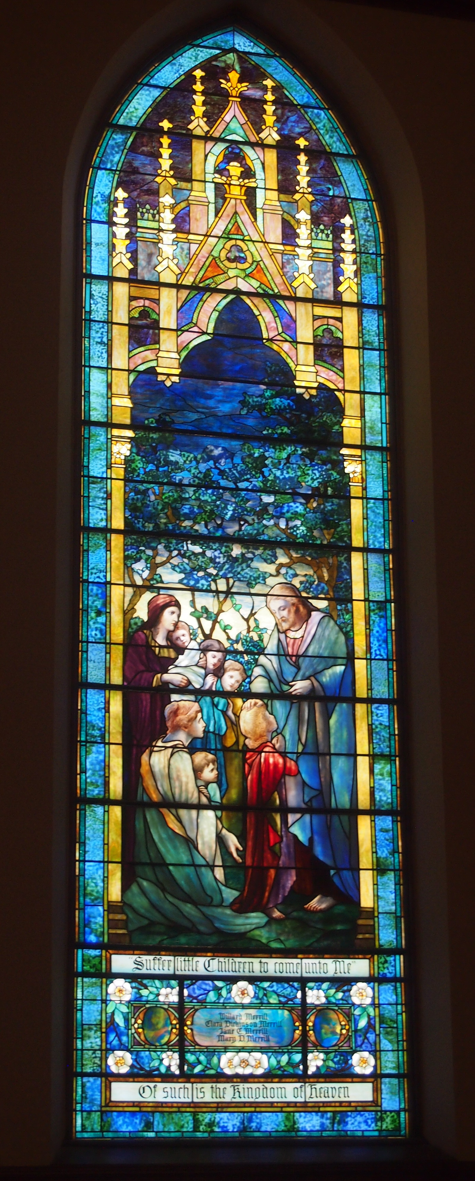
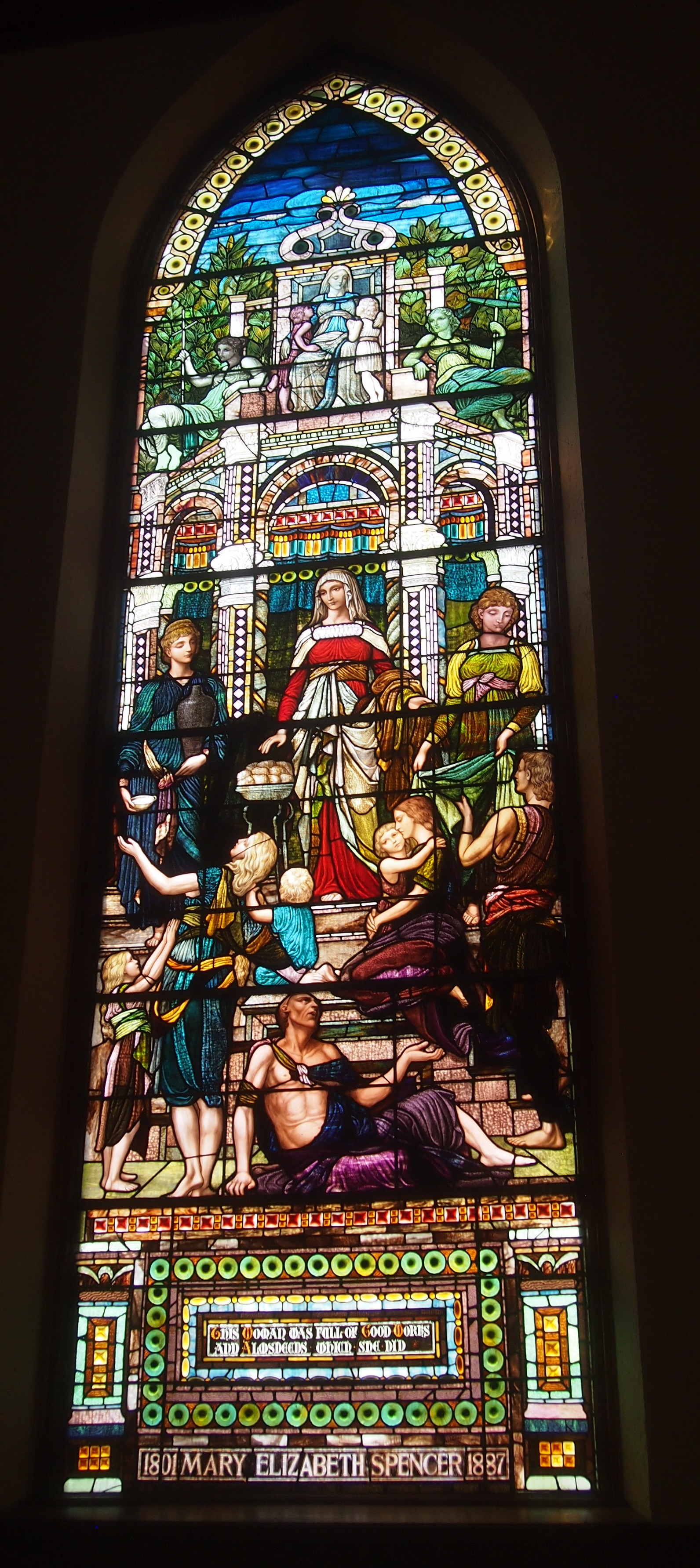
Center of the Catholic faith and scene of the great events of early American history in the old Northwest Territory. This historic and stately cathedral was raised to the rank of a basilica by His Holiness, Pope Paul VI, March 14, 1970.The Basilica of St. Francis Xavier, VincennesThe Basilica of St. Francis Xavier, VincennesThe interior sports large wooden Doric columns dividing the nave from aisles, a painted ceiling, murals and some fine stained glass. Stately indeed.
The Basilica of St. Francis Xavier, VincennesI told Ann how stained glass was used to tell Biblical stories to people back when most were illiterate, and that the tradition continued after that. Or sometimes they illustrate general principals, such as Jesus being Jesus.
The Basilica of St. Francis Xavier, VincennesOne you don’t see too often, or at least I don’t think so: the Lord as a 12-year-old at the Temple.
The Basilica of St. Francis Xavier, VincennesI’m just guessing, but the mural to the left of the altar (its own left) seems to be St. Francis Xavier in the Spice Islands (Malikus). Here’s a detail.

St. Francis Xavier Basilica, Vincennes

Toward the back is a fine-looking organ. I can’t say a thing about it, except I wouldn’t have minded hearing its pipes blow.
St. Francis Xavier Basilica, VincennesOut in front of the basilica, there’s a statue that’s unlikely to rise the ire of any would-be memorial revisionists: Father Pierre Gibault (1737-1802). Sculpted by Albin Polasek, much of whose work is visible in Florida.
St. Francis Xavier Basilica, VincennesI had to look him up. He was a Jesuit missionary and priest in the Northwest Territory, and when war came, he provided vital help to George Rogers Clark in his effort to capture Vincennes from the British in February 1779. Perhaps that was his way of paying back the British, whom he witnessed conquer New France in the Seven Years’ War.

Bucktown Sunday Morning

At about 5 pm on Friday afternoon, wind and rain and lightning struck Chicago’s northwest suburbs with special fury, knocking down trees and large branches. Itasca was particularly hard hit.

Lilly, whose train from the city was due later that evening, found herself delayed by a hour because of debris on the tracks near Itasca. On Sunday morning, we drove through that town on Irving Park Blvd. and saw several large trees laid low, including one on top of a building.

Our neighborhood didn’t get hit quite so bad. But we did get hail for a few minutes. Smallish ice pebbles that made some noise, but did no damage to the roof or the car that I could see.

Bucktown Chicago 2017By Sunday, the weather was very warm and steamy and not especially violent. Just the kind of day for a walk in the city, which is where we were going as we drove through Itasca. For a stroll I picked Bucktown, which is directly north of Wicker Park.

I didn’t live, dine, shop or play at all during my late morning amble, except that I was a living being as I passed through, and maybe I “played,” in the sense that walking around and looking at things isn’t work, unless that’s what you’re paid to do.

I don’t remember hearing much about the neighborhood during the late ’80s, but by the late ’90s, Bucktown was known as a gentrifying area. The gentrifying process is now mature, in that the area’s not a cheap place to live, though I suppose Lincoln Park and the Gold Coast and their ilk still outprice it.

With the cost, you get amenities. Such as a statue of a bovine looking through a telescope, or maybe a fanciful theodolite.
Bucktown Chicago cowAnd shady residential streets to walk down. That turned out to be an important feature on Sunday, as temps climbed toward 90 F.
Bucktown, ChicagoBucktown features a fair number of interesting older buildings put to new use.

Bucktown Chicago 2017Bucktown, ChicagoAs well as new construction.
Bucktown, ChicagoAlong with some interesting detail sometimes. This figure looked out from just above the entrance to an older brick building on Damen Ave.
Bucktown Statue of LibertyYou never know where you’ll find Statue of Liberty-like images. The statue deserves to be called the i-word, but that word has been beaten to death in our time. My own favorite use of Liberty Enlightening the World — or La Liberté éclairant le monde to be more than pedantic — was a sizable one I saw years ago over the entrance of a pachinko parlor in Osaka.

Sixth St., Calumet, Michigan

From Houghton-Hancock and the Quincy Mine, the town of Calumet isn’t far north on the Keweenaw Peninsula. I was half-expecting something like Houghton, mainly because I didn’t do much research beforehand. None, really. But I’ve owned a postcard depicting the Calumet Theater for a long time, and I knew I wanted to see that.

So we did. It’s a fine old building. Wish it had been open for a look-see inside.

Calumet Theater, Michigan

Copper fortunes built the Calumet. A local architect named Charles K. Shand designed it. The historical marker next to it says, in part: “One of the first municipal theaters in America, the Calumet opened on March 20, 1900, ‘the greatest social event ever known in copperdom’s metropolis.’ The theater contained a magnificent stage and elegant interior decorations, including an electrified copper chandelier.”

The theater’s web site says: “The Theatre opened… with a touring Broadway production of Reginald DeKoven’s The Highwaymen. In the ensuing years, the Theatre’s marquee read like a Who’s Who of American Theatre: Madame Helena Modjeska, Lillian Russell, John Phillip Sousa, Sarah Bernhardt, Douglas Fairbanks, Sr., Lon Chaney, Sr., Jason Robards, Sr., James O’Neill, William S. Hart, Frank Morgan, Wallace and Noah Beery.

“With the decline of copper mining and the local economy, and the advent of motion pictures, stage productions became less common in the late 1920s. From the depression through the late 1950s, it was almost exclusively a movie theatre…

“The auditorium was renovated for the village’s centennial in 1975, and the exterior was restored in 1988-89. The technical and code improvements and backstage reconstruction have just been completed.” These days, the theater holds 50 to 60 events a year, including plays, movies and concerts.

The theater is on Sixth St. in Calumet. The street hasn’t evolved into a day-trippers shopping district, but it does have some other interesting buildings, dating from copper times, from the looks of them.

Calumet, MichiganCalumet, Michigan Sixth StreetCalumet, Michigan Sixth Street

The buildings of Sixth St. also sport a few ghost signs.Ghost Sign, Calumet MichiganVertin’s Department Store (since 1885, headquarters for Lee overalls, union made). The store turns out to have been located in the building pictured above, between the Sixth St. streetscape and the Michigan House Cafe & Red Jacket Brewing Co. This is an example of the kind of thing I learn from a trip after I’ve gotten home. I didn’t know what I was looking at when I stood across the street from the former Vertin’s on the afternoon of July 1. Now I do.

The Vertins were Slovenian immigrants to copper country in the 1870s, and rather than mine themselves, they enterprisingly sold goods to miners and their families. Remarkably, the store endured until the 1980s. More about them is in this article in Copper Country Explorer.

This ghost sign has advertised, through many UP summers and hard winters, for a widely available product: Pillsbury Best flour.

Calumet, Michigan Ghost Sign Pillsbury

Slute’s Saloon has been a saloon, though not under that name, and as the sign says, since 1890. Curiously enough, a descendant of the Vertins is one of the partners in the business, at least according to this 2010 article. A look inside is here.

After I got home, I learned that George Gipp was from nearby Larium, Mich. — where you can find the George Gipp Recreation Area & Ice Arena — and is buried in Calumet. Dang. That would have been something to know beforehand, but you can never really prepare for going somewhere new. Still, I’d have looked for the Gipper’s grave had I known. It isn’t everyone who can inspire motivational speeches down the decades.

Houghton & The Quincy Mine, Keweenaw

Who could look at a map of the Upper Peninsula, taking a solid gaze at the UP’s UP, namely the Keweenaw Peninsula, and not think I want to go there. Probably a lot of people would not think that. But I do.

So on July 1, unfortunately a bit late in the afternoon, we approached Keweenaw via M-26 (a part of the Lake Superior Circle Tour). Aside from a gas station in South Range, first stop was Houghton, a town with a pleasant main street — Shelden Street — that tries to capture the tourist trade, but isn’t a full-blown, Gatlinburg-class tourist trap. Yet it is an old street formerly given over to ordinary commerce, then repurposed over time to feature restaurants, gift shops, boutiques and so on.

Shelden Street isn’t the most frenetic example of that kind of street that I’ve seen — that might be in Banff Ave. in Banff in July — but it was busy enough. Red brick and red sandstone structures line the street, including the handsome Douglass House Hotel, which is an apartment building these days.

Across the street and down a block or so, tucked away in a pedestrian passage leading to parking off Shelden Street, was a wonderful mural map of the Keweenaw Peninsula. I can’t find an image of it online, but whoever did it was a first-rate map muralist. The artist managed to straddle the line between creating an actuate map with too much detail and a map illustrated by small images (like in a tourist brochure), which often doesn’t have enough detail.

Houghton is separated from the town of Hancock by Portage Lake, which is part of the canal cutting through the peninsula. The Portage Lift Bridge, with its unusual look, connects the towns. It’s the fourth bridge on the site.

“This… bridge would have double decks with the upper deck carrying four lanes of traffic while its lower deck supported rail traffic,” Keweenaw Free Guide says. “Its lift section – the largest and heaviest in the world – could be raised 32 feet to allow the passage of modern ore carriers below it. Construction on the new bridge began in 1959 and was finished by the following summer. The old steel bridge was demolished.”

We crossed the bridge — driving, though walking across would have been an excellent thing to do — and went into Hancock, whose traffic was bollixed by road construction. As we drove slowly along, however, I was able to see the campus of Finlandia University.

Founded in 1896 as Suomi College, “Finlandia is one of 26 U.S. colleges and universities affiliated with the Evangelical Lutheran Church in America, and the only private institution of higher learning in Michigan’s Upper Peninsula,” the school’s web site says. “It is the only remaining university in North America founded by Finnish immigrants.”

Note also that the web site is honest enough to depict students in the snow. The University of Hawaii, it’s not.

Just north of Hancock is the Quincy Mine. Driving by on US 41, you can’t really miss it.
Quincy Mine, MichiganThat’s only the largest of the complex’s surface structures. There are other buildings.
Quincy Mine, MichiganAs well as picturesque ruins.

Quincy Mine, MichiganQuincy Mine, MichiganQuincy Mine, MichiganEngines, probably for ore-hauling trains. Or maybe they brought coal to power the mine. Or both.
These days, the relics are part of the Keweenaw National Historical Park. Once upon a time, Quincy Mine was the most successful copper mine on the peninsula, which is saying something, since Keweenaw was the site of a copper rush beginning in the 1840s and had a lot of active mines for a while (unsurprisingly, Indians dug for copper there for centuries before that).

The National Park Service says: “1840. Douglass Houghton, state geologist of Michigan, publishes a report on the geology of the Upper Peninsula and describes the Keweenaw’s copper deposits. Despite his appeal for caution, a land rush would soon start as investors, miners and entrepreneurs attempt to acquire copper-rich real estate.

“1856. The Quincy Mining Company begins work on the profitable Pewabic lode. Quincy soon becomes an important copper mine, and earns the nickname ‘Old Reliable’ for its nearly constant profits.

“1861: Demand for brass buttons, copper canteens and munitions increases. Despite the need, copper production at many older and profitable mines in the region actually decreases as new, speculative mines open, causing labor shortages.”

Later, telephones and electric wiring spurred more demand for copper, and the Quincy Mine remained in production until the Depression, despite competition from mines in Montana and elsewhere. Quincy’s last gasp as a mining concern was World War II. Remember, copper was in such short supply then that pennies were made of steel in 1943.

Now Quincy is a tourist attraction. You can take a tour down in the mine, at least at the levels that aren’t flooded. We didn’t get there in time to do that, but we were able to look around the ruins and the small museum inside one of the intact buildings. If I come this way again, I’ll time things to see the depths of the Quincy Mine.