Elephant Rocks State Park

When planning our not-quite-direct drive to Dallas, I figured we’d have time for one Missouri state park on the morning of April 6, before heading west and south slightly into Arkansas for the night. But which one in SE Mo.?

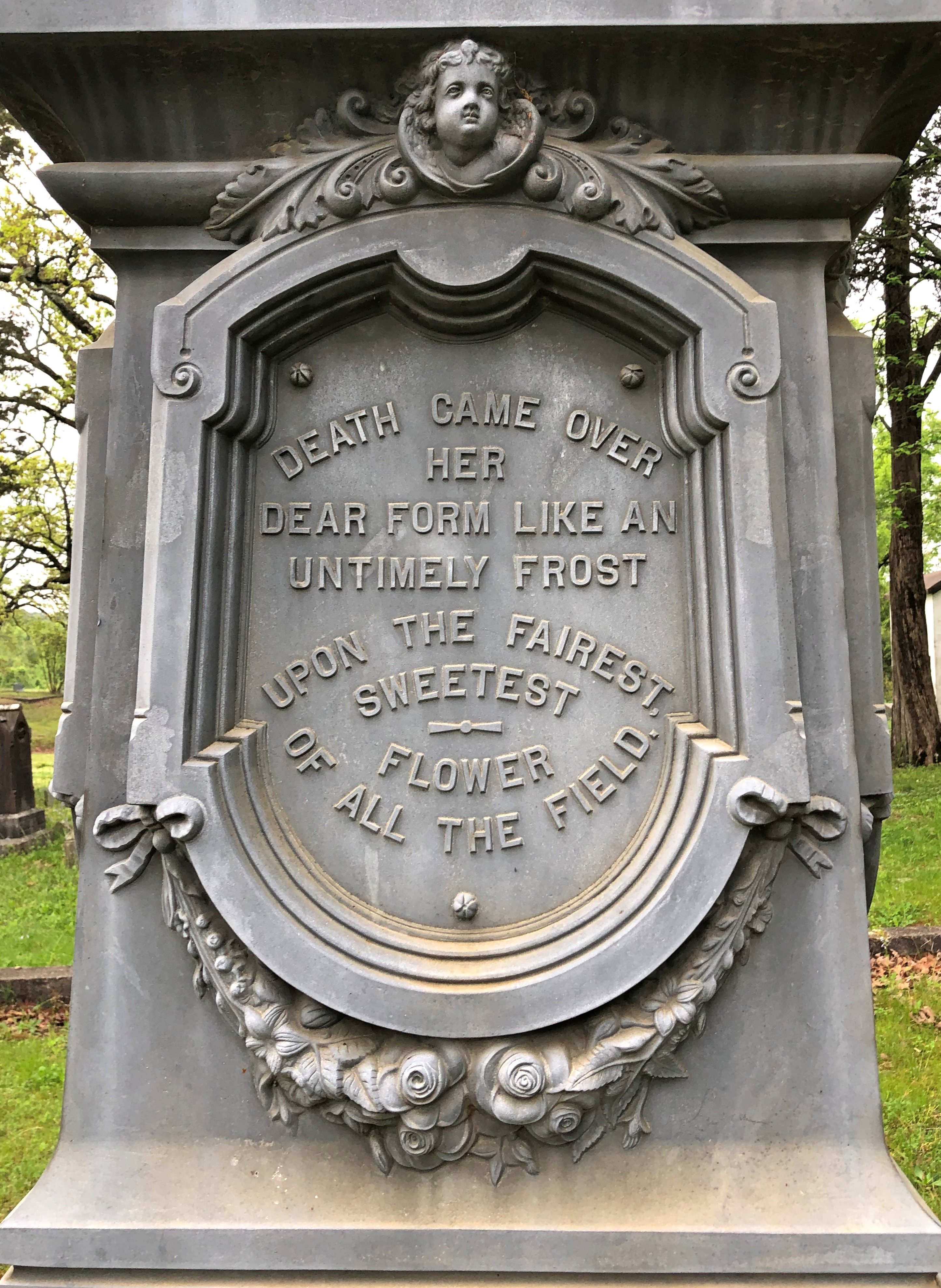
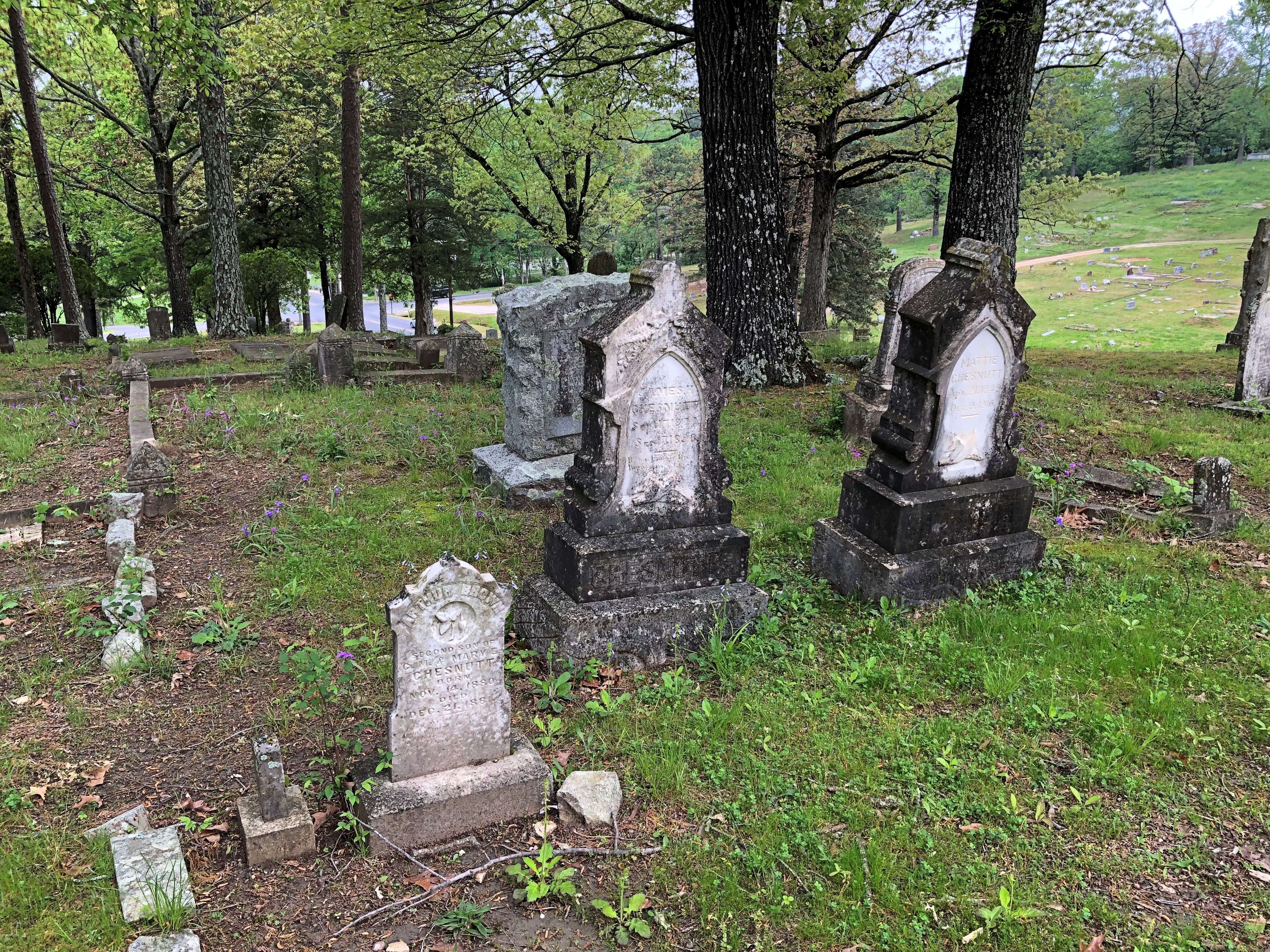
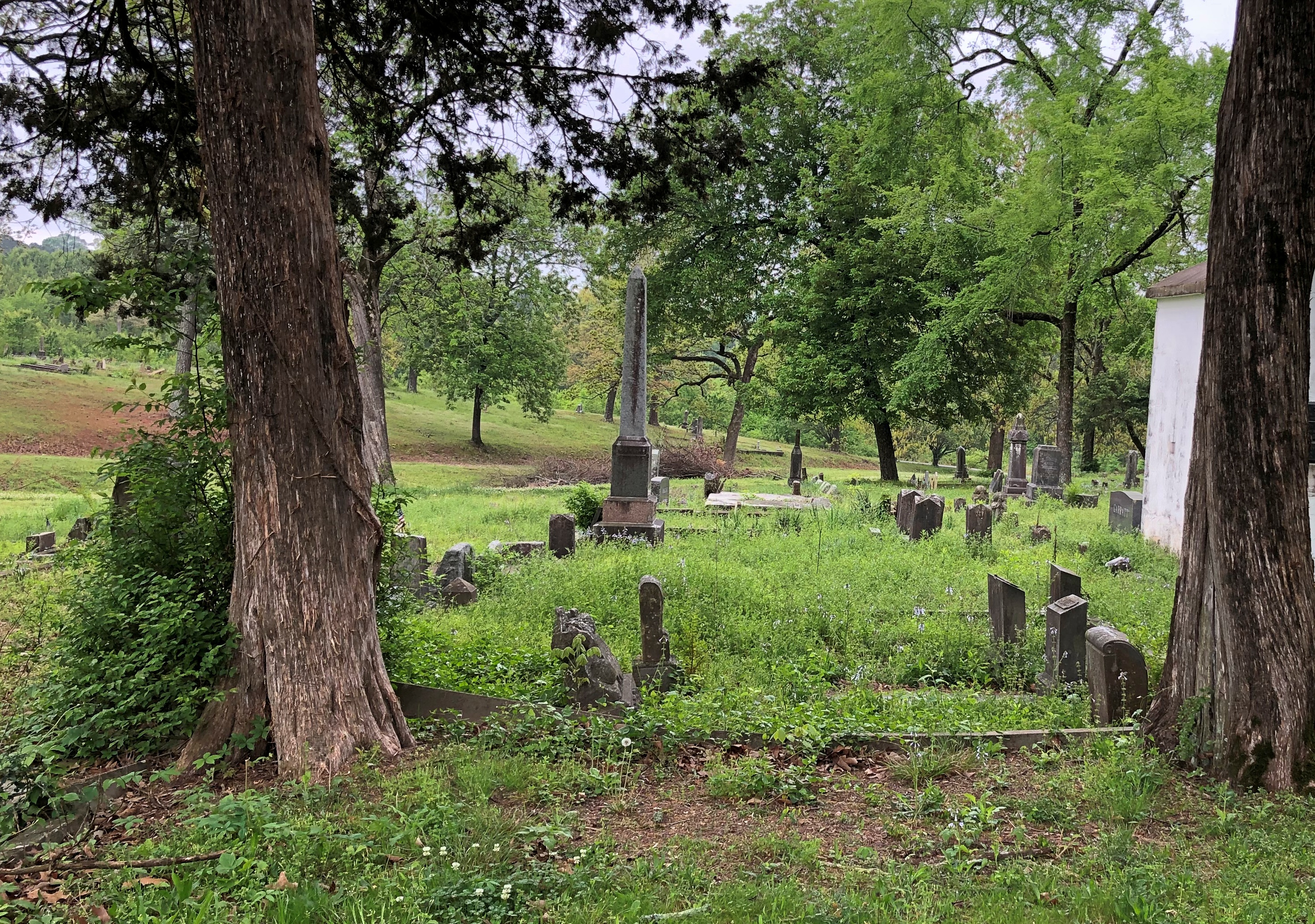
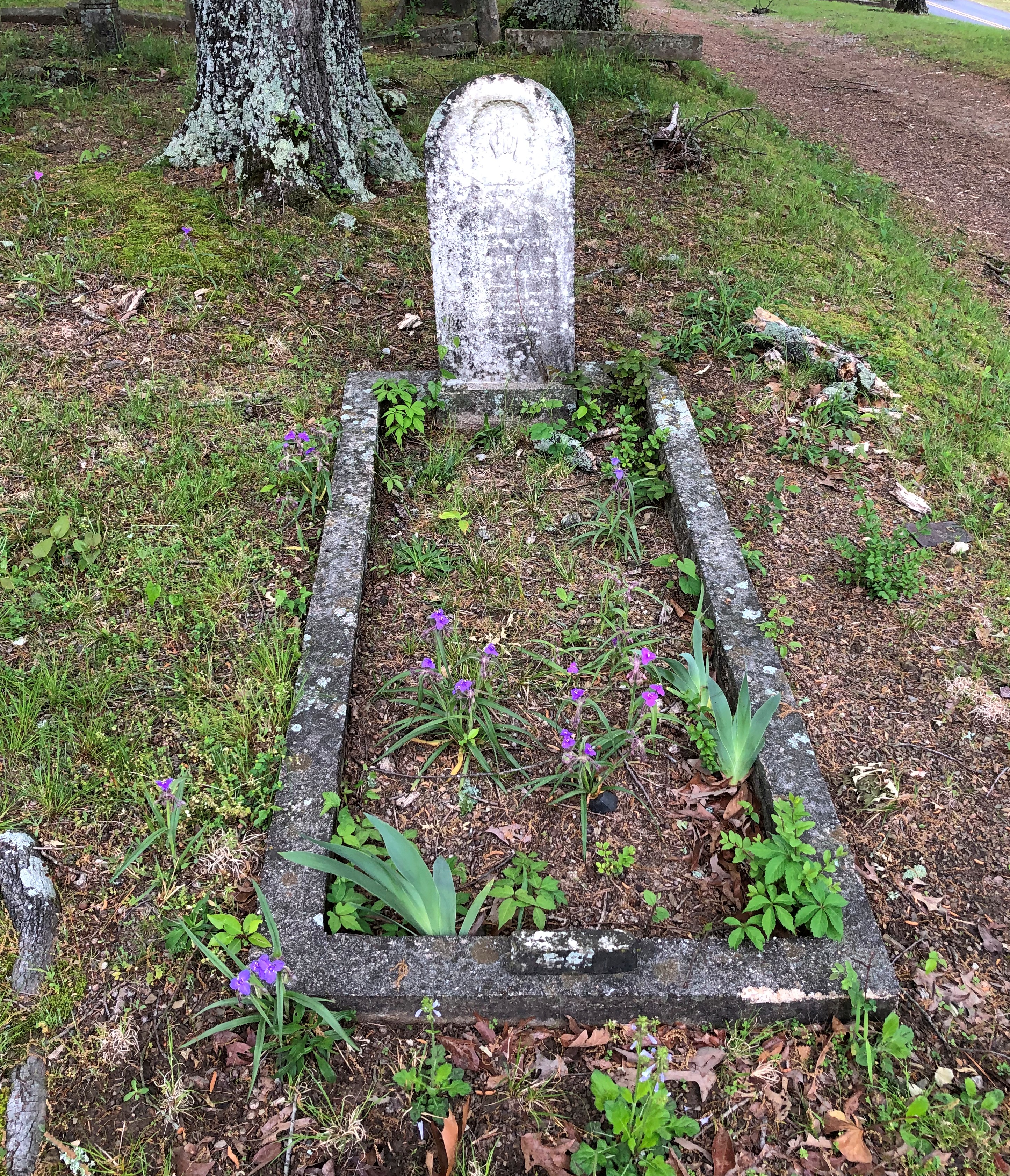
Such excellent names: Taum Sauk Mountain State Park, Johnson’s Shut-Ins State Park and Elephant Rocks State Park. In the end, we went with Elephant Rocks, and on a Saturday, the place was popular but not overrun. Mostly, I figure, day-trippers from St. Louis out with their small children and dogs, all of whom need walking (as I can attest from experience). The park also offered the open-air pleasures of picnicking, especially on a warm spring day ahead of full-blown mosquito season, in which we ourselves partook.

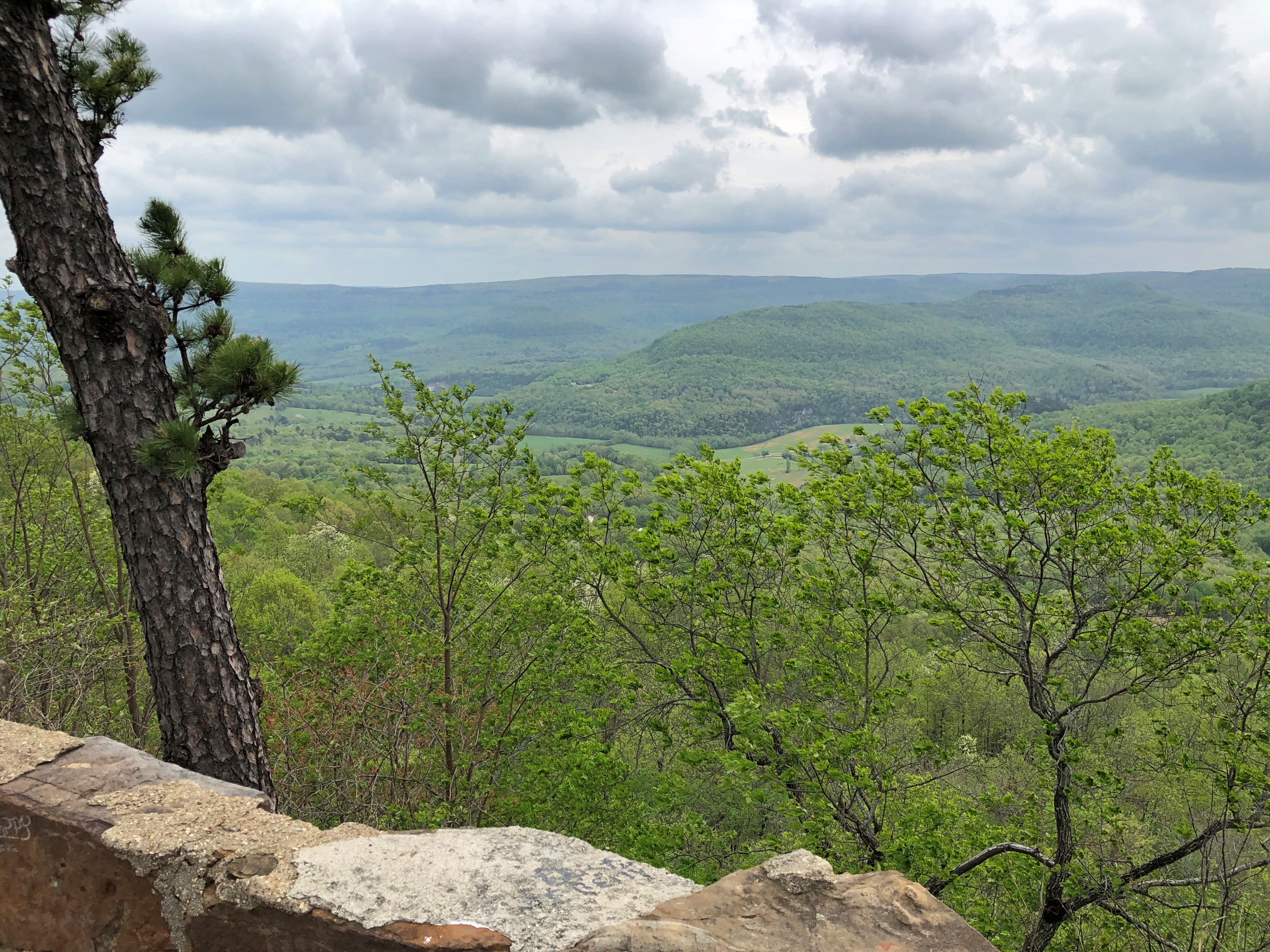
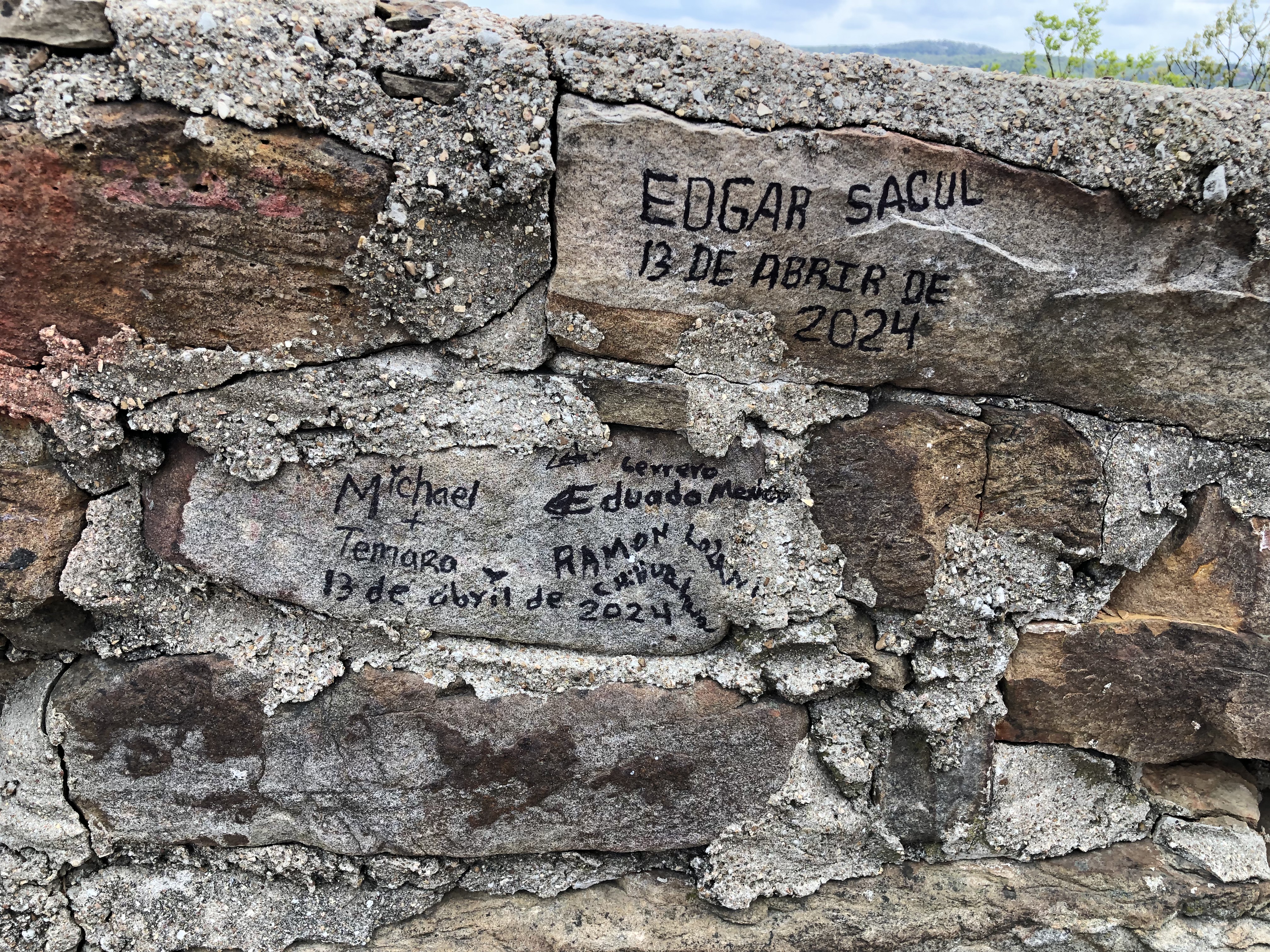
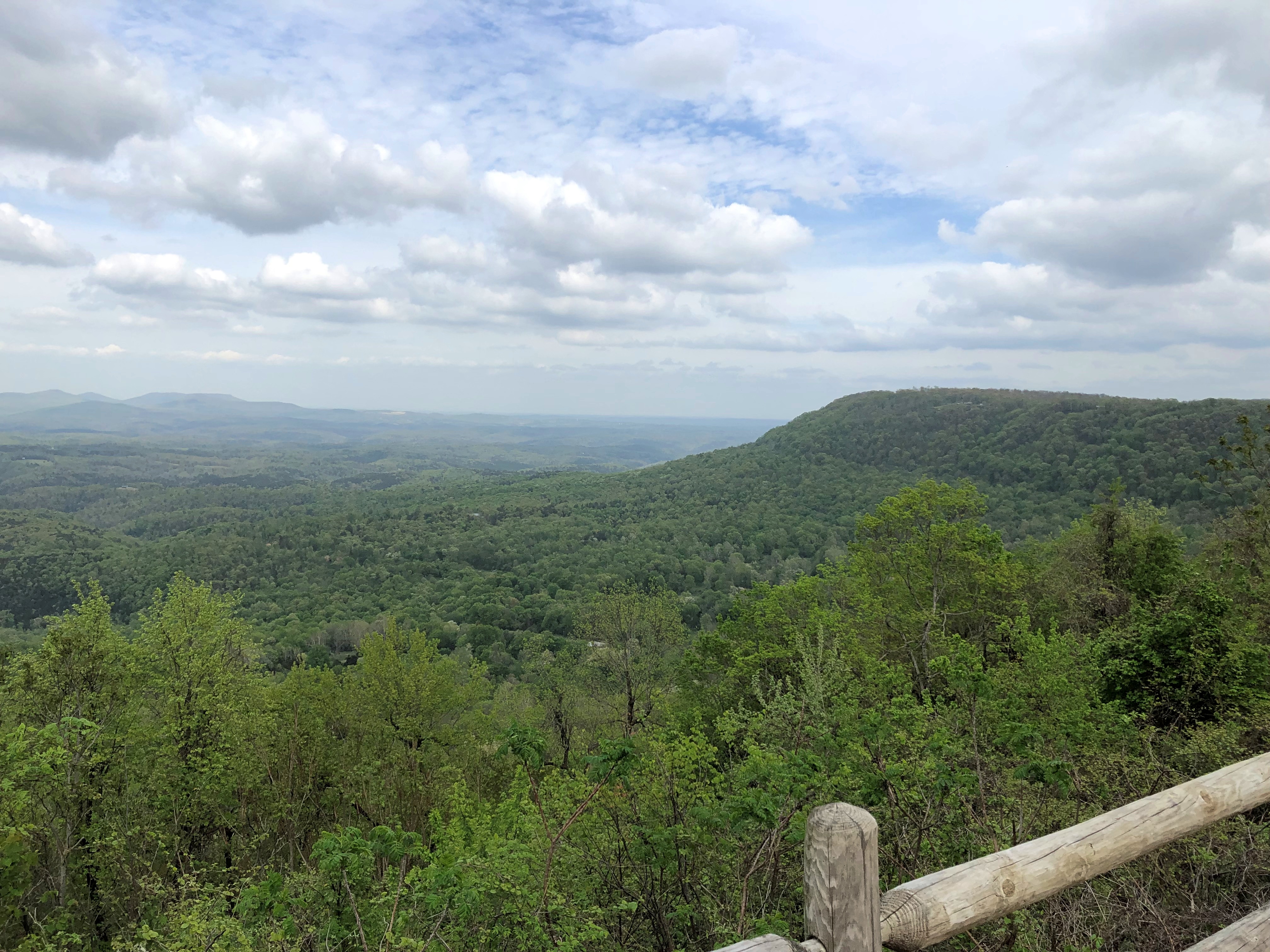
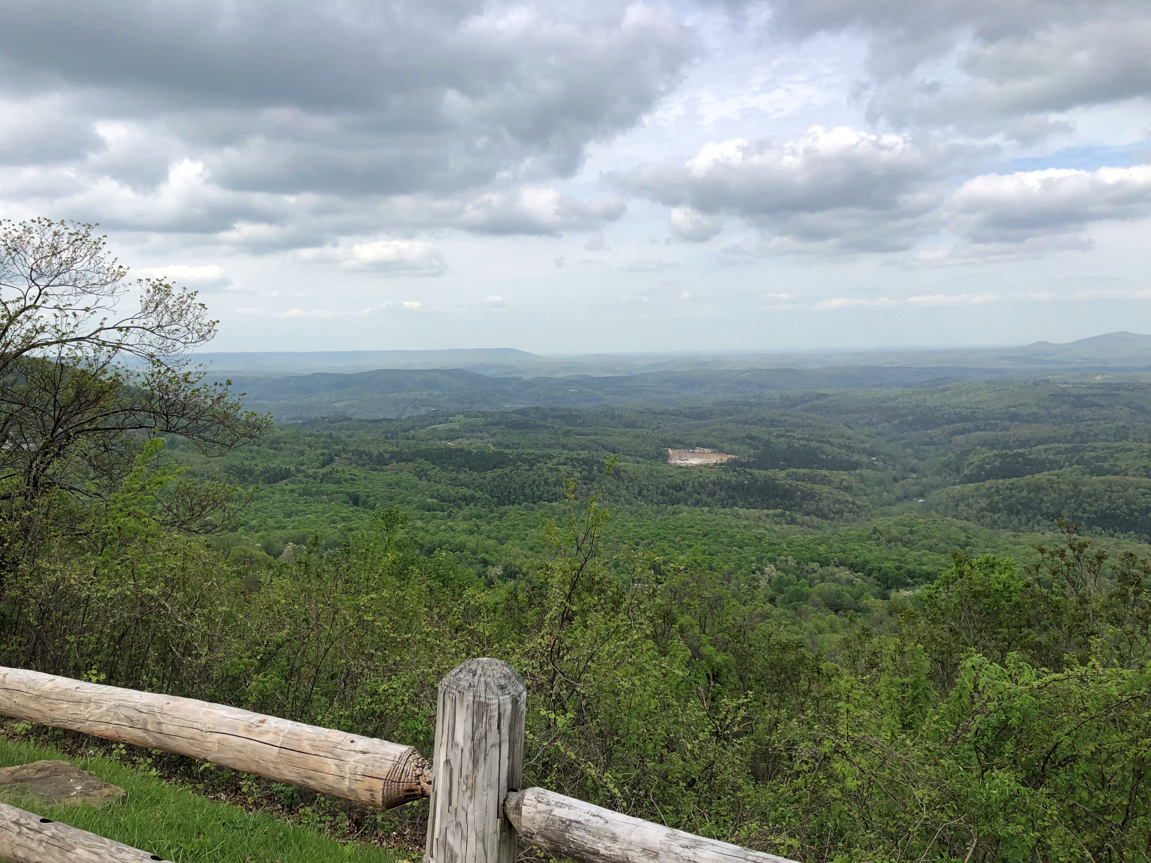
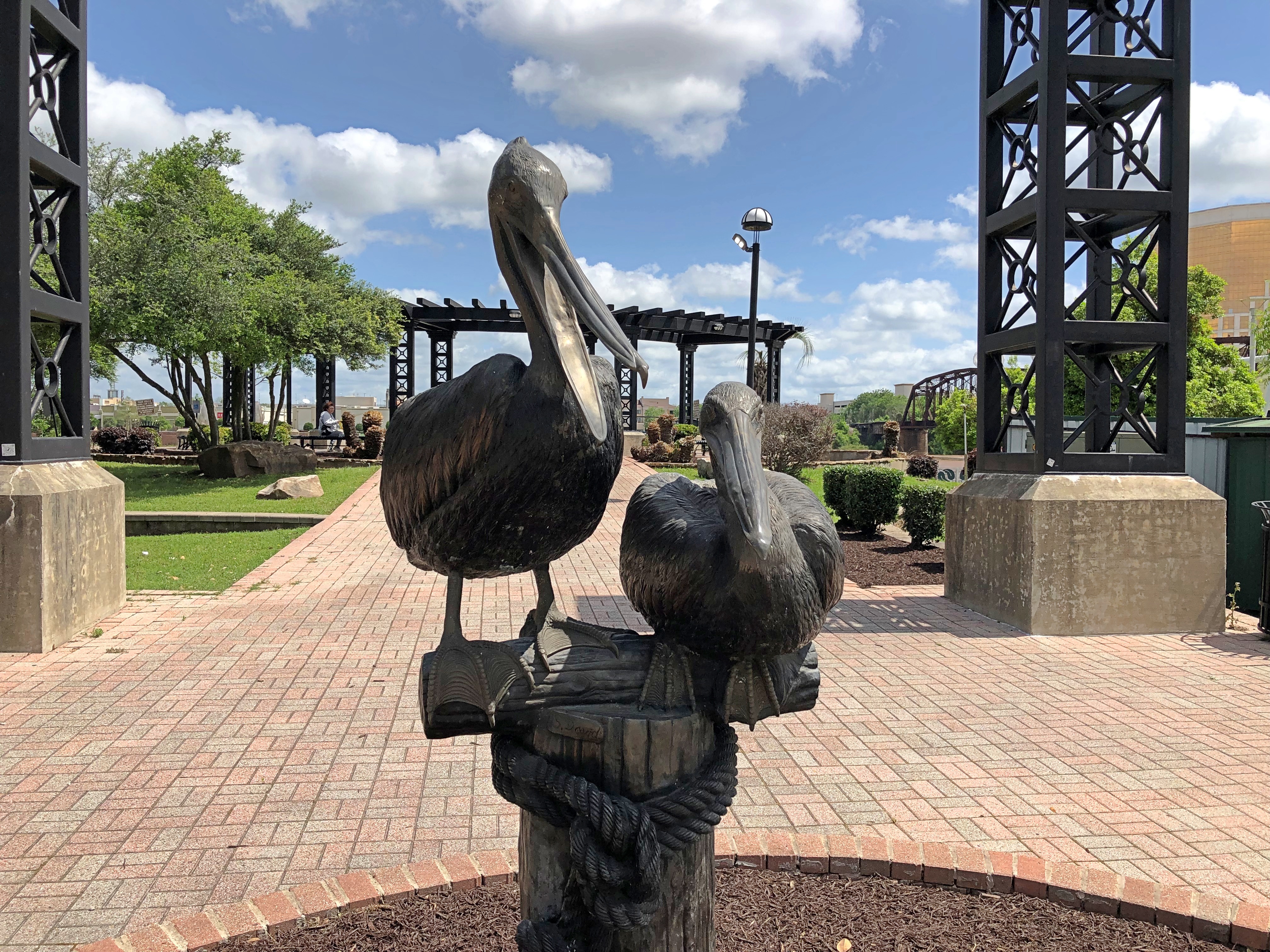
A mile’s worth of paved path snakes among ancient granite boulders. At only about 133 acres, the park is small. Even so, out in the field of boulders, the park didn’t seem so crowded.Elephant Rocks State Park Elephant Rocks State Park Elephant Rocks State Park Elephant Rocks State Park
Time, geologic uplift and millions of years of erosion produced the boulders, and — I learned — the area counts as a tor.

“The landform is called a ‘tor,’ a stack or pile of spheroidally weathered residual granite rock boulders sitting atop a bedrock mass of the same rock,” says an excellent brochure produced by Missouri State Parks that provides brief but informative descriptions of the park and its history.

“While tors exist elsewhere in the United States and worldwide, they are not abundant anywhere. Elephant Rocks is Missouri’s finest tor and one of the best examples in the Midwest.”

That just makes my day, finding out that I visited a fine tor. Seriously. I didn’t even know there was a geologic definition. Big, rocky hill is how I’d have defined it. I’ve known about tors since the moment I slapped my head upon realizing I could have visited Glastonbury Tor, but didn’t.

People go on about sunsets and views of the ocean and mountain vistas, but human beings are also pretty fond of impressive rocks. Some of us travel a good ways to see them. Elephant Rocks State Park Elephant Rocks State Park
Some fat man’s misery paths.Elephant Rocks State Park Elephant Rocks State Park

“Just outside the park is the oldest recorded commercial granite quarry in the state, producing fine red granite called ‘Missouri Red,’ the brochure says. This quarry, opened in 1869, furnished facing stone for the Eads Bridge piers standing on the Mississippi River levee in St. Louis.”

Cool. A quarry needed a railroad spur, and even a small railroad needed a building for locomotive maintenance. The ruin of such a building stands in the park.Elephant Rocks State Park Elephant Rocks State Park Elephant Rocks State Park

It’s had the benefit of some reconstruction, would be my guess. It certainly looked sturdy enough that I didn’t think that rock was going to tumble on my head.Elephant Rocks State Park

Must be Missouri Red. Why wouldn’t you built it using the stone you had at hand? Good old Missouri Red, which sounds like a dime novel character or a strain of cannabis.

Potosi, Missouri

Sometime in late 18th century, Frenchmen came to a spot in the wilds of North America, which in later years would be southeastern Missouri, and began digging for lead in a place they called Mine Au Breton – Mine of the Breton, for Brittany native Francis Azor, who pioneered the effort in the area to extract the element. The name didn’t last, however. Since early U.S. sovereignty, it’s been Potosi, Missouri.

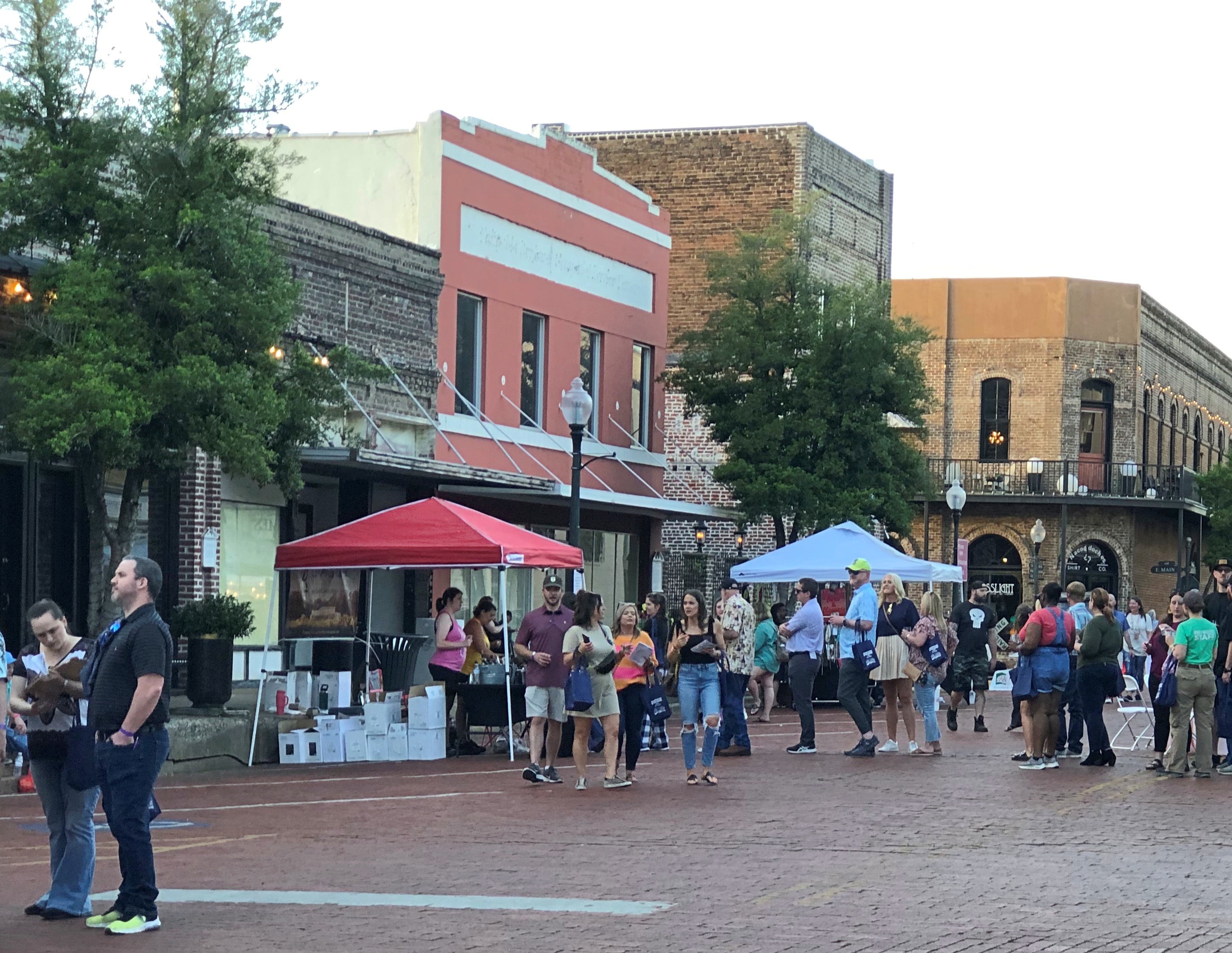
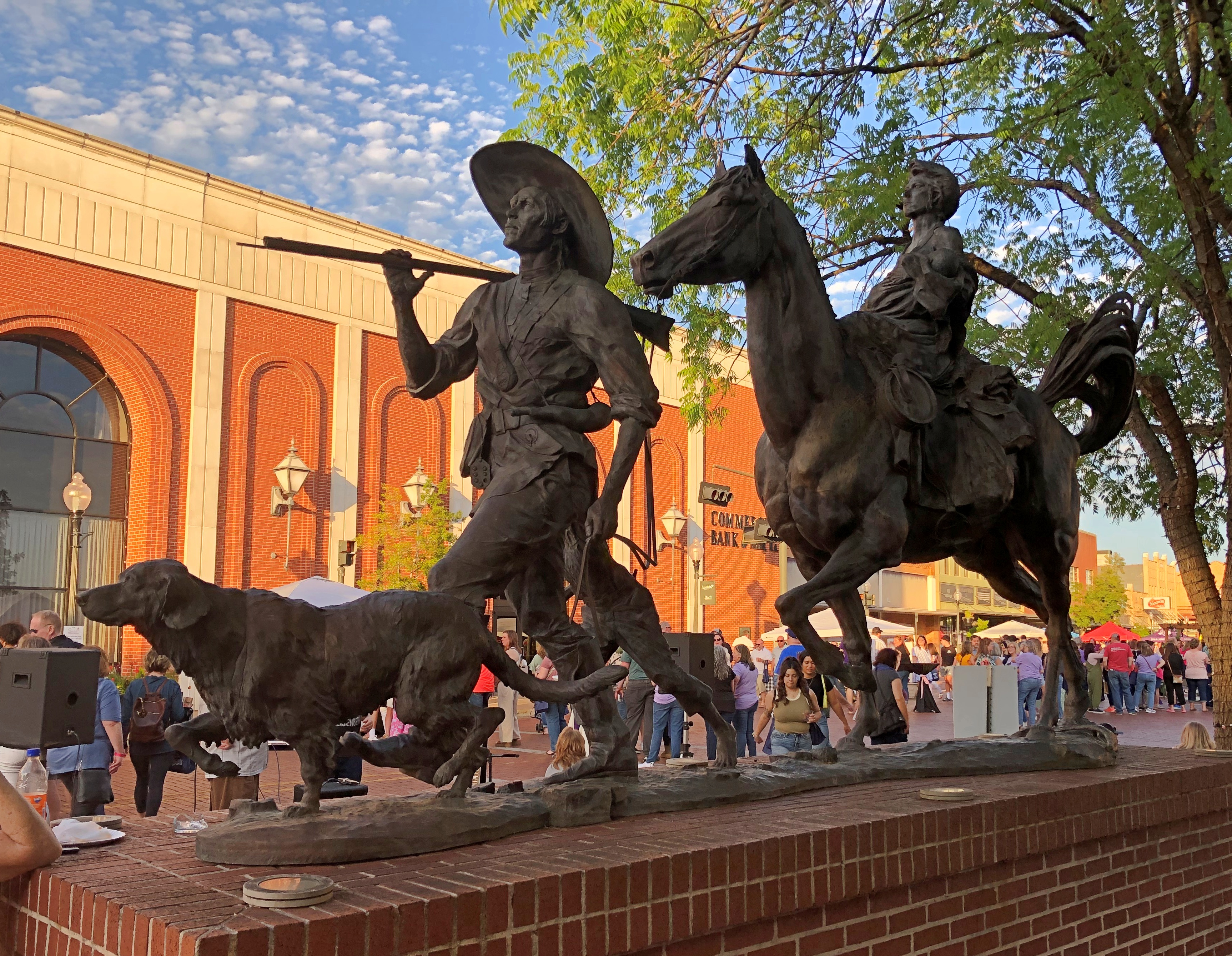
Still, the earlier name lingers in a small park in Potosi, which we visited on the morning of April 6 after leaving where we’d spent the night, Farmington.Mine Au Breton Heritage Park, Potosi, Mo.

A nice little park, a block from the town’s main thoroughfare, High Street. Mine a Breton Creek runs through it.Mine Au Breton Heritage Park, Potosi, Mo. Mine Au Breton Heritage Park, Potosi, Mo.

A small bridge crosses the creek at one point. You wouldn’t think such a bridge would merit a name, but the people of Potosi (pop. 2,500) clearly disagree.Mine Au Breton Heritage Park, Potosi, Mo.

Red Bridge. It even has a former name: Steel Wagon Bridge. Maybe more minor bridges should have names. Adds a little character to localities. Of course, if that caught on, most of them would be named after minor local politicos.Mine Au Breton Heritage Park, Potosi, Mo.

After the Louisiana Purchase was a done deal, Americans came to the area, but Moses Austin was already there, having cut a deal with the Spanish to mine there. Texas schoolchildren learn who he was, or at least they did 50+ years ago, when I was such a schoolchild. He’s the father of Stephen F. Austin, who was the Father of Texas. So maybe Moses is the Grandpa of Texas. My brother Jay suggested that we visit Potosi to see his grave, and since it was only a few miles out of the way, we did.

The grave itself isn’t one of the better-looking ones I’ve ever seen: a white, virtually unadorned slab under an uninspired protective shelter.Grave of Moses Austin, Presbyterian Cemetery, Potosi, Mo. Grave of Moses Austin, Presbyterian Cemetery, Potosi, Mo.

His wife Mary Brown Austin, daughter of an iron mine owner and mother of Stephen F., is there as well. We didn’t hear that much about her in school.

Moses Austin came to the area to mine lead – and escape debt back in Virginia — and apparently had a good go of it in the 1810s, though I suspect life wasn’t as good for the slaves that did the actual digging. Austin is credited with renaming the town Potosi, after the place in Bolivia, a silver mining center known as the location Spanish colonial mint, producer of countless Spanish dollars. Educated miners like Austin would have known it, anyway, and maybe he was thinking big. As in, dreams of silver. But lead would have to do.

Quite the go-getter, Moses Austin. “He & his 40 to 50 slaves & employees built bridges, roads, a store, a blacksmith shop, a flour mill, a saw mill, a shot tower, and turned out the first sheet lead & cannonballs made in Missouri,” the informative Carroll’s Corner posted.

Austin suffered reversals and ultimately lost his fortune in the Panic of 1819, and so schemed to take settlers to the underpopulated wilds of Texas, then part of New Spain — to escape his debts, among other things. He received a land grant from the Spanish Crown (that’s quite a story), and was set to go when death came calling, leaving the task to his son – who had to deal with newly independent Mexico for his grant. That’s another story, one far from modern Potosi.

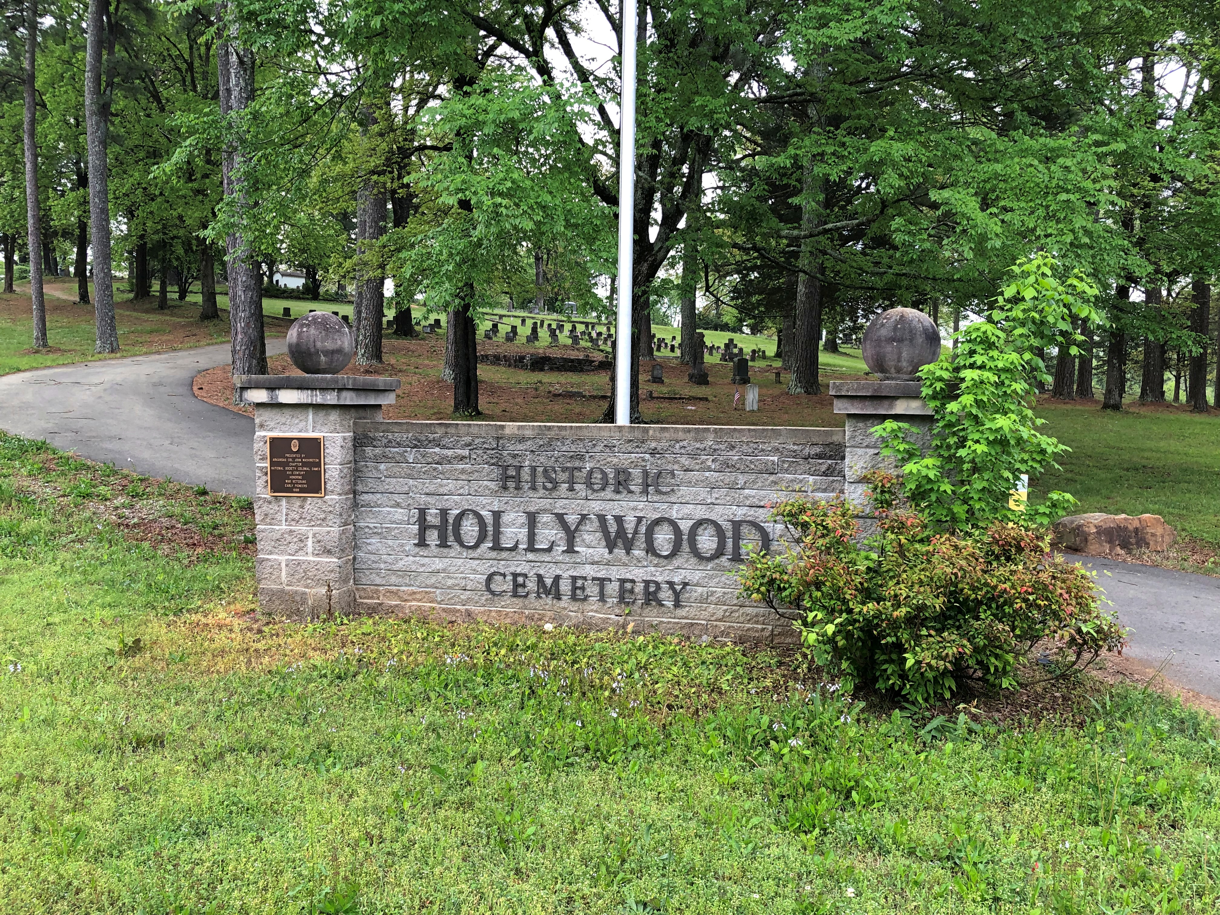
Google Maps calls the cemetery along High Street, with the Austins’ grave, City Cemetery. A sign at the site says: Potosi Presbyterian Cemetery, Est. 1833.Presbyterian Cemetery, Potosi, Mo.

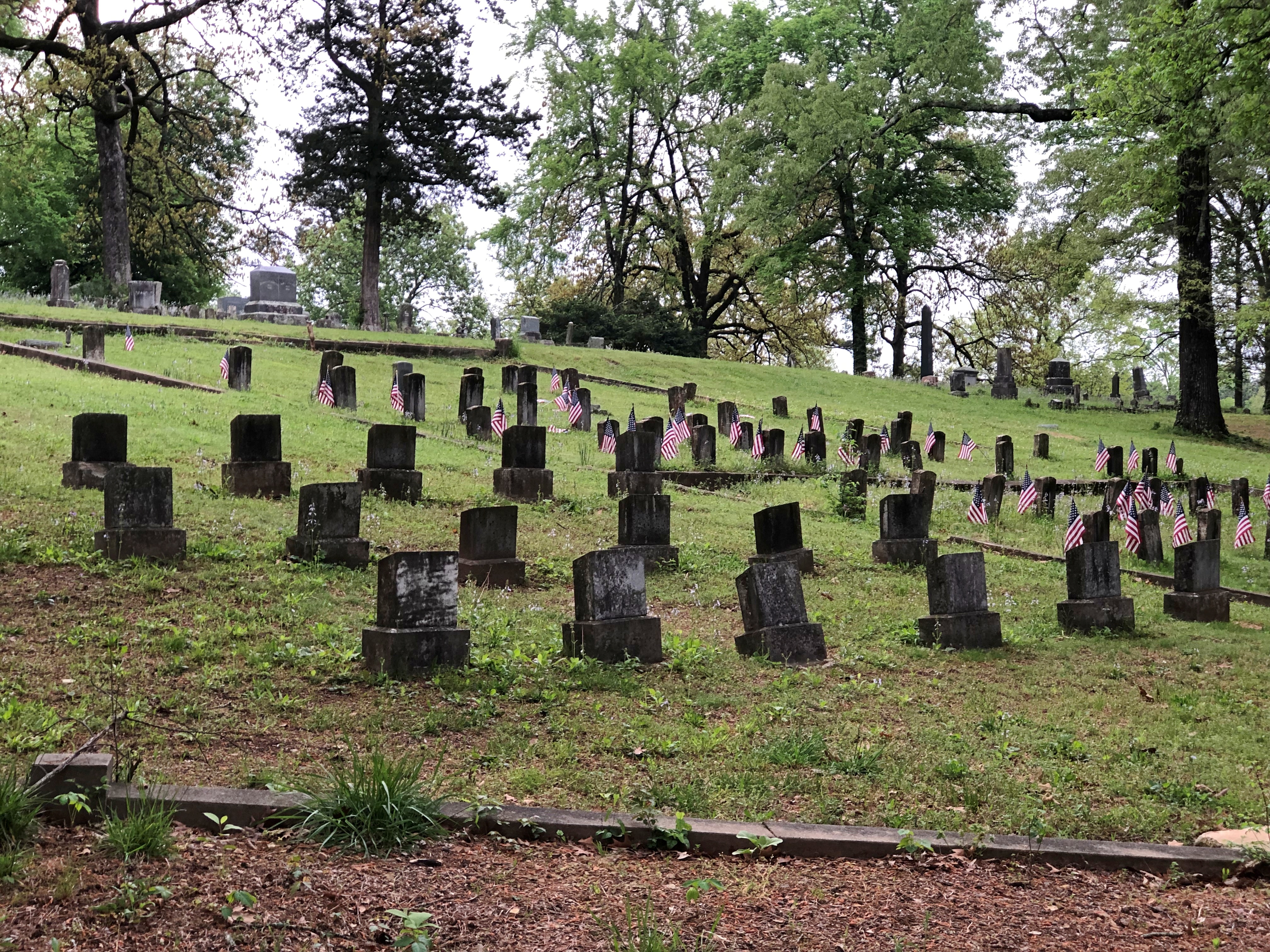
It’s a mid-sized, old-style cemetery with some charm.Presbyterian Cemetery, Potosi, Mo. Presbyterian Cemetery, Potosi, Mo.
Presbyterian Cemetery, Potosi, Mo.

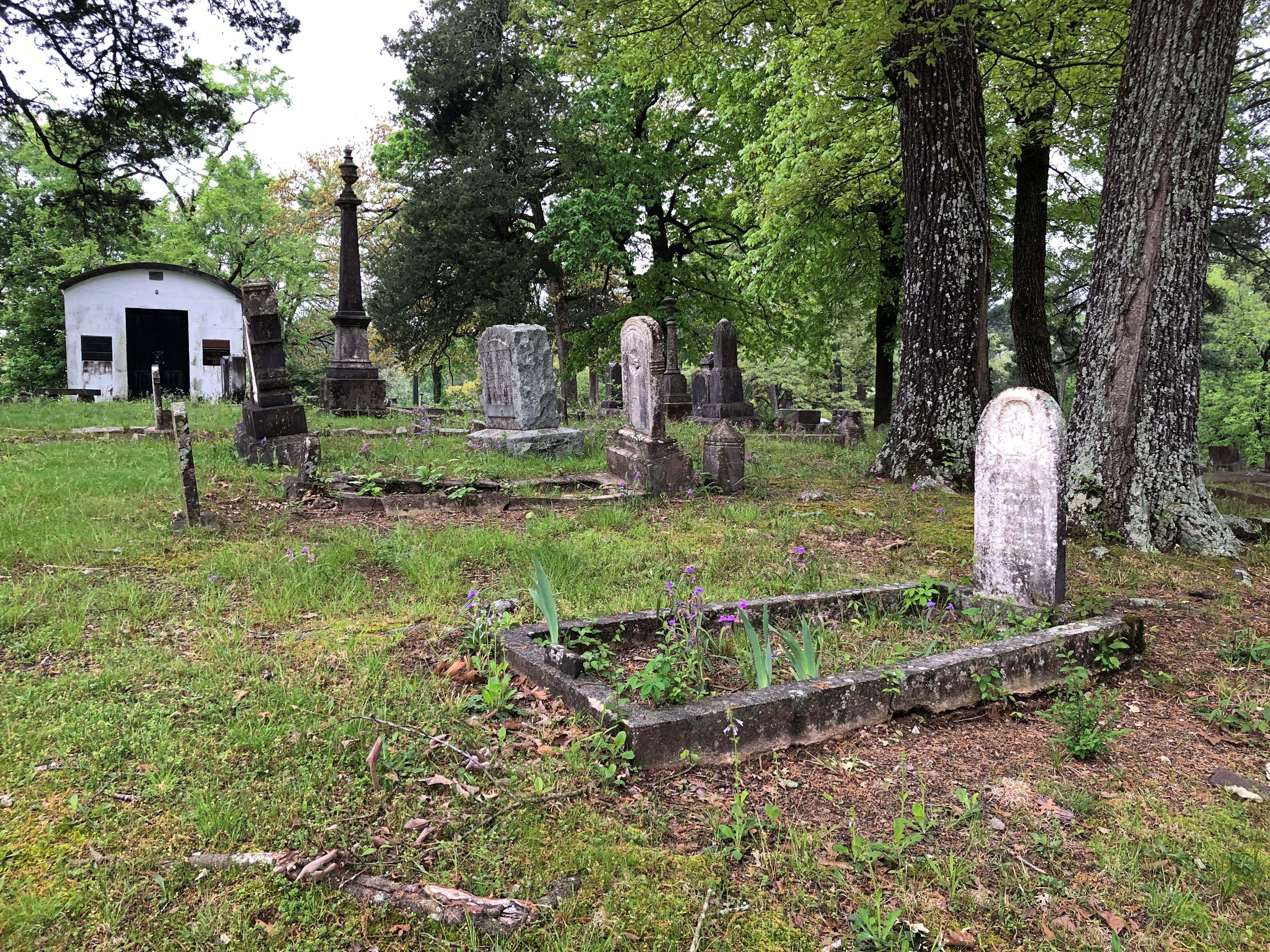
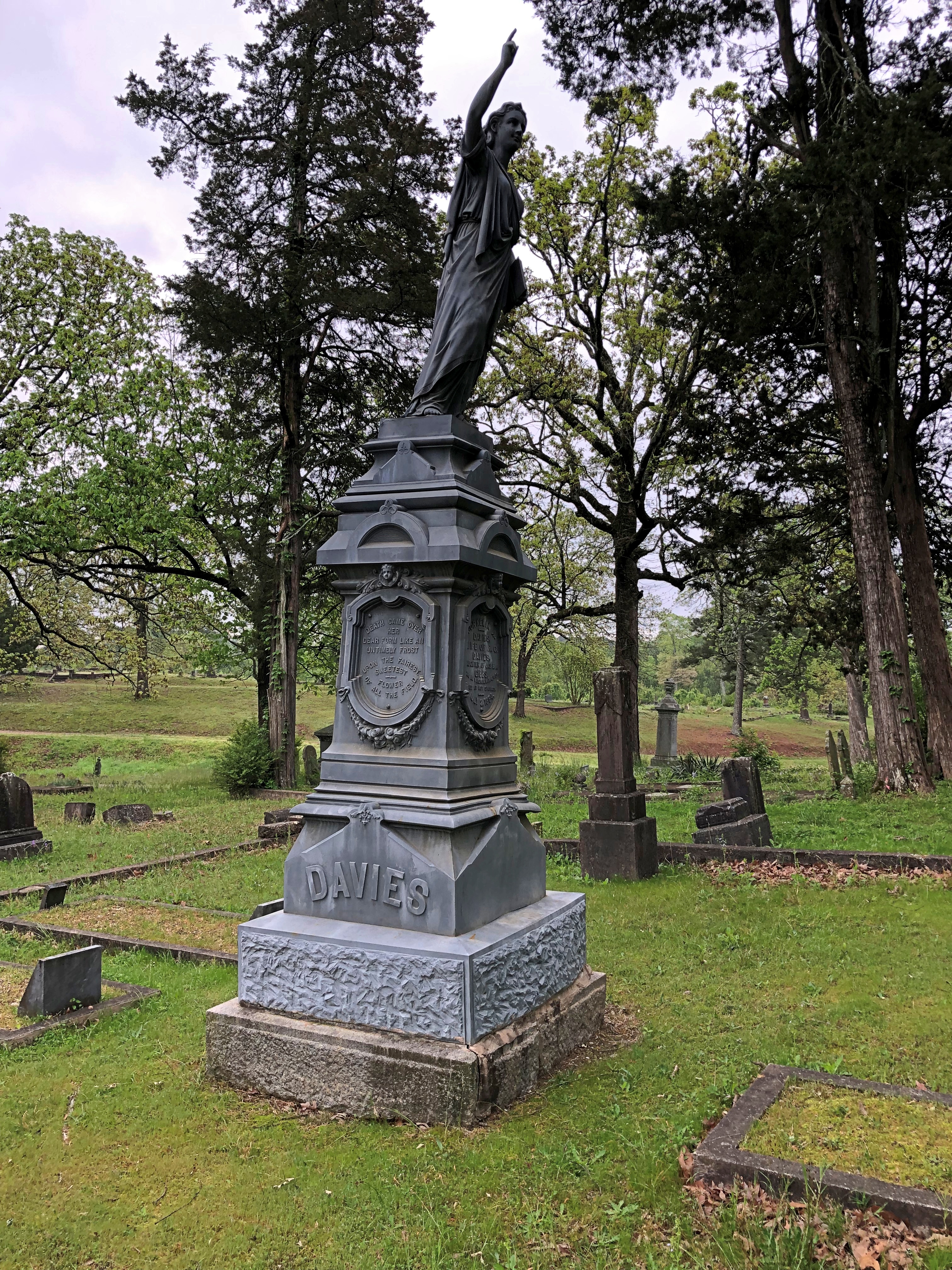
With memorials broken and worn.Presbyterian Cemetery, Potosi, Mo.

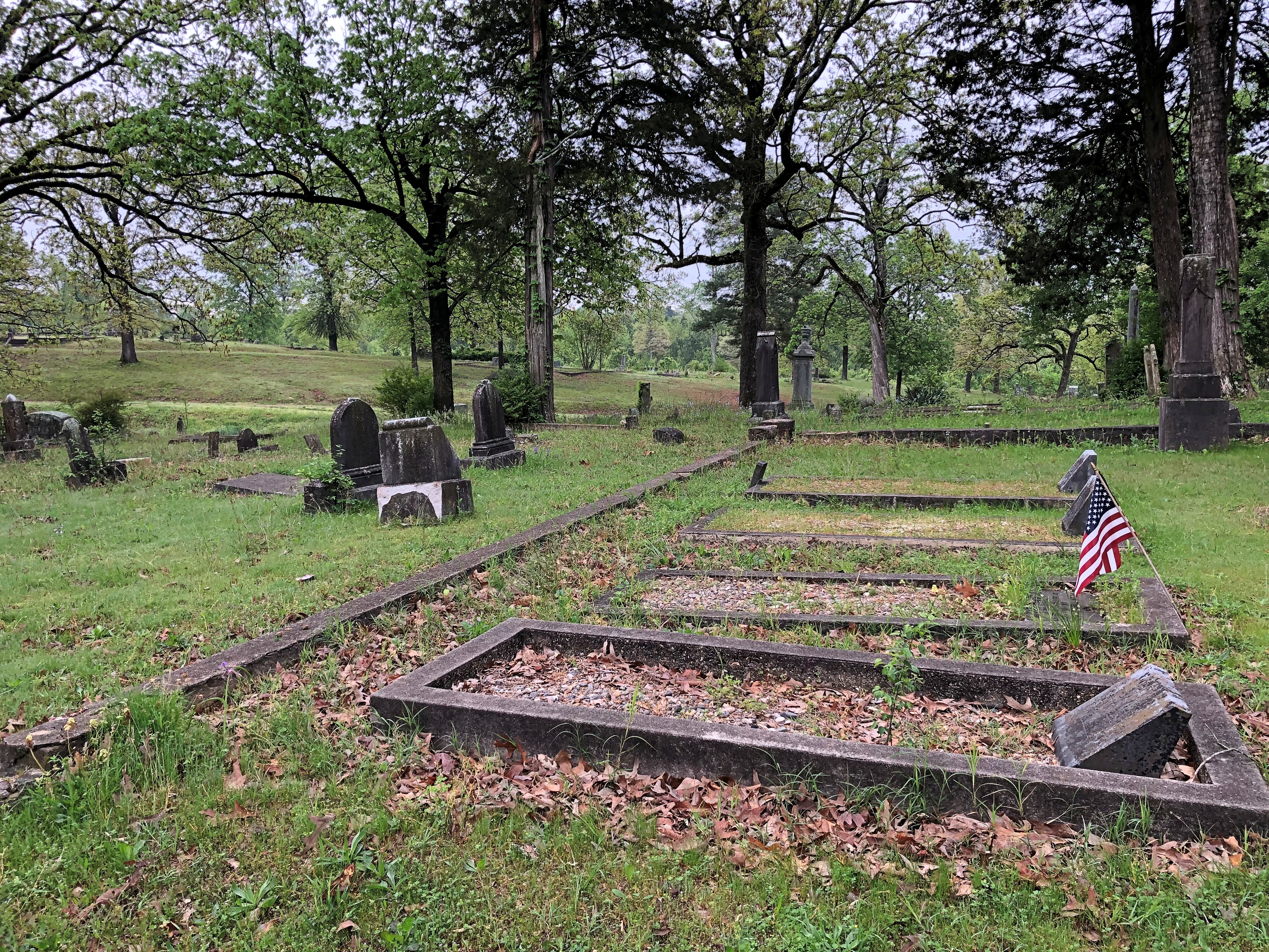
And others still waiting for that wear to happen. It will.Presbyterian Cemetery, Potosi, Mo.

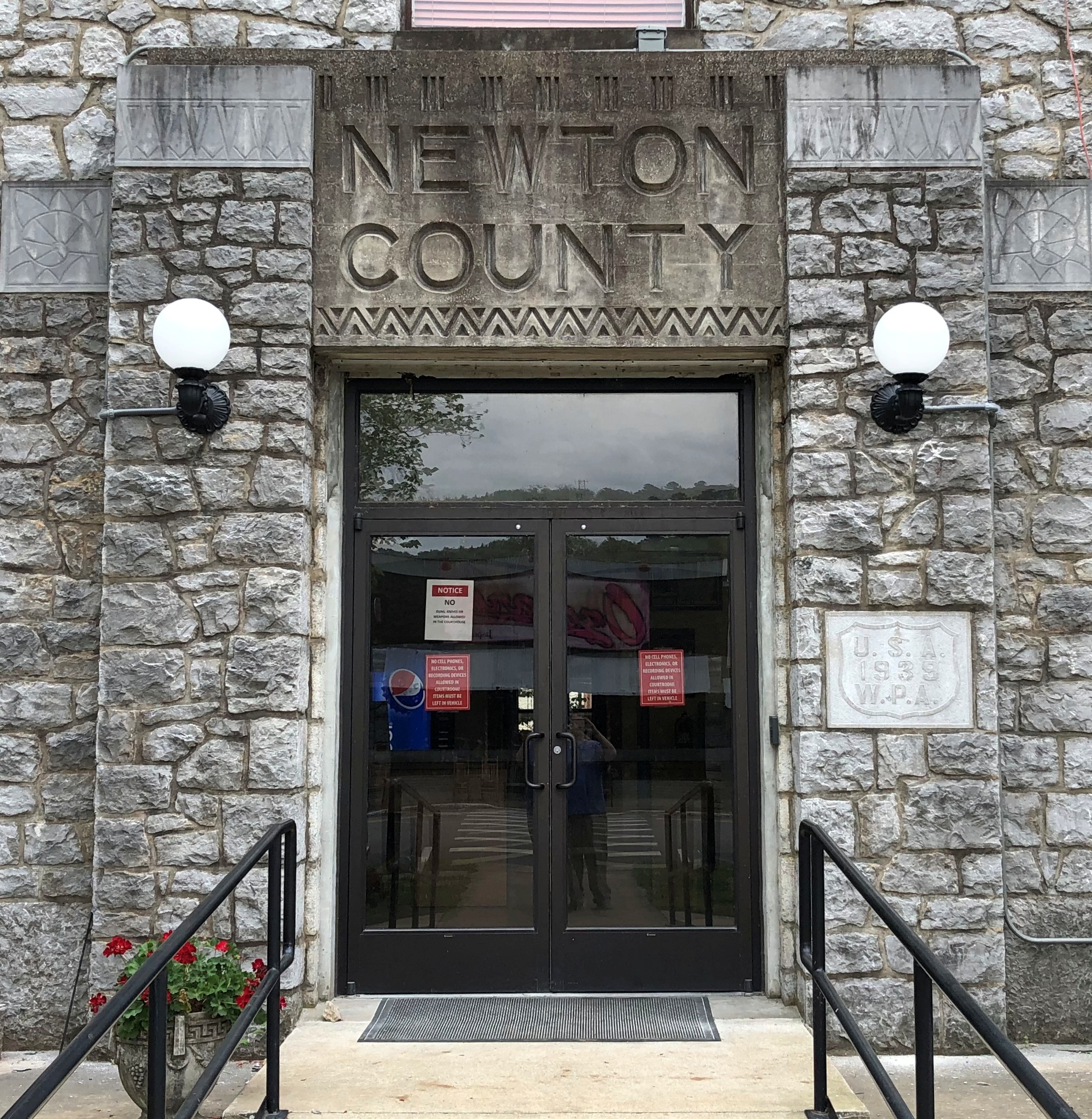
High Street is the location of a handsome county courthouse (Washington County), the third on the site and a 1908 design by one Henry Hohenschild, a Missouri architect who did a number of public buildings. Remarkably, the same document tells us that Moses Austin (probably) designed the county’s first courthouse. Moses was one busy guy.Washington County Courthouse, Potosi, Mo.

There are a number of antique stores on High Street, and while Yuriko was off exploring them, I was buttonholed by two Jehovah’s Witnesses sitting with their material across the road from the courthouse. Or rather, I allowed myself to be buttonholed, so I could talk a little religion. Just like I did in Salt Lake City. Or religion-adjacent. I think the ladies, Mary and Kay I believe it was, were surprised that I knew about the sale of the JW HQ property in Brooklyn some years ago.

Missouri Mines State Historic Site

Funniest thing I’ve heard in a while, at least in the category of unintentional comedy. The narrator of a video about The Wire that I watched today – just finished the third season, watching once a week or so – broke narrative for a commercial.

“If Omar is coming for you, you’ll need the perfect shoe to get away,” he said, holding up a pair of some running shoes.

Drive about six hours from metro Chicago, south past St. Louis on the state of Missouri side of the Mississippi River, go almost as far as Farmington, Mo. (pop. 18,200) and leave the main road, but only a short distance down a side road, and you’ll find a place to ruminate on time and decay and poisoning. If you’re the ruminating sort.Missouri Mines State Historic Site Missouri Mines State Historic Site

Another day, another day exposed to the elements for the former industrial structures at Federal Mill No. 3, which processed zinc and lead ore from 1906 to 1972 and became property of the state shortly after its closure. It’s now Missouri Mines State Historic Site. Smelting does what it does, leaves slag and moves on. The weathered, rusty structures should count as a kind of slag, but one you can look up at in some awe.Missouri Mines State Historic Site Missouri Mines State Historic Site Missouri Mines State Historic Site Missouri Mines State Historic Site

We’d arrived about an hour before the grounds closed on the afternoon of April 5. Except for one state park service employee, no one else was around, though there were signs advertising an upcoming eclipse event, since this part of Missouri was in the path of totality. Bet the place was overrun for that.

Before coming to the Lead Belt of Missouri, I’d vaguely thought that lead mining was only an historic phenomenon, something like the copper mining in the UP that left behind relics. Missouri Mines didn’t do anything to correct that impression, at least at first. Later I found out was wrong.

“Lead and fur were the most important exports from Missouri during its early years as a Spanish, French, and then United States territory (Burford, 1978),” wrote Cheryl M. Seeger in a monograph called, “History of Mining in the Southeast Missouri Lead District and Description of Mine Processes, Regulatory Controls, Environmental Effects, and Mine Facilities in the Viburnum Trend Subdistrict” (2008).

“Southeastern Missouri, with the largest known concentration of galena (lead sulfide) in the world, was the site of the first prolonged mining in the state and has produced lead almost continuously since 1721,” Seeger notes. Largest in the world? Who knew? (Besides Cheryl Seeger, that is.)

Wiki published a map to illustrate the point, posted by one Kbh3rd, who is duly acknowledged here under the terms of Creative Commons 3.0.

Looks like all the mining action migrated to the west, but not far west, in the 20th century. In the monograph, I also learned that Moses Austin was a lead miner in the region – more about him later.

Most of the buildings at Missouri Mines SHS were roped off, and probably for good reason. But large windows were open, allowing a look inside the largest of them.Missouri Mines State Historic Site Missouri Mines State Historic Site Missouri Mines State Historic Site

Mighty ruins are one thing, but I also like the smaller pieces.Missouri Mines State Historic Site Missouri Mines State Historic Site Missouri Mines State Historic Site

An oddity, but one dug up nearby.Missouri Mines State Historic Site

A giant fossil thrombolite, a nearby sign said. Fossilized creatures, if you can call them that, from a billion years ago.Missouri Mines State Historic Site

Next to the state historic site is St. Joe State Park, with a path leading into that park. The day was warm, but not too warm for a walk. It was then we realized the thing we’d forgotten for the trip, because there’s always something: hats. But we managed.

It was like walking straight into one of the more desolate parts of the West instead of lush, springtime Missouri.St Joe State Park St Joe State Park St Joe State Park

Another legacy of lead mining: ruined land, considered fit only for off-road vehicle tracks these days. Look at enough maps of the Lead Belt, and you’ll find the Superfund maps, too – which cover most of the area.

Is there Superfund site tourism? There must be. No? Now there’s an opportunity for some gritty tours, believe me.

Or maybe infrastructure tourism.

Sign me up for that one.

Ozark Plateau & Dallas Figure Eight Road Trip & Total Solar Eclipse Extravaganza

The April 8, 2024 North American solar eclipse is already old news. It was practically so the minute it was over, a news cycle balloon whose air didn’t just leak out, but popped. A thousand articles bloomed in the days ahead of the event, mostly trotting out the same information: an elementary-school level explanation of solar eclipses, dire warnings about the dire consequences of staring into the Sun, maybe a note about festivals, quaint towns and surge motel pricing in the path of totality as people gathered in cities and towns in that narrow band.

Yuriko and I headed south to Dallas to see totality, making a two-night, three-day drive of it beginning on April 5; stayed five nights in Dallas; and then made a three-night, four-day return drive, arriving home yesterday. All together we drove 2,496 miles, generally crossing the Ozark Plateau in a course that made a (badly crumbled) figure 8 on a string.

After checking into a limited-service hospitality property in the old lead mining hills of southeastern Missouri on (Friday) April 5 – T-minus three days ahead of totality on Monday – I asked the clerk if they were booked up on Sunday, the day before.

“We’re booked up all weekend,” she said.

“At high prices?”

“Some places are getting $300 or $400 a night,” she said, not willing to admit (you never know who’s listening) that the same was true at her property, a franchisee of a multinational hospitality company that surely knows a thing or two about surge pricing.

I had a similar conversation with the desk clerk in 2017, ahead of the solar eclipse that year. I’d booked a room months earlier then – and this time too – to avoid surge pricing. Eclipses can be predicted at least 1,000 years into the future, and more importantly for ordinary folk, that information is readily available in our time. So it’s easy enough to avoid motel gouging. The next night, April 6, we were in a different motel, also (probably) a creature of surge pricing, also booked early.

As for the night before the eclipse, April 7, we avoided paying for a place to stay by relying on the good offices of my brother Jay, whom we stayed with. It just so happened that the path of totality passed over Dallas, a fact not lost on me some years ago. So I planned to be there at that time, and we were fortunate enough that all went according to plan.

We’ll never be able to do that exactly again, either, since the next time Dallas – or the place where Dallas is – will be in the the path of totality is 2317.

Totality was in the early afternoon. I considered it my lunch hour, since I was working that day. The skies over Dallas that morning were uncooperatively cloudy most of the morning, but by noon the Sun peeked out sometimes. Jay and Yuriko and I joined my nephew Sam and his family and, after a quick Torchy’s takeout lunch – and a zoom interview for me – we went to the nearby Lakeland Hills Park, at 32°48’14.1″N 96°41’47.5″W, according to Google Maps.Lakeland Hills Park, Dallas, April 8, 2024

To add to the entertainment, Sam shot off a rocket. The idea had originally been to do so during totality, but he correctly decided that would be a distraction from the main event, so he shot it off early. Twice. Small children, including his children, chased it as it parachuted to the ground the first time. The second time, the parachute failed and that was the end of the rocket’s useful life. Naturally I was reminded of the rockets we shot off in ’75.Lakeland Hills Park, Dallas, April 8, 2024

The orange crescent Sun was visible on and off as the Moon ate further into it. People were watching.Lakeland Hills Park, Dallas, April 8, 2024

No need to see the partial eclipse via pin-hole when the Sun happened to be out.Lakeland Hills Park, Dallas, April 8, 2024

We assessed the nearby clouds for size and what direction they seemed to be moving. The odds didn’t look that great for an unobscured view. Darkness began closing in anyway.Lakeland Hills Park, Dallas, April 8, 2024 Lakeland Hills Park, Dallas, April 8, 2024 Lakeland Hills Park, Dallas, April 8, 2024

Totality came, just as the astronomers said it would. Luck was with us, mostly. We saw the blackened disk of the Sun and much of its close-in corona, as apt a name as any in astronomy, though little of the corona’s tendrils that so memorably stretched into the void in the clear skies of ’17. Still, quite the sight in ’24. Even saw a few solar prominences, gold-red-orange light blips at the edge of the disk, which I’m not sure I did last time. So was the partly cloudy totality worth driving more than 1,000 miles to see? Yes. Double yes.

Spring Break Bits

It might not feel like spring out there, but no matter. Time for spring break. Back to posting around April 18.

Not long ago, an entire movie on YouTube called First Spaceship on Venus came to my attention, and I decided to watch a few minutes to see how bad it might be. Soon I realized, this isn’t that bad. For what was clearly a pre-manned spaceflight depiction of spaceflight, not bad at all. I didn’t have time to finish it, but I will at some point.

I’d never heard of it. But I have heard of Stanisław Lem. I read His Master’s Voice years ago – nearly 40 years, so I don’t remember much – and saw the 1972 movie version of Solaris, ditto, though I’ve read it’s rather different from his novel. Turns out First Spaceship on Venus is the American title of Silent Star (Der Schweigende Stern), an East German-Polish production from 1960. Lem wrote the source book, The Astronauts, a few years earlier. The American version is dubbed into English and, I understand, cut in length.

Also, if you want, you can listen to the original soundtrack of Der Schweigende Stern. YouTube’s quite the place.

More idle curiosity for the day: checking ticket prices for Billy Joel and Stevie Nicks, who are appearing the same night at Soldier Field in June. The closest ticket for sale is pretty close indeed: front section, third row. For resale, actually. There are a scattering of resale tickets available in that section, with those on the third row listed for $3,791 + fees. Oddly enough, fourth row seats list for $2,794 + fees. At least for now. So one row ahead, where you can catch a slightly better glimpse of Mr. Joel’s shiny pate, is worth about a grand more?

I expect that represents dynamic pricing of some kind, facilitated by soulless algorithms in the service of maximized shareholder value, and varies from moment to moment. But I was never one for front row seats anyway, or even third or fourth. Checking further, I found that you can bring your opera glasses and sit way back for $179. As it happens, I’ve seen both of those entertainers; separately, in 1979 and 1980. I don’t remember what I paid. A handy inflation calculator tells me that $179 now is the equivalent of $47 back then. I’m positive I didn’t pay that much, total, for both tickets.

Visiting Queen of All Saints Basilica in Chicago last month, I took an image of carved text that puzzled me a bit, but then I forgot to look it up.

“Ecumenical Year?” I remembered to look into that more recently, and realized that it must refer to the first year of Vatican II, which was indeed 1962. Formally in English, the meeting was the Second Ecumenical Council of the Vatican.

Naturally, when one hears of Vatican II, it’s time to listen to “The Vatican Rag.”

The council might have been 60 years ago, but that song never gets old.

Chicago Riverside Stroll

Intense periods of rain marked the day and into the night, with snow ahead. A nonsticking April sort of snow, but still carried by stiff unpleasant winds. A rearguard winter wind, and winter winds blow only in one direction. In your face.

It was merely chilly Saturday before last when we strolled down Wacker Drive and Michigan Avenue in the evening in downtown Chicago, partly along the Chicago River. Some old favorites rise in that area, such as Marina City.

Idly curious, I looked up some listings for condos in the building. For less than $300,000, one can buy a 500-square foot unit, listed as zero beds, one bath. I wonder what that means in context: a Murphy bed? Not like some utilitarian job you might have found in the Kramdens’ apartment, but maybe something a little more upmarket. Are there upscale Murphy beds? Of course there are.

At more than 60 years old, Marina City doesn’t count as the newest and poshest, but it has historic appeal, and has any other residential complex seen a fast-moving auto pitched out of its parking garage into a river? Such happened for The Hunter (1980), the last Steve McQueen movie. A bad guy’s fate, if I remember right.

The Wrigley Building, legacy of a chewing gum fortune. What more to say about the masterpiece on the Chicago, open now these last 100 years?Wrigley Building 2024 Wrigley Building 2024

The courtyard north of the building is formally the Plaza of the Americas, which I’m sure only tour guides call it. On windy days the flags of the OAS fly over the plaza. Does the actual flag of the OAS also? Its design: Let’s wheel all the national flags together. It’s a recognized way to organize flags, but on a flag? 

At the west end of the plaza is a bronze Benito Juárez, a gift of Mexico to the city of Chicago in 1999, with one Julian Martinez listed as the artist (not this artist). At night, Juárez doesn’t catch the light very well.Benito Juarez Chicago

These golden wings are a newer addition to the plaza, 2022, and supposedly temporary. Another of the pairs of wings that have sprouted worldwide, though these are sculpted, not painted.Wings of Mexico

“Wings of Mexico” by Jorge Marin. A little digging around, and I see that he did “El Ángel de la Seguridad Social,” which we spotted in Mexico City.

Deer Grove Ahead of the Greening

Not long ago, on one of the warmish days we had before the more recent chilly run, we made our way back to Deer Grove Forest Preserve in Palatine, one of the many such green spaces in the northwest suburbs. Except it hadn’t greened yet. The last time we were there, during the pandemic spring of 2020, it was full spring and lush green.

Still, there’s a certain charm to the slumbering brown-gray earth, provided the air isn’t that cold and the paths are fairly dry. Had a good walk.Deer Grove Forest Preserve

Trees before budding. It won’t be long.Deer Grove Forest Preserve Deer Grove Forest Preserve

Grassland waiting to green up. That will come even sooner.Deer Grove Forest Preserve

Recent rains – including much of yesterday – are hastening things along. I cracked the window last night to listen to the micro-splash rhythm of the falling rain, but didn’t leave it open too long, as cold air snuck in along with the pleasurable sounds.

Gone the Way of Columbia Wearing a Phrygian Cap

A few years ago, a meme about Presidents Day came to my attention. The text: Think you should have Presidents’ Day off work? Name this man.

The image was that of Warren Harding. For me, that was easy. Maybe not so much for a lot of people, though I suspect no survey about President Harding’s enduring fame has ever been done.

A better obscure president for the meme would have been, say, James Garfield or Rutherford B. Hayes or Benjamin Harrison, since Gilded Age chief executives tend to merge into a single hazy gray-bearded visage, except of course for the moustachio’d rotundness of Chester A. Arthur and Grover Cleveland.

Fame wears thin. That came to mind this time last year at the Harding library and museum in Marion, Ohio. Among a number of other interesting artifacts, the museum posted newspaper reactions to the president’s unexpected death on August 2, 1923.Warren G Harding death editorial cartoons Posted in Marion, Ohiov Warren G Harding death editorial cartoons Posted in Marion, Ohio Warren G Harding death editorial cartoons Posted in Marion, Ohio Warren G Harding death editorial cartoons Posted in Marion, Ohio

Note that Columbia is wearing a Phrygian cap. Whatever happened to Phrygian caps? Whatever happened to Columbia in editorial cartoons? They just faded away. Something like the memory of Harding, so vivid once upon a time.

Newspaper editorial cartoons don’t necessarily capture public sentiment, but I understand Harding was a popular president in his lifetime. In terms of reputation, then, he got out while he still had a good one. Not long after, the scandals of his administration came to light, along with allegations of an illegitimate daughter (which were true). A hundred years later, he’s obscure enough to meme-ify, except among historians, who don’t like him.

A Palatine Water Tower in its Blue Period

On short Sunday, we made our way to Palatine, Illinois, in the afternoon. As home to more than 67,000 residents, it’s no small chunk of northwest Cook County.

Those residents need water.

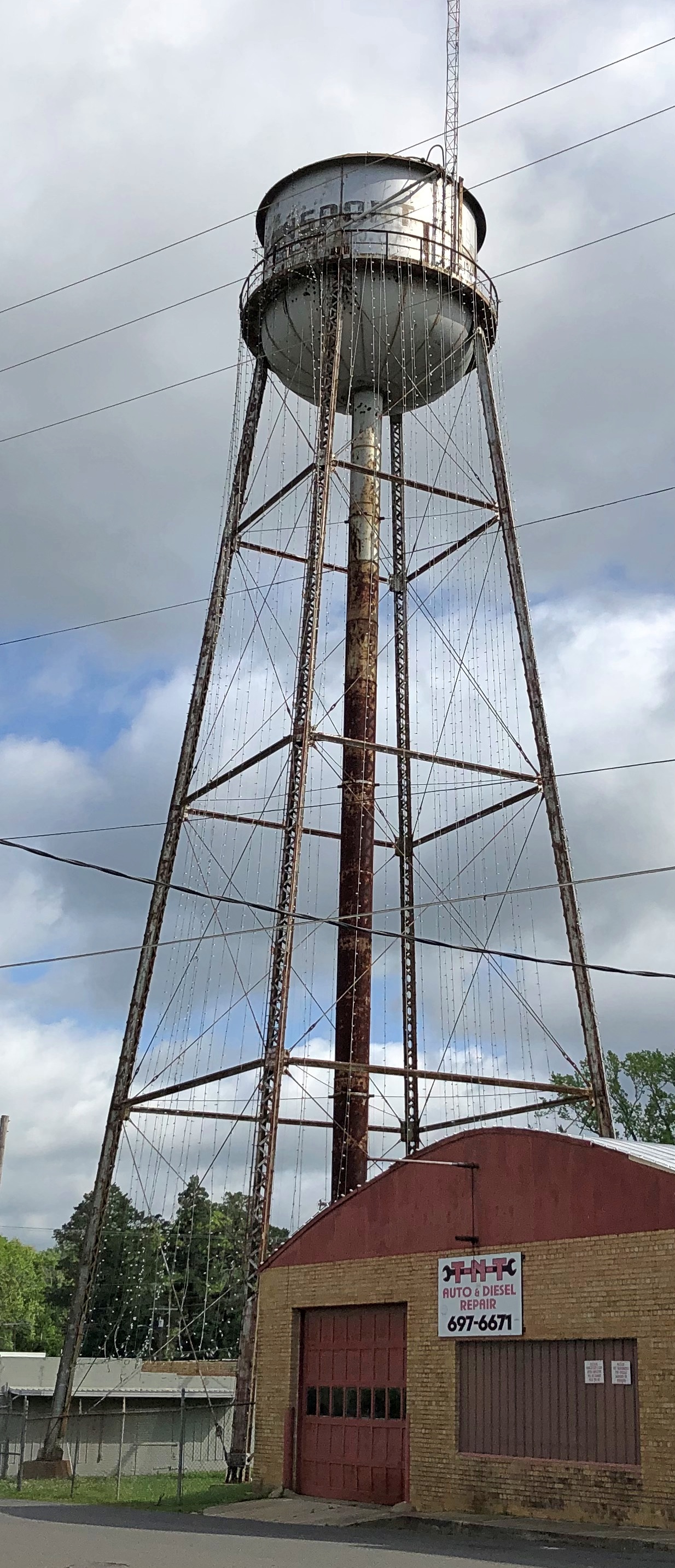
I’d driven by that water tower on the Northwest Highway (US 14) periodically for years, and decided it was high time I took a look while standing still. Once upon a time, up until 2016, the tower was painted to look more like a stereotypical lighthouse, including figures that evoked the sort of windows you might see on a lighthouse. That was done away with, but it’s a pleasant blue.

Another source tells us that it is an “18,000 ton water tower,” but not whether that’s without water or the weight of the water that it can hold. Wouldn’t the capacity of water towers be in gallons? It is, at least according to Watermedia.org.

Not far away, but tucked away from any major street, is the village hall.

Looks newish, as indeed it is: completed in 2016 by Camosy Construction.

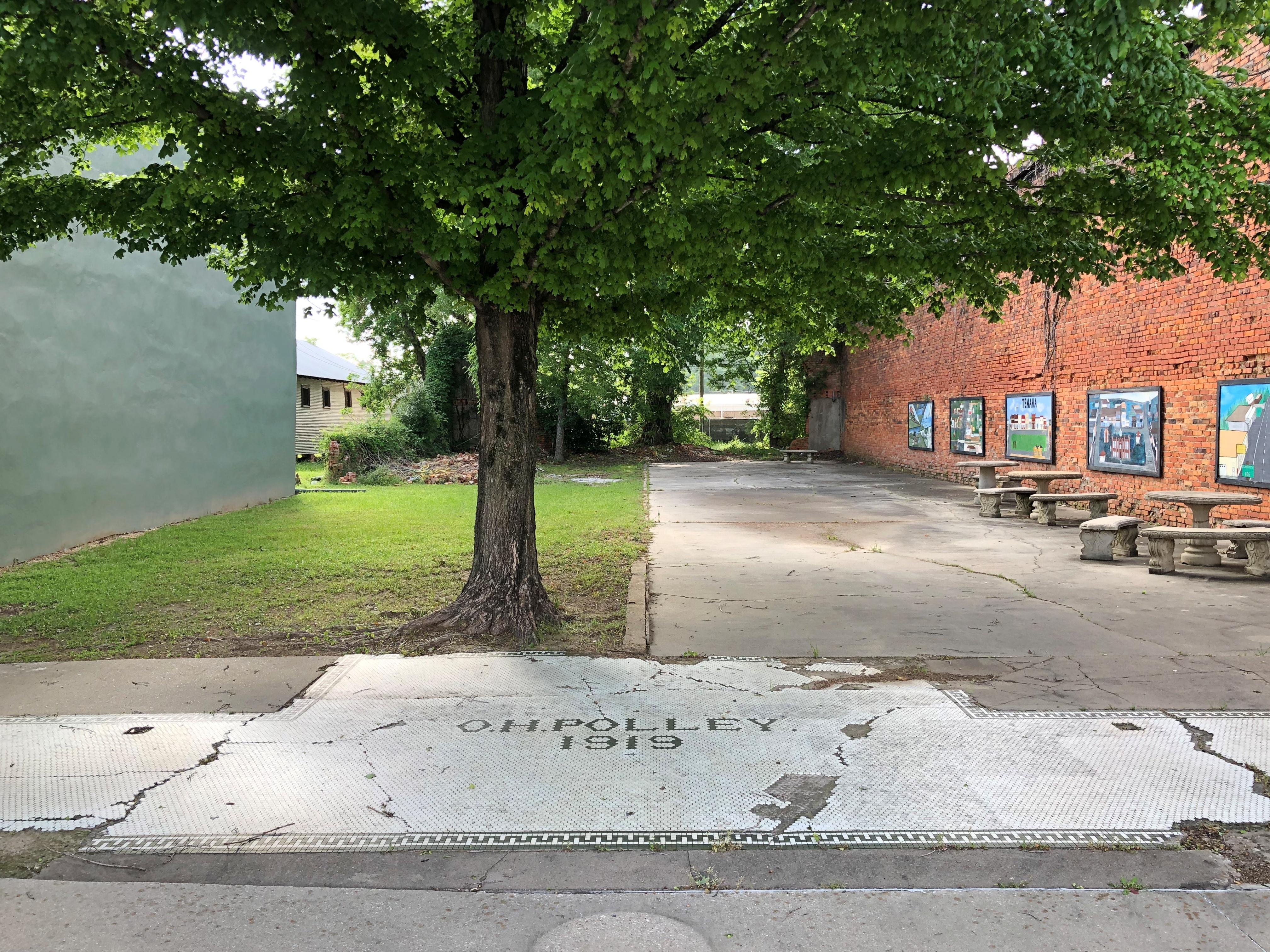
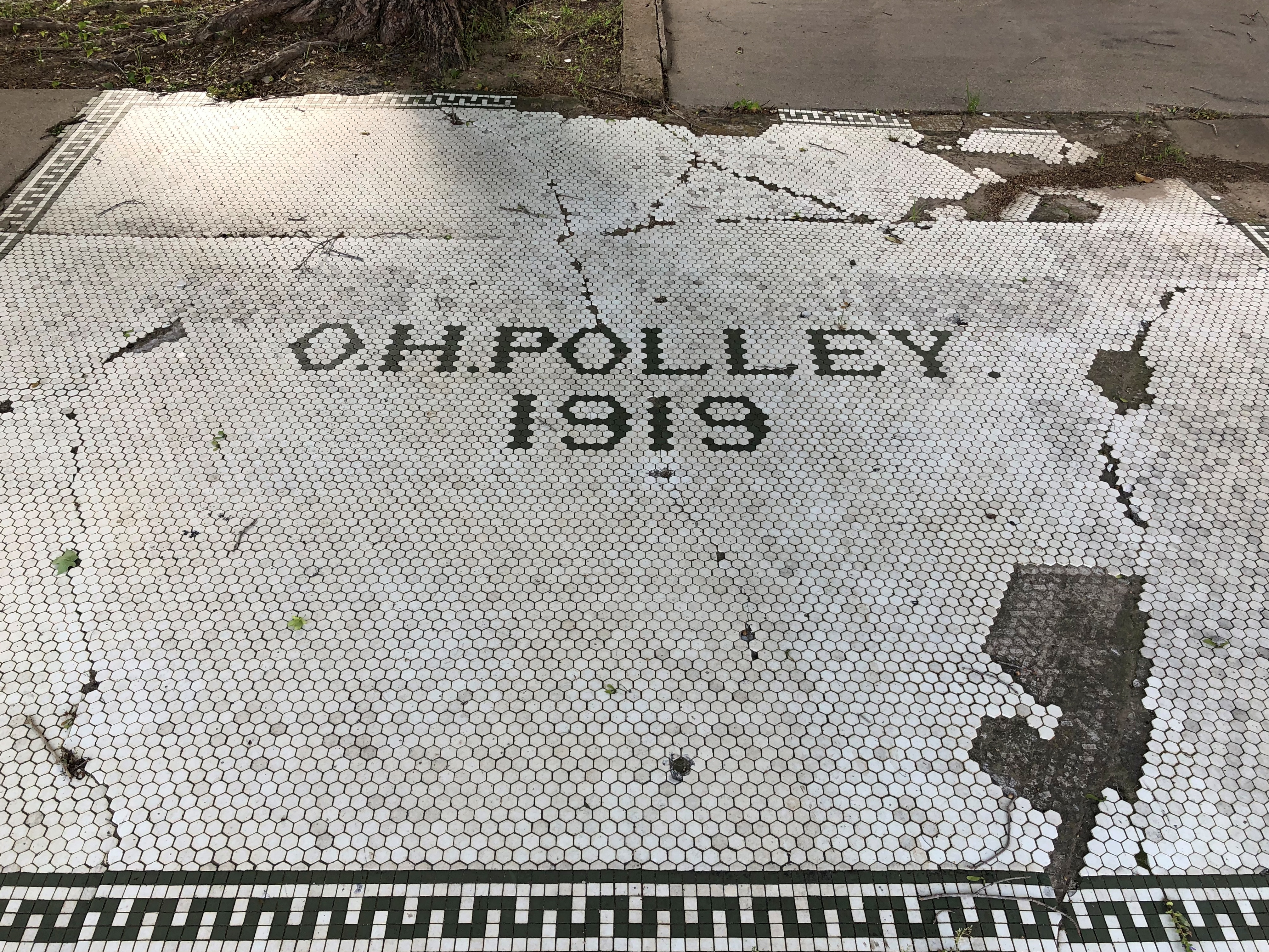
I couldn’t go inside. Maybe that’s where the distinctive civic details of Palatine are, such small memorials or plaques or the like? There was nothing outside that I could see, unless you count this.

The mayor’s parking spot, within view of Wood Street, named for a resident of early Palatine (founded 1866). The mayor, since 2009, happens to be James Schwantz, a former pro football player.

I&M ’21

This is the day of the year, at least here in the U.S., when people get mildly irritated at the change of the clocks, because it is mildly irritating. (And traffic death stats are trotted out.) By late in the evening, everything’s just a little askew, but that goes away as the week progresses. Maybe early March is too early to switch, but do away with it all together? I’d still rather have those long summer days not end till 9 or 10 p.m. Even better, not have them ever begin at 4 a.m. or earlier. Call me picky that way.

A path I walked along about three years ago, during my visit to the storied Archer Avenue.

To the left in the image is the Illinois & Michigan Canal, relic of 1830s canal mania.

A rail line ran nearby too.

I’d make some comment about how the railroad made I&M obsolete, but that’s only partly true. The nearby Sanitary & Ship Canal eventually took its place, and is no relic. Rather, it’s a legacy of the heroic era of civil engineering (let’s put that between the Civil War and WWI), and is a waterway of commerce to this day. I&M is recreational.