Kakabeka Falls Provincial Park

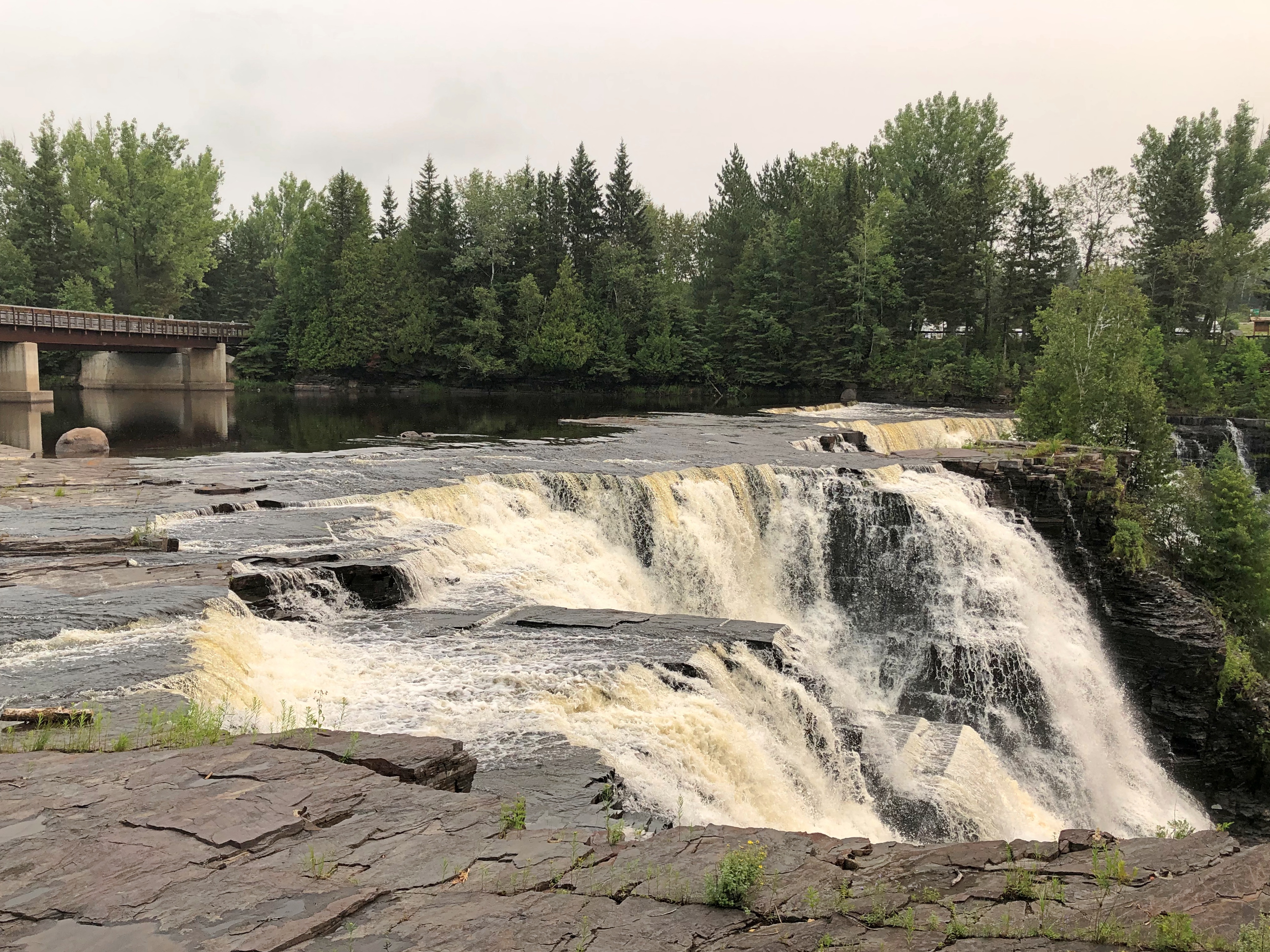
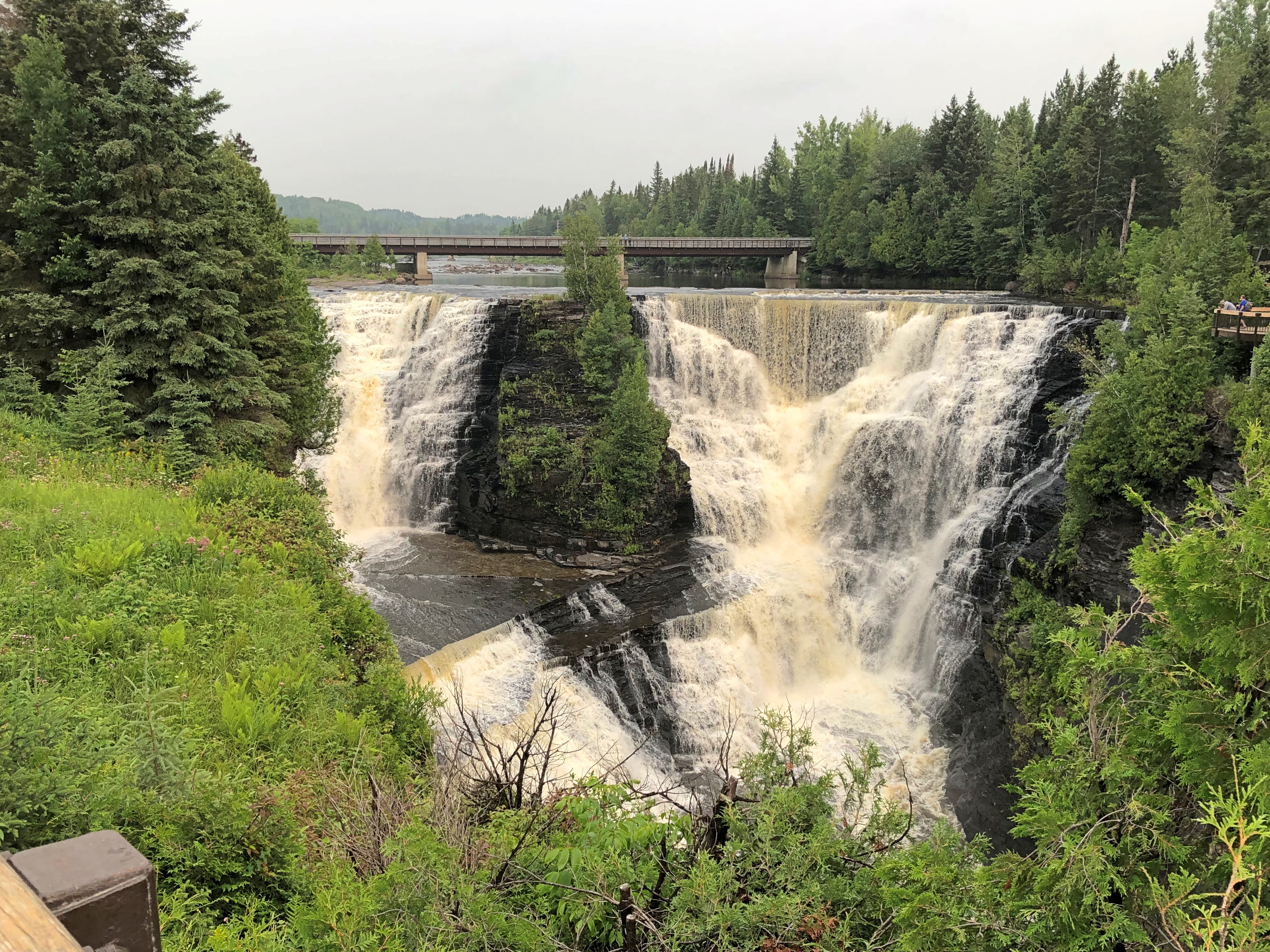
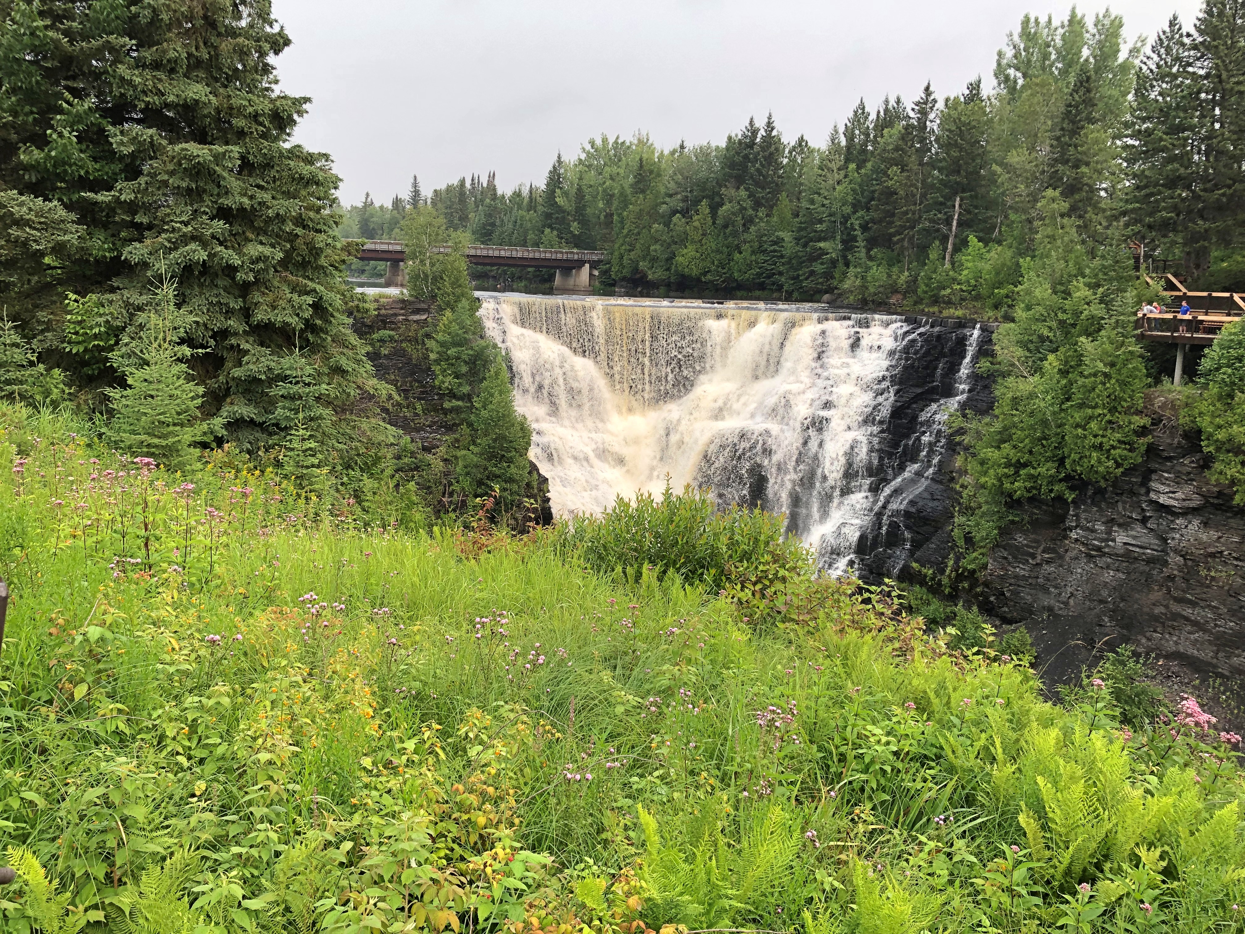
The old real estate saw stresses the three important aspects of a property: namely, location repeated three times. That’s something I thought about at the glory that is Kakabeka Falls on the Kaministiquia River, which passes through part of Ontario and drains into Lake Superior. A drop of about 130 feet in two parts.Kakabeka Falls Provincial Park Kakabeka Falls Provincial Park Kakabeka Falls Provincial Park Kakabeka Falls Provincial Park

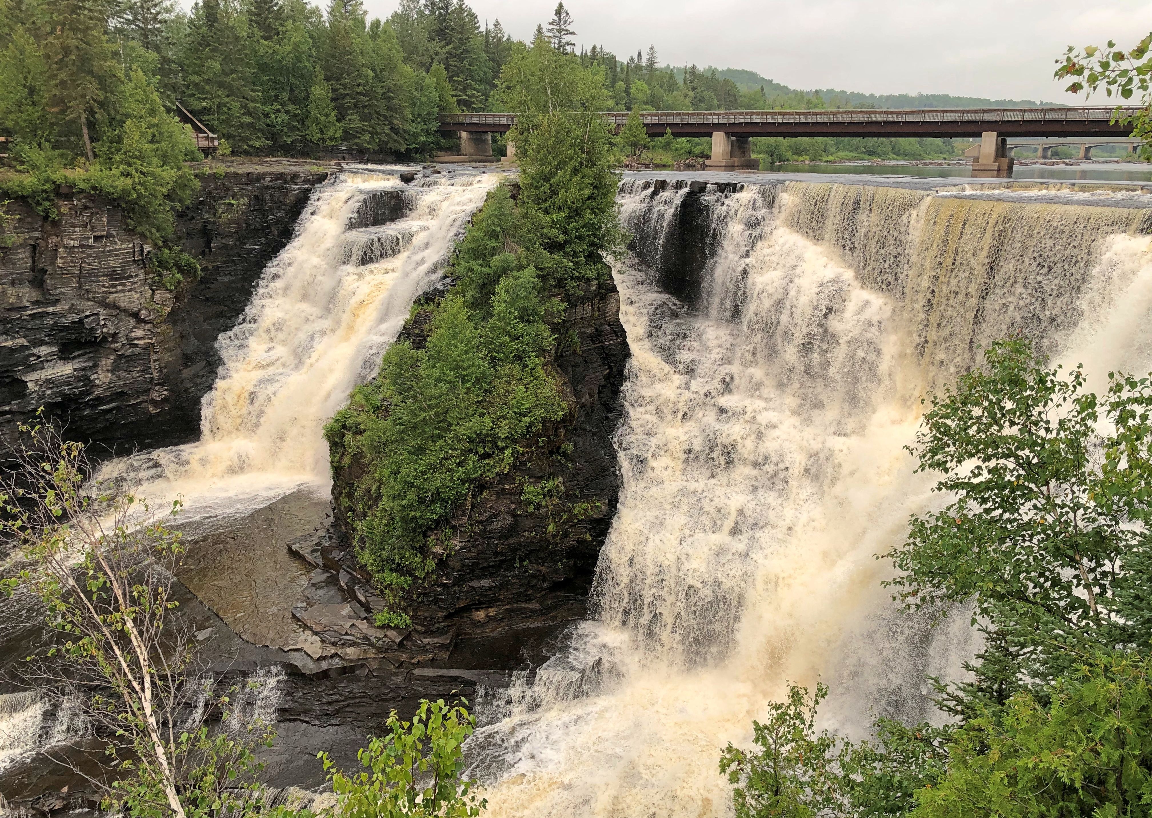
The closest city to Kakabeka Falls Provincial Park is Thunder Bay, Ontario, which is only about a 20 minute drive to the east of the falls. Thunder Bay’s population is about 108,000, which is nothing to sneeze at, but also not one of the larger cities in Canada.

If Kakabeka Falls could magically be moved closer to a larger city, even something on the order of the Buffalo-Niagara Falls MSA, I believe the sight would have been several times more crowded than I experienced on July 31 (a Monday) and the entrance fee would be more than the reasonable $5.25 Canadian I paid (about $4). Good thing that kind of magic isn’t real. It would be easier to build a city near the falls.

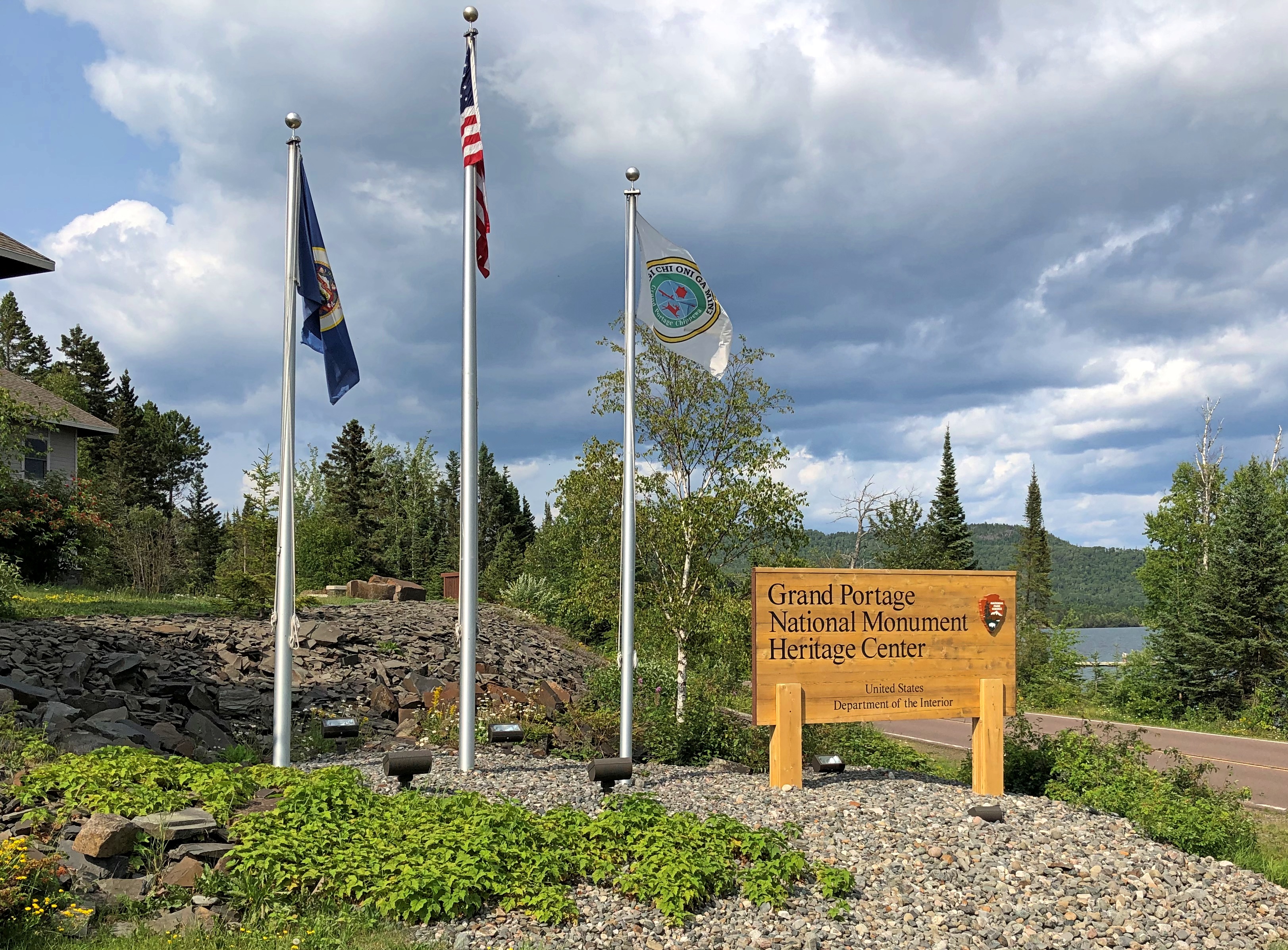
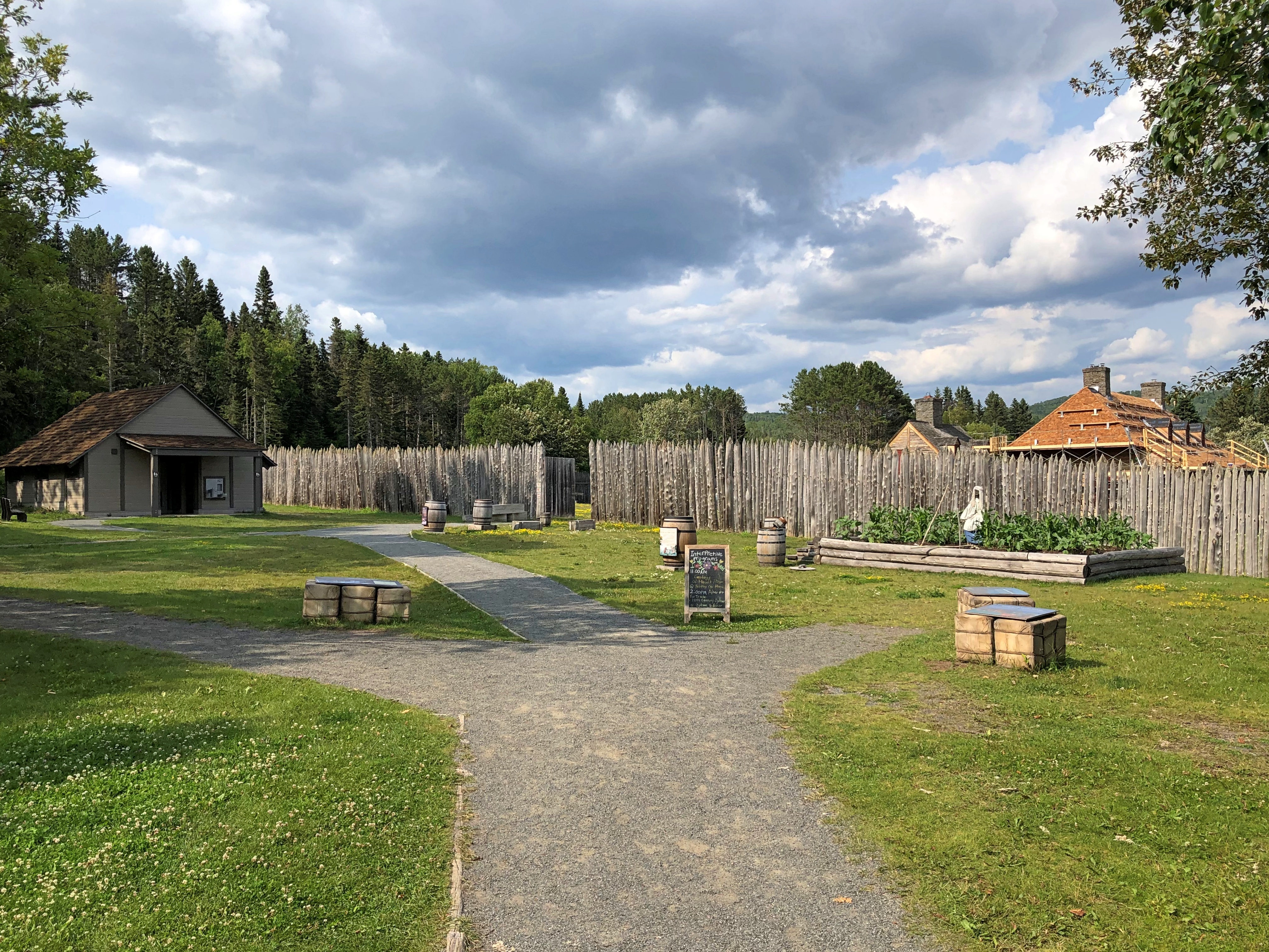
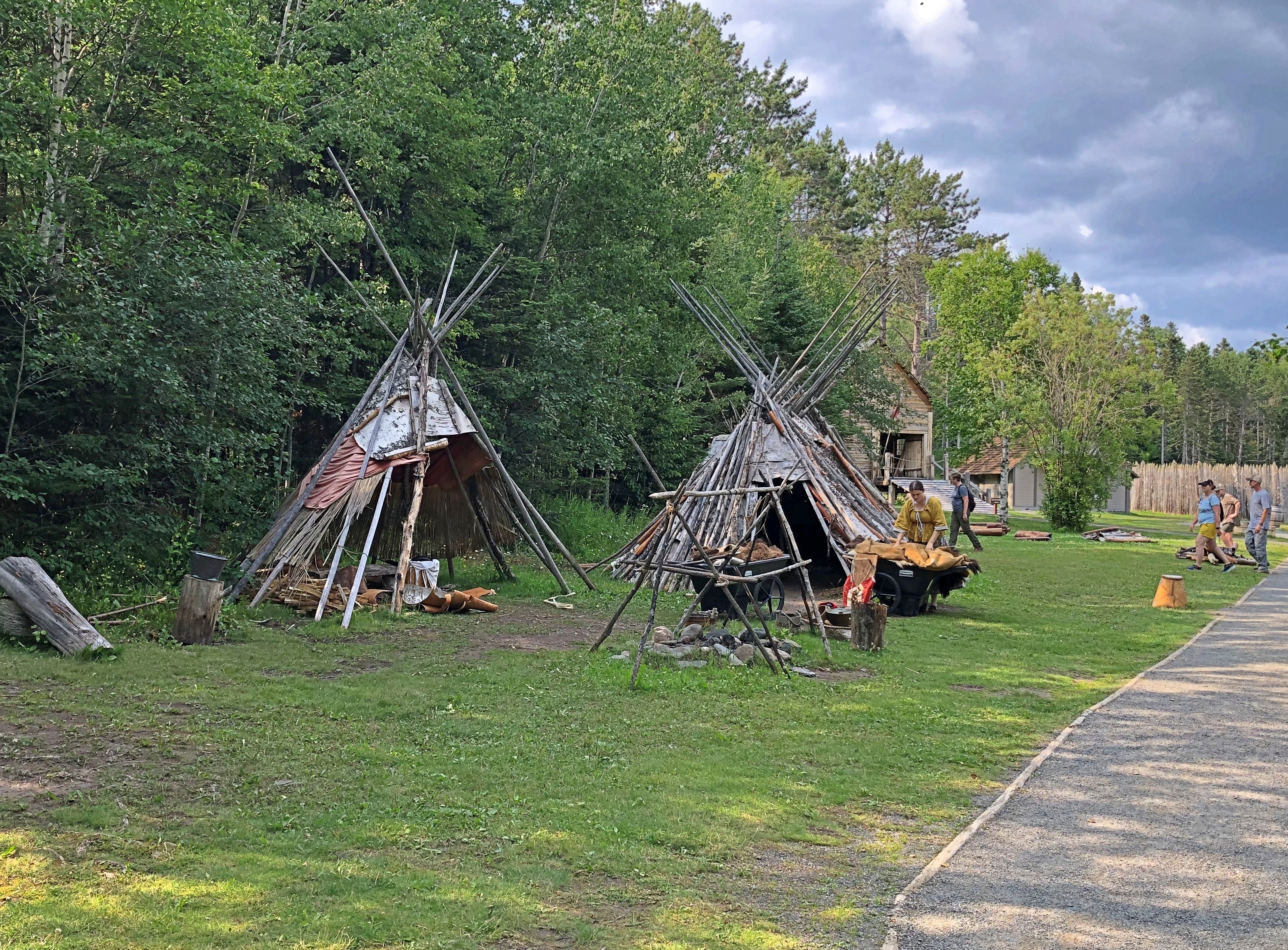
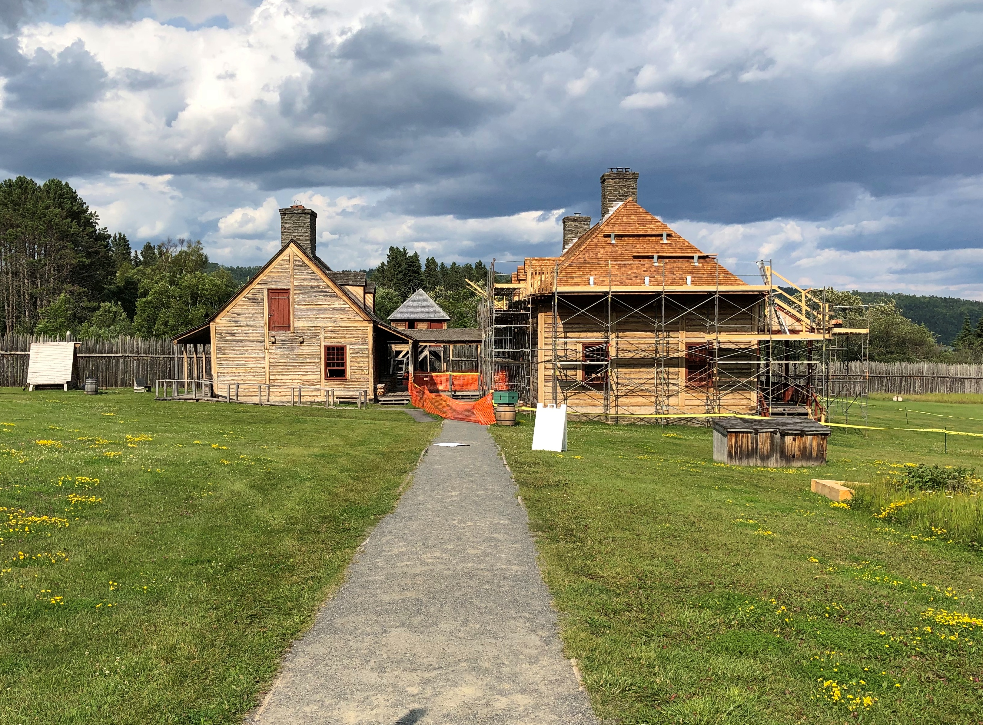
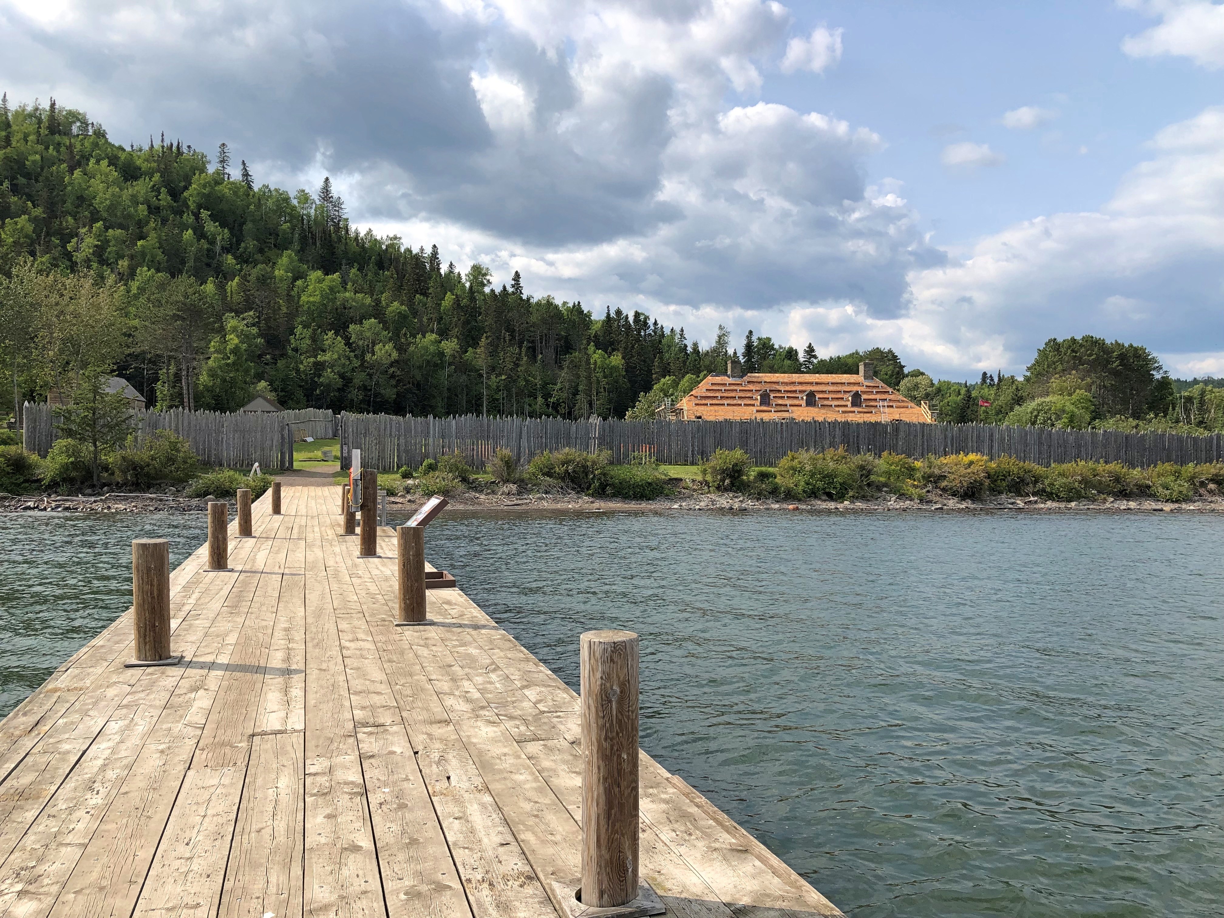
Back in the fur-trading years, the Kaministiquia River had been a route for voyageurs until the North West Co. decided that the Pigeon River (Grand Portage) was better. That was before the American Revolution. After Grand Portage became part of the U.S., the NWC returned to using the Kaministiquia as a main route.

We see natural splendor at Kakabeka Falls. The voyageurs no doubt saw a pain-in-the-ass obstacle to their forward motion, a place they needed to portage around.

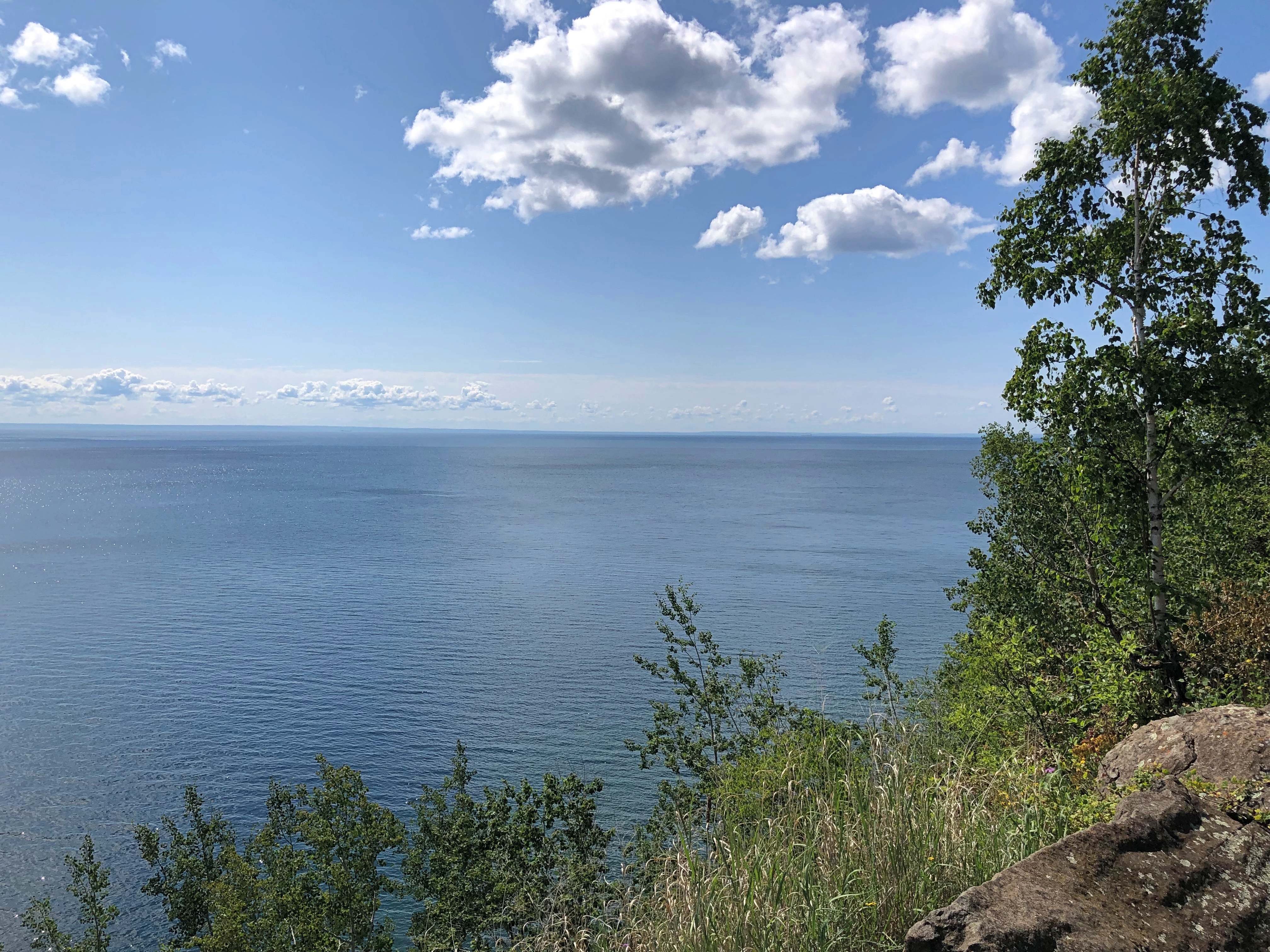
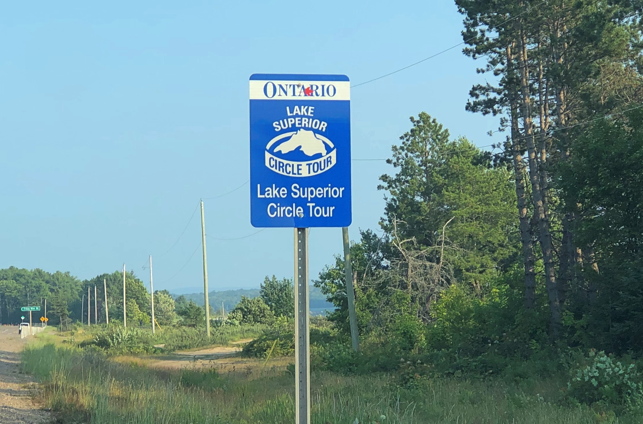
I arrived mid-morning after spending the previous night in Thunder Bay, stopping on the way for breakfast at – where else? – Tim Hortons. The falls were the first of a number of grand sights I’d see in Canada on the drive around Lake Superior. If you can’t see those, why drive such a circuitous route?

Once you’ve had your fill gawking at the falls, which I’d say are in almost in the same league as Niagara, the park offers some hiking trails downriver. I headed off on an easy one.Kakabeka Falls Provincial Park

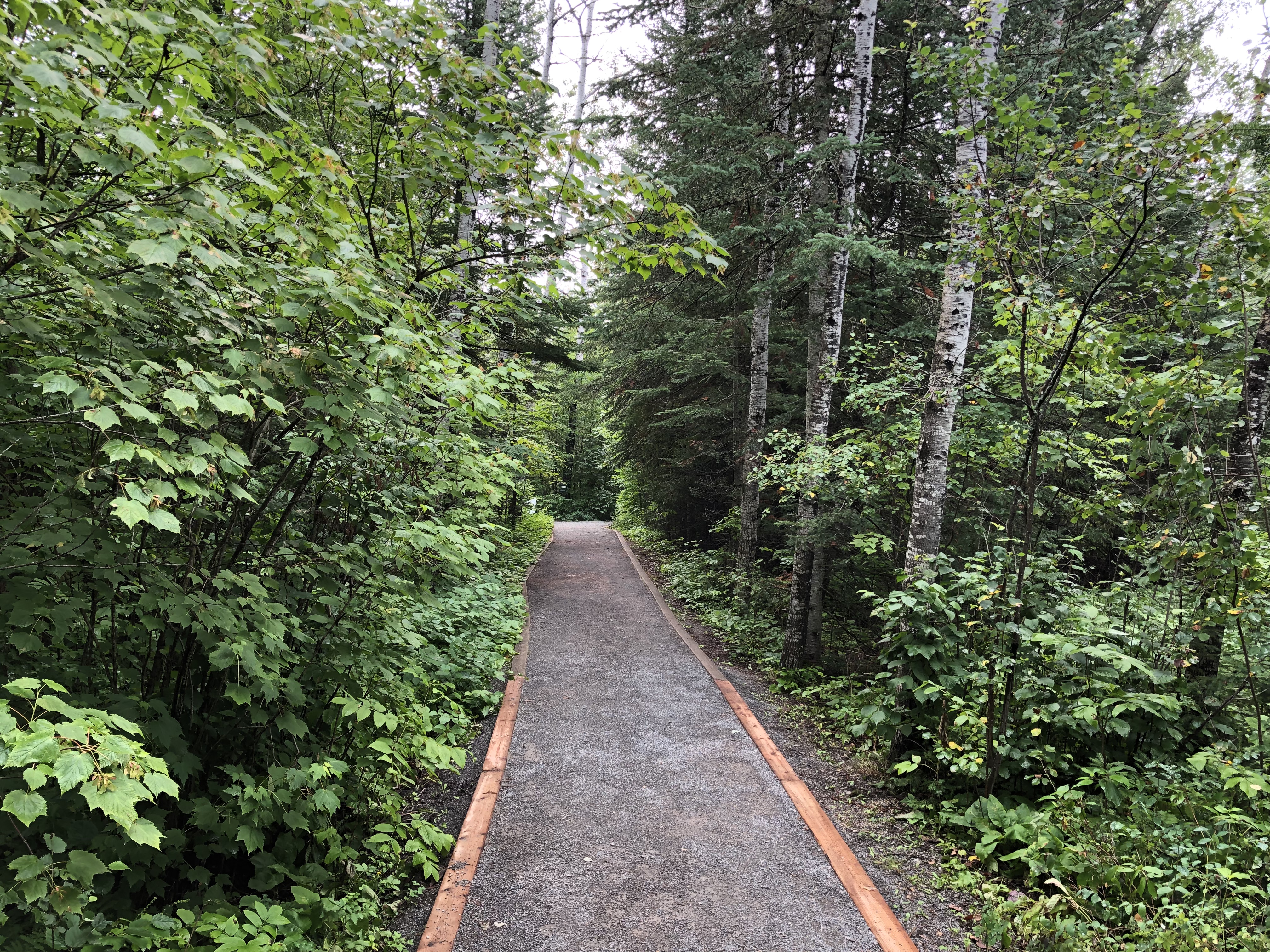
That one soon connected with a “intermediate” trail – the Little Falls Trail — leading to a small waterfall on a creek that feeds the Kaministiquia. I decided to take that trail, even though I didn’t bother to go back for water or a walking stick, both of which were in my car.

That was a mistake. “Intermediate” means many tree roots, lots of uneven rocks, and some change in elevation, though I’ve been on plenty of steeper trails. I don’t believe I was in any real danger, but it was slow going and I got pretty thirsty along the way. At least I had decent hiking shoes.

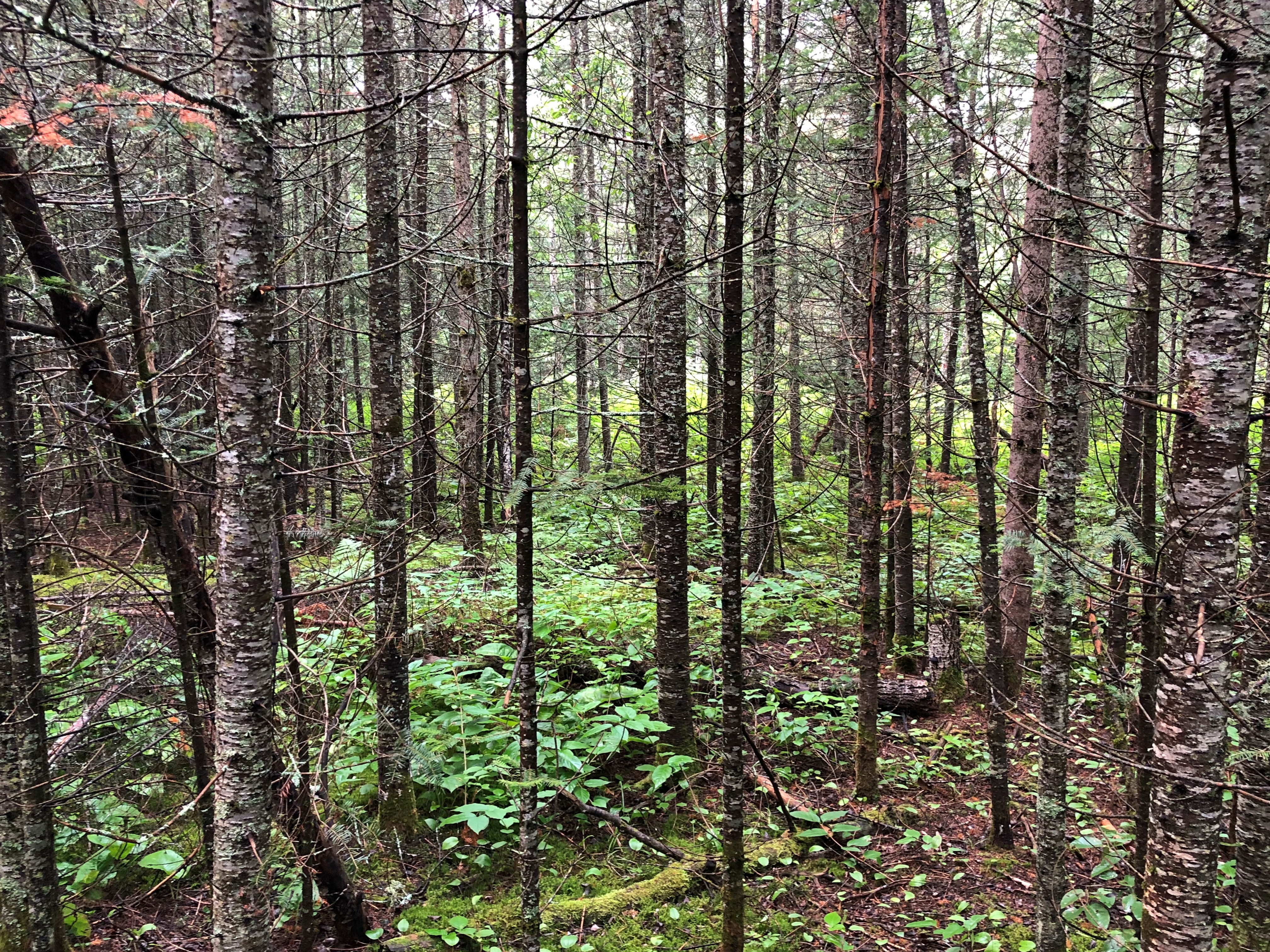
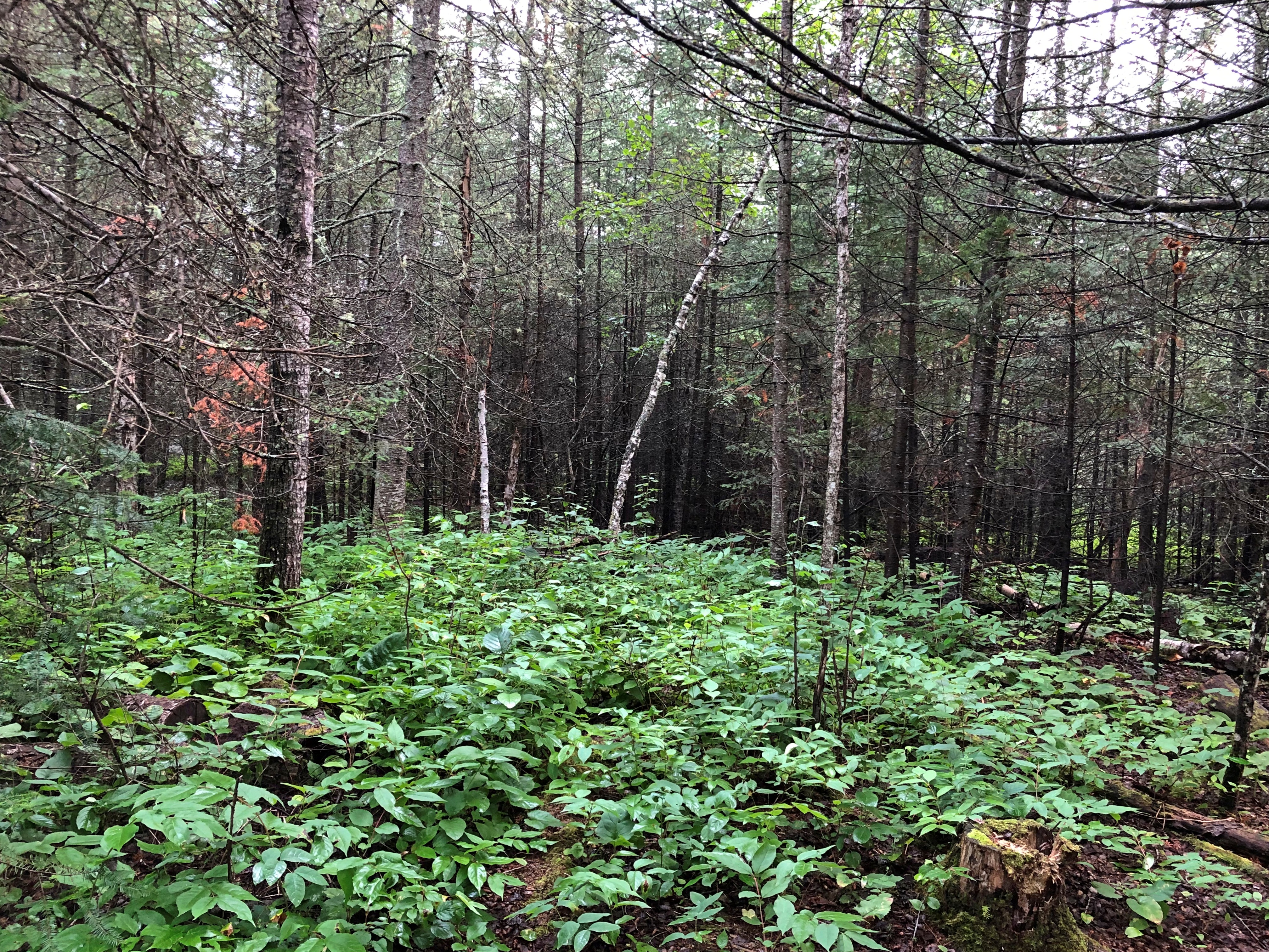
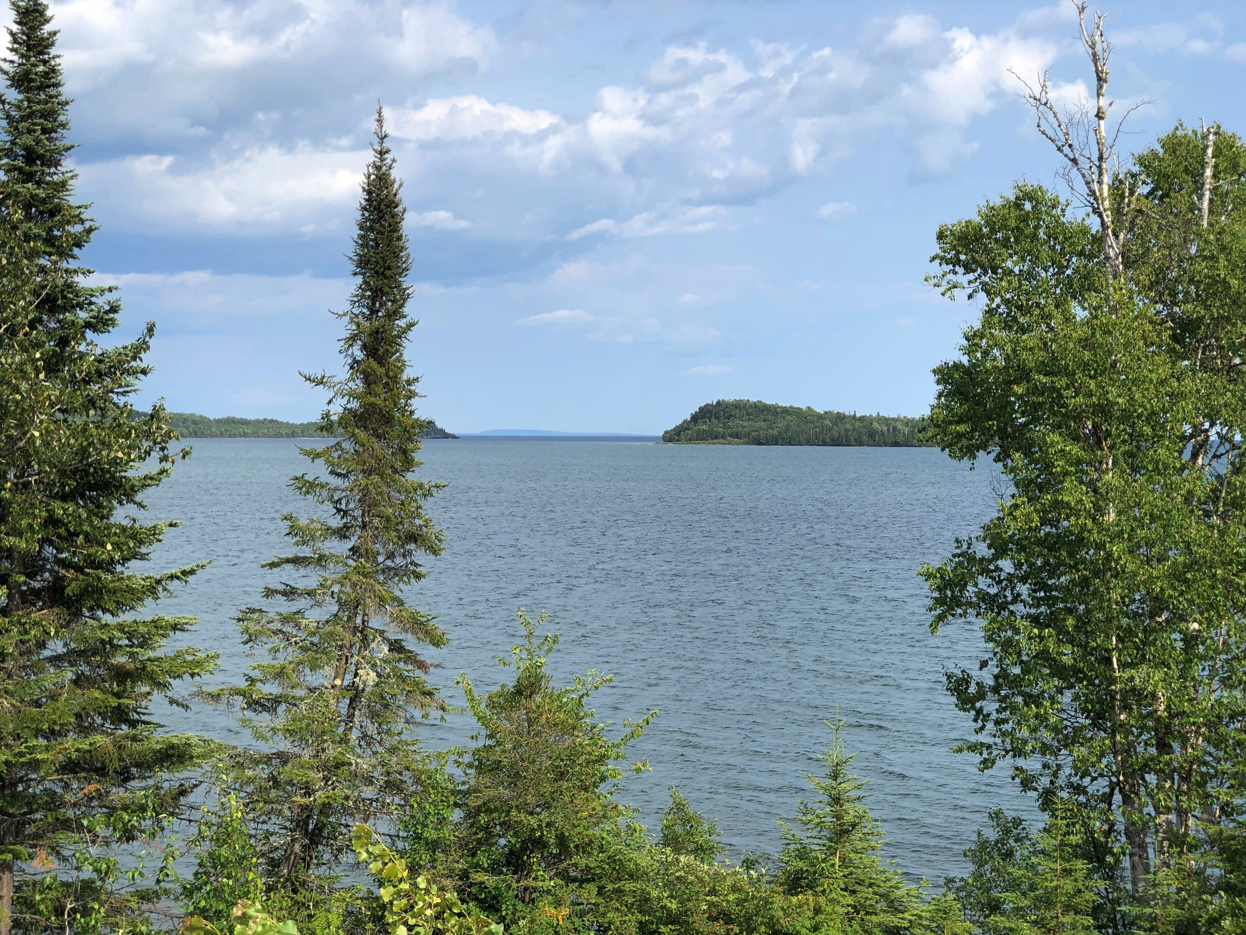
Still, I enjoyed the feel of being the Ontario woods. A very small slice of them, considering the vastness of the province. Twice the size of Texas, but a lot more empty.Kakabeka Falls Provincial Park Kakabeka Falls Provincial Park Kakabeka Falls Provincial Park

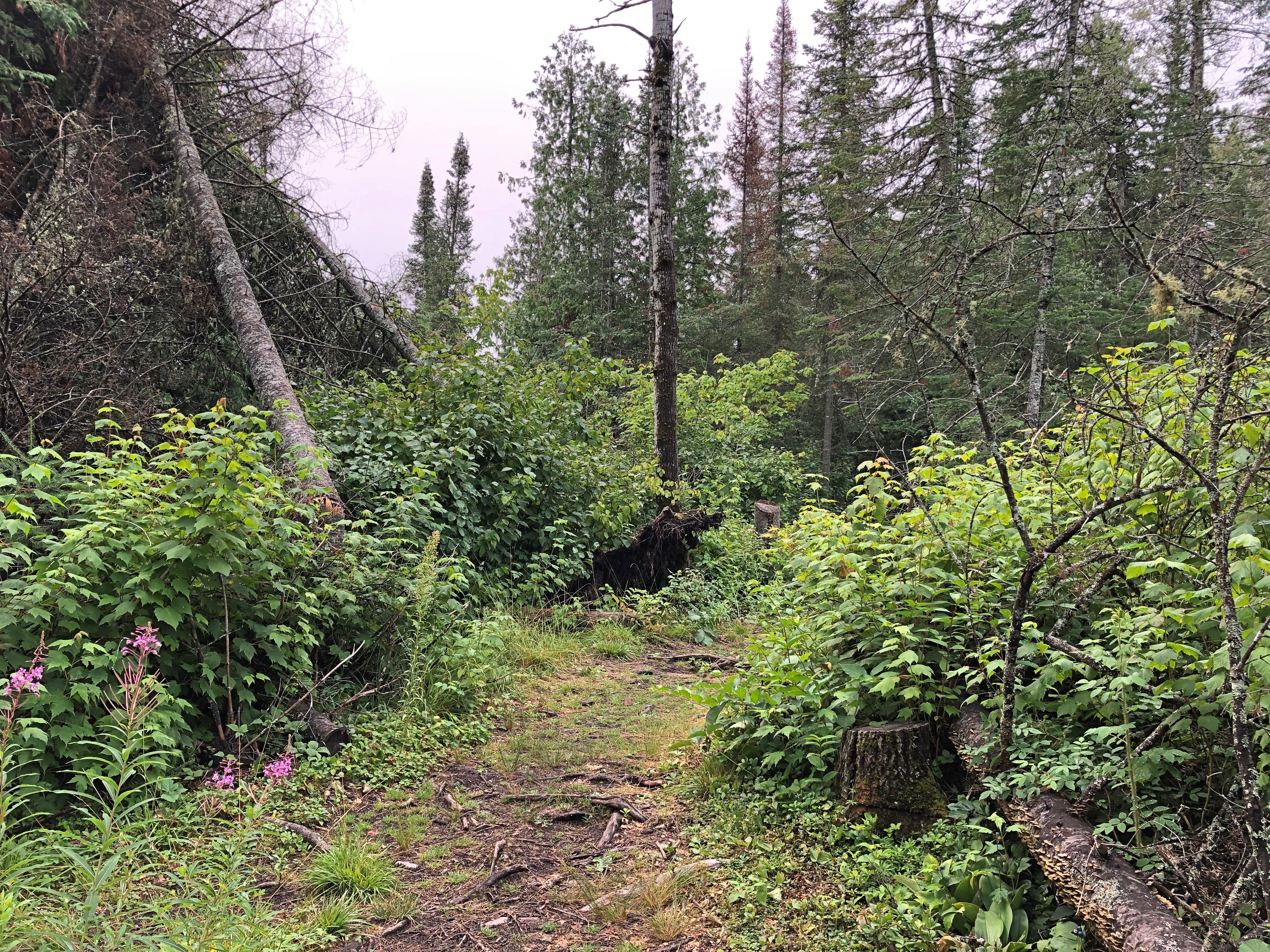
Eventually the trail led to a pleasant little waterfall.Kakabeka Falls Provincial Park Kakabeka Falls Provincial Park

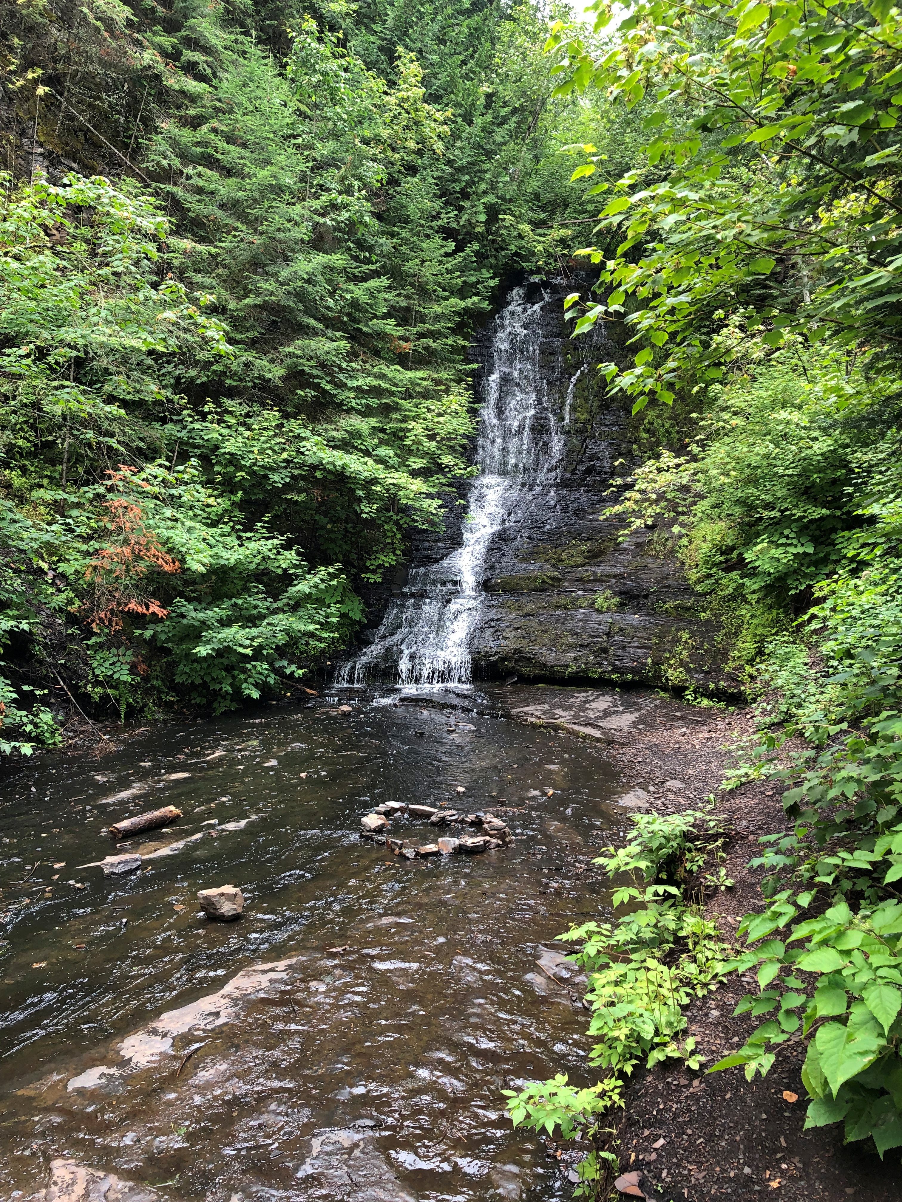
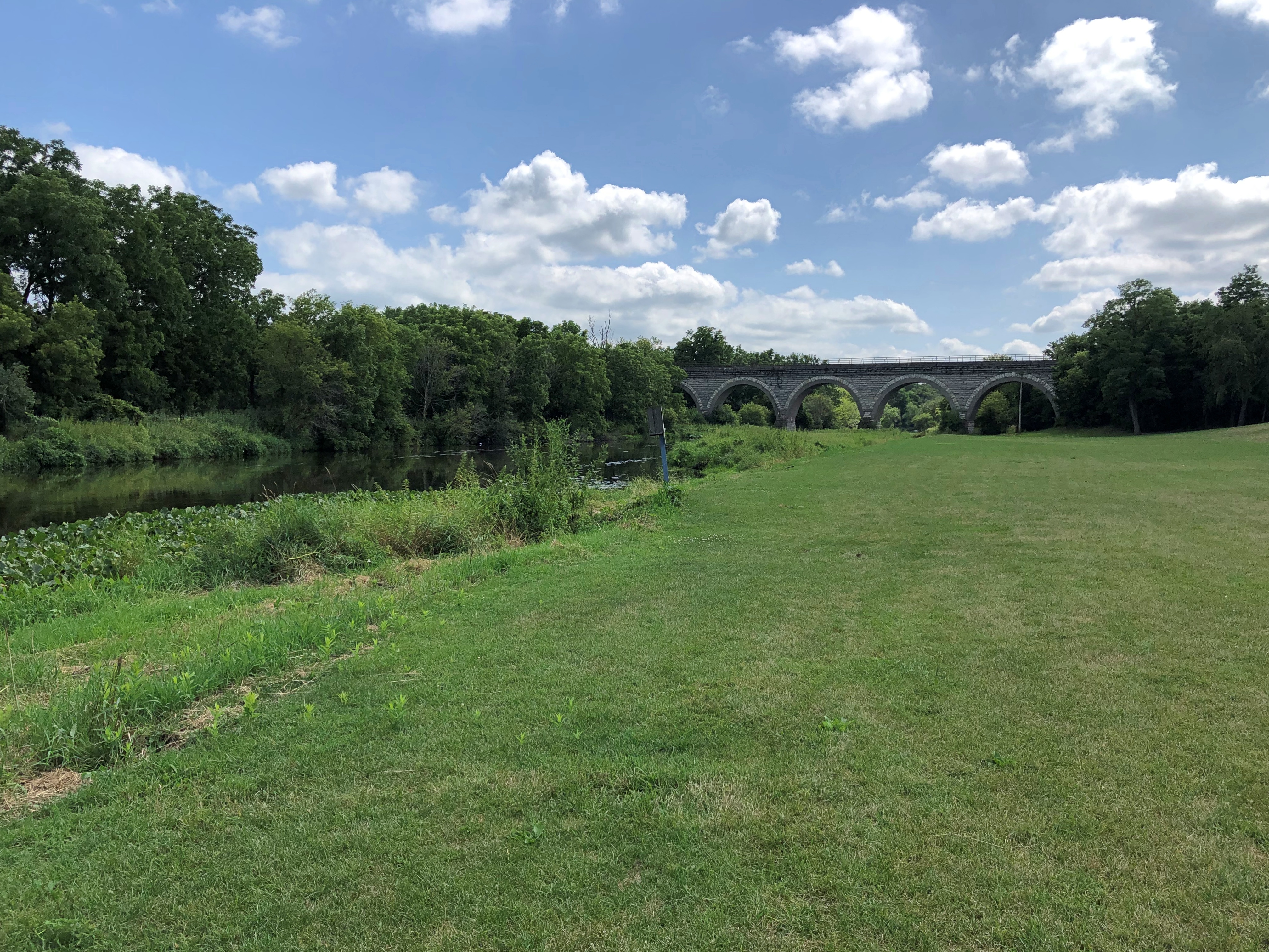
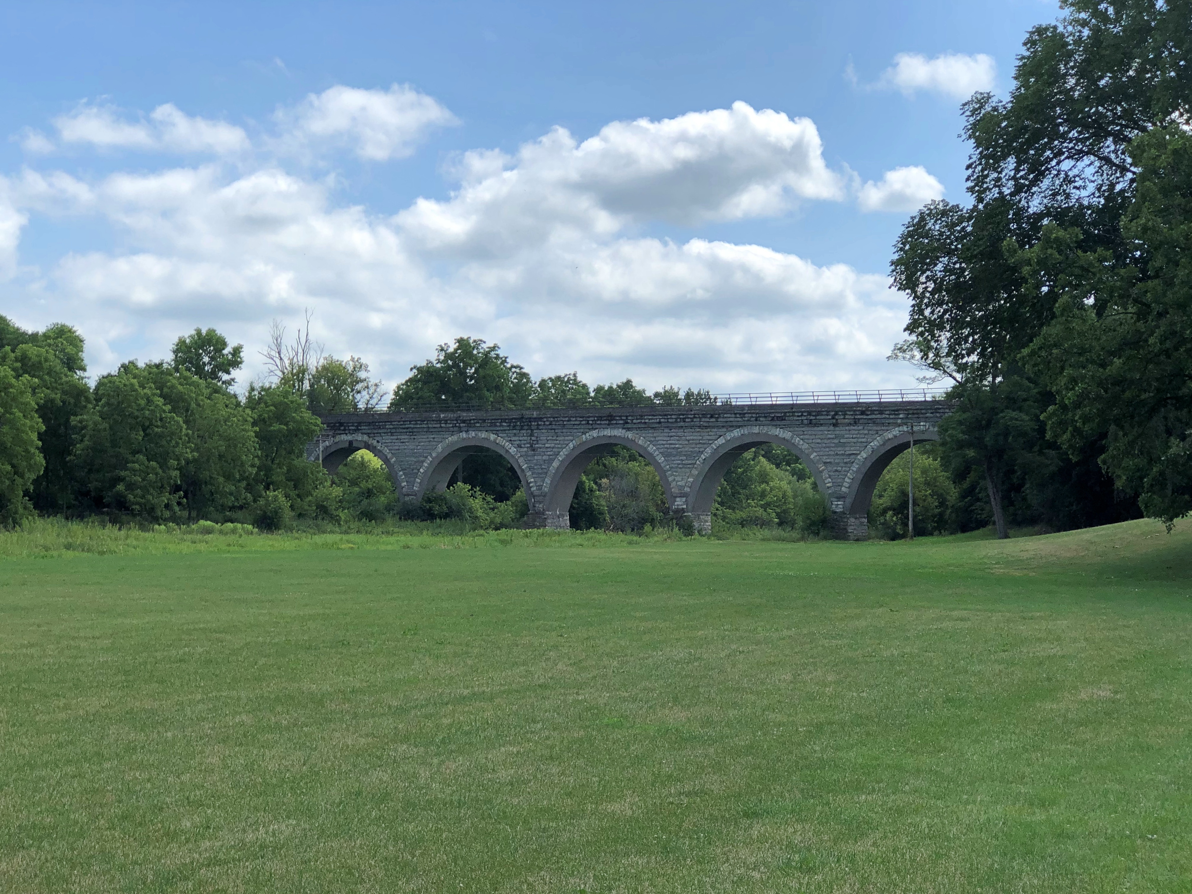
Then it loops back to the banks of the Kaministiquia, and heads back toward the falls.Kakabeka Falls Provincial Park Kakabeka Falls Provincial Park

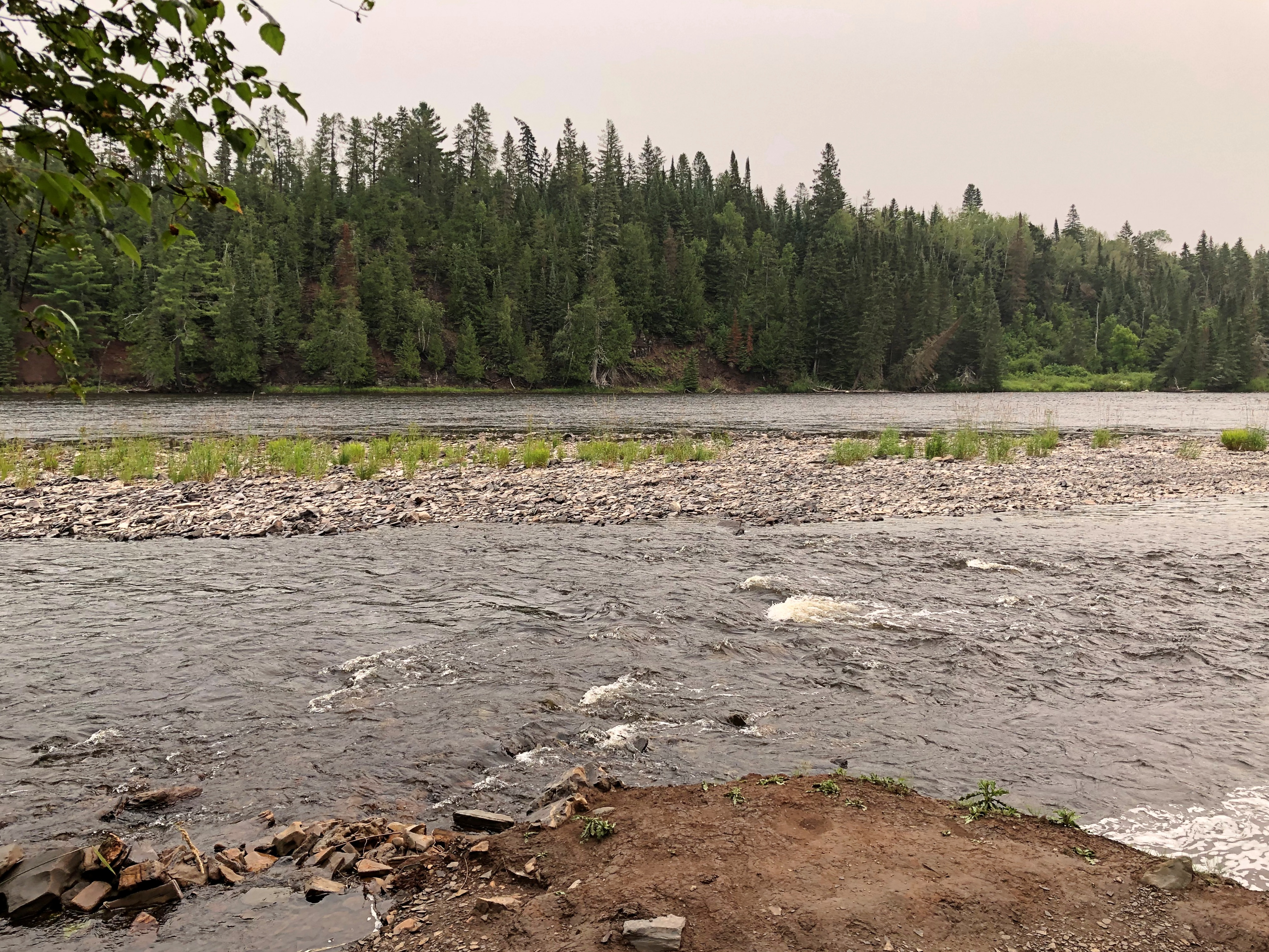
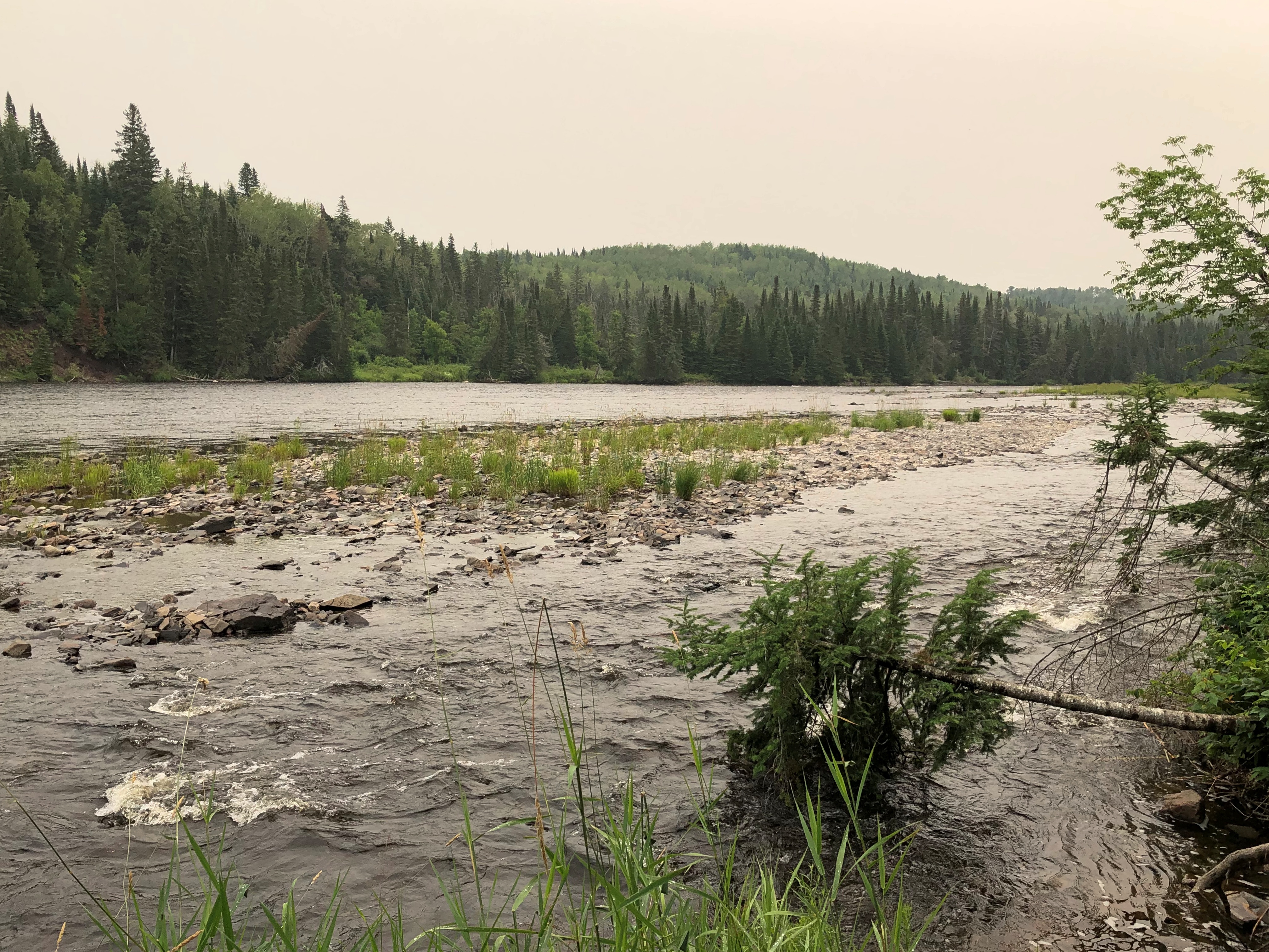
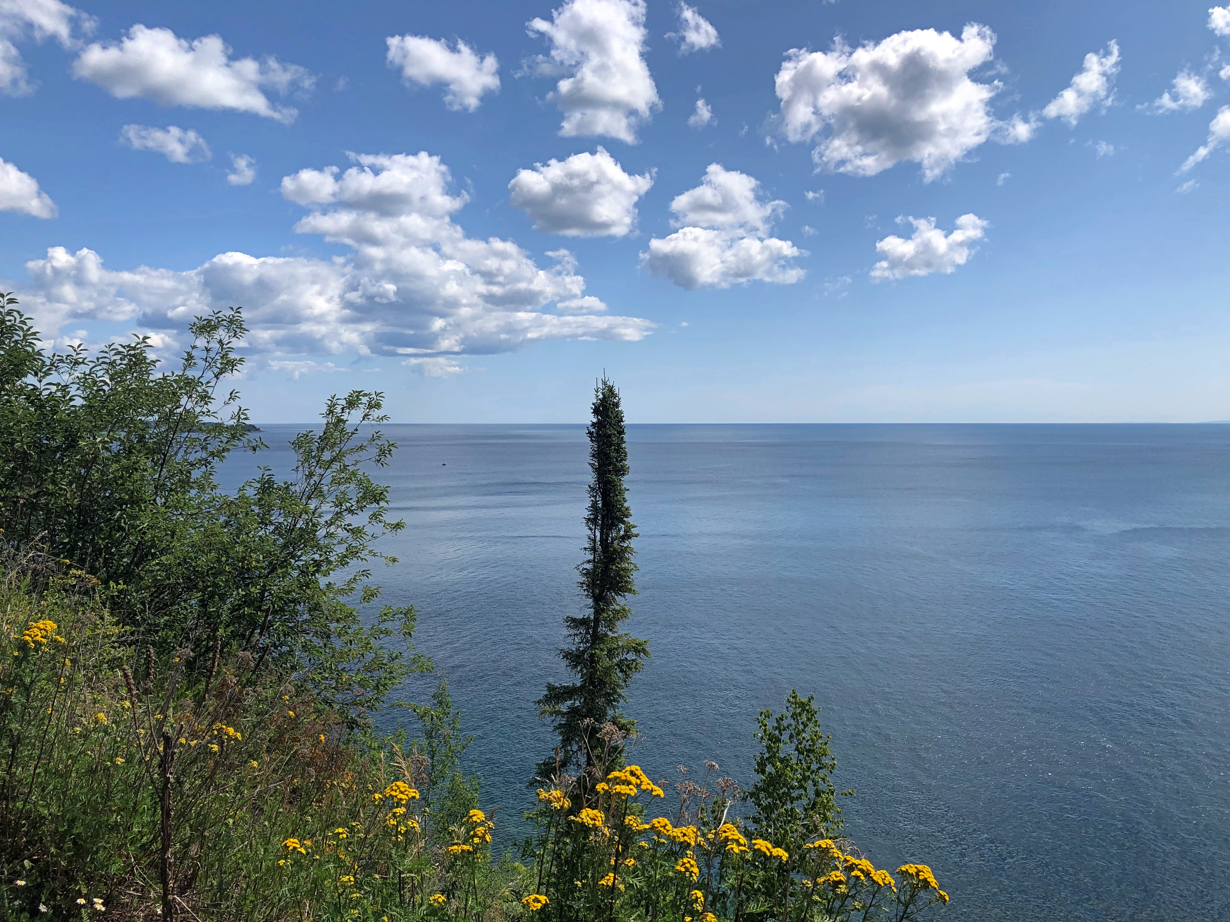
With a few vistas along the way, after you’ve climbed a bit.Kakabeka Falls Provincial Park

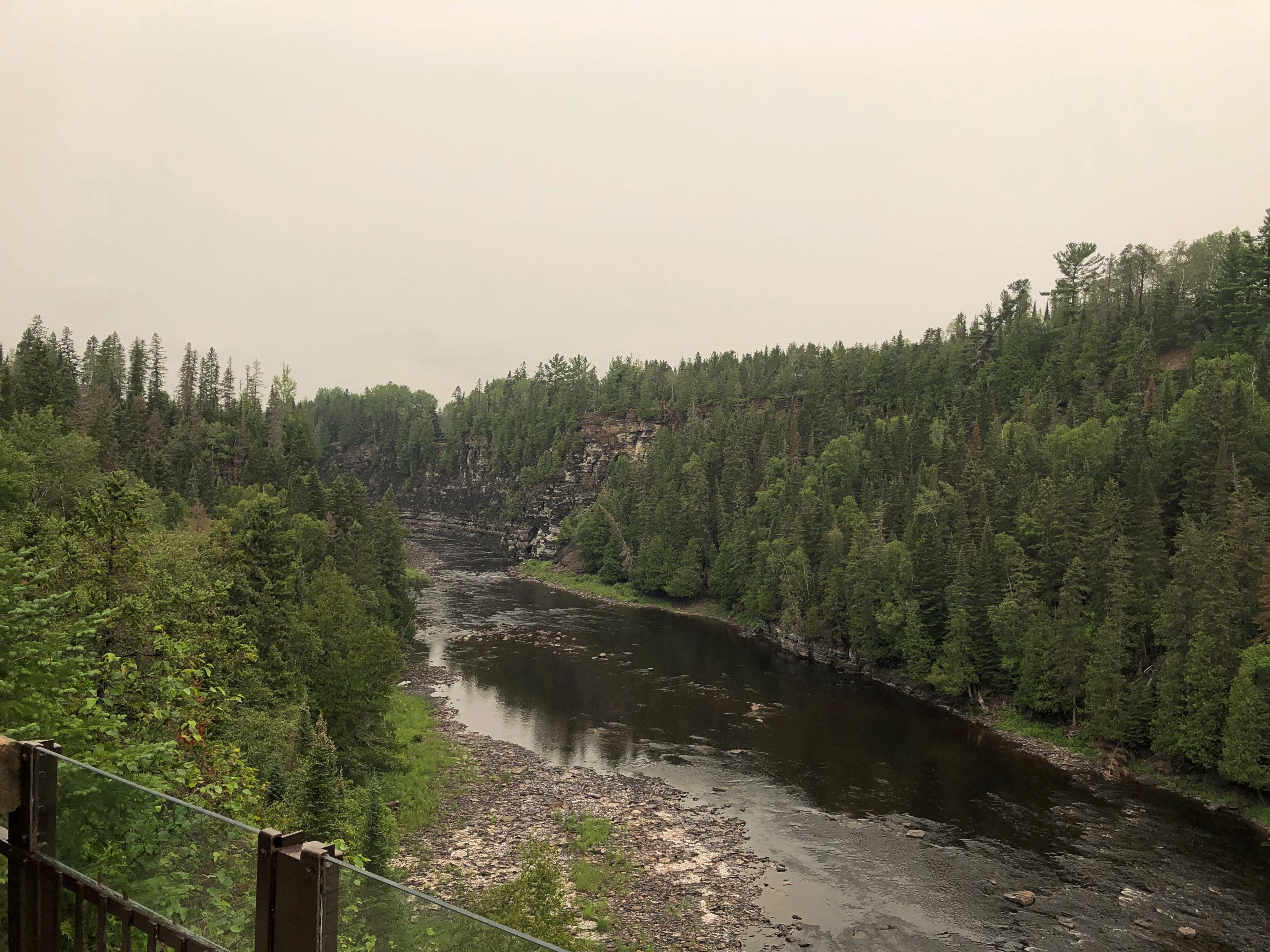
I might have been thirsty at the end of the trail – and I’ll note here that the small shop near the falls run by Parks Canada sold no cold drinks (and I’d have paid a premium) – but better, I believe, to be a casual walker along this river in our time than a voyageur in a much rougher century, with a voyageur-sized load to carry.

Grand Portage National Monument

So far since taking office, President Biden has proclaimed five new national monuments under the authority granted him by the Antiquities Act of 1906, including one only last week, with the lengthy name of Baaj Nwaavjo I’tah Kukveni – Ancestral Footprints of the Grand Canyon National Monument, which is in Arizona near the Grand Canyon. (For those keeping score, his immediate predecessor proclaimed five over four years.)

How can we keep up with all the new ones? For now, there are 133 national monuments, with more coming, I’ve read.

Grand Portage National Monument has been around a little longer. Longer than me, but not much, being one declared by President Eisenhower. It occupies land very near the tip of the arrowhead region of Minnesota, within a few miles of the Canadian border, which happens to the Pigeon River at that point.

I arrived fairly late in the afternoon of July 30. The U.S. flag, Minnesota and – what’s the other one?Grand Portage National Monument

The flag of the Grand Portage Band of Chippewa; the national monument is entirely within their reservation. More about them is hereGichi Onigaming = The Great Carrying Place.

“Grand Portage was a fur-trade depot and route of the voyageurs at the western extremity [sic] of Lake Superior,” says the Canadian Encyclopedia. “It was the first and most strenuous of the 29 portages from Lake Superior west to Lac La Croix, requiring that each voyageur carry four loads of 80 kg over some 14 km of rocky trails around the cascades of the Pigeon River.

“The North West Co. (NWC) established an extensive post at the mouth of the river, which by 1784 was the wilderness capital of the fur trade, providing a meeting place for the voyageurs bringing supplies from Montréal (porkeaters) and the traders bringing furs from the North West (winterers). Within the post, which was protected by a 5-m high palisade, reinforced with a bastion and a heavy gate, were the Great Hall, living quarters, shops, warehouses and a stone powder magazine.”

The NWC packed up and left after it was finally determined that, according to the Jay Treaty of 1794, the site was in the United States rather than British North America, though it took some time for the company to actually leave (1802). In more recent times, the United States reconstructed the Grand Hall and the wooden palisades.Gichi Onigaming: The Great Carrying Place

Along with Native structures of the period outside the palisade.Gichi Onigaming: The Great Carrying Place

Inside the palisade, work still seems to be under way, or at least renovation. The Great Hall wasn’t open.Gichi Onigaming: The Great Carrying Place Gichi Onigaming: The Great Carrying Place

The North West Co. flag still flies. Gichi Onigaming: The Great Carrying Place

As you’d expect, the Great Hall faces Grand Portage Bay. Once upon a time, it was a busy place in the short northern summers. Now, not so much.Gichi Onigaming: The Great Carrying Place Gichi Onigaming: The Great Carrying Place Gichi Onigaming: The Great Carrying Place

Another view of Grand Portage Bay from the edge of the national monument.Gichi Onigaming: The Great Carrying Place

Way off in the distance – though not really that far, about 20 miles – is Isle Royale National Park, a large island in Lake Superior, which was more distinct with the naked eye than in the digital image.

Still, I was a little surprised that it is visible at all. Except for some of the Alaskan properties, it’s pretty much the definition of remote among national parks, with only a few more than 25,400 visitors in 2022, according to the NPS. The fifth-least visited park in the system.Gichi Onigaming: The Great Carrying Place

Since getting there and staying there is an involved process, I couldn’t make Isle Royale work logistically as a destination. This time.

Highway 61 Revisited

A little more than five years ago – where does the time go? (Time stays, we go) – I wrote: “When I was very young, I had a U.S. map puzzle that I put together who knows how many times, fascinated by the individual shapes of the states. Some states more than others, including Minnesota, with its rough northern border, more-or-less straight-back western border, concave eastern border and pointy southeast and especially northeast corners.”

The road that follows the Minnesota coast of Lake Superior is Minnesota 61. We went part of the way in 2018.

I’d wanted to return to the pointy northeast corner since our last visit, so I did on July 30, heading north from Rice Lake, Wisconsin. I’d have stayed in Duluth the night before, but most places were booked there (well, it was a Friday) or insanely expensive. I know there’s been some inflation in hospitality property rates lately, but those prices represented something else. The popularity of northeastern Minnesota in summertime?

Probably, with many visitors heading up to lakes or into the woods. But the crowds along coast from Duluth to the Canadian border near Grand Portage weren’t that intense.

Not long out of Duluth the vistas appear, if you want them. I did.Minnesota 61 Minnesota 61

So do the trails.Minnesota 61 Minnesota 61

And the rocks.Minnesota 61

Some miles northeast on Minnesota 61 is a scenic view stop specifically so passersby can see Split Rock Lighthouse.Split Rock Lighthouse

Still in working order, but not used as a navigation aid since 1969. Its heyday came immediately after its construction in 1910, when it proved invaluable in preventing the grievous loss of men and cargo into the depths of Superior’s ice-water mansion off this particularly treacherous stretch of shoreline.Split Rock Lighthouse Split Rock Lighthouse

Cream City Brick? I asked one of the docents, who said he needed to check on that, since I wasn’t the only person who had asked.

Humble quarters for the lighthouse keeper.Split Rock Lighthouse

Orren “Pete” Young was the charter keeper at Split Rock Lighthouse, attending to his duties from 1910 to 1928. Wonder who should play him in the in-development prestige streaming drama Split Rock: The Early Years. Lighthouse Service intrigue. The fleshpots of Duluth. Young’s heroism during the Great Storm of 1913. Anyway, casting can be decided after the strike.

“A former sailor, Young began his lighthouse career in 1901 serving along Lake Superior’s Michigan coast,” explains the lighthouse web site. “In 1910 Young moved to the new Split Rock Lighthouse. His family, a wife and four children, would come to live at the lighthouse in the summer months but never lived there permanently. In the later years of his career, they lived in a year-round home 20 miles south of Split Rock in Two Harbors.

Split Rock wasn’t only a light, but it had a fog horn as well.Split Rock Lighthouse

Best of all, a Fresnel lens, that extraordinary amalgam of art and science I’ve only encountered on the shores of Gitchee Gumee. This one is in situ and operational. And rotating. One that can and occasionally does beam its candlepower to some miles out into the lake.

You climb up a few flights of stairs inside the tower to reach the room it occupies.Split Rock Lighthouse Split Rock Lighthouse Split Rock Lighthouse

On I went from there, along the two-lane and sometimes winding highway, with periodic views of the lake, and sometime walls of trees on the landward side. Traffic was light, the weather perfectly clear. Near car-commercial driving.

Until about 30 years ago, I’ve read,  the road was designated U.S. 61. For reasons enshrined in some file at the U.S. Department of Transportation, the feds de-designated it, leaving it to the state to give it a number. Conveniently, 61.

Grand Marais, Minnesota,  pop. 1,300 or so, is up the coast on highway 61 from the lighthouse, and where I went next. I have to like a place that has an event called Moose Madness. That’s in October, so I missed that bit of local color.

Instead, I arrived in time for lunch, and I looked around the main shopping street, which was alive with people, tourists every bit as I was, but not jammed with them. I had my choice, among fixed-address places, of Java Moose Expresso Cafe, Gun Flint Tavern, Blue Water Cafe, Sven & Ole’s (pizza), Superior Creamery and World’s Best Donuts, among others.

There was also a cluster of food trucks. I ordered a small pizza from a one of those, paying tourist prices. It was good, though, sustaining me during the next few hours, when I crossed into Canada.

Sid Boyum’s Neighborhood

Some seriously bad news: the destruction of Lahaina, one-time whaling village and short-time capital of the Kingdom of Hawaii in the 19th century, as Maui wildfires torched the historic town. My memories of the place are vague after more than 40 years, but I do remember thinking at the time, how cool is that, a royal capital.

As for Sid Boyum, I never had a thought for him until a few weeks ago, when I read about the outsider artist of that name, whose work is sprinkled in public places in an unpretentious neighborhood in Madison, Wisconsin. He’s been dead quite a while, and information about the conservation of his body of work tends to come in rarely updated spurts.

Still, there’s no doubt that much of his work is still easy to see. Such as this one.Syd Boyum, Madison, Wisconsin Syd Boyum, Madison, Wisconsin

“Faces,” according to a concrete plaque.

Syd Boyum died so long ago (1991) that his obits were on paper. Fortunately, they are linkable in our time, including one by a friend of his that that informs us that Syd lived with his many cats, created a fair number of artworks that depicted naked women, and was a fishin’ fool. Also, he won the Burlington Liars Club contest one year, and was a friend of House on the Rock impresario Alex Jordan, who died not long before Syd. This more bare-bones notice stresses his sculpting abilities.

I’d say old Syd did have a knack for sculpture.Syd Boyum, Madison, Wisconsin Syd Boyum, Madison, Wisconsin

“Man-Eating Mushroom,” part of a set.Syd Boyum, Madison, Wisconsin Syd Boyum, Madison, Wisconsin

These particular works are along Atwood Ave., a mostly commercial street that runs through Syd’s neighborhood, which according to the city of Madison is known by the clunky name Schenk-Atwood-Starkweather-Yahara. Signs on the ground indicate Schenk’s Corners, at least on the ground near where Atwood and Eastwood Dr. and Division St. meet.Madison, Wisconsin

I already knew the area a little: Atwood is home to Monty’s Blue Plate Diner, where we had an (obviously) memorable lunch passing through town five years ago, and took note of the Barrymore Theatre across the street. Both are still standing. The first night of the drive this time around, I had dinner at Monty’s, which served me a most tasty hamburger.

There are many other Boyum works in the neighborhood, but I contented myself with that handful that morning; it was the second day of the drive, and I wanted to head north. But not before I’d taken a stroll through the neighborhood, whatever you call it, to the edge of Lake Monona. Toward that end, I hit the sidewalks.Madison, Wisconsin Madison, Wisconsin Madison, Wisconsin

Monona forms the south shore of the downtown Madison isthmus. A shallow lake known to the Ho-Chunk and which witnessed the death of Otis Redding and members of the Bar-Keys in 1967.Madison, Wisconsin

A handsome house near the lakeshore.Madison, Wisconsin

In back of that house, a tree house.Madison, Wisconsin

That has to be the best tree house placement that I’ve ever seen.

Forest Hill Cemetery, Madison

I spent the first night of the drive in Madison, Wisconsin, ensconced in a motel room as a late evening thunderstorm, a powerful one, blew through. Little is so pleasing as the sound of wind and thunder and strong rain outside while you are comfortably in your bed – in a rented room.

The next morning dawned clear and warm. So of course the first place I went was a storied old cemetery, a creation of the 19th-century rural cemetery movement, in this case Madison’s Forest Hill Cemetery, dating from 1857. It’s an expansive place.Forest Hill Cemetery, Madison Forest Hill Cemetery, Madison Forest Hill Cemetery, Madison Forest Hill Cemetery, Madison

A small section near the entrance is devoted to Civil War dead.Forest Hill Cemetery, Madison

It was a pre-dog tag war.Forest Hill Cemetery, Madison

A couple of small chapels grace the grounds.Forest Hill Cemetery, Madison Forest Hill Cemetery, Madison

But not a lot of large memorials. Rather, a fair number of mid-sized ones.Forest Hill Cemetery, Madison Forest Hill Cemetery, Madison Forest Hill Cemetery, Madison

Along with many old stones, of course. Some crumbling, as the decades of Wisconsin weather do what they do.Forest Hill Cemetery, Madison Forest Hill Cemetery, Madison Forest Hill Cemetery, Madison Forest Hill Cemetery, Madison

Still, Forest Hill, which is forested but not very hilly, is an active cemetery, with newer stones as well.Forest Hill Cemetery, Madison Forest Hill Cemetery, Madison

Fighting Bob La Follette and some other La Follettes are buried at Forest Hill, but I didn’t look for anyone in particular and didn’t know he was there until later. Seeing his bust at the capitol the day before counted, by my attenuated standards, as visiting a presidential site.

After all, he headed the Progressive ticket almost 100 years ago in ’24, getting a respectable 4.8 million votes (Davis got 8.3 million and Coolidge 15.7 million). He also got some electoral votes – Wisconsin’s 13 — which not all third-party candidates do. George Wallace was the last such candidate to do so, in 1968 with 46 votes, but none can compare to the haul made by TR when he ran as a Bull Moose (88 votes). And I’m not counting the 1860 election; everyone was essentially a third-party candidate that time.

The Wiki data on presidential elections is quite granular. From it, I learned that the county with the highest percentage of Progressive votes in 1924 wasn’t in Wisconsin, but Texas: Comal County, with nearly 74% going for Fighting Bob. That’s a nice go figure fact.

The Wisconsin State Capitol

When I visited the Wisconsin State Capitol in Madison in late July, I didn’t see this building.Third Wisconsin State Capitol 1887

Rather, I saw this one, late in the afternoon of the first day of my drive.Wisconsin State Capitol Wisconsin State Capitol Wisconsin State Capitol

The beaux-arts capitol is actually Wisconsin’s fourth, replacing the one pictured in the postcard, which burned down in early 1904. The state tasked George B. Post to design a new structure, which took a while to complete, finally being finished in 1917. Post was known for late 19th-century mansions – paid for by robber barons who wanted to show off – but he also did other elaborate buildings, such as the New York Stock Exchange.

The gilded bronze on the top of the dome is yet another Daniel Chester French work, “Wisconsin.” French was a prolific fellow.

Like the Tiffany Bridge, this wasn’t my first visit to the capitol. That would have been sometime in the late 1980s. Wisconsin is, however, one of the few capitols, along with Texas and Illinois, that I’ve visited more than once.

So this visit didn’t change my vanity map of capitols, but I thought I’d update it anyway (green for interior visits, orange-pink for exteriors only, Hawaii gold because I don’t remember, but I might have seen it).

Lilly and I spent some time in the Wisconsin capitol during a December 2016 visit to Madison. It was cold that day, naturally, and visiting was a relief from the chilly air. This time the building interior was a relief because the day was hot and sticky. Besides, who doesn’t enjoy a view inside the dome?Wisconsin State Capitol

The interior is as resplendent as the exterior. Badgers were in a few prominent places.Wisconsin State Capitol Wisconsin State Capitol Wisconsin State Capitol

Those paintings are allegories. Liberty in this case, but also Justice, Government and Legislation, on the other three corners.Wisconsin State Capitol

This capitol doesn’t feature a lot of statuary, unlike some, but there is a bust of Robert M. La Follette, no doubt considered a Wisconsinite among Wisconsinites.Wisconsin State Capitol

I like these pics of him, lifted from Wikipedia. Fighting Bob all right.

The Assembly chamber was closed, but I could still see Old Abe through the window. He looks down on the legislators, presumably reminding them to do their duty.Wisconsin State Capitol

I’ve seen Old Abe depicted before: on a tractor and a memorial at Vicksburg. Another Wisconsinite among Wisconsinites: He was the mascot of the 8th Wisconsin Volunteer Infantry Regiment from 1861 to ’64.

“The regiment procured a large, shield-shaped mount and perch to carry the eagle,” says Atlas Obscura. “Old Abe witnessed all of the regiment’s battles. He was taken into combat with the regimental colors… Old Abe participated in 37 battles and skirmishes. The regiment mustered out of service in 1864. On September 26, 1864, his army comrades returned Old Abe to Wisconsin and gifted him to the people of the state.”

When the bird died in 1881, he was stuffed and put on display at the capitol – the one that burned down in 1904, reducing Old Abe to ashes. The one you can see now is another stuffed eagle, doing homage to the mascot. I didn’t remember seeing him on previous visits, but now I have. Huzzah for Old Abe.

Turtle Creek Parkway, Tanks and White Line Frankenstein

Tooling along one of southern Wisconsin’s two-lane highways a week ago Friday, the radio station I happened to be tuned into – I’m not giving up terrestrial radio on road trips – introduced a new song by Alice Cooper, with a few words from the artist himself. That got my attention. Alice Cooper, shock rocker of my adolescence, is still making records?

He is, at the fine old age of 75. I never was a big fan of his, except of course for “School’s Out,” but I was glad to hear that all the same. Keep on keeping on, old guy.

For my part, I kept on driving, passing the greens and golds of high corn and the utilitarian buildings that support farming, intersections with gravel roads, hand-painted signs and, now and then, another vehicle. It was an obscenely pleasant July day, clear and warm and not nearly as hot as much of the rest of the country.

The new song came on. Title, “White Line Frankenstein.” Remarkable how consistent Alice Cooper has been through the years. What does he sound like, now that he’s a senior shock rocker? Sounds a lot like young Alice Cooper. A good showman finds something that works and sticks with it, and there’s no arguing his showman abilities.

About half way through the song I was inspired to pull off to the side of the road near where a rail line crossed the road, and take pictures.rural Wisconsin rural Wisconsin rural Wisconsin

Missed the last half of the song, but oh well.

Near Beloit, Wisconsin – close to the town of Shopiere, but not in any town, is a spot called Turtle Creek Parkway, a Rock County park. At four acres, it’s the rural equivalent of a pocket park, with its star attraction across a field next to Turtle Creek: the Tiffany Bridge, or the Tiffany Stone Bridge, vintage 1869, which as far as I know is still a working railroad bridge. (Tiffany is another nearby town.)Tiffany Bridge, Shopiere Tiffany Bridge, Shopiere

More than 20 years ago, I visited the bridge, accompanied by small child and pregnant wife. It wasn’t a park then, just a wide place in the road to stop. Enough people must have stopped there for the county to get a hint, I guess, and acquire and develop the land by adding a boat launch on Turtle Creek, a small rental event building, and a small parking lot.

Regardless, it’s hard to take a bad up-close picture of the structure.Tiffany Bridge, Shopiere Tiffany Bridge, Shopiere Tiffany Bridge, Shopiere

Just a hunch: the arches are too sturdy to destroy in a cost-effective way, so it abides.

Rather than return to the Interstate right away, I headed out from Shopiere onto the small roads where I eventually heard about Alice Cooper. Not long before that encounter, I spotted a tank in the hamlet of Turtle, Wisconsin.Turtle, Wisconsin

Another former Wisconsin National Guard tank, an M60A3.Turtle, Wisconsin Turtle, Wisconsin

It’s part of a plaza honoring veterans of the area. Interesting to run into another tank in southern Wisconsin so soon after the last one. I decided to keep an eye out for tanks on the rest of the drive, and sure enough I spotted more as the drive progressed.

Around Lake Superior

Long stretches of the Trans-Canada Highway along or not far from Lake Superior are lightly traveled, even in summer. Driving the road isn’t exactly solitary, but traffic-free enough to allow your mind to wander. And by your mind, I mean mine, a few days ago.

Dear Mr. Prime Minister, I thought.

There must be a correct way to address the prime minister of Canada in a formal letter. Who writes formal letters to politicians any more? Still, the formal must exist, and I could look it up. Never mind, on with the letter.

Your Excellency,

I’m about mid-way through an enjoyable six days in your country, traveling from the port of entry at Grand Portage to an exit at the grand international bridge connecting the two Sault Ste. Maries.

I have noticed that very few places in Canada sell postcards, even tourist shops, and especially Parks Canada units. I had to struggle to find cards to send to my friends back in the United States, which is a minor hobby of mine.

Market forces, you might say. An erosion of Canadian heritage is what I’d call it, and I am writing to urge that your government do something to reverse the loss, against the day when – fully dismayed by electronic media — people return to physical media.

I leave the details to you and your Minister of Canadian Heritage (cc’d on this letter). Certainly Parks Canada can be persuaded to stock them again. For private shops, perhaps tax incentives to produce Canadian-content postcards and to stock them, and a public service campaign to encourage their purchase and use.

It might not be Canada’s most pressing challenge, but it is certain worth a little of your government’s time.

Despite the minor postcard annoyance, it was nice to be back in Canada.

Every bit as scenic as the U.S., but a lot cheaper. The current judgment of the currency markets is that the U.S. dollar is strong against its Canadian counterpart (unlike in 2006).

Canada wasn’t the entire trip. Leaving on July 28, I drove from northern Illinois northwestward through Wisconsin, then to the shore of Lake Superior in Minnesota, reaching the border on the afternoon of the 30th. I left Canada yesterday, August 5, proceeding home through the UP and then southwestward back through Wisconsin, arriving home today.

In effect, I went clockwise around Lake Superior: 1,937 miles all together, though some fraction of that was measured in kilometers.

This particular drive has been in the back of my mind for years. Years and years. In September 1989, I drove to the UP and went camping. One day I headed north from my campsite to Munising for breakfast, and then on to Marquette. Somewhere along the way, around the time I first saw Lake Superior, I also saw a sign like this (except not Ontario).

I’d seen Lake Michigan Circle Tour signs in Illinois and Wisconsin. Those were brand new in those days, created to encourage tourism in the Great Lakes region, and if you asked me a brilliant bit of design. Drive around the lake, the sign says. You will be well rewarded.

I agreed: The ’89 trip itself was around Lake Michigan, though I’m sure I would have done it without the signs.

I’d never seen a Lake Superior Circle Tour sign before, but I liked the idea immediately.

The prospect intoxicated: around Superior would be mean driving to Minnesota, through that remote part of Ontario, and the back through the UP. Or vice versa. What was up that way? Exotic boreal territory; small towns; few services; moose? At the time, my experience with Canada was limited to a rewarding but short stay on Vancouver Island.

The actual Circle Tour follows a specific set of roads around, and during this trip I followed them on the whole, mostly because that was often the only option, but in some places I took other roads, usually since they were more convenient. So I can’t claim to be Circle Tour purist.

Even so, now that I’m done, driving around Lake Huron seems like a good idea too – either by way of the Bruce Peninsula and Manitouline Island, or the long way around Georgian Bay. I don’t expect to have another 34 years to get around to that, so it will be have to be sooner, if at all.

Rotary Botanical Gardens, Janesville

Time for another summer break. Good to take those when you can. Back to posting around August 6. Or maybe the 7th. Not good to structure summer too much.

Didn’t get around to seeing either Oppenheimer or Barbie lately, though I’m much more likely to watch the former in a theater. I actually read The Making of the Atomic Bomb (1987) back when it was fairly new, and before that (’83) took an undergraduate seminar on the Manhattan Project, which involved much interesting reading, of course, and watching an excellent documentary, The Day After Trinity (1981), all of which inspired awe and dread.

As for Barbie dolls, I share the indifference that most men feel – though I suppose if there are men who like My Little Pony, there must be secret Barbie admirers as well, and not just out of solidarity with Ken. Ann, on the other hand, has a sentimental attachment to the dolls, even nostalgic feelings, whatever that can mean at 20. So she went on the movie’s opening night, helping it set its high box office. She reported enjoying it.

I did get around, yesterday, to finishing The Marvelous Mrs. Maisel. Well worth watching, though uneven to the end. The arc of Midge and Susie and Joel formed the core sympathetic heart of the show, to good effect. The older characters – Abe and Rose and Moishe and Shirley – pretty much went off the rails in the later seasons, which was too bad. Old people are just a hoot, eh?

Still, Abe did have a few touching moments toward the end of the last season, especially at dinner in the company of other old men, with mortality as the unnamed character at the table. My favorite minor character was Lenny Bruce, and his appearance in the last episode was a heart breaker, with addiction the unnamed character joining him. The drug that killed the real Mr. Bruce in 1966 was reportedly morphine, which strikes me as a little old-fashioned for the 1960s, but the comedian always did things differently.

Last Sunday I stopped at the Kansasville Wisconsin Veterans Memorial Wayside Park again for a quick look at the adjacent cornfield.

Much higher than a month ago. It’s a little hard to tell from the Drought Monitor, but I think that part of Wisconsin is on the border of moderate and severe drought. The corn looks healthy enough to this non-farmer, however. Northern Illinois/southern Wisconsin’s gotten some rain lately, including a storm that blew through yesterday around noon.

The last place we went in Janesville early this month was the Rotary Botanical Gardens. Saw it on an electronic map, looked it up, decided to go. That’s the way to find places in our time.

We were well rewarded for the effort. How often do you see golden Hakone grass (Hakonechloa macra) pushing through a pile of small boulders?Rotary Botanical Gardens

That flow of grass was part of one of the Rotary Botanical Gardens’ centerpieces, its Japanese garden. Good to find those in the heart of North America.Rotary Botanic Gardens Rotary Botanic Gardens Rotary Botanic Gardens Rotary Botanic Gardens

Complete with the styles of bridges that tend to be in Japanese gardens, across a large pond.Rotary Botanic Gardens Rotary Botanic Gardens Rotary Botanic Gardens

I don’t believe for a minute that evil spirits are too cowardly or disoriented to cross a crooked bridge; or rather, I don’t believe that belief is the origin of the design. I believe it is aesthetics for the sake of aesthetics.

The Rotary is a large place. Besides the Japanese Garden, it includes (among other sections) an English Cottage Garden; an Italian Garden; French Formal Rose Garden; Scottish Garden; Alpine Garden; a Shade Garden; a Sunken Garden; Fern & Moss Garden; and seasonal displays.Rotary Botanic Gardens Rotary Botanic Gardens Rotary Botanic Gardens

Bursting blossoms rise from the grounds. Or so it seems.Rotary Botanic Gardens Rotary Botanic Gardens

Along with arrays of other glorious summer blooms.Rotary Botanic Gardens Rotary Botanic Gardens Rotary Botanic Gardens Rotary Botanic Gardens

Curious name, Rotary. Do Rotarians have anything to do with the Rotary Botanic Gardens? Yes, they do.

The garden opened in 1991, occupying “the site of an abandoned sand and gravel quarry on Palmer Drive,” the garden’s web site says. “In 1988, the original site between Lions Beach and Kiwanis Pond was covered with debris and used as storage for the Parks Department and a BMX bicycle racetrack.

“The Gardens’ founder and original visionary, retired orthodontist Dr. Robert Yahr [d. 2021], approached the two Rotary Clubs in Janesville and inquired about their interest in developing a botanical garden for the community to enjoy.”

That they did. Nice work, Dr. Yahr.

Oak Hill Cemetery, Janesville

Oak Hill seems to be a common cemetery name. Sometimes I think there are only about a dozen cemetery names all together, at least for large cemeteries.

A quick Google search reveals boneyards called Oak Hill in Washington, D.C.; Cincinnati; San Jose; Clear Lake, Illinois; Bramwell, West Virginia; Griffin, Georgia; Evansville, Indiana; Lawrence, Kansas; and Lake Geneva, Wisconsin, where the creator of Dungeons & Dragons, one Ernest Gary Gygax, reposes.

And more. One of which is the municipal Oak Hill Cemetery in Janesville, Wisconsin.Oak Hill Cemetery, Janesville

It’s a sizable cemetery, about 85 acres, with 24,000 or so permanent residents. I took a look fairly early on Sunday, July 2. The grounds aren’t quite hilly, but they do slope a good bit, with old trees — and some oaks — and a good variety of standing stones.Oak Hill Cemetery, Janesville Oak Hill Cemetery, Janesville Oak Hill Cemetery, Janesville Oak Hill Cemetery, Janesville

Some older stones, as befitting a place founded in 1851. Many of them have that headstone tilt that comes with time.Oak Hill Cemetery, Janesville Oak Hill Cemetery, Janesville Oak Hill Cemetery, Janesville

A well-placed veterans’ section.Oak Hill Cemetery, Janesville

And a handsome chapel.Oak Hill Cemetery, Janesville

Recently restored, I’ve read, the chapel dates from 1899. The cemetery was already well established by then as a more obscure, but nevertheless good example of a 19th-century rural cemetery.