The West Virginia State Capitol

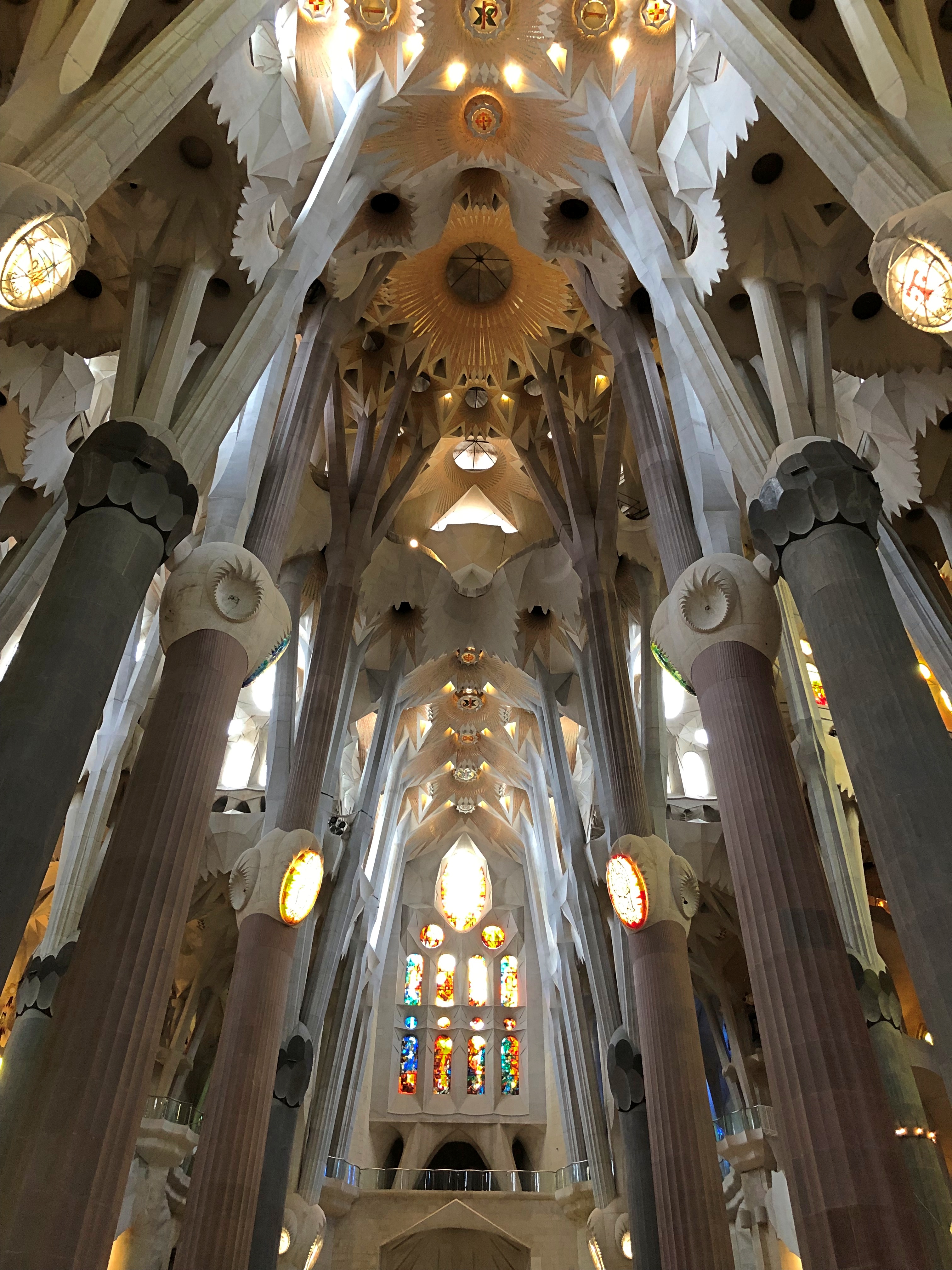
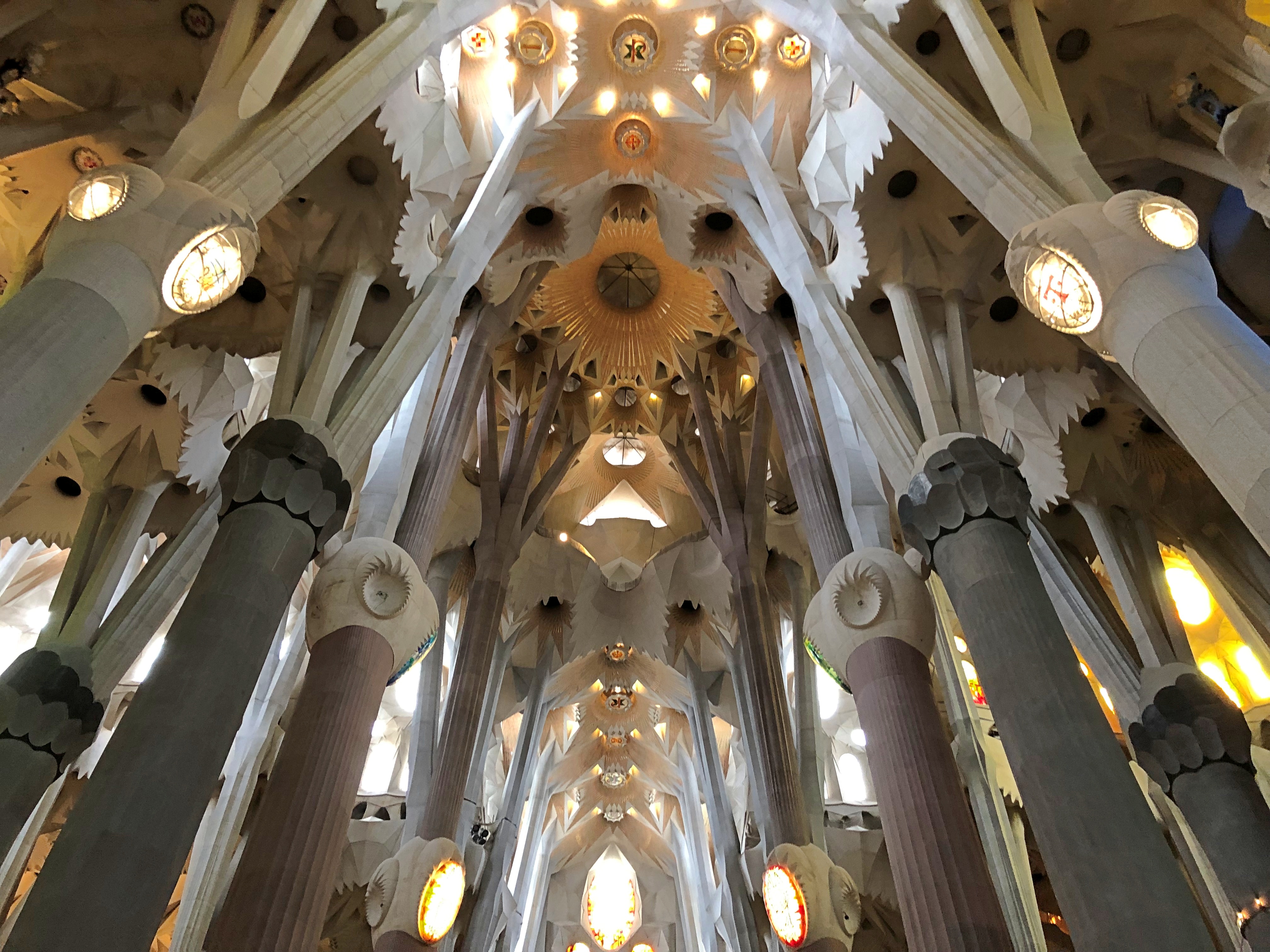
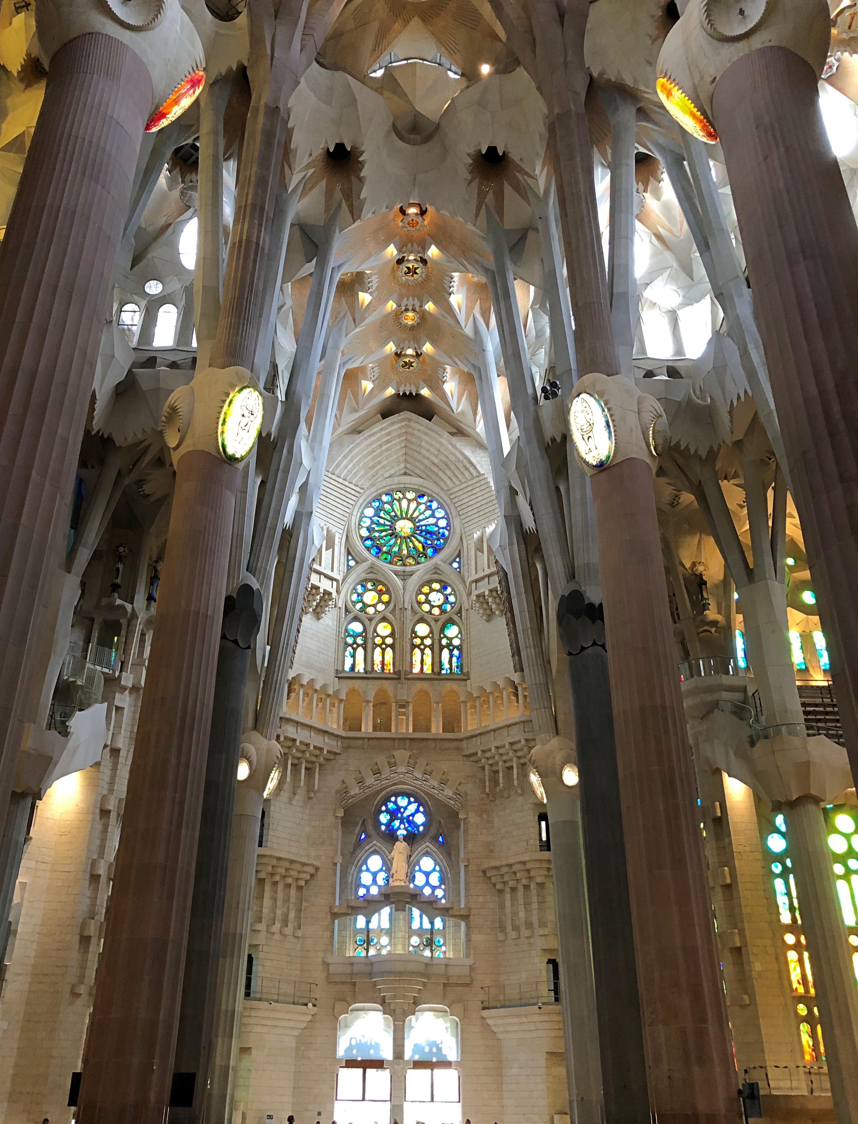
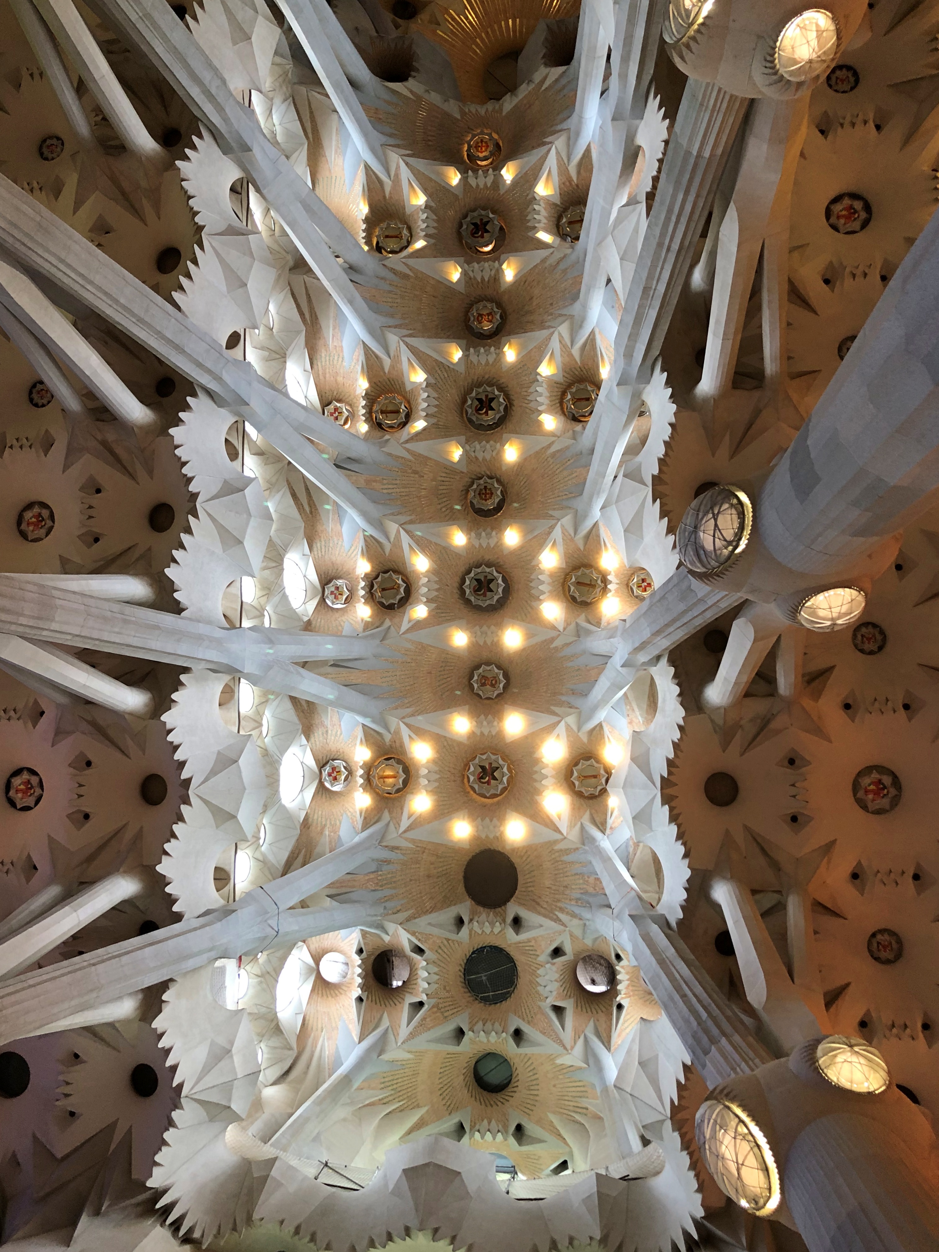
But for an unfortunate fire a little more than 100 years ago, you might see this when you visit the West Virginia Capitol in Charleston.

In history as it was, there was a fire, and West Virginia needed a new capitol, which was completed by 1932. Nice job. Design by none other than Cass Gilbert, whose body of work is astonishing.

“Like the predecessor capitols Gilbert designed for Minnesota and Arkansas, the West Virginia capitol is dominated by its dome, which rises 292 feet above a colonnaded drum, and is embossed with gold leaf,” says the Cass Gilbert Society.West Virginia capitol West Virginia capitol

“The design was inspired by that of the Pantheon in Paris. The main entrances to the building are through monumental pedimented Corinthian porticos, set below the dome. Shallow domes at the ends of the main capitol block mark the location of the legislative chambers. The interior walls are faced with Vermont marble. The floor of the rotunda below the main dome is of Italian and Vermont marble.”

We stopped in Charleston on our way out of West Virginia on March 24. The warm, sunny weather of the day before had disappeared into rain and cold wind, as happens in the spring. So a walkabout outside the capitol wouldn’t have been pleasant. As I pointed my camera at the capitol, I had to brush water off.

Inside was another matter, nice and dry. A spare but impressive design, owing more than a little to Greek temples.West Virginia Capitol West Virginia Capitol West Virginia Capitol

Gold leaf outside the dome. Inside, coal black. At least, that’s what I see. Incidentally, the neoclassical West Virginia capitol dome is the last of its kind among U.S. capitols — or, put another way, the most recent one. West Virginia Capitol West Virginia Capitol

The West Virginia House of Delegates.West Virginia Capitol

The seats were roped off, but you can get close enough to some of the backbenches – literally at the back – to take in some interesting detail. Nothing surprising is a U.S. flag or a cross or even a Don’t Tread On Me flag or what I take to be some coal – but what’s that earth-colored disk?West Virginia Capitol

Does that particular delegate sympathize with flat-earthers? Seems unlikely. Also, if you look carefully at the wider shot of the House of Delegates, those blue disks seem to be on some, but not all of the desks. A sizable minority of the delegates are flat-earthers? No, I won’t assume it. People believe the damnedest things, or say they do, but even now that would be too far around the bend. Still, I wonder what that disk is supposed to mean, in its pride of place on the desks.

There isn’t a lot of statuary, but West Virginia could hardly forget Sen. Byrd, here in a Solonian pose.West Virginia Capitol

Or that western Virginian, Stonewall Jackson. He didn’t quite live long enough to hear about the formation of West Virginia, though the estrangement of western Virginia was well underway in his lifetime. He probably had other things on his mind, anyway.West Virginia Capitol

He doesn’t have a statue, but JFK rates a memorial.West Virginia Capitol

A president, paying attention to West Virginia! Of course, it probably helped that the state was solidly Democratic in those days, but with a political history of more swinging than most of the states to its south.

Like many capitols, portraits of old ‘n’ moldy governors hang on the walls (and sometimes not so old). Here’s the first governor of West Virginia, Arthur I. Boreman, with that distinctly mid-century vibe (mid-19th century, that is), and Lincolnesque beard. Probably no accident.West Virginia Capitol

Boreman pushed for the establishment of West Virginia, which by itself ought to be better known. After all, it was the only successful secession of the Civil War era.

Another gov: number three, William E. Stevenson, another member of the founding generation of West Virginians, which aligned with his pro-Union and anti-slavery convictions.West Virginia Capitol

That’s a striking portrait, unusual among governors long gone but still hanging on the wall. Wonder if the artist took liberties, or whether the governor actually had movie-star good looks well before anyone saw any movies.
Fayetteville, West Virginia

Unlike the near-ghost town of Thurmond, the town of Fayetteville, West Virginia (pop. 2,700 or so), is alive and looks reasonably well. One thing to know is that you can get some delightful rice bowls (rice, protein, vegetables) for lunch there, at a place generically called The Take Out.Fayetteville, West Virginia Fayetteville, West Virginia

We didn’t take it far. The day was Thursday, March 23, clear and in the low 70s F., and so ideal for taking our food to the picnic table outside The Take Out.

The fellow who prepared the bowls, with an exaltation of light curly hair on his head and looking unbelievably young, came out to chat for a few moments and try to make friends with the dog. The restaurant is a post-pandemic venture, opening only a year ago, he told us. Rice bowls of that kind are fairly recent to North America (I think), which shows the speed at which food innovation spreads in our time. Next thing you know, Korean corndogs will make an appearance in small-town West Virginia.
Signs on the highway promised an historic downtown in Fayetteville, and I’d say the place delivered. At the very least, there’s a handsome courthouse, since the town is the seat of Fayette County. This shot is complete with an attorney (a safe assumption) talking with someone.Fayetteville, West Virginia

A number of repurposed buildings are near the courthouse, including a bank turned town hall. Not the first time I’ve seen that.Fayetteville, West Virginia

Actually not an ex-bank. Still a bank.Fayetteville, West Virginia

Plus history on plaques and signs. Fayetteville, West Virginia

The Battle of Fayetteville was part of the Kanawha Valley Campaign, which has to count as a lesser-known incident in that sprawling war, unless you’re in Fayetteville.Fayetteville, West Virginia

Eastern Virginia got most of the attention then, as now. Whether part of the Old Dominion or not, western Virginia has a long history of being ignored.

Which might account for the enduring popularity of “Take Me Home, Country Roads” in West Virginia. Here was a song that actually paid attention to the state, with “West Virginia” being the third and fourth words of the lyrics. The first two words made an arguably bigger impact, however.Fayetteville, West Virginia

That display of West Virginia regional pride was at an odd angle next to a building across from the courthouse, neither in the sidewalk nor on the wall. Odd for a slogan, as I forget which comedian pointed out: you mean Heaven is only a little bit better than West Virginia? Or maybe the joke went like this: you mean Heaven is only a little bit better than West Virginia?

Thurmond, West Virginia

I was thinking ghost town, but the data says otherwise. Someone lives in Thurmond, West Virginia — five people as of the 2020 Census. They must be in the few houses perched on the enormous slope over the historic core of the town, which is formed by a string of commercial buildings and railroad structures at a flat place next to the New River.Thurmond, West Virginia

Thurmond was a small railroad town at a waystation, back when that meant coal-burning giants among locomotives, which came to pick up shipments of coal, or acquire coal, water and sand for their own use. Maybe the shades of long-gone people wander Thurmond, if you believe that sort of thing, and if so, the rattle of pouring coal, the venting of steam, the screech of metal on metal, are echoing on as well.

What does every railroad town need?Thurmond, West Virginia Thurmond, West Virginia

The National Bank of Thurmond failed in 1931, but there were successor banking entities of some kind in the building into in the 1950s, when the town essentially shut down. The fact that the last bank paid 3 percent reminds me of a shorthand for the way mid-century savings and loans did their business: 3-5-3. Pay 3 percent to depositors, charge borrowers 5 percent interest, and close up to go play golf at 3 pm.

Other commercial buildings fronting the tracks, with the river just a little beyond them.Thurmond, West Virginia Thurmond, West Virginia

The mostly hidden ruins of a grand hotel on the slope. Burned down.Thurmond, West Virginia

The bridge that brings trains and motor vehicles to Thurmond over the New River. One track, one lane.Thurmond, West Virginia Thurmond, West Virginia

The station. I thought it was merely for tourist use now, but no: it’s an active Amtrak station, reportedly the second-least used, after one in West Texas. So not that active.Thurmond, West Virginia

The steam went out of Thurmond pretty much when the steam went out of Thurmond. That is, coal-fired steam locomotives disappeared, replaced by diesel, and the contracting coal industry as natural gas gained a foothold nationally probably didn’t help either.

Trains still transit Thurmond, but the land around — most of it, anyway, as boundaries are invisible — belongs to the national park. The star of modern Thurmond, I believe, is the ruin of the coaling tower.Thurmond, West Virginia Thurmond, West Virginia

Near the coaling tower. Maybe where the crew boss stayed, and members of the crew when no trains were in town.Thurmond, West Virginia

Both are full of the ravages of time, but still standing. Barely? I’m not engineer enough to make an assessment, but my layman’s opinion is that chunks of stone drop off the tower now and then, so watch out.

A selection of graffiti.Thurmond, West Virginia Thurmond, West Virginia

Bleak, O.G. Bleak.

New River Gorge National Park and Preserve: The Vistas

Late morning on our first full day in West Virginia, we found ourselves at the Endless Wall Trail. It’s not only a place for horizontal walking motion across the landscape, but the vertical motion of rock climbing too, as the park sign points out.New River Gorge NP

How we got there (that is, besides driving in our car to the trail head) is best characterized as a misreading or misunderstanding of a map on my part. So the trail wasn’t the one we’d been looking for, but it seemed like a good trail, so we headed in, with a place called Diamond Point as the goal.

Not a particularly difficult trail, for the most part, though there were roots and rocks and mud patches, but they never rose past the level of sometime annoyance. Nowhere was it steep, but the trail rose slowly in elevation much of the time.New River Gorge NP New River Gorge NP New River Gorge NP

It takes a fairly healthy old man about 30 minutes to get to Diamond Head. I mean, Diamond Point. Odd the things you think about sometimes, such as a land form in the tropics while tramping through some temperate zone mud, just because of a coincidental name.New River Gorge NP New River Gorge NP

Close to the destination.New River Gorge NP

Some of the glories that were Diamond Point.New River Gorge NP New River Gorge NP
New River Gorge NP

There isn’t agreement on the exact age of New River among scientists, but it is measured in the hundreds of millions of years. Guess it was worth climbing a slope to take a look into deep time.

But you don’t need to walk that far to see a sweeping vista at Grandview, in a part of the park that’s some miles south-southeast of Diamond Point. We went there toward the end of the same pleasantly warm day, driving on local roads through Beckley, as well as short stretches of I-64 and West Virginia 9, to get to a large NPS parking lot, playground and ball field, occupied that day by small groups of parents and kids.

A walk of five minutes or so led from the play area to Grandview overlook. It is.New River Gorge NP New River Gorge NP

Nothing like a horseshoe bend, large or small.

New River Gorge National Park and Preserve: The Bridges

I didn’t appreciate the New River Gorge Bridge in West Virginia until I’d driven across it more than once, and more importantly, seen it from a distance.

A handsome design for a magnificent setting. Elegant. Sturdy. Spanning the gorge spider-web like. Imagine a species of large, intelligent arachnids that can extrude metal and spin webs of steel across the many gorges on their forested planet. Artful shapes like the New Gorge River Bridge, maybe.

Even better, such an artful shape was made by us clever apes here on Earth. Within my lifetime, completed in October 1977. If I’d been in that part of West Virginia then, I could have driven across the newly minted bridge carrying my newly minted drivers license, obtained in some haste that summer to take a girl I’d recently met on dates. But I wasn’t anywhere near the bridge in my South Texas adolescent driving days, and never heard of it till much later.
“The bridge reduced a 40-minute drive down narrow mountain roads and across one of North America’s oldest rivers to less than a minute,” the park service says. “When it comes to road construction, mountains do pose a challenge. In the case of the New River Gorge Bridge, challenge was transformed into a work of structural art — the longest steel span in the Western Hemisphere and the third-highest in the United States.
“The West Virginia Division of Highways chose the Michael Baker Co. as the designer, and the construction contract was awarded to the American Bridge Division of U.S. Steel. In June 1974, the first steel was positioned over the gorge by trolleys running on three-inch diameter cables. The cables were strung 3,500 feet between two matching towers. Cor-ten steel, with a rust-like appearance that never needs painting, was used in construction.”

Good to know, but if anything, the experience of driving across the bridge is too detached from the sense that you’re passing over an 800-foot void. The opaque fences along the edges of the bridge obscure the drop, though you do get a glimpse of the far-away cliffs of the gorge.

The bridge transits New River Gorge National Park and Preserve land on either side. A few minutes walk from the park’s visitor center takes you to a view of the bridge, which we saw on the morning of March 23, the brightest, warmest day of the trip.New River Gorge NP New River Gorge NP

The gorge, looking away from the bridge.New River Gorge NP

The old way to cross the gorge by vehicle involved spending 40 minutes or more on small roads that switchbacked their way down into the gorge, to just a few feet above the river, where there’s a much shorter bridge.

Stop there and you see the postcard-Instagram view of the New River Gorge Bridge in all its glory.New River Gorge NP

We drove down to the river the morning of March 24, the day after we’d seen the bridge from near the visitors center. Cold rain fell periodically and clouds clung to the side of the gorge.

A small aside. I saw that a number of things are named after Sen. Byrd in West Virginia, and I’m sure if I’d stayed longer, I’d have seen more. Why not this grandest of Mountaineer State bridges? Than again, maybe the thought of it being the “Byrd Bridge” has given policymakers second thoughts on a renaming.

The bridge down near the banks, where a few generations of West Virginians before 1977 made the crossing, does have a name: Tunny Hunsaker Bridge.New River Gorge NP

I had to look him up. I thought, local politico? A local man who didn’t return from a war? No, he was a prizefighter who later was police chief of nearby Fayetteville, West Virginia (d. 2005). I’m not up on the history of boxing. Now I’ve read that Muhammad Ali’s first professional win, in 1960, was against Hunsaker.

The current bridge dates from 1997, built to replace an earlier iteration. You can’t walk across the New River Gorge Bridge (except on Bridge Day), but you can walk across Tunny Hunsaker any time. So we did in turn. When you can cross an interesting bridge in an epic setting, you should.

The Flight 93 National Memorial

I don’t remember the first time I heard of Fallingwater or Fort Necessity or even the Hare Krishnas, to name a few examples. I do remember the first time I heard of United 93, though probably not by its flight number. Listening to the radio in my downtown Chicago office on the morning of September 11, 2001, I heard, along with countless other listeners, simply that a fourth airplane had crashed, this one in rural Pennsylvania and not into a building.

Twenty-one and a half years later, roughly, we arrived at the site, now the Flight 93 National Memorial. Rural it still is, and far enough out of our way that I considered not going. But when Wednesday came, there in the middle of our trip, I knew we should. How often were we going to be out this way? I didn’t want to think later, we could have gone to pay our respects, but didn’t.

The memorial is as expansive as its rural location allows it to be. Its parts are variously horizontal, irregularly diagonal and vertical, and at some distance from each other. Come to think of it, the plane went from a high altitude into a ragged and sharp descent, to pulverization on the level ground. The features of the memorial’s inner circle are within eyeshot of each other, but seemingly far in the distance, and not imposing themselves much on the sloping earth or the big sky.

At first, it’s a little hard to visualize the various parts. The NPS brochure is helpful in that regard. The cut-off arrow says “Flight Path.”

Near the entrance is the Tower of Voices, the most recent part of the memorial, a 93-foot structure with 40 wind chimes, which were installed in 2020. Ninety-three feet for the flight, 40 chimes for the number murdered.Flight 93 National Memorial Flight 93 National Memorial Flight 93 National Memorial

The chimes are supposed to sound in the wind. There was a little wind, and sound, as we stood under the tower, but not much.

Further on is the visitor center and museum, formed by concrete structures. A few busloads of high school students were visiting. Flight 93 National Memorial

When they cleared out about 15 minutes after we arrived, that left only a trickle of visitors at the memorial on a cool but not cold weekday.

The black granite walkway isn’t a random placement, but reflects the path of Flight 93 in its last moments. At the level of the visitor center, it passes through the concrete structures and to an overlook.

Looking back at the structures.Flight 93 National Memorial

Looking forward, over the overlook.Flight 93 National Memorial Flight 93 National Memorial

Within view is the actual crash site, now fronted by the Memorial Plaza and the Wall of Names, way at the down end of a brown slope. Brown for now. I’ve seen images of the place ablaze with flowers.

From the visitors center-museum-overlook, you can walk to near the crash site, on foot on a circular path, called The Allée, which is lined with Sunset Red maple trees; or drive on a circular road. We elected to drive, though I’m sure a walk in the fullness of summer, the colors of fall, or even through a snowy winter landscape, would be richly rewarding.

The first thing to see at the Memorial Plaza. The main thing.Flight 93 National Memorial

No dogs allowed on the sidewalk leading to the Wall of Names, so we took turns. I went first.Flight 93 National Memorial Flight 93 National Memorial

The Wall of Names: each of the crew and passengers, except of course for the murderers, gets a white granite panel with his or her name inscribed, alphabetically left to right, beginning with Christian Adams and through to Deborah Jacobs Welsh.Flight 93 National Memorial Flight 93 National Memorial

Until I went to the museum, I hadn’t known that a Japanese national was among the dead: Toshiya Kuge. Yuriko noticed that as well.Flight 93 National Memorial Flight 93 National Memorial

Kuge was a student, and at 20, one of the youngest people on board, returning to Japan by way of San Francisco that morning. His mother visits the memorial every year.

The flight path walkway picks up again next to the Wall of Names and goes to a gate.Flight 93 National Memorial

The ceremonial gate is hemlock beams, with 40 angles cut into it. The gate is ceremonially closed to us, the living.s constructed of hewn hemlock beams with forty angles cut into it,
s constructed of hewn hemlock beams with forty angles cut into it,

Beyond that is a closed field that was point of impact, now featuring a boulder standing by itself to honor the dead. The ground also is a field of internment for the victims.

When I returned, it was Yuriko’s turn to walk to the Wall of Names while I waited in the car with the dog. The walk takes at least 20 minutes, if you’re going to spend any time at all at the wall. About five minutes later, she came back.

“You’re back,” I said.

“It was too sad,” she said.

The Palace of Gold

What do you know, today’s the 141st anniversary of the assassination of Jesse James by the coward Robert Ford. We happened to watch the movie of that name over the weekend, and found it slow-moving but impressive. Nothing like a high-verisimilitude work of historical fiction to take you into the past, especially if there are no outrageous anachronisms.

Frank Lloyd Wright on Monday, Hare Krishnas on Tuesday. That’s possible in southwestern Pennsylvania and West Virginia.

Some years ago, I was poring over a road map in anticipation of a road trip that didn’t happen. Looking roughly where we eventually did go last month, I noticed the Palace of Gold at a spot in rural West Virginia, in the odd northern panhandle of that state. Such a thing cannot go un-looked up, so I found out that it is part of a complex run by the International Society for Krishna Consciousness.

We’d been to ISKCON Chicago. Time to drop by the Palace of Gold, I thought, as long as we were in the neighborhood. The palace is part of a larger settlement known as New Vrindaban, which was founded during the heady early days of the Hare Krishna movement in the New World, namely 1968. You know, when the Beatles were hanging out with sect founder His Divine Grace A.C. Bhaktivedanta Swami Prabhupāda, or vice versa.

This isn’t the Palace of Gold, but it is a major part of the New Vrindaban complex, Sri Sri Radha Vrindaban Chandra Temple (RVC Temple).Sri Sri Radha Vrindaban Chandra Temple

ISKCON had a lean period after its counterculture heyday, but someone is paying for the vigorous reconstruction at the temple, as well as plans to restore the Palace of Gold.Sri Sri Radha Vrindaban Chandra Temple

Maybe Alfred Ford kicked in some dosh. I didn’t know till our visit that a great-grandson of Henry Ford, also known as Ambarish Das, is a member of ISKCON, and is a major donor for a major project in India.

You can’t go too far in the temple without encountering Swami Prabhupāda.Sri Sri Radha Vrindaban Chandra Temple Sri Sri Radha Vrindaban Chandra Temple

Many depictions of Krishna and his flute.Sri Sri Radha Vrindaban Chandra Temple Sri Sri Radha Vrindaban Chandra Temple Sri Sri Radha Vrindaban Chandra Temple

The centerpiece. At least, that’s what I assume; it was front and center.Sri Sri Radha Vrindaban Chandra Temple Sri Sri Radha Vrindaban Chandra Temple

I heard the story of the founding of the ISKCON from two different Anglo monks, two of about 200 people who live in the settlement, one young and at the visitors center, the other old and at the Palace itself. Their stories had a mythical quality to them, emphasizing the travail of the founder of the sect, especially his sea voyage from India to New York by cargo steamer, under hardscrabble circumstances, age nearly 70, to bring Krishna consciousness to the West.

Swami Prabhupāda thus brought one of the many branches of the massive flowering tree that is Hinduism to America, and at an auspicious time – 1965. Not only had U.S. immigration laws just been loosened, one of the periodic effusions of bohemianism was just then under way in the West, making for a receptive audience. Double good fortune for the swami, or perhaps the timely intervention of Lord Krishna, made exponentially greater when he caught the attention what we would now call influencers.

The founder did not, however, live to see New Vrindaban come to full fruition, since he died in 1977 – cast off his body for another, presumably – and his followers took up the task of developing the place. As you’d expect with a new religion, any religion really, not all went smoothly. Violence, murder plots, a racketeering conviction. New Vrindaban spent a period in the late 20th century excommunicated from ISKCON, but it is back in the fold now.

The grounds of New Vrindaban are extensive, including a pond and other structures, such as a dorm and cabins for monks and visitors. And a concrete elephant and cattle.New Vrindaban New Vrindaban

Krishna consciousness gazebos, by golly.New Vrindaban New Vrindaban New Vrindaban

These are Gaura and Nitai, I‘ve read, but I can’t pretend I understand their function or which is which. The one on the left, recently refurbished. The one on the right, awaiting new paint.New Vrindaban

The Palace of Gold itself is on a slope overlooking the rest of the complex, and looks to be on one of the higher points in this part of West Virginia, surrounded by the sect’s roughly 1,200 acres. Why West Virginia? Cheap land would be my guess. The monks had a story about that, too, formalized in its details as much as the story of the swami’s passage to America. Something about answering a random ad in a newspaper. Anyway, here it stands.Palace of Gold Palace of Gold

“Palace of Gold Leaf” might be more accurate, but also an exercise in literalism.

Nice detail.Palace of Gold Palace of Gold

A sign at the entrance says that restoration will soon be underway. The palace needs it.Palace of Gold

We did our little part for the restoration, each taking an $8 tour in turn. No one else was on either of our tours, since even at New Vrindaban, mid-March would be the slow season, though a few other people were visiting at the same time as we did, including a sizable, multi-generational South Asian family.

The interior is as ornate as the exterior, even more so, with crystal chandeliers, mirrored ceilings, marble floors, stained-glass windows and plenty of gold leaf and semi-precious stone accents. Not bad for a structure that is entirely nonprofessional architecture.

No photography inside, except I took some pictures in the lobby waiting for the tour.Palace of Gold Palace of Gold

“I’m old enough to remember Hare Krishnas at the airport,” I told my guide when he asked whether I knew anything about ISKCON.

“Yes, we used to do that,” he said with what I took to be a wistful smile.

My guide was an old hippie. That’s probably unfair to the fellow, a lanky gentleman perhaps in his early to mid-70s, dressed in the Hare Krishna robes we’re all familiar with, head mostly shaven. Who would want to be described by stereotypical youthful attributes more than 50 years out of date?

Still, as he told me about his wanderings as a young man in the late ’60s, and his discovery of ISKCON – he was happy to say that he’d taken classes from Swami Prabhupāda himself – the thought kept occurring to me.

Fort Necessity National Battlefield

I walked about a quarter-mile from a parking lot to get to the reconstructed log palisade on the site of one hastily built by men under the command of Lt. Col. George Washington, age 22. Fort Necessity, he called it. These days, the site is called Fort Necessity National Battlefield.Fort Necessity

It is the only battlefield associated with the French and Indian War preserved by the National Park Service.

By the time I got there, I’d worked myself into a counterfactual frame of mind. Just what didn’t happen here — that easily could have – that proved so important for the future course of events in North America? Affected the fate of the unborn United States in unknowable but profound ways?

Those are the kind of Big Thoughts you get alone, under a pleasant late afternoon sun, in a meadow amid the rolling hills of rural southwest Pennsylvania, with nothing but a paved footpath and the palisade ahead. I do, anyway.

Consider: Washington and his men had surprise-attacked a French force at nearby Jomonville Glen a few weeks before the battle at Fort Necessity, defeating them and resulting in the death the French commander, Joseph Coulon de Jumonville. Washington was well aware that the French weren’t going to let that incident go unanswered, so he ordered the completion of Fort Necessity to prepare for the counterattack.

Louis Coulon de Villiers, who was Joseph’s brother, led the French response and besieged Fort Necessity from an advantageous position and with a larger force. Many British — mostly members of the Virginia Militia — were cut down, dying in the mud from recent rain. It seems likely that the French could have killed most, if not all of Washington’s command, but Coulon asked for parley and ultimately gave Washington generous surrender terms. Essentially, get out of here, and promise not to come back for a while.

Would a man of a different temperament more aggressively ground the British to defeat, perhaps to the point of seeing its commander dead with his men? Washington, that is. Dead at 22. You can see how this line of thinking puts some counterfactual ideas in your head.

What motivated Louis Coulon to do what he did? Motive’s a hard thing to pin down even in someone alive today, much less a French military commander of the 18th century. From what I’ve read, he was under orders not to massacre the British, and his men were tired and low on ammunition even though the defenders of Fort Necessity were in much worse shape. Those seem like fairly compelling reasons. Still, a more aggressive or ruthless commander could have continued the fight, not really held back in the wilderness by mere orders. This was the force that had killed his brother, after all.

On the other hand, young Washington had a number of near-death experiences as he was surveying in the Ohio Valley before the war. What’s one more?

So many questions. Big history pivoting on small fulcrums. I got closer.Fort Necessity Fort Necessity

Inside the palisade.Fort Necessity Fort Necessity

The site isn’t just that. Worn earthworks linger nearby.Fort Necessity Fort Necessity

Maybe Coulon was intensely proud to be under French arms, which were magnificently powerful in those days, even at such a far-flung place, and wasn’t about to dishonor his command with a massacre. Or maybe he didn’t like his brother that much, and was inclined to be philosophical about his fate. C’est la guerre, dear brother.

Down the road from Fort Necessity, U.S. 40 that is, is the grave of Major Gen. Edward Braddock.Braddock's grave

I won’t go into details about why he’s there, except that it’s only indirectly related to the battle of Fort Necessity. He’d been sent with a much larger British force to confront the French the year after that battle. Things didn’t go well for him, and he ended up buried under the military road he had had built as part of his campaign to take the Ohio Valley from the French.

The wooden beams mark the course of the road.Braddock's grave

The monument was erected in the early 20th century. He’s probably under it, but we can’t quite be certain.

This plaque adds an extra layer of poignancy.Braddock's grave
Braddock's grave

Nineteen-thirteen. It’s probably just as well that the officers of the Coldstream Guards didn’t know what was coming.

Ohiopyle State Park

The curious name Ohiopyle has naught to do with Ohio, which is apparently from a Seneca word meaning “big river” – but rather apparently a Delaware (Lenape) word meaning “frothy waters.” Standing on the banks of the Youghiogheny River, looking at Ohiopyle Falls in Ohiopyle State Park in southwestern Pennsylvania, that’s easy to see.Ohiopyle Falls

For its part, Youghiogheny, also Lenape, apparently means “flowing backwards,” and so it seems to at times, as it twists along, including in the park. I say apparently each time because I only know what I read, and am not an authority on any Native American language, or the place names that evolved from Indian words, which have a long history of being mangled or given over to (apparently) fanciful translations.

The state park is large – more than 20,000 acres – and Fallingwater is just outside its bounds. After visiting Fallingwater, we sought lunch in the town of Ohiopyle, which is actually the borough of Ohiopyle. Pennsylvania has counties, cities, boroughs and townships, but not towns, according to the Pennsylvania Manual, Volume 125, page 6-3. Boroughs form a middle rank of populated areas between cities and townships.

Anyway, the borough of Ohiopyle is only a few blocks in any direction, and clearly a tourist town, but not on the order of Gatlinburg in Tennessee or Wisconsin Dells or Hannibal, Mo. Rather, it caters to visitors to the park, who are mostly there for rafting, kayaking, and canoeing on the waters, and hiking, horseback riding, cross-country skiing, mountain biking and snowmobiling on land. I have a feeling the place is best known to Yinzers and unpleasantly crowded on summer weekends.

Mid-March is low season, and so pleasantly uncrowded. Only one place that served food seemed to be open, and we got sandwiches to go. There must be some full-time residents. Someone goes to Ohiopyle United Methodist Church.Ohiopyle

Across the street from the church is a former train station, these days a tourist office with public bathrooms that serve recreational travelers on the Great Allegheny Passage. I don’t think I could think of a more Pennsylvania-y name than that for a trail. If we had a mind to – or more to the point, time for it – we could have walked to Pittsburgh. Or to Cumberland, Maryland, going the other way.

I didn’t know it at the time, but the trail was formed from a series of abandoned railway lines: Baltimore and Ohio Railroad, Pittsburgh and Lake Erie Railroad, Union Railroad, and Western Maryland Railway. Standing in Ohiopyle, all you see is that the trail crosses a cool old railroad bridge.Ohiopyle State Park Ohiopyle State Park Ohiopyle State Park

Love locks. Not many, though. Guess that beats graffiti. Ohiopyle State Park

Yuriko and the dog went on ahead. I paused here and there to push my camera button, and take in the views of the Youghiogheny in that better way, with your eyeballs.Ohiopyle State Park

I’d just planned to cross the bridge and come back, but they found a trail at the bottom of the stairs, one leading off onto the Ferncliff Peninsula.Ohiopyle State Park

Looked easy enough. Mostly the trail followed the river.Ohiopyle Ohiopyle State Park

Eventually the trail lost its through-the-woods vibe and offered us rock surfaces and large underfoot stones and mud patches, which slowed us down.Ohiopyle State Park Ohiopyle State Park

Better shoes and our walking sticks were back at the car, so eventually we turned around, but not before getting a close look at the top of Ohiopyle Falls.Ohiopyle Falls

Just another bit of turbulence destined for the Gulf: Youghiogheny, Monongahela, Ohio, Mississippi.

Fallingwater

On the grounds of Fallingwater, there is a path with signs that lead you to The View. That’s what the signs call it. When you get there, The View is there for you.Fallingwater

Search for “Fallingwater” in Google Images, and the vast majority of the images look something like the above. For good reason: it’s arresting. I will give Frank Lloyd Wright his due on that. The placement of the house was a stroke of genius from The Genius.

Originally the idea had been to build a house with a view of the falls, but he made it part of the view. Had the original idea prevailed, people might still visit if the house still existed — it would be a FLW design, after all — but it wouldn’t be nearly as distinctive as it is.

Before we visited Fallingwater, I wondered what other views there were of the famed FLW creation in rural Pennsylvania. The answer is, any number you care to see.Fallingwater Fallingwater Fallingwater

We arrived on the morning of March 20, the vernal equinox, though as far as I know that fact didn’t affect our experience in any way. The low season of March, on the other hand, definitely added to the experience. Guided tours, the only way for ordinary folk to visit Fallingwater, had begun for 2023 only nine days earlier.

We might not have seen the place clothed with the greens of summer or the multicolors of fall, but we did enjoy how few people were around. For a few minutes at The View, for instance, I had the place to myself, because you don’t actually visit it as part of the tour. That comes afterward, when you amble down there yourself.

If you’re so inclined, of course, there’s really more than one view even at The View. For instance, straight up. You’d never know you’re on the grounds of a World Heritage Site at that angle.

We took turns touring the house, while the other waited with the dog. Originally I’d scheduled a 10:30 tour and one at 2:30, with the idea that we’d have lunch in between. But not all of the tours in between were fully booked – as I’d think they are in the summer and fall – so after I went on the 10:30 tour, Yuriko was able to move up to the one starting at 11:30 without any issue.

Signs greet you in front of the visitors center.Fallingwater Fallingwater

It’s a short walk from the visitor center to the house, but enough to get a sense of the surrounding Laurel Highlands.Fallingwater Fallingwater

Amazingly, the Western Pennsylvania Conservancy, which has owned the property since 1963, allows photography inside Fallingwater. Actually, only in the first-floor living room, but still. That’s one of the few FLW properties I’ve visited that does so.Fallingwater Fallingwater

Once upon a time, owning a successful urban department store (in Pittsburgh, in this case) meant that you could hire a starchitect to design your summer house in the woods, even as the Depression lingered. After quarrels with said starchitect and vast cost overruns, naturally, Fallingwater was completed in the late 1930s, including the main house, but also adjacent guest quarters.

A portrait of the original owner, Edgar Jonas Kaufmann (1885-1955), looks out into the living room, but as a young man – before Fallingwater ever came to be.Fallingwater

Because Kaufmann’s son, Edgar Jonas Kaufmann Jr. (1915-89), oversaw the transition from family summer home to house museum in the early ’60s, the family’s furnishings and artwork are largely still there, another novelty for a FLW house.Fallingwater statue

I was happy to see an orrery. It’s actually a Trippensee Planetarium, a brand that vanished with the 20th century.Fallingwater orrery

From the main balcony, you get a view of The View. That is, you can see the spot downstream on Bear Run creek where people stand to see The View.Fallingwater orrery

Note the people gathered down at The View, looking up. They’re hard to see in the image, but they are there.Fallingwater Bear Run Fallingwater Bear Run

At that moment, for them anyway, I was part of The View.