I got a couple of concerned text messages after the 8.2 magnitude earthquake off the Alaska Peninsula late on the evening of July 28. Did I feel it? Was I all right? Didn’t feel a thing, I answered. Alaska is big.
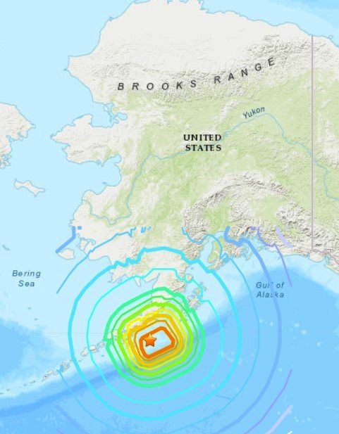
During the quake — which is thought to be largest affecting Alaska since the Good Friday disaster of 1964, but nothing like it in terms of damage — I was in Fairbanks, not too far from the words United States on the USGS map I clipped.
Curious, I got out my physical atlas and a ruler, and measured the distance between Perryville, the town on the Alaska Peninsula closest to the epicenter, and Fairbanks. As the crow flies. A tough old crow, used to the freezing temps.
Total, about 1,200 miles, very roughly. But the point is, I no more felt the earthquake than someone in Texas is going to feel a California earthquake, unless it’s really big.
Near the main building of the Museum of the North is a blockhouse that used to be part of the Kolmakovsky Redoubt.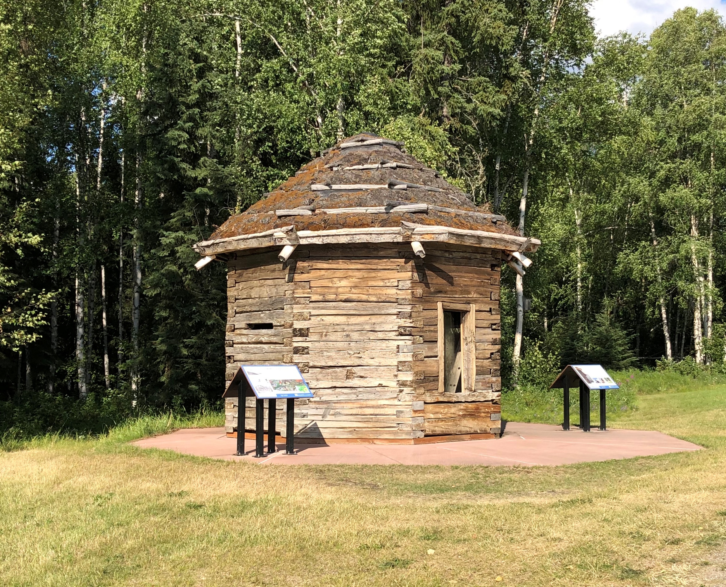
The museum explains: “In 1841, the Russian-American Company (RAC), seeking to obtain the rich beaver and land otter furs of the Interior of Alaska, set about the construction of Kolmakovsky Redoubt on the middle Kuskokwim River in Western Alaska. As the only redoubt (fort) deep in the Interior, it became the major trading center along the river for the next 25 years…
“Relations between the RAC and the local Yup’ik Eskimos and Athabascan Indians was amicable and instead of acting as a means of defense, the building served other purposes, including at one time a fish cache and during the gold rush, a jail. The blockhouse stood at the site for over 80 years before being dismantled and shipped to the University of Alaska in Fairbanks in 1929.”
More recently, the museum restored the blockhouse, including the replacement of rotten timber and putting tundra sod on the roof, “complete with blueberries, Labrador tea, and all manner of tundra flora.”
A building of a difference sort, but also Alaskan, near the auto museum: Joy Elementary School.

One look and I thought, 1960.
Sure enough: “Construction of our original circular school began July 21, 1960. It was completed and dedicated as Louis F. Joy Elementary on November 9, 1961. Louis F. Joy was Fairbanks City School Board President and a member for over 25 years. Lee S. Linck, the school’s engineer and architect, received an award for the school’s unique and beautiful design at the 1962 Seattle World Fair.”
A quick peek at the first place I ate in Fairbanks.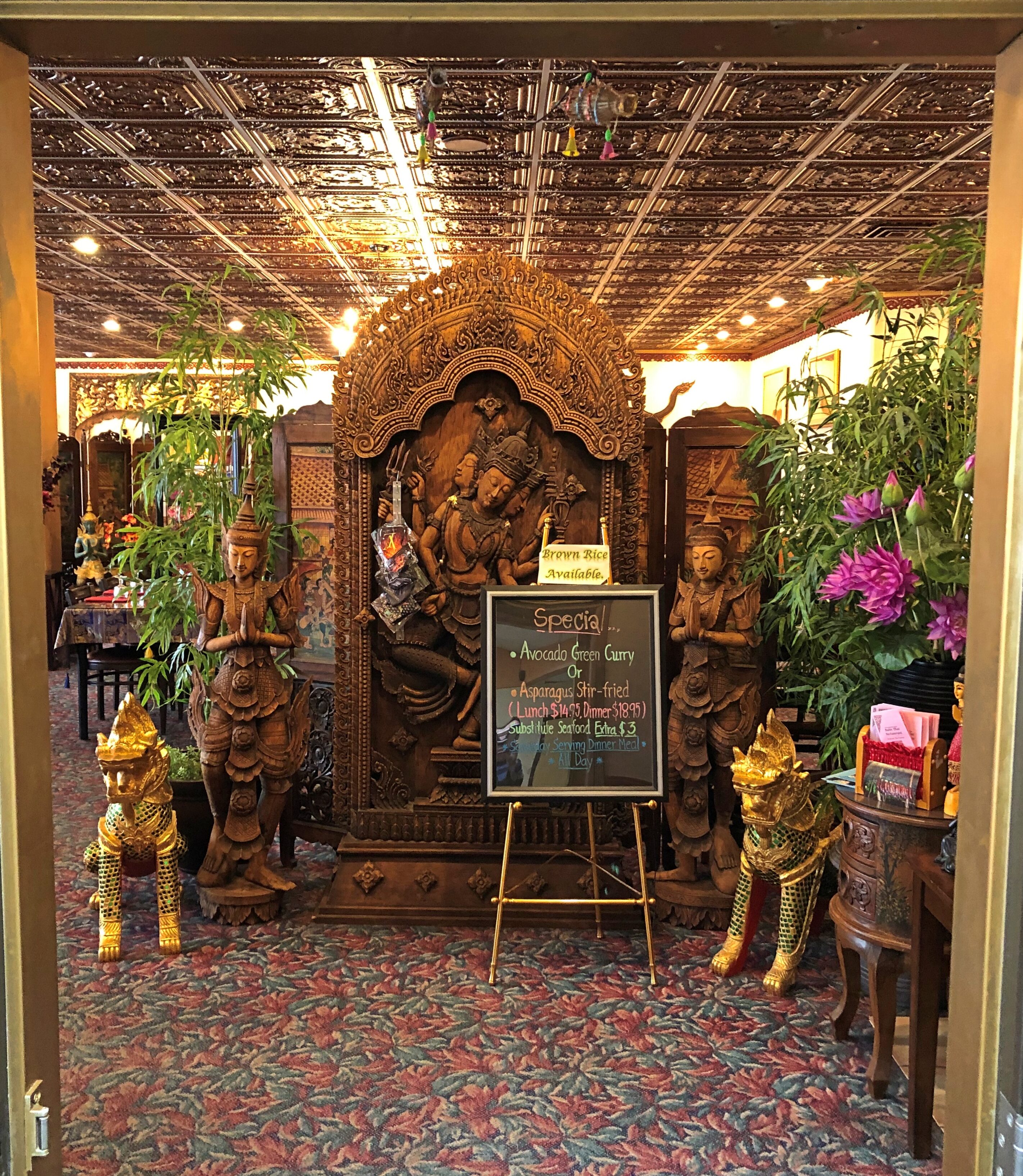
Bahn Thai. Had a good massaman curry.
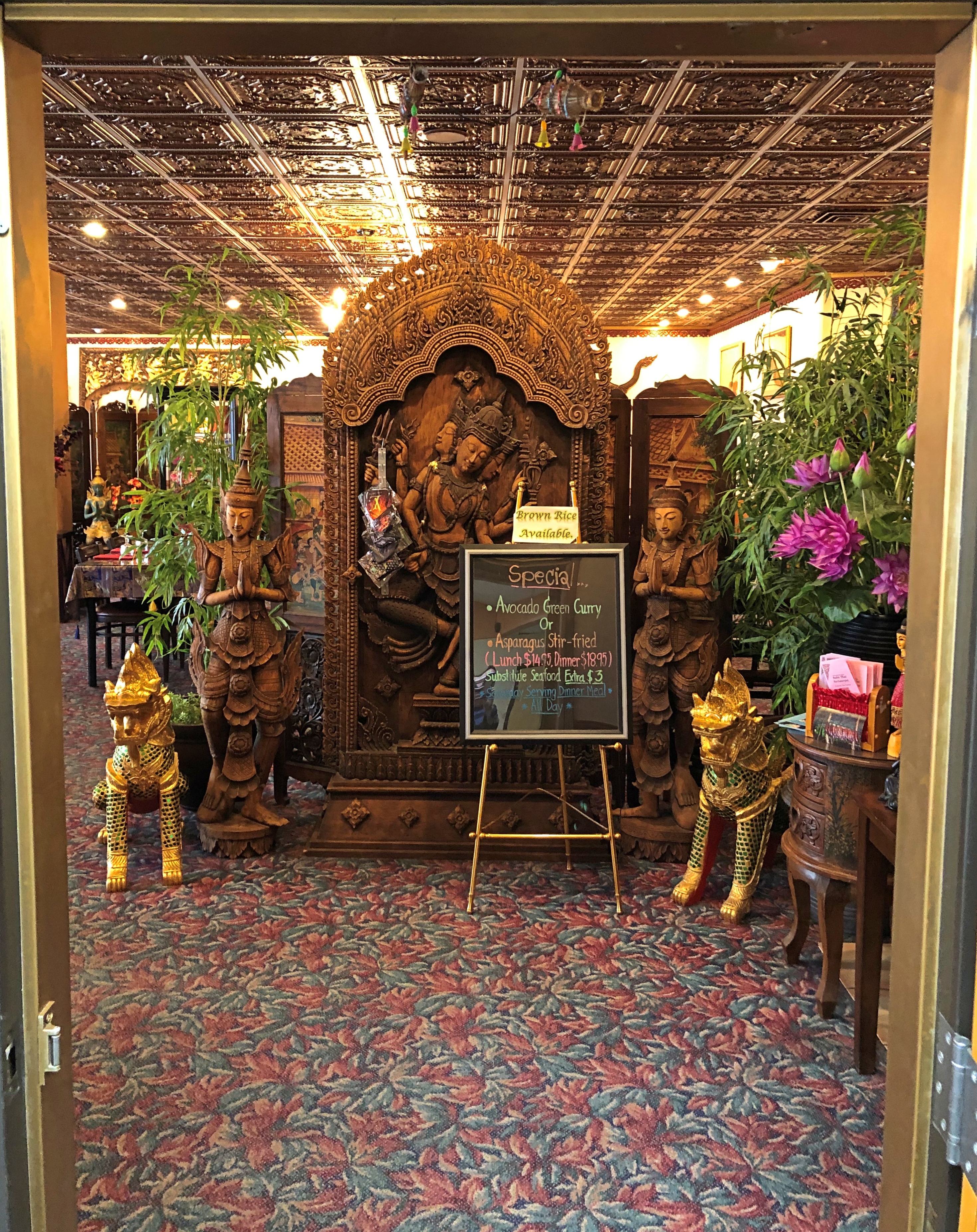
Another lunch place in Fairbanks.
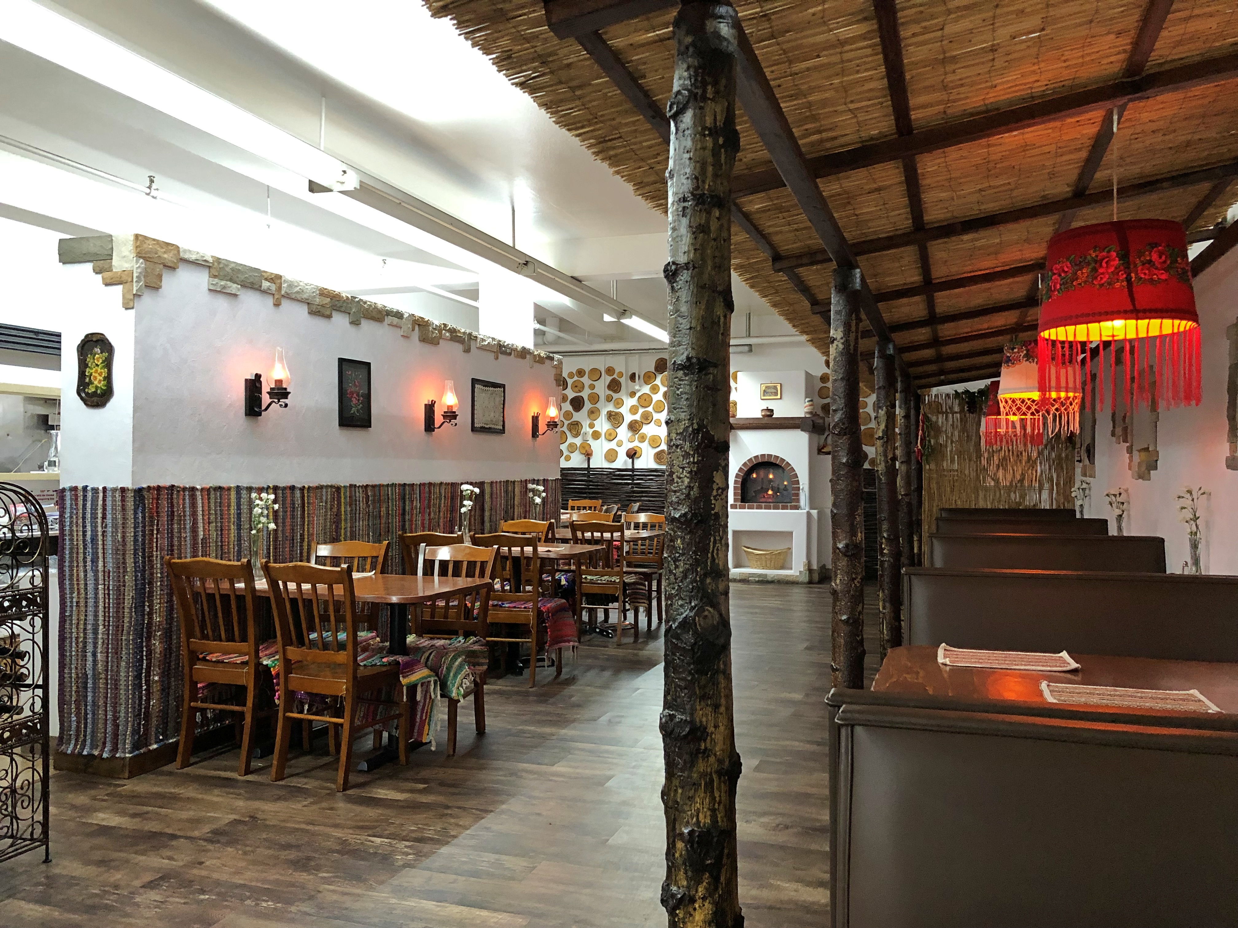
Soba. A Moldovan restaurant. That was the main reason I went. Glad I did, since the dumplings I had were wonderful, though massively filling. I asked the waitress, whose English I took to be Moldovan flavored, how she came to be in Fairbanks. She said she came with her husband and members of his family, which no doubt was true, but didn’t quite answer the question.
Speaking of immigrants to the Far North, this is the last place I had lunch in town, The Crepery.
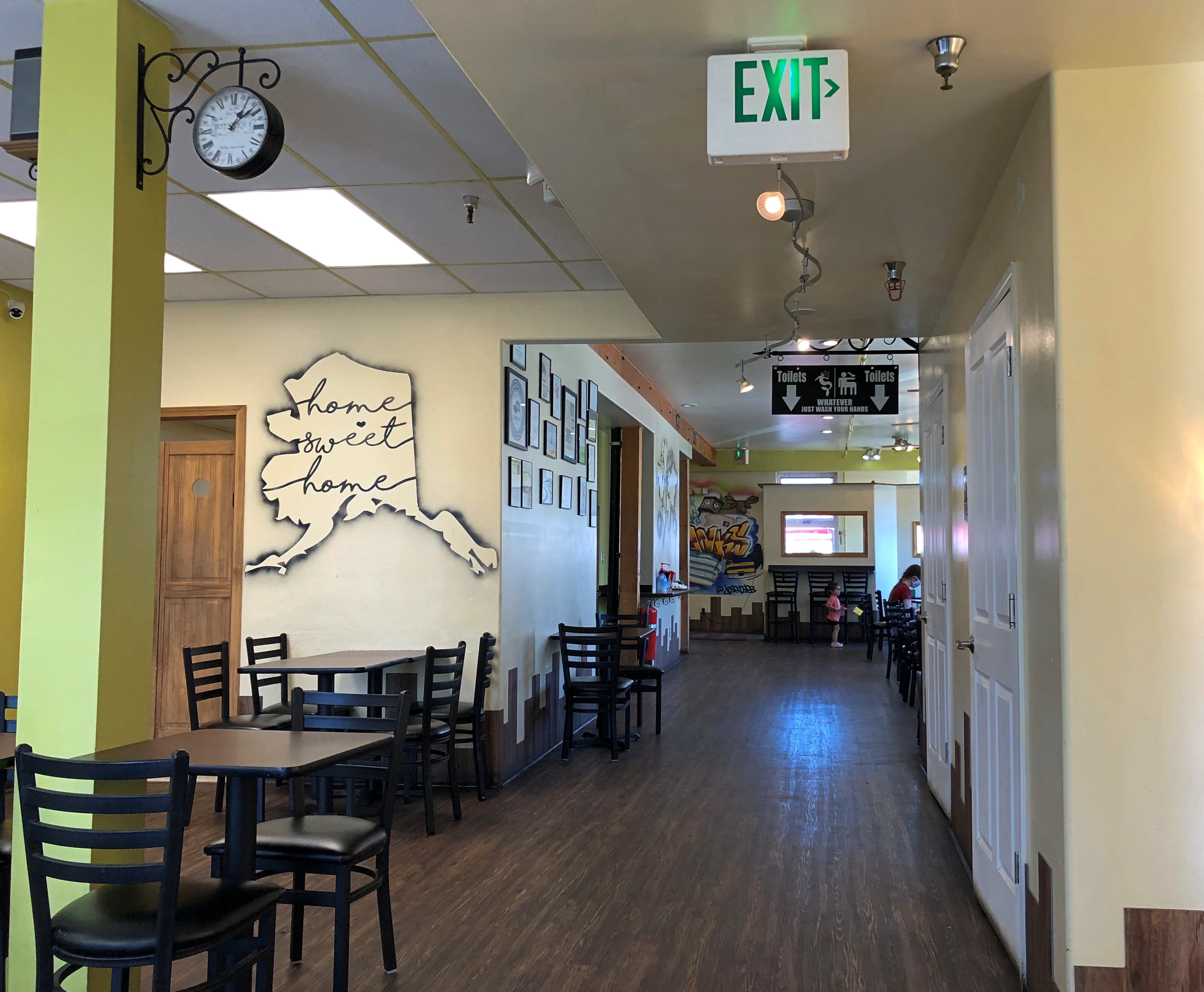
Had a delicious salmon crepe there. I sat way in the back, and instantly noticed a wall covered with photos of Sophia, Bulgaria. I asked the girl who brought me the order about that. The owner’s from Bulgaria, she said. People get around.
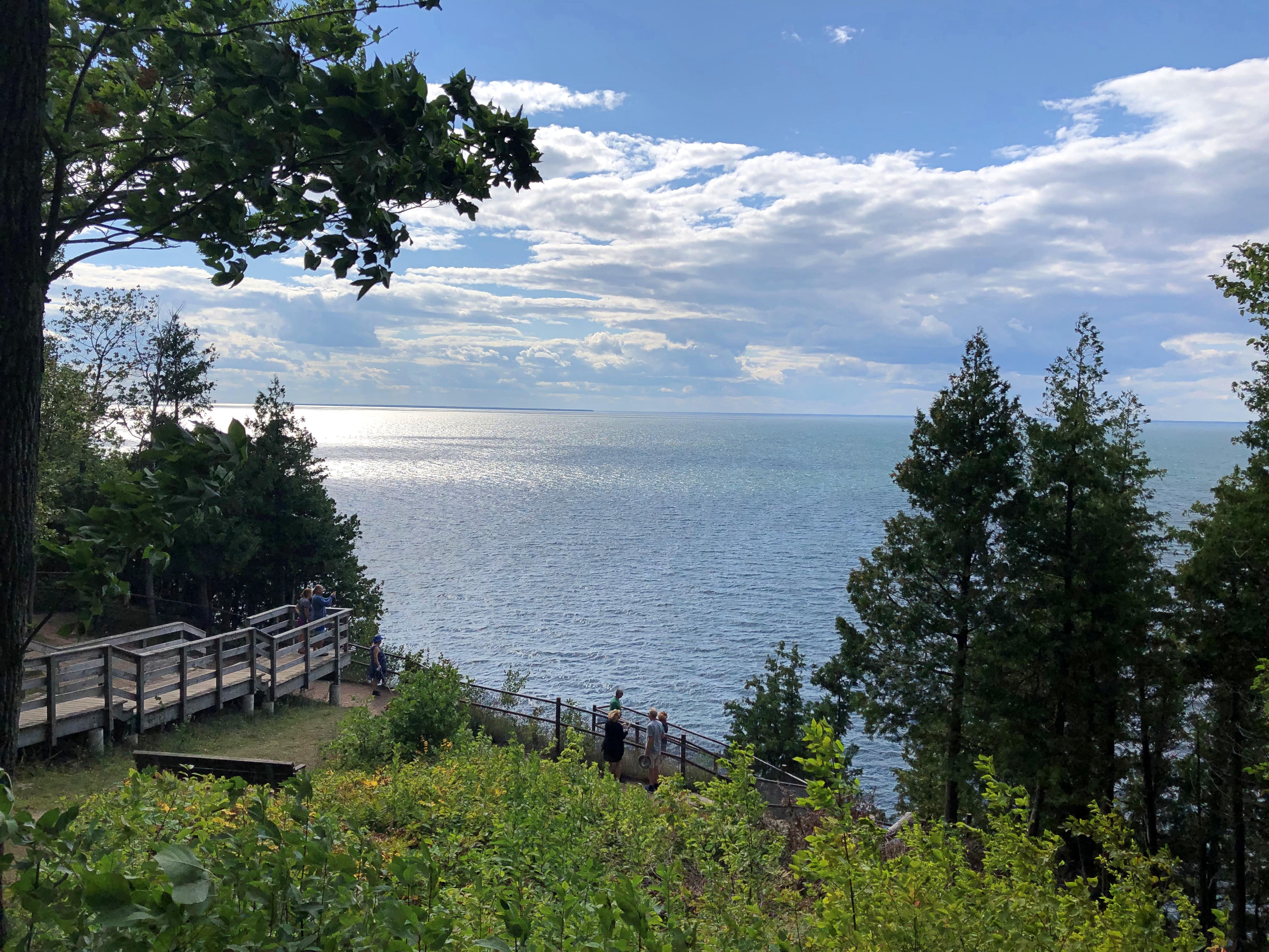
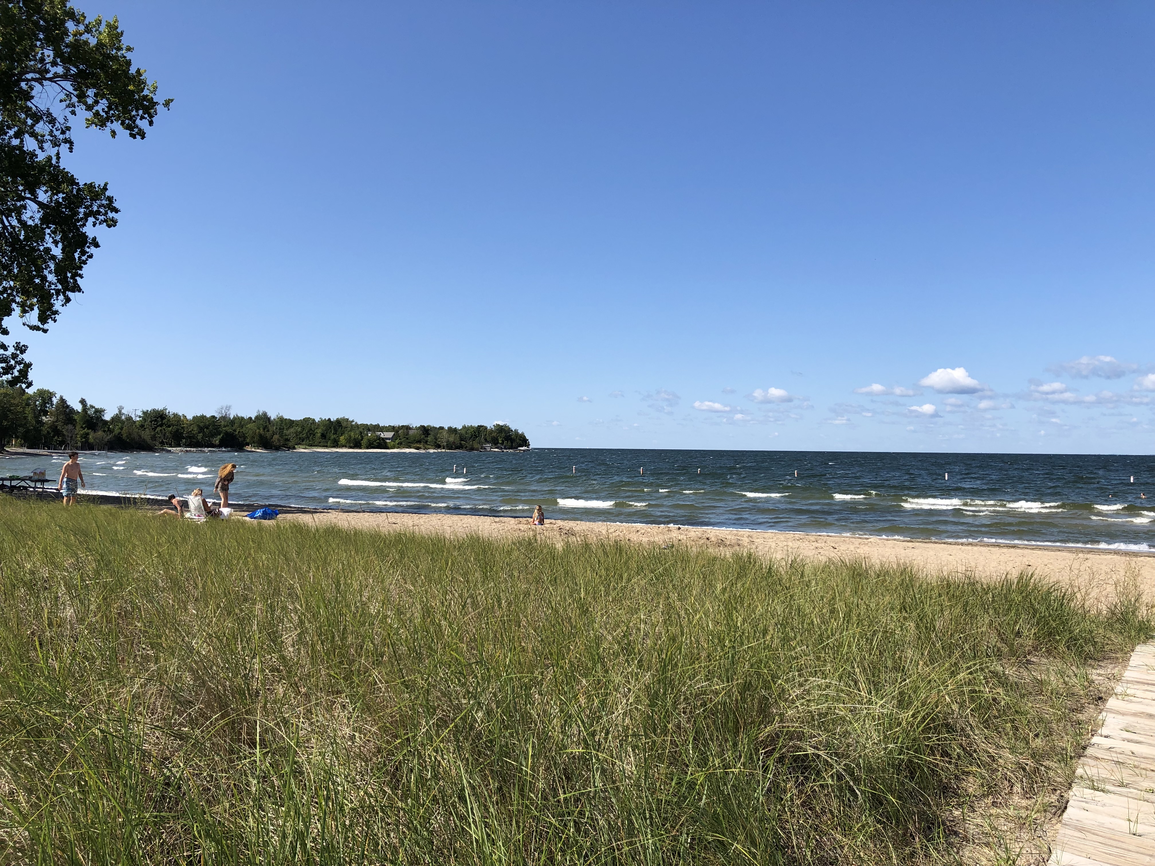
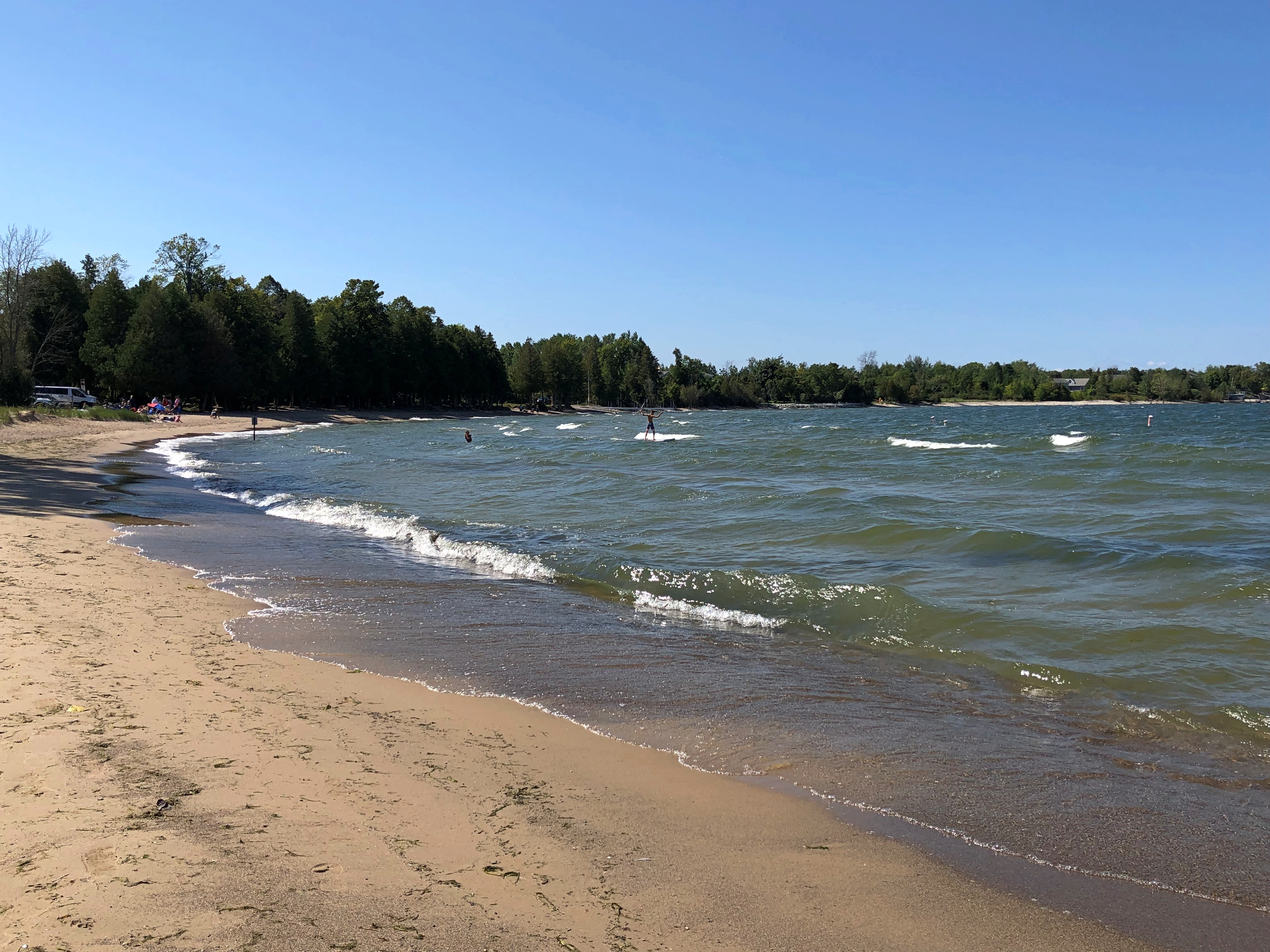
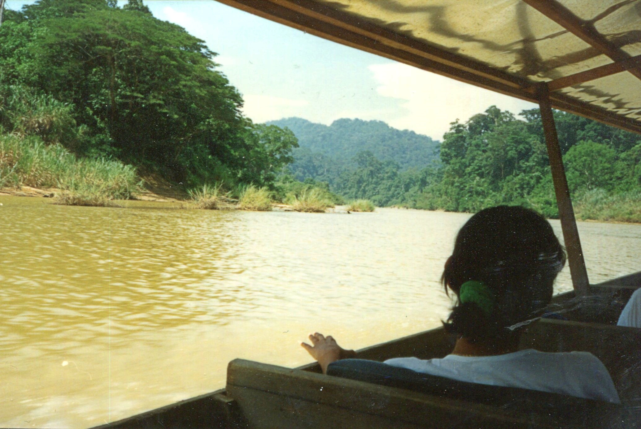
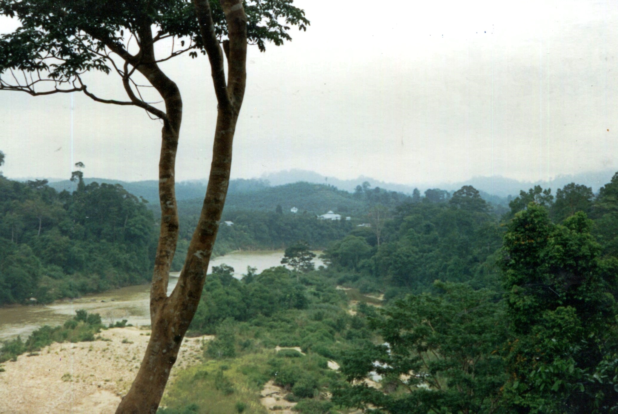
The Nenana River.
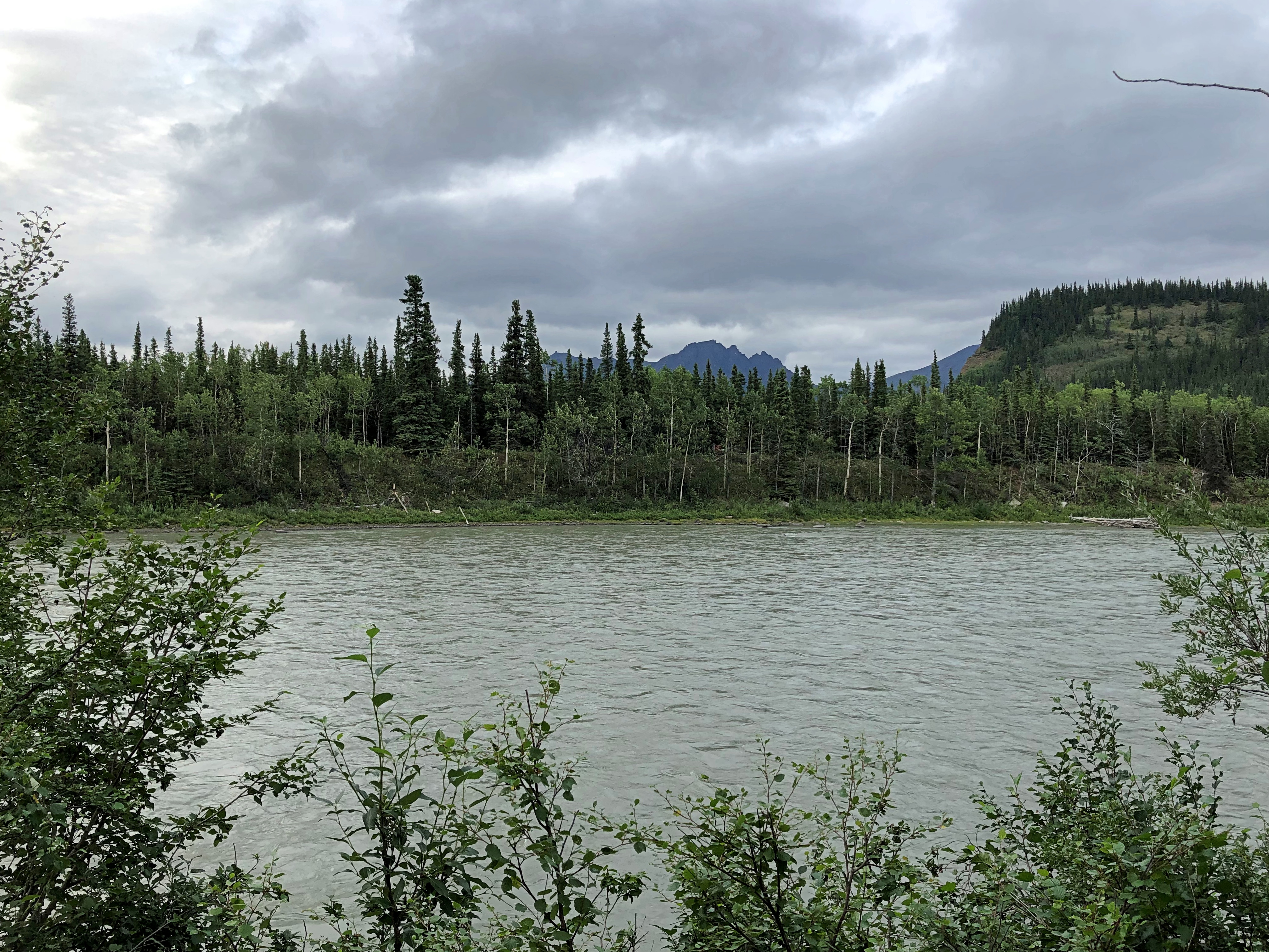
At this point, it forms one of the borders of Denali NP. I was on the non-park side, looking into the park.
As I was driving southward on the highway Alaska 3 after my stop in the town of Nenana, I passed by a military installation without noticing it. No signs point the way, and while the place isn’t precisely hidden, it is off the main road. It’s the Clear Space Force Station.

Not only that, the facility only recently became part of the Space Force.
“Clear Air Force Station, a remote military installation outside of Fairbanks, Alaska, was officially renamed from Clear Air Force Station to Clear Space Force Station during a ceremony on June 15, 2021,” the Air Force reports.
“Clear will continue to serve as home to Arctic Airmen and Guardians assigned to the 13th and 213th Space Warning Squadrons, providing 24/7 missile warning, missile defense, and space domain awareness…
“The history and mission of the base began in 1958 when the U. S. Air Force acquired the site to set up a Ballistic Missile Early Warning Systems and became fully operational in November of 1961 as the second detachment of the 71st Missile Warning Wing. The detachment became the 13th Missile Warning Squadron in January 1967. The unit was re-designated as the 13th Space Warning Squadron and reassigned under the 21st Space Wing at Peterson Air Force Base, Colorado.”
With any luck, the nation will endure, its current political dyspepsia forgotten, and in 100 years the only thing people will remember about the Trump administration is that it founded the Space Force. That might be more important than we can know.
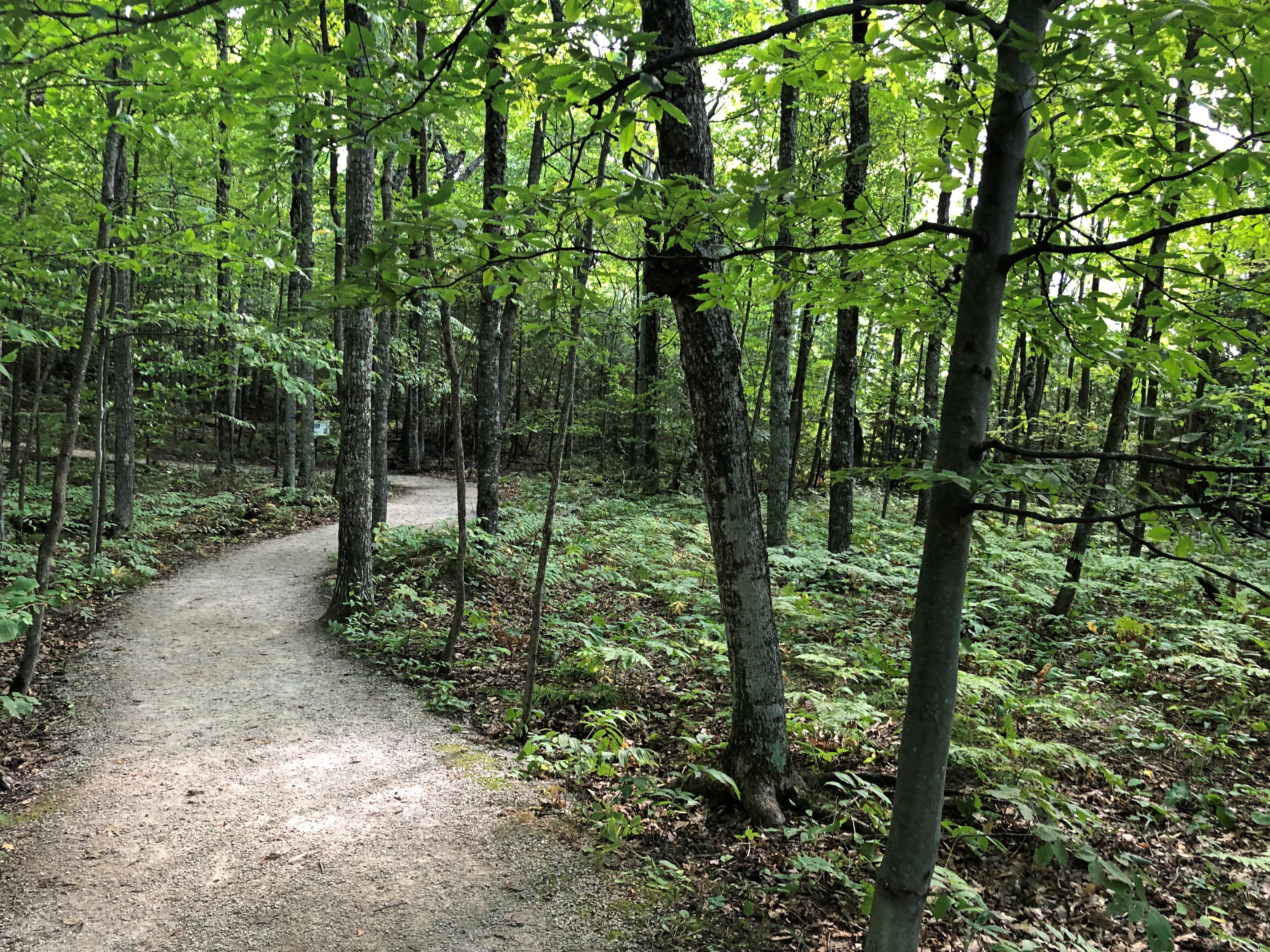
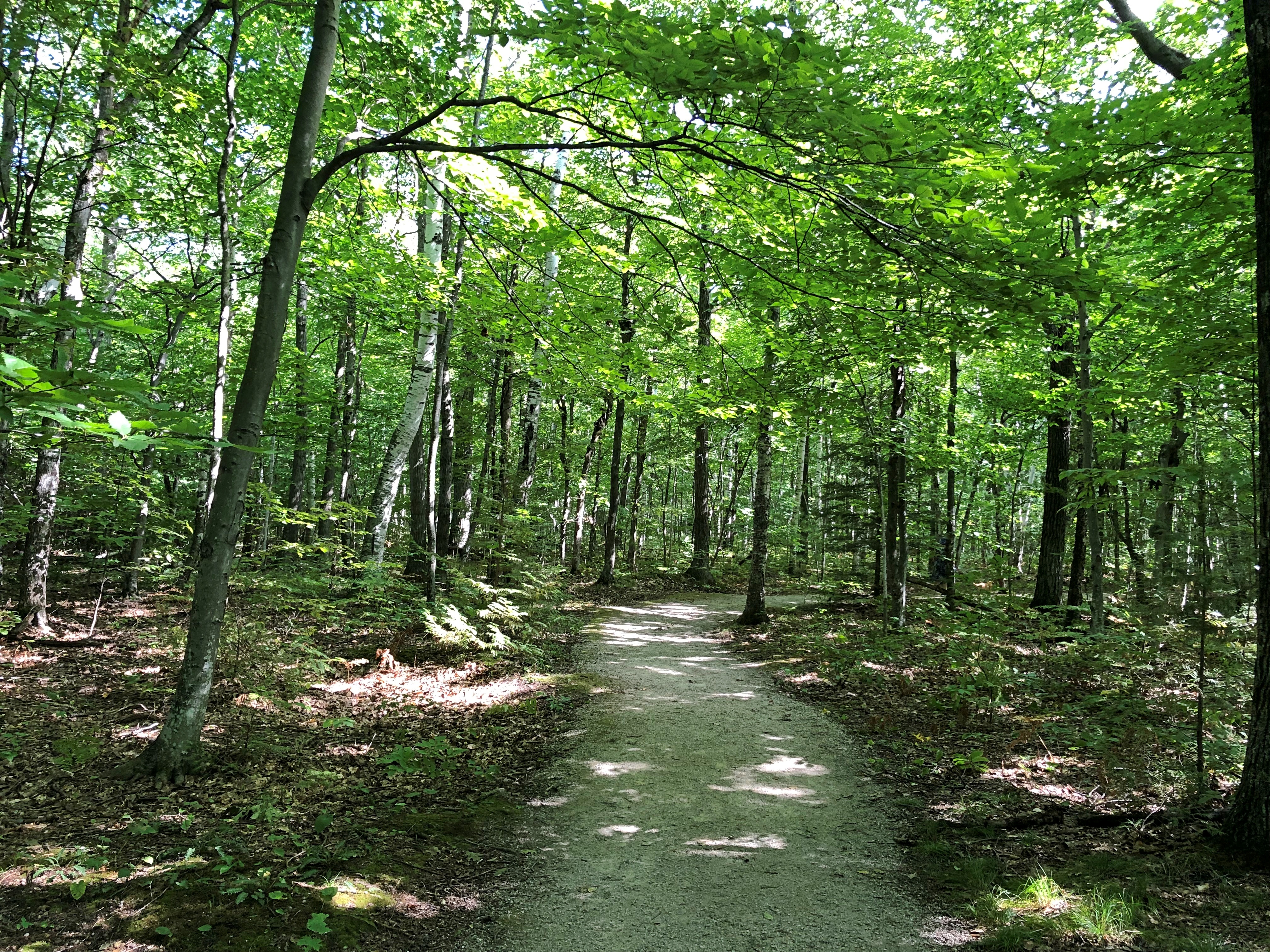
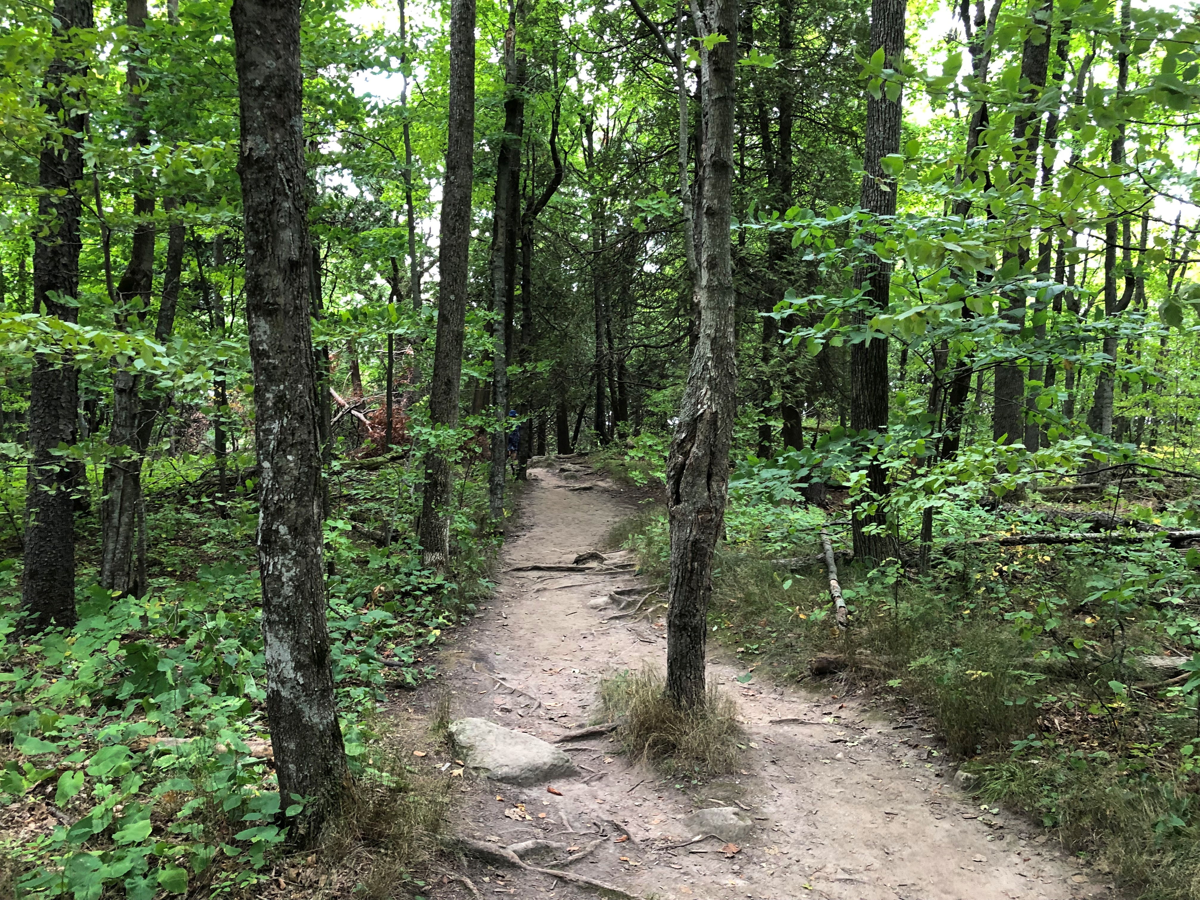
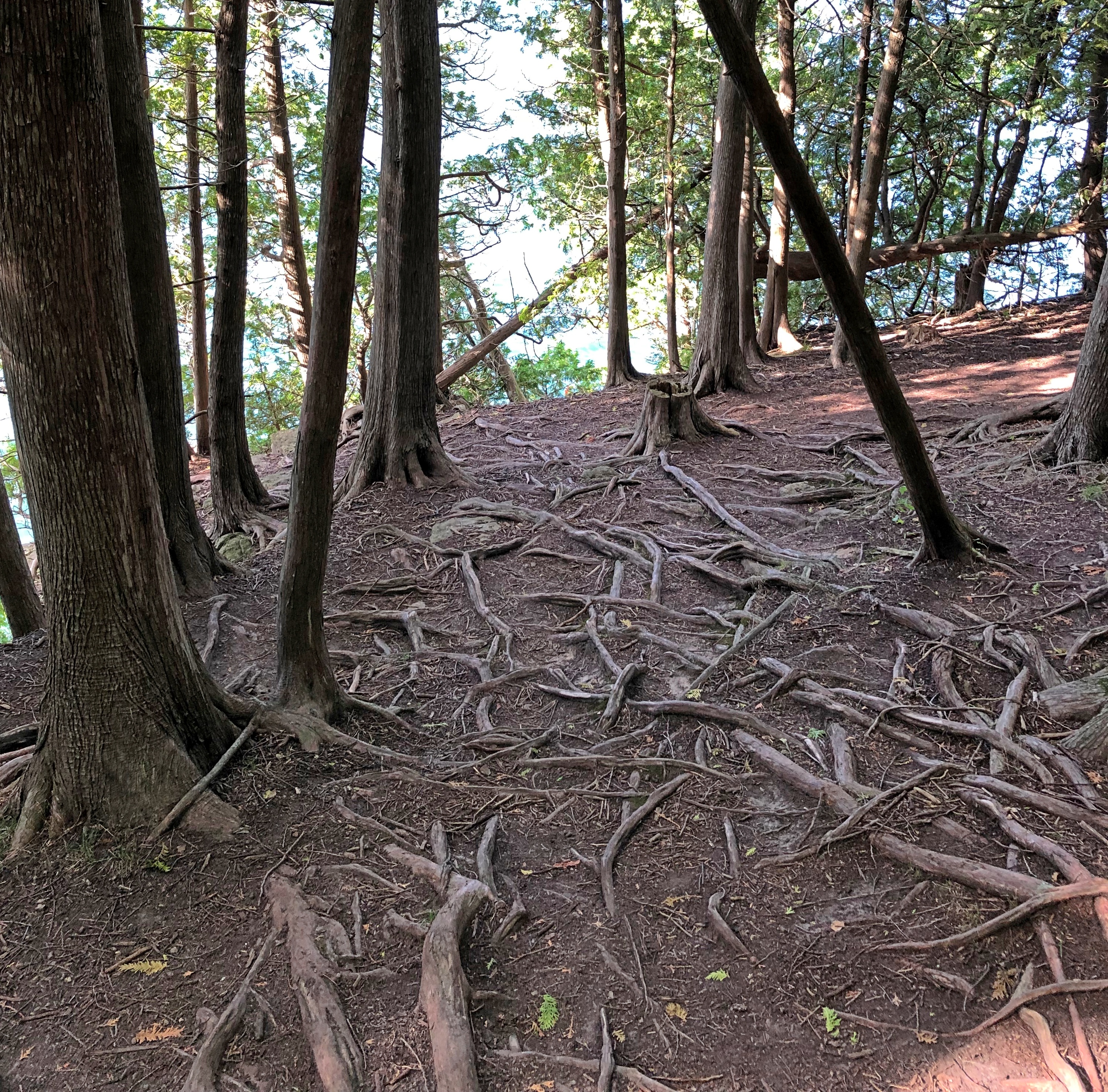
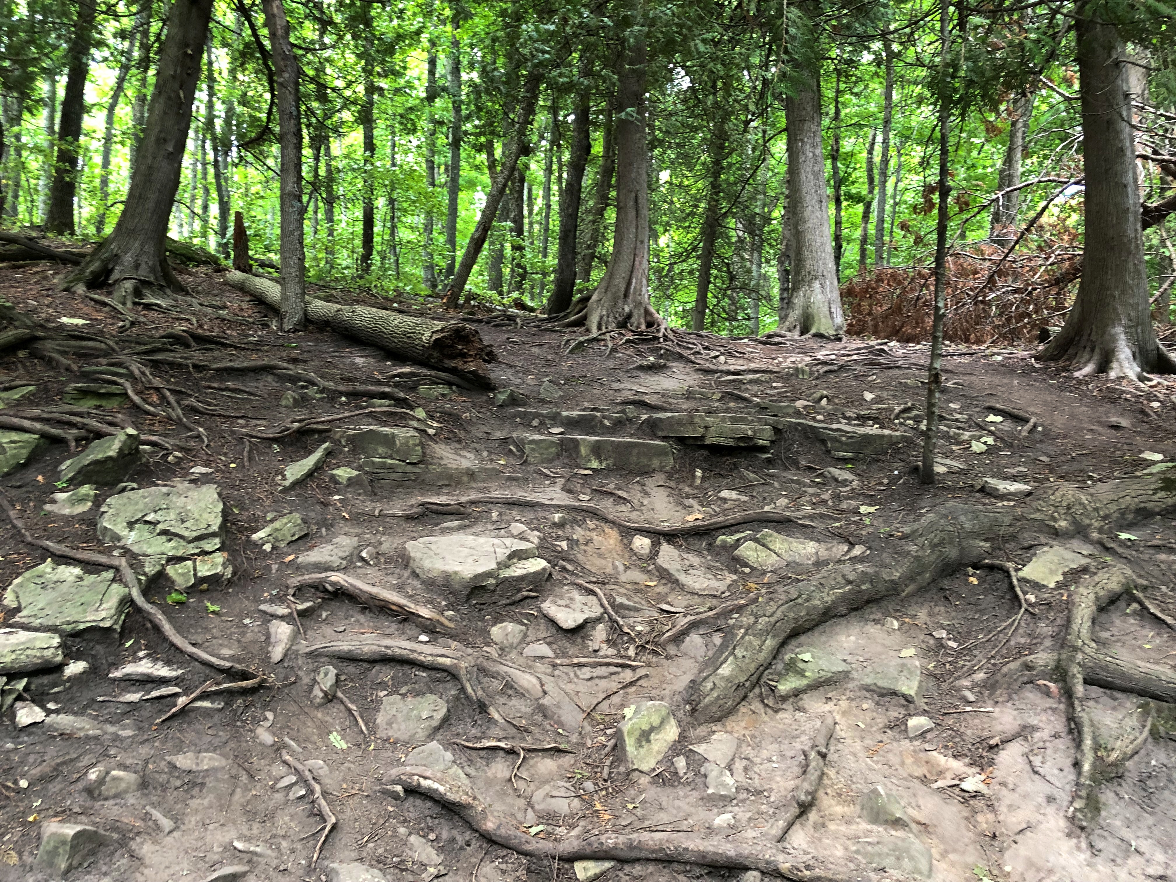
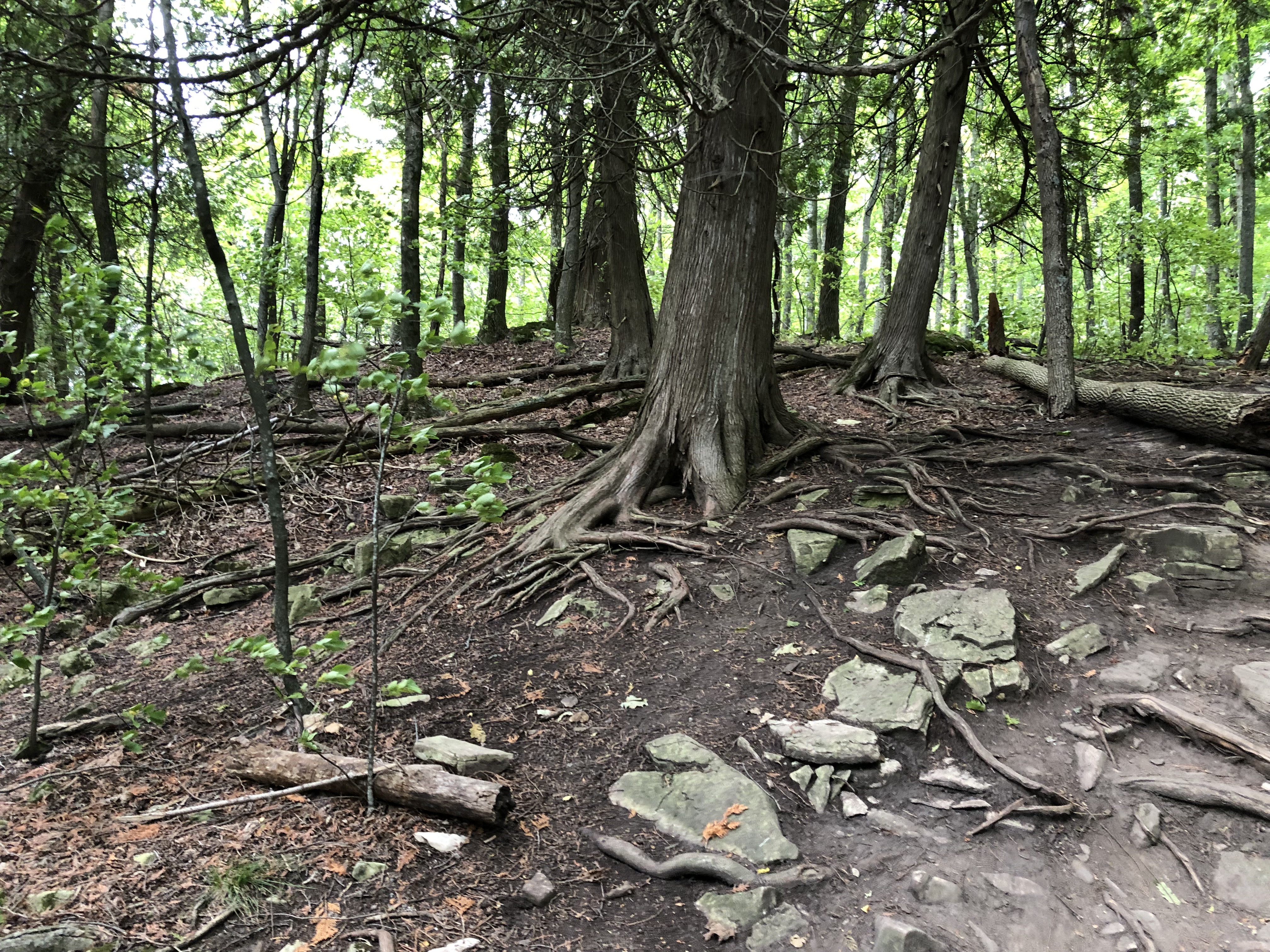
On my last day in Fairbanks, I took a walk along some of the trails at Creamer’s Field Migratory Waterfowl Refuge, on the outskirts of town. Formerly a diary farm with a lot of surplus land, the place is now devoted to keeping birds happy and providing a place for people like me to walk.
There are buildings.
But mostly it’s undeveloped, except for the trails themselves.
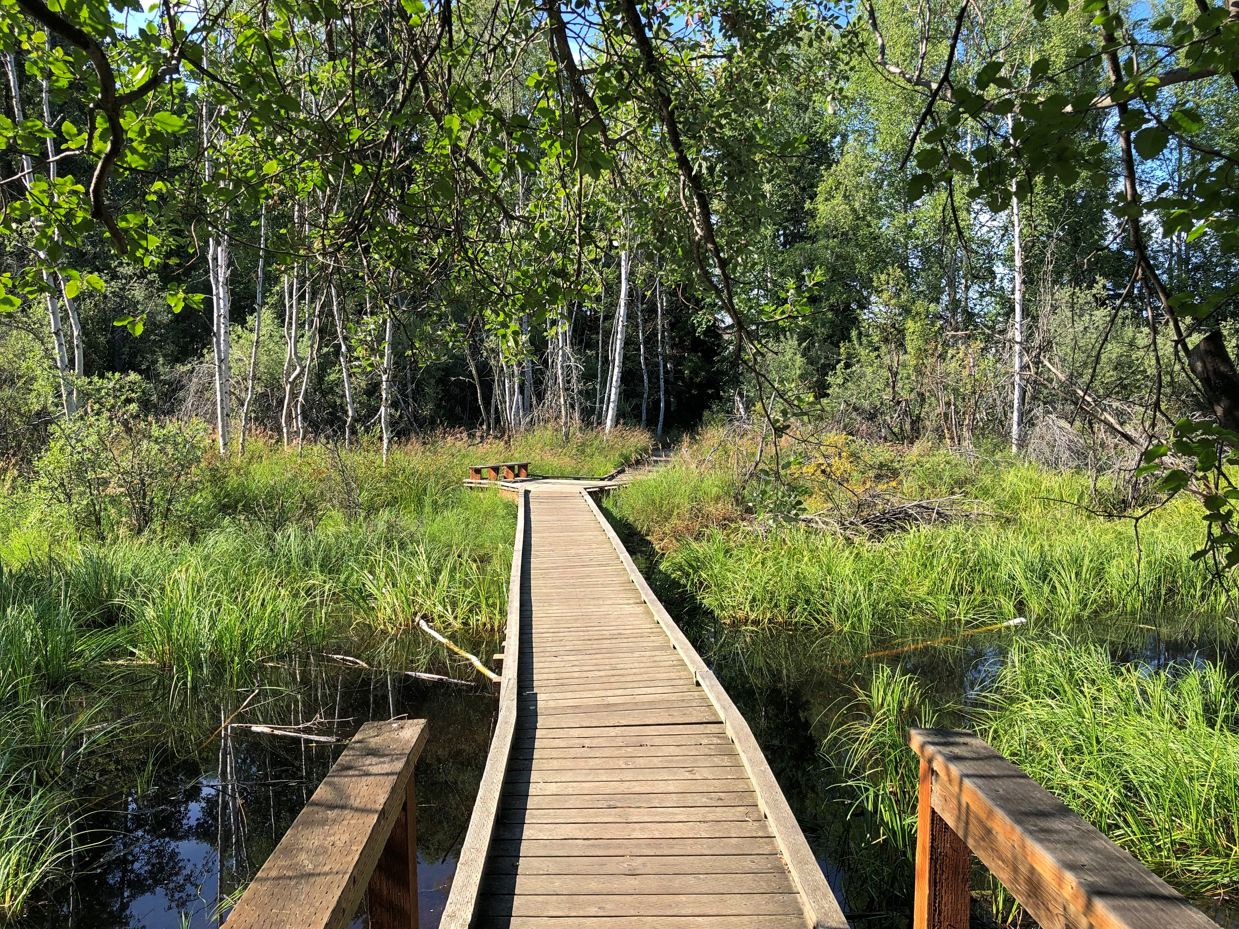
Revealing scenes like this.

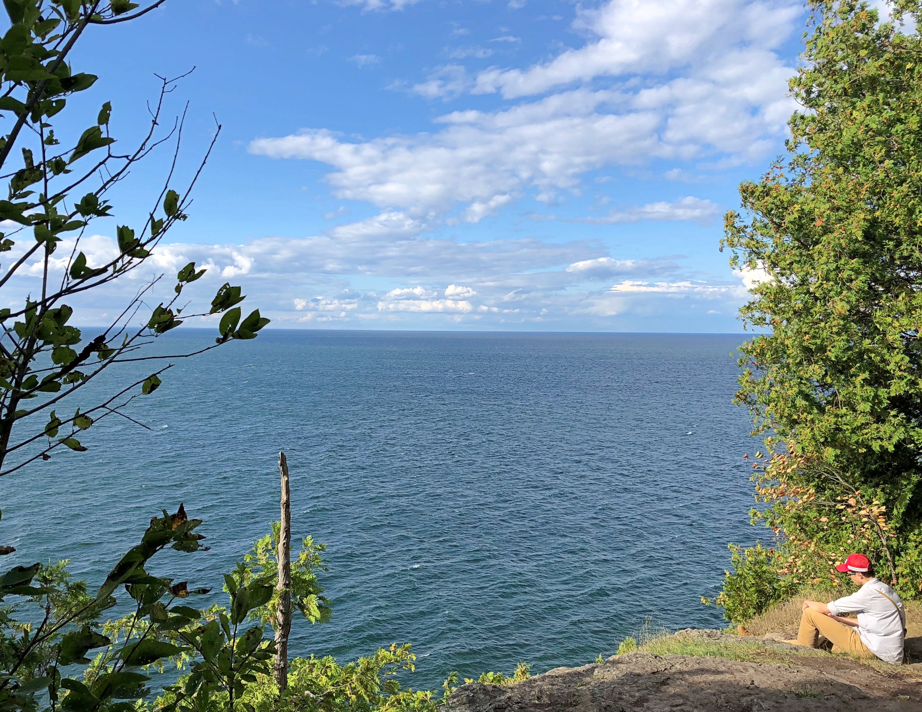
Looks remote, no? I parked my car only about 20 minutes’ walk away, so the place is close to the infrastructure of Fairbanks. Then again, Fairbanks is a manmade place surrounded by wilderness, so what I drove and then walked to was merely the leading edge of something vast.
One more thing.
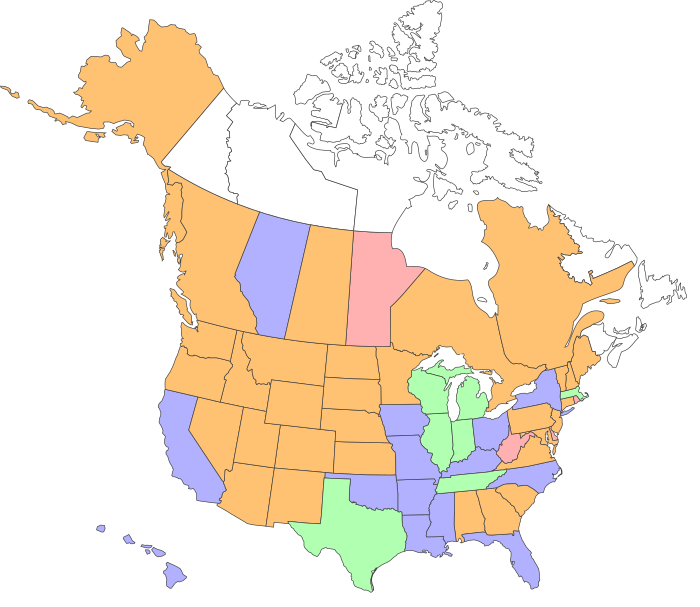
Alaska makes 50.


