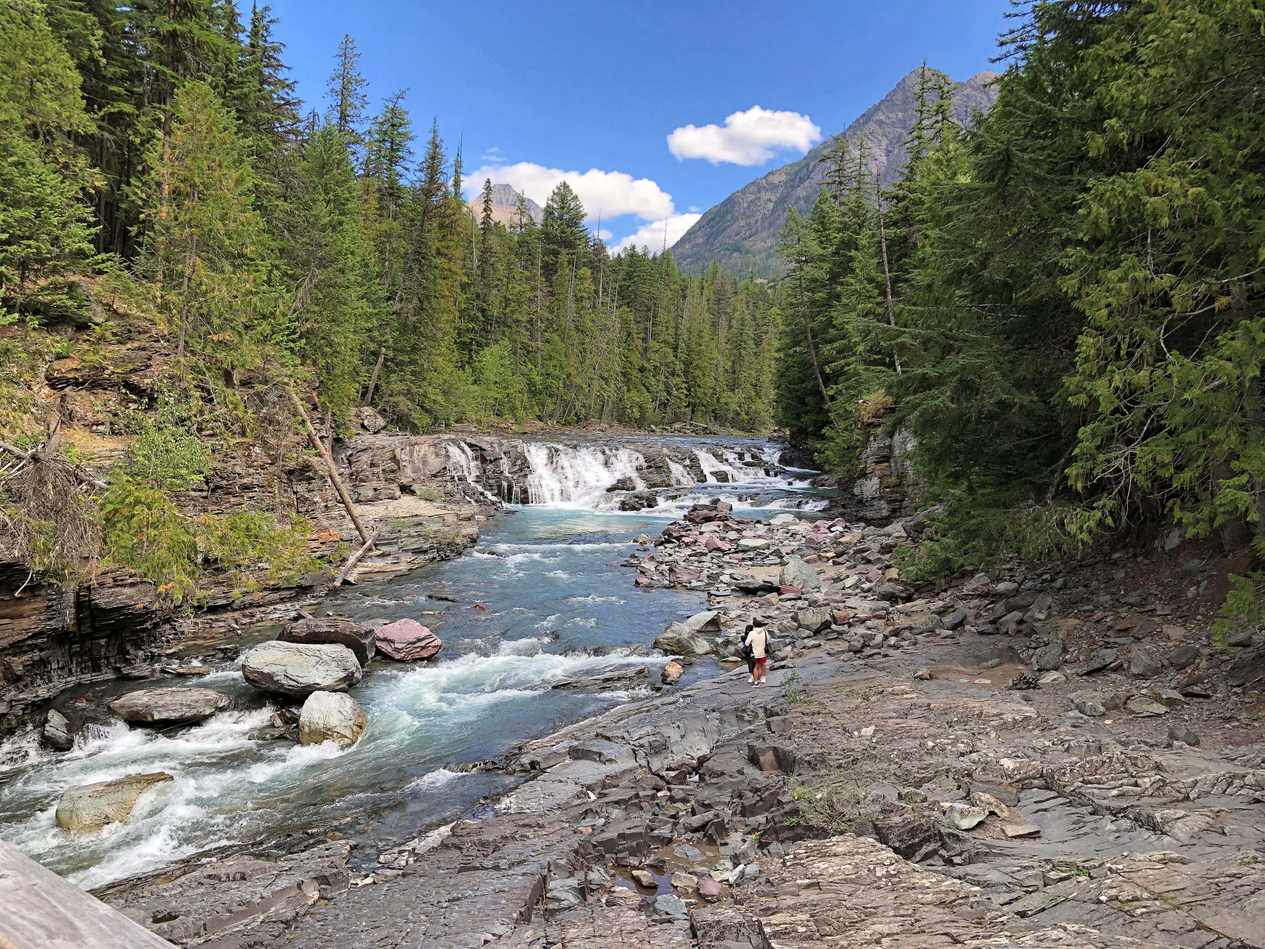
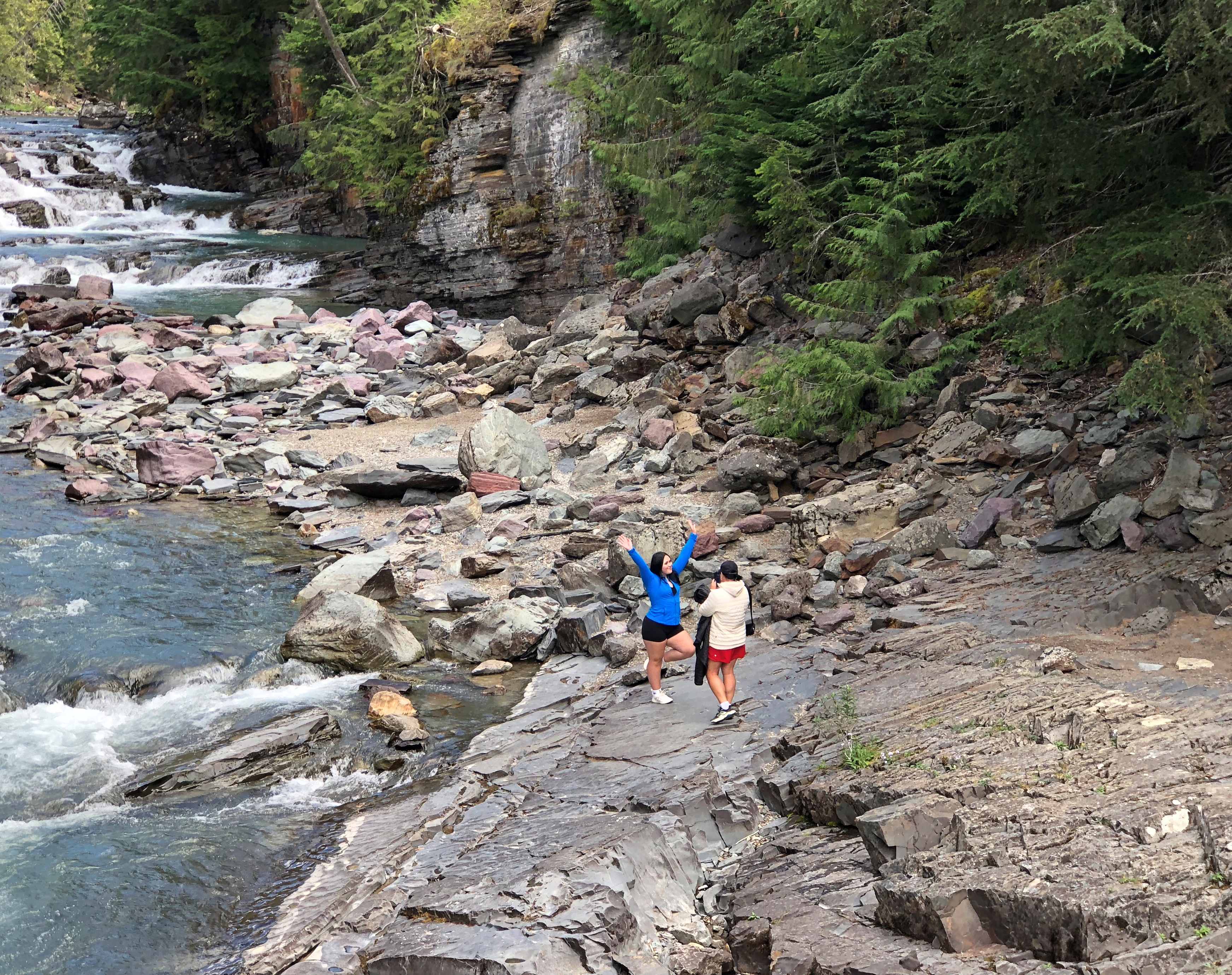
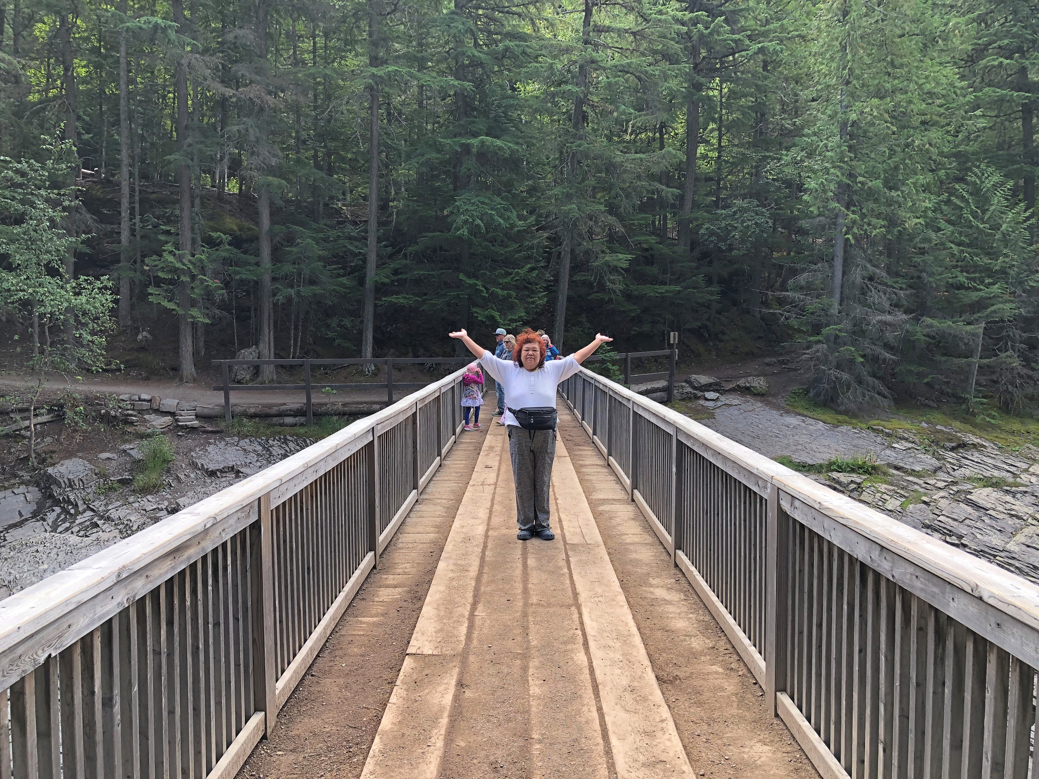
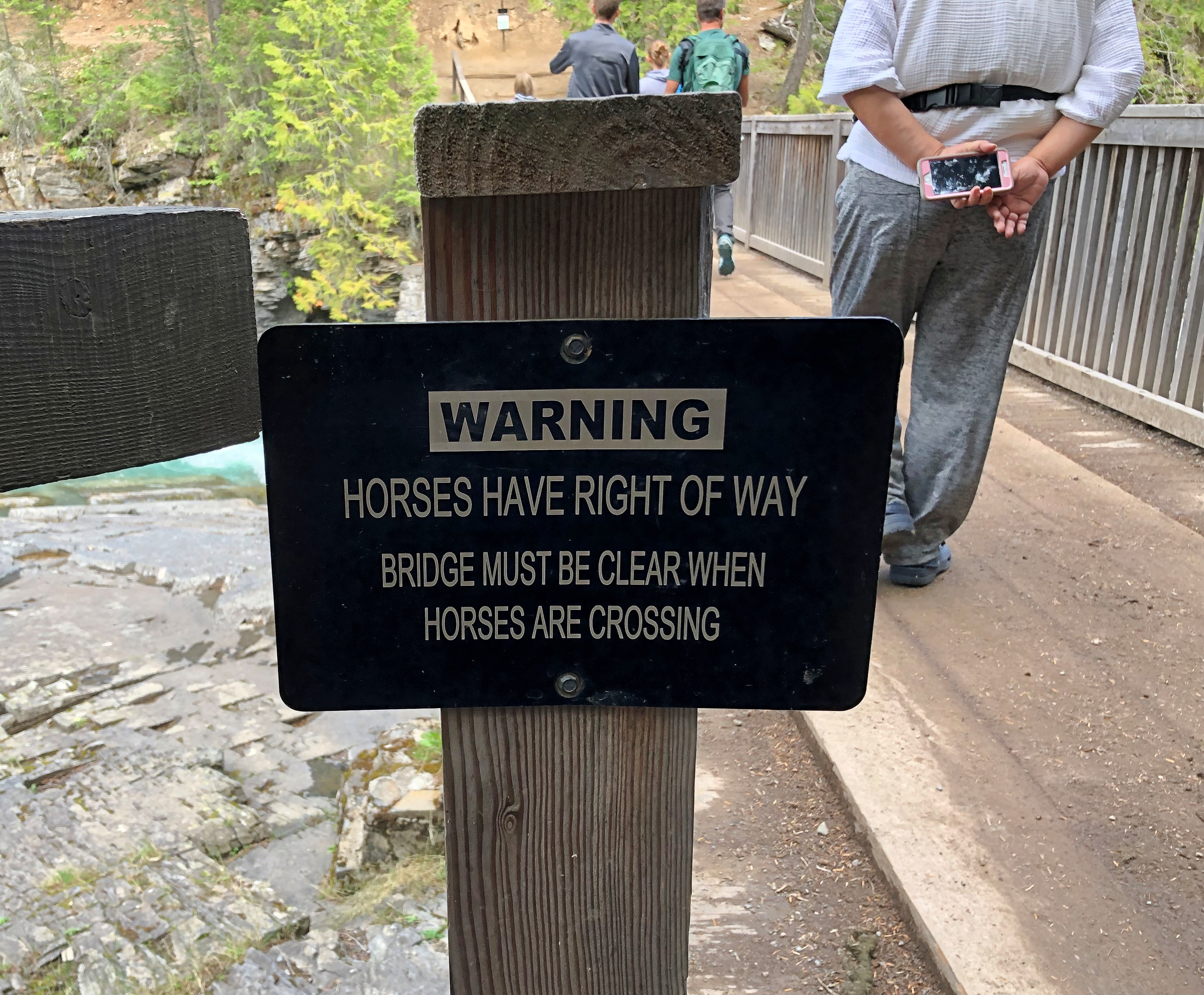
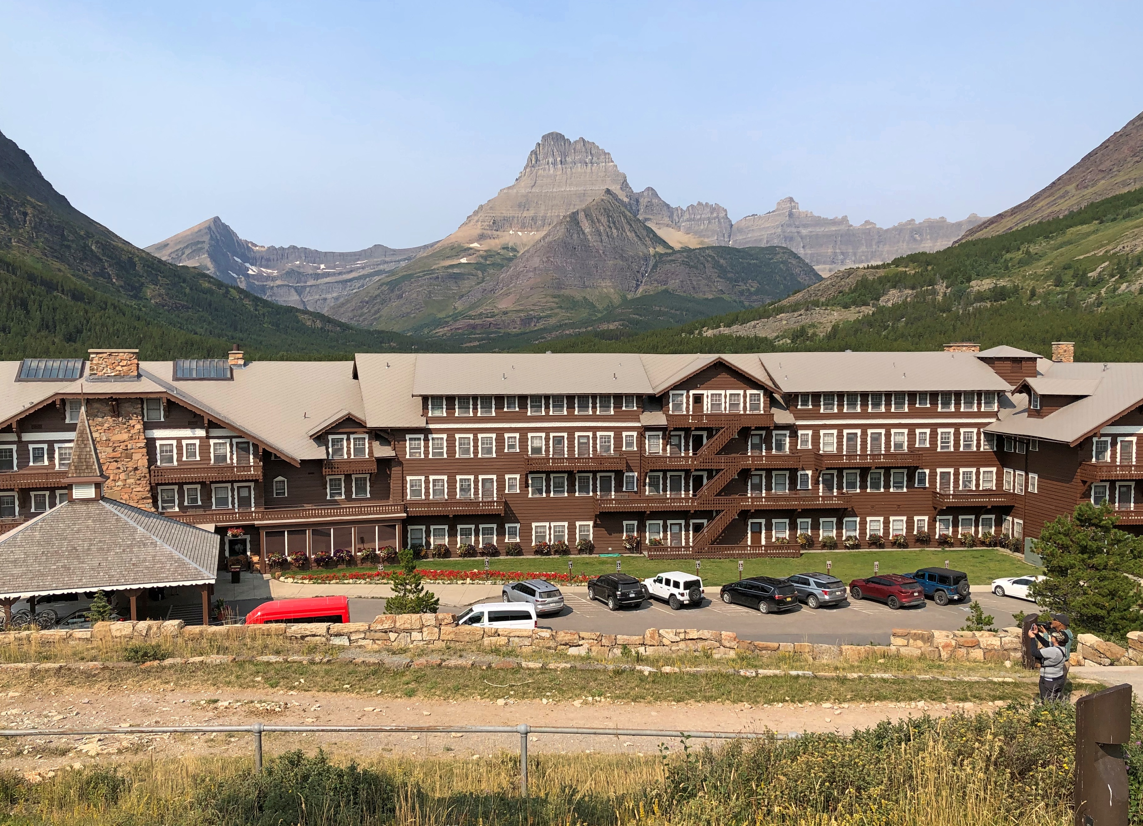
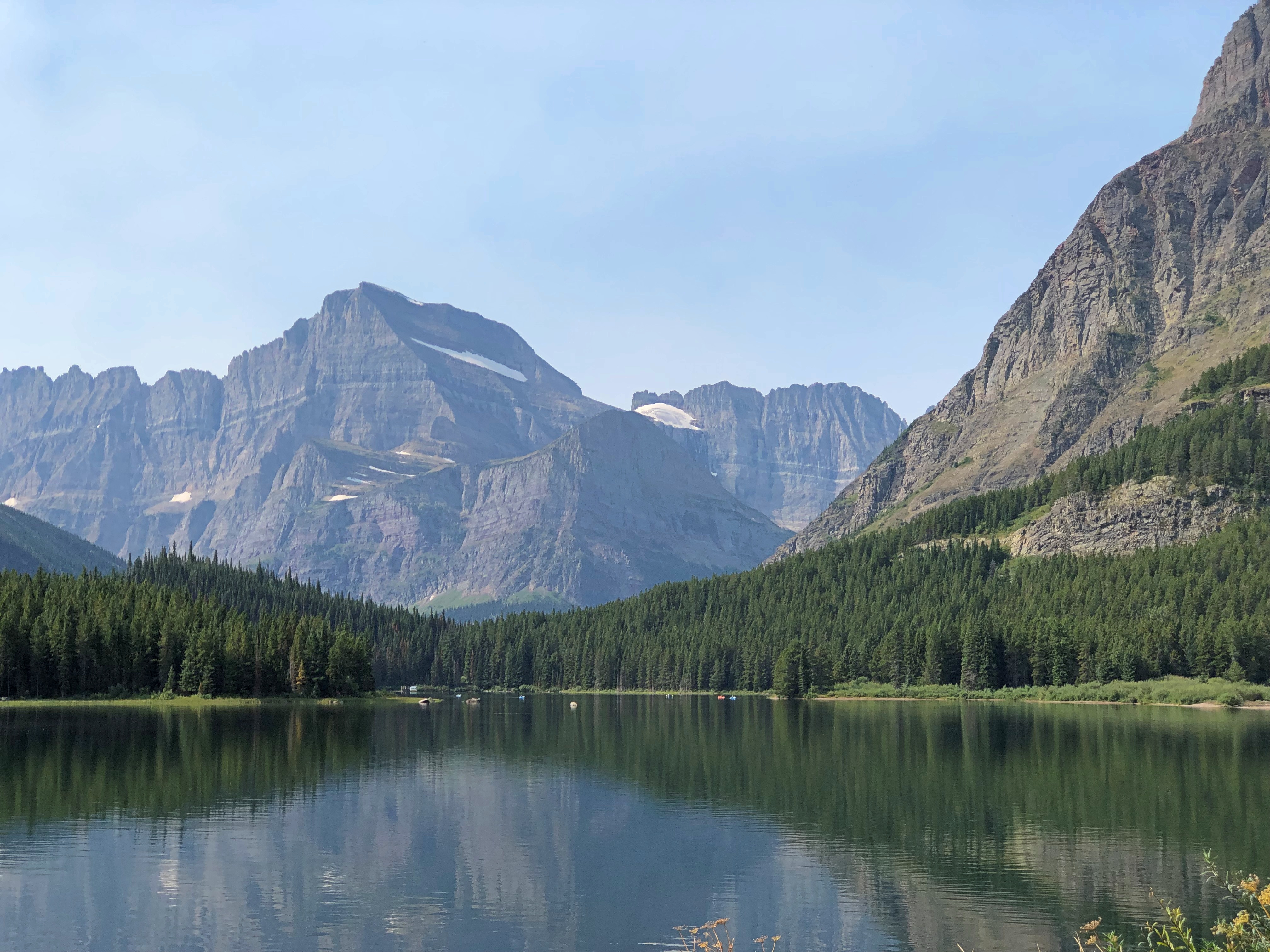
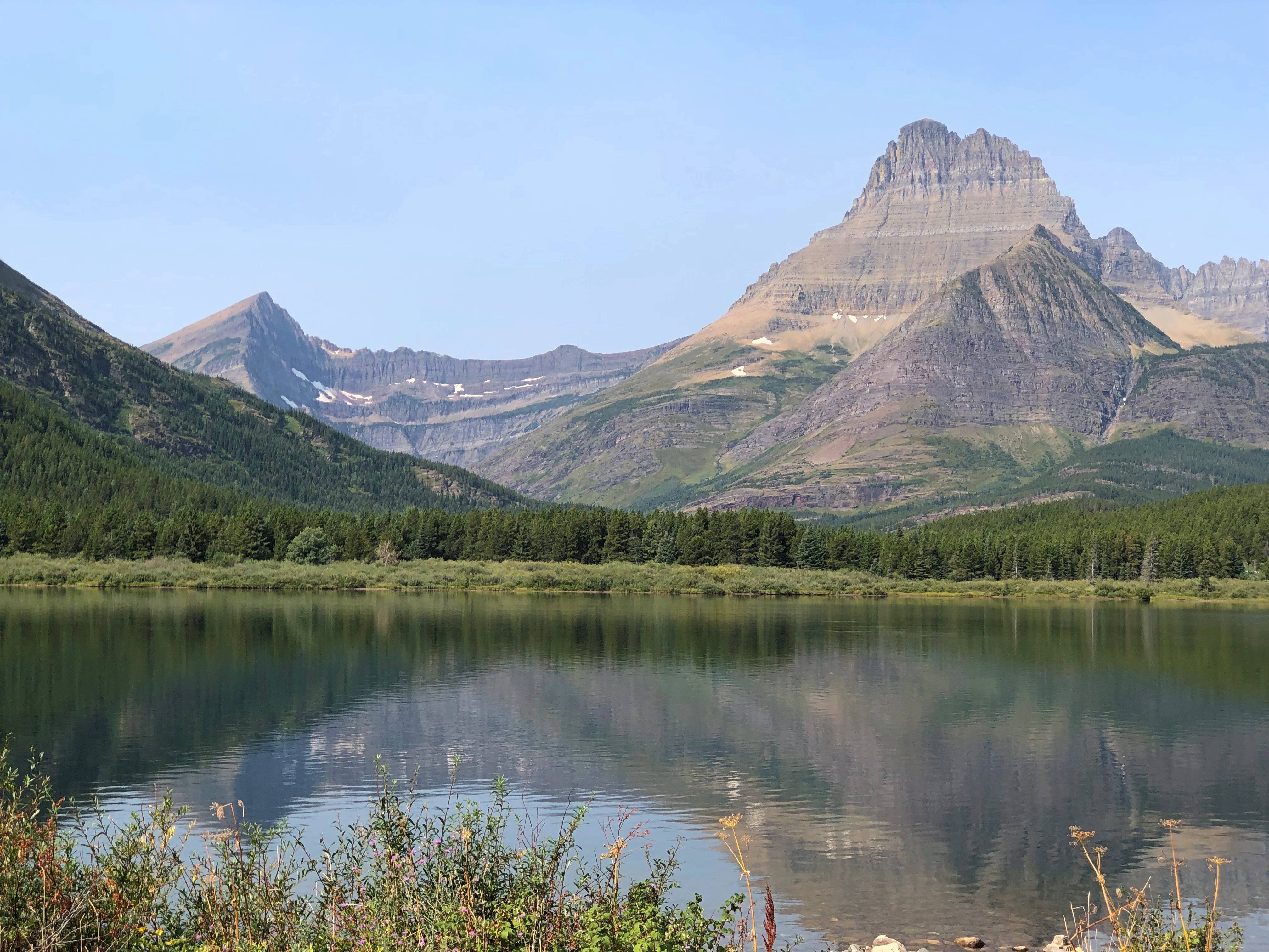
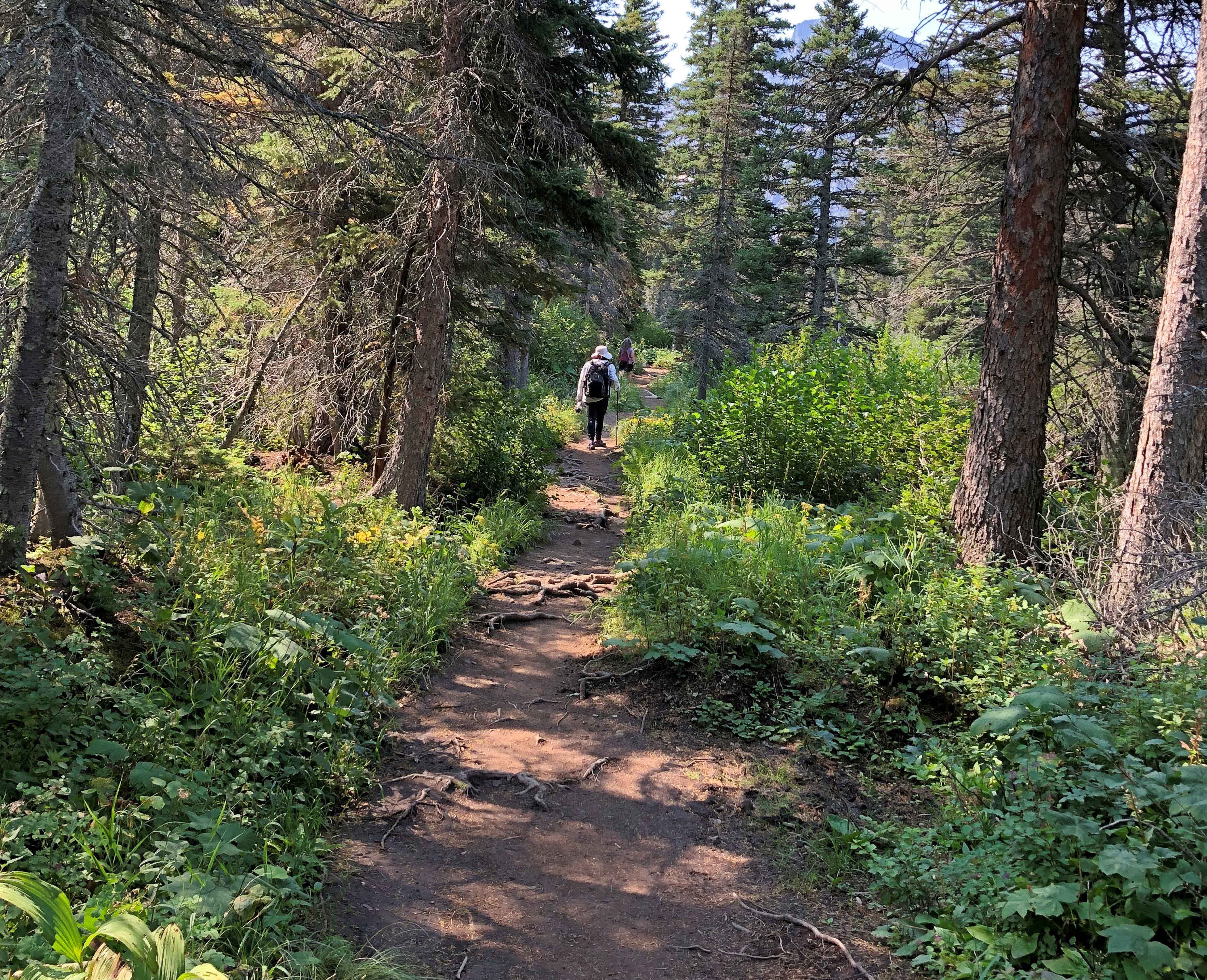
Other Sweet Drives, Part 1

Our trip to the West wasn’t just about driving. But it’s the West, after all. Driving was the keystone of the trip, and sometimes the icing on the cake.

North from Helena, Montana on US 287 & US 89

Helena, Montana, and its surprising charms fade pretty quickly into scrubby, arid high hills north of town on I-15. That day, August 22, was bright as summer, but not blazing hot. That Interstate will take you to the Montana towns of Great Falls and Shelby, and on to one of those border posts with Canada that closes for the night after 10 pm.

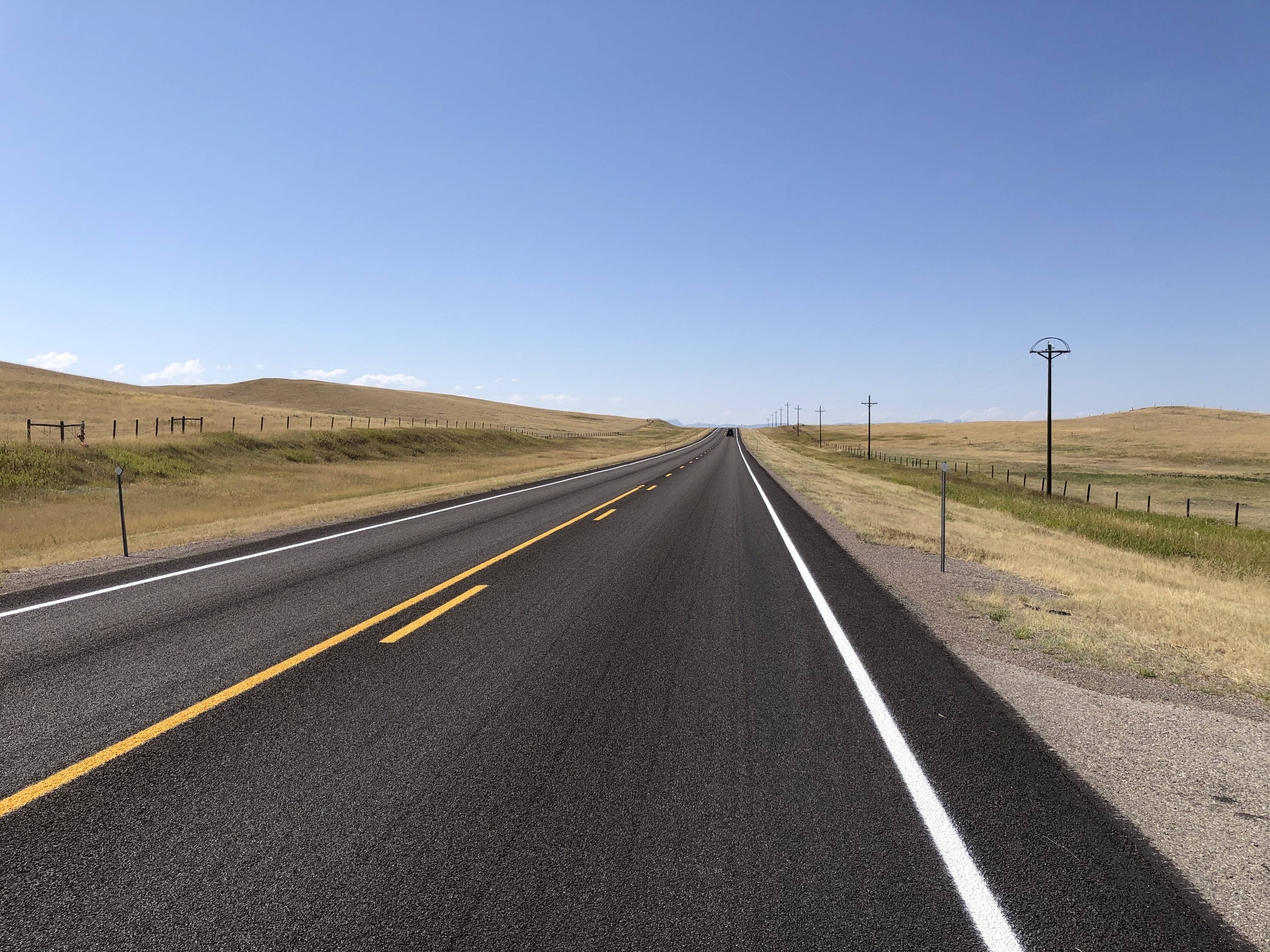
We weren’t going there. Destination: a campground just outside the east entrance of Glacier National Park. So soon we left the Interstate for US 287, a main road through Lewis and Clark County and then Teton County, and which passed through the most golden brown territory I’ve ever seen.

Many signs were up in Montana and Wyoming warning one and all about the extreme dryness and the high risk of wild fire, and I believed them. Still, no roads were closed, so we went on. We drove past a lot dry grasslands, much of which was probably for grass crops, just a cigarette flicked out of a pickup away from a dangerous inferno. But a what a great color.North of Helena

That the photos barely capture.North of Helena

US 287 ends at the Teton county seat, Choteau, from which you take US 89 north. The dry grasslands continued, looking less like cropland, so dry even cattle are scarce.North of Helena

A steppe, yes?North of Helena

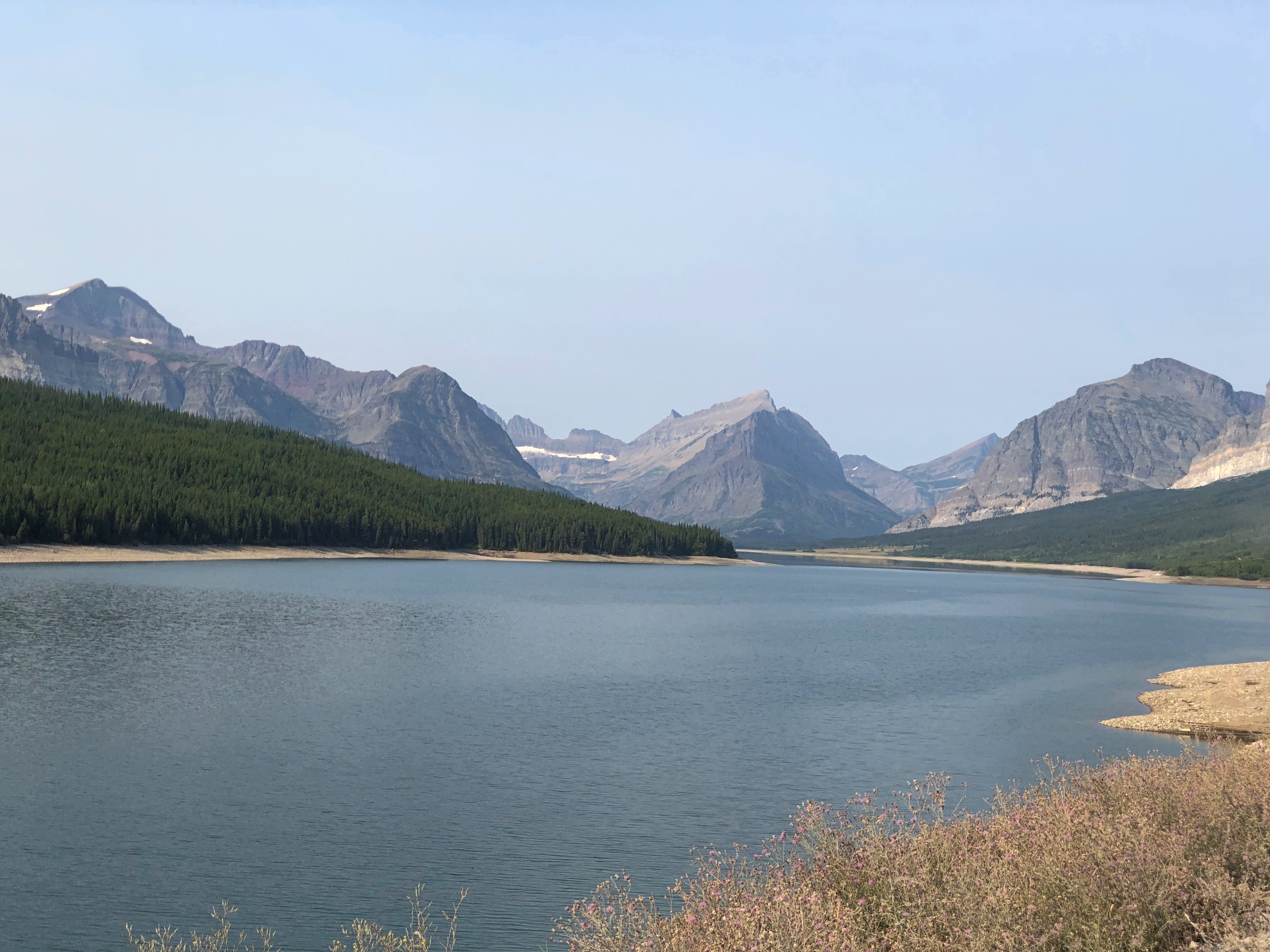
Yes. But with mountains growing larger, off to the west, the further north we went. Off in that direction, that is, west – was the beginning of the Mountain West, the foothills and low ranges marking the beginning of the Rockies. By the time we got to St. Mary’s, an entrance on the east side of Glacier NP, the mountains were lording over the flatlands, just off in the distance, and getting closer all the time.near Glacier NP near Glacier NP

All in all, a fairly low stress, high scenic value road. At times we were the only car, and only humans, within sight, though that’s something of an illusion. There are people around, just not that many.

US 14, Yellowstone to Sheridan, By Way of the Bighorn Mountains

I have no images made during the best drive of the trip, only a vivid memory of the ten minutes or so, after dark and after driving most of the day last Friday, that we traversed a part of US 14 not far west of Sheridan, Wyoming, in the Bighorn Mountains.

That’s only a small section of the road, and it isn’t even the highest point in the Bighorns. All those curves came as we headed down from Granite Pass, which is more than 9,000 feet above sea level.

I know that mountain driving isn’t for everyone (such as Yuriko). But talk about a way to be in the moment. If you aren’t in the moment, you have no business driving such a switchback-y route. There you are, applying just the right amount of pressure on the brakes, edging the wheel just in the right direction, as the winding track unfolds ahead, each moment unlike the last. It’s almost as if you aren’t pressing those brakes or tipping that wheel. You and the machine are.

For bonus points, flip off your brights just the instant you’re aware of an oncoming car, and back on again the instant it passes. I did that too, but only two or three times, since it wasn’t a crowded road. More traffic would have raised the stress level a lot and harshed this particular buzz for me.

One more detail, for most of the twists and turns, and unique to our transit of the mountains: “All I Wanna Do” was on the radio at that moment, coming in clear despite our location. Somehow, that added to the experience, though I can’t call it a driving song. Still, it’s one of best capture-a-moment songs I know of.

Earlier in the day, we headed east from Yellowstone on US 14/16/20 – as we went eastward, the other two higher numbers eventually disappeared – and found it to be more of a straight road. Sometimes the drive revealed scenery equal of anything in a national park, rolling through the Absaroka Range and Shoshone National Forest, and, after passing through Cody, Wyoming, the Bighorn Basin, as an approach to the Bighorn Mountains. Part of of road is the Buffalo Bill Cody Scenic Byway.

Browns and dry yellow predominated. Just east of Yellowstone, you’re among the impressive Absarokas. They lent their name to a lesser-known new state movement in the 1930s. Lesser-known to me, anyway.US 14 Bighorn Mountains US 14 Bighorn Mountains

The mountains receded and the road passes through a broad valley.
US 14 Wyoming

Wait, what was that?US 14 Big Boy US 14 Big Boy

The Wapiti Big Boy, the Cowboy State Daily calls it, after the valley, and the nearest town.

“ ‘Big Boy restaurants were everywhere (at one time), and I’ve always wanted to have a Big Boy and celebrate what’s great about the Big Boy,’ said James Geier, who owns the Wapiti Big Boy statue and the land it now calls home,” CSD reports.

“ ‘I’m a sculptor and have a design business,’ he said. ‘My art and the placement of Big Boy was really all about wanting the conversation to go on, whether you’re a tourist going through the world or a local.’ ”

The road then passes Buffalo Bill Reservoir. A manmade lake on the Shoshone River. Once upon a time, William Cody owned much of the land now covered by the lake.US 14 Buffalo Bill Cody Lake US 14 Buffalo Bill Cody Lake

Beyond that is the town of Cody, where we tarried to buy barbecue and eat it in the main city park for dinner. I can recommend Fat Racks BBQ. Its pulled pork, specifically.

Heading into the Bighorn Mountains east of Cody.US 14 Bighorn Mountains US 14 Bighorn Mountains

By that time, the light was fading, and soon enough we were driving in the dark, though the road was well marked by reflectors, and illuminated by our headlights. Once we emerged from the twists, the drive to the motel in Sheridan was only about 20 more minutes, so the downward grade on US 14 essentially capped off a capital day of driving.

The I-90 Western States Road Epic

I marvel that what Yuriko and I just did is even possible. Between Sunday, August 18, and Sunday, September 8, inclusive, we drove from metro Chicago to metro Seattle and back.

The kind of trip I call an epic. Which just means a long one. All together, we drove 5,916 miles across nine states. We visited cities, towns, remote farm and ranch land and forests, crossed plains, rivers small and mighty, hills, and mountain ranges. We visited our eldest daughter in far-off Washington state and reached the Pacific Ocean.
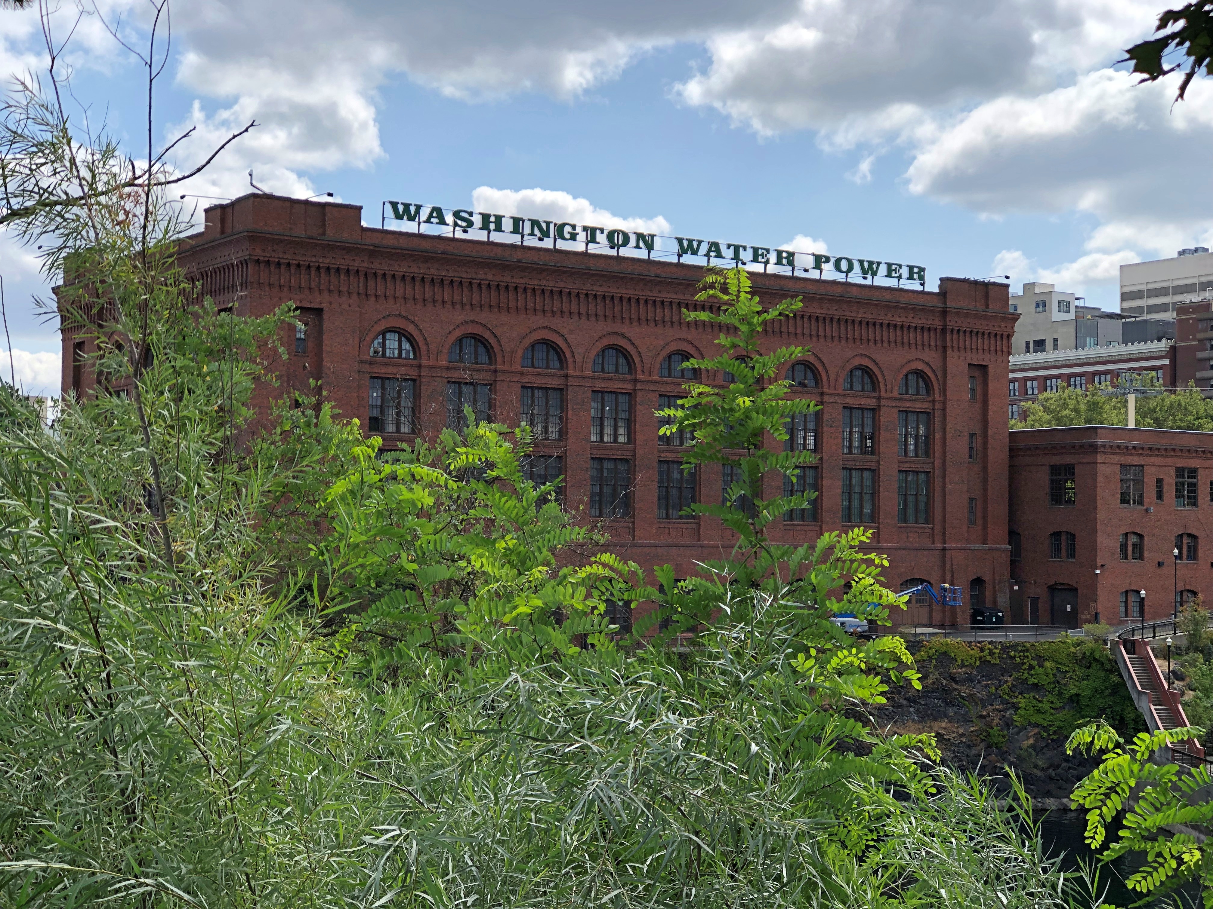
I call it an epic, but that’s only my idiosyncratic label. By historical standards, our trip was laughably easy. All we needed were some (but not a lot) of those three basic ingredients of modern travel in North America, and a fair number of other places: time, money and – perhaps the most elusive for many people, though of course the other two are often limiting – the will to go.

We did not need a supply train or pack wagons. We carried all the communications equipment we needed in our pockets. Food and fuel were easily purchased.

We did not need the permission of any authority at any level of government, beyond a drivers license or license plates, which aren’t specific to interstate travel. We paid no gang a toll, no one baksheesh to pass through their land.

We did not need to be armed. We encountered no hostility of any kind. Crime, of course, is possible anywhere, and I like to think we were careful. I was only really anxious about the possibility once, but even then nothing happened.

I’m positive that the greatest risk to life and robust health was the fact that we just drove nearly 6,000 miles over roads of varying size and traffic density, some of which were a bit hairy. I like to think we were careful about that, too, putting our combined 72 years’ driving experience to the task, and we got home with nary a dent nor a scratch, much less anything worse.

The epic was conceived and carried out in three parts of roughly a week each: the drive out west, the visit in the Pacific Northwest, and the drive back east. On that structure we hung four main events and many other smaller ones. And by events, I mean seeing places in three cases, and visiting family and friends in one. On the way out, we saw Glacier National Park. In Seattle, we visited Lilly and Dan, as well as two old friends of mine, Bill and Tom, and their spouses, but also spent a couple of days at Sol Duc Hot Springs at Olympic National Park. On our return, we saw Grand Teton National Park.
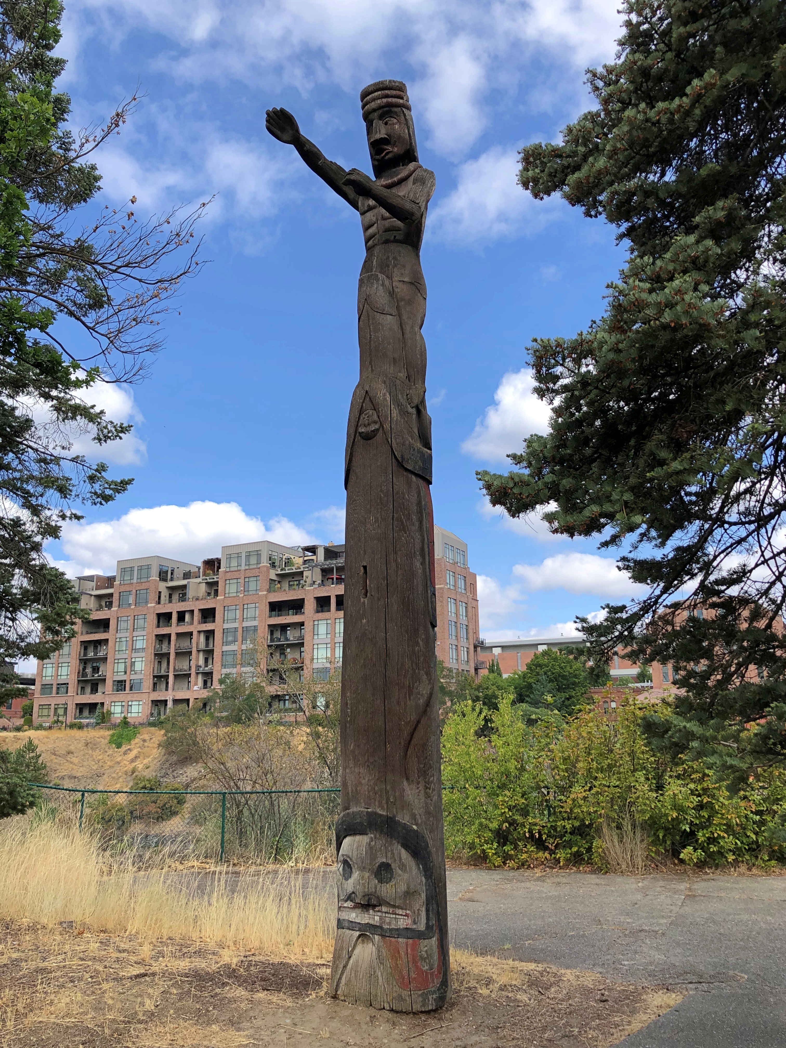
Some of the driving counted as a necessary chore, such as the route through Wisconsin, Minnesota, South Dakota and ultimately Wyoming: I-90. If you want to, you can drive all the way to Seattle on I-90, a total of just a little more than 2,000 miles, according to Google Maps. We didn’t want to do that. We used I-90 to get to Wyoming and then Montana on the way out, and return from Wyoming on the way back. For us, that was two days’ worth of driving each way.

Once we got to Montana, we took smaller roads that crossed that state and Idaho and Washington state. On the return, we crossed another part of Washington, Oregon and Idaho, back to Wyoming, also mostly using smaller roads, except for a stretch of I-84. Those small roads sometimes provided exceptionally scenic driving, or driving through territory the likes of which we hadn’t seen before. And there was some fun mountain driving. By fun, I mean curves.
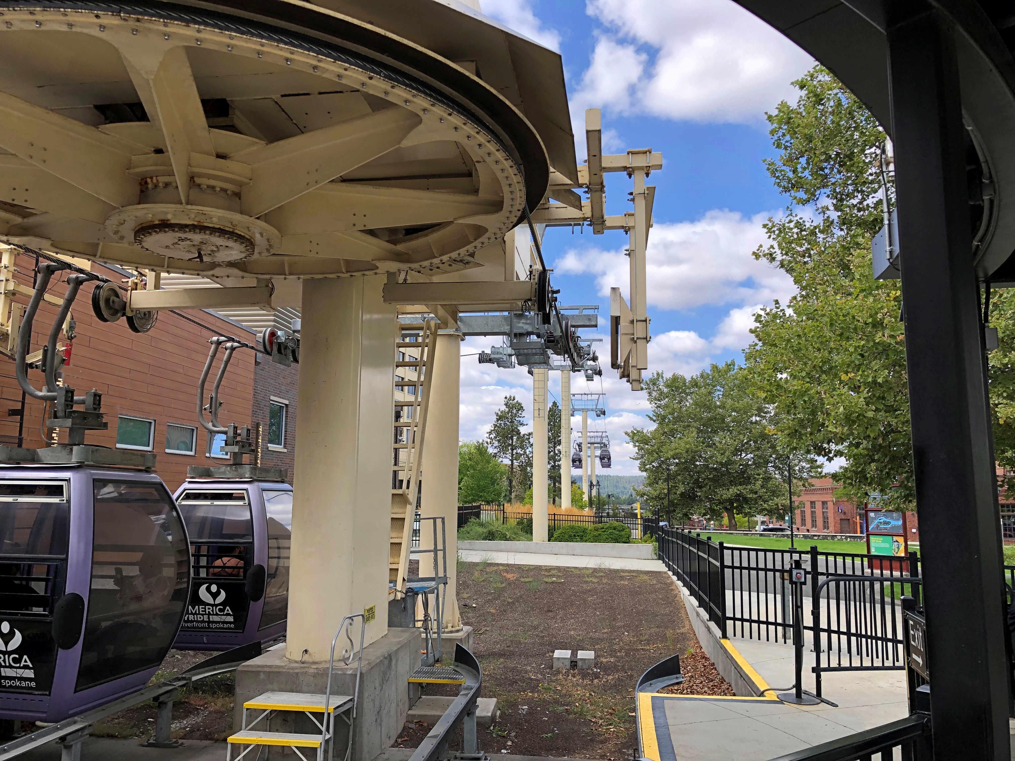
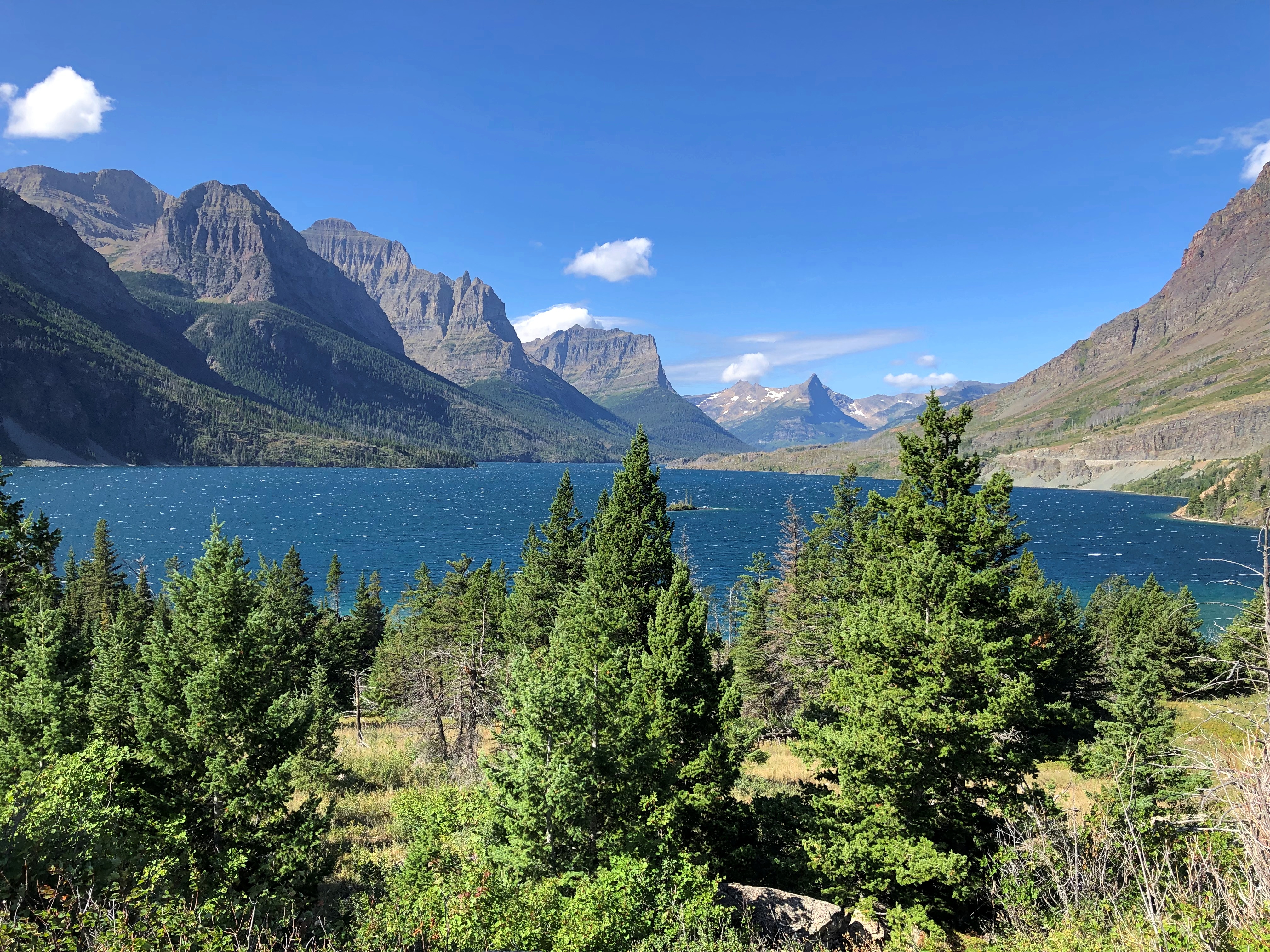
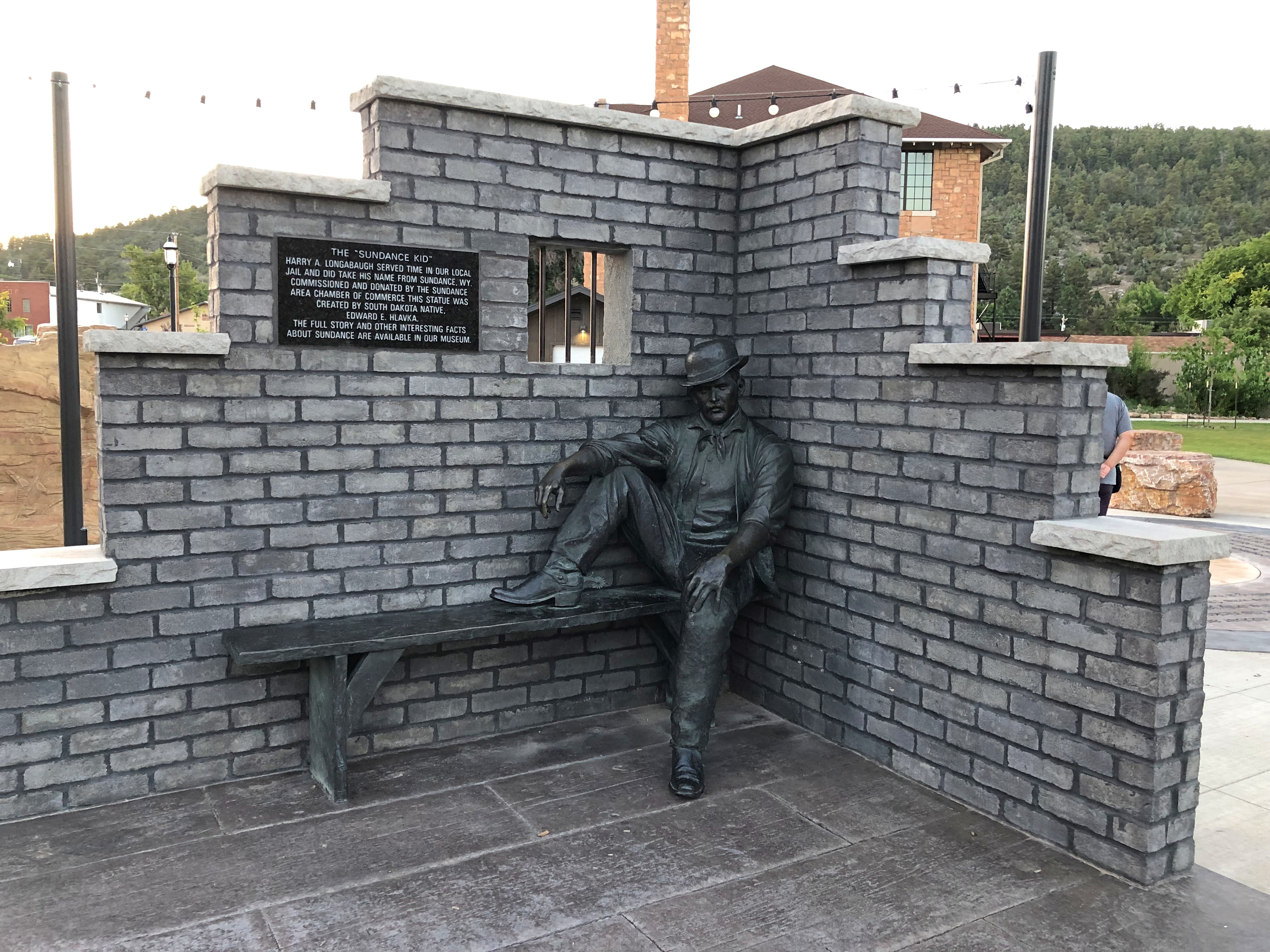
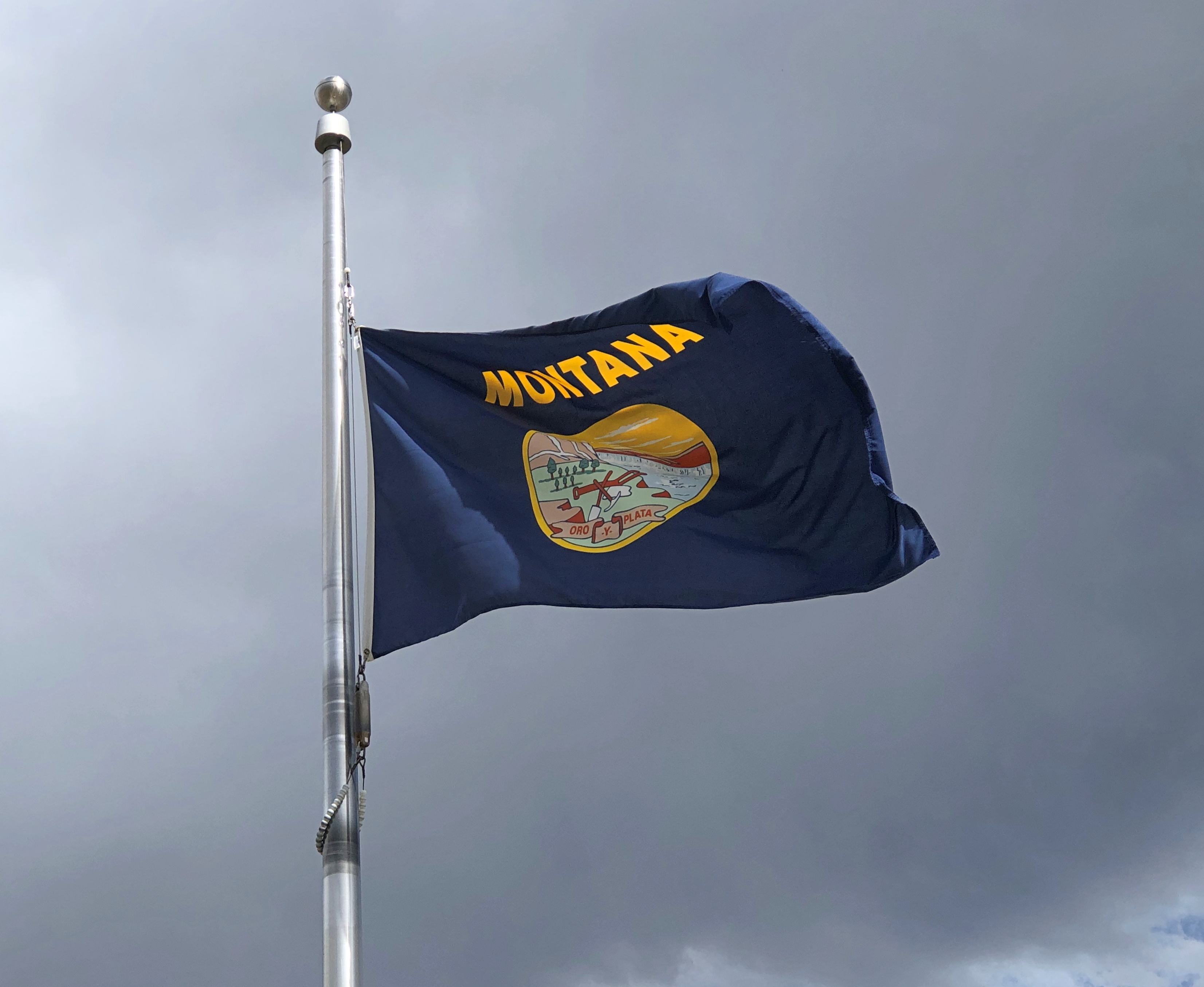
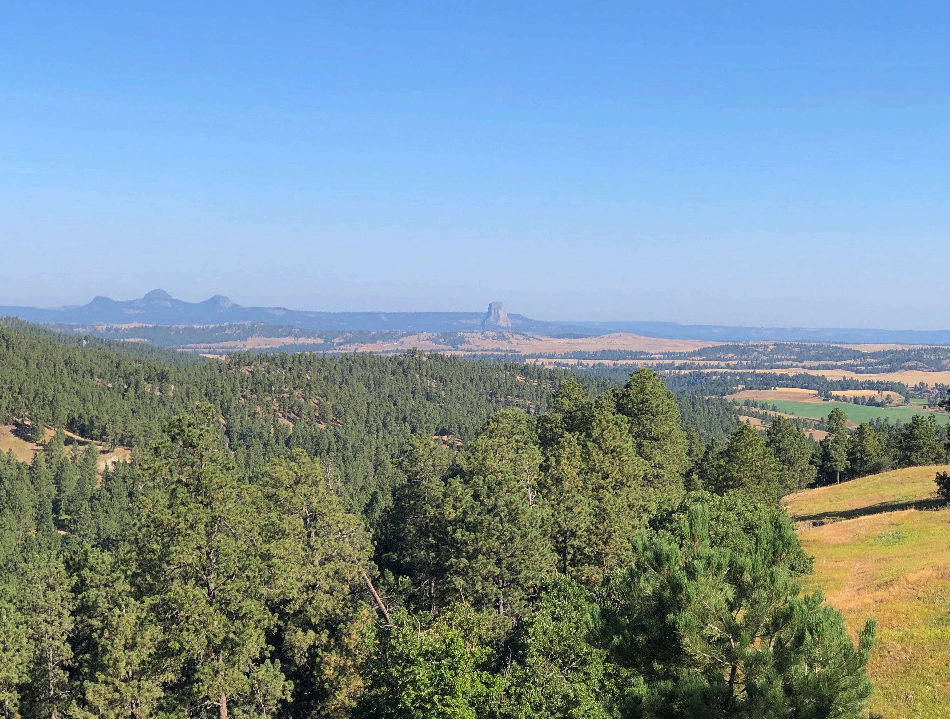
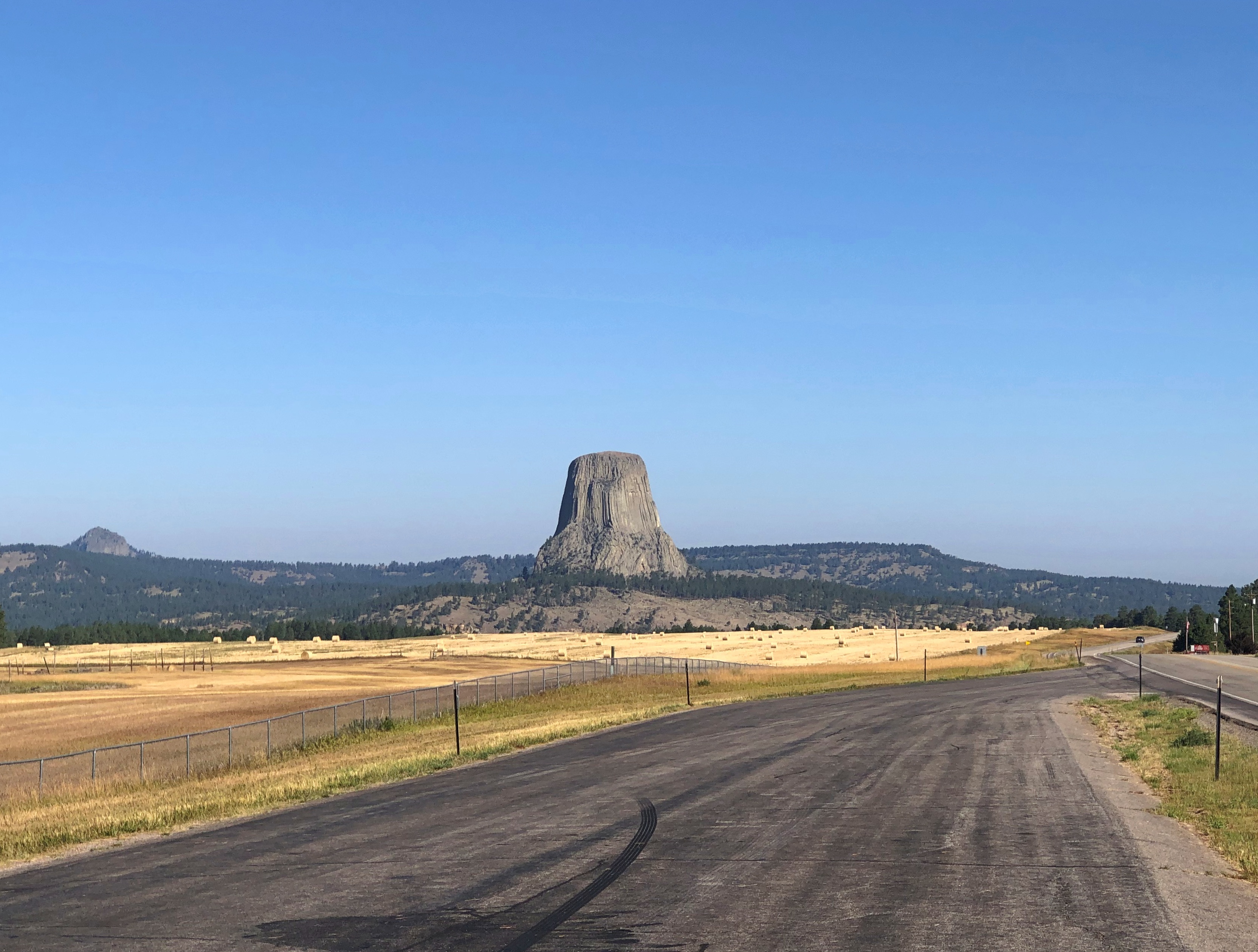
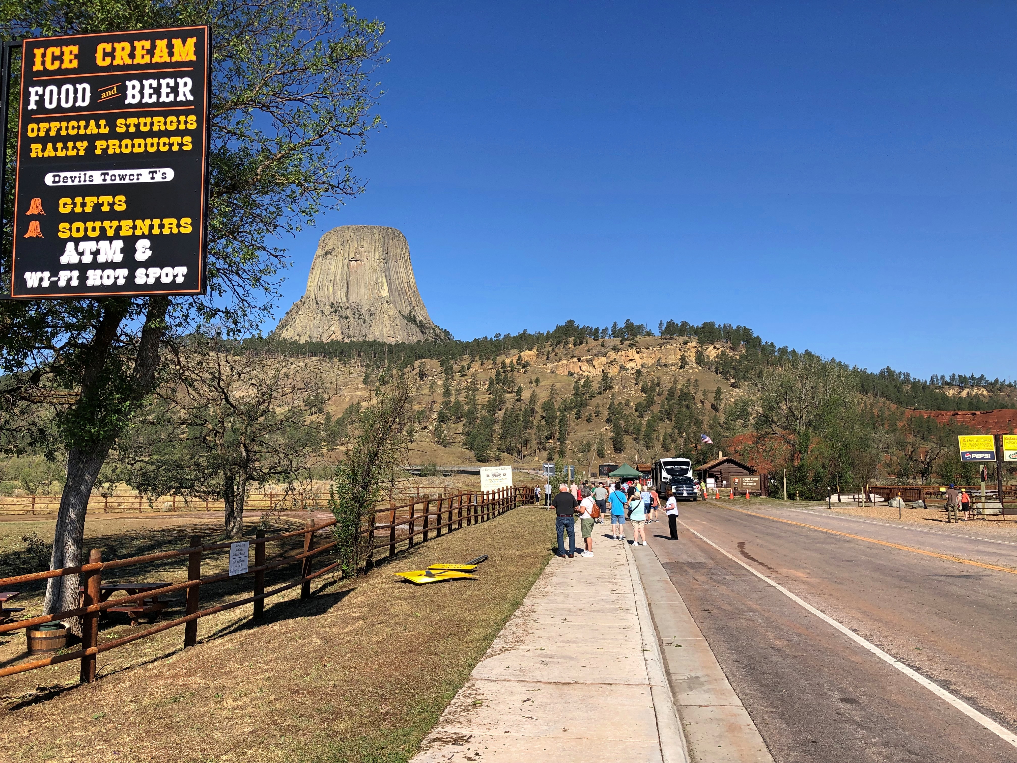
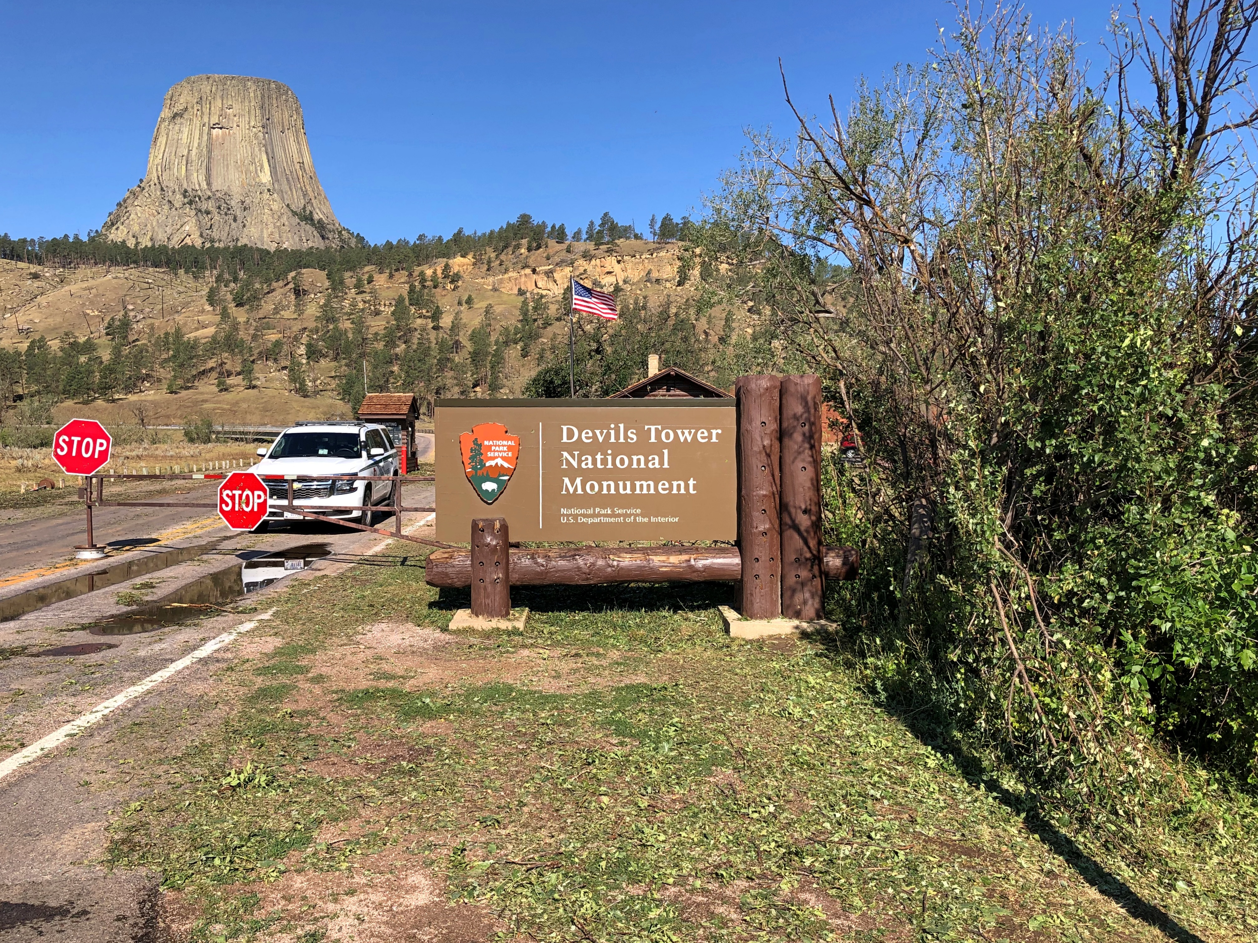
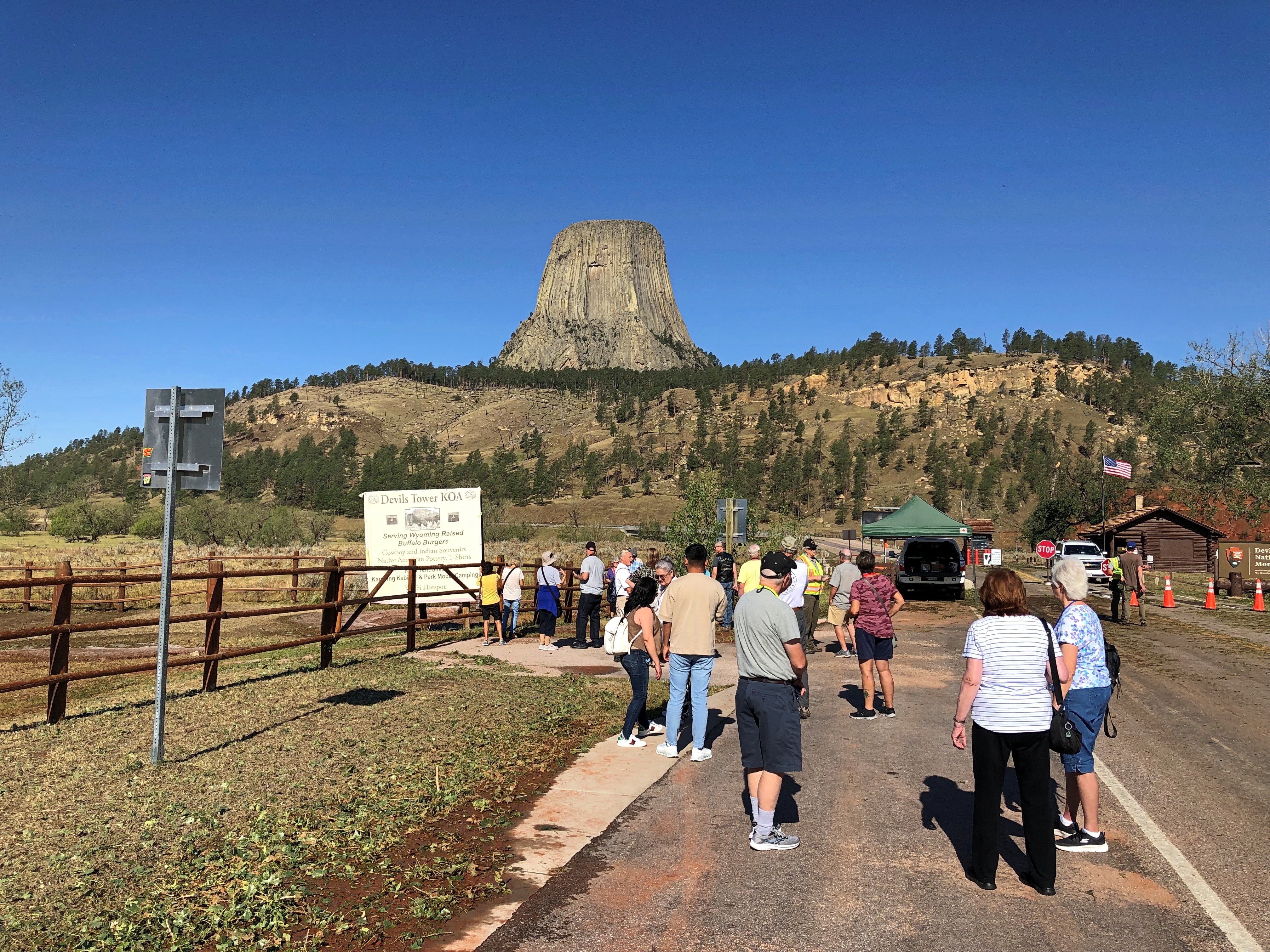
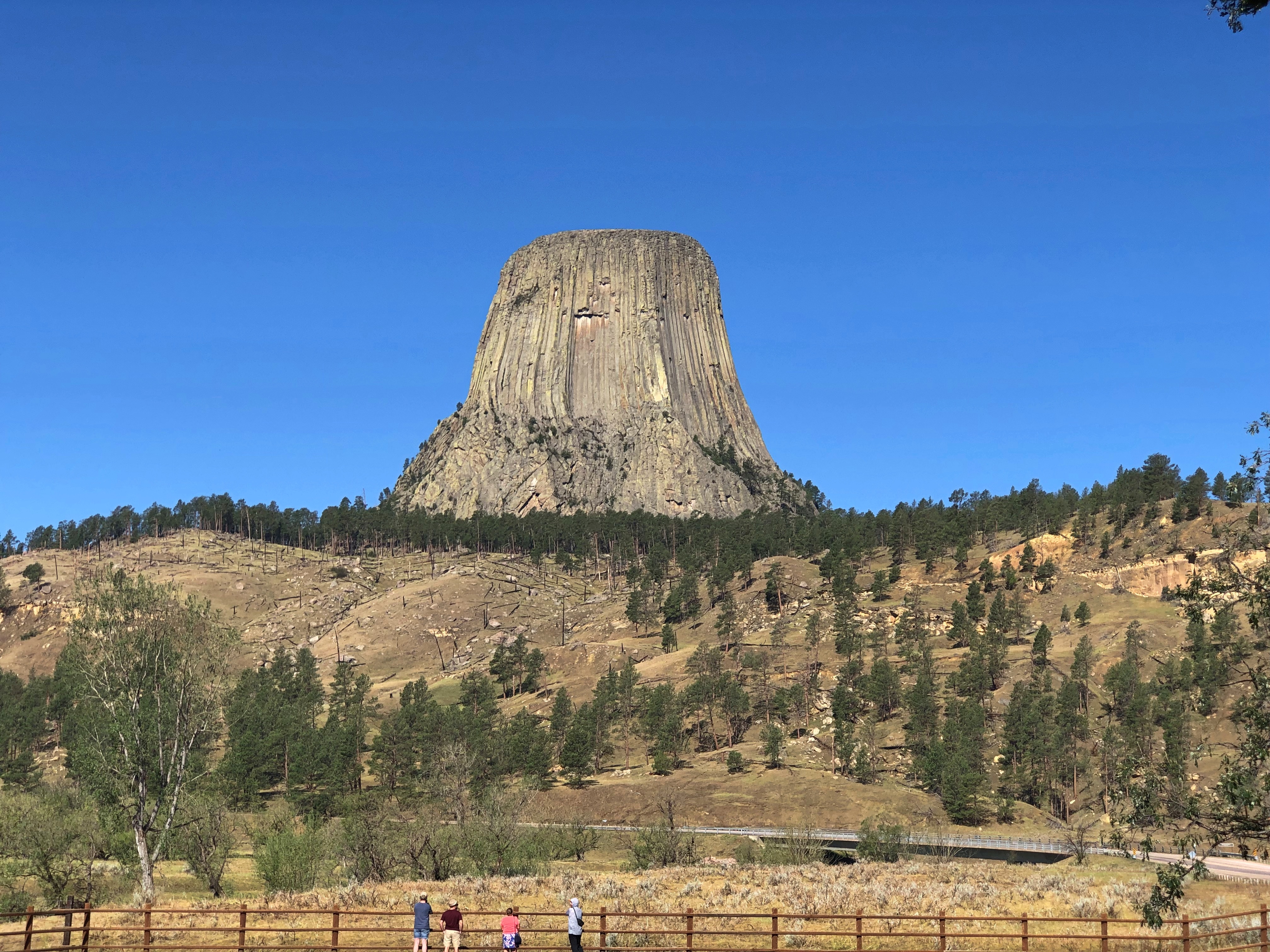
Going out, we reached the vicinity of Devils Tower National Monument after two days on I-90, and stayed there for two nights; next, Helena, Montana for a night; then a campground outside the St. Mary’s entrance of Glacier National Park for two nights. Spokane for one night; and into Seattle.

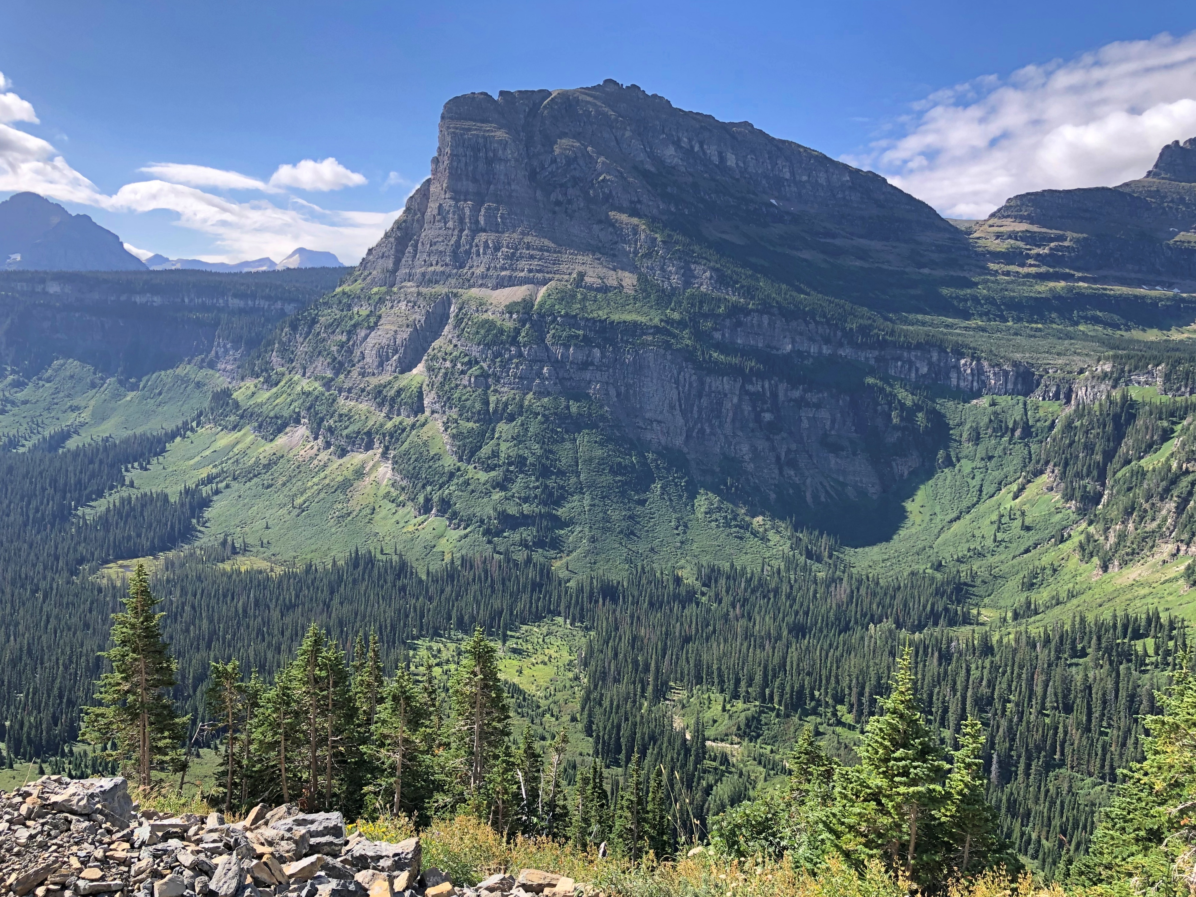
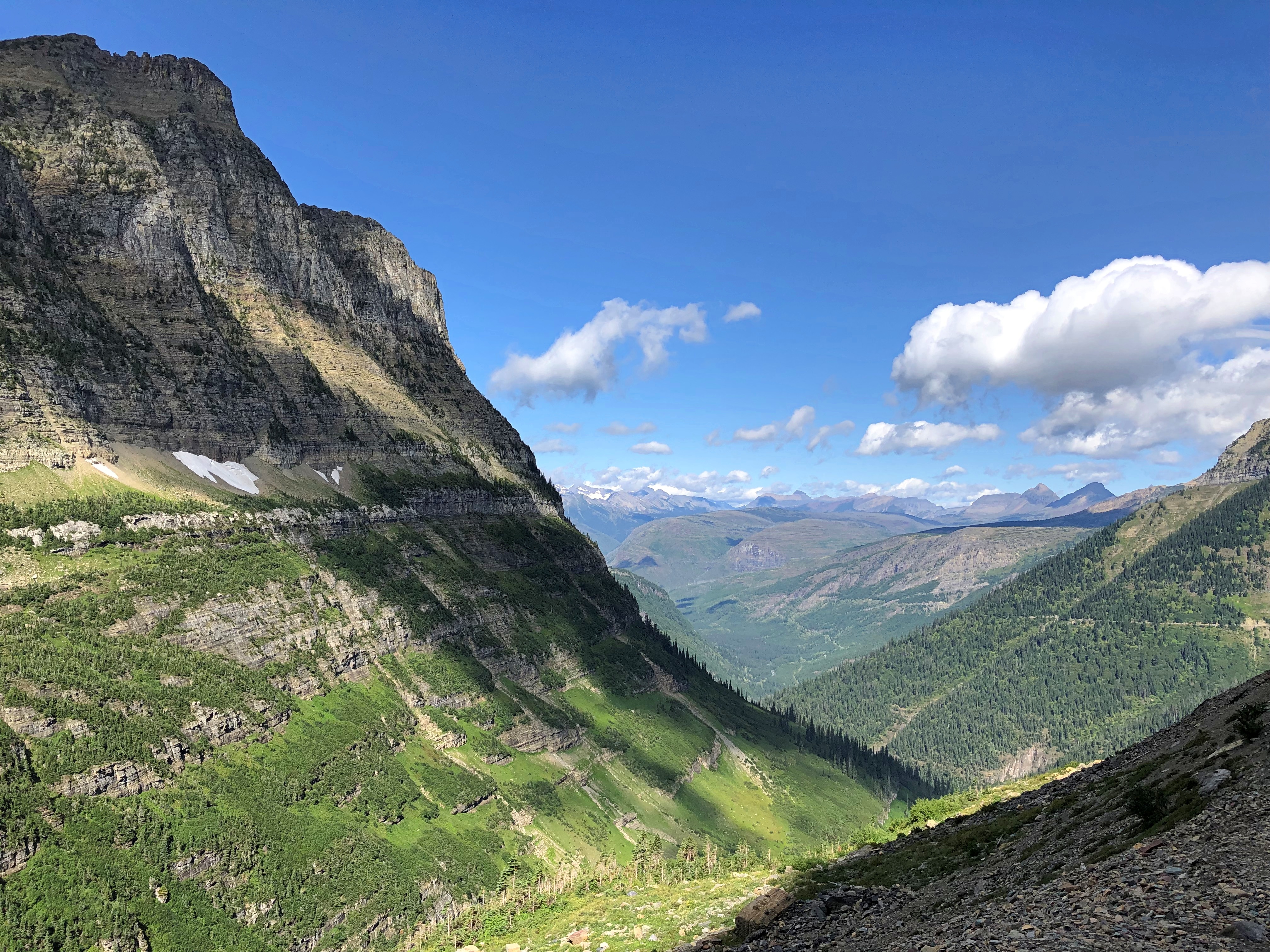
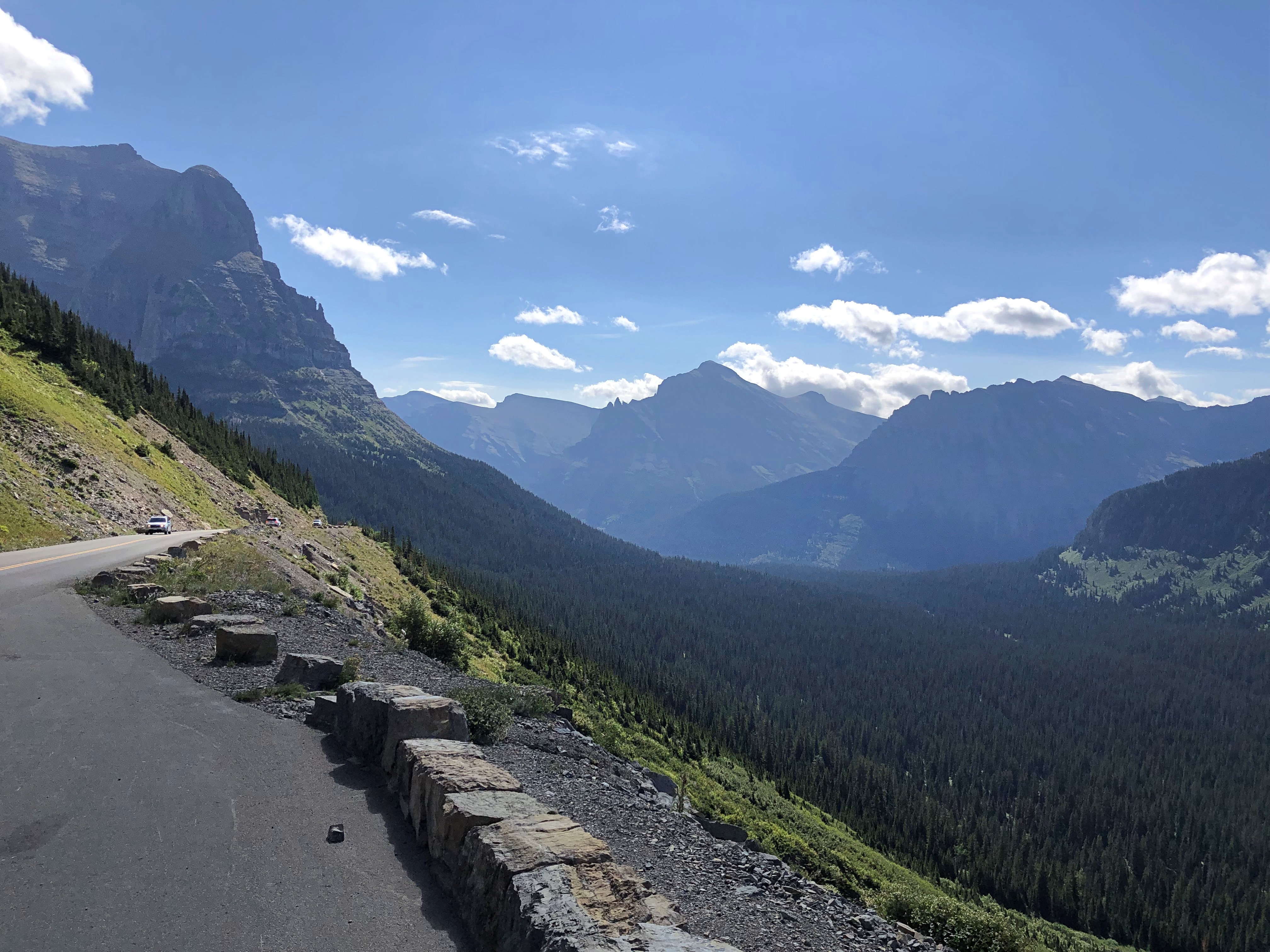
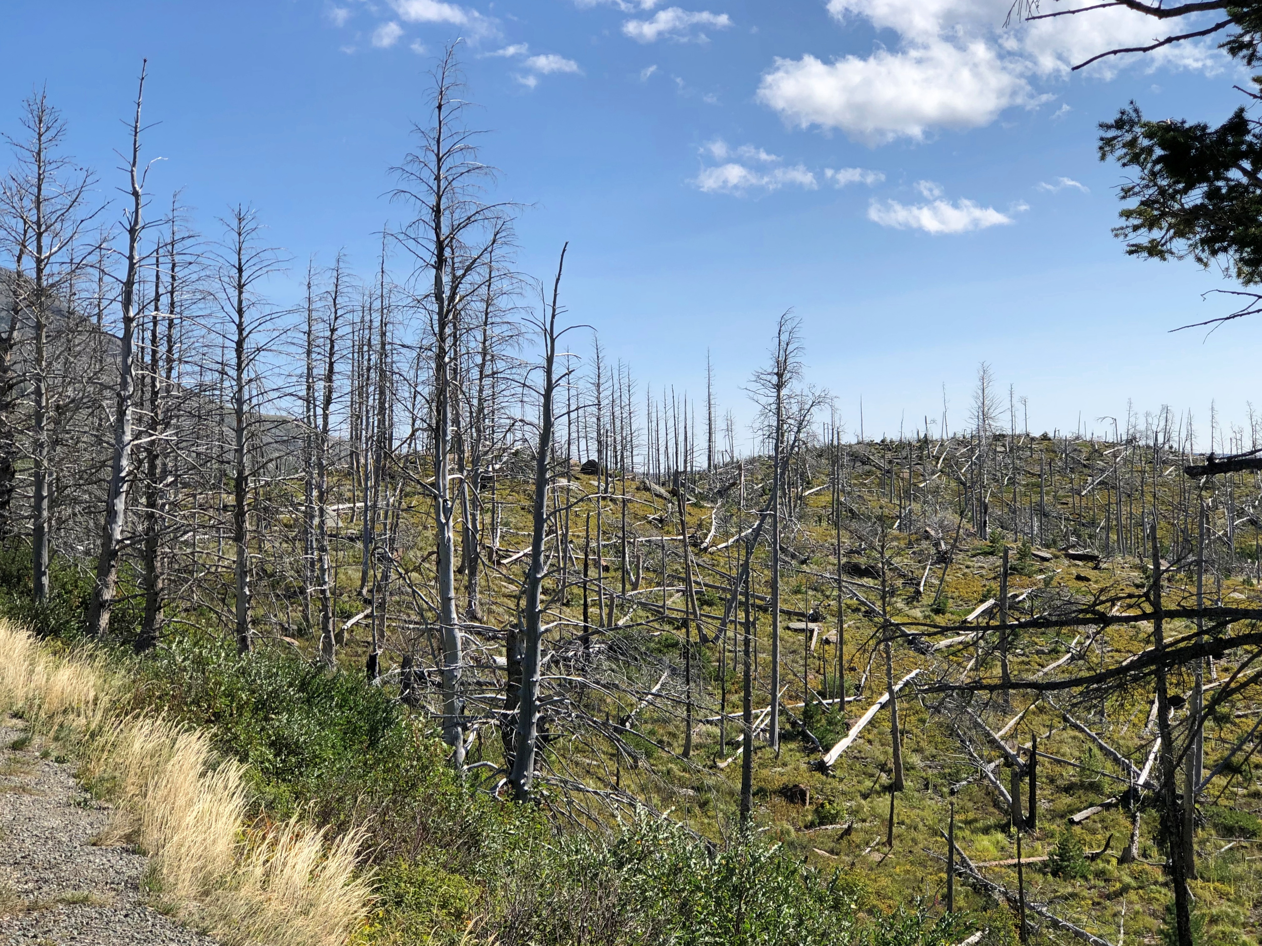
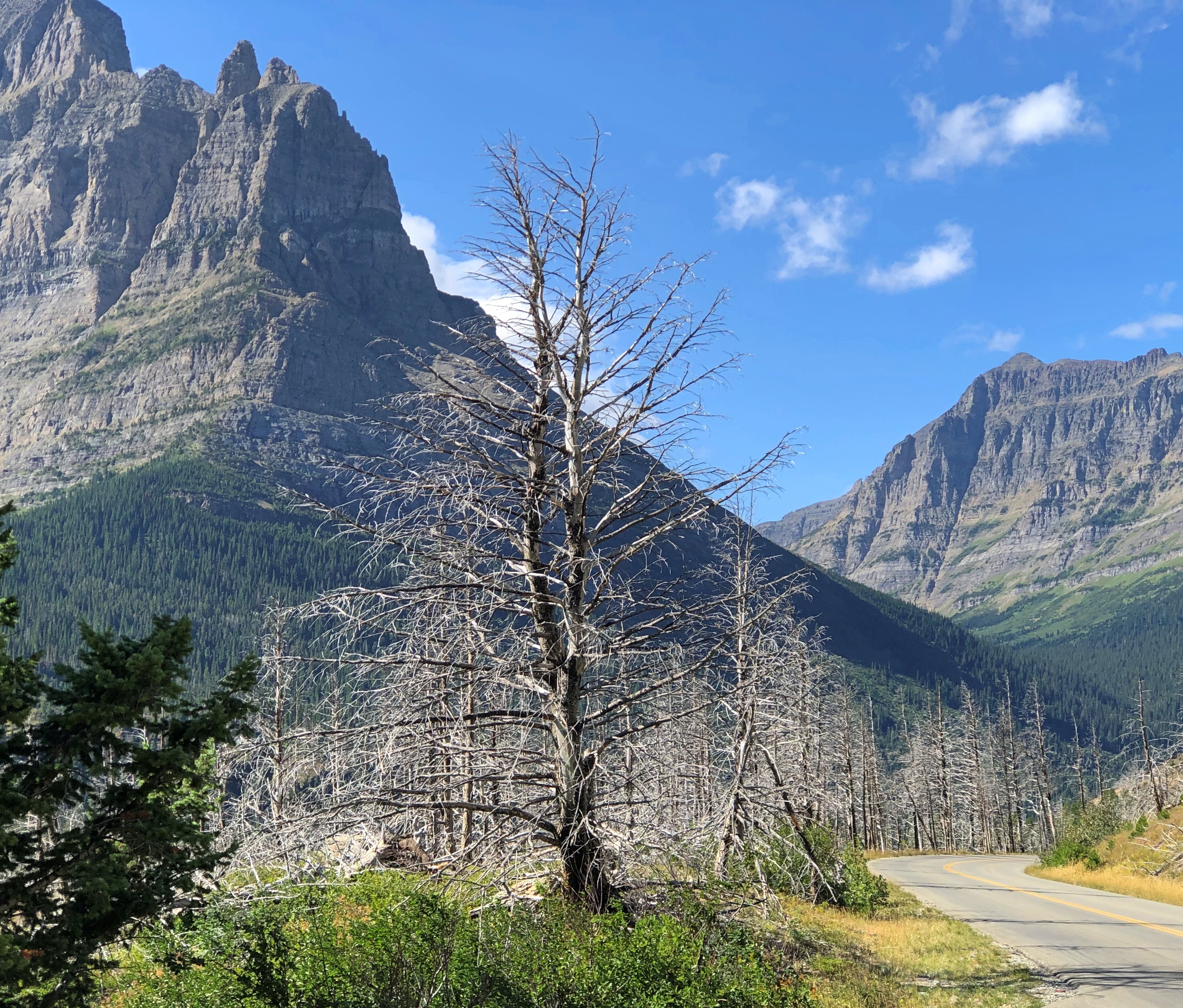
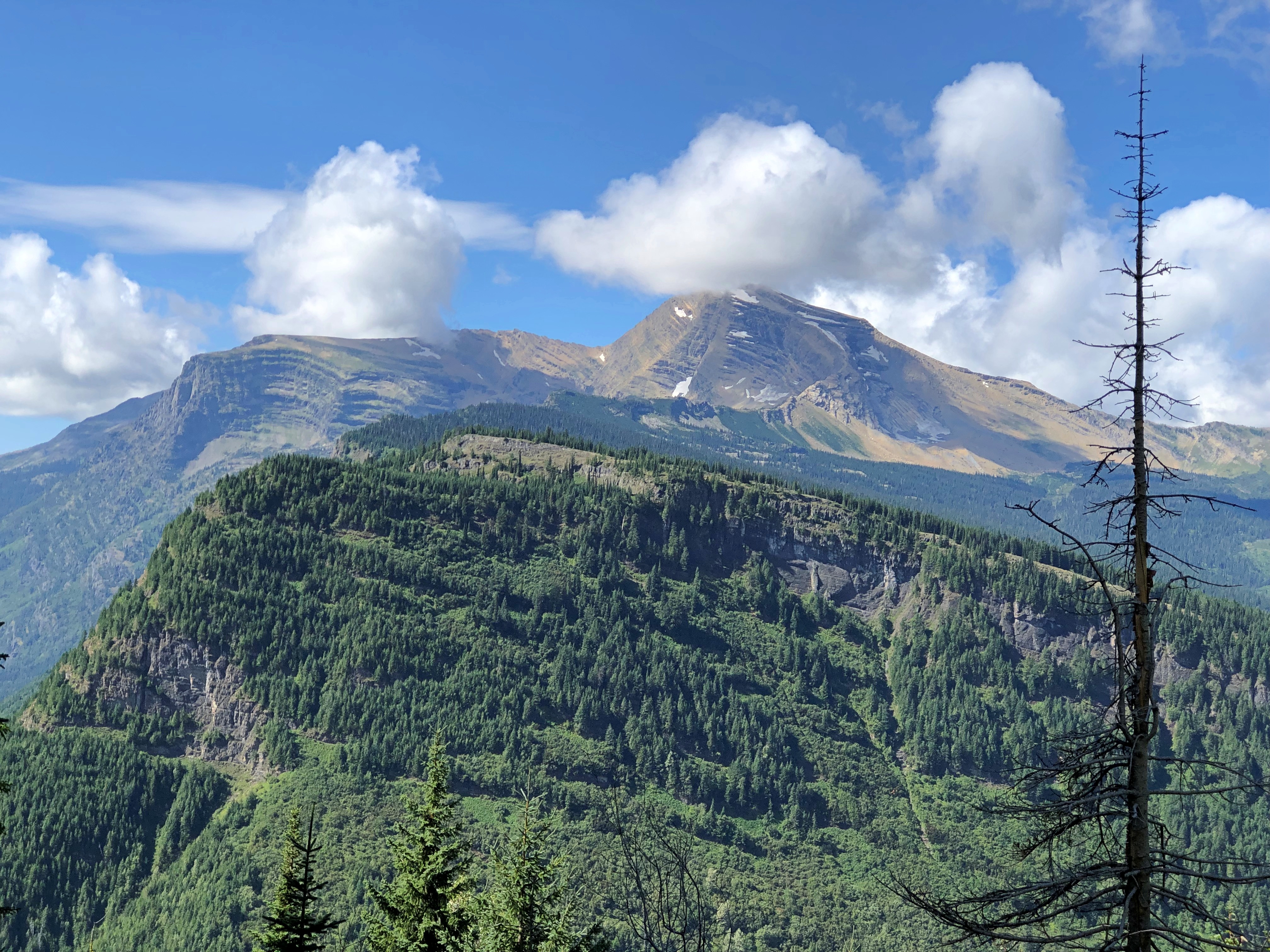
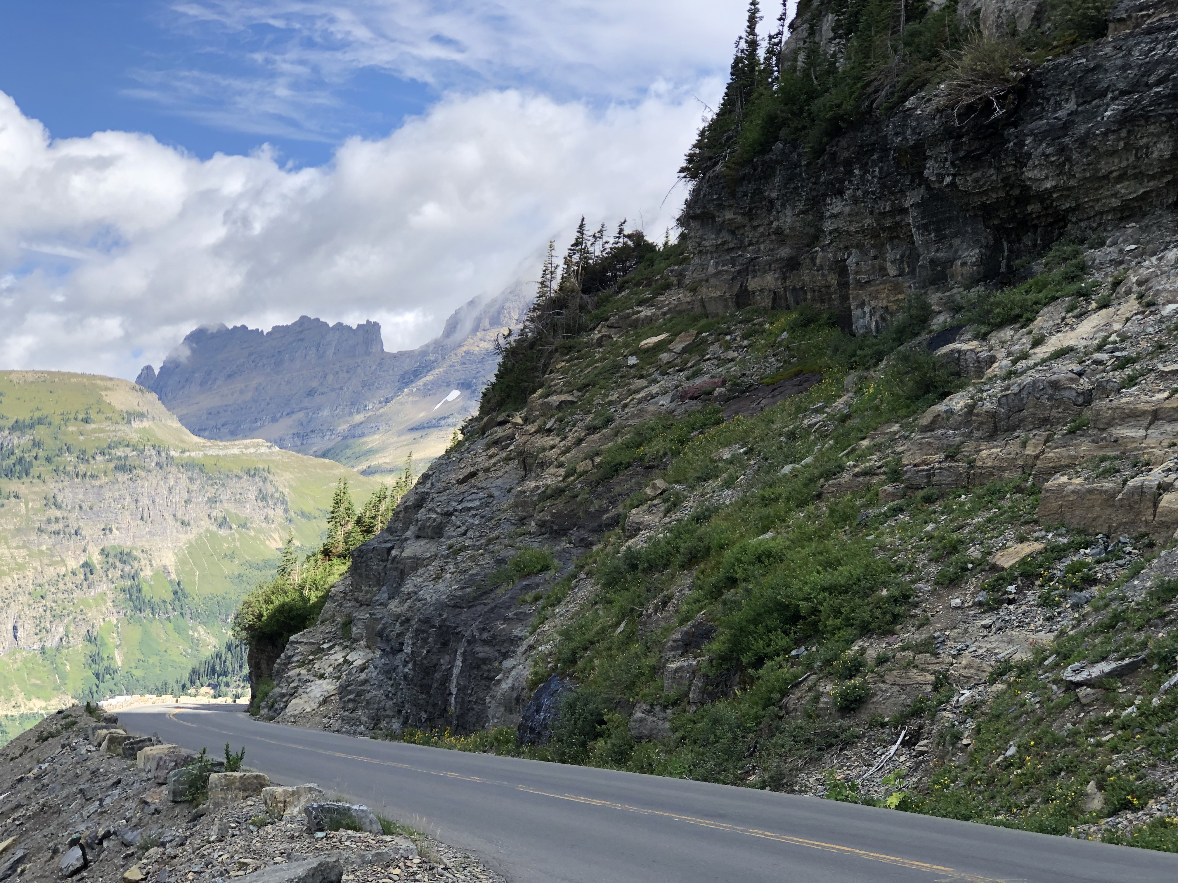
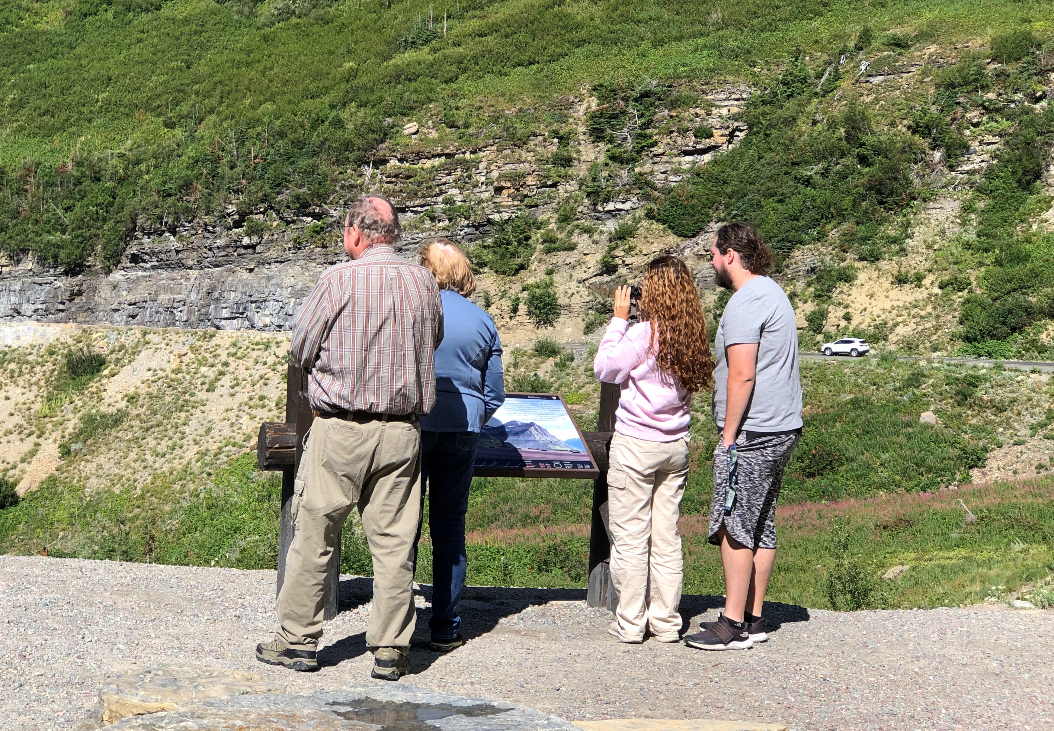
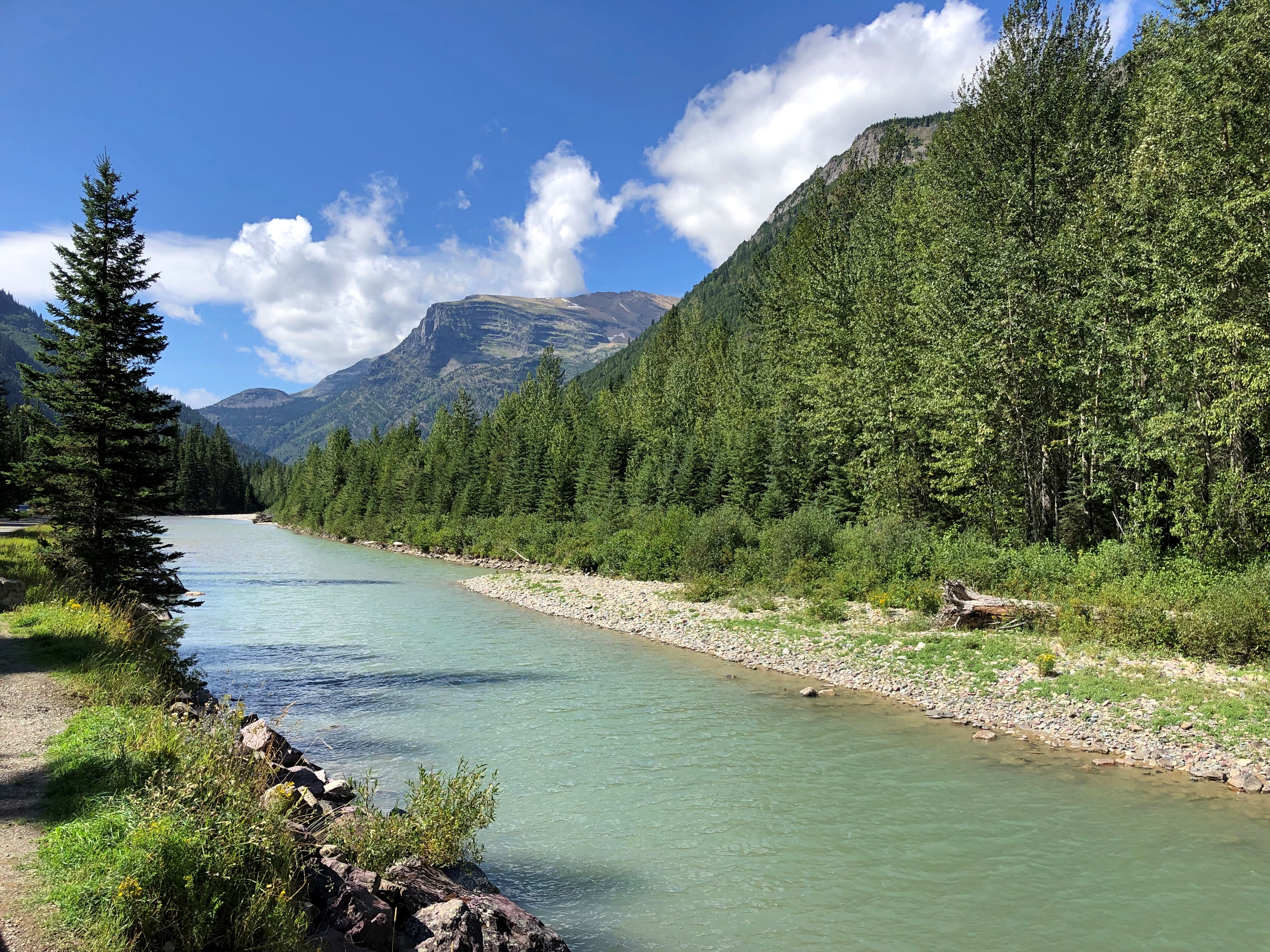
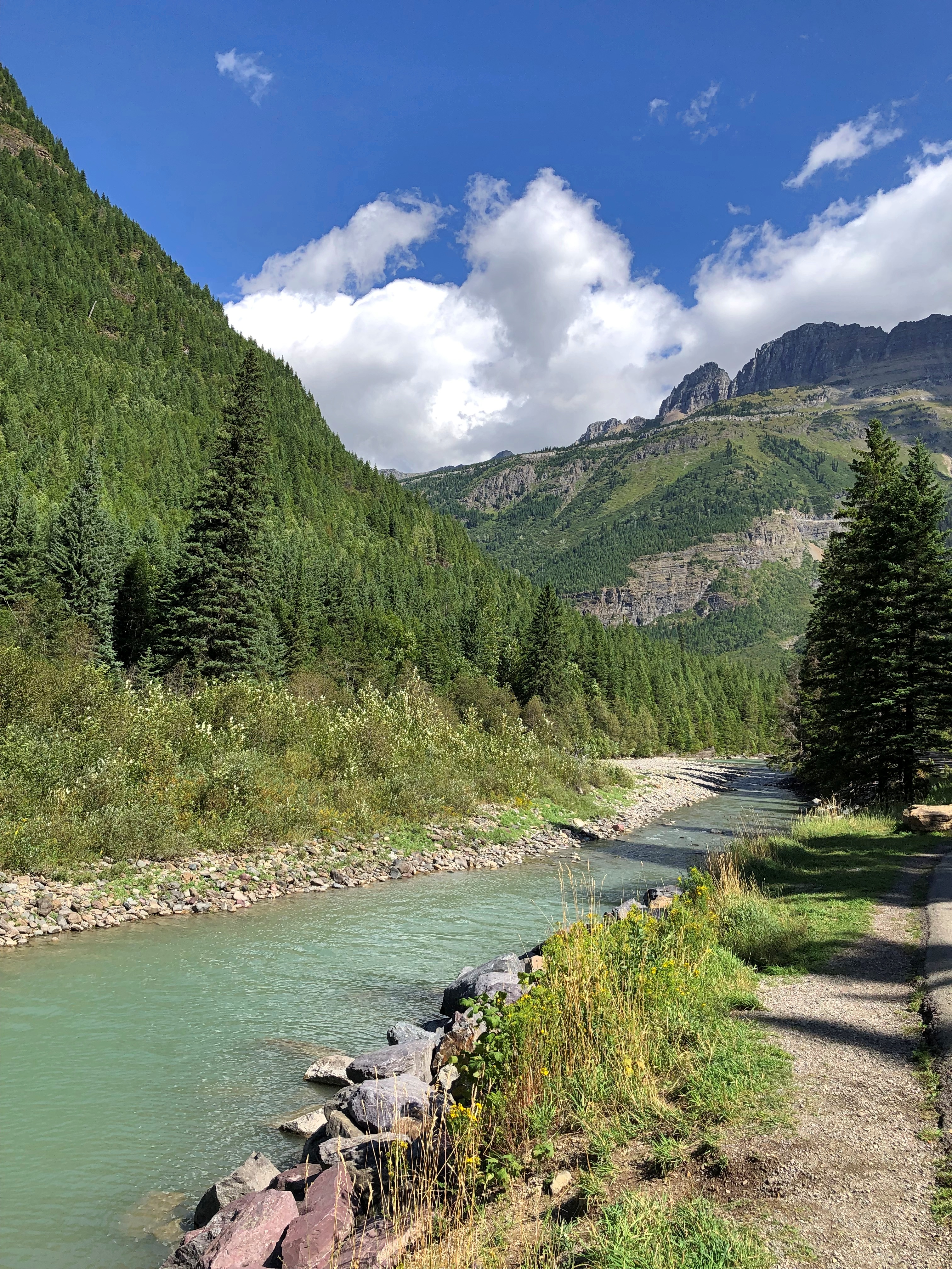
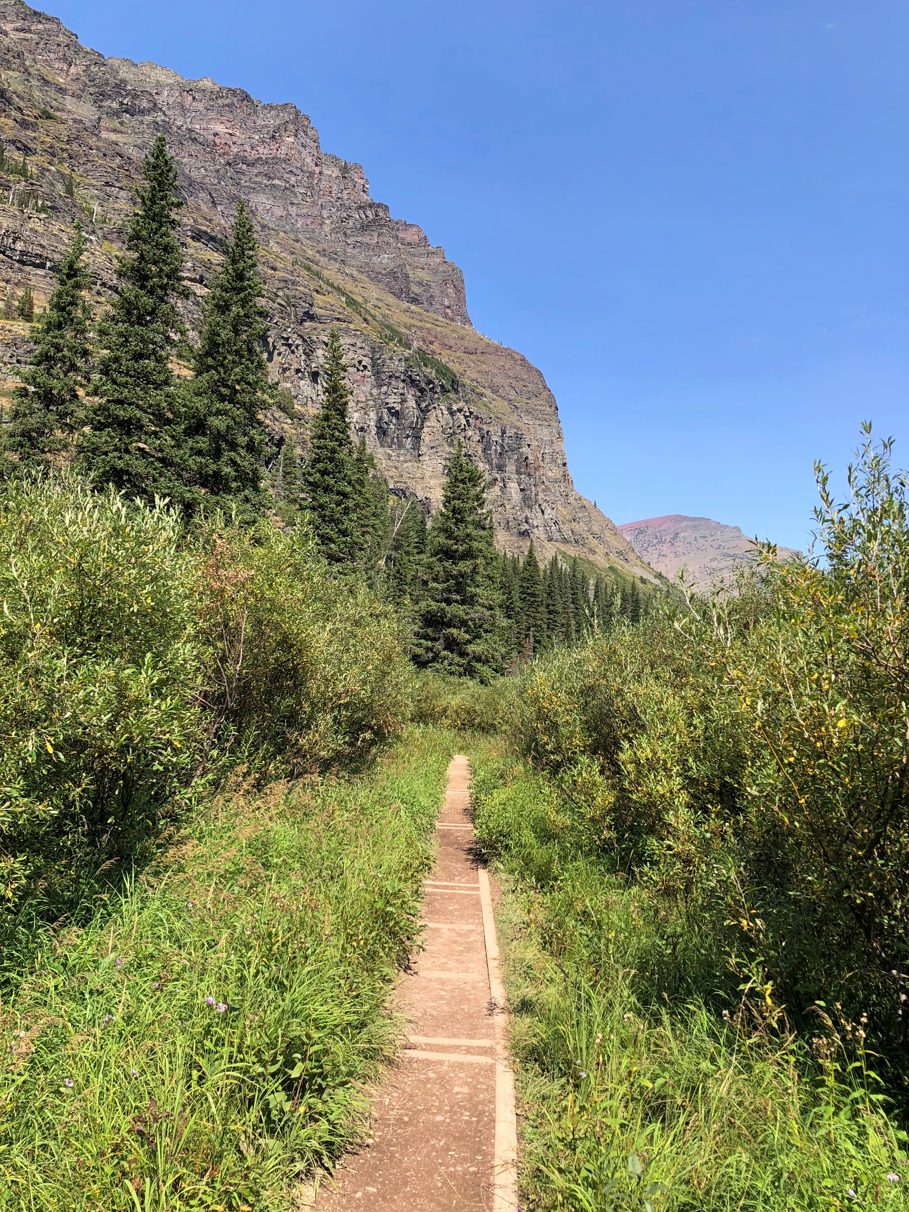
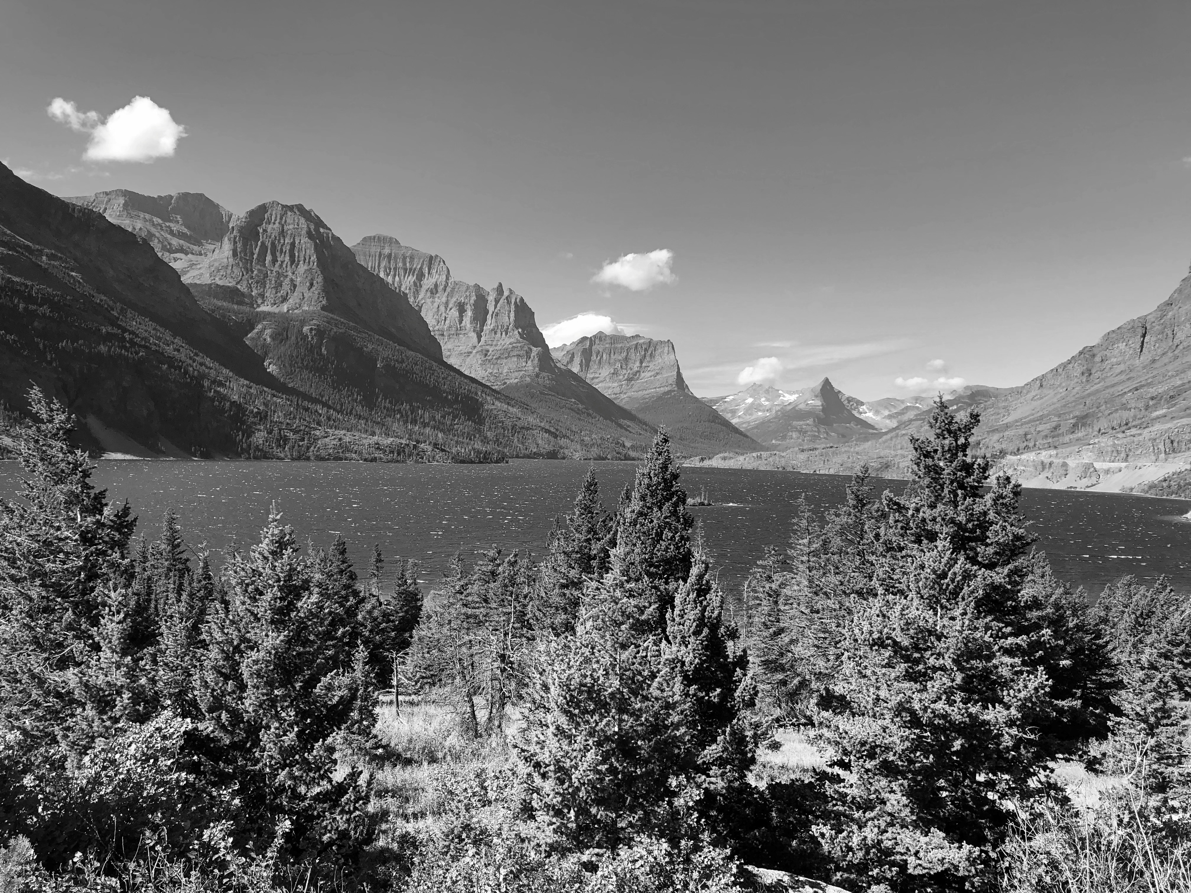
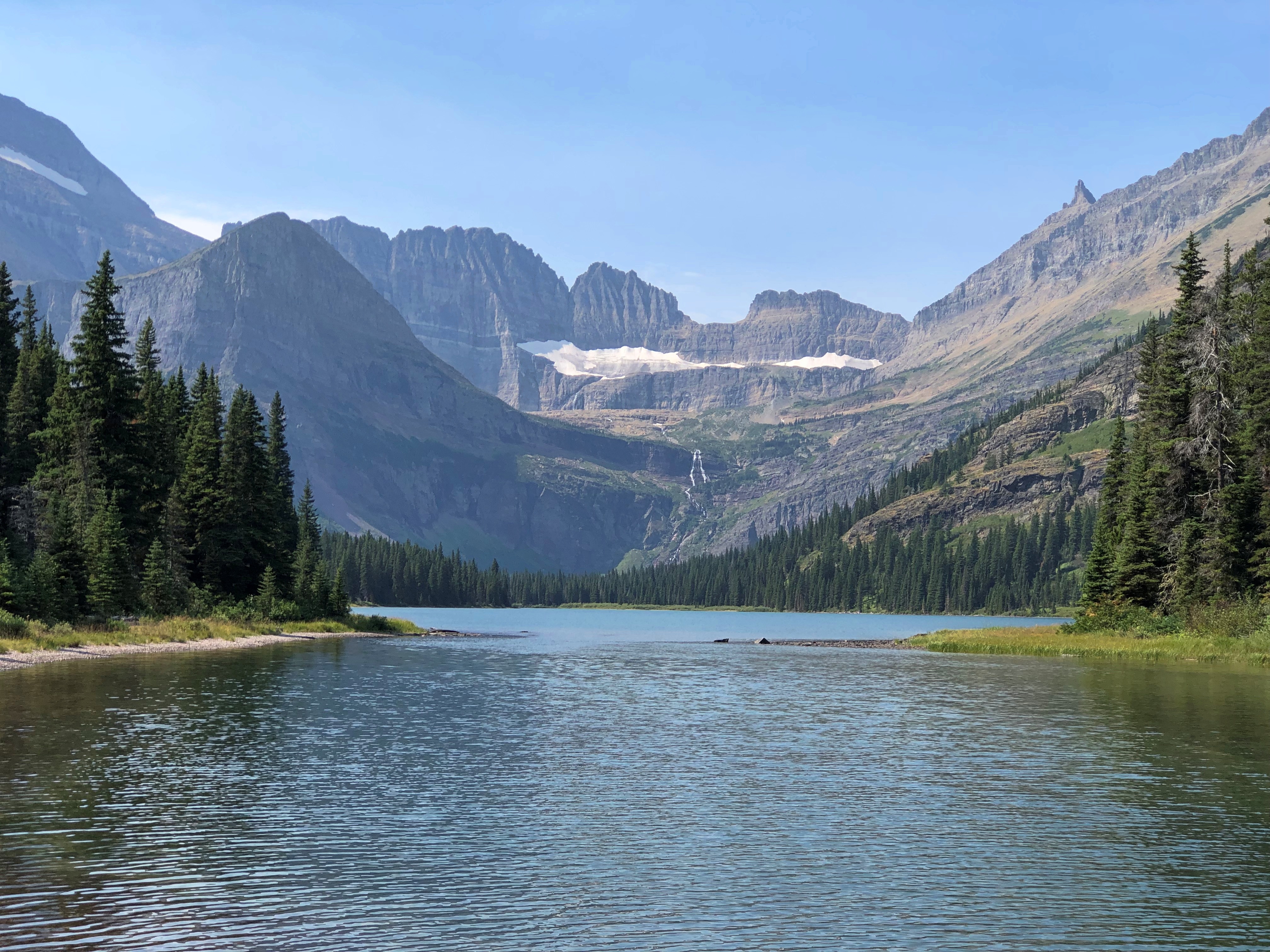
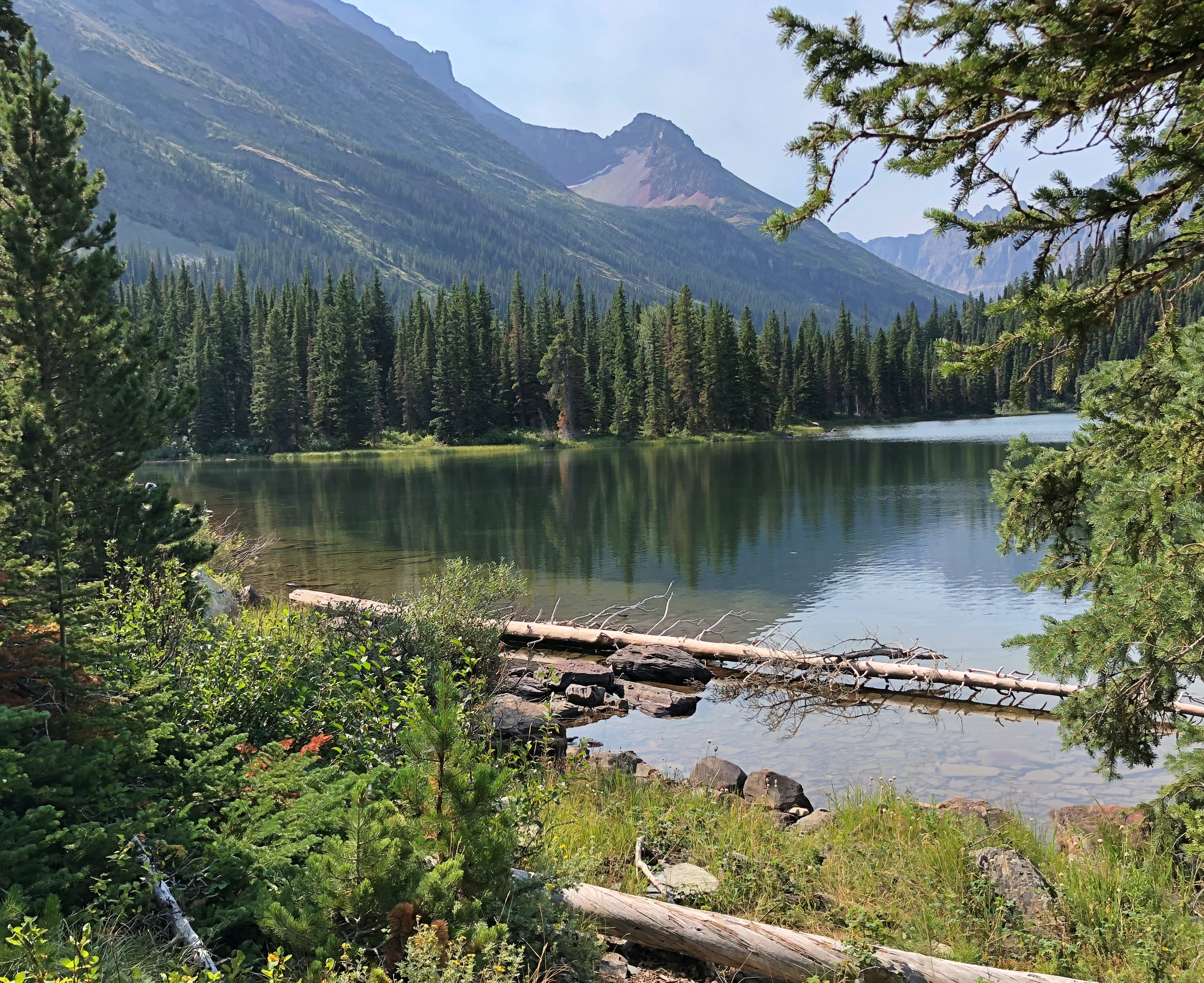
A view in Glacier NP.Glacier National Park

It would have been six nights in Seattle, but we spent one camping in Olympic NP in the middle of that week. The return began with two nights in Portland; a night in Boise; a visit to Craters of the Moon National Monument and then three nights near Grand Teton NP; one in Sheridan, Wyoming, and then back to the I-90 funnel back home.

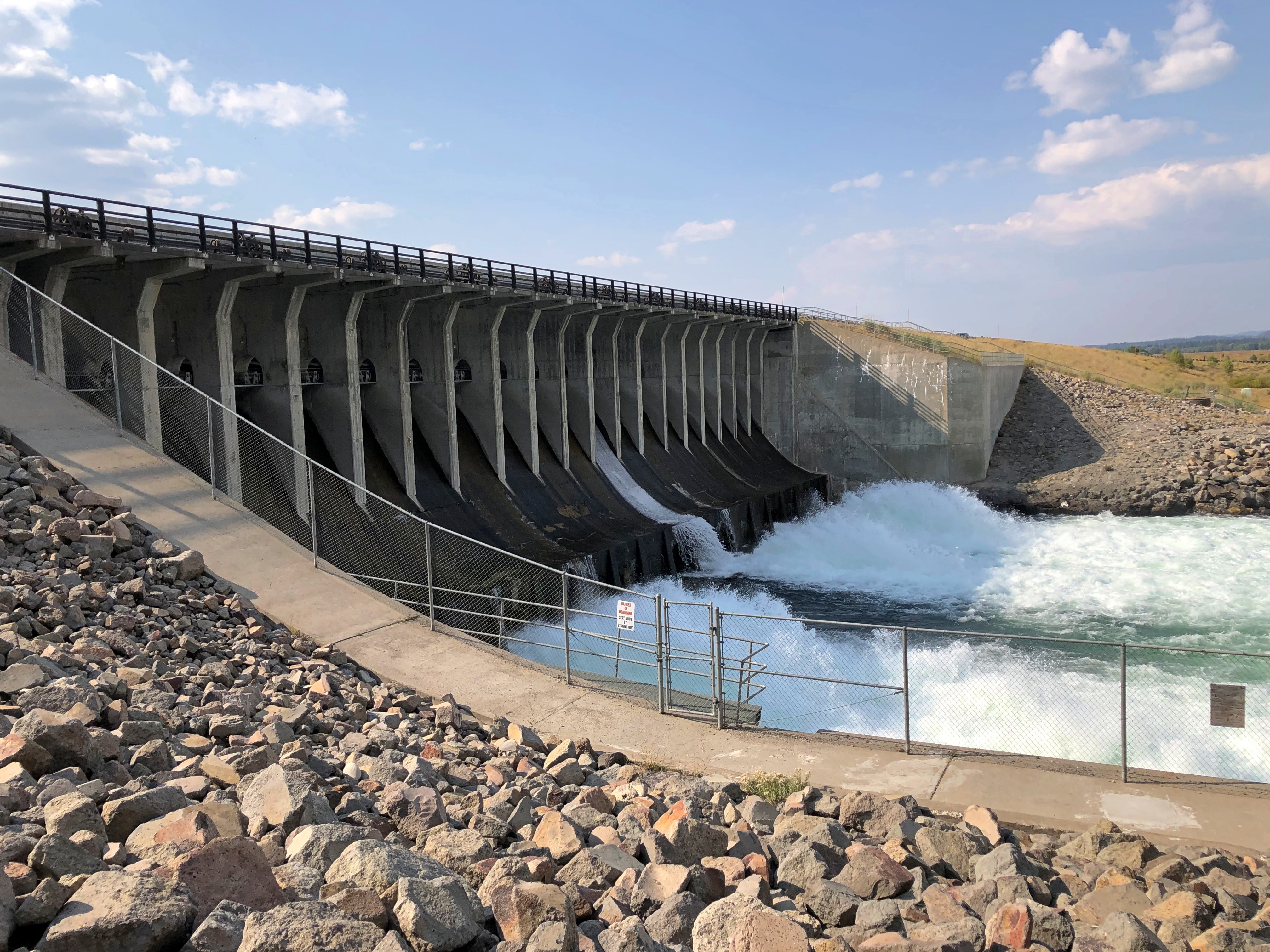
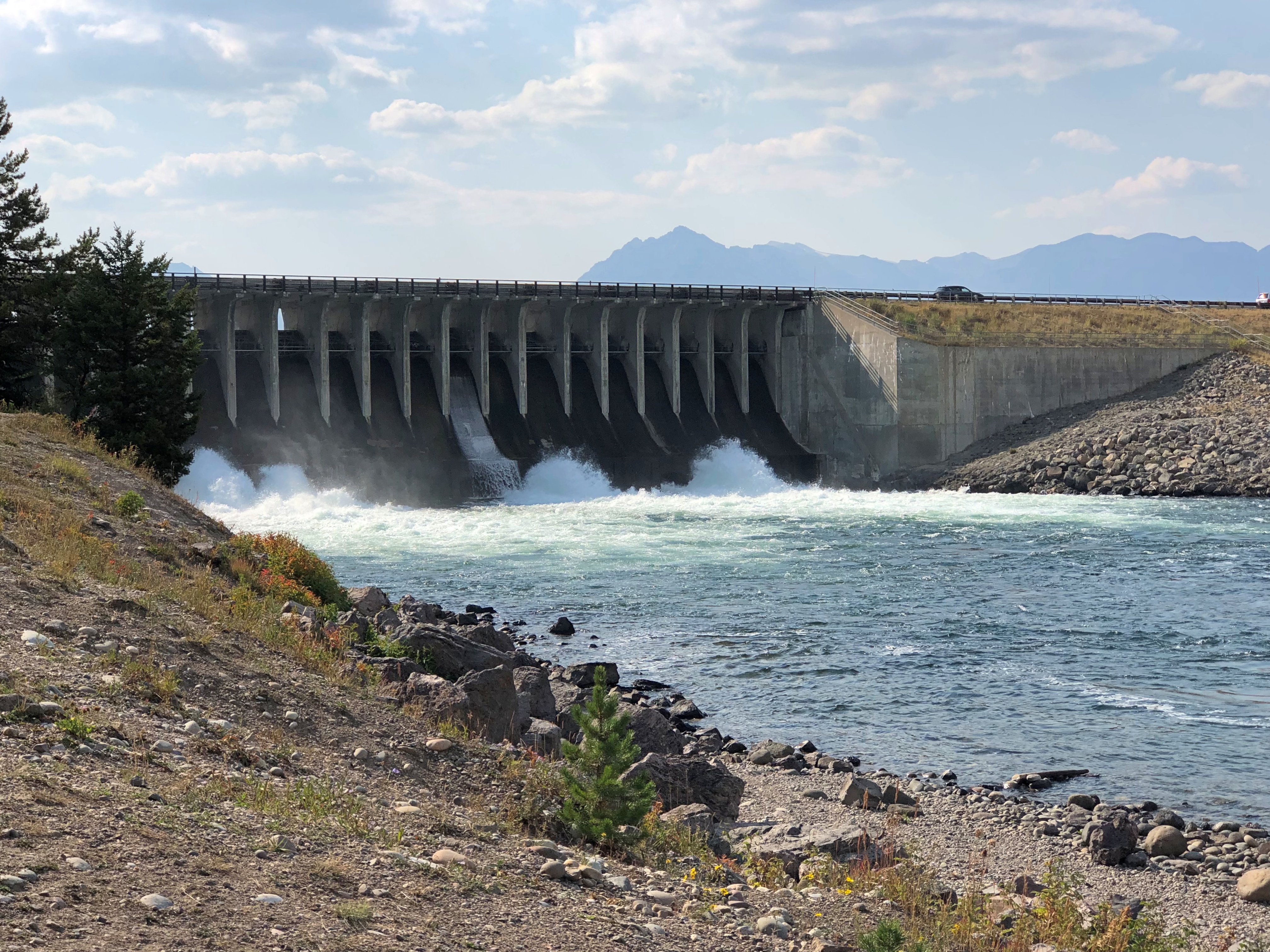
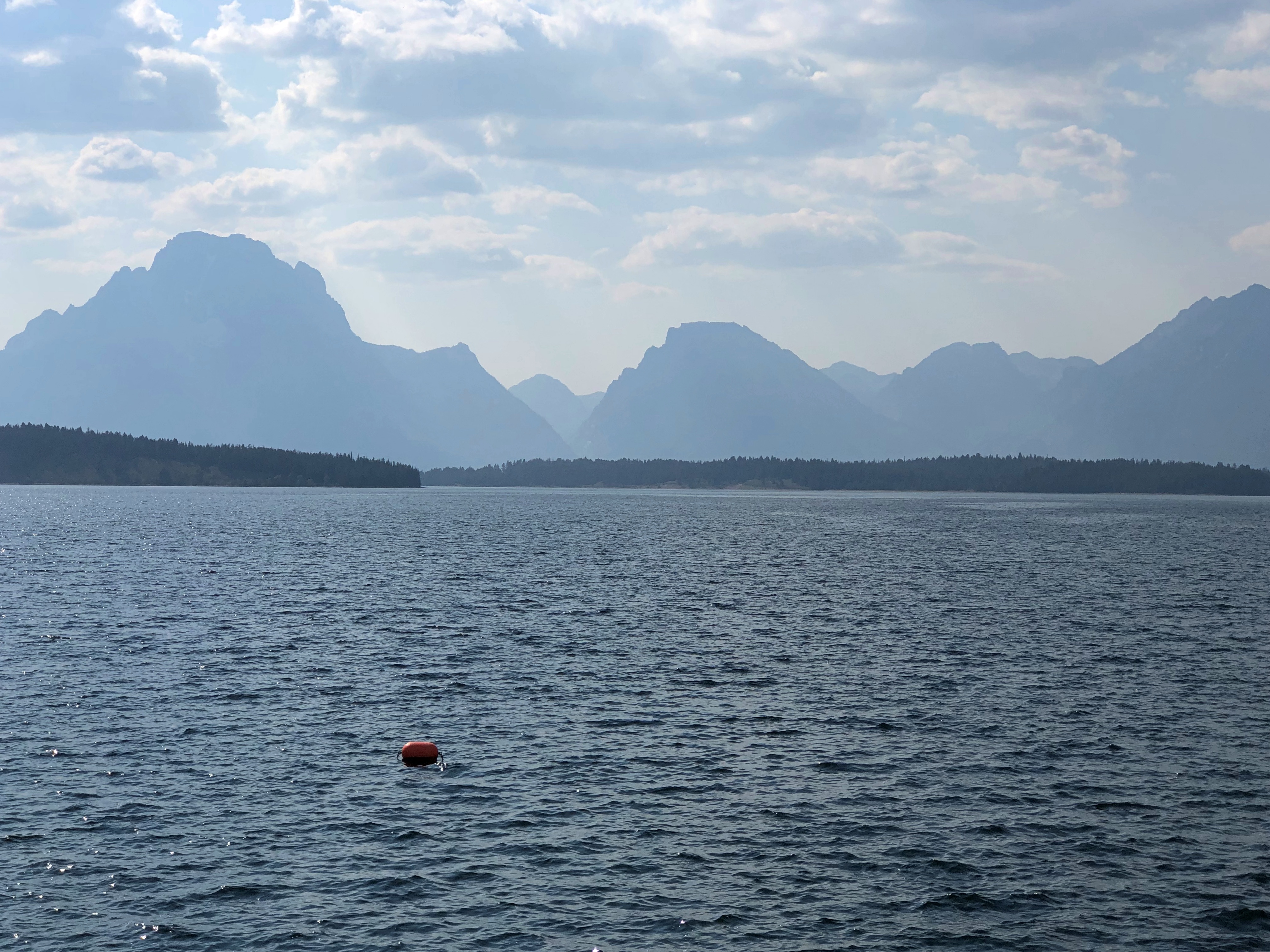
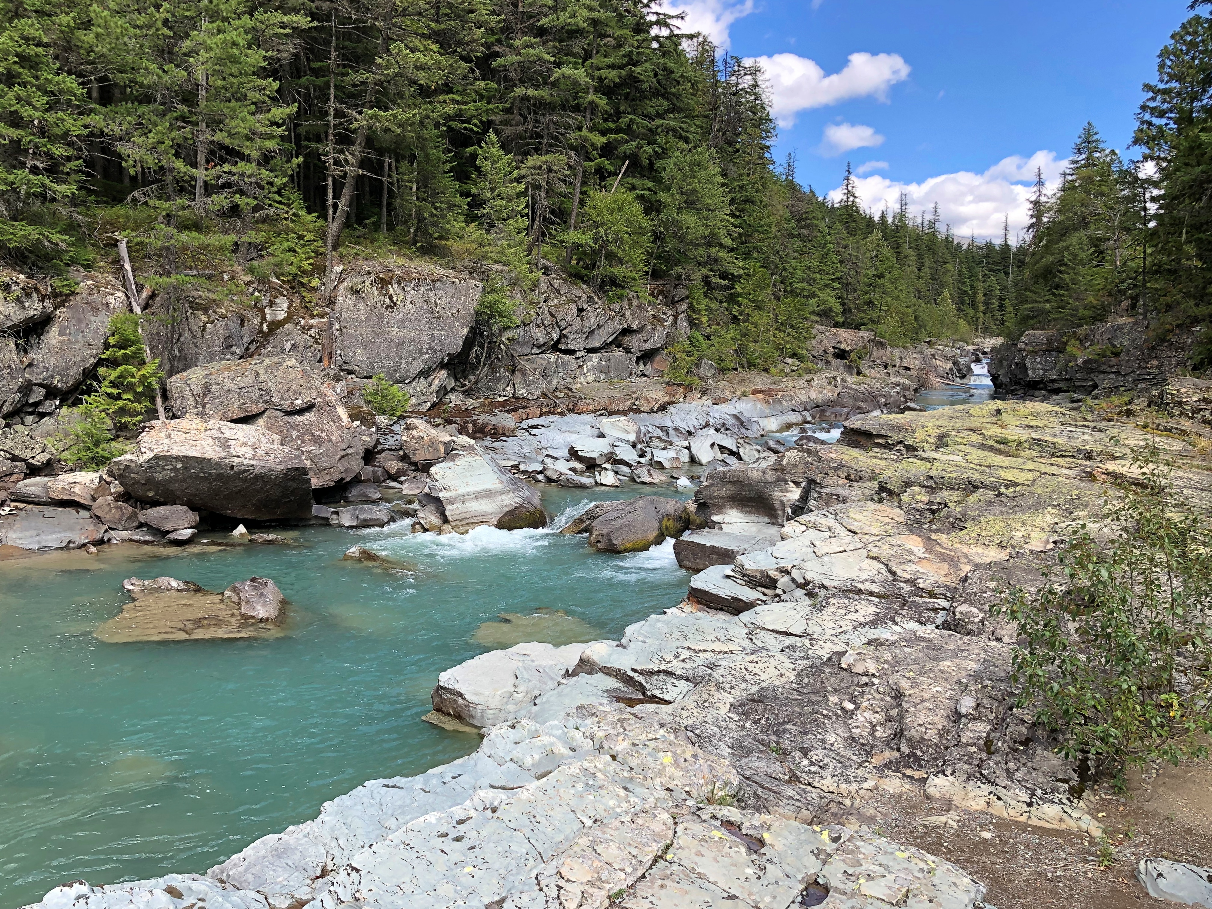
A view in Grand Teton NP.Grand Teton NP

Squint and you can imagine randy Frenchmen of yore saw mammaries.

NYC ’83 Debris

After returning from Europe in mid-August 1983, I spent about 10 days in New York City, a kind of coda to the longer trip. Expenses were low, since I was house sitting – apartment (co-op?) sitting in Greenwich Village – for Deb, a woman I’d met in Germany, while she was on the Jersey shore with her parents. A place New Yorkers went in August, Deb said, because their analysts were out of town. I think she was only half-joking.

If I were a different person, I would have spent late nights at the likes of CBGB, the Palladium, Danceteria, or the Peppermint Lounge (or the Village Vanguard or the Bitter End, for that matter), staggered back to Deb’s apartment, and slept most of the day. That would have been quite the time and place for that kind of activity. But no: I didn’t take a stronger interest in live music in small venues until I lived in Nashville for a few years, and I never did latch on to the alcohol or cocaine components of those kinds of nights. So any stories I’d tell about the NYC club scene 40 years ago would be necessarily made up.

I did a lot of walking. Mostly Manhattan, but one day I walked across the Brooklyn Bridge and spent some time in that borough. I also made it up the Bronx.

The zoo was a little run down in those days, but nothing like the south Bronx territory I saw from the #5 IRT. The zoo guide above, looking at it now, is a model of compact information, unfolding to offer a good map of the zoo’s 265 acres on one side, and on the other side, other information about the zoo, and the various trails in the facility one could follow to see different kinds of animals: the Wild Asia Trail, Africa Trail, Reptiles and Apes, Bird Valley Trail, etc.

I see that elephant and llama rides were available for an extra fee in those days. I wonder if that’s still the case.

Back in Manhattan, there was always Art to see.

Note the adult admission price: $3. Or the equivalent of about $10 these days. And what is the adult rate as of 2024? $30. That’s just gouging, MoMA. You have no excuse.

Vistas. I don’t remember what I paid, but the ESB price now is absurd. I’m glad I’ve already been there. 

I went to the top of the Empire State Building at night, and marveled at the glow of the city, but also at just how many vehicles on the street below were yellow cabs. I was at the World Trade Center observation deck during the day; a lost view.

A Quiet Suburban Spot

Rain blew through last night and so did cool air. Dropped temps by about 20 degrees F. compared with yesterday, making today feel like a pleasant day in October. The days ahead look to be warm and dry: a nice run for declining summer.

Spotted near a suburban street recently in Du Page County.Bloomingdale descanso Bloomingdale descanso

I parked – off the road – and took a look. I drive this street fairly often, maybe twice or three times a month, and hadn’t noticed this descanso before. That probably means a recent accident, though a simple search using the street and town names and a few other items turned up nothing. A look at a fatal accident database with a helpful map pinpointing the incidents (just the kind of thing to set your teeth on edge) told me there was a fatality on that road in 2017 involving one car, one drunk driver, and one death.

If this were that person’s memorial, it seems odd that it was take so long, so I doubt it is. My search wasn’t conclusive, but that was as far as I wanted to take it. Someone died unexpectedly on this uncrowded, obscure suburban street, and someone wanted to remember that person.

A Normal Car

When I see a car decked out like this, I admire the effort that went into it. Spotted in a large parking lot in Normal, Illinois, a little over a week ago.

That effort is more than decorating the car’s surfaces. Cars move around. This isn’t going to be set and forget. What happens when you drive on the highway in that machine? Or a hard rain falls? Or wind gusts, even when it’s parked? Things fly off, of course. Lose, replace, lose, replace. The enthusiast who owns this car has to work at it that much more, and more often.

So – interesting to look at, but I wouldn’t want it in my driveway.

Camden Hills State Park, 1995

Somewhere in our boxes of physical prints are some from Maine in August 1995. At some point, I scanned one of them.Camden Hills State Park, Maine

The view looks toward the town of Camden, and out into West Penobscot Bay. Camden Hills State Park surrounds the town, and we camped there, though not exactly at this vista. I don’t think so, anyway.

I don’t remember a lot about Camden Hills SP, but even so I was reminded of that place when I found out that August 4 is a free day at all national parks, reportedly in honor of the anniversary of the passage of the Great American Outdoors Act four years earlier.

Not because Camden was a national park – obviously not, it was a state park – but because it was close to Acadia National Park, which hugs the coast of Maine just a little further to the east. The visit to Camden was a weekend trip, so there wasn’t another day for Acadia, though we knew it was there. No worries, we’ll visit later, was the thinking.

So far that hasn’t happened. Maine was close in 1995; now it’s a little far. But still possible. I did a count and among the actual national parks (not other kinds of park service units) in the Lower 48, I’ve visited 26 out of 51. None of those was on a free day, including August 4, 2024. Major events that day including mowing the lawn and sweeping out the garage.

Return to Le Roy, Home of Wausaneta

It so happens that Moraine View State Recreation Area is only a few miles north of Le Roy, Illinois, a burg I passed through more than five years ago. At that time I made the acquaintance of Wausaneta, an imaginary Kickapoo chief. His statue has stood in Kiwanis Park in Le Roy for more than a century now, gift to the town of the wealthy crackpot who dreamed him up. I mean, gift to the town of the spiritualist and leading citizen who communed with Wausaneta those many years ago.

As of Sunday, the statue of Wausaneta still stands in Le Roy’s main square.Le Roy, Illinois

I didn’t remember the carved stump tree nearby.Le Roy, Illinois

Panther Tree, it’s called. The local high school mascot is a panther. The reason I don’t remember it is because it wasn’t there until late 2019; I came in March of that year.

While Yuriko dozed in the car, I took a stroll down Main Street, learning that this isn’t the only Le Roy.Main Street, Le Roy, Illinois Main Street, Le Roy, Illinois Main Street, Le Roy, Illinois

Most of the buildings are occupied by one business or another. The former Le Roy State Bank is now the Oak & Flame Bourbon Hall.Main Street, Le Roy, Illinois

Every town worth its salt had an opera house, once upon a time. In this case, that time was 1892.Main Street, Le Roy, Illinois

The Princess Theatre had an abandoned look, but its web site that says that Horizon: An American Saga is playing there once a day until August 3. Only $5 for seniors and children, and $6 for adults, which might be what it’s worth.Main Street, Le Roy, Illinois

“Marcus West, son of Simeon West, built the Princess Theater in 1916,” the web site says. Simeon West was the aforementioned wealthy crackpot.

“Architect Arthur L. Pillsbury designed the brick theater with limestone accents. The first movie was Tennessee’s Pardner on November 21, 1916. The original theater was a silent movie house with piano accompaniment, as talkies did not make their debut in Le Roy until 1931. A grandson of Marcus West recounts that West’s daughter, while in high school, substituted as piano player when the regular player was unable to accompany the film.”

This building looked genuinely empty. Not only empty, but still sporting a Trump-Pence sign, already a relic of yore. It has a future as a hipster bar, maybe.Main Street, Le Roy, Illinois

Guns & Glory. LeRoy Illinois Main Street

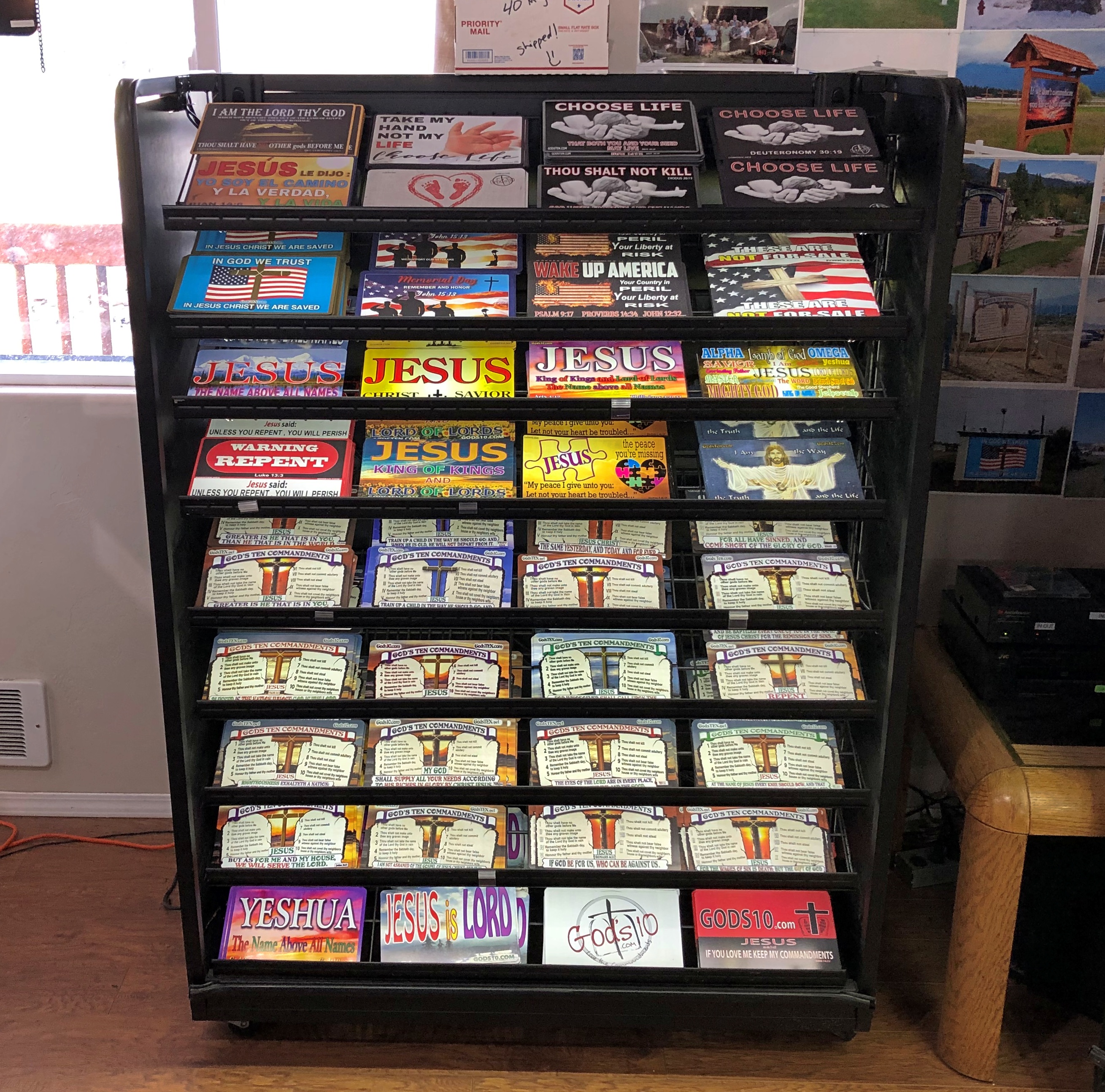
Guns & Glory offers firearms, cleaning, repair, concealed carry classes, and Bibles.

“We are probably the only gun shop and religious book store combined that you will find,” its web site says. “We believe we can provide the two most important things to protect you – ‘God and guns.’ ”

Used to be the First National Bank. And a Rexall drug store.LeRoy Illinois Main Street

Someone went to some lengths to blot out the Rexall name, but not enough to efface it completely, if you know what you’re looking at.LeRoy Illinois Main Street

I believe the drug store in Alamo Heights where I bought comics in the early ’70s was a Rexall, but I’m not quite sure. At some moment after I left town, it disappeared. That same dynamic happened so much that the brand now enjoys only a whisper of its ’50s coast-to-coast retail glory.

Moraine View State Recreation Area

Not far east and south of Bloomington-Normal is Moraine View State Recreation Area, unless you look at the Illinois Department of Natural Resources web site, which calls it Moraine View State Park. A distinction without much of a difference, probably, but anyway the sign on site says recreation area.Moraine View State Recreation Area

We arrived Saturday afternoon and set up our tent in a drive-in camp site. Though a weekend in summer, not all of the sites were occupied. In fact, quite a few were empty. Good to know that not every bit of every state park isn’t overrun every weekend.

The replacement for the leaky tent I returned.Moraine View State Recreation Area

Unlike the previous tent, the new one is a Coleman, larger than previous tents we’ve owned and a little more complicated to set up. Good to be able to stand up inside it. After a back yard test, we wanted to test it in the field, and Moraine View seemed like a good spot. I’m glad to report that it didn’t leak, despite fairly heavy rain Saturday night into Sunday morning, though the clammy atmosphere made it a little hard to sleep.

This is first time we’ve camped since, I think, 2014. For one thing, our daughters became increasingly vocal about the discomforts of camping. Another consideration has been the spread of Lyme disease from its East Coast haunts into the Upper Midwest, especially places we might want to go, such as Wisconsin and the UP. Illinois less so, but there are cases. Good news, however: someday soon a vaccine for it might be on the market again.

Moraine View’s a pleasant place, whatever you call it. At more than 1,680 acres, it’s not a huge park, but sizable enough to encompass all the land around a man-made body called Dawson Lake.

On land, there were easy trails through temperate lushness, in living color.Moraine View State Recreation Area Moraine View State Recreation Area Moraine View State Recreation Area

Or monochrome.Moraine View State Park Moraine View State Park

Though marshy, the place wasn’t overburdened with mosquitoes. Moraine View State Park

Non-geologist that I am, I wondered, where’s the moraine? Later I came across this Geologic Road Map of Illinois.

To the left, a detail from the map focusing on McLean County. The olive tinting designates moraine, legacy of the last time that ice covered this part of North America.

Such moraine is “largely unsorted sediment (till), a mixture of clay, silt, sand and gravel, deposited by moving or melting ice.”

That is, the moraine was all around us at Moraine View, making it one of the more aptly named units of the DNR.

The McLean County Museum of History

Revel in the obscurity: Details of posters advertising a regional brand of candy that hasn’t been made in years, created by a commercial artist no one has ever heard of, on display in a large town few people visit.McLean County Museum of History McLean County Museum of History

Bloomington-based Beich Candy Co. was the candy maker, and the posters advertise its Whiz Bar, whose slogan – until inflation made it obsolete – was “Whiz, best nickel candy there iz-z.”McLean County Museum of History

The posters are behind glass at the McLean County Museum of History, and thus hard to photography in total without glare. But details work out nicely.

We visited the museum on Saturday morning.McLean County Museum of History McLean County Museum of History

“These posters were created by Don Shirley (1913-2001) for States Display, a local commercial art business,” notes the museum. “He was an artist and illustrator.”

A Prussian immigrant by the name of Paul F. Beich founded the candy company that carried his name. Beich Candy Co. lives on as a unit of Ferrero, with a candy factory in Bloomington (recently expanded), but Whiz seems to be no more. A chocolate-marshmallow-peanut confection, it sounds something like a Goo-Goo Cluster.

An even deeper dive into Beich Co. is at an Illinois Wesleyan University website. It’s the story of a food technologist who worked for the company, one Justin J. Alikonis.

“He designed and patented, among other things, a marshmallow-making machine, the ‘Whizolater,’ named after the Beich flagship candy bar, the Whiz,” the site says. “With no moving parts and operating solely on pressurized air, the Whizolater could make 1,400 gallons of marshmallow or nougat per hour.”

As local history museums go, McLean County is top drawer, with enough displays and artifacts to inspire all sorts of rabbit-hole expeditions, besides 20th-century candy making in central Illinois. Such as friends of Lincoln who otherwise would be lost to history.History Museum of McLean County

He even looks a little like Lincoln, but maybe that’s just 19th-century styling.

Otherwise obscure incidents in McLean County history make their appearance as well, such as one in 1854, when a mob of Know-Nothings smashed 50 barrels each of brandy and cherry bounce, and 50 casks each of “high wine,” gin and whiskey taken from groggeries in Bloomington, according to the museum.History Museum of McLean County

I had to look up cherry bounce. For those who like their neurotoxins sweet, I guess. The Know-Nothings were destroying the alcohol – “washed the prairie” with it, said a contemporary account, though perhaps some of it was squirreled away by thirsty Know-Nothings – presumably because it was associated with immigrant saloons.

A flag. For union and liberty.History Museum of McLean County

A replica of the one carried by the 33rd Illinois Infantry Regiment, which has its start comprised of teachers and students and former students at Normal University (later ISU), with university president Charles E. Hovey as its colonel.

Most local history museums have oddities, and so does McLean County.History Museum of McLean County

It’s a little hard to tell, but that’s a large chair. Though I’m six feet tall, my feet barely touched the ground. “Yes, please sit here!” its sign said. “The owners of Howard & Kirkpatrick’s Home Furnishings places this oversized chair outside their store to draw customers inside.”

The displays and artifacts are one thing, but what really makes the museum sing is its digs in the former courthouse.McLean Country Courthouse McLean Country Courthouse McLean Country Courthouse

Especially the former courtroom.McLean Country Courthouse McLean Country Courthouse McLean Country Courthouse

In which hangs a portrait of Vice President Adlai Stevenson.McLean County Museum of History

The courthouse dates from the early 1900s, a time when officialdom at least believed that the physical structures of republican government ought to have a touch of grandeur.