The Peace Bridge

Not long ago, I learned that gephyrophobia, an irrational fear of bridges, is a real thing. I find it a little hard to imagine. I’ve been on a few white-knuckle bridges in my time, such as the unnamed span that crosses the Mississippi from Savanna, Illinois, to Sabula, Iowa, which is as narrow as two-lane bridge can be and still be two lanes. But that was a rational reaction, not a generalized dread.

“In Michigan, the Mackinac Bridge Authority drives vehicles for free over a bridge that connects the state’s Upper and Lower Peninsulas and rises 199 feet above the strait below,” Car & Driver reports. “Formerly known as the Timid Driver Program, it’s now referred to as the Driver Assistance Program. Bridge staff, who are also responsible for escorting hazardous-materials trucks and maintenance chores, drive up to 10 people across the bridge each day.”

Mostly I have the opposite reaction to bridges, wanting to cross them in one way or another – walking, driving or by public conveyance. That includes the grand bridges I’ve crossed, such as Mighty Mac but also the Brooklyn Bridge, Golden Gate, Sydney Harbour and Seto-Ohashi, as well as mid-sized and smaller ones. Sometimes it’s an essential part of visiting somewhere, such as crossing the bridges on the Thames in London, the Seine in Paris and the Vltava in Prague. Or even the Tridge in Midland, Michigan.

In Batavia, Illinois, a footbridge crosses the Fox River from the west bank peninsula to the east bank. I had no hesitation in crossing it during our Saturday visit. It’s a fairly ordinary iron structure with wood planks, the kind you see in a lot of places. Peace Bridge, Batavia, Illinois
Peace Bridge, Batavia

Except for one feature, best seen from nearby.Peace Bridge, Batavia, Illinois
Peace Bridge, Batavia, Illinois

It’s known as the Peace Bridge. The “PEACE” and “EARTH” letters are 12 feet tall; the “ON” letters eight feet. Beginning from their first installation in 2008, the letters were seasonal each year — around Christmas — but now they are year-round.

Remarkably, the sign was the idea of a local barber, Craig Foltos, owner of Foltos Tonsorial Parlor, who persuaded the Batavia Park District to install the letters he had fashioned (with help).

Foltos Tonsorial Parlor. I like that name so much I might have my hair cut there someday.

Capitol Mall & Old Sacramento Stroll

One place to go from the California state capitol is down Capitol Mall, a boulevard that generally heads west-northwest from that building to the Sacramento River three-quarters of a mile or so away.

The view down the Mall from the capitol.Capitol Mall, Sacramento

The yellow-gold structure in the distance is Tower Bridge, which I decided was my destination that afternoon, on my last full day in California. The day was very warm, but I had a hat (acquired at Joshua Tree NP) and a bottle of water.

U.S. Bank Tower (621 Capitol Mall), an HOK glasswork, rises 25 stories over the street, making it the second-tallest building in the city.U.S. Bank Tower Sacramento

I liked the blue tones of Bank of the West Tower, 500 Capitol Mall, designed by E.M. Kado and started construction in 2007, just ahead of the panic.

There are bears in front.Bank of the West Tower

Another excellent styling, I thought: Emerald Tower, 300 Capitol Mall, an ’80s building designed by DMJM (pronounced Dim-Jim). It was a go-go decade for office development, after all, and this was one of the fruits of that era.Emerald Tower, Sacramento

Soon the Tower Bridge was well within view, near One Capitol Mall.One Capital Mall, Sacramento

An excellent bridge.Tower Bridge, Sacramento

Built in the 1930s, the distinctive golden color is actually much newer than that: 2002.Tower Bridge, Sacramento Tower Bridge, Sacramento

I wanted to walk across it — walk across bridges when you can — and so I did, even though as a vertical lift bridge, there was a chance I’d be stuck on the other side for a while. But I made it across and back without the lifting-bridge alarm bells sounding, and I even got a view of Old Sacramento on the riverfront.Old Sacramento State Historic Park

In full, Old Sacramento State Historic Park. It’s a renovated tourist district these days, with restaurants, shops and a few museums, but of course it was a working riverfront in the 19th century. Actually, I suppose it’s merely doing a different kind of work in our time.Old Sacramento State Historic Park Old Sacramento State Historic Park Old Sacramento State Historic Park

Not to forget the good ship Delta King, built in 1927 and docked at Old Sacramento.Delta King

Except it isn’t really a ship anymore, but a floating hotel with restaurants and a theater. Popular as a wedding venue, too.

Delta King used to ply the Sacramento River to San Francisco and back as a passenger ferry. After its days as a ferry were over, it suffered the usual period of neglect and shifting ownership, but was renovated closer to our time. It’s a remarkable story.

Nature Boardwalk

Toward the south end of Lincoln Park is the fittingly named South Pond, flush with floral glory last Saturday.Nature Trail

That, and U.S. Grant off in the distance.

The pond is mostly ringed by a feature called Nature Boardwalk, which is an extension, without large animal habitats, of the Lincoln Park Zoo. It’s called that pending a really generous gift, most likely.Nature Boardwalk

I didn’t need any more prompting than that to take a walk along most of the raised walkway.Nature Boardwalk Nature Boardwalk

From one vantage, the handsome Café Brauer building is visible.

The building has a history as home to a successful Chicago restaurant in the first decades of the 20th century. Developed in 1908 with a design by Prairie School notable Dwight Perkins.

The life of the building continues as a wedding venue. A nicely written description — though at heart ad copy for the place — is at The Knot, which specializes in articles and other tools for wedding planning:

Café Brauer overlooks the zoo’s Nature Boardwalk, a lively pond ecosystem. Thanks to the event space’s terrace, couples and their guests can easily admire the setting’s beautiful biodiversity as they celebrate. From this vantage point, a clear view of the surrounding park and city skyline is also visible.

Inside, the… historic Chicago landmark features eye-catching ceilings supported by exposed green-colored beams, with Tiffany-style chandeliers and warm uplighting. Thanks to its stained-glass windows, natural light can flood the interior as guests dine, dance, and mingle.

And what was this?
Peoples Gas Educational Pavilion

That must have been there the last time I came this way, but I didn’t remember it.
I walked the path, and over a stone bridge, to the other bank of the pond.Peoples Gas Educational Pavilion

Closer.Peoples Gas Educational Pavilion Peoples Gas Educational Pavilion Peoples Gas Educational Pavilion

Inside.Peoples Gas Educational Pavilion Peoples Gas Educational Pavilion Peoples Gas Educational Pavilion Peoples Gas Educational Pavilion

The Peoples Gas Education Pavilion, it is. I’ll assume the natural gas company of that name had something to do with paying at least part of the construction tab for the structure.

“It was completed in 2010 by Studio Gang, the world-renowned Chicago architecture firm led by Jeanne Gang. It is built from prefabricated glue-laminated timber ‘ribs’ and fiberglass domes,” writes Chicago area photographer Lauri Novak.

Novak lauds the spot as a good one for taking photos. Is it ever.

Wood Dale-Itasca Flood Control Reservoir

Heavy rains started around daybreak on Sunday, continuing through until mid-afternoon, at least around here. Some parts of Chicago suffered flooding.

Just before sunset the same day, we walked the dog and noticed very little in the way of puddles, even in the low ground of the park behind our house. Odd, I thought, considering the heavy volume of water, but then it occurred to me that it’s been a warm two weeks since the last rain. The ground just soaked it up.

Saturday was one of those warm, sunny days. About an hour before sunset that day, we went back to Wood Dale, but this time walked around Wood Dale-Itasca Flood Control Reservoir.Wood Dale-Itasca Flood Control Reservoir Wood Dale-Itasca Flood Control Reservoir

The water is visibly the haunt of birds, including some herons, and probably fish that can’t be seen. The level looked low, which is reasonable, considering there hadn’t been any rain lately.

The trail goes more than a mile all the way around, not always with views of the water.Wood Dale-Itasca Flood Control Reservoir

O’Hare isn’t that far away.Wood Dale-Itasca Flood Control Reservoir Wood Dale-Itasca Flood Control Reservoir

As the name says, the point of the basin is to catch floodwater, rather than have it damage the surrounding suburbs. The facility was completed in 2002.

“Floodwater enters the pump evacuated reservoir through a diversion weir made up of series of four sluice gates located at the end of School Street in Wood Dale,” says Du Page County.

“During flood events the sluice gates are opened, allowing stormwater to flow down the spillway into the reservoir. The stormwater is temporarily stored until flood levels along Salt Creek have receded. Stormwater is then pumped back to Salt Creek through a pump station and discharge channel.”

There’s a short bridge over the spillway.Wood Dale-Itasca Flood Control Reservoir

That got me thinking about the origin of “sluice,” which I didn’t know. So I looked it up later. Mirriam Webster: “Middle English sluse, alteration of scluse, from Anglo-French escluse, from Late Latin exclusa, from Latin, feminine of exclusus, past participle of excludere to exclude.”

Around Lake Michigan Bits & Pieces

Here’s a set of facts that only I’m likely care about, but I find remarkable anyway.

My recent trip with friends to the UP and back began on July 30 and ended on August 7. Fifteen years earlier, in 2007, I took a trip with my immediate family to the UP and back, from July 30 to August 7. I didn’t know about the coincidence until I read a previous posting of mine. I wish I could say that I’d taken a July-30-to-August-7 trip 15 years before that, in 1992, but no: Singapore and Malaysia was June 29 to July 10 that year (I had to check.)

Both were counterclockwise around Lake Michigan, but such is the richness of worthwhile sights in that part of the country that the two trips touched only at one point: the Mackinac Bridge. And in the fact that we spent time in the UP.

Is it so different now than 15 years ago? Except for maybe better Internet connectivity (I hope so) and maybe a worse opioid problem (I hope not), not a lot seems to have changed.

The UP’s population in 2020, per the Census Bureau, was about 301,600, representing a decline from 311,300 in 2010 and 317,200 in 2000. Truth be told, however, the UP’s population has never been more than about 325,600, which it was in 1910. After a swelling in population in the 19th century, especially after the Civil War, numbers have held fairly steady, meaning an increasingly smaller percentage of Michiganders and Americans, for that matter, live in the UP.

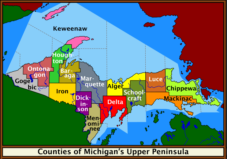
A spiffy public domain map.

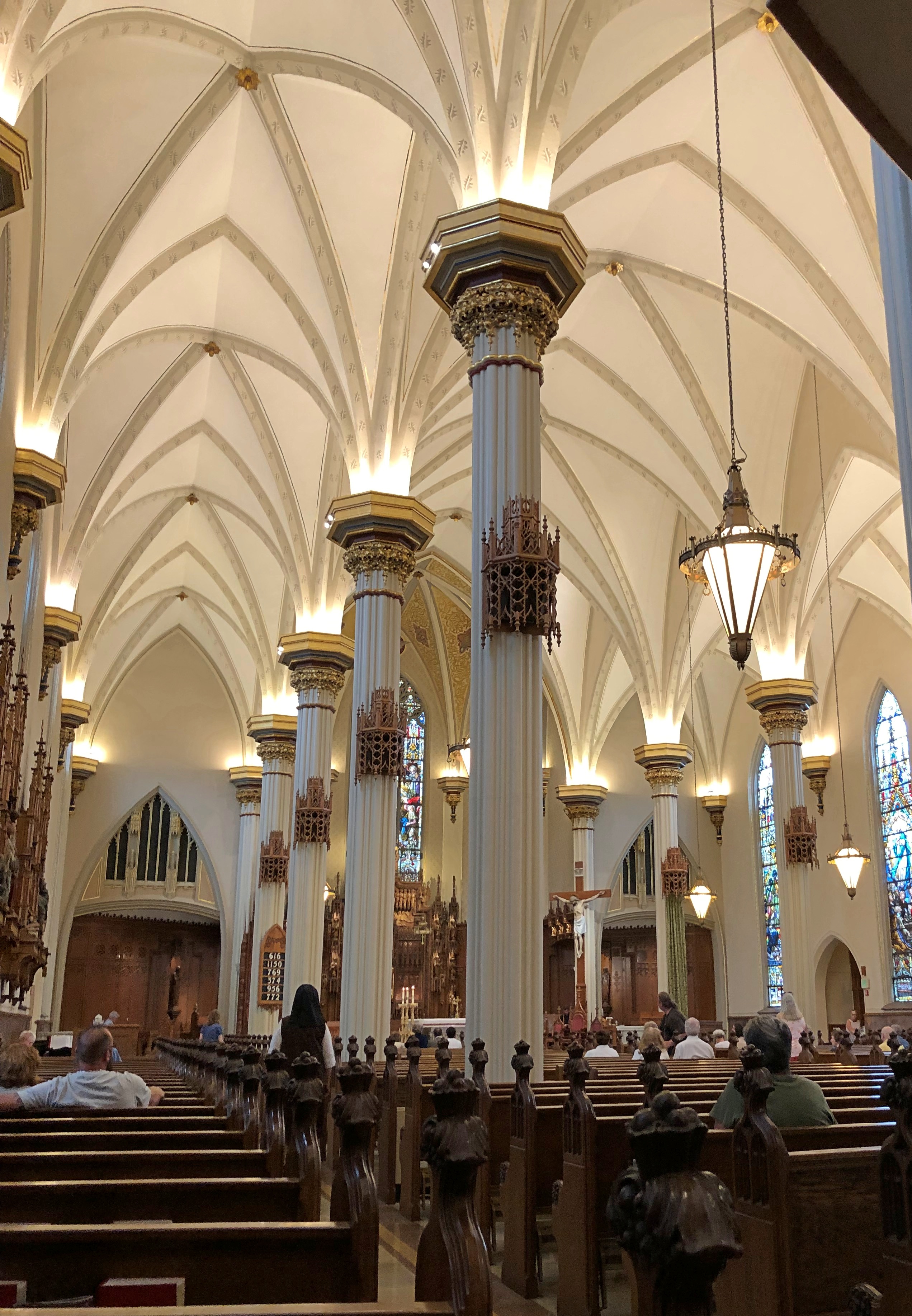
Of course, the trip started in metro Chicago, and our first destination was BAPS Shri Swaminarayan Mandir Chicago in Bartlett, Illinois. A striking piece of India within short driving distance of home, I once said, and I’m pretty sure my friends agreed with that assessment.

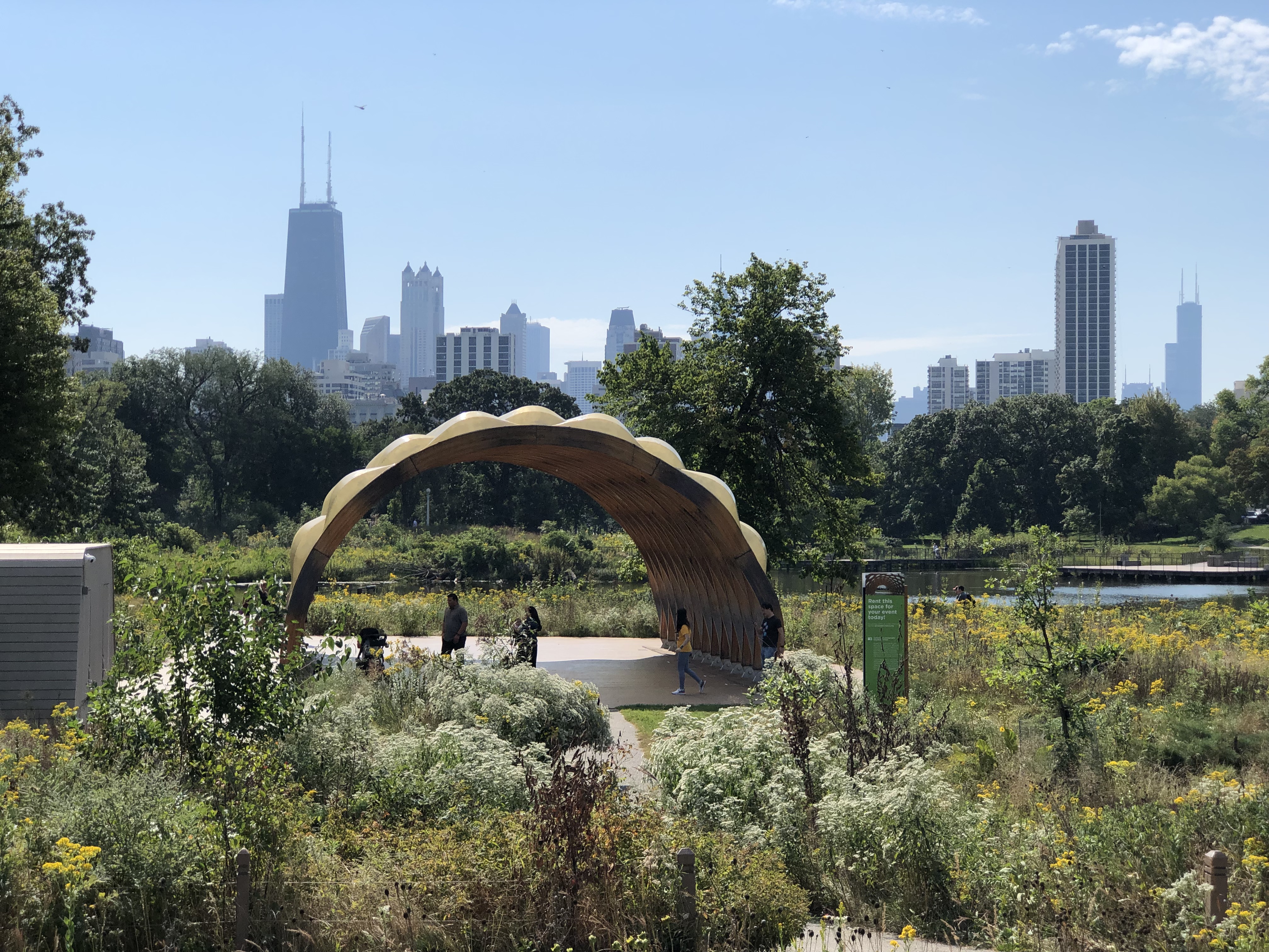
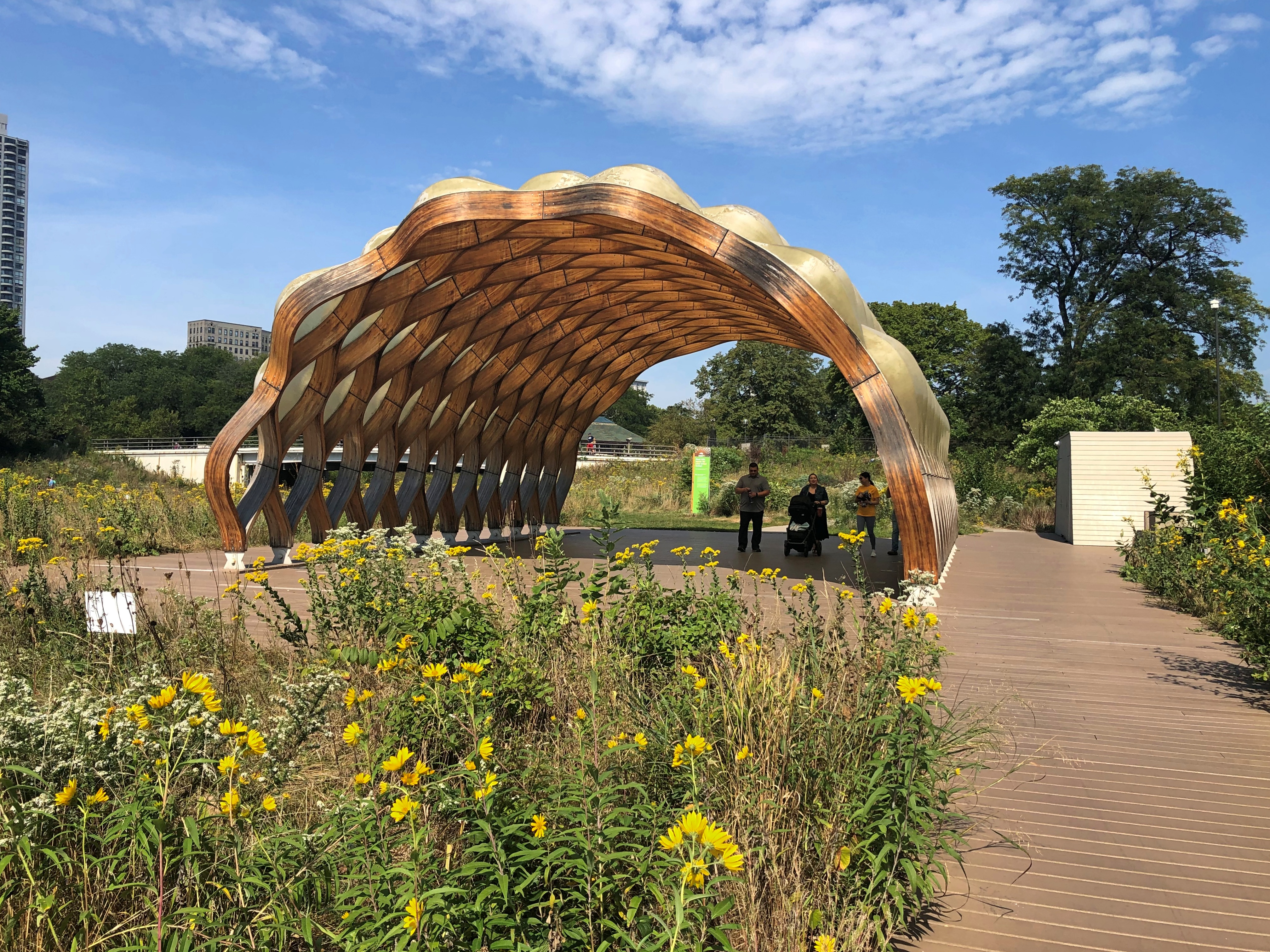
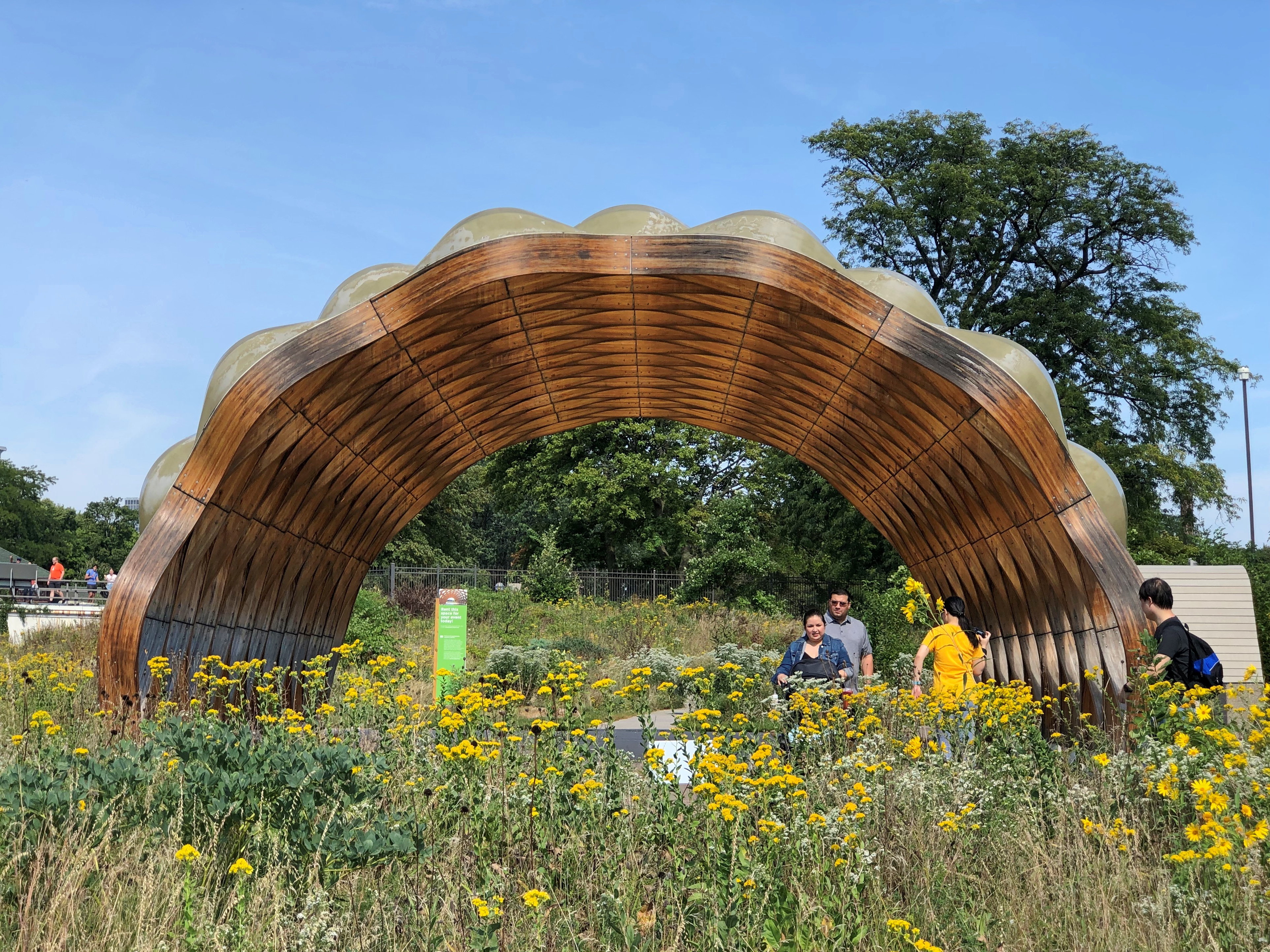
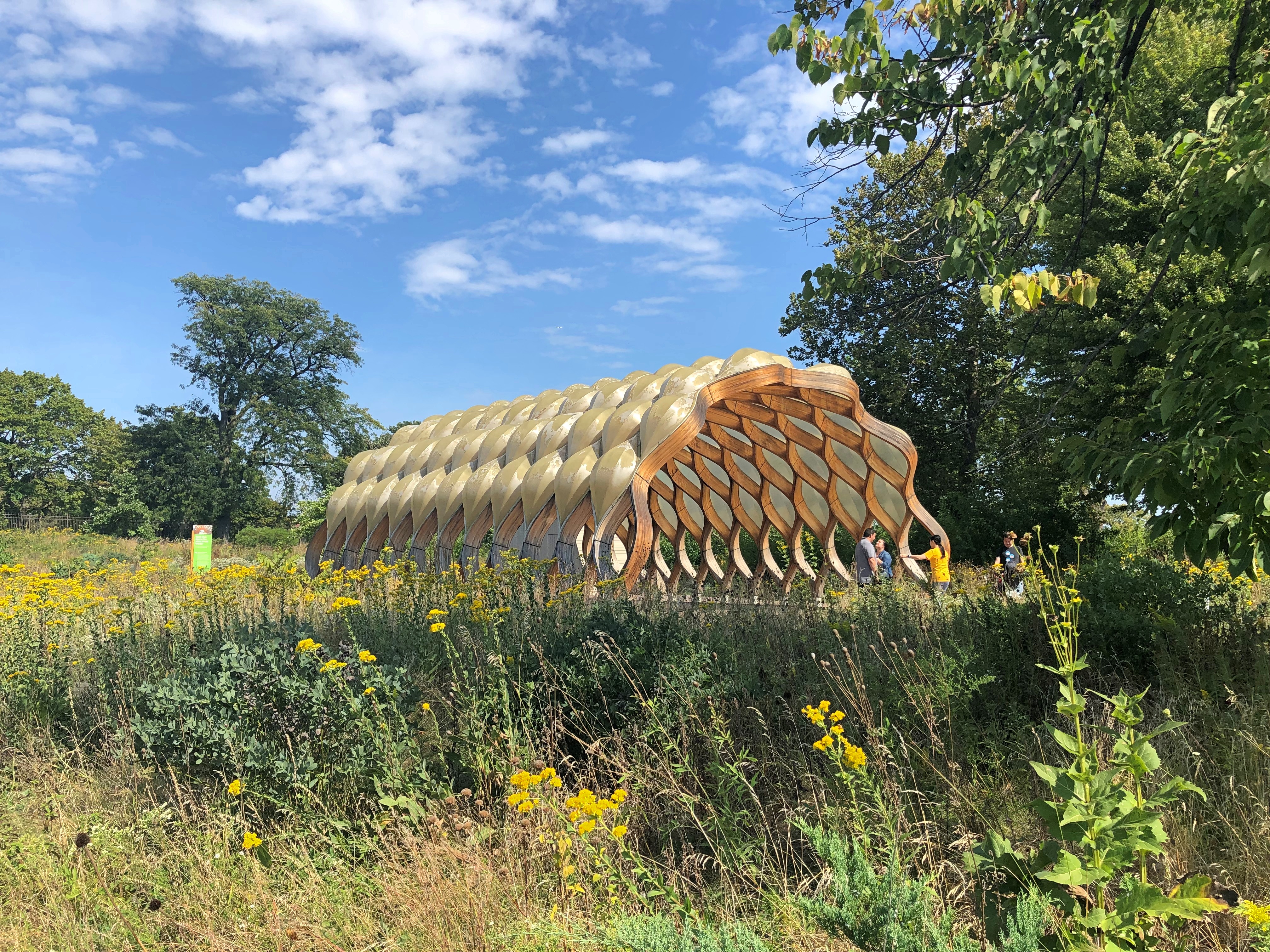
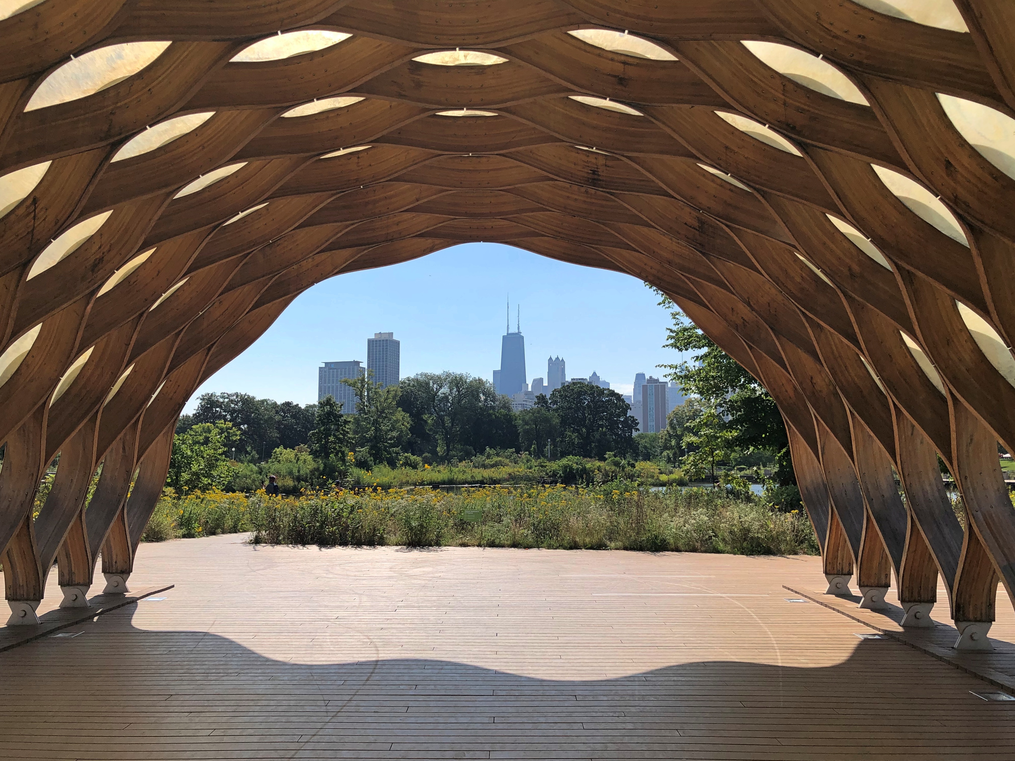
Next: Indiana Dunes National Park. I had in mind we’d walk along a trail I knew, and a beach I liked, but no parking was to be had on a Saturday in summer. We were able to stop at the the Century of Progress Architectural District for a few minutes, and amble down to the beach for a few more from there. They liked that, too, and I’m sure had never heard of that corner of Indiana.

Across the line in Michigan, we went to Redamak’s in New Buffalo. Crowded, but it was then that we collectively decided, though it was unspoken, that good food in a restaurant setting was worth the risk of the BA.5 variant. I’m glad to report that none of us had any Covid-like symptoms during the entire run of the trip.

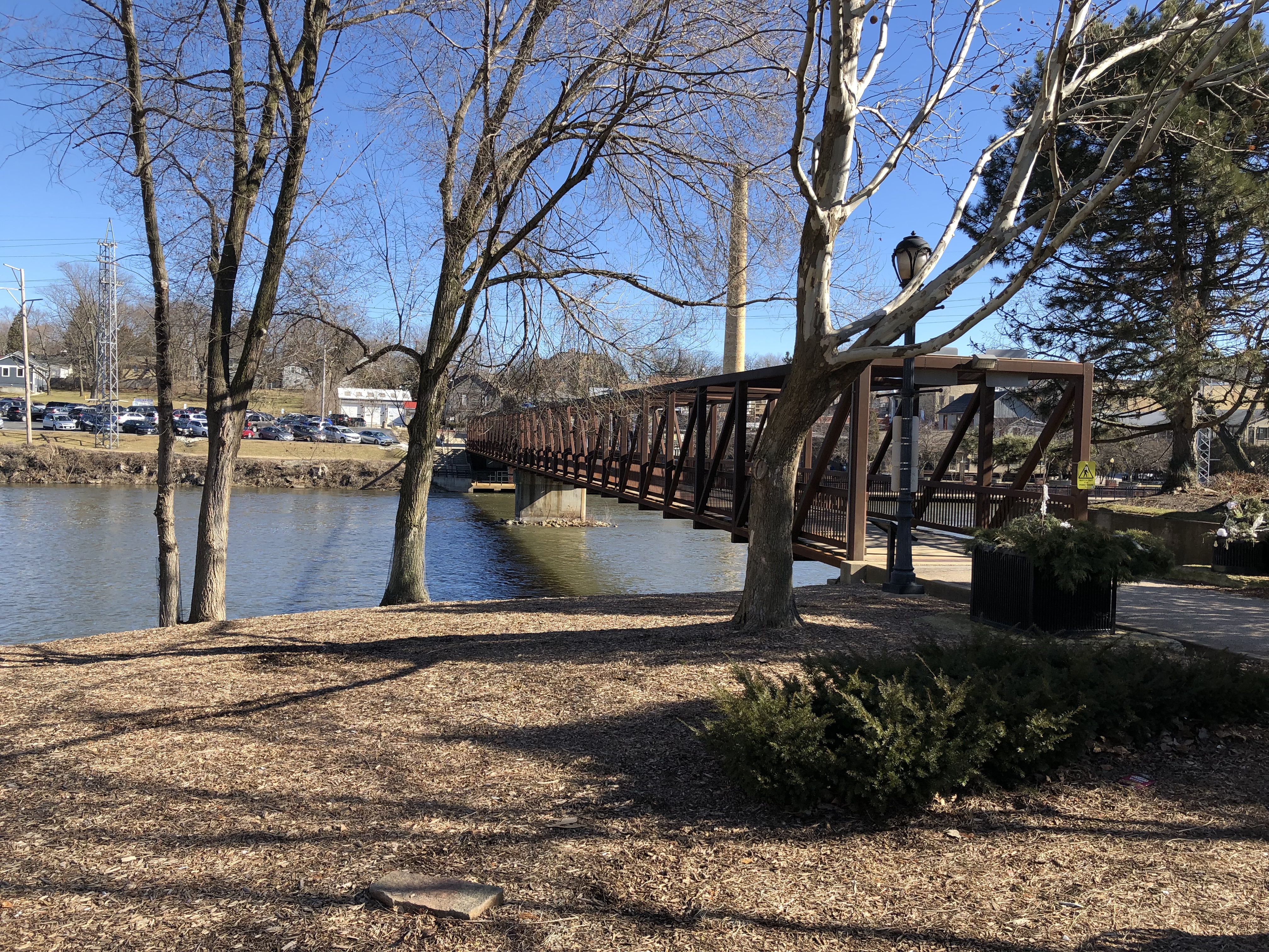
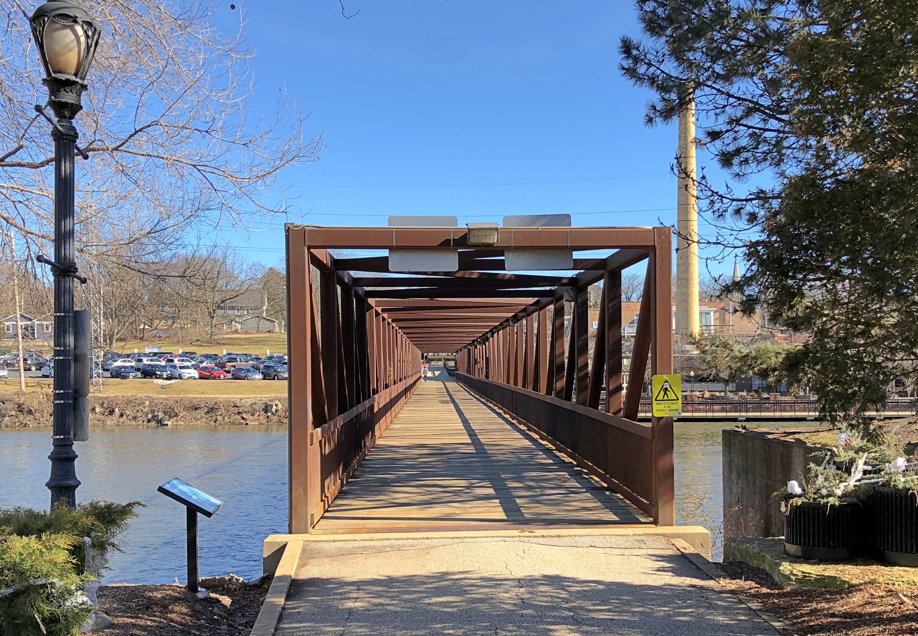
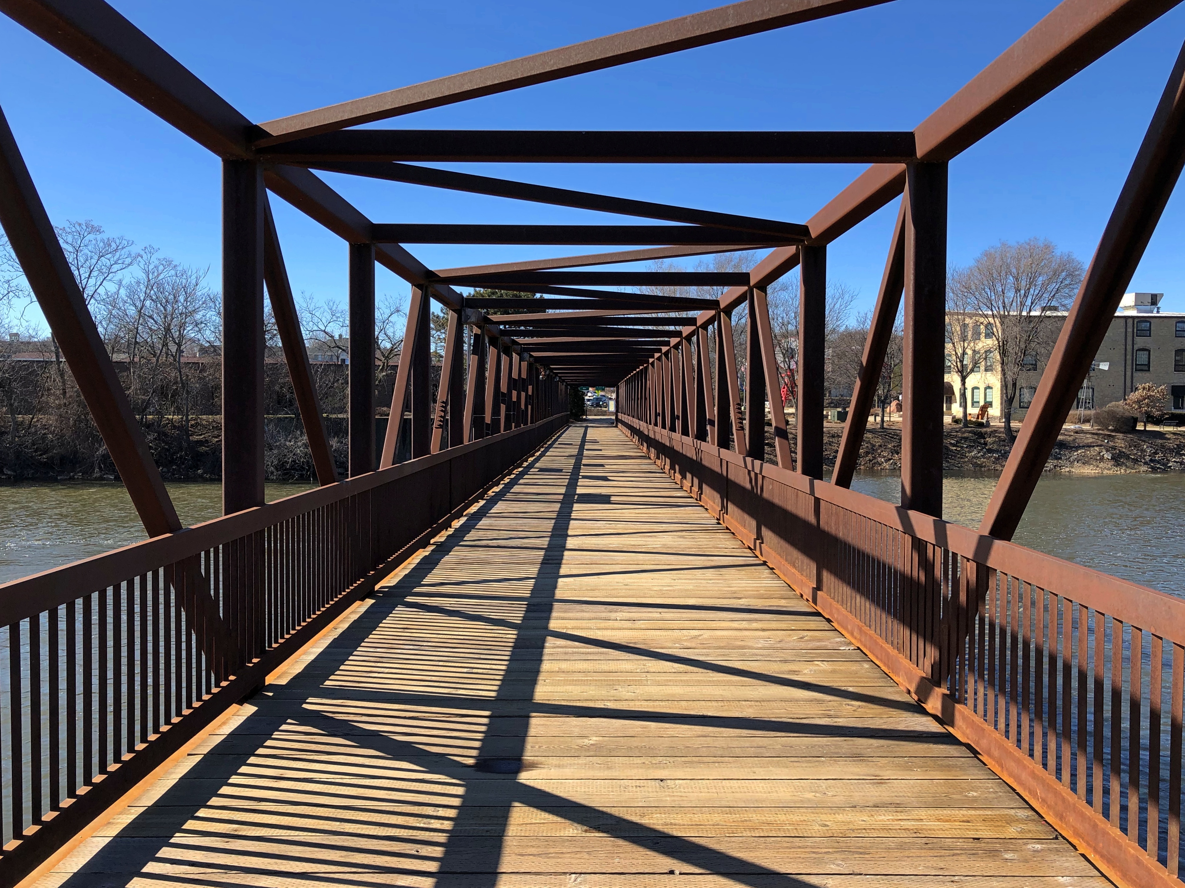
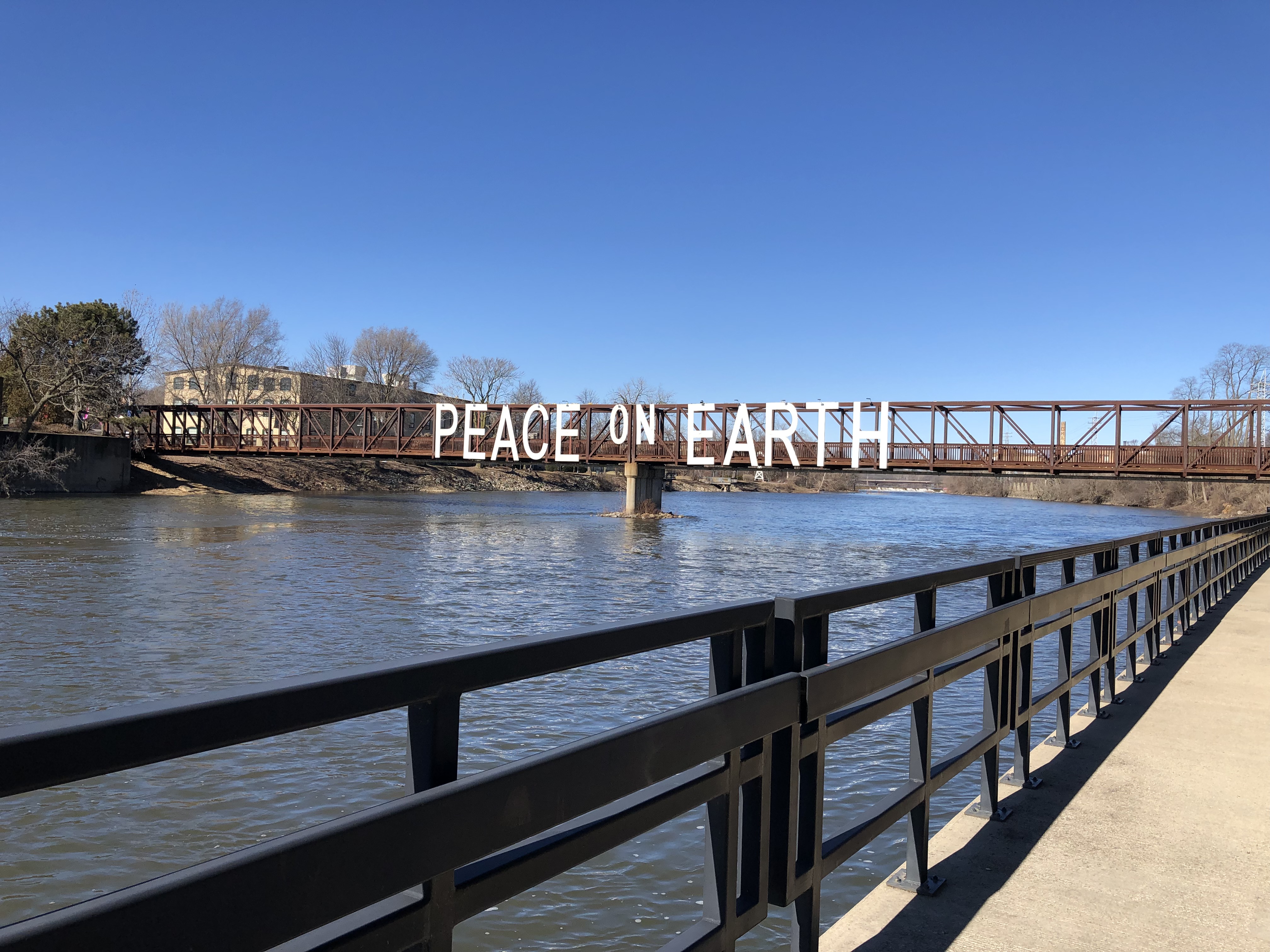
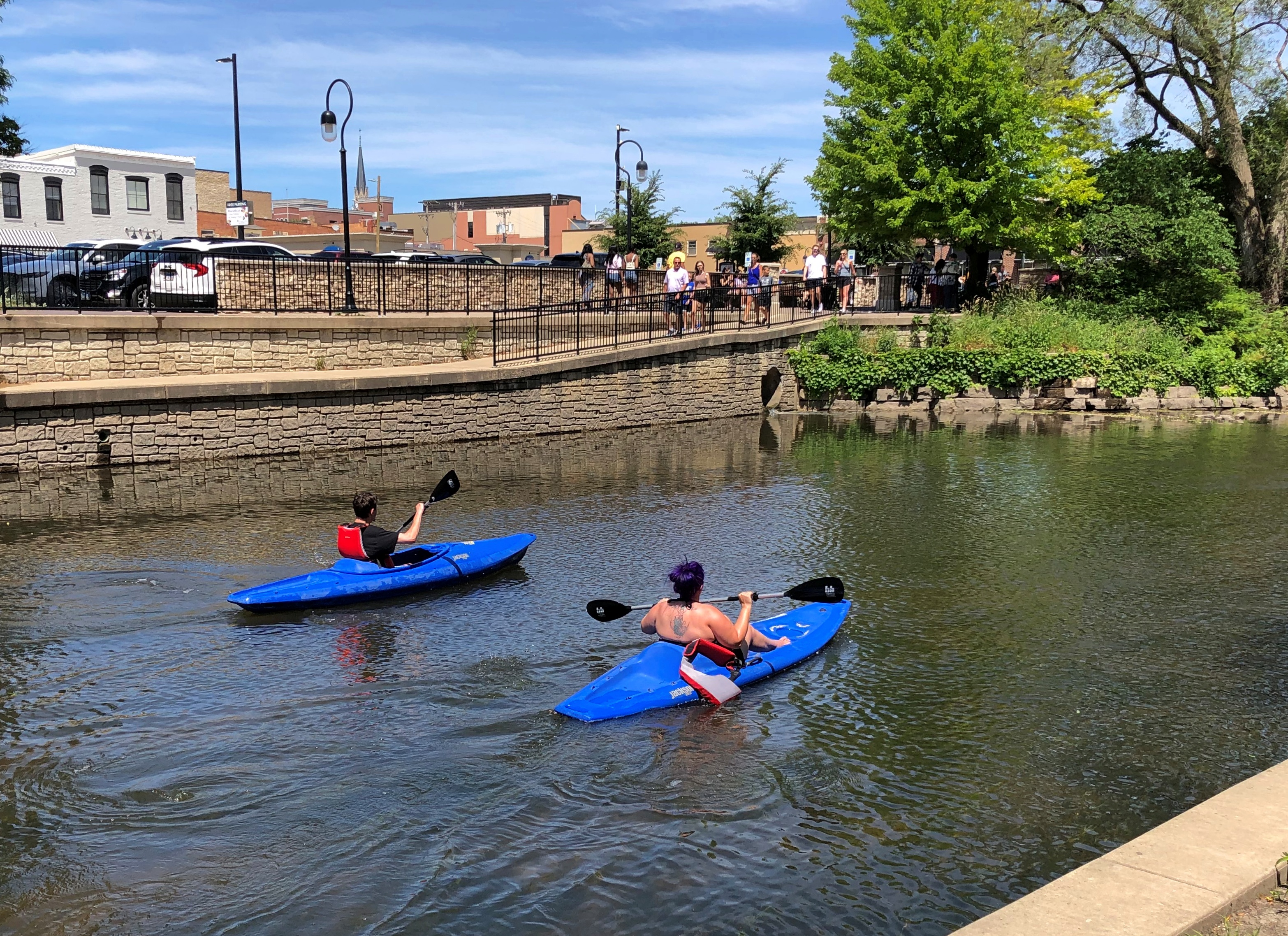
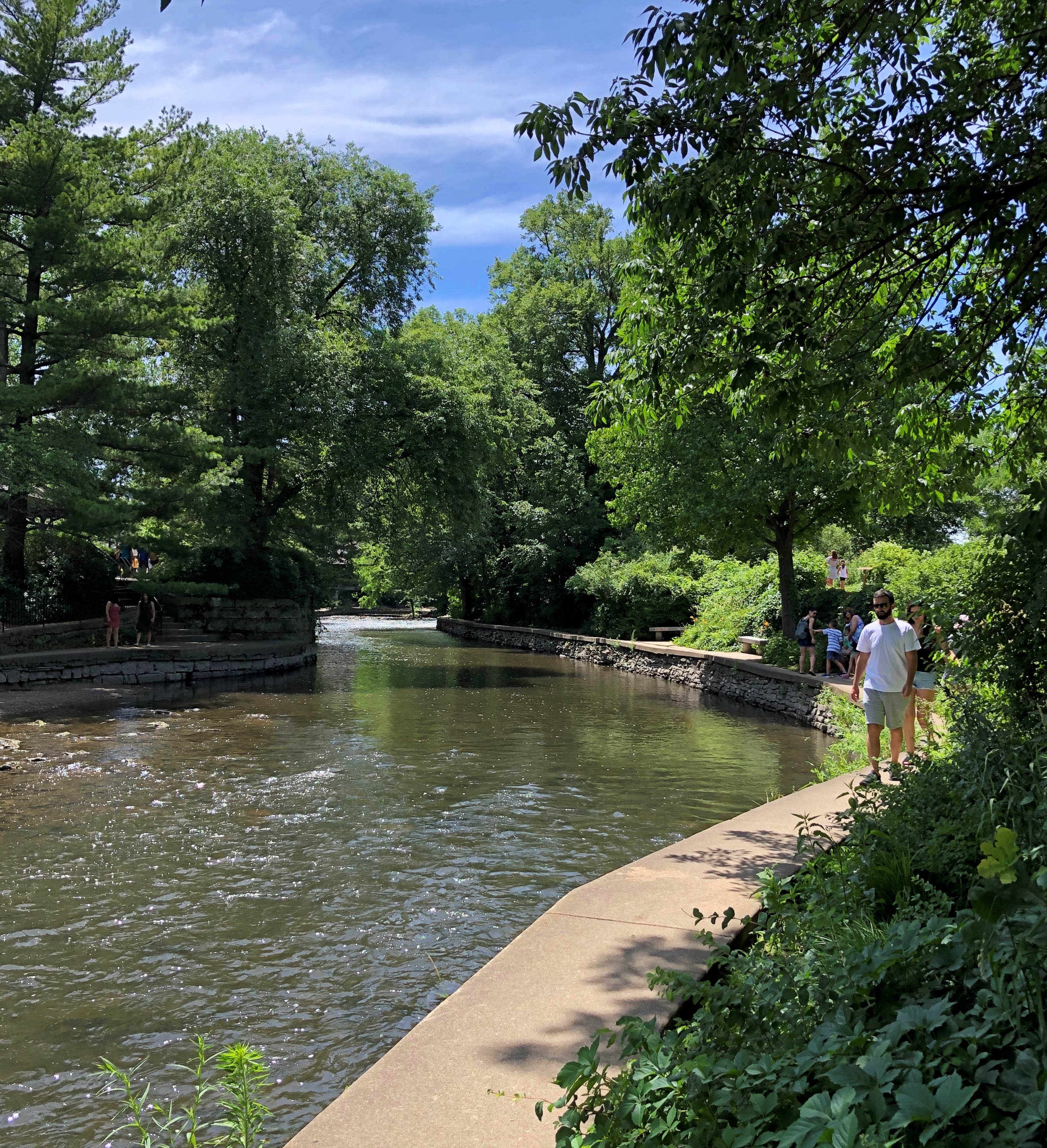
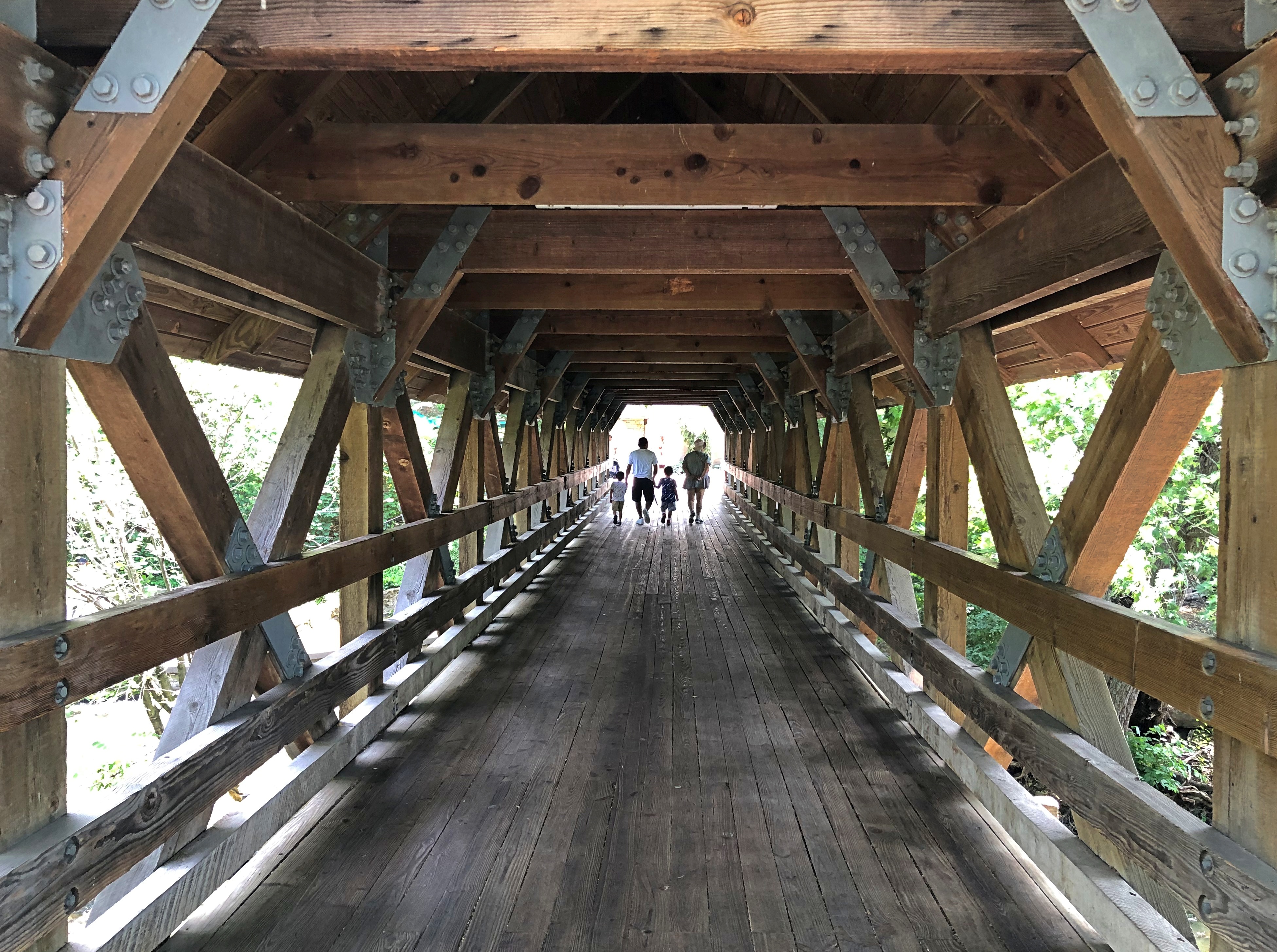
Those were my first-day suggestions. Now my friends had one: Saugatuck, Michigan, which is actually two small towns, the other being named Douglas. I’d seen it on maps, but that was the extent of my awareness. Turns out it’s a popular place on a summer Saturday, too. Especially on the main streets.Saugatuck, Michigan Saugatuck, Michigan Saugatuck, Michigan

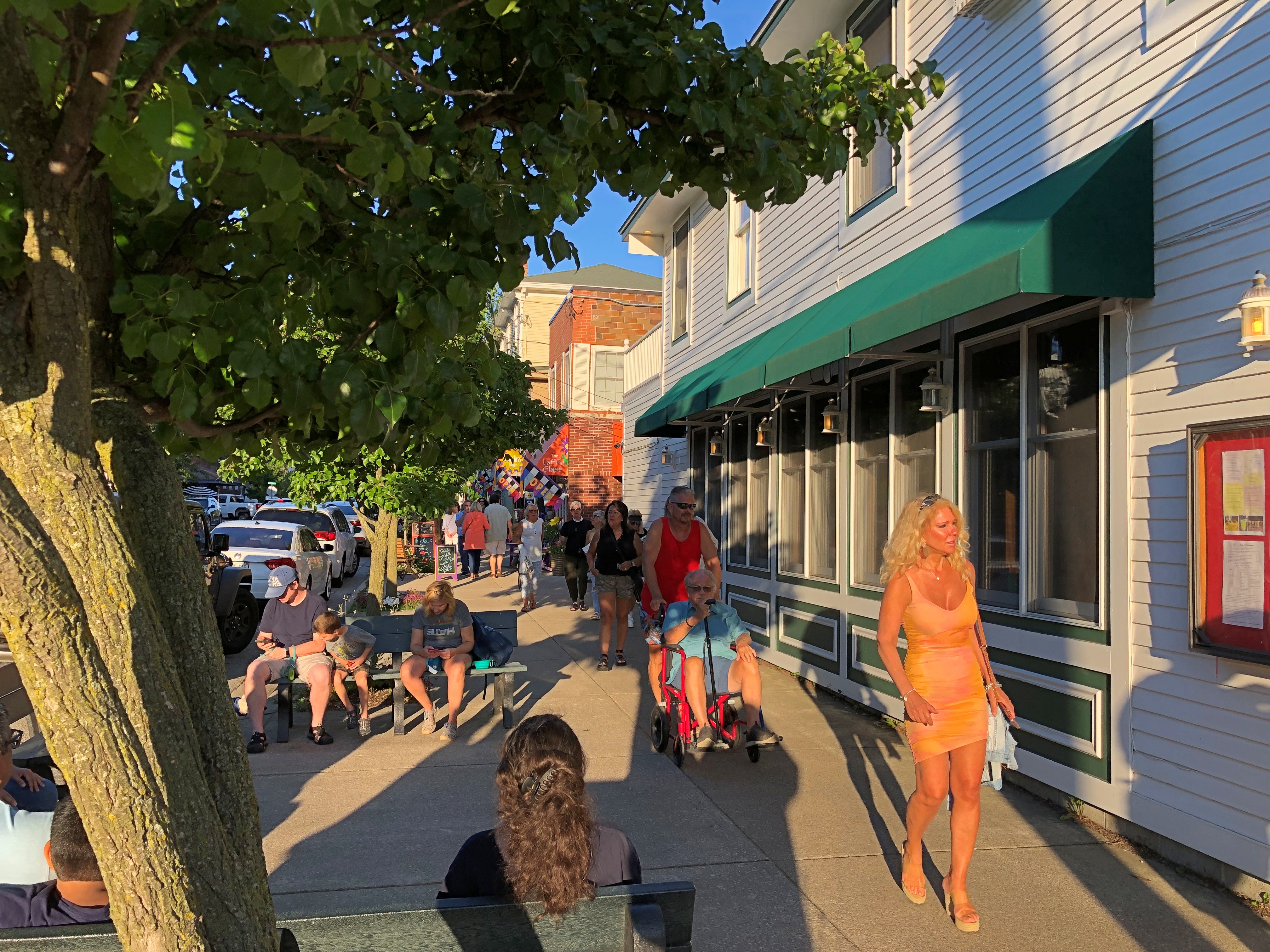
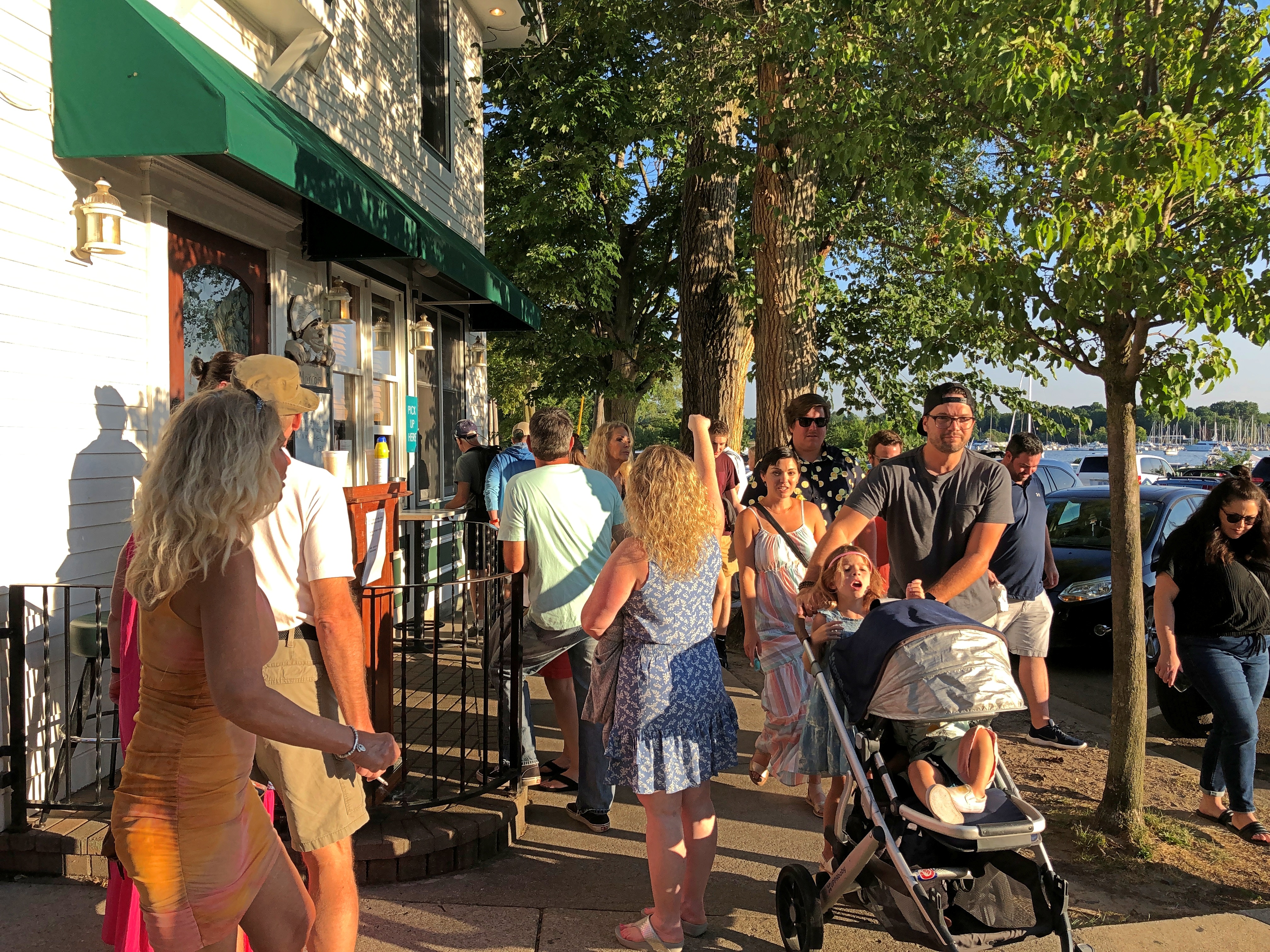
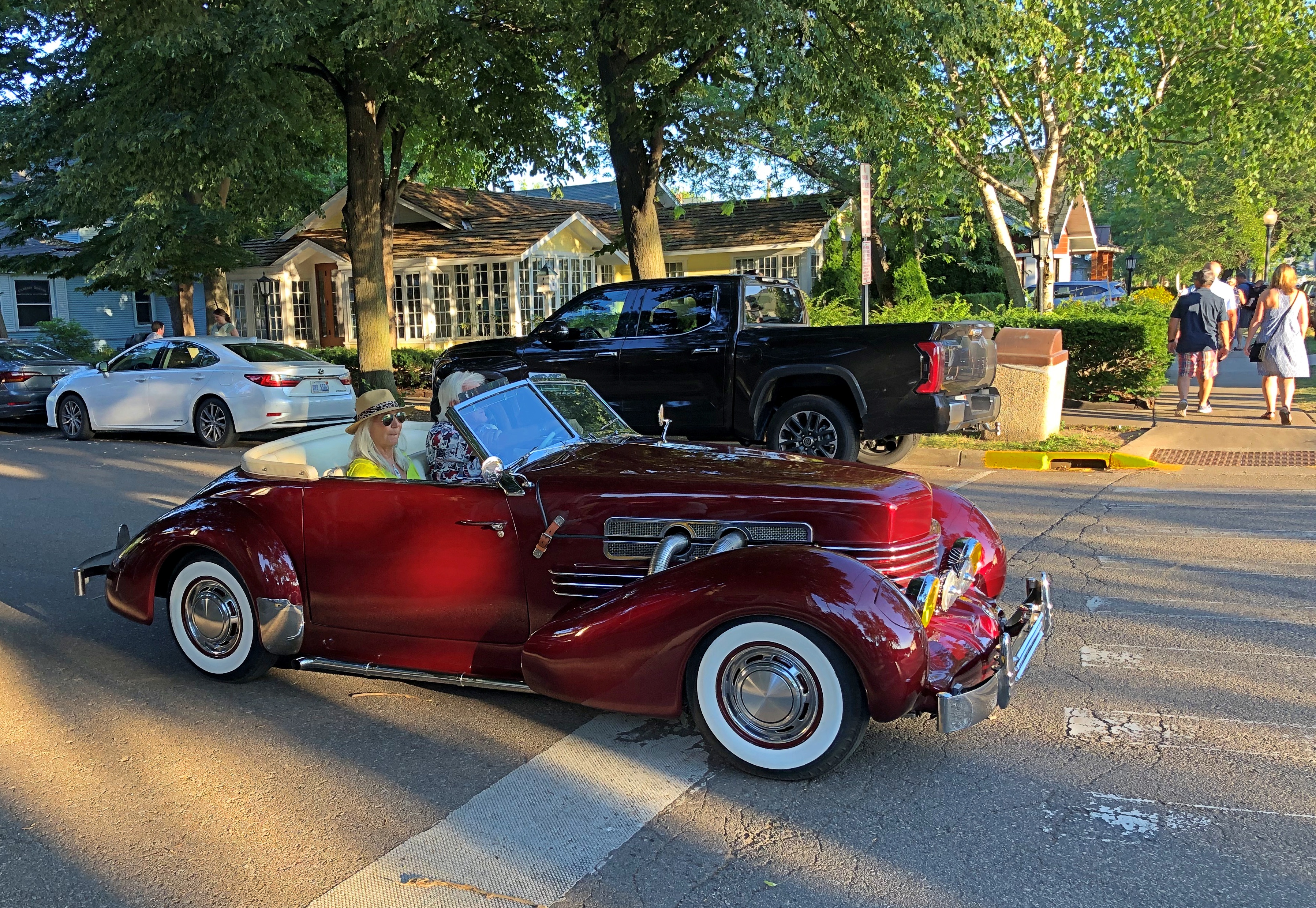
Once we found parking, the place got a lot more pleasant. We wandered around, looking at a few shops and buying ice cream for a short sit down.

A small selection of Saugatuck businesses vying for those visitor dollars (no special order): Uncommon Coffee Roasters, Glik’s clothing store, Kilwin’s Chocolate, Sand Bar Saloon, Country Store Antiques, Bella Vita Spa + Suites, Tree of Life Juice, the Owl House (“gifts for the wise and the whimsical”), LUXE Saugatuck, Santa Fe Trading Co., Marie’s Green Apothecary (“all things plant made”), Mother Moon book store, and Amazwi Contemporary Art, just to list only a fraction of the businesses.

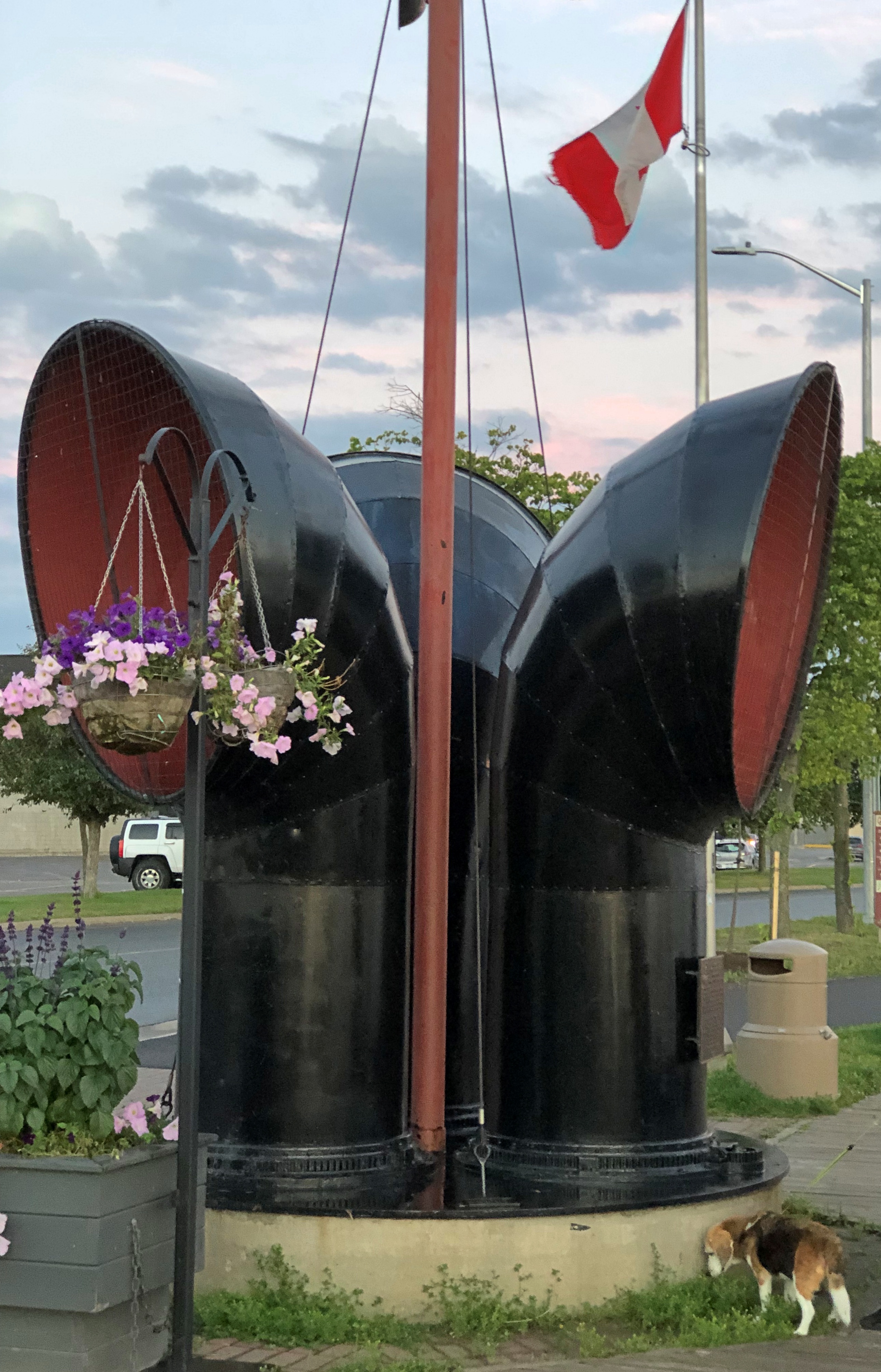
Not a lot of neon, but there was this.Saugatuck, Michigan

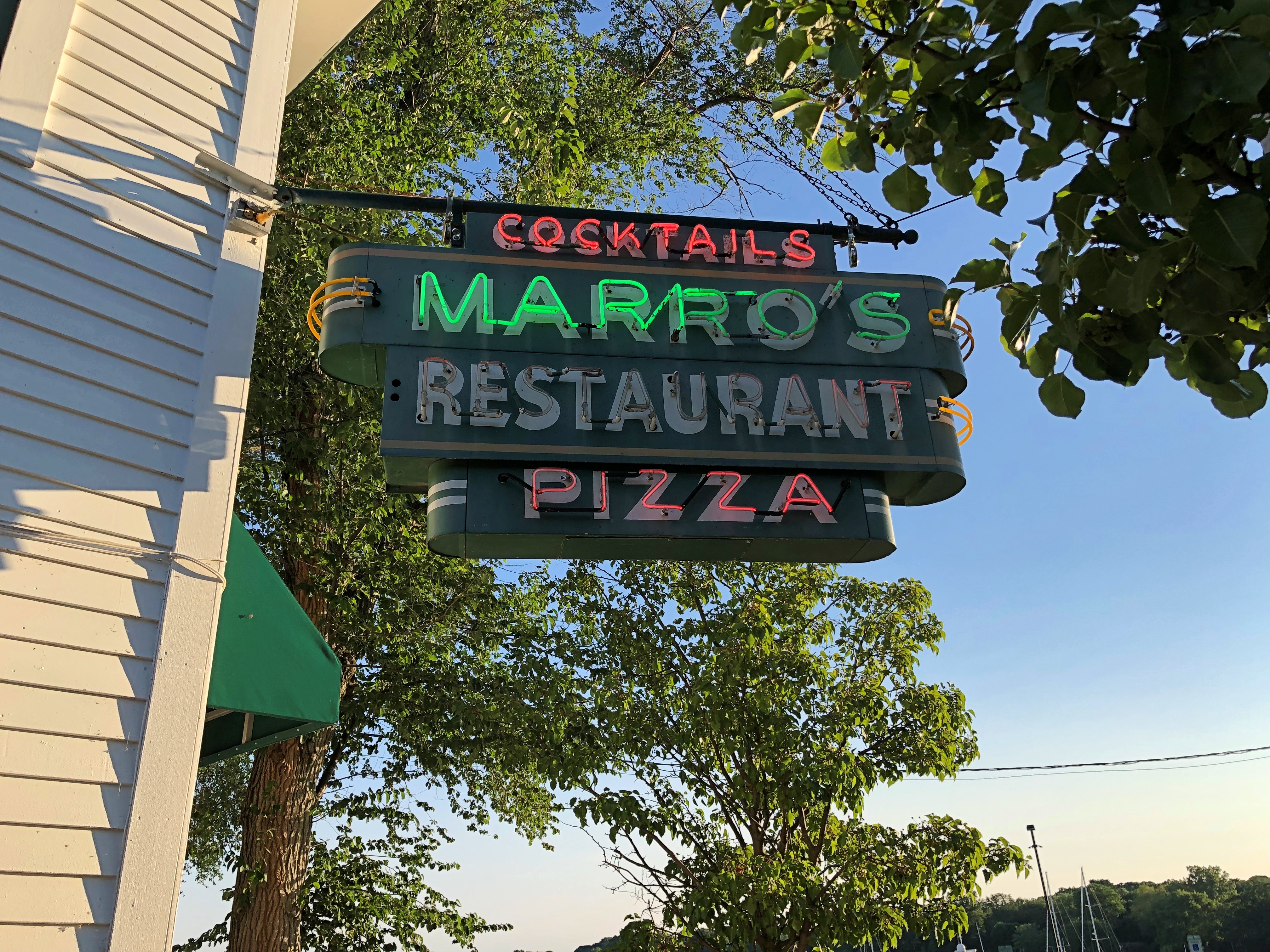
I liked the little public garden. Rose Garden, at least according to Google Maps.Saugatuck, Michigan

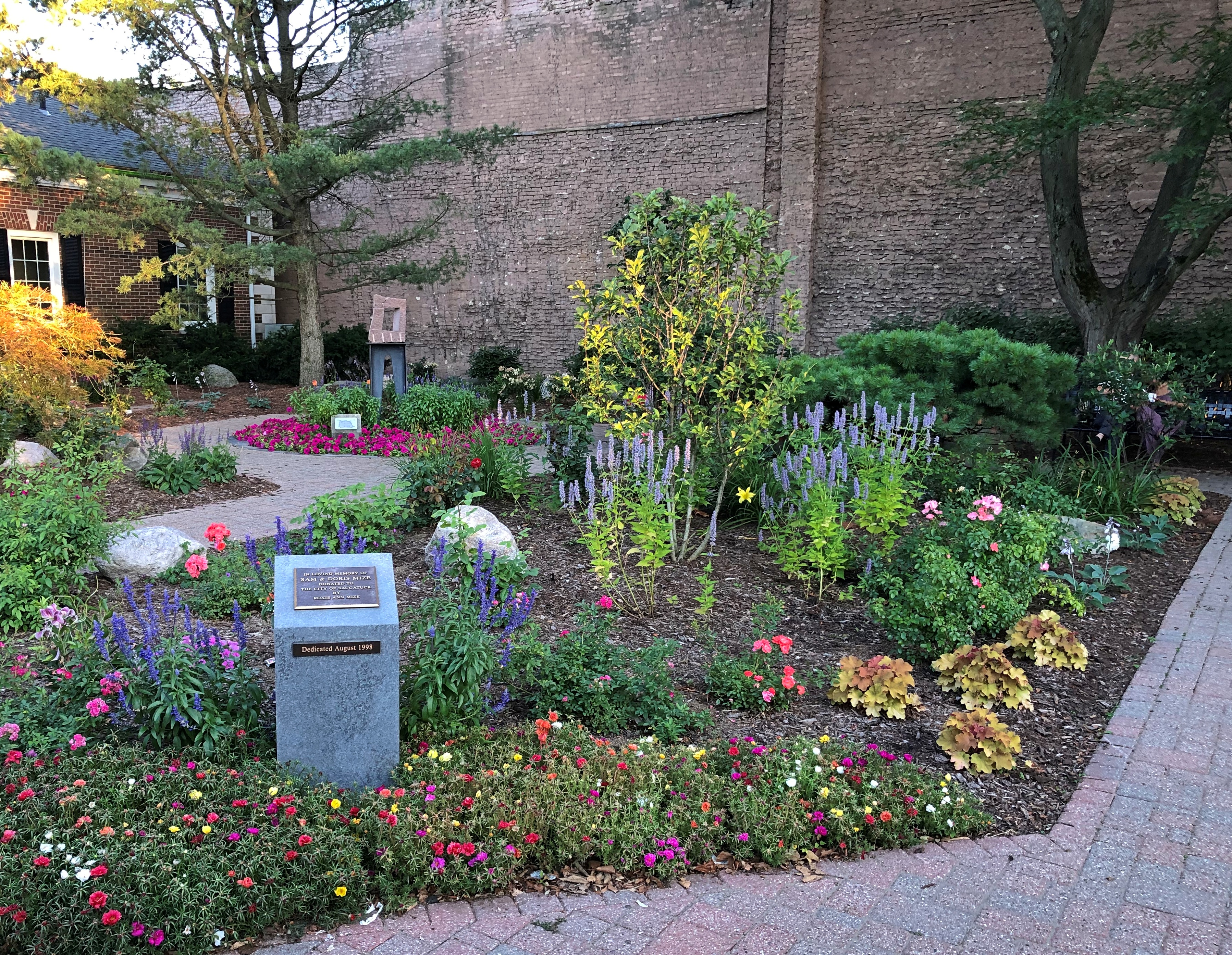
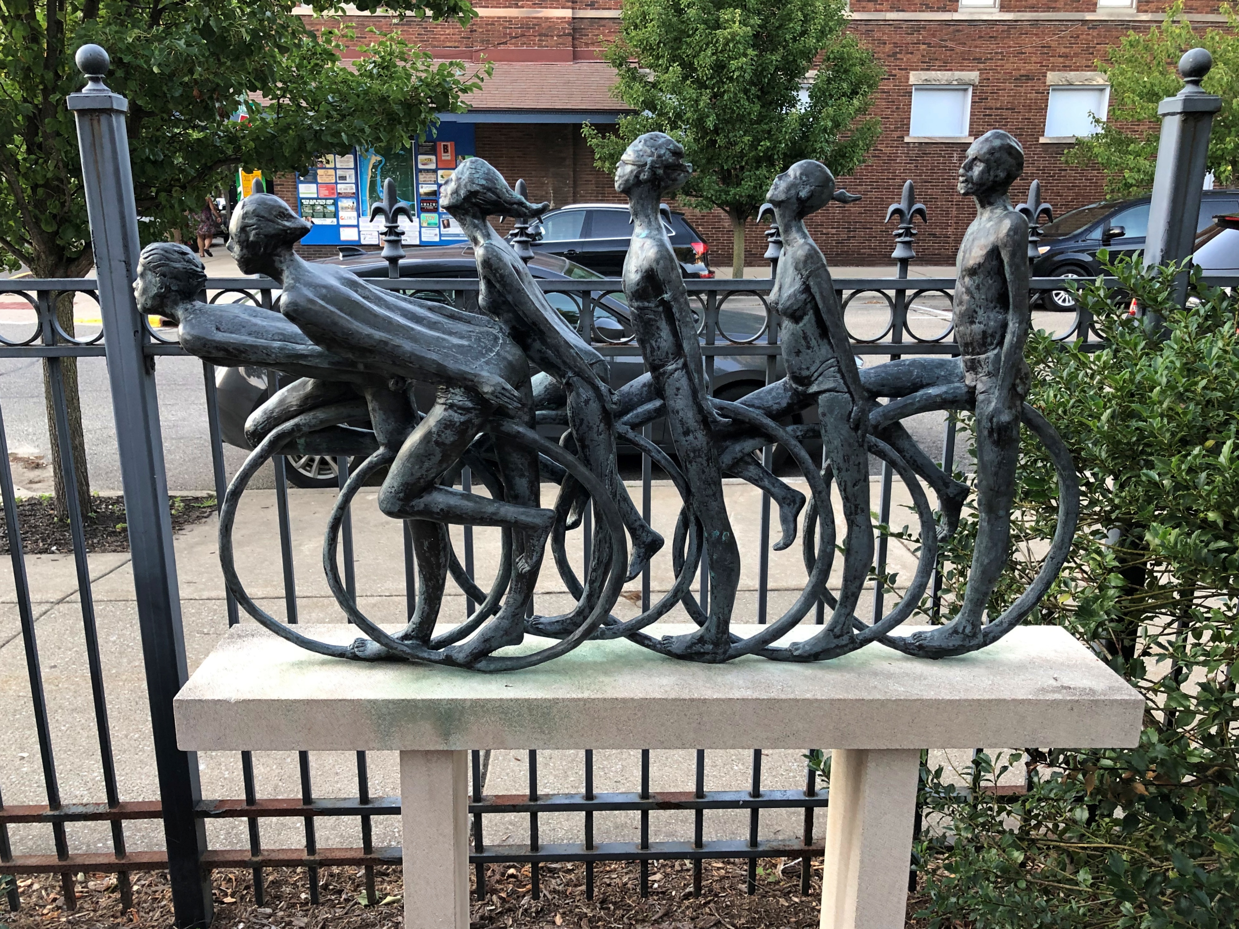
And its sculpture, “Cyclists,” by William Tye (2003).
Saugatuck, Michigan

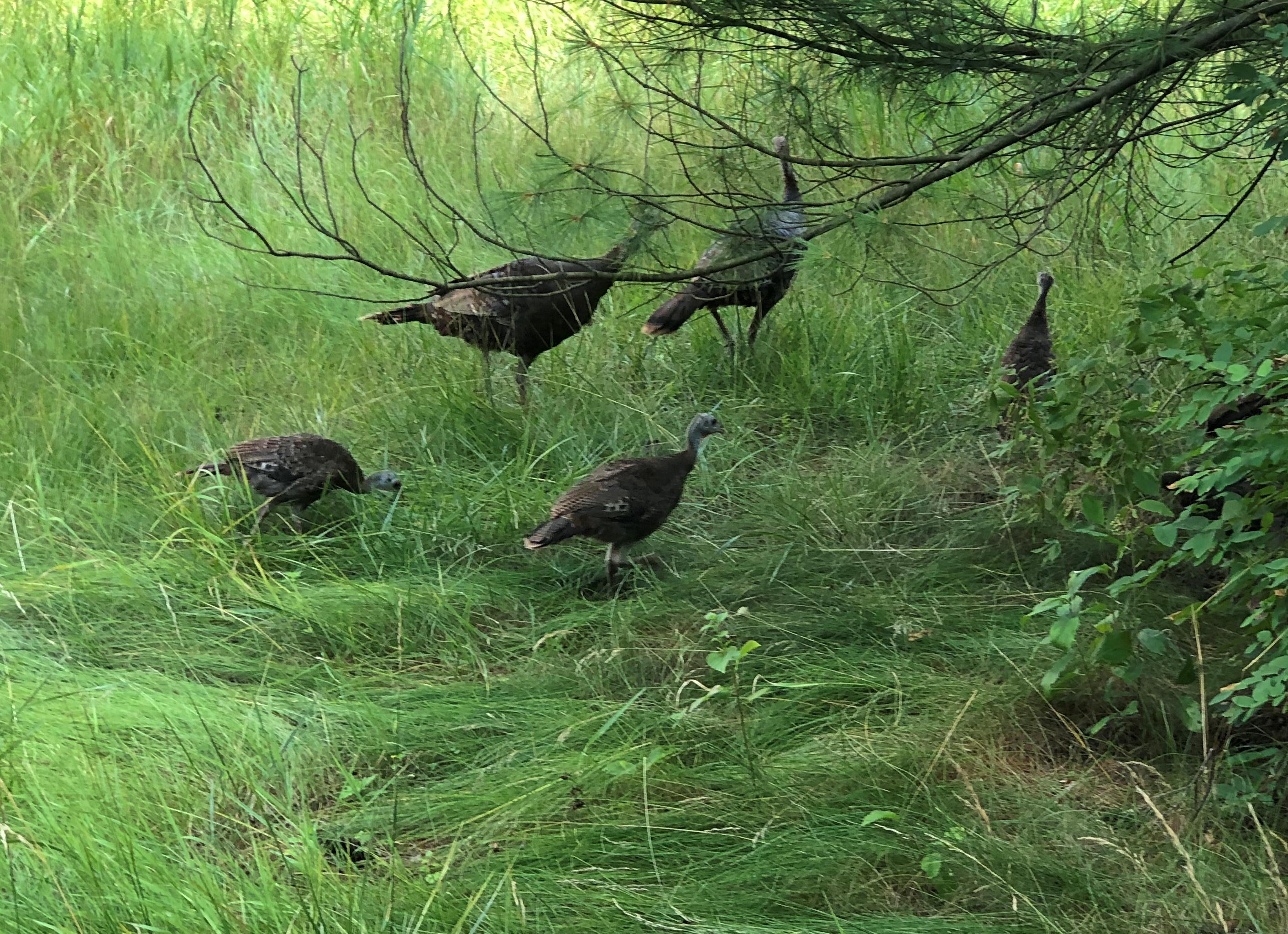
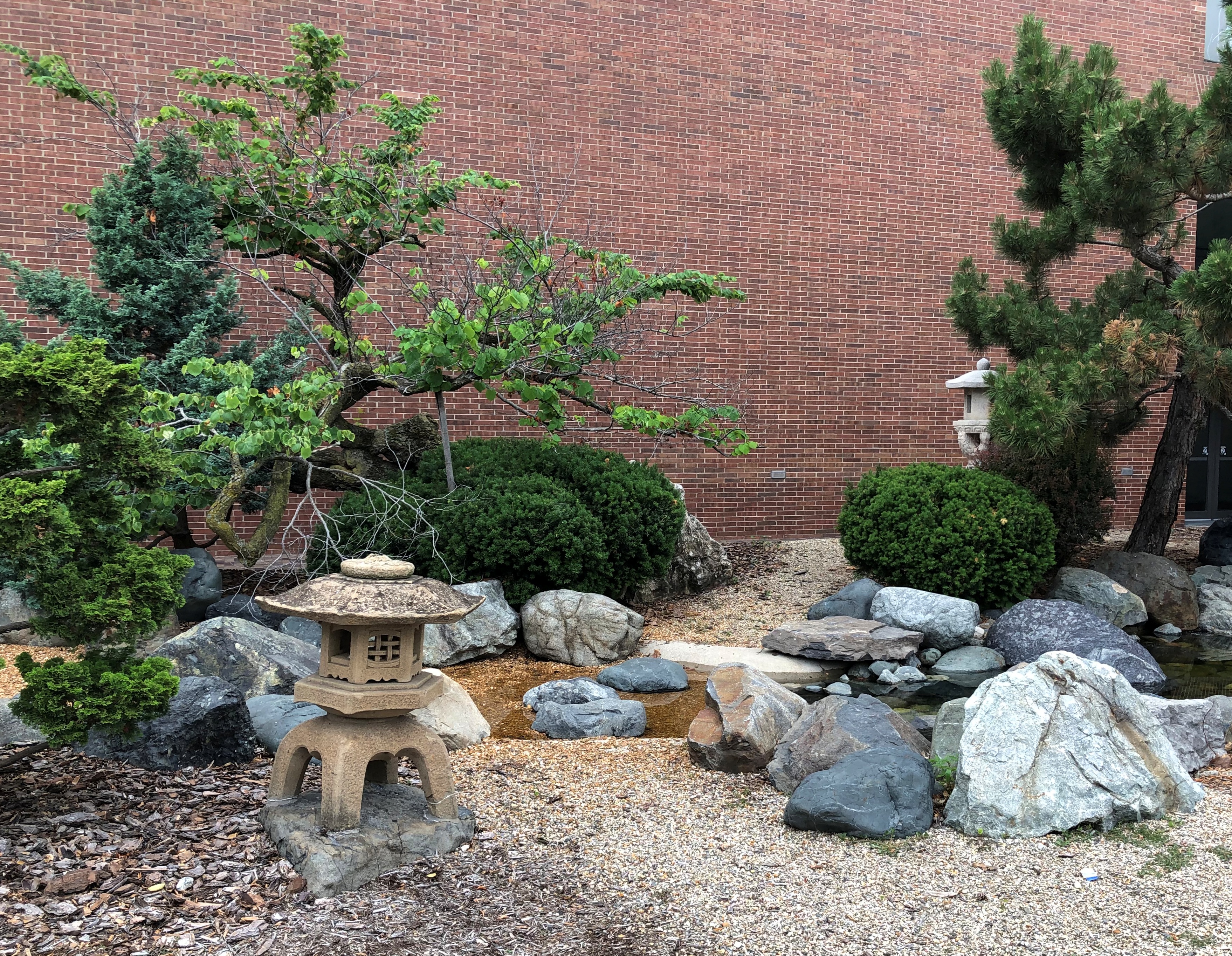
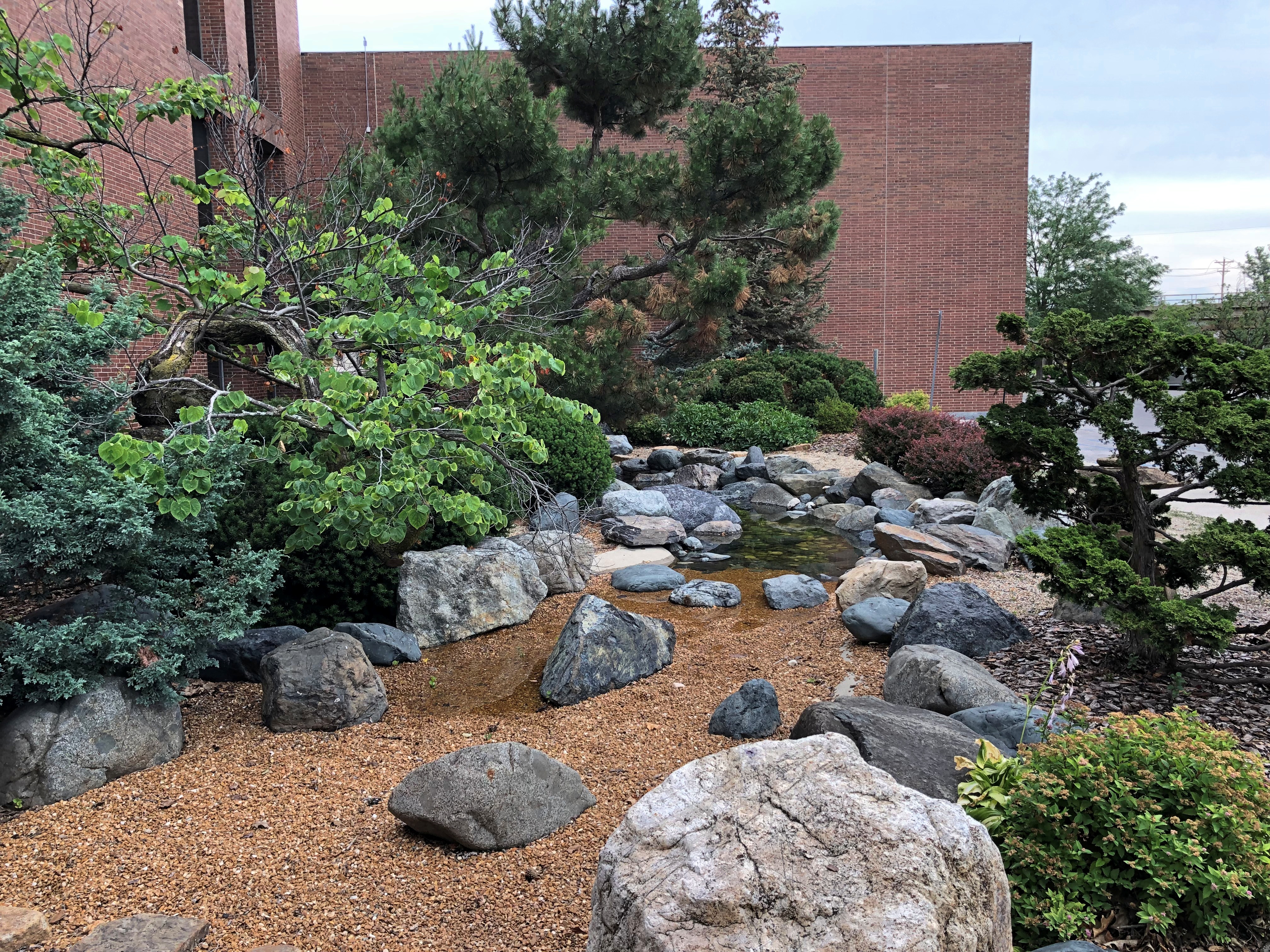
At the Frederik Meijer Park & Sculpture Garden, we encountered a flock of what looked like wild turkeys.Frederik Meijer Sculpture Garden turkeys Frederik Meijer Sculpture Garden turkeys

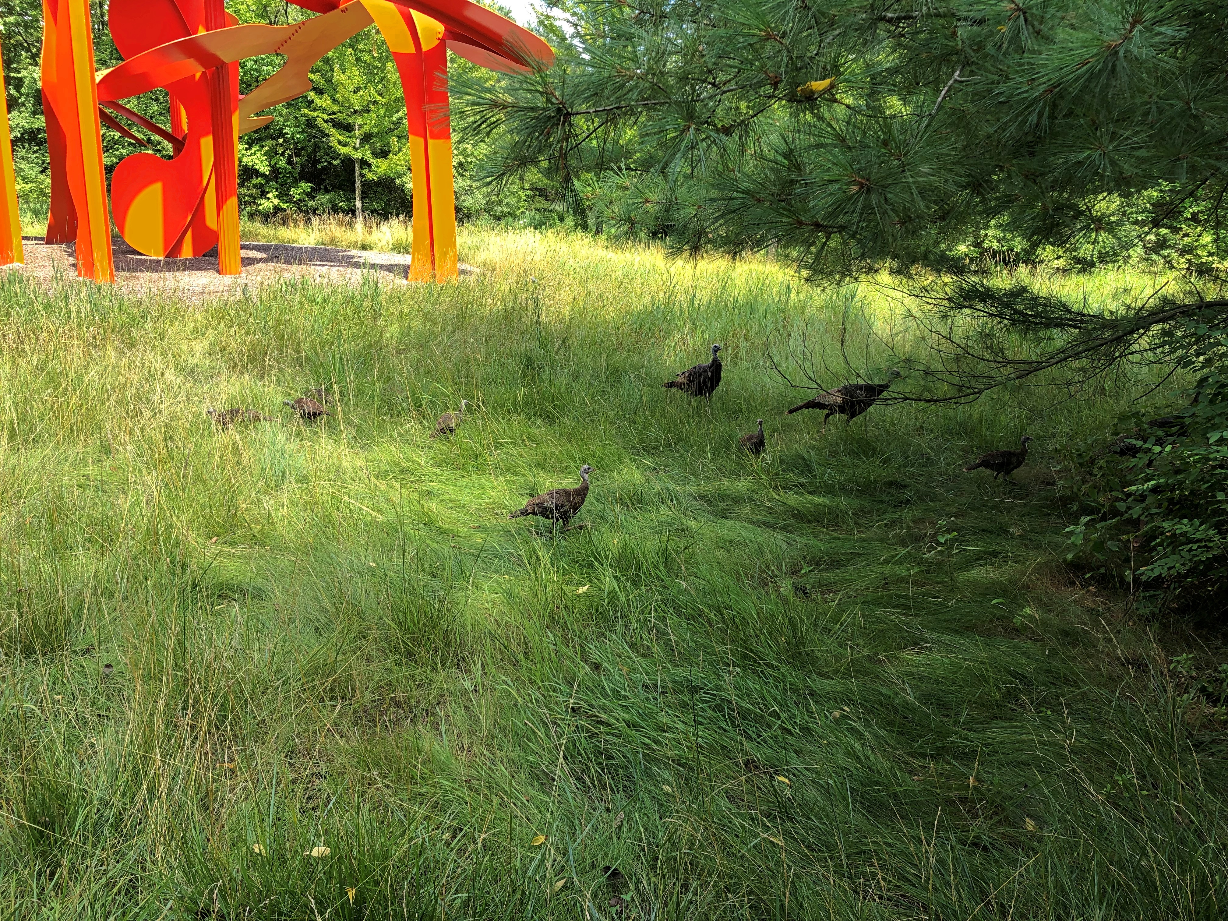
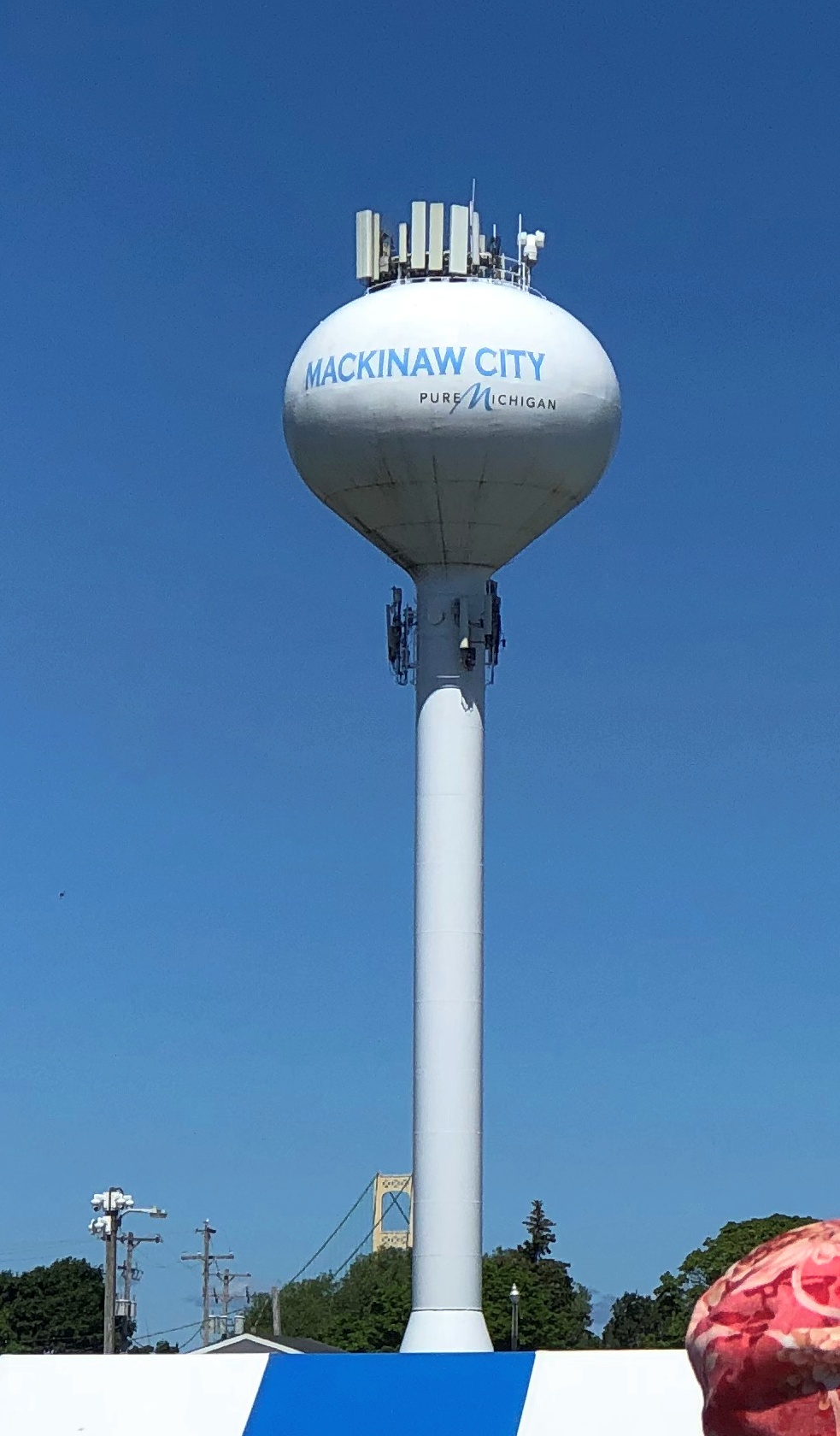
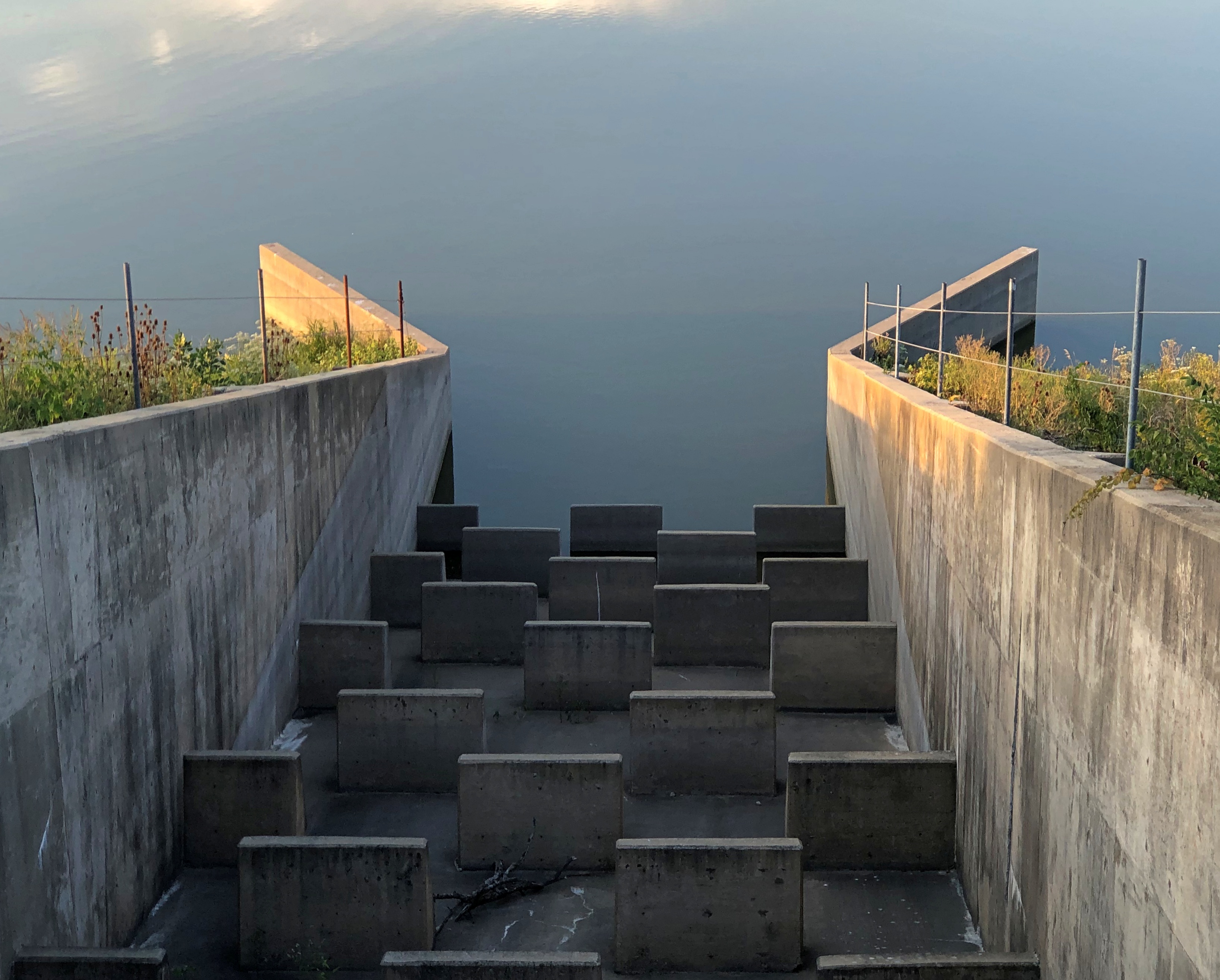
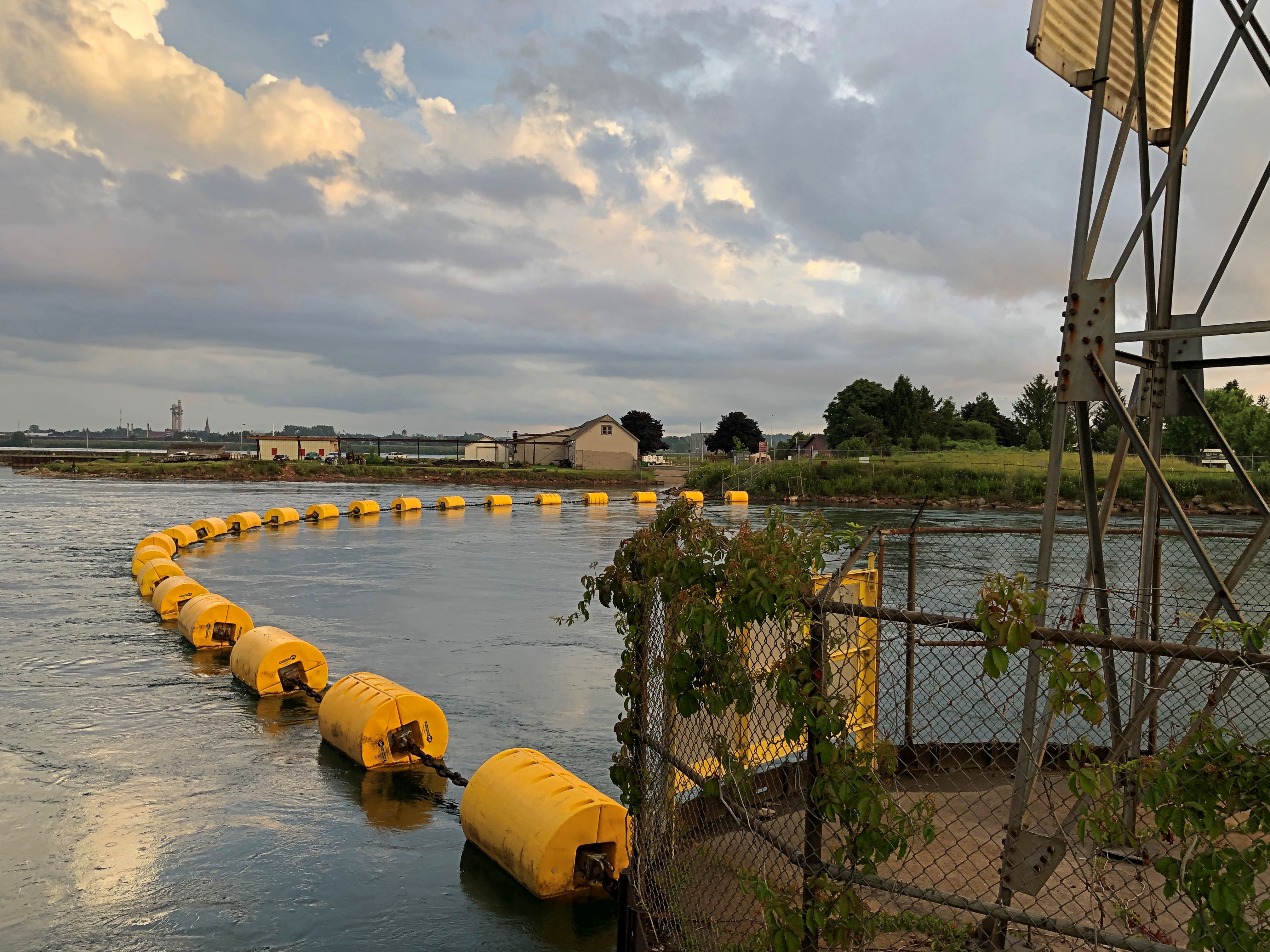
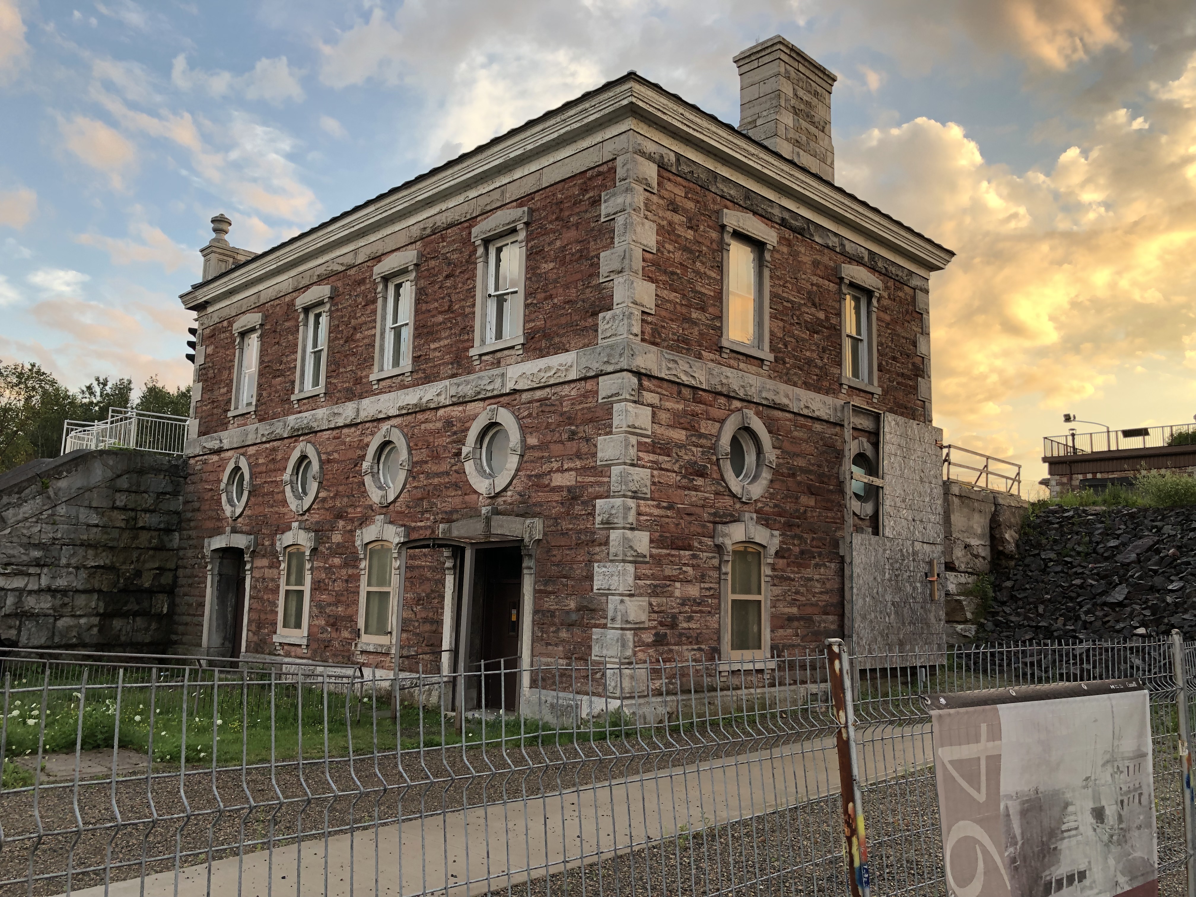
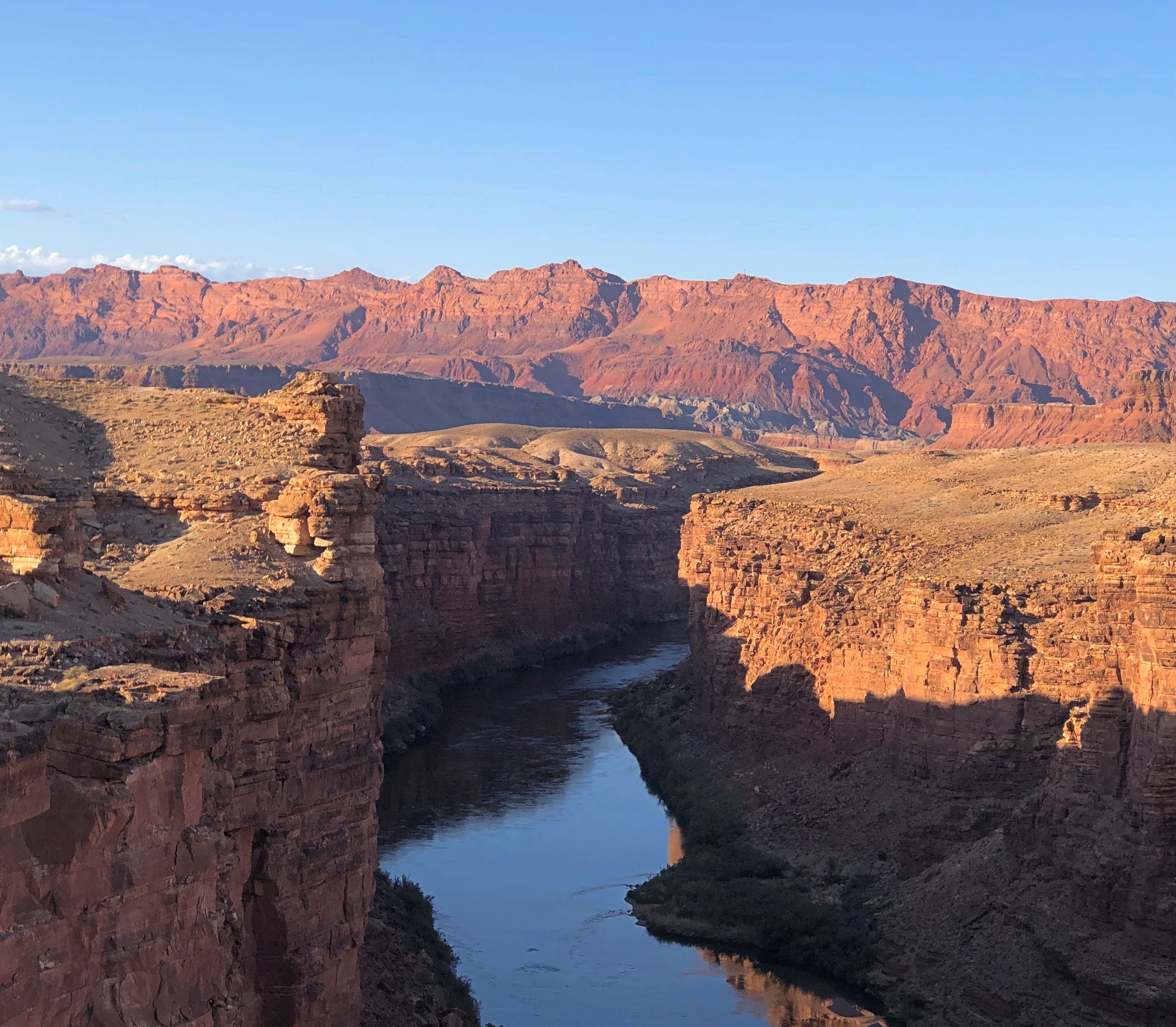
The marina at Mackinaw City, from which boats to Mackinac Island depart, and a highly visible structure nearby.Mackinac City, Michigan Mackinac City, Michigan

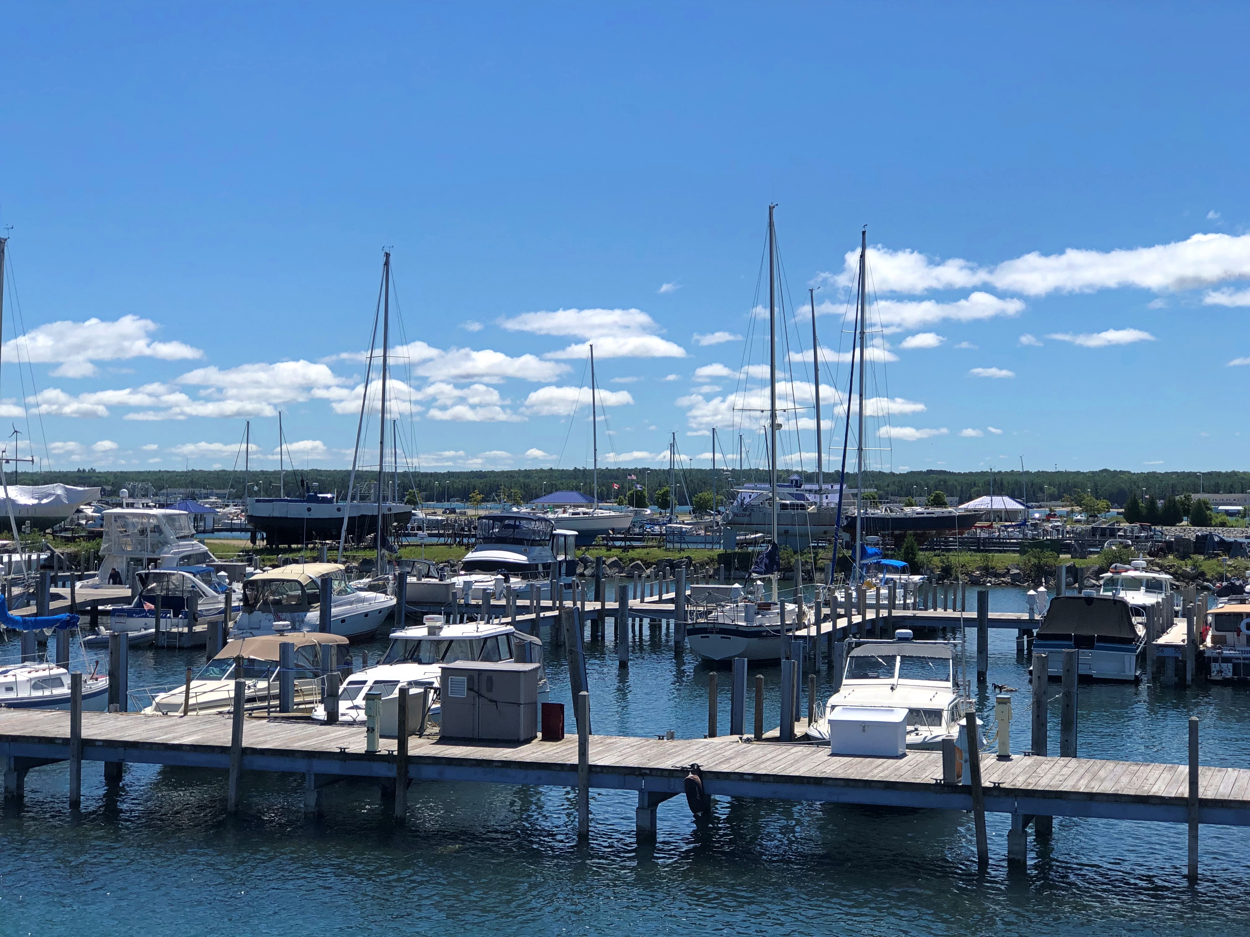
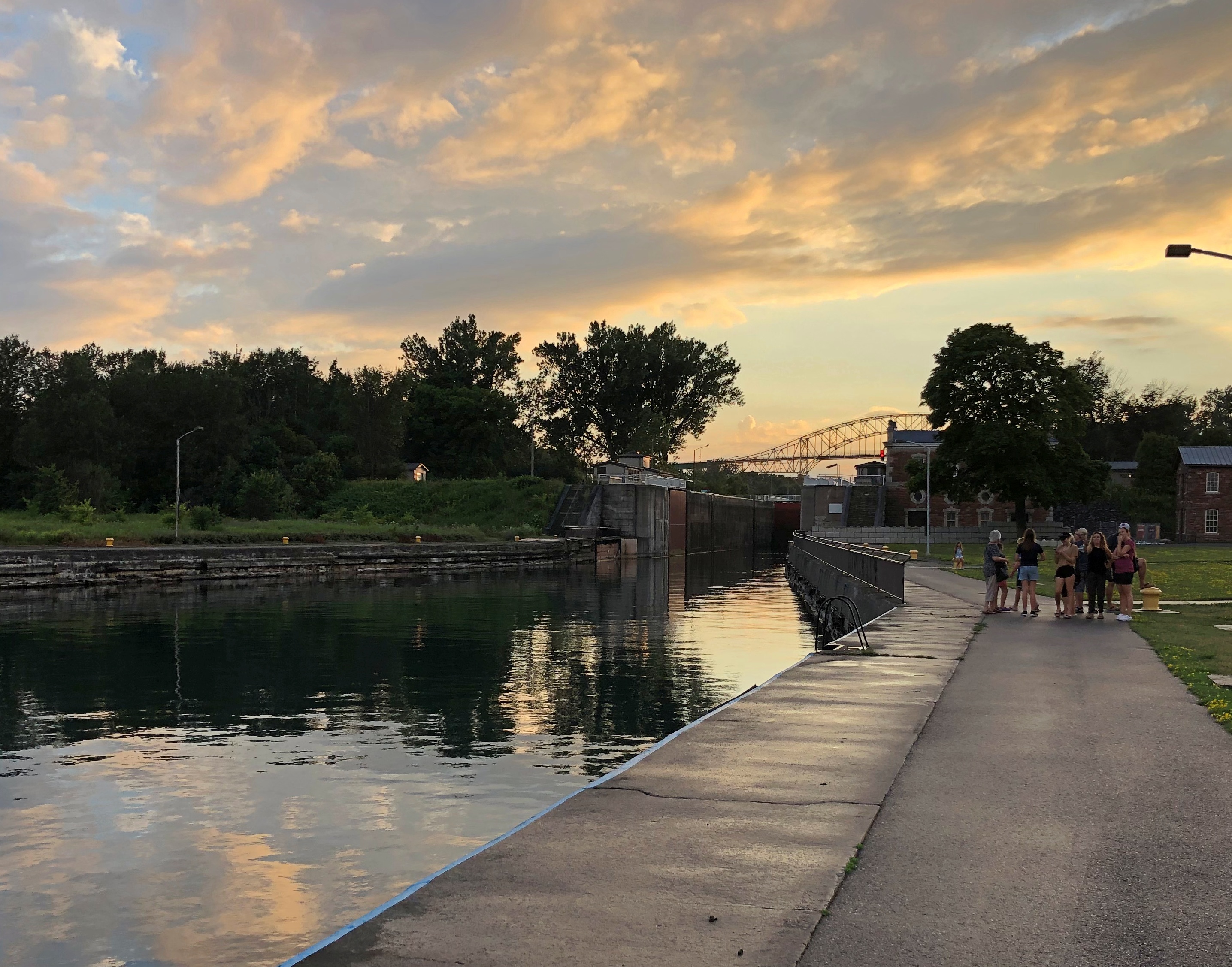
You can be sure that we spent that afternoon on Mackinac Island.Mackinac Island

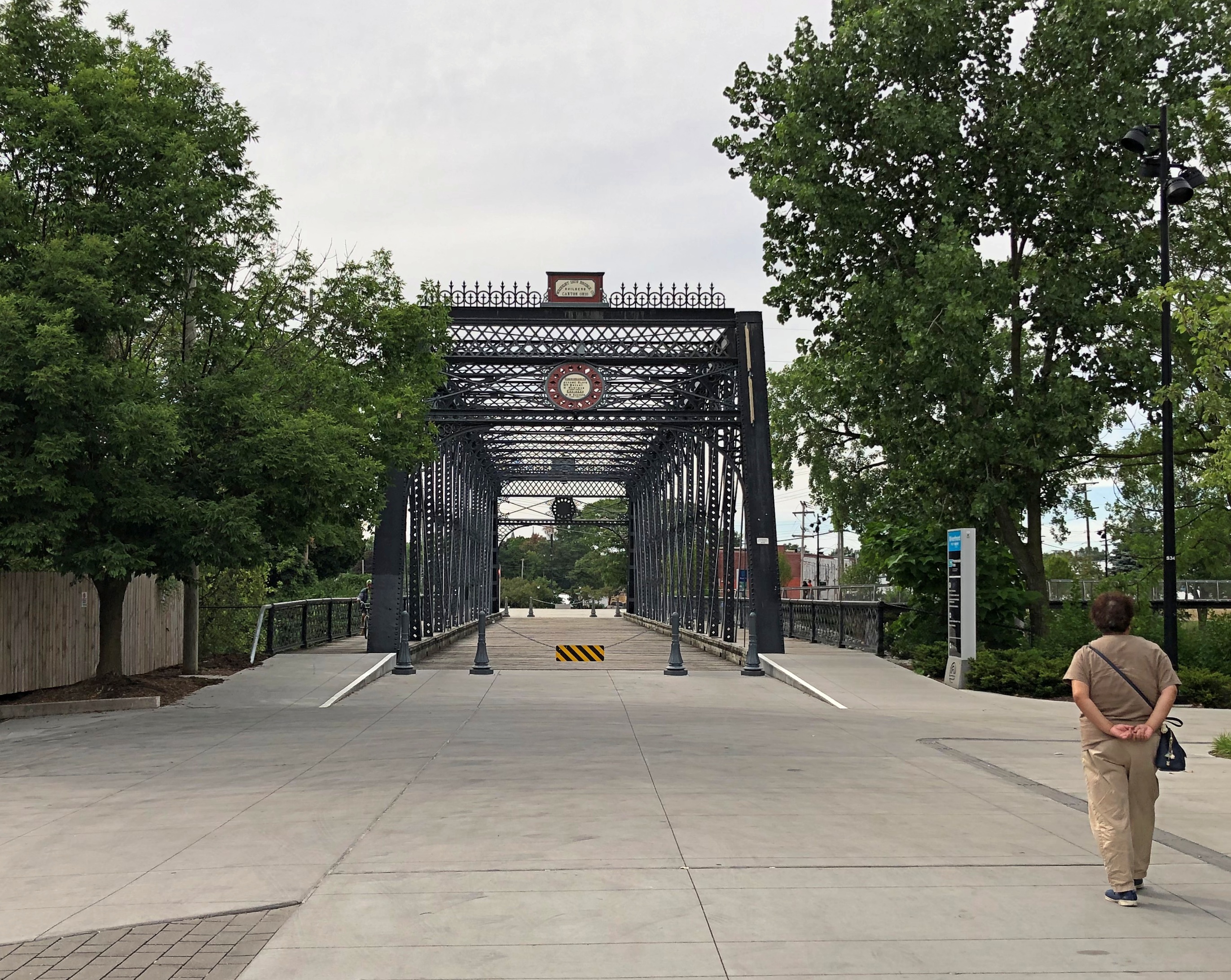
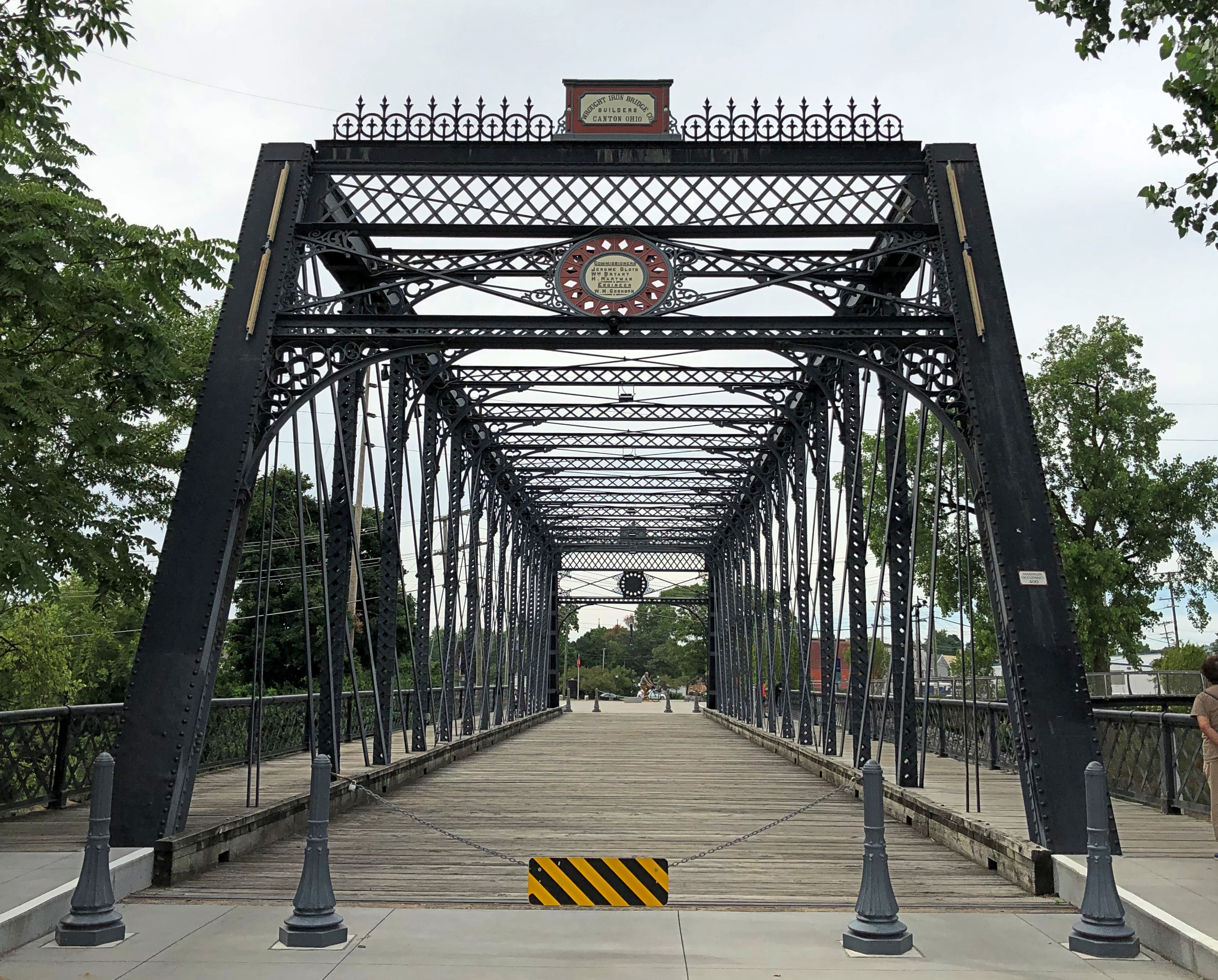
Besides the Mackinac Island Ramble (that’s what I’m calling our walk there), we took a number of other good walks on the trip.

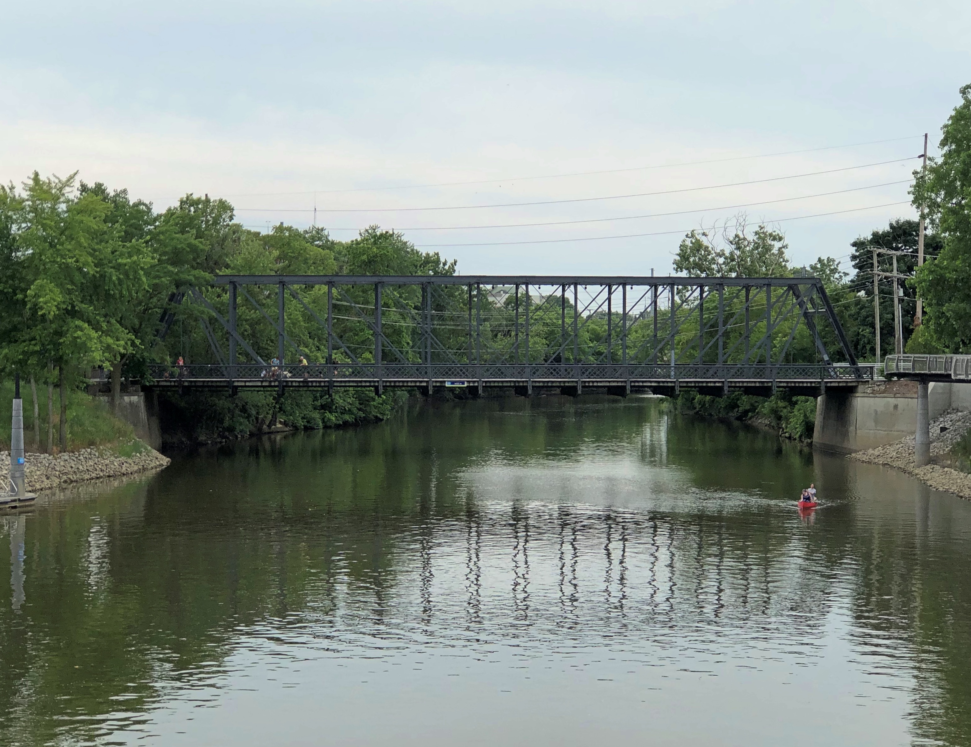
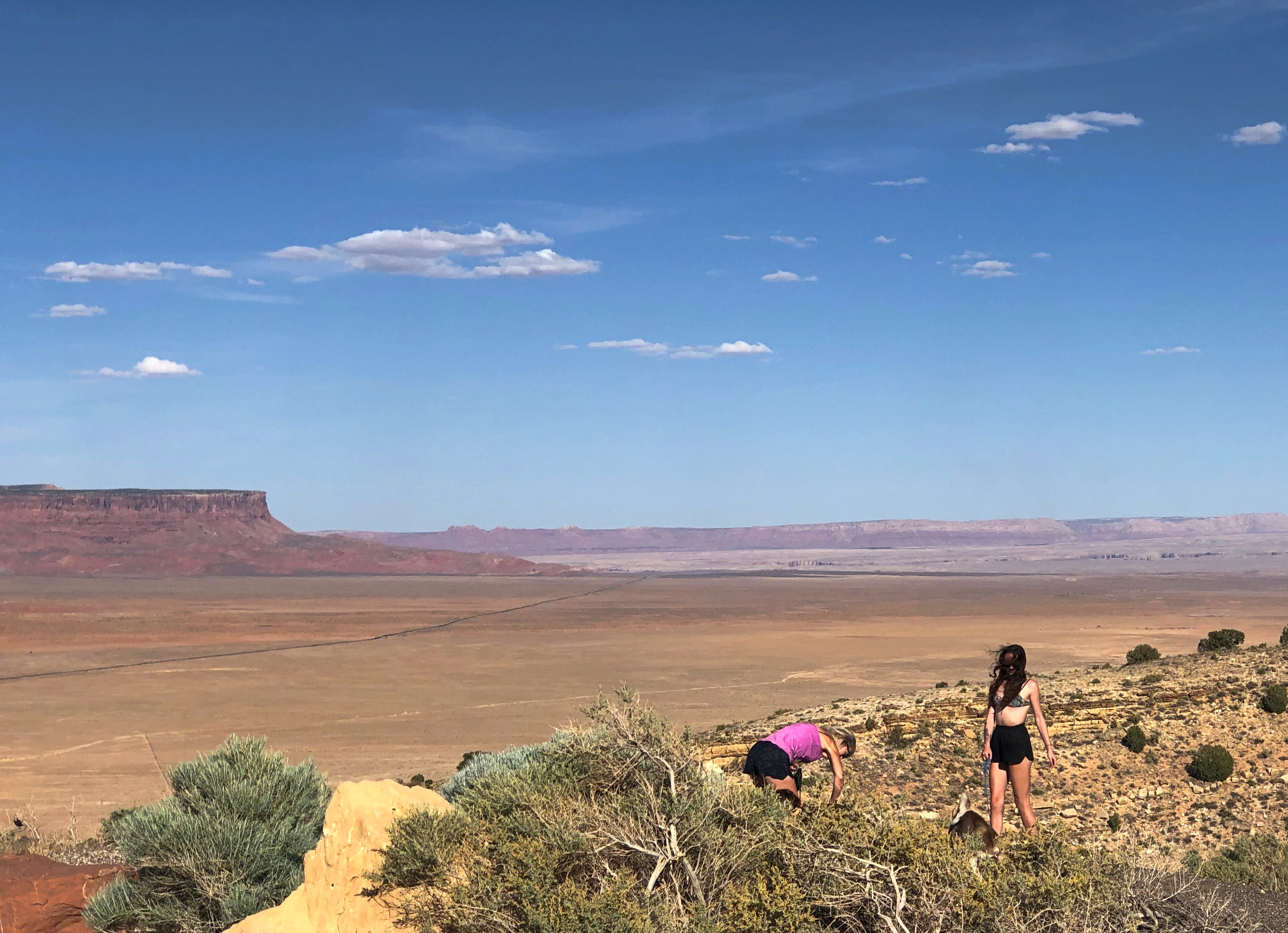
One was at the 390-acre Offield Family Working Forest Reserve, near Harbor Springs, Michigan. Its excellent wayfinding — clear and immediately useful signs and maps — helped us through its mildly labyrinthine paths that curve through a lush forest with no major water features, including parts that had clearly been used as a pine plantation.

Clouds threatened rain but only produced mist in the cool air. Wildflowers might have been a little past peak, but there was a profusion, and a rainy spring and early summer put them in robust clusters of red and blue and gold and white, near and far from our path. Everywhere a damp forest scent, wonderful and off-putting at the same time.

On August 5, our last full day in the UP, we had lunch in the small town of Grand Marais, on the shores of Lake Superior. As tourist towns go, it’s minor league, but all the more pleasant for it. The extent of souvenir stands at the main crossroads was a single enclosed booth, staffed by a young college woman who was maybe a relative of the owner. The selection of postcards was limited, but I got a few.

Right there on the main street of Grand Marais is the Pickle Barrel House. You can’t miss it. We didn’t.

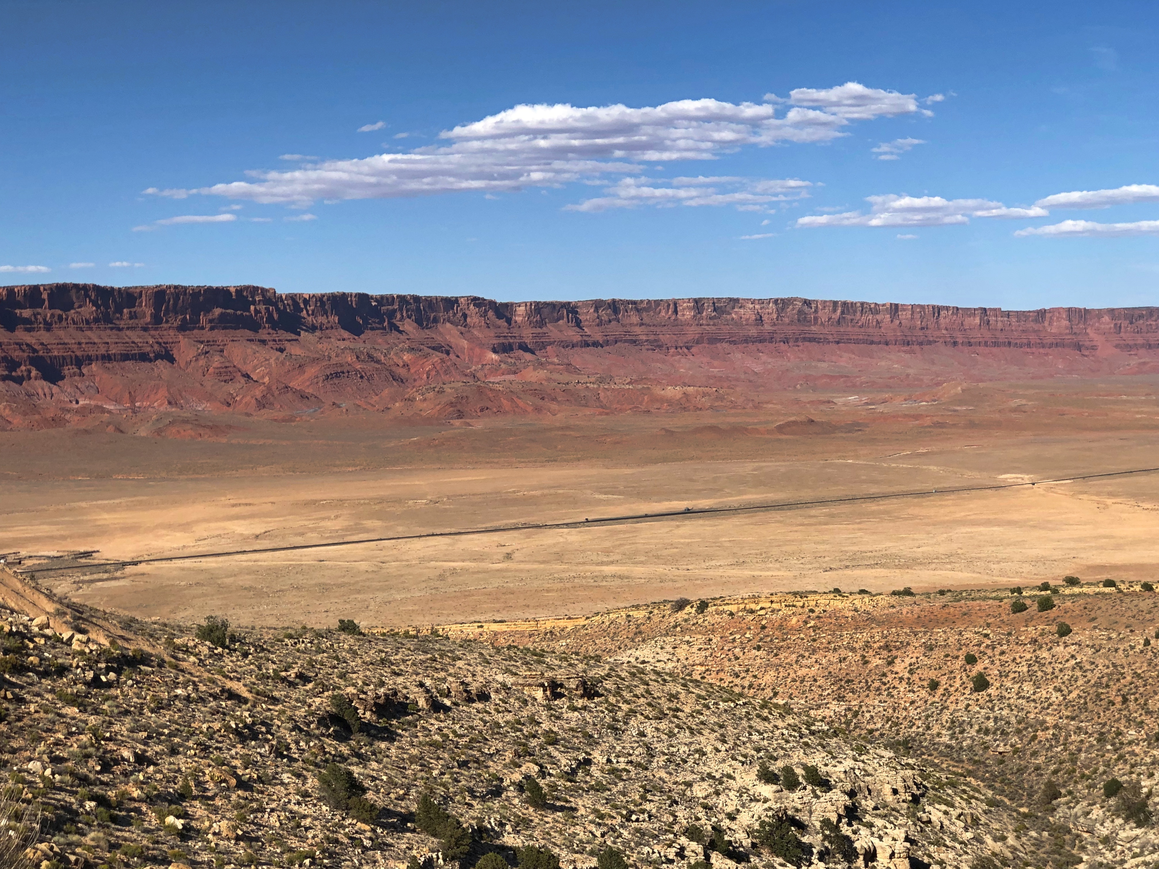
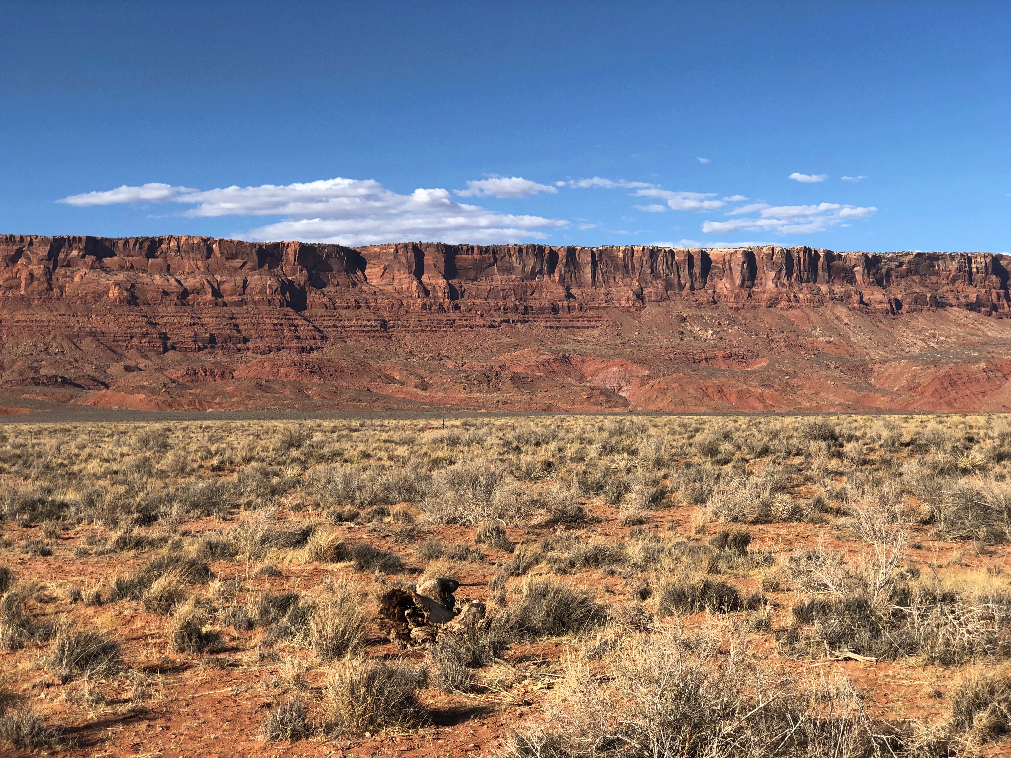
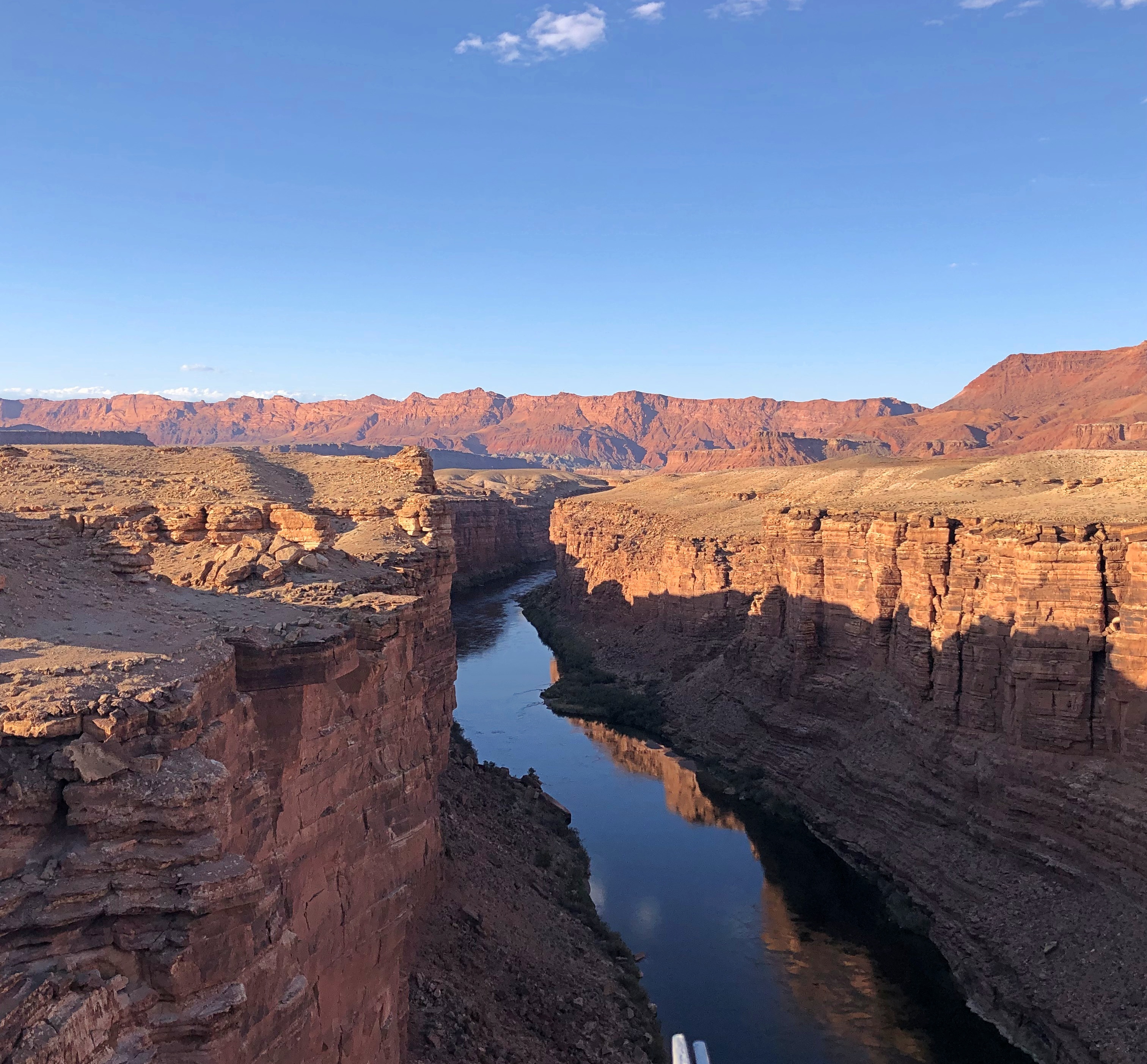
Afterward, we found our way to the eastern reaches of Pictured Rocks National Lakeshore, since the town is considered the eastern gateway to the lakeshore. That end of the lakeshore doesn’t have the pictured rocks, but there’s a lot else.

One trail on lakeshore land took us down to a beach on the south shore of Lake Superior. Sabel Beach, by name. You climb down a couple of hundred stairs to get there, but see the vigorous Sable Falls on the way. The way wasn’t empty, but not nearly the mob city on the southern shore of Lake Michigan or the waterfront at Mackinac Island.

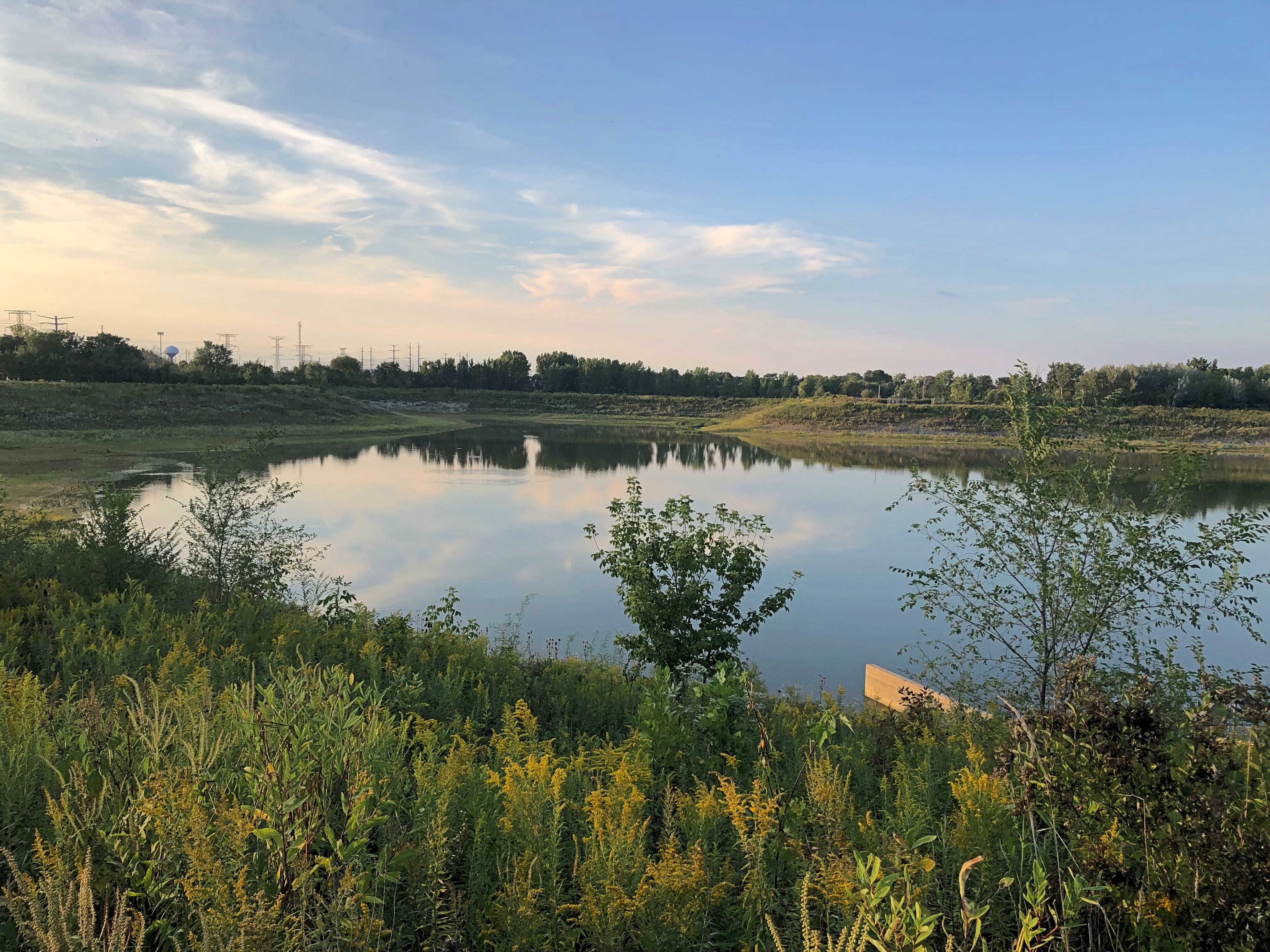
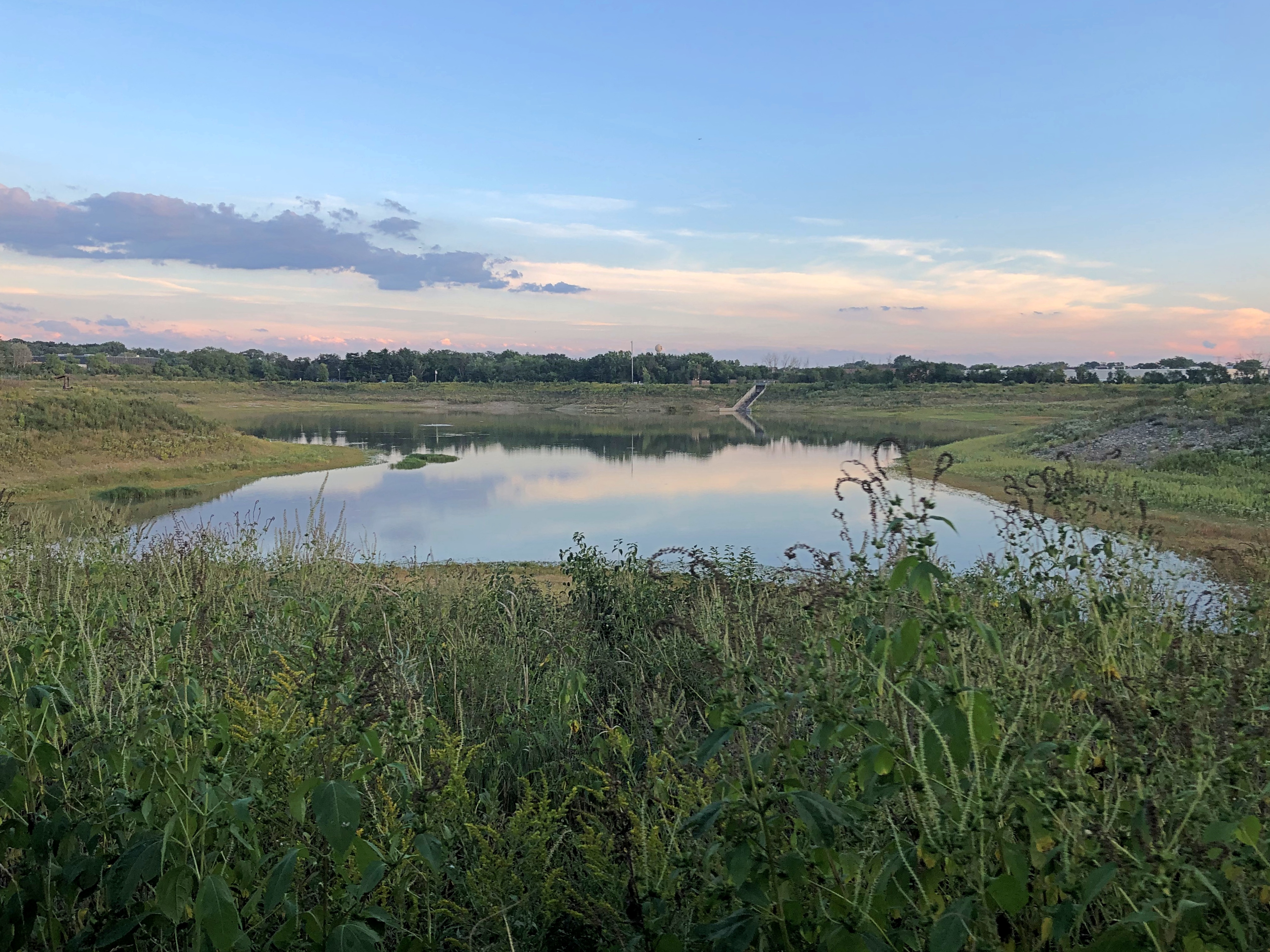
Another lakeshore trail took us along Sable Dunes, which only involved a modest amount of climbing — not nearly as much as the Dune Climb at Sleeping Bear Dunes National Lakeshore — though sometimes the path underfoot was sand without vegetation. On the whole, the dunes support a full collection of the sort of hardy yellow-green grasses and bushes and gnarled trees you see near a beach. For human hikers, the dunes eventually provide a more elevated vista of the lake, which reminded me of the look over Green Bay last year.

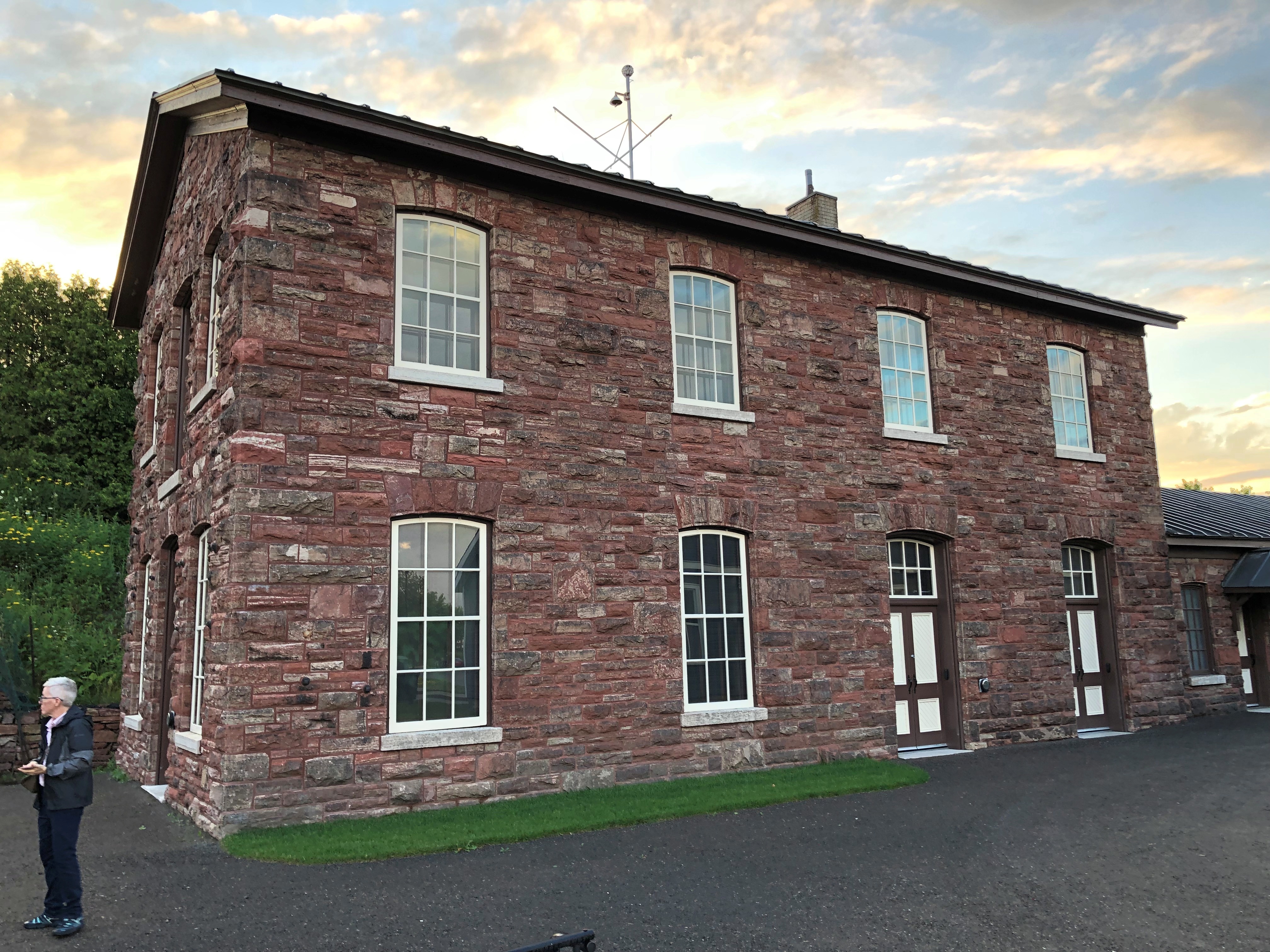
We spent two nights in Newberry, Michigan. Still no more signs of møøse than the last time I was there. I did have the opportunity to take a short walk around town. This is the Luce County Historical Museum (closed at that moment), which was once the county jail and sheriff’s residence. It’s complete with a time capsule on the grounds for the Newberry centennial in 1982. Planned re-opening: 2082. That’s optimism.Newberry, Michigan

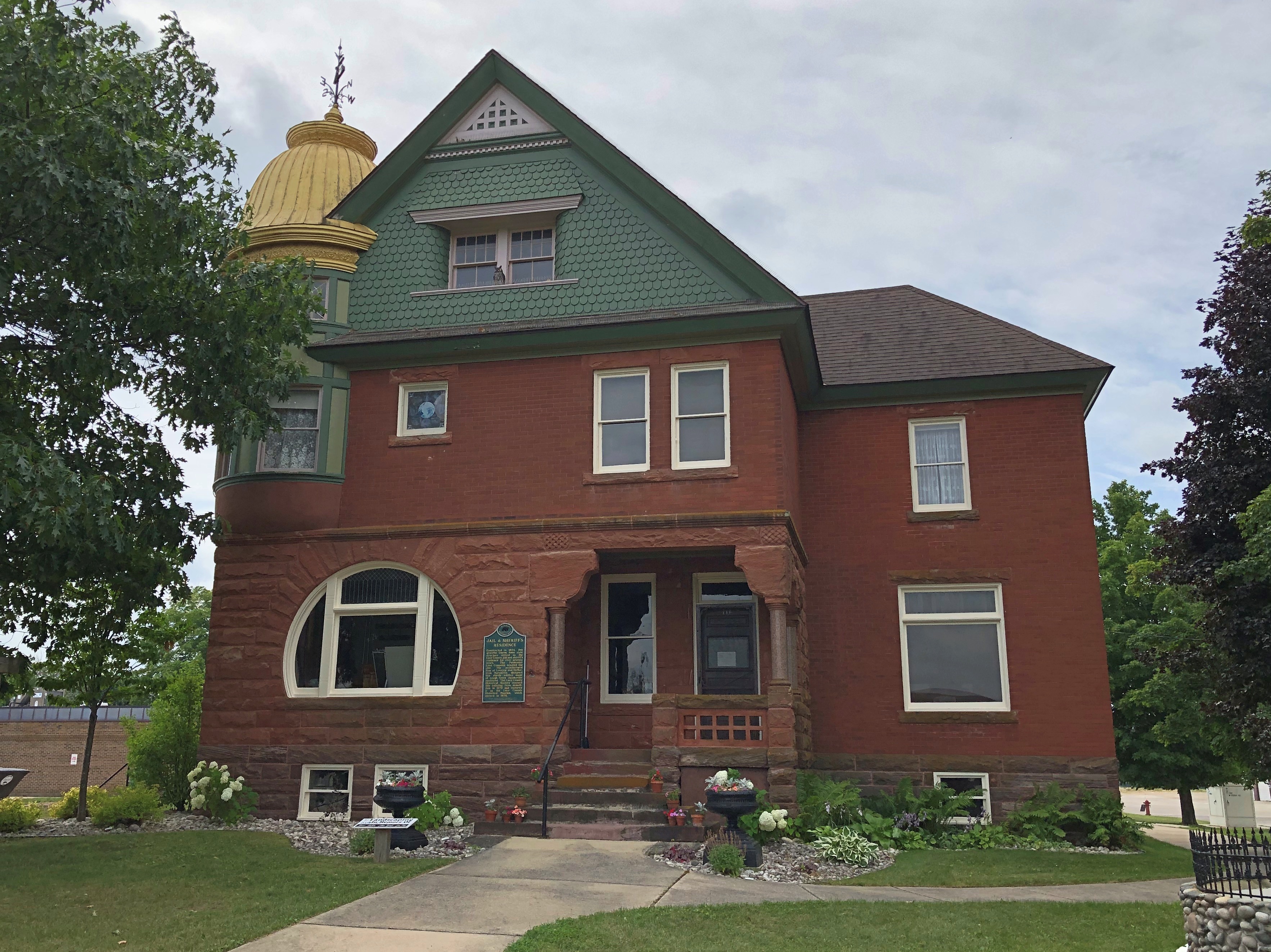
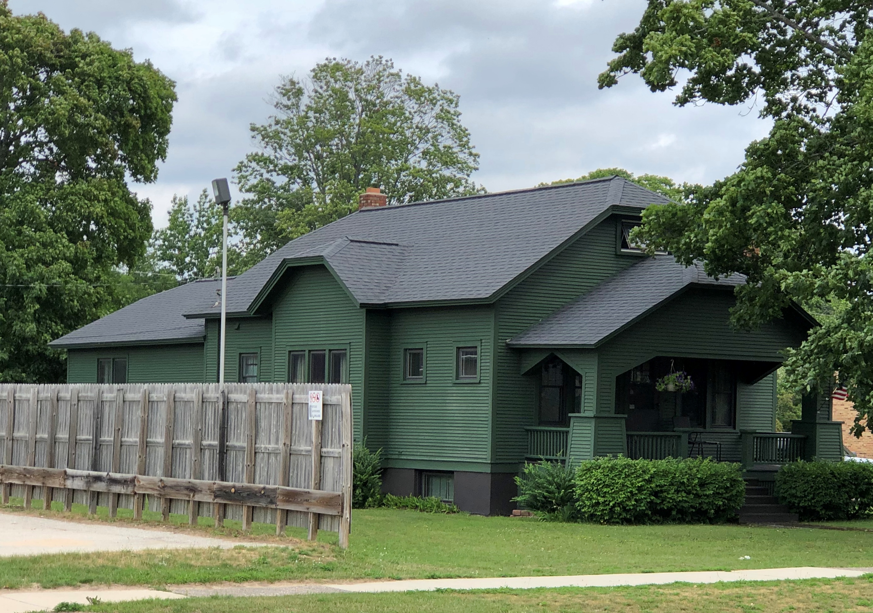
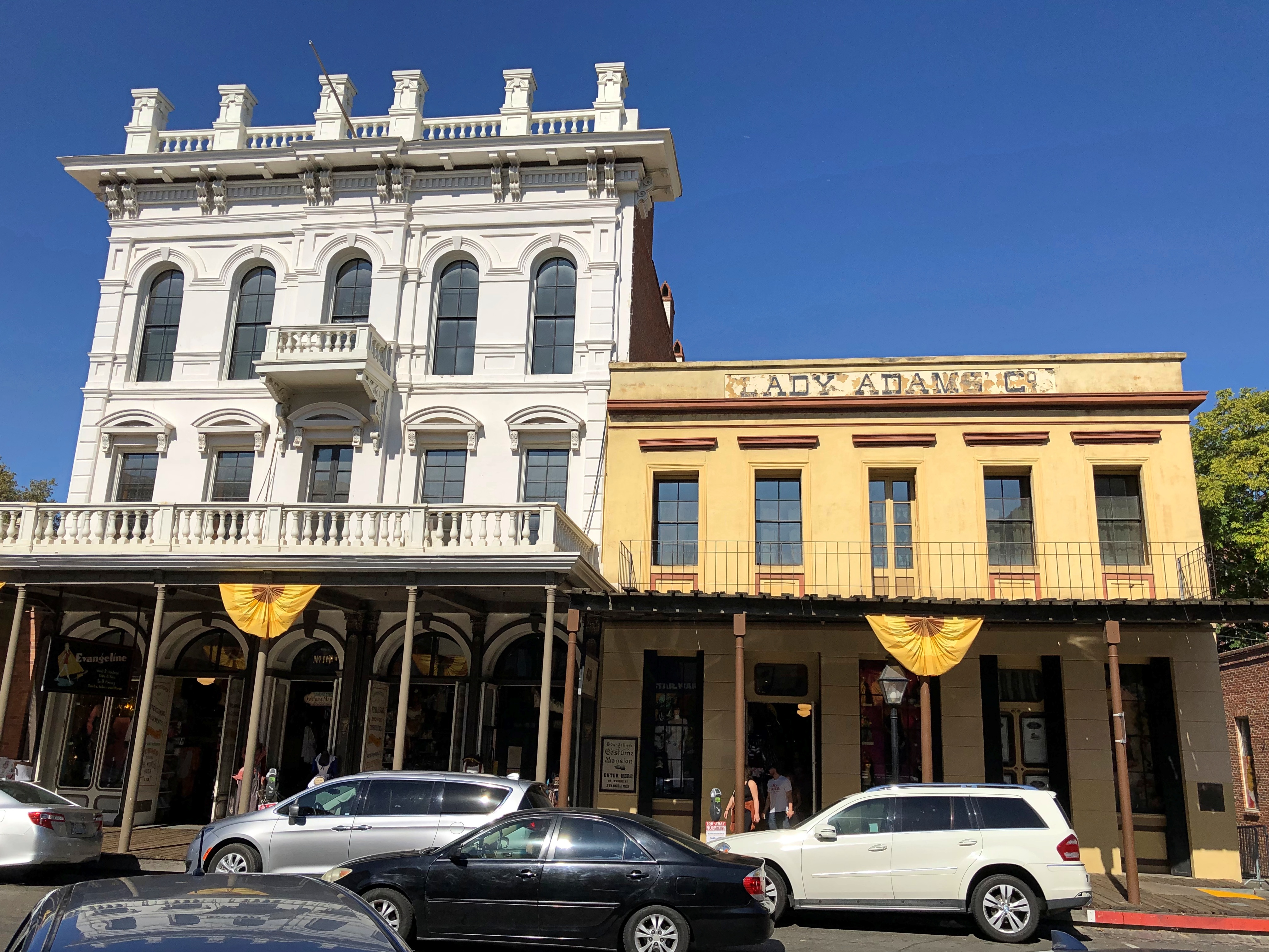
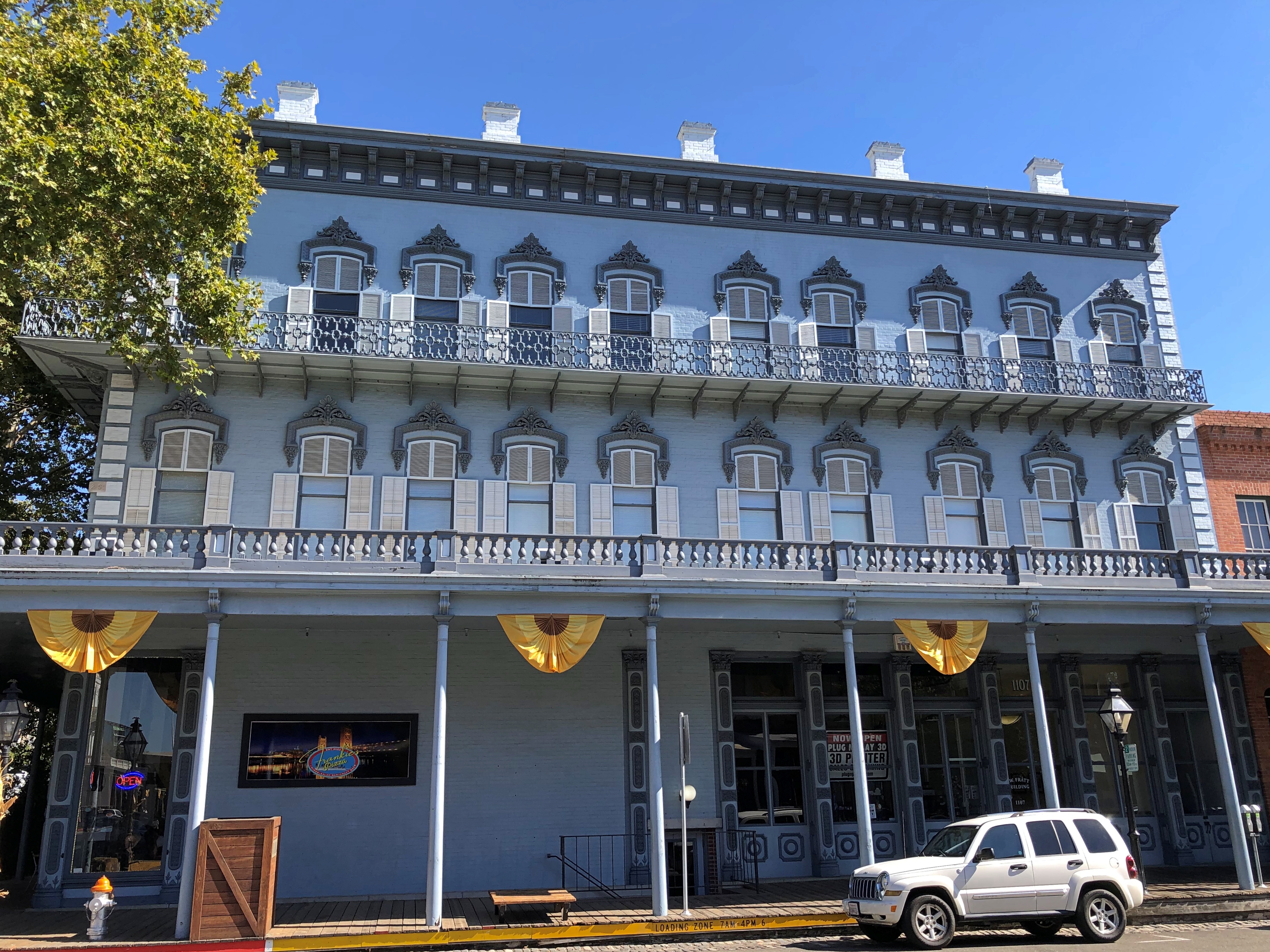
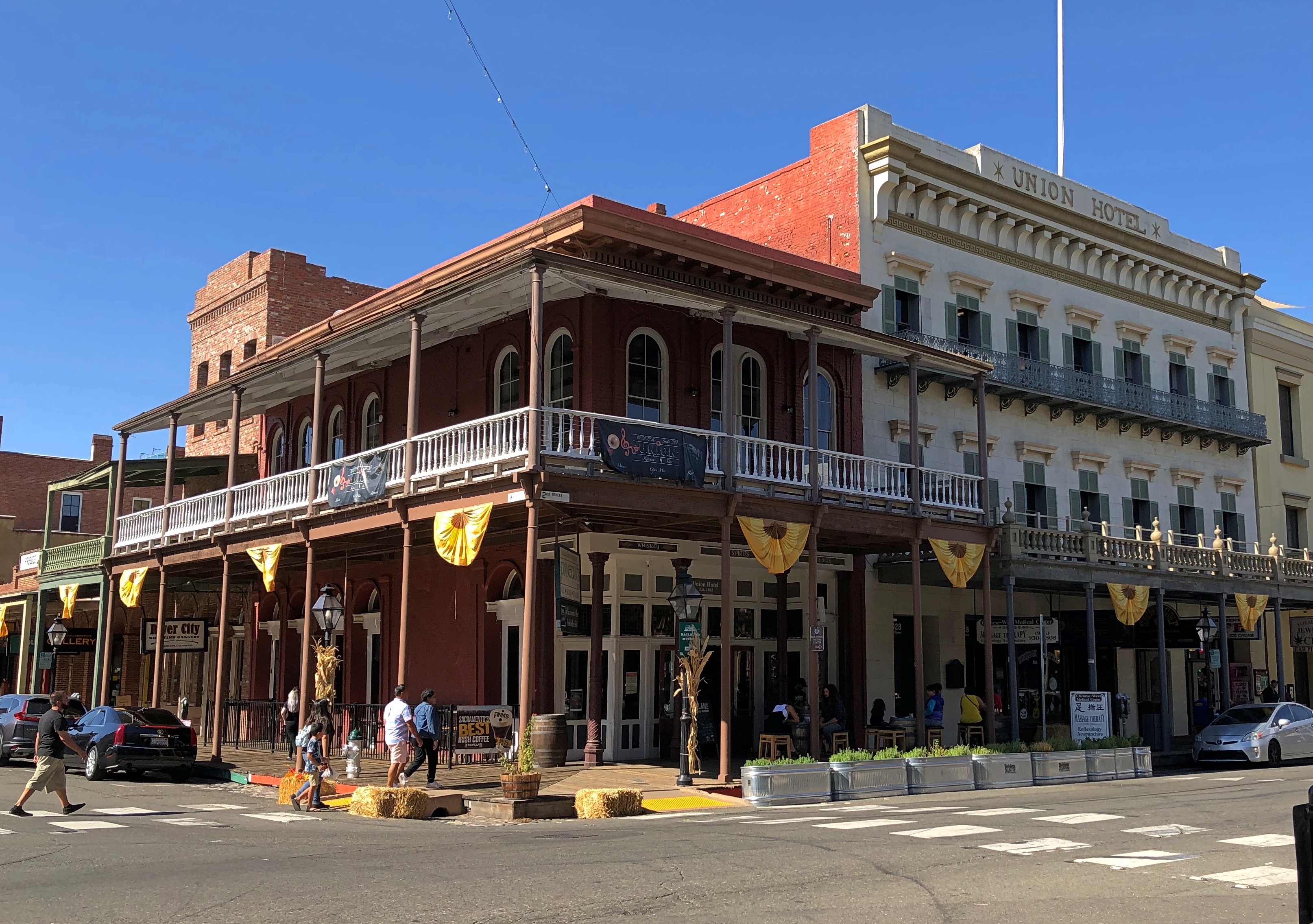
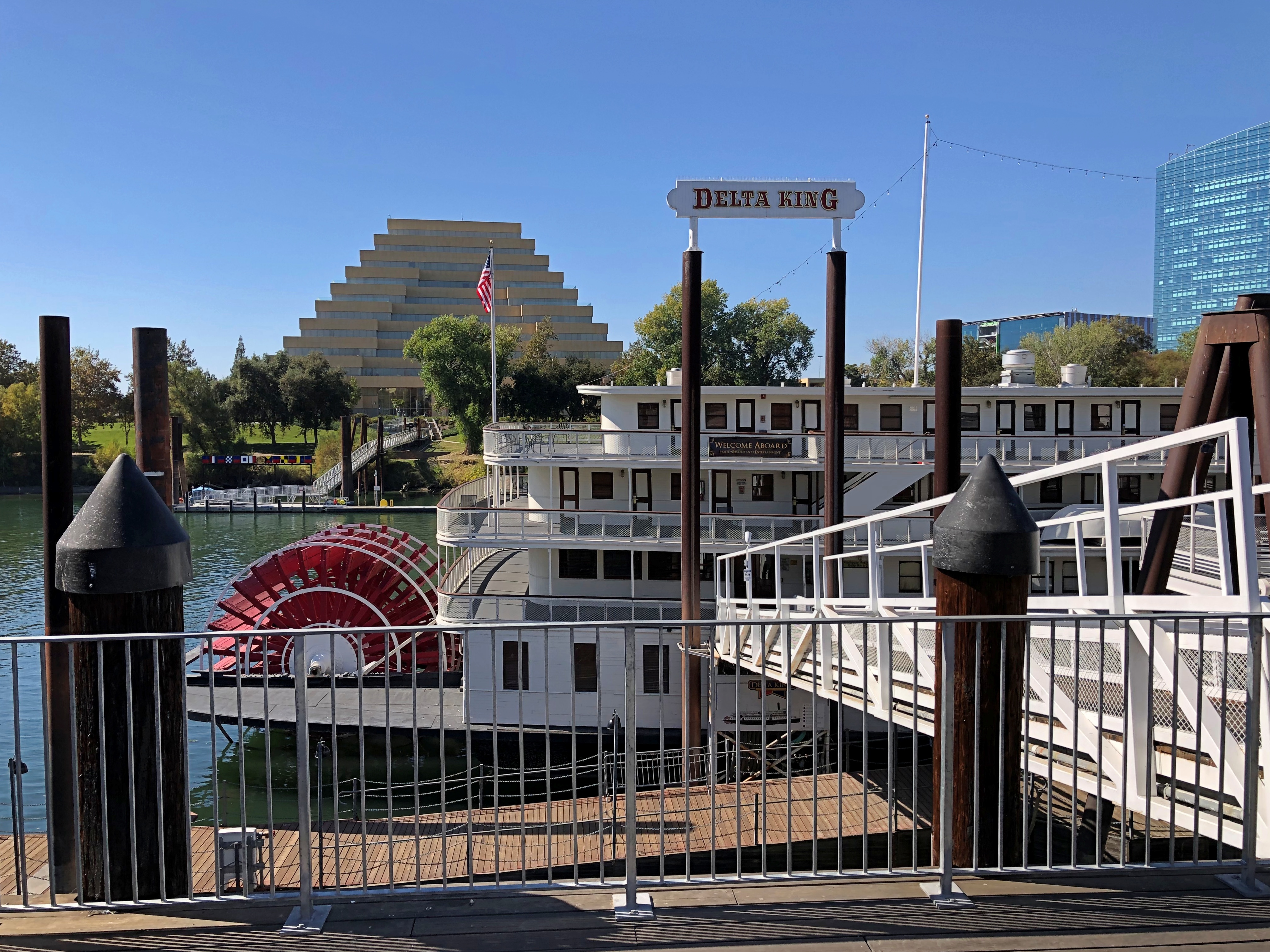
A few other nearby buildings.Newberry, Michigan Newberry, Michigan

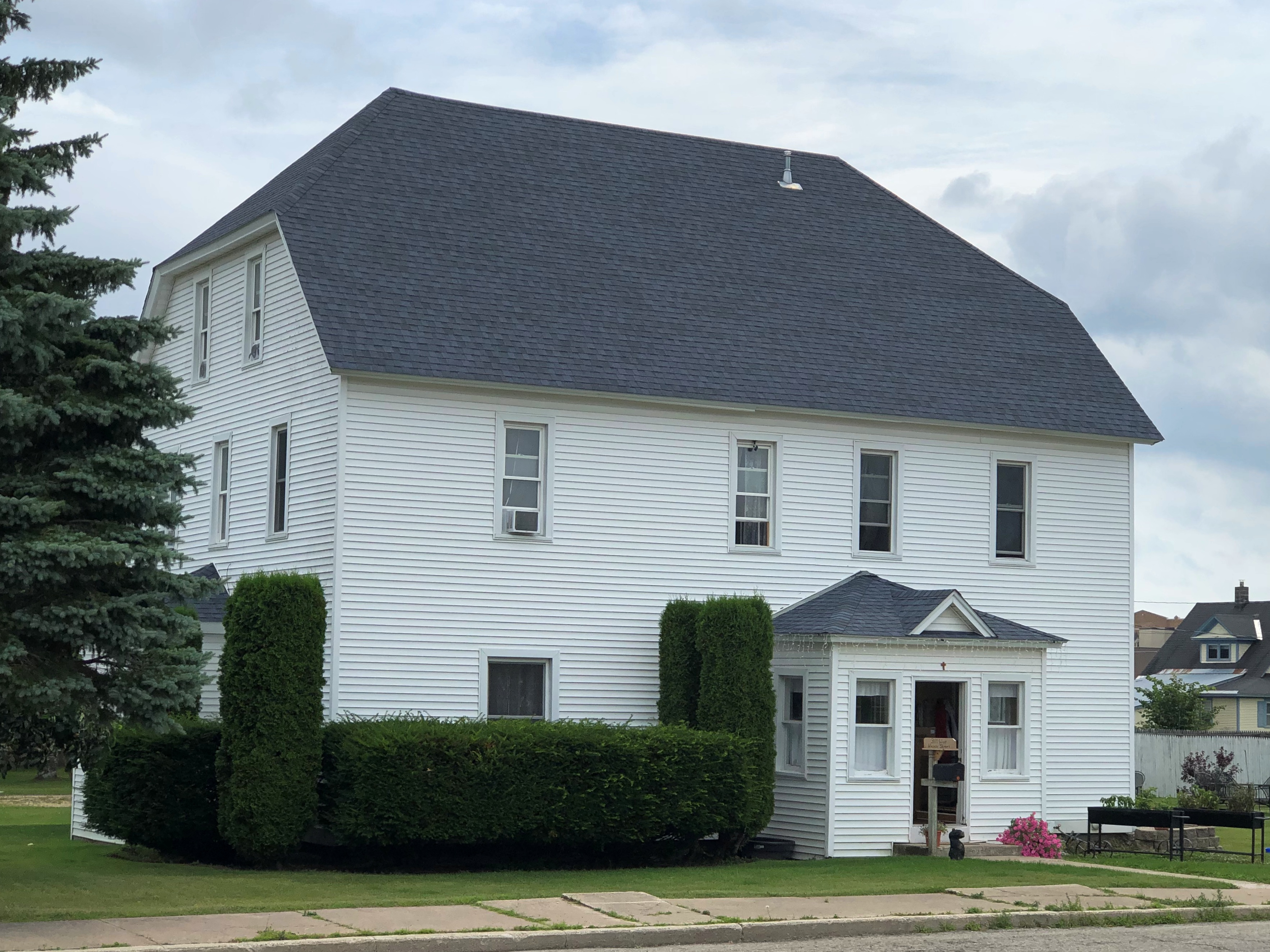
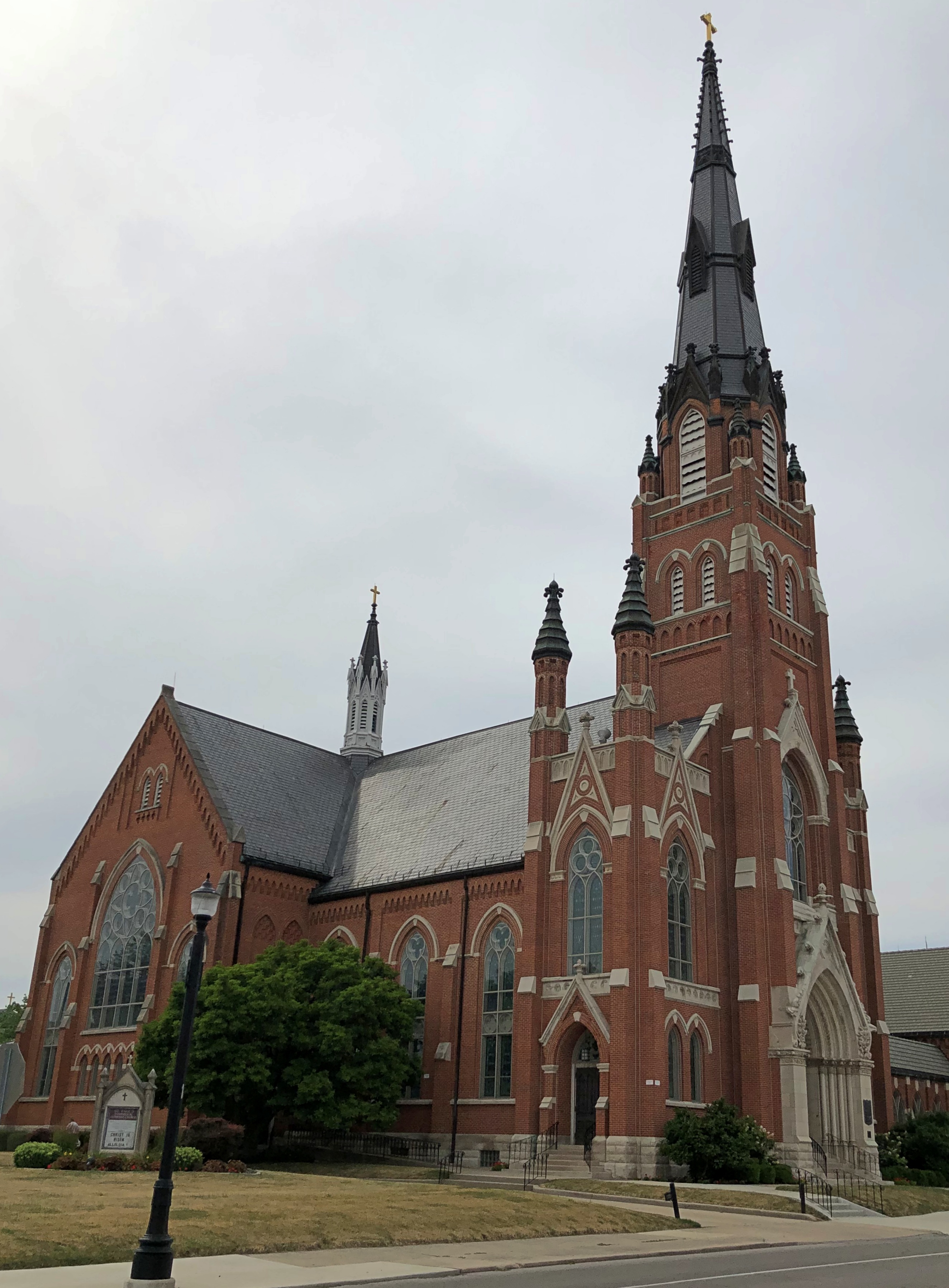
Saint Gregory’s Catholic Church.Saint Gregory's Catholic Church

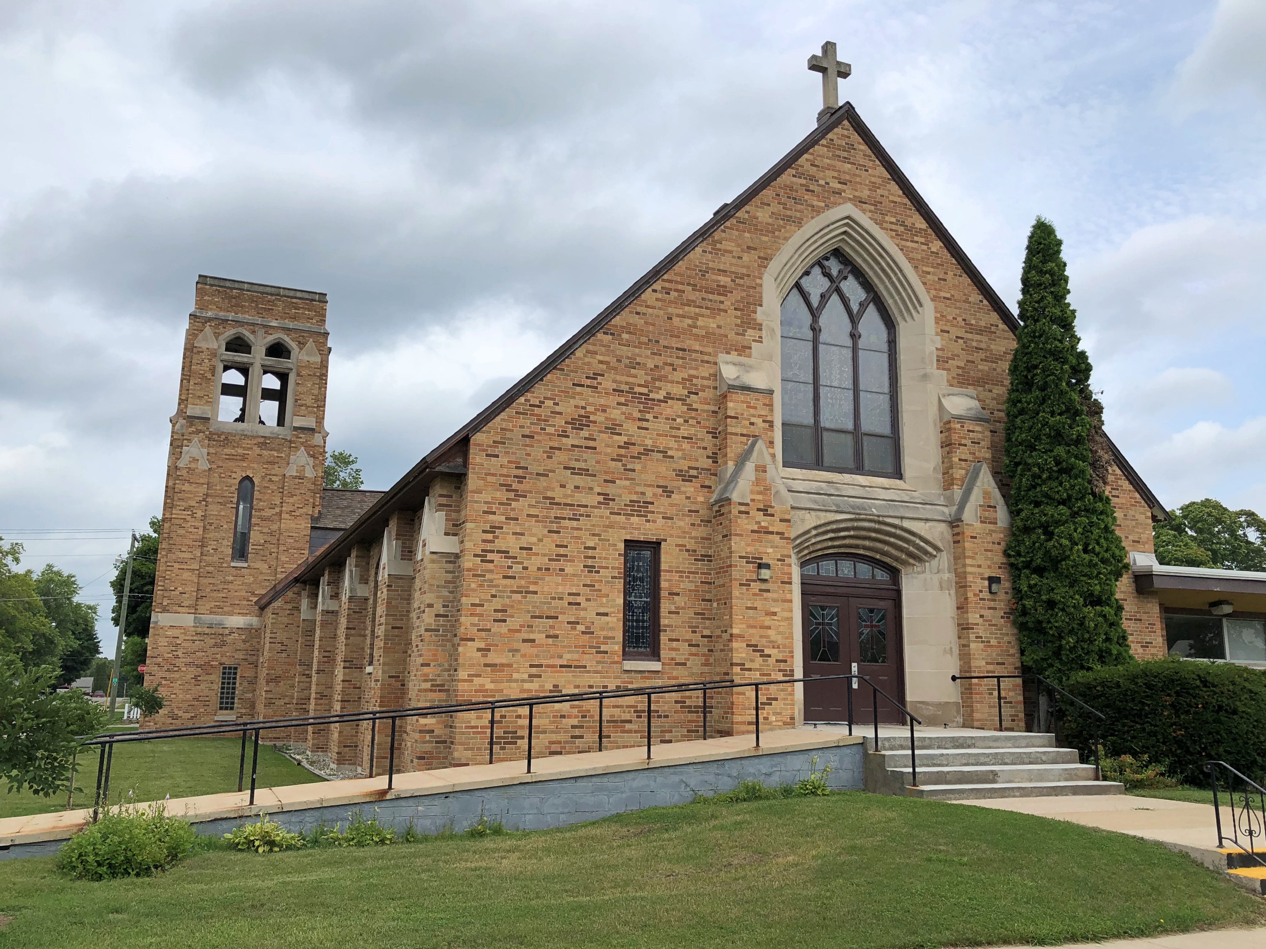
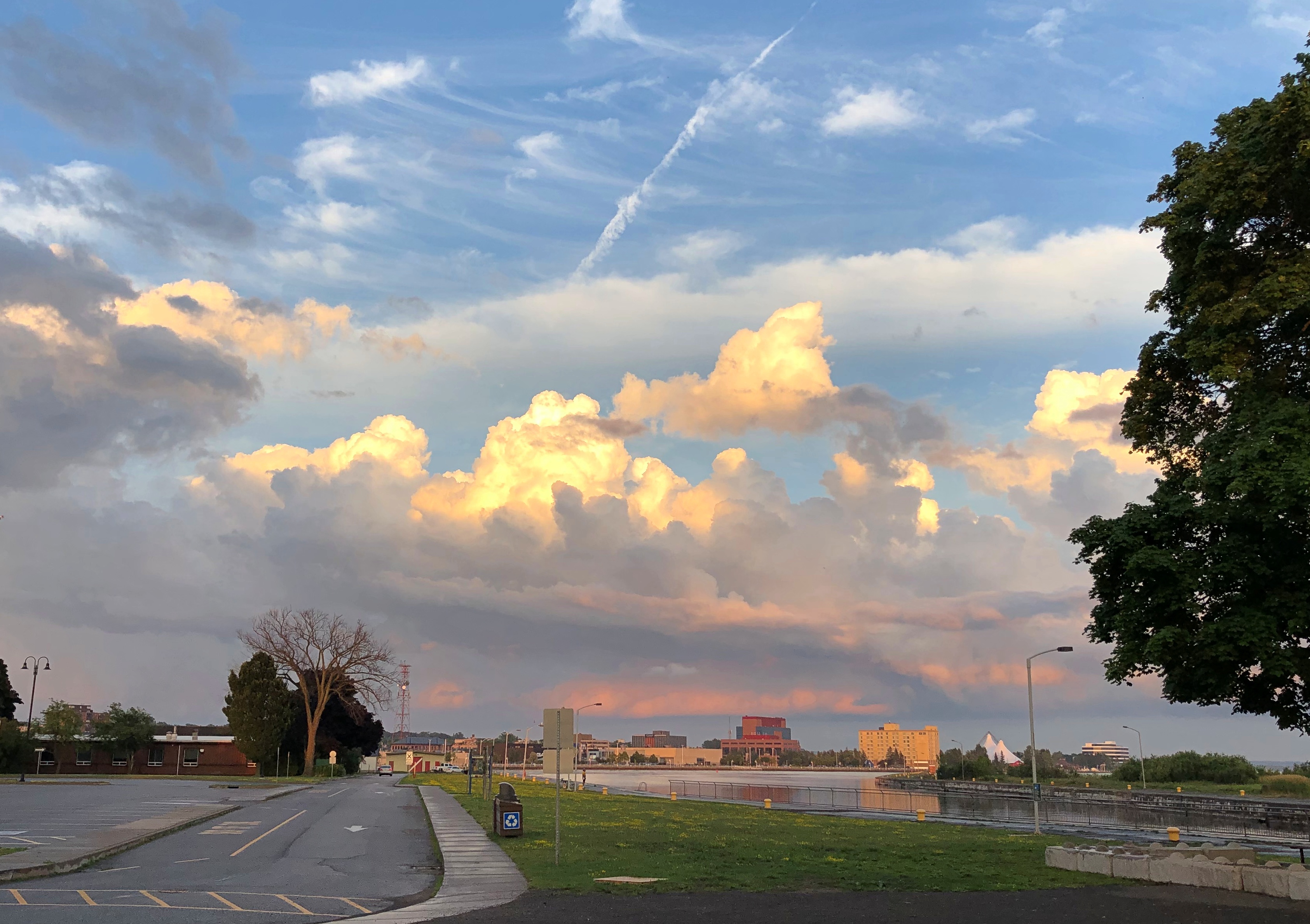
We encountered rain much of the last day of the trip, August 7, so mostly it was a drive from our lakeside rental near Green Bay (the water feature) in Wisconsin home to the northwest suburbs. We didn’t stop in Milwaukee, though we buzzed through downtown on I-94, which offers a closeup of the skyline.

We did stop at Mars Cheese Castle before we left Wisconsin. How could we not do that?

Pop Up to Canada

When planning our recent trip, I suggested a visit to Sault Ste. Marie, mainly to see the locks that connect the higher-level Lake Superior with the lower-level Lake Huron (and Lake Michigan, for that matter). Engineering marvel and all that.

The idea of crossing from Sault Ste. Marie, Michigan, to Sault Ste. Marie, Ontario, didn’t really register with me. Maybe because I’m blasé about visiting Canada, having done so a number of times.

Or maybe because I dreaded whatever rigmarole Covid-addled Canada would force upon us to cross the border. After all, it was only about a year earlier that I’d seen the near-empty Rainbow Bridge between Niagara Falls, New York and its counterpart in Ontario, bereft of its tourist traffic.

Someday, I knew I’d want to go to the Canadian Sault St. Marie, because it’s the jumping off point to take the Agawa Canyon Tour Train and see other sights northeast of Lake Superior, but all that would take more time than we wanted to spend on this trip.

My friends had other ideas about visiting Canada. Namely, they wanted to. Just a pop across the border on August 3 and spend the night in Ontario, returning to the UP the next day. Two of them had never been to Canada, a slightly flabbergasting notion, and the third had only visited Vancouver Island on a long-ago organized bus trip in high school. They were keen to go, if only for a brief sojourn.

I didn’t object, and we went across the international bridge that afternoon. The rigmarole turned out to be fairly modest, uploading our Covid vaccination cards and passport numbers and a few other details the day before at a web site called ArriveCan, which generated a QR code on our phones that I was sure the guard would want to see, along with our passports.

She did not. Just the passports, and she asked a few perfunctory questions to make sure we weren’t degenerates trying to sneak into Canada, and we went through.

Our visit to the Great White North was short, but sweet. We had dinner — the best of the trip, I thought — at Uncle Gino’s Cafe & Ristorante. I had the penne alforno. The food was delicious, not too expensive (helped by the relative strength of the U.S. dollar), and the waitress was a peach.

Sault Ste. Marie is a small industrial town, including steel and paper products, and more recently hydroelectric and wind power. We drove around town a bit, and soon took a riverside stroll.Sault Ste. Marie, Ontario Sault Ste. Marie, Ontario Sault Ste. Marie, Ontario

Wind chimes inside funnels along the boardwalk, the likes of which I’d never seen. Makes a pleasant tune, though.Sault Ste. Marie, Ontario

We made it as far as the historic Sault Ste. Marie Canal, which includes smaller locks than on the American side. Reminded me a bit of the Erie Canal.Sault Ste. Marie, Ontario Sault Ste. Marie, Ontario Sault Ste. Marie, Ontario

The canal’s historic structures were closed for renovation, but nice to look at.Sault Ste. Marie, Ontario Sault Ste. Marie, Ontario

So were the clouds.
Sault Ste. Marie, Ontario

We spent the evening at our rented house, drinking wine, conversing and watching videos each of us selected in turn. I suggested a few Caro Emerald videos, and she was a big hit, as was Tammi Savoy, a delight I only discovered myself in January.

We left in the next morning and I forgot to suggest we visit the local Tim Horton’s. Damn. My friends missed an essential Canadian experience. They probably would have liked the coffee and I know they’d have liked the doughnuts. Guess they’ll have to visit the country again sometime.

As for me, I came to consider my visit to Sault Ste. Marie as a scouting expedition. One of these days, I need to come back to explore the region more thoroughly — take that Canadian train and see those U.S. locks.

Around Lake Michigan ’22

A little more than a week ago, I took a pretty good picture of three dear friends, two of whom I’ve known for over 45 years. From left to right, Tom, Catherine and Jae.

We were on the second day of our drive around Lake Michigan, counterclockwise, which took us from metro Chicago through northern Indiana, Grand Rapids and parts of western Michigan, Petoskey and environs, Mackinac Island, both Sault Ste. Maries, parts of the eastern Upper Peninsula, greater Green Bay and other parts of eastern Wisconsin, and back to metro Chicago.

Leaving on July 30 from our starting point at my house, we drove my car on crowded and less crowded Interstates, state and county highways, and a host of smaller roads, including National Forest roads cutting through lush boreal territory. Returning yesterday to my house, my friends flew back to Austin today; they had arrived from Austin two days ahead of the trip.

We’d planned the trip via email and Zoom, beginning back in early spring. I was the informal guide, making suggestions and offering bits of information I knew from previous visits to Michigan, upper and lower. But my friends were hardly passive in the course of our travels, digging up information via cell and making their own suggestions based on their own familiarity with some of the territory. Catherine had overseen arranging our accommodations, and everybody drove at one time or another.

We stayed in five different peer-to-peer rental accommodations along way, all entire houses that could provide us enough bedrooms, bathrooms, food prep and dining areas, and, in most cases, space to sit outdoors, once with a view of the waters of Green Bay.

Enjoying the outdoors was one of the main goals of the trip. For me, certainly, but especially for them, escaping the high heat of central Texas. They often remarked on the cool air and reveled in it, checking periodically to learn the temps at home. Three digits in Austin wasn’t usual. I don’t think got higher than 85 F. where we were. Standard night temps in both Michigans generally came in the 60s F.

Two meals a day was the norm: a mid- to late-morning breakfast and a late afternoon dinner, or a very late breakfast and a late dinner, at least as these things are reckoned in North America. So on many days, our meal schedule was more like that of Mexico City.

Food variety has trickled down to the lakeside and inland burgs of the upper Upper Midwest, though perhaps not quite as much as in large metros. Whitefish, the star of a lot of UP menus, had top billing in some of our meals, but we also enjoyed hamburgers and other meat — including one tasty UP pasty — pizza, pasta, breakfast fare, bar food, Italian and Asian, plus chocolates and fruit, such as Michigan cherries and UP jam. We prepared our own meals sometimes, did takeout a few times.

Coffee by morning, wine by night, though I only participated in the latter. Familiar wines were available in every grocery store we visited, and my friends sought out coffee ground as locally as possible: one bag from Sault Ste. Marie, for instance.

Meals and wine drinking were a source of convivial times, but hardly the only one. We talked and conversed and bantered at the table, as we headed along roads and as we walked trails. Shared personal histories were revisited, stories of our long periods apart were relayed, and opinions shared. Odd facts were floated. There was punnery, especially on the part of Tom, a born punster.

We visited one city of any size, Grand Rapids, and many smaller places, a few museums, a sculpture garden, some riverfronts, shopping streets and resort areas, a grand hotel, an historic fort, churches, a Hindu temple, a wooded cemetery, two lighthouses, forests, clearings and beaches, a massive sand dune, waterfalls, rapids and the clearest pond I’ve ever seen. The three Great Lakes we saw stretched to empty horizons — except when Canada or the opposite shore of Green Bay were visible. We crossed the Mackinac Bridge once and the international bridge between the Sault Ste Maries twice.

We walked near the shores of Lakes Superior, Huron and Michigan. The northern woods and the beach ecosystems were fully flush here in late summer. Jae, who knows a good deal about flora, shared some knowledge about the flowers, trees and fungi we saw in profusion.

Though we caught a few showers in daytime, and the last day was mostly rainy, most of the storms rumbled through at night, adding to the restfulness of whatever sleep we each had. None of the storms were lightning-and-thunder dramas, but some were impressive in their downpour. My friends expressed their satisfaction with the cool light winds that often blow in corners of the UP.

There were a number of travel firsts, mostly for my friends. This was the first time any of them had been to the UP, and the first time they had seen Lake Superior, whose aspect I’m so fond of, and their first visit to the northern part of the Lower Peninsula. The trip included Tom’s first known visit to a national park, though later we determined that it was probably his second park. Also, it was the first time two of them had ever been to Canada, since we popped across the border for one night in Sault Ste. Marie, Ontario.

For me, a mix of new and places I saw long enough ago that they were almost like new.

When I dropped off my friends at O’Hare earlier today, we agreed that they trip had met expectations. And more.

Downtown Fort Wayne

RIP, Will Friend. I didn’t know him well, but did meet him at events over the years, and we got along. I didn’t realize he was quite that young.

Toward the end of the afternoon on Saturday, we took a walk in downtown Fort Wayne. Not long after parking the car, this caught our attention.Wells Street Bridge, Fort Wayne Wells Street Bridge, Fort Wayne

Not just any pedestrian bridge, but the historic Wells Street Bridge over the St. Marys River. A sign on the 1884 truss bridge names the Wrought Iron Bridge Company of Akron, Ohio, as the bridgebuilder.Wells Street Bridge, Fort Wayne

For nearly 100 years, vehicular traffic crossed the bridge, but in 1982 it became a pedestrian walkway. A view from the bridge, toward a less-developed part of the city.Wells Street Bridge, Fort Wayne

After you cross the bridge, there is another elevated walkway, this one over a small section of riverbank. The blue building in the background is a block of riverside apartments, under construction. Move to Fort Wayne, young members of the laptop class. While rents don’t exactly seem cheap there — I don’t think anywhere counts as that anymore — there have to better deals than in the large cities.Riverwalk, Fort Wayne Riverwalk, Fort Wayne

The walk offers a view of the Fort Wayne — skyline isn’t quite the word. A view of a few  larger buildings in the background, with Promenade Park in the foreground. We soon  rested a while at that park, lounging around on iron chairs at an iron table, drinking soda. Rest: always an essential part of any walkabout.Downtown Fort Wayne

Occasional party boats ply the St. Marys.Downtown Fort Wayne

Away from the river is Freimann Square, home of the aforementioned Anthony Wayne statue, as well as a fountain and flower beds. Downtown Fort Wayne
Downtown Fort Wayne

Not far is the Allen County Courthouse, designed around the turn of the 20th century by Hoosier architect Brentwood Tolan.Courthouse, Downtown Fort Wayne Courthouse, Downtown Fort Wayne

The figure on top, I’ve read, is a copper Lady Liberty that turns, as a vane does, with the wind.

A few decades pass and you get art deco. In this case, the Lincoln Bank Tower, another of those structures started just in time — 1929. Design by another Hoosier architect, Alvin Strauss.Lincoln Bank Building, Fort Wayne
It could have been the German American Bank Tower, but for some hard-to-figure reason the bank changed its name in 1918.

The Japanese Friendship Garden, on a tenth of an acre near the Fort Wayne Museum of Art, was gift of one of Fort Wayne’s sister cities, Takaoka. I had to look it up, even though I probably passed through it on a train the fall we went to Hida-Takayama. I suspect most Japanese, faced with the name Fort Wayne, would have to look it up, too.

The museum was closed when we got there, but the garden is always open. Bonus: the garden also features a 2002 time capsule under a rock, slated for a 2027 opening.Friendship Japanese Garden, Fort Wayne Friendship Japanese Garden, Fort Wayne

Elsewhere downtown: Cathedral of the Immaculate Conception. Dating from 1860, it is the oldest church building in Fort Wayne, with its Gothic design attributed to Rev. Msgr. Julian Benoit.Cathedral of the Immaculate Conception, Fort Wayne Cathedral of the Immaculate Conception, Fort Wayne

Vigil mass was about to start, but we got a peek.Cathedral of the Immaculate Conception, Fort Wayne
Cathedral of the Immaculate Conception, Fort Wayne

It isn’t the only sizable church around. A few blocks away is St. Paul’s Evangelical Lutheran Church. St. Paul's Evangelical Lutheran Church , Fort Wayne

Not open. Too bad, looks like quite a looker inside.

Along the West Branch of the DuPage River

Naperville, the second-largest Chicago suburb by population at nearly 148,000, has much to recommend a casual visitor, either in warm months or colder ones. (Way-far west Aurora, surprisingly, is number one at nearly 200,000 souls.)Naperville flag

Sunday was warm, but not hot enough to keep us from a stroll along West Branch of the DuPage River, which passes through downtown Naperville, and is in fact one of the village’s main amenities. The river is broad at that point.
West Branch, DuPage River, Naperville

But not that deep. A foot or two at most, yet deep enough for ducks and kayaks.West Branch, DuPage River, Naperville West Branch, DuPage River, Naperville

The walkways along the river are fairly narrow.
West Branch, DuPage River, Naperville

Both banks are connected by wooden foot bridges.West Branch, DuPage River, Naperville

With small parks and other features on either side.
West Branch, DuPage River, Naperville

Including some artwork. Such as “Wall of Faces,” whose plaque says that it was “created by Naperville school children and molded by local artists to represent the casualties of September 11, 2001.” West Branch, DuPage River, Naperville
West Branch, DuPage River, Naperville

And a bronze Dick Tracy. I don’t think I’d noticed that before.
West Branch, DuPage River, Naperville - Dick Tracy bronze

It’s been there since 2010, so I just wasn’t paying attention. But why Naperville? I associate the comic policeman with Woodstock, Illinois, home of creator Chester Gould. The plaque explained that Dick Locher (1929-2017), who was one of Gould’s successors in writing and drawing the comic, lived in Naperville. In fact he was a multi-talented fellow, creating this statue as well.

U.S. 89A

Much excitement yesterday afternoon around here, when the village alarm sirens went off around 3:30. Moments before, my phone told me of a tornado warning, both in English and Spanish. I was advised to seek shelter.

Instead, I took a look out of both the front and back doors. We had rain at that moment, but very little wind, and the clouds weren’t particularly dark. The sirens quit, but started again a few minutes later. I listened and watched a while.

Another warning came and went, but the wind stayed low. It might have been a reckless impulse, but nothing I saw made me want to seek shelter, which in my case would be the lower level near the bathroom, but with the bathroom door closed, because there’s a window in there. Still, I watched the skies more closely for a while. I understand that while a funnel cloud had been spotted over the northwestern suburbs, for whatever reason it never came to the ground and stir things up.

Our most recent trip was a driving one, despite the cost of fuel. I have the receipts in front of me for buying gas five times. They helpfully list the price per gallon, regular each time.

St. George, Utah (May 15): $4.599. Page, Arizona (May 17): $4.789. Blanding, Utah (May 18): $4.659. Moab, Utah (May 20): $4.689. Salt Lake City (May 21): $4.569. According to AAA, the national average for gas a week ago (May 19) was $4.589, so we were paying slightly more than average (which today is $4.600), but less than at home. A year ago, the average was $3.035, for an increase of about 51% since then.

All together, we paid $147.63 for gas on this trip, which would have (roughly) been about $100 had we taken the same trip a year ago. So that’s about $50 that Mr. Putin owes me. I suspect he’s going to stiff me on that charge.

I didn’t like paying a premium for fuel, but it was completely worth it. Some of the drives were extraordinary.

Such as the one from Page to the Grand Canyon and back, especially back, because getting to the park was the main focus in the morning, and we didn’t stop. On our return, which was in the late afternoon of May 17, we took a more leisurely attitude, and took a look at things along the way.

U.S. 89 out of Page is a good drive through a red desert landscape, generally following the Colorado River, which is mostly invisible, far below in Marble Canyon. The drive south from Jacob Lake, Arizona, on Arizona 67 through the wonderfully alpine Kaibab National Forest to the park entrance, is also good.

But the best road that day by far was the two-lane U.S. 89A, which connects the other two, U.S. 89 and Arizona 67. As visible in the map, it skirts Vermilion Cliffs National Monument.

On our return, we headed east on 89A from Jacob Lake (where 89A meets Arizona 67), which is in the forest at that point: through a fine aspen, spruce-fir, ponderosa pine and pinyon-juniper woodland. Nice, but the road is even better is when you reach the edge of the Kaibab Plateau. There’s a place to stop and see the Vermilion Cliffs and the desert flatlands below.Vermilion Cliffs National Monument Vermilion Cliffs National Monument

The thin black line is 89A. From the viewpoint, the road heads down toward the flatlands, leaving the Kaibab Plateau. As far as I can tell from the maps, the highway is the border of the monument, or very close to it. In any case, you see the cliffs looming not far away. They follow you for miles down the road.Vermilion Cliffs National Monument Vermilion Cliffs National Monument Vermilion Cliffs National Monument

“Vermilion Cliffs National Monument is a geologic treasure,” says NPS signage along the road. “Its centerpiece is the majestic Paria Plateau, a grand terrace lying between two great geologic structures, the East Kaibab and the Echo Cliffs monoclines.

“The Vermilion Cliffs, which lie along the southern edge of the Paria Plateau, rise 1,500 feet in a spectacular array of multicolored layers of shale and sandstone… these dramatic cliffs were named by John Wesley Powell in 1869, as he embarked upon his expedition of the Grand Canyon down the Colorado River.”

Earlier explorers were here, too. In 1776, Fathers Francisco Atanasio Dominguez and Silvestre Velez de Escalante came this way, though they had to turn back to Santa Fe eventually, so harsh was the terrain.

In our time, there are a handful of lodges on 89A in the shadow of the Vermilion Cliffs, but little else in the way of human artifacts, at least until you come to Navajo Bridge, which takes the road across the Colorado River at Marble Canyon.Navajo Bridge

Rather, two Navajo Bridges: in my picture, the original bridge on the left, and the modern bridge on the right, both steel spandrel arch bridges. The historic bridge was dedicated in 1929 and represented the only crossing of the Colorado for many miles, effectively joining the Arizona Strip with the rest of the state. The wider bridge opened in 1995, and the older one was repurposed as a pedestrian and equestrian bridge.

Naturally, we went across it.
Navajo Bridge

The view of the Colorado from the pedestrian bridge.Navajo Bridge Navajo Bridge

The historic plaque.
Navajo Bridge

I looked up the Kansas City Structural Steel Co. There’s a newish company of that name, founded in the 1990s, but the one referred to on the plaque seems to be this one, whose work was in the early 20th century.

There are warning signs as well.Navajo Bridge

I supposed it means a survivable sort of jump, as with a bungee cord, which no doubt lunatics do sometimes, or at least used to.