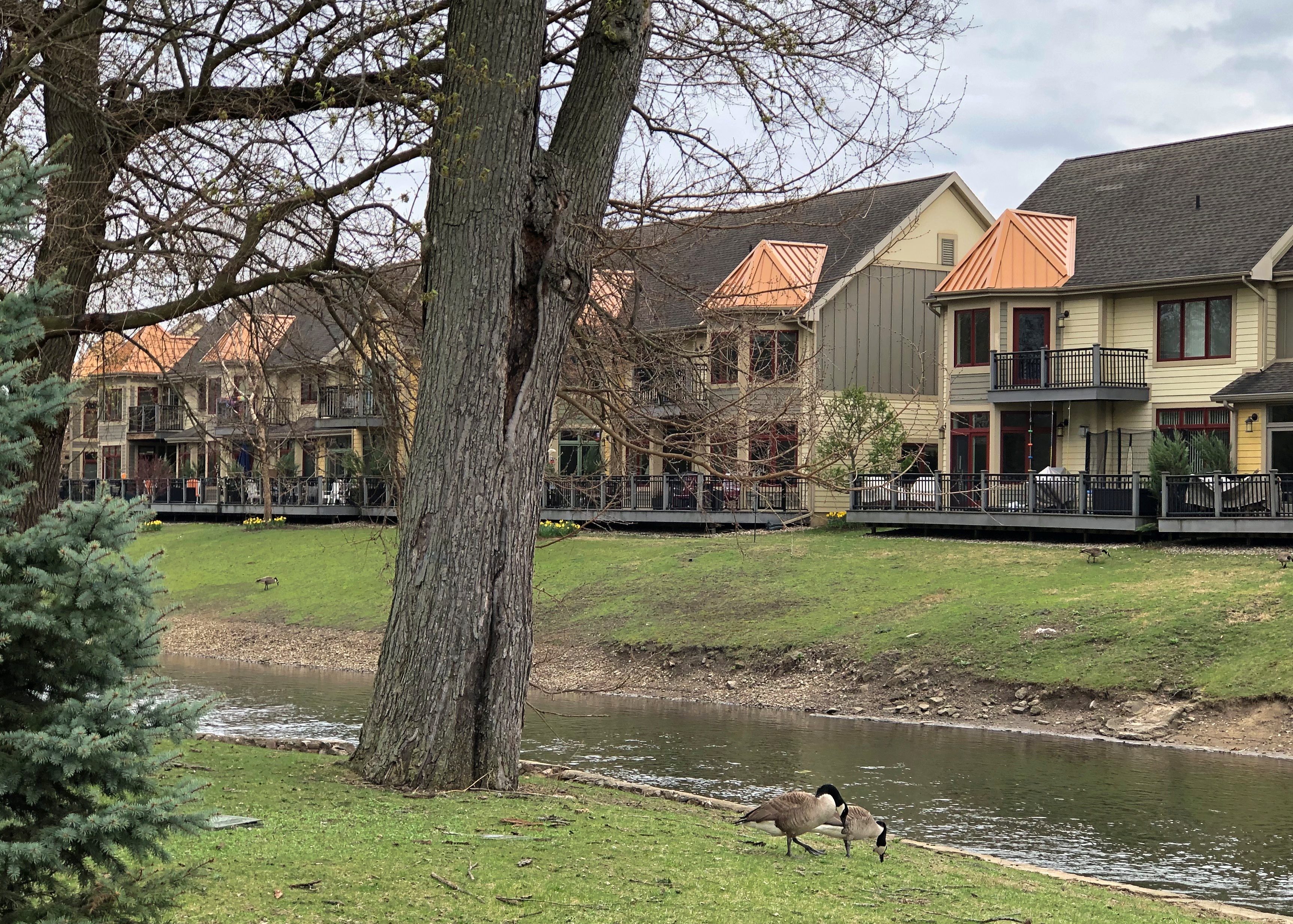
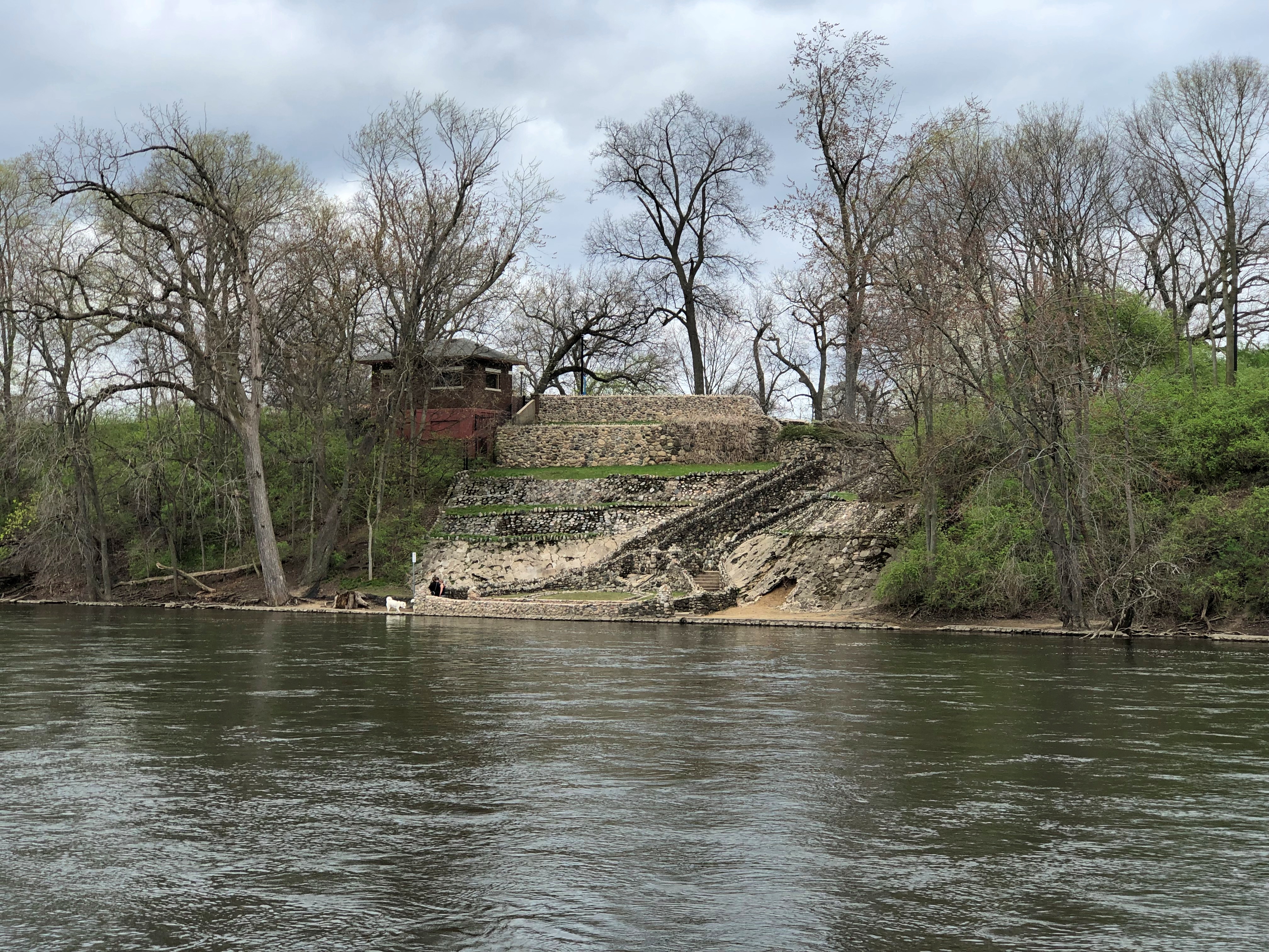
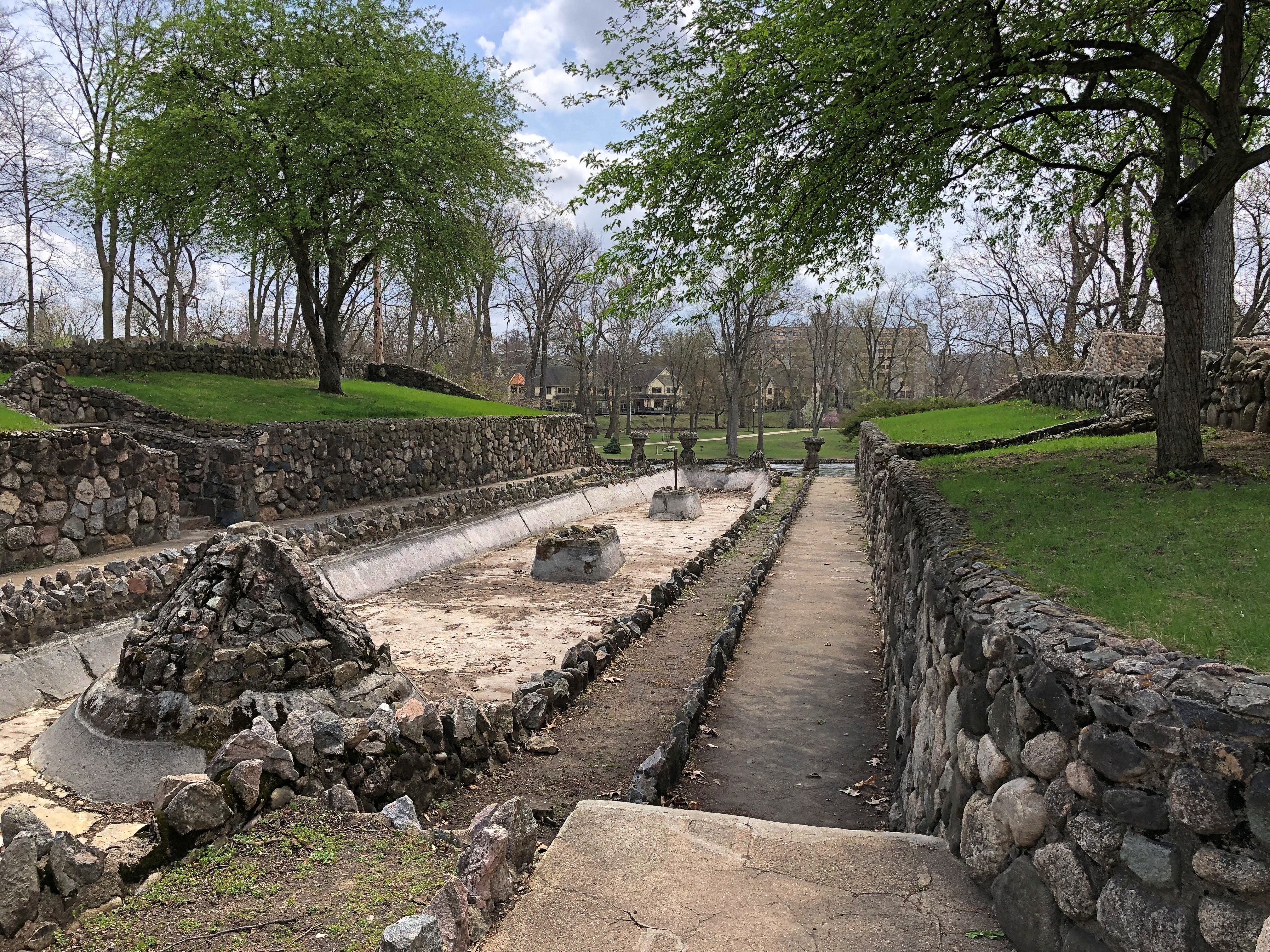
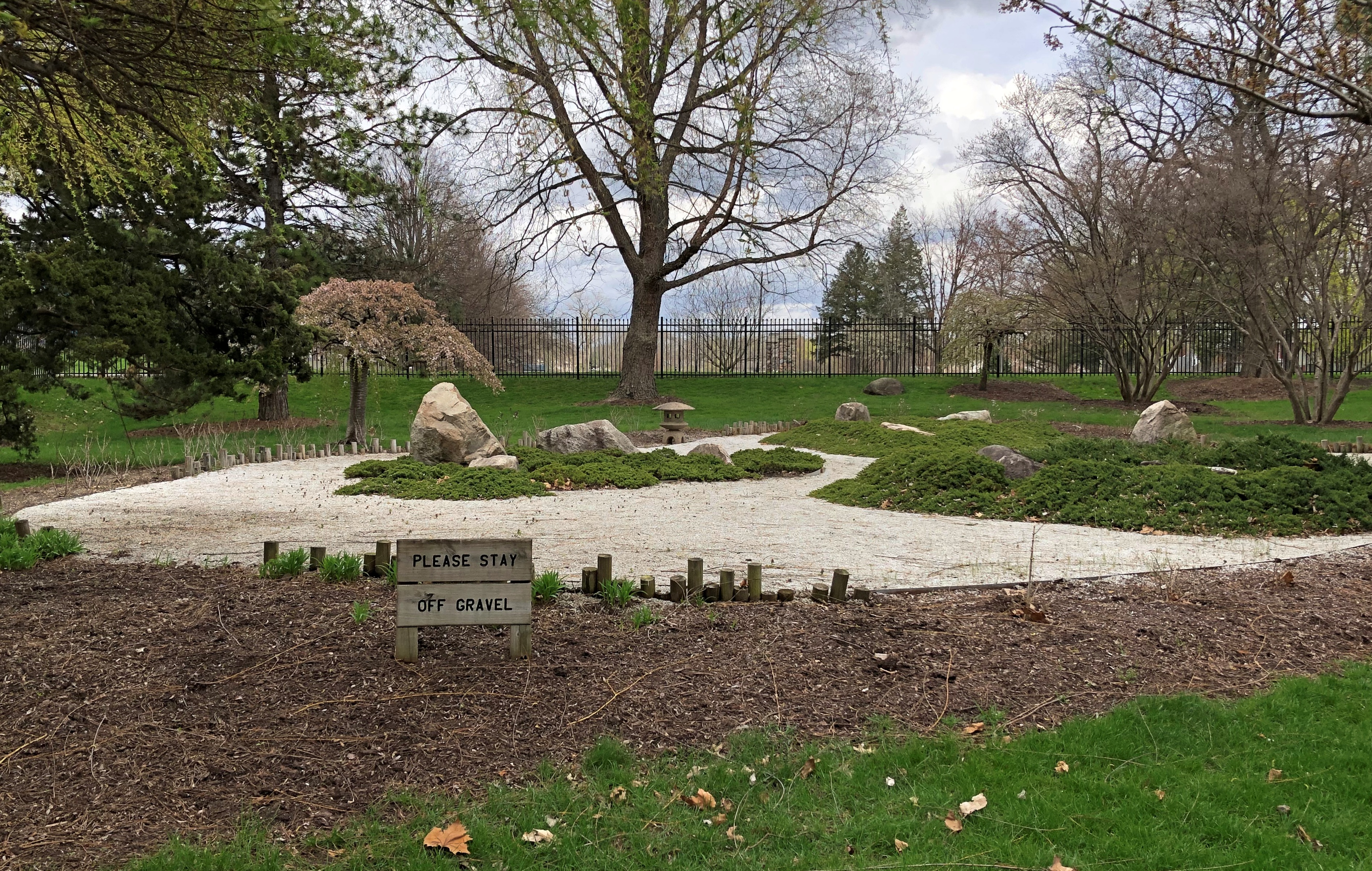
Mallard Lake Twilight

Heavy rain part of the day, with the promise of a cooling trend later this week. Not down to icy depths, but rather a hint of the months ahead.

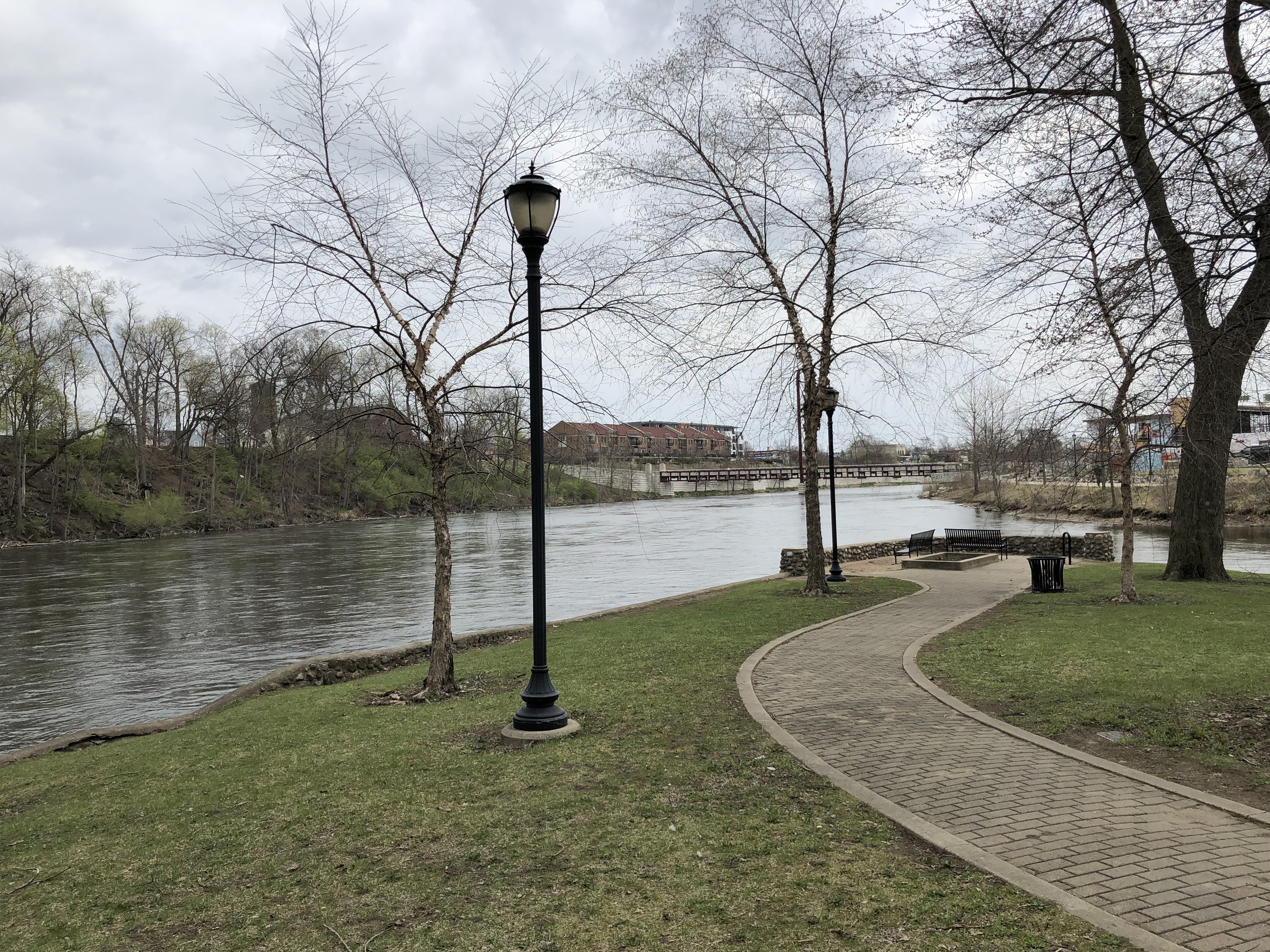
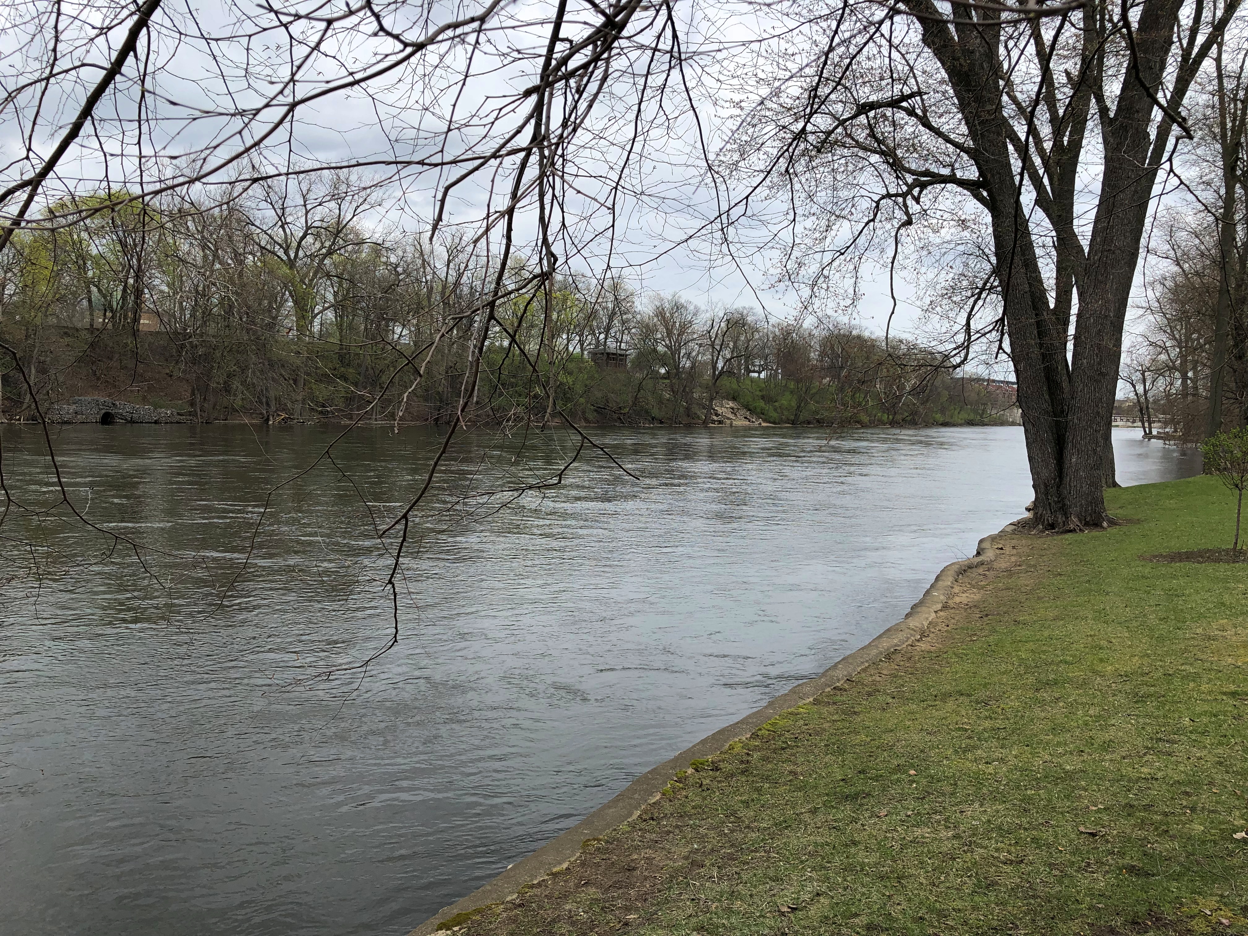
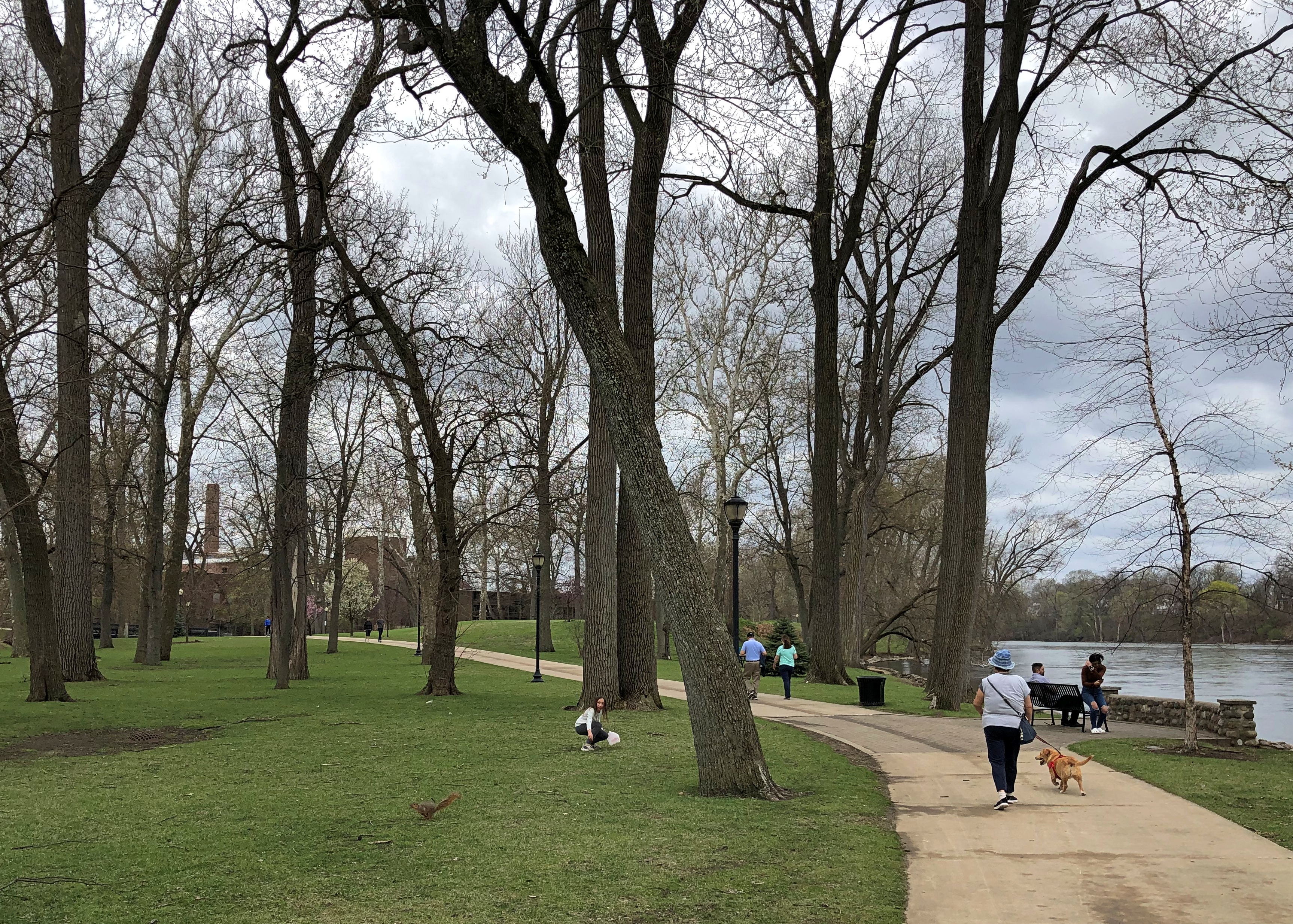
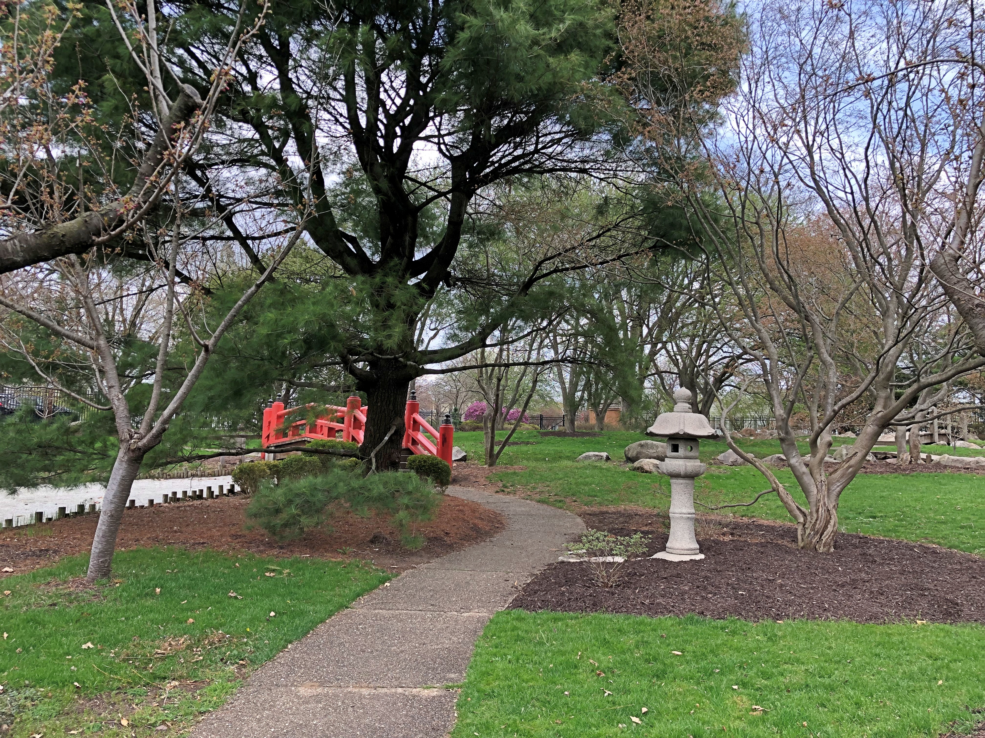
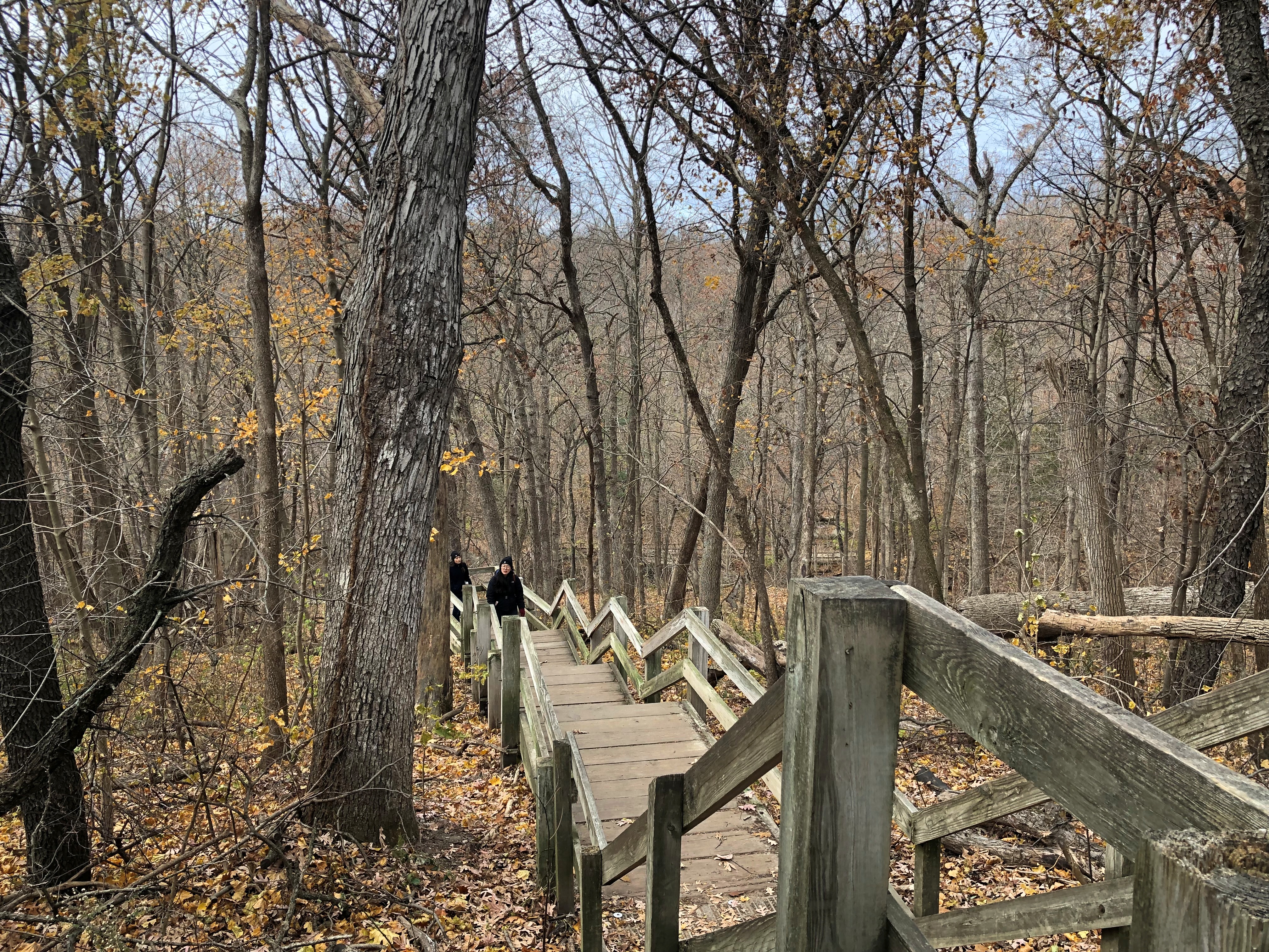
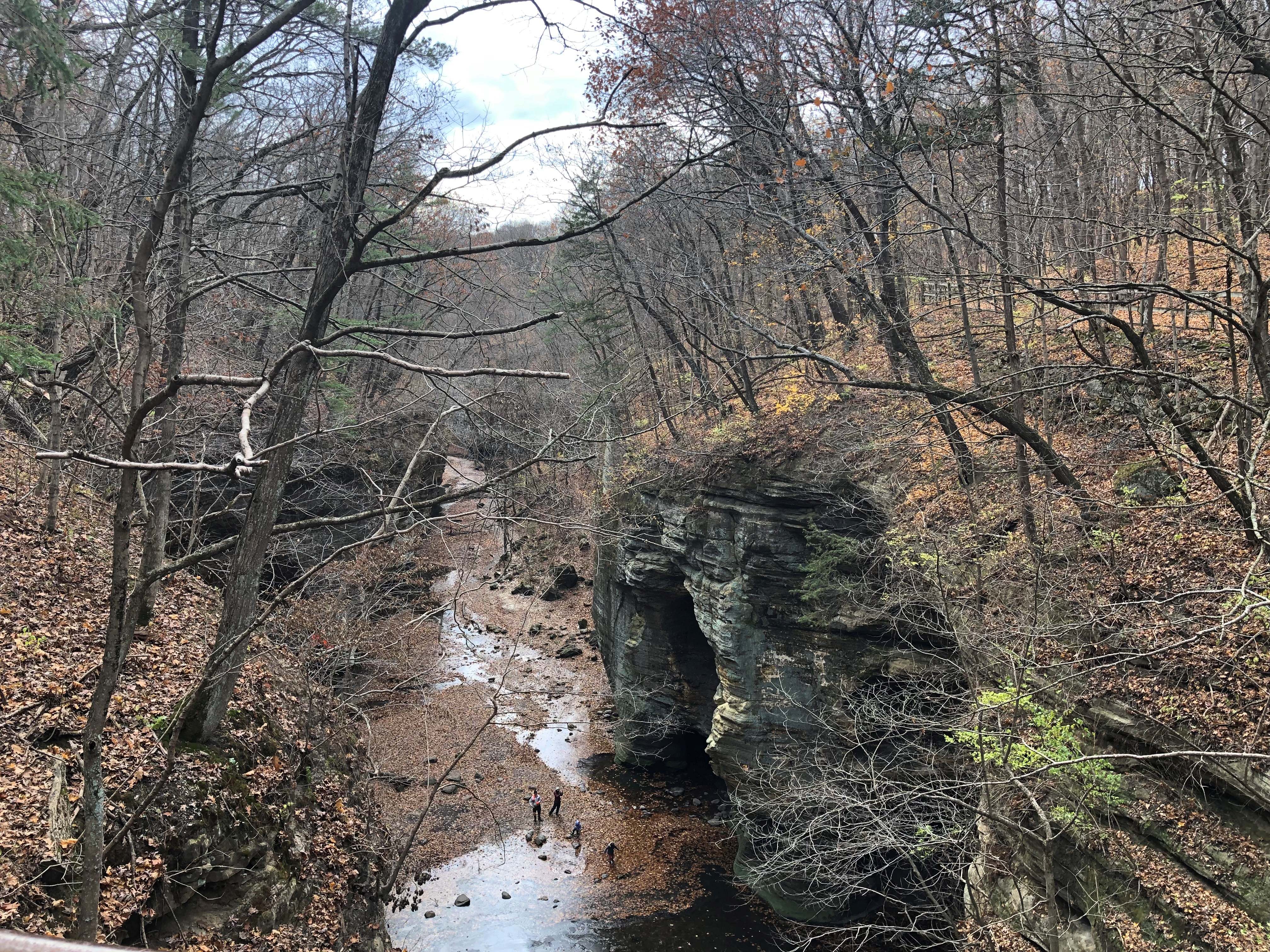
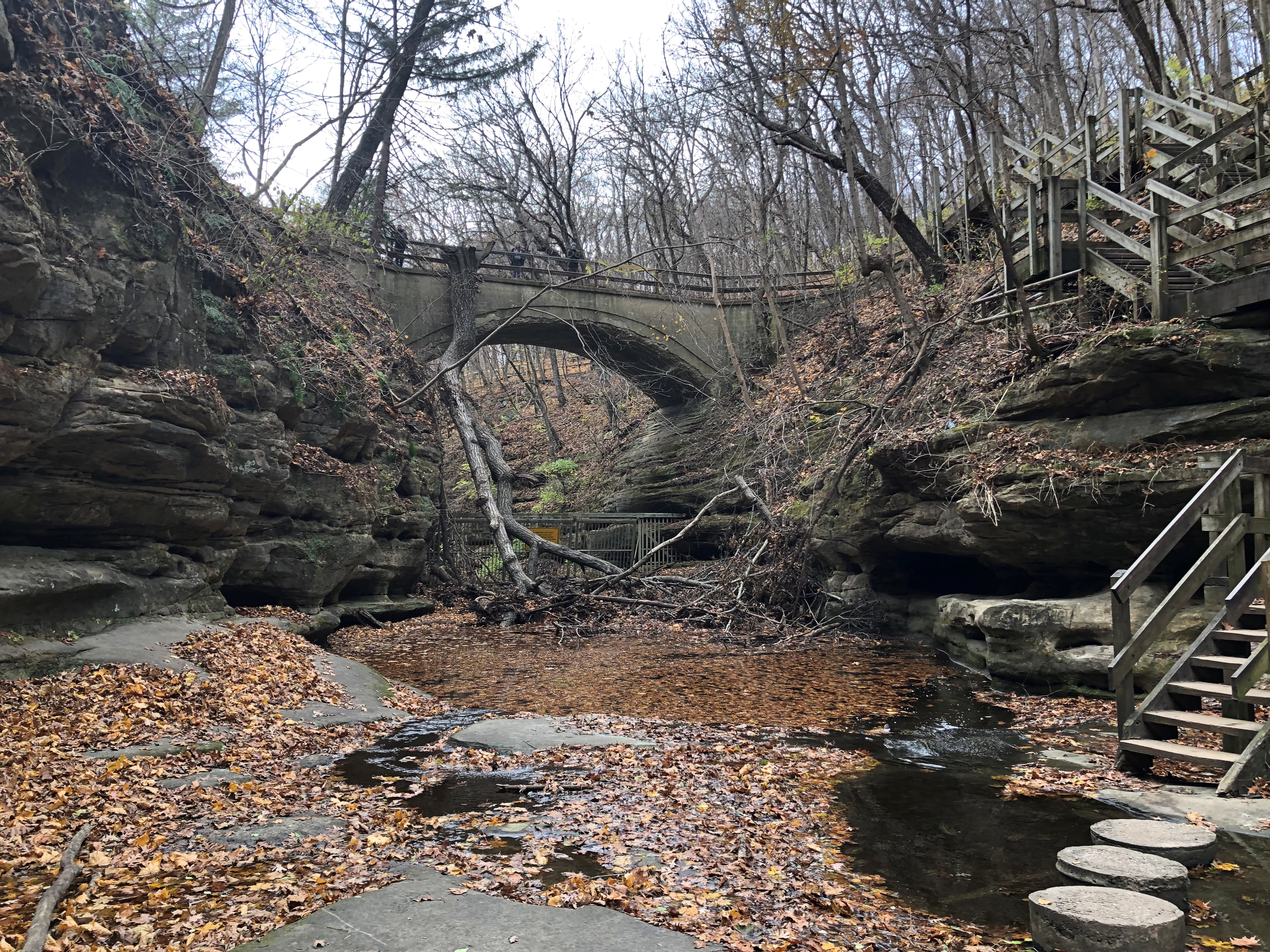
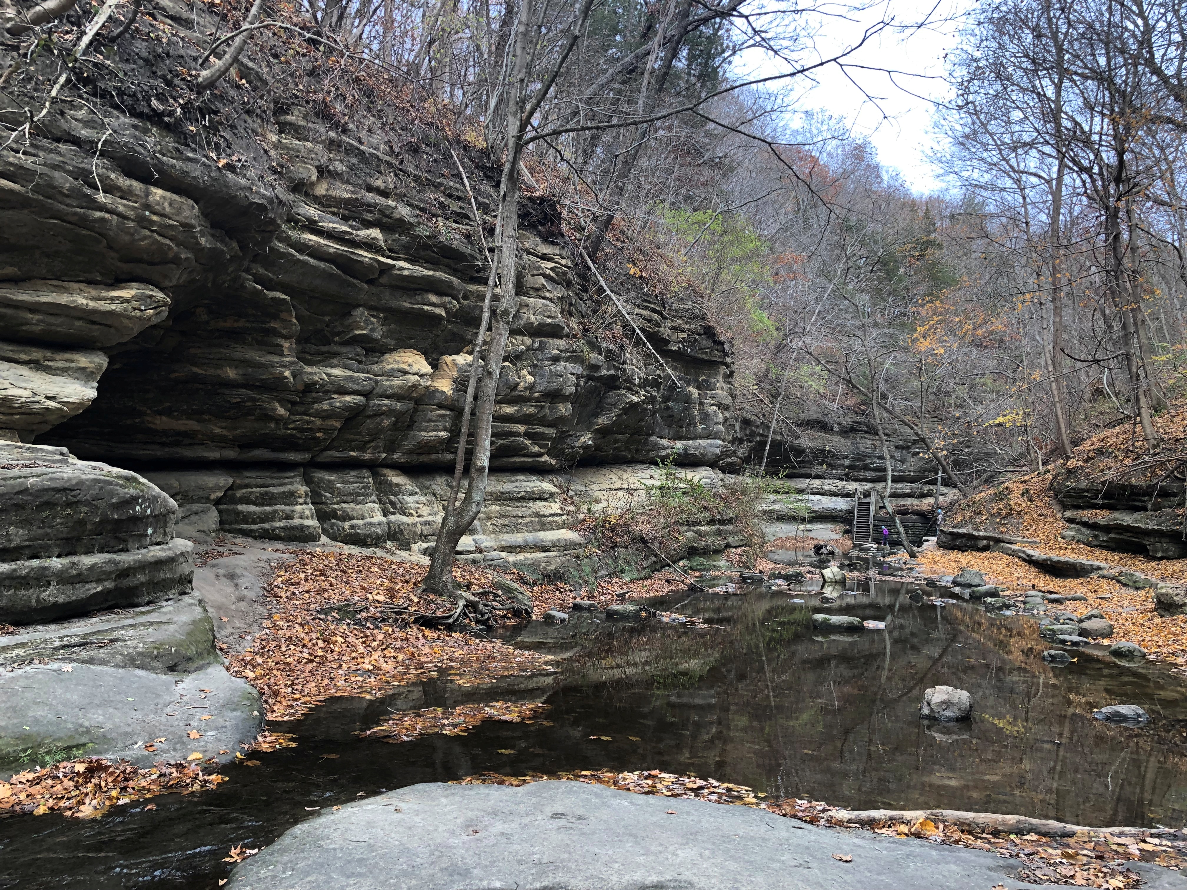
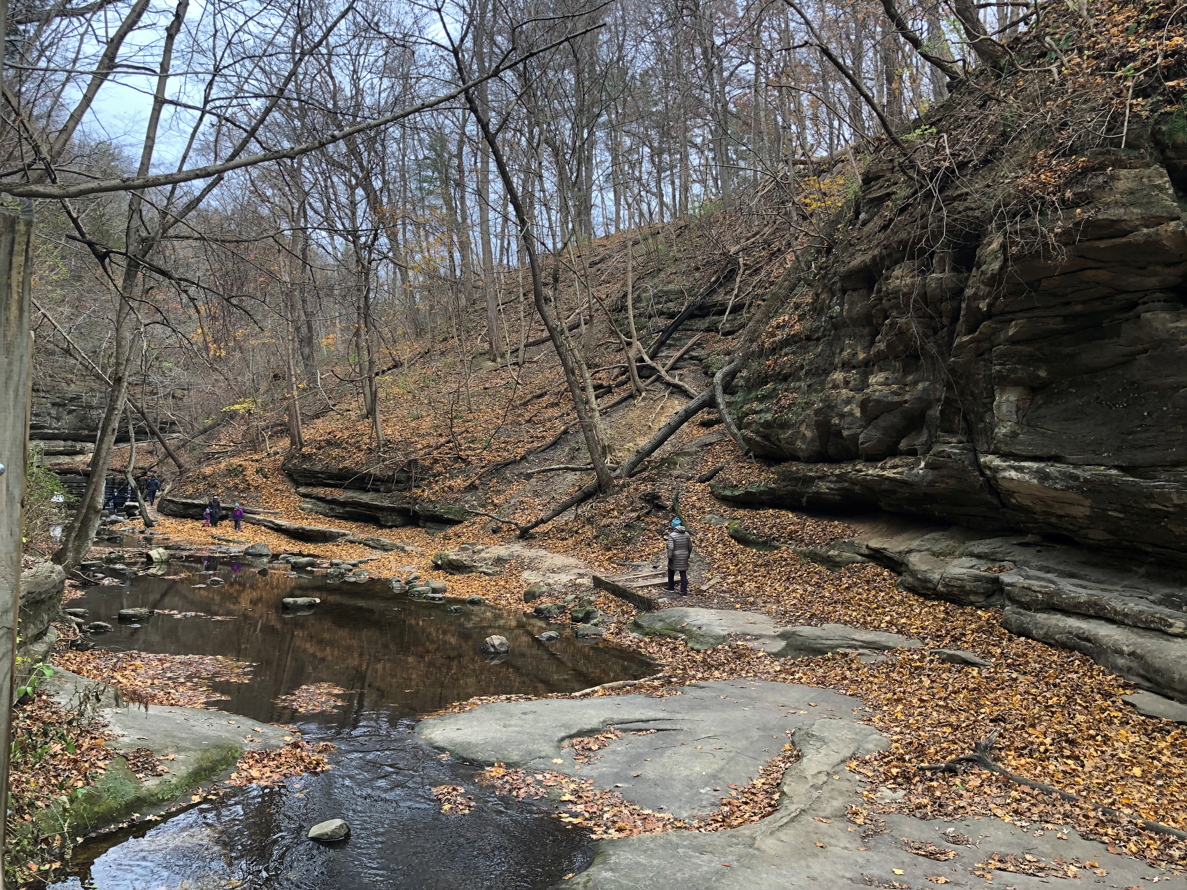
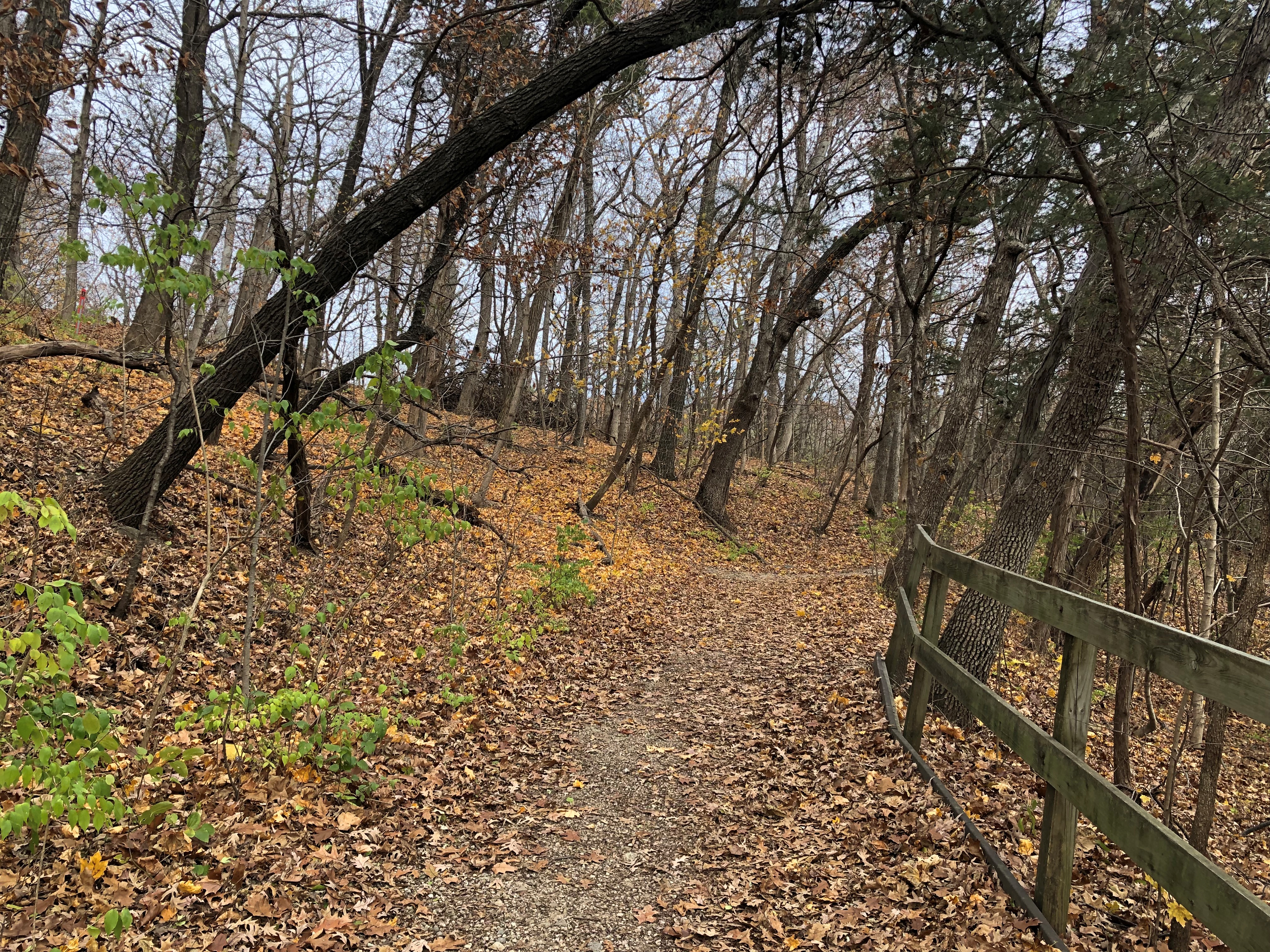
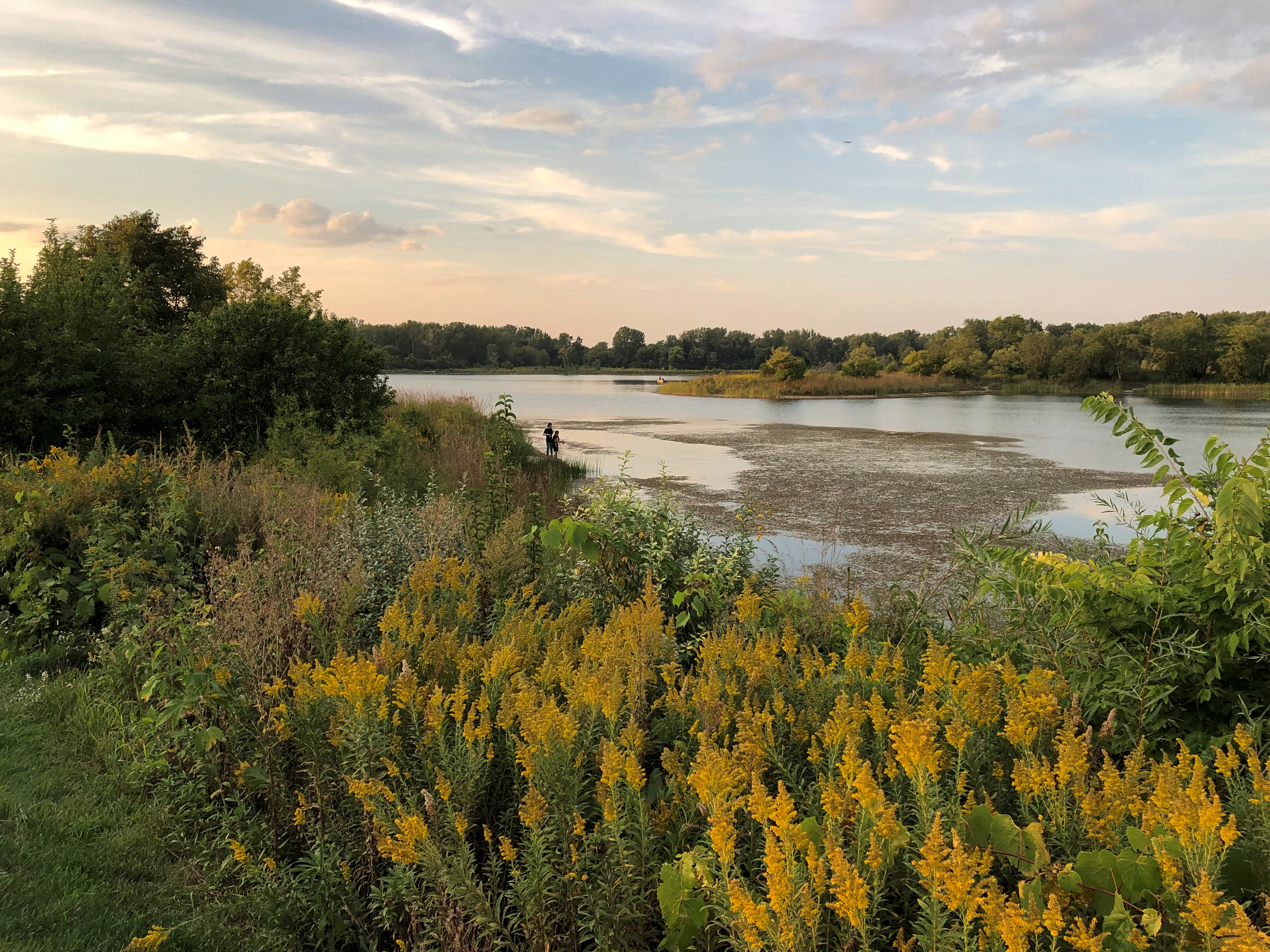
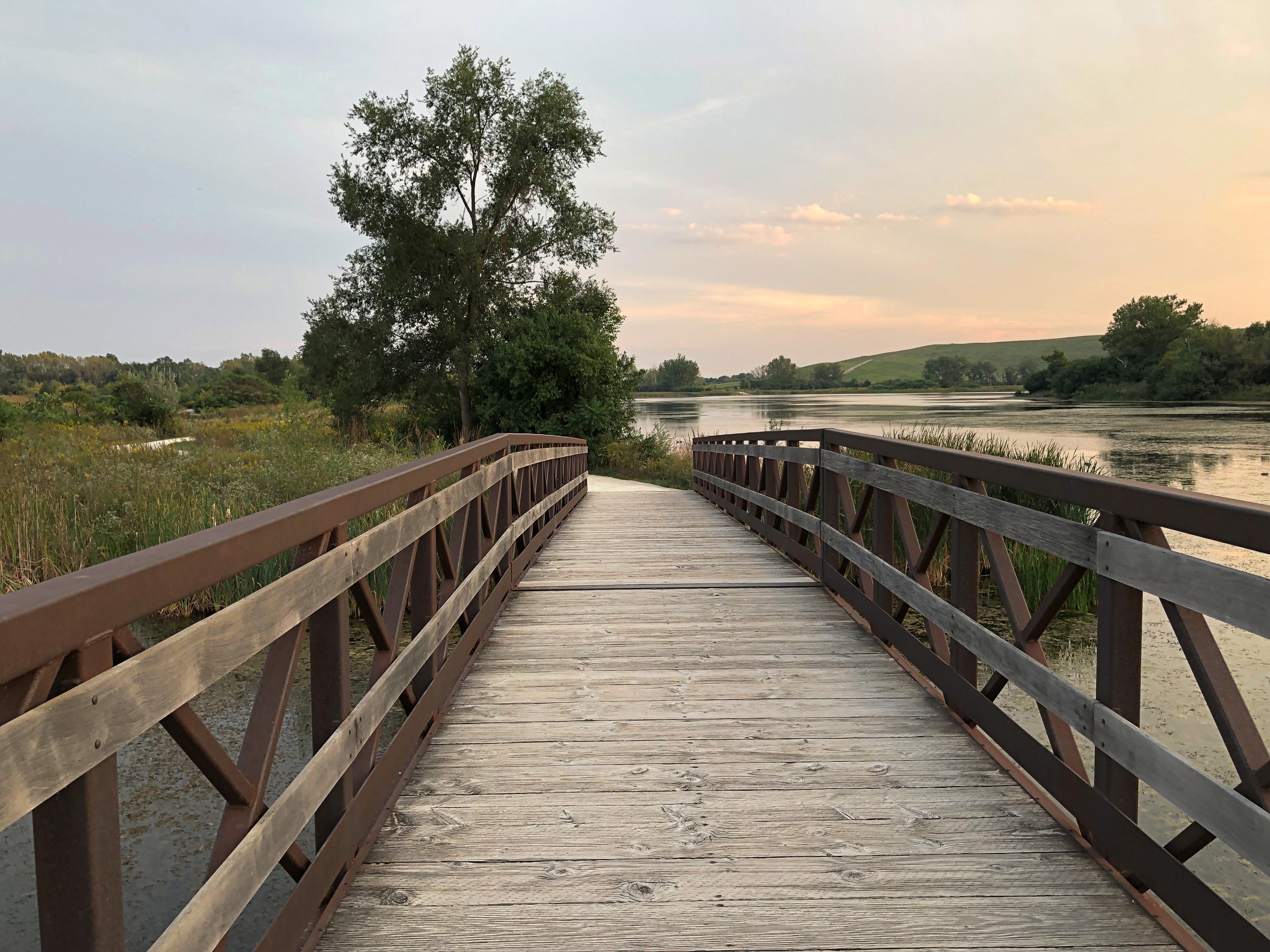
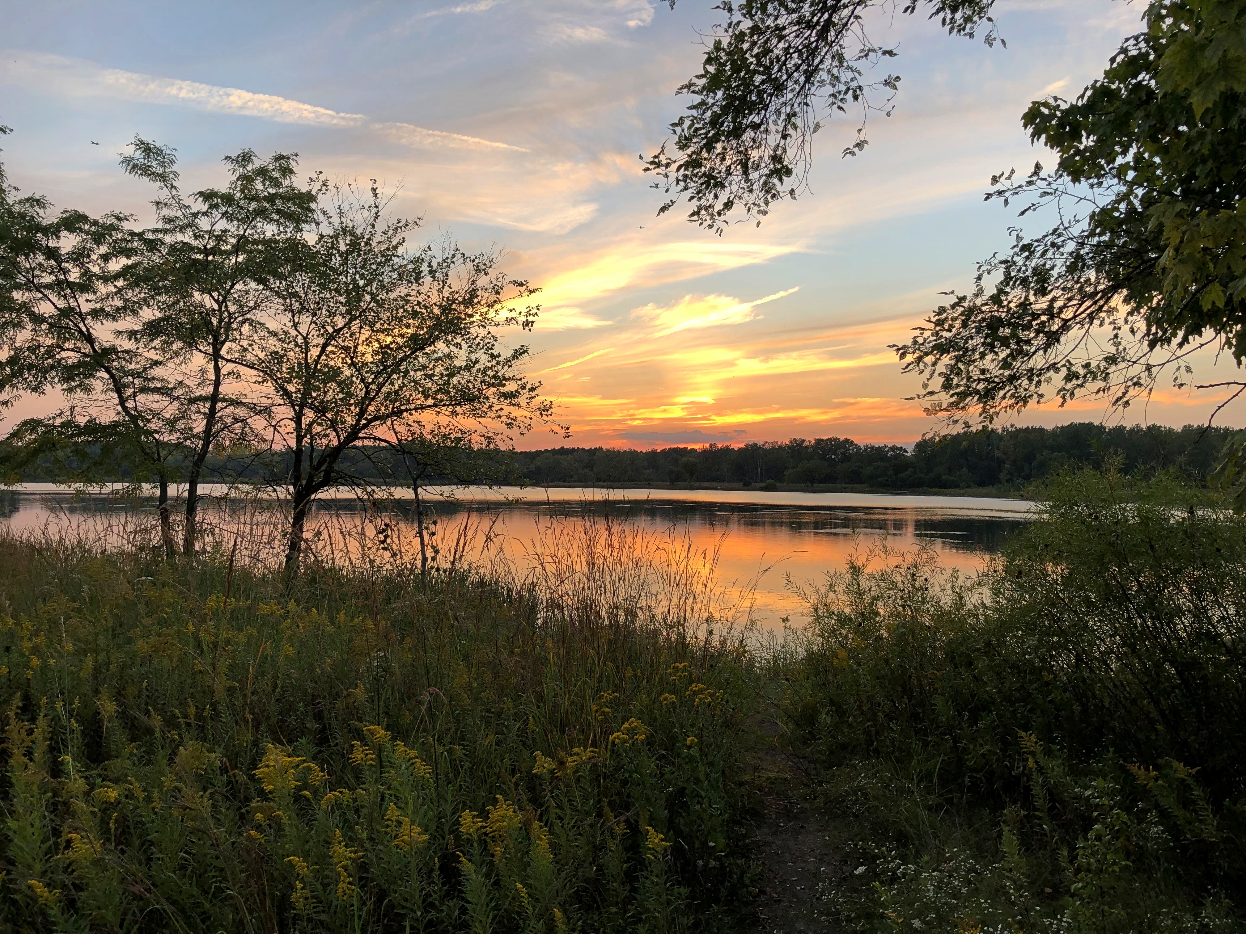
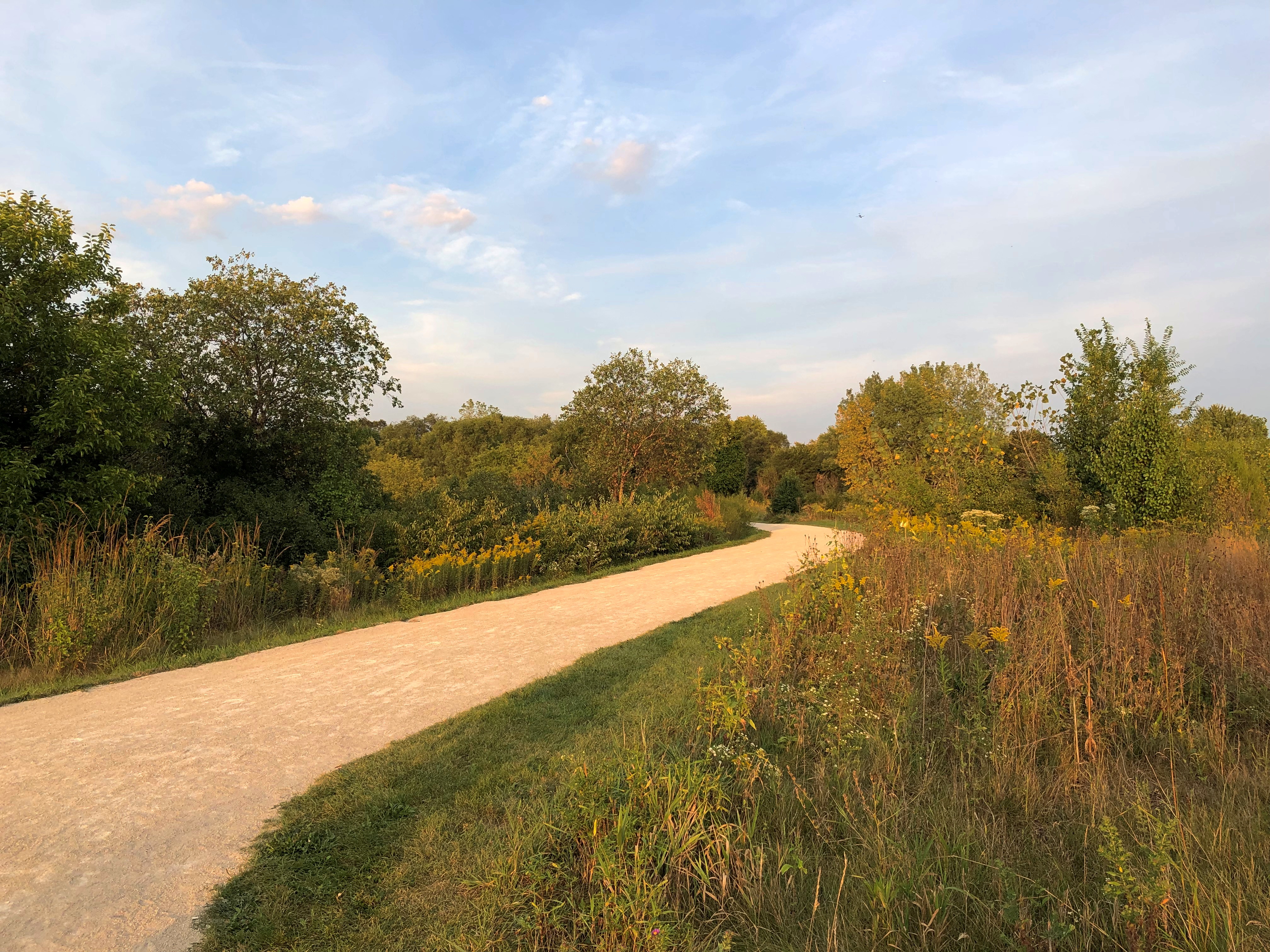
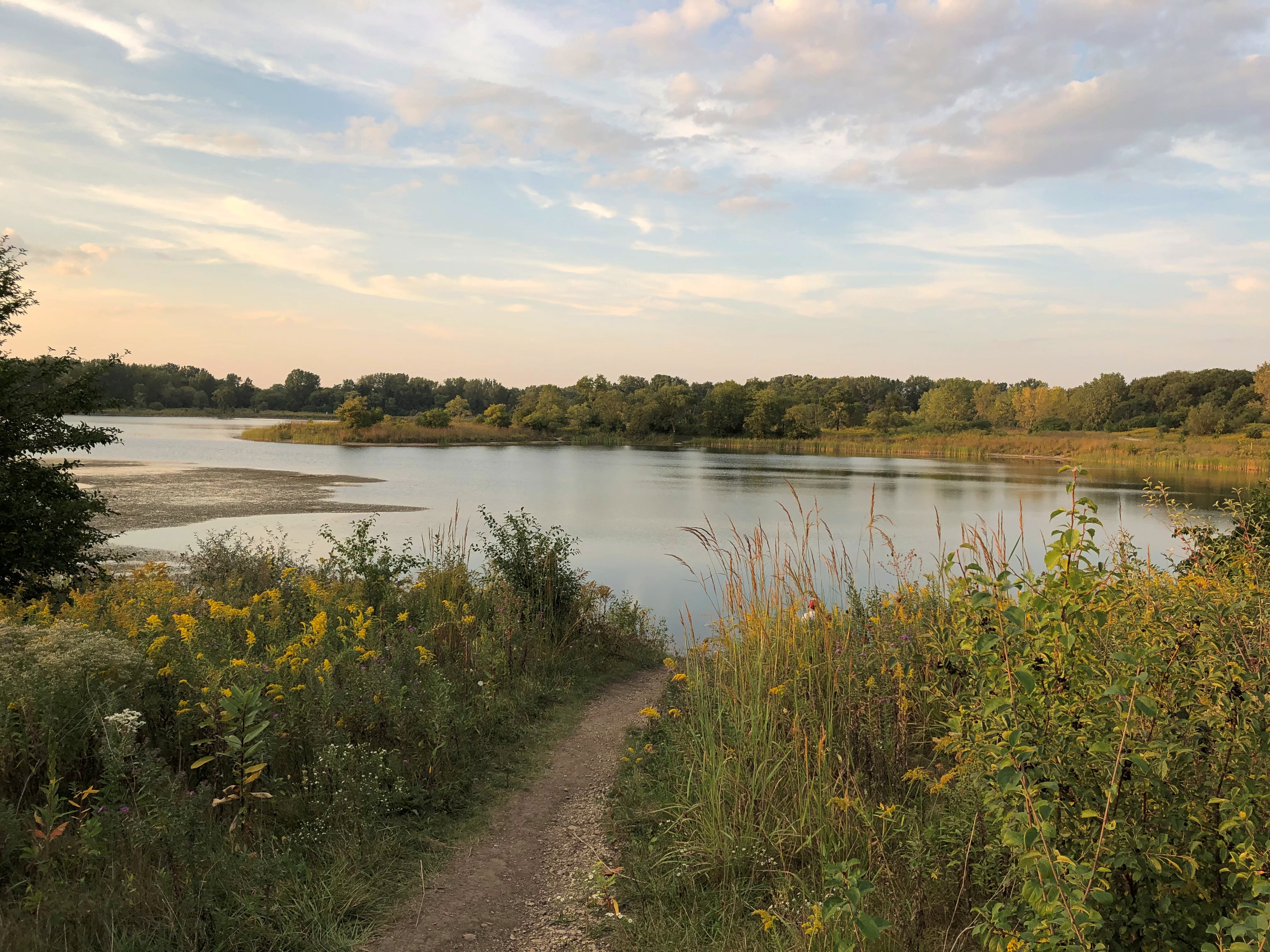
Yesterday we walked the dog around Mallard Lake. Last time there was April 2020, which seems like an eon ago. This time, the sun set while we walked the trail.Mallard Lake

Mallard Lake

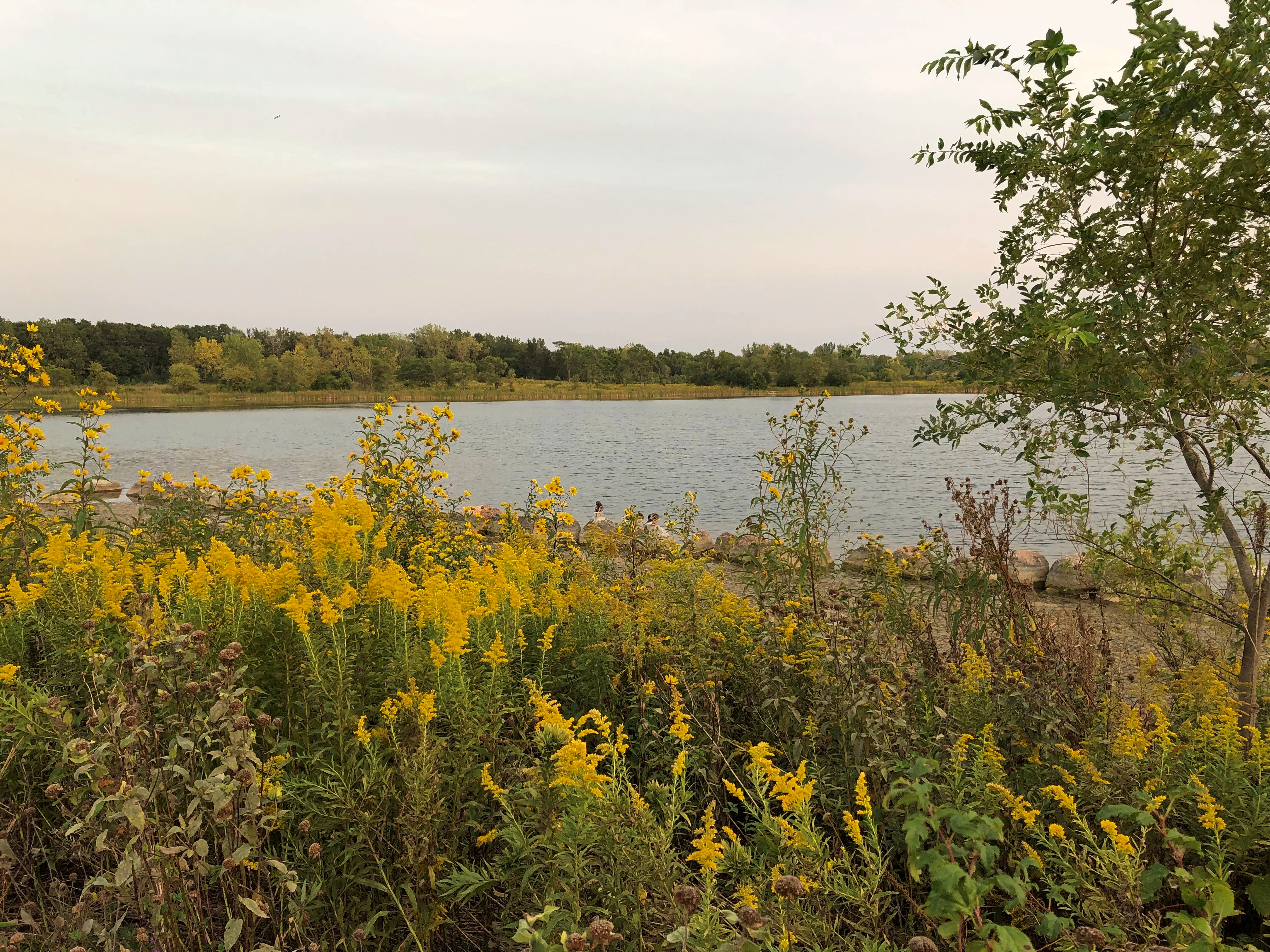
Lots of goldenrod still.Mallard Lake

Mallard Lake

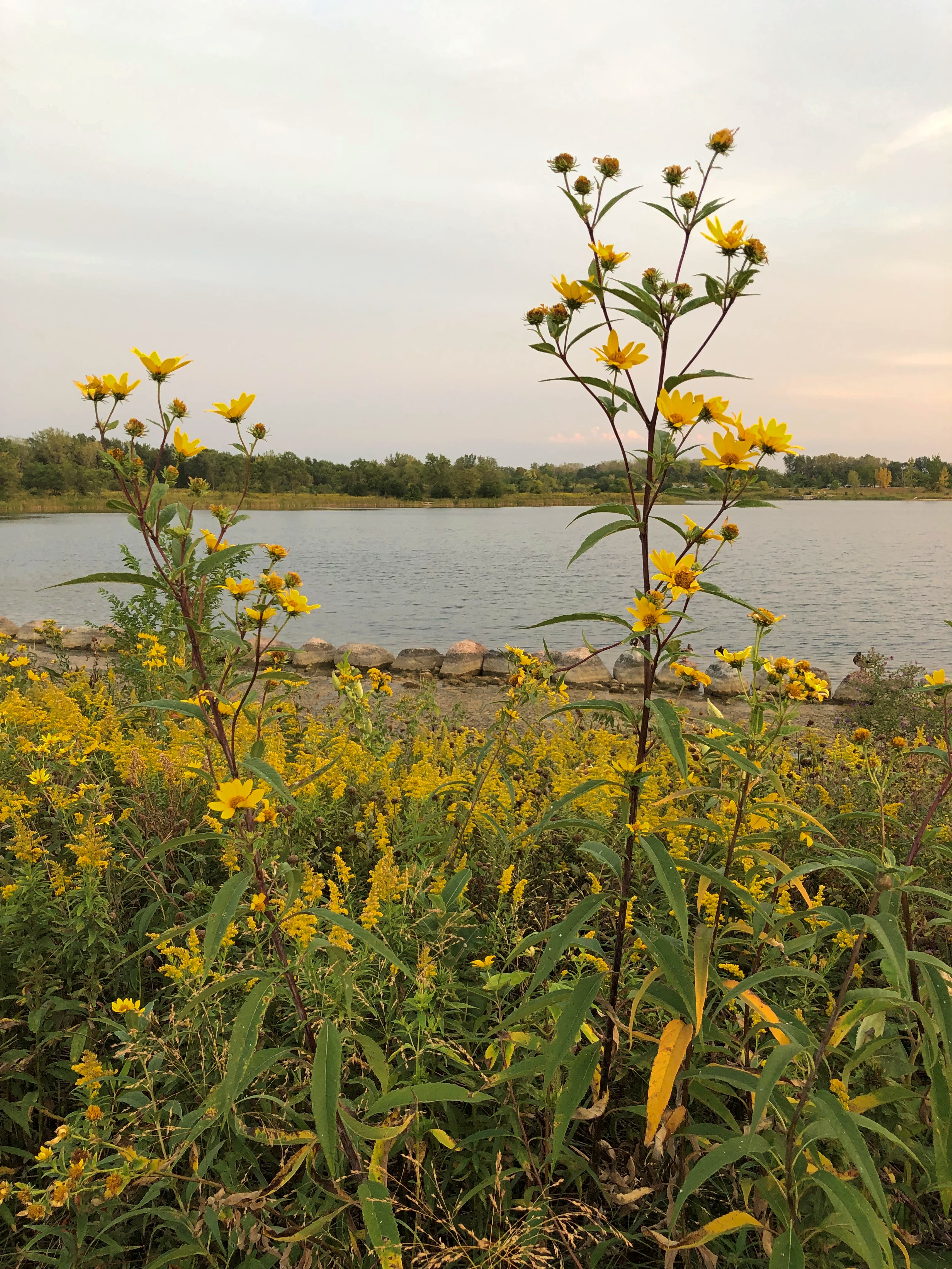
And Brown-Eyed Susan.Mallard Lake

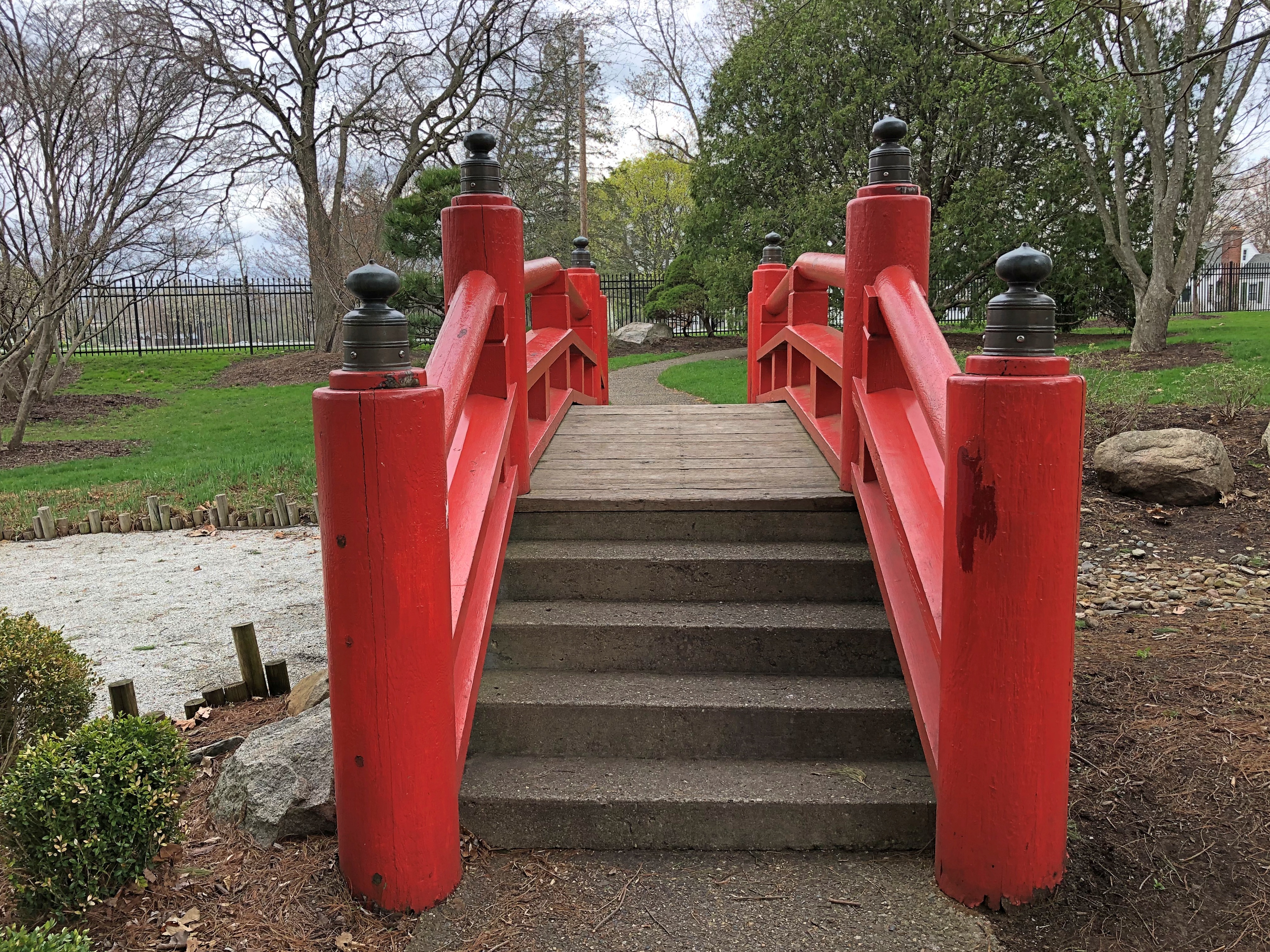
Bridges to cross.
Mallard Lake

Toward the end of the trail, a pretty western sky. Much prettier than the image below, but that’s the way it is.
Mallard Lake

A good moment to finish the walk. The dog thought so too, though I don’t know that she paid much attention to the aesthetics of the sky.

Alaska 3, Nenana & Warren Gamaliel Harding

One way to get from Fairbanks to the entrance of Denali NP is to ride the Alaska Railroad. In fact, that was the original route for tourism into the interior of Alaska, though I suspect from the 1920s to the early ’70s, most people came up from the port of Seward to access the grandeur of McKinley NP, as it was then known.

I considered taking the train down from Fairbanks myself — the wonderfully named Denali Star. That would have been a cool ride. But the pandemic bollixed up its schedule. Last year, the passenger trains didn’t run. This year, at least as I planned things back in April, service was more limited than it had been before 2020, such that I couldn’t make the train work for me logistically.

That’s how, on July 28, I came to be in a rental car heading west and then south from Fairbanks on the route Alaska 3. I picked the car up at the airport in Fairbanks at noon that day. Along with the other documents, the rental company gave me a list of proscribed roads.

Mostly gravel roads. During my ride on the Dalton Highway the day before, the driver told us that if you look closely, you’ll notice that a lot of cars and trucks in Alaska have cracked windshields. Insurance typically doesn’t cover that kind of damage, since gravel roads tend to dish it out too regularly.

The list is interesting for another reason, in that it gives names instead of route numbers. Most Alaska highways, it seems, are known by their names rather than numbers. I asked the bus driver on the Dalton whether that road had a number, and he had to think before he told me. It’s Alaska 11, but no one calls it that, and I didn’t see any signs along the way using the number.
In Fairbanks and a little ways south, I also drove on Alaska 2, but the signs called it the Steese Highway (not to worry, I was well south of Mile Post 81).

Later I learned that Alaska 2, the Steese, is the Alaskan portion of the Alaska Highway. I smile at the thought that I’ve driven on the Alaska Highway, even if only about 12 miles of it between Fairbanks and the town of North Pole.

As for the road between Fairbanks and Denali NP, its name is the George Parks Highway, named for a mining engineer and governor of the Alaska Territory in the 1920s and ’30s. Remarkably, he lived to see his name attached to the road, since he died at age 100 in 1984.

I didn’t see too many signs calling it the Parks Highway, though. Mostly I saw the Alaska 3 signs, featuring the state name, the number, and the Big Dipper and Polaris, arrayed as they are in the northern sky and the Alaska flag. An excellent design, one that made me think, damn — I’m in Alaska. For miles at a time, those were the only signs I saw. The road the was remarkably free of most the signage you might see elsewhere: directional signs, mileage signs, billboards and so on.

Alaska 3 was mostly a two-lane shot through the boreal forest. The terrain between Fairbanks and Denali NP, which runs about 125 miles, follows the Tanana River, and then passes by the Minto Flats and the Tanana Flats, so it isn’t a mountainous crossing. I suppose that facilitated the road’s construction, completed only 50 years ago.

That isn’t a long drive, certainly not for someone who learned to drive in Texas. But it was mesmerizing in a way that few roads are. Traffic was light, so my eyes were able to wander sometimes from the road ahead to the forested expanse on either side.

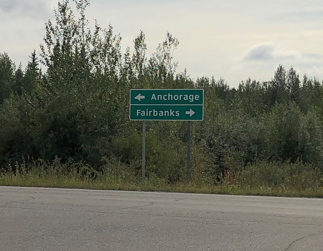
The were a few directional signs. My favorite.

Alaska 3

That was at an intersection with Alaska 3 in the town of Nenana, the only settlement of any size (pop. 341) between suburban Fairbanks and the tourist town of Healy, just north of the entrance to Denali NP.

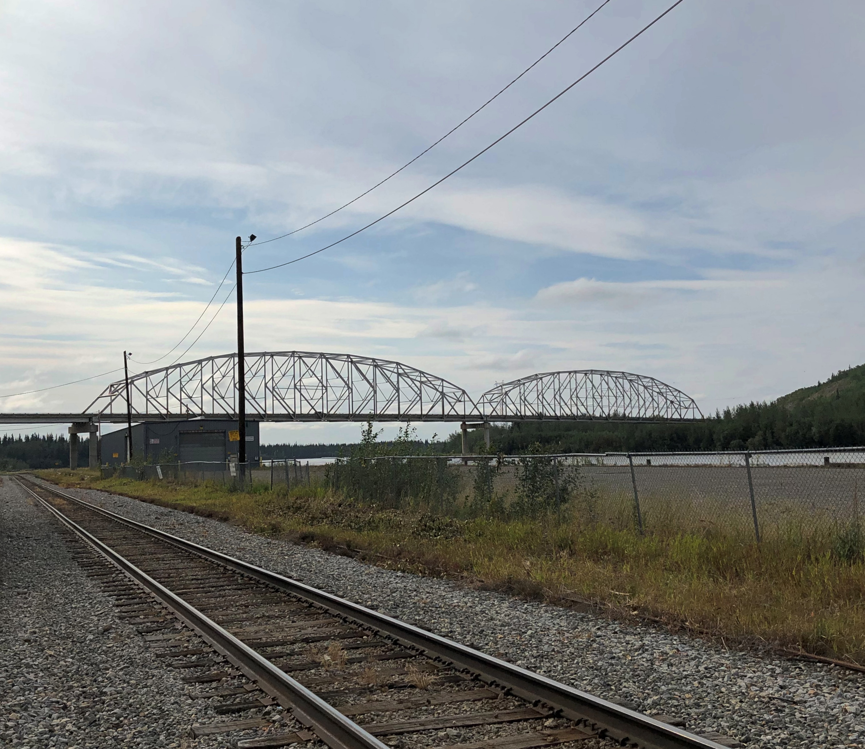
The road crosses the Tanana River at the town of Nenana, very near where the Nenana River — which I would see later, near the national park — joins the Tanana, on its way to the Yukon River.Nenana, Alaska
The other bridge in the town of Nenana (across the Tanana River) is the Mears Memorial Bridge, which takes the railroad across the river. More about that shortly.

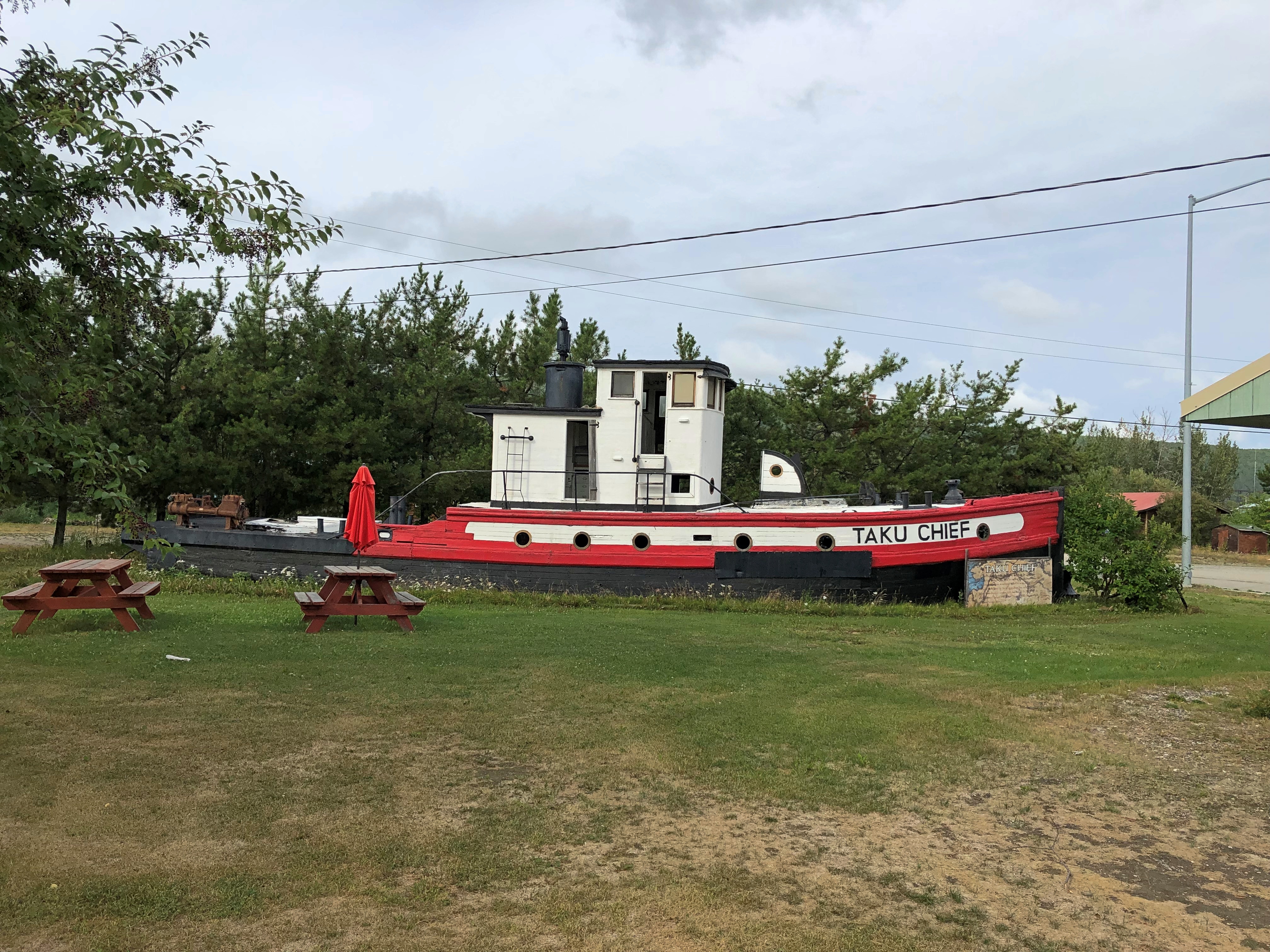
Nenana seemed like a good place to look around. Near the highway is a cluster of tourist and memorial structures, including a boat out of water, the Taku Chief.Nenana, Alaska Taku Chief
The nearby sign says: “The last commercial wooden tug to ply the Yukon and Tanana River Basins, the Taku began her career in 1938 in Southeast Alaska. After 7 years in service she was requisitioned by the CAA for use on the rivers of the Interior. In 1956, she joined the fleet of Yutana Barge Lines, and after a colorful history, the sandbars and sweepers finally took their toll. On July 18, 1978, she was condemned. She rests in her last port, Nenana, a tribute to the heartbeat of Alaska transportation.”

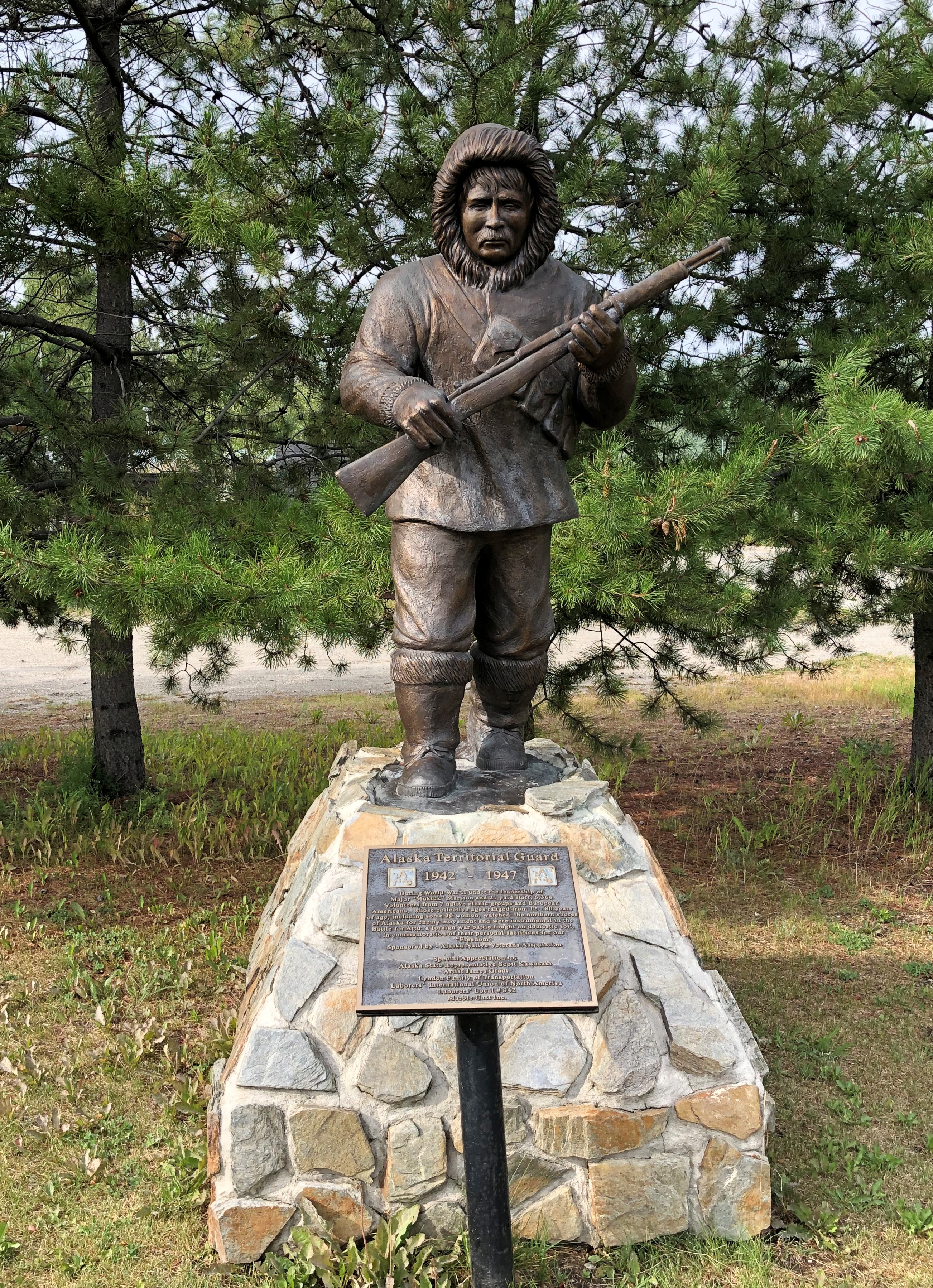
Near the ship is another casting of the James Grant work memorializing the Alaska Territorial Guard, 1942-47.Nenana, Alaska - Alaska Territorial Guard, 1942-47

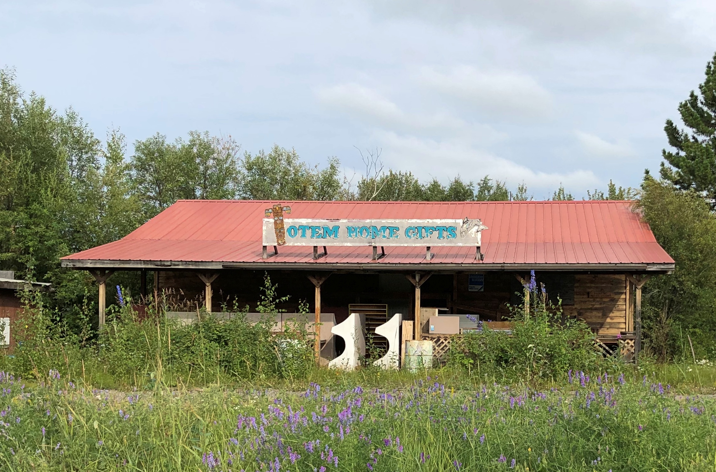
The town’s main street (besides the highway) is A Street, with a scattering of houses, buildings, abandoned buildings and empty lots. The pandemic might have done in this business; or maybe it closed before then.

Tenana, Alaska

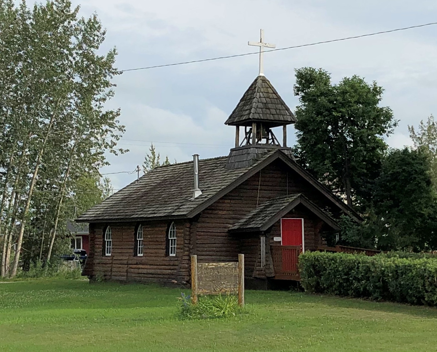
St. Mark’s Mission church.

Tenana, Alaska - St. Mark's

“The Episcopal Church, continuing work done by Episcopal and Anglican missionaries along the Yukon River, envisioned a series of missions throughout the Tanana basin to serve its Native population,” Sketches of Alaska says. “Eventually four missions were established: St. Barnabas at Chena Native Village, Luke’s at Salcha, St. Timothy’s at Tanacross (near Tok), and St. Mark’s at Nenana…

“The picturesque church is similar in design to other Episcopal mission churches throughout Interior Alaska — a log structure with gable front and bell tower. The 22-foot by 28-foot building is constructed of logs squared on three sides, with the bottom courses of logs flaring outwards. Gothic arched windows contain stained glass, and the building is topped by a shake roof.”

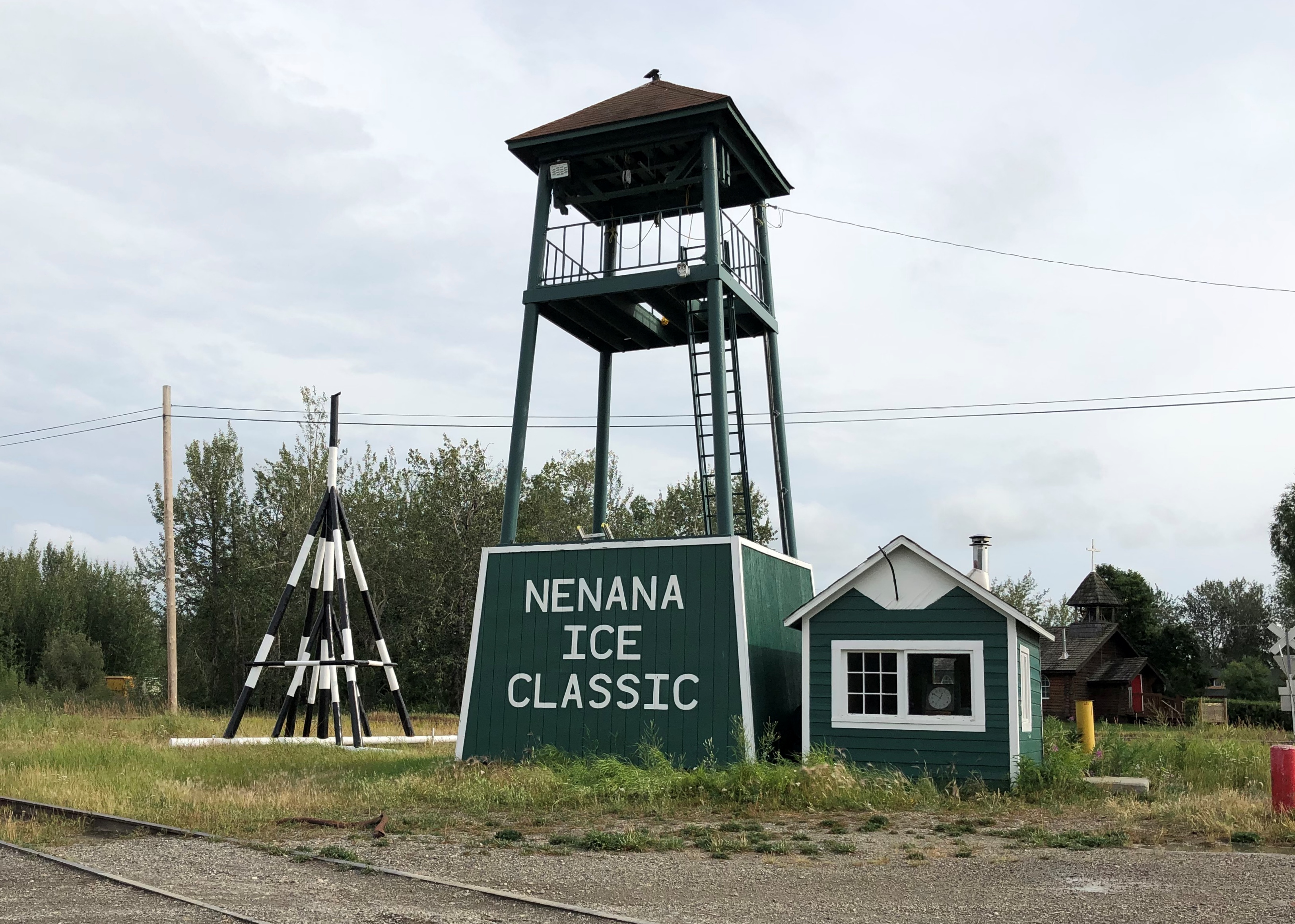
At A Street and Front Street near the Tanana River is a curious tower.Nenana, Alaska - tripod

I didn’t look that up till I got home. I’d assumed it was some kind of winter sporting event, but no. Wiki: “The Nenana Ice Classic is an annual ice pool contest held in Nenana, Alaska. It is an event in which individuals attempt to guess the exact time the Tanana River ice will break up at Nenana.

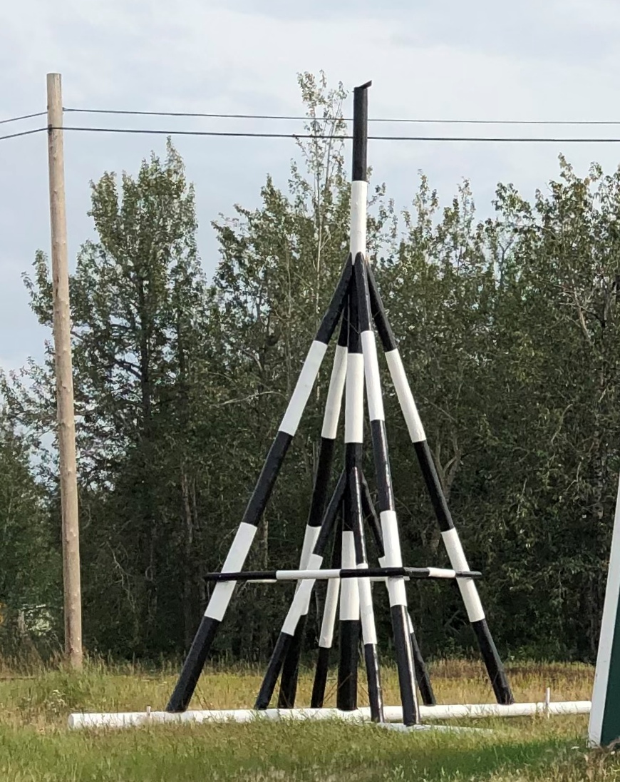
“The ‘tripod,’ which actually has four supports, is planted on the river ice between the highway and railroad bridges in Nenana, 300 ft from the shore… A line is attached to the top of the tripod and once that end is anchored the other end is taken to the Ice Classic tower nearby on the banks of the river. Attached there to the clock inside the tower, when the ice goes out and moves the tripod 100 feet the line breaks and stops the clock.”

The pool is no small potatoes. According to the pool web site, the prize money in 2021 totaled $233,591. The clock stopped on April 30 at 12:50 pm and the prize was split among 12 winners. The rest of the funds generated by the pool go to local charities.

The Wiki photo of the tripod looked awfully familiar. Then I remember that I’d seen the tripod, standing next to the tower (and there was another one near the Taku Chief). There was nothing to explain what they were. Tourist photographer that I am, I took a picture of one of them anyway.

Nenana, Alaska - tripod
Finding out what it was produced a bit of mild amazement, here during the post-trip writeup. What a fun thing to learn about, like the Sopchoppy Worm Gruntin’ Festival. How often do we look at things on the road, or near home for that matter, without the slightest idea what they are?

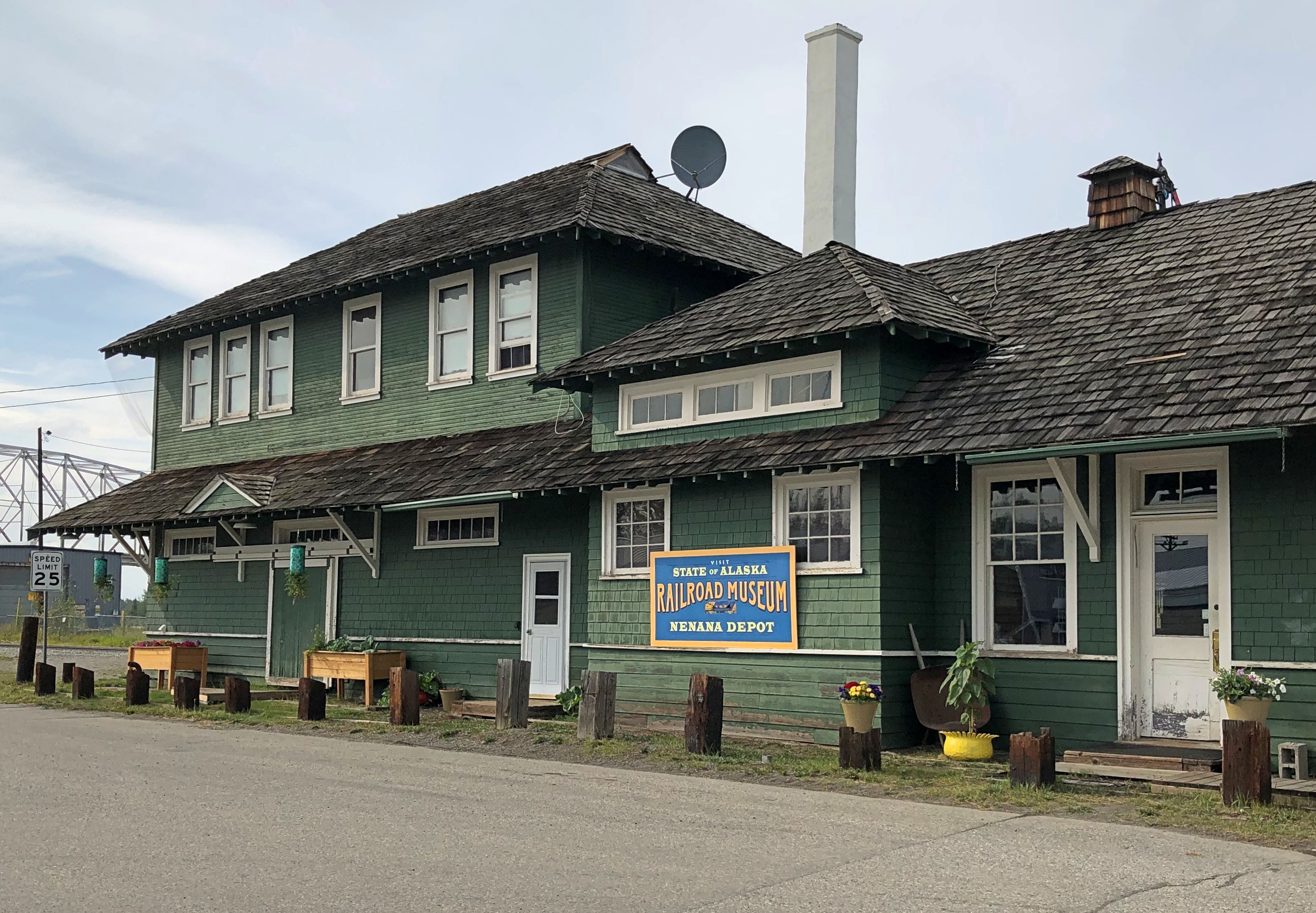
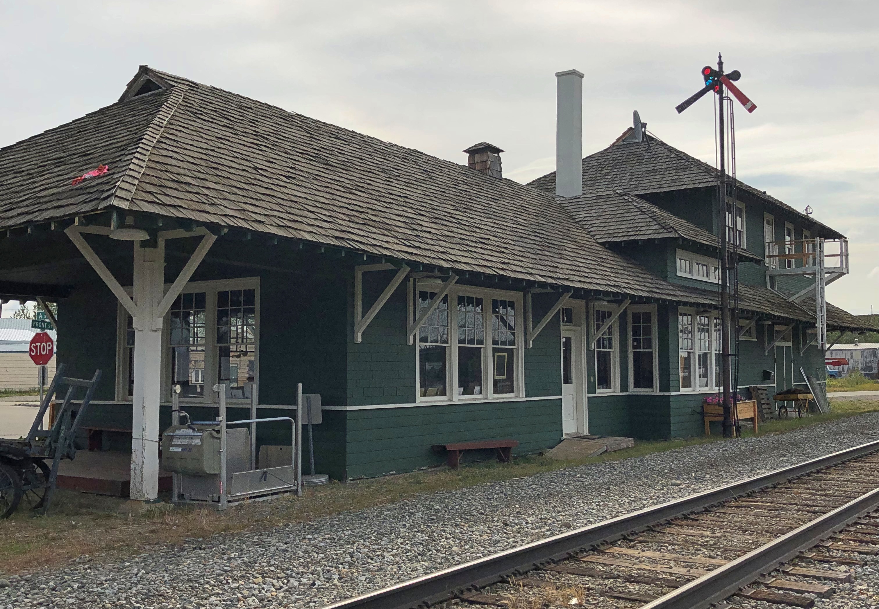
At the meeting of A Street and Front is the handsome Nenana depot, which still seems to be a stop on the Alaska Railroad, but it’s also the State of Alaska Railroad Museum. It was closed when I got there.Nenana, Alaska - depot
Nenana, Alaska - depot

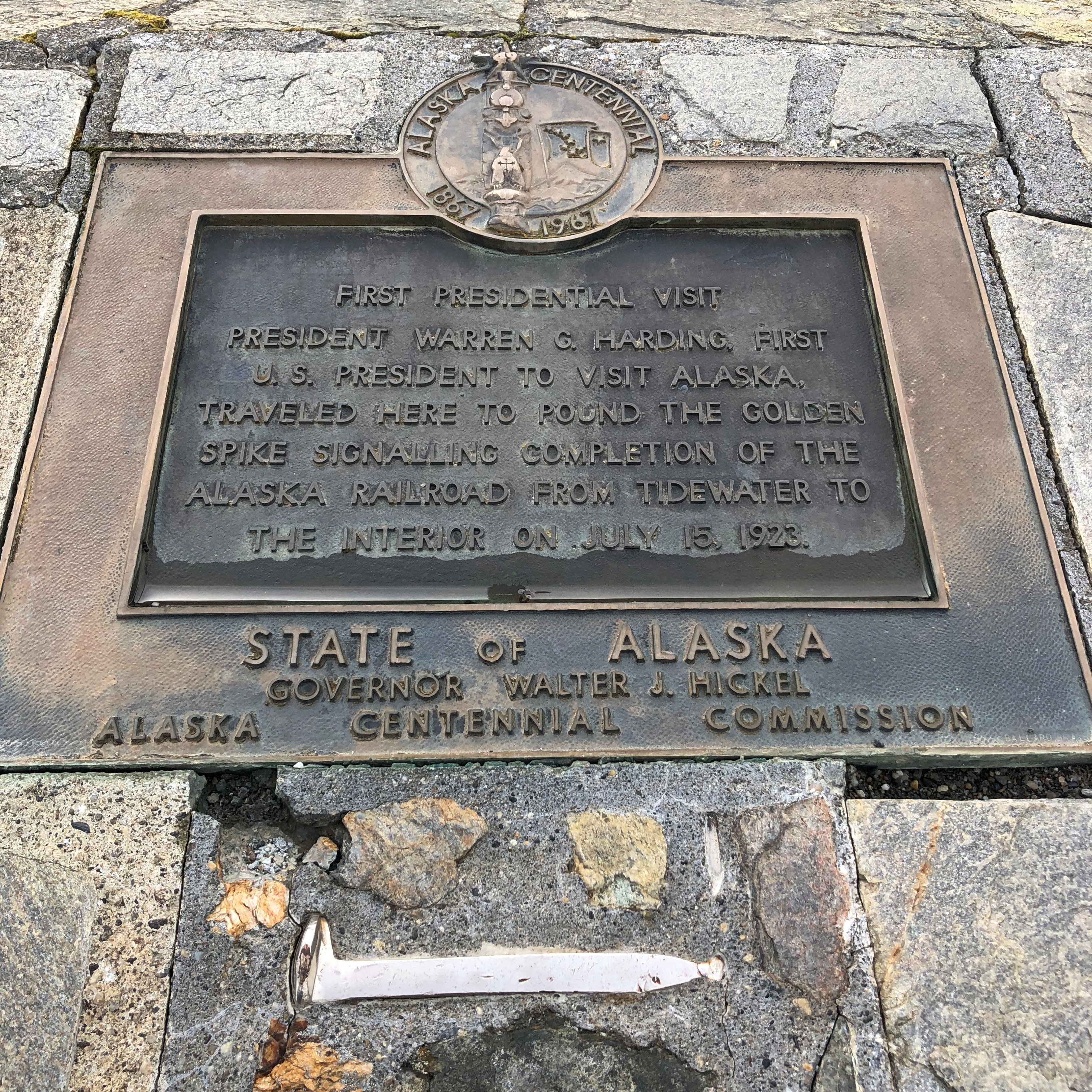
Next to the depot is a plaque and, I assume, the same golden (colored) spike that Warren G. Harding pounded on July 15, 1923, to mark the completion of the railroad. The last part completed was the Mears Memorial Bridge.Nenana, Alaska - Warren Harding golden spike

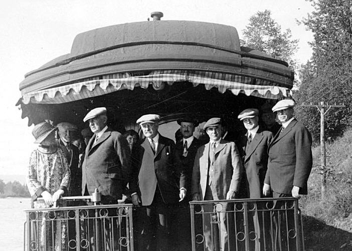
The Anchorage Daily News published an article a few years ago about presidential visits to Alaska. “The most ambitious trip to Alaska, by far, was Harding’s,” the article says. “He departed from Seattle on July 5, 1923, and returned to Vancouver, British Columbia, on July 16, 1923. During his tour he spoke in Metlakatla, Ketchikan, Juneau, Skagway, Valdez, Seward, Anchorage, Nenana and Fairbanks, among other stops.”

President_Harding_in_Alaska_on_Presidential_Train
At that moment, he was running out of days, though neither he nor the nation knew it. President Harding died in San Francisco on August 2, 1923, not long after his visit to Alaska.

Southward on the Dalton Highway

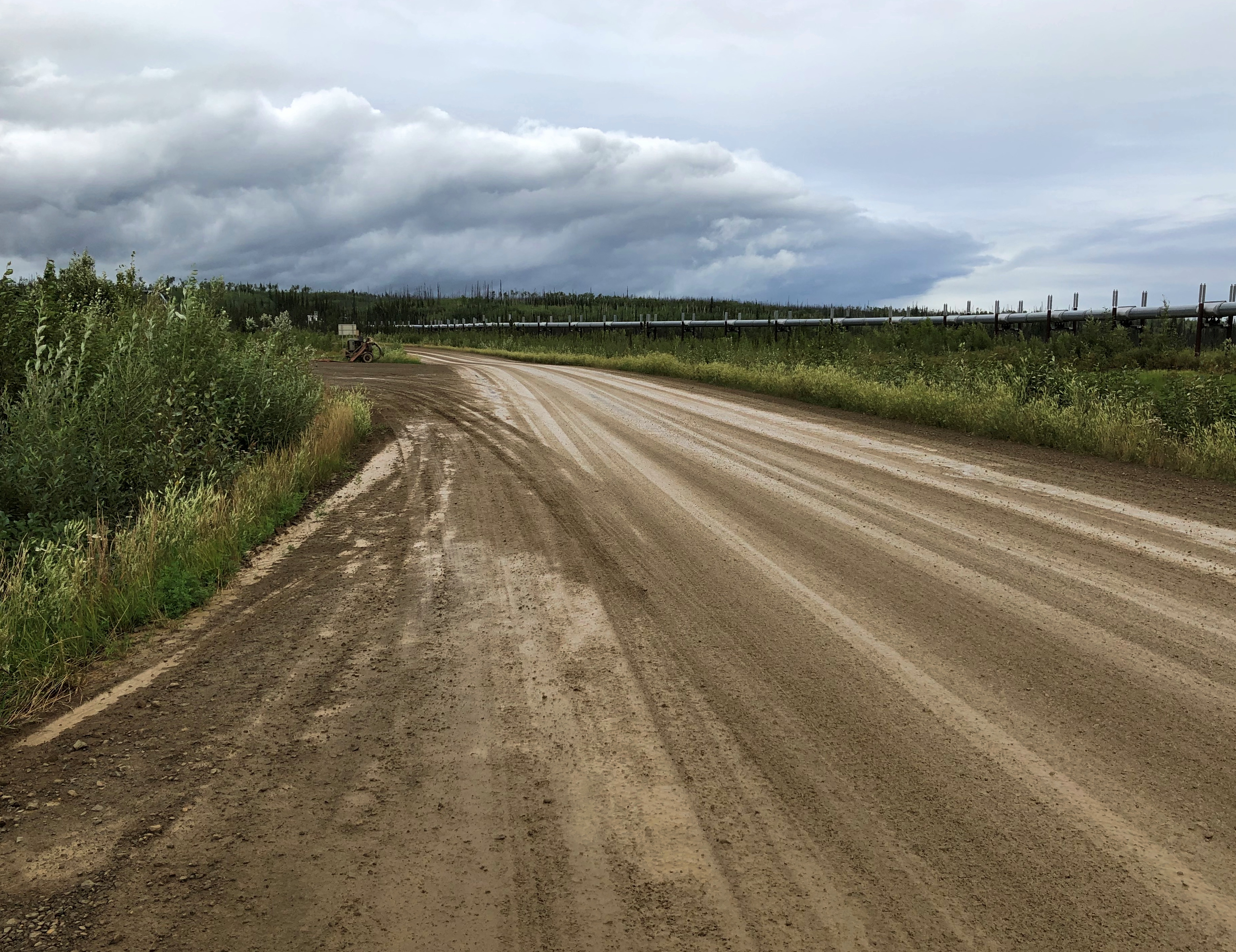
Gravel makes better roads when crossing land with underlying permafrost. That isn’t a new idea.

“The primary benefit to gravel roads is that they are relatively immune from frost heaving and have less of a tendency to thaw underlying permafrost,” an Alaskan scientist named Larry Gedney wrote in 1983. “Studies showed that on very poor foundation material, such as thawing permafrost, the patching, pothole filling and repaving required by paved roads resulted in maintenance costs more than twice that for a good gravel surface.”

Thus most of the Dalton Highway, which runs for 414 miles, is gravel covered, though short stretches are paved, presumably not on top of permafrost. Making sure that no trucks were headed my way, I took some pictures standing in the gravel road. It makes a satisfying crunch under your shoes. The sound of somewhere remote, in this case.Dalton Highway July 2021

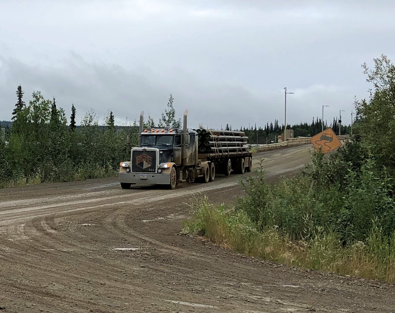
Trucks pass by with some regularity, though I understand winter is really the busy season.
Dalton Highway July 2021

We left Coldfoot, Alaska, last Tuesday in the afternoon on a small bus driven by a guide named Steve. His job was to drive us back south, but also to talk about the Alaskan wilderness, the Alaska Pipeline and the road itself, which he did with expert knowledge, as far as I could tell.

Not following things Alaskan in much detail, there was much that he said that I didn’t know, such as about the composition of boreal forests in this part of the world — only six kinds of trees, two of which are kinds of spruces, highly visible out my window and odd-looking in the case of pencil-thin-looking trees with clutches of cones on top.

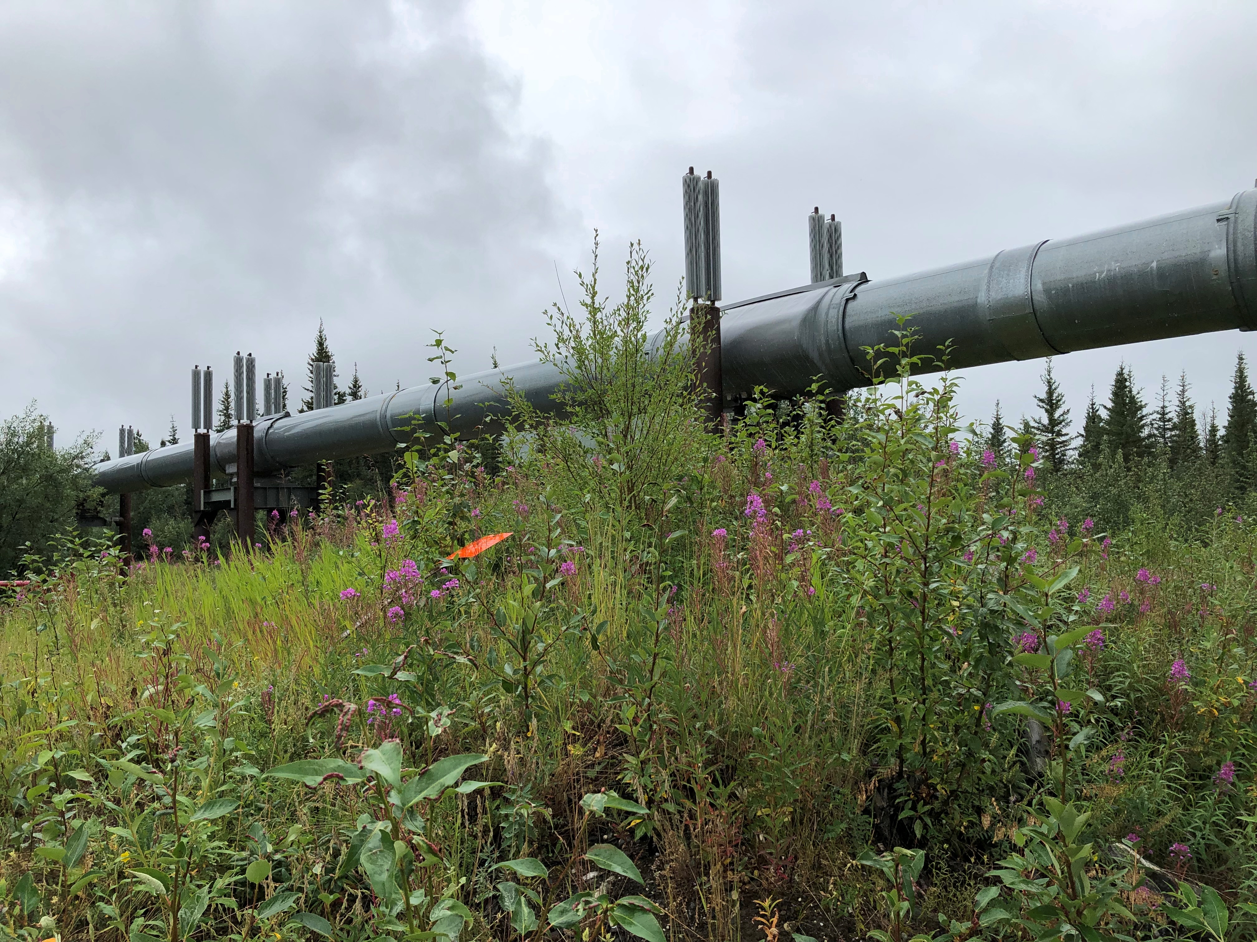
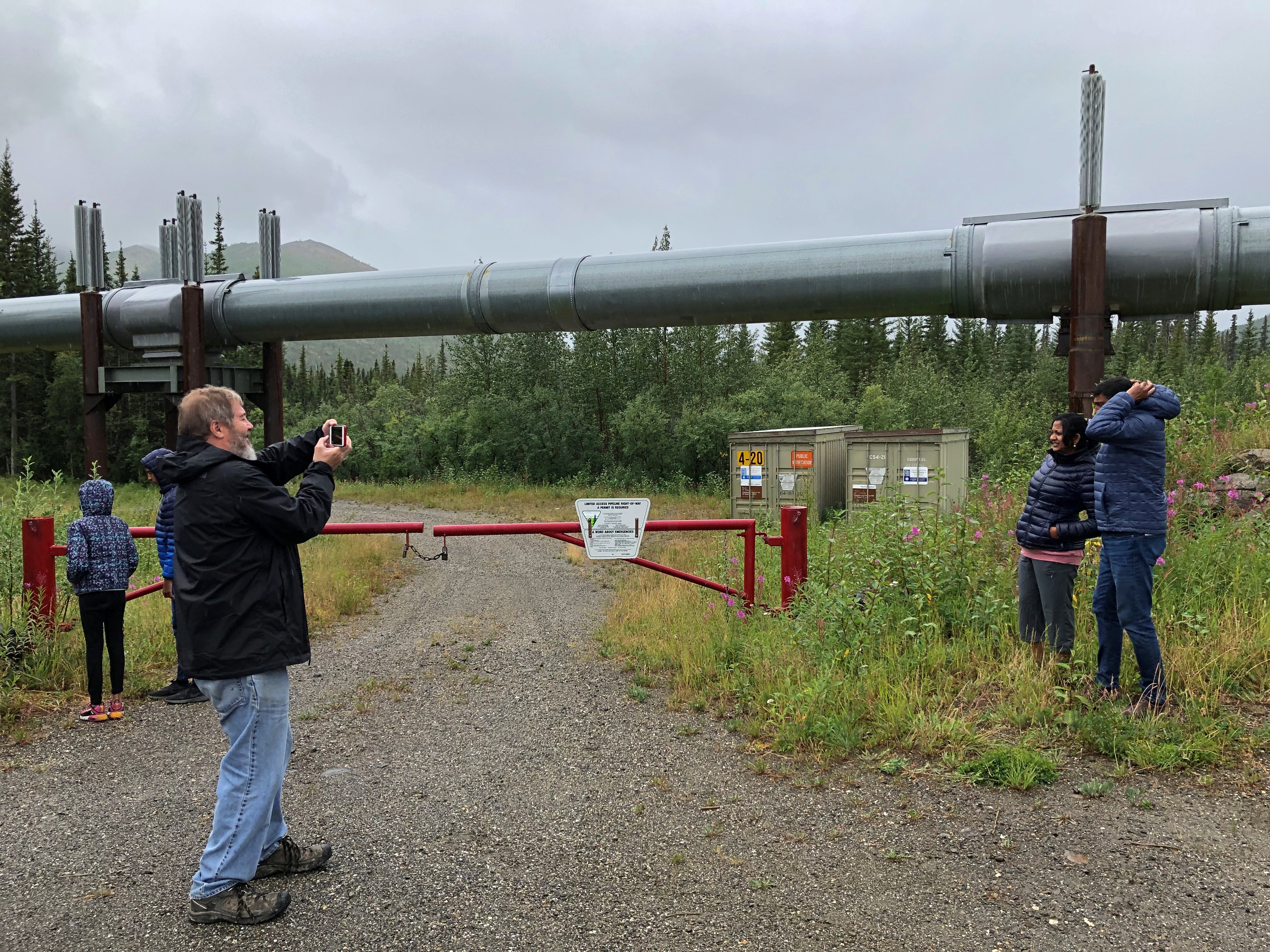
The tour stopped at a number of spots en route, either to use outhouses — one bank of which actually featured crescent moons in the door — or at points of interest. The first stop, still north of the Arctic Circle, was for a look at the Alaska Pipeline (formally the Trans-Alaska Pipeline System).Dalton Highway July 2021
Dalton Highway July 2021

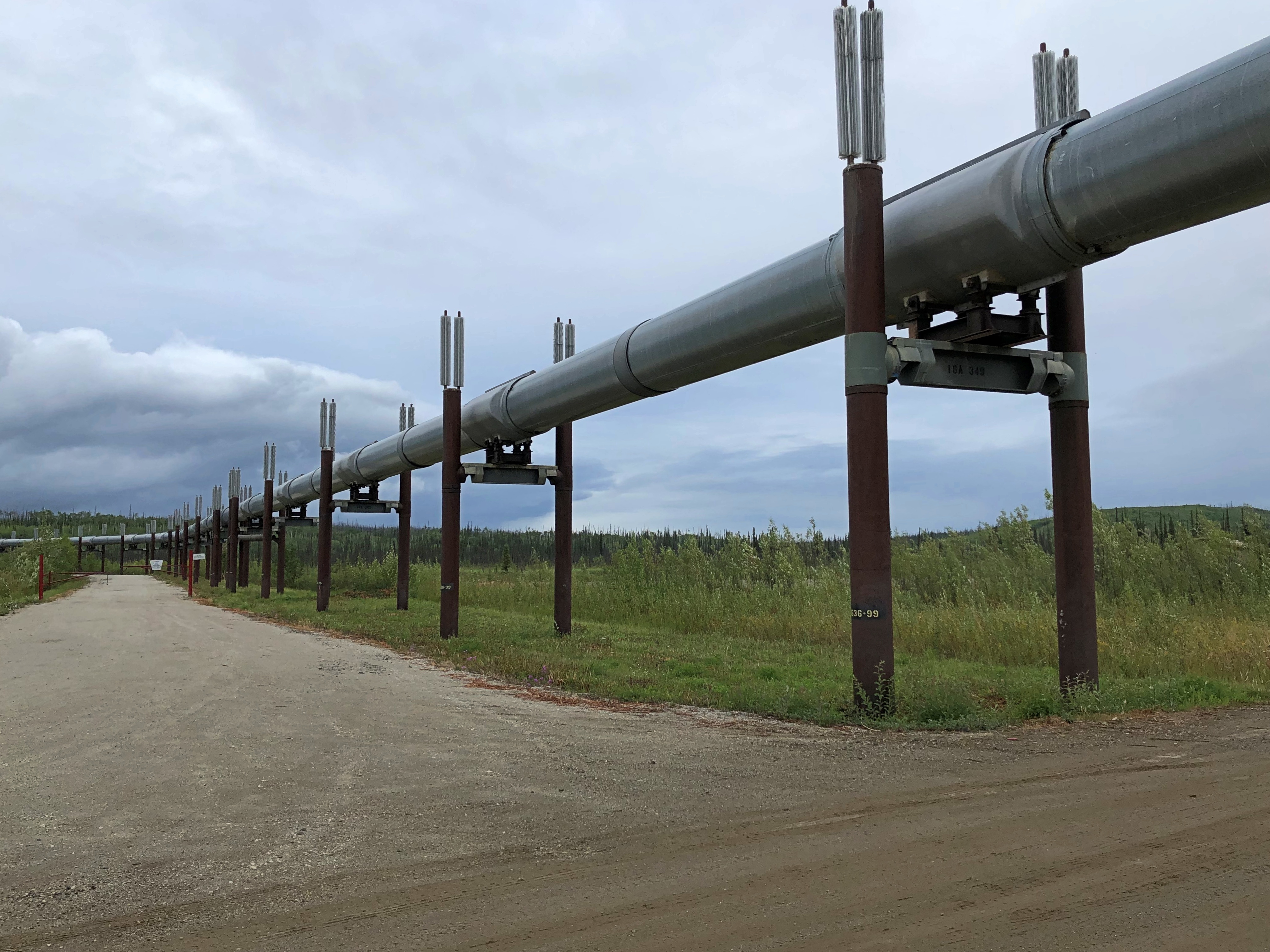
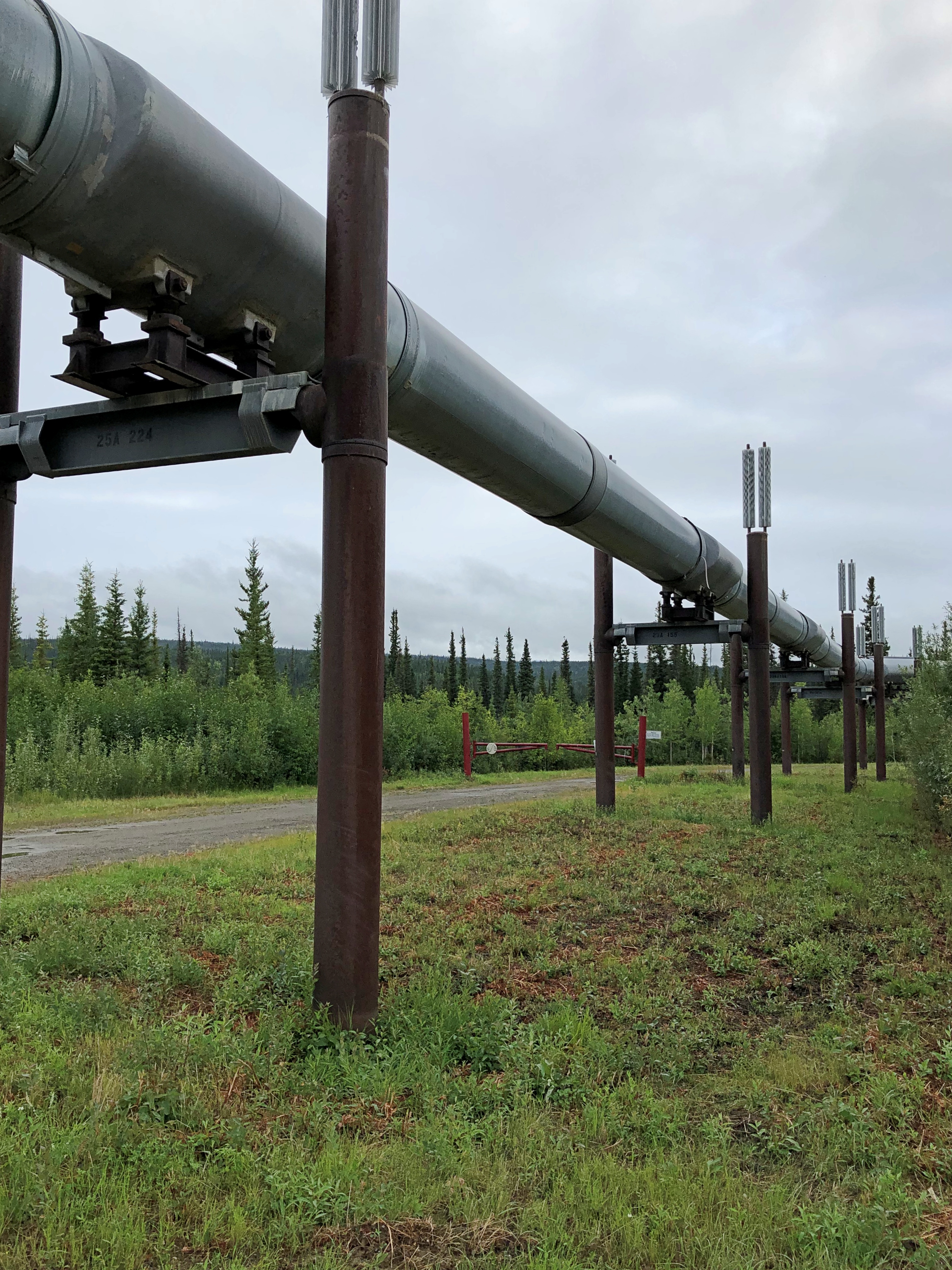
The pipeline wasn’t exactly a hidden presence. The road was built to service the pipeline, after all, which got its impetus from the energy panic of the 1970s. Long stretches of the pipeline were built above ground, because permafrost is a lousy place for underground pipes, and so the it was easy to see most of the time from the bus window as we rolled by, a thin white snake taut across the green backdrop.

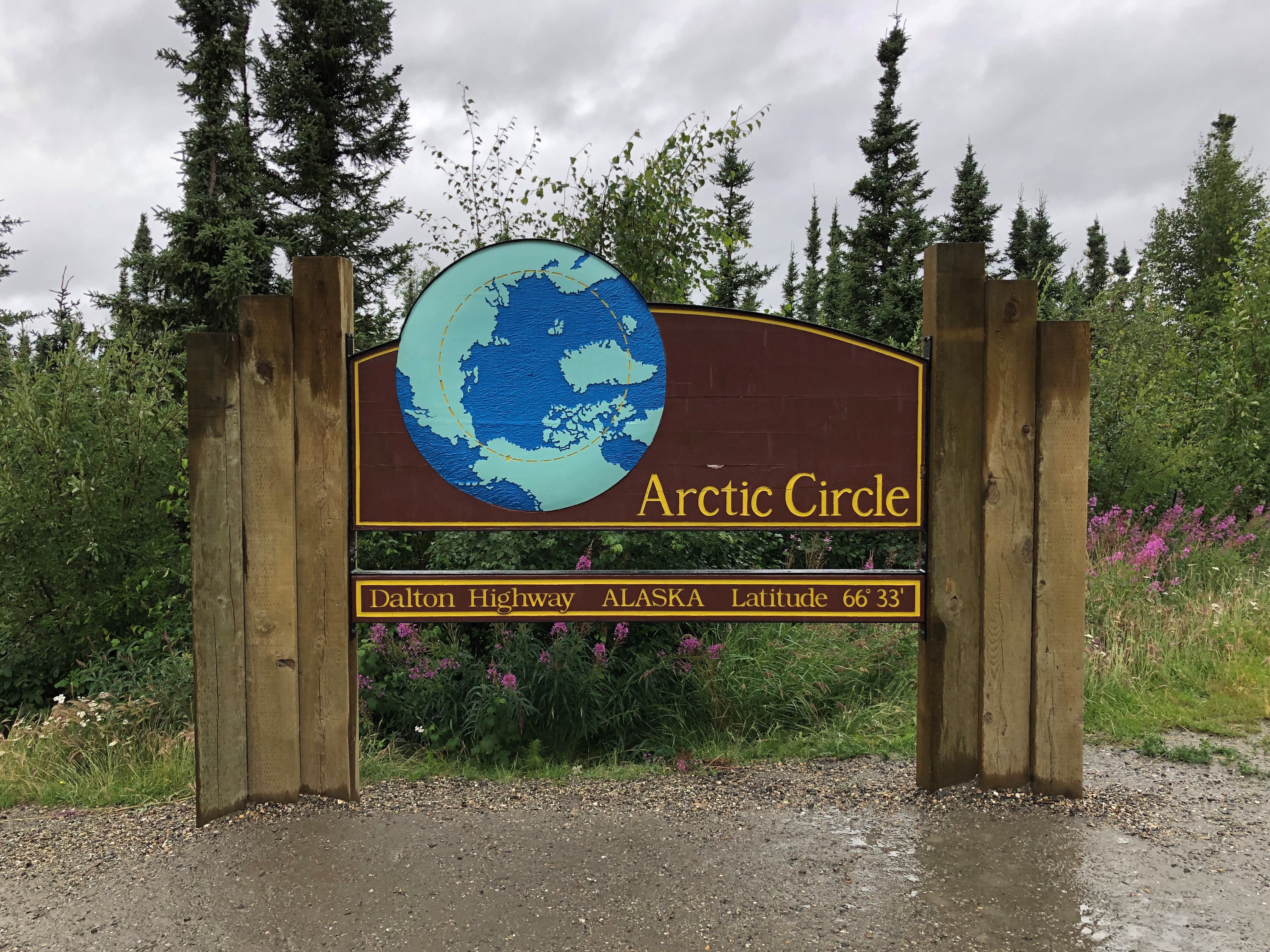
Next stop, the Arctic Circle sign.
Arctic Circle sign July 2021

We weren’t the only ones there. Another bus pulled up, and so did a couple of private cars, including a small sedan I don’t believe I’d drive on the Dalton. Then again, it had some extra tires and gas cans lashed to the roof — at least I hope they were tied down — so maybe they were ready.
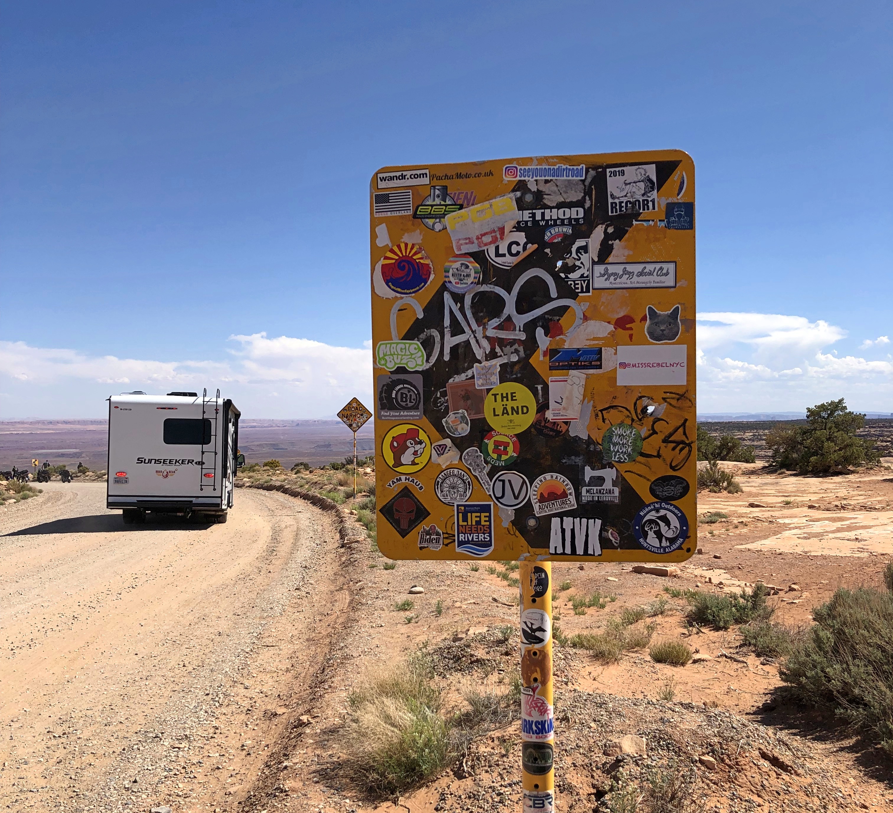
I happened to see the back of the sign. That side featured a number of stickers, including him again.Arctic Circle sign July 2021 Buc'ees

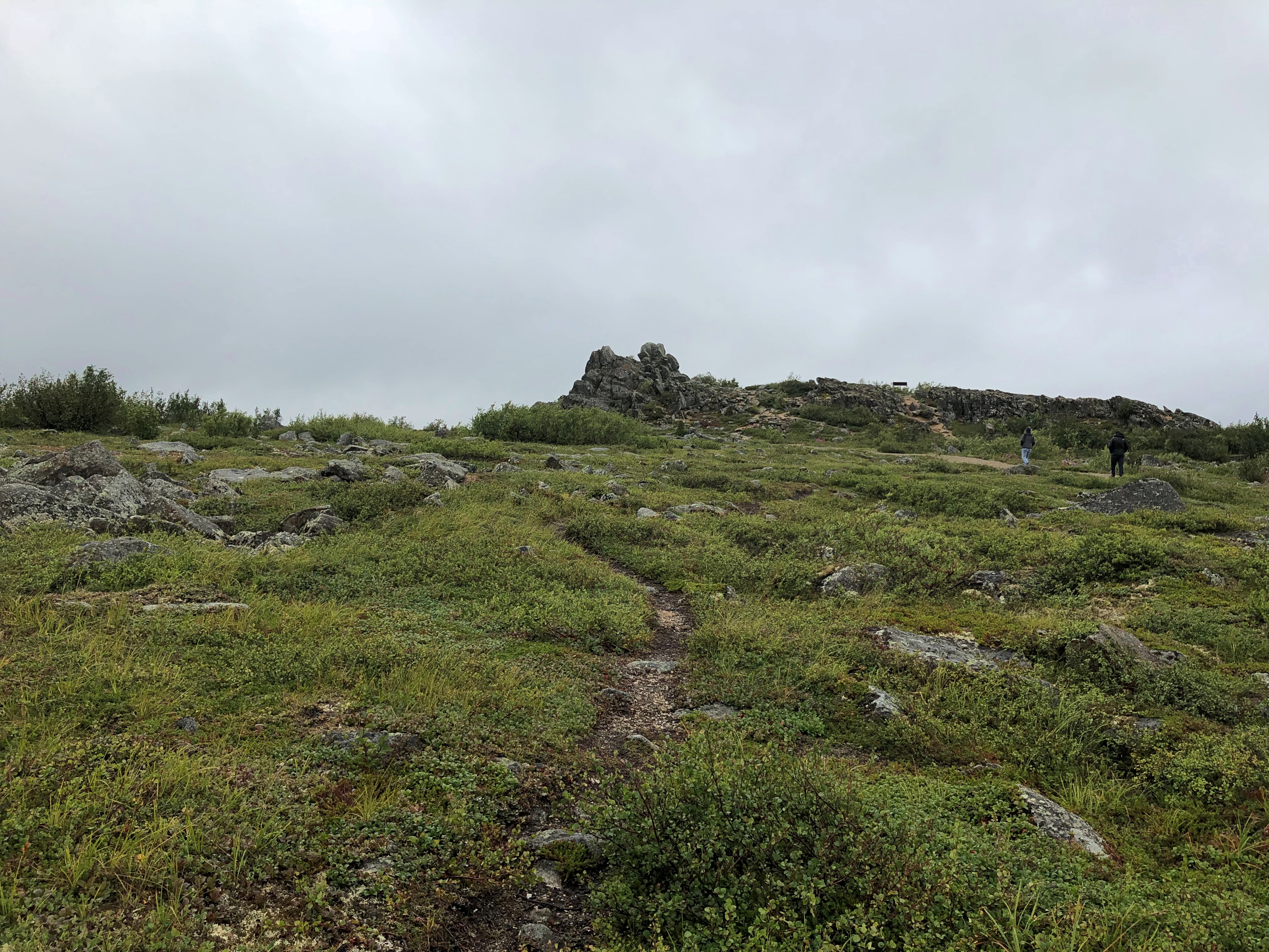
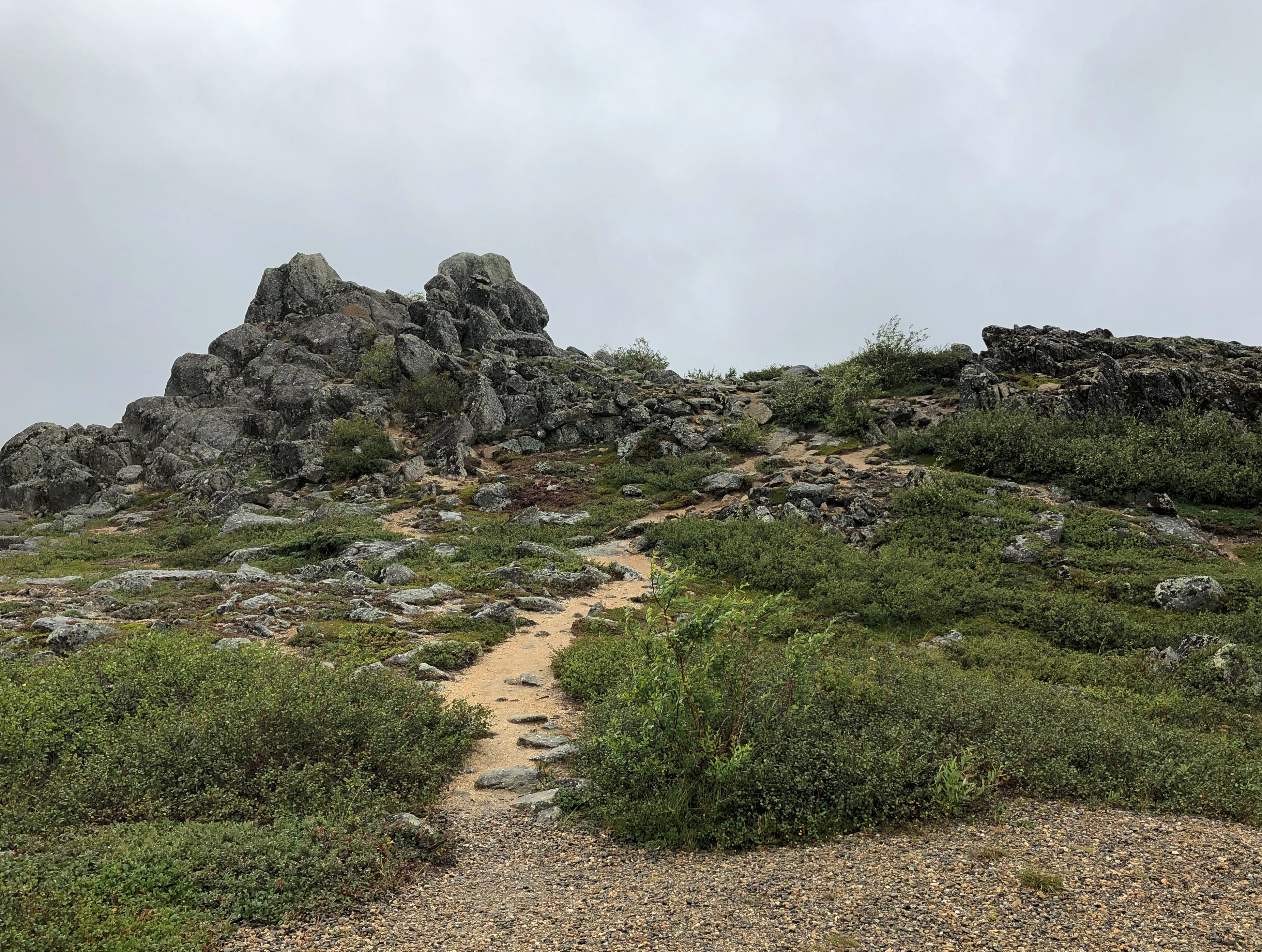
South from that point is Finger Mountain. Not actually a mountain, just a large hill with a granite tor off in the distance. We stopped long enough for us to scramble to the top of the hill, which is about 17 miles south of the Arctic Circle.Finger Mountain July 2021
Finger Mountain July 2021

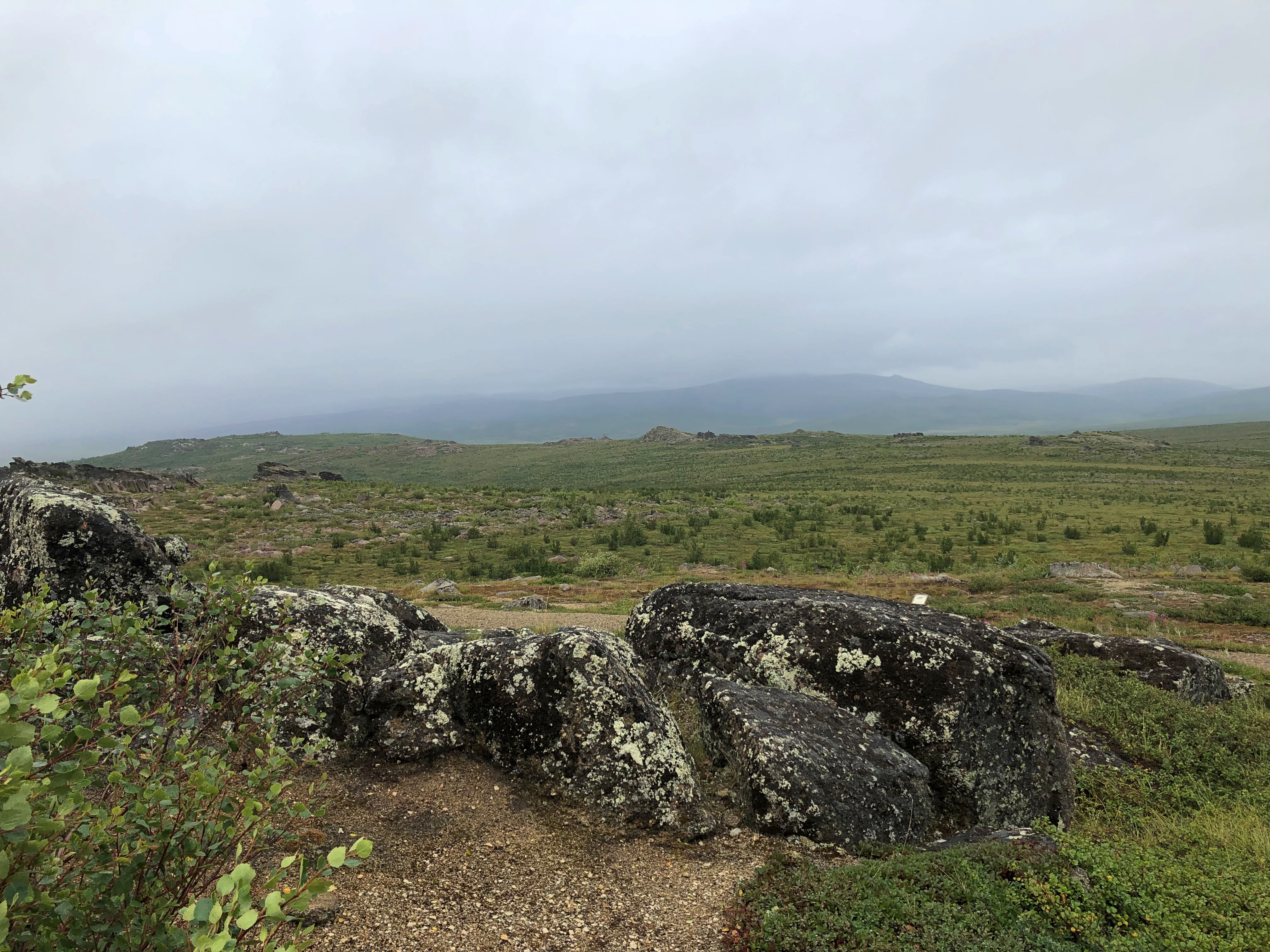
Distant fog obscured the distant mountains, but they were visible.
Finger Mountain July 2021

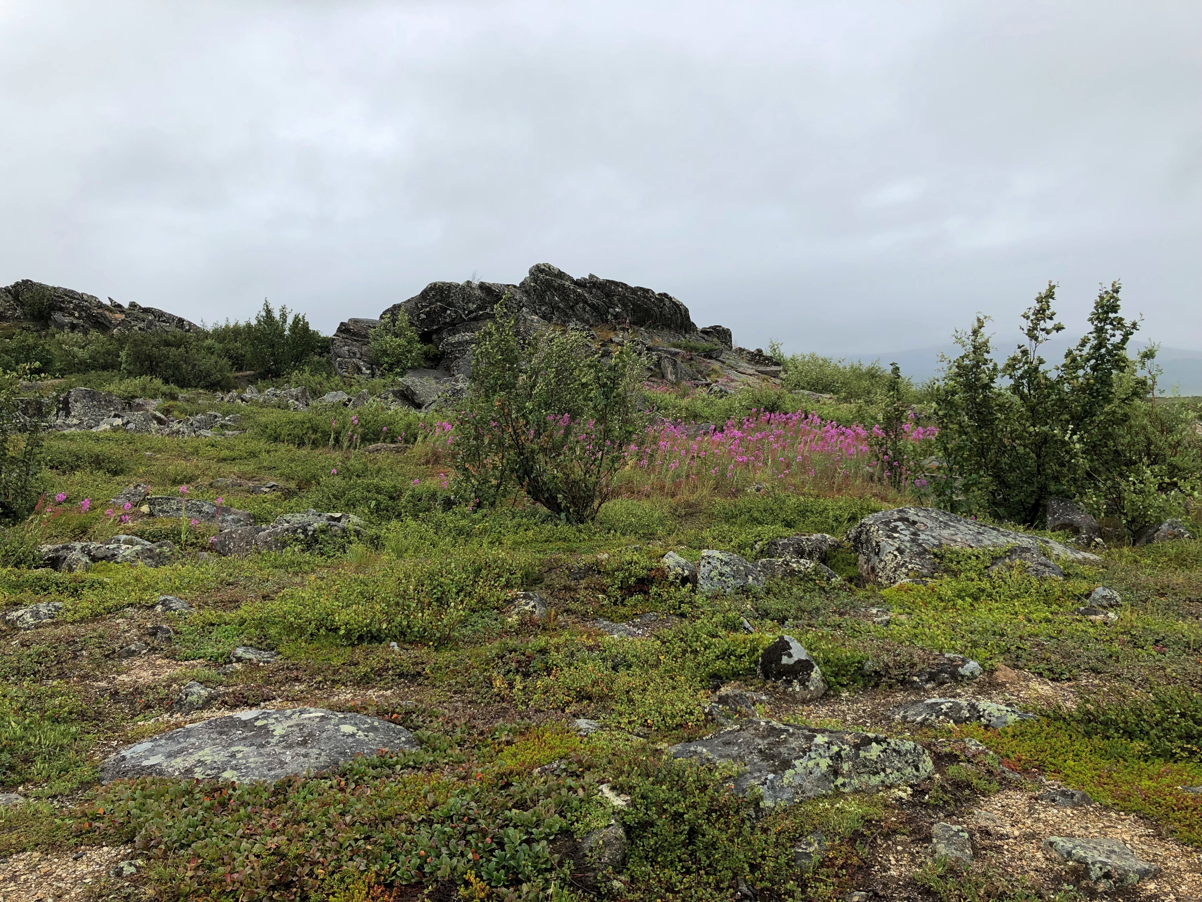
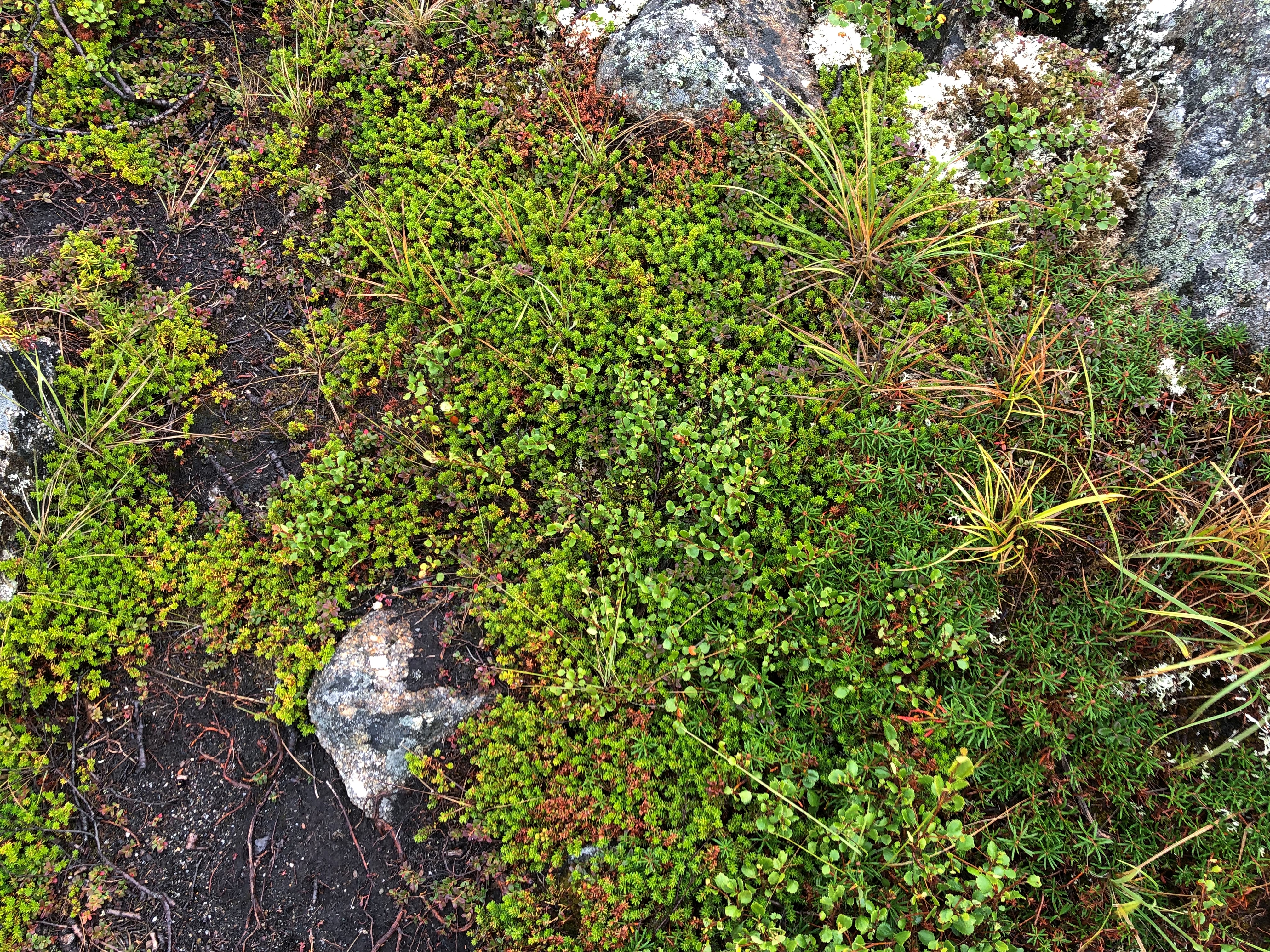
I was reminded of the alpine tundra I saw on the mountainsides of Alberta. Yes, this counts as alpine tundra, Steve the guide agreed.Finger Mountain July 2021
Finger Mountain July 2021

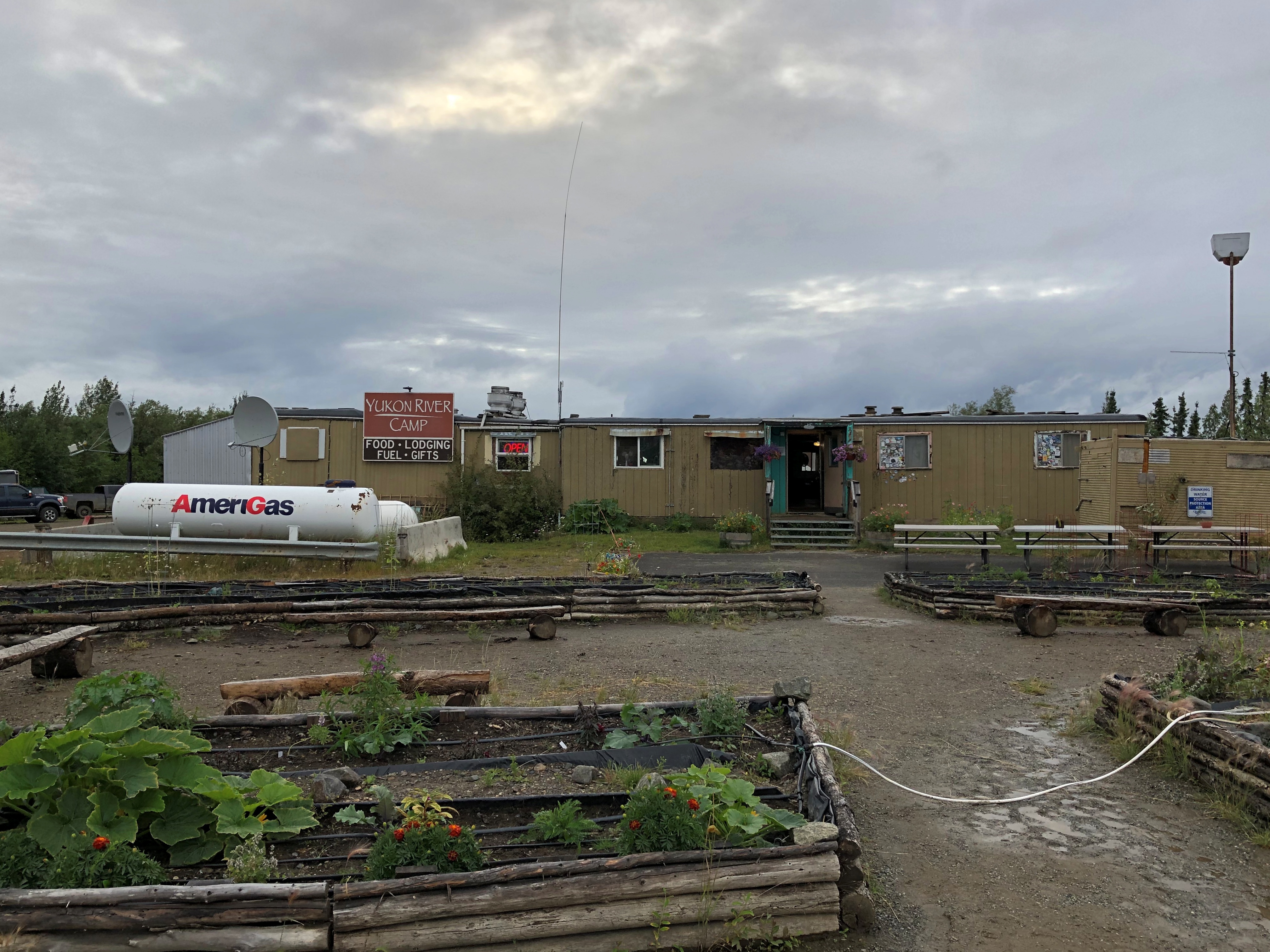
Further south we stopped at the Yukon River Camp.
Dalton Highway Yukon Camp

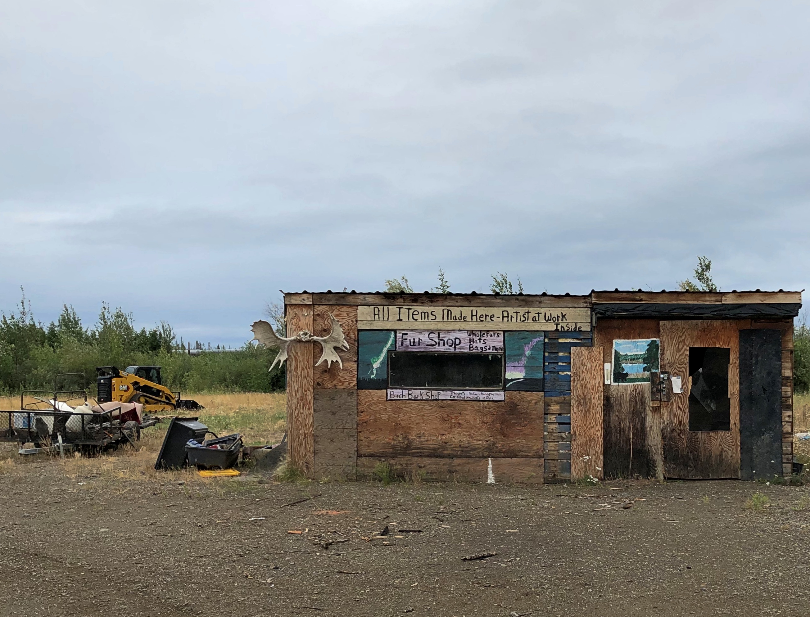
Some of its buildings had that abandoned look. Wonder when the last time there was an artist in residence here, across the parking lot from the camp’s main building, and nearer to the highway.
Dalton Highway Yukon Camp

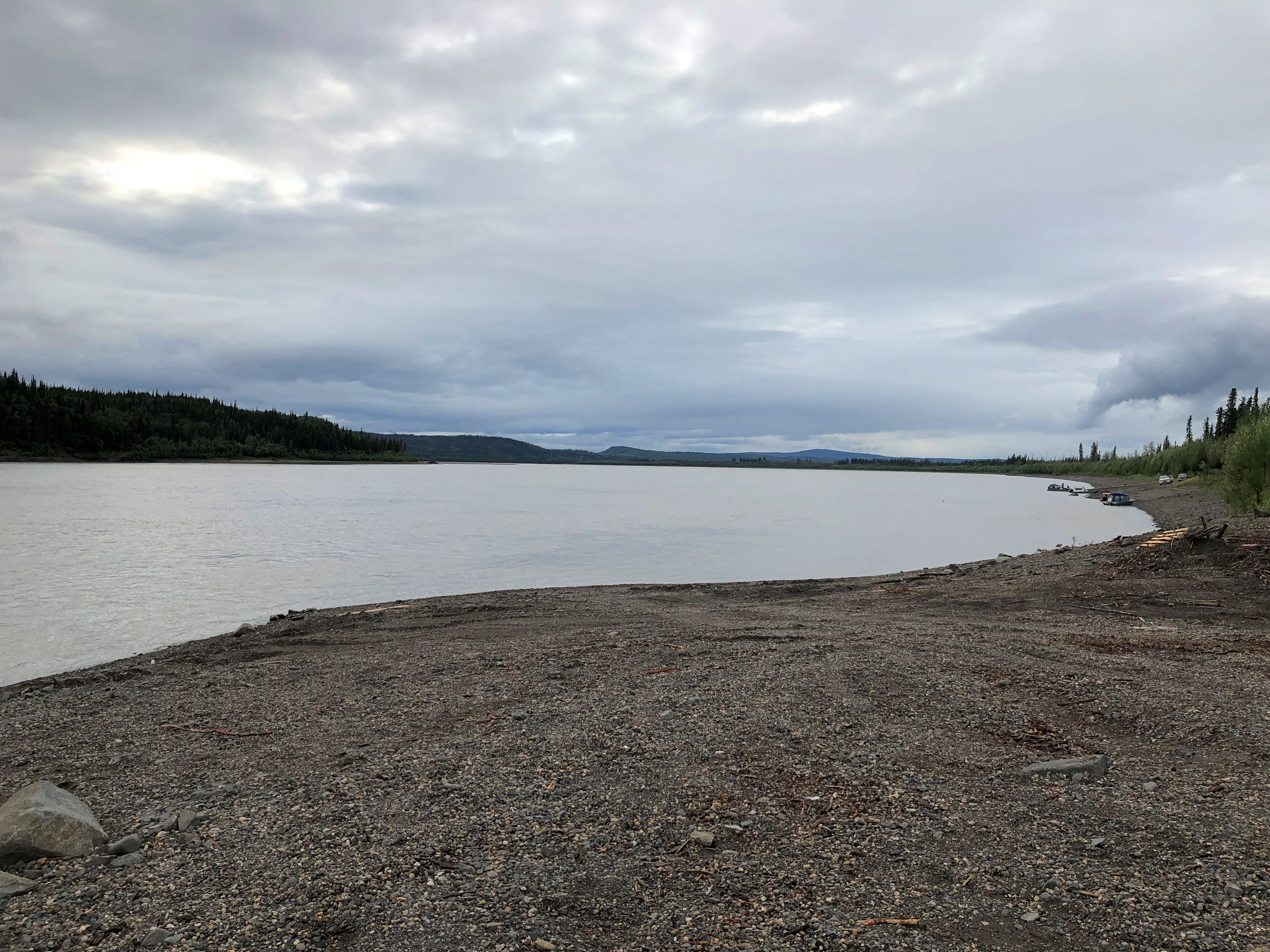
Not far from the buildings is the mighty Yukon River, third-longest in North America. It was good to stand on the banks of such a river.Dalton Highway Yukon River

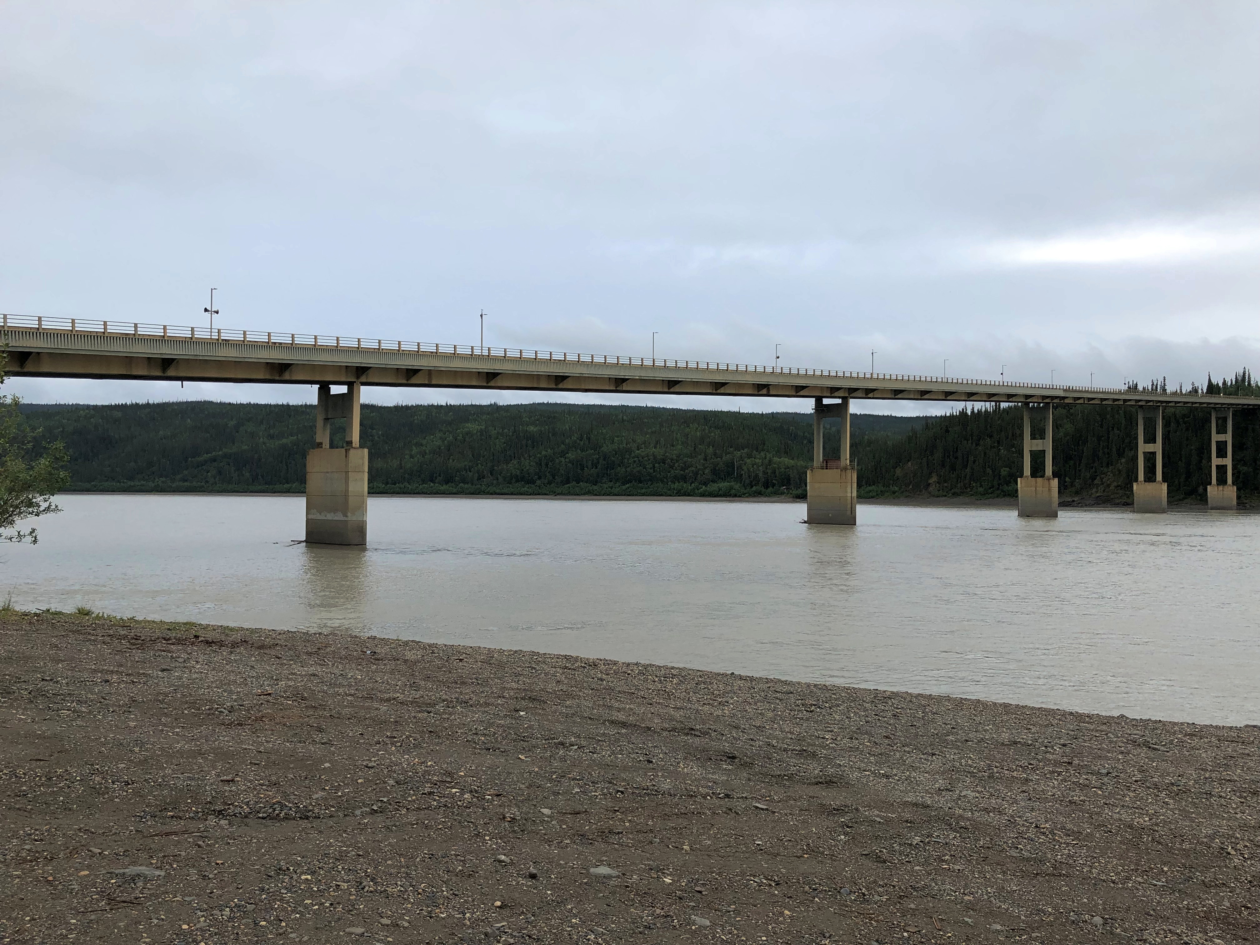
The 2,295-foot Yukon River Bridge, formally the E. L. Patton Bridge, carries the Dalton Highway, along with the Alaska Pipeline, across the river. It’s only one of four bridges on the Yukon, despite the river being nearly 3,200 miles long.
Dalton Highway Yukon River Bridge

Near the bridge, I got a better look at the pipeline. I could stand under it.Dalton Highway Yukon River Pipeline Dalton Highway Yukon River Pipeline

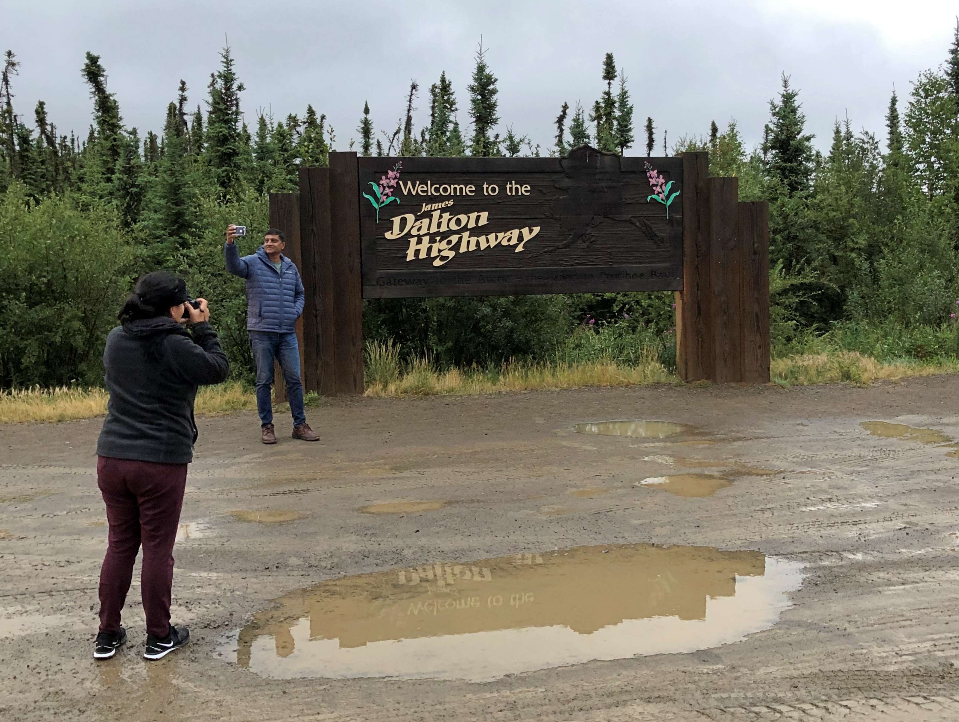
Though it wasn’t the end of our drive, the last stop (except for an outhouse break) was at the entrance to the Dalton Highway. A sign marks the spot.
Dalton Highway Yukon River Pipeline

“At first, the highway was called the Haul Road because almost everything supporting oil development was ‘hauled’ on tractor-trailer rigs to its final destination,” notes the Bureau of Land Management. “In 1981, the State of Alaska named the highway after James B. Dalton, a lifelong Alaskan and expert in arctic engineering who was involved in early oil exploration efforts on the North Slope.

“The highway was open only to commercial traffic until 1981, when the state allowed public access to Disaster Creek at milepost 211. In 1994, public access was allowed all the way to Deadhorse for the first time.”

Long Grove Walkabout

Sometimes you see something odd, and it does you good.Long Grove, Illinois

I saw that building over the weekend in Long Grove, Illinois, when I visited the town for the first time in many years (sometime after 2004, but not sure when). Long Grove is a prosperous place in southern Lake County — median household income, $148,150 — and a fairly large suburb, about 12 square miles, with a small historic district at the intersection of Old McHenry and Robert Parker Coffin roads.

Long Grove is host to various warm-weather festivals, including chocolate-, strawberry- and apple-themed festivals, but on July 3 this year the historic downtown was quiet, except for a singer entertaining the outdoor patrons at the Village Tavern. The lack of crowds made for pleasant walking, despite the midday heat, especially among the buildings and shops away from the roads.Long Grove, Illinois
Long Grove, Illinois

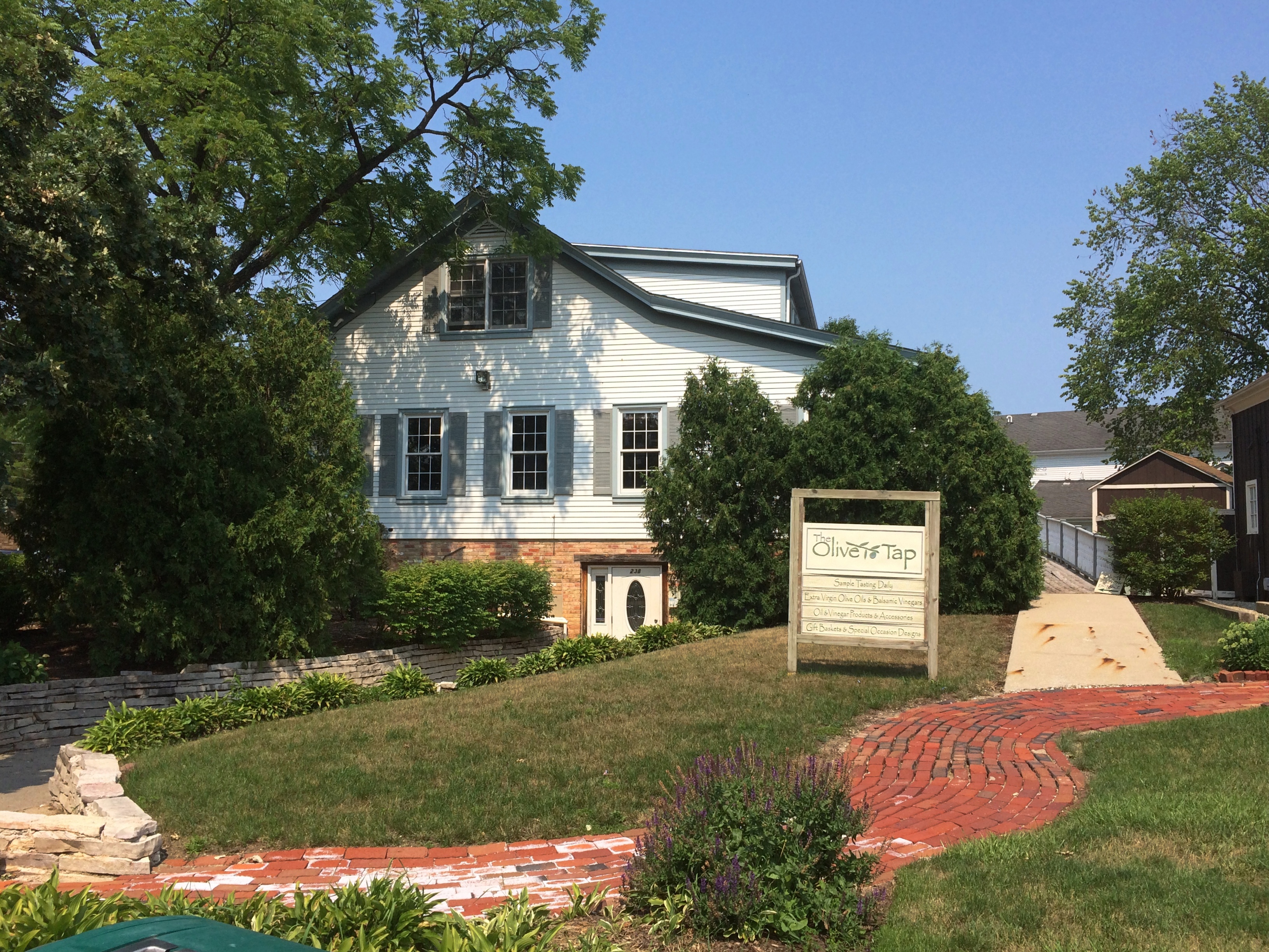
Businesses clustering around the intersection include (among others) Balanced Earth Energy Healing, Broken Earth Winery, In Motion Dance, Long Grove Apple Haus, Ma and Pa’s Candy, Neumann’s Cigars & More, Olivia’s Boutique, Signature Popcorn, and the Olive Tap, an “olive oil and balsamic vinegar tasting emporium.”
Long Grove, Illinois

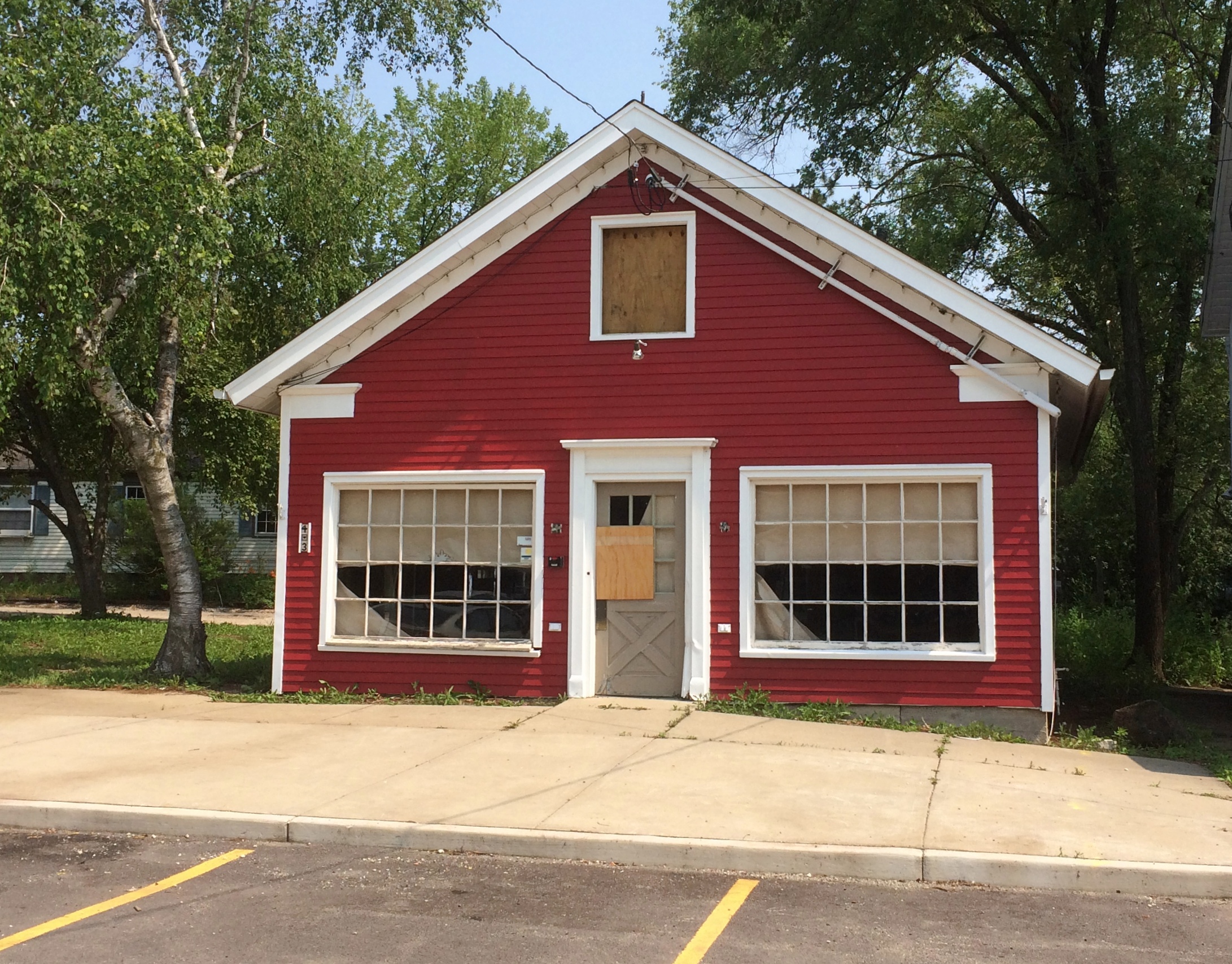
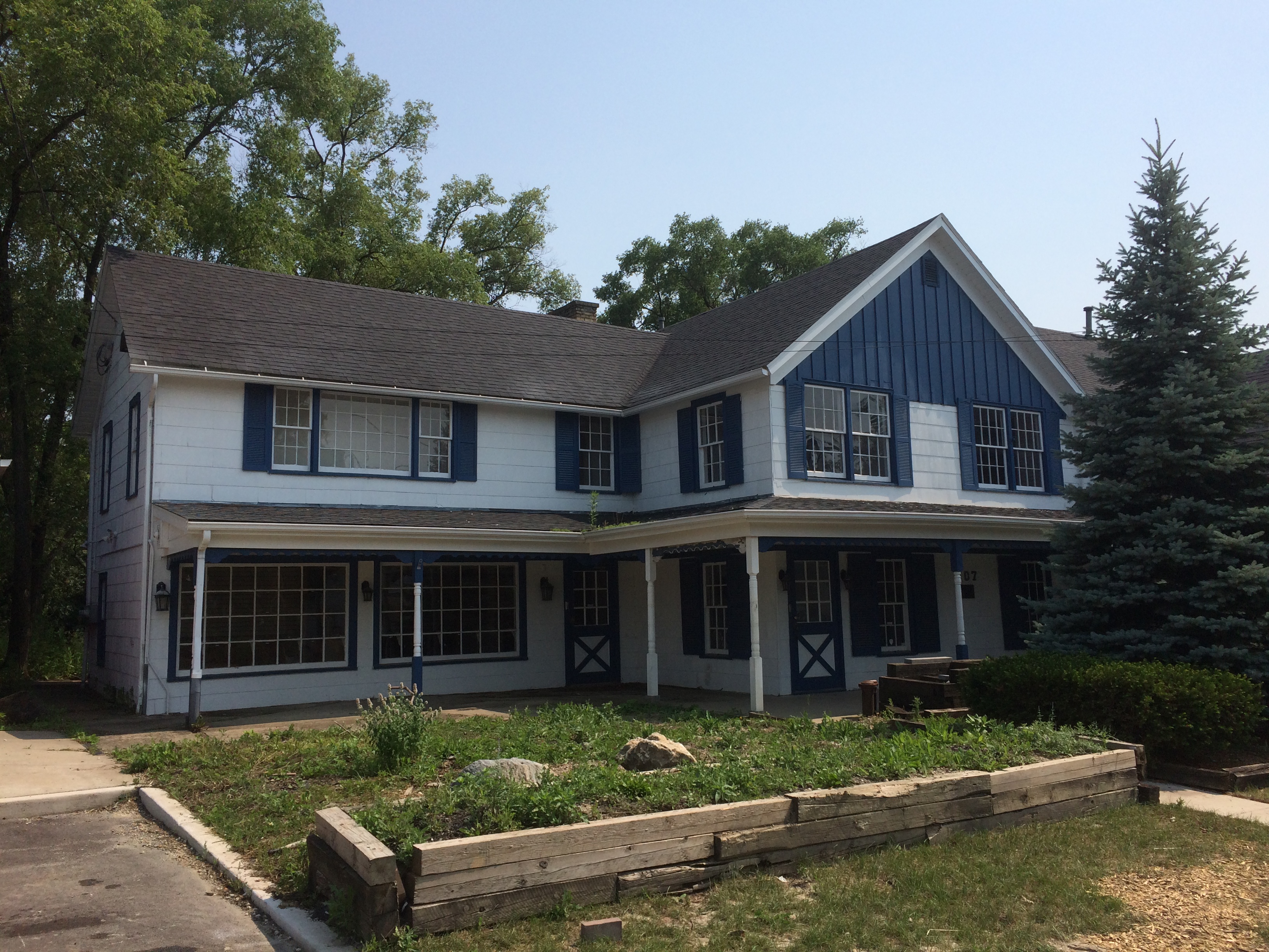
Luxury goods, in other words, largely dependent on the caprices of the upper-middle class. Just walking around I could tell that last year was hard on the district, since a number of businesses looked permanently closed.Long Grove, Illinois Long Grove, Illinois

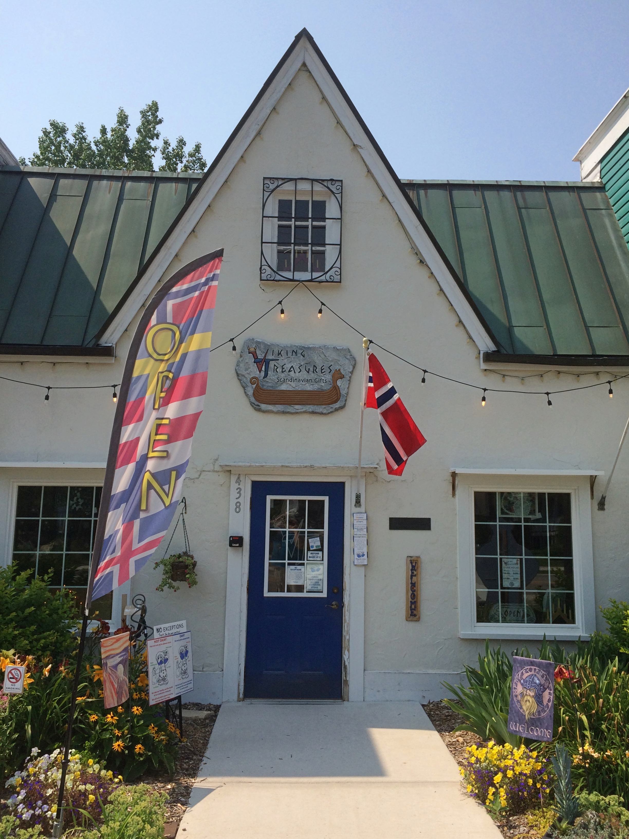
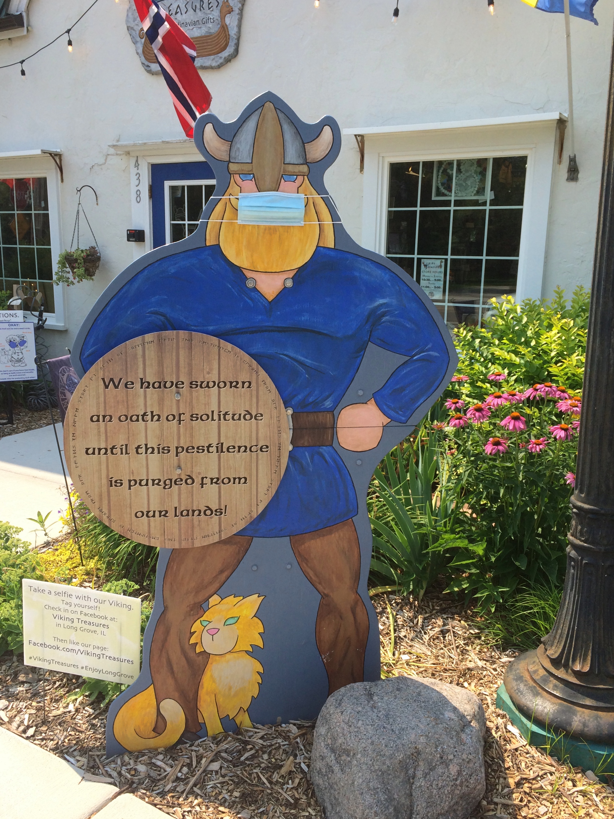
Still, most of them seem to have survived, such as Viking Treasures. It promises Scandinavian gifts and was the only place I saw still insisting on a mask.Long Grove, Illinois
Long Grove, Illinois

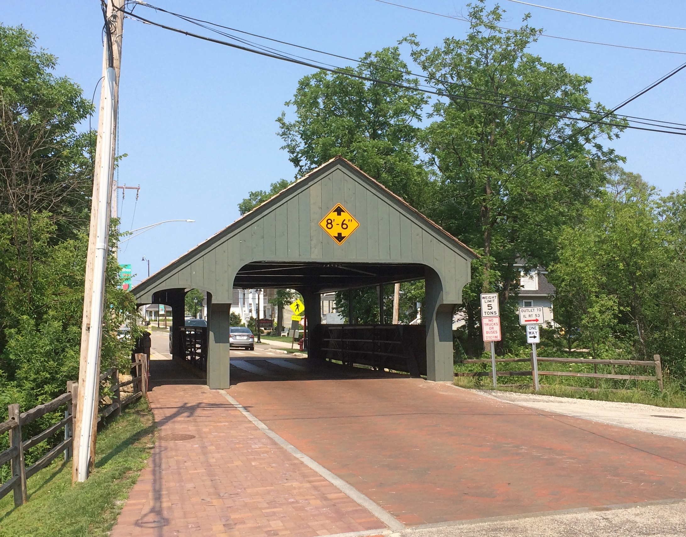
Long Grove is also known for its small covered bridge.
Long Grove, Illinois, Covered Bridge

“The historical significance of the Long Grove Covered Bridge is all about the iron, not the wood,” Aaron Underwood of the Long Grove Historical Society writes. “… our bridge isn’t an ‘authentic’ covered bridge, but rather an iron truss bridge that had a protective covering added in the 1970s to protect that iron and integrate it into the downtown’s historic theme. The cover is a beautiful copy of a famous covered bridge in Ashuelot, New Hampshire.”

Elsewhere, he wrote: “Our bridge is historic because it is rare. Only two bridges of this type remain in the six county Chicago metro area, and only thirty-five remain in the entire state. It may well be the only bridge in the state of this type with such an ornate pedestrian walkway.”

That doesn’t keep morons from driving too-large vehicles into the covering, however.

The Erie Canal

On our last day in metro Buffalo, we drove to Lockport, New York, late in the morning to see the Erie Canal. Even in my South Texas elementary school, and in U.S. history classes later, we heard about the Erie Canal. It probably was of special interest to my high school U.S. history teacher, the estimable former Wobbly Mrs. Collins, who grew up in Buffalo. Yuriko, on the other hand, heard nothing about it in Japanese schools; no reason she would.

I’ve heard the songs, too. The oft-recorded one about the loyal mule (which Bruce Springsteen does wonderfully, paying homage to Pete Seeger). The more fun one is about drunkenness among bargemen (and -woman), which I expect was true enough to life in the early days of the canal. The obscure Yellow Jack version, incidentally, used Lockport as a backdrop for the video.

Despite all that, I’d never gotten around to seeing the canal with my own eyes. So it was time. Naturally, we visited only the smallest slice, since the canal stretches more than 360 miles.

Lockport’s an interesting spot on the canal because it originally had five locks, which is unusual enough to have its own name: Flight of Five Locks, to allow the canal to cross the Niagara Escarpment. For the 1820s, I expect it was state-of-the-art engineering.

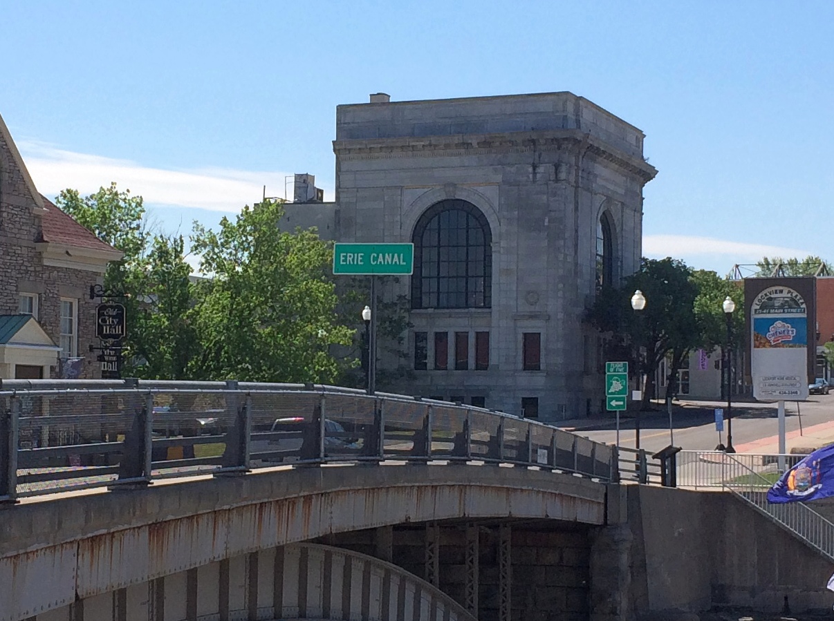
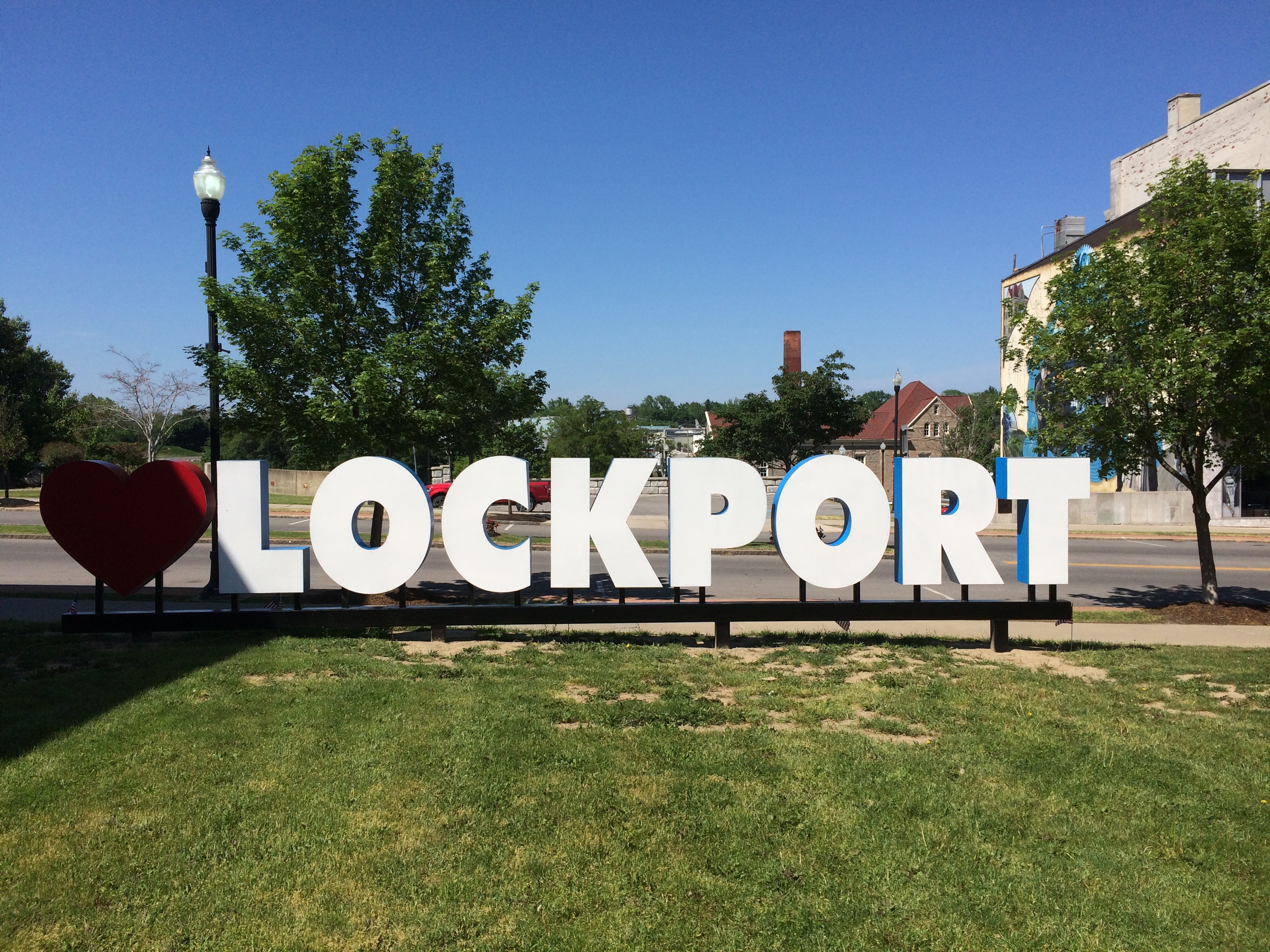
We got there at about 10:30 and knew we were in the right place.Erie Canal, Lockport NY

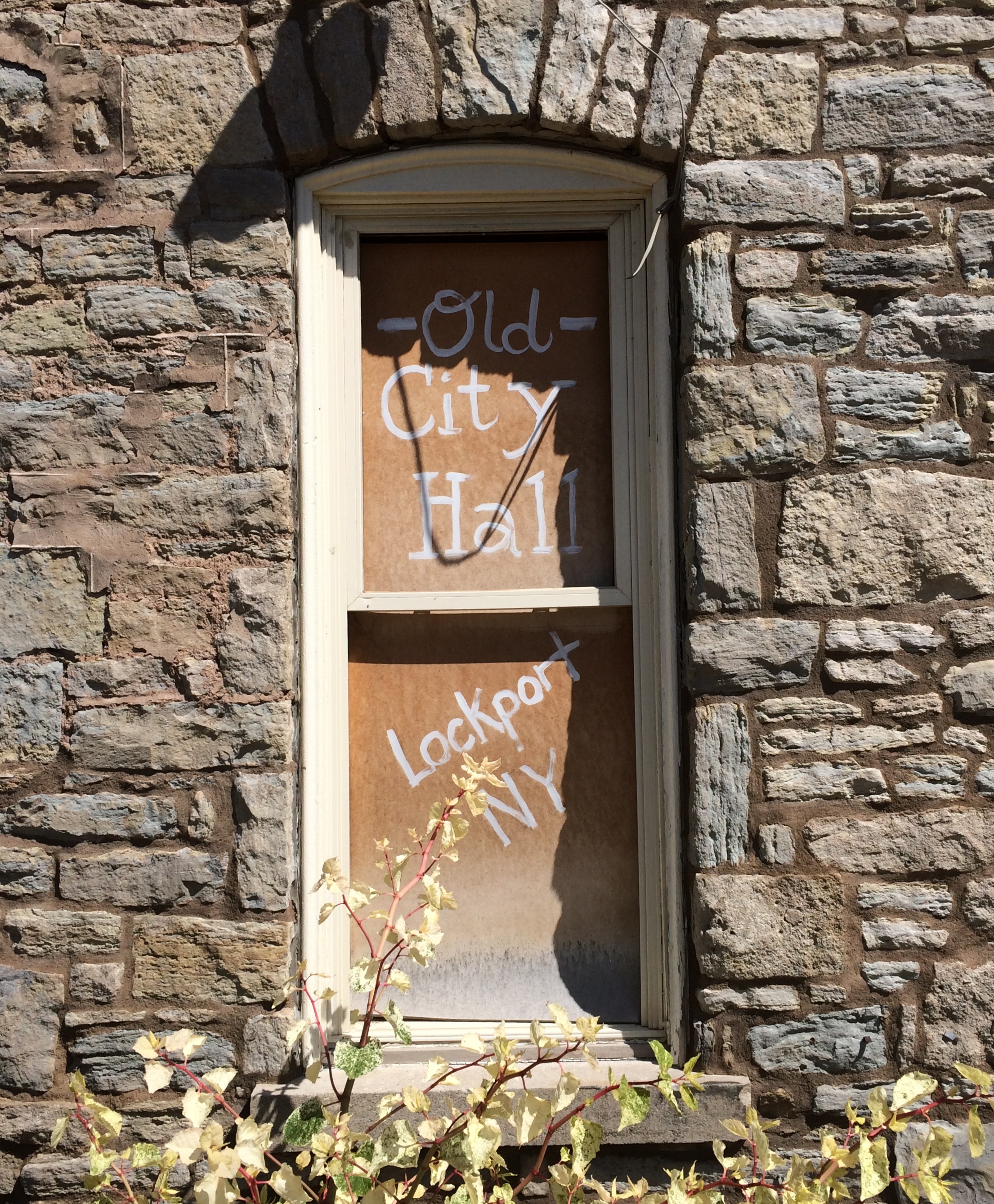
There were other signs as well.Erie Canal, Lockport NY Erie Canal, Lockport NY

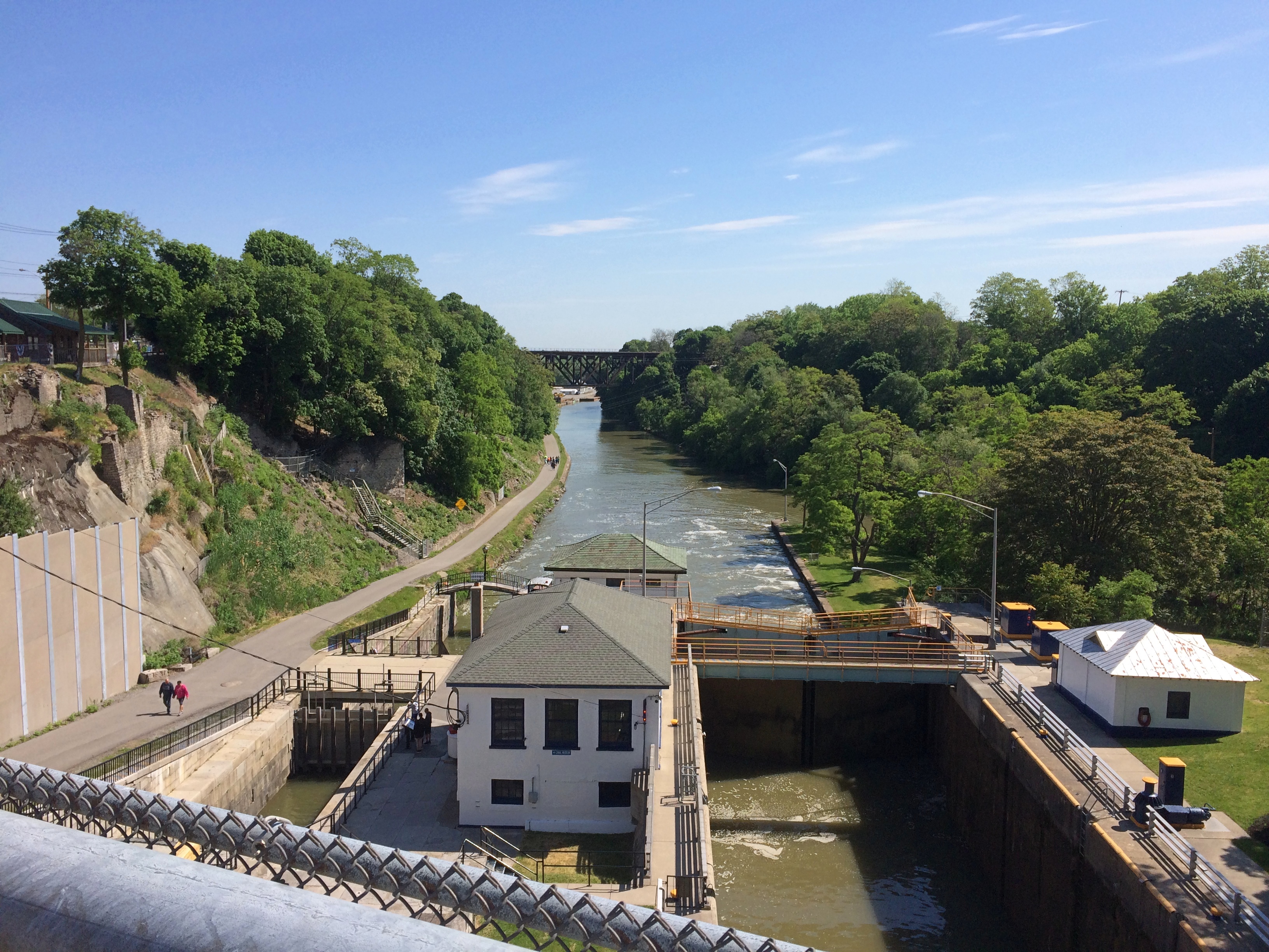
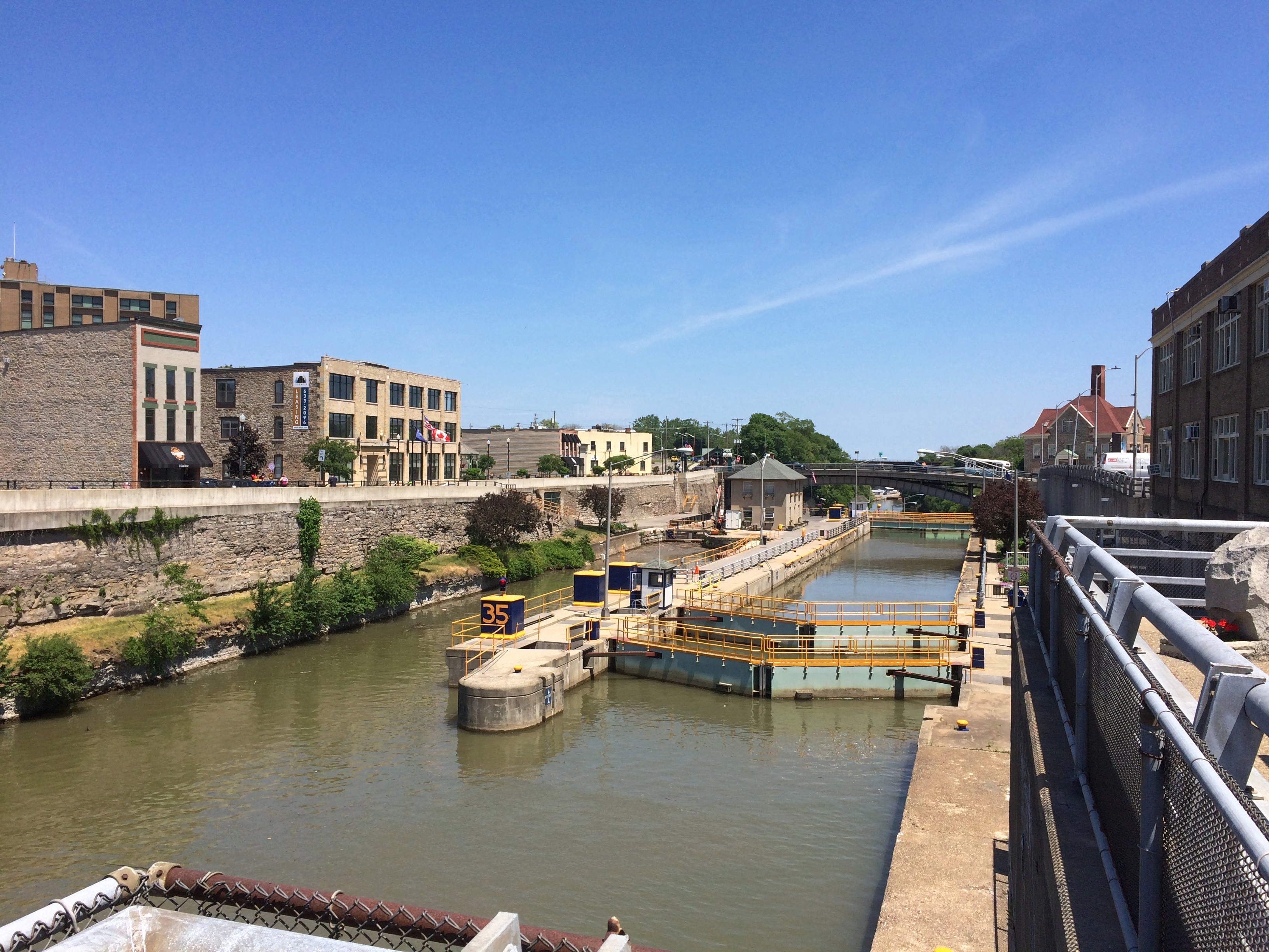
Looking east, from the bridge over the locks.Erie Canal, Lockport NY
As usual, an historic site isn’t as simple as somewhere or something that magically hasn’t changed since its most interesting period. In structure, and certainly a lot of other details, the canal as we saw it isn’t how the 19th-century bargemen would have.

To the left in the picture is the original canal locks, the five of the name. It’s a narrow passage compared to the wider channel on the right, which involves two locks covering the same distance as the older five locks. In the early 20th century, the state of New York upgraded its canals, including the Erie, to form the New York State Barge Canal system. That’s when wider channel was built, no doubt state-of-the-art in its time.

Such a change made for much faster commercial movement on the canal. Of course that’s an obsolete virtue now, though the wider canal still makes for the more expeditious movement of pleasure craft, which are all that use the waterway anymore. The last commercial vessel to ply the Erie Canal, or rather that branch of the NYS Barge Canal system, was the Day Peckinpaugh, which quit service in 1994. Later than I would have thought.

Apparently there was (in effect) a Day Peckinpaugh class of ships on the NY canals. “After her 1921 maiden voyage, she was followed by over a hundred similar motorships on the Barge Canal,” notes the Waterford Maritime Historical Society. A lot more about the ship, at first unimaginatively called the Interwaterways Line Incorporated 101 and built to traverse the Great Lakes as well, can be found here.
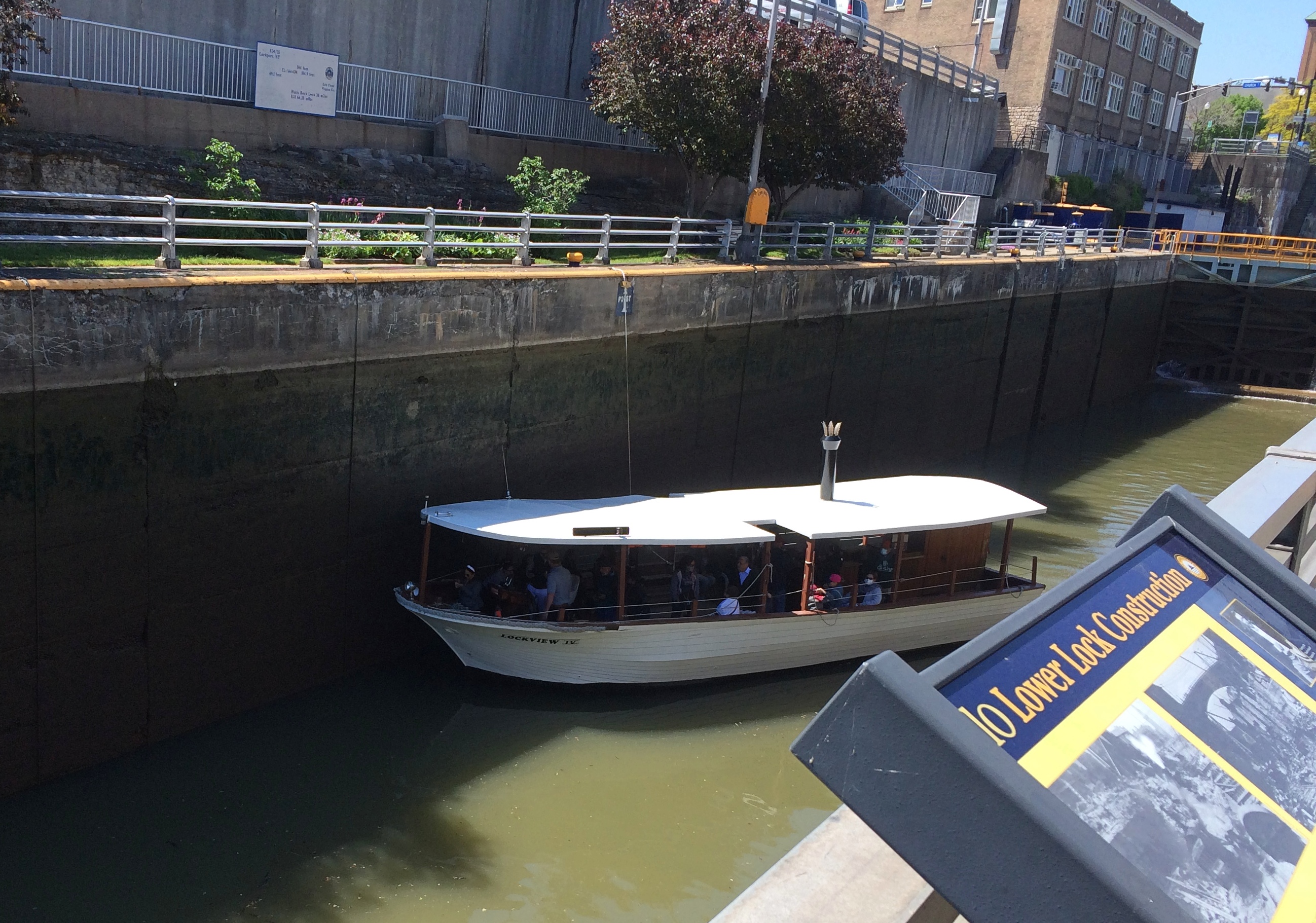
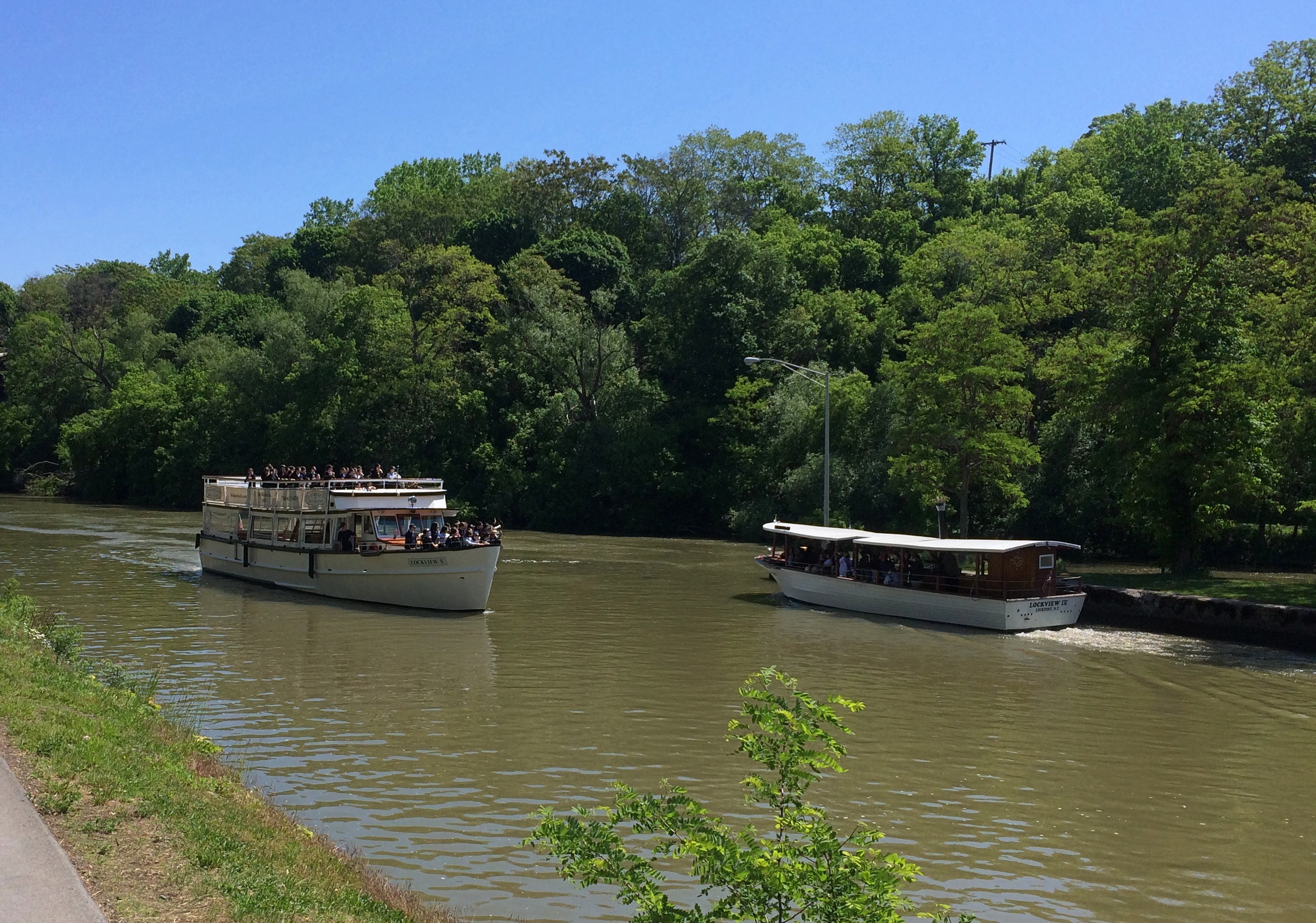
We took a tour that started with a walk along the canal. Here is one of the two locks filling or draining, I forget which.Erie Canal, Lockport NYMore boats.
Erie Canal, Lockport NY

The hill side.Erie Canal, Lockport NY Erie Canal, Lockport NY

The “Upside-Down Bridge.” It’s a railroad bridge over the canal in Lockport, build just before the canal was improved.
Erie Canal, Lockport NY

“This bridge is a multi-span railroad bridge built in 1902 by the prolific and noteworthy King Bridge Company of Cleveland, Ohio,” says HistoricBridges.org. “The main span which crosses the river is a Baltimore deck truss. The bridge was referred to as the ‘Upside-Down Bridge’ because as a deck truss, it looks like a through truss positioned upside-down.”

Erie Canal, Lockport NY
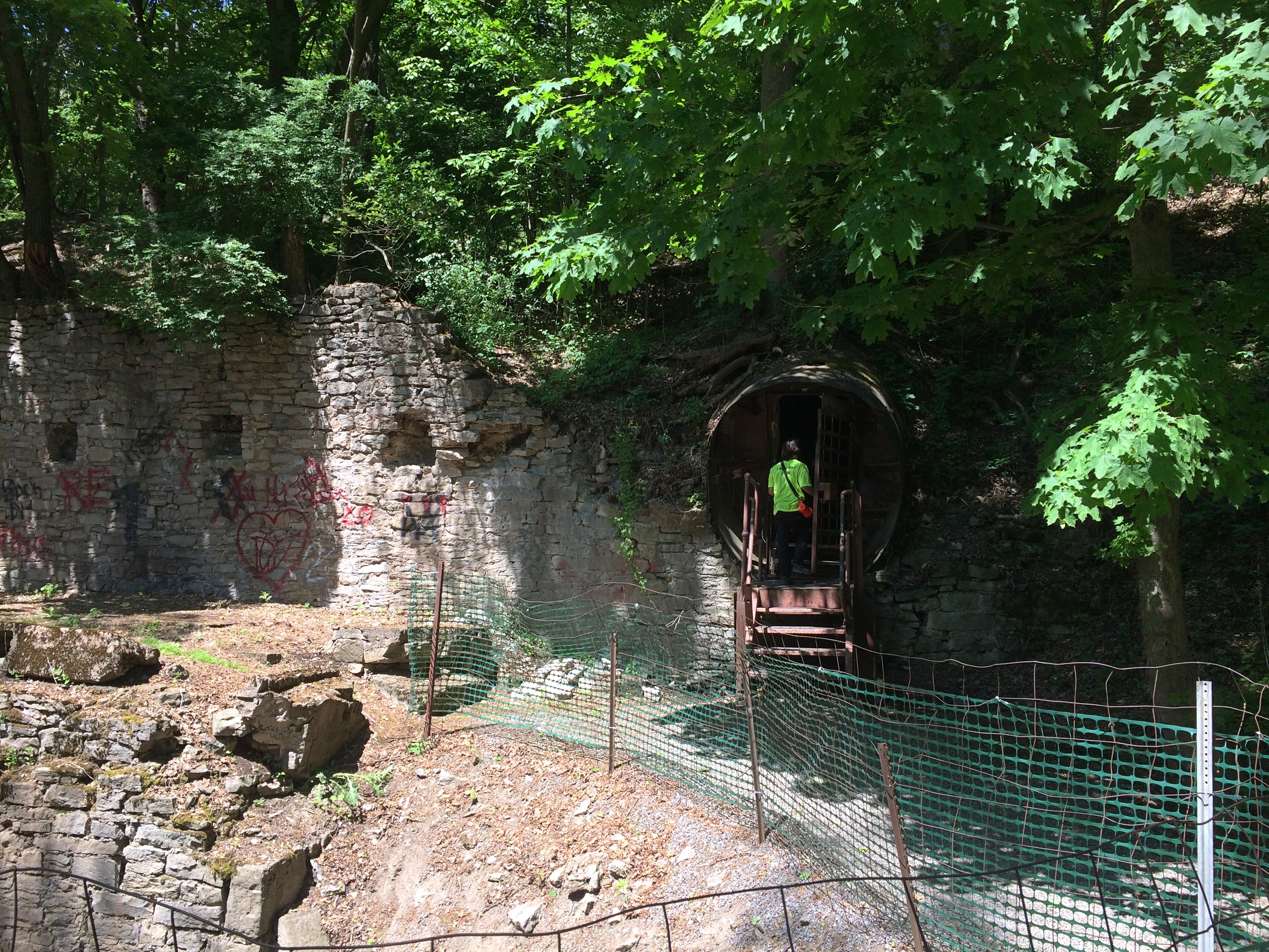
Near the bridge, the tour turned into a man-made cave in the hill, a water tunnel (hydraulic raceway) built in the 19th century using muscle power, hand tools and black powder.
Erie Canal, Lockport NY

The raceway used to power local industry, opening for tourists in 1977. That happened, it seems, because the natural cave in the limestone under Lockport proved disappointing in the 20th century, and possibly a locus of fraud in the 19th century.

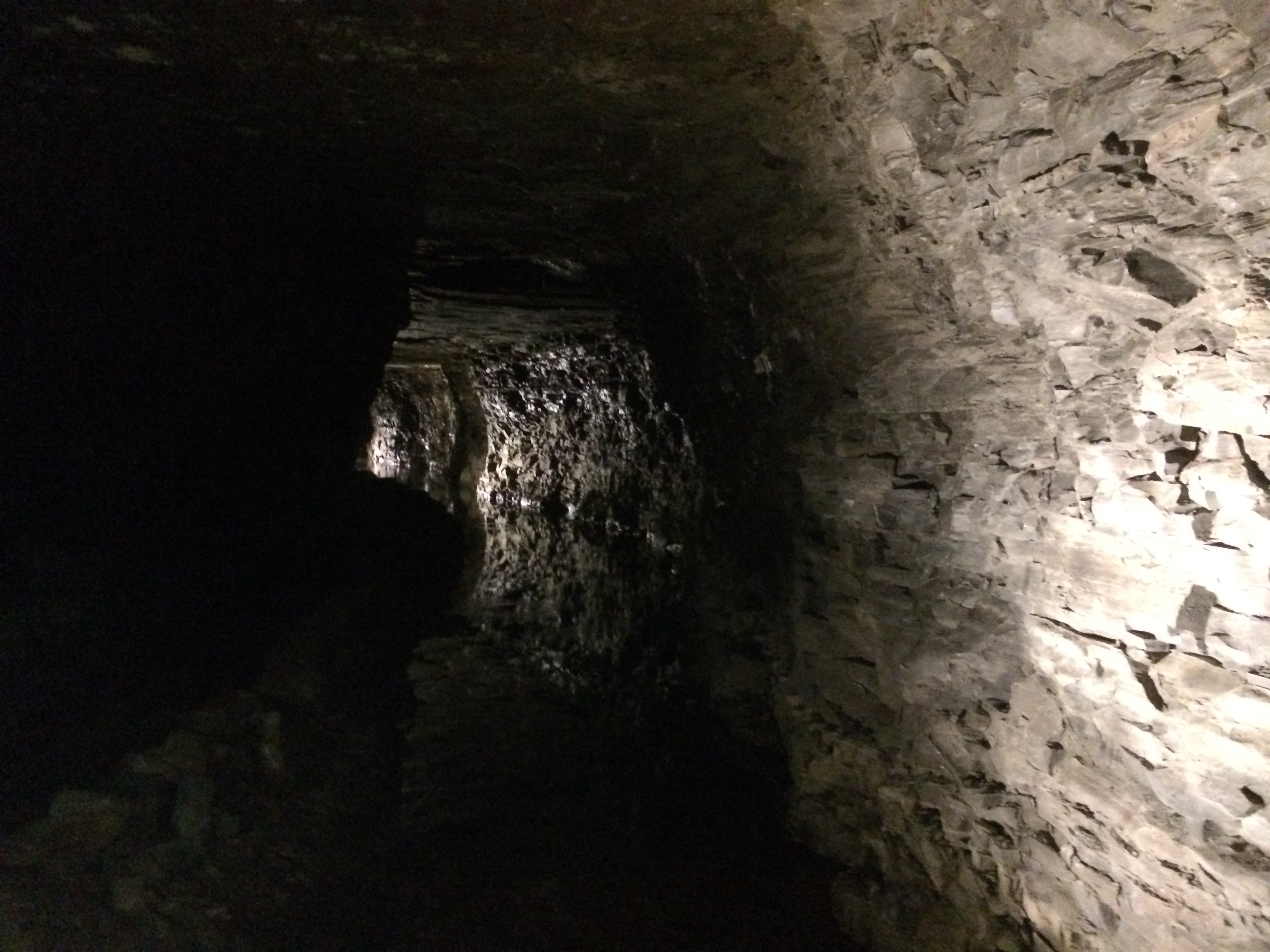
It was dark in there.Erie Canal, Lockport NY
The tour also involved a short boat ride in part of the tunnel that’s partly flooded still. A novelty, certainly, but not for anyone even a little claustrophobic. I figure they stay away from commercial caves anyway.

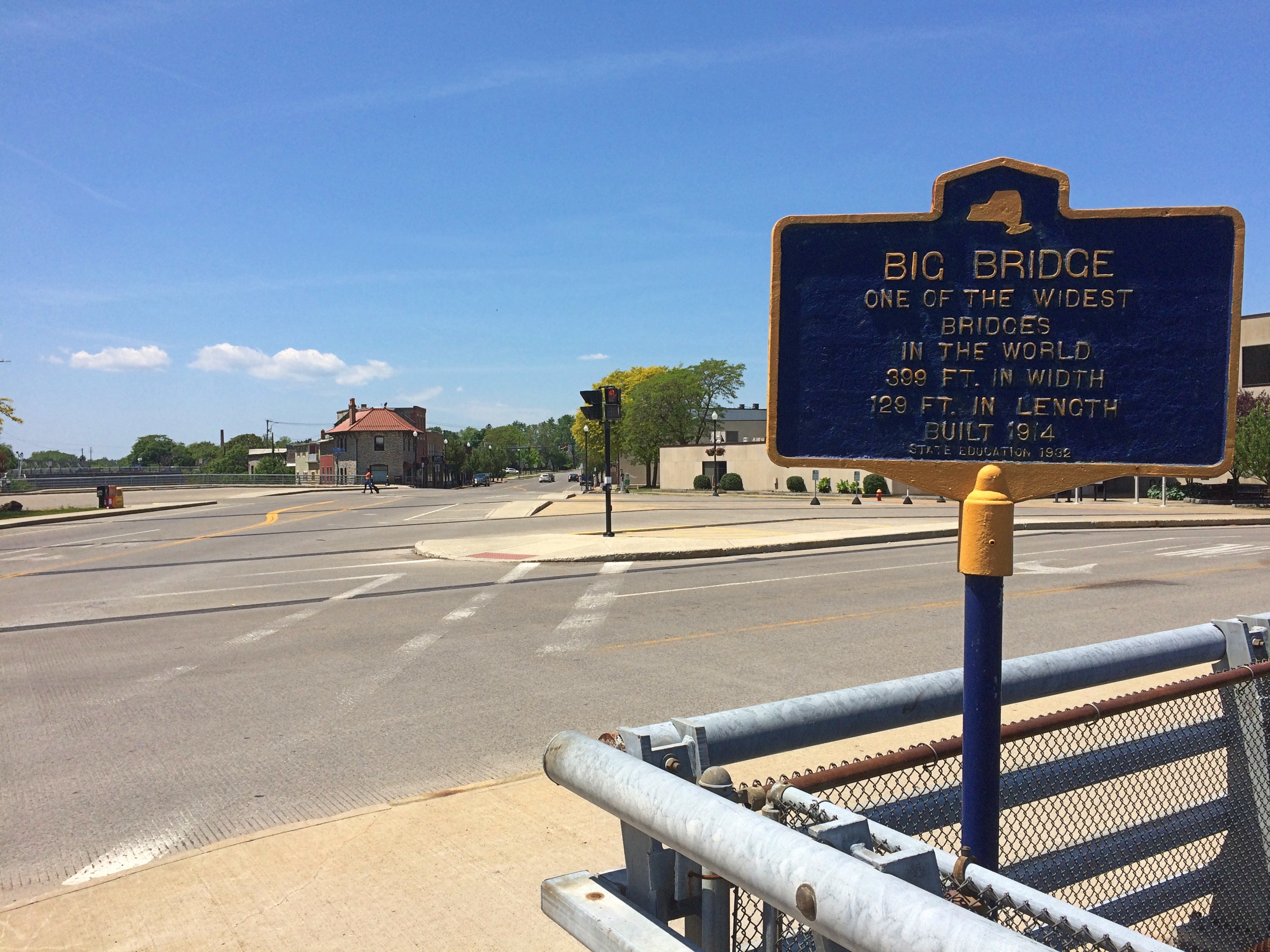
Out in the sun again, we looked around town a little more. The west entrance of the locks is visible from Big Bridge.
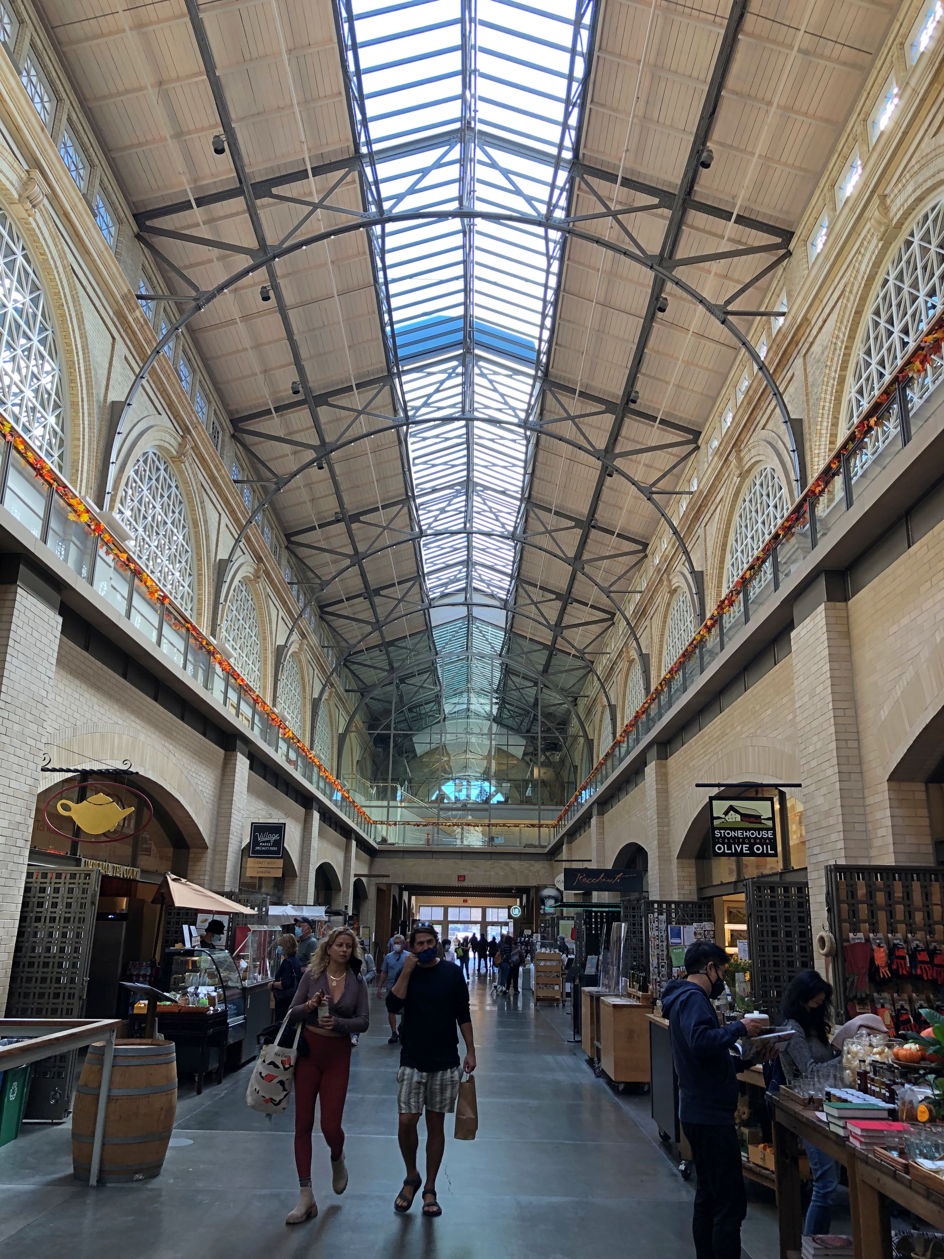
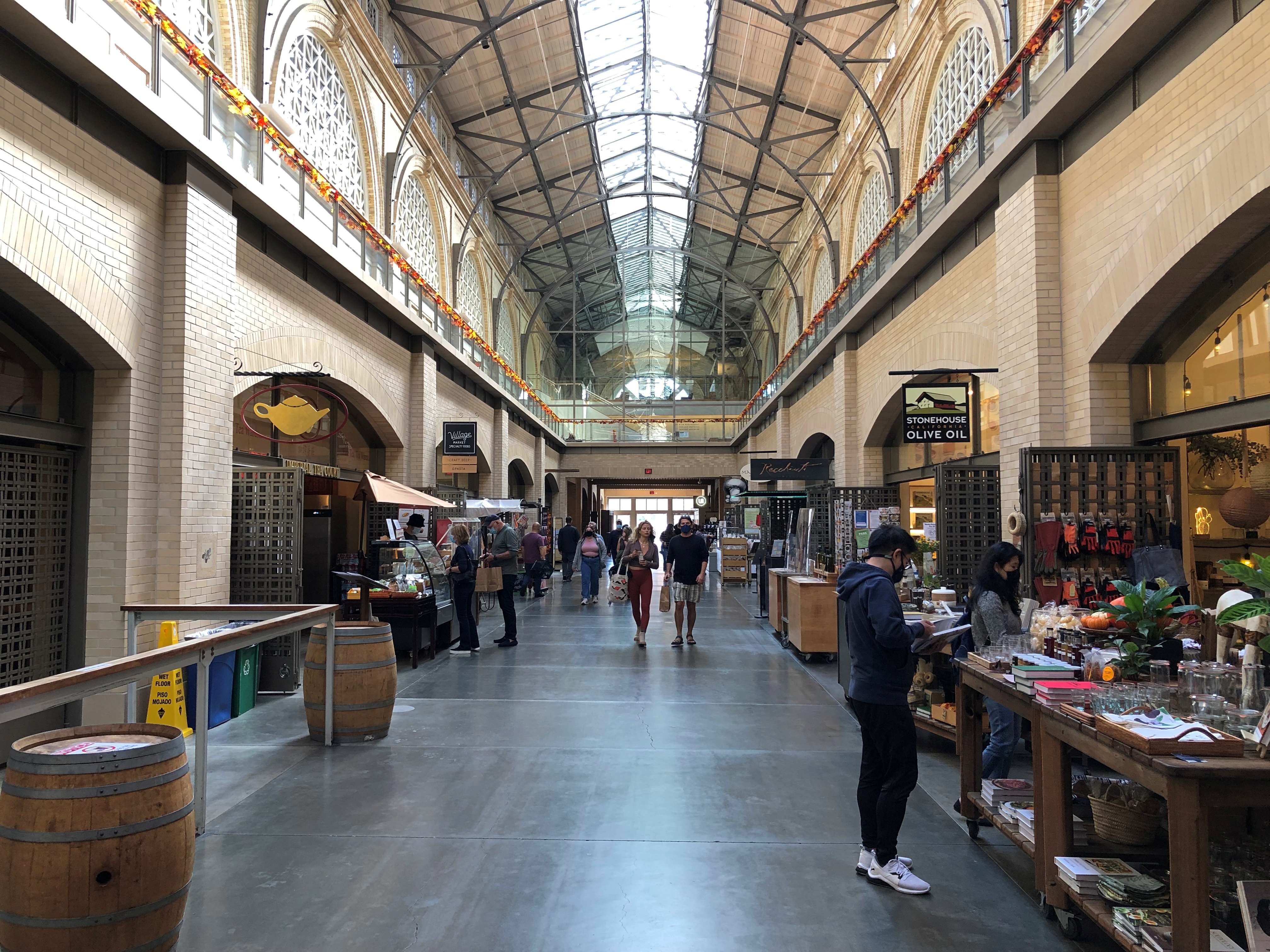
Erie Canal, Lockport NY

A sign near Big Bridge (built 1914) claims that at 399 feet, the bridge over the canal at that point is one of the world’s widest. Maybe so, but it’s completely undistinguished in every other way.Erie Canal, Lockport NY
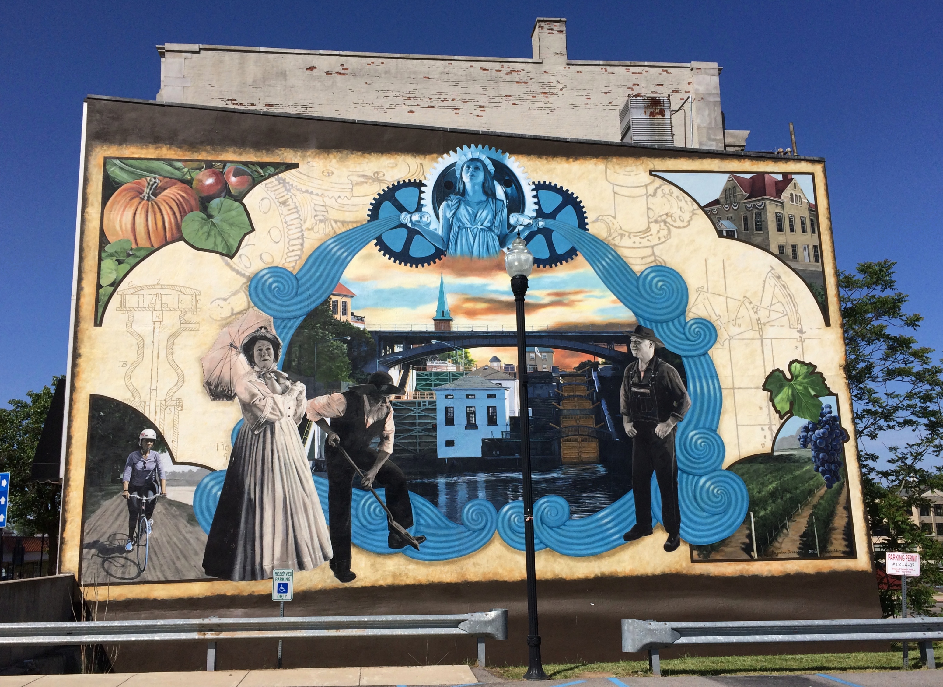
One more sight in Lockport.Erie Canal, Lockport NY mural
A fairly recent (2015) mural called “Guardian of the Waters” by Augustina Droze and Bruce Adams. Its plaque says: “The mural is inspired by the history and engineering marvel of the Flight of the Five Locks, which opened a path to the West, inspired inventions that changed the world, and gave rise to the city of Lockport, NY.”

Niagara Falls State Park

Something I didn’t know until I visited there on Saturday: Niagara Falls State Park in New York is considered the oldest state park in the nation, established in 1885 as the Niagara Reservation. Creation of the park was an early success for Progressivism, spearheaded by Frederick Law Olmsted. Him again. The wonder is that he isn’t more widely known for his terrific landscape artistry, which anyone can see.Niagara Falls State Park

A victory for the Progressive movement because, as I’ve read, before that private landowners around the falls monopolized access. You’d think that wouldn’t be much of an issue in the 19th century, but the falls have been a tourist attraction for a long time. In the park we saw a sign that noted that on his grand tour of the U.S. in 1825, Lafayette came to see the falls. But the real tourism boom began after the falls became a public place with easy access.

We arrived on Saturday around 9 a.m. and found a place to park right away in lot no. 1. Good thing, too, since later in the day we noticed a long line of cars waiting to park. Even that early there were a fair number of people in the park, but by early afternoon the place was mobbed.

It didn’t matter once you’d ditched your car. The park holds crowds well because it’s large, encompassing a long stretch of shore along the Niagara River upriver and downriver from the falls, and the islands that divide the falls into three: the relatively small Bridal Falls, the mid-sized American Falls, and the mighty Horseshoe Falls, most of which is Canadian.Niagara Falls

Created at the end of the last ice age 12,000 years ago or so, the falls have an estimated existence span of another 50,000 years. So we’re witnessing a geological blip. How many countless mighty cataracts of this kind have come into being only to erode away over the billions of years of liquid water on Earth? And what about crashing falls on other worlds?

From the U.S. side, your first view is of the American falls, looking to the south. The buildings in the background are part of the town of Niagara Falls, Ontario. This is a shot with the tourist infrastructure edited out.Niagara Falls State Park

Left in.
Niagara Falls State Park

Bridges cross from the shore upriver a bit to Goat Island, the main island in the channel. For a few moments, you can forget you’re surrounded by the intensity of the Niagara River.
Niagara Falls State Park Goat Island

But not for long. More views of the American Falls are easily found. Looking north over the drop, with the Rainbow International Bridge in the background, seeming not nearly as high as it is.Niagara Falls State Park Goat Island

Spray. It wouldn’t be the last time.
Niagara Falls State Park Goat Island

A curiosity on Goat Island: a statue of Tesla.
Niagara Falls State Park Goat Island

“Gift of Yugoslavia to the United States, 1976,” the Tesla Memorial Society of New York says. “Nikola Tesla designed the first hydroelectric power plant in Niagara Falls. This was the final victory of Tesla’s Alternating Current over Edison’s Direct Current. The monument was the work of Croatian sculptor Frane Krsinic.”

A standing Tesla was installed on the Canadian side more recently, in 2006, according to the society. More about Tesla and Niagara is here.

Go far enough on Goat Island and you’ll reach Terrapin Point, which offers a view of Horseshoe Falls, which is what most people think of when they think of Niagara Falls. It’s wider than the other falls combined, and drops more water, as much as 90% of the 100,000 or so cubic feet of water per second that flows over the three falls during the summer. The rate is controlled by engineering, and is lessened at night and during the spring and fall, when fewer tourists are around, so that more of the flow can be used to generate electricity at those times.

Niagara Falls State Park Goat Island

Naturally, lots of people were gathered to take a look. And pictures.Niagara Falls State Park Goat Island Niagara Falls State Park Goat Island Niagara Falls State Park Goat Island

There’s a good view of the Canadian side from there as well, when the mist doesn’t obscure it. Looks like there’s reconstruction going on over there, near the edge. I remember standing next to the Horseshoe Falls at that point 30 years ago, and it looks like that observation deck is missing for now.

The Canadian town looks more prosperous than the U.S. town from that vantage, and indeed it is for various reasons. Sad to say, beyond the tourist enclave, Niagara Falls, New York is another one of the small cities of the industrial North that has seen better times.
Niagara Falls State Park Goat Island

Canada, as it happens, was still mostly closed to visitors over Memorial Day weekend, which would be an ordinary weekend there. Later in the day, we saw the entrance to the Rainbow Bridge on the U.S. side, and only one lane for traffic was open, and no one was in it.
The bridge is visible from Terrapin Point, since it isn’t far downriver from the falls. A striking bit of work across a gorge.
Rainbow Bridge

After our Goat Island wander, we wanted to do the Maid of the Mist boat ride. That was something I skipped in ’91, and wasn’t expecting much more than a ride along the river with a nice view of the bottom of the falls, to complement the views of the tops. We waited in line about half an hour to get on one of the two boats, which made me think of waiting around for a ride at Disneyland. A thing that you do as a tourist. I grumbled a little about the price. I didn’t realize what was ahead.

This is one of the boats, the James V. Glynn. We rode on the other one, the Nikola Tesla. Him again. Mr. Glynn is a long-time Maid of the Mist chairman.Maid of the Mist 2021

Tourists have been riding Maid of the Mist boats since 1845, another indication of how long tourists have been coming to Niagara Falls, though intermittently until 1885 and every year since then. The boats were steam and then diesel powered and now, as the company is eager to point out, all-electric with no emissions, launched into service only last year. As people get on and off, the boats are recharged at the dock.

The company gives you bright blue thin plastic ponchos and off you go, for a 20 minute or so trip. It isn’t the quantity of the time aboard that counts, but the quality. First you pass by the American and Bridal Falls, which are impressive in their flow and in the huge boulders piled at the bottom.Maid of the Mist 2021
The ship then passes into the curve under Horseshoe Falls. I didn’t think it would get as close at it did. The roar is enormous. The spray is continuous. The curving walls of water, taller than walls of water should be, fill your senses. The place is enthralling. I haven’t been as captivated by a natural phenomenon (well, partly engineered) since I saw the total eclipse a few years ago.

No wonder people have been paying for over a century and a half for this little boat ride. It was worth the effort to get to Niagara Falls, all by itself, and all of the $25.25 each to be escorted under the spectacular cataract.

I wasn’t in the mood to take pictures during most intense moments, like during the eclipse. Except one.
Maid of the Mist 2021One of three or four selfies I’ve taken since that concept was popularized. Hit the nail on the head with that one.

Riverfront Park, Peoria

Another recent vaccination destination was Peoria. We spent about 24 hours on the trip, there in the afternoon and a return the next afternoon. Shortly after taking care of the shot at a local pharmacy, we took a walk along the Illinois River near downtown Peoria, including a paved section but also parkland.

Riverfront Park, Peoria Riverfront Park, Peoria

Riverfront Park gives you some nice views of the Murray Baker Bridge, which carries I-74 across the river. It’s named for an early executive of Holt Manufacturing Co., later Caterpillar Tractor Co., who oversaw its move to Peoria in 1909.Murray Baker Bridge Murray Baker Bridge Murray Baker Bridge Murray Baker Bridge

For what I took to be a fairly old bridge (opened 1958), it looked spanking new, a handsome example of bridgebuilding. Turns out there was a reason for that.

“After a final countdown the lights were flicked on and the Murray Baker Bridge was re-opened to drivers of Central Illinois,” 25 Week reported on October 31 last year. “The bridge, which was shut down back in March, went through $42 million worth of renovations. Workers replaced the bridge deck, repaired the structural steel, repainted, and fixed the LED lights, which was one of the most anticipated changes.”

North of the bridge is a curiosity called Constitution Garden, dedicated to the U.S. Constitution.Constitution Garden Peoria Constitution Garden Peoria

Looks a little unkempt, at least this spring, and the plaque is dark. Someone’s comment on the state of our fundamental law?

Not far away, overlooking the river, is the Dan Fogelberg Memorial, which has been there since 2010. A couple was there when we arrived — a man and woman maybe a few years older than me — and they expressed their enthusiasm for the musician to us, and had me take their picture in front of the rocks. Then they offered to take our picture (Yuriko was elsewhere with the dog.)
Dan Fogelberg Memorial Peoria

I hadn’t realized Fogelberg was from Peoria, but he was. The rock to our left features lyrics from “Part of the Plan,” which I told Ann was one of his better-known songs. Behind me the middle rock had lyrics from “Icarus Ascending,” a song I didn’t know, and to our right the rock says:

Dedicated to the legacy of
Dan Fogelberg
Musician, Singer, Songwriter, Artist
Born in Peoria August 13th
1951 – 2007

With some lines from “River of Souls,” another song I didn’t know. I liked Fogelberg well enough when I heard him on the radio, but I didn’t listen to him much beyond that, except for the album Phoenix (1979), which one of my college roommates had and I listened to occasionally. “Face the Fire” on that album has the distinction of being an anti-nuke song — nuclear power, that is, not bombs, clearly inspired by Three Mile Island.

Its lyrics didn’t make it onto a rock, unsurprisingly, since I suppose “The poison is spreading, the demon is free/People are running from what they can’t even see” wouldn’t have the right vibe for his memorial. More surprising is no mention of “Same Old Land Syne,” considering that’s a Christmastime sentimental favorite on the radio even now.

West Tennessee Dash

On April 10, after leaving Illinois via a white-knuckle, two-lane bridge across the Mississippi into the state of Missouri, I headed south to catch the ferry back across the river at Hickman, Kentucky (green arrow). The point of this exercise was to continue from Hickman on small roads to the Kentucky Bend, marked here with a pink arrow.

There’s nothing distinctive about the Kentucky Bend except its odd status as an exclave of the commonwealth of Kentucky. I’d planned to snap a picture of whatever sign was at the Tennessee-Kentucky border at that point, and maybe visit the small cemetery just inside the bend.

It wasn’t to be. When I got to the ferry, the Mississippi looked a mite testy, swollen from the storms the night before, and probably other spring rains. A phone call confirmed that the ferry wasn’t running.Hickman Ferry

Without the ferry crossing, visiting the Kentucky Bend would have meant considerable backtracking, so I blew it off, and continued southward in Missouri. I got a glimpse of the bend from the riverfront at New Madrid, but I didn’t linger because I needed to find a bathroom.

Later I crossed into Tennessee on I-155 and soon connected with U.S. 51, which goes straight into Memphis. Despite the years I lived in Tennessee once upon a time, it was a part of the state I’d never seen, except for Memphis itself.

I didn’t quite make the straight shot into the city. Not far from U.S. 51 is Fort Pillow State Historic Park, site of the Battle of Fort Pillow, also known as the Fort Pillow Massacre, on bluffs overlooking the Mississippi. It’s been a state park for 50 years now. The day was as brilliant and warm as a spring day could be by that time, a contrast from the cool rain and less lush conditions further north.

Fort Pillow State Historic Park

I only spent a little while at the museum and visitor center, but got the impression that the bloody history of Fort Pillow isn’t emphasized. Be that as it may, I was keen to see whatever was left of the fort, or what had been rebuilt. Signs pointed the way.
Fort Pillow State Historic Park
An longer interpretive sign at this clearing said Nathan Bedford Forrest set up his command there.
Fort Pillow State Historic Park
On the trail went.Fort Pillow State Historic Park Fort Pillow State Historic Park Fort Pillow State Historic Park

It would have been nice had the FORT –> signs said how far was left to go. Also, I couldn’t quite follow the track I was taking, as compared to the map I acquired at the visitors center, which was a little unusual. Anyway, I climbed another couple of rises and came to a spot where I could just barely see the river.
Fort Pillow State Historic Park

I figured surely there must be earthworks or something at such a high point, but I didn’t see anything. Then I noticed another FORT –> sign pointing me down another staircase. That meant I’d have to go up again somewhere, because forts aren’t built in lower places. Then to return, I’d have go down and then up again. I didn’t have the energy for all that, I decided, so I made my way back. Still, I had a good walk. By the end of the day, I’d walked about two and a half miles.
Besides, I wanted to get to Memphis. When I arrived about an hour later, I found a spot in Mud Island Park with a view of the skyline.
Where the hell is Memphis?

The Hernando de Soto Bridge. More bridges ought to be named after explorers.Where the hell is Memphis?

Back on the mainland, I found the Memphis Pyramid. It wasn’t hard to spot.
Memphis Pyramid

Or more formally, Bass Pro Shops at the Pyramid.
Memphis Pyramid
Taller than the Pyramid of the Sun in Mexico, according to this source, but somehow that ancient Mesoamerican structure has much more of a presence. The Memphis Pyramid has been standing for 30 years now, and seems to be making it as a retail store, after failing as a municipal arena.
Memphis Pyramid

The blue-lit structure is an elevator to a view from the top of the pyramid.
Memphis Pyramid

Probably worth the price, but the line was long, so I headed for the exit. But I couldn’t leave without buying something to support the Memphis Pyramid, so I bought a box of Moon Pies.

Southern Illinois Going and Coming Back

I spent the first 24 hours of my recent trip, as well as the last 18 hours or so, in southern Illinois. Not far from Carbondale, in Shawnee National Forest, is Pomona Natural Bridge, which is the first place I went after a drive down from metro Chicago.
Pomona Natural Bridge
The official trail is a short loop from the parking lot to the natural bridge.Pomona Natural Bridge Pomona Natural Bridge

The trail goes over the top of the bridge.
Pomona Natural Bridge
Which looks like this from another angle. You can climb steps down to under the bridge, and that’s what I did.
Pomona Natural Bridge
Though a short trail, the drop to under the bridge is a little steep, and I navigated it carefully, testing my new hiking shoes and walking stick in the field. They proved useful.

The road to the natural bridge passes some farms, complete with an array of rusting equipment, available any time for spare parts.near the Pomona Natural Bridge near the Pomona Natural Bridge

This building, forgotten by time, stood next to a crossroads.near the Pomona Natural Bridge near the Pomona Natural Bridge

The next morning, April 10, I drove south, eventually passing through the ruin that is Cairo, Illinois, pop. 2,000 or so, a town that never became St. Louis or Cincinnati or even Cape Girardeau or Quincy, despite its location. One hundred years ago, more than 15,000 people lived there.

Sure, it’s still technically a functioning municipality, and the houses off the main street show that people still call Cairo home, but the main street was like a little piece of the early ’80s Bronx had landed here in low-lying southern Illinois: a parade of empty lots, rubble, recently burned structures, and otherwise vacant buildings, with a scattering of intact buildings, mostly part of one level of government or another, including the handsome public library. Mine was the only moving car, and I saw only two pedestrians.

I acquainted myself with a number of small towns on this trip, also including New Madrid, Mo., Clarksdale and Vicksburg, Miss., Paris, Tex., Van Buren, Ark., and Belleville, Ill., all at least a little more prosperous than the forlorn Cairo.

At the confluence of the Ohio and Mississippi rivers is the 191-acre Fort Defiance State Park, known as Camp Defiance during the war. When I passed by, the park was closed by high water. Too bad. I wanted to see the confluence.Defiance State Park, Illinois Defiance State Park, Illinois Defiance State Park, Illinois

On the night of April 17, I arrived in Belleville, my last stop before returning home. The next morning I strolled along the town’s well-to-do main street, which is populated by restaurants, one-off retailers, and law and other professional offices. No one else was around.

Before leaving town, I stopped at the Cathedral of St. Peter.Cathedral of St Peter, Belleville Cathedral of St Peter, Belleville Cathedral of St Peter, Belleville Cathedral of St Peter, Belleville

The original church was completed in 1866, but in 1912 the building nearly burned to the ground. Rebuilding gave it a Gothic style patterned after the Exeter Cathedral in Devon, though its vaulted ceiling isn’t as elaborate.

A few miles away is the National Shrine of Our Lady of the Snows, a complex featuring not only a large shrine, but also a church, Lordes-style grotto, gardens, conference center, gift shop, residence hall, restaurant and hotel.

The shrine as seen from the slope in front of it.National Shrine of Our Lady of the Snows

National Shrine of Our Lady of the Snows

National Shrine of Our Lady of the Snows

The design screams 1960 and sure enough, there’s a cornerstone with that date on it. Construction began in 1958 and finished that year, with a design by one Richard Cummings, a 1952 Washington University graduate who worked at the St. Louis firm of Maguolo & Quick at the time.

“It is easily the most Space Age-fabulous building in the region,” asserts Built St. Louis. “Seated at the bottom of a hill that forms a natural amphitheater, the main shrine of Our Lady of the Snows is a complex arrangement of curved forms and overlapping, intertwined spaces, a sort of High Googie architectural style.”

At the back of the shrine are some fine mosaics. Always good to find mosaics.

National Shrine of Our Lady of the Snows

At the top of the slope is Millennium Spire, a work installed in 1998.National Shrine of Our Lady of the Snows

National Shrine of Our Lady of the Snows

The shrine is a project of the Missionary Oblates of Mary Immaculate, whom I’ve run across before in San Antonio, location of their school of theology. No Space Age-fabulous structures there that I recall.

St. James at Sag Bridge Catholic Church and Cemetery

Saturday was warm and pleasant, Sunday raw and unpleasant, and today — Ides of March Snow. If Rome had had a few inches that day, Caesar might have stayed home, since the rarity of snow would surely have been a warning not to do any official business. Oh, well.

Except for scattered dirty piles in parking lots, all of the massive February snows had melted by March 14. The March 15 snow will last a few days at most, due to a warming trend predicted for later in the week.

Illinois has a few hills, typically relics of ancient glacial movements. Built on top of one of them, in the village of Lemont, is St. James at Sag Bridge Catholic Church, which got its start in historic times — but still quite a while ago, in the 1830s.

On the slope of the hill is the church cemetery.St. James at Sag Bridge Catholic Church St. James at Sag Bridge Catholic Church St. James at Sag Bridge Catholic Church St. James at Sag Bridge Catholic ChurchOne side of the hill — maybe better to call it a ridge — is quite steep, yet still sports stones.St. James at Sag Bridge Catholic Church St. James at Sag Bridge Catholic Church

The rest of the family had other things to do during the day on Saturday, which as mentioned turned out to be clear and warm, so I headed south for a look around the suburban stretch of Archer Avenue (Illinois 171) between Lemont and the village of Justice.

The urban section of Archer Avenue, “Archey Road,” was the haunt of Mr. Dooley once upon a time, but that’s a matter best left for others to describe (if you feel like paying for access).

In our time, suburban Archer Avenue is a thoroughfare featuring independent and chain restaurants, small office buildings, auto repair shops, liquor stores, churches, schools, municipal facilities, and vast cemeteries. The surrounding forest preserve lands are even larger, the further out you go.

St. James at Sag Bridge is near the junction of Archer Avenue and the north-south Illinois 83, which (to the north) is one of the main transit spines of DuPage County. St. James’ hill also rises near the triple waterways of the Des Plaines River, the manmade Chicago Sanitary and Ship Canal, and an older manmade leftover of the 19th-century canal-building boom, the tiny-by-comparison Illinois & Michigan Canal.

To the south of the church and cemetery is yet another artificial waterway, the early 20th century Calumet Sag Channel, which gives the area its name, Sag Bridge, for a predecessor bridge of the one that now carries 171/83 across the channel. The Calumet Sag connects the Calumet River system with the Sanitary and Ship Canal, which it joins just to the west of the church. It’s a complicated bit of geography that I was only vaguely aware of before I decided to examine this part of Archer Avenue.

Sag? I wondered about that as well. The full name of the canal is the Calumet-Saganashkee Channel. I didn’t know that either, but learning it generated another question, as is often the case. Saganashkee?

Named after a local feature with a modified Indian name, it seems: Saganashkee Slough, which is a lake on forest preserve land in the area.

“A case in point is Saganashkee Slough,” the Chicago Tribune reported in 1994. “It was formerly a huge swamp that extended from west of 104th Avenue to the limits of Blue Island, and its original name, Ausaganashkee, is a Potawatomi Indian word that means ‘slush of the earth,’ wrote former Forest Preserve District general superintendent Cap Sauer in a historical account written in the late 1940s.

“During the construction of the I&M Canal in the 1830s, a feeder ditch was dug in the swamp that helped supply additional water to the canal. The slough was almost destroyed in the 1920s by blasting during the construction of the Cal-Sag Channel. Saganashkee was reconstructed by the forest preserve district, although in much smaller form, Berg said. At 325 acres, it is still, however, one of the largest bodies of water in the district.”

As for St. James, the church was founded to serve workers, mostly Irishmen, who were building the Illinois and Michigan Canal, with the current structure completed in the 1850s. A place to go Sunday morning after Saturday night revels, and sometimes donnybrooks, at least according to Irish stereotypes. I suspect the congregation is a good deal more diverse these days.St. James at Sag Bridge Catholic Church

St. James at Sag Bridge Catholic ChurchIt’s a handsome limestone building, built from material from nearby Lemont-Sag quarries, which provided stone for Holy Name Cathedral in Chicago and the Chicago Water Tower besides. I understand the St. James interior is quite beautiful, but it was locked when I visited.

The Our Lady of the Forest grotto on the grounds was, of course, open for a look.
St. James at Sag Bridge Catholic Church - Our Lady of the Forest
Compared with the church building, the grotto is new, built in 1998 for the for the 165th anniversary of the parish. See grottos when you can.