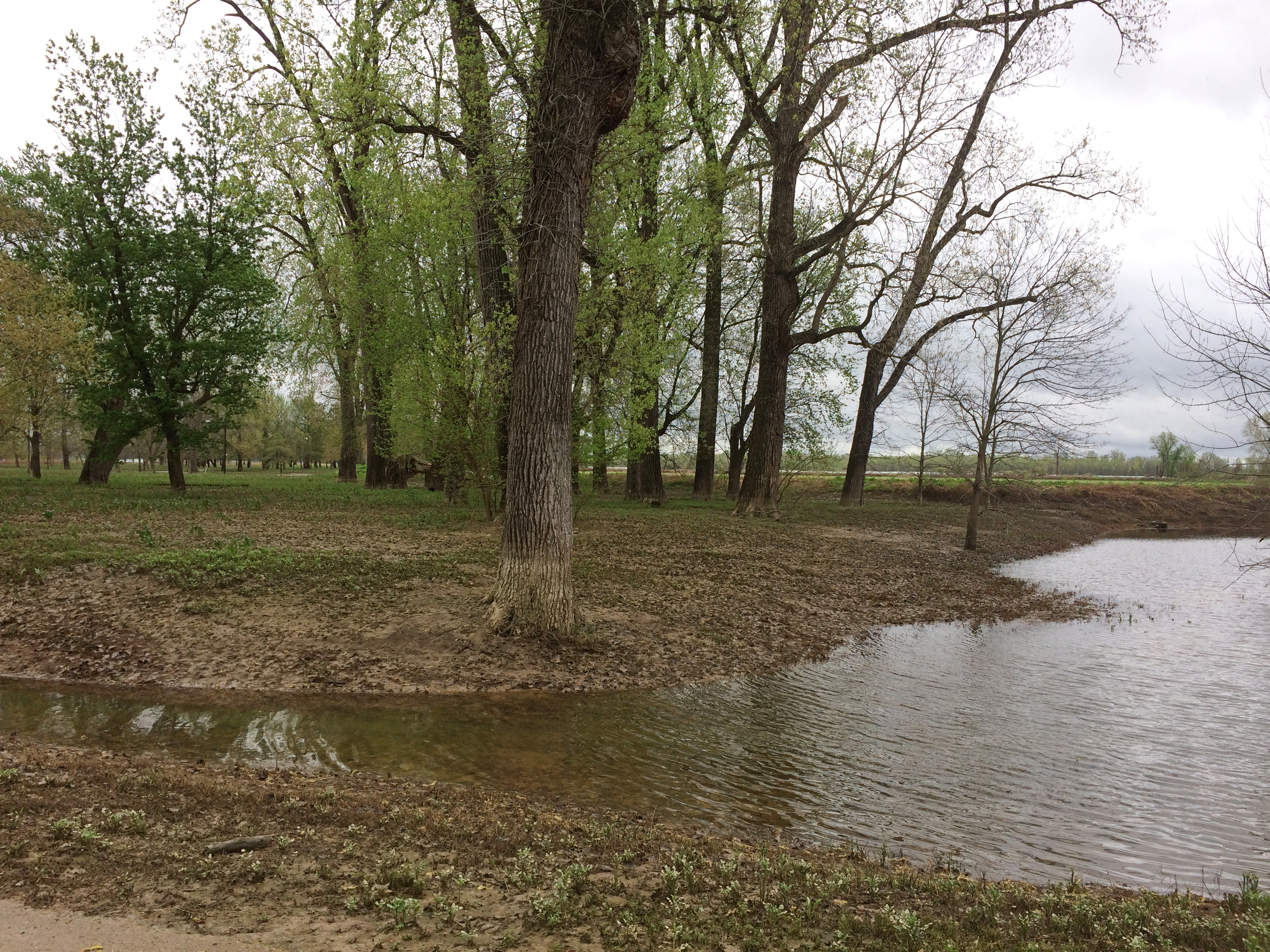
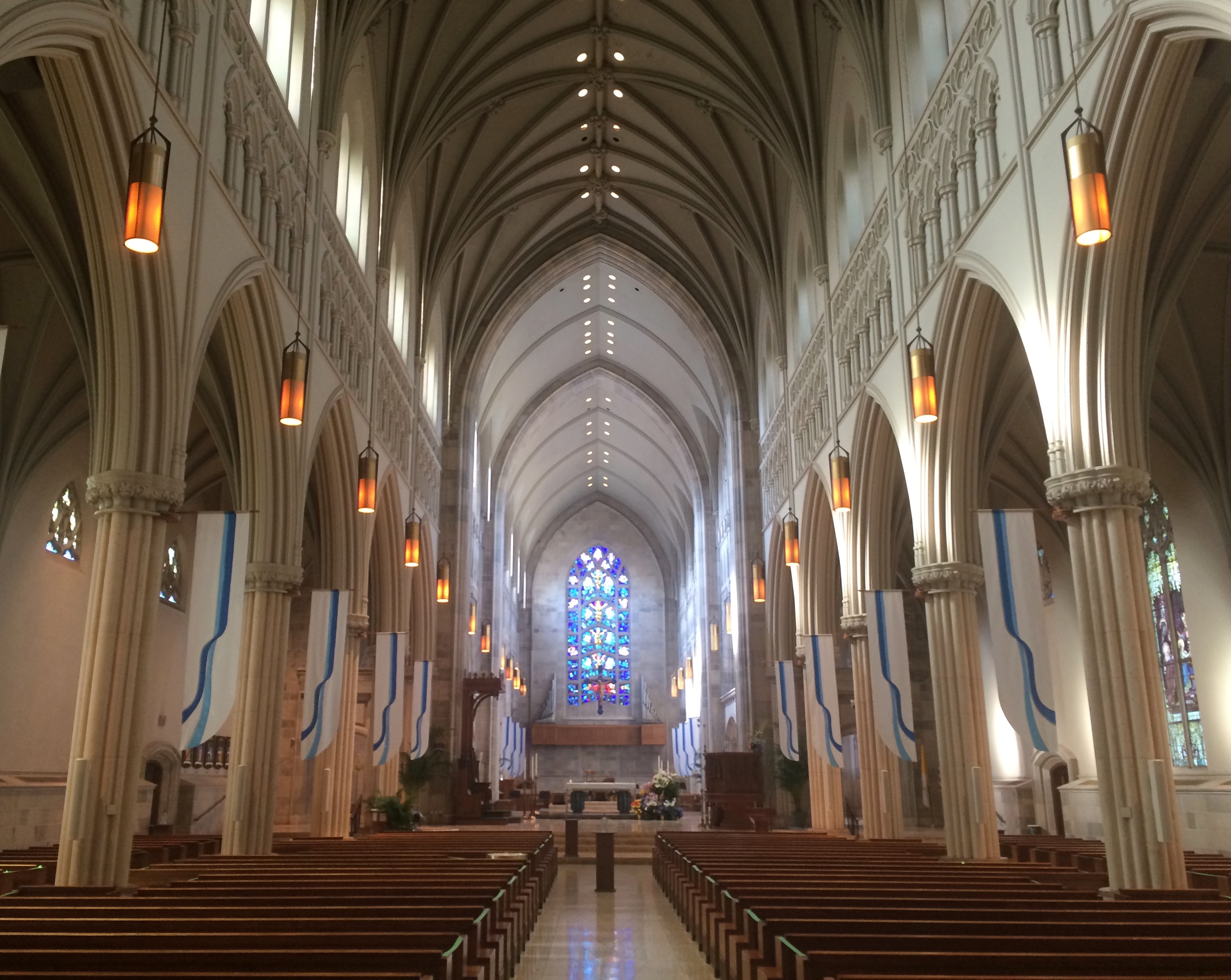
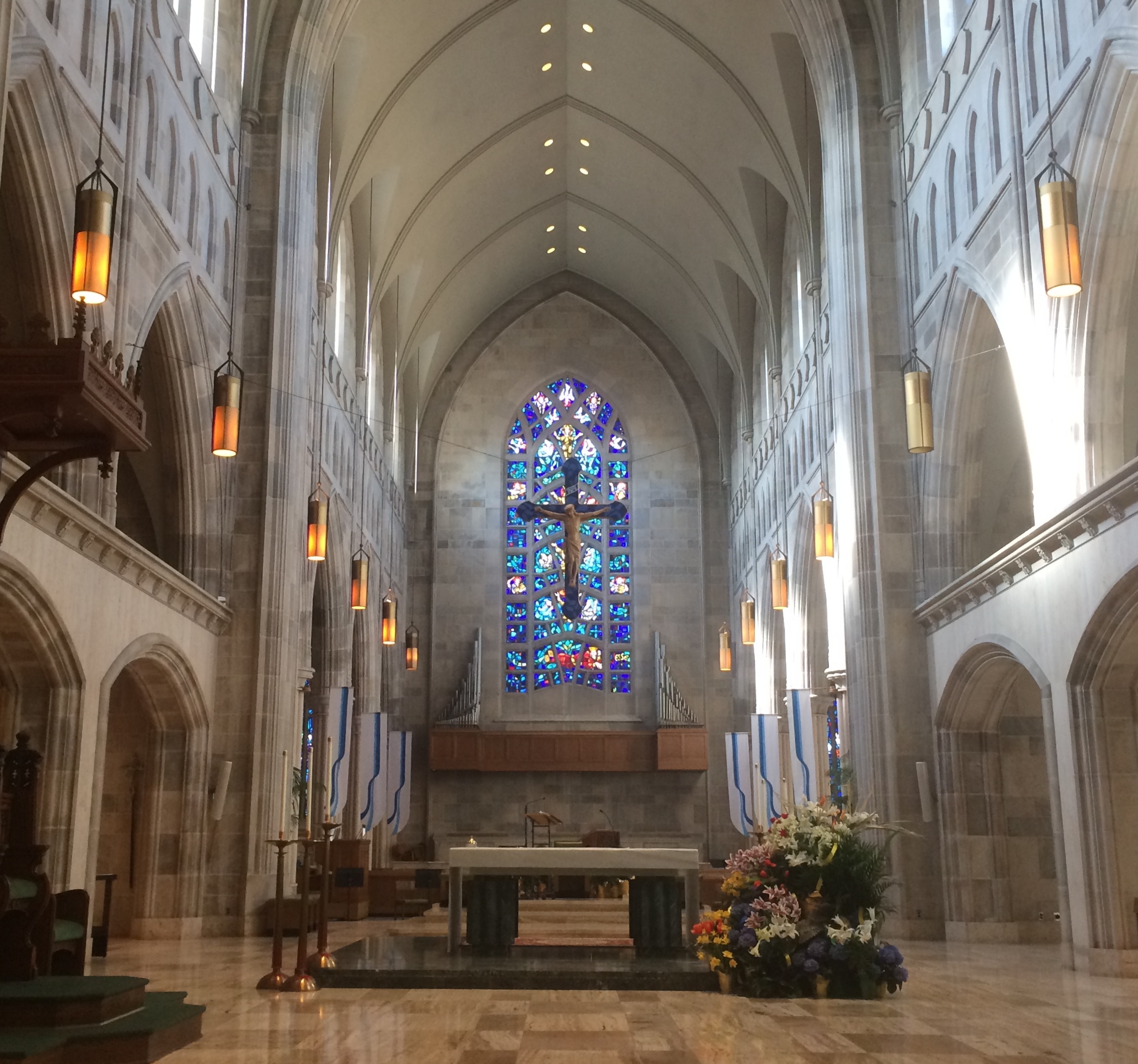
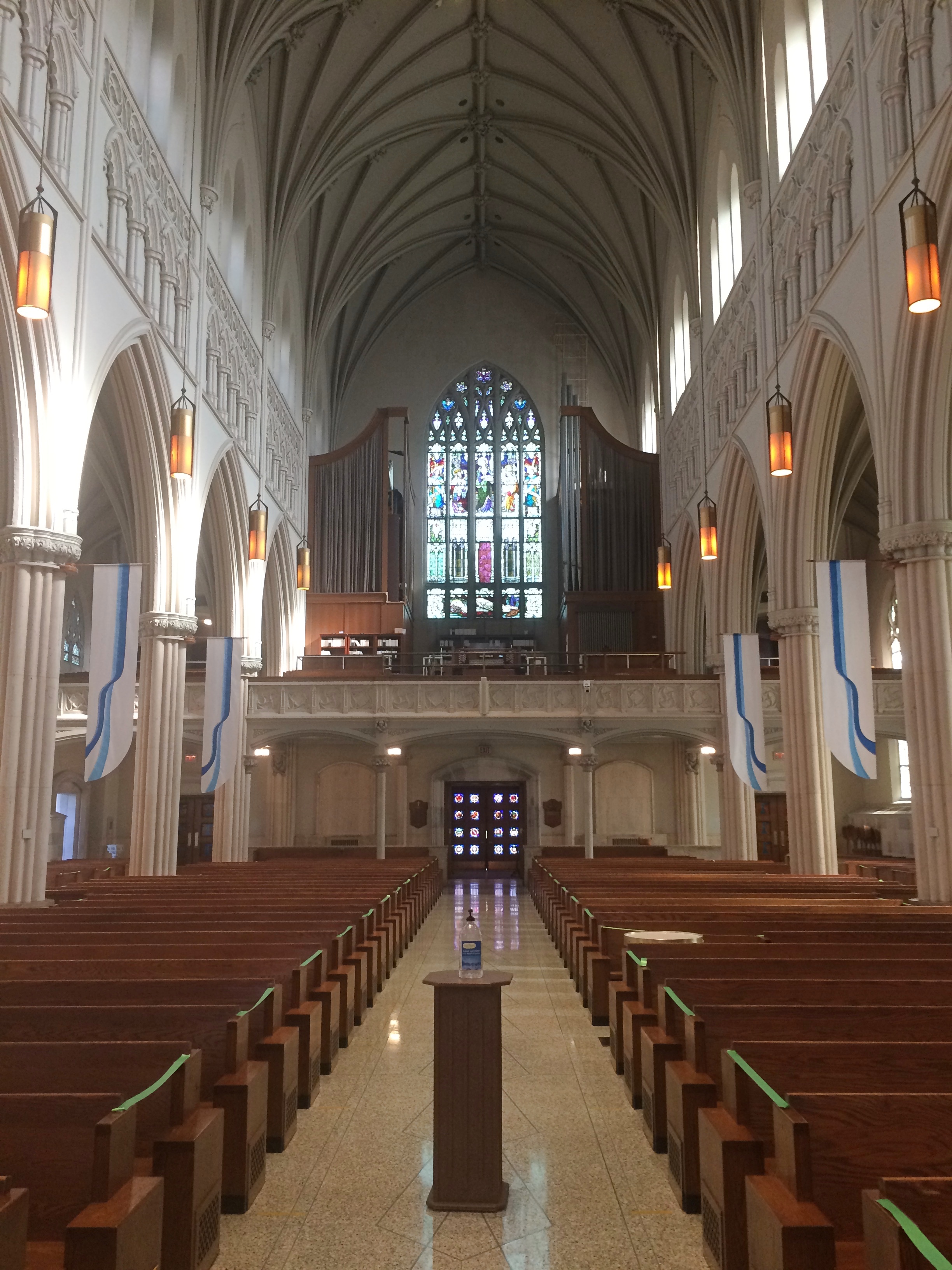
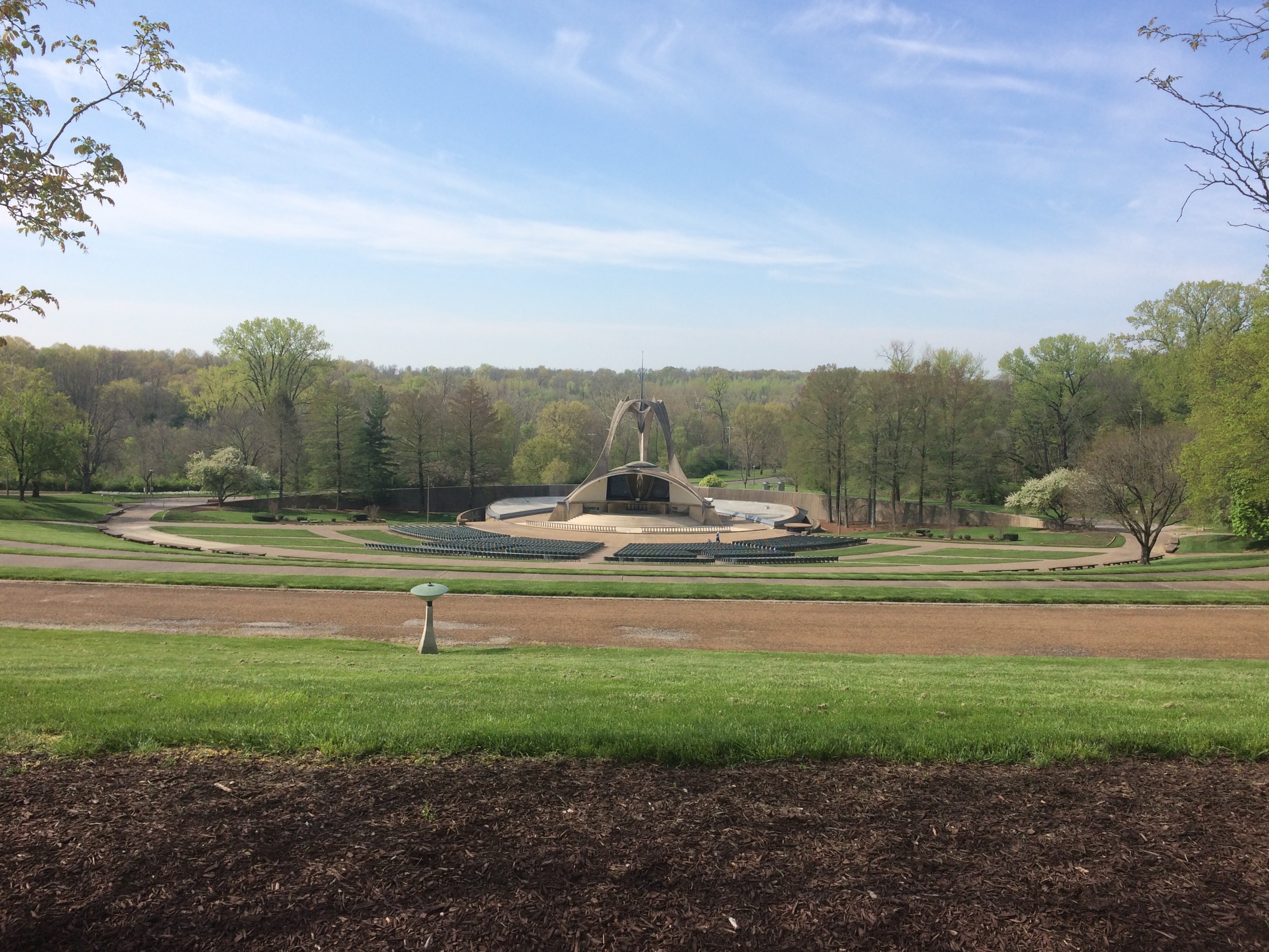
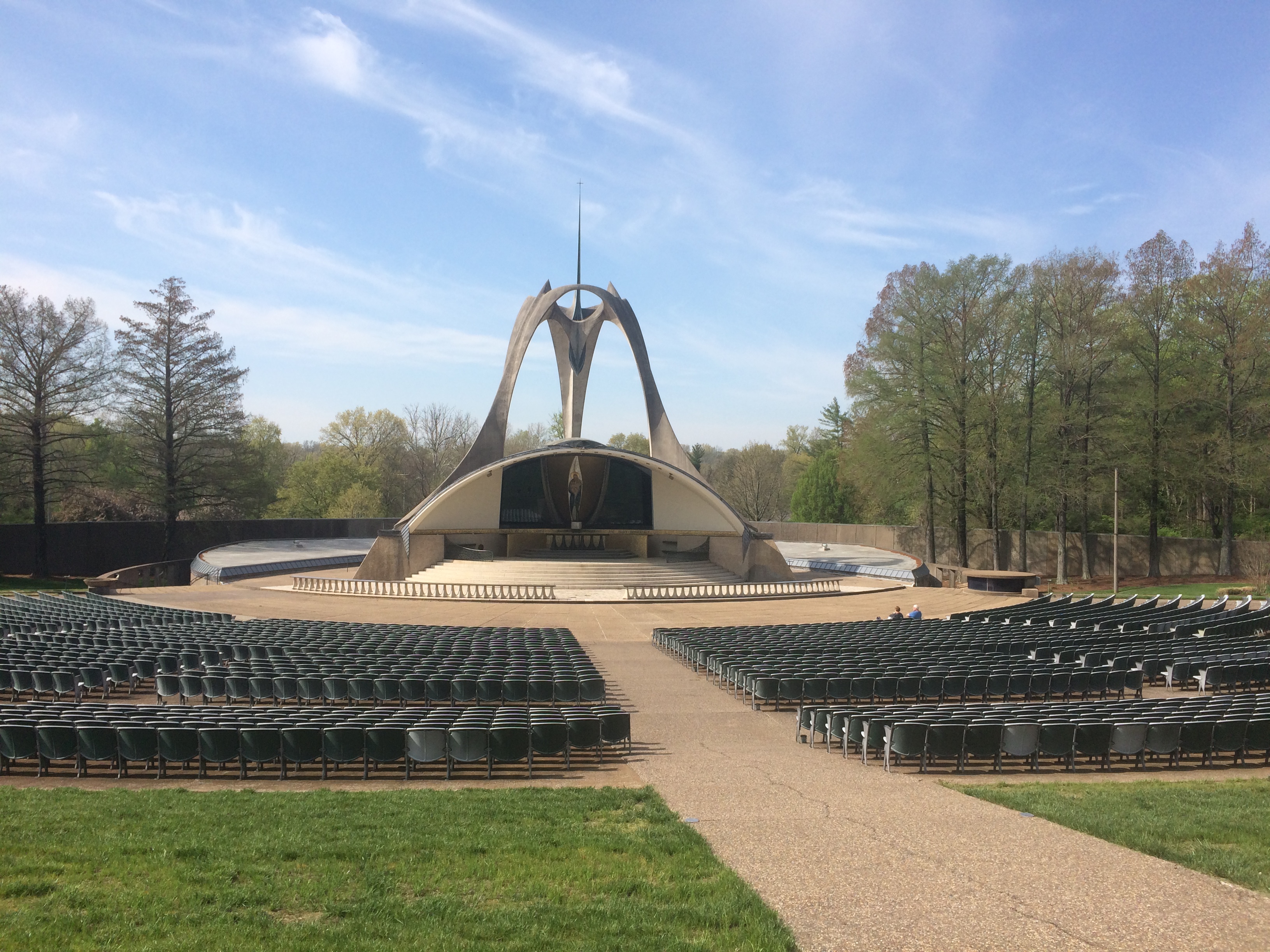
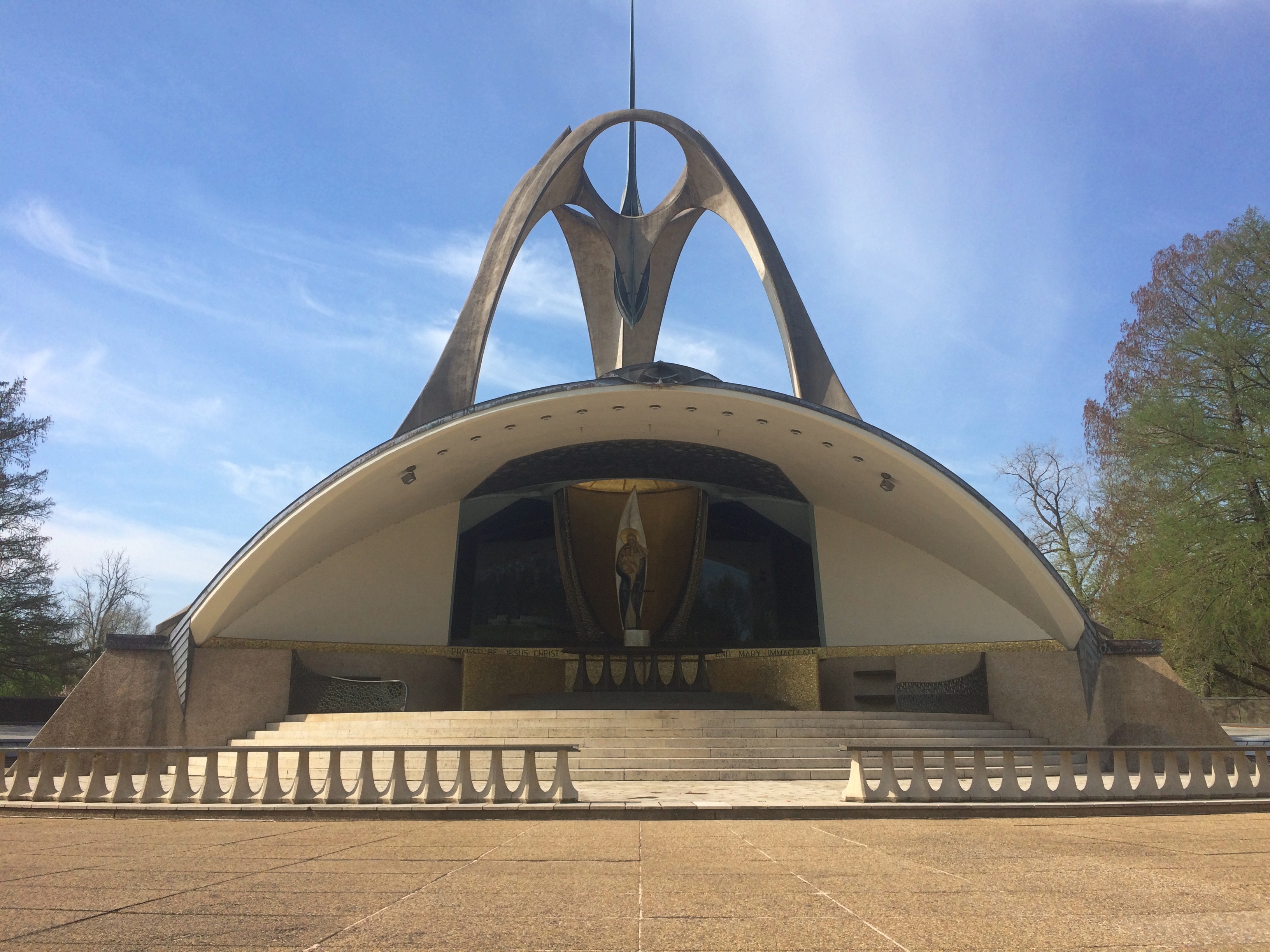
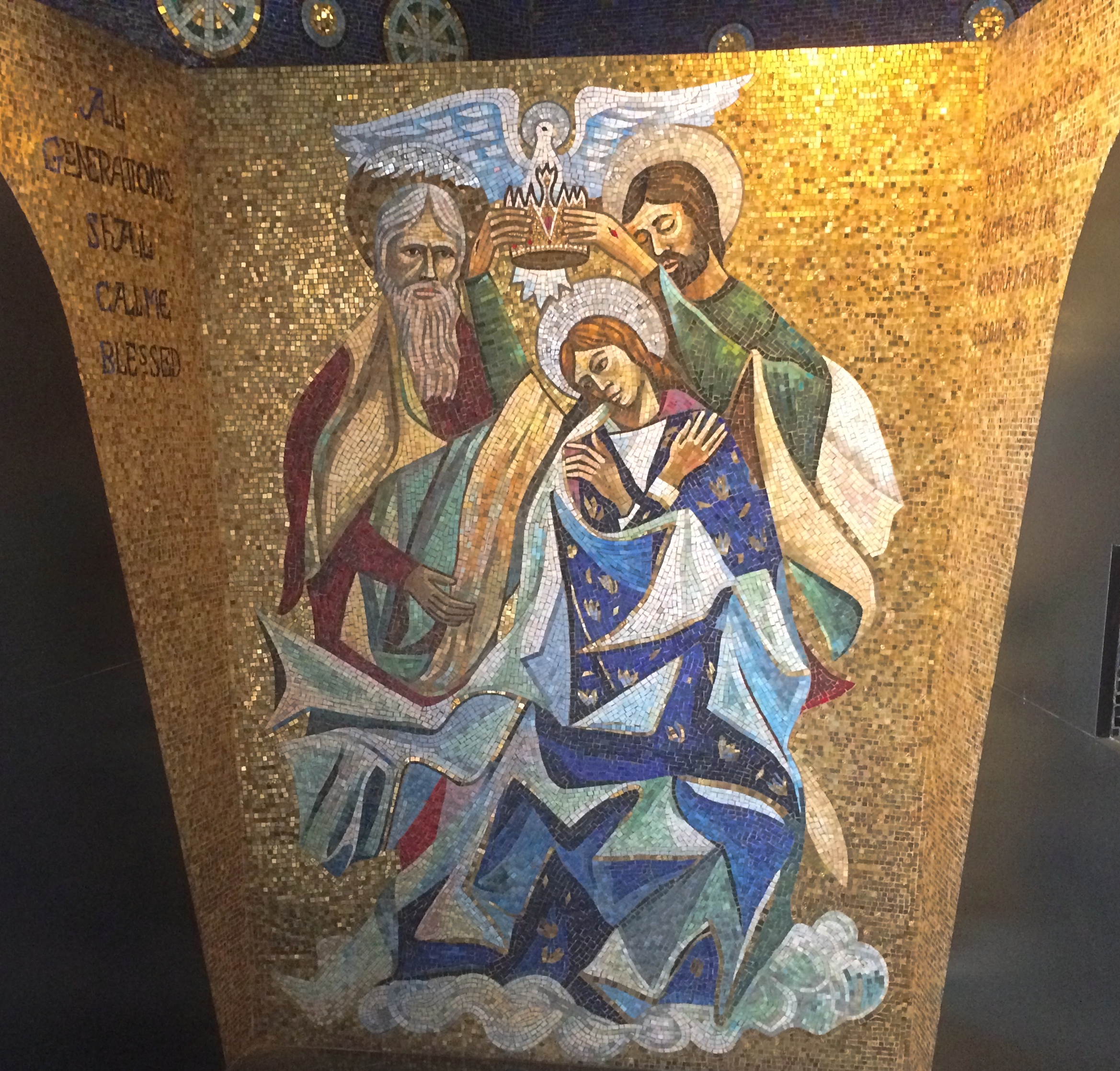
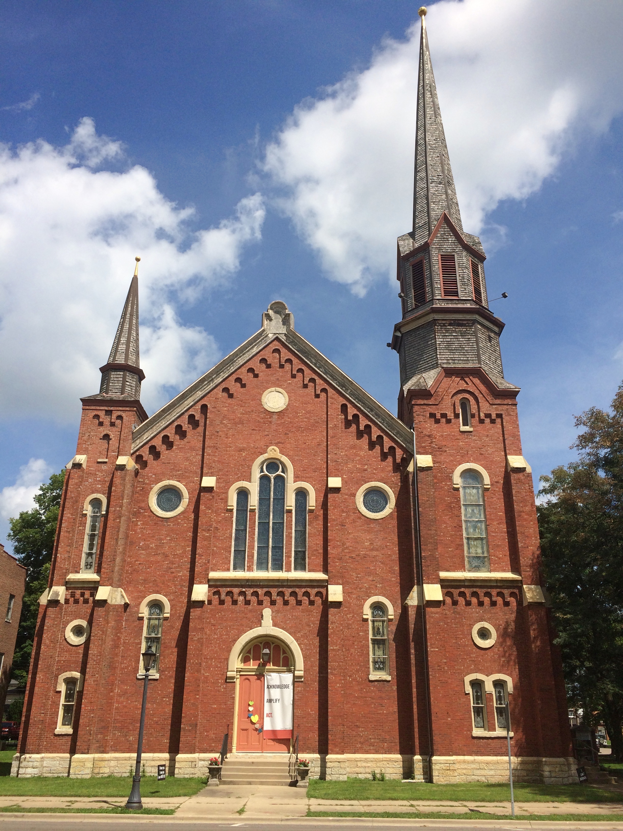
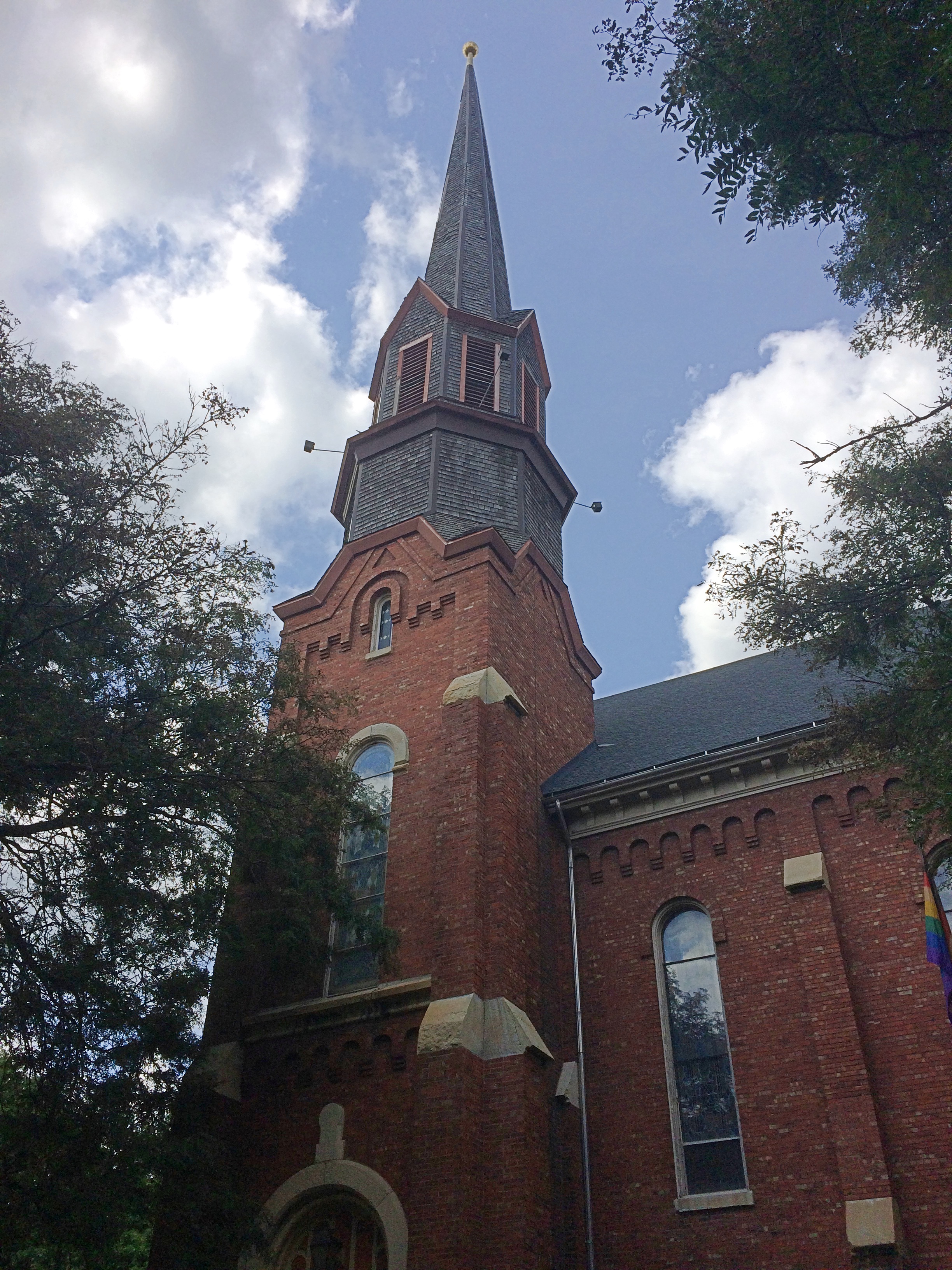
St. James at Sag Bridge Catholic Church and Cemetery

Saturday was warm and pleasant, Sunday raw and unpleasant, and today — Ides of March Snow. If Rome had had a few inches that day, Caesar might have stayed home, since the rarity of snow would surely have been a warning not to do any official business. Oh, well.

Except for scattered dirty piles in parking lots, all of the massive February snows had melted by March 14. The March 15 snow will last a few days at most, due to a warming trend predicted for later in the week.

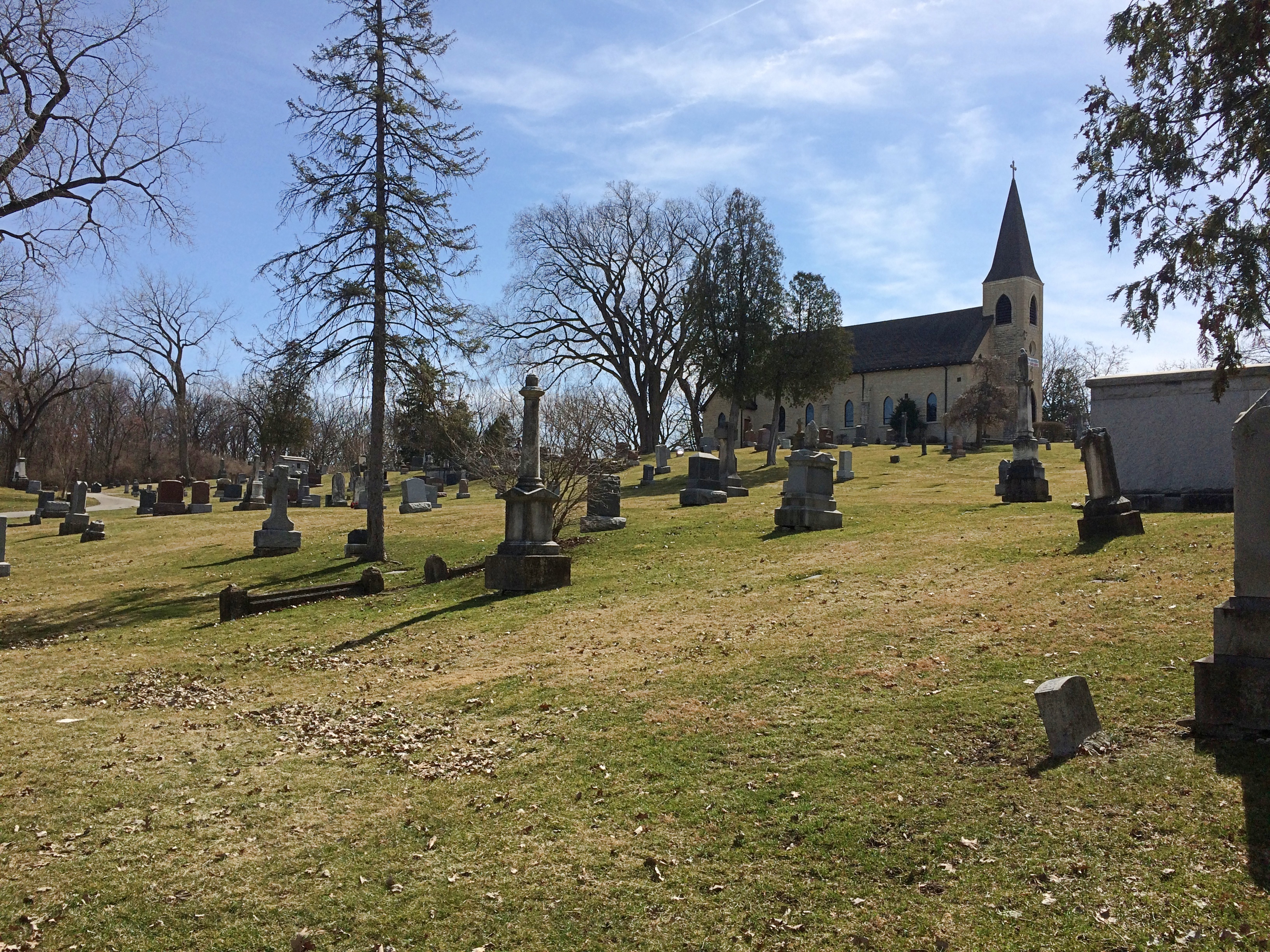
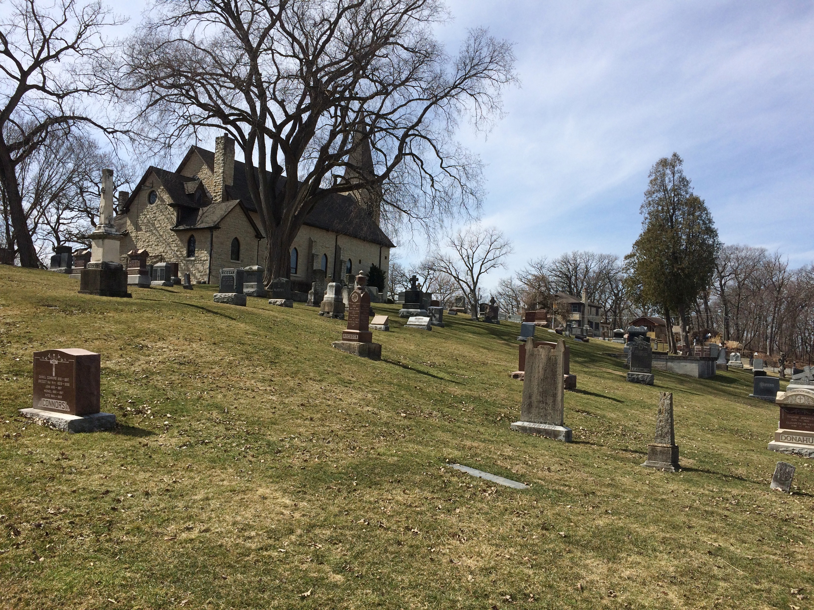
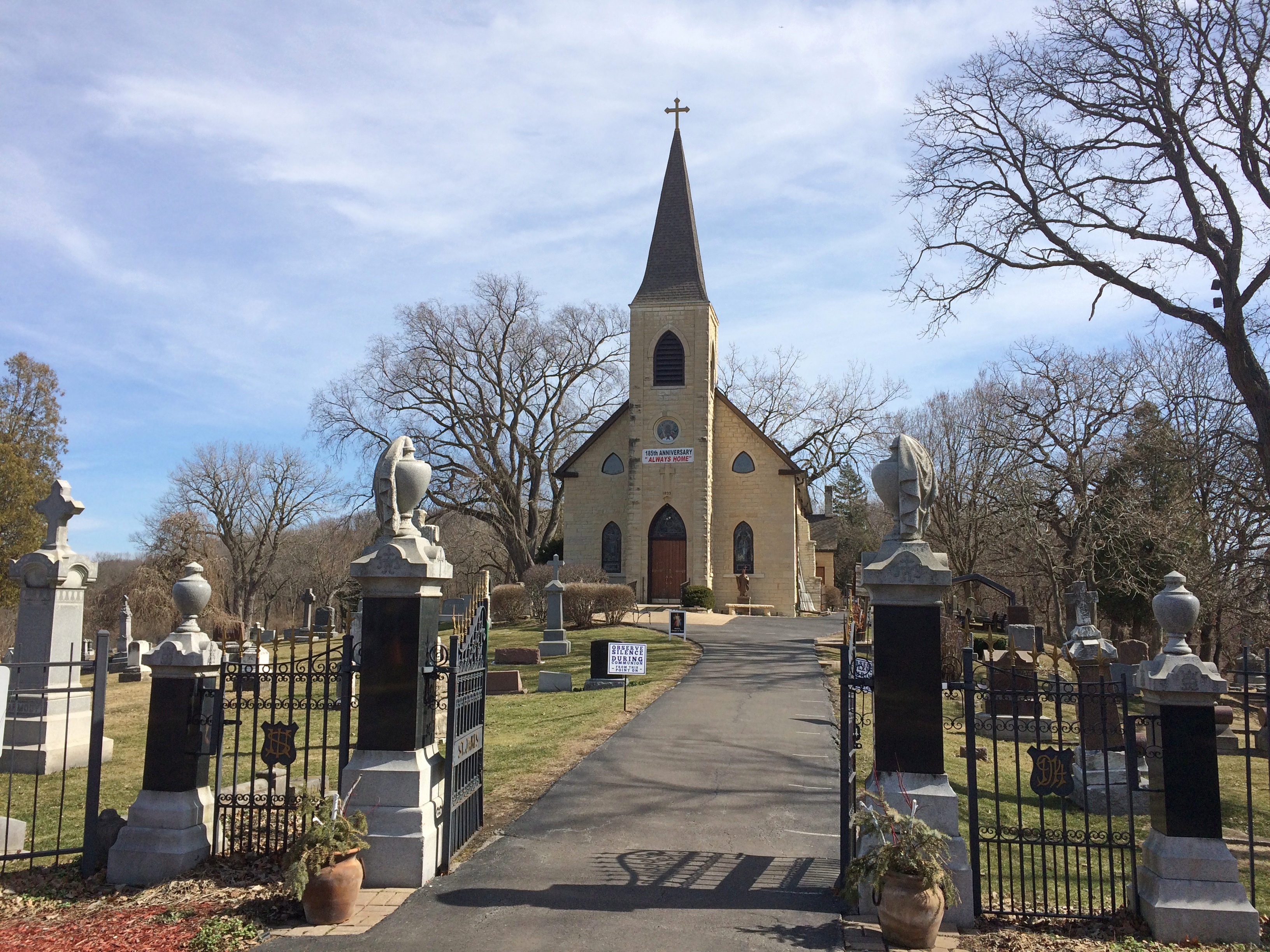
Illinois has a few hills, typically relics of ancient glacial movements. Built on top of one of them, in the village of Lemont, is St. James at Sag Bridge Catholic Church, which got its start in historic times — but still quite a while ago, in the 1830s.

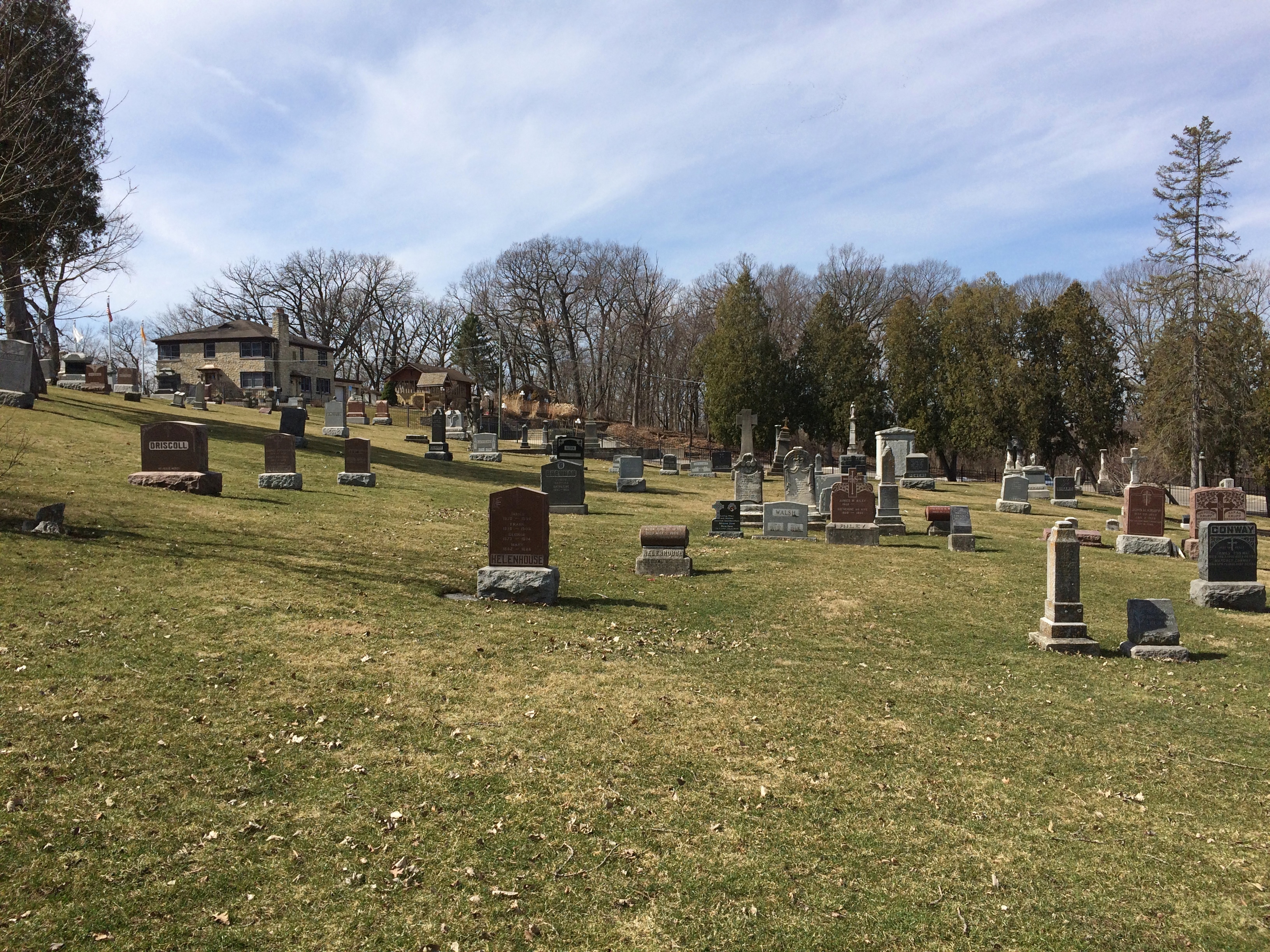
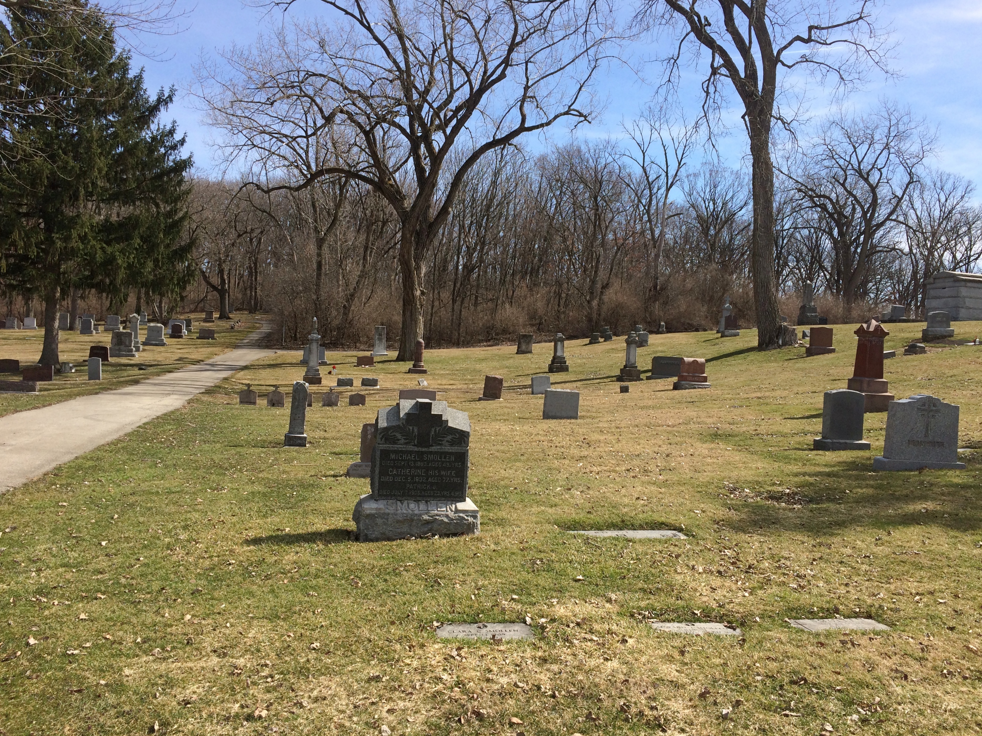
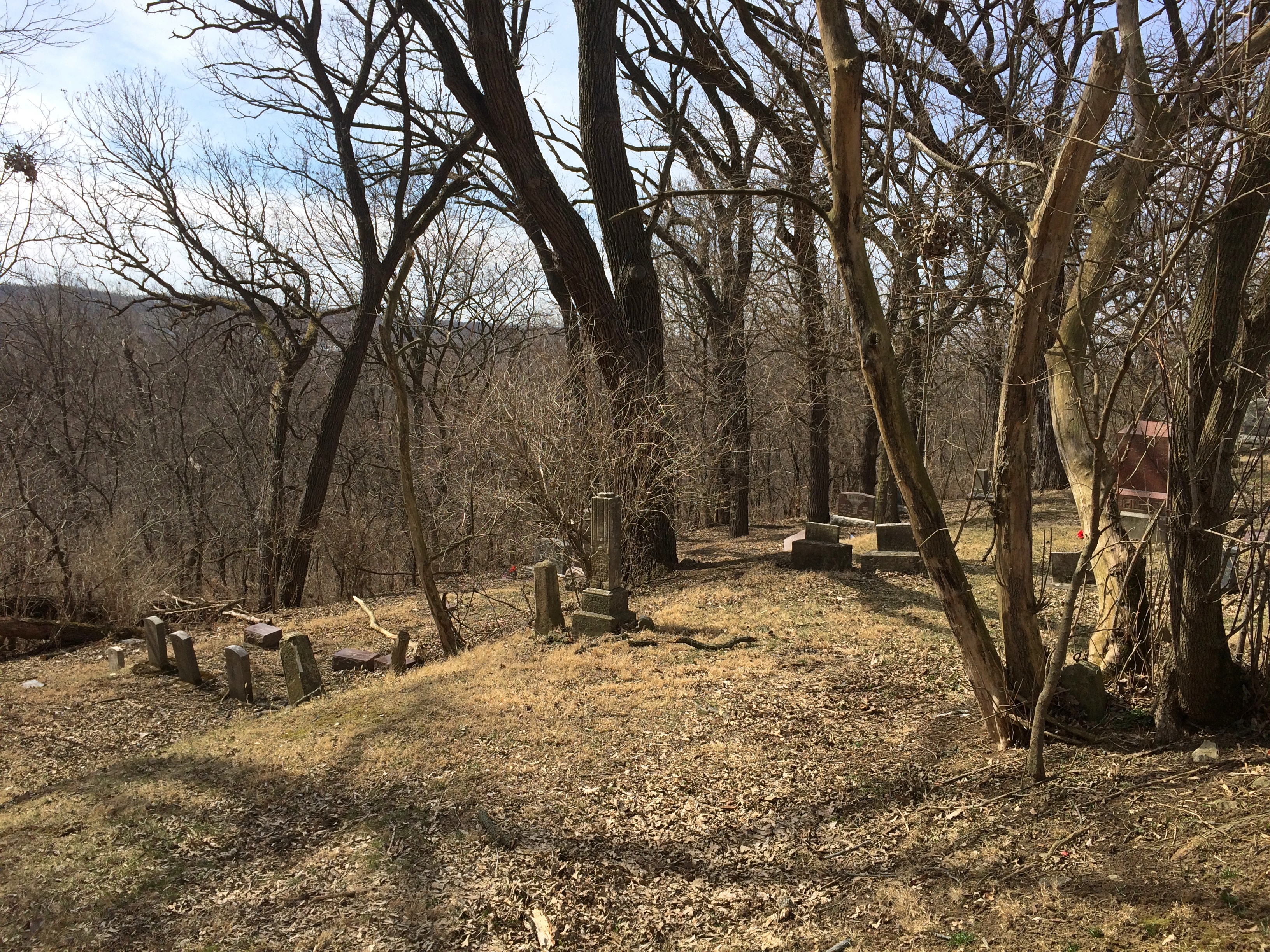
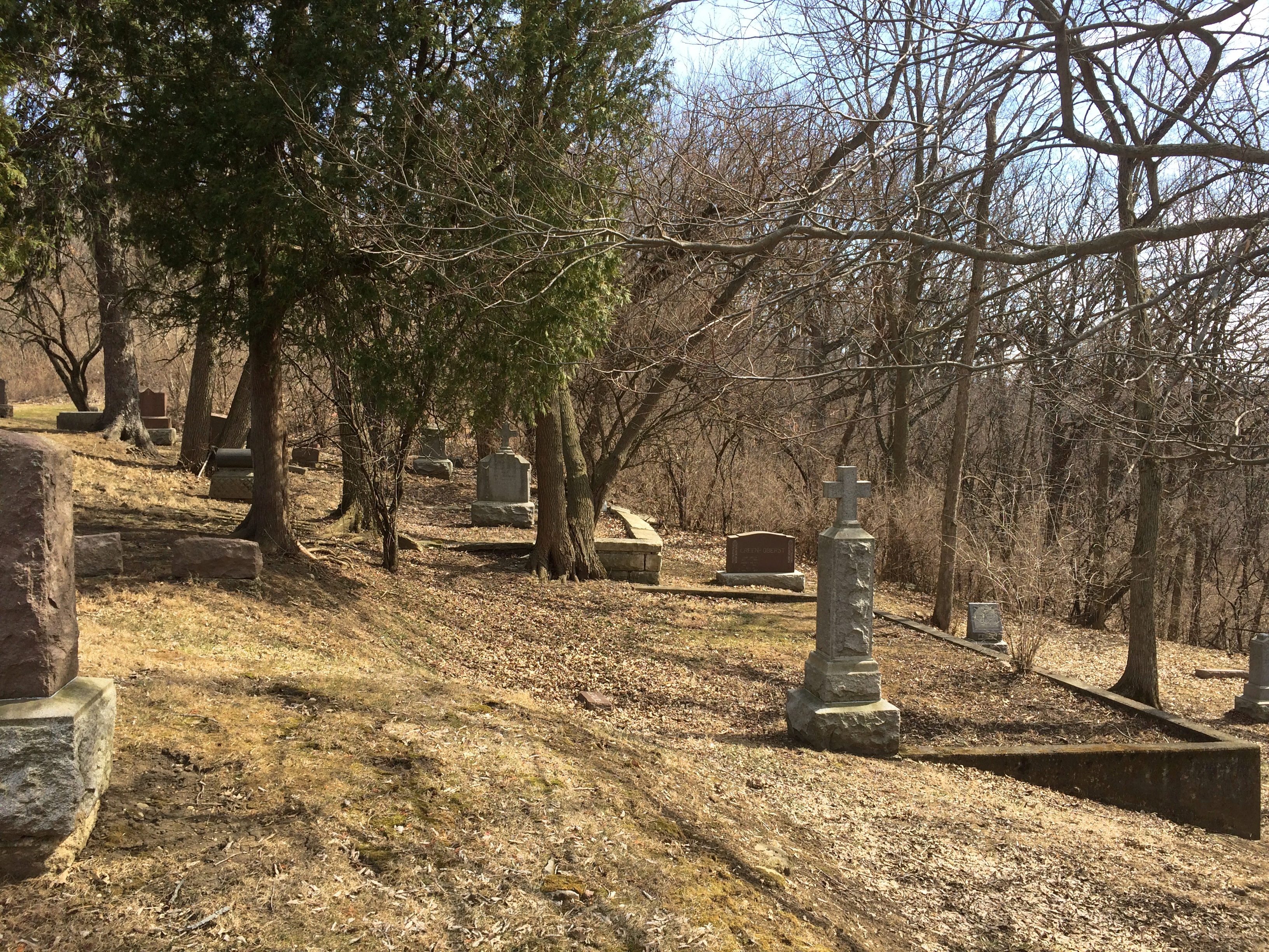
On the slope of the hill is the church cemetery.St. James at Sag Bridge Catholic Church St. James at Sag Bridge Catholic Church St. James at Sag Bridge Catholic Church St. James at Sag Bridge Catholic ChurchOne side of the hill — maybe better to call it a ridge — is quite steep, yet still sports stones.St. James at Sag Bridge Catholic Church St. James at Sag Bridge Catholic Church

The rest of the family had other things to do during the day on Saturday, which as mentioned turned out to be clear and warm, so I headed south for a look around the suburban stretch of Archer Avenue (Illinois 171) between Lemont and the village of Justice.
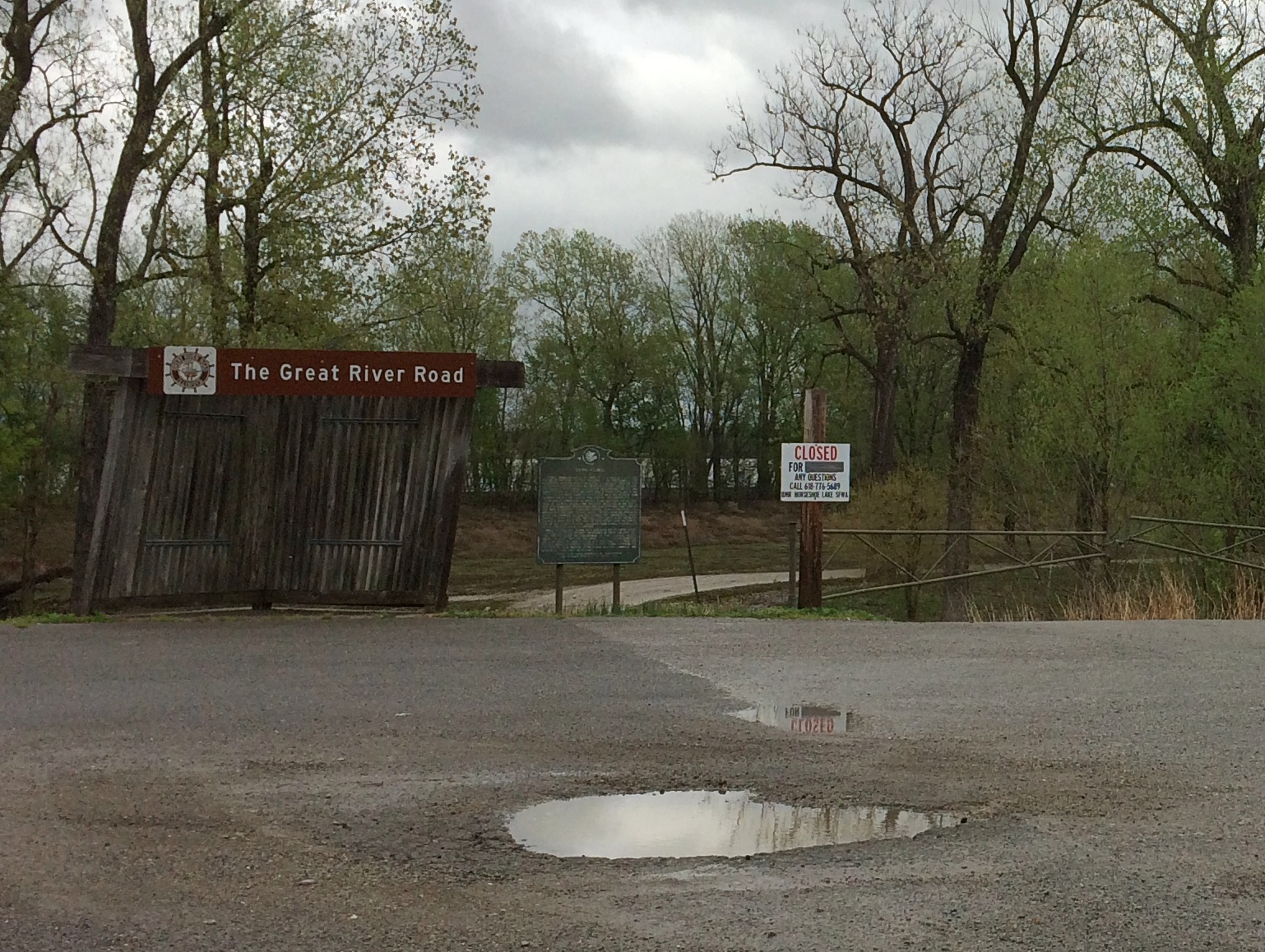
The urban section of Archer Avenue, “Archey Road,” was the haunt of Mr. Dooley once upon a time, but that’s a matter best left for others to describe (if you feel like paying for access).
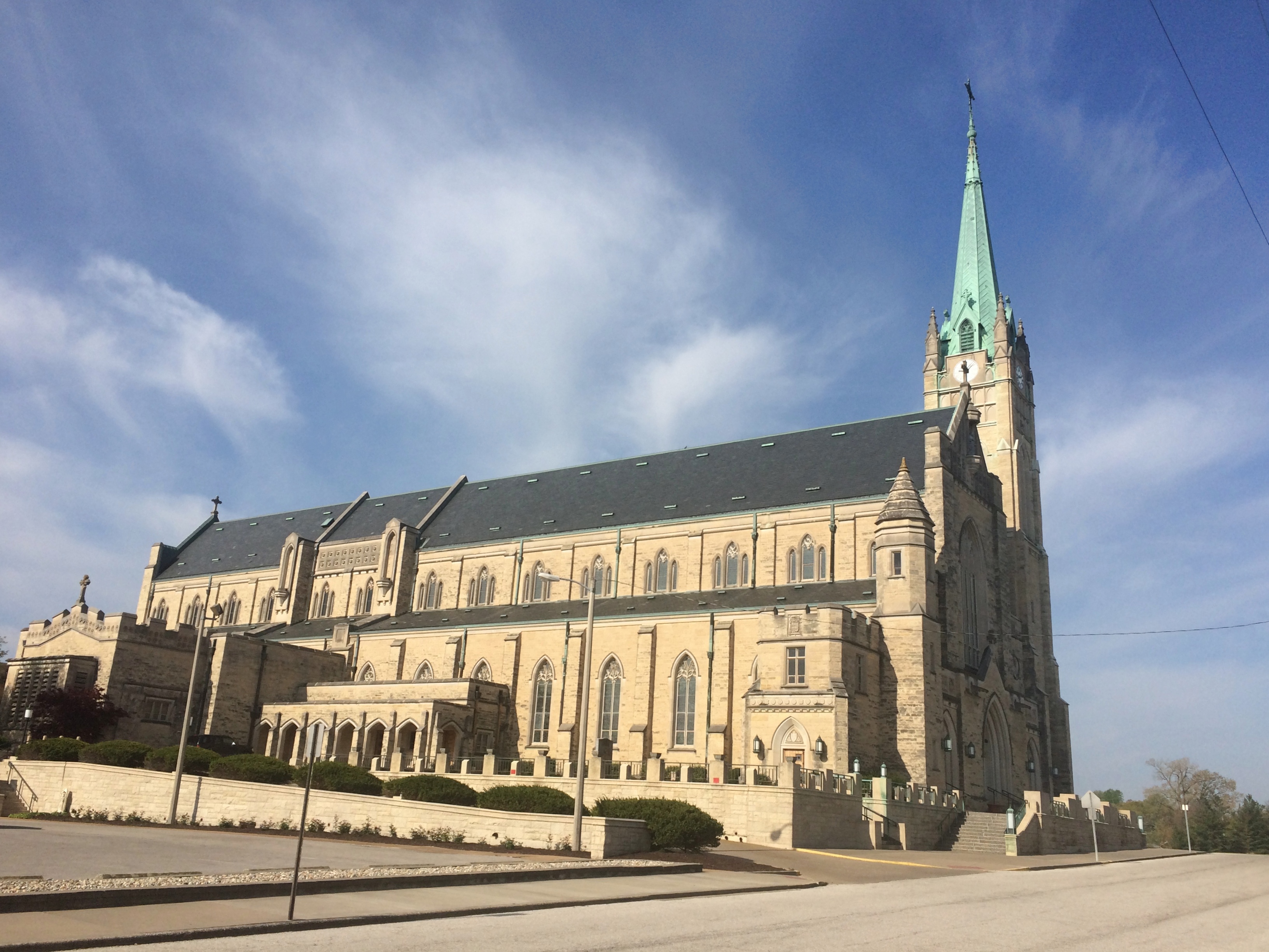
In our time, suburban Archer Avenue is a thoroughfare featuring independent and chain restaurants, small office buildings, auto repair shops, liquor stores, churches, schools, municipal facilities, and vast cemeteries. The surrounding forest preserve lands are even larger, the further out you go.

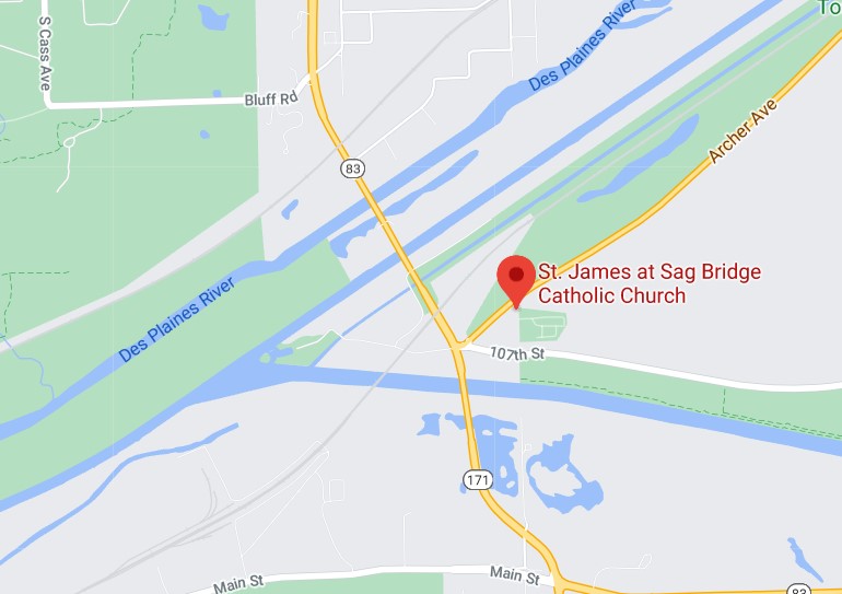
St. James at Sag Bridge is near the junction of Archer Avenue and the north-south Illinois 83, which (to the north) is one of the main transit spines of DuPage County. St. James’ hill also rises near the triple waterways of the Des Plaines River, the manmade Chicago Sanitary and Ship Canal, and an older manmade leftover of the 19th-century canal-building boom, the tiny-by-comparison Illinois & Michigan Canal.

To the south of the church and cemetery is yet another artificial waterway, the early 20th century Calumet Sag Channel, which gives the area its name, Sag Bridge, for a predecessor bridge of the one that now carries 171/83 across the channel. The Calumet Sag connects the Calumet River system with the Sanitary and Ship Canal, which it joins just to the west of the church. It’s a complicated bit of geography that I was only vaguely aware of before I decided to examine this part of Archer Avenue.
Sag? I wondered about that as well. The full name of the canal is the Calumet-Saganashkee Channel. I didn’t know that either, but learning it generated another question, as is often the case. Saganashkee?
Named after a local feature with a modified Indian name, it seems: Saganashkee Slough, which is a lake on forest preserve land in the area.

“A case in point is Saganashkee Slough,” the Chicago Tribune reported in 1994. “It was formerly a huge swamp that extended from west of 104th Avenue to the limits of Blue Island, and its original name, Ausaganashkee, is a Potawatomi Indian word that means ‘slush of the earth,’ wrote former Forest Preserve District general superintendent Cap Sauer in a historical account written in the late 1940s.

“During the construction of the I&M Canal in the 1830s, a feeder ditch was dug in the swamp that helped supply additional water to the canal. The slough was almost destroyed in the 1920s by blasting during the construction of the Cal-Sag Channel. Saganashkee was reconstructed by the forest preserve district, although in much smaller form, Berg said. At 325 acres, it is still, however, one of the largest bodies of water in the district.”

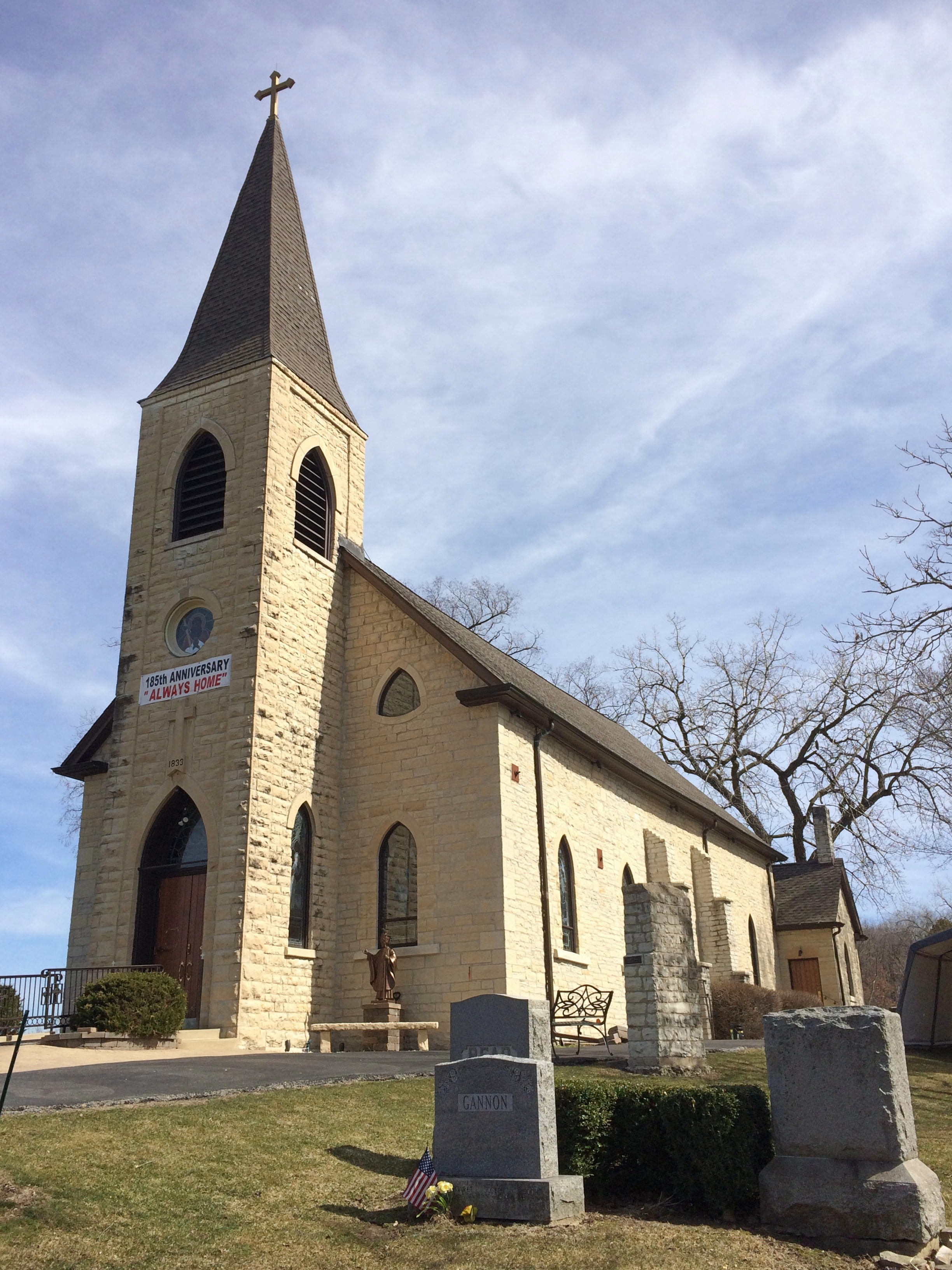
As for St. James, the church was founded to serve workers, mostly Irishmen, who were building the Illinois and Michigan Canal, with the current structure completed in the 1850s. A place to go Sunday morning after Saturday night revels, and sometimes donnybrooks, at least according to Irish stereotypes. I suspect the congregation is a good deal more diverse these days.St. James at Sag Bridge Catholic Church

St. James at Sag Bridge Catholic ChurchIt’s a handsome limestone building, built from material from nearby Lemont-Sag quarries, which provided stone for Holy Name Cathedral in Chicago and the Chicago Water Tower besides. I understand the St. James interior is quite beautiful, but it was locked when I visited.

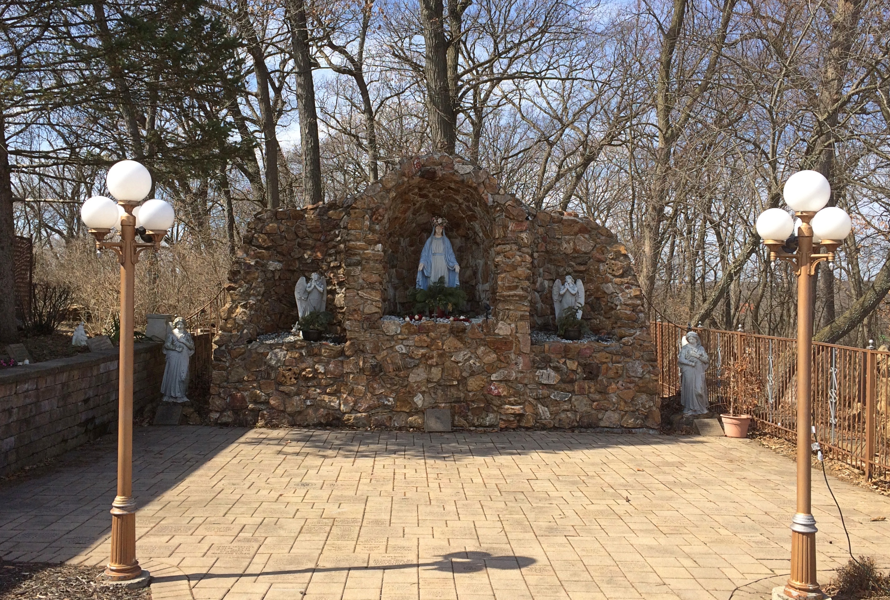
The Our Lady of the Forest grotto on the grounds was, of course, open for a look.
St. James at Sag Bridge Catholic Church - Our Lady of the Forest
Compared with the church building, the grotto is new, built in 1998 for the for the 165th anniversary of the parish. See grottos when you can.

Bemis Woods

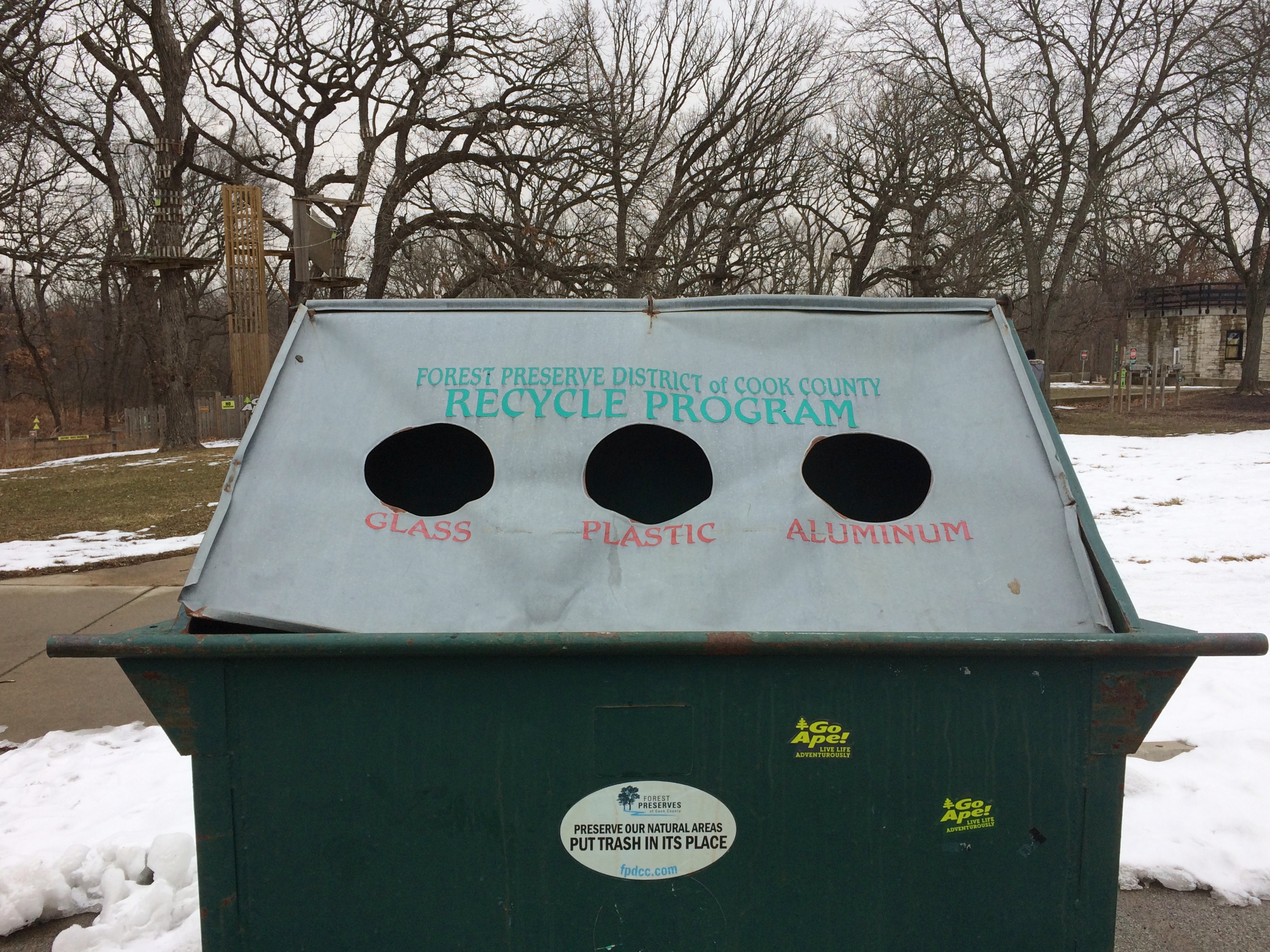
This is the funniest thing I saw over the weekend.
Bemis WoodsA recycling container belonging to the Forest Preserve District of Cook County. As soon as I saw it, I had the urge to peek inside. You’d expect three separate spaces, right? No. Everything goes into the same large space.

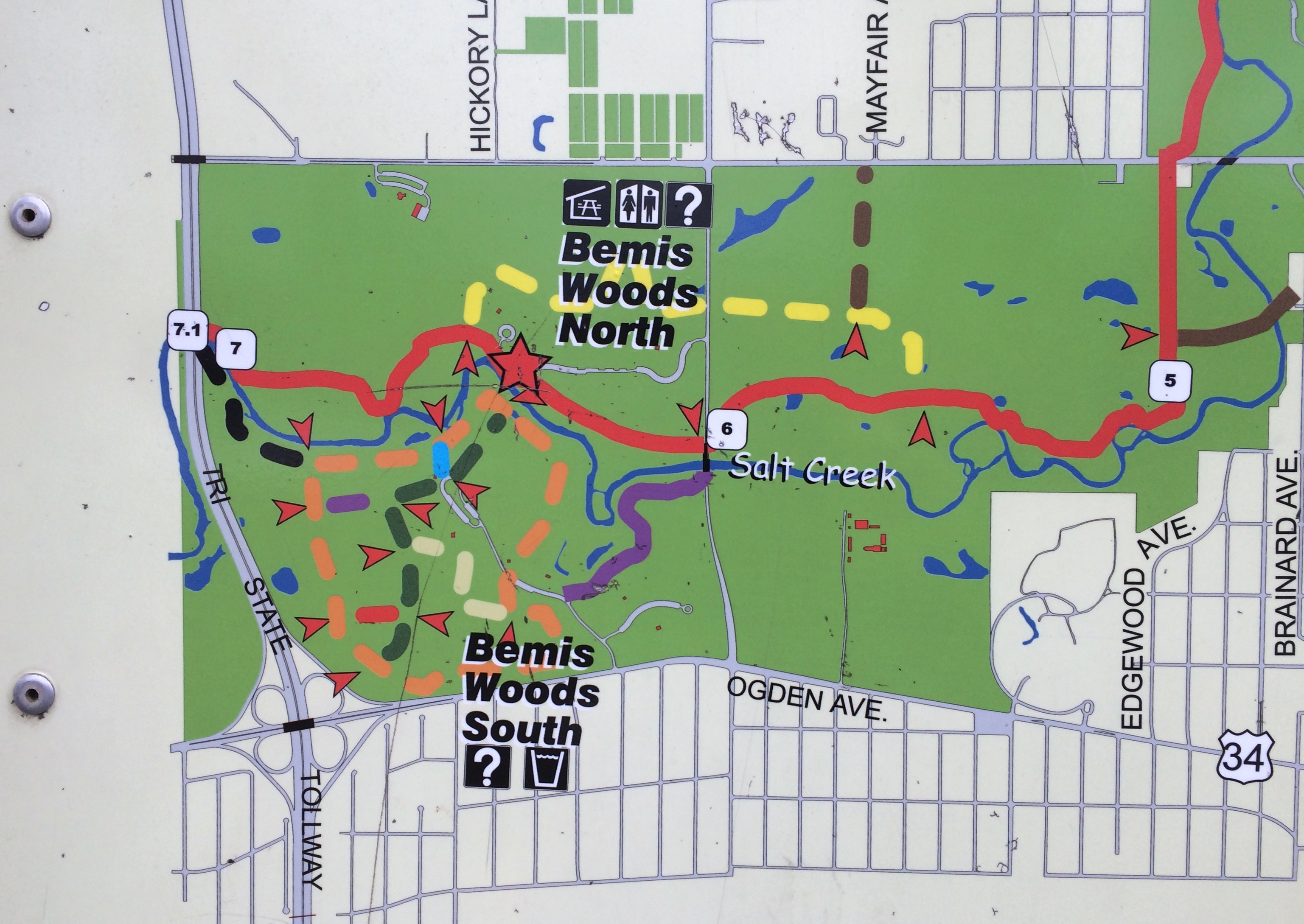
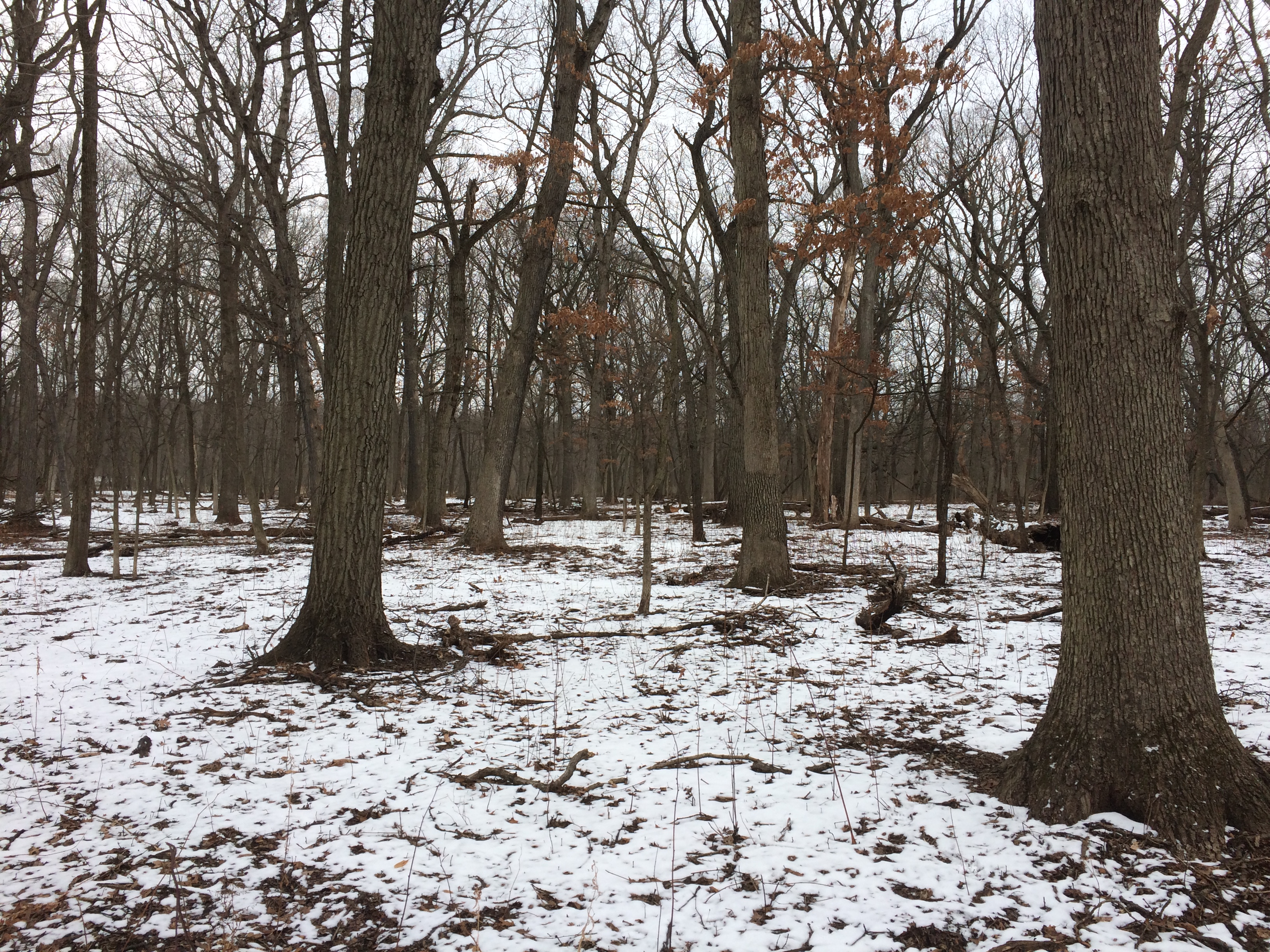
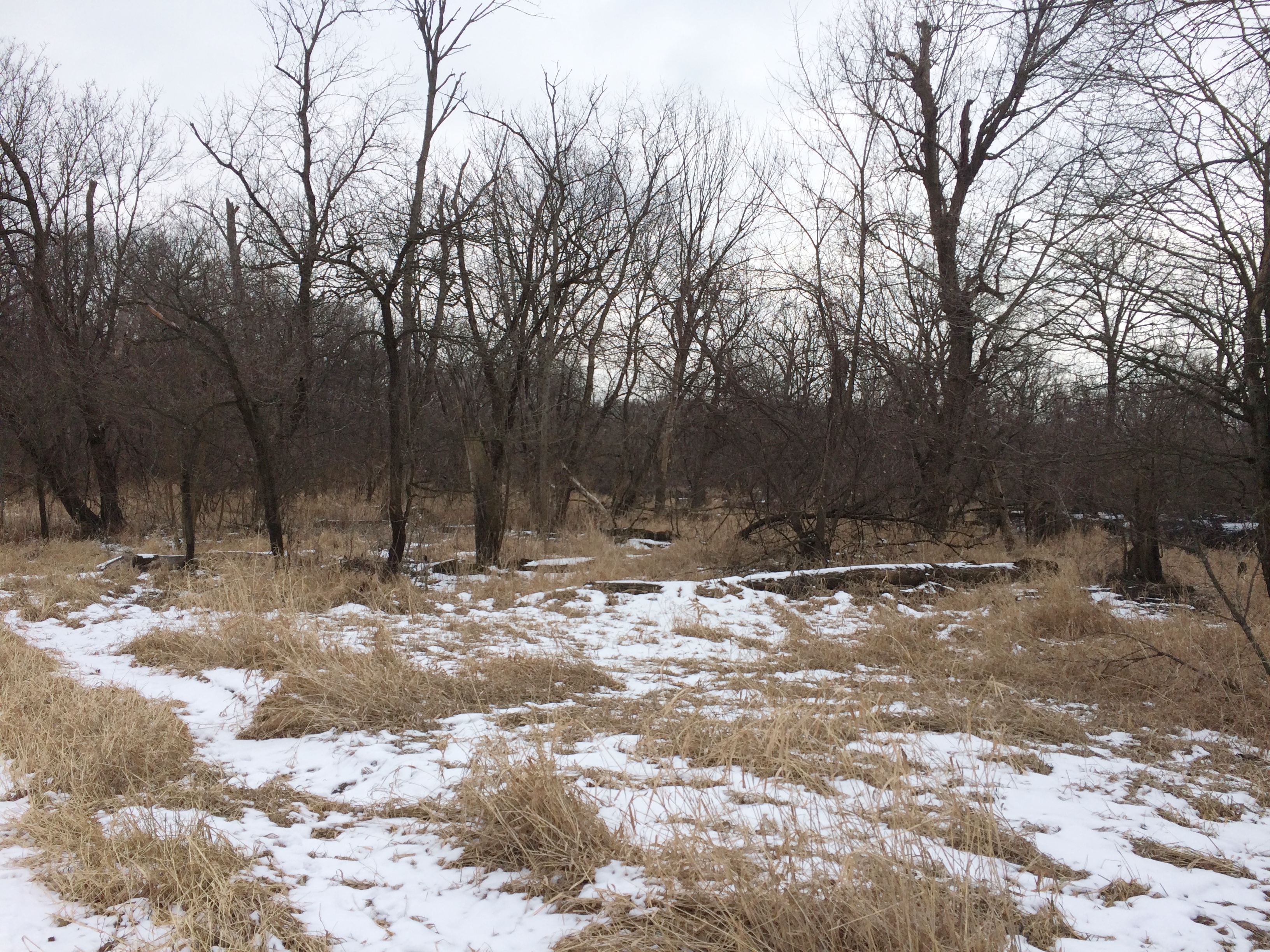
We were at Bemis Woods, a forest preserve in Westchester, Illinois, a western suburb just to the east of the DuPage County line and I-294.
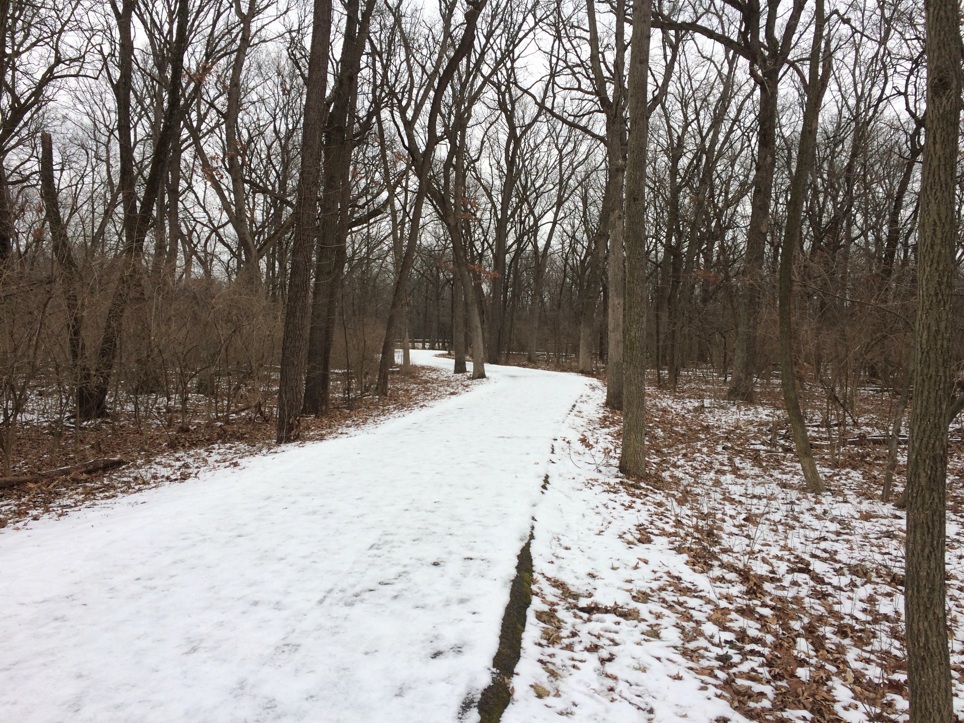
Bemis WoodsWe walked from the parking lot to the green trail, then the red trail, then the purple trail, then on the road back to the parking lot. About a mile and a half in all. The trails were a little treacherous.
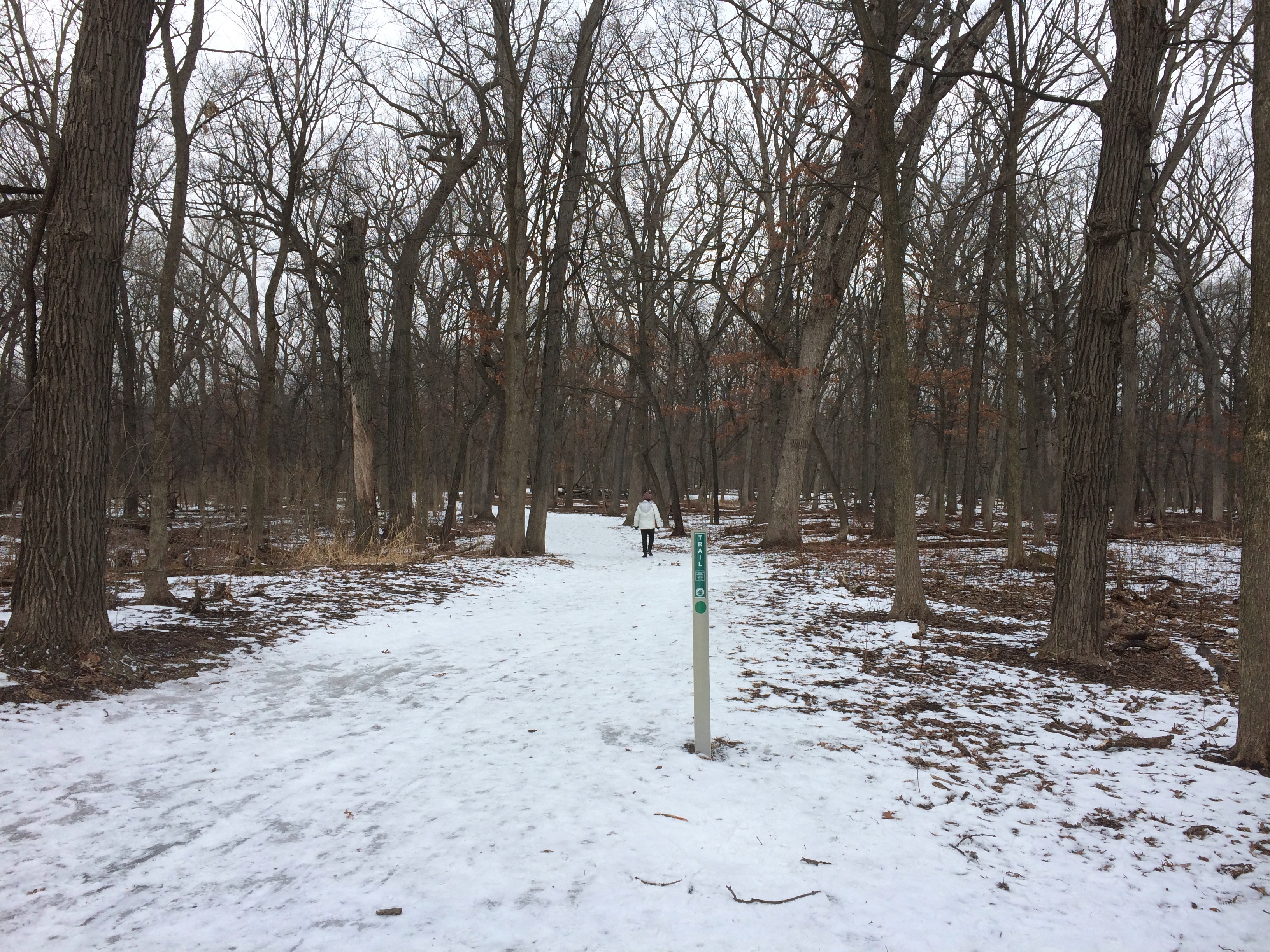
Bemis WoodsThe snow cover was thin, and where previous walkers had been, some of the snow had been scuffed enough to re-freeze as ice. Some parts of the trail were well covered with slippery zones, others less so.

Evidence of many other walkers, people and dogs, was easy to spot.
Bemis WoodsStill, it was a good walk through the woods at just below freezing.Bemis Woods

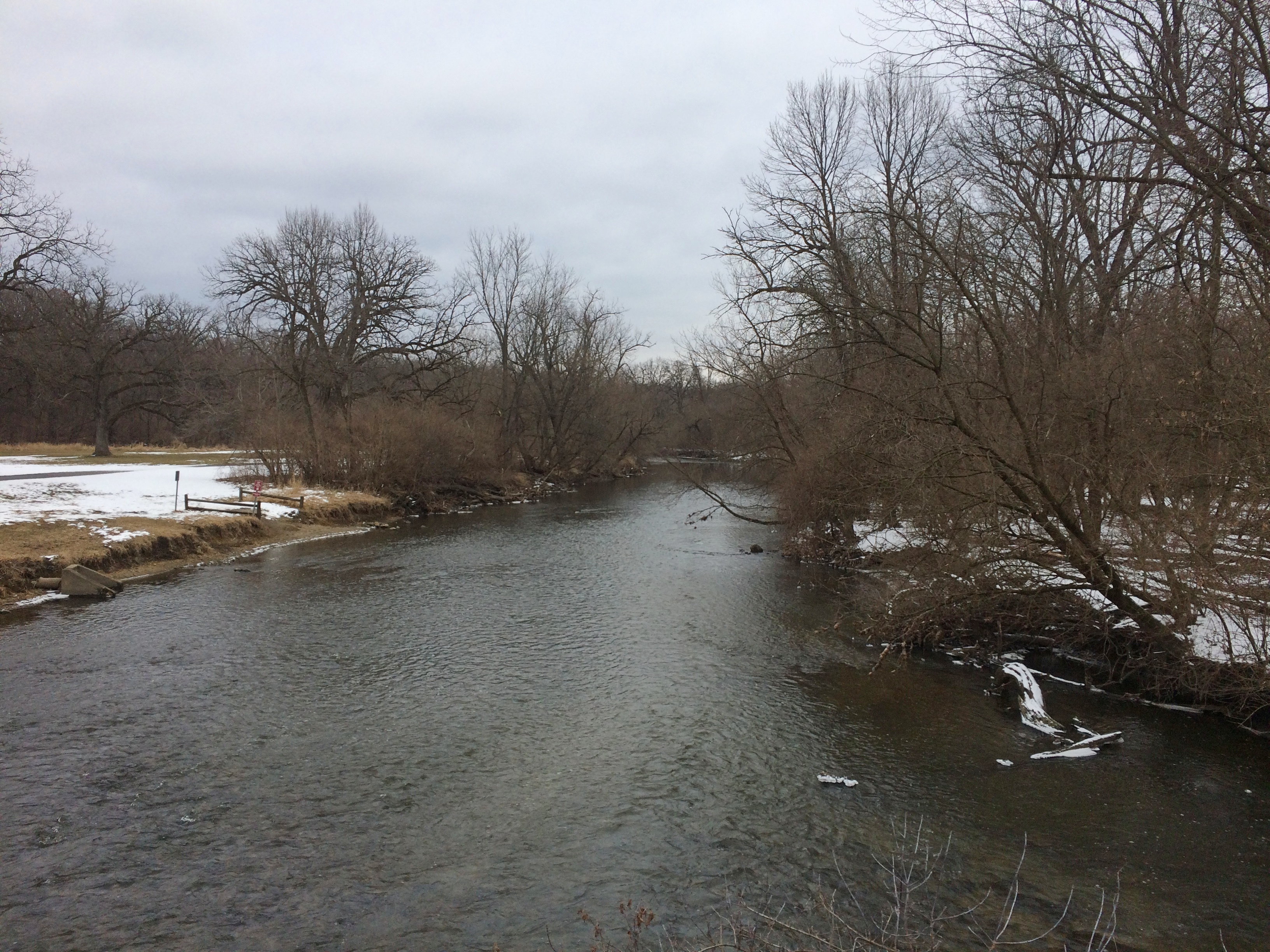
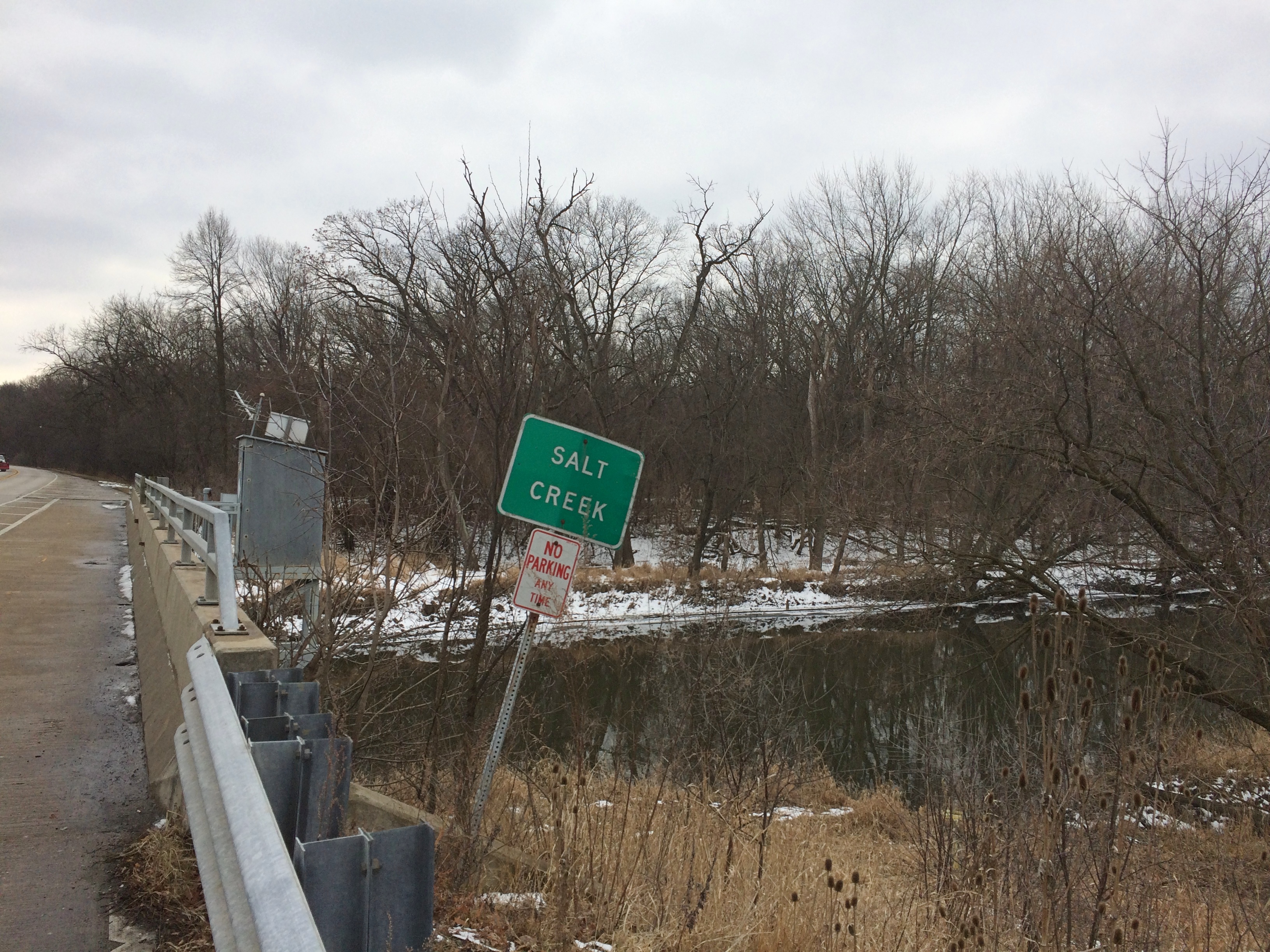
Bemis WoodsBemis WoodsWe crossed Salt Creek twice. Once at a footbridge. The view from there.
Bemis WoodsOnce along Wolf Road.
Bemis WoodsA good walk, but summer’s better on the whole. As it is for most things. The last time I was near Bemis — a little to the west, that time — was in August more than two years ago.

The Latest NP

What, another national park? Don’t we have enough? (This makes 63.)

I’m referring to New River Gorge National Park and Reserve in West Virginia, which sounds like a fine place to visit, including the bridge. But does it need to be a national park? Wasn’t national river good enough?

The new designation was tucked away in the latest omnibus federal budget, a document probably as sprawling and wild as some of the larger national parks. Maybe there’s also something there about a new park on the Moon, though I expect that would go against the Outer Space Treaty of 1967. Then again, could be that the treaty is silent on that question.

Sparta, Wisconsin

After leaving La Crosse on September 6, we spent time driving some picturesque Driftless Area roads, but soon we were feeling the pull of lunch. That is, we wanted to find a place to eat. We arrived in Sparta, Wisconsin, and started looking around. Doing it the old fashioned way — not with a search engine or an electronic map, but by keeping our eyes peeled as we drove.

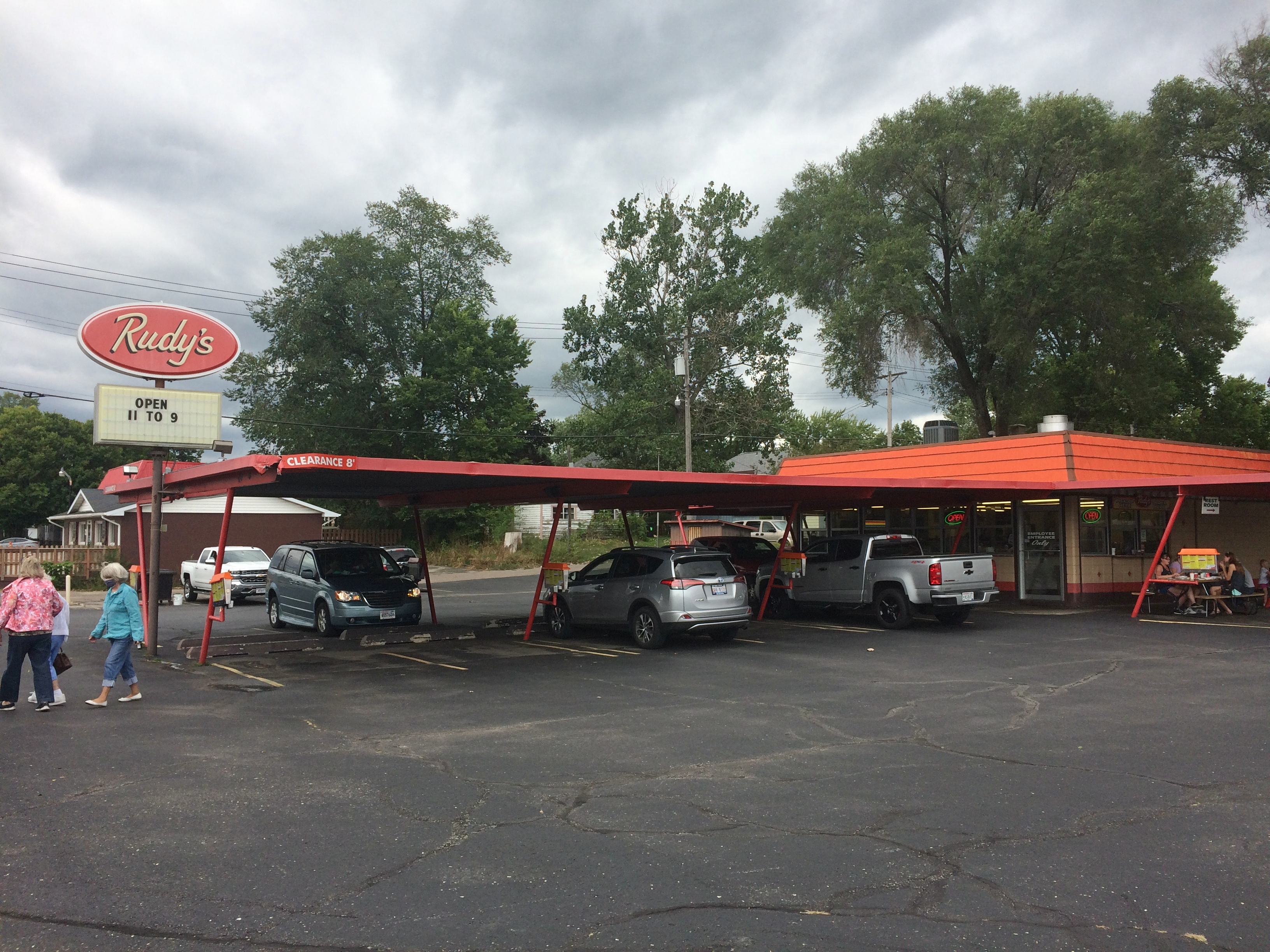
Sometimes you get lucky. Right in the middle of town, on W. Wisconsin St., we found Ruby’s. We stopped right away.Ruby's Sparta Wisconsin

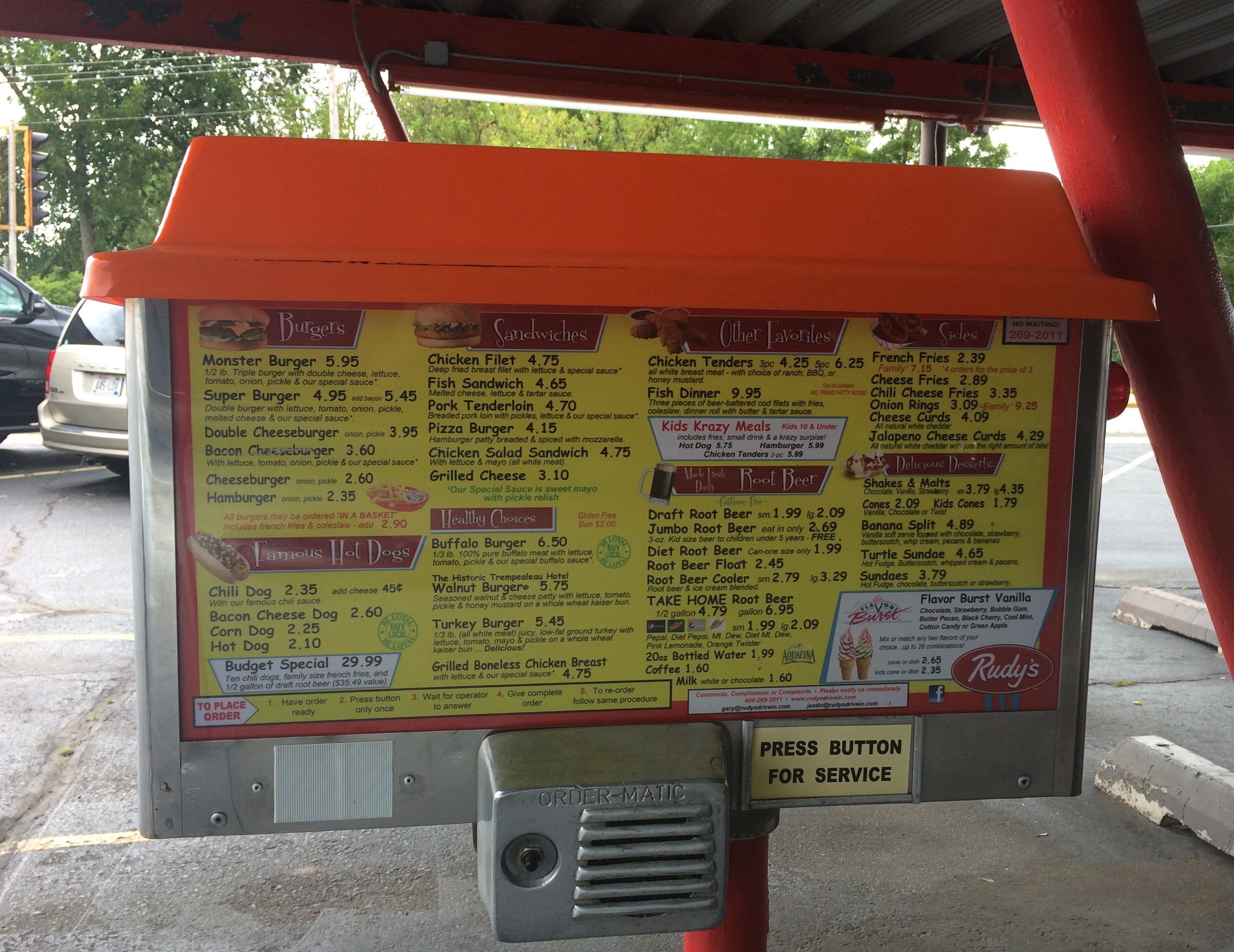
Ruby’s has a most traditional drive-in menu, with one exception.
Ruby's Sparta WisconsinBetween the three of us, we ate a satisfying drive-in lunch: a chili cheese & onion dog, a grilled cheese sandwich, onion rings, cheese curds (this is Wisconsin, after all) and the unusual item: a walnut burger.

As the menu explains, it’s “seasoned walnut & cheese patty with lettuce, tomato, pickle & honey mustard on a whole wheat kaiser bun.” I had a bite. It was tasty. The menu also notes “the Historic Trempealeau Hotel” above the Walnut Burger description, presumably as its provenance. Naturally, I looked it up. The boutique hotel, dating from the late 19th century, is still around, on the Mississippi upriver some distance from La Crosse in a burg called Trempealeau.

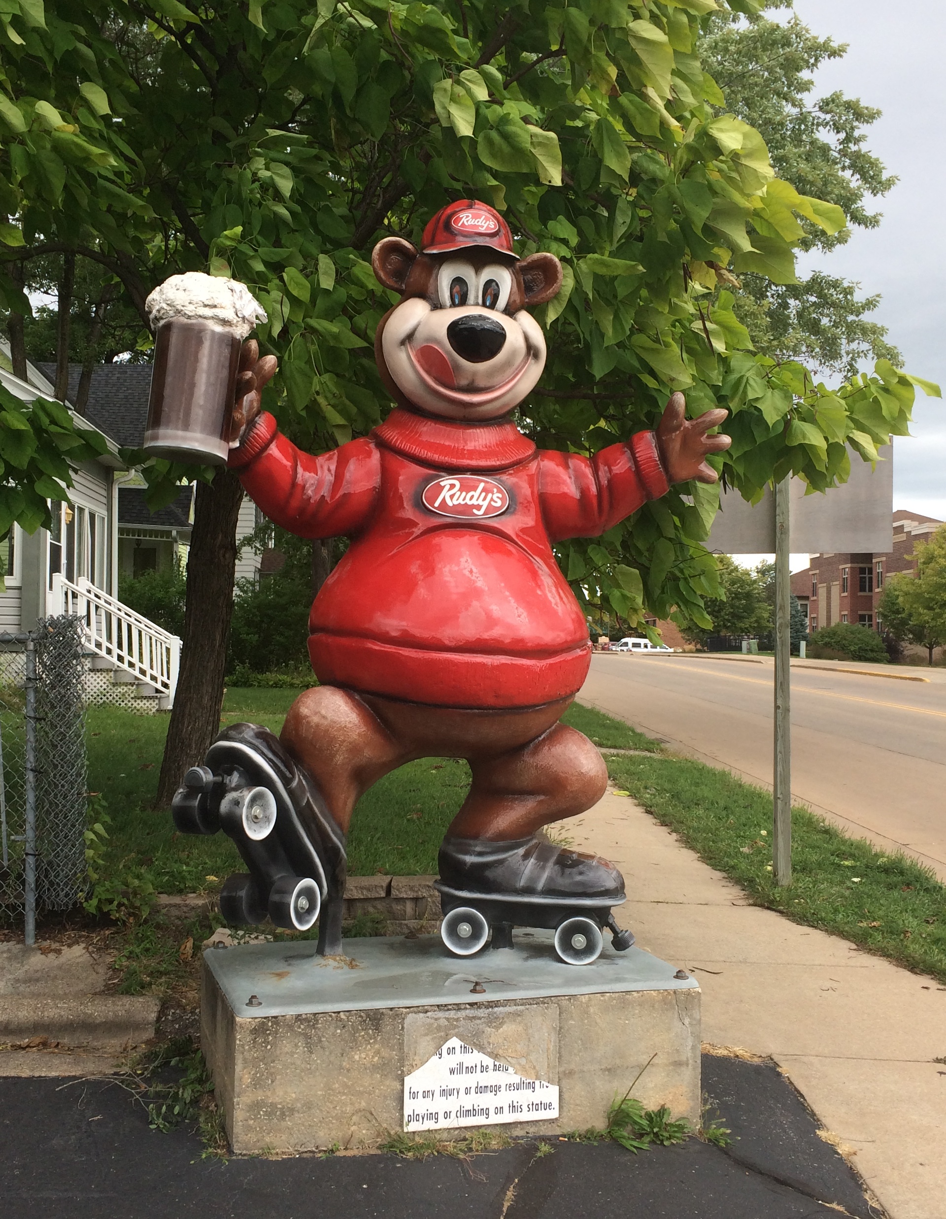
Rudy’s also sports a fiberglass statue. A bear on roller skates.
Ruby's Sparta WisconsinUnlike Gambrinus, I suspect the bear is holding a mug of root beer. Rudy’s has a special section for that on the menu, including a root beer float, but not beer.

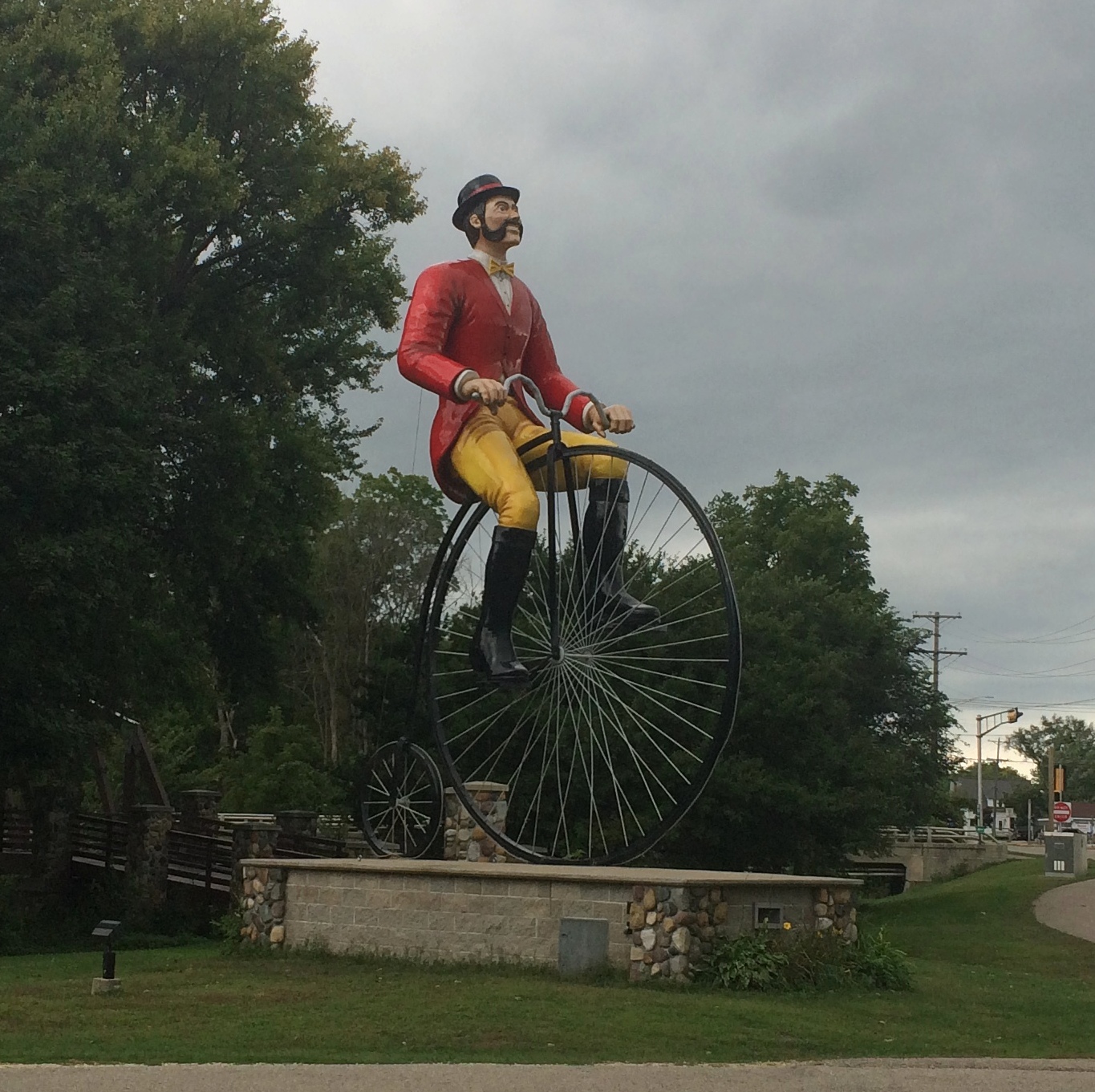
While we ate, I noticed another statue, much larger — or at least taller — than the bear. It was across the street catercorner from Ruby’s, in a park.

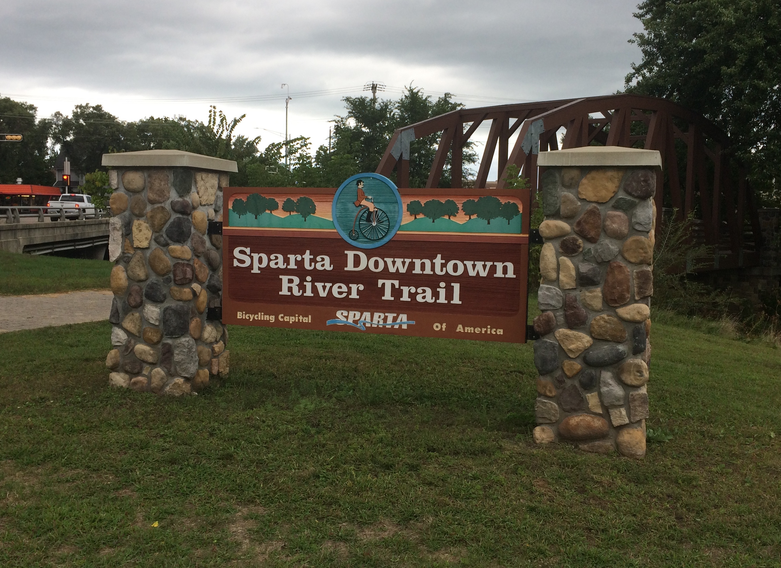
Of course I had to go see that, after we ate. The Sparta Downtown River Trail runs through the park.
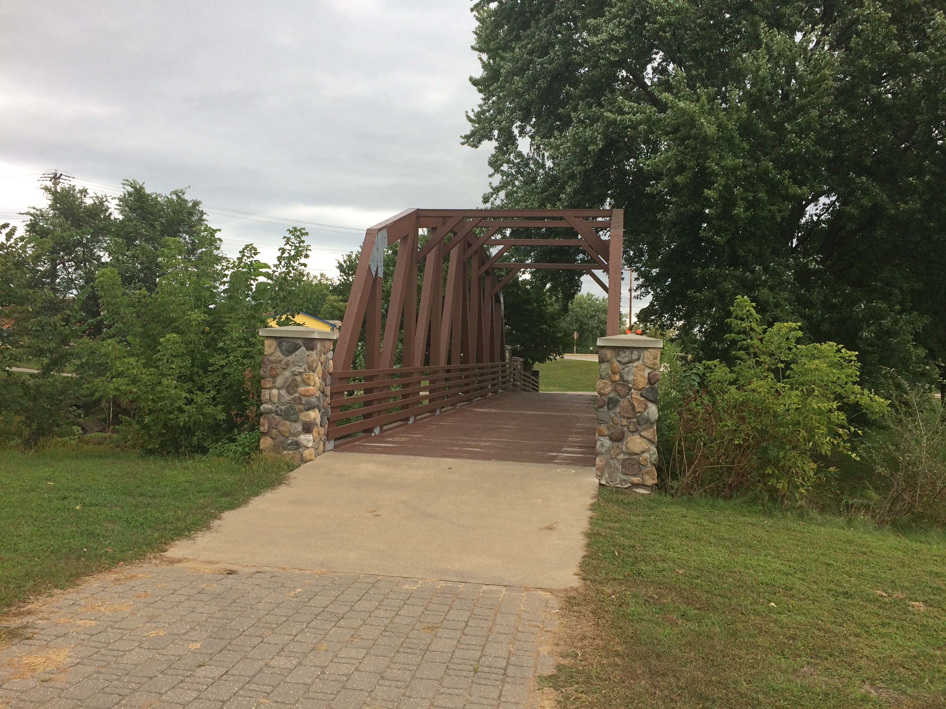
river trail Sparta WisconsinAt this point, a footbridge crosses the small La Crosse River, which eventually empties into the Mississippi in the city of that name.
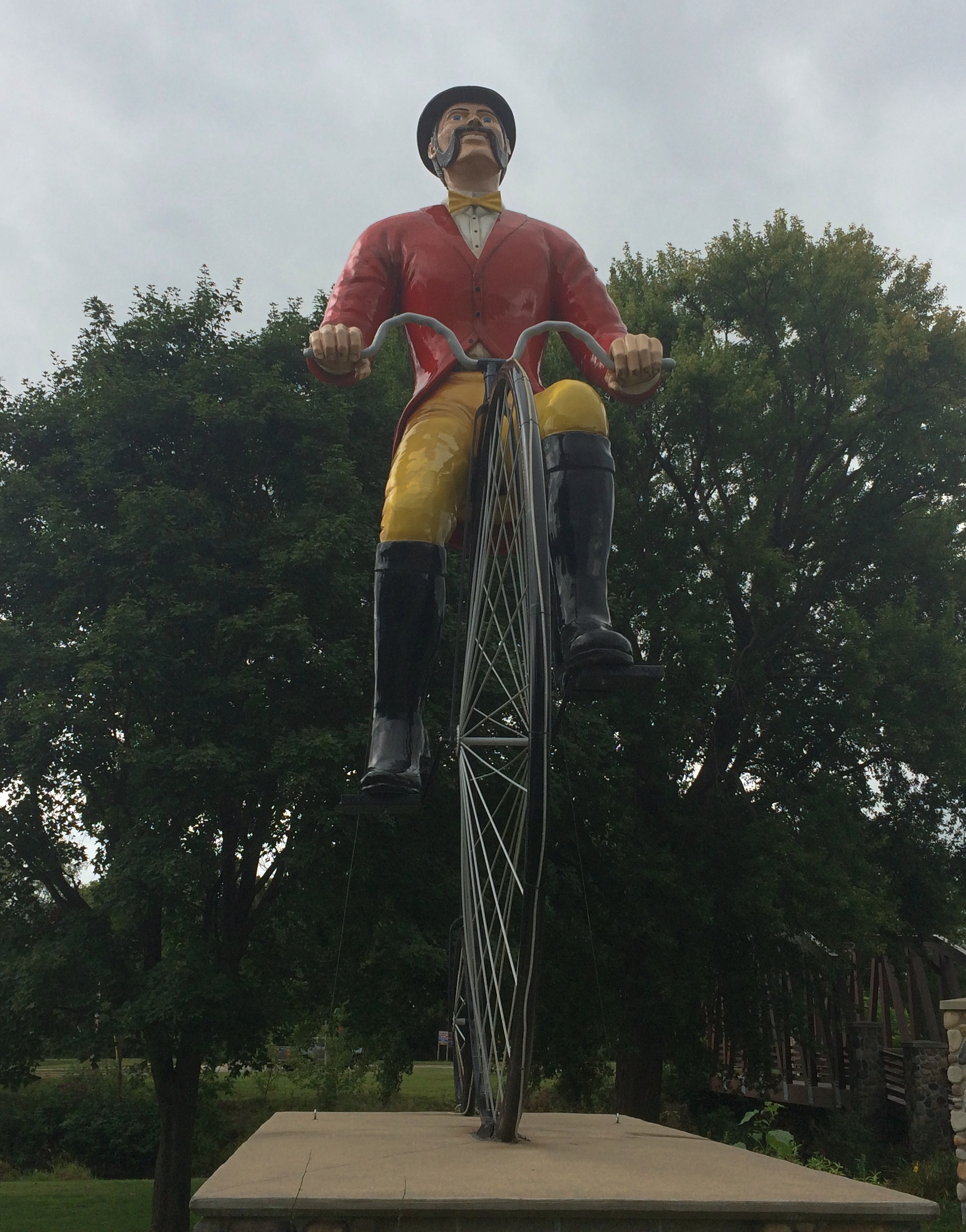
river trail Sparta WisconsinOn the other side of the bridge is the statue I saw from across the street.Ben Bikin' Sparta Wisconsin

Ben Bikin' Sparta WisconsinIt has a name: Ben Bikin’. Sparta, pop. just shy of 10,000, is the self-proclaimed Bicycling Capital of America. A nice local distinction. I imagined that Sparta might have been a bicycle manufacturing town at one time, maybe as long ago as the bicycle craze of the ’90s that popularized the modern bike. The 1890s, that is.

But no. “Sparta’s claim as the ‘Bicycling Capital of America’ is based upon the first rail bed in Wisconsin to be converted to bike trails between Sparta and Elroy,” says the city’s web site. That trail was completed in 1967, so fanciful penny-farthing statues aside, the town sobriquet isn’t that old.

In fact, I don’t remember seeing any more bicycles in Sparta, or dedicated bike lanes, than in any other small town. That is to say, not many. There is, however, a bicycle museum in town.

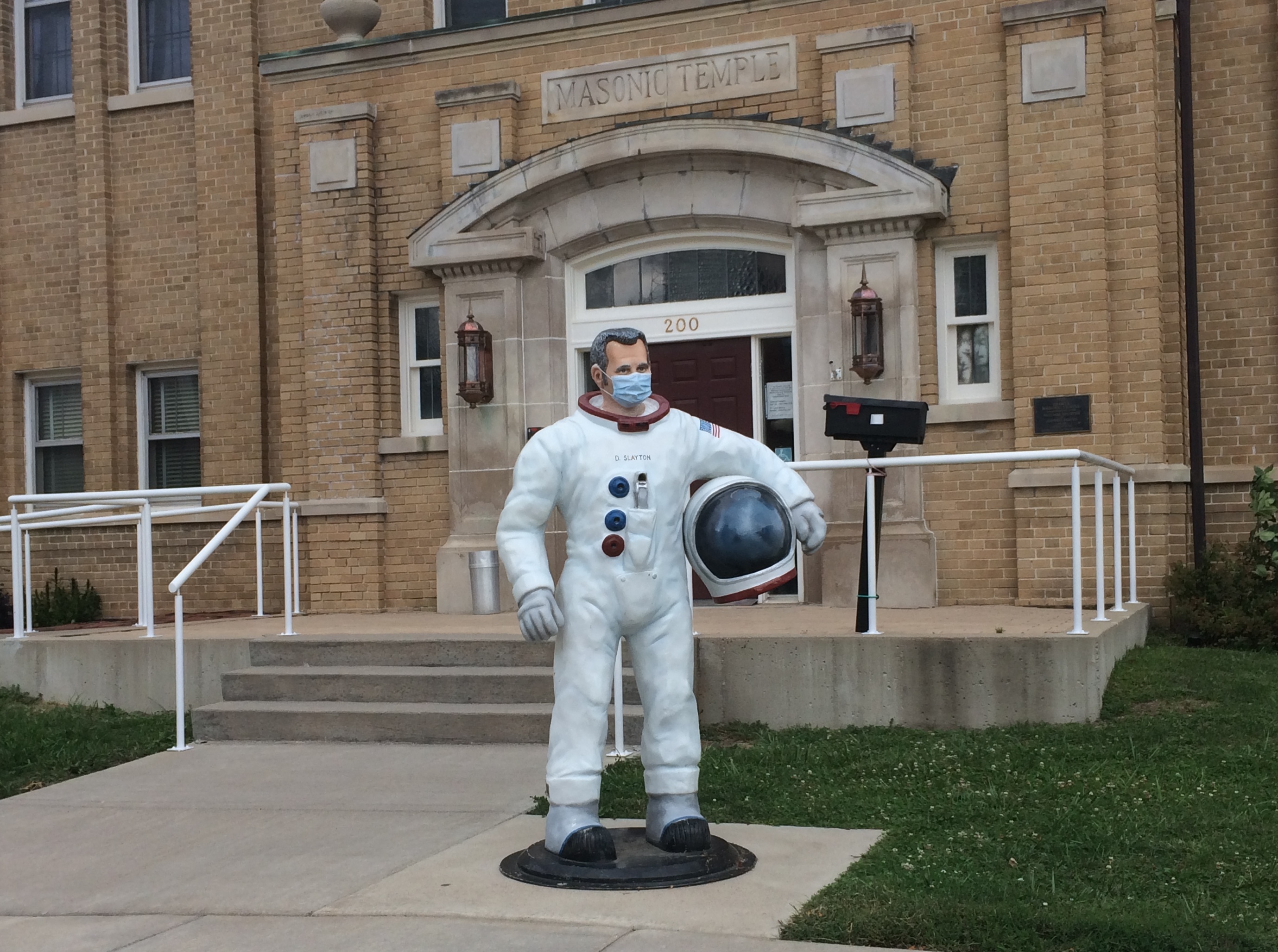
More than that: the Deke Slayton Memorial Space and Bicycle Museum. I knew it was closed, but we drove by before leaving town anyway.
Deke Slayton, Sparta WisconsinSlayton, the only Mercury astronaut who never flew in a Mercury capsule, grew up on a farm near Sparta. So he’s the town’s other attenuated claim to fame. The thinking must have been, best to combine the two into one (slightly) larger museum. Well, why not?

Fremont Avenue ’15

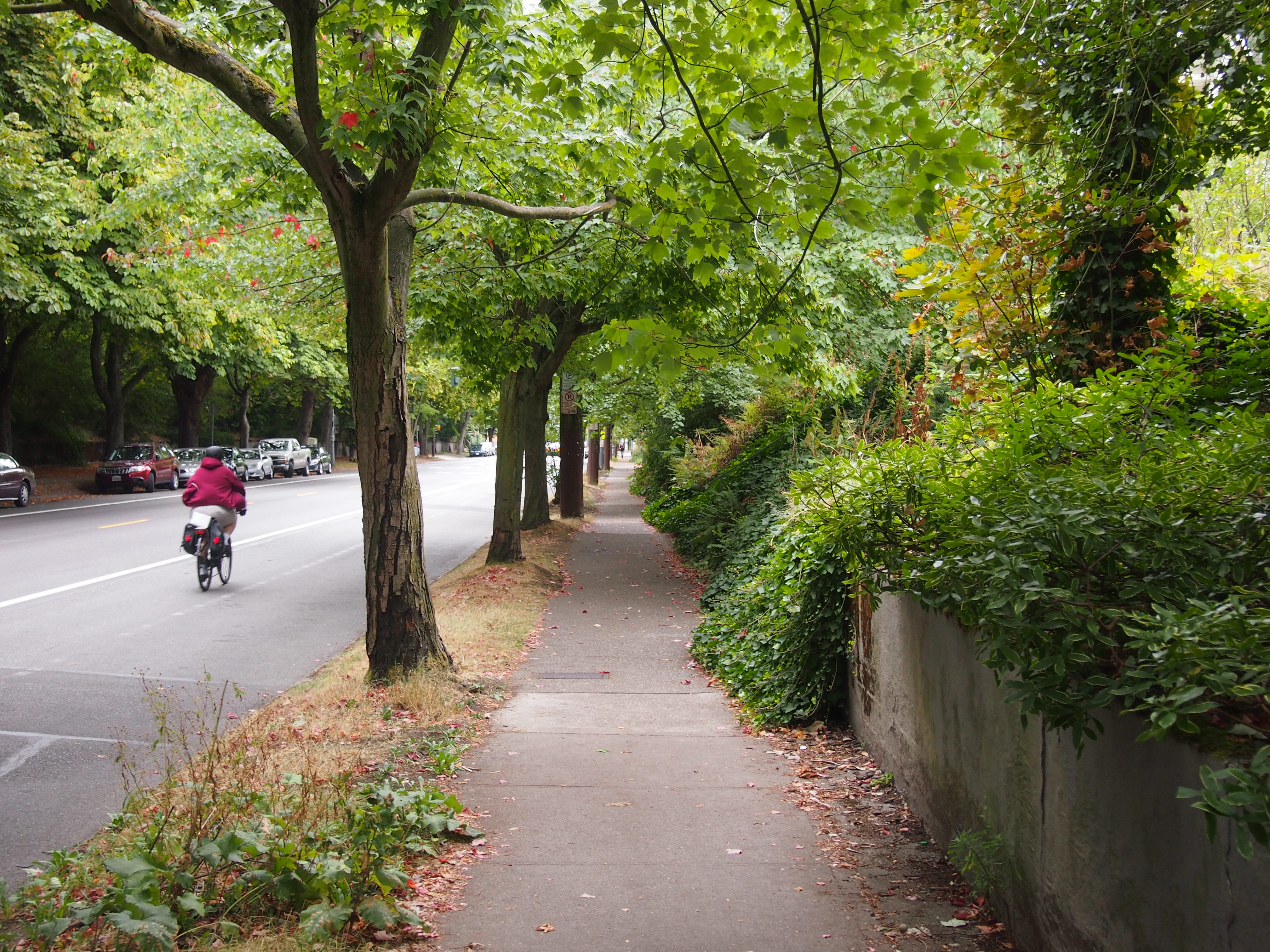
Near the end of August 2015, I spent a few hours wandering around the Fremont neighborhood in Seattle. One place I went was Fremont Avenue, which ran roughly from where I was staying in Upper Fremont down to the rest of the neighborhood.Fremont Seattle

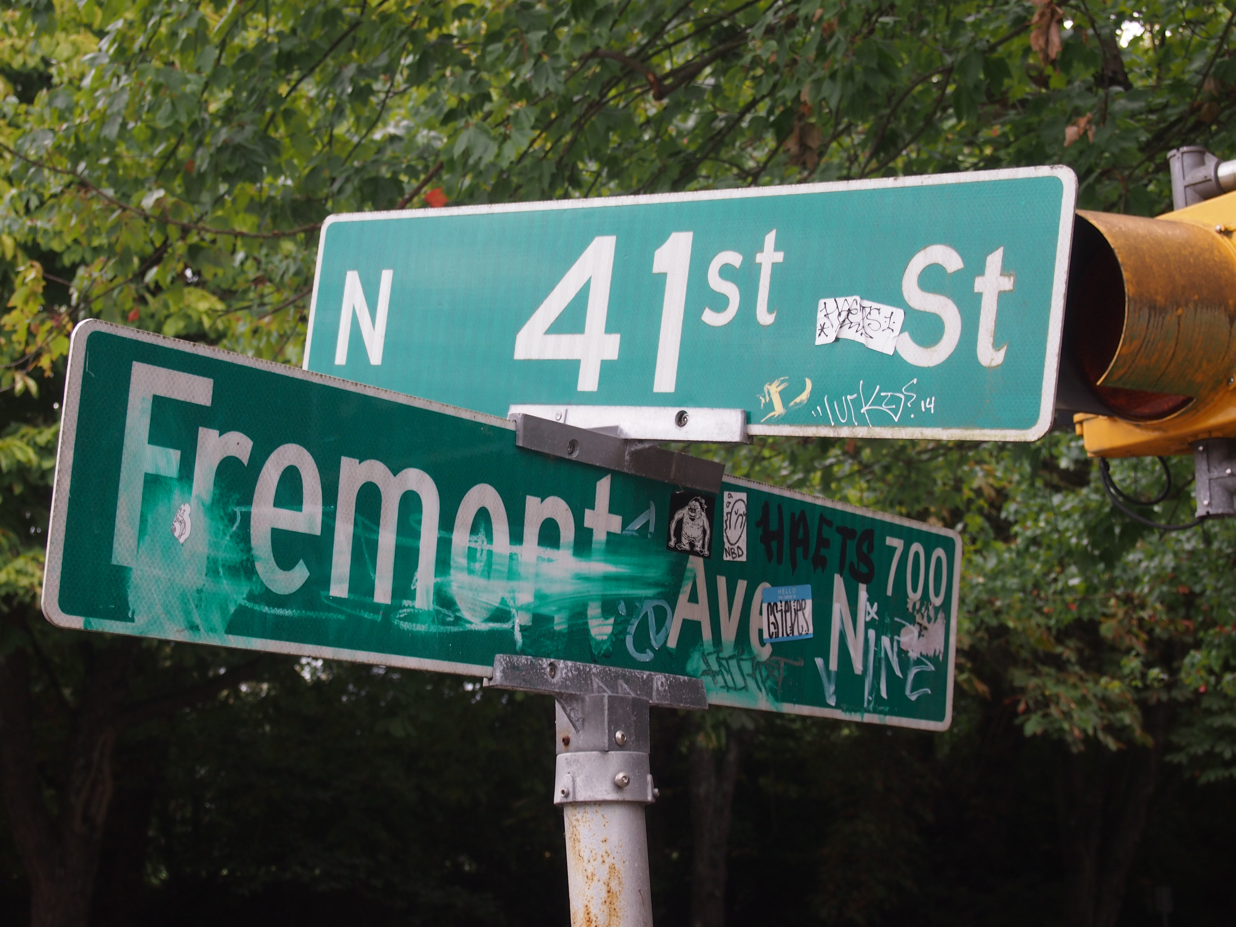
Fremont SeattleIt’s one thing to tag a lonely wall somewhere, but a street sign? Wankers.

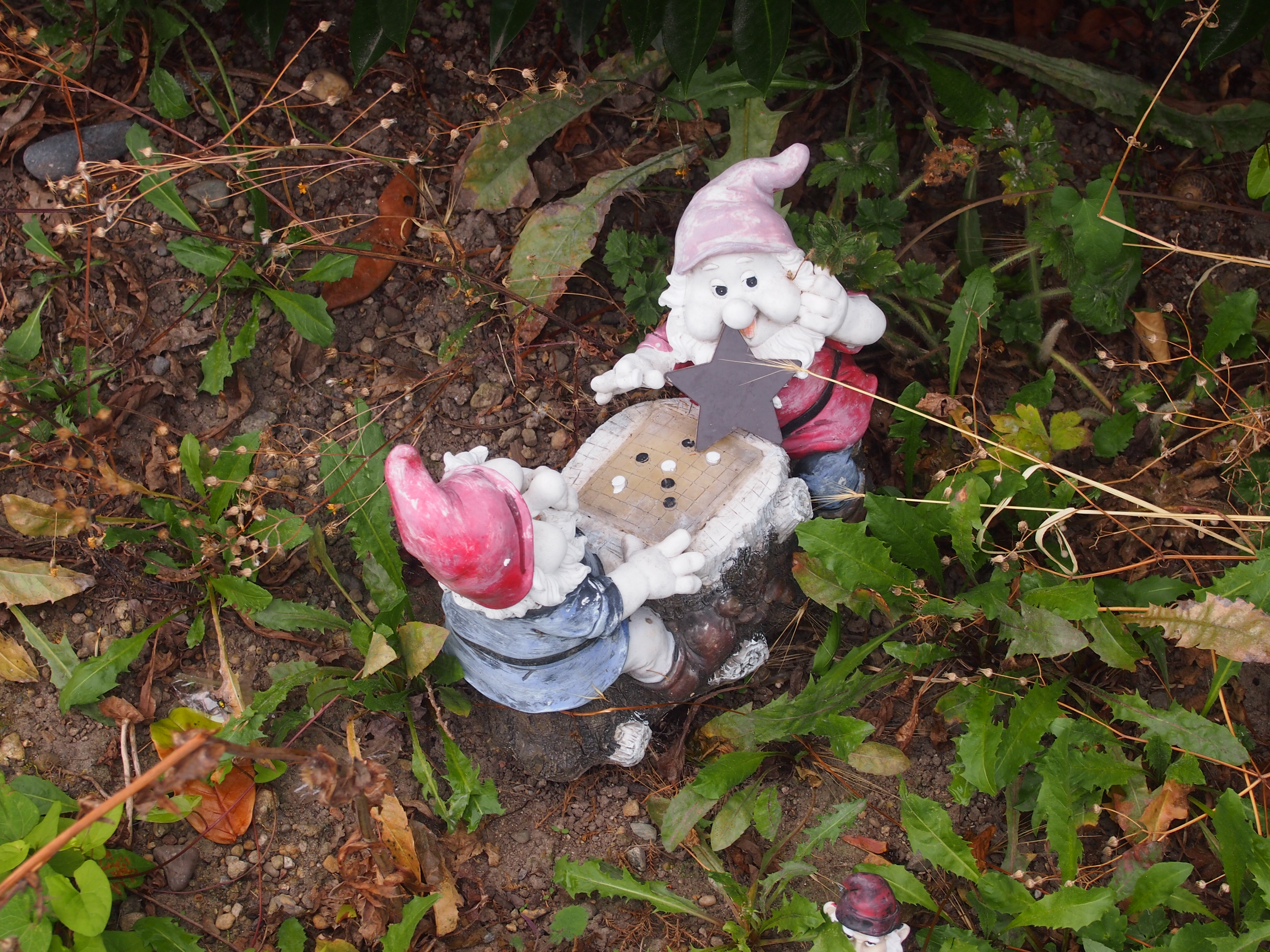
I was footloose and had a camera, so I took pictures of whatever caught my eye along the street.

Fremont Avenue SeattleFremont Avenue SeattleFremont Avenue Seattle

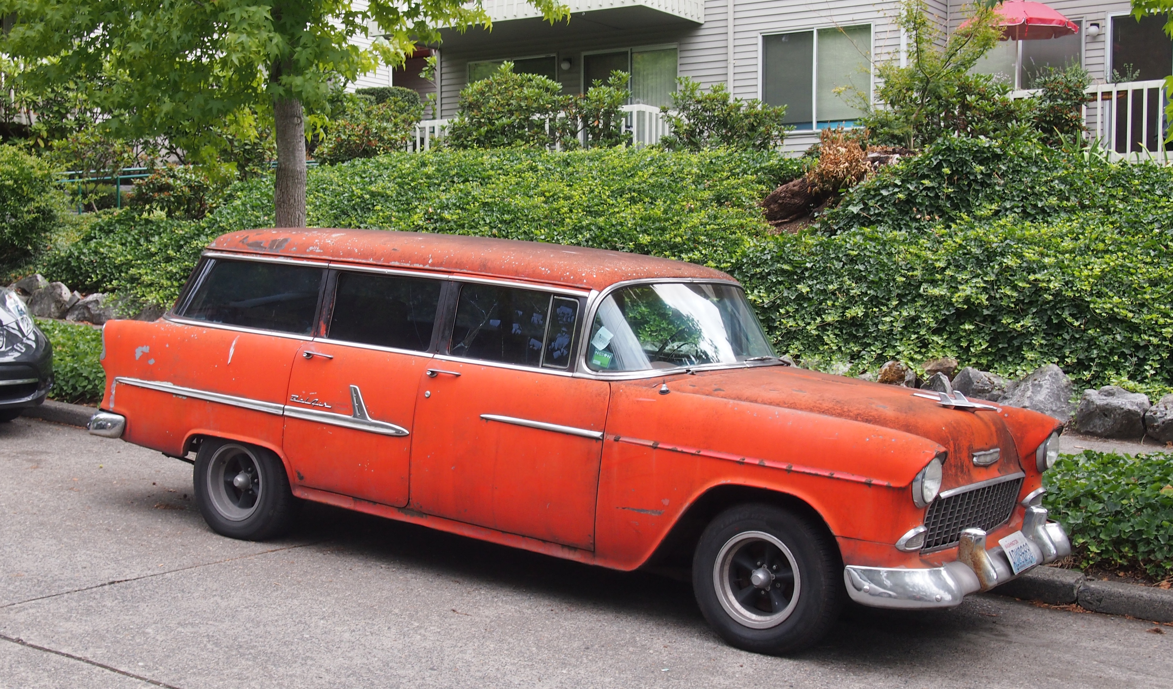
Not something you see often. Or ever. An orange Bel Air station wagon.
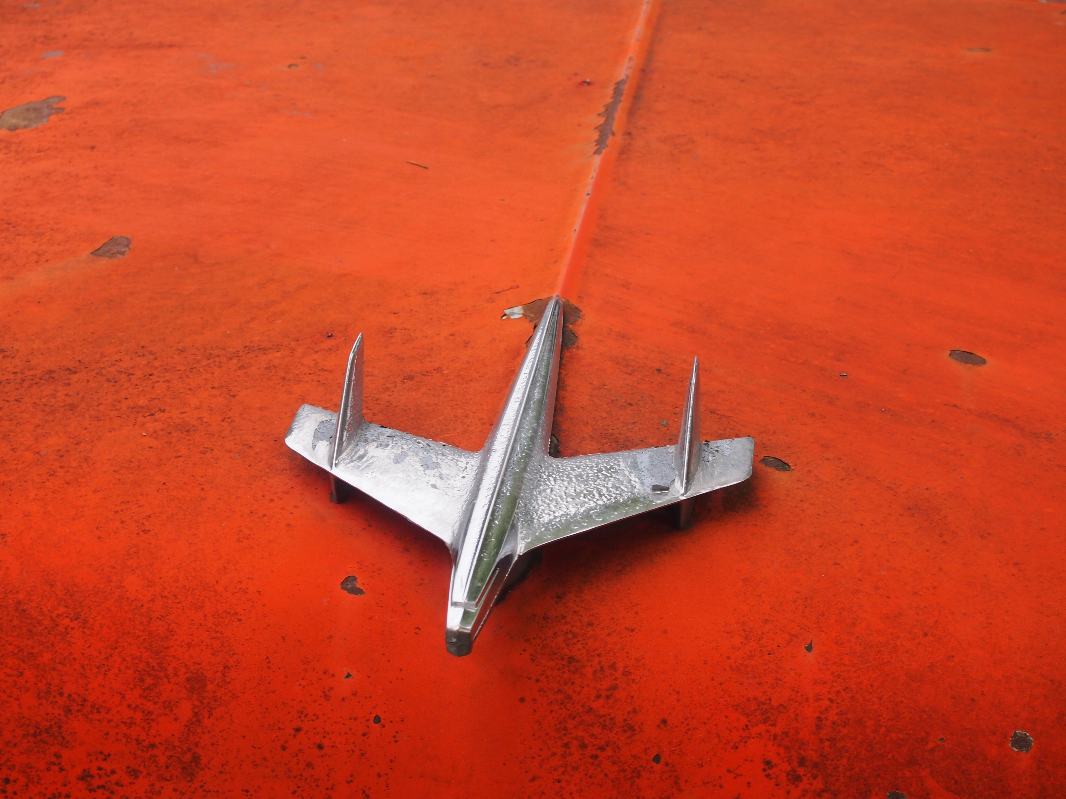
Fremont Avenue SeattleWith a sleek hood ornament.
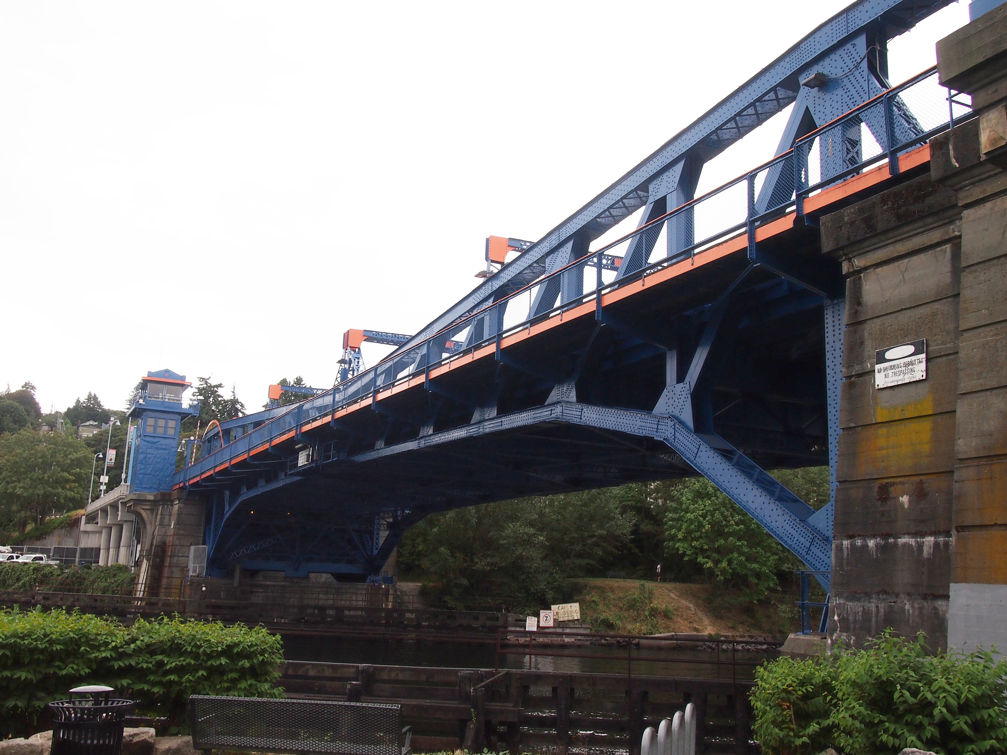
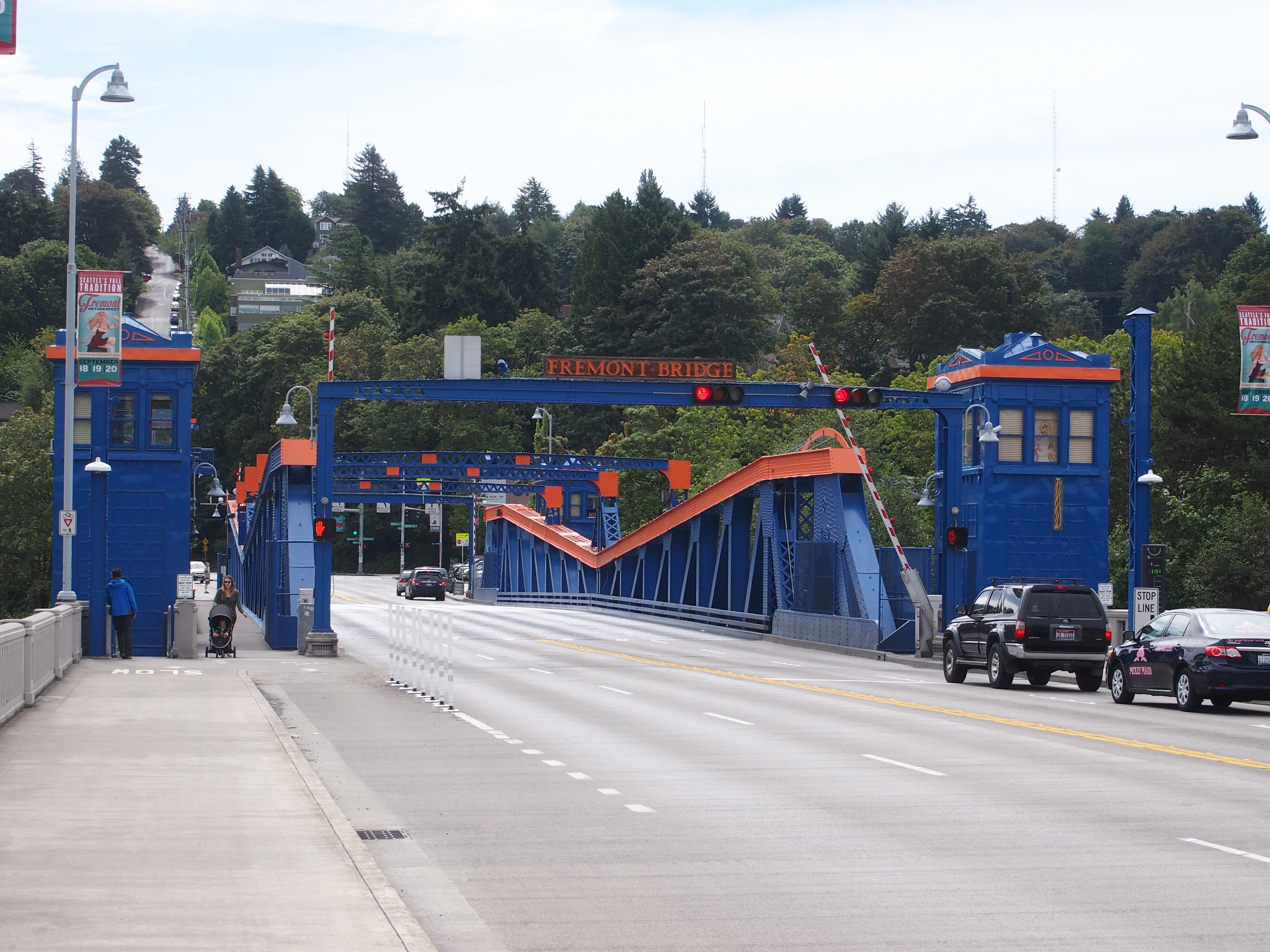
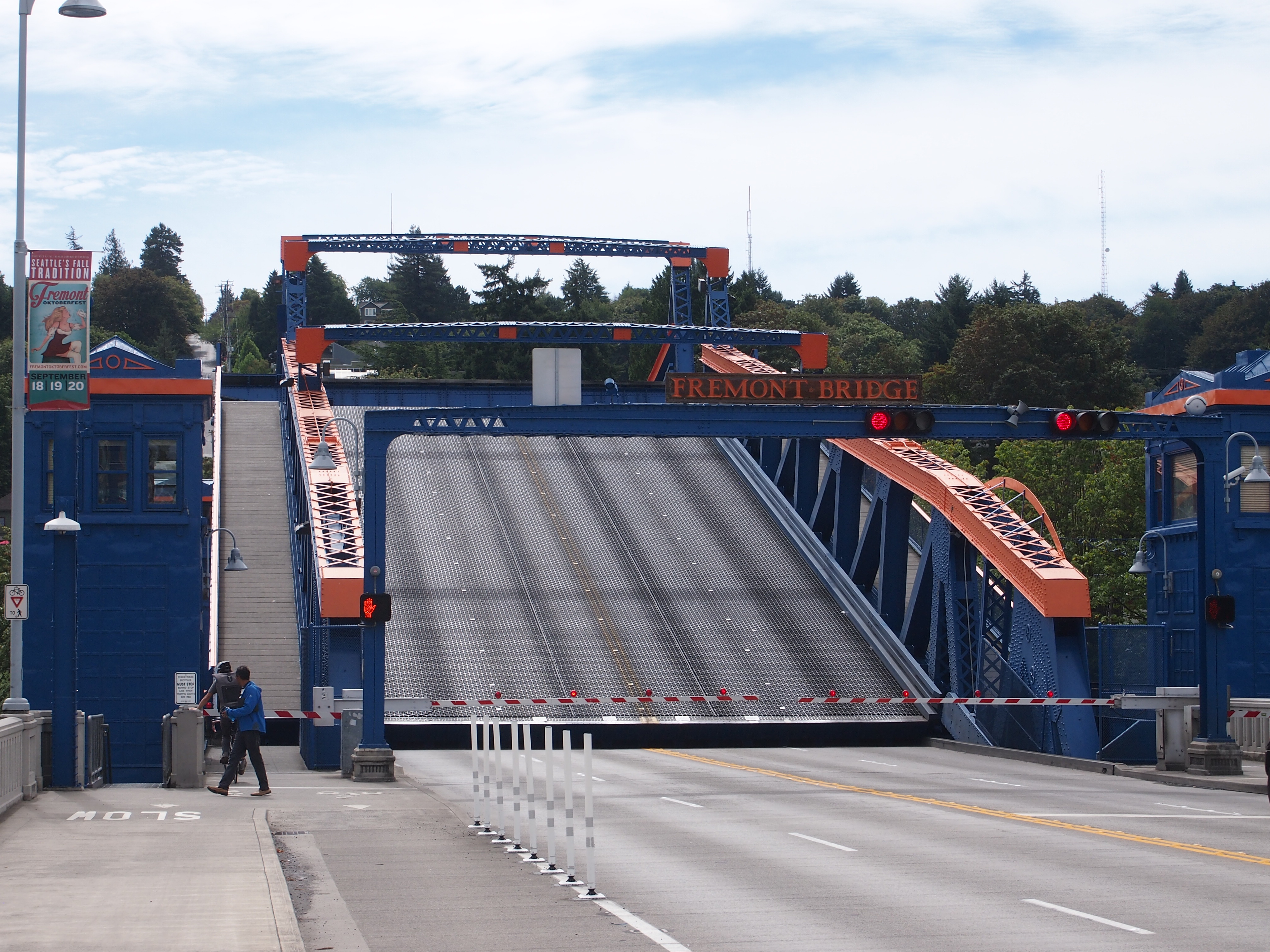
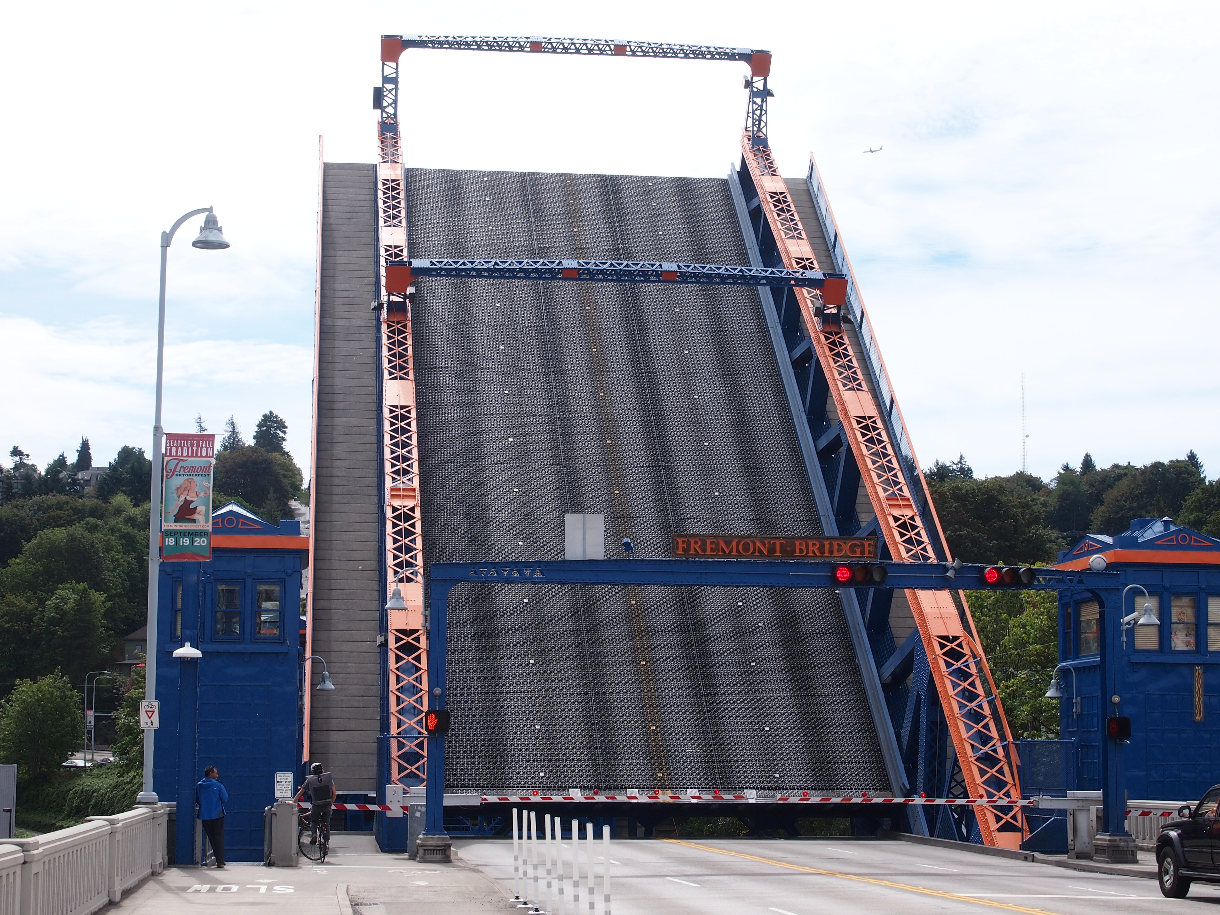
Fremont Avenue SeattleTravel far enough south on Fremont Ave. and you’ll come to the Fremont Bridge.
Fremont Bridge SeattleFremont Bridge SeattleFremont Bridge SeattleFremont Bridge SeattleFremont Bridge Seattle“Today, with traffic across the bridge a constant, the bridge opens around 35 times [daily], often creating long waits for drivers,” notes Atlas Obscura, which asserts that it is the most-opened drawbridge in the country.

Ottawa Sights (Not the One in Canada)

We arrived in Ottawa, Illinois, on Saturday in time for lunch. We decided on carry-out from Thai Cafe on Columbus St., which seems to be the only Thai joint in town. At a population of 18,000 or so, maybe that’s all Ottawa can support.

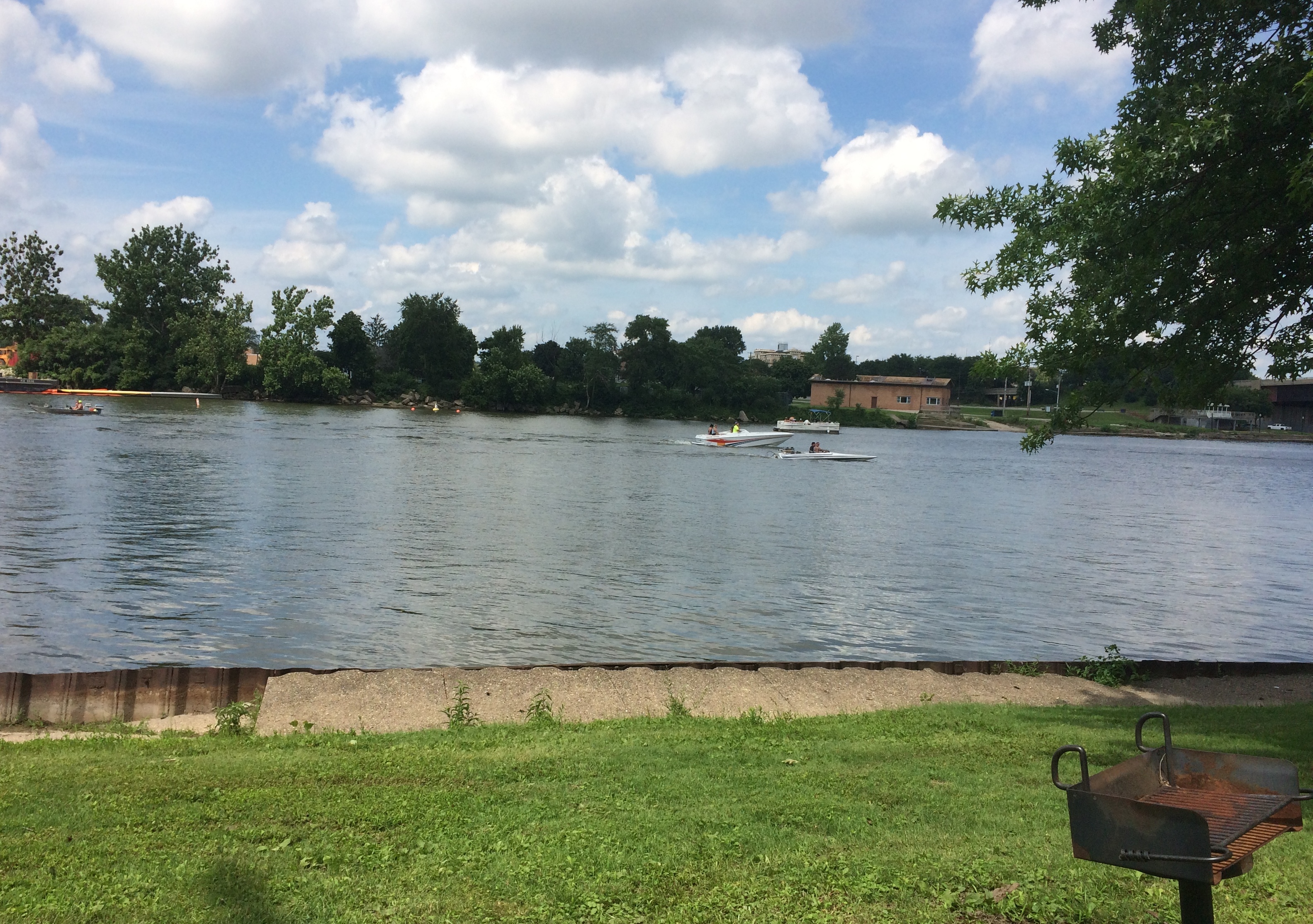
We took our food to Allen Park, a municipal park on the south bank of the Illinois, and found a picnic shelter. The river’s large and on a weekend in July, home to a lot of pleasure craft.
Ottawa Illinois 2020Sometimes, the river must be angry, such as on April 19, 2013. Got a lot of rain in northern Illinois about then, so I believe it.

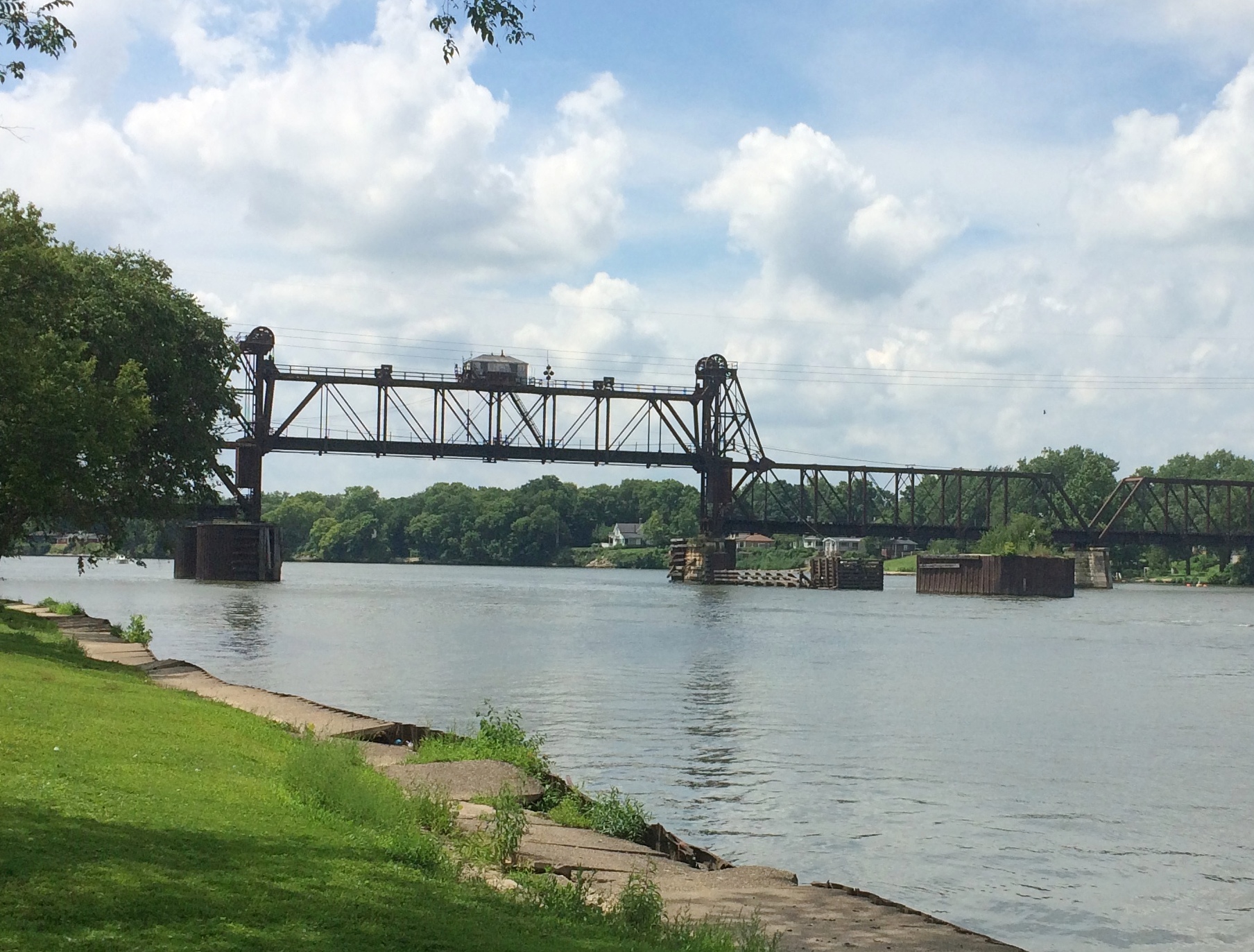
Ottawa Illinois High Water MarkDownstream a bit is the Ottawa Rail Bridge, which rates a page in Wikipedia. The current bridge dates from 1898, though it was modified in 1932.

Ottawa Illinois Rail Bridge

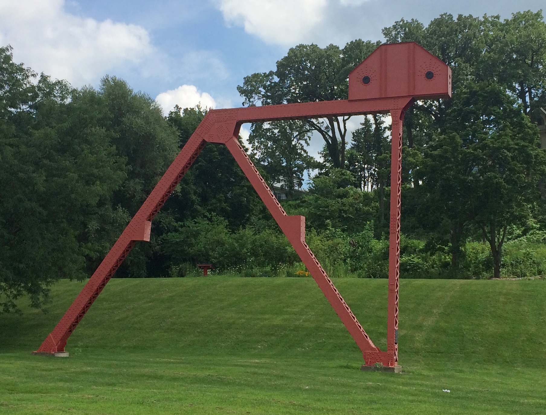
Two large metal sculptures rise in the park, both by Mary Meinz Fanning. The red one is “Bending.”
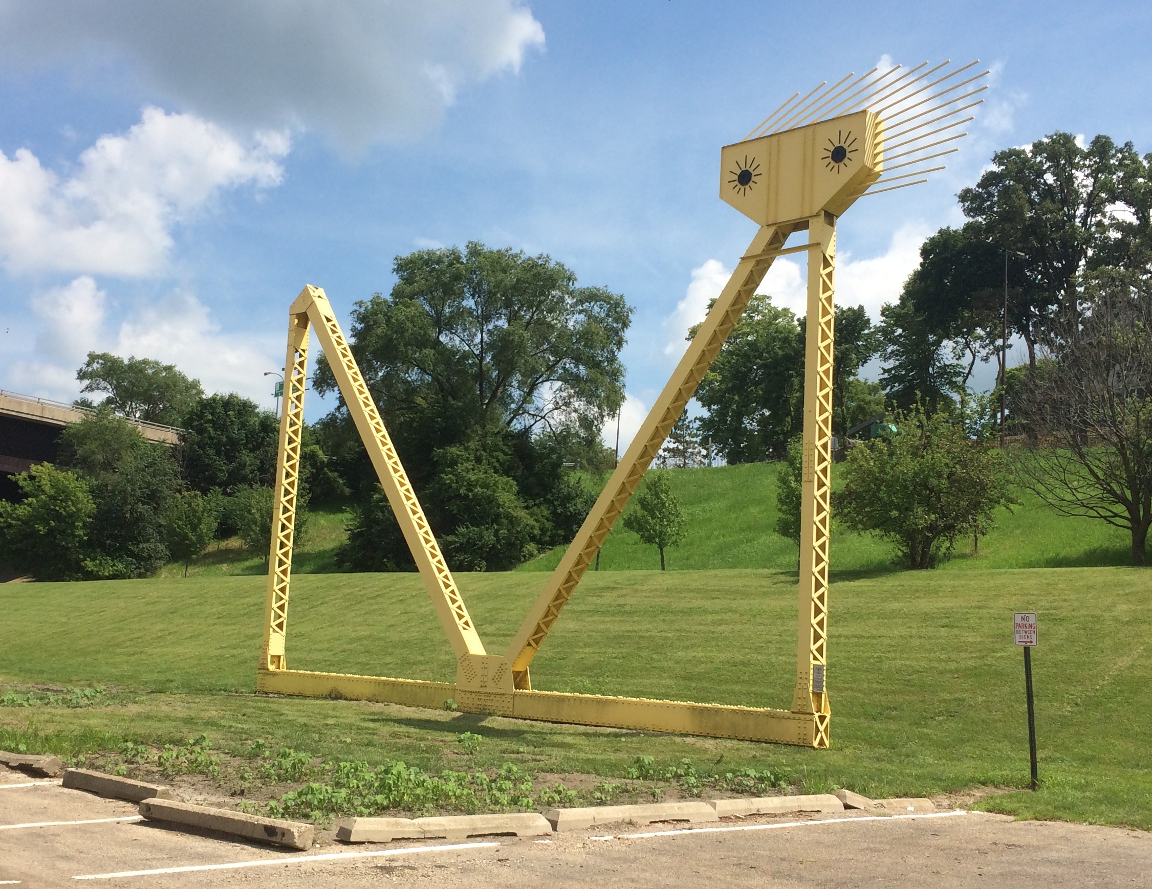
Ottawa Illinois BendingThe yellow one is “Reclining.”
Ottawa Illinois Reclining“Fanning was the driving force behind the creation of the red and yellow steel sculptures at Allen Park by the Illinois River in Ottawa,” says a 2010 article in The Times, which seems to be a local paper.

“The 40-foot-tall sculptures, which weigh 17 tons each, were erected in 1982 and 1983 from parts of the 1933-built steel girder Hilliard Bridge that was demolished in 1982 to make way for the present-day Veterans Memorial Bridge. Fanning died of illness Nov. 4, 1995, in Ottawa at age 48.”

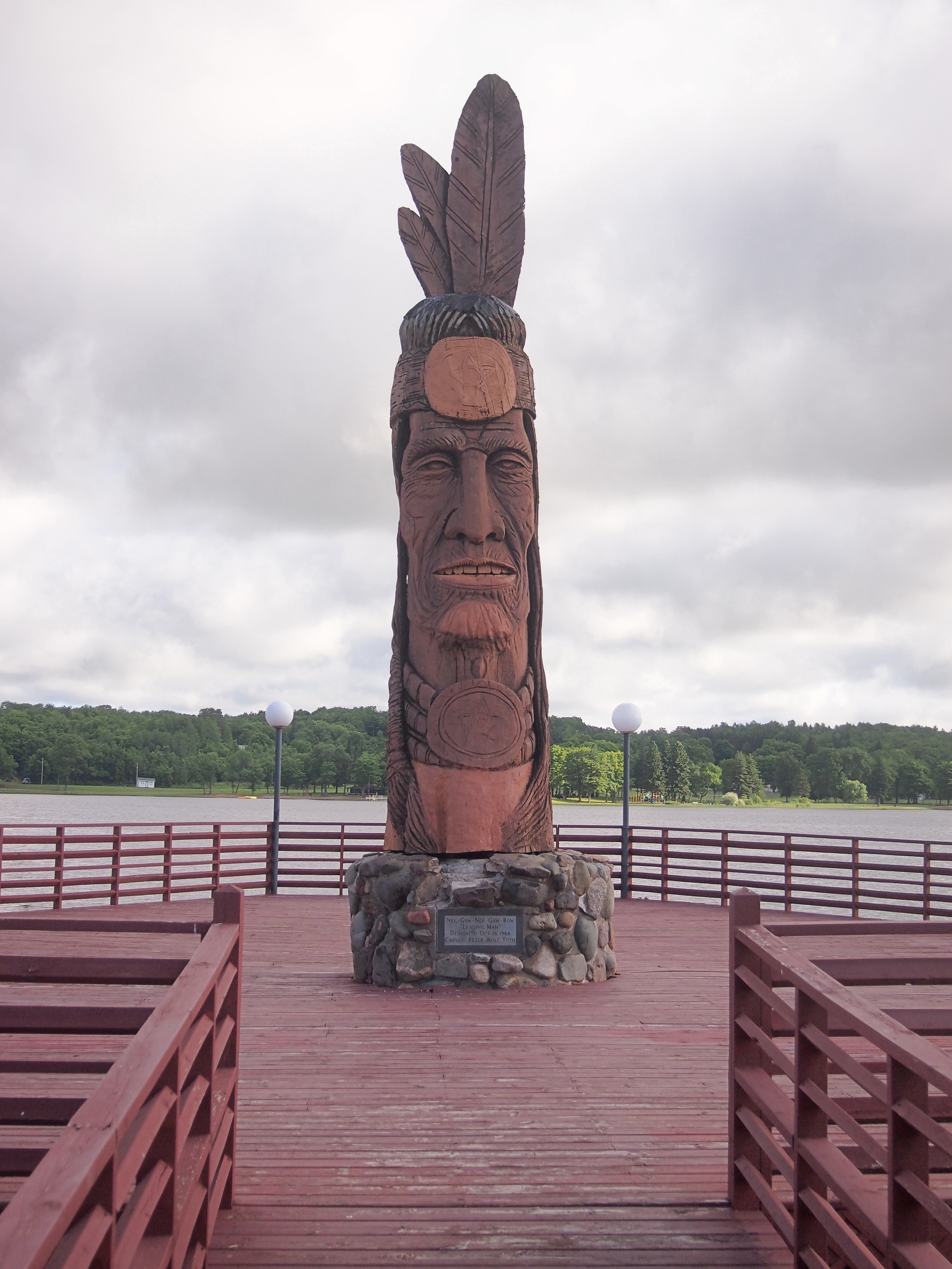
Just as you enter the park, you also see a wooden sculpture: one of artist Peter Toth’s “Whispering Giants,” which I’d forgotten I’d heard of till I looked him up again. The one in Allen Park is Ho-Ma-Sjah-Nah-Zhee-Ga or, more ordinarily, No. 61.

Looked familiar. I realized I’ve seen one before —
Nee-Gaw-Nee-Gaw-Bow That one is Nee-Gaw-Nee-Gaw-Bow or No. 59, and we saw it by chance in Wakefield, Mich. about three years ago. Apparently the artist has put up at least one in each state.

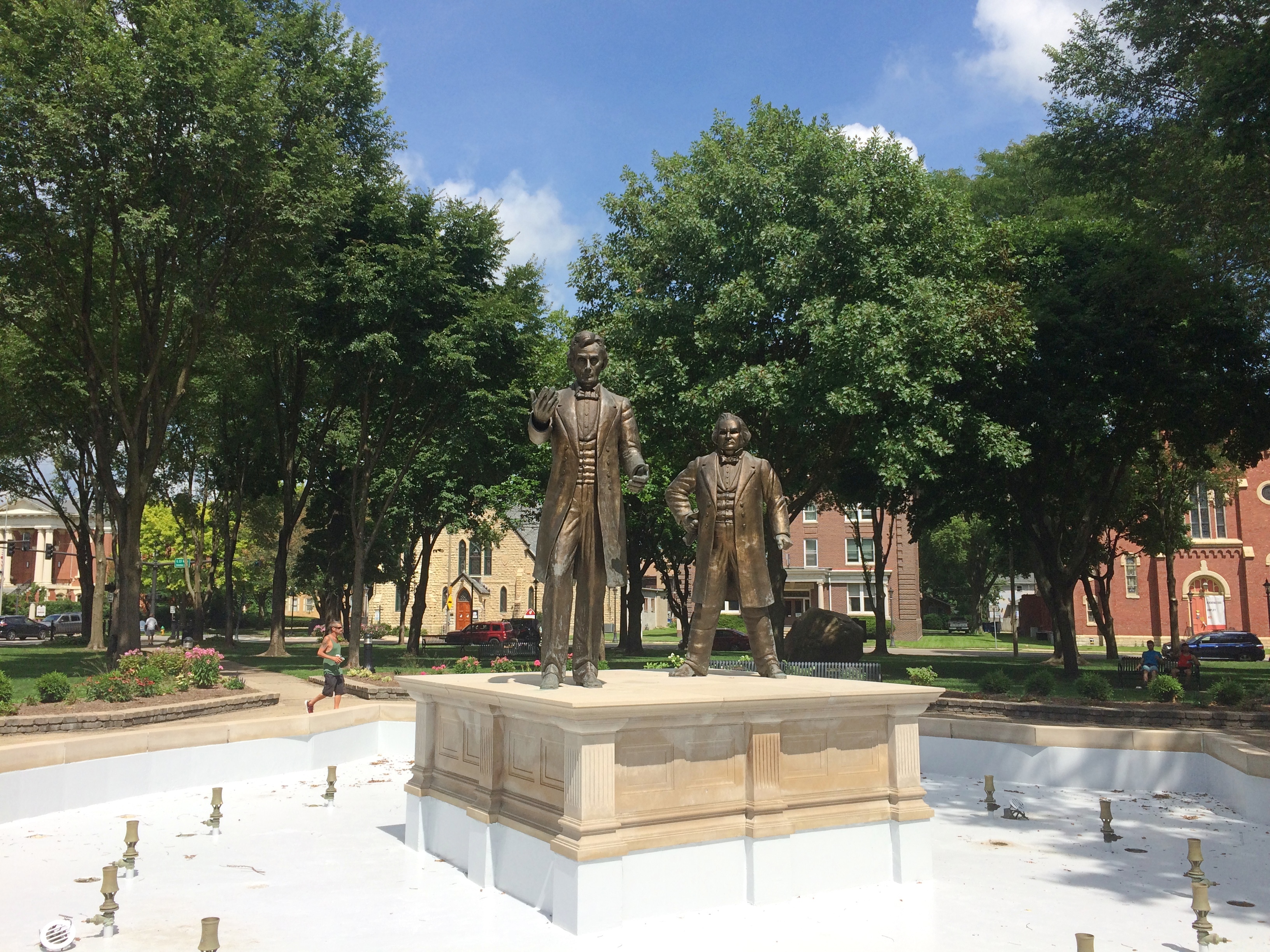
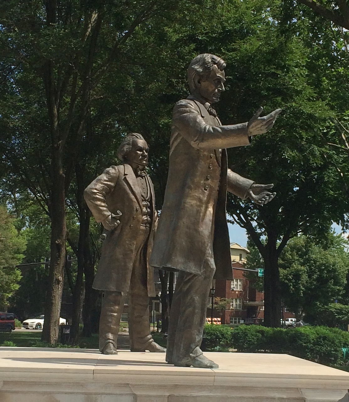
Ottawa has a place in U.S. history mainly for two things. One that the town is happy to celebrate: the first Lincoln-Douglas debate in 1858. The other is the awful story of the Radium Girls, poisoned by luminous paint at a clock factory in Ottawa in the early 20th century. For a long time, there was no public acknowledgment of that incident. Now there is. But I didn’t know the Radium Girls have a statue in town (since 2011), so we missed that.

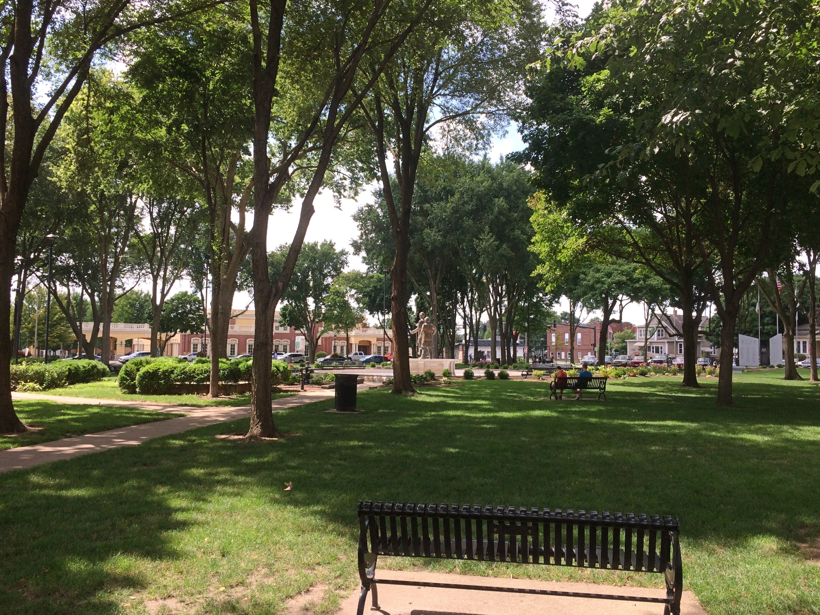
We didn’t miss the site of the Lincoln-Douglas debate, which is in the shady, square-block Washington Park.
Ottawa Illinois Washington ParkLincoln and Douglas are there as part of a fountain to memorialize the event. They were cast in bronze in 2002 by Rebecca Childers Caleel.
Ottawa Illinois Washington ParkOttawa Illinois Washington ParkIt would have been more pleasant if the fountain were on, but maybe it was dry for public health reasons in our time. The noontime heat was oppressive, so we didn’t have a leisurely look-around the area as much as we might have otherwise. There are other memorials in the park, and plenty of historic structures nearby, forming the Washington Park Historic District.

Those buildings include the Third District Appellate Court Building (1850s), the Reddick Mansion (1850s), the Ottawa First Congregational Church (1870), Christ Episcopal Church (1871), and a Masonic Temple (1910). A few blocks away, the LaSalle County Courthouse looked interesting, too, but we only drove by.

I managed to take a close look only at the former Congregational Church building.
Ottawa Illinois Washington Park Open Table Church

Ottawa Illinois Open Table Church of Christ

Gothic Revival in brick. These days, the church is part of the Open Table United Church of Christ.

UVA, Part 1: Rugby Road

We arrived behind the Rotunda of the University of Virginia at about 4 pm on October 13. Under cloudy skies, but the day was warm and good for walking around the picturesque campus. Even parking had been relatively painless, and at no cost, on a street a few blocks away.

We walked down Rugby Road to get to the Rotunda. At one point, we crossed a bridge over railroad tracks. A specific message had been painted on the inside of one of the safety walls.
Rugby Road Beta Bridge CharlottesvilleThere was evidence of repeated painting.
Rugby Road Beta Bridge CharlottesvilleLater, as we walked back to the car, I got a good look at the other side of the bridge.
Rugby Road Beta Bridge CharlottesvilleLocal tradition. I figured it had to be. Didn’t take long to find an article about the bridge — Beta Bridge — in UVA Today.

“For instance, one of the most notable landmarks on Grounds, Beta Bridge, has been at the center of its own tradition since just the latter half of the 20th century.

“Often brightly colored with hand-lettered messages spanning its length, the bridge carrying Rugby Road over the C&O Railroad tracks over the years has become the place for paintbrush-wielding students to express themselves.”

I don’t know whether Riley accepted or declined the proposal, or even if it was serious, but I was able to look up the unfortunate fate of Henry McDavid Reed. He was a UVA student who died of brain cancer in August.

That’s not all I found out about Rugby Road, which has a number of frat houses on it, and passes by the university’s art museum and architecture school, among other things. It’s also the title of a UVA drinking song, mostly sung to the tune of Charles Ives’ “Son of a Gambolier.”

Its first verse no doubt includes some of the cleaner lyrics:

From Rugby Road to Vinegar Hill, we’re gonna get drunk tonight.
The faculty’s afraid of us, they know we’re in the right,
So fill your cups, your loving cups, as full as full can be.
And as long as love and liquor last, we’ll drink to the U. of V.

The version on YouTube also has a verse that I suspect is left out these days.

All you girls from Mary Washington and RMWC,
Never let a Virginia man an inch above your knee.
He’ll take you to his fraternity house and fill you full of beer,
And soon you’ll be the mother of a bastard Cavalier!

RMWC would be Randolph-Macon Woman’s College in Lynchburg, which is now simply Randolph College. Mary Washington is the University of Mary Washington in Fredericksburg, Virginia.

If I’d thought about collegiate drinking songs when I was in college, I probably would have considered them hopelessly old fashioned — and that was 40 years ago. Maybe I didn’t hang out with the right crowd. Or the wrong crowd, take your pick.

Divers Michigan Bridges

Since the air was still warm and we had a dog with us, much of the recent Michigan trip involved outdoor destinations. The first of these was a modest yet remarkable park outside Battle Creek, the Historic Bridge Park in Calhoun County. The park is on the North Branch of the Kalamazoo River, near where it passes under I-94. I’ve driven by many times without a clue that it was there.

The riverside part of the park is pretty.
Historic Bridge ParkBut it was the historic bridges, assembled here from other parts of Michigan, that we came to see. A superb collection of Machine Age structures, but that didn’t dawn on me until I’d walked over some of them. Such as the 133rd Avenue Bridge, originally located in Allegan County and built in 1887.
Historic Bridge ParkA bridge originally on the Charlotte Highway in Ionia County, built in 1886.
Historic Bridge ParkThe 20 Mile Road Bridge, originally in Calhoun County, dating from 1906.
Historic Bridge ParkThe Gale Road Bridge from Ingham County, built in 1897.
Historic Bridge Park“The park allows metal truss bridges that have become insufficient for their original location to be preserved for their historic and aesthetic value…” says HistoricBridges.org. “Historic Bridge Park is the first of its kind in the entire United States.”

“The restoration of the metal truss bridges in the park was directed by Vern Mesler with the support of Dennis Randolph, former Managing Director of what was then called the Calhoun County Road Commission.

“They carried out the restoration with an unprecedented attention paid to maintaining as much of the the original bridge material as possible, and exactly replicating any parts that required replacement. For example, during restoration, failed rivets on the bridges were replaced with rivets, not modern high strength bolts. The bridges in Historic Bridge Park represent some of the best metal truss bridge restoration work to be found in the country.”

The park also features a sizable iron sculpture.
Historic Bridge ParkA nearby plaque says “Historic Bridge Park Sculpture Project, 2002.” Sculptor, Vernon J. Mesler, who must be the Vern mentioned above, and the fellow who did this specialized article.

A cool bit of work.
Historic Bridge ParkHistoric Bridge ParkIn Midland, Michigan, about a block from Main Street, is the Tridge.
Midland TridgeMidland TridgeIt’s a three-way bridge where the Chippewa River flows into the Tittabawassee River, first opened in 1981 and renovated a few years ago, which might be why it looked fairly new. The brainchild of the nonprofit Midland Area Community Foundation — note the tri-bridge-like drawing over its name — the local Gerace Construction erected the structure, information about which is at its web site.

This kind of Y bridge isn’t that common, though there are some here and there in the world, including two others in Michigan, in Brighton and Ypsilanti. Maybe Michigan has an affinity for odd vectors. This is the state of the Michigan left, after all.

At the Dow Gardens in Midland, a pedestrian bridge over St. Andrews Rd. connects the gardens proper with the Whiting Forest, a later addition to the garden.

One of the attractions of the Whiting Forest is its canopy walk. At 1,400 feet long, Dow Gardens assets that it’s the nation’s longest canopy walk. While technically not a bridge — or at least it’s a bridge to nowhere — the walkway does get as high as 40 feet above the ground. There are no stairs to climb. The walkway starts at ground level and rises gradually as it meanders through the forest.

Whiting Forest Canopy WalkWhiting Forest Canopy WalkWhiting Forest Canopy WalkThe view from the end of one of the three arms of the canopy walk.
Whiting Forest Canopy WalkSome views from below.
Whiting Forest Canopy WalkWhiting Forest Canopy WalkThe skies at that moment were overcast and there had been a little rain earlier, but nothing violent. Bet the canopy’s a thrilling spot to find yourself during an intense thunderstorm. I’m sure people would do it, if Dow Gardens would let them go there, which I’m sure it doesn’t.

The Pfluger Pedestrian Bridge & Other Austin Bridges

I’ll note the anniversary of Apollo 11 here by linking to 10 years ago. Also, I was once the sort of lad who built a Saturn V model and had coloring books that I didn’t take that seriously.

But I did more than watch TV coverage or color or build models (I had a CM and LM set, too). I had books as well and I read them avidly, along with various editions of National Geographic. None was better on Apollo 11 (at least in memory) than Apollo: Lunar Landing by James J. Haggerty, published right after the event by Rand McNally, with a 1969 copyright.

Closer to the present, we had a hot old time in Austin on July 4 three years ago. I mean that literally. Even though we were out and about fairly early that morning — our goal was the now-closed Hope Outdoor Gallery, which we soon saw — temperatures rose quickly, as you’d expect during a Texas summer.

Before (after?) we went to the gallery, we spent a few minutes walking across the Pfluger Pedestrian Bridge, which crosses Ladybird Lake (Colorado River) just east of the Lamar Boulevard Bridge. In full, it’s the James D. Pfluger Pedestrian and Bicycle Bridge.

Though the heat was on, it was a nice walk across.
Pfluger Pedestrian Bridge, AustinThis is the Lamar Boulevard Bridge and activity under the bridge.

lamar blvd bridge austin

In the other direction, east, is downtown Austin and a railroad bridge with prominent graffiti.

“The bridge is named for Austin architect James D. Pfluger, who designed much of the city’s hike and bike trail system, including the ones on either side of Town Lake, which are now connected by the bridge,” the Daily Texan reported when the bridge was opened in 2001.

“The walkway will also honor cyclist Chris Kern and jogger Jack Slaughter, who were killed by motorists on the Lamar bridge. Kern died in 1991 after a drunk driver rear-ended his bicycle, and Slaughter died in February 2000 when he was struck and killed by a car.”

According to the story, Kern and Slaughter have a plaque on the bridge, but we must have missed it.

The Andy Warhol Museum

The earliest memories I have of Andy Warhol are probably him being mocked by comedians, which I must have internalized somewhat. I didn’t give him much thought in my youth, and if I did, he was the weirdo who painted soup cans and oddly colored portraits of movie stars. Later I regarded his work is stuck in ’60s, as dated as go-go dancing or Hair.

More recently his work has grown on me. Maybe in part because he didn’t stick in the ’60s. That was his heyday, certainly, but half a century later, and more than 30 years after the artist’s death, Warhol is still packing ’em in at the Andy Warhol Museum in Pittsburgh, which originally opened in 1994.

But I’ve come to appreciate him for more than enduring popularity. I’m no authority of any kind on his art, but I understand a little about its context now, and see that he was doing new and intriguing things, or sometimes just odd or strange things. Taking his considerable talent as an illustrator in all sorts of curious directions. Making things that are still interesting to look at and think about, which is one of my crude baselines for judging an artist.

Though footsore from a day of tourism, we joined the crowd at the museum on the evening of July 5. The extra Friday hours and half-price admission helped attract us, but we probably would have gone anyway. Pittsburgh has a number of worthwhile fine arts museums, as do a lot of other places. Nowhere else has a museum devoted to Andy Warhol.
Andy Warhol Museum exteriorRichard Gluckman, who is known for his museum work, redesigned the building to be a museum. Originally built in 1911 as a multistory warehouse, the structure now sports seven floors of galleries and exhibition space, with the permanent Warhol exhibits taking up the top four floors.

Warhol’s early and student work, as well as his time as a commercial artist in the 1950s, takes up the seventh floor. On the sixth floor are ’60s works; the fifth floor features ’70s works; and the fourth floor exhibits works from the ’80s.

In some ways, his early works are the most interesting, simply because they are less familiar. On display on the seventh floor, for instance, are ink drawings of women and produce trucks (1946), “Seven Shoes” (third image down), which Warhol did for a shoe brand in the 1950s, and the risque “Female in Corset and Stockings,” which probably wasn’t for a client.

Equally interesting are items about Warhol’s childhood and youth. Such as a large, blown-up photo of his high school graduation picture. The face is him, and yet not any Warhol you’re used to seeing. Turns out Andrew Warhola of Pittsburgh had a childhood and an adolescence, as opposed to the comedian-fodder artist who appeared fully formed in New York with frizzy white hair, painting Brillo boxes.

Also interesting to learn about Warhol: he was the son of Lemko immigrants and he remained a practicing Ruthenian Catholic all his life.

The sixth floor displays the most familiar Warhol output: soup cans and other consumer product-inspired items, celebrity portraits in assorted hues, and clips from his early movies, all 1960s vintage. Most of these are so well known — so absorbed into the tapestry of 21st-century American culture — that I don’t feel the need to link to any images. Even so, I look at the soup cans now and think, interesting idea for 1962. Also, who eats Pepper Pot?

Google Image “soup can” and one of the things high in the results offers a silk screen of “Tomato Soup” for sale. For $500. Not even a limited edition. Presumably the Warhol Foundation is getting a cut. Warhol was an astute businessman as well as an artist, and I think that would make him smile.

All that said, I’m not paying that much for an open-edition silk screen of “Tomato Soup,” however interesting the original concept might have been.

The ’70s and ’80s galleries sported such interesting, or amusing, items such as the “Vote McGovern” (1972) and “Space Fruit: Lemons” (1978). An entire gallery wall featured “Mao Wallpaper,” which he created in 1974 but which the museum reprinted a few years ago, probably to put on the wall. Anyway, it’s there, along with “Skulls” on the same wall (individually, not in a group of six). I like to think that’s a comment on the millions Mao murdered, but I’m not sure the museum would say that.

One gallery display of late-life Warhol output was a complete surprise: computer-generated art. Specifically, Amiga generated.

According to the museum: “In the summer of 1985, Warhol was given his first Amiga 1000 home computer by Commodore International and enthusiastically signed on with the company as a brand ambassador.

“For their launch, Commodore planned a theatrical performance, which featured Warhol onstage at Lincoln Center with rock ’n’ roll icon and lead singer of Blondie, Debbie Harry. In front of a live audience, Warhol used the new computer software ProPaint to create a portrait of Harry. He later made a series of digital drawings including a Campbell’s soup can, Botticelli’s ‘The Birth of Venus,’ and flowers.”

These images are on display in the gallery, though for most of the past decades, they  languished on obsolete Amiga floppy disks. “In 2014, we collaborated with Carnegie Mellon University and Carnegie Museum of Art to extract the saved files from Amiga floppy disks held in our archives collection,” the museum notes.

That was something I knew nothing about, since I wasn’t paying attention to Warhol or the Amiga in 1985, though I knew a fellow in my office who still had one of the machines in the mid-90s that he said was still working.

Warhol died in 1987. The Amiga display made me wonder what he would have done on the Internet, had he lived only a few years longer. Probably odd and maybe interesting.

After we left the museum, we walked across what used to be the Seventh Street Bridge, which is mere feet away. In 2005, it was renamed the Andy Warhol Bridge. Dating from the ’20s, it’s a self-anchored suspension bridge that has held up better than the original Silver Bridge, which was of a similar design.

Andy Warhol Bridge 2019

I don’t know how Pittsburghers feel about that name; maybe hardcore Yinzers didn’t take to it. But it’s a fine name for a bridge — goes somehow with the neighboring bridges, named for Roberto Clemente (Sixth St.) and Rachel Carson (Ninth St.) — and I was happy to walk across it.