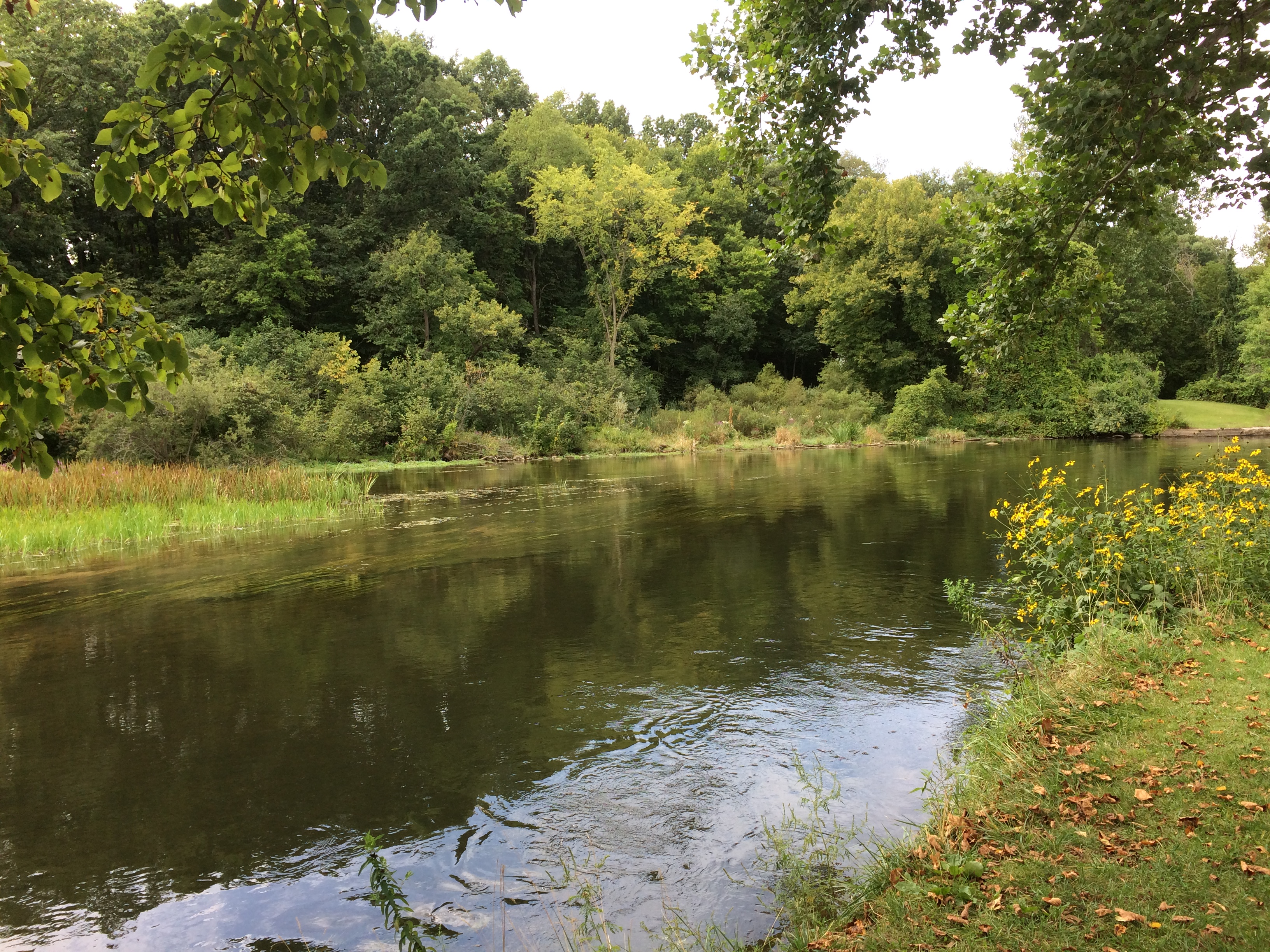
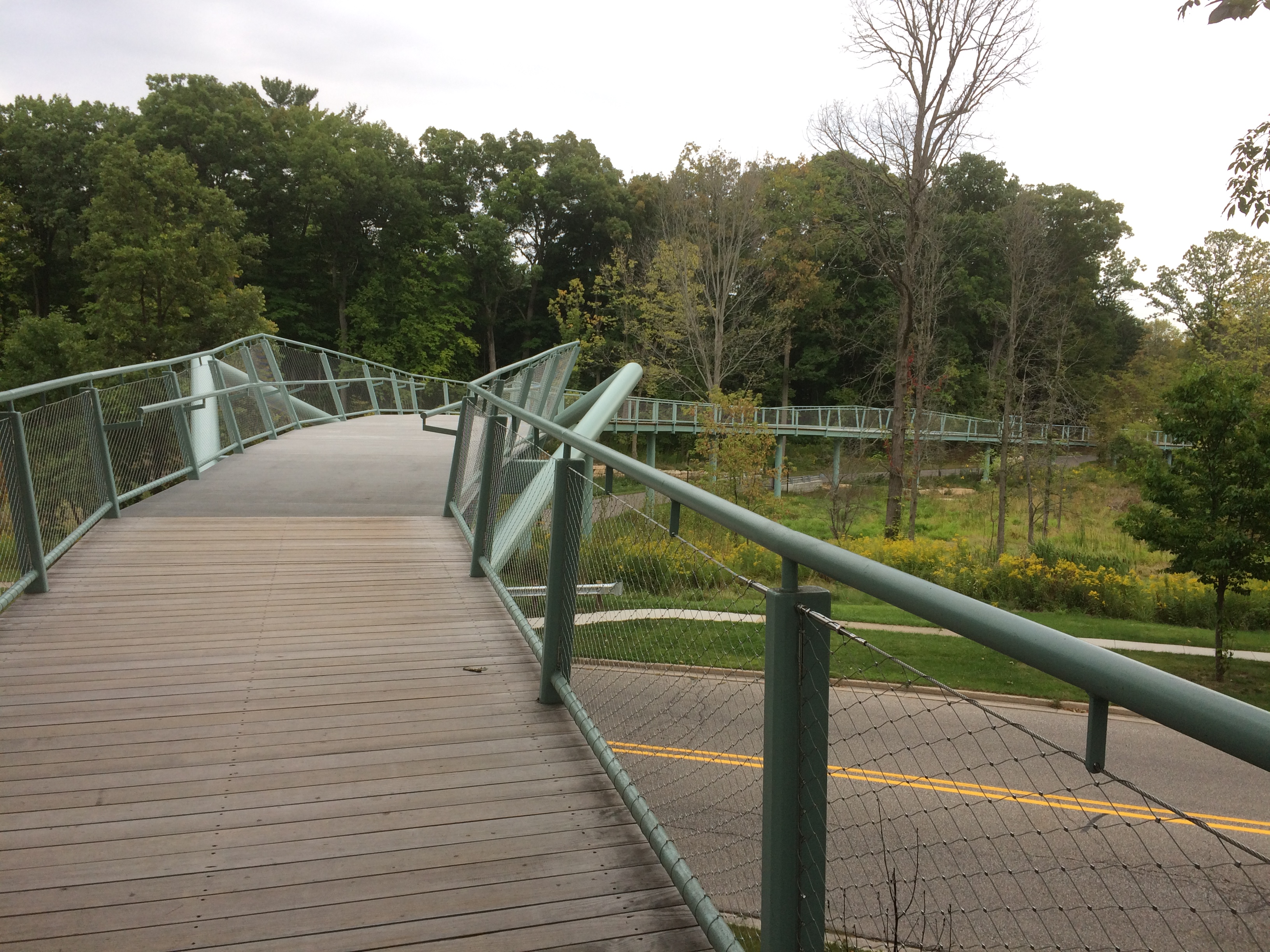
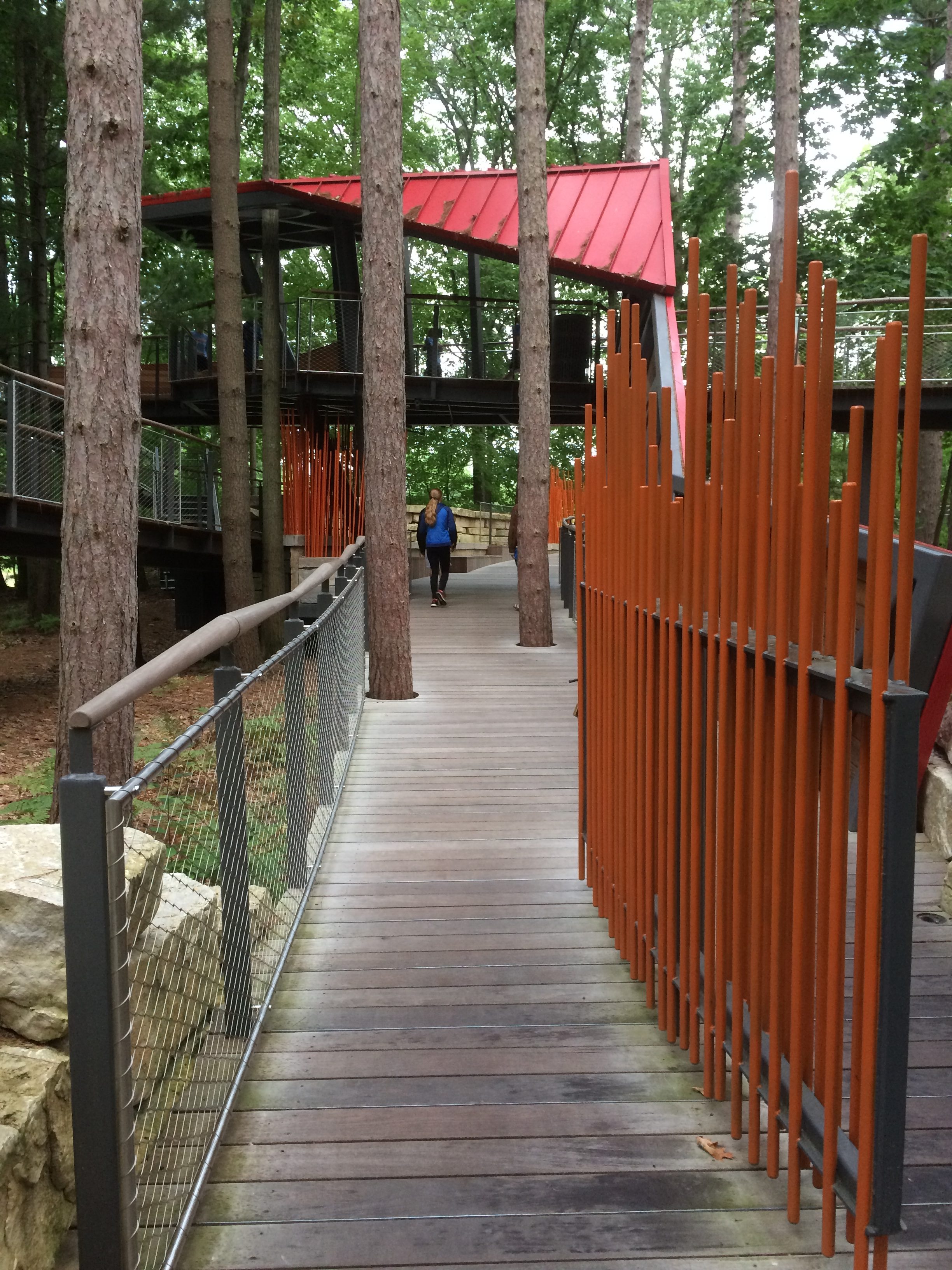
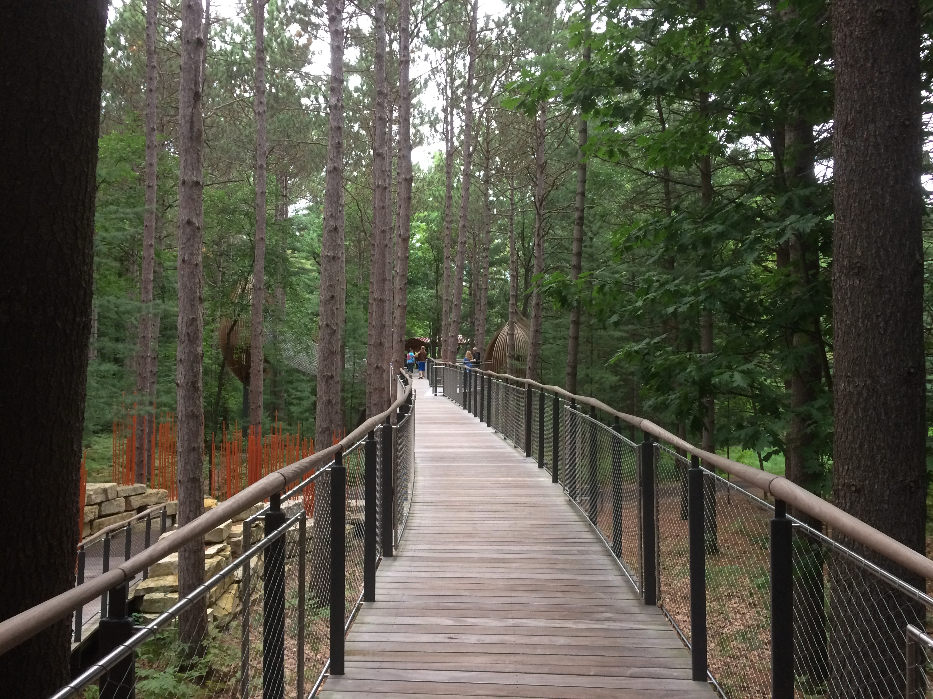
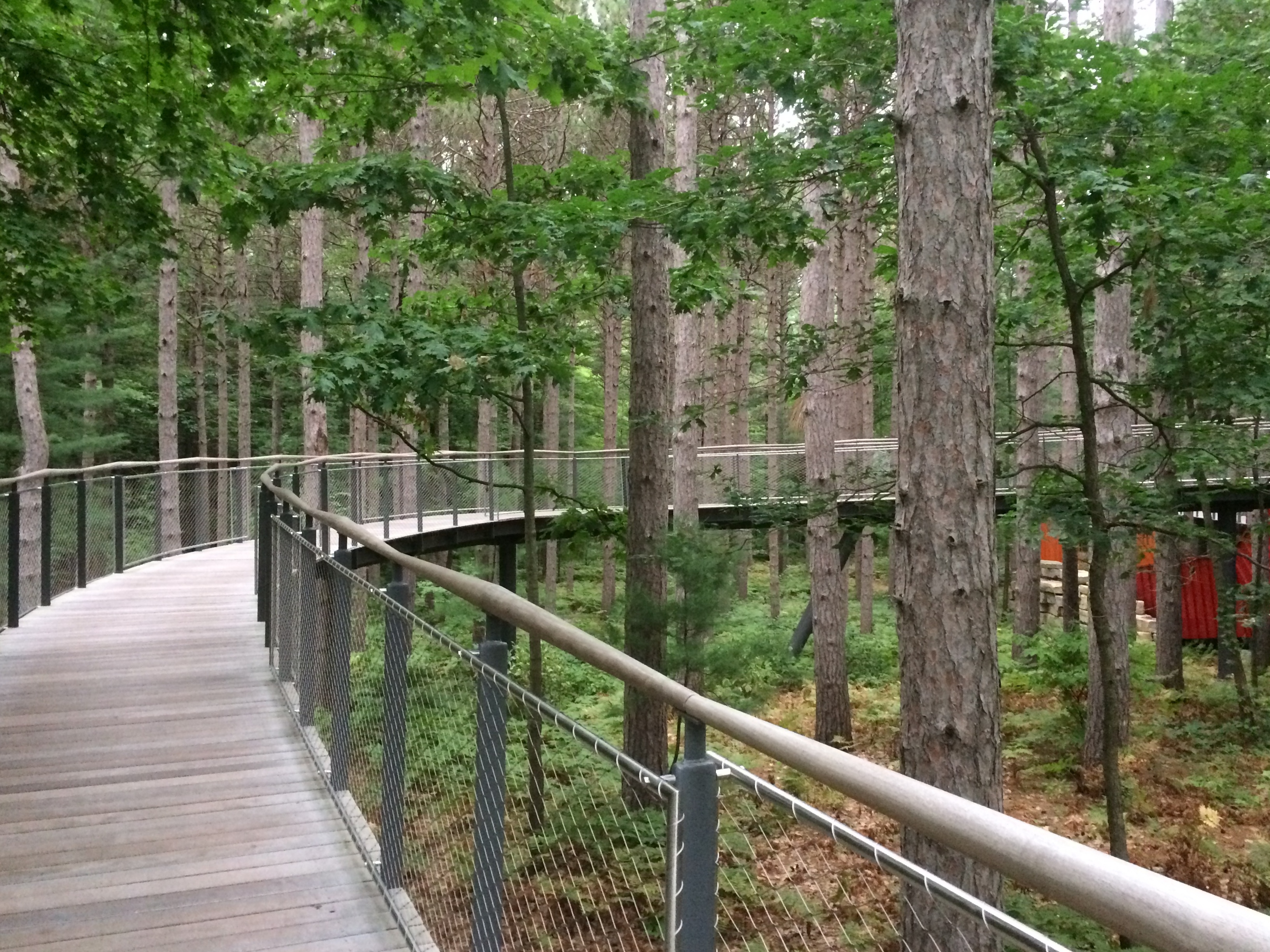
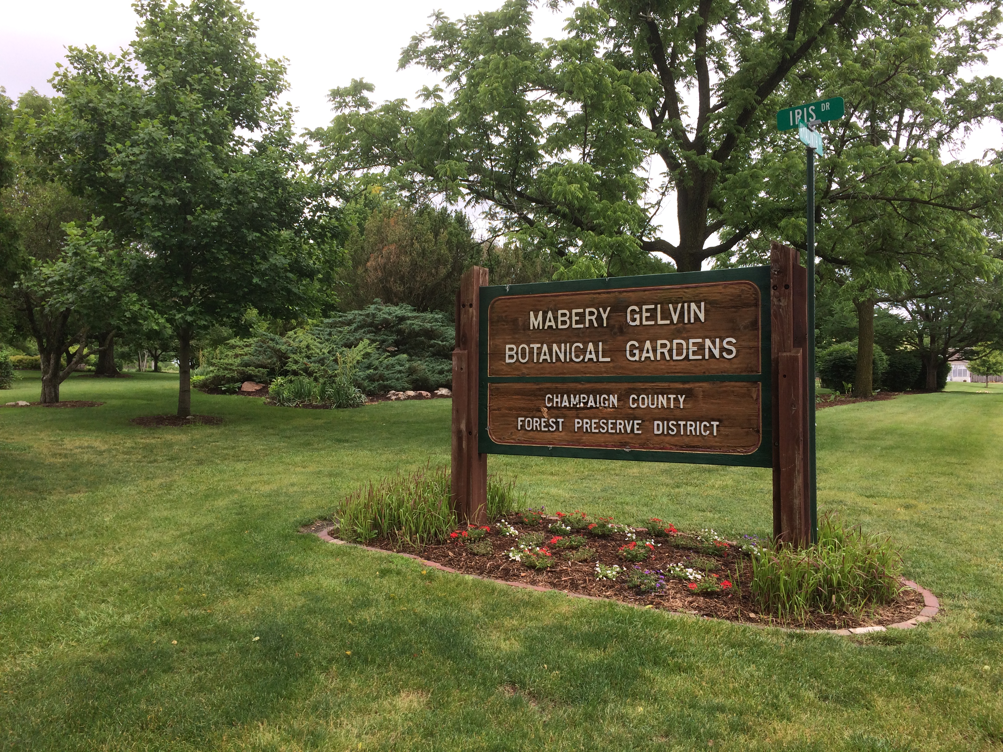
Mabery Gelvin Botanical Gardens

RIP, Bernie Judge. He was an old-school Chicago newspaperman and my boss 30 years ago. Not a mentor, exactly, but I did learn a few things from him — most of which I didn’t appreciate until later.

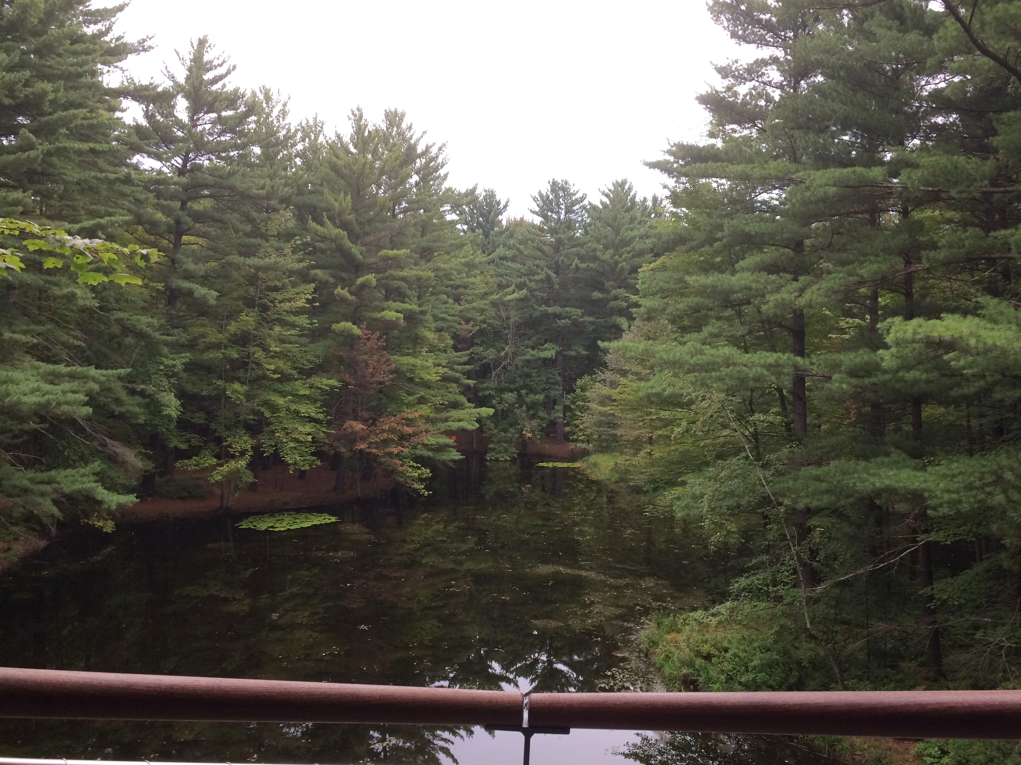
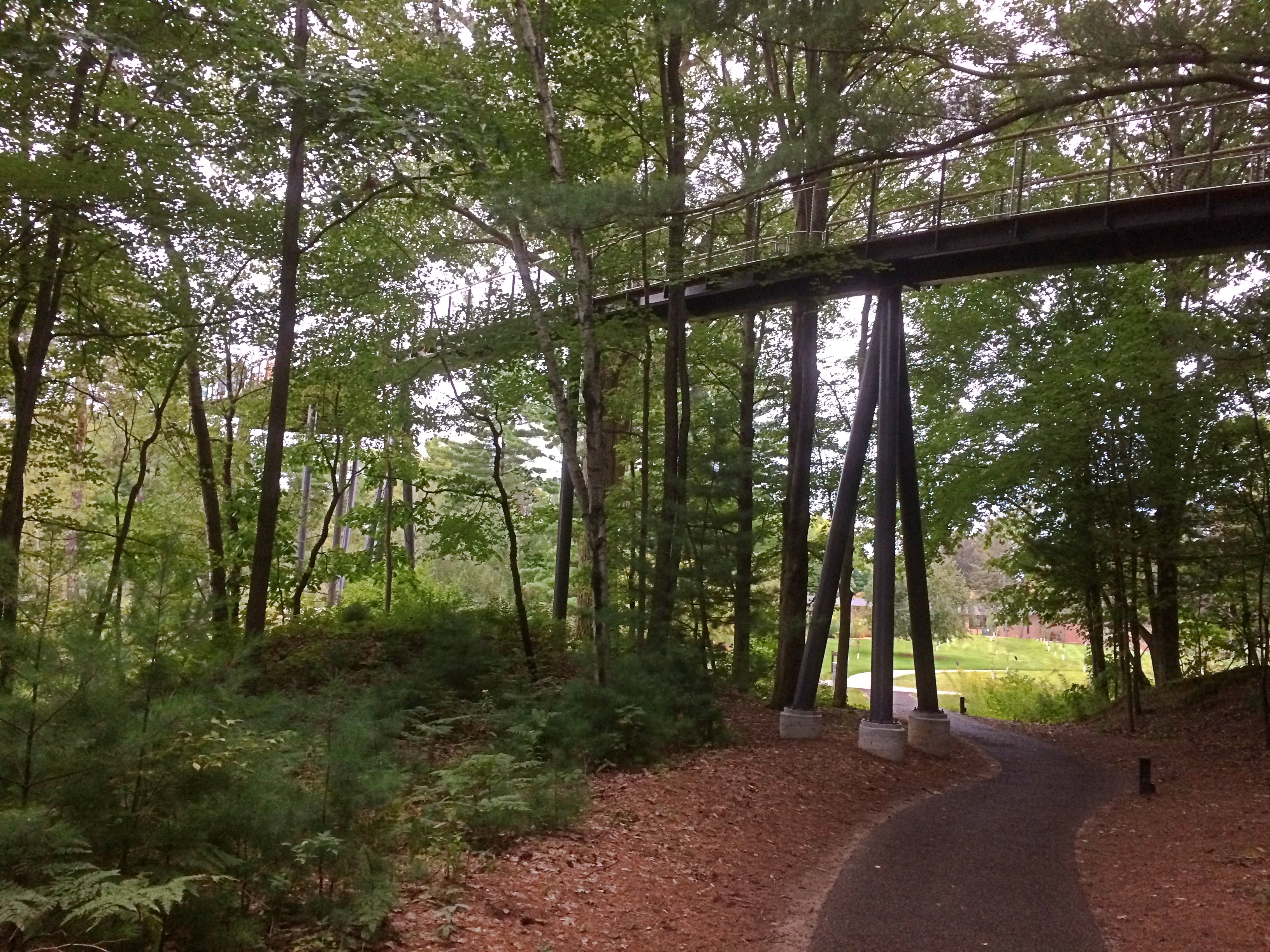
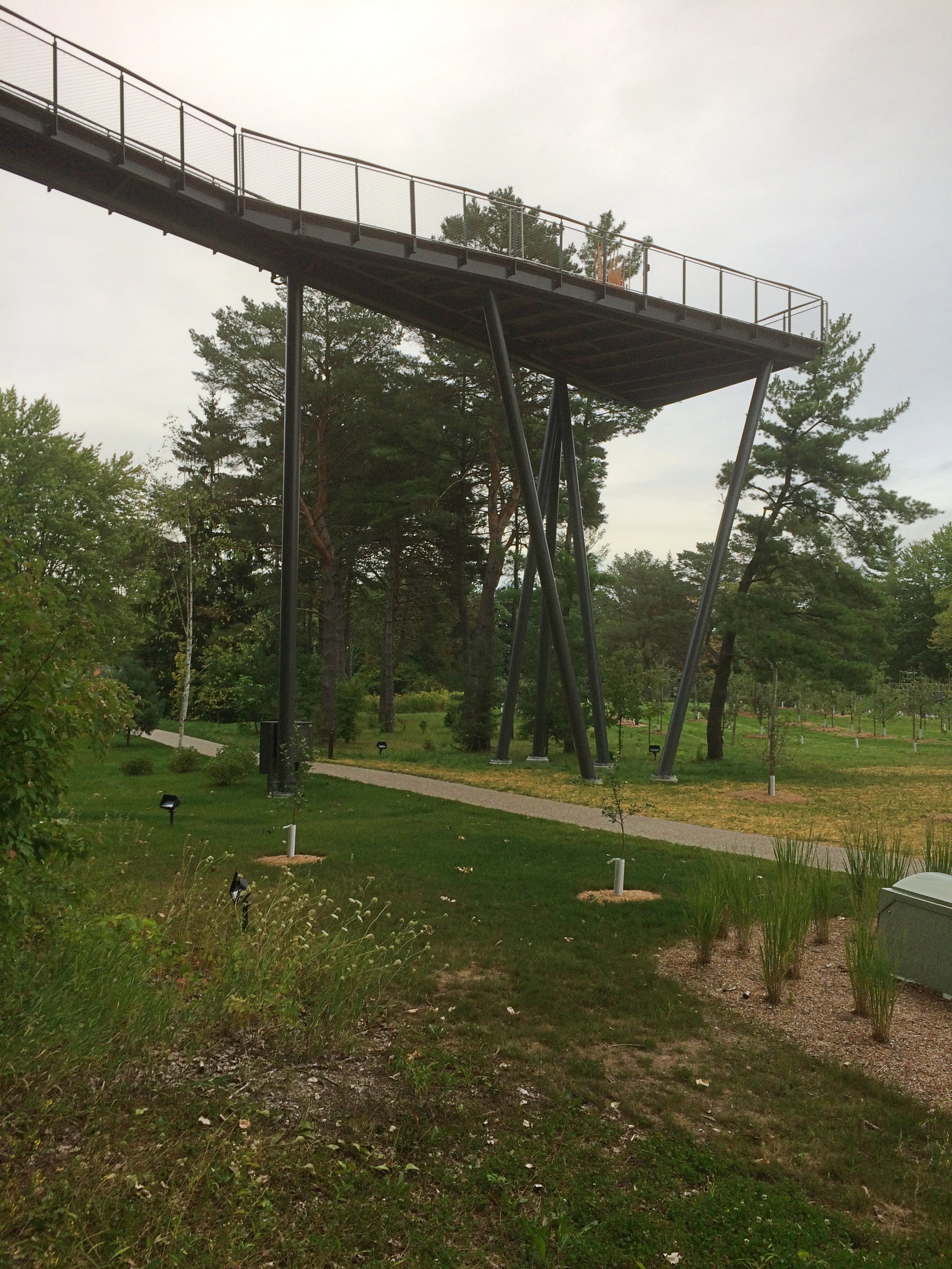
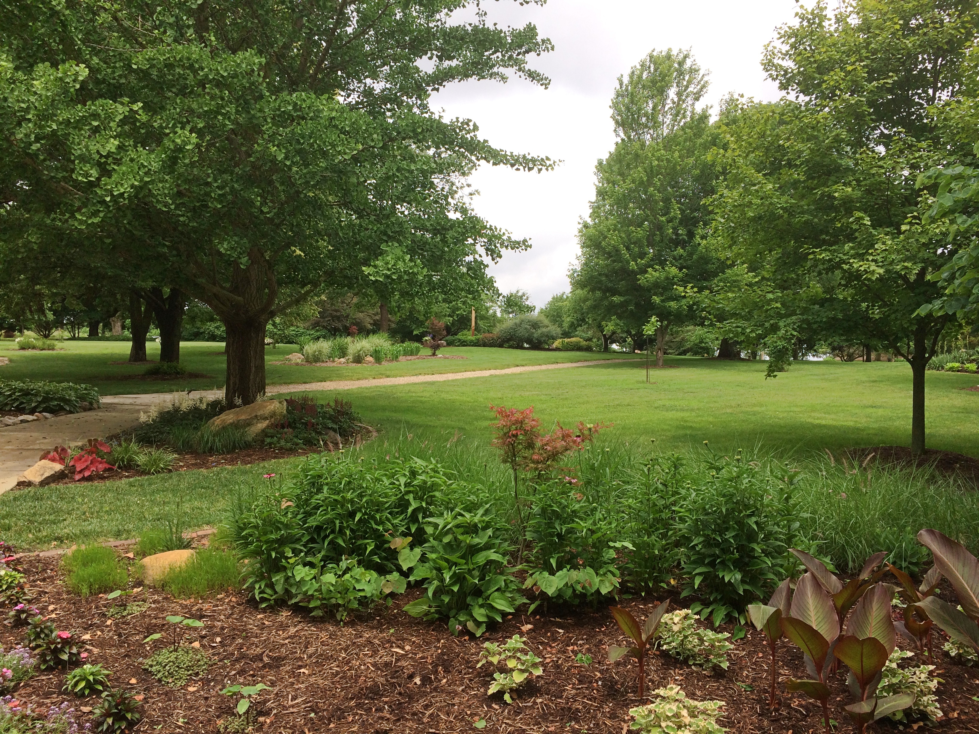
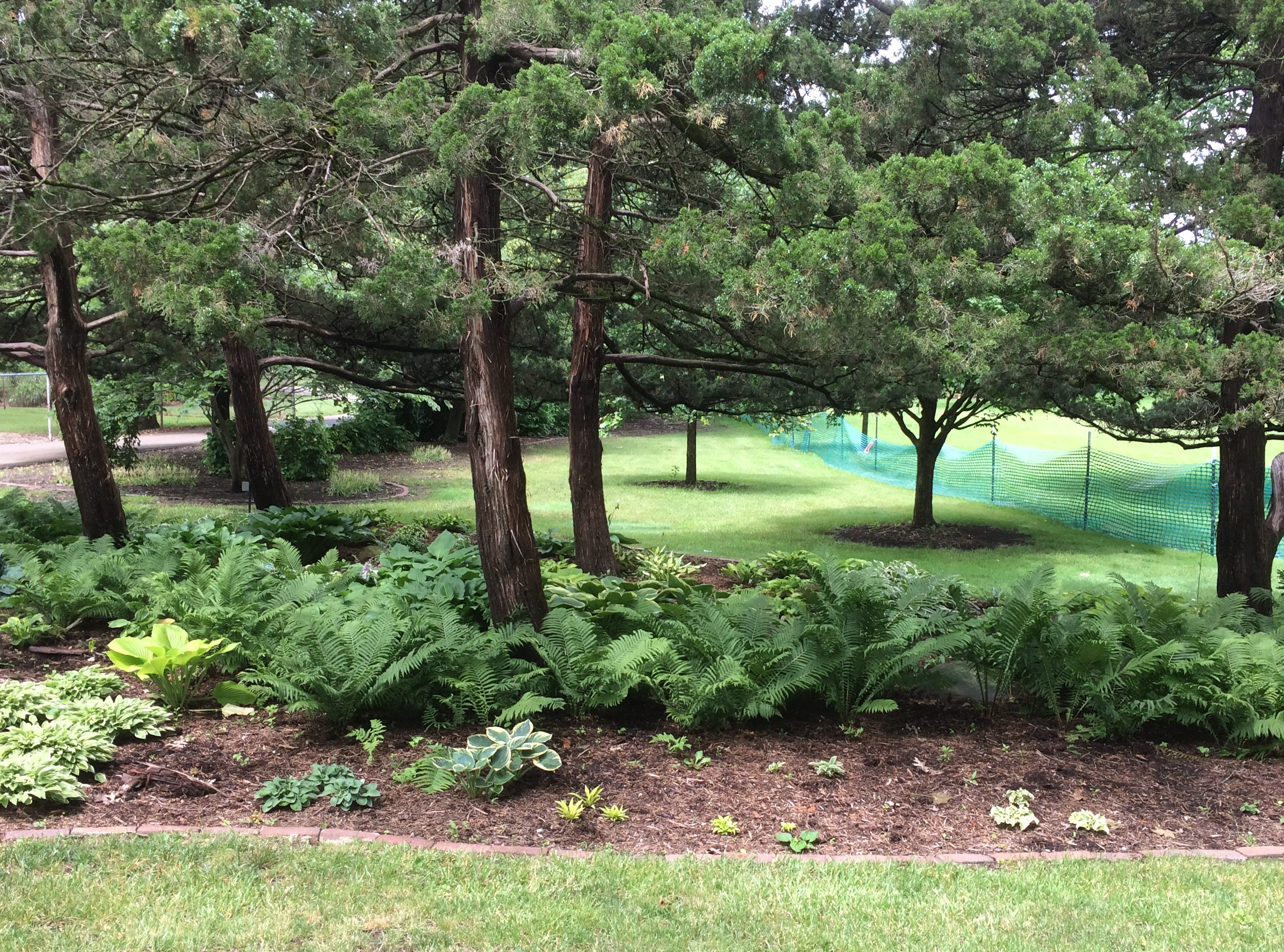
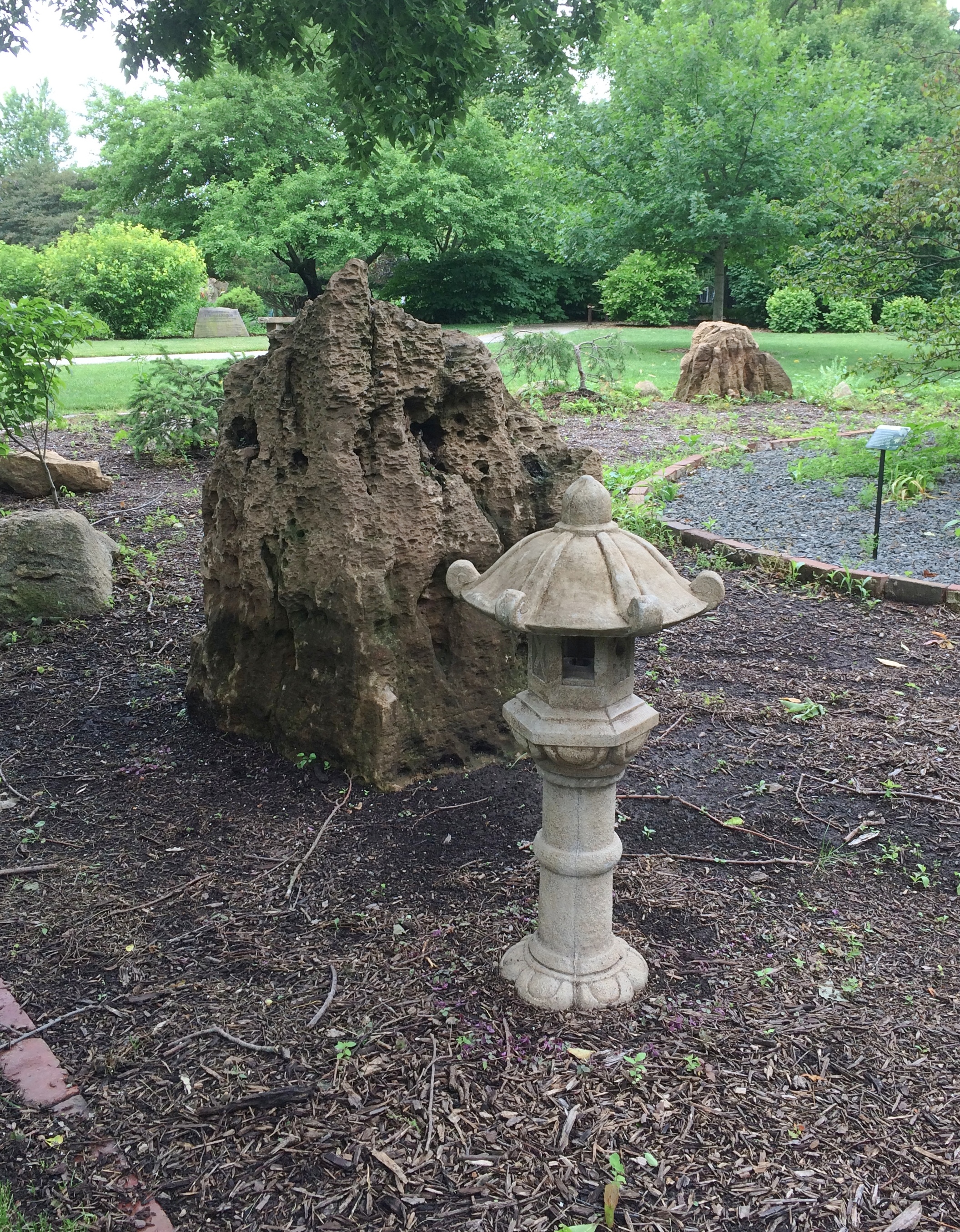
By last Sunday morning, the rain had stopped and we visited the Mabery Gelvin Botanical Gardens in Mahomet, Illinois, not far outside Champaign.
At eight acres, the garden isn’t large, but it is a pretty place in June.
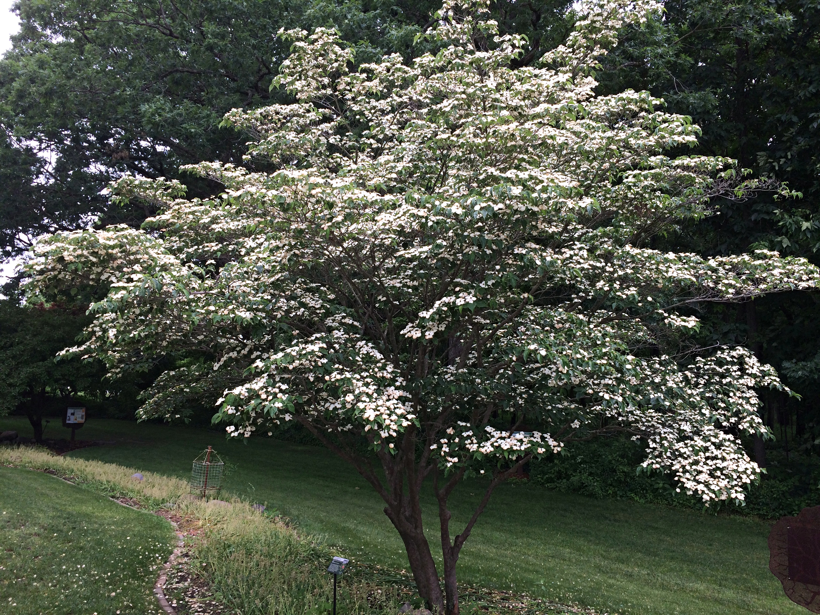
Mabery Gelvin Botanical GardensMabery Gelvin Botanical GardensFeaturing the blooming Dogwood (Cornus kousa).
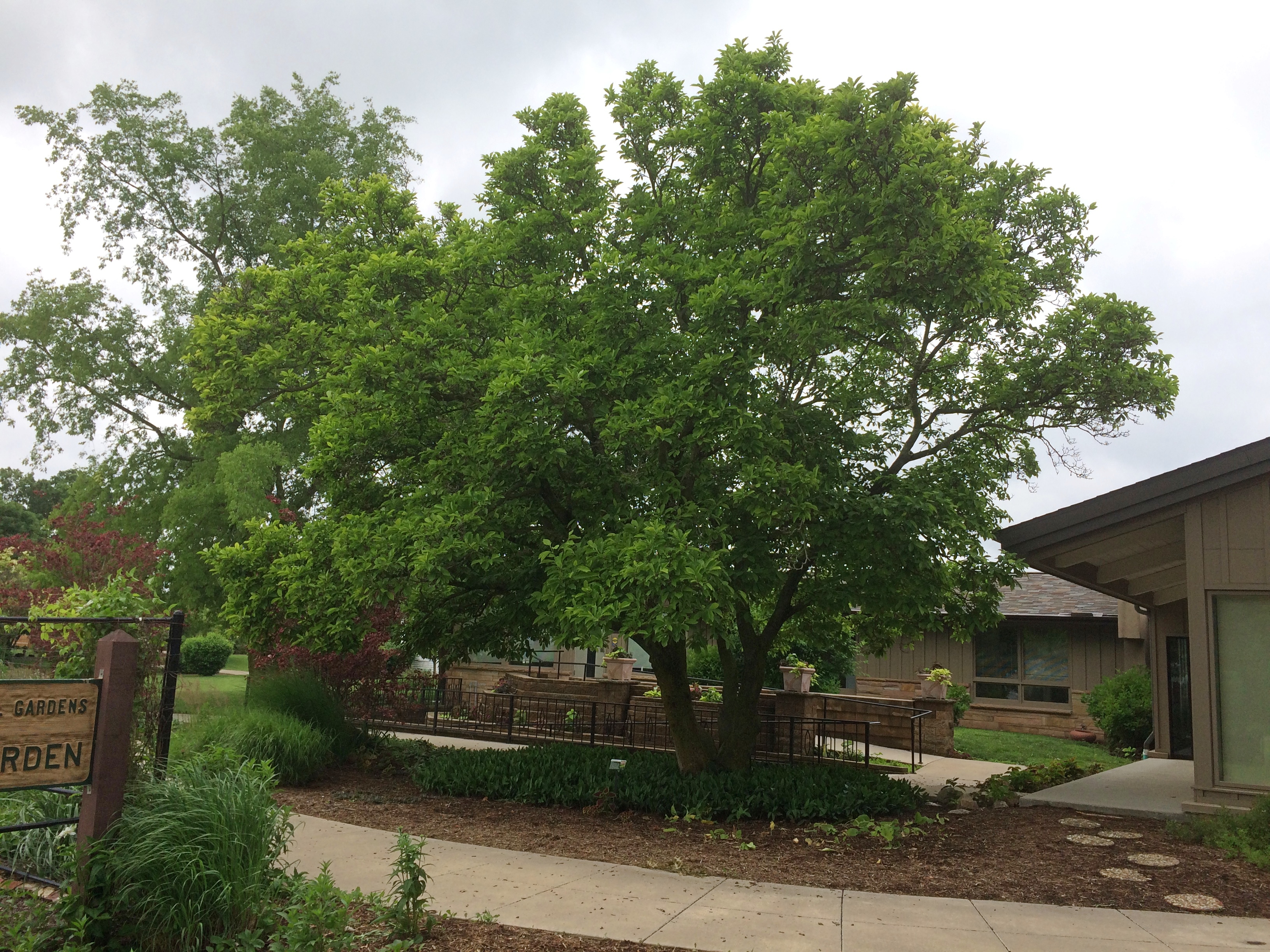
A Saucer Magnolia (Magnolia x soulangeana). The South doesn’t get all the magnolias. According to the sign next to the tree, “… the genus magnolia is 95 million years old. Older than bees, they are pollinated by beetles.”
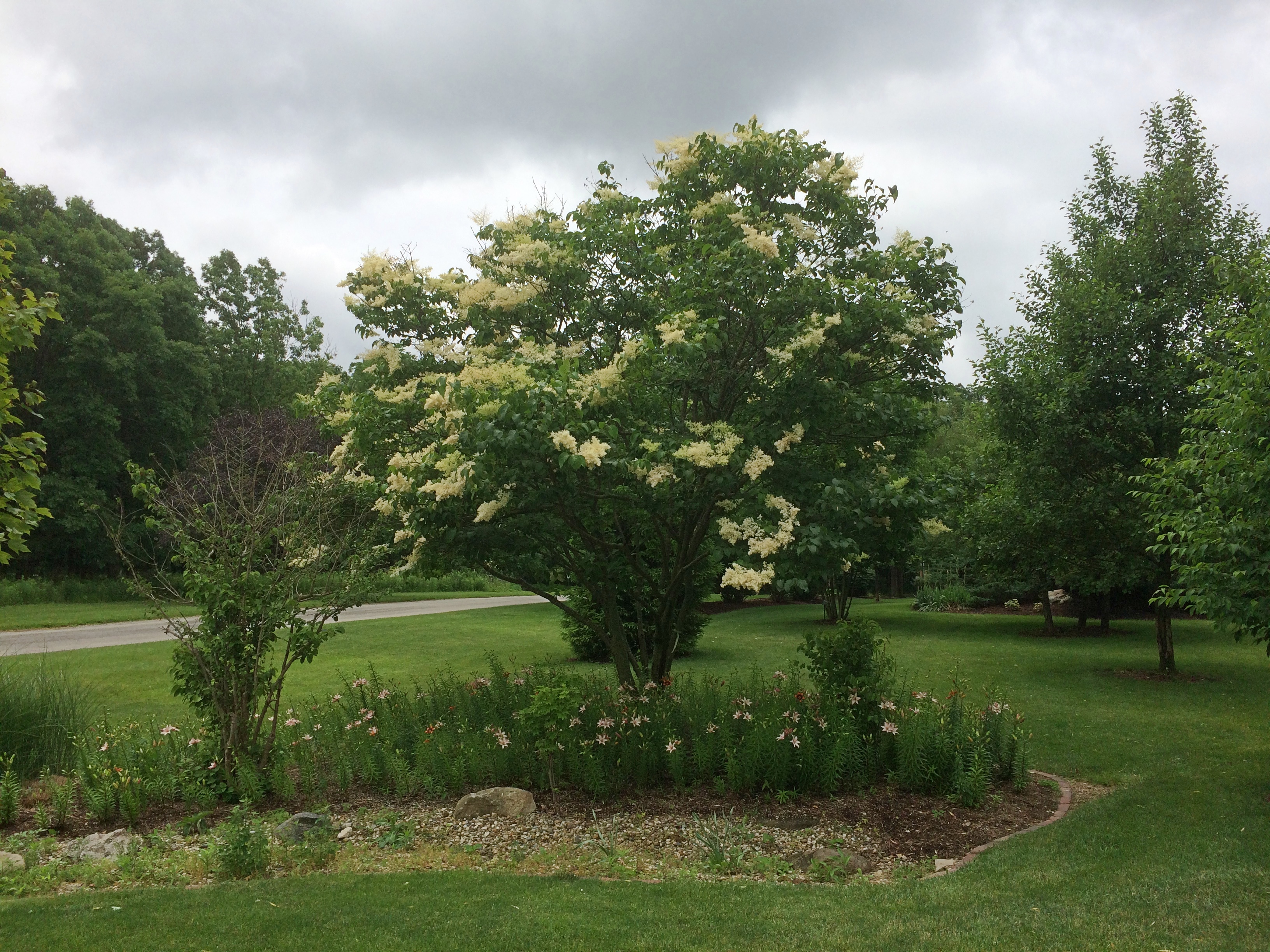
Japanese lilac (Syringa reticulata).
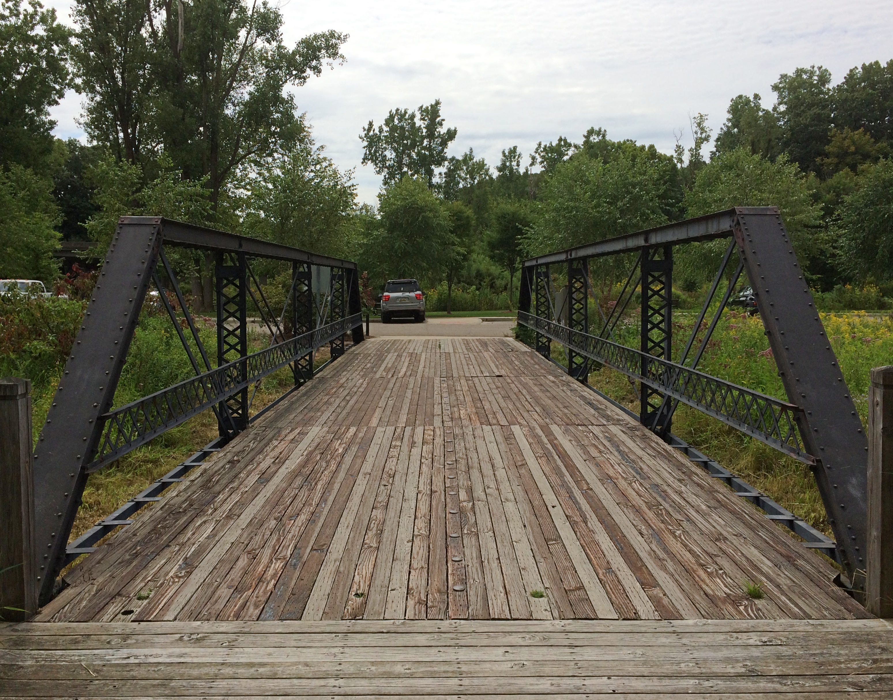
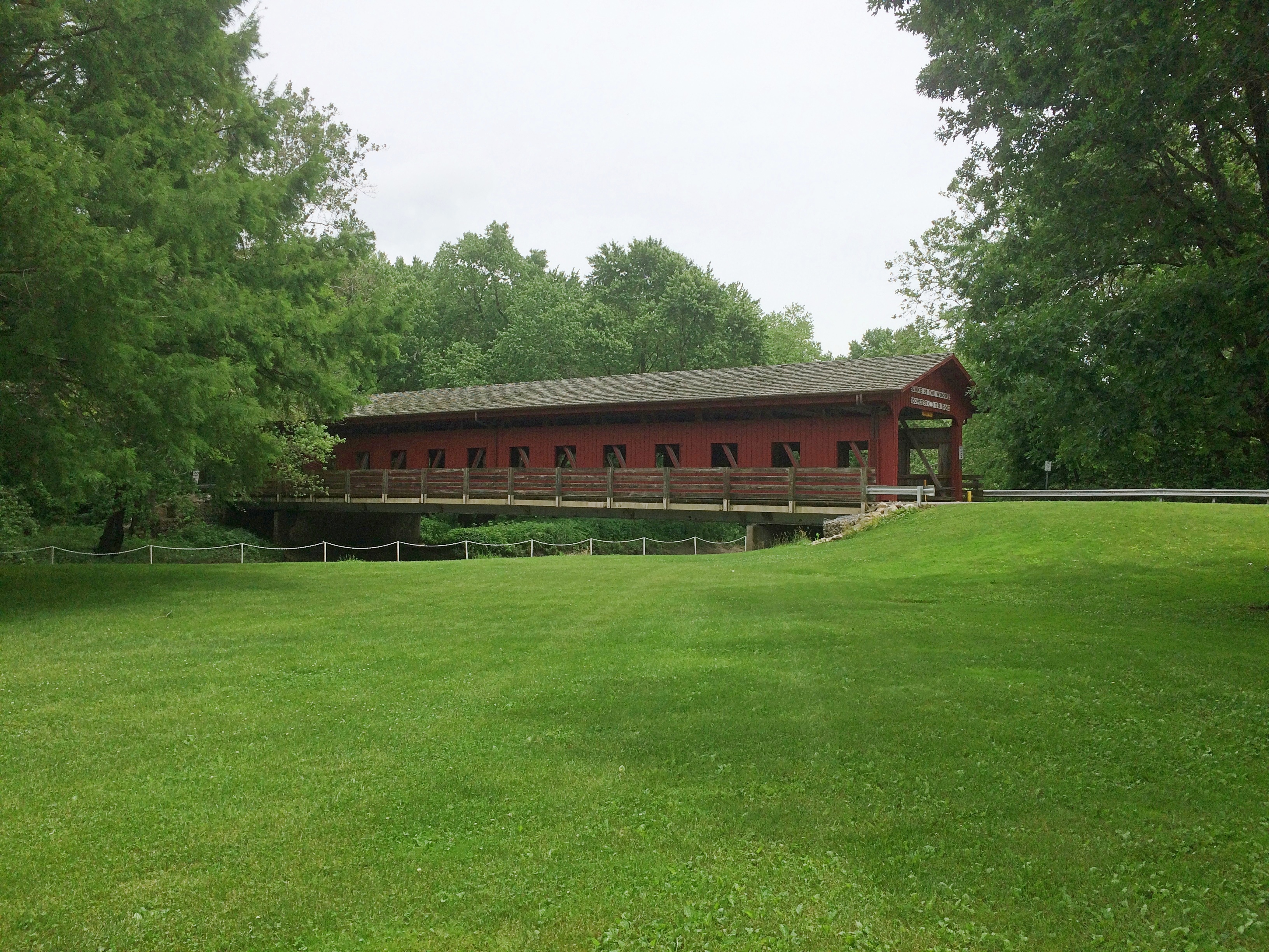
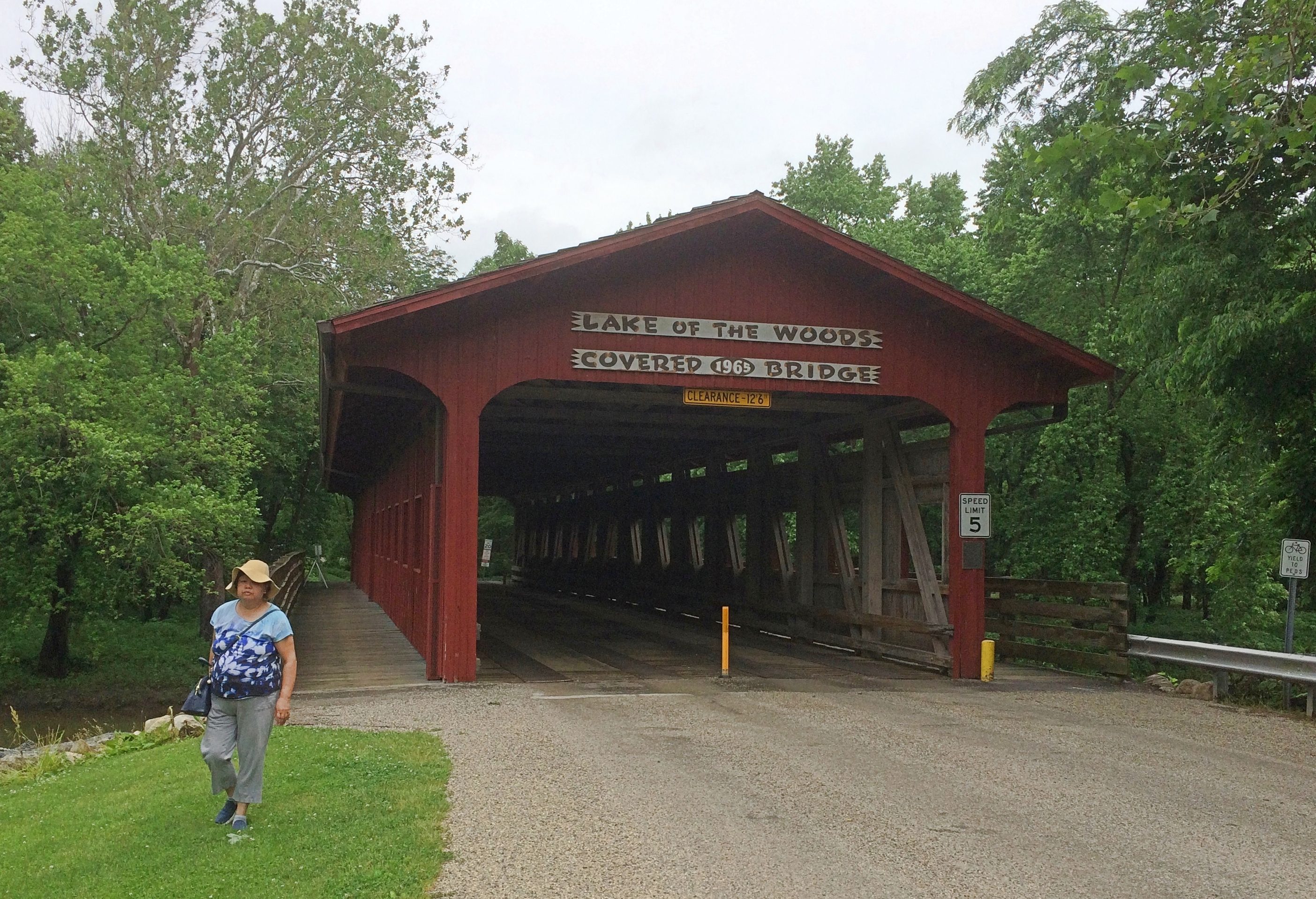
The garden is part of the larger Lake of the Woods Forest Preserve. We took a walk along some of its trails, eventually coming to a covered bridge: Lake of the Woods Covered Bridge. Wooden construction, but also with hidden steel support to make it vehicle-worthy.
Lake of the Woods Forest PreserveLake of the Woods Forest PreserveIt isn’t one of the 19th-century bridges you find in the Midwest. Rather, vintage 1965. As the park district says: “After the purchase of an 80-acre tract of land west of the Sangamon River in the 1960s, the Lake of the Woods Covered Bridge was constructed to connect the two sides of Lake of the Woods Forest Preserve in Mahomet. Designed by German Gurfinkel, a Civil Engineering instructor at the University of Illinois, the bridge was a replica of the Pepperel Bridge [sic] near Boston.”

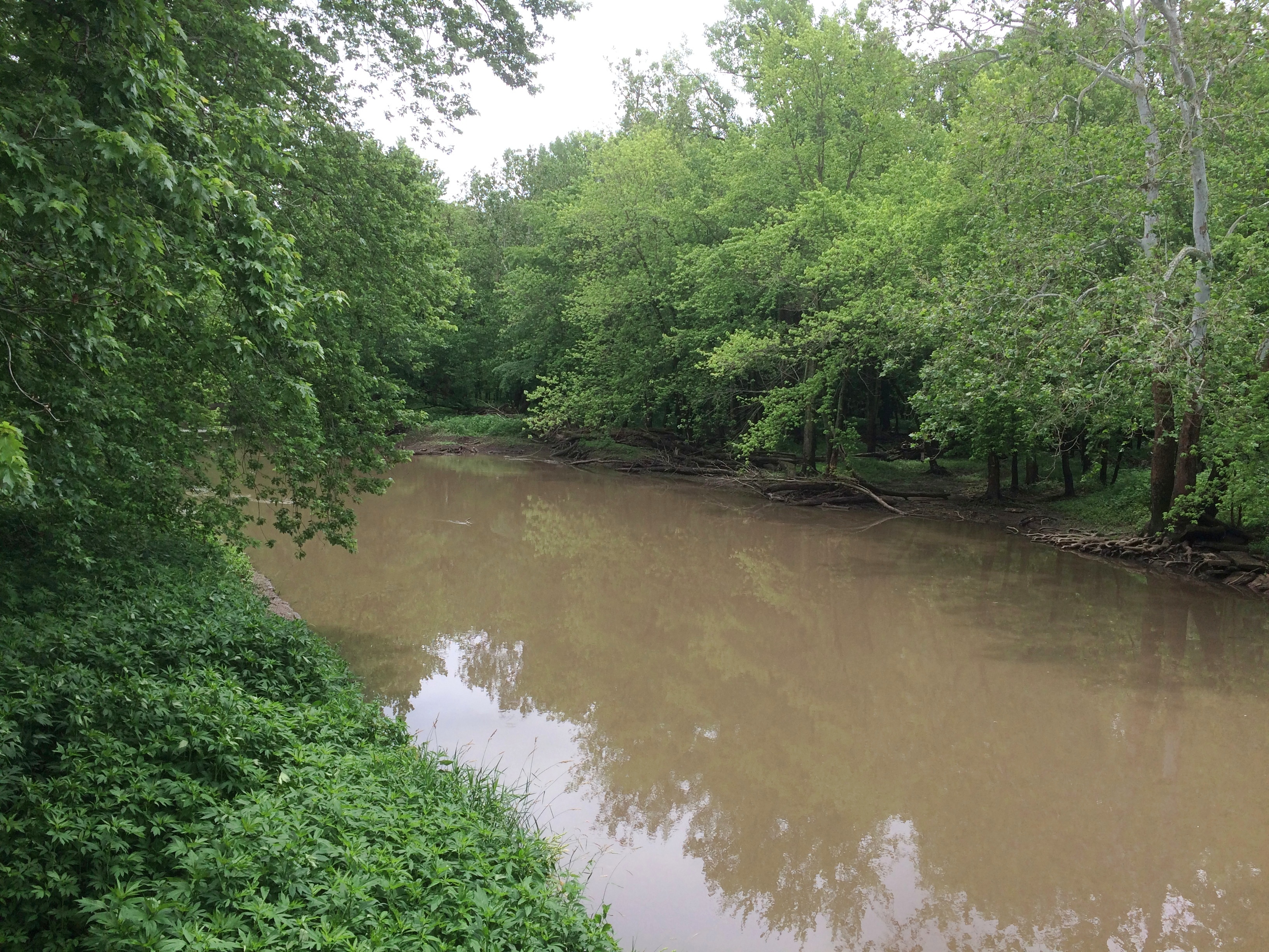
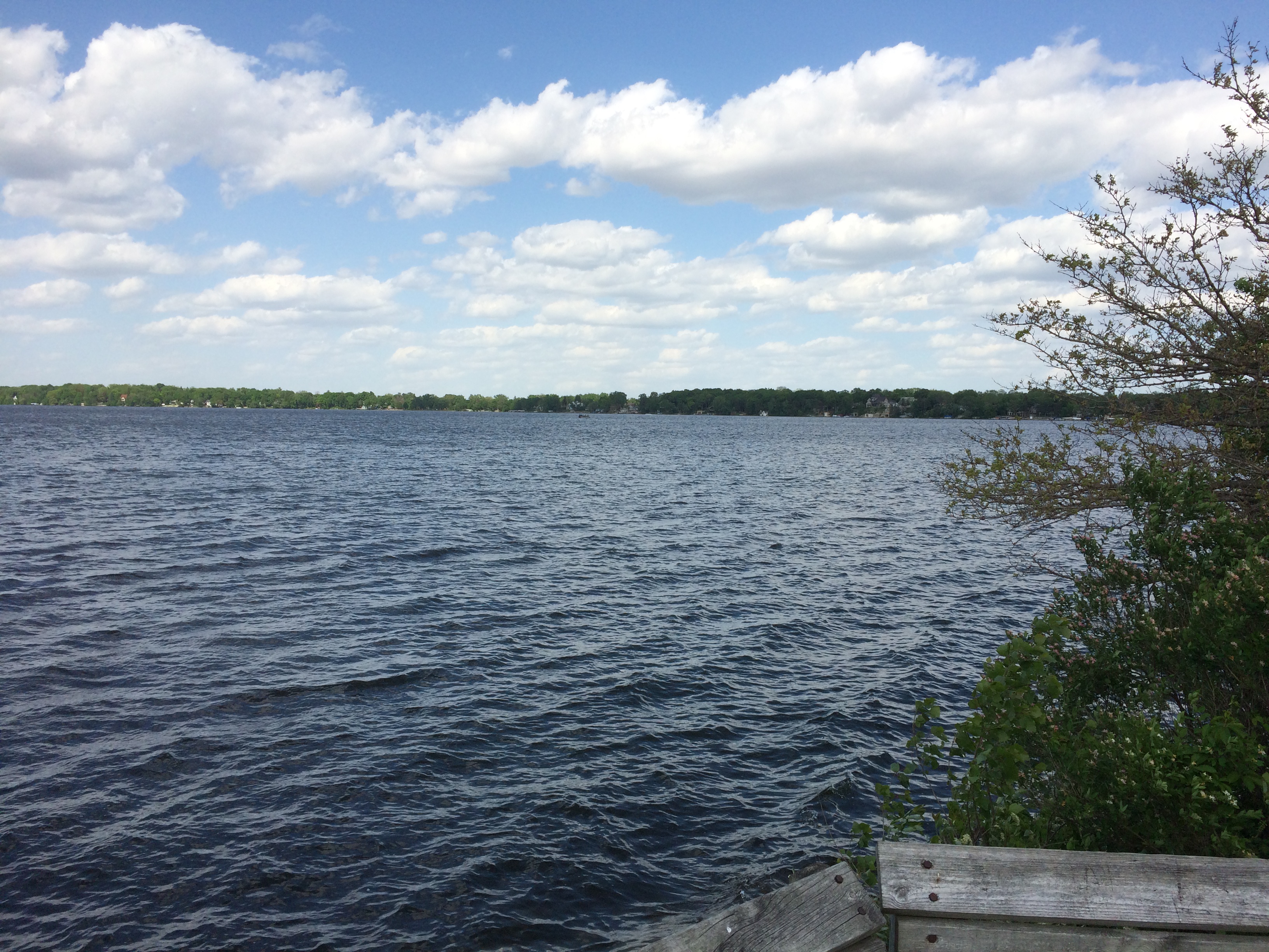
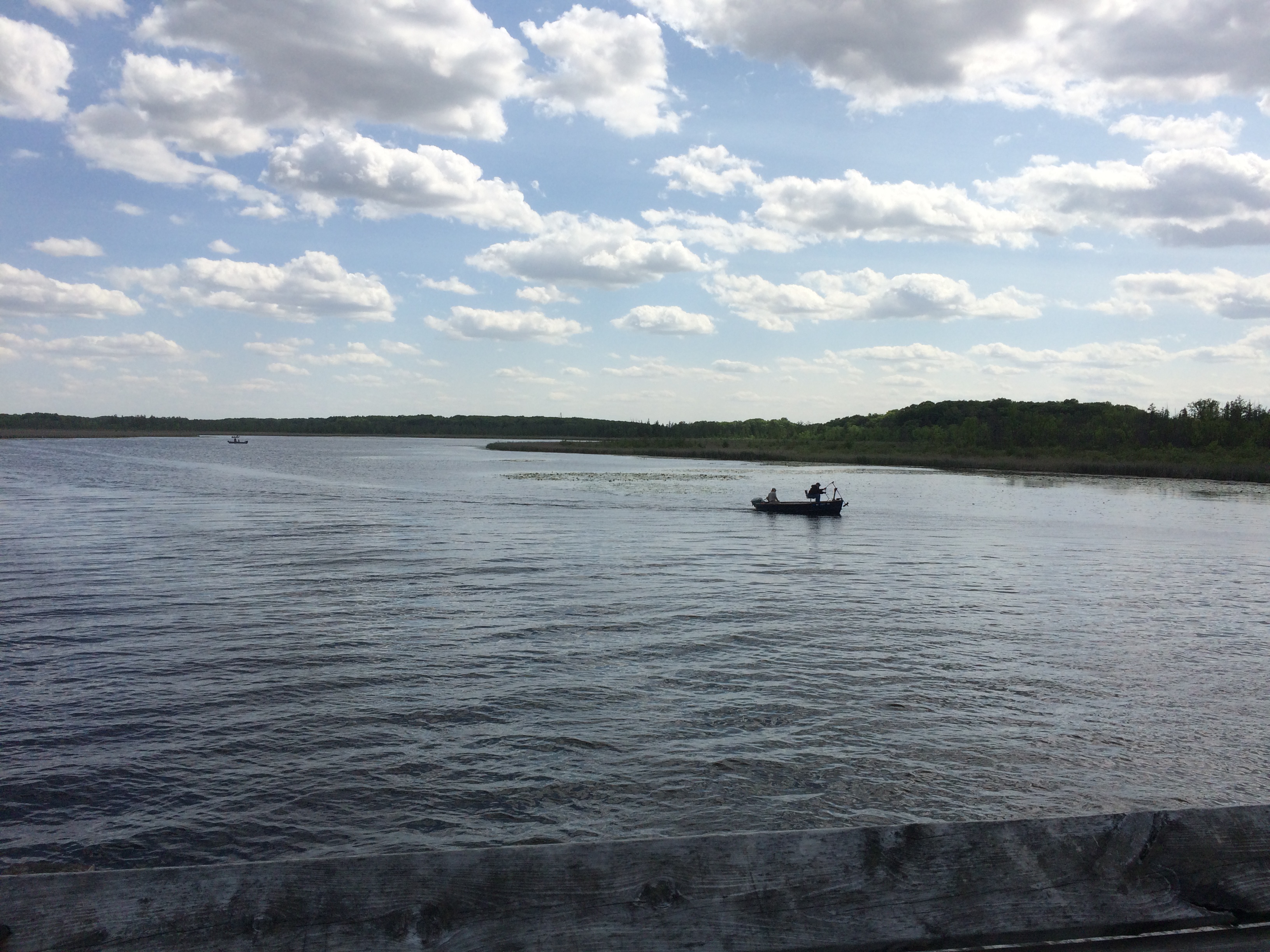
The view from the bridge of the Sangamon River, which flows on to Springfield and then to the Illinois River.
We walked across the bridge. You should cross bridges when you come to them, if possible. Before we left the forest preserve, we also drove across it, because we don’t get to drive across covered bridges that much.

Glacial Drumlin State Trail

I might have heard the term drumlin before, but if so I didn’t remember what it meant. On June 2, after lunch and looking around Lake Mills, Wisconsin, for a while, we took a walk on the Glacial Drumlin State Trail, which runs through the southern part of the town.

A drumlin is a kind of elongated hill. The kind of formation receding glaciers are apt to leave. “One end is quite step, whilst the other end tapers away to ground level,” says the Geography Site, a British page with helpful diagrams.

The section of the trail we walked didn’t have any kind of slopes at all, but the name refers to the drumlins that the trail passes by or over during its entire length, which is 53 or so miles. It runs from suburban Milwaukee to suburban Madison, or the other way around.

The trail began as a section of the Chicago & North Western’s main line between Milwaukee and Madison. The railroad abandoned the line in the 1980s, after which I assume the Rails to Trails Conservancy did its fine work.

I first noticed the trail on Google Maps and decided to investigate further when I saw that the trail crossed a part of Rock Lake on a feature called Glacial Drumlin Train Trestle, which sounds like an English folk revival band from about 50 years ago. I decided I wanted to see the trestle.

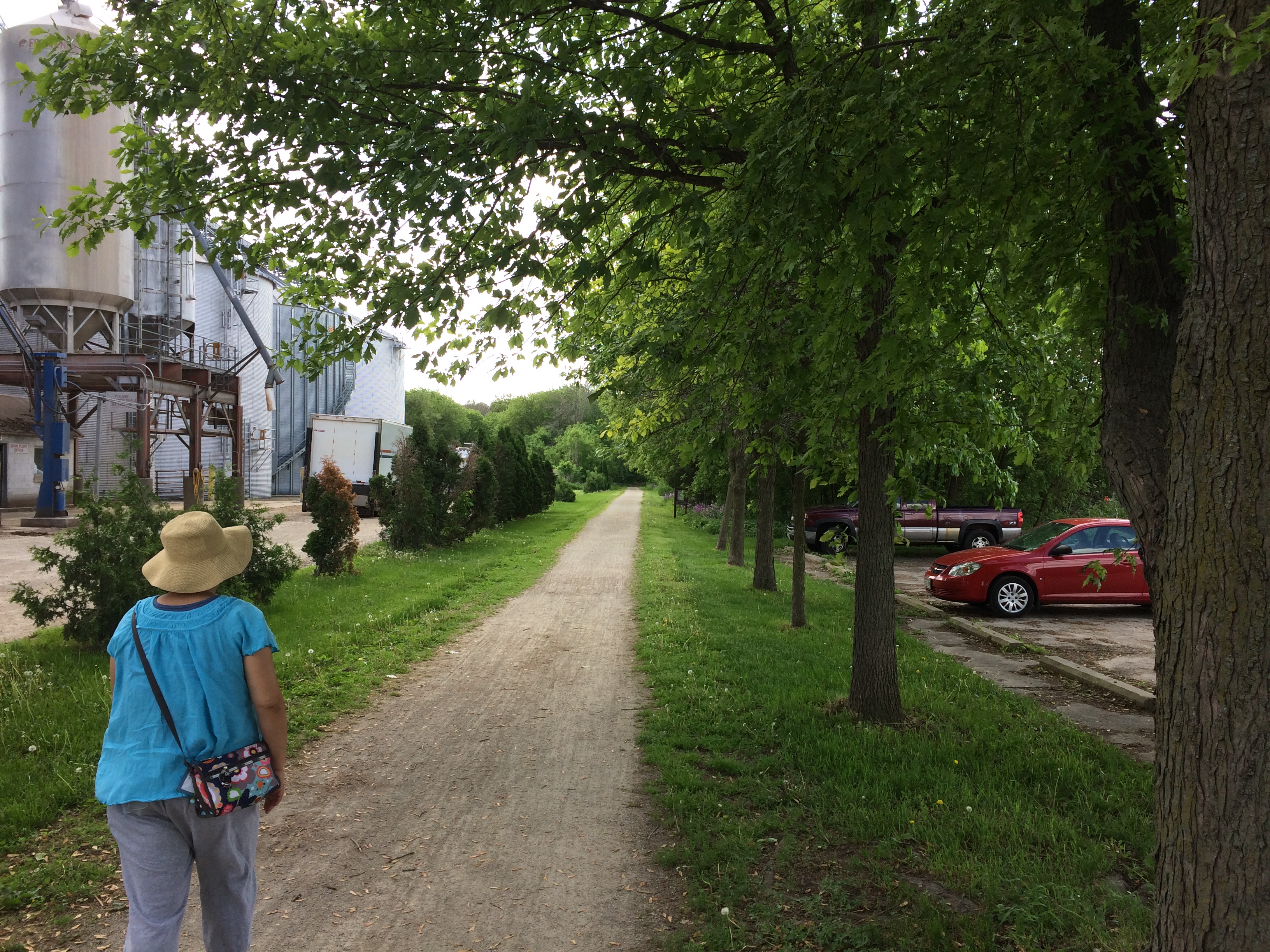
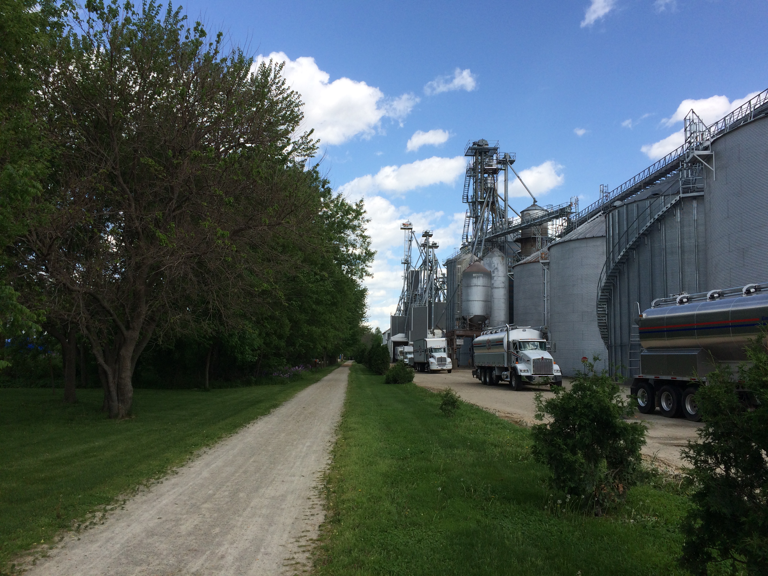
We accessed the trail from a parking lot near a renovated depot.
To the south of the trail at that point is an industrial complex belonging to Vita Plus. In its way, as interesting as anything we saw in Wisconsin that day.
The company provides “feed, nutrition and management expertise to dairy and livestock producers,” according to its web site.

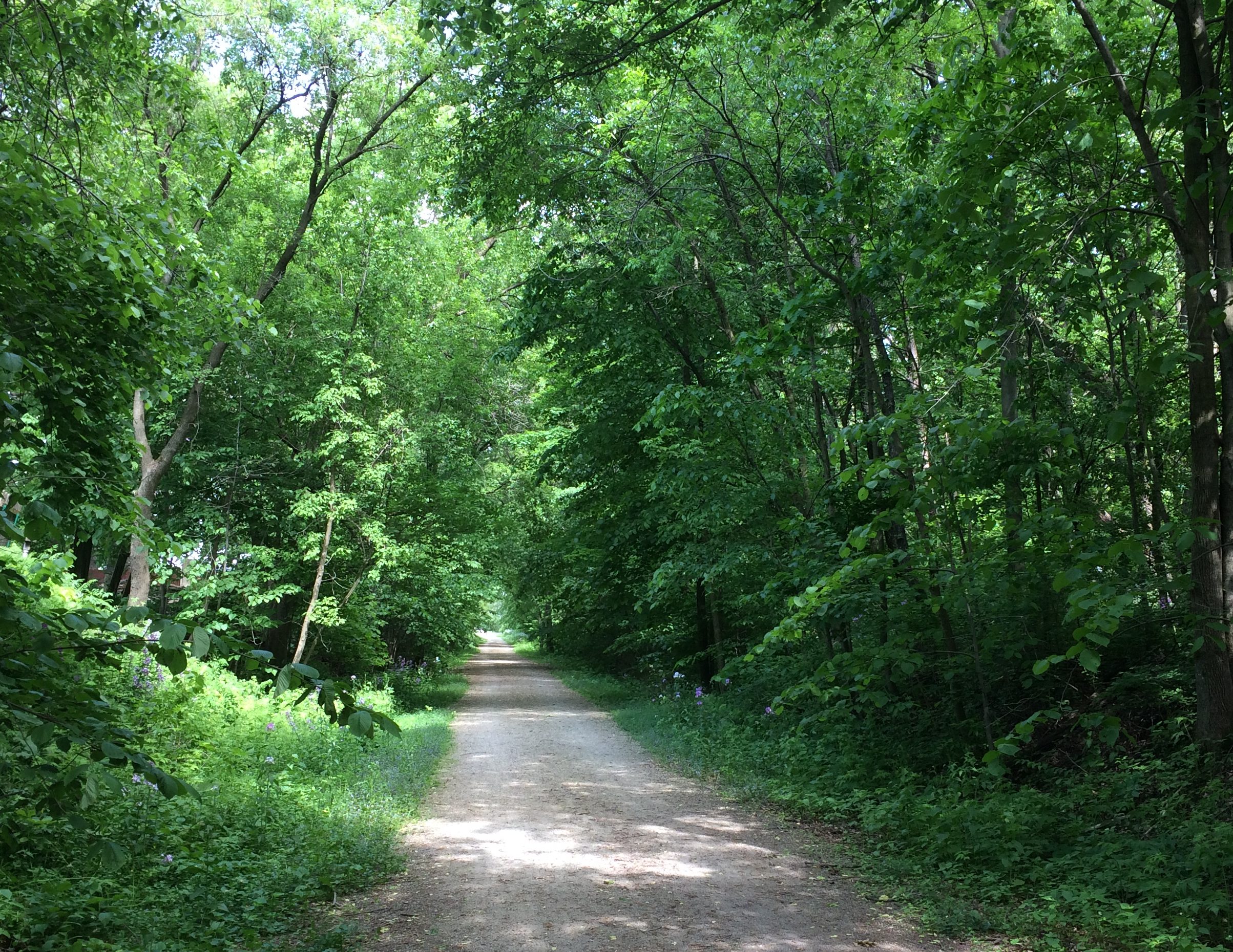
Moving on, we headed deep into the woods. Except that for most of the way to Rock Lake, residential districts were on both sides, maybe 30 feet from the edge of the trail.
Still, it was a pleasant walk, crowded with neither bicyclists nor hikers. Phlox were a-bloomin’ along the trail.
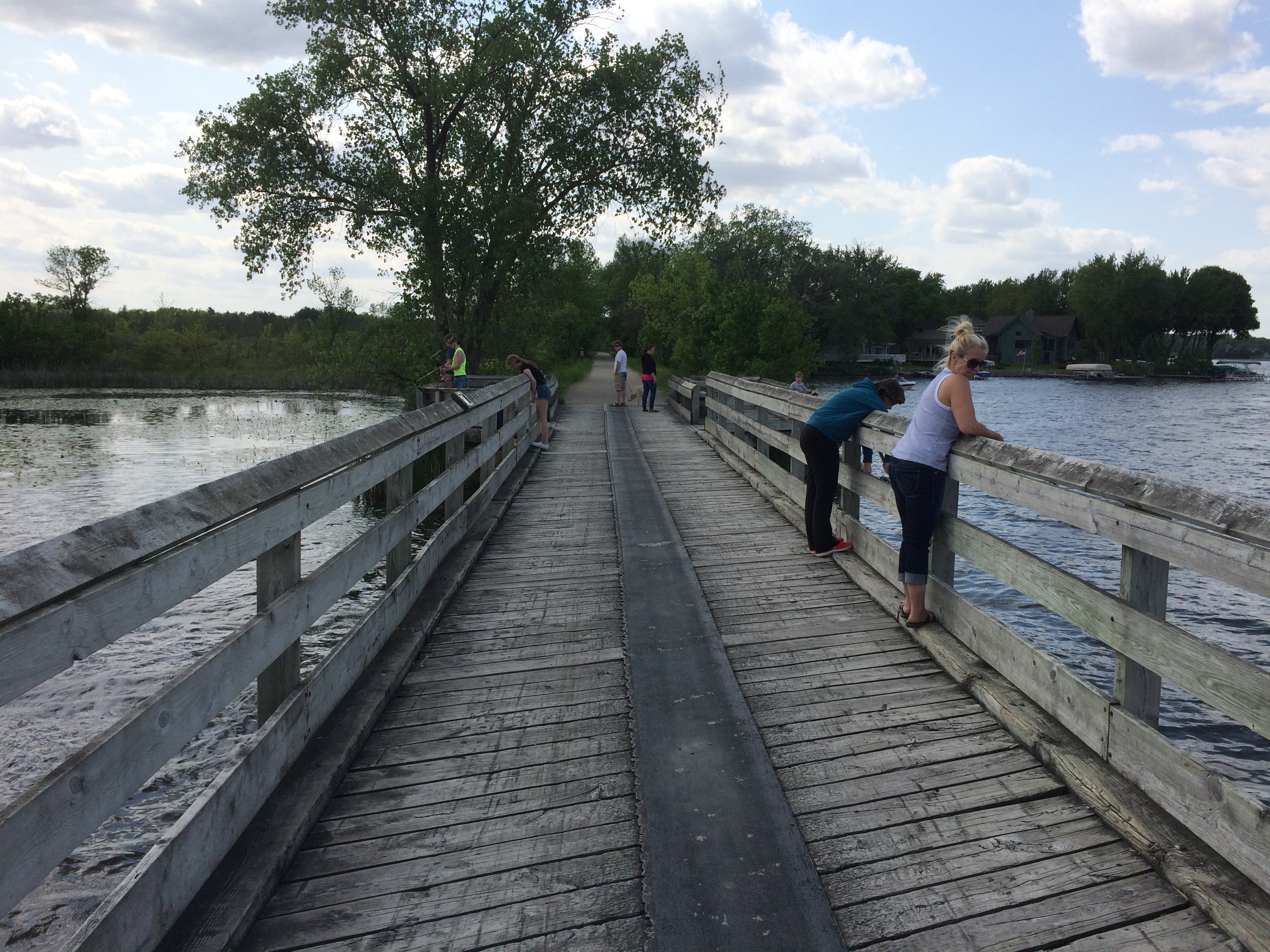
Eventually we got to the trestle. Because I didn’t bother to check Google Images, I was expecting to see some kind of bridge substructure. The term “trestle” inspired that idea. Instead, we crossed a nice enough but not very dramatic bridge occupied by a few fishing enthusiasts.
Views of Rock Lake from the trestle, to the north and to the south. Pyramids lurk under the waves, they say. Built by aliens, no doubt. To harness pyramid power and teach mankind to live in peace and harmony.
A local Nessie would be better, but I’ll pass along whatever tales are on offer.
Southern Loop Debris

When were driving through LaGrange, Texas, on the first day of the trip, I began to wonder. What’s this town known for? I know it’s something. Then I saw a sign calling LaGrange “the best little town in Texas.” Oh, yeah. Famed in song and story.

On the way to Buffalo Bayou Park in Houston, we took a quick detour — because I’d seen it on a map — to see the Beer Can House at 222 Malone St., a quick view from the car. Looks like this. Had we wanted to spend a little more time in Houston, I definitely would have visited the Orange Show. Ah, well.

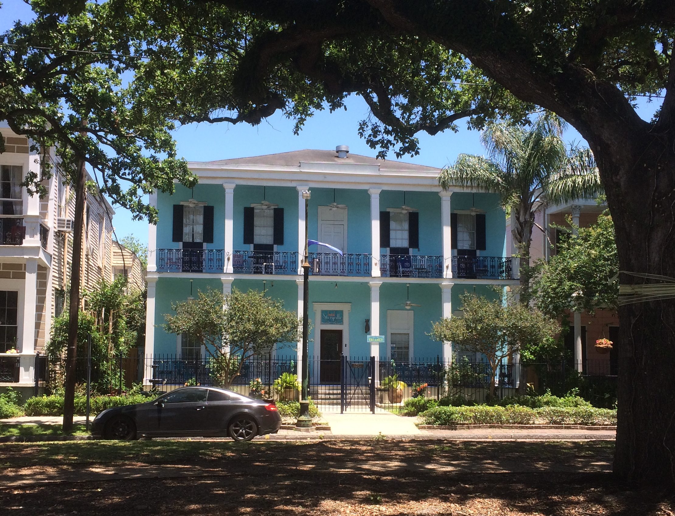
We enjoyed our walk along Esplanade St. in New Orleans, where you can see some fine houses.
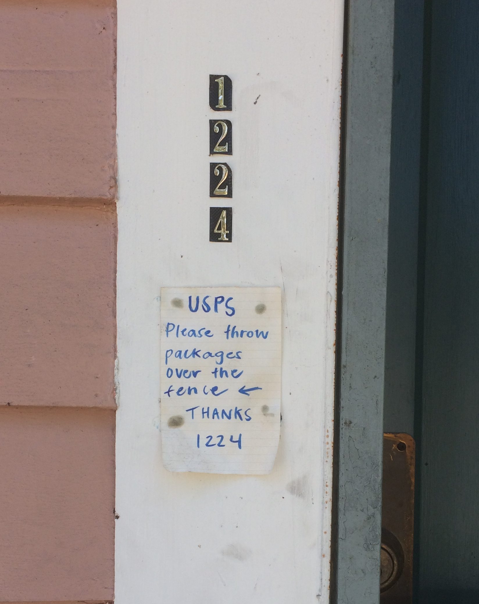
Plus efforts to thwart porch pirates. We saw more than one sign along these lines during our walk down the street.
We spent part of an evening in New Orleans on Frenchman St., which is described as not as rowdy or vomit-prone as Bourbon St., and I suppose that’s true, though it is a lively place. We went for the music.

At Three Muses, we saw Washboard Rodeo. They were fun. Western swing in New Orleans. Played some Bob Wills, they did.

At d.b.a, we saw Brother Tyrone and the Mindbenders. Counts as rock and soul, I’d say. Also good fun, though they were playing for a pretty thin Monday night crowd.

Adjacent to Frenchman St. is an evening outdoor market, the Frenchman Art Market, which we visited between the two performances. The market featured an impressive array of local art for sale, though nothing we couldn’t live without.

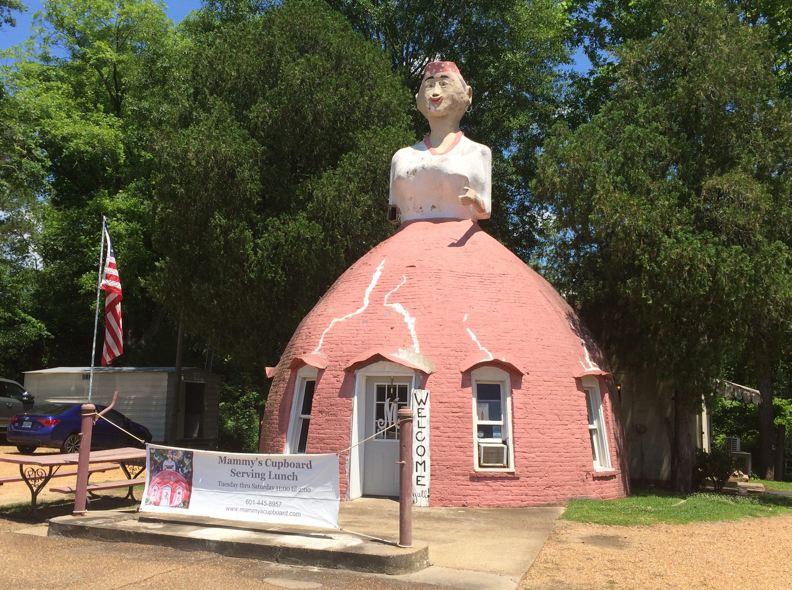
Something you see on U.S. 61 just outside of Natchez, Mississippi: Mammy’s Cupboard, a restaurant. More about it here.

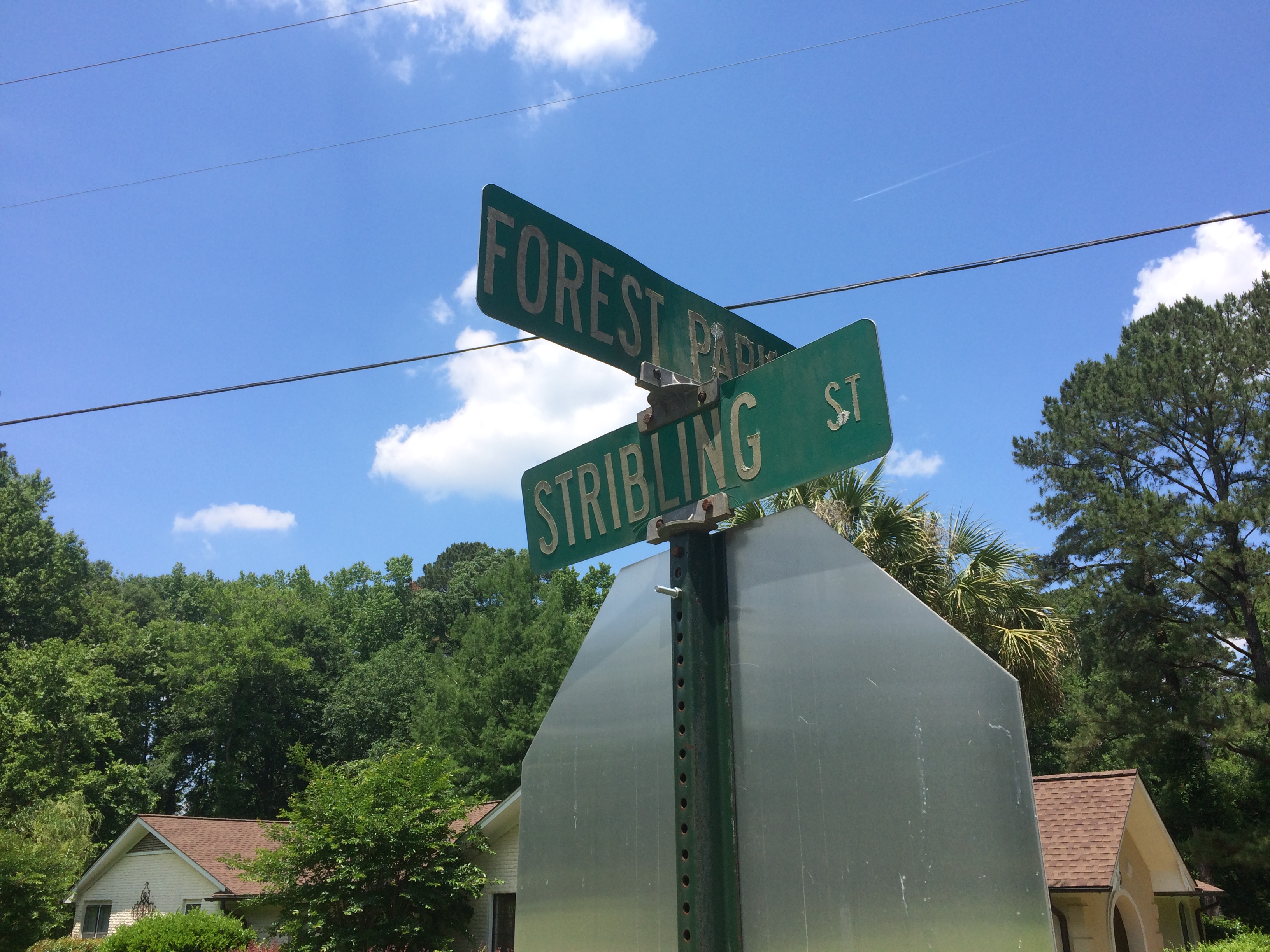
In Philadelphia, Mississippi, Stribling St. is still around. I don’t know why it wouldn’t be, but after nearly 30 years, I wanted another look.

So is the local pharmacy run by distant cousins. Glad the chains haven’t spelled its demise.

During our drive from metro Jackson, Mississippi, to Montgomery, Alabama — connected by U.S. 80 and not an Interstate, as you might think — we passed through Selma, Alabama. I made a point of driving across the Edmund Pettus Bridge, though we decided not to get out and look around. Remarkably, the bridge looks exactly as it does in pictures more than 50 years old.

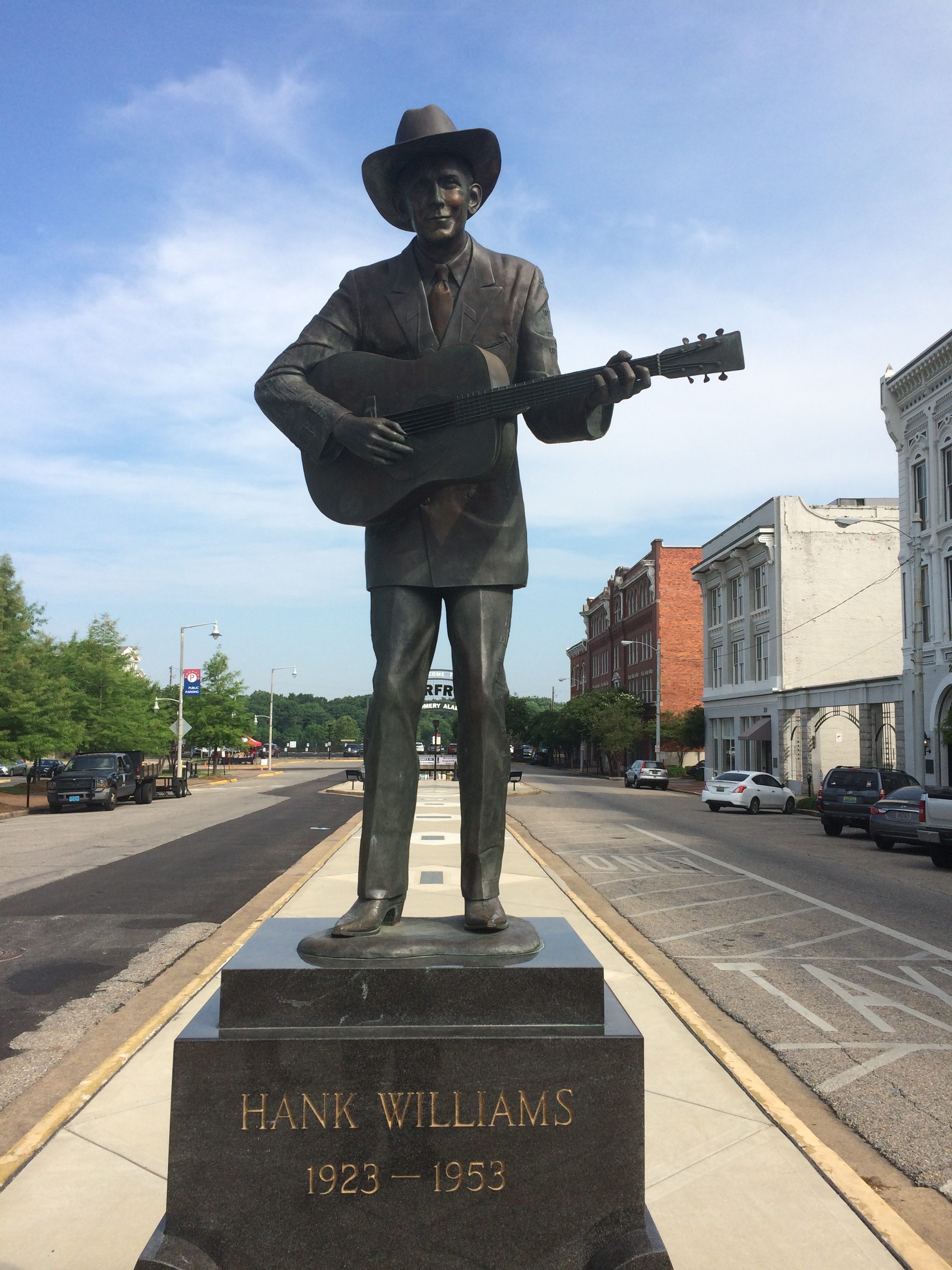
In downtown Montgomery, you can see this statue. I understand the bronze has been around since 1991, but was only recently moved to its current site not far from Riverfront Park, the river of course being the Alabama.
I’d forgotten native son Hank Williams died so young. Some singers die rock ‘n’ roll deaths, some die country deaths like Hank.

Speaking of death, early in the trip, I was activating my phone — whose dim algorithm always suggests news I seldom want to see during the process — and I noticed the name “Doris Day” in the feed. I figured that could mean only one thing. Sure enough, she became the first celebrity death of the trip.

I hadn’t known she was still alive. In fairly rapid order during the trip after Ms. Day, the reaper came for Tim Conway, I.M. Pei and Grumpy Cat. I didn’t know that last one, but Lilly did.

I remember a time that Tim Conway described himself as “the funniest man in the universe” on the Carol Burnett Show. We all took that as a comedian’s hyperbole. But what if he was right? What if some higher intelligence has made a four-dimensional assessment of human humor and come to that exact conclusion?

As for Doris Day, I will try to park as close to my destinations as possible in her honor for the foreseeable future (a term I remember hearing as long ago as the ’80s in Austin).

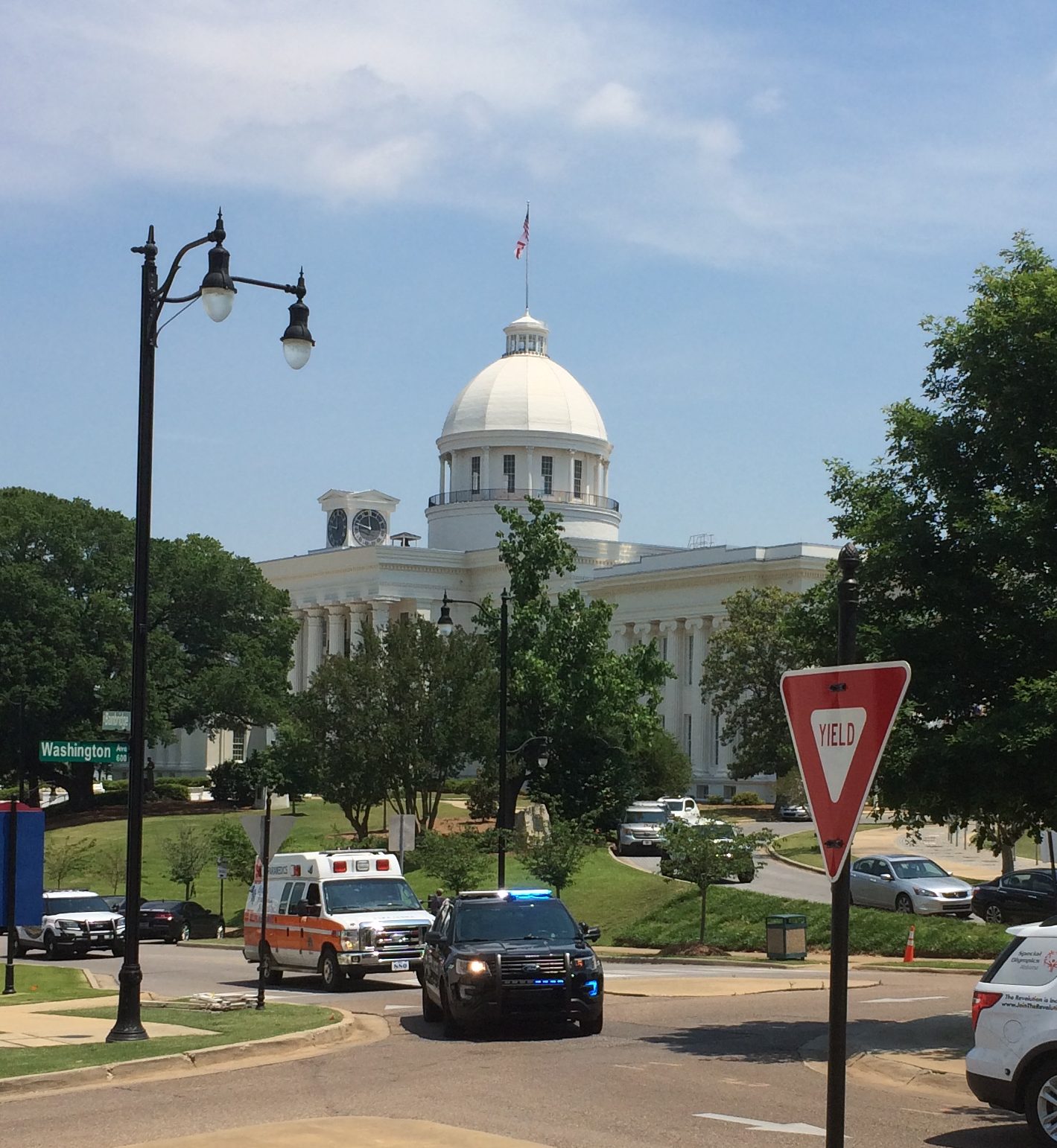
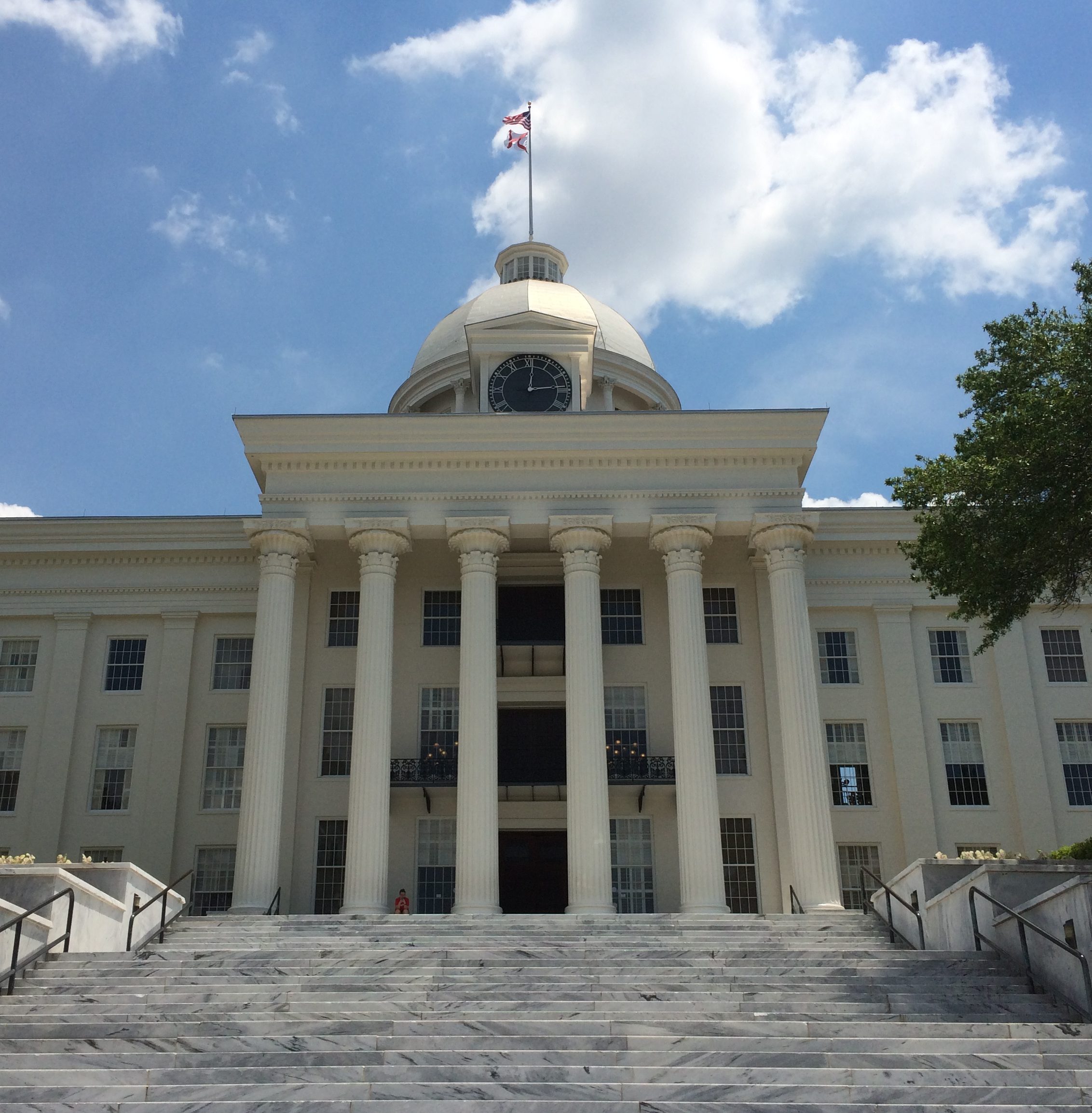
Also in Montgomery: the Alabama State Capitol. The Alabama legislature had been in the news a lot before we came to town, as the latest state body to try to topple Roe v. Wade. That isn’t why I visited. I see capitols when I can.

From a distance.
Closer.
The capitol was completed in 1851, though additions have been made since then. The interior of the dome is splendid.

Actually, the Alabama House and Senate don’t meet in the capitol any more, but at the nearby Alabama State House, something I found out later. When we visited, the capitol’s House and Senate chambers seemed like museum pieces rather than space for state business, and that’s why.

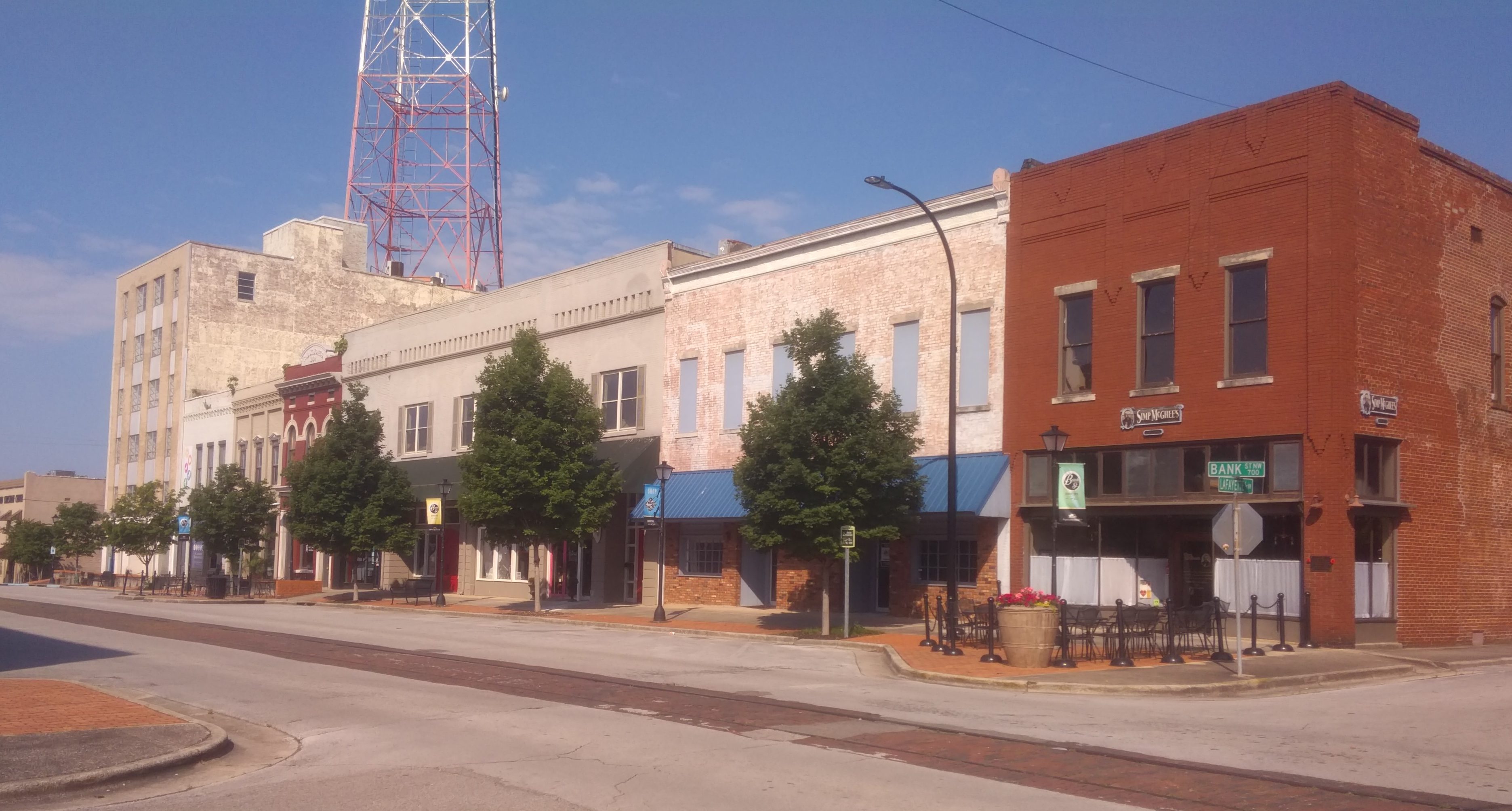
Seems like hipsters haven’t discovered Decatur, Alabama, yet. But as real estate prices balloon in other places, it isn’t out of the question. The town has a pleasant riverfront on the Tennessee and at least one street, Bank St., that could be home to overpriced boutiques and authentic-experience taprooms.
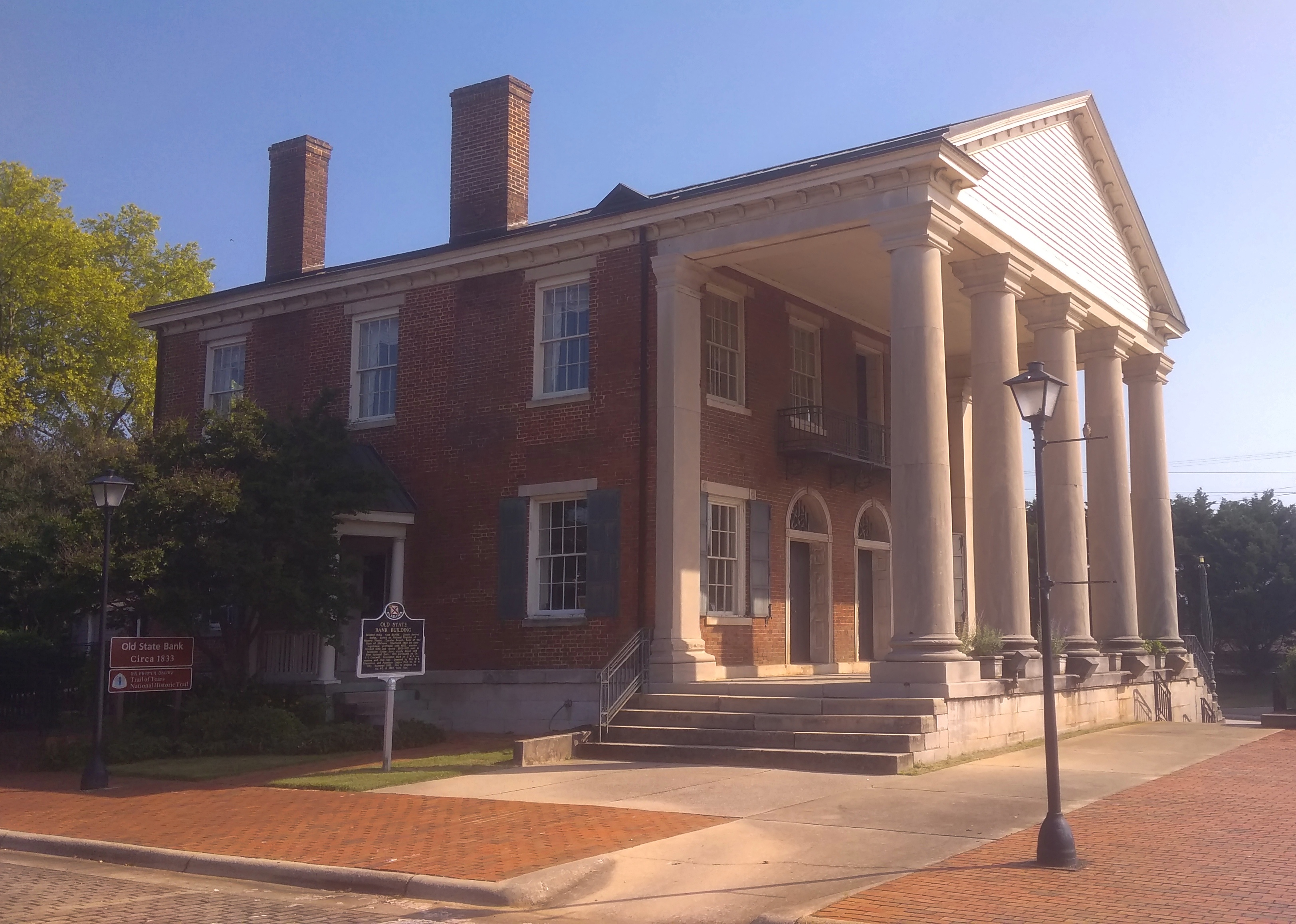
Of more interest to me was the Old State Bank, dating back to 1833 and restored toward the end of the 20th century. It is where Bank St. ends, or begins, near the banks of the Tennessee River.

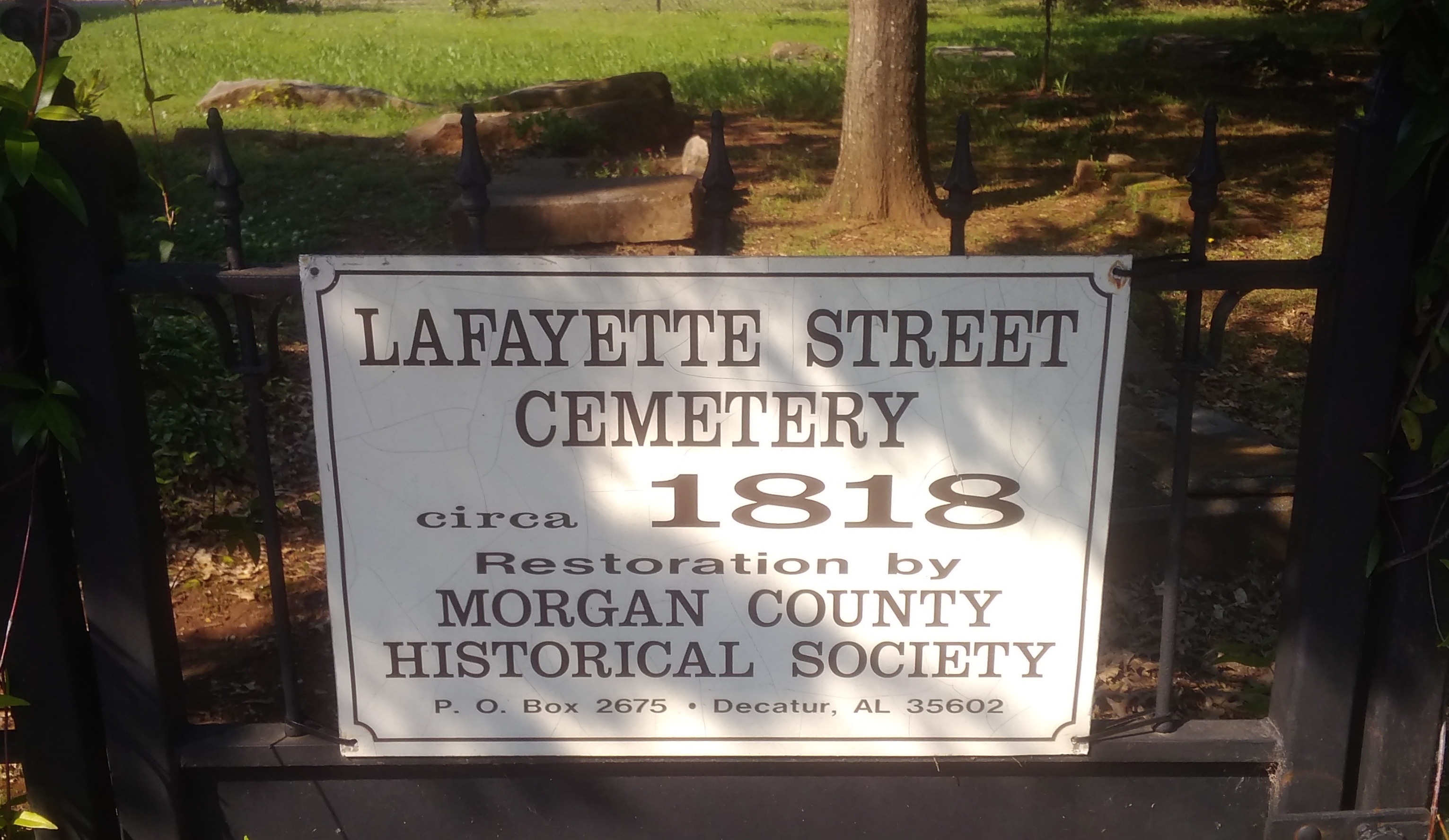
Even more interesting is the Lafayette Street Cemetery, active from ca. 1818.

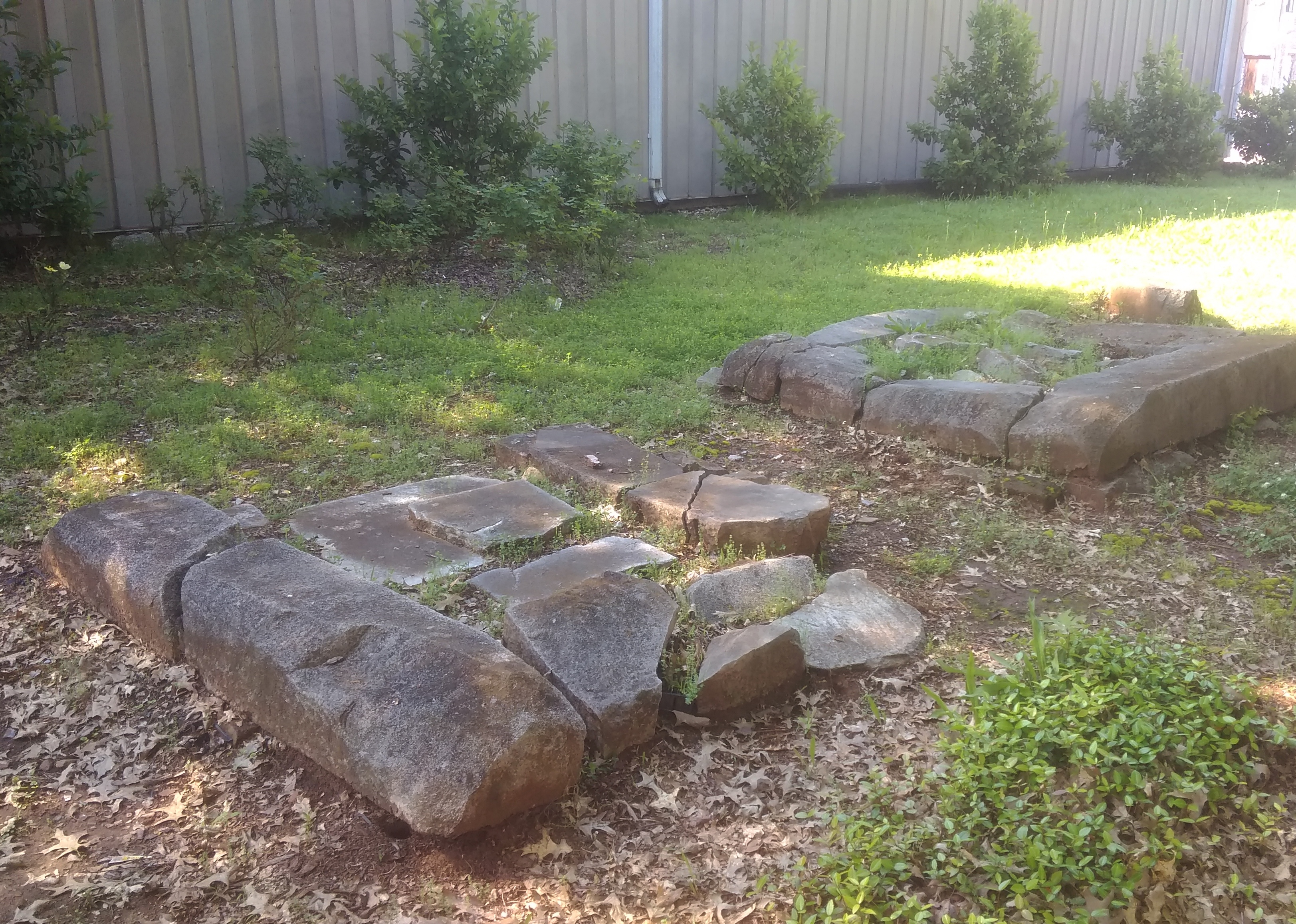
Lafayette Street Cemetery Decatur AlabamaIt’s more of a ruin than a cemetery, but I’m glad it has survived.
Lafayette Street Cemetery Decatur AlabamaLafayette Street Cemetery Decatur AlabamaLafayette Street Cemetery Decatur AlabamaDuring the entirety of the trip, there were plenty of random bits of the South to be seen along the way.
We also listened to a lot of Southern radio on the trip — something Lilly plans to avoid on future trips, Southern or not, with her Bluetooth and so on — and we had a little game whenever we tuned into someone discussing some social problem in earnest on a non-music, non-NPR station. The game: guess how long will it be before the discussion turns to God. It was never very long.

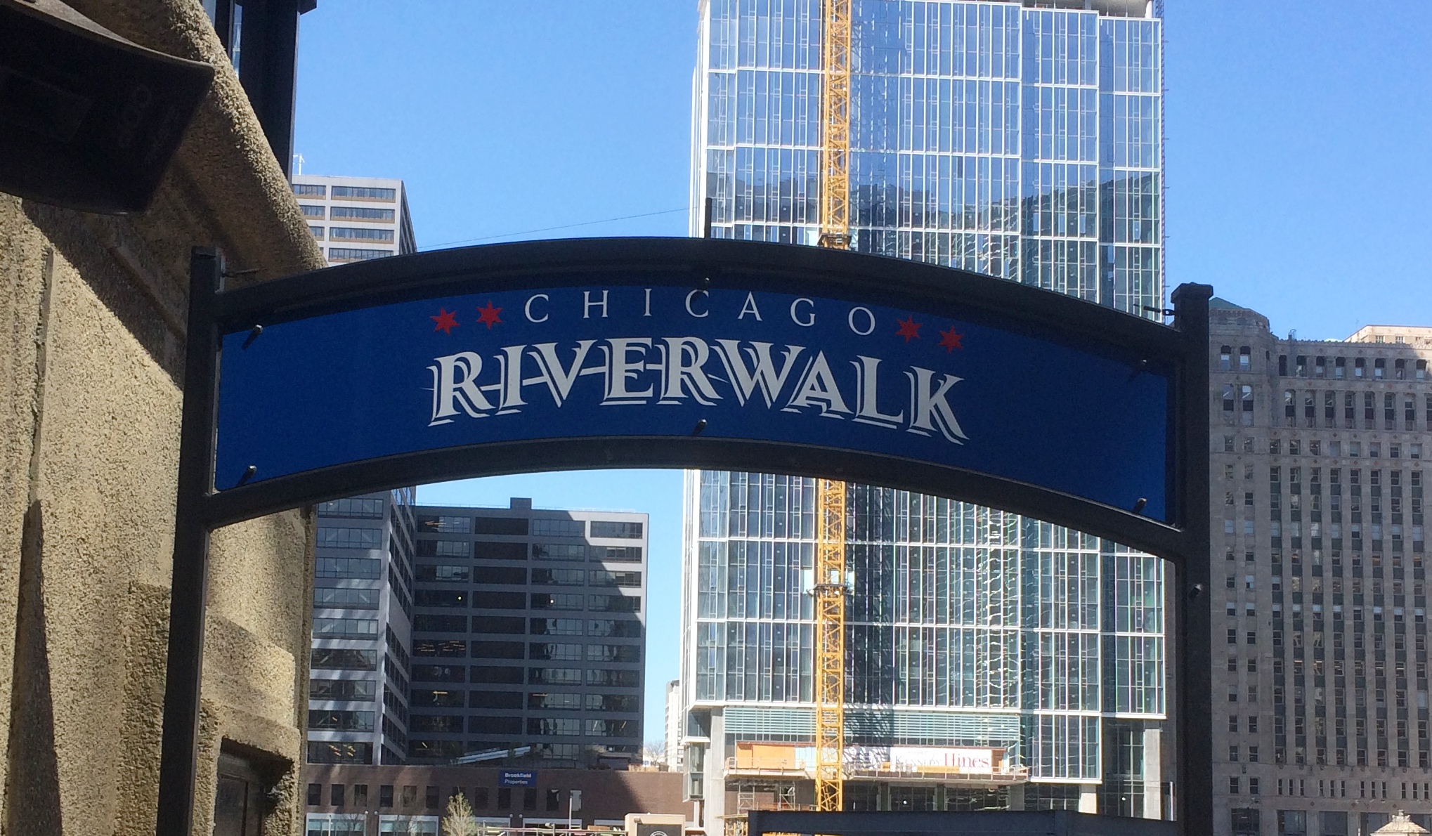
The Chicago Riverwalk

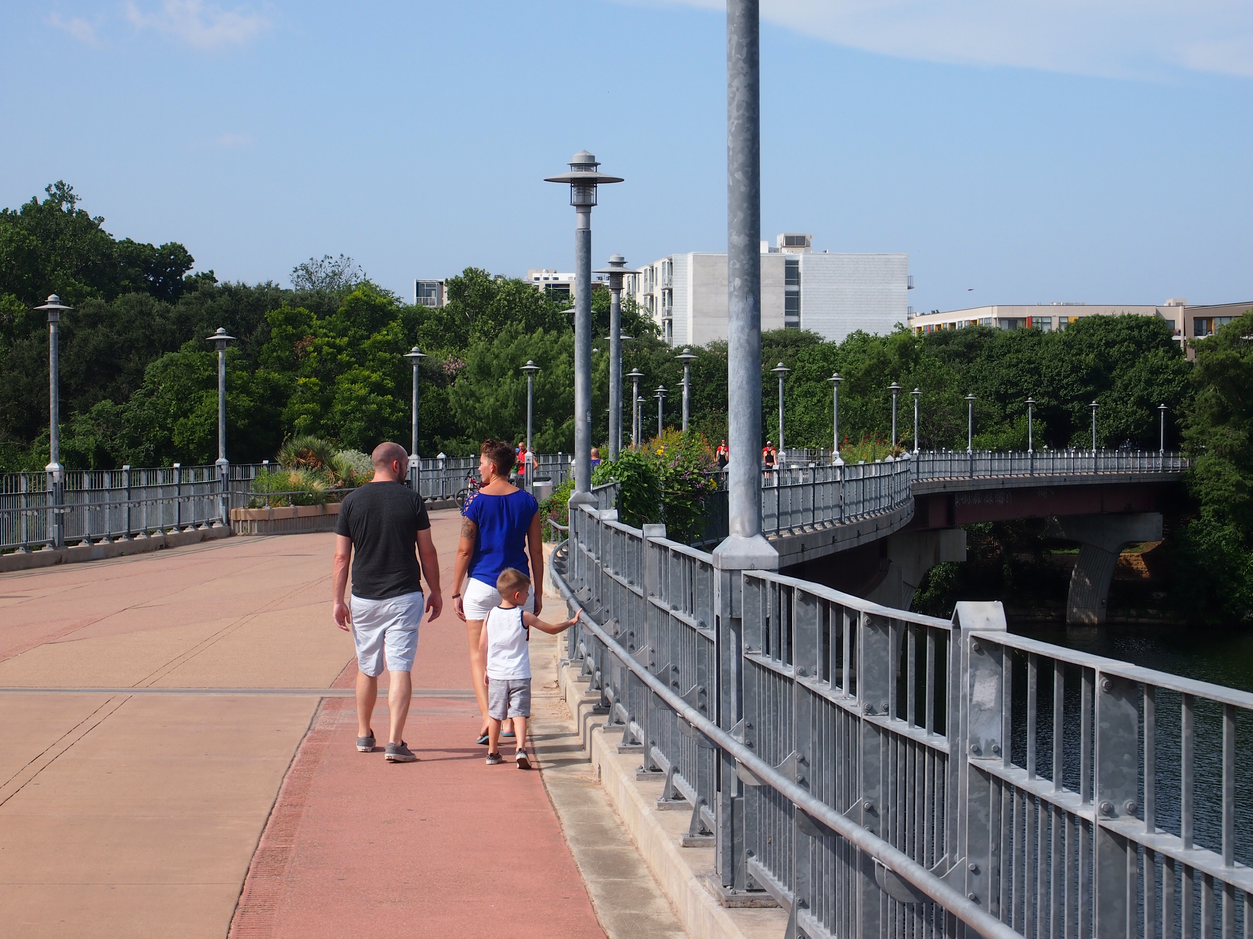
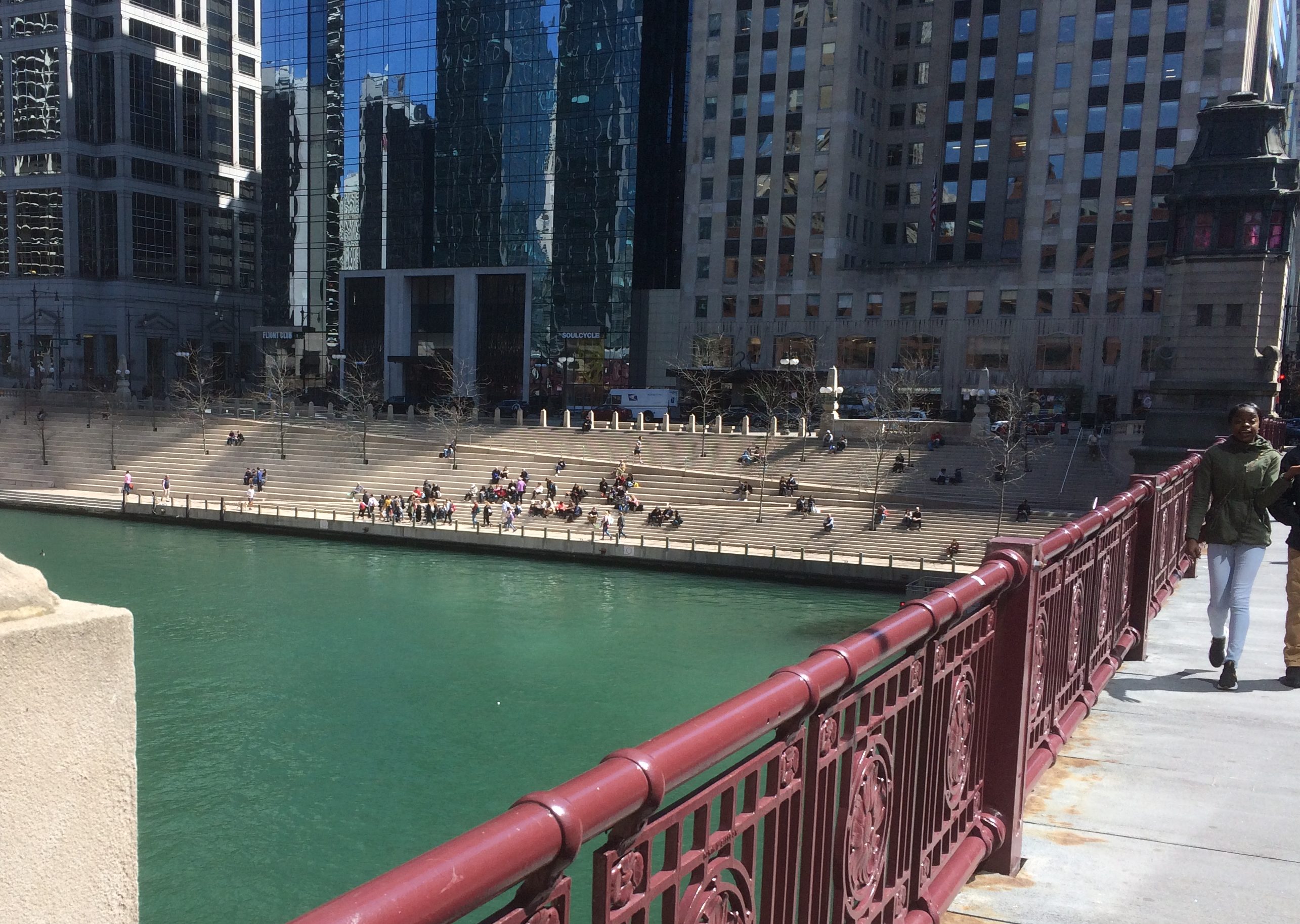
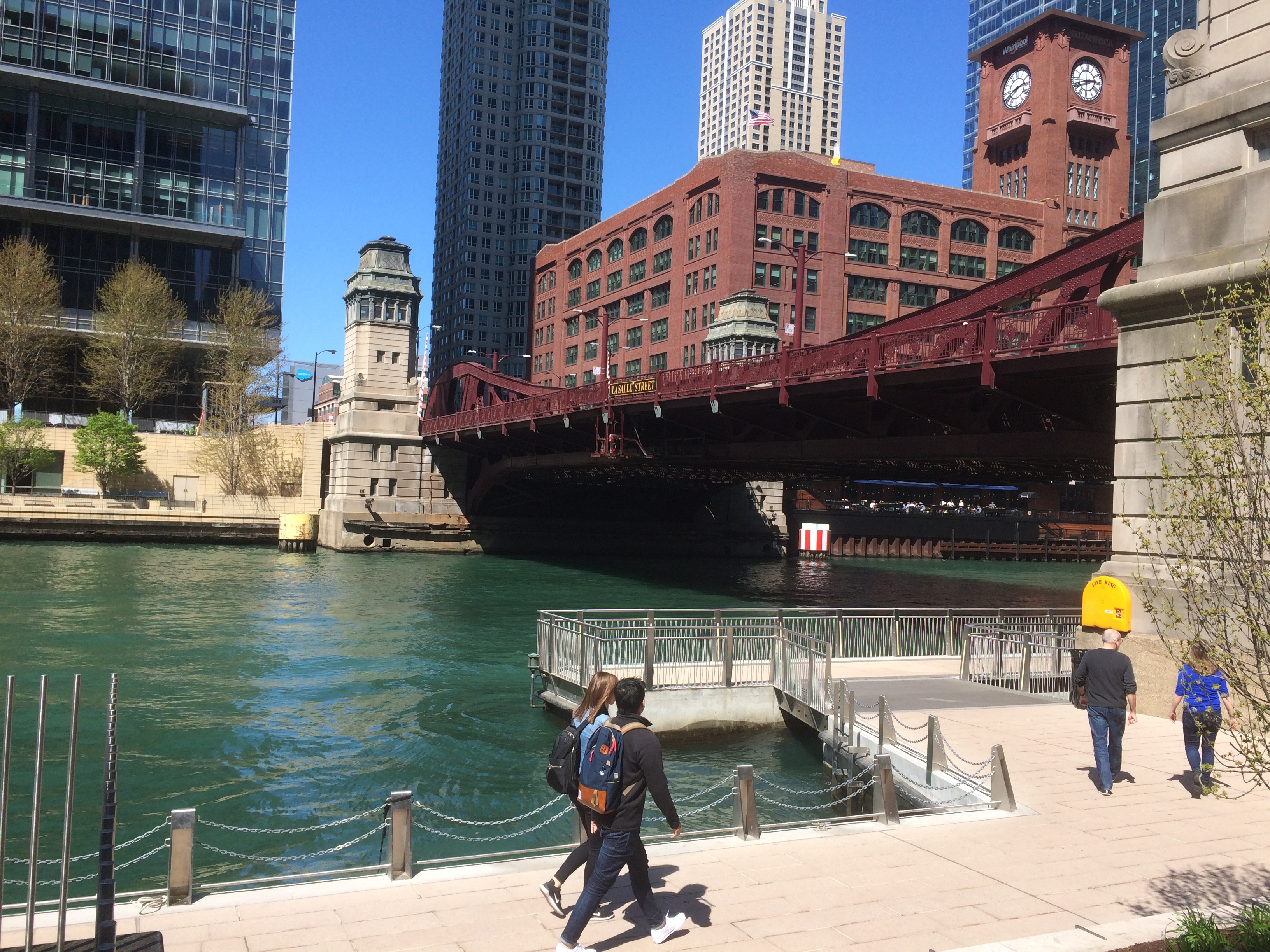
Returning from my appointment on Friday, I took a walk along the Chicago Riverwalk — a section that wasn’t completed the last time I was paying attention — from N. LaSalle St. around to W. Lake St.

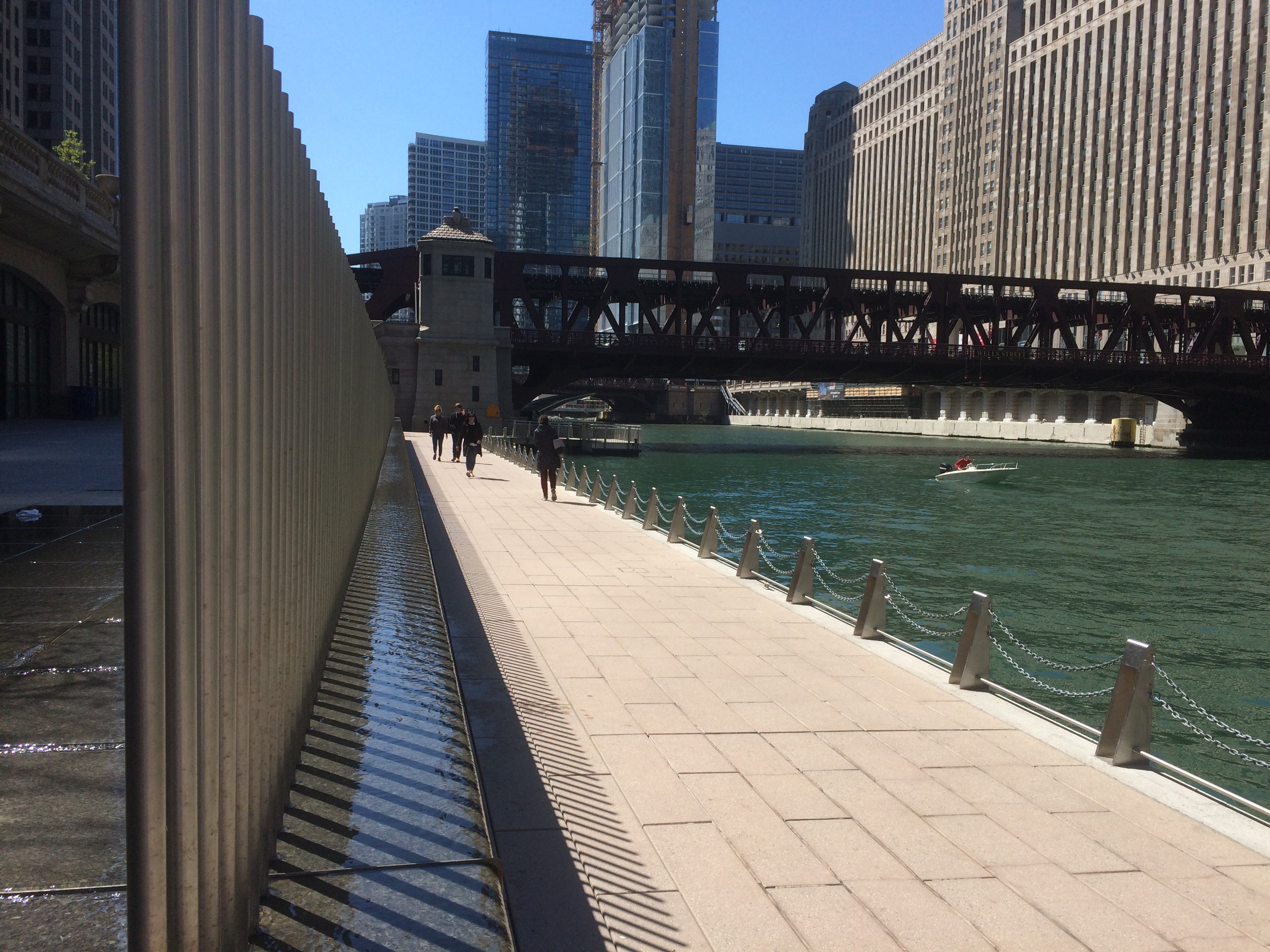
Parts of the waterfront walkway to the east were started back in 2005; the western section was only completed in 2017. The San Antonio Riverwalk, it isn’t, but Chicago has done well with what it has.

From the north end of the LaSalle St. bridge, you can see the “River Theater.”
To the west of that feature is a walkway that crosses under the LaSalle St. bridge.
I noticed that besides building the riverwalk, the city cleaned up the underside of all the bridges you can see from the riverwalk. Once upon a time, they wore their peeling paint and rust like badges of honor.

From the LaSalle St. bridge to the Wells St. bridge is a straightaway with a tubular fountain sort of feature.
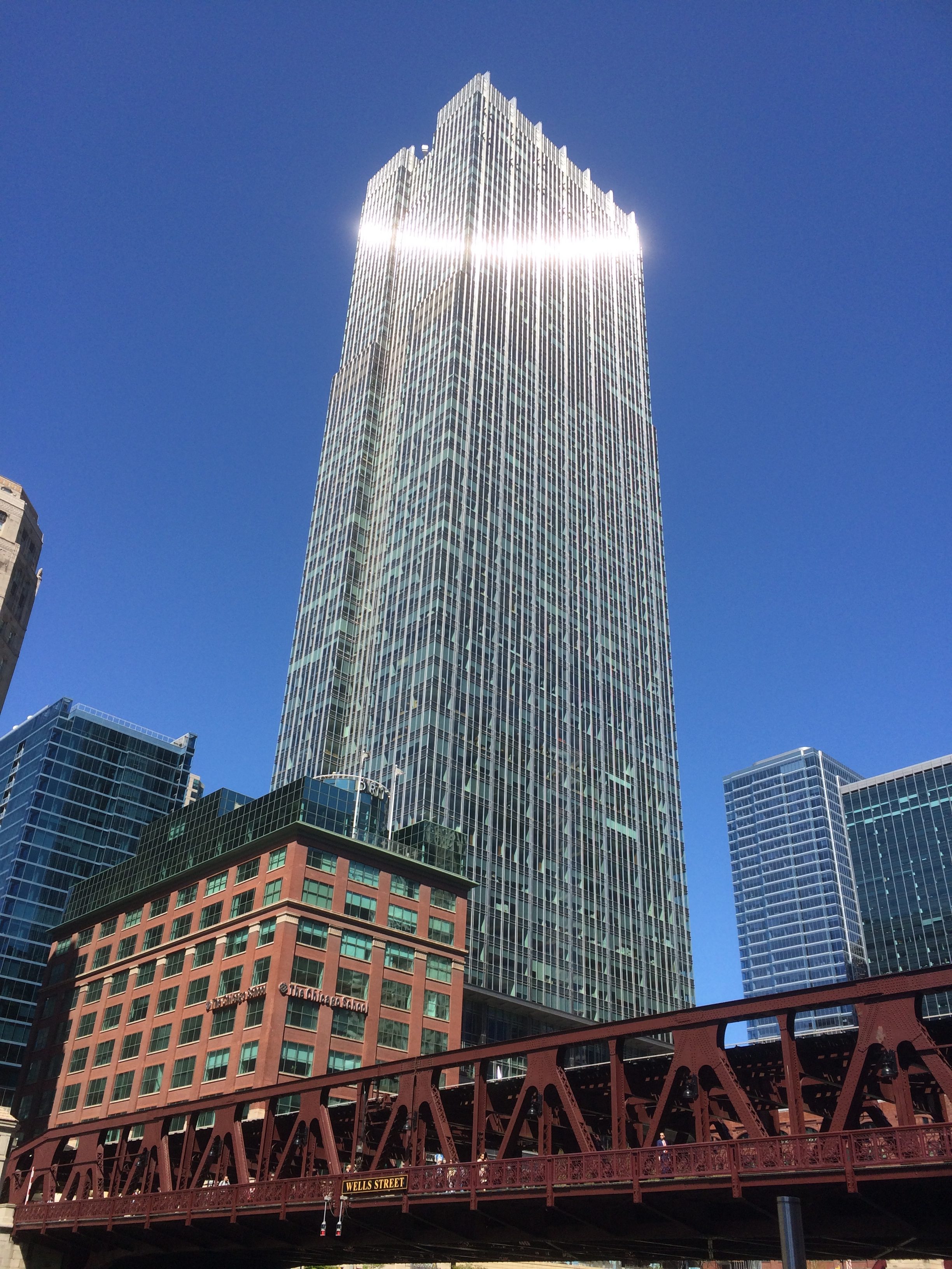
On the west side of the Wells St. bridge is a fine view of that structure.
The afternoon sun in late April left a curious trace on the 300 N. LaSalle building, which rises above the Wells St. bridge.
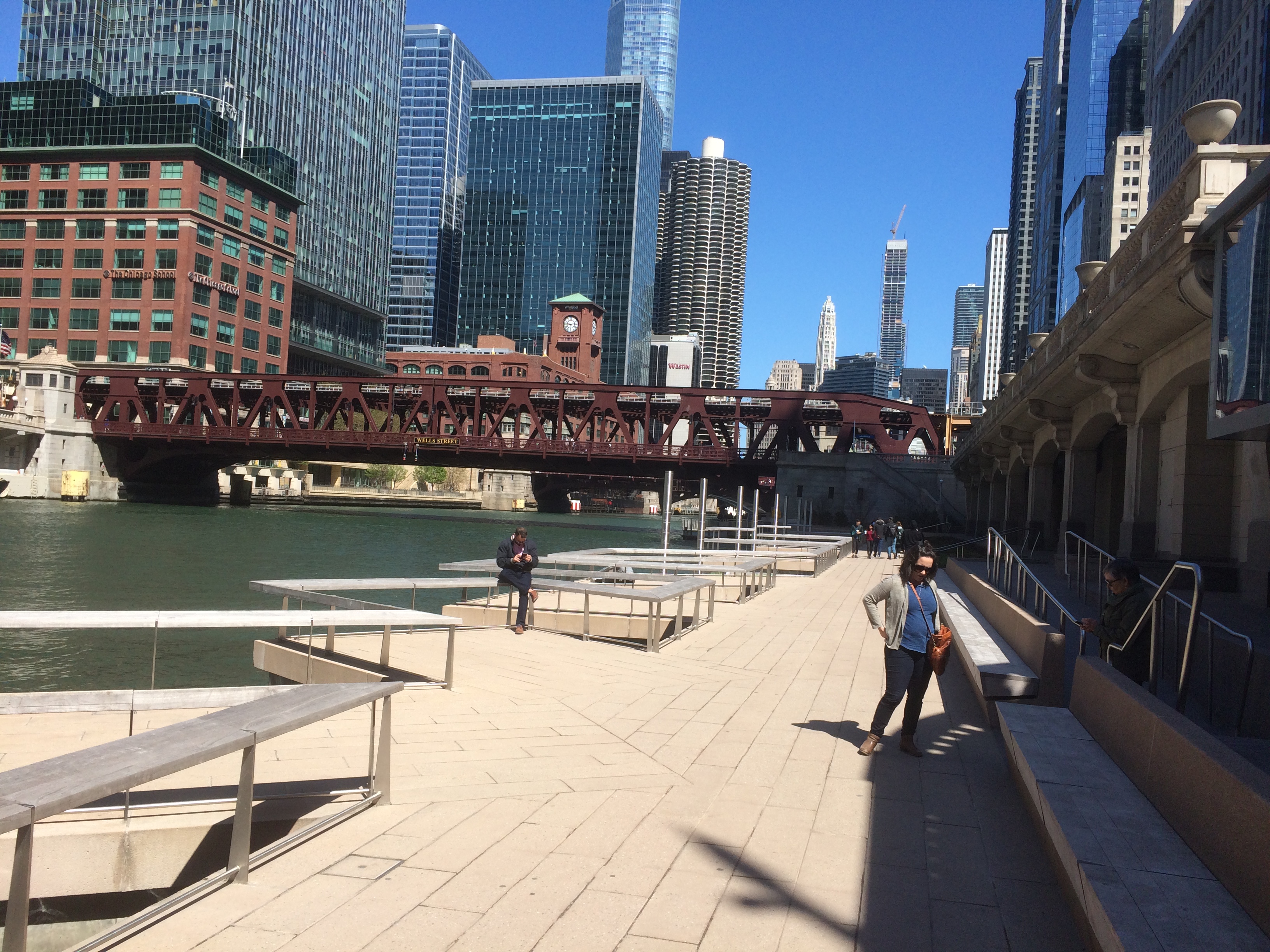
Further to the west of Wells St.
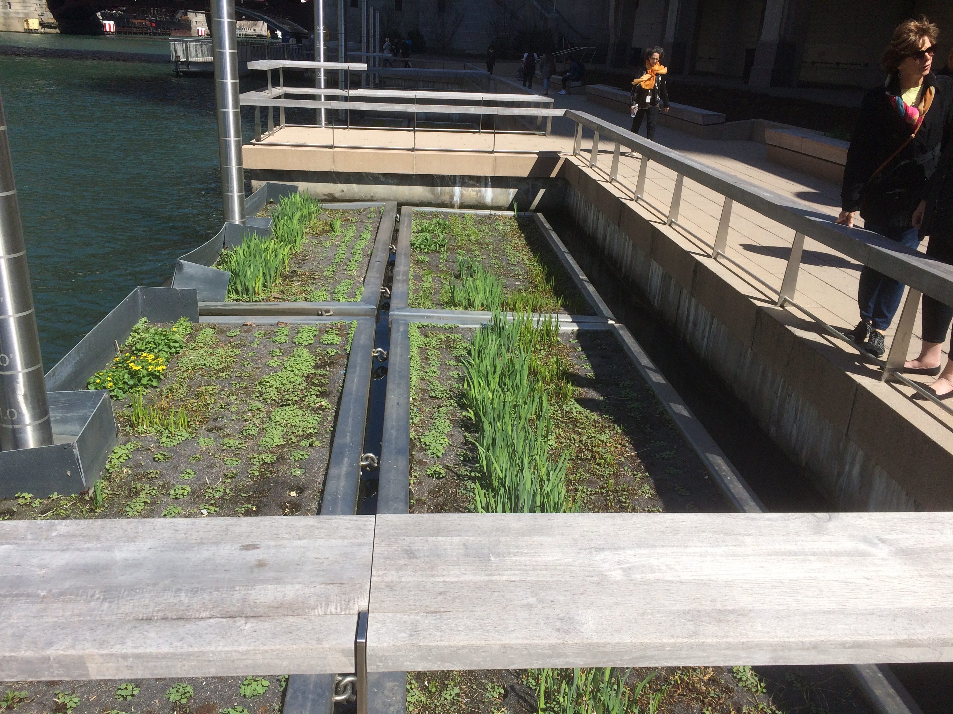
This section, west of Wells, sports floating wetland gardens. Or maybe you can call them the Floating Gardens of Chicago. But what the city really needs are hanging gardens. Maybe they can go next to the Obama Library.
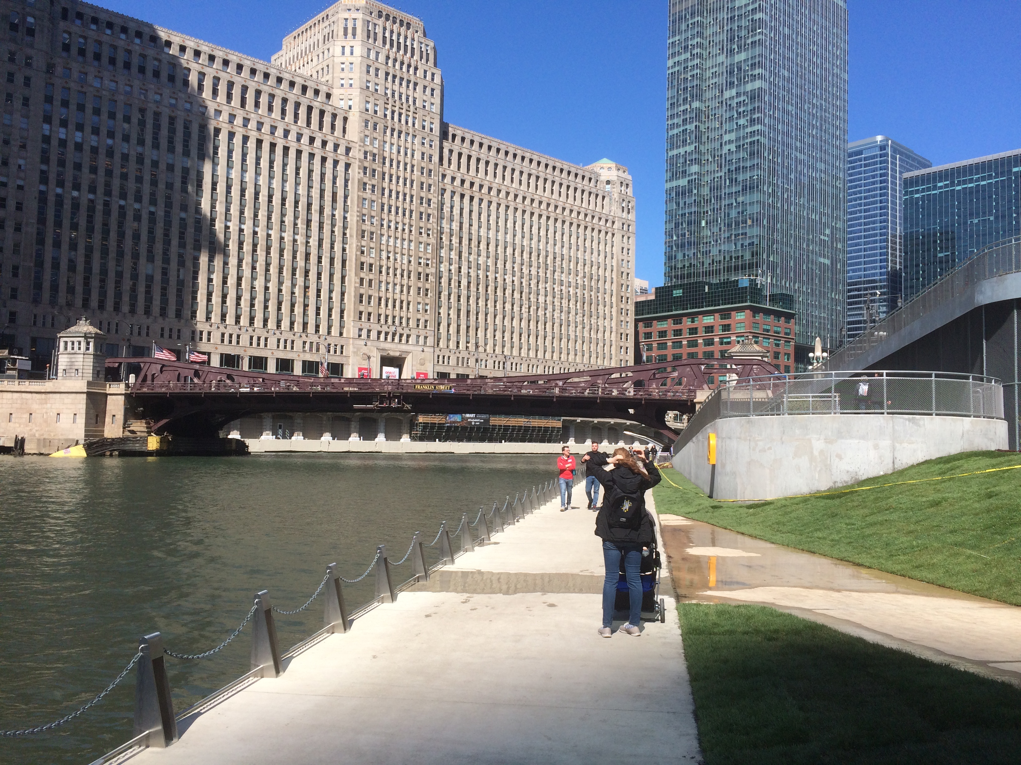
From there, the path crosses under the Franklin St. bridge, and goes to its end at Lake St., with the Merchandise Mart dominating the view. Workmen were busy installing turf on the small slope to the right (in this pic) of the sidewalk.
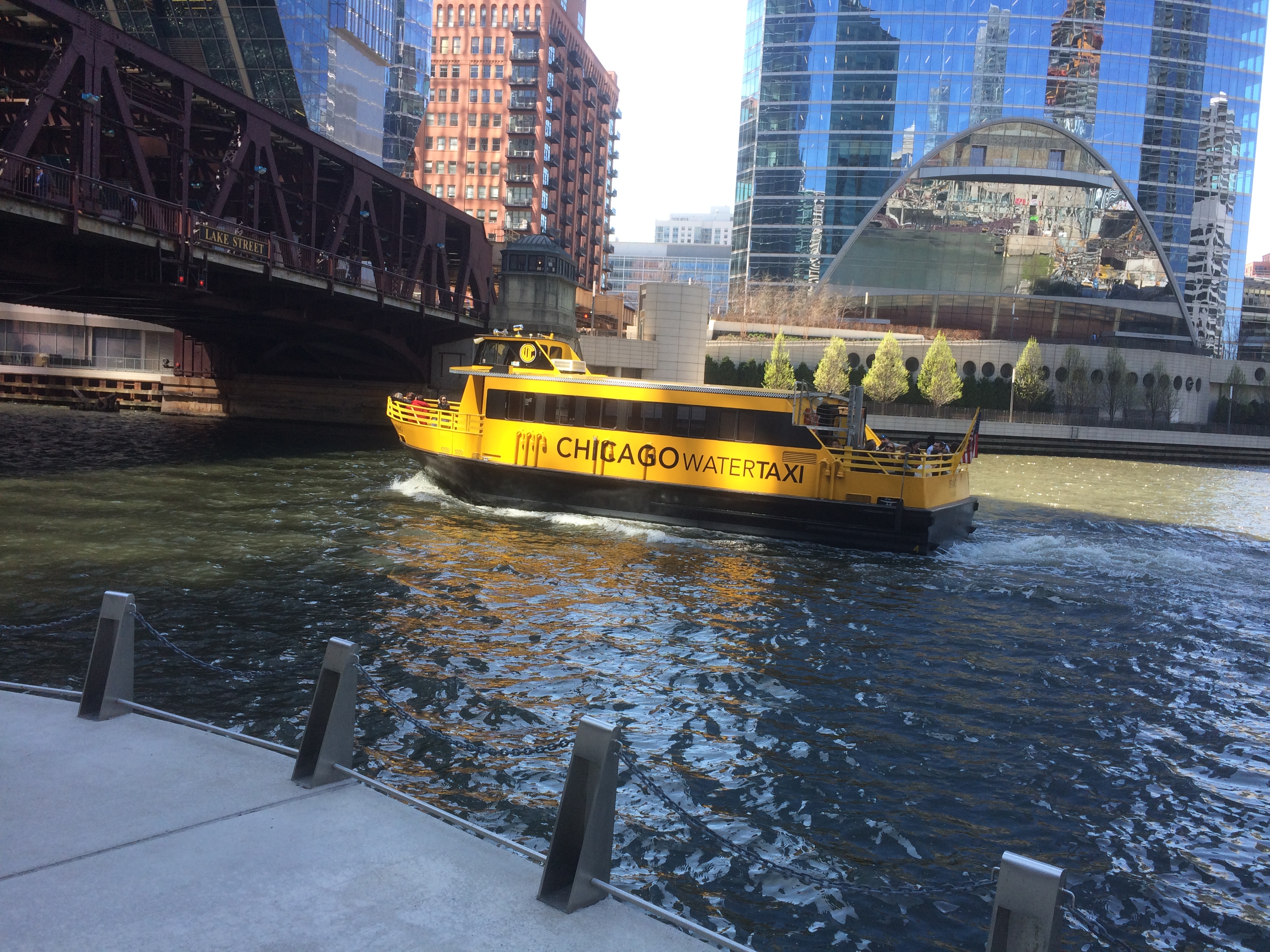
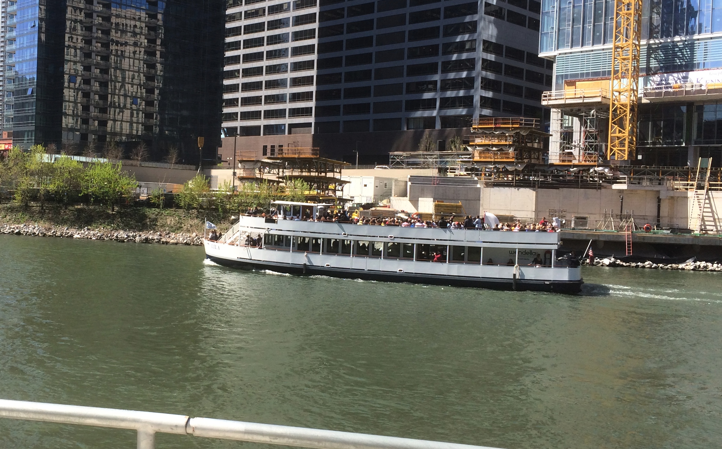
All the while, you can see boats plying the river.
Interesting that yellow means taxi, even on the water. I recognized the vessel in the second pic. The good tourist ship Lila passing Wolf Point.

Bong!

On the morning of July 31, as the girls slept a little late, I drove from Duluth to Superior, Wis., via the Richard I. Bong Memorial Bridge. It’s a long, not particularly wide bridge over St. Louis Bay, in service since 1985.

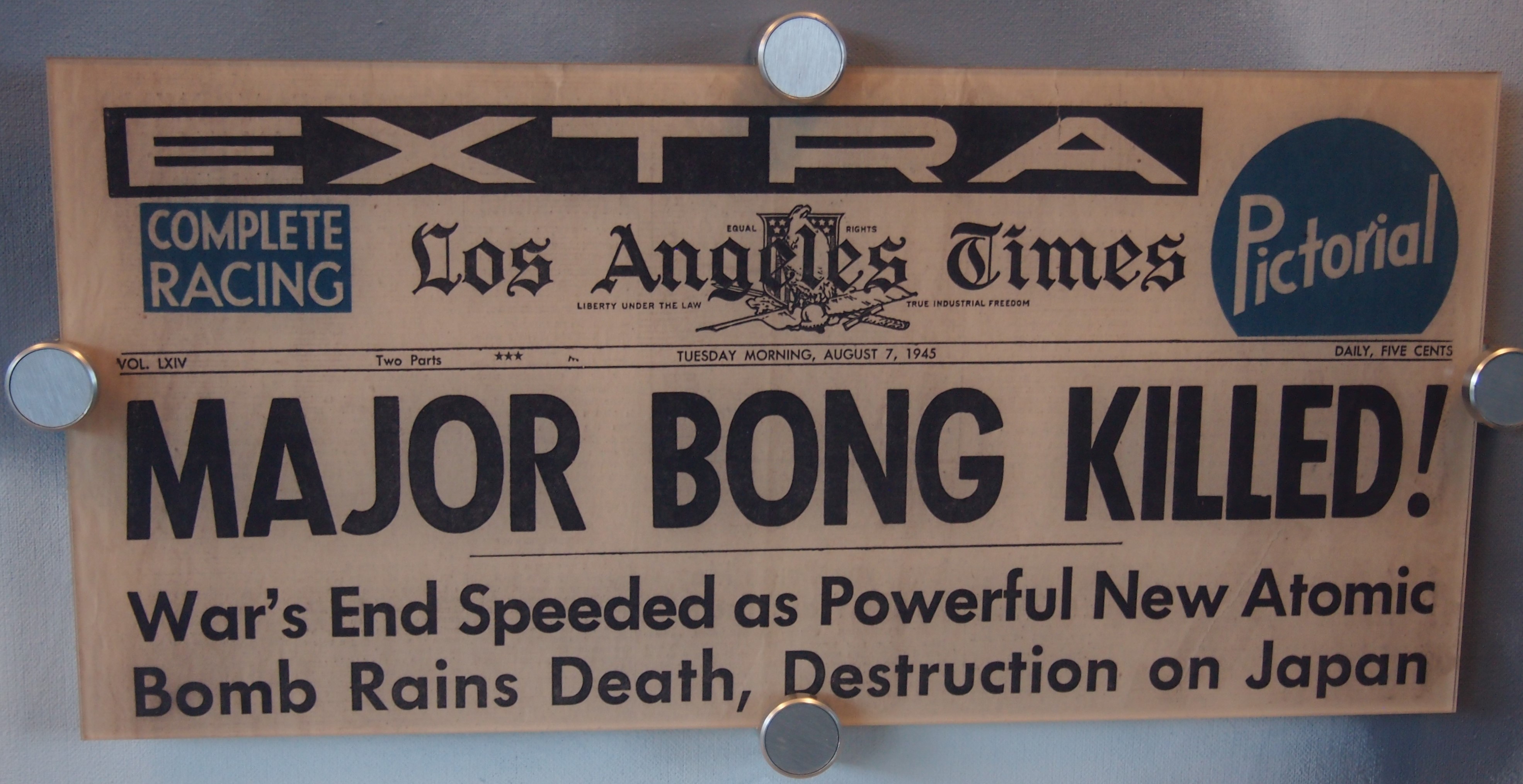
Richard Ira Bong, who grew up on a farm near Superior, is credited with shooting down 40 Japanese aircraft as a fighter pilot with the U. S. Army Air Corps, and likely got other kills that weren’t credited. Driving through Superior a few days earlier, I’d noticed the Richard I. Bong Veterans Historical Center on the lake, so after crossing his namesake bridge, I made my way to the Bong Center to take a look.

It’s a small military museum with a strong Bong component, but not entirely devoted to him. Walking in, it’s hard to miss the centerpiece P-38 Lightning fighter plane, the very sort that Maj. Bong flew to such lethal effect on the enemy.

This aircraft isn’t the one Bong flew. While he was stateside, it crashed while another pilot was flying it. The Army took delivery of the one on display in July 1945, after Bong had been ordered to quit flying combat missions. The Richard I. Bong American Legion Post of Poplar, Wis., acquired the plane from the Air Force in 1949, and it was on display in that town for some decades.
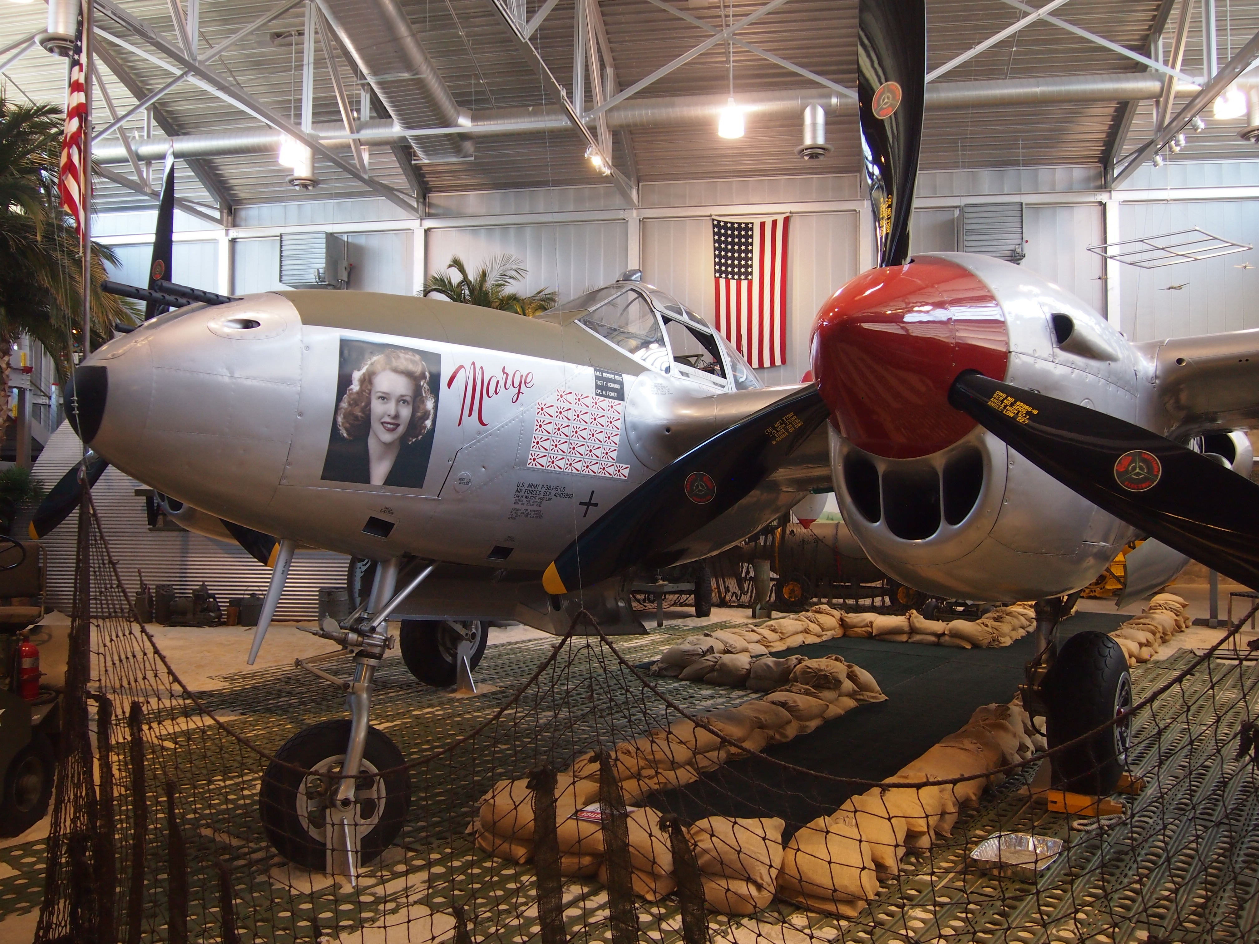
In the 1990s, the plane was restored to resemble Bong’s P-38J “Marge,” complete with his fiance Marge’s portrait on it.

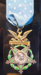
Bong’s Medal of Honor is on display. His citation says: “For conspicuous gallantry and intrepidity in action above and beyond the call of duty in the Southwest Pacific area from 10 October to 15 November 1944.

“Though assigned to duty as gunnery instructor and neither required nor expected to perform combat duty, Maj. Bong voluntarily and at his own urgent request engaged in repeated combat missions, including unusually hazardous sorties over Balikpapan, Borneo, and in the Leyte area of the Philippines. His aggressiveness and daring resulted in his shooting down 8 enemy airplanes during this period.”

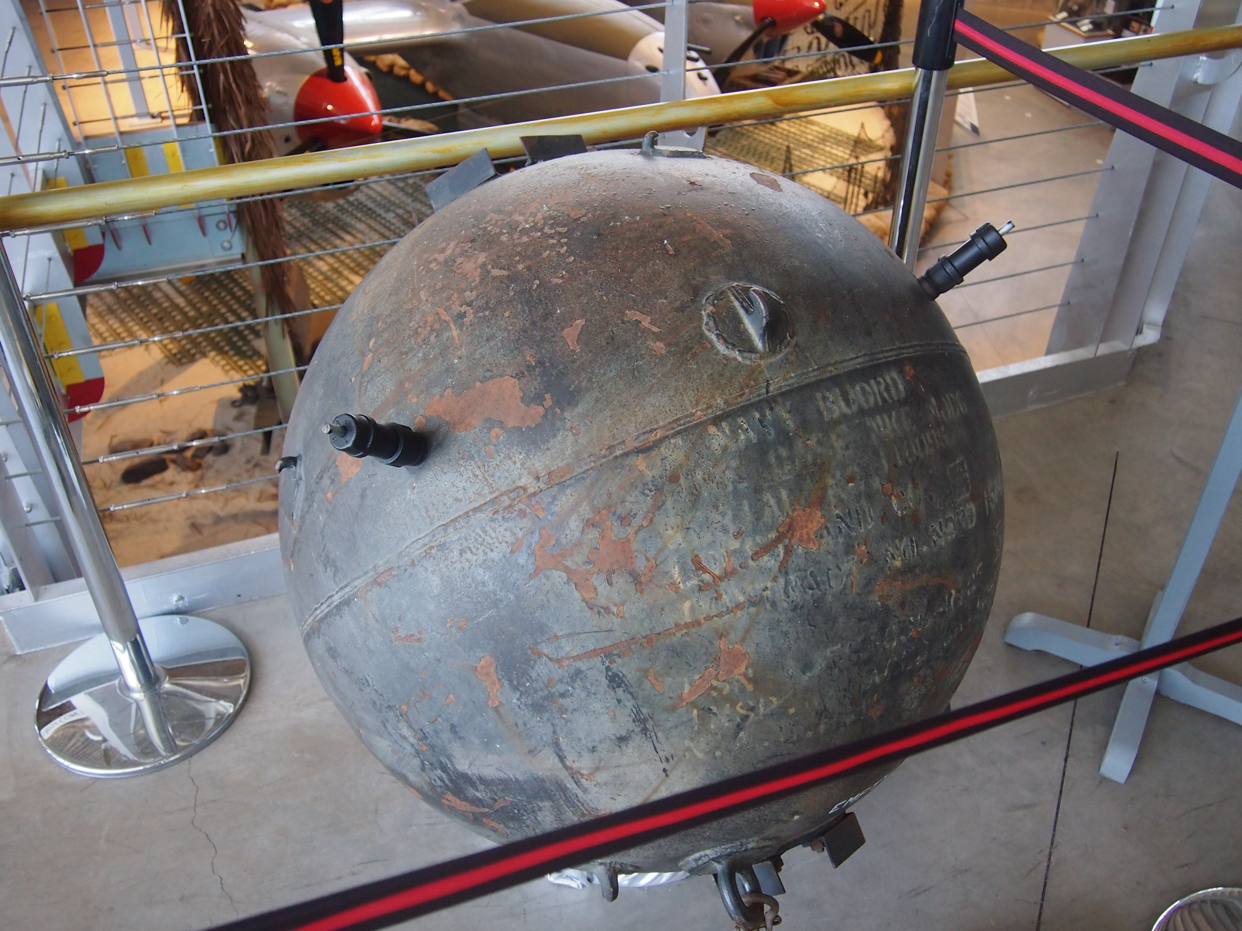
As mentioned, the museum isn’t all about Bong. There’s an assortment of artifacts, such as this magnetic mine.

Some home-front ephemera.

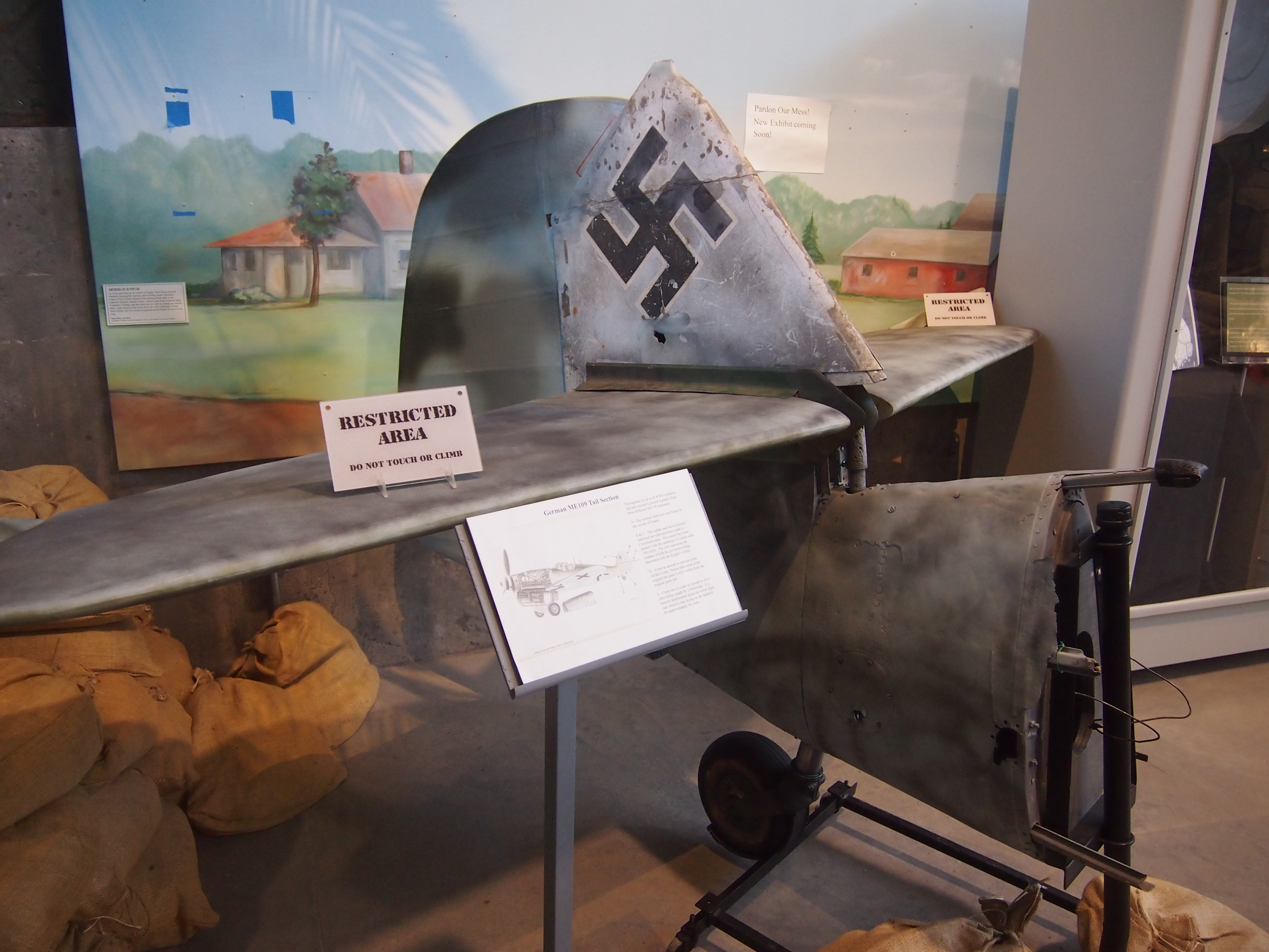
A piece of a Messerschmitt 109.

Bong came home for good in 1945, before the war was over, and did some test piloting of jet aircraft for the Army in California. Being a test pilot turned out to be more dangerous for Bong than facing the Japanese in the Pacific.

His plane crashed in an accident on an otherwise famed date: August 6, 1945. He and Marge had only been married a short while (she died in 2003, after playing an important part in establishing the museum).

The Aerial Lift Bridge

There’s a large sand bar between St. Louis Bay and Lake Superior that runs a long way southeast from downtown Duluth, and east of the city of Superior, Wis. Only seven miles southeast from Duluth does the bay finally meet Lake Superior via a natural channel.

Once Duluth was a going concern, its city fathers decided that that arrangement would never do, since it slowed shipping down, the only thing that made Duluth a going concern in the first place. So the city dug the Duluth Ship Canal through the spit in the early 1870s, opening up St. Louis Bay to Lake Superior, conveniently at the city’s waterfront.

Eventually, a bridge across the canal was deemed necessary too. So what we now call the Aerial Lift Bridge opened for traffic in 1905. It’s an impressive work of steel from a distance.
As well as from closer up.

Even more, standing underneath one of its tall towers. Definitely a grand relic of the Machine Age.

The lower level of the bridge is a roadway. When ships need to pass under the bridge, the lower level is raised about 135 feet, after traffic has cleared off, of course. We stood below and watched the process. This is the lower level before rising.

This is the lower level in its raised position.

When the Aerial Lift Bridge was built, it was an oddity known as a transporter bridge. Instead of raising the road, passengers and vehicles crossed in what were essentially large gondolas. That was impractical in the long run, so by 1930 the bridge had been converted into its current form.

There’s some tourist infrastructure in the shadow of the bridge. Warehouses and other old buildings have been redeveloped in recent years into a retail-restaurant-attraction district known as Canal Park, which is north of the bridge and adjacent to downtown Duluth. Reminded me some of Navy Pier in Chicago, though Canal Park is shorter and not as crowded.

We took a walk out to one of the lighthouses at the end of the canal, the Duluth North Pier Lighthouse.

At water’s edge near the canal, we watched a remarkably skilled stone-skipper, a kid of maybe 12. He was skipping stones across the water six or seven or eight or more times that I could count, one stone after another after another. Here he is, in black, looking for more stones.

The kid had the wrist action for it. If there’s such a thing as pro stone-skipping — and for all I know, there is, since we live in a world where people are pro video gamers — I bet he could go pro.

Duluth & Environs ’18

When I was very young, I had a U.S. map puzzle that I put together who knows how many times, fascinated by the individual shapes of the states. Some states more than others, including Minnesota, with its rough northern border, more-or-less straight-back western border, concave eastern border and pointy southeast and especially northeast corners.

The northeast corner still holds some fascination, and for more than just the shape. There’s the lure of the North Woods, and Lake Superior is always calling. Enough to inspire a short trip. On July 27, after I finished my Friday work, we hit the road for a five-night trip to Duluth and environs.

Since reaching Duluth means crossing northwest all the way through Wisconsin, a few points in that state were part of the trip as well, especially Eau Claire, where we spent the first night at a spartan but tolerable chain motel.

From Saturday afternoon until the morning of Wednesday, August 1, we stayed at the non-chain Allyndale Motel, a notch up from spartan. It’s in west Duluth, almost at the edge of town, but actually Duluth isn’t that large, so the location wasn’t bad.

I guessed that the Allyndate dated from the golden age of independent motel development, namely the 1950s. The details were right, except no bottle opener attached to a surface somewhere in the room. Just before we left, in a talk with the owner, I was able to confirm that vintage. The first rooms dated from 1952, he said, with later additions.

Before checking into the motel that first day, we spent a short while in downtown Duluth, walking along E. Superior St., which features shops and entertainment venues, including a legitimate theater, art house cinema and a casino. Rain, which had been holding back on the way into town, started to come down hard, so we ducked into the Duluth Coffee Company Cafe long enough to wait it out over various beverages.

That evening, we took in a show at the Marshall W. Alworth Planetarium, which is part of the University of Minnesota Duluth. The recorded show, narrated by Liam Neeson, was about black holes, and then an astrophysics grad student (I think) talked about the night sky. Many planetariums don’t bother with live narration anymore, so that was refreshing.

On Sunday we drove along much of the winding and often scenic Skyline Parkway in Duluth, stopping along the route to take in the sweeping view of the city, as well its twin city of Superior, Wis., and a large stretch of Lake Superior, from the Enger Tower in the aptly named Enger Park.

There happened to be a coffee and ice cream truck in the park, so Lilly had iced coffee and Ann had ice cream. The truck showed its regional pride in the form of a Minnesota flag.

The design needs work, like many Midwest state flags. Here’s an alternative.

Late that morning we saw Duluth’s Aerial Lift Bridge up close, along with other parts of Canal Park and lakeside spots. The lofty bridge — crossing the entrance to Lake Superior from St. Louis Bay — is the Eiffel Tower of Duluth, a stand-in for the city that appears in a lot of places, including a refrigerator magnet that we brought home. (But I refuse to use the i-word.)

In the afternoon, we headed northeast from town along U.S. 61, which follows the shore of Lake Superior. That region, I discovered, is known locally as the North Shore. We made it as far as Gooseberry Falls State Park.

On Monday, July 30, we headed north, mostly via U.S. 53, to Voyageurs National Park, which is hard by the Canadian border. The trip up and back from Duluth is a little far for a single day, but ultimately seemed worth the effort. Besides, something about the symmetry of visiting Voyageurs NP and Big Bend NP during the same year appealed to me.

As the girls slept late on the last day of July, I made my way to Superior, Wis., and visited the Richard I. Bong Veterans Historical Center, a small military museum. WWII is increasingly distant, and except in Wisconsin, the memory of air ace Bong’s deeds has faded. But he had his moment.

The main event of July 31, our last day in town, was the Great Lakes Aquarium, which is in downtown Duluth, on St. Louis Bay not far from the Aerial Lift Bridge and Canal Park. The aquarium’s distinction is that it focuses on freshwater creatures.

Late that afternoon, I struck out again on my own to see one more place: Forest Hill Cemetery, which is in the hills northeast of the University of Minnesota Duluth. My kind of site, not the girls’.

On August 1, we got up early and drove home, stopping only to eat lunch in Madison. I wanted to take Lilly to Ella’s Deli, since she wasn’t with us last year when we went. But it’s closed.

Too bad. Wonder what happened to all the oddball stuff Ella’s had. Instead we found Monty’s Blue Plate Diner. Not as much whimsy on the walls as Ella’s, but the food was good.

San Antonio Riverwalk Views

Summer’s pretty pleasant here in the not-so-hot reaches of Illinois. Up in the sky.
And down toward the ground, where strange critters lurk.
So pleasant that I’m taking a week off from work and posting. Back on August 5.

Both of the places I visited in San Antonio recently were near the San Antonio River and thus the Riverwalk. So I took a few minutes each time to go down to the river.

Near the King William District, the walk was almost deserted.
Temps were in the 90s, of course, which might have contributed to it, but I suspect not many people come this way anyway.

A few do. Here’s a view of the Arsenal Street Bridge.

A view from the Arsenal Street Bridge, looking north toward downtown San Antonio.
The building poking over the trees, with the flag, is the Tower Life Building, though I’ll always think of it has the Smith-Young Tower, completed in 1929. One of the city’s finest office buildings. I understand that once upon a time, my civil engineer grandfather had an office there.

After visiting the Briscoe Museum, I walked over to the Riverwalk — it’s only a short distance away — at one of its more touristed spots.

This is the Arneson River Theatre.
The stage is on the north side of the river, while 13 rows of grass are on the south side for seating. Just another idea of the Father of the Riverwalk, H.H. Hugman, finally realized as the WPA built the Riverwalk in the late ’30s. Arneson was the WPA engineer who was to have been in charge of building the Riverwalk, but he died before the project really got under way.

Circular Quay to Manly, 1992

Australia Day has come and gone again — it was Friday — so what better time to post pictures of early ’90s Sydney Harbour? One of the things I did in January 1992 in Sydney was take the ferry from Circular Quay to Manly, which offered some fine views of the harbor.

Toward the center-left of the image is the 1,000-or-so-foot Sydney Tower, the narrow tower with the observation bulb on top, and one of the places I visited when I first got to town. A fine view.

The Opera House. I saw that during my first-day walkabout, as you’d expect. It was closed, so I didn’t see the inside. But it’s an impressively odd structure from the outside.

The Sydney Harbour Bridge. At one point during my visit I walked across it. The bridge is the same league as the Golden Gate Bridge or Brooklyn Bridge or the Seto Ohashi.

Finally, just a picture of people doing what I was doing, watching the harbor go by.

It was a windy summer day out there on the water.

Hida-Takayama 1991

While my friend Steve stayed with me in Osaka in October 1991, we took a weekend trip to Takayama in Gifu Prefecture, in the Japanese Alps. (All the pictures below are dated October 26, 1991.) The small city is better known as Hida-Takayama (飛騨高山), since takayama simply means “tall mountain,” which describes a fair number of places in Japan. It used to be in Hida Province, in the pre-Meiji era way of dividing the country.

I’ve posted about the trip before. But nothing about the statues on the Kajibashi Bridge over the Miyagawa River in Takayama. Steve and I posed with different ones.

Statues on the Kajibashi Bridge over the Miyagawa River in Takayama. Statues on the Kajibashi Bridge over the Miyagawa River in Takayama. One source, clearly written in English by a Japanese writer — but not too bad a job, all sic — says: “Extremely long-arm goblin, Tenaga and long-leg goblin, Ashi-naga are displayed on the railing of Kaji-bashi bridge. Te-naga and Ashi-naga folklore is handed down in Japan, which represents the god of immortal.

“There is another folk tale about the creature. This creature was regarded as a hobgoblin, a ghostly apparition, Yokai in Japanese. The creatures with their weird long arms and long legs are said to do wrong to people.

“So, two different traditions about Te-naga and Ashi-naga. There is a shrine to dedicate the creatures in Nagano prefecture.”

We also spent some time at the Hida Folk Village (飛騨民俗村), which is an open-air museum with about 30 farmhouses from this part of Japan.

Hida Folk Village (飛騨民俗村)Hida Folk Village (飛騨民俗村)Complete with a bell to ring. Ring bells if you can.

Hida Folk Village (飛騨民俗村) bell“We saw a man and a woman fashioning hemp sandals from stacks of cord,” I wrote. Here’s the man.
Hida Folk Village (飛騨民俗村)I don’t believe this was in the Folk Village.
Cemetery, Hida-Takayama 1991Rather, it’s a good example of an urban Japanese cemetery. Since cremation is the norm in Japan, burial space isn’t necessary. Rather, the memorial stones can be fit into a tight space. In a city, even a small one like Takayama, that’s often an irregular or otherwise hard to develop plot of land.