Porcupine Mountain Wilderness State Park (The Waterfalls)

Yesterday I wondered why people travel distances and spend money to see good vistas. I’m included in such people. Today, why do we do the same to see waterfalls? Why is Niagara the attraction that it is (was)? It can’t be on the strength of “Shuffle Off to Buffalo” alone.

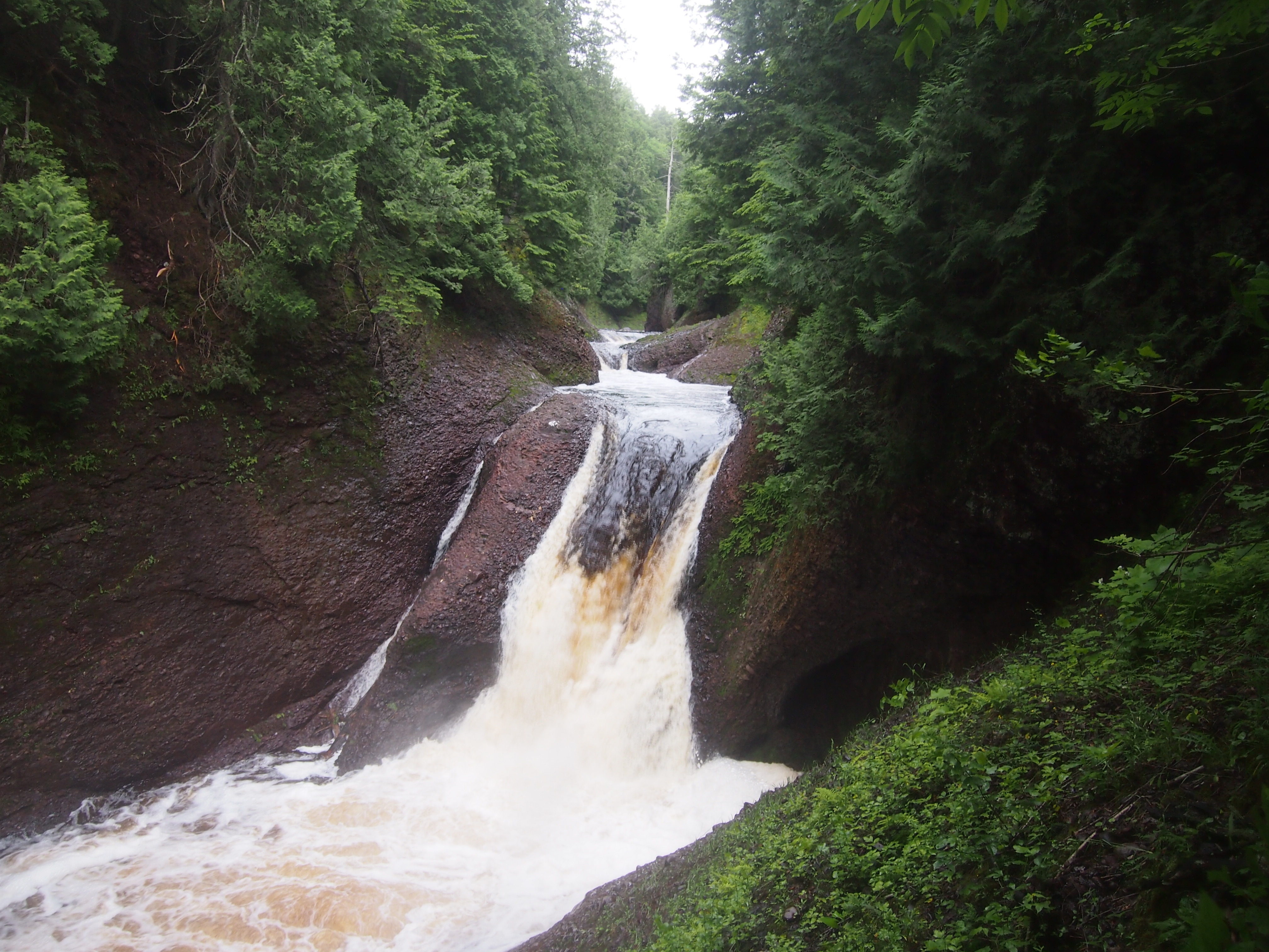
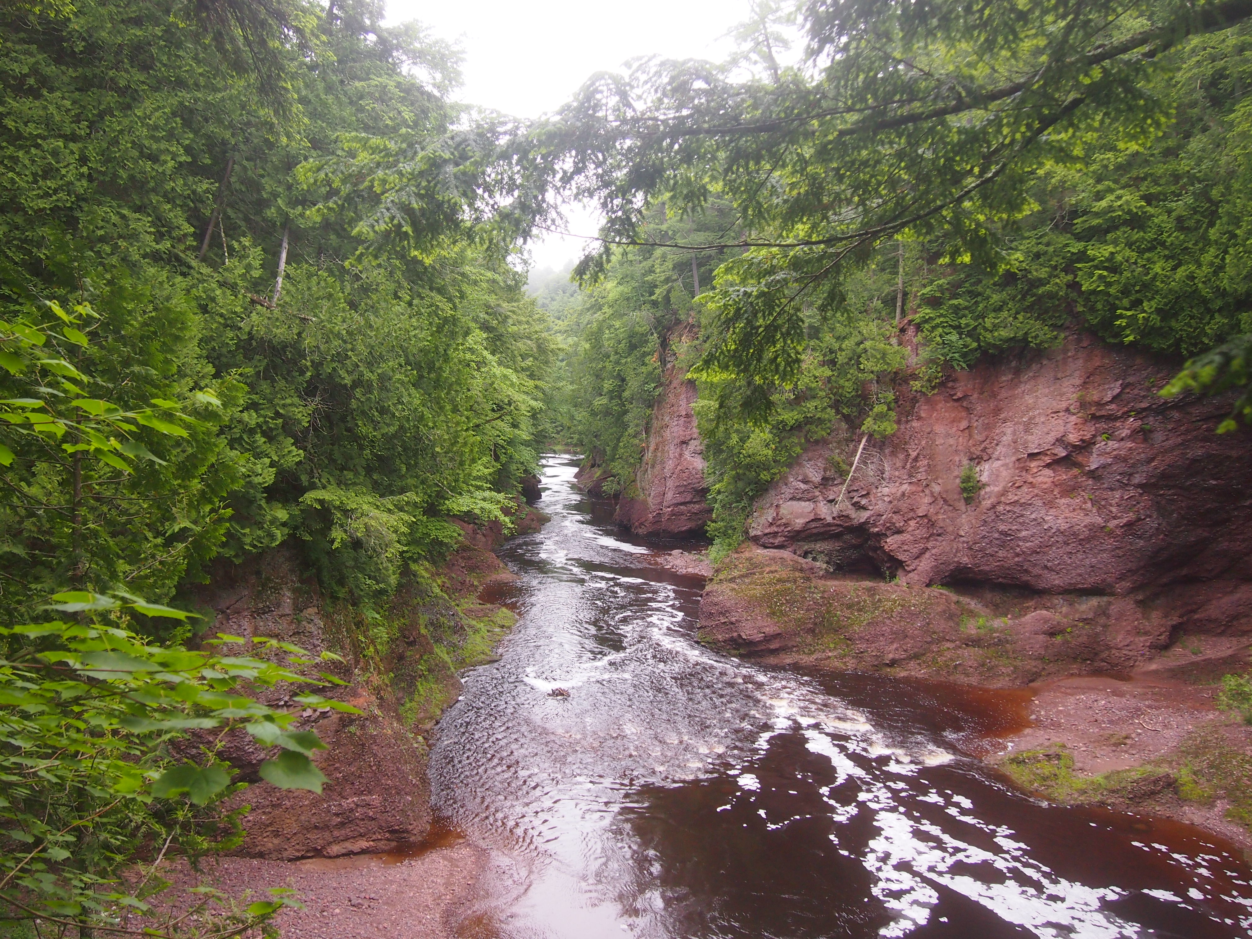
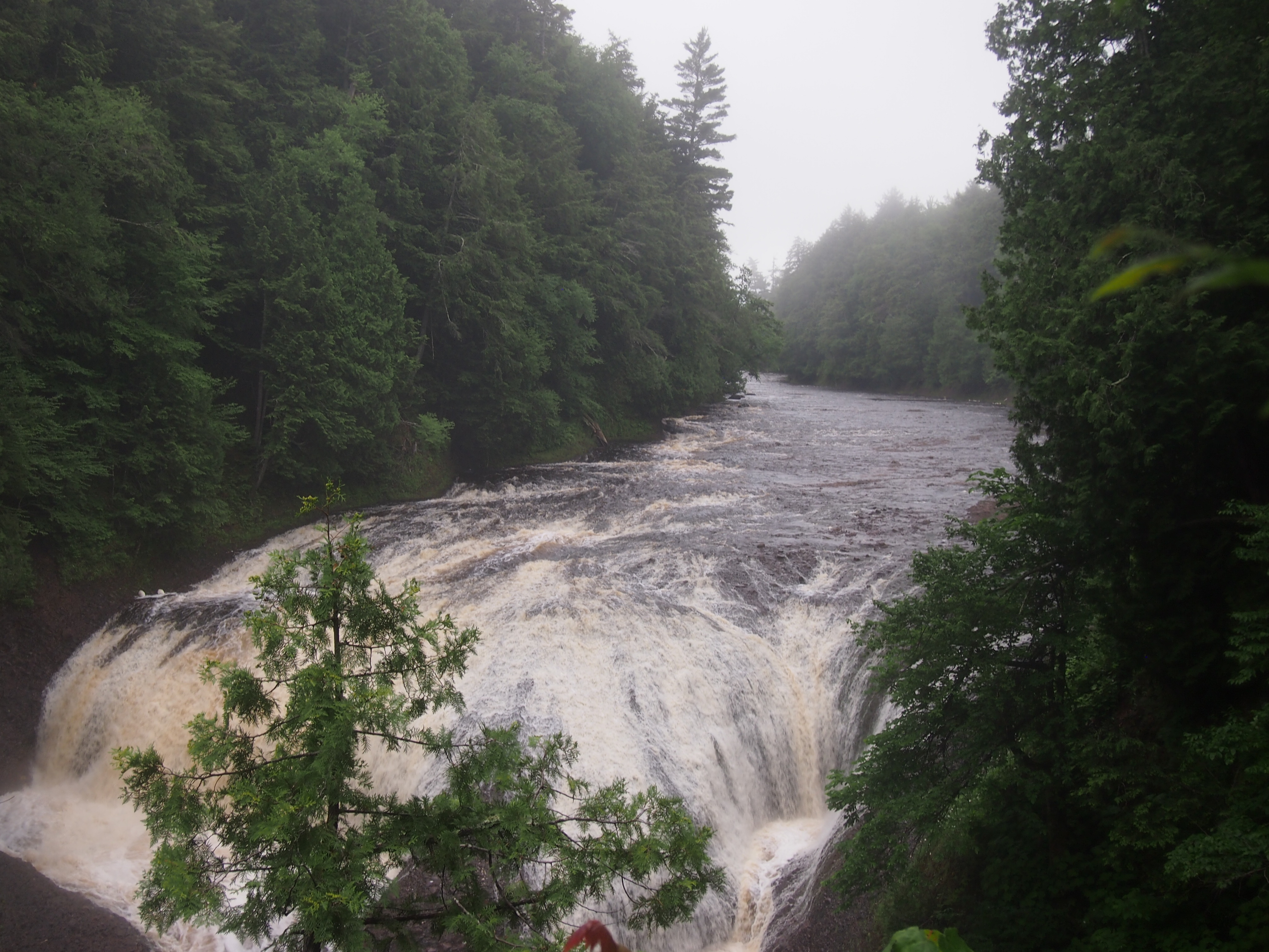
Rugged and well-watered, both Porcupine Mountain Wilderness State Park and the surrounding Ottawa National Forest feature a lot of waterfalls. Not long after arriving near the park, on the afternoon of the 30th, we sought out Gorge Falls and Potawatomi Falls on the Black River, which flows through Gogebic County and into Lake Superior. From a parking lot off Black River Road — a National Forest Scenic Byway, and justly so — a looping trail of about a third of a mile takes you to both.

Gorge Falls.
Gorge Falls, MichiganThe Black River above Gorge Falls.
Black River, UP MichiganPotawatomi Falls.
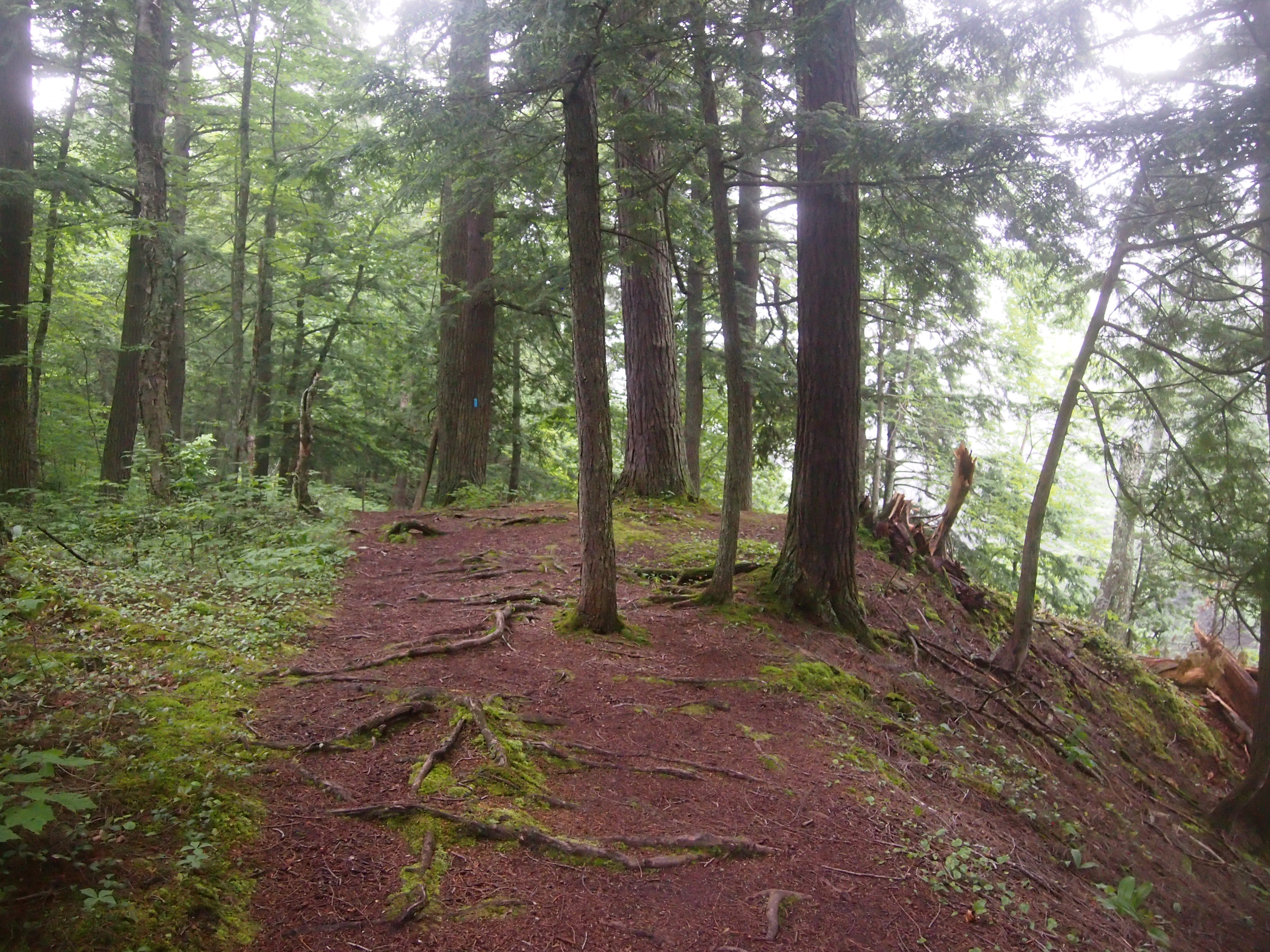
Potawatomi Falls, UP MichiganAnn was determined that we walk further upstream from Potawatomi Falls, saying that “I’ve been in a car all day.” True enough. It was a good path. I made sure that she knew that a blue diamond, or sometimes a rectangle, marks a trail.

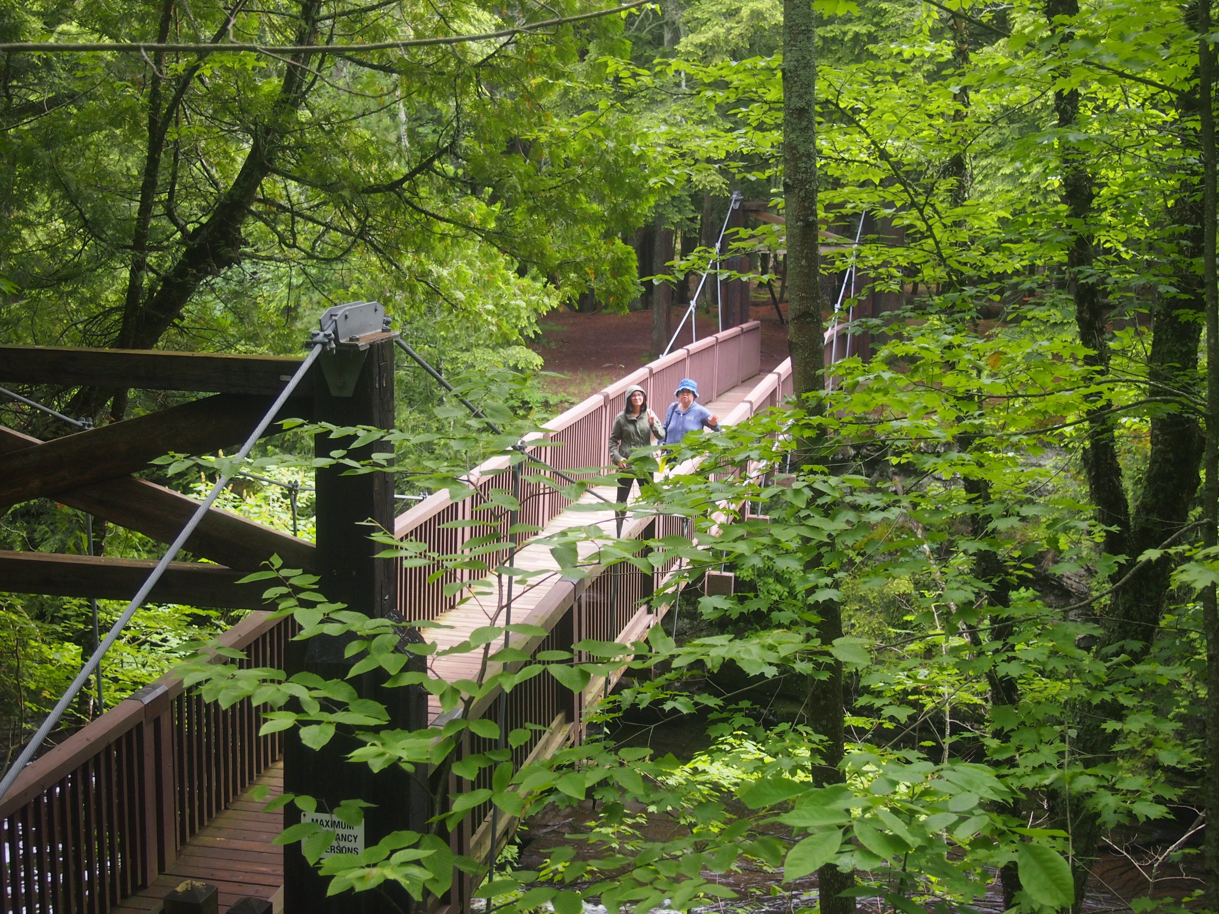
Porcupine Mountains Wilderness State ParkPorcupine Mountains Wilderness State ParkThe next morning we drove to up M-519 to a parking lot on the west bank of Presque Isle River. Go down a fair number steps on a boardwalk and you soon come to a wooden suspension bridge across the river.
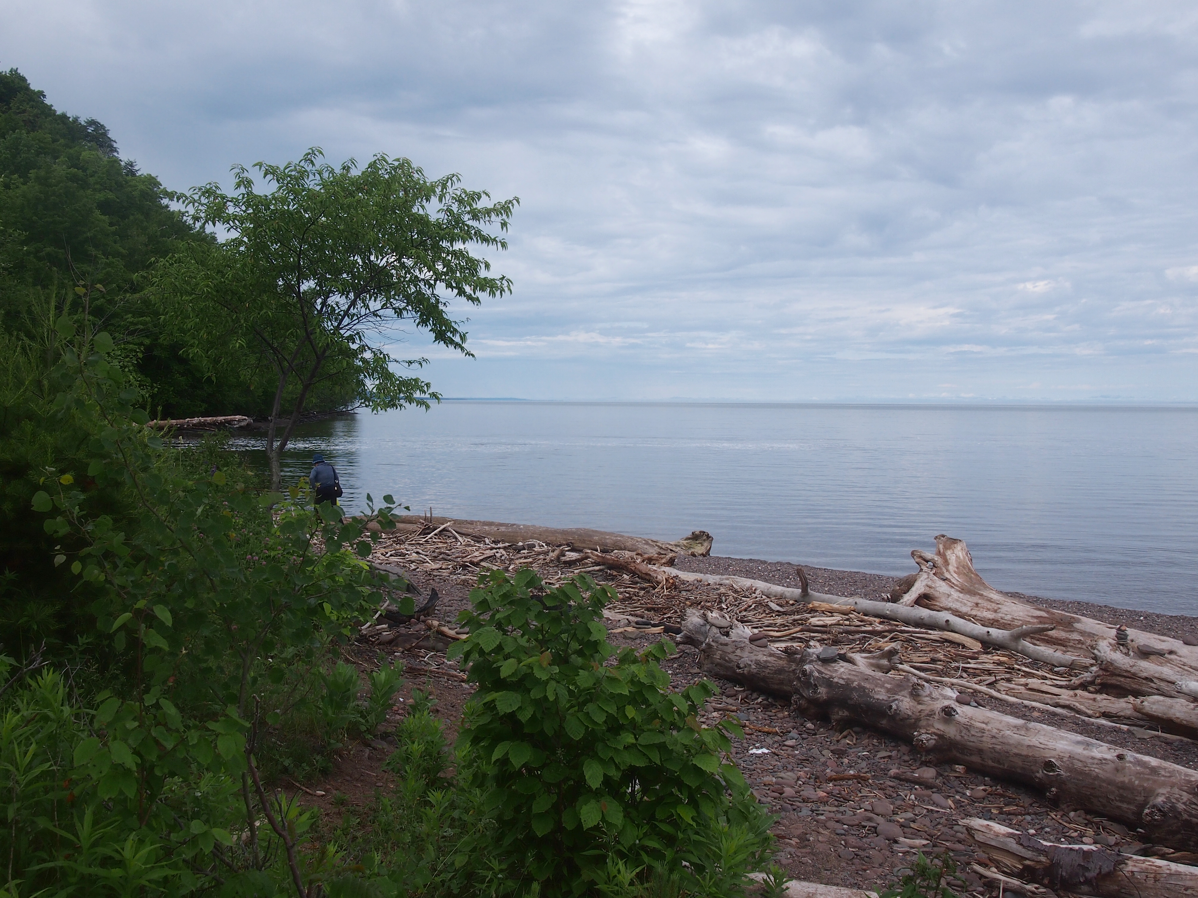
Presque Isle River bridgeThe other side of the bridge is described as an island, but it looks like a peninsula on the maps. Whatever its geographic classification, it was pleasantly wooded on the approach to Lake Superior.
Presque Isle River islandLake Superior at Presque Isle RiverBack across the suspension bridge, the trail on the west bank of Presque Isle River leads to Manhabezo Falls.
Manhabezo FallsThe trail at that point is also part of the North Country Trail, which we’d happened across a number of years ago in Manistee National Forest, in that other part of Michigan. The trail goes all the way from upstate New York to central North Dakota, or vice versa, some 4,600 miles, with a fair chunk of it through the UP.

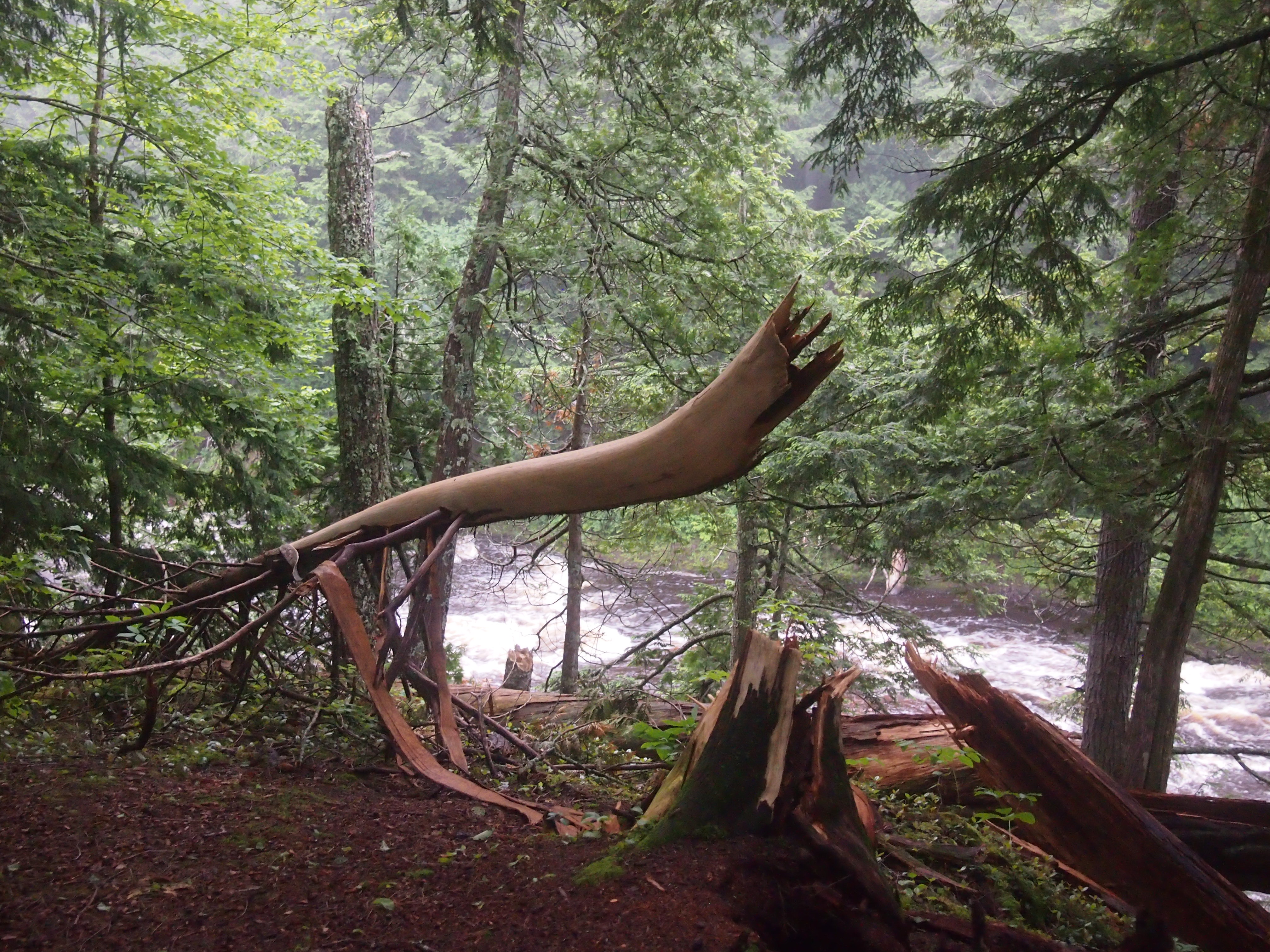
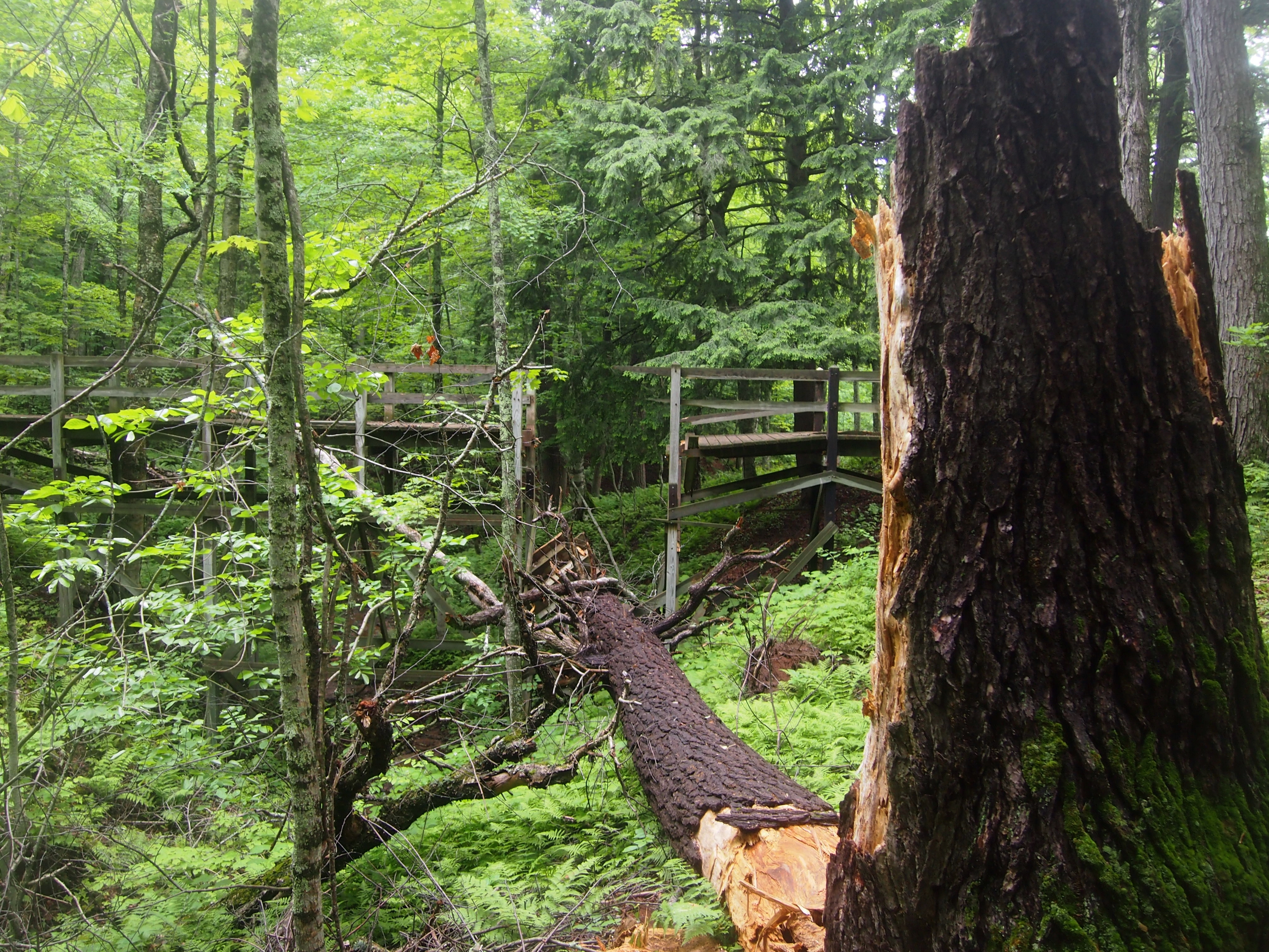
We’d planned to take the trail to another parking lot along the road, and then walk on the road the short distance back to the parking lot where we’d left our car. A bridge crossing a small gully allows you to do that, except when it’s been hit by a falling tree.
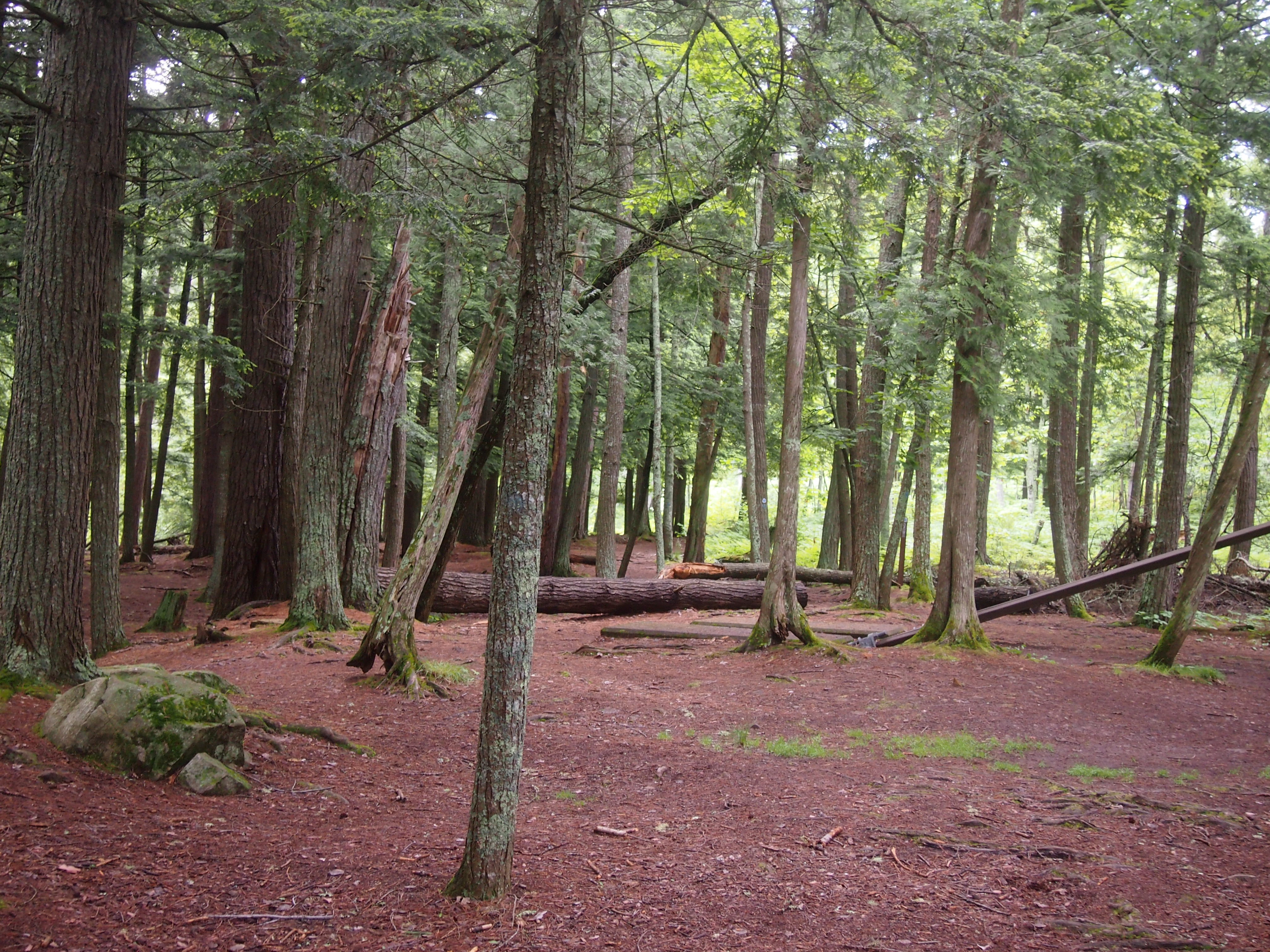
Trail near Manhabezo FallsNot sure when that had happened, but it couldn’t have been too long before. So we scurried down the side of the gully and back up again, crossing a stream small enough to step over, and encountering a lot of mud on the way. At one point the sticky mud was so thick it pulled Ann’s shoes off. What’s a hike, even a short one, if you don’t get a little (or a lot) of mud on you?

Friday Afternoon in Naperville

Yuriko and Lilly wanted to go to the Aurora Outlet Mall last Friday, and they asked me to drive. It’s a fair number of miles via expressway, but rather than see that as a chore, I think of it as an opportunity to visit somewhere in the far western suburbs, where I don’t go all that often, after I drop them off at the mall (such as the Fox River as it passes through Aurora, or the Fermilab grounds).

My destination of choice this time was Grand Army of the Republic Hall in Aurora, but I found that the building is only open on Saturday afternoons, and the first Friday of the month in the summer. So an alternate was Naperville. A little far to the east of Aurora, but always a worthwhile place to visit.

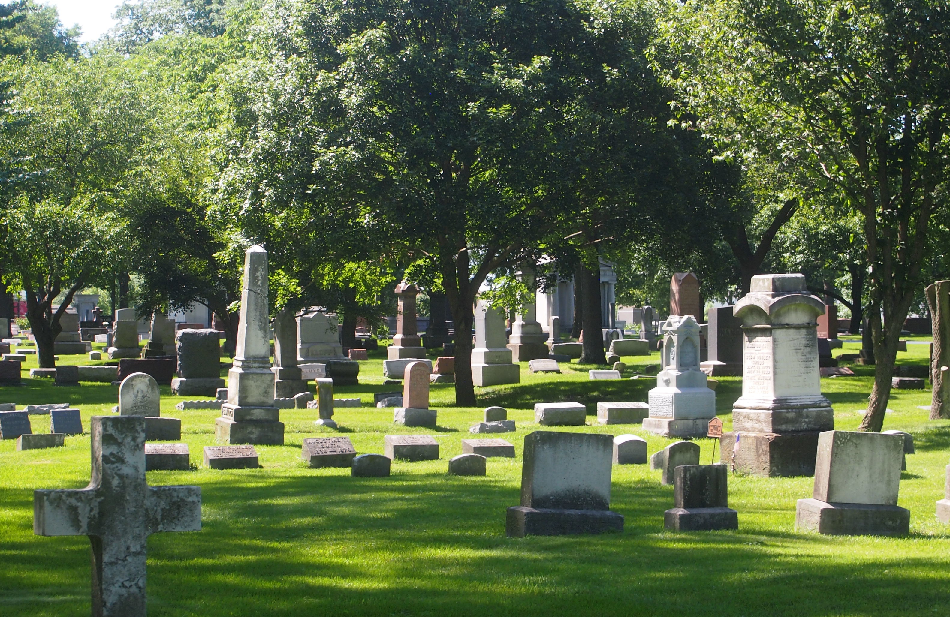
First stop: the 40-acre Naperville Cemetery, a burial ground since 1842, and still active. It’s between Naperville Central High School (you can see the stadium) and the main campus of Edward Hospital, and also not far from the open air Naper Settlement museum.

According to the cemetery web site, Joe Napier himself, founder of Naperville — and a good friend of Jebediah Springfield, maybe — is buried there. I couldn’t find him among the 19th-century stones, but I didn’t try very hard.

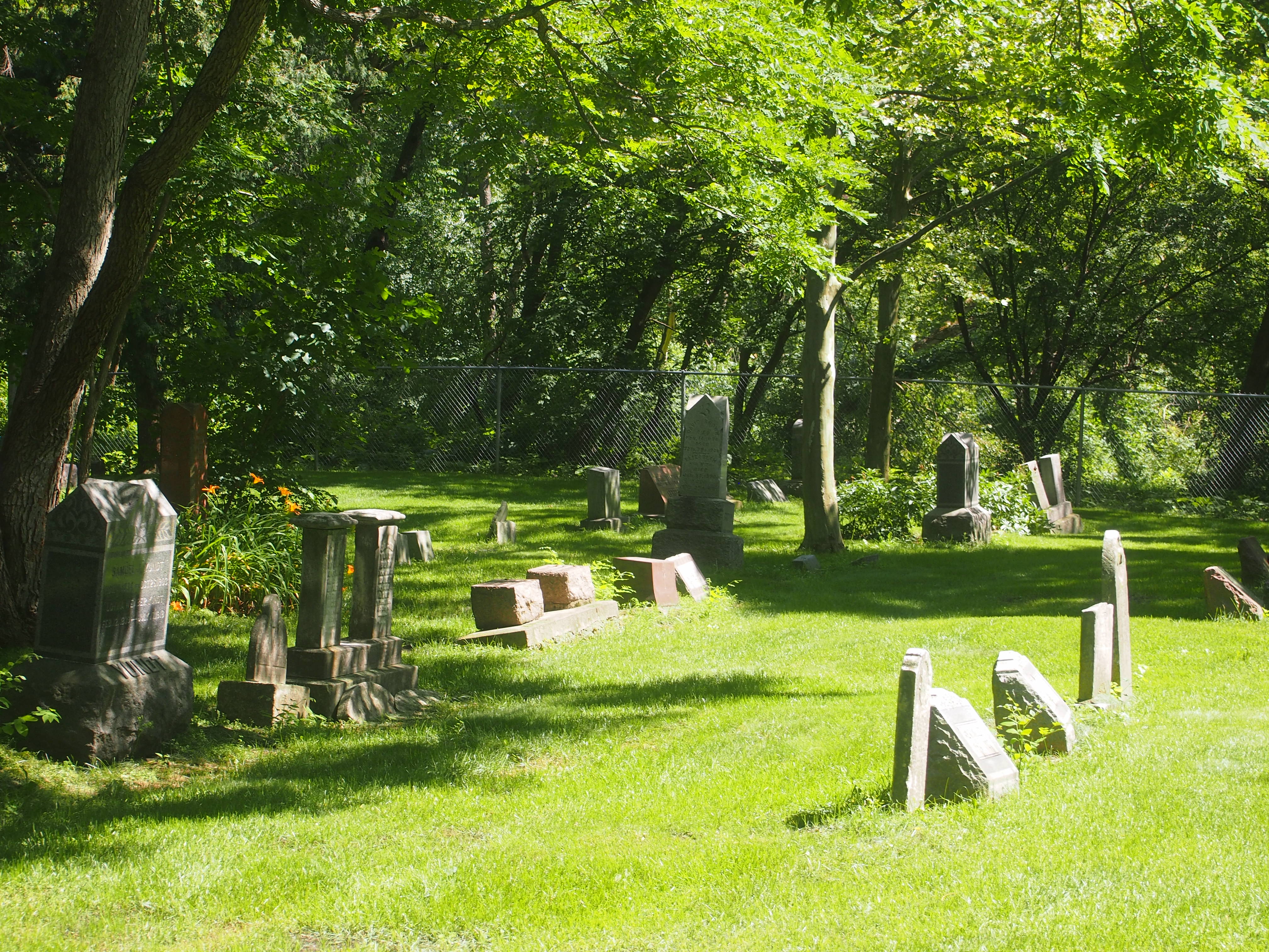
Naperville CemeteryOn the whole, it’s a pleasant cemetery with some history, upright stones, a bit of funerary art, a fair number of trees, and a veterans memorial plaza.

Naperville CemeteryNaperville CemeteryNaperville CemeteryA few blocks away is the Riverwalk Park, part of downtown Naperville. The park is a series of trails and green spaces along the West Branch of the DuPage River, plus some public facilities such as a swimming pool with an artificial beach, all developed in the 1980s. Been a number of years since I’d been there.

Riverwalk Park, NapervilleRiverwalk ParkRiverwalk Park, NapervilleRiverwalk Park, NapervilleThe Aurora Outlet Mall’s a nice outdoor shopping center, but for me a walk along a river on a Friday in June beats it hands down.

The Old Gasconade River Bridge

On I-44 in south central Missouri, there’s a point at which you cross the Gasconade River, which rises in the Ozarks and ultimately flows to the Missouri River. It hardly seems like a bridge, so effortless is the crossing.

Transportation disaster enthusiasts, or maybe just train wreck buffs, know the Gasconade River as the site of the Gasconade Bridge Train Disaster of 1855. A train from St. Louis bound for Jefferson City broke the railroad bridge it was traveling across, precipitating the engine and some of the cars into the river, killing 31 and seriously injuring many others at a time when the state of medical science meant that you were pretty much on your own when it came to recovery.

The accident was nowhere near where I-44 crosses the river, but rather near the town of Gasconade in Gasconade County, between St. Louis and Jeff City. Hope there’s some kind of memorial to the event around there, but I can’t find any evidence of one.

A few years ago, Ramona Lehman, co-owner of the Munger Moss Motel, told me about the old bridge across the Gasconade, just south of the modern I-44 bridge, which is only about 10 miles from the motel. She even sells postcards depicting the bridge at the motel front desk, proceeds of which go toward preserving the bridge. I’ve bought a few over the years.

The old bridge dates from the 1920s, and carried U.S. 66 traffic across the river for many years. After that highway became nostalgia fodder, the bridge continued to carry local traffic for many more years.

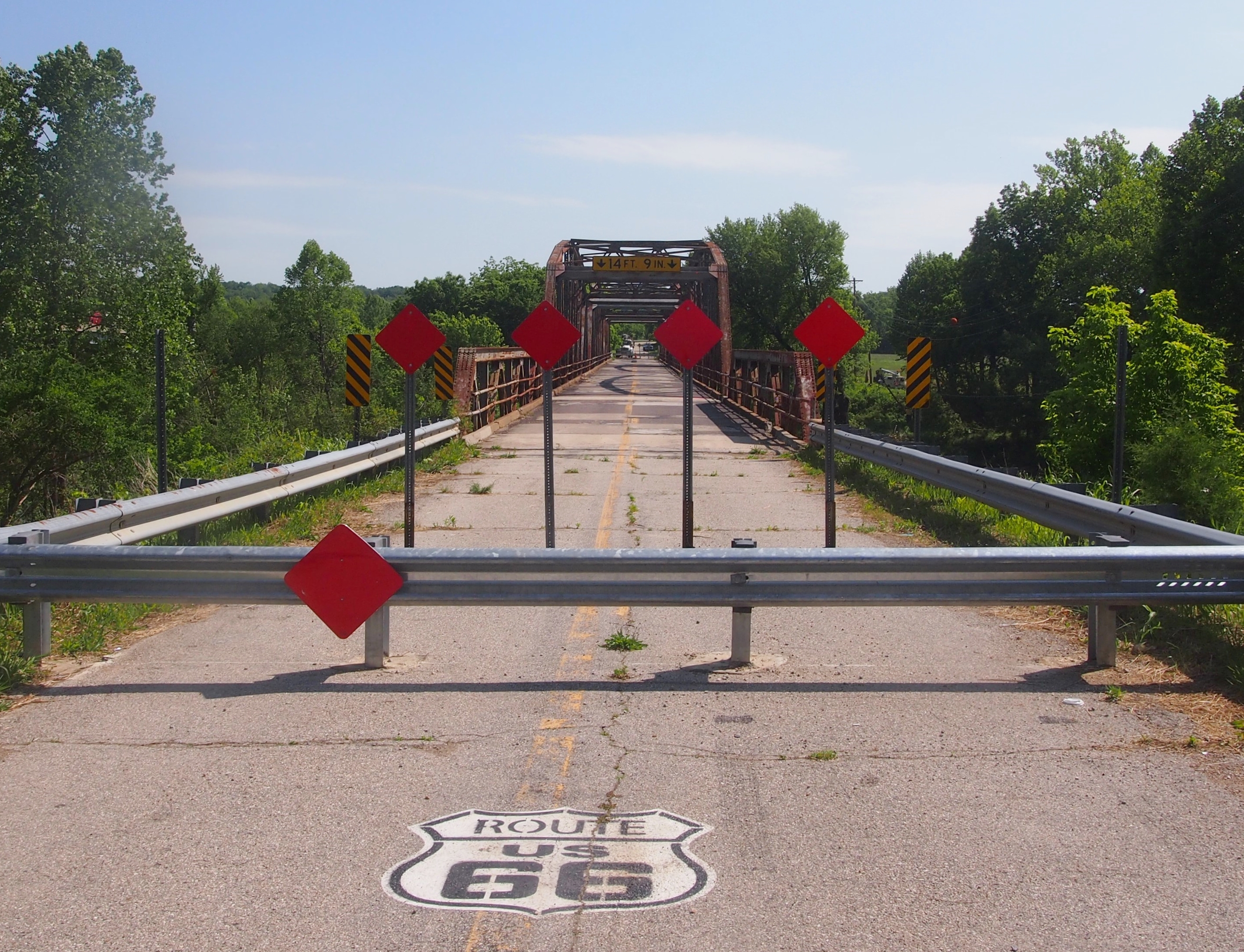
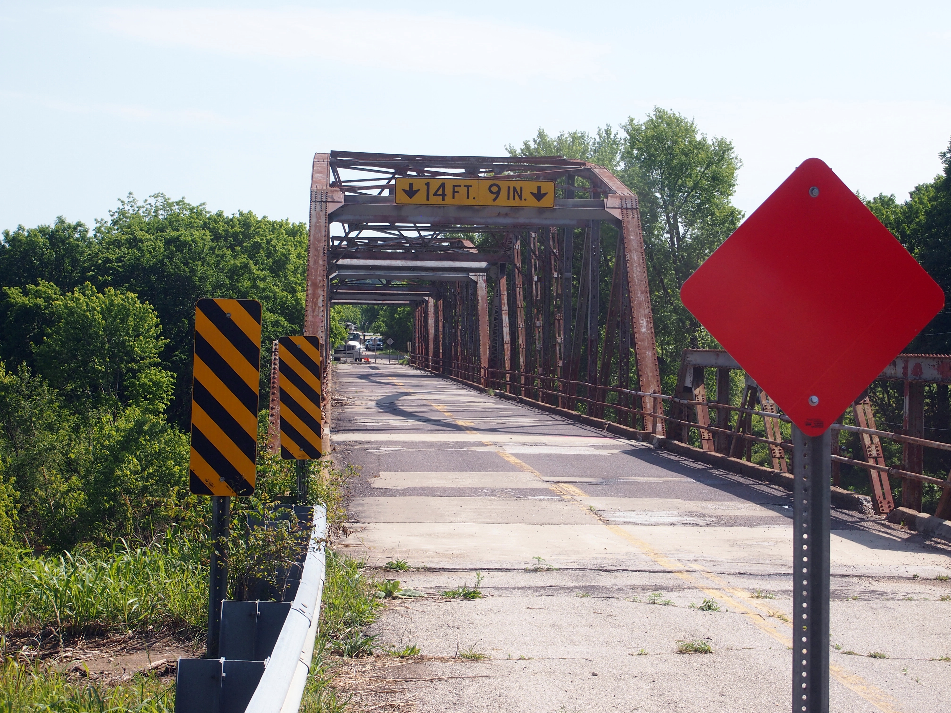
In late 2014, the Missouri Department of Transportation closed the old bridge as unsafe. What with the new bridge and all, the department had probably opted for deferred maintenance on the old one for a long time. Get off the Interstate west of the old bridge, and take the access road — Historic 66, that is — and pretty soon you’ll find yourself at the inaccessible bridge, as we did late on the morning of May 26.

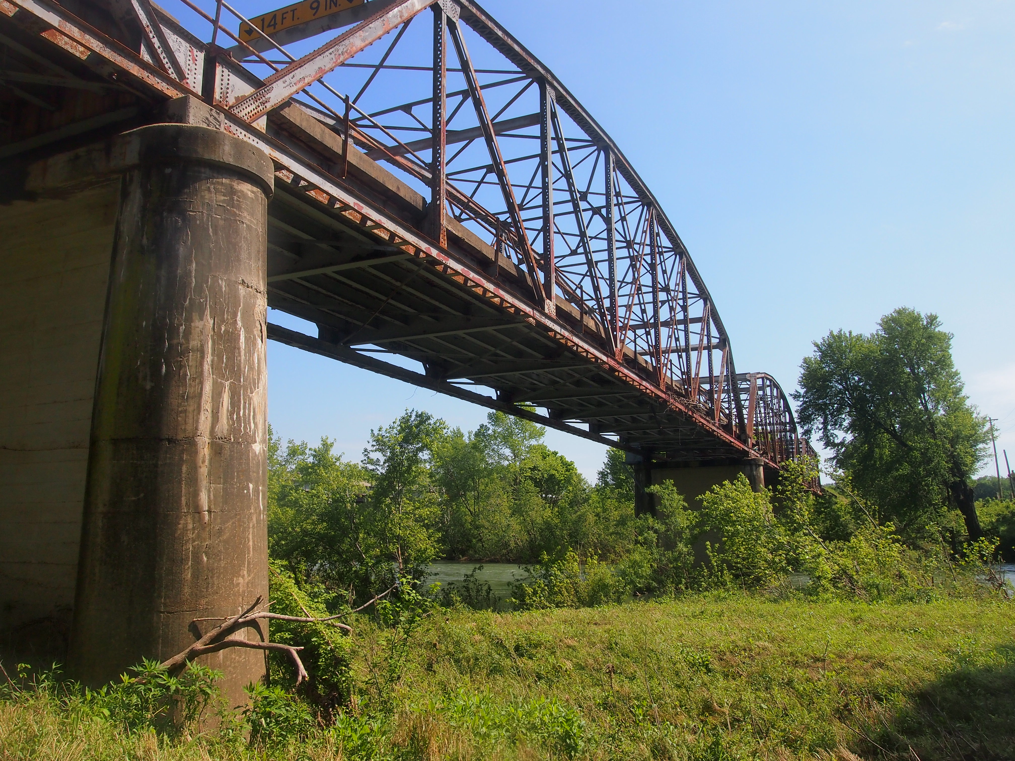
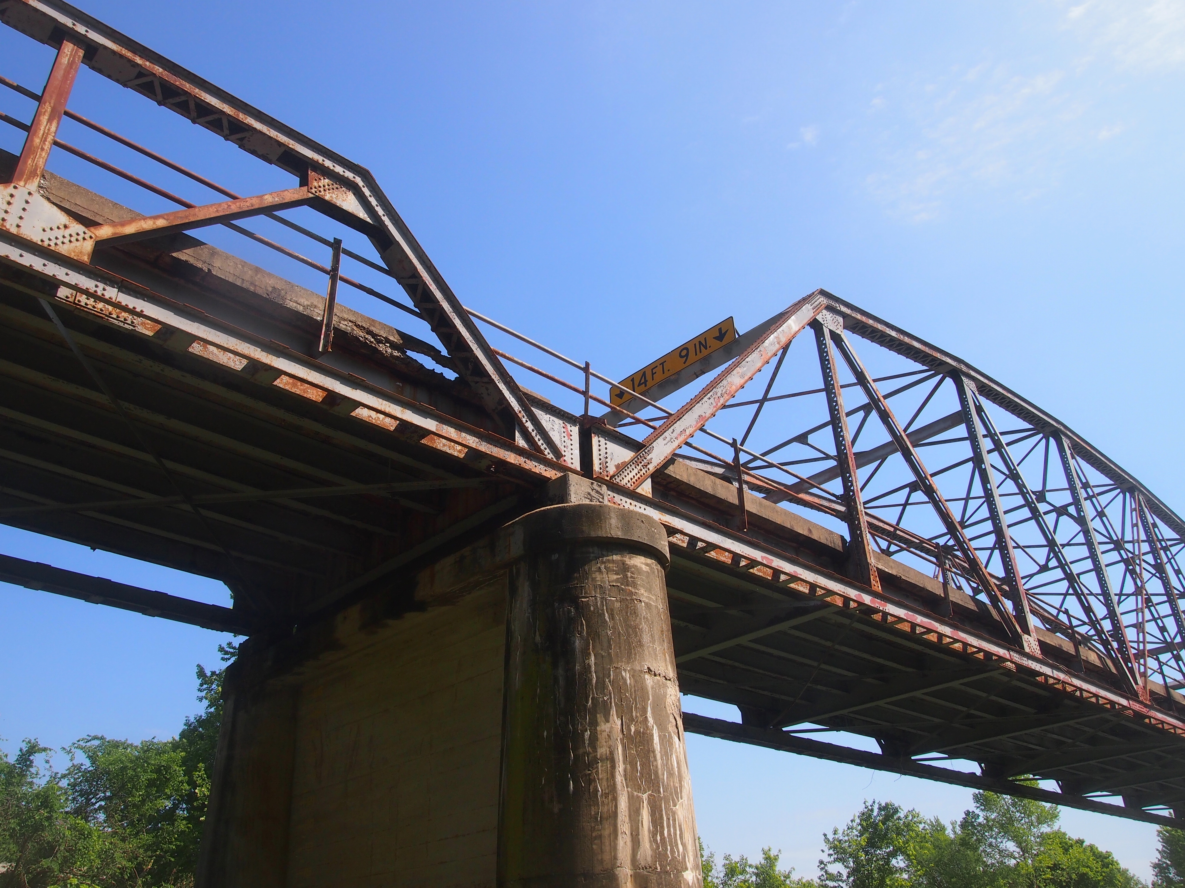
The Gasconade River Bridge, Route 66The Gasconade River Bridge, Route 66Not especially impressive from that vantage. The best way to look at the old bridge was from underneath. A patch of land near the river and under the bridge was surprisingly accessible.

The Gasconade River Bridge, Route 66

The Gasconade River Bridge, Route 66I was motivated to see the structure as more than a passing blur out of the corner of my eye. The next time I come this way, it might be gone. The good people who live near it want the bridge preserved, but it isn’t clear that’s going to happen. As usual, it comes down to money.

MoDOT recently issued a press release that included the following: “The majority of public comments stemming from a Dec. 14, 2016, public meeting held in Lebanon supported constructing a new bridge near I-44 and leaving the current facility, located on historic Route 66, intact. However, MoDOT has indicated all along that liability issues and limited funds would require the department to remove the bridge unless an outside entity stepped forward to take ownership of and maintain the bridge.

“The current bridge will remain in place as the agency works through the requirements of Section 106 of the National Historic Preservation Act. The act requires federal agencies and the recipients of federal funds, such as MoDOT, to consider the effects of projects on properties eligible for listing on the National Register of Historic Places, such as the Gasconade River Bridge.”

Thus the fate of the bridge is uncertain. That meant seeing the bridge was a carpe diem situation, so I did.

The Mizumoto Japanese Stroll Garden

There are a surprising number of Japanese gardens in the United States, as illustrated by this Wiki list of them, though it’s probably incomplete. It had never occurred to me that there might be one in Springfield, Mo., until I spied it on a map: the Mizumoto Japanese Stroll Garden.

The garden is part of the larger Springfield-Greene County Botanical Center, which also includes an azelea garden, dogwood garden, iris garden, butterfly garden, hosta garden, dwarf conifer garden, and more. All that sounds nice, but on the road sometimes you have to focus. The stroll garden it was.

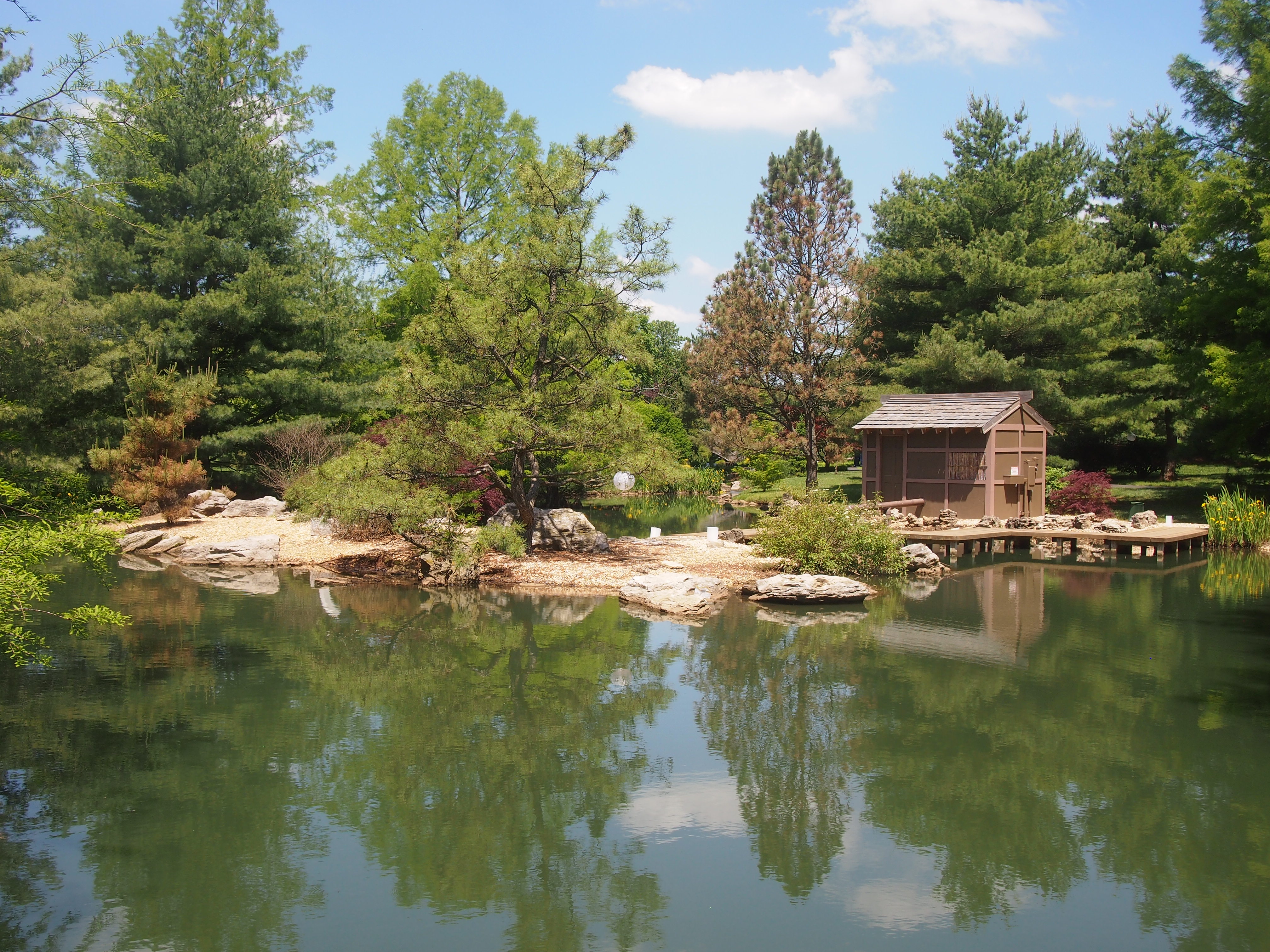
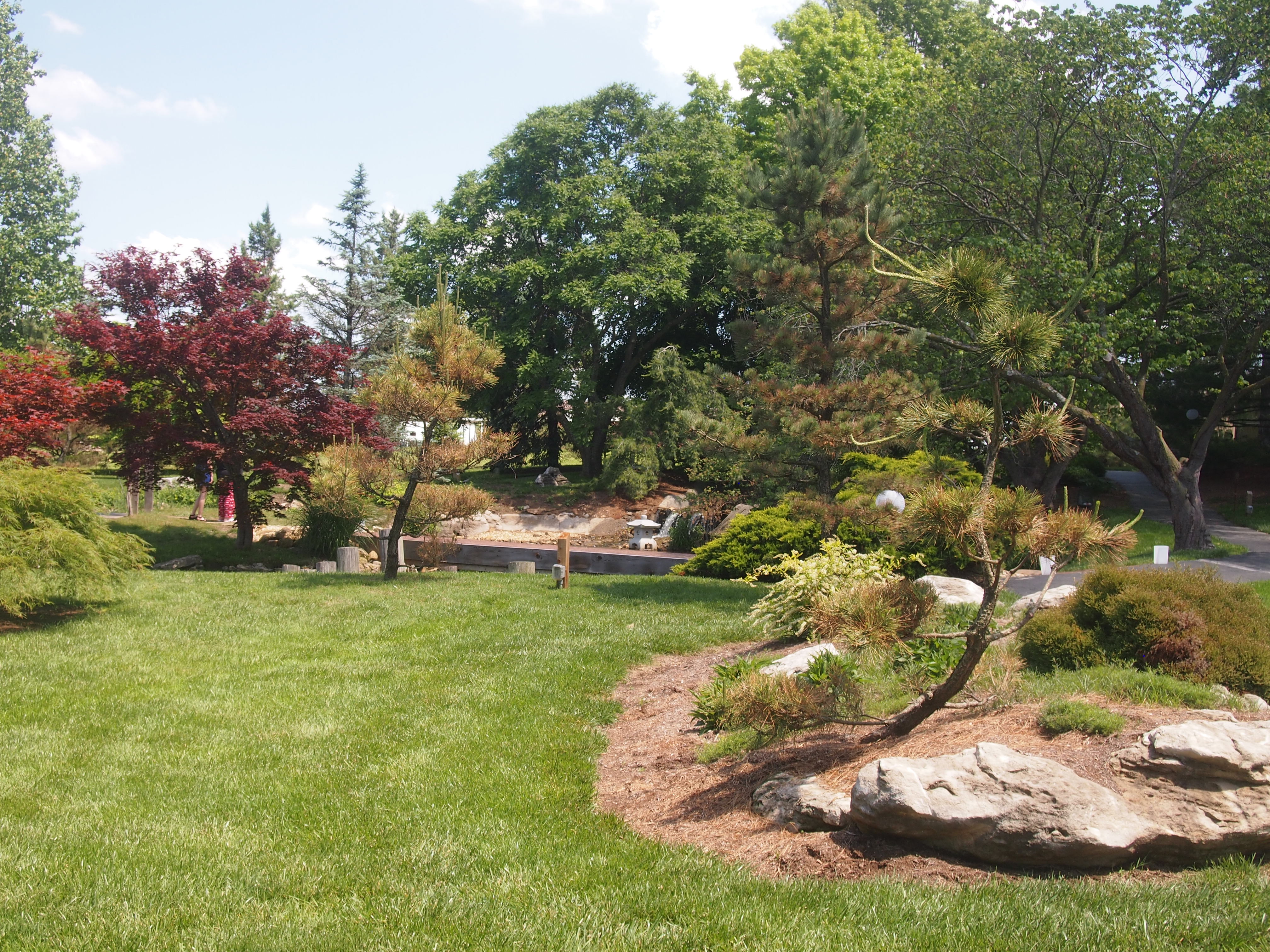
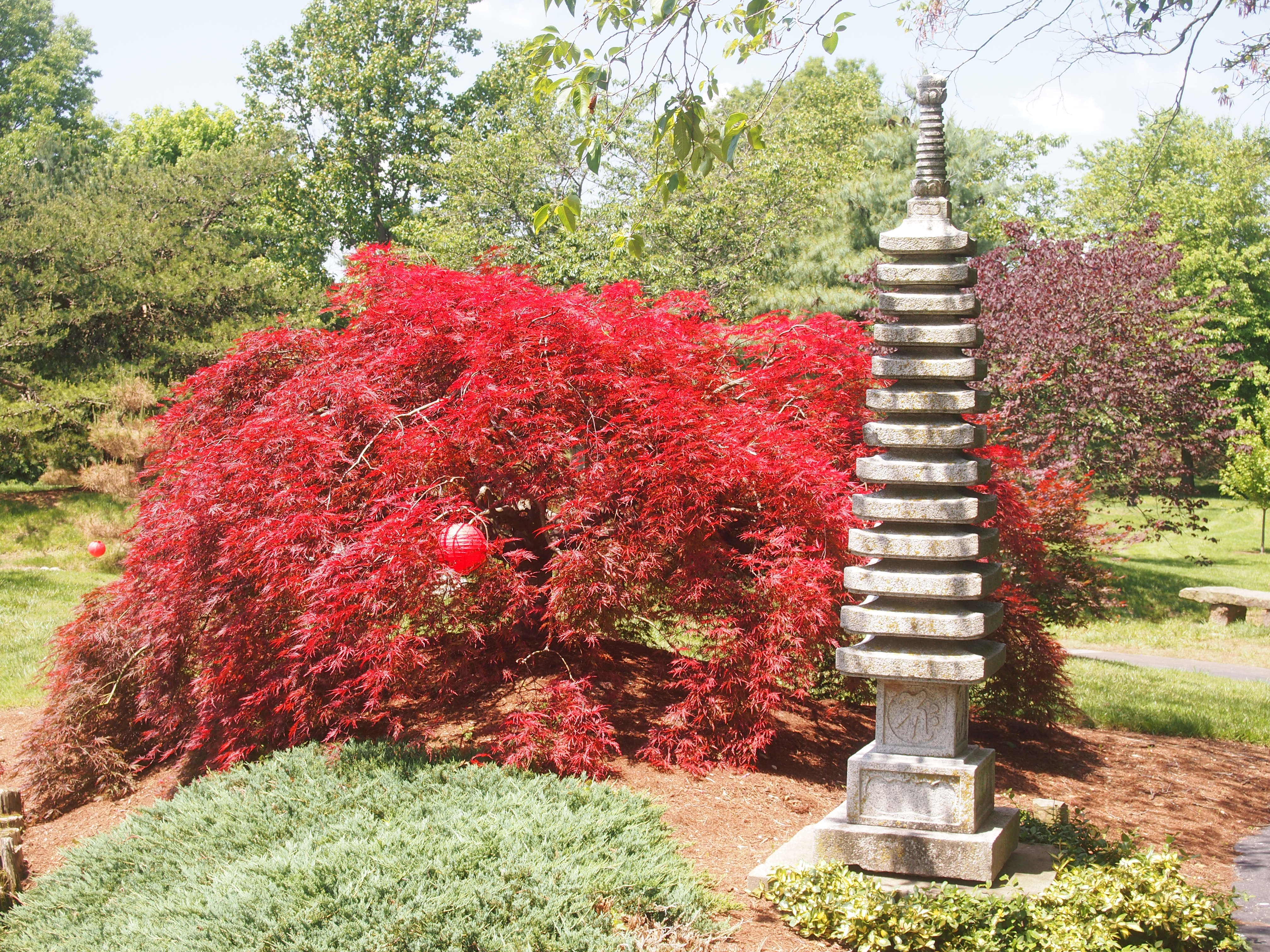
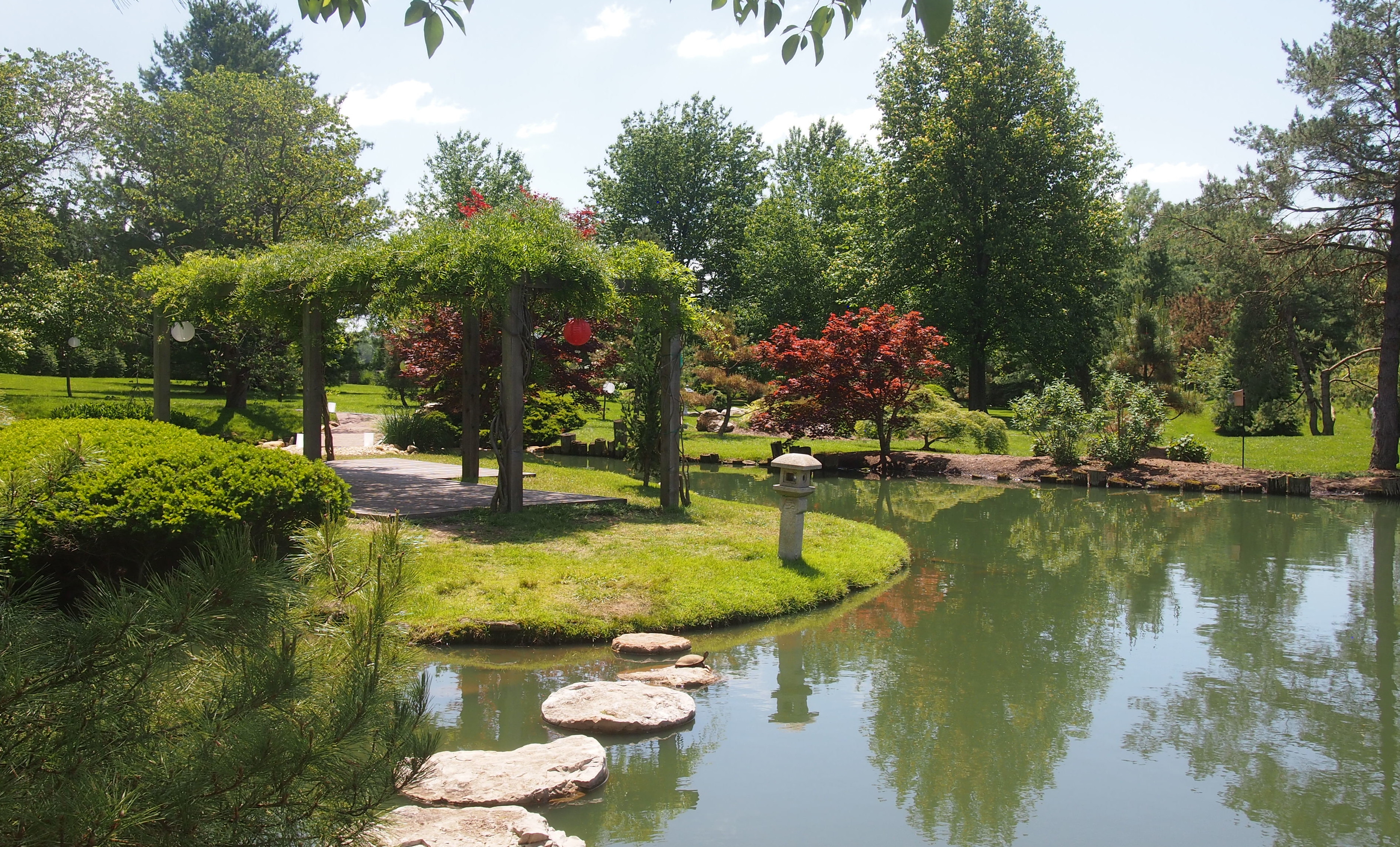
It had everything you’d expect, trees and shrubs and flowers and lanterns and other structures along a winding path, along with water features.

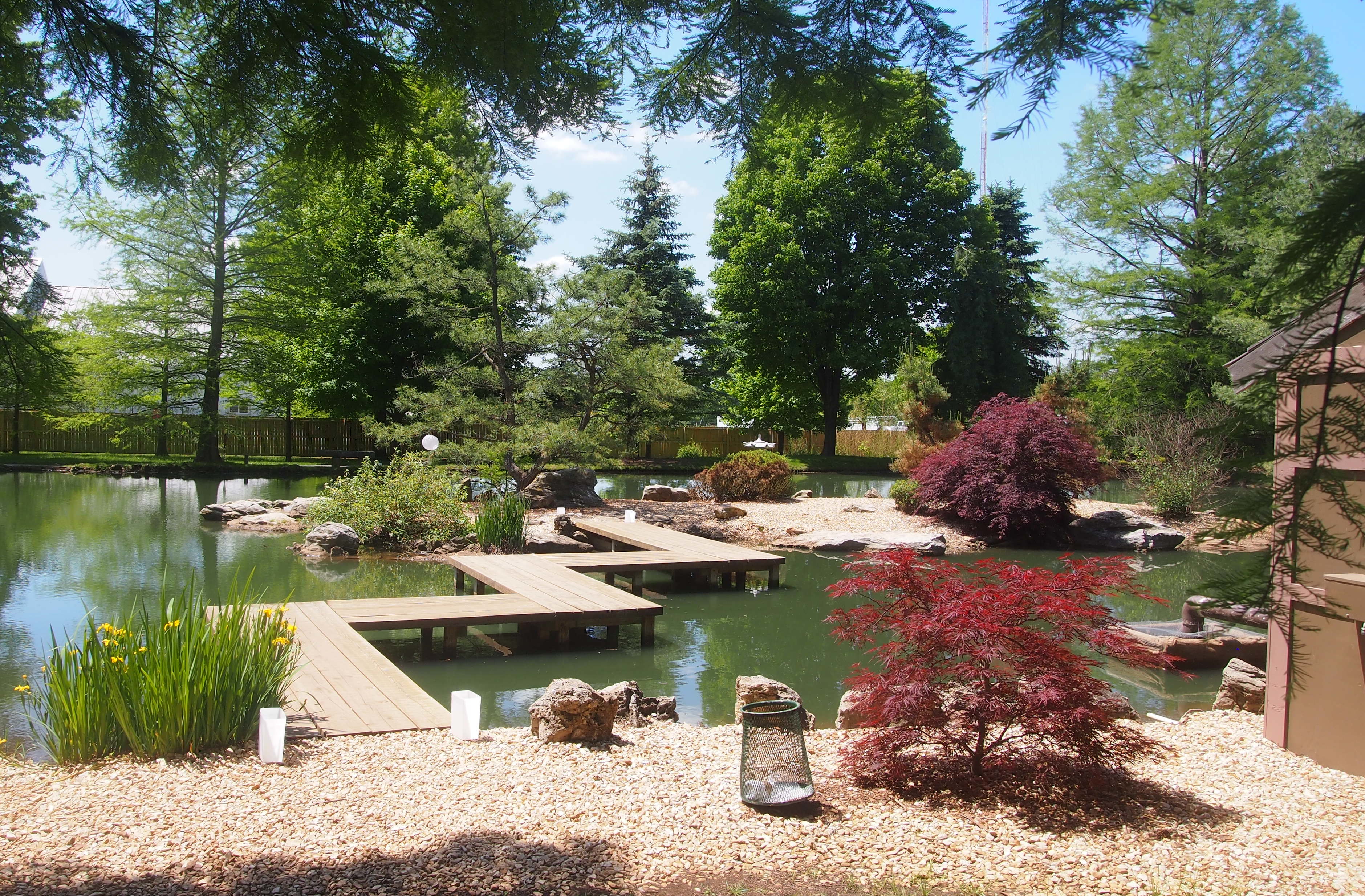
Mizumoto Japanese Stroll GardenA zigzag bridge.

Mizumoto Japanese Stroll GardenAccording to one web site anyway, the notion such bridges were designed to prevent dimwitted evil spirits from being able to cross them is baloney.

THE MYTH: Some misguided Westerners claim that evil spirits can only travel in straight lines and that Japanese gardens have zig-zag bridges to prevent evil spirits from moving through them.

THE FACT: Japanese gardens do sometimes feature zig-zag bridges, but the evil spirit story is complete nonsense. Zig-zag bridges are featured in Japanese gardens partially because they are attractive and because they are interesting to walk over. There is also a charming story that links zig-zag bridges to Japanese literature and culture. [?] The zig-zag bridge motif is a natural fit for many of the Japanese arts including gardening.

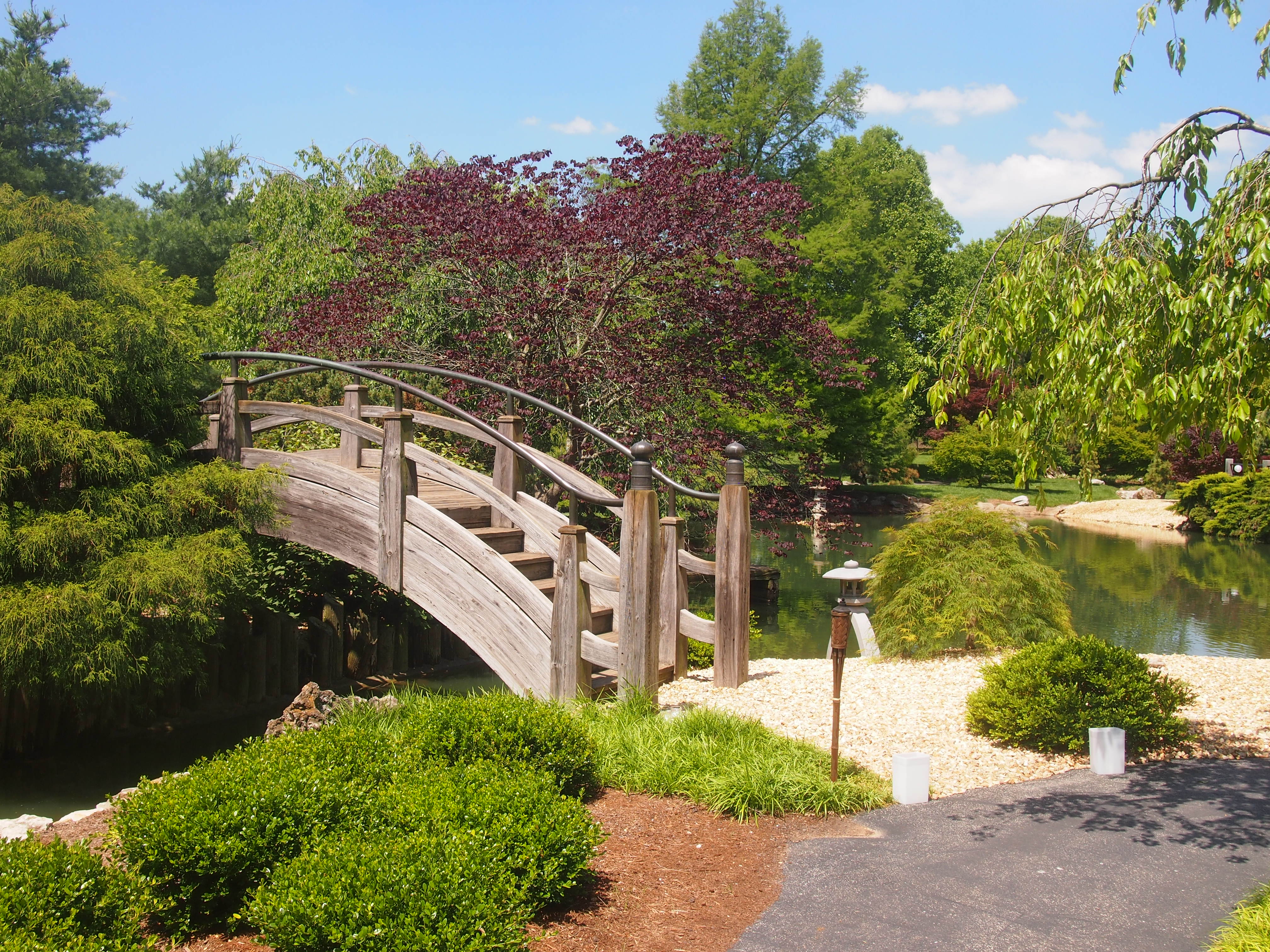
A moon bridge.
Mizumoto Japanese Stroll GardenExpanses of lawn.
Mizumoto Japanese Stroll GardenNot all the foliage is green in the spring.
Mizumoto Japanese Stroll GardenA trellis.

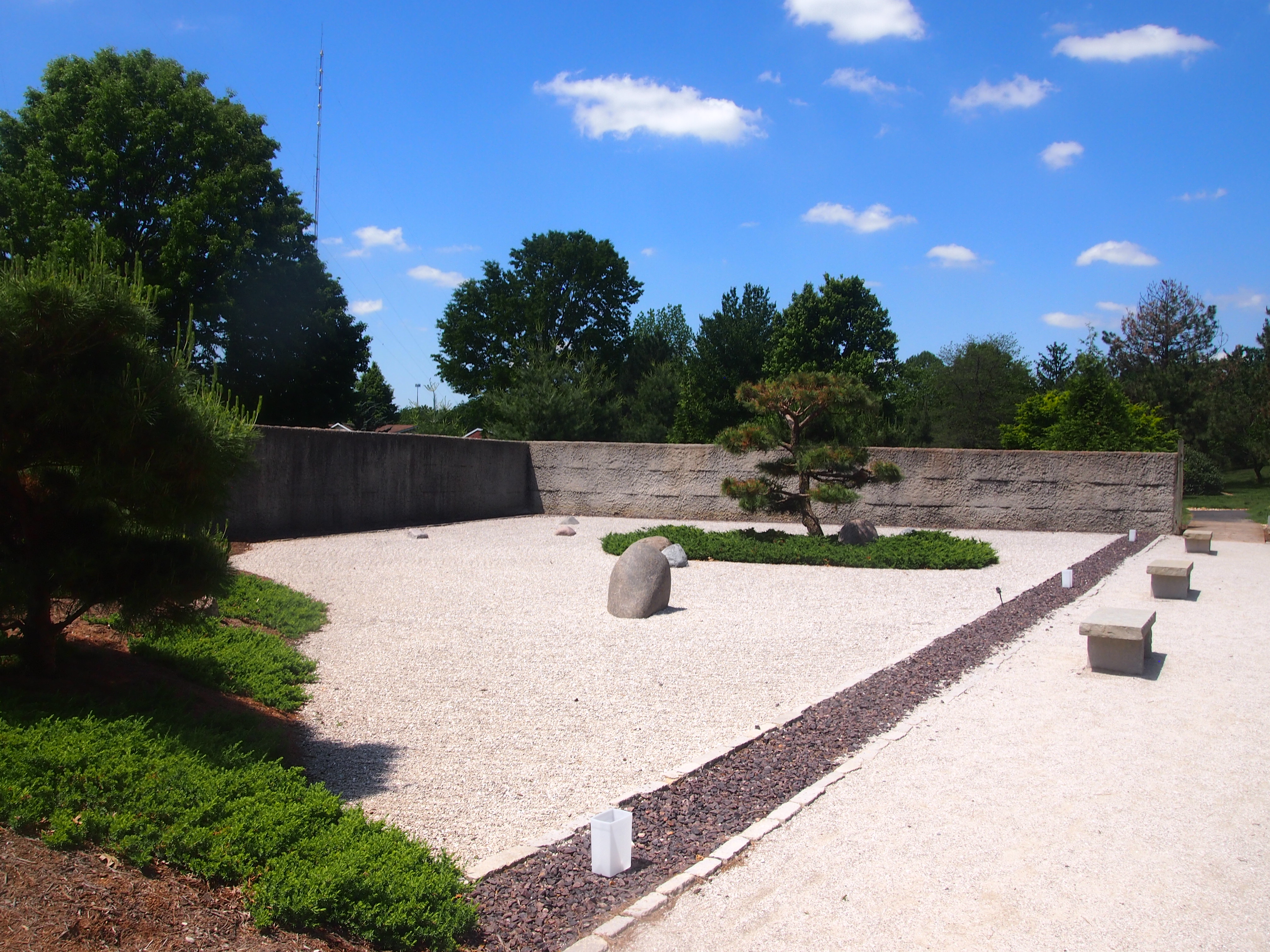
Mizumoto Stroll Garden 2017A zen garden. But of course.
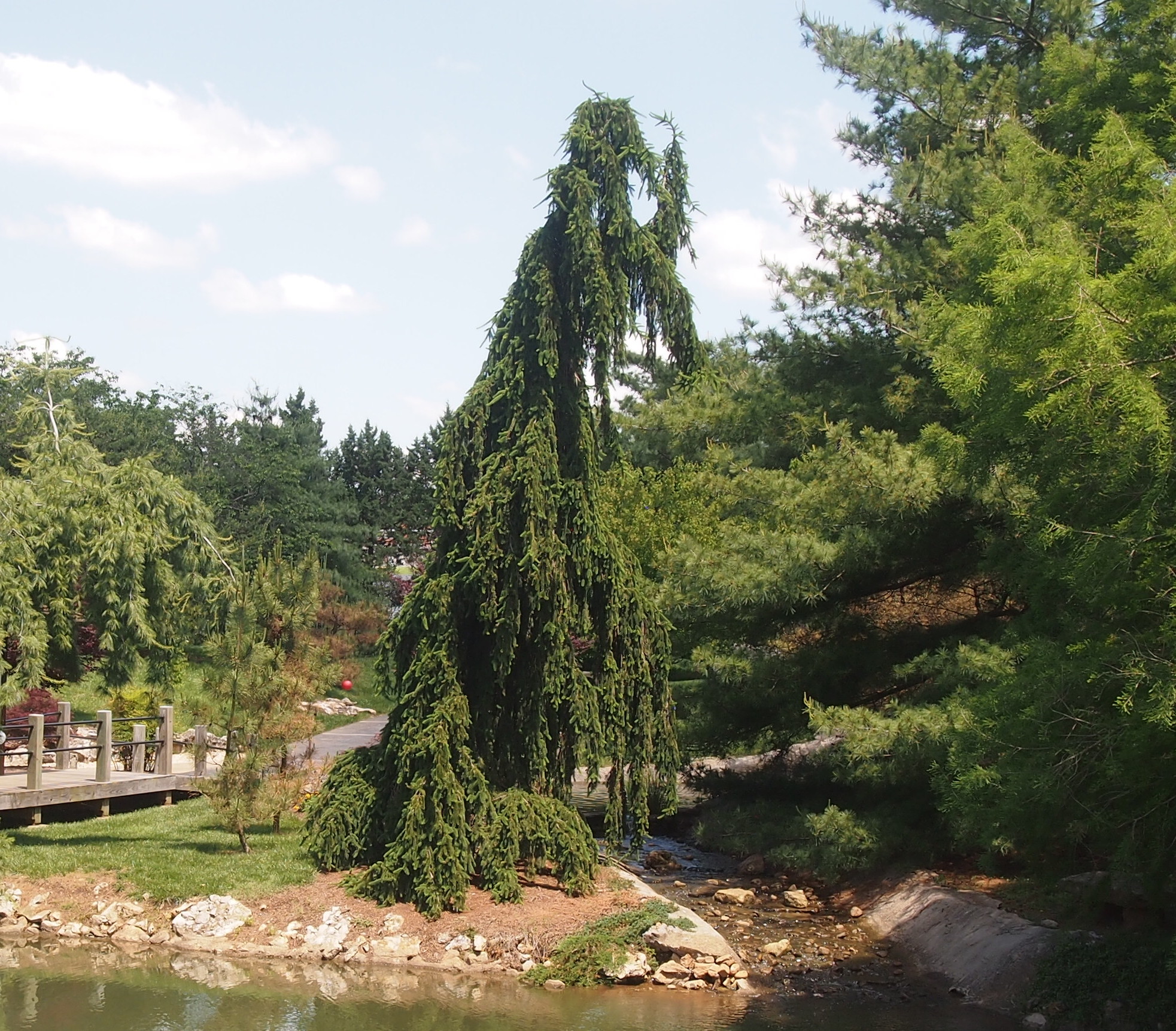
Mizumoto Stroll Garden 2017And some droopy pines, the likes of which I once saw in Rockford.
Mizumoto Stroll Garden 2017According to Japanesegardening.org, the 7.5-acre Stroll Garden is the oldest attraction at the Springfield-Greene County Botanical Center, now a little more than 30 years old. “The plan was inspired by a Fort Worth, Texas copy of the Garden of the Abbot’s Quarters in Kyoto,” it says. Probably that means Tofukuji Temple, which is indeed stunning.

“The garden was initiated by the superintendent of park operations, Bill Payne, in the early 1980s and supported with partnerships from the Springfield Sister Cities Association, The Southwest District of Federated Garden Clubs, The Botanical Society of Southwest Missouri and the Friends of the Garden.

“The garden was given the name Mizumoto in 2004, in honor of Yuriko Mizumoto Scott. She generously acts as a bridge between her native Japan and her home in the Ozarks. As the first Japanese War bride brought back to the United States, her insight has the breadth of a bi-cultural history.” First war bride brought to the Ozarks? Not to be pedantic, but I think they mean postwar bride. Or occupation bride.

“Mrs. Mizumoto Scott spent many years as a volunteer in garden maintenance and hosting tour groups. She has also conducted hundreds of tea ceremonies and explained the customs of Japan. The gardens are maintained by the Friends of the Garden Japanese Gardening Group and Park staff. Gardens are supported by the Springfield Sister Cities Association Isesaki Committee.”

Well worth the stop in Springfield, a town I’d only ever known before as the turn off to Branson.

Views from Aon

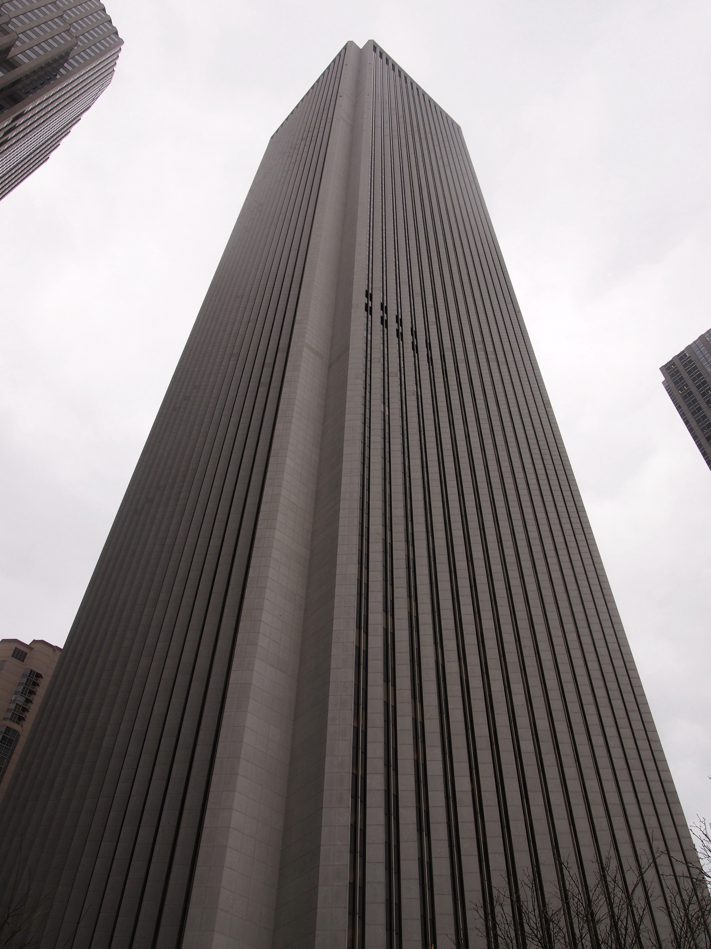
Recently I attended an event at the Mid-America Club, which happens to be on the 80th floor of the Aon Center, formerly known as the Amoco Building, and if you go back far enough, the Standard Oil Building (for some time after ’73, when it was completed). At 83 floors and 1,136 ft., it’s the third tallest building in Chicago, but that makes it only the 52nd tallest in the world in our time, when China and the UAE have decided that really tall buildings are just fab.

Aon Center 2017

Getting to the 80th floor, I encountered an elevator system I’d never experienced before. There are touchpads at each elevator bank, and you press the number of the floor you want to go to. Then the machine tells you which of the elevator cabs to board to go express to that floor. There are standard elevator buttons inside the cab, but they’ve been covered over by a hard plastic case and are inaccessible. Guess this makes inter-floor transit more efficient. For all I know, this kind of system could be common and not exactly new; I don’t go into that many very tall buildings any more.
I’d been up to the Mid-America Club before, though I couldn’t remember exactly when. Probably as long ago as the early 2000s. It offers a mighty 360-degree view, though this time around it was obscured some by overcast skies.

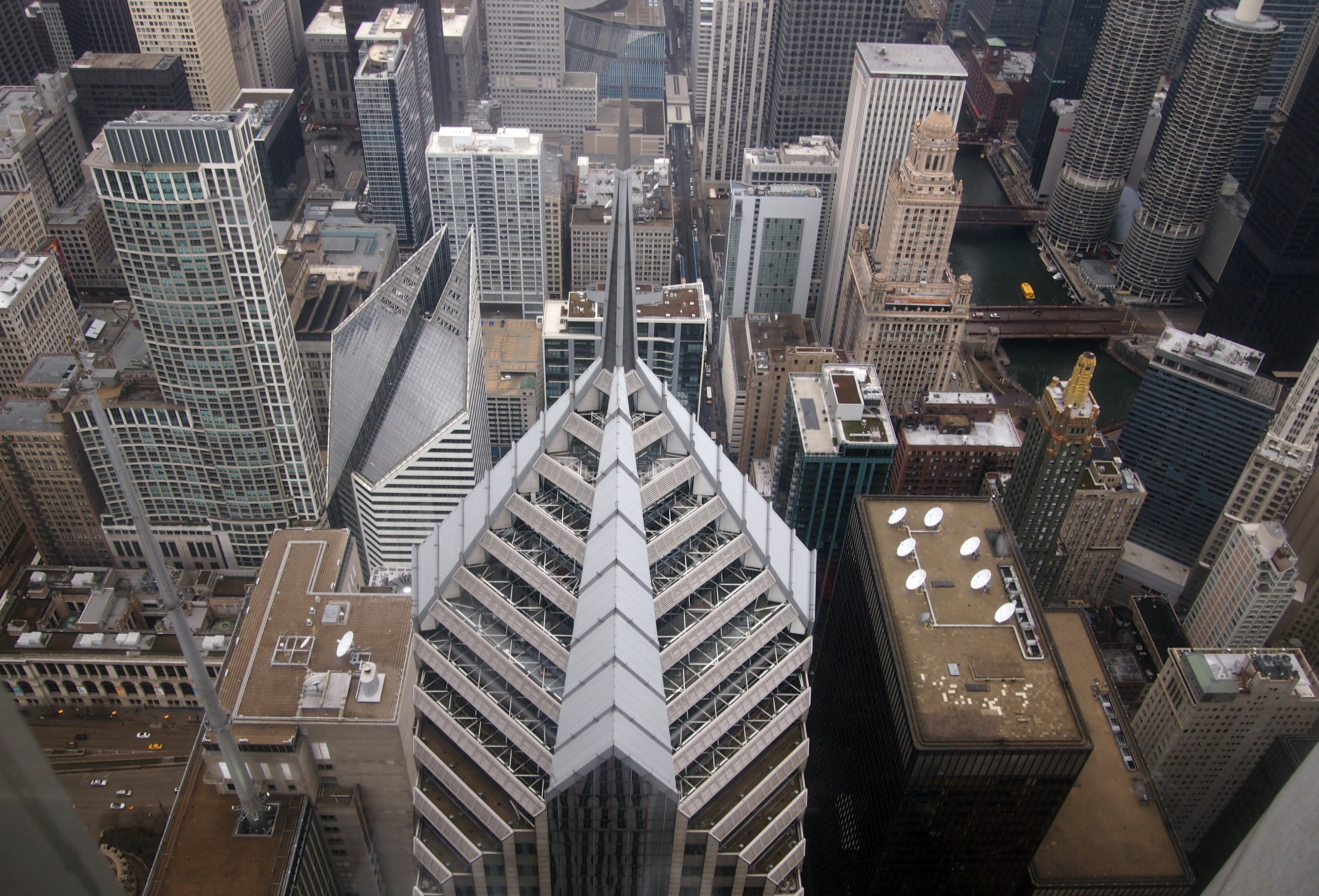
This is looking west, down at the top of the Prudential Center. Pru II, vintage 1990, has the pointy spire, maybe for zeppelin mooring. Pru I, vintage 1955, is the shorter structure immediately to Pru II’s left, though it was the tallest building in Chicago when new.
Prudential Center II Chicago spireUp and to the right, and on the river, with the cupola on top, is 35 E. Wacker, a handsome ’20s building in which I had an office for a few years.

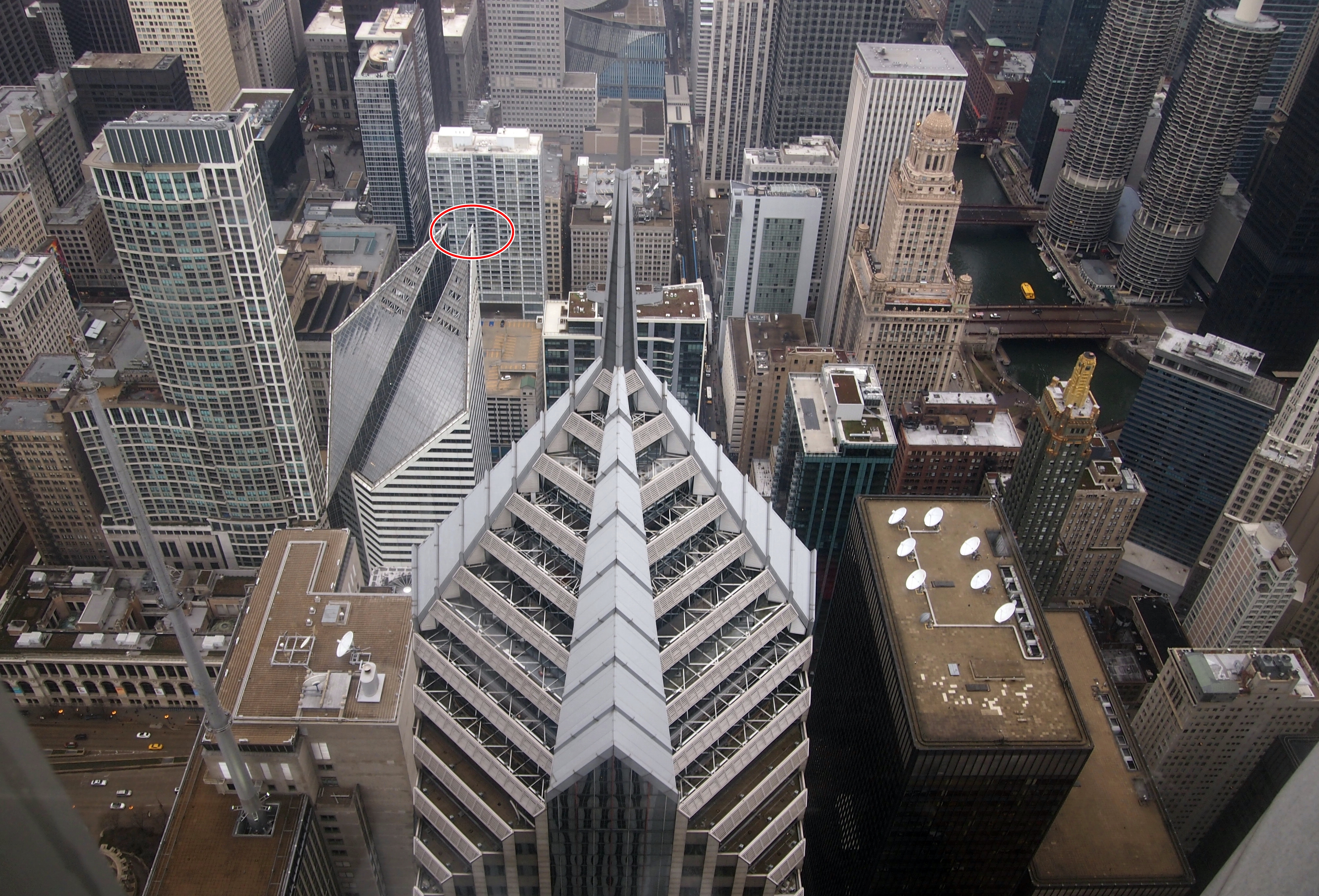
Also seen from this vantage is 150 N. Michigan. Years ago, I ventured onto the exterior of that building, at a place marked by the red oval. It’s a lot safer than it looks like here.

150 N. Michigan Ave.

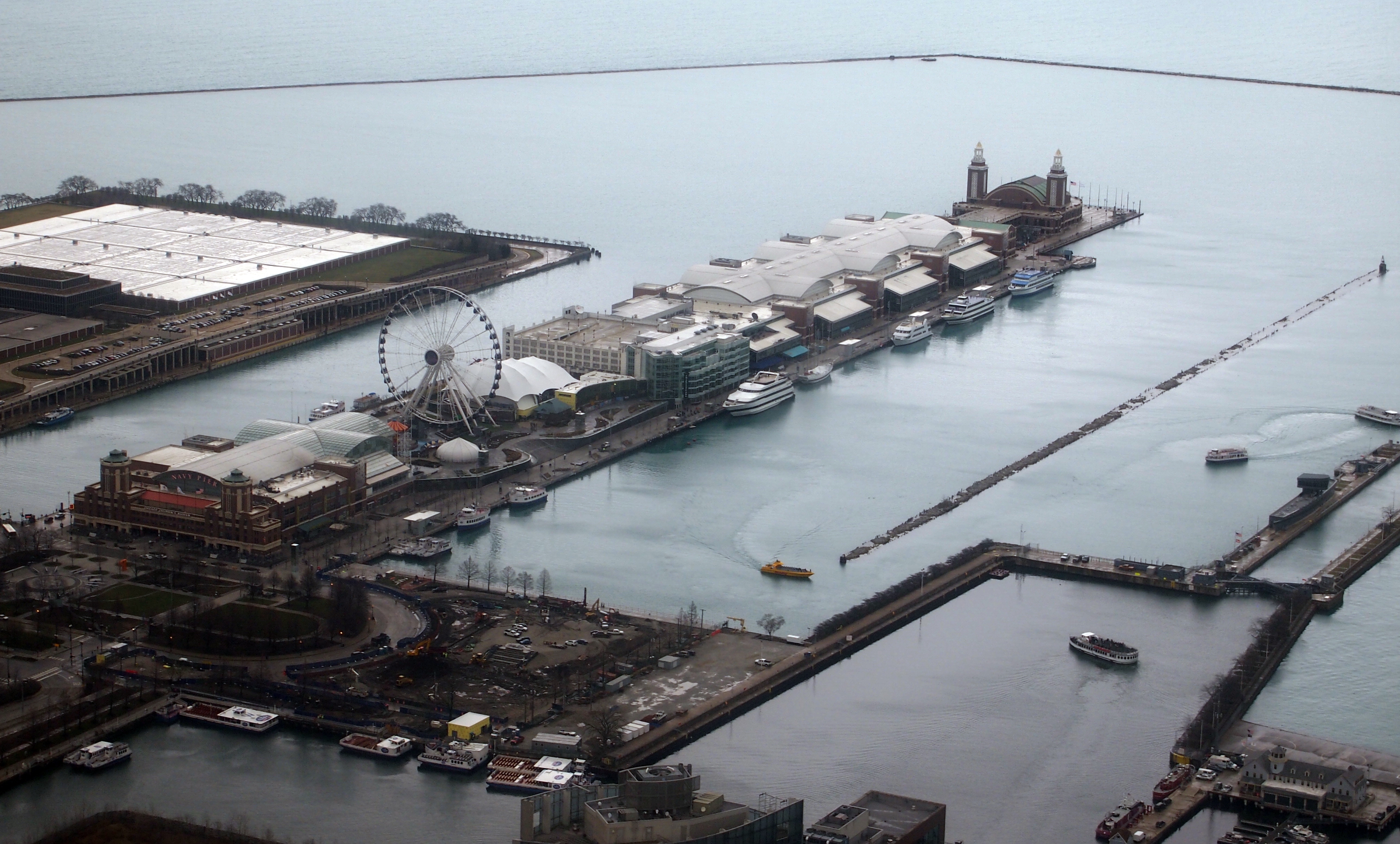
To the northeast, the entirety of Navy Pier, with part of Chicago’s massive Jardine Water Purification Plant behind it. Largest in the world by volume, I’ve read: nearly one billion gallons of water goes through per day.
Navy Pier from aboveOne of the pictures posted here is shot from Navy Pier, looking back in the direction of the Aon Center (and a lot of other buildings).

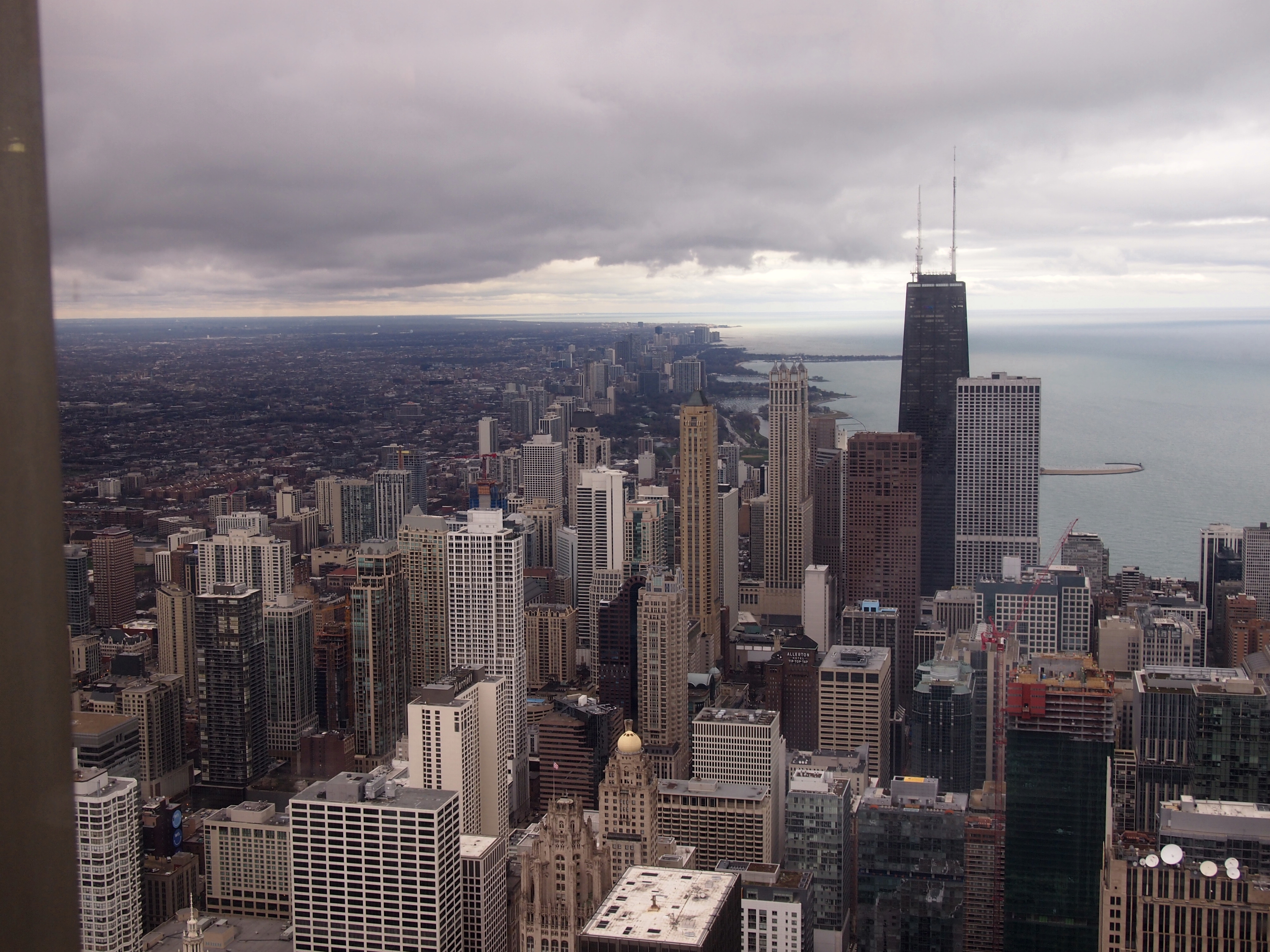
To the north, a large chunk of downtown off in the distance: North Michigan Ave. and Streeterville.
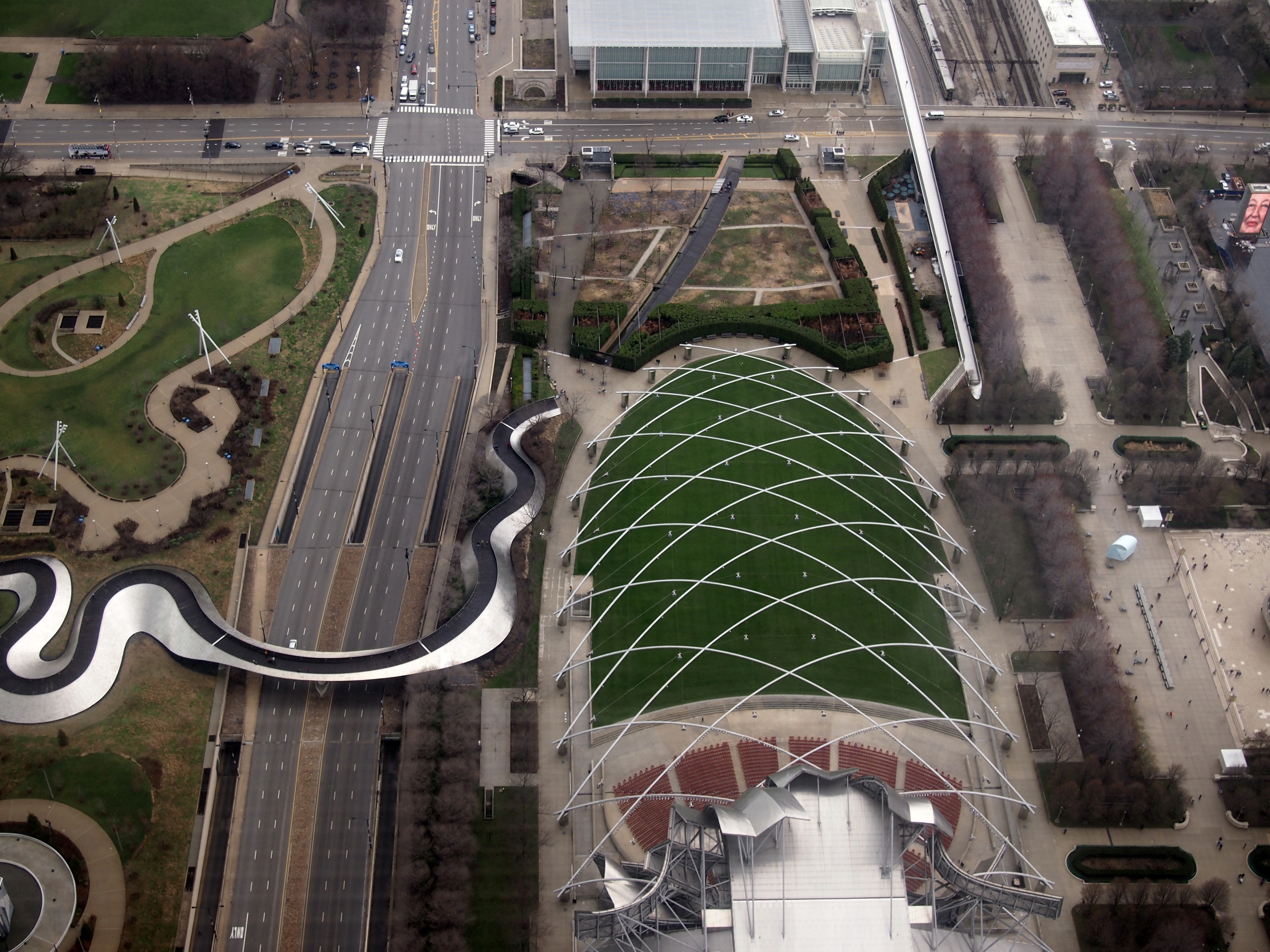
North Michigan Ave and StreetervilleTo the south, and looking nearly straight down, is Pritzker Pavilion. As seen from ground level in this posting.
Pritzker PavillionThe ribbon snaking off to the left is a pedestrian bridge. Officially, the BP Bridge, one of the projects funded by the oil company before its really big sponsorship of a hole in the Gulf of Mexico. Frank Gehry, who did the Gehry-like bandshell, did the bridge too.

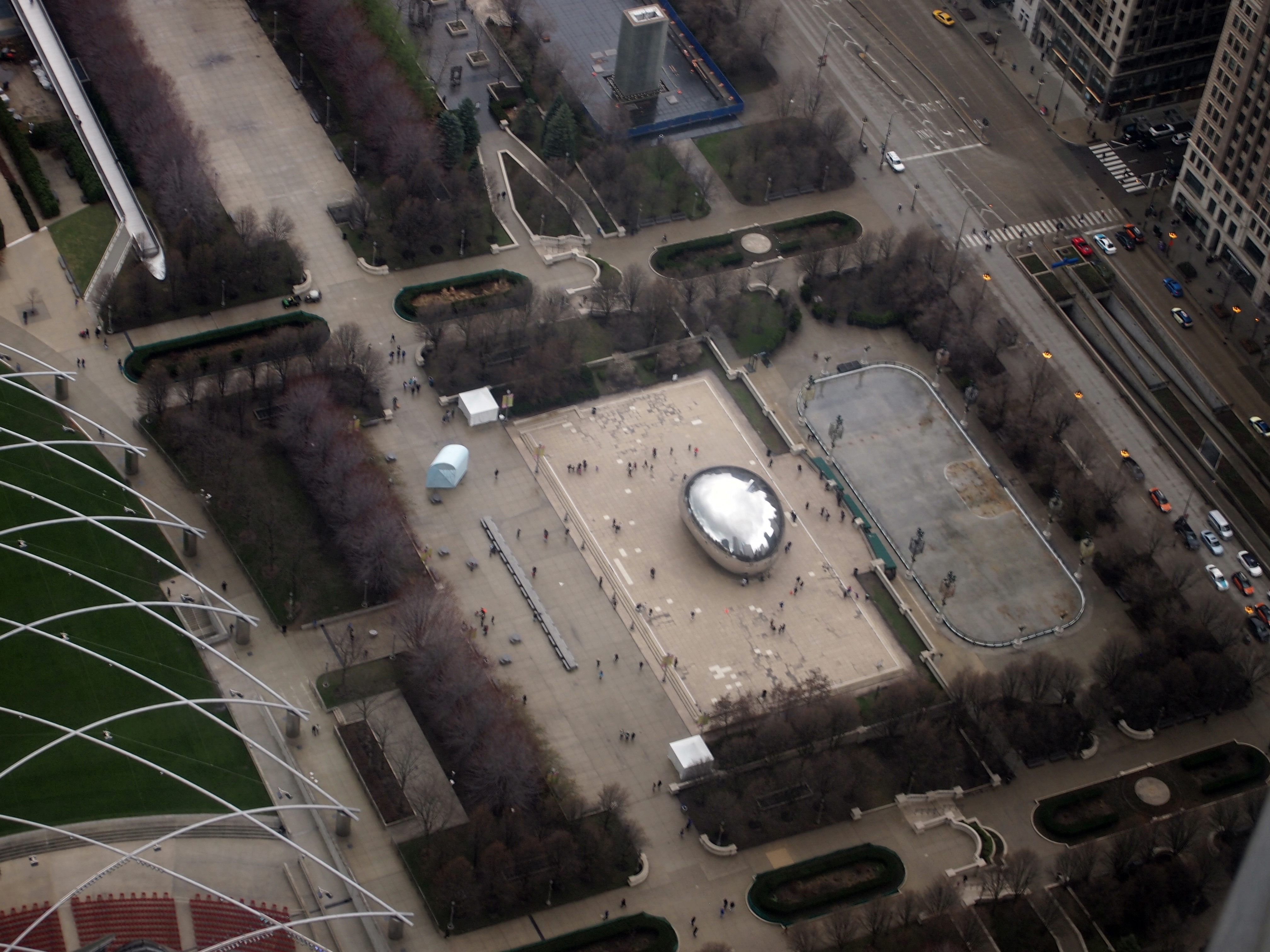
Finally, the Bean, or “Cloud Gate.”
The Bean from the airFrom this vantage, looking like a bead of quicksilver surrounded by ants.

The William J. Clinton Presidential Center and Park

The museum building of the William J. Clinton Presidential Center and Park in Little Rock cantilevers over the south bank of the Arkansas River. Hope the structural engineer planned for events like the next major movement of the New Madrid Fault.The William J. Clinton Presidential Center and ParkOn June 27, after seeing the Mount Holly Cemetery, I drove over to the presidential library by myself, not wanting to subject Ann to another museum just then. All I had to do was make it back to the hotel room in time to pack before checkout time. The facility is one of 13 presidential libraries/museums run by the National Archives and Records Administration; now I’ve been to eight of them, nine if you count the Eisenhower Library, which I’ve been told we visited when I was small.

So I know what to expect: a museum that puts the best face on whichever administration it’s about, regardless of party or historic circumstance. Keep that in mind, and no presidential library will drive you to distraction because of your opinion about this or that president. You can have fun with it, though, imagining exhibits that will never happen, such as I AM NOT A CROOK carved over the entrance of the Nixon Library or an animatronic Monica Lewinsky at the Clinton Library.

Polshek Partnership designed the property (these days, Ennead Architects), with the exhibition design by Ralph Appelbaum Associates. According to sources inside and outside the exhibit hall, the space was inspired by the Long Room in the Old Library at Trinity College, Dublin. I haven’t seen the Long Room, but the exhibit hall of the Clinton Library certainly is long, as you’d expect looking at it from the outside.
The William J. Clinton Presidential Center and ParkThe exhibits are a mix of photos, reading and artifacts, mostly in chronological order down the length of the second floor, and on the third floor as well, as well as in 14 alcoves detailing various events during Clinton’s terms of office. As I’ve mentioned before, it’s a little hard to view a period as history when you remember it as an adult. Then again, he’s been out of office 15 years, and the early years of the Clinton administration especially are a little fuzzy, since I was still out of the country.

The blue boxes — 4,536 in all, according to the museum — contain records from the White House Office of Agency Liaison, which deals with requests to the president or first lady from the public. “The records in these blue boxes represent approximately 2-3% of the entire Clinton Library archival collection, which we estimate at approximately 80 million pages.”

Among the artifacts on display: saxophones. Jefferson had his violin, Truman had his piano, and Clinton had his sax (and I’ve read that Chet Arthur played banjo; just picturing that makes me smile).

The William J. Clinton Presidential Center and ParkSomething unexpected on display was a Chihuly, “Crystal Tree of Light,” one of two works the artist did for White House celebrations on December 31, 1999. Always good to happen across a Chihuly.

The William J. Clinton Presidential Center and Park - ChihulyThe museum also sports a replica Oval Office, designed to look like it did in the ’90s. Every presidential museum worth its salt has an oval office. This one has the distinction of being full-sized.
The William J. Clinton Presidential Center and Park - Oval OfficeThe full name of the facility refers to a park as well, and indeed it includes land along the Arkansas River. Best of all: there’s a nearby former railroad bridge, fully renovated and open for pedestrian and bicycle traffic since 2011.
The William J. Clinton Presidential Center and Park - railroad bridgeThe Choctaw, Oklahoma & Gulf RR built the bridge in 1899. That’s a railroad I’d never heard of, and for good reason, since it was swallowed by the Chicago, Rock Island and Pacific RR by 1904. After all, the Rock Island Line is a mighty good road, the Rock Island Line is the road to ride.

It’s a fine 19th-century work of iron, but even so illuminated by large 21st-century LED lights.
The Rock Island Line is a mighty good road The Rock Island Line is the road to rideBy the 1990s, the 1,600-foot structure had long since passed out of service as a railroad bridge, and was going to be dismantled. Instead, the City of Little Rock took possession, to make it part of a system of trails along the Arkansas River.

The bridge offers a nice view of downtown Little Rock.
Little Rock SkylineAnd the river.
Arkansas River - Little RockAll in all, it’s a good location for a presidential library. It isn’t crowded in by urban or suburban surroundings, like most I’ve seen, though Hoover’s is in a distinctly rural setting.

Lake Powell, 1997

In May 1997, we visited Arizona. First Phoenix, then up north to Flagstaff, Cameron and eventually Page, the town created to house workers who built the Glen Canyon Dam, which in turn created Lake Powell. It’s an impressive bit of work.

Glen Canyon Dam 1997A Story That Stands Like a DamI understand that Glen Canyon, now flooded by the lake, was even more impressive, but it’s something I’m not ever likely to see.

The dam is 710 feet from bedrock and holds back more than 26.2 million acre-feet of water, or 9 trillion gallons, when Lake Powell is full. (Puny, though, when compared to Lake Superior’s 3 quadrillion gallons; but no dam holds it back.) It’s the last of the major North American dams, started in 1956 and completed in ’66. I suspect that had the U.S. Bureau of Reclamation delayed even a few years in starting, it would never have happened, so completely did public opinion change.

We took the tour, which goes inside the dam to see various features, such as one of the massive turbines. In the gift shop, I bought A Story That Stands Like a Dam by Russell Martin (1989), and read it during the rest of the trip, and at home. It too is an impressive piece of work. As an Amazon reviewer put it: “This book is absolutely loaded with information on Glen Canyon, Glen Canyon Dam, Lake Powell, and Page, Arizona — the nearby town of dambuilders. Its author has tried incredibly hard, and succeeded, at writing a book that is unbelievably fair, and that presents the controversial story of the building of Glen Canyon Dam in as truthful and as unbiased a light as possible.”

Maybe Lake Powell should be the Glen Canyon again. Some future decade, perhaps. You can make the case. But for now, Lake Powell is there, and one thing to do is take a boat ride.

LakePowell97The boat we took had a destination: Rainbow Bridge National Monument, which is just across the border in Utah.

Rainbow Bridge NMThe NPS says: “On May 30, 1910, President William Howard Taft created Rainbow Bridge National Monument to preserve this ‘extraordinary natural bridge, having an arch which is in form and appearance much like a rainbow, and which is of great scientific interest as an example of eccentric stream erosion.’

“After the initial publicity, a few more adventurous souls journeyed to Rainbow Bridge. Teddy Roosevelt and Zane Grey were among those early travelers who made the arduous trek from Oljeto or Navajo Mountain to the foot of the Rainbow. Visiting Rainbow Bridge was made easier with the availability of surplus rubber rafts after World War II, although the trip still required several days floating the Colorado River plus a seven-mile hike up-canyon.”

Since the creation of Lake Powell, it’s an easy trip by boat. Good to see while you can. One of these days, like the Old Man in the Mountain in New Hampshire, which we saw about eight years before its collapse, erosion or some fool is going to bring the natural bridge down.

Lady Bird Lake, Austin

Just for grins the other day, I let Google suggest a second word for “Austin.” This is what I got.

Austin and Ally
Austin Butler
Austin Rivers
Austin Mahone
Austin Texas
Austin Powers
Austin Peay
Austin Weather

Austin and Ally is apparently a Disney Channel show that I’ve had the good luck never to have heard of, much less seen. Austin Powers I’ve heard of, but I’m pretty sure I can live the rest of my life and not regret missing all of the movies featuring that character, and Austin Peay is the school. At least the city and the weather are on the list. The others? Eh.

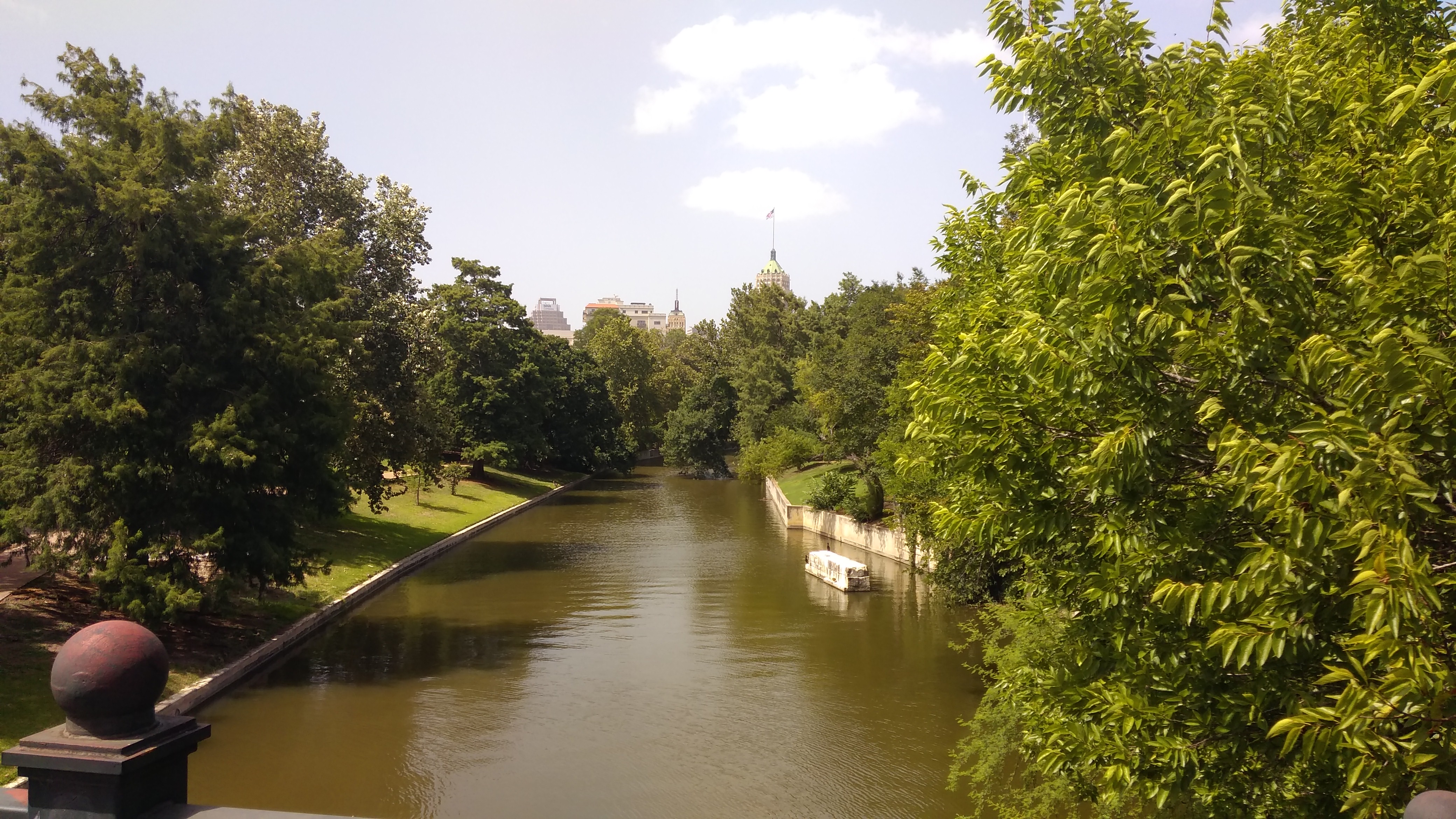
“Austin skyline” should be on the list. Seeing the Austin skyline in 2016 is like seeing a child again after a few years, when you think (or say), “My, how you’ve grown.” Here’s a view of the Austin skyline in early March 2016, seen from the south shore of Lady Bird Lake, which I still think of as Town Lake.
Austin 2016Lady Bird Lake isn’t particularly old, created only in 1960 by the damming of the Colorado River as a means of flood control. It also happens to be a conveniently located public amenity, owned by the public in the form of the City of Austin.

Lady Bird Johnson didn’t want the lake renamed in her honor while she was still alive, even though she’d been instrumental in beautifying the shores of the lake in the 1970s, as well as creating a recreational trail system near the lake. As soon as she’d passed in 2007 (has it been that long ago?), the city renamed the lake. I don’t object to that like I do the “Willis Tower” — Lady Bird clearly deserves the honor — I just thought of it as Town Lake for so long that it’s the first thing that comes to me, recalling earlier walks along its shores, and a canoe ride on it years ago in the company of a high school friend.

March 5, 2016, was an excellent day for a walk along Lady Bird Lake: warm but not too warm, in the presence of other recreational walkers and joggers and cyclists, but not too many.

Austin 2016Being a warm Saturday afternoon, the lake was alive with human-powered boats of various kinds, including some racing shells, and people renting watercraft at lake’s edge.

Austin 2016Tom and I were feeling too middle-aged for that kind of excursion, but we did start our walk on the south shore just west of the Congress Street Bridge. Officially, it’s the Ann W. Richards Congress Avenue Bridge, named for the governor of Texas of that name, though I don’t know if anyone uses the name any more than the Queensboro Bridge is called the Ed Koch Queensboro Bridge.

Congress Avenue Bridge, AustiinNot the most elegant bridge, but it is famed in tourist lore as the home to many, many bats, the majority of which emerge at dusk to fly off to do whatever it is that bats do by night (eat bugs and fight crime, maybe).

Congress Street BridgeI’ve never seen the spectacle myself. Looking up at the underside of the bridge, Tom informed me that the bats probably haven’t returned from wintering in Mexico, but when they’re in residence, they live beneath the road deck in gaps between the concrete structures. Wiki at least asserts that it’s the world’s largest urban bat colony, numbering 750,000 and 1.5 million when the bats are in town, a variation in estimate that points to the natural difficulties of a bat census.

It’s possible to walk all the way around the lake on the Ann and Roy Butler Hike-and-Bike Trail, another name that few probably use. Of course Tom and I did no such thing, but we did go a considerable way, making it past the I-35 Bridge, including a walk over the trail’s Boardwalk, completed only in 2014.

The Trail Foundation tells us that “due to many issues, including private property holdings and topography, there was a 1.1-mile gap in the Trail at Lady Bird Lake, the 10-mile hub in Austin’s hub-and-spoke system of trails. Along this gap, users previously had to divert onto the narrow sidewalk and travel along busy Riverside Drive, crossing 35 busy business entrances and other points of conflict… to travel east or west and use the south side of the Trail.”

Studies were done, votes cast, money raised, plans made, and eventually the metal-railed boardwalk over the lake (but near the shore) was created as a public-private effort. Many good things are done that way. And should be.

Lady Bird LakeLady Bird LakeAustin’s fortunate to have such a fine place to take a stroll.

Fremont, Seattle

A popular thing to do during a visit to the Fremont neighborhood of Seattle is to pay your respects to the Fremont Troll. I’m not one to ignore a little local color, so naturally I went to see the troll on the morning of August 28, making my way there on foot from the room I’d rented in the “Upper Fremont,” about a 20-minute walk away.

I wasn’t the only one enjoying the troll that morning.
Fremont TrollFittingly, the troll is directly underneath a bridge, one that carries traffic across Lake Union on Aurora Ave. (Washington 99) to and from downtown Seattle (it’s also known as the Aurora Bridge, more about which later). The troll is right where the bridge starts to rise away from the ground, so it has a cozy home.

Roadside America, which of course lauds the troll as “major fun,” reports that, “the Fremont troll — a big, fearsome, car-crushing bruiser — took up residence under the north end of the Aurora bridge on Halloween 1990. He was sculpted by four Seattle area artists — Steve Badanes, Will Martin, Donna Walter and Ross Whitehead — for the Fremont Arts Council. The head-and-shoulders sculpture is 18 feet tall.”

The nose is sizable, too.
Fremont Troll 2015As are the hands. Paws? What do you call troll extremities?

Fremont TrollRoadside America again: “The shaggy-haired troll glares southward with his shiny metal eye — a hubcap? In his left hand, he crushes an old-style Volkswagen Beetle, which originally contained a time capsule of Elvis memorabilia; it was removed after the car was vandalized and the California license plate was stolen (the crushed car and out-of-state plate were meant as protests against ‘outsider’ development). There are plenty of places to pose, and interaction with the troll is encouraged as long as you’re respectful.” The entire entry is here.

Every year on October 31, the Fremont Arts Council holds an event called a Troll-a-ween. Not sure what that involves besides dressing up the troll.

Just to the east of the troll, I noticed a path running parallel to the roadway, through a patch of undeveloped land. No one else had shown any interest in it.
Fremont, 2015I soon discovered that the place was a residential pocket — an informal neighborhood for the homeless tucked in between Aurora Ave. and Winslow Pl. N., a surface street.
Fremont homeless tentAfterward, I made my way to Fremont Center, if in fact it’s called that, though “Lower Fremont” would be better, since the land slopes down from Upper Fremont toward the water at that point. There were other things to look for there, and I found most of them. Such as the statue of Lenin.
Fremont, 2015Fremont, 2015How did Lenin come to be in Fremont? A long story, apparently. The statue wasn’t on display in Slovakia very long, since it was erected in 1988 by an unpopular government that didn’t know it was on its last legs. After the Velvet Revolution, an American found the statue lying face down in the mud, and connived to bring it to Washington state. Various complications ensued, not all of which are clear, but I can report that as of the summer of 2015, Lenin stands on Fremont Pl. N. near N 36th St. and Evanston Ave. More detail is (again) at Roadside America.

Like the troll, Lenin is the focus of an event, too. Fremont seems fond of events, the best known of which is the Solstice bicycle parade in June, which involves painted bicyclists in various states of undress. In Lenin’s case, at least according to the Fremont C-of-C pamphlet that I picked up, there will be a “Festivus Celebration and Lenin Lighting” in early December.

Not far away is the Fremont rocket.
Fremont rocketFremont rocketAcross the street from the rocket is the Saturn Building, which I had a special fondness for even before I came to Seattle this time, having written about it (see No 4). I was happy to see it in person. That’s one thing this country needs: more planet models on more buildings.
Saturn BuildingI also managed to see the Fremont artworks called “Waiting for the Interurban,” along with “Late for the Interurban,” which is just down the street. I’d never heard of The J.P. Patches Show, but I didn’t pass my childhood in Seattle, either. That statue immediately suggested to me that Dallas needs a statue of Icky Twerp.

I took a walk along the Ship Canal at the very southern edge of the neighborhood, which connects Salmon Bay with Lake Union, and admired the Aurora Bridge — formally the George Washington Memorial Bridge, the same one under which the troll resides — as it soars more than 160 feet above the water.

Aurora BridgePeople who live in the area might not appreciate it for the fine bridge that it is. Or maybe they do. I didn’t fully appreciate it just driving across it. The view might be nice, but you can’t pay attention as a driver. Crossing on a bus, as I also did, was better, but even so there’s nothing quite like standing underneath an excellent bridge like this.
Aurora BridgeCrossing the bridge on foot is an option. The bridge is unfortunately notorious for despondent people taking a dive off of it. For non-despondent walkers, the pedestrian walkway looked so narrow and so close to the road, which is very busy, that a walk across would probably be made unpleasant by car noise and exhaust most times of the day.

Two Chicago River Bridgehouses

More rain over the weekend and again today. Are we turning into Seattle? Except that Seattle really isn’t the rainiest place in the nation, according to various sources. It turns out most cities in the Southeast U.S. get more rain every year.

But who would understand you if you said, it sure has been rainy lately. Are we turning into Mobile? Information age, my foot. Even easily available data has a hard time killing received notions.

That reminds me of something else I encountered in the Pacific Northwest all those years ago: Slug Death. Or, to be more exactly, Corry’s Slug & Snail Death in the bright yellow box. (It seems to be Corry’s Slug & Snail Killer these days, as if that matters to dying gastropods.) I think we were visiting people on Bainbridge Is., and that’s what they had in their garden. I’d never heard of such a thing. It was one of those ordinary details of a new place that stick with you.

En route to Union Station to catch my train to the suburbs last week, I spent a few minutes looking at some of the bridgehouses on the South Branch of the Chicago River. There’s a museum in one of the bridgehouses of the Michigan Ave. bridge that opened only last month — the McCormick Bridgehouse & Chicago River Museum — but I didn’t have time for that.

Here’s the Monroe St. bridgehouse on the east side of the structure. The bridge dates from 1919 and was built by the Ketler Elliott Co., a name I’ve encountered before.
Monroe St. bridge 2015Looks like it’s been cleaned lately, maybe even since the bridge’s 2000s rehabilitation. The site HistoricBridges.org tells me that “the bridge’s operating and control panels inside the bridgetender buildings were reportedly the first in the United States to have completely enclosed circuitry so that no exposed copper connections were available for bridgetenders to mistakenly electrocute themselves on.”

This is the bridgehouse on the west side of the Adams St. bridge, which was built a little later, 1927, but still during a time when aesthetics was a consideration in a public building project (it might be again, but for quite a spell in the last century, the idea seems to have been on hold).
Adams St. bridge house, 2015The bridge was rehabbed in the mid-1990s. The bridgehouse is dingy, so I guess that’s 20 years of urban air at work. More about the Adams St. bridge is here.