Lake Tahoe

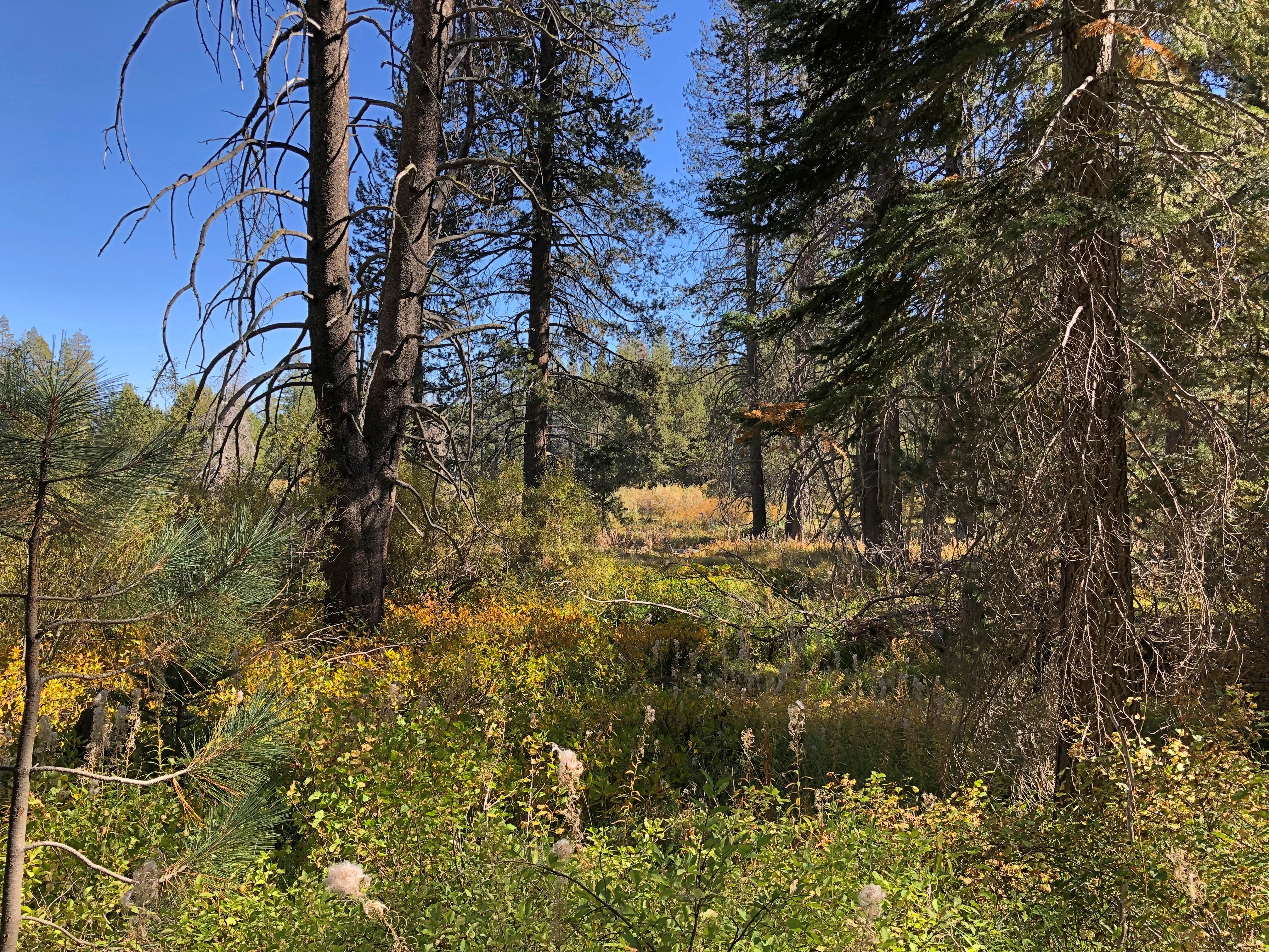
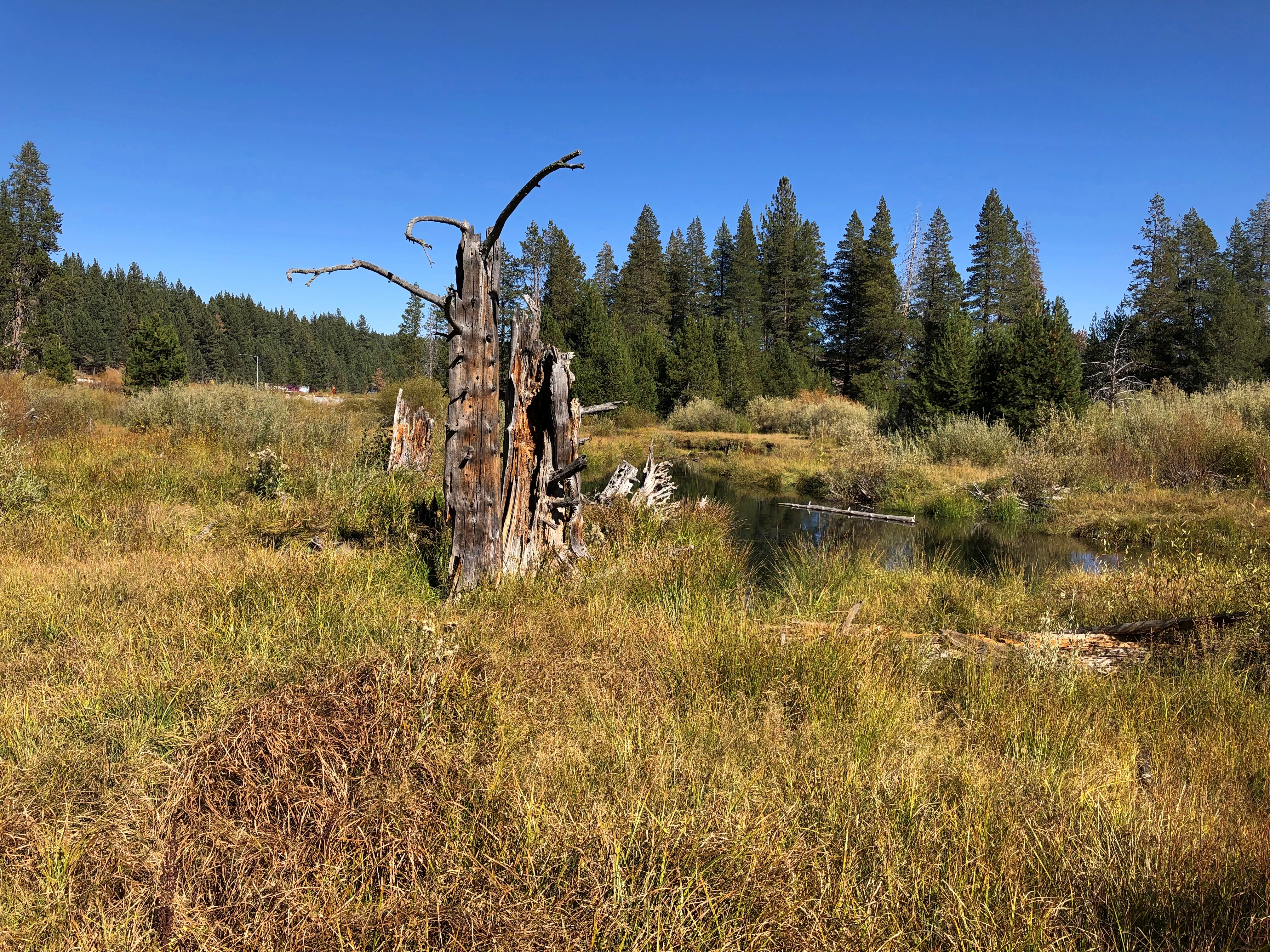
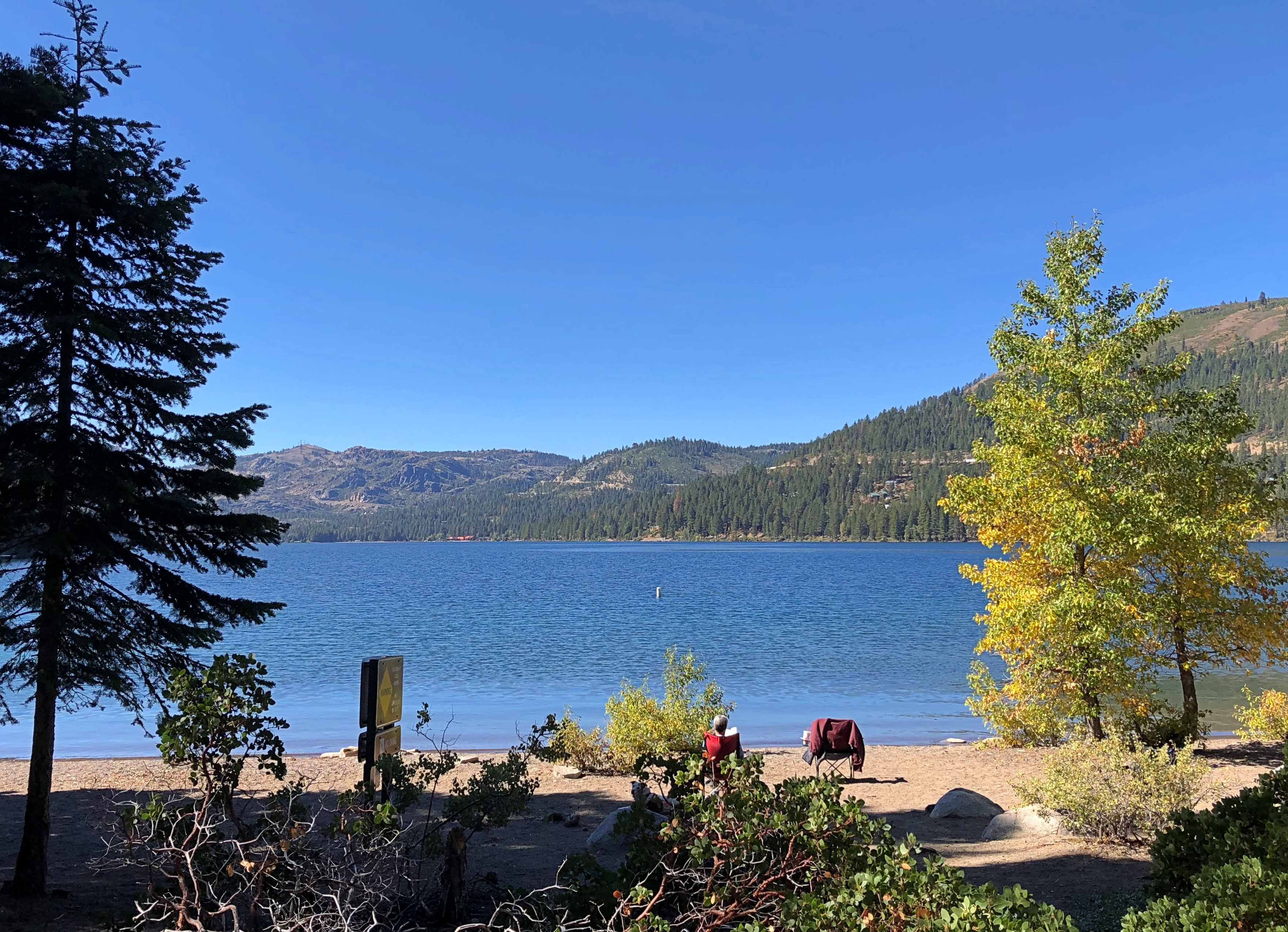
Lake Tahoe has long fascinated. Not necessarily for being a large alpine lake in the Sierra Nevada, elevation more than 6,200 feet above sea level, or as a relic of the last Ice Age, or for having the largest volume of any North American lake except for the five Great Lakes, though those interesting facts are surely of geographic importance. Or even for its reputation for scenic vistas which, I discovered myself in early October, is well deserved.

Rather, what fascinated me at a young age was the fact that the California-Nevada border cuts right across it (that border, incidentally, has a convoluted history otherwise). Even better, the bend in the line that contributes to both states’ distinctive shapes happens at a point in the middle of the lake. Do boats ever go out on Tahoe with their GPS, looking to float right on that imaginary geographical point? I like to think they do.

I took U.S. 50 west up into the mountains that day. Sacramento, where I started, is 30 feet above sea level. Eventually I reached Echo Summit, elevation 7,382 feet, where you can catch just the briefest glimpse of Lake Tahoe ahead and down more than a 1,000 feet – a perfect alpine blue like lakes in the Canadian Rockies.

But only glimpses, because if you’re driving U.S. 50 at that point, you’re snaking along a fairly busy two-lane highway with curves and drop-offs that demand your attention. Not a road for the easily spooked, but I liked it. There would be other mountain-meandering roads on this trip, cutting through thick forests or arid scrub and letting you dwell on your mortality if you’re so inclined.

First stop: Taylor Creek, and some nearby places, such as Tallac Point and Keva Beach.

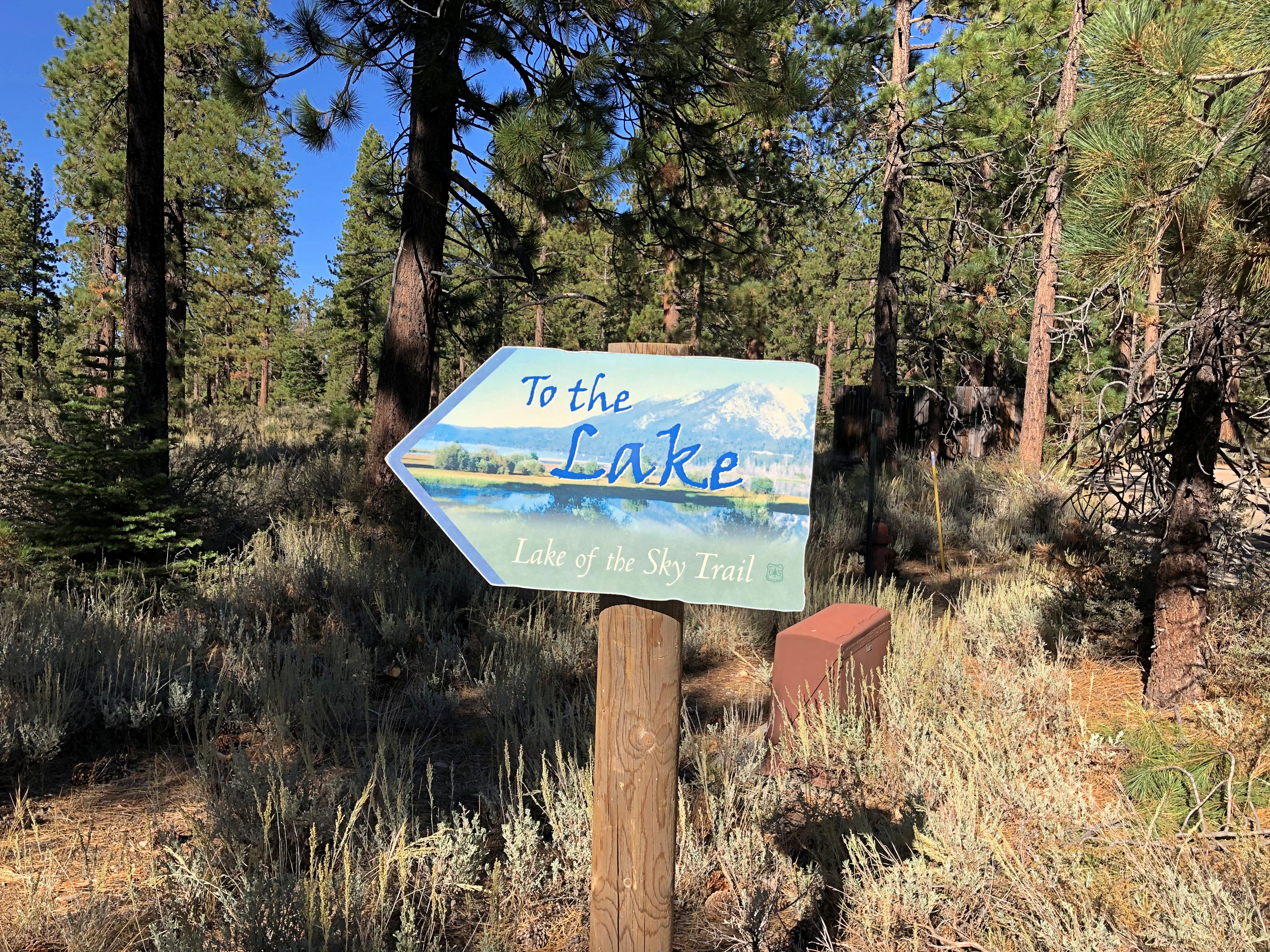
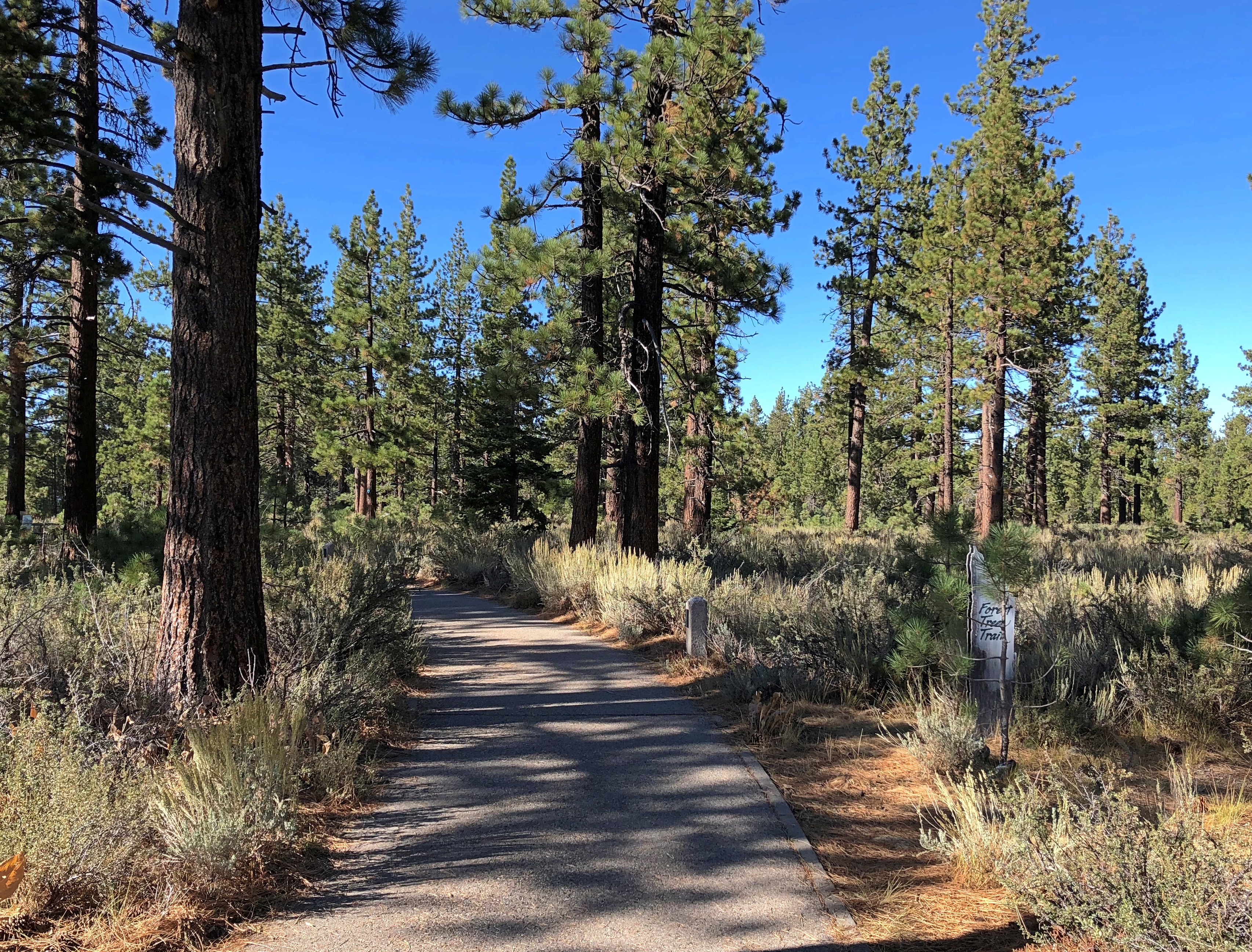
The wayfinding could not be more straightforward.Lake Tahoe Lake Tahoe Lake Tahoe

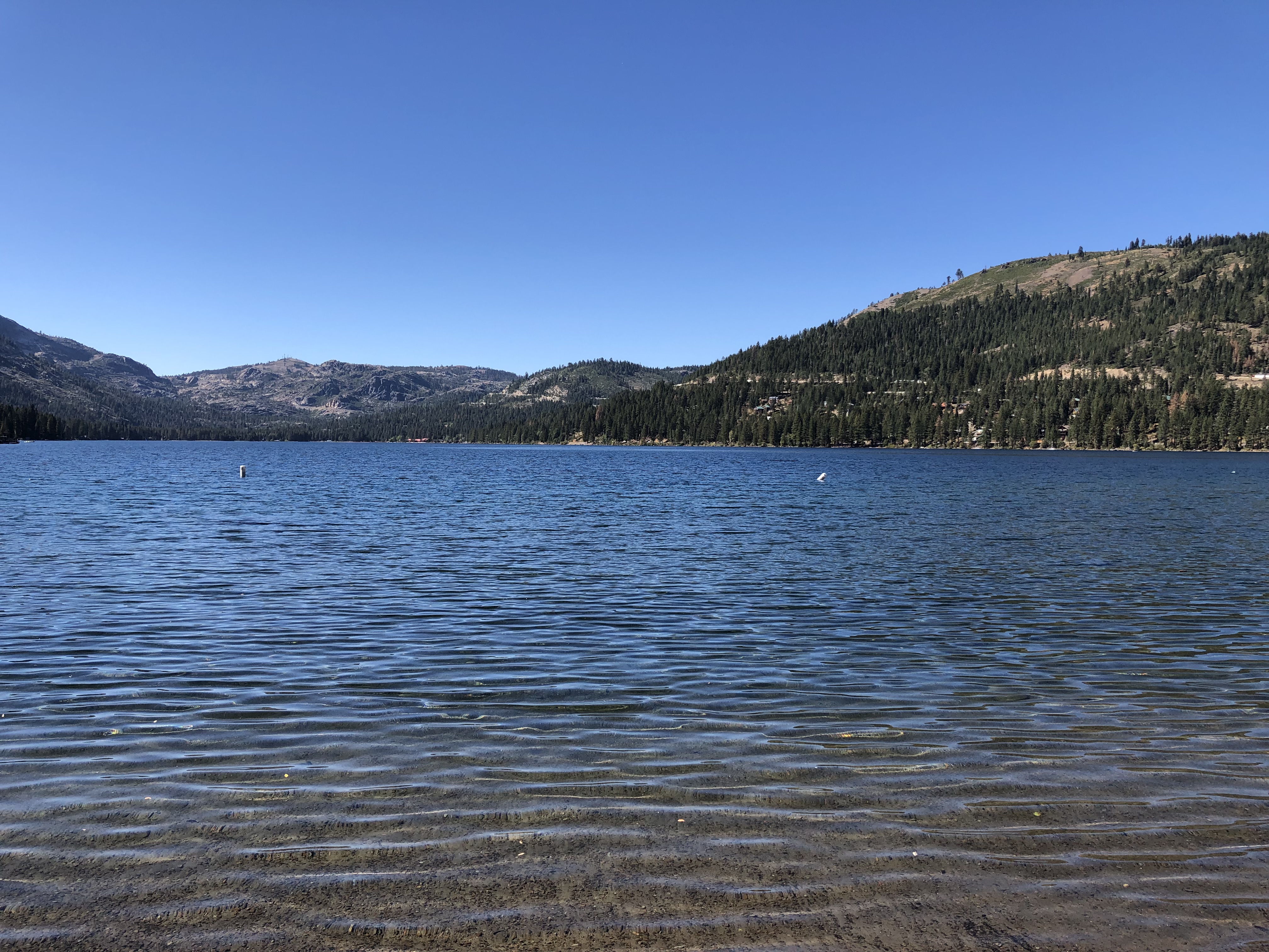
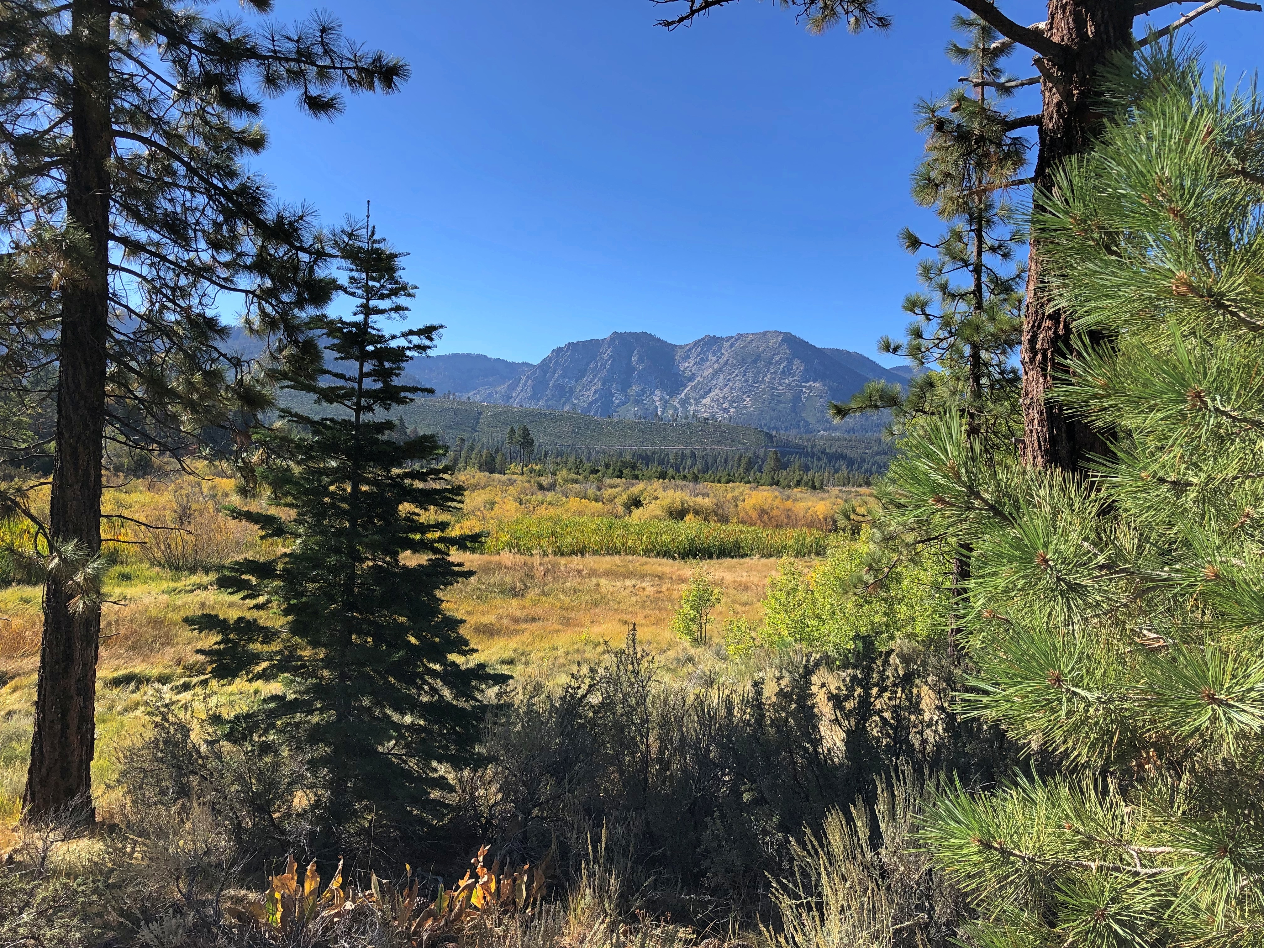
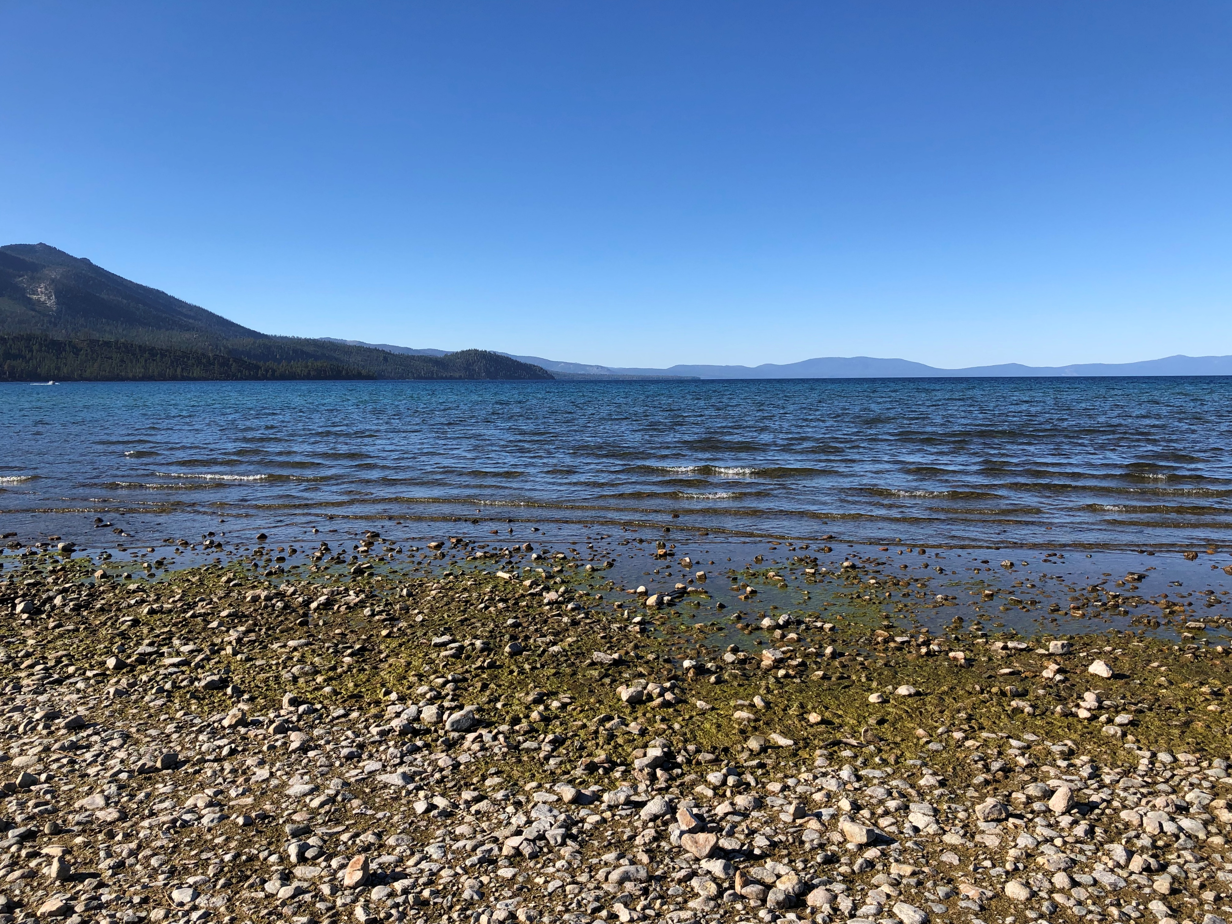
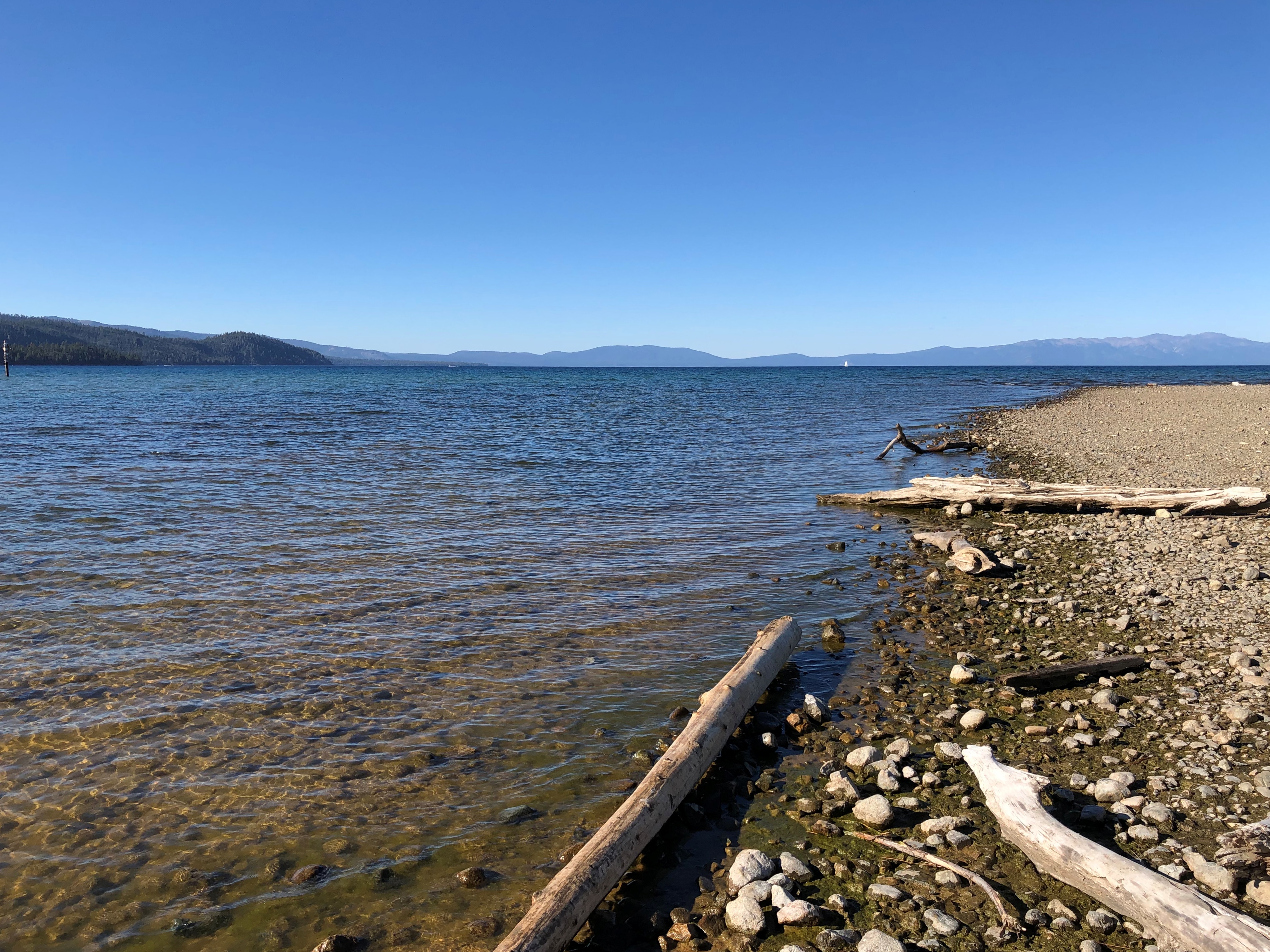
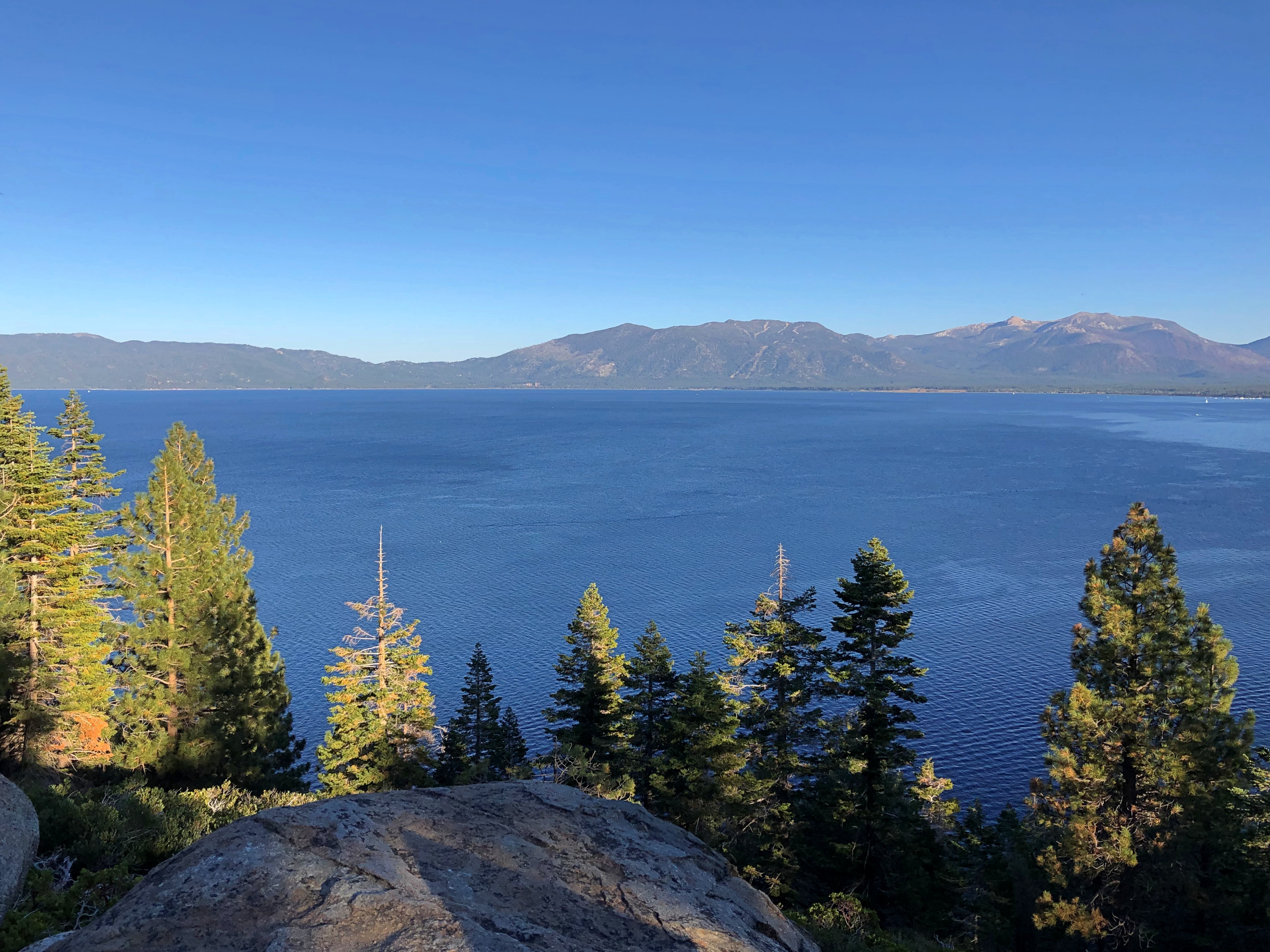
The wide expanse of Tahoe. I’ll call it an honorary Great Lake. Crater Lake is deeper, so maybe it is, too. But I’ll have to see it first.Lake Tahoe Lake Tahoe

I’d have put my feet in the lake, except at that point — not really visible in my images — were some algae blooms: green, blobby and insalubrious looking. I wasn’t wrong to keep my distance.

“Nearshore algae blooms are a growing ecological threat to the lake – they seriously degrade water quality, make large areas of beach unpleasant with mats of decomposing algae, and for particular types of algae, can pose toxicity issues,” says the Tahoe Environmental Research Center of UC Davis.

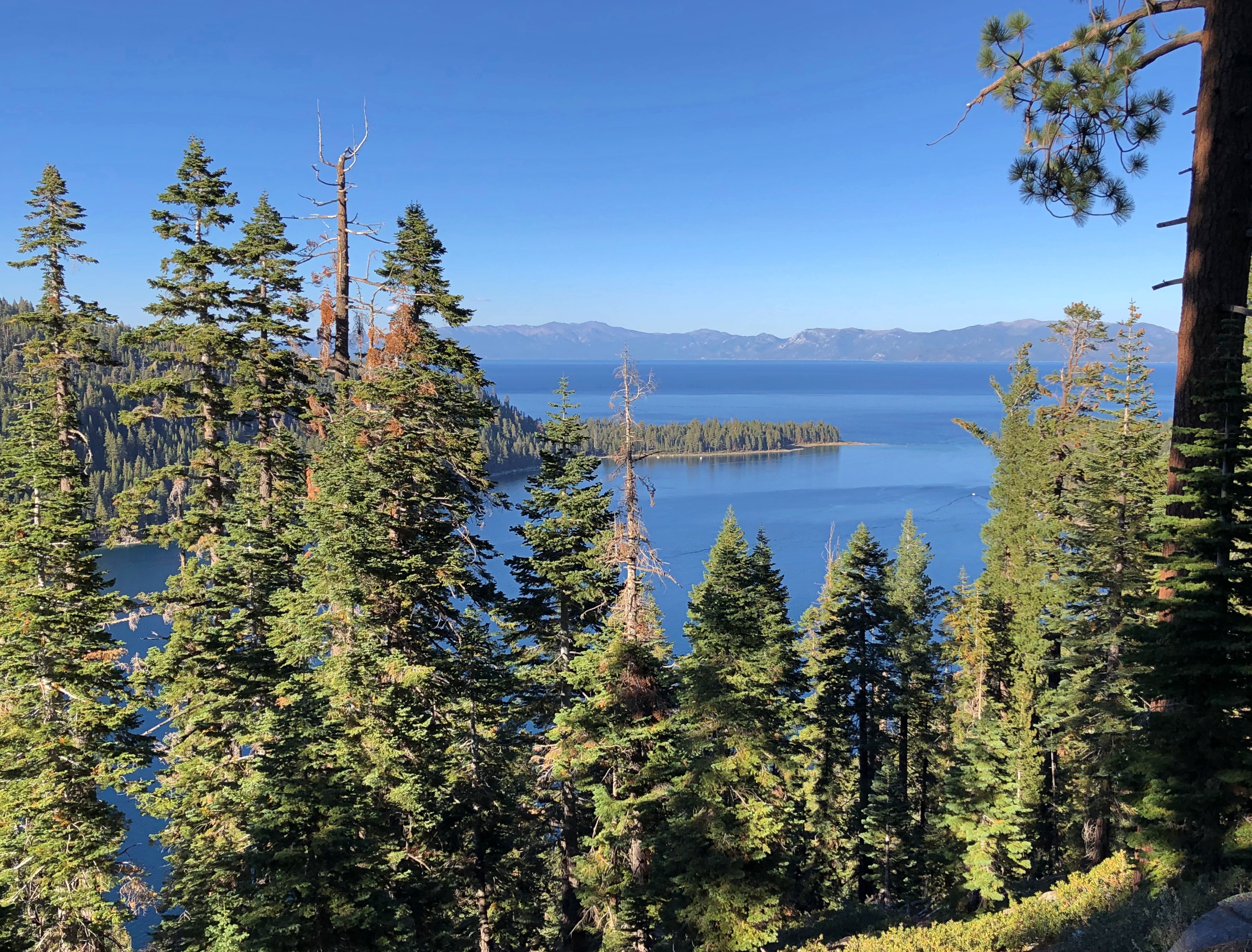
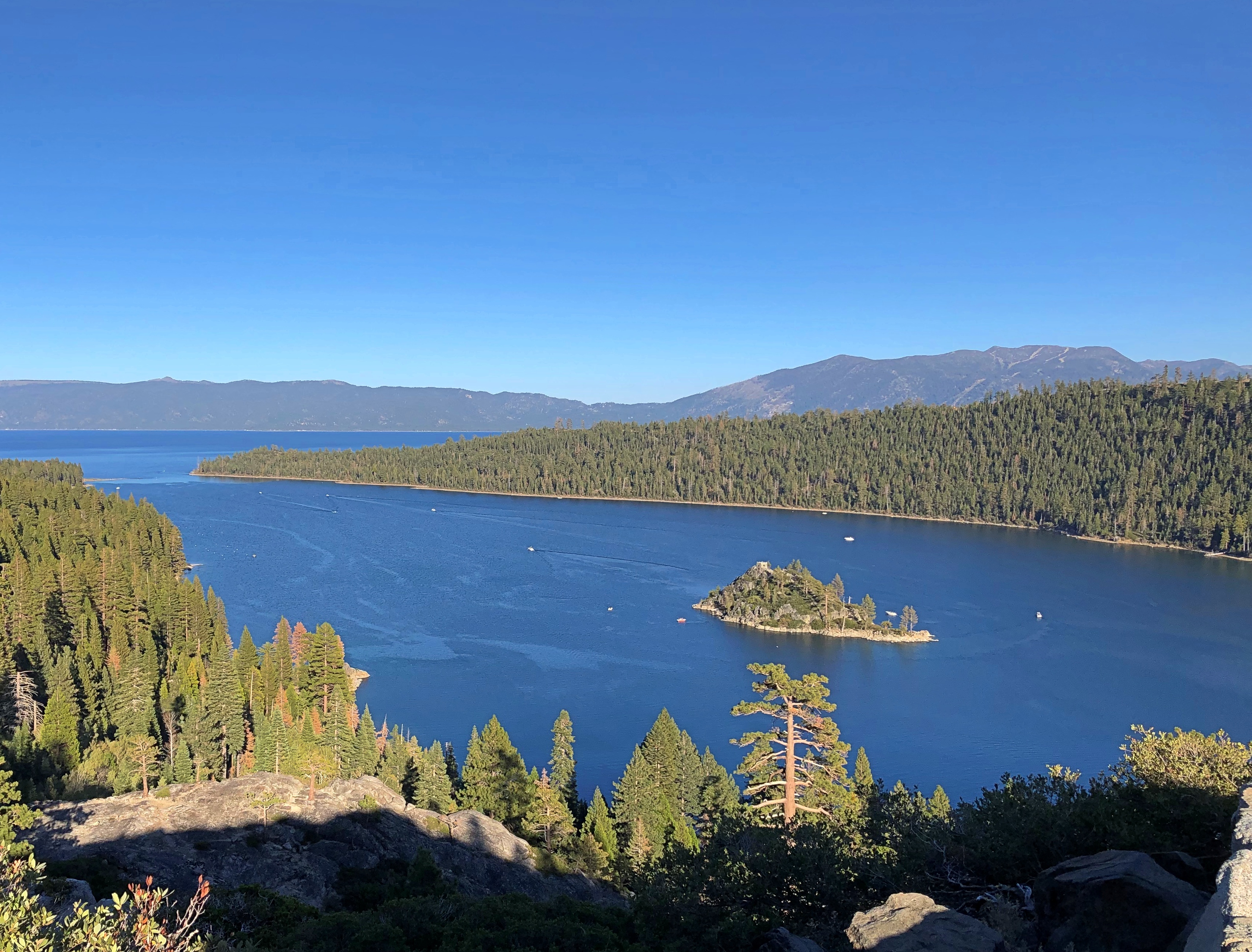
A bit further north, at Inspiration Point on Emerald Bay, and up some feet from the shoreline.Lake Tahoe

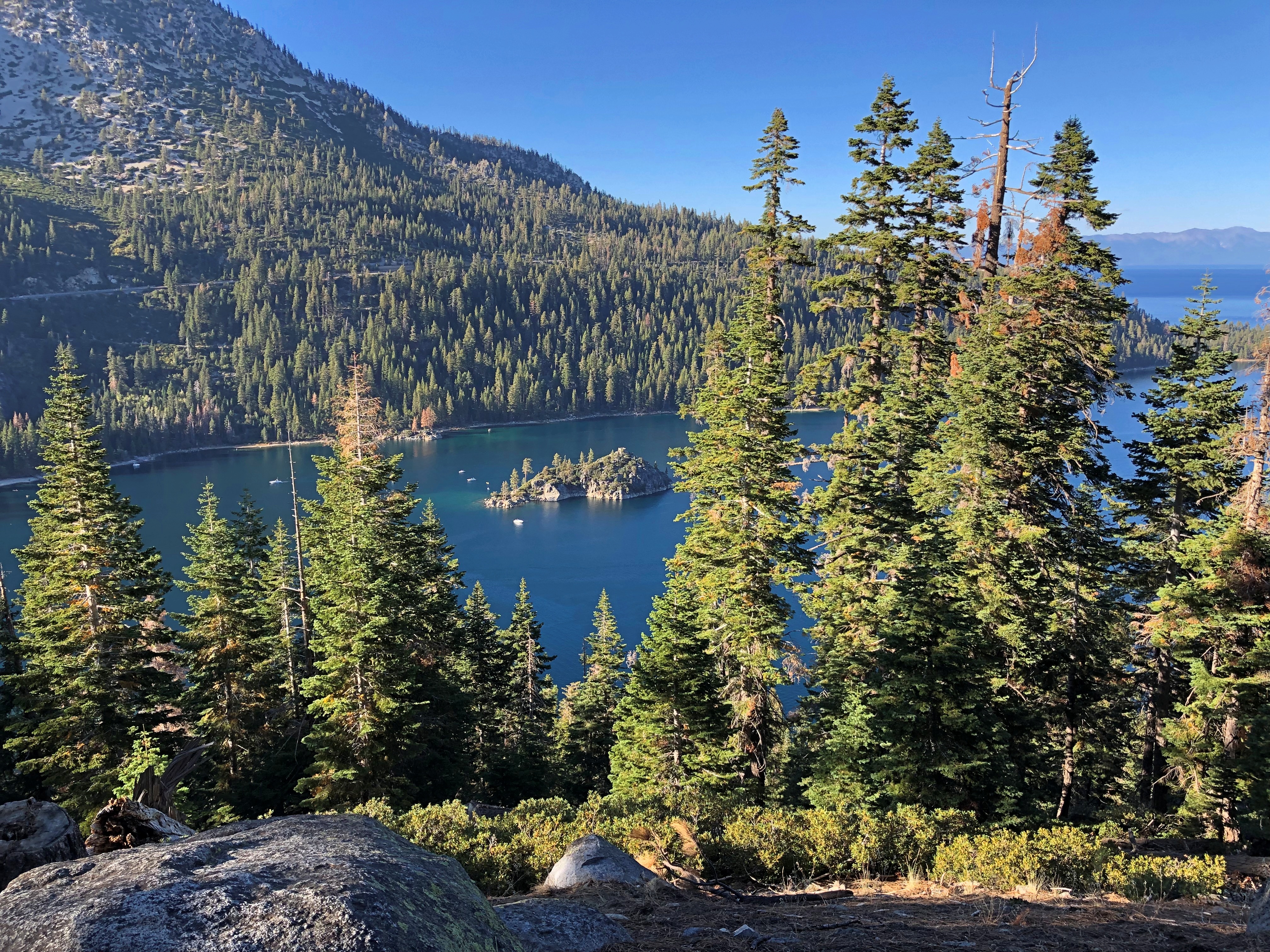
The island in Emerald Bay: Fannett Island, apparently the only island in the entire 191 square miles of lake.Lake Tahoe, Emerald Bay Lake Tahoe, Emerald Bay Lake Tahoe, Emerald Bay

” A sparsely timbered, brush covered upthrust of granite that rises 150 feet above the water, Fannette Island was not always known by that name. During the past 100 years it has been known as Coquette, Fannette, Baranoff, Dead Man’s, Hermit’s, and Emerald Isle,” notes the California Dept. of Parks & Recreation.

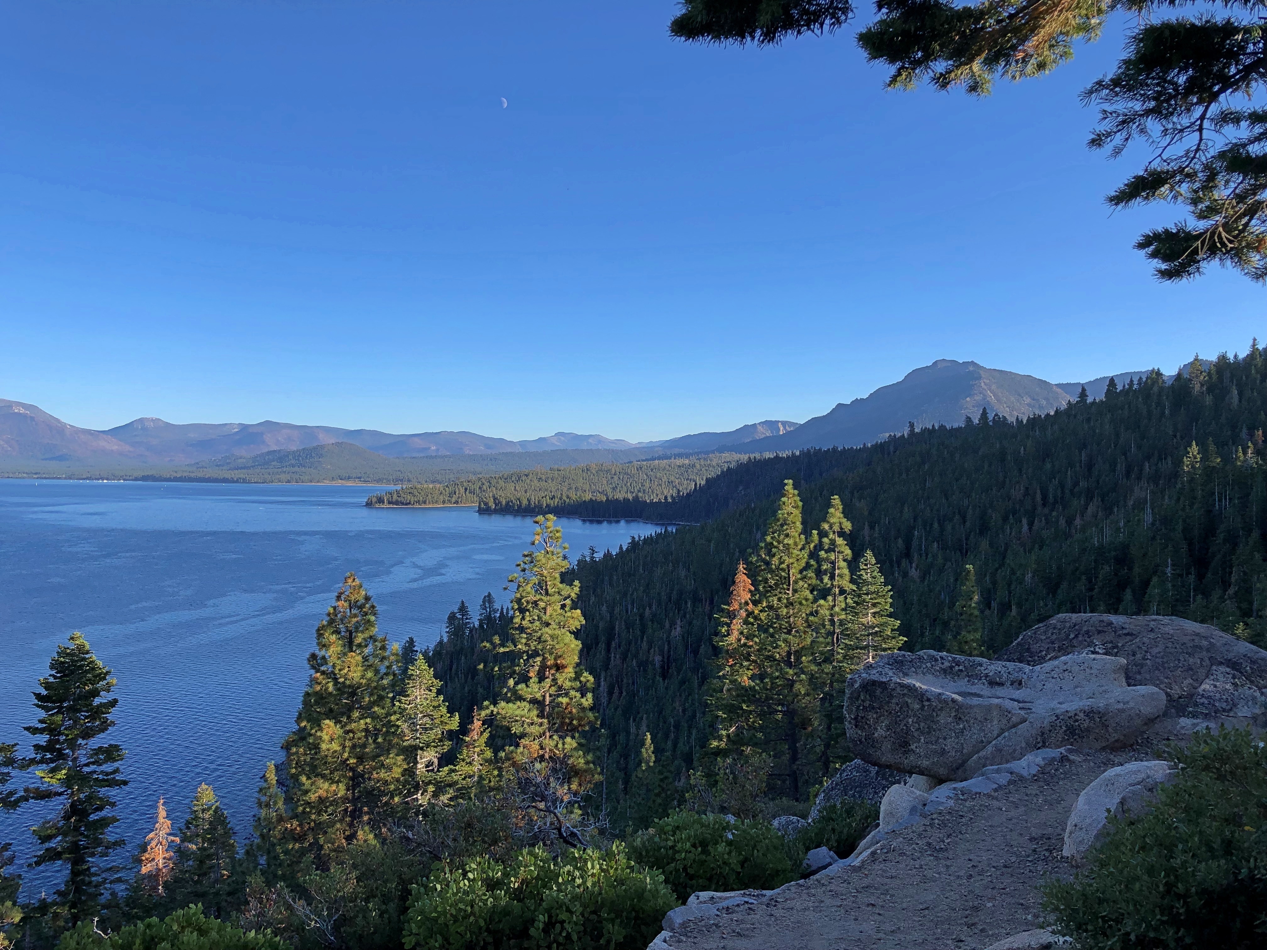
The day’s best vista required a short climb. Really very short, and entirely worth the effort. Near Rubicon Point in D.L. Bliss State Park.Lake Tahoe Lake Tahoe

California 89 runs along the western shore of the lake, and I followed its winding, often scenic route to Tahoe City, then north to Truckee. Sometimes so scenic that the state neglected to include guardrails along some particularly steep stretches. Keep in your lane, or meet your maker. Obviously I kept to my lane.

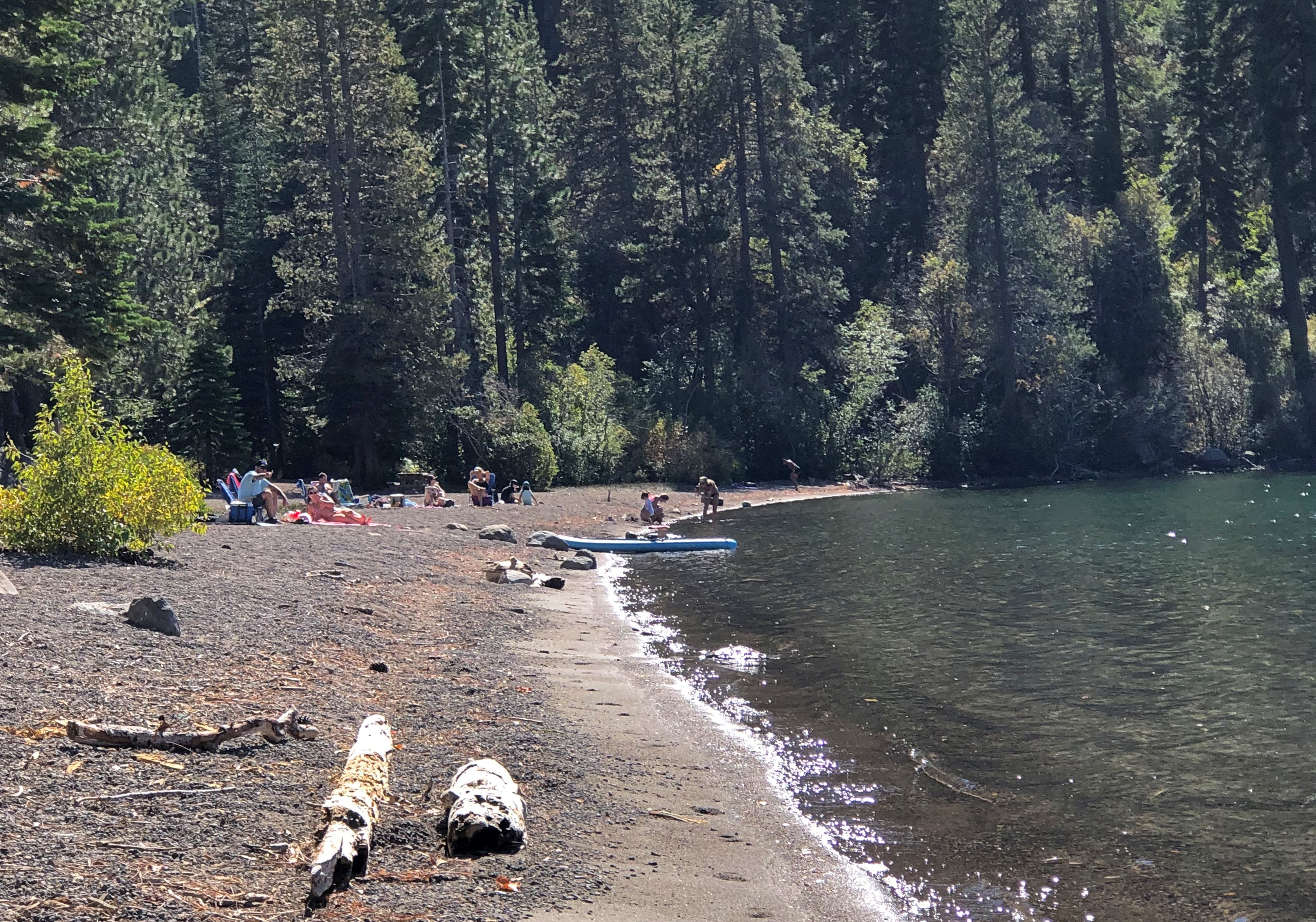
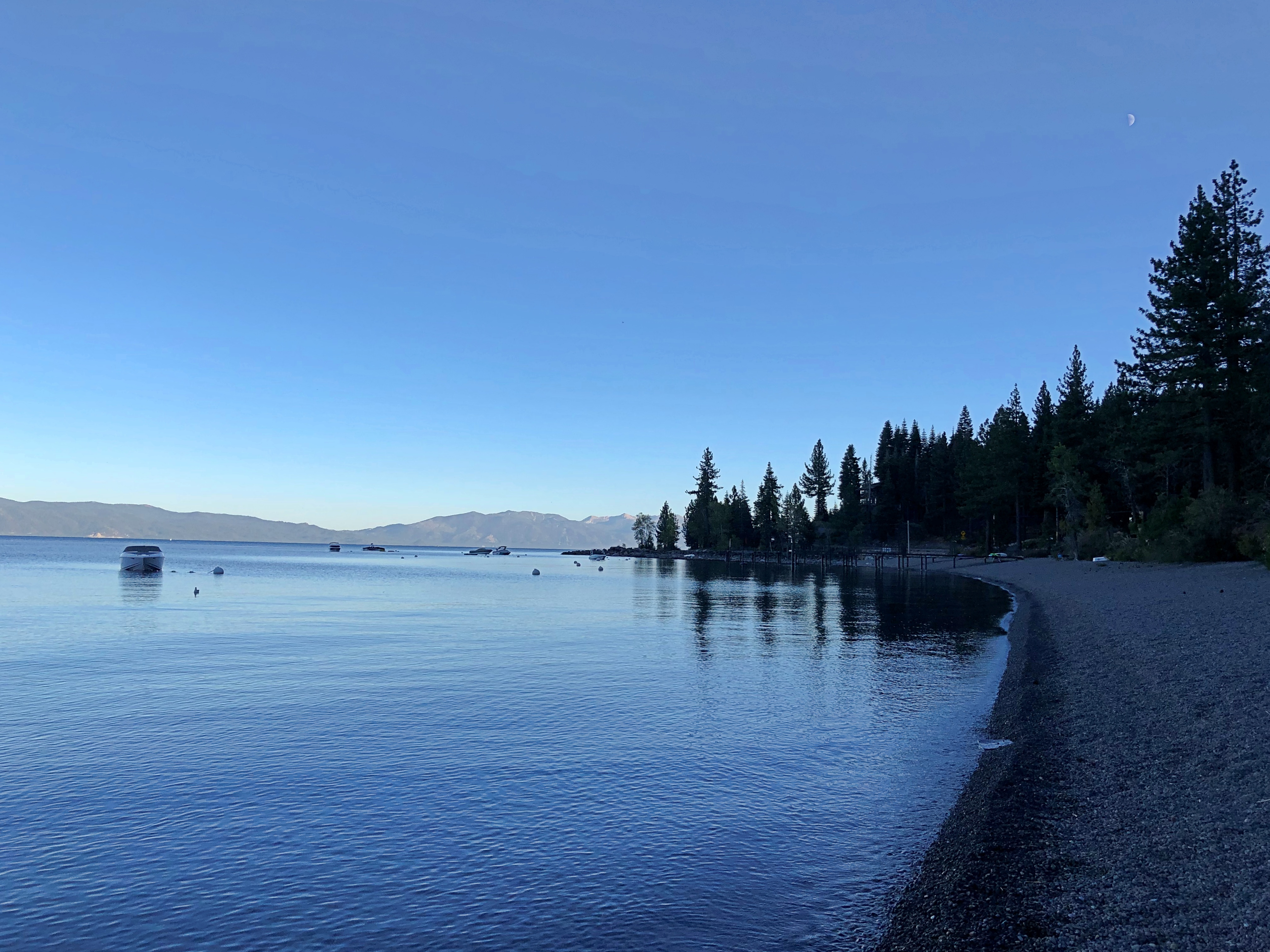
At my last stop at the lake this time, I decided to put my feet in the clearer-looking water, at a pebble beach toward the northwestern shore.Lake Tahoe Lake Tahoe

Pebble and pine cones, that is.

Marshall Gold Discovery State Historic Park

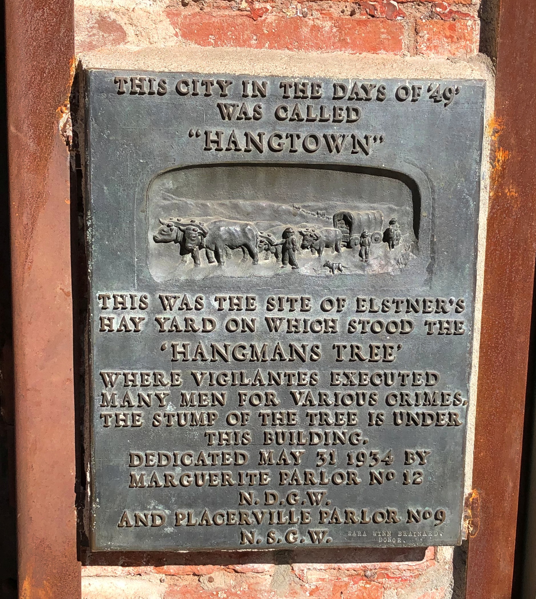
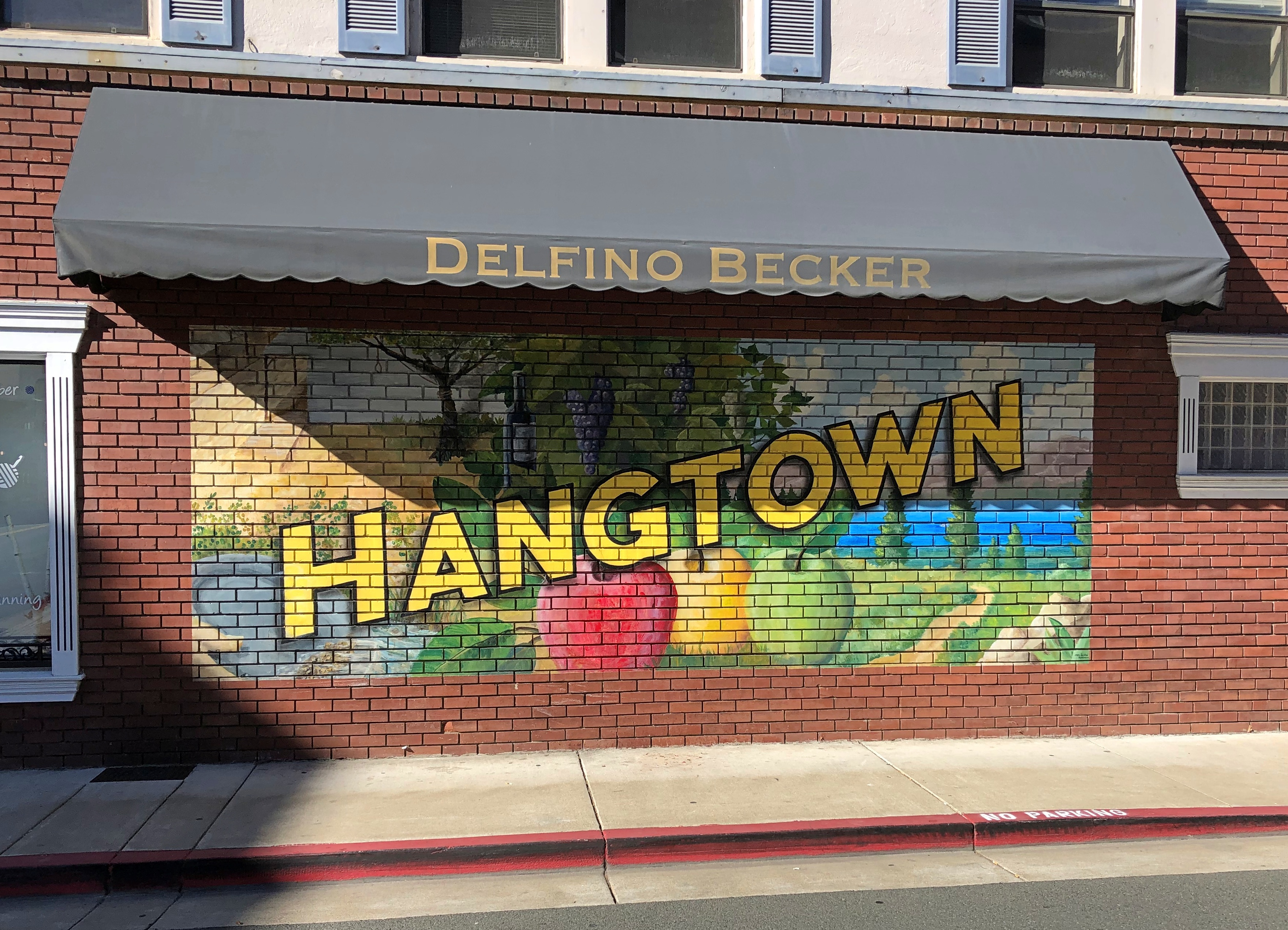
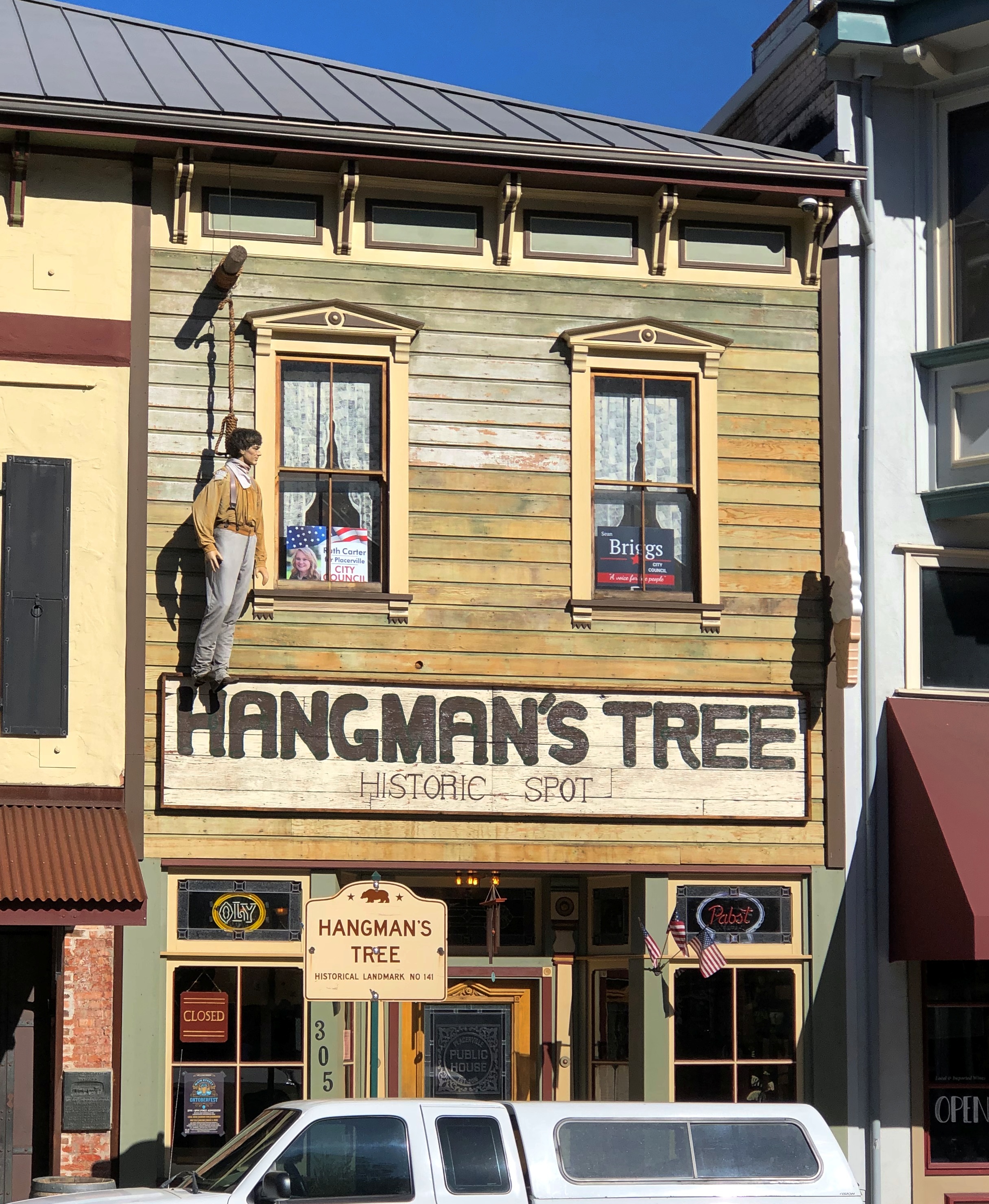
Drive east from Sacramento on U.S. 50, and you will find yourself in Placerville, California. In its early mining days, the town had a different name that the current, more tourist-oriented town doesn’t shy away from.Placerville, California Placerville, California

Due process was for fancy-pants Eastern lawyers, it seems. Still, when it all happened more than a century and a half ago, mob justice adds to the colorful history of a place.Placerville, California

NDGW and NSGW? Native Daughters and Sons of the Golden West, respectively. Sibling organizations known for memorializing and plaque-placing in the Golden State. This wouldn’t be the last time I encountered their work. Members need to be born in California, and have included such notables as Richard Nixon and Earl Warren over the years.

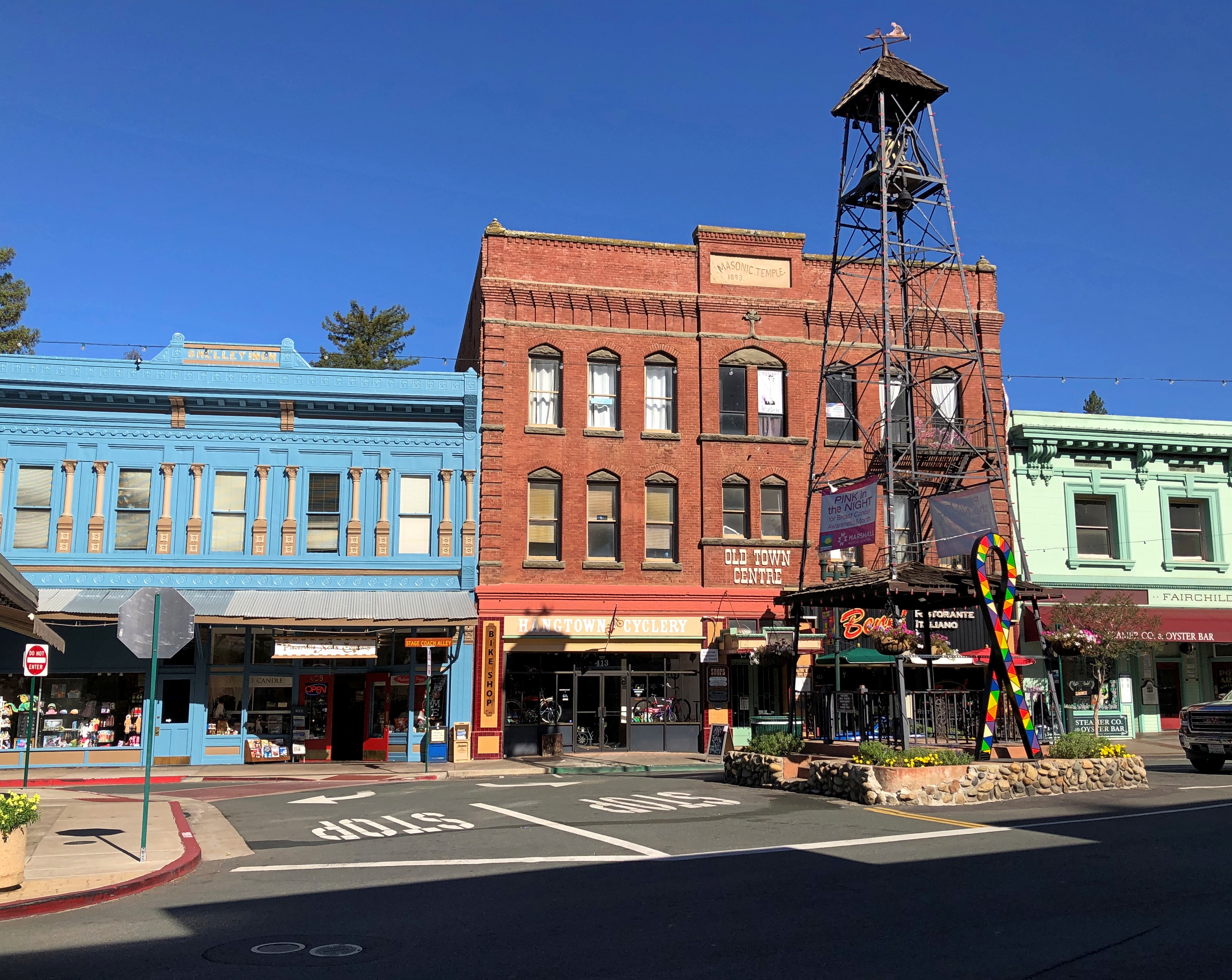
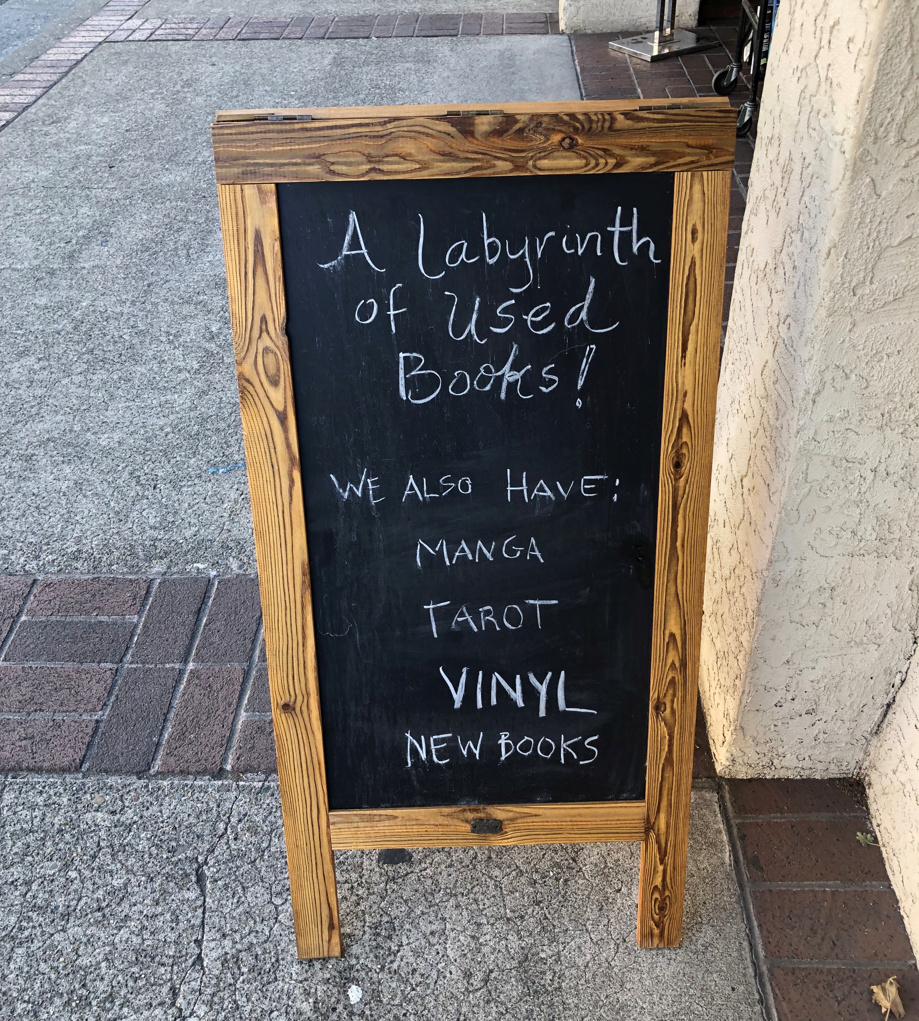
Whatever its history of frontier justice, Placerville offers a pleasant stroll in an upper-middle tourist street in our time. I spent a few glad minutes in the labyrinth of books. How could I pass that up?Placerville, California

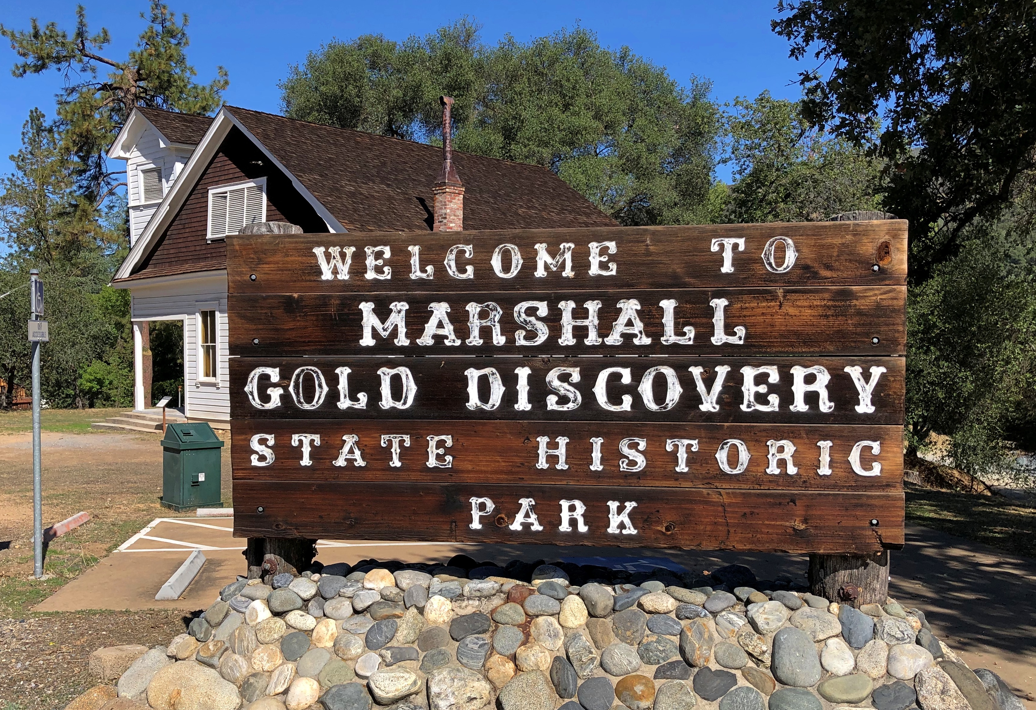
Go further east from Placerville, and you’ll find Marshall Gold Discovery State Historic Park.Marshall Gold Discovery State Historic Park

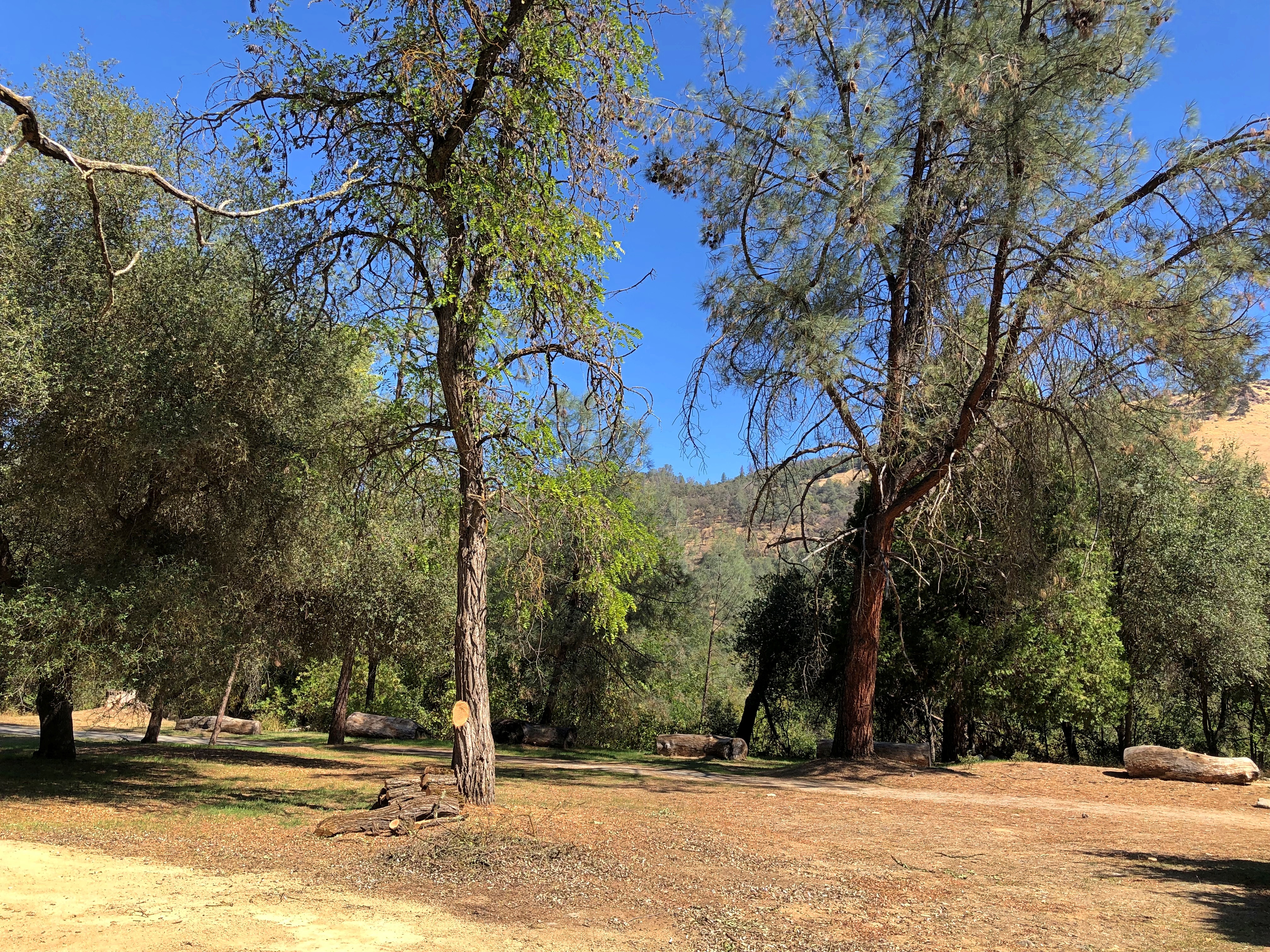
The park occupies much of the town of Coloma, California. By the time I got there, just before noon on October 2, the air was dry, sky clear, and temps nearly hot. The terrain reminded me a good deal of the Texas Hill Country: scrubby and brown and hilly, but appealing all the same.Marshall Gold Discovery State Historic Park Marshall Gold Discovery State Historic Park

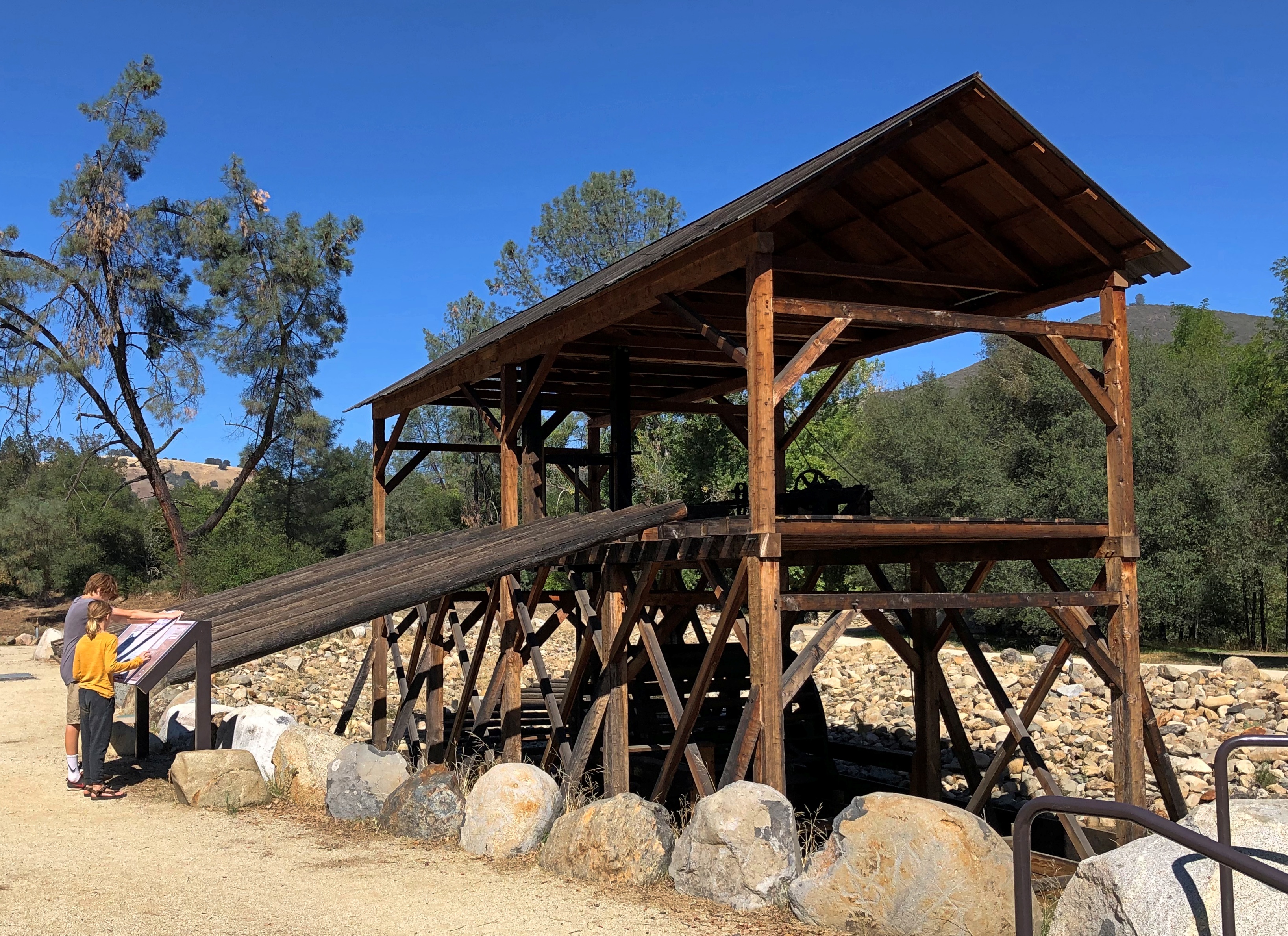
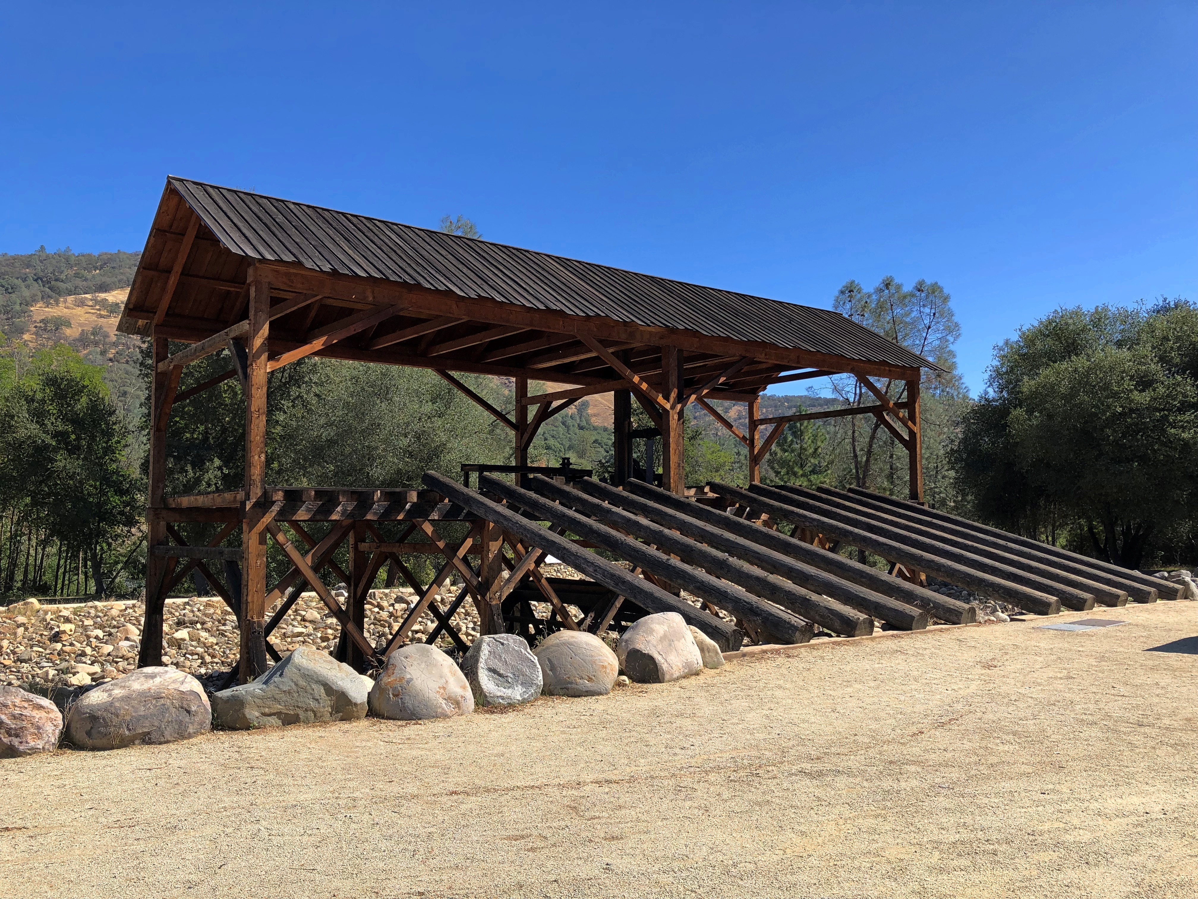
The park includes a reconstruction of the sawmill where James Marshall saw those golden flecks in the winter of 1848. The structure, anyway, since I don’t think including a 19th-century industrial saw (steam powered by this time?) was in the reconstruction budget.Marshall Gold Discovery State Historic Park Marshall Gold Discovery State Historic Park

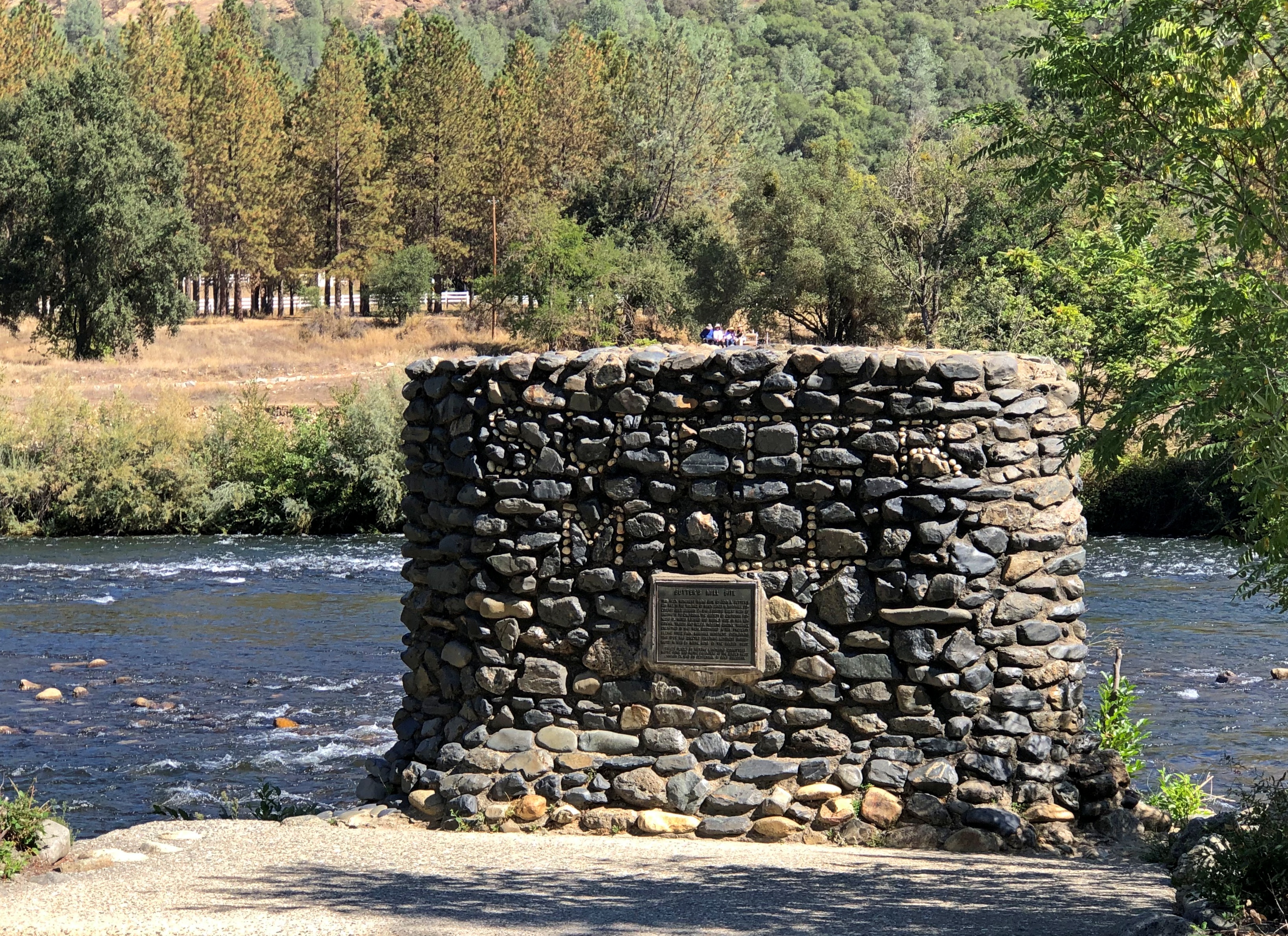
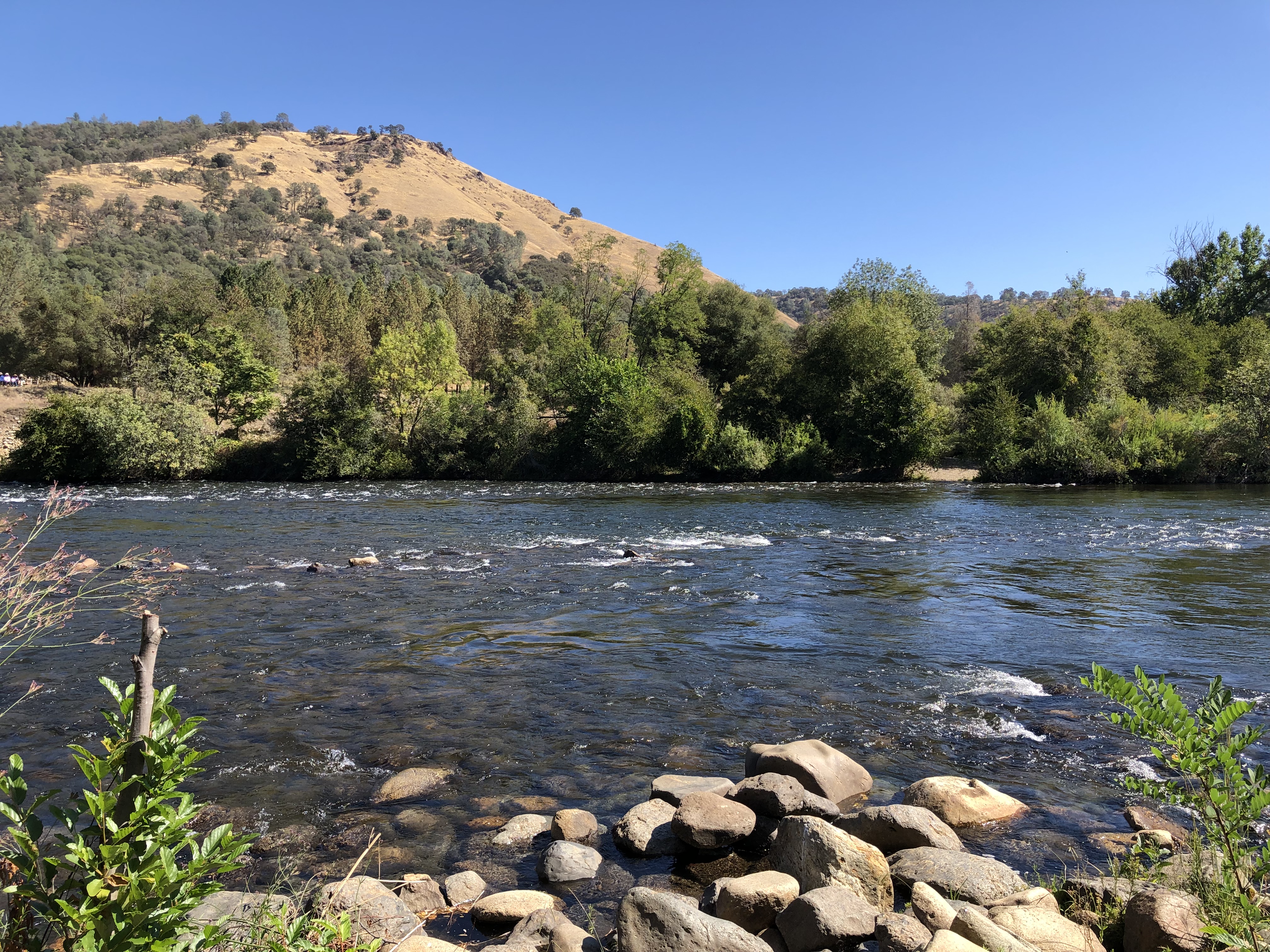
There’s a stone-wall memorial on the actual site of the mill, not far away on the handsome American River.Marshall Gold Discovery State Historic Park Marshall Gold Discovery State Historic Park

I was surprised to learn that the river is only about 30 miles long, but enough to provide Sacramento with most of its drinking water, assuming enough snowmelt every spring.

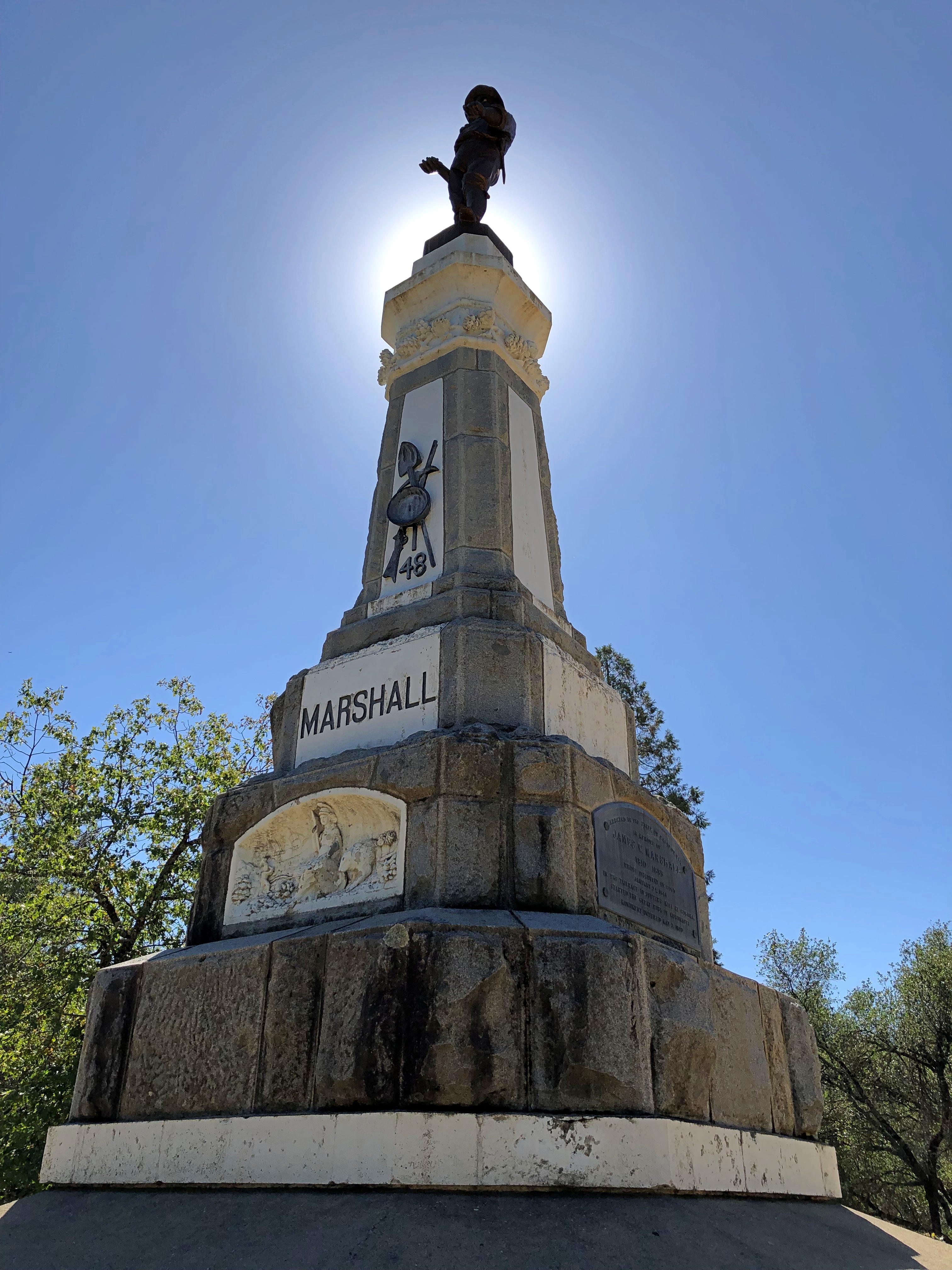
James Marshall has a memorial in Coloma, but you have to climb a hill to reach it. Or drive a short, winding road that happens to be a very short California state highway.James Marshall Memorial

The work of the NSGW again. In fact, the first memorial the org ever erected, in 1890, when the memories of Forty-Nine were still living memories for many. Marshall wasn’t among them. The honor was posthumous for him, and he reposes underneath the structure.

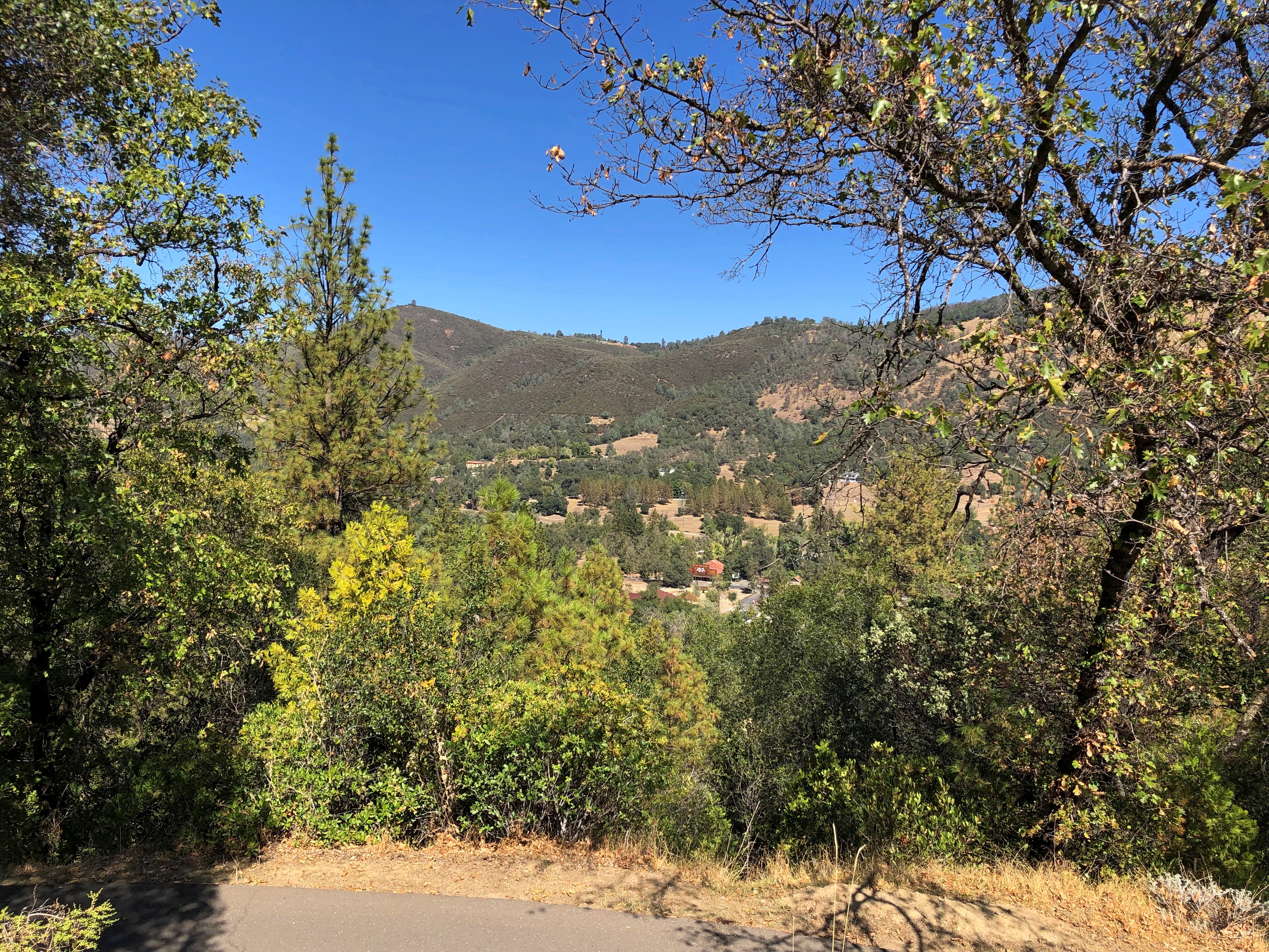
Still, nice view he’s got of the rolling and formerly gold-laden territory.Marshall Gold Discovery State Historic Park

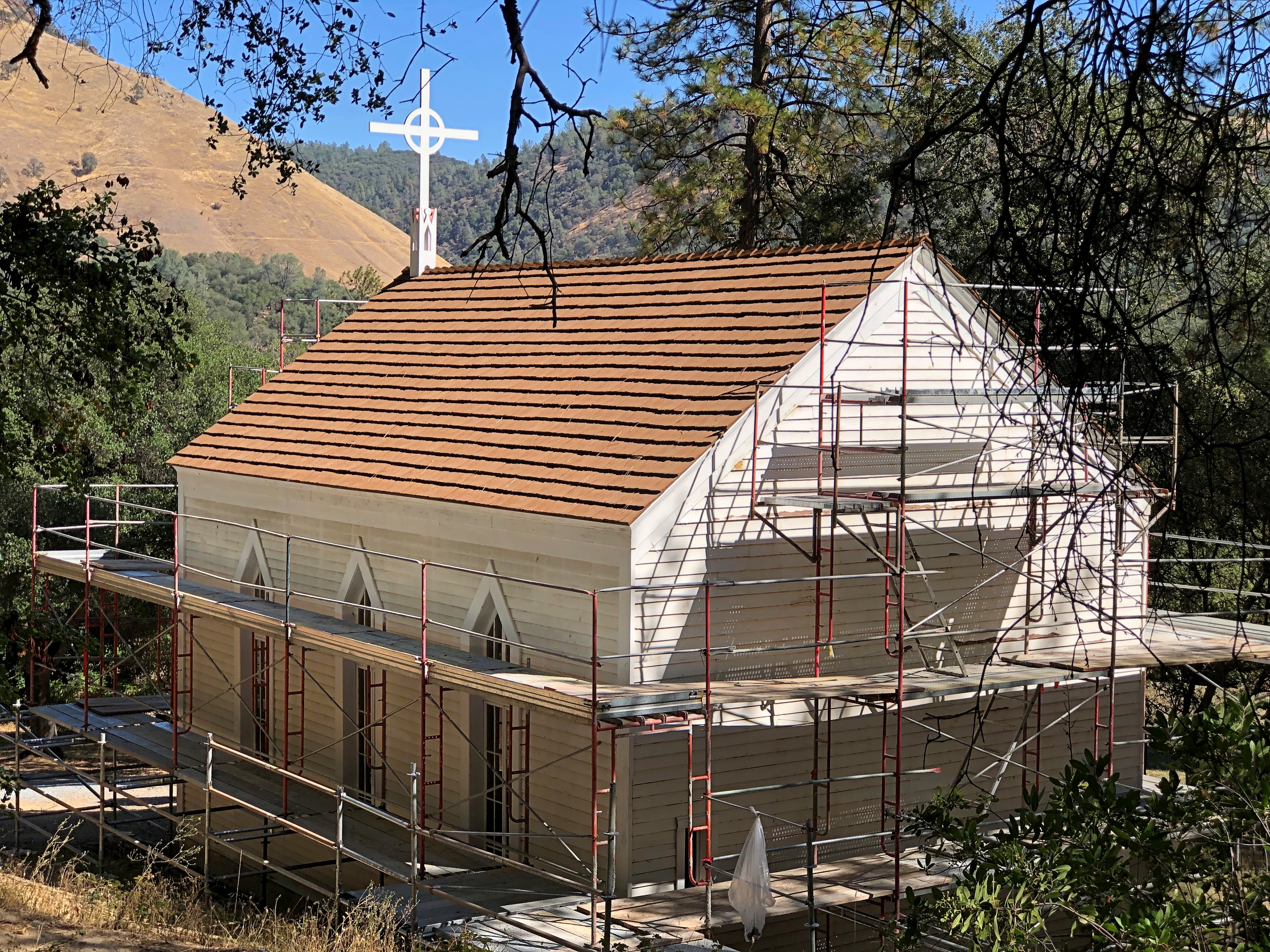
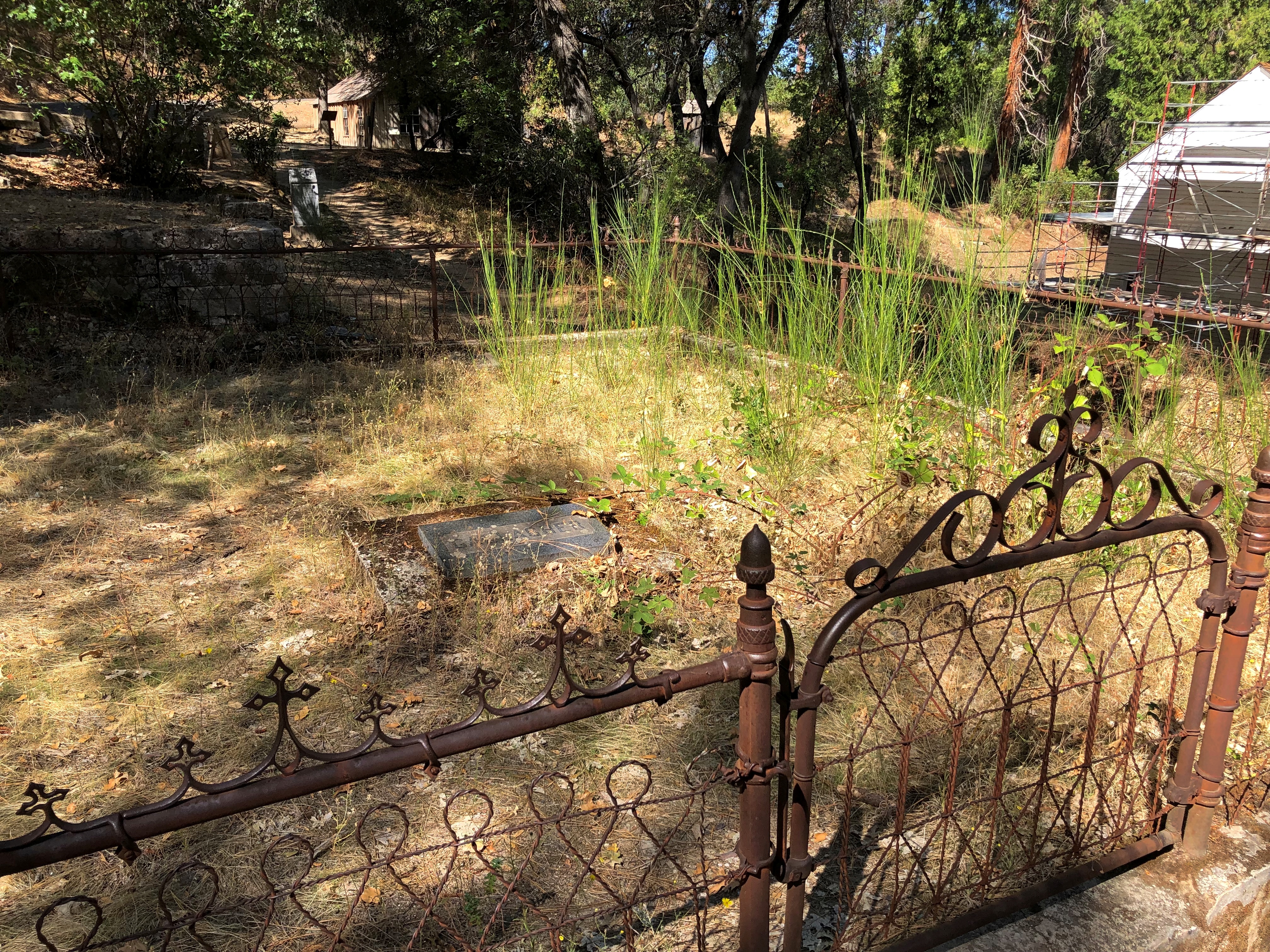
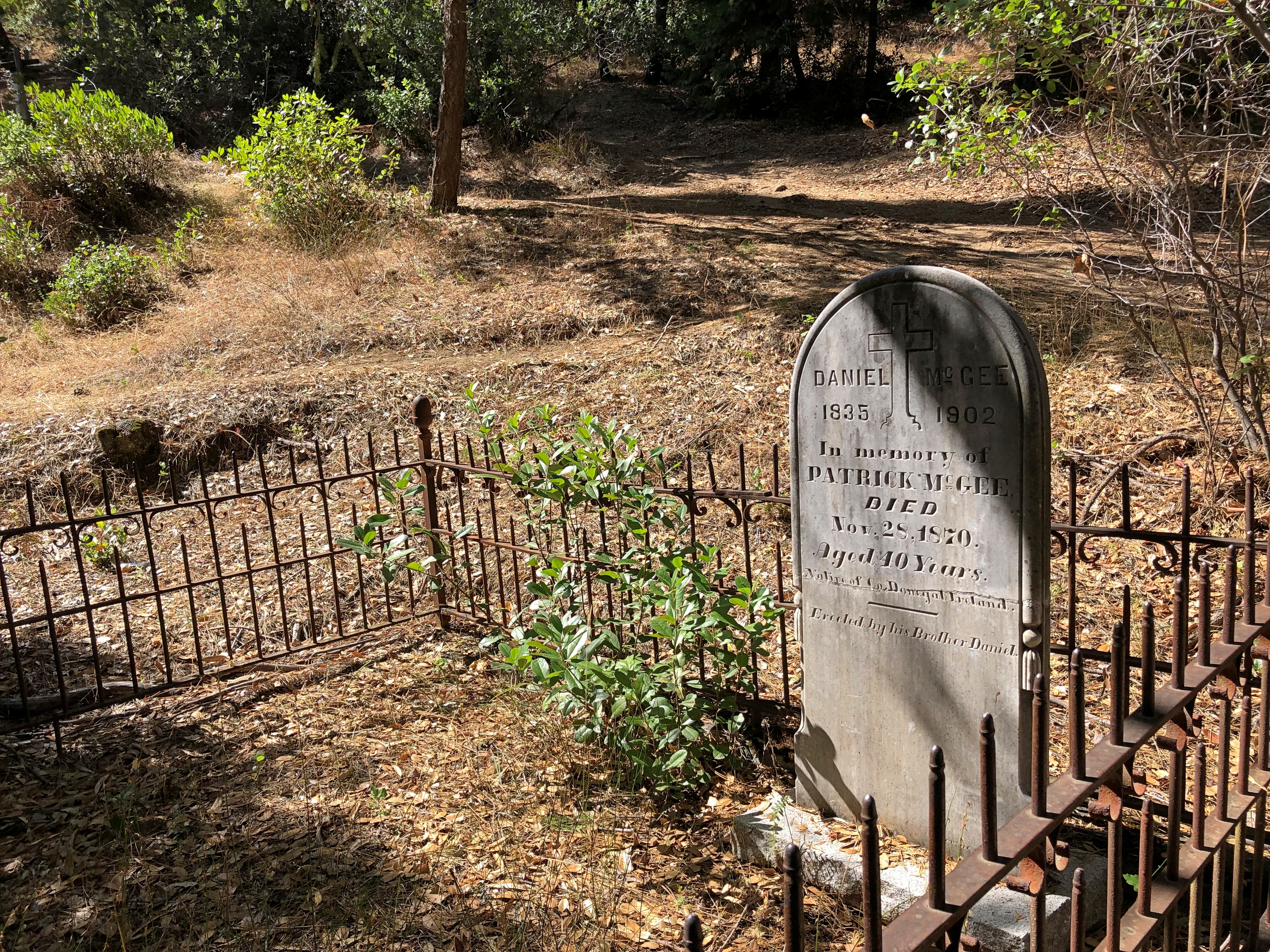
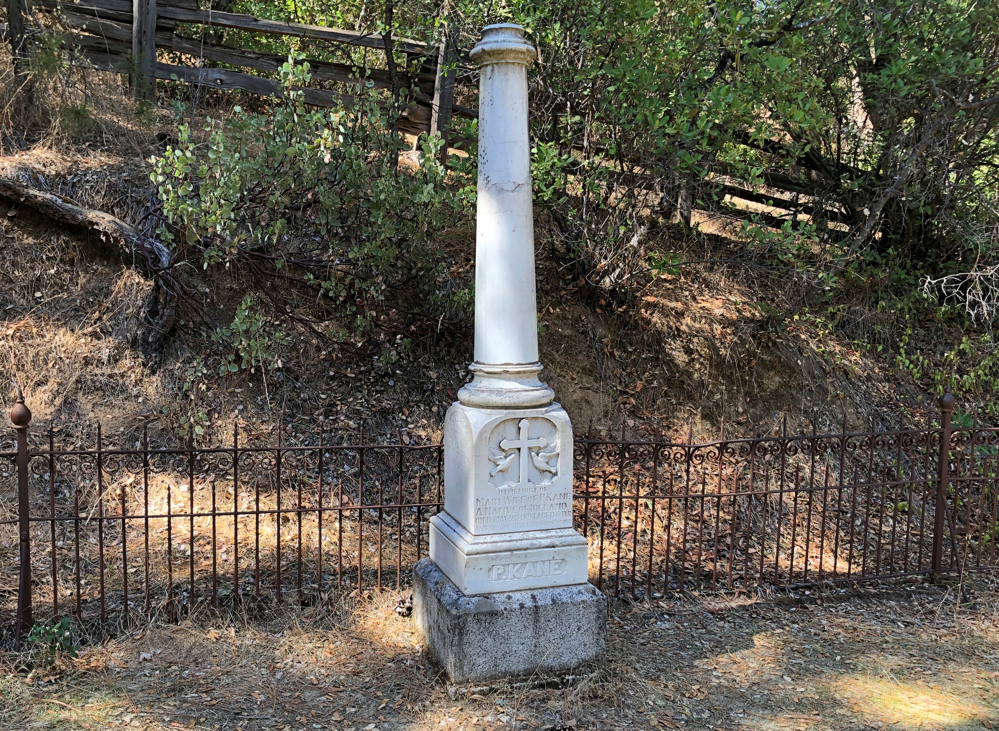
Not quite as far up the hill are a number of historic structures and an old cemetery. One is St. John’s, a Catholic church that held services until about 100 years ago, but where you can still get married.Marshall Gold Discovery State Historic Park - St John

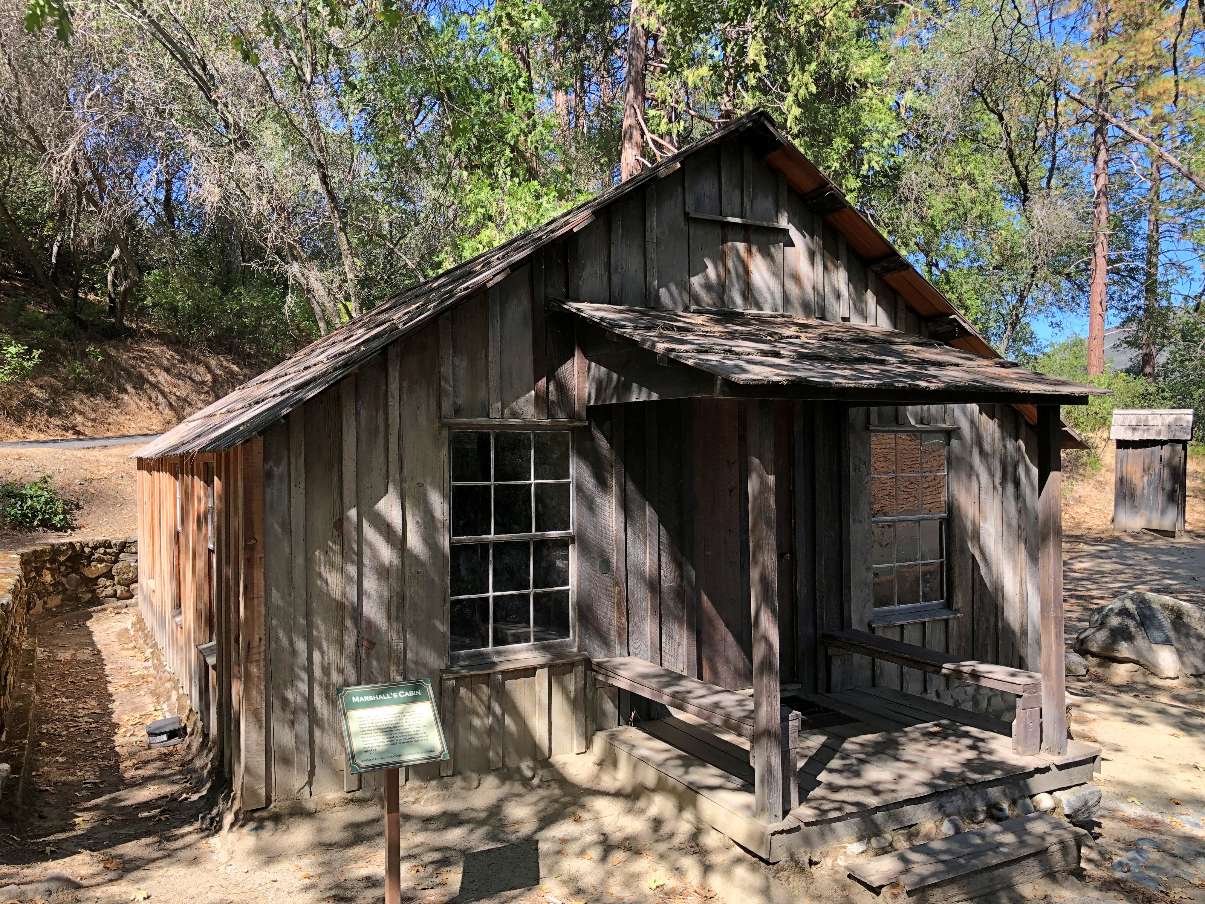
John Marshall’s cabin.Marshall Gold Discovery State Historic Park - Marshall's Cabin

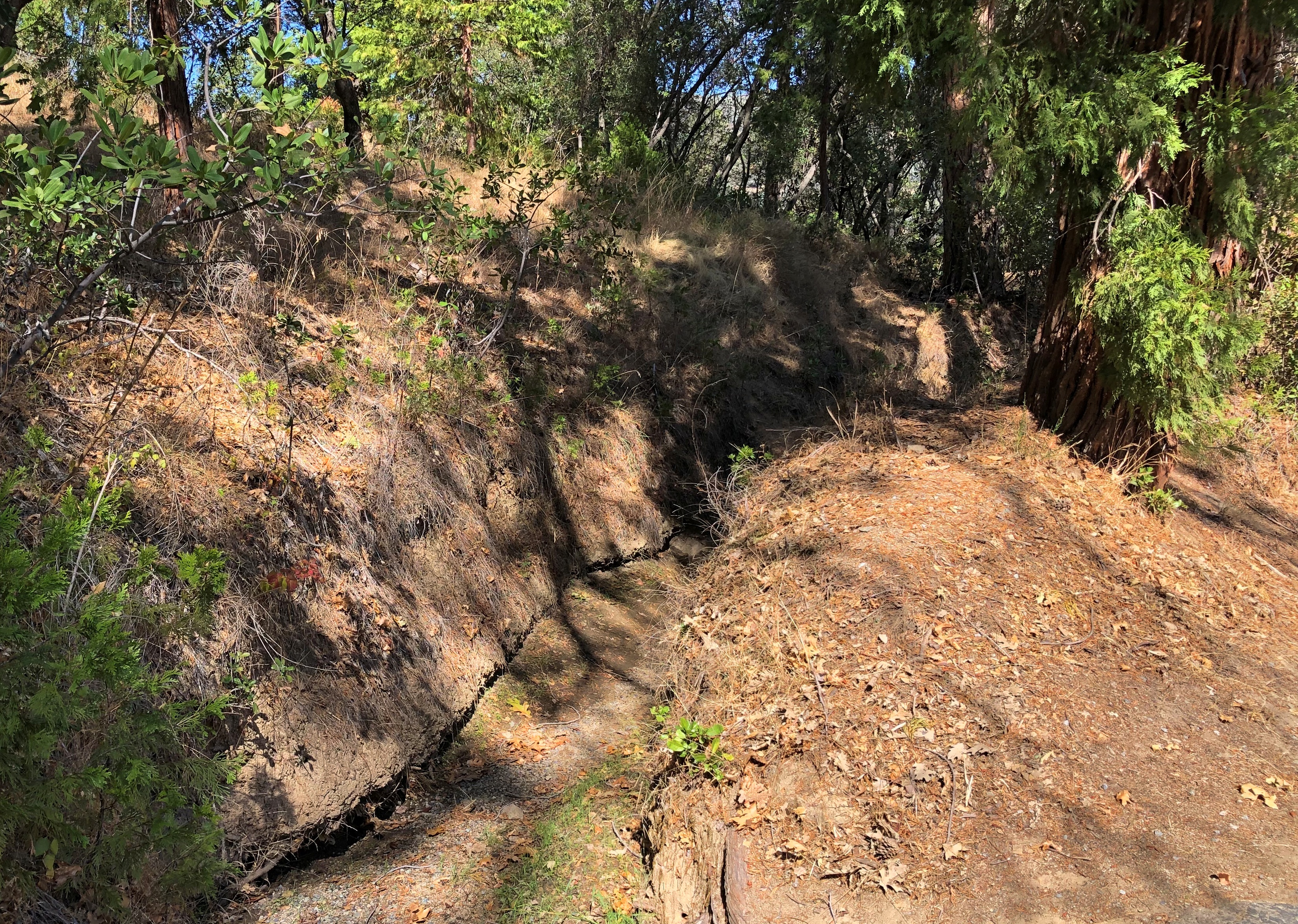
Even more interesting, I thought, was a more-or-less intact mining ditch, countless of miles of which were dug in the effort to tease yellow metal from the indifferent earth. Later, many were (or still are) used for irrigation. I don’t think this one is; it’s just a gash in the earth.Marshall Gold Discovery State Historic Park - Marshall's Cabin

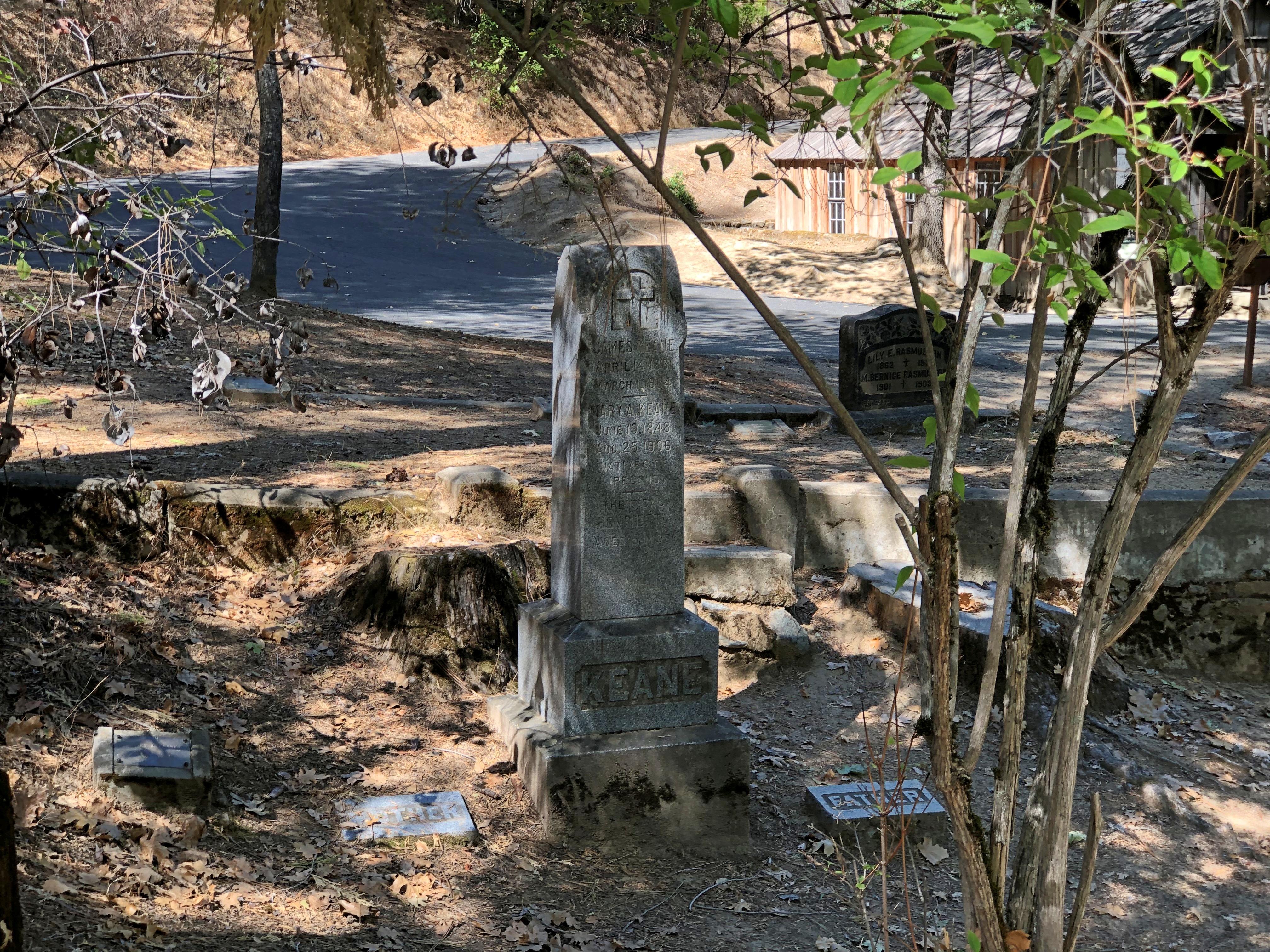
The hillside cemetery.Marshall Gold Discovery State Historic Park - cemetery Marshall Gold Discovery State Historic Park - cemetery Marshall Gold Discovery State Historic Park - cemetery Marshall Gold Discovery State Historic Park - cemetery

Ashes to ashes, dust to dust, gold-bearing earth to gold-bearing earth.

The Golden West ’22

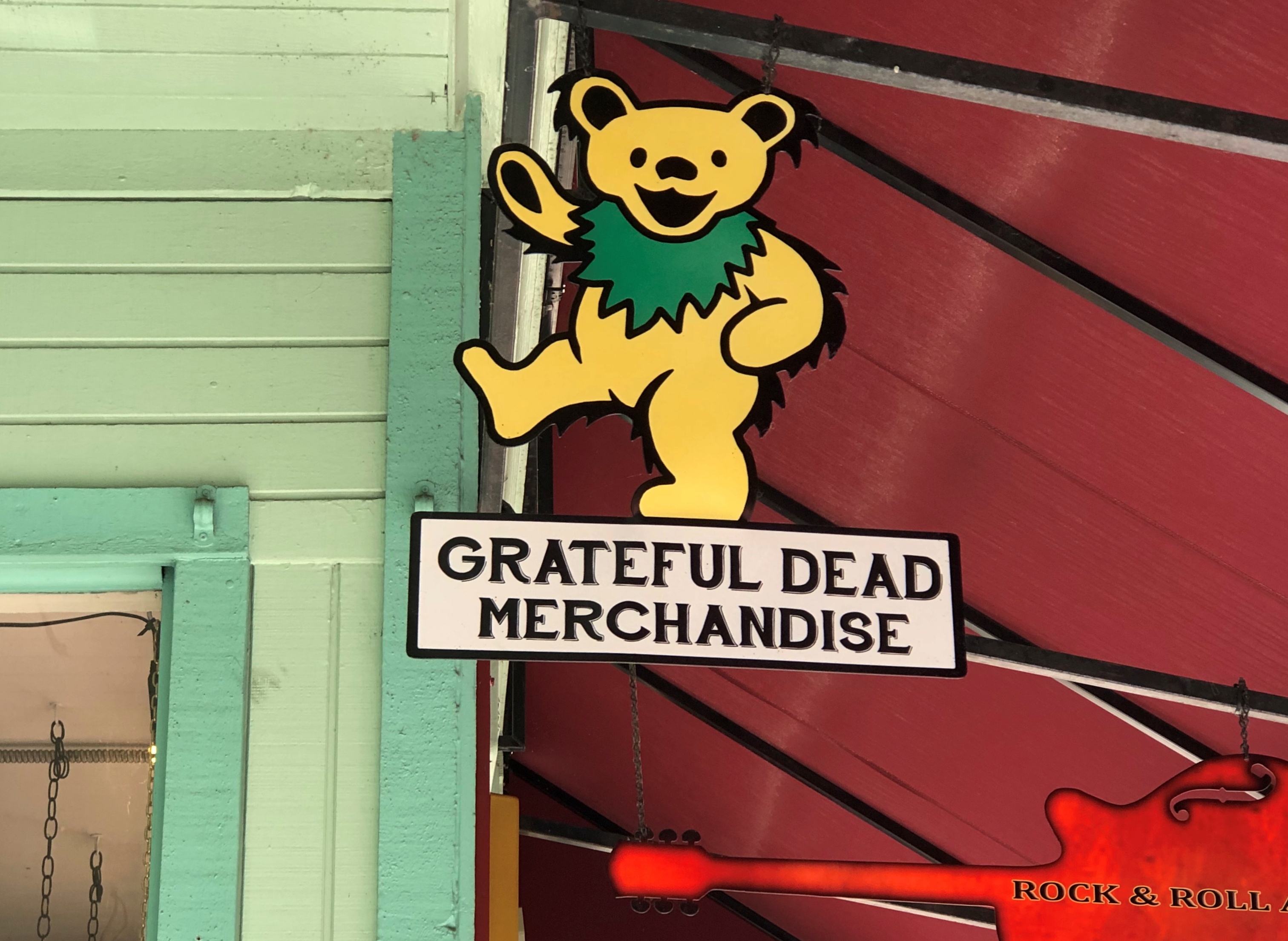
Early this month, I ventured near the West Coast again, though to places in that vast region I’d never seen before. That is, parts of northern California, where you can see the likes of marching bears looking to sell you band merch, though you have to provide your own hallucinogens.Placerville, California
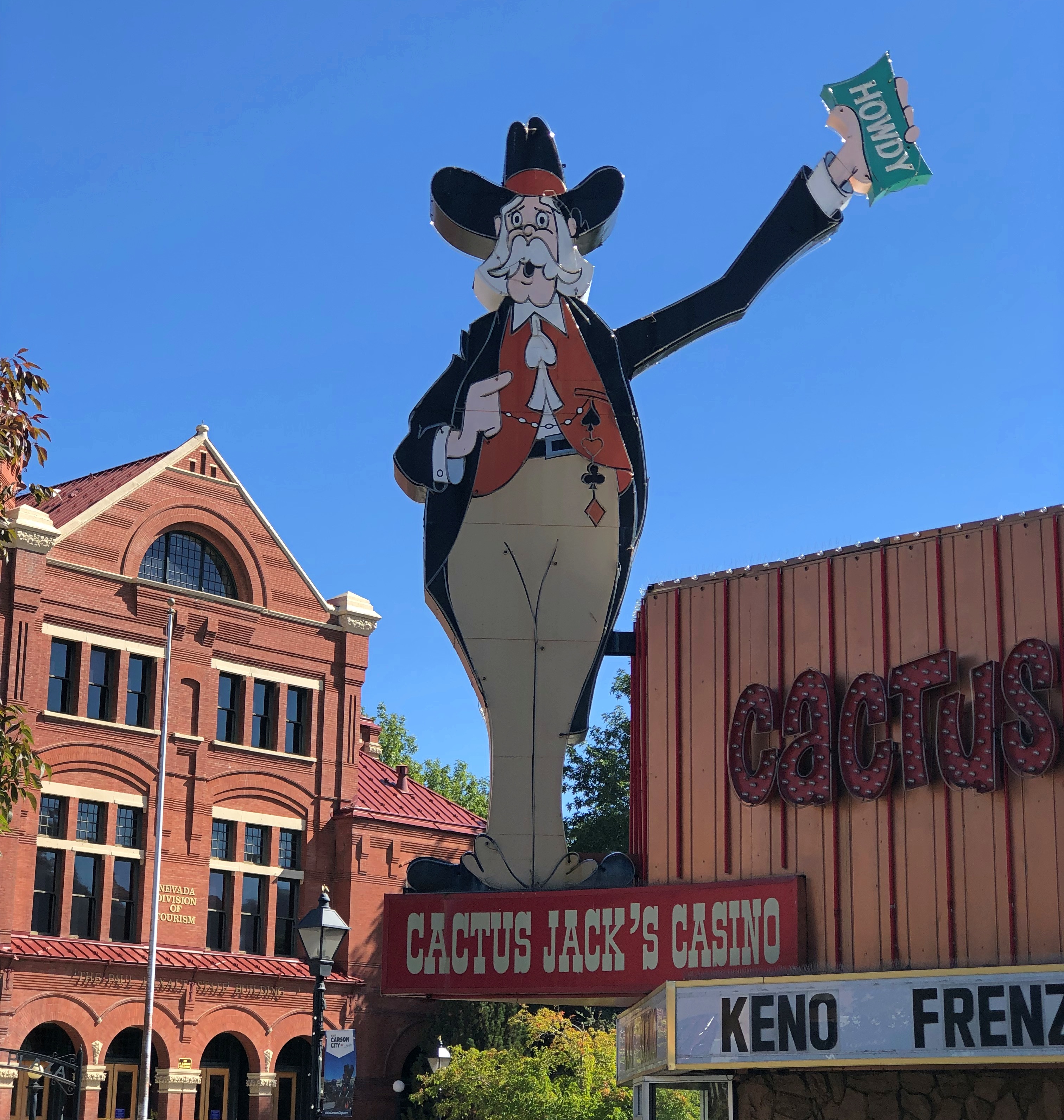
Across the border in Nevada, signs say howdy, come on in and enjoy games of chance that favor the house.Carson City, Nevada
This year’s travels have followed a specific design. The overarching goal was to travel with members of my family and by myself. Early in the year, the prospect of a bonus trip with old friends emerged, and toward the end of the year, the prospect of going somewhere for company business did as well.

That has all come to pass. In March, I went to Savannah with Ann. In May, the Colorado Plateau with Yuriko. In late July and early August, around Lake Michigan with old friends. In September, Jay came to visit me – but we also popped up to Milwaukee. Early this month, I went to California and Nevada, a trip I’ll call the Golden West because one’s trip ought to have fanciful names. Lilly joined me for part of the time.

Sacramento was the trip’s fulcrum. I flew in on October 1 fairly late and spent the first night there. The next morning, I headed east, following narrow roads across the Sierra Nevada, to the shores and vistas of Lake Tahoe, by way of the site where John Marshall found gold in 1848, an event he came to rue. At least he’s remembered: the place is called the Marshall Gold Discovery State Historic Park.

I spent two nights in Reno. My first morning in that town, October 3, I took a walk near the Truckee River, which I had no notion existed before coming to this part of the country – a feeling I had more than once during the trip, along with a few moments of ah – that happened there? Reno is also home to the National Automobile Museum, which takes a bit of a different approach that the one in Fairbanks, sporting a lot of interesting old vehicles, but also some not so old.

That afternoon I drove to Carson City. When I was young and started poring over maps, I found it curious that Carson City, by all appearances a small place, was capital of a large state like Nevada. Large in area, anyway, since it was later I’d learn about Nevada’s relatively small population. Later still – that is, now – Nevada actually isn’t that small in population, coming in at no. 32 among the several states with about 3.1 million people, ahead of the likes of Arkansas, Mississippi and Kansas, among others.

For its part, Carson City has a population of about 58,000 (that’s the MSA, third-smallest for a capital, larger only than the Pierre, SD, and Juneau, Alaska MSAs). Naturally I ambled over the state capitol for a look. The Nevada State Museum, which includes the former Carson City Mint, unfortunately wasn’t open. Cactus Jack pictured above, incidentally, greets Carson City visitors. I didn’t go in to that casino. Or any in Reno.

Virginia City was another thing I didn’t know about Nevada. It was a name on a map and I had the vague notion that it was little more than a ghost town, the residuum of long-finished silver mining. False. Silver mining did take place there in a big way, but now V. City lives on as a major tourist destination, the sort of place that has refurbished its vintage buildings into bars, restaurants, souvenir shops and small museums.

It occurred to me when visiting the site of the Comstock Lode in Nevada — V. City is built on top of it — that that was the silver part of the trip. The gold part had been on the the western slope of the Sierra Nevada in California. Silver and gold. Gold and silver. Either has a good ring to it.

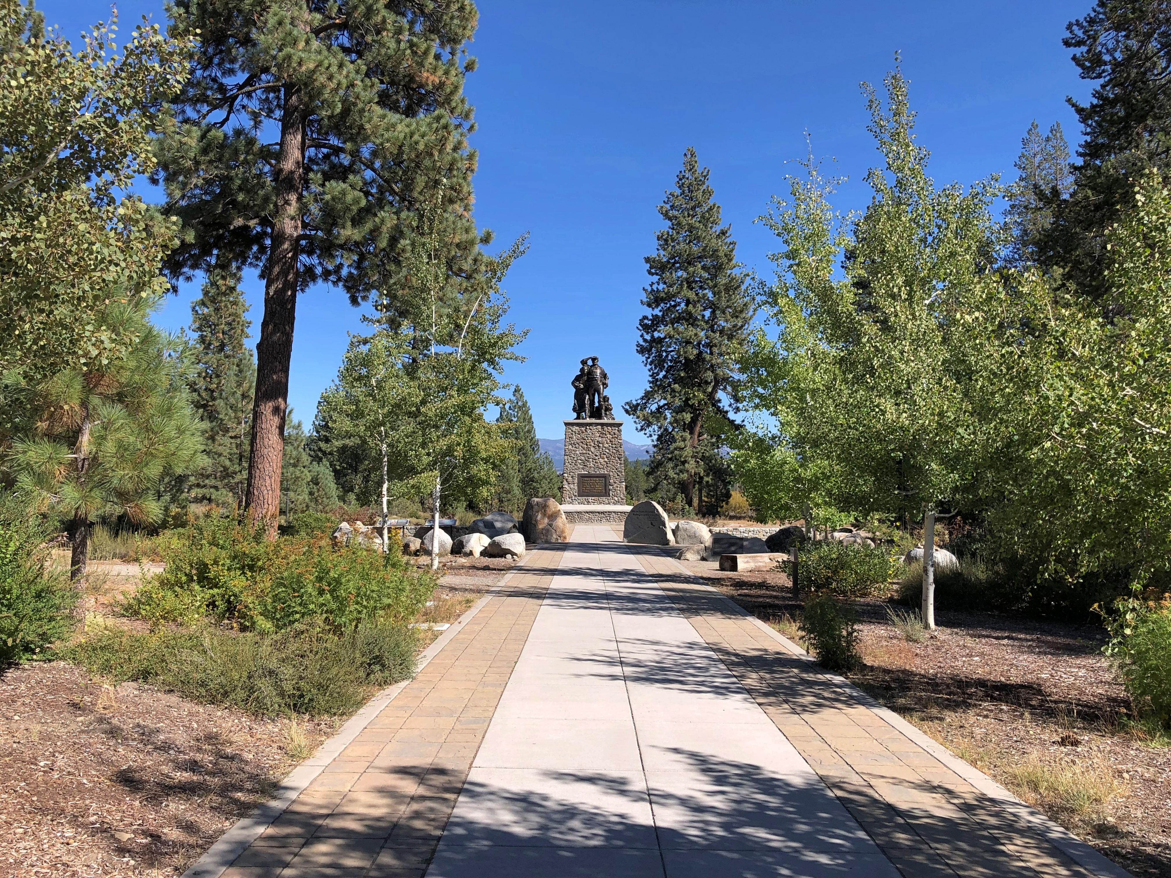
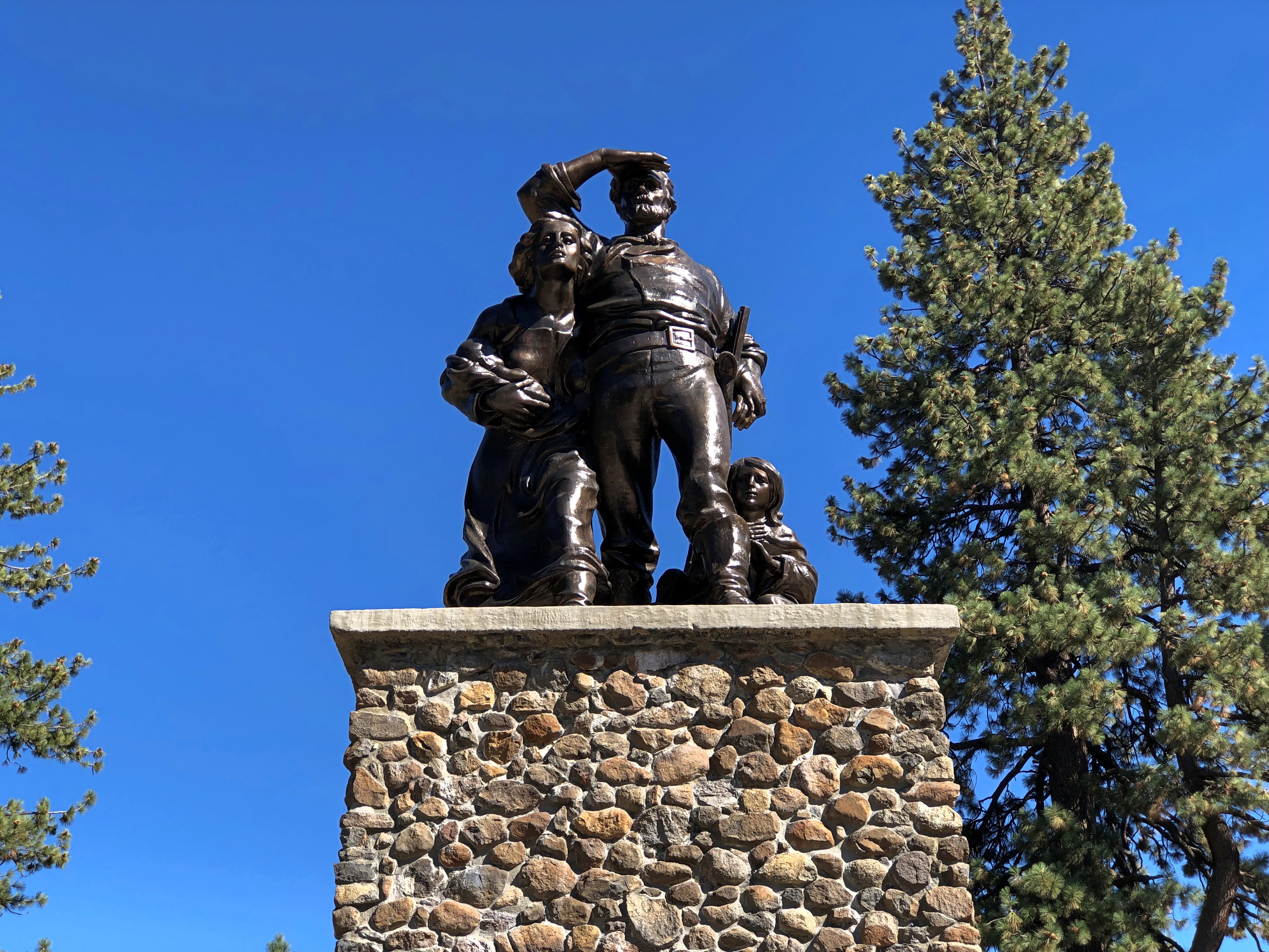
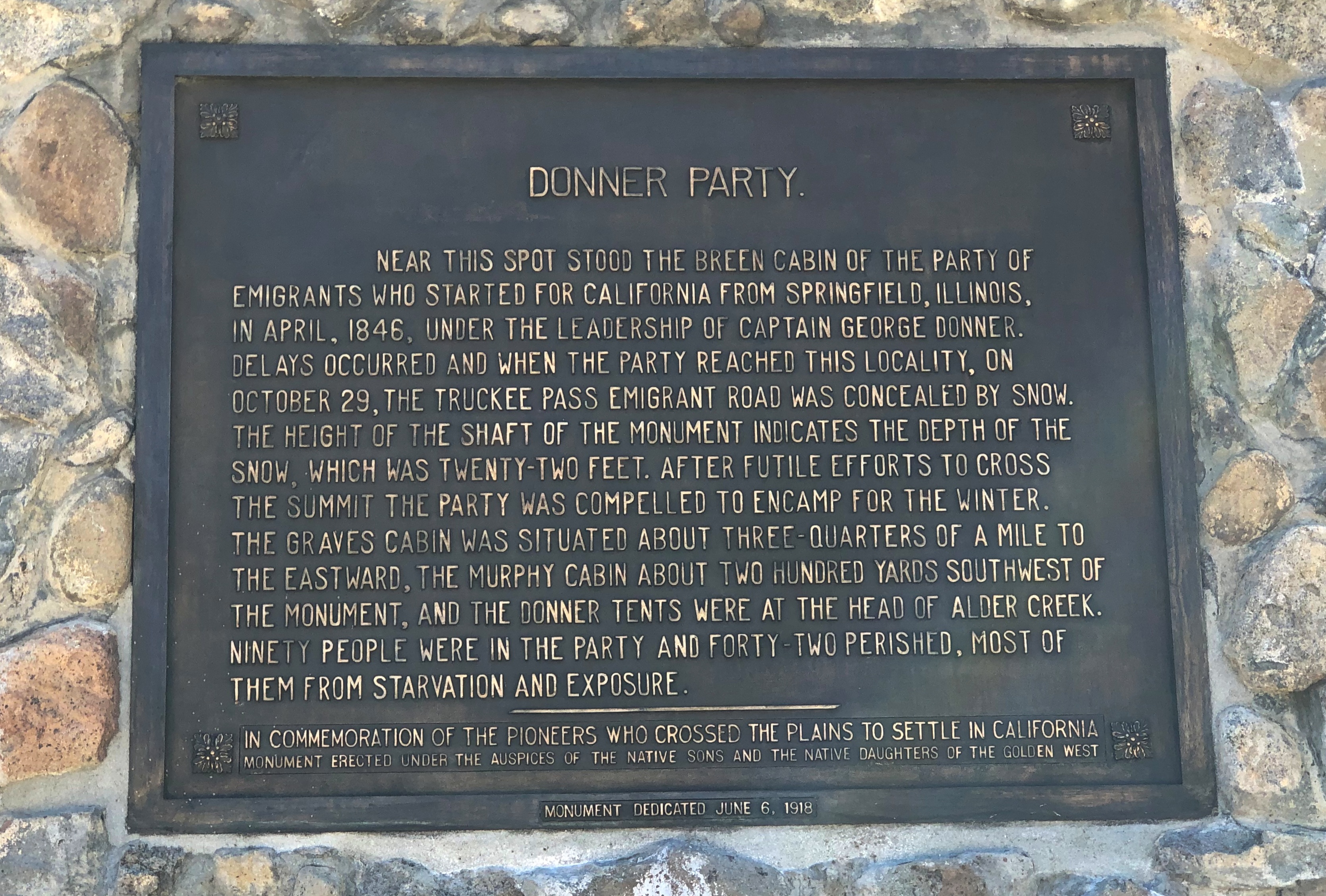
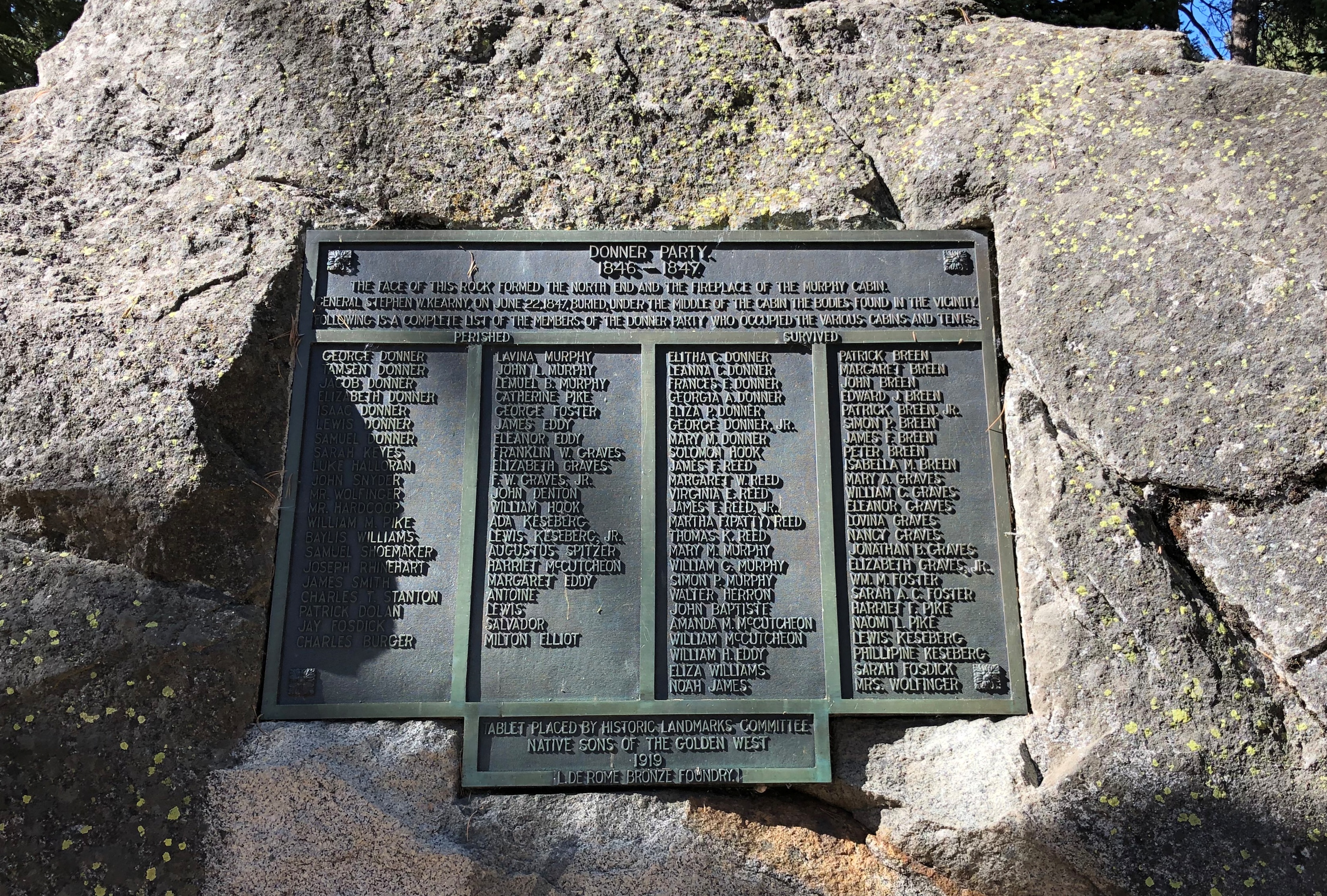
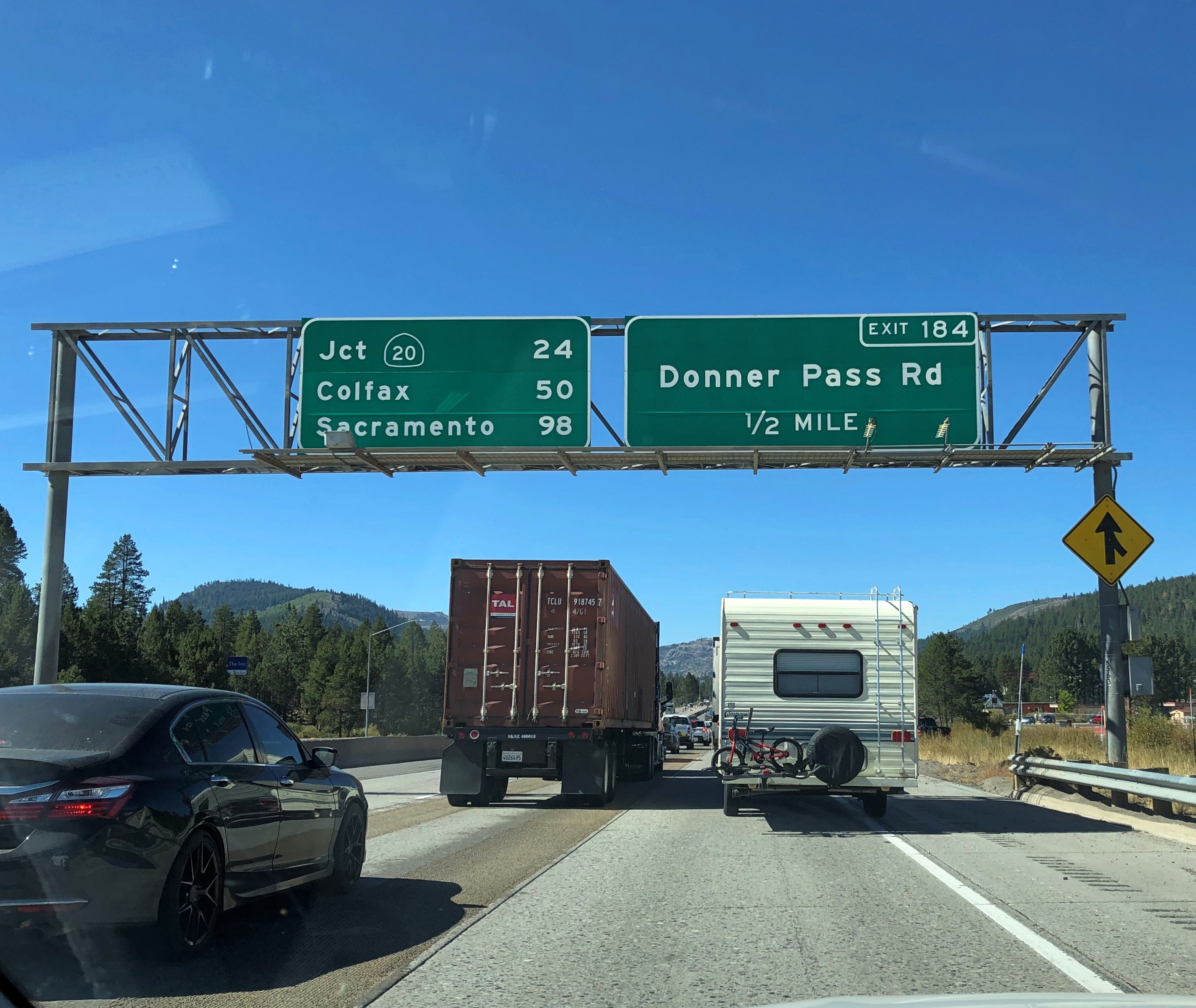
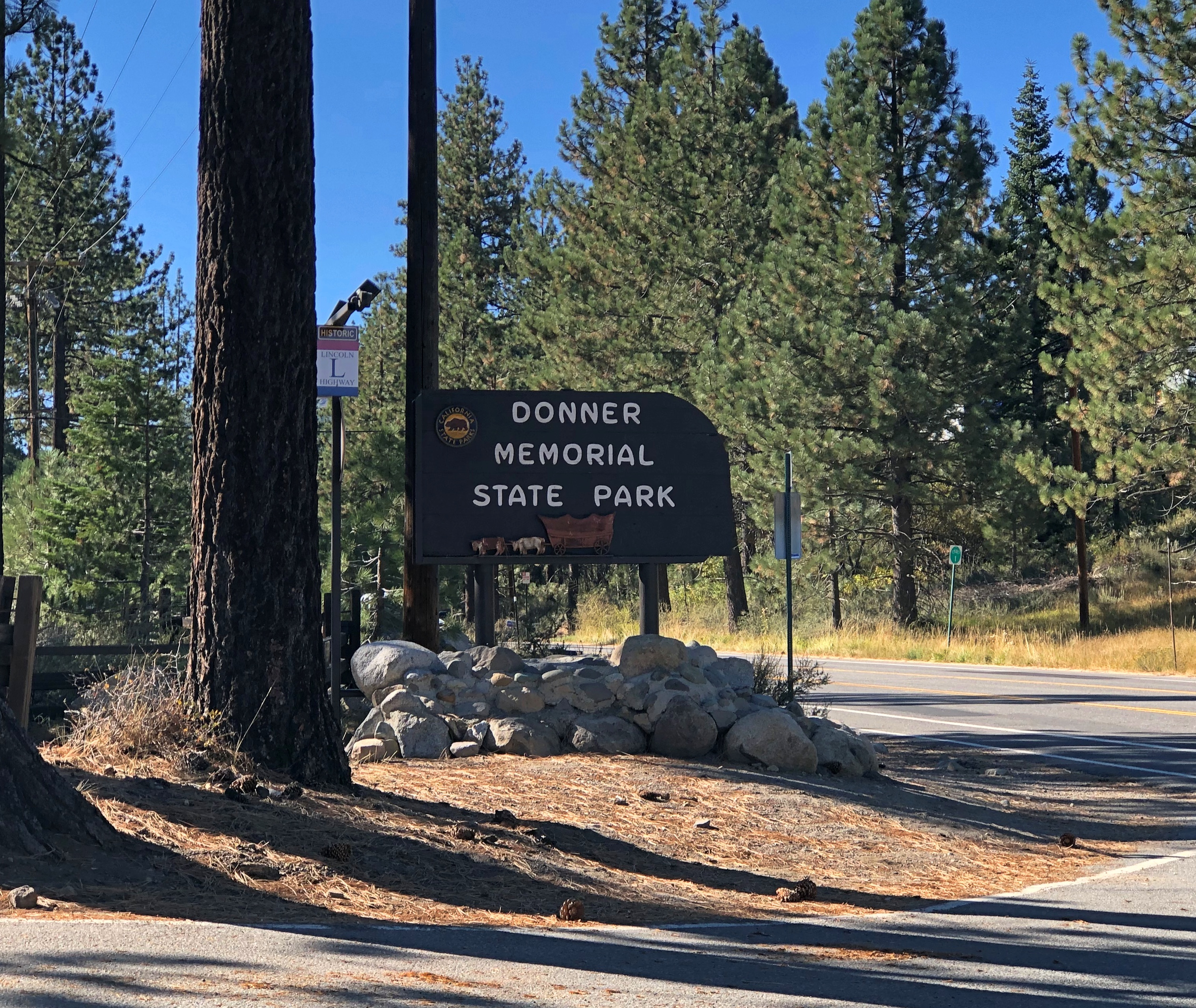
The next day, I walked the colorful Virginia Avenue in Reno, and visited the Reno Art Museum before I quit town, heading back to Sacramento by way of the larger I-80, which allowed me to stop at Donner Memorial State Park. That place provided me a that-happened-here? moment. It isn’t called the Donner Pass for nothing, though I suspect the members of the party who didn’t survive would have taken a pass on posthumous fame, in exchange for making it across the mountains.

Fairly early on the morning on October 5, I picked up Lilly at the airport in Sacramento. Our goal for the day was a hotel in Groveland, California, near the entrance of Yosemite National Park, but we lingered for a look at the state capitol, and then headed south on California 99, a four-lane freeway through the San Joaquin Valley.

We stopped briefly along the way, feeling the heat and sensing the dryness of the place. California is in another drought, after all. Yet the crops grow there in abundance, at least as long as the ag industry has the political muscle to get the water it needs.

Back up in the Sierra Nevada, temps were also surprisingly warm – in the 80s most of October 6, the day we spent at Yosemite NP. I acquired and sent a number of postcards of Yosemite, because I’m a traditionalist that way. On some of them, I wrote that I was much impressed by the massive rock formations, but had no urge to climb any of them.

The next morning, we drove back to Sacramento, where I took Lilly to the airport. That left me with half a day more to kick around that city, which I did, leaving on the morning of October 8. The surprise for me in my last walk around Sacramento was the collection of impressive modernist and postmodernist buildings, especially along the Capitol Mall.

All in all, a good trip. I even got to meet a local, there in Reno, more about whom later. That’s the gold standard for an authentic travel experience, at least according to some lines of thought. That or “live like a local,” though that somehow always seems to mean visiting the right bars, but never (say) spending time stuck in traffic like a local would.
The Presidio

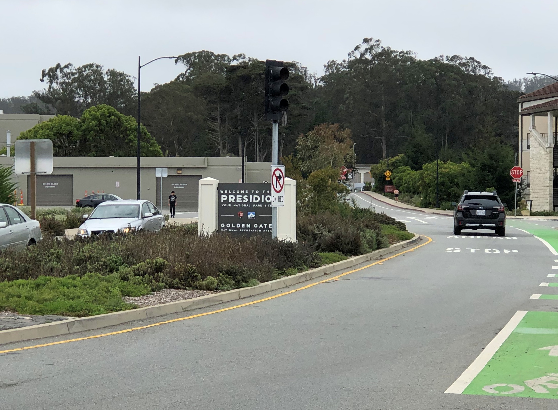
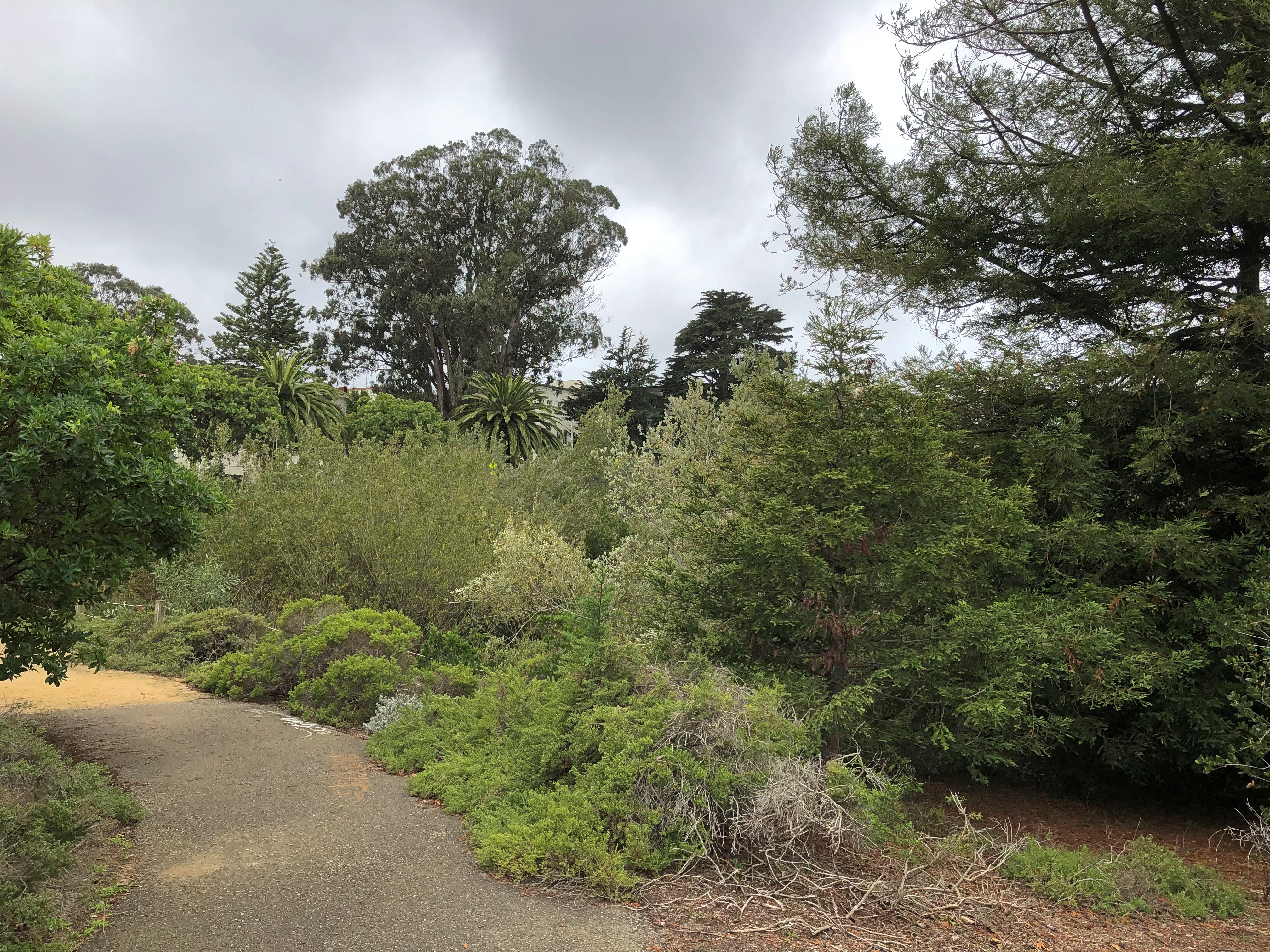
From Crissy Field on San Francisco Bay, a convenient walking path leads to one of the formal entrances of the Presidio, on Girard Road, and some nearby green space.The Presidio of San Francisco The Presidio of San Francisco

Actually Crissy Field is part of the 1,491-acre former fort, which is part of Golden Gate National Recreation Area and sprawls across the northwestern part of the San Francisco Peninsula. These days, the Presidio includes many former military structures, museums, restaurants, lodging, recreational spots, art installations, trails and lawns, but also residential and commercial properties, including Lucasfilms headquarters.

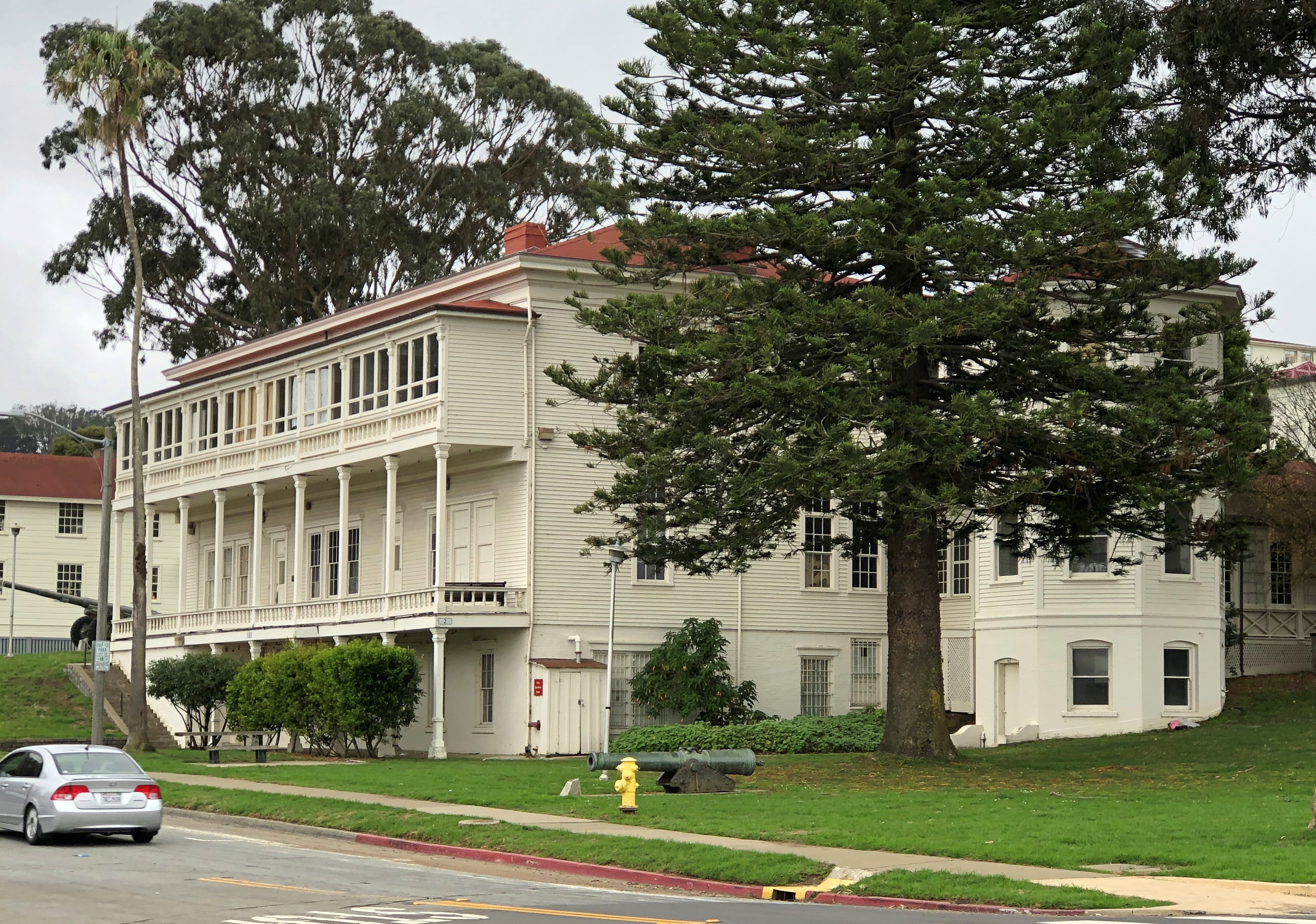
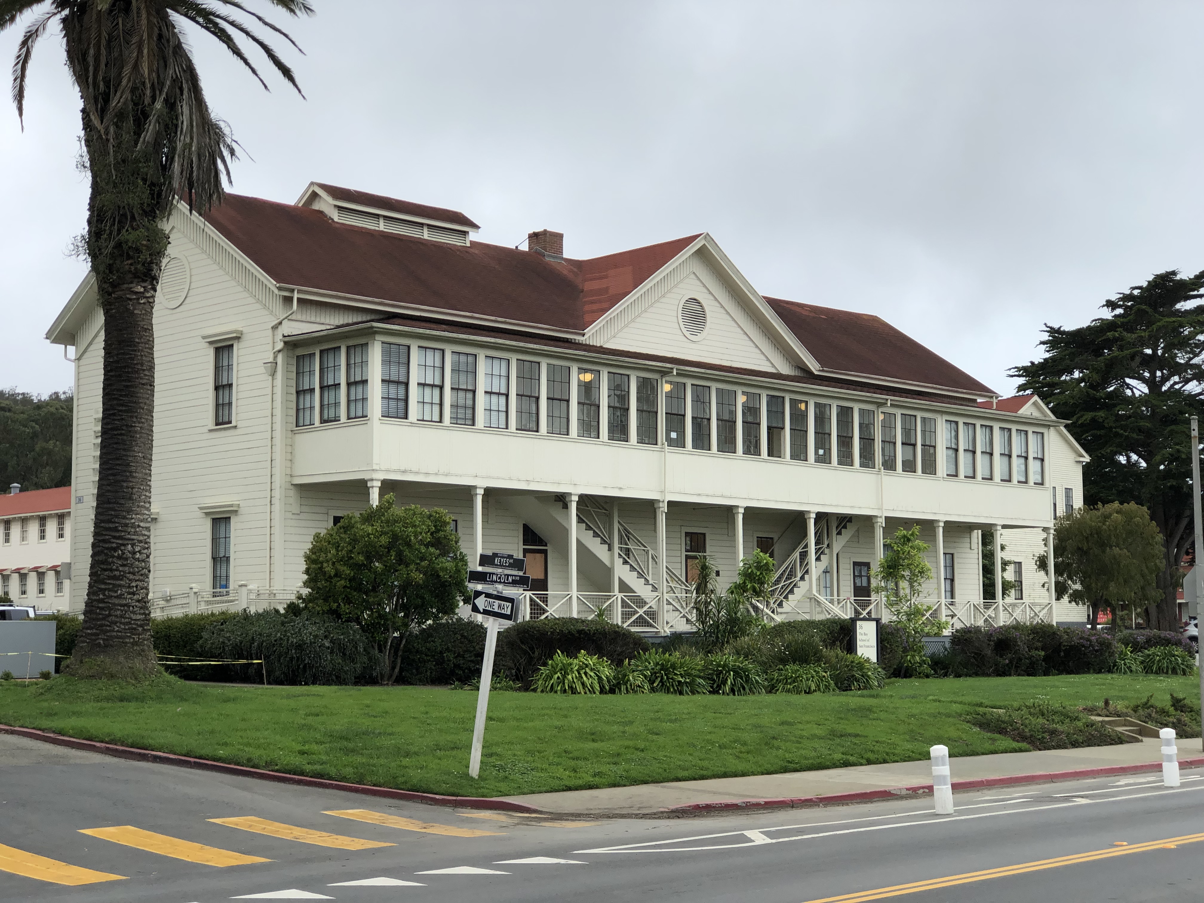
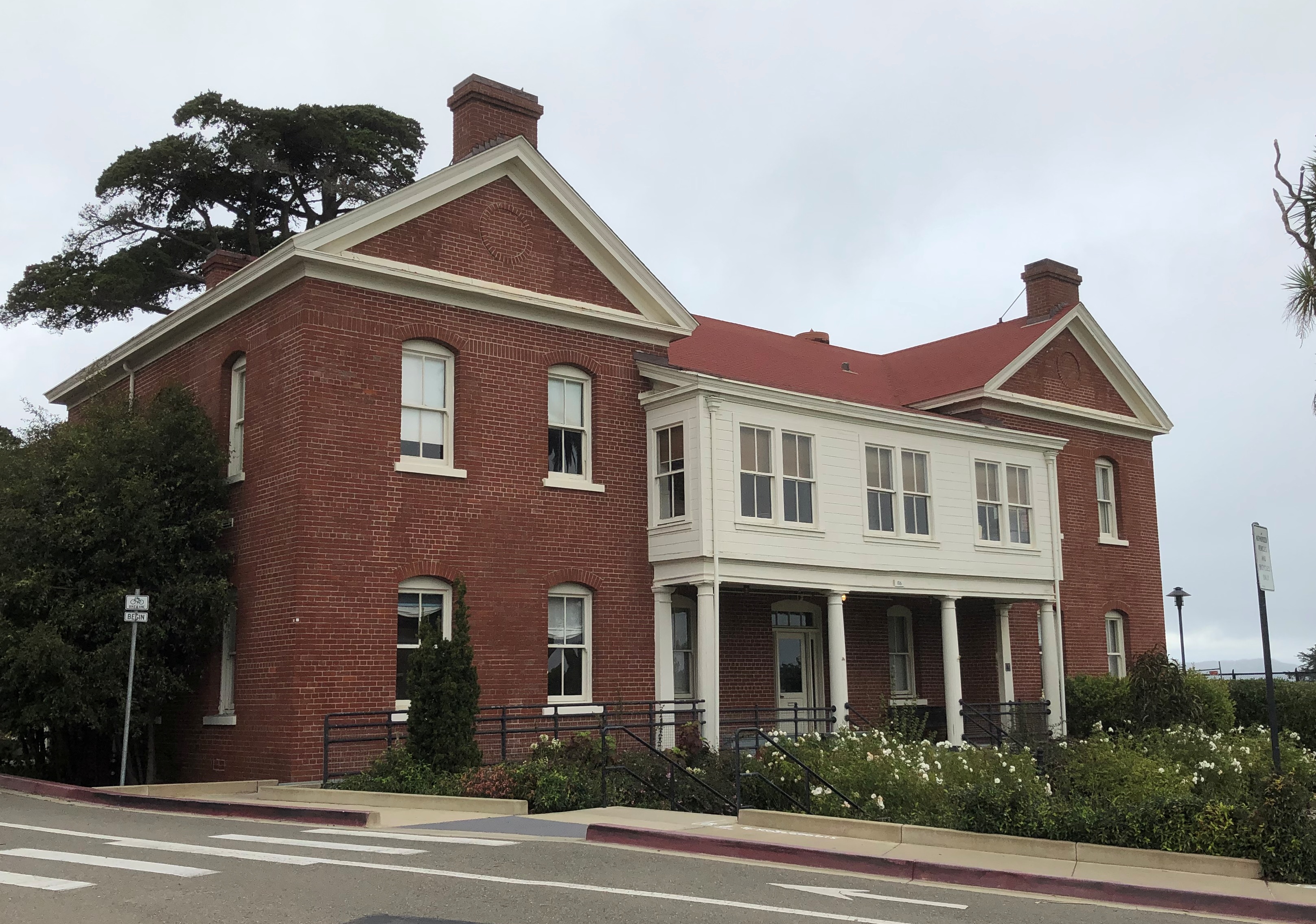
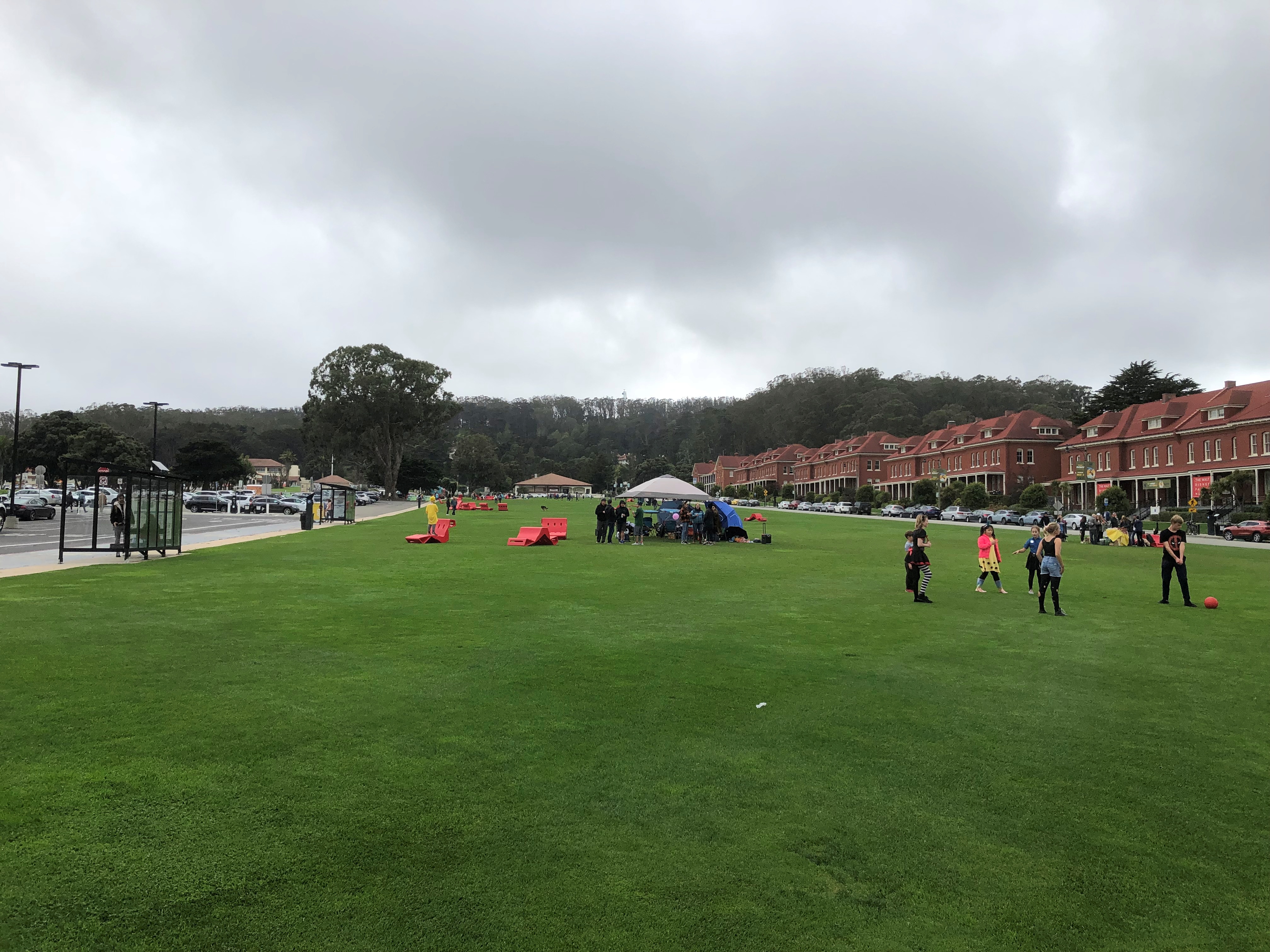
Too much to see, even in a series of days. Still, I saw a fine slice. I spent most of the afternoon of October 30 at the Presidio, taking a look at some of the large stock of former military properties.The Presidio of San Francisco The Presidio of San Francisco The Presidio of San Francisco

A former band barracks.
The Presidio of San Francisco

I didn’t know that band members ever had their own barracks, but apparently they did at the Presidio. The building could accommodate 37 musical soldiers.

“The Presidio of San Francisco represents one of the finest collections of military architecture in the country and reflects over 200 years of development under three different nations,” says the NPS.

“Today, the Presidio boasts more than 790 buildings, of which 473 are historic and contribute to the Presidio’s status as a National Historic Landmark District. The building types range from elegant officers’ quarters and barracks to large, industrial warehouses, administrative headquarters, air hangars, major medical facilities, and stables.”

Who says the military isn’t concerned with aesthetics in its buildings? Was concerned, anyway.

The Main Parade Ground.
The Presidio of San Francisco

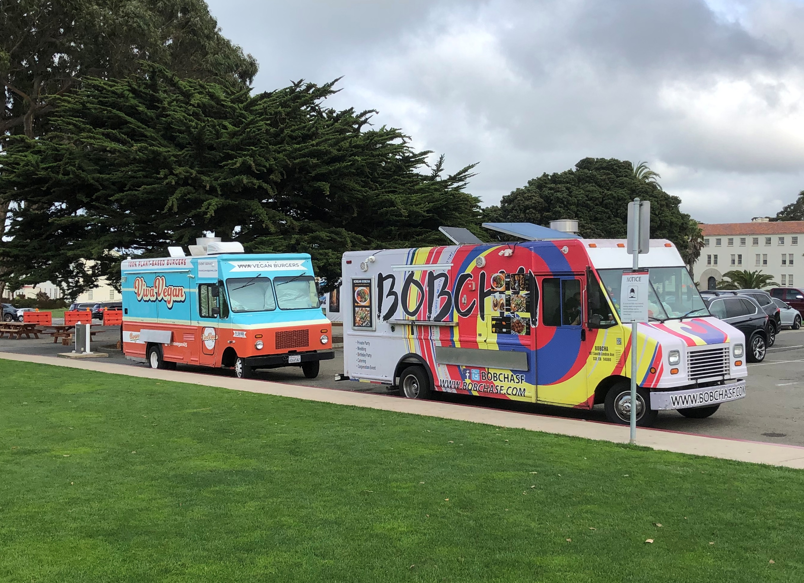
Food was available.
The Presidio of San Francisco

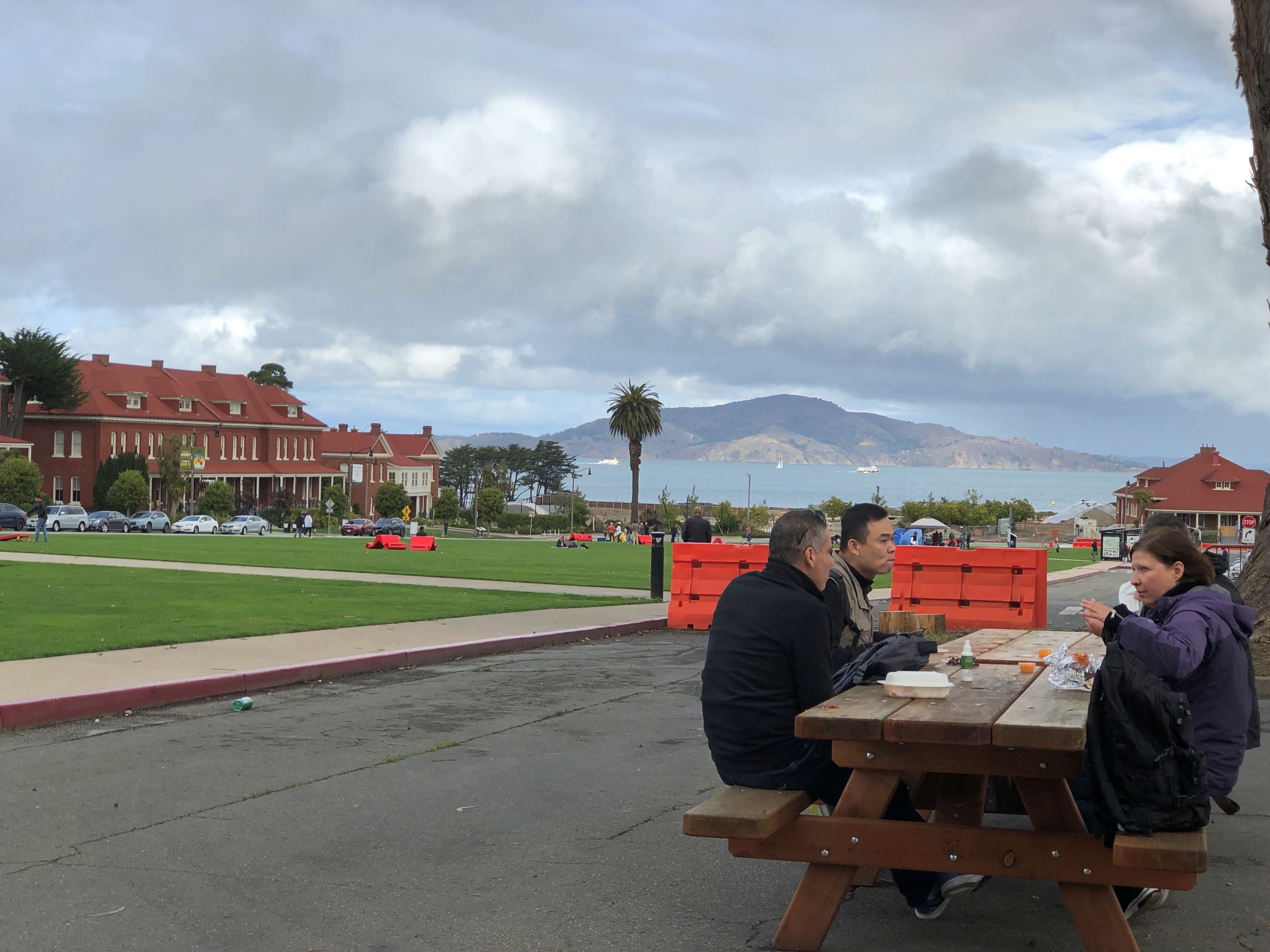
I had some excellent Korean food from the Bobcha food truck. It seemed like a better bet than Viva Vegan, at least to my tastes. Had a nice view while eating, too. I was at the next table down.The Presidio of San Francisco

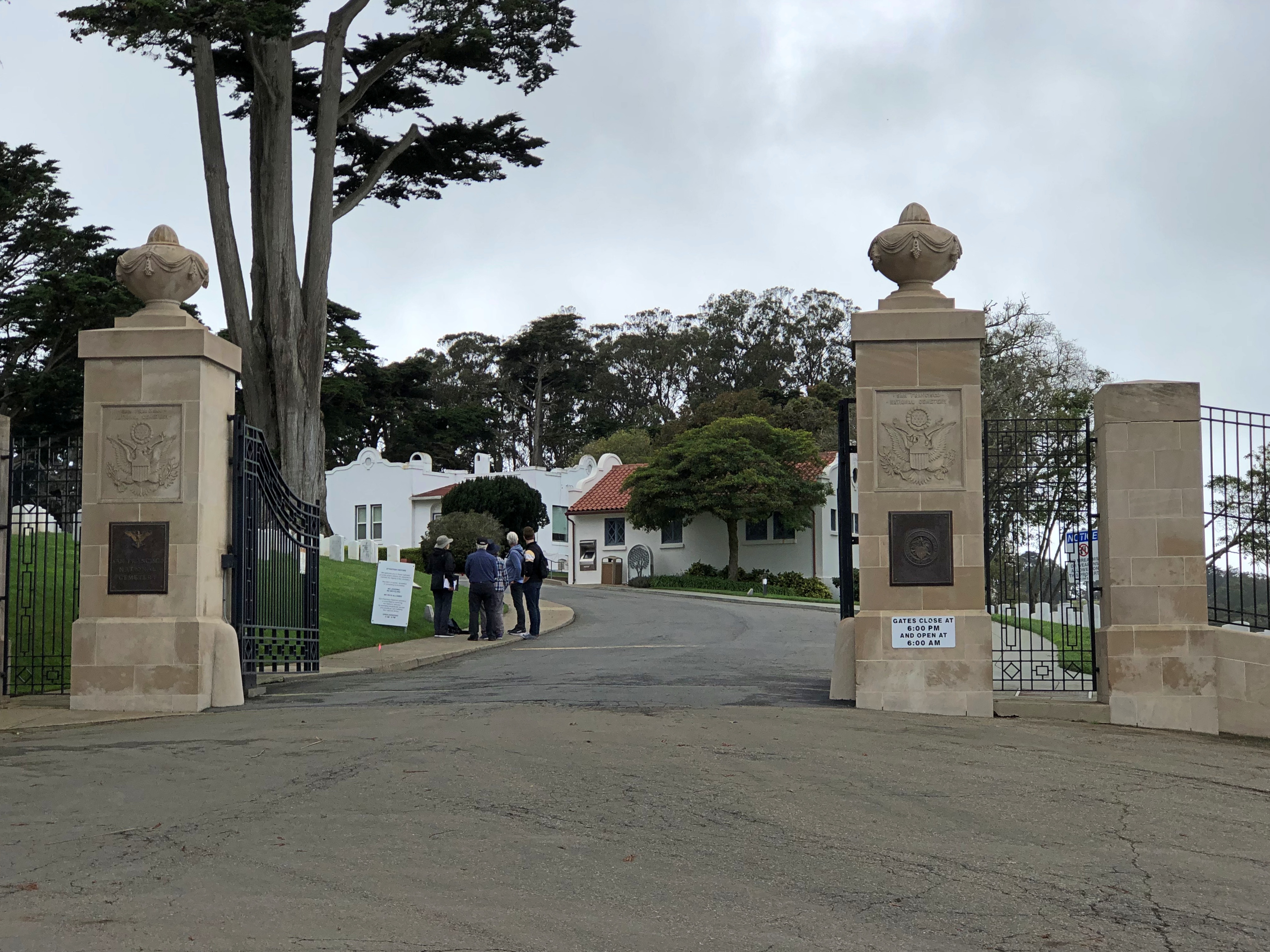
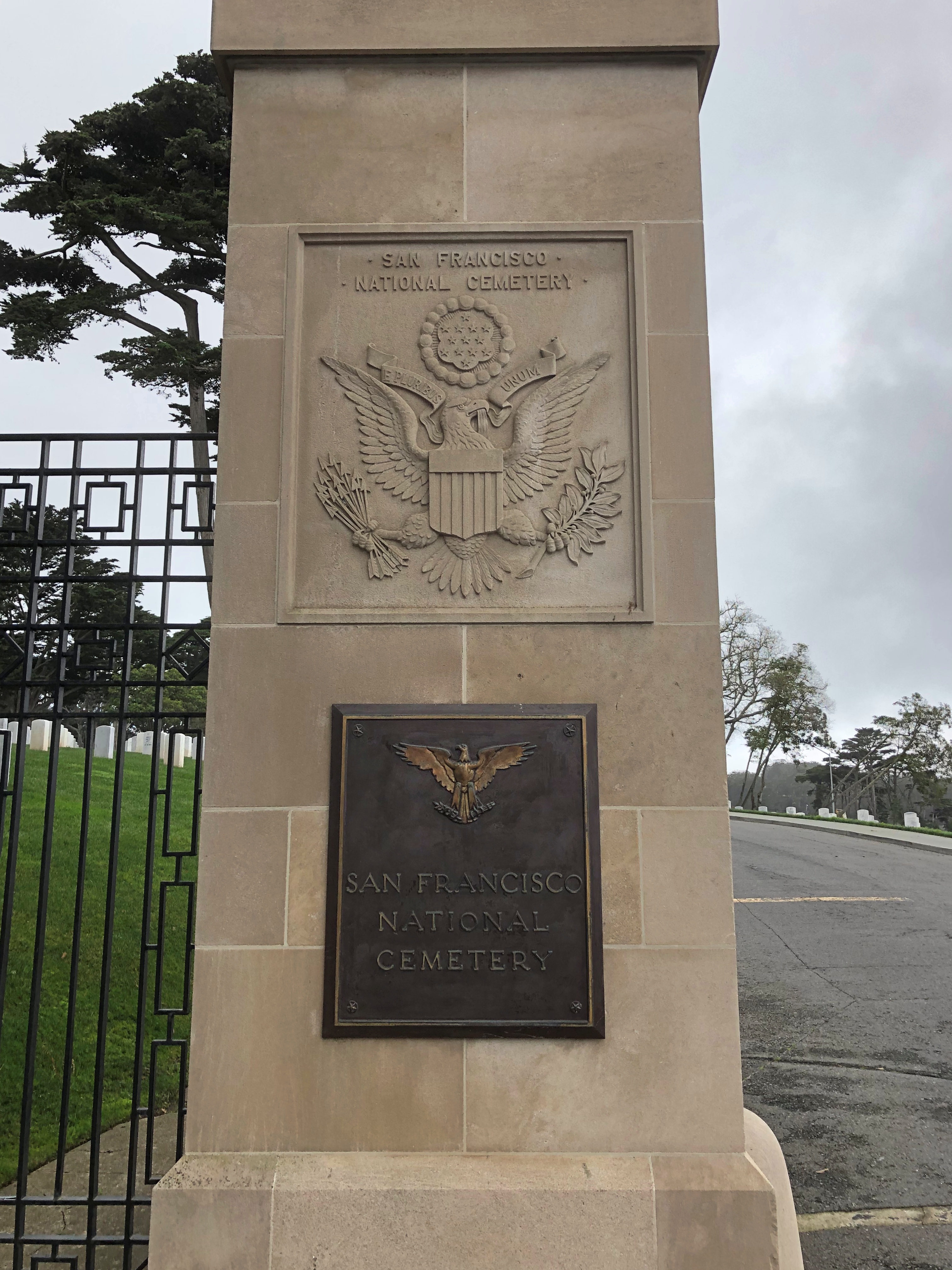
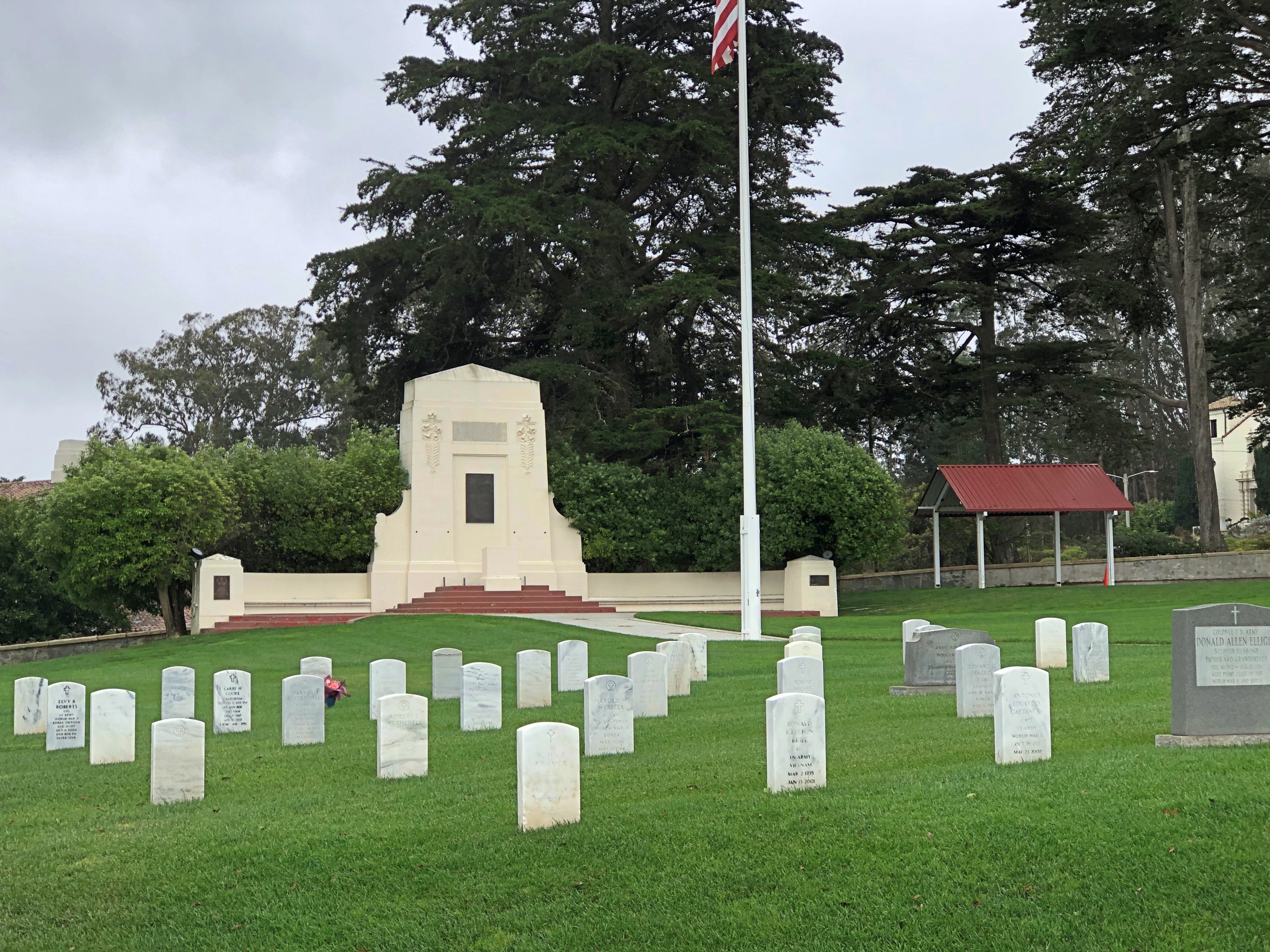
Not far from the parade ground is San Francisco National Cemetery.San Francisco National Cemetery San Francisco National Cemetery

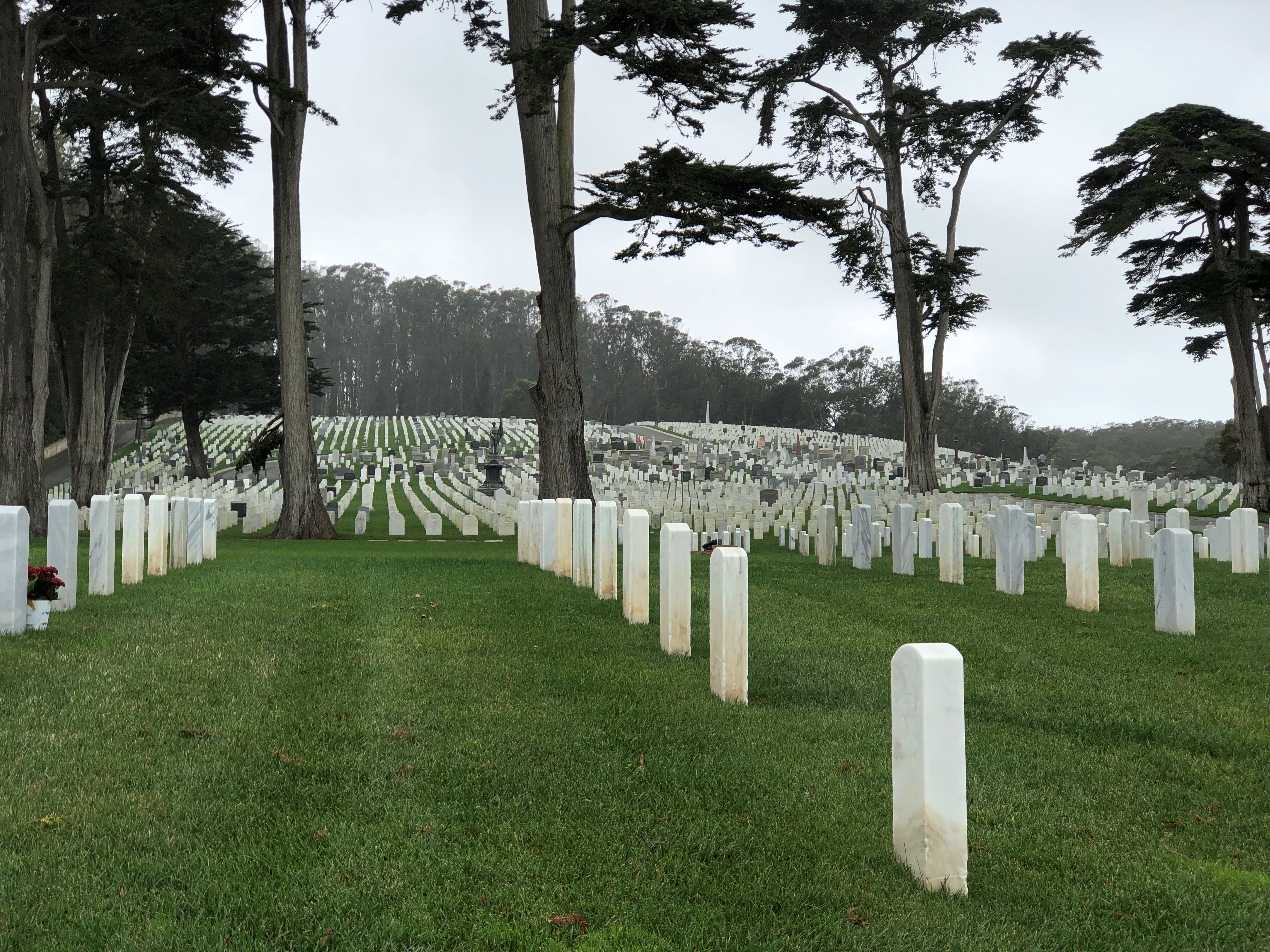
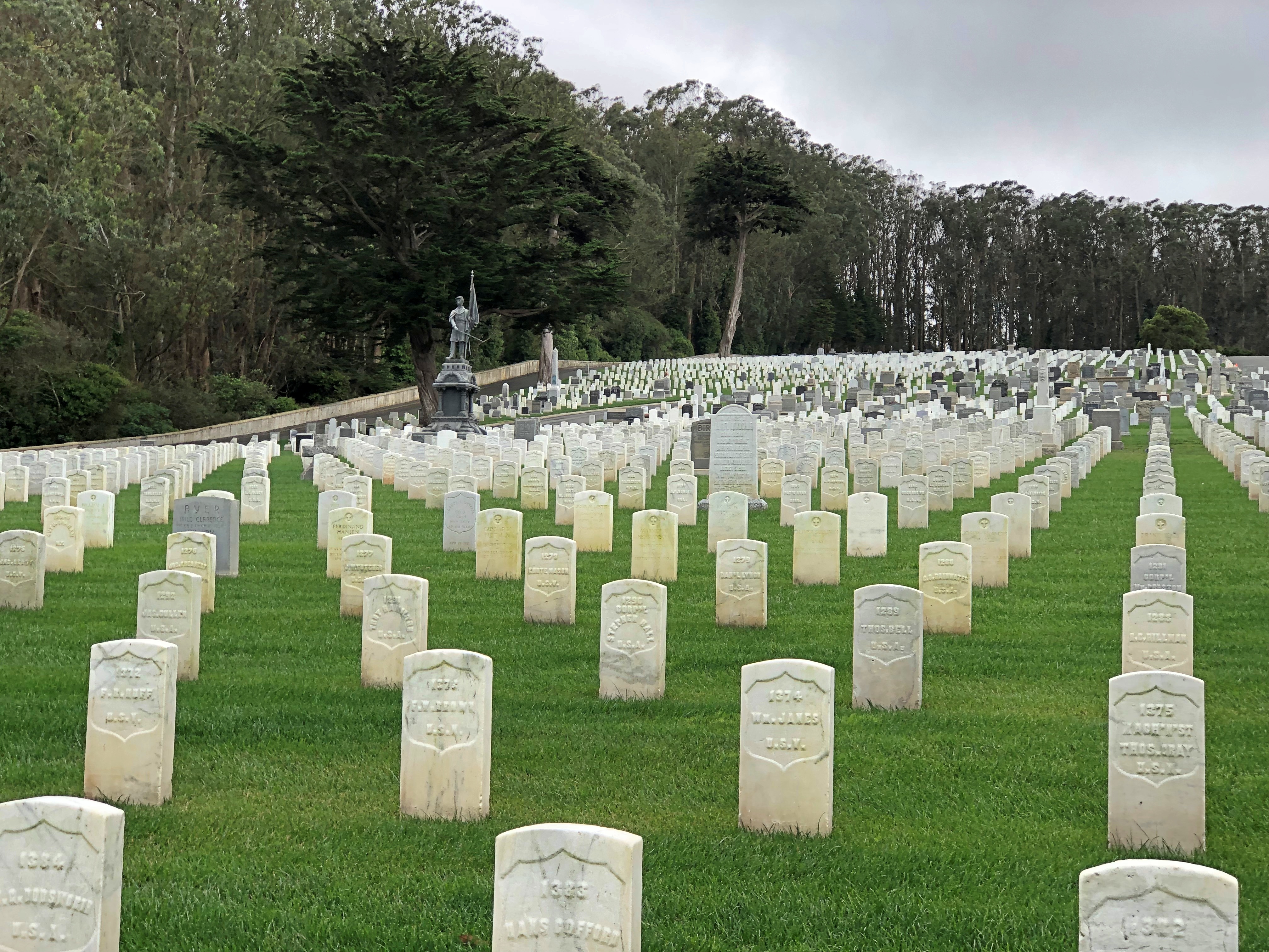
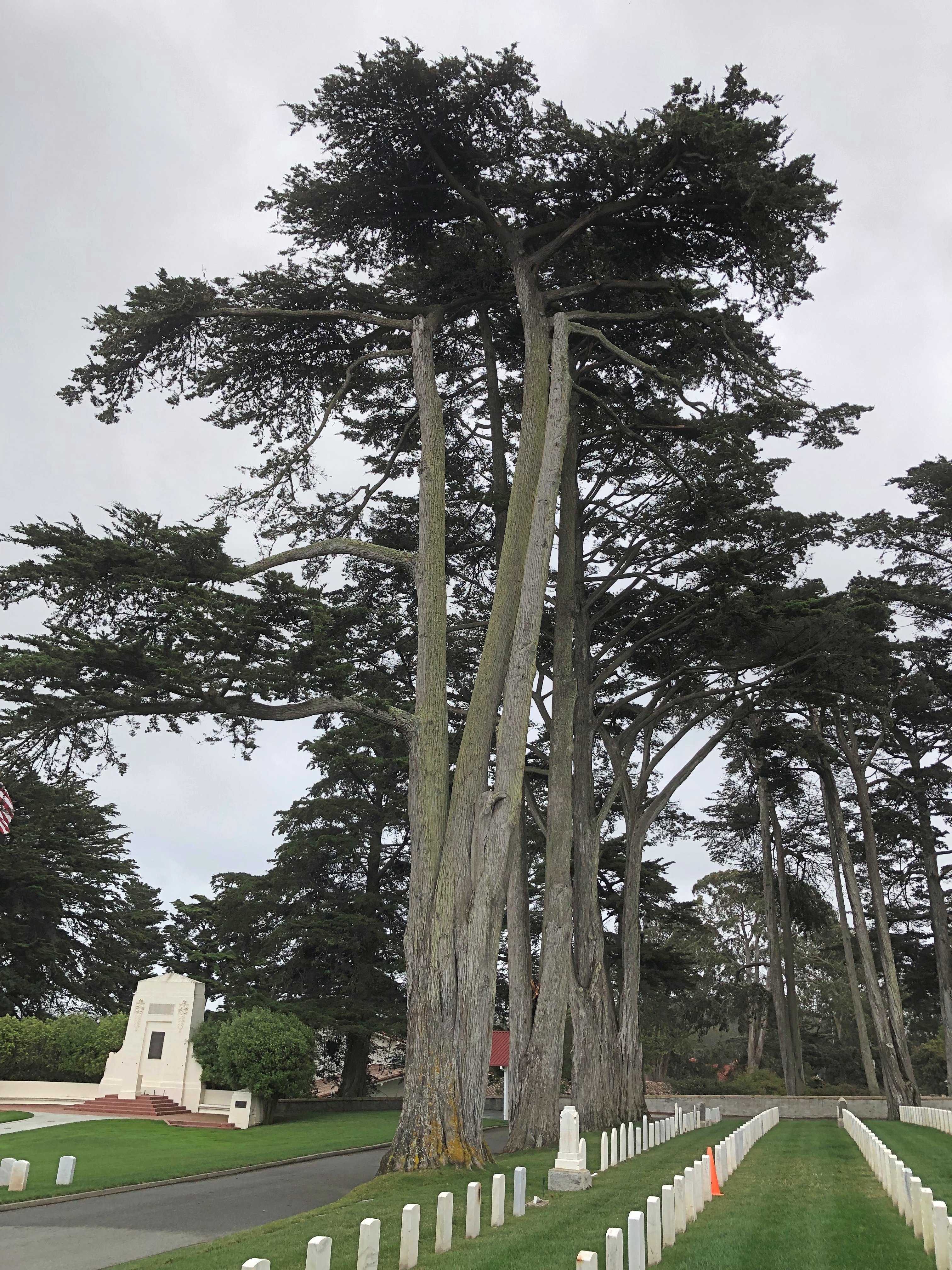
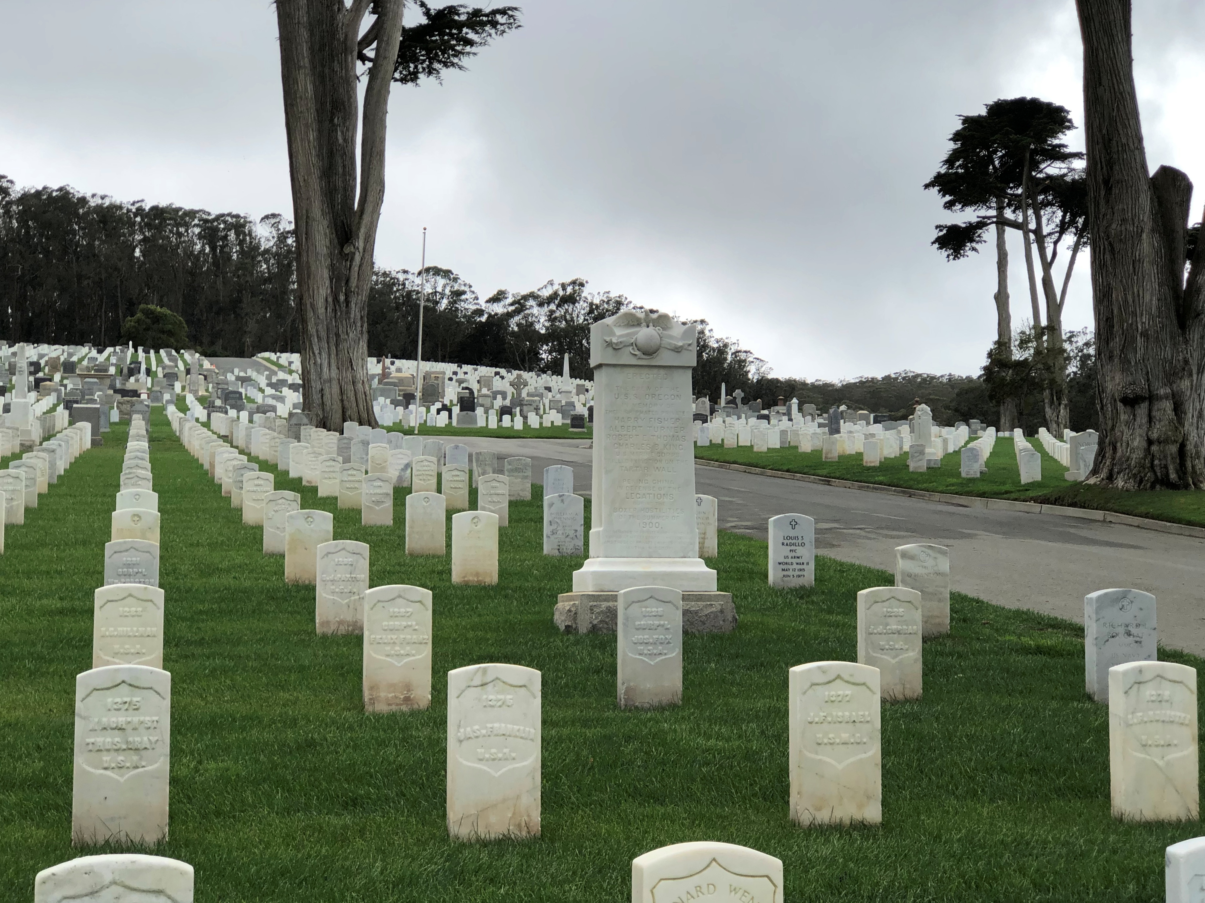
A picturesque hillside cemetery with towering trees.San Francisco National Cemetery San Francisco National Cemetery San Francisco National Cemetery

At about 28 acres, there are more than 30,000 service members interred there. It was the first national cemetery on the West Coast.San Francisco National Cemetery San Francisco National Cemetery

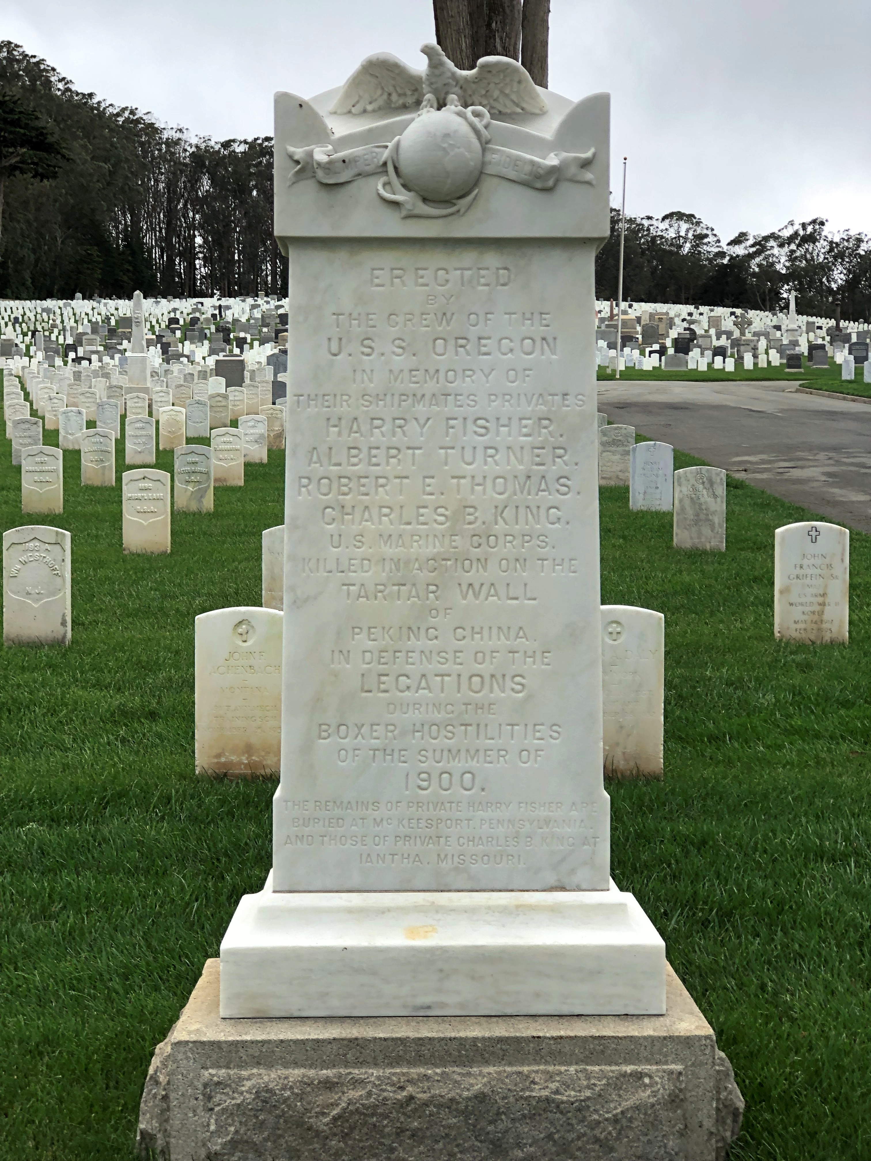
A memorial to an incident that doesn’t have that many memorials: the Boxer Rebellion.
San Francisco National Cemetery

In this case, memorializing four marines from the USS Oregon who died on the Tartar Wall defending the Legations in the summer of 1900.

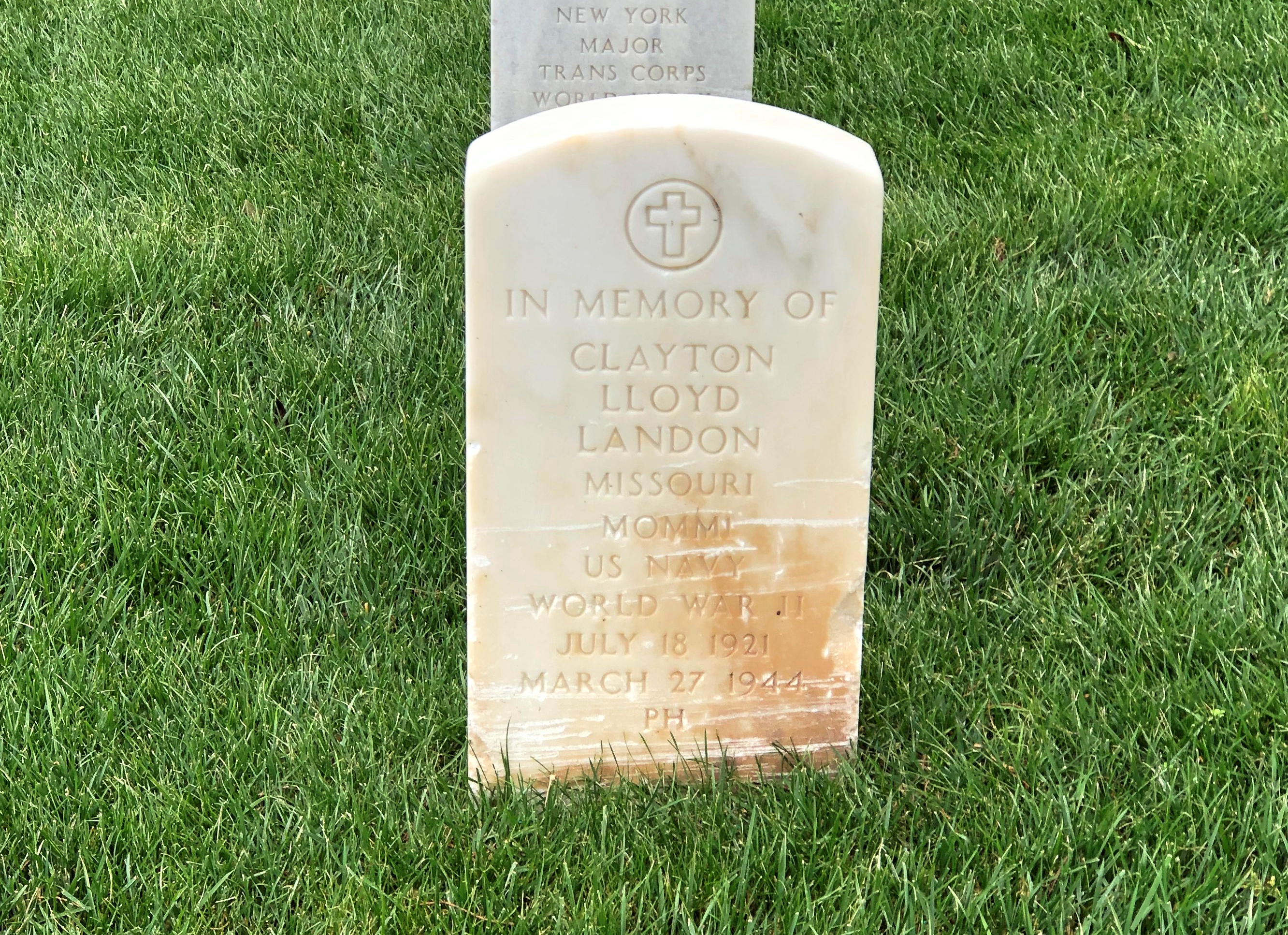
As I sometimes do, I picked out an ordinary soldier to look up later.
San Francisco National Cemetery

Motor Machinist Mate First Class (MOMMI) Clayton Lloyd Landon of St. Louis, a submariner who went down with the USS Tullibee in 1944. It seems that the vessel was a victim of one of its own torpedoes, as happened sometimes.

Gunner’s Mate C.W. Kuykendall, on watch up top at the time, was the only survivor of the Tullibee sinking, having been knocked into the water by the explosion and later picked up by a Japanese ship, to spend the rest of the war as a POW. Remarkably, he tells his story in a recent video.

“I just feel like I’m lucky.” Well put.

The Misty Golden Gate & Crissy Field

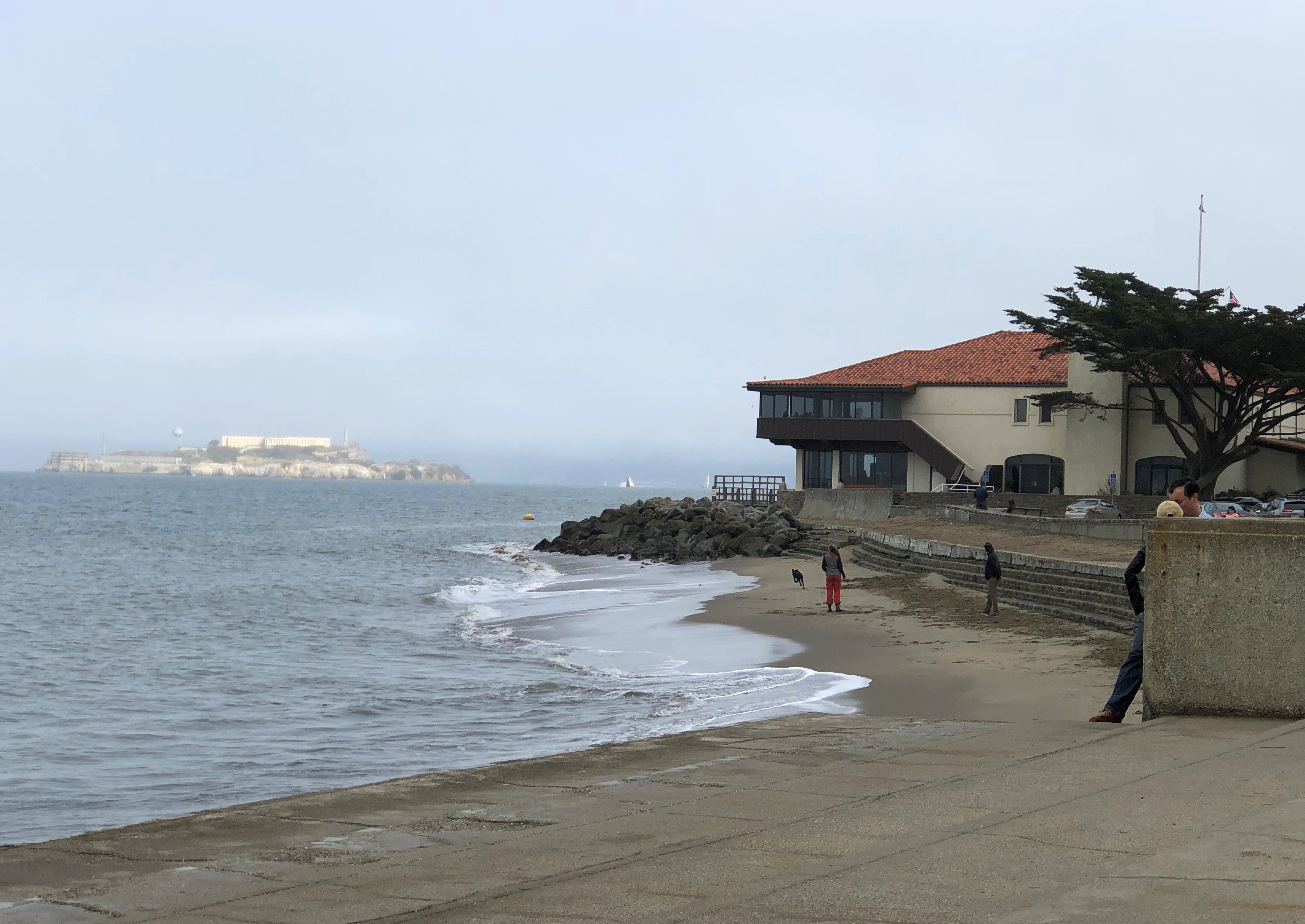
After leaving the Palace of Fine Arts, I made my way to the shore of San Francisco Bay. It isn’t very far.San Francisco Bay 2021

It was a foggy moment, though most of it burned off as the afternoon progressed. In the foreground, the St. Francis Yacht Club. Off in the distance, Alcatraz.San Francisco Bay 2021
If I’d had another day, I might have taken a tour of Alcatraz, if tours are running again. We took a boat around the Bay in ’73, a splendid excursion I remember even now, which went past the island, and under both the Golden Gate and the San Francisco-Oakland Bay bridges. No tours went to Alcatraz at that time, in the aftermath of the AIM occupation, and I didn’t bother in 1990.

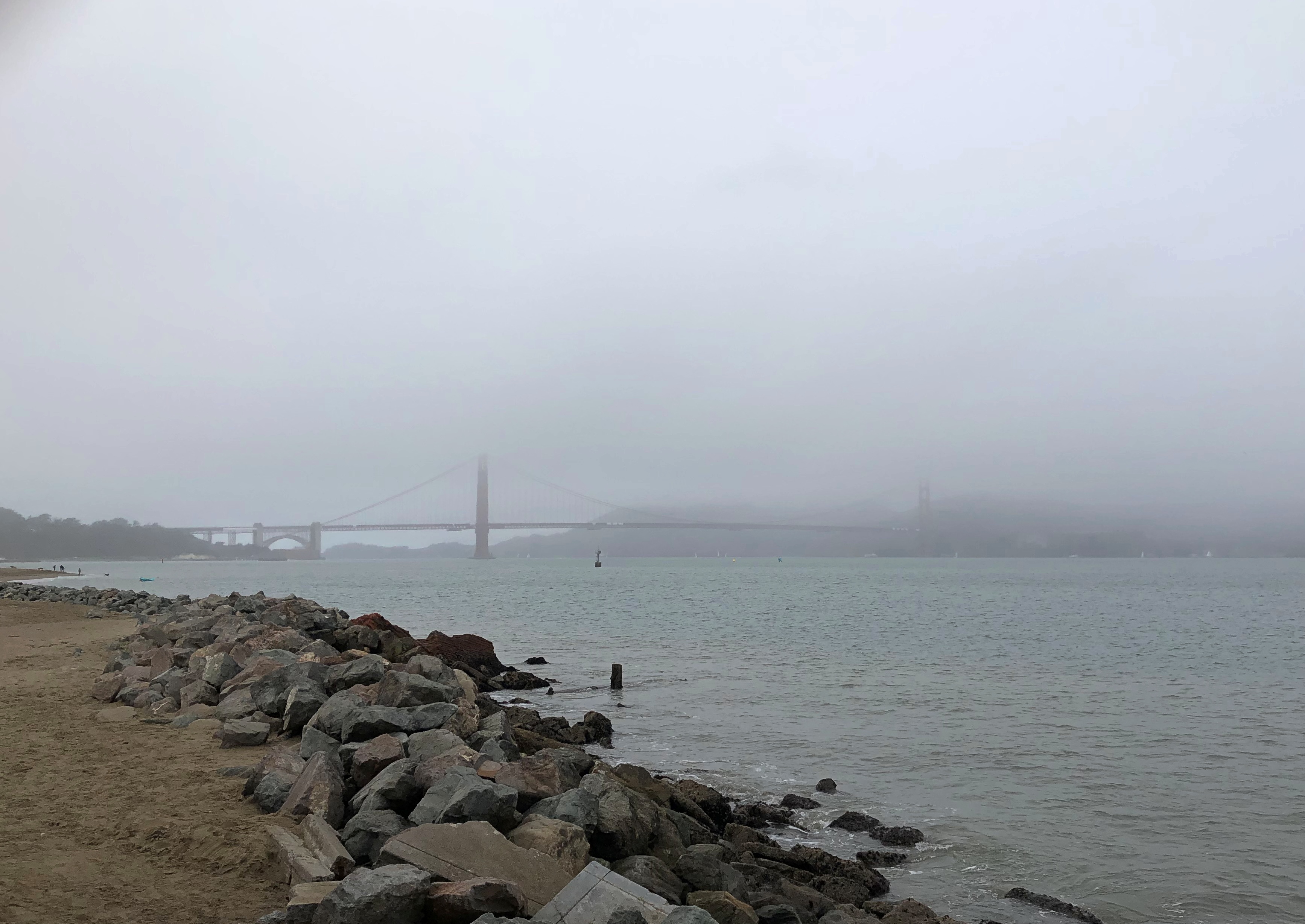
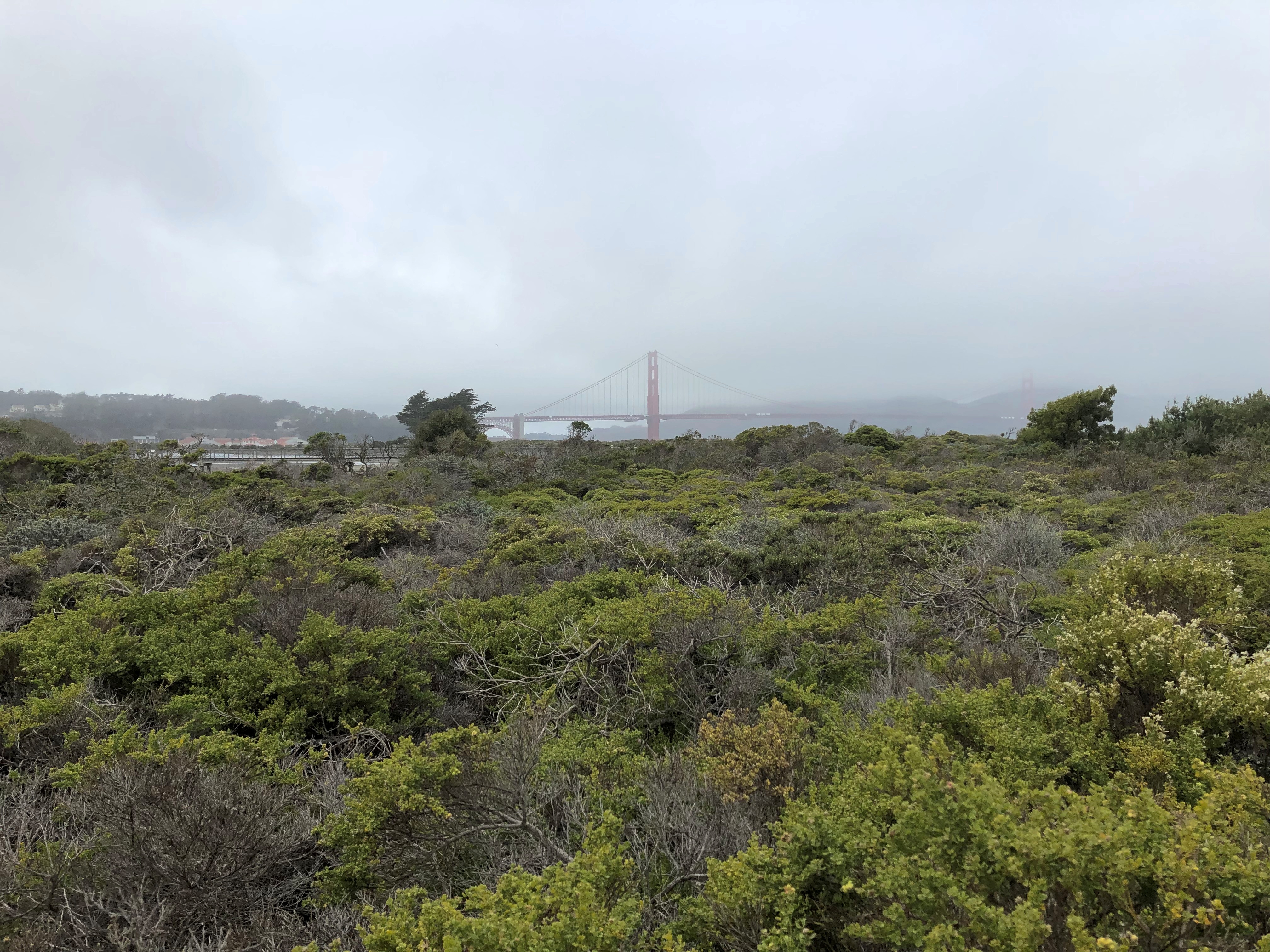
In the other direction, the Golden Gate itself, looking a mite foggy.San Francisco Bay 2021

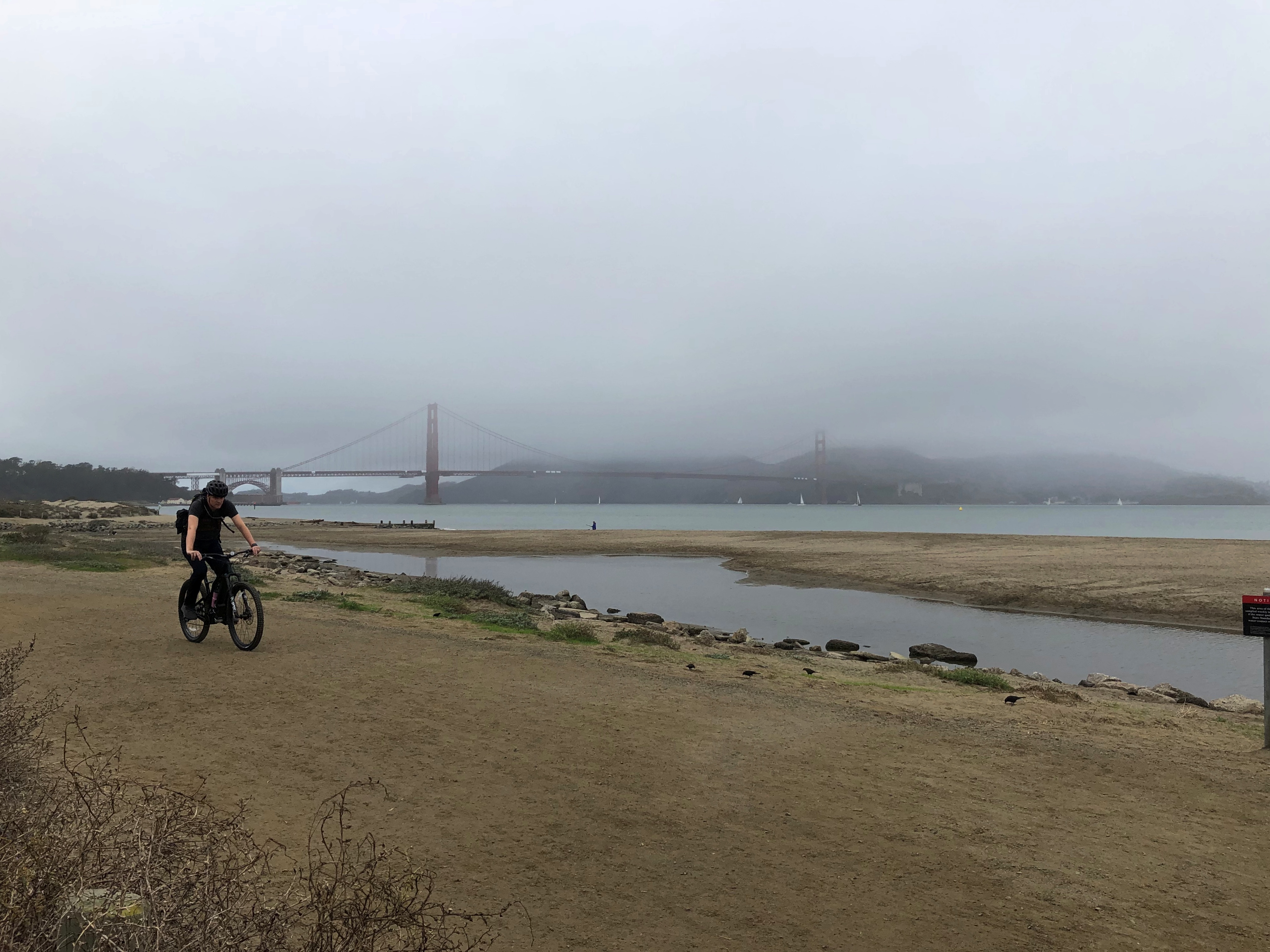
I walked along the Crissy Field beaches and marsh.Crissy Field Crissy Field

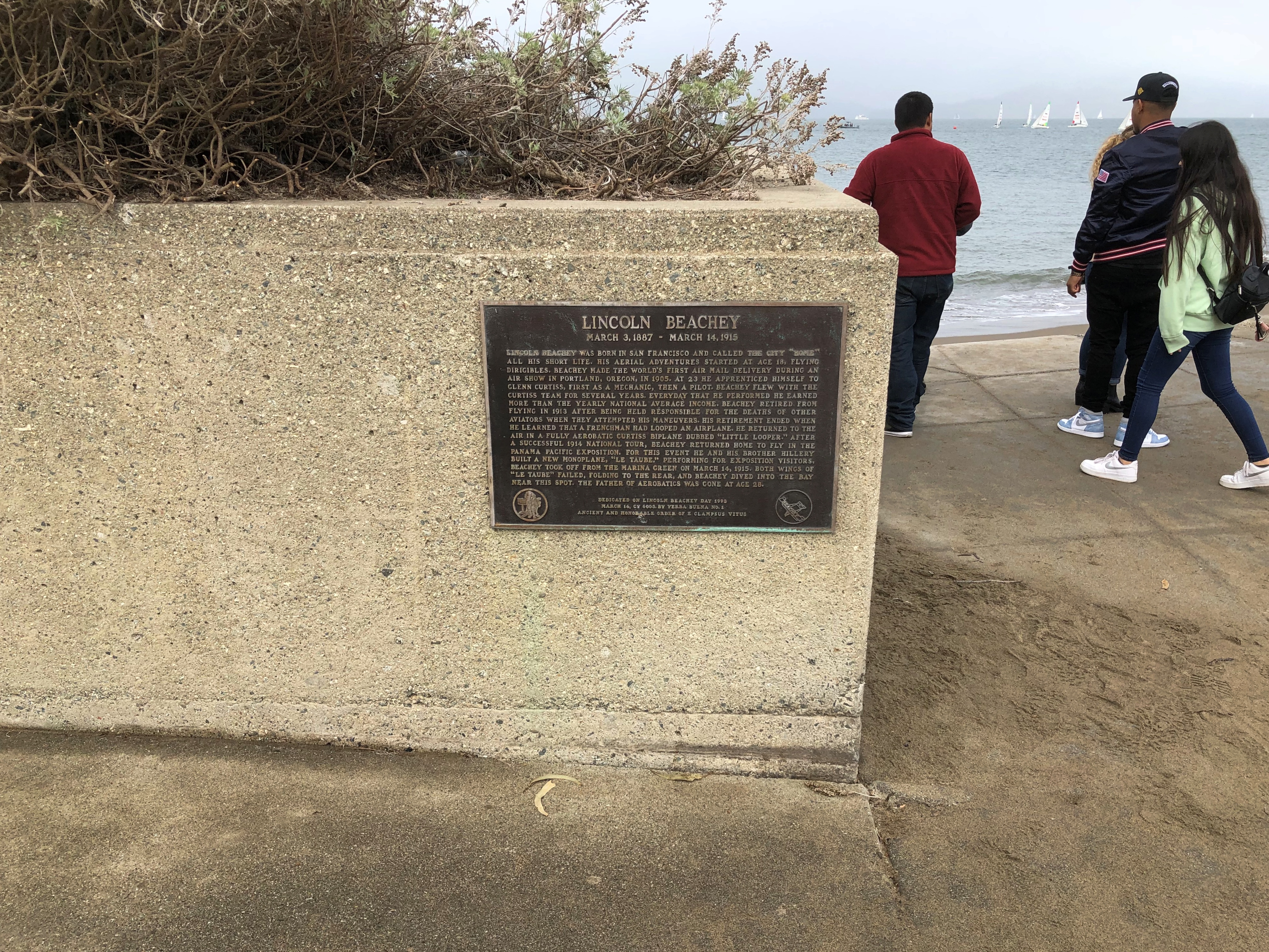
It’s hard to imagine now, but Crissy Field is an important place in the history of aviation. There are a few visible reminders, such as this plaque.Lincoln Beachey plaque, San Francisco

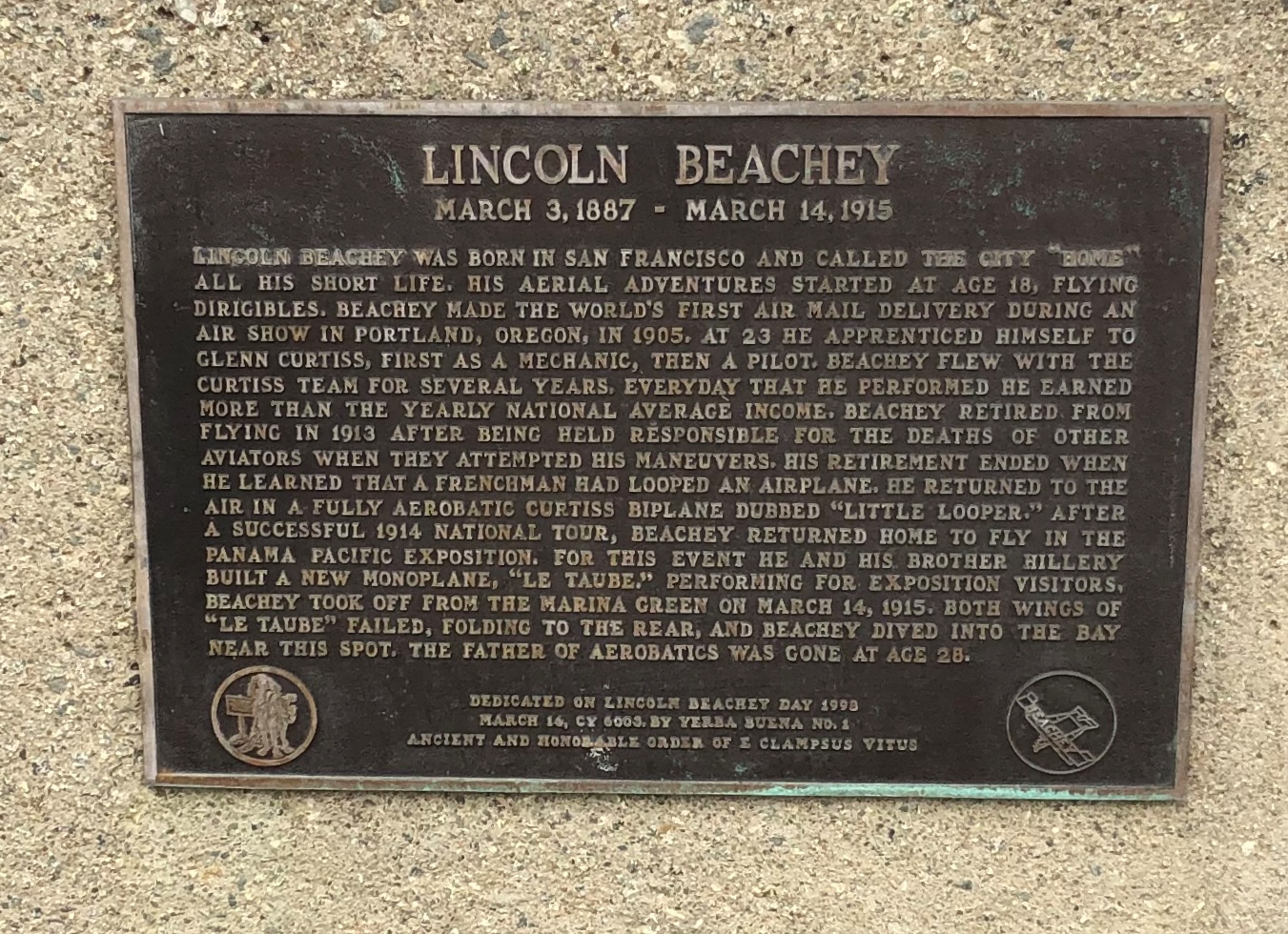
Up closer.Lincoln Beachey plaque, San Francisco

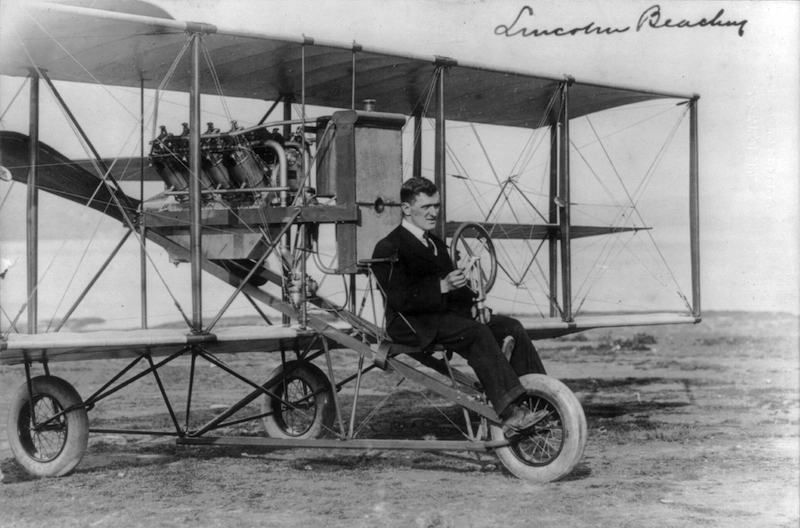
I didn’t know about Lincoln Beachey, but I do now. A flying daredevil among daredevils. He had his moment of fame until he came crashing down, quite literally, during the Panama-Pacific International Exposition.

An oddity: the last lines of the plaque.

Dedicated on Lincoln Beachey Day 1998
March 16, CY 6003, by Yerba Buena No. 1
Ancient and Honorable Order of E Clampsus Vitus

That is a fraternal order I was unaware of. Travel is broadening, isn’t it? All kinds of useless information out there, just waiting for the taking.

The org claims — not too seriously, since its whole point seems to be not too serious — a founding year of 4005 BC, meaning 1998 would be 6,003 years since then. CY = Clampus Year?

Apparently Clampers are fond of installing plaques, something we can all get behind. If Wiki is to be believed, 1930s members of the order also were possibly — probably? — behind the forgery known as Drake’s Plate of Brass.  I think I read about the plate in one of those pre-Internet, true-life mystery-and-enigma books we had around the house when I was a lad, along with the likes of the Oak Island mystery, and hadn’t thought about it since.

The Palace of Fine Arts

Back in March 1990, I spent a few days in San Francisco before flying to Japan for the first time. On one of those days, which was warm and clear, I took a bus across the Golden Gate Bridge in the direction of Sausalito. I got off at some point and walked back across the bridge.

That’s a recipe for a peak experience, and sure enough, it was. A land-water view with few equals that I know. Then I pressed on, along the water’s edge, and walked back to Fisherman’s Wharf. For some distance, a narrow waterside trail was all that was open. Though the Presidio was on its way out as a military installation, at the time it was still under the jurisdiction of the Army and closed to casual walkers.

Eventually I passed through San Francisco’s Marina District. A lot of buildings were boarded up in that neighborhood, with visible damage from the earthquake the previous year.

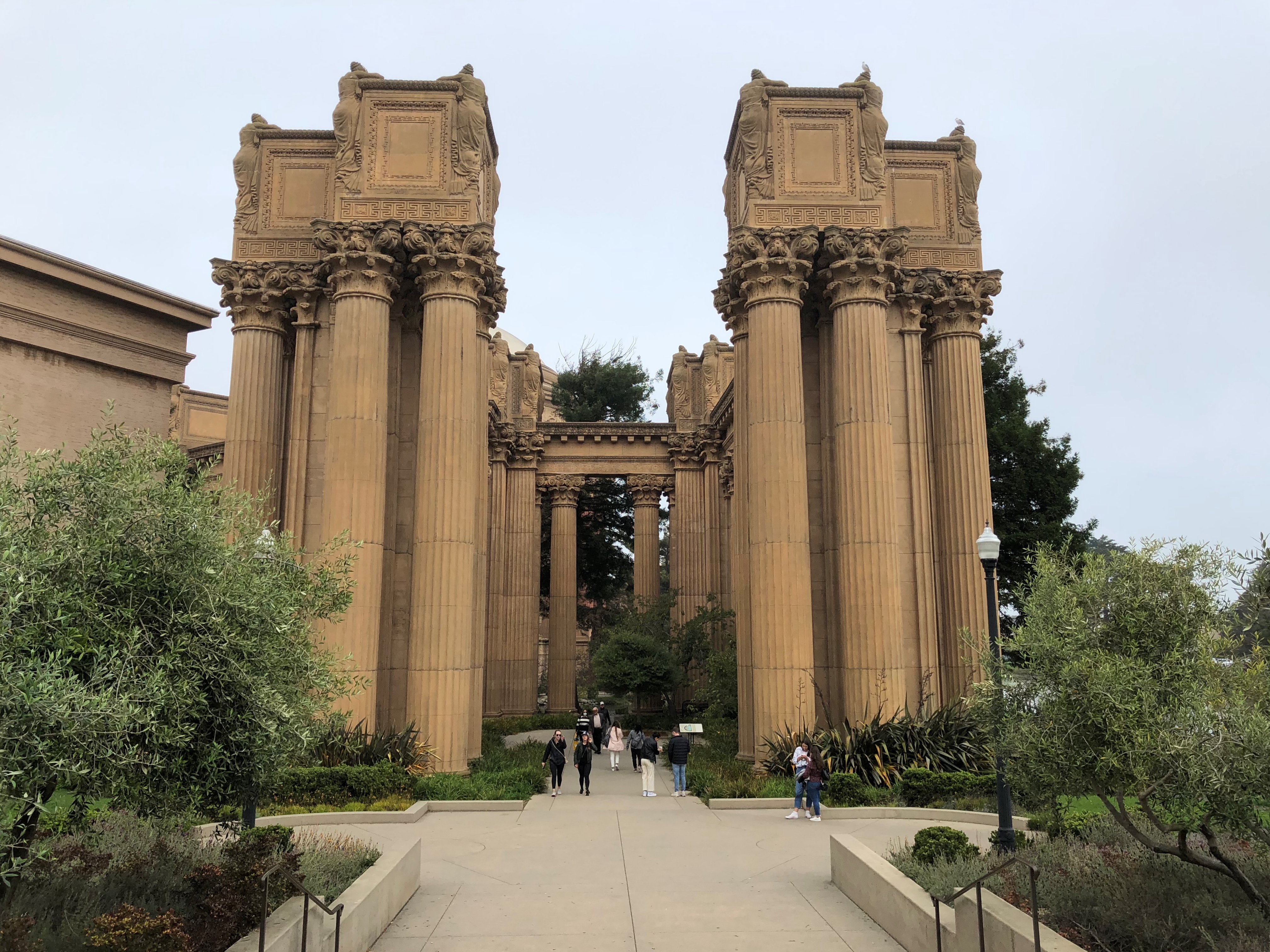
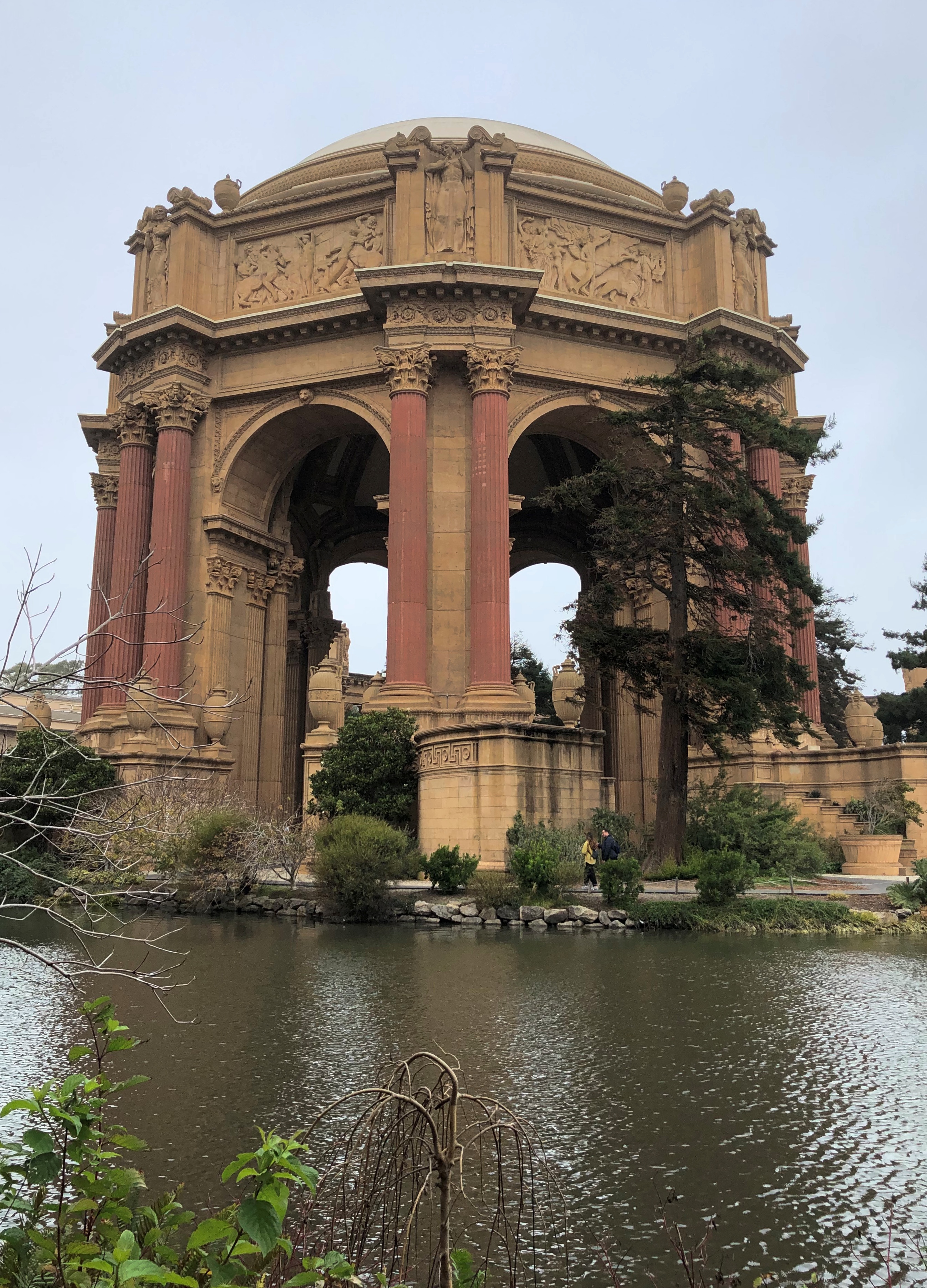
Back to 2021. When I arrived at the Palace of Fine Arts in the Marina District on October 30, I asked myself: how did I miss spotting it on my walk all those years ago? The Palace isn’t that far from where I walked, but I’m sure I didn’t see it. I would have remembered. Maybe I was too occupied with looking out at the water.

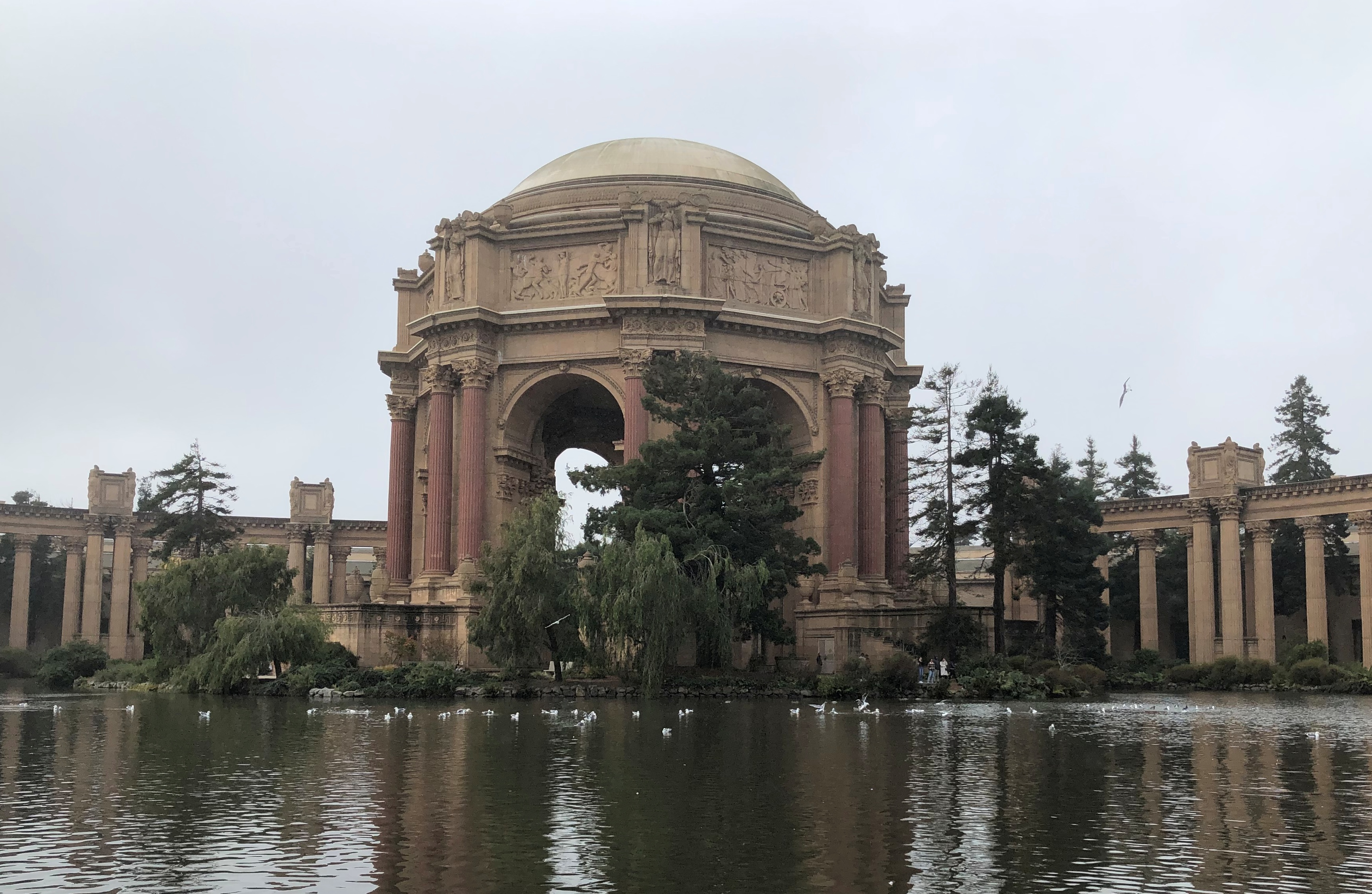
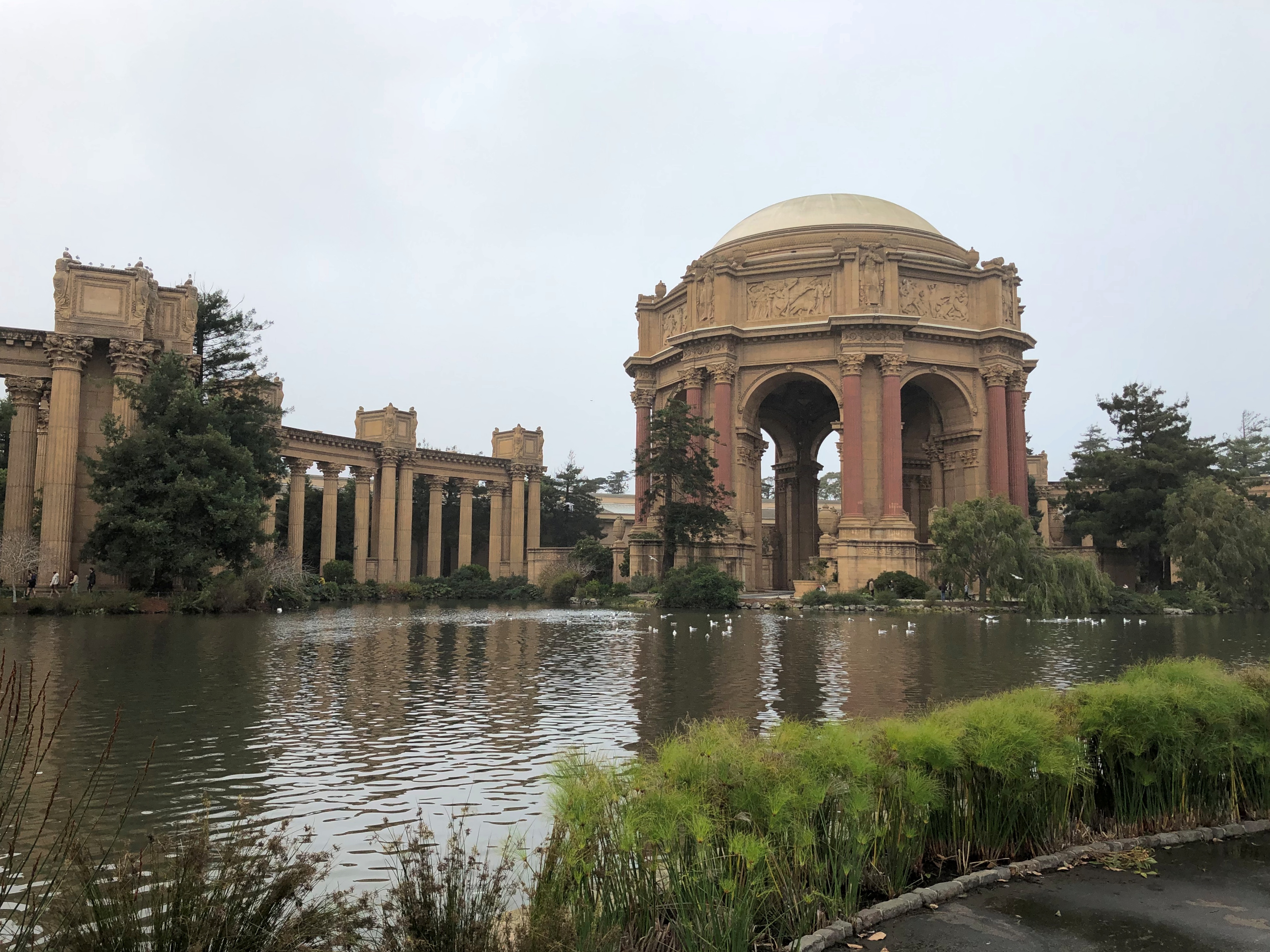
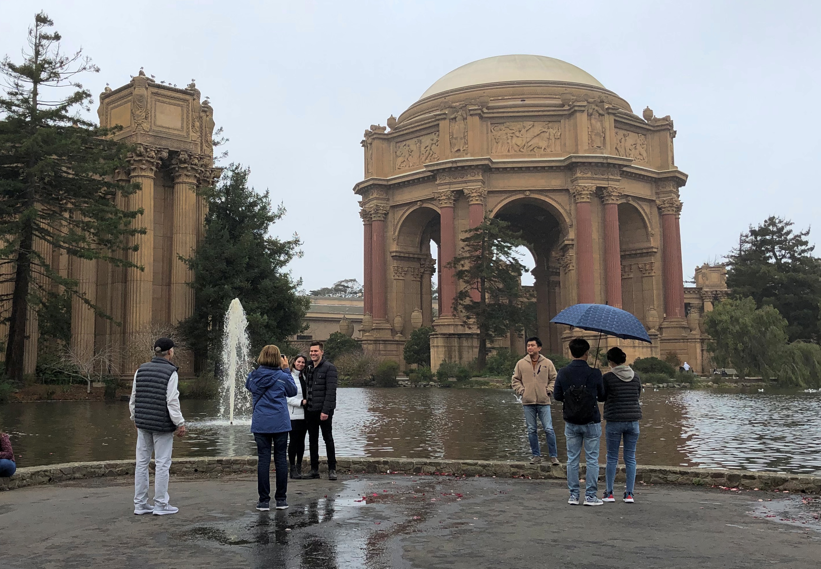
Well, never mind. Under gray and drizzly skies, I saw it this time.The Palace of Fine Arts
The Palace of Fine Arts

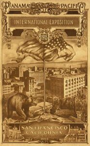
Chicago had its World’s Columbian Exposition. Somewhat later (1915) San Francisco held the Panama-Pacific Exposition, and the Palace is (in effect) a surviving structure from that world’s fair, a design by California architect Bernand Maybeck.

“The vast fair, which covered over 600 acres and stretched along two and a half miles of water front property, highlighted San Francisco’s grandeur and celebrated a great American achievement: the successful completion of the Panama Canal,” notes the NPS.

“Between February and December 1915, over 18 million people visited the fair; strolling down wide boulevards, attending scientific and educational presentations, ‘travelling’ to international pavilions and enjoying thrilling displays of sports, racing, music and art.”The Palace of Fine Arts The Palace of Fine Arts The Palace of Fine Arts

It’s a survivor from the fair, but not exactly in its original form, which wasn’t built to last. Like the Parthenon in Nashville, also a relic from a fair, the Palace was completely rebuilt later (in the 1960s and ’70s), and a seismic retrofit was finished in 2009. Hope it stands a lot longer.

The Asian Art Museum, San Francisco

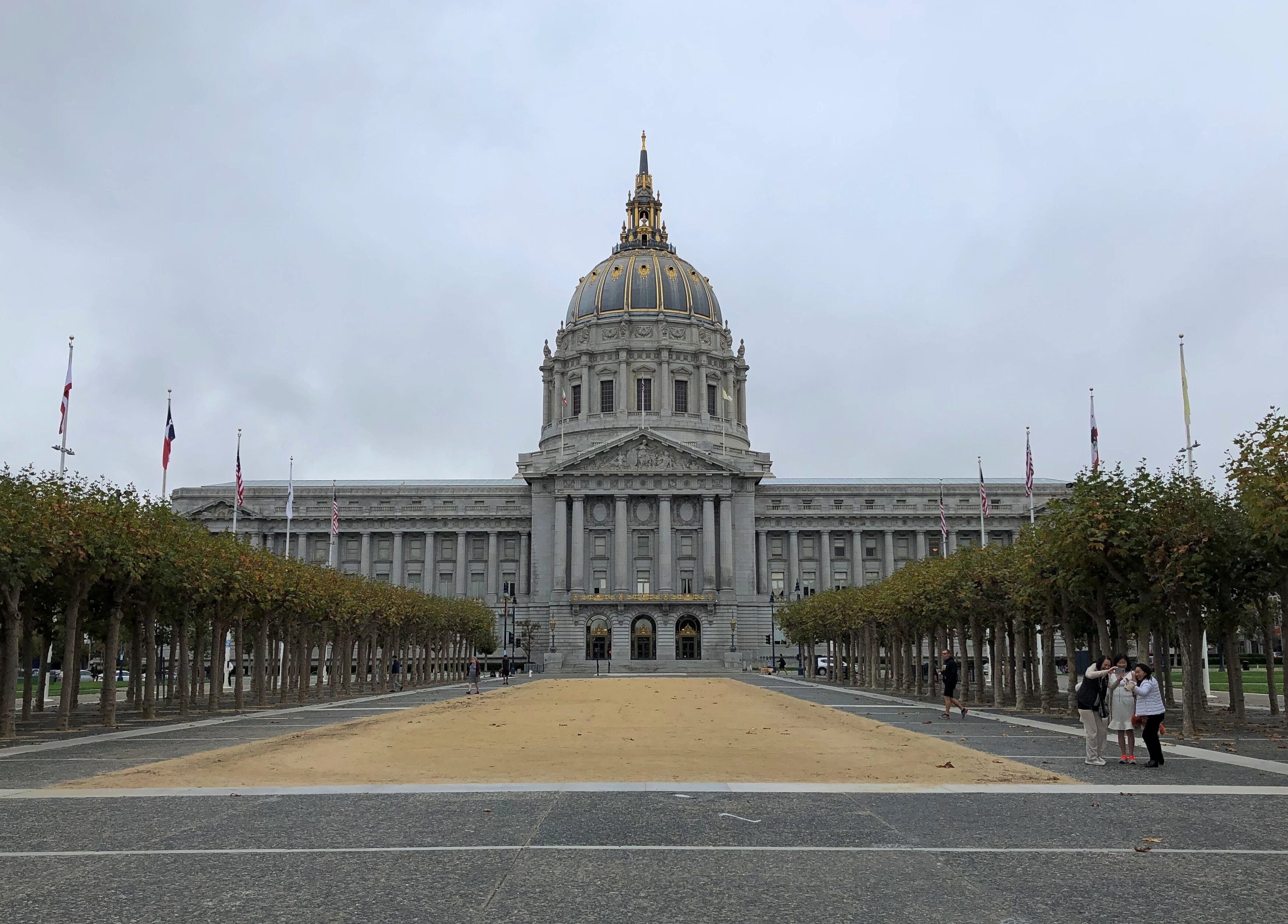
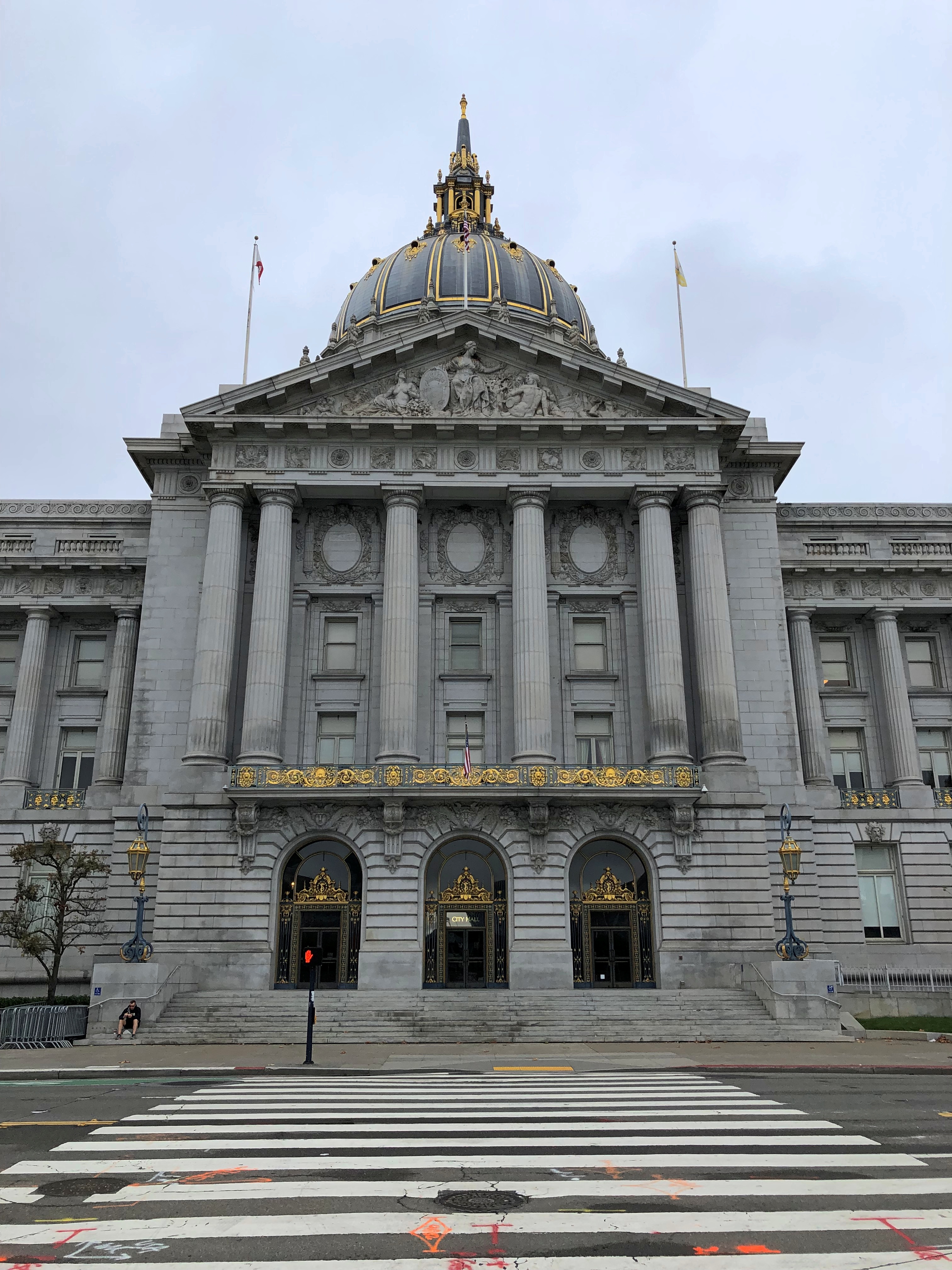
I saw Oakland City Hall during my recent Bay Area visit, so I thought it only reasonable that I see 1915-vintage San Francisco City Hall as well. I already knew it is doozy, designed by Arthur Brown Jr. to replace one damaged in 1906.

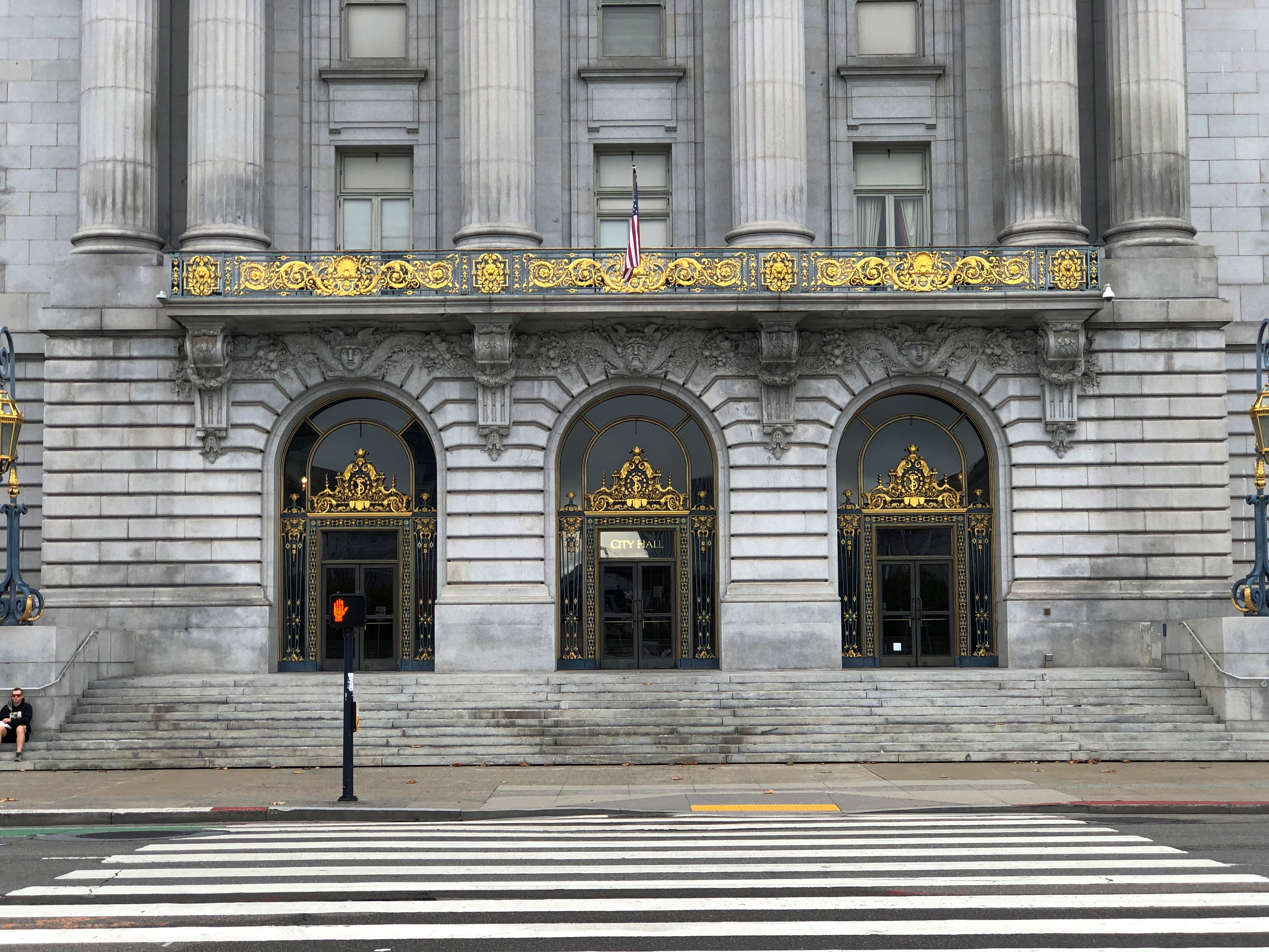
So on the morning of October 30, I made my way to the building, which looks as grand as any U.S. state capitol, and more than some. San Francisco City Hall

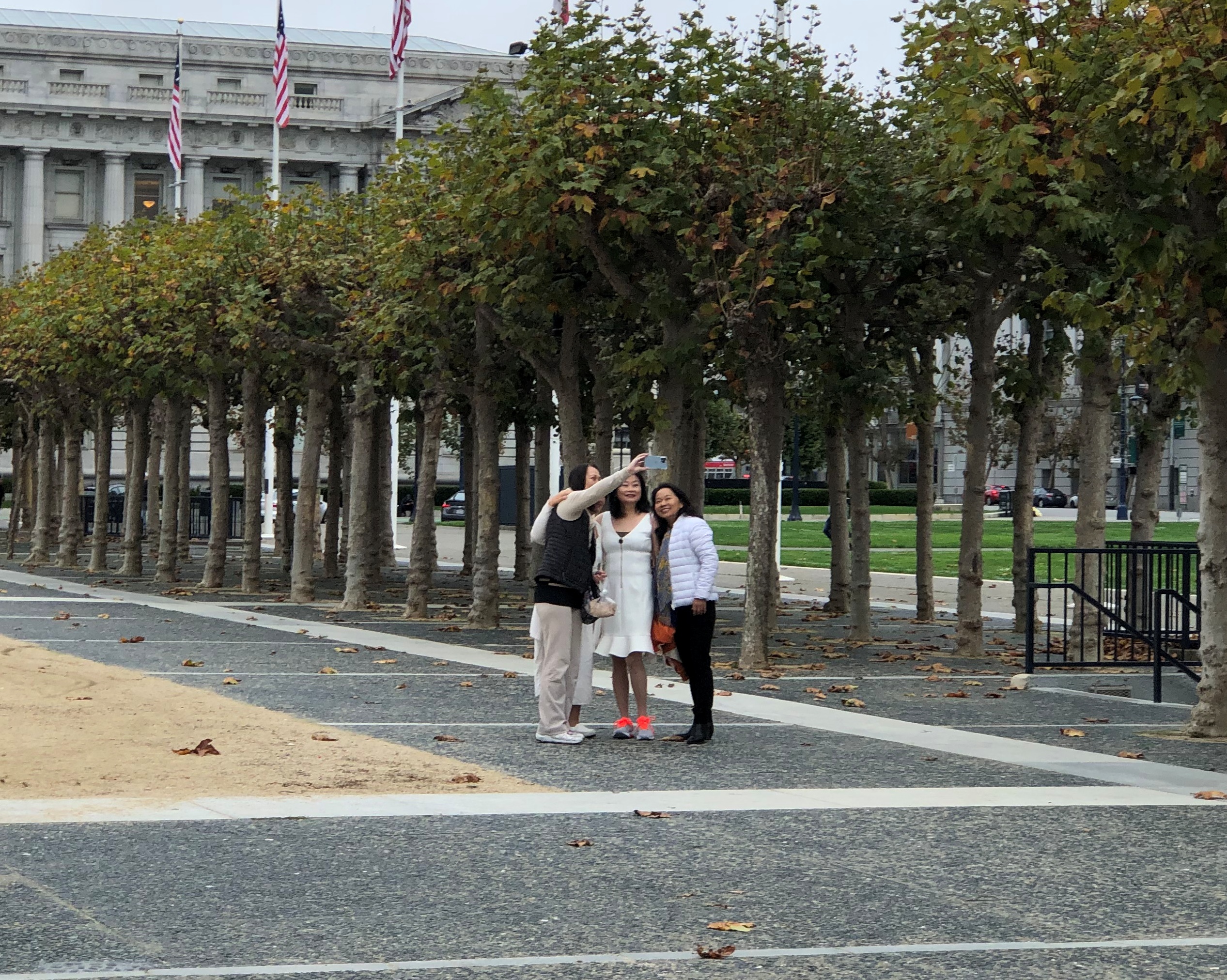
It even inspires selfies.San Francisco City Hall

Unfortunately, it was closed on a Saturday morning. San Francisco City Hall
San Francisco City Hall

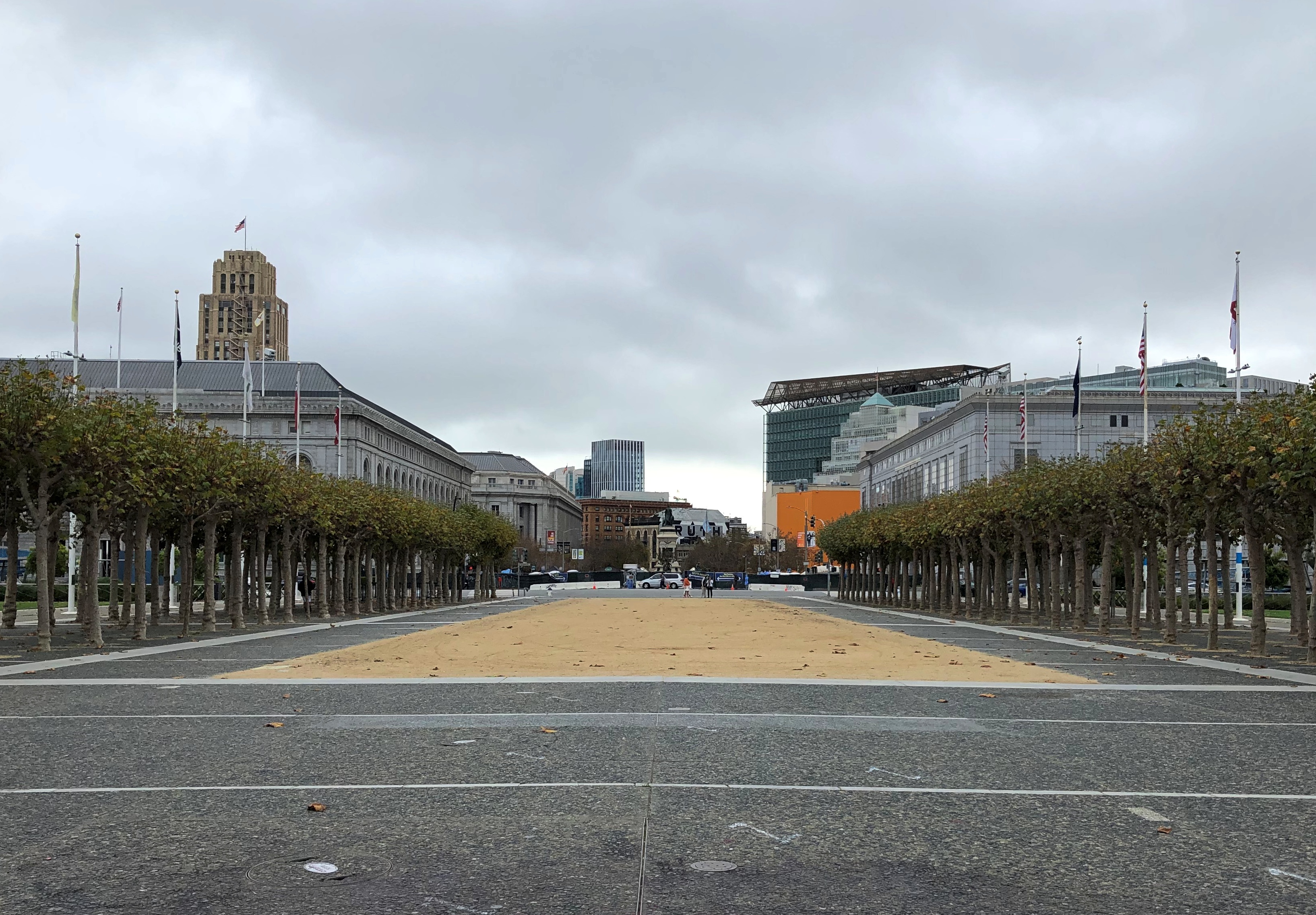
Facing away from City Hall.Civic Center Plaza

According to an old and pitted plaque in the ground, this public space is officially the Joseph L. Alioto Performing Arts Piazza. Wonder if anyone actually calls it that. Google Maps calls it Civic Center Plaza.

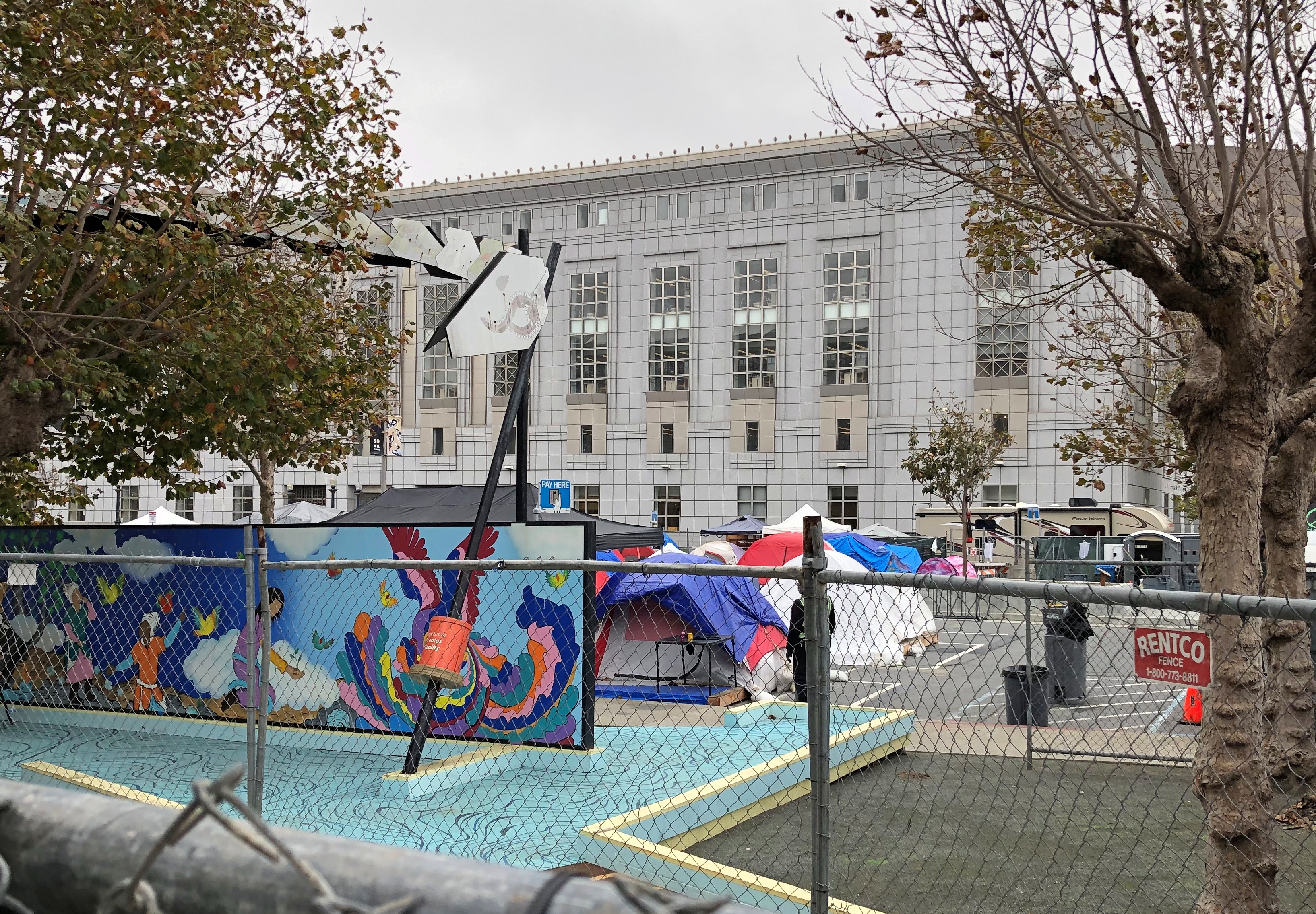
Across Larkin St. from the plaza is a tent city, behind a fence on four sides. There is good aerial view of it at this New York Post article (why that paper cares, I couldn’t say). It’s a city-sponsored experiment in dealing with pandemic-era homelessness.

From the ground, only a small part is visible.
Civic Center Plaza tent city 2021

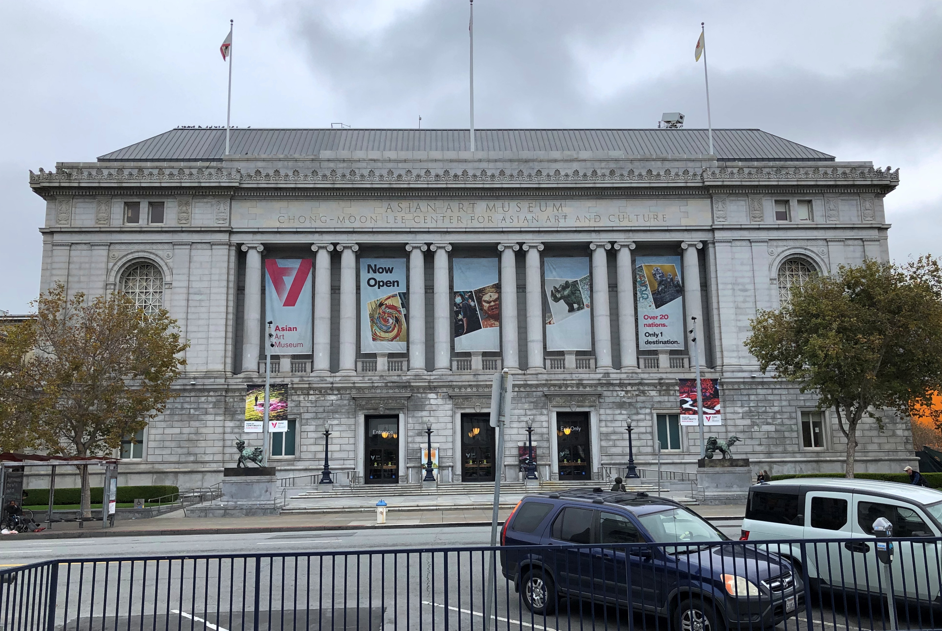
I hadn’t come this way just to see City Hall or the nearby tent city. Rather, I was killing time before the opening of the Asian Art Museum, which faces City Hall.
Asian Art Museum, San Francisco

The museum’s subhead — that’s what I’m going to call it — is the Chong-Moon Lee Center for Asian Art and Culture, reflecting the fact that the businessman of that name gave $15 million to museum to seed its relocation from space shared with the de Young Museum to its current location, in the former SF Main Library.

The building, designed by George W. Kelham, was completed in 1917 to replace one destroyed — you guessed it — by the 1906 earthquake. It in turn was damaged in 1989, and replaced by a new main library not far away. Seismic activity is just a fact of remaking the city, it seems.

These are slightly embarrassing times for the Asian Art Museum. Turns out the wealthy businessman whose collection was the basis for its splendid collection — Avery Brundage — reportedly had Nazi sympathies or at least anti-Semitic tendencies and (something much better documented) was on the wrong side of history in 1968 when, as IOC president, he had Tommie Smith and John Carlos kicked out the Olympics for their Black Power Salute. Oops.

For his retro-gressions, the museum removed a bust of Brundage from the foyer of the building last year. It has not, I noticed, removed the acknowledgements with each piece of art that came from the Brundage collection. Give it time.

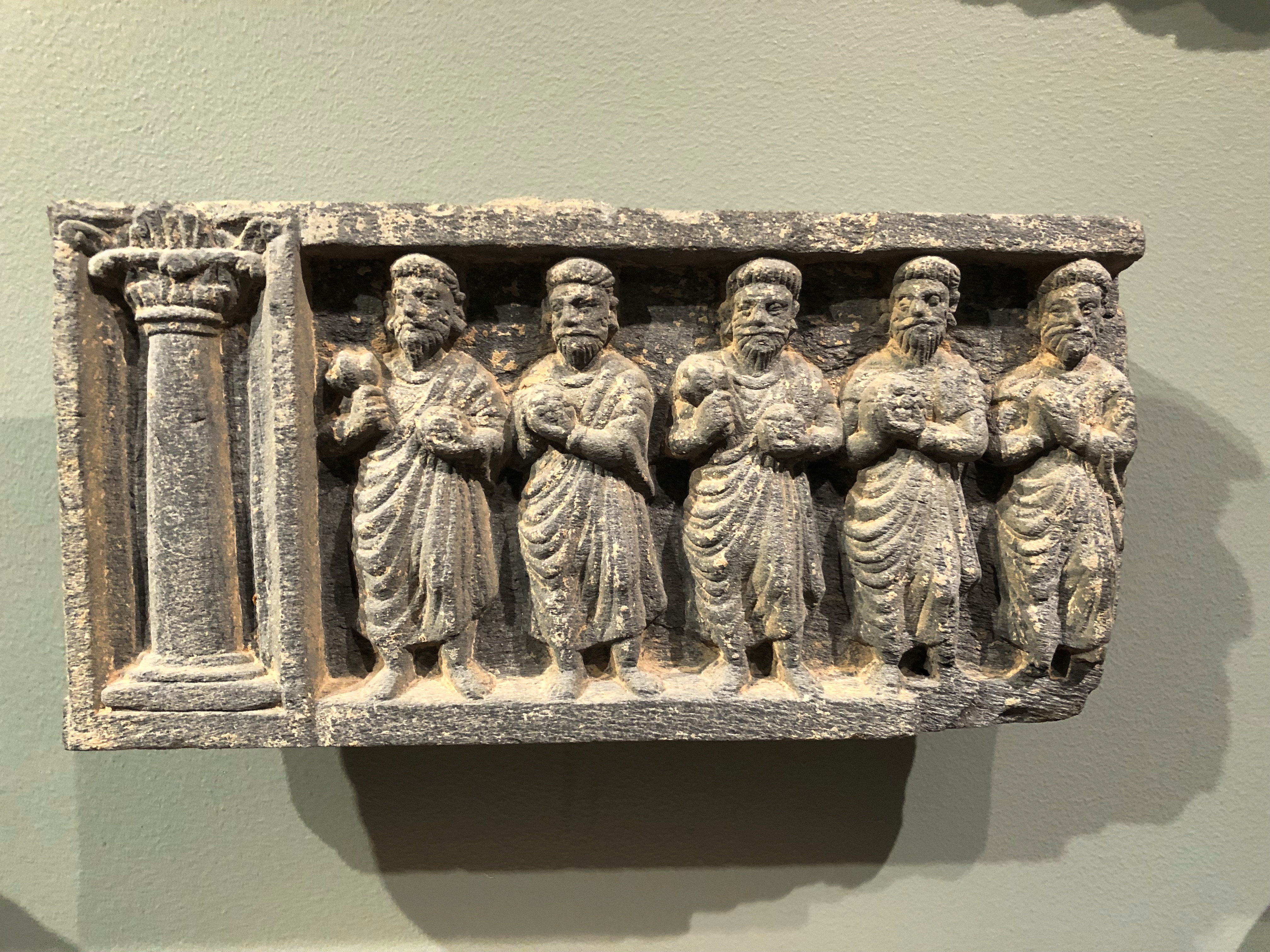
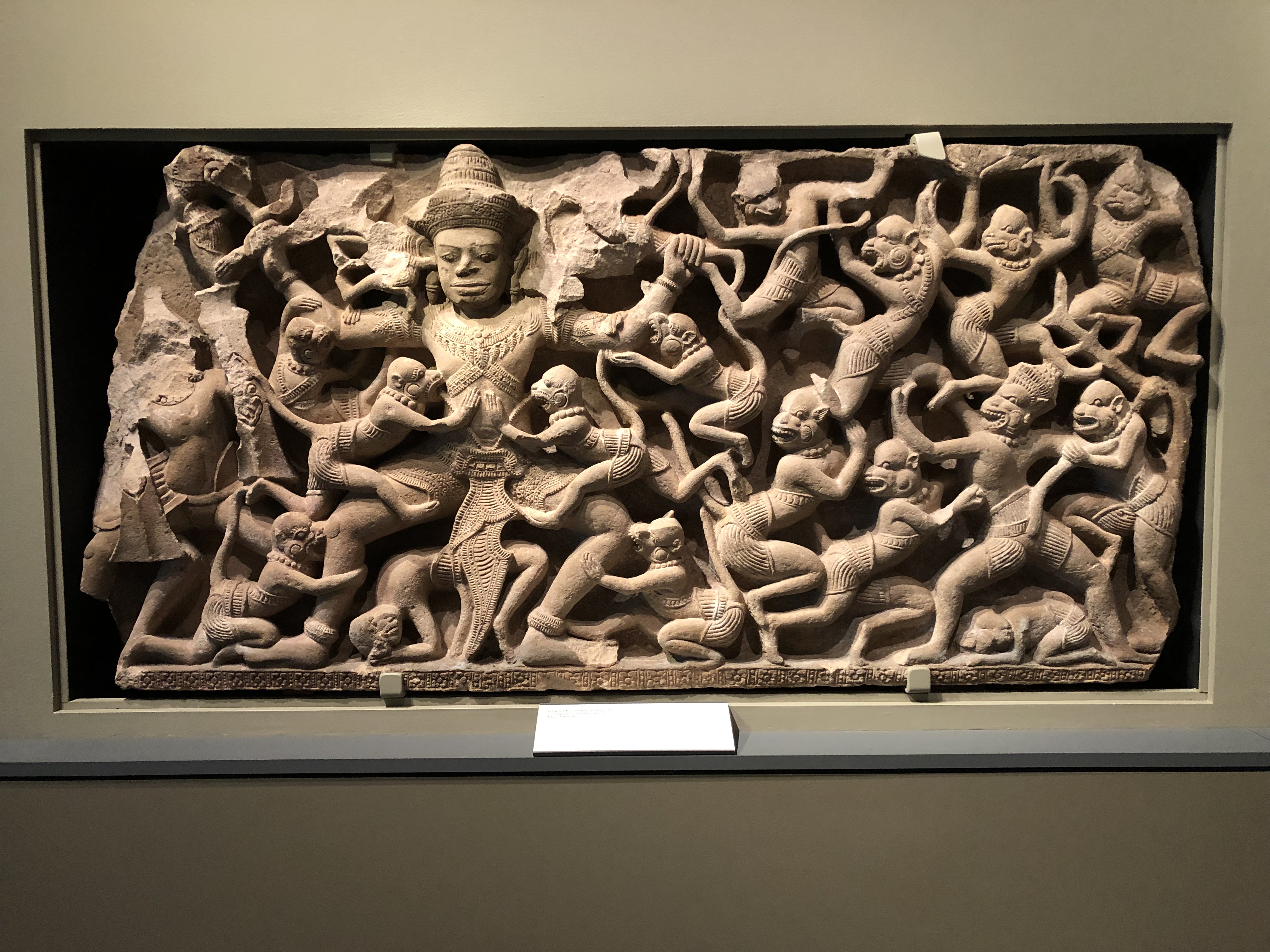
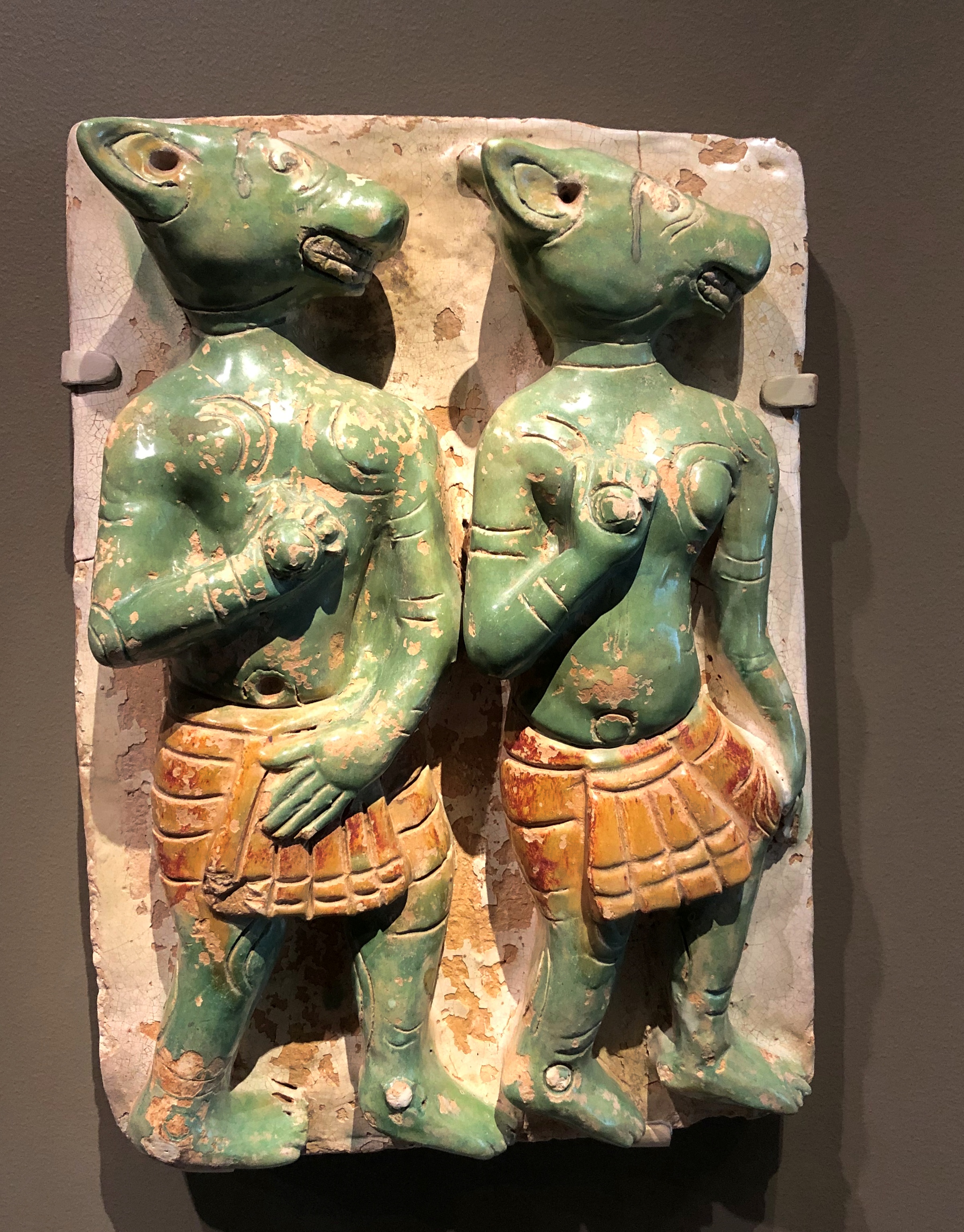
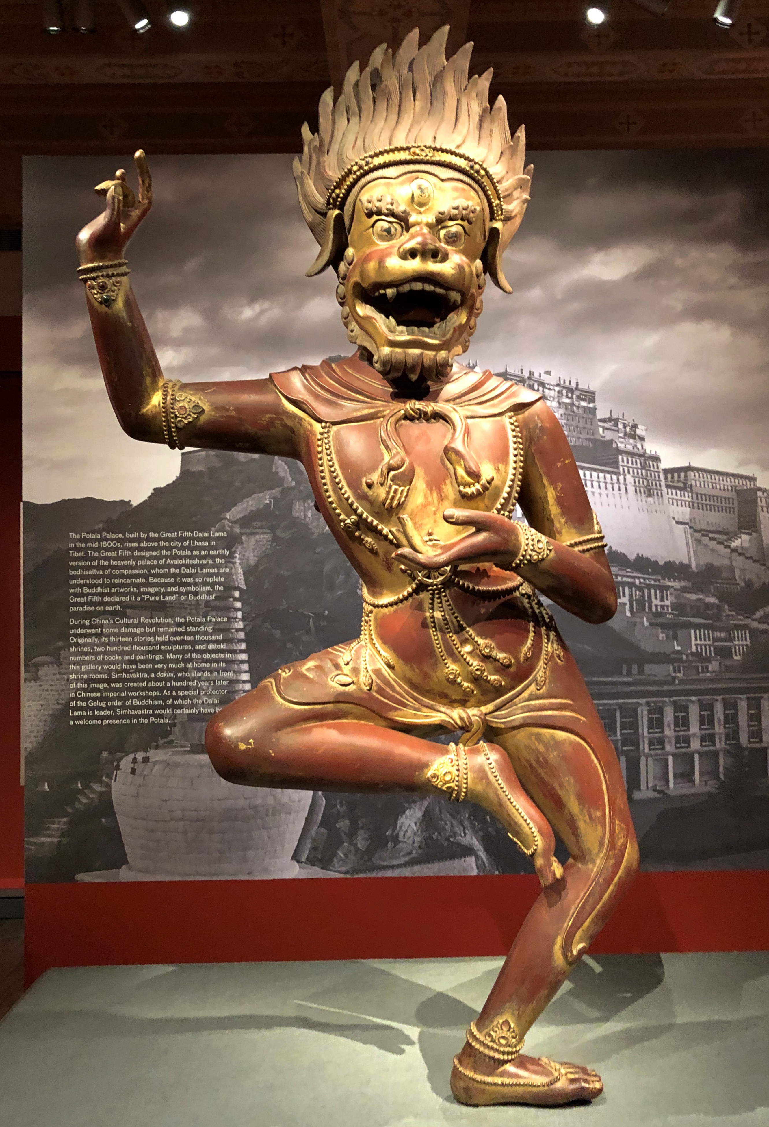
What a collection it is. A small sample:

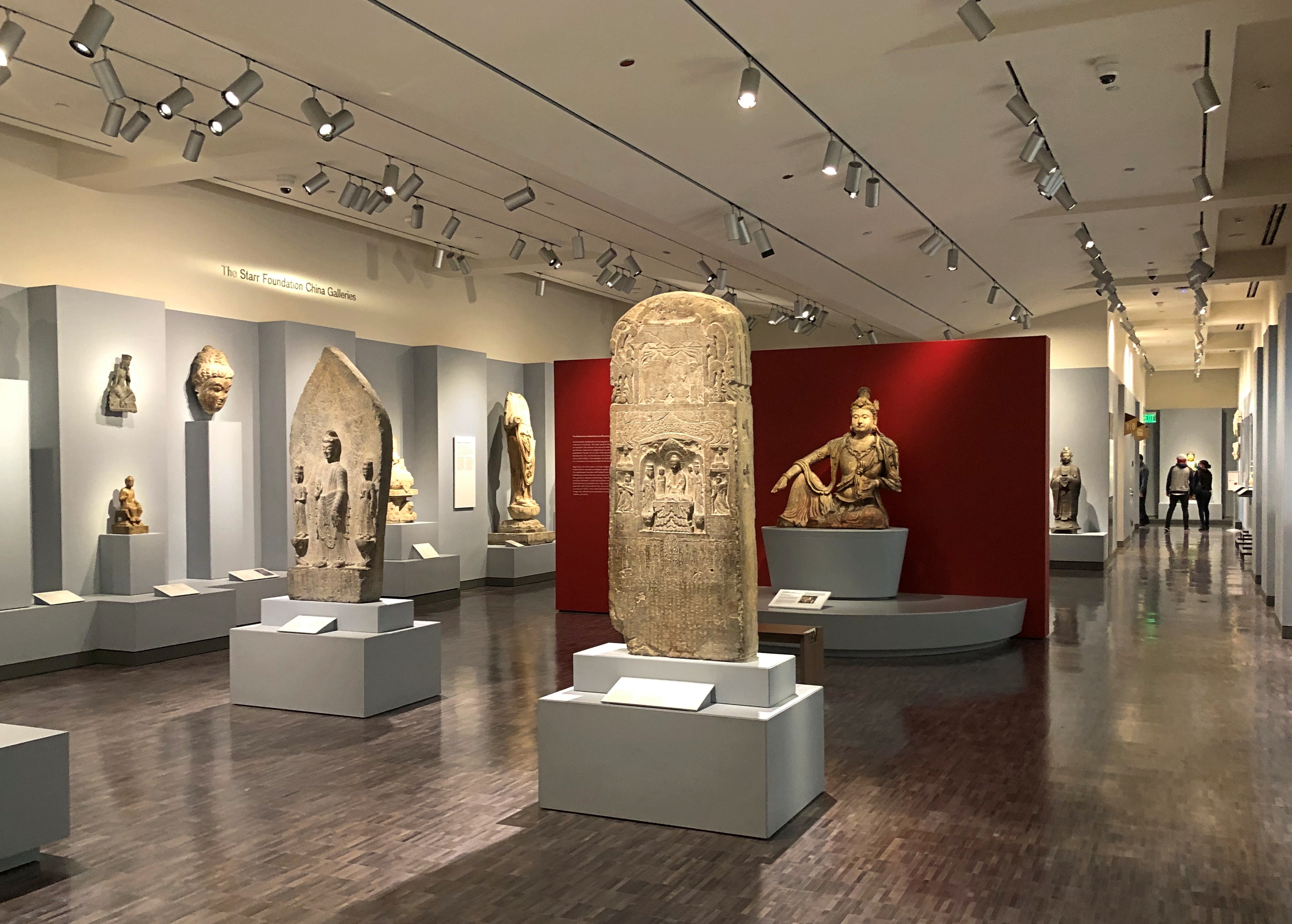
Greek-inspired art from the Indus River Valley, 2nd century CE. I’d heard of that, but don’t remember seeing any examples.Asian Art Museum

Thai, 11th century CE.
Asian Art Museum

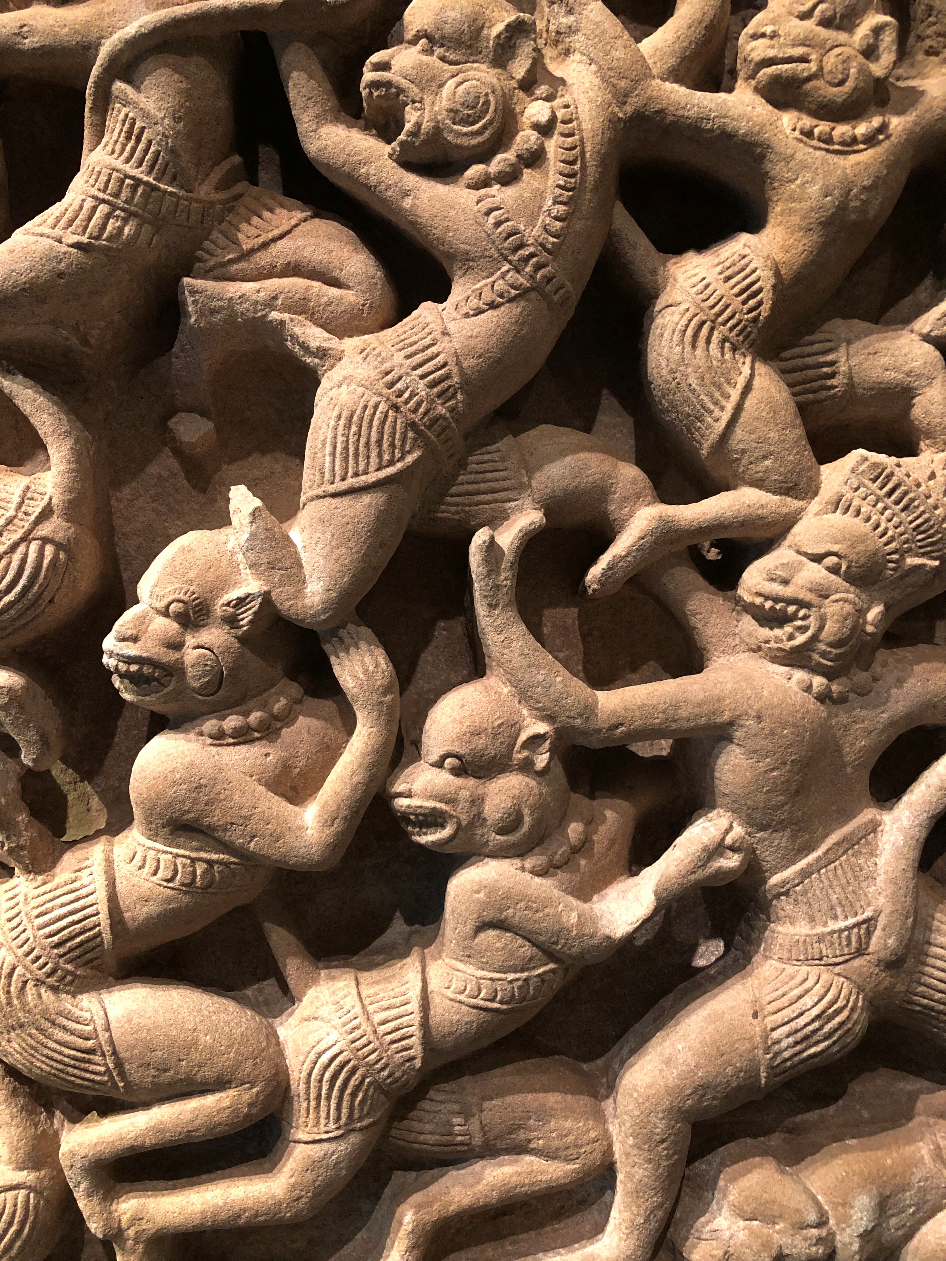
A detail of those monkeys.
Asian Art Museum

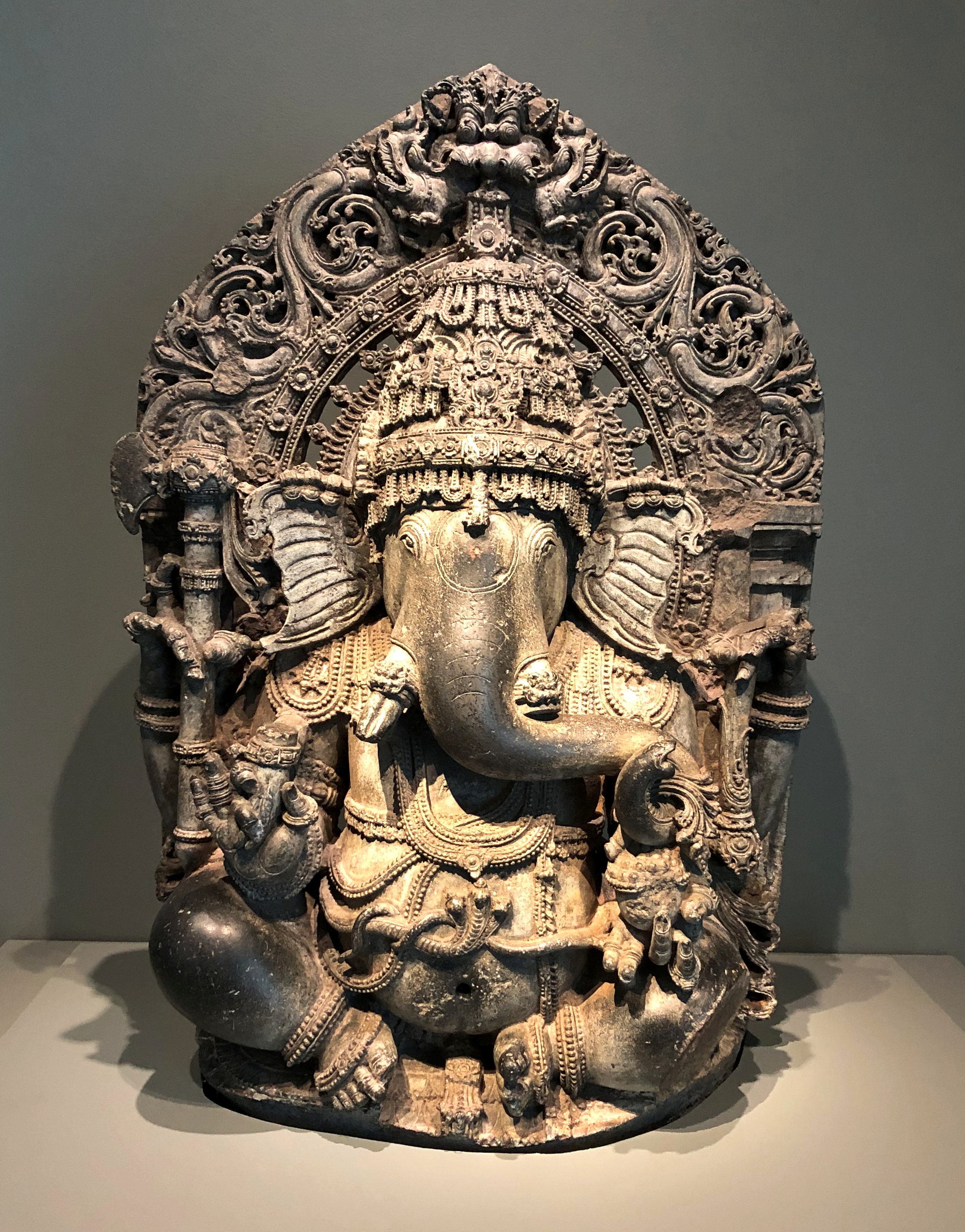
Indian, 13th century CE.Asian Art Museum

Burmese, 15th century CE.
Asian Art Museum

Chinese, 18th century CE.Asian Art Museum

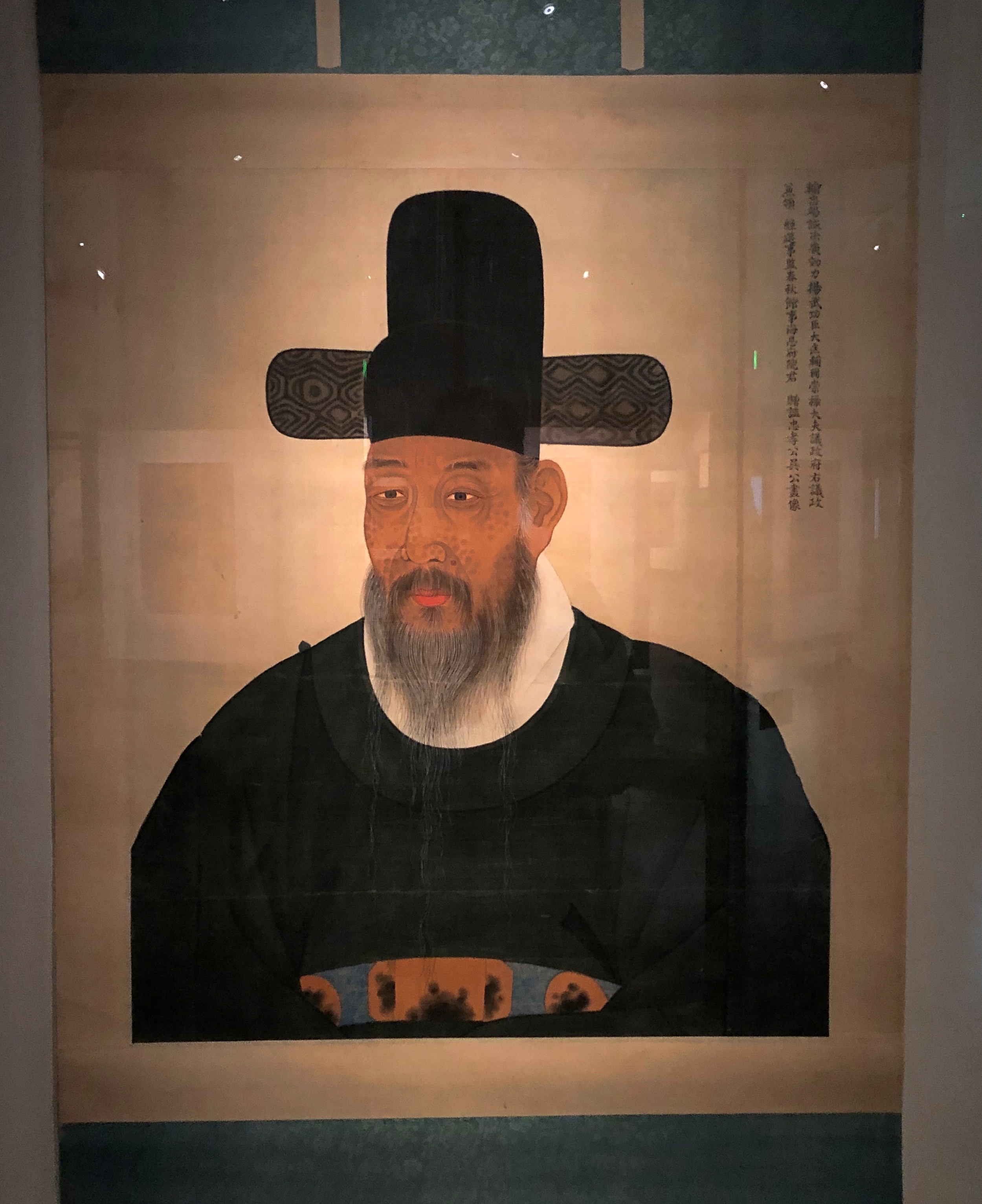
Korean, 18th century CE.
Asian Art Museum

Japanese, 21st century CE.
Asian Art Museum

All together, the museum has more than 18,000 works in its permanent collection, with more than 2,000 items on display at any given time, variously from South Asia, Iran and Central Asia, Southeast Asia, the Himalayas, China, Korea and Japan.

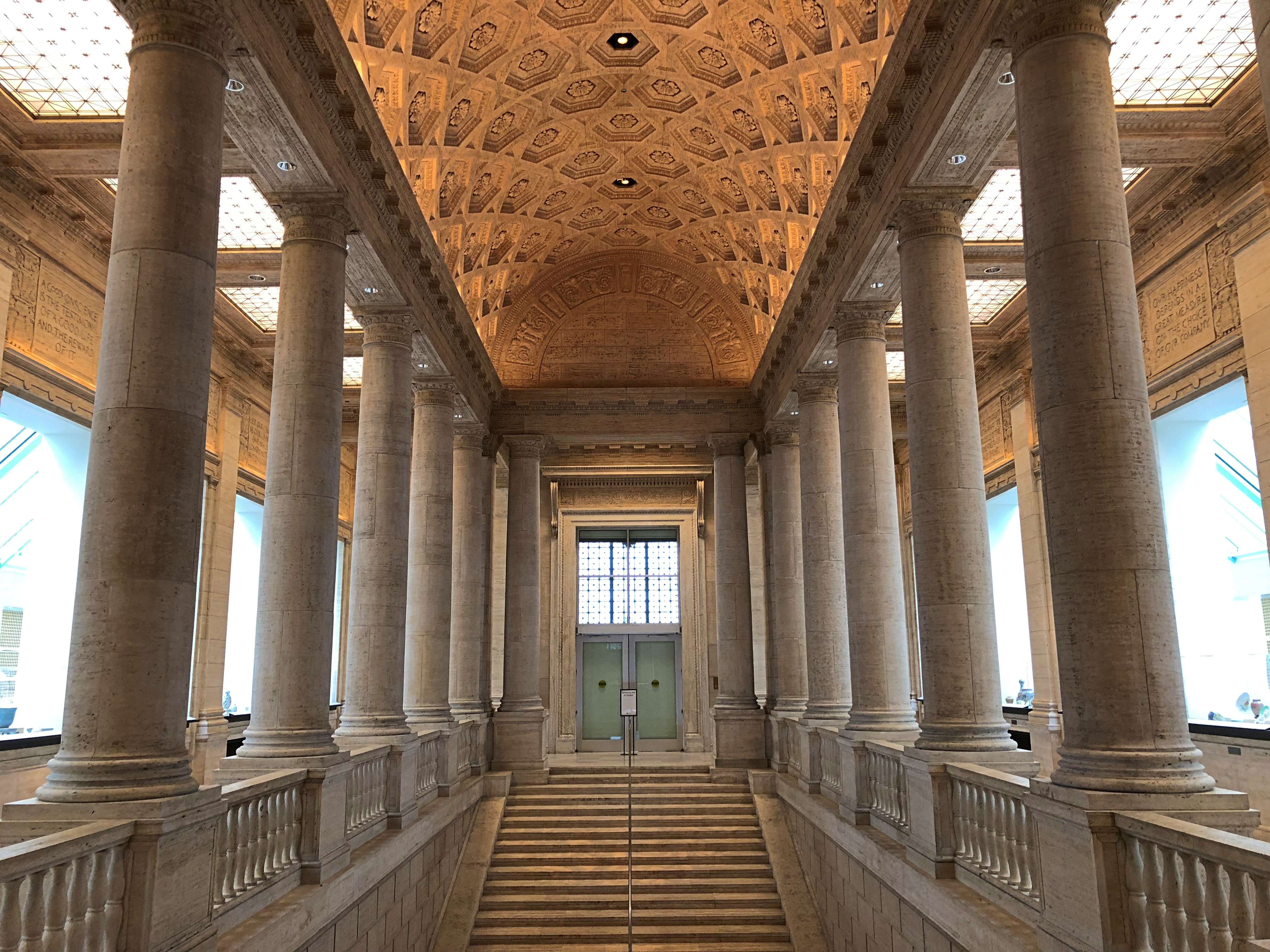
The galleries mostly obscure whatever remains of the original interior —
Asian Art Museum, San Francisco

— but I noticed an unlocked door that took me to this space, which is also used as a gallery, though not a readily visible one.Asian Art Museum, San Francisco Asian Art Museum, San Francisco

Wow. The museum shouldn’t hide this space away.

Up Russian Hill & Back Down Again

What to do on a warm afternoon in San Francisco? On October 29, after leaving the Ferry Building, I spent some time wandering around downtown, which isn’t famed in song and story. It is, on the other hand, much larger than I remembered. Then again, the nine-county Bay Area metro population is about 7.75 million these days, and downtown SF is the main one for the region. Add metro San Jose and it’s even more.

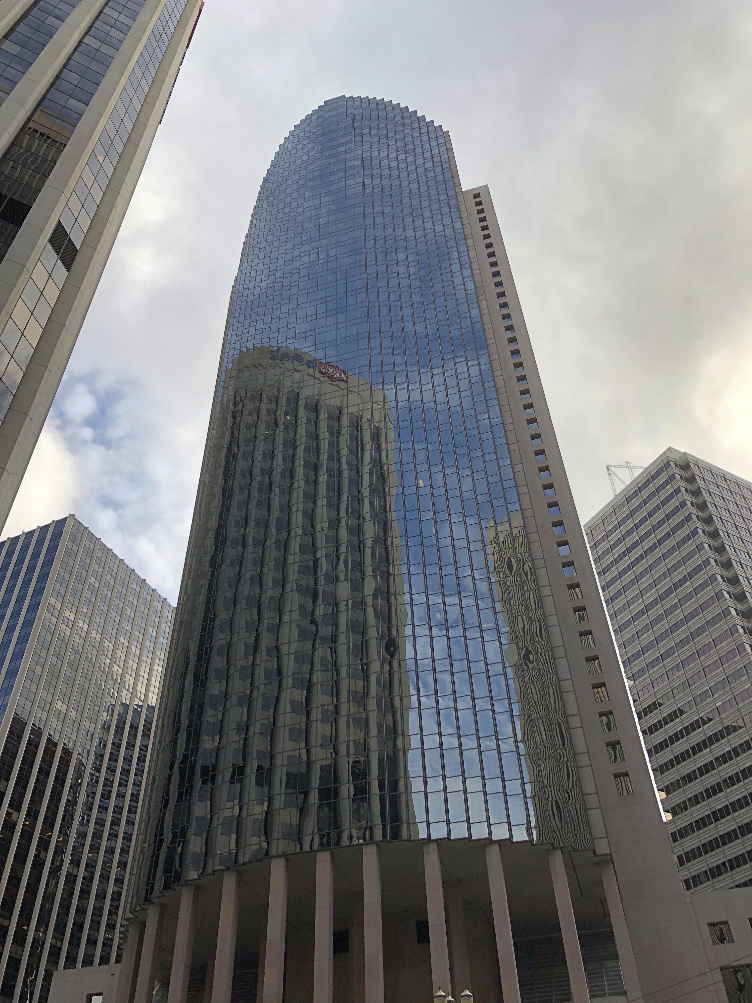
I wasn’t particularly systematic in my downtown walkabout, or I might have sought out Salesforce Tower, for instance. Here’s 101 California St. instead. A Philip Johnson and John Burgee design from 1982.101 California St

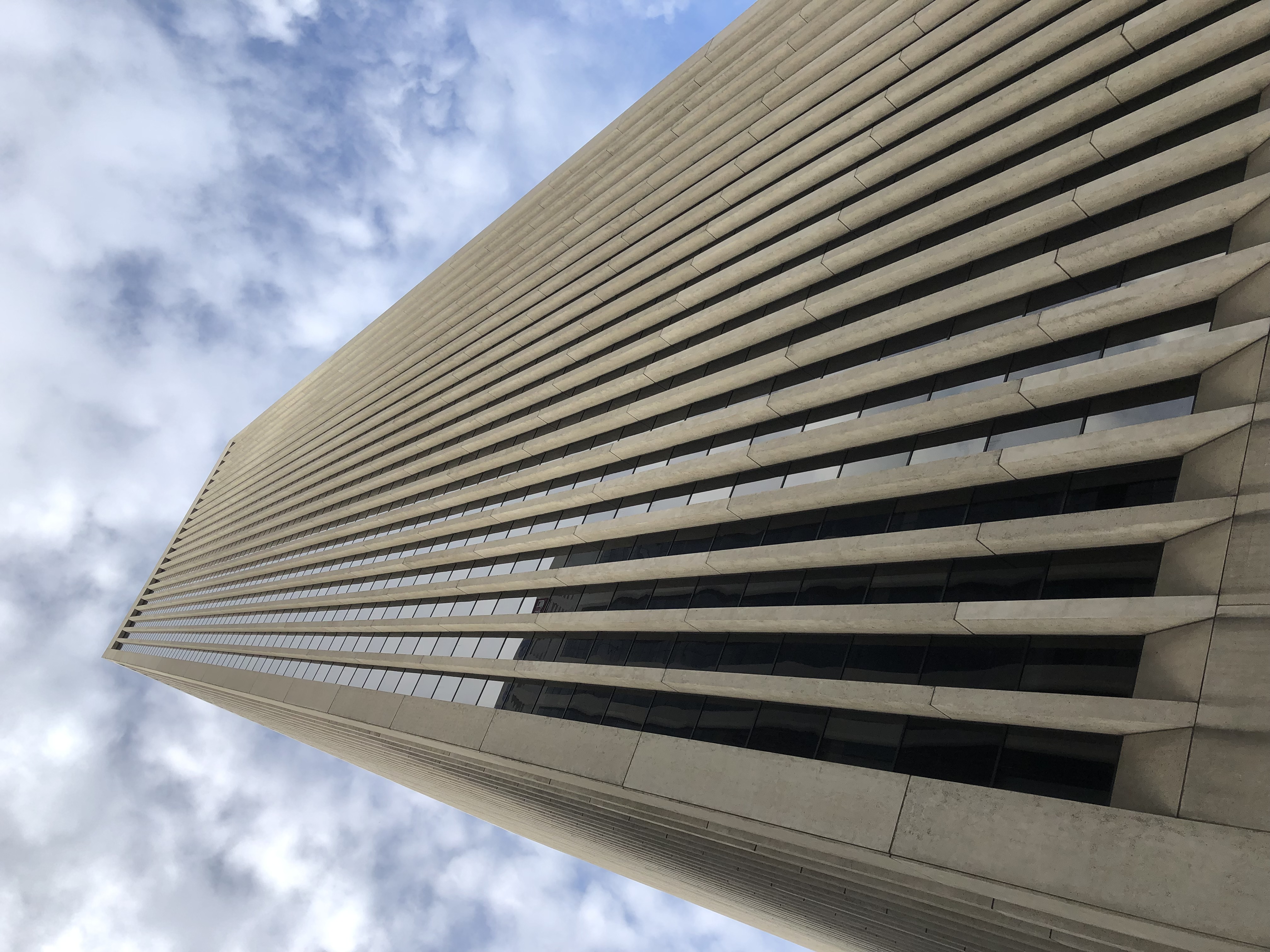
Bank of America Center (555 California), completed in 1969.
BoA SF

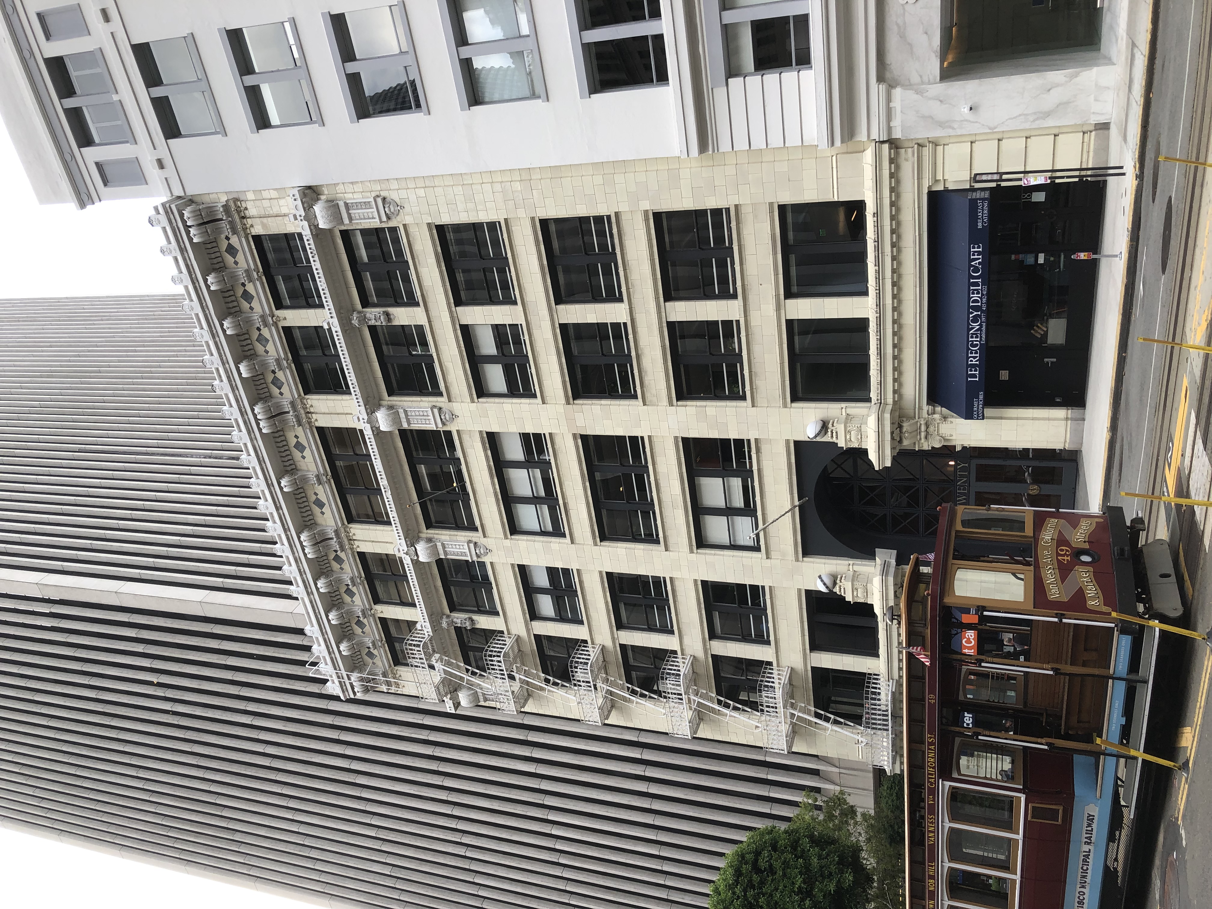
An older structure in the shadow of BoA, nicely restored.
Downtown SF

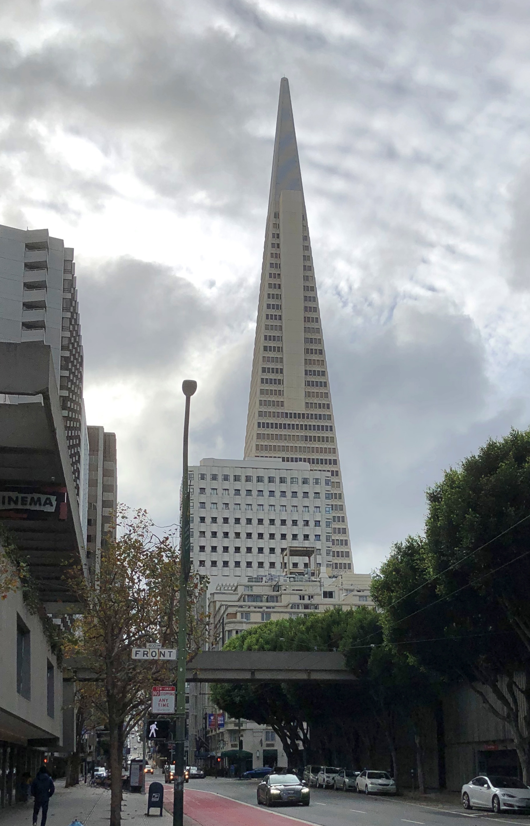
I couldn’t very well miss a shot of the Transamerica Pyramid, albeit at some distance.
Downtown SF

Designed by the unapologetic modernist architect William Pereira, the building was spanking new when my family and I visited San Francisco in 1973, and I regarded it with some fascination at the time. Still do.

I later took the streetcar along the Embarcadero to Fisherman’s Wharf, another place of fond recollections. As tourists, we went there in 1973 and ate at one of the restaurants — Jay had the squid — and in 1990, I stayed a few days at the Fisherman’s Wharf Holiday Inn.

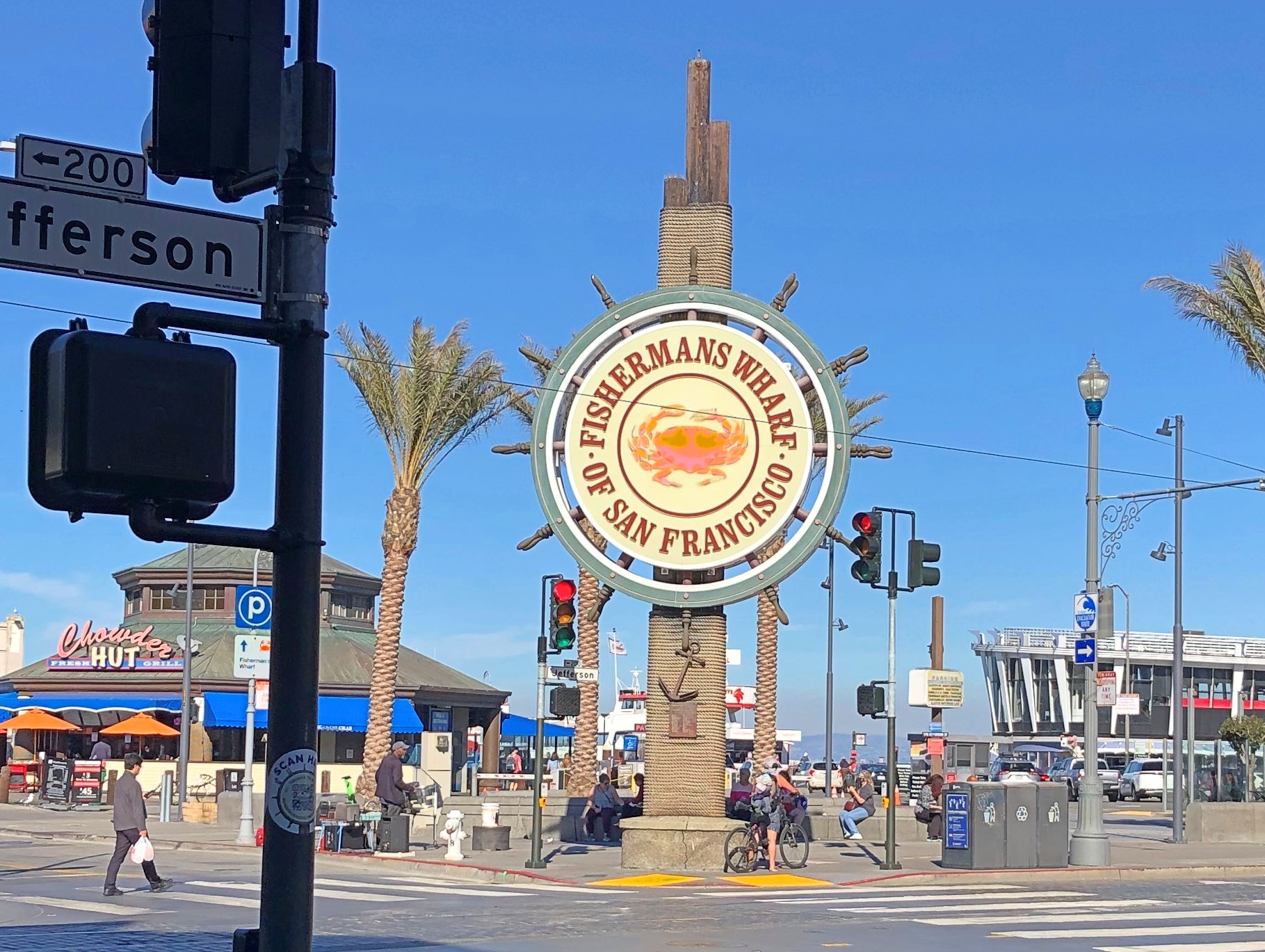
Good to see that the place still attracts people. The sign at Jefferson and Taylor Sts. would have also been fairly new the first time I saw it, since it dates from 1968. It was featured during the jazz montage intro to The Streets of San Francisco, as I recall.
Fishermans Wharf

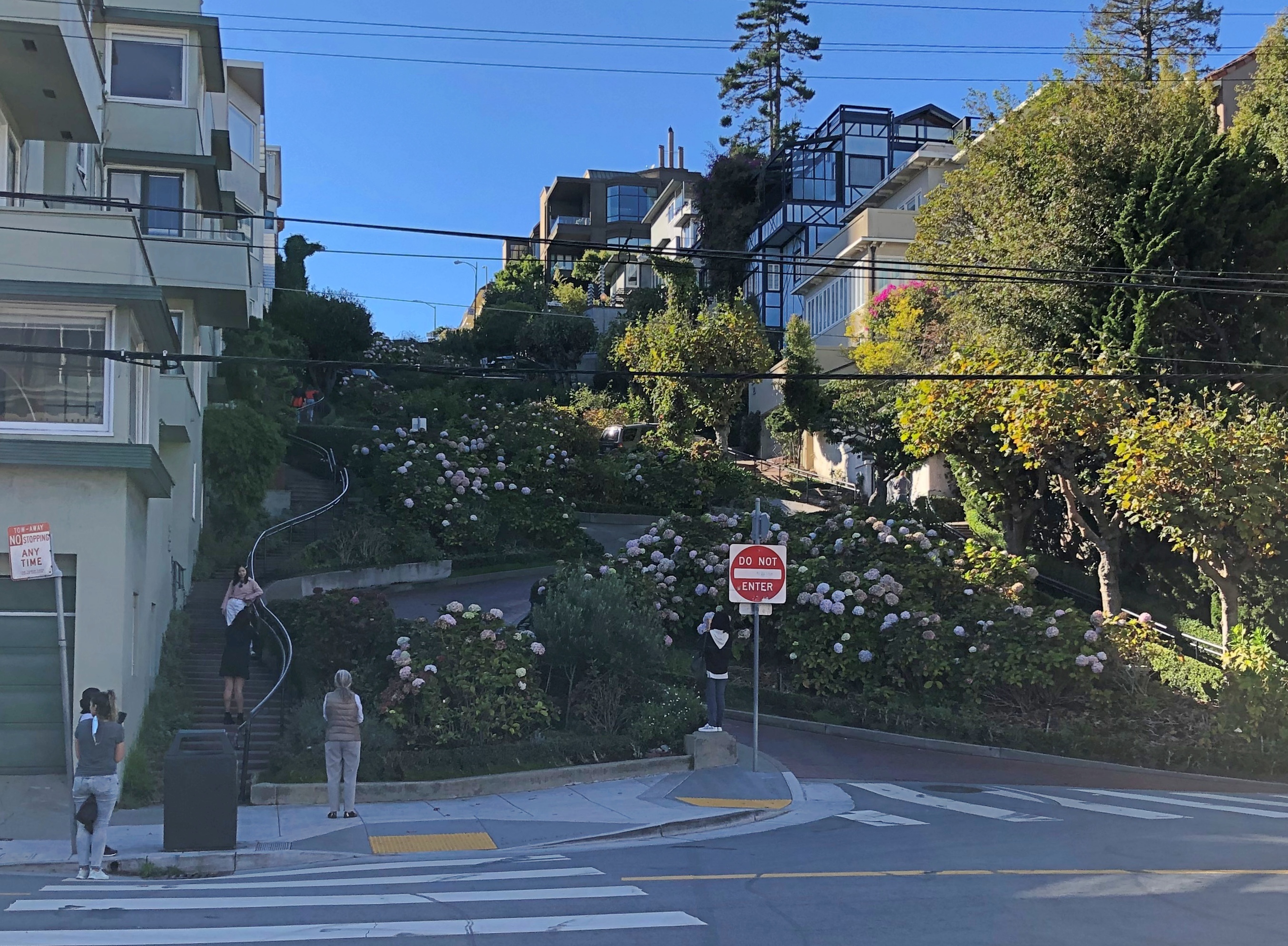
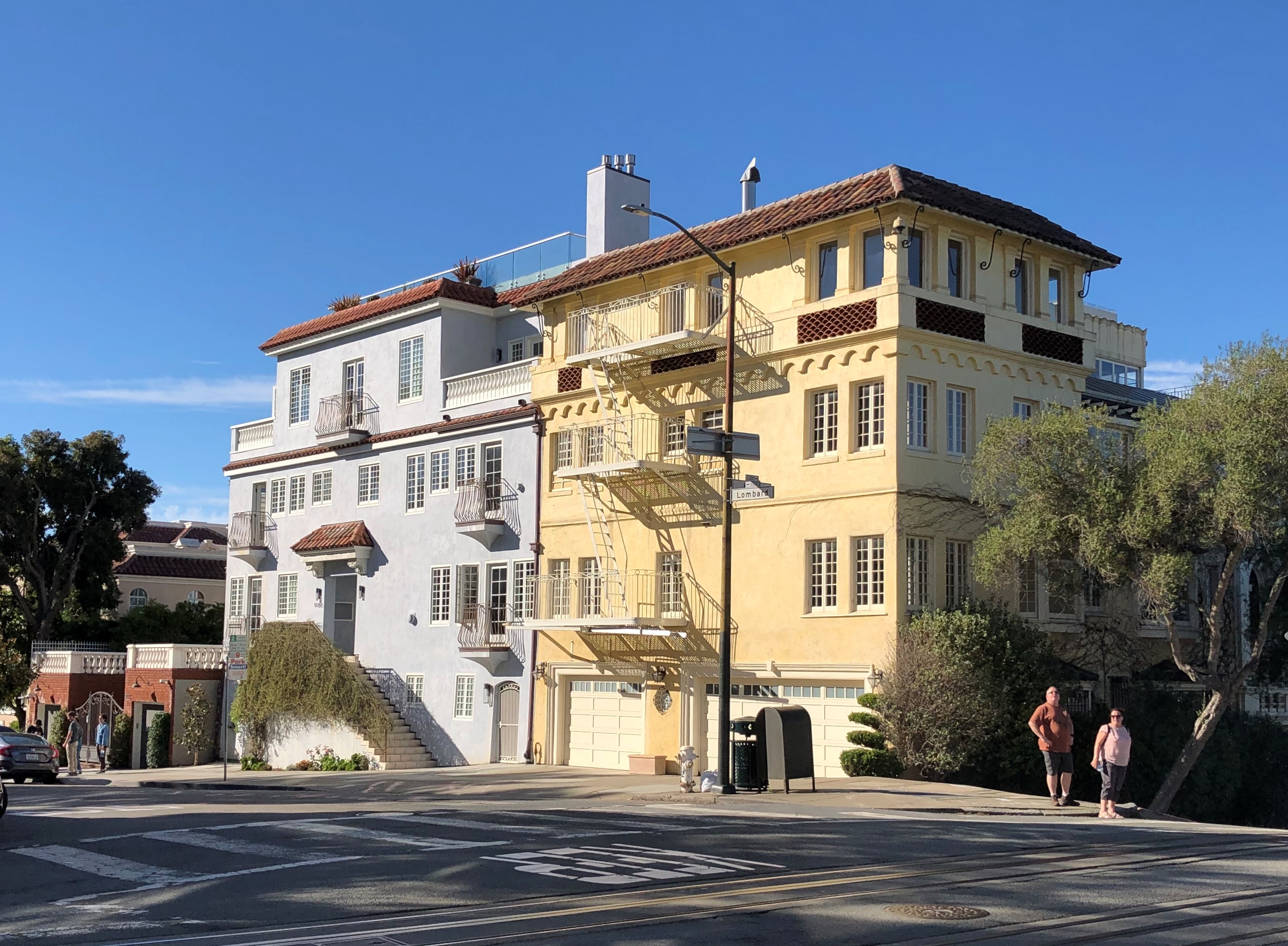
But I didn’t want to spend much time there in 2021, so I decided to climb Russian Hill. Specifically to reach the famed crooked stretch of Lombard St.

That I did. At my age, it wasn’t a steady walk, but walks followed by rests along the way.
Lombard St

Lombard St. attracts tourists too. I understand it’s even busier in the summer.

The scene at the bottom of the famed section, on Leavenworth St., which crosses Lombard at that point.
Lombard St

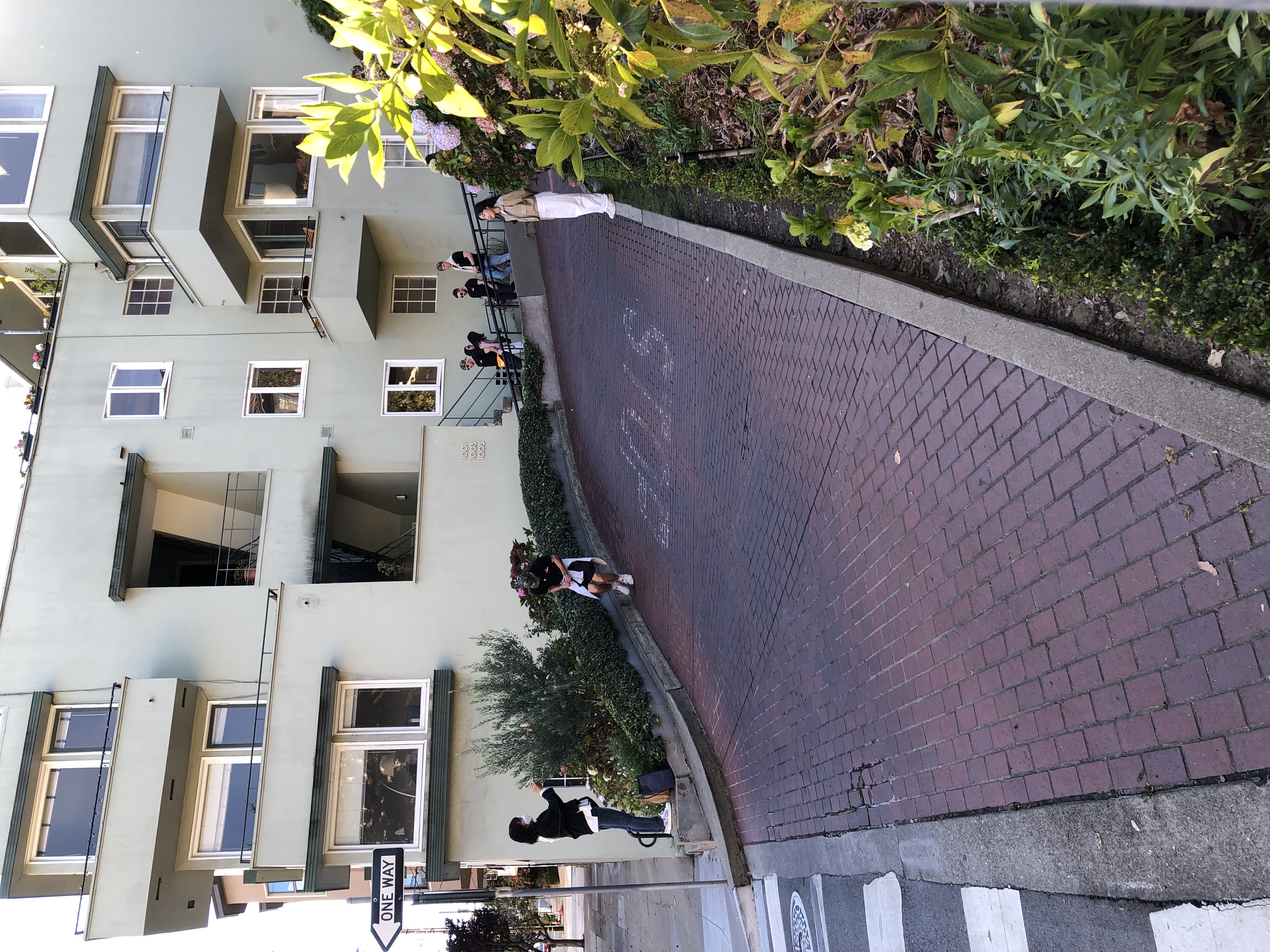
“The switchbacks design, first suggested by property owner Carl Henry and built in 1922, was intended to reduce the hill’s natural 27 percent grade, which was too steep for most vehicles to climb,” Wiki says.

“As it is one of the most visited tourist attractions in the city, this section of the neighborhood is frequently crowded with tourists. Tourists also frequent the cable car line along Hyde Street, which is lined with many restaurants and shops.”

The switchback street itself is paved in brick.Lombard St

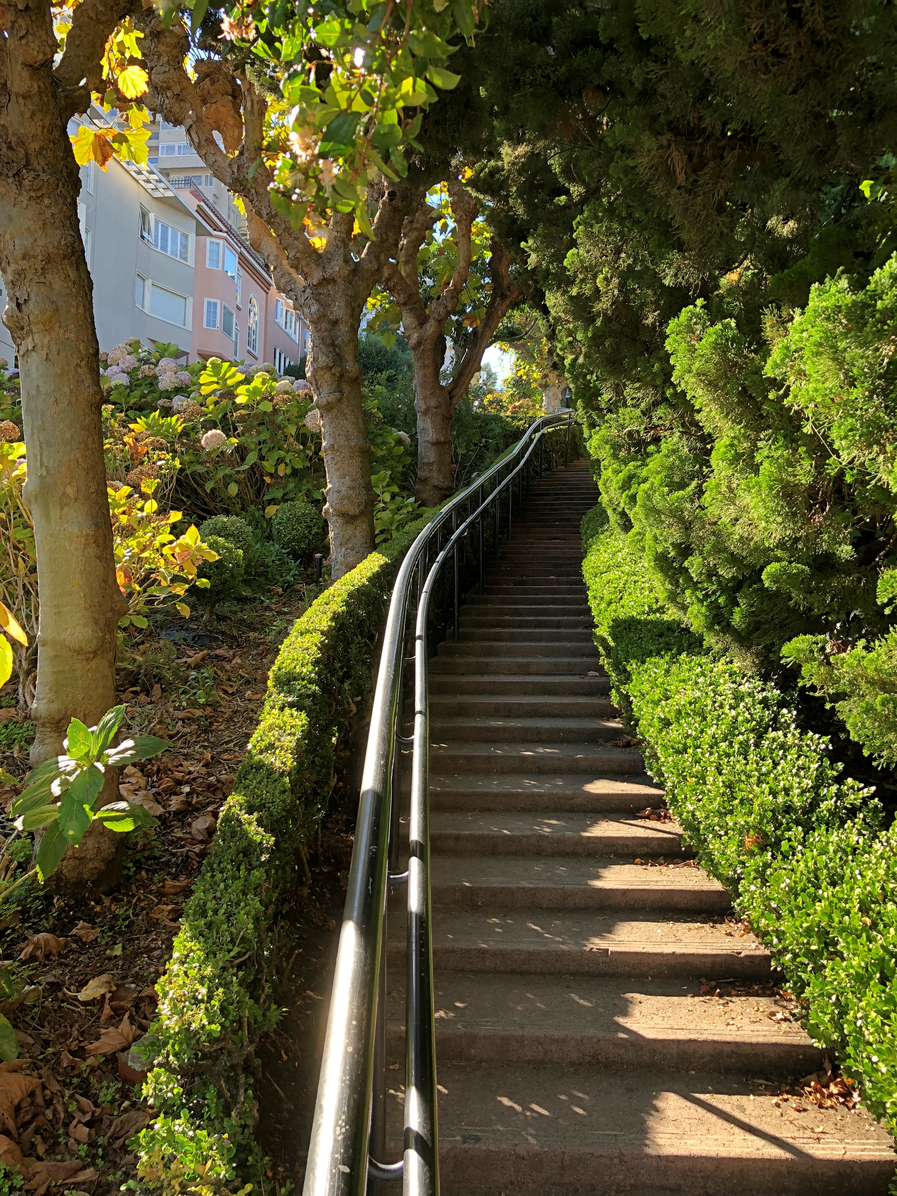
The rest of the slope is heavily landscaped, with stairs on either side of the switchback.
Lombard St

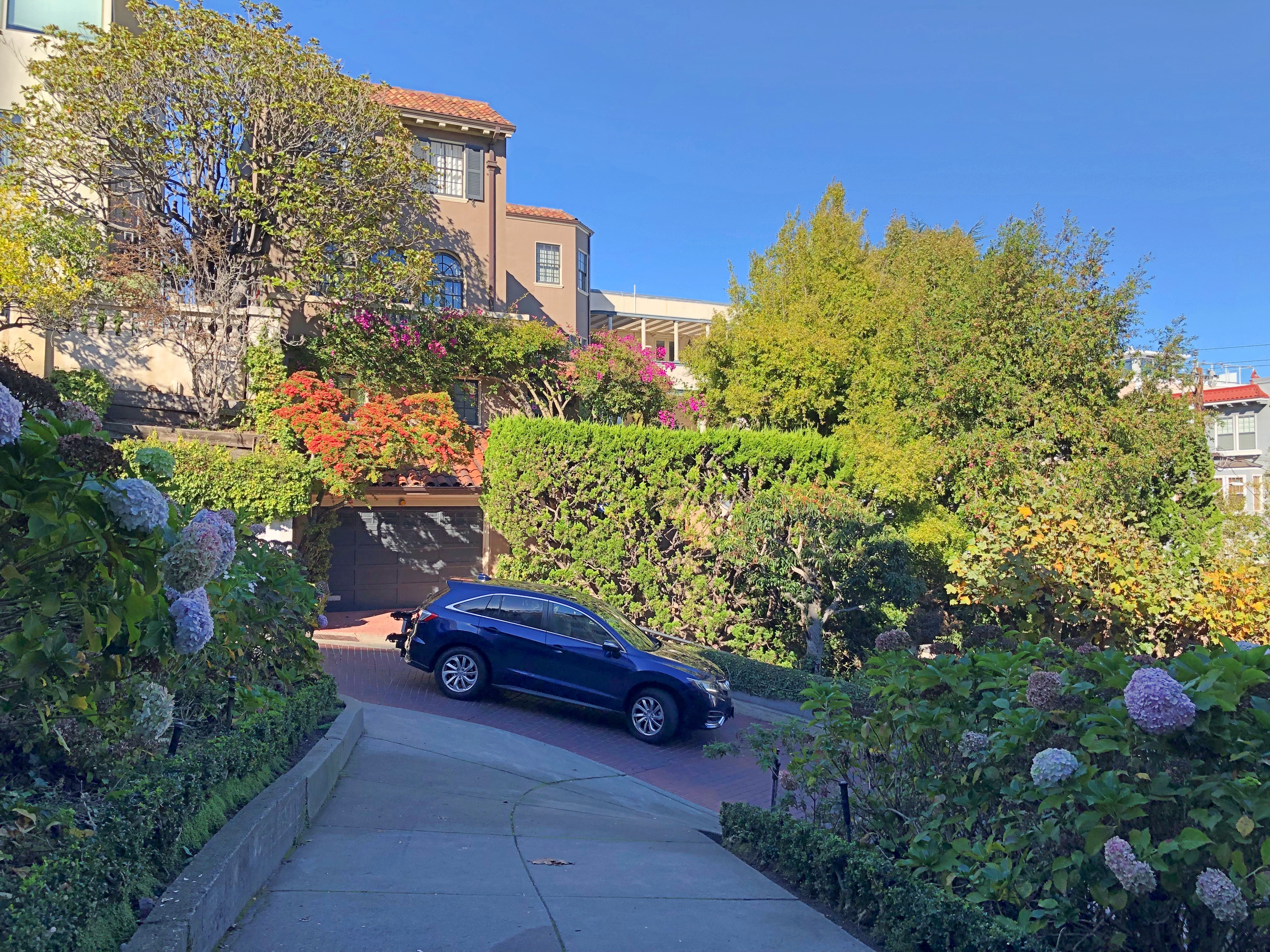
The road might have been created to help vehicles climb the grade, but in our time Lombard is one way on this block — going down.
Lombard St

I stood watching for a while, and noticed that every other car or so that went down Lombard had someone in the passenger seat taking a video with their phone. So if you are a tourist with a car in SF, this is clearly a thing to do. The city wanted to make tourists pay for the experience, but Gov. Newson said no.

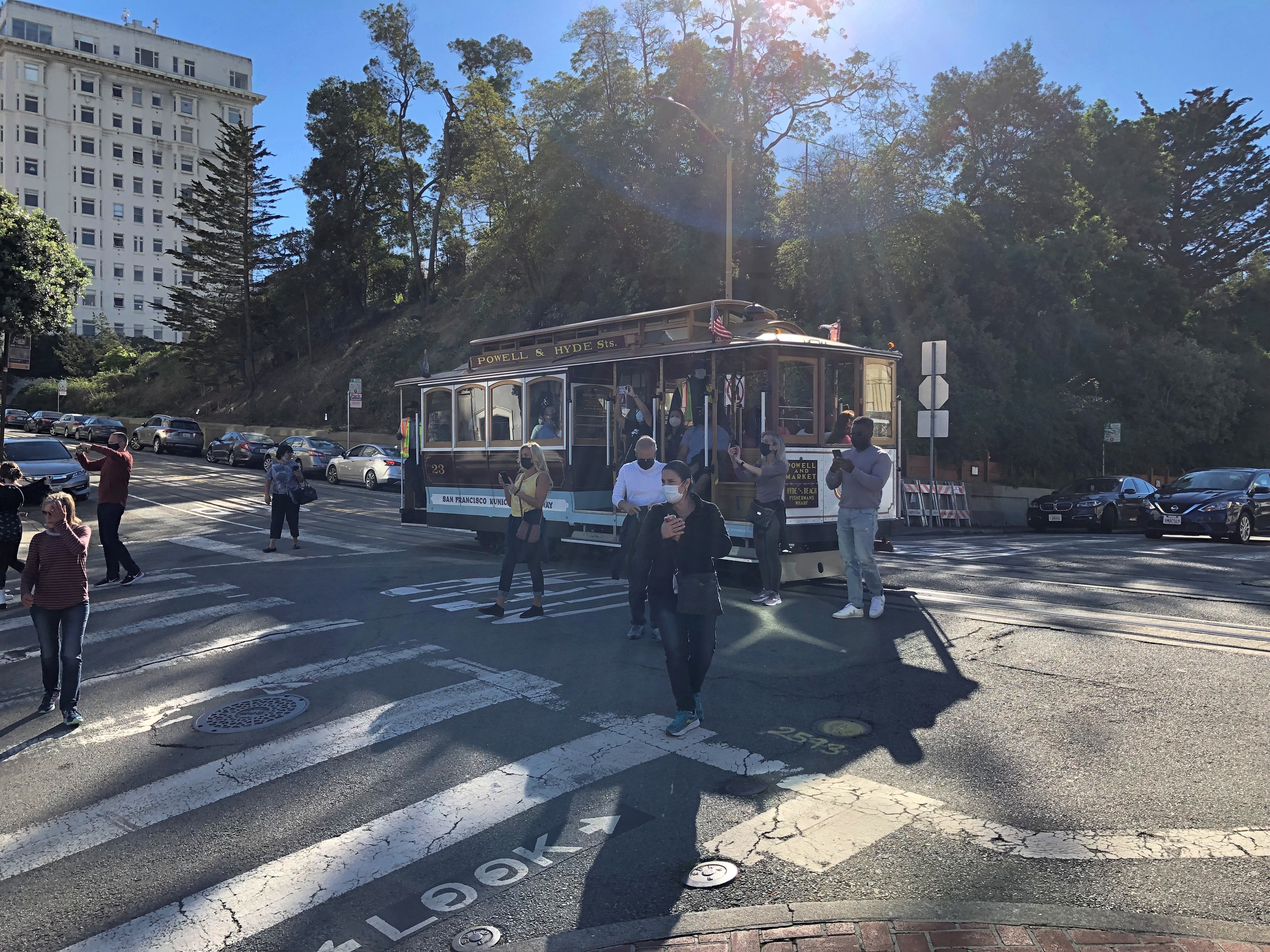
At the top of the block is Hyde St.Lombard St and Hyde St.

A cable car line runs along the street. It stopped at the intersection and people got out.
Lombard St and Hyde St.

I didn’t ride any cable cars this time. I did so in ’73 and ’90, but more importantly, it now costs $8. Sure, it’s an expensive system to maintain, but all transit is subsidized — including the roads themselves. Just another example of gouging tourists.

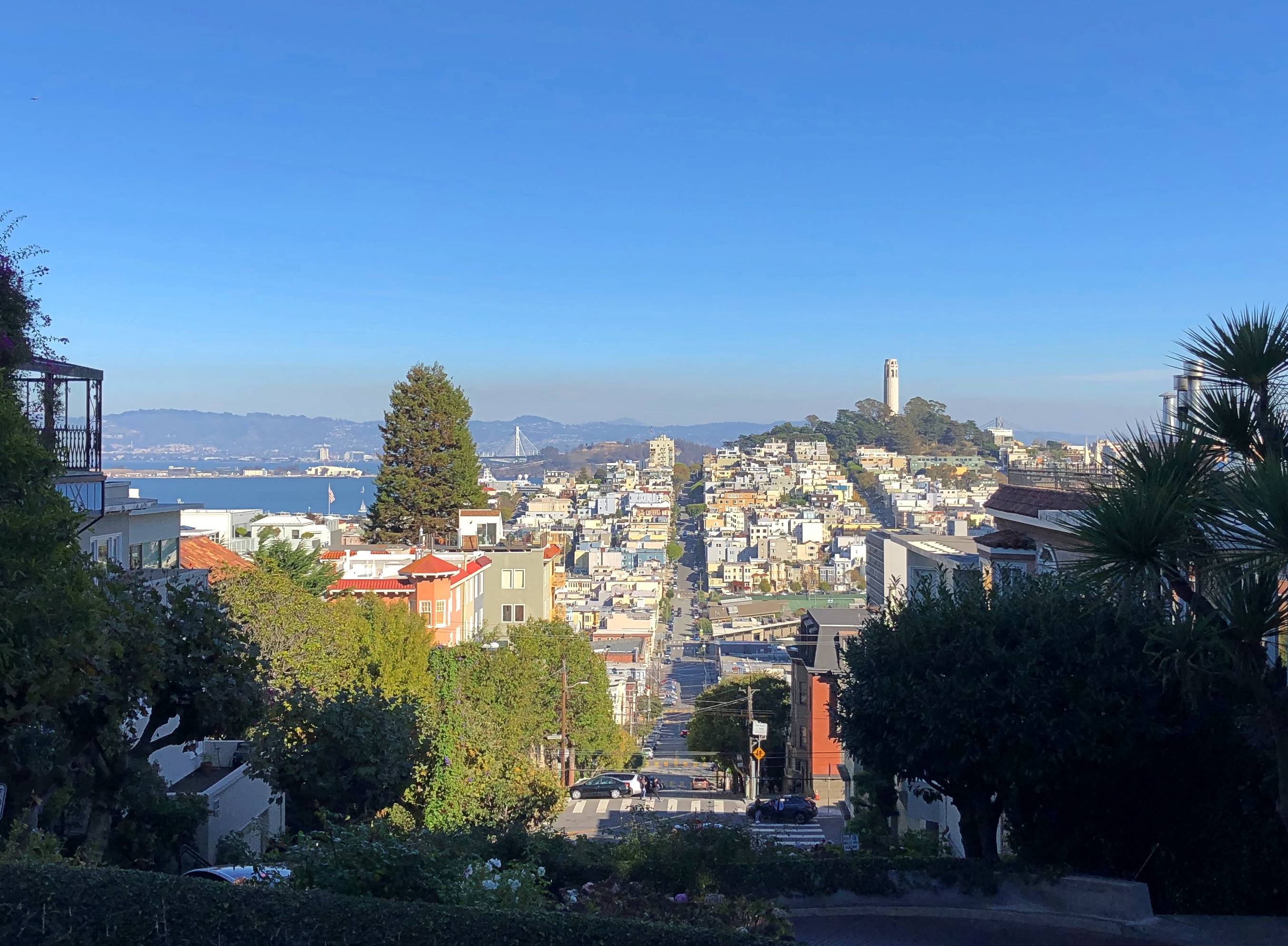
One thing San Francisco cannot charge tourists for are the views, though perhaps some mid-level functionary is working on figuring out how to. The view from Lombard and Hyde, looking over at Telegraph Hill, is wonderful. And free.Russian Hill vista

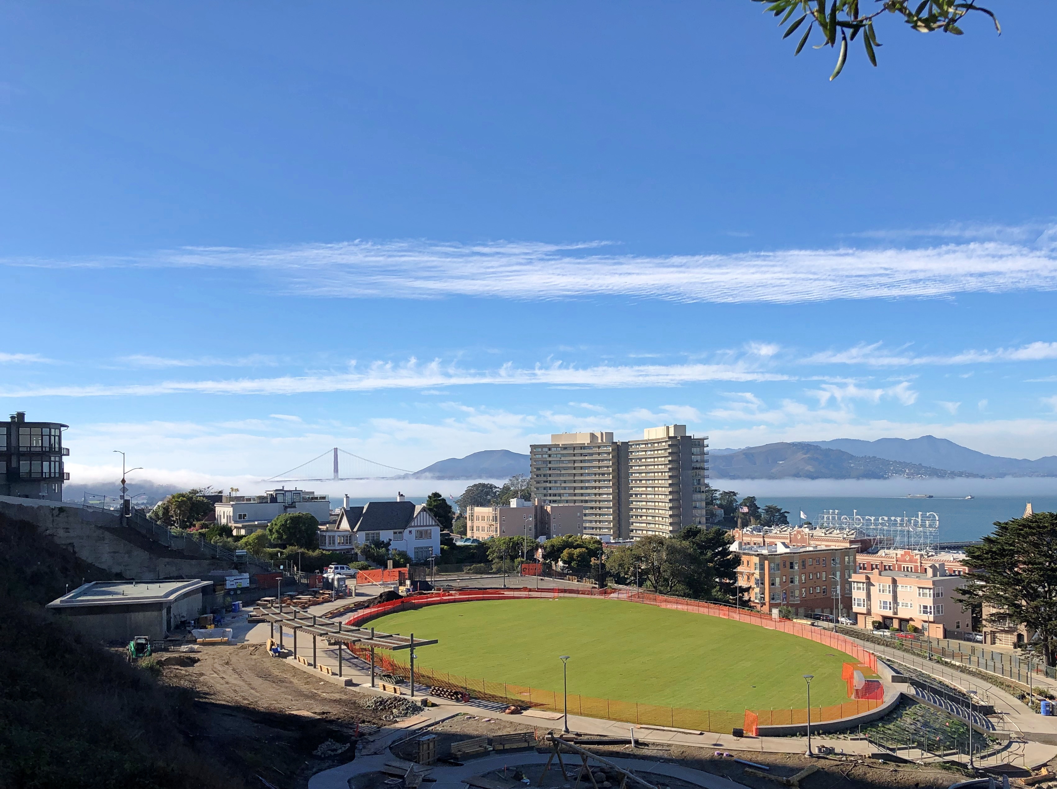
I walked down Hyde St. toward the Embarcadero. The view from just over Russian Hill Park is pretty good as well. Been a good year for vistas, I’d say.Russian Hill vista Russian Hill vista

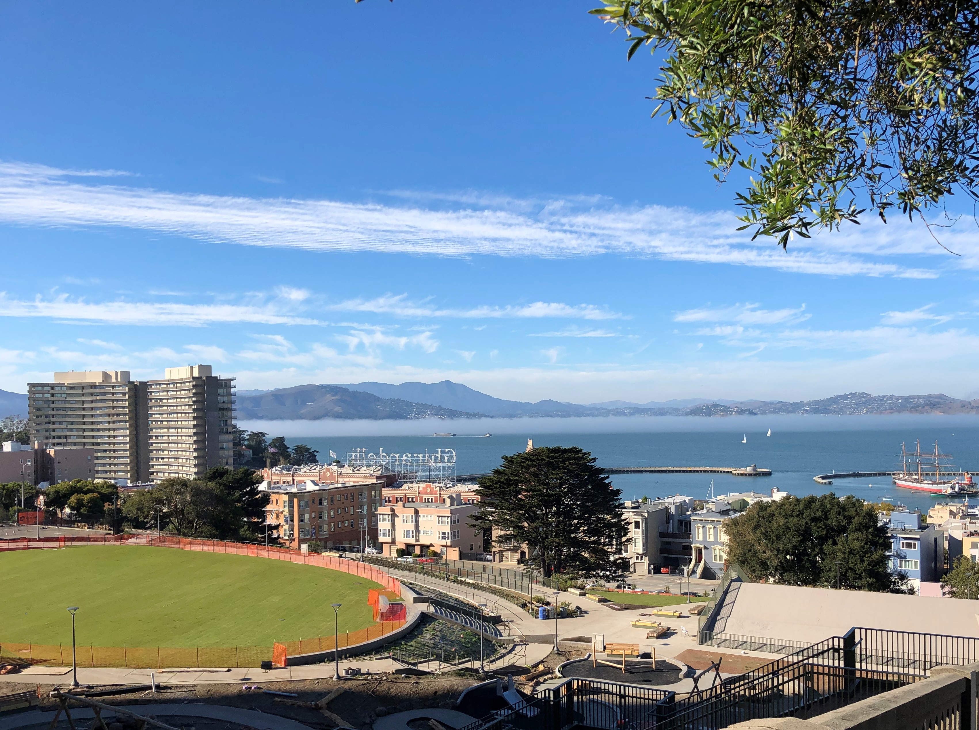
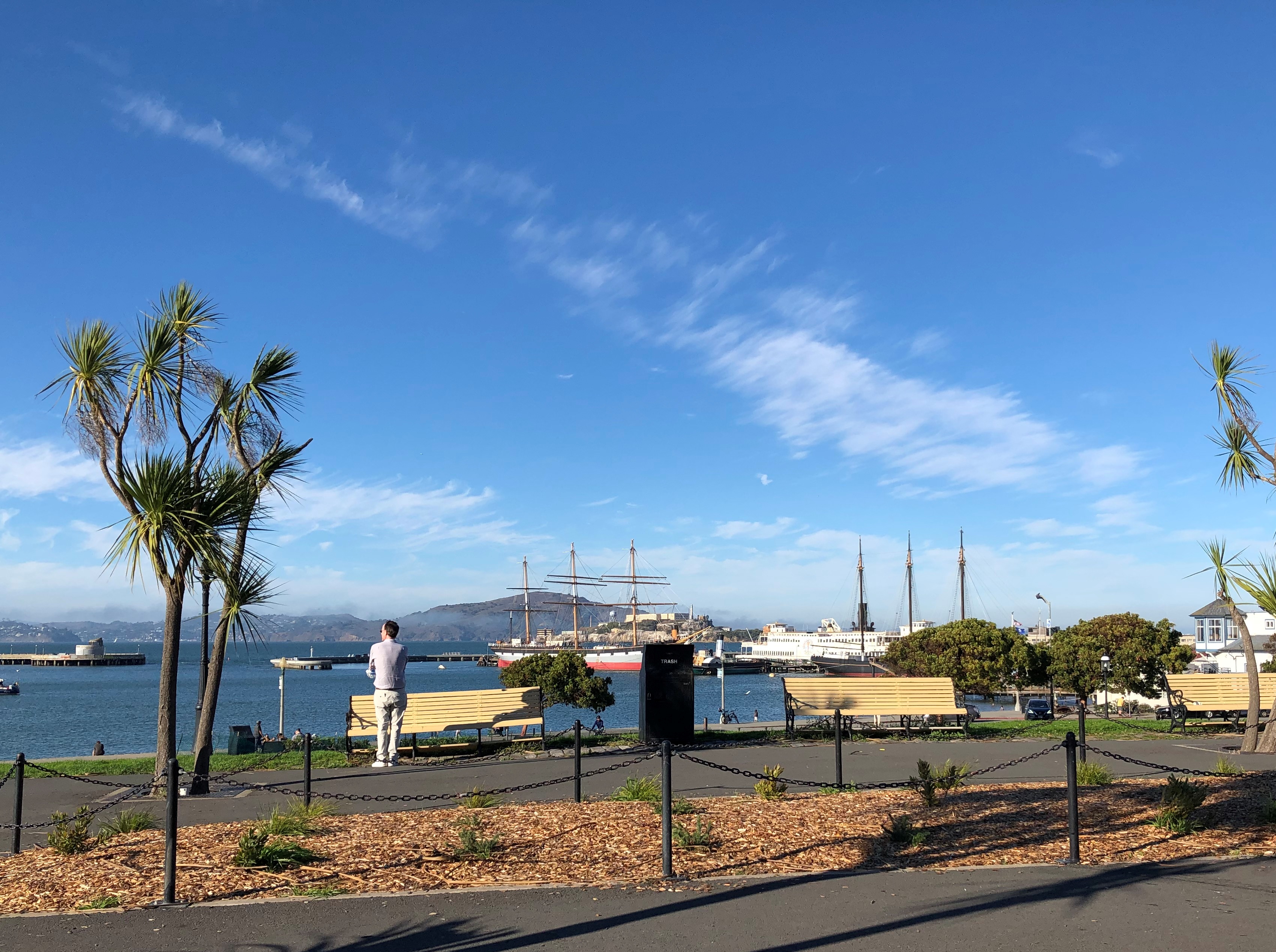
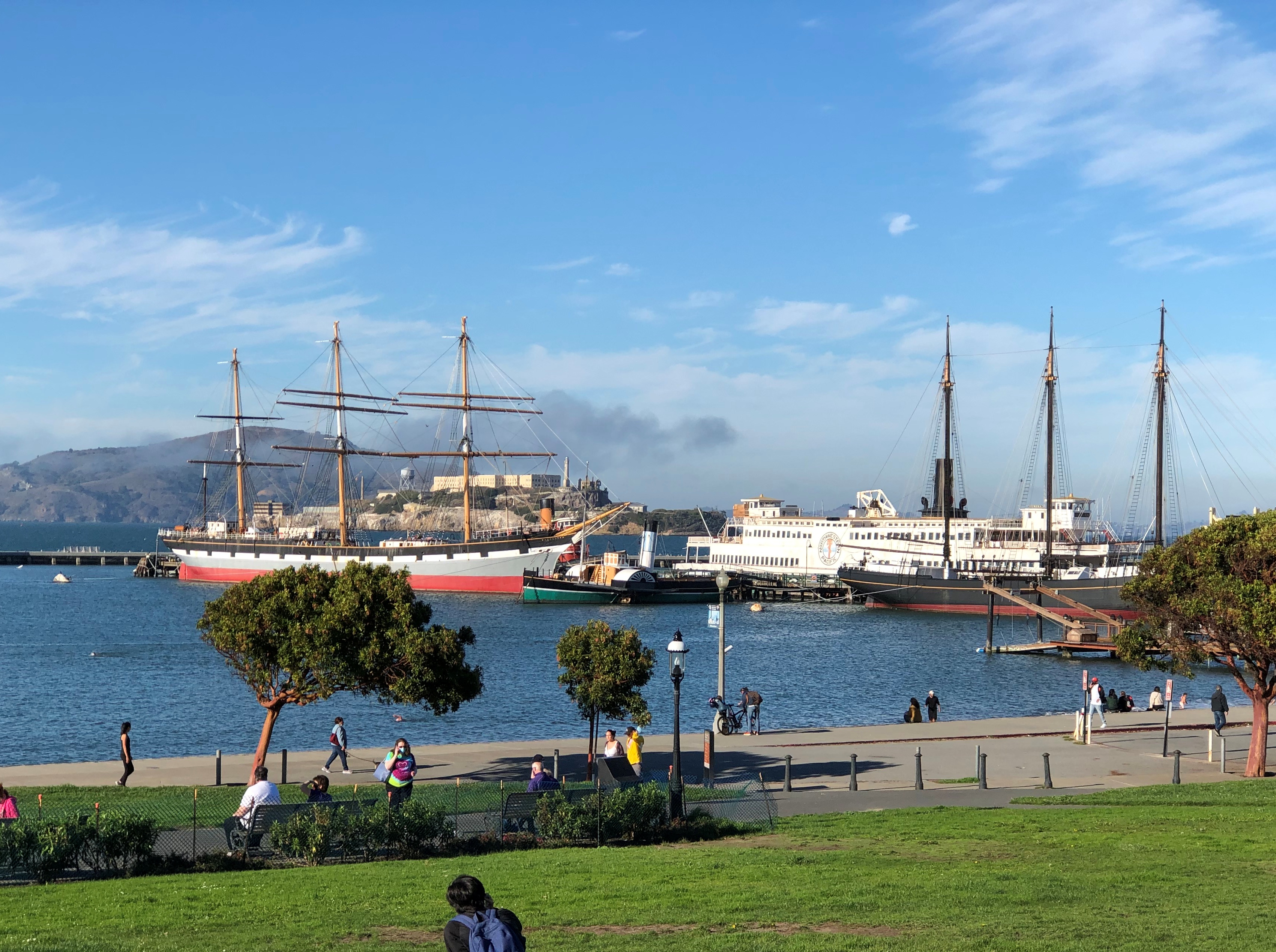
More good views closer to the shore, at Aquatic Park.Aquatic Park, SF Aquatic Park, SF

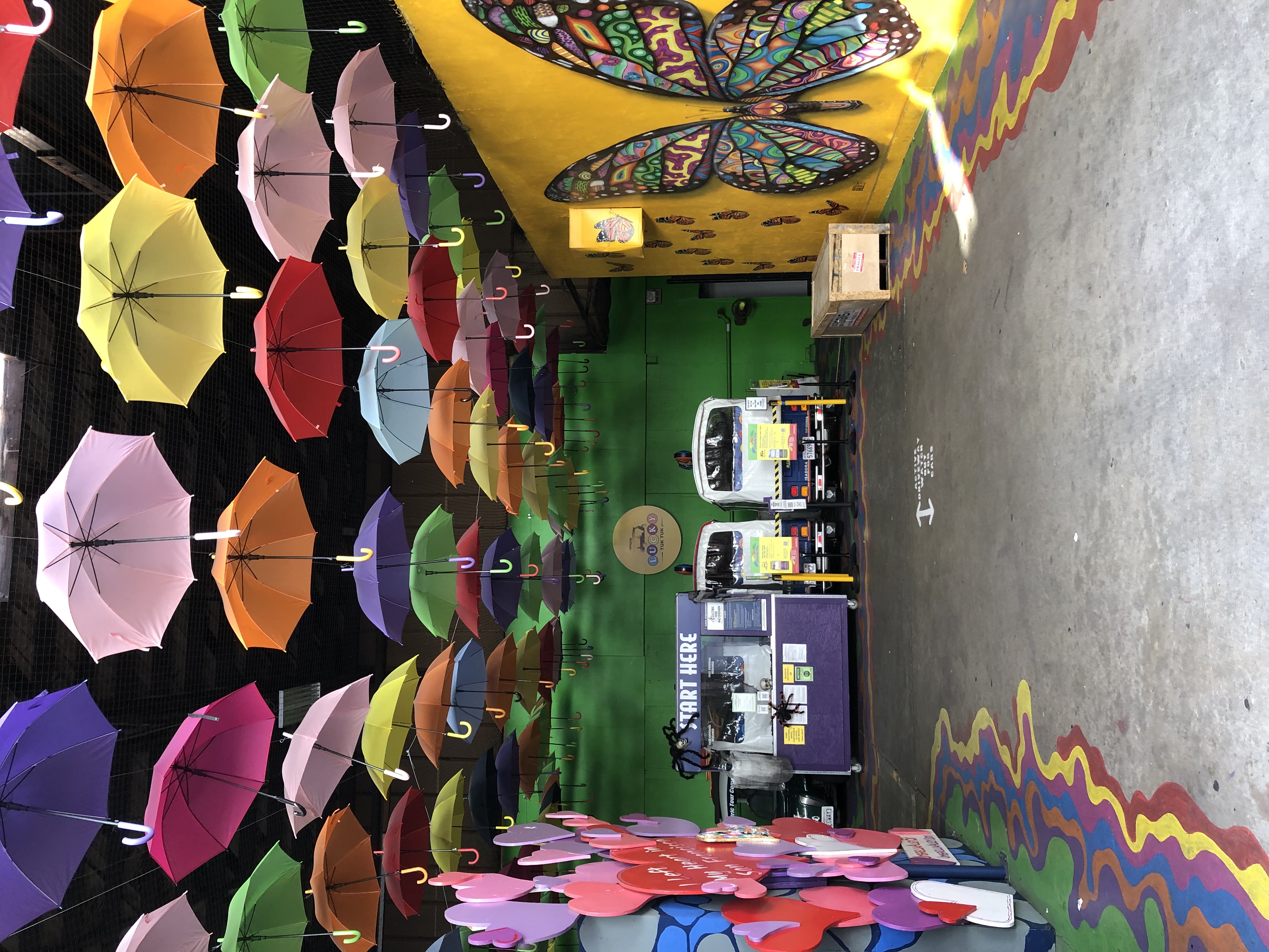
Down on Beach St., I chanced into this space.Umbrella Space
Umbrella Space

Umbrella Alley. Besides featuring the umbrella installation and murals, the place is the starting point for such sightseeing as guided Segway tours, Jeep tours, electric scooter tours, and Lucky Tuk Tuk Private Group Tours. All very well, but after making a small donation for the art project, I continued on foot.

Across to San Francisco

On October 29, I slept late, and wanted a late breakfast when I finally got up. As luck would have it, there’s an excellent diner on Broadway in Oakland not far from Jack London Square. Buttercup, the place is called. I was headed that direction anyway, to catch a ferry to San Francisco, so I stopped in. Had some good pancakes there.

I traveled between Oakland and San Francisco more than once during my recent visit, each time but one taking a BART train, which is quite convenient. But on that Friday, I wanted to take the ferry to SF. The day was clear and warm, just right for a quick trip across the Bay.

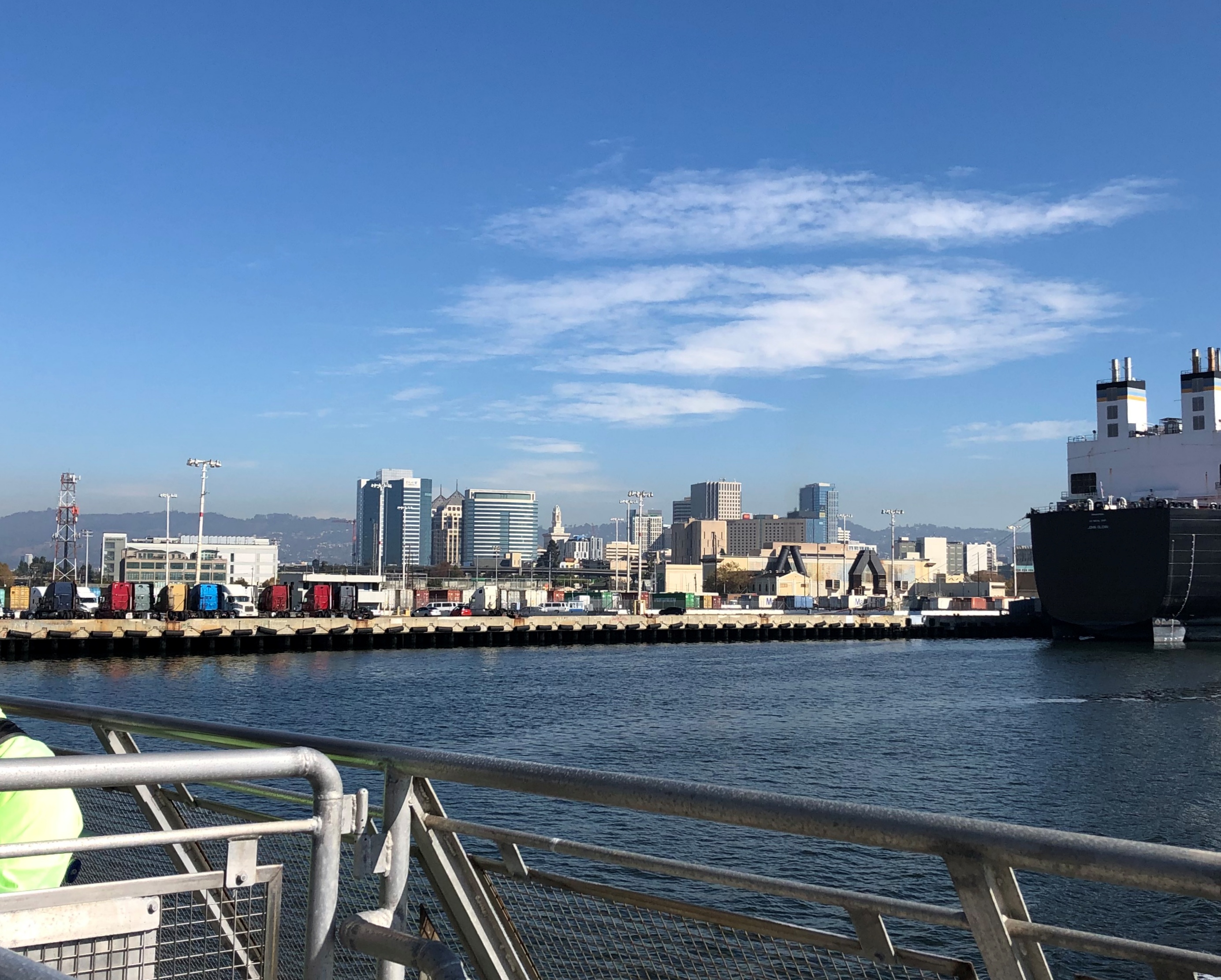
Got a good view of downtown Oakland from the back of the ferry.Oakland 2021

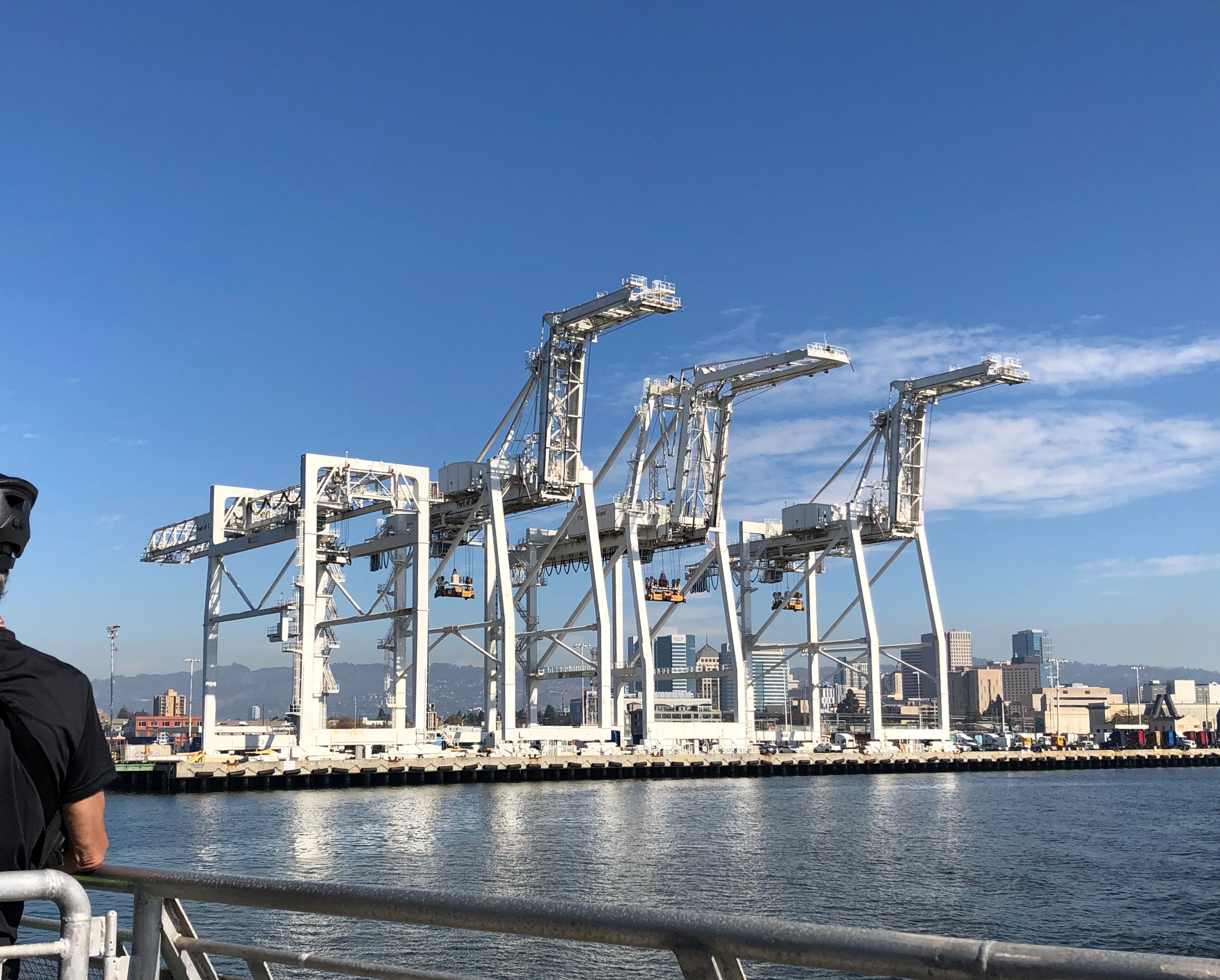
Along with a look at the port of Oakland and its infrastructure.Port of Oakland 2021
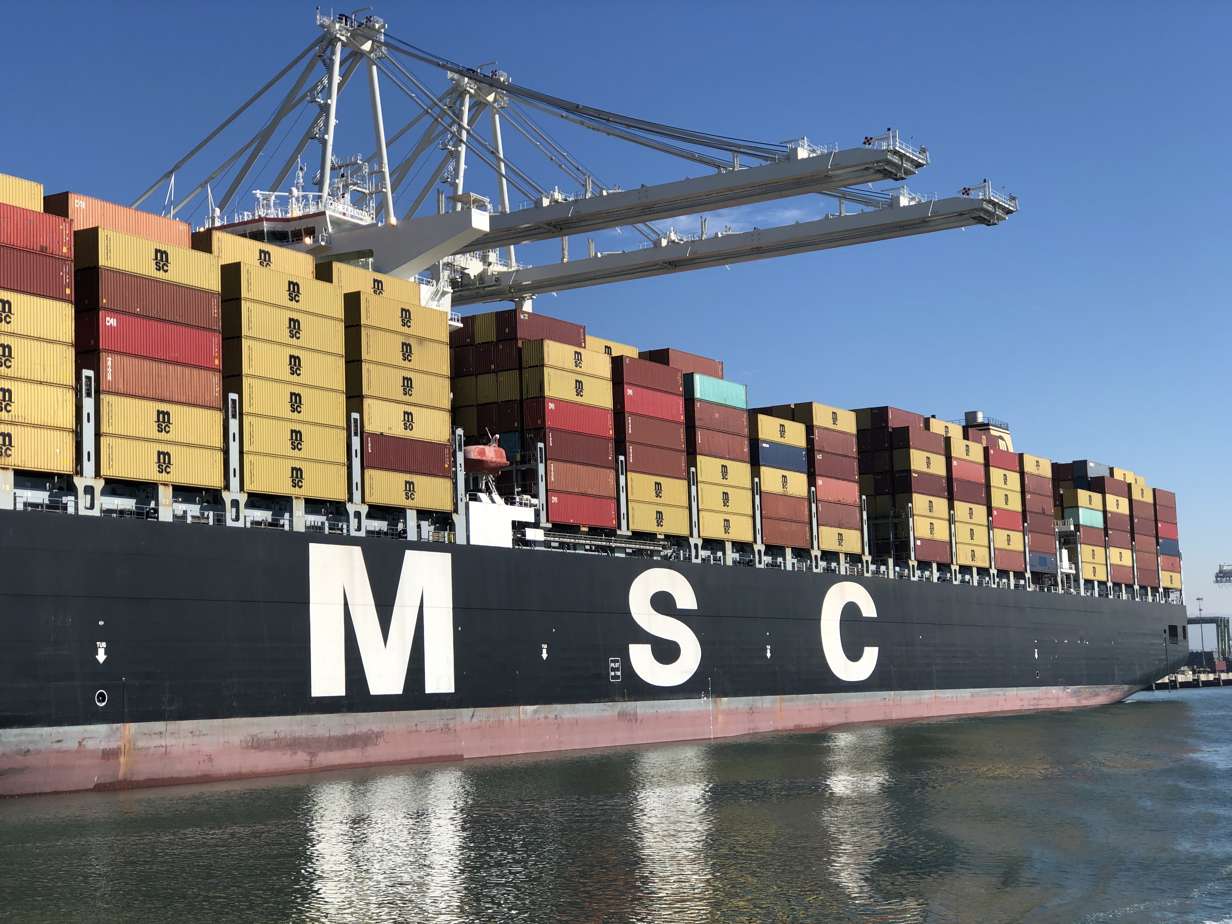
Port of Oakland 2021

Interestingly, BART is above ground after it crosses over to western Oakland, so you can see the port — the same vast array of towers and containers — from the land as well.

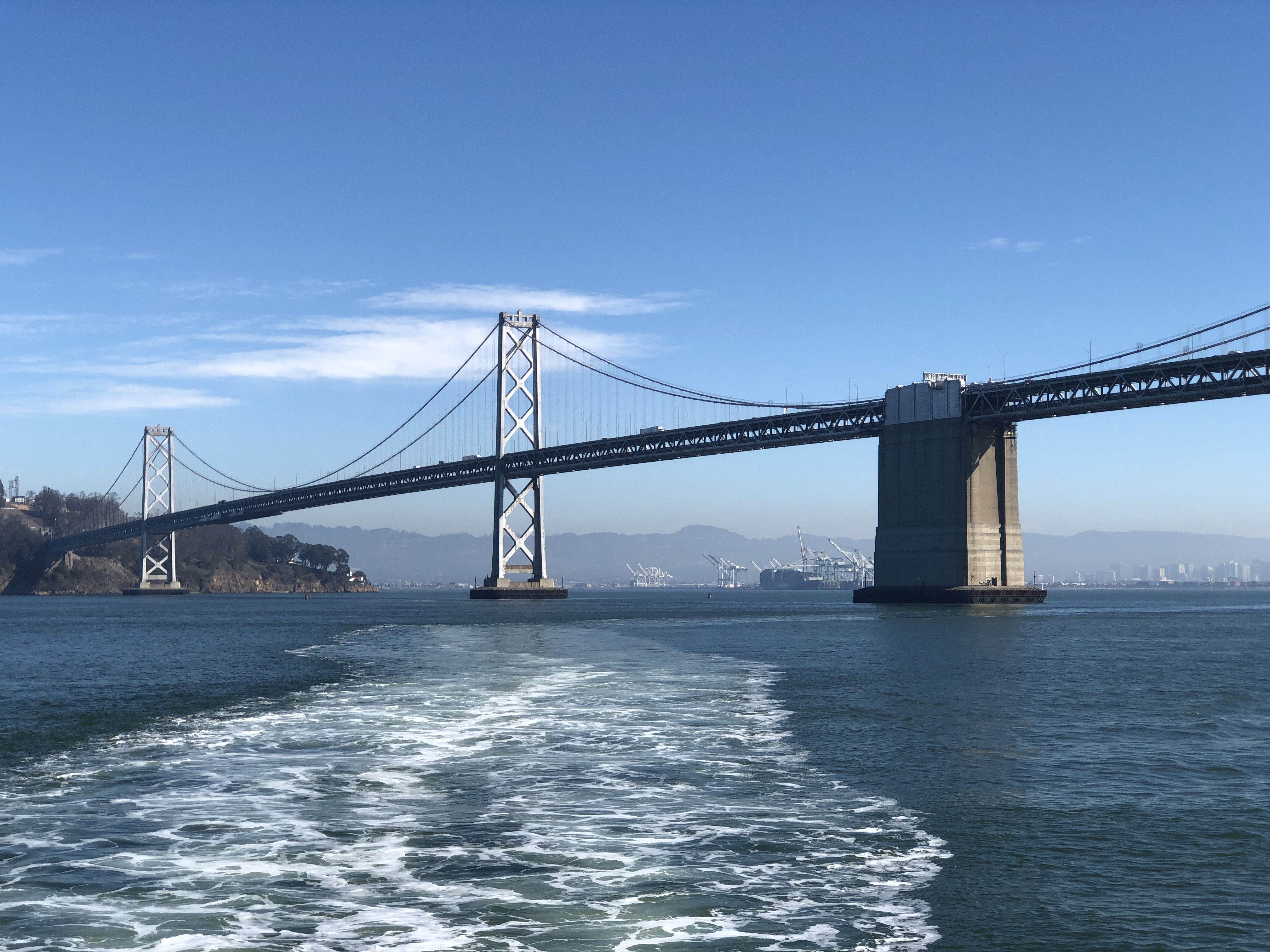
Fairly close to the end of the run, the ferry passes under the San Francisco-Oakland Bay Bridge.Bay Bridge, 2021

In the tourist imagination, it’s the neglected cousin of the Golden Gate Bridge, dating from the 1930s as well. Tourist shops still sell postcards near Fisherman’s Wharf, and I had an opportunity to look at some of their racks. The Golden Gate Bridge is a common image, maybe the most common for cards of San Francisco. The Bay Bridge? Very few.

What the bridge needs is a little color. Painting the entire thing a new color would probably be cost prohibitive, but what about painting the central anchor between the two spans of the western section of the bridge (between Yerba Buena Is. and downtown San Francisco)? Or maybe hiring some big-deal artist to put a highly visible work on it. The anchor is pretty dowdy as it is.

Also, name the bridge after the Emperor Norton. After all, in a series of far-sighted decrees in the late 19th century, Norton I ordered that a bridge be built in that very spot.

The first such decree, in 1872:

Whereas, we observe that certain newspapers are agitating the project of bridging the Bay; and whereas, we are desirous of connecting the cities of San Francisco and Oakland by such means; now, therefore, we, Norton I, Dei gratia Emperor… order that the bridge be built from Oakland Point to Telegraph Hill, via Goat Island [Yerba Buena].

There were three such proclamations.

A naming hasn’t happened yet, but the good people of the Emperor Norton Trust are working on it.

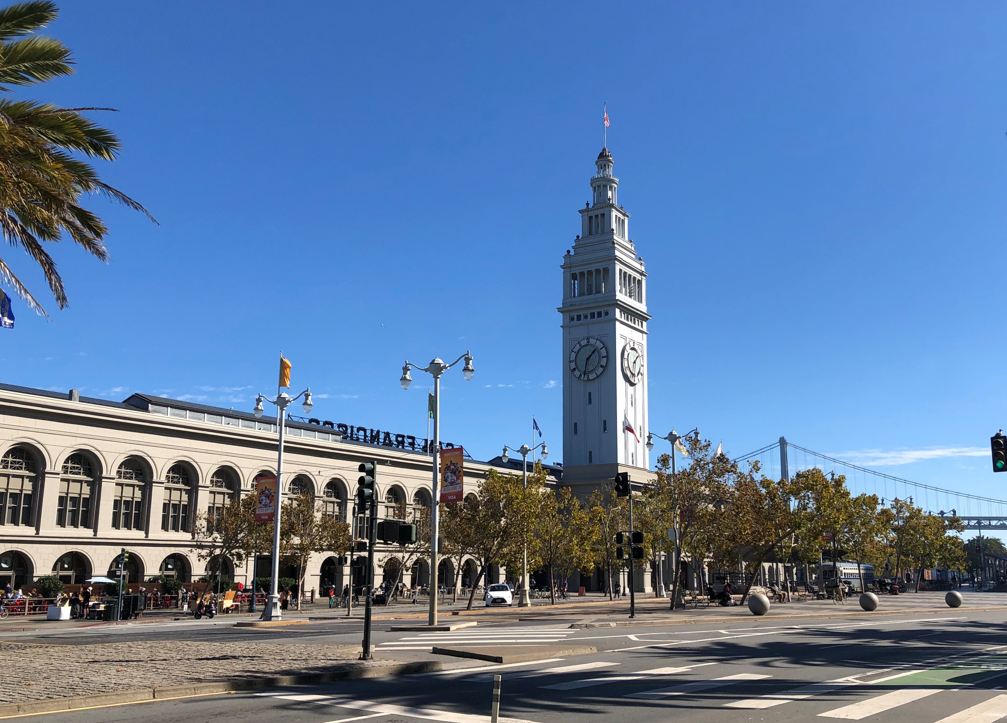
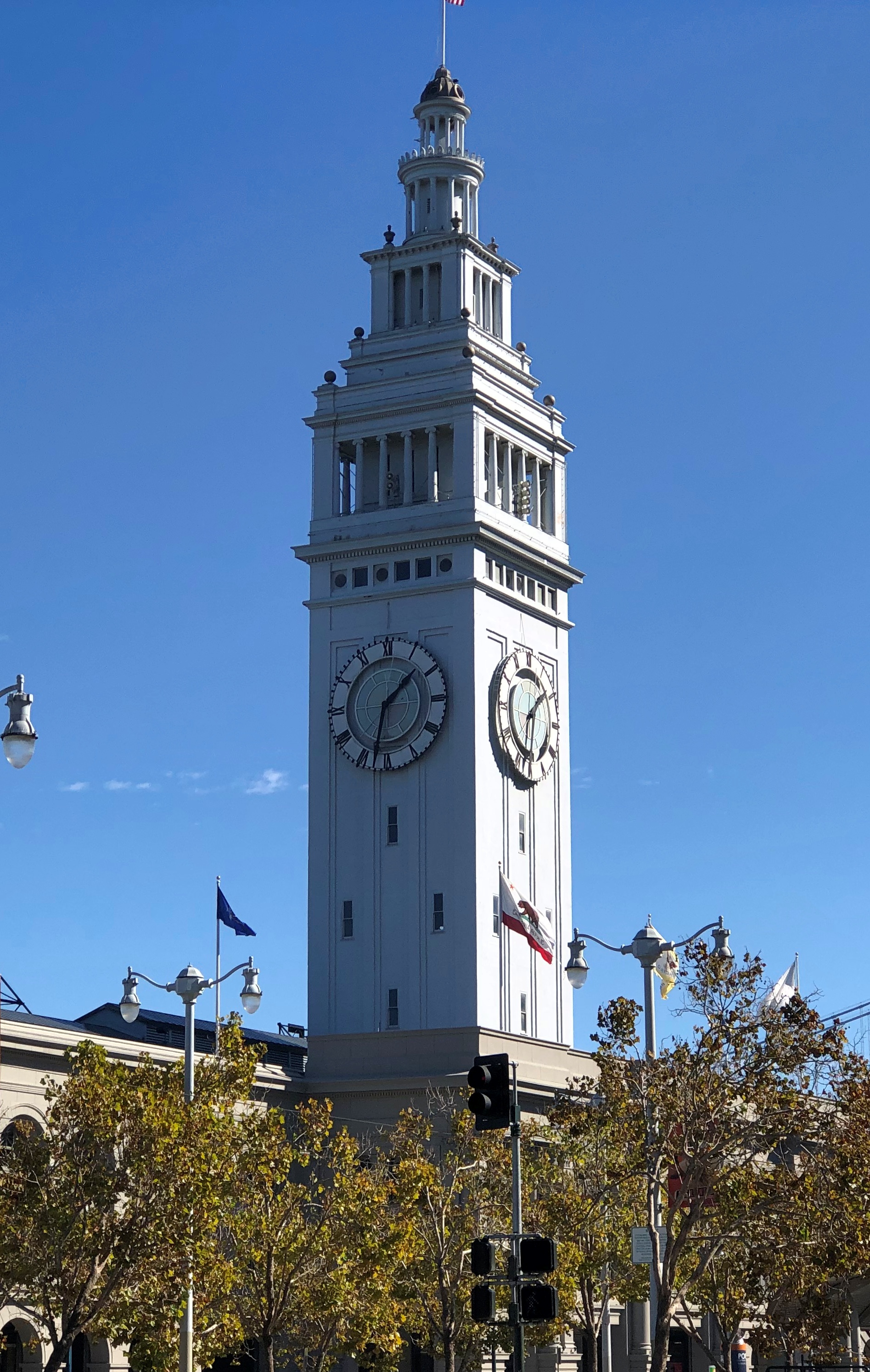
The ferry takes you to the Ferry Building, fittingly enough, along the Embarcadero, with its handsome clocktower, a late 19th-century design (but after Norton’s time) by A. Page Brown. The clocktower is reportedly patterned after the 12th-century Giralda bell tower in Seville, Spain.Ferry Building, San Francisco Ferry Building, San Francisco

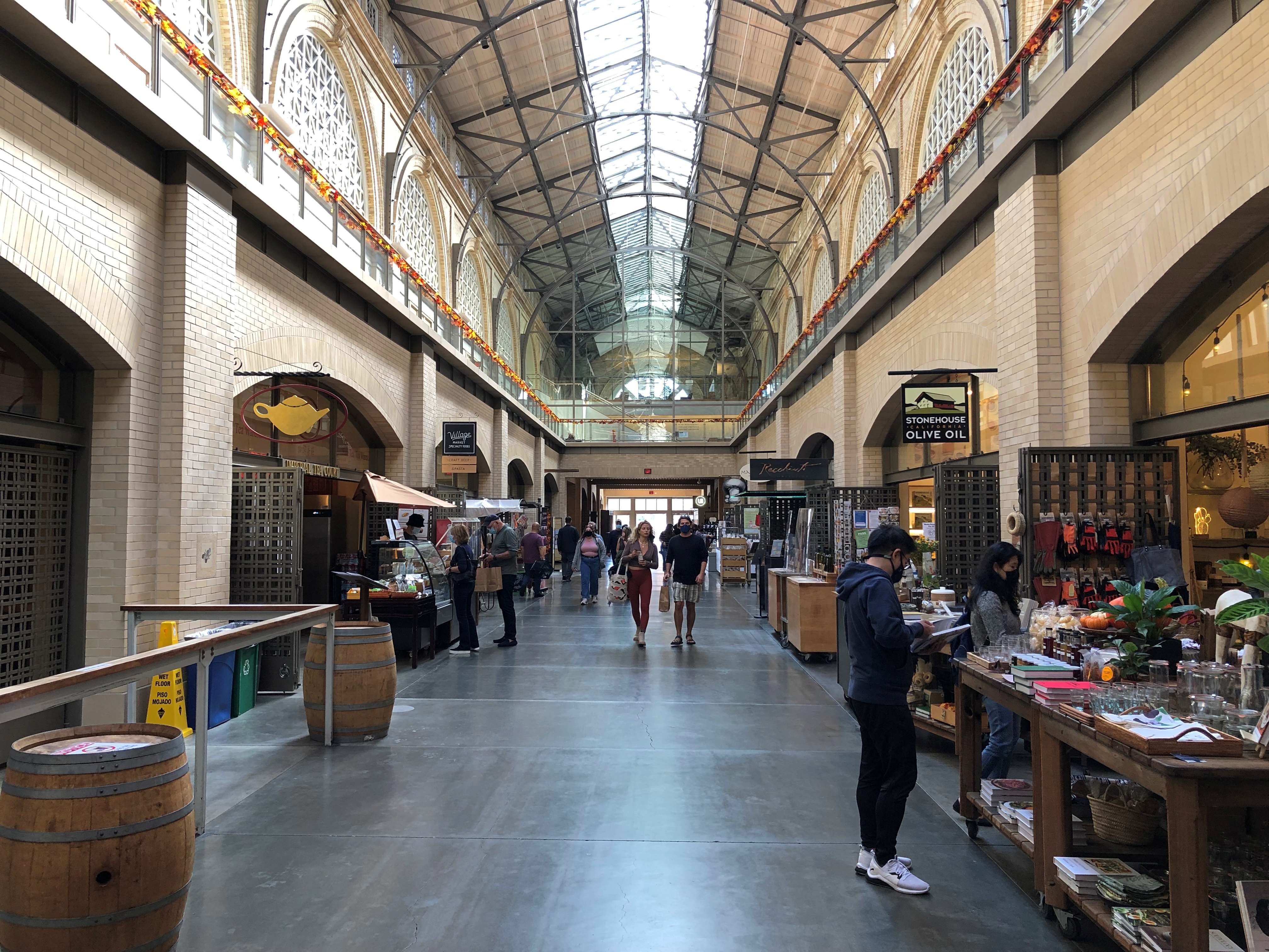
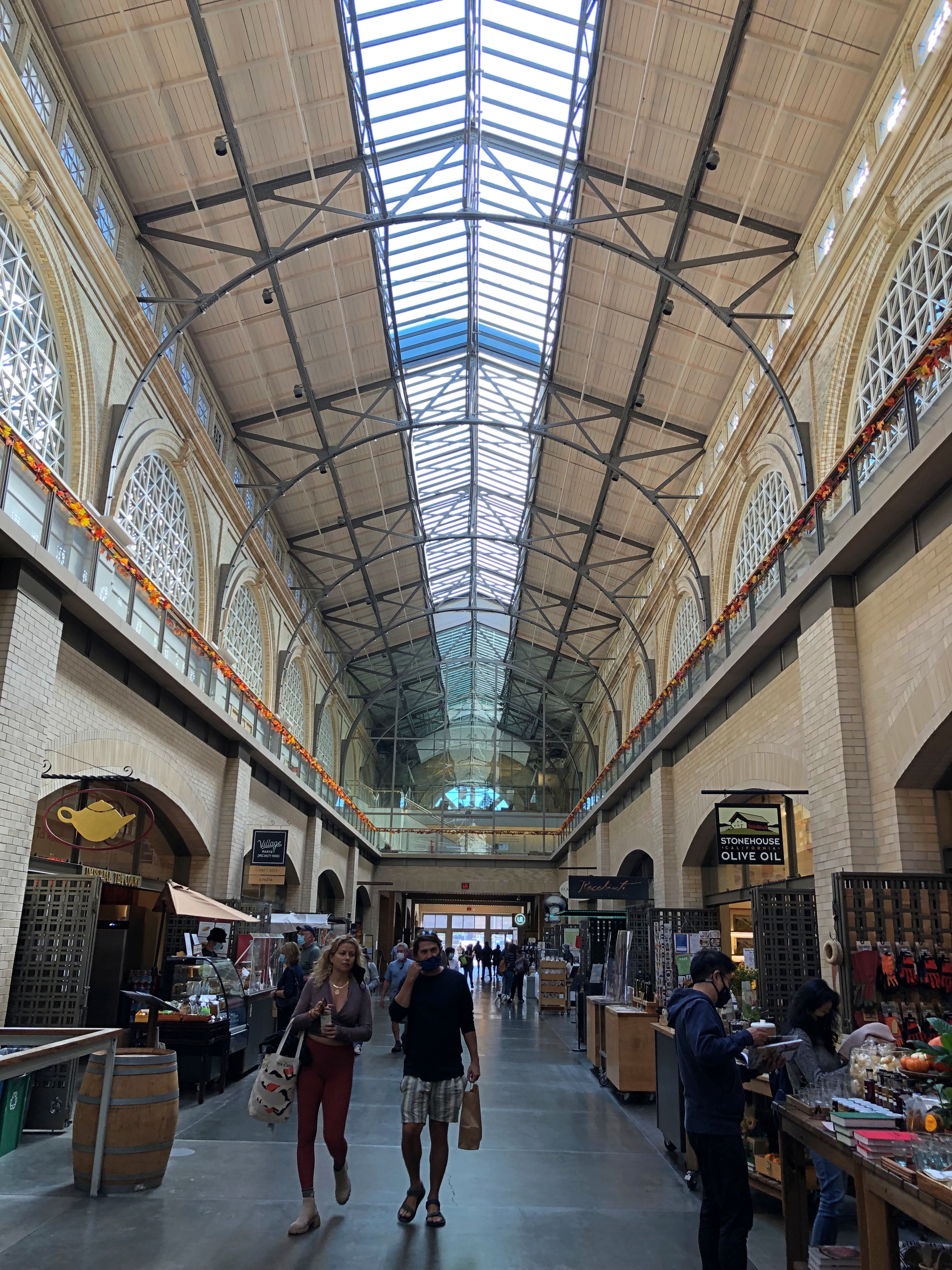
The Ferry Building interior is also handsome, sporting a large food hall, the creation of an early 21st-century restoration of the building. Unfortunately, my pancake brunch meant I had no appetite to try anything there.Ferry Building, San Francisco Ferry Building, San Francisco

“Opening in 1898, the Ferry Building became the transportation focal point for anyone arriving by train,” the building’s web site says.

“From the Gold Rush until the 1930s, arrival by ferryboat became the only way travelers and commuters – except those coming from the Peninsula – could reach the city. Passengers off the boats passed through an elegant two-story public area with repeating interior arches and overhead skylights. At its peak, as many as 50,000 people a day commuted by ferry.”

For years, the Embarcadero Freeway obscured the view of the building. No wonder I didn’t remember seeing it before. Why did anyone think building a freeway in front of this building and part of the Embarcadero was a good idea? Well, Nature took care of that bad idea in 1989.

The Gardens at Lake Merritt

Not far from the Cathedral of Christ the Light in Oakland is Lakeside Park, the lake being Lake Merritt. The afternoon of October 28 was sunny and pleasant in Oakland. Actually a little warm; I should have brought some water.

Nice views of the city from the park.Lakeside Park, Oakland
Lakeside Park, Oakland

Paths to follow.Lakeside Park, Oakland

With wildlife to be found. Small examples, at least.
Lakeside Park, Oakland

This isn’t a gazebo. No. It’s a bandstand. Quite a bandstand.Lakeside Park, Oakland Lakeside Park, Oakland

A section of the park is given over to the Gardens at Lake Merritt.Gardens of Lake Merritt Gardens of Lake Merritt

“In the late 1950s, a coalition of garden clubs and plant societies developed and built the Oakland-East Bay Garden Center,” says Pacific Horticulture. “Upon completion, the building was donated to the City of Oakland with the understanding that the coalition would be able to use it in perpetuity for meetings and other activities. Later, the various groups took on the task of landscaping the seven-acre site.

“The gardens flourished for many years under the care of 16 city gardeners. However, by the late seventies and eighties, membership in many formal garden groups waned and, little by little, the city’s resources were directed elsewhere. Inevitably, many of the garden plots were neglected, and the appearance and appeal of the Gardens declined.

“With the vision and commitment of Victoria (Tora) Rocha, who was appointed Park Supervisor in 2010, and with renewed interest from garden groups and local residents, the Gardens at Lake Merritt are once again an interesting, enticing, and very attractive group of plantings.”

Sure enough. All sorts of gardens are part of the collection: bonsai, California riparian, Japanese, lily, Mediterranean, pollinator, rhododendron, sensory and urban edible gardens, along with a native bee hotel and native lawn.Gardens of Lake Merritt Gardens of Lake Merritt Gardens of Lake Merritt

The Japanese garden.
Gardens of Lake Merritt

I spent the most time in the nearby bonsai garden.Gardens of Lake Merritt Gardens of Lake Merritt (Bonsai)

A collection of more species than I would have expected, but that’s just my ignorance of things bonsai.

A Chinese elm.Gardens of Lake Merritt (Bonsai)

Ivy, gingko and olive.Gardens of Lake Merritt (Bonsai)

Sierra juniper.
Gardens of Lake Merritt (Bonsai)

Not all the botanic marvels of the park were in the designated gardens. Some striking trees could be found scattered through the park.Gardens of Lake Merritt (Bonsai)

Including the impressive whatever-it-is pictured above. A botanist, I’m not.