London Town

Things you can do in London: walk along the Thames; visit Covent Garden; and see St. Paul’s Cathedral. We did all of those things in the original London, once upon a time.

Earlier this month, we managed two out of three in London, Ontario. The cathedral was closed. Some other time, maybe, since you can drive from metro Chicago to the Canadian London in about six hours, provided traffic snarls on the highways just south of Lake Michigan aren’t any worse than usual and you don’t encounter a testy Canadian border guard, as I did on Canada Day all those years ago, for the most thorough border-crossing inspection I ever received, before or since.

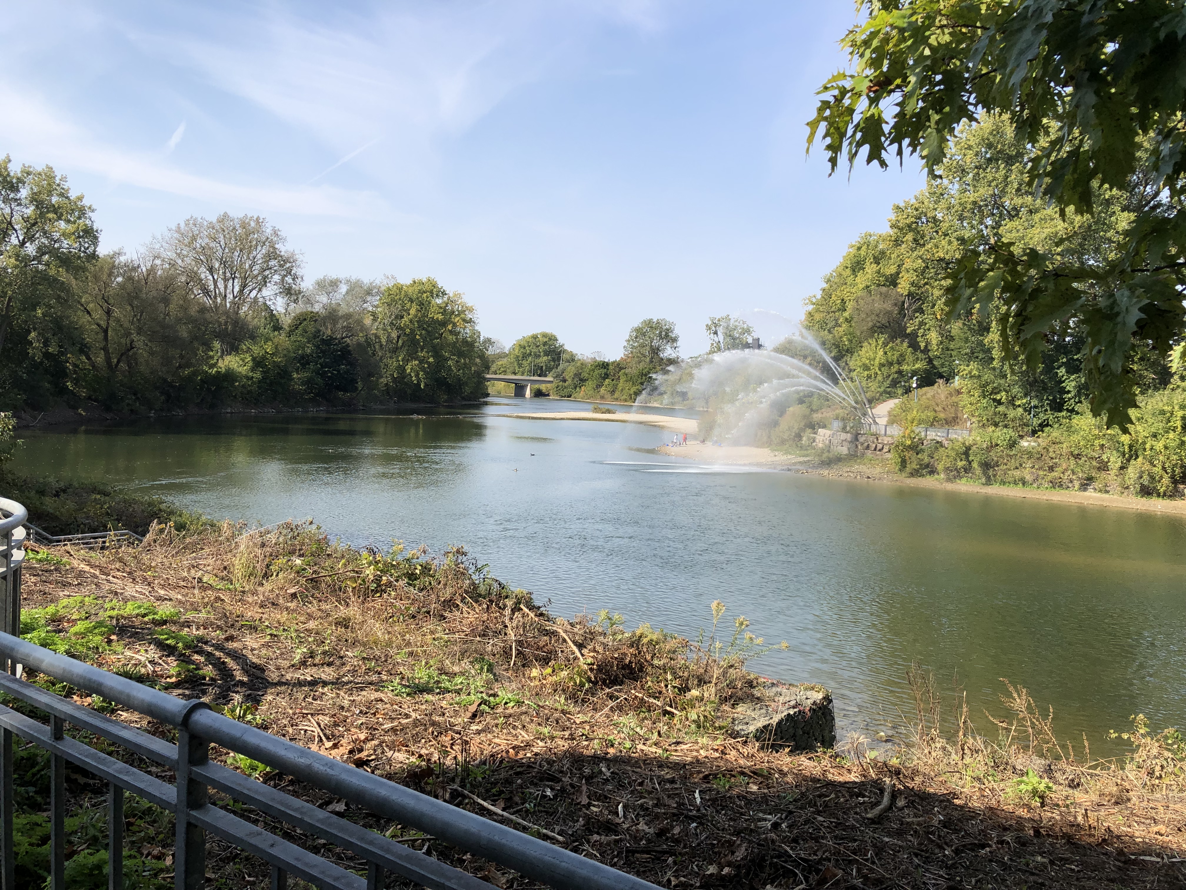
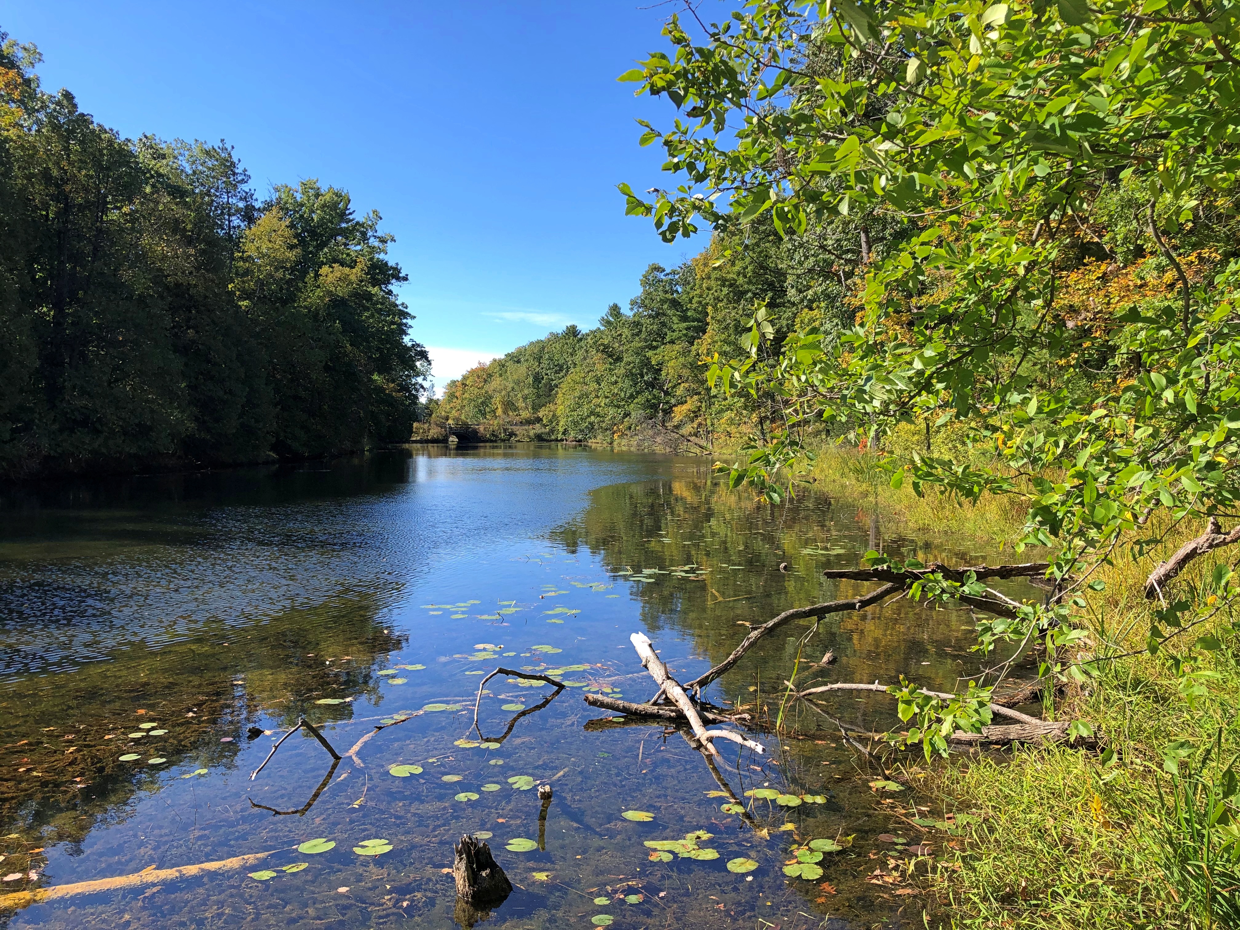
The Thames as it passes through downtown London. The banks are mostly parkland.London Ontario, Thames River London Ontario, Thames River

Actually, that point is the meeting of the North Thames and the Thames, locally known as the Folks. The river is called as La Tranche in French and Deshkaan-ziibi in Ojibwe, Antler River.

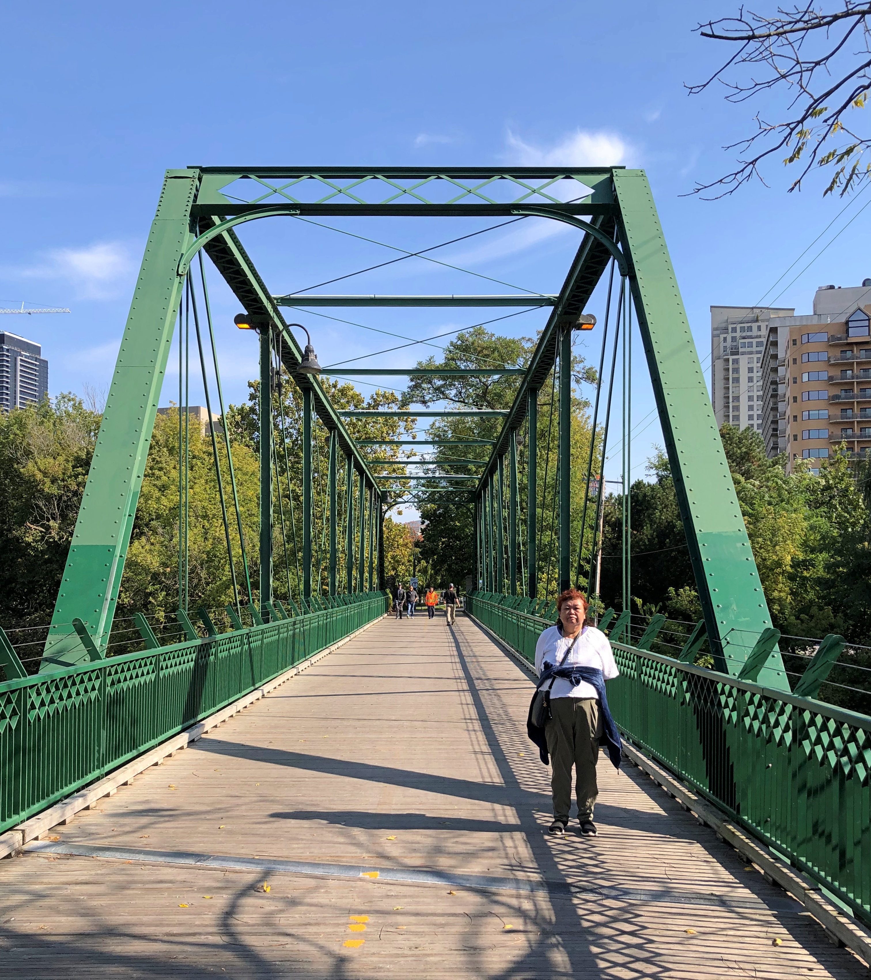
The King Street pedestrian bridge connecting the banks.London Ontario

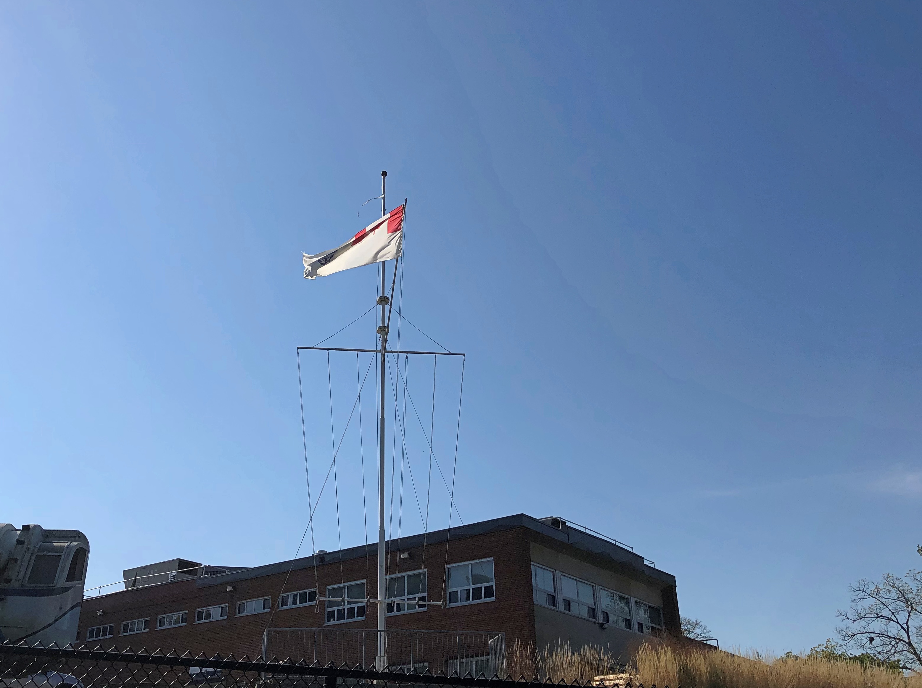
Near the Folks is the HMCS-NCSM Prevost, flying these colors – the Canadian Naval Ensign, if I understand correctly.London Ontario

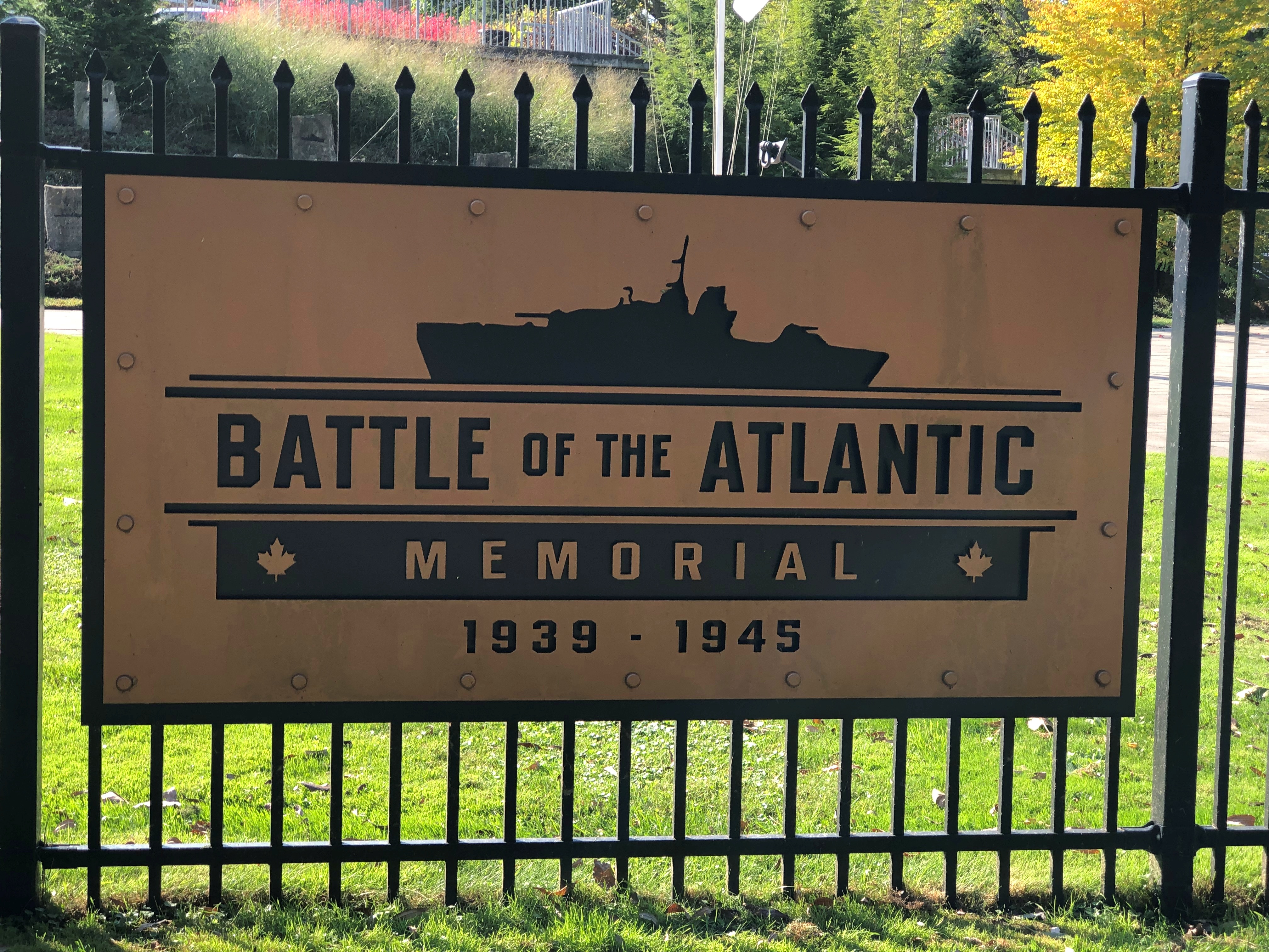
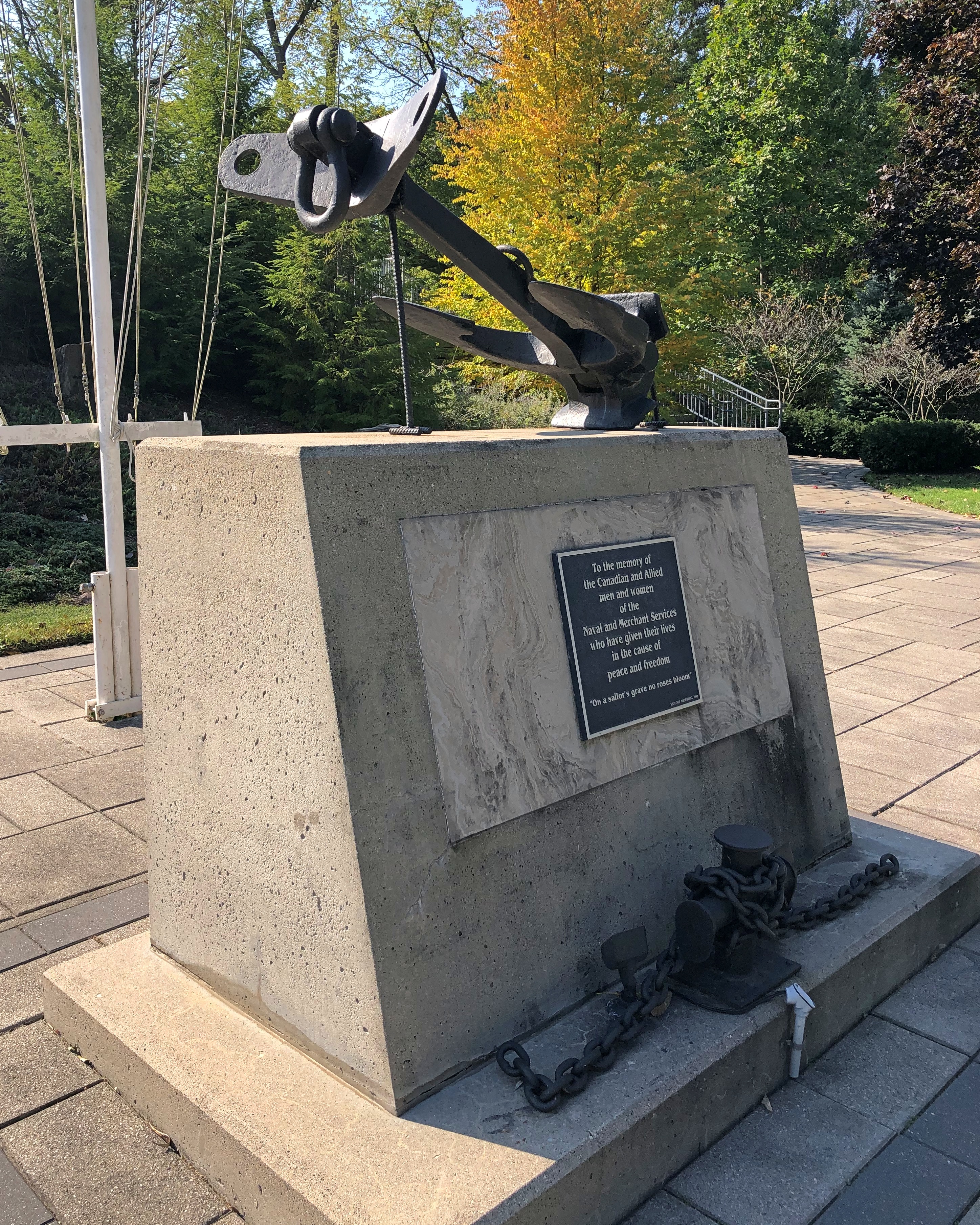
All that is a fair amount to unpack: the ensign is flying on land because the Prevost is a stone frigate, a naval facility on land. HMCS is His Majesty’s Canadian Ship, of course, but this being Canada, it is also NCSM, Navire canadien de Sa Majesté. The site is a training and recruiting center for the Canadian Navy, and also home to the Battle of the Atlantic Memorial. Another sign is in French, but I only made a picture of the English.London Ontario London Ontario

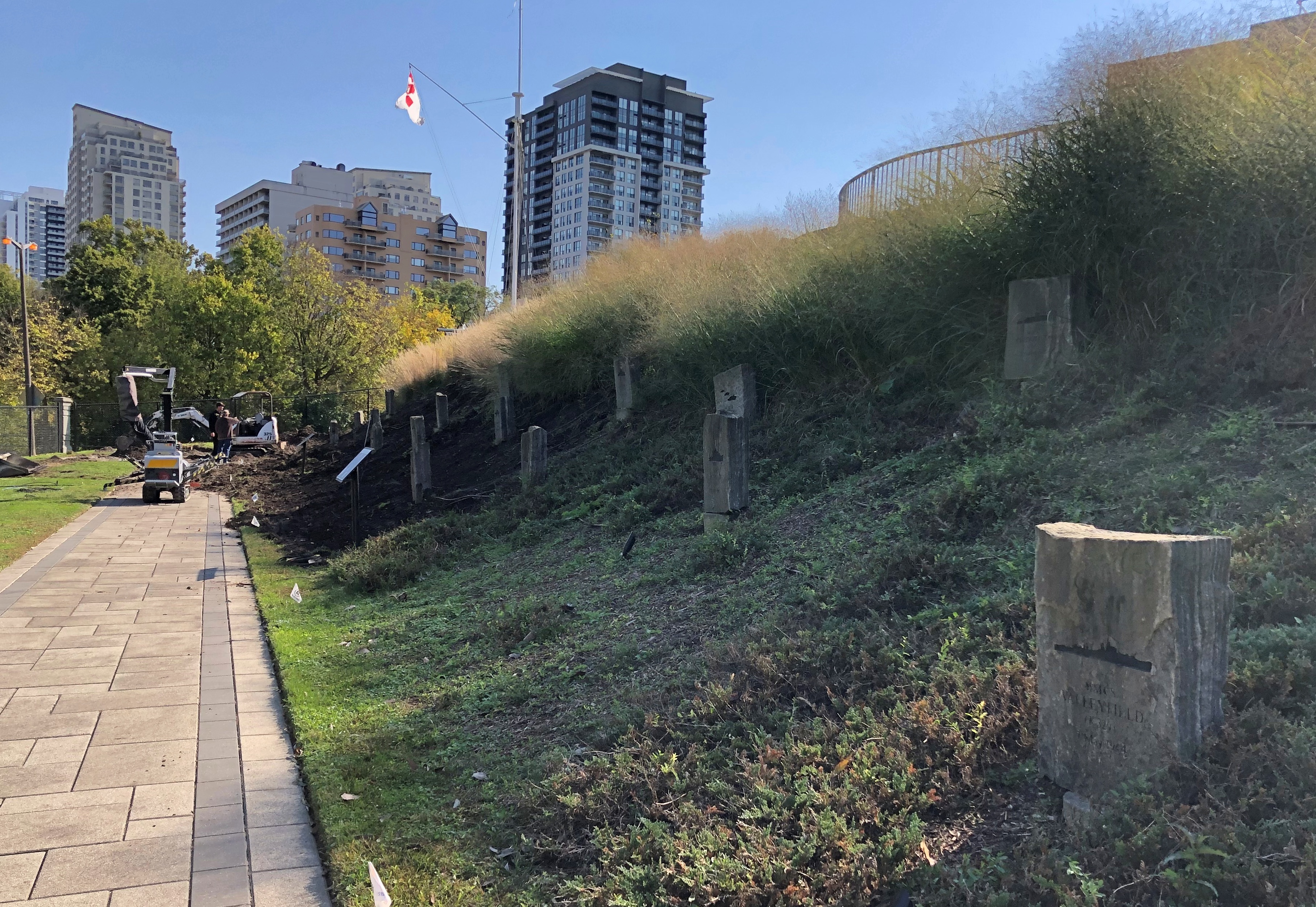
The memorial is still under construction, according to the London Free Press, and it looked like it, with memorial stones being put into place on a small slope. Dedication will be next May, on the 80th anniversary of the end of that battle, which lasted until the Germans surrendered.London Ontario

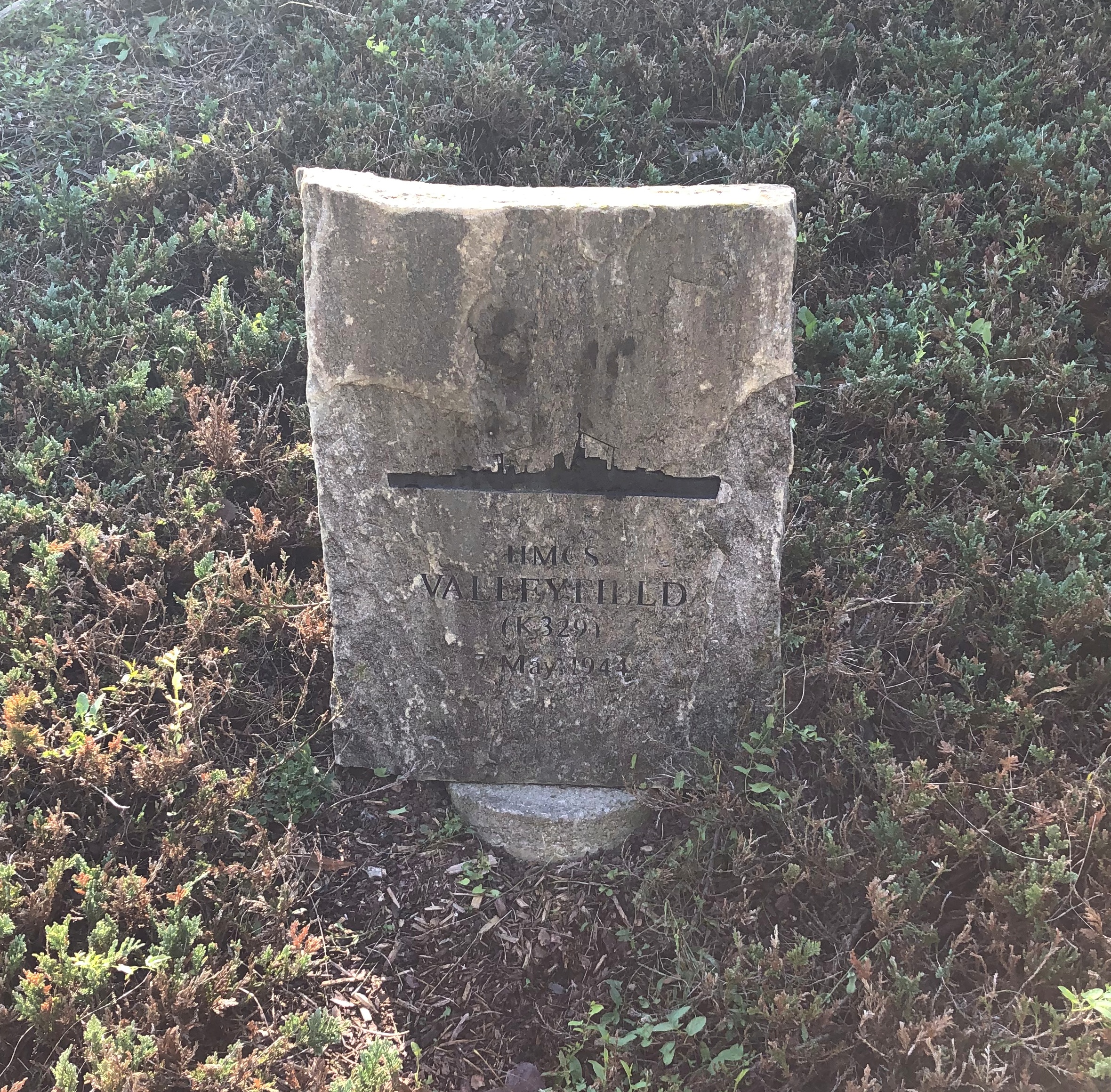
I decided to look up one of the ships memorialized: the HMCS Valleyfield.London Ontario

Commissioned in December 1943. Torpedoed and sunk May 7, 1944, with the loss of 125 Canadian sailors in the gelid North Atlantic.

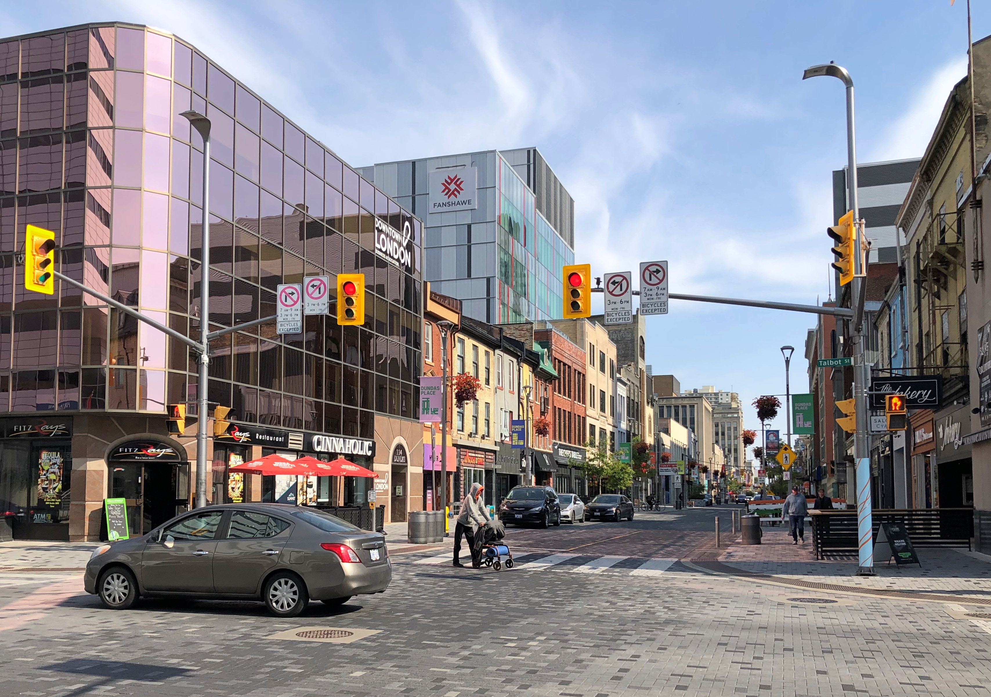
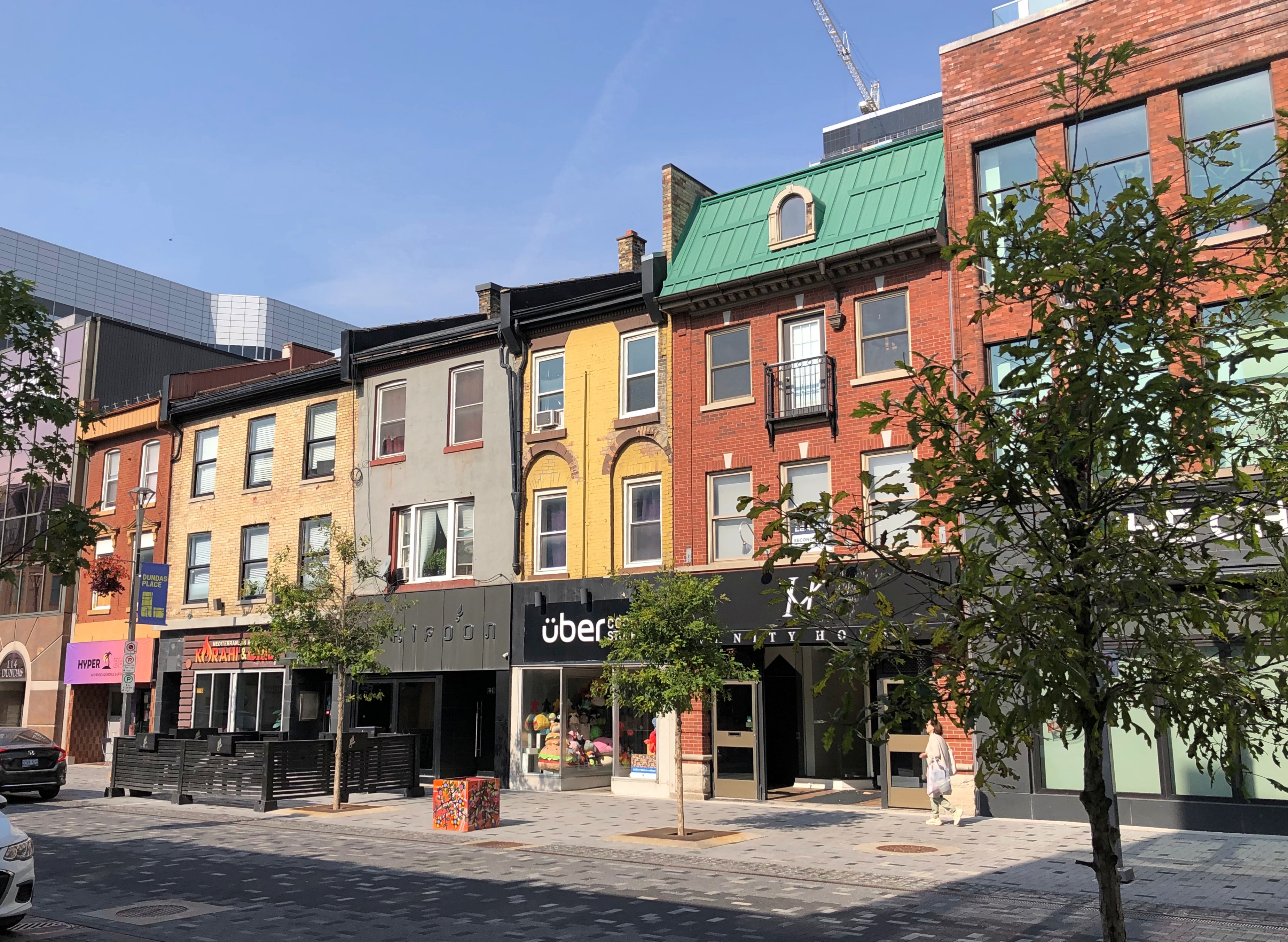
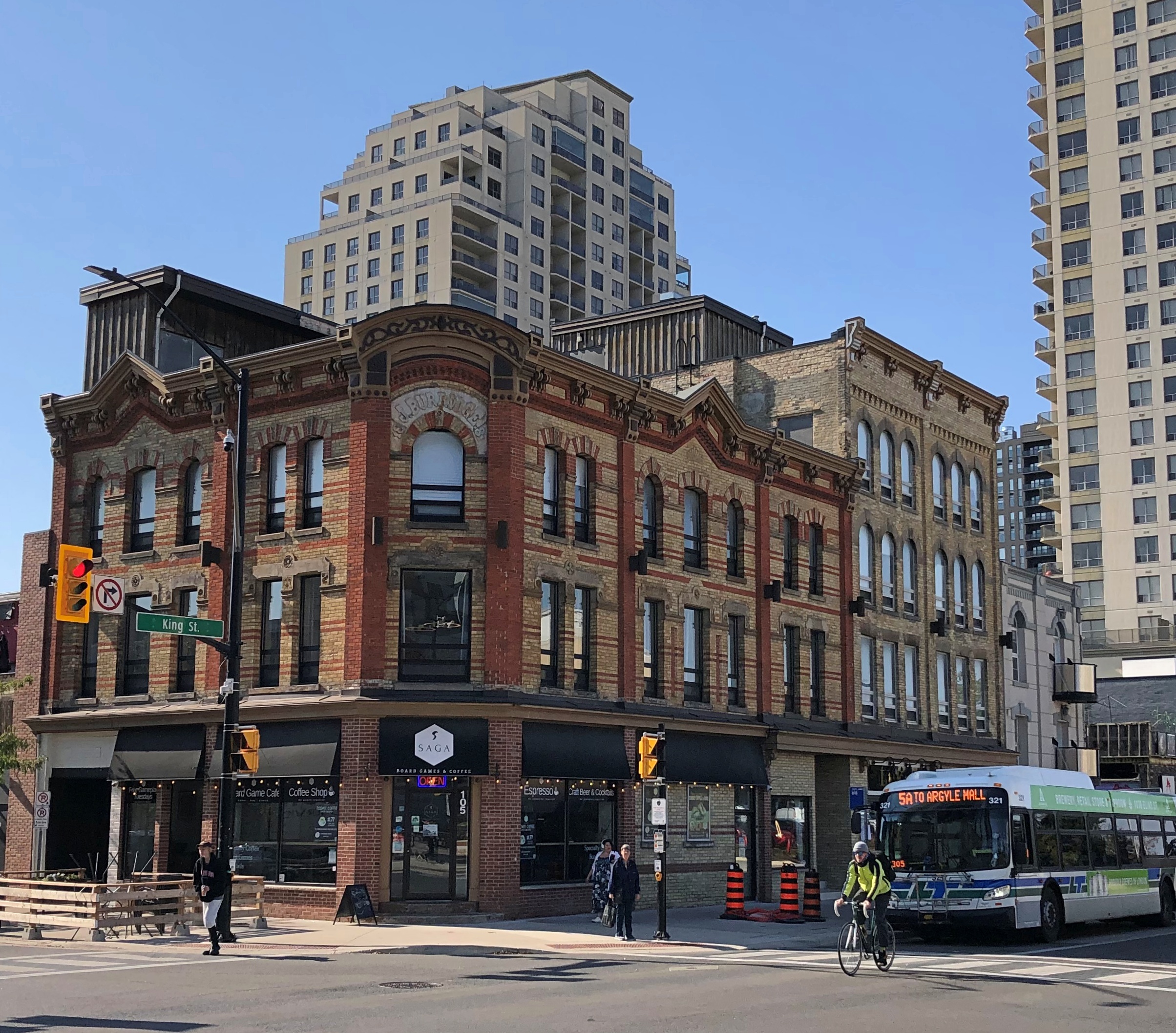
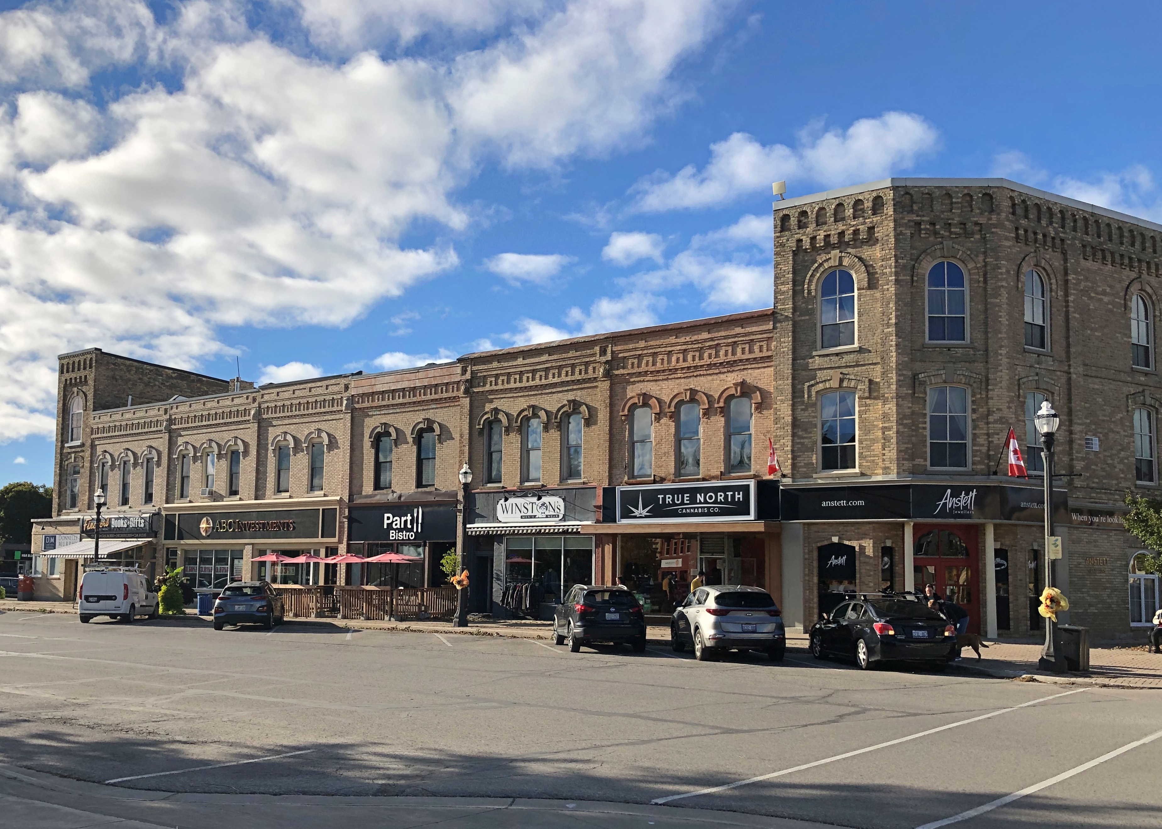
After the riverside, we took a short walk through downtown, especially Dundas St.London, Ontario London, Ontario London, Ontario

An unexpected mural on that street.Johnny and June, London, Ontario

“Johnny and June” by Kevin Ledo, a Montreal artist, and completed only in 2023. (If you want to see a large Ledo mural depicting a young Alex Trebec, go to Sudbury, Ontario.)

The mural, on the side of London’s Budweiser Gardens sports-event venue, is impressively large, at 45 feet tall and 20 feet wide. Larger than life, certainly. A nearby sign says it commemorates the moment on February 22, 1968, when Johnny Cash proposed to June Carter on stage during a concert in London.

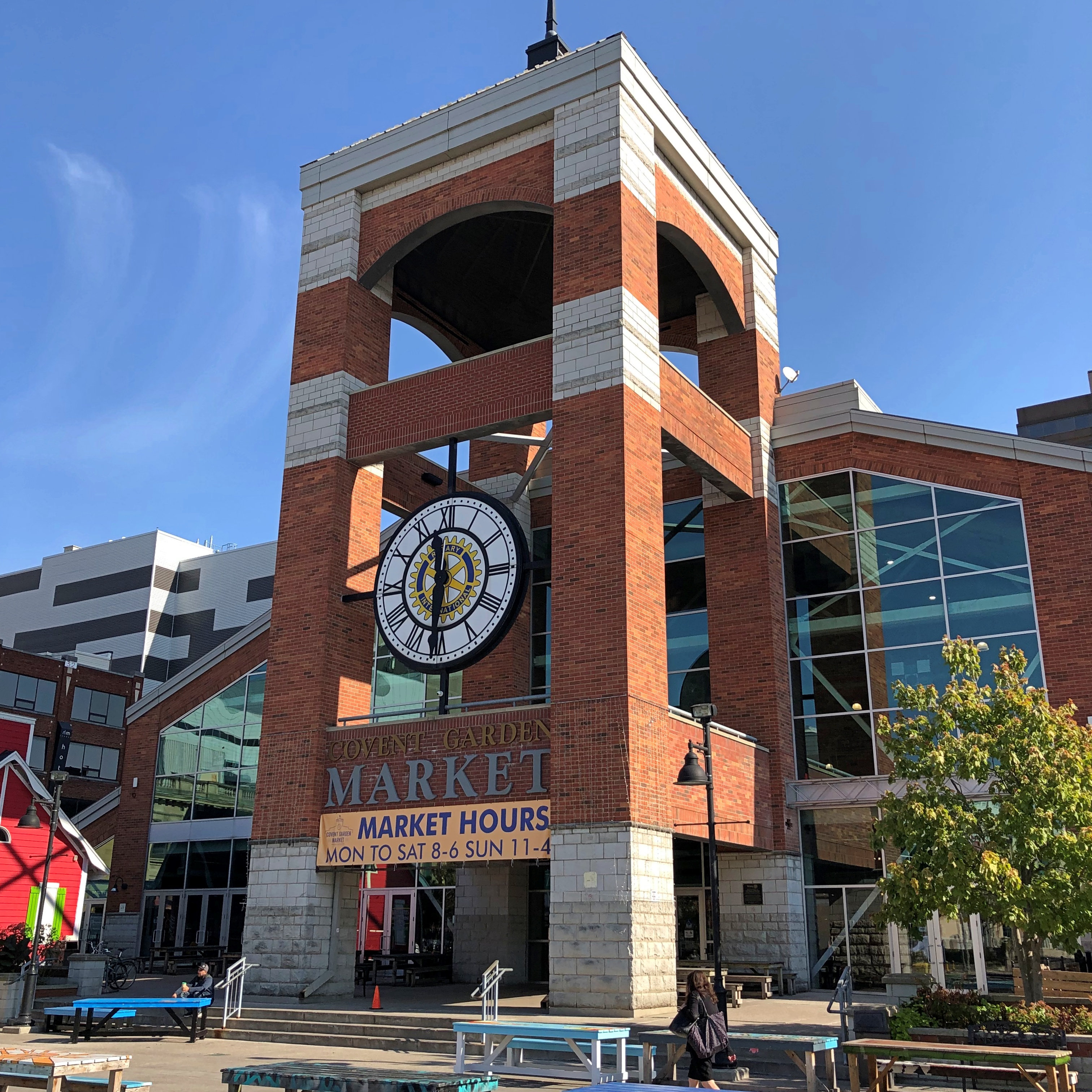
As for Covent Garden, that’s where we had lunch. Site of a public market since 1845, though I expect things have been cleaned up some since then.Covent Garden, London, Ontario Covent Garden, London, Ontario

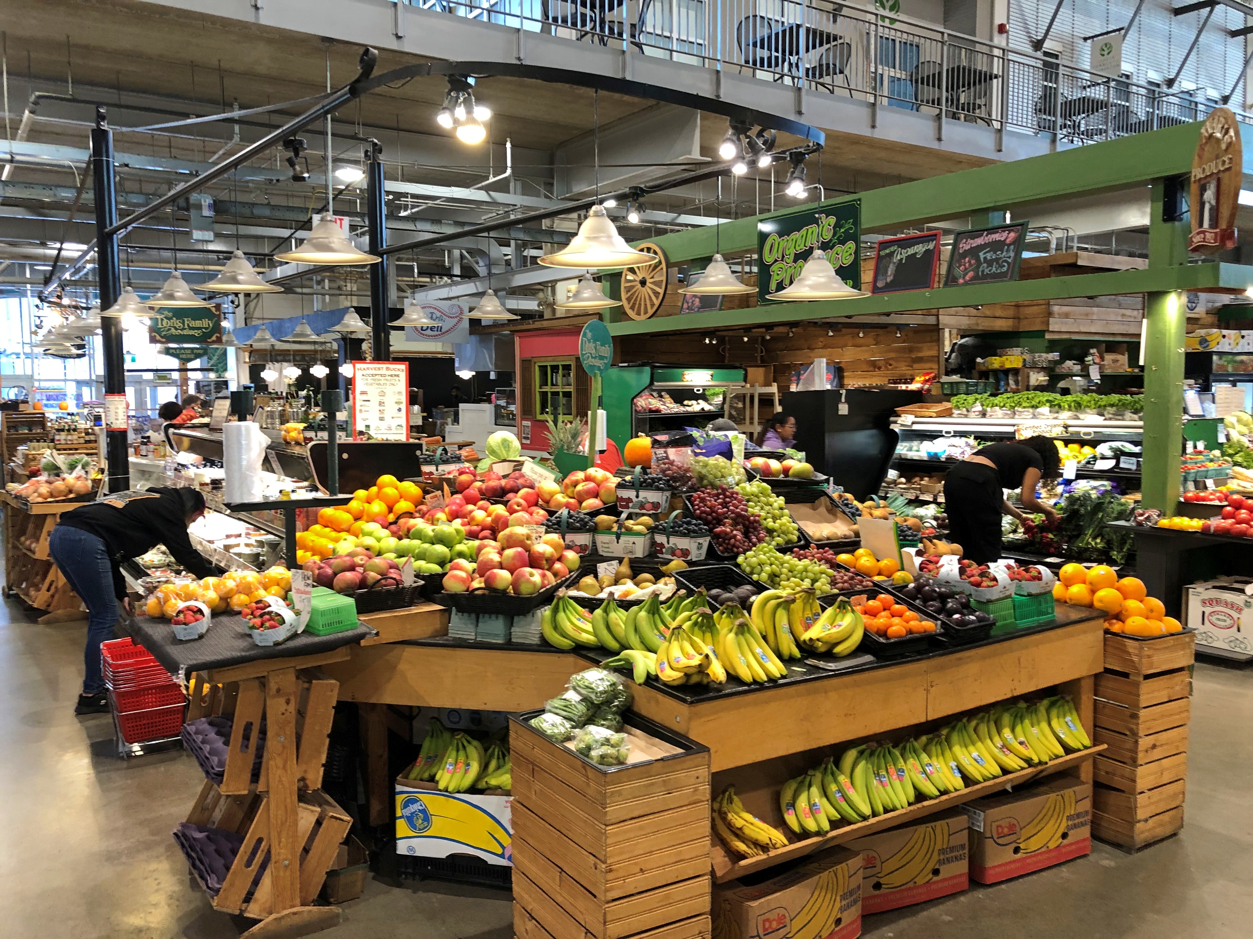
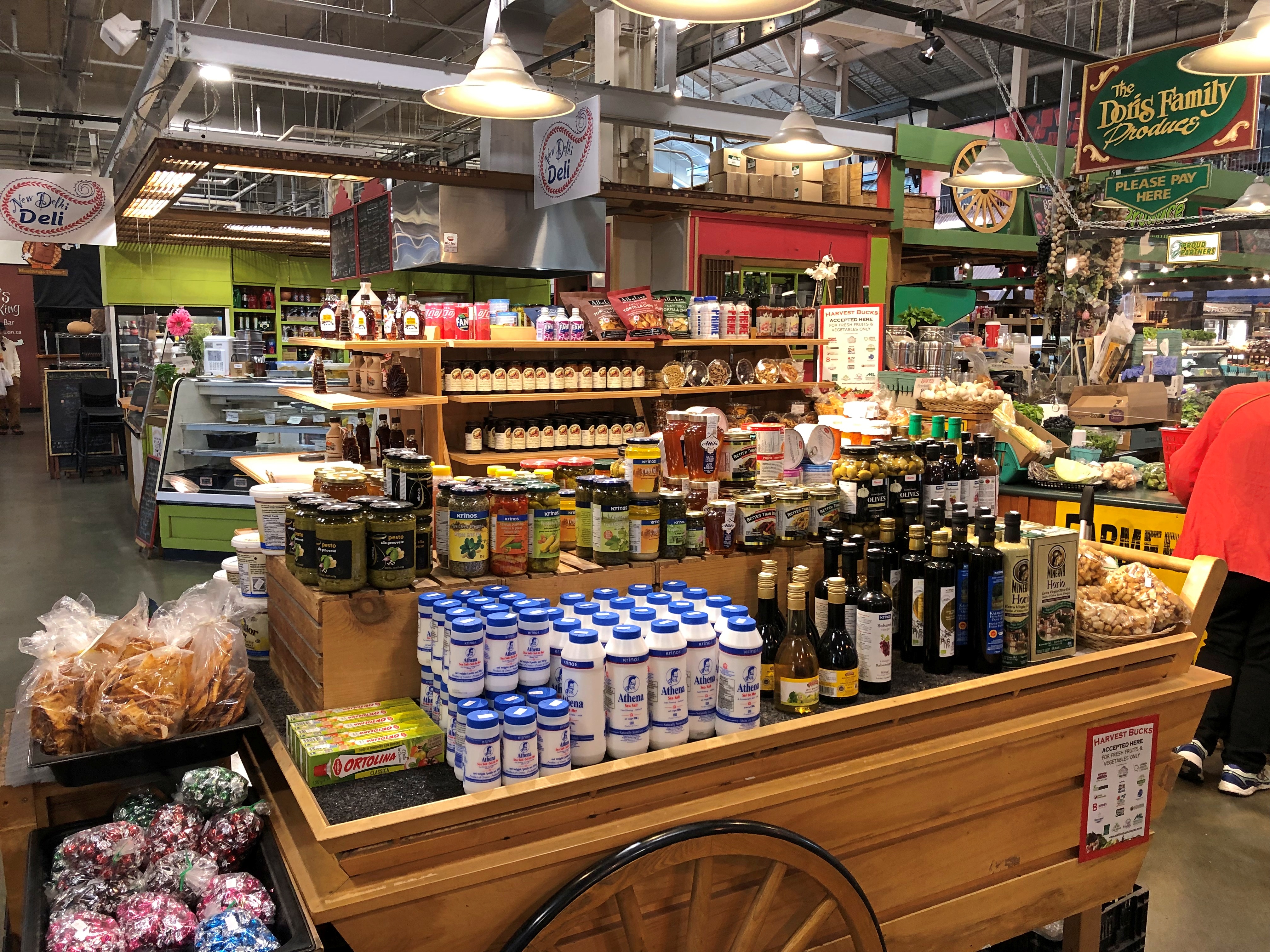
Not quite as grand as the one in the larger London, but well worth the stroll to look at the shops, and find an eatery. We ate at a Brazilian place. Don’t see too many of those in food halls. Most satisfying.Covent Garden, London, Ontario Covent Garden, London, Ontario Covent Garden, London, Ontario

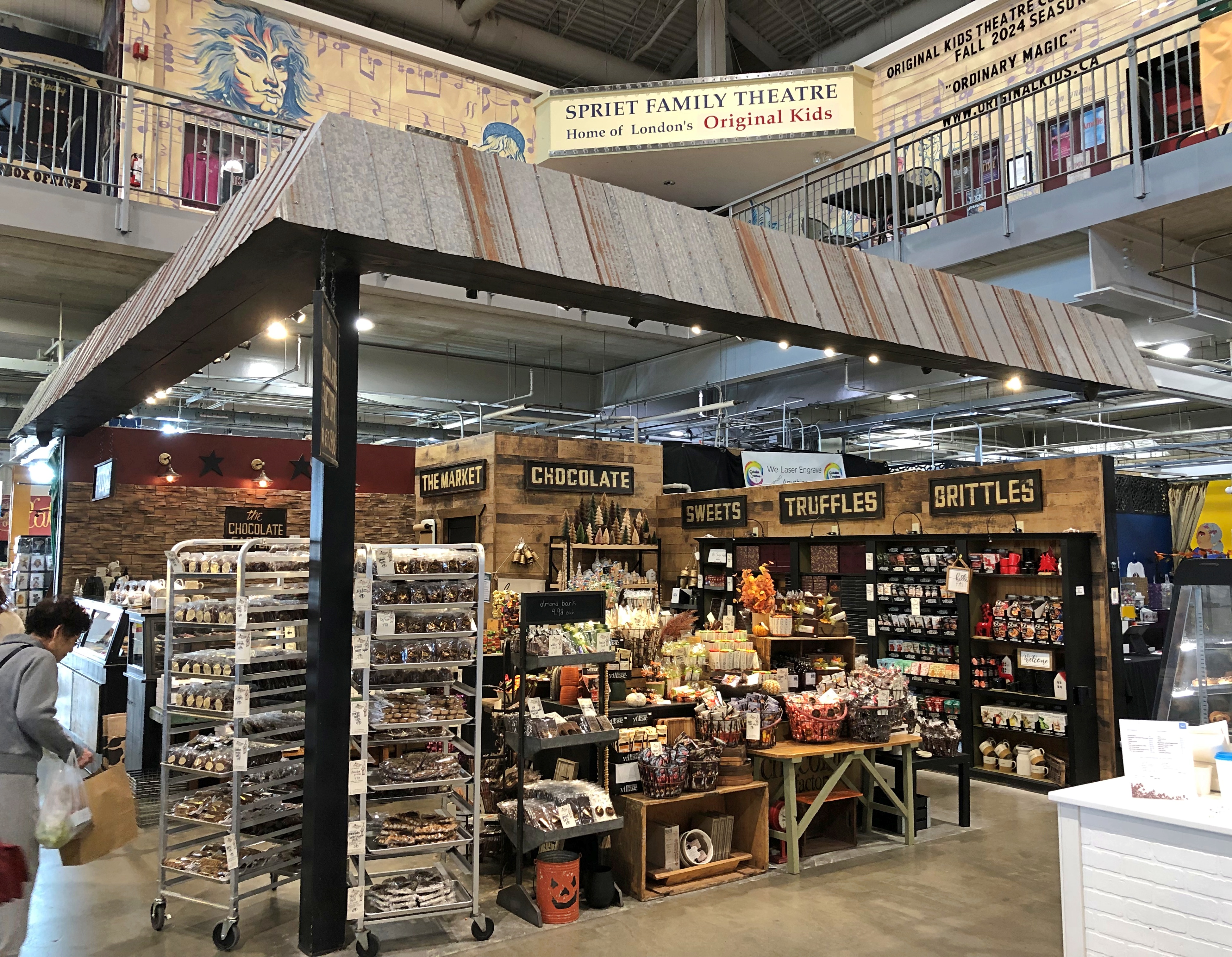
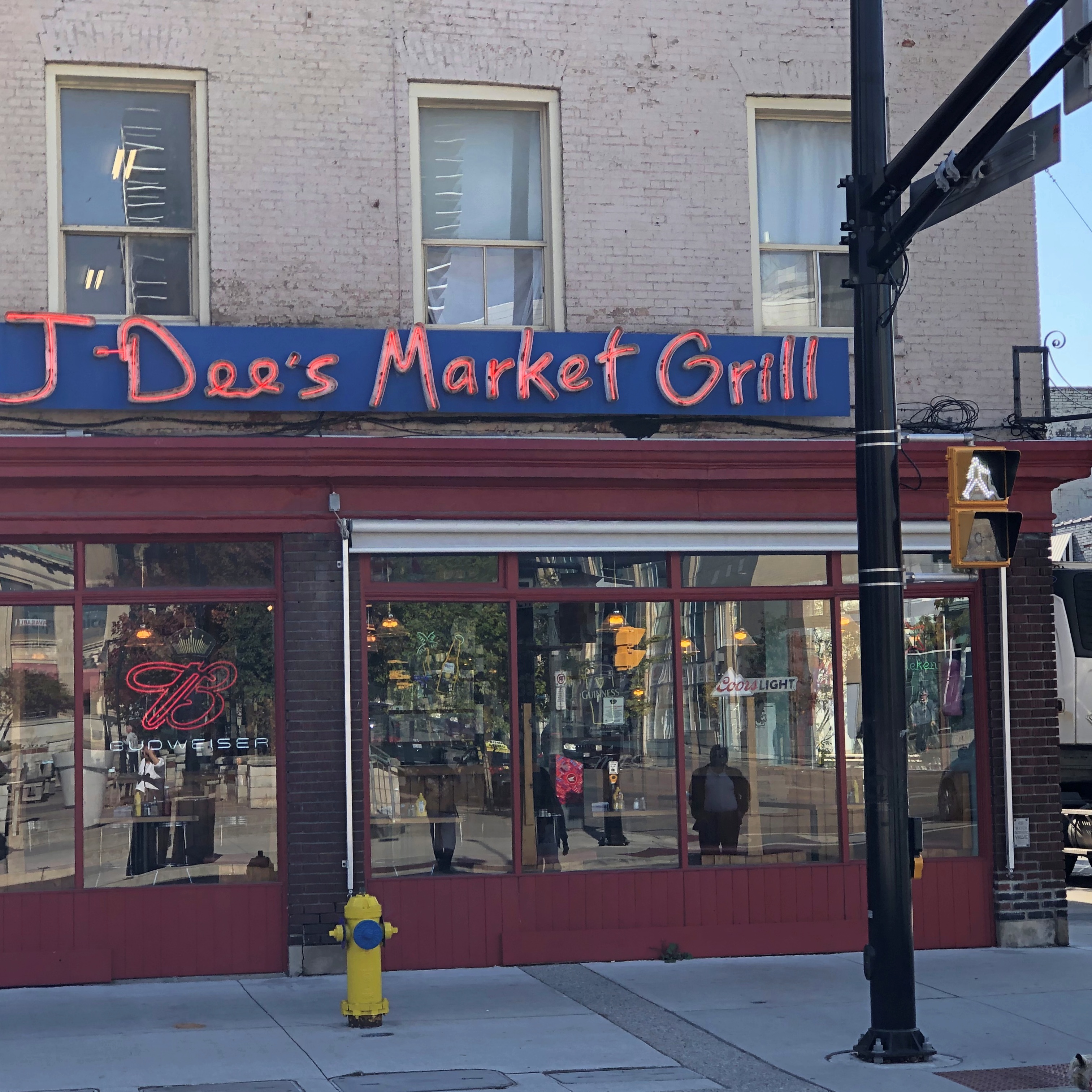
Lots of goods. Is there a Canadian content requirement?London, Ontario London, Ontario

A few more London details, near Covent Garden. We didn’t see on foot the part of town I found more intriguing, which we drove through: the area around Western University (a.k.a., University of Western Ontario, enrollment more than 40,000). Might be a good place to look around if we ever take that trip to the Stratford Festival, which is practically down the road from London.London, Ontario London, Ontario London, Ontario

I have to like a place with a name like that.

Roadside Ontario

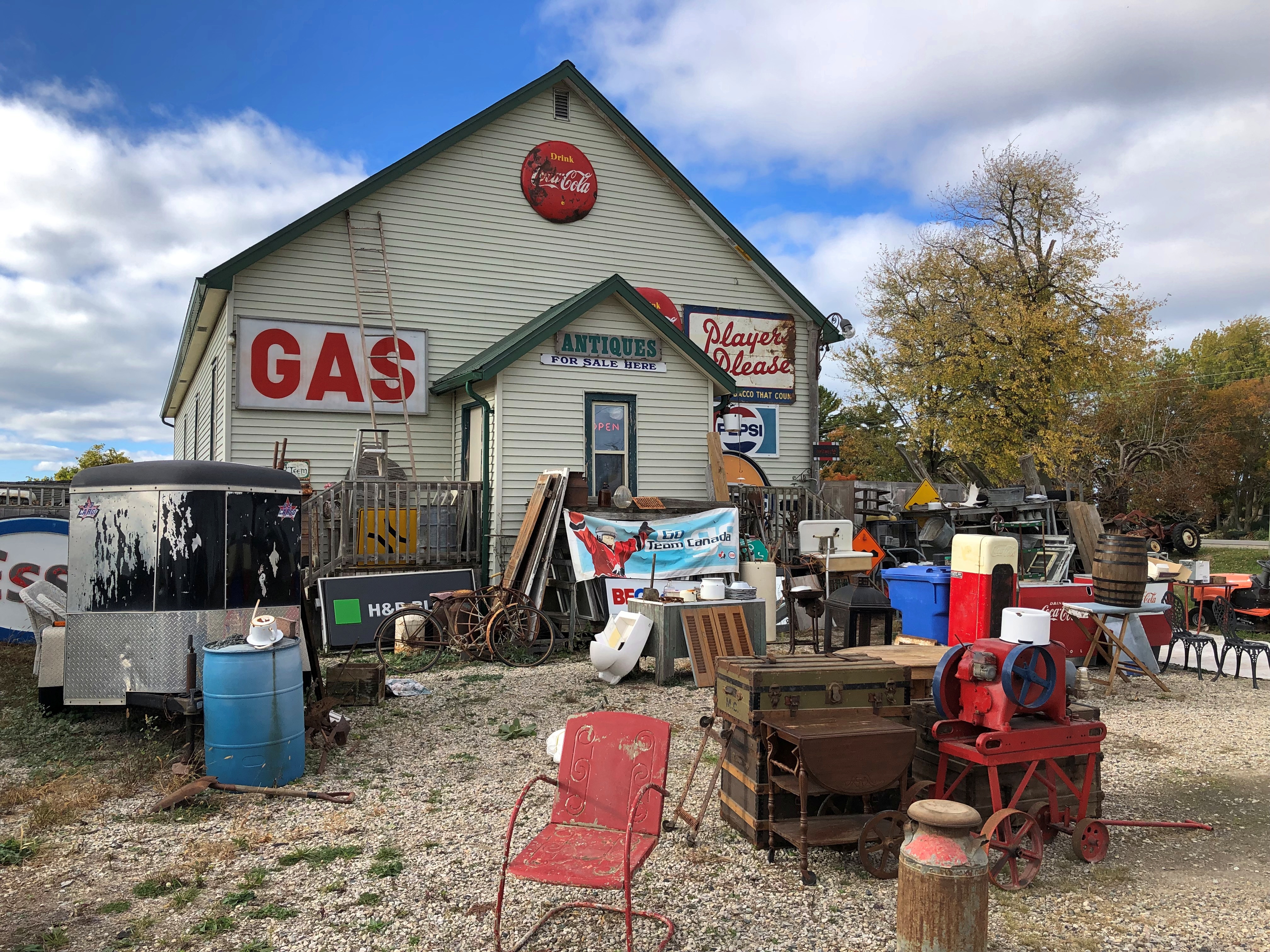
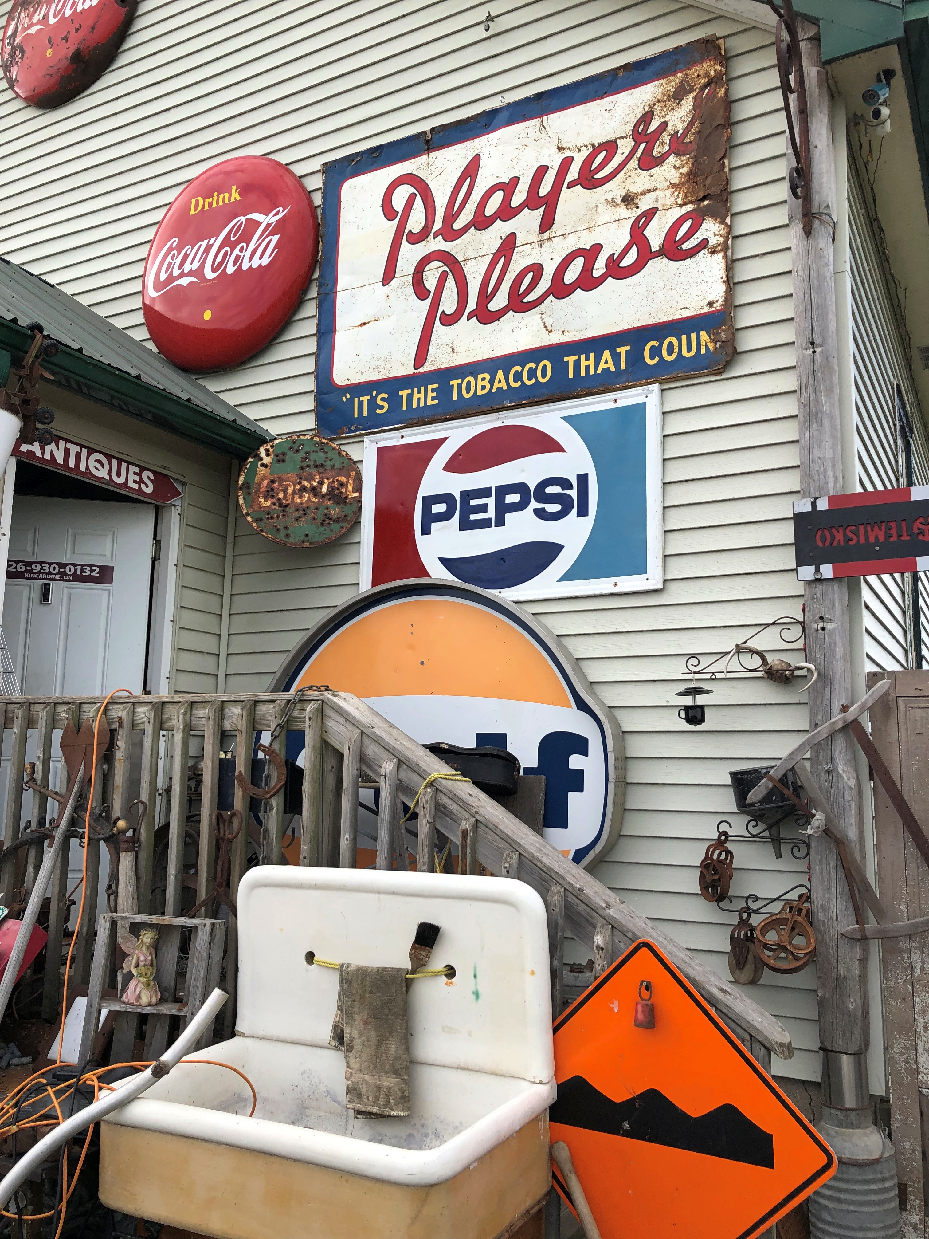
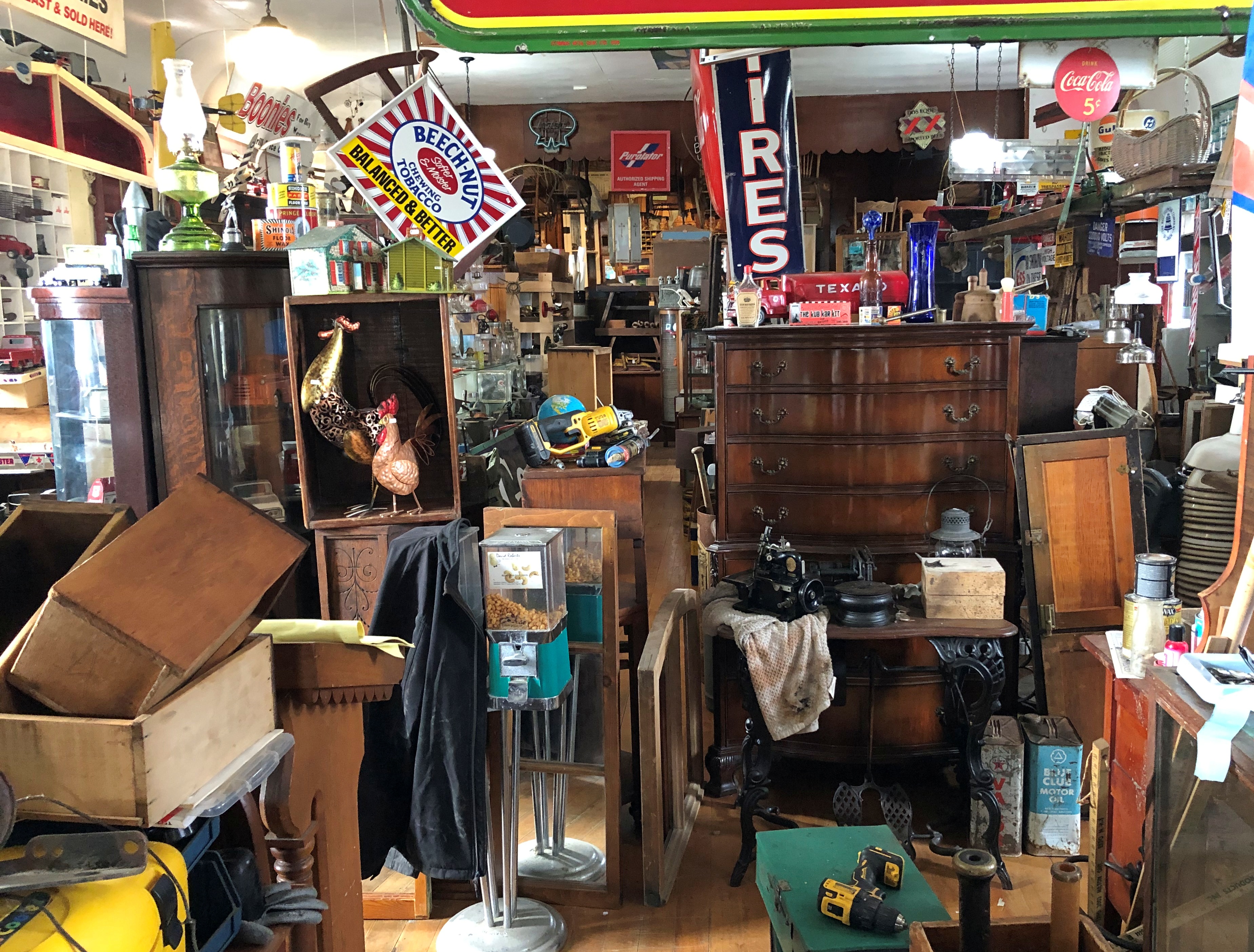
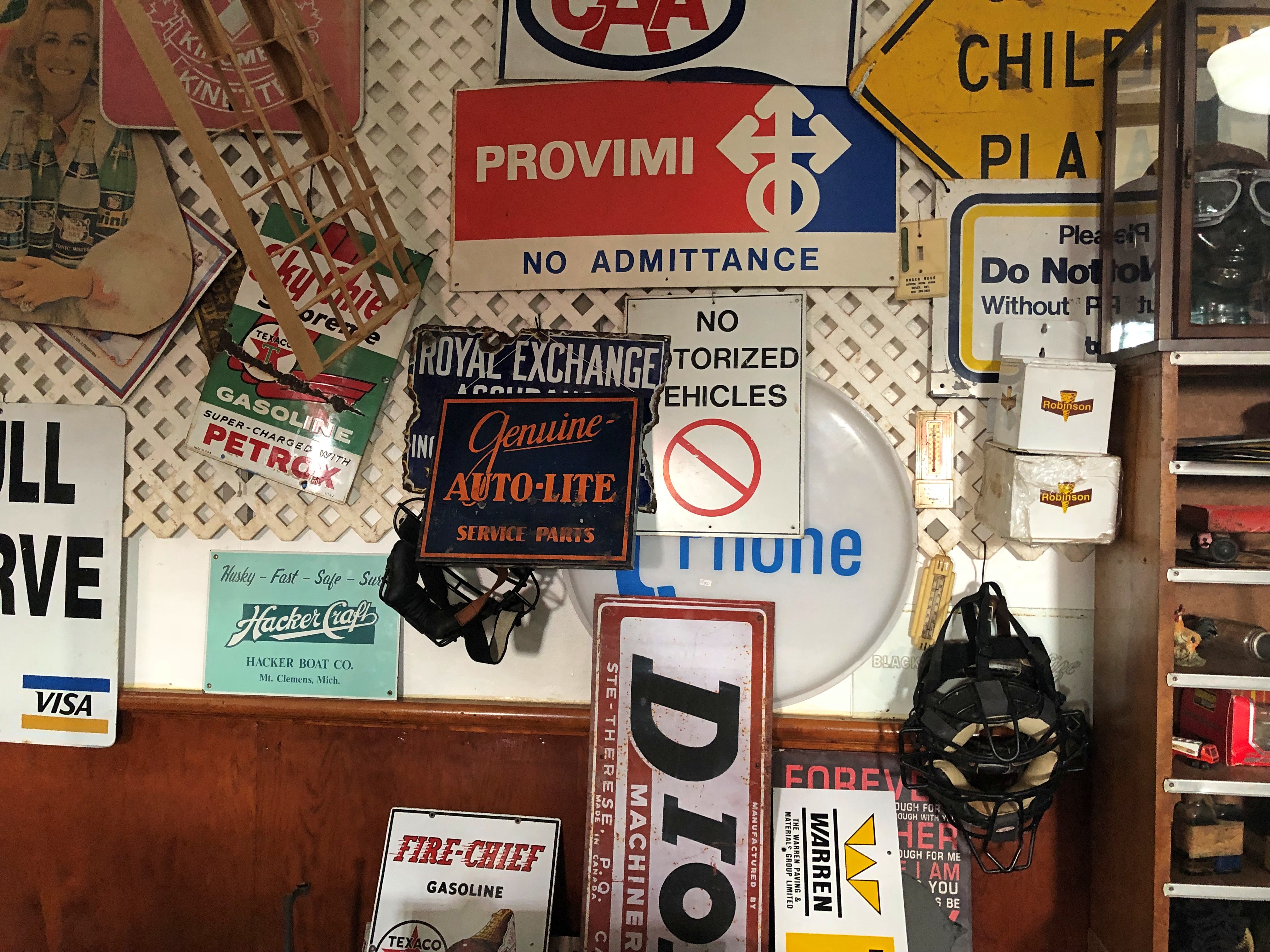
A few miles (hard measuring habit to break, and why should I?) south of Kincardine, Ontario, is Reid’s Corner Antiques. Now this is my kind of antique shop: not an ounce of froufrou.Reid's Corner Antique Shop, Ontario Reid's Corner Antique Shop, Ontario

I think Reid himself waived us into the building, which had no one else inside. He was a strong-looking fellow in the middle of middle age, and he had a noisy machine on a truck to attend in some way. So we went in.Reid's Corner Antique Shop, Ontario Reid's Corner Antique Shop, Ontario

It’s easy to feel at home in clutter. I know not everyone feels that way, but I also don’t care. All the many Reid’s Corners in the world are a place to revel in the quantity and quality, but especially the quantity, of the vast amount of stuff produced by people.

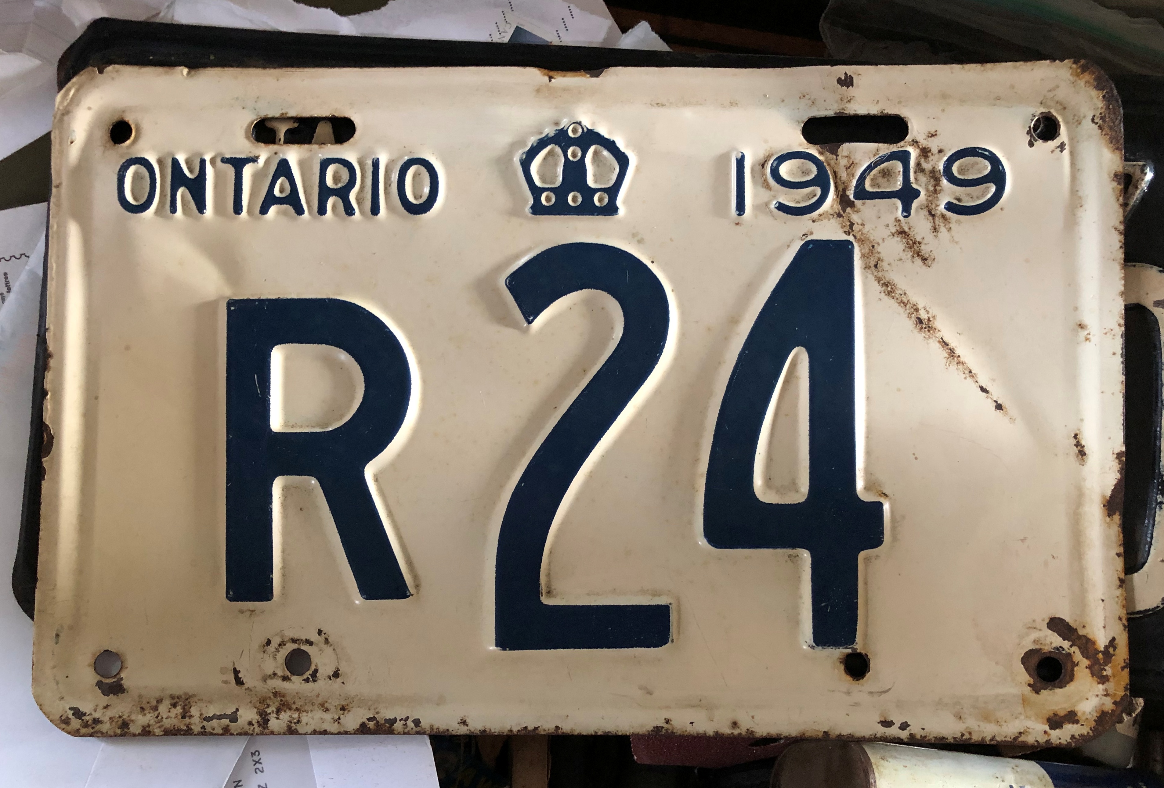
A place like this ought to be supported by a little cash money, at least. This was under consideration for purchase.Reid's Corner Antique Shop, Ontario

In the end I went with a newer plate, one not quite as old as I am, which joins plates from Texas, Tennessee, Illinois and a Washington state BIGFOOT gag plate in the garage.

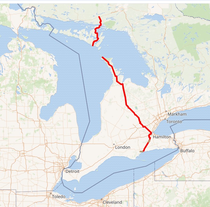
Reid’s Corner happens to be on Ontario 21, the two lanes that parallel the Lake Huron shore. If you’re on the way to London, you head southeast from Goderich on Ontario 8 briefly, and then a slightly different direction on Ontario 4. The place where highways 8 and 4 meet is Clinton, Ontario, pop. 3,200.

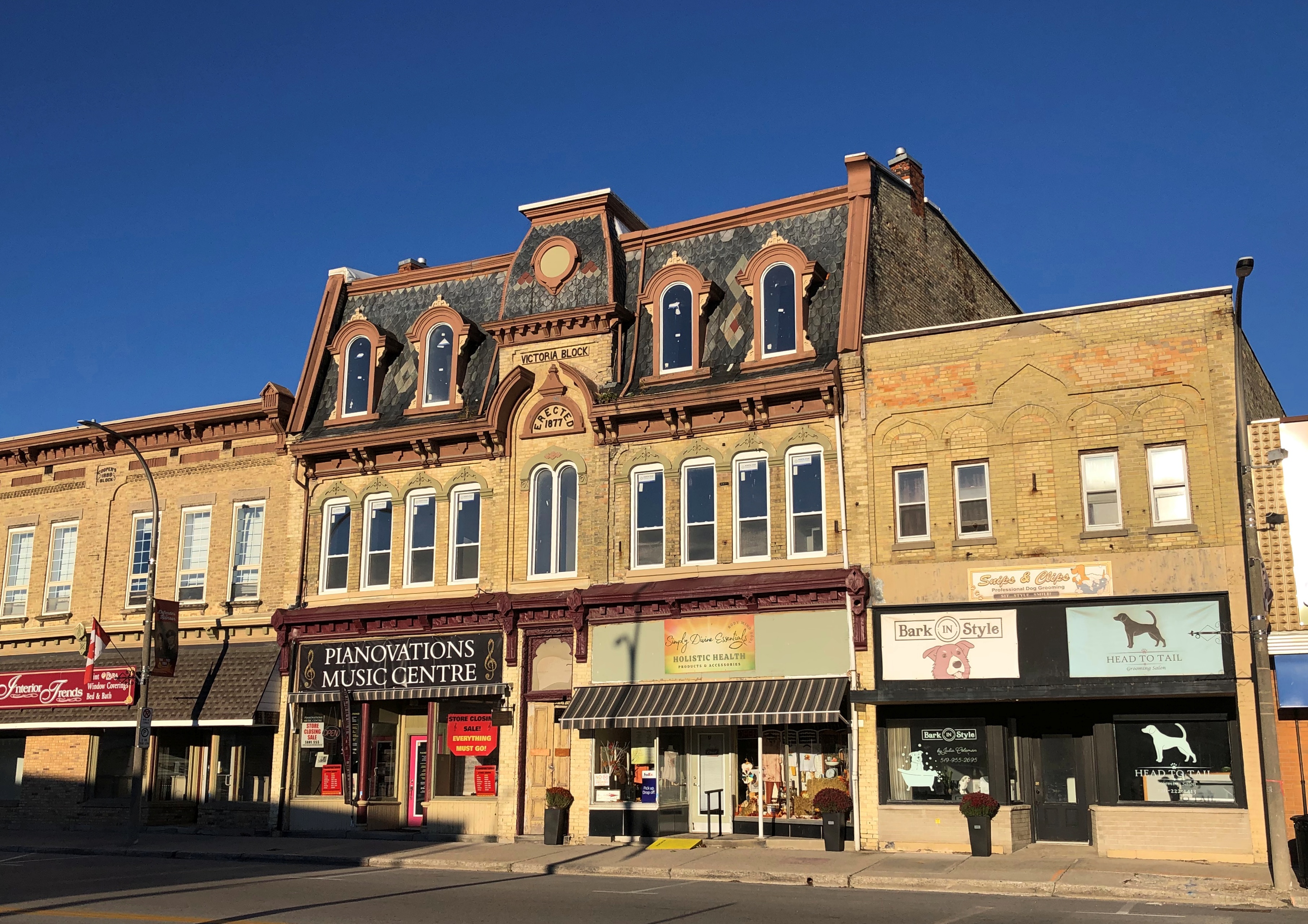
Near the juncture I caught sight of a fine block of buildings – the Victoria Block (see no. 53), erected 1877. Erected by genuine Victorians, by gar.Clinton, Ontario

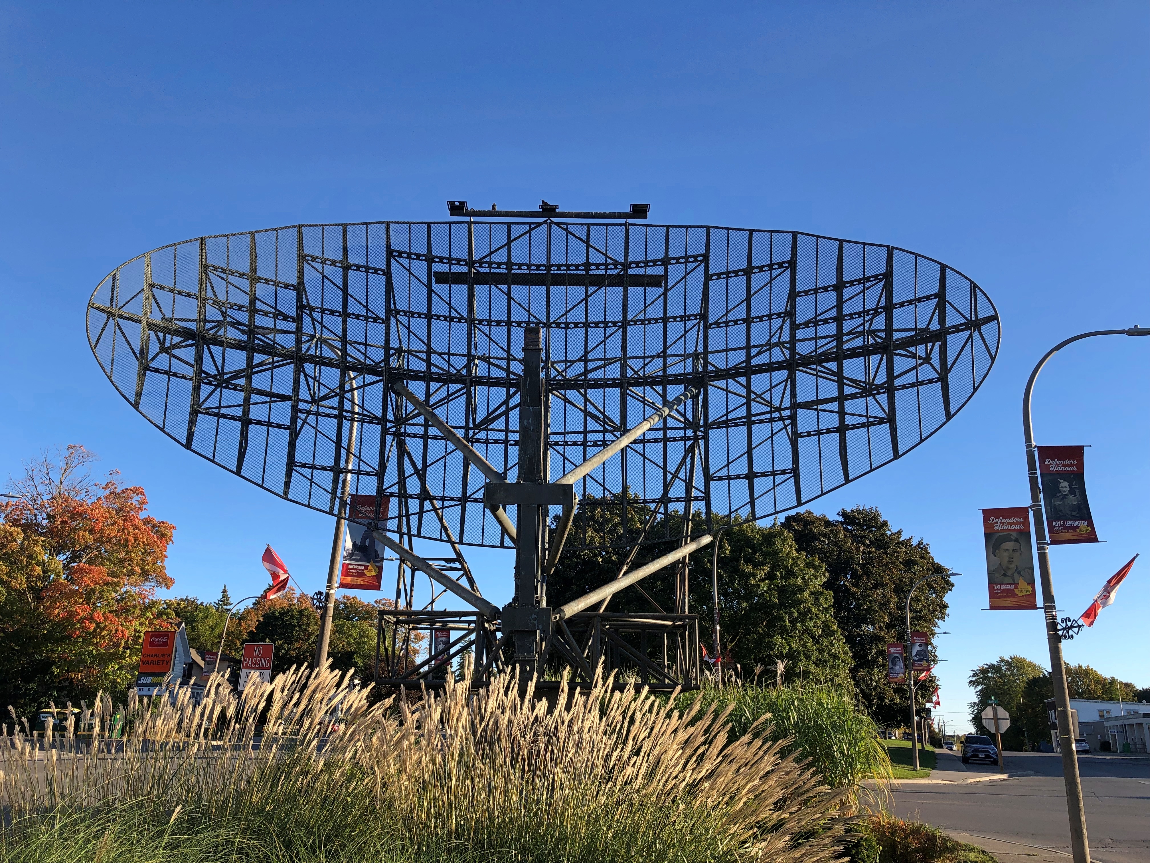
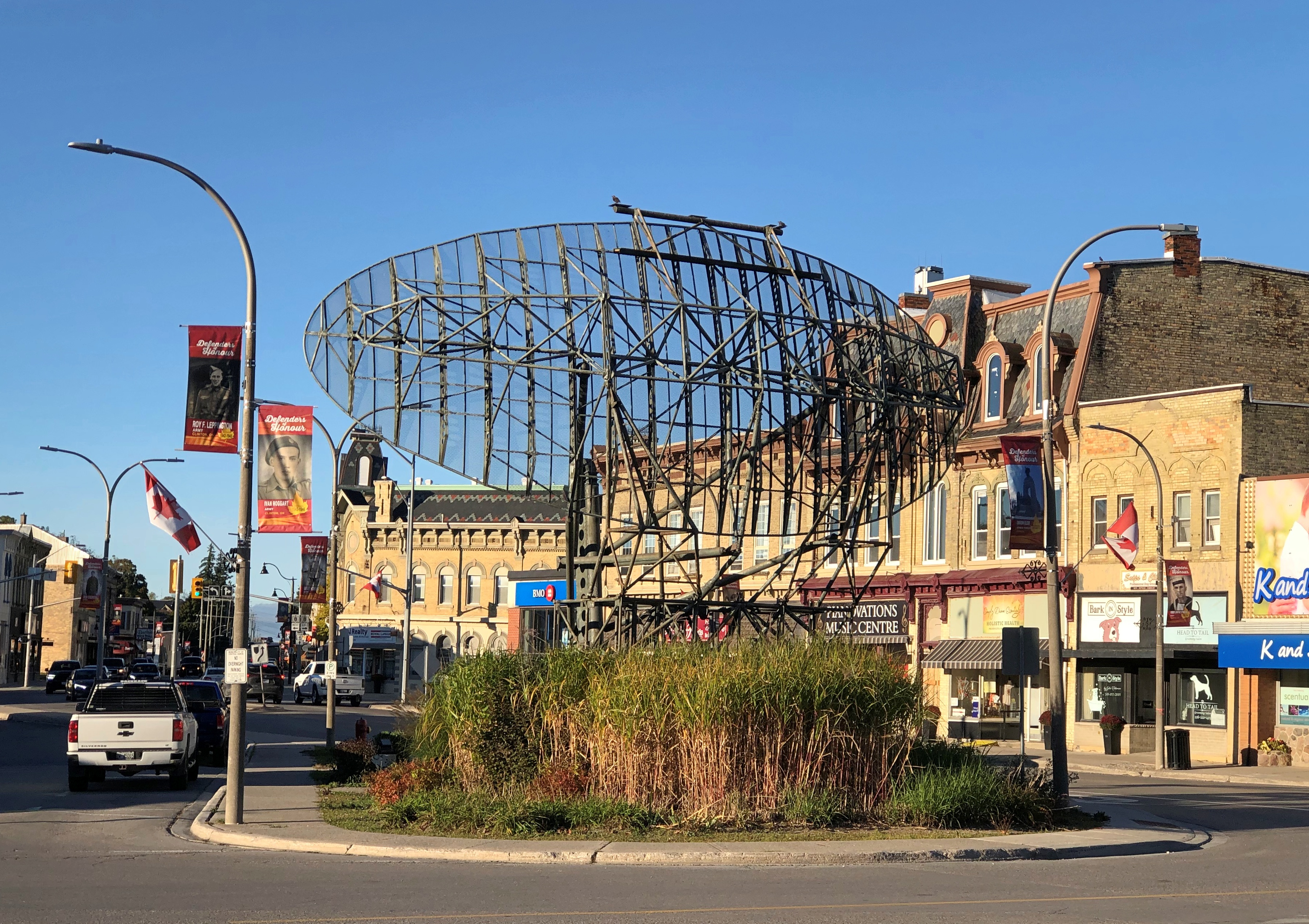
Nice. Then there was a large radar antenna perched in a traffic island.Clinton, Ontario

Double take. I have to see that, I told Yuriko as I parked the car on the side of the road. Traffic was fairly light in Clinton, so it was no complicated thing to take a closer look on foot.Clinton, Ontario Clinton, Ontario

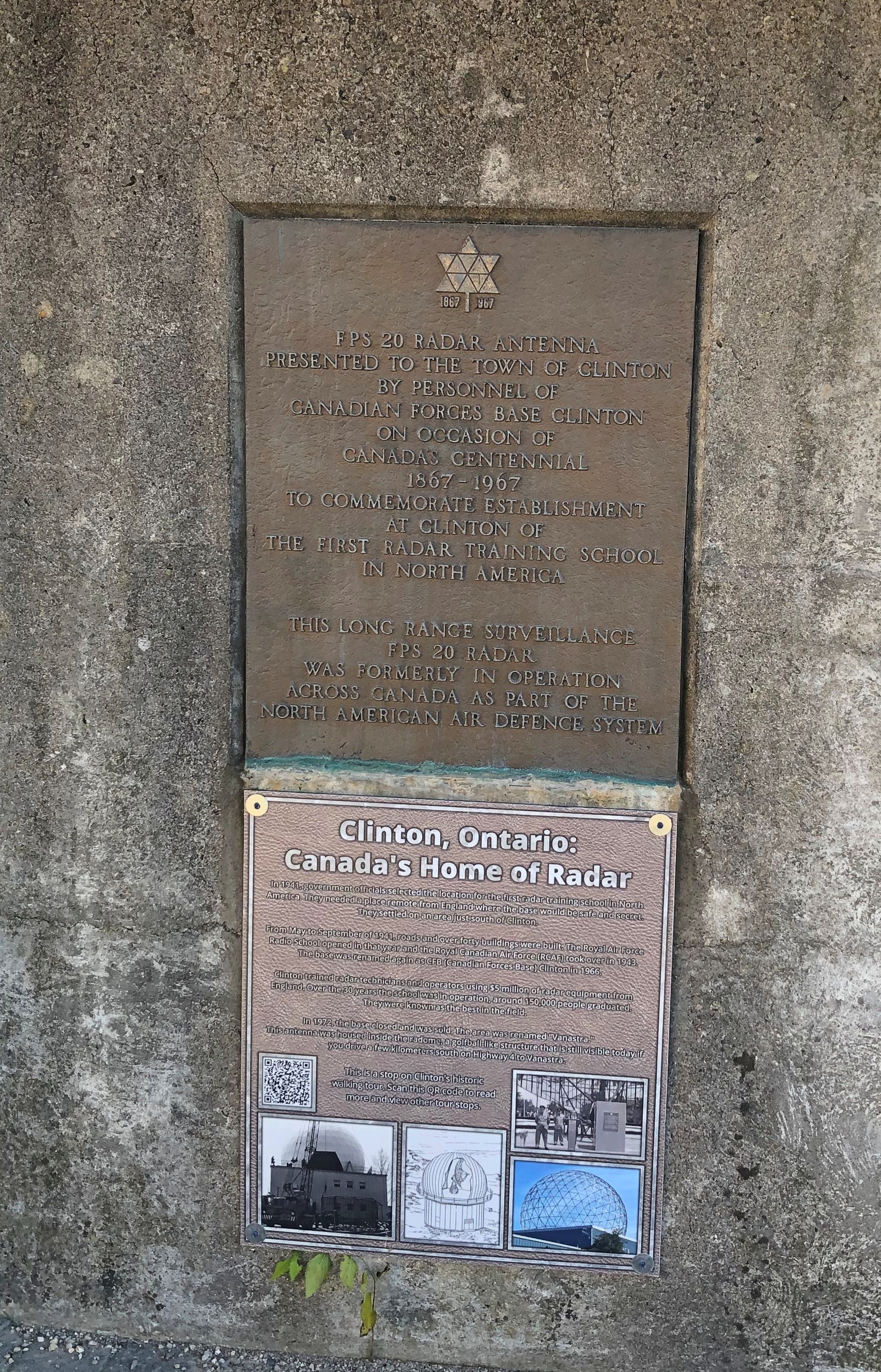
Like Reid’s shop, the wider world has human clutter. Not just objects, but stories. Early in WWII, a secret site near Clinton became the first radar training school in North America, the plaques relate, set up by the Royal Air Force as a safe location. The Canadian armed forces kept the facility open long after the end of the war and wartime secrecy, through the mid-Cold War, but eventually closed it. The town got a really big memento on the occasion of the country’s centennial in 1967.

Sauble Beach & Goderich, Ontario

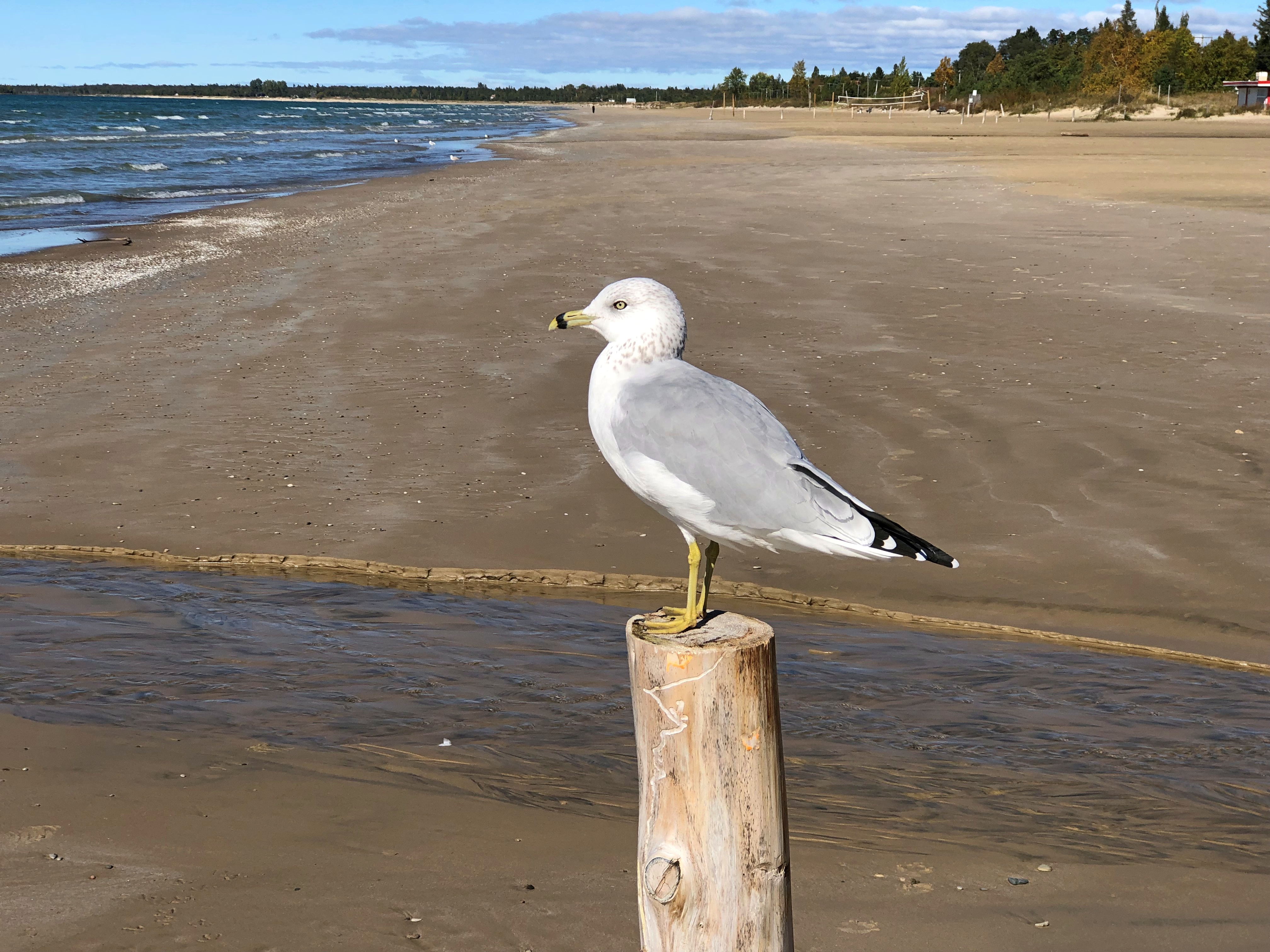
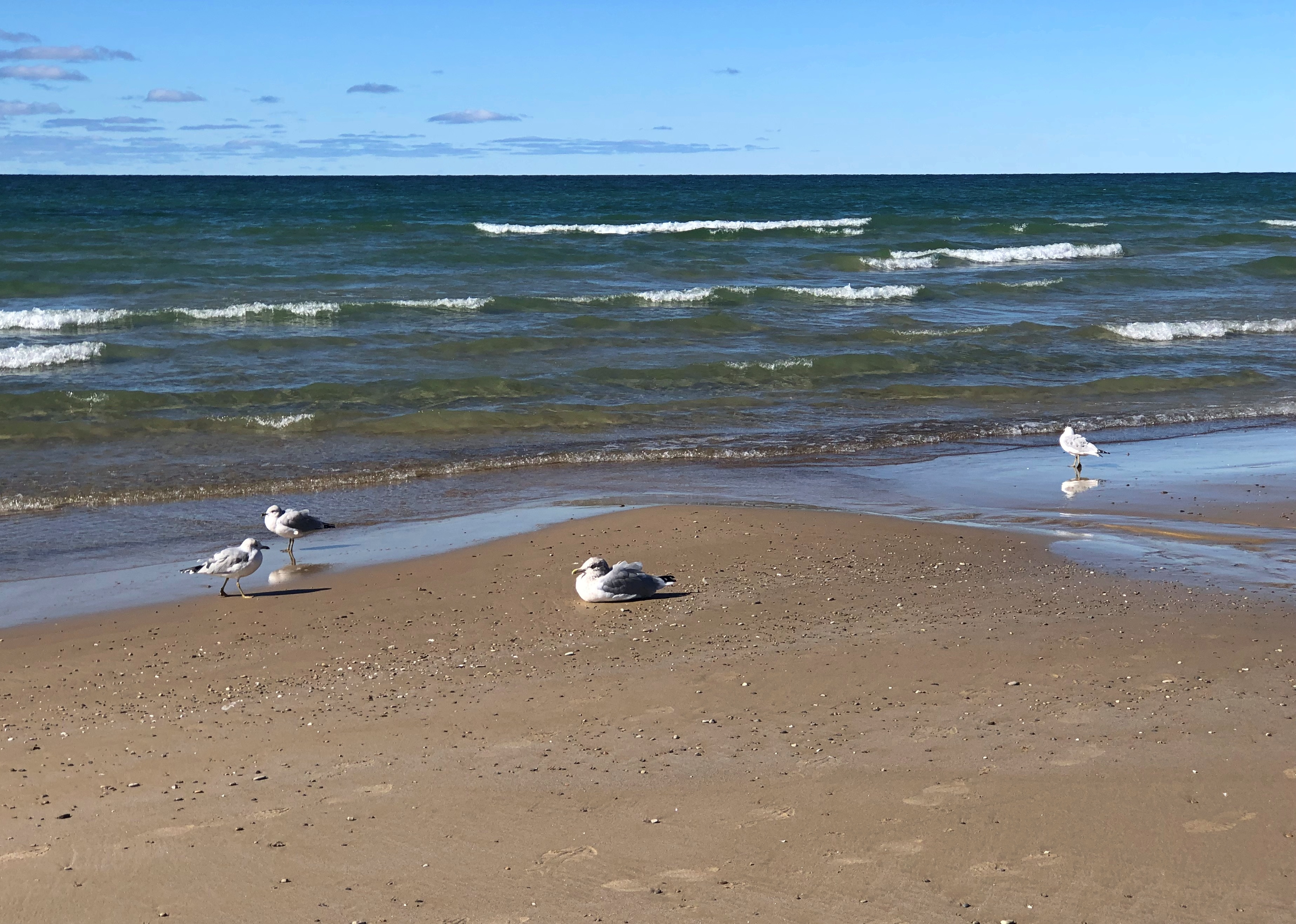
I was a little surprised the seagull allowed me to get this close.Sauble Beach, Ontario

On the other hand, he’s a resident, at least sometimes, of Sauble Beach on Lake Huron. He’s used to people, because people show up in large numbers at Sauble Beach when the sun is hot, and that birdbrain of his is enough of a brain to know that the beach apes are usually harmless. Even better, food always seems to be around them, and they’re pretty careless about dropping some of it.

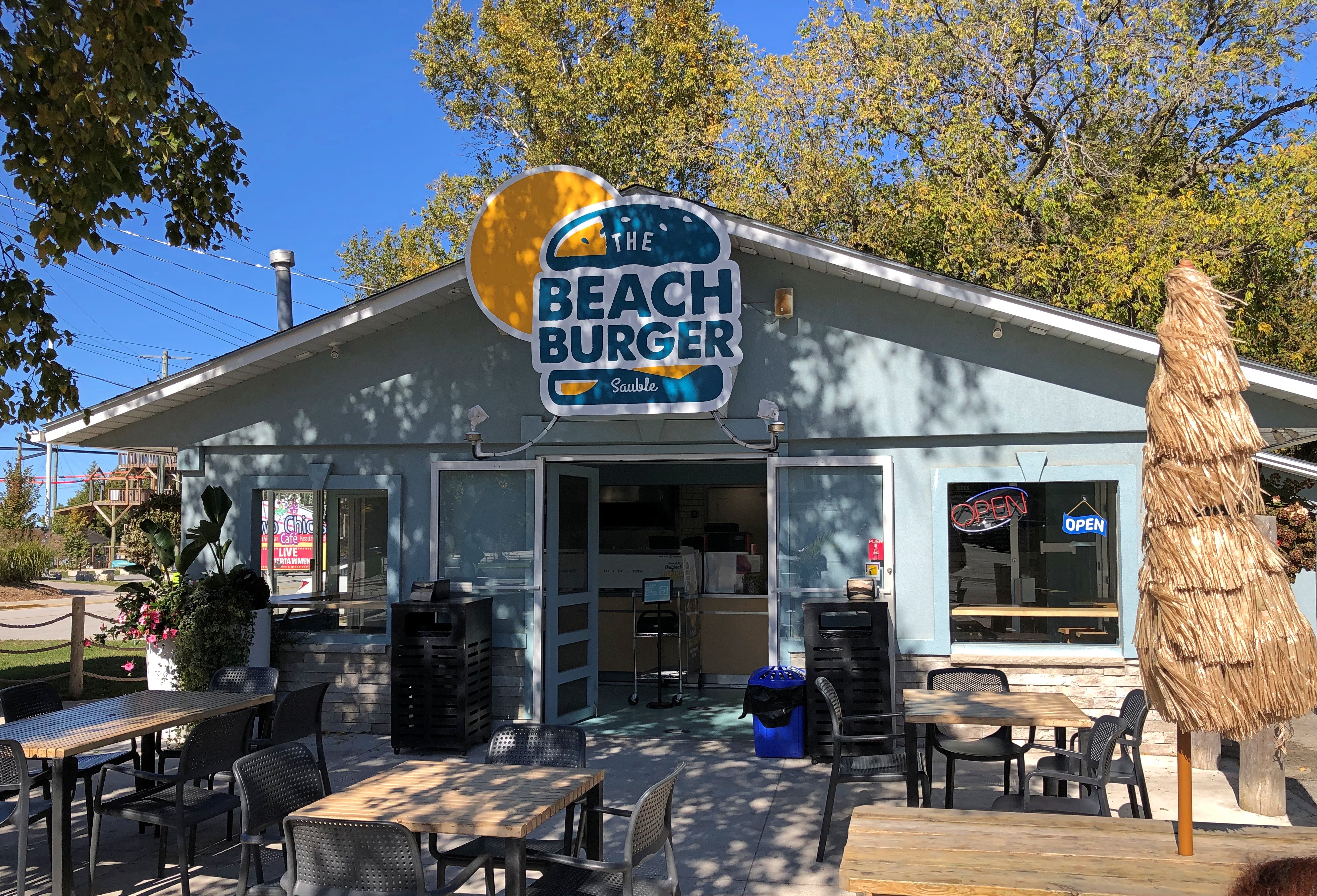
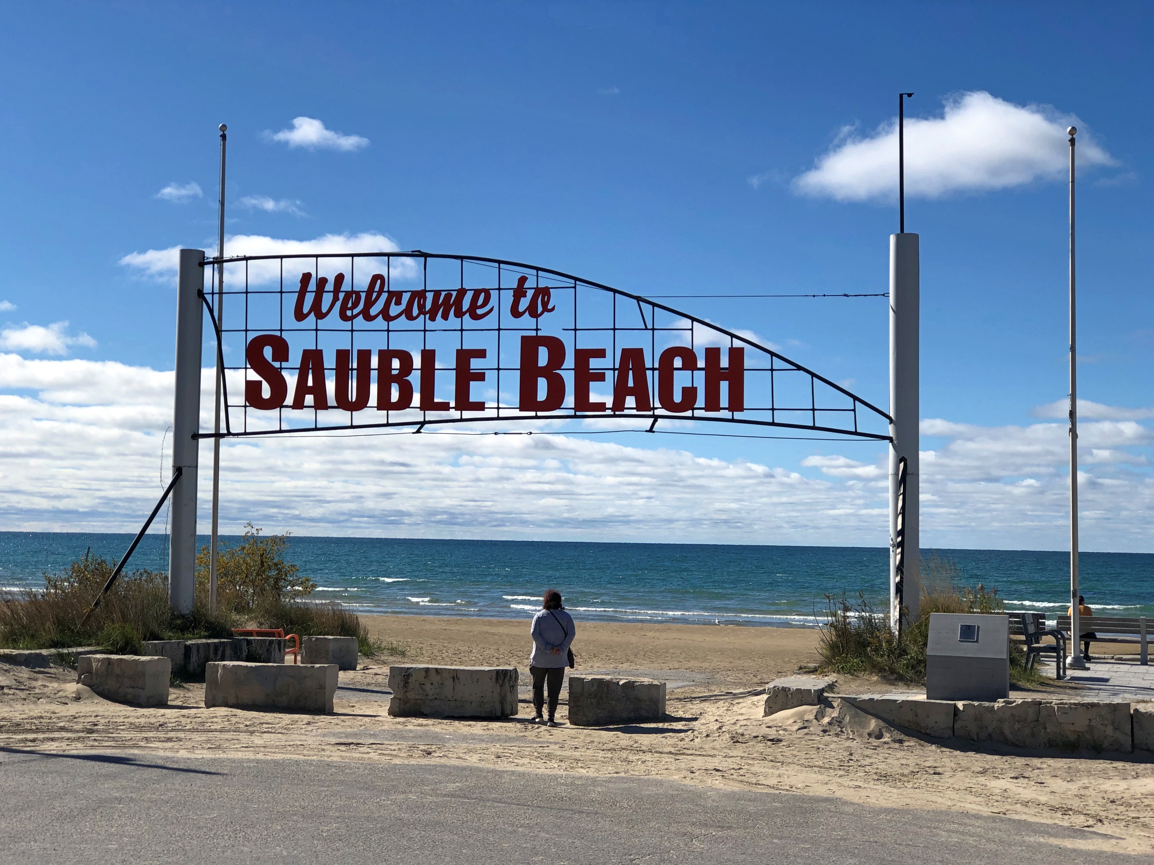
We’d come to Sauble Beach – the unincorporated town of that name and the beach of that name in Ontario – after our easy walk around Sauble Falls PP a few miles (ah, km) to the north. We were looking for lunch. And there it was.Sauble Beach, Ontario

Note the distinct lack of a crowd. Out of frame are two high school boys eating, and they were all the other customers at that moment, toward the end of (2 pm) conventional lunchtime on the Thursday ahead of Canadian Thanksgiving weekend. Other places were already closed for the season, but Beach Burger soldiered on for the trickle of customers still around.

A beach feast.Sauble Beach, Ontario

The concoction on the right, of course, is poutine. It’s not just for Québécois any more. Nor even just for Canadians.

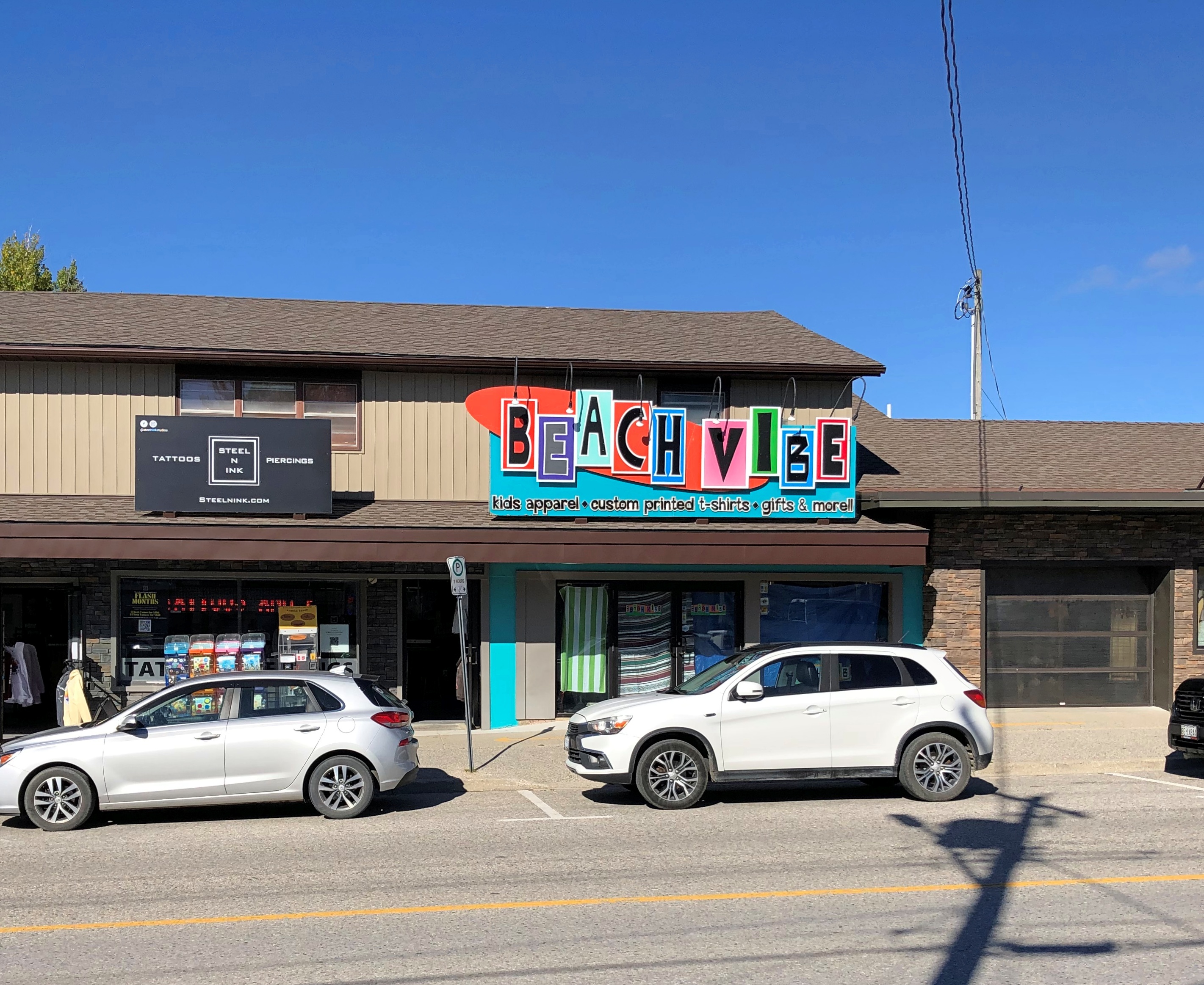
Beach towns have beach businesses.Sauble Beach, Ontario Sauble Beach, Ontario Sauble Beach, Ontario

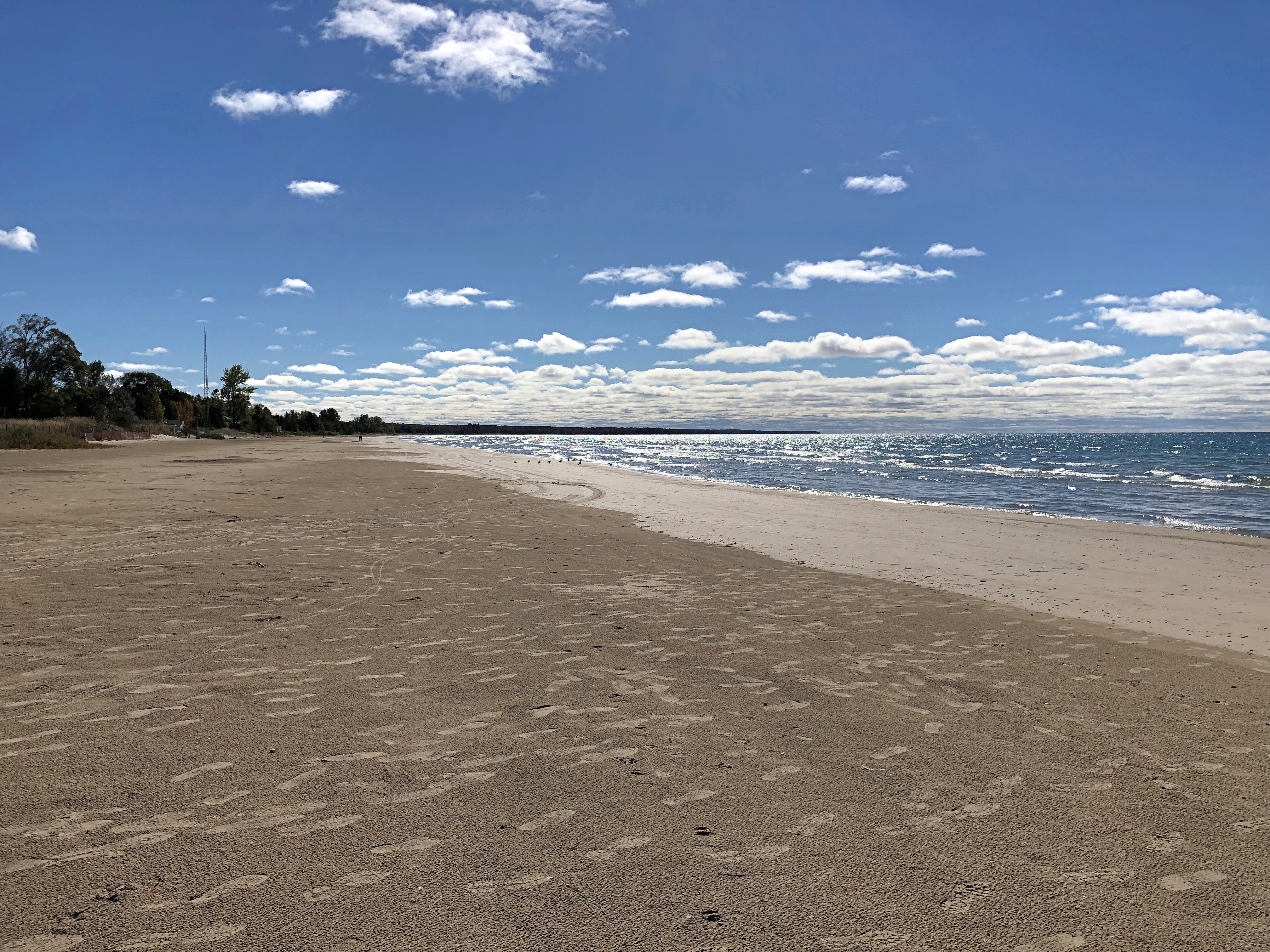
Which would be pointless without the beach.Sauble Beach, Ontario Sauble Beach, Ontario Sauble Beach, Ontario

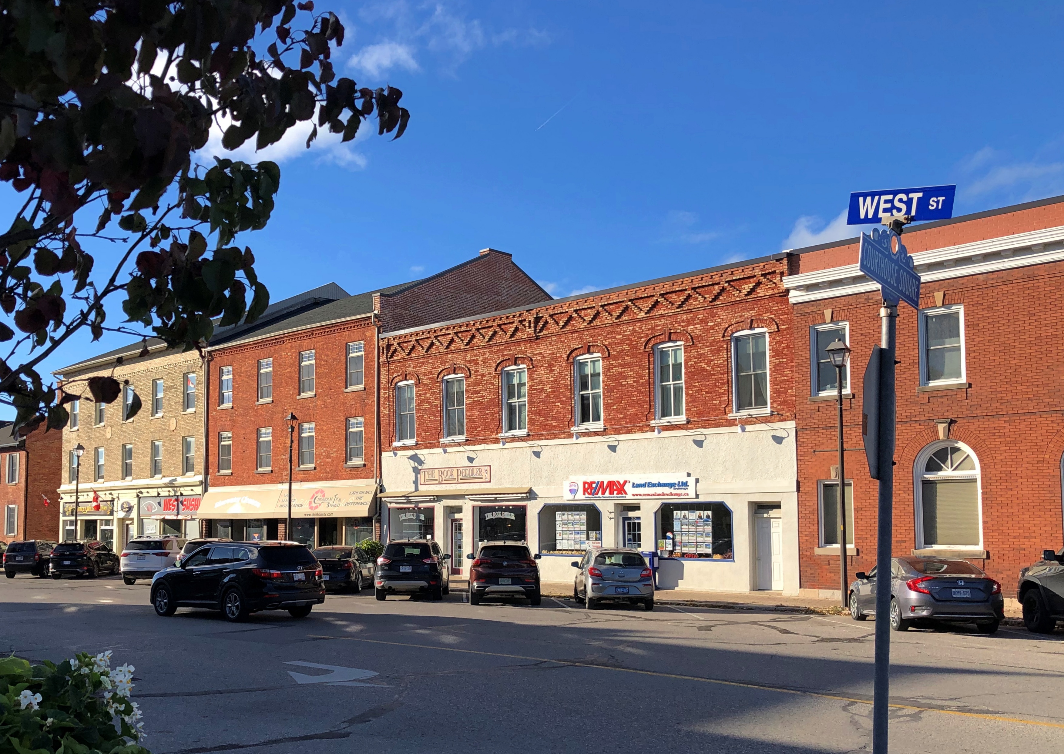
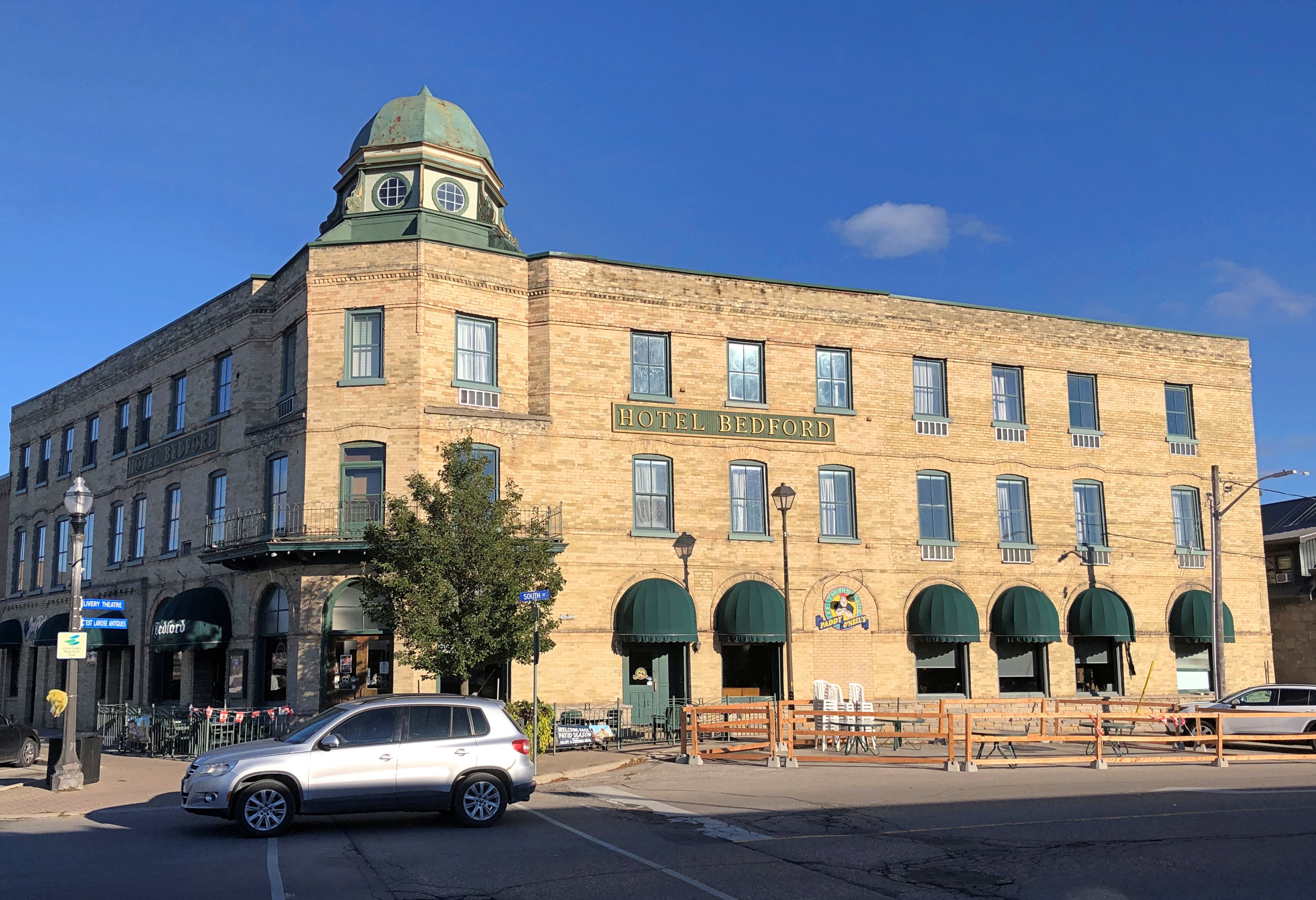
Further down the coast, Goderich bills itself as the Prettiest Town in Canada, at least on the postcards I bought there. I will say that the courthouse square has some fine vintage buildings.Goderich, Ontario Goderich, Ontario Goderich, Ontario

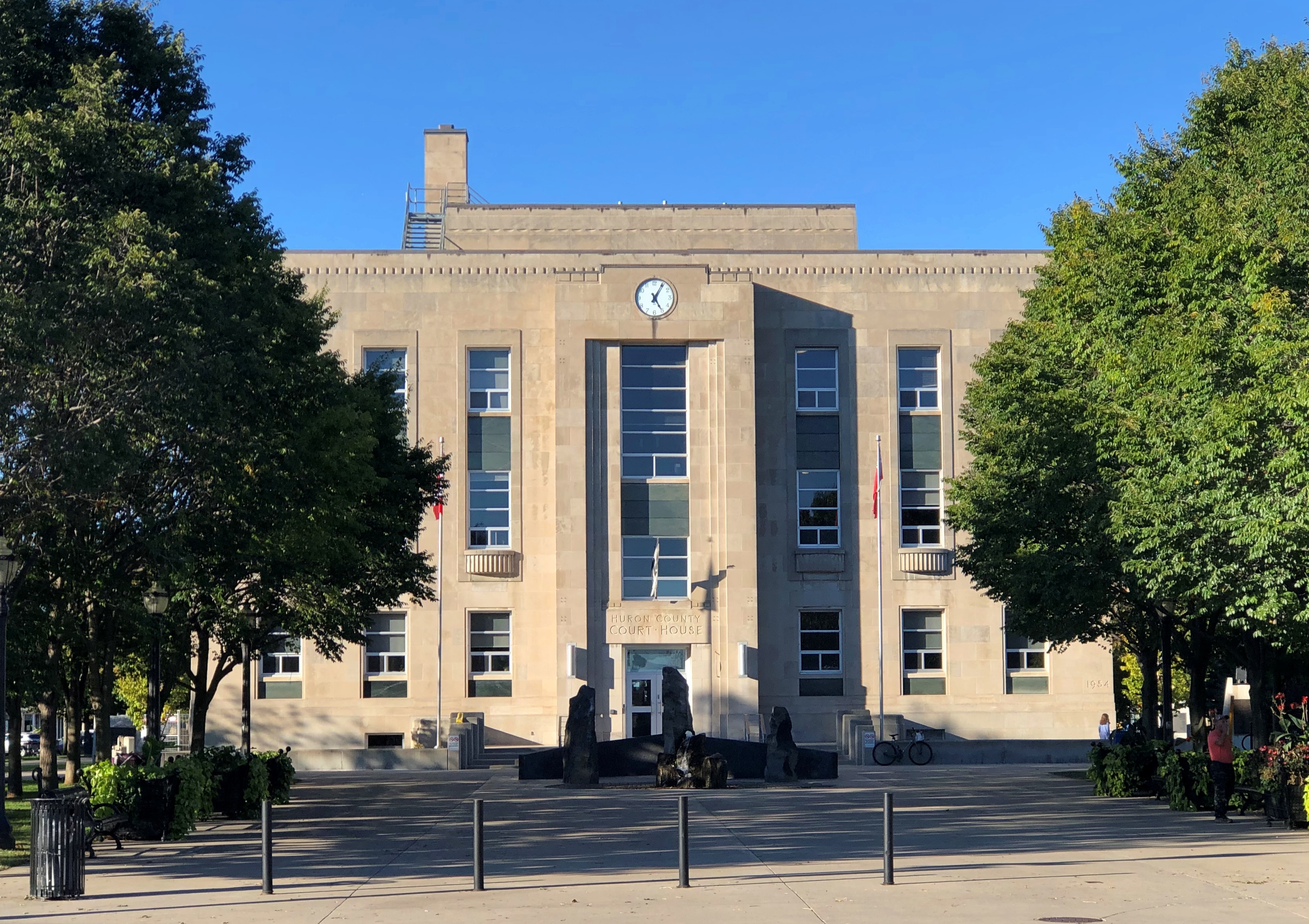
The severe Huron County Courthouse itself, a 1950s replacement for a building that burned down. Goderich, Ontario

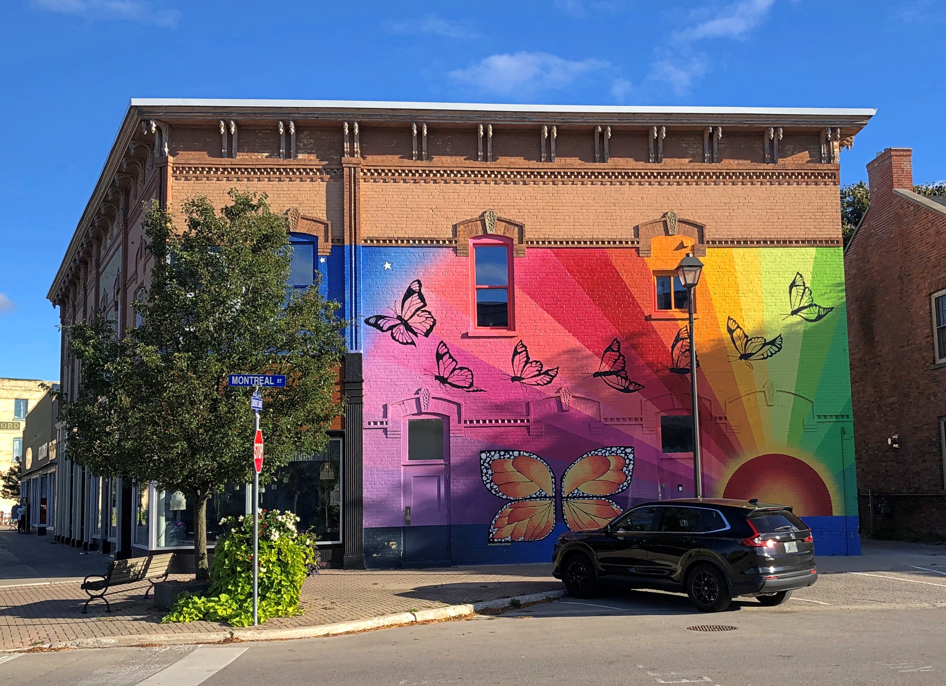
Nicely placed color on the square.Goderich, Ontario Goderich, Ontario

We walked around the square, which was pretty much our entire experience with Goderich that day, except for popping into the just-off-the-square Goderich Branch of the Huron County Library to (1) admire the building and (2) find a restroom. Waiting for Yuriko, I had a short talk with one of the staff, and found out that the building was originally a Carnegie library. The robber baron financed libraries in Canada too. Who knew?

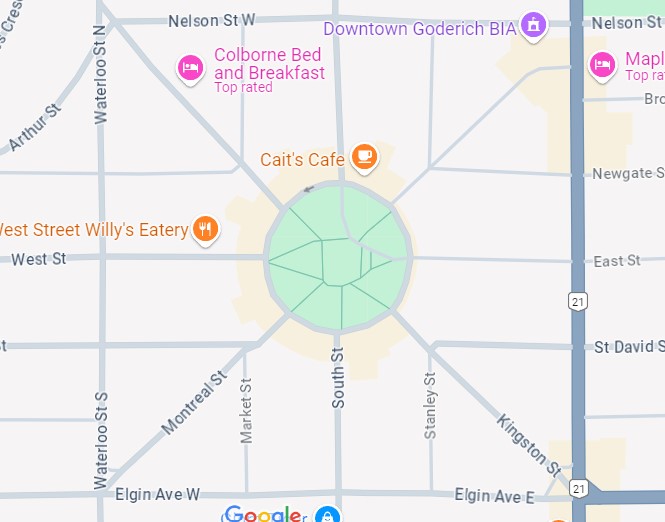
The square isn’t actually a square, but octagonal, with eight commercial blocks and roads radiating out in alignment with the eight points of a compass, according to Paul Ciufo, who wrote an audio guide to the square, as confirmed by Google Maps. Ciufo calls the design “unique in Canada.”

“The plan was chosen by John Galt, Superintendent of the Canada Company, and co-founder of Goderich in 1829,” Ciufo says. “Galt was a polymath — a businessman, world traveler, and friend of the Romantic poets. Galt wrote a biography of Lord Byron, and authored novels second in popularity only to Sir Walter Scott’s. Town planning fascinated Galt, and he yearned for more creative designs than the grid pattern favoured by the Royal Engineers.”

William “Tiger” Dunlop

William “Tiger” Dunlop

Another founder of the town was an even more colorful Scotsman, William “Tiger” Dunlop (d. 1848). The 19th century was quite the time for ambitious men looking to be colorful.

After serving with distinction as a doctor in the War of 1812, “[Dunlop] went… to India where, as a journalist and editor in Calcutta, he took a hand in forcing the relaxation of press censorship,” the Dictionary of Canadian Biography tells us. “His unsuccessful attempt to clear tigers from Sagar Island in the Bay of Bengal, in an effort to turn the place into a tourist resort, provided him with his famous nickname…”

Eventually Dunlop went to Upper Canada, involving himself heavily in efforts to settle the area as an official with the Canada Company.

“The year 1832 saw publication of his guide for emigrants, Statistical sketches of Upper Canada, an event that… helped put him back on public view,” the dictionary continues. “This engaging book, written under the pseudonym A Backwoodsman, mixes some (small) practical advice with much tomfoolery and fully exploits the author’s humorous persona. In his chapter on climate, for example, Dunlop says that Upper Canada ‘may be pronounced the most healthy country under the sun, considering that whisky can be procured for about one shilling sterling per gallon…’

“During the rebellion in Upper Canada in 1837-38, Dunlop raised a militia unit, whose nickname, The Bloody Useless, gives a clue to the important role it played…

“Dunlop is said to have done everything on a grand scale, and this is nowhere more evident than in his drinking. He kept his liquor in a wheeled, wooden cabinet called “The Twelve Apostles.” One bottle he kept full of water: he called it, naturally, ‘Judas.’ His reputation as a maker of punch ‘and other antifogmaticks’ was legendary with the Blackwoodians.”

Antifogmatic. I knew I got out of bed this morning for something; to learn such a fine word.

Wiarton Willie and His Hometown

Look at that point-of-interest spot on the map, I said to no one in particular. I think Yuriko was in the bathroom right then. Wiarton Willie, I said. And that is?

I didn’t look it up. But I knew we were going that way, south from the tip of the Bruce Peninsula at Tobermory on the two-lane Ontario 6, so we could find out. The town of Wiarton, Ontario was our first stop, late on the crisp and clear morning of October 10.

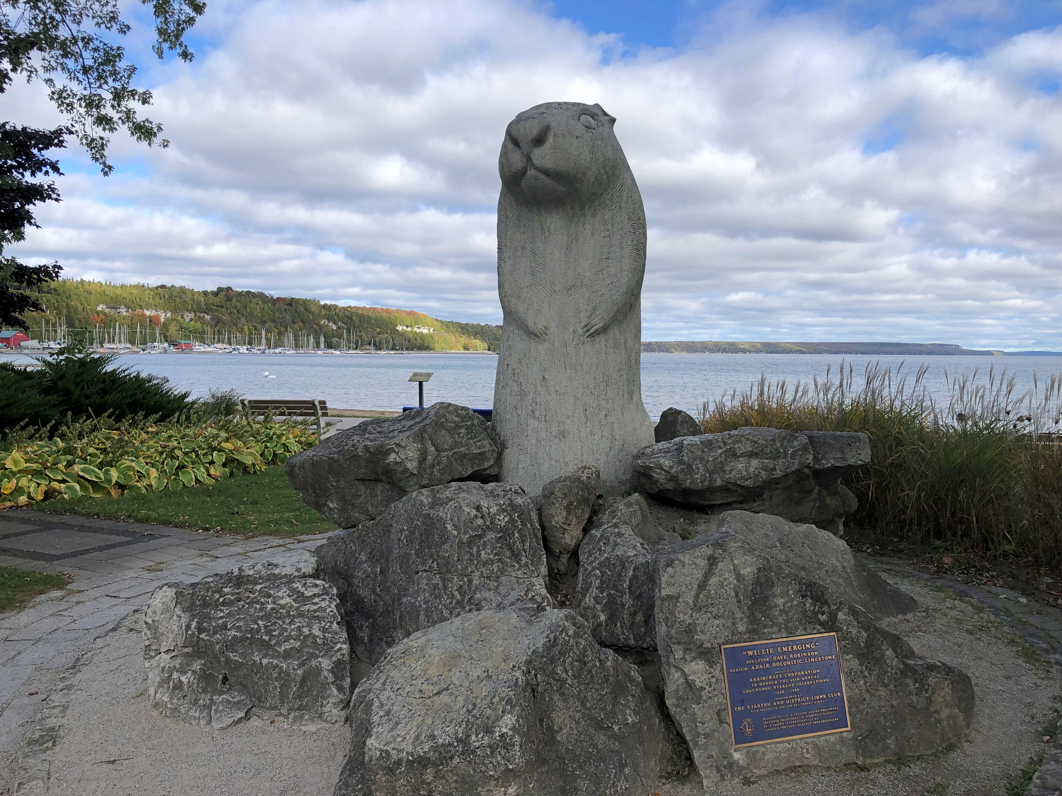
Wiarton’s on the Georgian Bay side. Willie has a lake view in a municipal park, but he is positioned looking away.Wiarton, Ontario

The plaque says that Willie was carved from Adair Dolomtic Limestone by Dave Robinson, and erected in 1996 on the occasion of the 40th anniversary of Groundhog Weekend celebrations in Wiarton, Ontario, pop. about 2,000. He honors the live groundhogs used in the annual ceremonies. “Willie Rising” is the formal name of the work.

Punxsutawney might have the best-known Groundhog Day celebrations — and certainly be depicted (by Woodstock, Illinois) in the best movie ever likely to be made about the holiday — but it isn’t the only place that touts the predictive talents of a series of marmots during a wintertime festival. Wiarton does, too. At one time an albino groundhog served as the living centerpiece of the fest, though more standard groundhogs seem to be tasked with forecasting these days.

One year, the Willie of the time died just before the festival, so the organizers held a public funeral instead, putting a lookalike stuffed rodent in a tiny casket, since the recently passed Willie reportedly smelled too bad for the role. Apparently some of the festivalgoers were miffed, but if you asked me that shows some imagination on the part of somebody — an urge to do something just a little out of the ordinary. In the hands of a competent scriptwriter, there’s probably a pretty good Groundhog Day comedy in that story.Wiarton, Ontario

Here’s a rabbit hole: or rather, a groundhog burrow: The Adair in Adair Dolomtic Limestone is a trademark held by Arriscraft, which is a unit of the stone products group of General Shale, the North American subsidiary of the expansion-minded Wienerberger AG, a leading multinational manufacturer of brick, headquartered in Vienna. The stone itself was quarried locally, since there are quarries near Wiarton. But the ultimate bosses are shadowy German-speaking billionaires.

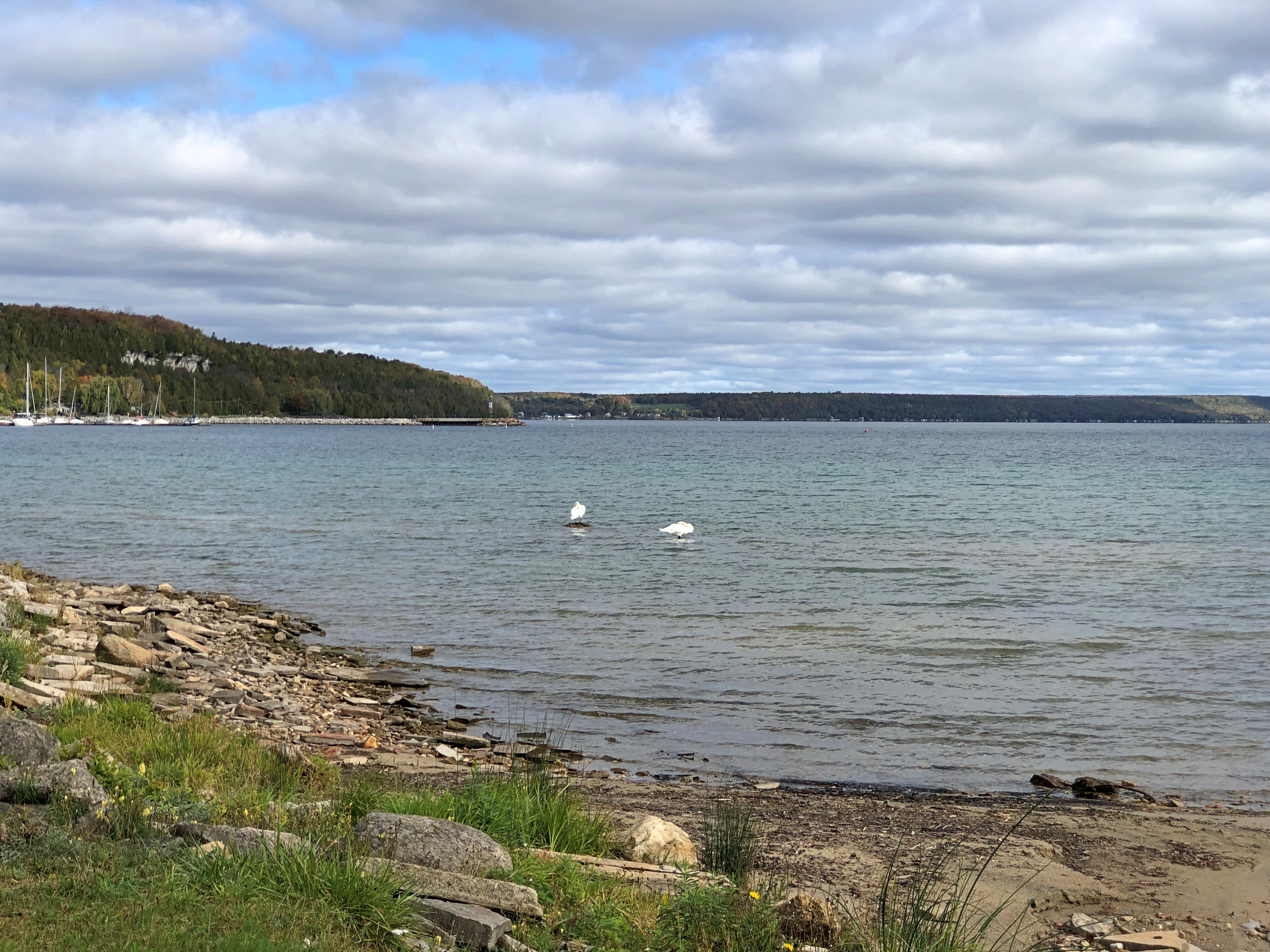
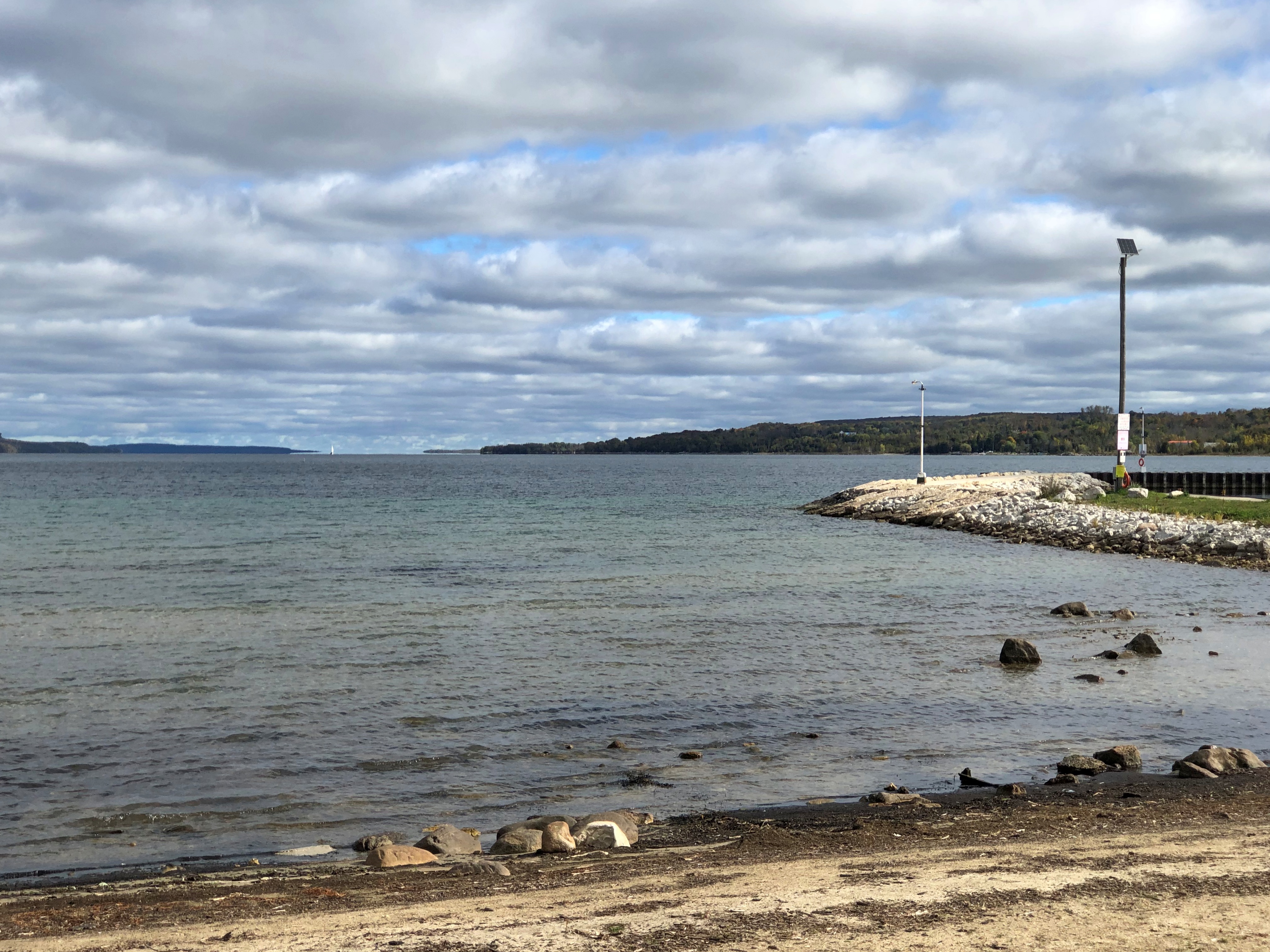
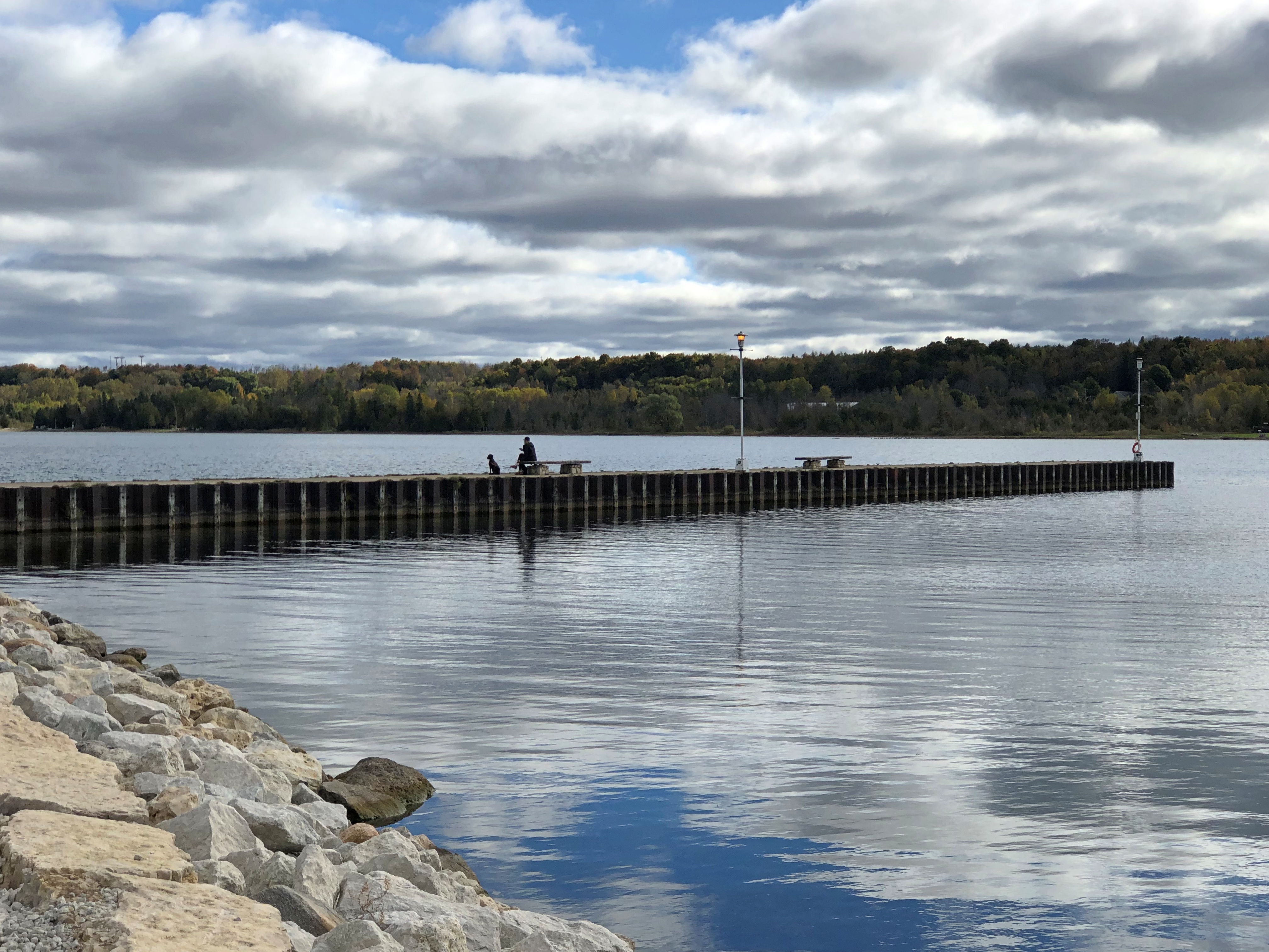
The shore at Wiarton.Wiarton, Ontario Wiarton, Ontario Wiarton, Ontario

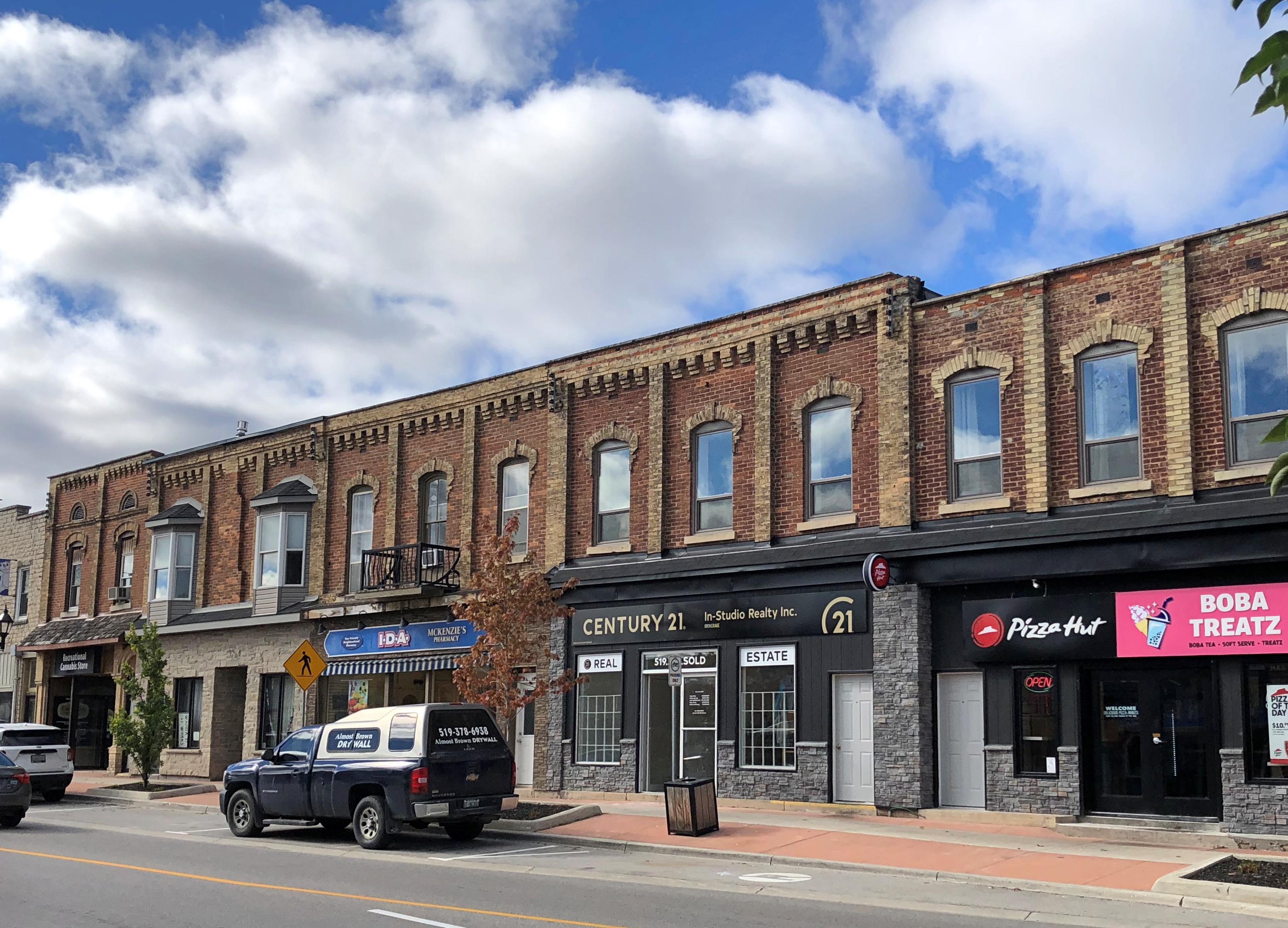
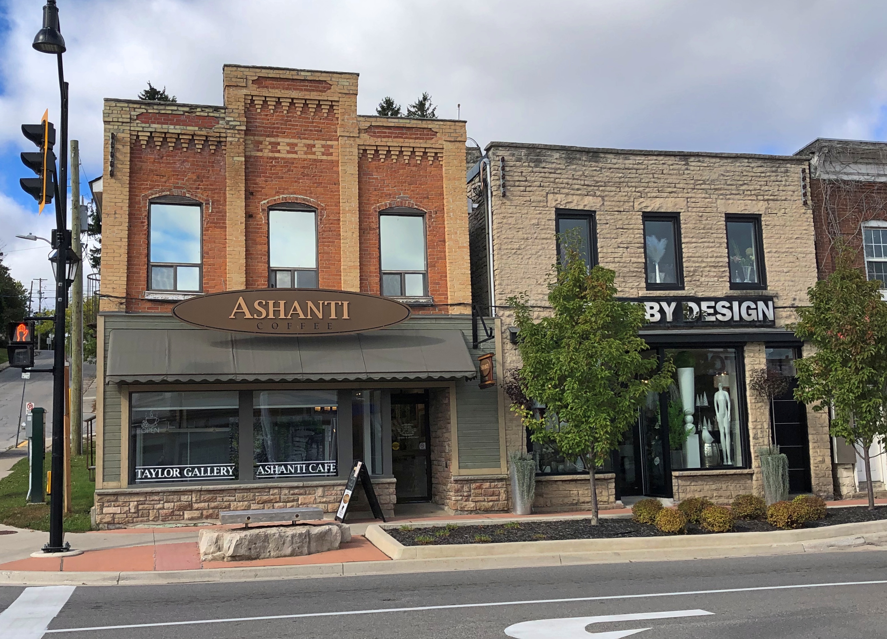
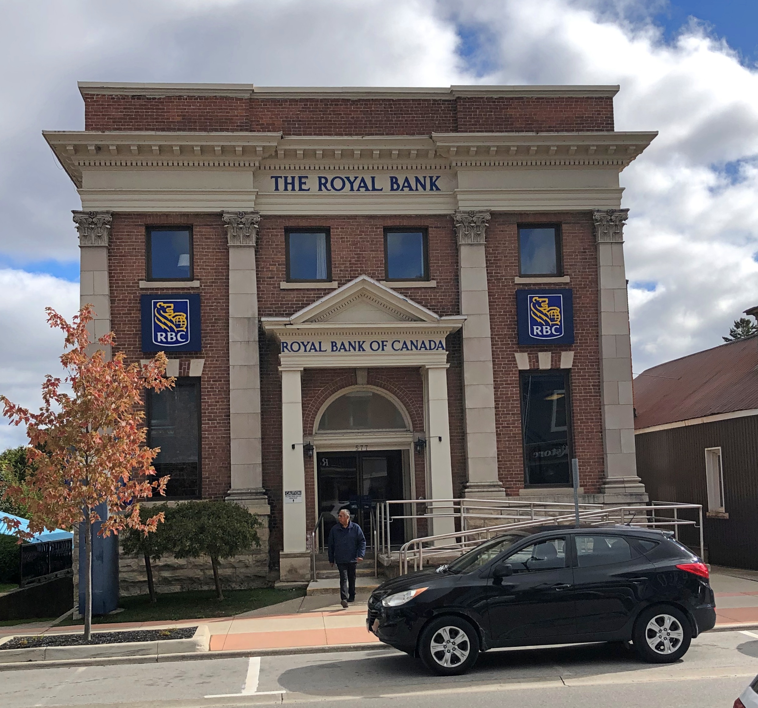
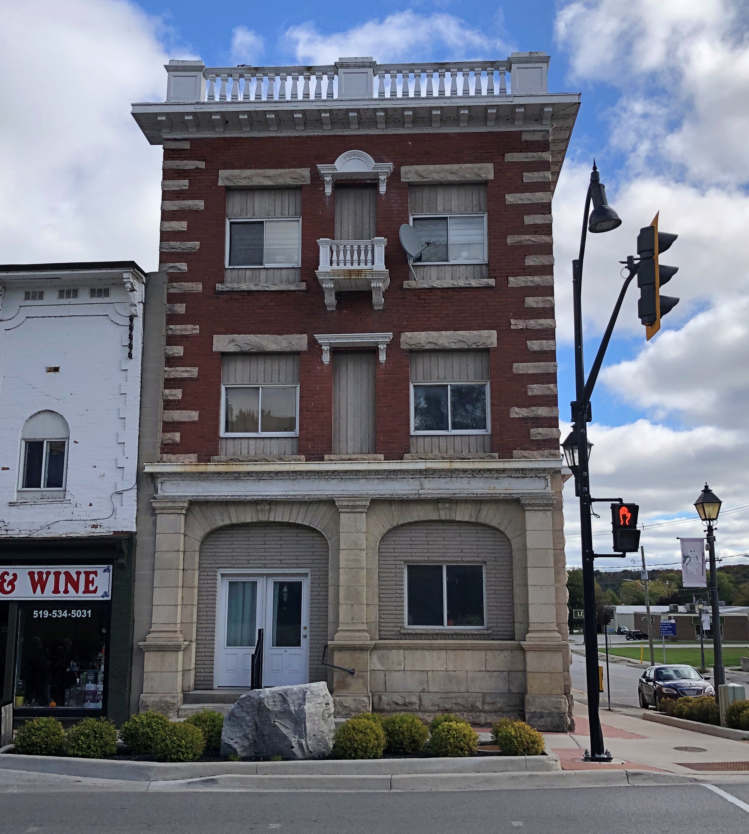
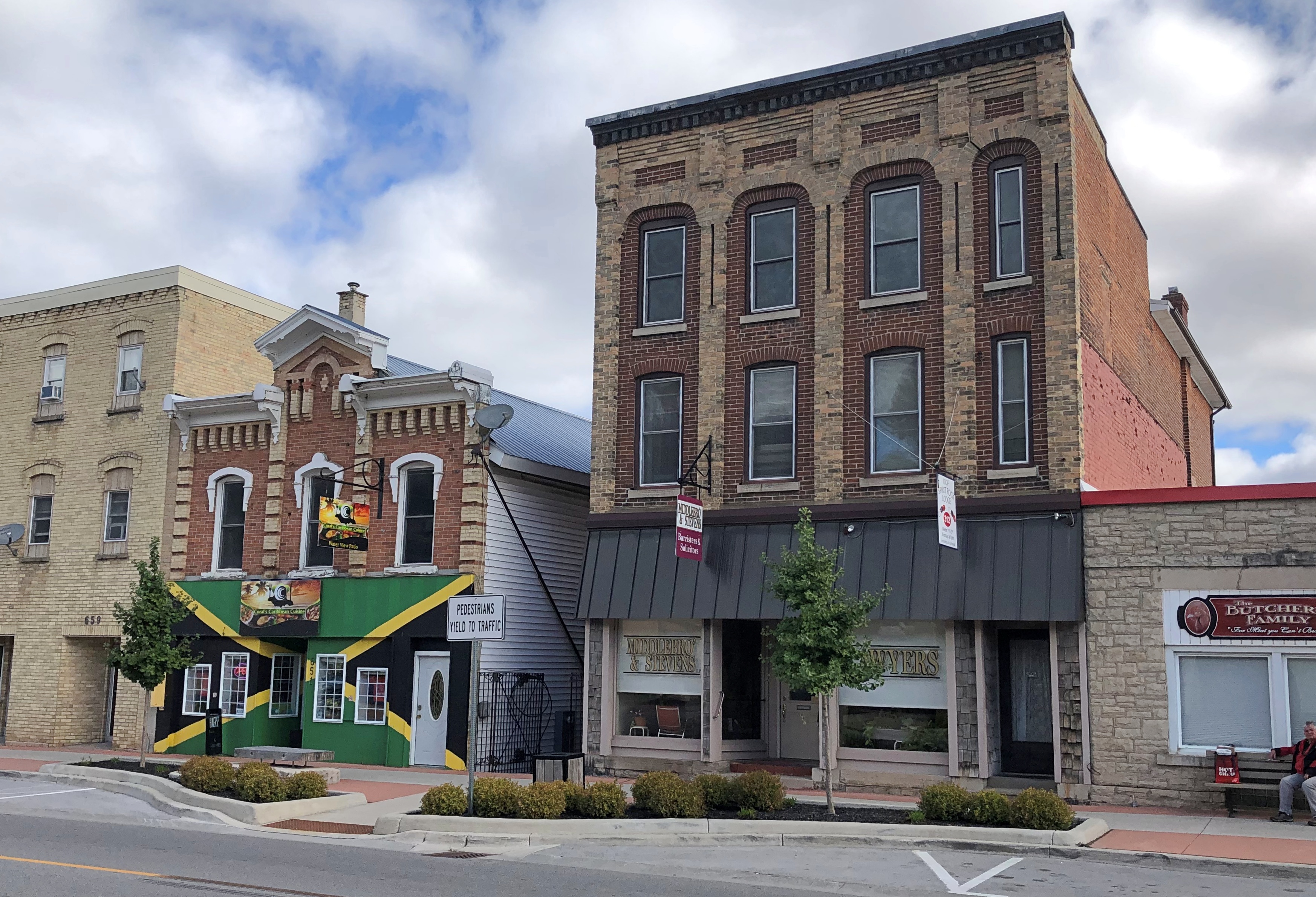
Not far away is the main street, Berford Street (Ontario 6), and its collection of handsome buildings of a certain age.Wiarton, Ontario Wiarton, Ontario Wiarton, Ontario

The taller buildings came in at no more than three stories.Wiarton, Ontario Wiarton, Ontario Wiarton, Ontario

Most had stores on their first floors, and people were out and about on the sidewalks, going about their business at such places as Beer Store, Peninsula Imprint, Bluewater Dental, Sullivan’s Butcher Shop, Coral’s Caribbean Cuisine, KW Real Estate Centre, Lost Art Espresso, Sunshine Drugs, Wiarton Emporium (thrift store), Cannabis Grey, Royal Bank of Canada, Ashanti Cafe, and more – a mix of ordinary retail and some that probably depend more on day-trippers from larger cities.

An active, walkable town, in other words, the kind planners dream about, but which are hard to conjure up from a set of plans.Wiarton, Ontario

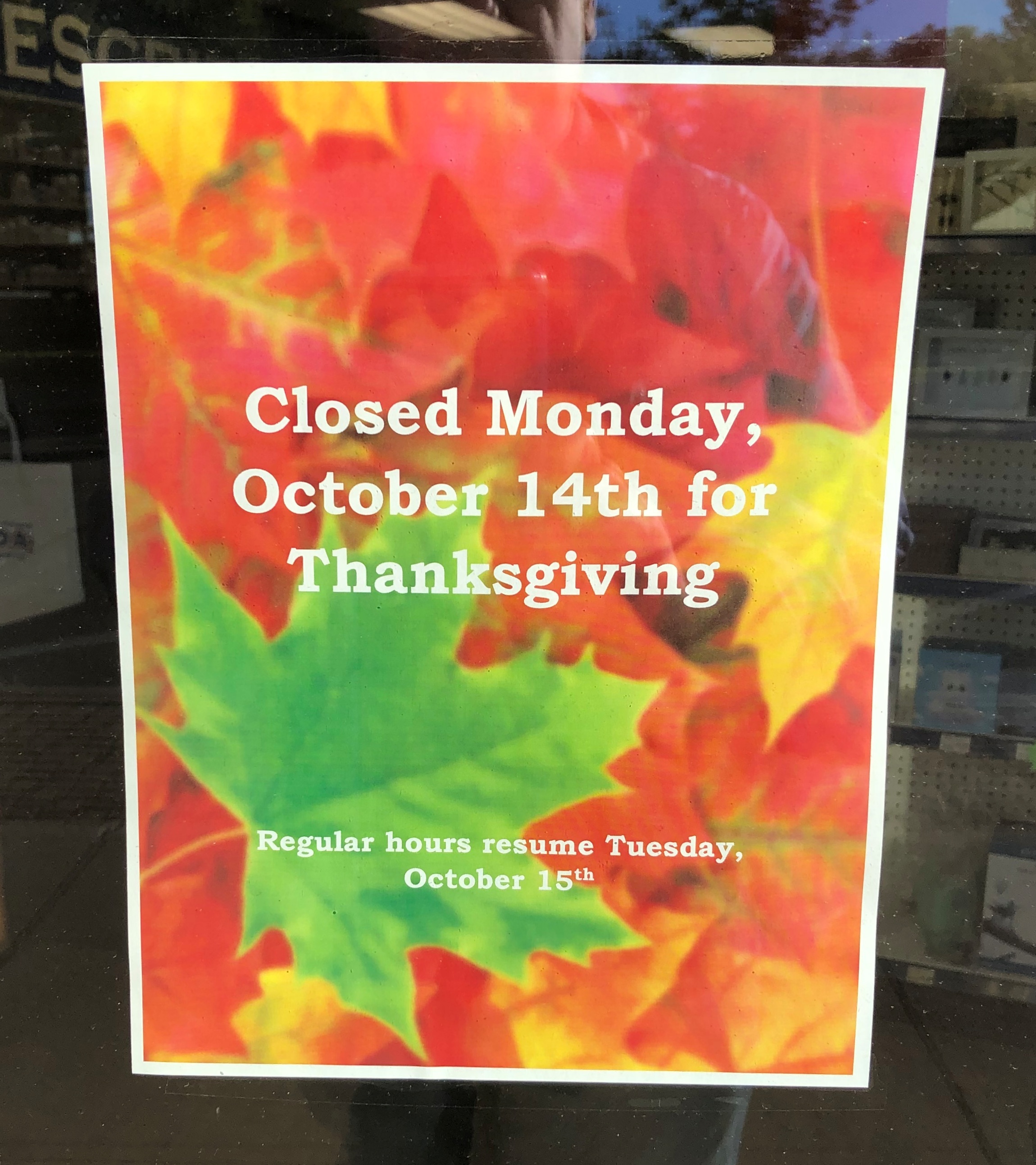
Canadian Thanksgiving weekend was about to start.Wiarton, Ontario

From what I saw and heard, mostly on the radio, turkey feasts and family gatherings are common aspects of the holiday. That’s all very well, but I think we have a better deal: three holidays, plus a de facto holiday thrown in to make four days, on the leading edge of Christmas. Thanksgiving is a three-day weekend in Canada, and that’s that.Wiarton, Ontario

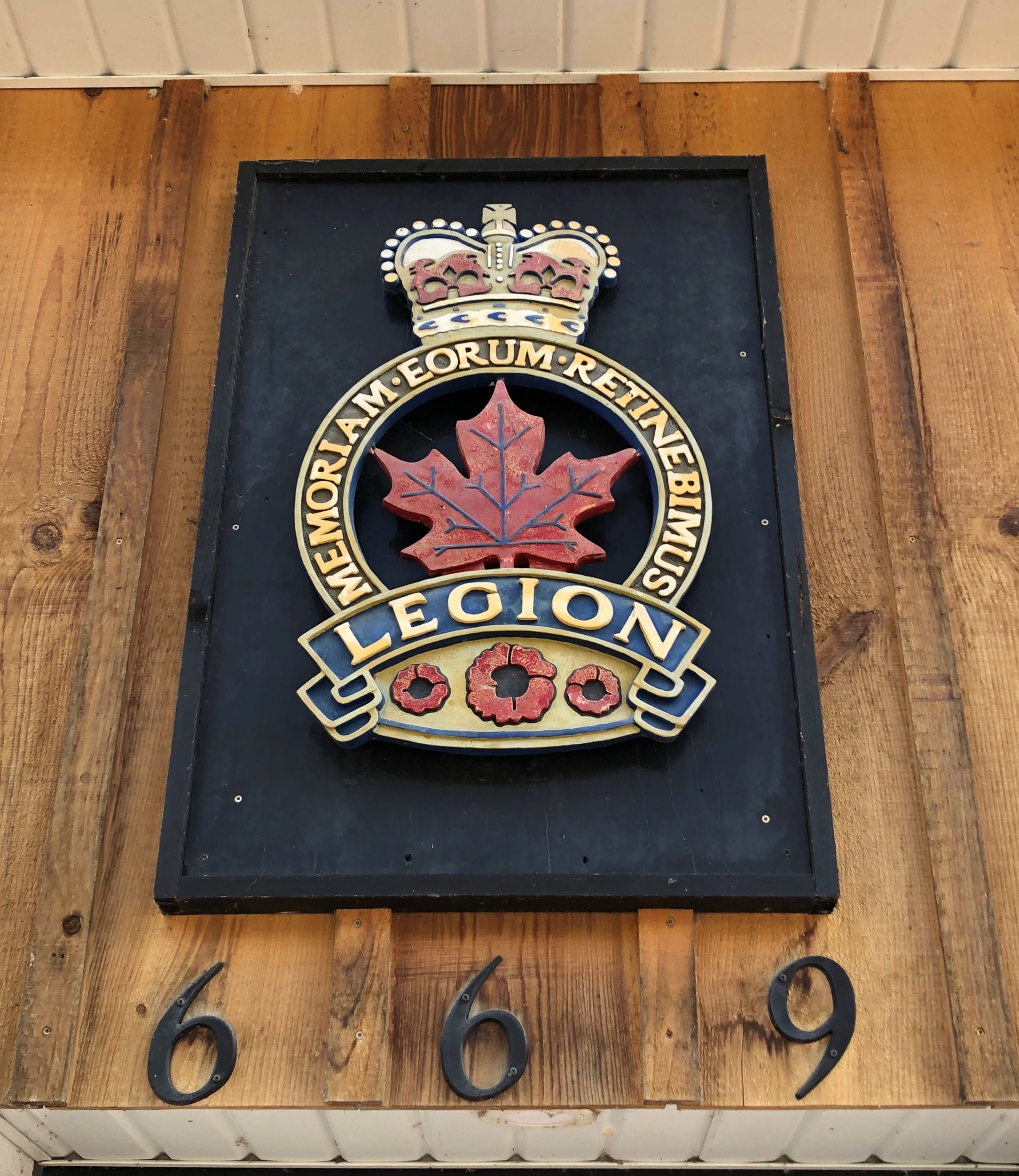
Over the door of the Royal Canadian Legion in Wiarton. Memoriam eorum retinebimus, we will remember them.Wiarton Ontario

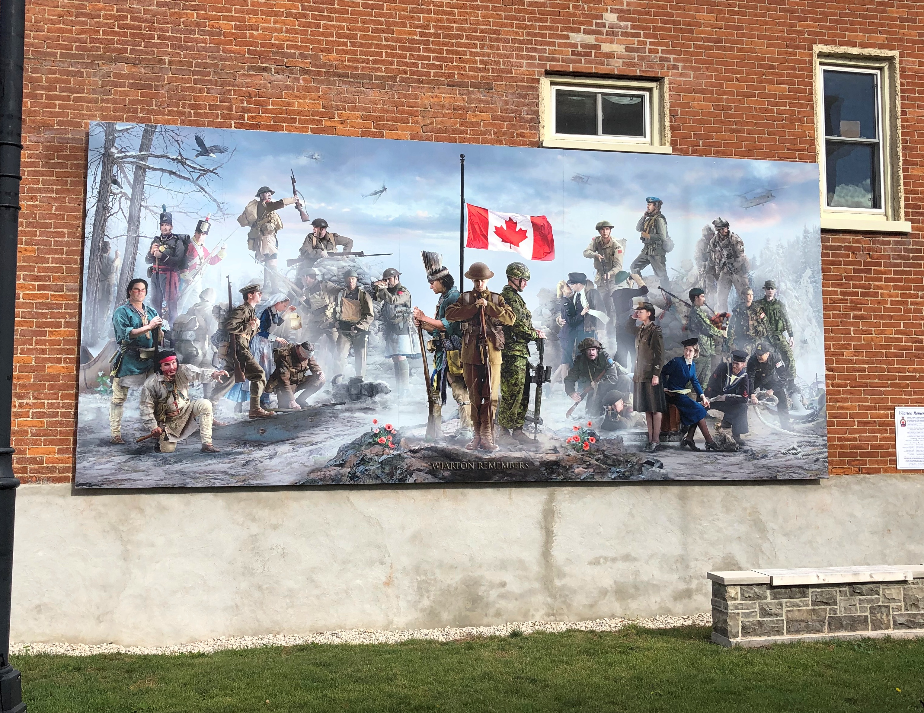
Nearby artwork in the town with the same message.Wiarton Ontario

We should remember them, too. We, as in Americans. Not only have there been no hostilities along the border since the War of 1812 (not counting fishing spats), we and the Canadians have been comrades in arms ever since, when the times call for it.

Bruce Peninsula National Park: The Sand

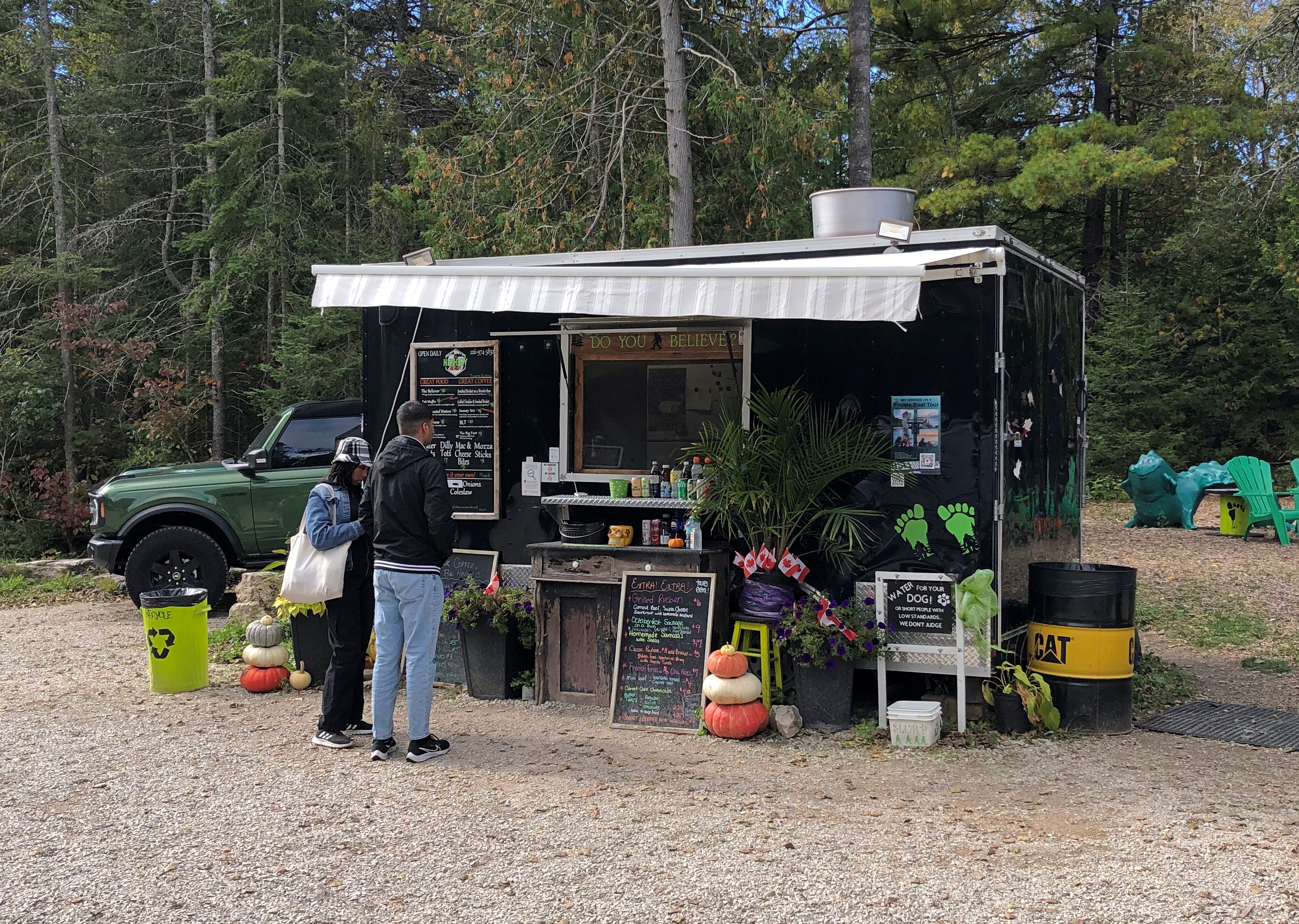
Clambering around on rocks, even the kind that don’t require any technical skills, takes energy, so lunch was the next order of business after our hike along the shore of Georgian Bay last Wednesday. We spotted a food truck outside the park, on Ontario 6, called the Hungry Hiker. That seemed fitting.Hungry Hiker, Tobermory

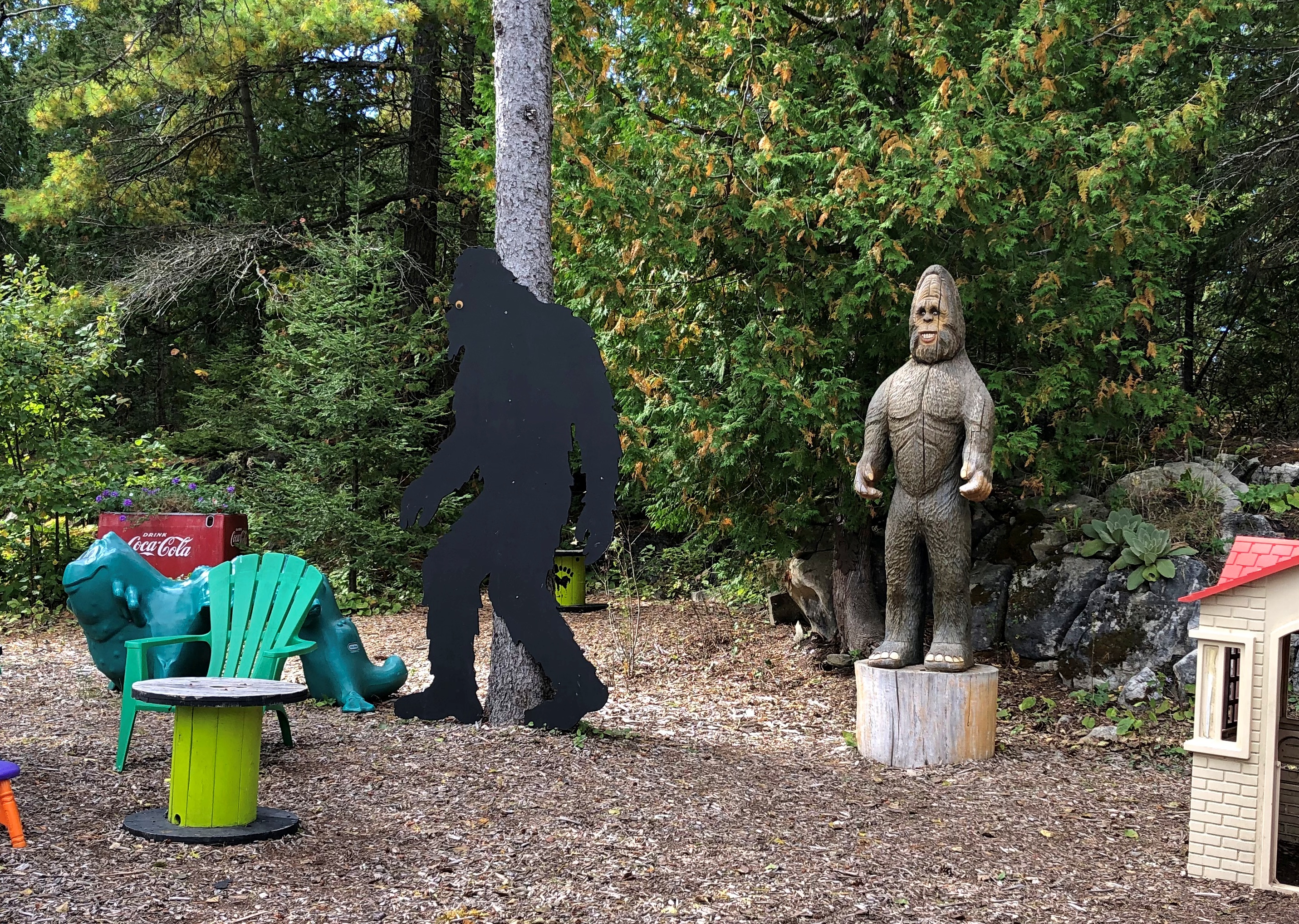
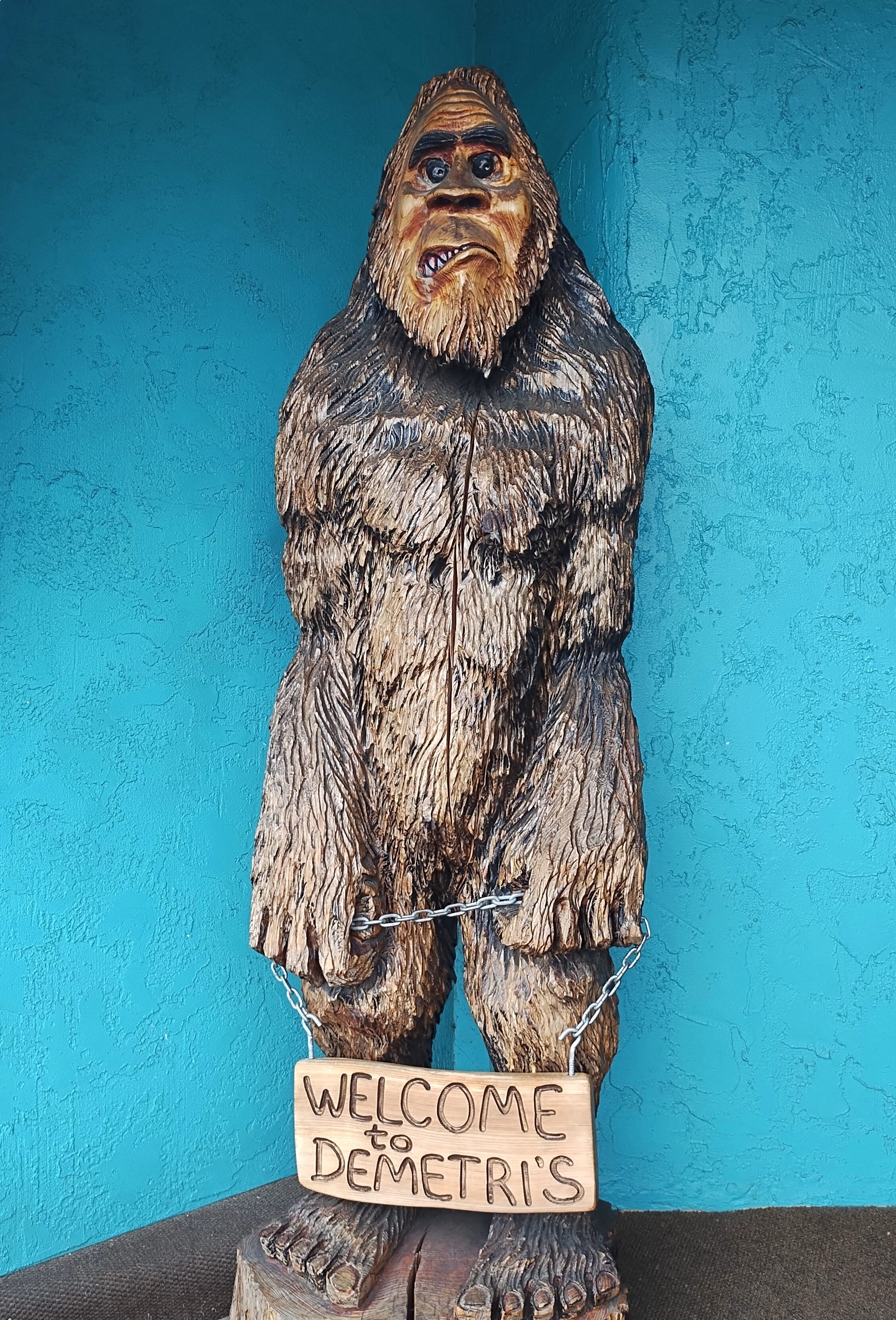
It had a Bigfoot theme. That seemed odd.Hungry Hiker, Tobermory

During our travels in the U.S. West, especially Montana-Idaho-Washington state, we noticed many roadside Bigfoot depictions, including this one in metro Seattle, in front of a place in Edmonds where we had lunch one day.Bigfoot, Edmunds, Wash.

The Hungry Hiker Bigfoot was the only one we saw in Canada. Whimsy on the part of the owner, maybe, which also included some of the menu items, such as the Sweaty Yeti, a chicken sandwich with a sweet glaze. We ordered one, but not The Big Foot, which was a foot-long hot dog. Sasquatch theme or not, the Hungry Hiker’s food was satisfying.

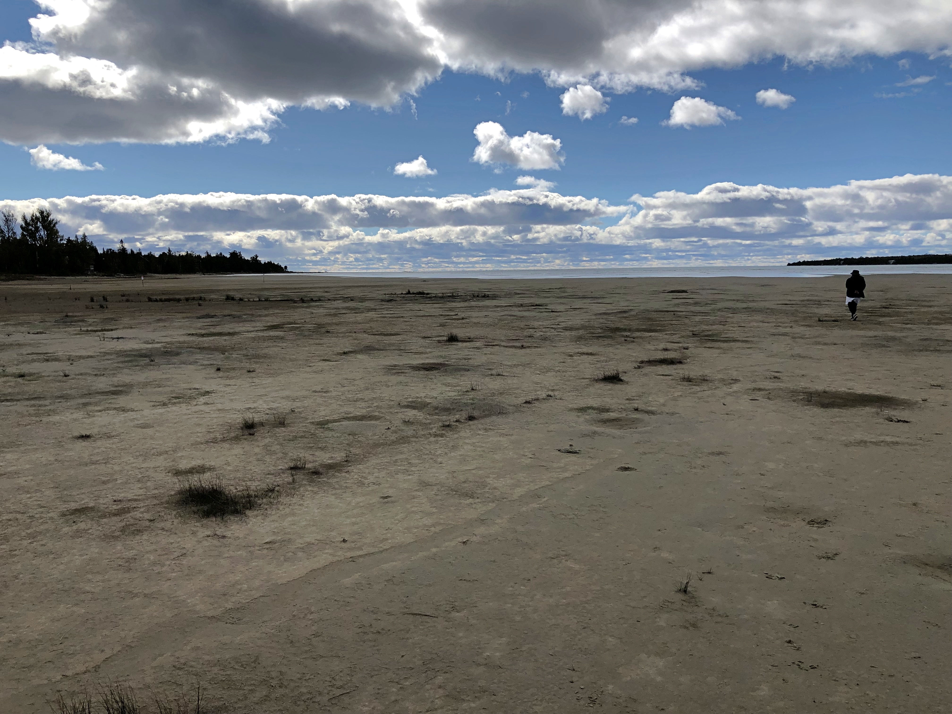
Next stop: Singing Sands Beach at Bruce Peninsula NP. The park includes more than one section, with the beach on the other side of the peninsula, facing Lake Huron proper.Singing Sands Beach, Bruce Peninsula NP

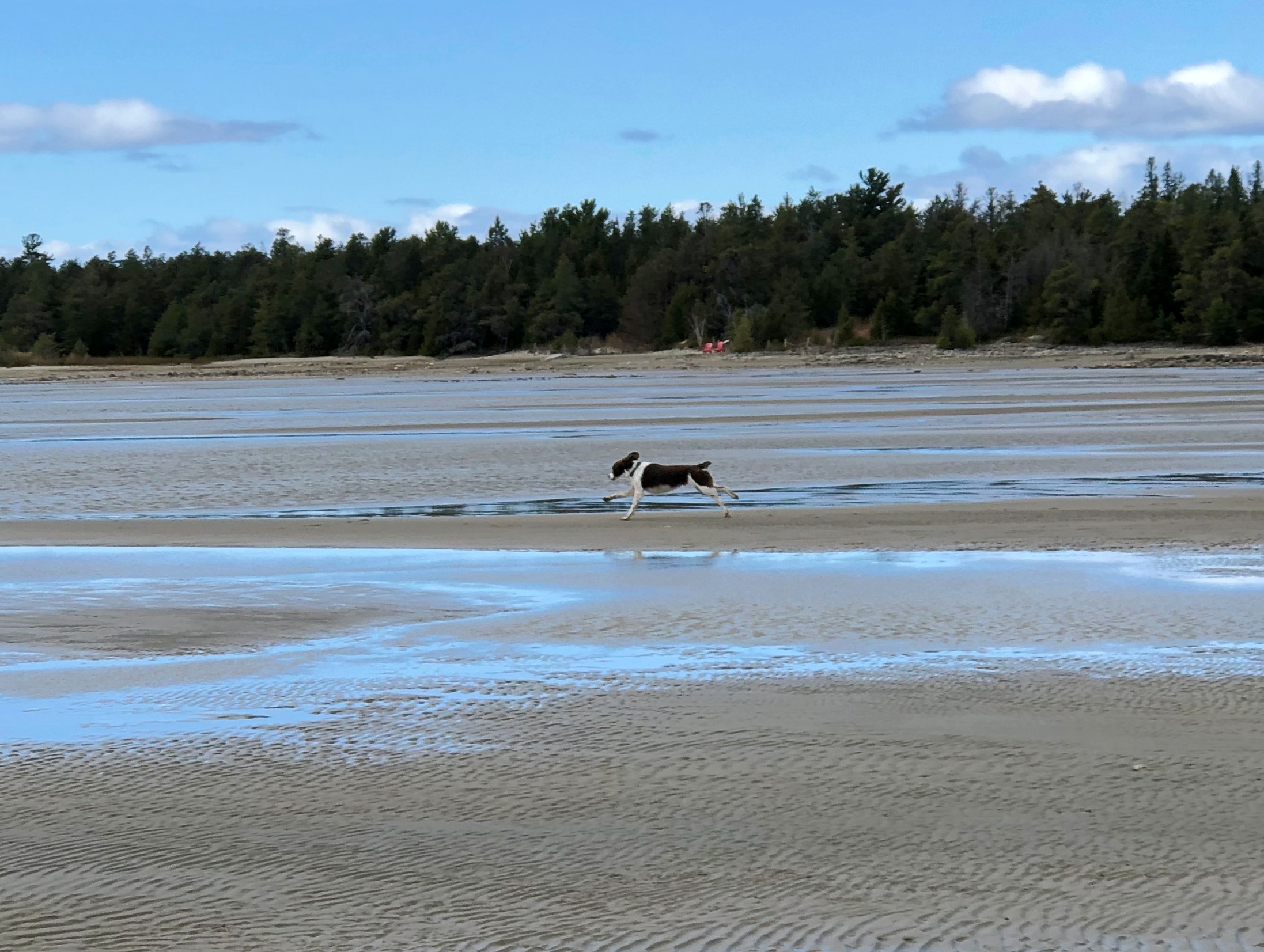
Nice. A big, almost empty beach. In mid-summer, it’s probably overrun. In October, there were only a few people and a frolicking dog.Singing Sands Beach, Bruce Peninsula NP

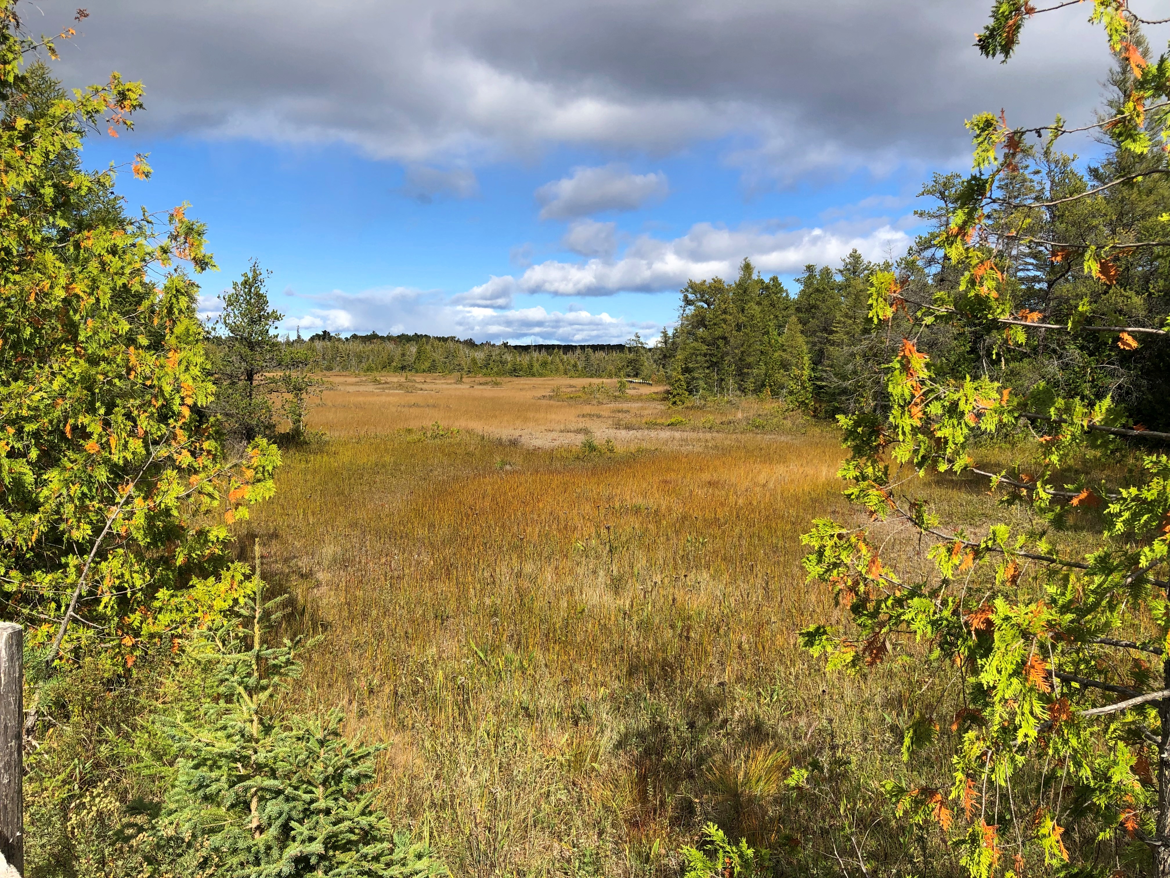
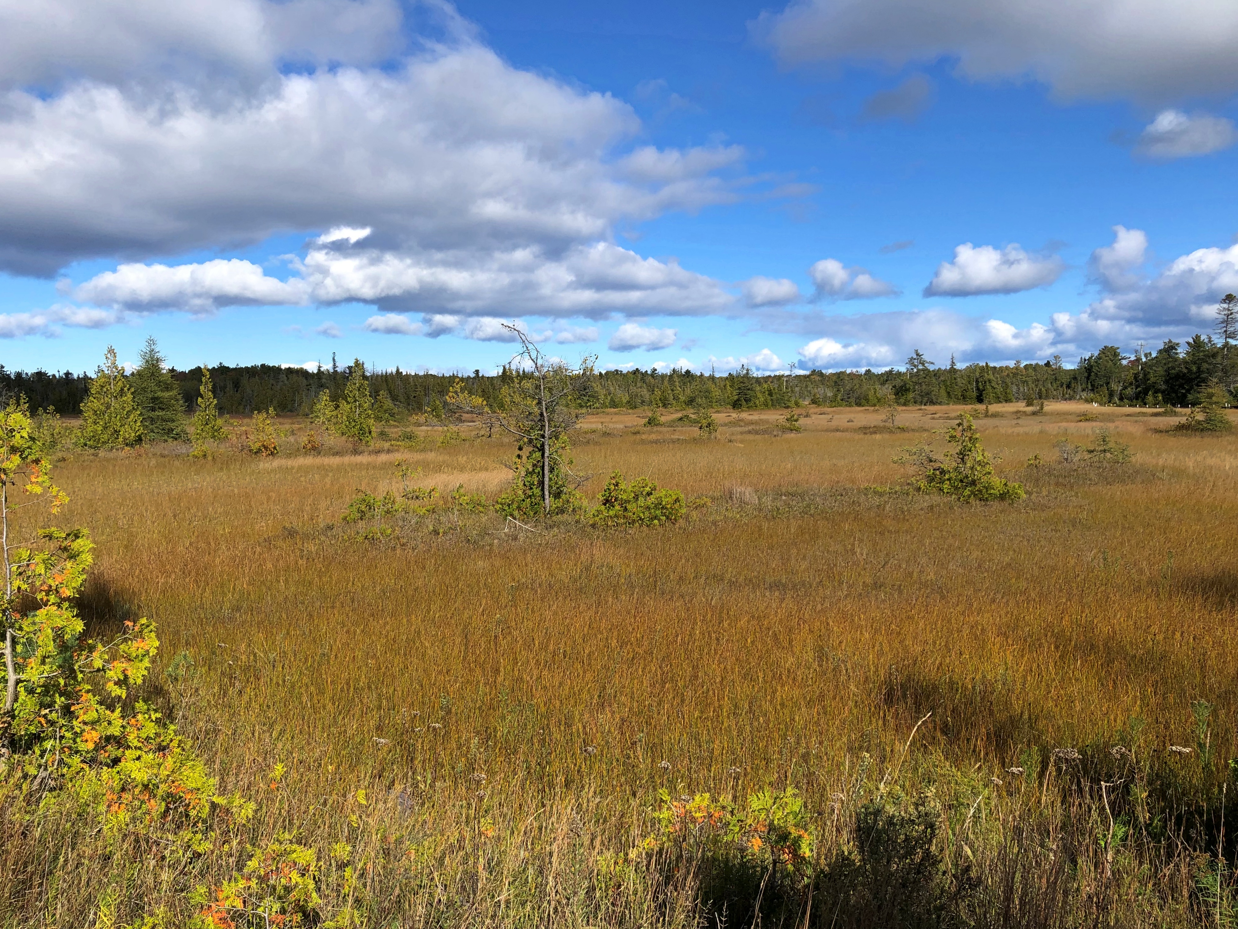
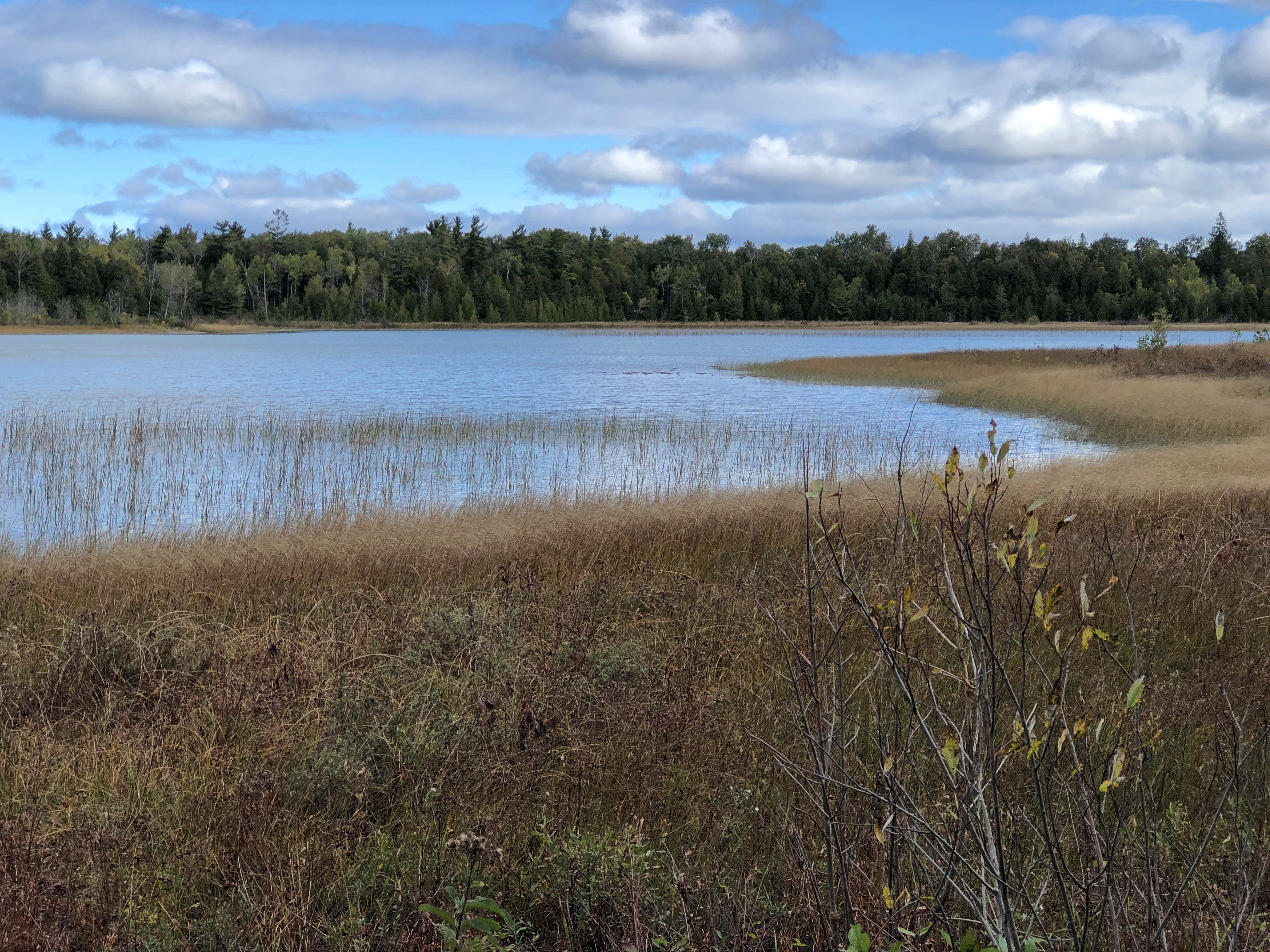
Behind the beach, a fen.Singing Sands Beach, Bruce Peninsula NP Singing Sands Beach, Bruce Peninsula NP

I don’t know a fen from a bog or a marsh, even though I’ve seen a fen, but that’s what the sign said. It also informed us that resident in the area is the Massasauga rattlesnake (Sistrurus catenatus), “Ontario’s only venomous snake.”

I didn’t know Ontario had any venomous snakes either, much less a rattler. We were further assured that they are small (not a good thing) and shy (better), so they are likely to avoid you. Also, they are endangered, so gardeners in, say, suburban Toronto aren’t at much risk. Canada ≠ Australia, despite some historic similarities. As we tromped along, none were to be heard.

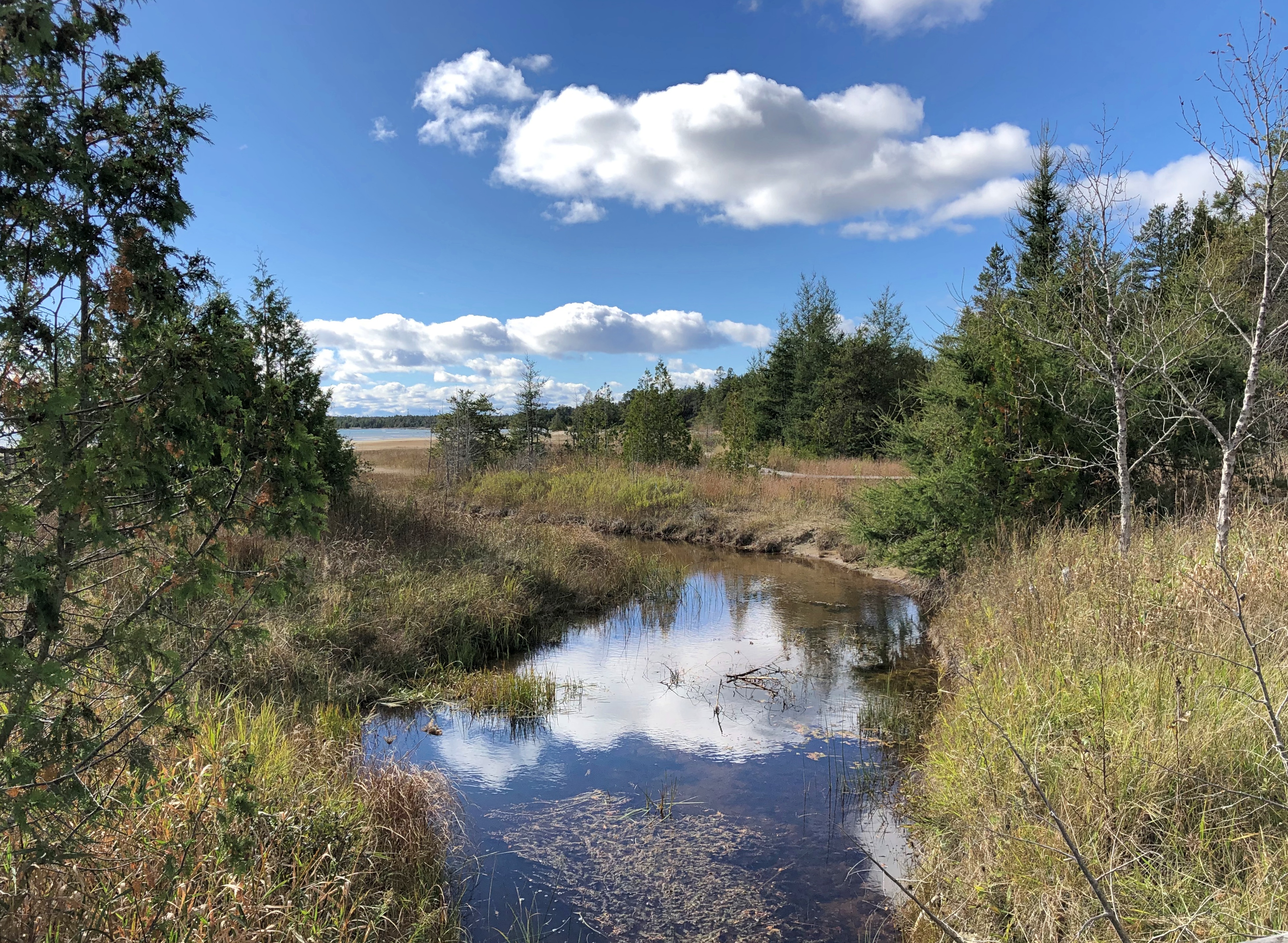
A short trail wandered into the trees near the beach, past a couple of creeks meeting Lake Huron.Singing Sands Beach, Bruce Peninsula NP Singing Sands Beach, Bruce Peninsula NP

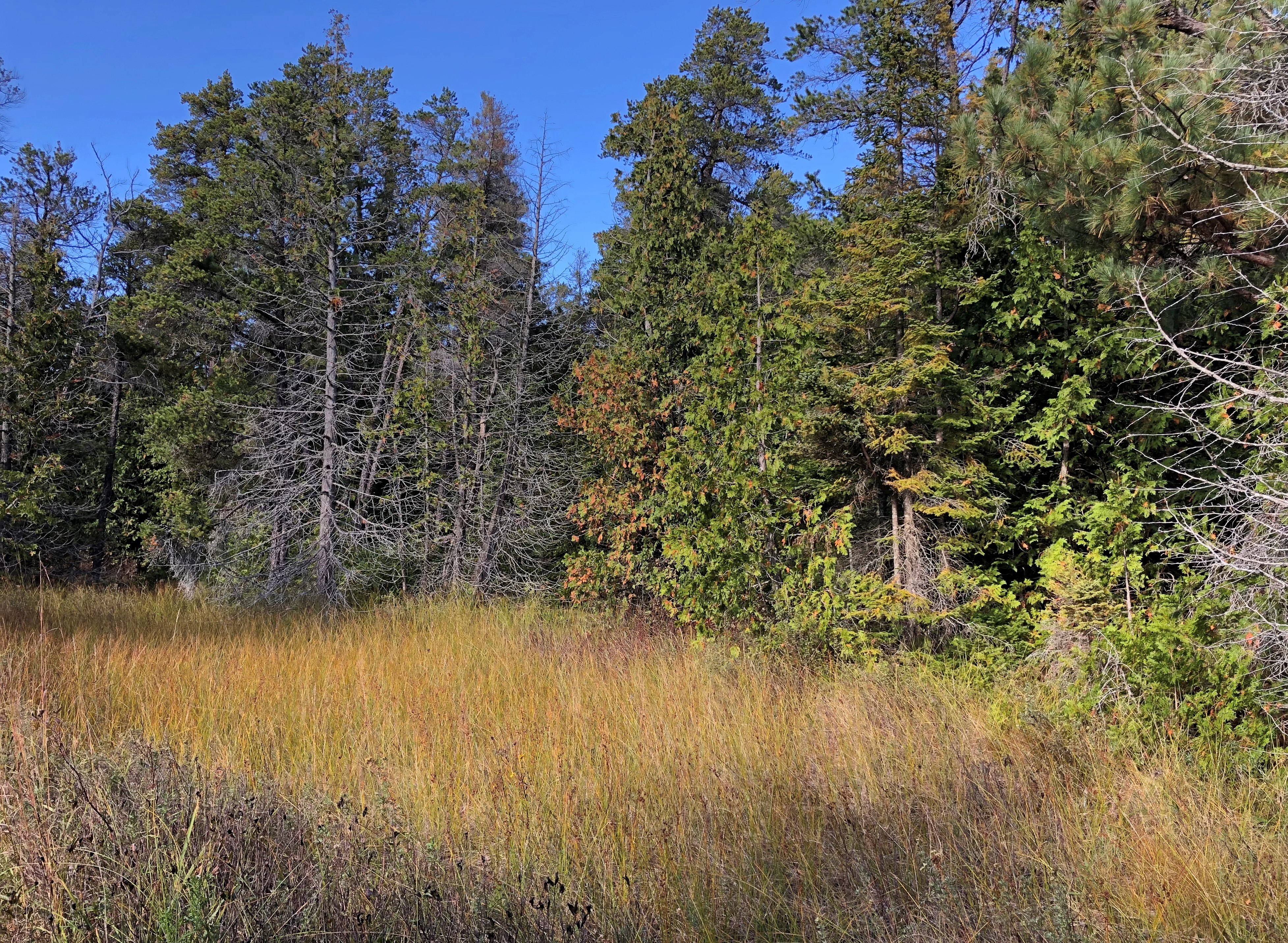
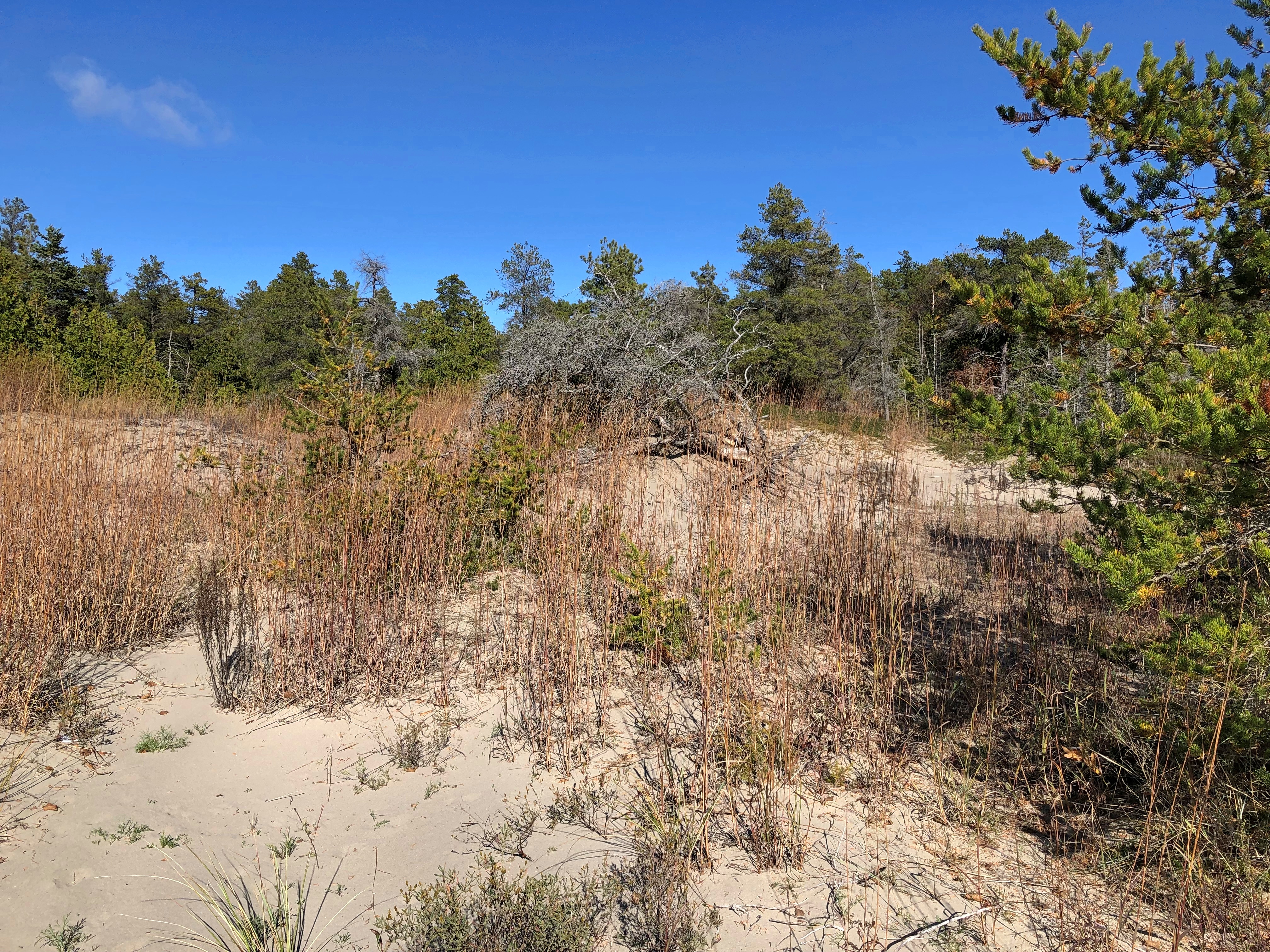
The trail was a loop, returning by way of grasslands and more beach, which was a little rocky at that point.Singing Sands Beach, Bruce Peninsula NP Singing Sands Beach, Bruce Peninsula NP Singing Sands Beach, Bruce Peninsula NP

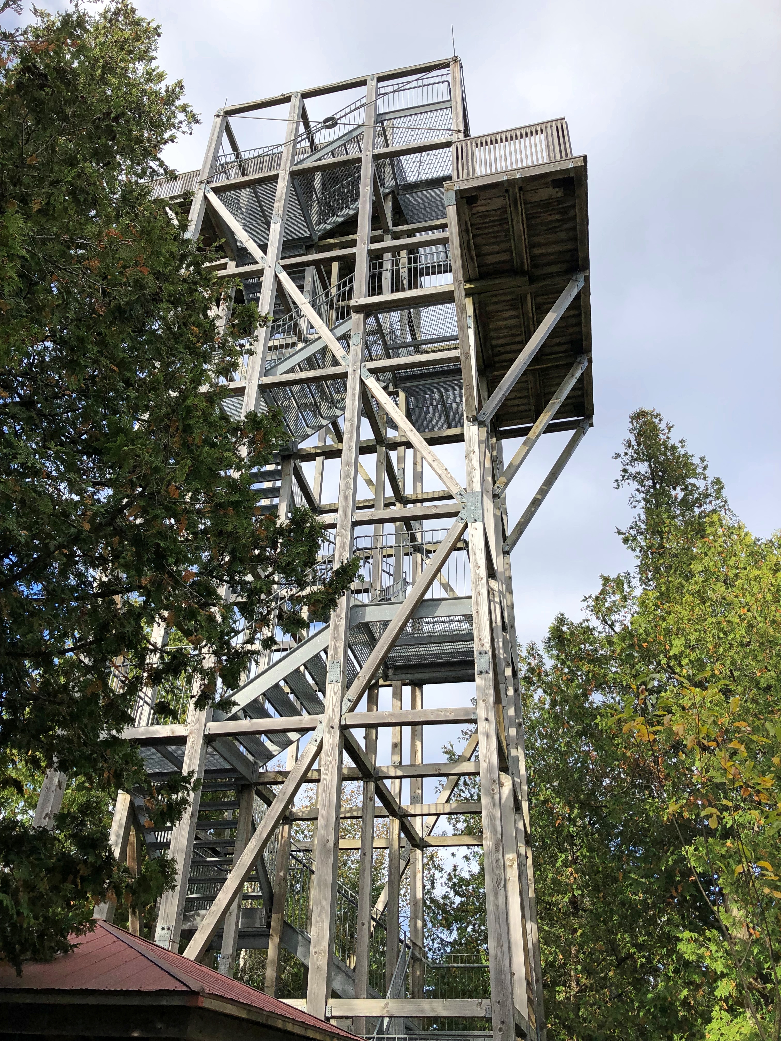
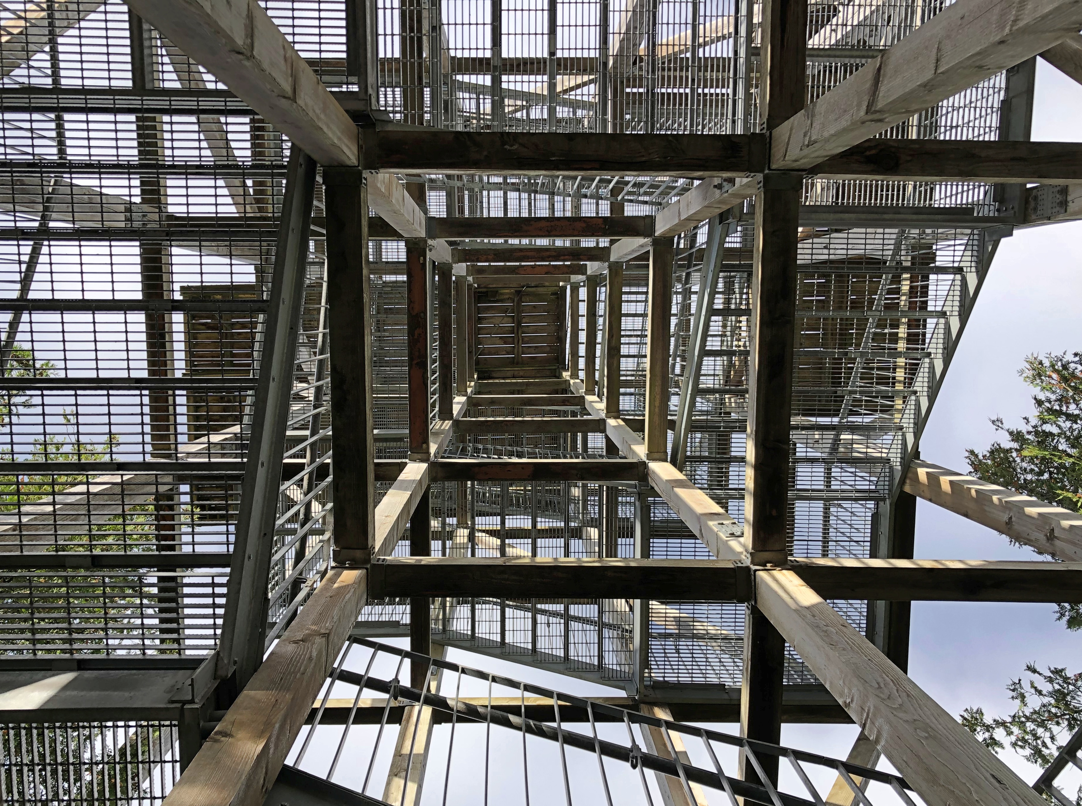
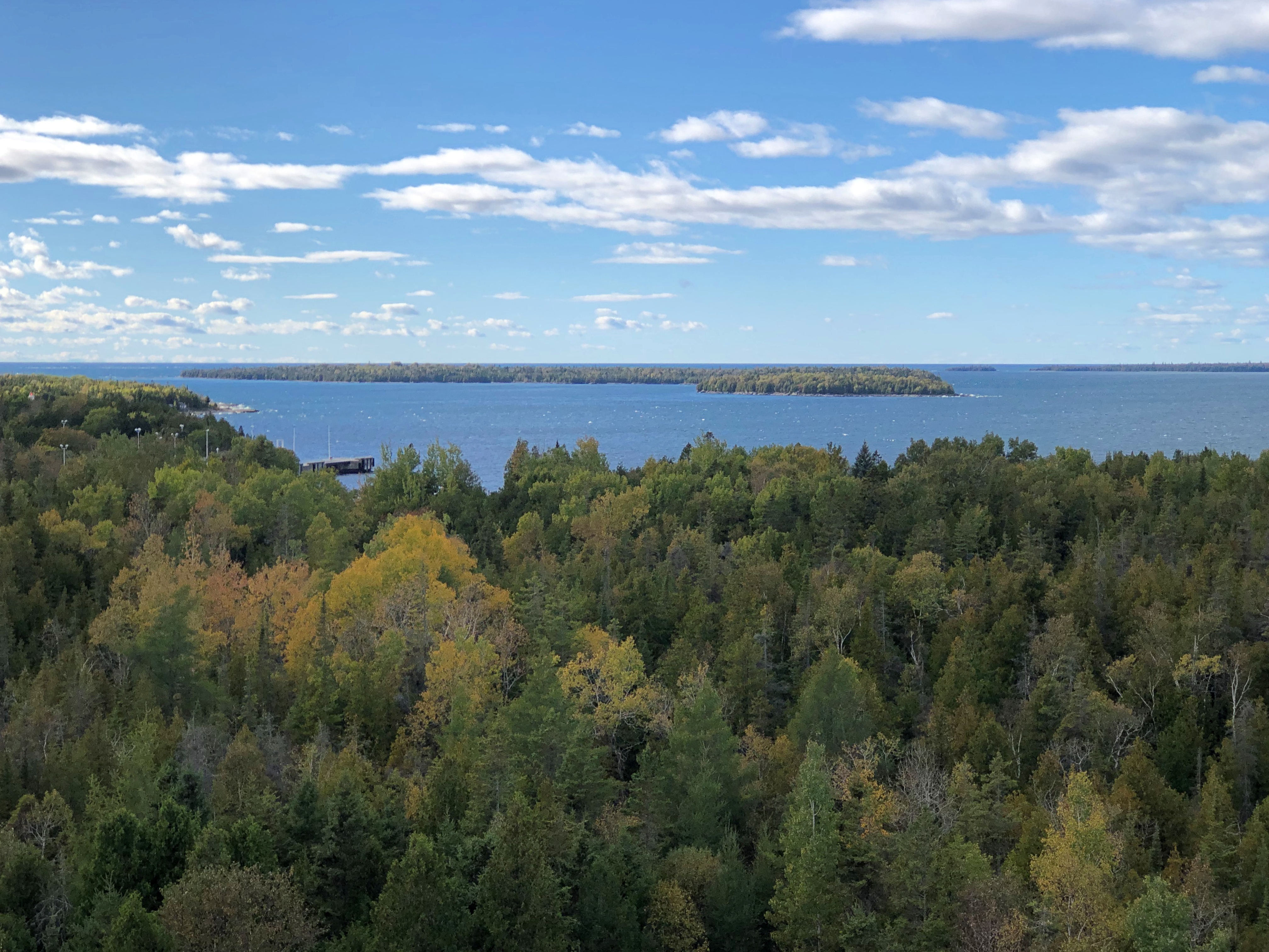
We still had some afternoon left – a warmish day in October isn’t to be wasted – so we went to the BPNP visitor center, back on the Georgian Bay side, to climb the observation tower.Bruce Peninsula NP Bruce Peninsula NP

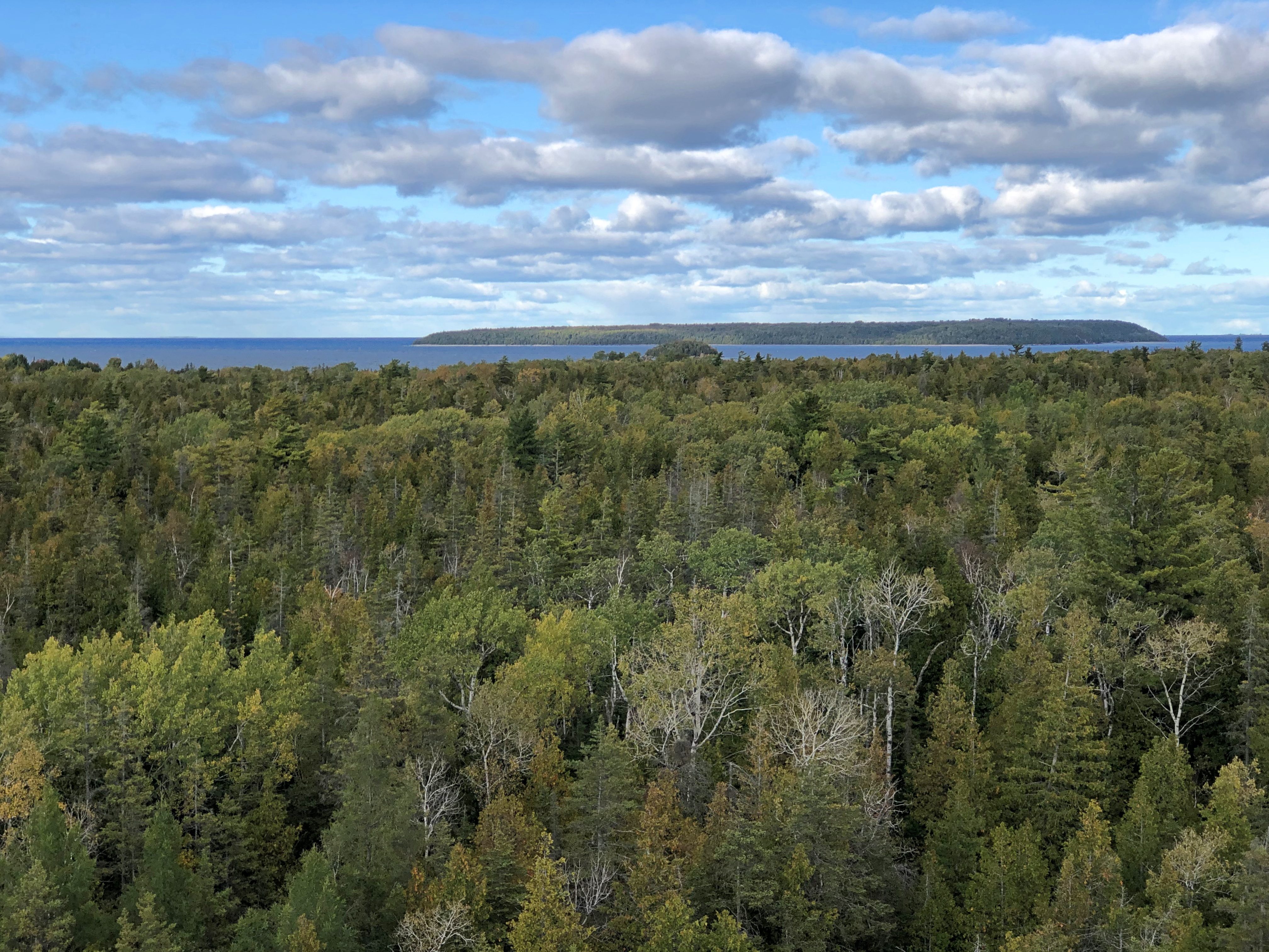
Nice views, though not as much fall color as we’d expected. I could feel the tower shake just a little in the wind, which wasn’t a pleasant sensation. I’m still up for climbing towers for the vistas, but find myself a bit more unnerved by the experience than I used to be.Bruce Peninsula NP Bruce Peninsula NP

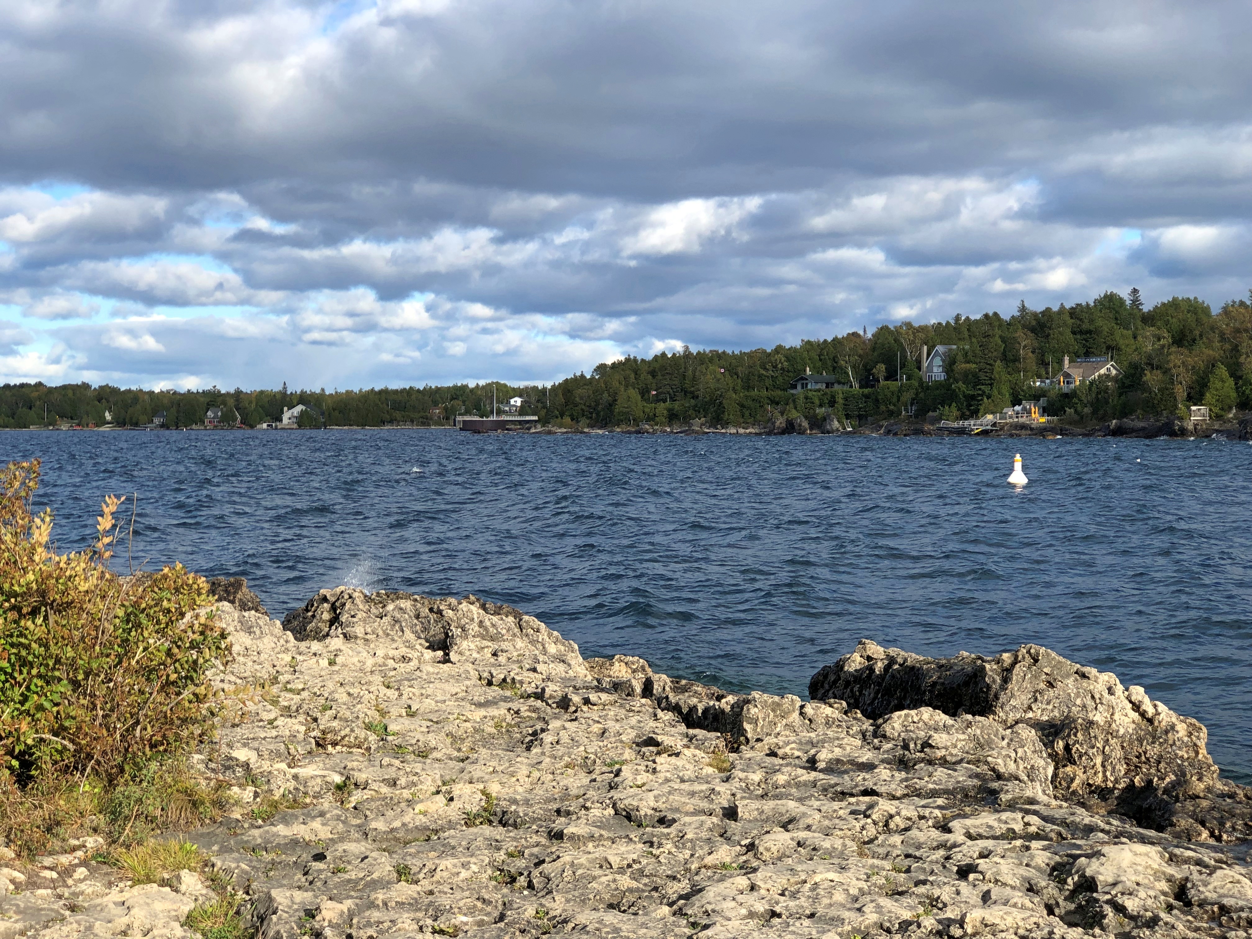
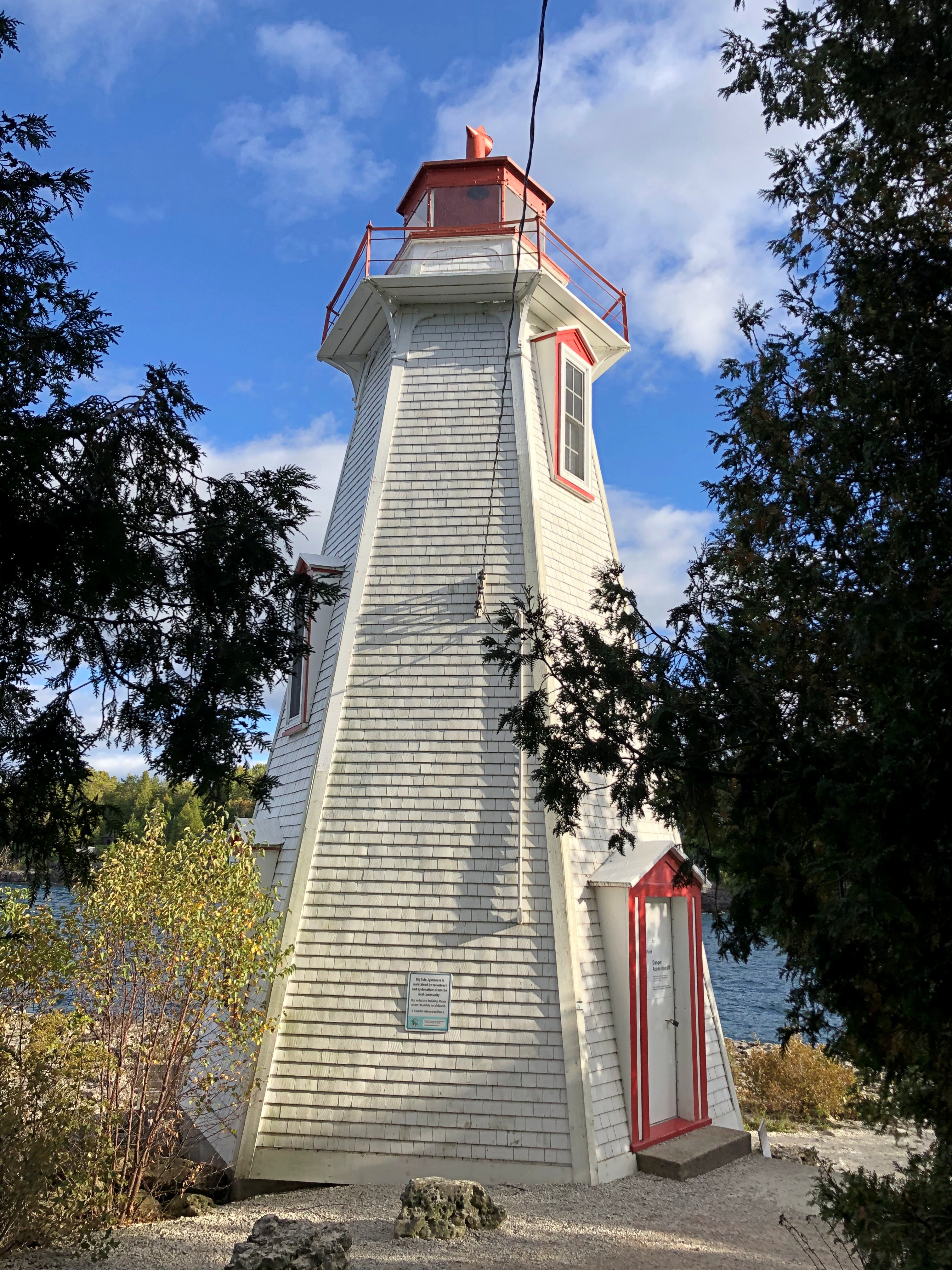
We still weren’t quite done. We drove the short way to Big Tub Harbour, which isn’t part of the national park, but rather part of the town of Tobermory.Big Tub Harbour, Ontario

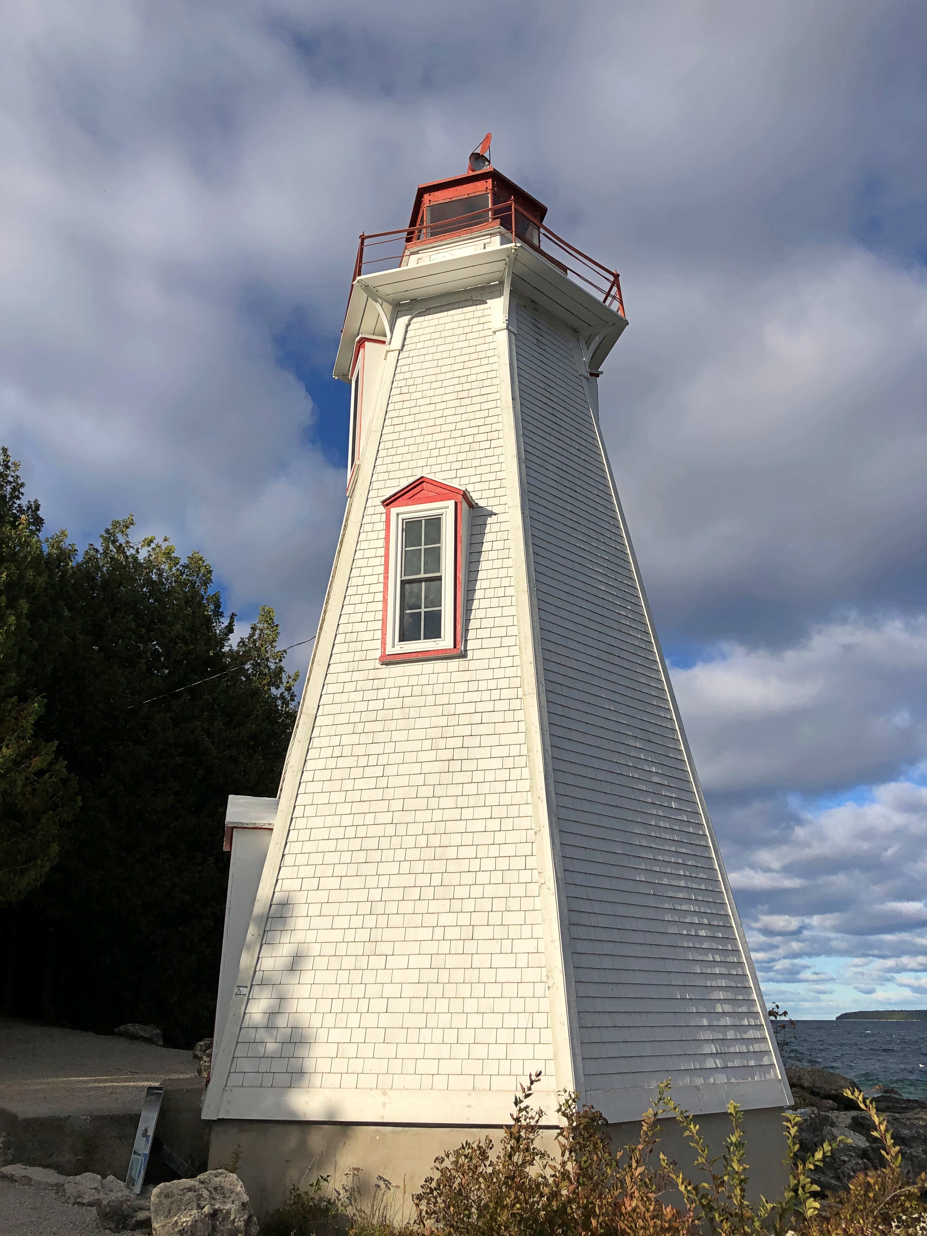
The thing to see there is the lighthouse.Big Tub Harbour, Ontario Big Tub Harbour, Ontario

Still a working light, so no climbing, unlike others. Not as storied as the Lighthouse of Alexandria or even the Eddystone Light, but good enough on a windy afternoon in Ontario.

Bruce Peninsula National Park: The Rocks

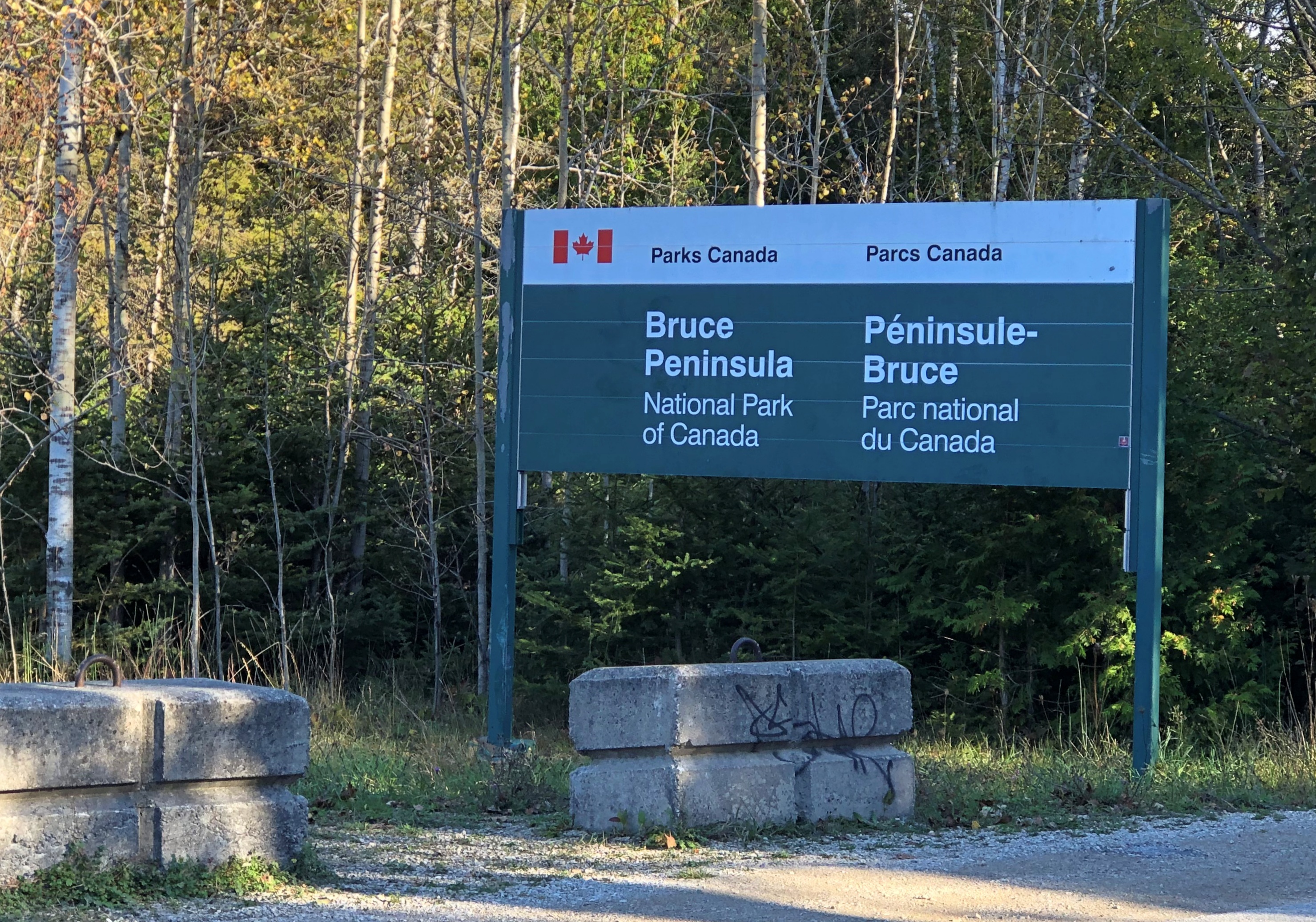
A few years ago, Parks Canada, which oversees Bruce Peninsula National Park in Ontario, made noises about changing the name of the park to Saugeen Peninsula NP, after the place name used by the Saugeen Ojibway Nation for the peninsula. The agency started calling the peninsula that, at least internally, and promised a review about the park name. I’d think an actual change would require an act of parliament, but the ways of Canada are mysterious, so I can’t say for sure.

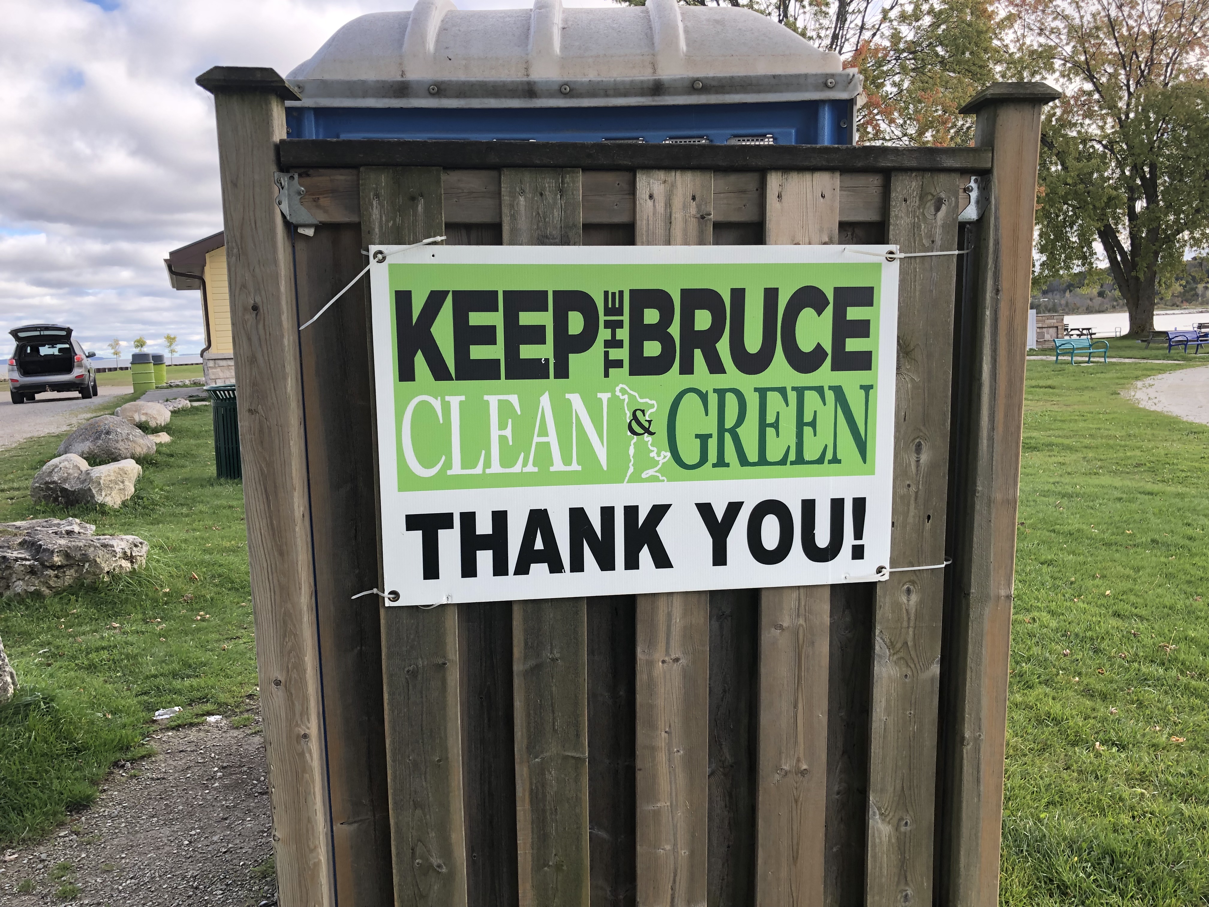
We were merely passing through, but I have a hunch that residents might be attached to “Bruce,” at least for the peninsula itself, so the idea of a name change hasn’t moved forward. Or maybe the process is slow by design. But anyway this was a common sign on the Bruce.Bruce Peninsula

Also, one of the few radio stations receivable on the peninsula is 97.9 FM, The Bruce. If you drive through Port Elgin, as we did twice, you’ll pass the station’s well-marked HQ. If your listen enough, you’ll hear the slogan: Respect the Rock.

In any case, the name remains for now.Bruce Peninsula National Park

In his time – the 19th century – James Bruce, Eighth Earl of Elgin (d. 1863), was a governor of Jamaica, governor general of the province of Canada, and viceroy of India, among other things. Safe to say, then, that he was an imperialist. Pretty much a textbook example. Also, at another point in his career, he ordered the destruction of the Old Summer Palace in Beijing. Oops.

On the other hand, Bruce is a pretty solid name. Maybe the relevant board or committee can declare the peninsula to be named in honor of the entire Clan Bruce, who were so important in the history of Scotland, and whose doughty descendants can be found throughout Canada. That’s a pretty good example of lateral thinking, if I say so myself.

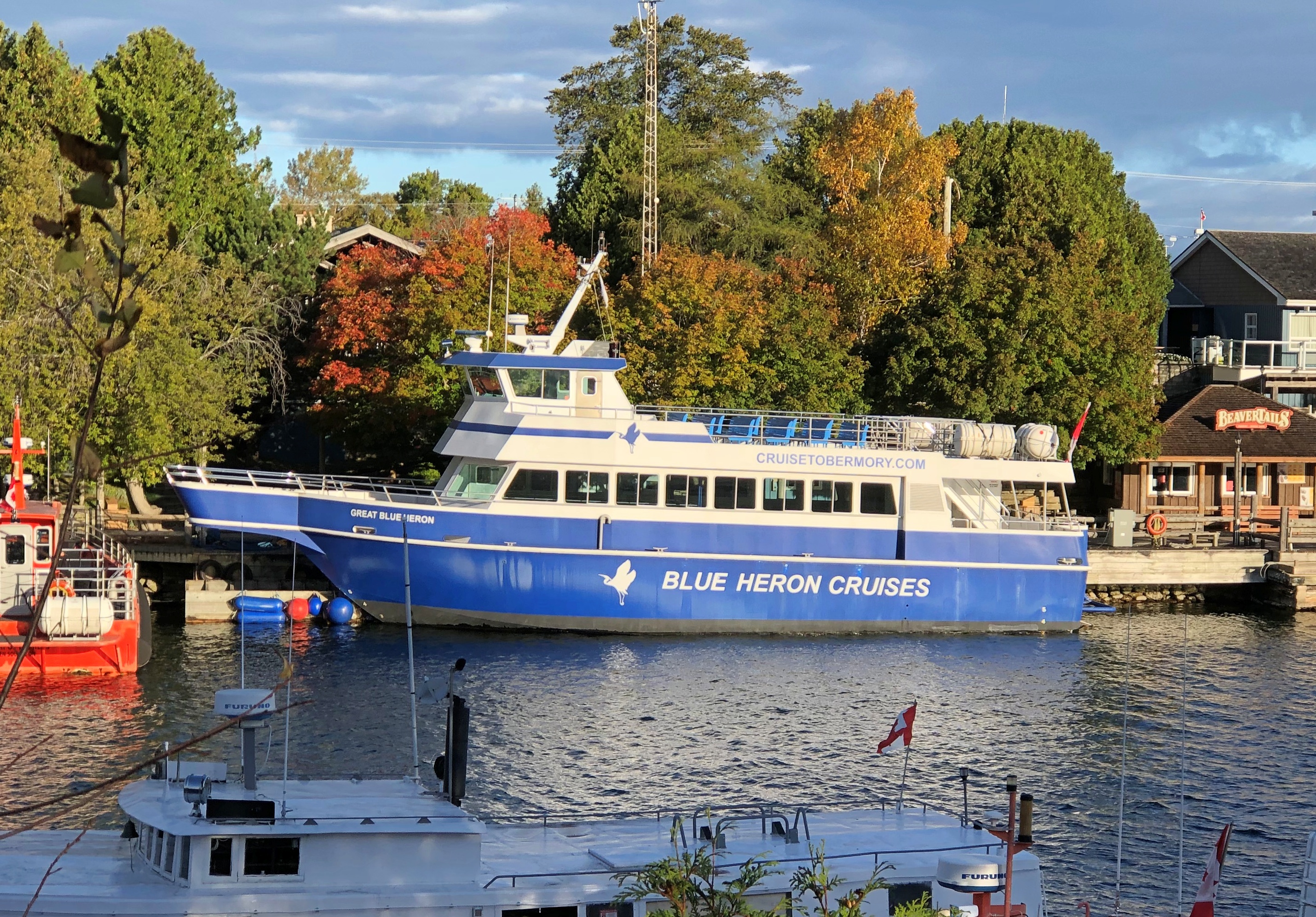
We came to BPNP last week on Wednesday morning (October 9), because this ship wasn’t sailing.

We’d booked round-trip passage to a place called Flowerpot Island, one of the peninsula’s picturesque offshore islands and part of Fathom Five National Marine Park, intending to stay much of the day. But the wind was up, and early that morning, the tour company sent a cancellation notice via email (and we got a refund).

Then we went through a minor amount of rigmarole to change our parking permit at BPNP, because while admission to the park isn’t timed, parking at the park is. We’d planned on visiting the next morning (October 10), before leaving for London. As it turned out, hiking around the Bruce took a fair amount of energy, so best to do it the day before a longish drive, not the same day as a longish drive. Sometimes adjustments on the road work out better.

Our first hike in the national park was simple enough, in theory – out to Georgian Bay, along the edge of Georgian Bay, back from Georgian Bay to the parking lot we’d finagled an early spot in.

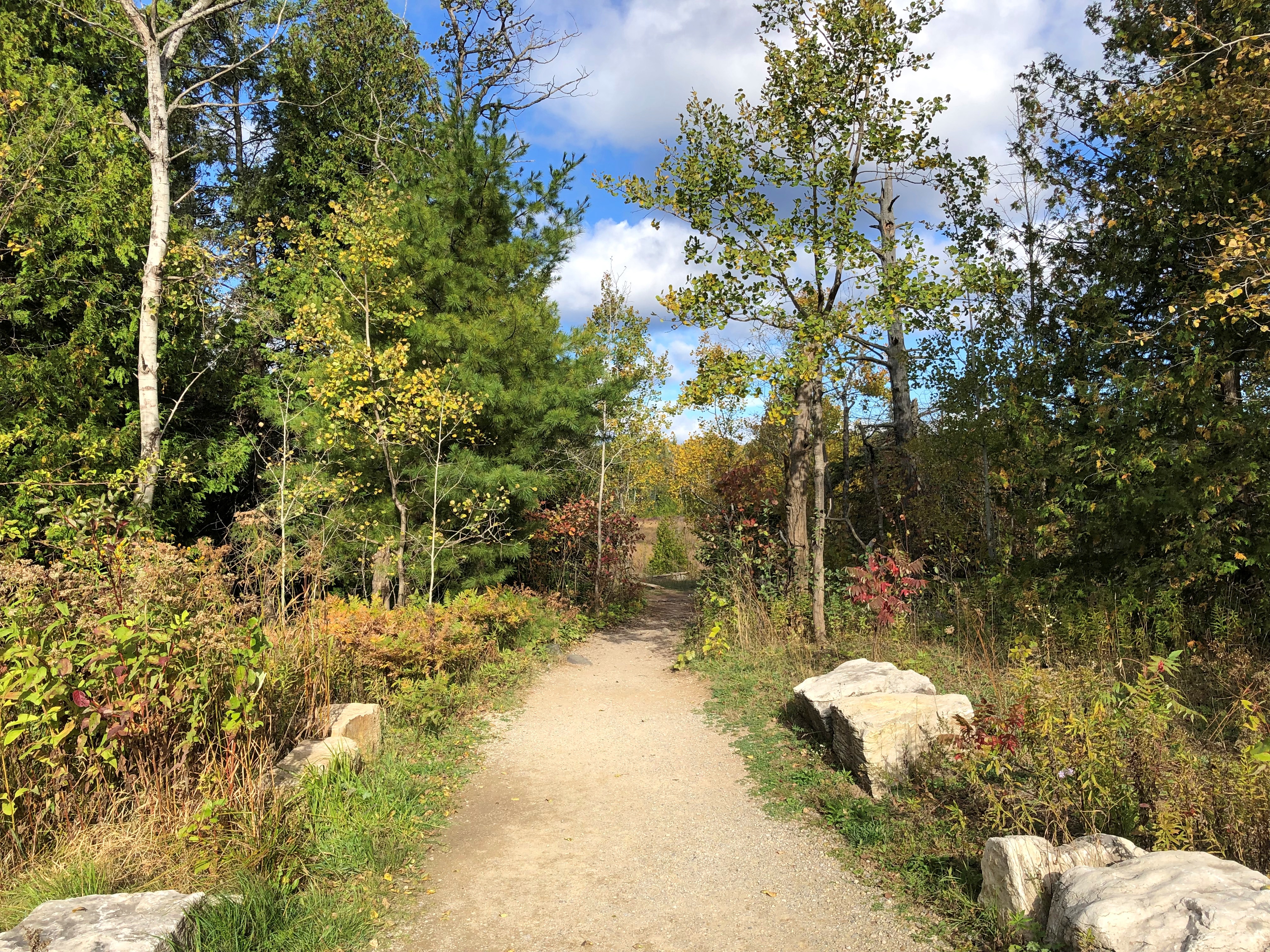
The path to Georgian Bay, most of the way along a shallow lake.Bruce Peninsula NP Bruce Peninsula NP

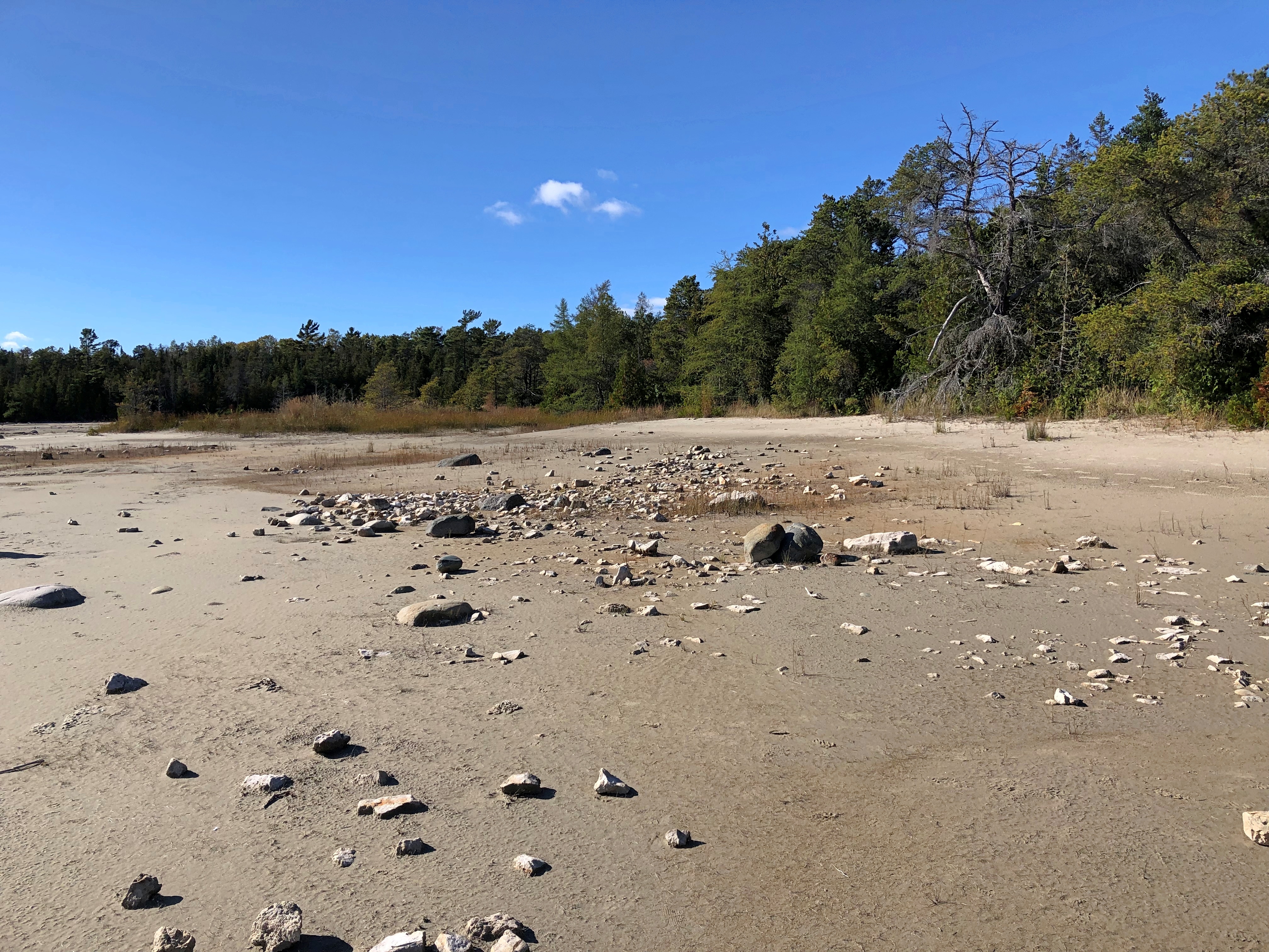
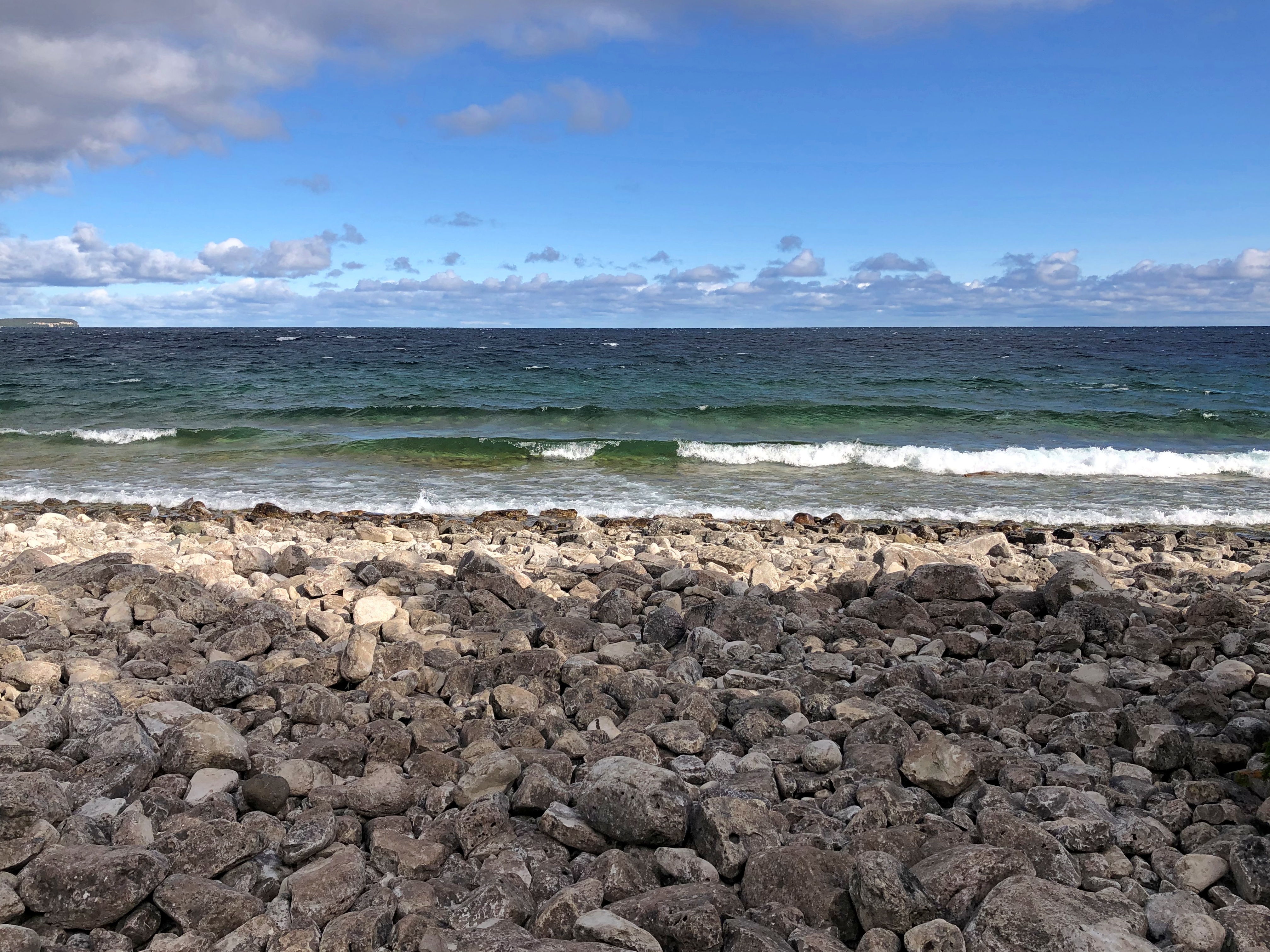
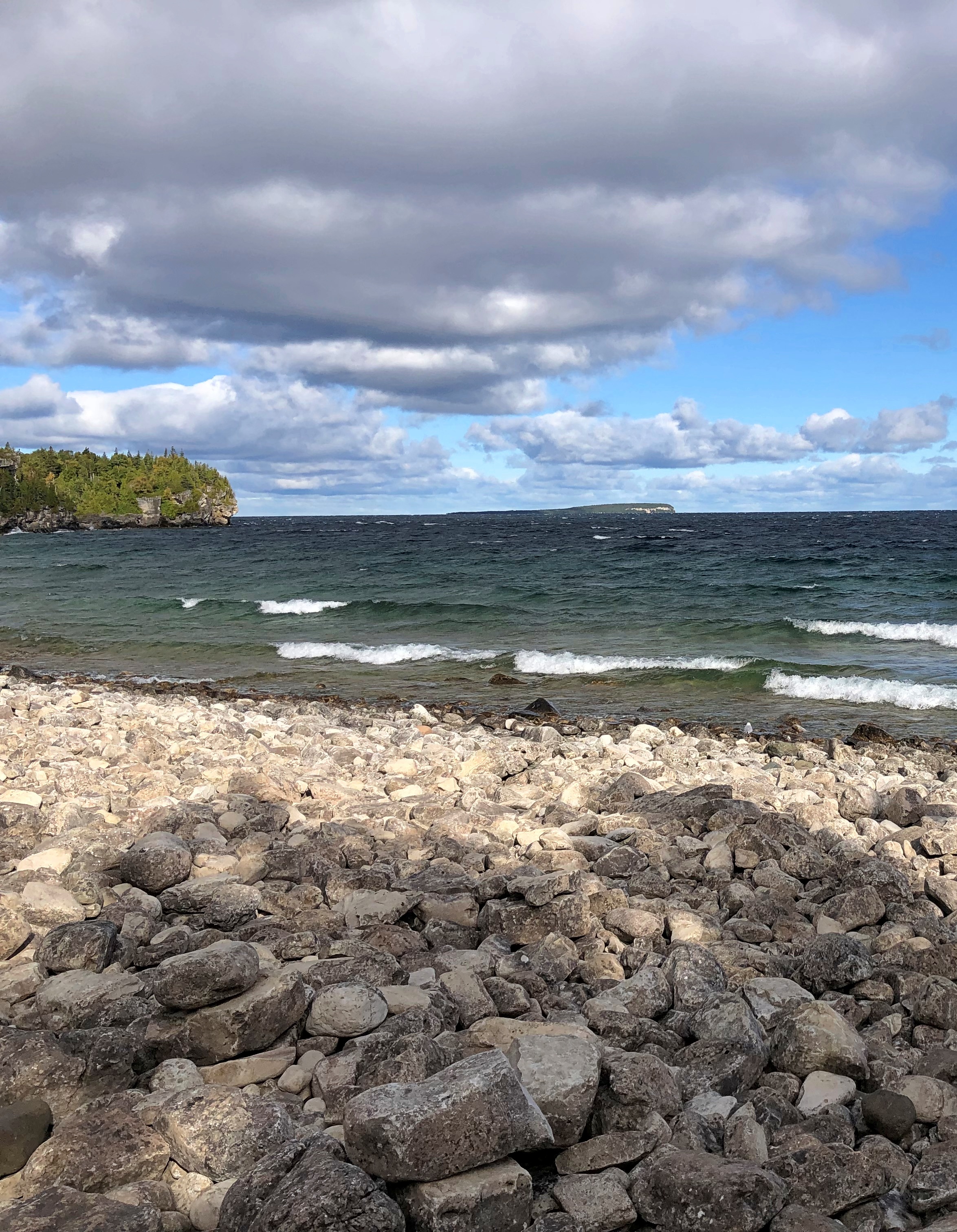
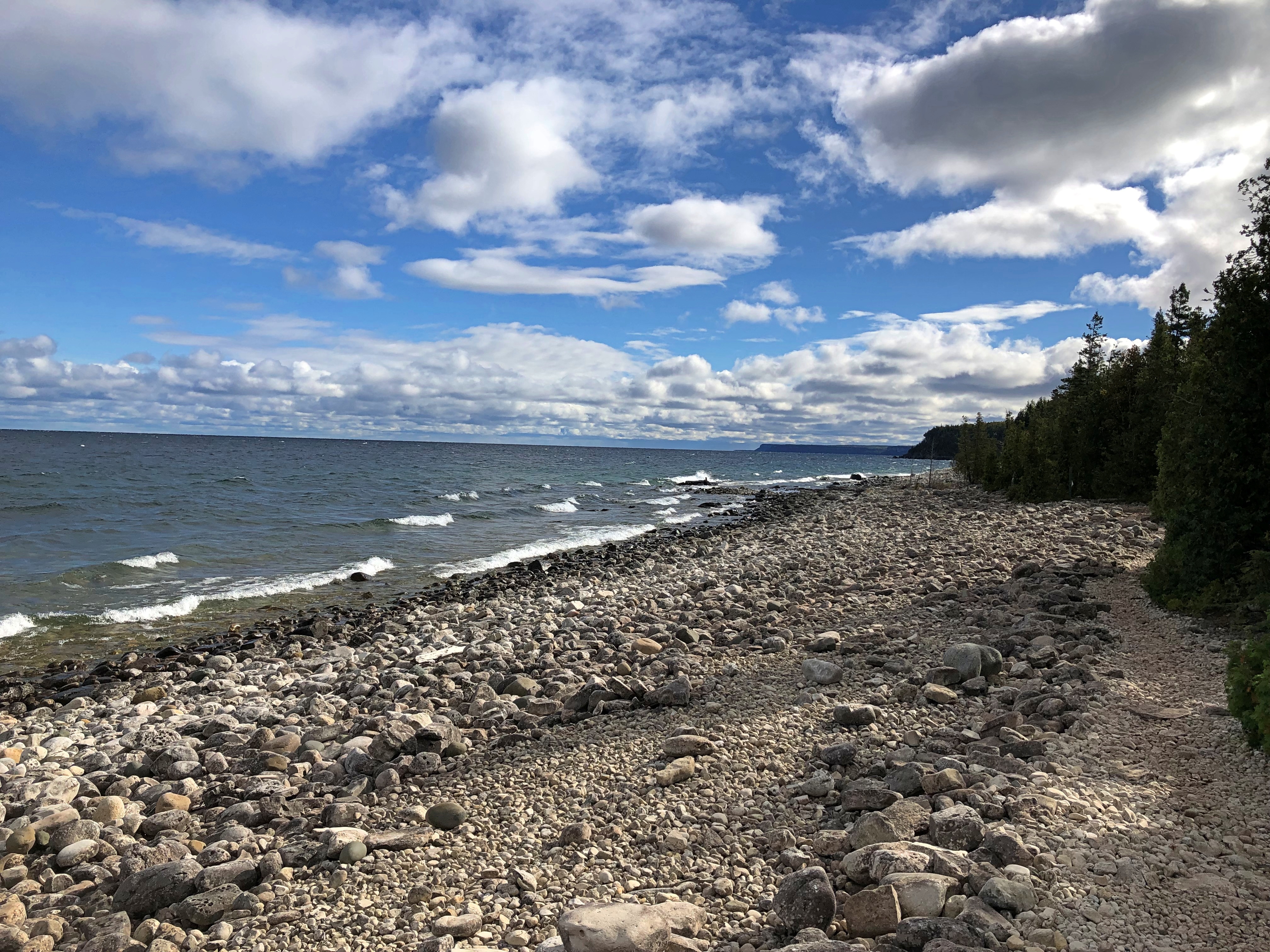
Soon you come to the rocky shores of the bay. This place has some centuries (millennia?) to go before it’s a sandy beach. For our part, we’d never seen Georgian Bay before. But for a low place in the Niagara Escarpment, it could have been an entire other great lake, so large is it — 5,800 square miles, or only somewhat smaller than Lake Ontario.Bruce Peninsula NP Bruce Peninsula NP

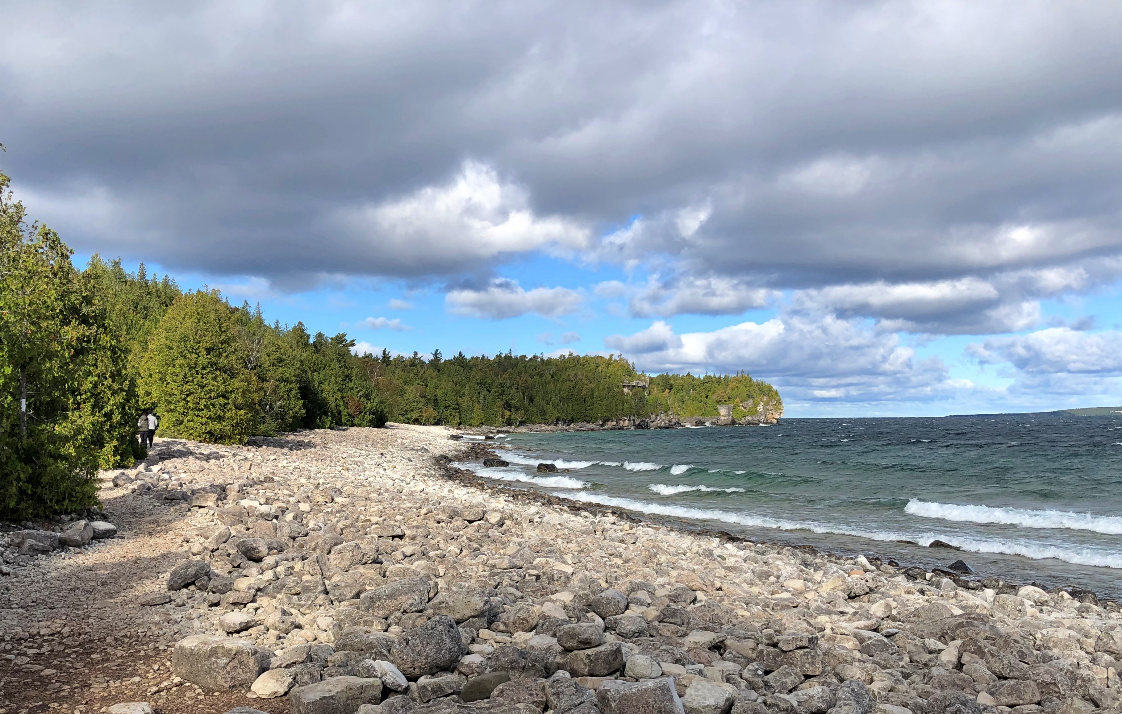
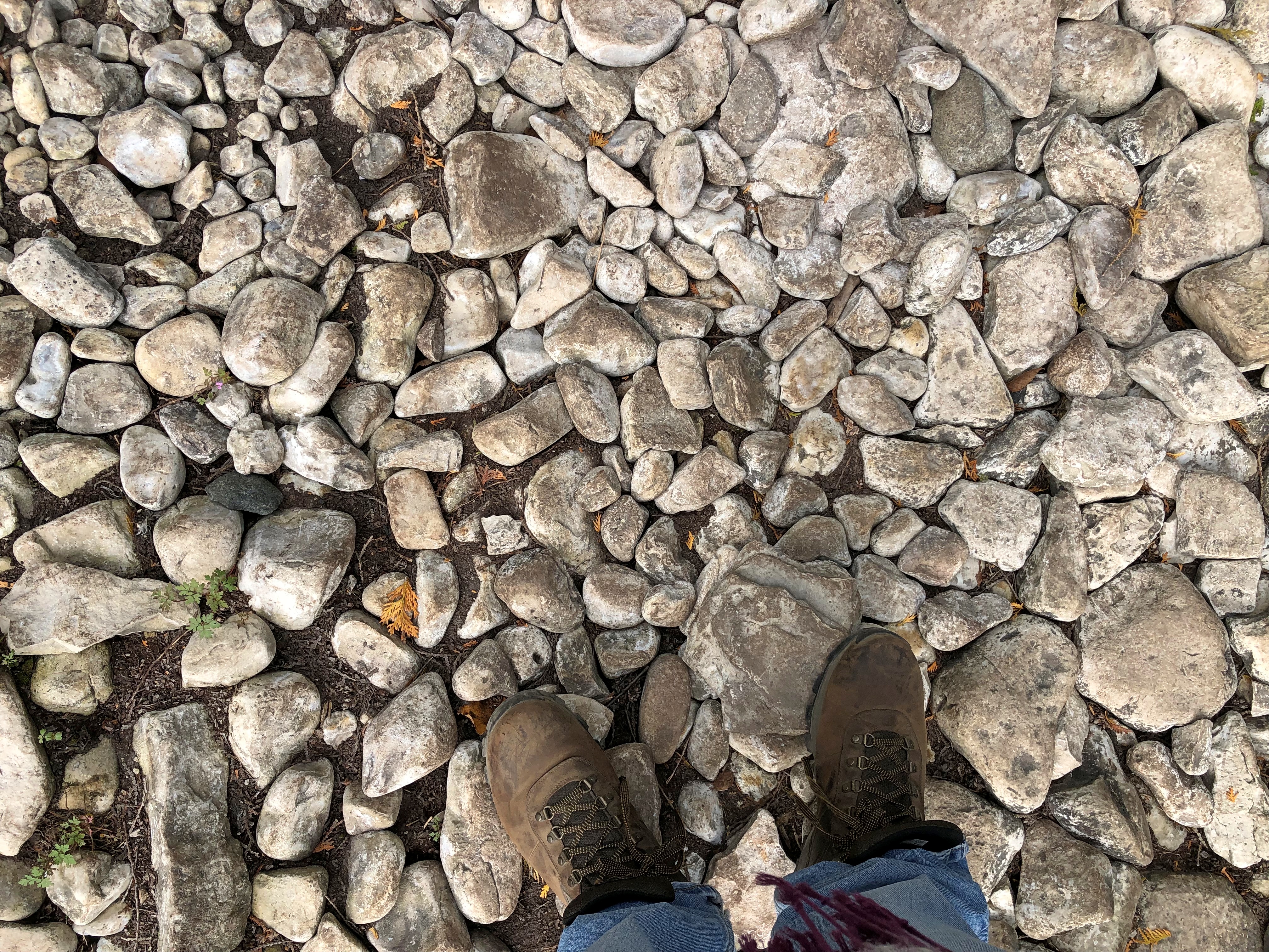
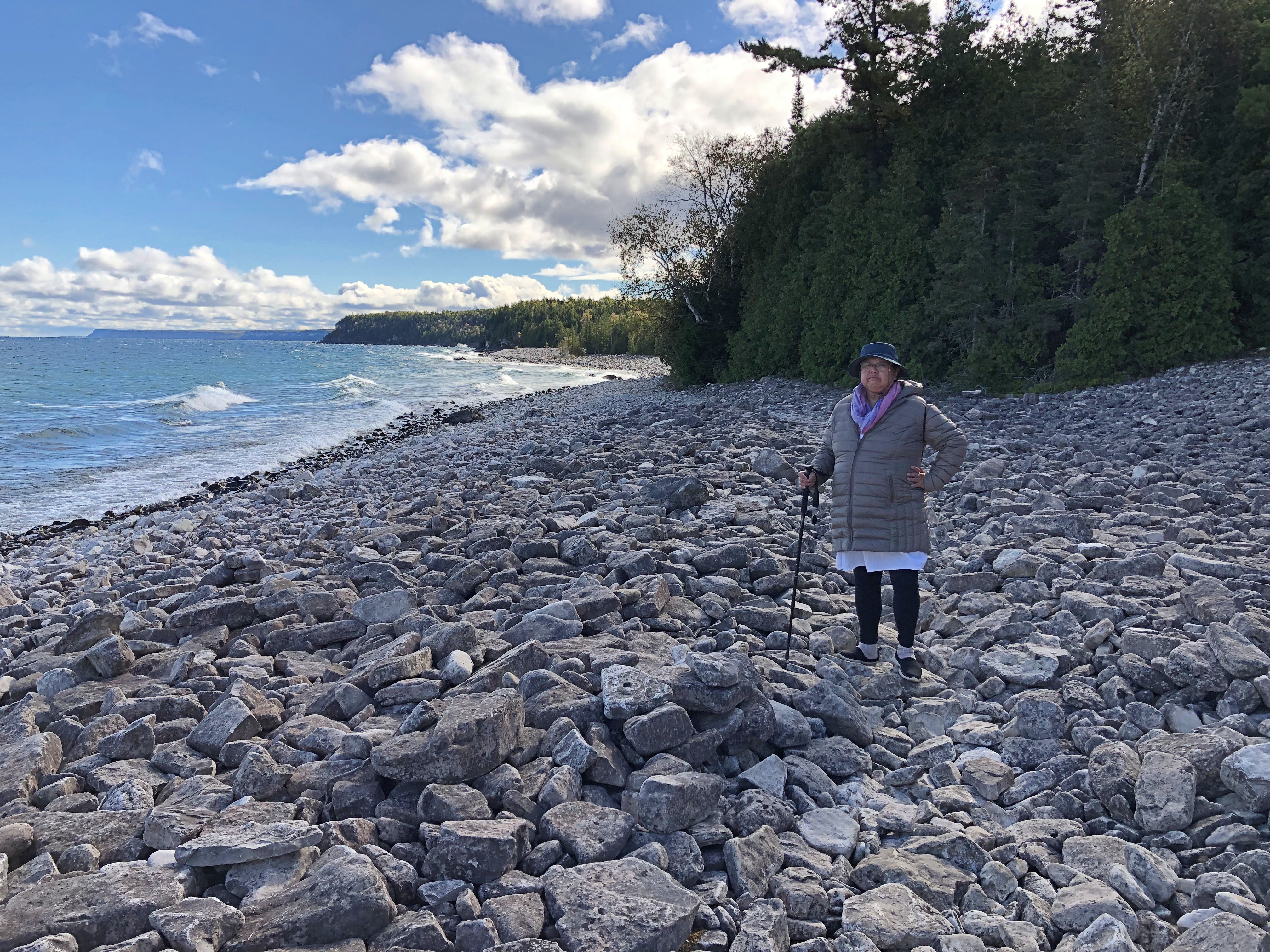
More rocks than you can shake a stick at. And we had our sticks – poles, anyway – and good thing, because the trail crossed the lakeside rock field. It took a little while to eye the course of the trail across the rocks.Bruce Peninsula NP Bruce Peninsula NP Bruce Peninsula NP

I’m not suggesting it was a technically difficult hike. Tricky is more like it, and at my partly advanced age, slow going. But after a few minutes you get the knack for it, or at least enough to position your steps to avoid a tumble.Bruce Peninsula National Park

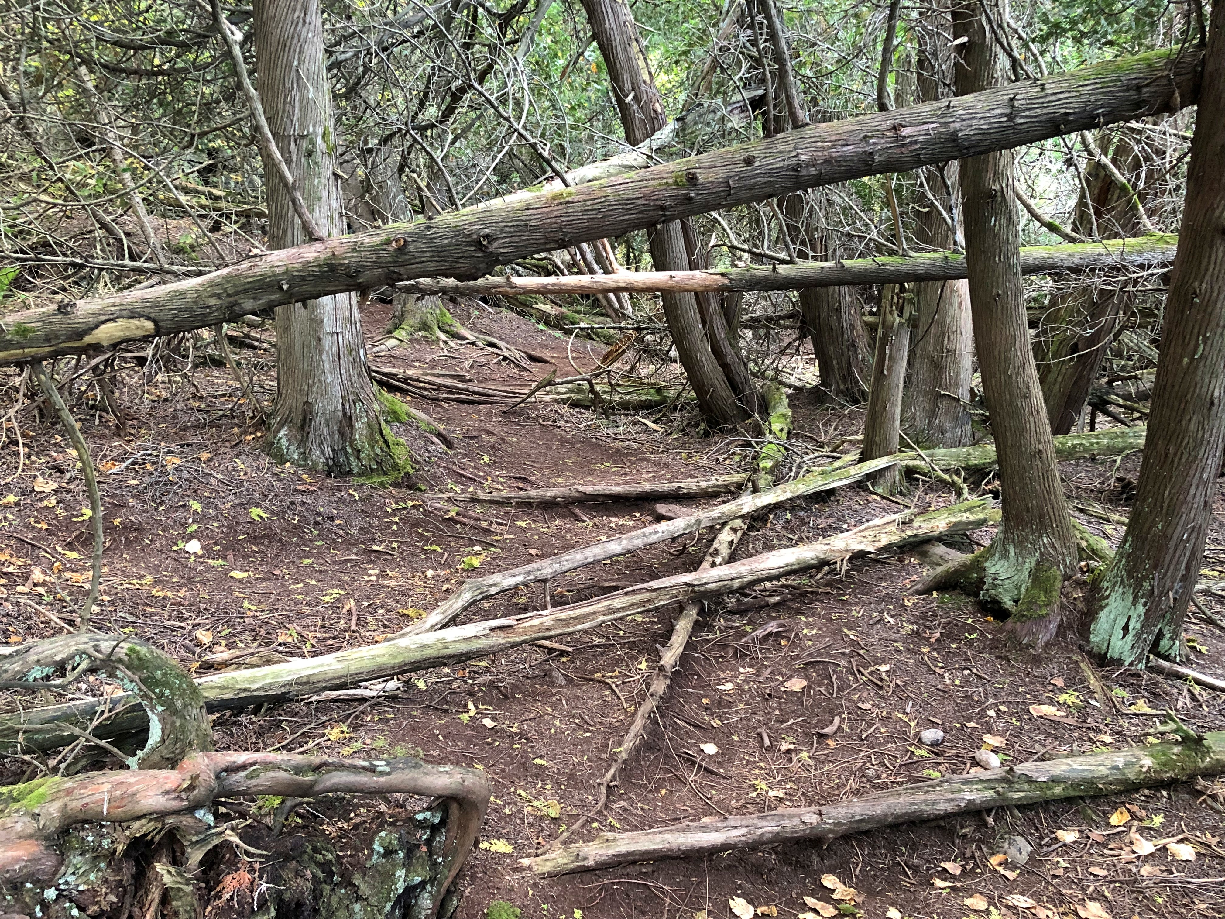
The trail eventually led back into the woods, which was just as slow.Bruce Peninsula NP

But worth it, as the trail soon to us back to the wind-swept coast.Bruce Peninsula NP Bruce Peninsula NP

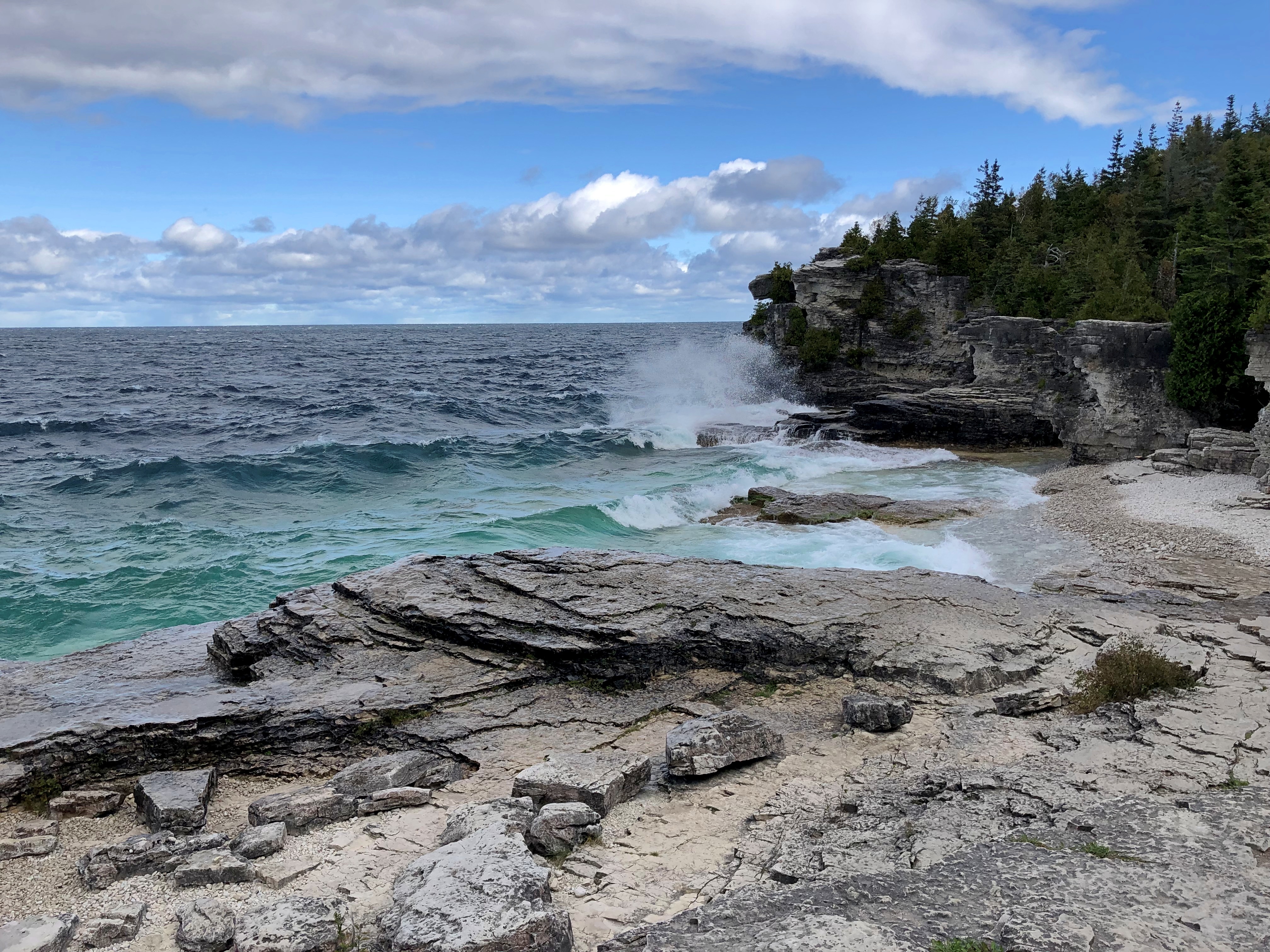
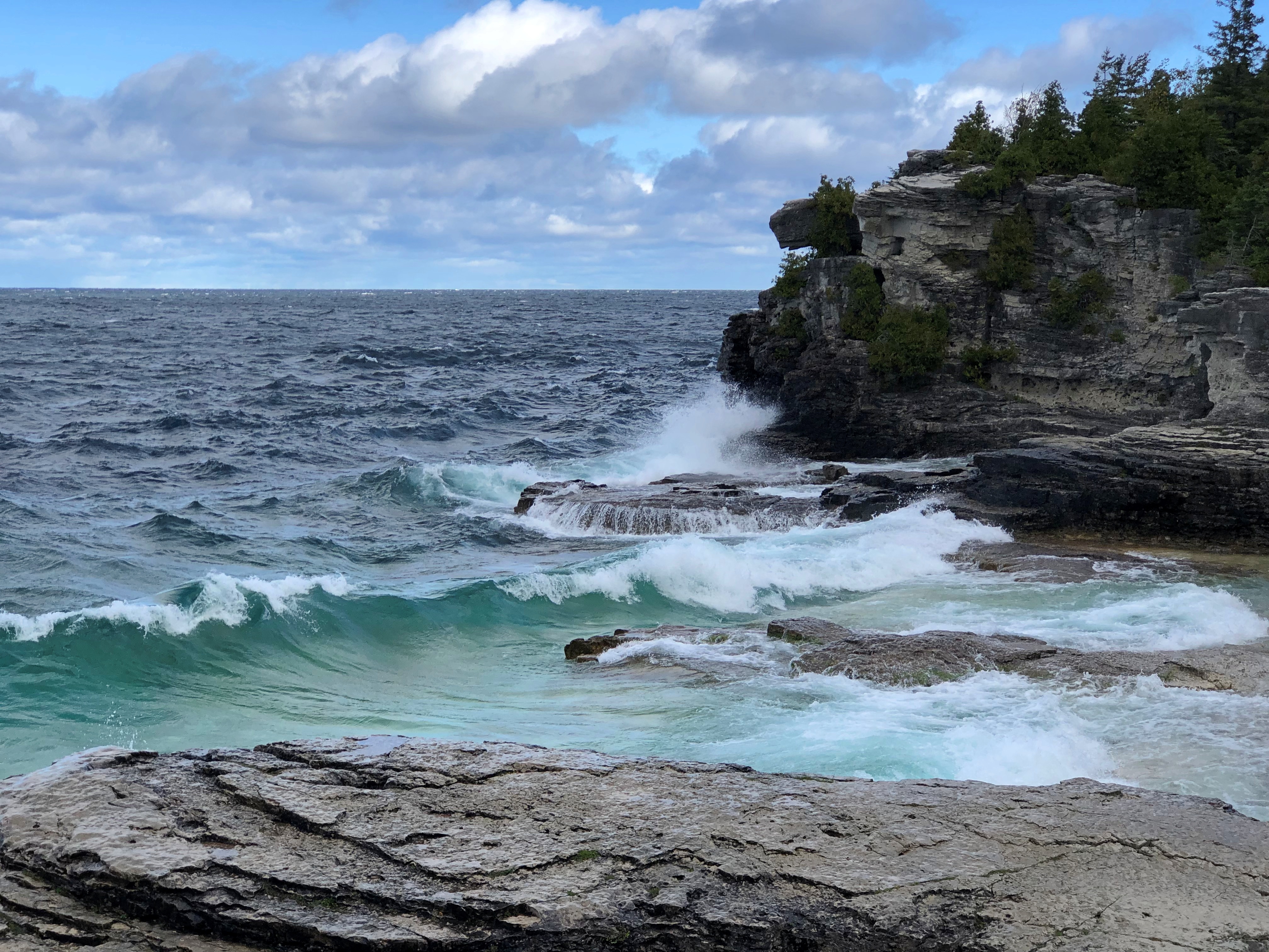
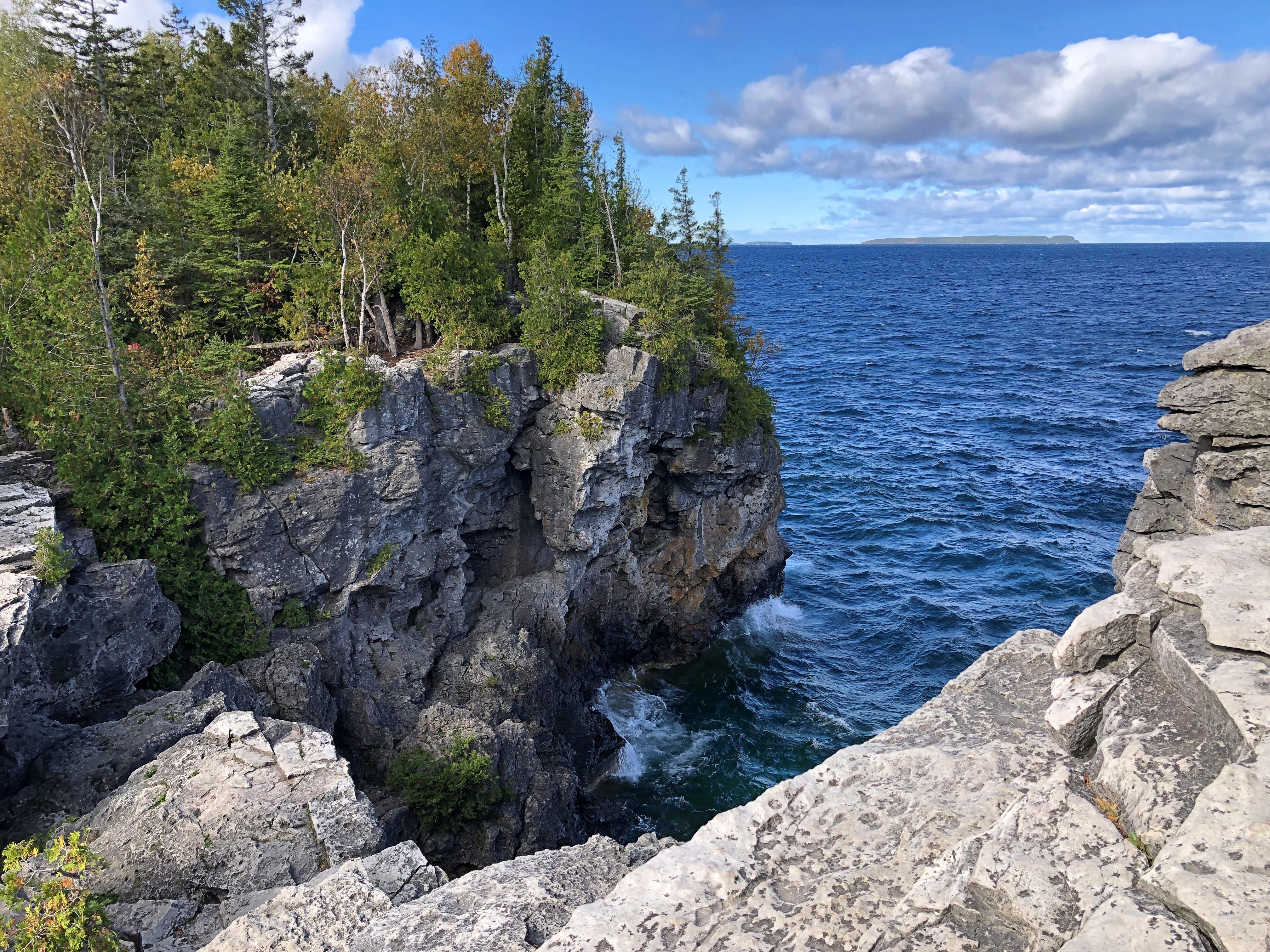
With its cliffs.Bruce Peninsula National Park Bruce Peninsula National Park

Winds would have made a bad day on a boat. On the shore, it was a fortuitous ingredient of a good day.

Pinery & Sauble Falls Provincial Parks

One provincial park on the way north last Tuesday, one more on the way south a two days later: Pinery and Sauble Falls, respectively.

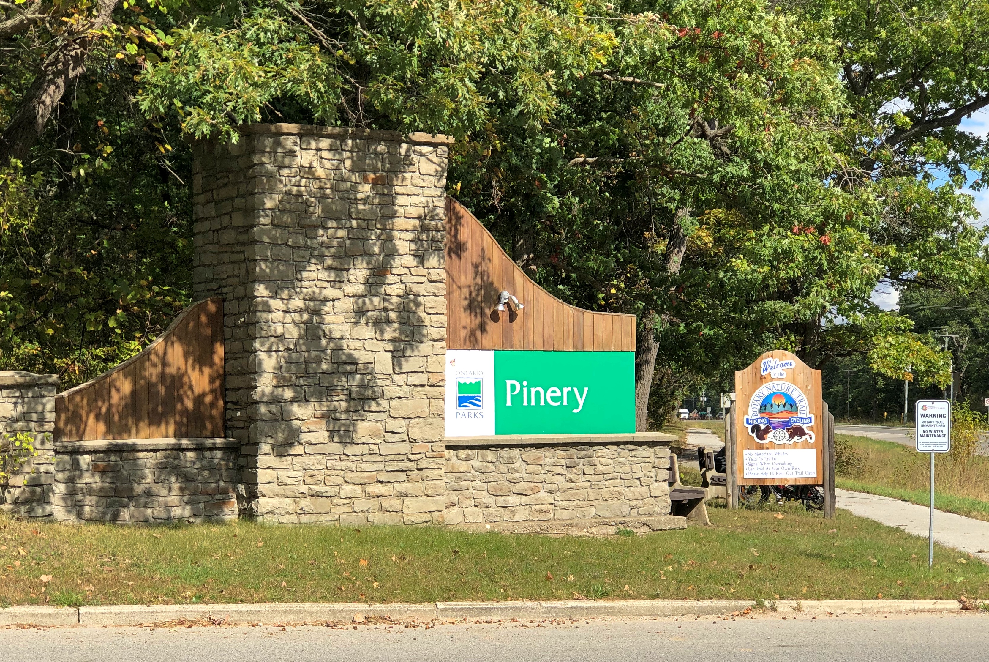
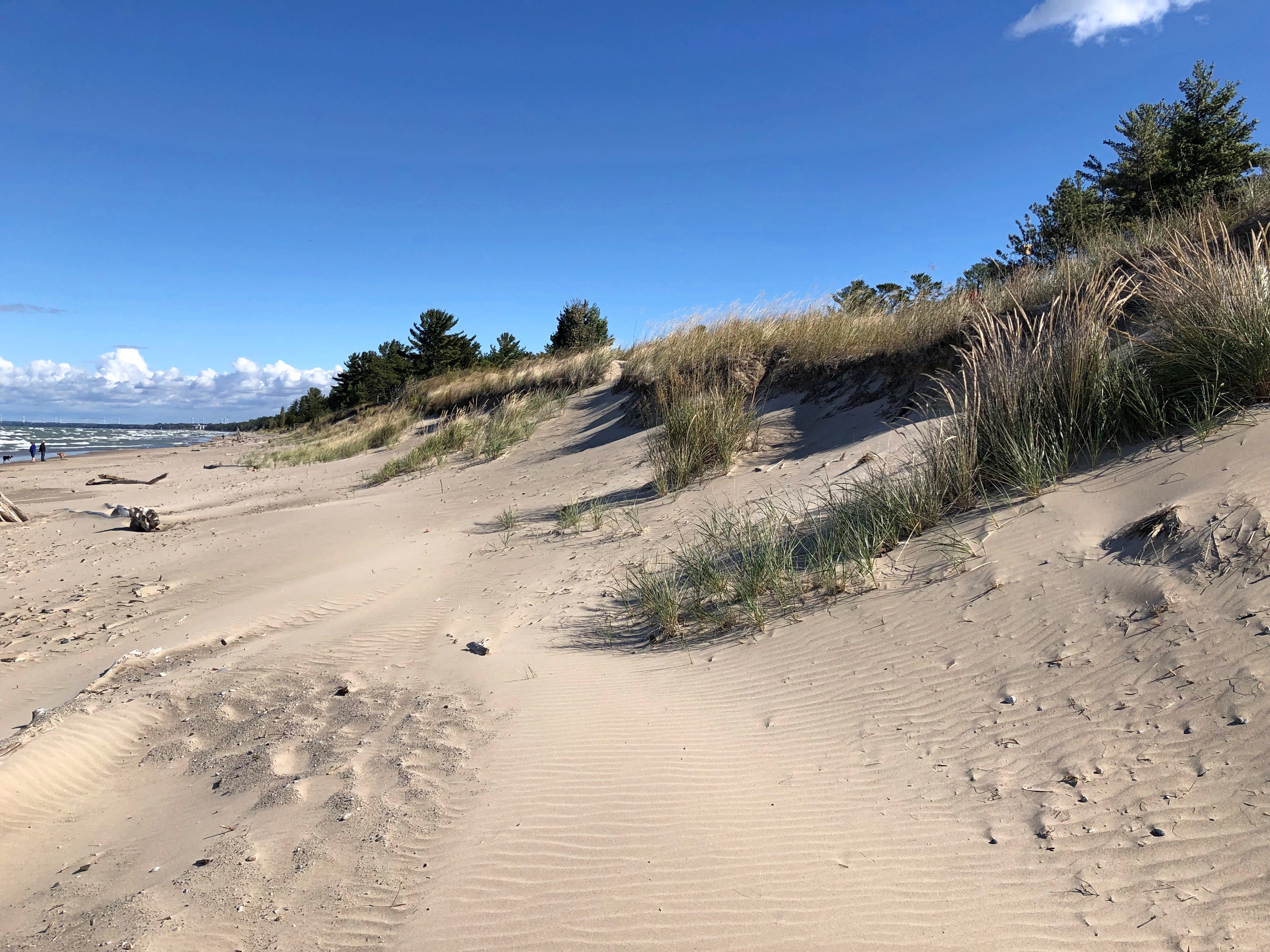
Pinery Provincial Park hugs the shore of Lake Huron far south of the Bruce Peninsula and includes wooded areas with trails and a wide beach.Pinery PP

Park literature says the woodlands are an oak savanna, the largest remaining patch in Ontario. Still mostly green when we passed thorough, with touches of fall.Pinery PP Pinery PP Pinery PP

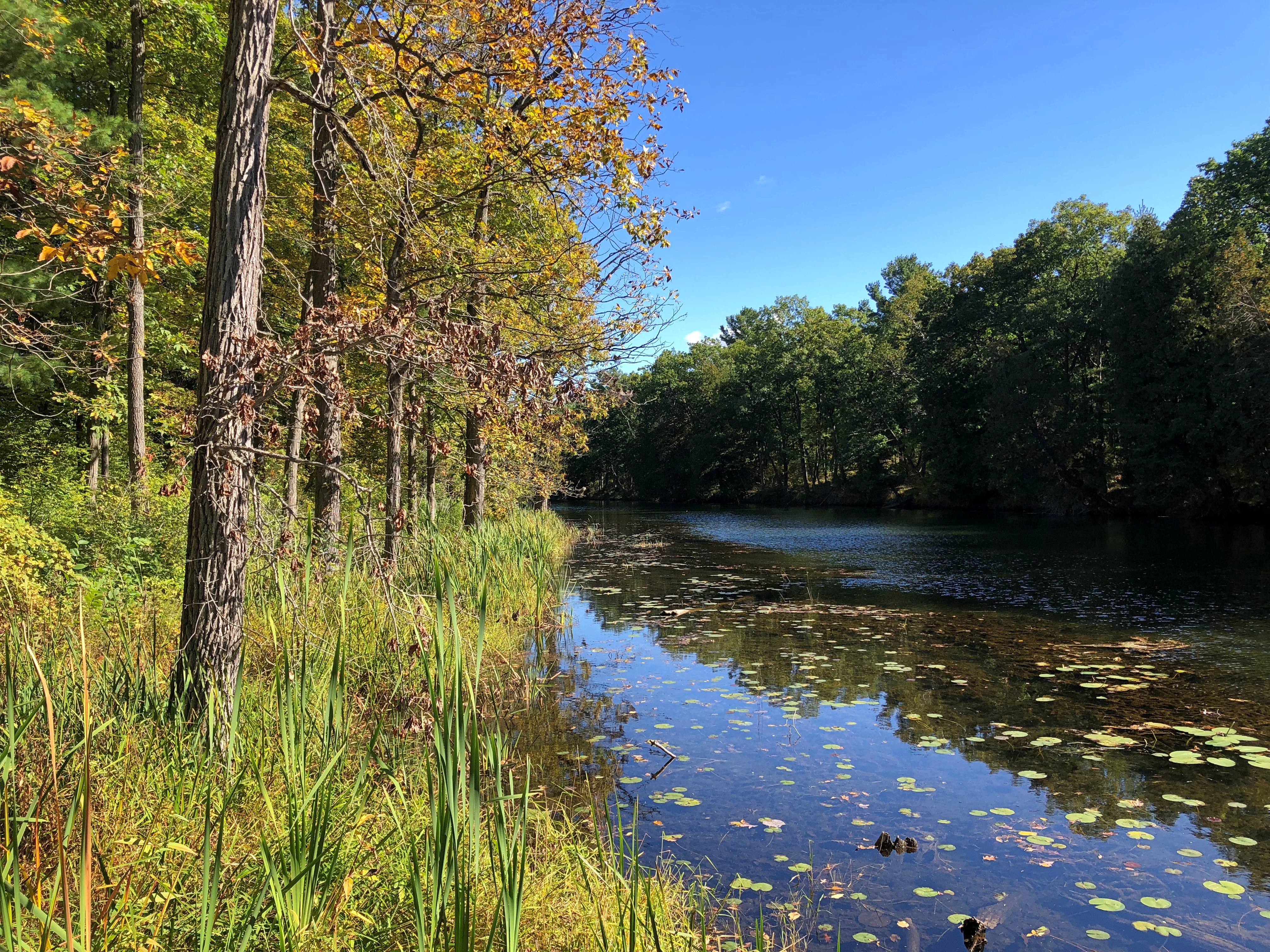
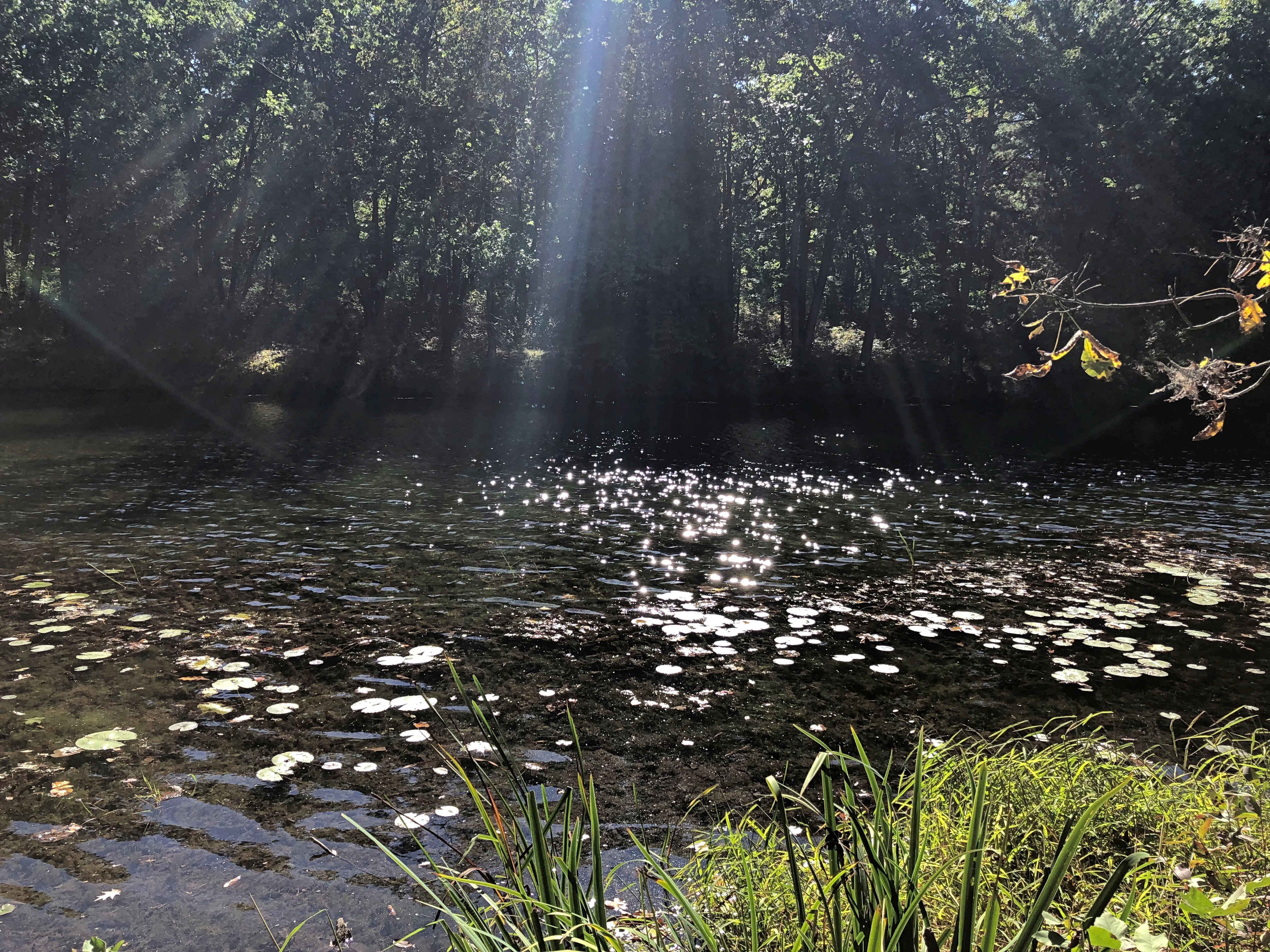
The woodland trails pass by the Old Ausable Channel. Still and punctuated by lily pads and green algae.Pinery PP Pinery PP Pinery PP

The Ausable River once ran here, and then on into Lake Huron, but irrigation and other civil engineering projects, back when this part of Canada was being developed for agriculture, changed the course of the river, isolating this stretch. As its recreational value became apparent by the time the park was created in the 1950s, further engineering adjustments were made to ensure it doesn’t dry up all together.

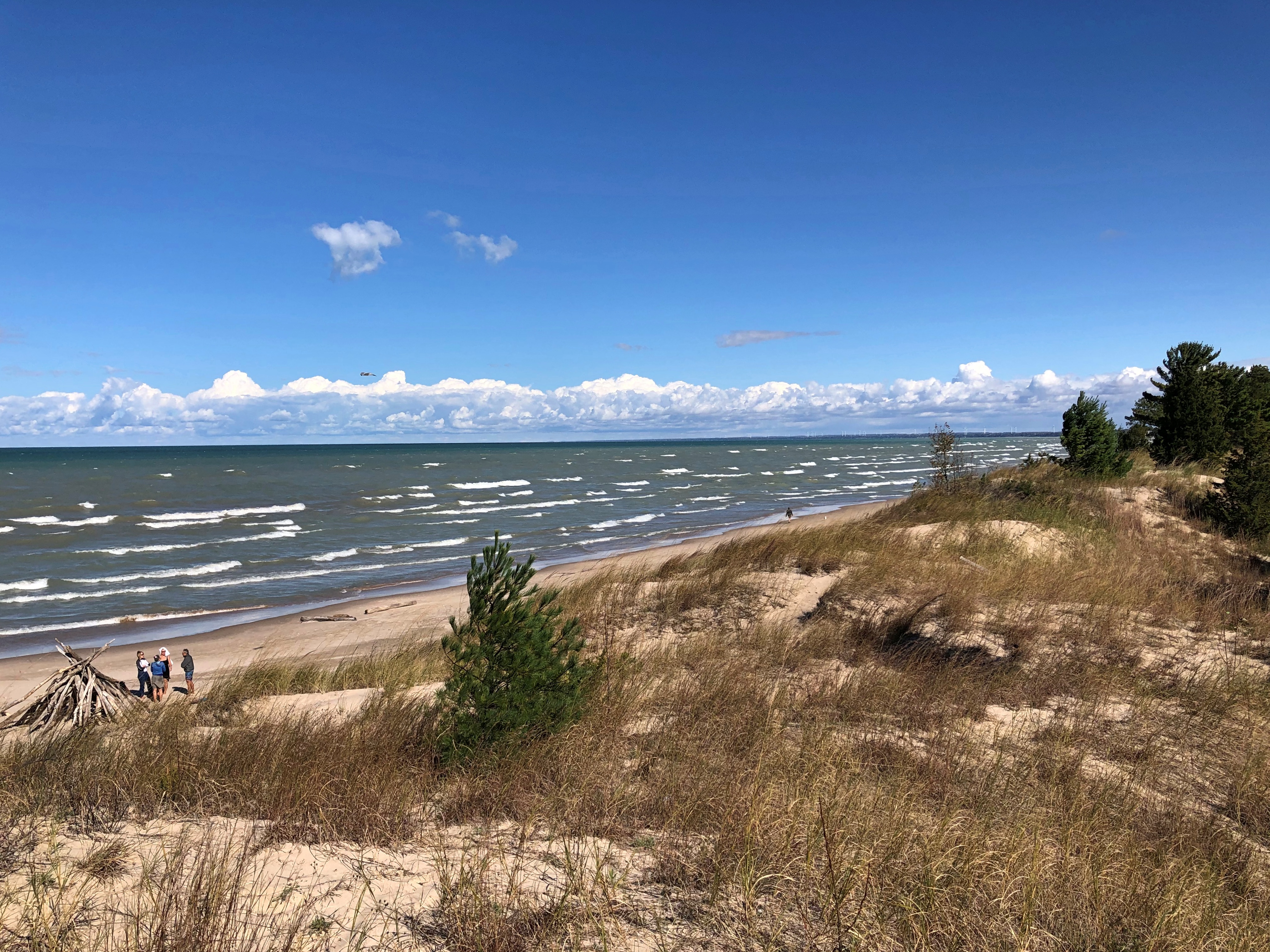
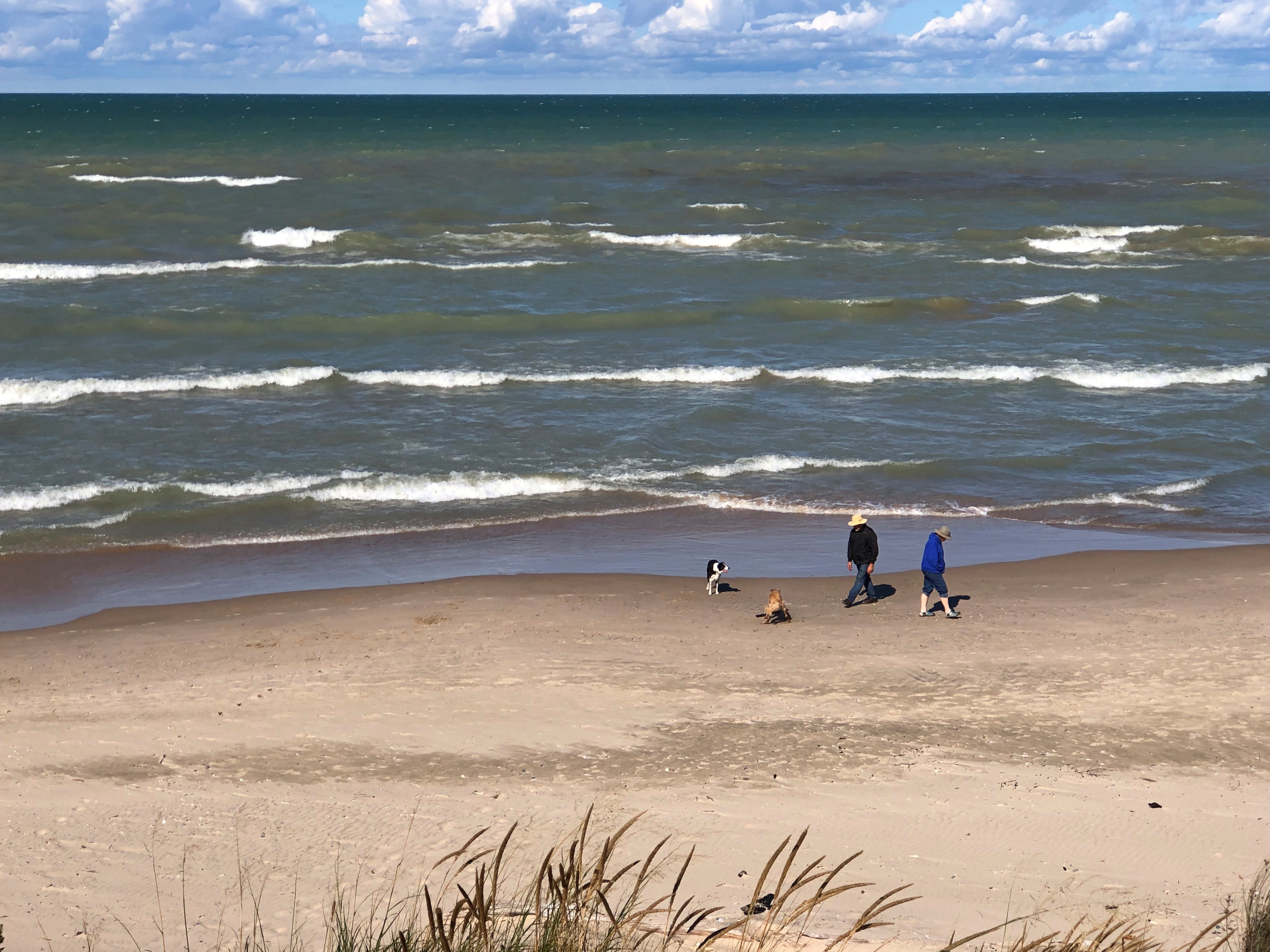
The beach was easy to reach and nearly (but not quite) empty. That’s October for you, but if you asked me, that’s a good time to visit a beach.Pinery PP Pinery PP Pinery PP

Ah.Pinery PP

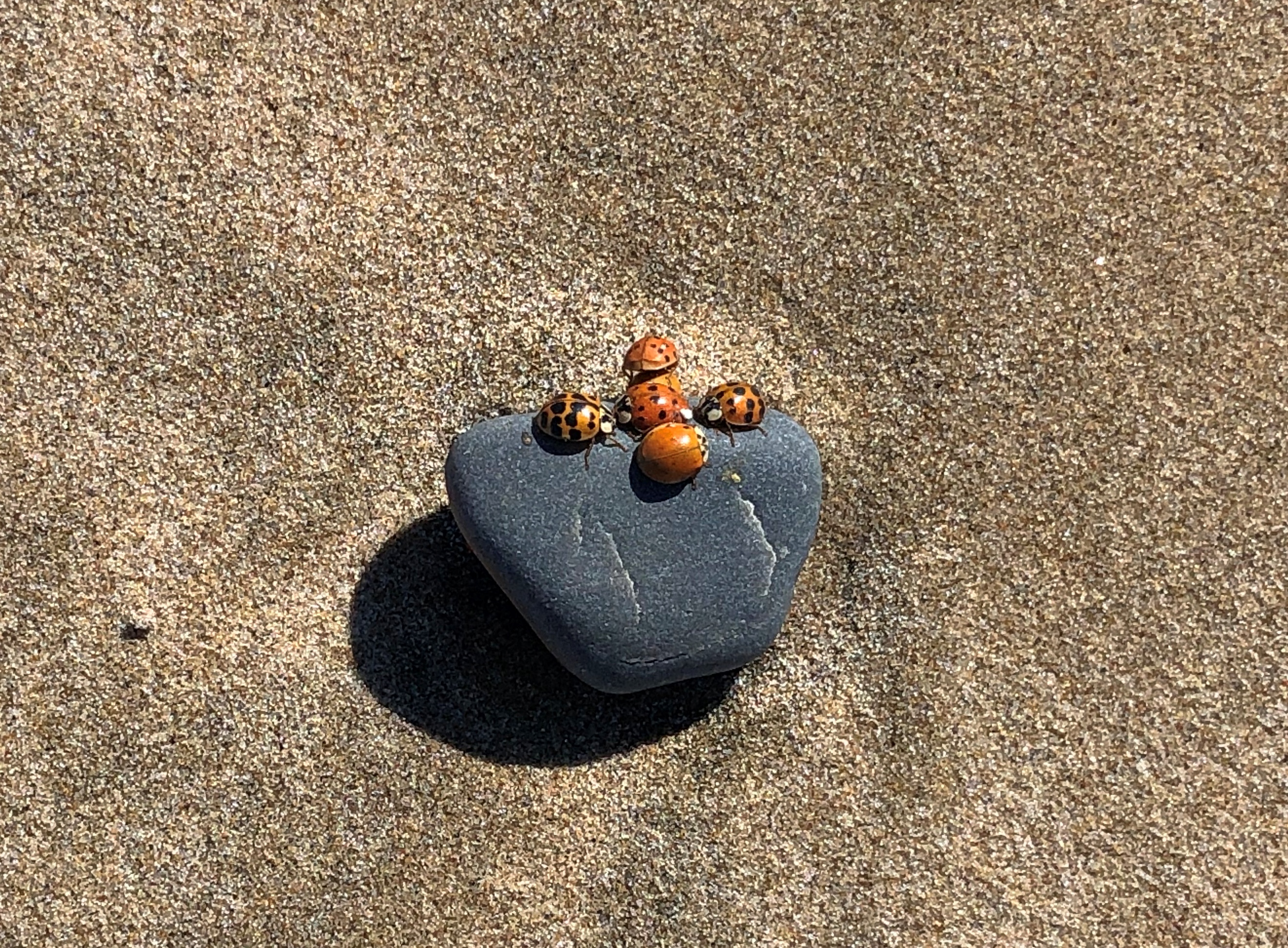
Soon we notice ladybugs everywhere on the beach.Pinery PP

As insect hordes go, that’s a pretty agreeable one. Still, I’ve been on a lot of beaches and never encountered that. Though not cold, it wasn’t exactly warm, and the bugs barely moved, preferring to cluster together. Later, at the visitor center, I mentioned the bug horde (not using that word) to one of the workers, who had never heard of such a thing either. So maybe it’s just a freak at Pinery, not the beginning of a movement of coccinellidae famed among entomologists, or something.

Much further north, in fact at the southern edge of the Bruce Peninsula, is Sauble Falls Provincial Park.Sauble Falls PP

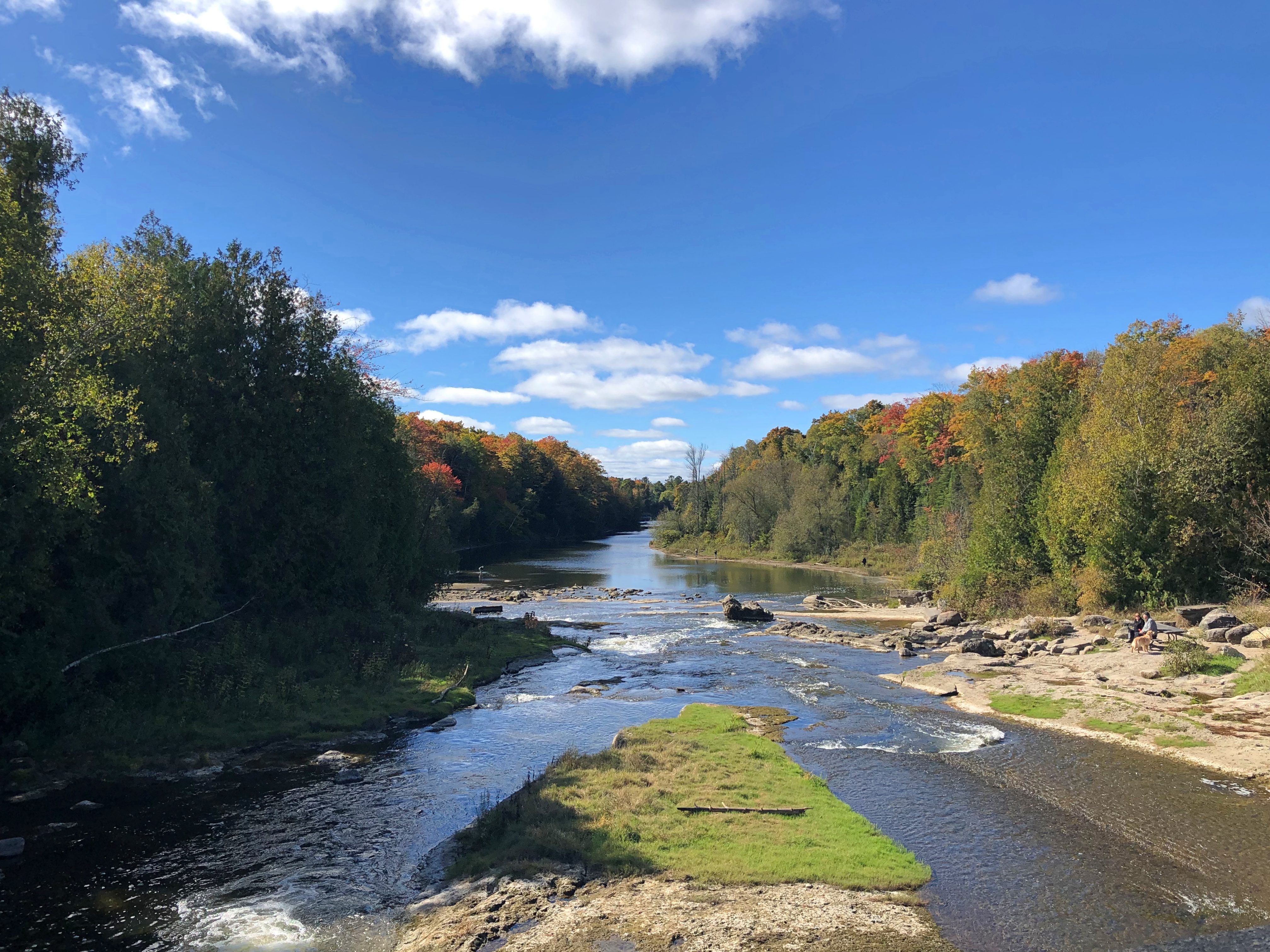
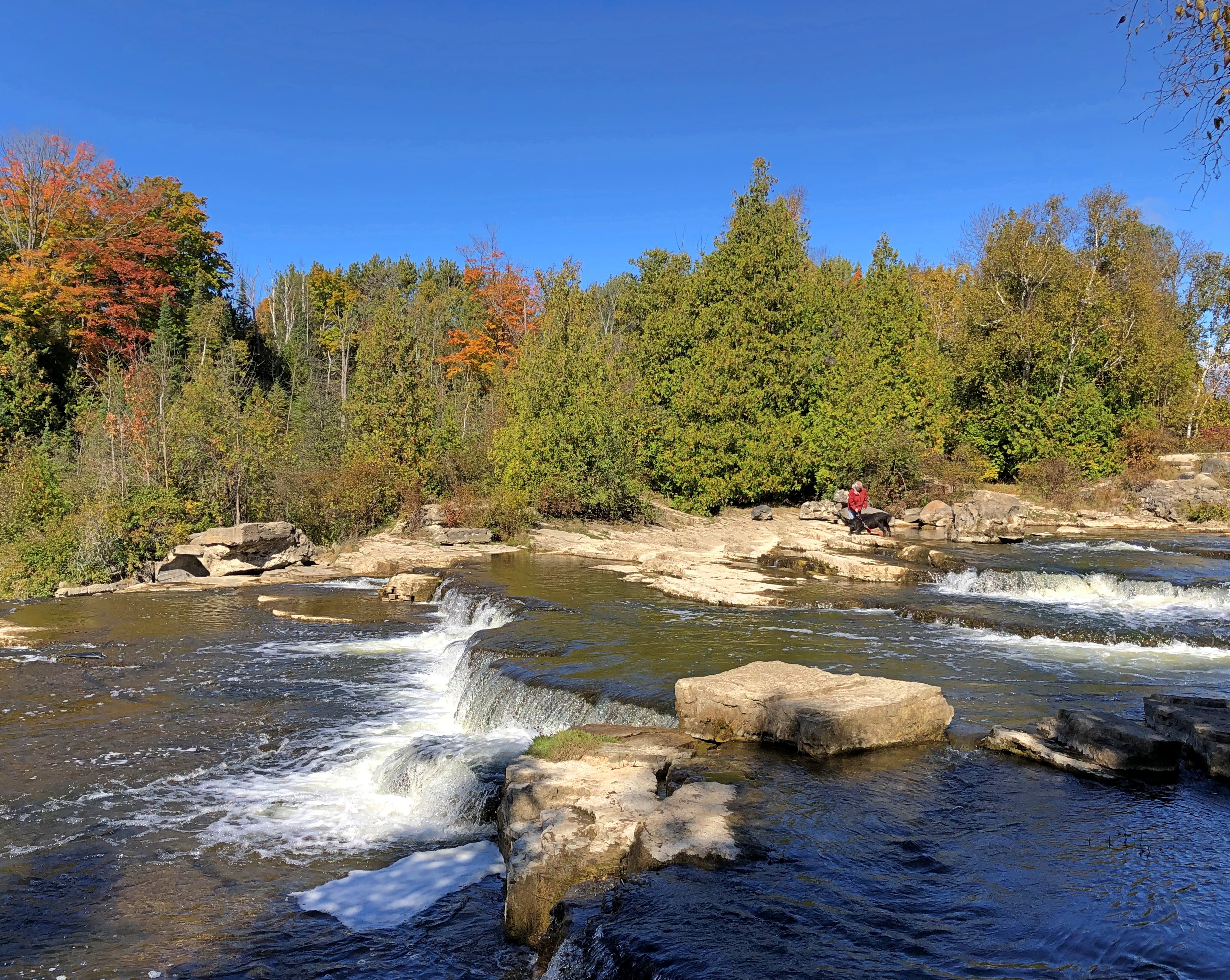
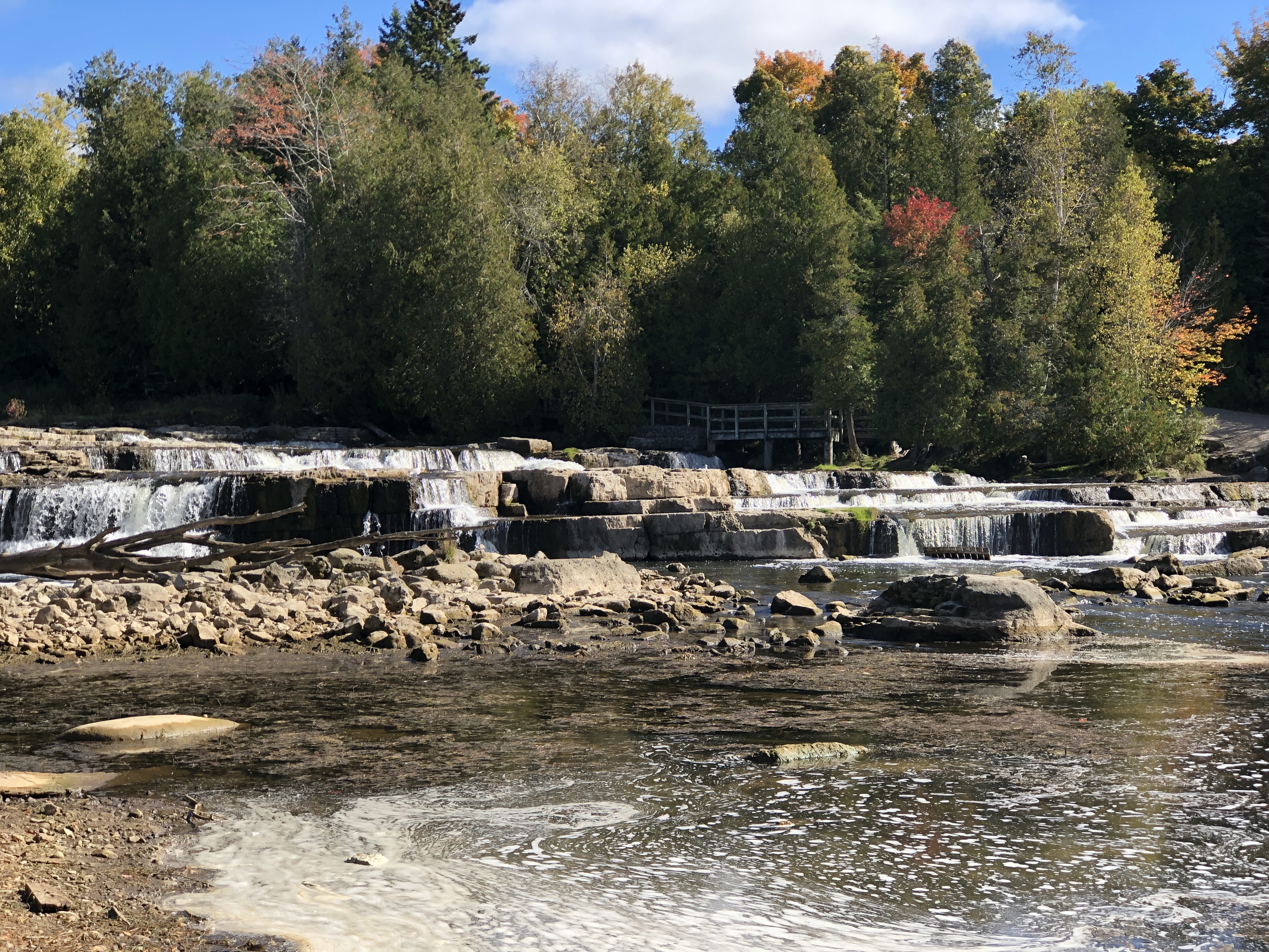
It wasn’t busy, mostly occupied by a few retiree fishermen looking for a catch in the Sauble River below the falls. The trails in the park are short, mostly providing views of the low falls.Sauble Falls PP

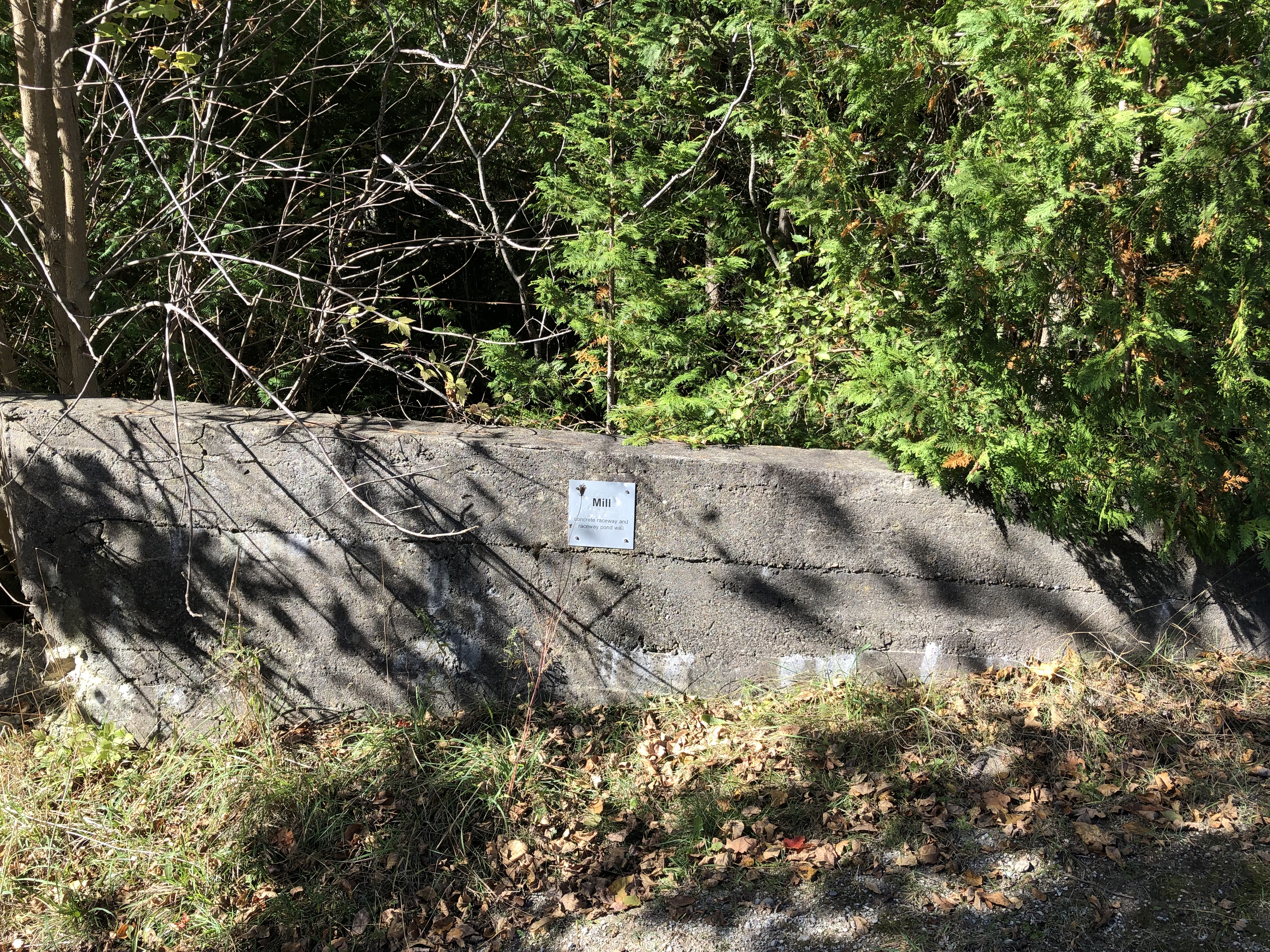
Once upon a time, the river supported a lumber mill, and a small town grew around it. Only small traces of any of that remain, such as part of a concrete raceway.Sauble Falls PP

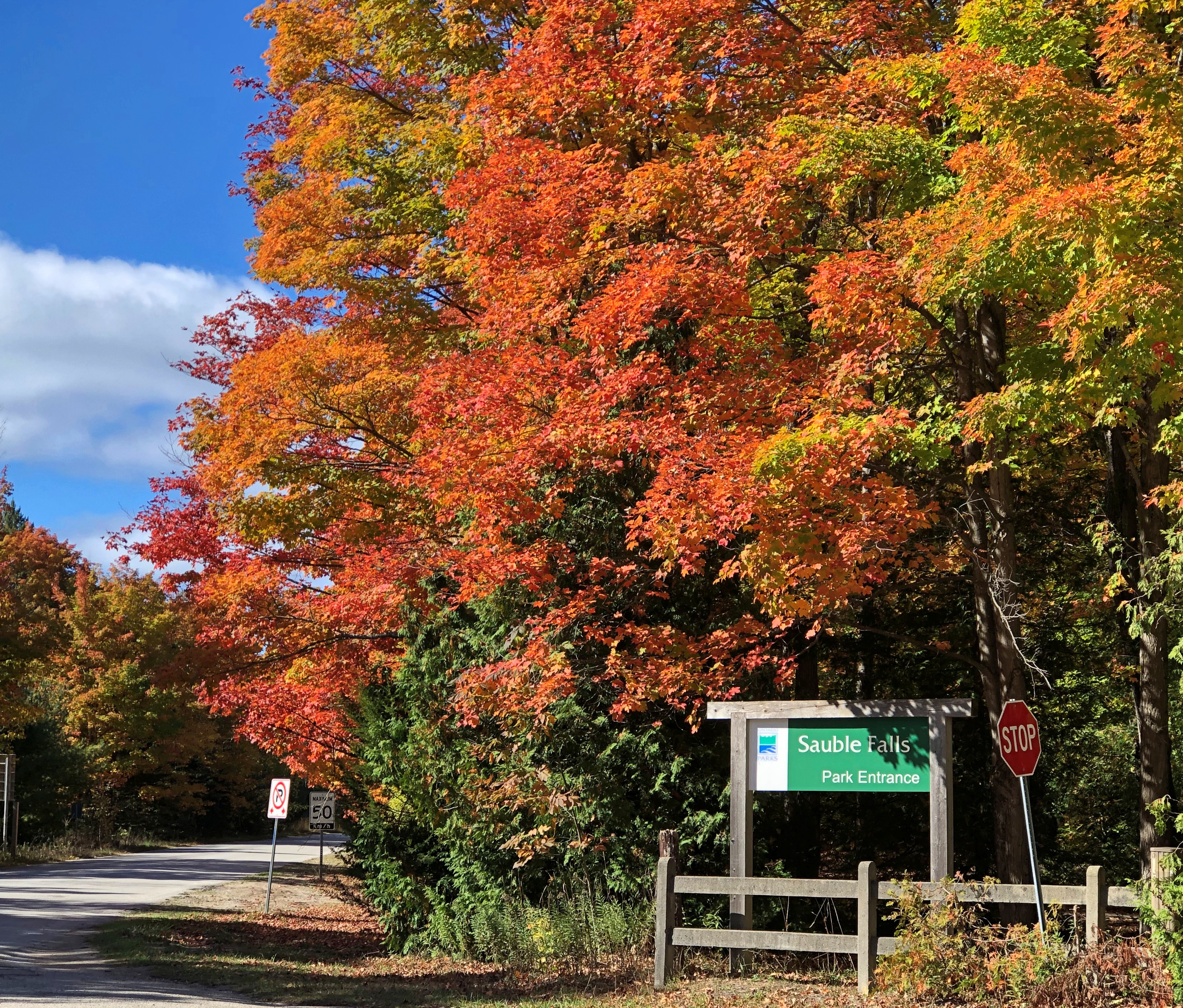
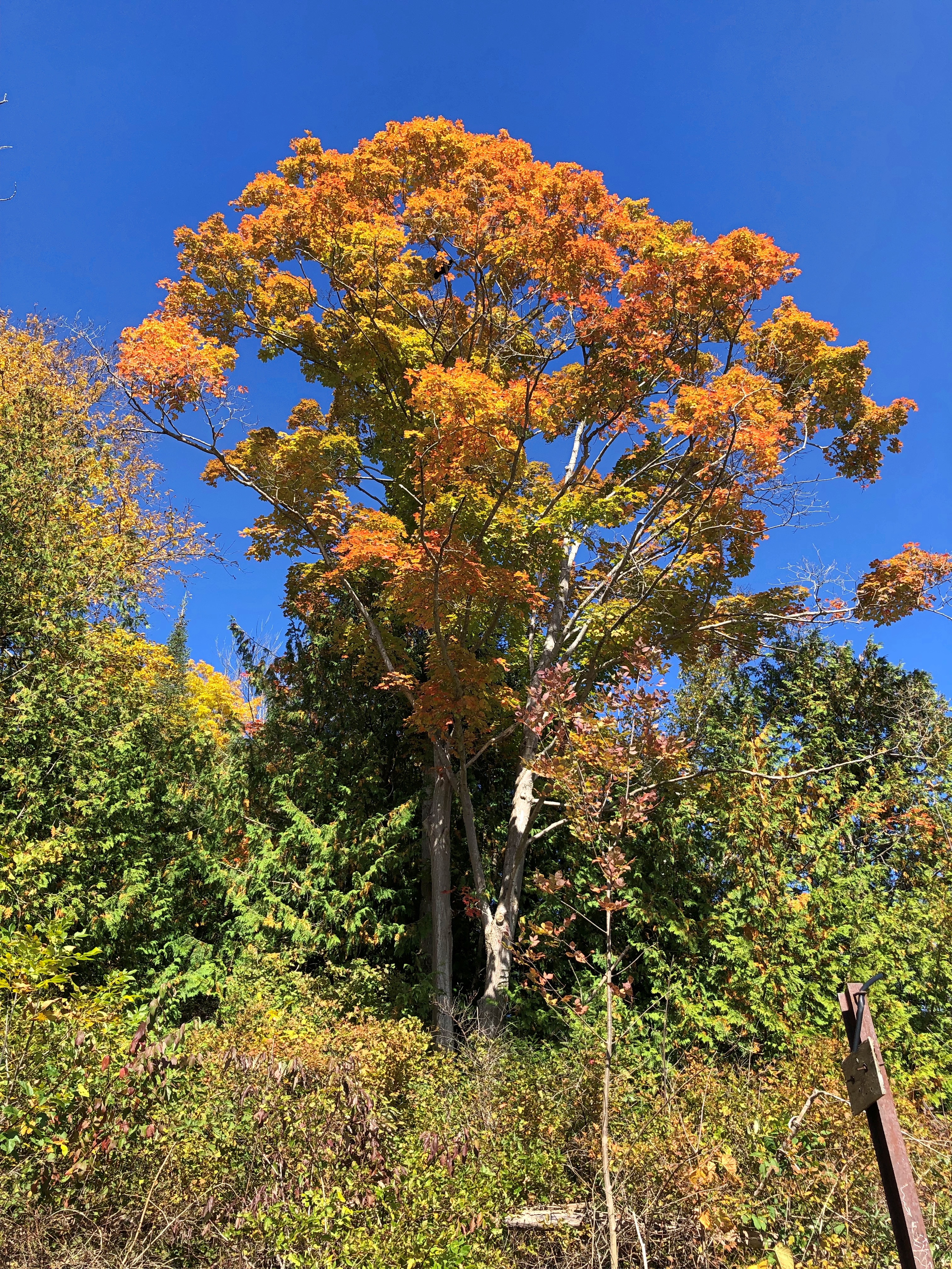
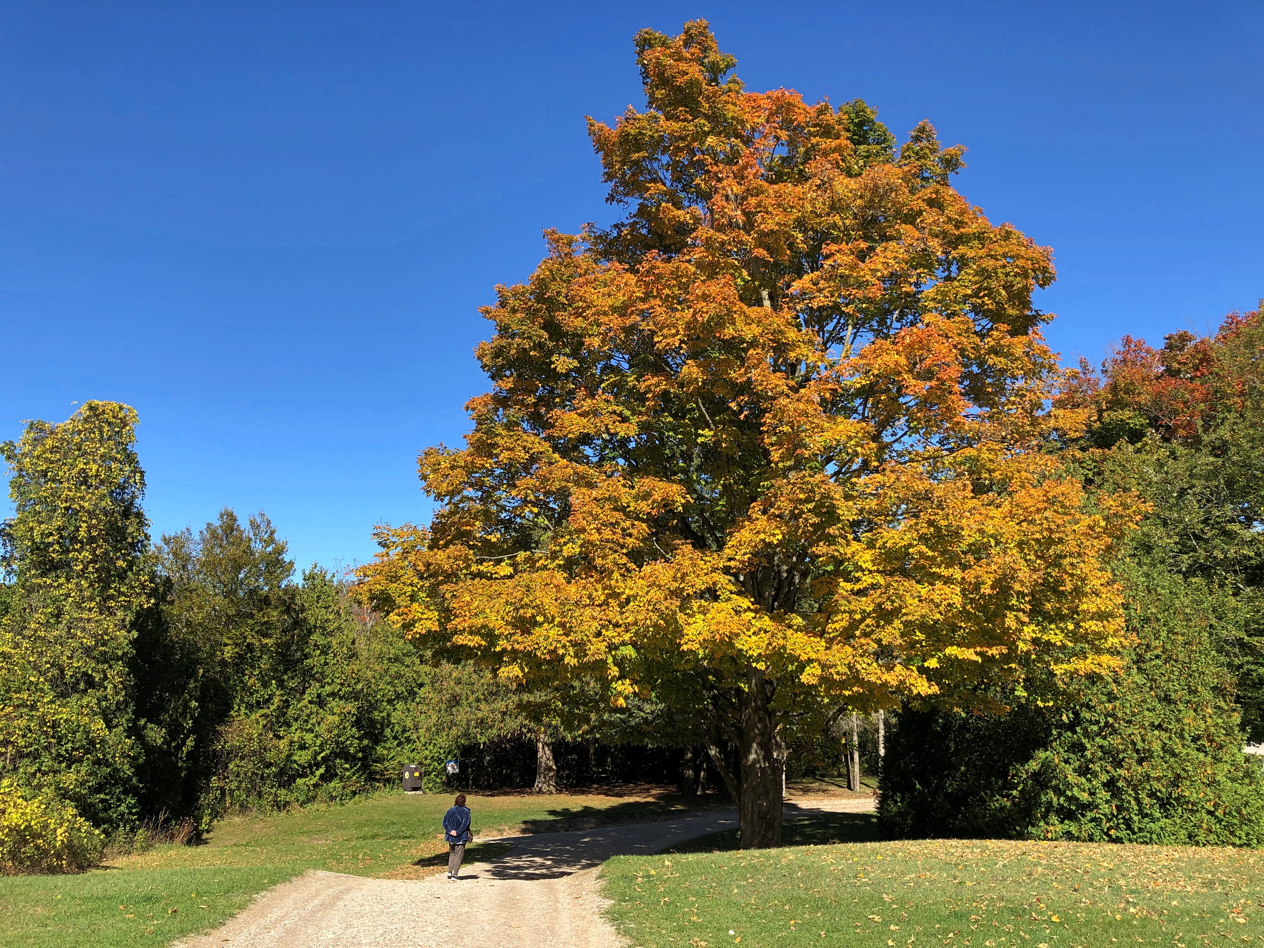
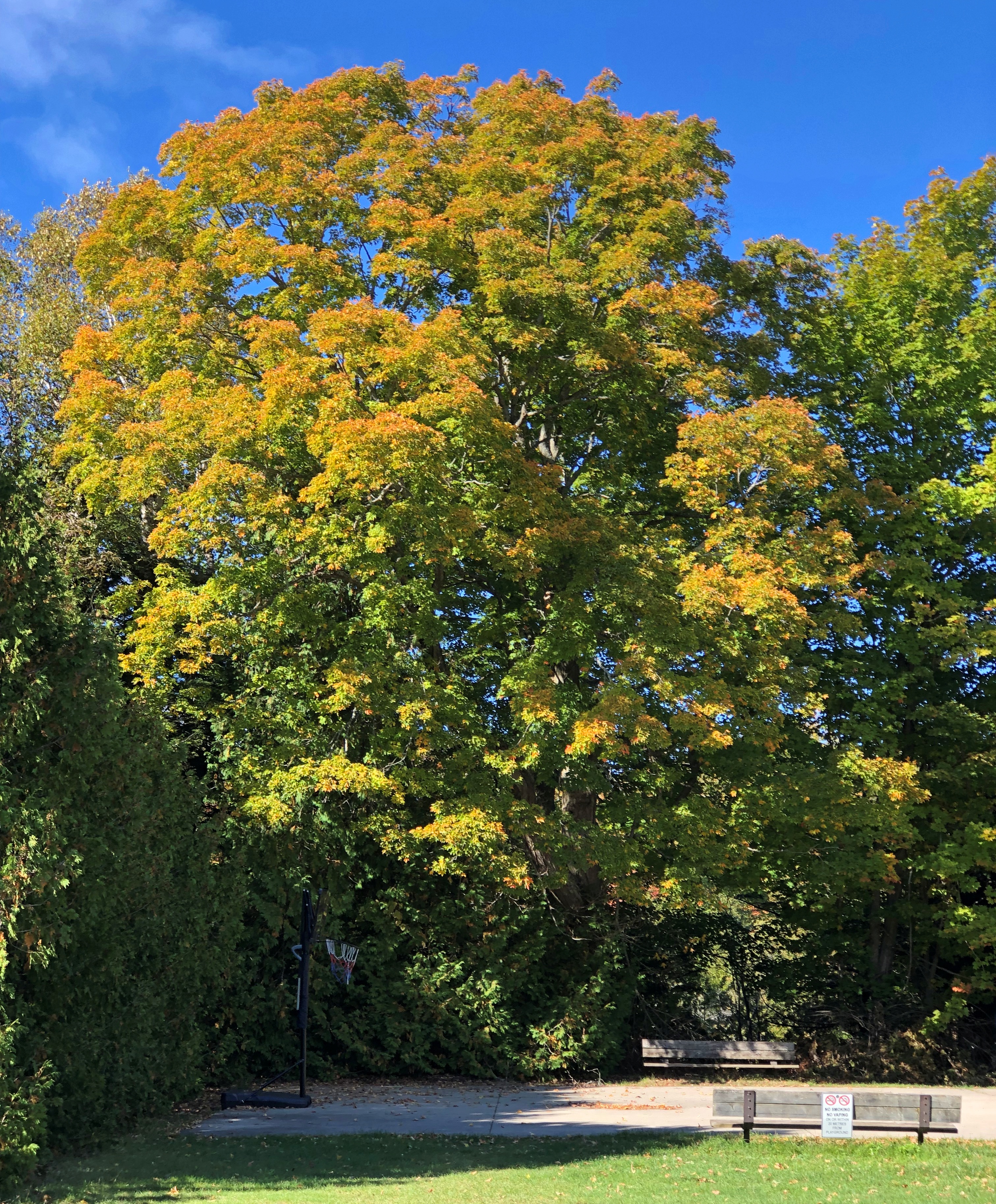
I expected a little more color on the Bruce Peninsula, but we were a little ahead of peak. At Sauble Falls, peak was closer.Sauble Falls PP Sauble Falls PP Sauble Falls PP

You’d think that fall colors would get old. We see it every year. But it never does.

Sarnia to Tobermory

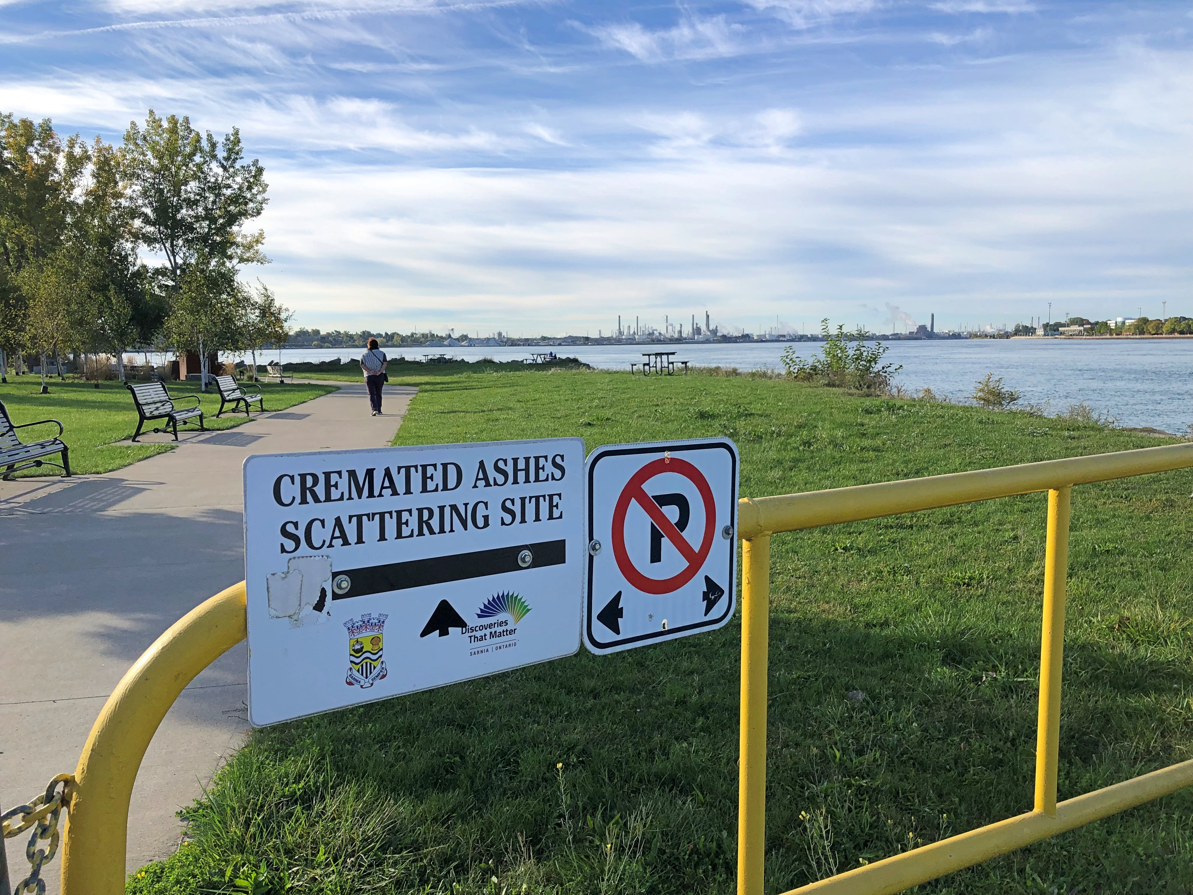
Fairly early on the morning of October 8, this sign got my attention.Sarnia

It’s hard to know whether that’s a gracious gesture on the part of the City of Sarnia, Ontario, or a mild example of Northern nanny state-ism — the difference between you’re welcome to scatter here vs. you can only scatter in permitted places. But it was also good to know that we had the option, if we happened to have any ashes with us.

For all I know, people are scattered here often, and it certainty would be harmless compared to a lot of chemicals that have gone into the St. Clair River around Sarnia over the years. After all, this the home of the Sarnia Blob, an example of industrial pollution so epic that it has its own name.

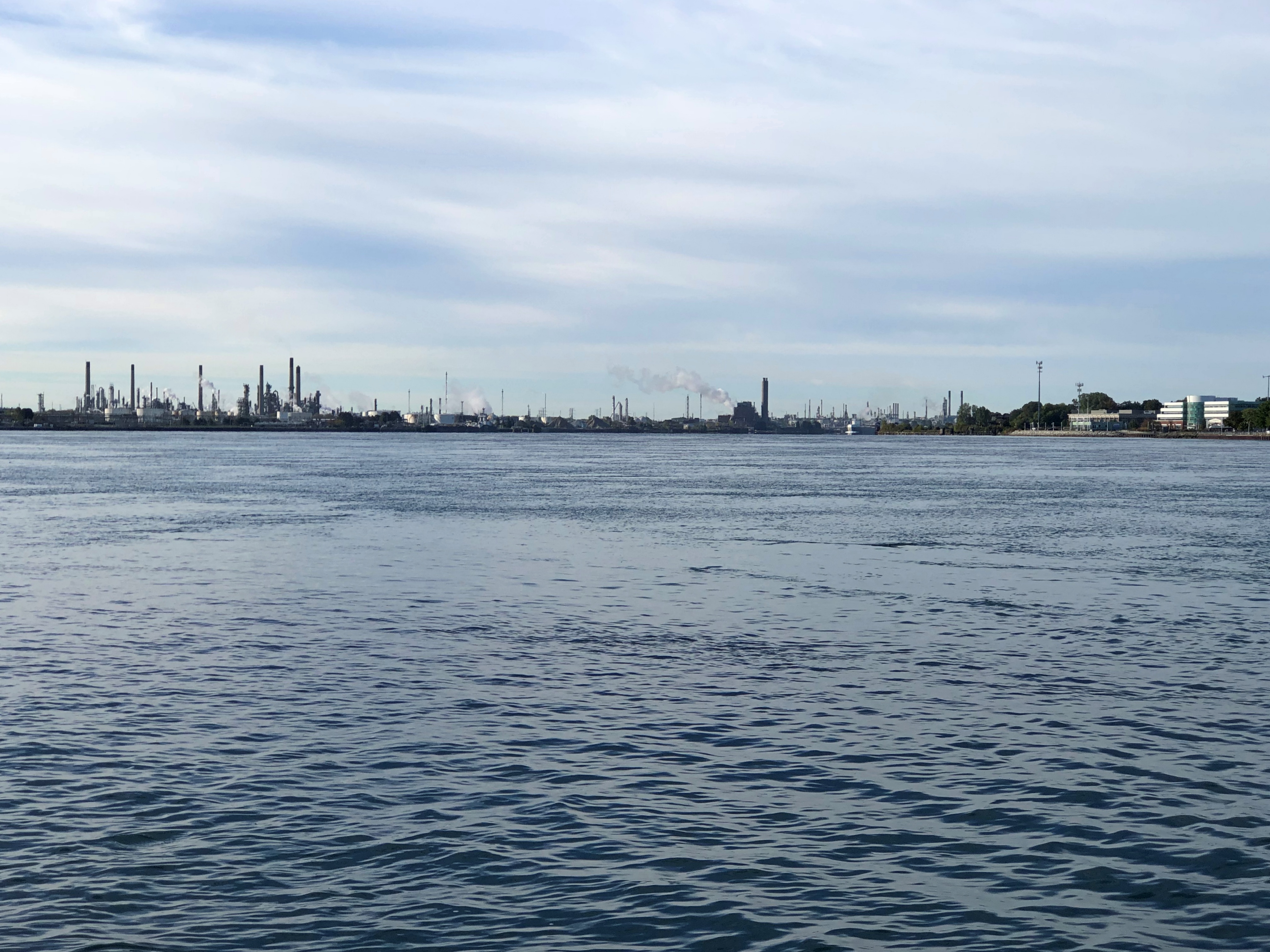
That morning, after a modest breakfast and checking out of our room only a few blocks away, we went to take a look at Point Lands, a Sarnia municipal park on the St. Clair. Beyond the cremation sign is a view of Port Huron, Michigan, U.S. industrial twin of the Canadian industrial town of Sarnia.Sarnia

Almost 40 years ago, Dow Chemical managed to spill over 2,900 gallons of perchlorethylene, a dry-cleaning solvent, with more than 520 gallons of that oozing into the St. Clair. That combined with God knows what else to form a massive a tar blob. The river at this point is home to much of Canada’s chemical and petrochemical industry, and let’s say the attitude about chemicals in the water in most decades of the 20th century was a mite lax.

The dark mass settled, submerged on the riverbed. Before long it was found by divers, and eventually its high toxicity became a major environmental news story. Something like the burning of the Cuyahoga River, though with Canadian reserve compared to the brashness of the American fire. They say since then the St. Clair, like the Cuyahoga, has been remediated, but I’m not taking a dip.

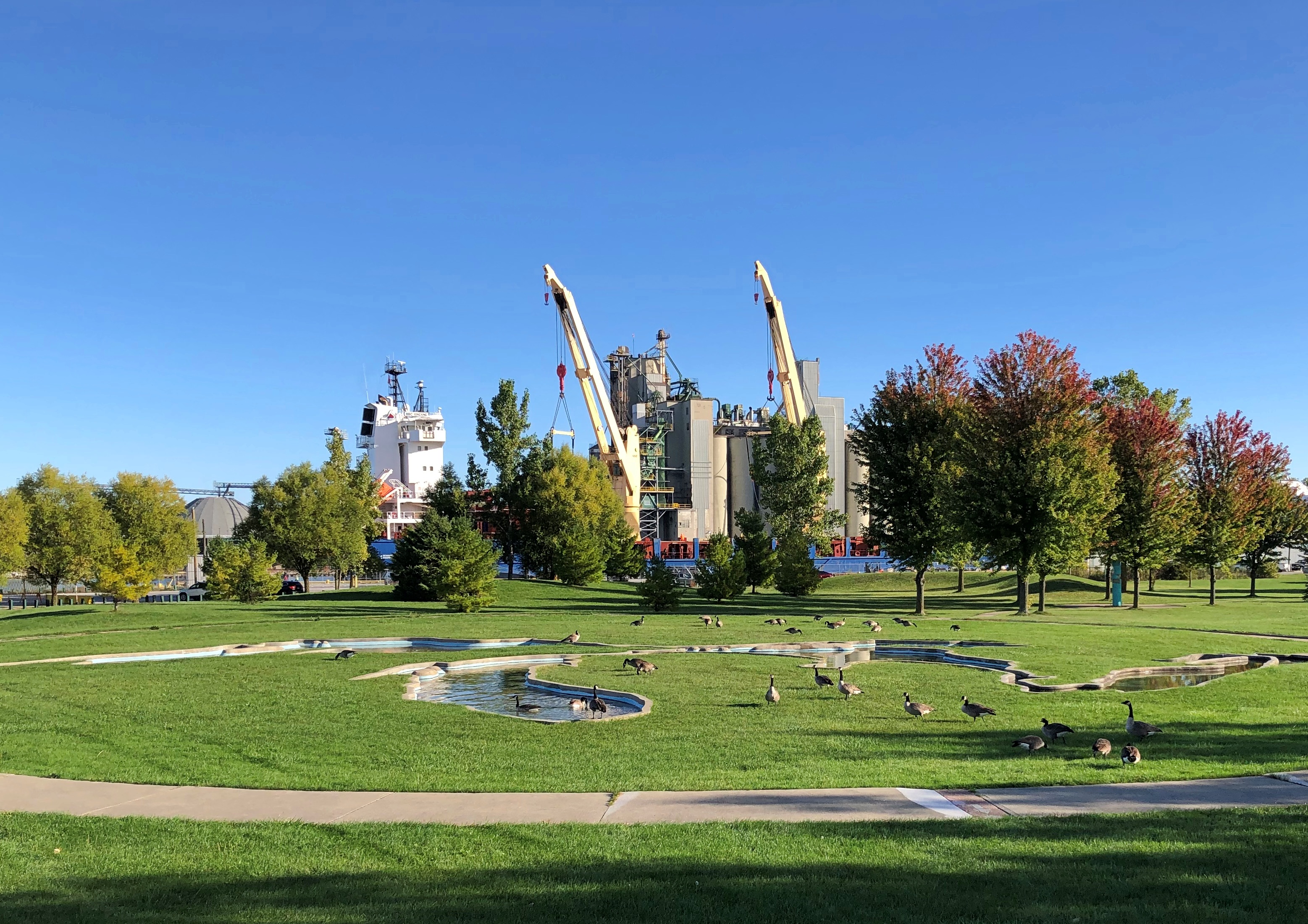
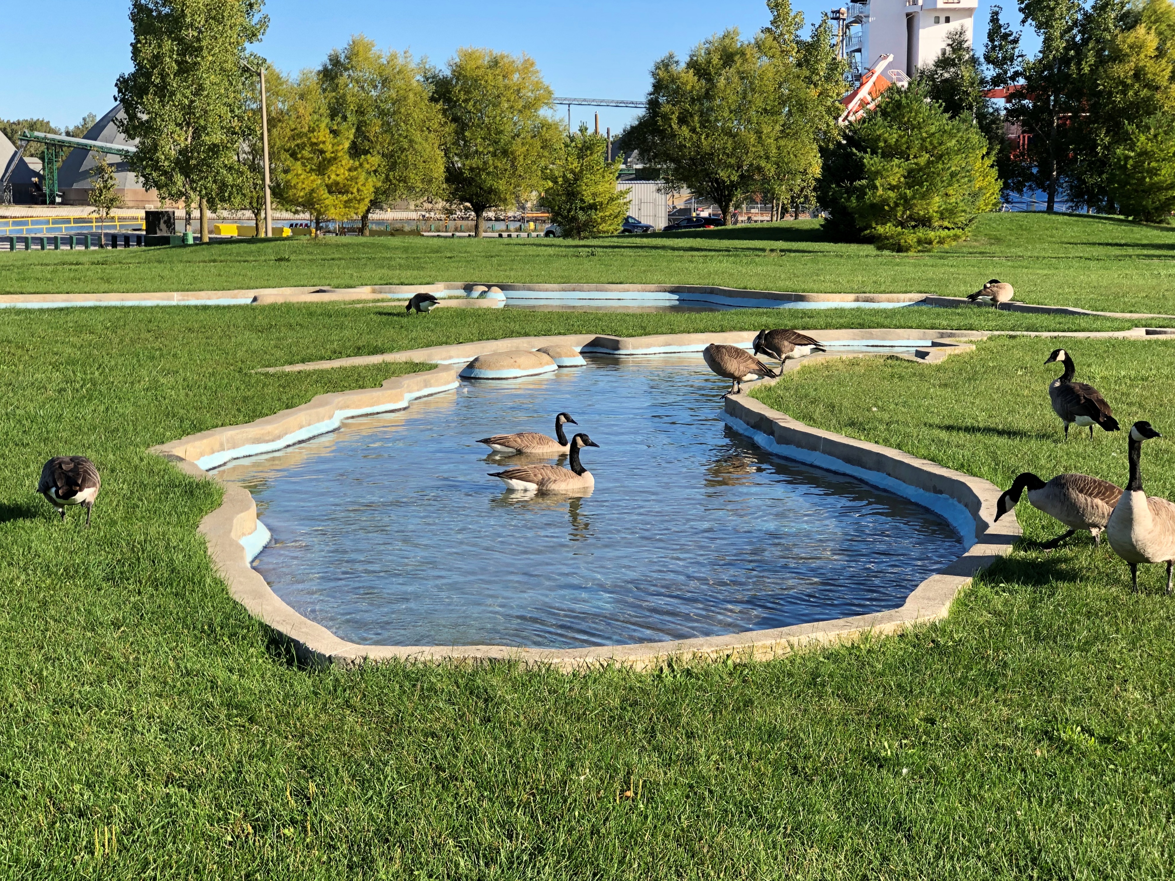
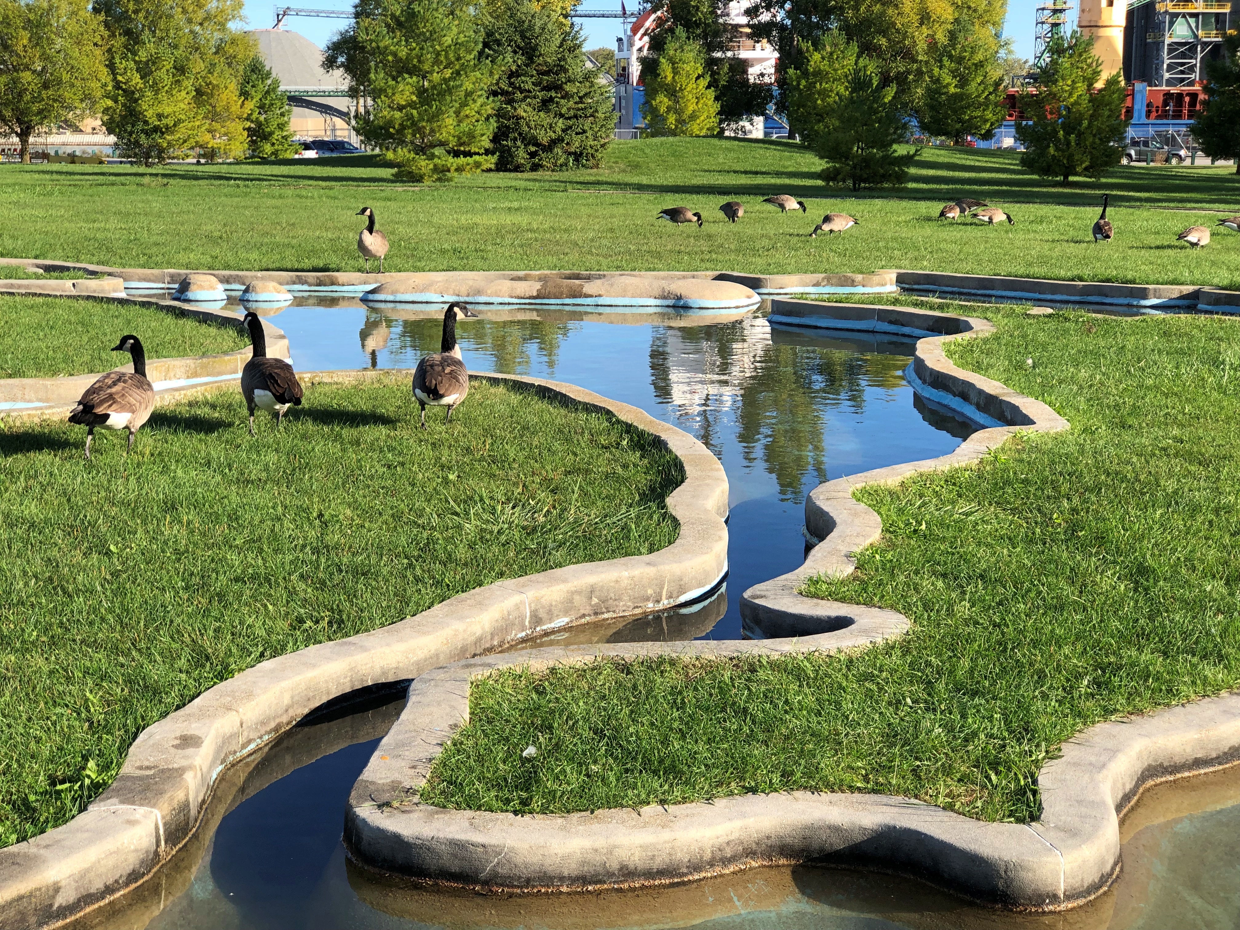
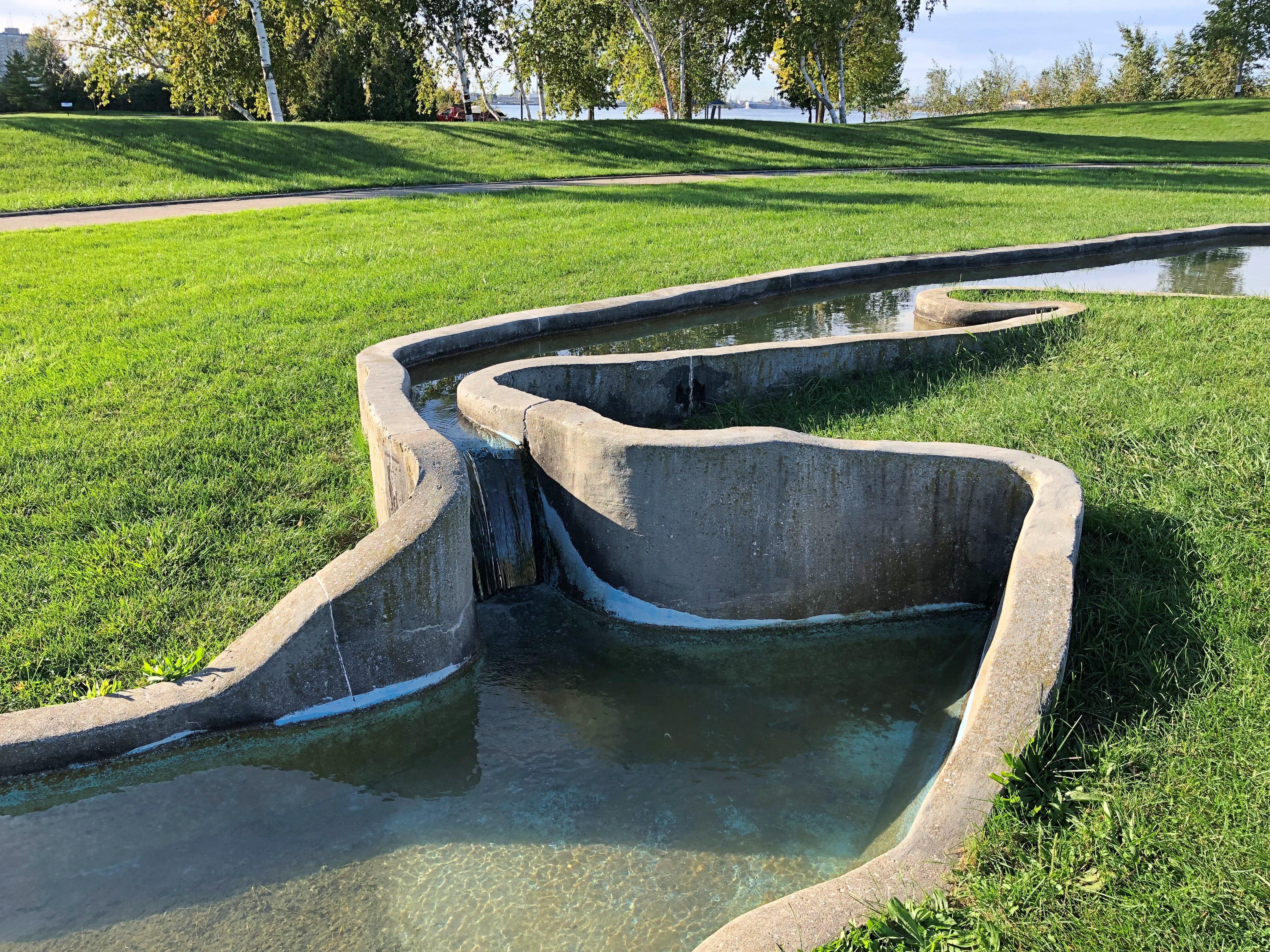
If word of the chemical waste blob got to me in far-off Nashville in 1985, I’ve long forgotten. Later Dow Chemical bugged out of Sarna, but not before commissioning a model of the Great Lakes in concrete in this park.Sarnia Sarnia Sarnia

Including a model of Niagara Falls.Sarnia

Up the coast from Sarnia, we bought gasoline from the Kettle & Stony Point Gas & Convenience, which I assume is owned and operated by members of the Kettle & Stony Point First Nation. It was a full-service gas station, with a fellow asking how much I wanted and then pumping it in (fill ‘er up). I couldn’t tell you the last time I ran across that, but it’s been decades. Also, its prices were about 10 cents a liter cheaper than other stations around there, making for an all-around good retail experience.

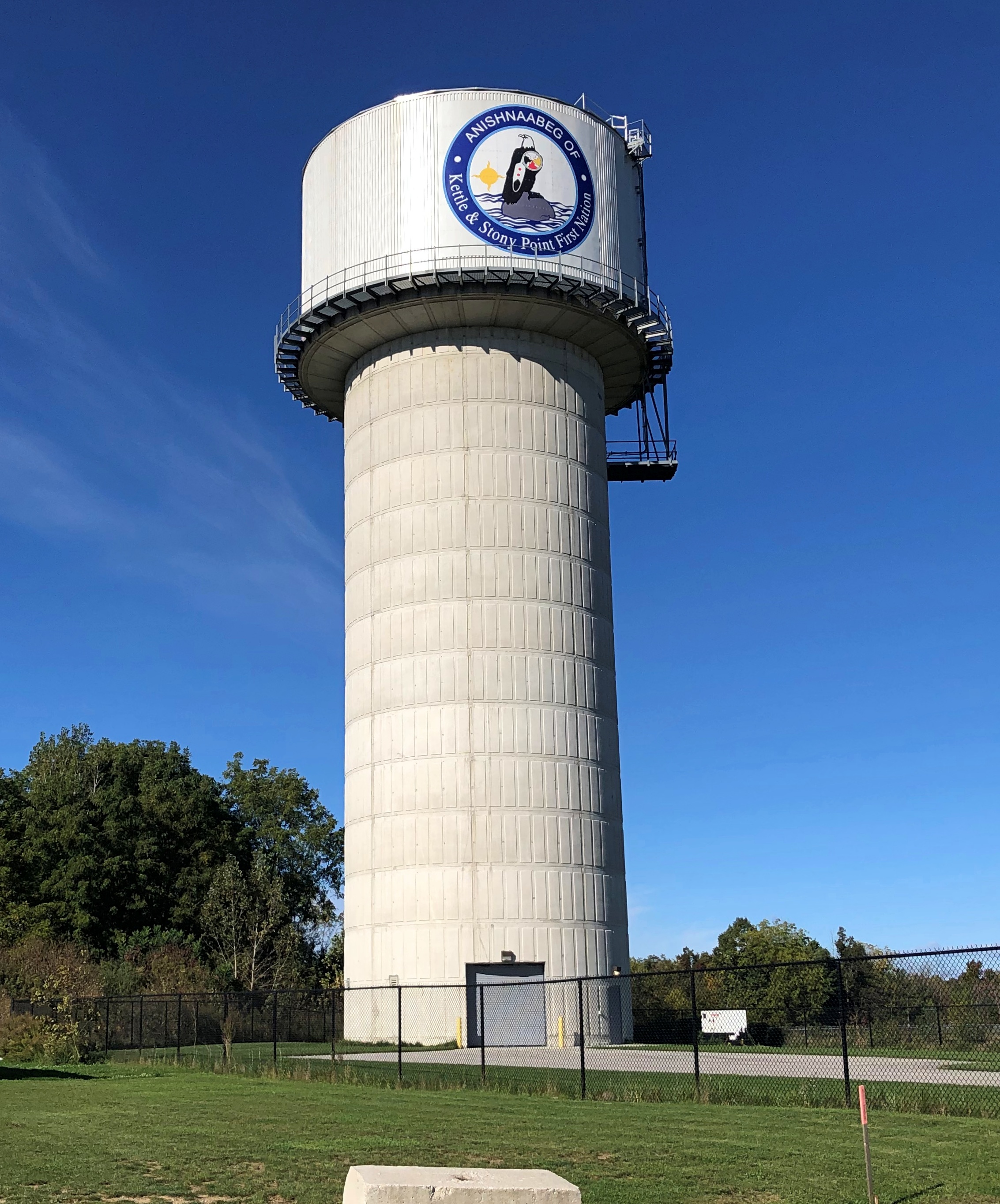
Near the station, the tribal water tower.Ontario 21

At this point we were traveling on highway King’s Highway 21 (Ontario 21, as far as I’m concerned), a two-lane blacktop that mostly follows the Lake Huron shore. On that shore is Pinery Provincial Park, a 6,260-acre stretch of beach and oak savanna. For us, it meant easy hiking in the forest and walking on the beach, so we spent a few hours there.

That kind of exercise inspired a quest for a latish lunch, which we found at the Out of the Blue Seafood Market in the town of Bayfield, feasting on Lake Huron whitefish fish & chips in the nondescript shop. The road food ideal: delicious, local, inexpensive and found completely by chance.

Ontario 21 was often a pleasant drive, though passing through well-populated areas meant slow going sometimes. The road wasn’t exactly crowded, but busy enough to be a little tiring. Only a little. Mostly we crossed farmland. Grain fields, the likes of barley, sorghum and oats, I understand, eventually gave way to cattle fields and woods and wetlands.

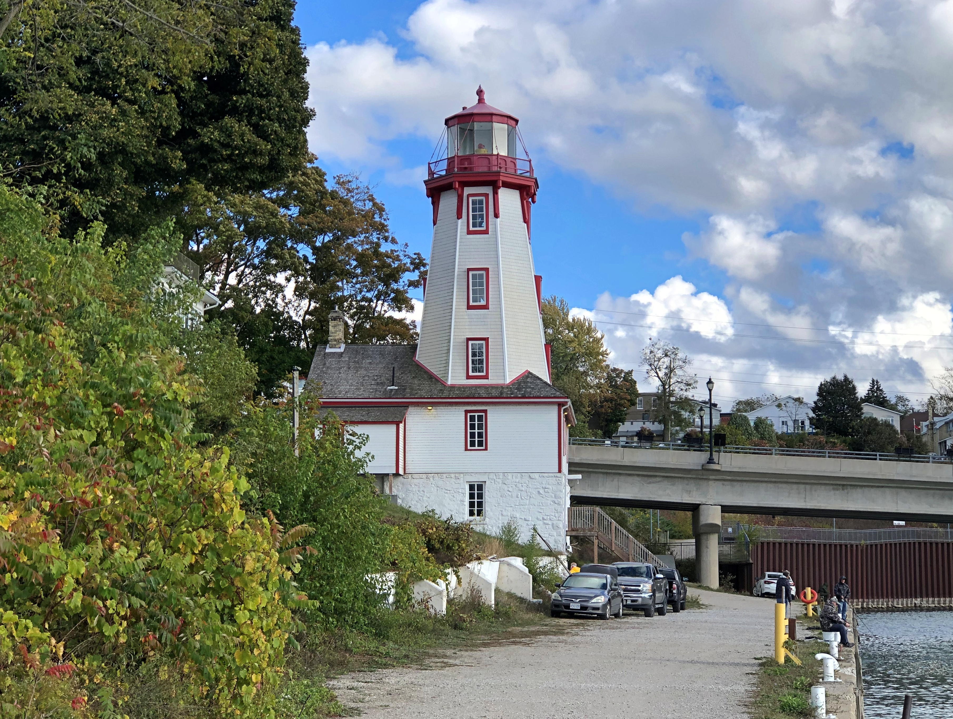
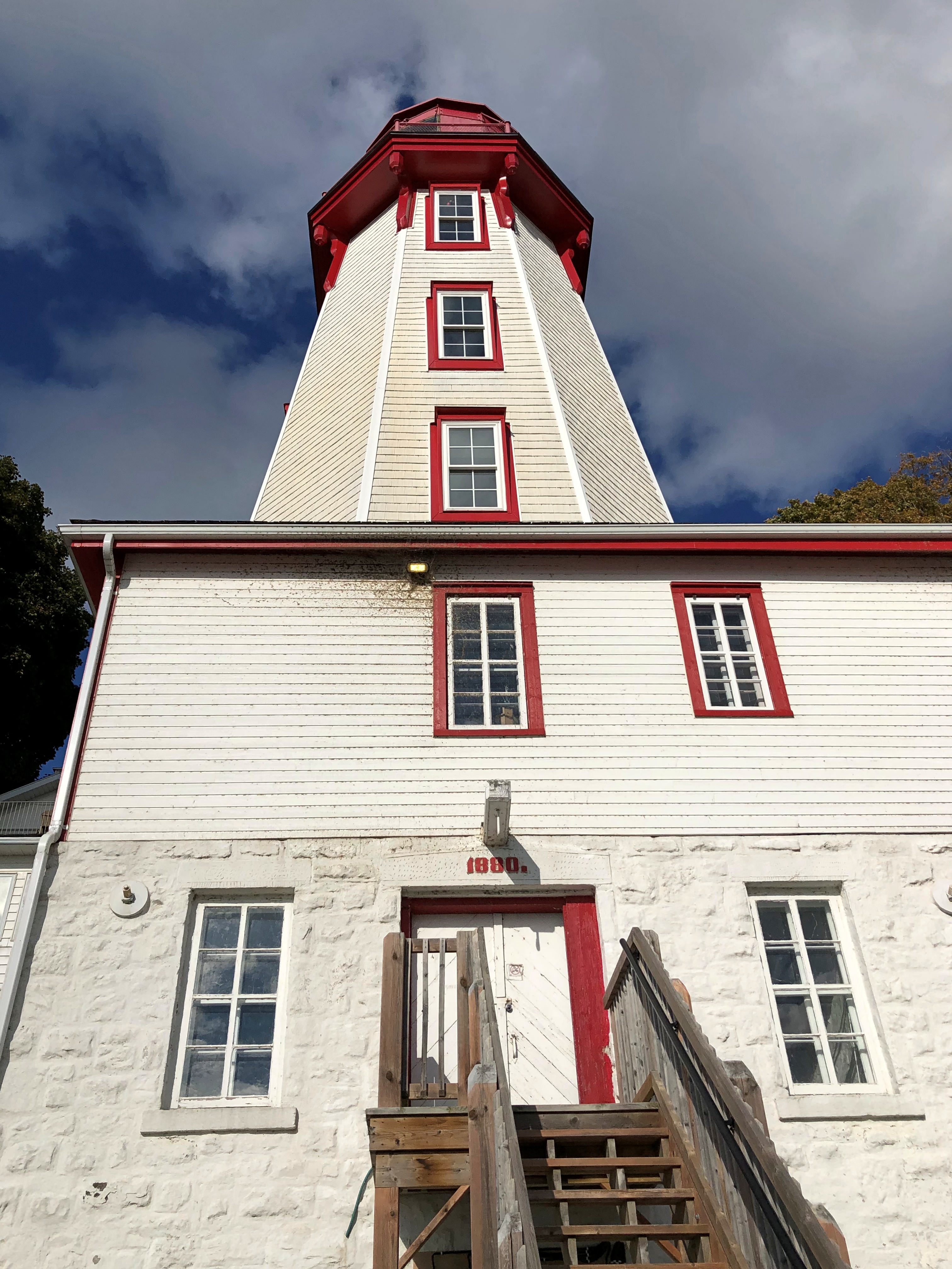
The wind had kicked into high gear by later in the afternoon, when we got to Kincardine. Formerly illuminating the harbor is a lighthouse, a late 19th-century creation.Kincardine. Kincardine.

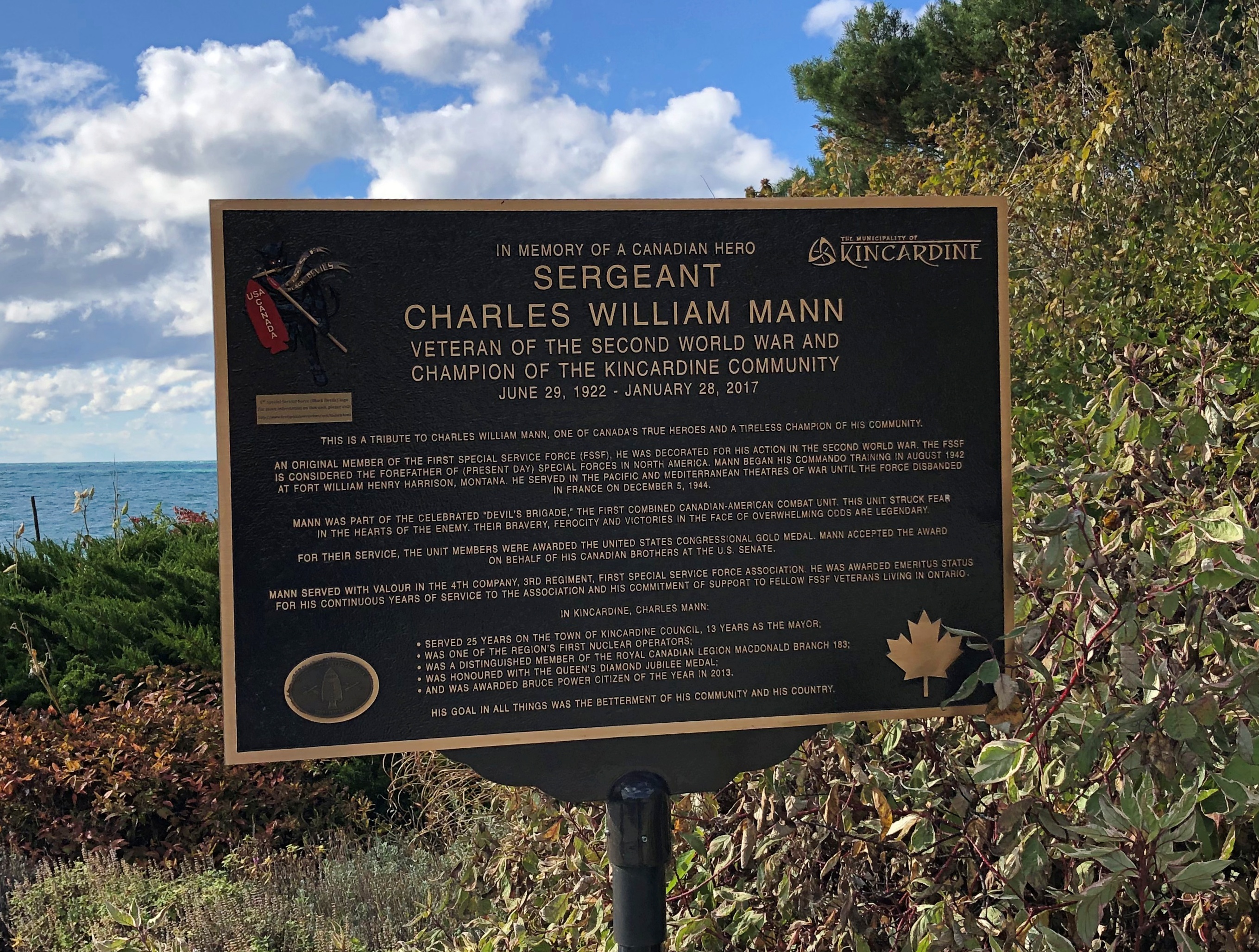
Another story I learned, facing the lake at Kincardine: one about a Canadian member of the First Special Service Force.1st Special Service Force 1st Special Service Force

Later, we connected with Ontario 6, which is quite the road, and took it north on the Bruce Peninsula proper to Tobermony. Settlement got sparser and sparser the further north we went.

The northern section of Ontario 6 is connected to the southern section by a large ferry  docking at Tobermory; we saw it loading the next morning, which naturally led to musings. On to Manitoulin Island? Up from there to connect on the mainland with the Trans-Canada Highway into Sault St. Marie?

Not this time. But you know how it goes: distant roads are calling me. Except that they’re not actually that distant.

Bruce Peninsula ’24

We visited the Bruce Peninsula of Ontario last week in time for some windy weather, but otherwise not inclement. The wind would ultimately require us to change our travel plans somewhat, more about which later, but it also kept flags in a spirited motion. This one snapped over a small lakeside park in Kincardine, Ontario, within sight of Lake Huron.Maple Leaf Flag, west Ontario
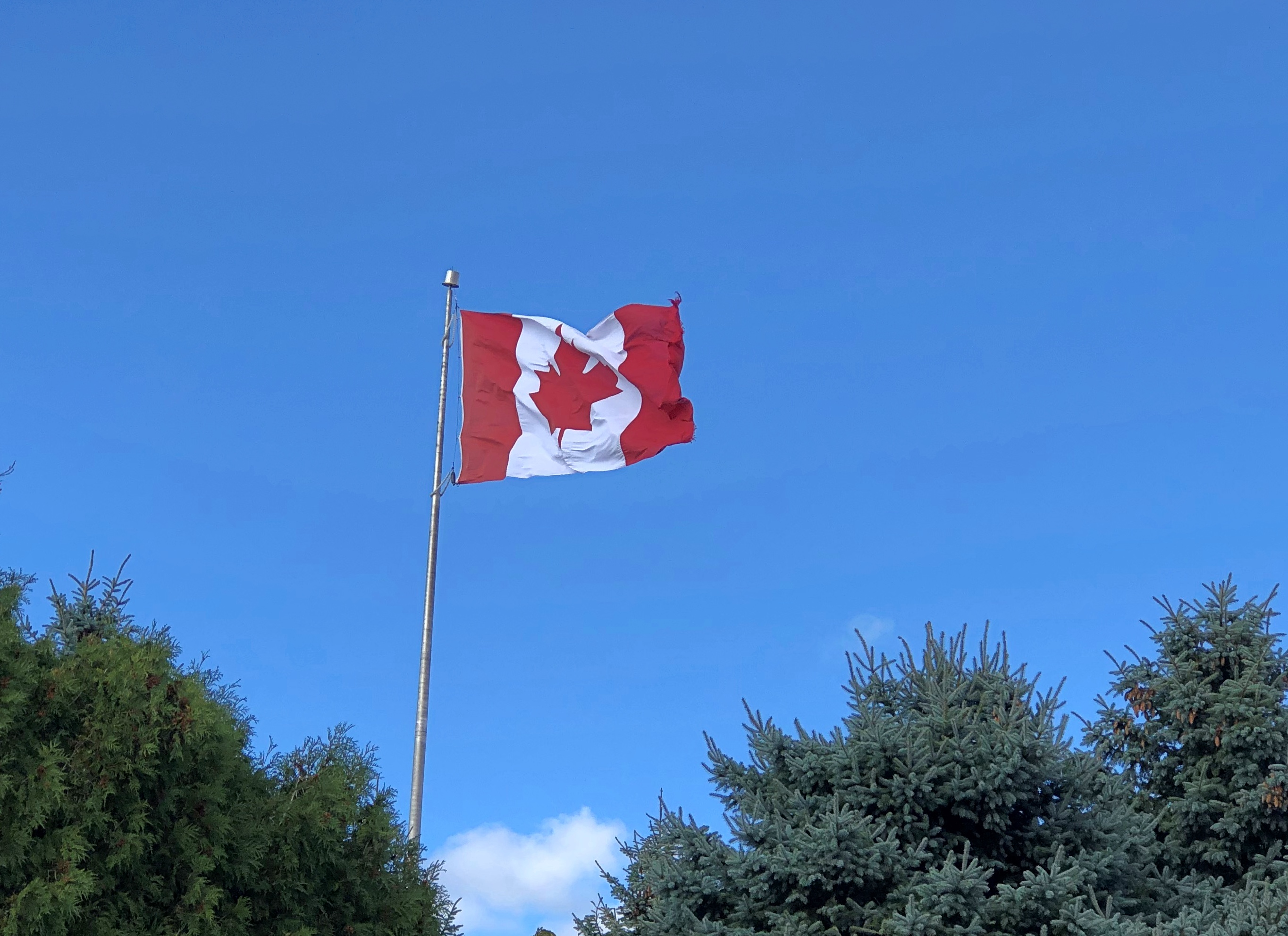
That was on Tuesday as we headed north along the eastern side of the lake, and by then I’d already formed the impression that Canadians fly more national flags than they used to. Just an impression from visiting on and off for nearly 40 years, spending maybe a month in country all together, but in no way based on anything more than my feeling. There have always been flags flying during my visits to Canada, of course. It’s just that there seemed to be more this time, though not as many as generally flag-happy Americans hoist.

The first day of the trip, Monday, October 7, we crossed Michigan to made it to Sarnia, Ontario, arriving at after dark, so there were few Canadian flags visible. The next day took us to the tip of the Bruce Peninsula, to a town called Tobermory, where we spent two nights. I started taking note of Canadian flags along that route, such as the one vigorously catching the wind in Kincardine.

A flag flies at Little Tub Harbour in Tobermory.Maple Leaf Flag, west Ontario
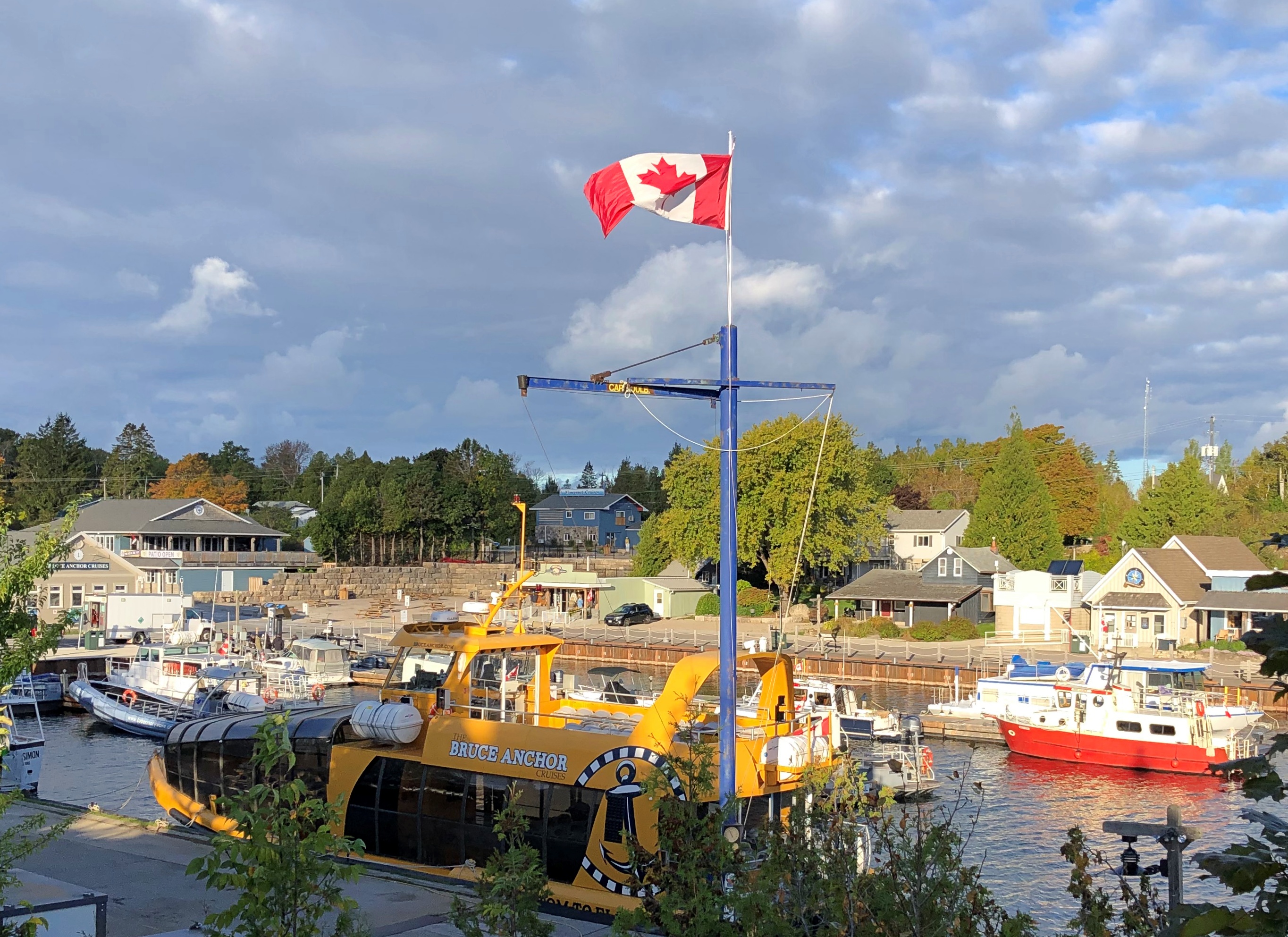
At the entrance of our motel in that town. Stands out pretty well. On the whole, that’s true of this particular flag in most any setting. Maple Leaf Flag, west Ontario
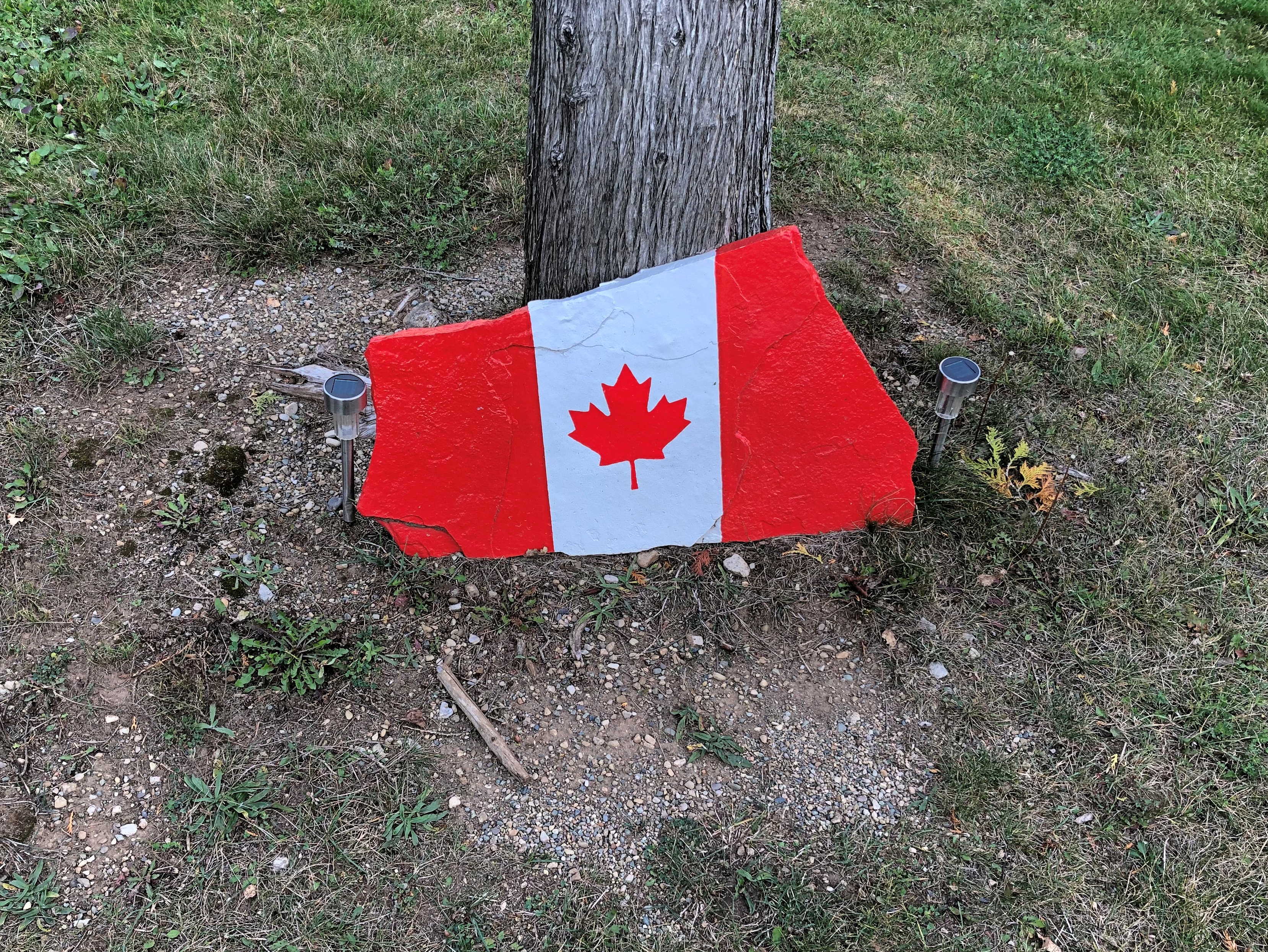
On the fourth day, October 10, we drove south much of the way we’d come, though ended up (by plan) near London, Ontario for the night. We stopped in places we’d bypassed on the way up, such as Wiarton. It wasn’t as windy that day.Maple Leaf Flag
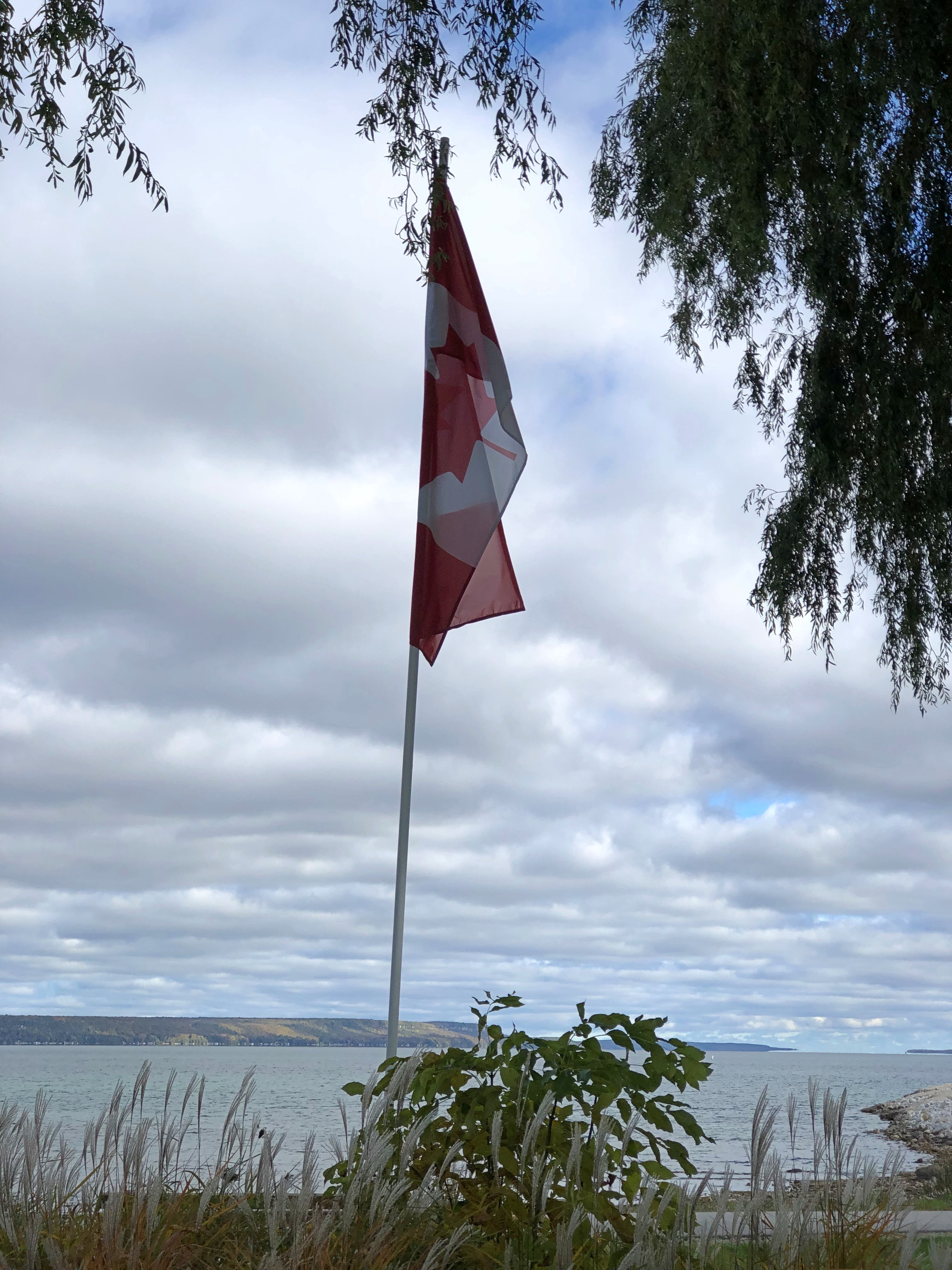
A flag I didn’t see that often was the flag of the province of Ontario. I spotted one at Haley Hall, home of the Royal Legion of Canada, branch #208. hanging in front of Haley Hall on Wiarton's main street,
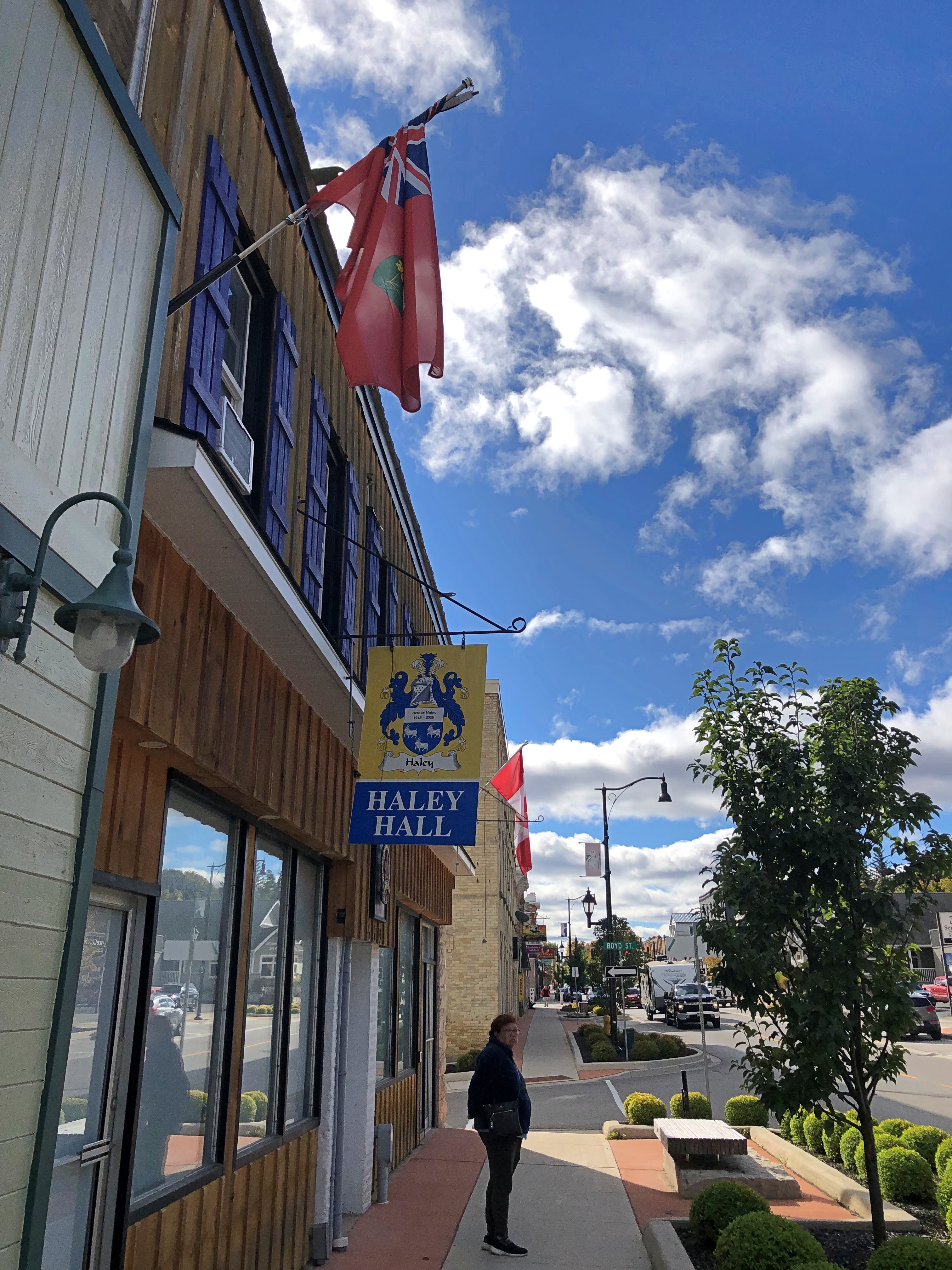
There seem to be grumblings about a redesign of that flag, but not much movement toward it now. Could be that many Ontarians’ attitude toward the question is eh, with a sizable number who care a lot for the current flag, but what do I know.

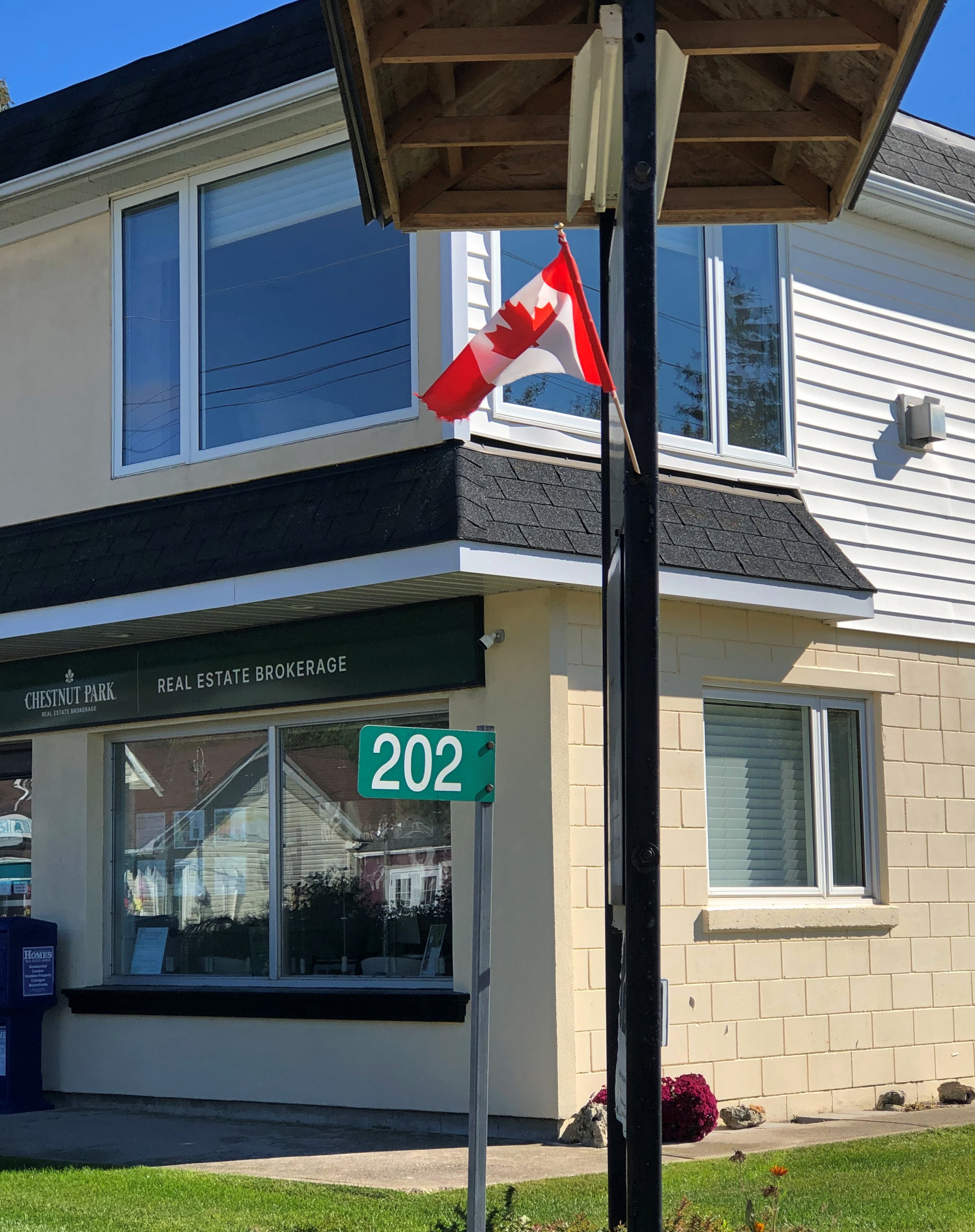
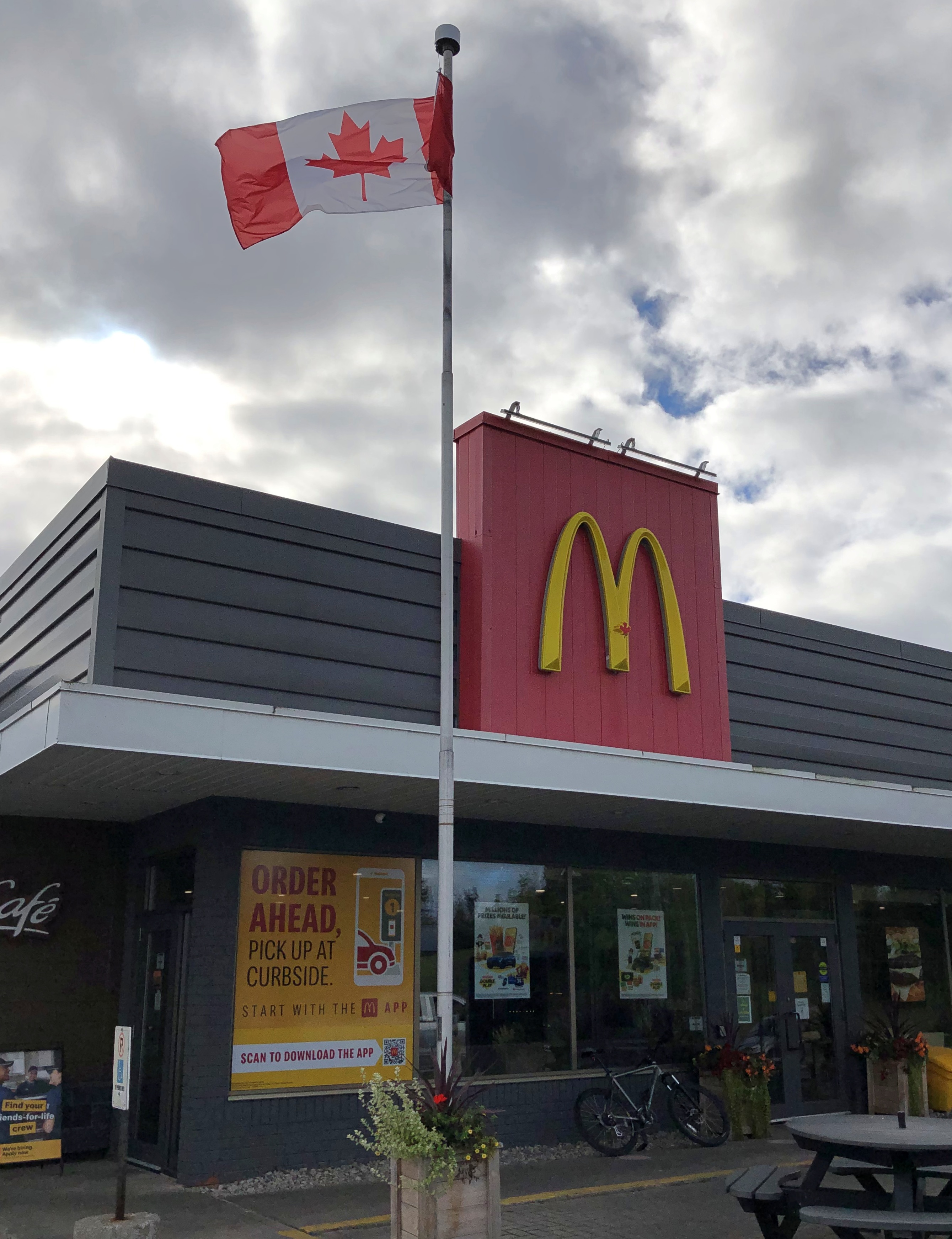
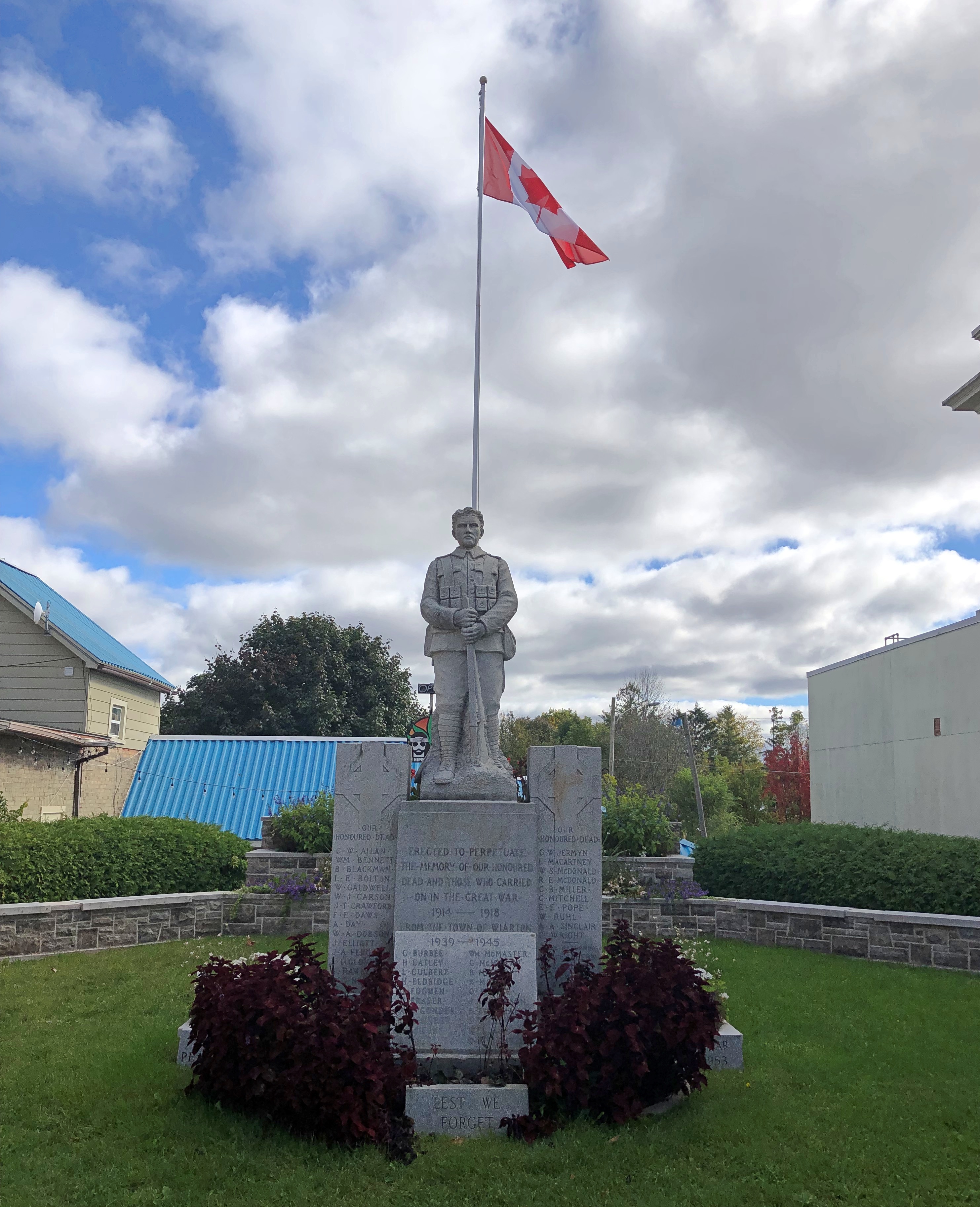
Flags on commercial structures.Maple Leaf flag Maple Leaf flag Maple Leaf flag
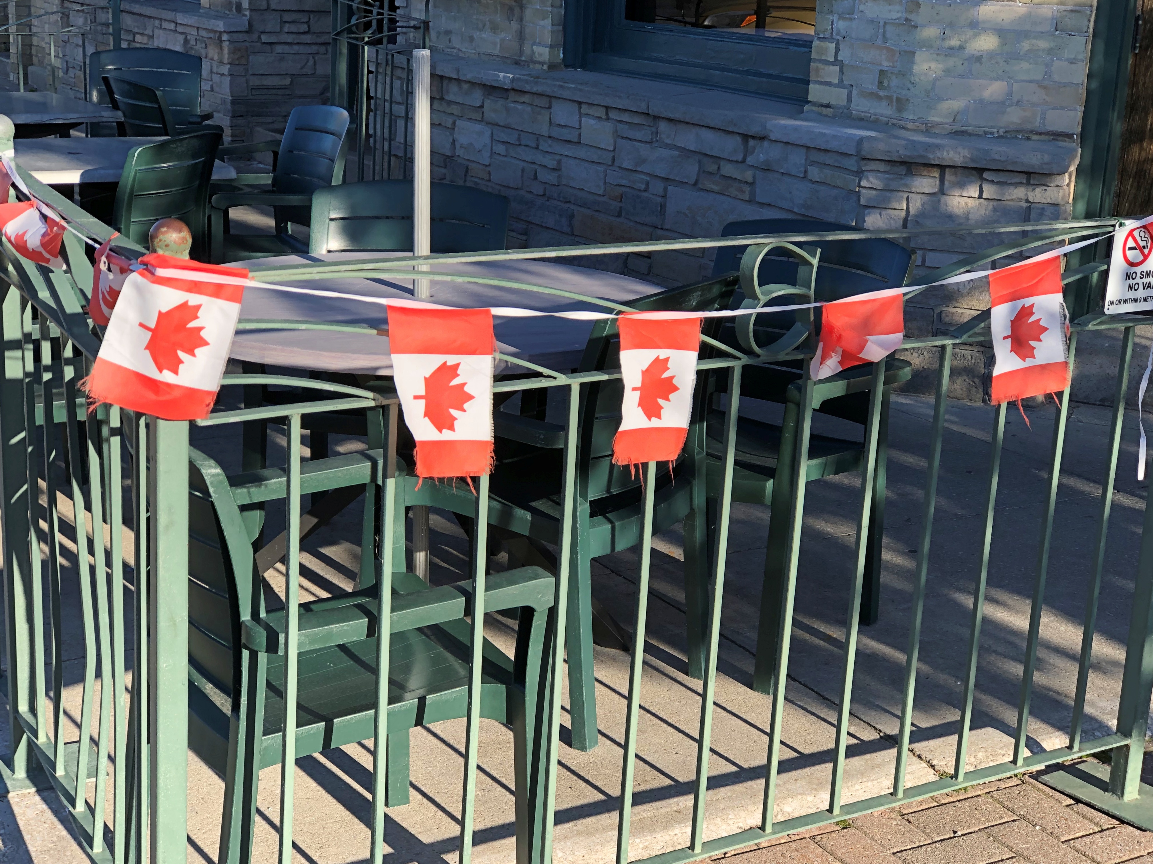
Note the red spot on the Golden Arches. The image doesn’t capture it well, but that’s the Canadian Maple Leaf. You’re not fooling anyone, McDonald’s.

Along our drives I also noticed that pasting a Maple Leaf on a wall or sign was very common as well: a business declaring its Canadian bone fides, even if they run no deeper than having a Canadian franchisee. Using the Maple Leaf as a shorthand for Canada has a long history, and in fact came long before the Maple Leaf flag, as detailed by a Canadian government web site.

The current national flag was the work of a committee in parliament in the 1960s. Usually committee-made implies substandard work, but I’d say they hit it out of park in the case of creating the immensely popular Maple Leaf flag.

I also have to say that the three-leaf design’s pretty cool, too. It was in the running to be Canada’s flag. But maybe the symbolism isn’t right; Canada isn’t like Gaul or a giant Tennessee, with three distinct parts.
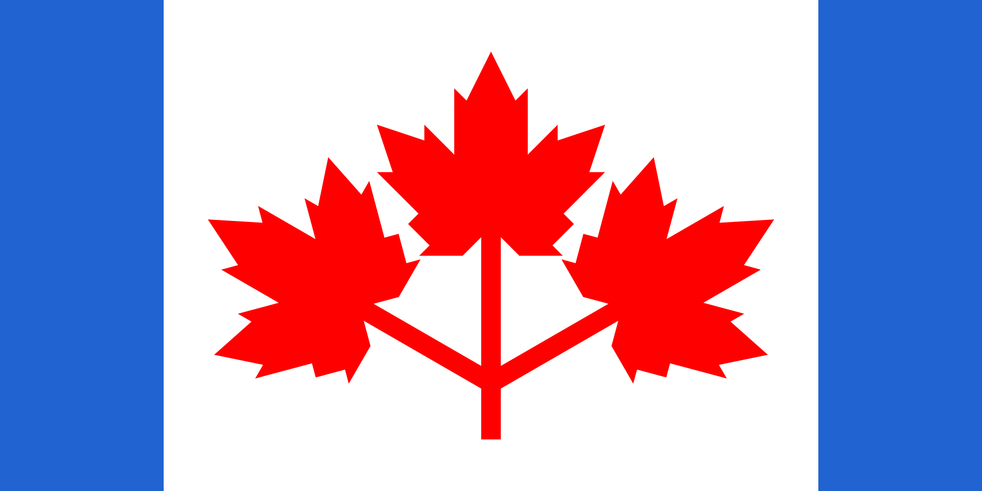
Or maybe it is. Everything west of Quebec, everything east of Quebec, and that Francophone province all by its lonesome. I’m not enough of a Canadian — not one at all — to know if that division makes any sense, but I might as well throw it out there.

Our trip to the Bruce Peninsula snapped into place only the week before we went, an unusually short time for planning (at least for me), but it turned out well. Up to the tip of the peninsula and back: four nights and five days. A longer trip would be Around Lake Huron, but it was not to be. We decided on short. That was a good decision, I think. Short but we saw a lot, and enjoyed the Bruce and other places along the way a lot.

Small roads near Ontario’s Lake Huron shore take you to small towns, long lakeshores and modest rises; vistas that can offer great beauty; and expansive farmland, well-watered woods, provincial parks and Bruce National Park, a unit of Parks Canada. Except for the Canadian flags and a few other details (such as km/h speed limits, which Canadians mostly ignored), the vibe was Door County – the counterpart peninsula on the Niagara Escarpment, jutting into Lake Michigan, the counterpart of Lake Huron.

To my way of thinking, after you’ve been to Door County and the UP – the U.S. parts of the escarpment, that is – the next logical thing to do is visit some of the Canadian parts. I’ve found that other Americans I’ve spoken to about the destination have little to no knowledge of it.

Since there is a well-developed tourist infrastructure in those parts, clearly the Canadians have heard of the Bruce, and visit in droves in the summer. That was another reason to go in shoulder-season October. Those droves were gone, and sometimes it felt like we had the place to ourselves, though that was far from literally true. Which you wouldn’t want anyway, since that would be like finding yourself in a Canadian version of The Last Man on Earth.

An added bonus: the U.S. dollar is still unaccountably strong against the Canadian dollar, which fetches about 75 U.S. cents, like it did last year (but not in 2006, when it was close to parity). Pay your bill and with no effort, get a 25 percent discount. None of those cash-back schemes so widely advertised can hold a candle to that.

Speaking of money, and national symbols, receiving this coin was a first for me, namely getting Charles in change. Minted in 2023.  Got it along with some Elizabeth coins, obviously still the vast majority.
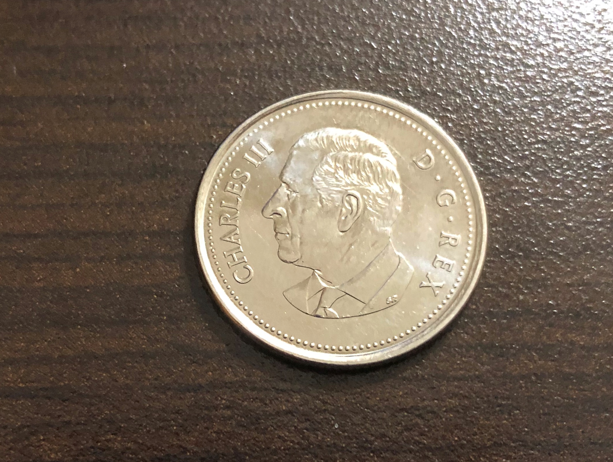
King Charles taking his place on coinage, hewing to a custom as ancient as King Croesus, yet in a remote part of his realm that’s not really his realm that much any more. I don’t have strong feelings about him as sovereign, but it is nice to see something new on a coin, like the recent redesigns of the obverses of the U.S. Washington quarter and Jefferson nickel.