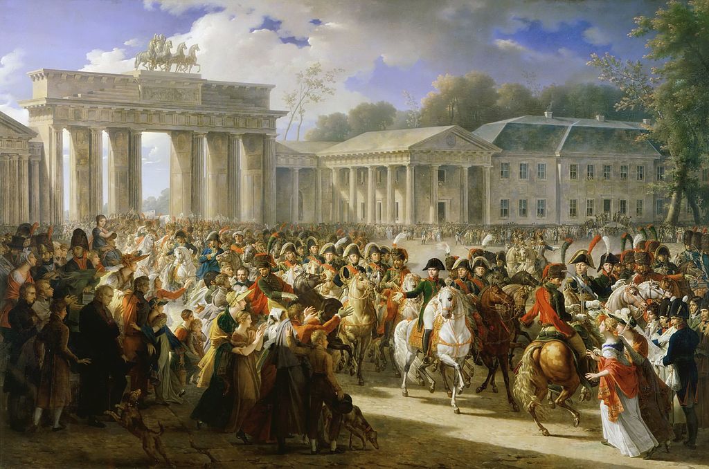
At the Alte Nationalgalerie in Berlin, more about which eventually, there is an enormous canvas by Adolph Menzel (d. 1905), one of a number of his paintings on display: “Flötenkonzert Friedrichs des Großen in Sanssouci” (“The Flute Concert of Frederick the Great at Sanssouci”; “Frederick the Great Playing the Flute at Sanssouci”), dating from 1850-52.
When I made my detail, I focused on the king. Reading about the painting, and looking at images of it, I see that I might as well have focused on the preternaturally luminous chandelier.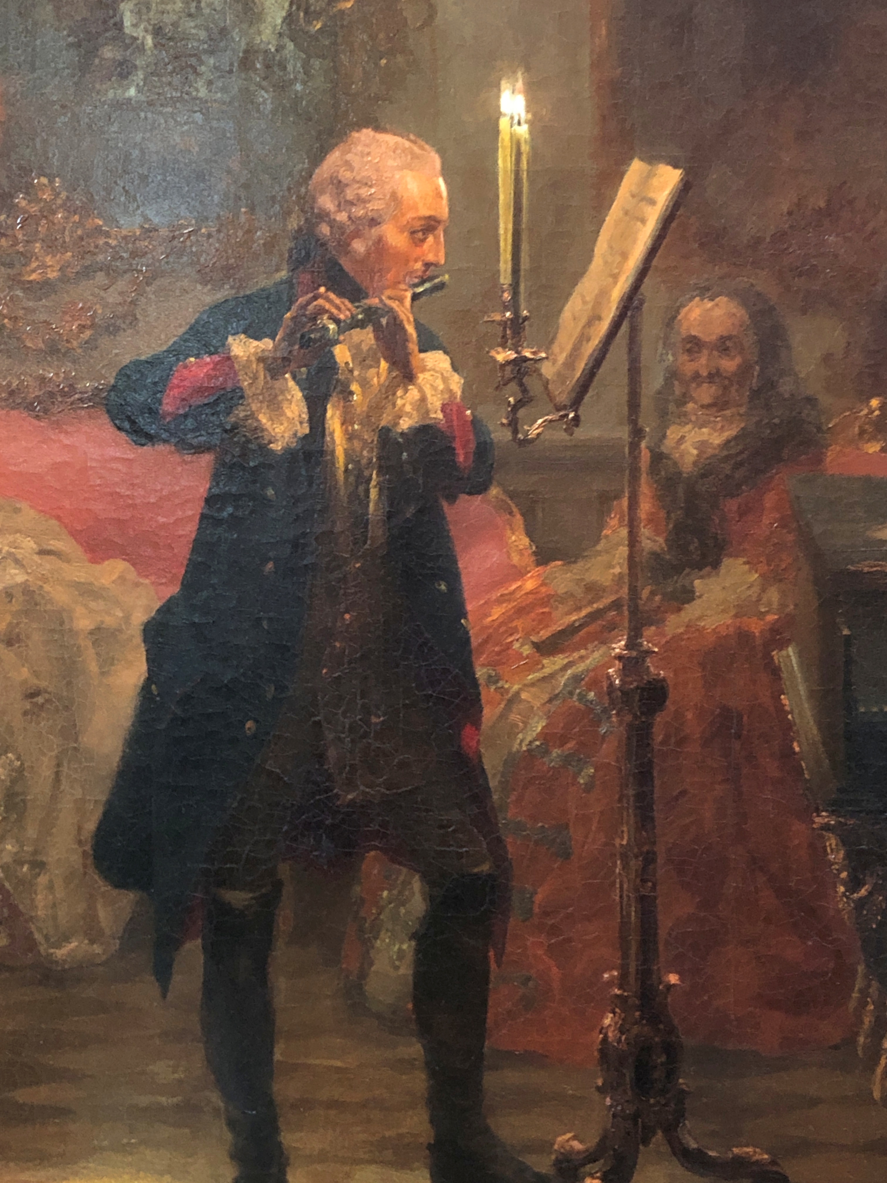
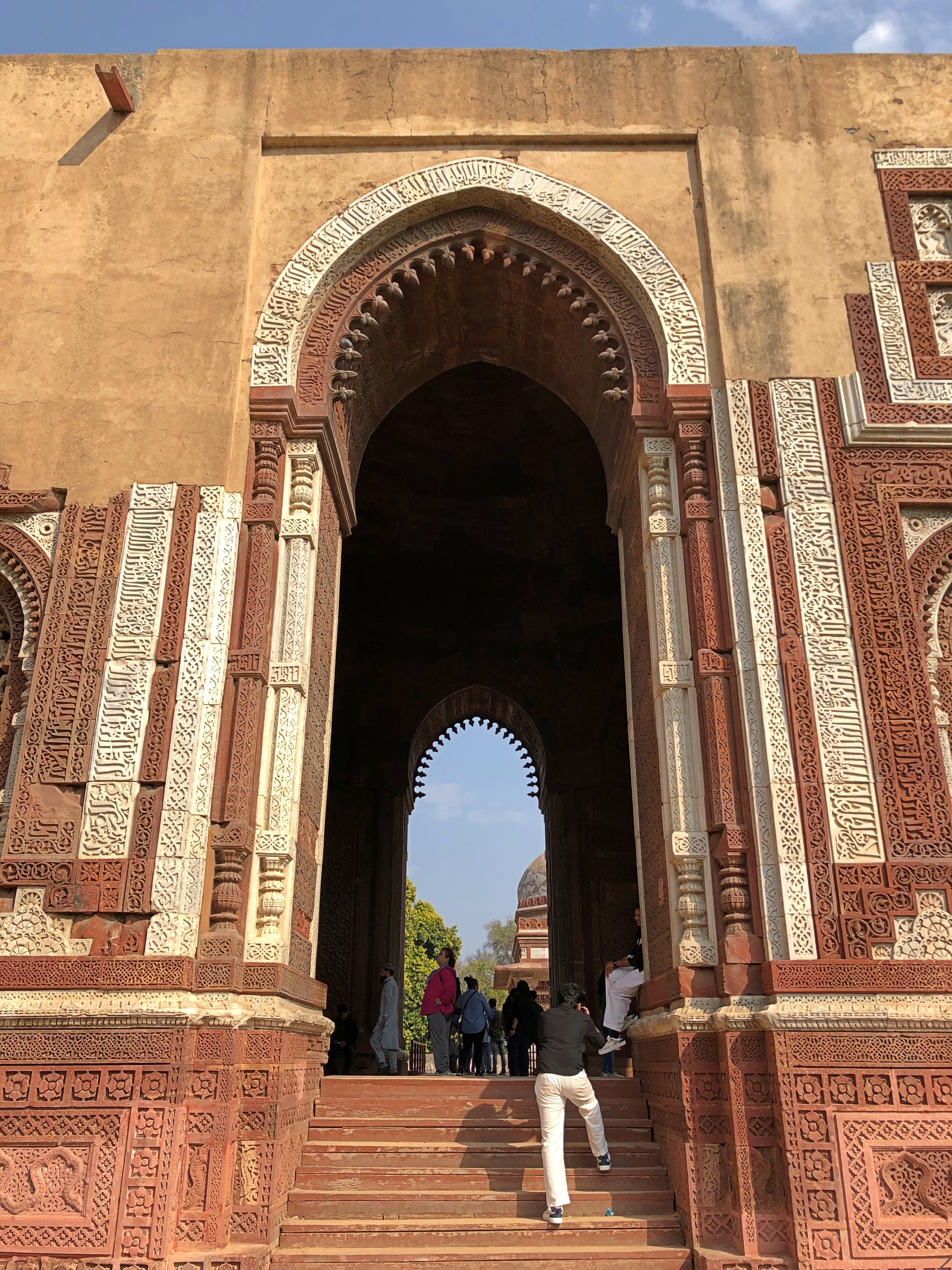
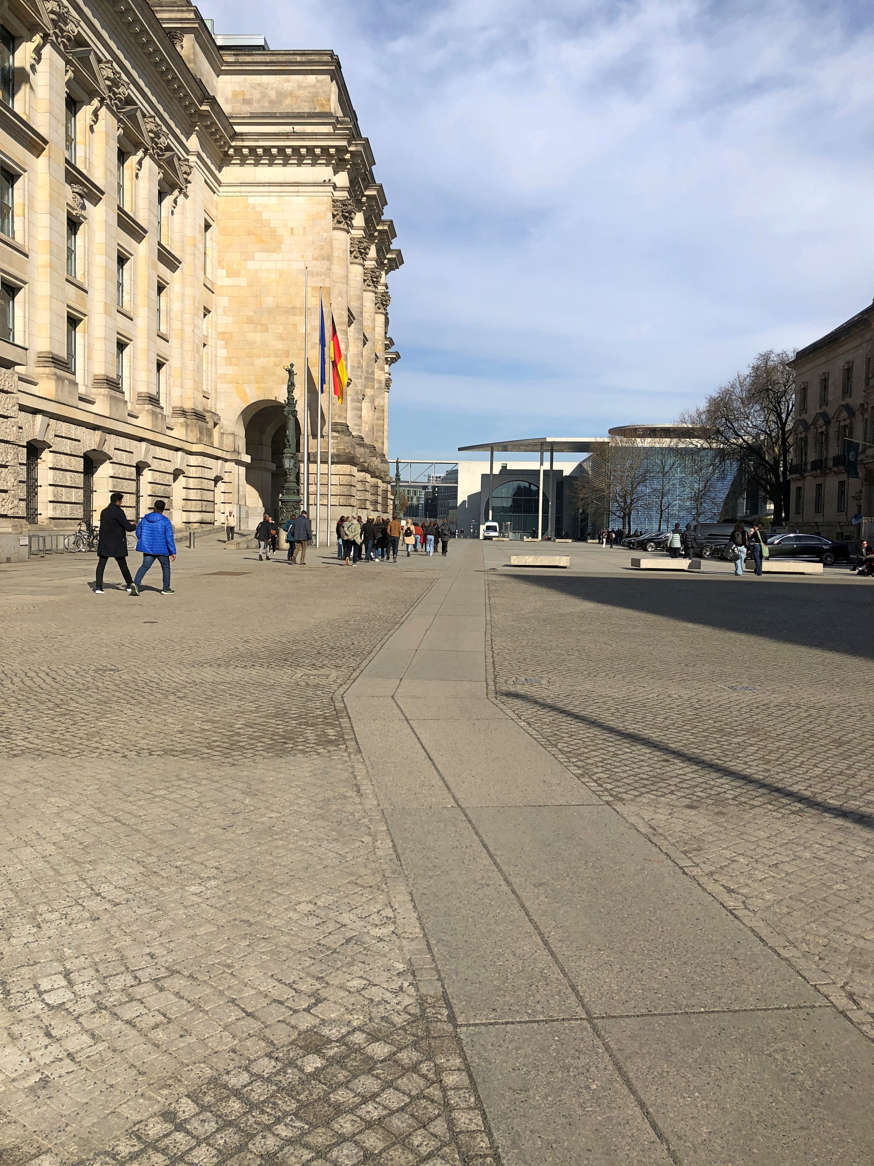
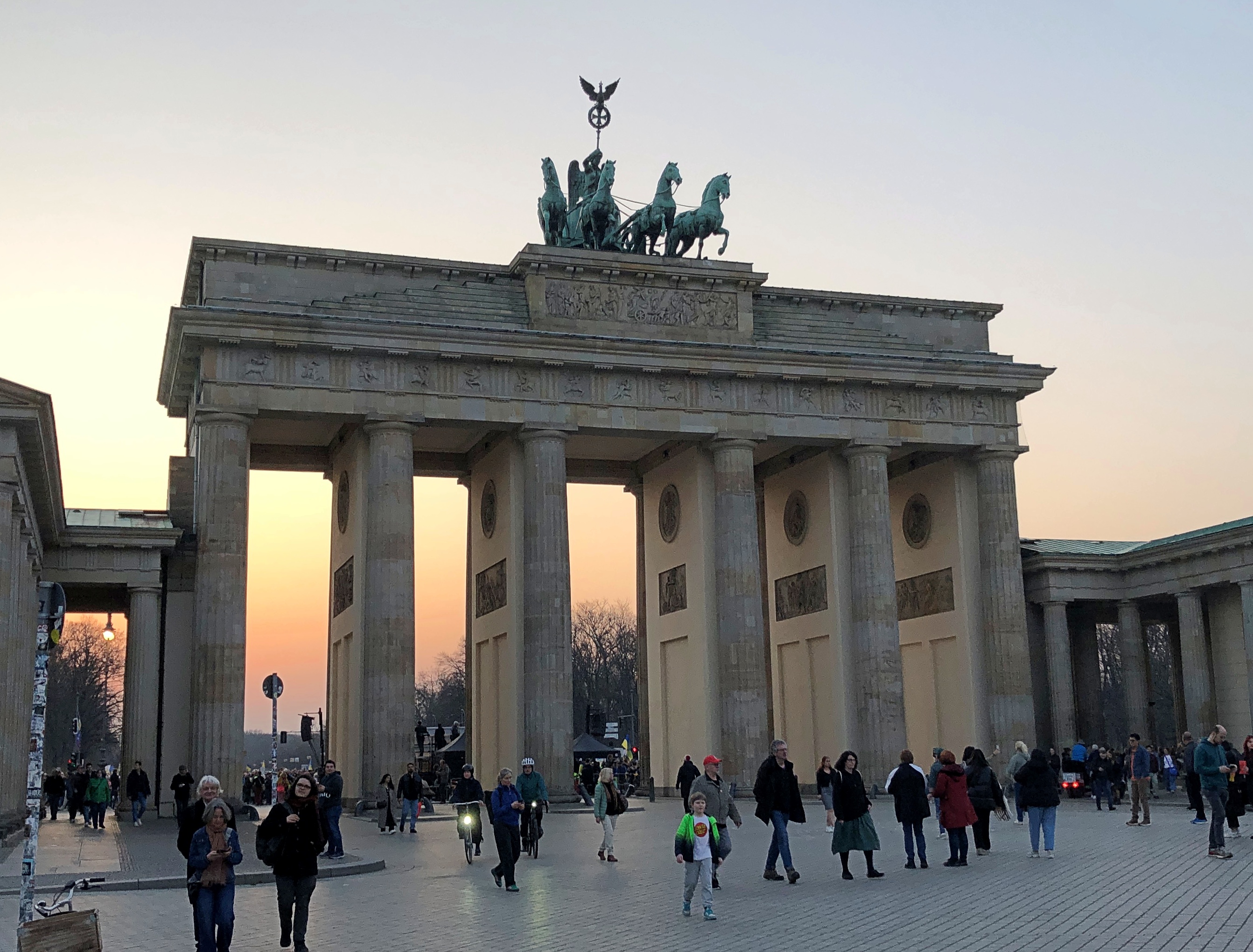
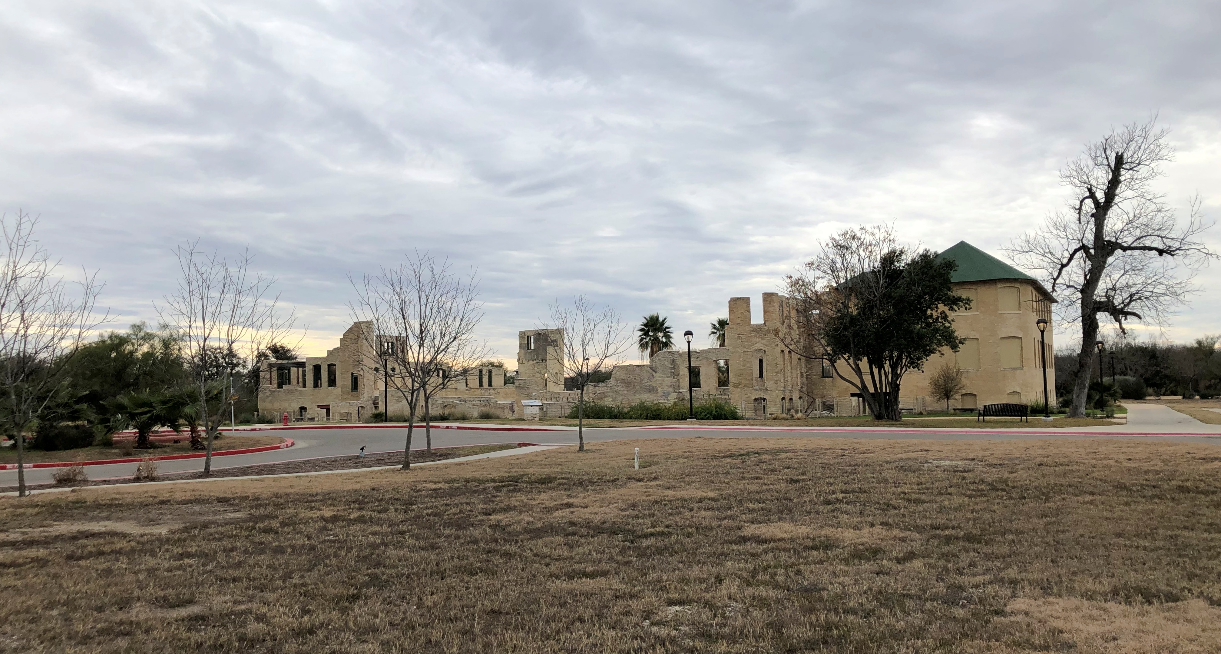
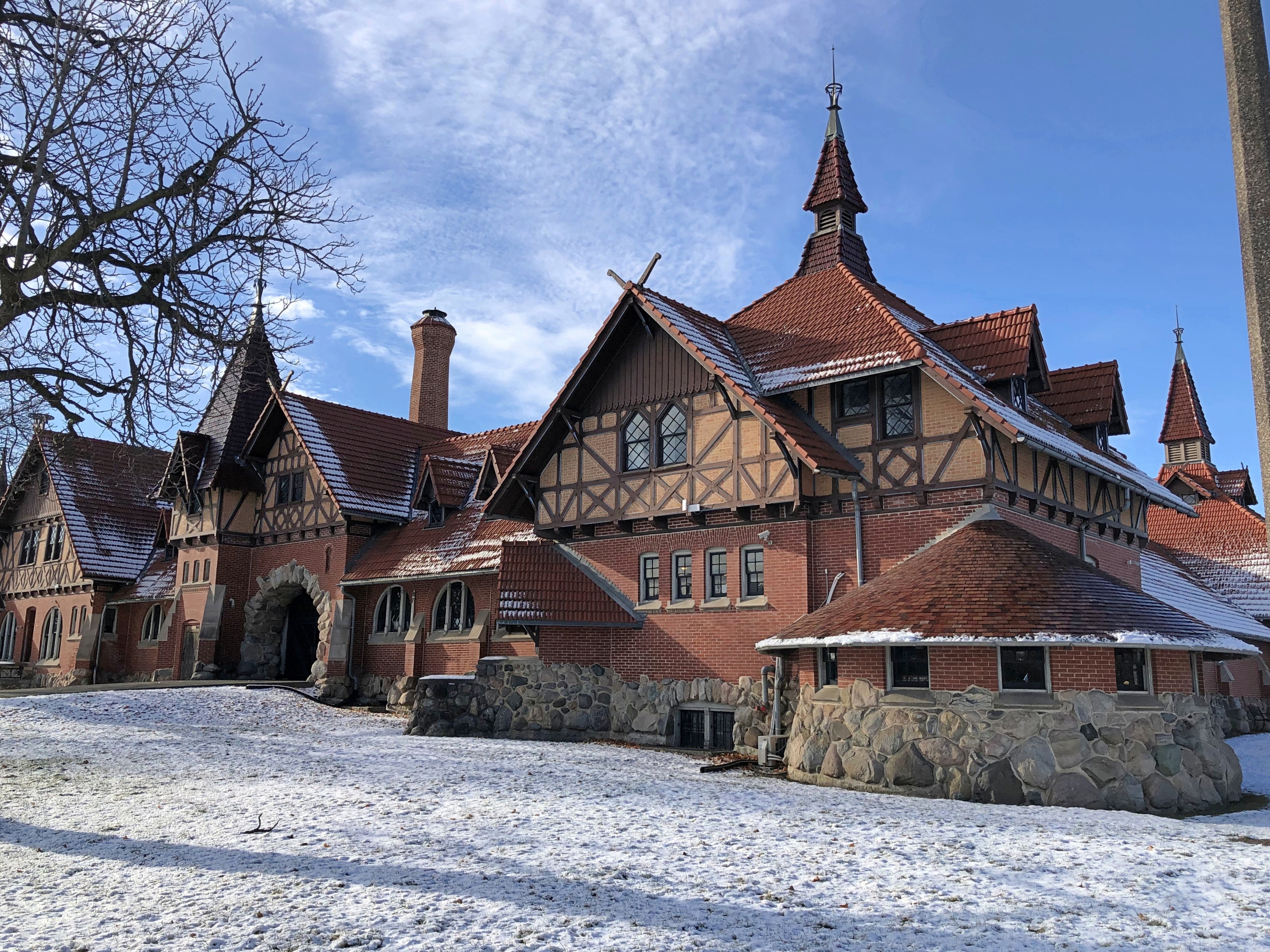
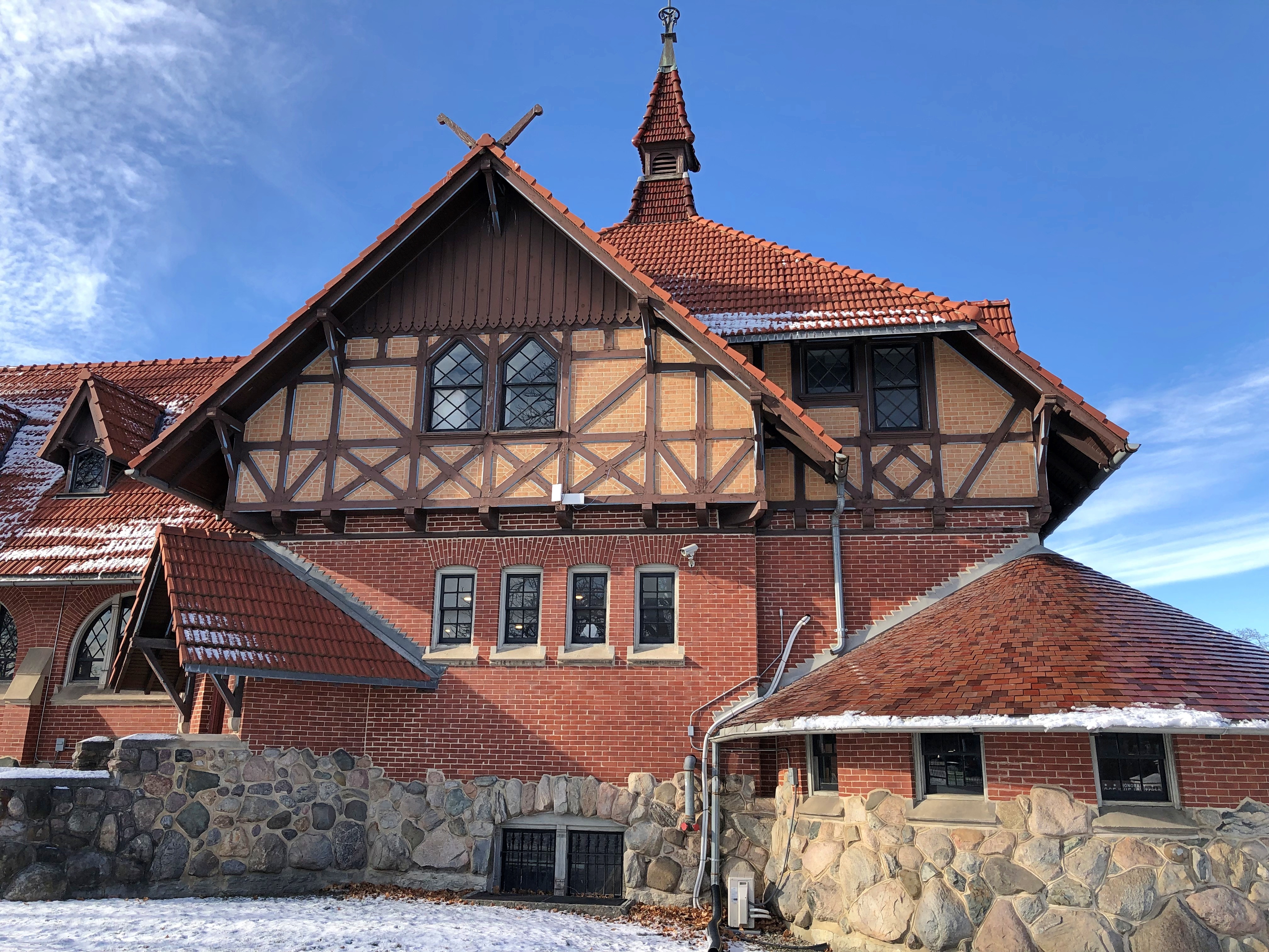
A few days earlier, on March 9, Jay and I had boarded a train at AlexanderPlatz in central Berlin bound for Potsdam, location of Frederick’s summer retreat, Sanssouci. I expect that in the 18th century, the area was indeed a retreat, a healthy distance from Berlin and its hubbub. These days, you take the S Bahn to an outer suburb. From the Potsdam main station, a municipal bus drops you off near one of the outbuildings of Sanssouci, now the ticket office. Remember that, it will be important later.
This wasn’t our bus, but rather a tour bus, playing up the Potsdam Giants, a storied Prussian infantry regiment and special passion of Frederick the Great’s father Frederick William I, who is pictured as well (and it was Frederick the Great who disbanded them). I’d heard of the Giants, but not in detail, and the more I learn about them, the more amused I am.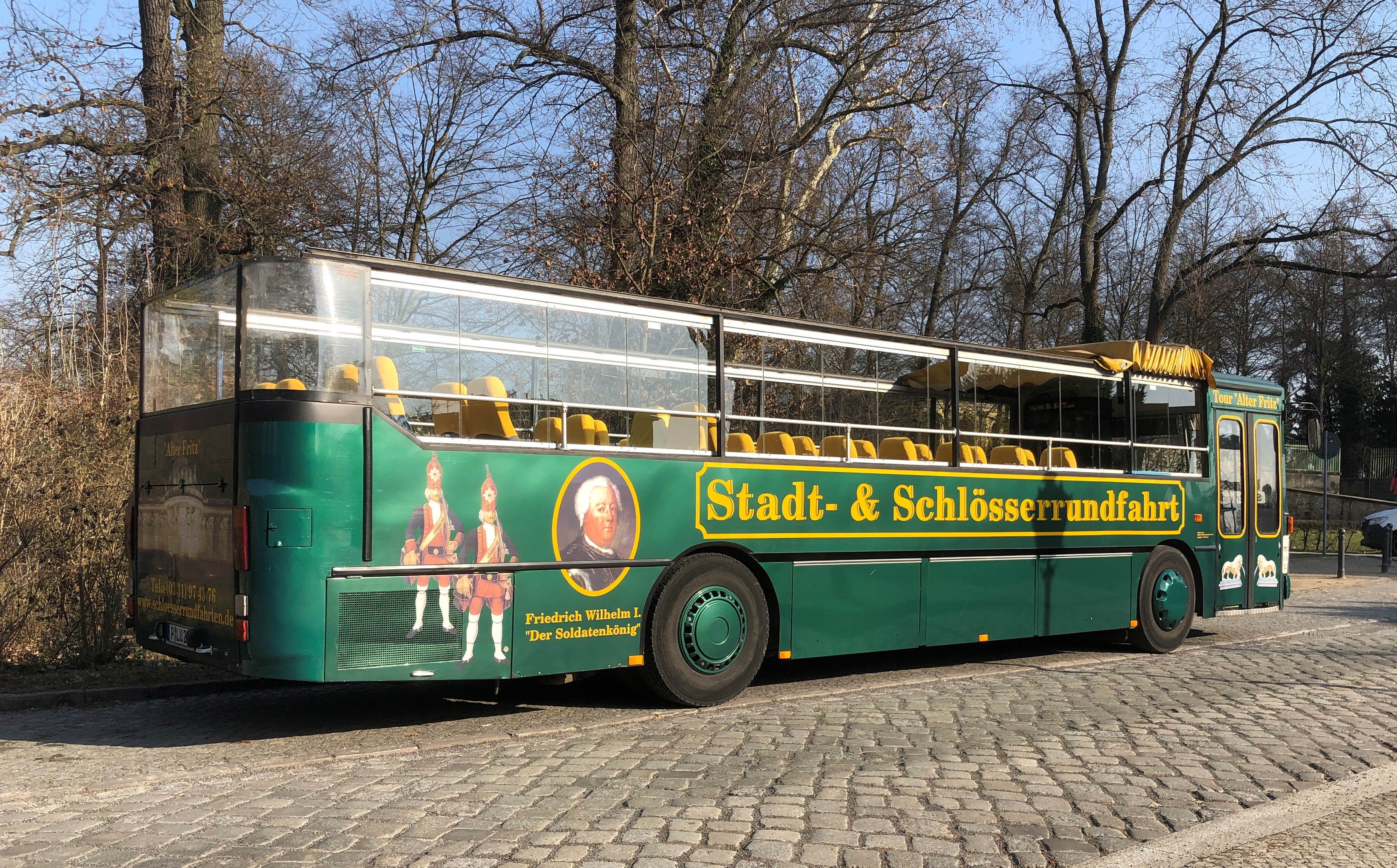
Now there’s a name for a German baseball team: The Potsdam Giants. As far as I can tell, there is no such team, though the Humburg Stealers, the Mannheim Tornadoes and the Heidenheim Heideköpfe (ah, those funky Swabians) knock around the horsehide sphere professionally in the Federal Republic. That’s what I ought to do, if I ever go back to Germany, see a baseball game. Bet there are some peculiarities. Like in Japan, when you release balloons during the Seventh Inning Stretch. At least they did at Hanshin Tigers games in the early ’90s. Actually, they were blown up condoms.
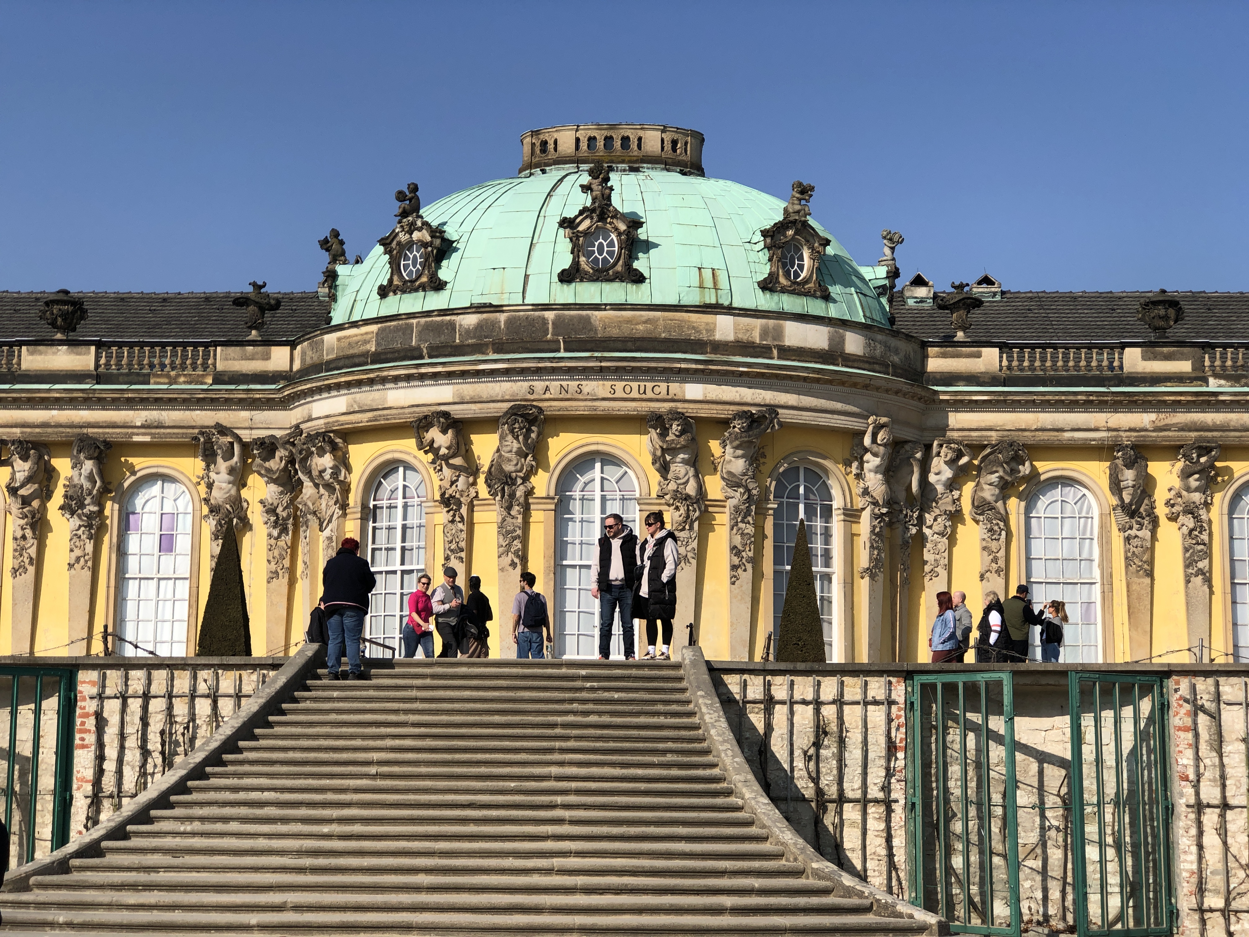
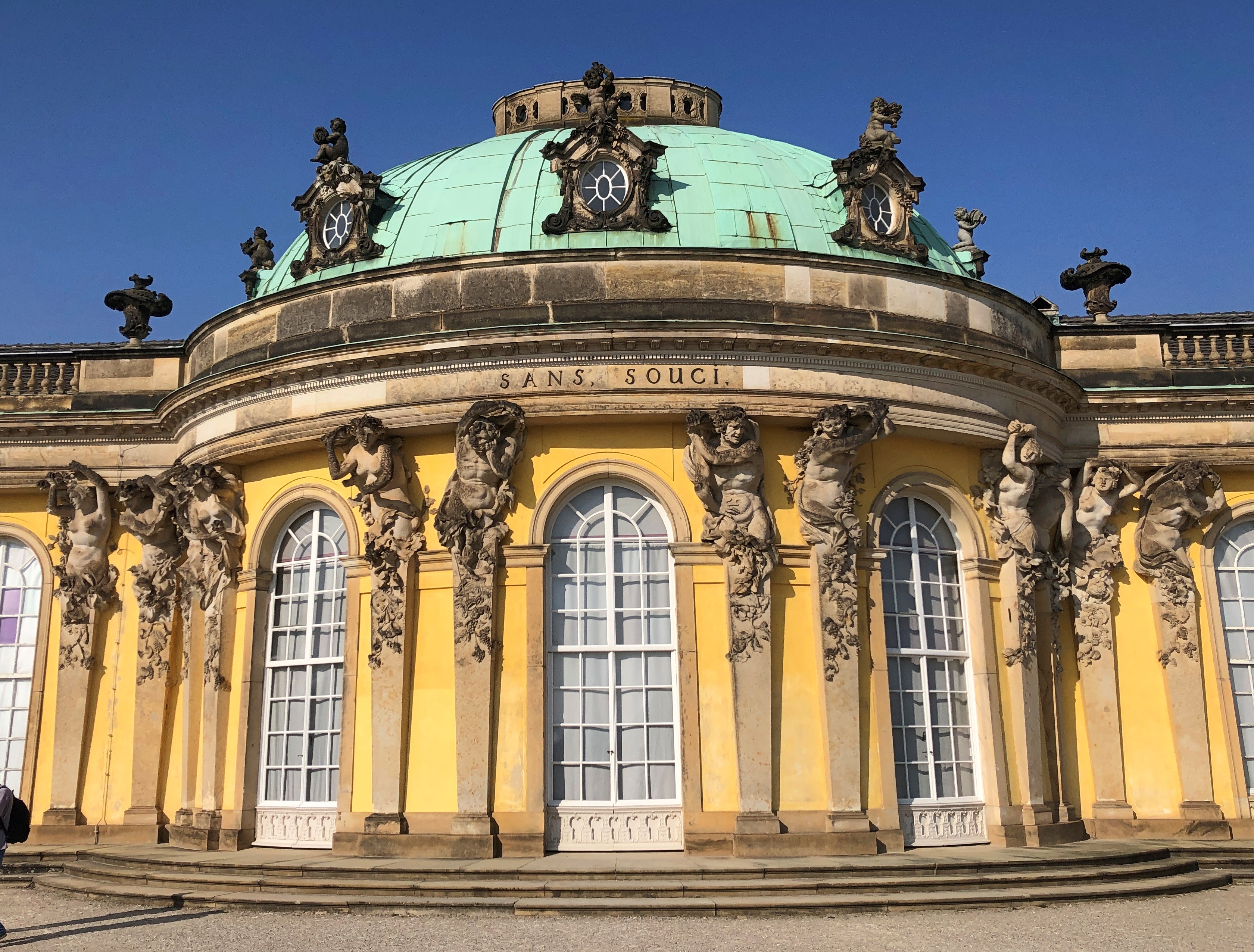
The styling is Sanssouci in most English-language sources, but spelled Sans, Souci. on the building.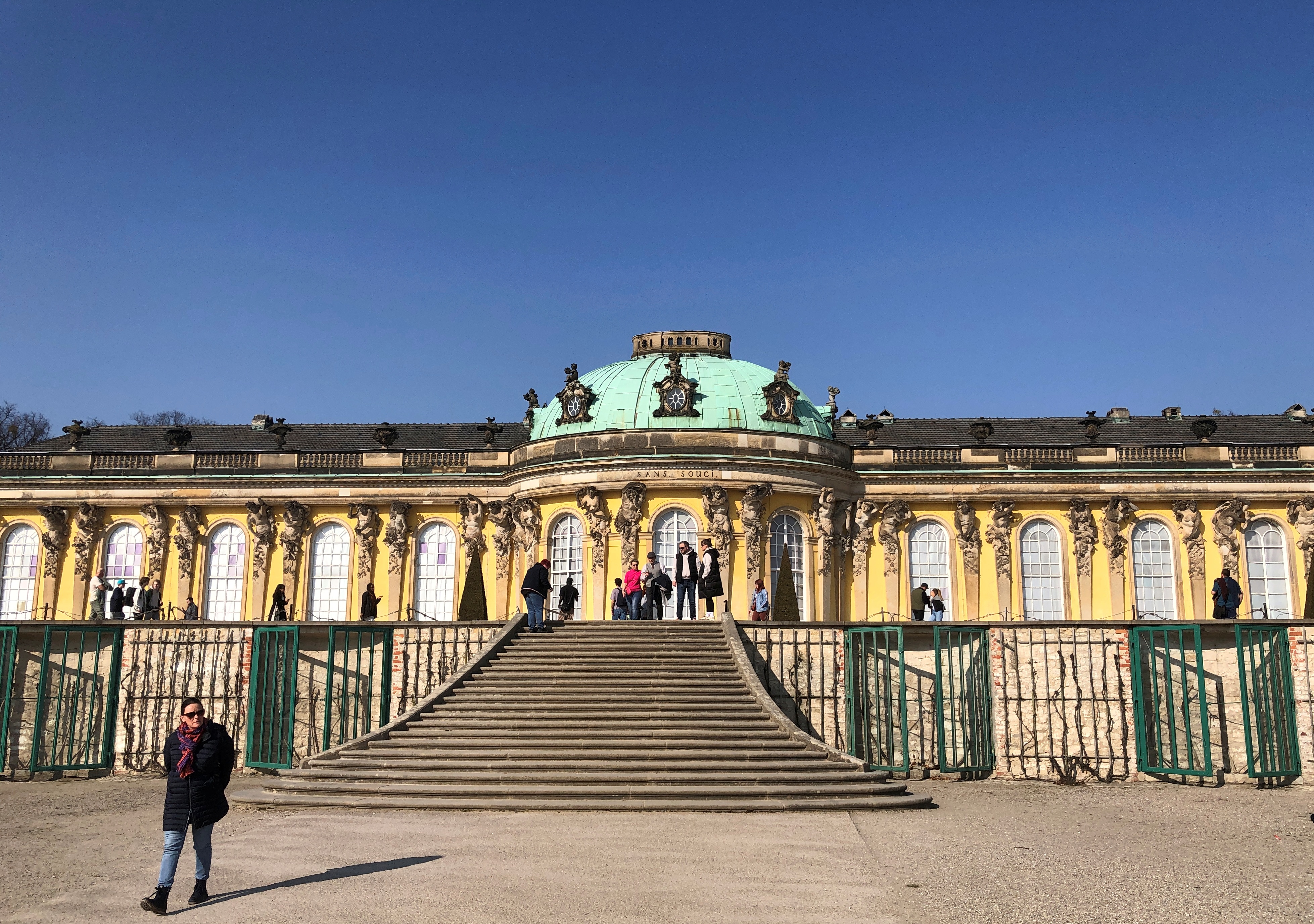
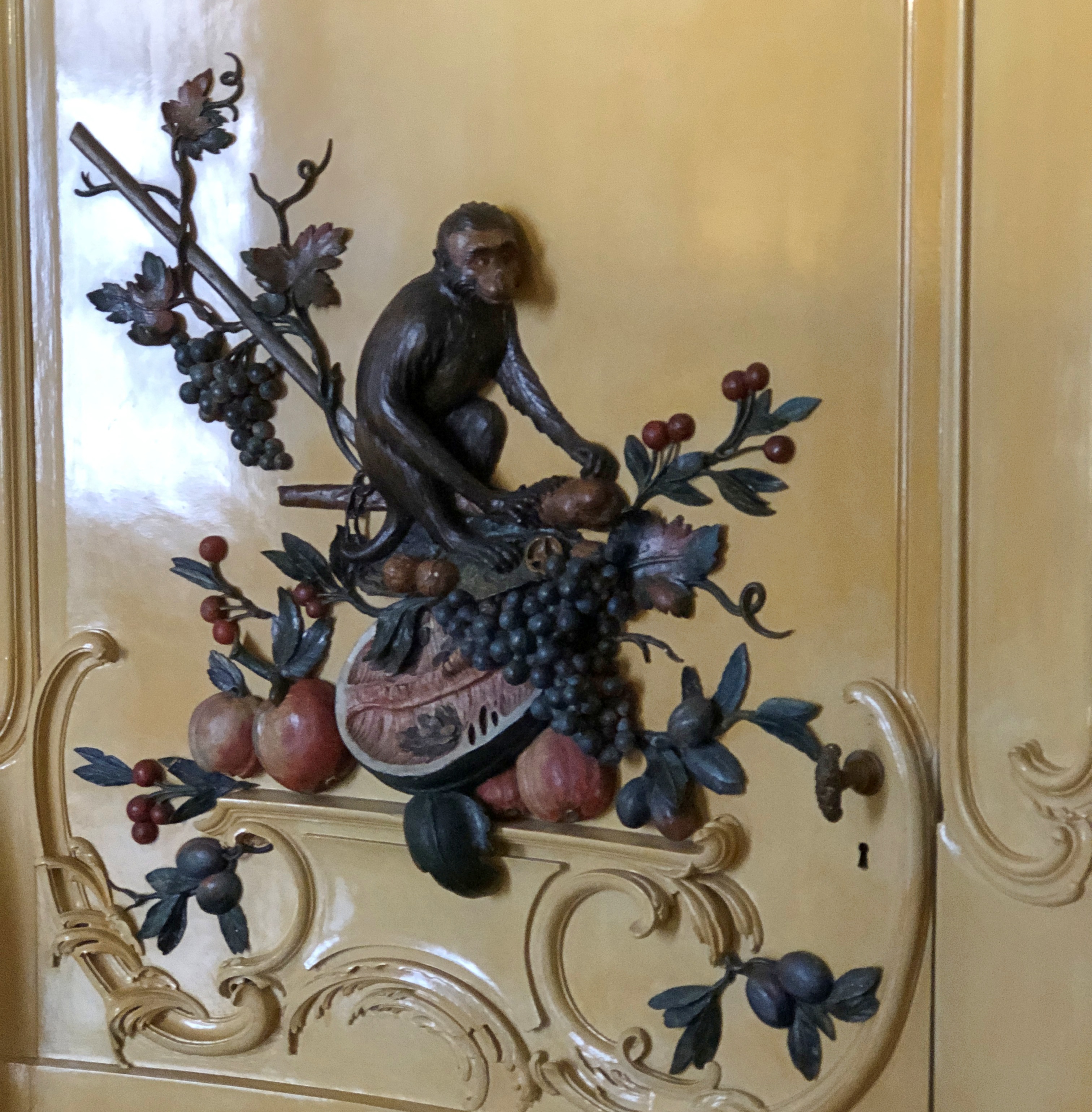
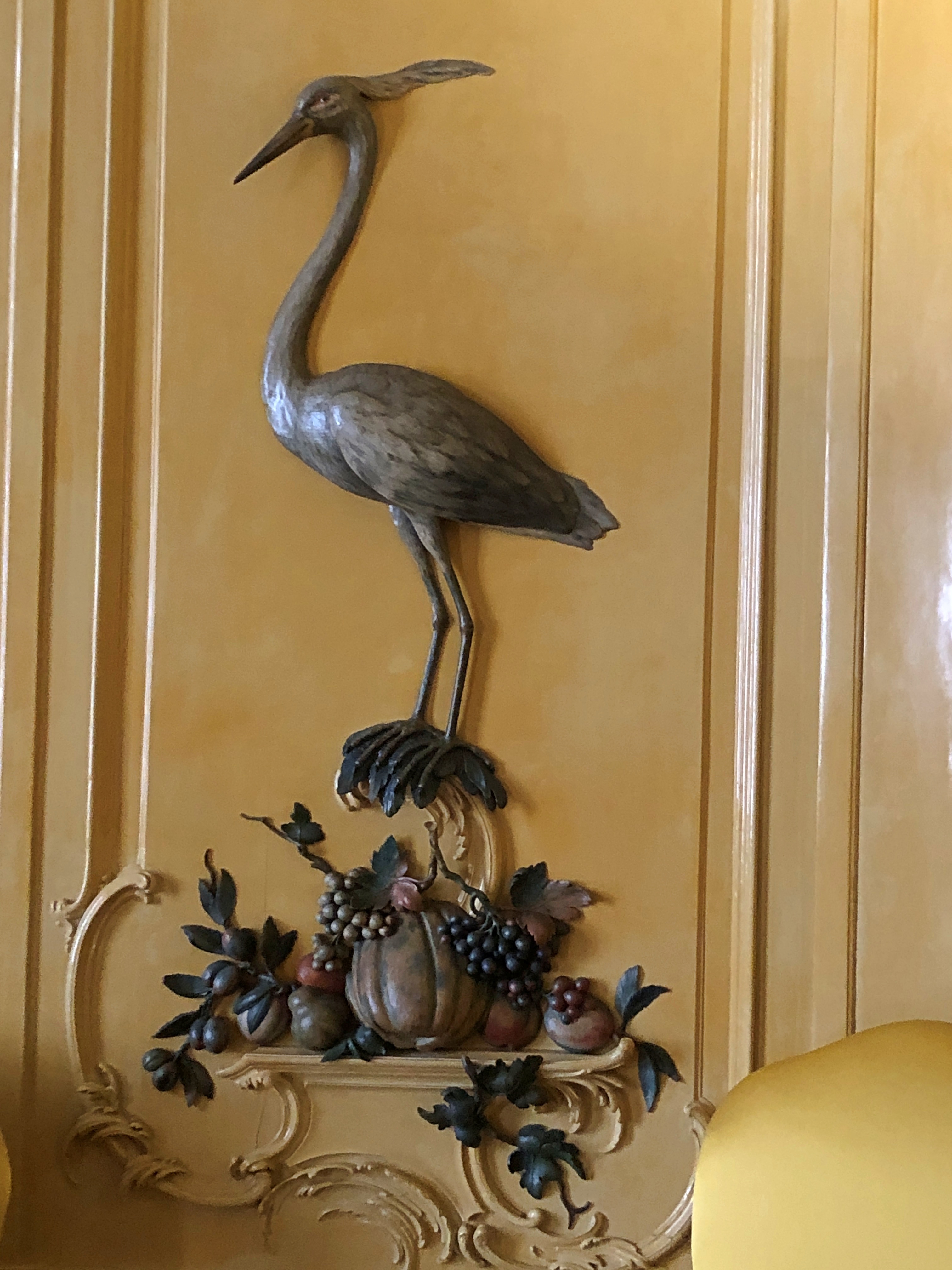
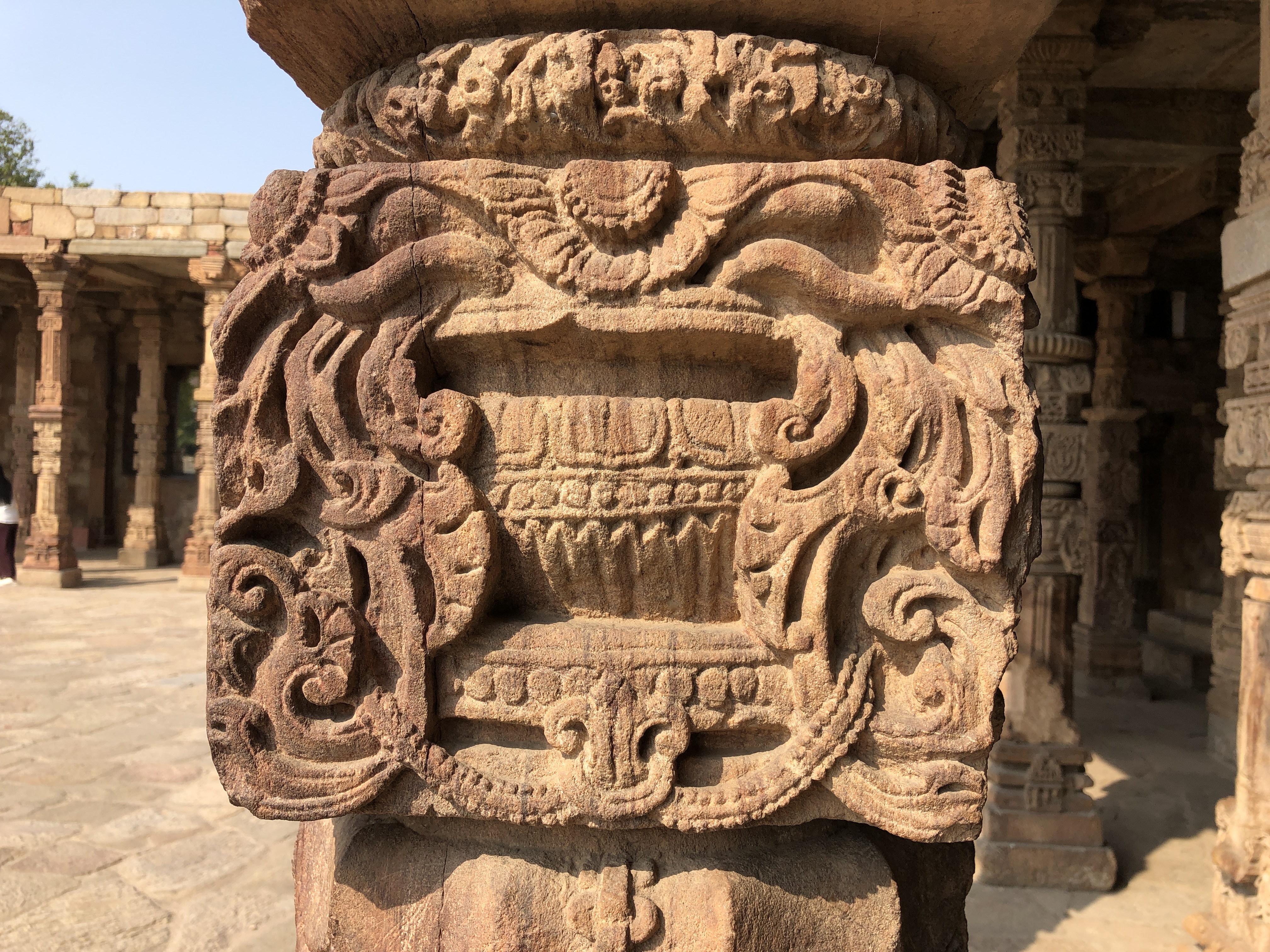
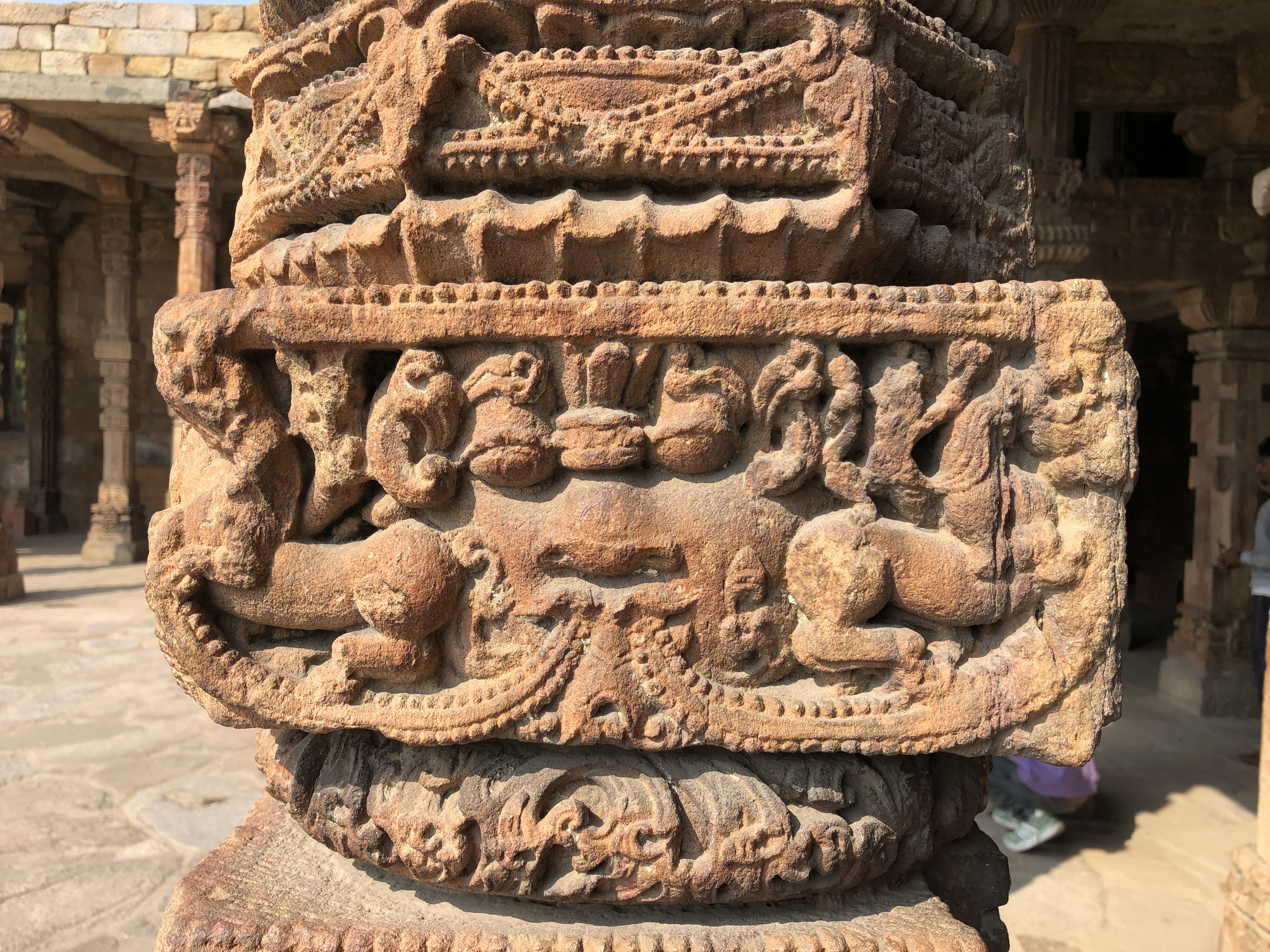
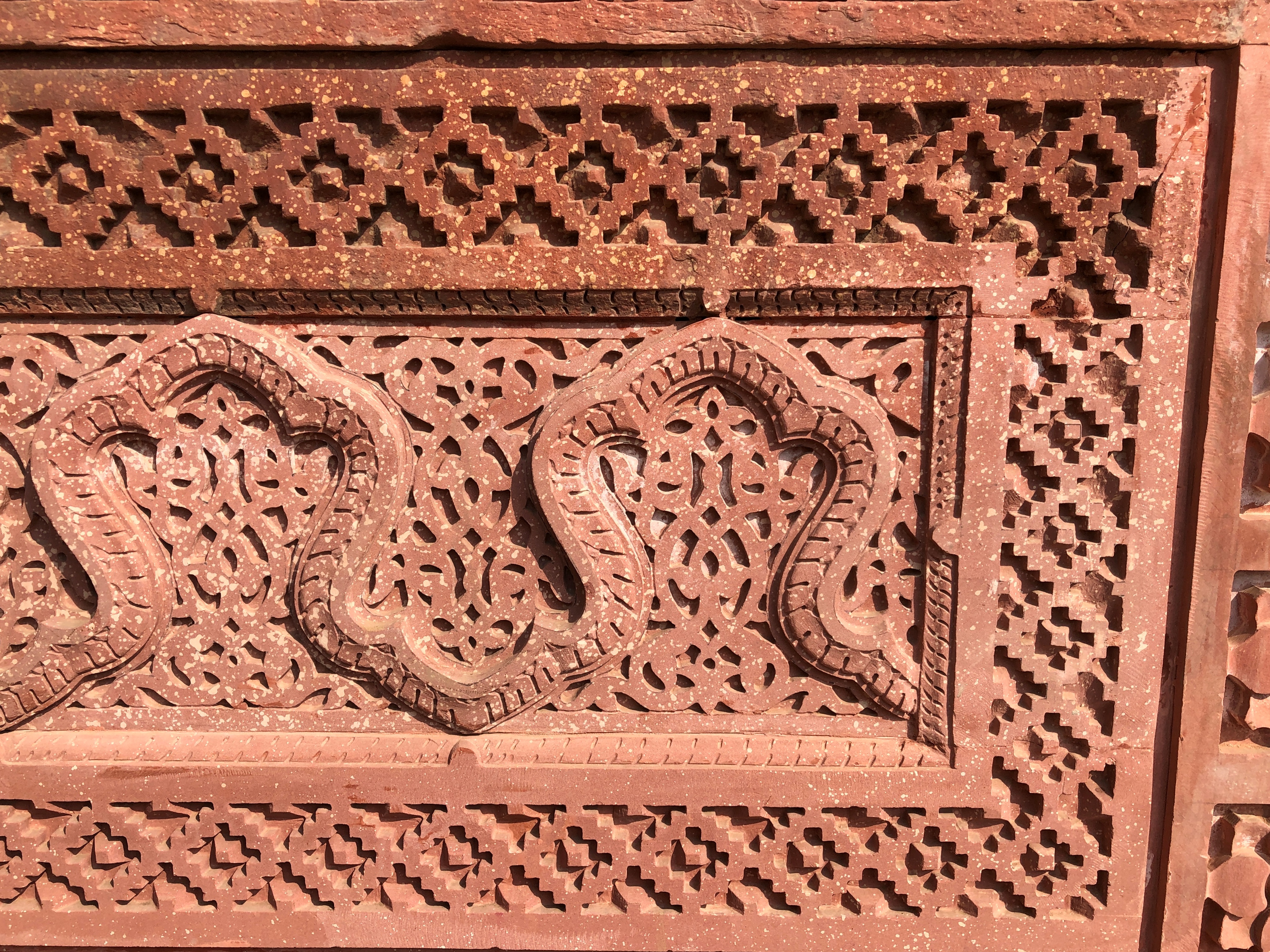
Seems like party-time in stone. Vineyards were important to the scheme of Sanssouci, so of course Bacchus-adjacent figures should be too.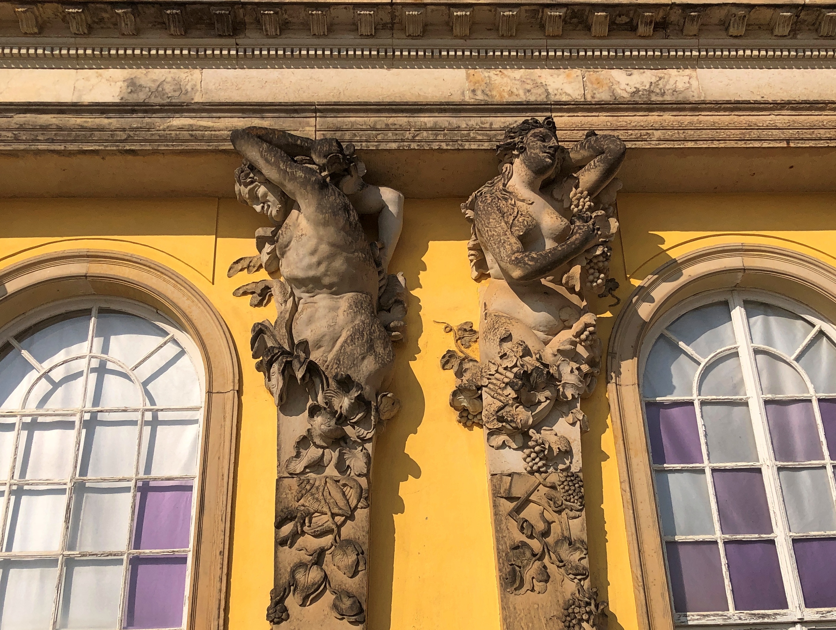
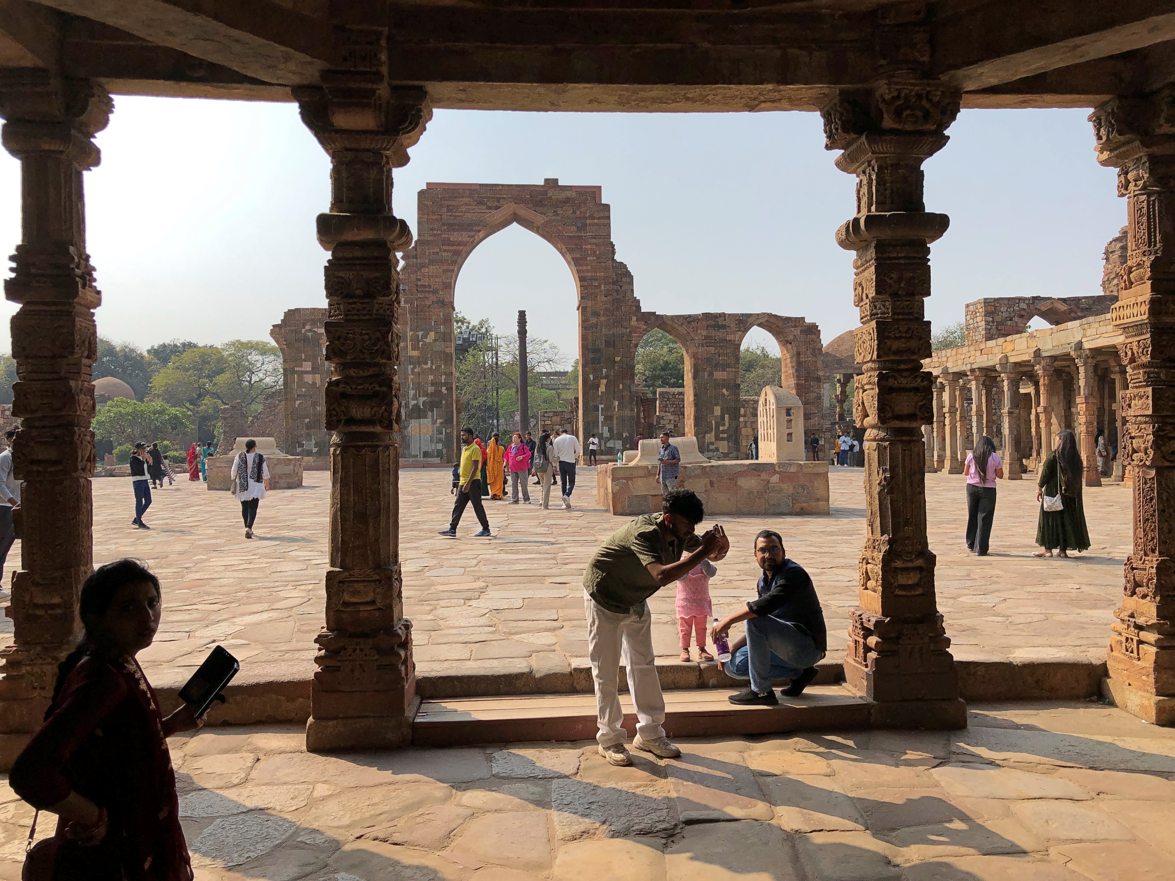
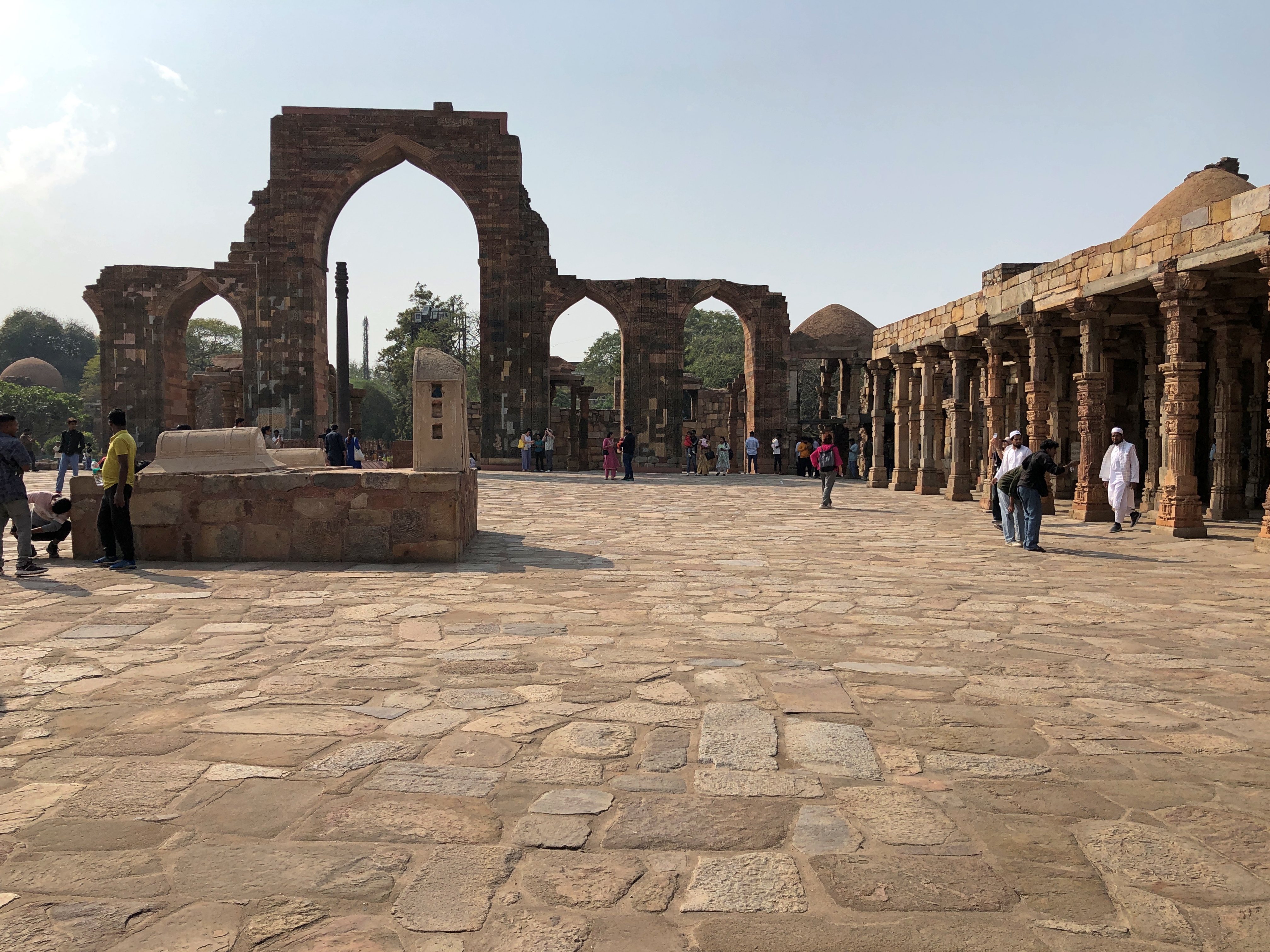
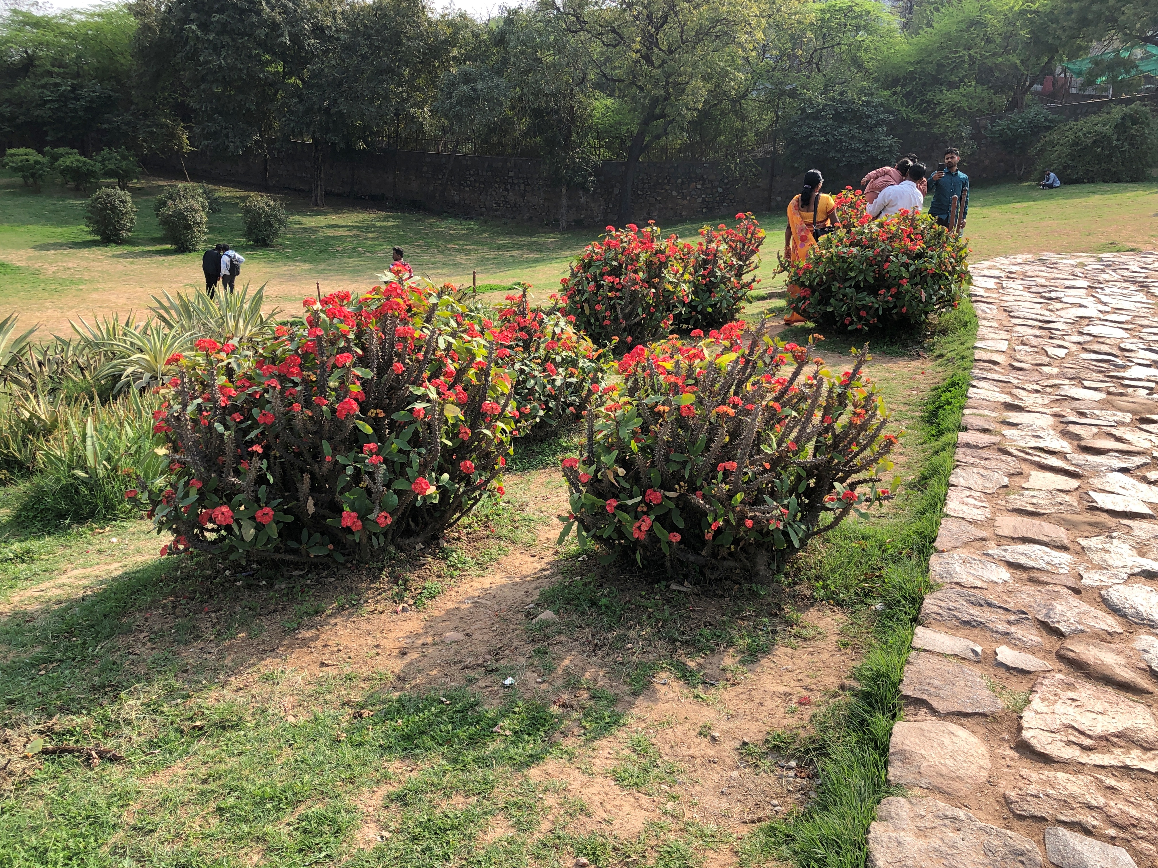
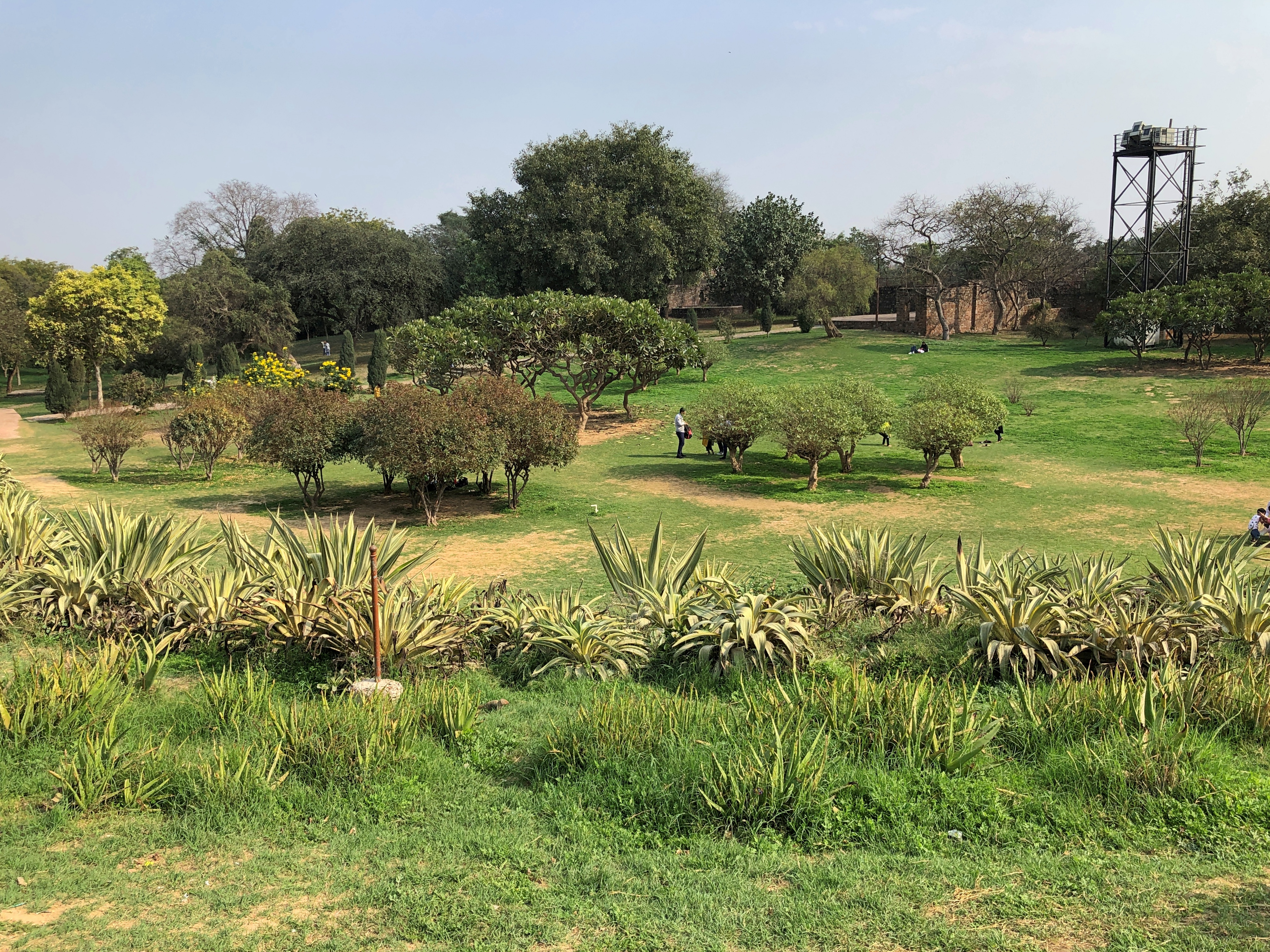
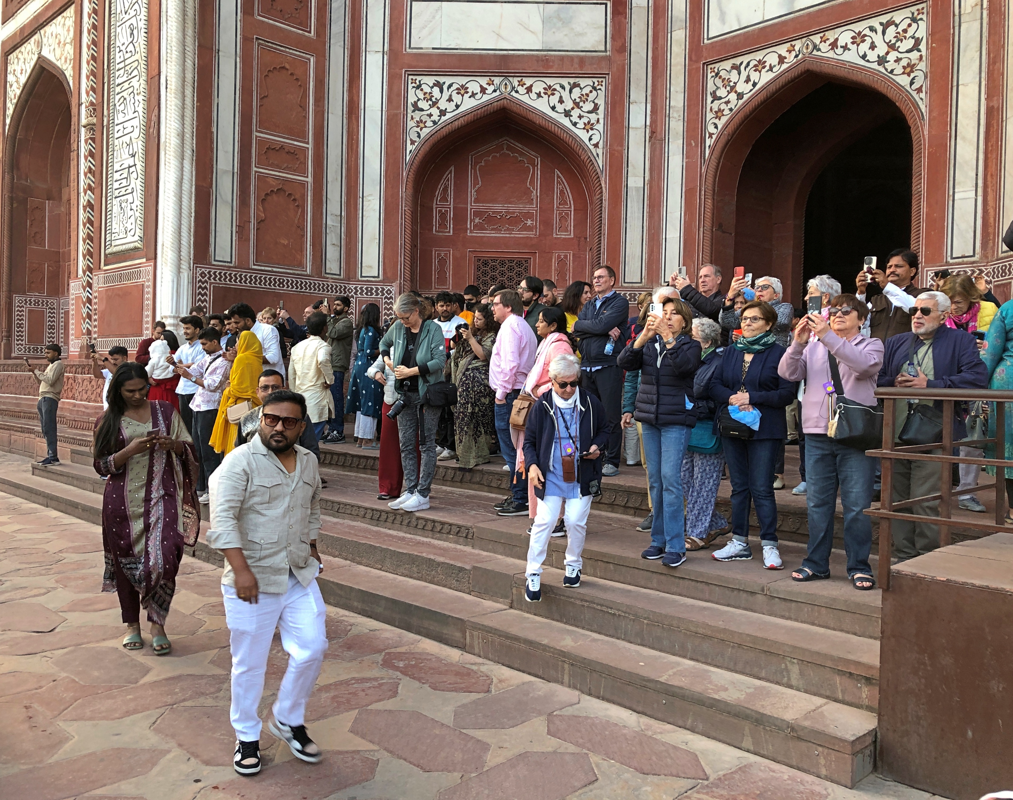
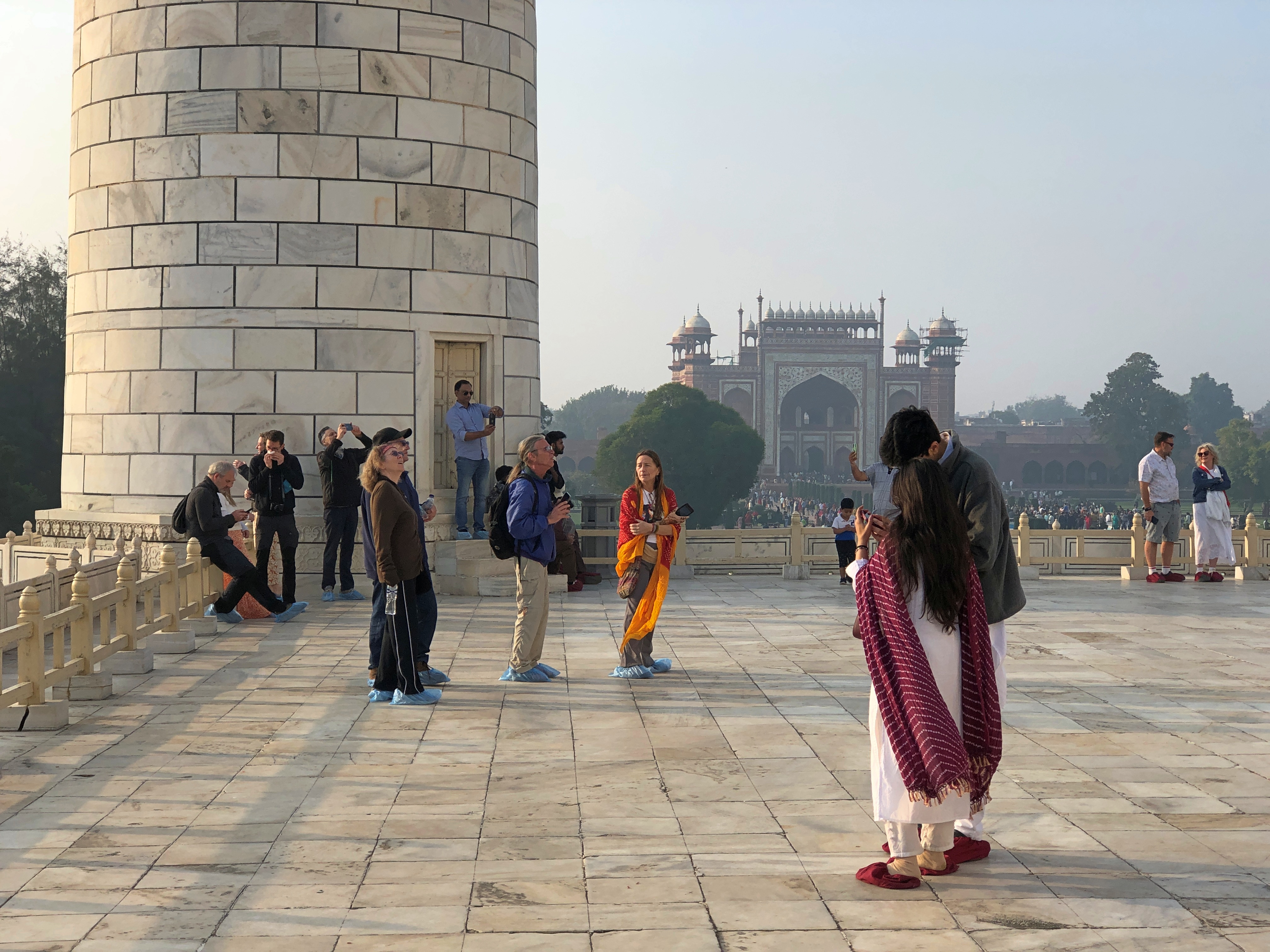
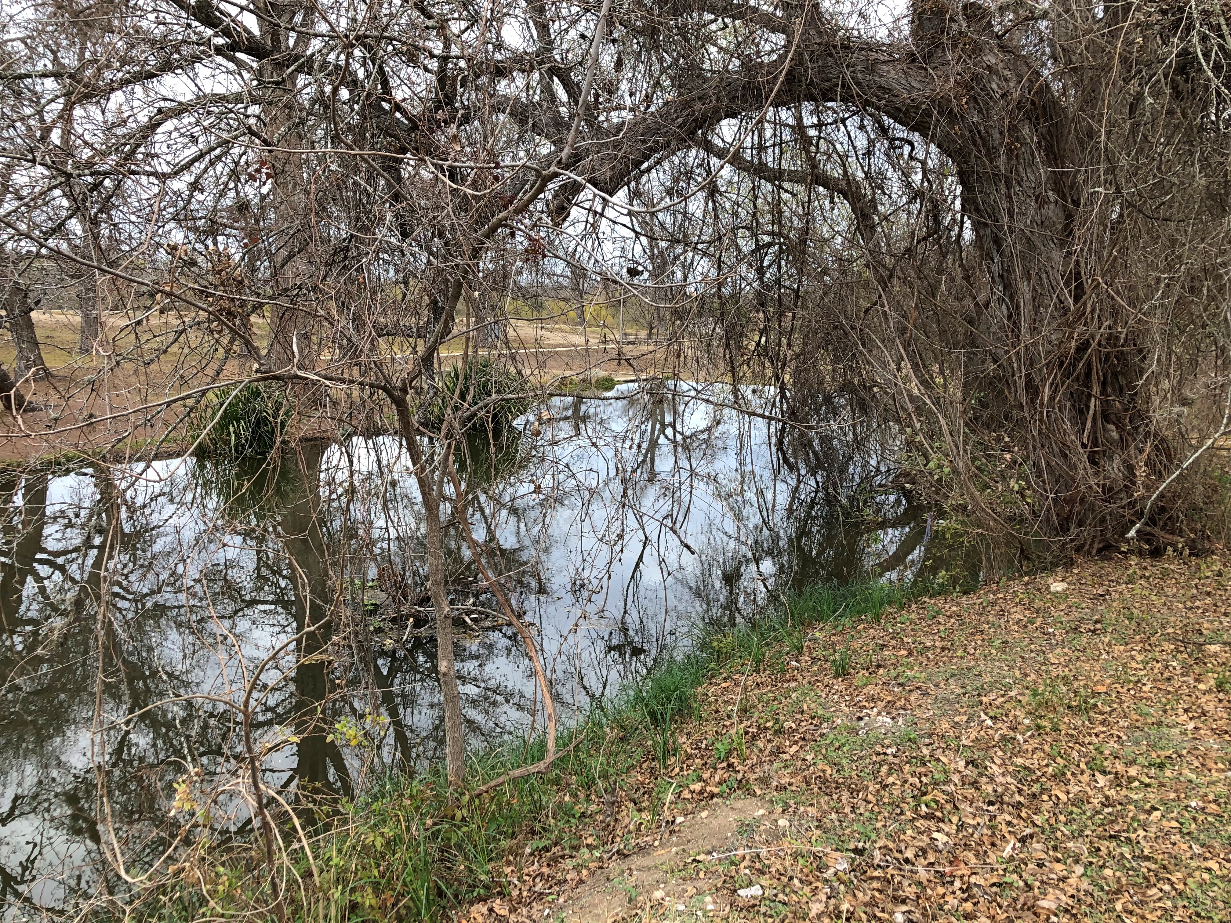
The view from the palace. This time of the year, there was no admission to the Sanssouci gardens, so it functioned as a city park. A mild Sunday in March had brought people out to the park. 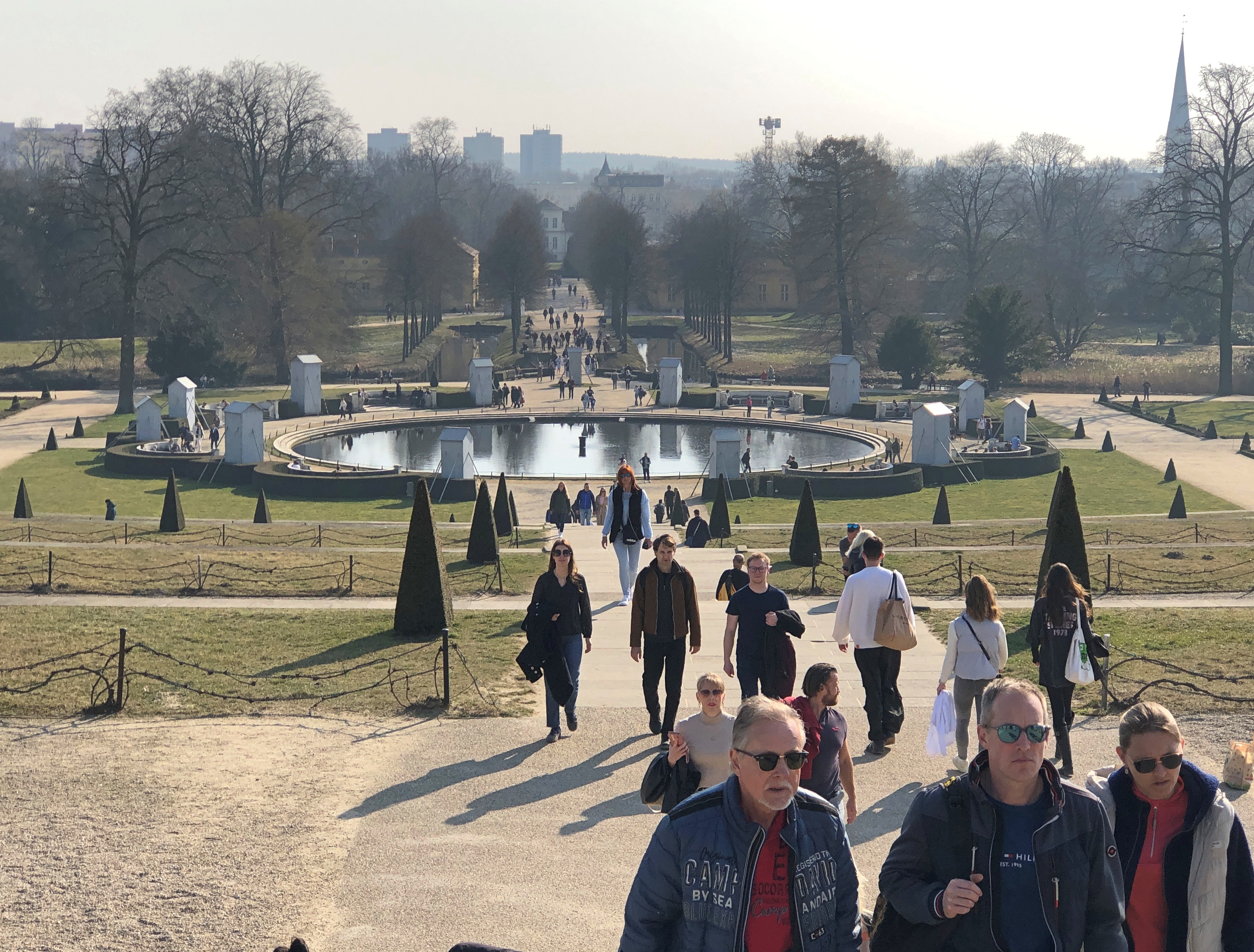
A benefit of low-season tourism: practically no waiting to get into the palace. I say low season, but in a lot of places in Berlin, and Prague too, we noticed that school groups, or individual students, were out and about in force. A form of spring break?
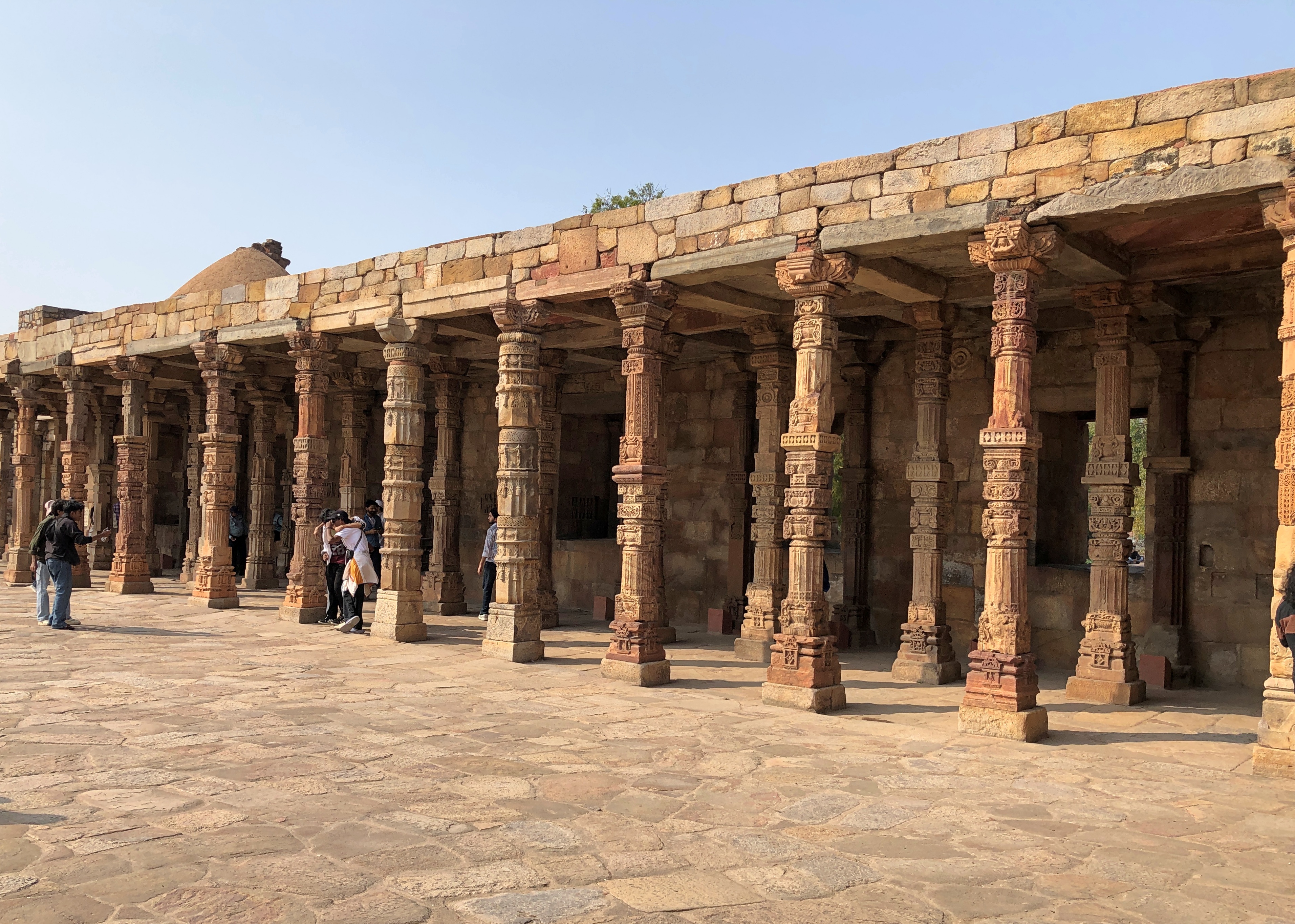
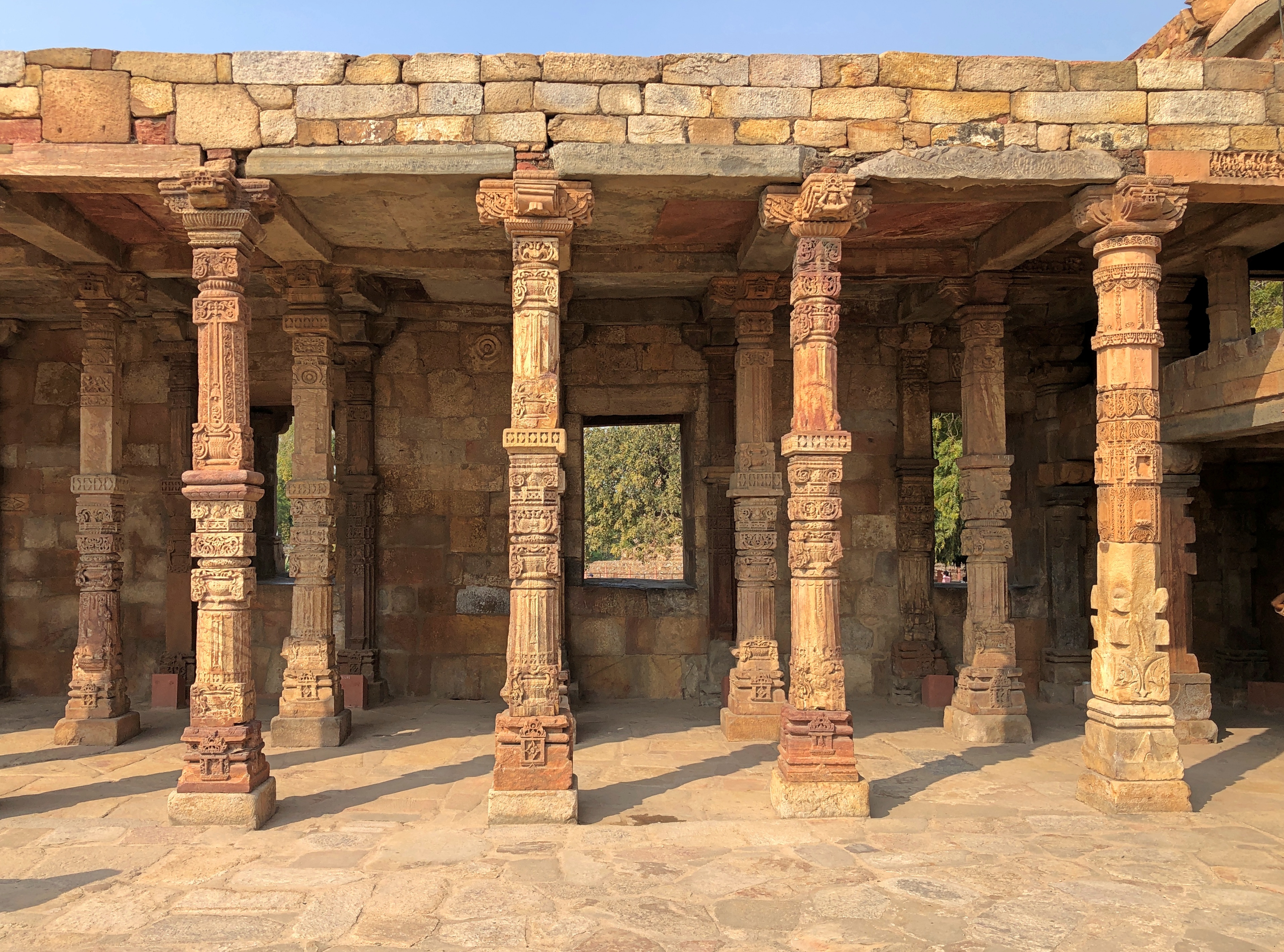
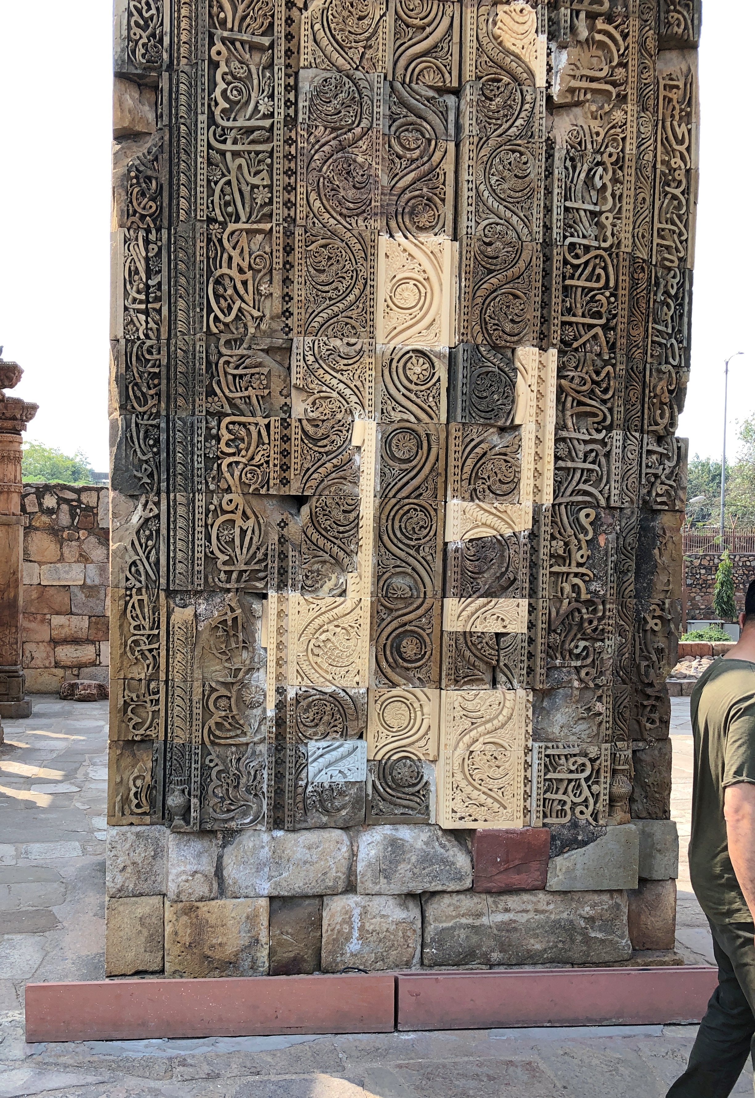
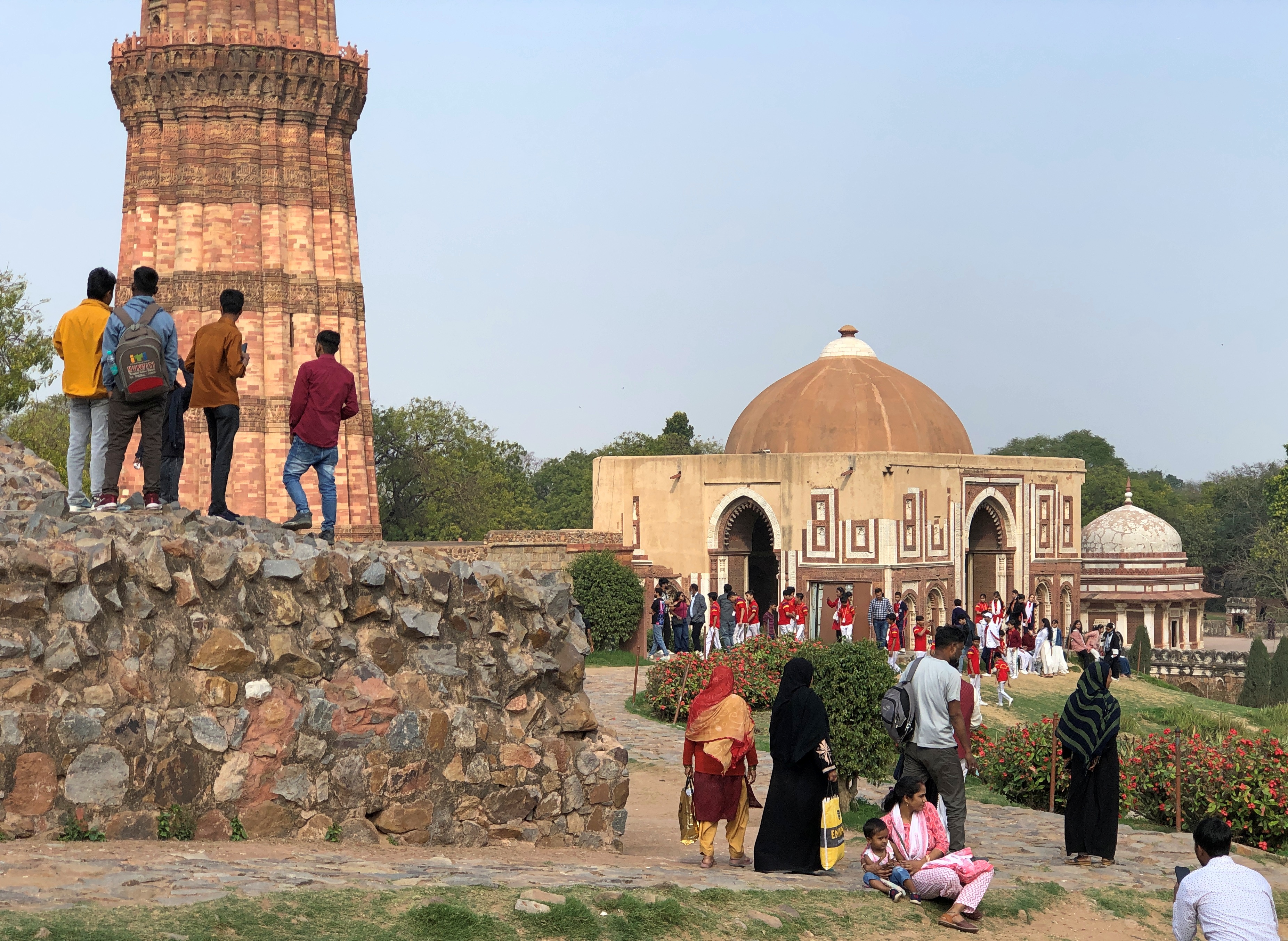
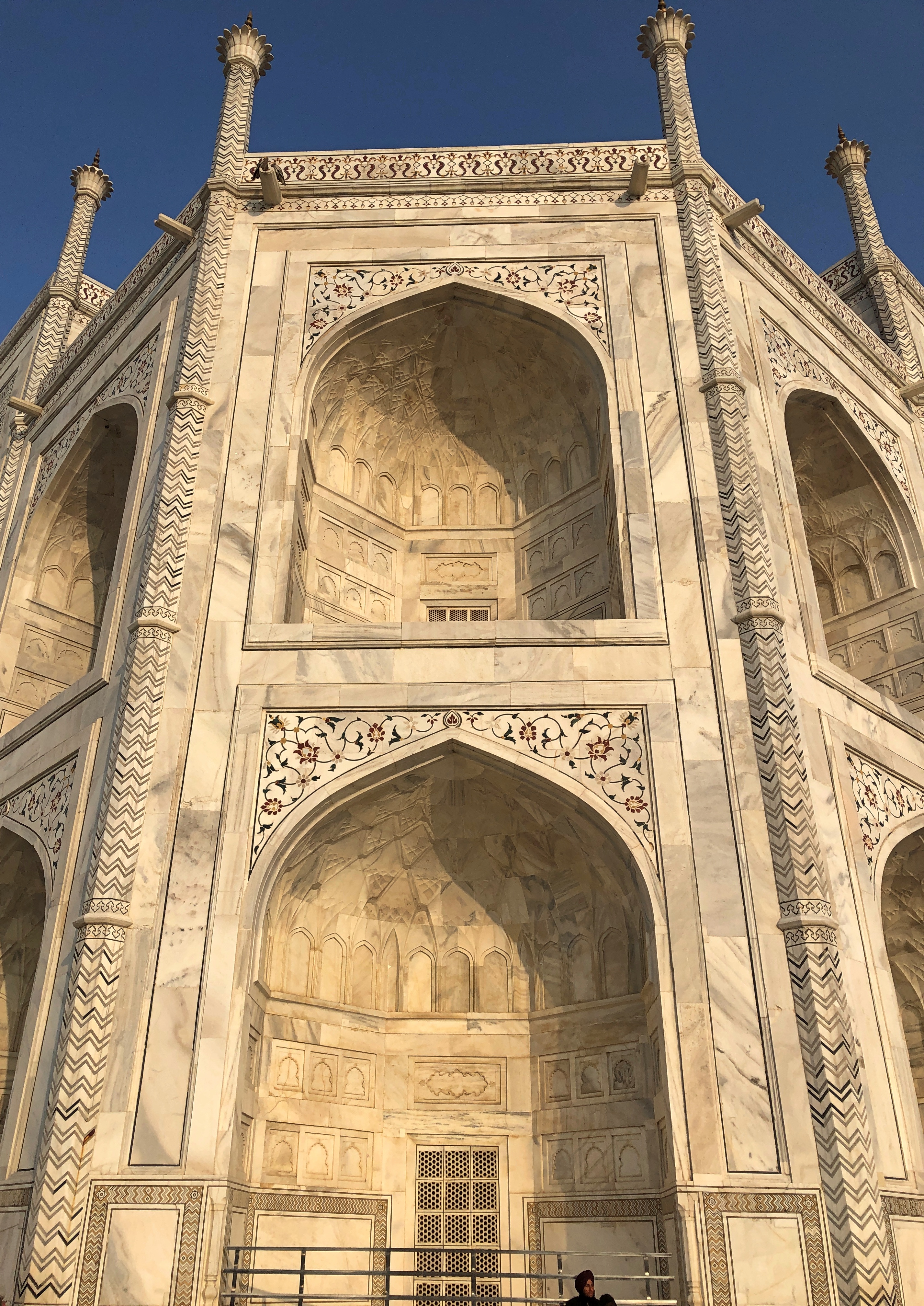
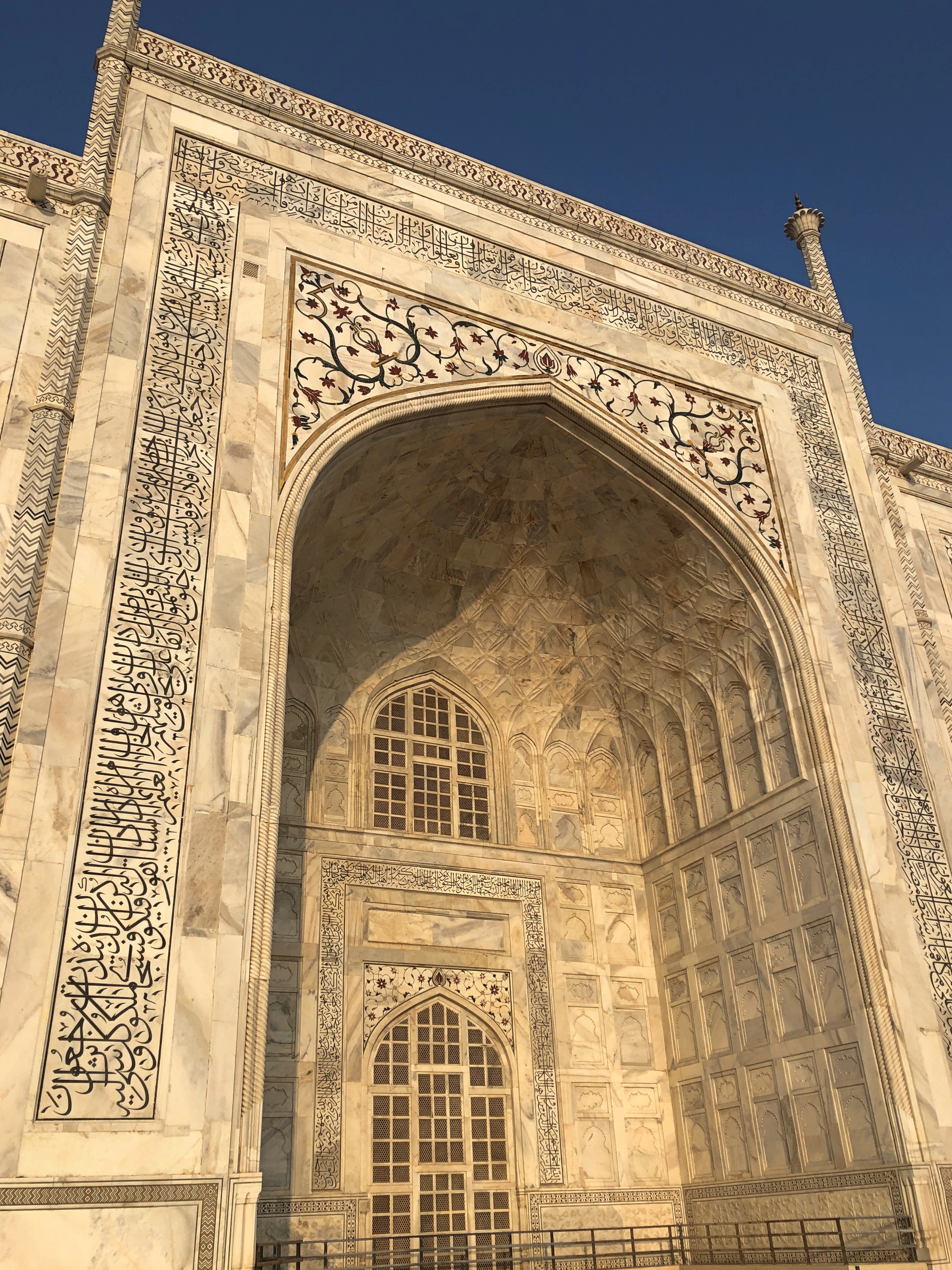
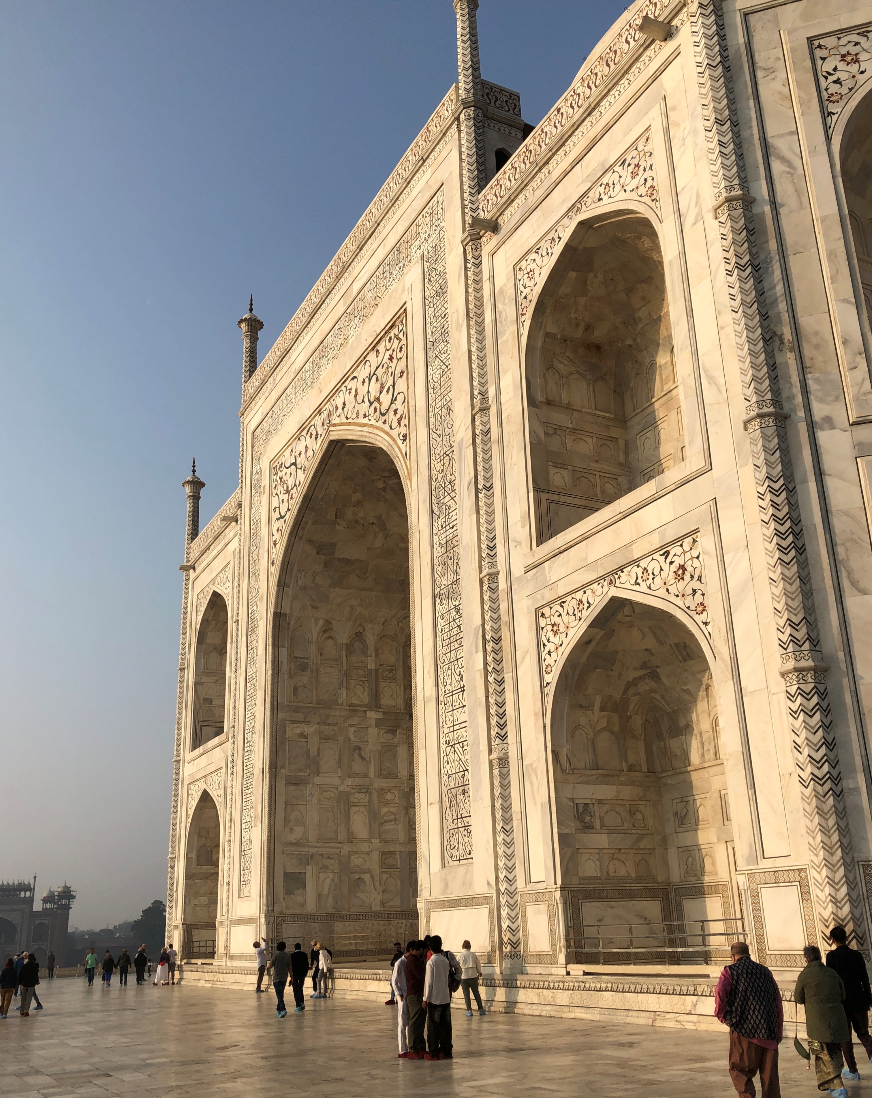
Images without reference to room.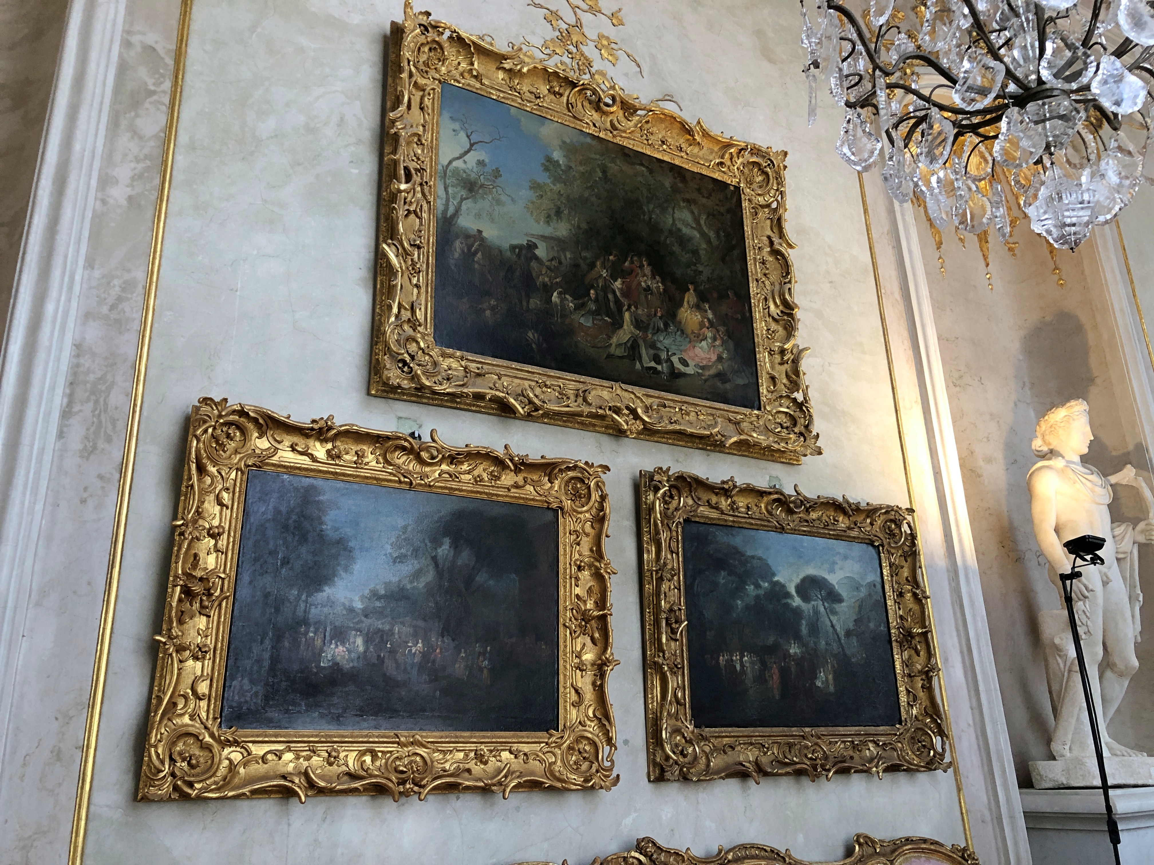
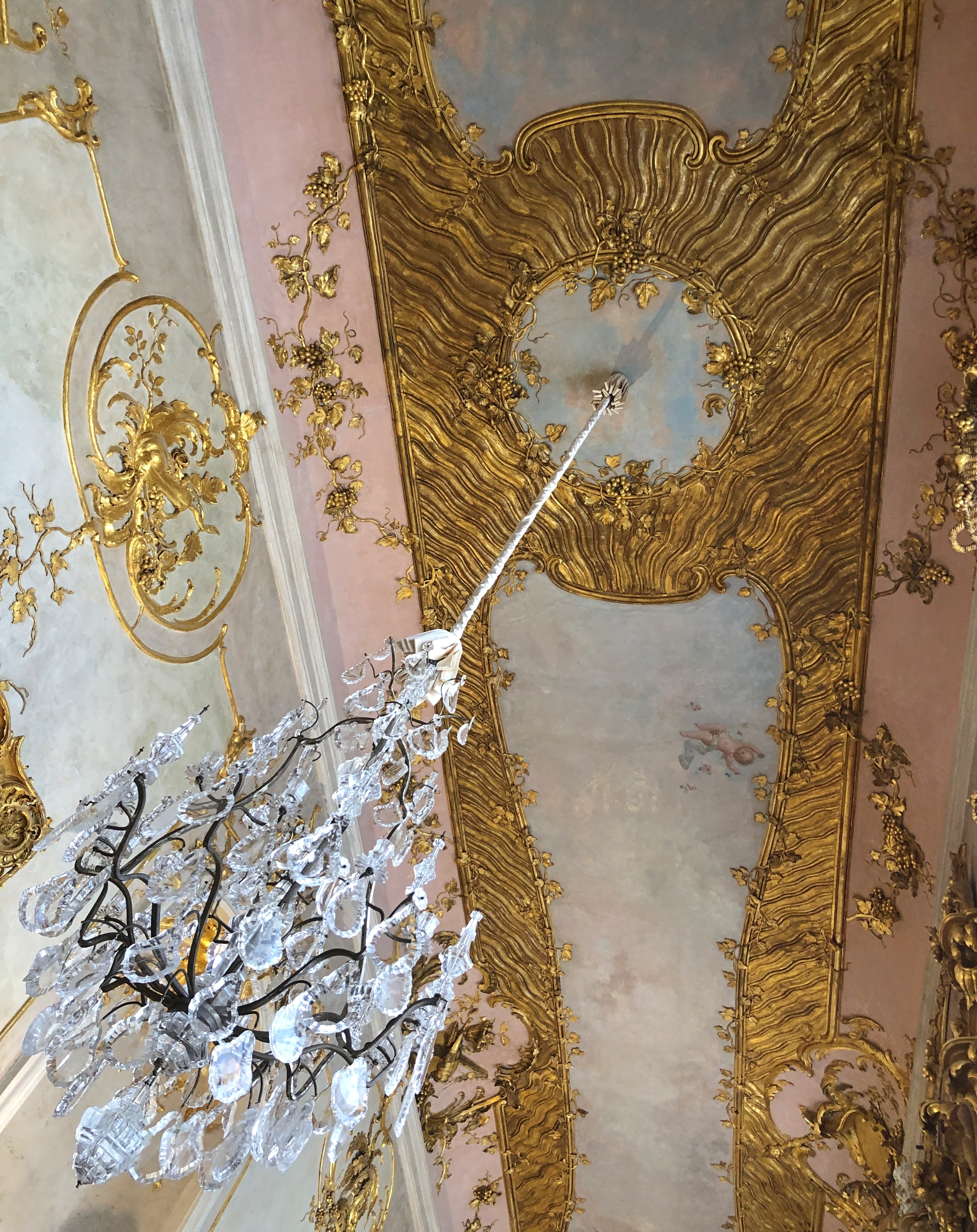
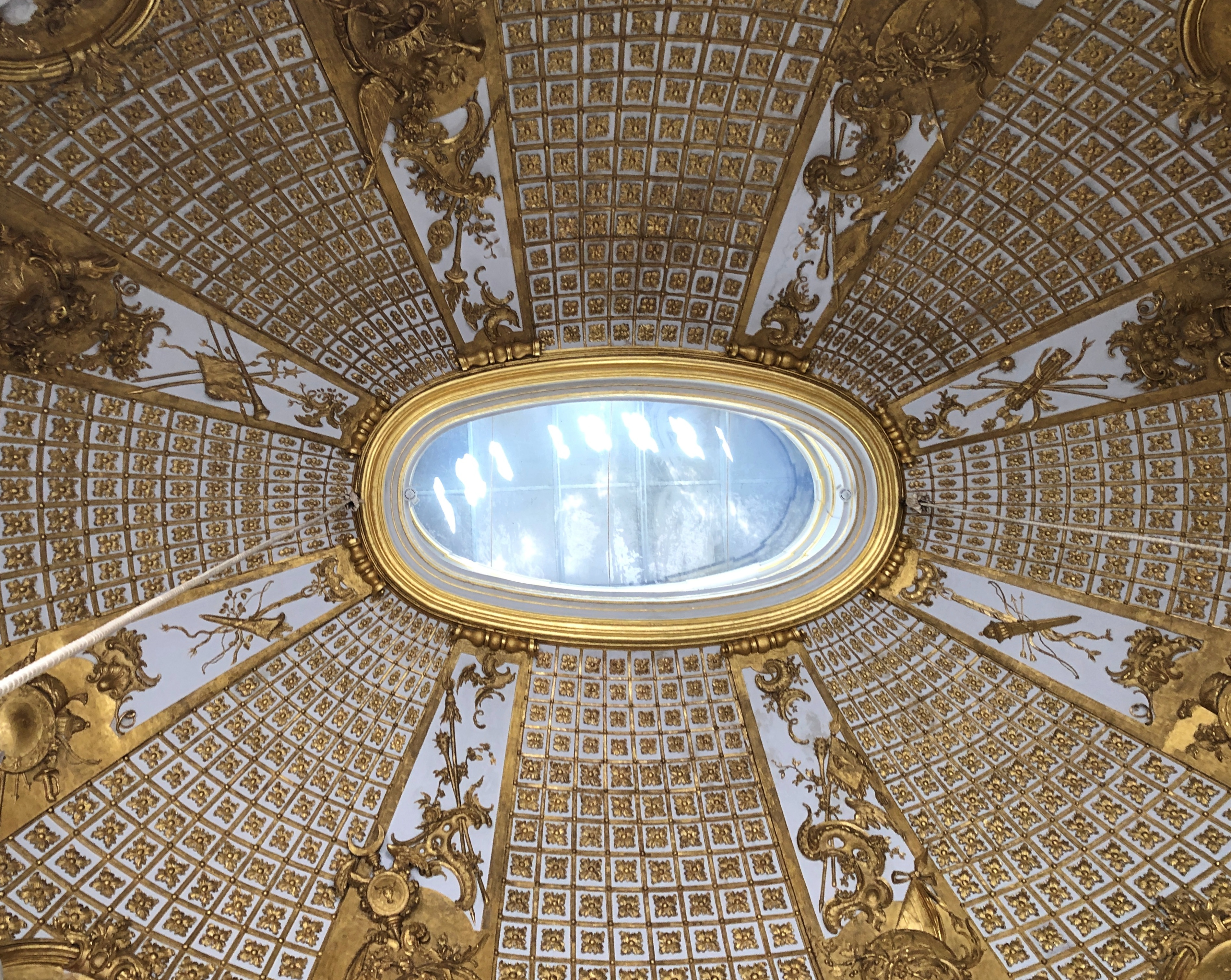
One thing to like about the Rococo effervescence at Sanssouci is that there isn’t too much of it. As 18th-century European palaces go, it’s modest. Frederick wanted a place to entertain himself and others, not wow visiting muck-a-mucks. Only a dozen or so rooms. You don’t come away feeling overloaded.
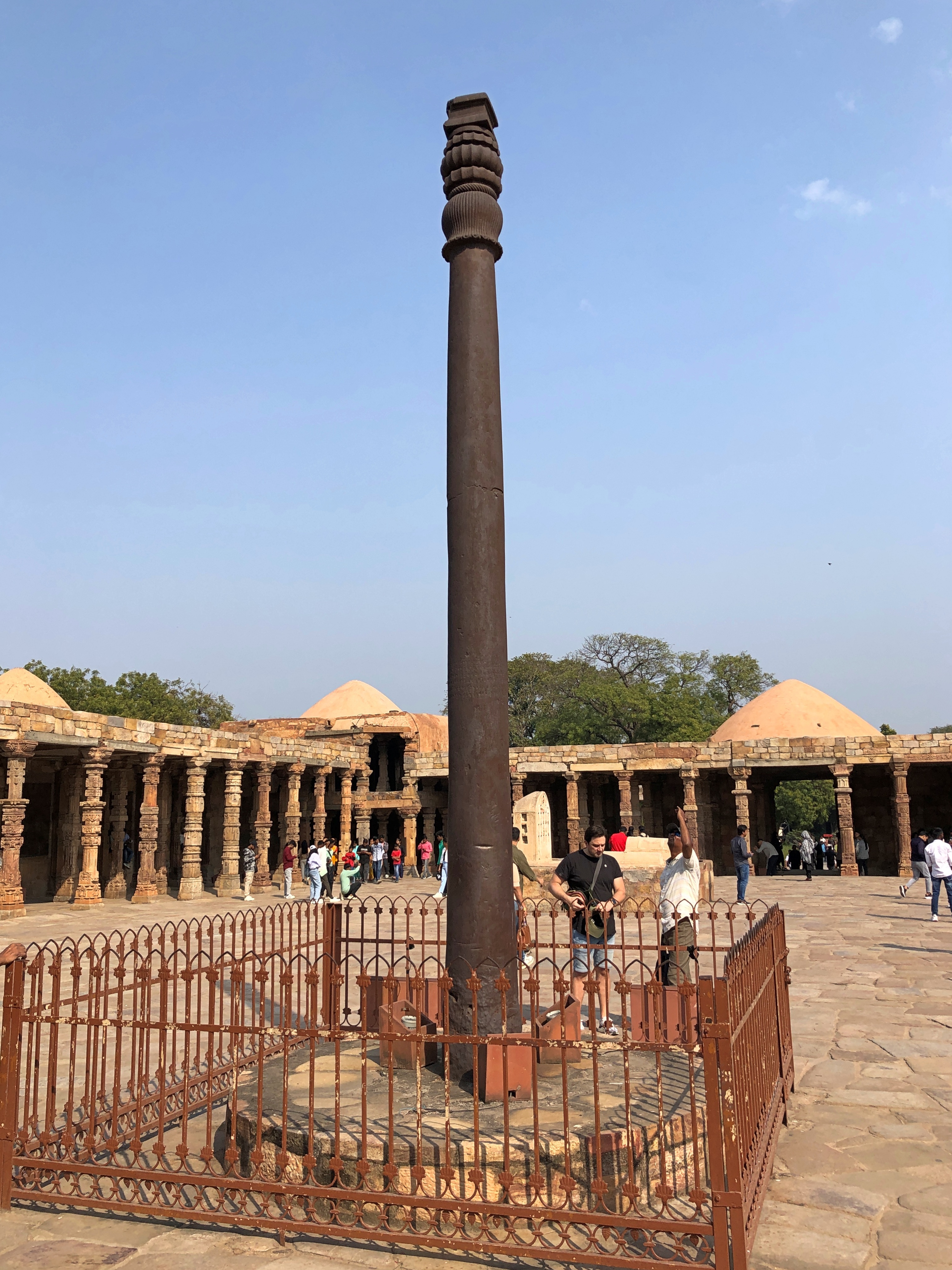
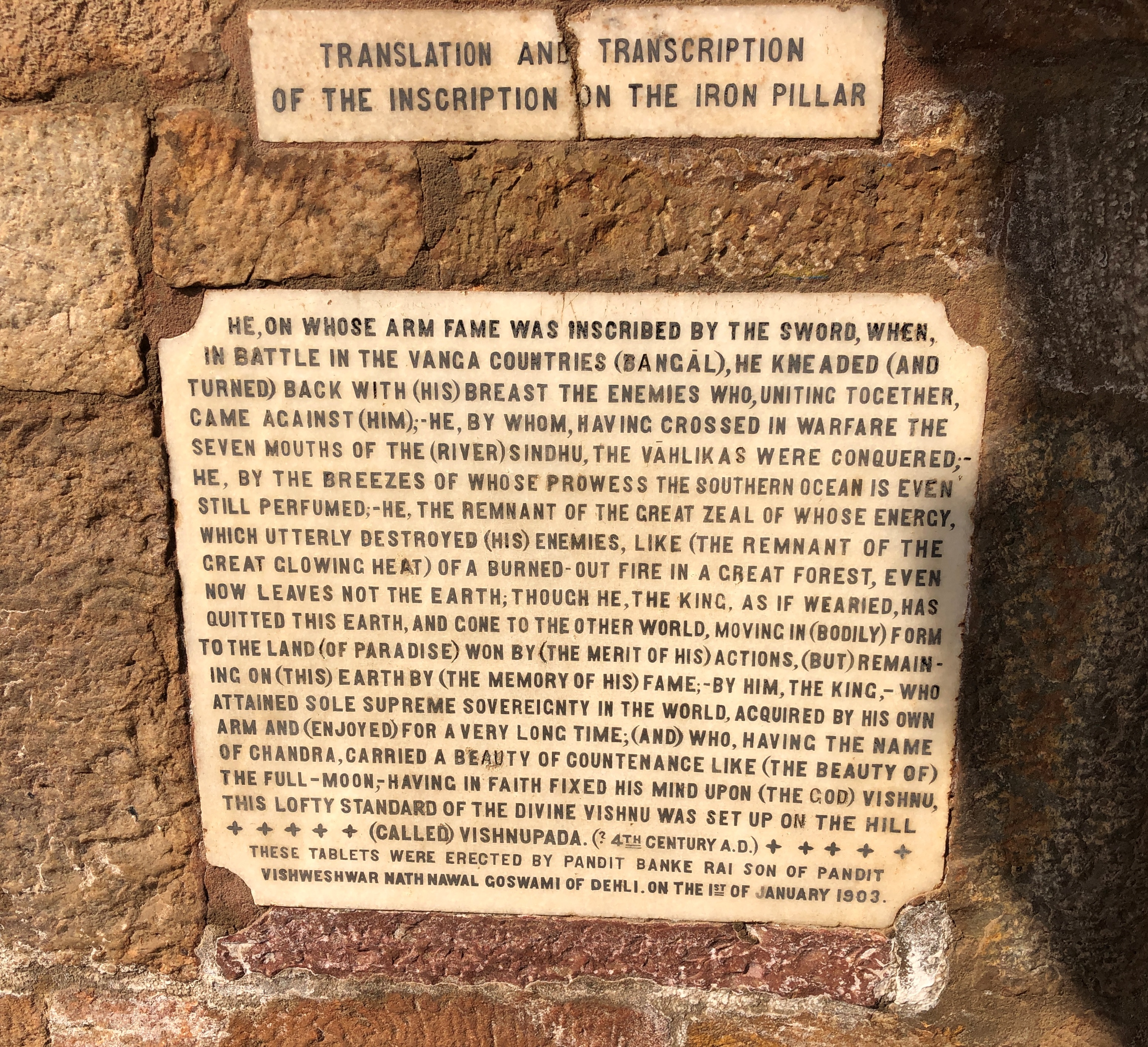
What is this about?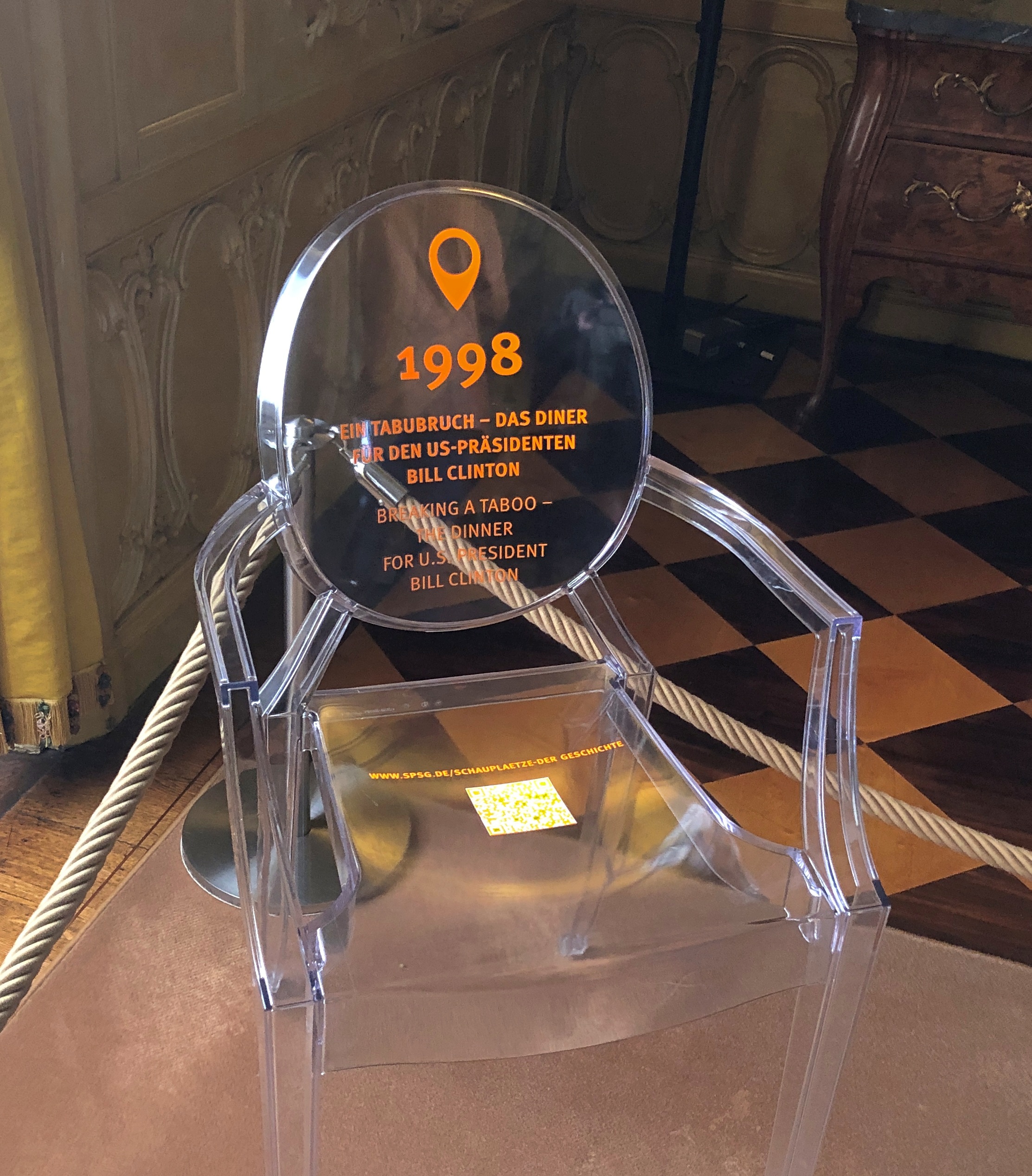
I quote this at some length because this material, from the organization that oversees the palace, is funny. And a little quaint.
On May 13, 1998, at Sanssouci Palace a taboo in historical preservation was broken. After more than a hundred years, the Marble Hall of Frederick the Great’s summer residence once again became the scene of a festive dinner...
This time it was the Chancellor Helmut Kohl, who had prevailed against all of the preservation apprehensions. It had been his express wish to honor Bill Clinton, the president of the United States of America, with a luncheon at Sanssouci during his second state visit to Germany…
The suggestion to hold the dinner in the Ovid Gallery in the neighboring New Chambers of Sanssouci, which otherwise served as the festive setting when receiving state visitors, was turned down by the American chief of protocol.
The sensual scenes from the Metamorphoses by the Roman poet Ovid, set into the gallery walls in the form of gilded stucco reliefs, were considered by the protocol chief as being too permissive. There was a fear that the press would make a connection to the Lewinsky affair, which had been a constant theme for the media since the beginning of 1998.
Scenes from the room supposedly decorated for Voltaire, who visited the palace till he had a falling out with the king.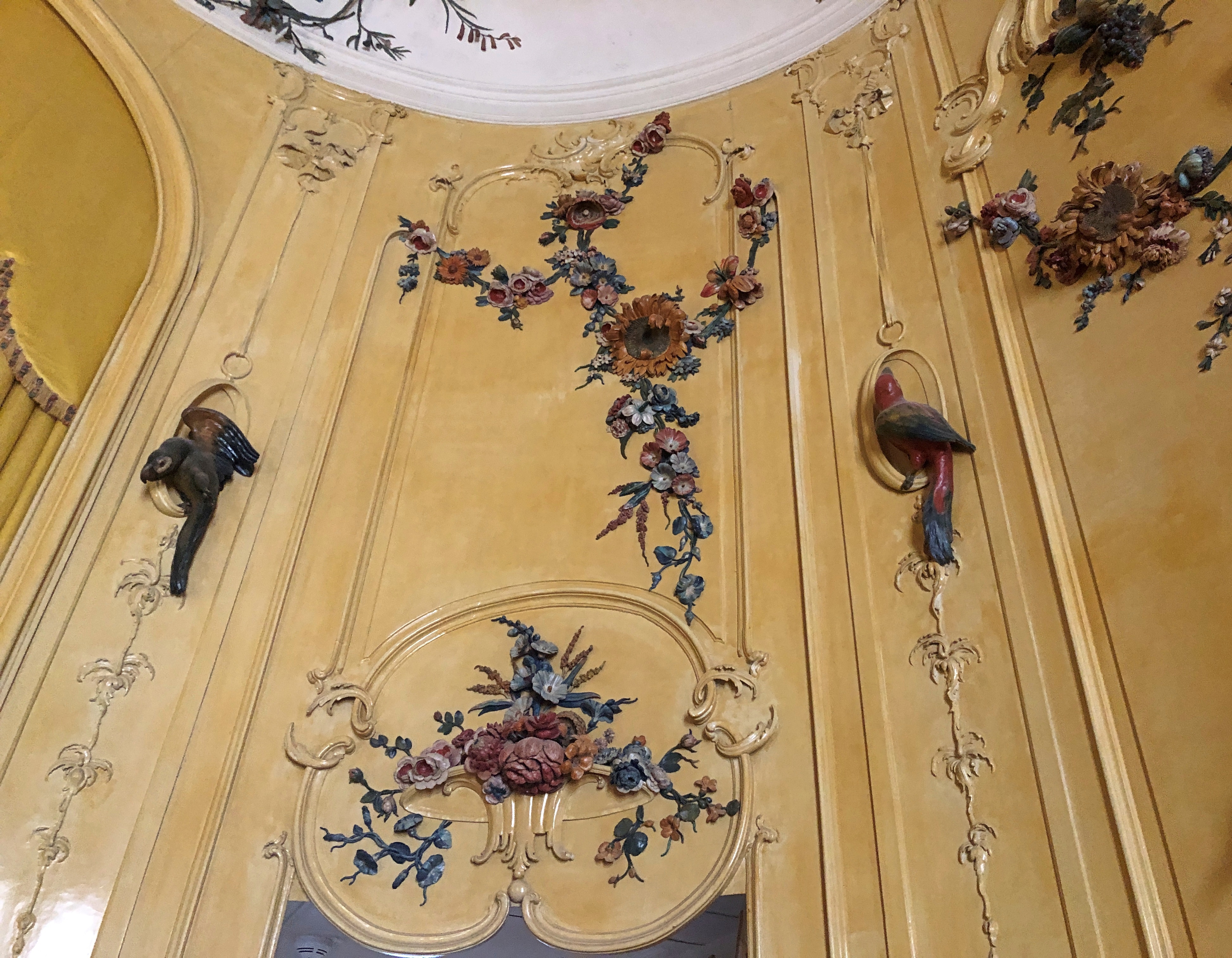
When we were done, we went back to the bus stop where we got off, operating under the assumption that Sanssouci was as far as the bus went, and it would take us directly back to the train station. This was wrong. Soon we were riding along, further into less developed areas, and I remember thinking – or did I say it out loud? — I don’t remember any of this.
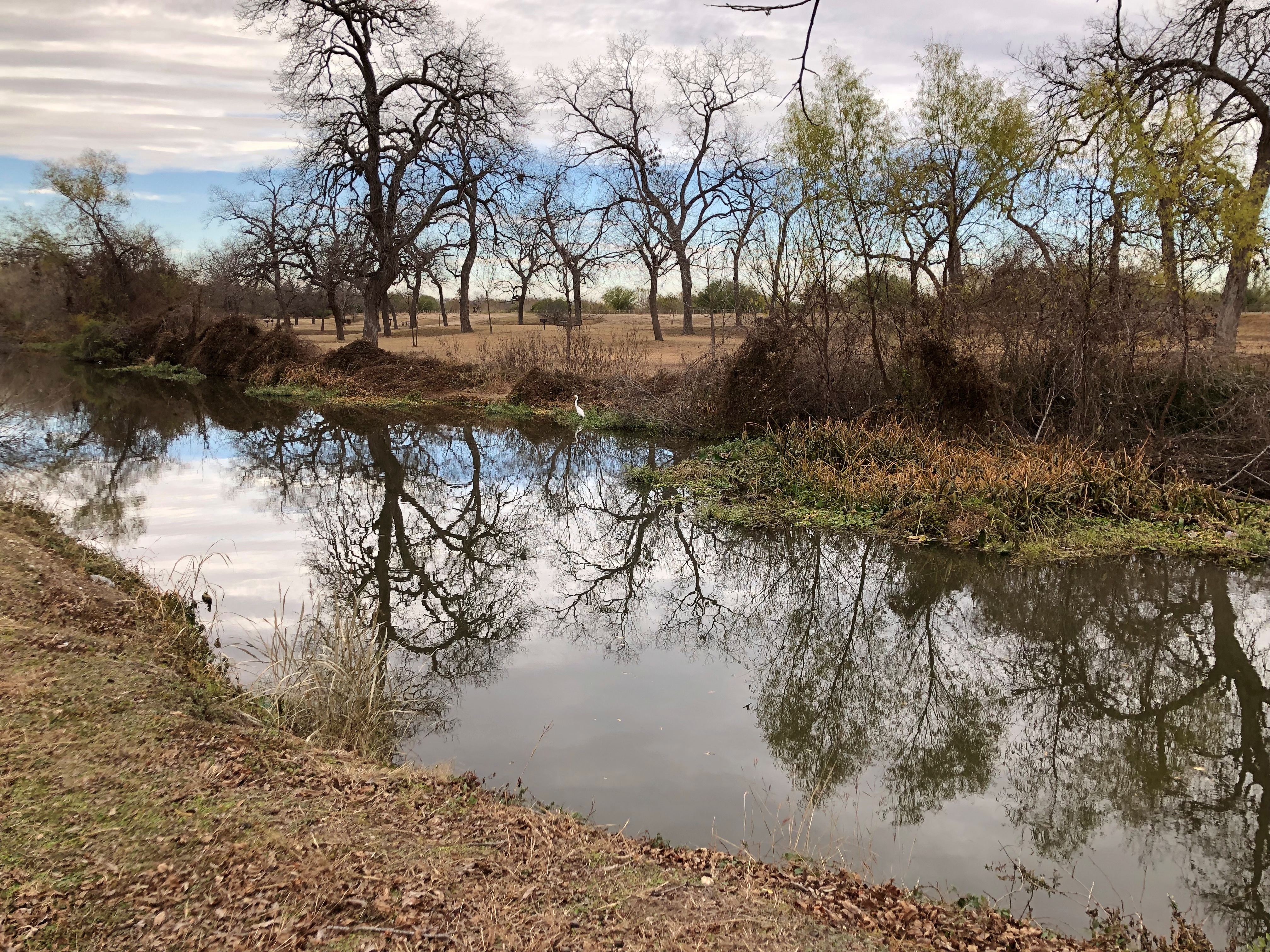
We passed by a sign for the Max Planck Institute in front of some buildings in the mid-distance. Really? That’s here? Suburban Berlin was certainly plausible, but later I found out that Max Planck Society is headquartered in Munich, and has a lot of branches. That includes one in Golm, an outlying neighborhood of Potsdam, with narrow and lightly traveled streets through smallish but pleasant single-family houses with yards. Elsewhere in Golm are fields that are probably agricultural, or at least pastureland.
I hear Max Planck Institute and I suspect one or more branches are doing Time Tunnel research. You know, go back in time and make sure Hitler becomes an architect instead of a politician, that kind of thing. That kind of thinking is what I get for watching TV science fiction as a lad.
Then the bus stopped and we were directed to exit at the end of the line. Jay mustered his German and communicated with the driver, a chunky middle-aged fellow puffing on his vape, now that he was on break. The bus, we found out, would return to the train station in about 30 minutes. We were able to communicate this to the two other passengers who had done the same as us, two women tourists from South Korea, I think.
Such was a Sunday schedule, meaning a wait at the transit hub of Golm.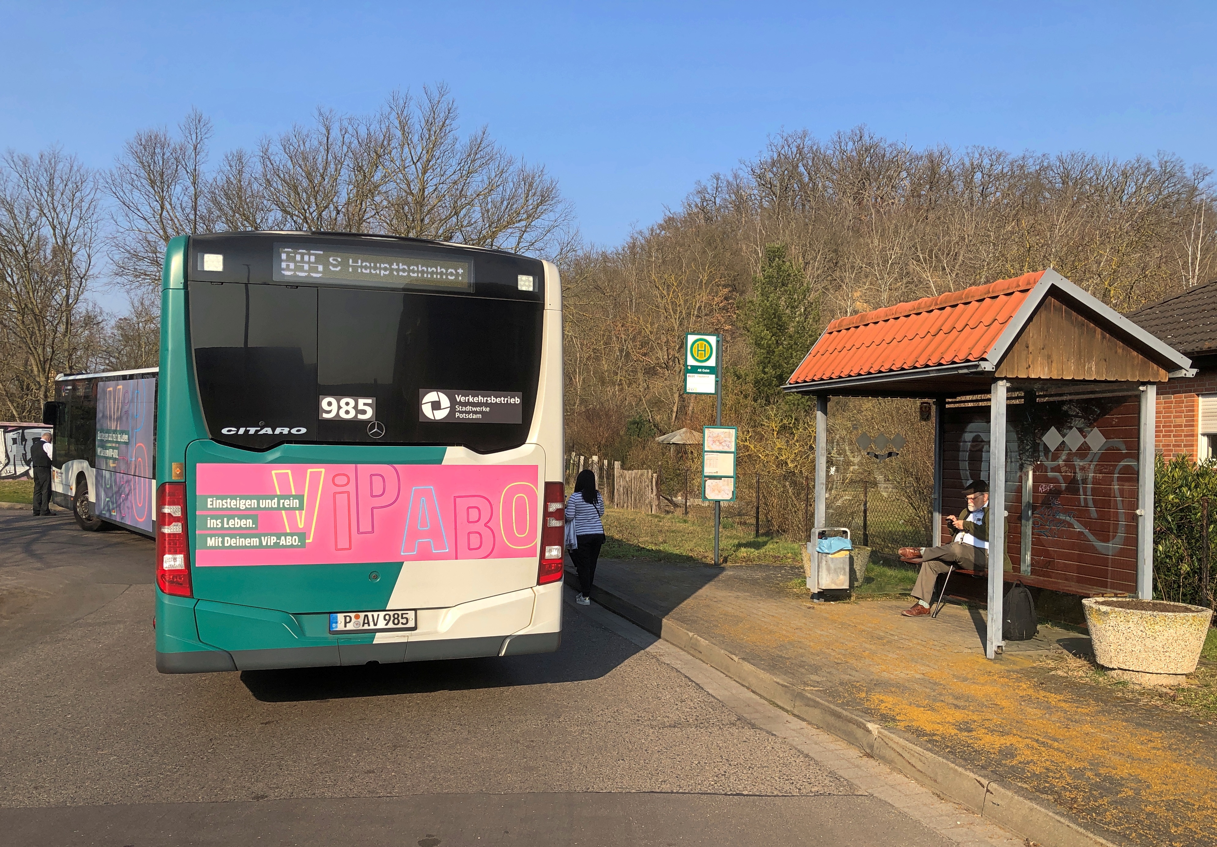
Luckily, the day was mild, almost pleasant, so sitting around outside for a while was no issue. Or taking a short walk.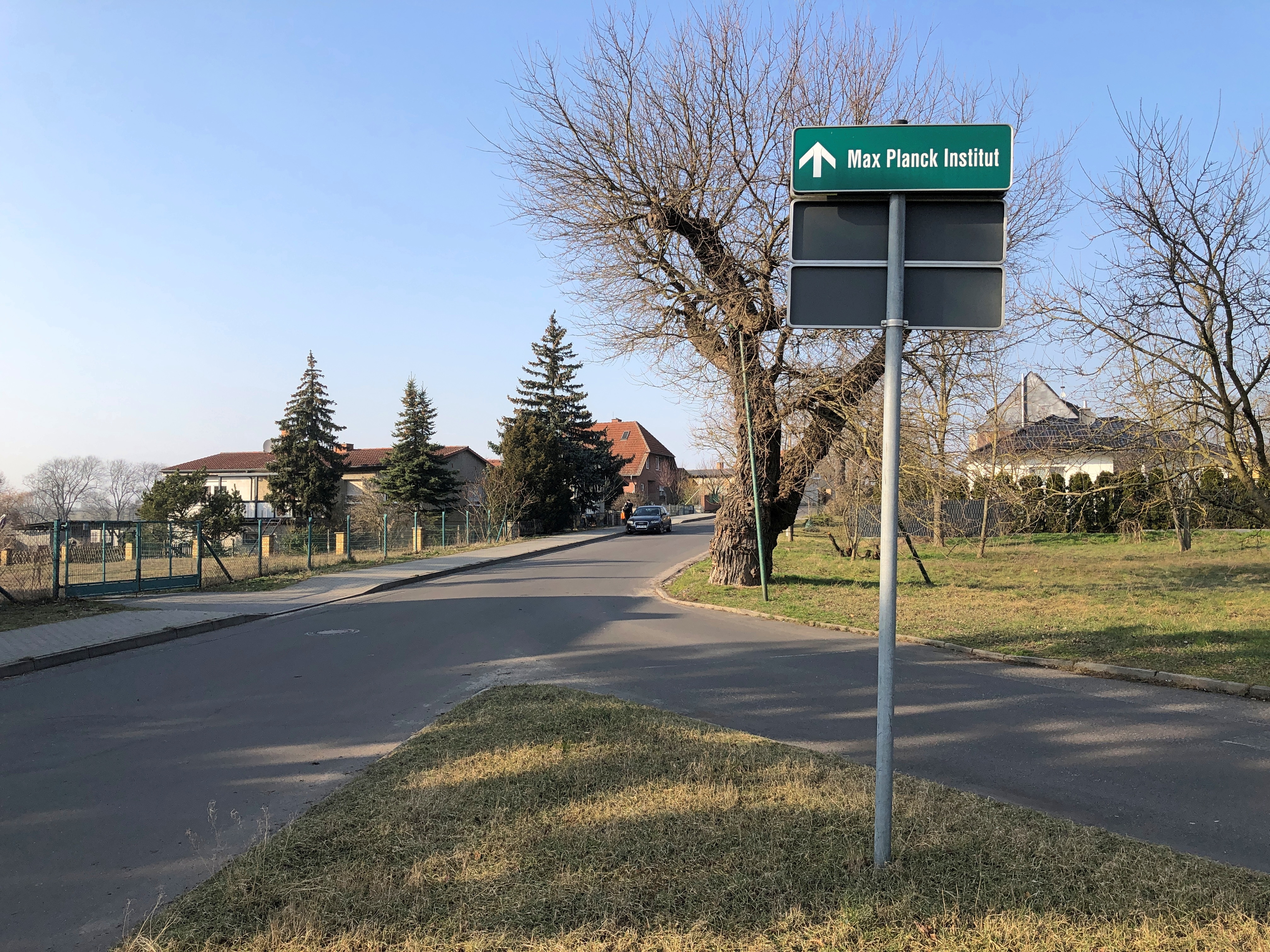
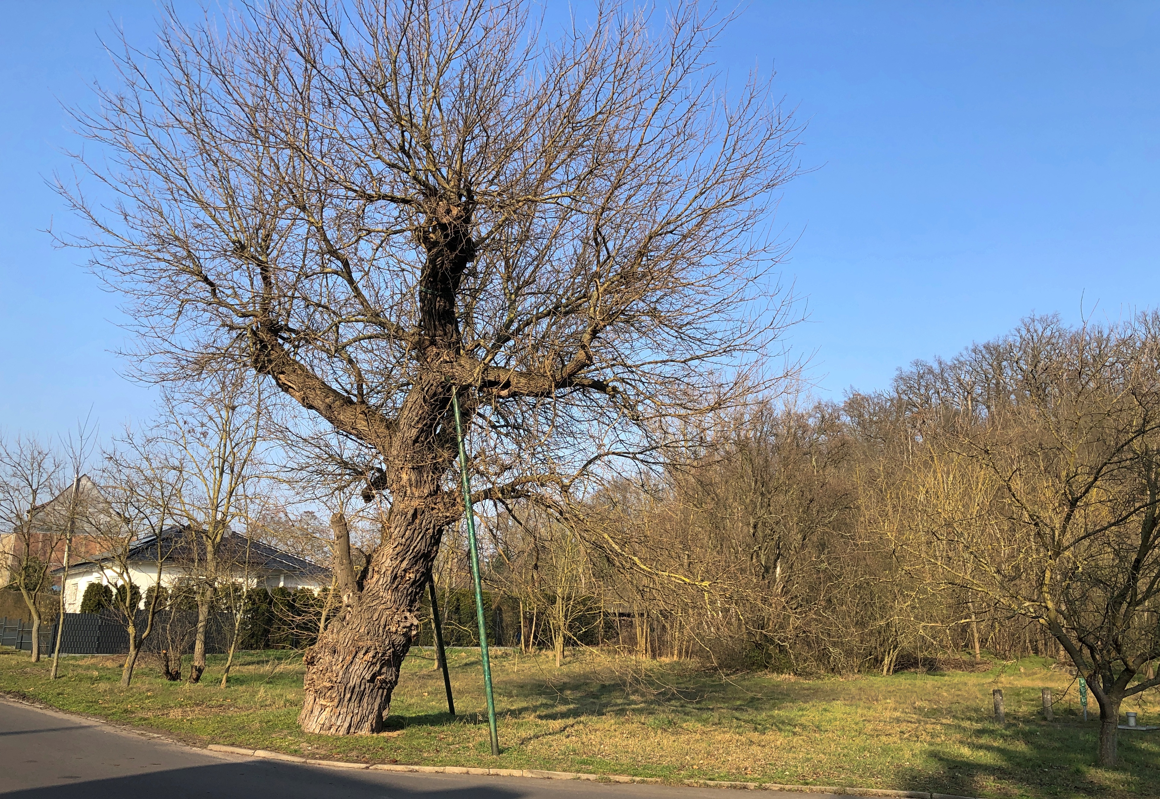
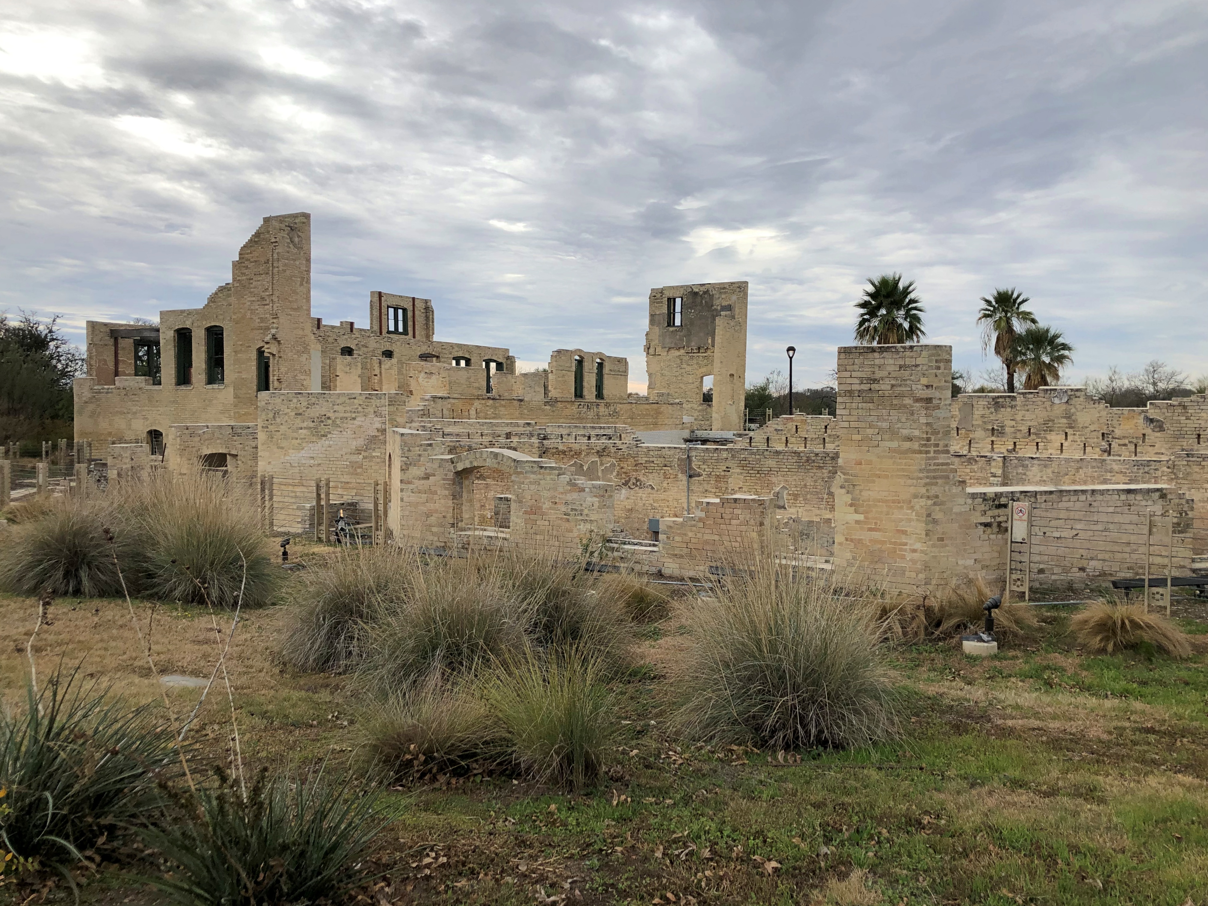
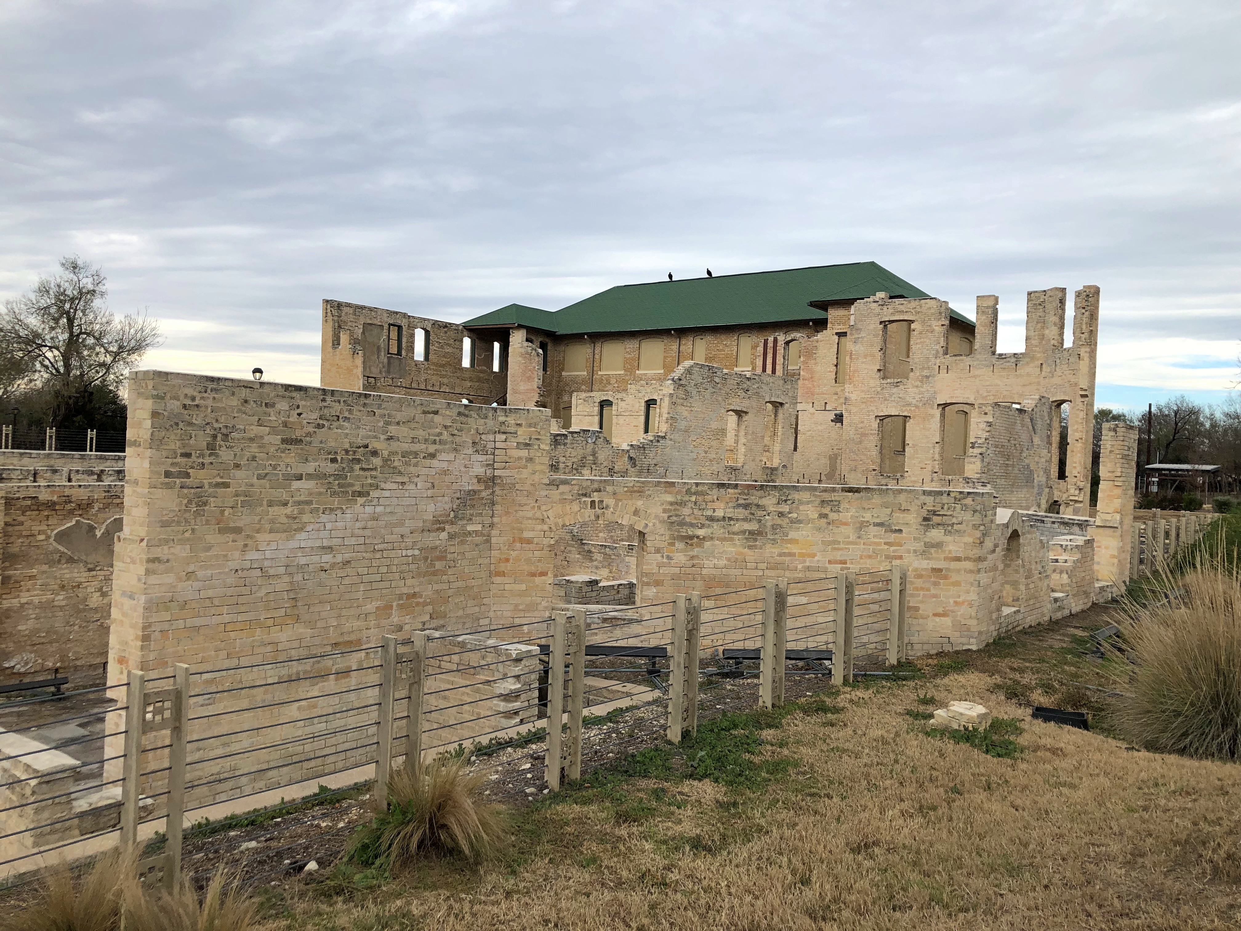
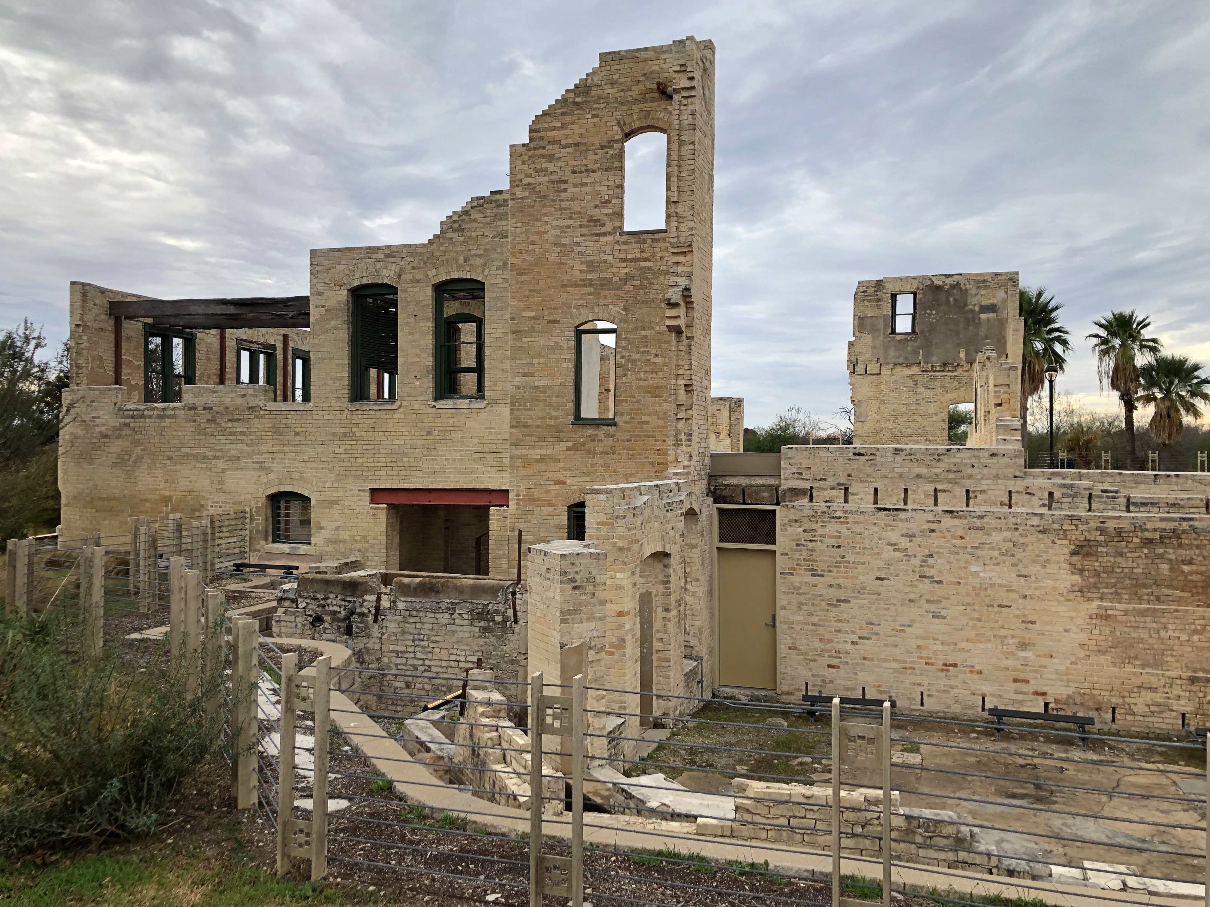
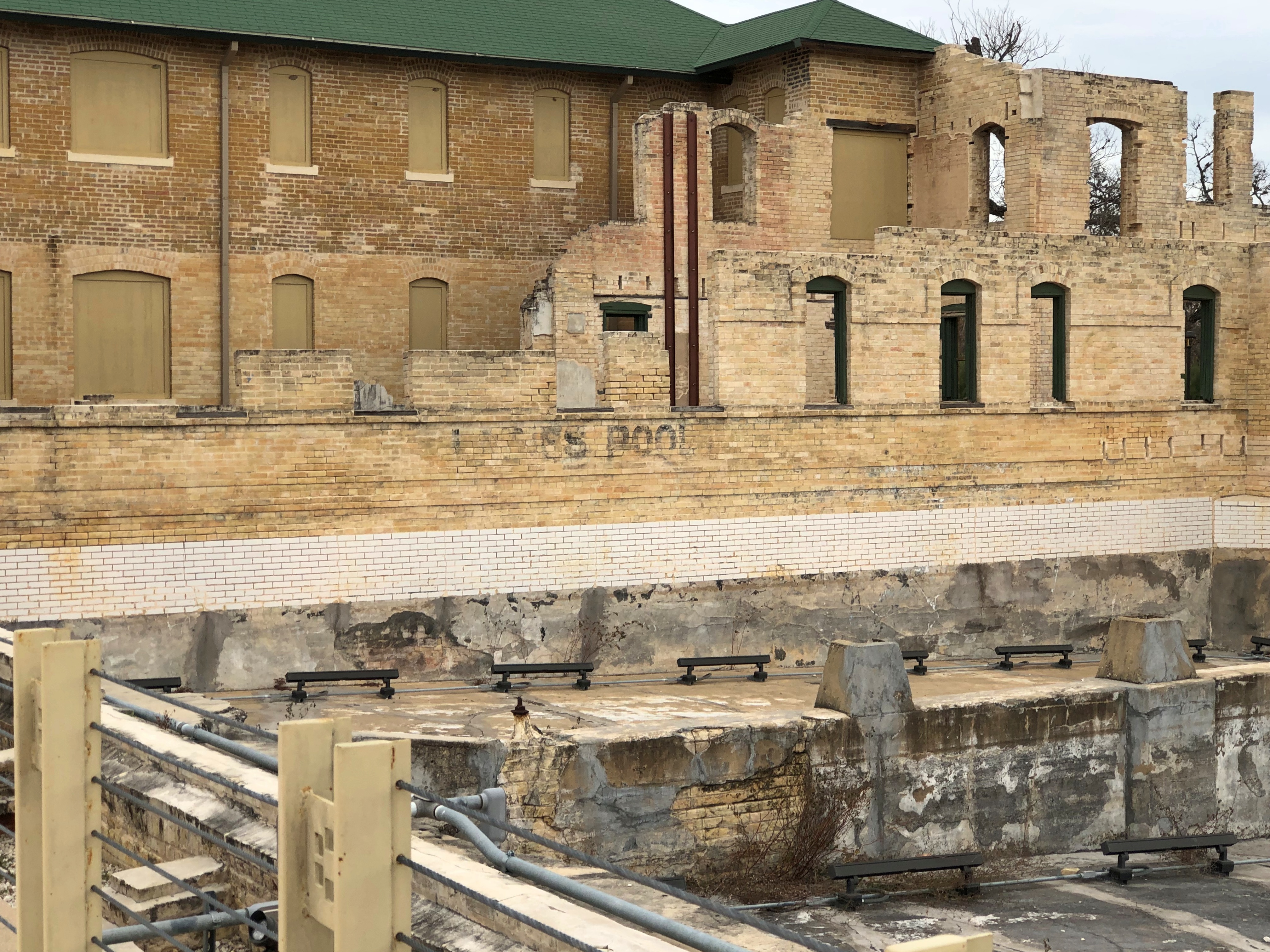
An oddity.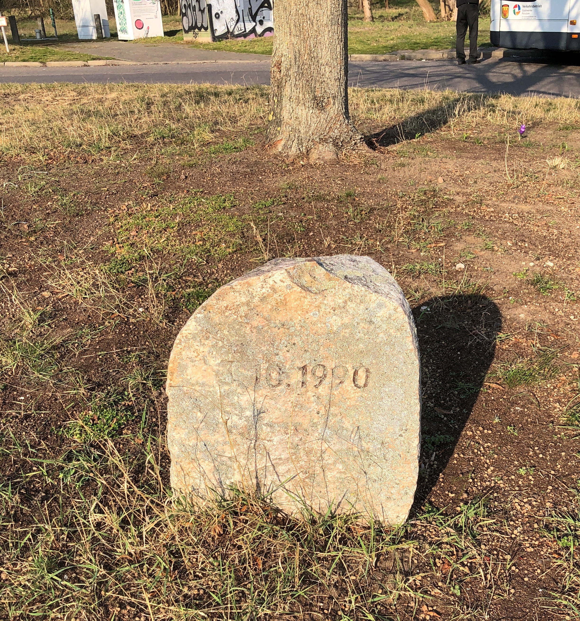
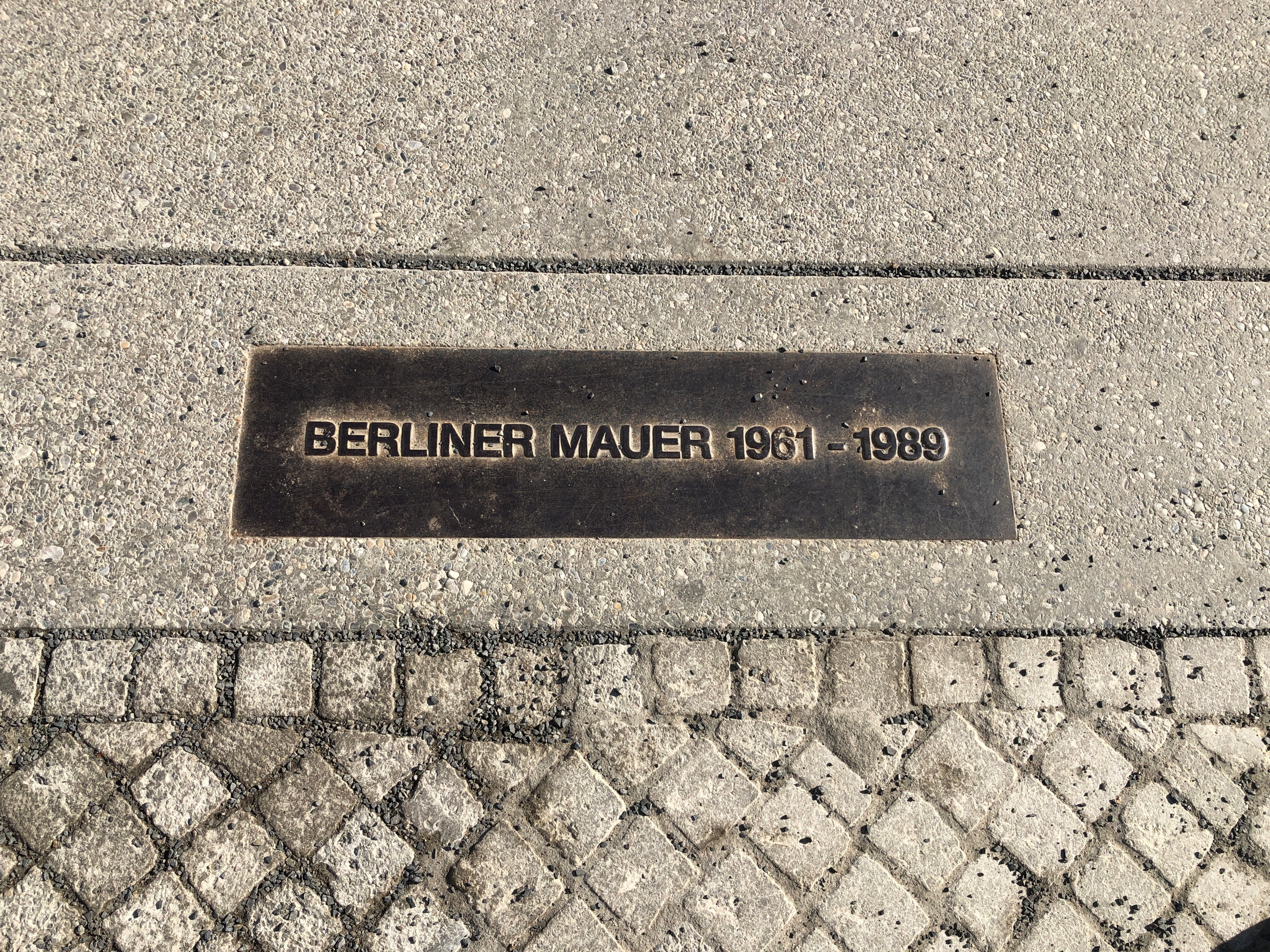
3.10.1990 is all it says. The date of German reunification. The neighborhood’s private memorial to that event? Or was it a former border marker? I checked and no, Potsdam was firmly in East Germany. A stone marking the occasion when Potsdam, or even Golm, didn’t have to be in the DDR any more? Could be.


