The Brewery District, Milwaukee

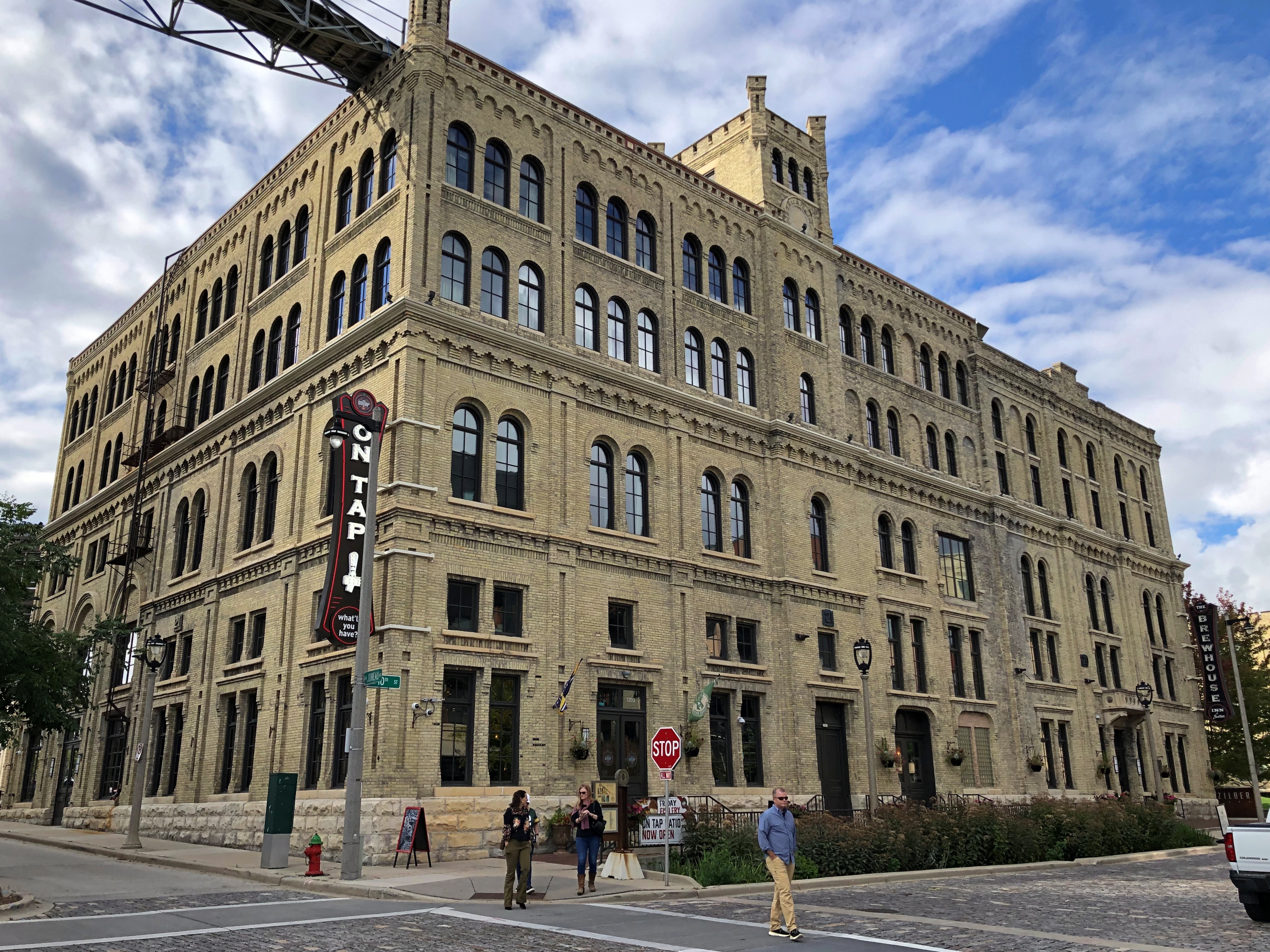
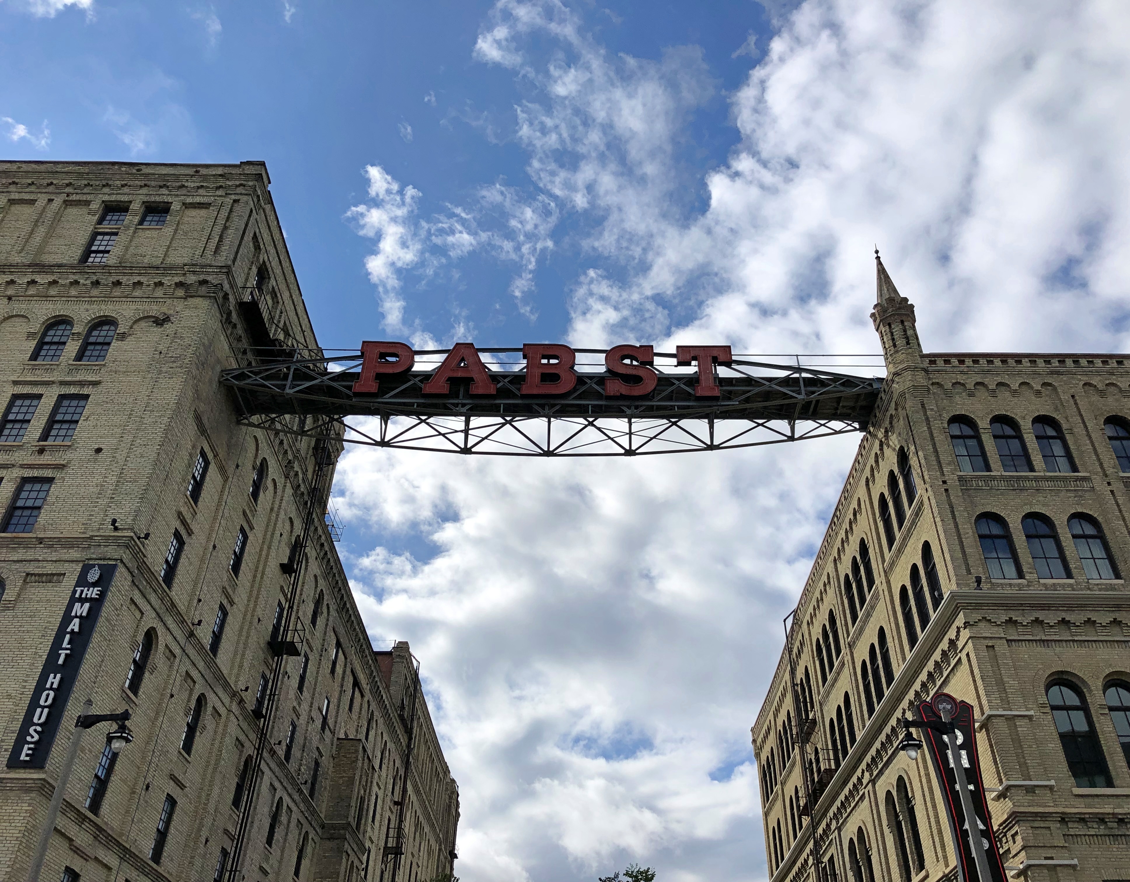
Our visit to Milwaukee on Sunday took us, in the mid-afternoon, to what it now is known as the Brewery District. Once upon a time — for a long time — Pabst was brewed there.Brewery District, Milwaukee

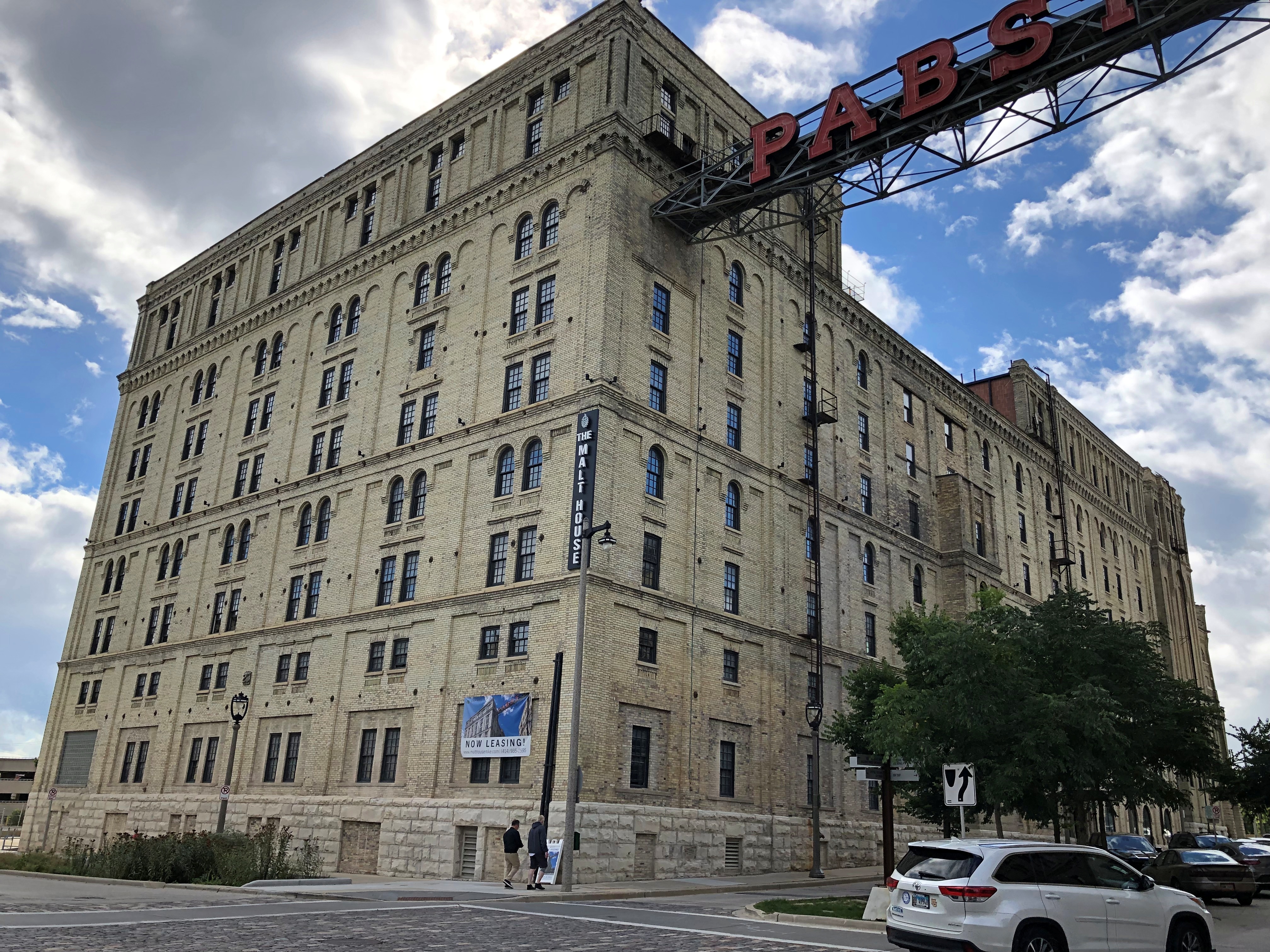
The sign hangs between some handsome buildings. On one side, the cream city brick Malt House, originally developed in 1882 and former one of the world’s largest brewery-owned malt houses, according to the district’s web site (who else would own a malt house?). Now it’s apartments.Brewery District, Milwaukee

On the other side, the Brewhouse Inn & Suites, a hotel that was once the brew house for the Pabst operations.Brewery District, Milwaukee

“The Pabst Brewery closed in 1996 leaving a seven-block area of downtown Milwaukee vacant,” the site says. “For over a decade, historic structures deteriorated until real estate developer and philanthropist Joseph J. Zilber purchased the site in August 2006.

“The results include seven apartment developments, three office buildings, two hotel properties, two breweries, restaurants, banquet halls and two public parks. In addition, the Brewery District is home to the University of Wisconsin-Milwaukee Joseph J. Zilber School of Public Health and No Studios, an incubator for the growing film industry in Milwaukee.”

Not that much of the district was open on Sunday. The spot participating in the Doors Open event was Best Place at the Historic Pabst Brewery, a retail complex formed from some of the old brewery buildings.

“Great care has been taken to ensure that Blue Ribbon Hall, The Great Hall, Captain’s Corner, Captain’s Courtyard, Guest Center, King’s Courtyard, and the original Gift Shop have all been restored to their original glory,” the separate Best Place web site says.

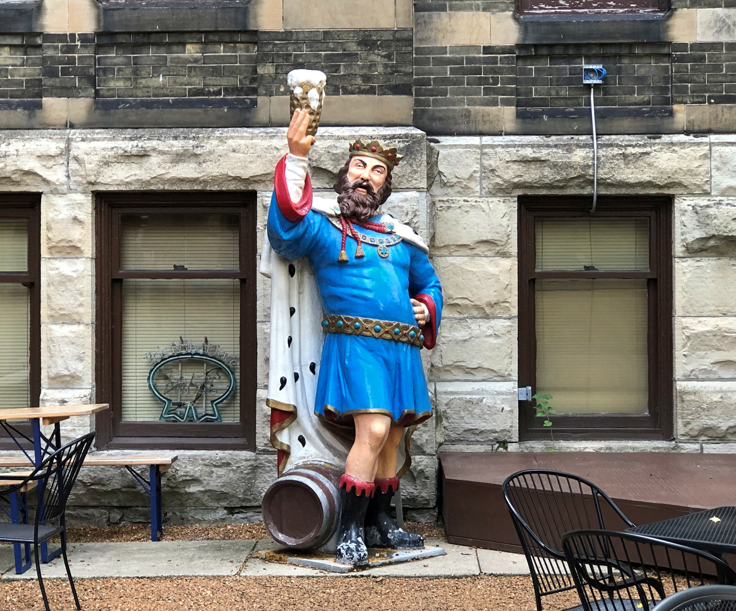
Enter one courtyard and there’s good old King Gambrinus.
Brewery District, Milwaukee

Not actually that old, since it’s a 1967 reproduction, in aluminum, of an older wooden statue that had fallen apart.

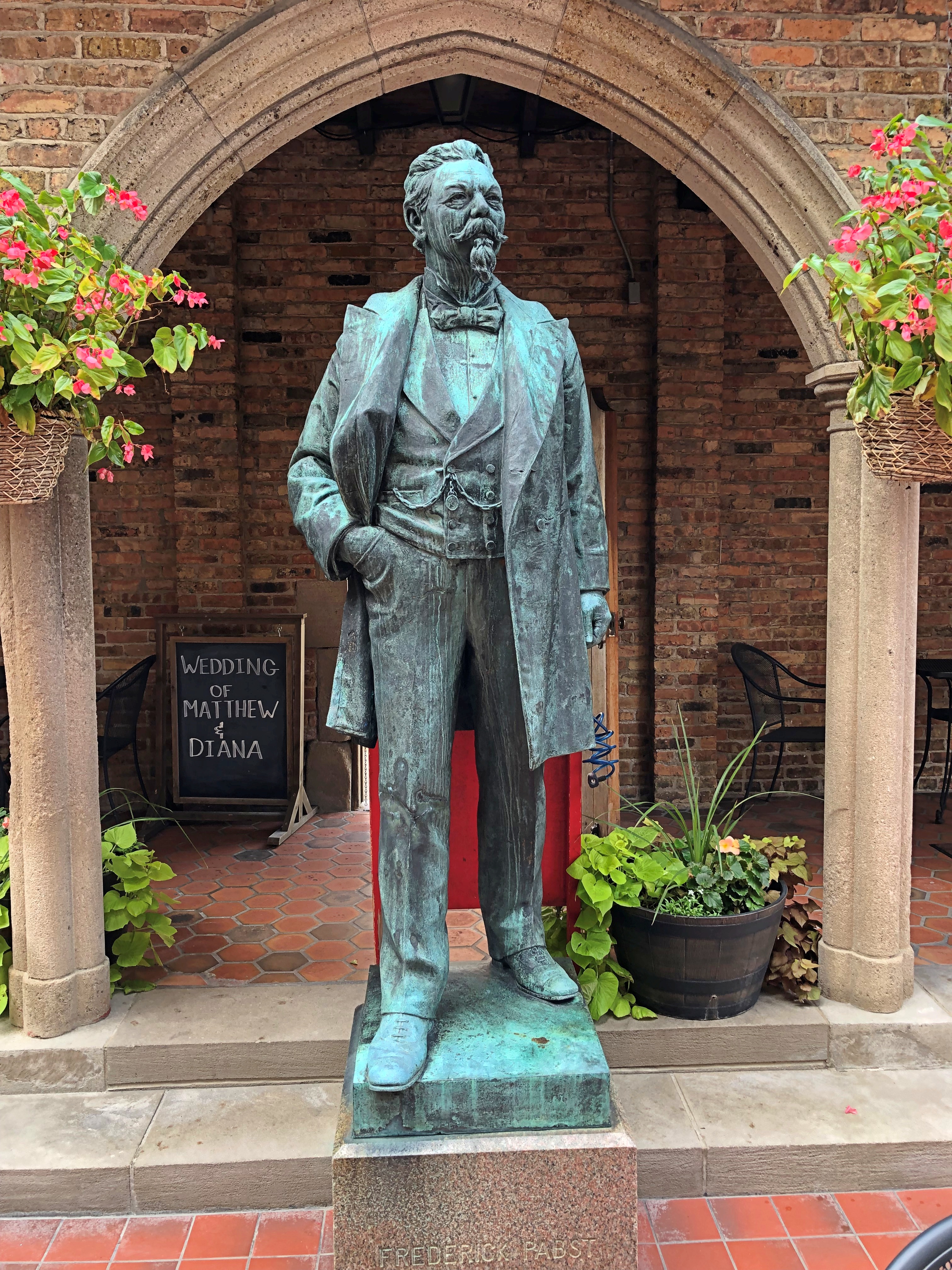
In a separate courtyard, Frederick Pabst.Brewery District, Milwaukee

Died 1901. I saw his grave last year and his mansion some years before that. He was a beer baron among beer barons.

Nature Boardwalk

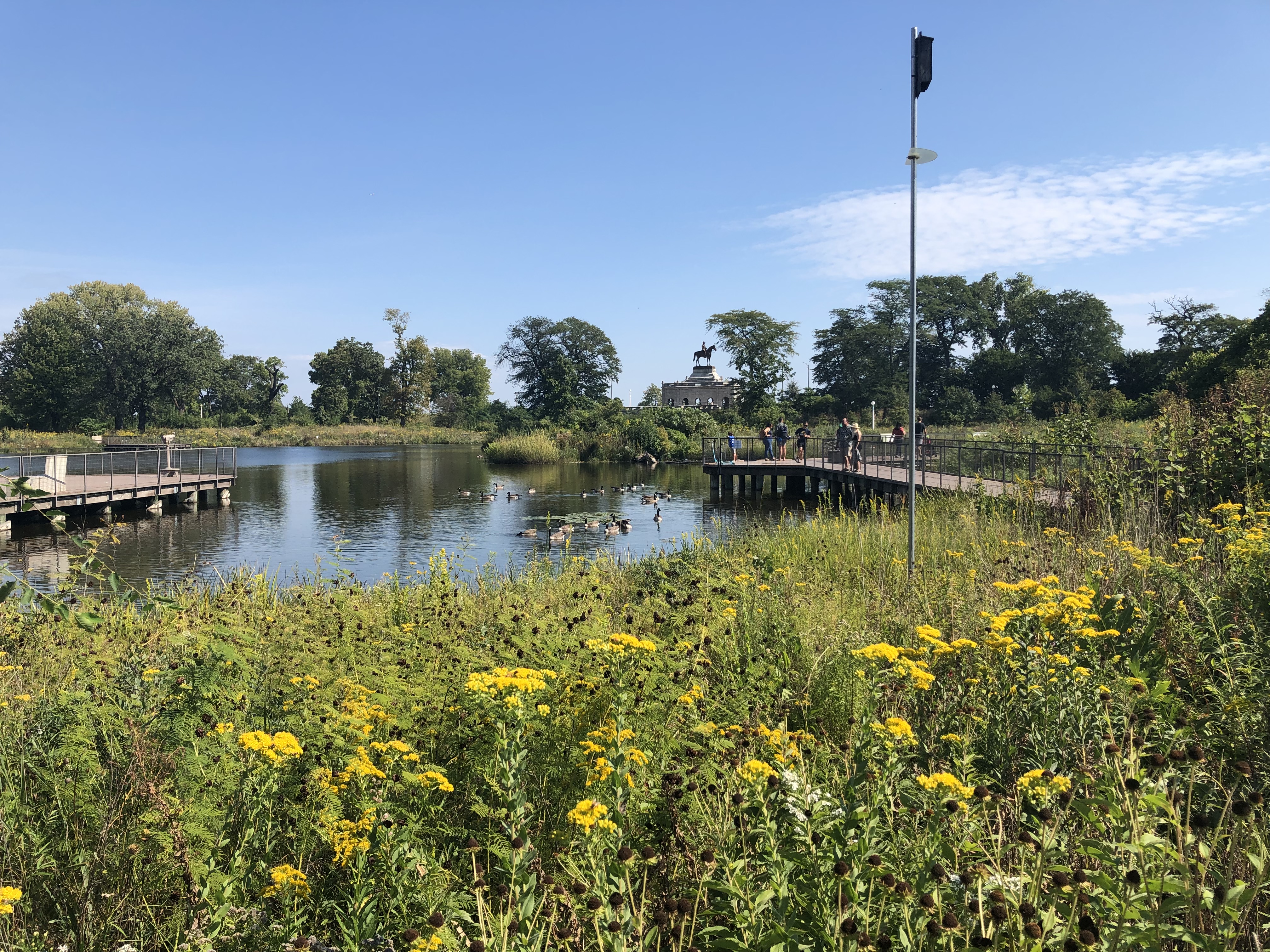
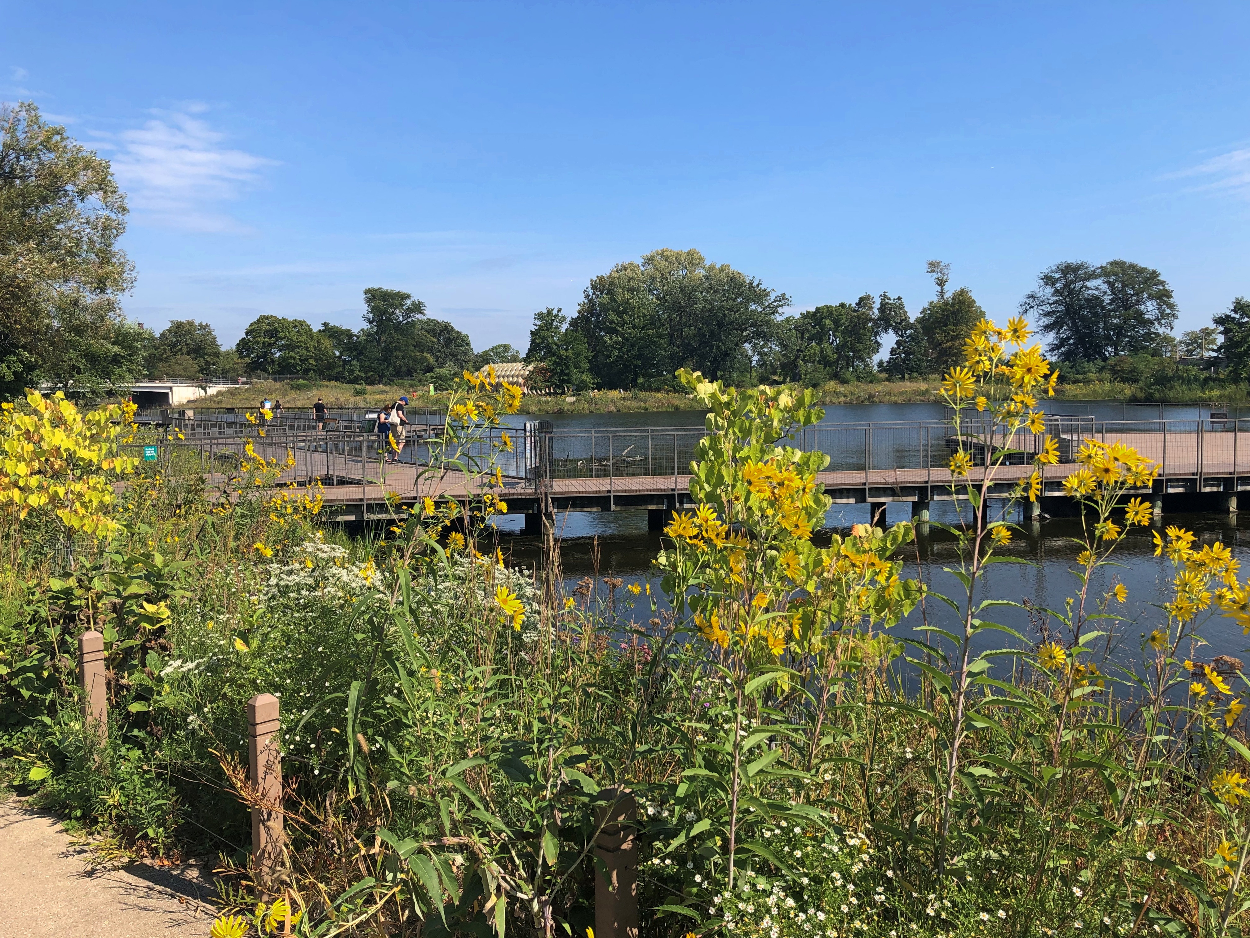
Toward the south end of Lincoln Park is the fittingly named South Pond, flush with floral glory last Saturday.Nature Trail

That, and U.S. Grant off in the distance.

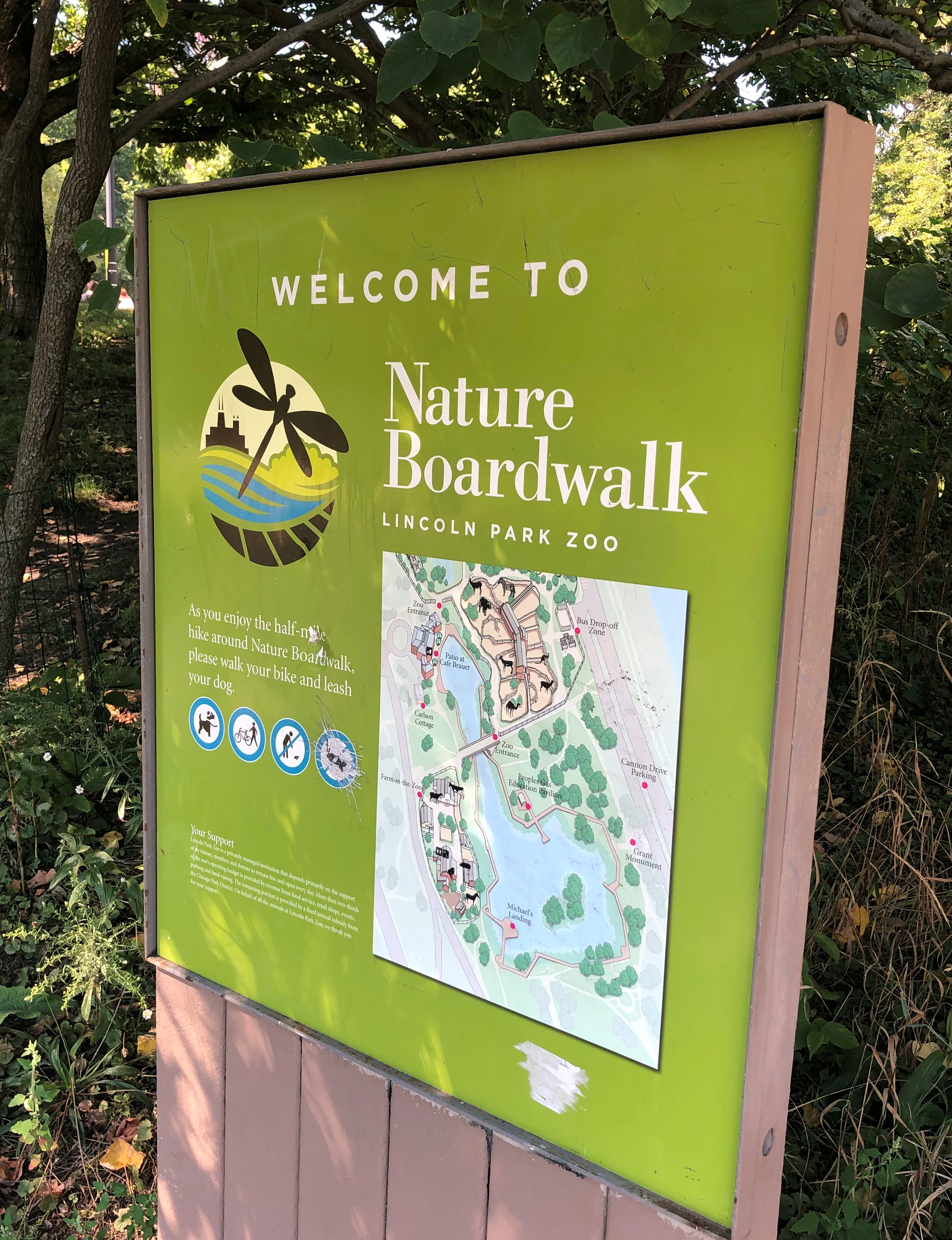
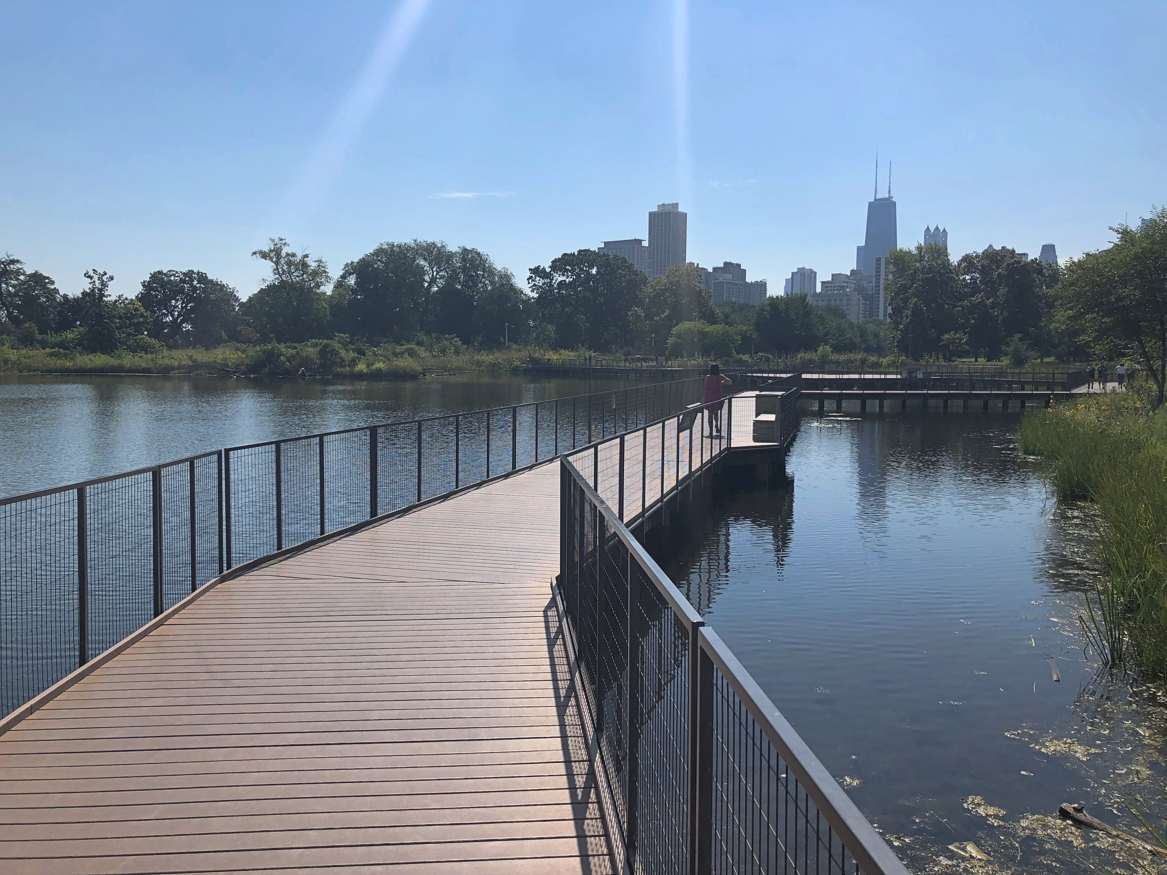
The pond is mostly ringed by a feature called Nature Boardwalk, which is an extension, without large animal habitats, of the Lincoln Park Zoo. It’s called that pending a really generous gift, most likely.Nature Boardwalk

I didn’t need any more prompting than that to take a walk along most of the raised walkway.Nature Boardwalk Nature Boardwalk

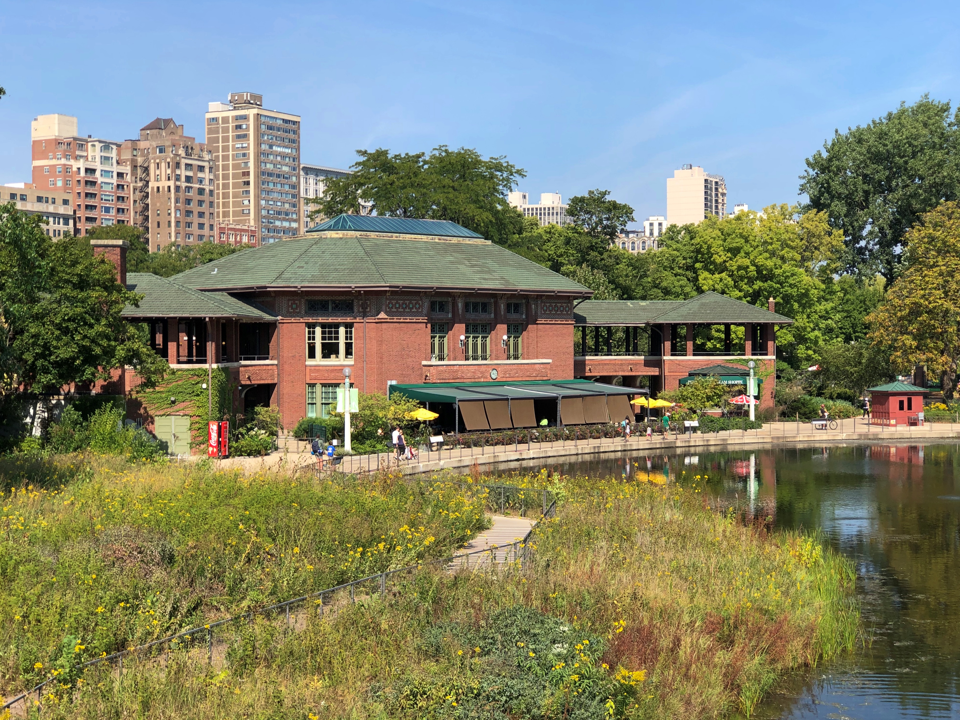
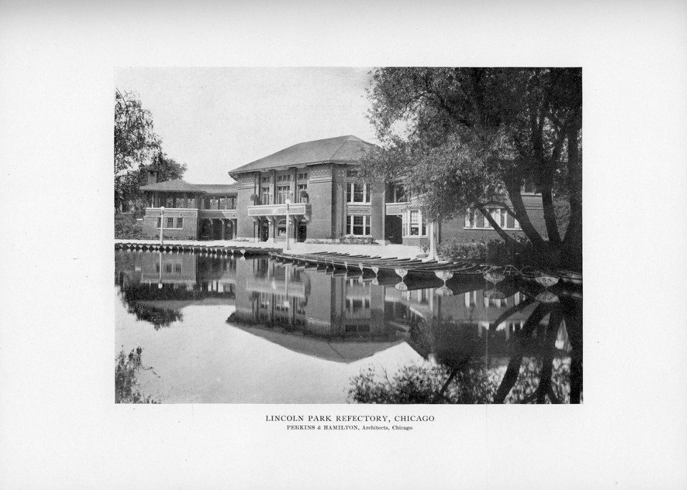
From one vantage, the handsome Café Brauer building is visible.

The building has a history as home to a successful Chicago restaurant in the first decades of the 20th century. Developed in 1908 with a design by Prairie School notable Dwight Perkins.

The life of the building continues as a wedding venue. A nicely written description — though at heart ad copy for the place — is at The Knot, which specializes in articles and other tools for wedding planning:

Café Brauer overlooks the zoo’s Nature Boardwalk, a lively pond ecosystem. Thanks to the event space’s terrace, couples and their guests can easily admire the setting’s beautiful biodiversity as they celebrate. From this vantage point, a clear view of the surrounding park and city skyline is also visible.

Inside, the… historic Chicago landmark features eye-catching ceilings supported by exposed green-colored beams, with Tiffany-style chandeliers and warm uplighting. Thanks to its stained-glass windows, natural light can flood the interior as guests dine, dance, and mingle.

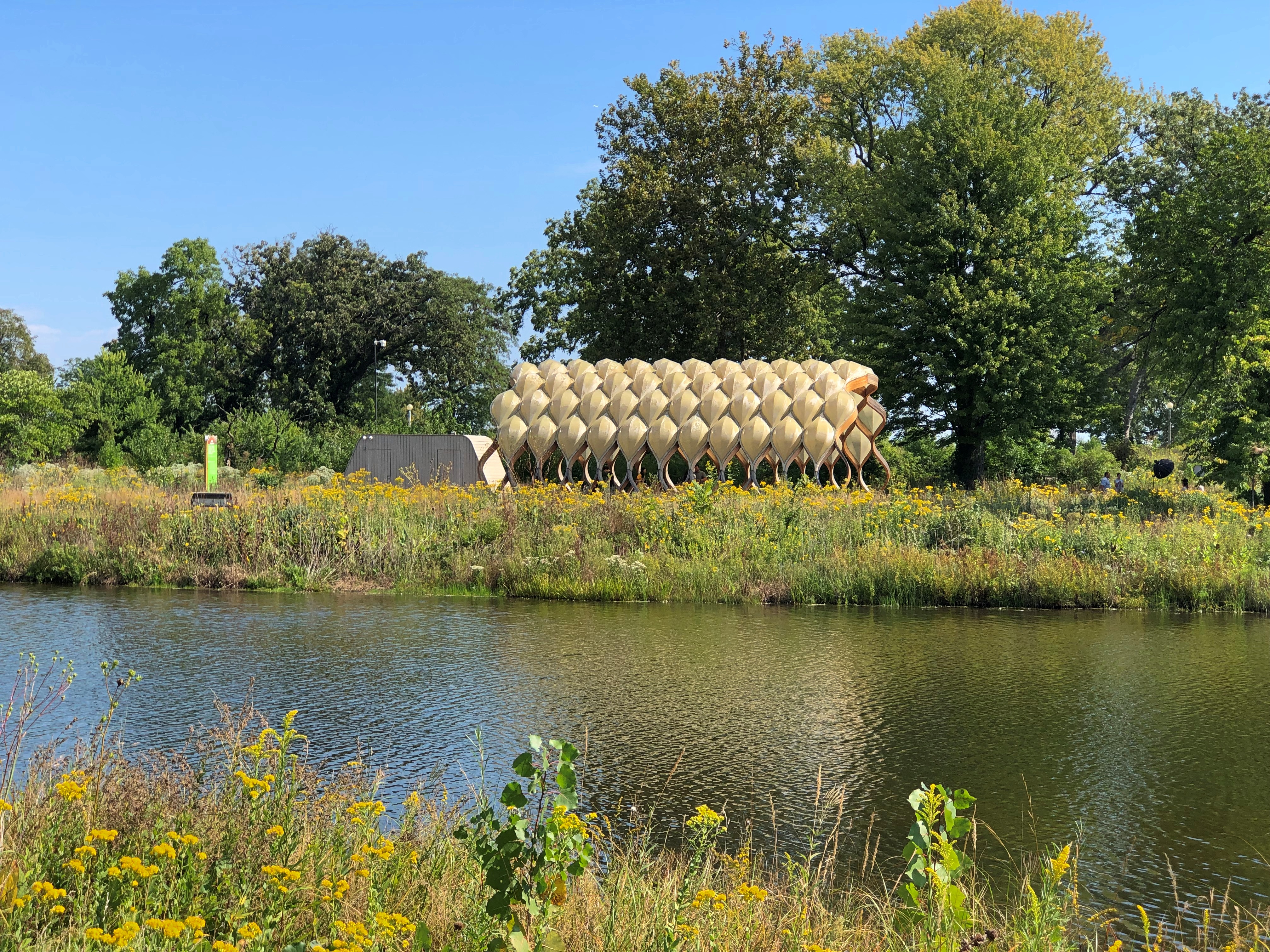
And what was this?
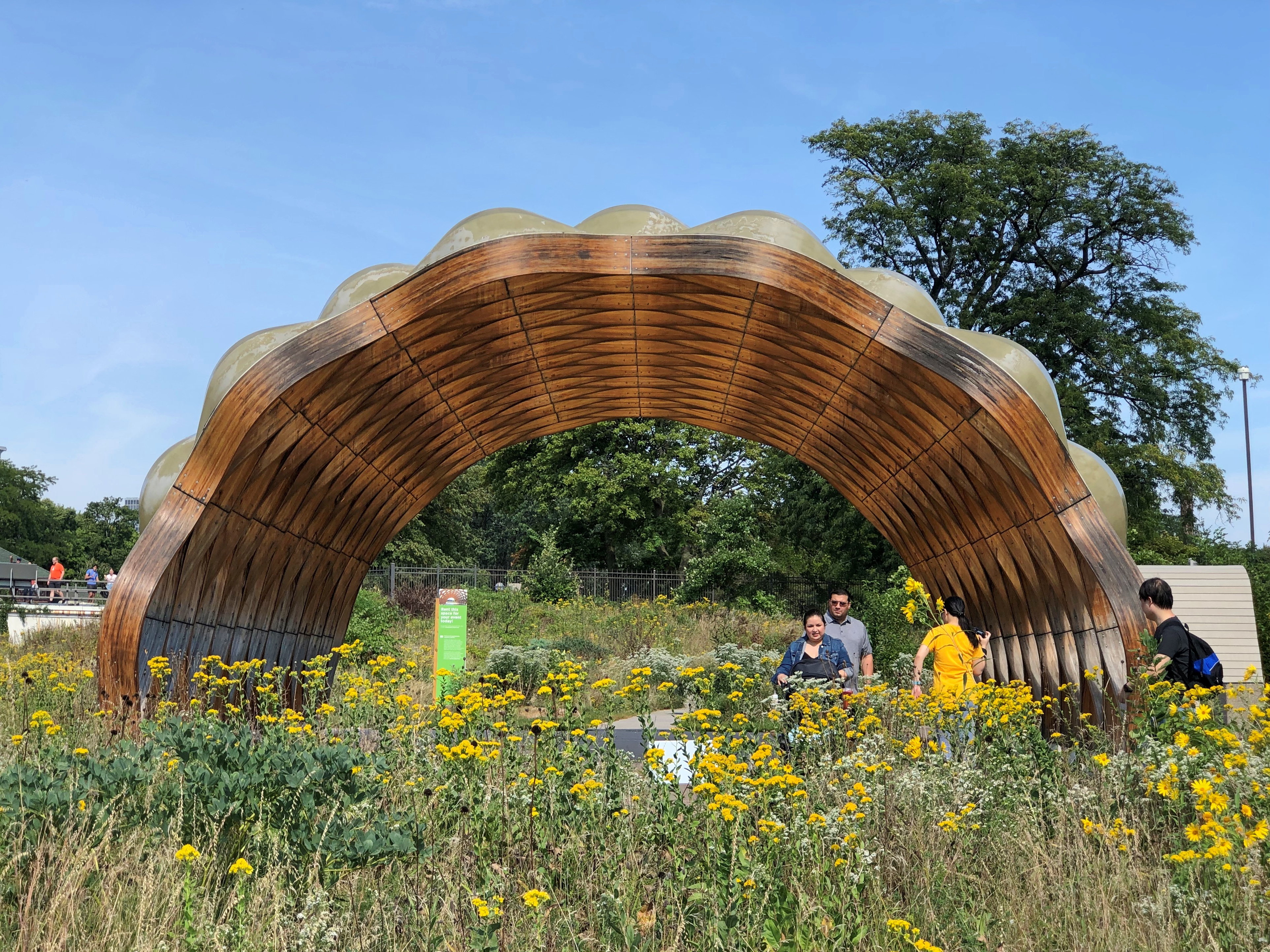
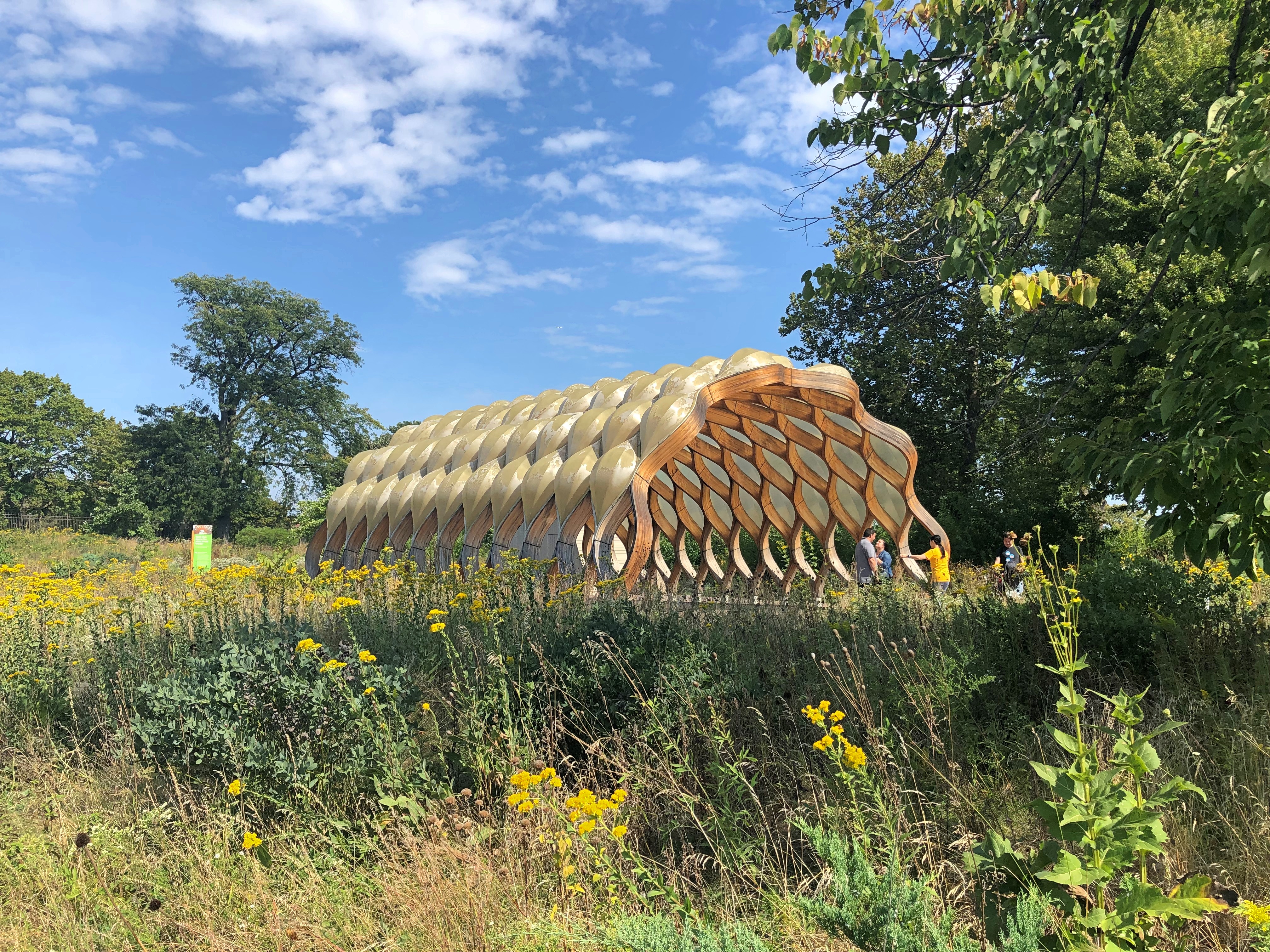
Peoples Gas Educational Pavilion

That must have been there the last time I came this way, but I didn’t remember it.
I walked the path, and over a stone bridge, to the other bank of the pond.Peoples Gas Educational Pavilion

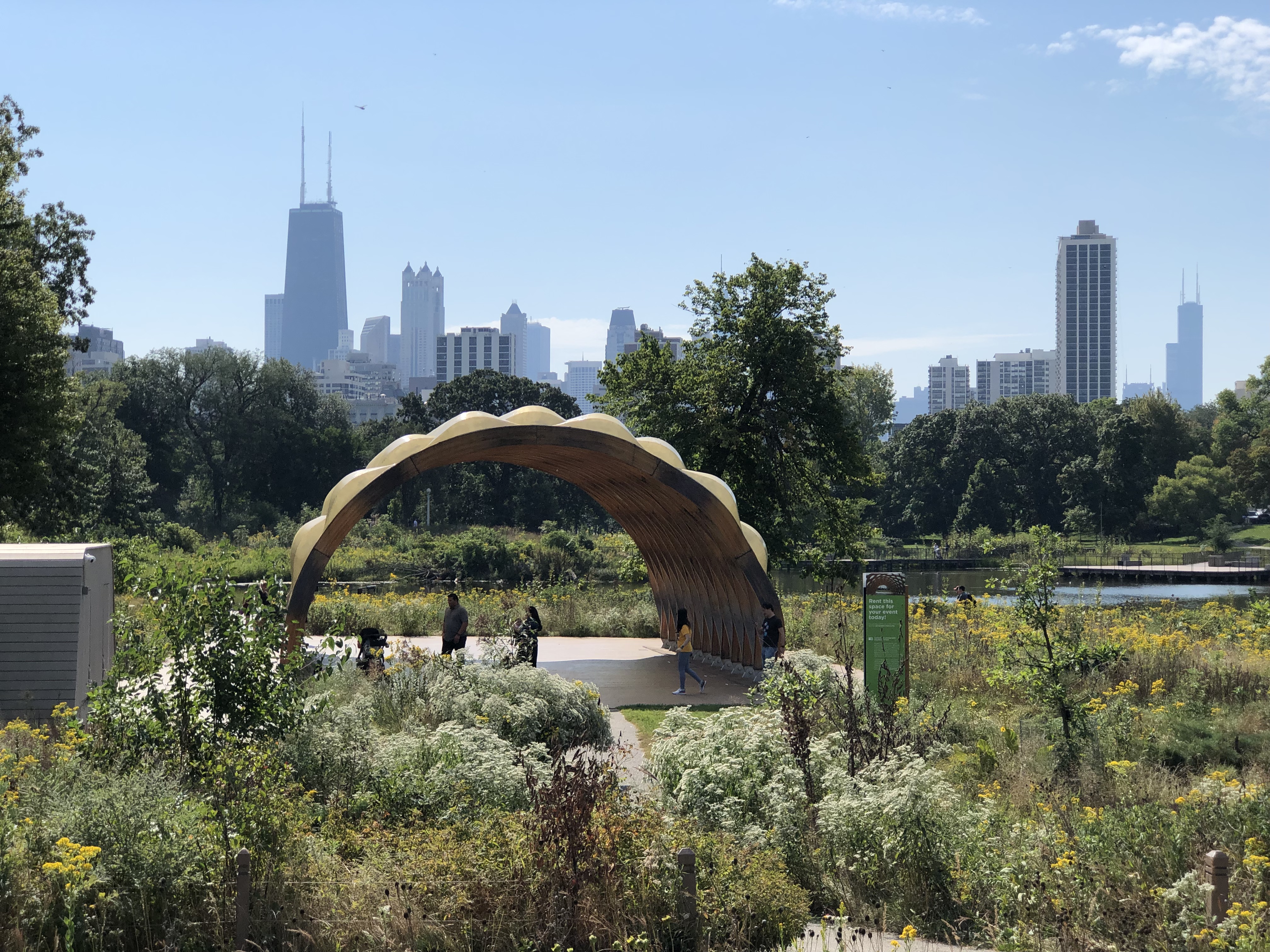
Closer.Peoples Gas Educational Pavilion Peoples Gas Educational Pavilion Peoples Gas Educational Pavilion

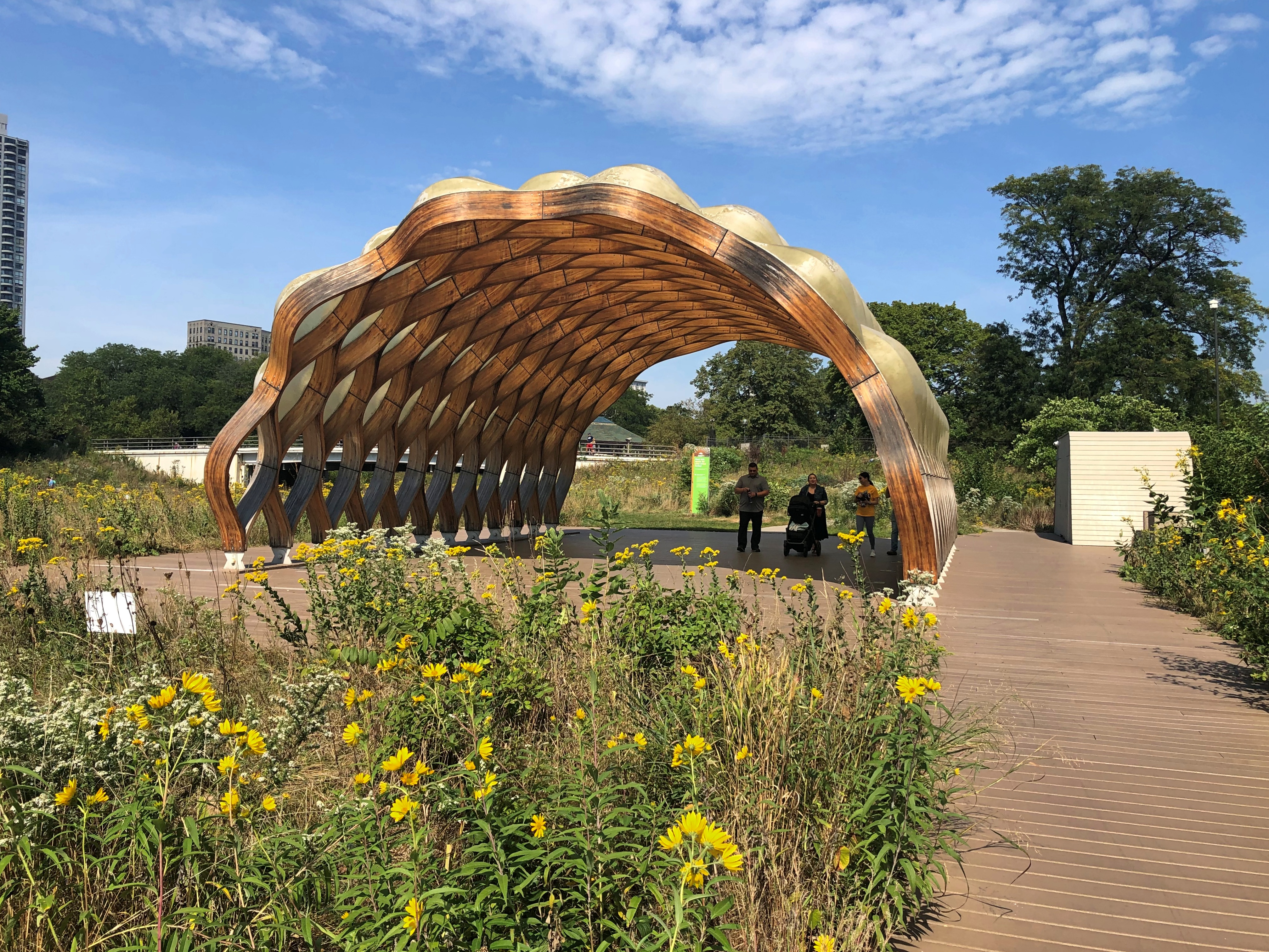
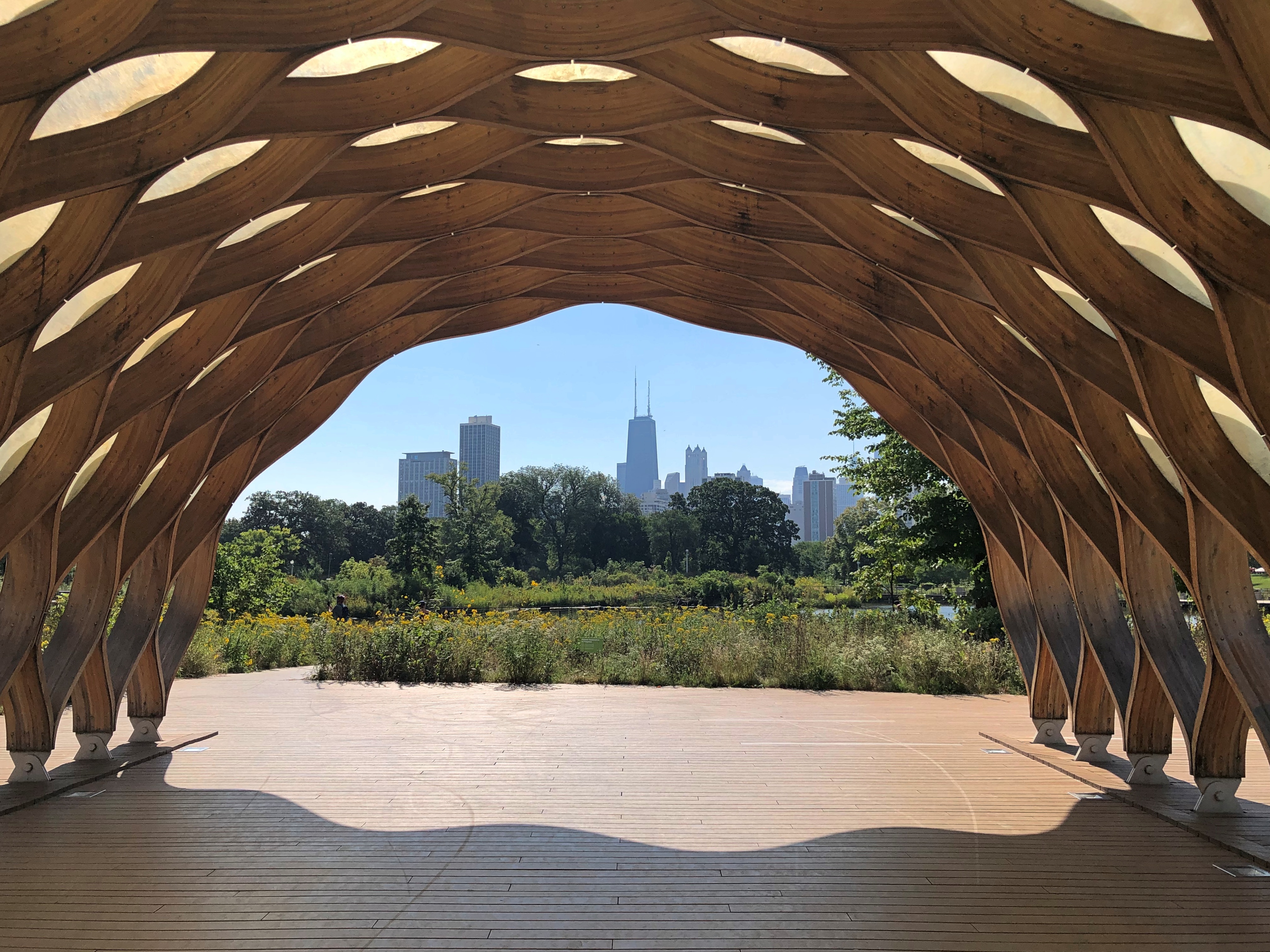
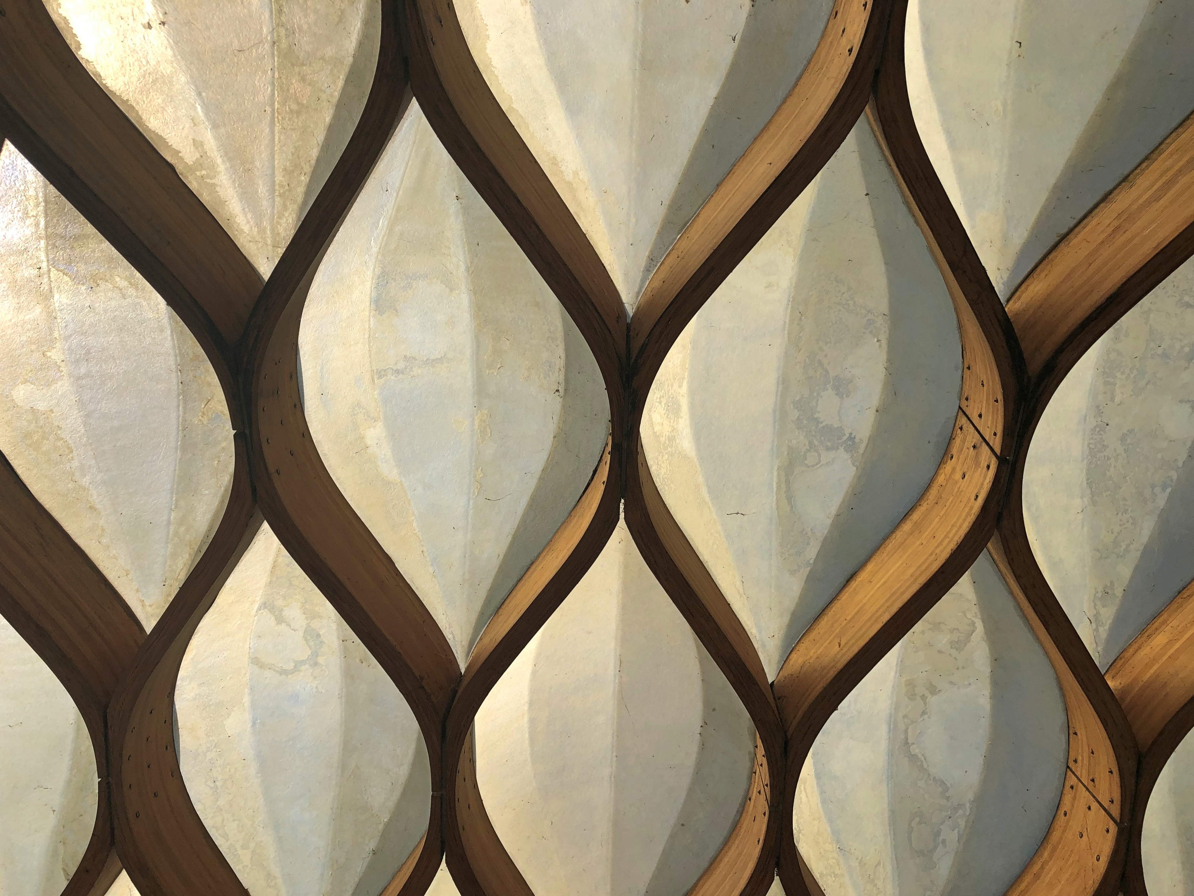
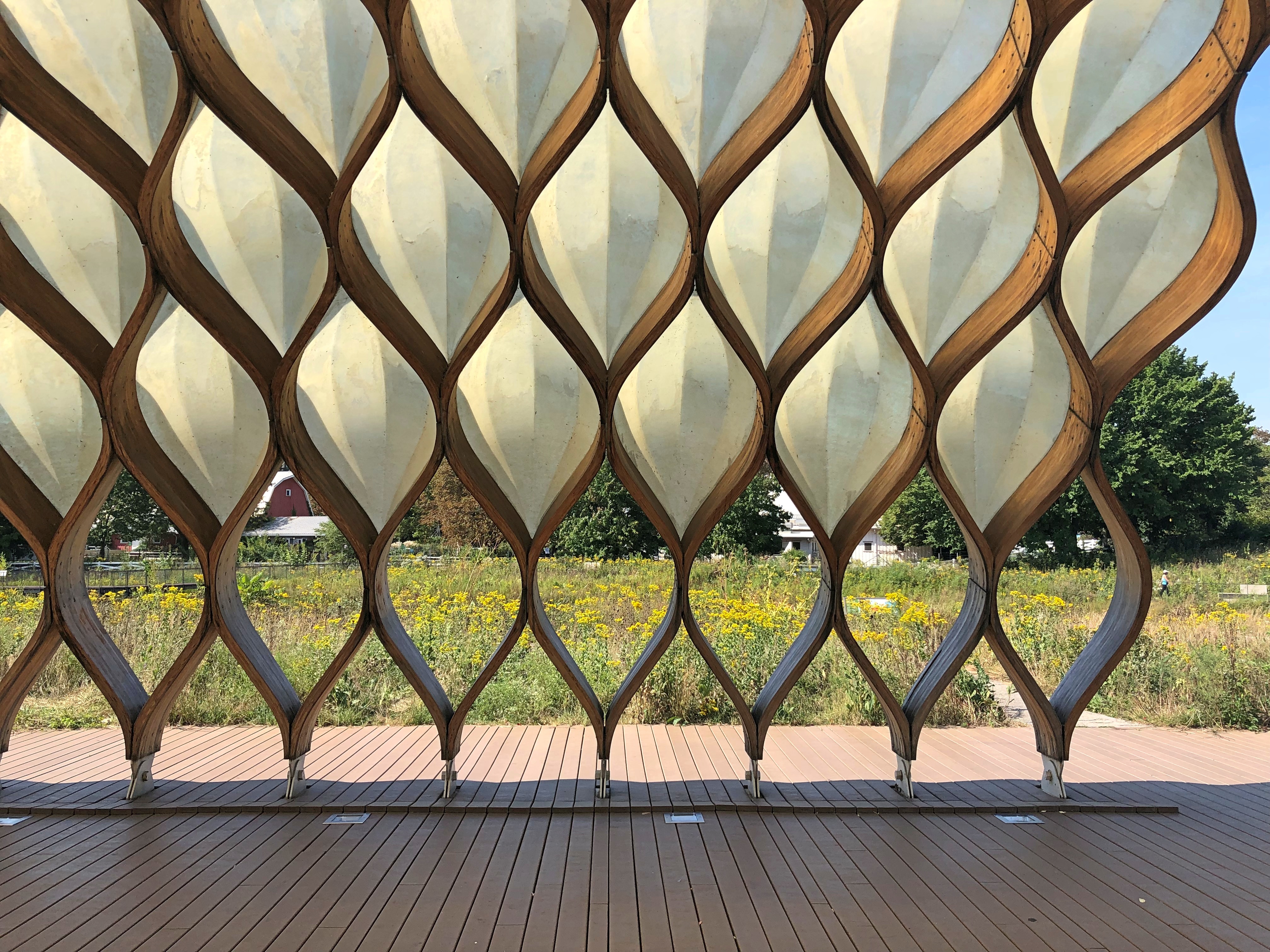
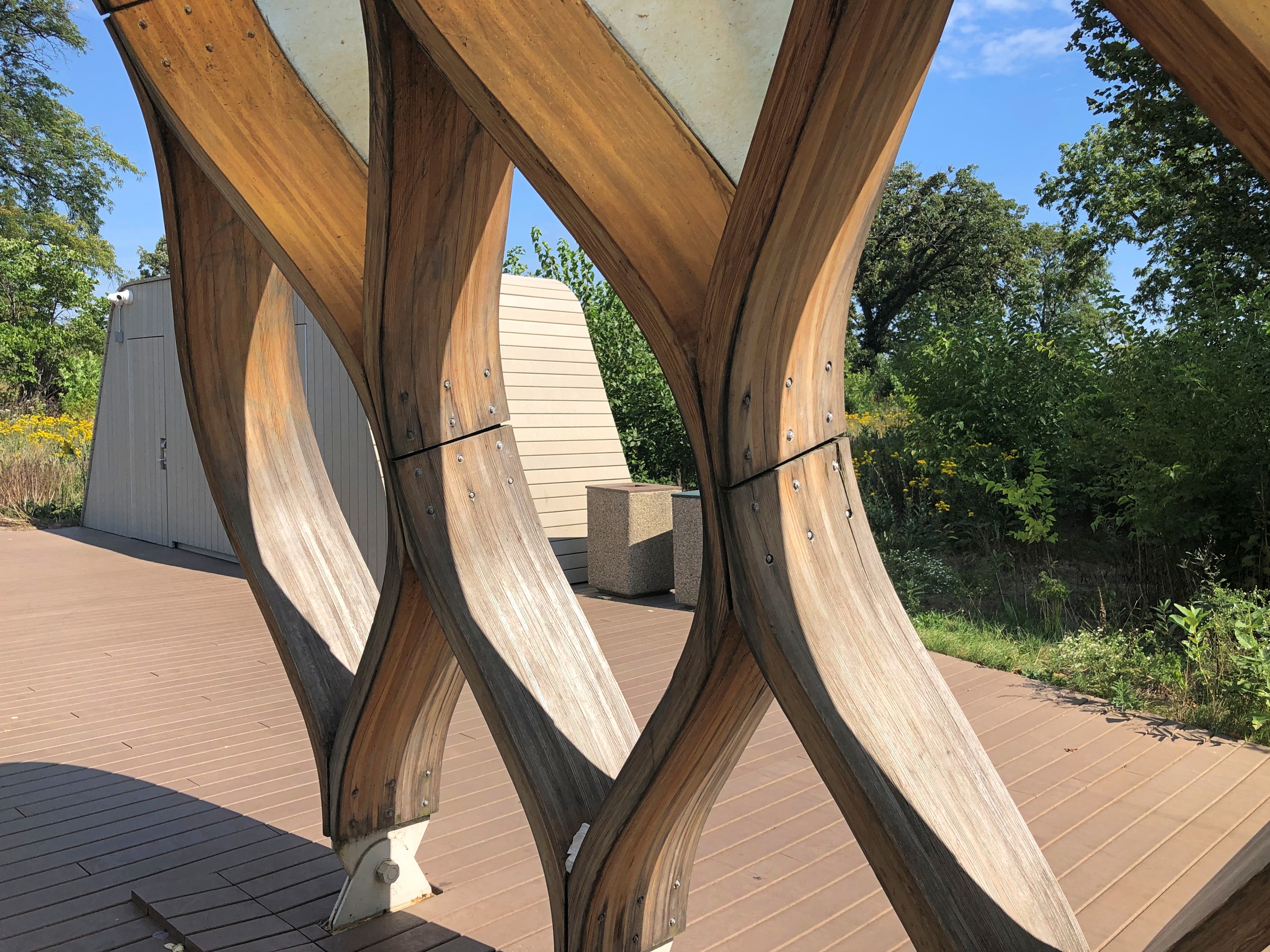
Inside.Peoples Gas Educational Pavilion Peoples Gas Educational Pavilion Peoples Gas Educational Pavilion Peoples Gas Educational Pavilion

The Peoples Gas Education Pavilion, it is. I’ll assume the natural gas company of that name had something to do with paying at least part of the construction tab for the structure.

“It was completed in 2010 by Studio Gang, the world-renowned Chicago architecture firm led by Jeanne Gang. It is built from prefabricated glue-laminated timber ‘ribs’ and fiberglass domes,” writes Chicago area photographer Lauri Novak.

Novak lauds the spot as a good one for taking photos. Is it ever.

Farmers’ Market Near an Abandoned Shoreline

Still warm and sunny here, though punctuated by thunderstorms. I don’t think I saw them forecast — one Sunday evening, another this evening. They rolled through quickly, and didn’t even interfere with evening dog-walking.

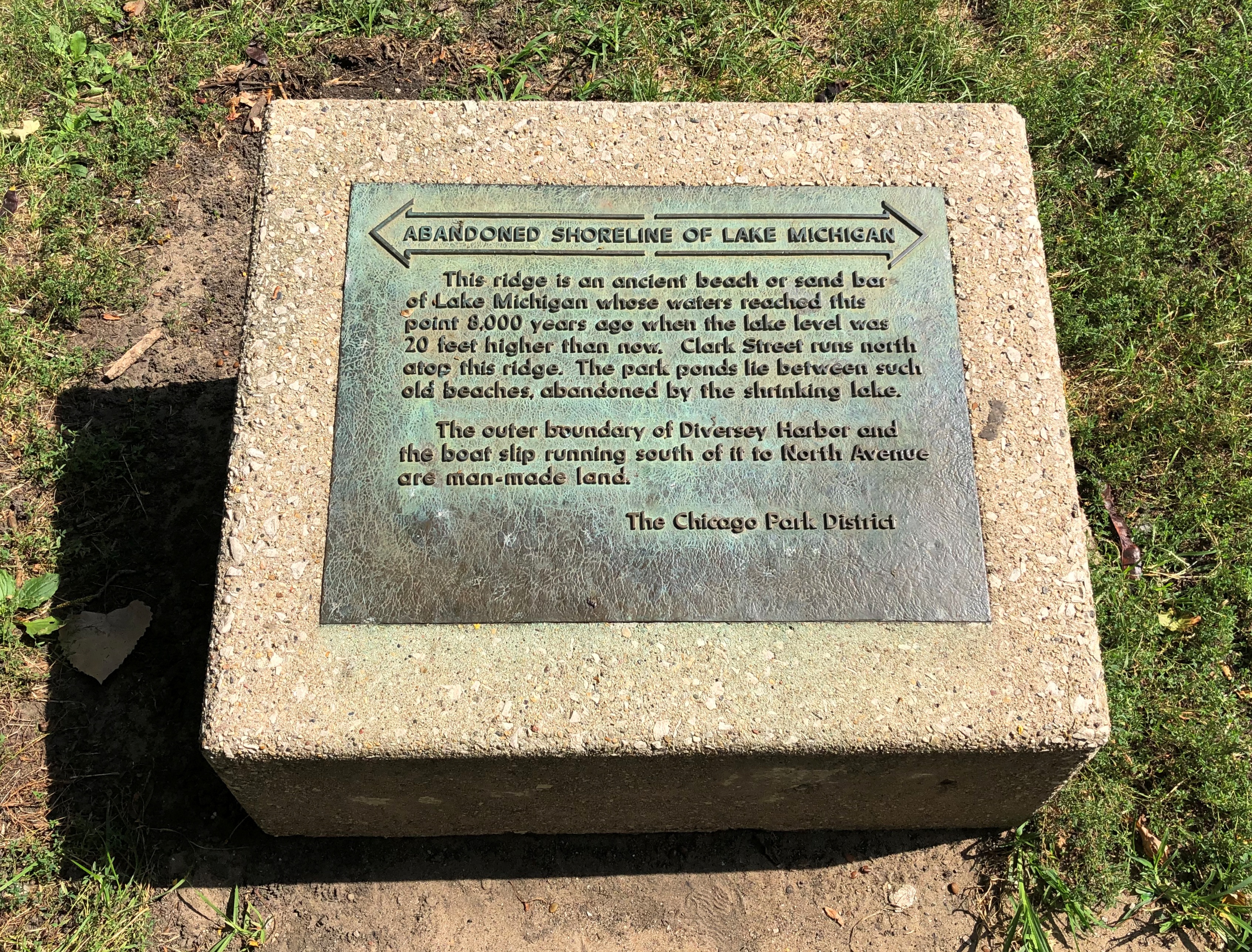
On Saturday, I noticed this plaque in Lincoln Park. I didn’t remember seeing it before.Lincoln Park, Sept 17 2022

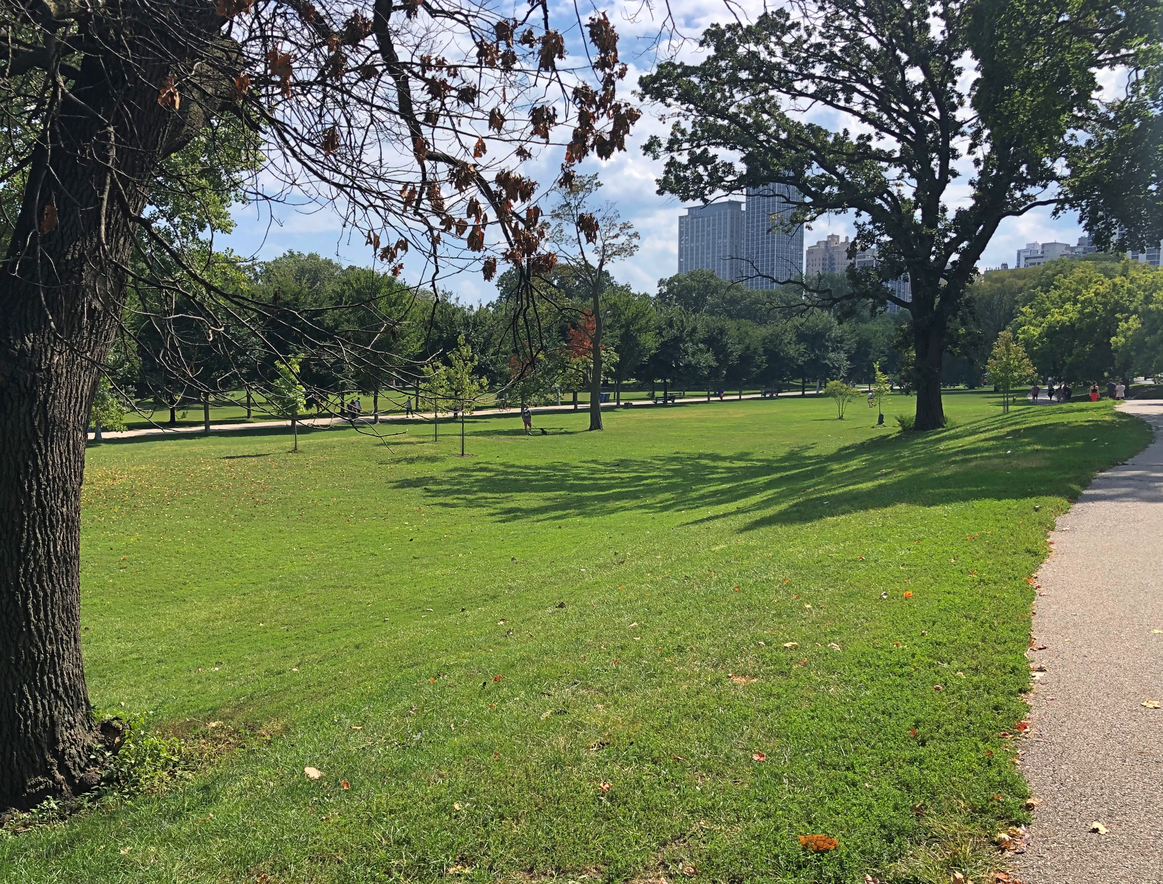
It’s in a good location. The ridge is very much visible from that spot.Lincoln Park, Sept 17 2022

Clark Street is to the right, beyond the edge of my image. At that point it’s the western edge of the park, but mostly it’s a non-grid North Side street, one I knew pretty well in my city-dwelling days. It was near my first apartment, and sometimes I took the No. 22 Clark Street bus places (occasionally all the way from downtown, but the El was faster).

In Chicago, non-grid usually means the street follows an Indian trace, and so it is with Clark, at least north of Chicago Ave. Other one-time Indian traces coursing through the North Side include Lincoln, Elston and Milwaukee Aves. The South Side has them, too, such as Ogden and Archer Aves.

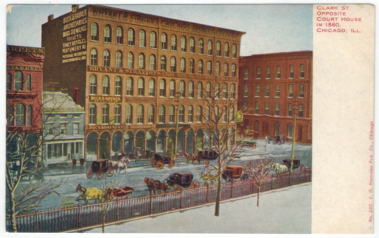
In the Loop, Clark is park of the grid, and has been there a long time. Wonder how many people realize that it’s named for George Rogers Clark, whose sizable monument is pretty far away from Chicago?

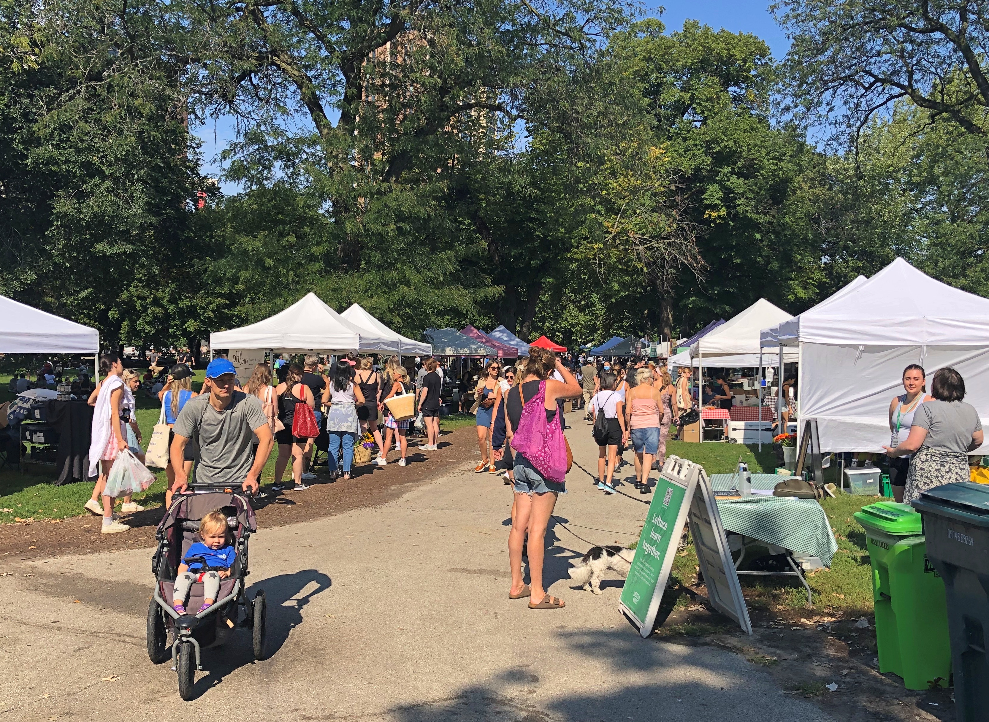
Not far from Clark on the western edge of Lincoln Park, I happened across Green City Market, a large farmer’s market, in progress. It’s held on Wednesdays and Saturdays during the warmer parts of the year. It was busy.Lincoln Park, Sept 17 2022

Lots of tents.Lincoln Park, Sept 17 2022 Lincoln Park, Sept 17 2022 Lincoln Park, Sept 17 2022

Some wonderful-looking produce.Lincoln Park, Sept 17 2022 Lincoln Park, Sept 17 2022

I don’t begrudge the farmers their direct-to-consumer sales, but the emphasis on “organic” and “pasture raised” and — I saw this — “regenerative agriculture” — got to be a little much. At least I didn’t see anything advertised as “curated.” It can’t be as simple as “fresh produce,” can it?

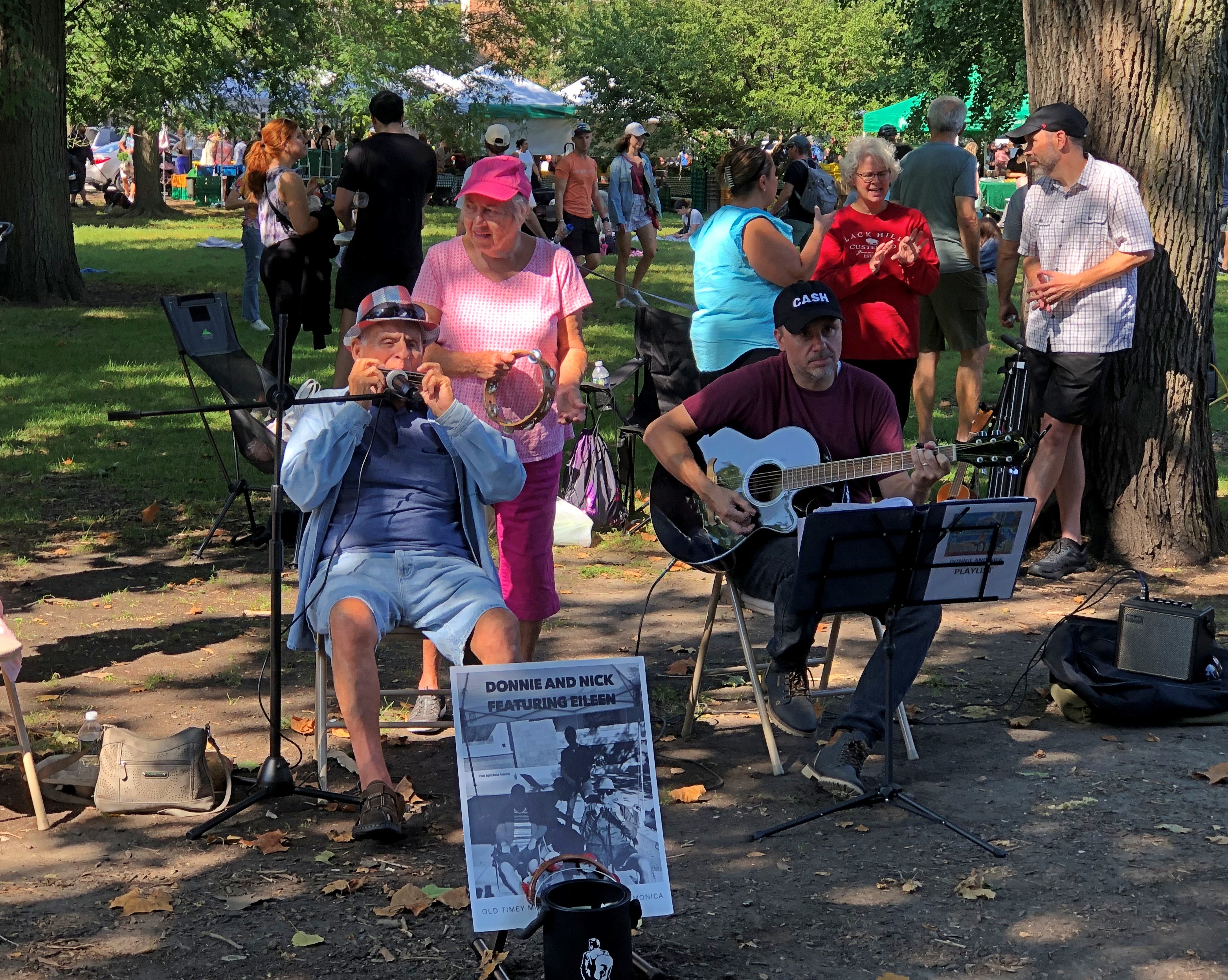
But that didn’t bother me too much. I enjoyed the band.Lincoln Park, Sept 17 2022

The tip in their bucket was the only money I spent in the park that day.

A Summery September Saturday in Lincoln Park

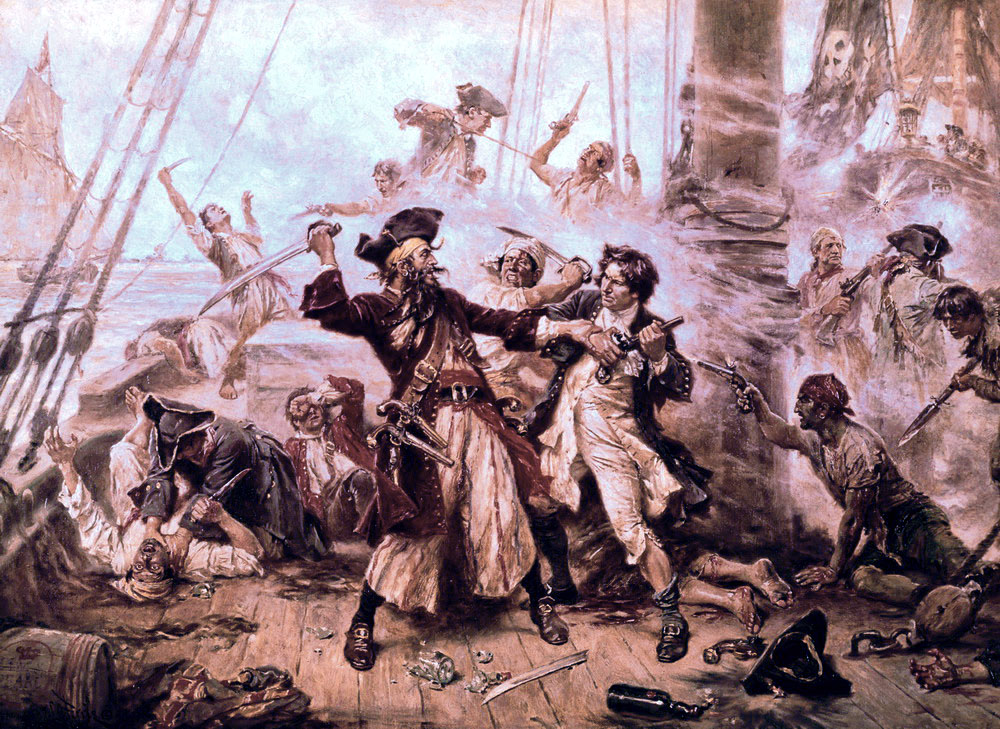
I can’t let International Talk Like A Pirate Day pass without a mention, as I have for so many years. Somehow, that would be wrong. There’s a place in the world for silly days. So here’s a public domain image for the occasion.

“The Capture of the Pirate Blackbeard, 1718” by Jean Leon Gerome Ferris (1920). He’s an American artist I wasn’t familiar with until recently. He’s been mostly forgotten, his style considered outdated.

Summer in its mildest form lingers here in northern Illinois: bright days, little wind, puffy clouds, temps that let you forget whether the air is hot or cold. Good for going out for a long walk (Saturday) or staying at home and sleeping late and then lounging on the deck (Sunday) and reading and watching various bits of visual entertainment.

The Saturday walk was through Lincoln Park in Chicago, from the southern edge northward, along the boardwalk and into the zoo, and back again along the ridge that used to be the lakeshore. I also passed through a crowd at a farmers’ market.

Been a while since my last visit. That too was a late summer stroll.

This time, Yuriko was at her cake class making this —

— which is every bit as good as it looks.

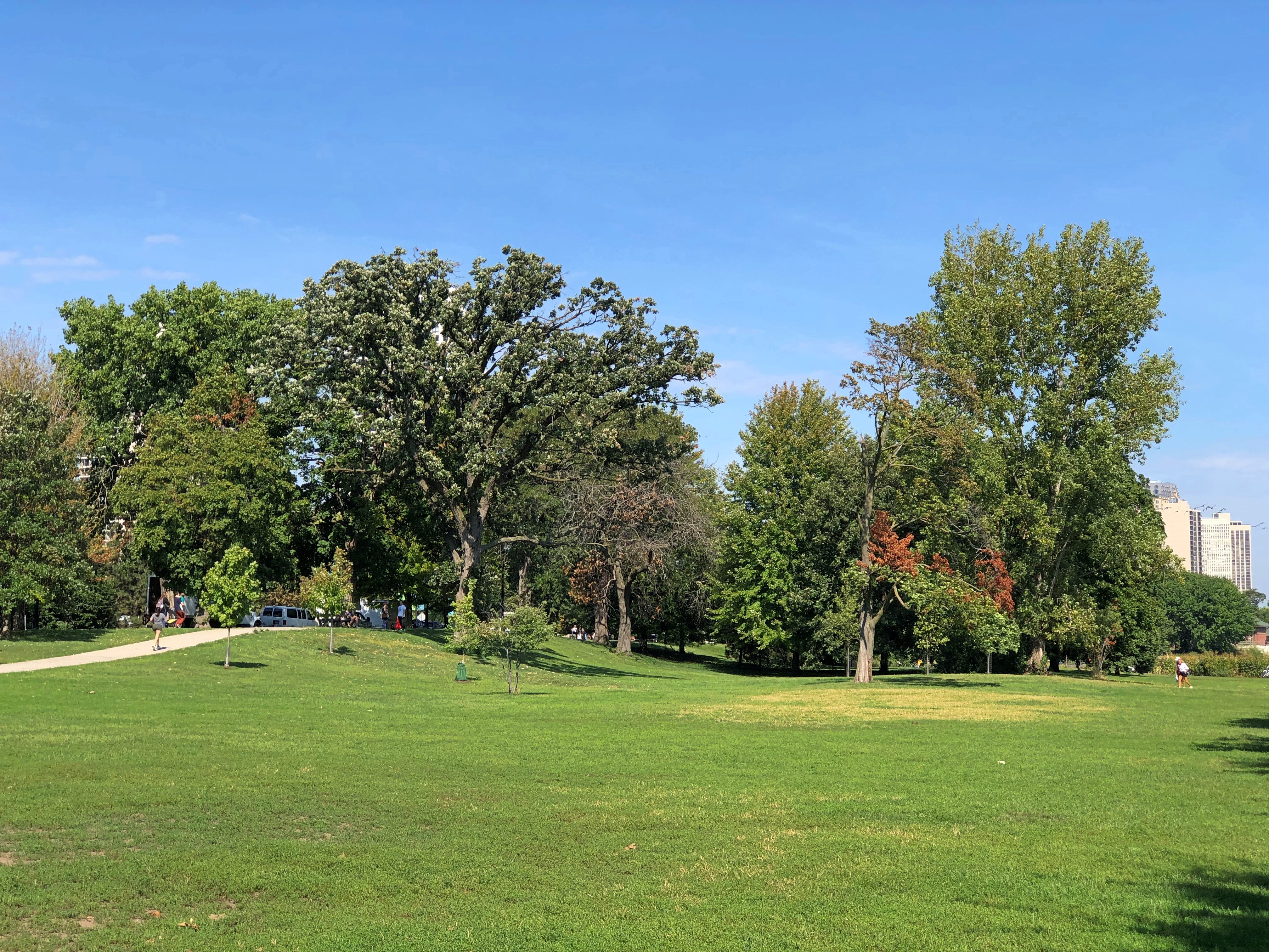
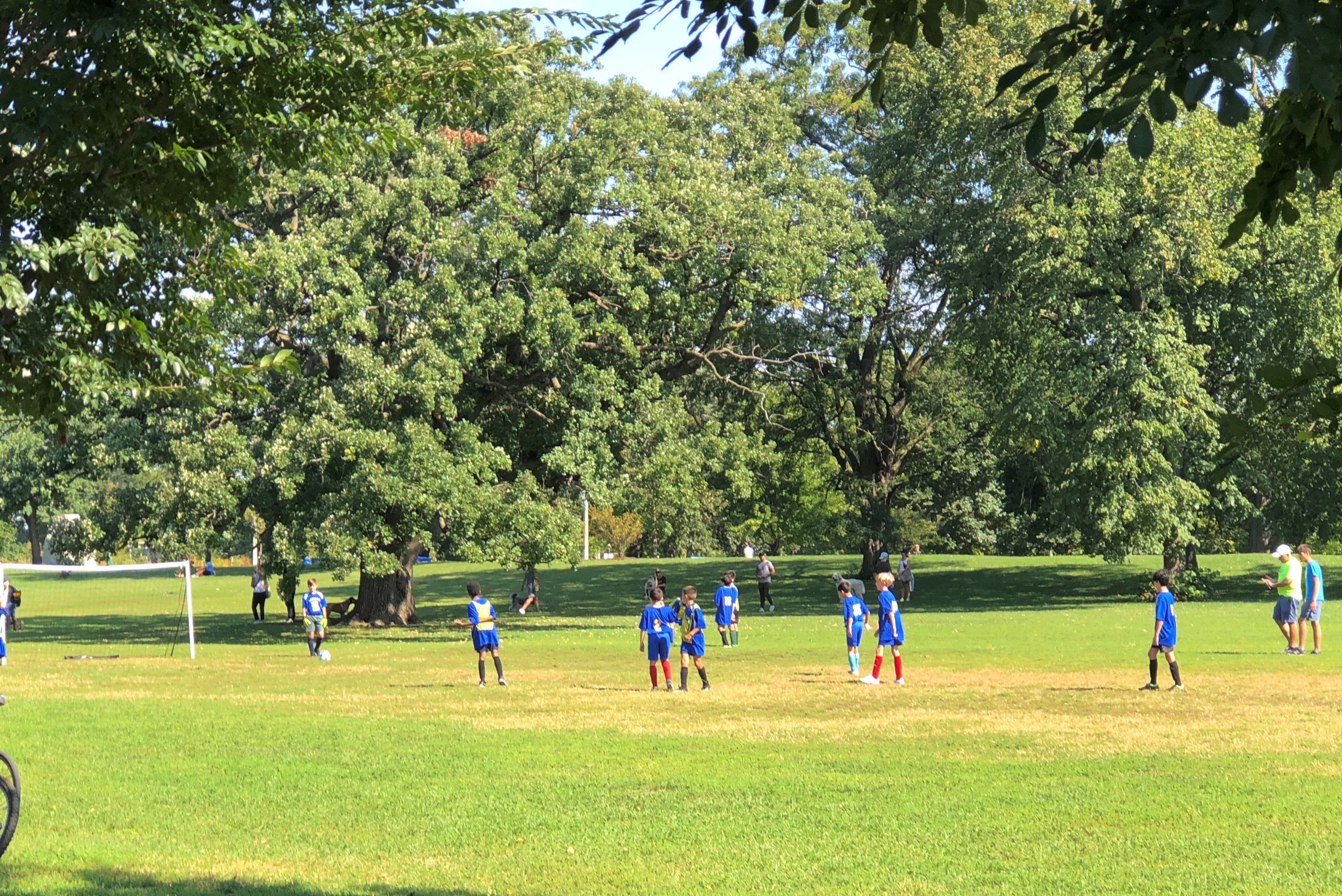
Meanwhile, I took a bus east to Lincoln Park, crown jewel of the Chicago Park District and home to fields and paths and trees and shrubs.Lincoln Park, Sept 17, 2022
Lincoln Park, Sept 17, 2022 Lincoln Park, Sept 17, 2022

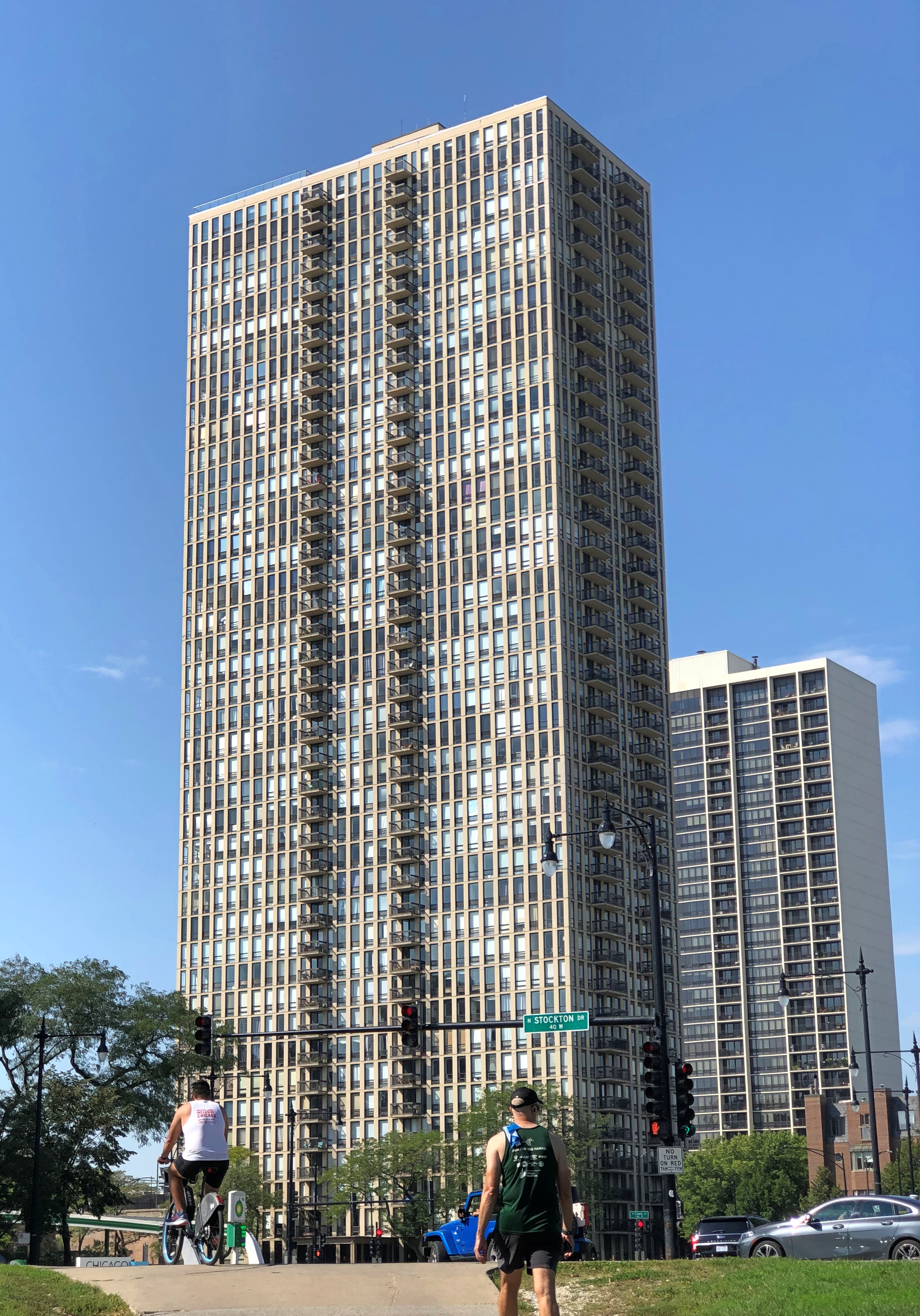
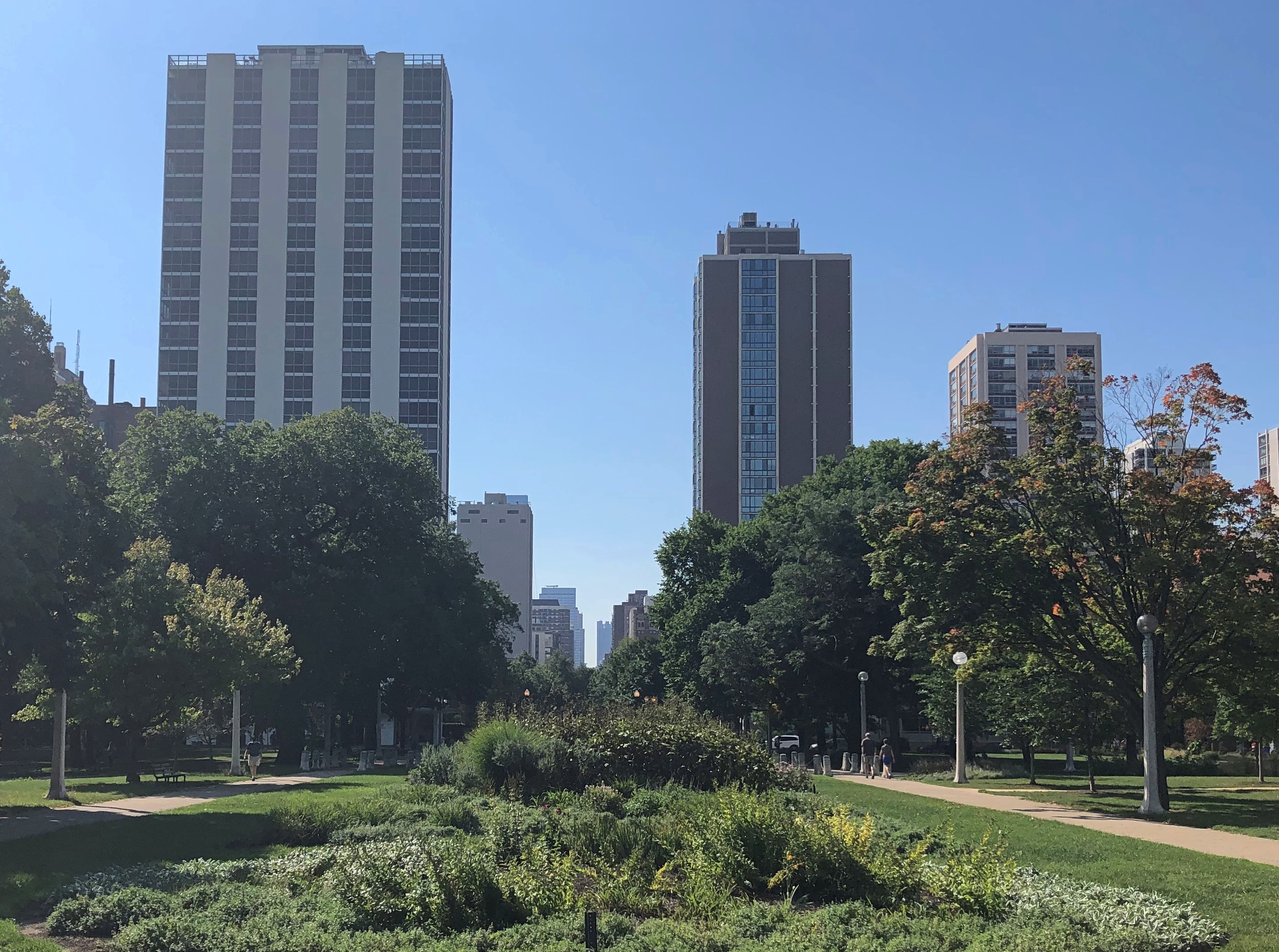
But there’s no forgetting the surrounding city.Lincoln Park, Sept 17, 2022 Lincoln Park, Sept 17, 2022

I didn’t seek out monuments this visit. The park is dotted with them, as much in the background as the tree canopy or bushy undergrowth for most people, who are missing messages in bottles from the past.

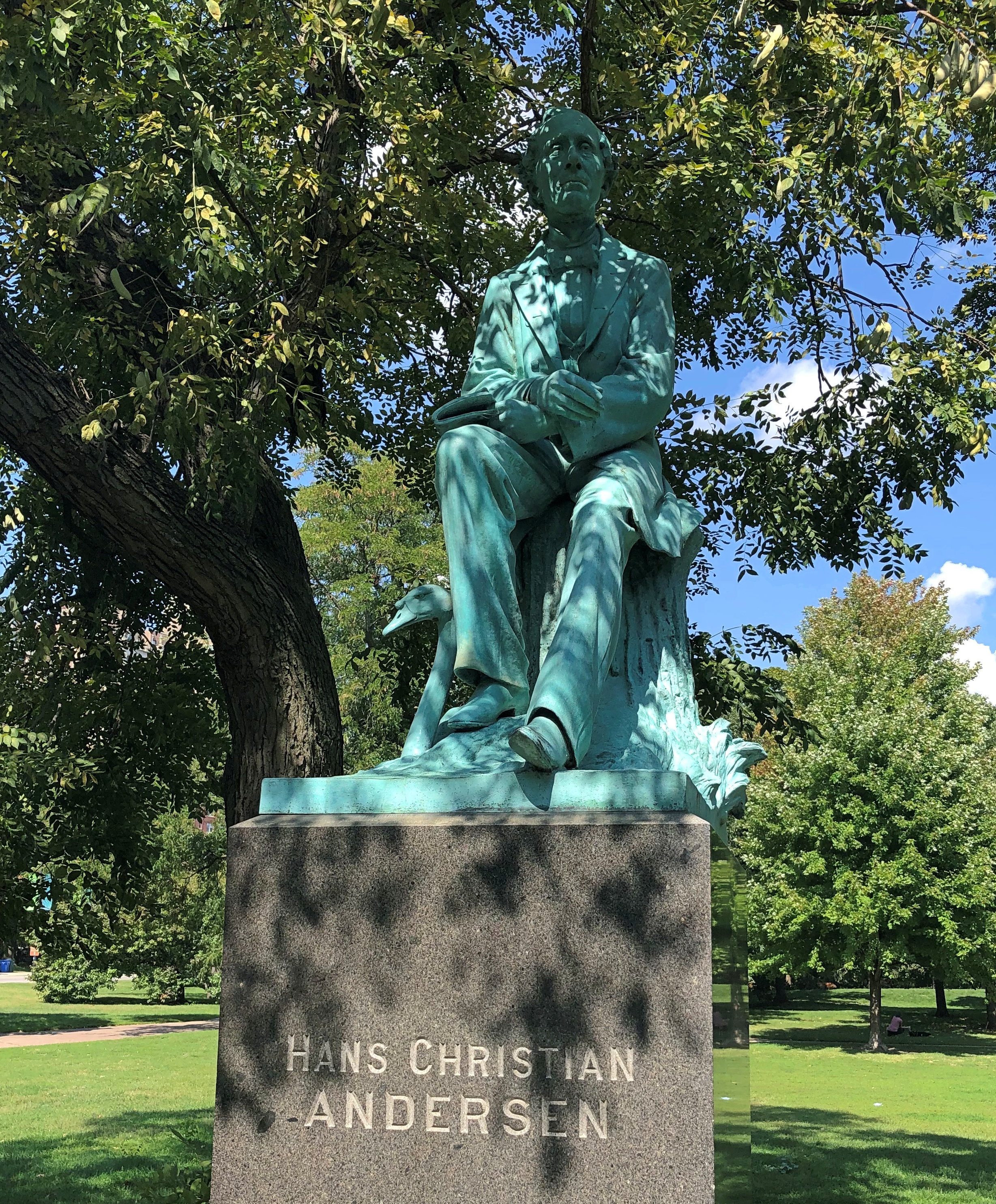
I did pause at Hans Christian Andersen, whose bronze dates from 1896. It gave the impression that he was enjoying the shade.Lincoln Park, Sept 17, 2022

“The Hans Christian Andersen Monument Association [local Danes] commissioned John Gelert to produce the sculpture,” park district says. “A Danish immigrant, John Gelert (1852–1923) arrived in Chicago in 1887, receiving his first commission for the Haymarket Riot Monument two years later.

“Gelert portrayed the children’s author sitting with a book in hand and a swan at his feet, alluding to his world-famous story, ‘The Ugly Duckling.’ The artist explained that ‘he had the advantage of studying several good photographs of Andersen taken at various times in his life.’

“Gelert displayed the Hans Christian Andersen Monument along with his now-missing Beethoven Portrait Bust at the World’s Columbian Exposition of 1893. (Installed in Lincoln Park in 1897, the Beethoven bust was stolen in 1970.)”

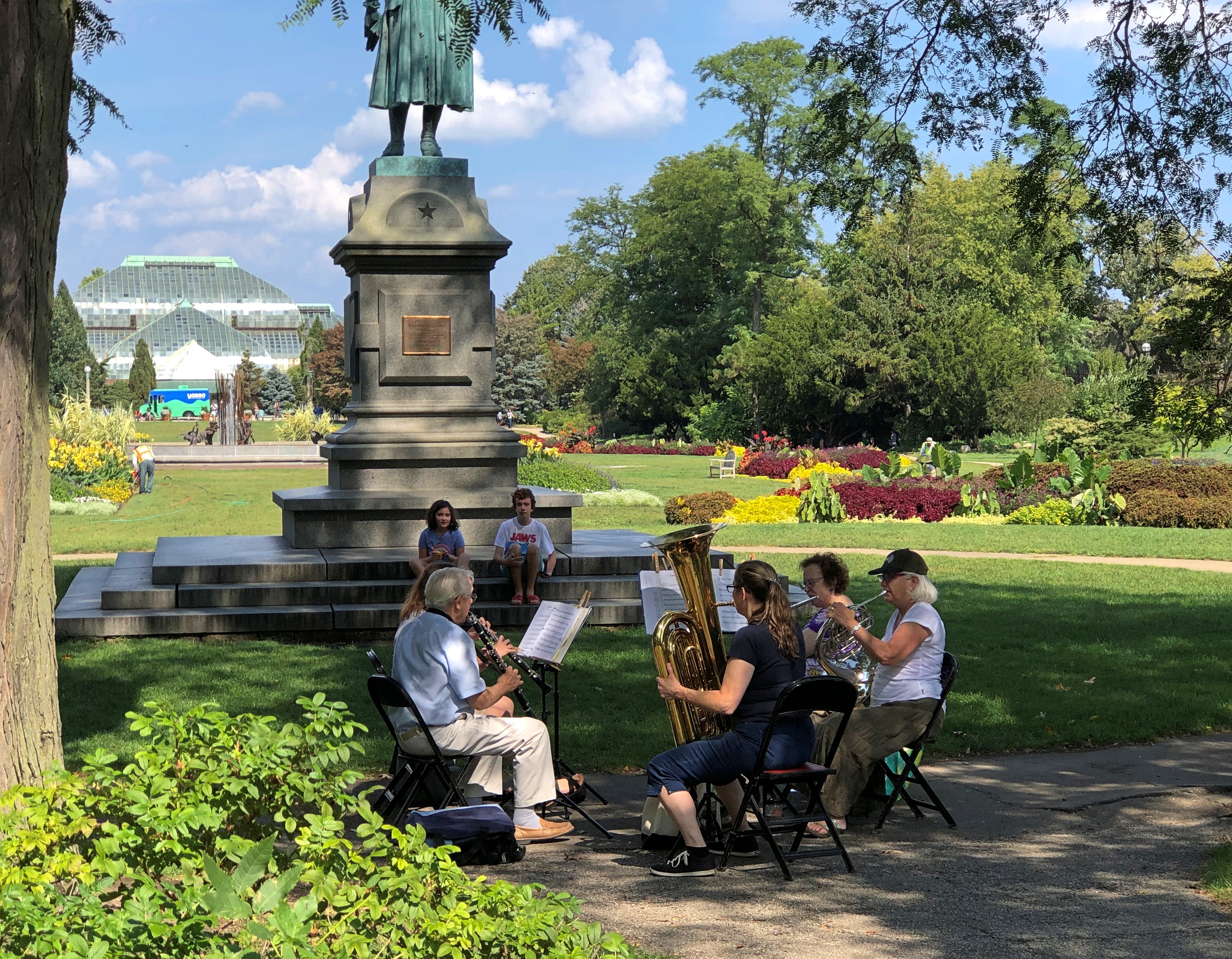
Elsewhere, in the shade of the Schiller statue, in fact, a small brass band did some tunes al fresco.Lincoln Park, Sept 17, 2022

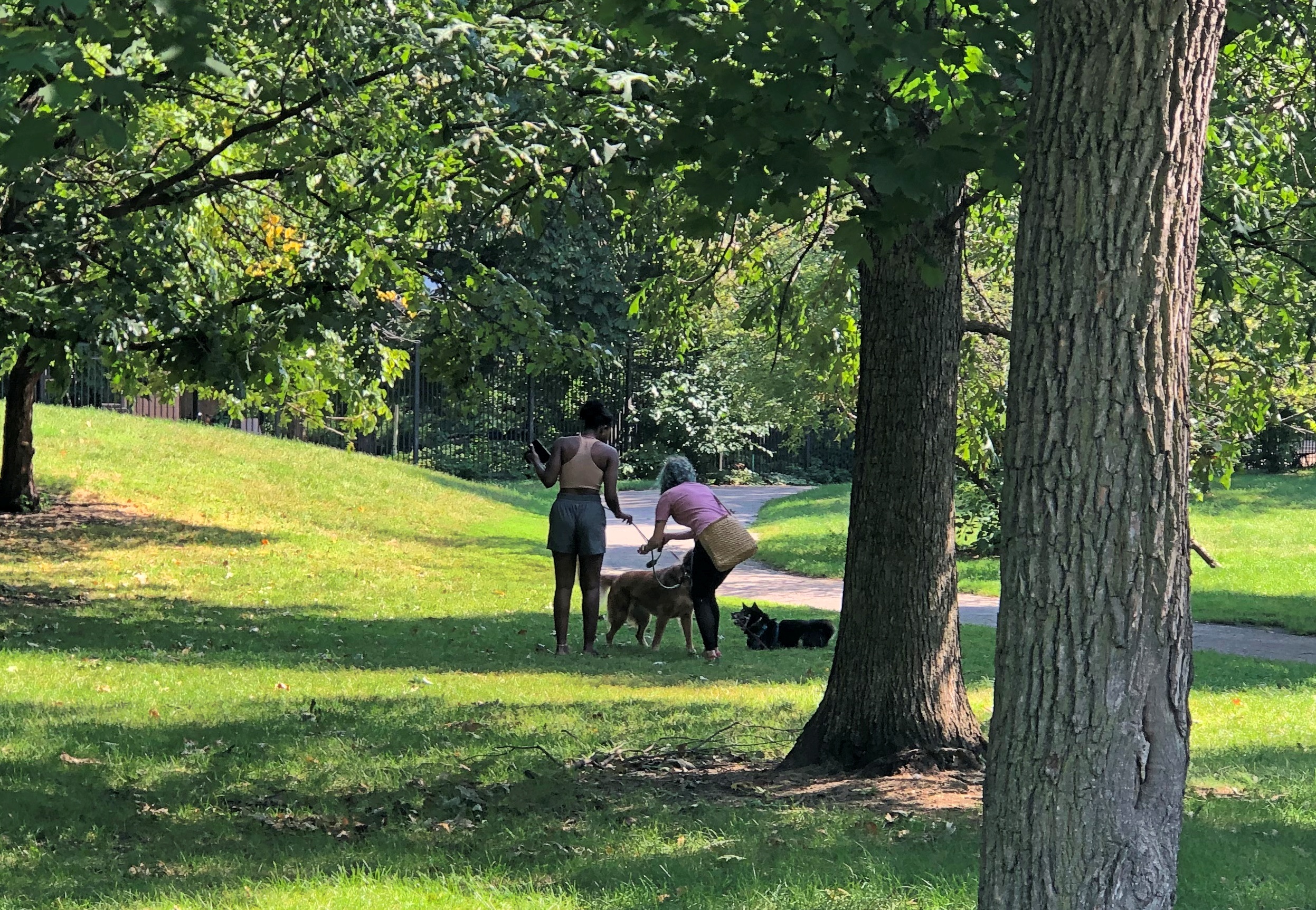
On the whole, the walk was good.Lincoln Park, Sept 17, 2022

As I saw printed on the side of a truck parked on a street running through the park.

Bishop Hill State Historic Site, 1997

I’m sure there will be some chatter about the 25th anniversary of the death of Diana Spencer this week, but I won’t add to it, except to say we were out of town that Labor Day weekend.

Some years ago, I wrote: “We made it as far west as Iowa, briefly, but the main focus was getting to Nauvoo, Illinois, perched way west on the banks of the Mississippi. The first day [August 30, 1997], we stopped at a place called Bishop Hill, which itself was the site of a religious commune in the 1840s and ’50s, home to a good many Swedish immigrants that followed a charismatic Swede.

“Alas, he died [indeed, was murdered] and there was no one to take his place, unlike certain other cults that flourished around that time and later went to Utah, so they parceled out the commonly held lands to cult members in the 1860s. About a hundred years later, their descendants became interested in restoring some of the town’s buildings, which have their charms. The church was nice in a sort of plain way, and the hotel was a fine example of 1850s Midwest architecture.”

In our time (including 1997), Bishop Hill is a small town in Henry County, Illinois, and a few of its buildings constitute Bishop Hill State Historic Site. The name is an English version of the birthplace of sect founder Erik Jansson, who was from Biskopskulla parish in Uppland, near Uppsala, Sweden. There may be a hill at that place in Sweden, but I’m pretty sure there’s no hill at Bishop Hill in Illinois.

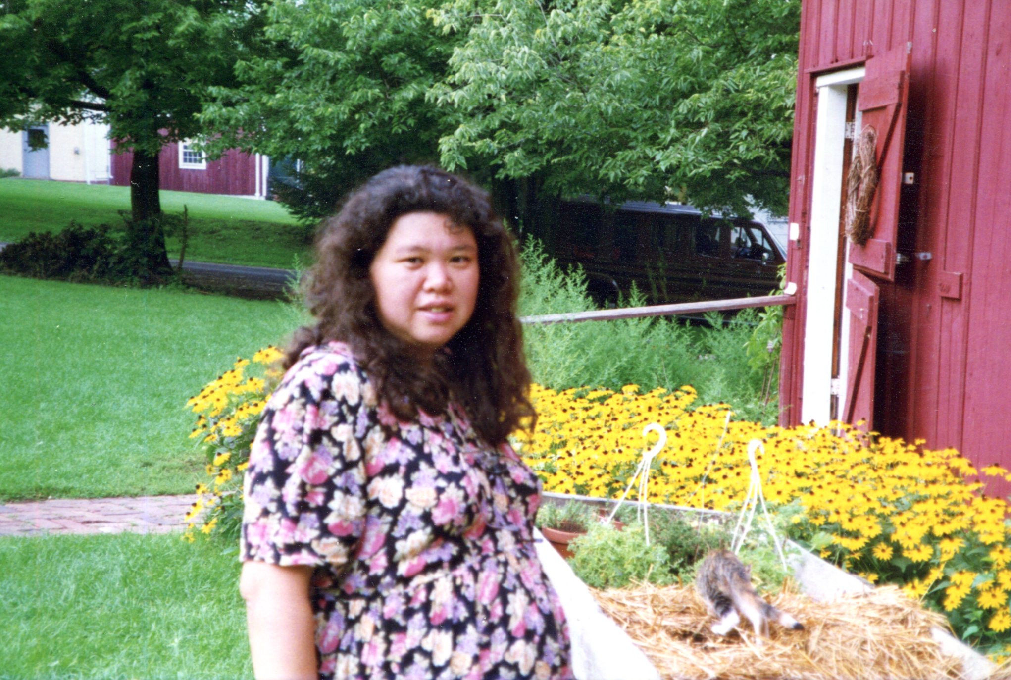
I took some pictures. It was still the days of film cameras, so only a few. Such as of Yuriko, who was large with child at that moment. The child will be celebrating her 25th birthday come November.
Bishop Hill, Illinois, 1997

Note the bed of brown-eyed susans. Late August is their time. The other day, we saw an enormous crop of them along the shore of Volkening Lake.

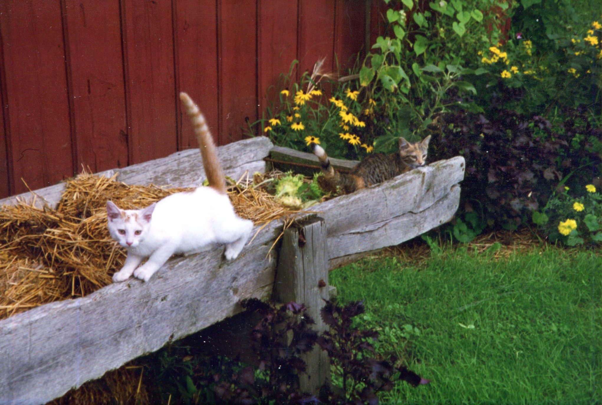
A local cat, who was large with tail.
Bishop Hill, Illinois, 1997

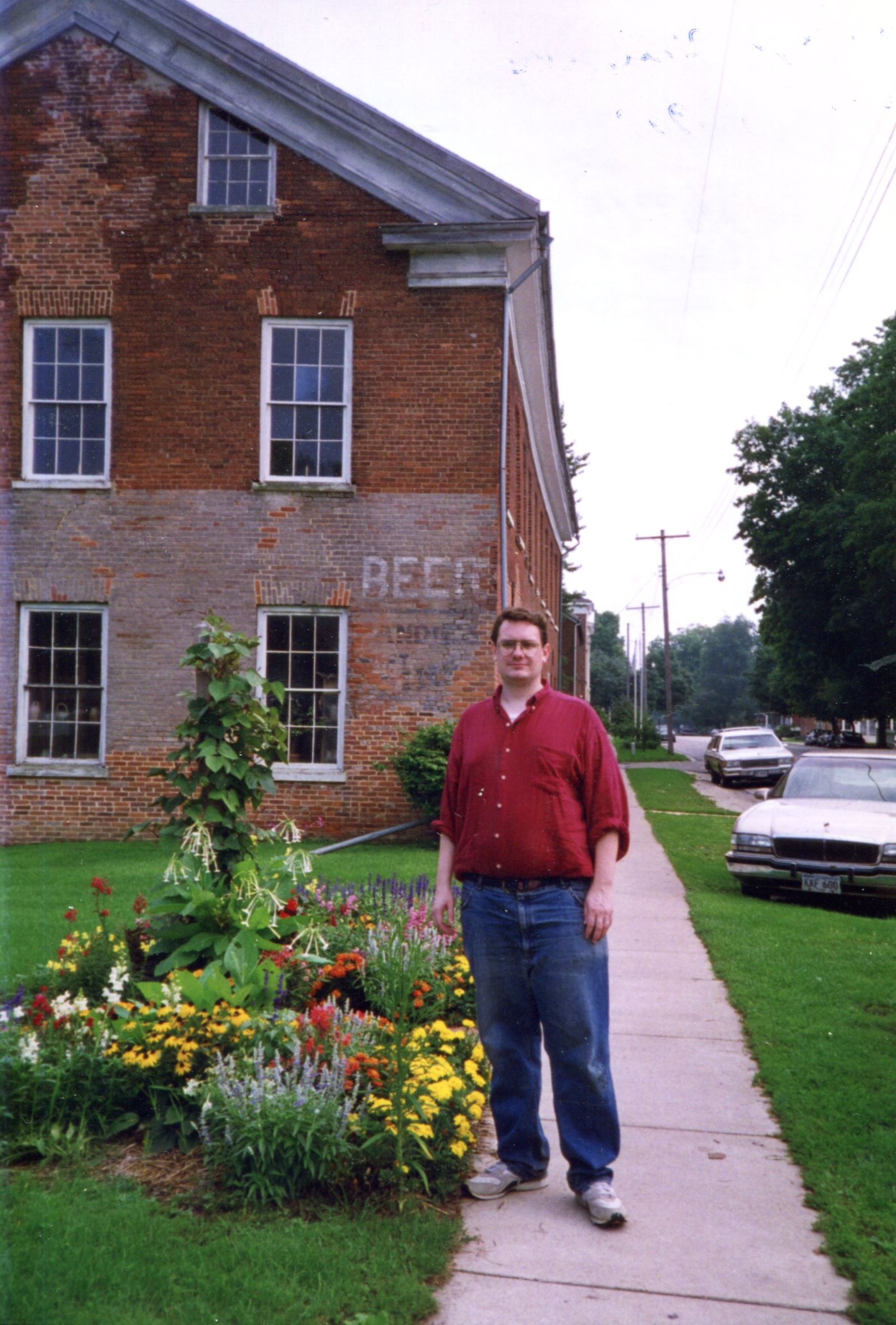
Next, I’m standing near one of the older buildings in town, though I don’t believe it’s part of the historic site. Someone used to sell beer there. Curiously, the same building can be seen in the image illustrating Bishop Hill’s Wiki page.
Bishop Hill, Illinois, 1997

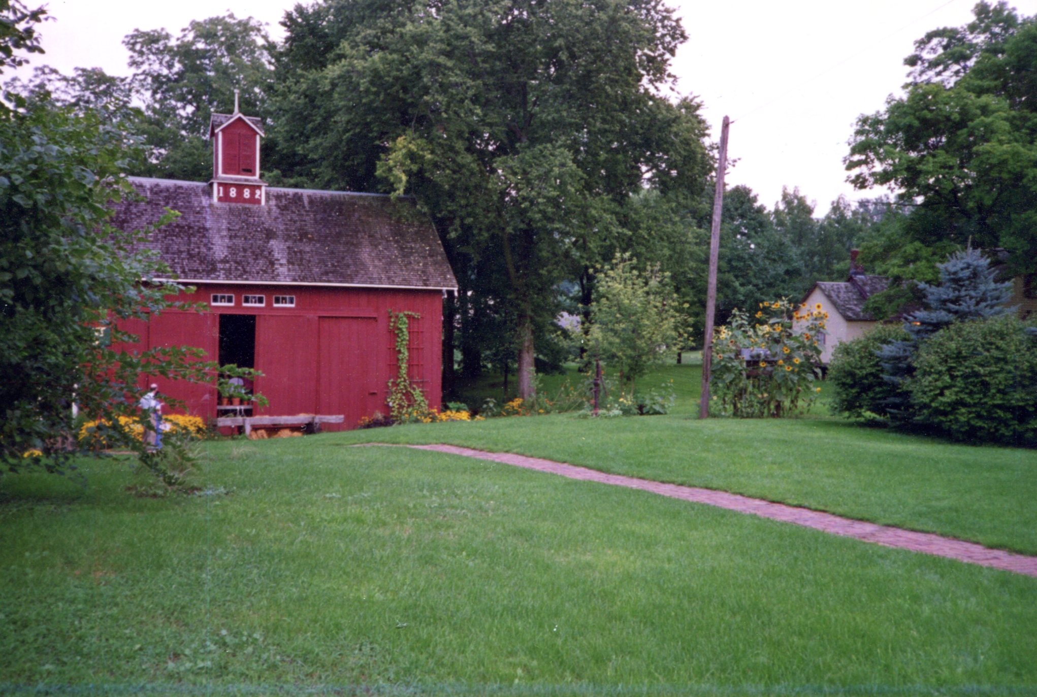
Another view
Bishop Hill, Illinois, 1997

I won’t swear to it after 25 years, but I think we arrived too late in the day to see the interiors of most of the historic buildings. In any case, it was our last trip before full-blown parenthood.

Whitefish Point

After leaving Sault Ste. Marie around noon on August 4, we headed via small roads to Whitefish Point, a cape jutting from the Upper Peninsula into Lake Superior.

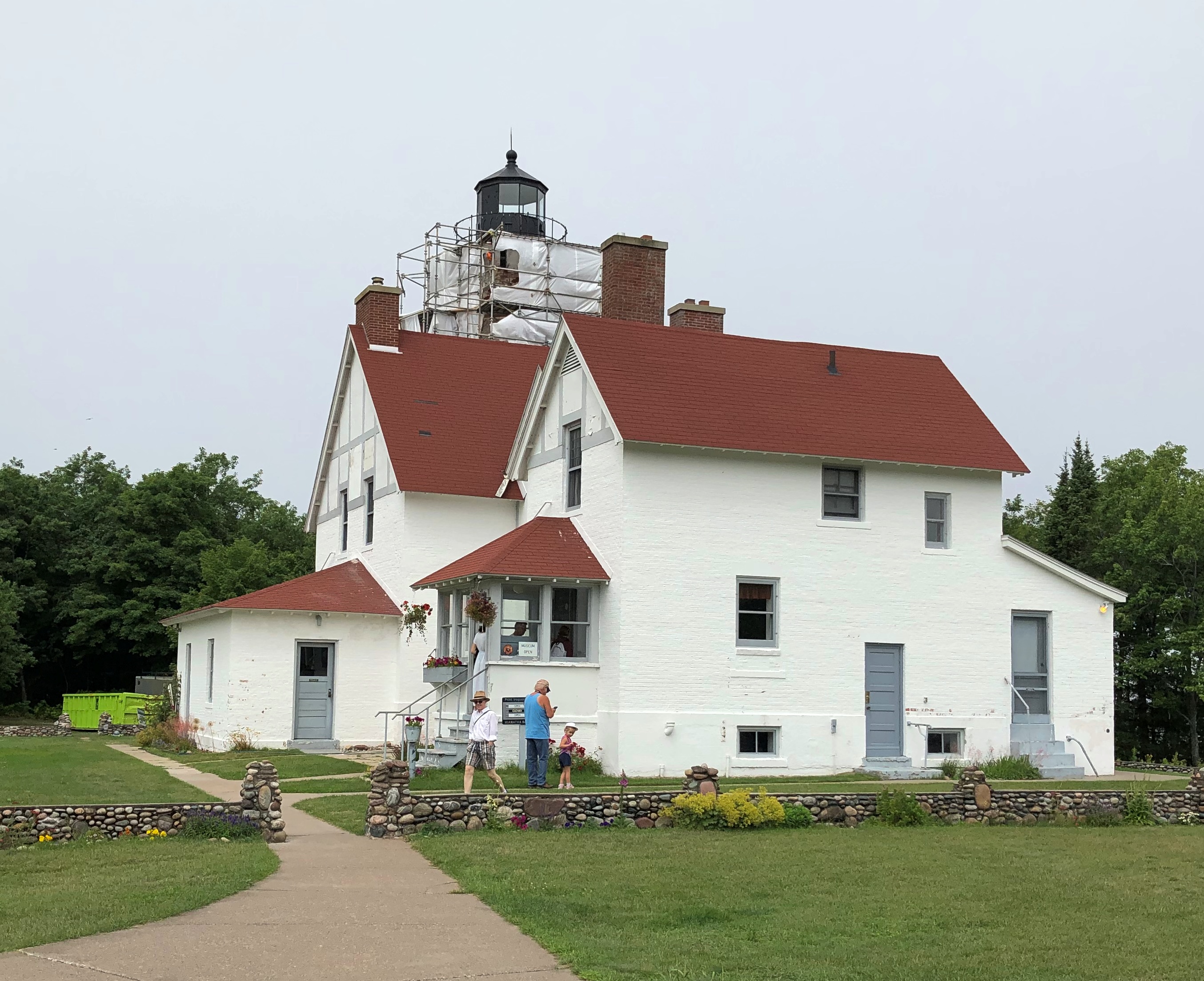
First stop en route, Point Iroquois Light, which overlooks the lake as it narrows to drain into St. Marys River. A light has been there since 1856, in response to the increased shipping through the recently opened Soo Locks. The lighthouse and keeper’s house are handsome structures, though the light was under scaffolding. I’ve encountered a fair number of such obstructed sights over the years.Point Iroquois Light

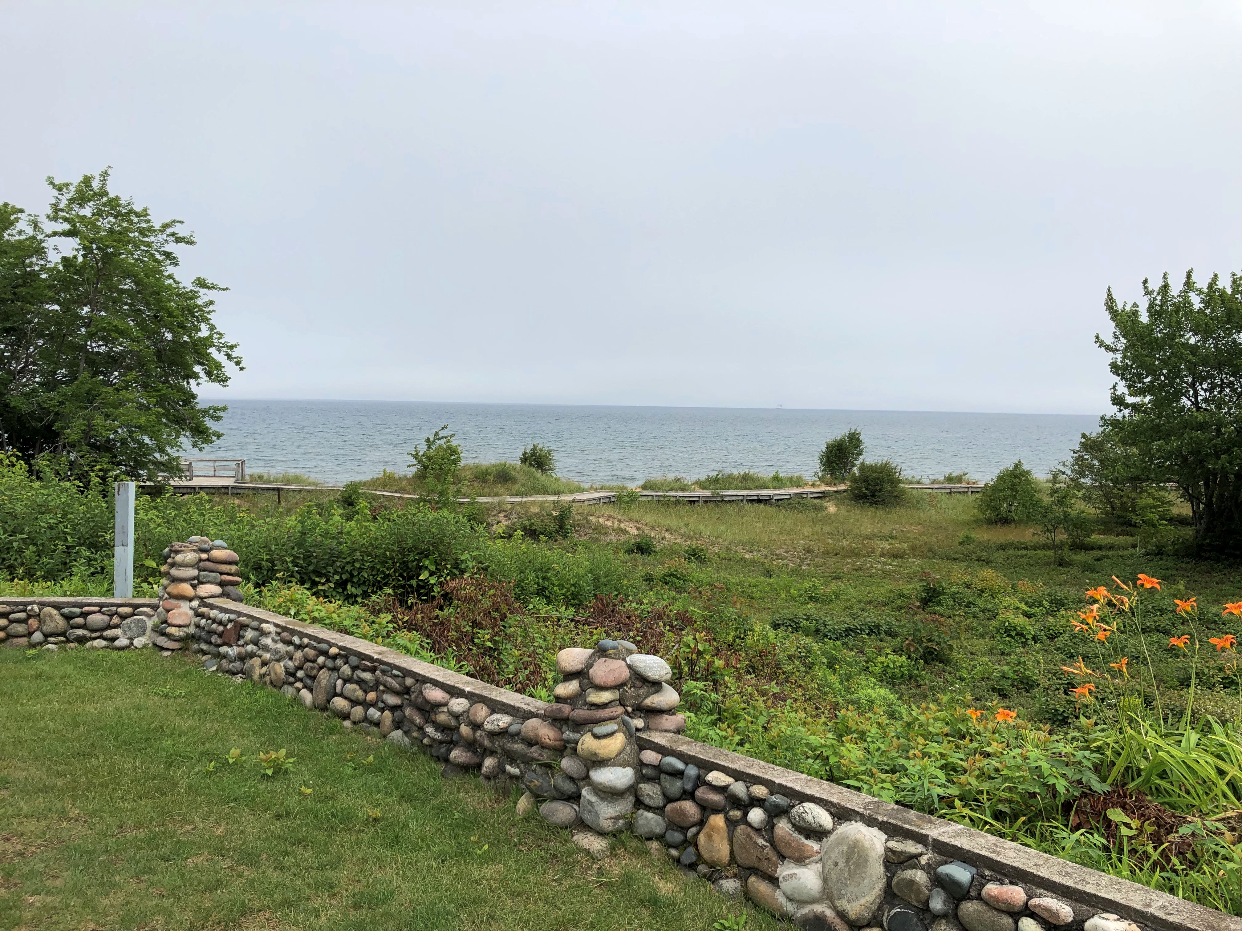
Nice view of Whitefish Bay, too.Point Iroquois Light

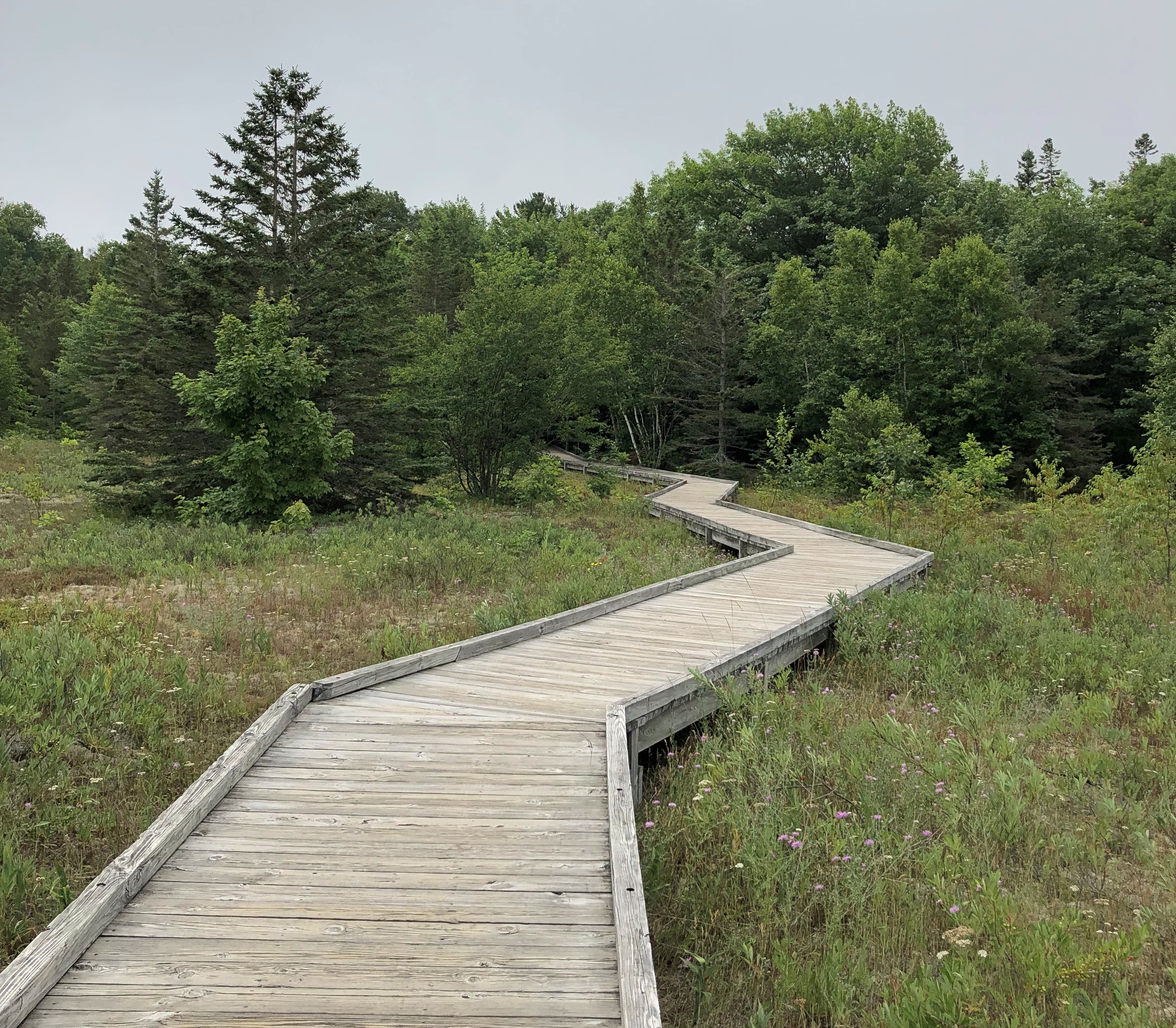
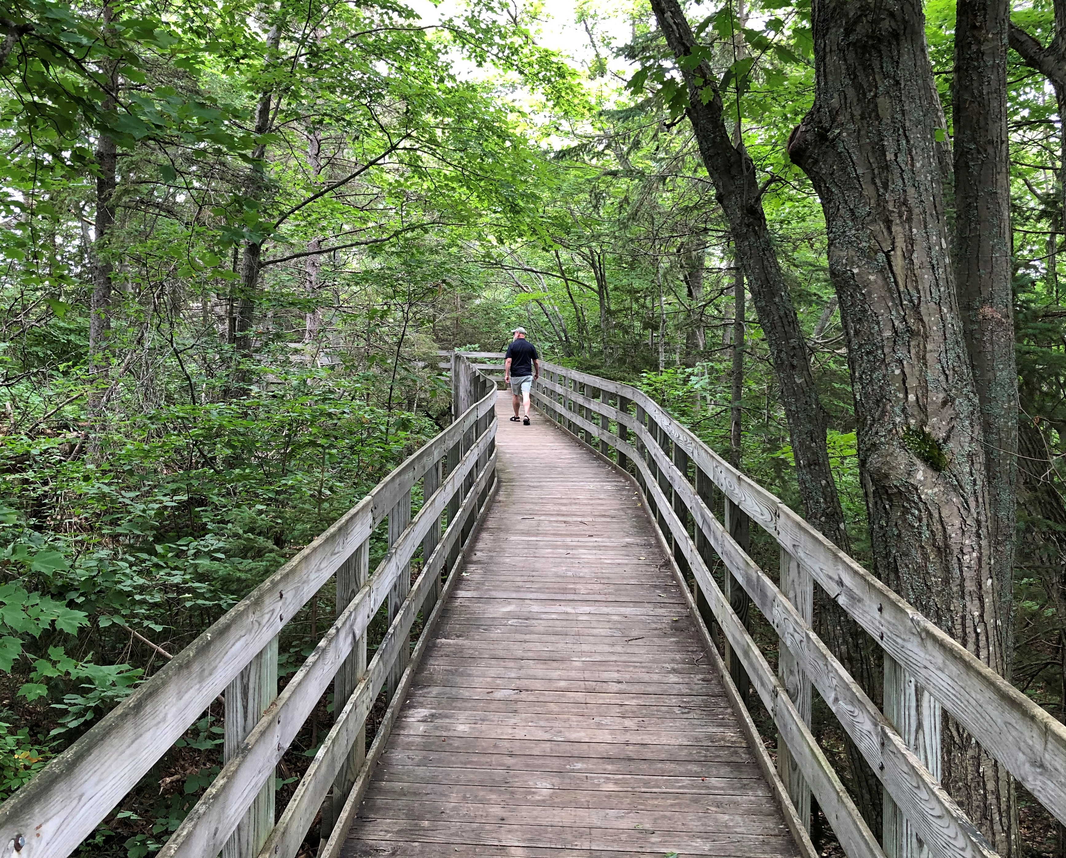
A good boardwalk walk.Point Iroquois Light Point Iroquois Light

We had lunch in Paradise. The UP town of that name, that is. We stopped there for lunch in 2006 and I’d like to say I had a cheeseburger. But the record says otherwise. Back then, I wrote: “I need to say I’ve been to Paradise. Paradise, Mich., that is, which is just south of Whitefish Point. In fact, I ate a whitefish sandwich in Paradise, and it was good, but not paradisiacal.”

I didn’t record the name of the restaurant in ’06, but I will this time, because it’s so much fun: Wheelhouse Diner & Goatlocker Saloon. (The owner(s) must have been in the Navy.) We ate in the back, in the saloon part, which looked pretty much like the rest of the place, with the addition of a bar. I had a whitefish sandwich again, because that’s the thing you do within spitting distance of Lake Superior, at least once or twice. I didn’t regret my choice.

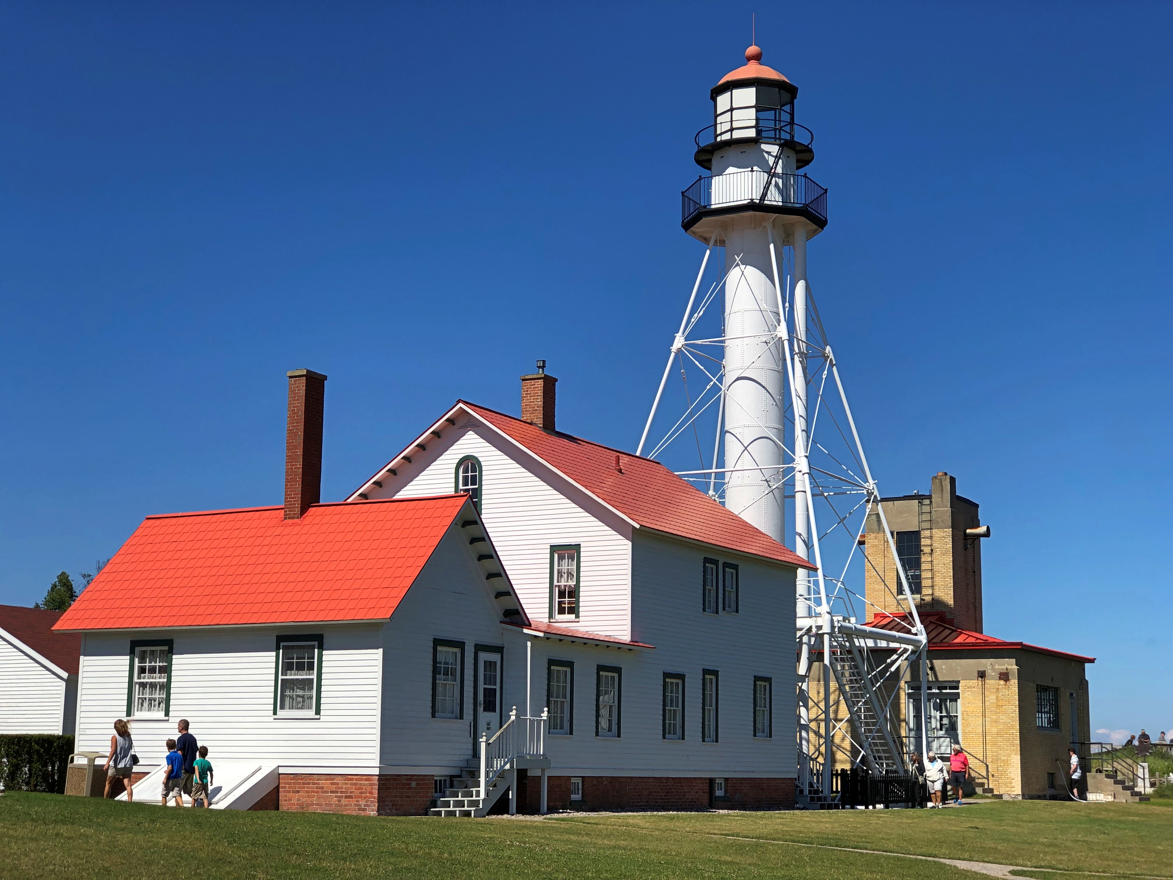
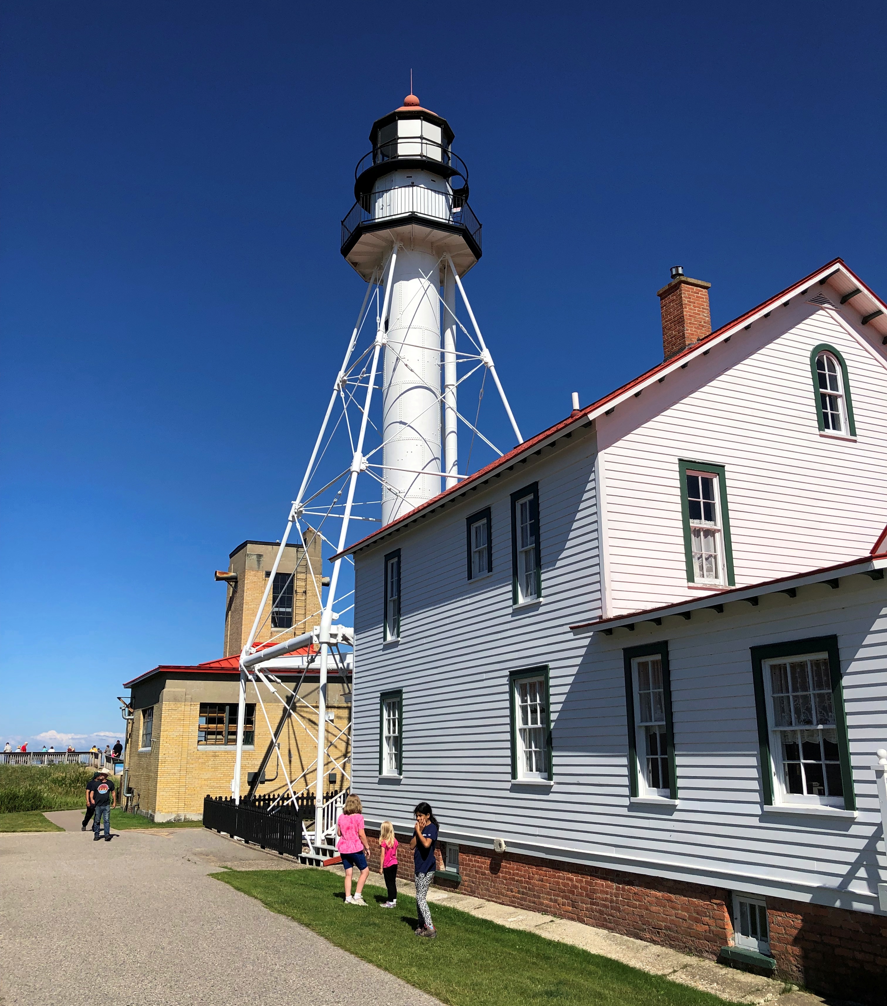
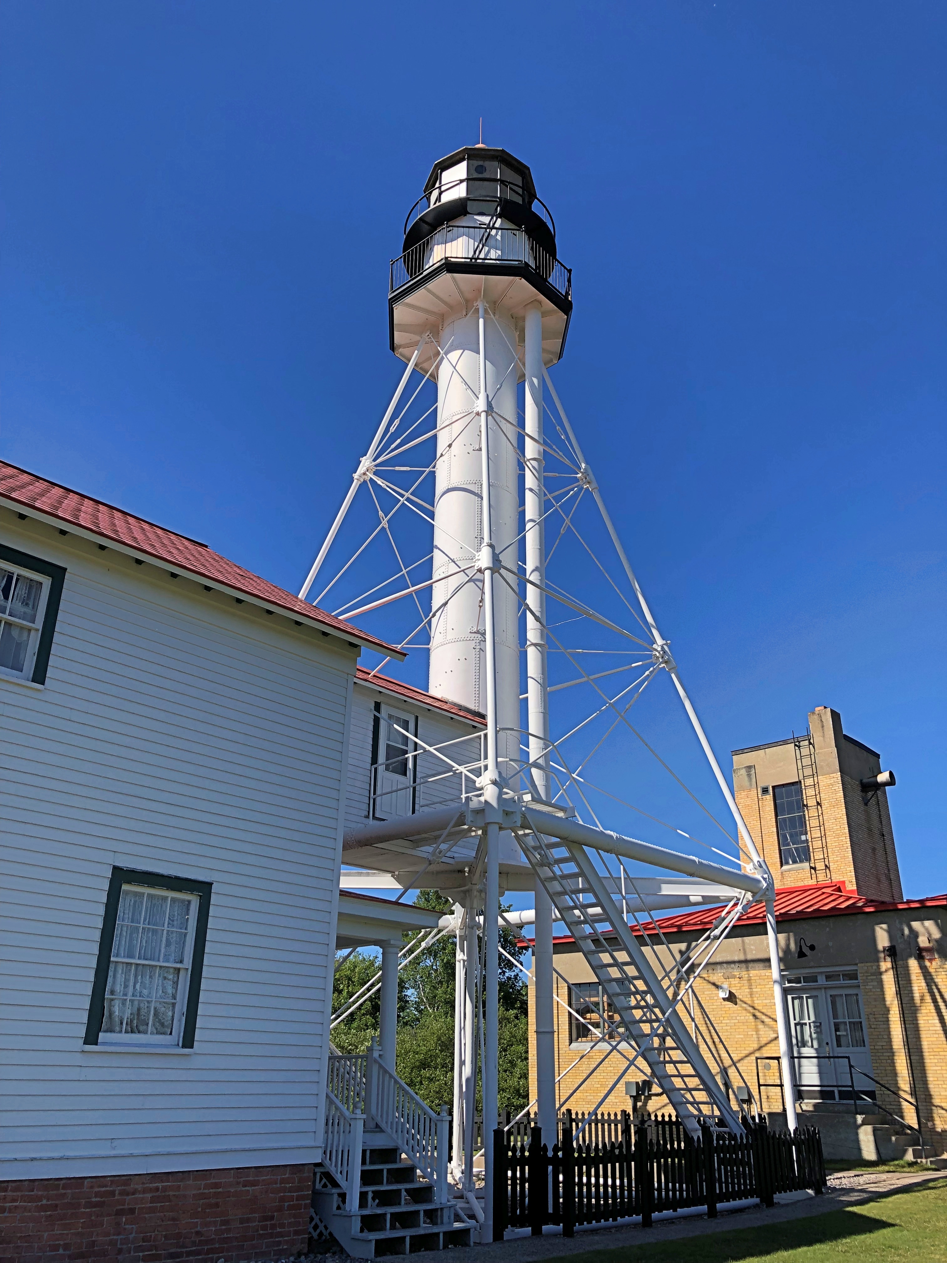
Same as 16 years ago — can it have been that long ago, and still be in the 21st century? — we headed up to Whitefish Point after lunch. The star of the point is Whitefish Point Lighthouse.Whitefish Point Lighthouse Whitefish Point Lighthouse Whitefish Point Lighthouse

The original light was built in 1849 as one of the first ones on Lake Superior and, as the lake’s epithet at this point attests — “Graveyard of the Great Lakes” — it was badly needed.

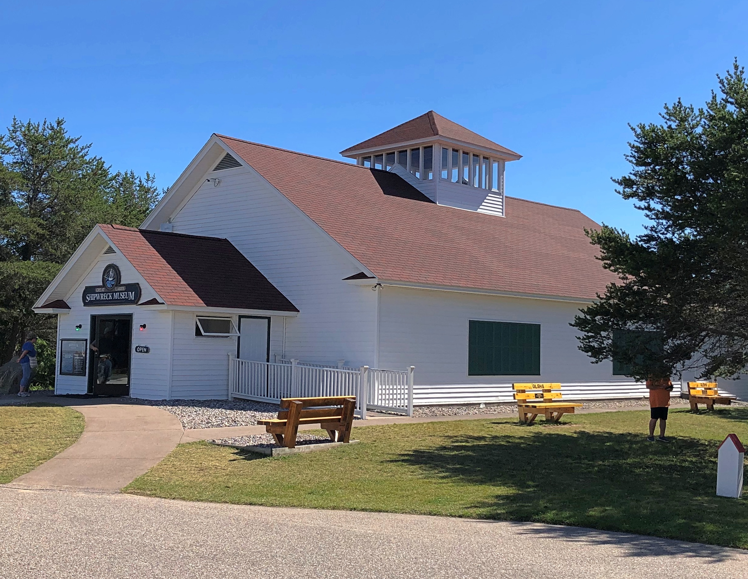
It’s also a fitting location for the Great Lakes Shipwreck Museum.Great Lakes Shipwreck Museum

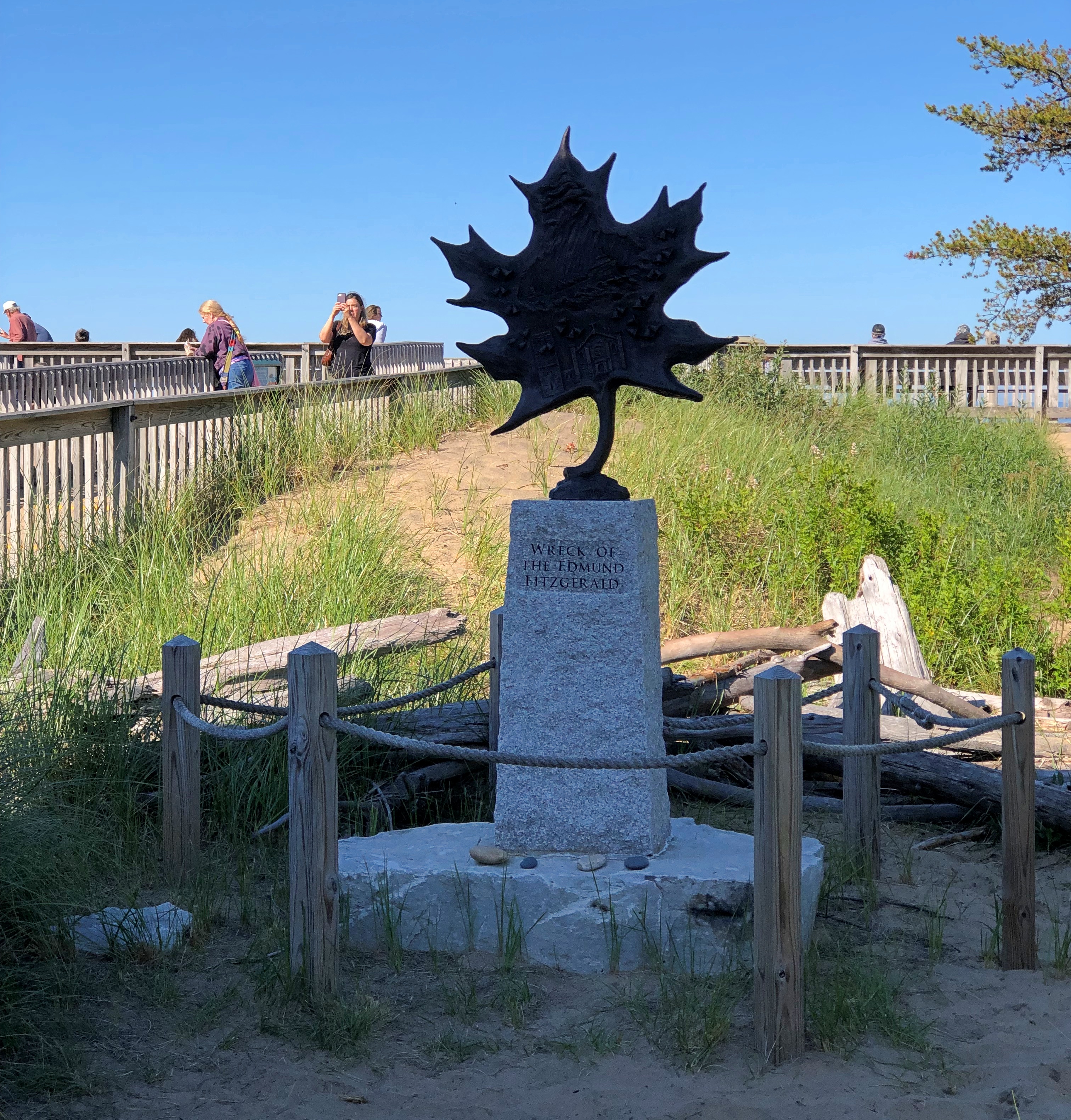
The museum doesn’t seem to have changed much since I wrote: “Front and center inside the Great Lakes Shipwreck Museum is the bell from the Edmund Fitzgerald… It’s hard to imagine the violence necessary to sink a ship big enough to carry 26,000 tons of cargo, but there she lies, in two pieces, on the bottom not far from Whitefish Point.

“But it was not an Edmund Fitzgerald museum. Along three walls were other stories of other wrecks, most costing some lives, and most so long ago that there’s no living memory of them — the Comet, Vienna, Myron and Superior City, just to name a few. Among the artifacts from these wrecks were the nautical things you’d expect, such as a ship’s wheel, anchor chains, or steam engine gages.”

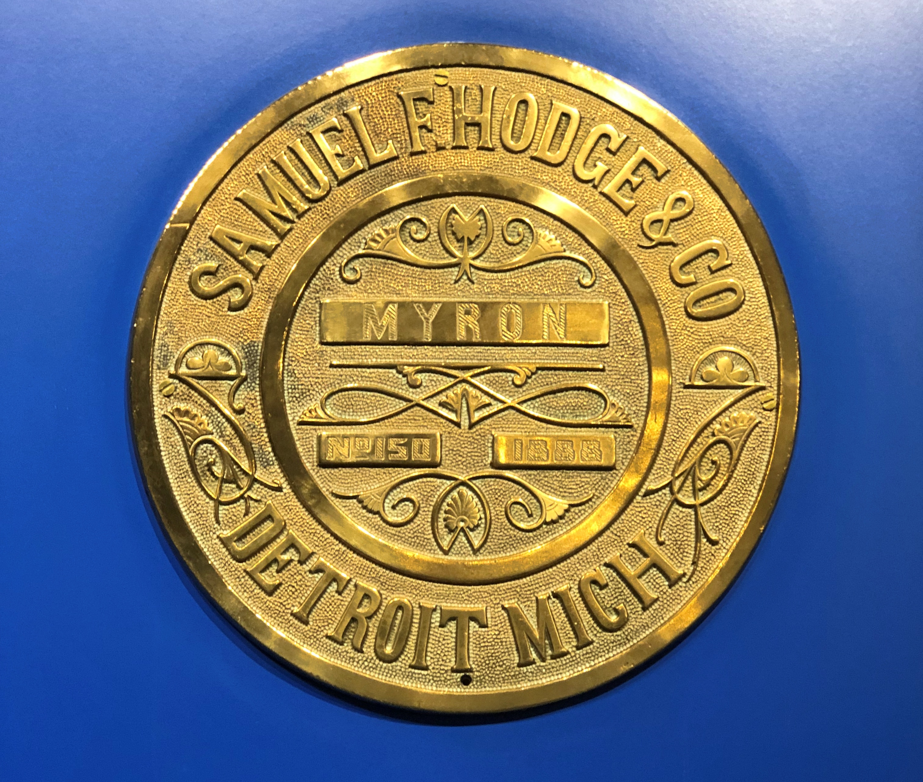
Like the name plate from the Myron, lost in a November gale in 1919.Great Lakes Shipwreck Museum

“More poignant were bits of flotsam like bottles, dishes, a candelabra and even a bar of soap in its late 19th-century packaging. Some of the museum’s benches were made from wooden planks from wrecked ships, with their name carved in it.”

This time it struck me how many ships sank after collisions with other ships. Radar was a real game-changer, but even so, it couldn’t prevent every wreck.

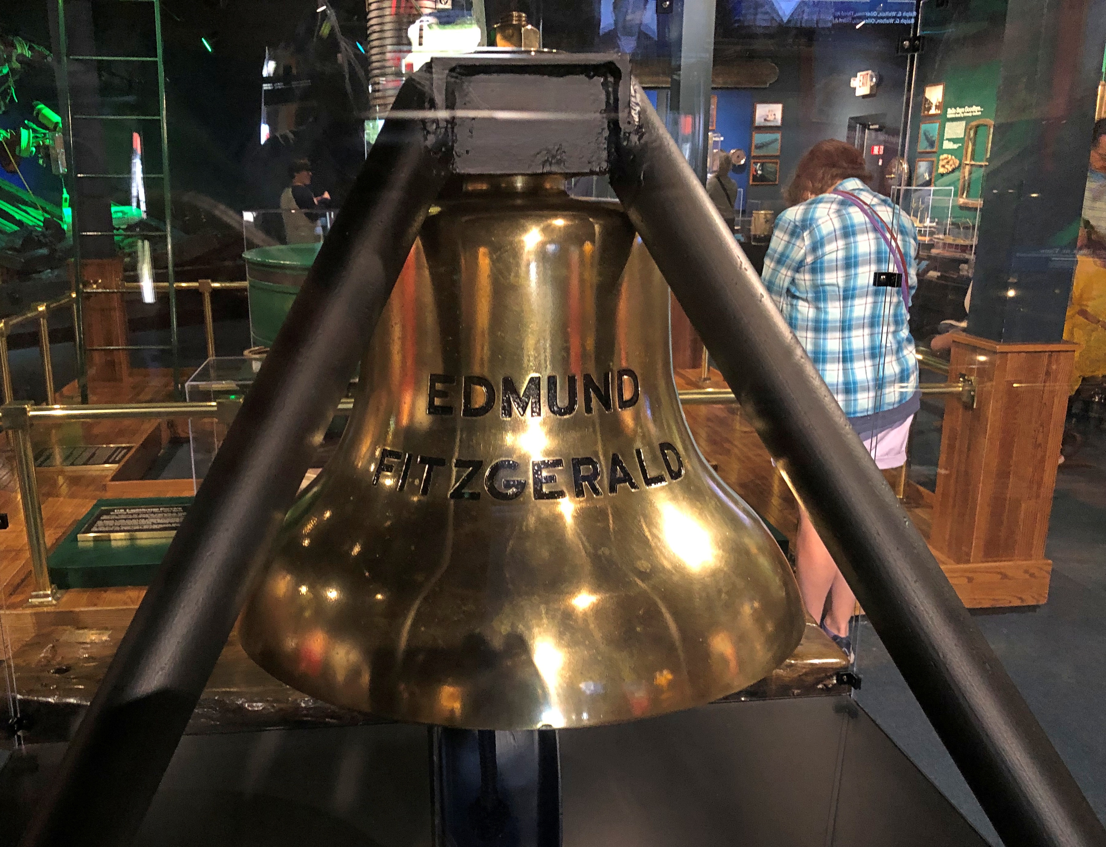
Such as that of the Edmund Fitzgerald, with all the modern equipment of 1975. The ship’s bell, retrieved from Superior’s ice-water mansion in 1995.Great Lakes Shipwreck Museum

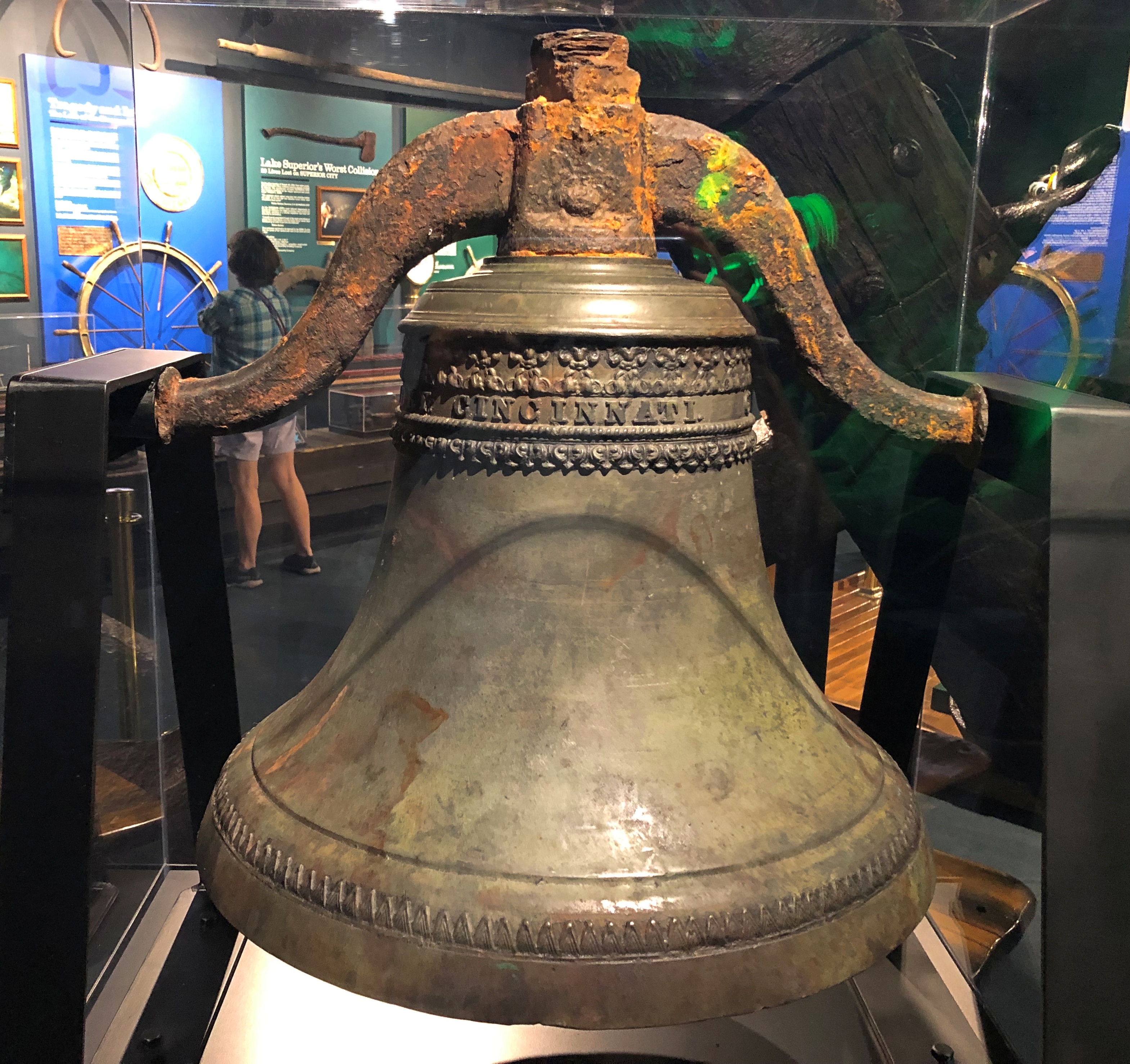
The Big Fitz bell isn’t the only ship’s bell in the collection. Another was from the schooner Niagara, which sank in 1897.Great Lakes Shipwreck Museum

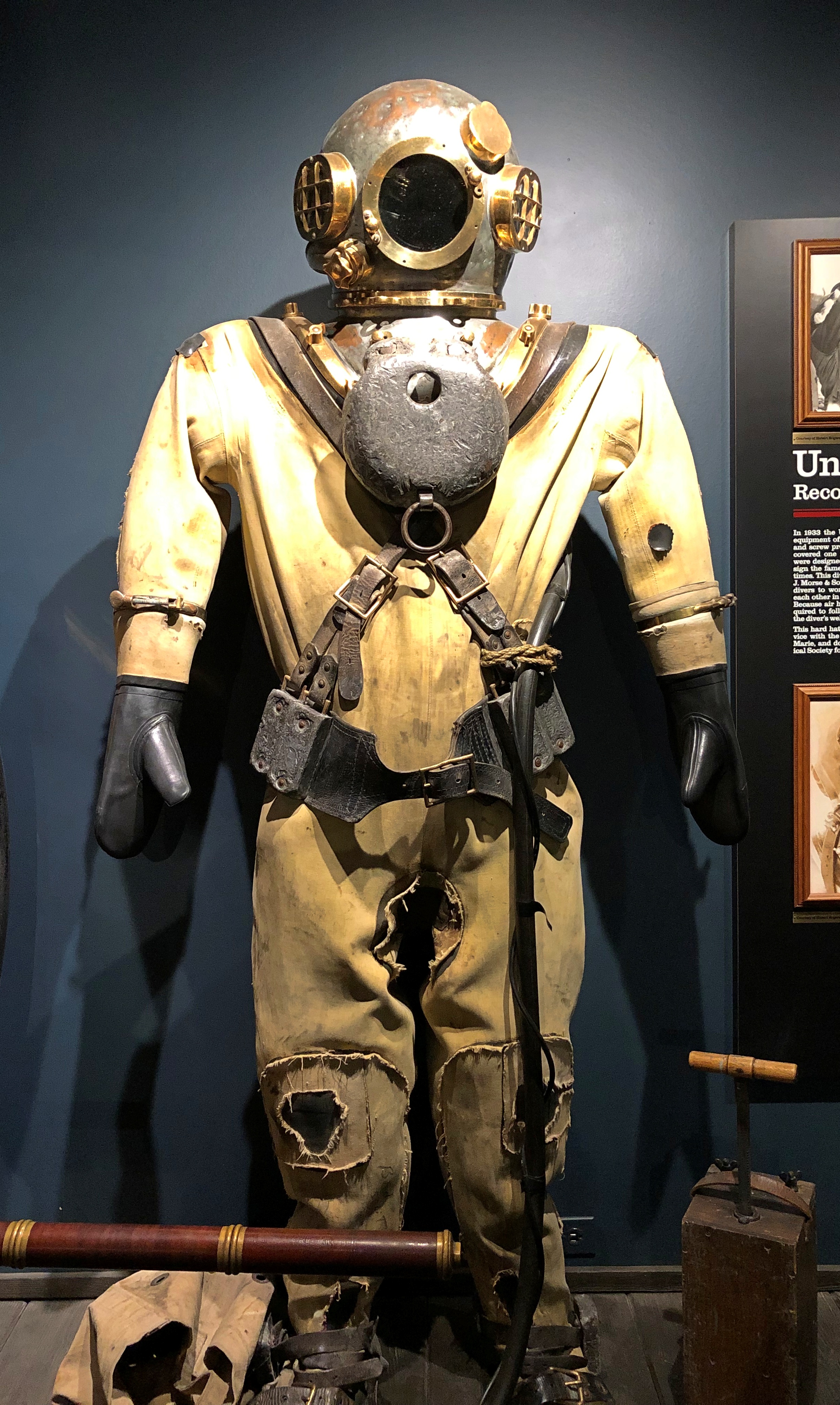
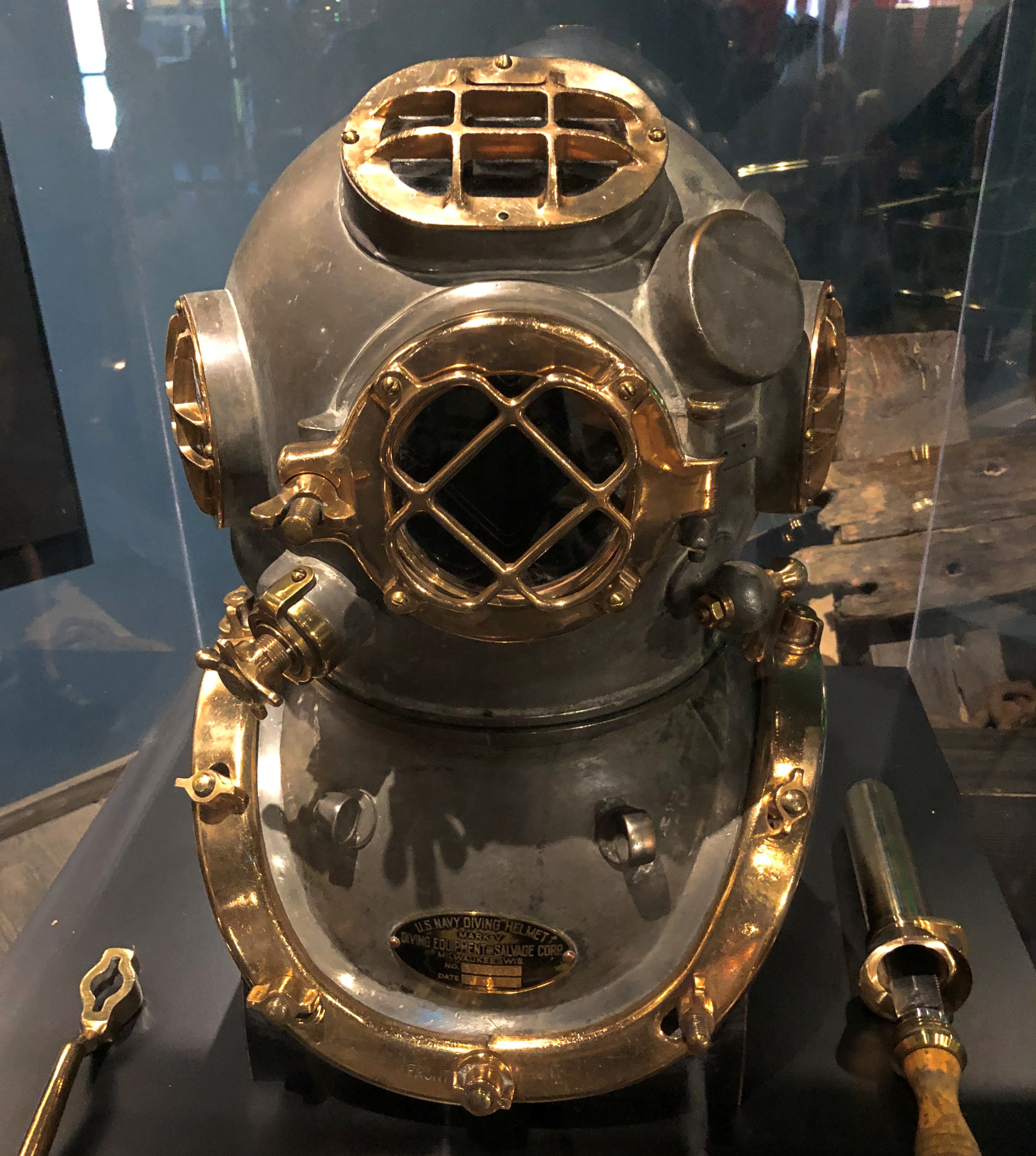
And how does one go looking for such artifacts? At least in the old days? Amazing that divers could do anything at all encased in such bulk.Great Lakes Shipwreck Museum Great Lakes Shipwreck Museum

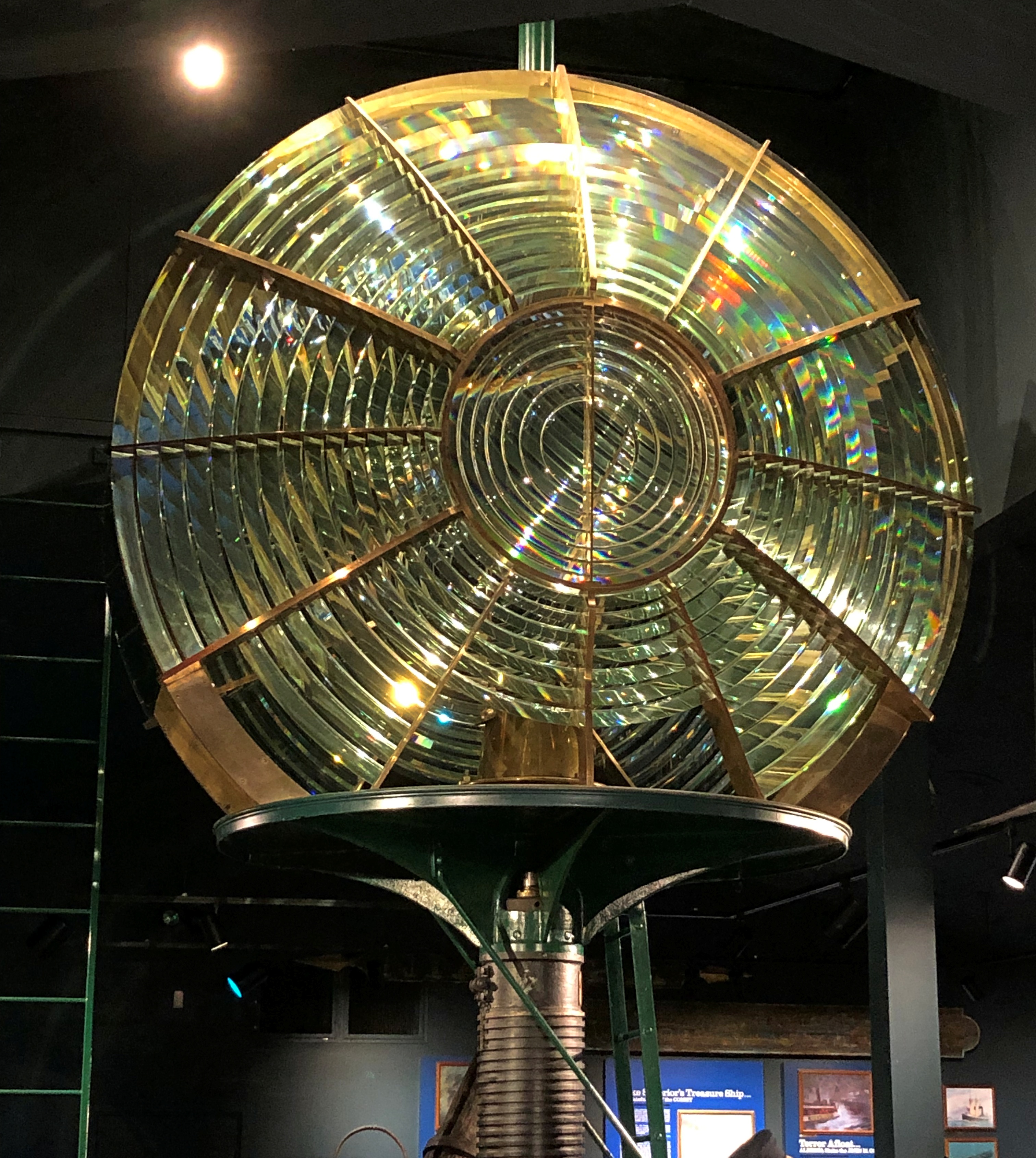
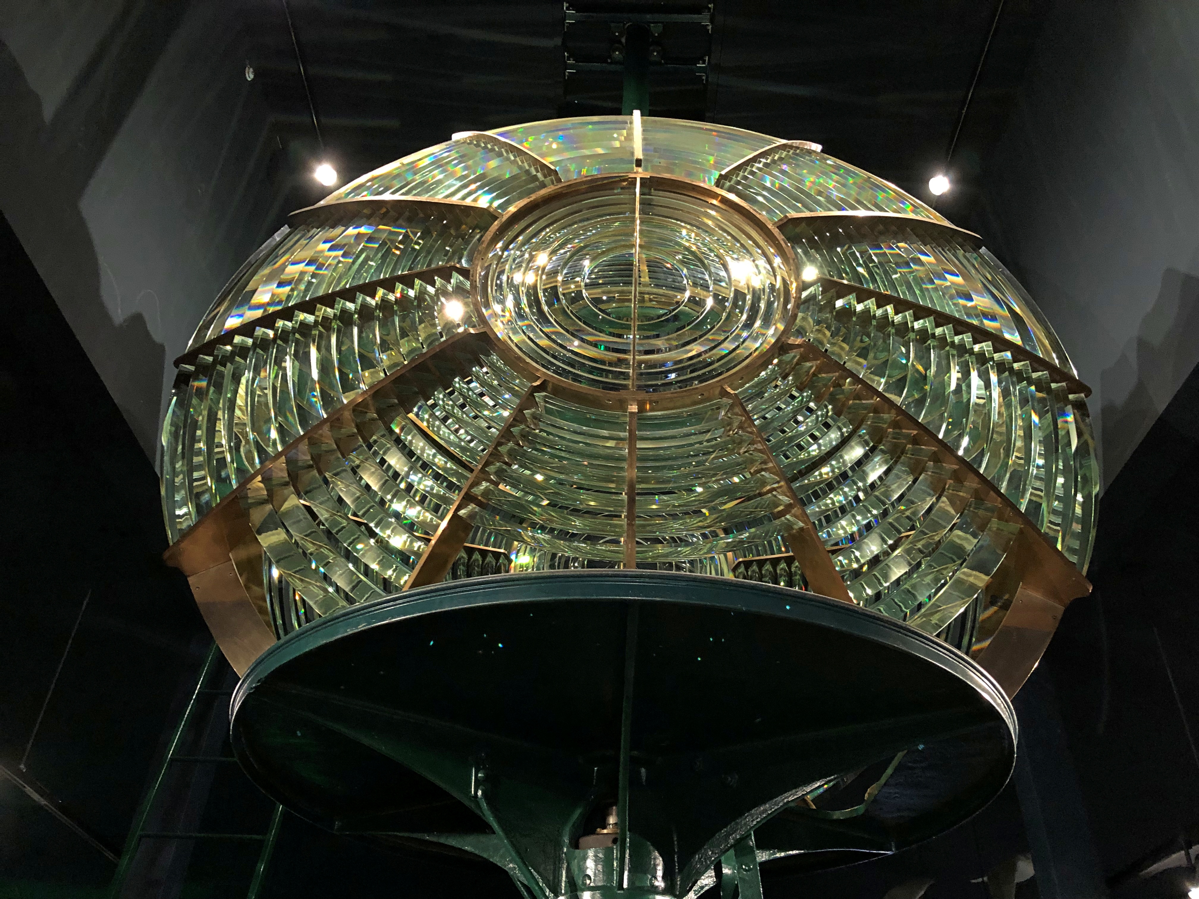
All these things evoke history and loss, as they should. But I think none of the items are as cool as the museum’s Fresnel lens. Years ago, I wrote:

“Hanging near the ceiling was a second-order Fresnel lens, formerly the bright eye of a lighthouse elsewhere in Michigan but since retired… Meant to magnify light, and representing an important technical advance in the 19th century, a Fresnel lens is also an astonishing piece of glasswork.”

Yes, indeed.Great Lakes Shipwreck Museum Great Lakes Shipwreck Museum

“At first its overall resemblance to a human eye strikes you, but the more you look at it, the more the glassy curves and grooves and nodes emerge into an ensemble of glass pieces, arrayed like soldiers on parade.”

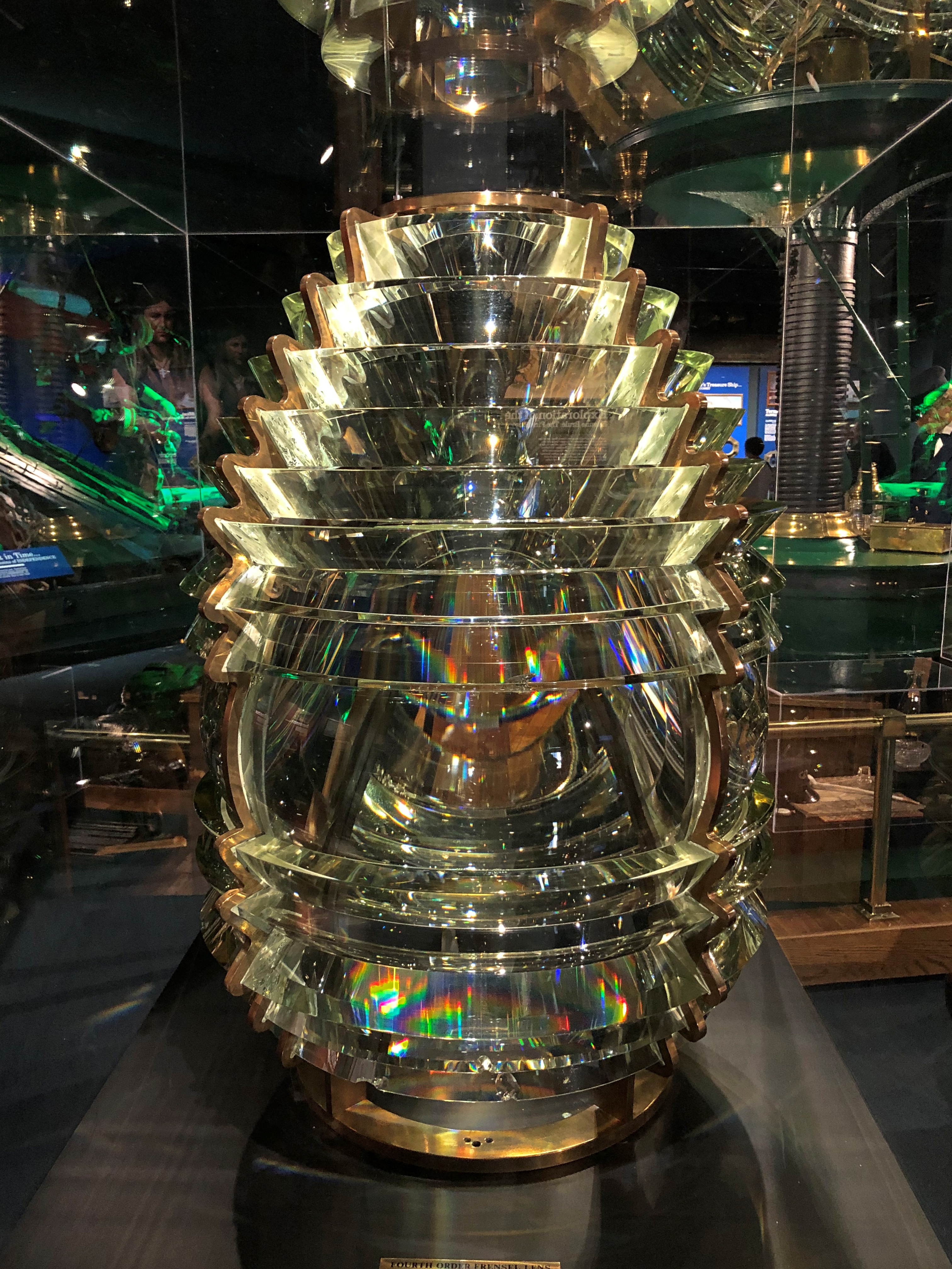
The museum also has a smaller, fourth-order lens.Great Lakes Shipwreck Museum

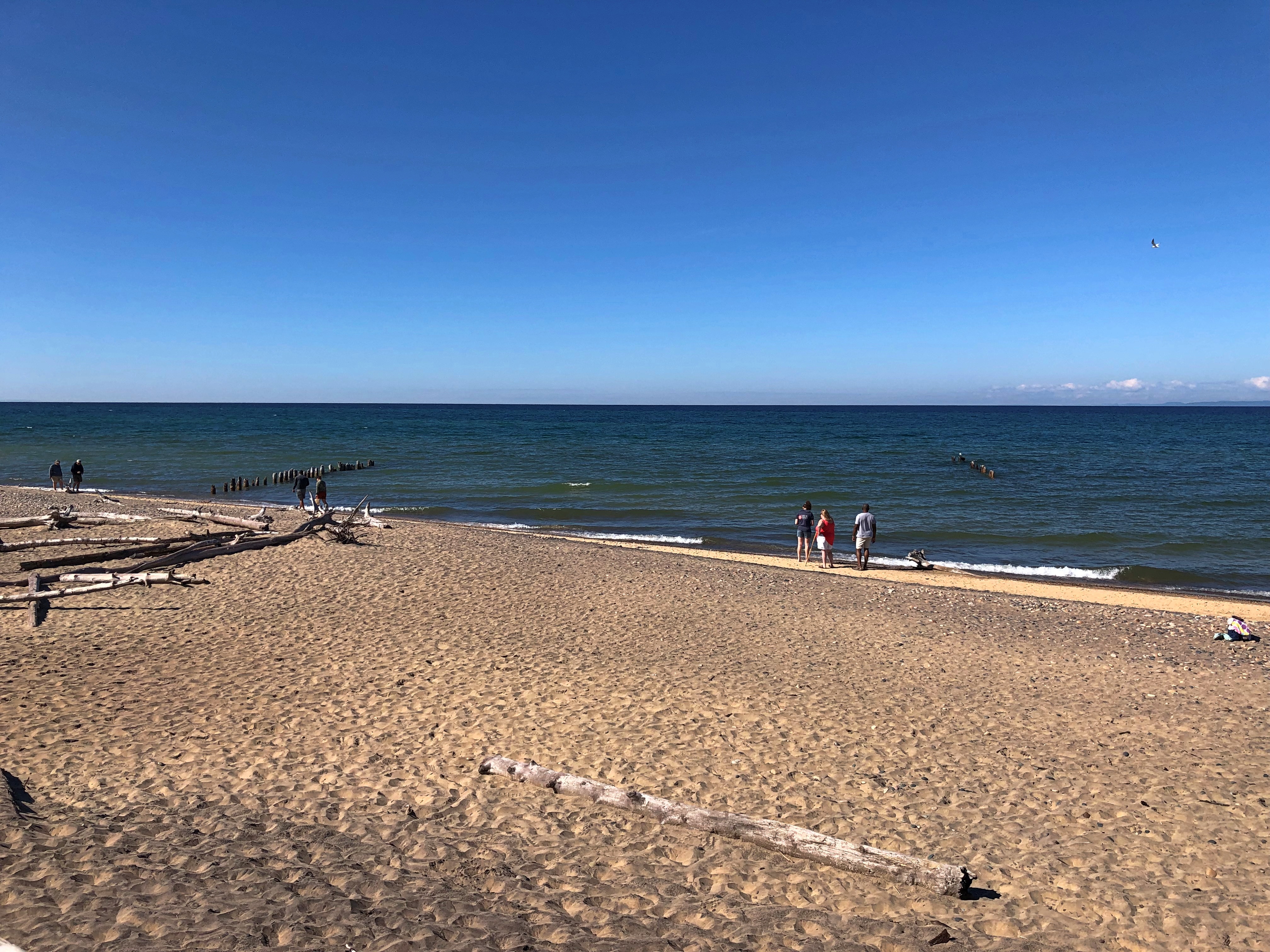
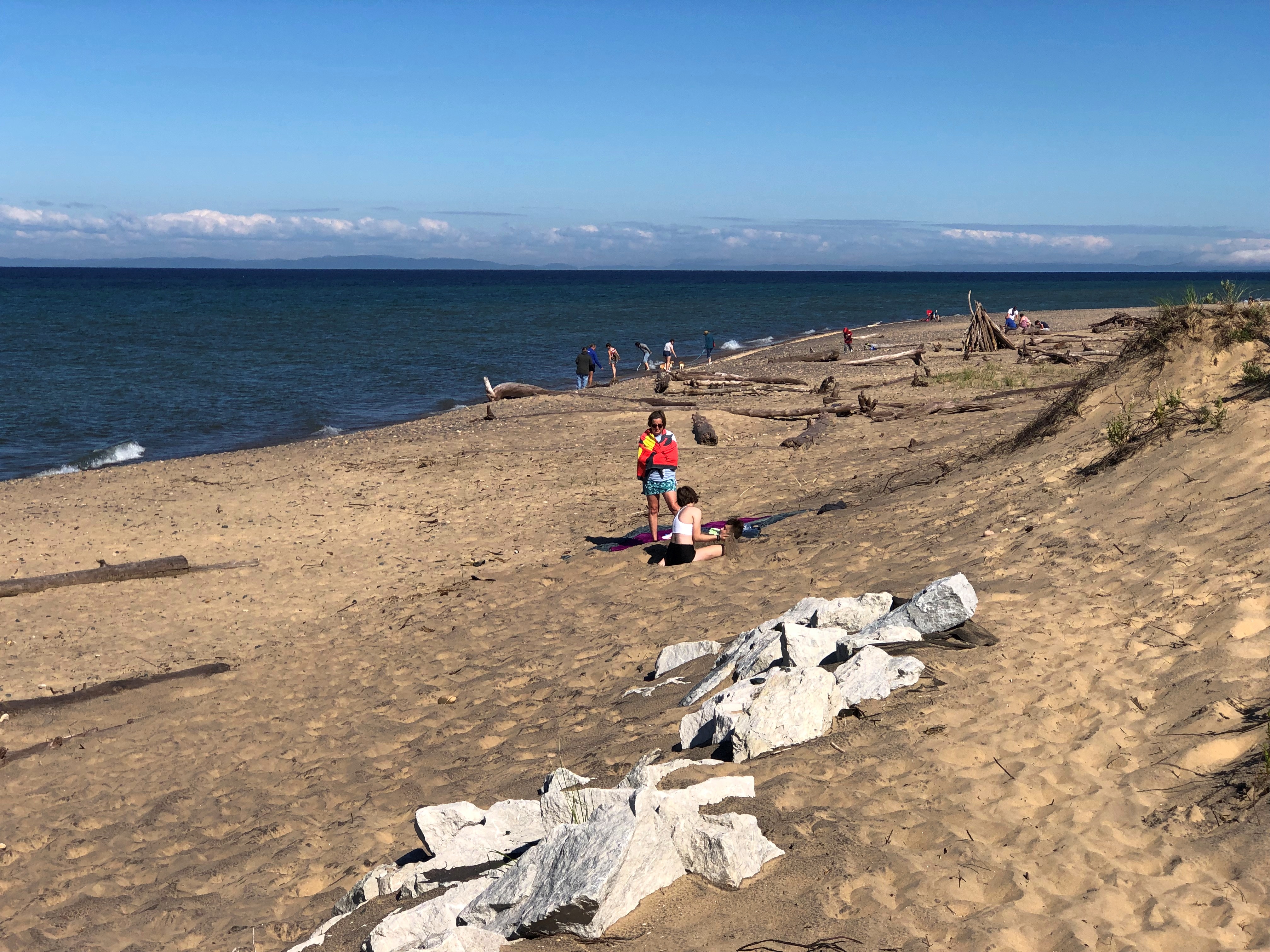
Before we left, we took a look at the shore, accessed by a boardwalk.Whitefish Point
Whitefish Point Whitefish Point

Sobering the think of all the wrecks off in that general direction.

Pop Up to Canada

When planning our recent trip, I suggested a visit to Sault Ste. Marie, mainly to see the locks that connect the higher-level Lake Superior with the lower-level Lake Huron (and Lake Michigan, for that matter). Engineering marvel and all that.

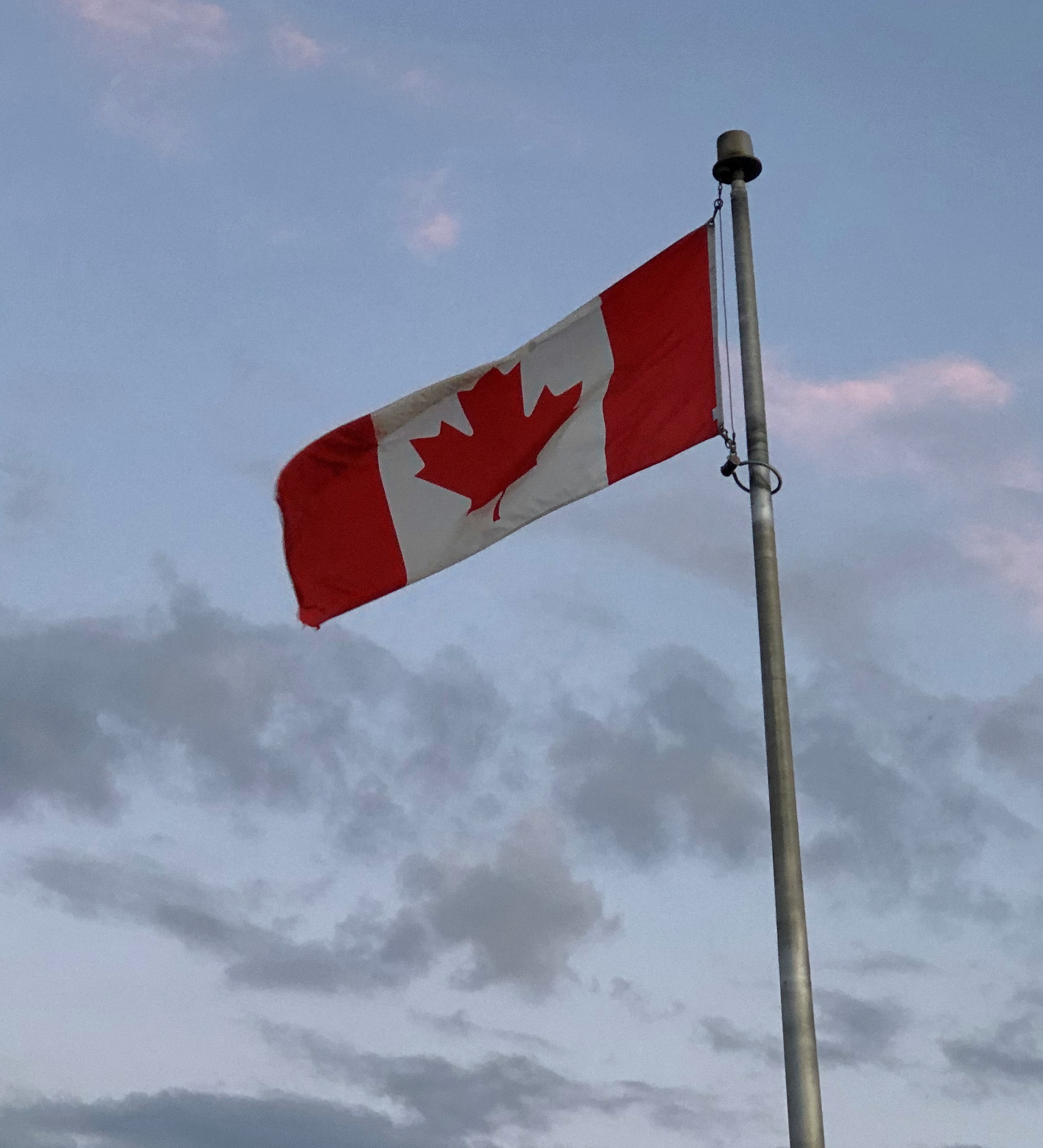
The idea of crossing from Sault Ste. Marie, Michigan, to Sault Ste. Marie, Ontario, didn’t really register with me. Maybe because I’m blasé about visiting Canada, having done so a number of times.

Or maybe because I dreaded whatever rigmarole Covid-addled Canada would force upon us to cross the border. After all, it was only about a year earlier that I’d seen the near-empty Rainbow Bridge between Niagara Falls, New York and its counterpart in Ontario, bereft of its tourist traffic.

Someday, I knew I’d want to go to the Canadian Sault St. Marie, because it’s the jumping off point to take the Agawa Canyon Tour Train and see other sights northeast of Lake Superior, but all that would take more time than we wanted to spend on this trip.

My friends had other ideas about visiting Canada. Namely, they wanted to. Just a pop across the border on August 3 and spend the night in Ontario, returning to the UP the next day. Two of them had never been to Canada, a slightly flabbergasting notion, and the third had only visited Vancouver Island on a long-ago organized bus trip in high school. They were keen to go, if only for a brief sojourn.

I didn’t object, and we went across the international bridge that afternoon. The rigmarole turned out to be fairly modest, uploading our Covid vaccination cards and passport numbers and a few other details the day before at a web site called ArriveCan, which generated a QR code on our phones that I was sure the guard would want to see, along with our passports.

She did not. Just the passports, and she asked a few perfunctory questions to make sure we weren’t degenerates trying to sneak into Canada, and we went through.

Our visit to the Great White North was short, but sweet. We had dinner — the best of the trip, I thought — at Uncle Gino’s Cafe & Ristorante. I had the penne alforno. The food was delicious, not too expensive (helped by the relative strength of the U.S. dollar), and the waitress was a peach.

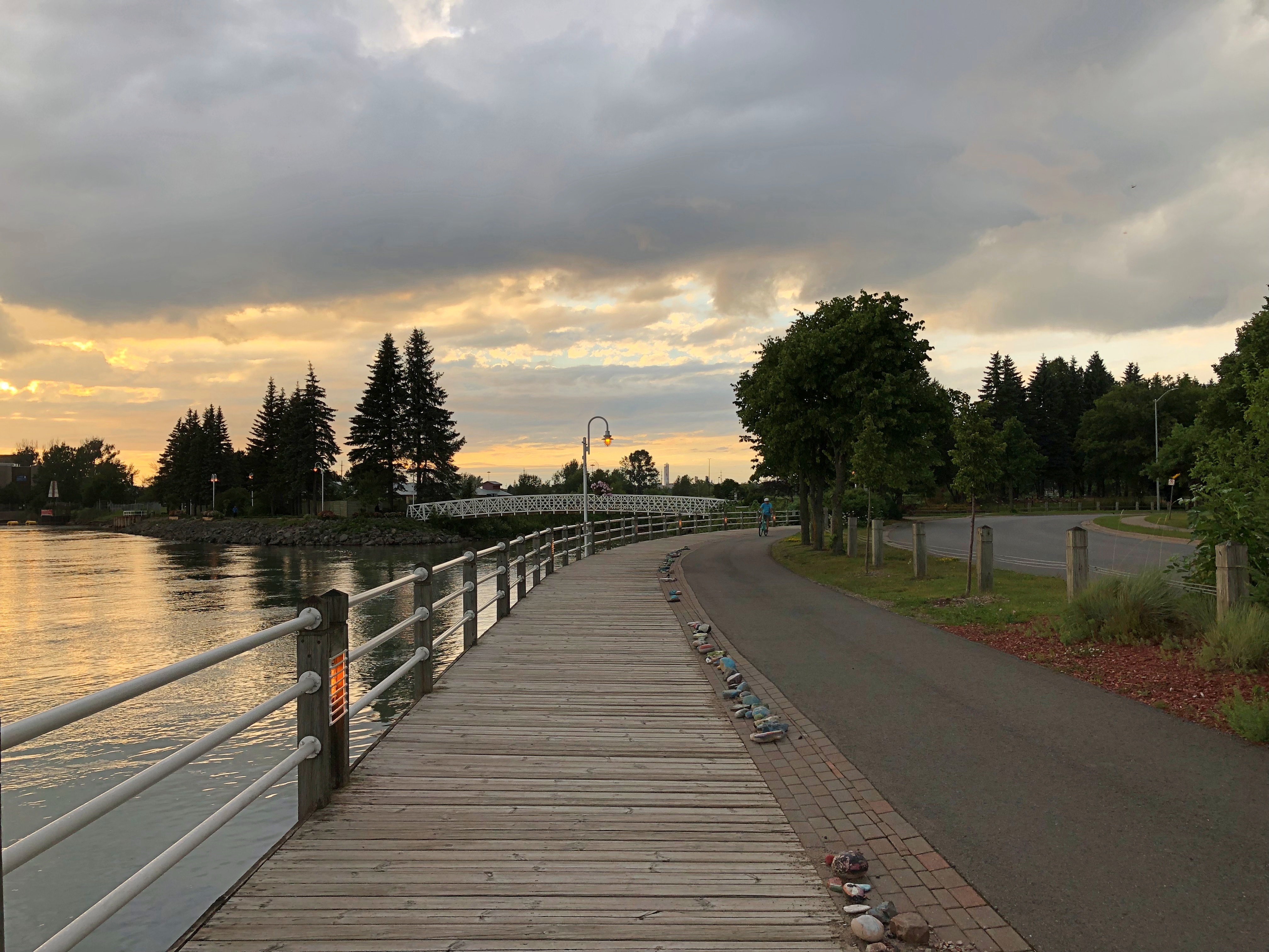
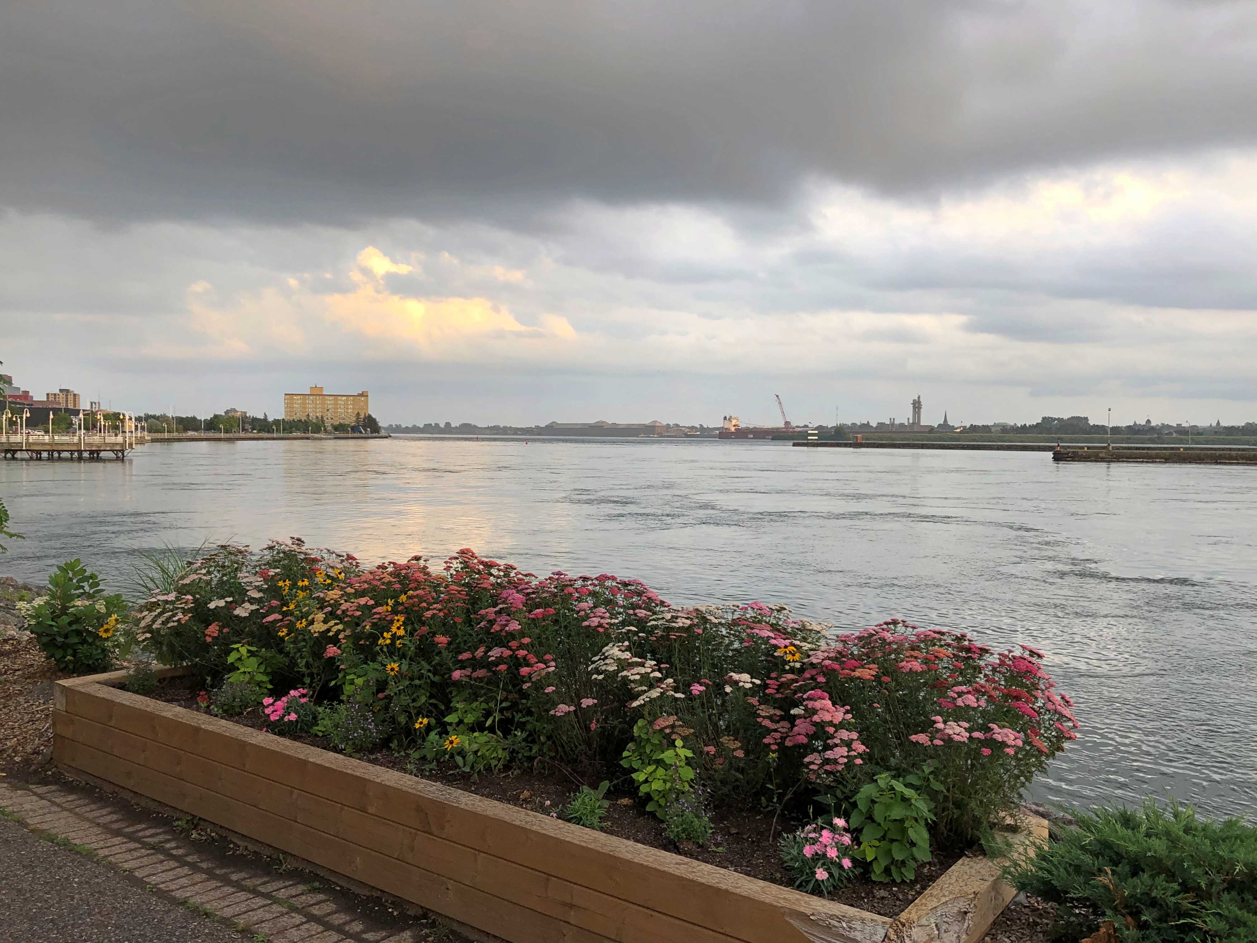
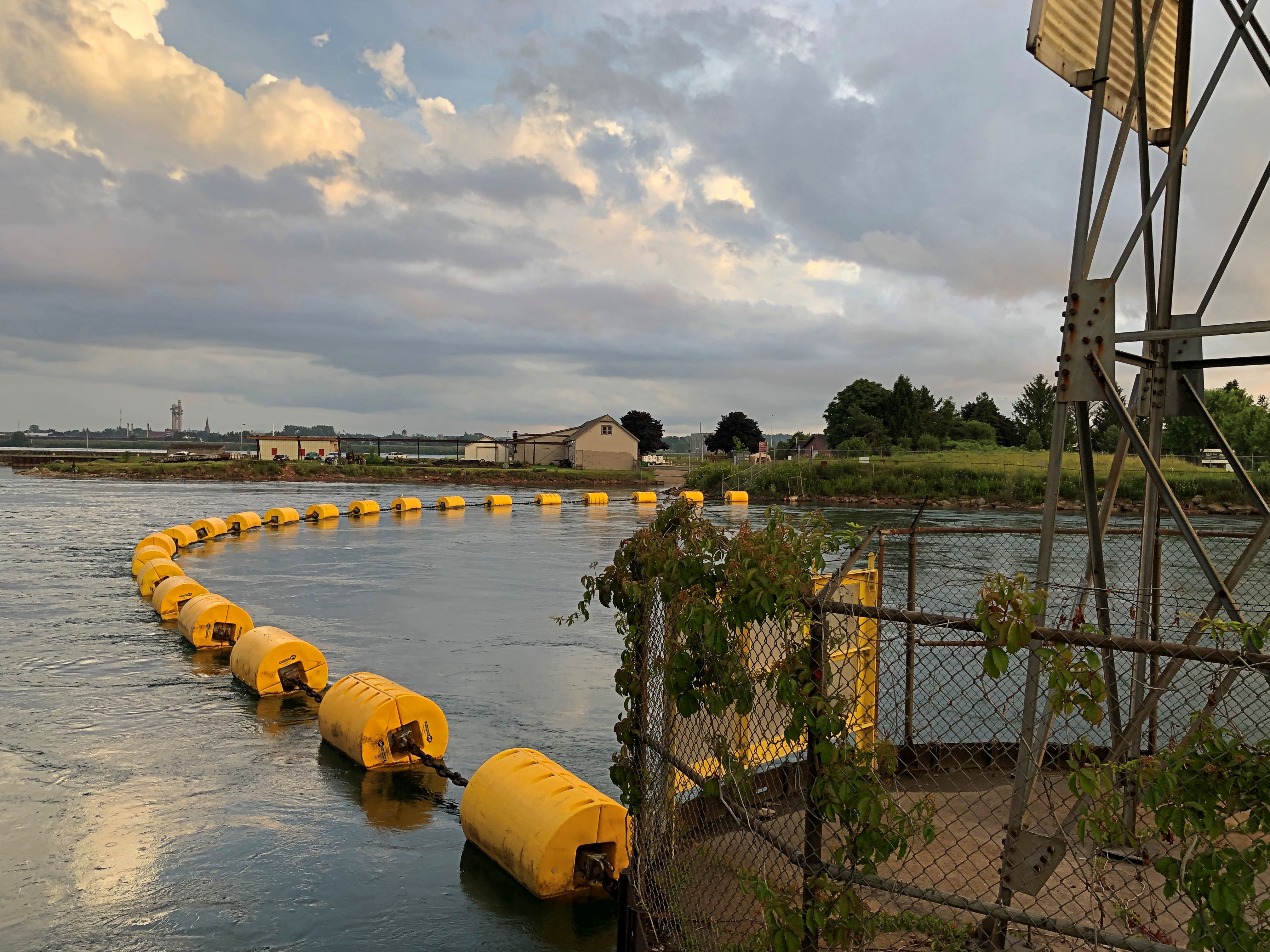
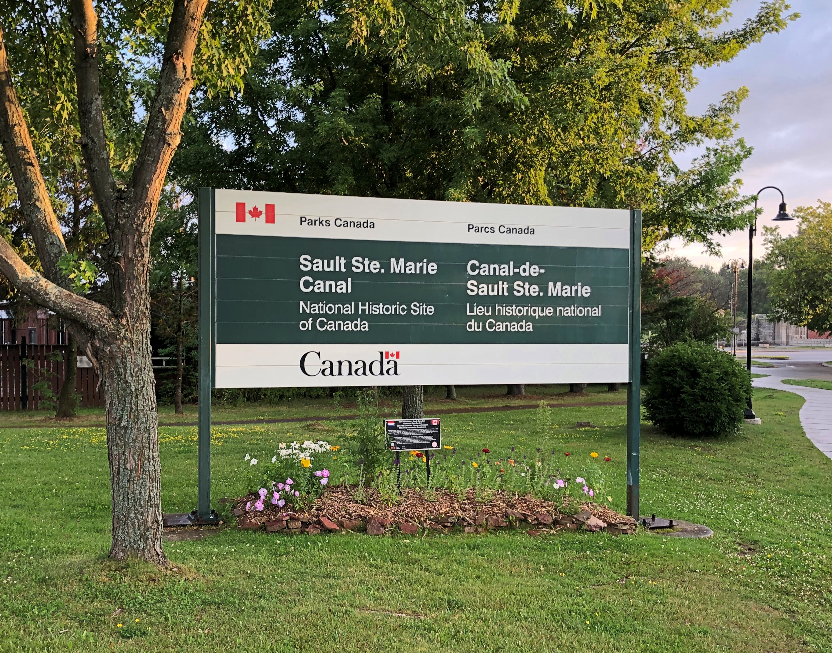
Sault Ste. Marie is a small industrial town, including steel and paper products, and more recently hydroelectric and wind power. We drove around town a bit, and soon took a riverside stroll.Sault Ste. Marie, Ontario Sault Ste. Marie, Ontario Sault Ste. Marie, Ontario

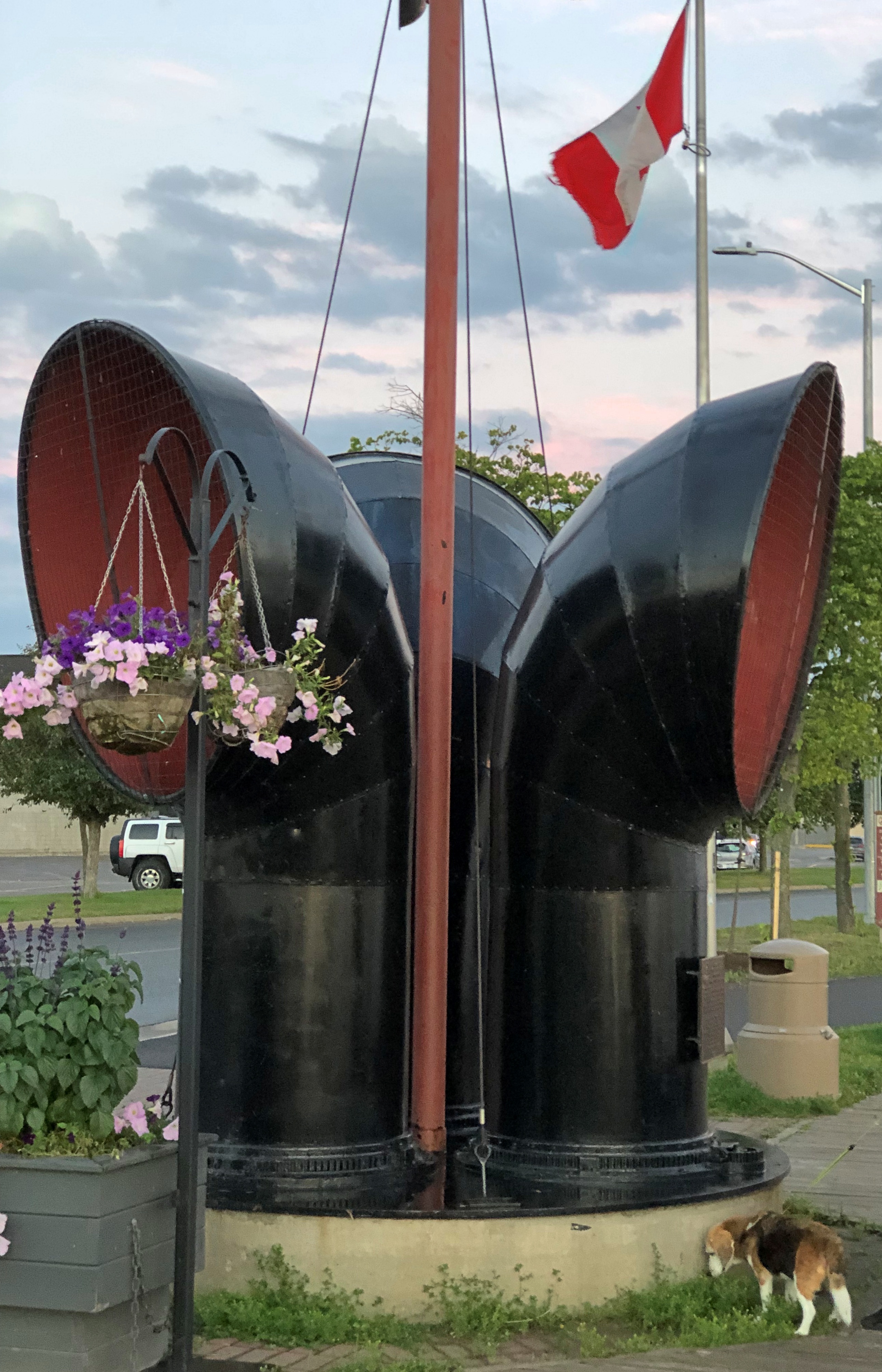
Wind chimes inside funnels along the boardwalk, the likes of which I’d never seen. Makes a pleasant tune, though.Sault Ste. Marie, Ontario

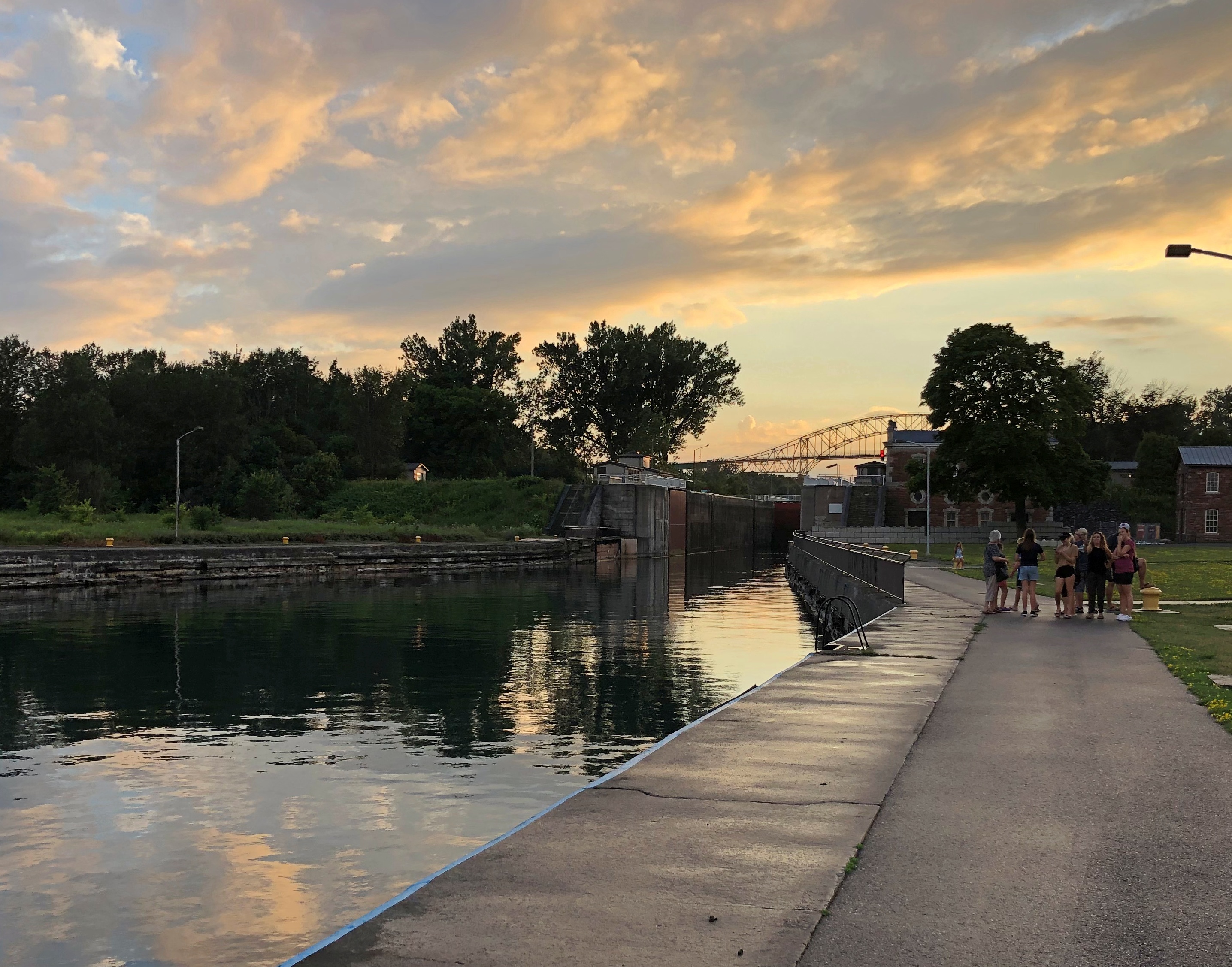
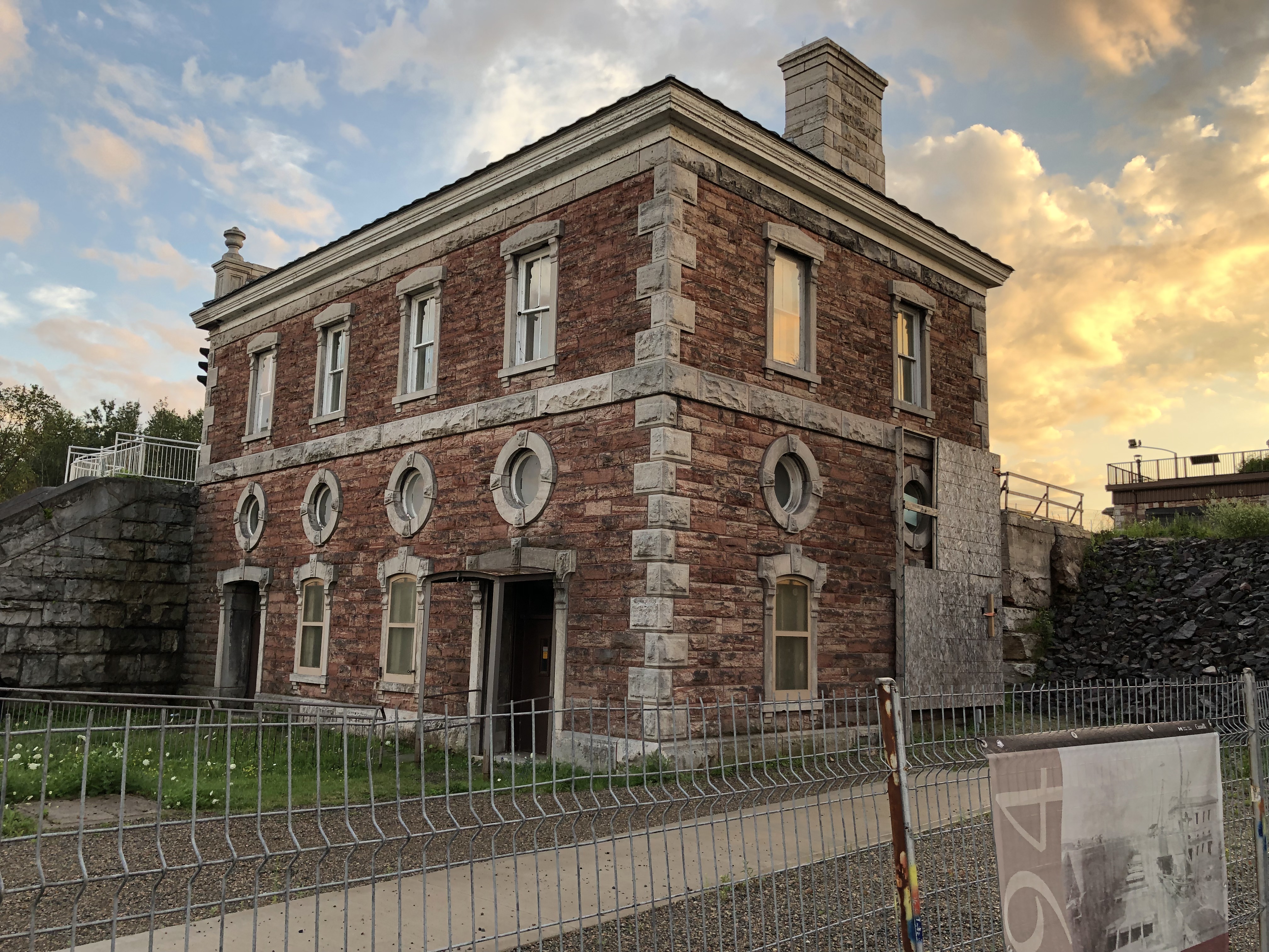
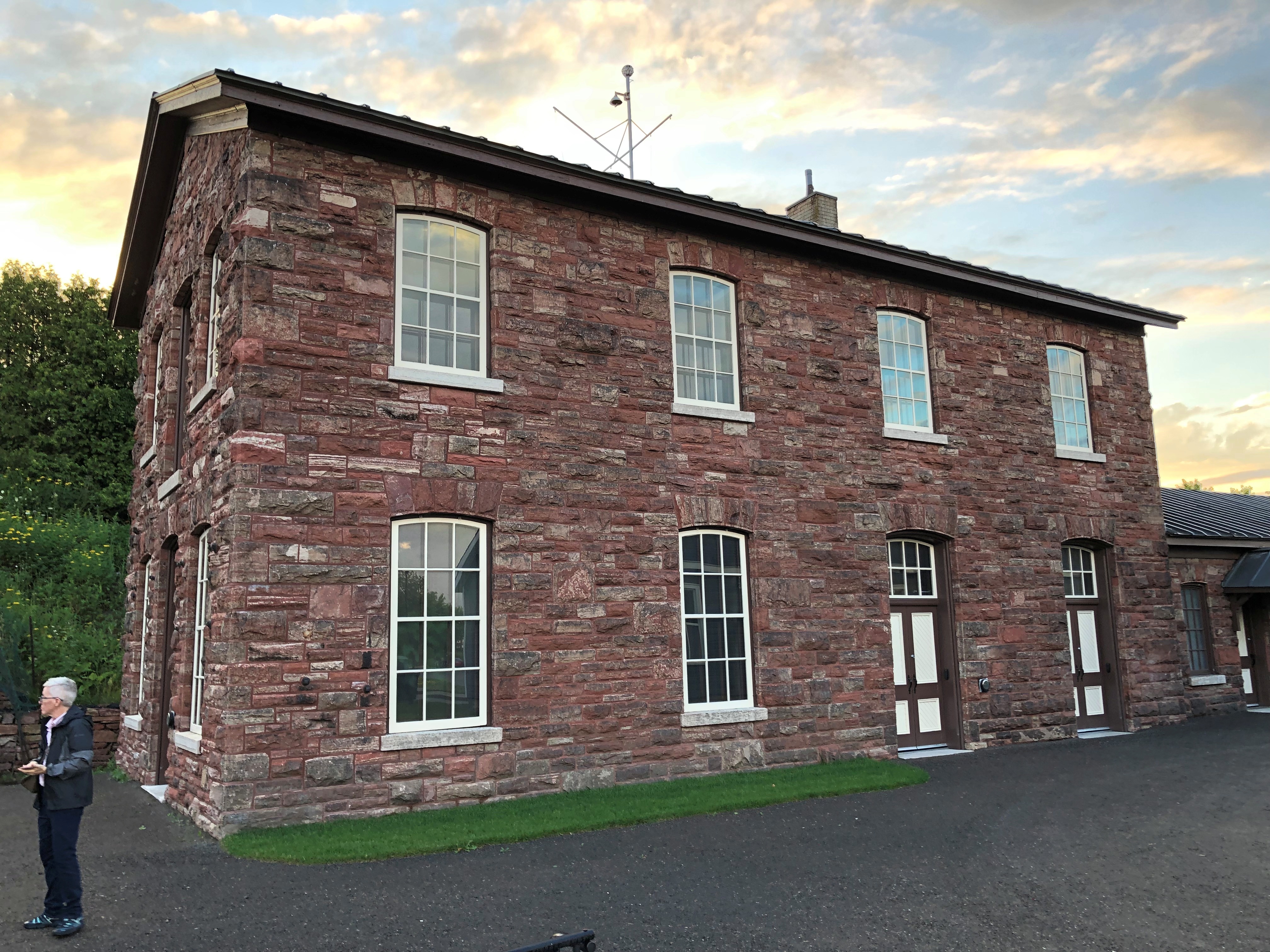
We made it as far as the historic Sault Ste. Marie Canal, which includes smaller locks than on the American side. Reminded me a bit of the Erie Canal.Sault Ste. Marie, Ontario Sault Ste. Marie, Ontario Sault Ste. Marie, Ontario

The canal’s historic structures were closed for renovation, but nice to look at.Sault Ste. Marie, Ontario Sault Ste. Marie, Ontario

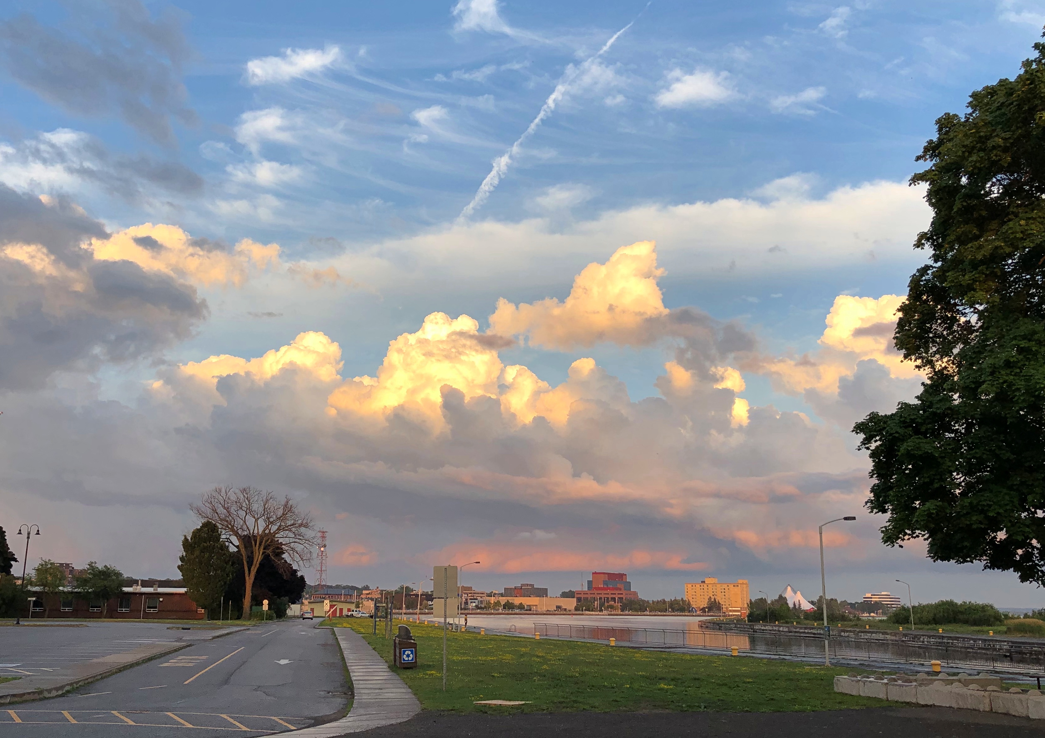
So were the clouds.
Sault Ste. Marie, Ontario

We spent the evening at our rented house, drinking wine, conversing and watching videos each of us selected in turn. I suggested a few Caro Emerald videos, and she was a big hit, as was Tammi Savoy, a delight I only discovered myself in January.

We left in the next morning and I forgot to suggest we visit the local Tim Horton’s. Damn. My friends missed an essential Canadian experience. They probably would have liked the coffee and I know they’d have liked the doughnuts. Guess they’ll have to visit the country again sometime.

As for me, I came to consider my visit to Sault Ste. Marie as a scouting expedition. One of these days, I need to come back to explore the region more thoroughly — take that Canadian train and see those U.S. locks.

Mackinac Island Walkabout, Part 2

Open up the Fibber McGee’s closet of Mackinac Island, and countless turtles come tumbling out.

By “open up,” I mean Google the term “Mackinac Island turtle” and the references come fast and thick: Lore of the Great Turtle, a book published by Mackinac State Historic Parks; Great Turtle Park; Great Turtle Kayak Tours; Great Turtle Toys of Mackinac Island; the Great Turtle Drop, which happens on New Year’s Eve; the Great Turtle Half Marathon & 5.7 Run/Walk; Great Turtle Brewery & Distillery; Great Turtle Creations of Mackinac Island; Heart of the Great Turtle Island – Gchi Mshiikenh Deh Minising Project; Turtle Fudge; the Great Turtle Sunset Voyage; and Great Turtle Lodge.

The association with turtles goes a long ways back, long before the appearance of Europeans in this part of the world.

“Mackinac Island is a shortened version of the Native American name pronounced Michilimackinac,” says the island’s web site. “The Anishinaabek people named this area and Mackinac Island Michilimackinac, meaning place of the great turtle.

“Why great turtle? They thought that Mackinac Island, with its limestone bluffs, looked like a giant turtle rising out of the water.”

Dig around a little more, and more emerges.

Writing in 1896 in a book called Mackinac, formerly Michilimackinac (isn’t the Internet Archive a fine thing?), one John R. Bailey had this to say:

“Michilimackinac is claimed to be derived from the Indian words Michi, ‘great,’ and Mackinac, ‘turtle,’ from a fancied resemblance to a large mud turtle; also from the Chippewa Mi-chi-ne Mau-ki-nouk, the two meaning ‘the place of giant fairies.’ [Henry] Schoolcraft says there is another meaning besides ‘great turtle.’ It also means ‘spirits,’ or ‘fairy spirits.’ The spirits were want to take the form of a turtle and become ‘turtle spirits.’ ”

All that goes to explain this sight, at the Gate House restaurant on Cadotte Ave. on the island.Mackinac Island
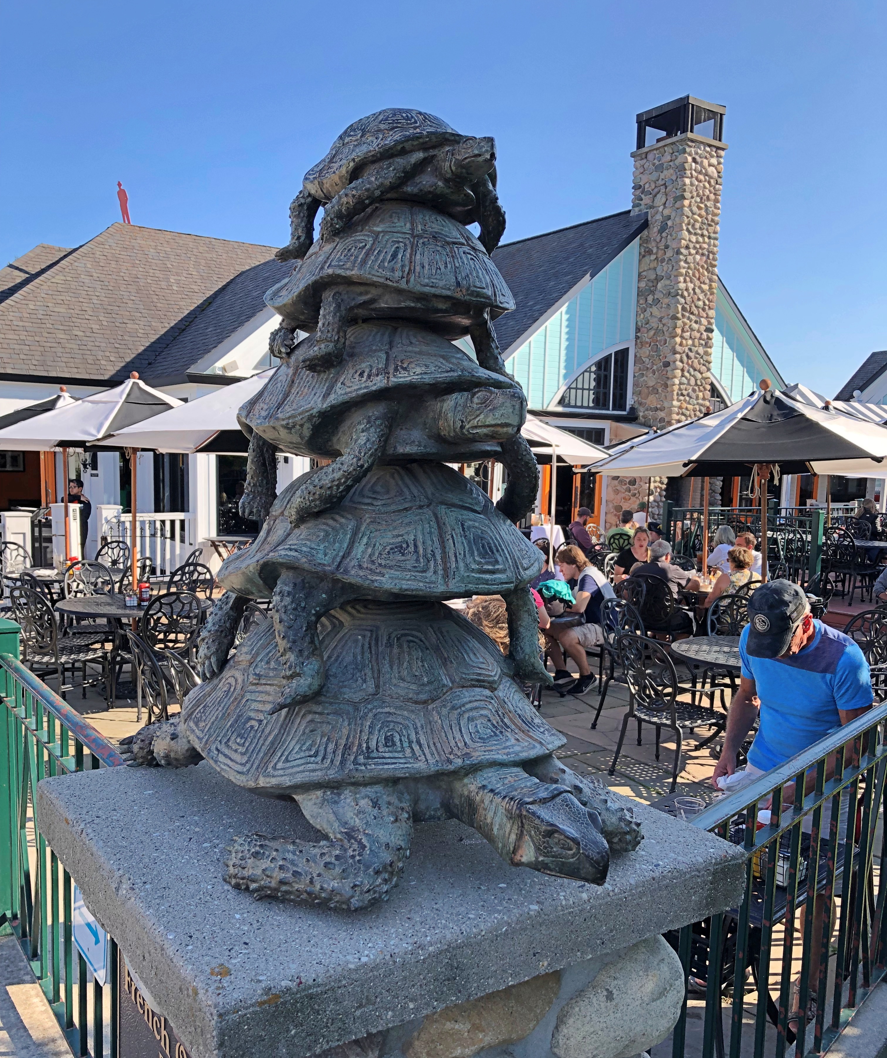
While wandering around on the hilly territory of central Mackinac Island, we contacted Gate House by phone for reservations. They offered us a slot for an hour later, or about enough time for us to walk there after a detour through one of the historic cemeteries. Such is scheduling in non-motorized Mackinac.

We wanted to avoid Main Street, so after descending from the highlands, we walked along Market Street instead, just a block inland from Main. A lot of people were on that street, but not as many as the mob on Main.Market Street Mackinac Island
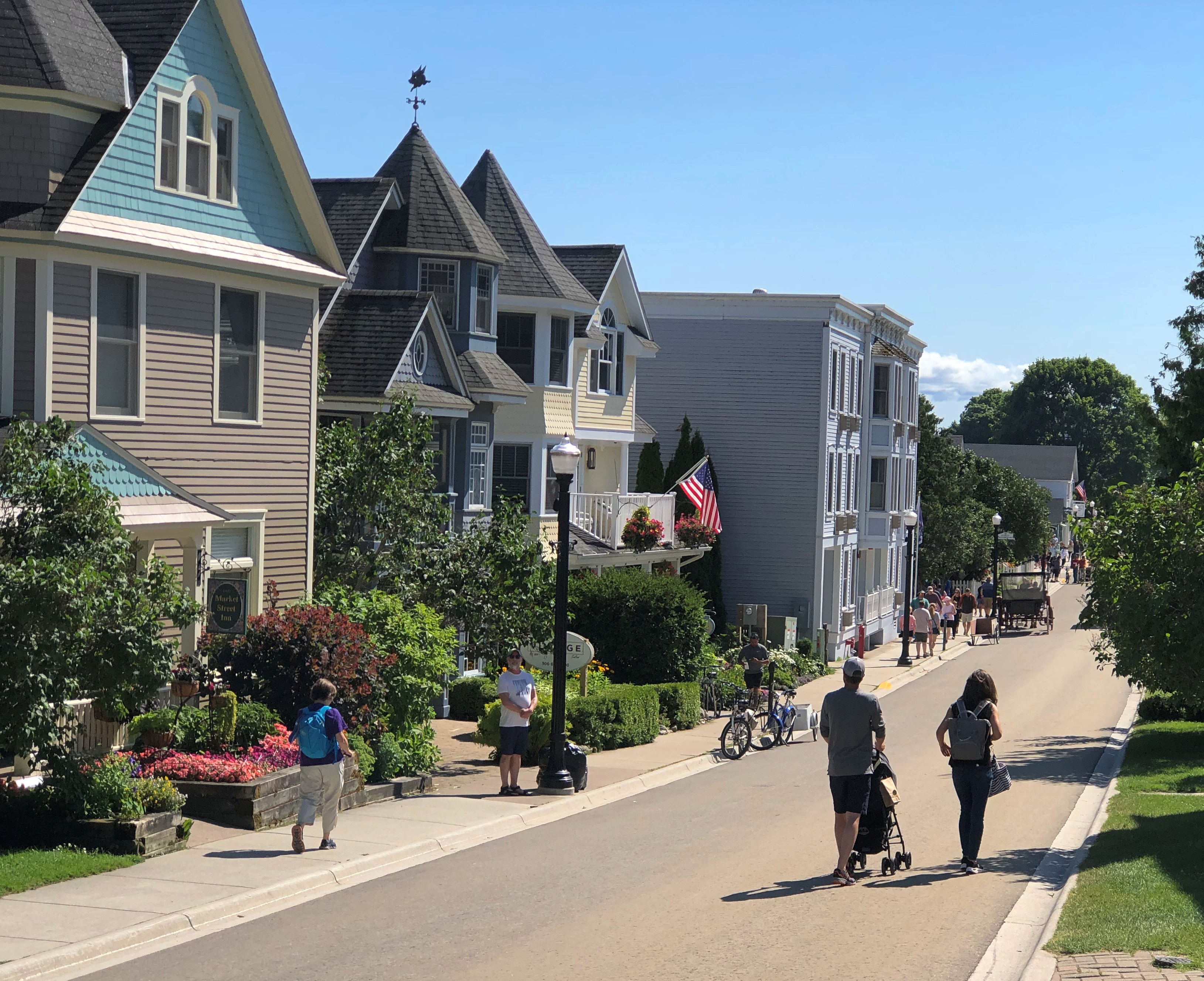
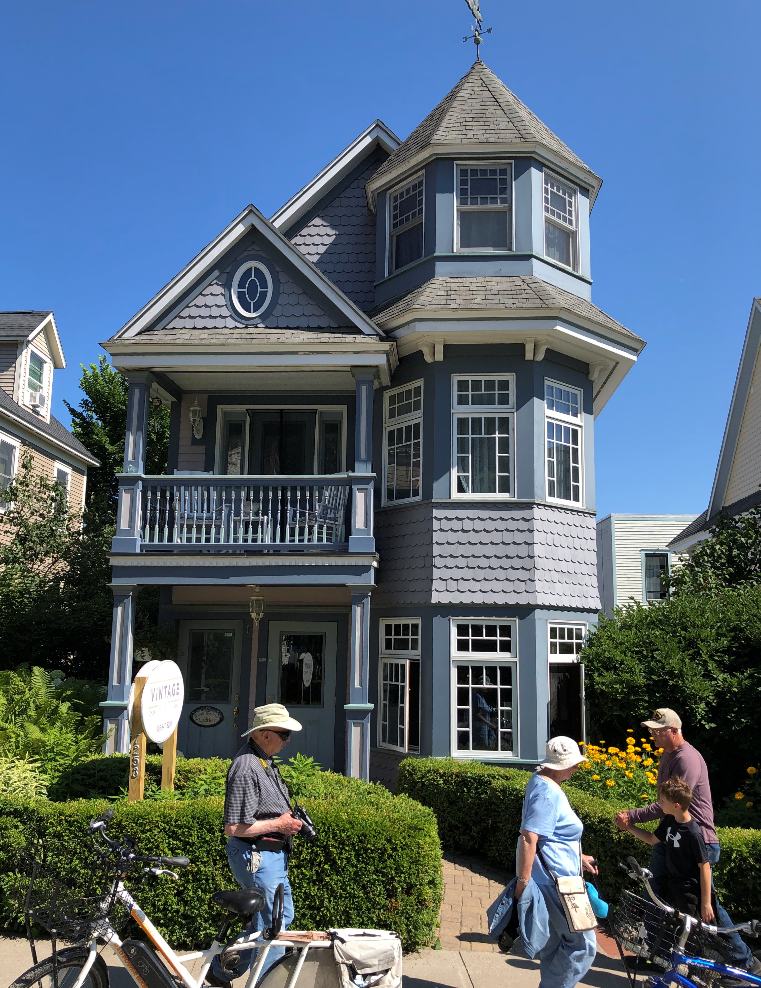
The street is lined with many fine structures, originating during the great age of private development on the island in the late 19th and early 20th centuries.Market Street Mackinac Island Market Street Mackinac Island Market Street Mackinac Island
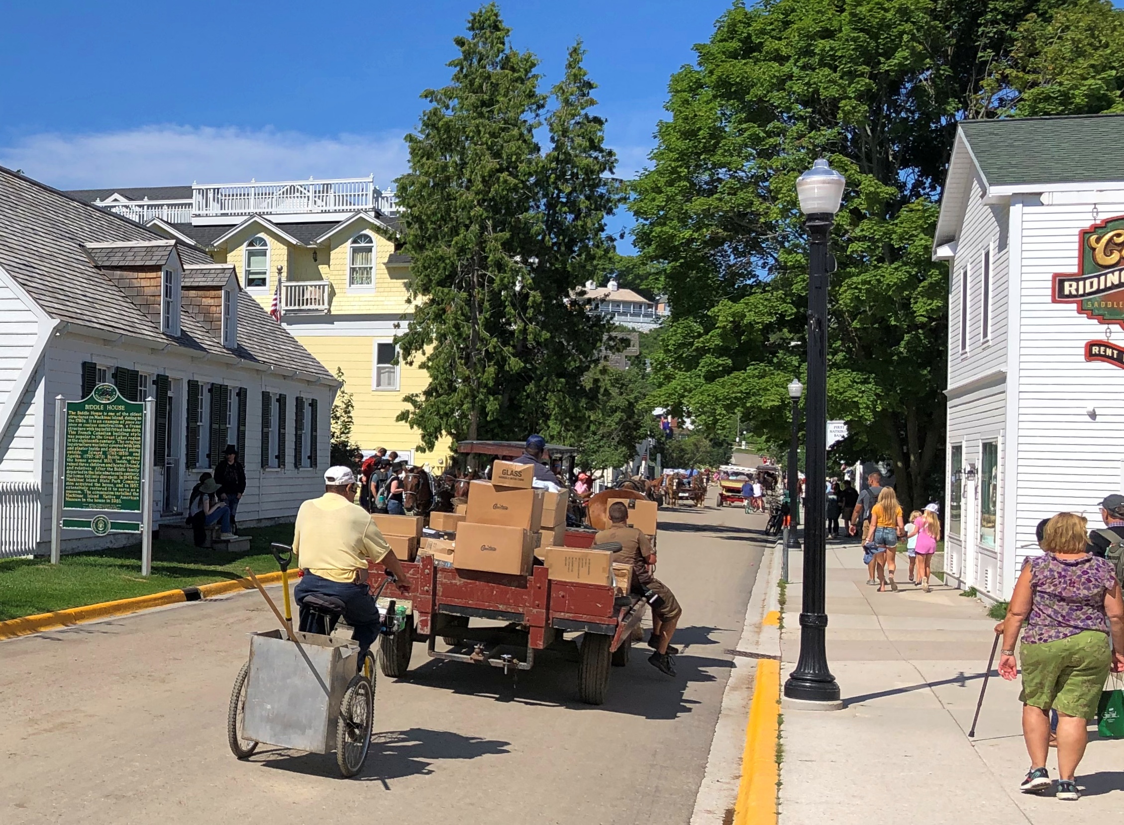
Traffic wandered along. Pedestrians and bicyclists, of course, but also no small number of horse-drawn carriages. Including something none of us had ever seen before: a horse-drawn UPS wagon.
Market Street Mackinac Island

As we had our lunch — really an early dinner — al fresco at Gate House, I couldn’t help but notice the difference in aural texture of a busy non-motorized road compared with what we are used to, here in the lingering age of the gasoline-powered internal combustion engine. The intermittent clop-clop-clop was actually pleasant, though of course the horses sometimes leave less pleasant mementos of their passing by.Market Street Mackinac Island
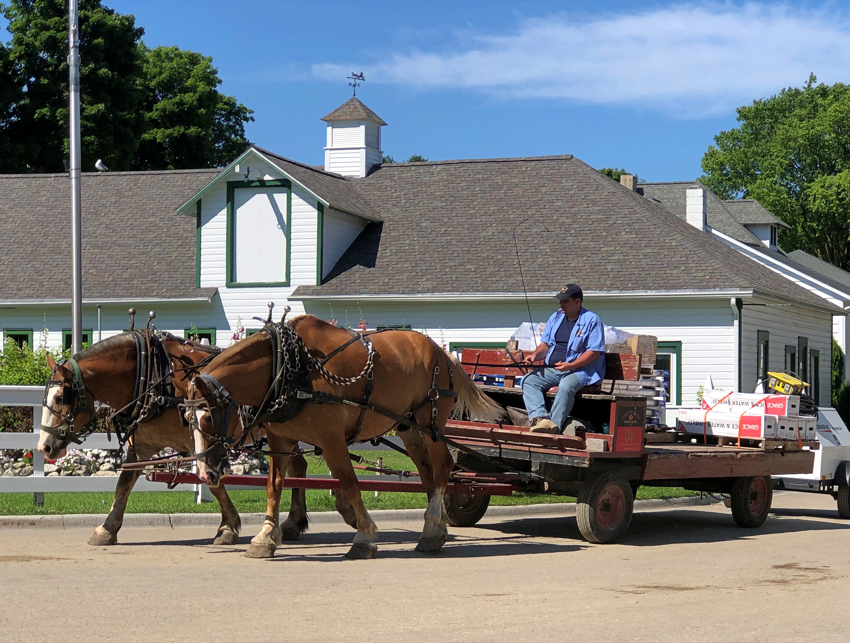
Late lunch-early dinner was pleasant as well, though at island prices. I had the walleye.

Almost across the street from Gate House is the Little Stone Church. We took a look after our meal was done. It isn’t that big, definitely made of stone, and looks like a church (as it is; Congregational). Unfortunately, it was closed.
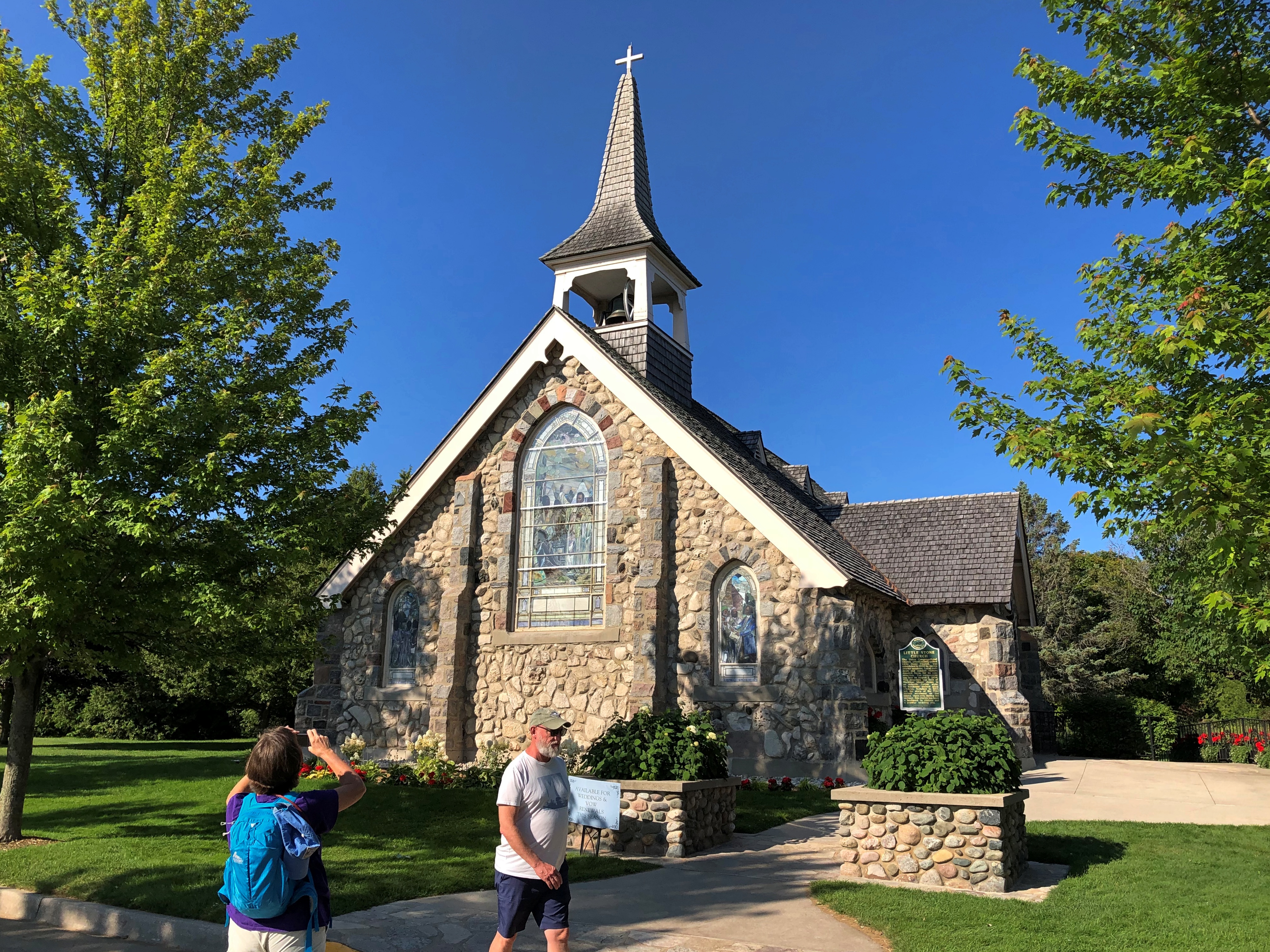
Little Stone Church Mackinac Island

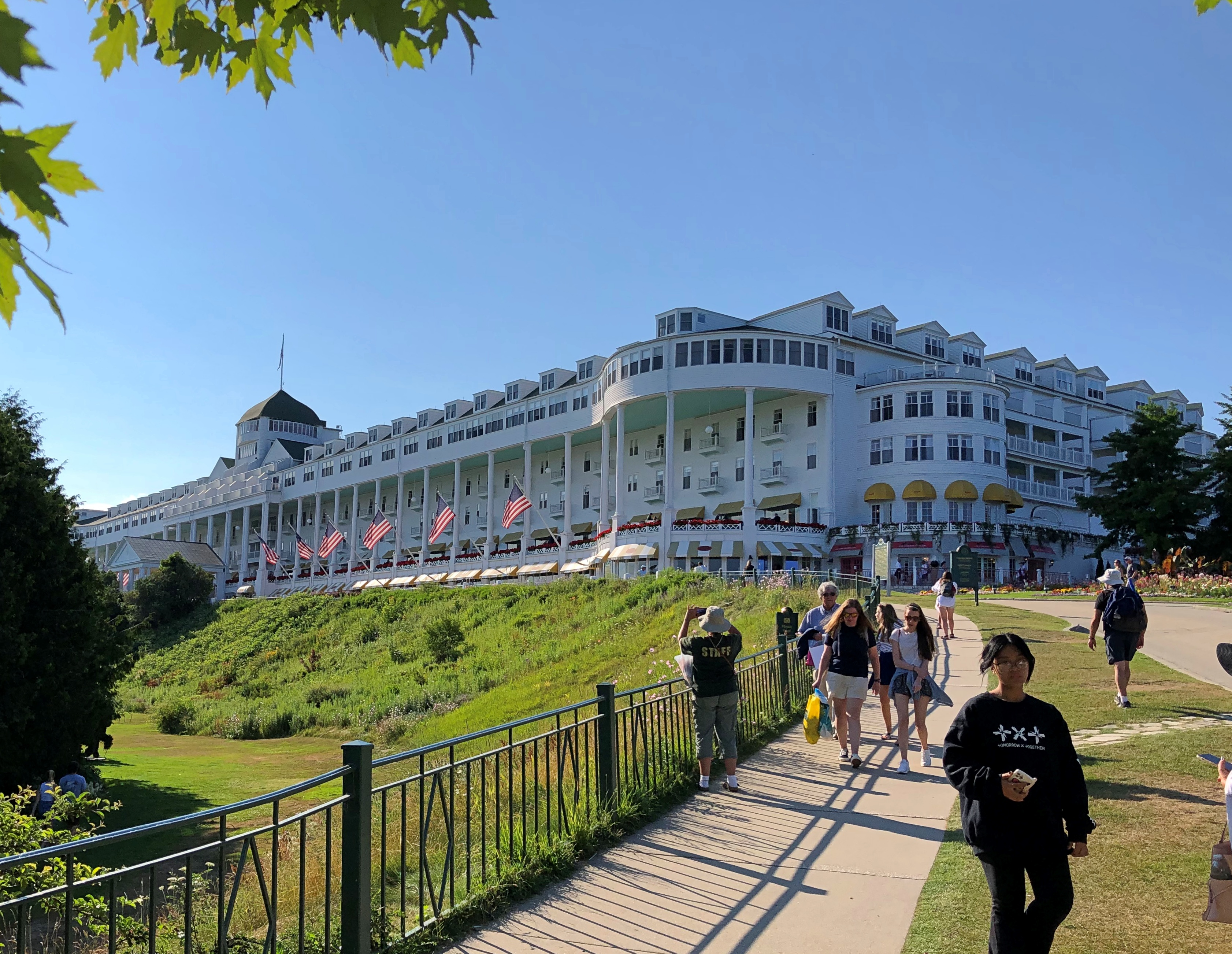
Within sight of the church is the much more famous Grand Hotel. We took a stroll in that direction.Grand Hotel Mackinac Island
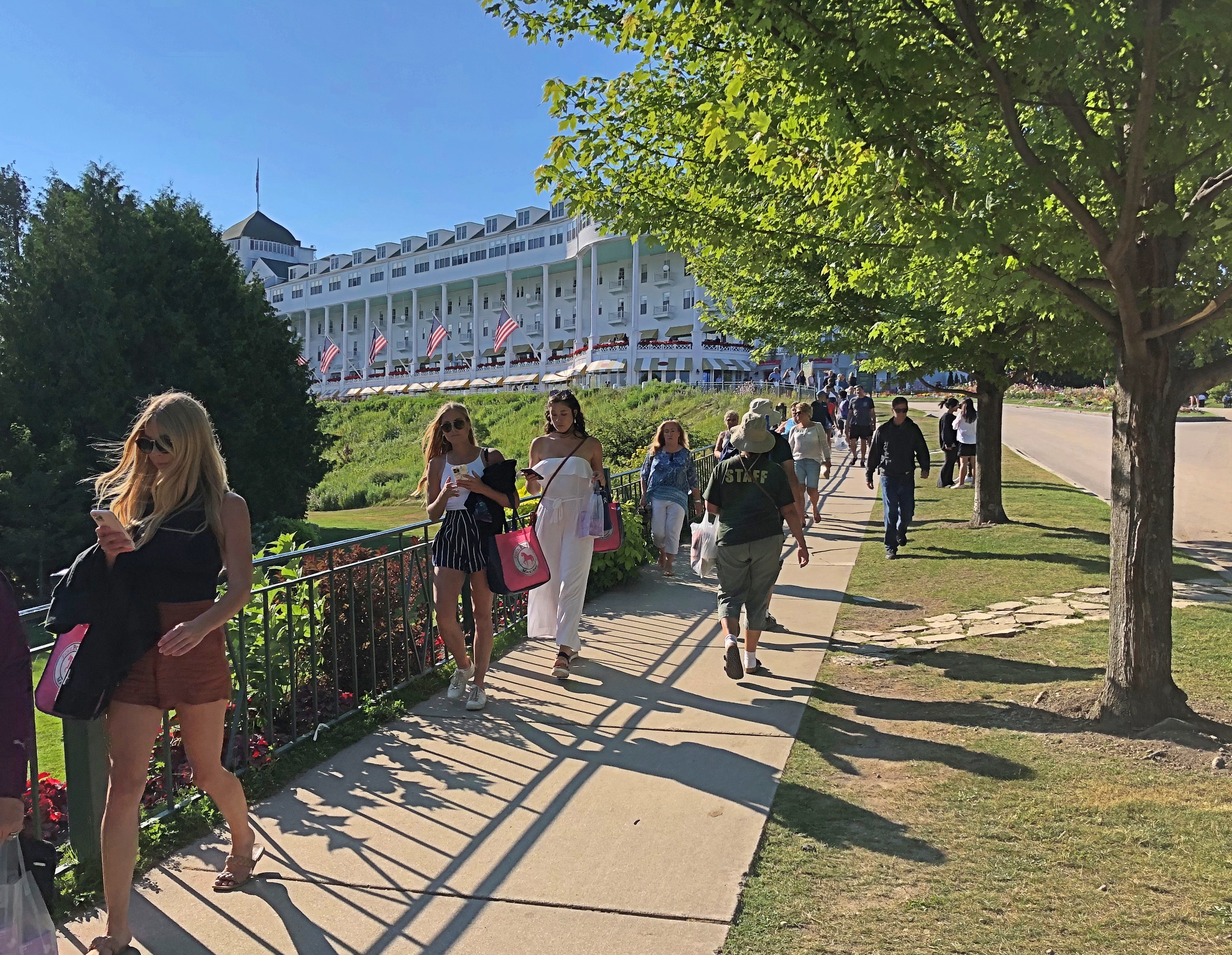
Grand indeed.Grand Hotel Mackinac Island

And trolling for social media mentions.
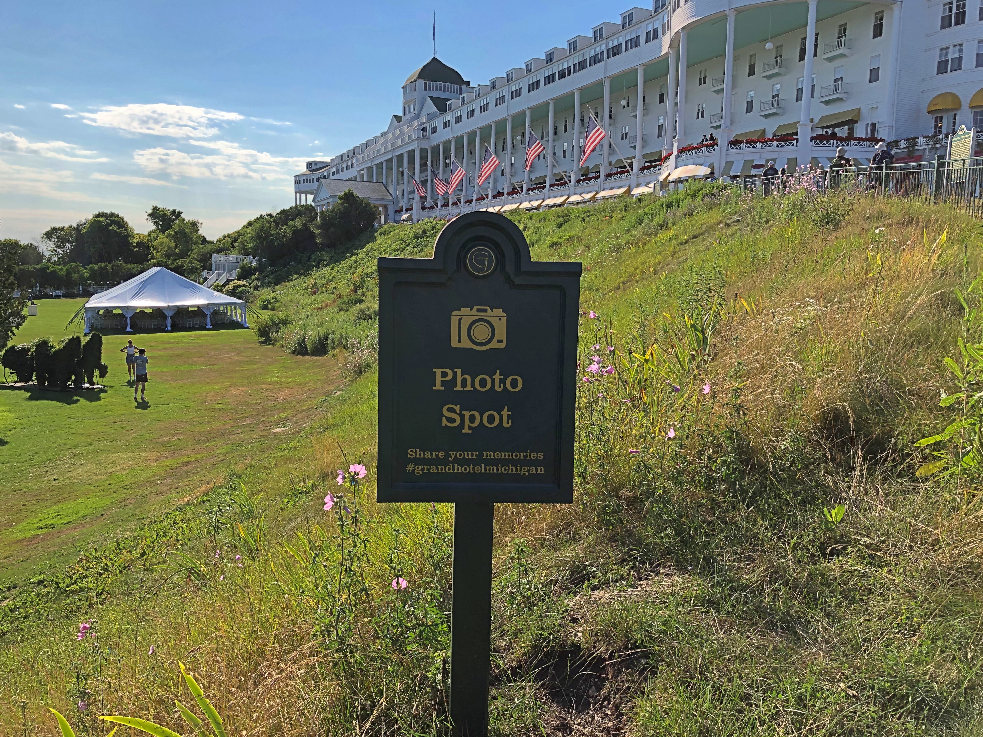
Grand Hotel Mackinac Island

The porch is said to be the world’s longest, and a special enough place that it charges admission. We would have paid, but as it turned out we’d arrived just as a dress code went into force on the porch, and none of us were dressed for it. So we went for ice cream at the shop under one end of the porch. A good treat, at island prices.

A sign memorializing a lesser-known conference that happened here. It wasn’t Bretton Woods, but the hotel will take what it can get, historically speaking.Grand Hotel Mackinac Island
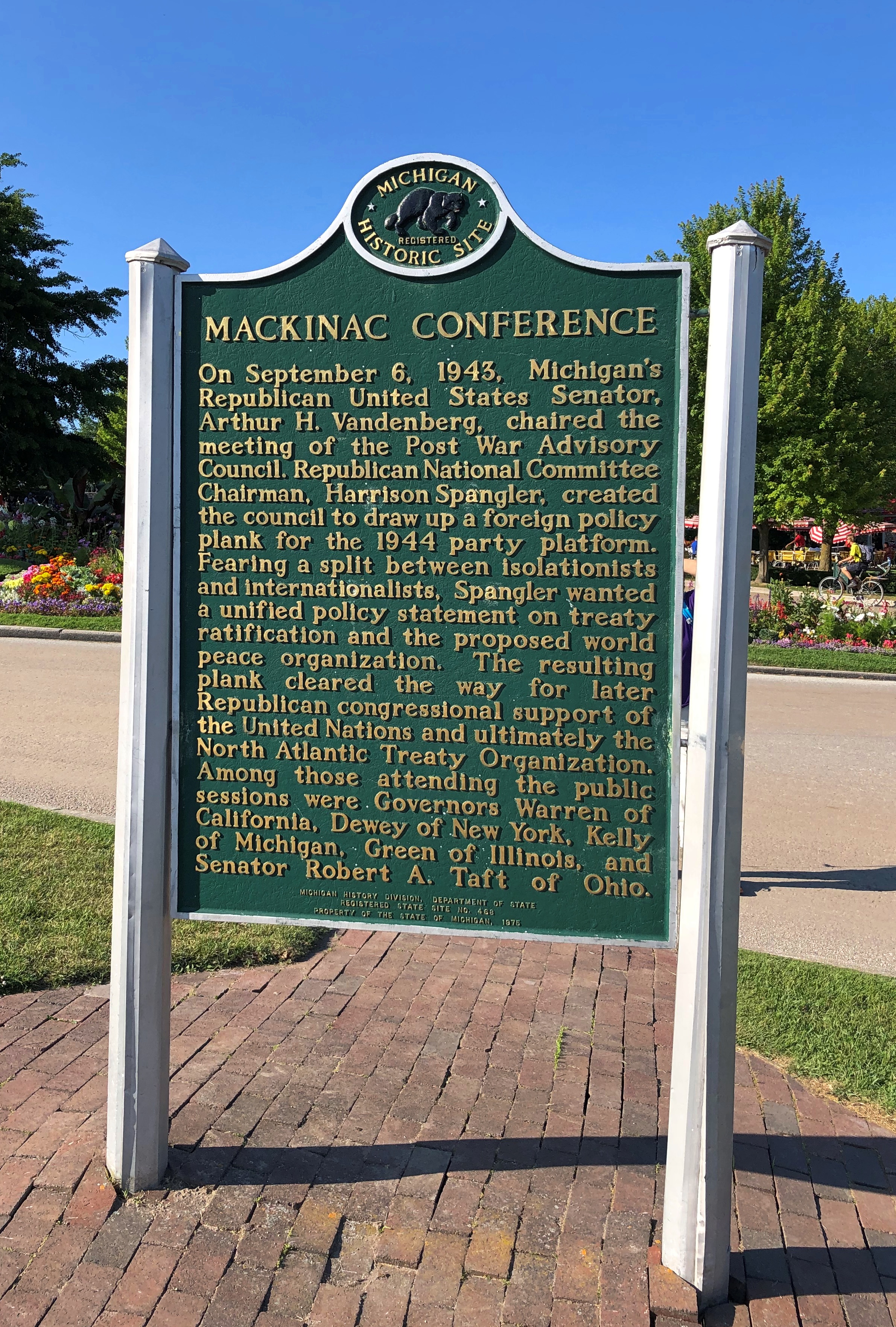
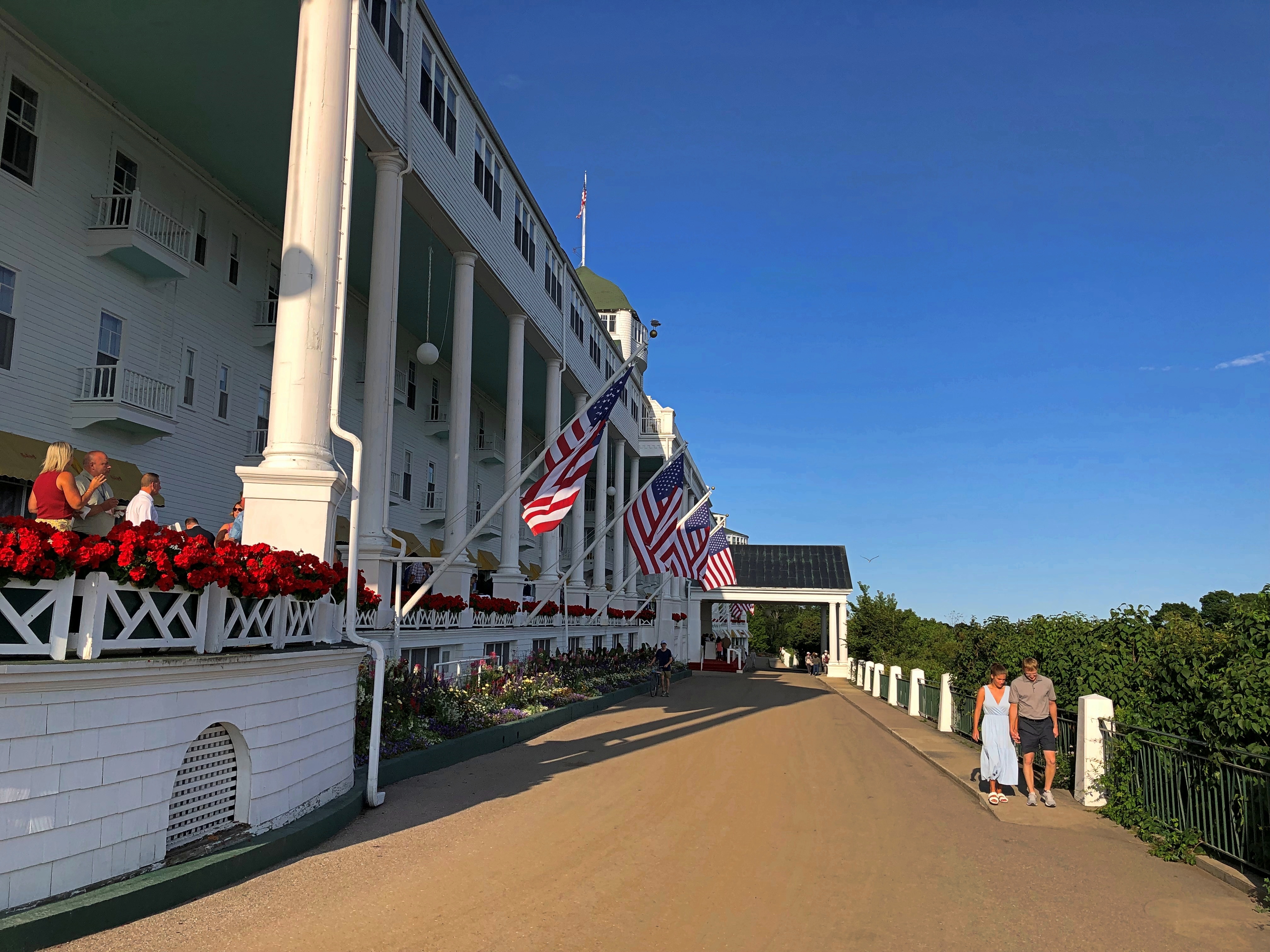
The hotel dates from 1887, back when railroads built hotels. In this case, a joint development Grand Rapids and Indiana and the Michigan Central RRs, as well as the Detroit & Cleveland Navigation Co., a Great Lakes steamship company of yore. These days, the Grand Hotel is owned by KSL Capital Partners, a private equity investor.

Though the porch was off limits, we hoi polloi could take a walk on the street below. Up close, one notices that the hotel paint is peeling, and in places needed more than a little touch up. Could be that, like the Golden Gate Bridge, the structure is always being painted, at least in the warmer months.Grand Hotel Mackinac Island
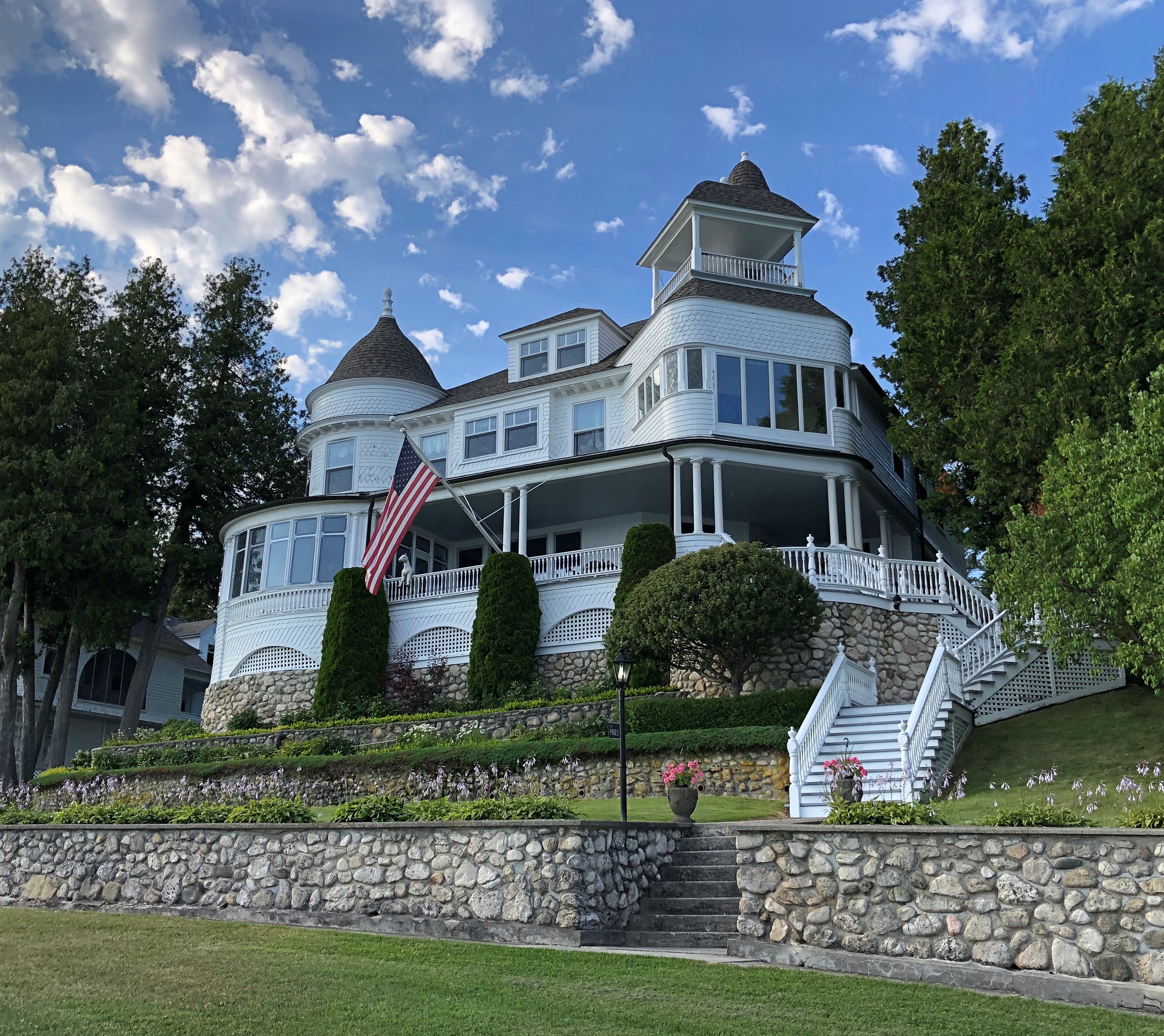
From the hotel, we followed a street lined with fine old houses — the summer “cottages” of the wealthy of 100-plus years ago. Of course, if you owned one now, you’d be wealthy, at least on paper. Mackinac Island  Mackinac Island  Mackinac Island
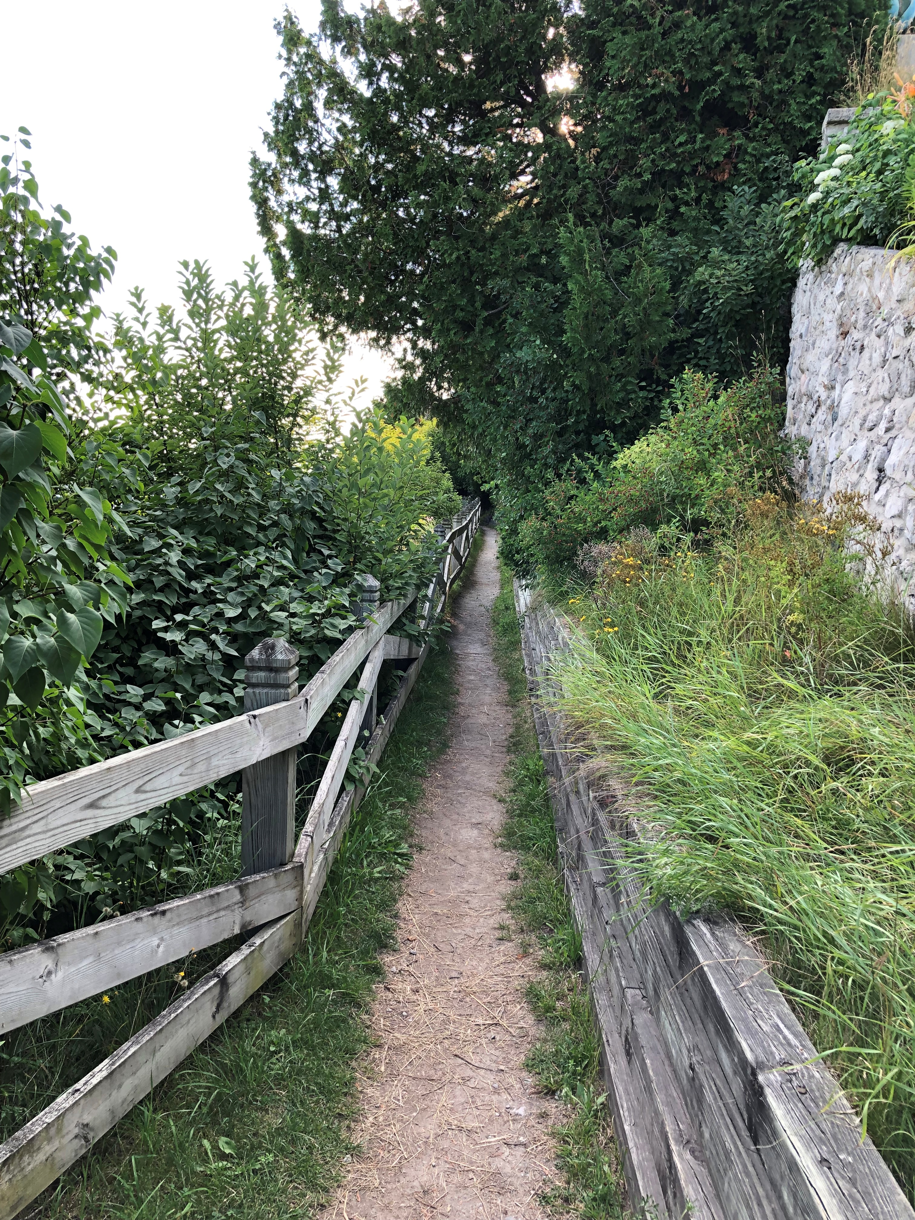
Soon the street changes into a bluff-side path, with good views. We followed it a while. Mackinac Island
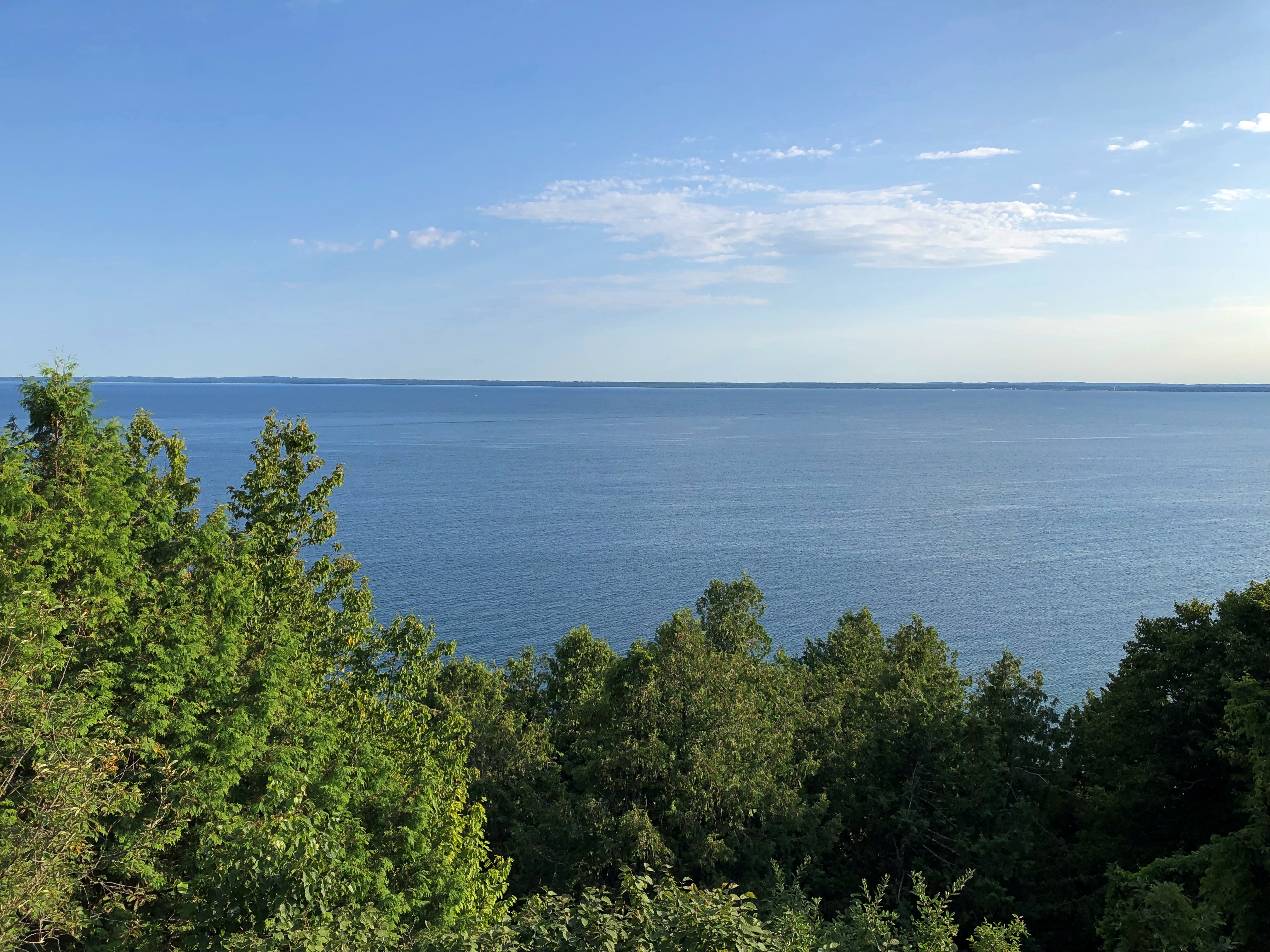
 Mackinac Island

Eventually, wooden stairs led down to the road that circles the island, and we walked back to Main Street via that road to catch the ferry back to the mainland. We made occasional stops on the rocky shore of Lake Huron. Mackinac Island
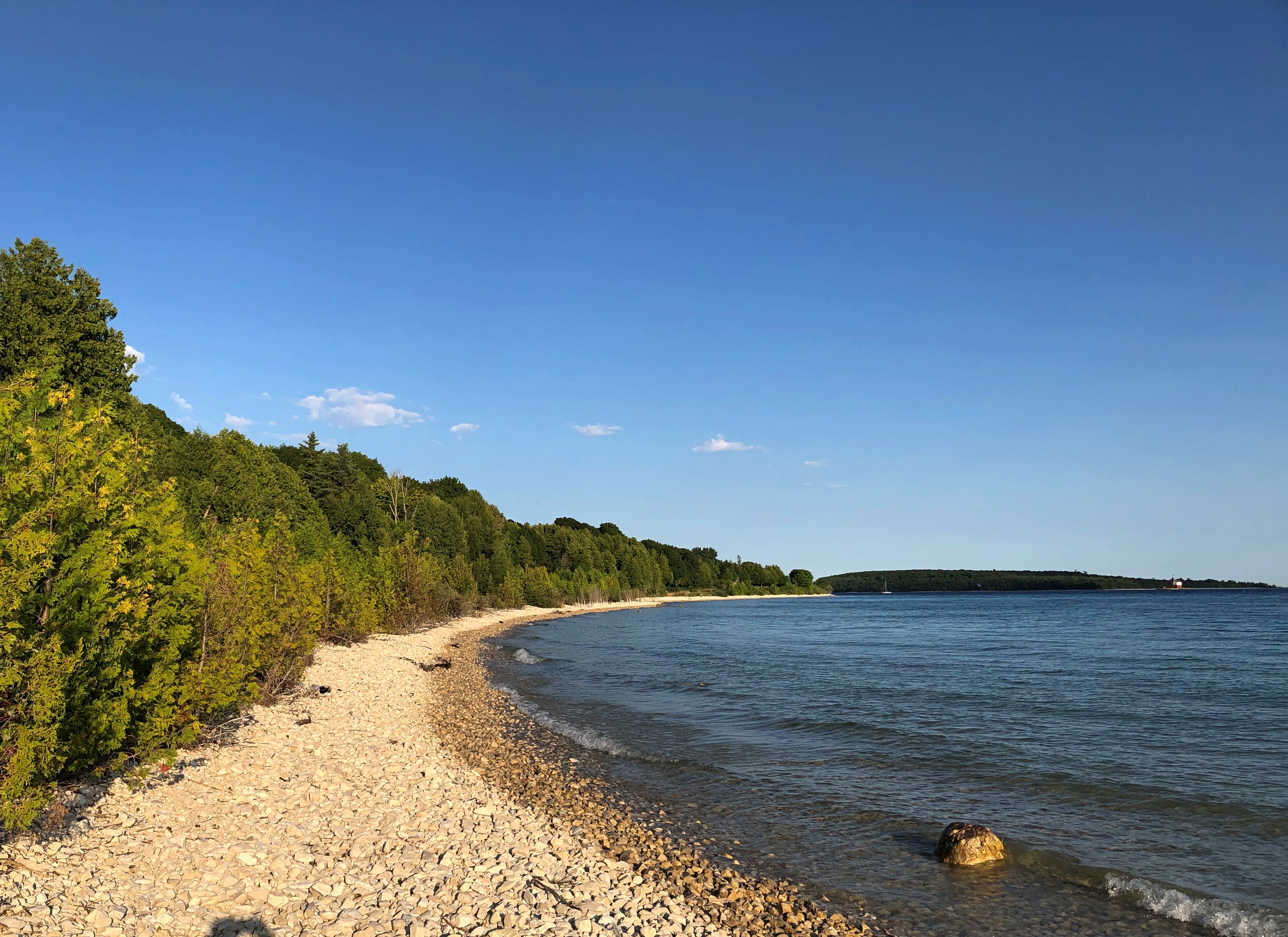
If there’s a next time, maybe I’ll rent a bicycle. But Mackinac Island is a perfectly fine walking destination.
Fort Mackinac

In 1780, the British commander at Fort Michilimackinac, which had been a French post on the mainland south shore of the Straits of Mackinac until the British had won it in the Seven Years’ War, decided to build a more defensible fort on Mackinac Island (and perhaps, one with a shorter name). He picked a bluff overlooking the lakeshore.

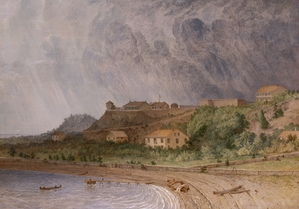
Fort Mackinac, Michigan by Seth Eastman

“Fort Mackinac, Michigan” by Seth Eastman (1872)

The fort stands there to this day, though in somewhat different form: a tourist attraction. As a tourist, I was duly attracted.Fort Mackinac
Note the Boy Scout. Turns out in visiting Mackinac Island, we were visiting a presidential site. It’s a slightly convoluted story, but well relayed by the island’s web site.

These days, a group of Boy and Girl Scouts raises and lowers about two dozen American flags across Mackinac Island each day during the summer. They also act as guides at the fort. The fellow at the entrance wasn’t the only one we saw.

He was the only one I talked to, however. Tried to, that is. I asked him why Boy Scouts were at the fort, and perhaps a career involving public interaction isn’t in his future, because he sputtered a few unintelligible words and looked at me as if I’d tried to talk to the guards at Buckingham Palace.

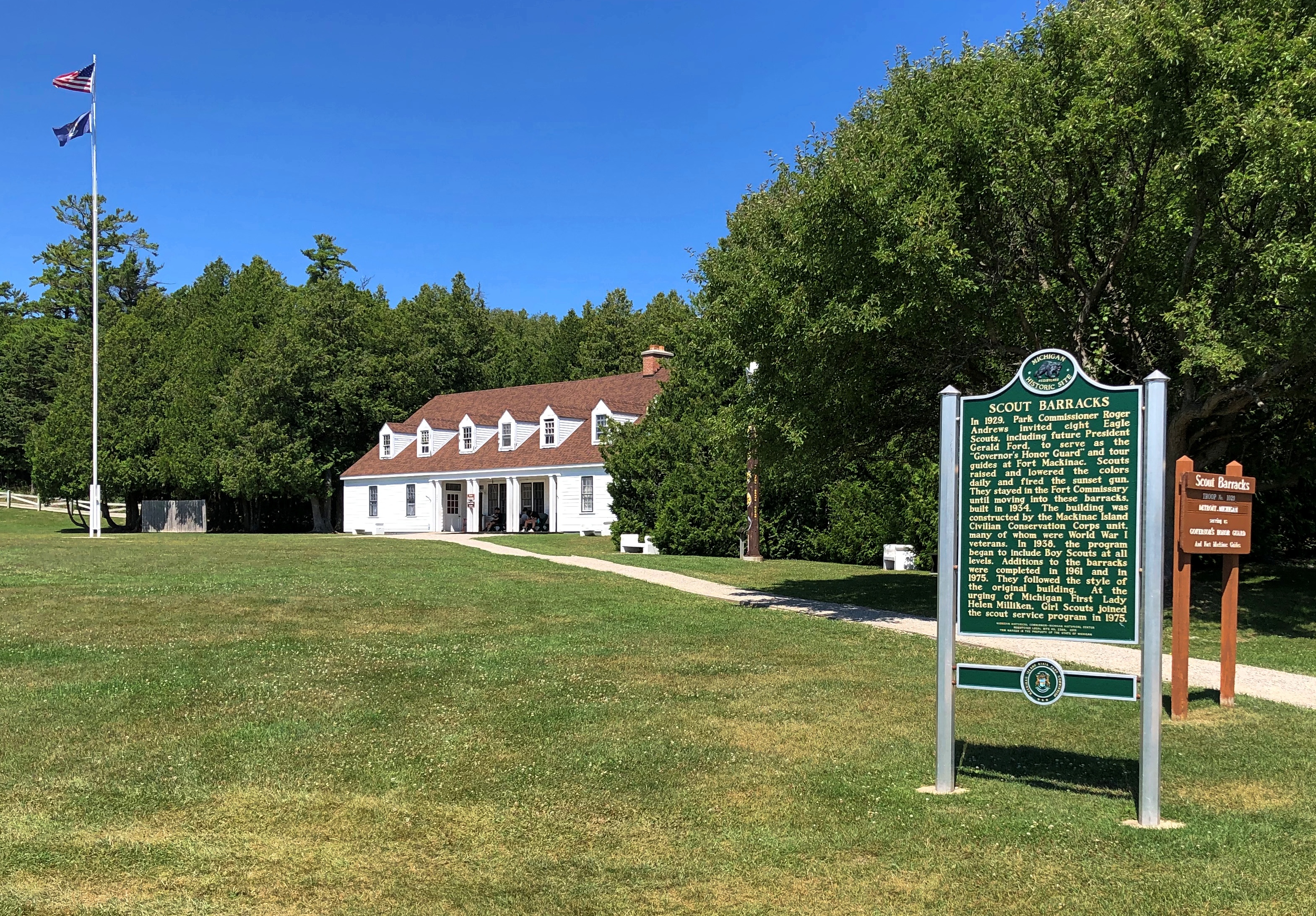
So I had to learn later that the flag-raising and other duties started “in 1929 when then-Michigan Gov. Fred Green commissioned eight Eagle Scouts from around the state as honor guardsman on Mackinac Island,” the island’s web site says.

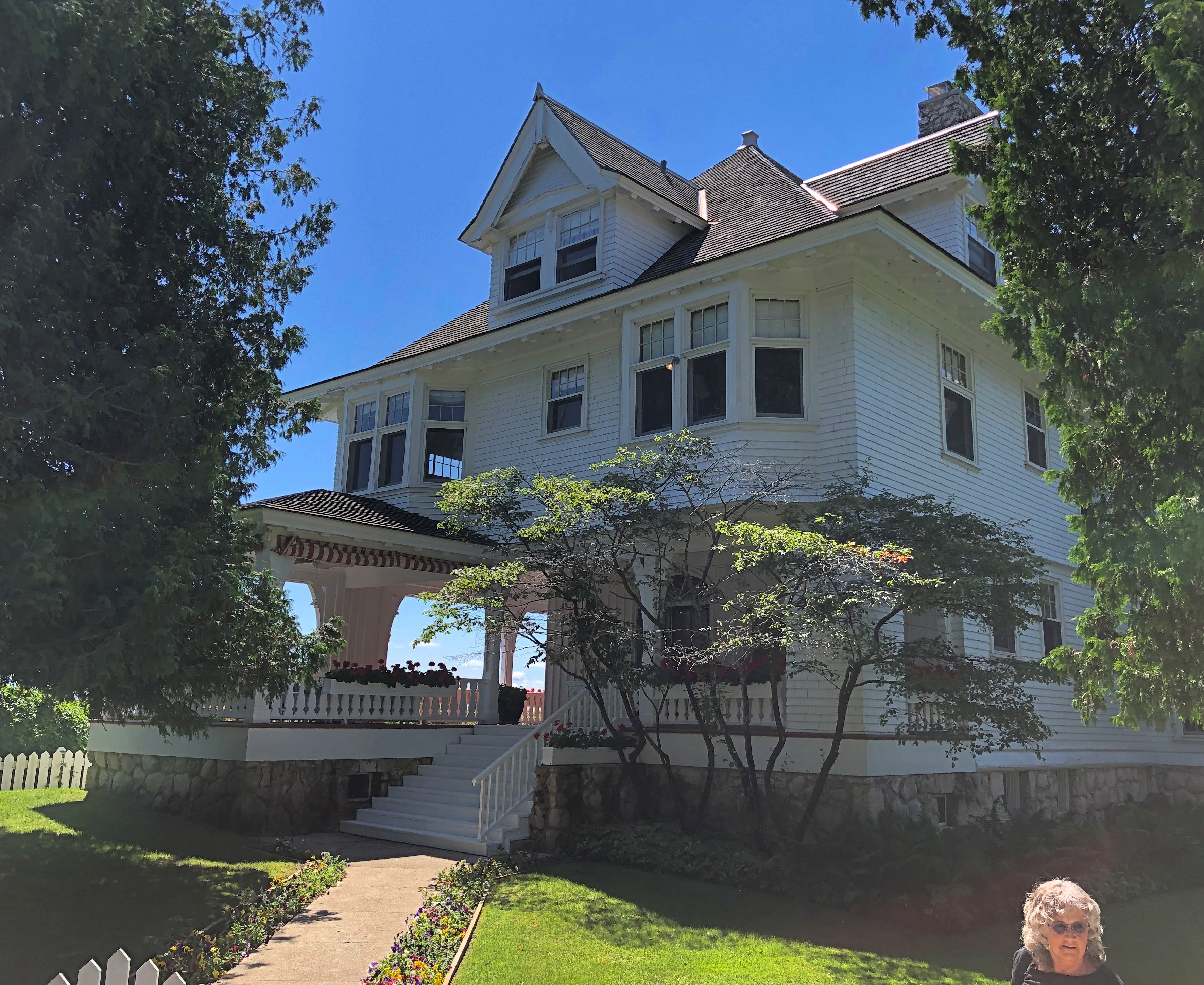
The governor’s summer residence, by the way, is on Mackinac Island, very near the fort, though the house didn’t begin that function until 1944. We walked past it on the way to the fort.

Its formal name is the Lawrence A. Young Cottage, dating from 1902. Young was a successful Chicago attorney who had it built as his summer home.

The presidential connection? In 1929, one of the charter group of scouts tapped by Gov. Green was none other than Gerald R. Ford.

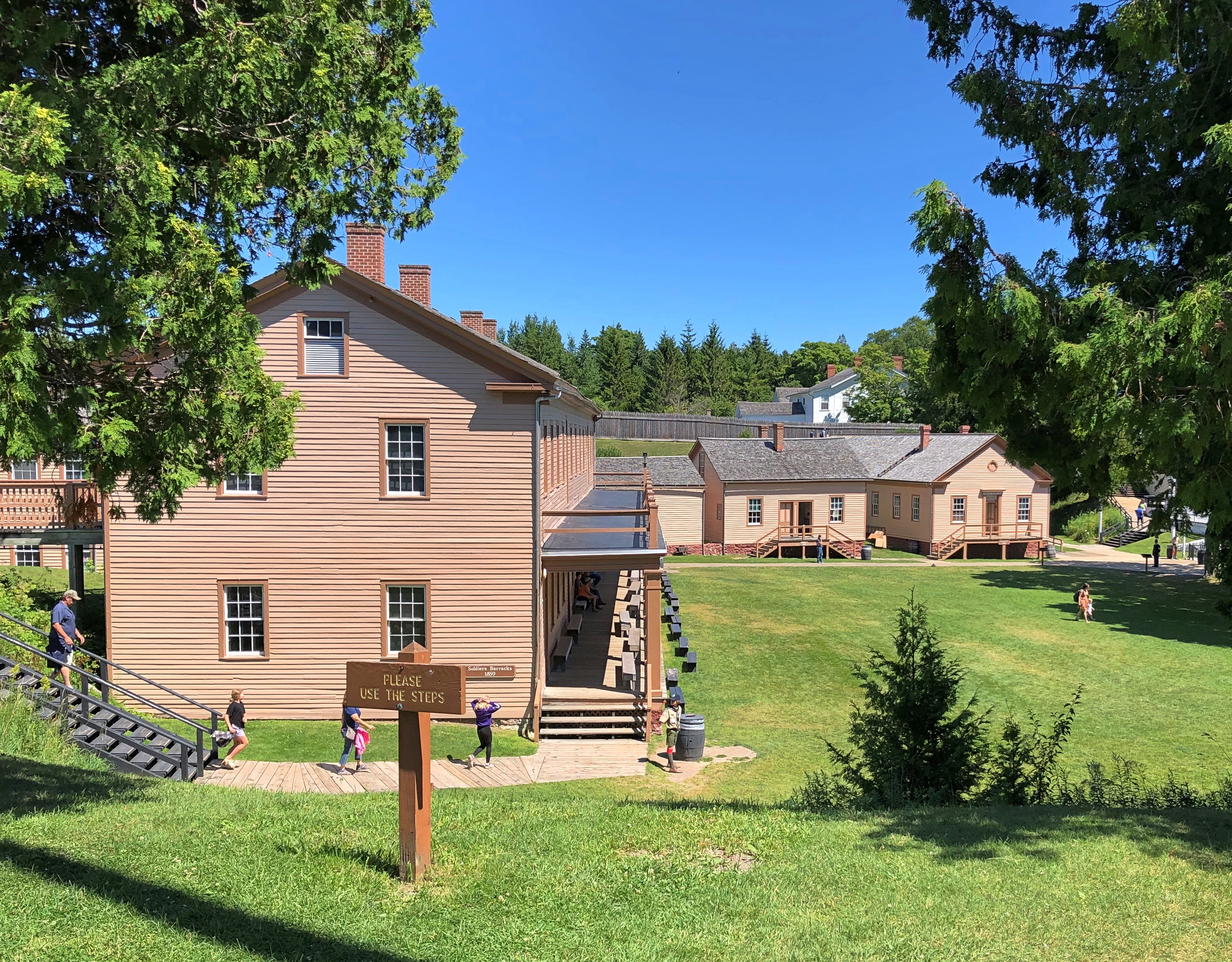
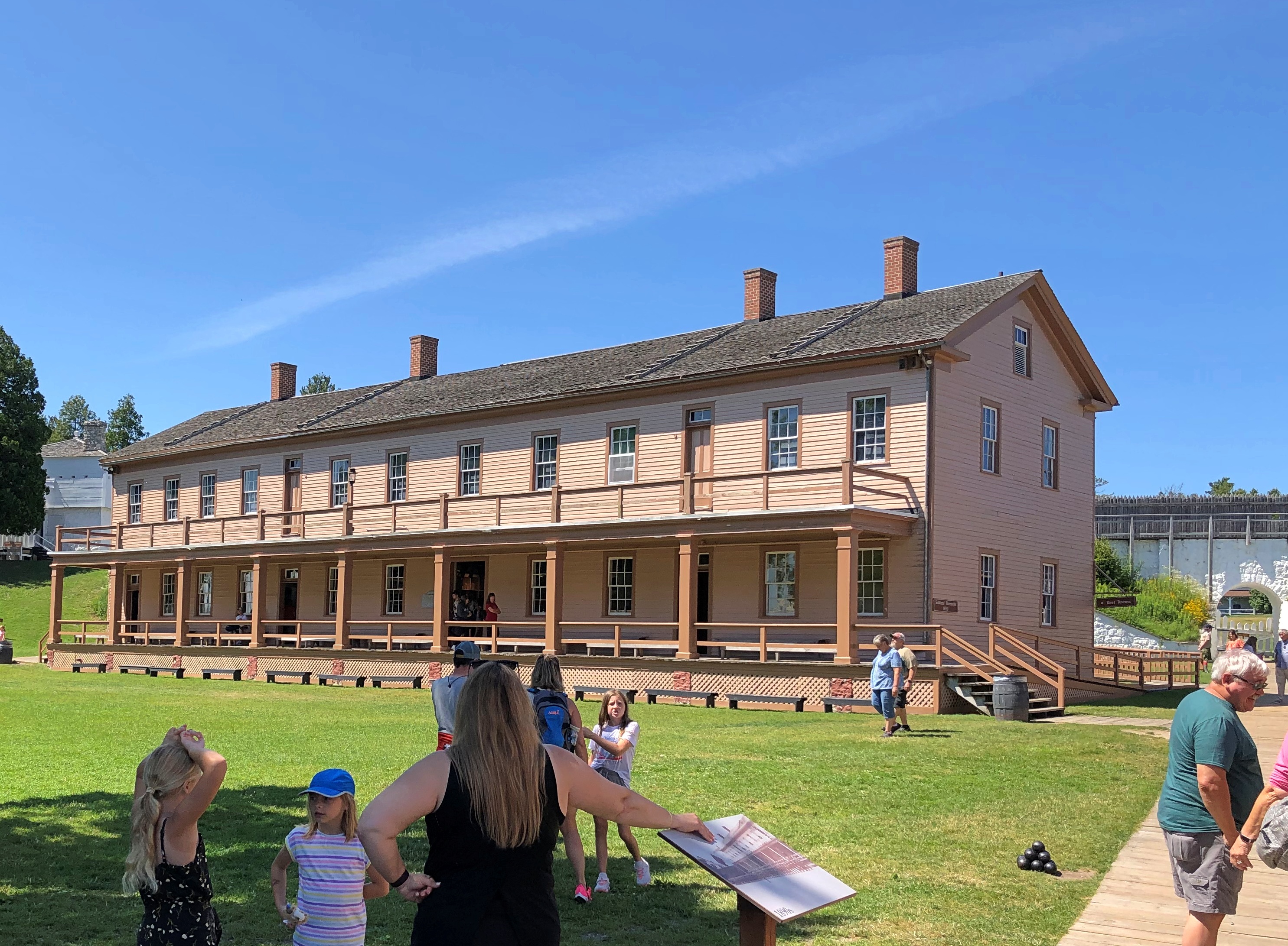
The scout barracks aren’t far from the fort, either. We passed those after we left the fort.

Inside the fort.Fort Mackinac Fort Mackinac

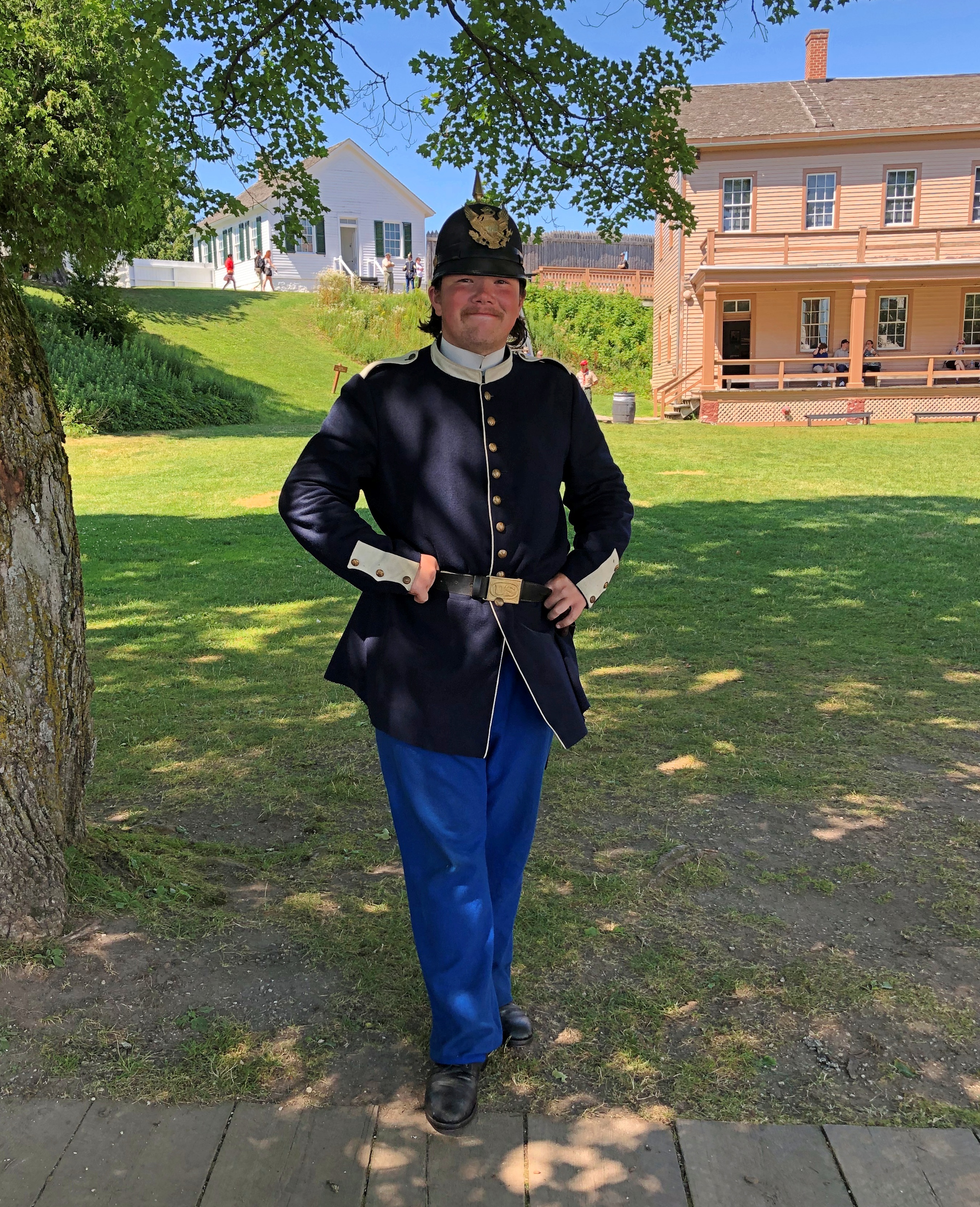
Besides the scouts, there were a handful of somewhat older folk in costume. I told this fellow he was wearing a capital uniform.Fort Mackinac

Unlike the scout, he was talkative, and able to tell us in some detail about the uniform, though I think he was a little confused about my use of the term “capital” to mean “fine” or “excellent.” An apt term for a spiffy 19th-century uniform, if you asked me.

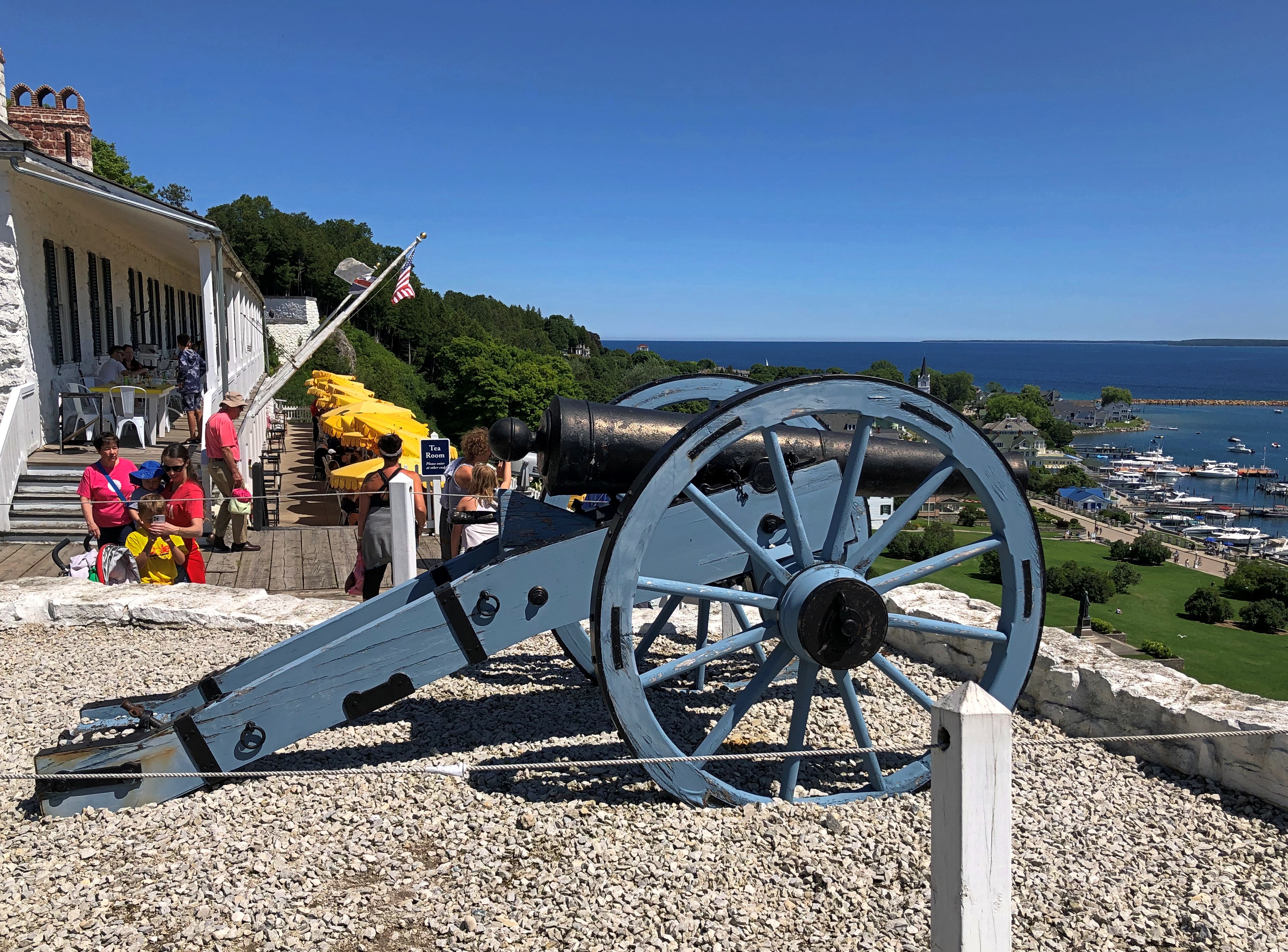
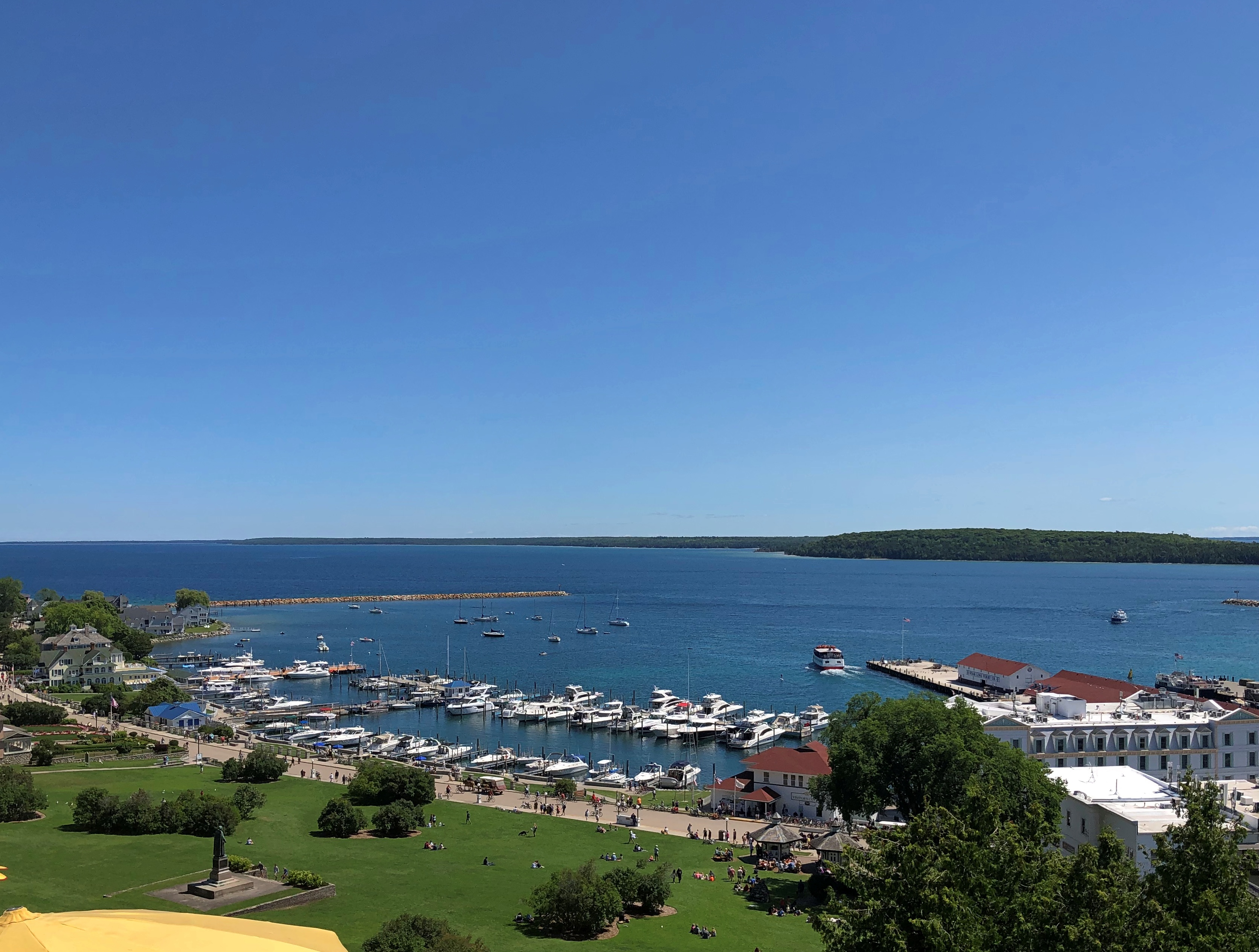
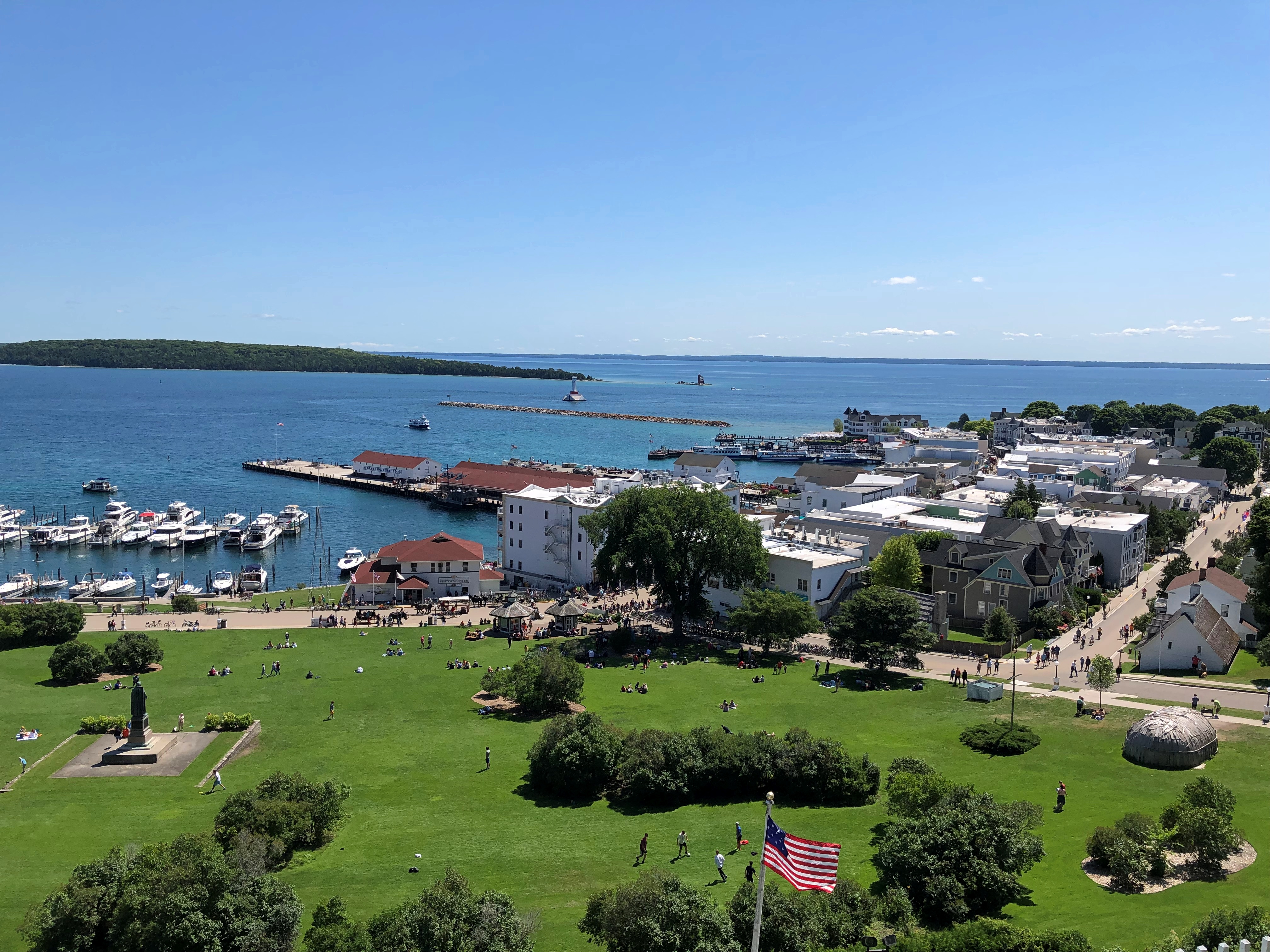
There are some terrific views from the fort, as a pre-modern fort would have.Fort Mackinac Fort Mackinac Fort Mackinac

The historic buildings include the post HQ, bathhouse, soldiers barracks, officers quarters, post hospital, a storehouse, guardhouse and more. The rooms were stocked with artifacts and expository signage. More modern spaces included a light-meal restaurant taking advantage of those terrific views, a gift shop and bathrooms (authentic 19th-century Army latrines wouldn’t go down well with the museum-going public, I figure).

The fort is, I’ve read, one of the few surviving more-or-less intact from the Revolution and War of 1812, when it saw action. Later, as British Canada receded as any kind of threat, Mackinac’s usefulness as a military post did as well, but it lingered as U.S. Army property until 1895.
By that time, much of Mackinac Island had been designated as Mackinac National Park. Astute NPS observers might object that no such park exists, and they’d be right. Created in 1875 as the second national park, Congress dissolved it in 1895 and turned it over to the state of Michigan, which created its first state park that same year out of the same territory, including the now-decommissioned fort.

After I saw the fort, I read the story of its U.S. commander in 1812, one Porter Hanks. Lt. Hanks surrendered the fort without a fight, as he was hopelessly outnumbered. He and his men were paroled by the British forces. Wiki, which seems to be reasonably sourced, picks up the story:

“Lieutenant Hanks made his way to Detroit and the American military post there. Upon his arrival, superiors charged him with cowardice in the surrender of Fort Mackinac. Before the court martial of Lieutenant Hanks could begin, British forces attacked Fort Detroit. A British cannonball ripped through the room where Hanks was standing, cutting him in half and killing the officer next to him as well.”

That’s one way to get out of a court martial, but surely not how Lt. Hanks would have wanted.

Mackinac Island Walkabout, Part 1

Things to know about Mackinac Island, Michigan.
  • It really is an island, about 4.3 square miles in Lake Huron, and not far from both the Lower and Upper Peninsulas of Michigan.
  • Most of the island is Mackinac Island State Park, but there is a town, and 470 or so people live there full time.
  • Mackinac is famed for allowing no motorized vehicles on its streets, except for a handful of emergency vehicles.
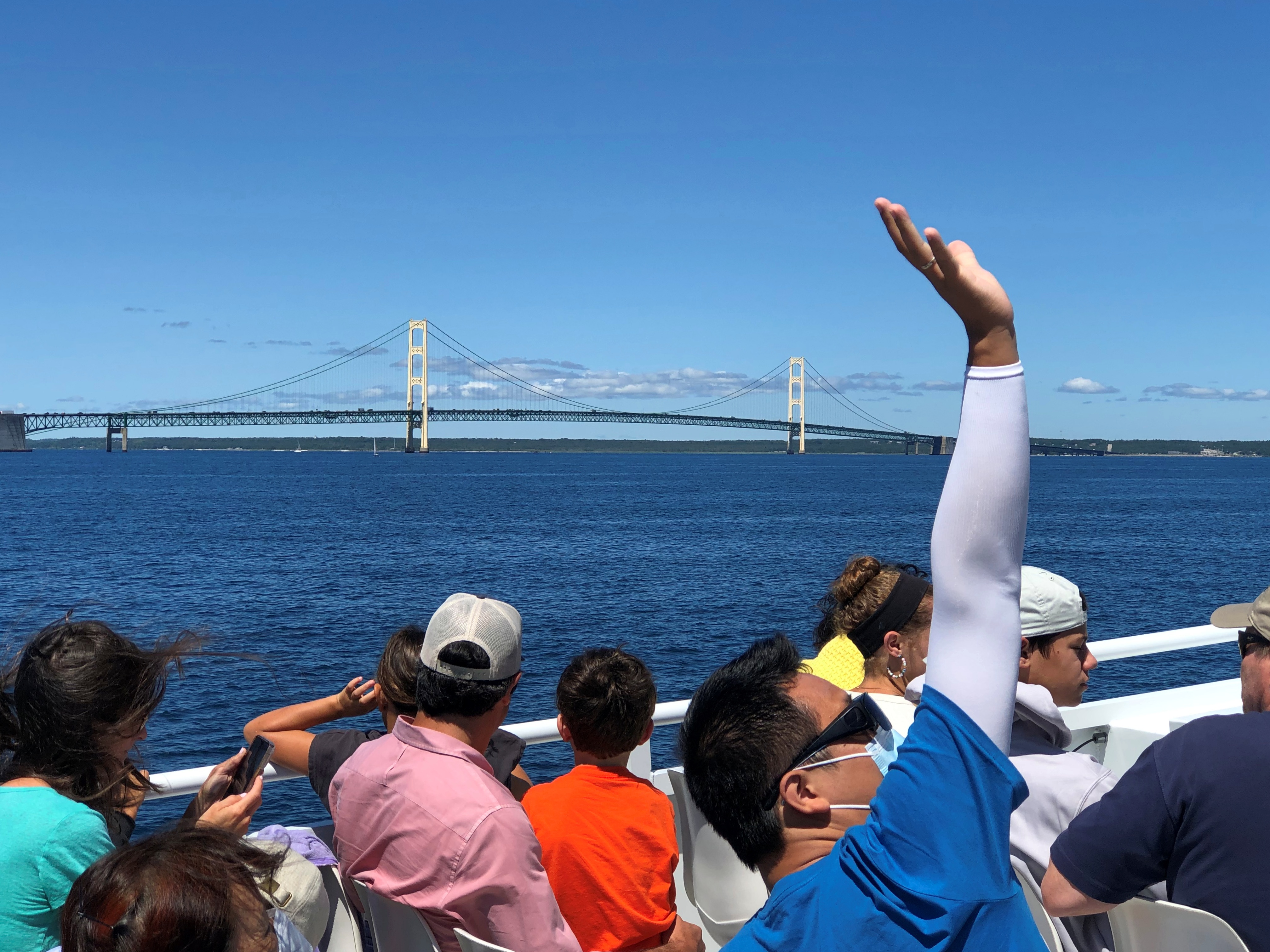
  • Regular passenger ferry services connect the island with the mainland; the ride takes about 20 minutes. The view of the Mackinac Bridge from the ferry is terrific.

Mackinaw Bridge

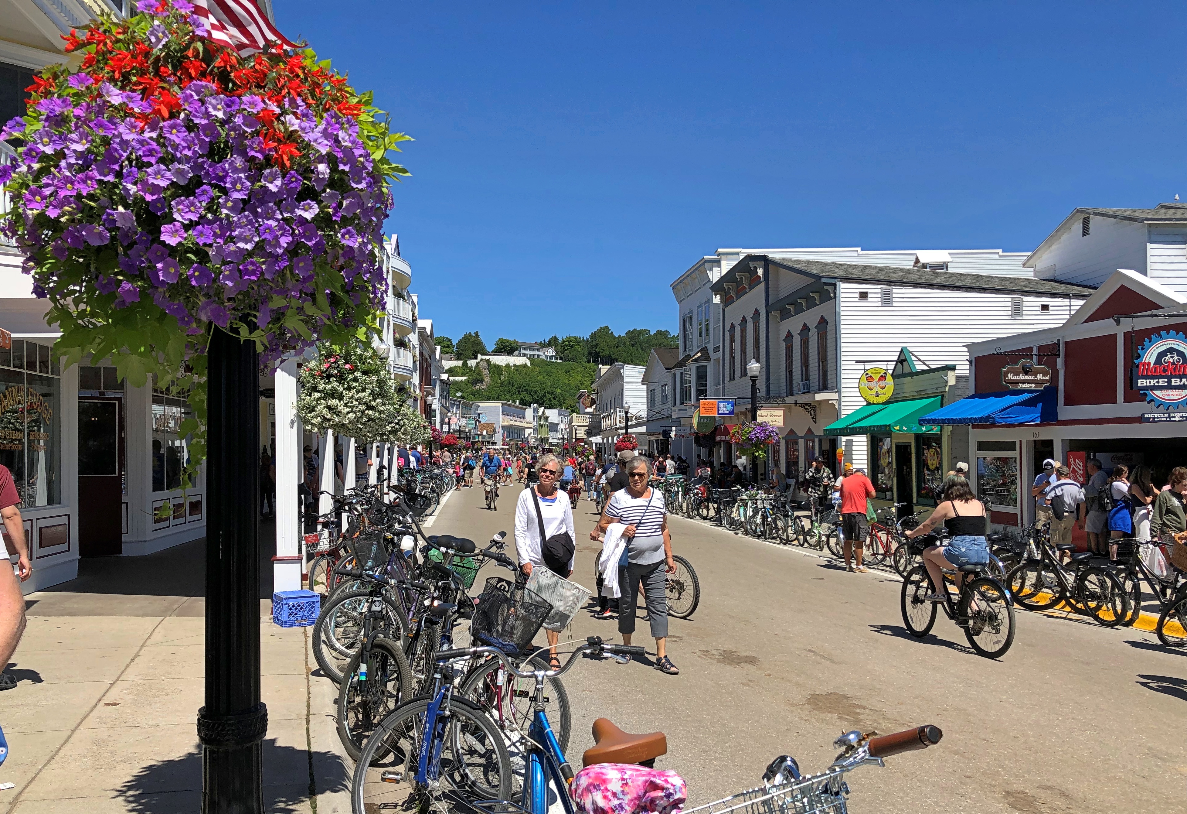
The ferries from the mainland dock at the aptly named Main Street. The closer you are to Main Street on Mackinac Island, the more people there are. Even on a weekday. We arrived early in the afternoon of Tuesday, August 2. The day was sunny and warm.Mackinac Bridge Mackinac Bridge

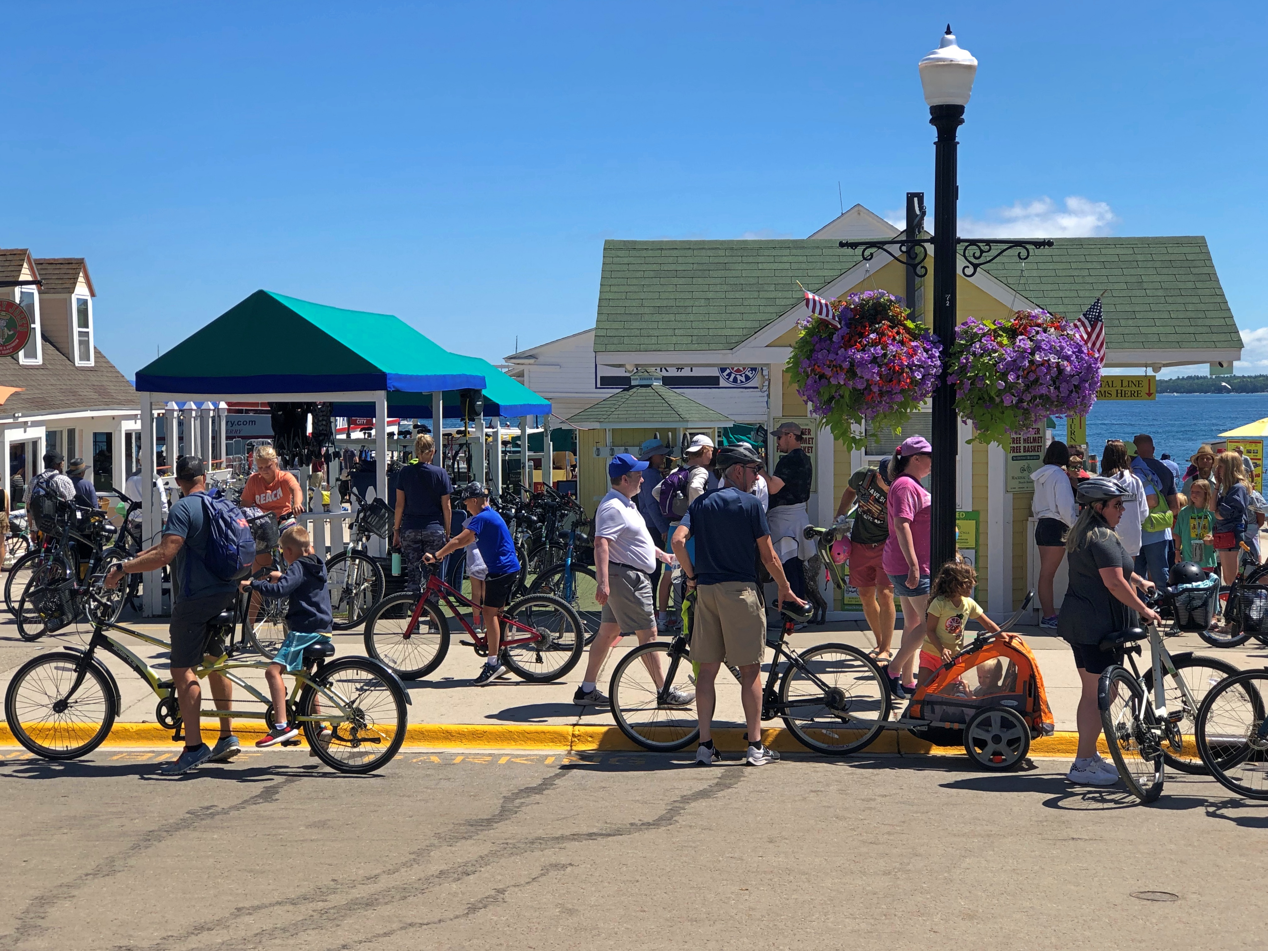
Restaurants, retailers and hotels line Main Street, packing ’em in. No cars, but plenty of bicycles and some horse-drawn wagons ply the street, so best to walk on the sometimes shaded sidewalk.
Mackinac Island is a major tourist draw in our time, but that’s hardly new. People have been visiting for pleasure since the late 19th century. Just another thing Victorians started, among many.

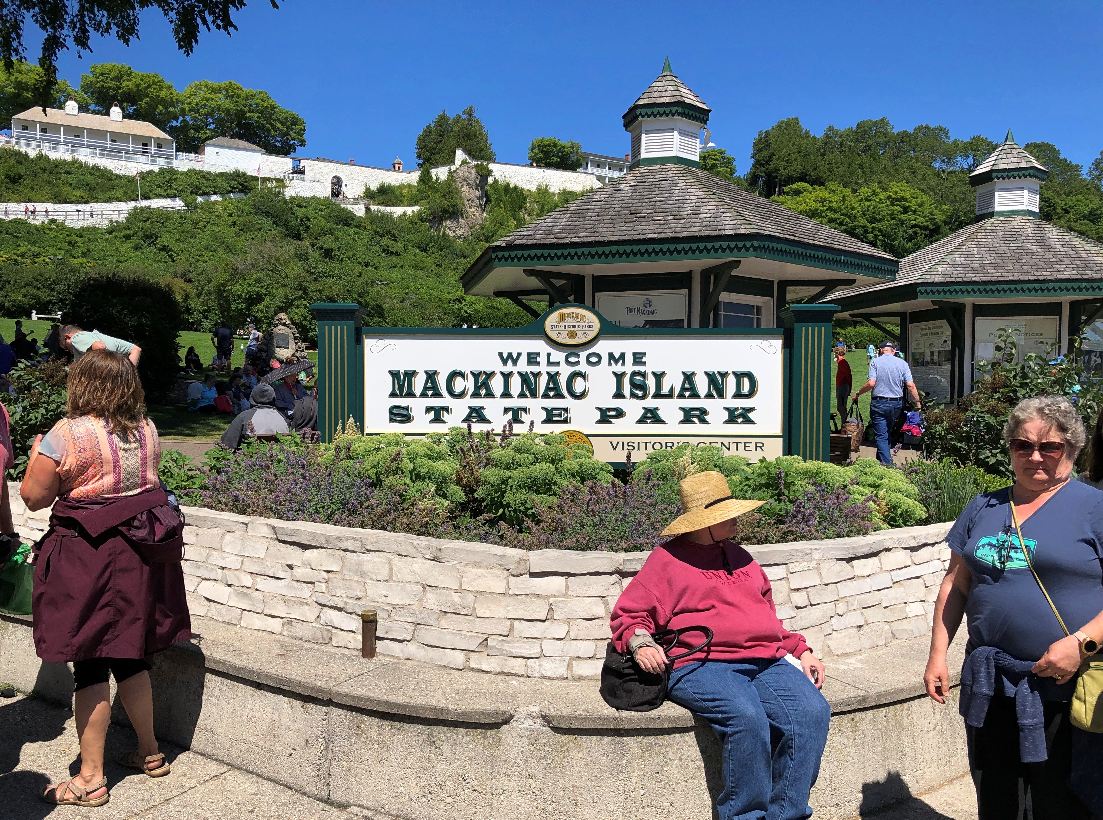
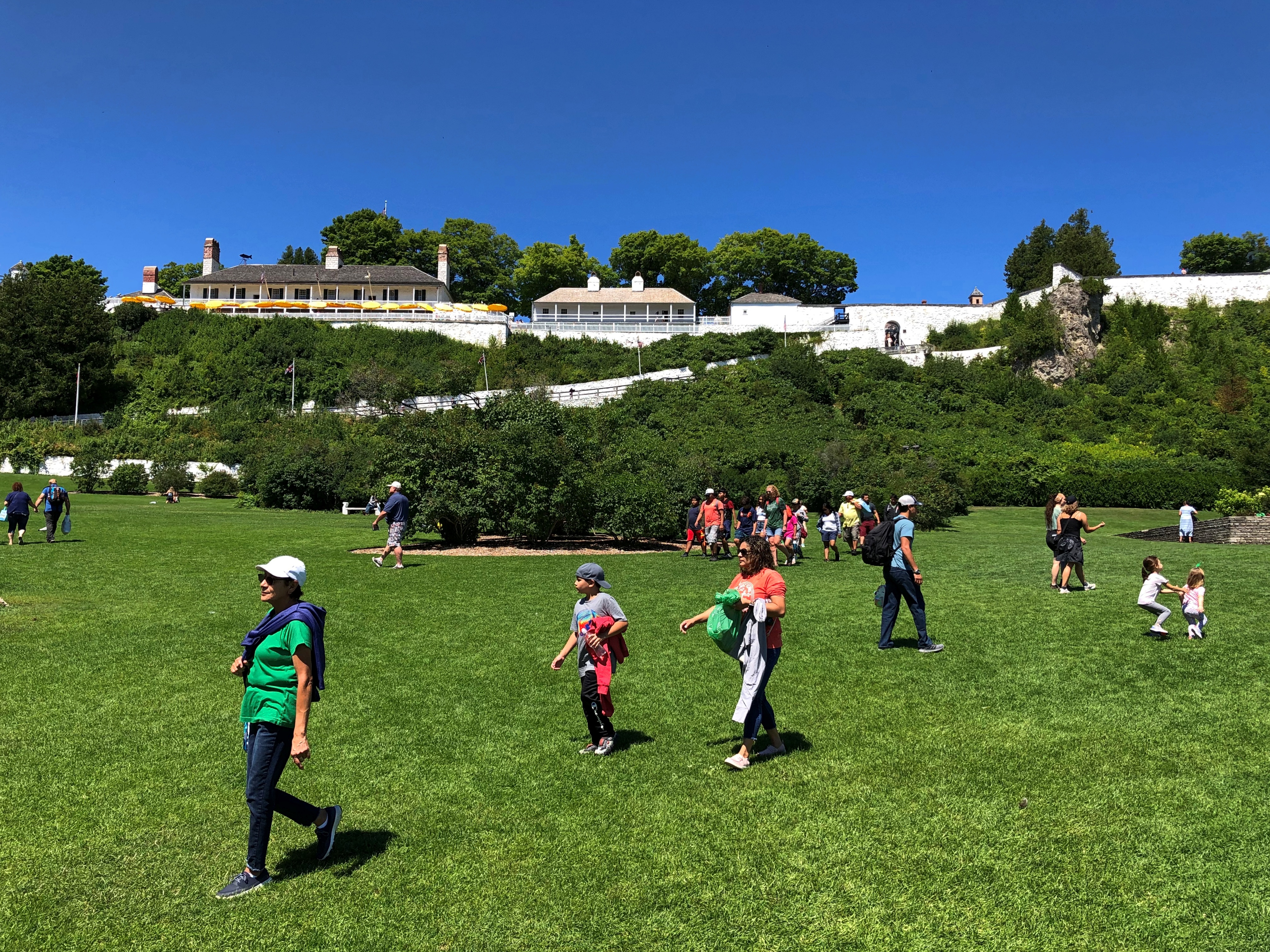
At one end of the commercial strip is an entrance to Mackinac Island State Park. Atop the hill at that point is Fort Mackinac, relic of the moment in the late 18th century when sovereignty over the island wasn’t a settled matter.Mackinac Island State Park

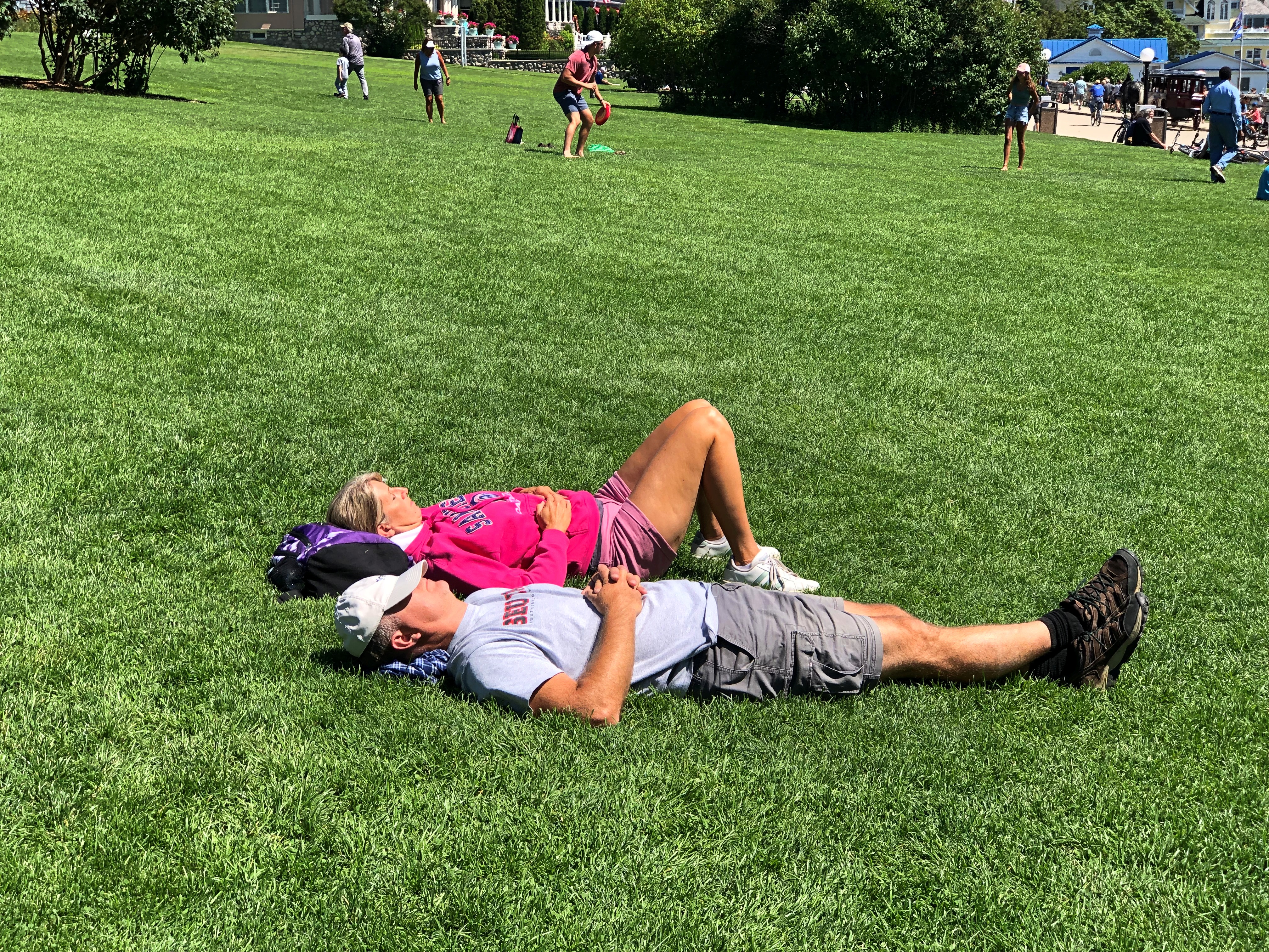
Immediately under the fort is a grassy slope.Mackinac Island State Park Mackinac Island State Park

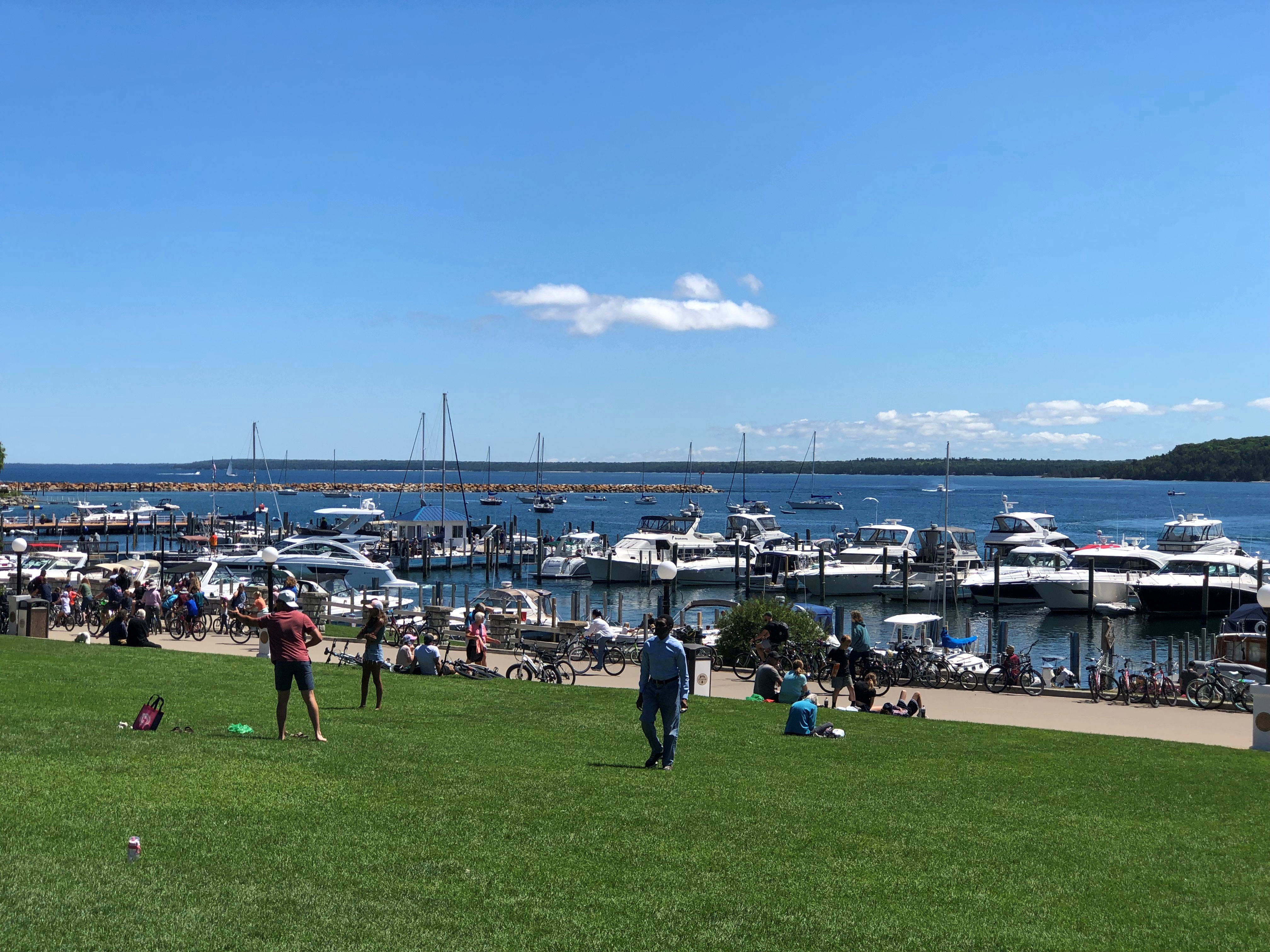
Popular, but not as crowded as Main Street. The view toward the water.Mackinac Island State Park

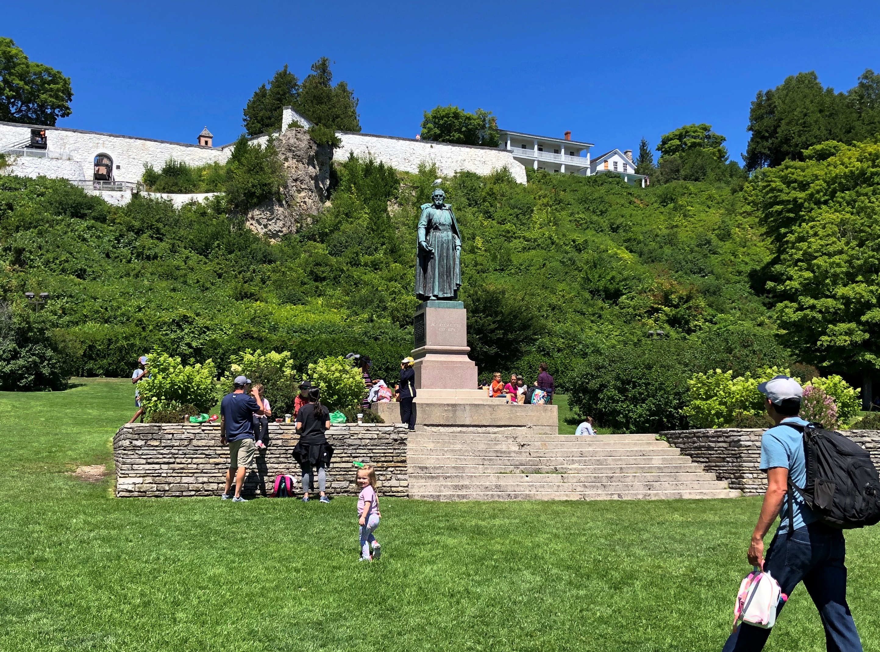
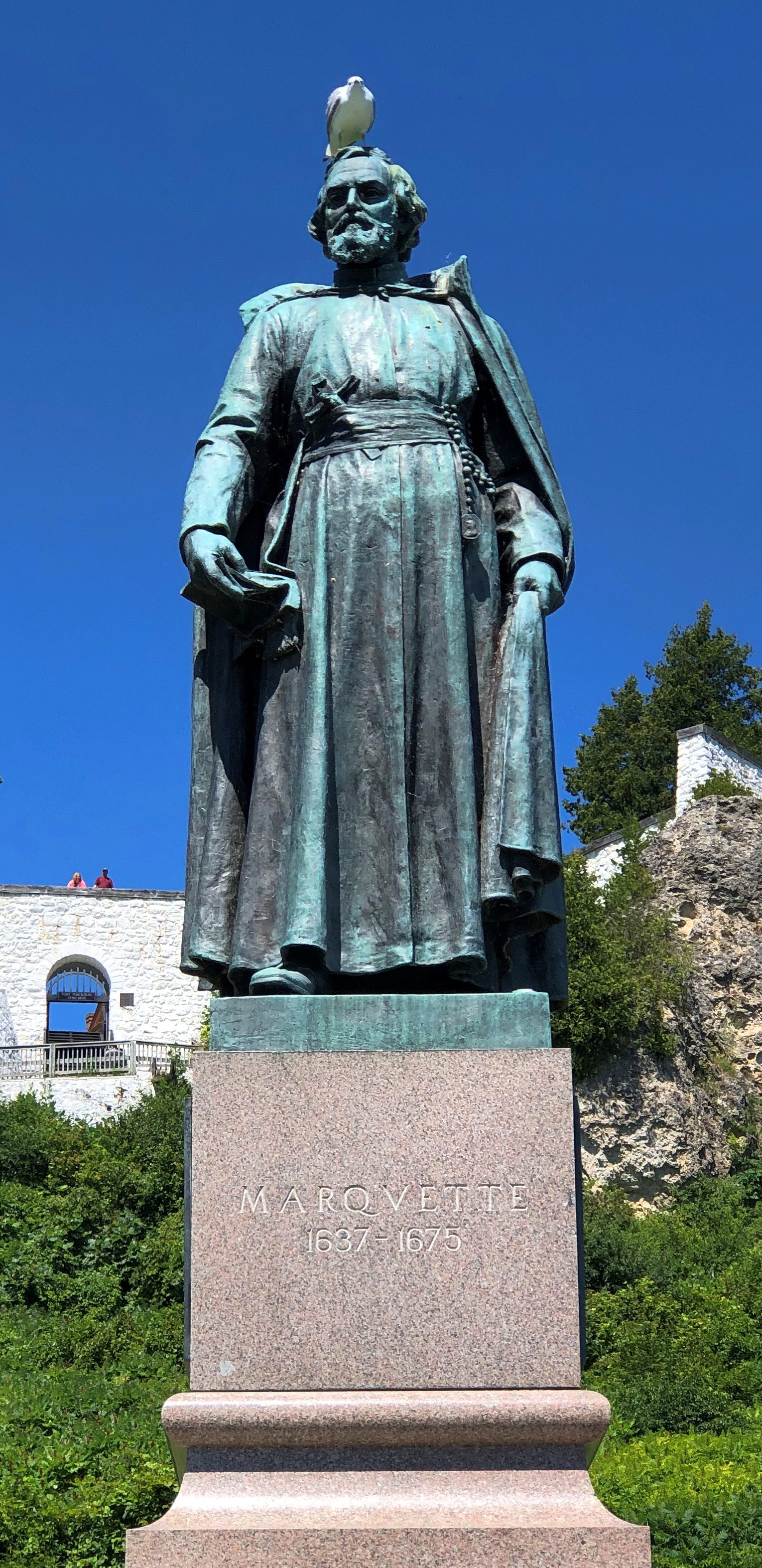
A bronze Marquette overlooks the slope.Mackinac Island State Park Mackinac Island State Park

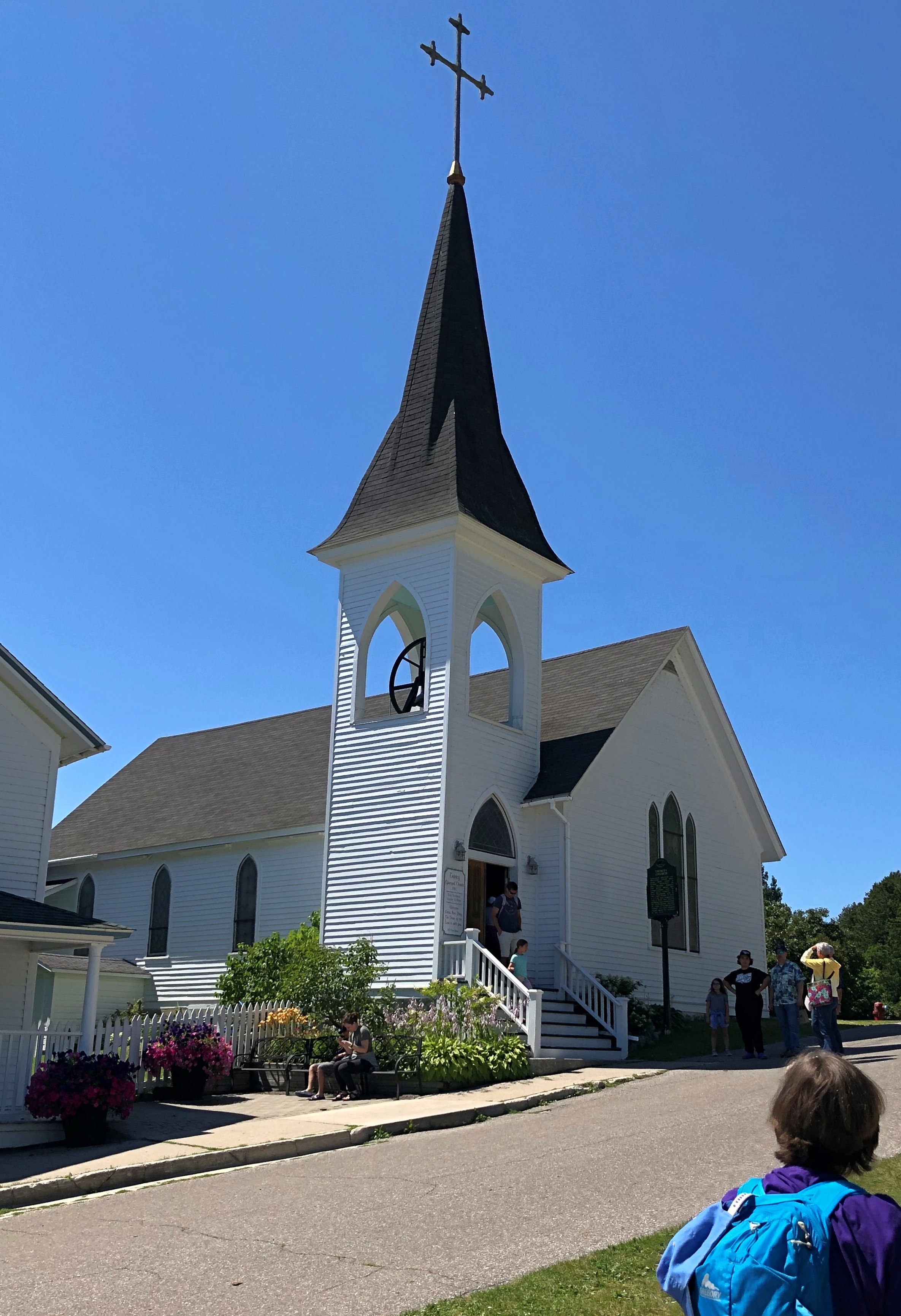
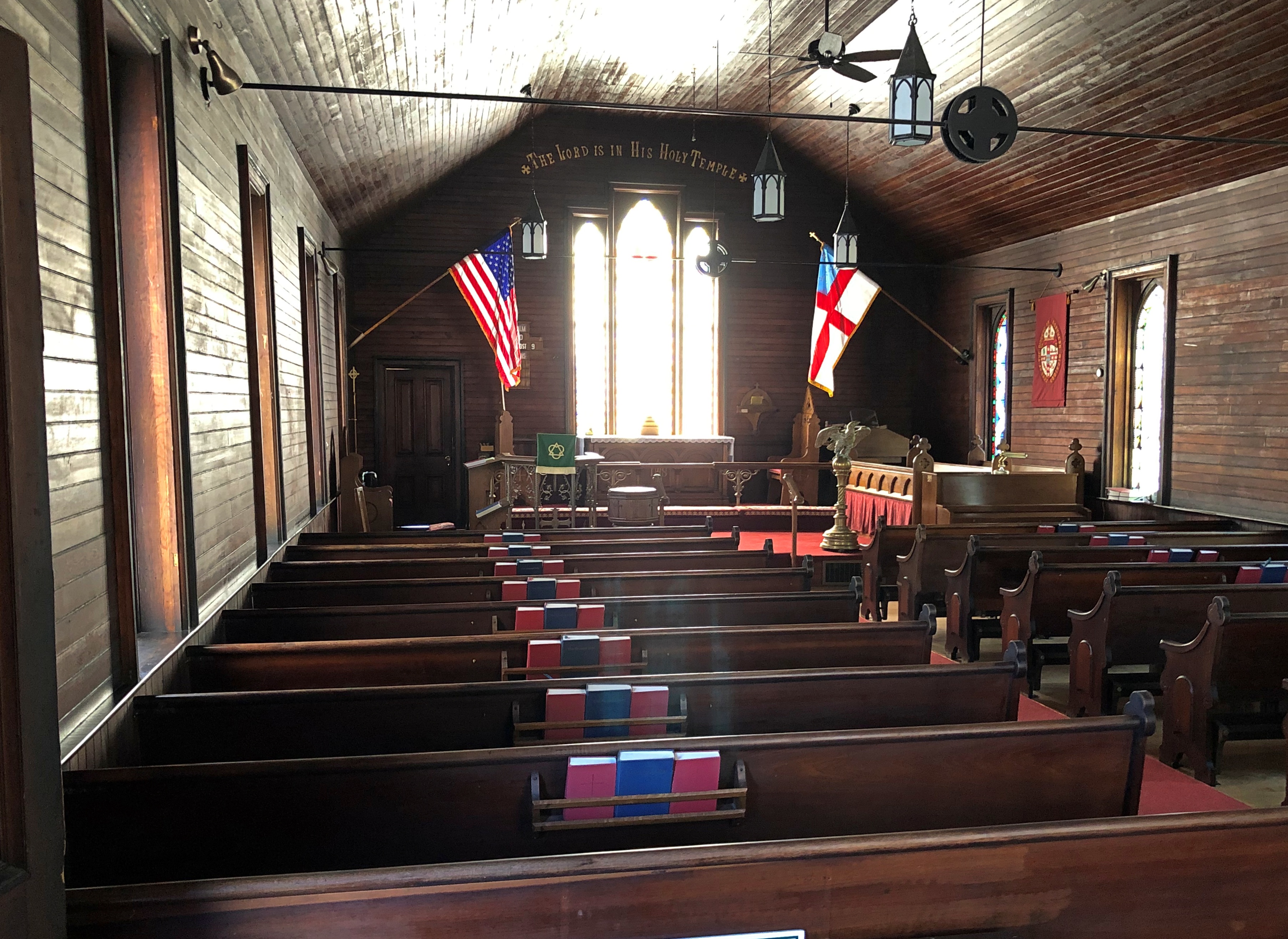
So does Trinity Episcopal Church, built in 1882.Trinity Episcopal Church Mackinac Island Trinity Episcopal Church Mackinac Island

We’d toyed with the idea of renting bicycles to get around the island, but the climb up the hill toward the fort, a fairly steep bit of hoofing, put that idea to rest.

Much later in the day, we came to realize that the thing to do with a bicycle is to ride the eight miles or so of Michigan 185, the only road in the state system without motorized transport, and which runs around the edge of the island. Something to do if I ever come back, and am healthy enough for it.

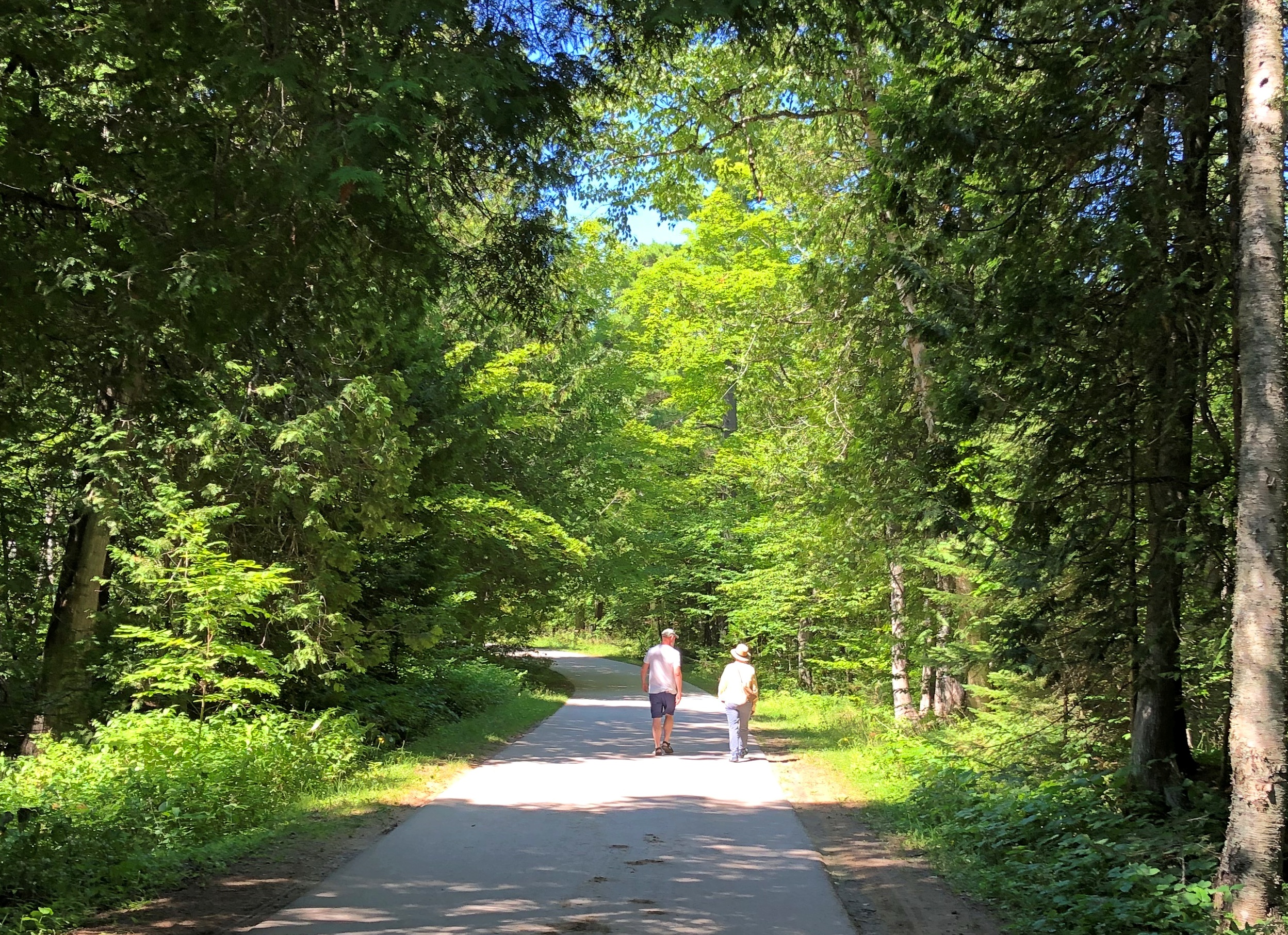
Or you could walk your bike up to the top of the hill, and ride around up there on some flat paths. By the time you get to this part of Mackinac — not really that far from Main Street — the crowds have thinned out.Mackinac Island State Park

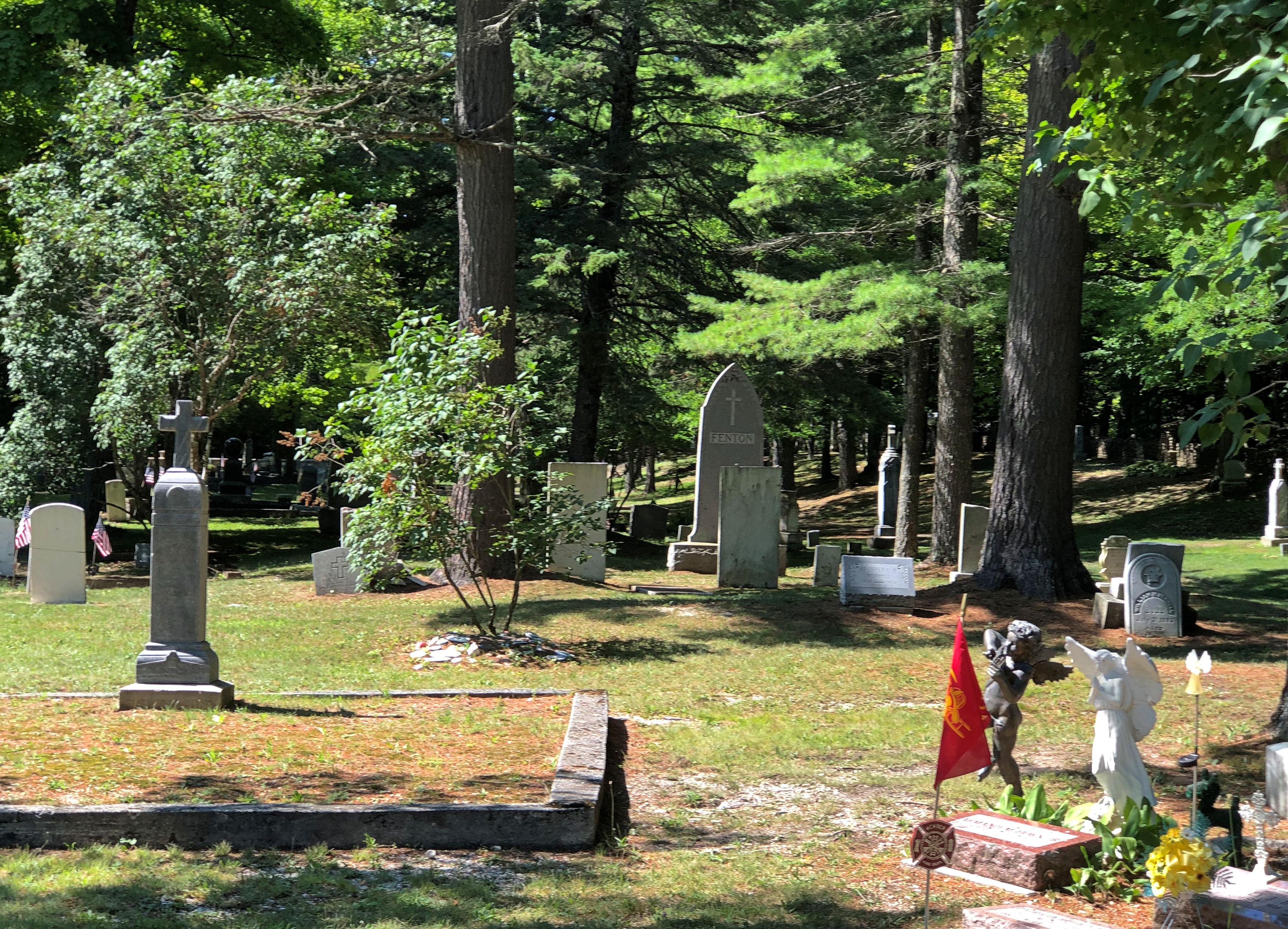
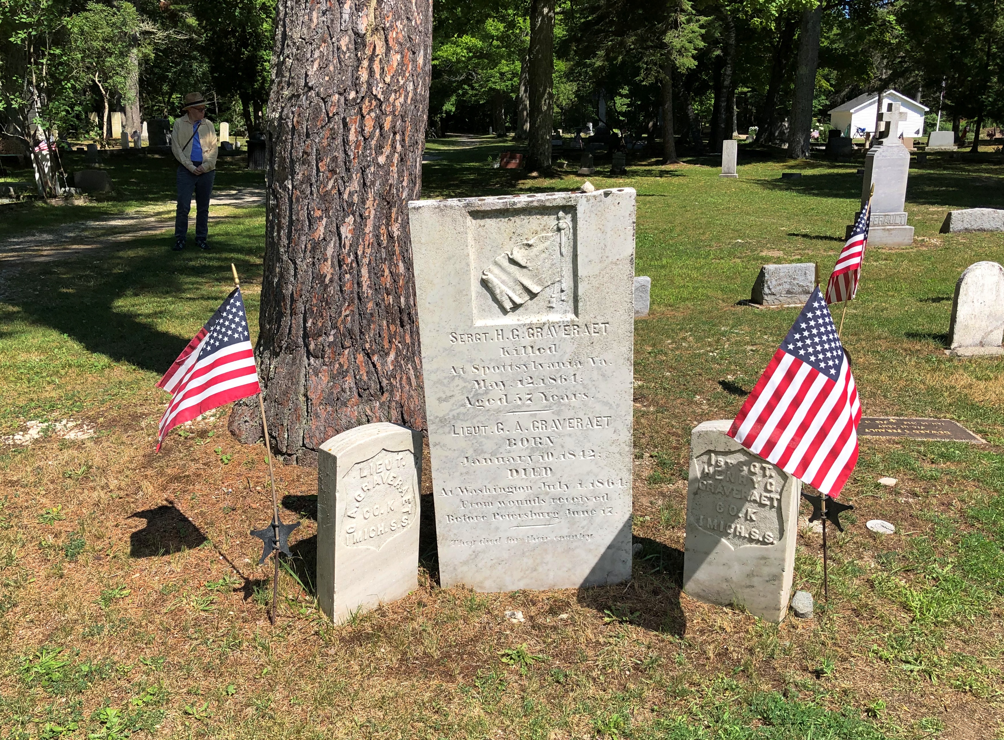
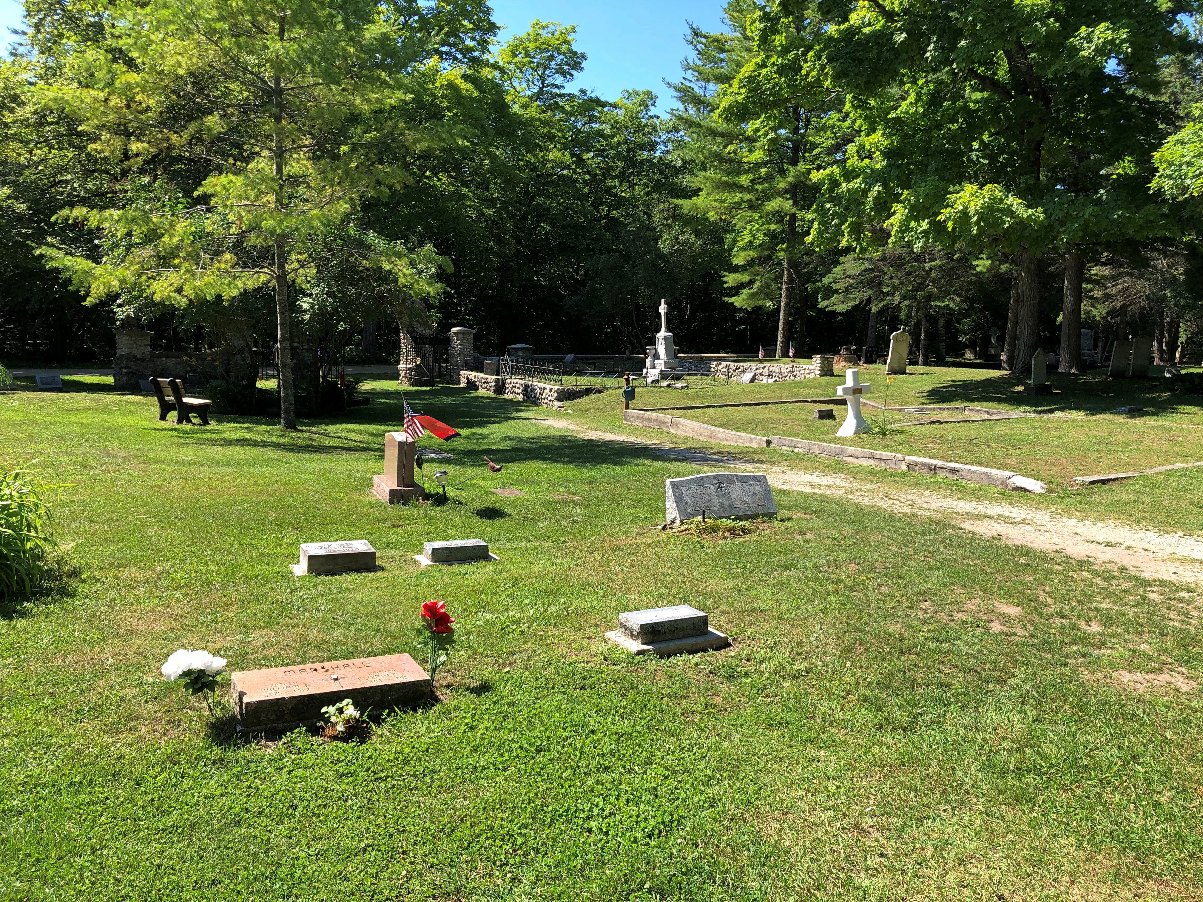
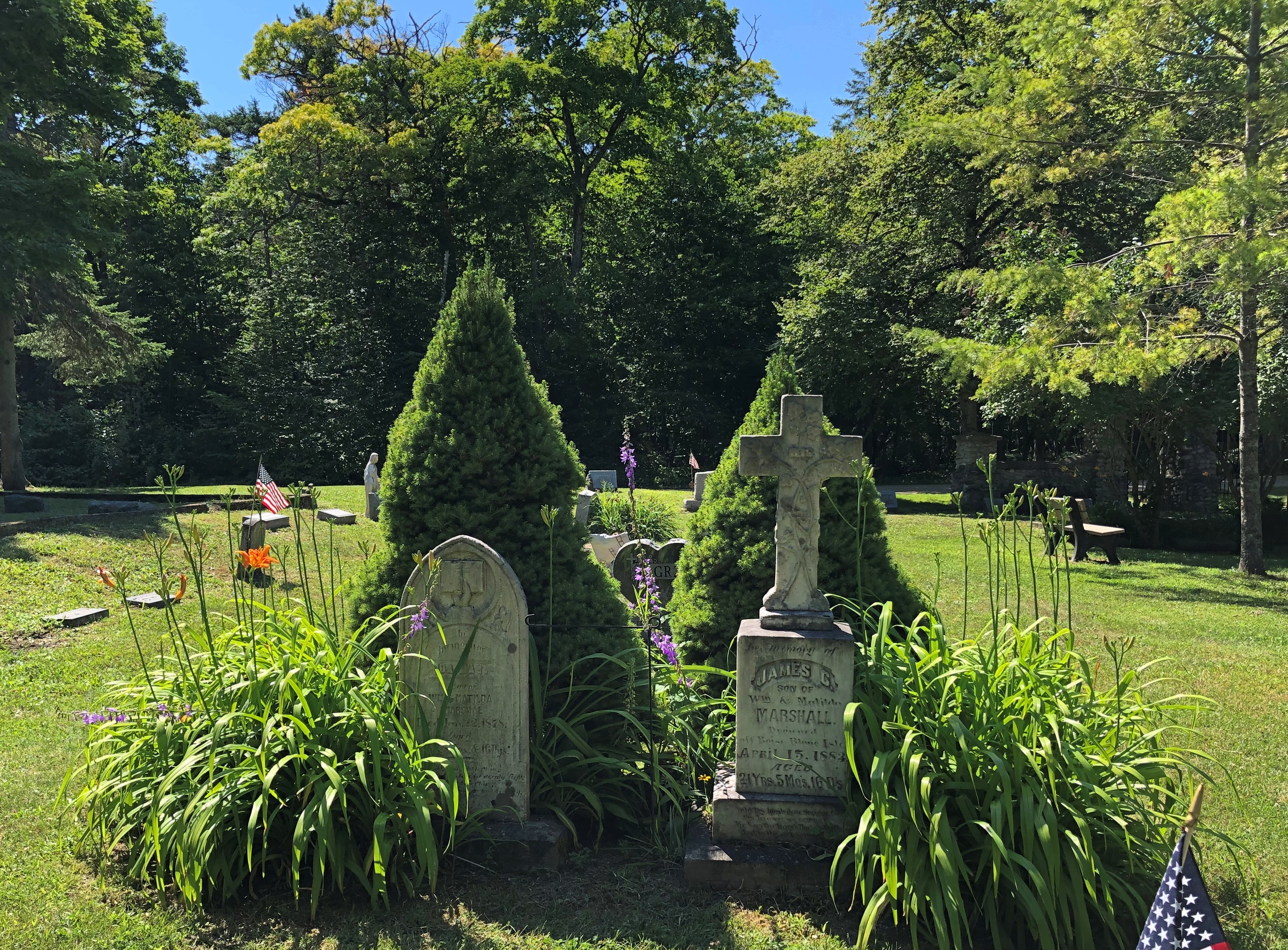
We walked a few of the paths, including one that our map said would take us to “historic cemeteries.” Right up my alley. We passed through one of them, St. Ann’s Cemetery. Burials have taken place there since the mid-19th century, as a Catholic cemetery that replaced one closer to the shore.Mackinac Island State Park - St Ann's Cemetery Mackinac Island State Park - St Ann's Cemetery Mackinac Island State Park - St Ann's Cemetery Mackinac Island State Park - St Ann's Cemetery

By this time, we were the only (living) people around. Cemeteries seem to have that effect, even near popular tourist destinations.