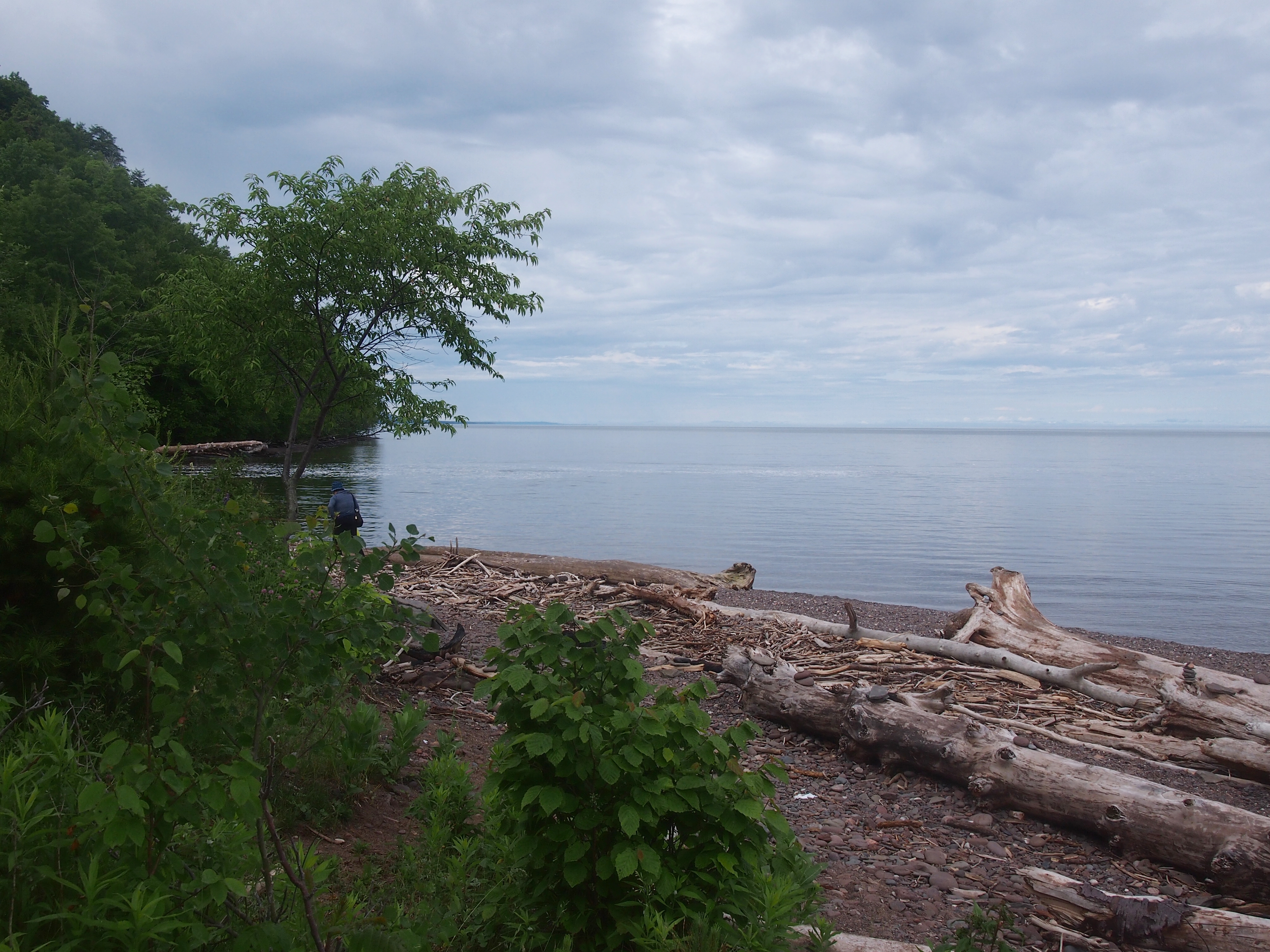
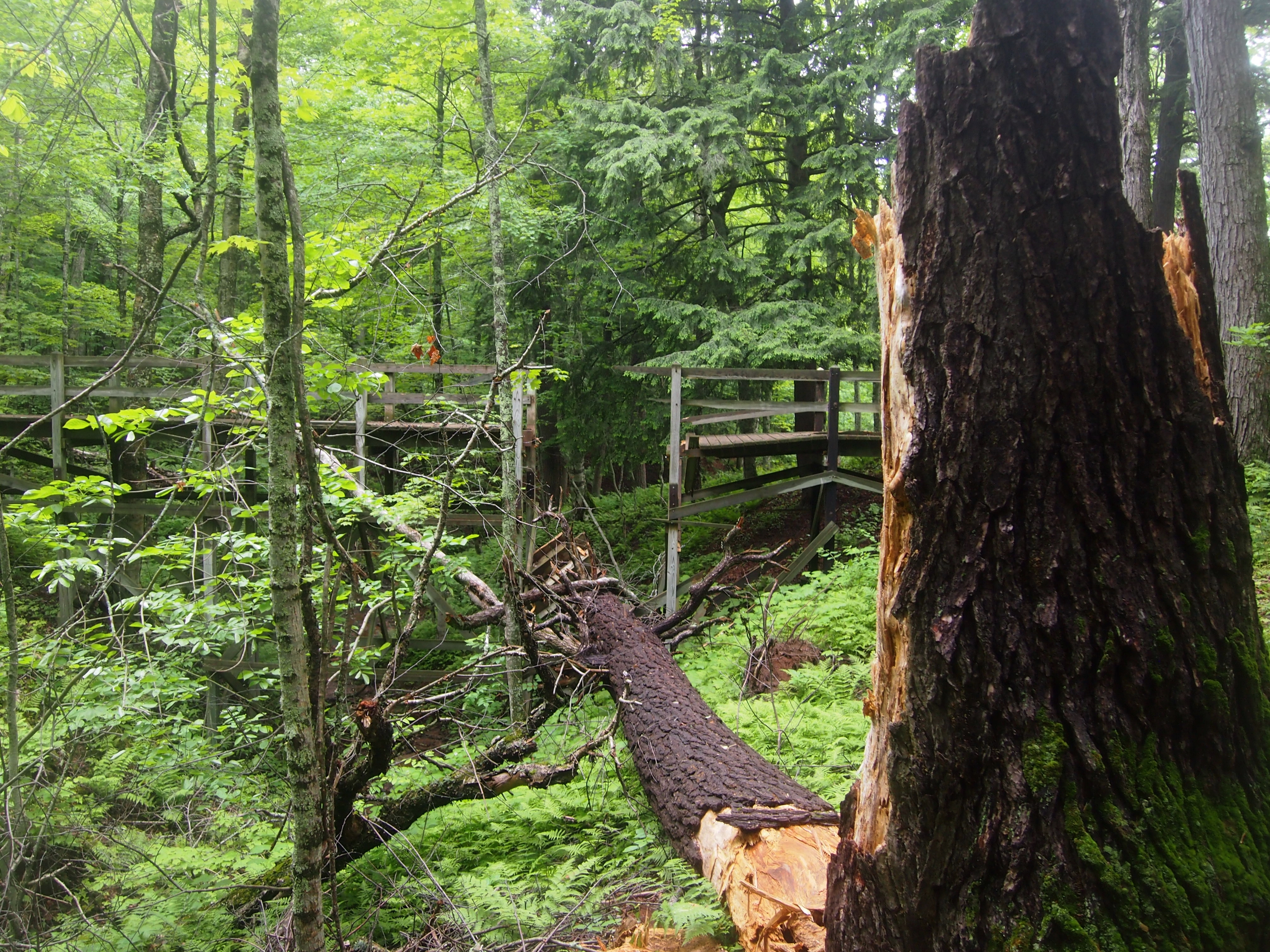
To Lake Huron and Back

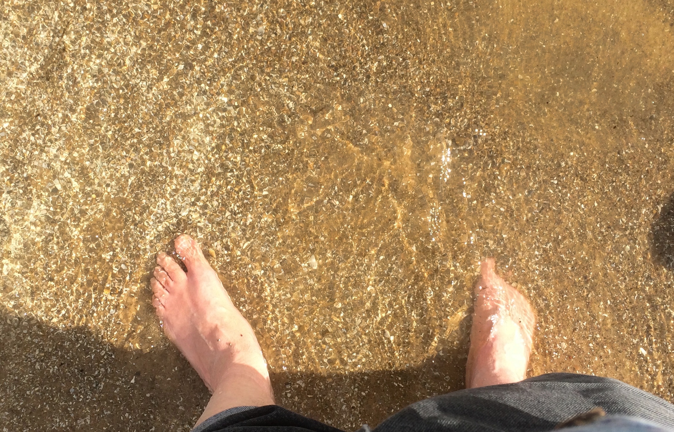
On Saturday we left town remarkably early (for us) and drove across the Lower Peninsula of Michigan so that on Sunday morning, I could stick my feet in Lake Huron.Lake HuronSaginaw Bay in particular. Of course that wasn’t the entirety of the trip. But it was the inspiration. Sometime years ago, I realized that I’d never really gotten a look at Lake Huron. I’ve crossed the Mackinac Bridge a number of times, which offers a view of the lake to the east, but somehow that doesn’t count. I wanted to see Lake Huron from outside a car, moving at zero miles an hour, and hear the waves and smell the water and feel the sand and pebbles.
So Labor Day weekend was the time. We all went, including the dog. First stop on Saturday morning was at one of the Sweetwater’s Donut Mills in Kalamazoo because I hadn’t forgotten them.
Sweetwater's Donut MillNear Battle Creek, we stopped at a novel local spot: Historic Bridge Park. I’ve seen open-air museums devoted to houses and other buildings, but this is the only place I know that functions as an open-air museum featuring bridges.

Heading northeast, we arrived in Lansing in time to visit the Michigan State Capitol. Or so I thought. There are usually Saturday hours, but not on Labor Day weekend. Still, we had a good walk around the grounds and Washington Square to the east, along with an al fresco lunch of Cuban sandwiches.

Michigan State University is in East Lansing. After some wandering around the sprawling campus, we found the W.J. Beal Botanical Garden, the first of three gardens we visited.

We made it to Midland, Michigan, before dark and spent the next two nights there. On Sunday morning, we visited Bay City State Park on the lakeshore, walking on the beach and a path around a large lagoon. By lunchtime, we were back in Midland, eating al fresco again — the thing to do with a dog in tow.

Midland has a lot of large parks accessible from its small downtown, but that’s not the distinctive feature. That would be the Tridge, a three-way bridge across the confluence of the Chippewa and Tittabawassee rivers. Naturally we had to cross that.

Next we visited Midland’s Dahlia Hill, which is planted with thousands of dahlias and open to wander around. After that, Yuriko and Ann visited the much larger Dow Gardens, while I took a drive with the dog to Bay City. No dogs allowed at Dow Gardens.

During my driving look-see in Bay City, I noticed a Huron Circle Tour sign. Like Superior, that would be a drive.
Lake Huron Circle Tour signWant. To. Do. It. But not now. While everyone else rested in the room early in the evening, I visited the expansive and exhausting Dow Gardens, along with the adjacent Whiting Forest. Open till 8:30 in the evening until Labor Day, fortunately.

On Labor Day we drove home, but not the most direct way. We passed through parts of Saginaw — parts beaten down by the contraction of U.S. manufacturing, it looked like — and then on to Michigan’s faux Bavarian tourist town, Frankenmuth.

Had a good time and a chicken lunch there, but the overstimulation of it all made the dog as nervous as I’ve ever seen her, so we headed home. Riding in the back seat seems to be as calming for her as parking herself on the couch at home.

As far as I can tell, she enjoyed the trip and the many new smells.
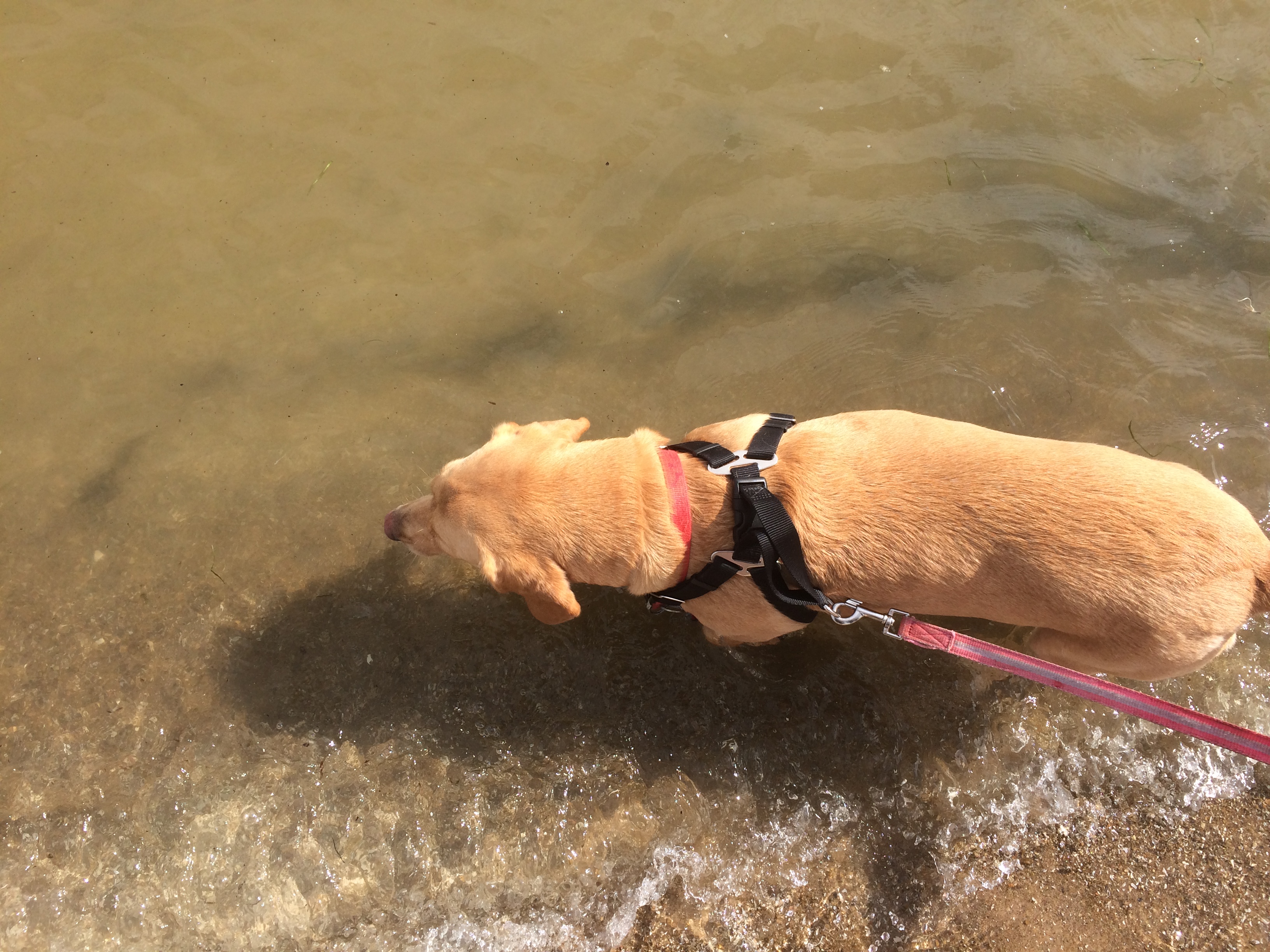
That last one almost instantly became a favorite picture of her.
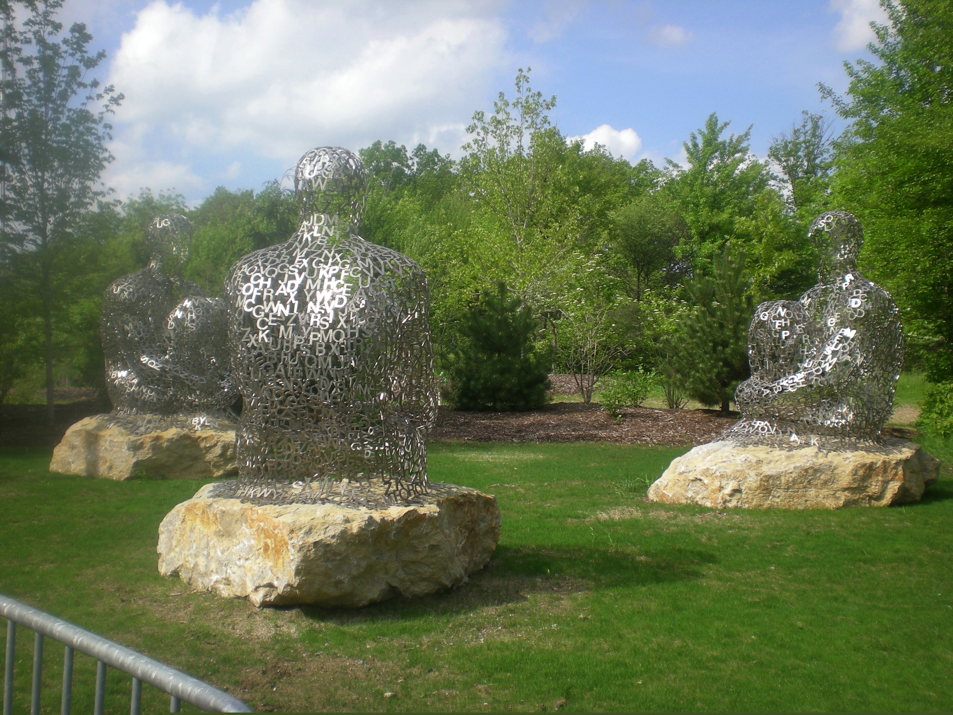
Jaume Plensa, Here and There

Here’s a line from The Sun Also Rises that I didn’t much appreciate until recently. In one of the many conversations among the protagonists, the subject of the character Mike’s bankruptcy is broached:

“How did you go bankrupt?” Bill asked.
“Two ways,” Mike said. “Gradually, then suddenly.”

A lot of things happen that way. Learning often happens that way. Or at least awareness. Fortunately, I don’t have the experience of bankruptcy in mind. Still, a minor example of gradually-suddenly just happened to me.

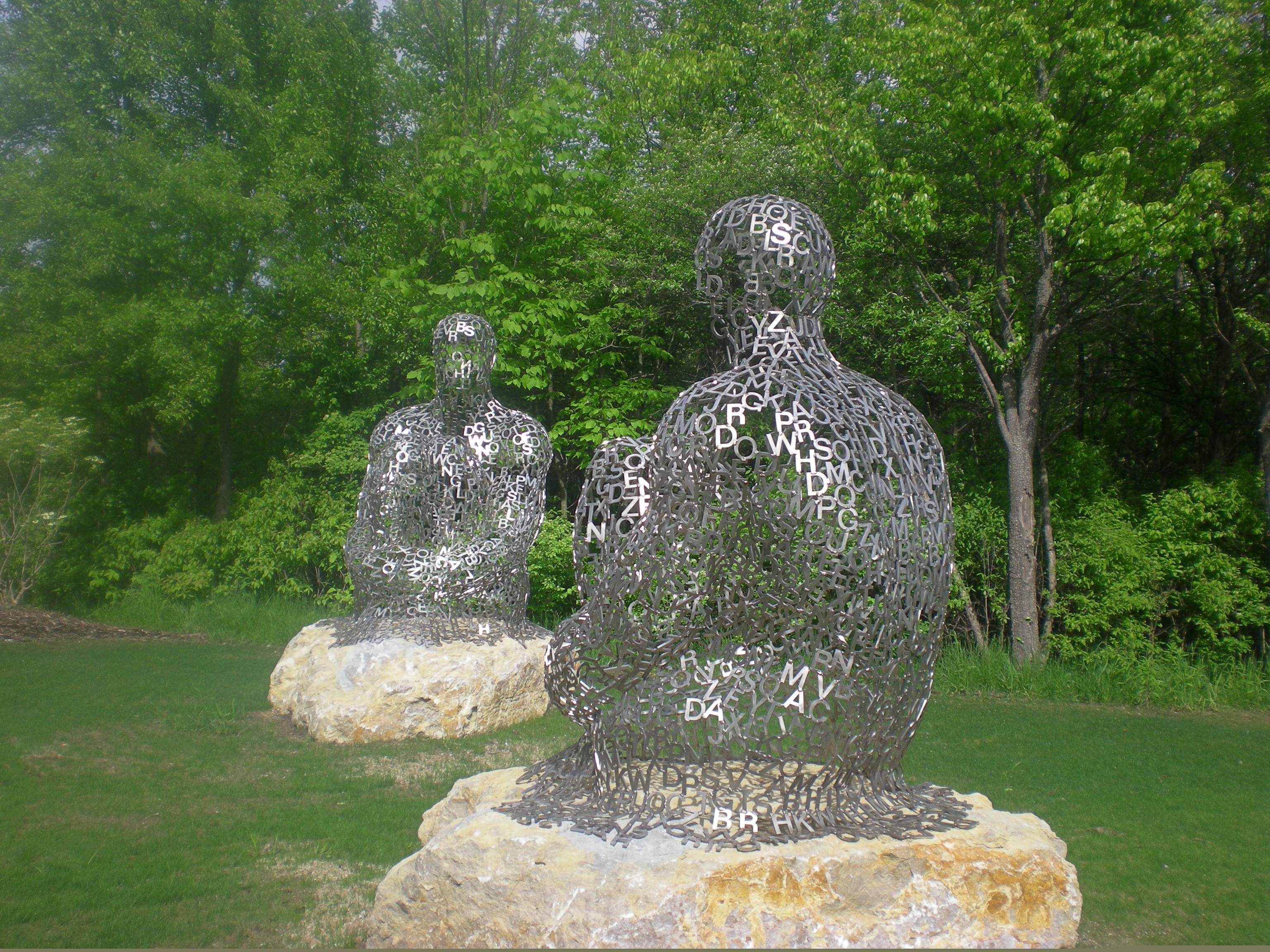
Back in 2008, we visited the Frederik Meijer Gardens & Sculpture Park in Grand Rapids, Mich. One of the works was by Jaume Plensa, “I, you, she or he…”
In 2014, I took note of Plensa’s monumental head, temporarily placed in Millennium Park in Chicago, “Looking Into My Dreams, Awilda.” I also knew at the time that the Catalan artist had also done Crown Fountain in the park as well.

Interesting that the vitriol against “Dreams” in the comments of this Chicago Reader item obsesses about the size of the head. When I happen across public art, I judge it by an admittedly subjective standard: does it make the space more interesting? By that standard, all the Plensas I’ve seen are successful works.

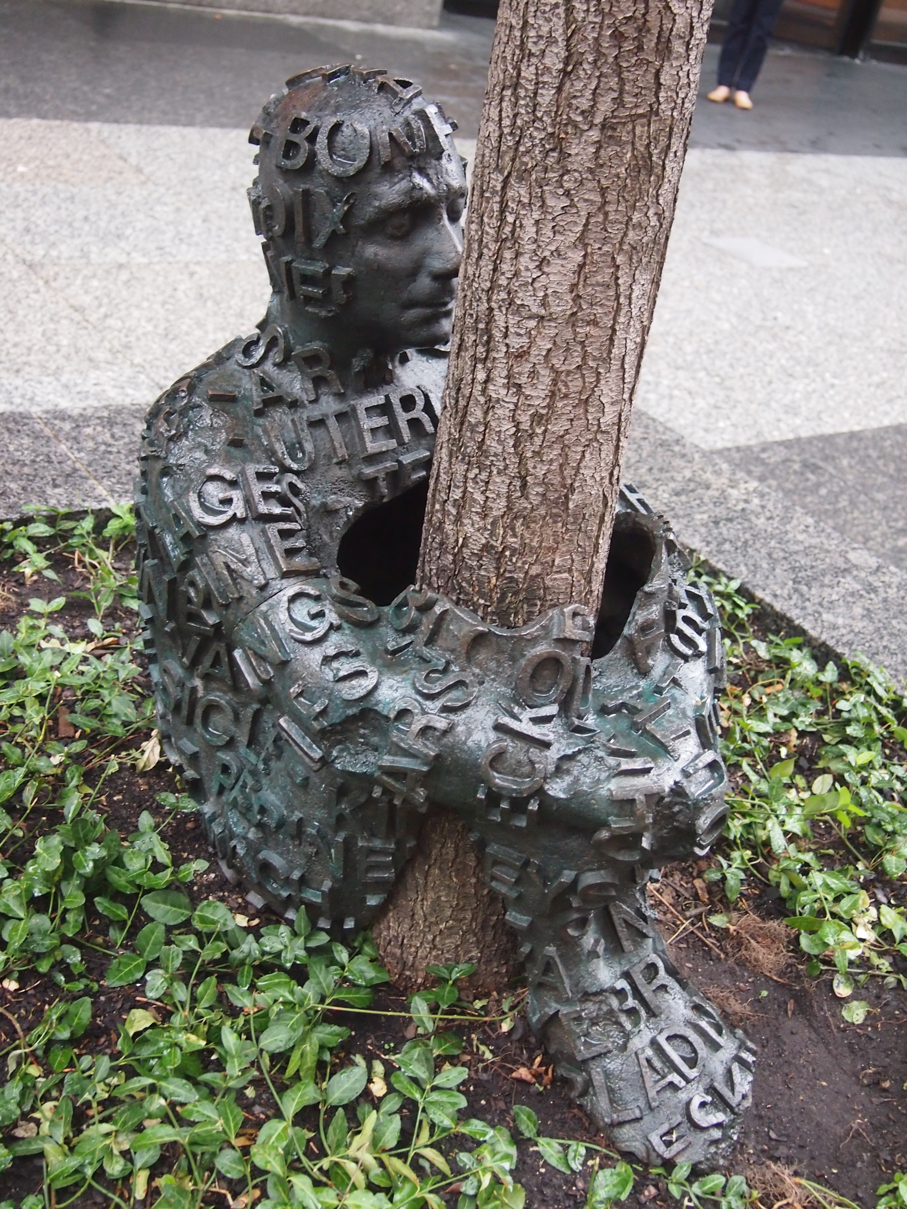
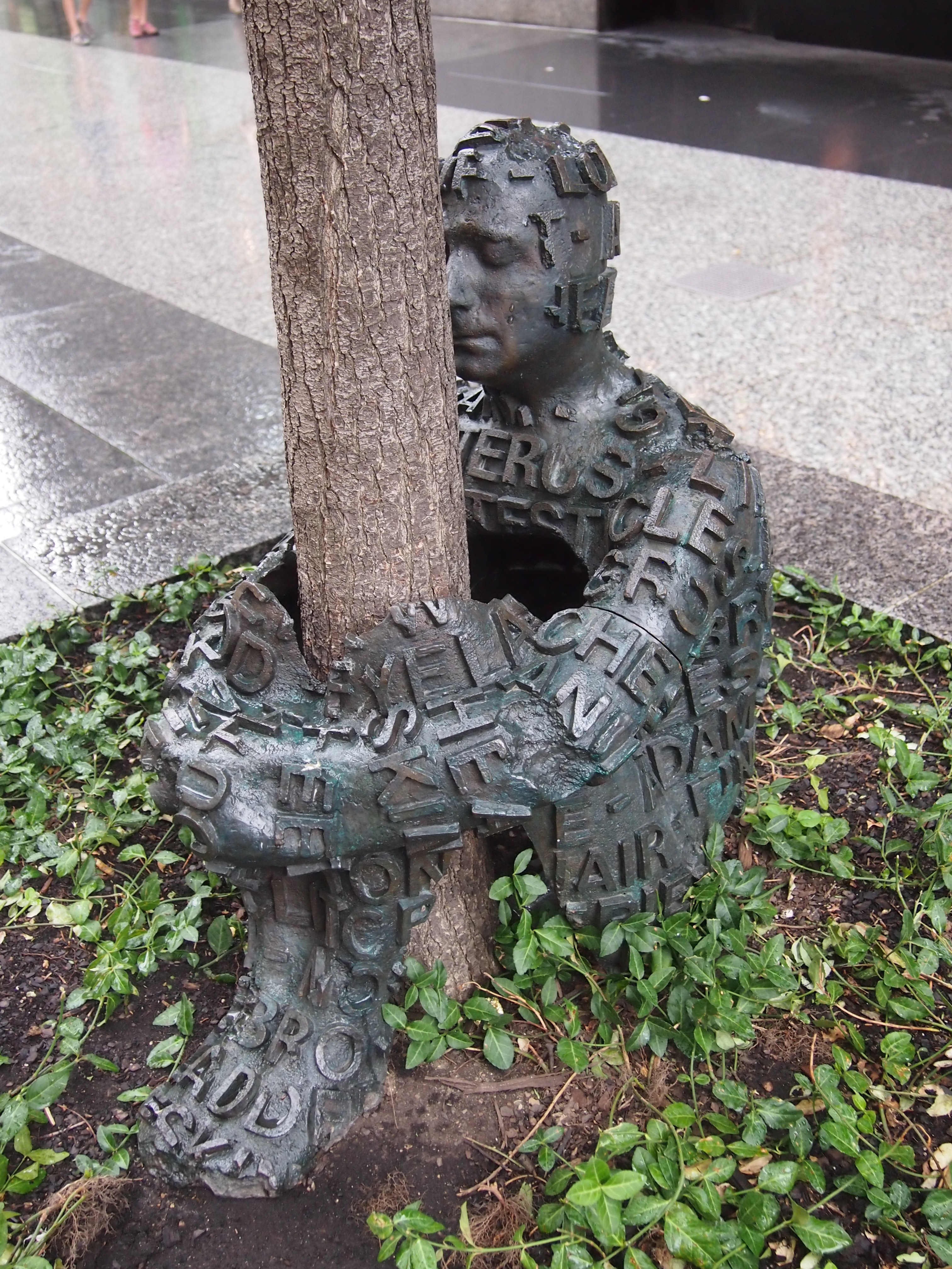
Today I was looking at pictures I’d taken in August 2013, and happened across these — two images of the same work in Chicago.
Self Portrait With Tree - Chicago - Jaume PlensaSelf Portrait With Tree - Chicago - Jaume Plensa“Self Portrait With Tree,” by none other than Plensa. I’d forgotten about it, and when I took the picture, probably didn’t associate it with the other works of his I’d seen. “Self Portrait” was next to the Hancock Tower on E. Chestnut St. I checked the Street View of that block, dated July 2018, and the work is gone. It was put up by the nearby Richard Gray Gallery, so perhaps it found a buyer.

All that is the gradual part. Somehow or other, Plensa hadn’t made much of an impression on me over the years. But when I looked at the 2013 images, I suddenly wanted to know more about him, since I don’t make a close study of sculpture or public art. If I had, I would have known how widespread his works are. (Had we walked further along Buffalo Bayou in Houston in May, we’d have come across yet another.)

Is it important that I know this? Maybe, maybe not. But better to err on the side of knowing something, however small.

Cole Porter’s 128th Birthday

This year’s back yard grilling and gabfest has come and gone, when old friends gather to sit on our deck and gab. You know, old-fashioned conversation. It’s been an annual event now since 2014 on the second Saturday of June. In recent years, I’ve been claiming that we gather to celebrate Cole Porter’s birthday, which was on Sunday this year. No Porter songs were sung at the event, however, probably because none of us can sing.

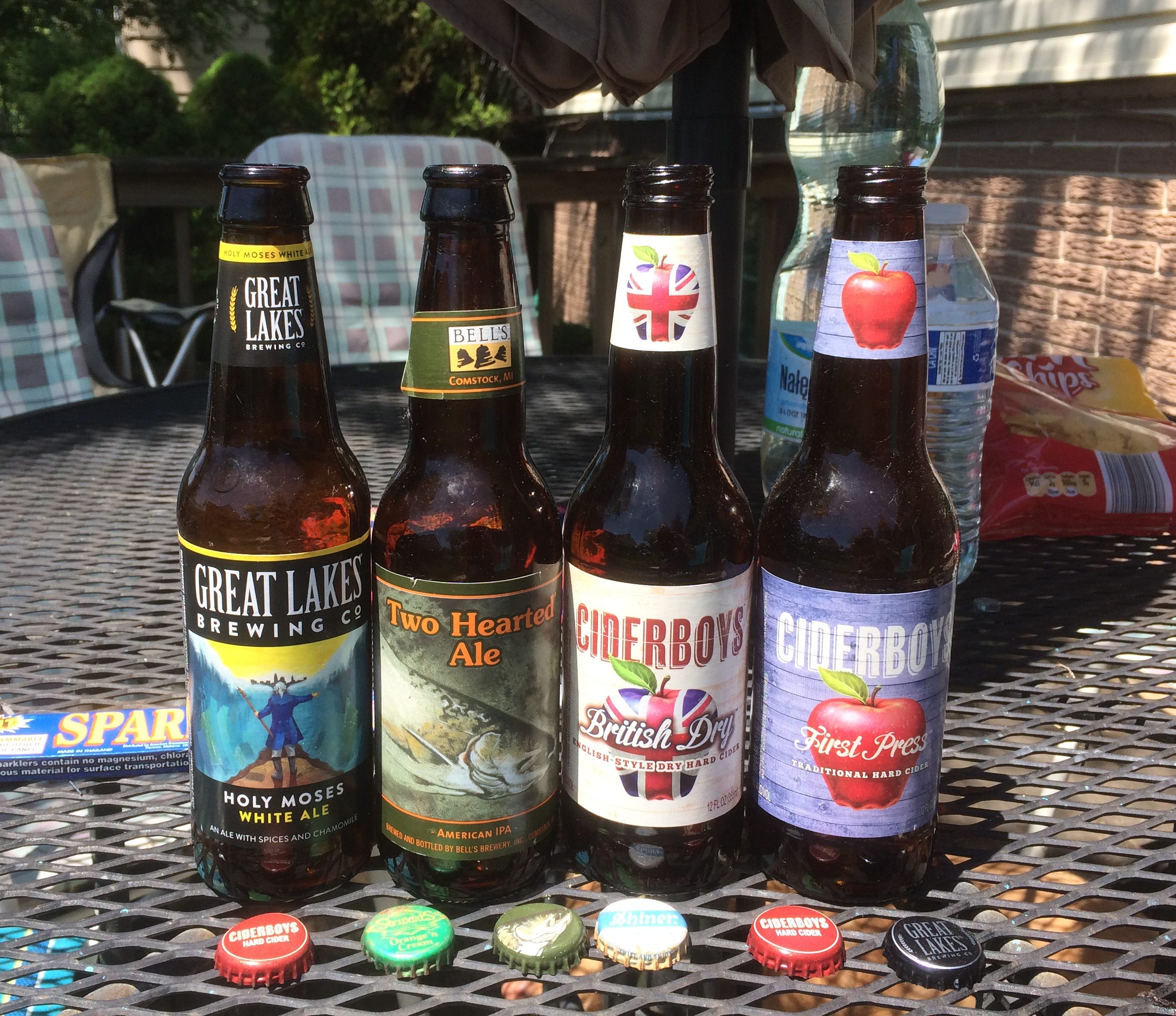
Beer bottles remain behind. Actually, beer and hard cider this year. I drank the Two Hearted Ale and tried one of the ciders this year, though I forget which.

We had a domestic array of alcohol this time. Know-Nothing brews, you might say. In fact, not just domestic, but all Midwestern.

The Holy Moses White Ale was brewed in Cleveland, while the Two Hearted Ale originated in Comstock, Michigan. Both ciders were from Stevens Point, Wisconsin, despite the Union Jack-themed label, and it did my heart glad to learn that.

Among Wisconsin towns, I have a sentimental attachment to Stevens Point, where I spent a few days in the summer of ’78. If you can’t be sentimental about the summer of ’78, when can you be?

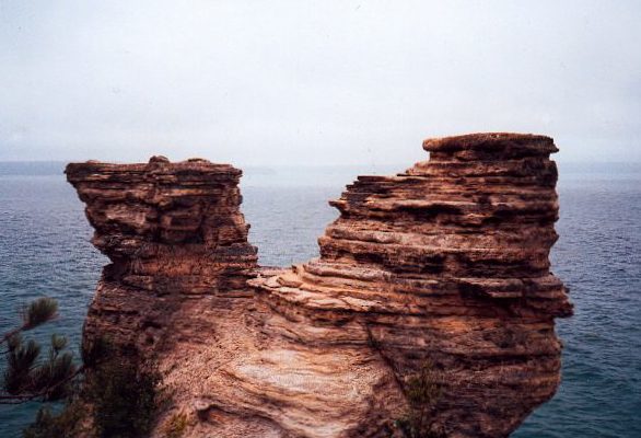
Pictured Rocks National Lakeshore: Miners Castle, 1989

In early September 1989, I visited the Upper Peninsula for the first time, and Lake Superior as well, including a boat ride on the lake at Pictured Rocks National Lakeshore. Its rocky cliffs were famed long before the federal government made the area the first of nation’s four national lakeshores in 1966, the others being Indiana Dunes, Apostle Islands, and Sleeping Bear Dunes.

I also did some walking. I’m pretty sure I passed by this sandstone formation on foot and took a picture of it looking out toward the lake, though the boat would have passed by it as well (I think). It’s one of those formations that has a name: Miners Castle. This is how it looked in 1989.

In the spring of 2006, the right turret (from this perspective) fell into the lake. According to the NPS, “While the rockfall at Miners Castle on April 13 was startling, such events are not rare along the Pictured Rocks escarpment. At least five major falls have occurred over the past dozen years…

“All the rockfalls involved the same rock unit, the Miners Castle Member of the Munising Formation. Rock units are named for places where they were first technically described. The Miners Castle Member consists of crumbly cross-bedded sandstone that is poorly cemented by secondary quartz, according to U.S. Geological Survey Research Ecologist Walter Loope.”

Pictured Rocks isn’t the only place I’ve seen a noted rock formation later altered by erosion. In 1995, Yuriko and I stopped at a roadside in New Hampshire to see the Old Man of the Mountain. By 2003, it was gone.

Hats at Greenfield Village, 2010

It’s been eight years since we took a short trip to the Henry Ford Museum and Greenfield Village in suburban Detroit. I was looking at the images I made during that visit recently and was reminded that hats played a part.

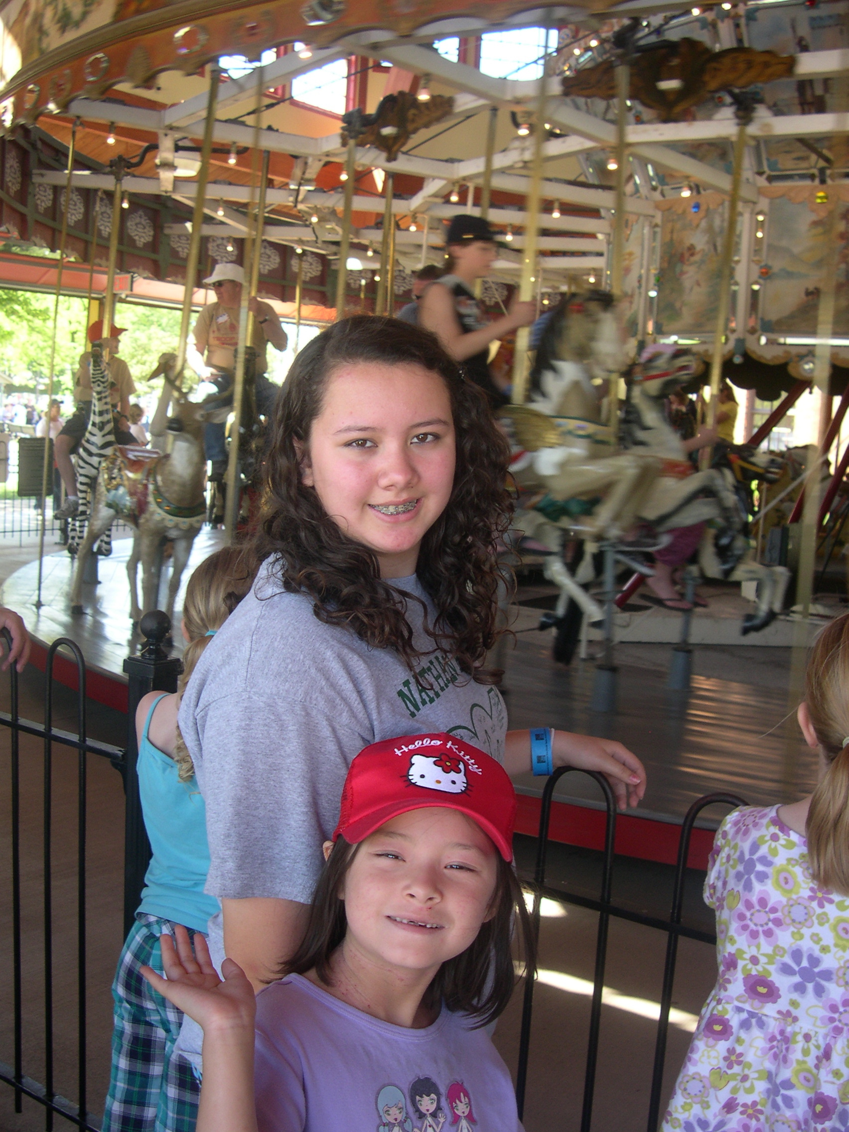
Such as the Hello Kitty cap, probably bought in Japan, and probably around the house even now. In the background is Greenfield Village’s Herschell-Spillman Carousel, which the girls were waiting to ride.

The museum says, ” Built in 1913, this ‘menagerie’ carousel’s hand-carved animals include storks, goats, zebras, dogs, and even a frog. Although its original location is uncertain, this carousel operated in Spokane, Washington, from 1923 to 1961.”
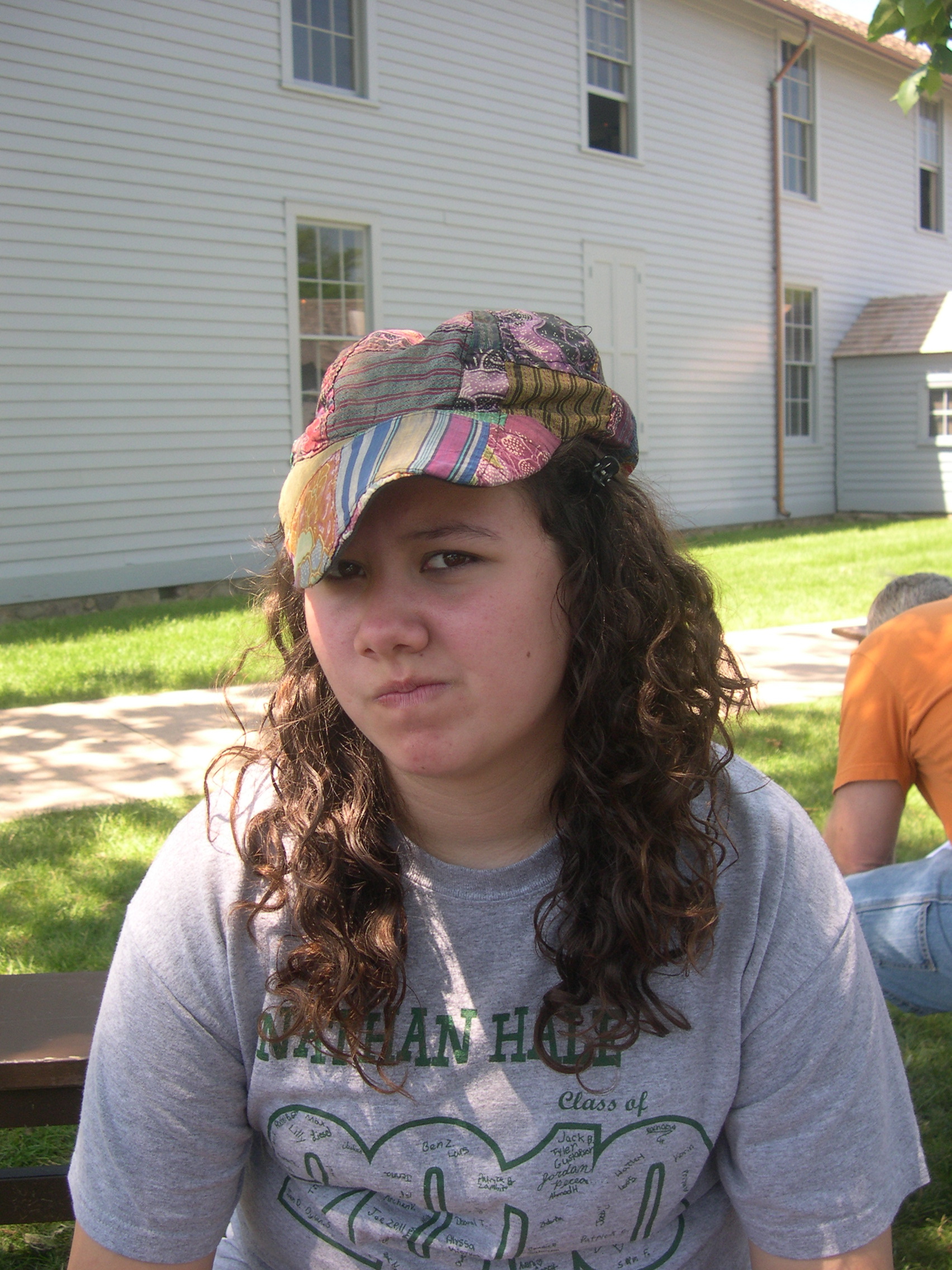
This colorful cap is definitely still around the house.

I bought it from a street vendor in Bangkok for a few baht and wore it frequently in the tropics, less frequently in the hot sun of temperate summers. The day we visited the Henry Ford, if I remember right, was fairly hot and Lilly must have borrowed the cap from me.

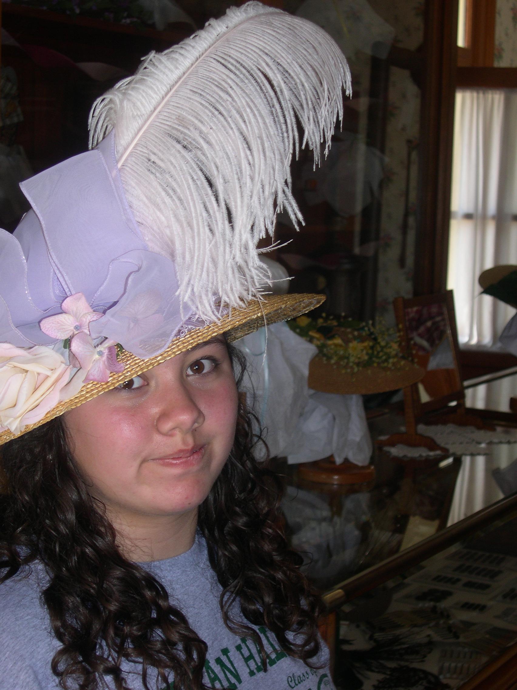
One of the many 19th-century retailers moved to the site of Greenfield Village was a hat shop, where you could try on hats.

Just women’s hats, I think. If there had been a men’s bowler available, say, I would have tried it on.

Thursday Odd Lots

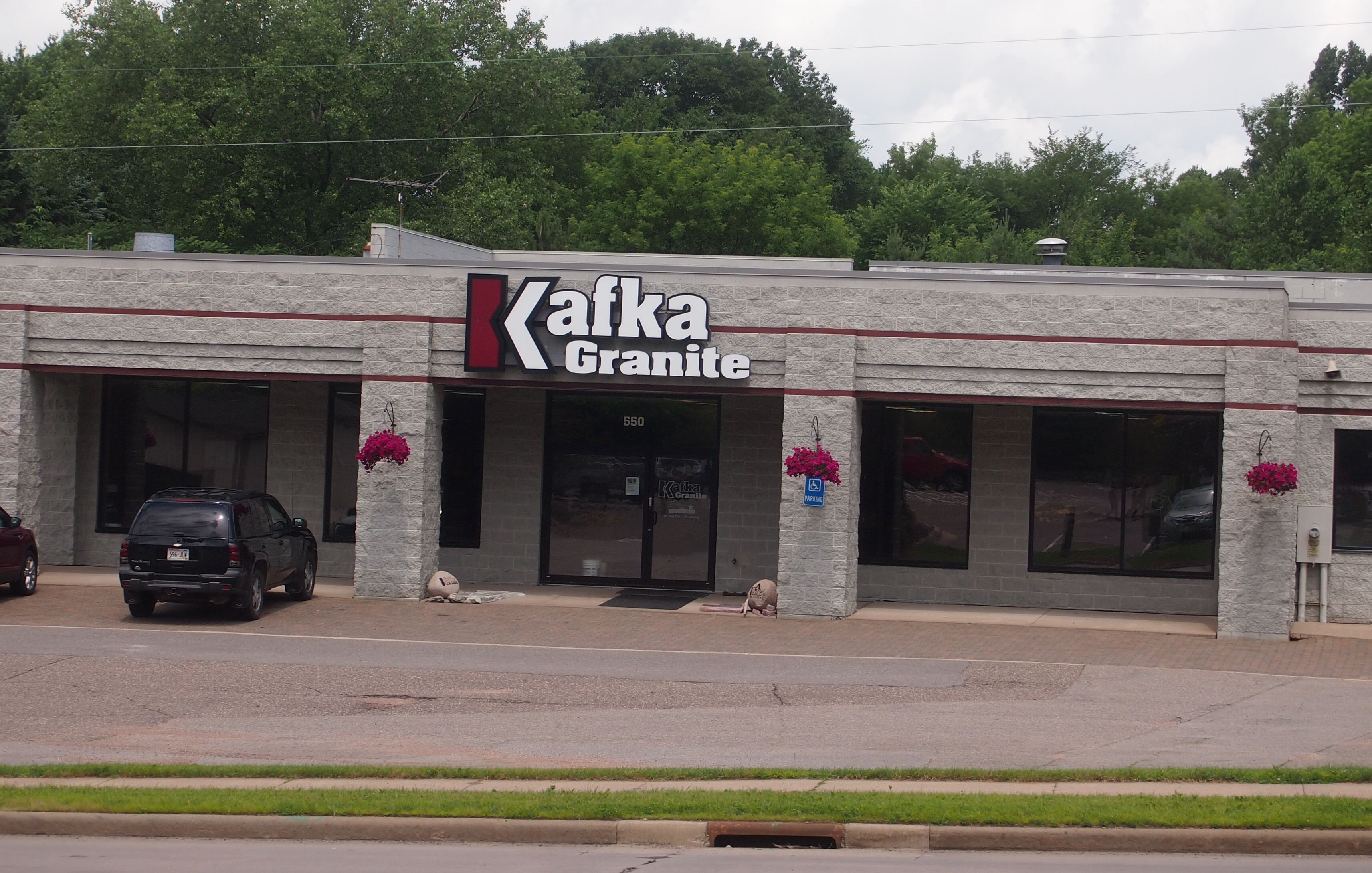
“What’s so funny, Dad?”

“That sign across the street.”

We were in Wisconsin during our recent trip, and had stopped at a place where I could access wifi. The sign was visible from there.

“That’s not funny.”

“Maybe it will be for you someday.”

What would happen if you used this granite for landscaping? Would your back yard suddenly cause you dread? Kafkaesque landscaping, now there’s a concept.

Looks like Kafka does some good work, though.

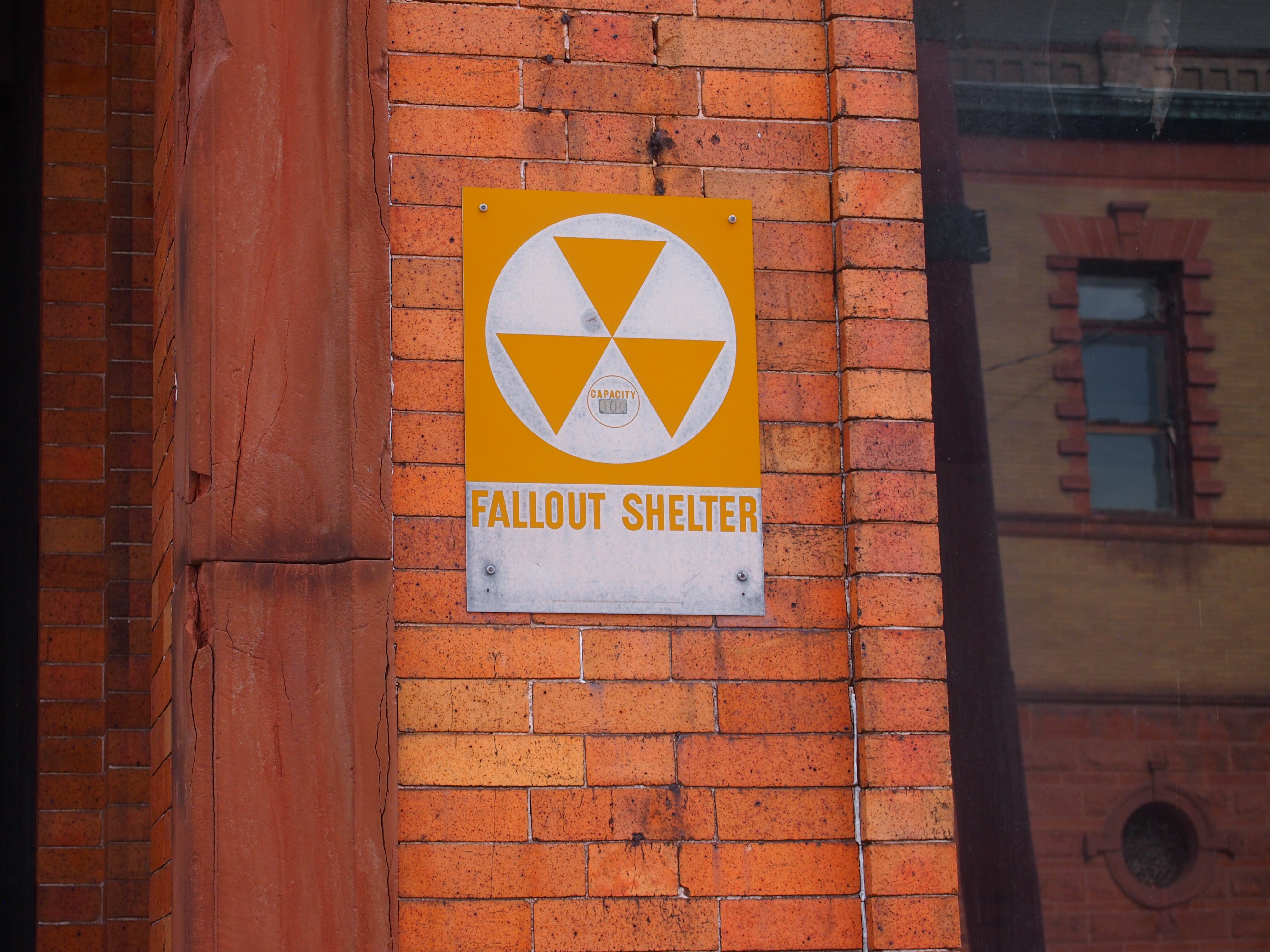
Here’s a sign you don’t see much any more, though I’m pretty sure that they were common once upon a time. I think even my high school cafeteria, which was in a basement, had one in the late ’70s. They’re so rare now that when you do see one in situ, you take note. Something like a working public pay phone.

Fallout Shelter Sign, Calumet, Michigan

This one is on Sixth St. in Calumet, Michigan. It even has a capacity number. What was once an unnerving reminder of the nuclear Sword of Damocles can now “add a cool tone to a man cave or retro game room,” according to Amazon, where you can pick a reproduction up from the Vintage Sign Co. for (currently) $18.99. The note also calls the item a “vintage style WWII metal sign.” What is it about basic chronology that flummoxes so many people?

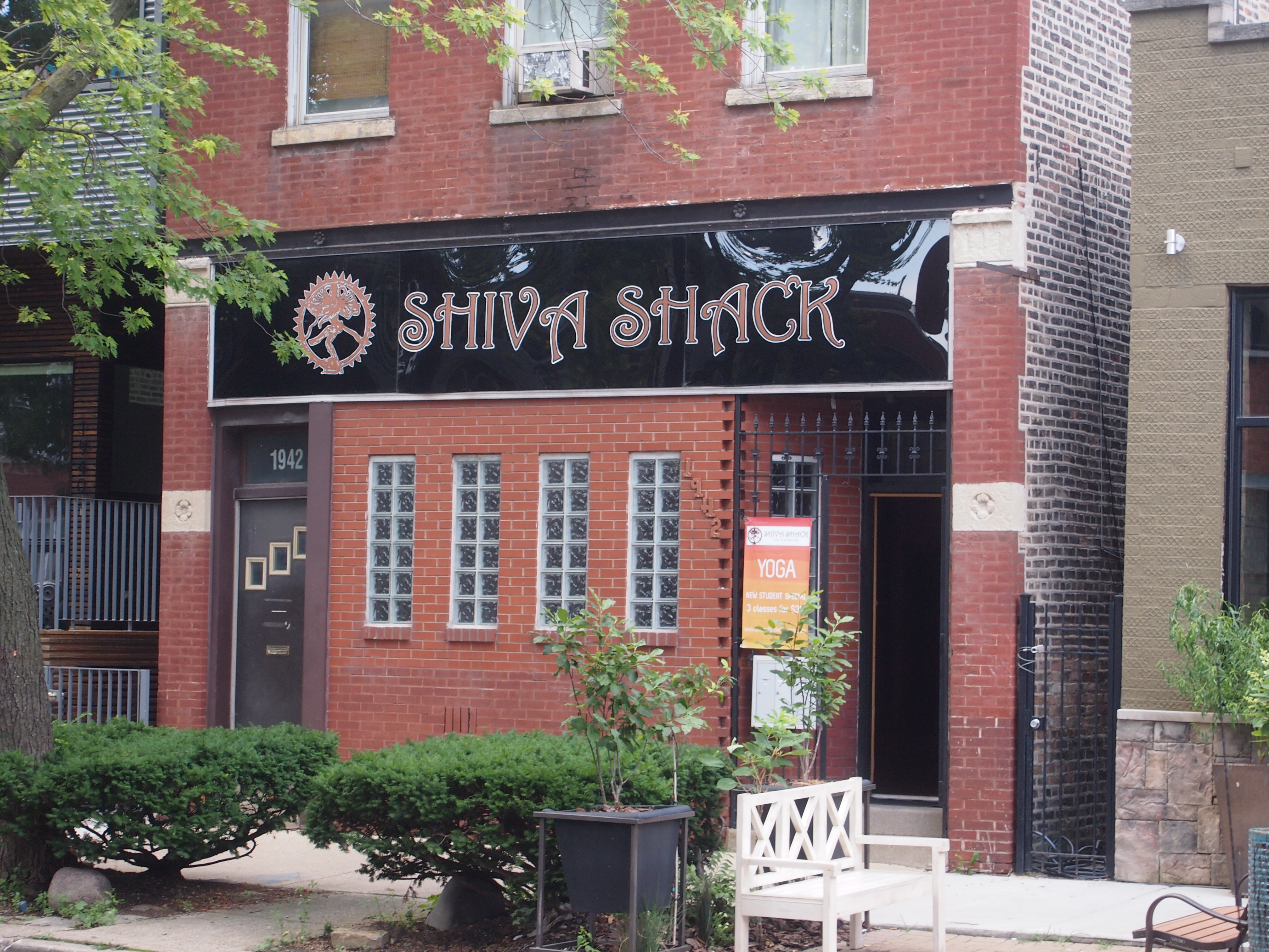
Something else I saw, a little more recently, in Bucktown.

Bucktown, Chicago Shiva Shack

Shiva Shack? C’mon in for a bit of destruction and then transformation.

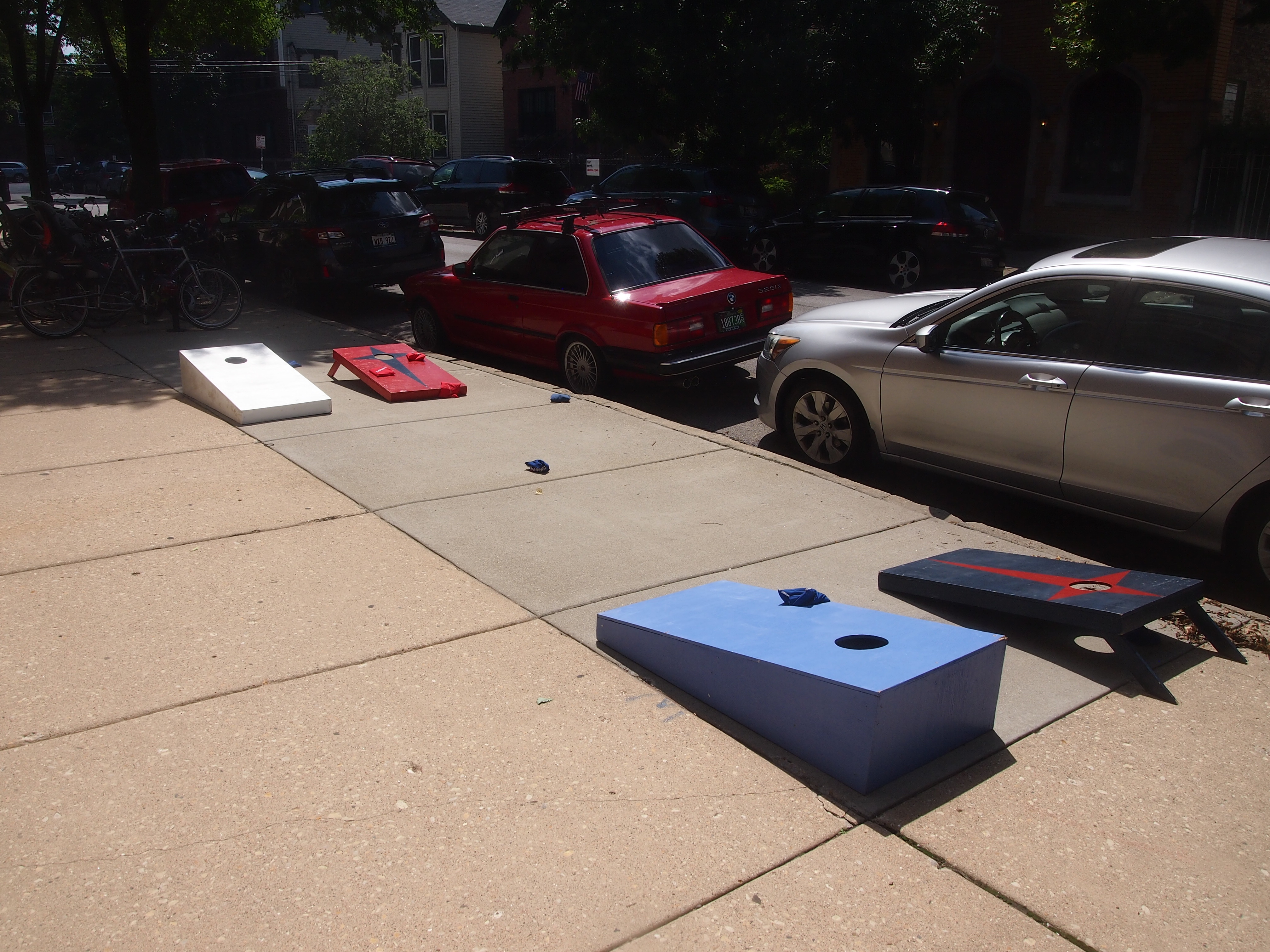
Also in Bucktown: a game of beanbag on the sidewalk.

Bucktown 2017

Maybe there to remind us what politics ain’t.

Recently I picked up The Happy Isles of Oceania (1992) by Paul Theroux. It’s been sitting on my shelf for a number of years. So far it’s a good read. I understand that he has a reputation as a snob, and some of that comes through in his writing, but I don’t know the man personally, so I wouldn’t have to put up with him anyway.

He writes well, at least about the places he’s been, and that’s all that counts. His description, early in the book, of hiking on the South Island of New Zealand, is a fine bit of work, and had the unfortunate side effect of making me want to drop everything and go do that. The mood passed.

Theroux’s work did influence me to go one place. In the early ’90s, I read his Sunrise With Seamonsters, a collection of essays and travel bits, and one piece included a mention of the Cameron Highlands on the Malay Peninsula. It’s a former British hill station, more recently a getaway place for Malaysians and the trickle of tourists who’ve heard of it. His mention of it was probably where I first heard of the place.

When I went to Malaysia for the first time, I made a point of going there, and did not regret it. Besides cool temps, you can enjoy jungle walks (unless you’re Jim Thompson), a butterfly garden, a nighttime view that can include the Southern Cross, and eating Chettinad cuisine on a banana leaf, with your hands.

This is what life is, according to the song.

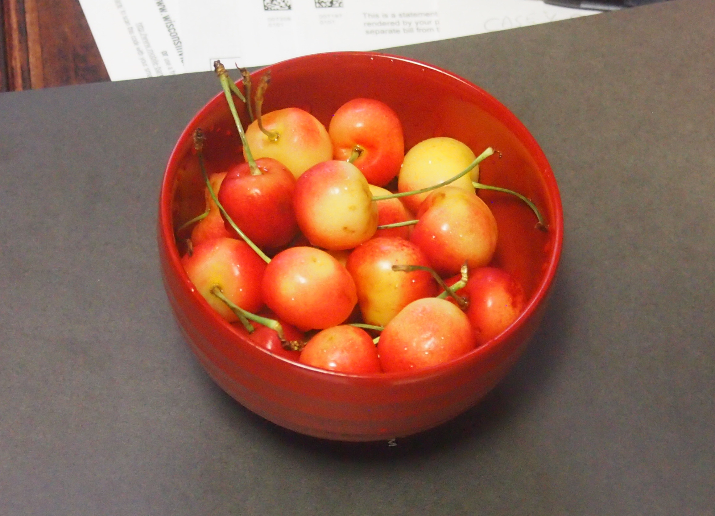
Life's a Bowl of Cherries

Rainier cherries, which are in season now. Very popular around the house, and we buy them in large quantities while we can. I’m glad that there are still some foods, some fruits, that have a season.

I’m not all that keen on Rudy Vallee, but his version of the song is good. And the lip sync from Pennies From Heaven (1981) is amusing. I saw that movie when it was new, probably because Steve Martin was in it, but I don’t remember very much about it. Maybe I should watch it again. I know I was too young then to appreciate its songs.

Ironwood Public Art, Except For the World’s Tallest Indian

Yesterday, the Space Weather Prediction Center, a branch of NOAA, had this to say: “A watch has been issued for likely G2 (Moderate) geomagnetic storm conditions on 16 Jul and early on 17 Jul.” Thus the Aurora Borealis might thus just be visible at my latitude, according to the map. So at about 11:45 pm on July 16, I went outside and looked north. No dice.

But I’m glad the Space Weather Prediction Center is a real thing. It’s something we (humankind) should have in the 21st century.

Ironwood, pop. somewhat less than 6,000, is Michigan’s westernmost town, on the east bank of the Montreal River, which flows into Lake Superior not far away and is the border with Wisconsin. On the morning of Sunday, July 2, we stopped there to look for coffee for Yuriko.

We were unsuccessful in that, but we had a few moments to look around. Unfortunately, we didn’t see the World’s Tallest Indian. That’s what I get for not looking up what’s to see in a town before I go.

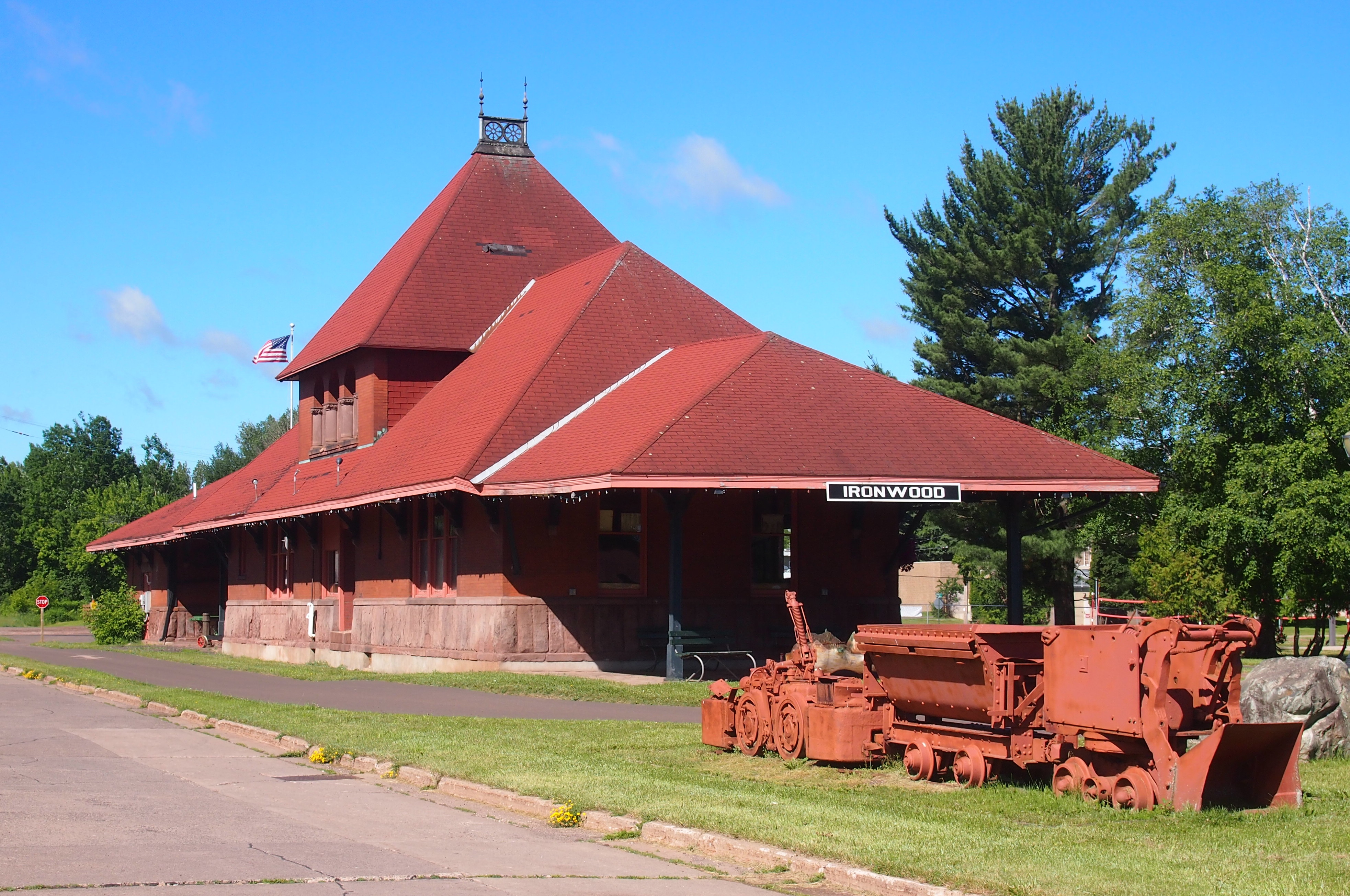
I did see the Ironwood Area Historical Society and the Historic Depot Museum. Being Sunday morning, it was closed, but it looked like a fine old depot, dating from the 1890s.
Ironwood, Michigan DepotThe Ironwood Area Historical Society says, “Its architecture is true to its Richardson Romaneque origins. The exterior is baked-red brick above and a heavy base of Lake Superior sandstone from the brownstone quarries located on the mainland and Apostle Islands near Bayfield in Northern Wisconsin. The Ironwood depot is a stunning structure with three tapering roof lines, including an unusual hipped, cross dormer and a signature finial cupola reflecting flanged rail wheels crowning the pinnacle.”

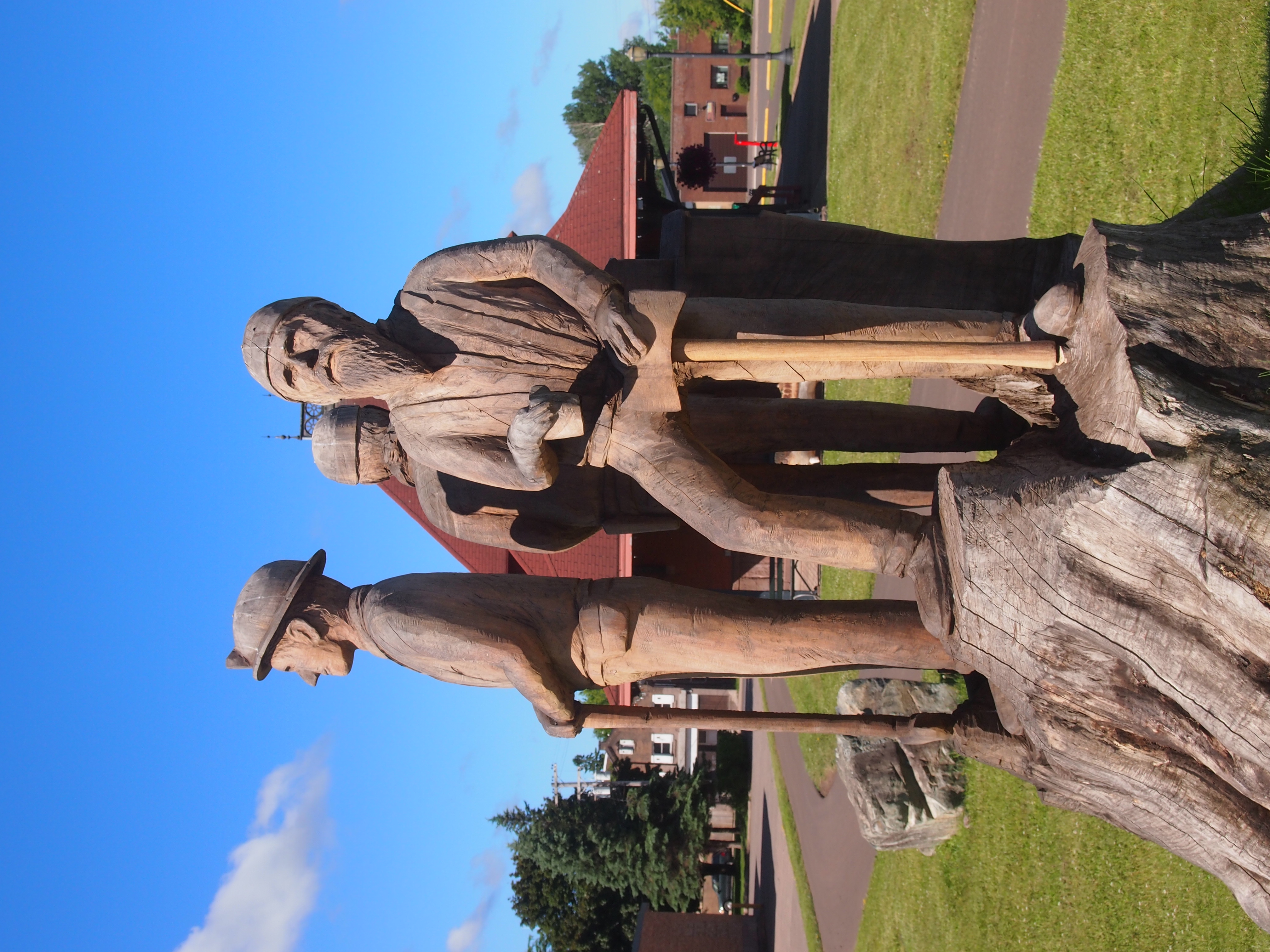
On the grounds is a statue — a carving, really, made from a tree trunk — of what appear to be three workingmen from the Ironwood past, one a miner, another a lumberman. Not sure about the third, but certainly some kind of hard 19th-century job.

Ironwood Depot Park tree carving

Ironwood Depot Park tree carvingI didn’t see any information about who carved the thing, or whether it has a title. It wasn’t created from an old tree that grew on the site, even though it looks like that. I know because if you check Google StreetView for that short stretch of S. Suffolk St., there’s no tree at all there, nor a carving. Google came by in September 2008. Guess even information behemoths can’t be everywhere on a regular basis.

At the intersection of S. Suffolk and E. McLeod Ave., a few blocks from the depot and the wooden workers, there’s a small building. According to Google’s nine-year-old information, its wall facing McLeod is long and painted white.

Not any more.
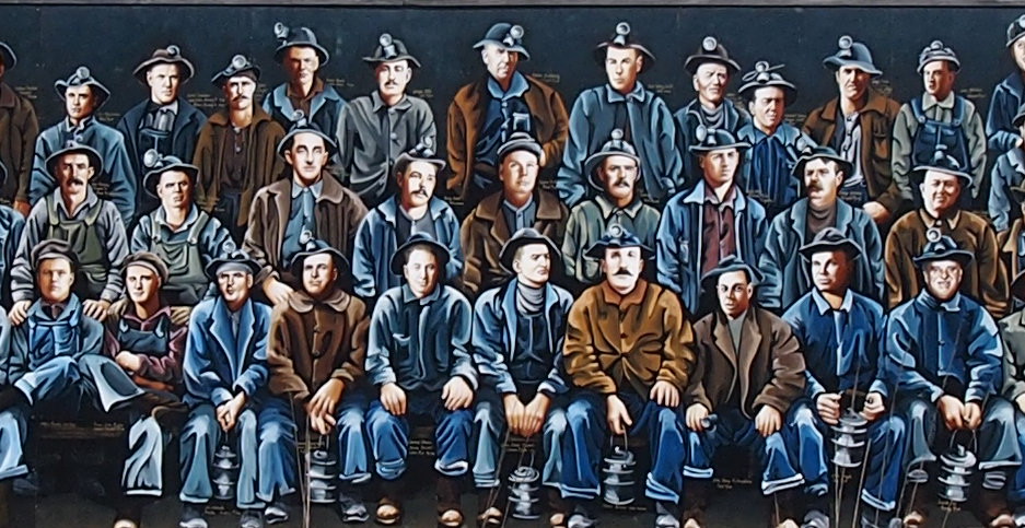
Miners Mural, Ironwood, MichiganA remarkable mural. I was thoughtless not to take a longer look at it. A mural of Ironwood miners, back when Ironwood miners dug into the earth looking for iron. A detail:
Miners Mural, Ironwood, MichiganRoadside America says: “Artists Kelly Meredith and Sue Martinsen spent over four years researching and painting the mural, which depicts over 100 real miners. It was unveiled on June 16, 2012, and proved so popular as a photo-op that in 2013 the city created a car-free zone in front of the mural. A booklet available in Ironwood provides biographies of each of the miners.”

Sixth St., Calumet, Michigan

From Houghton-Hancock and the Quincy Mine, the town of Calumet isn’t far north on the Keweenaw Peninsula. I was half-expecting something like Houghton, mainly because I didn’t do much research beforehand. None, really. But I’ve owned a postcard depicting the Calumet Theater for a long time, and I knew I wanted to see that.

So we did. It’s a fine old building. Wish it had been open for a look-see inside.

Calumet Theater, Michigan

Copper fortunes built the Calumet. A local architect named Charles K. Shand designed it. The historical marker next to it says, in part: “One of the first municipal theaters in America, the Calumet opened on March 20, 1900, ‘the greatest social event ever known in copperdom’s metropolis.’ The theater contained a magnificent stage and elegant interior decorations, including an electrified copper chandelier.”

The theater’s web site says: “The Theatre opened… with a touring Broadway production of Reginald DeKoven’s The Highwaymen. In the ensuing years, the Theatre’s marquee read like a Who’s Who of American Theatre: Madame Helena Modjeska, Lillian Russell, John Phillip Sousa, Sarah Bernhardt, Douglas Fairbanks, Sr., Lon Chaney, Sr., Jason Robards, Sr., James O’Neill, William S. Hart, Frank Morgan, Wallace and Noah Beery.

“With the decline of copper mining and the local economy, and the advent of motion pictures, stage productions became less common in the late 1920s. From the depression through the late 1950s, it was almost exclusively a movie theatre…

“The auditorium was renovated for the village’s centennial in 1975, and the exterior was restored in 1988-89. The technical and code improvements and backstage reconstruction have just been completed.” These days, the theater holds 50 to 60 events a year, including plays, movies and concerts.

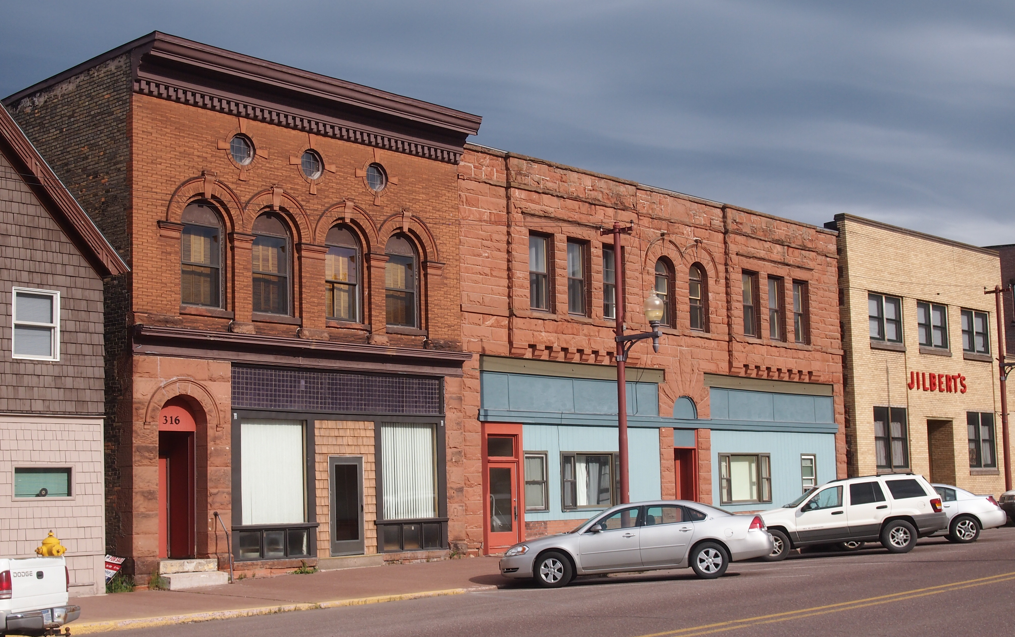
The theater is on Sixth St. in Calumet. The street hasn’t evolved into a day-trippers shopping district, but it does have some other interesting buildings, dating from copper times, from the looks of them.

Calumet, MichiganCalumet, Michigan Sixth StreetCalumet, Michigan Sixth Street

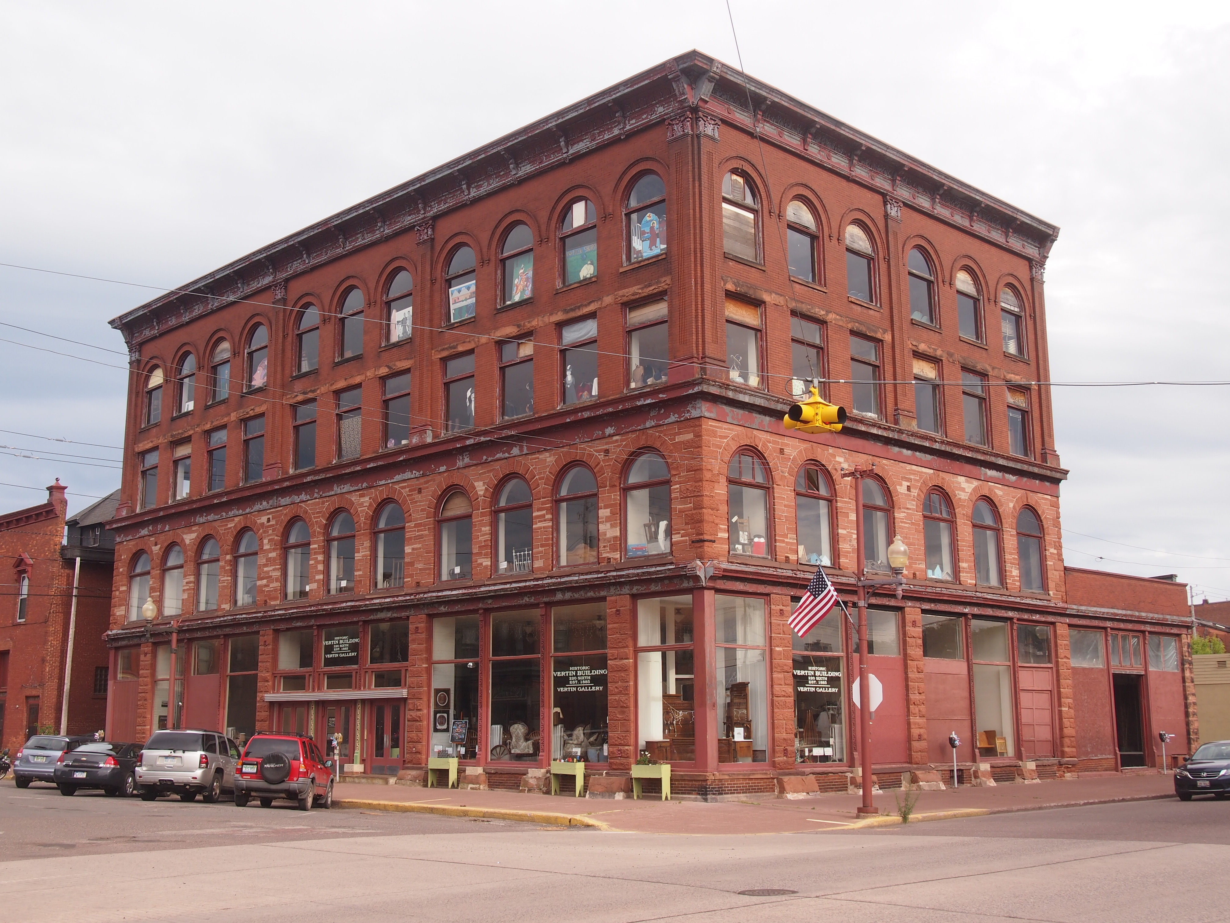
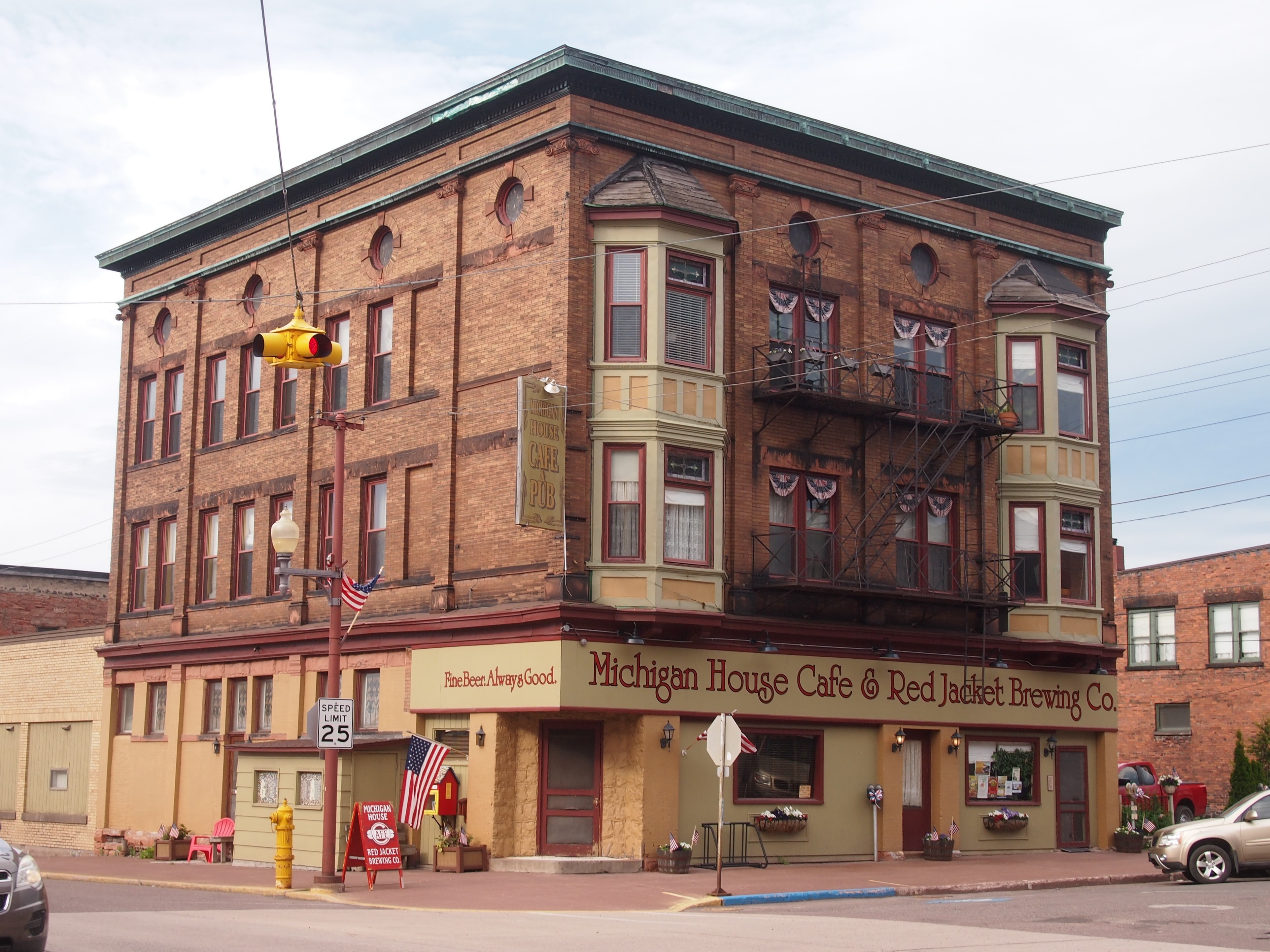
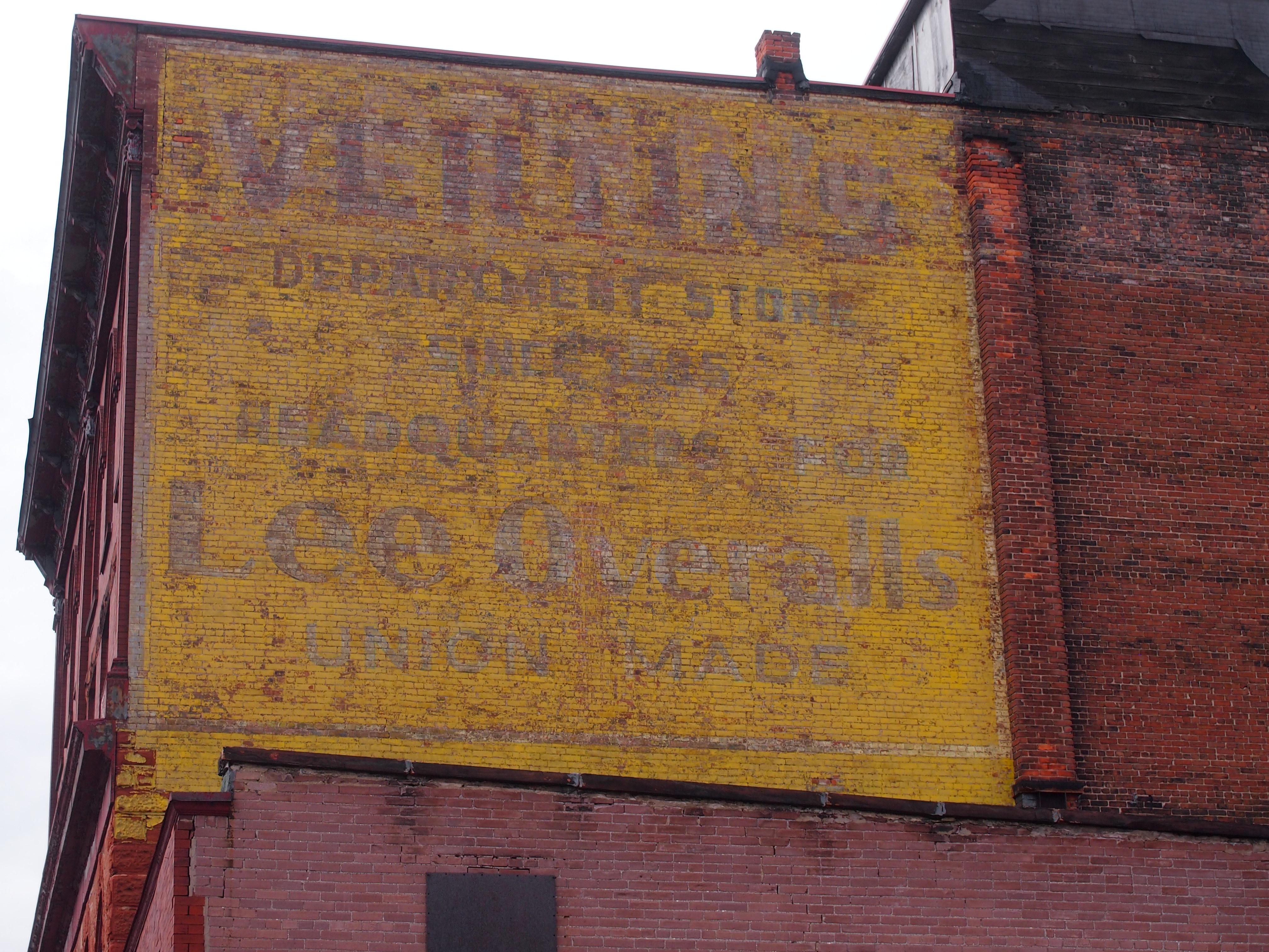
The buildings of Sixth St. also sport a few ghost signs.Ghost Sign, Calumet MichiganVertin’s Department Store (since 1885, headquarters for Lee overalls, union made). The store turns out to have been located in the building pictured above, between the Sixth St. streetscape and the Michigan House Cafe & Red Jacket Brewing Co. This is an example of the kind of thing I learn from a trip after I’ve gotten home. I didn’t know what I was looking at when I stood across the street from the former Vertin’s on the afternoon of July 1. Now I do.

The Vertins were Slovenian immigrants to copper country in the 1870s, and rather than mine themselves, they enterprisingly sold goods to miners and their families. Remarkably, the store endured until the 1980s. More about them is in this article in Copper Country Explorer.

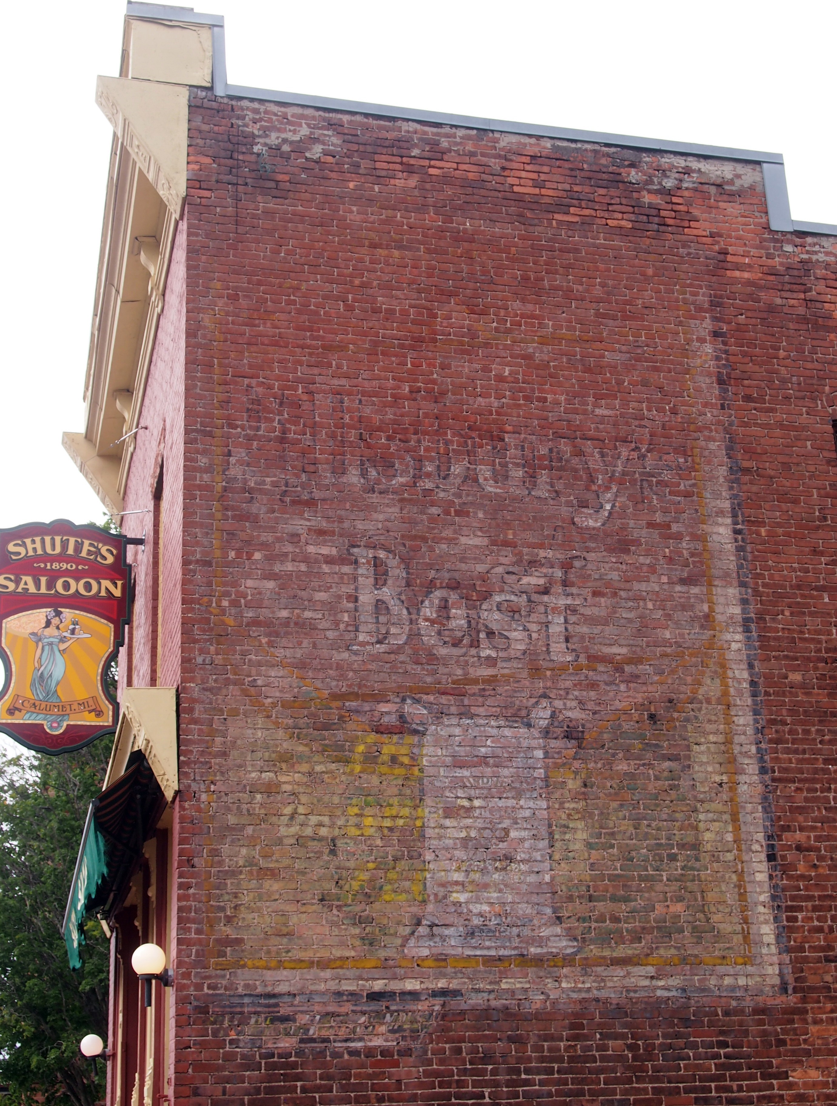
This ghost sign has advertised, through many UP summers and hard winters, for a widely available product: Pillsbury Best flour.

Calumet, Michigan Ghost Sign Pillsbury

Slute’s Saloon has been a saloon, though not under that name, and as the sign says, since 1890. Curiously enough, a descendant of the Vertins is one of the partners in the business, at least according to this 2010 article. A look inside is here.

After I got home, I learned that George Gipp was from nearby Larium, Mich. — where you can find the George Gipp Recreation Area & Ice Arena — and is buried in Calumet. Dang. That would have been something to know beforehand, but you can never really prepare for going somewhere new. Still, I’d have looked for the Gipper’s grave had I known. It isn’t everyone who can inspire motivational speeches down the decades.

Houghton & The Quincy Mine, Keweenaw

Who could look at a map of the Upper Peninsula, taking a solid gaze at the UP’s UP, namely the Keweenaw Peninsula, and not think I want to go there. Probably a lot of people would not think that. But I do.

So on July 1, unfortunately a bit late in the afternoon, we approached Keweenaw via M-26 (a part of the Lake Superior Circle Tour). Aside from a gas station in South Range, first stop was Houghton, a town with a pleasant main street — Shelden Street — that tries to capture the tourist trade, but isn’t a full-blown, Gatlinburg-class tourist trap. Yet it is an old street formerly given over to ordinary commerce, then repurposed over time to feature restaurants, gift shops, boutiques and so on.

Shelden Street isn’t the most frenetic example of that kind of street that I’ve seen — that might be in Banff Ave. in Banff in July — but it was busy enough. Red brick and red sandstone structures line the street, including the handsome Douglass House Hotel, which is an apartment building these days.

Across the street and down a block or so, tucked away in a pedestrian passage leading to parking off Shelden Street, was a wonderful mural map of the Keweenaw Peninsula. I can’t find an image of it online, but whoever did it was a first-rate map muralist. The artist managed to straddle the line between creating an actuate map with too much detail and a map illustrated by small images (like in a tourist brochure), which often doesn’t have enough detail.

Houghton is separated from the town of Hancock by Portage Lake, which is part of the canal cutting through the peninsula. The Portage Lift Bridge, with its unusual look, connects the towns. It’s the fourth bridge on the site.

“This… bridge would have double decks with the upper deck carrying four lanes of traffic while its lower deck supported rail traffic,” Keweenaw Free Guide says. “Its lift section – the largest and heaviest in the world – could be raised 32 feet to allow the passage of modern ore carriers below it. Construction on the new bridge began in 1959 and was finished by the following summer. The old steel bridge was demolished.”

We crossed the bridge — driving, though walking across would have been an excellent thing to do — and went into Hancock, whose traffic was bollixed by road construction. As we drove slowly along, however, I was able to see the campus of Finlandia University.

Founded in 1896 as Suomi College, “Finlandia is one of 26 U.S. colleges and universities affiliated with the Evangelical Lutheran Church in America, and the only private institution of higher learning in Michigan’s Upper Peninsula,” the school’s web site says. “It is the only remaining university in North America founded by Finnish immigrants.”

Note also that the web site is honest enough to depict students in the snow. The University of Hawaii, it’s not.

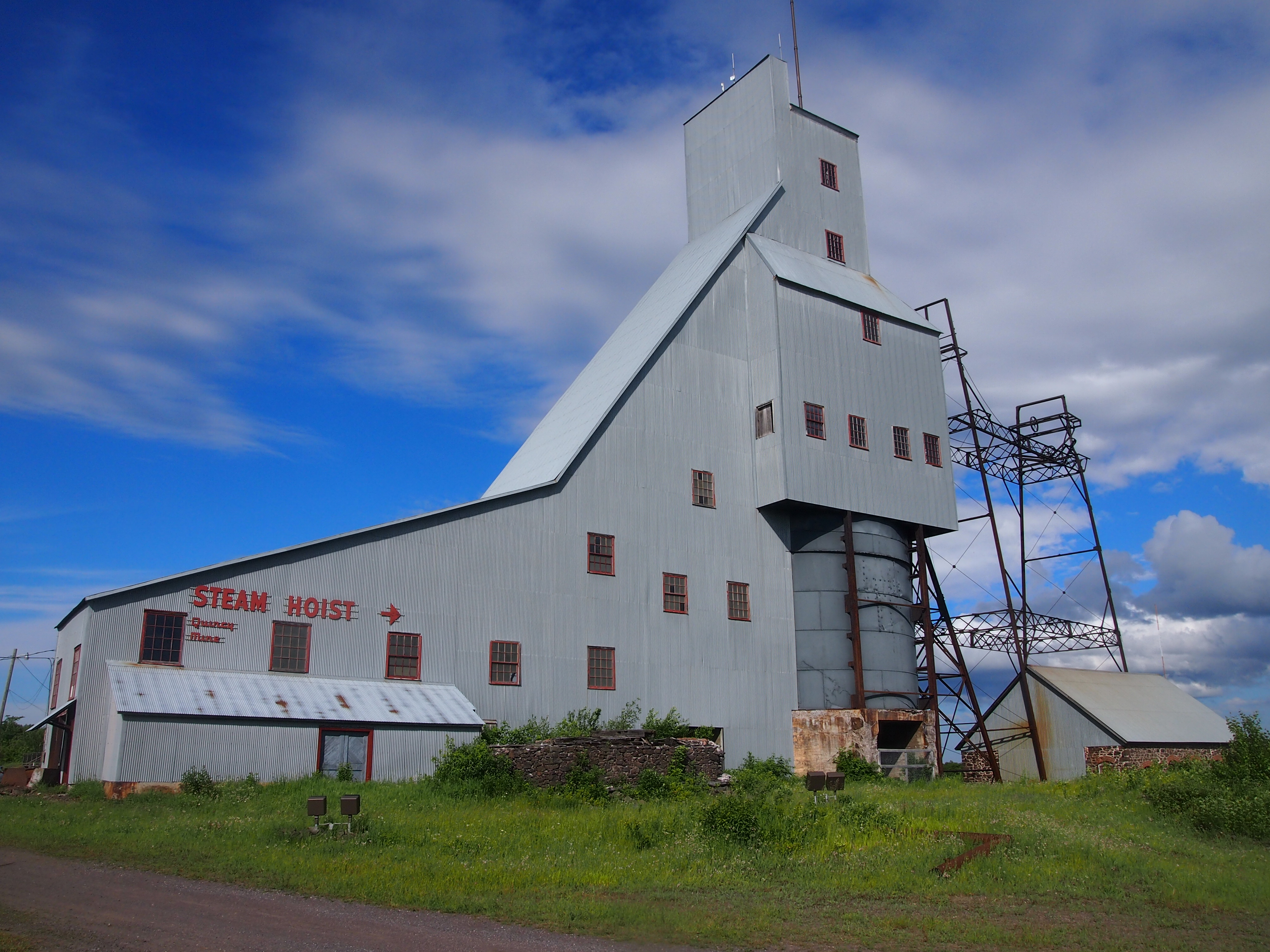
Just north of Hancock is the Quincy Mine. Driving by on US 41, you can’t really miss it.
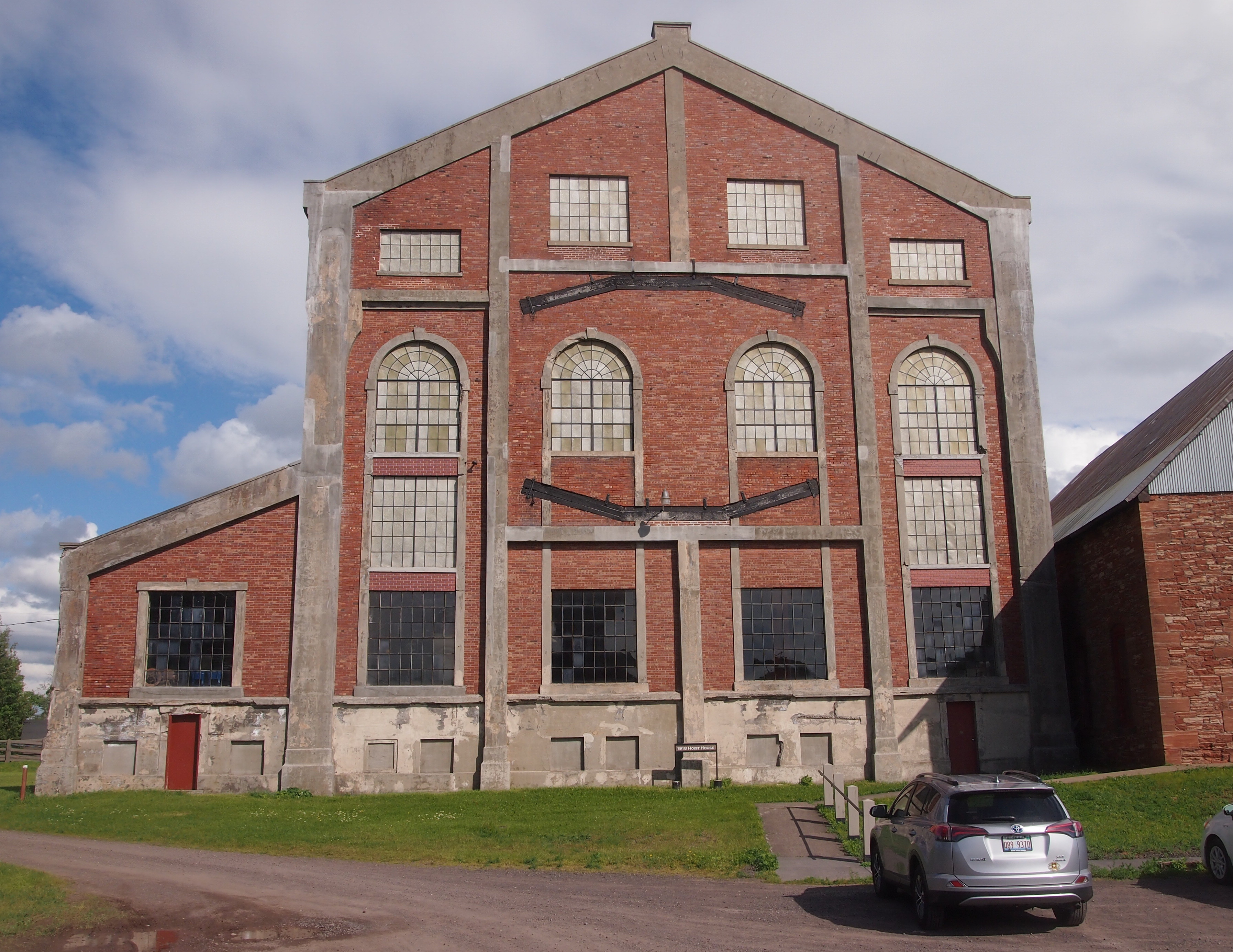
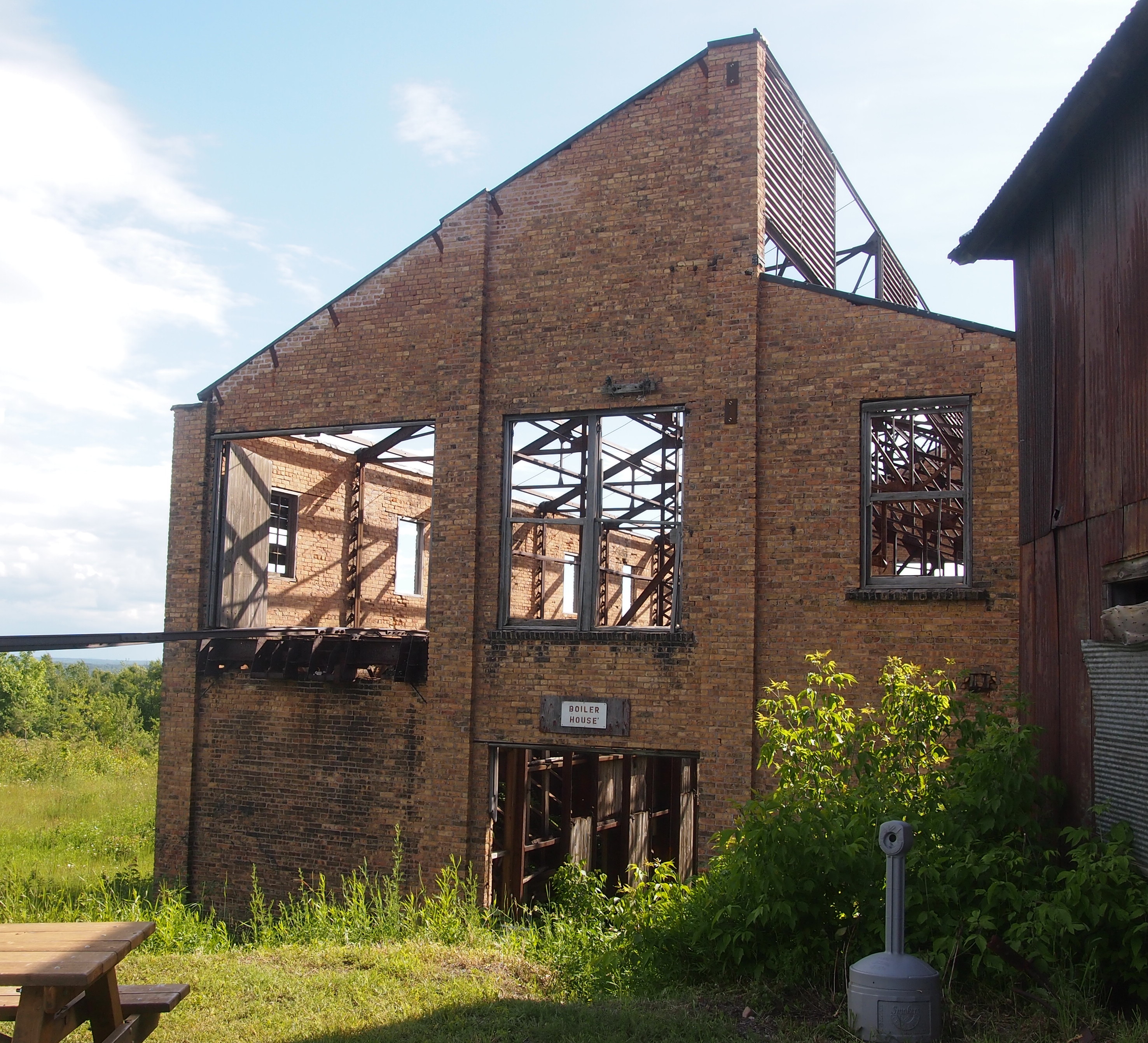
Quincy Mine, MichiganThat’s only the largest of the complex’s surface structures. There are other buildings.
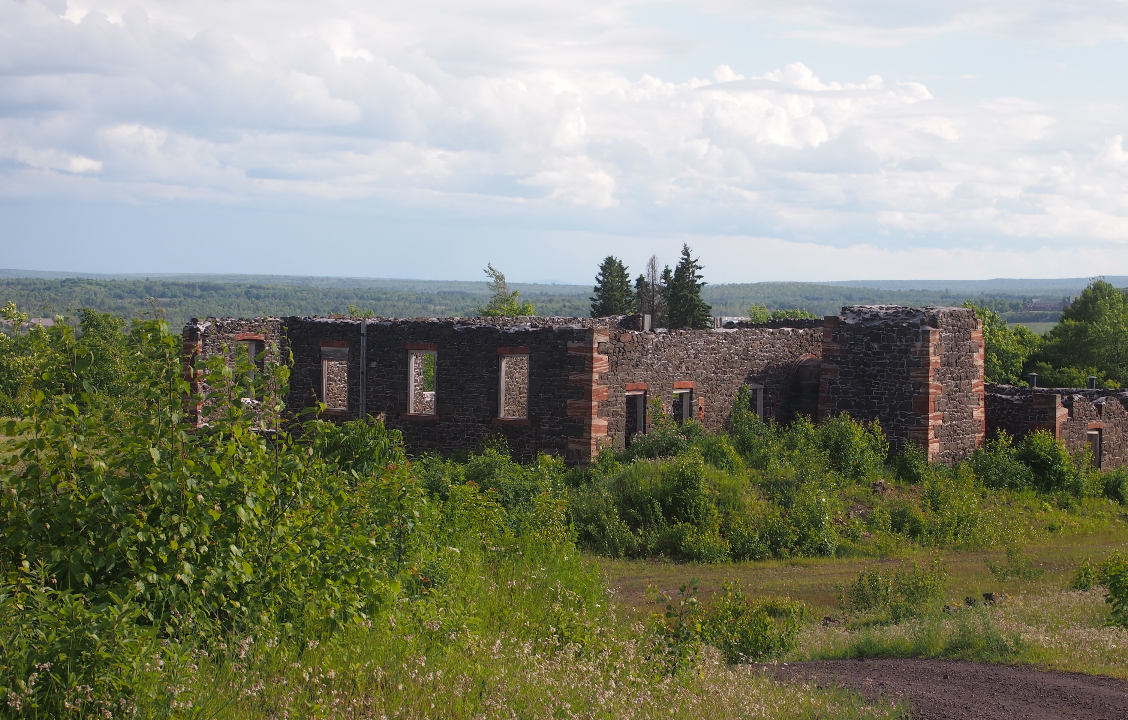
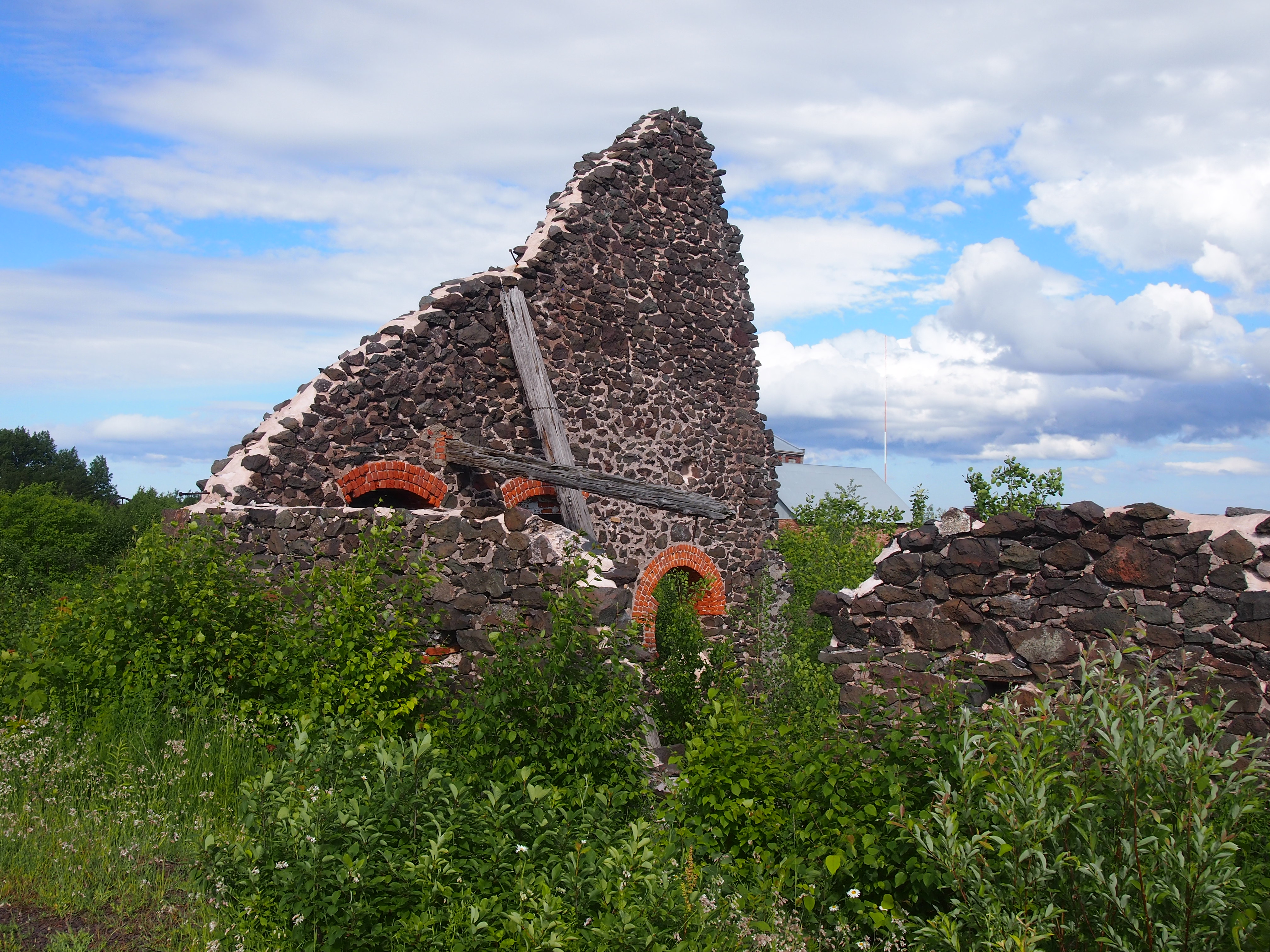
Quincy Mine, MichiganAs well as picturesque ruins.

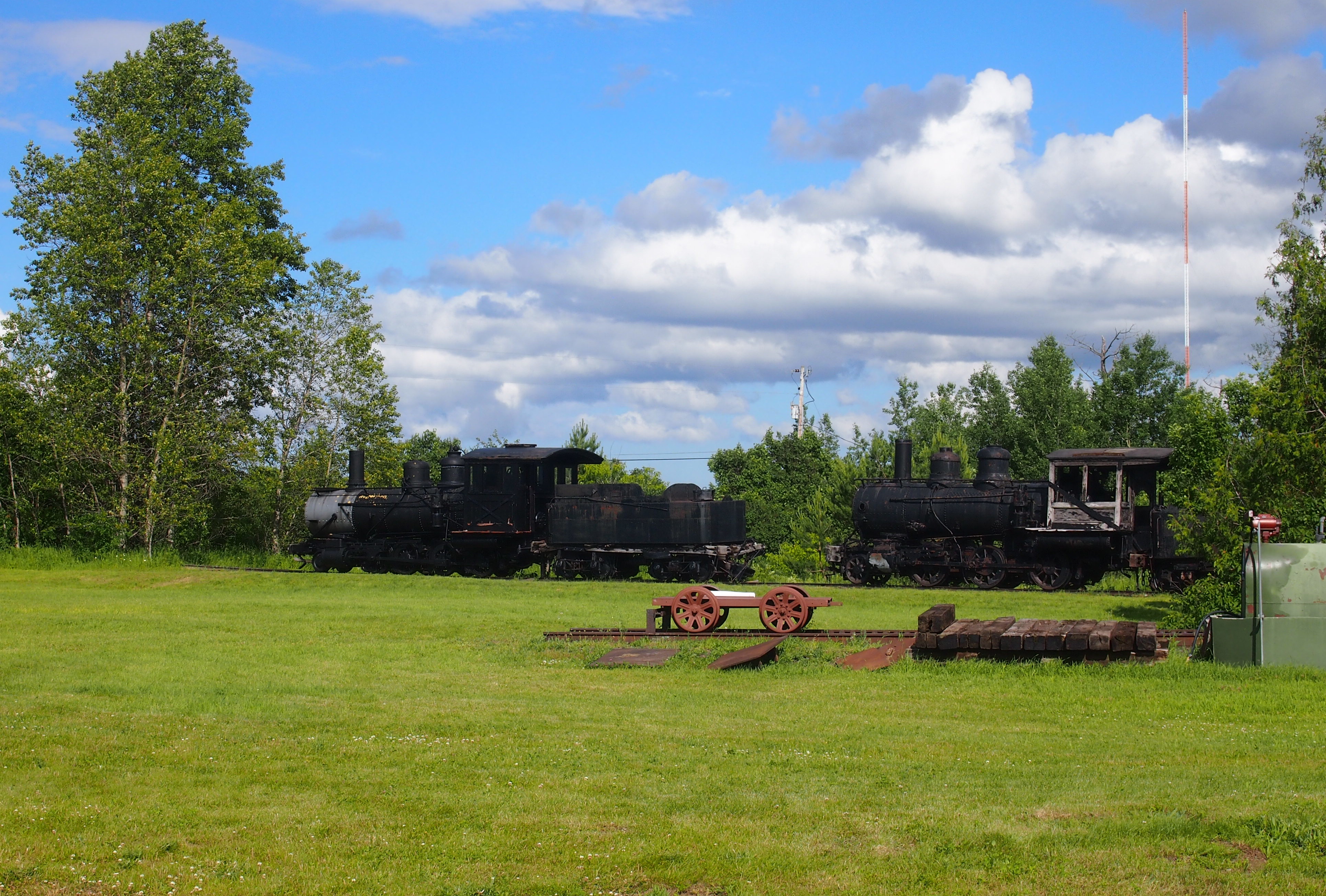
Quincy Mine, MichiganQuincy Mine, MichiganQuincy Mine, MichiganEngines, probably for ore-hauling trains. Or maybe they brought coal to power the mine. Or both.
These days, the relics are part of the Keweenaw National Historical Park. Once upon a time, Quincy Mine was the most successful copper mine on the peninsula, which is saying something, since Keweenaw was the site of a copper rush beginning in the 1840s and had a lot of active mines for a while (unsurprisingly, Indians dug for copper there for centuries before that).

The National Park Service says: “1840. Douglass Houghton, state geologist of Michigan, publishes a report on the geology of the Upper Peninsula and describes the Keweenaw’s copper deposits. Despite his appeal for caution, a land rush would soon start as investors, miners and entrepreneurs attempt to acquire copper-rich real estate.

“1856. The Quincy Mining Company begins work on the profitable Pewabic lode. Quincy soon becomes an important copper mine, and earns the nickname ‘Old Reliable’ for its nearly constant profits.

“1861: Demand for brass buttons, copper canteens and munitions increases. Despite the need, copper production at many older and profitable mines in the region actually decreases as new, speculative mines open, causing labor shortages.”

Later, telephones and electric wiring spurred more demand for copper, and the Quincy Mine remained in production until the Depression, despite competition from mines in Montana and elsewhere. Quincy’s last gasp as a mining concern was World War II. Remember, copper was in such short supply then that pennies were made of steel in 1943.

Now Quincy is a tourist attraction. You can take a tour down in the mine, at least at the levels that aren’t flooded. We didn’t get there in time to do that, but we were able to look around the ruins and the small museum inside one of the intact buildings. If I come this way again, I’ll time things to see the depths of the Quincy Mine.

Porcupine Mountain Wilderness State Park (The Waterfalls)

Yesterday I wondered why people travel distances and spend money to see good vistas. I’m included in such people. Today, why do we do the same to see waterfalls? Why is Niagara the attraction that it is (was)? It can’t be on the strength of “Shuffle Off to Buffalo” alone.

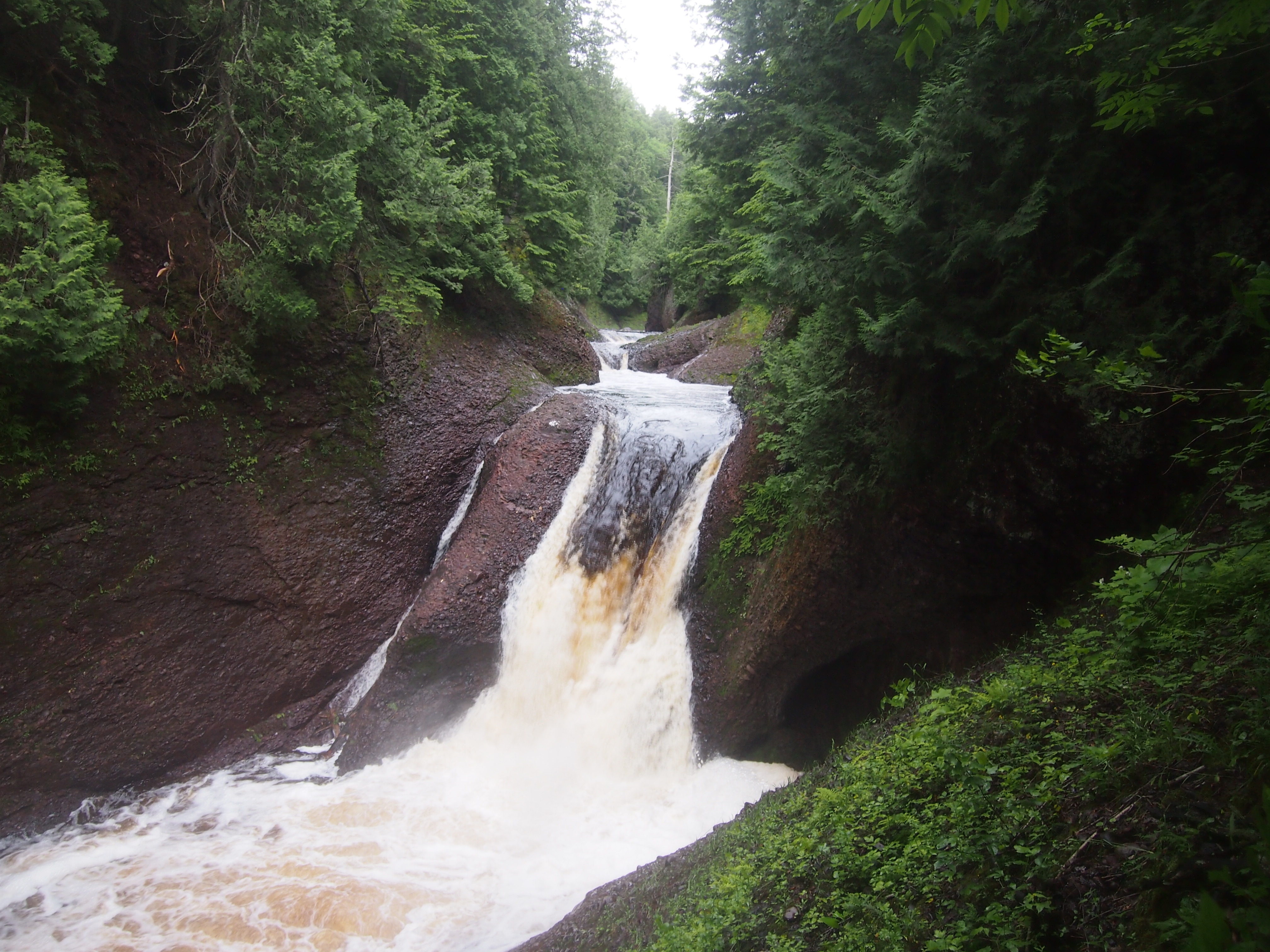
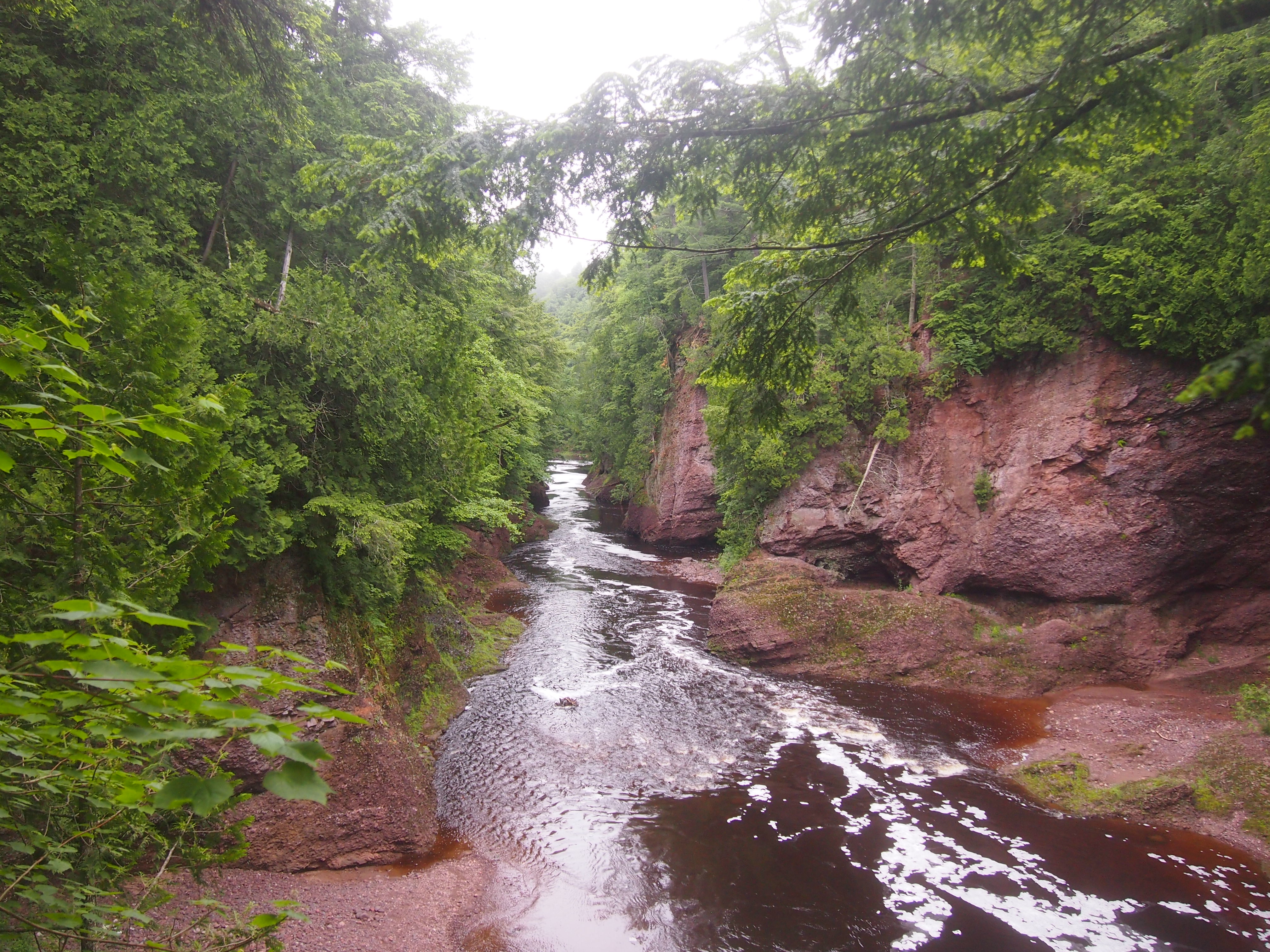
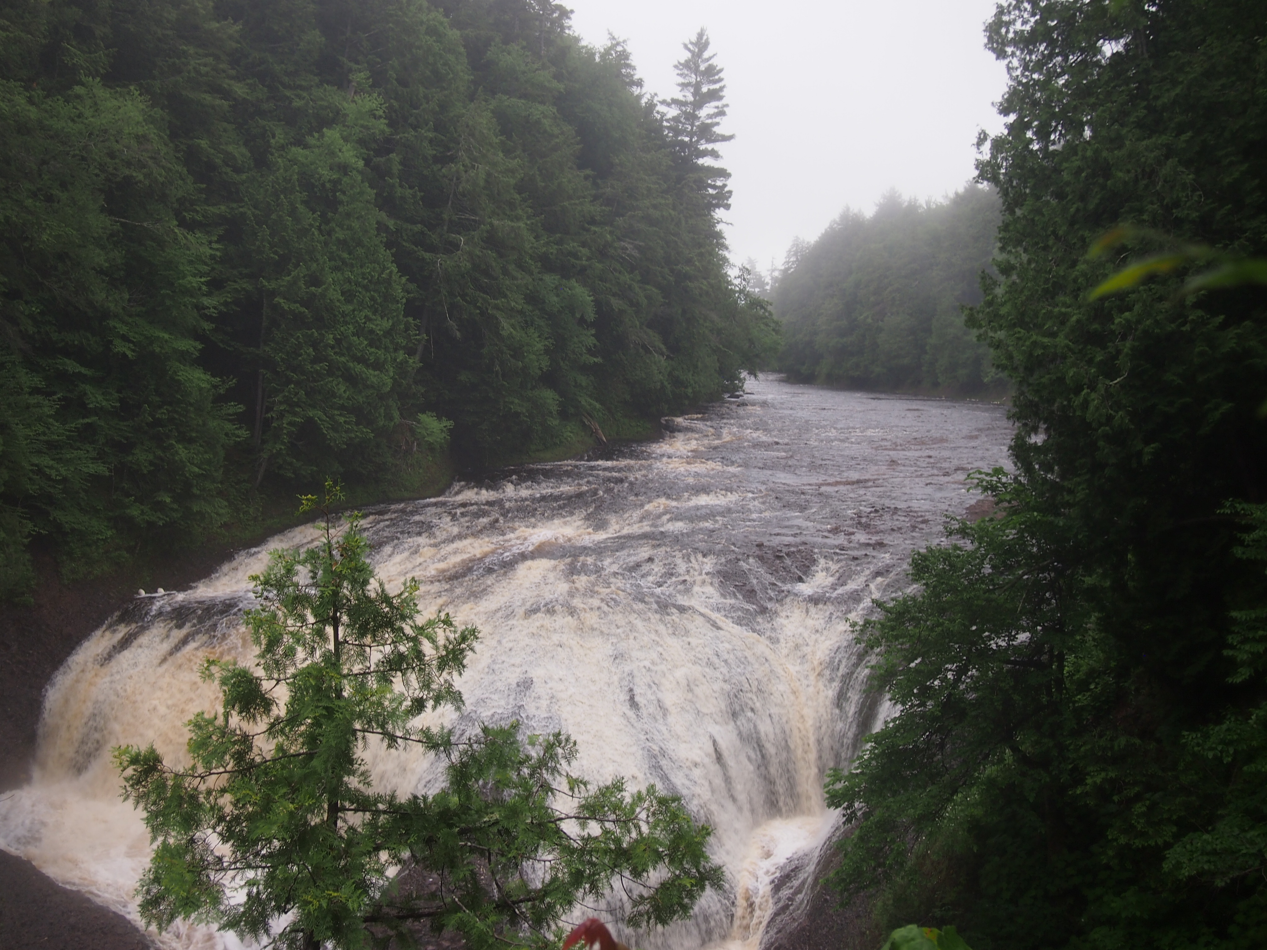
Rugged and well-watered, both Porcupine Mountain Wilderness State Park and the surrounding Ottawa National Forest feature a lot of waterfalls. Not long after arriving near the park, on the afternoon of the 30th, we sought out Gorge Falls and Potawatomi Falls on the Black River, which flows through Gogebic County and into Lake Superior. From a parking lot off Black River Road — a National Forest Scenic Byway, and justly so — a looping trail of about a third of a mile takes you to both.

Gorge Falls.
Gorge Falls, MichiganThe Black River above Gorge Falls.
Black River, UP MichiganPotawatomi Falls.
Potawatomi Falls, UP MichiganAnn was determined that we walk further upstream from Potawatomi Falls, saying that “I’ve been in a car all day.” True enough. It was a good path. I made sure that she knew that a blue diamond, or sometimes a rectangle, marks a trail.

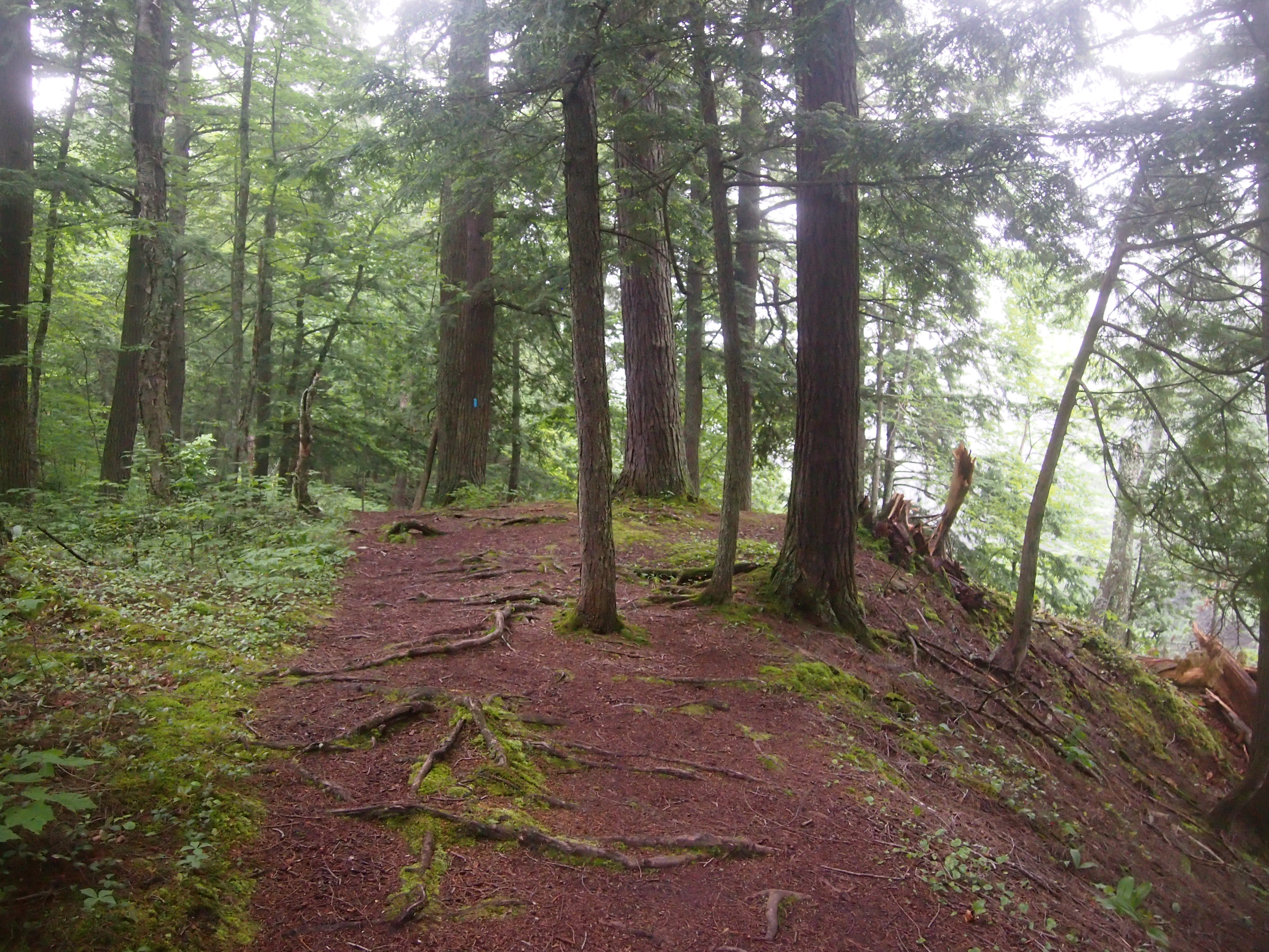
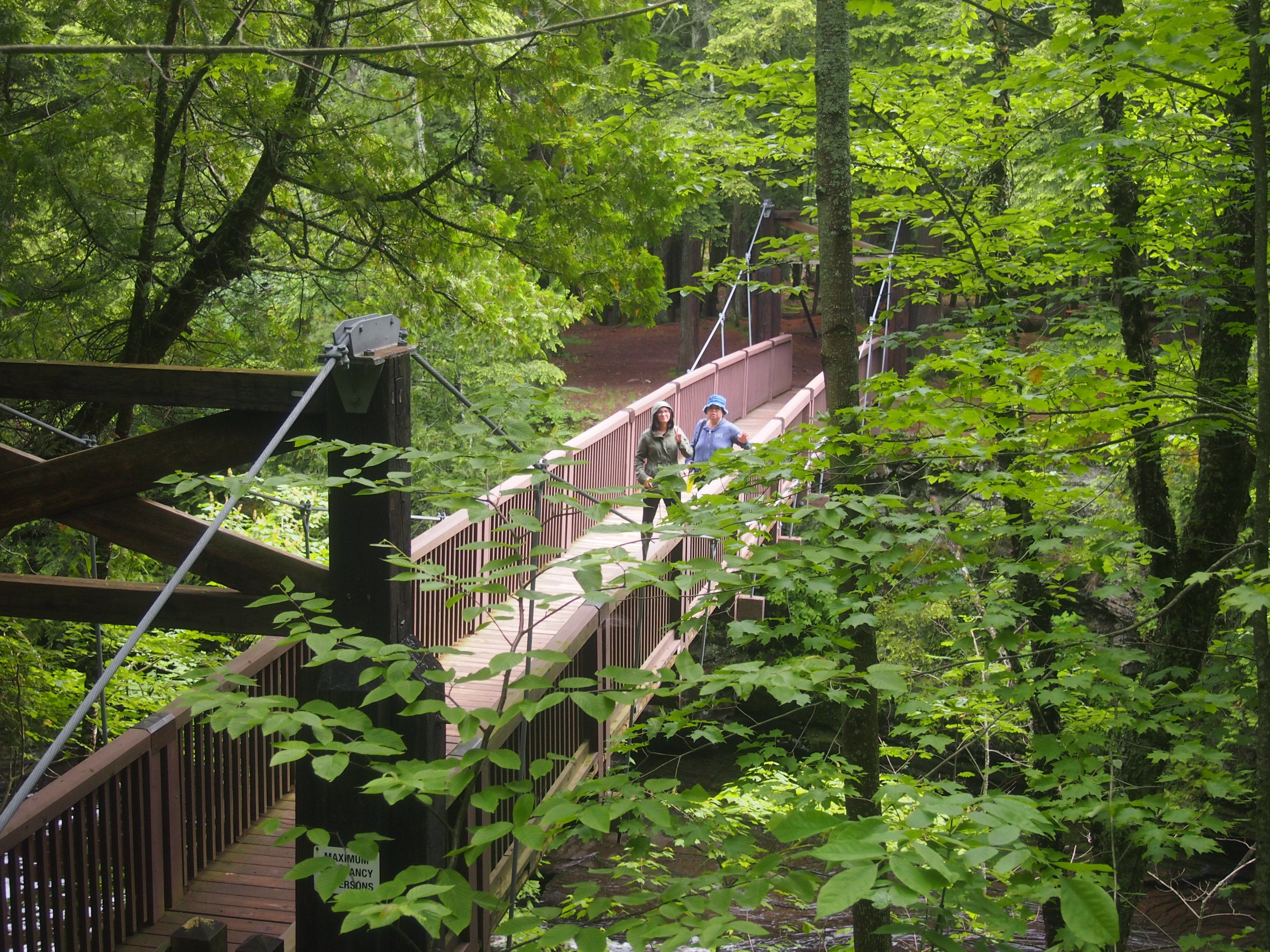
Porcupine Mountains Wilderness State ParkPorcupine Mountains Wilderness State ParkThe next morning we drove to up M-519 to a parking lot on the west bank of Presque Isle River. Go down a fair number steps on a boardwalk and you soon come to a wooden suspension bridge across the river.
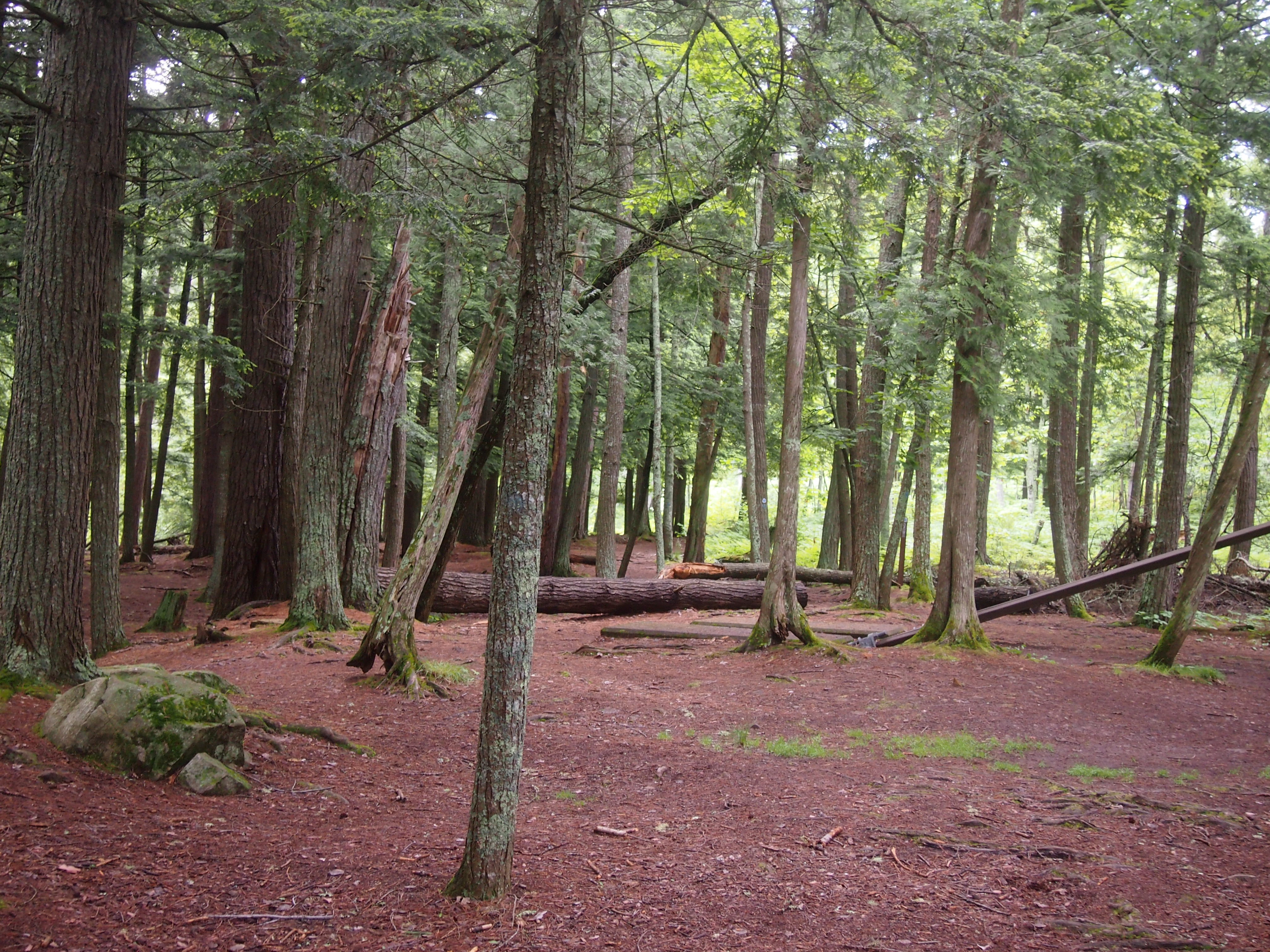
Presque Isle River bridgeThe other side of the bridge is described as an island, but it looks like a peninsula on the maps. Whatever its geographic classification, it was pleasantly wooded on the approach to Lake Superior.
Presque Isle River islandLake Superior at Presque Isle RiverBack across the suspension bridge, the trail on the west bank of Presque Isle River leads to Manhabezo Falls.
Manhabezo FallsThe trail at that point is also part of the North Country Trail, which we’d happened across a number of years ago in Manistee National Forest, in that other part of Michigan. The trail goes all the way from upstate New York to central North Dakota, or vice versa, some 4,600 miles, with a fair chunk of it through the UP.

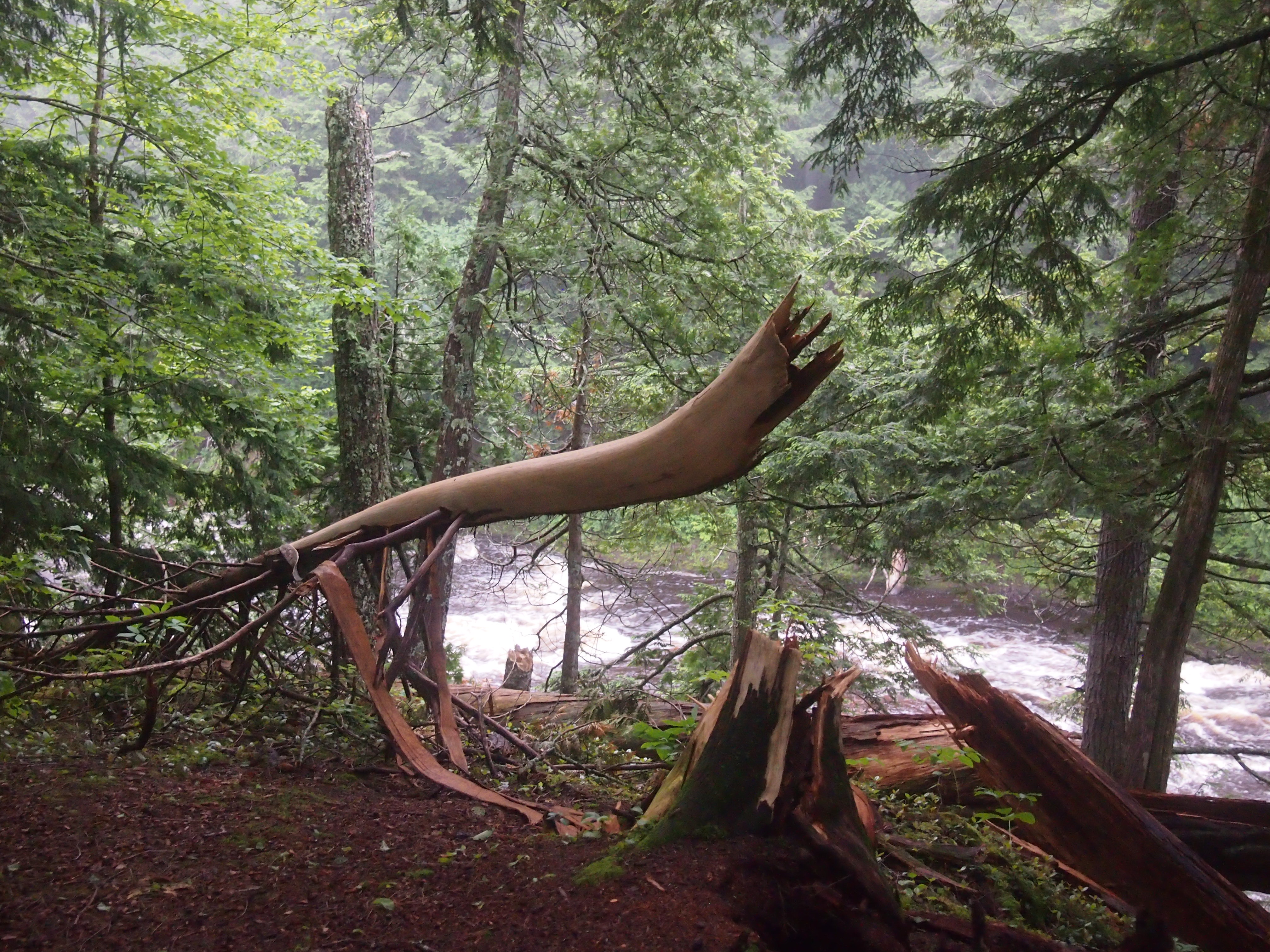
We’d planned to take the trail to another parking lot along the road, and then walk on the road the short distance back to the parking lot where we’d left our car. A bridge crossing a small gully allows you to do that, except when it’s been hit by a falling tree.
Trail near Manhabezo FallsNot sure when that had happened, but it couldn’t have been too long before. So we scurried down the side of the gully and back up again, crossing a stream small enough to step over, and encountering a lot of mud on the way. At one point the sticky mud was so thick it pulled Ann’s shoes off. What’s a hike, even a short one, if you don’t get a little (or a lot) of mud on you?