Fuzzy Jungle Pictures

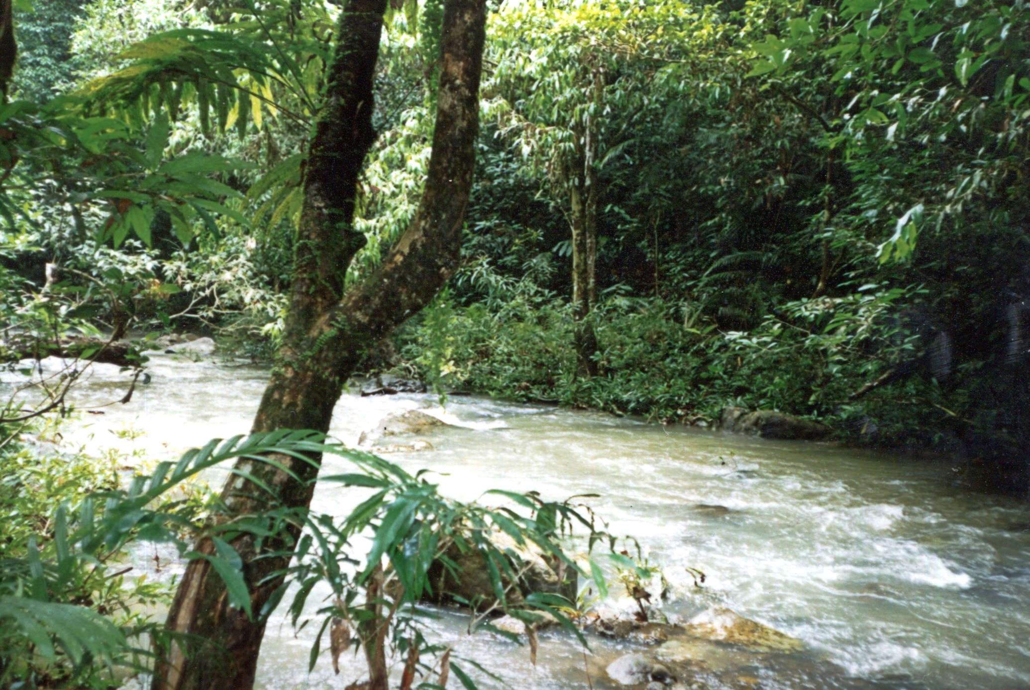
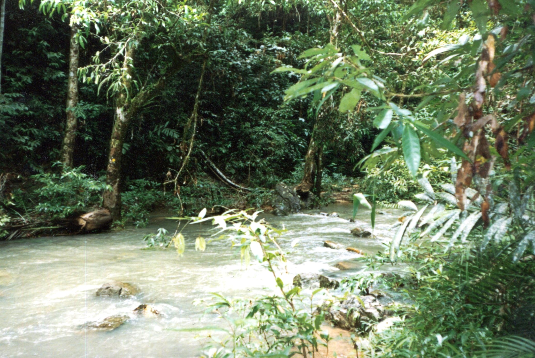
We spent late August and early September 1994 at Taman Negara, the sizable national park on the middle of the Malay Peninsula. It’s a place of jungle walks.Taman Negara 1994

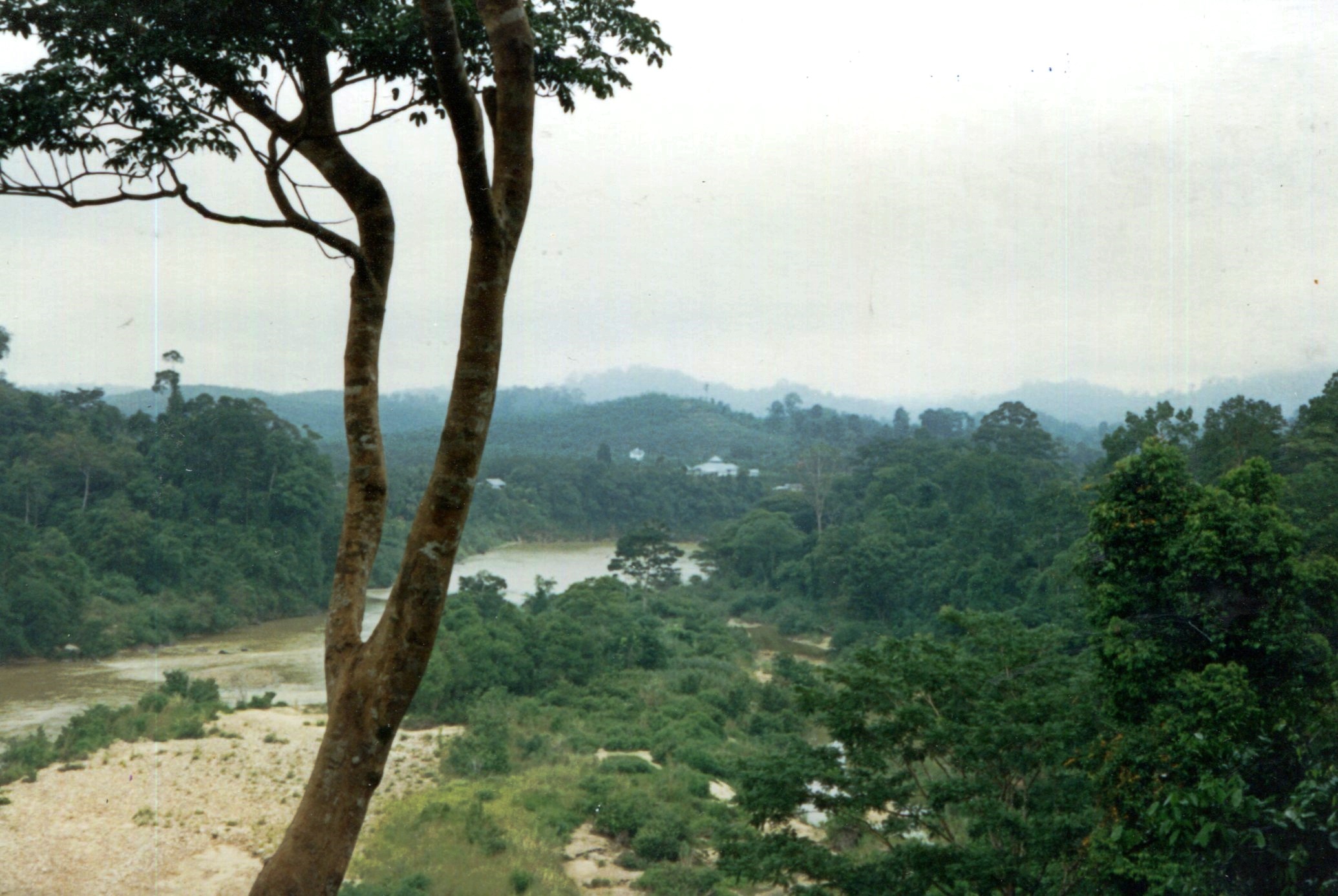
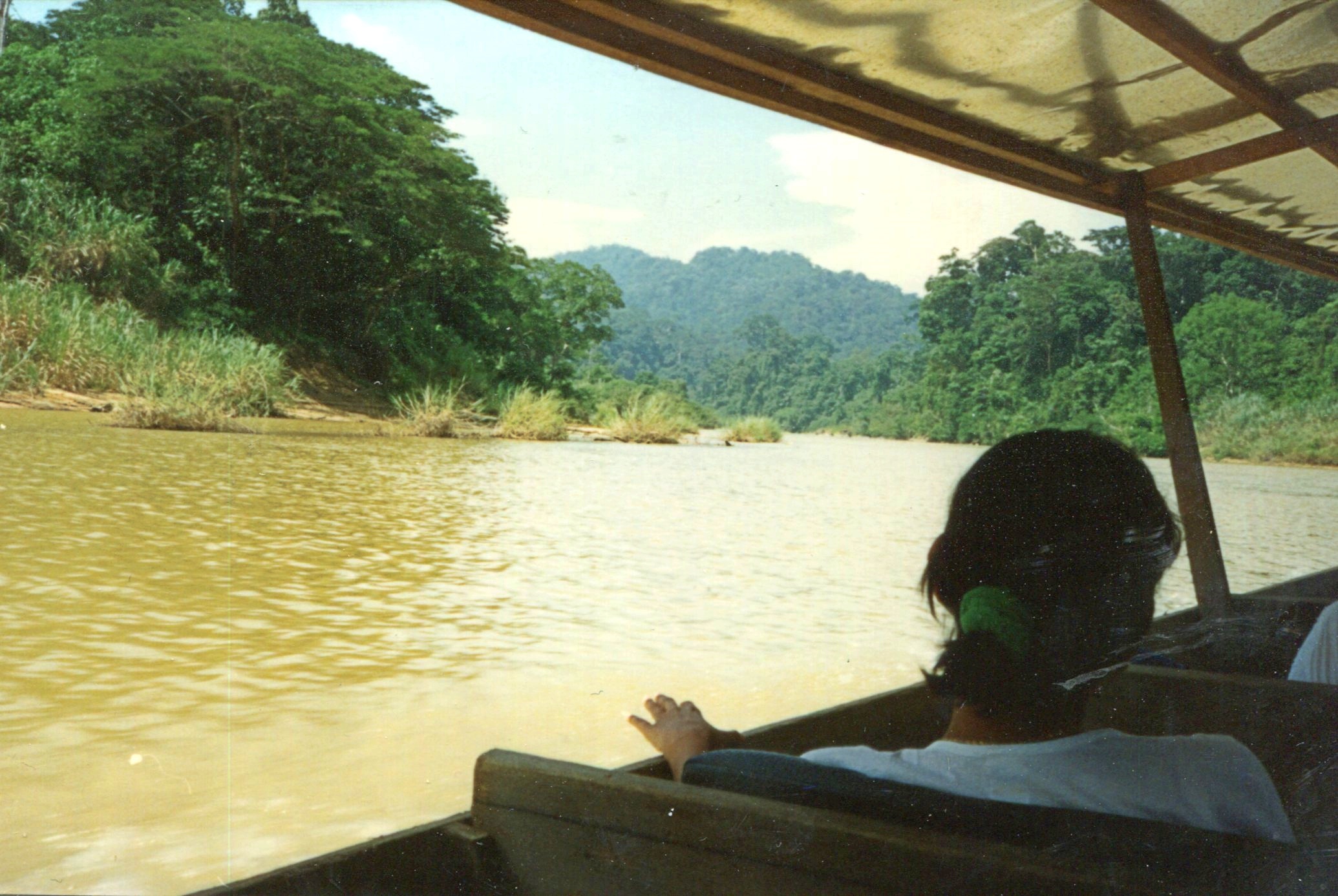
We stayed where many people do, at Kuala Tahan on the Tembeling River. I’ve read that a road runs to that settlement now, but that wasn’t the case 25+ years ago — you took a boat much of the way.Taman Negara 1994

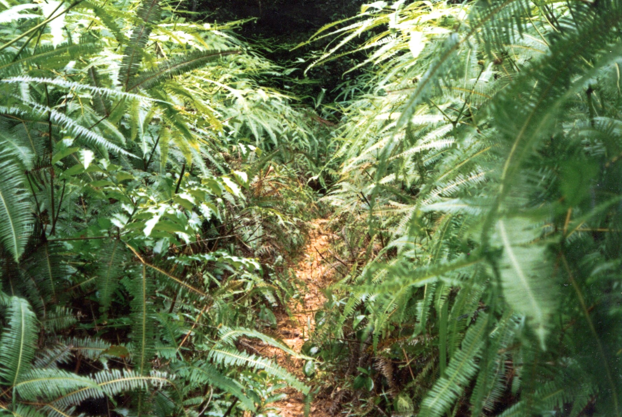
Had a basic snapshot camera in those days, so I got basic snapshots of the Tembeling. Fuzzy pics to go with fuzzy memories.

Taman Negara 1994

Taman Negara 1994Taman Negara 1994

Remarkably, whoever took the Wiki picture of the Tembeling River did so from the exact same vantage as I did a few years earlier, including what looks like the same tree in the foreground. Must be a rise on a path near the river, but I don’t remember specifically.

Denali National Park and Preserve

Up in Coldfoot, we were within Alaskan spitting distance of Gates of the Arctic National Park and Preserve, maybe ten miles on foot to the park’s invisible demarcation line. Gates of the Arctic, which is about the size of Maryland or Belgium, has no human infrastructure or services of any kind.

That’s an evocative national park name if there ever was one, summoning dreams of primeval remoteness. Only about 10,500 people ventured there in 2019, making it the least-visited U.S. national park even in an ordinary year, since the logistics of a visit are quite involved. I was no more prepared to visit Gates of the Arctic last week than to go to the Moon, so it was close but no cigar.

Denali National Park and Preserve is another story. It’s easily accessible to everyday folk, at least those willing to spend the time and money to go to Alaska, and willing to forgo private-car travel into the park. I was all in.

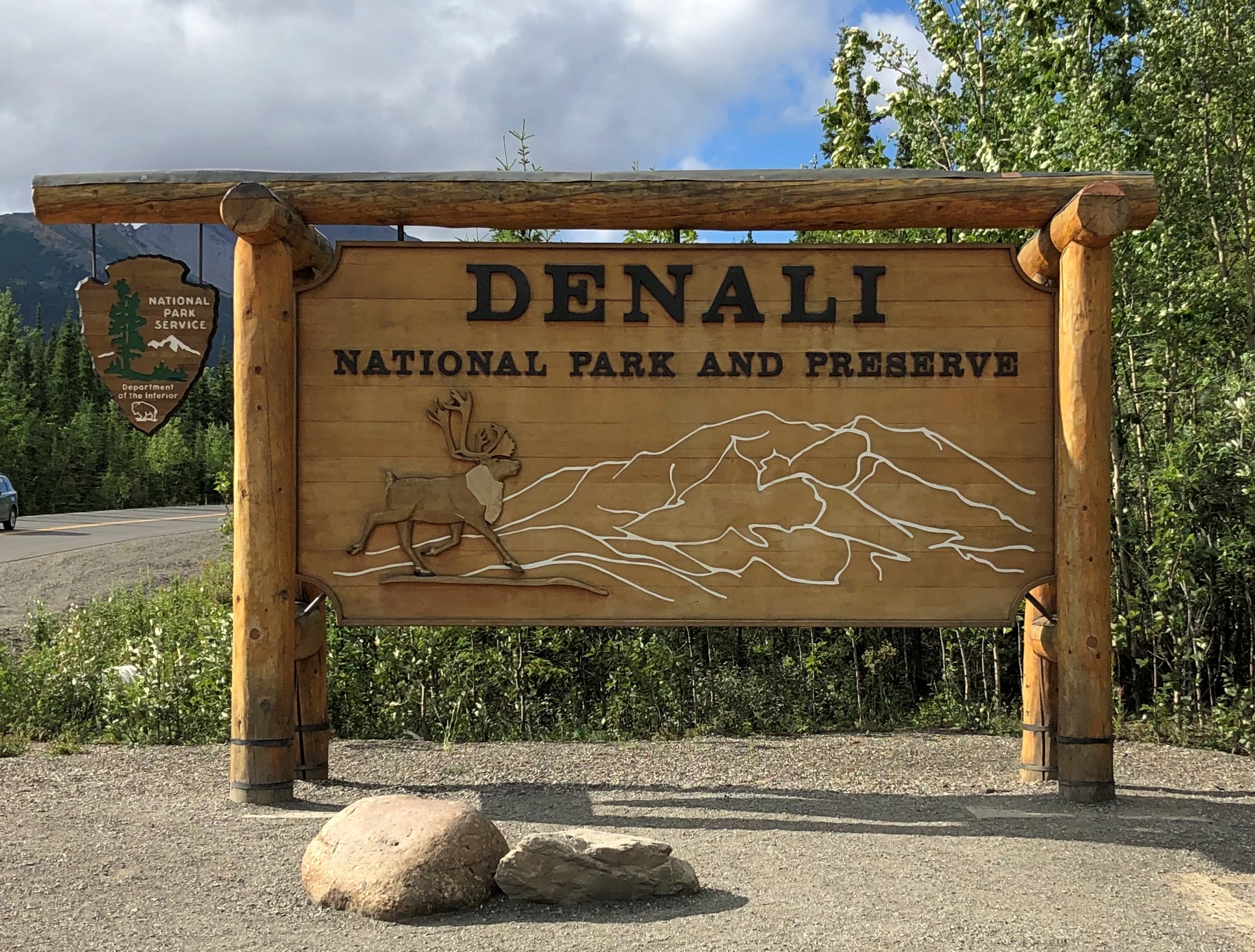
Chronologically, the sign was the last picture I took at Denali, but never mind. It marks the entrance off the highway Alaska 3.Denali NP
This image is also out of order, strictly speaking, since it was taken mid-tour. Our bus was the one on the left.
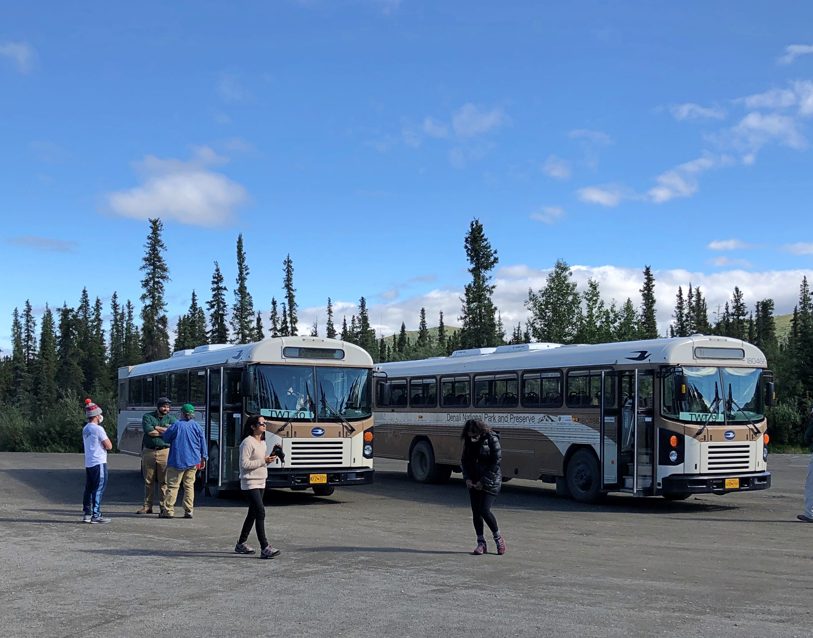
Denali NP buses

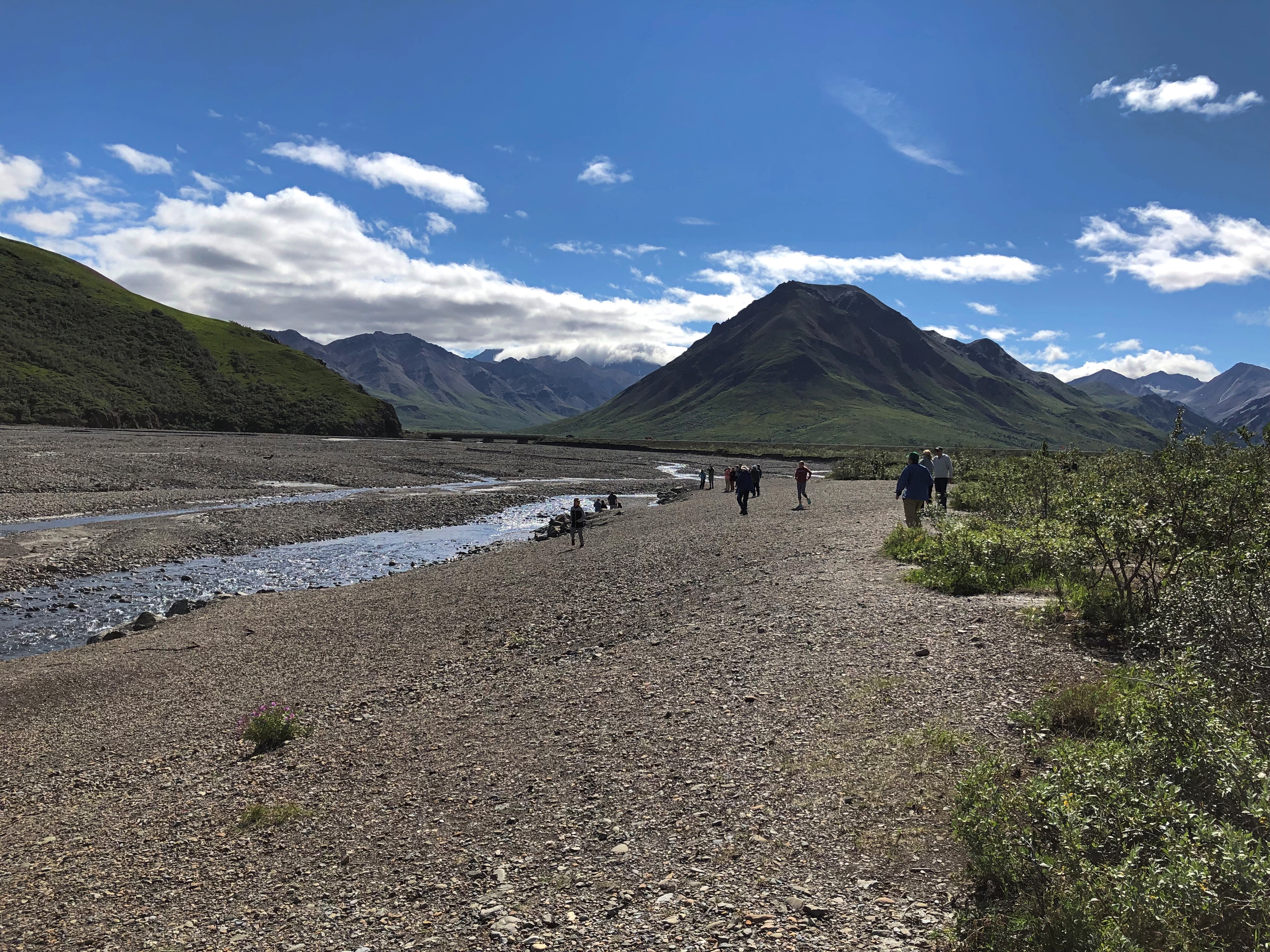
The bus traversed part of the 92-mile Denali Park Road, which roughly parallels the Alaska Range. The tour took us to Mile 53, a spot called the Toklat River Rest Stop.
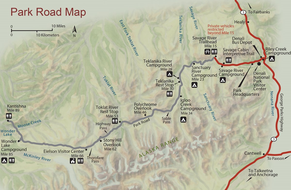
Denali Park-Road-Map_5

“During summer, roughly late May through early September, private vehicles may drive the first fifteen miles of this road, to a place called Savage River,” the National Park Service says. “The road to Savage River is paved, and features numerous pull-outs for folks to stop and snap some scenic photos. ‘The Mountain’ can be seen as early as Mile 9, if the day isn’t too overcast, and animals of all sorts can sometimes be seen on this stretch of road — although chances to see wildlife increase greatly with a bus trip farther down the Park Road.”

Lest anyone think that mandated bus transportation is some new innovation by the feds to restrict freedom of movement, the NPS points out that banning private cars on most of the road goes back almost 50 years.

“Prior to the 1972 completion of the George Parks Highway (Alaska Route 3), which is the main travel artery into interior Alaska, visitation to Denali National Park and Preserve was fairly low. Anticipation of major increases in traffic resulting from a direct route to the park prompted park officials to implement a mass transit system beyond Mile 15 on the Denali Park Road.”

Good thing, I believe. It’s a narrow, mostly gravel road after that point. Even a few dozen cars at a time could easily jam the thing up, and fools would sometimes (often?) get stuck. Occasional unlucky souls would be in cars that pitch over the edge of some pretty steep slopes without guardrails.

So at about 9:30 on the morning of July 29, I boarded a Bus #10 outside the park and spent the day in my 24th or 25th U.S. national park (I’m never sure whether to count Guadalupe Mountains NP). One of the most magnificent so far, too.

The magnificence started early in the drive. Even before Mile 15, we could see a mostly cloudless Mount Denali, the peak I probably learned as McKinley poring over maps in elementary school, the tallest in North America. Actually there are twin summits.Mt Denali
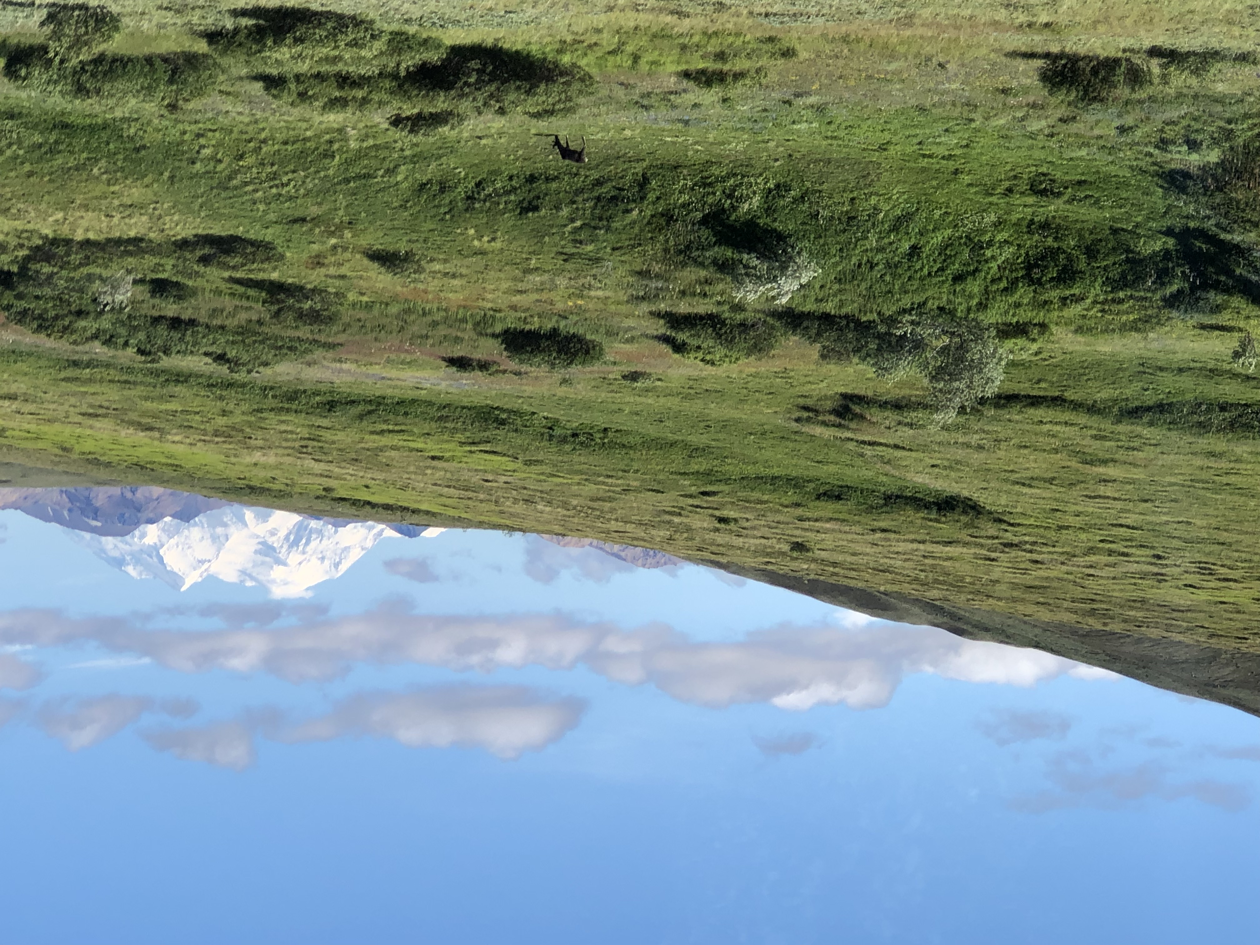
Tour guide, bus driver and all-around effusive fellow Brian told us that maybe three out of 10 visitors to the park actually get to see Mount Denali. Like Fuji and some other mountains of renown, clouds often cloak it. Later in the tour, when we were closer to the mountain, it was invisible. Throughout the day, in fact, clouds came and went with rapidity over our entire field of view.

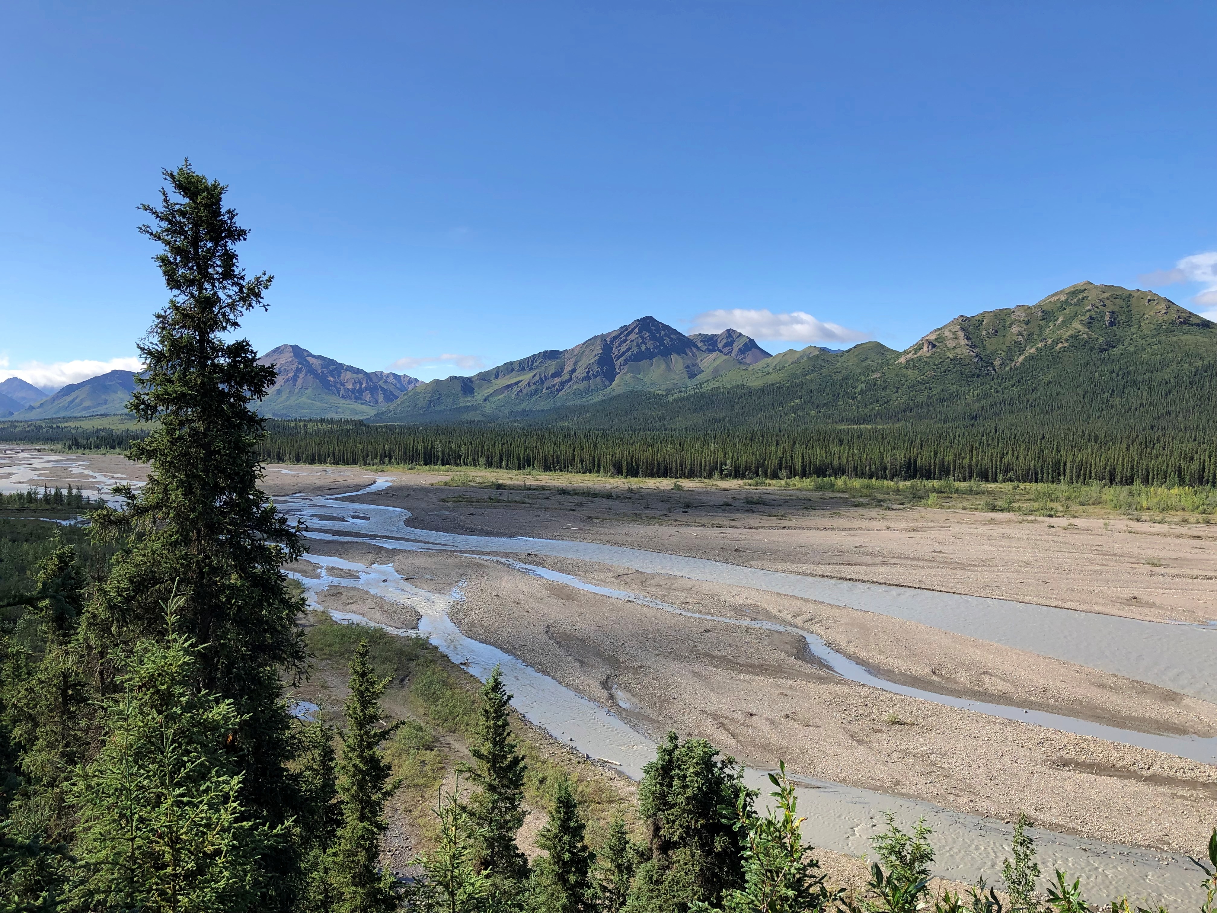
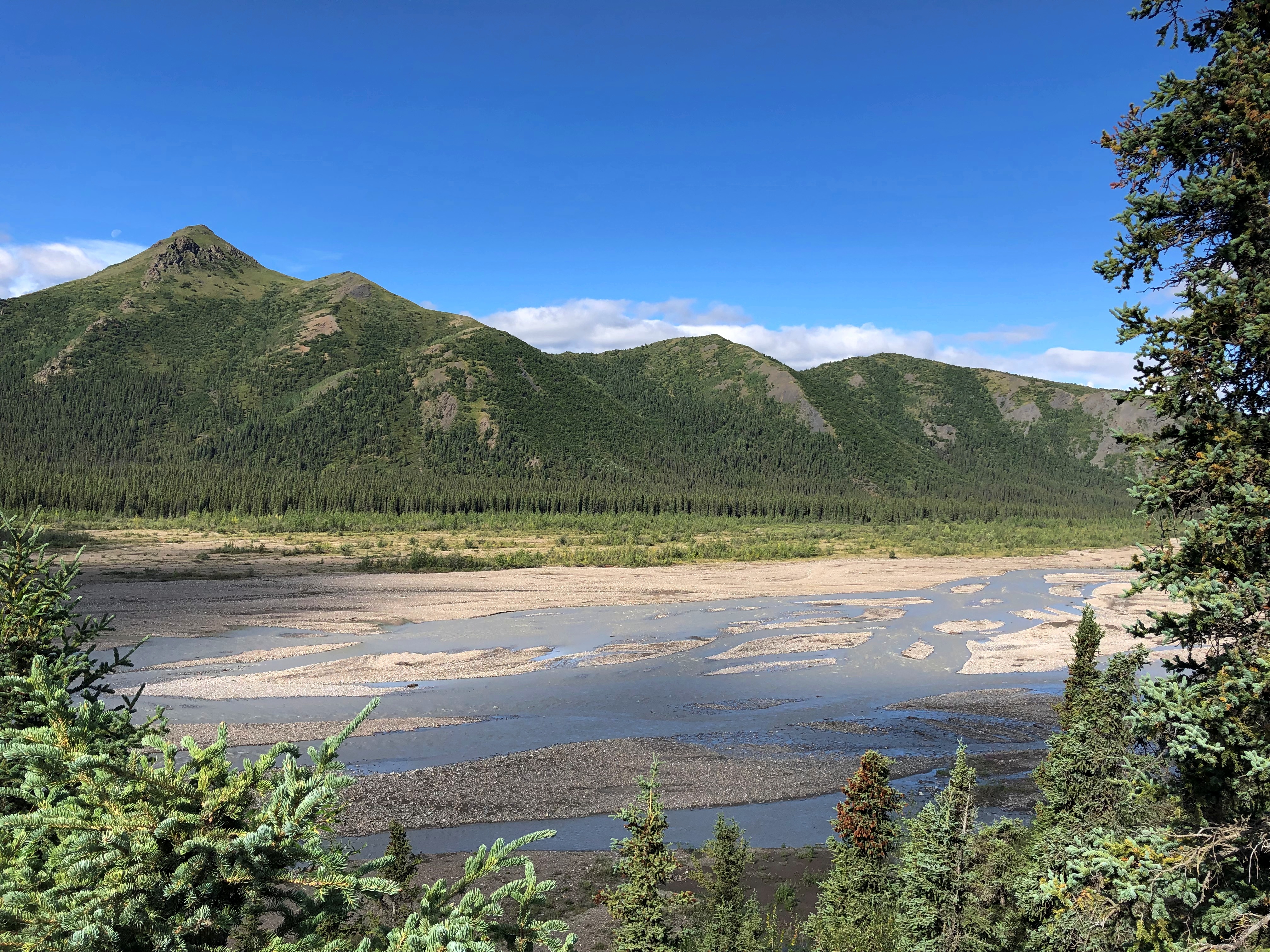
At Mile 15 is the wide view of the Savage River.Teklanika River
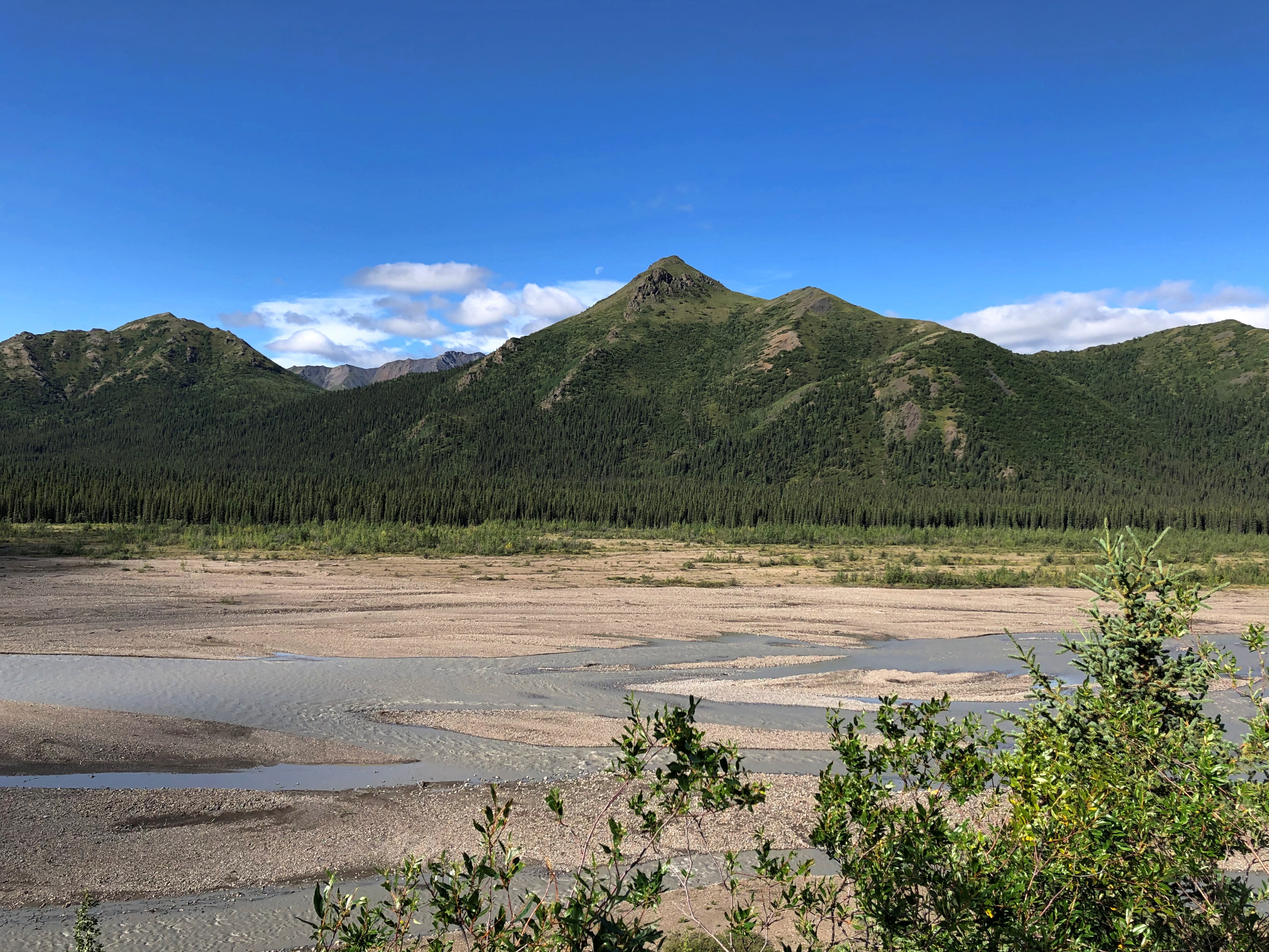
Teklanika River
Teklanika River

Further along the road, an illustration of how far greenery can reach up mountainsides.
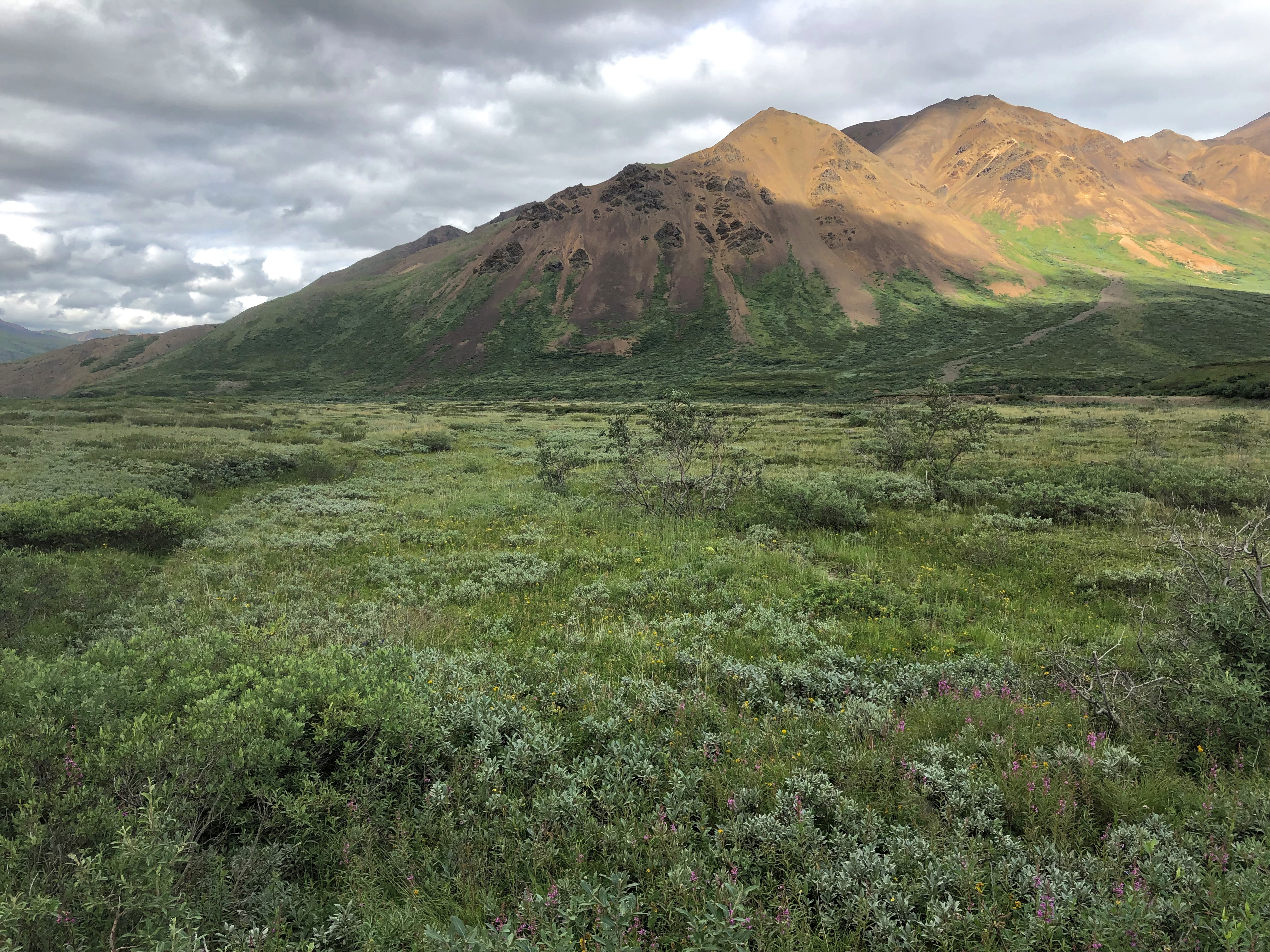
Denali NP

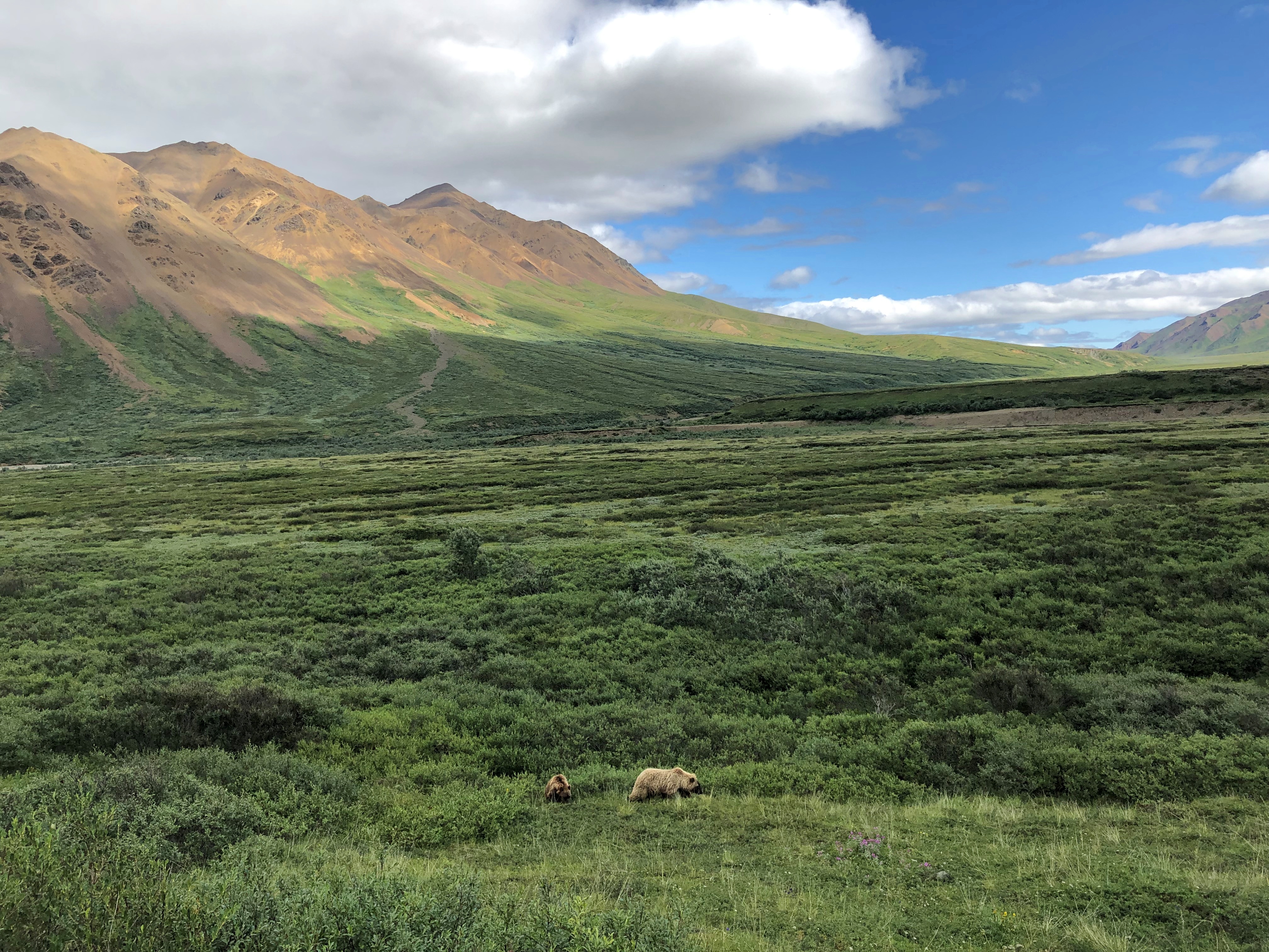
Around there, we spotted a bear. Brian stopped the bus for a few minutes for us to watch. It wouldn’t be the last time he did so.
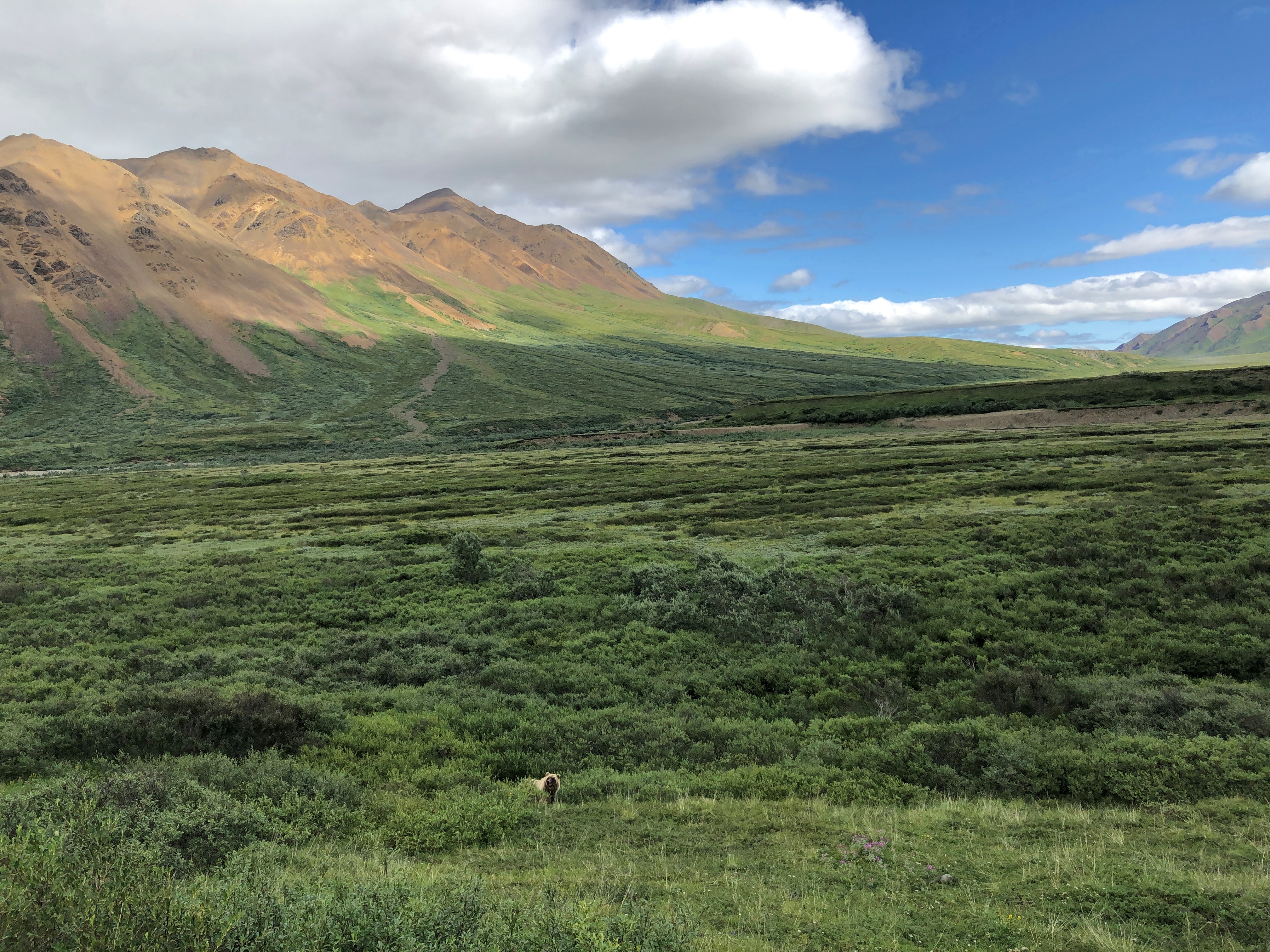
Denali NP bears

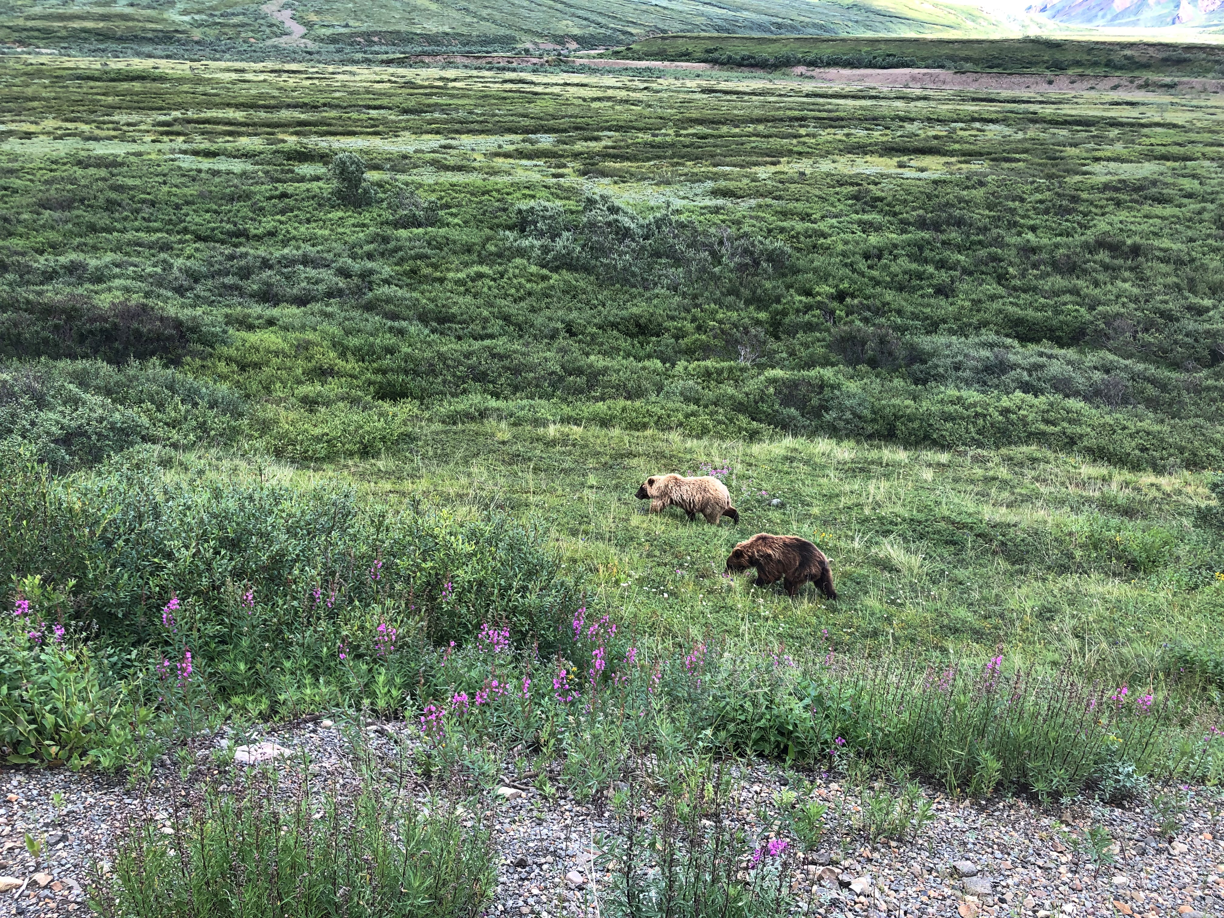
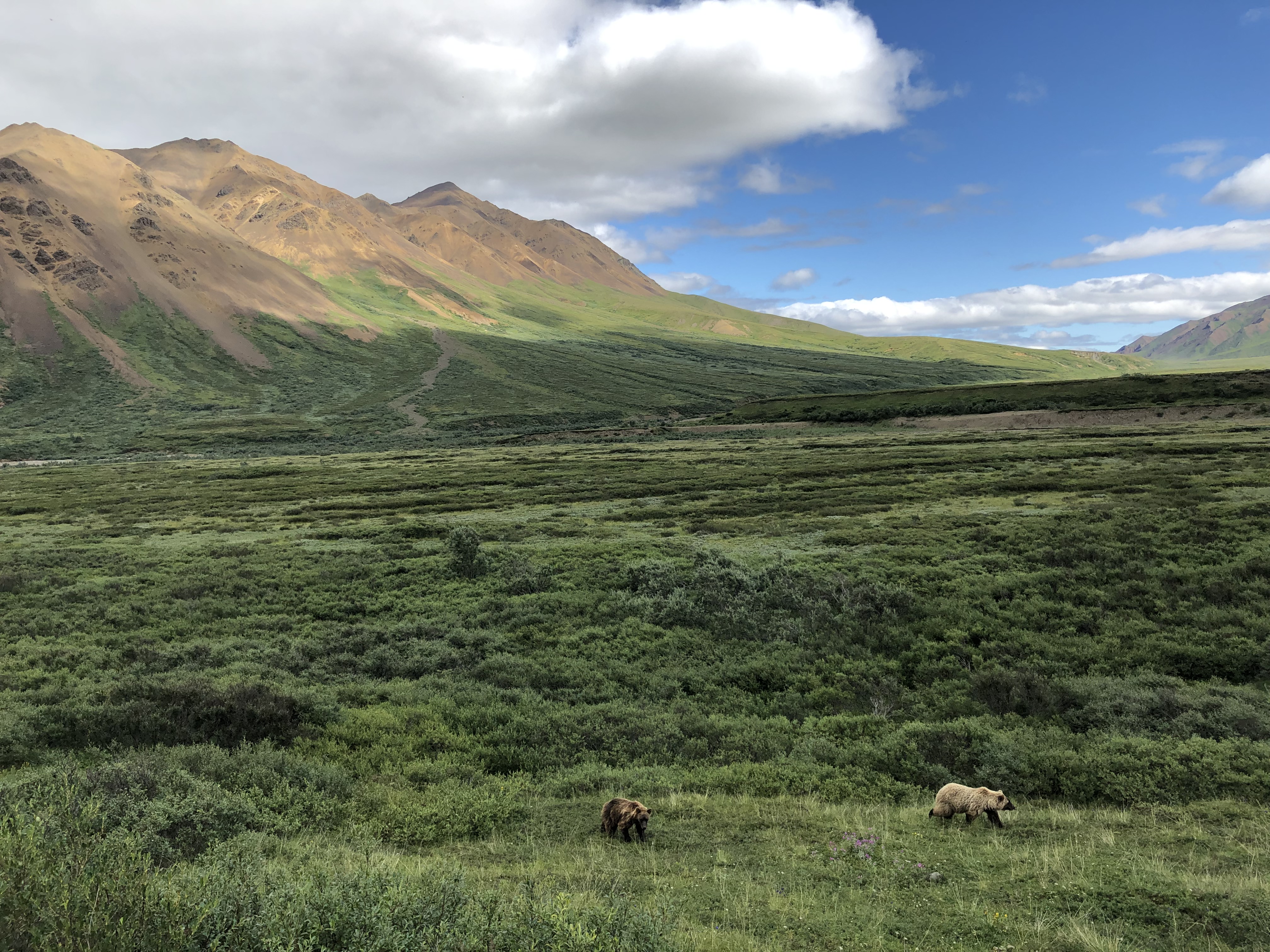
Make that two bears.
Denali NP bears

In the fullness of the day, we spotted a total of five brown bears, some of whose coats were actually blondish. Brian noted that an estimated 300 bears live in the park, and if so, we saw nearly 2 percent of them. He further said that often enough tours buses see no bears at all, the creatures being as elusive as Mount Denali. So we were a charmed bus almost from the get-go.Denali NP bears
Denali NP bears

One of the bears took a stroll on the road. Why not? For all we know, the bear considered the bus just a big lumbering animal that posed no harm, and could not be eaten, and so deserved no further consideration.
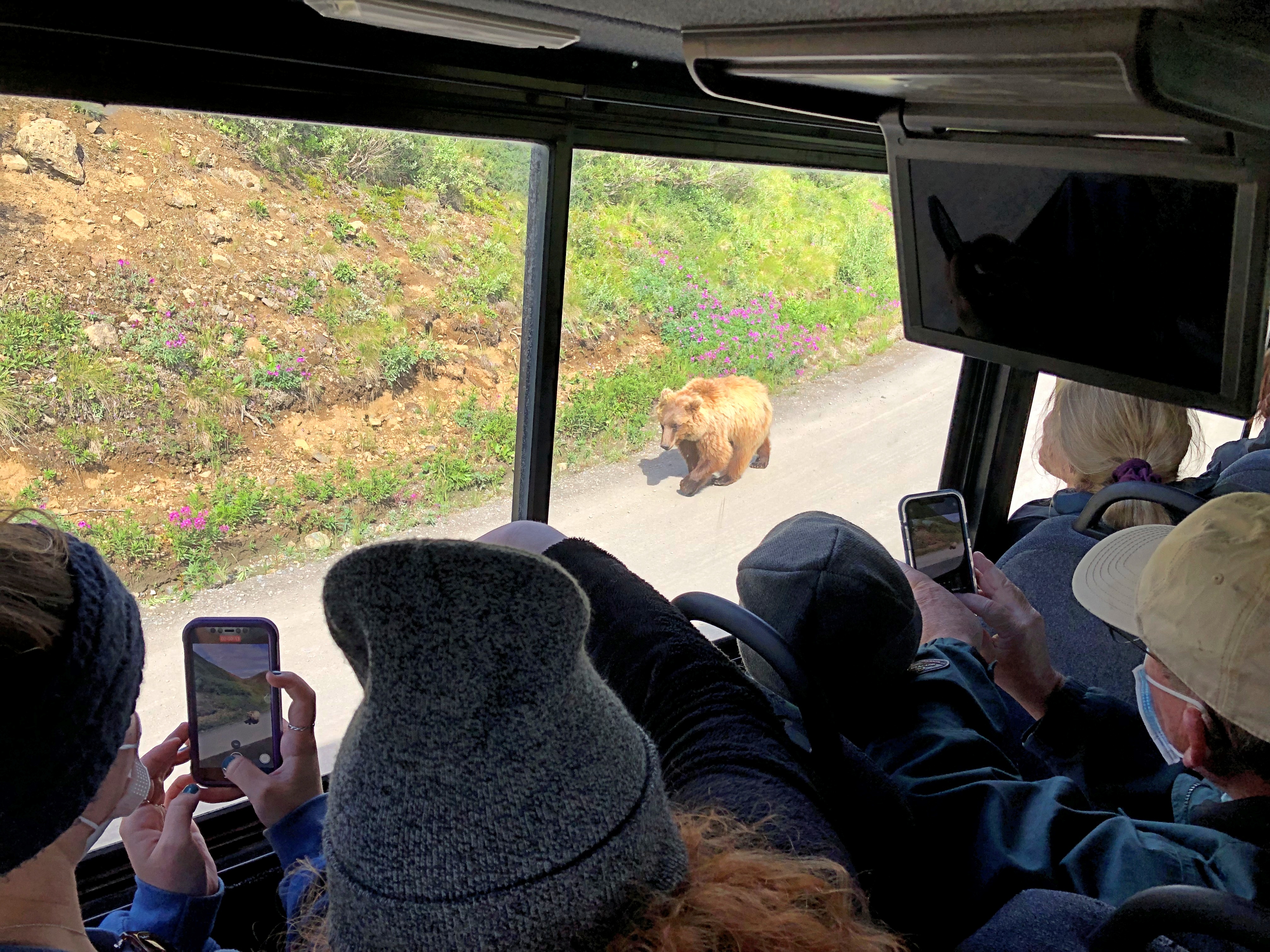
Denali NP bear

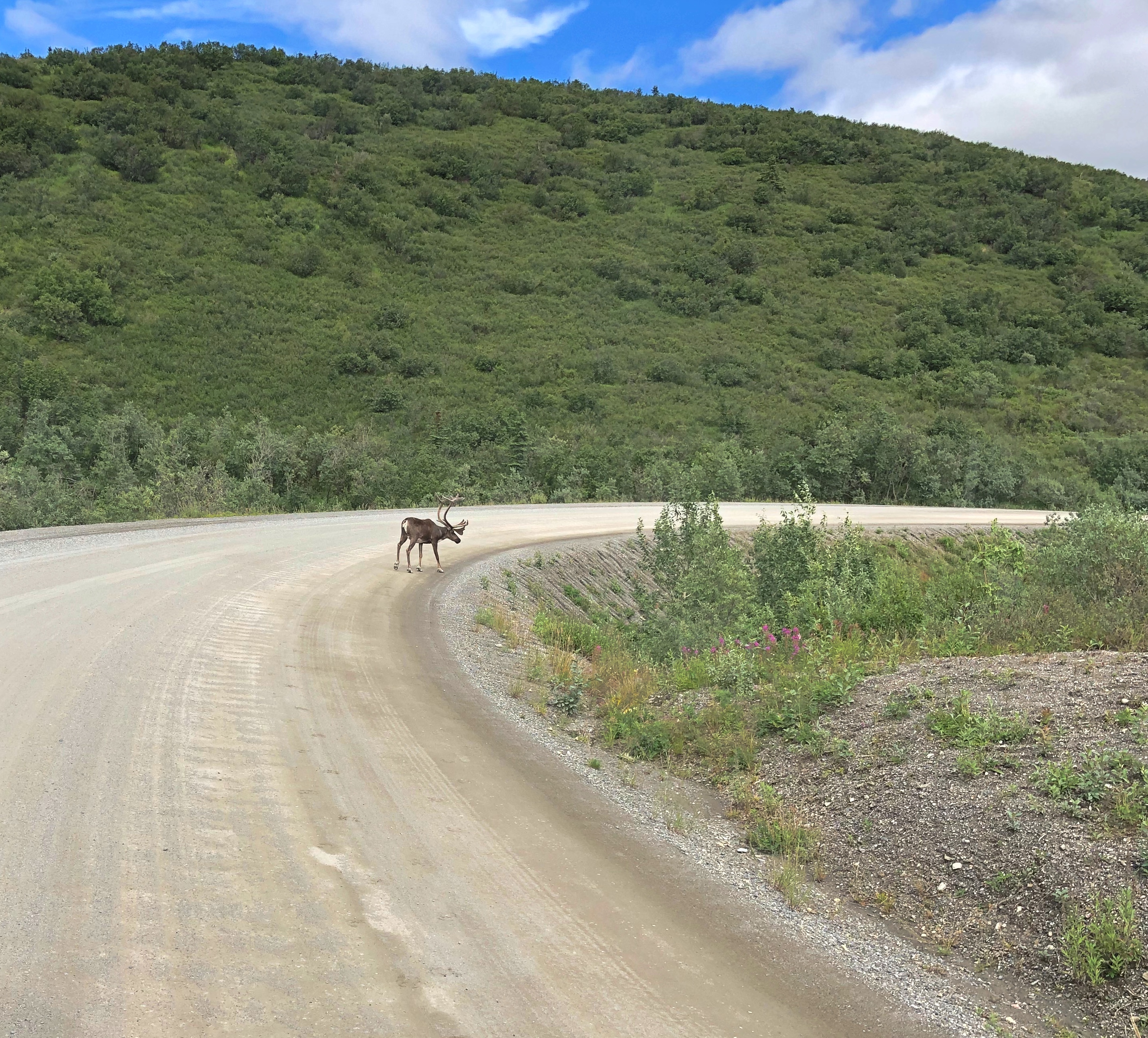
Caribou probably felt the same way.
Denali NP caribou

We also managed to see, as the day went on, Dall sheep, moose, and a lynx — another animal the guide said was rarely seen on a tour. As for the Dall sheep, they were white spots way up a mountainside, walking where I thought no animal ought to be able to walk. That only reflected my ignorance of all things Dall.

The conservation of Dall sheep was the original motive for creating Mount McKinley NP, as it was known when established in 1917. One Charles Sheldon, who made a fortune in mining and retired young to the life of a naturalist, successfully advocated for the creation of the park in the early 20th century to keep Dall from being wiped out by hunting.

At Mile 30, the rocky Teklanika River.Denali NP
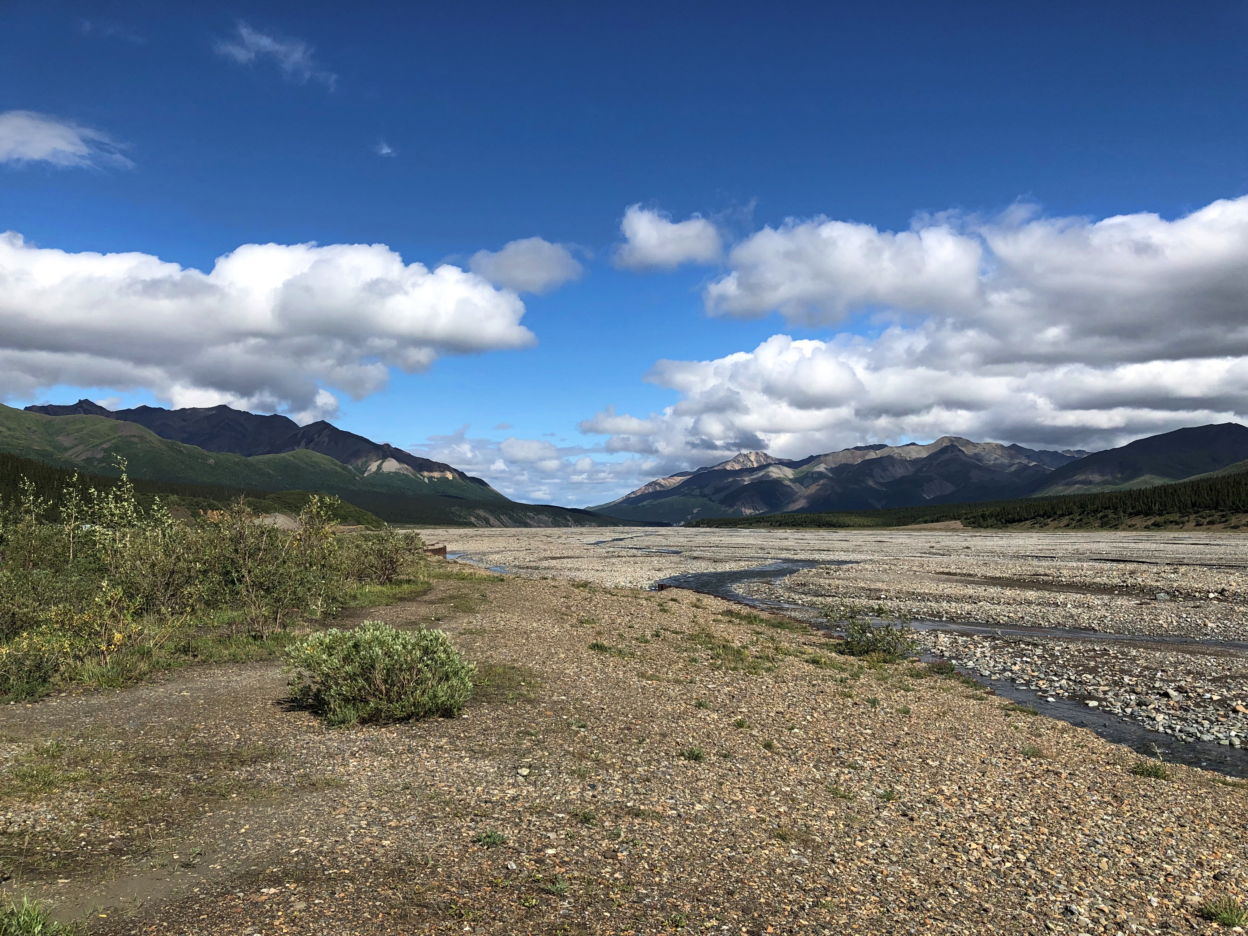
Denali NP

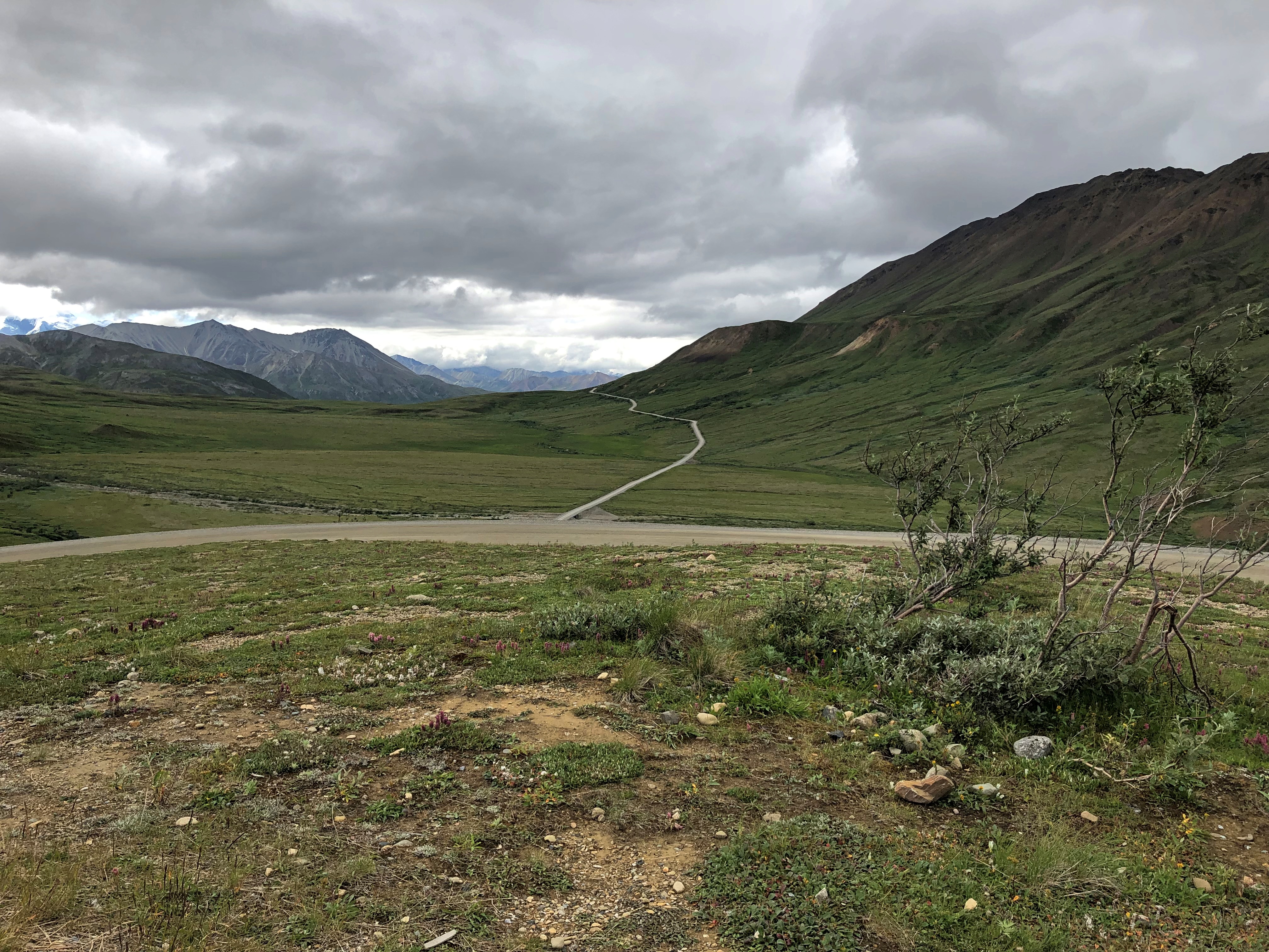
Further in: more views of the road, which winds around. The second image looks like another road branches off, but there’s only one road in all of Denali NP.Denali NP road
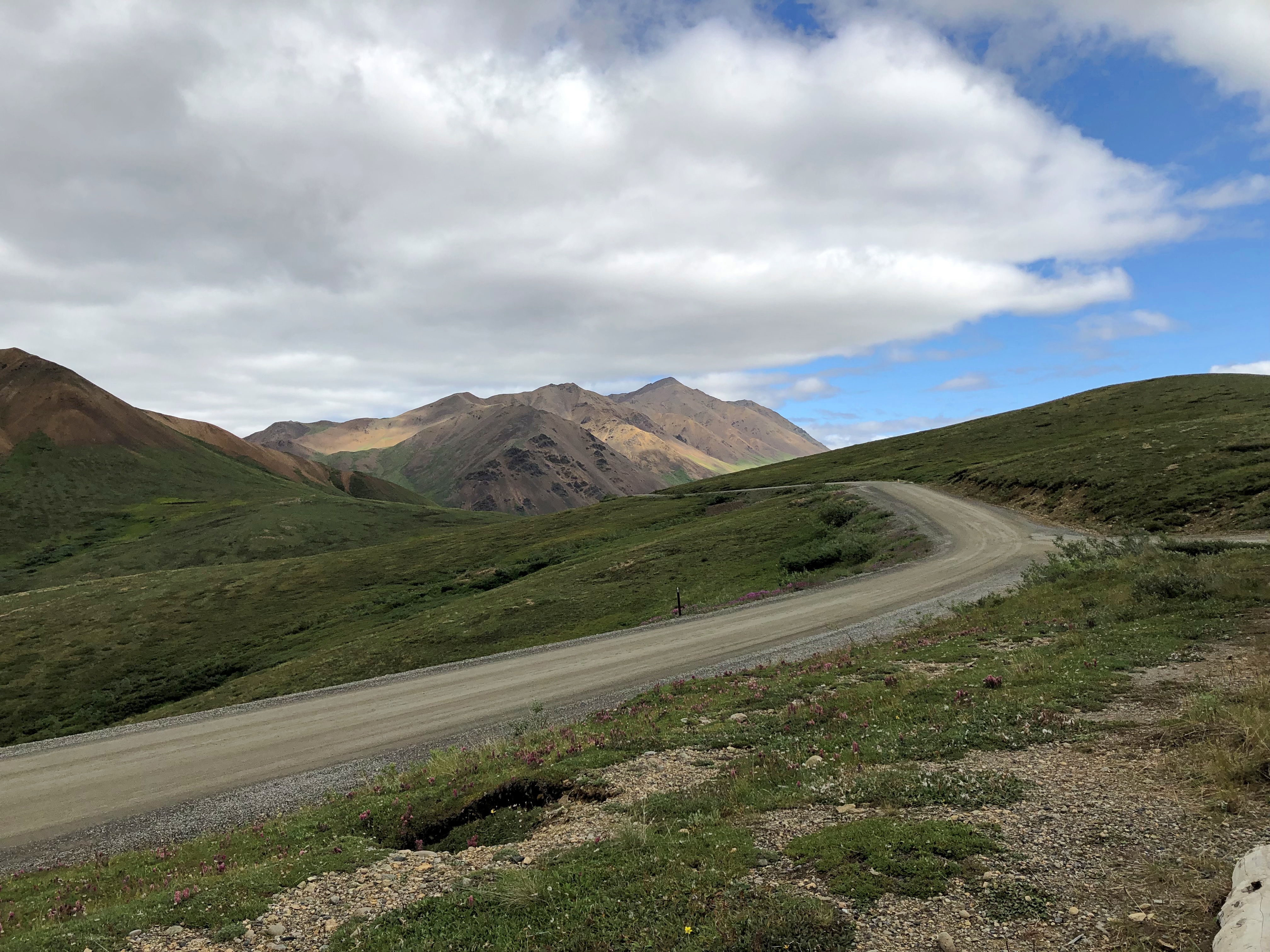
Denali NP road

The purest of the purists might object to this work of man in the park, but it’s the thinnest of ribbons in a vast wilderness, built from 1923 to 1938. Since Alaska 3 didn’t exist until 1972, visitors who wanted to travel the park road before then came up by railroad to the entrance of the park.

The road went on, but our tour made its turnaround at the Toklat River Rest Stop, Mile 53.
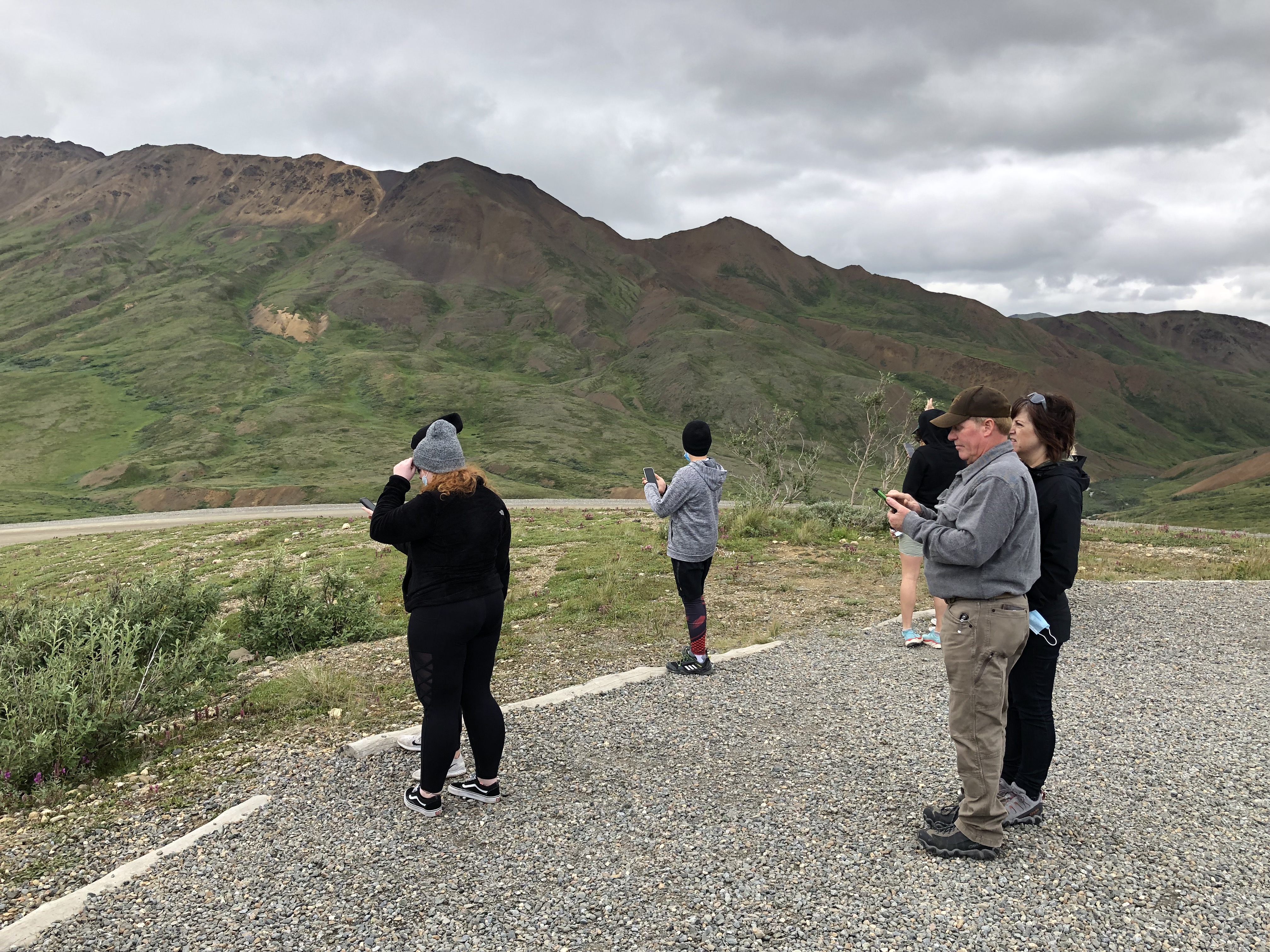
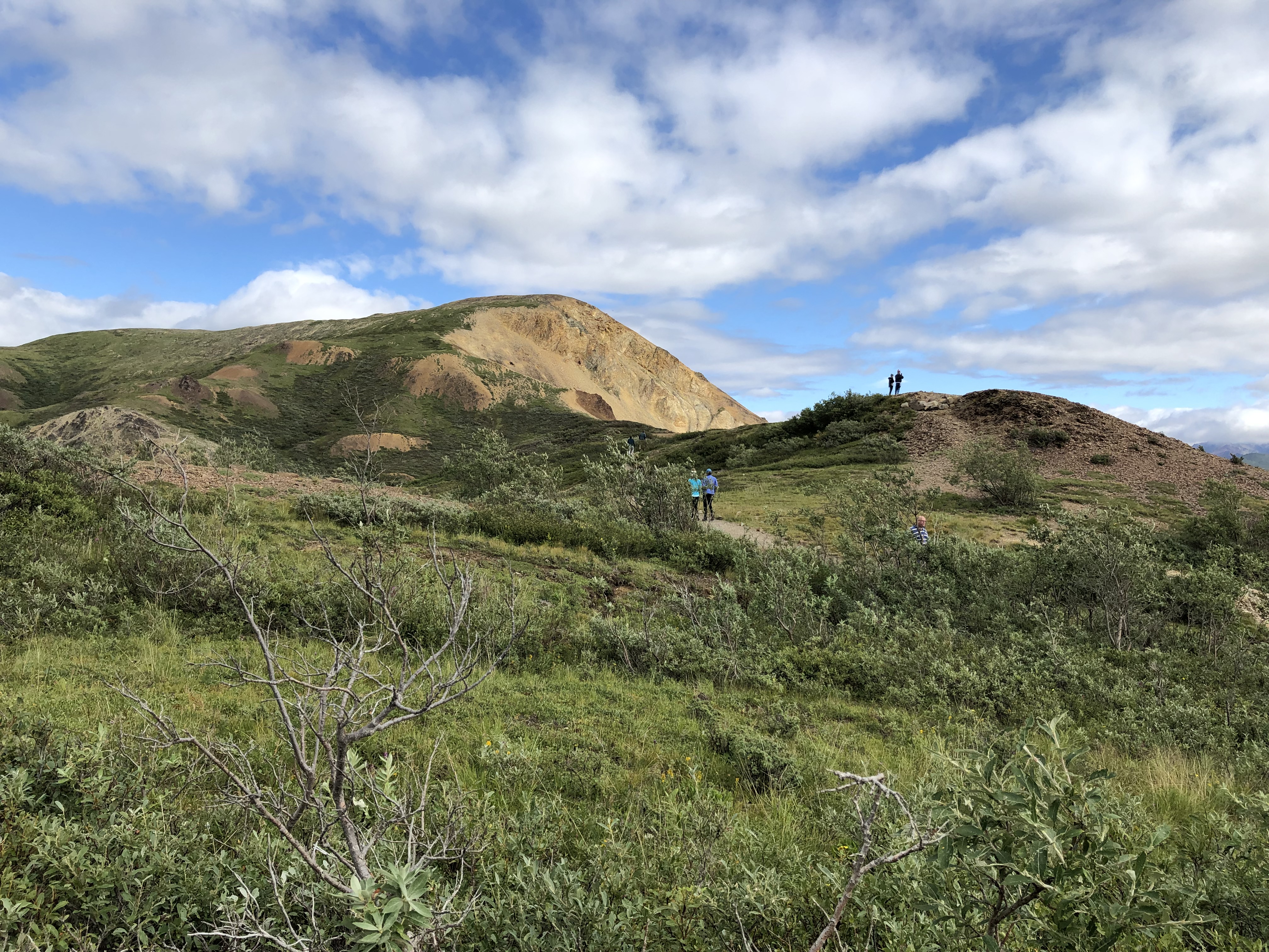
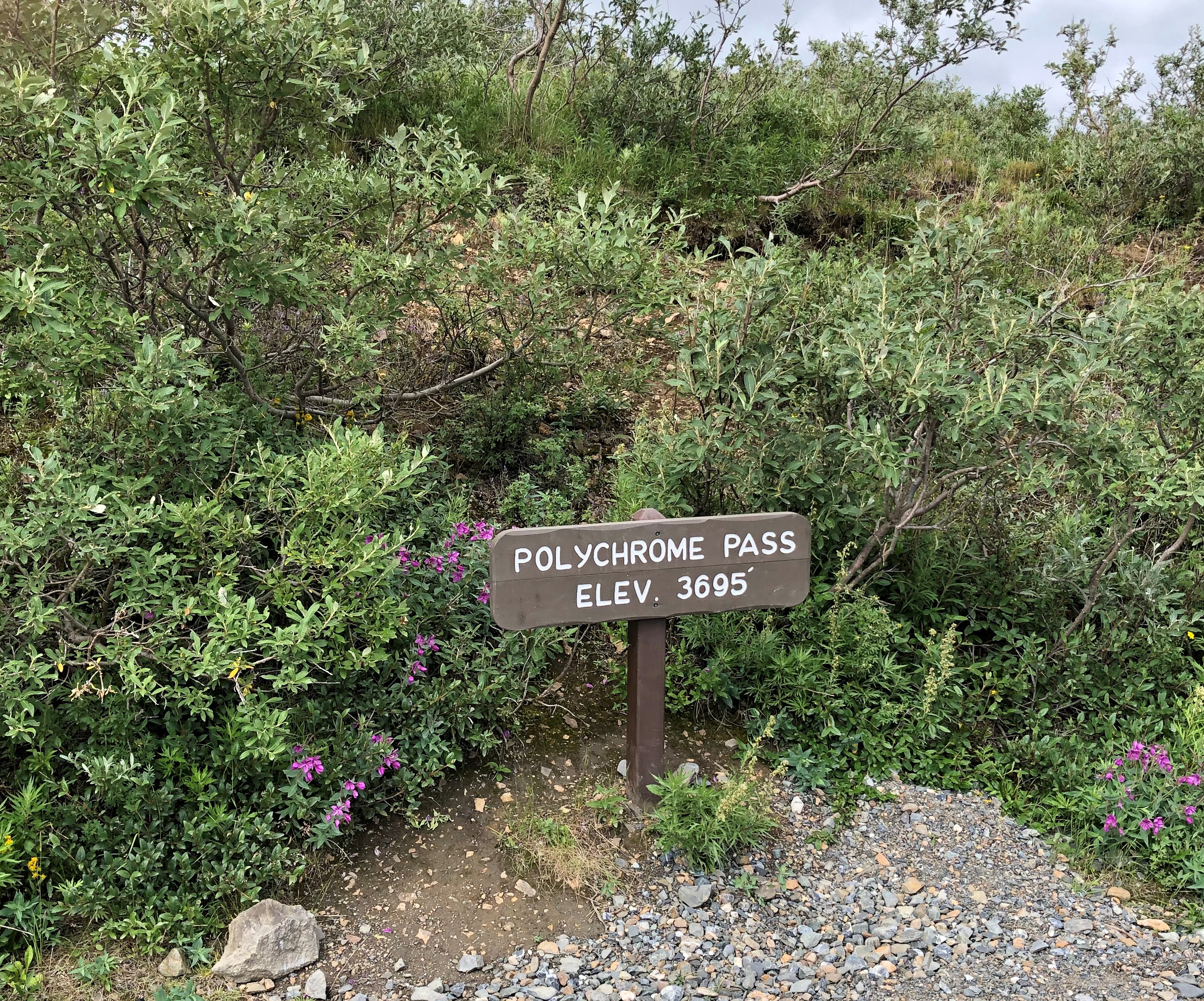
On our return, we stopped at a place that we had bypassed earlier, Polychrome Pass, at Mile 46.Denali NP Polychrome Pass
Most of us climbed the hill next to the road.
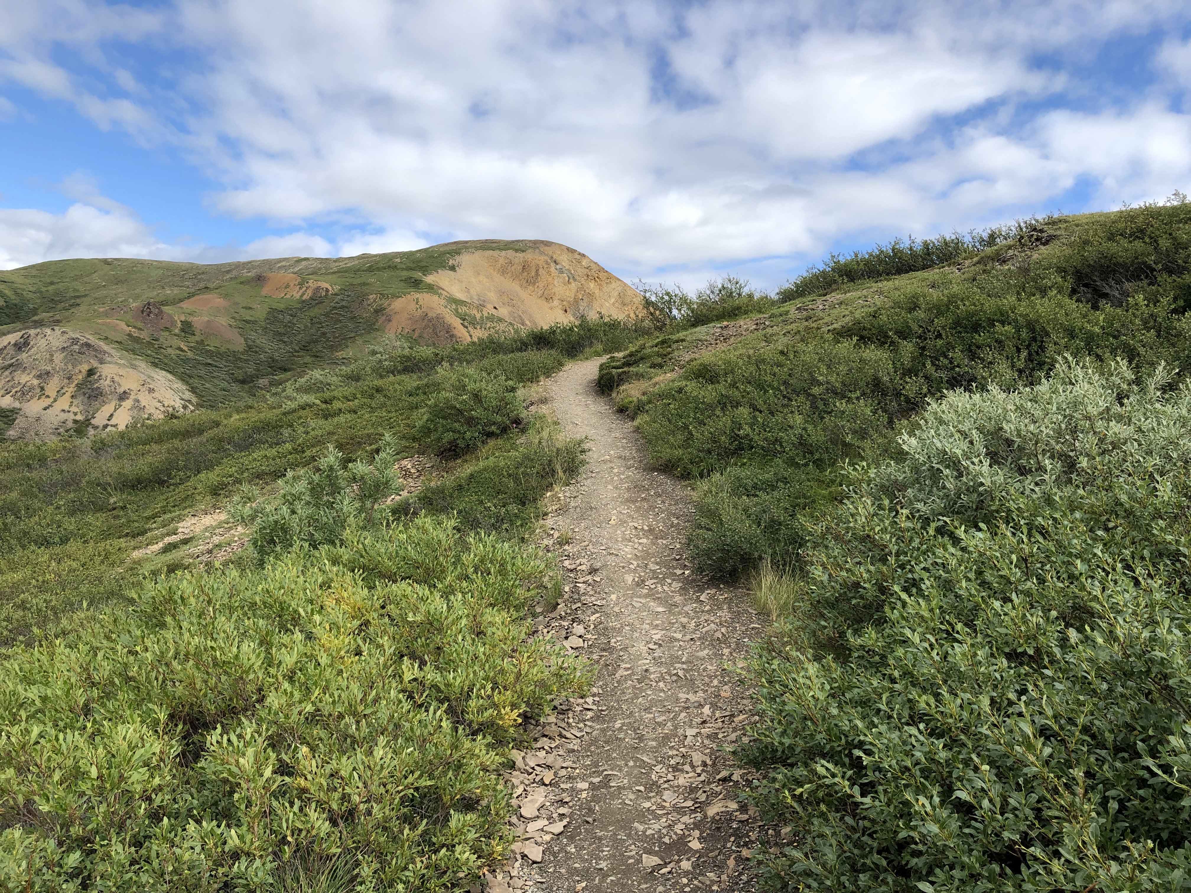
Denali NP Polychrome Pass

The view more-or-less north, into what are known as the Wyoming Hills, was nice.
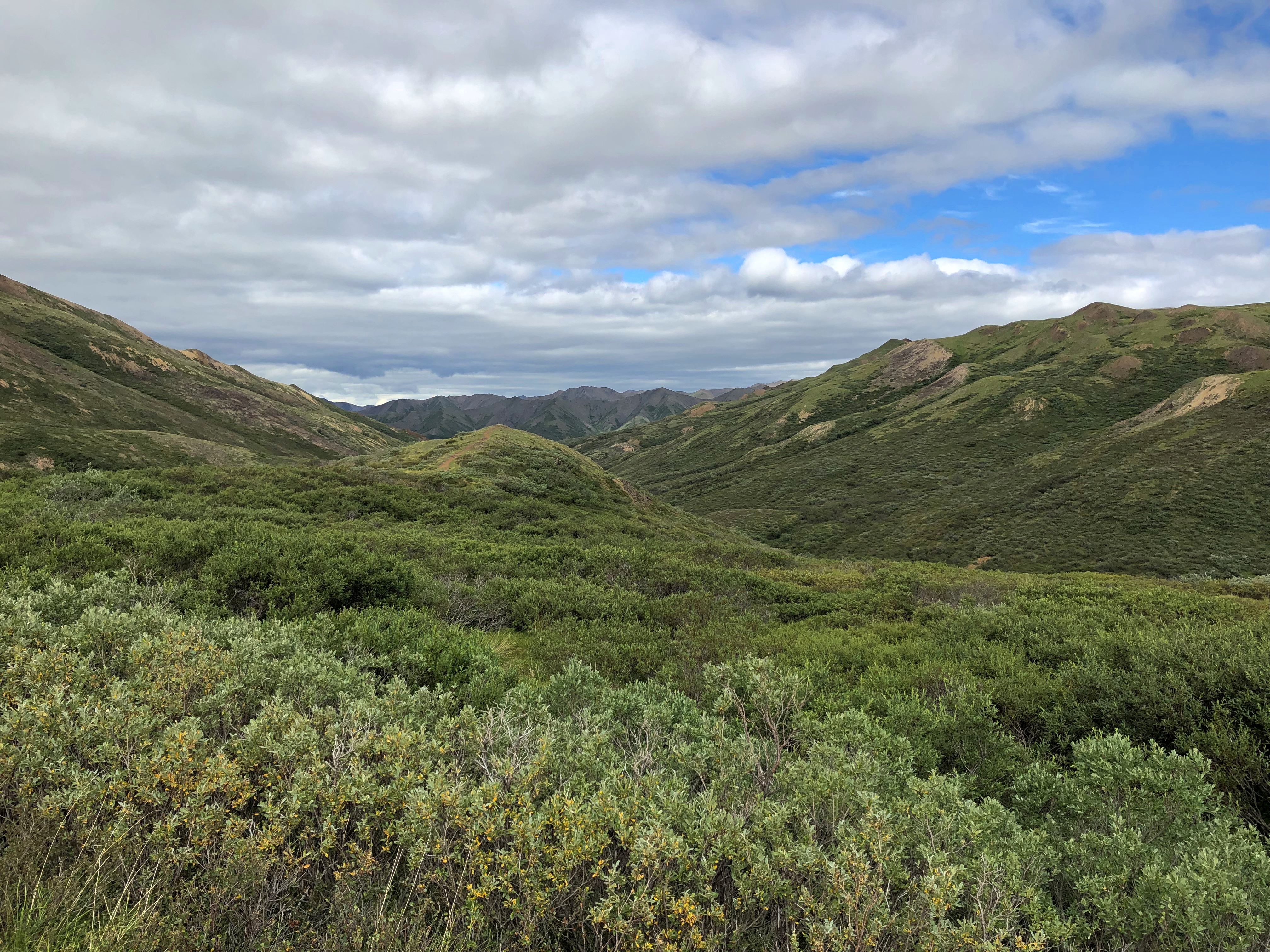
Denali NP Polychrome Pass

The view to the south proved to be my favorite in Denali NP, and in fact my favorite of the small slice of Alaska I got to see last week. Colorful, as the name implies, but much more than that. The cool brisk wind in otherwise absolute quiet added to the impression, but it was more than that too.

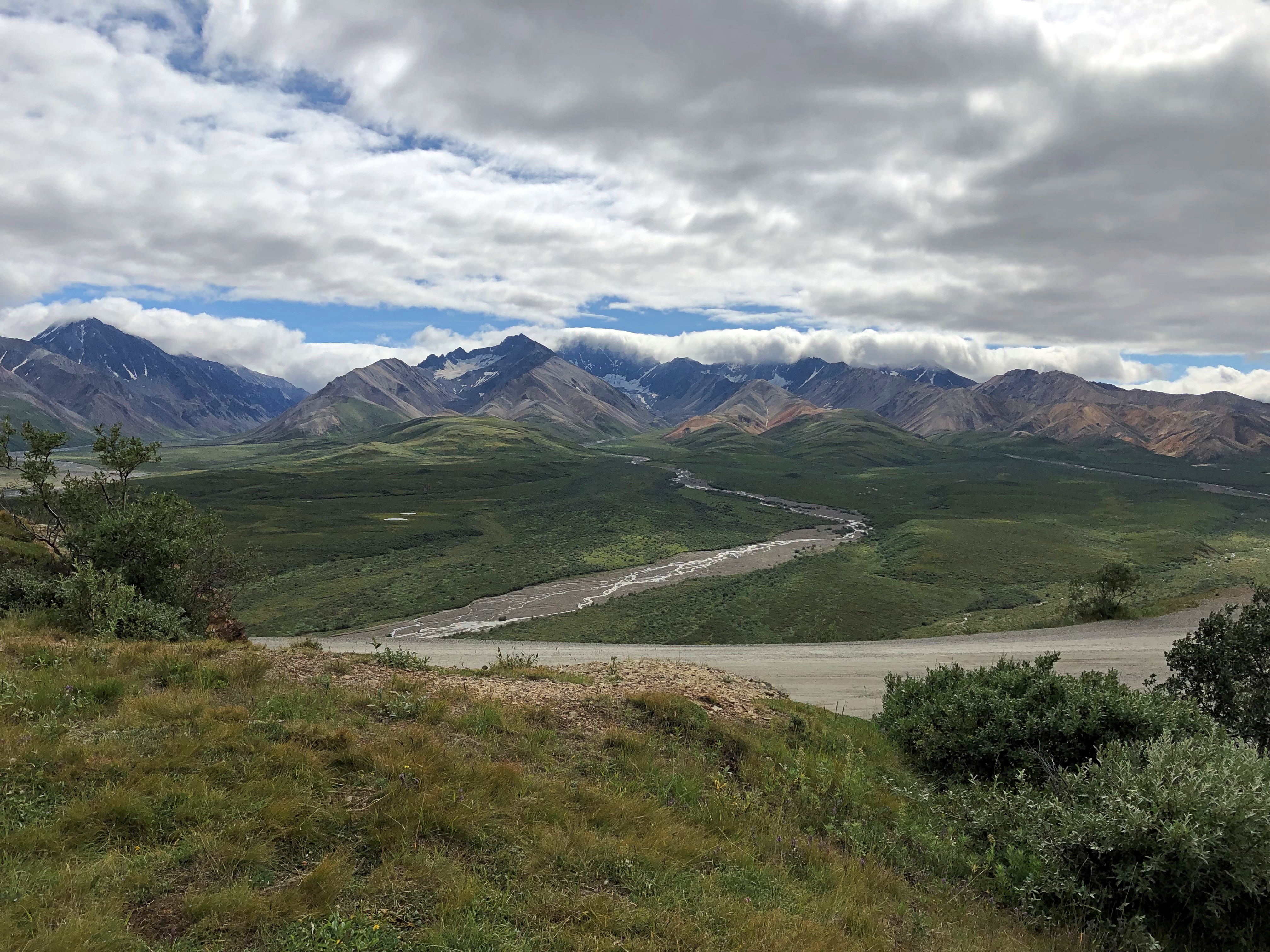
I will publish pictures here, but even more than all the others, they’re poor substitutes for the way the sweeping vista impressed my eyes. The view toward the Alaska Range at Polychrome Pass is, I believe, the grandest vista I’ve ever seen.Denali NP Polychrome Pass
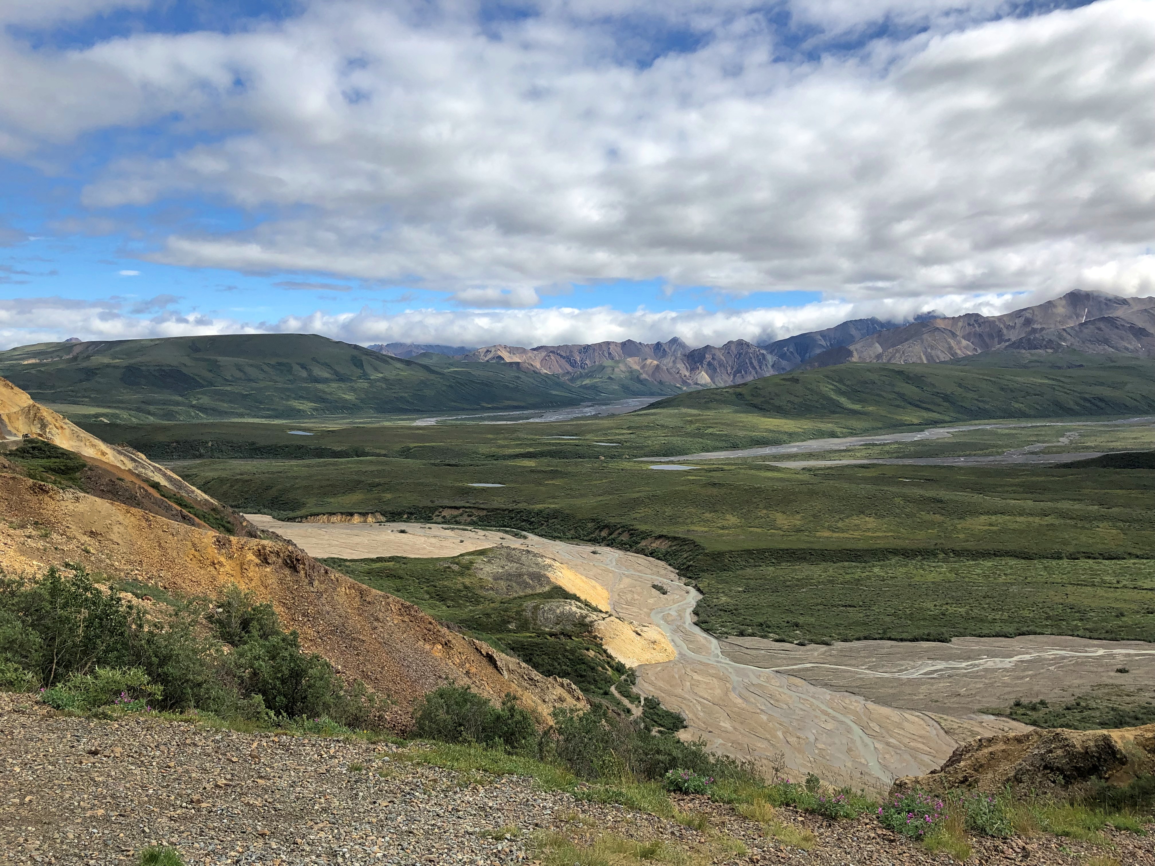
Denali NP Polychrome Pass

How so? Even now, a week later, the enormity of the scene staggers me. It isn’t obvious from the image, but the mountains are at least 10 miles away, leaving me the impression of the largest valley, the longest sweep of vision over a wild plain, that I’d ever encountered.

Maybe that’s the conditioning of Romantic ideas about nature, echoing down the last few centuries and taking the form of TV specials, coffee table books and a tourist industry that takes people to such vistas for a fee. Maybe God speaks through the grandeur of a place like Denali NP. Maybe I have wholly idiosyncratic ideas of worthwhile vistas, because to me the view from Victoria Peak over the nighttime illuminated urban canyons of Hong Kong was almost as grand. Maybe I don’t really care about any of those ruminations. All I know is I was exceptionally glad to be there in Denali NP and see that.
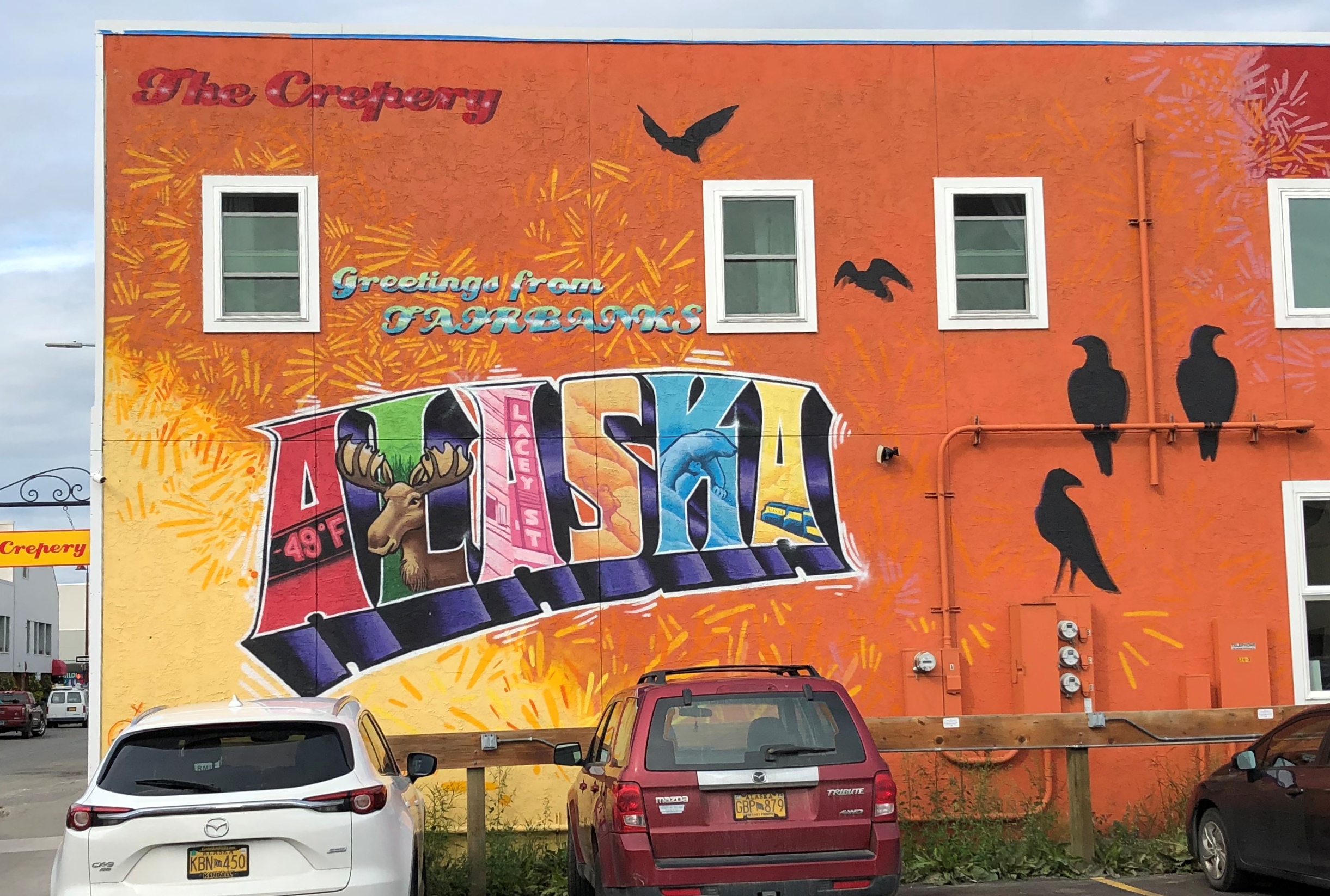
North to Alaska

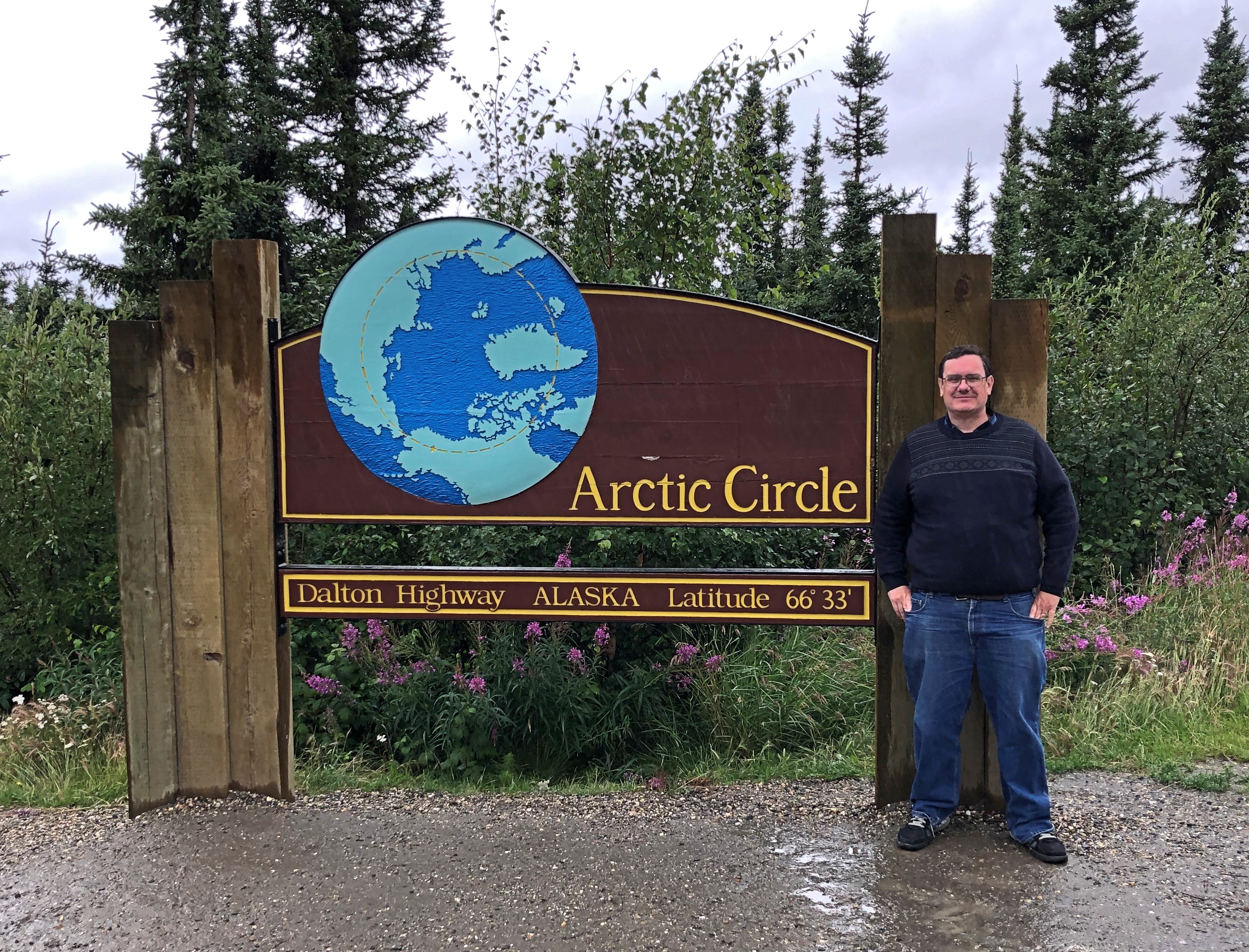
Last week, I found myself at the Arctic Circle. Or so the sign said. I didn’t bother to check with GPS, since I knew it was close enough, like the Prime Meridian line in Greenwich, England. I posed with it. That’s the tourist thing to do, especially when you’ve come a long way.Arctic Circle Sign, Alaska July 2021

A fleeting but memorable moment there at 66 degrees, 33 minutes North, early during my recent visit to Alaska, which ran from July 26 to July 31. Before that, I flew to Seattle to spent a long weekend with Lilly, who has established a life in that city. I also visited some of my old friends — stretching back to college and high school — now resident in that part of the country.

On the first day in Seattle, July 23, Lilly and I walked from her apartment in the Wallingford neighborhood (near Fremont) over to Gas Works Park under a warm summer sun. That was one of the first places I ever visited in Seattle in ’85, long before the notion of walking anywhere with a grown daughter. After an afternoon nap (for me), we had a delightful take-out dinner at Bill and Gillian’s back yard in Edmonds, with another friend, Matt, joining us.

On Saturday the 24th, I had breakfast up the street from Lilly’s with a high school friend, Louis, whom I hadn’t seen in… 40 years? Late in the morning, Lilly and I went to the Seattle Art Museum, which has quite the collection, arrayed in galleries each featuring a certain genre or artistic theme – usually a radically different one from the neighboring galleries. Out to smash that paradigm called “chronology” or “art history,” I suppose.

That afternoon, we went to the Ballard Locks, formally known as the Hiram M. Chittenden Locks, which connect Puget Sound with Lake Washington, a worthwhile suggestion of Jay’s. Not as impressive as the Panama Canal, Lilly said, but still a feat of 1910s engineering. That evening, old age rested (me) and youth went out (Lilly). That meant that the next morning, youth was a lot more tired than old age during the ferry ride and drive to spend the day at Olympic National Park, where we took a hike along Hurricane Ridge and then a walk to see Marymere Falls.

On July 26, I flew to Fairbanks, my base for the rest of the week. I didn’t have a rental car at first, so I got around via cabs and municipal buses in roughly equal measure – the former being infinitely more expensive than the latter, since the buses have been free since the pandemic hit. I took in the excellent Museum of the North on the sprawling campus of the University of Alaska Fairbanks and visited downtown Fairbanks long enough to get dinner.

The next day, I made my way to a general aviation runway near the airport and took a tour that involved flying in a small plane to Coldfoot, Alaska, which isn’t even a town, but rather a camp on the Dalton Highway, about 250 miles north of Fairbanks. North of Coldfoot, there are no services for 240 miles, until Deadhorse.

We didn’t continue further north. The tour then headed southward by bus on the gravel road that is the Dalton, stopping at a few places, including the Arctic Circle sign.

On July 28, I picked up a rental car and spent some time looking around Fairbanks, including the Birch Hill Cemetery on the outskirts of town, and then suburban North Pole, Alaska, for a look at the curiosities there. Mainly, the Santa Claus House. From there I headed south on Alaska 3, a two-lane road to Anchorage. I didn’t go to that city, but rather to a hotel near the entrance of Denali National Park, where I spent the night. Along that road, I unexpectedly found a presidential site.

The next day, I took a bus tour of the national park, which took us along the only road in the park to see magnificent vistas and animals along the way. We saw many of each. We also saw Denali itself for a short time without a shroud of clouds, gleaming white among the brown mountains. About 600,000 people visited Denali NP in 2019, a record, and I understand the attraction.

That evening, or rather during the long twilight afternoon, I drove back to Fairbanks, only about 90 miles. On the morning of July 30, I spent time futzing around downtown Fairbanks, this time using the rental car, occasionally marveling that I was in the furthest north U.S. city.
welcome to alaska

A heavy lunch made me tired, so I returned to my room and napped and read and wrote postcards and watched YouTube and regular TV. Even tourists need time off. If the trip had ended then, I would have been more than satisfied, but I had scheduled one more day.

It was a good one. Better than I expected. I’d considered going to a hot spring about 60 miles from Fairbanks, but I’d had enough of long drives, so instead I visited another cemetery, some churches, a couple of neighborhoods and had a lighter lunch than the day before.

That meant I was ready for the Fountainhead Antique Auto Museum in the afternoon. I almost didn’t go. Two museums seemed like enough for this trip. But I figured I’d go look at some old cars for an hour or so, since I was nearby anyway. I was astonished at the place. Not only was it an excellent car museum, it was an excellent museum, period: an amazing collection expertly displayed and curated.

That wasn’t quite all. I spent a little more time before returning to the airport walking on the trails of Creamer’s Field Migratory Waterfowl Refuge, including its boreal forest trail, a term that evokes the trackless reaches not much further out of town. My July 31 flight from Fairbanks was a redeye, bringing me home early today.

My senses had to work overtime to take in all that I experienced. Alaskan vistas tend to be intense, in spots sweeping far to the distance; more expansive than I’d ever seen, besting even the Grand Canyon or the Canadian Rockies or the Gobi Desert. Roads took me through vast forested square miles without much human presence. On learning that there are really only six main species of trees in the Alaskan forests, and that one of them is the quaking aspen, I started noticing them everywhere. At one rest stop, I listened to the wind blow through a stand of maybe half a dozen quaking aspens, a distinctive rustle I’ve heard in my own back yard, only magnified.

Mostly the temps were in the 60s and 70s, and as high as 80, though a rainy cool day on the Dalton made the gravel crunch and the mud stick, and some of it yet remains dried on my hiking shoes. As the days passed, I started noticing the hours-long twilight and the never-quite dark of the night, strange to contemplate, if you’re not used to it. The signs and businesses and other details along the way in Fairbanks spoke to a strong regional identity, as much as in Texas.

At first, Fairbanks itself didn’t impress. The Lubbock of the far north, I thought. But the longer I stayed, the more I began to appreciate its light traffic, historic spots, and restaurants that wouldn’t be out of place in any much larger American city.

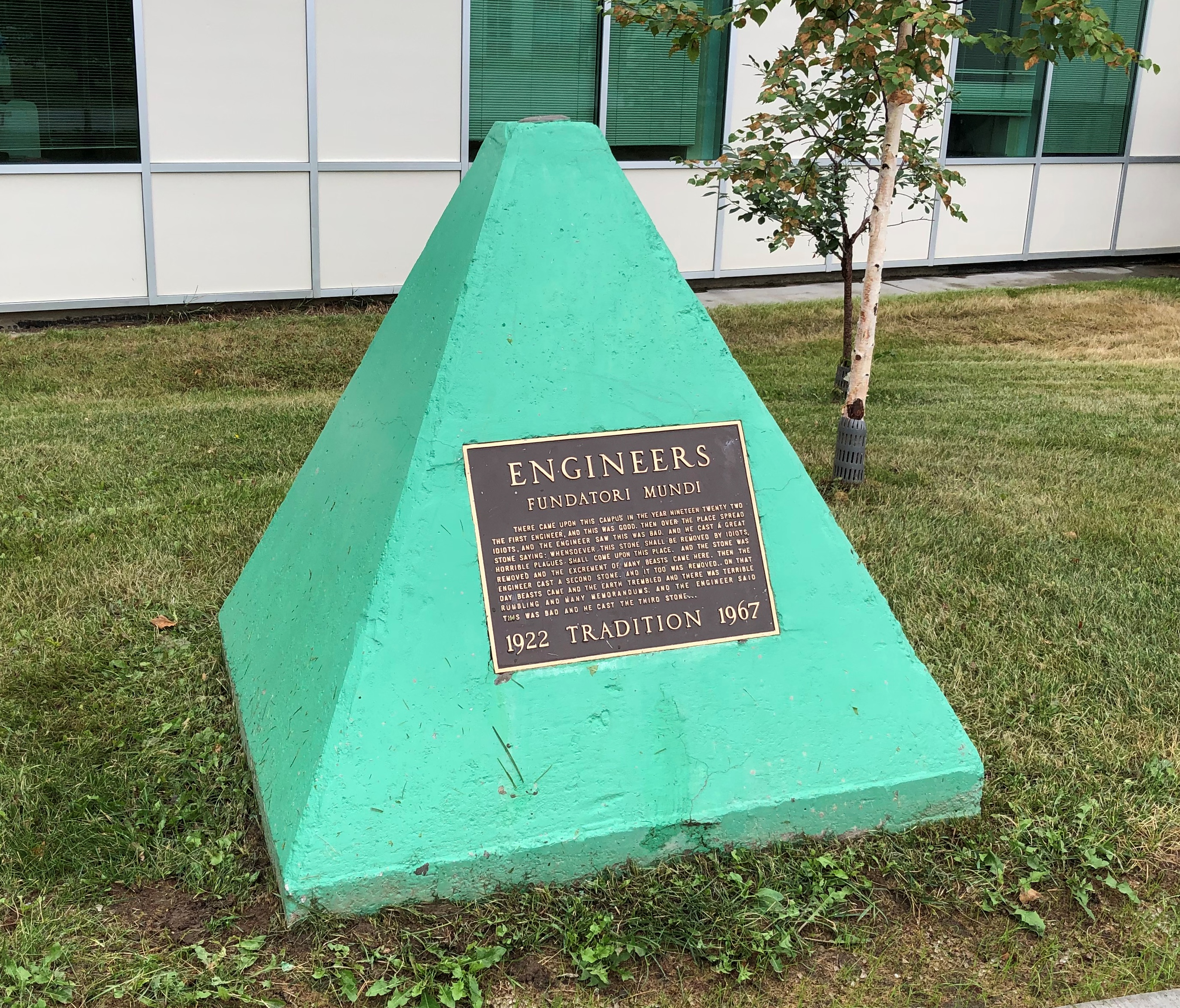
And its oddities. Perhaps none as odd as the green pyramid at the University of Alaska Fairbanks, in front of the engineering building.
Engineers Tradition Stone University of Alaska
The text is here.

The Alaska leg of the trip was a little expensive, at least after arrival, because the airfares to get there and away were the least expensive part of the trip. Everything else in Alaska is expensive. But I have to add: entirely worth it.

Most of an Empress Hotel Postcard

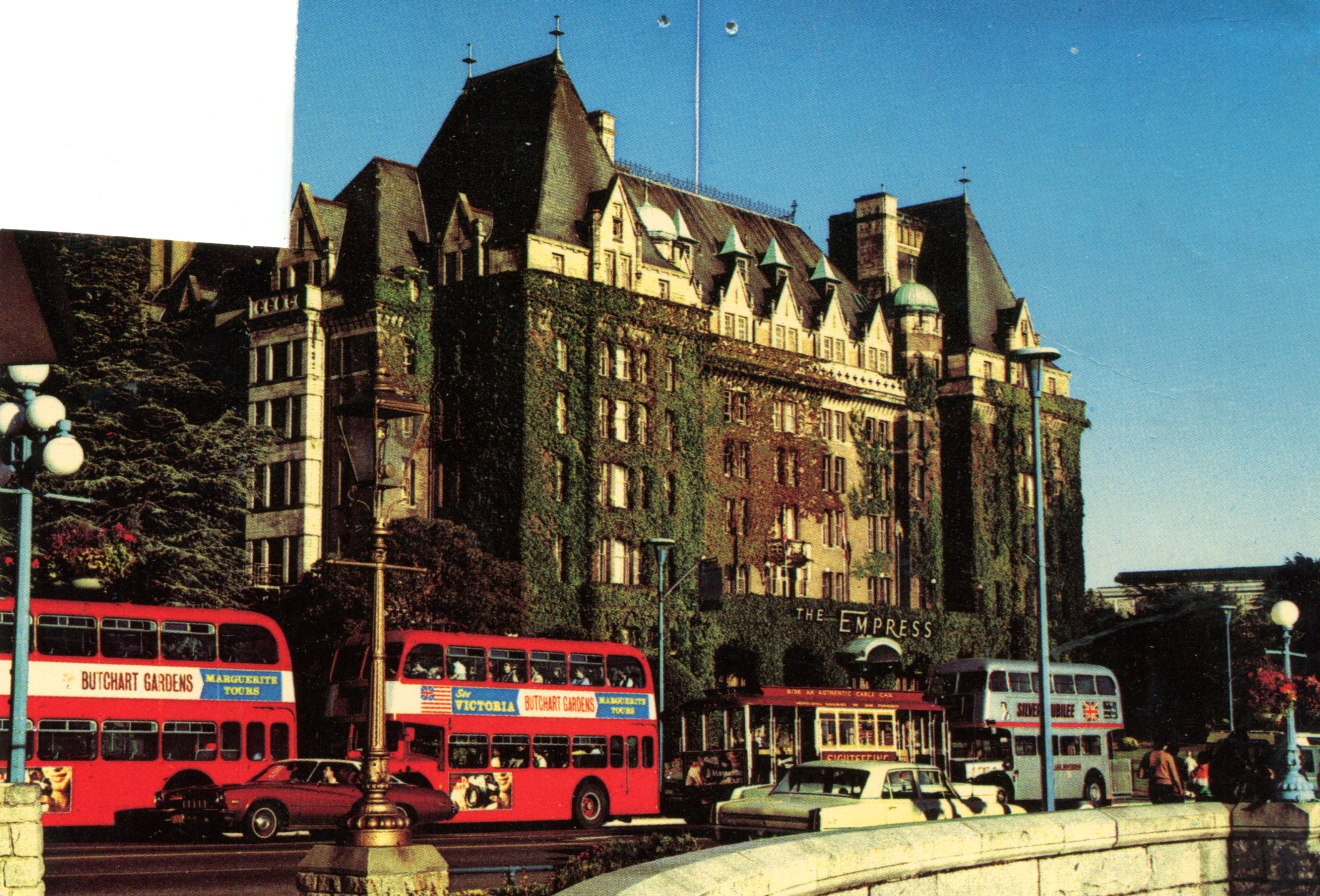
Postcards are sometimes educational, if you let them be. Another of the cards that I dug up this weekend depicts the Empress Hotel in Victoria, BC.Empress Hotel

I picked it up during my only visit to that city (1985), though to judge by the image, the picture might have been taken ca. 1970. I filled the card with correspondence, even to the point of stamping it, but I never sent it. At some point I removed the stamp for other usage.

Curious about the property, vintage 1908, I looked it up and thus learned about an entire class of hotels — namely, Canada’s grand railway hotels, mostly built by Canadian railway companies in a style that evokes French châteaux: Canadian National Railway, Canadian Pacific Railway and Grand Trunk Railway.

Some of the properties don’t exist anymore, but many do, such as the recently mentioned Banff Springs Hotel. That there are such palatial hotels is a good thing to know about Canada, I think.

Alberta 2006

It’s been a year of getting near Canada — Buffalo and Detroit so far — without crossing the line, since the border remains stubbornly closed even now.

That wasn’t the case 15 years ago this month, when we drove from Illinois to Alberta by way of the Dakotas and other places. At the time I wrote: “So, to sum up: very long drives, a lousy exchange rate, high fuel costs. Was it worth it? Was it ever.”

What is it about mountains? Pre-modern generations considered them obstacles to their forward motion. Now that we have mountain roads and tunnels, we admire the view. Do people who live close to mountains take trips to see flatlands? That makes me think of busloads of Swiss out admiring Kansas, but I don’t think it works that way.

Anyway, it was a trip of wide horizons, long roads, lofty mountains, mighty waters (liquid and frozen), endless forests, vivid wildflowers, sweeping Canadian farms, campsites, elk and bears and bison, clouds of mosquitos, national parks, vistas and towns of the tourist and non-tourist variety.

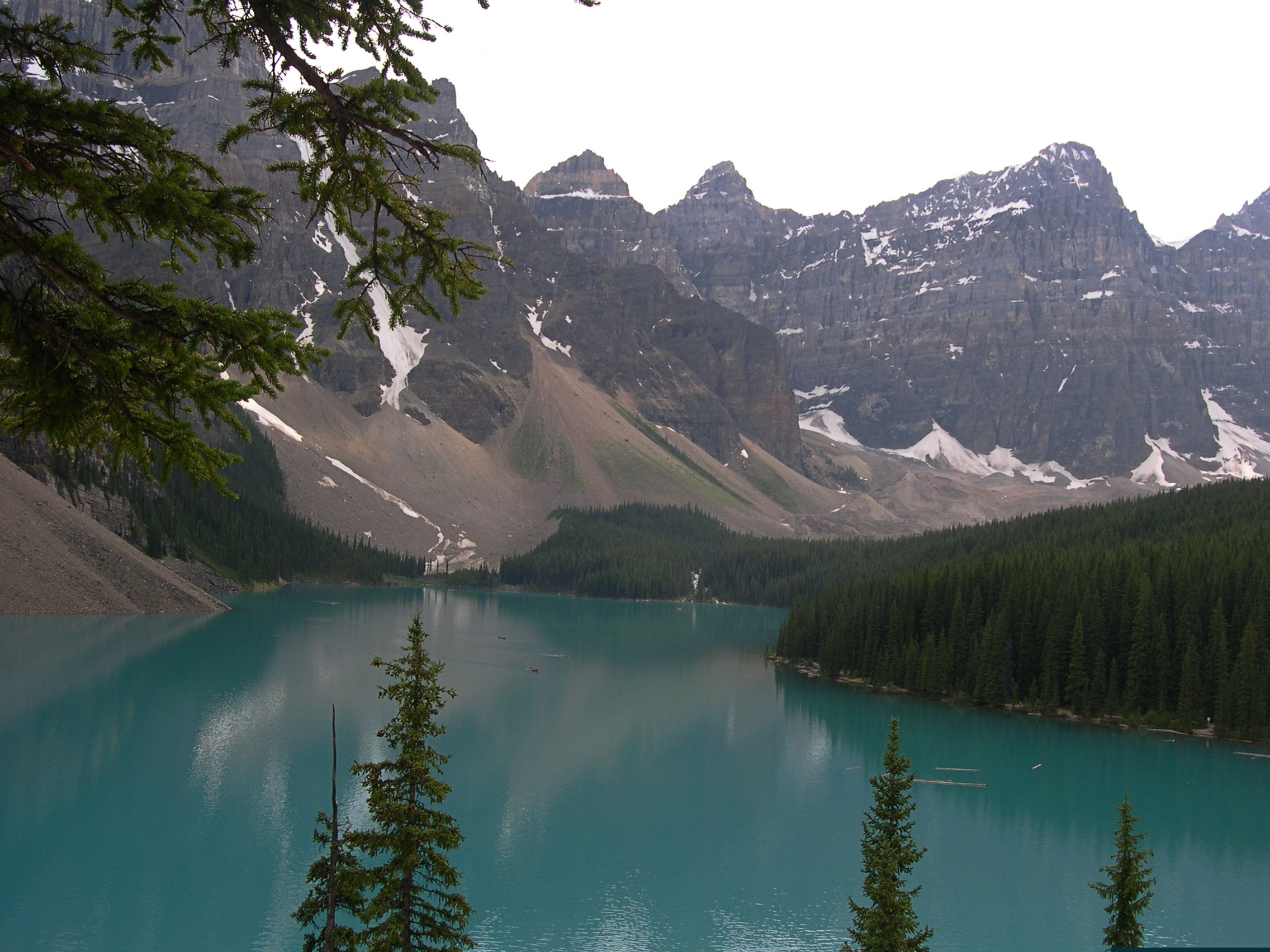
Moraine Lake and the Valley of the Ten Peaks. Too good a vista not to post again.

Moraine Lake and the Valley of the Ten Peaks

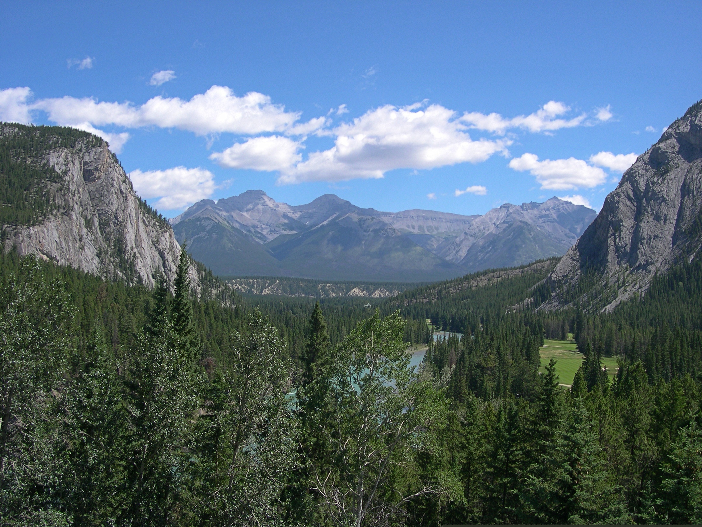
This looks like a view from some remote spot, but actually I was standing in back of the Banff Springs Hotel in Banff, which was a sight all its own.

Banff Springs Hotel back view

This view, on the other hand, is roadside on the Icefields Parkway, which remains one of the great drives of my life. A place called Moose Meadows.

Moose Meadows, Alberta

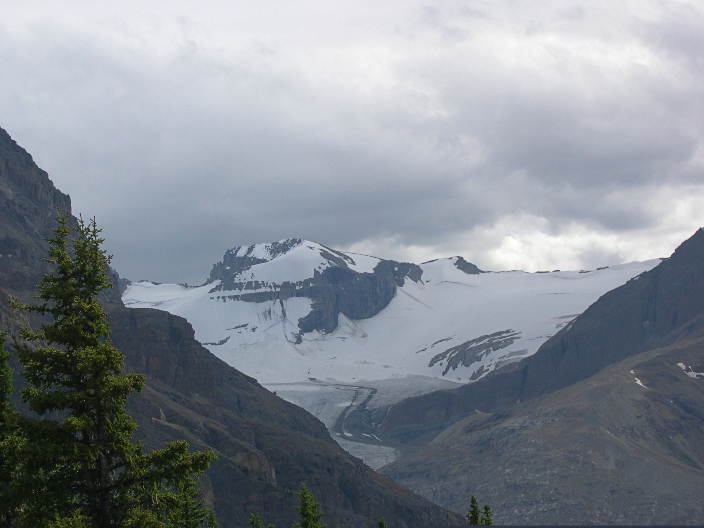
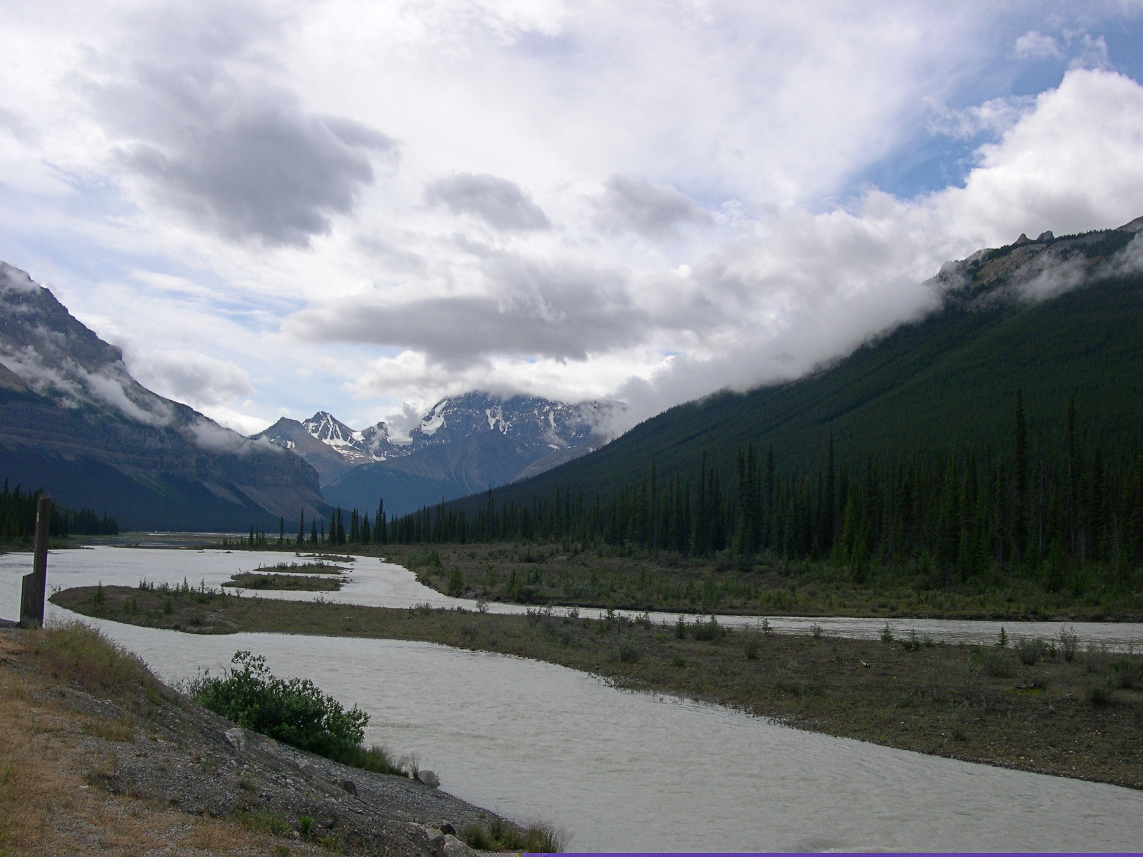
More Alberta views.Alberta

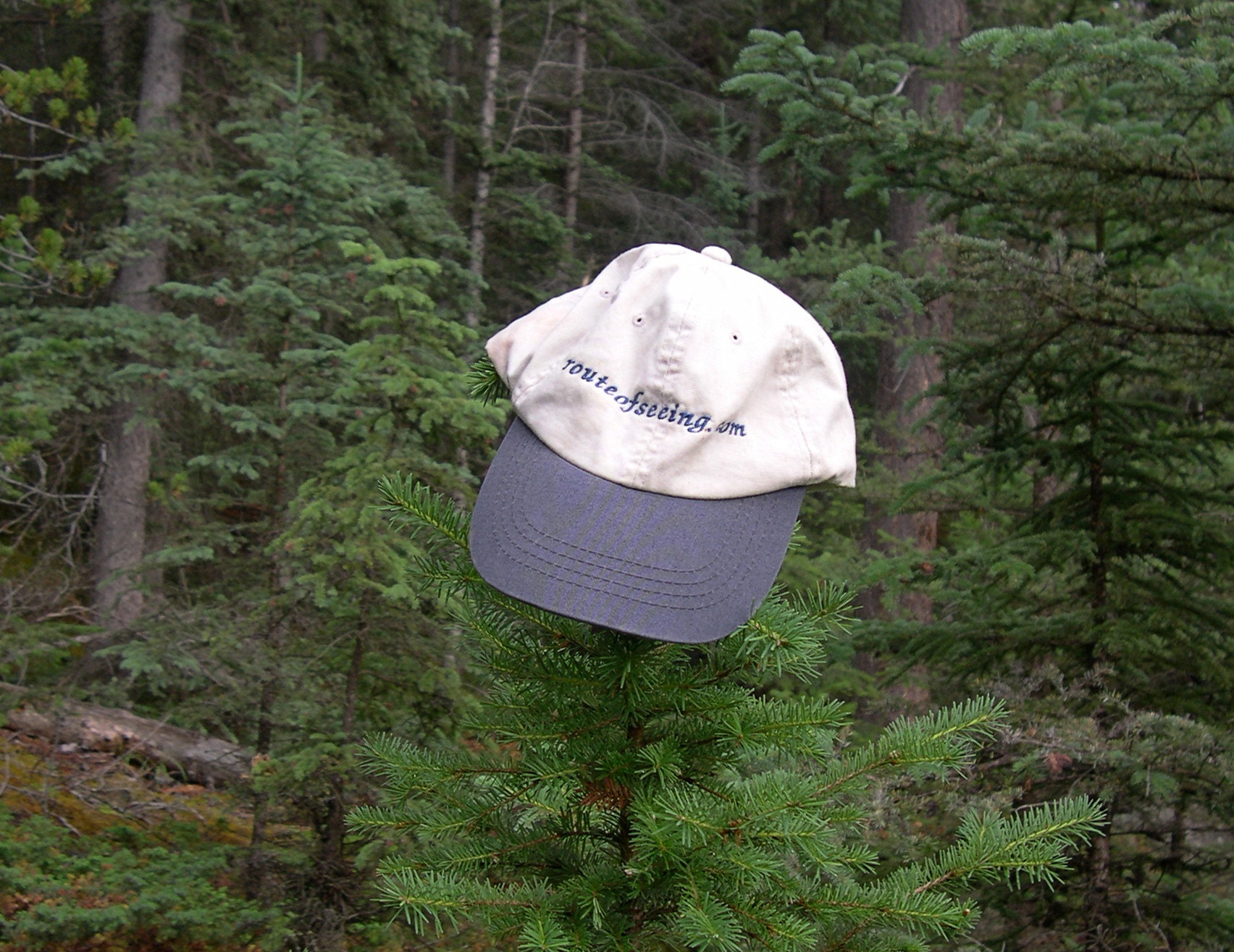
I told Ed Henderson (d. 2016) I’d take the cap he sent me various places. I haven’t lately, but I did for a while.

The girls had a good trip.

Even if they don’t remember much, in the case of Lilly, or anything at all, in the case of Ann.

The Latest NP

What, another national park? Don’t we have enough? (This makes 63.)

I’m referring to New River Gorge National Park and Reserve in West Virginia, which sounds like a fine place to visit, including the bridge. But does it need to be a national park? Wasn’t national river good enough?

The new designation was tucked away in the latest omnibus federal budget, a document probably as sprawling and wild as some of the larger national parks. Maybe there’s also something there about a new park on the Moon, though I expect that would go against the Outer Space Treaty of 1967. Then again, could be that the treaty is silent on that question.

The Century of Progress Architectural District

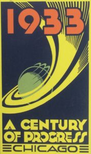
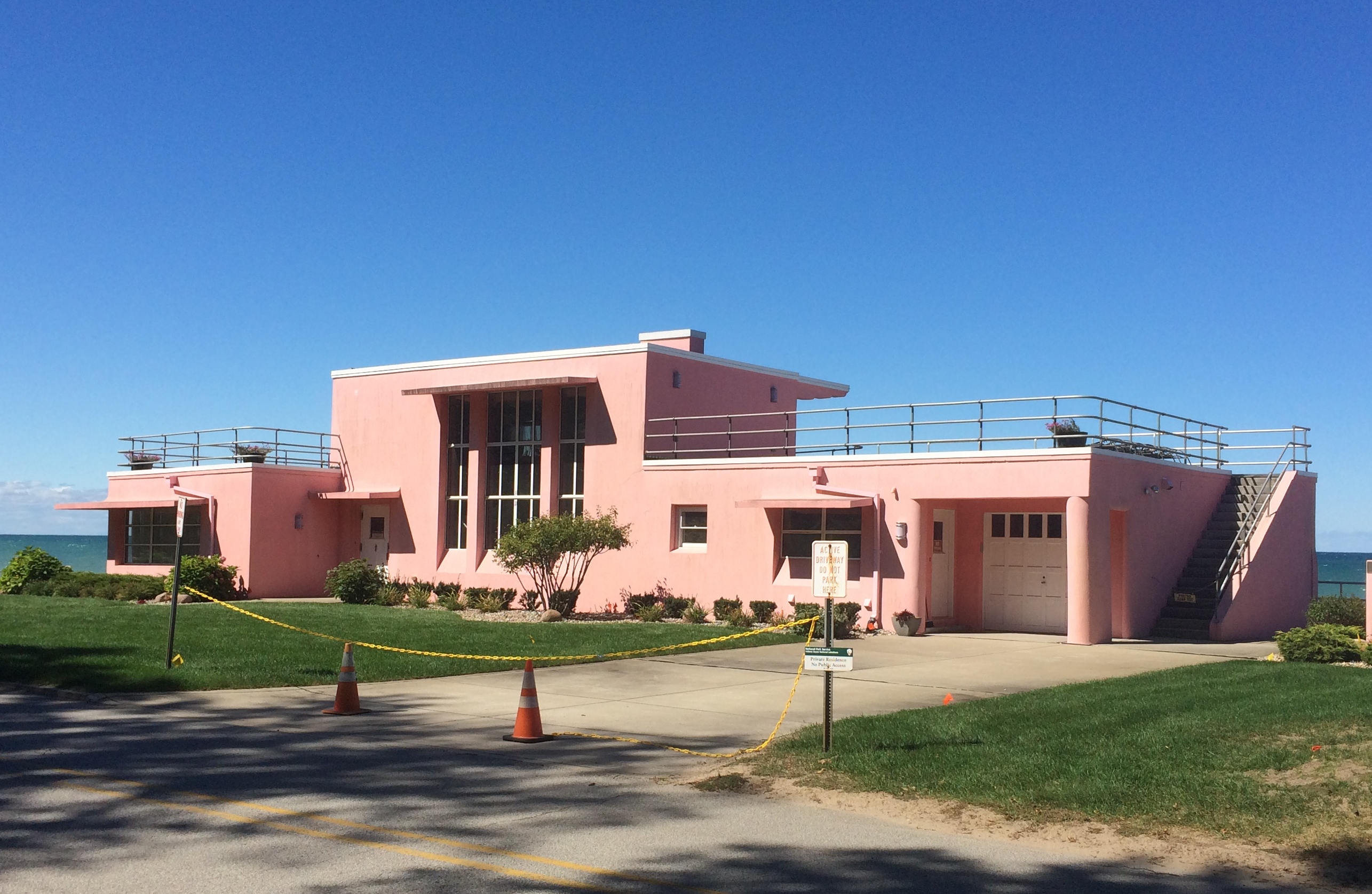
Tucked away on a small road paralleling Kemil Beach on Lake Michigan is the Century of Progress Architectural District, which includes five houses originally built for the world’s fair in Chicago in 1933. The houses were moved by barge across the lake after the fair, and are now part of Indiana Dunes National Park.

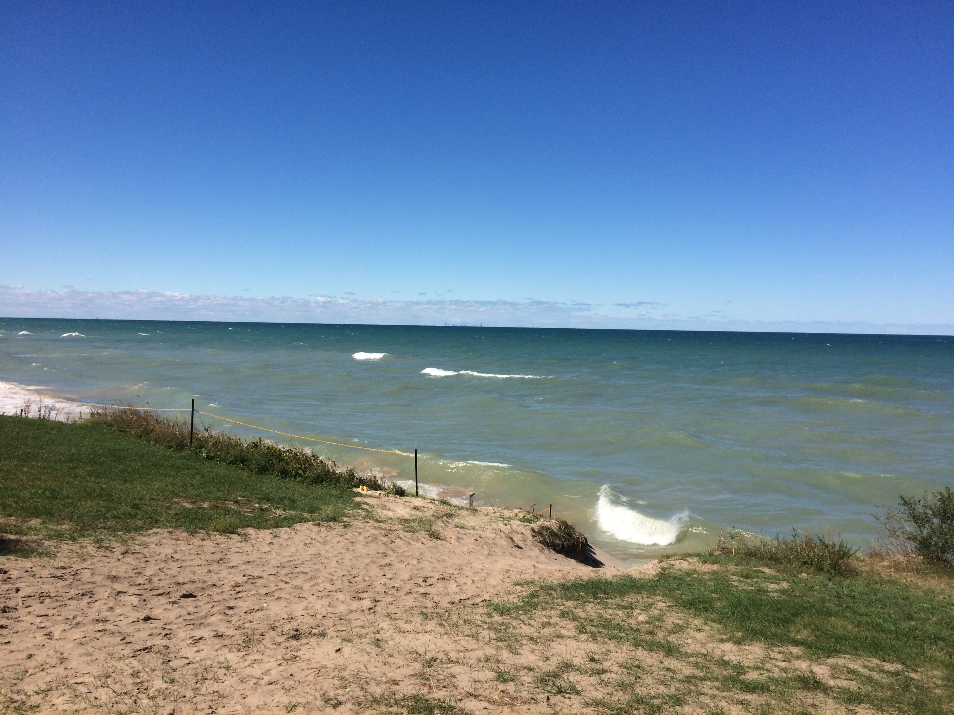
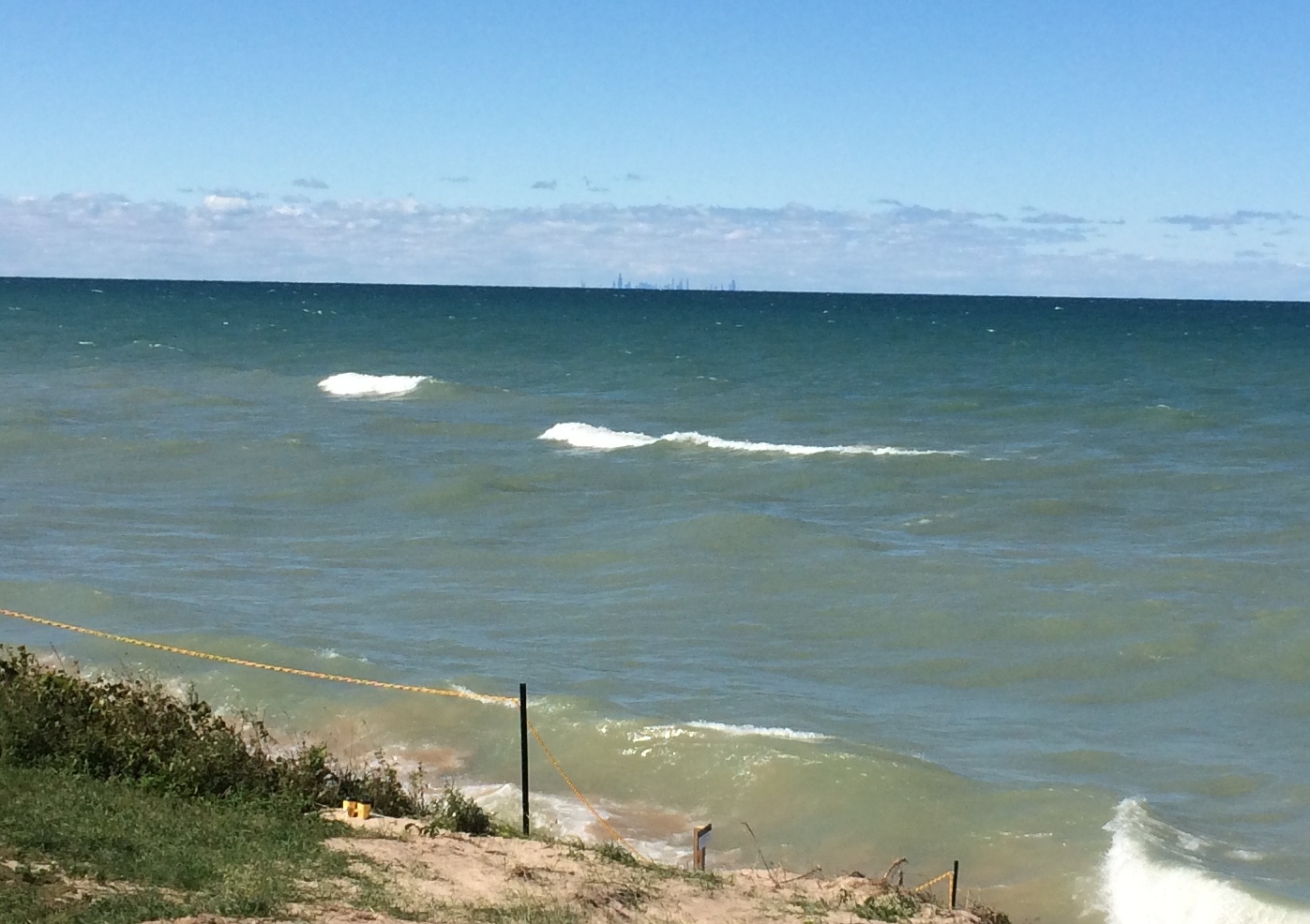
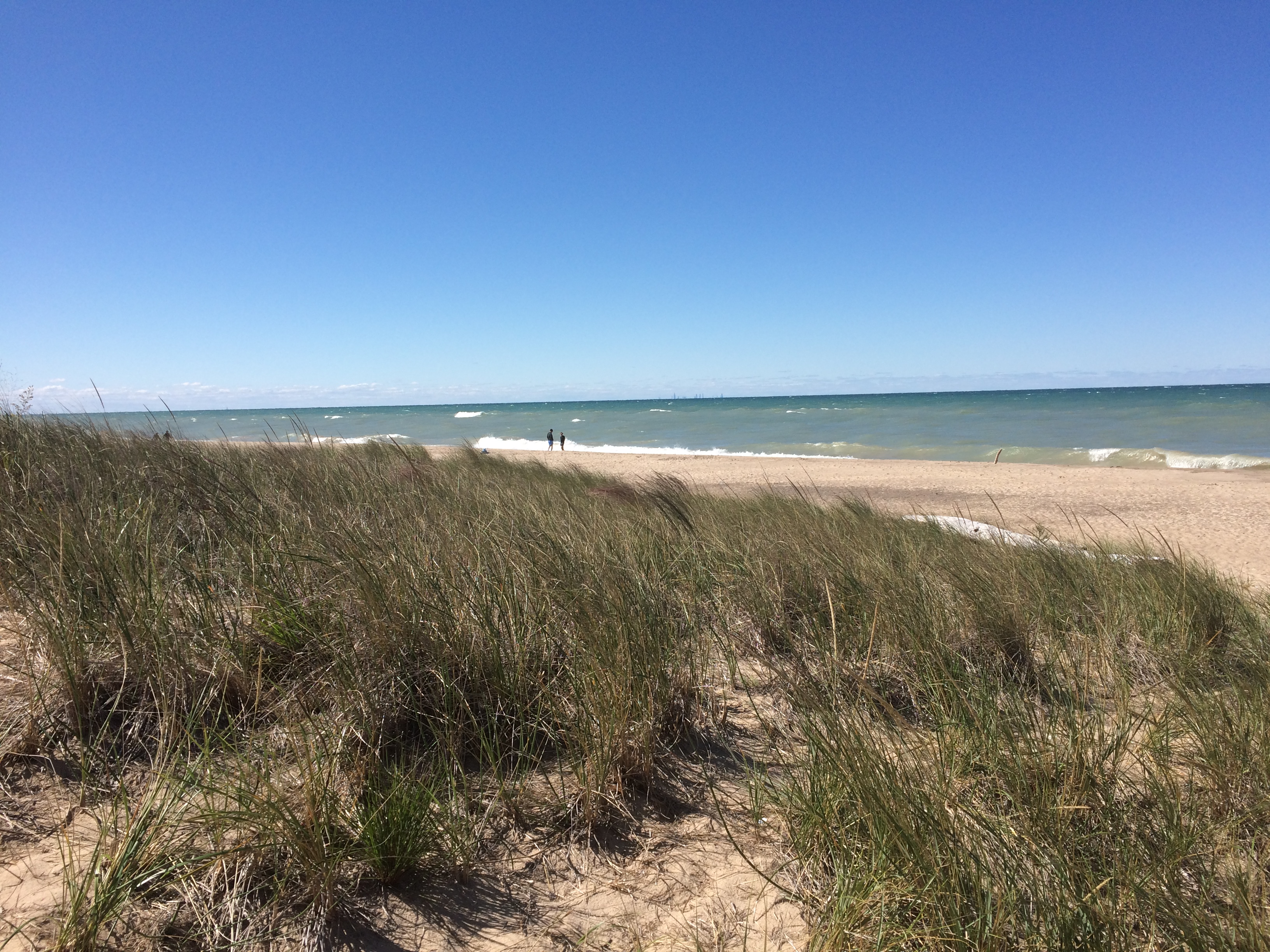
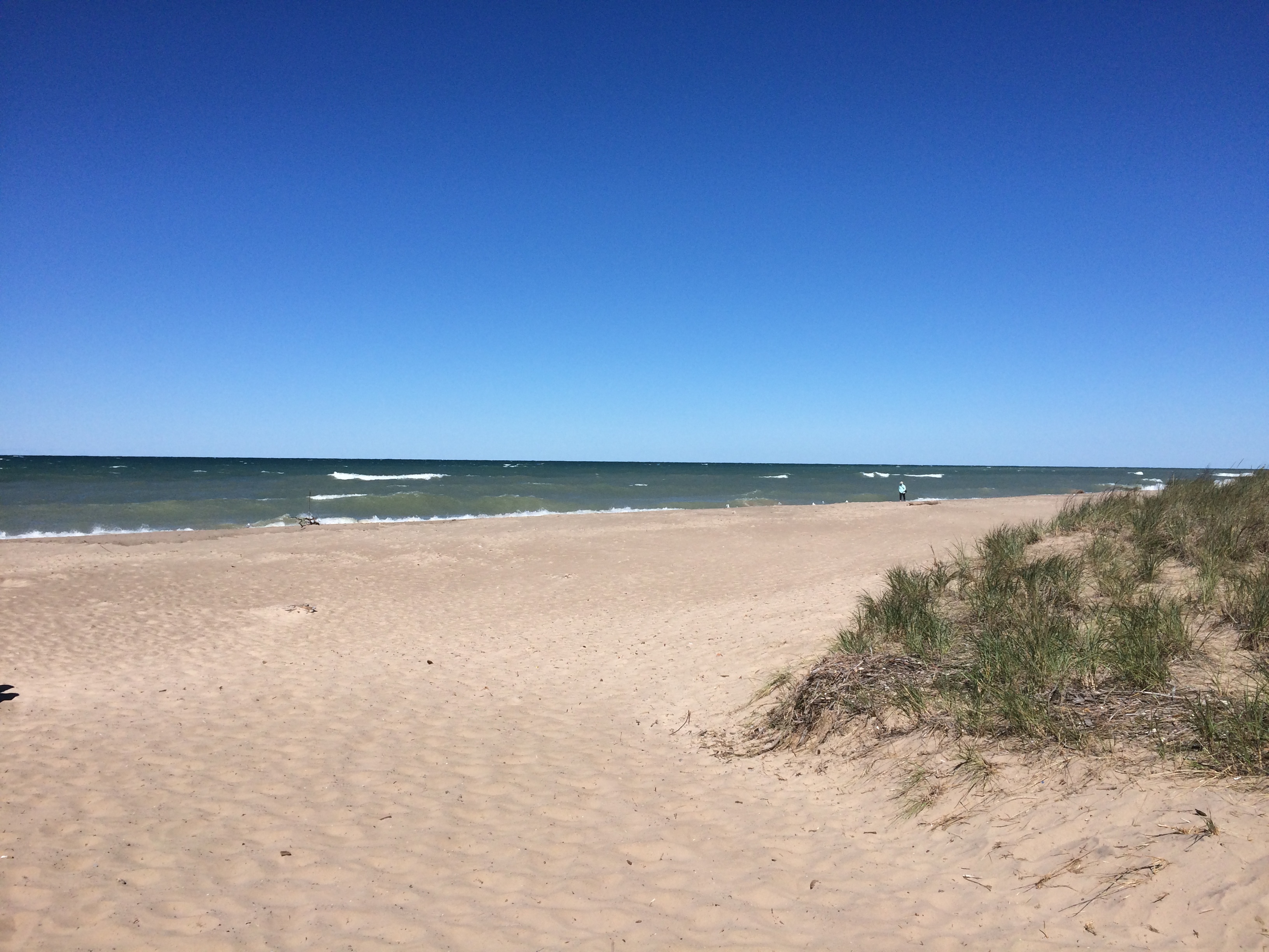
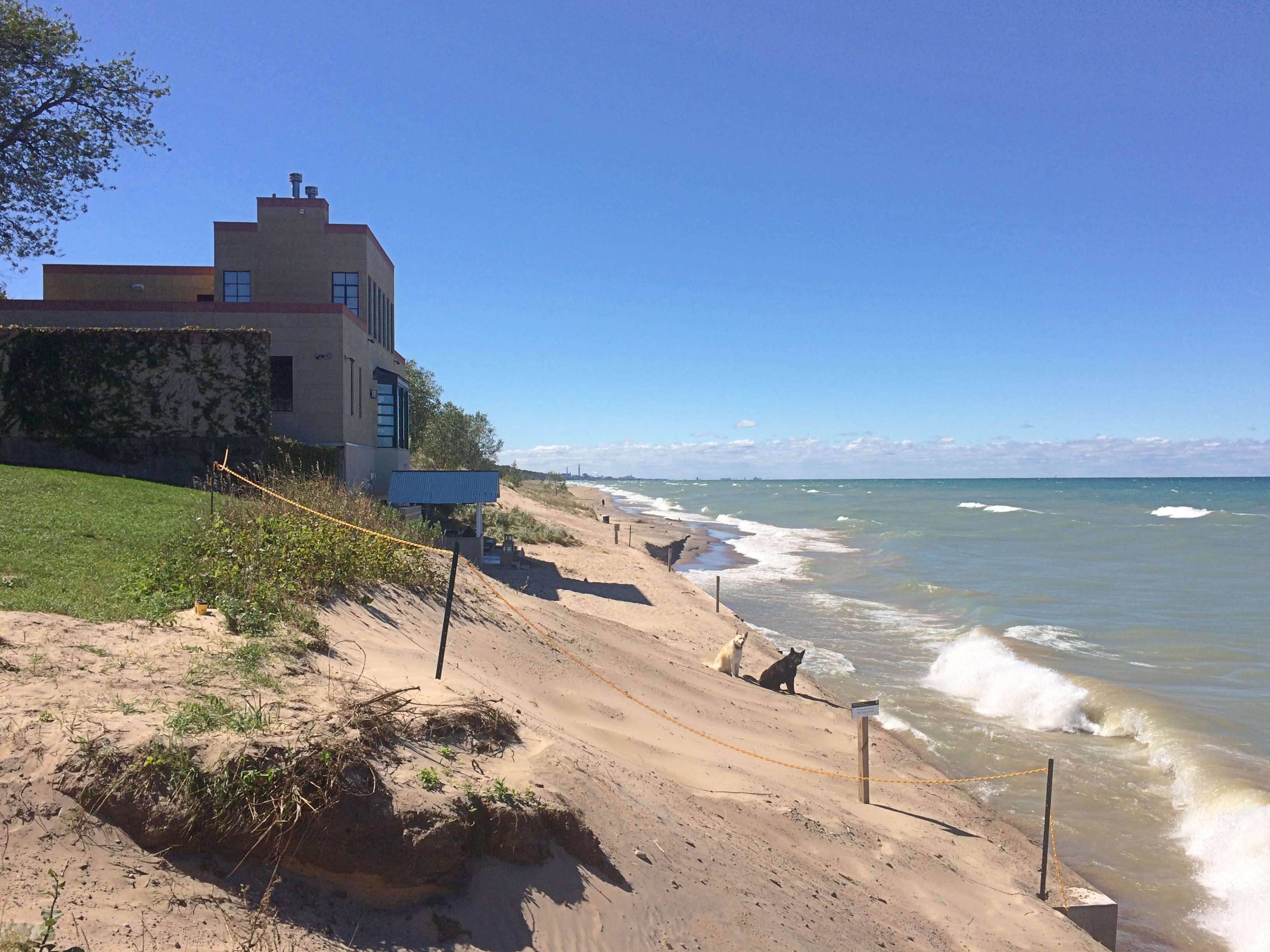
More about that shortly. First, the view from Kemil Beach, which is nearly as far south as you can go and still be on the edge of Lake Michigan. The day we visited was clear and sunny, but not hot — more of a moderate September warmth.
If you look carefully at the horizon at that place, the enormous buildings of the Chicago skyline are visible, but look as insubstantial as grey chalk marks on a watercolor.
Kemil Beach IndianaNot far from the houses is access to the beach itself.Kemil Beach Indiana

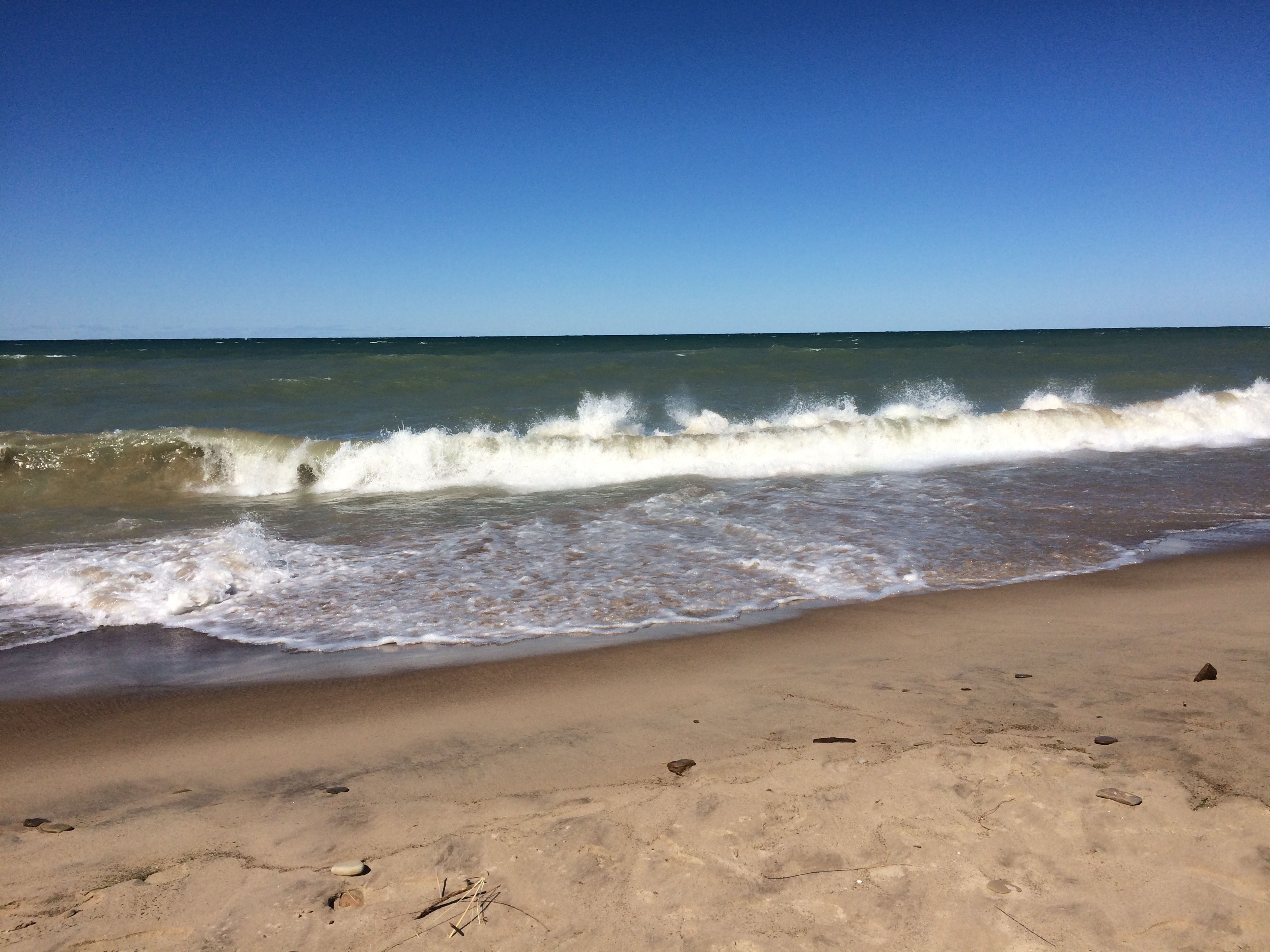
Kemil Beach IndianaNot many people were out and about, even though it’s part of a national park. Then again, the beach was windswept, bringing in large breakers.
Kemil Beach IndianaThat sounded like this.

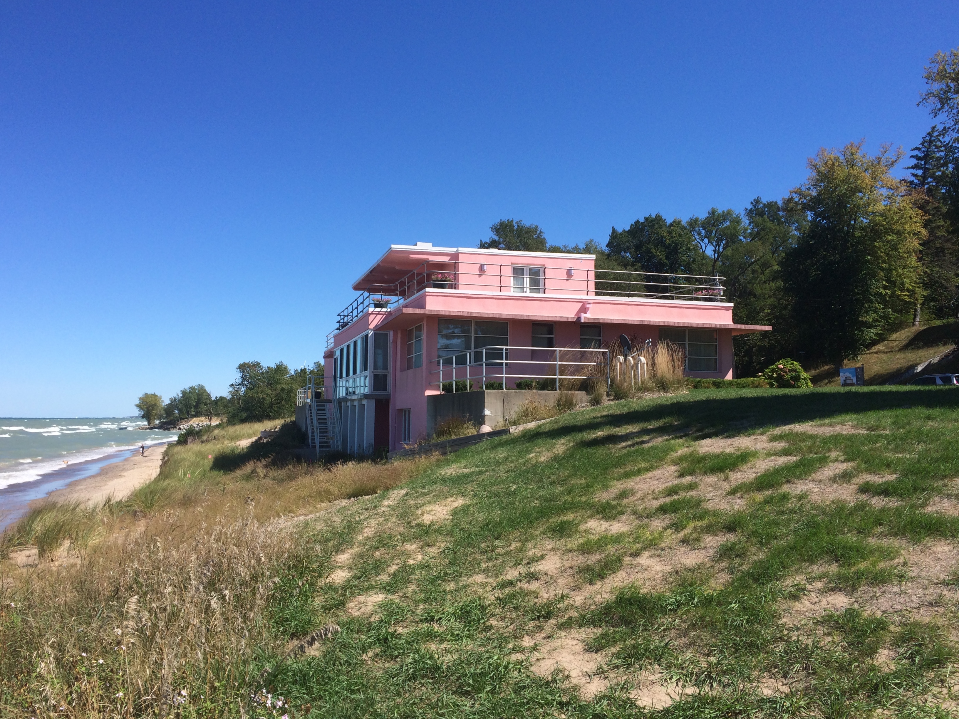
Perched right over the shore is the pink Florida Tropical House, designed by Miami architect Robert Law Weed to promote Florida living to fairgoers. Come be Florida Men and Women, that is.Century of Progress Architectural District

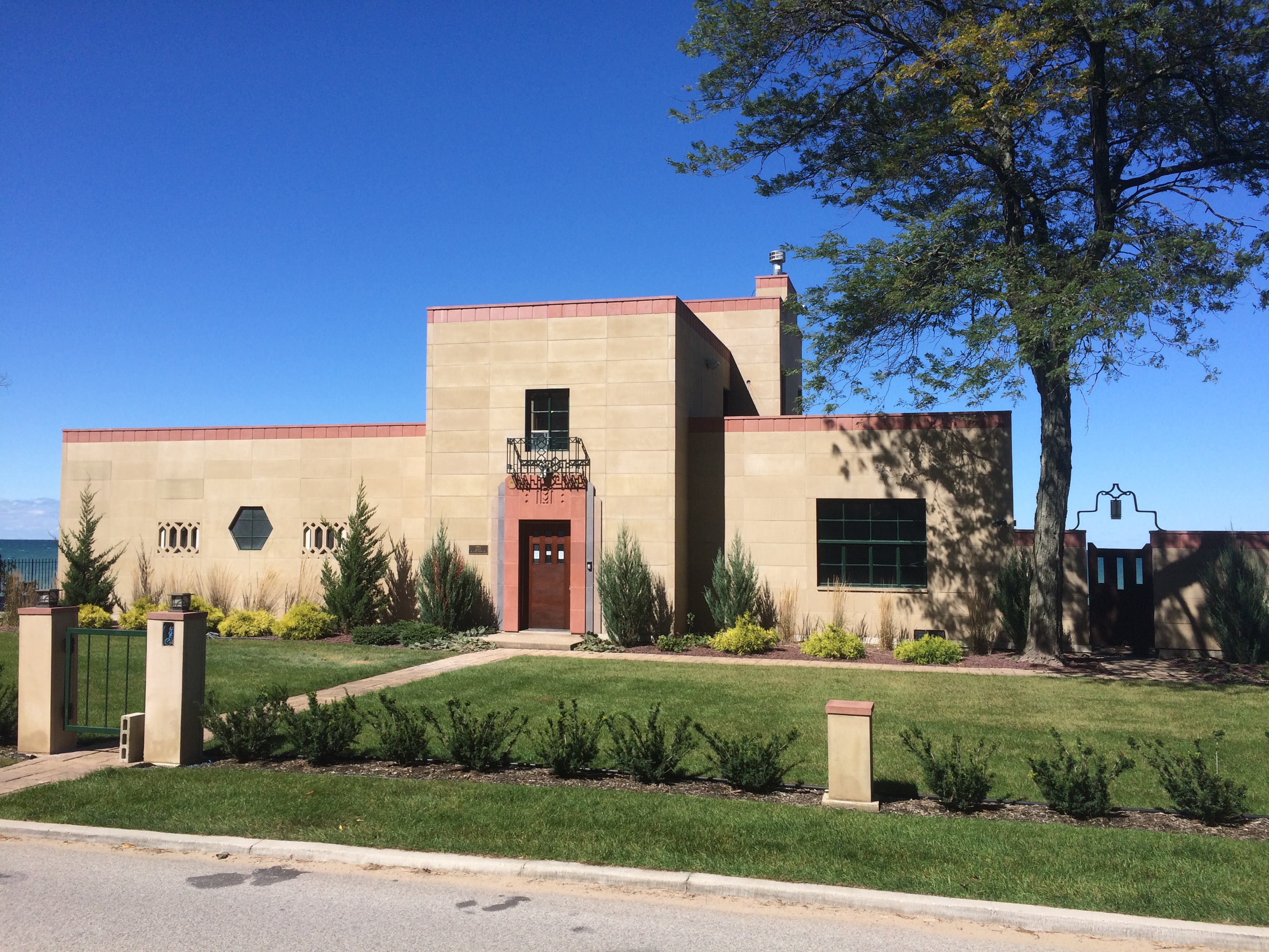
Century of Progress Architectural DistrictAlso perched over the shore is the Wieboldt-Rostone House, which showcased a building material called Rostone (limestone, shale and alkali). Design by Indiana architect Walter Scholer.Century of Progress Architectural District

Century of Progress Architectural DistrictOn the hill above the road are the three other houses dating from the world’s fair. One, the Cypress Log Cabin, was meant to showcase that building material, and hugs the ground so closely that it was a little hard to see from the road.

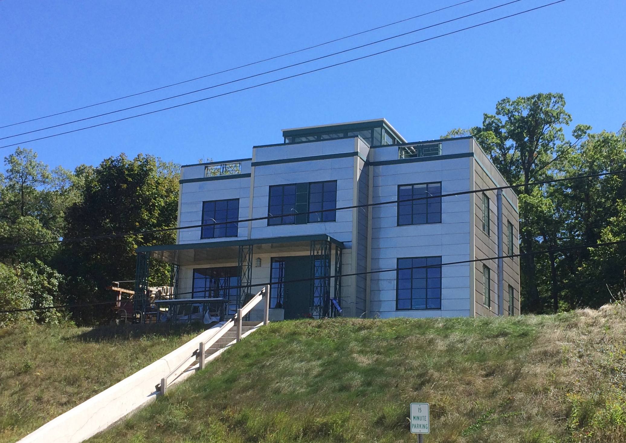
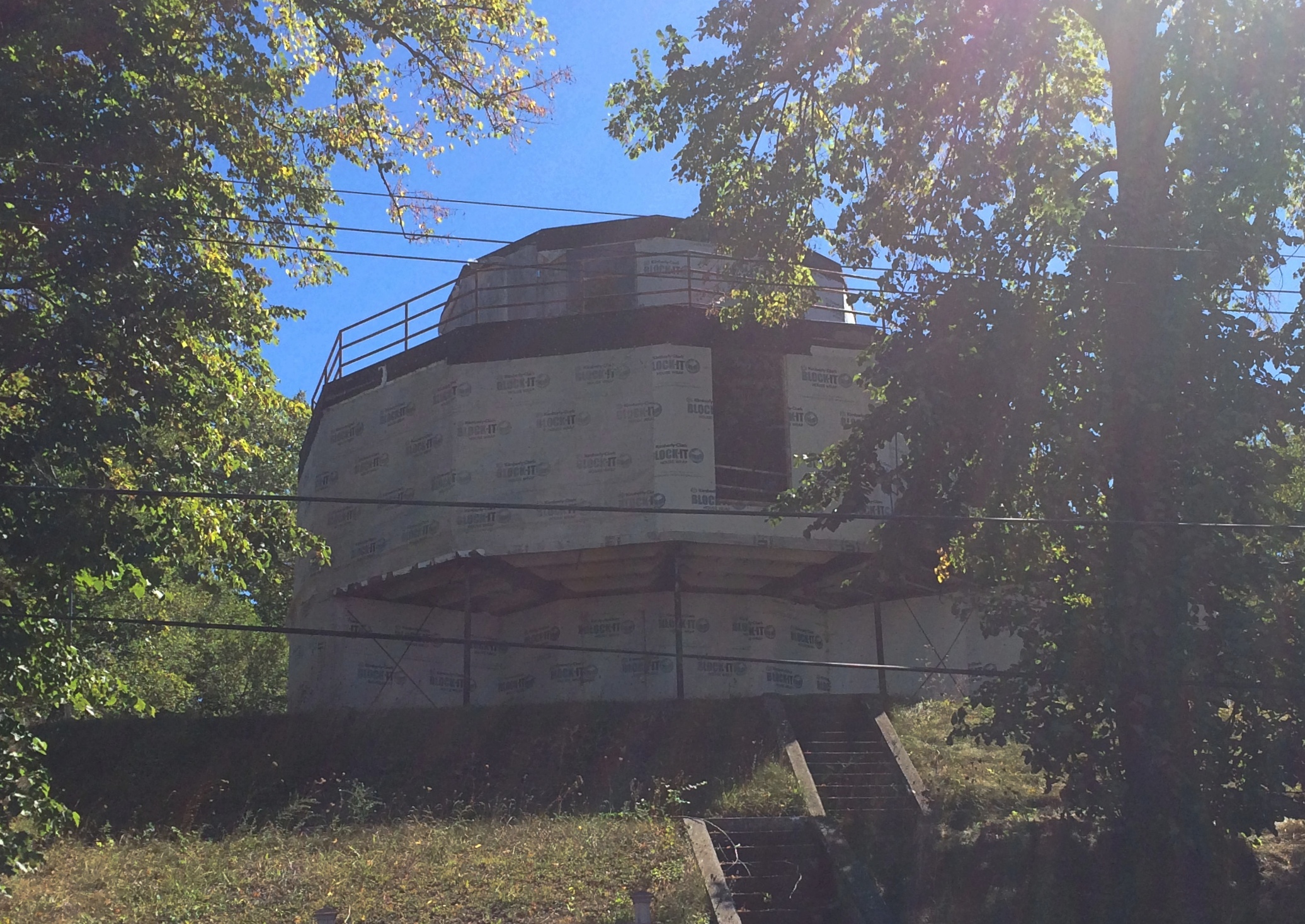
Another hillside structure, the Armco-Ferro House, was “an ode to the virtues of porcelain enamel and steel — expressed in the form of a prefabricated home,” the sign at the bottom of the hill told me.Century of Progress Architectural DistrictFinally, the House of Tomorrow, which is currently wrapped for renovation. Design by Chicago architect George Frederick Keck.

Century of Progress Architectural DistrictAll in all, an interesting little neighborhood. That’s a fitting term, since people actually live in the houses, except for the House of Tomorrow, and someone will live there when the work is done. Signs asked visitors to respect the privacy of the occupants. Tours of the interior are given only once a year, I’ve read, though I expect that isn’t going to happen this year.

In a remarkably imaginative move on the part of a government agency — the Park Service, which owns the properties — the houses are leased for 30 years at no charge, provided the lessees agree to restore and maintain the properties in that period.

Indiana Dunes National Park

Officially the park service entity occupying part of the Lake Michigan shore of Indiana, along with some adjacent lands, is Indiana Dunes National Park. Has been for about a year and a half now, for the usual reason: a Congressman from the region had the pull to promote it from its previous sub-park designation, national lakeshore, to national park.

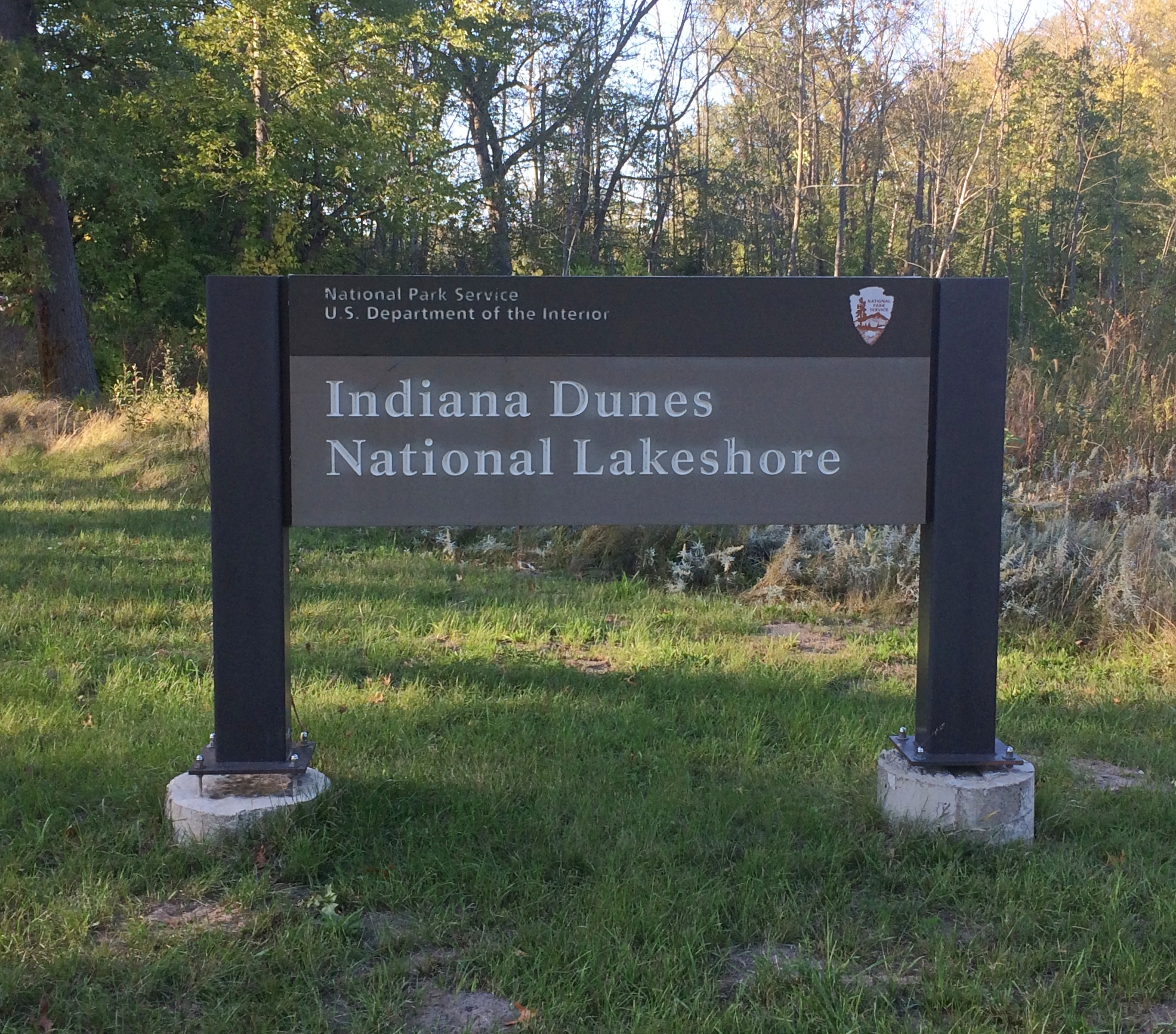
Not much has changed besides the name. Even the signs have the old name. Signs cost money.Indiana Dunes National Park

We’ve visited two or three times over the years, including one memorable time when Lilly’s stroller was difficult to push on sandy trails. That’s how long ago it was. Stroller issues have long been a non-issue for us, but even so the national lakeshore seldom suggested itself as a place to visit, maybe because the main way to get there — the highways running south of Lake Michigan — are often congested chokepoints.

We decided to go on September 18 for the day. The weather was flawless for walking around: clear and in the mid-60s. Got a later start than planned, so it was more of a visit for the afternoon. But a good one, focused on some short trails.

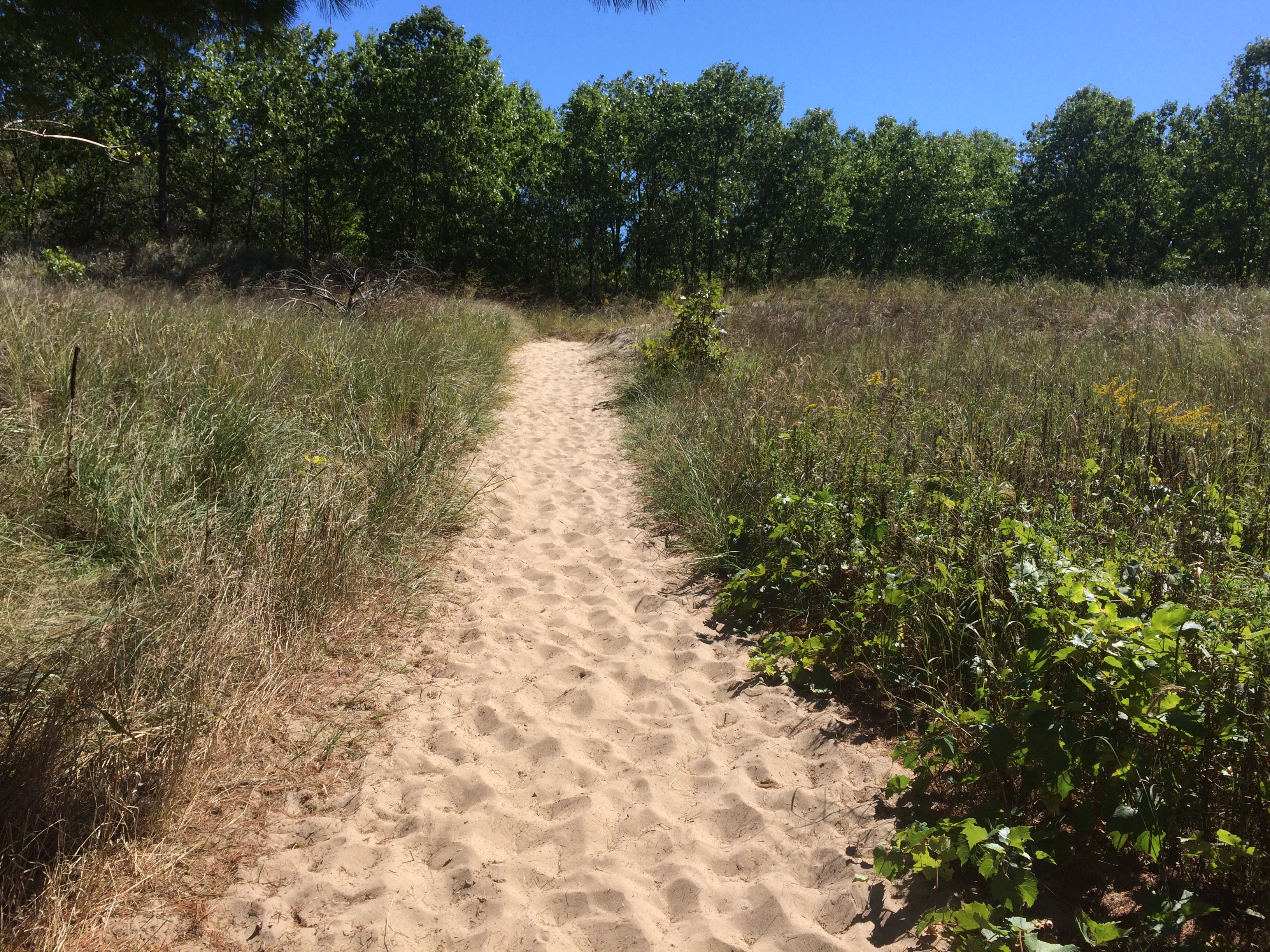
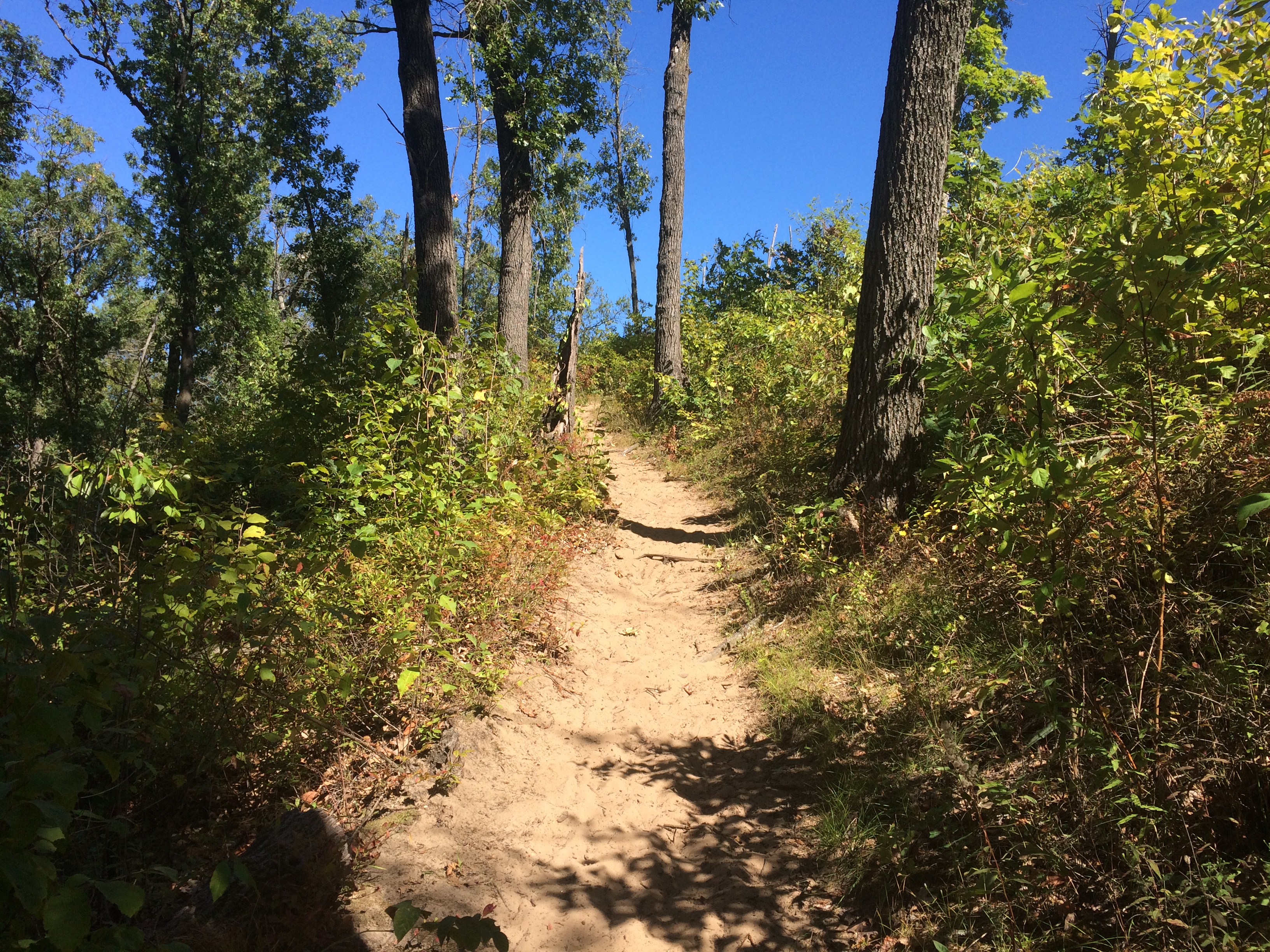
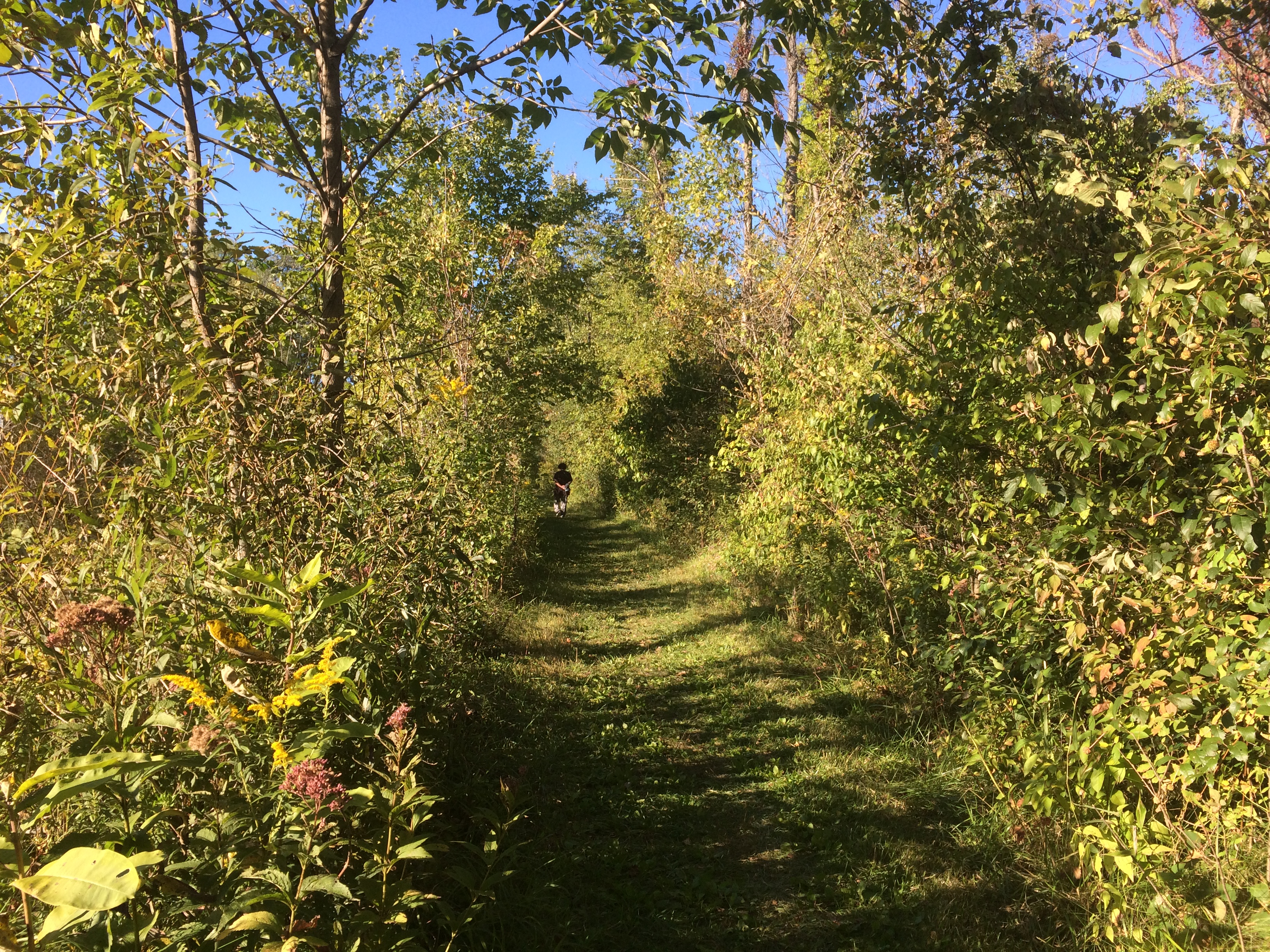
The trailhead of a small loop called Dune Ridge Trail.Indiana Dunes National ParkMostly the trail wasn’t sand-dune sand, but even the more packed underfoot soil forming the trail was sandy.
Indiana Dunes National ParkThere was a climb, but not too bad.
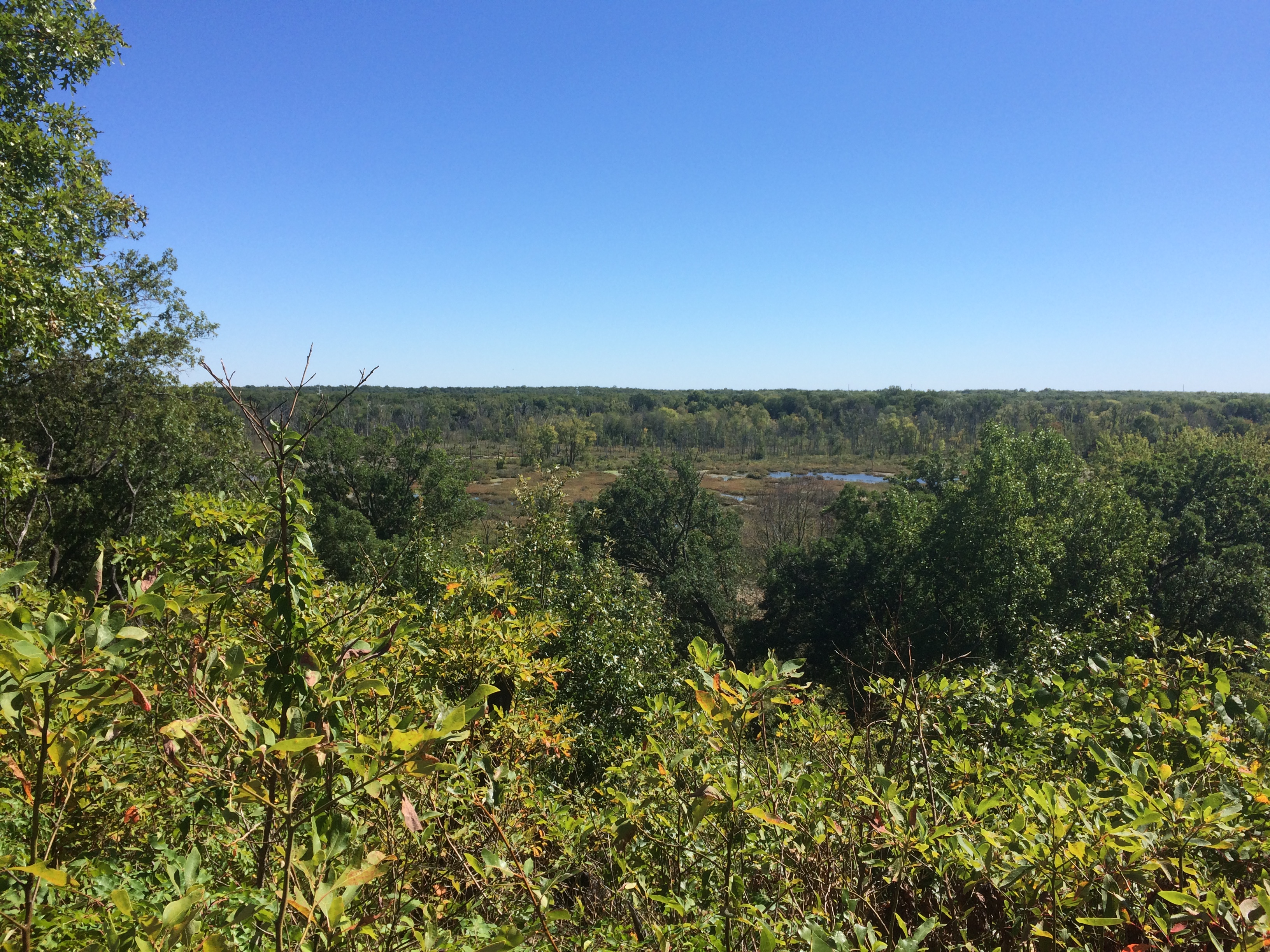
Indiana Dunes National ParkLeading to views of an expansive marsh.Indiana Dunes National ParkLater in the afternoon, we walked along the Great Marsh Trail.
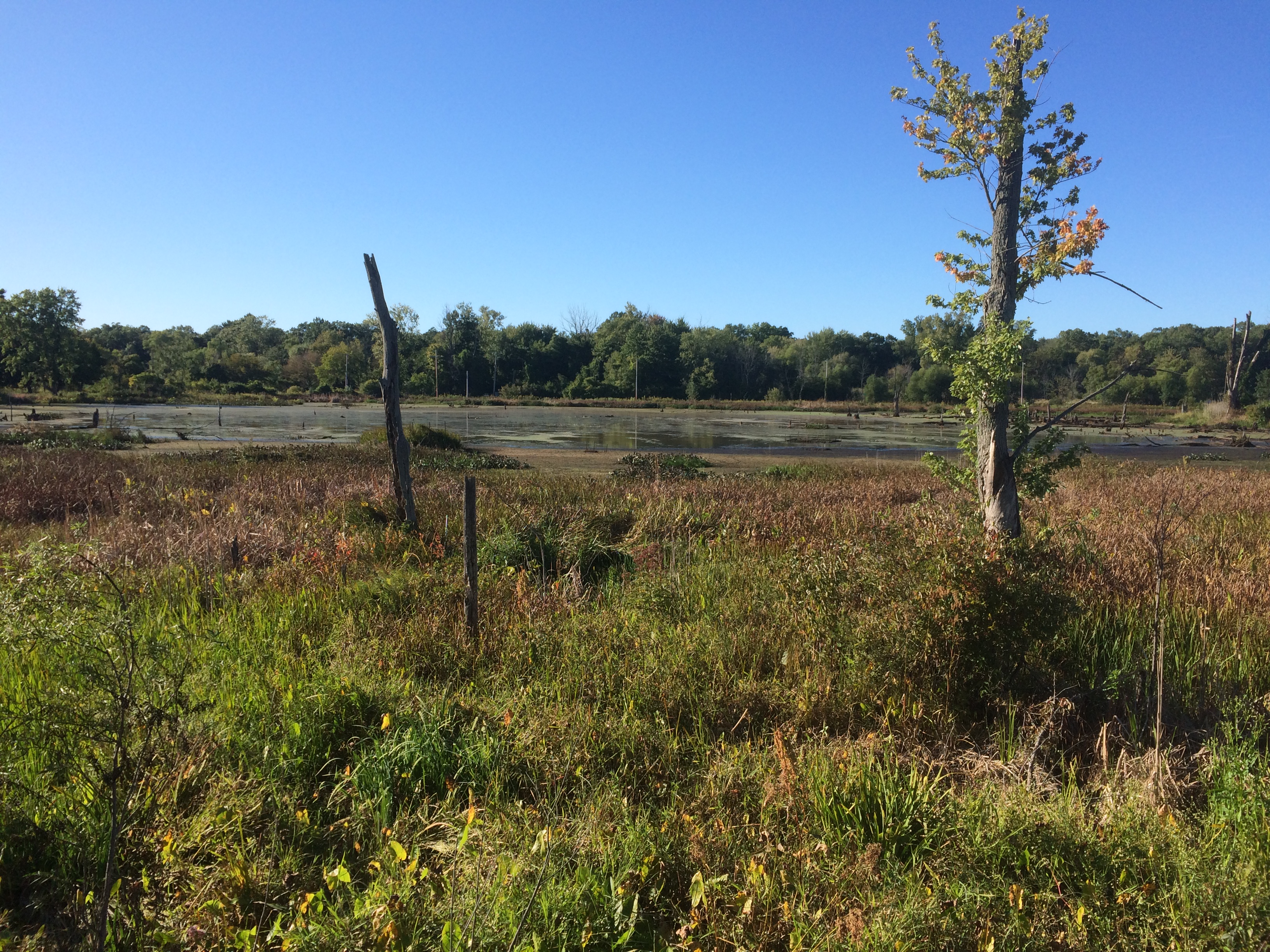
Indiana Dunes National ParkA great marsh all right.
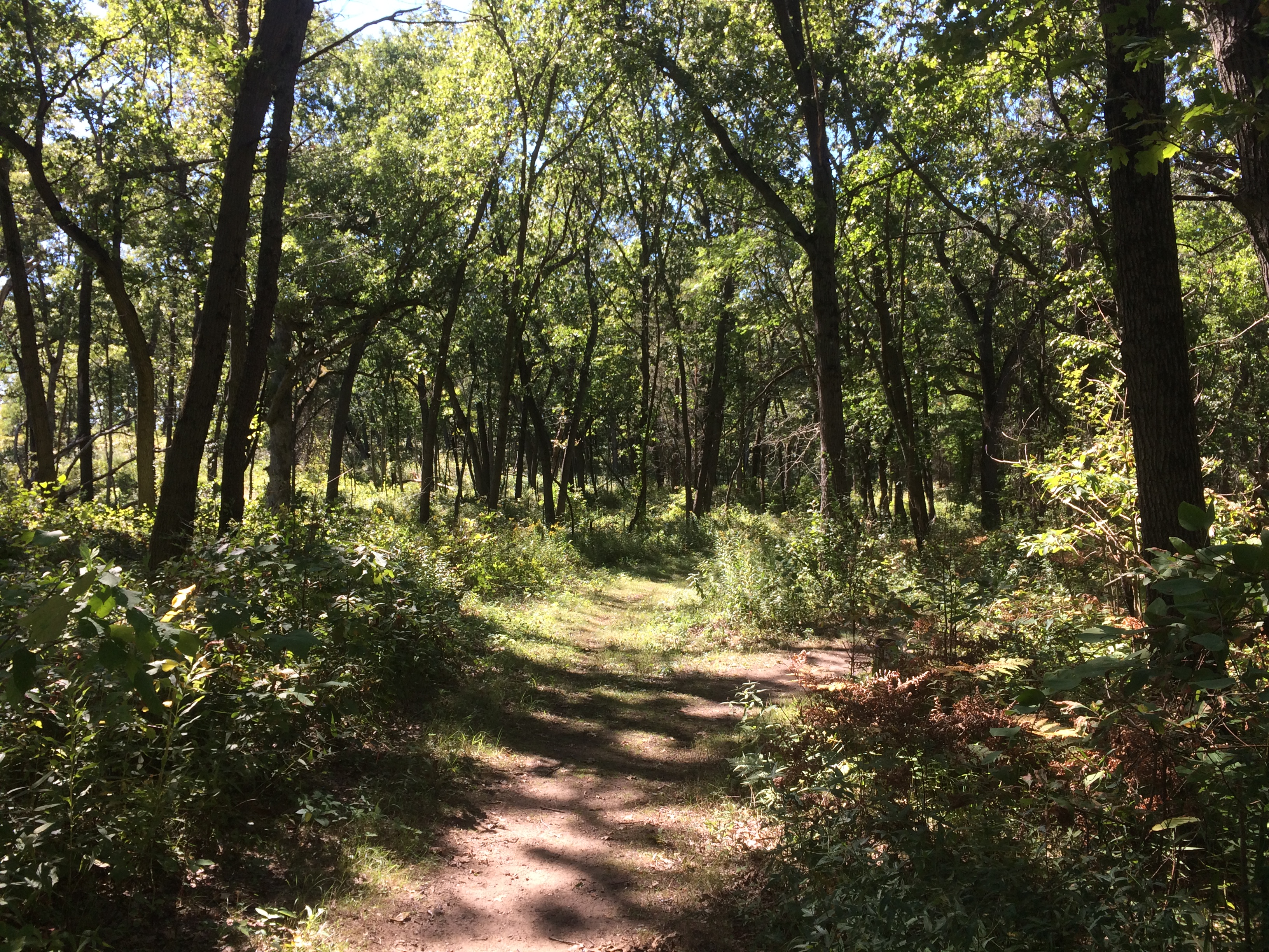
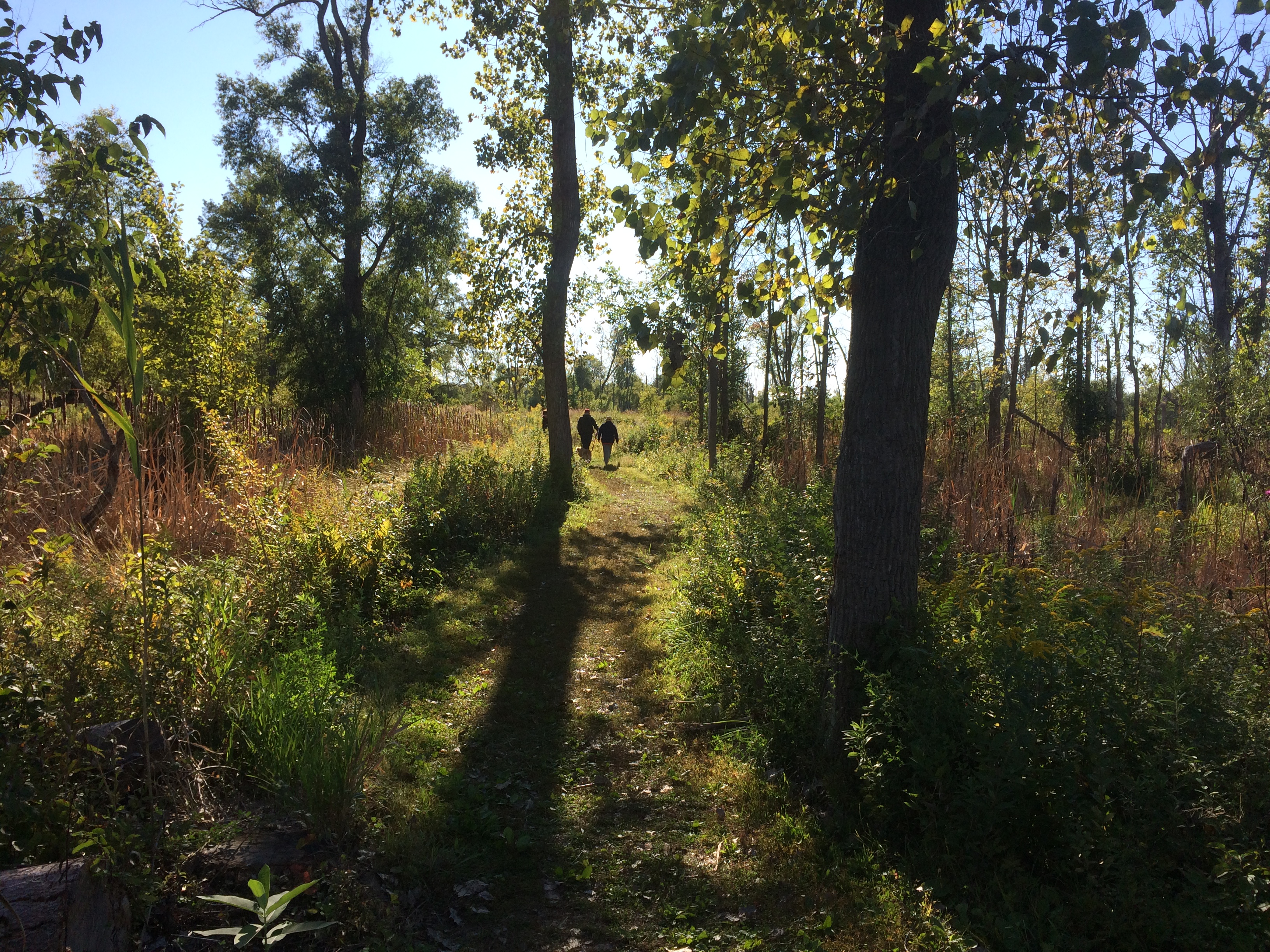
Indiana Dunes National ParkIndiana Dunes National ParkStill wildflower season in northern Indiana.
Indiana Dunes National ParkIndiana Dunes National ParkLeisure to stroll among the short-time green?
Indiana Dunes National ParkWe’re fortunate to have it.

Joshua Tree National Park

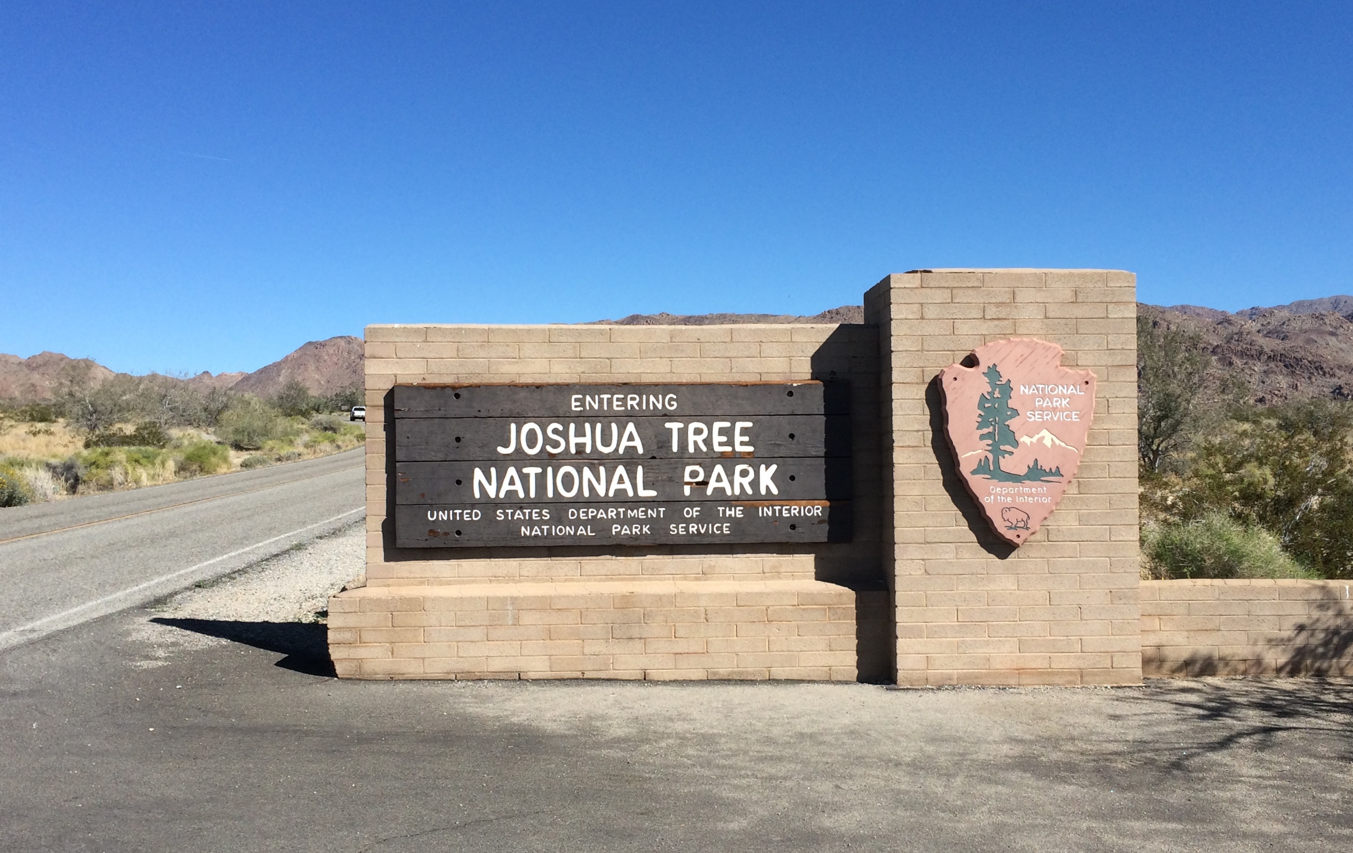
On the morning of February 26, 2020, I arrived at the south entrance of Joshua Tree National Park. Near the end of the day, I would leave via the west entrance.
Joshua Tree National Park signThe park includes sections of two different deserts, the Colorado and the Mojave. The territory around the south entrance is Colorado Desert, and not much populated by Joshua trees. It would be a while before I saw any Joshua trees, which are actually yucca plants (Yucca brevifolia), in the national park named for them.

Though folk etymologies involving Mormons exist when it comes to why Joshua trees are called that, the origin of the term is uncertain. The plant has also been called, in English, the tree yucca and the yucca palm.

One more thing: the Joshua tree depicted by U2’s The Joshua Tree album was near Darwin, California — which is close to (but not in) Death Valley NP, not Joshua Tree National Monument, as it was then. Come to think of it, Death Valley was a national monument in 1987 as well.

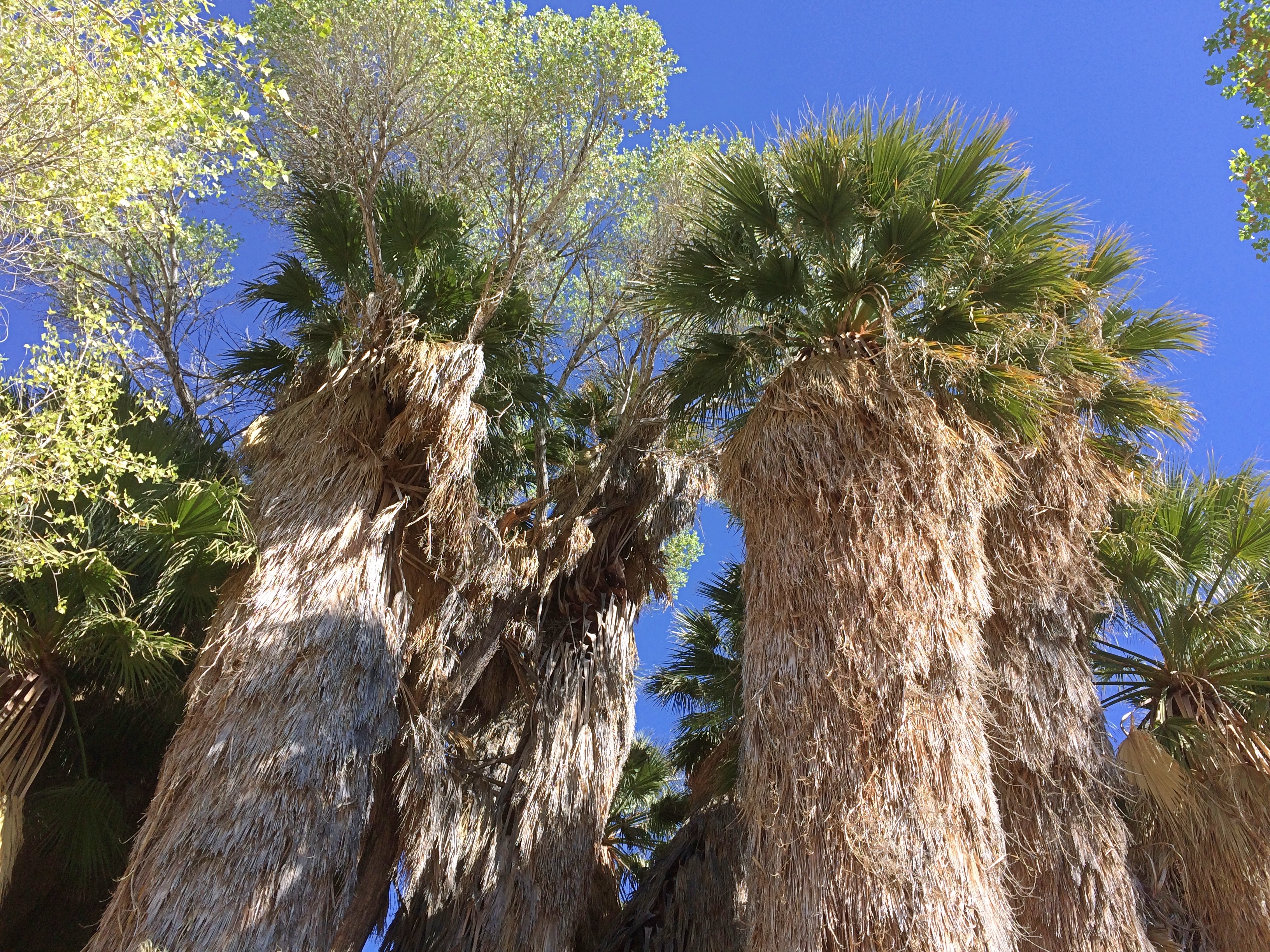
My first walk of the day was along the trail leading out of Cottonwood Spring. Where there’s water, there are large trees.
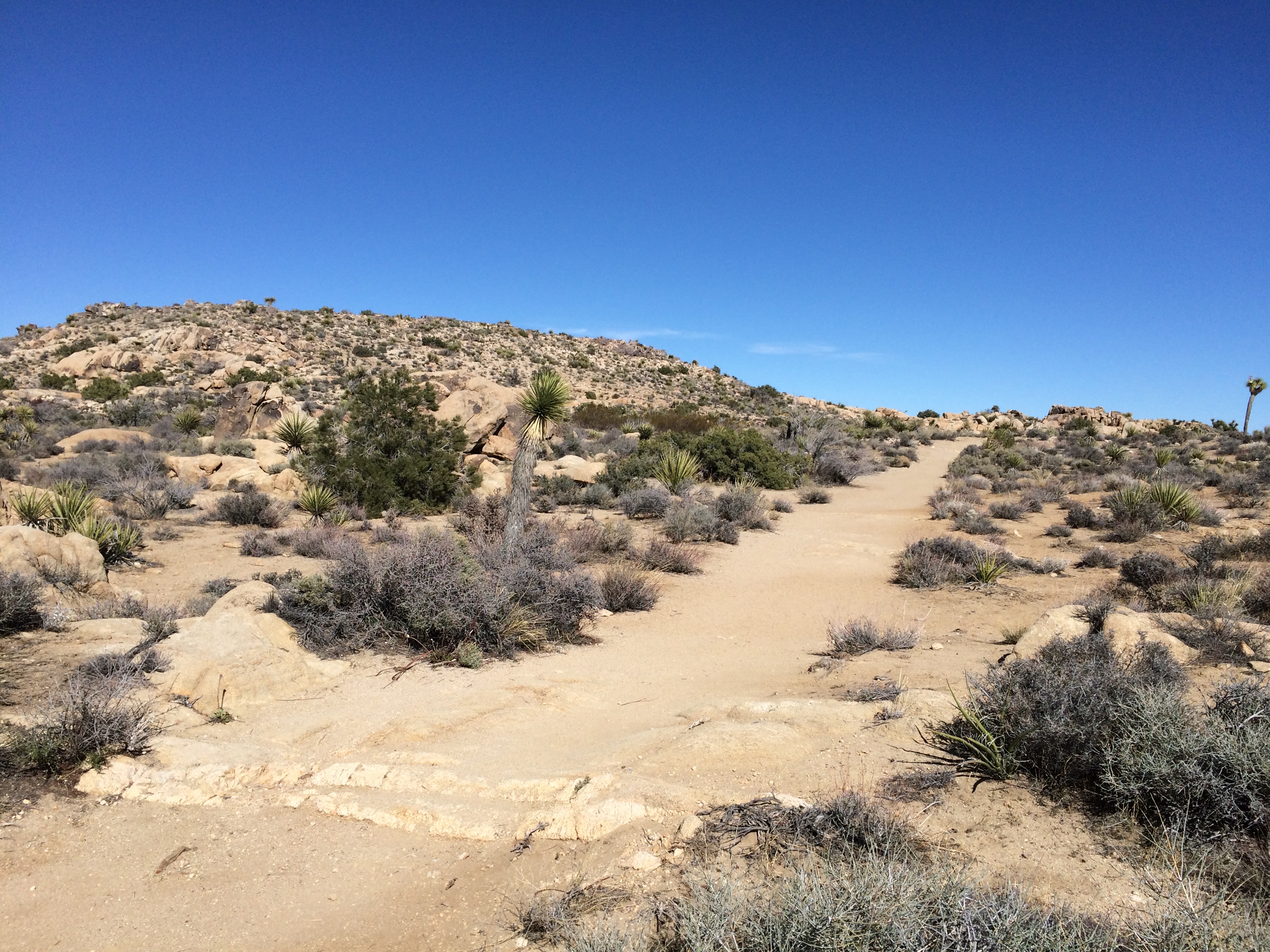
Joshua Tree National Park Cottonwood SpringsThen it’s off to more arid hills.
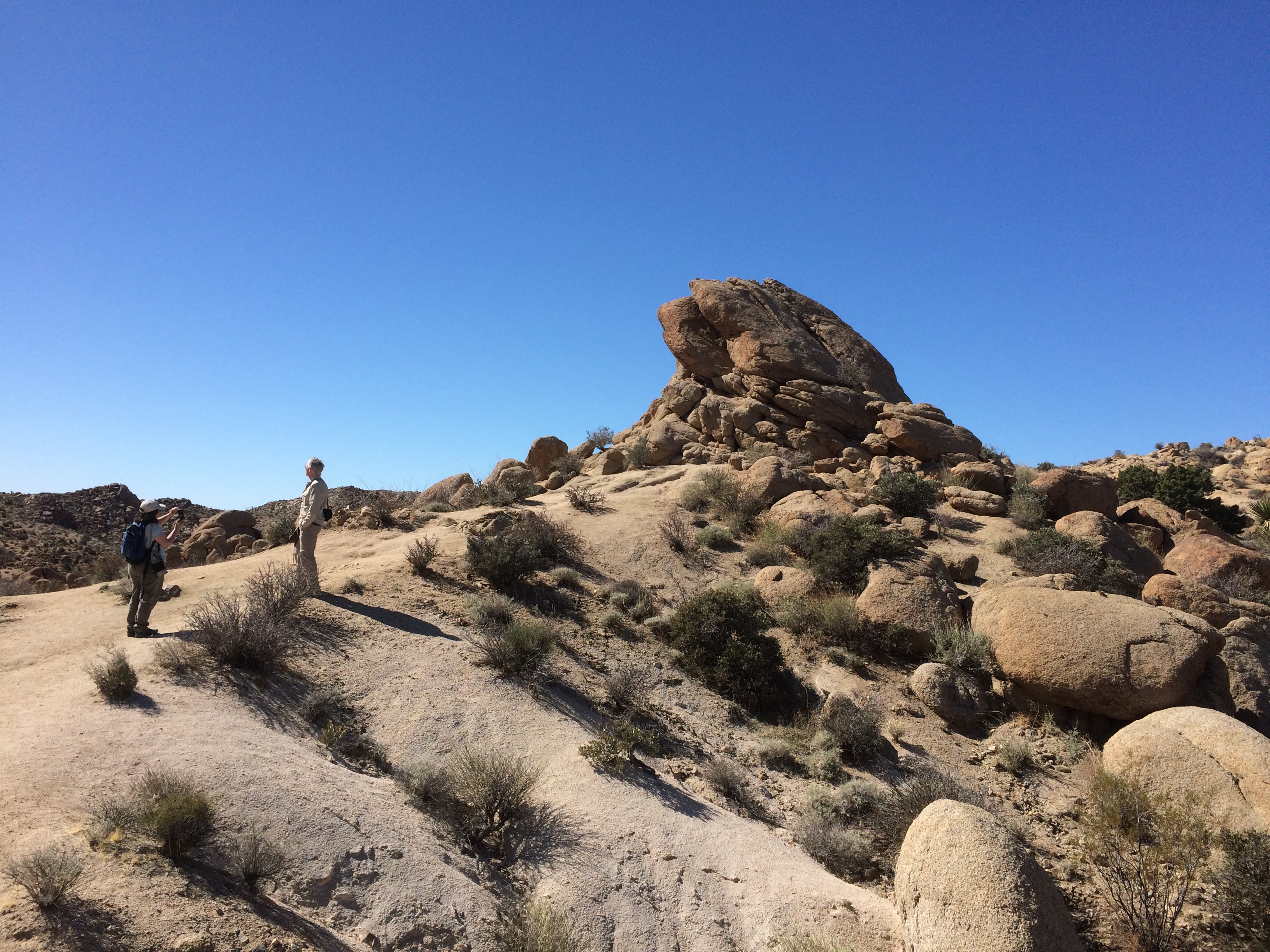
Joshua Tree National Park Cottonwood Springs trailWith rock formations. This one’s actually pretty small compared to some others I would see later in the day.
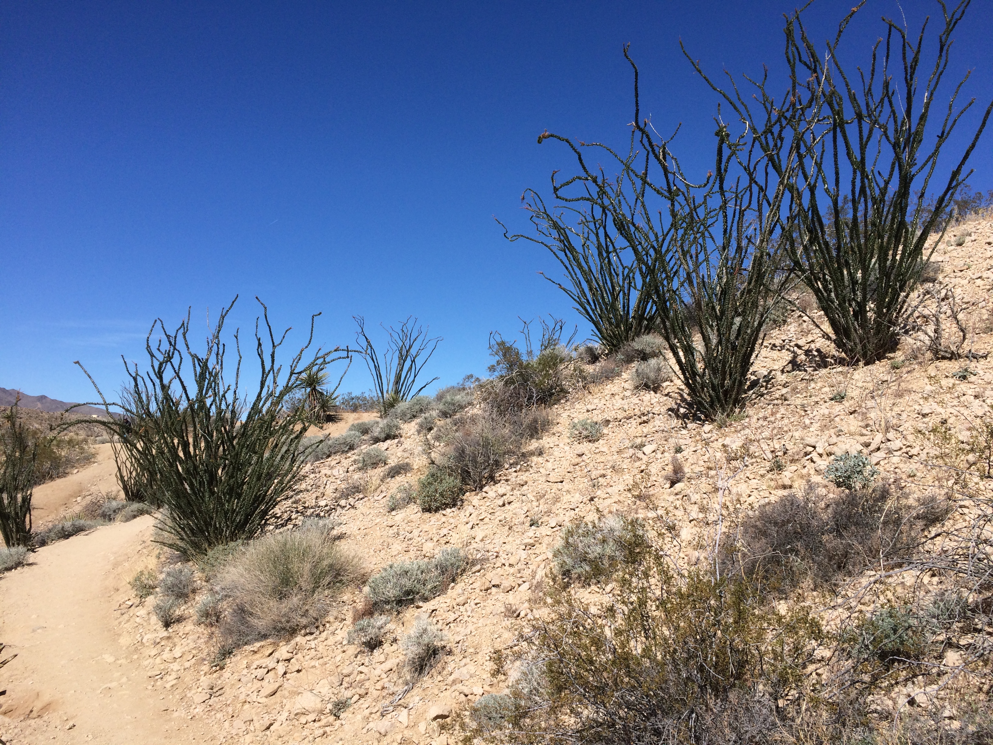
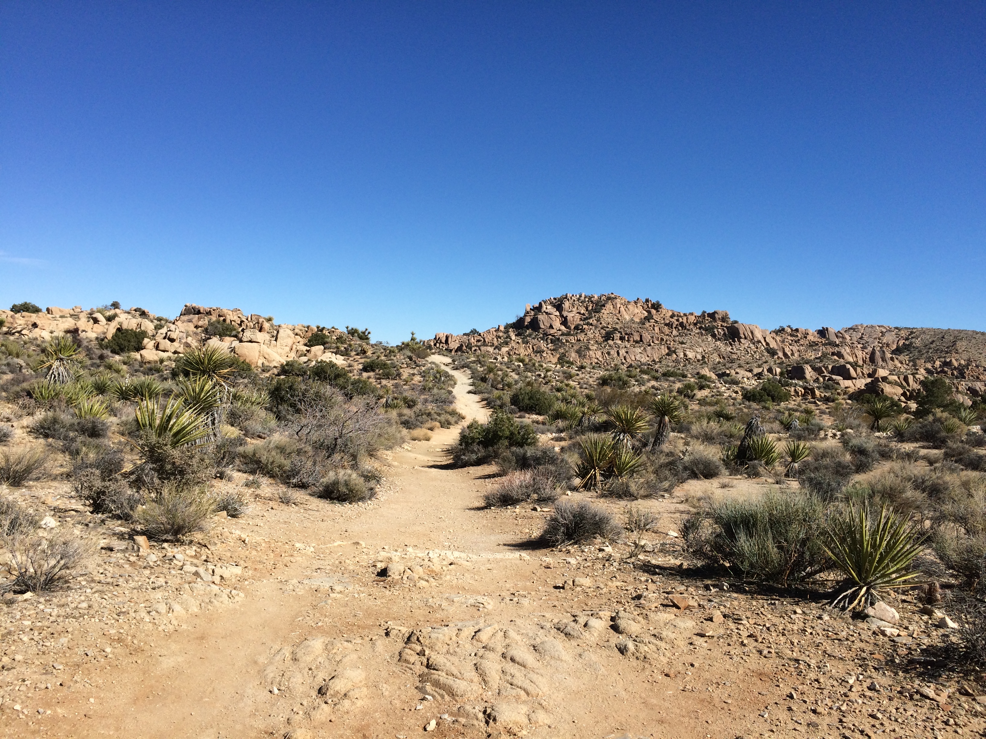
Joshua Tree National Park Cottonwood Springs trailSmall plants compared to others I’d see later. But I liked them.
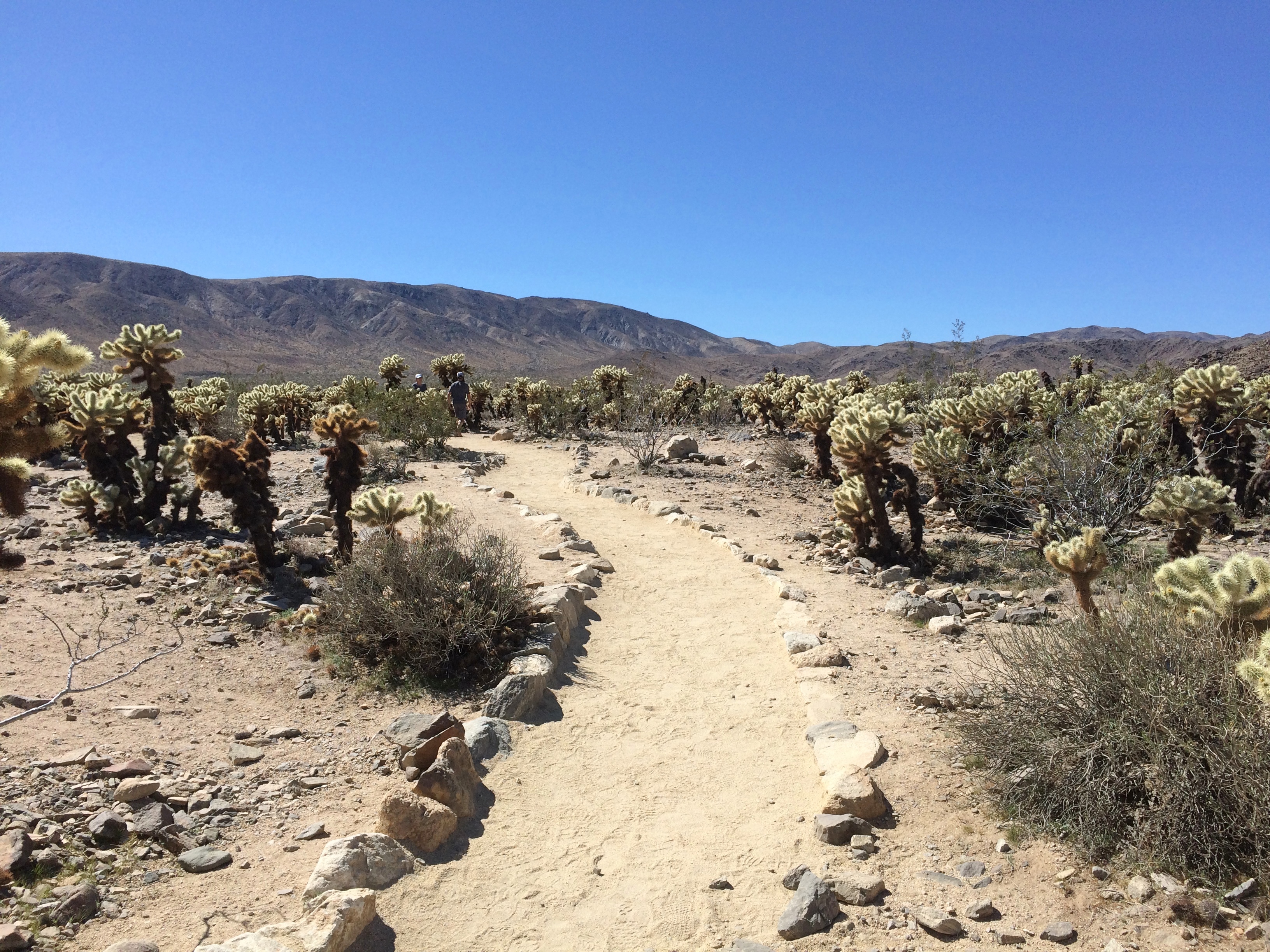
Joshua Tree National Park Cottonwood Springs trailNorth from Cottonwood Springs, the road takes you through washes: Smoke Tree Wash, Porcupine Wash and the amusingly named Fried Liver Wash. Then on to the Cholla Cactus Garden.
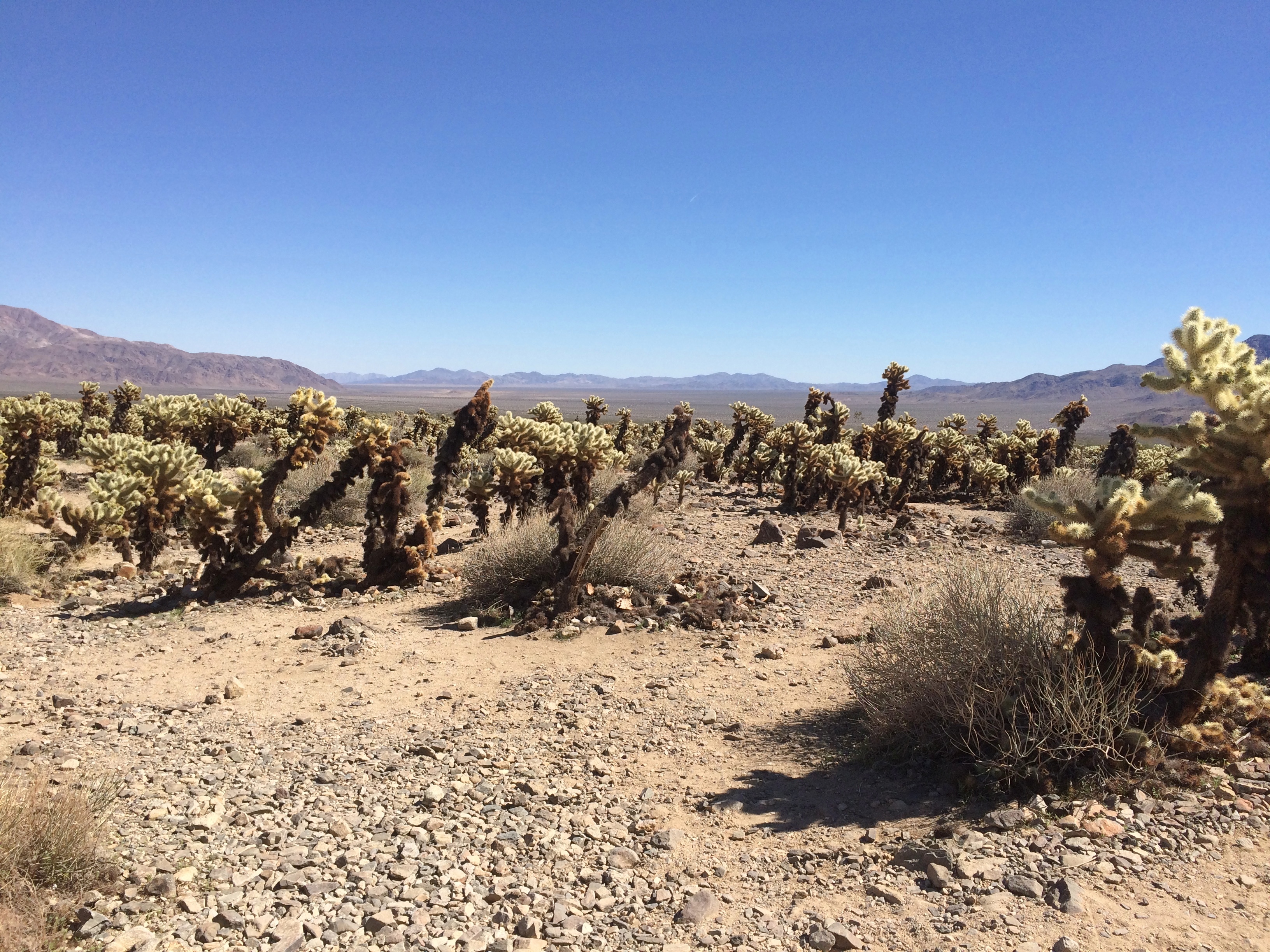
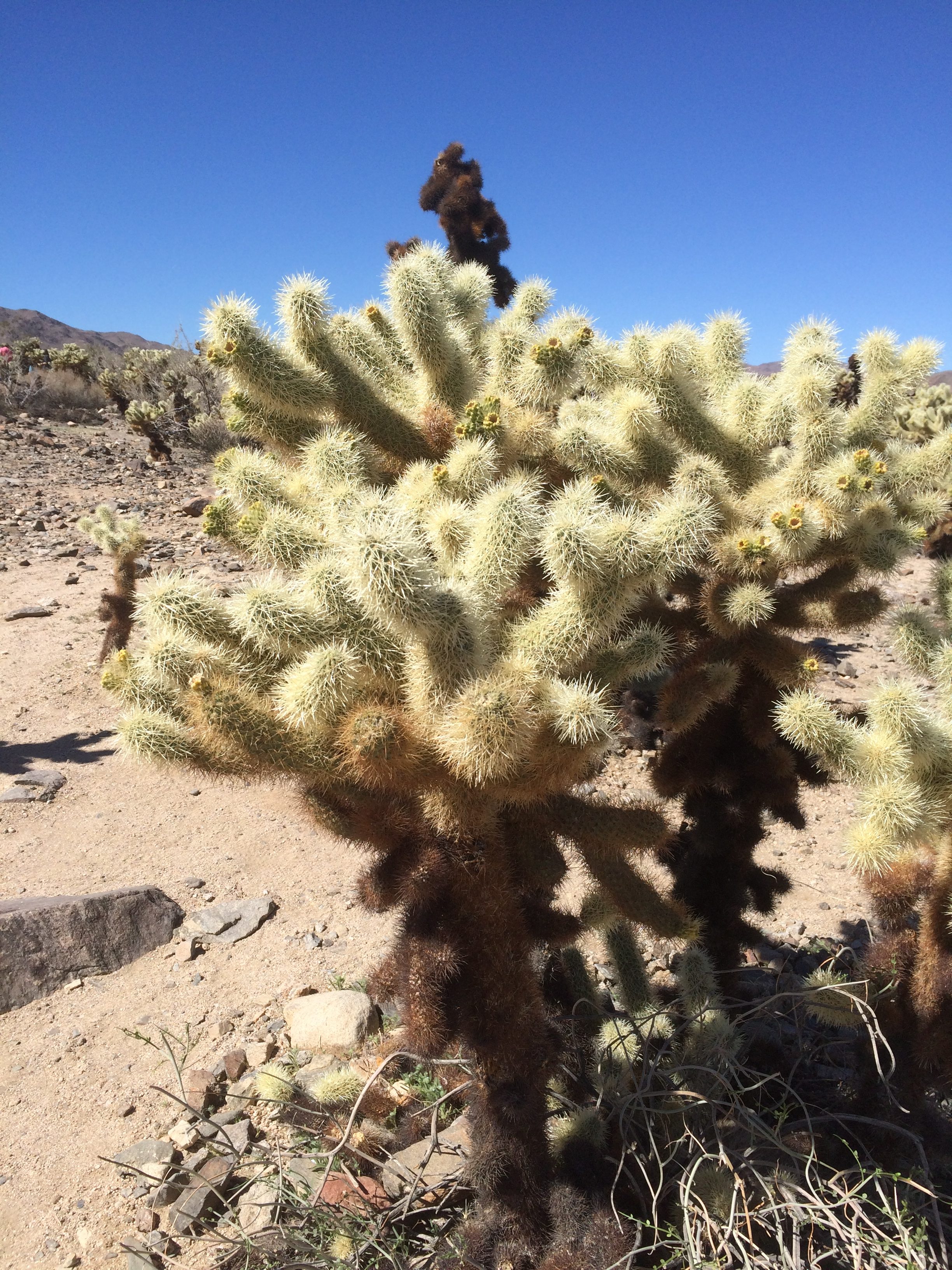
Cholla Cactus Garden, Joshua Tree National ParkCholla Cactus Garden, Joshua Tree National ParkLooks soft and fuzzy in a picture, but in person the cholla’s got wicked spines. Wiki says that the plant (Cylindropuntia bigelovii) has the “sardonic nickname of ‘teddy bear.’ ”

Joshua Tree NP Really Wicked Cactus

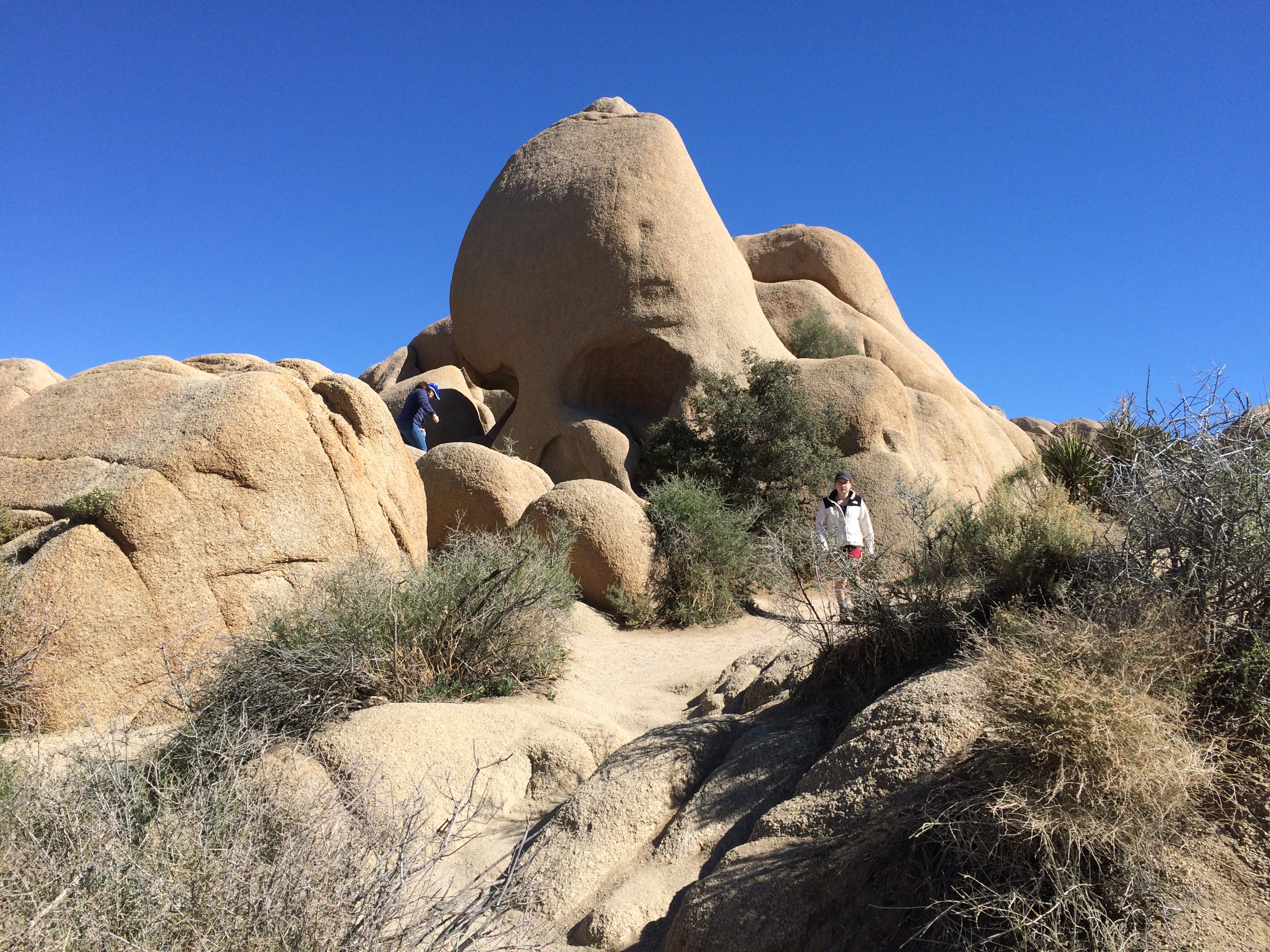
Next stop, Jumbo Rocks. Including the one called Skull Rock. Looking at it this way, I thought Nostril Rock would be a better name.
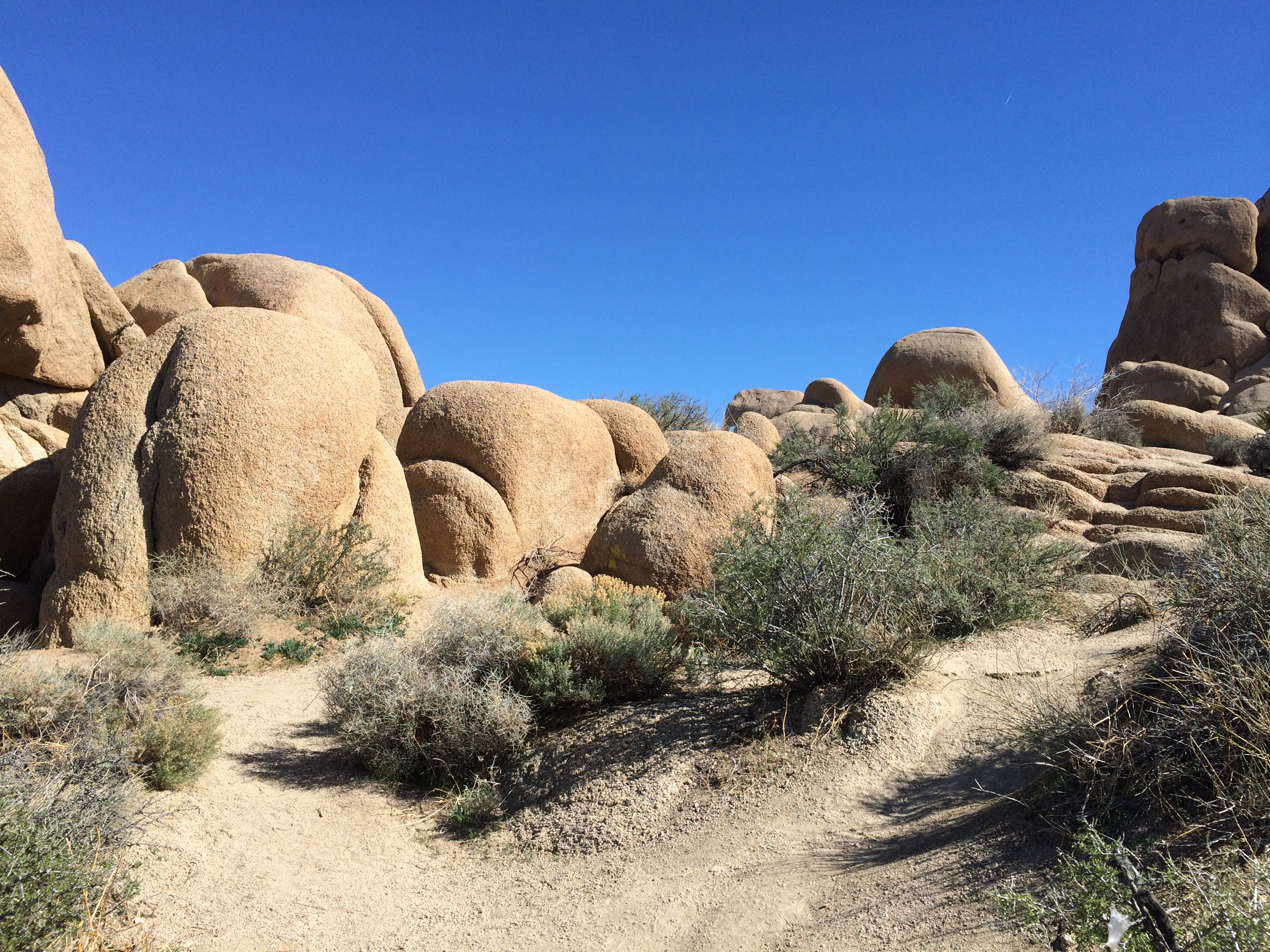
Joshua Tree National Park Skull RockPlenty of big rocks all around. The result of magma, monzogranite, rising to the surface eons ago. That or an act of creation in 4004 BC.
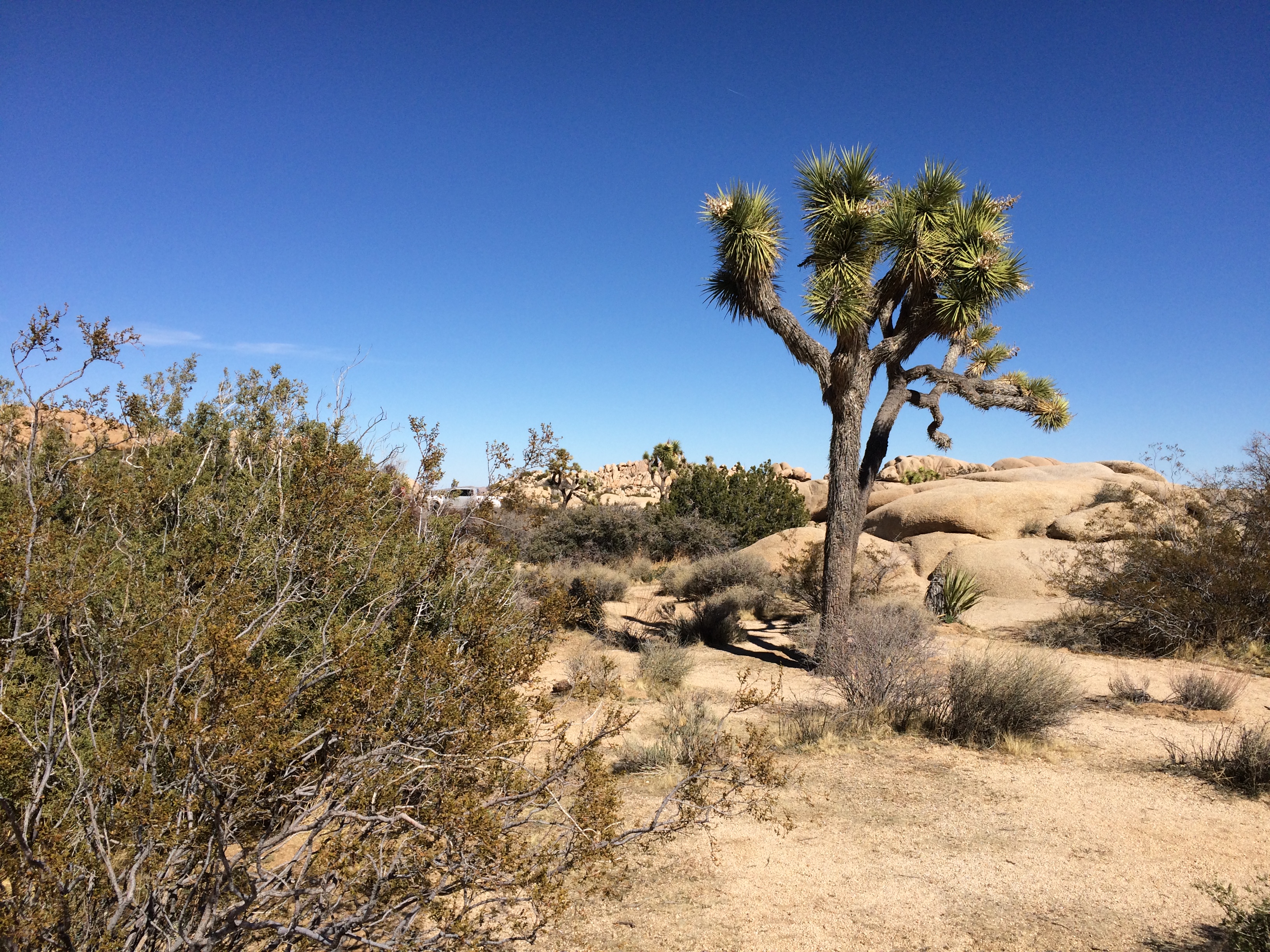
Joshua Tree National Jumbo RocksJoshua Tree National Jumbo Rocks Not far away I started spotting Joshua trees.
Joshua Tree National ParkDriving on the paved roads of JTNP was pleasant enough. There was some traffic, since winter is high season, and millions visit the park every year — about 2.9 million in 2018, making it the 11th most-popular U.S. national park. Not enough traffic to be a nuisance, though.

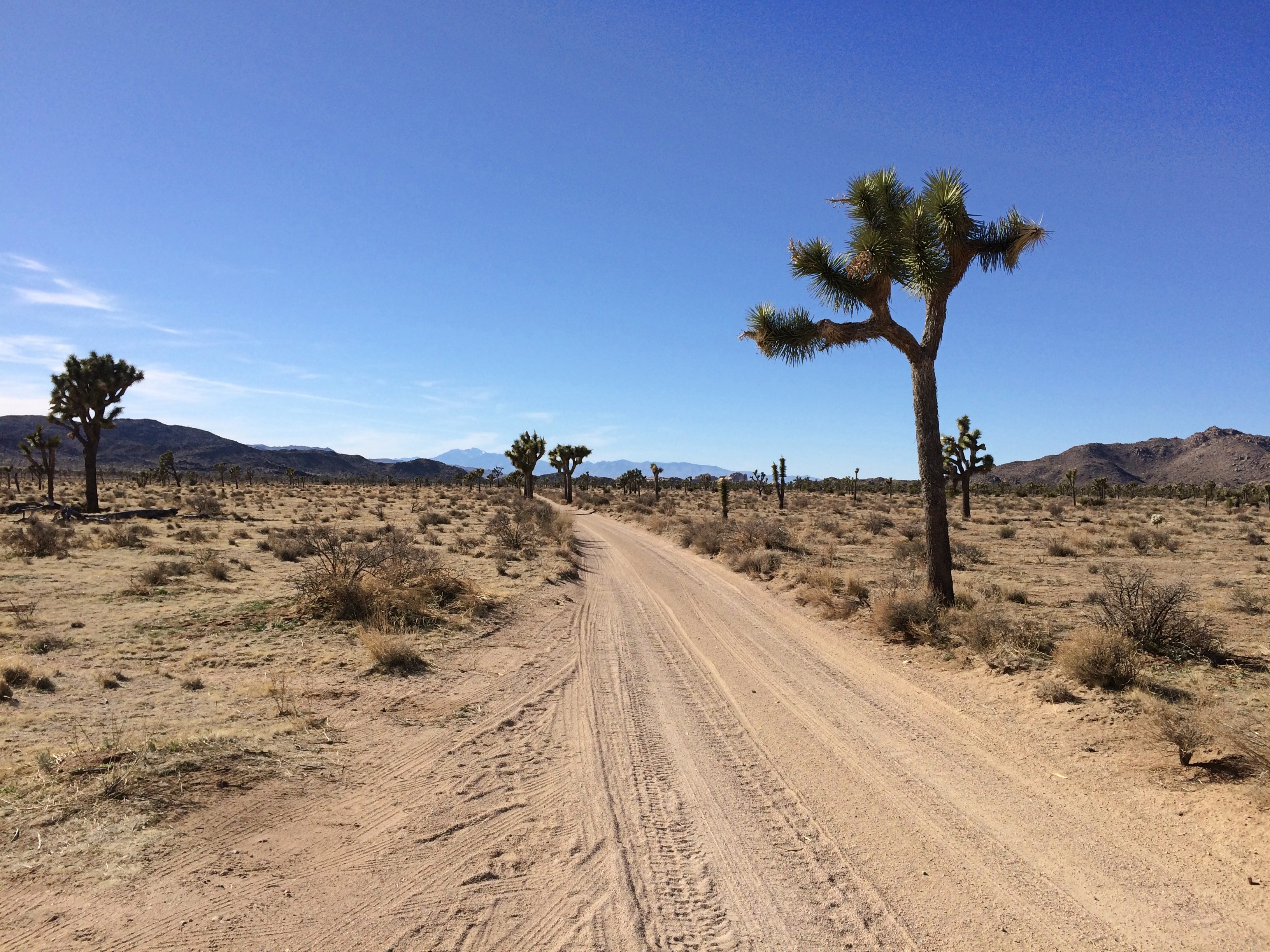
Unpaved roads were even better. At least the two I took: Desert Queen Mine Road and Queen Valley Road. Guess most of the other visitors were skittish about driving them, but they were mostly smooth with only a few large rocks to watch out for.
Joshua Tree National Park dirt roadAdmittedly they aren’t very long roads, but even so I only saw one other vehicle the whole way, which was pulled off the road a bit.

The Desert Queen Mine Road leads to a small parking area and a trail head for the Desert Queen Mine Trail. No one else was there. I took a walk. The kind of place where middle-aged men walking alone clutch their chests, keel over and aren’t found for weeks? Maybe. But you have to go down the trail if you’re going to see anything.

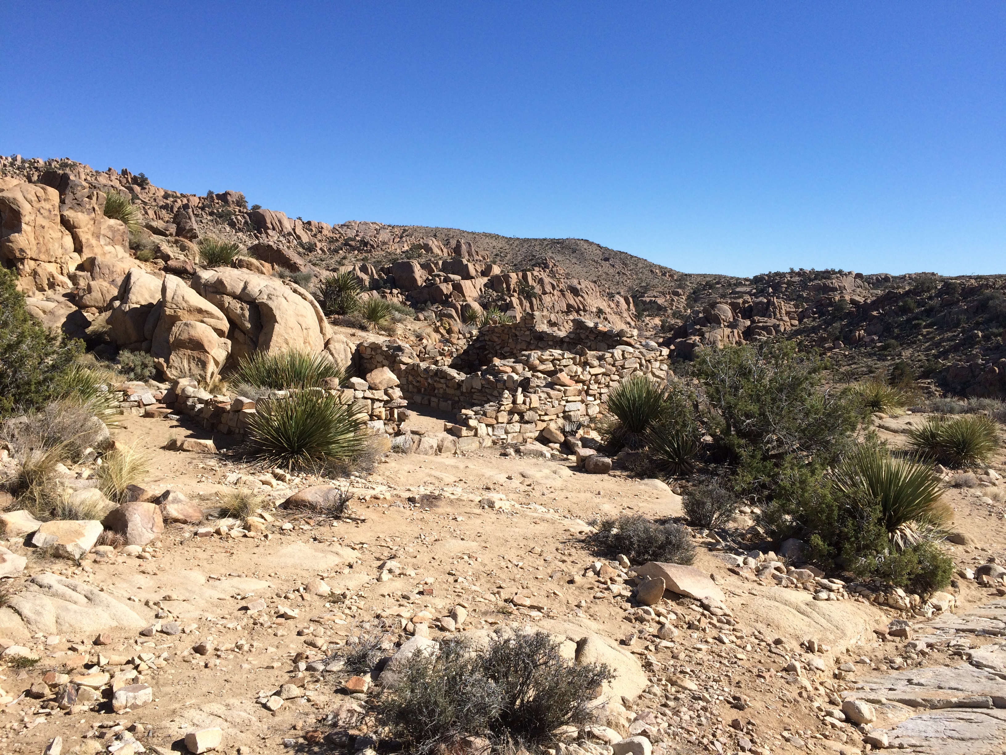
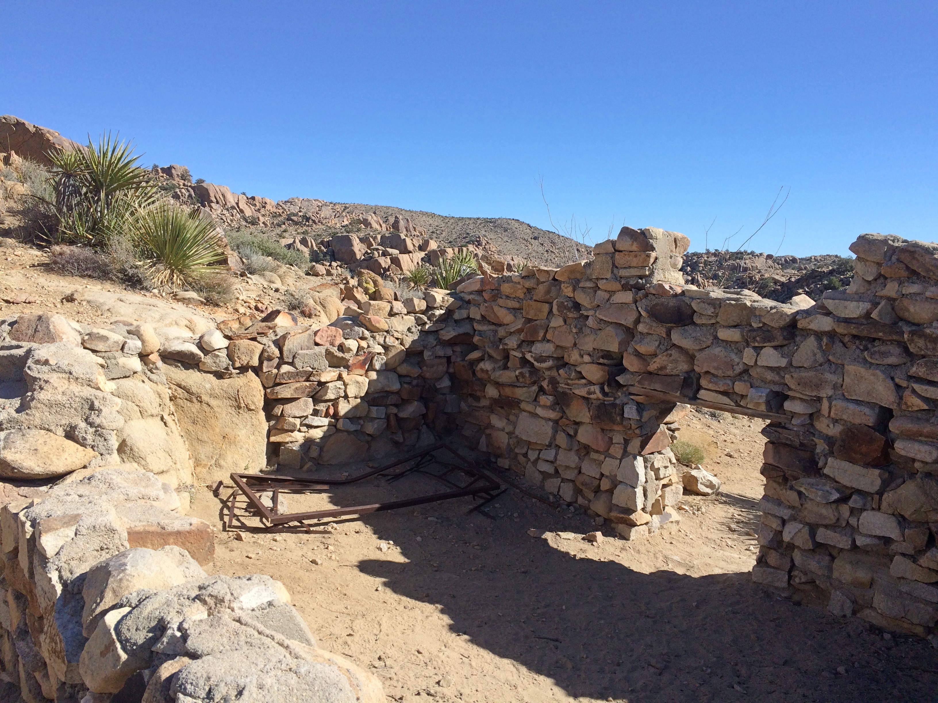
After about 10 minutes — it isn’t a very long trail — I came to a structure.
Someone had lived in this waste. Why? Gold. I sat among the stones for a while. The only sound was the wind, and not much of that. Then I could hear the faint, distinct whoosh of a jet. That faded, but there was another a few minutes later.
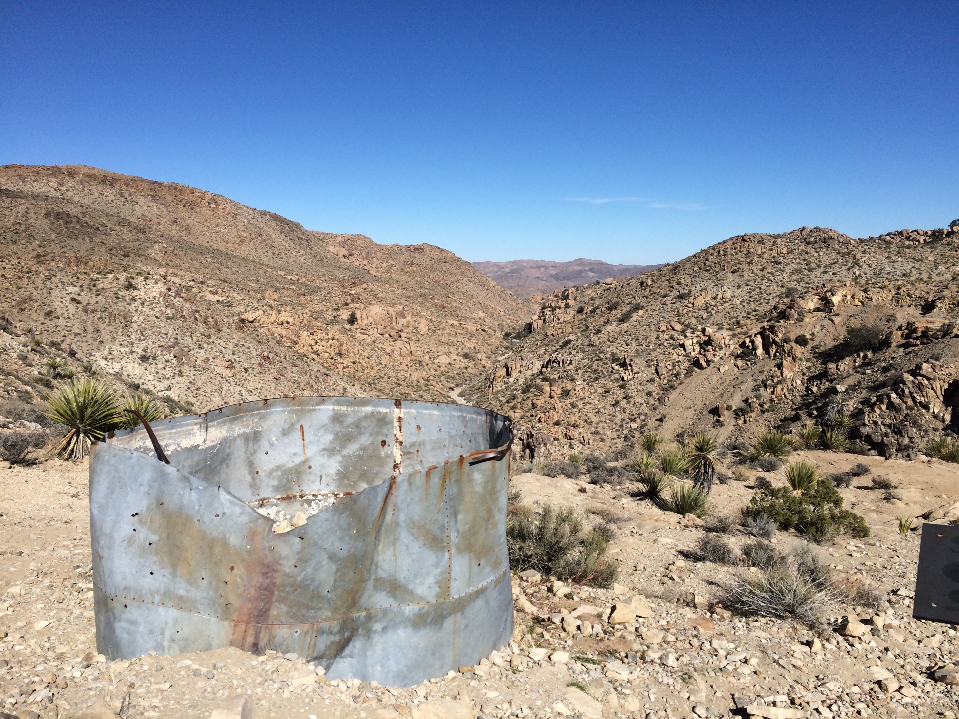
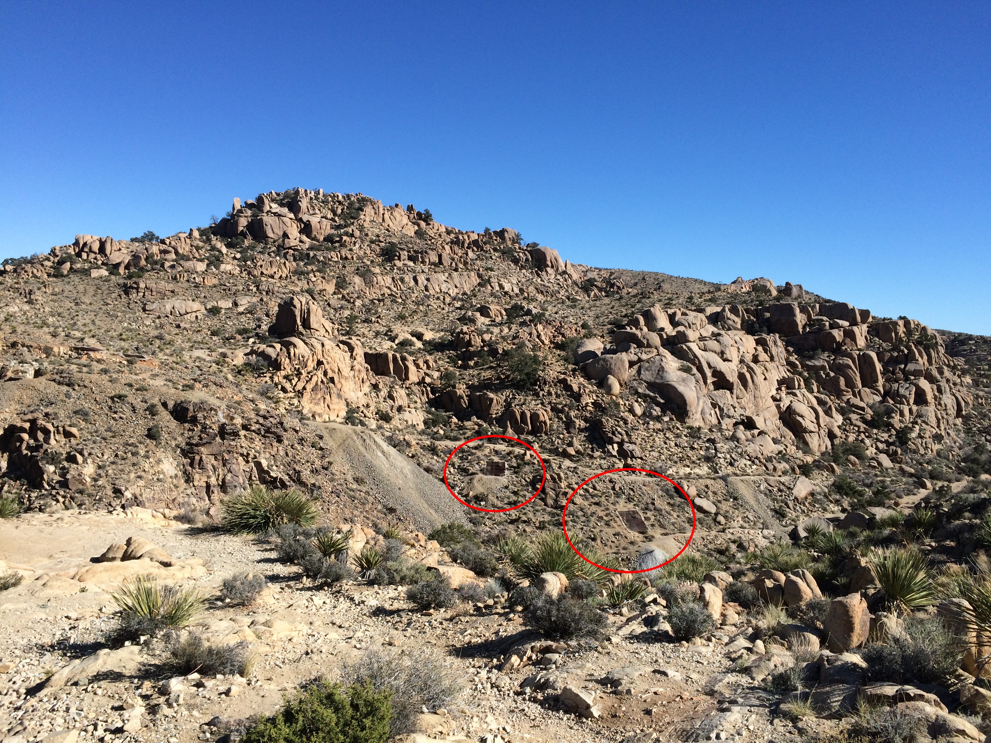
A little further on is a cliff with leftover mining equipment.
Joshua Tree National Park gold mineIf you look carefully, you can see metal doors down in the valley. Must be closed mine shafts.

Joshua Tree National Park gold mine

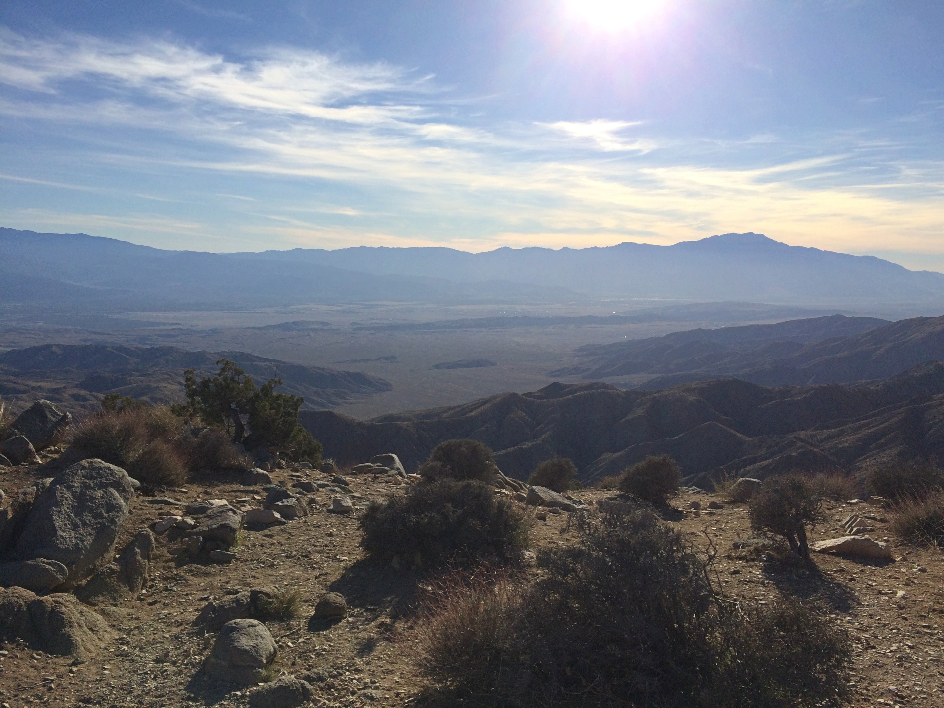
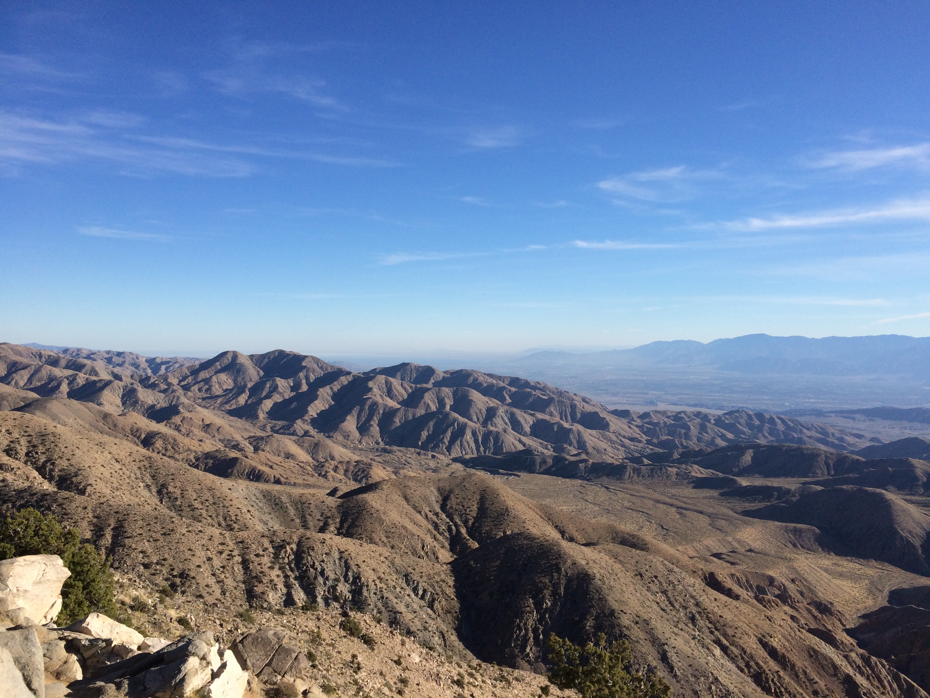
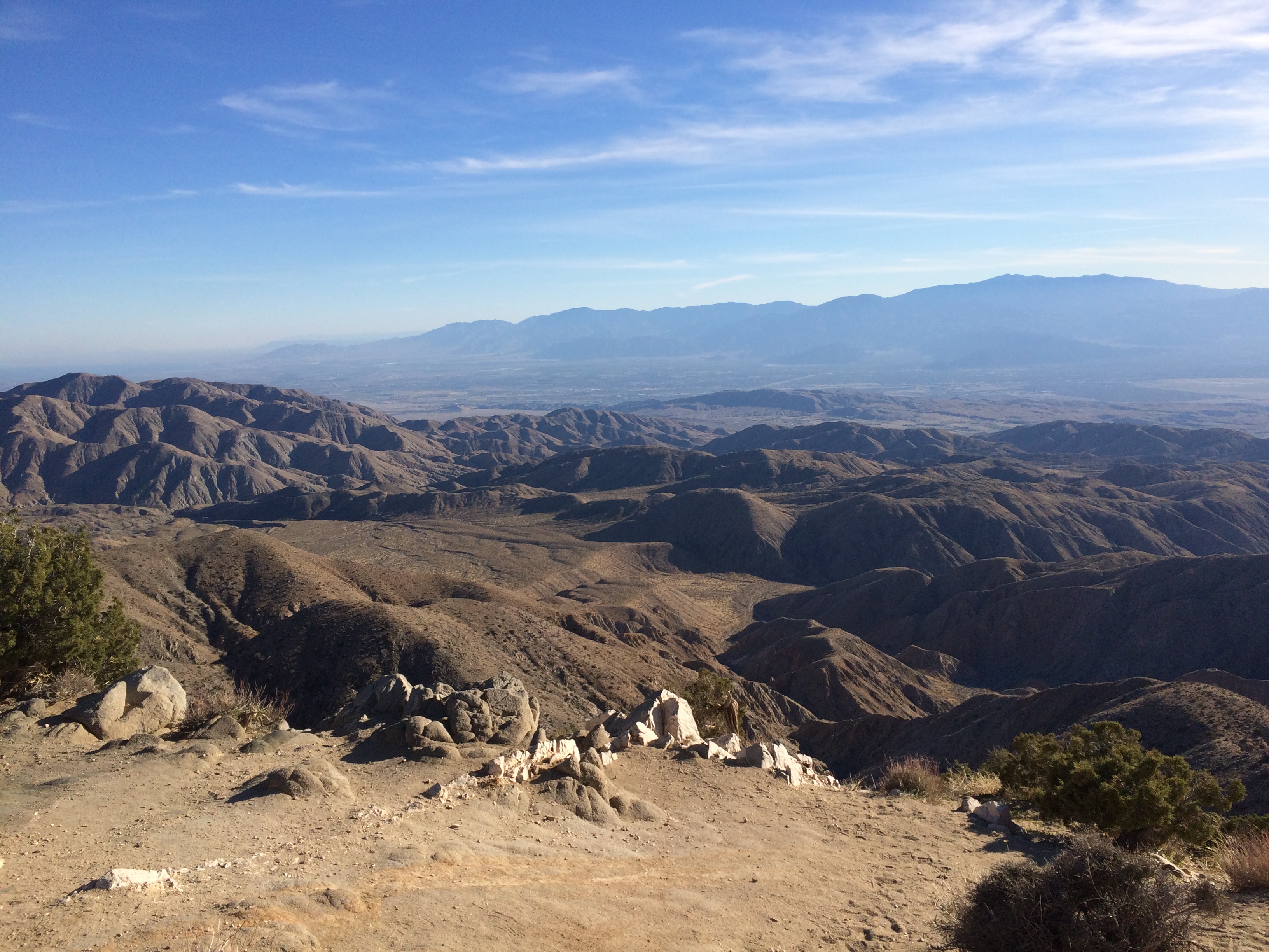
My second-to-last stop in the park: Keys View, up in the Little San Bernadino Mountains. Took a little driving to get here, but the view was worth it. Most of the Coachella Valley is stretched out before you.

Joshua Tree National Park Keys View

At nearly 5,200 feet above sea level, it was also distinctly chilly up there. And windy. Yet I spent a while gazing.

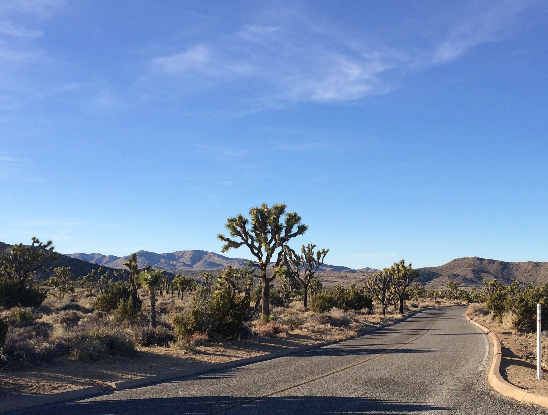
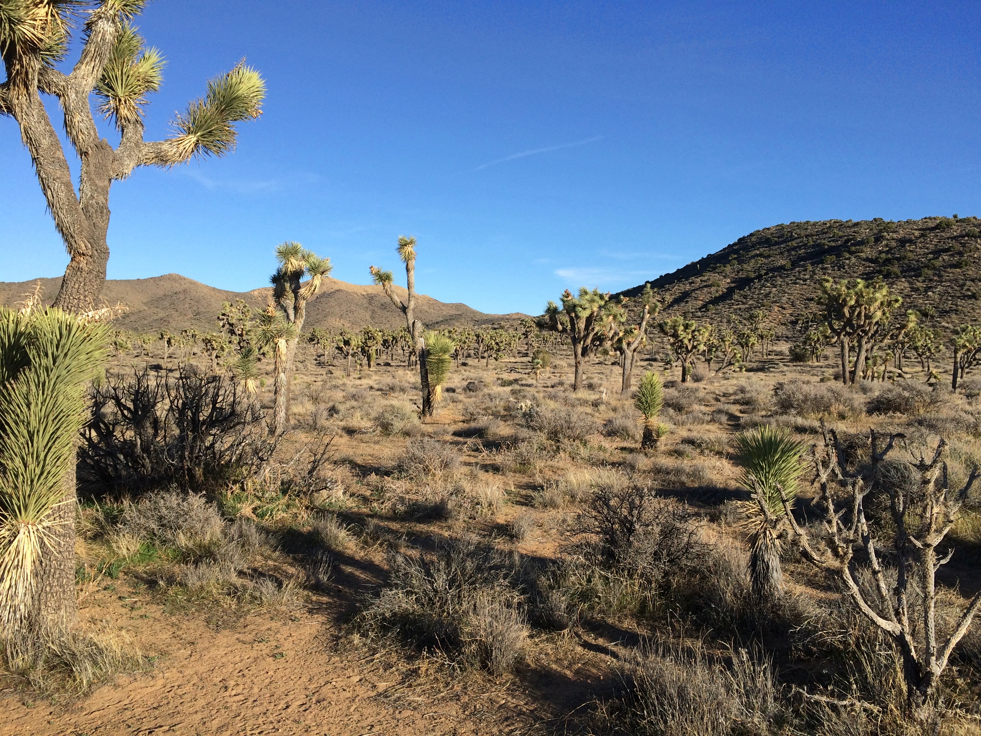
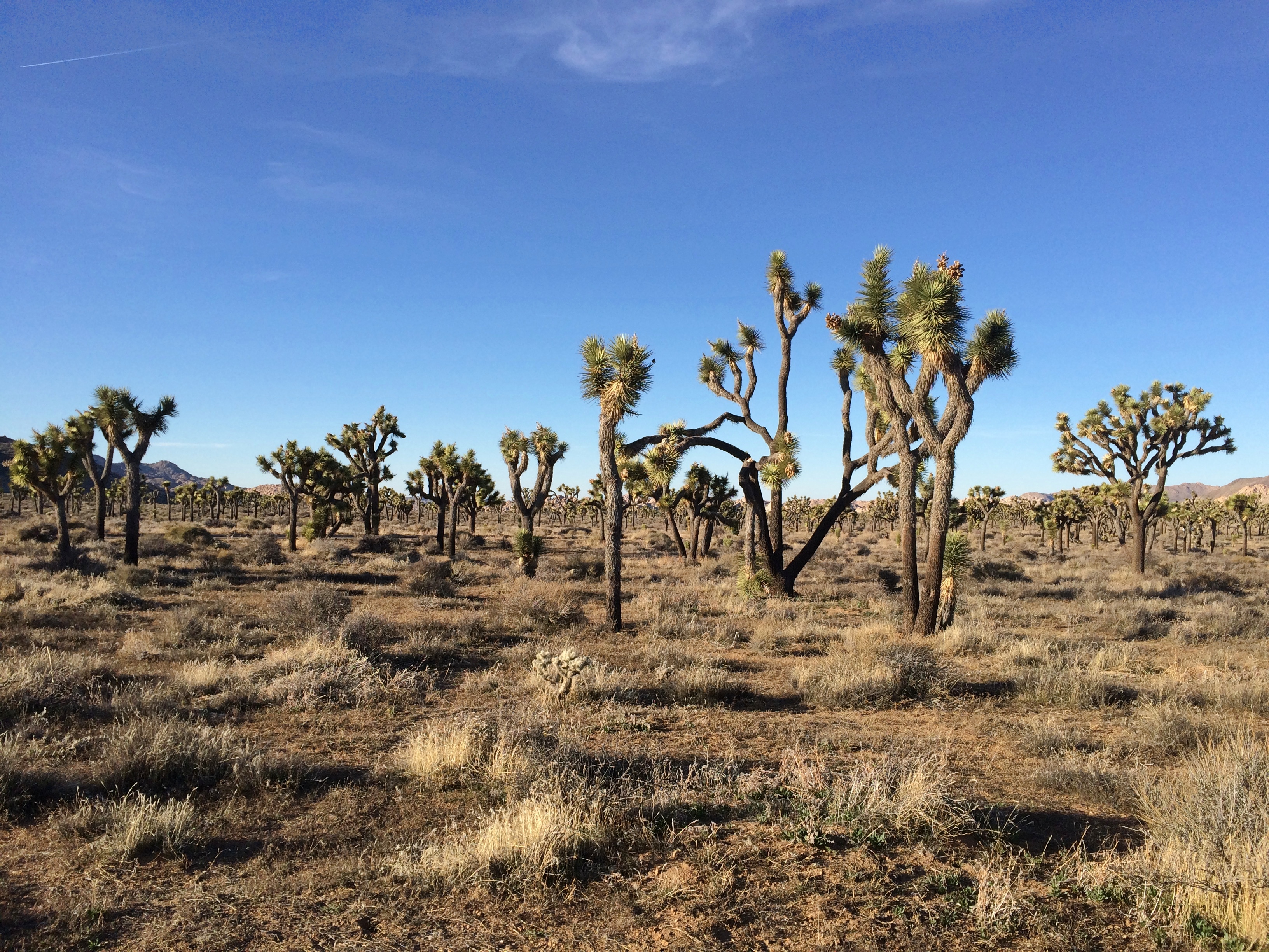
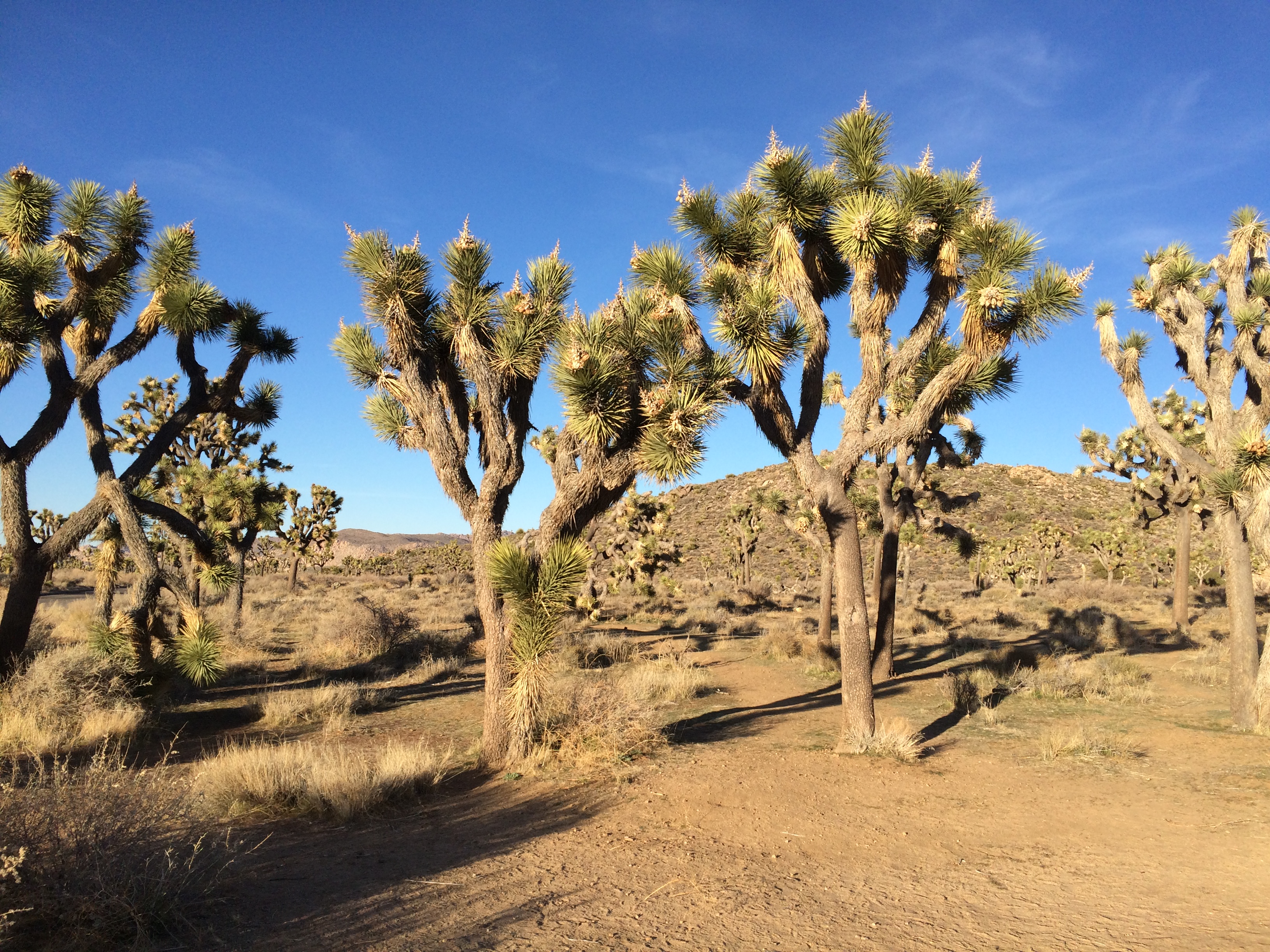
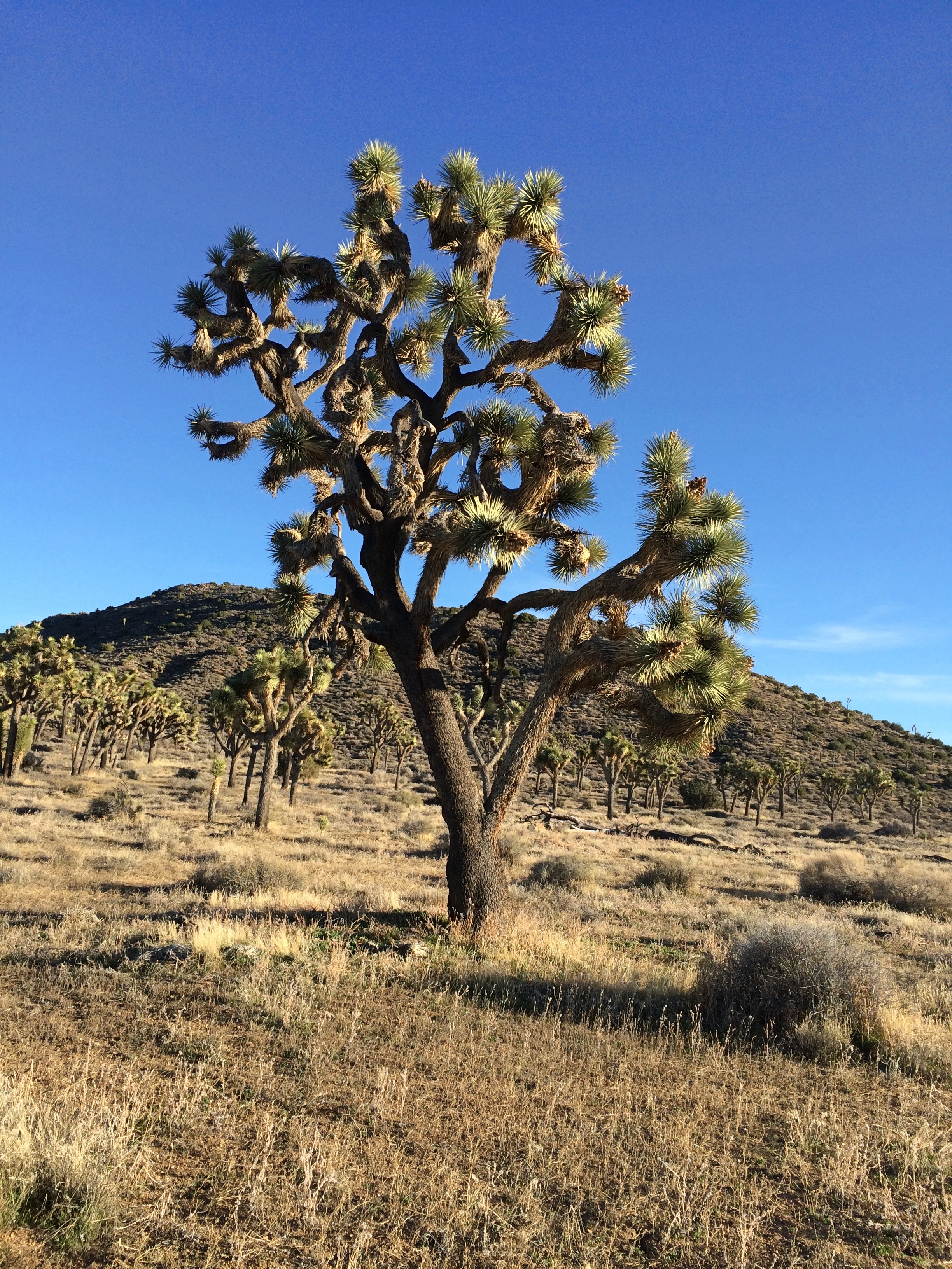
On the road back down from Keys View, I decided to take a closer look at the Joshua tree forest I was driving through.
Joshua Tree National ParkTo do that, you get out of the car and walk into the forest.Joshua Tree National Park

Remarkable plants, these yuccas. If Dr. Seuss had been asked to design a plant, it would look like a Joshua tree.