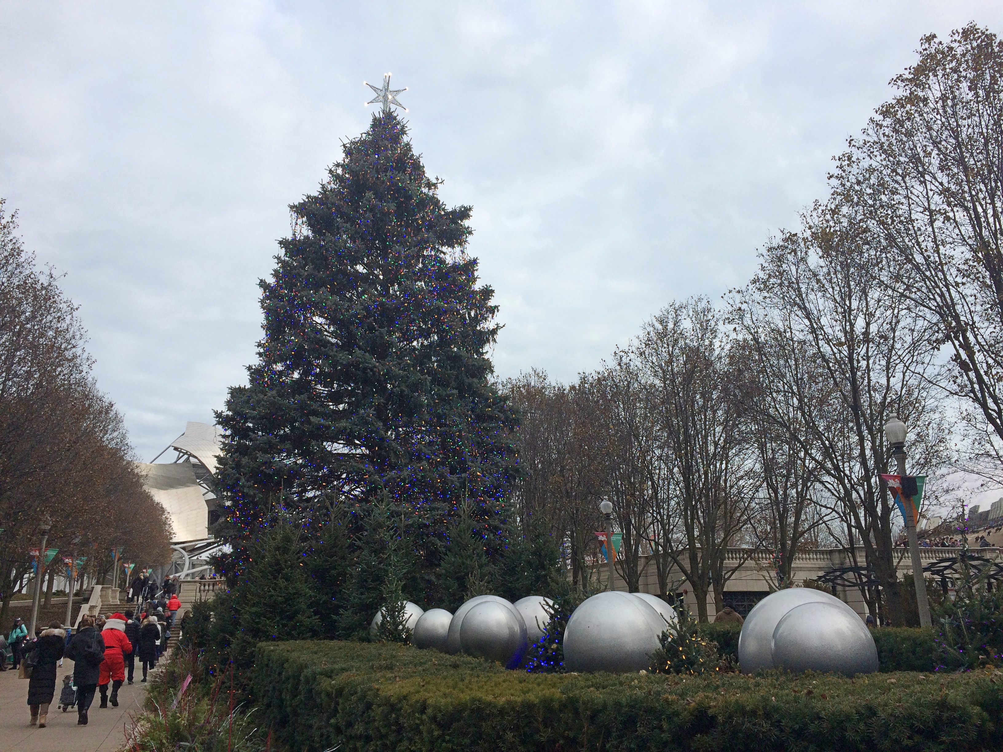
Walkabouts in Chicago aren’t so bad in December as long as temps hover above freezing and the wind isn’t too strong. Those are the conditions we had over the weekend, so we spent a while downtown. Took a look at the Millennium Park Christmas tree.
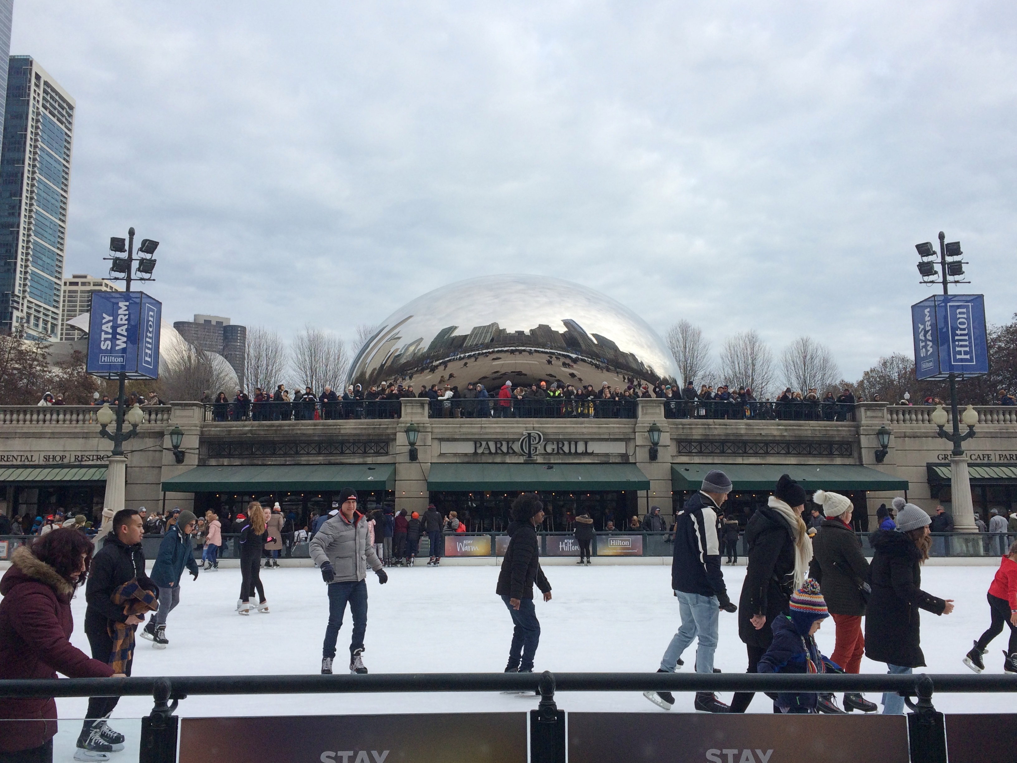
We wandered past the skating rink, just below the Bean.
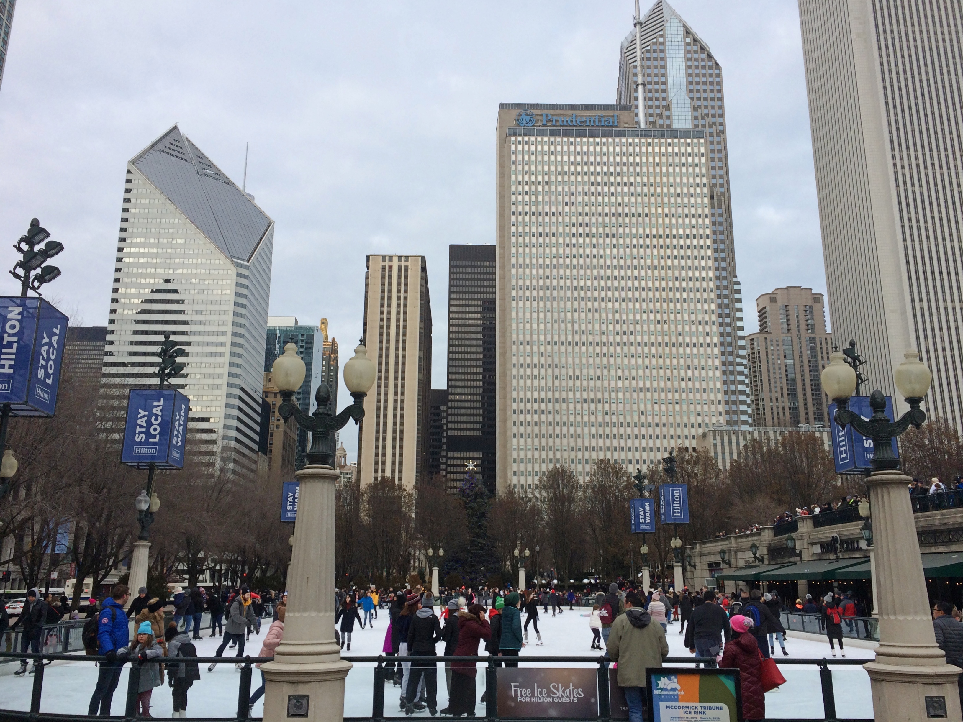
The rink is also in shadow of much larger structures.
Earlier, on a street a few blocks to the west, a family asked me directions to the Bean. I think I gave them good directions. I’m glad that even in the age of Google Maps — a really good urban navigation aid — people are still asking other people for directions.
Category Archives: Parks
Divers Michigan Bridges
Since the air was still warm and we had a dog with us, much of the recent Michigan trip involved outdoor destinations. The first of these was a modest yet remarkable park outside Battle Creek, the Historic Bridge Park in Calhoun County. The park is on the North Branch of the Kalamazoo River, near where it passes under I-94. I’ve driven by many times without a clue that it was there.
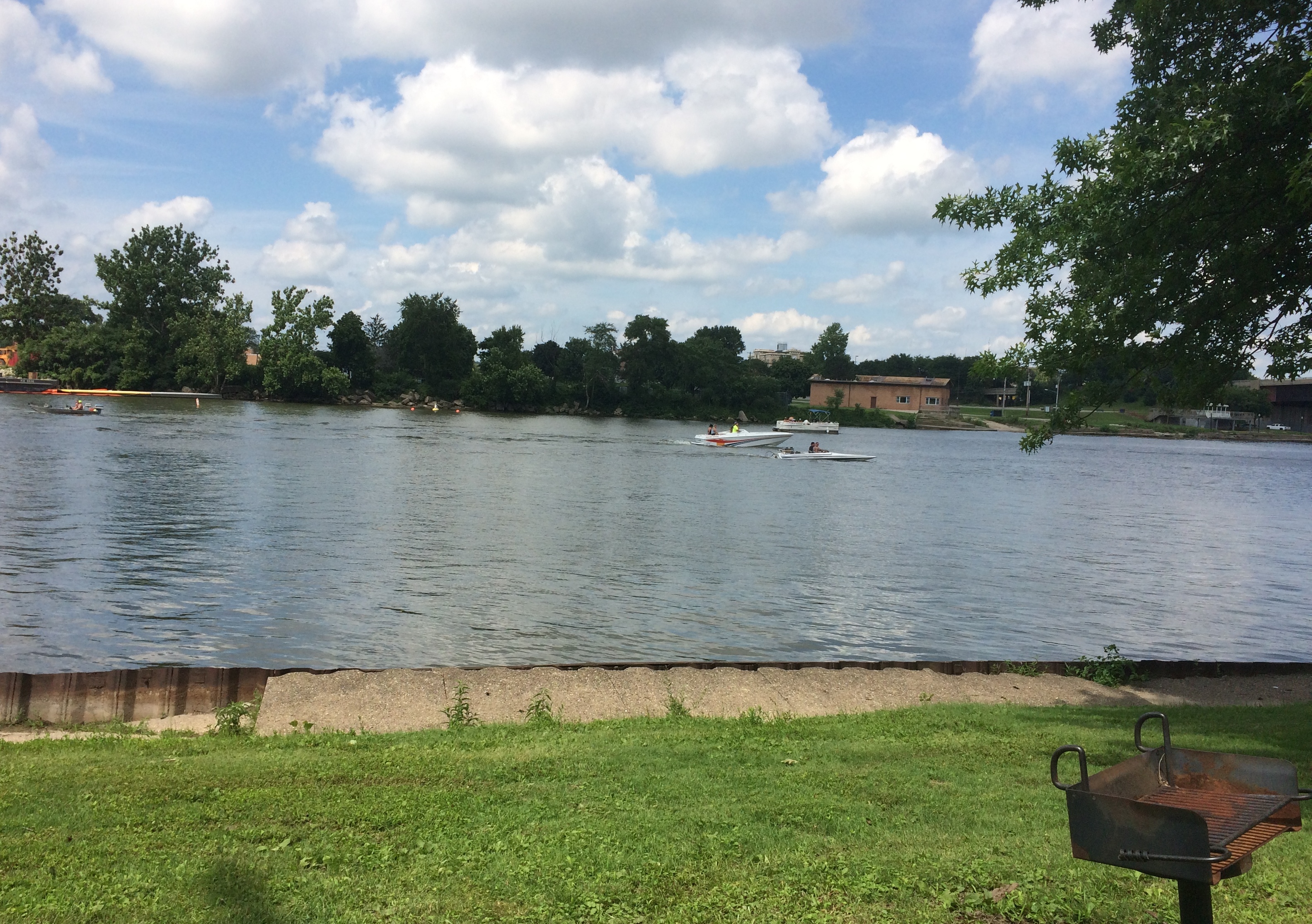
The riverside part of the park is pretty.
But it was the historic bridges, assembled here from other parts of Michigan, that we came to see. A superb collection of Machine Age structures, but that didn’t dawn on me until I’d walked over some of them. Such as the 133rd Avenue Bridge, originally located in Allegan County and built in 1887.
A bridge originally on the Charlotte Highway in Ionia County, built in 1886.
The 20 Mile Road Bridge, originally in Calhoun County, dating from 1906.
The Gale Road Bridge from Ingham County, built in 1897.
“The park allows metal truss bridges that have become insufficient for their original location to be preserved for their historic and aesthetic value…” says HistoricBridges.org. “Historic Bridge Park is the first of its kind in the entire United States.”
“The restoration of the metal truss bridges in the park was directed by Vern Mesler with the support of Dennis Randolph, former Managing Director of what was then called the Calhoun County Road Commission.
“They carried out the restoration with an unprecedented attention paid to maintaining as much of the the original bridge material as possible, and exactly replicating any parts that required replacement. For example, during restoration, failed rivets on the bridges were replaced with rivets, not modern high strength bolts. The bridges in Historic Bridge Park represent some of the best metal truss bridge restoration work to be found in the country.”
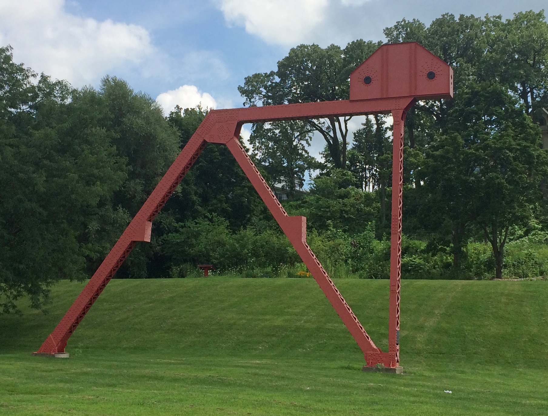
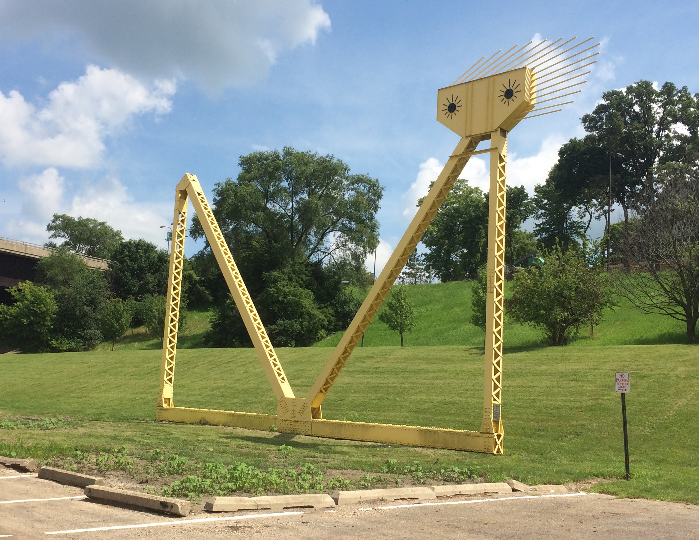
The park also features a sizable iron sculpture.
A nearby plaque says “Historic Bridge Park Sculpture Project, 2002.” Sculptor, Vernon J. Mesler, who must be the Vern mentioned above, and the fellow who did this specialized article.
A cool bit of work.
In Midland, Michigan, about a block from Main Street, is the Tridge.
It’s a three-way bridge where the Chippewa River flows into the Tittabawassee River, first opened in 1981 and renovated a few years ago, which might be why it looked fairly new. The brainchild of the nonprofit Midland Area Community Foundation — note the tri-bridge-like drawing over its name — the local Gerace Construction erected the structure, information about which is at its web site.
This kind of Y bridge isn’t that common, though there are some here and there in the world, including two others in Michigan, in Brighton and Ypsilanti. Maybe Michigan has an affinity for odd vectors. This is the state of the Michigan left, after all.
At the Dow Gardens in Midland, a pedestrian bridge over St. Andrews Rd. connects the gardens proper with the Whiting Forest, a later addition to the garden.
One of the attractions of the Whiting Forest is its canopy walk. At 1,400 feet long, Dow Gardens assets that it’s the nation’s longest canopy walk. While technically not a bridge — or at least it’s a bridge to nowhere — the walkway does get as high as 40 feet above the ground. There are no stairs to climb. The walkway starts at ground level and rises gradually as it meanders through the forest.
The view from the end of one of the three arms of the canopy walk.
Some views from below.
The skies at that moment were overcast and there had been a little rain earlier, but nothing violent. Bet the canopy’s a thrilling spot to find yourself during an intense thunderstorm. I’m sure people would do it, if Dow Gardens would let them go there, which I’m sure it doesn’t.
The Lost Lincoln Park Cemetery
Back again on September 3 after the long weekend. But not long enough. They never are.
That southern Lincoln Park used to be a cemetery in Chicago’s earliest days, before the apotheosis of the man from Springfield, wasn’t news to me. I’m pretty sure I read about it during my own early days in Chicago.
The last burial there was in 1866, and soon the graves were moved to “rural” cemeteries like Graceland. Except that bones still turn up from time to time in this part of the park. Wonder if that’s common knowledge among the recreational sports players in the park. Signs posted nearby explain these things, but who reads them?
Actually, more than signs. Not far from the Chicago History Museum is the sole remaining mausoleum from the cemetery period, the Couch Tomb.
In “Hidden Truths: The Chicago City Cemetery and Lincoln Park,” artist Pamela Bannos notes the following about the Couch Tomb: “As a part of Hidden Truths, I have asserted that the Couch family tomb is the oldest structure left standing in the Chicago Fire zone. This stone vault has stood in place since it was built on-site in 1858.
“It was this conspicuous vestige from the City Cemetery that initiated this project. During informal polling of friends and acquaintances living in Chicago, I was surprised to learn that many who exited Lake Shore Drive, driving through Lincoln Park, had not noticed the family mausoleum.”
Ira Couch was an early Chicago millionaire who died in 1857. He’s likely in the tomb, along with family members, though that isn’t quite certain. A discussion of that question and much more are included in the Hidden Truths web site.
Most intriguing is why the tomb is still there. Bannos’ best guess, and I will go along with it, is that it was too expensive to move. Plant a few trees around it and before long, no one notices. That’s exactly what has happened.
A Few Lincoln Park Statues (And Where’s Garibaldi?)
The southern part of Lincoln Park in Chicago features statues of famous men fairly close together, but not quite within sight of each other. Visible from W. North Blvd., barely — at the other end of a linear garden — is Lincoln.
This isn’t just any Lincoln statue, of which there are many. This is Augustus Saint-Gaudens’ Standing Lincoln, whose formal title is “Abraham Lincoln: The Man,” completed in 1887. Among Lincoln statues, it has few peers.
I understand there are full-sized replicas in both Mexico City and London, where he keeps statuary company with nearby works depicting Winston Churchill, Robert Peel, Benjamin Disraeli, Mahatma Gandhi and others.
Stanford White designed the memorial’s semicircular exedra, where I parked myself for a few minutes.
On the exedra’s left is this curious globe.
The text is Lincoln’s letter to Horace Greely of August 22, 1862. Interesting choice, rather than the Gettysburg Address or part of the Second Inaugural Address, which are carved into the Lincoln Memorial. Perhaps in 1887 the letter was considered the essence of the man.
On the north side of a pedestrian tunnel under W. LaSalle Dr. is a statue of Benjamin Franklin.
The Chicago Park District says: “Joseph Medill, editor of the Chicago Tribune, wrote, ‘I have deemed it a personal duty to keep [Franklin’s] memory fresh in the minds of Chicago’s youth.’ Along with the Old-Time Printers’ Association, Medill hired sculptor Richard Henry Park (1832–1902) to create the Benjamin Franklin Monument. Park came to Chicago from New York to participate in the 1893 World’s Columbian Exposition.
“The monument was originally located on the east side of the Lincoln Park Zoo near the South Lagoon. In 1966, the Chicago Park District moved the bronze sculpture and its white granite base to accommodate an expansion of the zoo.”
Further north, and visible from the South Pond, is the Ulysses S. Grant Monument.
That’s the view from west. I wanted to get a closer look at it, since I never had. All the years I’ve been here, you’d think I would have, but no. The view from the east:
From just under the statue.
Looks like Grant, all right. The park district again: “William Le Baron Jenney, the noteworthy designer of early skyscrapers, recommended that the memorial should include a monumental Romanesque arched structure. More than a dozen artists competed for the project.
“The winning proposal came from Louis T. Rebisso (1837–1899), a Cincinnati-based artist who had emigrated from Italy to America in 1857. Rebisso produced an eighteen-foot-tall equestrian bronze statue of Grant above an elegant version of the arched structure that Jenney had suggested.
“When the sculpture was dedicated in 1891, more than 200,000 people attended the ceremonies.”
Also in this part of Lincoln Park is an empty plinth rising in a bleak little patch of land.
A recent statue removal I hadn’t heard about, like in New Orleans? That didn’t seem likely, especially when I noticed GARIBALDI carved in the plinth. Turns out that Garibaldi was removed — so he could be displayed in a park closer to a Chicago Italian neighborhood at the time. That was in 1982.
You’d think that the park district could get around to putting another statue there after nearly 40 years, but apparently not.
I passed by one more statue in the park on Sunday, back south of LaSalle, and not of a famous man: “Fountain Girl.”
This work has a curious history. I was so curious I sat on a park bench near the statue and looked it up on my gizmo. It is a copy of an earlier work.
The park district: “The piece was sculpted by English artist George Wade in 1893 as a commissioned piece by the Woman’s Christian Temperance Union for the World’s Columbian Exposition in Chicago. The WCTU raised $3,000 for the original public fountain to provide ‘pure drinking water’ as an alternative to liquor.”
The fountain stood at the world’s fair and later in downtown Chicago. Copies of it were installed in other cities. Eventually, the original was located in Lincoln Park, only to be stolen in the 1950s.
“In 2007, the Chicago Park District, the State of Illinois, the Lincoln Park Conservancy and private donors raised funds towards the project. The bronze figure was recast from the Portland, Maine fountain, and it is now installed on its original base.”
Originally, the fountain provided non-alcoholic refreshment for people, dogs and horses, but the park district is quick to point out that the modern version provides non-potable water.
South Pond, Lincoln Park
Frame your photos just so and you can achieve the appearance of wilderness.
Not only did I not visit the wilderness yesterday, I was smack in a densely populated city. Chicago, of course. Late in the morning I took a walk through the southern reaches of Lincoln Park — south of the better-trod zoo and conservatory and other parts of the park. Go far enough along this path and you reach the park’s South Pond.
In August, it’s lush with vegetation, but also clearly urban.
I don’t remember walking this particular path before. No matter how many times you go somewhere, there’s always more.
Chance the Snapper Has Gone Home
I left for college for the first time 40 years ago today. So long ago that I flew on Braniff to get to Nashville, as I like to say. At least to anyone who might remember that airline.
Nothing so milestone-like happened today. At least I don’t think so. Sometimes you quietly pass by milestones and only realize it in retrospect, if then.
Sometimes that’s literally true. On the Trans-Siberian, I knew that some kind of post is visible from the train marking the “border” between Asia and Europe, as you cross the Urals. I missed it. I think I was concerning myself with lunch at that moment.
One place we went today was the former home of Chance the Snapper. That is, Humboldt Park in Chicago. Chance has been returned from the park’s lagoon to Florida. Presumably Florida Man brought him to Chicago at some point.
Temps today were warm but not too hot, so we took a walk around. Plenty of ducks and geese to see. Lilypads, too.
But presumably no gators to bother the people who rent paddleboats.
We’ve visited the park a number of times, including for a look at its various artworks, but today we discovered a curious snail sculpture near one of the footpaths, but also partly covered by bushes.
According to the Chicago Park District: “In 1999, teenagers involved in a Chicago Park District program known as the Junior Earth Team spent several months learning about nature in Humboldt Park. The JETs developed an interpretive trail and provided sculptor Roman Villarreal with notes and sketches for a series of artworks.
“For this project, Villarreal and the students produced three carved artworks that are scattered and remain relatively hidden throughout the park. The three pieces relate to the theme of air, water, and earth. Among the trio is a two-foot tall snail sculpture located northeast of the Humboldt Park Boat House that bears the inscription ‘breathe oxygen.’ ”
Pittsburgh ’19
Independence Day fell on a Thursday this year, creating a four-day window of opportunity to go somewhere. So late on the afternoon of July 3 we headed east, spending the night near Toledo, Ohio. On the 4th, we drove on to Pittsburgh, where we spent three nights and two full days, returning after an all-day drive today.
We stayed at a hotel in the pleasant Moon Township, Pa., not far from Pittsburgh International Airport. The days were hot and steamy and punctuated by vigorous rainfall in the afternoons — supposedly typical for western Pennsylvania in July, though it was a lot like home this summer. Anyway, even occasional heavy downpours didn’t slow us down much.
The road from metro Chicago to Pittsburgh, if you take the Indiana East-West Toll Road and then the Ohio Turnpike, takes you smack through the Cuyahoga Valley National Park. We spend a few hours walking its trails on July 4 as a stopover on the way to Pittsburgh.
Getting up early(ish) on July 5, we first went to the Duquesne Incline, one of Pittsburgh’s two funiculars, and rode it up and down. At the top we took in the hazy morning view of the city and the meeting of the Allegheny and Monongahela rivers. My thinking about funiculars: when you find one, ride it. My thinking about the Monongahela: that’s just a damned fun name to say.
Next we drove to the Oakland neighborhood and spent time at the University of Pittsburgh. Specifically, the Heinz Memorial Chapel — the church that ketchup built — and the Cathedral of Learning and some of its highly artful, internationally themed rooms, unlike anything I’ve seen before.
Lunch on the first day was at the the Original Oyster House on Market Square, which is known as Pittsburgh’s oldest bar and restaurant, and which serves up a mighty fine array of seafood. From there we repaired to Point State Park at the meeting of the rivers, site of a French and then British fort in the days before American independence, and the seed of modern Pittsburgh. That’s also where our lengthy guided walking tour of downtown Pittsburgh began, which took up the rest of the afternoon.
That should have been enough for the first day, but our momentum carried us on to the Andy Warhol Museum for a few hours in the early evening, taking advantage of its longer hours on Fridays. A suburban location of Primanti Bros., a local chain, provided a hearty dinner that night.
The second day, July 6, wasn’t quite as busy, but we got around. Late in the morning, we took an extensive tour of Carrie Furnace, a hulk of a former blast furnace complex on the Monongahela. It reminded me greatly of the Sloss Furnaces in Birmingham, Alabama, though the scale was even larger. After all, Birmingham was the Pittsburgh of the South, not the other way around.
After lunch in a nondescript but decent Chinese restaurant, we visited the Frick Pittsburgh, whose grounds include his mansion, a museum with his art, a greenhouse, and a carriage and antique auto exhibit. We saw the greenhouse and the auto exhibit.
After treating ourselves to some hipster ice cream late in the afternoon, we went to one more place, despite thunder and rain: Randyland.
It’s the kind of outsider art phantasmagoria beloved by the likes of Roadside America or the Atlas Obscura. For good reason. As Roadside America puts it, the place is a “circus-colored oasis of sunny vibes on Pittsburgh’s formerly grim North Side.”
Houston Water Features
Near the Galleria in Houston, which is a mixed-use property that includes the 1.9 million-square-foot mall of that name as well as office towers and a couple of hotels, is a local feature unlike any other: the Gerald D. Hines Waterwall Park. Or more commonly, the Waterwall.
Waterwall is an apt name, with water cascading down the front.
Water cascades down the back as well.
According to a nearby plaque, 11,000 gallons of water spill over the walls per minute, from a height of 64 feet. John Burgee Architects, working with Philip Johnson, designed the massive water feature, apparently inspired by ancient Roman theaters.
This is a drone’s view. All we had were our own eyes to appreciate the place.
It’s a popular place to have your picture taken, front and back, but especially in the circle near the spray coming off the waterwall.
More than one person asked Lilly to take their picture at the site, including the young couple above, dressed to the nines.
Completed in 1985, Waterwall was privately owned until it looked like ownership might destroy it. In 2008, the Uptown Houston Tax Increment Reinvestment Zone, a local nonprofit, acquired the Waterwall and the surrounding land. That might have been when I first read about the Waterwall, but then I forgot about it.
We stayed near the Galleria — in the nicest La Quinta I’ve ever stayed at — and when I was mapping out a route to visit the mall, I noticed the Waterwall nearby on Google Maps. I remembered it instantly and knew I wanted to go. We saw it late on the afternoon of May 11.
The next morning, we checked out and headed for New Orleans. But not before we spent a while near Buffalo Bayou, the main river through metro Houston. It’s another map feature that I wanted to see with my own eyes.
The park associated with Buffalo Bayou near downtown Houston has its charms, one of which is a view of downtown Houston.
That is the city’s original downtown, but at least in terms of office building density, the Galleria area now functions as another downtown for Houston. I knew that because I’ve read about the Galleria office market, but seeing it myself drove the point home.
Lilly and I walked along the Buffalo Bayou Park path for about an hour.
At one point, the landscape urged us onward.
At the tip end of Buffalo Bayou Park facing downtown is the Buffalo Bayou Park Cistern. I can’t remember when I read about that. It wasn’t long ago.
Maybe in the likes of Atlas Obscura. That publication saves me the trouble of writing a description, along with the embarrassment of publishing the crummy pictures that I took inside the cistern.
“Built in 1926, this 87,500-square-foot… space was one of Houston’s first underground reservoirs,” the Atlas says. “The eight-inch-thick concrete roof is supported by 221 concrete pillars reaching 25 feet high that march in rows into the dim distance.
“A public works facility for decades, an irreparable leak was eventually found in the structures walls and thus it was subsequently decommissioned in 2007. The city was preparing to demolish it when it was found by the partnership developing Buffalo Bayou Park. After briefly considering using it for parking or mulch storage, the developers decided to keep it as an unusual and attractive space for park visitors.”
We took the 20-minute tour inside. “That was cool,” Lilly said afterward, meaning it metaphorically, not literally. I was expecting the inside of the cistern to be cool like a cave, but it was closer to room temperature. Anyway, I completely agree with Lilly.
Fallen Trees
Before any snow fell on Sunday, we enjoyed a fairly nice Saturday, sunny and not too cold. Warm enough to talk a pleasant wall at Spring Valley, our go-to place for short walks in the mixed woods and prairie when we don’t want to drive too far to do so.
I noticed that the park district had finally gotten around to removing the big white ex-tree near the edge of the Spring Valley’s largest pond.
This is what it looked like nearly five years ago, standing tall and dead.
A nearby fallen tree, which landed in the pond, is still there, but the years are taking their toll.
That inspired me to look around for some other fallen trees at Spring Valley. There are a fair number, including cut ones.
And those that look like the wind finally got them.
All very nice, but nothing as epic as I saw in Washington state, or as damaging as in the UP. Or as varied as you can find among these images.
Glos Memorial Park, Elmhurst
I’d like to say that I discovered Glos Memorial Park in Elmhurst on Saturday via serendipity, but I learned about the place from that exceptional travel tool, Google Maps.
The park is a strip of land, a little less than an acre, near Elmurst’s main shopping district and just east of Robert T. Palmer Dr. Mostly it’s a pleasant strolling sort of place, with sidewalks and benches and a rose garden, but there’s also a single structure.
It’s the Glos Mausoleum.
“Lucy Glos, wife of Henry L. Glos, banker and first Village President, donated the land to the City of Elmhurst,” explains the Elmhurst Park District.
“The land was donated to the City of Elmhurst in the 1940s, but was not developed into a park until 1979, with dedication in 1981. The City began leasing the property to the Park District in 1978.”
Explore Elmhurst fills in a few other details: “The Village of Elmhurst passed an ordinance in 1892 giving Village President Henry Glos permission to build a mausoleum on his property. The mausoleum was built in 1899. Henry Glos (1851-1905) and Lucy Glos (1852-1941) are buried there.”