The 606 in ’16

On Saturday we went to the city for a few hours. Yuriko went to a cake-making class offered by a woman she knows who lives near Humboldt Park. I was the driver, since it’s complicated to get there by train and bus, and driving in the city unnerves her.

As it should, with cars everywhere, parked and in motion, operated by sometimes careless or aggressive drivers and often closer than you think; delivery trucks blocking the way; road construction crews doing likewise — though the rough surfaces and potholes never seem to go away; buses acting as if they own the road; bicyclists passing between you and parked cars suddenly and with inches to spare; random pedestrians all over the place, a few with no sense; people opening their car doors in front of you without warning, emerging onto the street (some with children in tow); large intersections without the benefit of turning signals; and stretches of street being resurfaced, but not completed just yet, which on a dry June day raises clouds of dust through which you must pass.

Then there’s the matter of parallel parking. Yuriko doesn’t care for it. A lot of people would say the same. I never knew how to do it until I moved to Chicago in the late ’80s. Then I learned it well. It’s an essential skill for owning a car in the city. I also learned what to expect driving in a place like Chicago. Or New York or Boston or Washington DC or Atlanta or Miami or Dallas or Los Angeles or Seattle — all harrowing in their own sweet ways.

I’ll say one good thing about driving in Chicago, though: it’s easy to know roughly where you are all the time. The streets mostly form a grid, with major streets at regular intervals, and just about every street, even the most minor, marked with an easy-to-see, well-placed and legible street sign. Not every city has such luxuries, and I mean you, Boston.

With Yuriko at her cake class, I had a couple of hours to kick around in the late morning. The Puerto Rican Festival in Humboldt Park, Fiestas Puertorriqueñas, was slated to start at noon, as evidenced by people carrying the commonwealth’s well designed flag into the park and the flag being flown by a lot of passing cars. Here’s a vendor selling some.Puerto Rican Day Chicago 2016Since the event wasn’t actually under way, I went elsewhere. I visited St. Mary of the Angels church about 20 blocks to the east, taking a North Avenue bus, and then walking back, partly on the 606, the same linear park we visited on its opening day a little more than a year ago.

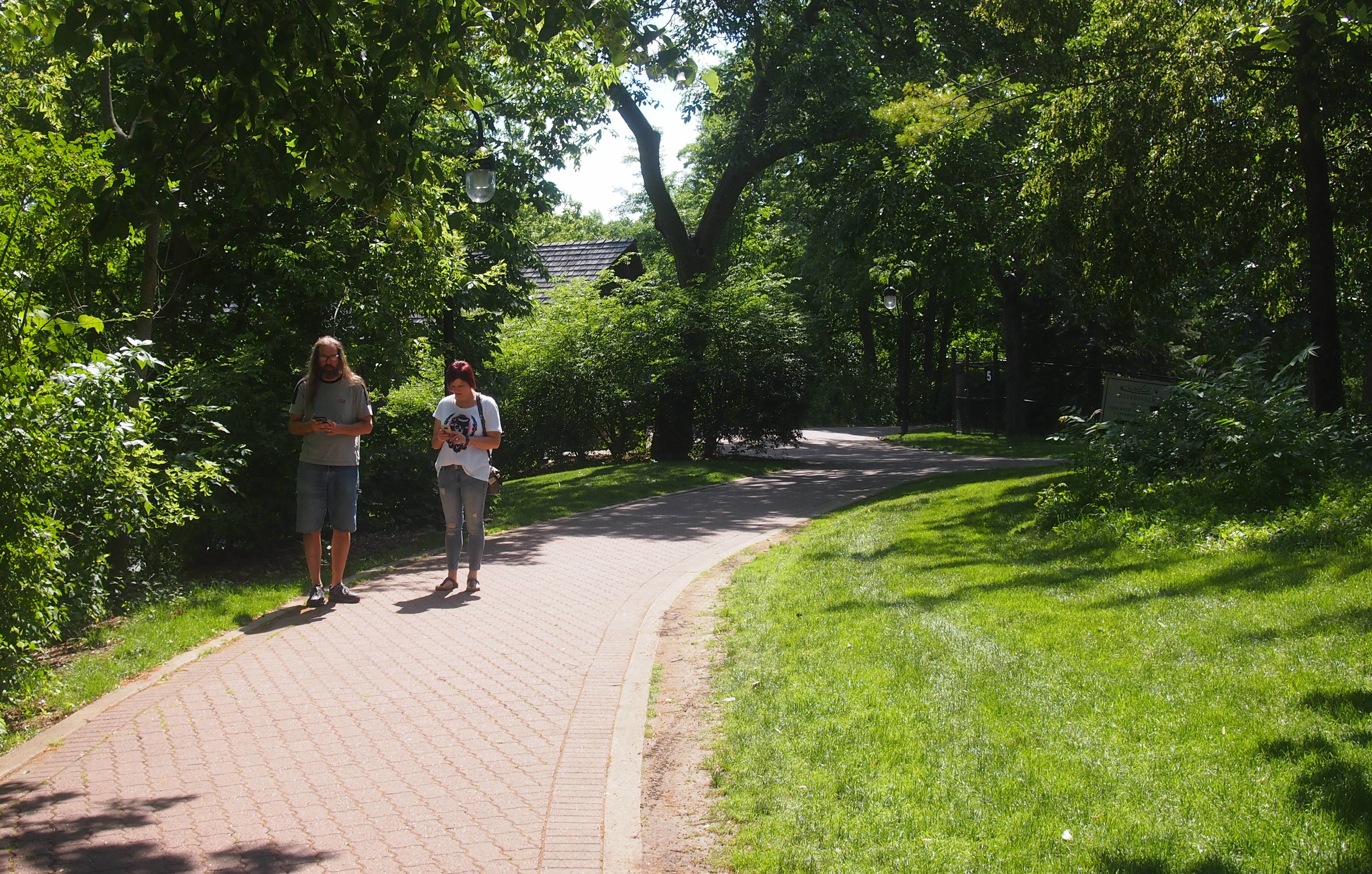
This time I saw a bit more of the trail’s eastern end, though not quite to the east terminus. At around 11 am in mid-June, the sun is high and the trail very warm. Temps were in the upper 80s F. That didn’t keep people away.
The 606 ChicagoI was glad to see that the landscaping on the edges is now more lush than a year ago. Also, development of the land nearby continues apace.606 Winchester AveI also noticed that the trail is short on shade. Most of the year, that wouldn’t matter, but in summer it’s important. Even the trailside parks weren’t particularly shady. At Park 567, where the trail crosses over Milwaukee Ave., there were only three or four spots under trees offering any significant shade. I was lucky enough to be able to sit by myself in one sizable pool of shade, though I would have shared the space if anyone had asked.

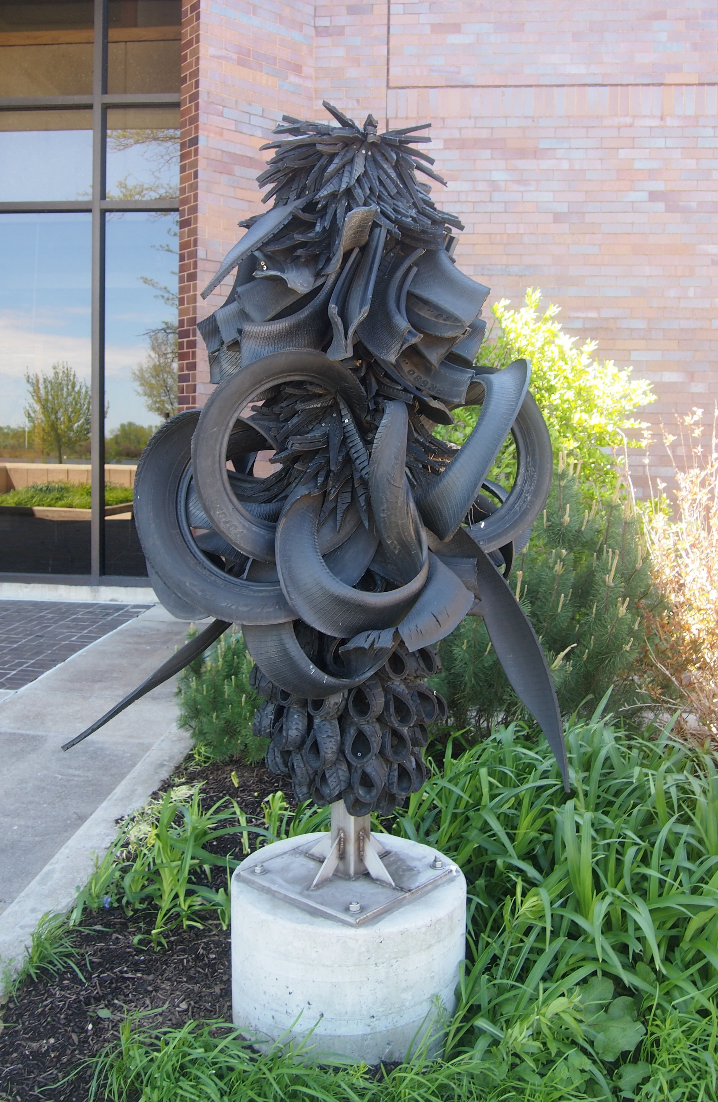
I got a look at the trail’s first art installation, the serpentine “Brick House,” by a sculptor named Chakaia Booker.606 - Brick House scultpureI’ll consider the title whimsical, since no bricks are involved, or any obvious connection to the song celebrating feminine pulchritude. It’s made of stainless steel and recycled tire rubber. Put in last fall, the piece attracts children, who instantly want to climb it.I would have spent more time on the trail, but I’d forgotten a hat (though not water). The shade, provided by mature trees, is better on many of Chicago’s neighborhood streets, so after about a half mile, I walked the rest of the way on small streets, as well as along North Ave., whose buildings also provided shade at that time of the day, at least on the south side of the street. I’m not the devil-may-care teen I used to be, who sometimes walked miles in clear 90-plus degree weather in San Antonio or Austin.

The Dayton Aviation Heritage National Historical Park

In 2003, close to the occasion of the 100th anniversary of the Wrights’ first flight at Kitty Hawk, NC, Patrick Jonsson noted in the Christian Science Monitor that “the choice of location unwittingly sparked a quarrel over the genesis of manned flight: Was this barrier island near the town of Kitty Hawk merely a stepping-off point for an idea hatched in Ohio — or part of the very inspiration of flight?

“For its part, North Carolina boldly stated its claim a few years ago with license plates that boasted ‘First in Flight.’ It was followed by Ohio’s ‘Birthplace of Aviation’ claim a few years later. And in the late 1990s, North Carolina again moved first to put the flyer on its state quarter, taking a lot of oomph out of Ohio’s ‘Pioneers of Flight’ motto.

“But in the 100th year of flight both states have put rivalry aside, realizing the skies could not have been cleaved without the benefits of both locales.

” ‘In Dayton, they proved that powered flight was practical; at Kitty Hawk, they proved that it was possible,’ says Bob Petersen, a park ranger at the Dayton Aviation Heritage National Historical Park.”

The national historical park is scattered around greater Dayton, including a Wright Brothers-Paul Dunbar museum (pictured below) along with one of the brothers’ bicycle shops; the Huffman Prairie Flying Field; an aviation exhibit at a open air museum in Dayton; Paul Laurence Dunbar’s house; and Orville’s mansion after aviation made him wealthy. We only had time and energy for the Wright-Dunbar museum and the Wright bicycle shop, which are on Williams St. west of downtown Dayton.
Dayton Aviation Heritage National Historic ParkThe focus of the museum, at least when it comes to the Wrights, is less about them as aviators, and more about their pre-Flyer lives growing up in Dayton, including other members of their family that aren’t well known, such as sister Katharine and brother Lorin.

Paul Laurence Dunbar’s exhibits were interesting mainly because I didn’t know much about him. Seems like he had a fine ear for verse, and literary success in spite of the misery of being a black man in the 1890s. He’s also called an influence on Langston Hughes. I’m no expert, but after reading some of Dunbar’s poems, I can see the point.

This is the debt I pay
Just for one riotous day,
Years of regret and grief,
Sorrow without relief.

Pay it I will to the end 
Until the grave, my friend,
Gives me a true release 
Gives me the clasp of peace.

Slight was the thing I bought,
Small was the debt I thought,
Poor was the loan at best 
God! but the interest!

— “The Debt,” by Paul Laurence Dunbar

The museum also features exhibits about the Wright printing business and then their bicycle shops. Lest we forget, the nation was in the grip of a bicycle craze in the 1890s, and for good reason: in a world of horse-drawn vehicles, it was a great new way to get around.

The re-created bicycle shop is next to the Wright-Dunbar museum, in the original building, which just barely escaped demolition.
Wright Cycle Co, Dayton OhioIt’s the only Wright bicycle shop location left in Dayton. Another one — they operated more than one over their career in bicycles — is now at Greenfield Village in Michigan, and the sites of one or two more have been demolished in the last 100-plus years.

Inside are artifacts such as bicycles and a lot of bicycle parts, photos, and more. Remarkable how familiar an early safety bicycle looks. Basic bike design hasn’t changed that much.

The Rio Grande Rift

Our first trip after Y2K didn’t end civilization as we know it was to San Antonio and then Santa Fe, by way of some other places in New Mexico, in April 2000. Those other places included Albuquerque, Madrid, NM and Bandelier National Monument and Los Alamos.

Here’s a roadside view of the Rio Grande as it runs through New Mexico. It isn’t an international border at this point, but is an unusual land form nevertheless.

Rio Grande 2000I didn’t realize until much more recently that I was looking down at a rift. Or that, to quote the various scientists who put together this page about the rift, “most rifts are found along mid-ocean ridges. Only a few are located on land, such as the Rio Grande Rift, East African Rift (sometimes referred to as the Great Rift) and Lake Baikal, a lake-filled rift in Russia.”

I’m not exactly sure where the overlook was, but my guess would be along New Mexico 4 just outside of the national monument, and looking over the river into another section of the monument. Note the haze in the distance. That’s probably one of the controlled burns occurring when we visited. Soon, as in the very next month, a controlled burn became uncontrolled.

This is New Mexico 4, probably looking the other way from the outlook.

NM Highway 4This is Lilly. A lot of the pictures I took on that trip involved her. Call it the first-child photography syndrome, though she was two and a half by this time.

Lilly April 2000She’s at breakfast in the place we stayed in Santa Fe. The reason we documented that particular moment (I think) was that we weren’t entirely sure she’d behave during breakfast — that is, stay seated and eat her food without much fuss. But she did. I guess she was just then learning to appreciate the joys of breakfasts on the road.

The Nicholas Conservatory & Gardens

As a destination from the northwestern suburbs of Chicago, Rockford has a number of advantages. For one thing, it isn’t that far. It’s easy to drive there, visit one place at least, maybe eat a meal, and then come home. But it’s far enough not to be in the northwestern suburbs. There are still wide-open farm fields between here and there, and some smaller towns. Someday metro Chicago and metro Rockford might well conurb, to make up a verb, but that hasn’t happened yet.

None of that would matter if there weren’t a few interesting places to see in Rockford, but there are. Such as the Klehm Arboretum, a fine warm-weather destination, or the Anderson Gardens. The Rock River is also worth a look, with its various pedestrian-oriented amenities.

I wrote in 2003 about our visit to the riverside, “We drove a short ways north of downtown, looking for a more expansive park at which to finish off the afternoon. We found it on the other (west) bank of the Rock River, at the Sinnissippi Gardens and Park, which had a greenhouse that was already closed…”

These days, the greenhouse is permanently closed. It was replaced by the Nicholas Conservatory, which opened in 2011. I’d read about its development and opening, but didn’t get around to taking a look at it until Saturday, when we drove to Rockford exactly for that reason. Saturday, April 16, 2016 here in northern Illinois was as warm and pleasant as a spring day can be, the complete opposite of only a week earlier, the miserable cold April 9. That was an impetus to go.

We weren’t disappointed by views of the Rock River (more lyrically, the Sinnissippi River) from near the new conservatory. Rock River in Rockford, April 16, 2016 People were out along the riverside trail, but not a throng of them.

Rock River in Rockford, April 16, 2016 Waterfowl were out too.
Rock River in Rockford, April 16, 2016A stone’s throw from the river — if you’re inclined toward that kind of mischief — is the conservatory.
Nicholas Conservatory, Rockford, Illinois 2016The facility’s web site is a little thin on facts, but it does say that it’s “the third largest conservatory in Illinois, offering an 11,000-square-foot plant exhibition area complete with water features, seating areas, and sculptures, all in a tropical plant setting.”

I’d guess that the Lincoln Park Conservatory and the Garfield Park Conservatory, both in Chicago, are both larger — I’m fairly certain of that — but whatever its relative size, the Nicholas Conservatory is an elegant construction, and LEED Gold besides. More about its creation here.

Denman Estate Park

Last year I was looking at a Google Maps map of San Antonio and noticed an odd green blob tucked away in a neighborhood just northwest of the junction of I-10 and Loop 410, an area not too far from where I grew up, but not within my usual orbits. Higher resolution revealed that it was called Denman Estate Park. What?

“The City of San Antonio purchased 12.52 acres of land from the estate of philanthropist Gilbert Denman Jr. in 2007 at a cost of $2,561,081,” the city’s web site says, with a cost-precision sometimes found in public documents. “An adjacent 7.70 acres were purchased by the University of [the] Incarnate Word. In 2010, Gilbert Denman Jr. Estate Park, 7735 Mockingbird Lane, opened as a jointly used park and a retreat center for UIW.

“Park amenities include a 0.5-mile walking trail, labyrinth, picnic benches and tables, parking, fencing and lighting. It also features a monument hand-built in Gwangju, Korea, by Korean craftsmen and artists who traveled to San Antonio to assemble it. The City and UIW entered into a joint use agreement in which UIW maintains the property and uses the buildings as a retreat center.”

I knew had to take a look at that. I finally did so when I had a few free hours in San Antonio during my most recent visit. I arrived in the early afternoon, parked my car, and found the short path to the park’s small pond, which also has a path all the way around it. The hand-built “monument,” on the banks of the pond, is a striking little structure — especially for being in South Texas — in a nice setting.

Denman Estate Park, San Antonio“Pavilion” is a better word for it in English, and in fact that’s the word a nearby plaque uses.

Denman Estate Park, San Antonio“This pavilion is a replica of the traditional Korean pavilion style of the southern provinces,” the plaque says. “The pavilion, traditionally used as a place of reflection and reception by scholars and gentlemen, embodies the beauty and harmony created by nature and structure.

“It is hoped that this ‘Pavilion of Gwangju’ will offer many opportunities to strengthen the friendly relationship between Gwangju and San Antonio, as well as inspire an in-depth understanding of Korean culture and traditions by the American public.”

A noble sentiment, but I have a feeling K-pop reaches more Americans than other kinds of Korean culture and traditions. The pavilion seems to have been a gift from Gwangju to San Antonio. It isn’t clear whether Gilbert Denman himself had anything to do with its placement, since the structure was dedicated in 2010, six years after his death.

The pond was partly ringed with cypress trees with a vast number of cypress “knees” — the woody bumps that emerge near the base of the trees — a term I just learned.

Denman Estate Park, San AntonioDenman Estate Park, San AntonioElsewhere on the property is the former Denman manse (I assume), which is closed to casual visitors. No doubt the university uses for events and rents it for weddings and the like.

Denman Estate Park, San AntonioNot far from the house is “AMA Maria,” a mermaid sculpture with strategically placed flowing hair, a fish tail, and human legs.

Ama Maria, Denman Estate Park, San AntonioOddly enough, the plaque on the base of the statue also includes its latitude and longitude to six decimal places: LAT. 29.467831  LON. -98.467490. Turns out there are a fair number of these statues in various parts of the world, including three others in Texas. It was something I’d absolutely never heard of before.

A site called mermaidsofearth.com tells us that “the Amaryllis Art for Charity project is placing AMA mermaid statues all over the world, with each mermaid statue uniquely made and customized for its location… The statues are for sale, with about one third of the proceeds dedicated to a charity jointly chosen by the project organizers and the local sponsors.”

It isn’t clear from that whether the statues are for sale in situ or whether they’re bought and put in places like Denham Estate Park. Never mind, there’s one there now. More about it is here.

Finally, who was Gilbert Denman Jr. (1921-2004)? A handy obit published by the Porter-Loring Funeral Home in San Antonio offers a few details about his charmed life, which included being born to a wealthy family and presumably doing well himself as a prominent attorney in San Antonio. Like Robert L.B. Tobin, he was also a notable local philanthropist.

One of his many acts of philanthropy, according to the obit, involved donating “his extensive collection of Greek and Roman artifacts to the San Antonio Museum of Art. The collection, among the finest of its type in the nation, is housed in the Denman Gallery of the Ewing Halsell Wing at the museum.”

The good people of San Antonio are clearly better for his Antiquities collection. I will be better for it, once I get around to visiting the San Antonio Museum of Art again sometime. It’s been a long time since I’ve been there, since the late ’80s at the latest, before the creation of the Denman Gallery in 1990. The big deal exhibit the last time I remember being there was Nelson Rockefeller’s large collection of Latin American folk art, which arrived as a permanent part of the museum’s collection in the mid-80s.

Lady Bird Lake, Austin

Just for grins the other day, I let Google suggest a second word for “Austin.” This is what I got.

Austin and Ally
Austin Butler
Austin Rivers
Austin Mahone
Austin Texas
Austin Powers
Austin Peay
Austin Weather

Austin and Ally is apparently a Disney Channel show that I’ve had the good luck never to have heard of, much less seen. Austin Powers I’ve heard of, but I’m pretty sure I can live the rest of my life and not regret missing all of the movies featuring that character, and Austin Peay is the school. At least the city and the weather are on the list. The others? Eh.

“Austin skyline” should be on the list. Seeing the Austin skyline in 2016 is like seeing a child again after a few years, when you think (or say), “My, how you’ve grown.” Here’s a view of the Austin skyline in early March 2016, seen from the south shore of Lady Bird Lake, which I still think of as Town Lake.
Austin 2016Lady Bird Lake isn’t particularly old, created only in 1960 by the damming of the Colorado River as a means of flood control. It also happens to be a conveniently located public amenity, owned by the public in the form of the City of Austin.

Lady Bird Johnson didn’t want the lake renamed in her honor while she was still alive, even though she’d been instrumental in beautifying the shores of the lake in the 1970s, as well as creating a recreational trail system near the lake. As soon as she’d passed in 2007 (has it been that long ago?), the city renamed the lake. I don’t object to that like I do the “Willis Tower” — Lady Bird clearly deserves the honor — I just thought of it as Town Lake for so long that it’s the first thing that comes to me, recalling earlier walks along its shores, and a canoe ride on it years ago in the company of a high school friend.

March 5, 2016, was an excellent day for a walk along Lady Bird Lake: warm but not too warm, in the presence of other recreational walkers and joggers and cyclists, but not too many.

Austin 2016Being a warm Saturday afternoon, the lake was alive with human-powered boats of various kinds, including some racing shells, and people renting watercraft at lake’s edge.

Austin 2016Tom and I were feeling too middle-aged for that kind of excursion, but we did start our walk on the south shore just west of the Congress Street Bridge. Officially, it’s the Ann W. Richards Congress Avenue Bridge, named for the governor of Texas of that name, though I don’t know if anyone uses the name any more than the Queensboro Bridge is called the Ed Koch Queensboro Bridge.

Congress Avenue Bridge, AustiinNot the most elegant bridge, but it is famed in tourist lore as the home to many, many bats, the majority of which emerge at dusk to fly off to do whatever it is that bats do by night (eat bugs and fight crime, maybe).

Congress Street BridgeI’ve never seen the spectacle myself. Looking up at the underside of the bridge, Tom informed me that the bats probably haven’t returned from wintering in Mexico, but when they’re in residence, they live beneath the road deck in gaps between the concrete structures. Wiki at least asserts that it’s the world’s largest urban bat colony, numbering 750,000 and 1.5 million when the bats are in town, a variation in estimate that points to the natural difficulties of a bat census.

It’s possible to walk all the way around the lake on the Ann and Roy Butler Hike-and-Bike Trail, another name that few probably use. Of course Tom and I did no such thing, but we did go a considerable way, making it past the I-35 Bridge, including a walk over the trail’s Boardwalk, completed only in 2014.

The Trail Foundation tells us that “due to many issues, including private property holdings and topography, there was a 1.1-mile gap in the Trail at Lady Bird Lake, the 10-mile hub in Austin’s hub-and-spoke system of trails. Along this gap, users previously had to divert onto the narrow sidewalk and travel along busy Riverside Drive, crossing 35 busy business entrances and other points of conflict… to travel east or west and use the south side of the Trail.”

Studies were done, votes cast, money raised, plans made, and eventually the metal-railed boardwalk over the lake (but near the shore) was created as a public-private effort. Many good things are done that way. And should be.

Lady Bird LakeLady Bird LakeAustin’s fortunate to have such a fine place to take a stroll.

Spring Valley Winter

On Friday, I went for a walk in a place I don’t usually visit in the winter, because I happened to be driving by: Spring Valley Nature Sanctuary, though sometimes I go as northern Illinois is emerging from winter.

The recent snows have been modest, but enough to cover the trails and the ground.

Spring Valley Nature PreserveSpring Valley SchaumburgIn about four months, this same view of thick bushes along the trail will be a mass of green as dense as any in more torrid zones.
Spring Valley Nature SchaumburgIt was also time to document Doc Baker’s stone, also along the trail, put there in 2002. One of his life’s achievements was the founding of the Rotary Club of Schaumburg and Hoffman Estates. I have nothing bad to say about the Rotarians. The fellow who hired me for my first job in Chicago in ’87 was a Rotarian, and occasionally we had lunch at Rotary Club 1, which was on Michigan Ave. at the time.
Howard Doc Baker - Rotary Club Schaumburg Hoffman EstatesDoc Baker seems to have been well liked. Good for him.

Return to Humboldt Park

Another place we went on Saturday — which I suspect will be the last warm Saturday of the year — was Humboldt Park, one of Chicago’s major parks. The last time I was there, summer was ending, but it was still summer. In mid-November, the park’s a different place, one of autumnal gray and brown and smidgens of green.

Humboldt Park Nov 14, 2105There are still a lot of birds around. Ducks and geese mostly, still foraging in the unfrozen waters.

Humboldt Park Nov 14, 2105Near the park’s Boat House is a dead tree refashioned into artwork: “Burst” by Mia Capodilupo (2014). A ex-locust tree plus hose, rope, extension cord, and fabric.

Humboldt Park Nov 14, 2105According to WTTW, it’s one of a number of such transformations citywide: “The Chicago Park District has teamed with a local sculptor’s group to turn trees that were condemned into public art. The stay of execution for the mighty elms, ash and locust trees is also an opportunity for artists to make a very public impression.”

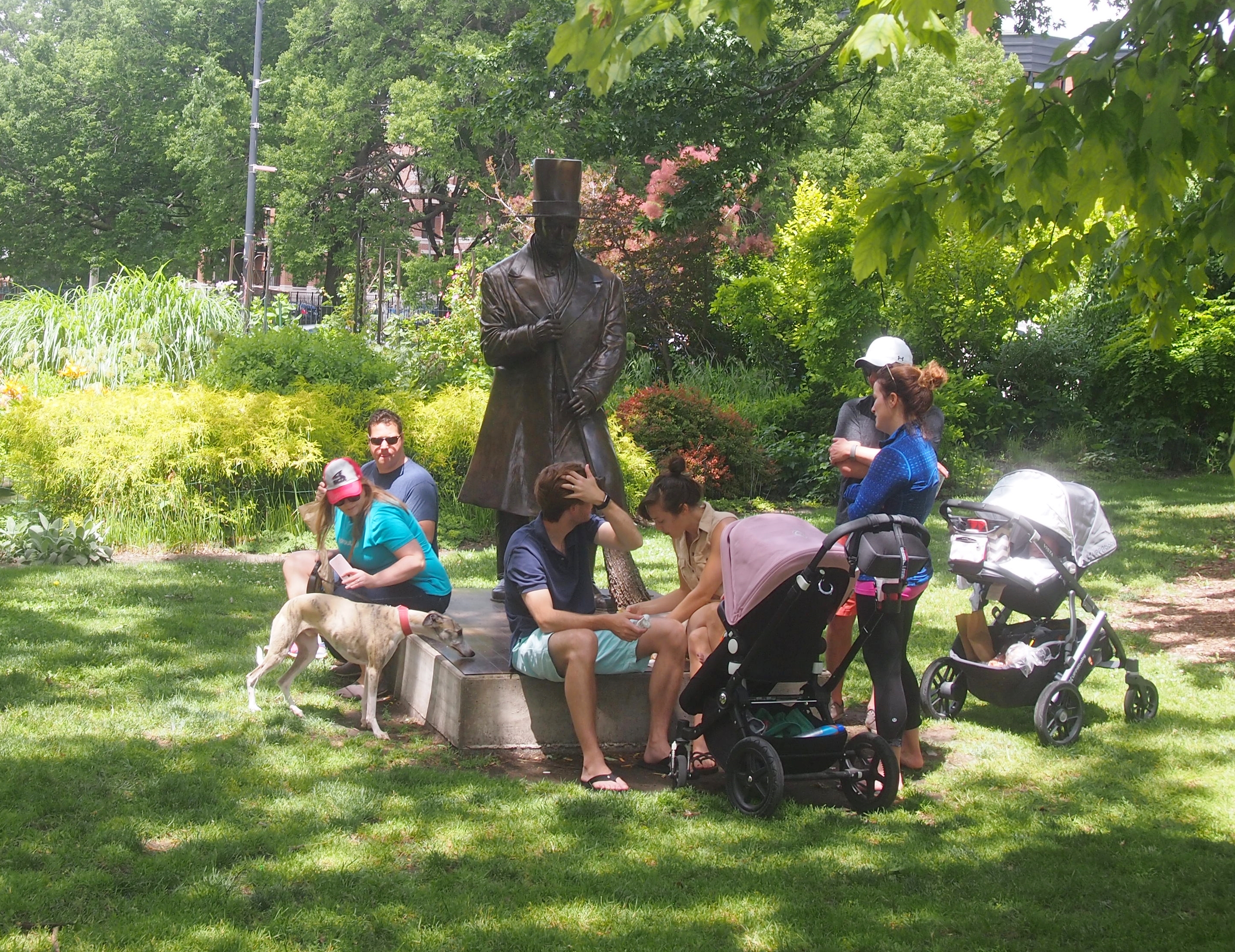
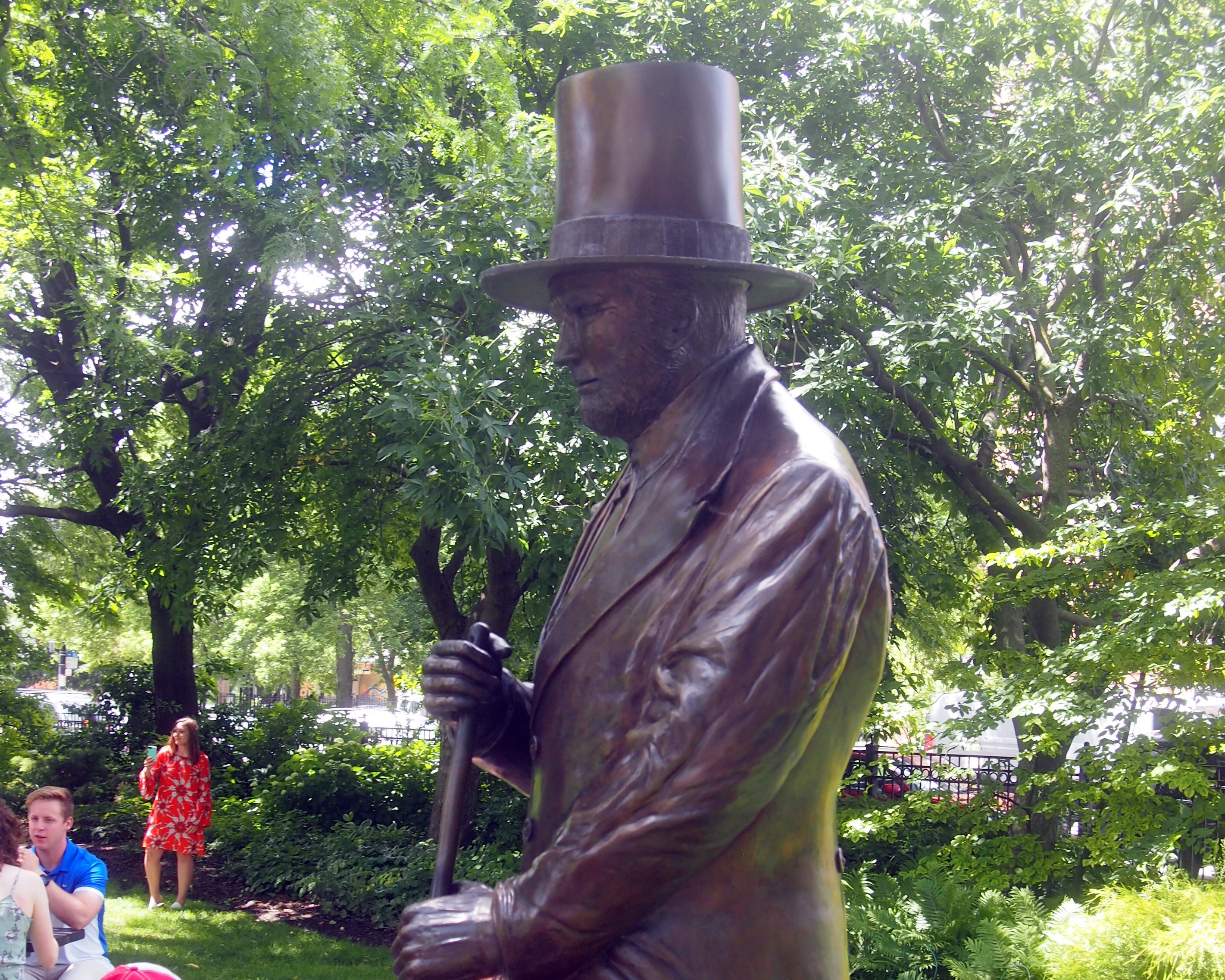
Not far from “Burst” is a more traditional kind of park art, a statue of explorer Friedrich Wilhelm Heinrich Alexander von Humboldt. I saw it last year but couldn’t make an image.

Felix Gorling did thisNote the globe behind him. There’s an iguana back there, too. WBEZ reports: “[Humboldt Park] was laid out in 1869. The statue arrived in 1892, the work of Felix Görling. It was paid for by German-born brewer Francis Dewes, who was also responsible for a flamboyant mansion on Wrightwood Avenue.

“When the statue was erected, the neighborhood around it was heavily German. The Poles later settled in, and for many years Humboldt Park was the site of the Polish Constitution Day Parade. Then the Poles moved on and were succeeded by the Puerto Ricans… One of the park’s roadways is now named for Luis Munoz Marin — the first elected governor of Puerto Rico.”

White Rock Lake, Dallas

The State Fair of Texas was interesting, but before long you get tired of crowds. Such as in the main indoor food court of the fair.

State Fair place to feed your faceOn October 19, a very warm afternoon, I sought out someplace a little less crowded: White Rock Lake.

White Rock LakeLess crowded with humans, that is. There were plenty of birds and some insects, too. The manmade White Rock Lake in northeastern Dallas, created by damming White Rock Creek in the early 1910s to supply water to the city, covers 1,015 acres. These days it’s for recreation. All around the lake is a city park, White Rock Lake Park, which includes a nine-plus mile track around the water, boating ramps, a dog park, picnic areas, and the Bath House Cultural Center.

Bath House Cultural CenterThis is the back of the Bath House, facing the lake. As the name implies, it used to be a bath house that served a beach on White Rock Lake, but swimming has been prohibited on the lake for decades. The building, originally built in 1930, was renovated in 1980 and now offers exhibits by artists and holds various concerts, workshops, lectures and other events. Since I visited on a Monday, it was closed.

White Rock Lake has a long and varied history. For instance, I’ve heard that the lake, and the White Rock Lake Pumphouse, were featured in the low-budget Mars Needs Women (1967), which was shot in Dallas. I’m not sure I’ll ever be in the right frame of mind to watch that movie, but who knows.

I’ve seen the pumphouse before, but I wasn’t close by this time. Mainly I walked on the walking-jogging-cycling path near the edge of the water.

White Rock LakeOn October 12, somewhere along the path around White Rock Lake, a jogger named Dave Stevens was murdered, apparently at random, by a lunatic armed with a machete. Seems that the perpetrator was known to be mentally ill, but not violent. While walking on the same path a week later, you try to puzzle that one out, but of course it can’t be puzzled out. Death just shows up. The crime had a sad coda a few days ago: the victim’s wife seems to have committed suicide.

White Rock LakeTo avoid ending with a sad story, I turn to Sol Dreyfuss Memorial Point, a small rise near the lake. At the foot of the rise is a short wall, and on the wall is a plaque. That was my cue to stop and read it, take a picture, and later find out about it.

Sol DreyfussAccording to the Texas State Historical Association: “Sol Dreyfuss, merchant, was born on August 12, 1885, in Dallas, the son of Gerard and Julia (Hurst) Dreyfuss. His father, a native of France, owned several chains of stores before Sol’s birth, including one with his wife’s father founded in 1879 and called Hurst and Dreyfuss… On August 11, 1910, the doors opened to the first Dreyfuss and Son clothing store, a one-story building on Main Street. By 1950, at the time of Dreyfuss’s death, the store was a six-story building at Main and Ervay streets.”

Besides being a merchant, “Dreyfuss owned the Dallas Baseball Club from 1928 to 1938, when the team was known as the Steers. He was a director of Hope Cottage. He was active in the Community Chest and Red Cross and was a member of the Salesmanship Club, the Citizens Charter Association, the Lakewood Country Club, the Columbian Club, and B’nai B’rith. He was also on the board of directors of both the Republic National Bank and the Pollock Paper Company.” No wonder he had a lot of friends.

Hall of State, Fair Park

At one end of the Fair Park Esplanade is the Hall of State, a stately hall indeed. “The Hall of State, a museum, archive, and reference library, was erected in 1936 at a cost of about $1.2 million by the state of Texas at Fair Park in Dallas to house the exhibits of the Texas Centennial Exposition and the Greater Texas and Pan-American Exposition of 1937,” explains the Texas State Historical Association.
Hall of State, Fair Park“The structure, designed by eleven Texas architects, is characterized as Art Deco… The front is 360 feet long, and the rear wing extends back 180 feet… The walls are surfaced with Texas limestone. A carved frieze memorializing names of historical importance encircles the building. Carvings on the frieze display Texas flora.”

I went inside for a look, and soon was face-to-face — or maybe face-to-plinth — with six statues of early Texas luminaries: Stephen F. Austin, Sam Houston, Mirabeau B. Lamar, James Fannin, Thomas J. Rusk, and William B. Travis. Here’s Lamar (1798-1859), second president of the Republic of Texas, among other things.
MB LamarPompeo Coppini did the sculptures. I’d run across his work before at the Texas State Cemetery in Austin. If it’s a monumental sculpture in Texas done in the early to mid-20th century, odds are he did it.

Then I entered Great Hall.
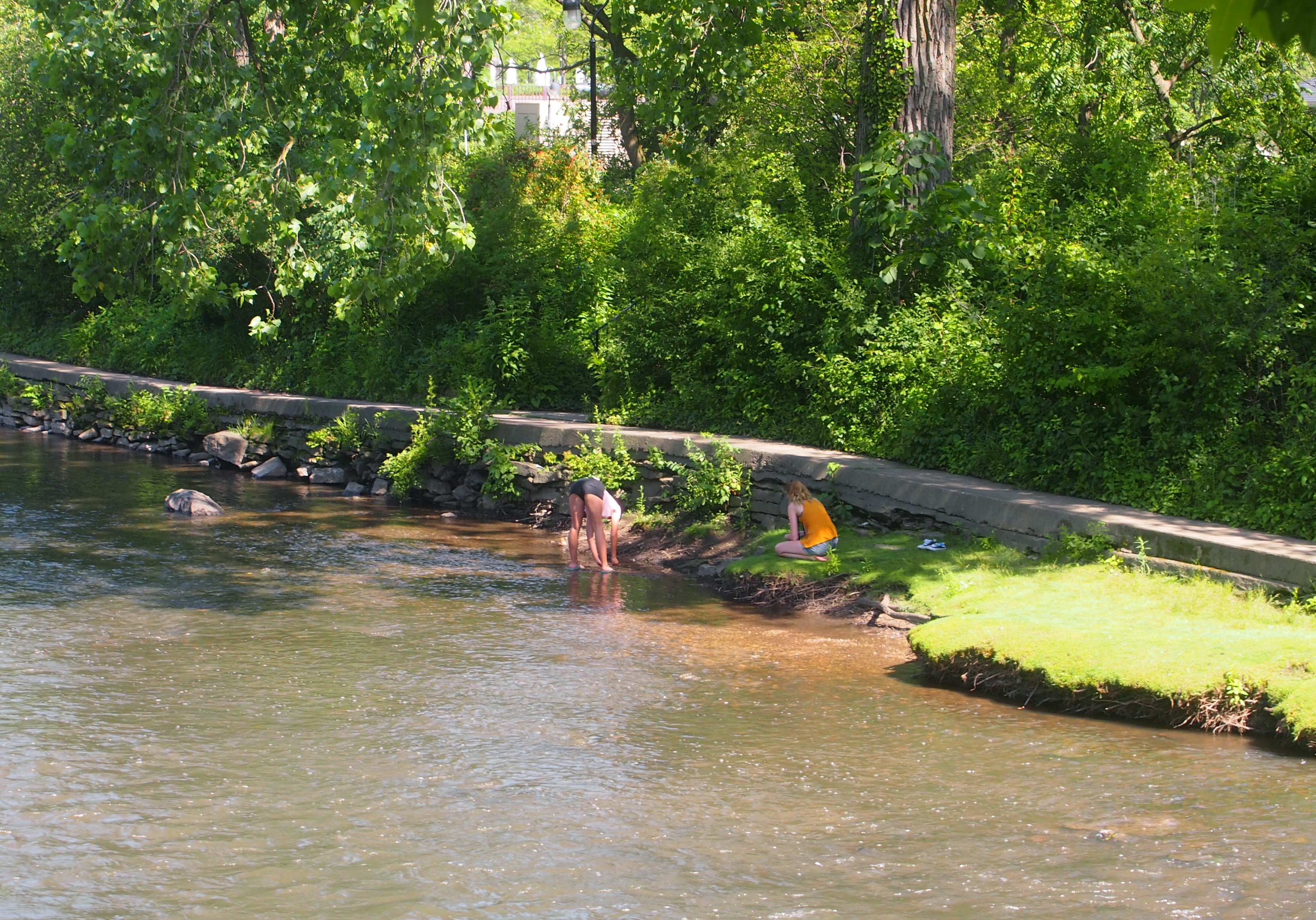
Hall of State, Great HallThe TSHA again: “The Great Hall, or the Hall of the Six Flags, in the central wing, has a forty-six-foot-high ceiling. Murals on the north and south walls depict the history of the state and its industrial, cultural, and agricultural progress. These were painted by Eugene Savage of New York.” I’d run across him before as well.
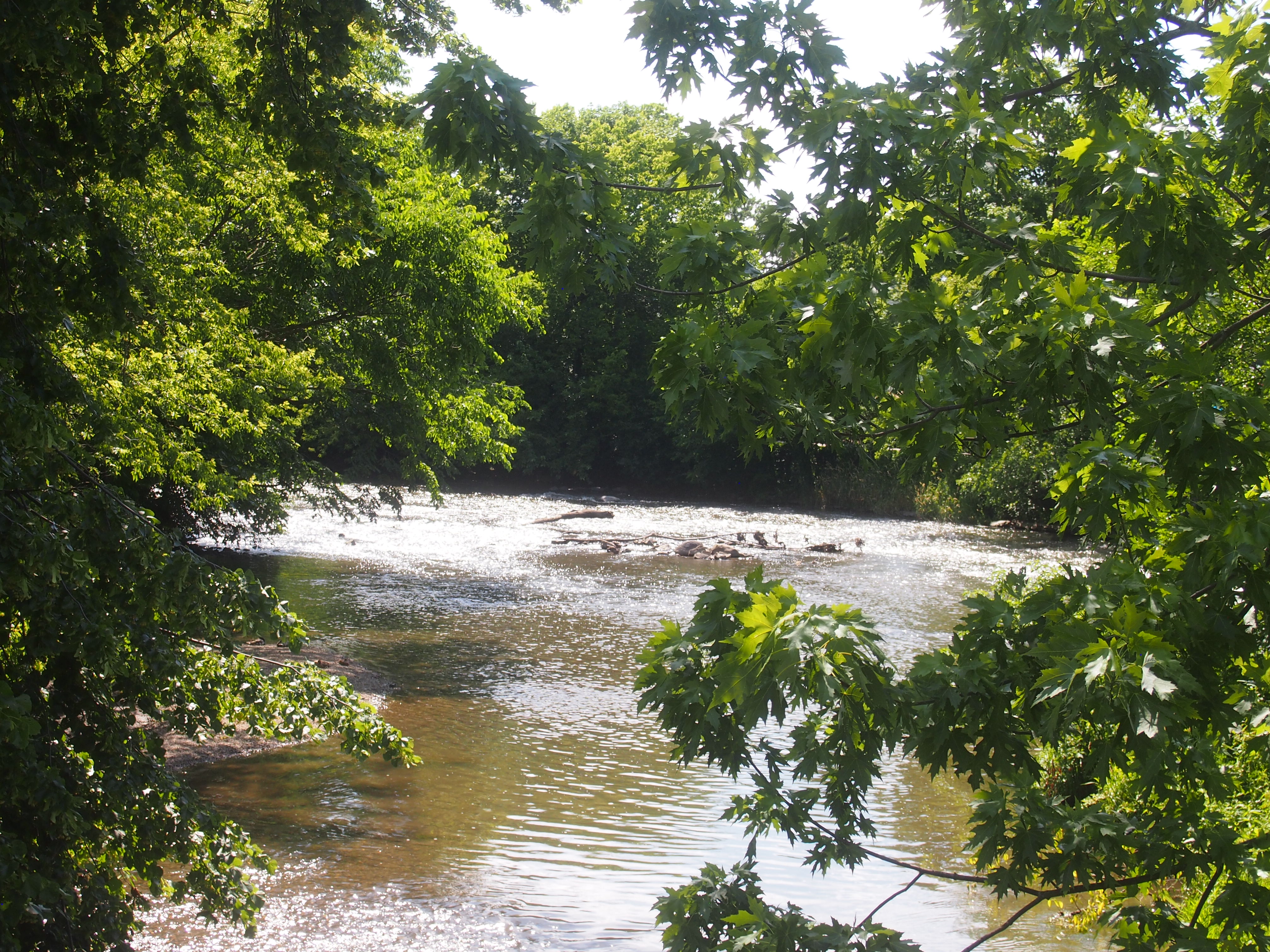
Great Hall, Hall of StateDuring my visit, the Great Hall happened to be sporting an exhibit about Texas musicians, and I will say that I learned that Meat Loaf was from Dallas, something I didn’t know. Actually I didn’t know much about many of the Texas musicians mentioned in the exhibit, such as various bluesmen and Western swing players and Tejano bands.
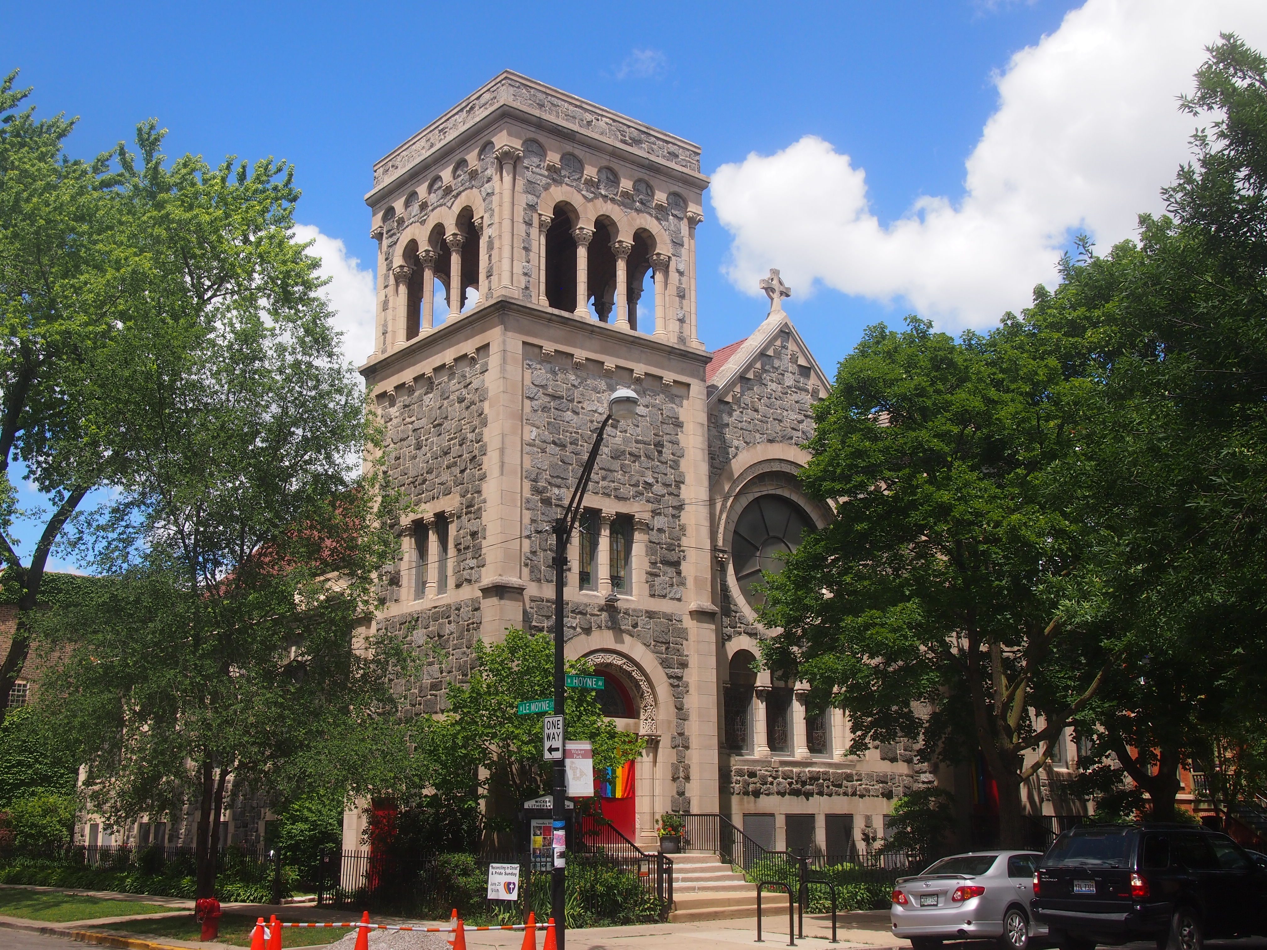
On the back wall of the Great Hall is a gold-leafed medallion with the Lone Star emblem of Texas surrounded by representations of the six nations whose flags have flown over the state.
Gold leaf!The United States and the Republic of Texas are at the top; the Confederacy and Mexico in the middle; and France and Spain on the bottom. The six together are a persistent theme in symbolic representations of modern Texas.