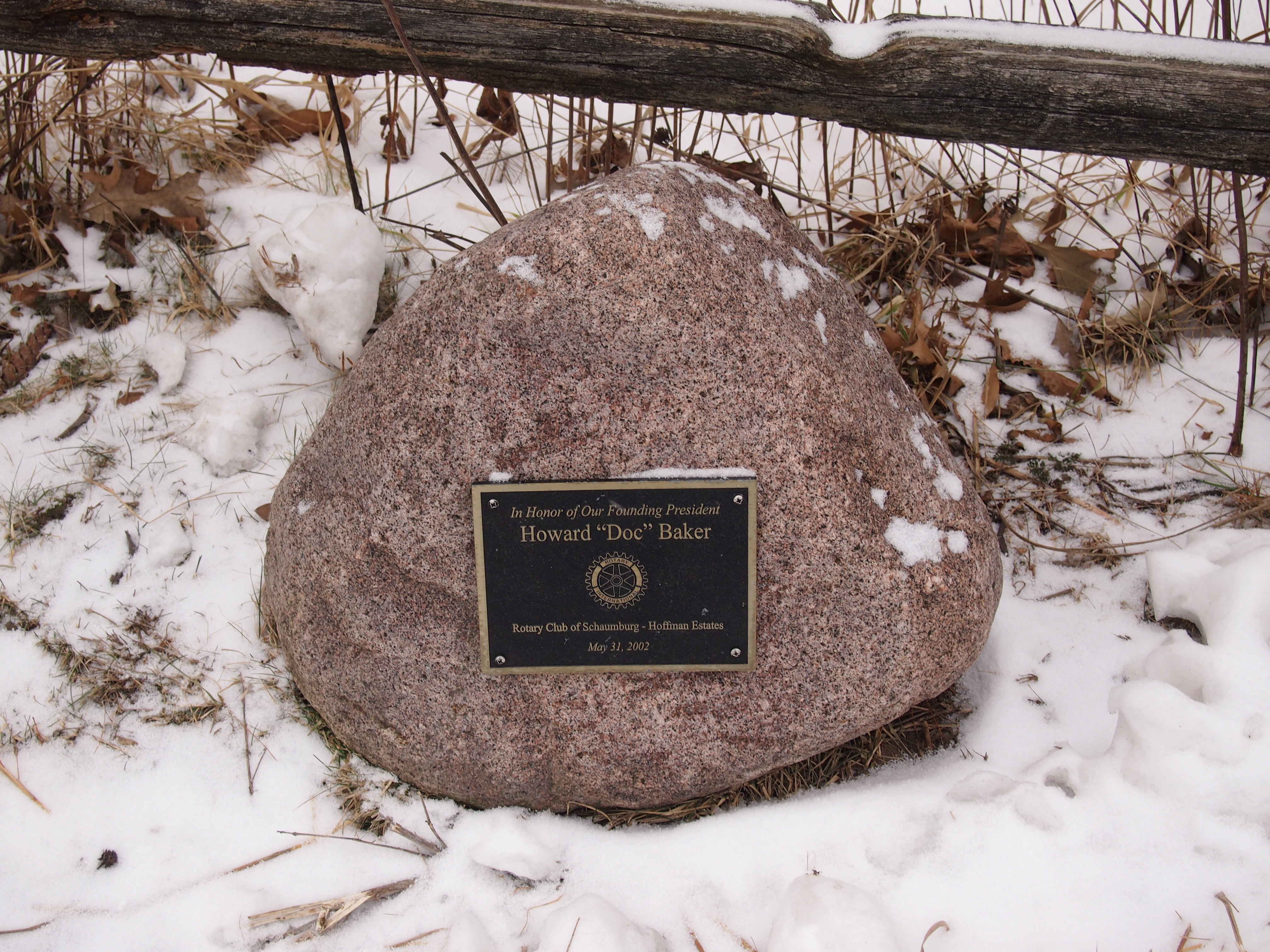
Return to Humboldt Park

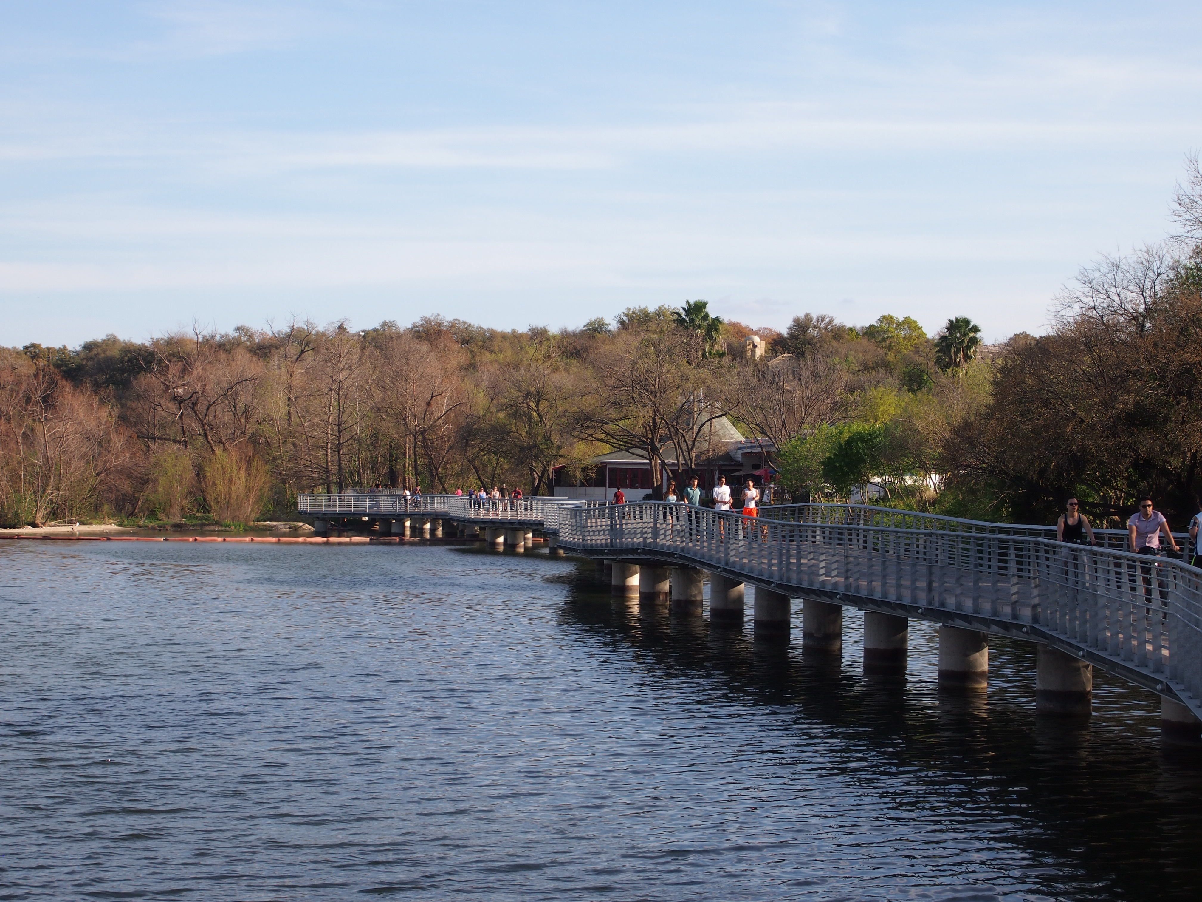
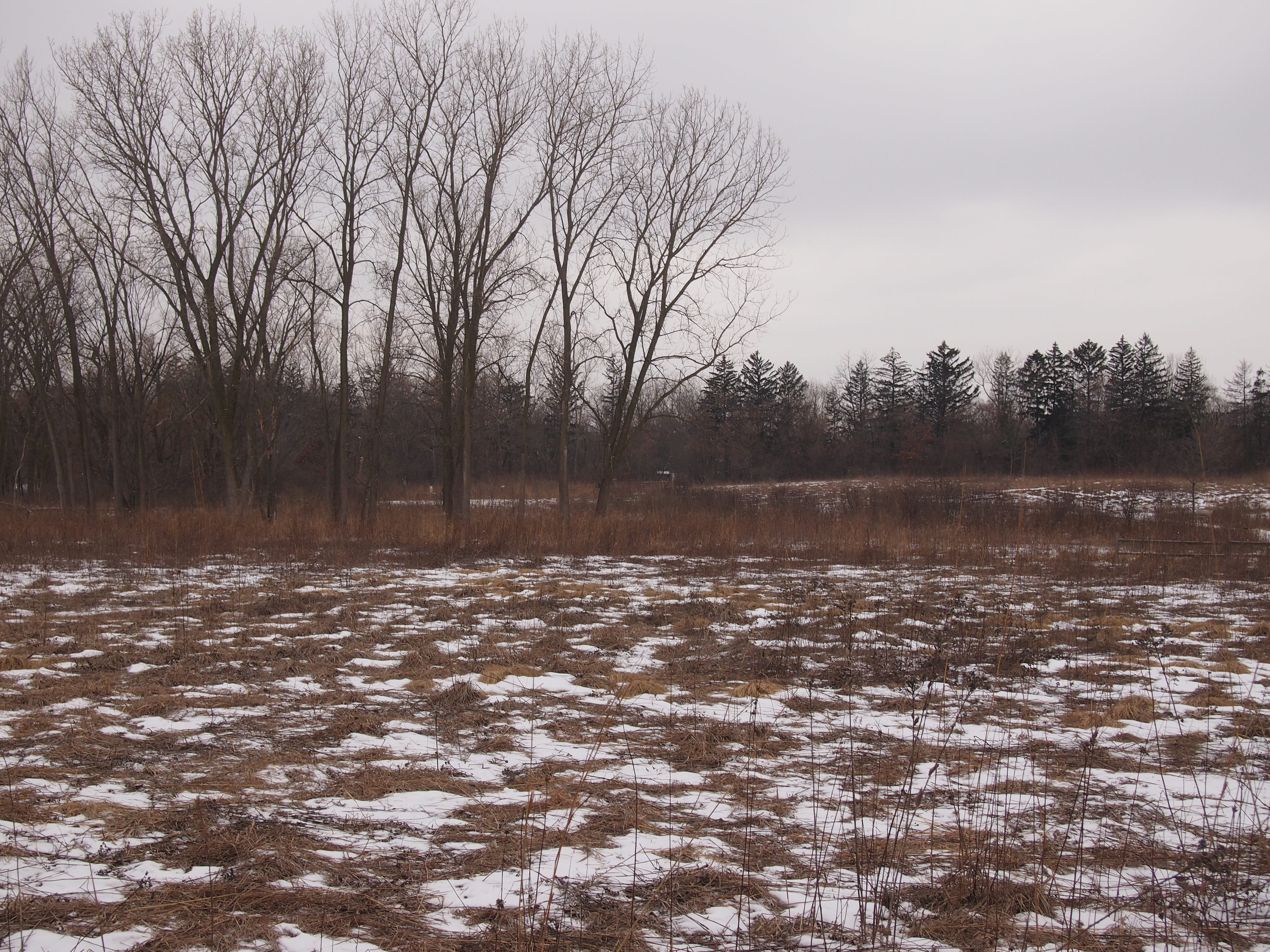
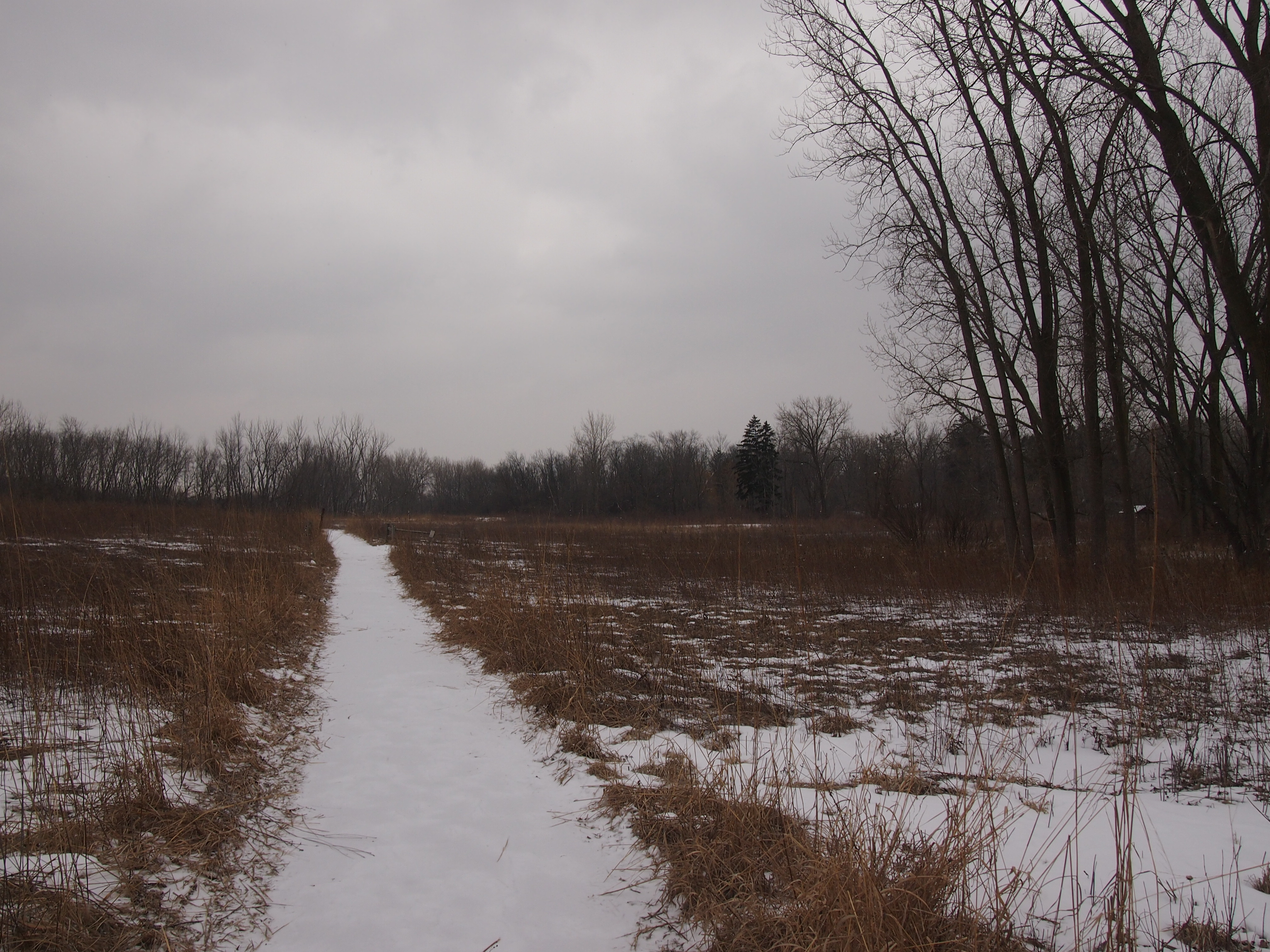
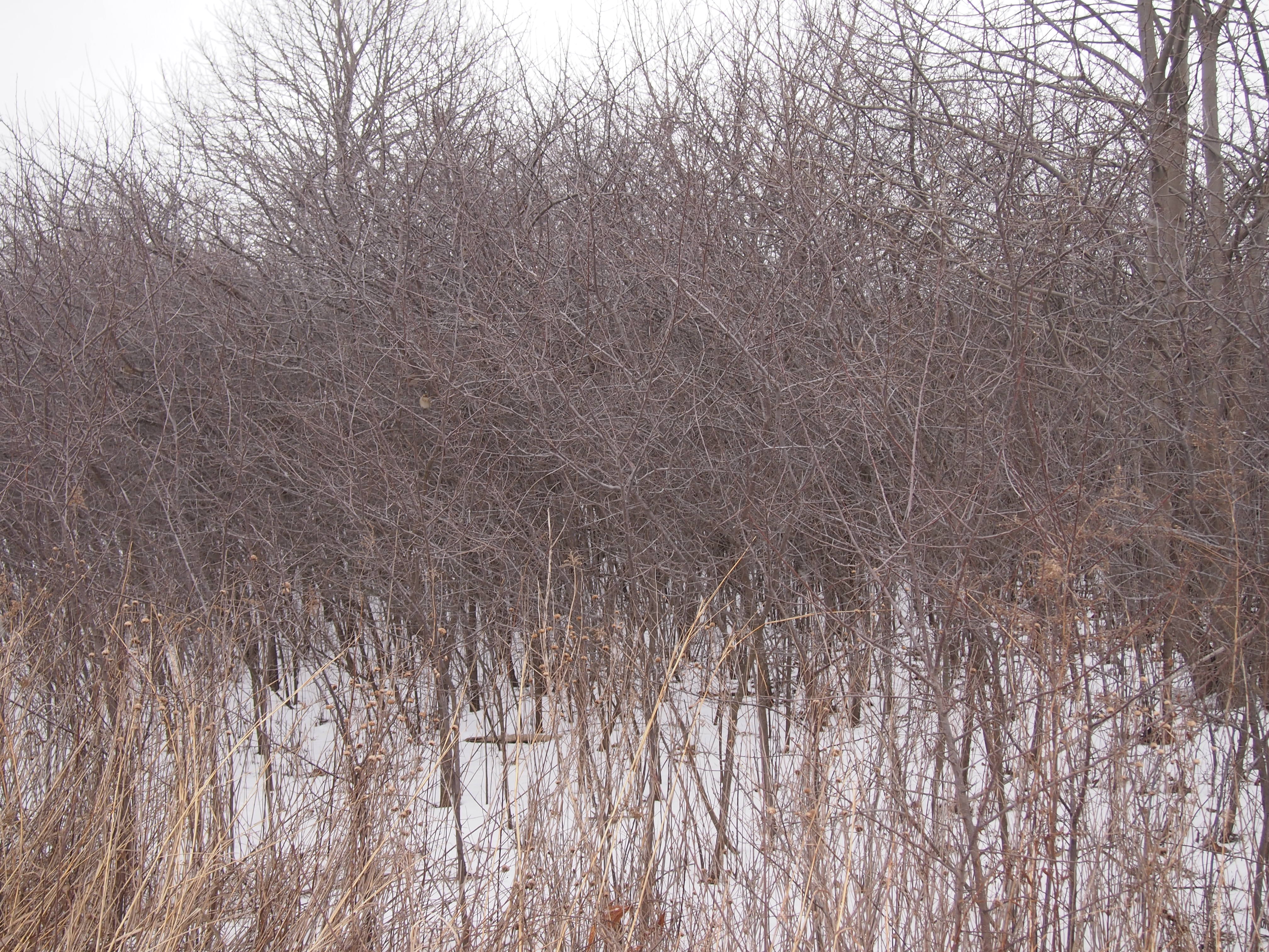
Another place we went on Saturday — which I suspect will be the last warm Saturday of the year — was Humboldt Park, one of Chicago’s major parks. The last time I was there, summer was ending, but it was still summer. In mid-November, the park’s a different place, one of autumnal gray and brown and smidgens of green.

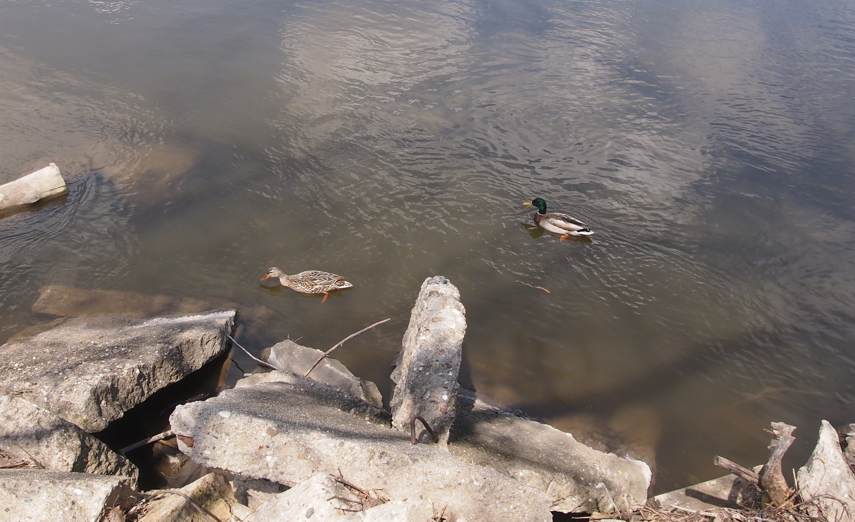
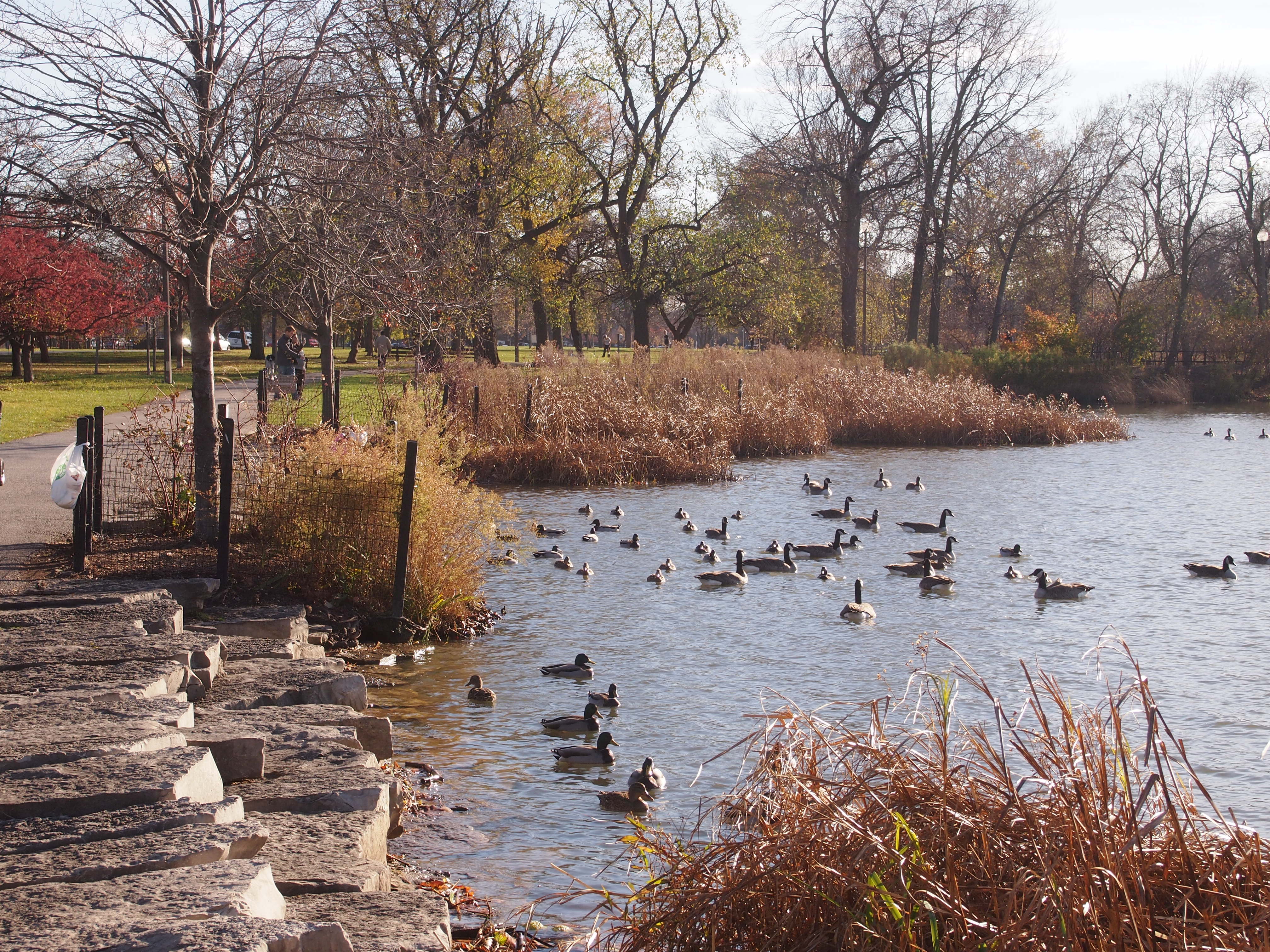
Humboldt Park Nov 14, 2105There are still a lot of birds around. Ducks and geese mostly, still foraging in the unfrozen waters.

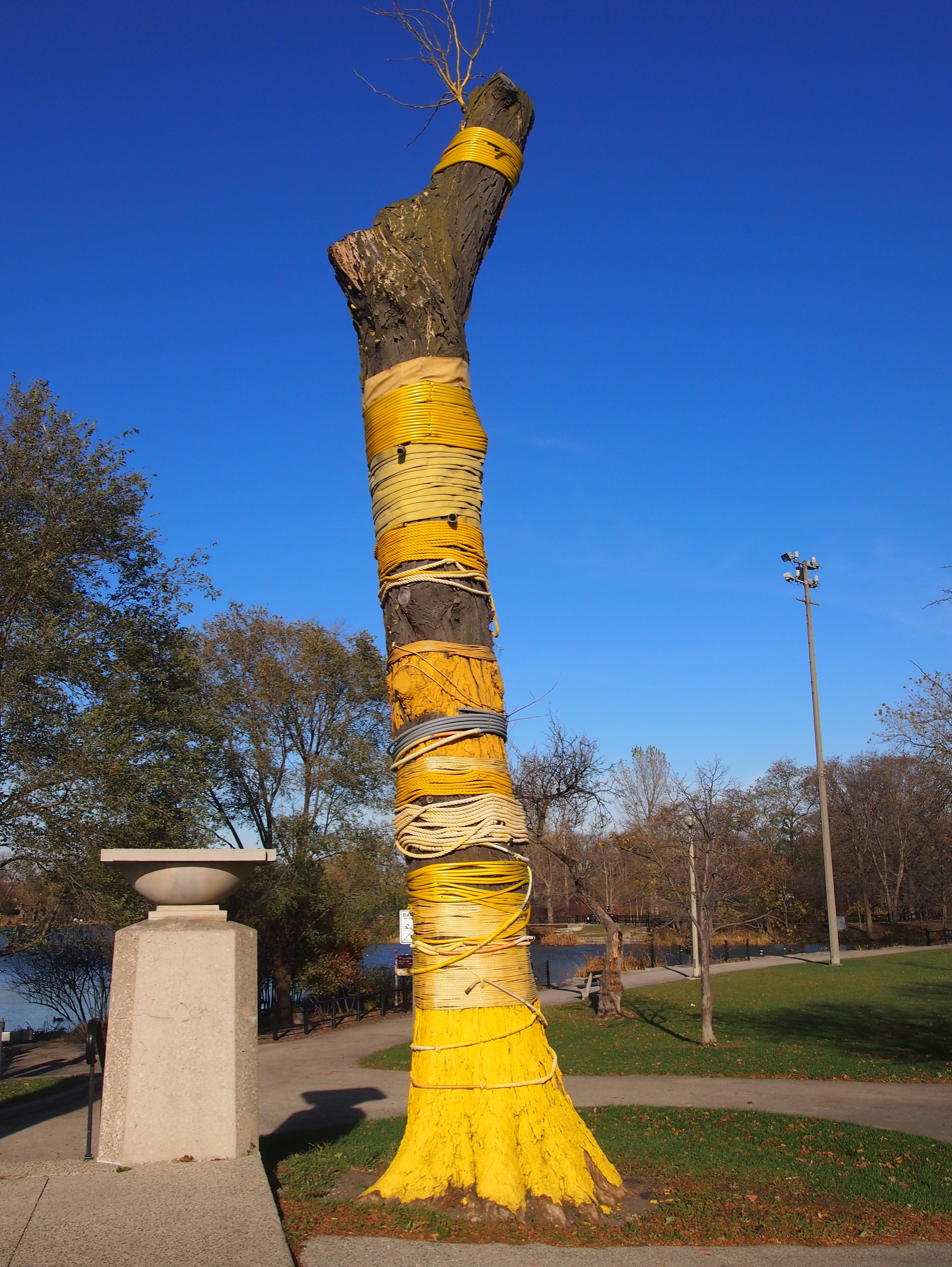
Humboldt Park Nov 14, 2105Near the park’s Boat House is a dead tree refashioned into artwork: “Burst” by Mia Capodilupo (2014). A ex-locust tree plus hose, rope, extension cord, and fabric.

Humboldt Park Nov 14, 2105According to WTTW, it’s one of a number of such transformations citywide: “The Chicago Park District has teamed with a local sculptor’s group to turn trees that were condemned into public art. The stay of execution for the mighty elms, ash and locust trees is also an opportunity for artists to make a very public impression.”

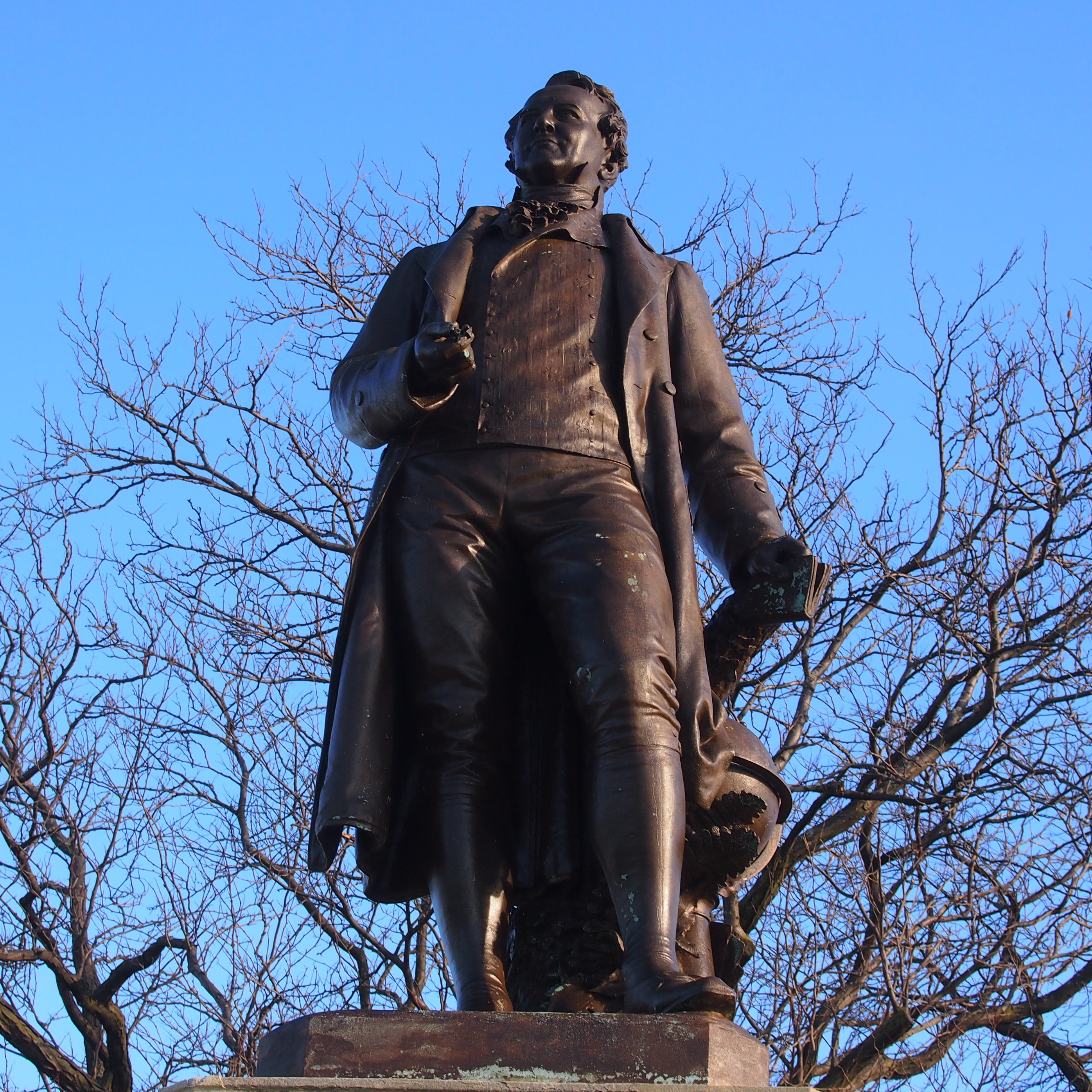
Not far from “Burst” is a more traditional kind of park art, a statue of explorer Friedrich Wilhelm Heinrich Alexander von Humboldt. I saw it last year but couldn’t make an image.

Felix Gorling did thisNote the globe behind him. There’s an iguana back there, too. WBEZ reports: “[Humboldt Park] was laid out in 1869. The statue arrived in 1892, the work of Felix Görling. It was paid for by German-born brewer Francis Dewes, who was also responsible for a flamboyant mansion on Wrightwood Avenue.

“When the statue was erected, the neighborhood around it was heavily German. The Poles later settled in, and for many years Humboldt Park was the site of the Polish Constitution Day Parade. Then the Poles moved on and were succeeded by the Puerto Ricans… One of the park’s roadways is now named for Luis Munoz Marin — the first elected governor of Puerto Rico.”

White Rock Lake, Dallas

The State Fair of Texas was interesting, but before long you get tired of crowds. Such as in the main indoor food court of the fair.

State Fair place to feed your faceOn October 19, a very warm afternoon, I sought out someplace a little less crowded: White Rock Lake.

White Rock LakeLess crowded with humans, that is. There were plenty of birds and some insects, too. The manmade White Rock Lake in northeastern Dallas, created by damming White Rock Creek in the early 1910s to supply water to the city, covers 1,015 acres. These days it’s for recreation. All around the lake is a city park, White Rock Lake Park, which includes a nine-plus mile track around the water, boating ramps, a dog park, picnic areas, and the Bath House Cultural Center.

Bath House Cultural CenterThis is the back of the Bath House, facing the lake. As the name implies, it used to be a bath house that served a beach on White Rock Lake, but swimming has been prohibited on the lake for decades. The building, originally built in 1930, was renovated in 1980 and now offers exhibits by artists and holds various concerts, workshops, lectures and other events. Since I visited on a Monday, it was closed.

White Rock Lake has a long and varied history. For instance, I’ve heard that the lake, and the White Rock Lake Pumphouse, were featured in the low-budget Mars Needs Women (1967), which was shot in Dallas. I’m not sure I’ll ever be in the right frame of mind to watch that movie, but who knows.

I’ve seen the pumphouse before, but I wasn’t close by this time. Mainly I walked on the walking-jogging-cycling path near the edge of the water.

White Rock LakeOn October 12, somewhere along the path around White Rock Lake, a jogger named Dave Stevens was murdered, apparently at random, by a lunatic armed with a machete. Seems that the perpetrator was known to be mentally ill, but not violent. While walking on the same path a week later, you try to puzzle that one out, but of course it can’t be puzzled out. Death just shows up. The crime had a sad coda a few days ago: the victim’s wife seems to have committed suicide.

White Rock LakeTo avoid ending with a sad story, I turn to Sol Dreyfuss Memorial Point, a small rise near the lake. At the foot of the rise is a short wall, and on the wall is a plaque. That was my cue to stop and read it, take a picture, and later find out about it.

Sol DreyfussAccording to the Texas State Historical Association: “Sol Dreyfuss, merchant, was born on August 12, 1885, in Dallas, the son of Gerard and Julia (Hurst) Dreyfuss. His father, a native of France, owned several chains of stores before Sol’s birth, including one with his wife’s father founded in 1879 and called Hurst and Dreyfuss… On August 11, 1910, the doors opened to the first Dreyfuss and Son clothing store, a one-story building on Main Street. By 1950, at the time of Dreyfuss’s death, the store was a six-story building at Main and Ervay streets.”

Besides being a merchant, “Dreyfuss owned the Dallas Baseball Club from 1928 to 1938, when the team was known as the Steers. He was a director of Hope Cottage. He was active in the Community Chest and Red Cross and was a member of the Salesmanship Club, the Citizens Charter Association, the Lakewood Country Club, the Columbian Club, and B’nai B’rith. He was also on the board of directors of both the Republic National Bank and the Pollock Paper Company.” No wonder he had a lot of friends.

Hall of State, Fair Park

At one end of the Fair Park Esplanade is the Hall of State, a stately hall indeed. “The Hall of State, a museum, archive, and reference library, was erected in 1936 at a cost of about $1.2 million by the state of Texas at Fair Park in Dallas to house the exhibits of the Texas Centennial Exposition and the Greater Texas and Pan-American Exposition of 1937,” explains the Texas State Historical Association.
Hall of State, Fair Park“The structure, designed by eleven Texas architects, is characterized as Art Deco… The front is 360 feet long, and the rear wing extends back 180 feet… The walls are surfaced with Texas limestone. A carved frieze memorializing names of historical importance encircles the building. Carvings on the frieze display Texas flora.”

I went inside for a look, and soon was face-to-face — or maybe face-to-plinth — with six statues of early Texas luminaries: Stephen F. Austin, Sam Houston, Mirabeau B. Lamar, James Fannin, Thomas J. Rusk, and William B. Travis. Here’s Lamar (1798-1859), second president of the Republic of Texas, among other things.
MB LamarPompeo Coppini did the sculptures. I’d run across his work before at the Texas State Cemetery in Austin. If it’s a monumental sculpture in Texas done in the early to mid-20th century, odds are he did it.

Then I entered Great Hall.
Hall of State, Great HallThe TSHA again: “The Great Hall, or the Hall of the Six Flags, in the central wing, has a forty-six-foot-high ceiling. Murals on the north and south walls depict the history of the state and its industrial, cultural, and agricultural progress. These were painted by Eugene Savage of New York.” I’d run across him before as well.

Great Hall, Hall of StateDuring my visit, the Great Hall happened to be sporting an exhibit about Texas musicians, and I will say that I learned that Meat Loaf was from Dallas, something I didn’t know. Actually I didn’t know much about many of the Texas musicians mentioned in the exhibit, such as various bluesmen and Western swing players and Tejano bands.

On the back wall of the Great Hall is a gold-leafed medallion with the Lone Star emblem of Texas surrounded by representations of the six nations whose flags have flown over the state.
Gold leaf!The United States and the Republic of Texas are at the top; the Confederacy and Mexico in the middle; and France and Spain on the bottom. The six together are a persistent theme in symbolic representations of modern Texas.

A Stroll Down the Fair Park Esplanade

My afternoon at the State Fair of Texas wasn’t the eat-it-now experience that the Wisconsin State Fair was. I ate two things: a fried chocolate pie like the kind to be found near the Texas-Oklahoma border, and a cheese and jalapeño corn dog, the best corn dog I’ve had in years, maybe ever. It’s the thing to eat at the fair, which is one of the claimants for introducing the food to the world.

Mostly I looked around. I spent some time in the animal barns, for example.

State Fair of TexasState Fair of TexasI missed the pig races, but I did see some riding acrobatics.

State Fair of TexasI also saw a temporary exhibit at the former Museum of Nature & Science, which left Fair Park a few years ago to become the Perot Museum of Nature and Science. The exhibit was called Canstruction, featuring structures made of cans. Such as “Big Reunion,” a model of Dallas’ Reunion Tower by JHP and RLG, two Dallas architecture firms, made out of 3,064 cans — carrots, spinach, mixed vegetables, tomatoes, and beans — plus wiring and LED lights (all that info is on the sign).
CanstructionI liked this one too.
Canstruction“St. Basil’s Cathedral, Moscow,” by Humphreys & Partners Architects, using 2,090 cans: corn, jalapeños, tomato sauce, chilis, and mandarin oranges, among others.

I also got a good look at Fair Park itself, one of the deco marvels of the world. I’d been to the park before, but barely took the opportunity to walk around and gawk at the likes of this.
Fair Park 2015That’s the South Entrado of the Centennial Building, featuring a statue of the Republic of Texas, complete with the lone star and cotton flower. It’s part of Fair Park’s grand Esplanade, with buildings and sculpture on either side of a long reflecting pool. There are six monumental statues along the Esplanade.
The Republic of TexasFairpark.org says of the Esplanade that “the principal axis of the Texas Centennial Exposition was developed along the existing layout of the State Fair grounds. [Head architect] George Dahl strengthened the formal axis by adapting existing, unrelated State Fair exhibition halls with new, monumental facades and projecting porticos on each side of a 700-foot-long reflecting pool.

“The porticos establish the visual framework of the Esplanade and accentuate the grand perspective leading up to the Hall of State. Monumental artwork deftly combines with additional site features to complete the visually complex – and dramatic – spectacle.”

Each of the six statues represents the six nations that have asserted sovereignty over Texas or parts of it — what the Six Flags Over Texas refers to — namely Spain, France, Mexico, the Republic of Texas, the Confederacy, and the United States. France, Mexico and the U.S. were by Raoul Josset, a French sculptor (remarkable how many Euro-sculptors were active in Texas), while Spain, the Republic, and the C.S.A. were by Lawrence Tenney Stevens.

The Esplanade also featured a lot of murals, such as this bas relief mural by Pierre Bourdelle. This was one entitled “Man and Angel.” One source tells me it symbolizes air transport. It’s one of many murals along the Esplanade, each about three stories high.

Fair Park 2015At the eastern end of the pool are two large figures, the striking David Newton replicas of Lawrence Tenney Stevens’s 1936 sculptures, “The Tenor” and “The Contralto.” The originals were lost, maybe melted down for their metal during WWII, but exact replicas were created in 2009.
Fair ParkFair Park 2015As I was taking pictures of “The Contralto,” a group of boys came up to the statue. “Hey, is that a chick?” “Yeah, that’s a chick.” Some laughter. Yep, it’s an aluminum deco chick, companion to the aluminum deco dude nearby.

Tobin Park & Salado Creek

Just south of I-410 on the North Side of San Antonio, you’ll find Robert L.B. Tobin in bronze.
TobinTobin (1934-2000) inherited Tobin Suverys, the largest mapmaker to the oil industry, at only 19 when his father died in a plane crash. Apparently, the younger Tobin made a good run of it, enough to make him a major philanthropist in San Antonio and elsewhere. As the NYT said (and where is the Express-News obit?):

“Mr. Tobin served on the boards of the Metropolitan Opera in New York and the Santa Fe Opera. He was also on the boards of the Museum of Modern Art and of the Spoleto Festival in Italy. He endowed libraries and museums, underwrote operas, sponsored symphony premieres and championed artists and composers in many places.

“The major beneficiary of his philanthropy was the McNay Art Museum in San Antonio [an excellent museum]. Mr. Tobin’s mother, the late Margaret Batts Tobin, was president of the museum’s board of trustees for many years. She built a special wing for the museum on the 50th birthday of Mr. Tobin, her only son.”

I’ve also seen mention of Tobin’s “Lucchese alligator boots,” which can be expensive indeed. This must be them in bronze.
TobinAlso notable on the statue is Tobin’s cane, which has See No Evil, Hear No Evil, Speak No Evil monkeys on it. Not sure why the motto was close enough to his heart for him to want it on his cane, and then in bronze, but there you have it.
Monkeys!The statue is at the trailhead of Robert L.B. Tobin Park, a roughly two-mile segment of the Salado Creek Greenway between I-410 and Eisenhower Road. In a non-drought July, the greenway is green all right.
Tobin ParkTobin himself helped design the park shortly before he died, and his foundation ultimately donated 89 acres of land to the project. It opened in 2008. No wonder I’d never heard of it before Google Maps told me about it this year. All of the while I lived in San Antonio, and for years after, it was simply inaccessible land owned by Tobin (though if you’d asked me or anybody, no one would have known who he was).
Tobin ParkTobin Park is part of the bigger Linear Creekway Parks Development Program, the goal of which is to create linear parks along Salado Creek, Leon Creek, Medina River and the San Antonio River. Remarkably enough — Texas isn’t always the anti-tax place it seems to be — sales tax funding for the project was approved by voters in the 2000s. I wish the municipality well with this project. Greenways are fine things.

This is Salado Creek, with some visible sedimentary rock.
Salado Creek, July 2015It’s surprising there’s still water in it at all, but then again that’s a sign of how wet the weather has been this year. I imagine during some of the downpours in the spring — which is characteristic of San Antonio’s weather — Salado Creek was a torrent.

Parade on the 606

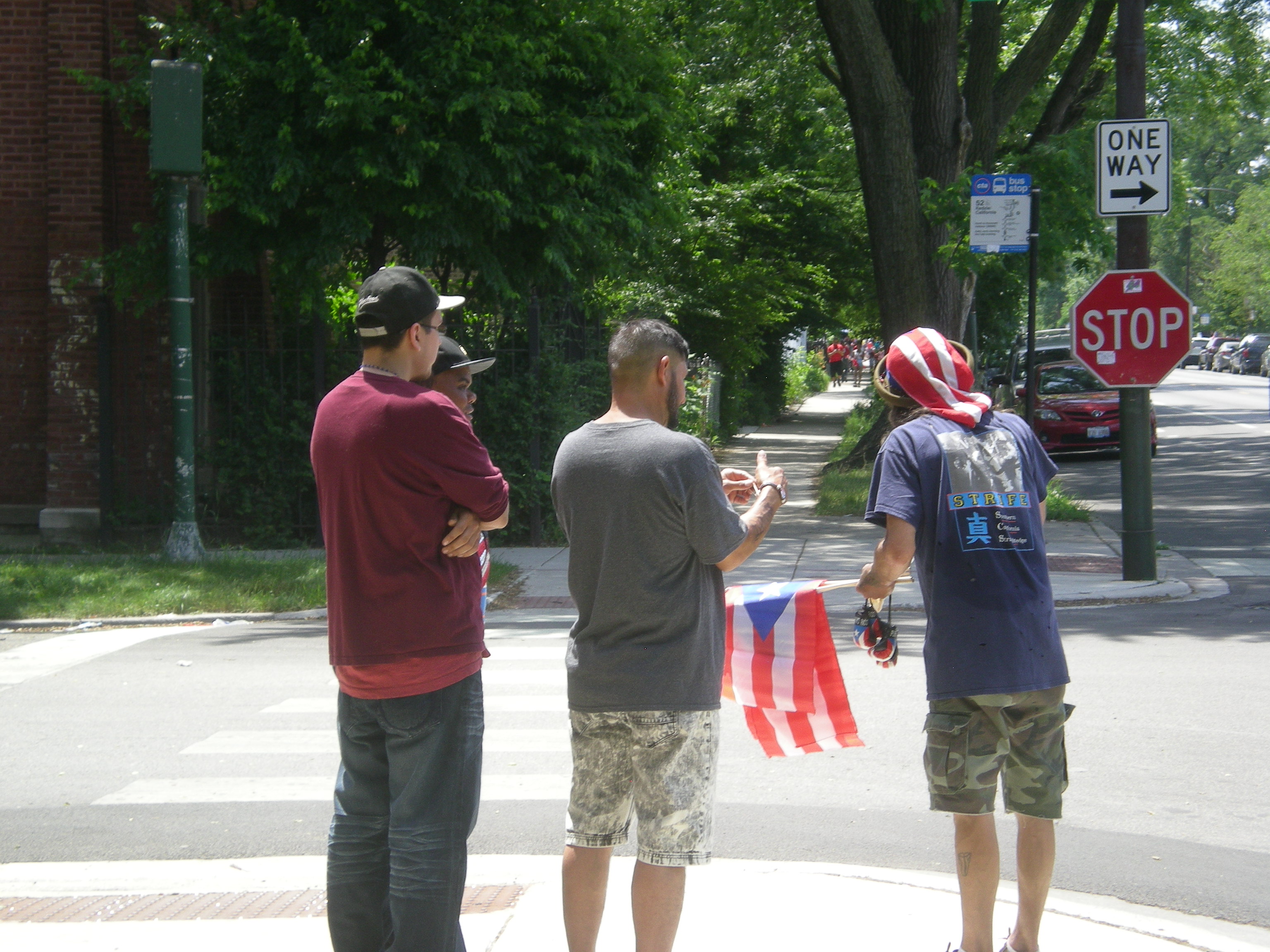
On our way back to Humboldt Ave., where we got on the spanking-new 606 linear park on the Northwest Side of Chicago, and where we planned to get off, we encountered a little parade. Looked like an impromptu to-do.

Parade on the 606, 06-06 Parade on the 606, 06-06Whatever uniforms and instruments you got, bring ’em!

Parade on the 606, 06-06Cheerleaders are OK, but flag girls are where it’s at. That’s how I felt in high school, anyway, and some opinions never quite go away. Incidentally, the flag the woman in red is carrying said “FLAG” (as seen in the previous picture). Her shirt said “I ♥ a Scientist.” And note the Chicago flag wristband; nice touch.
And speaking of flags, this is a variation of the Chicago flag I hadn’t seen before.

Chicago flag variationJust happy chance that we got to see the little parade go by. That, and we showed up at the 606 on opening day.

Eastbound on the 606

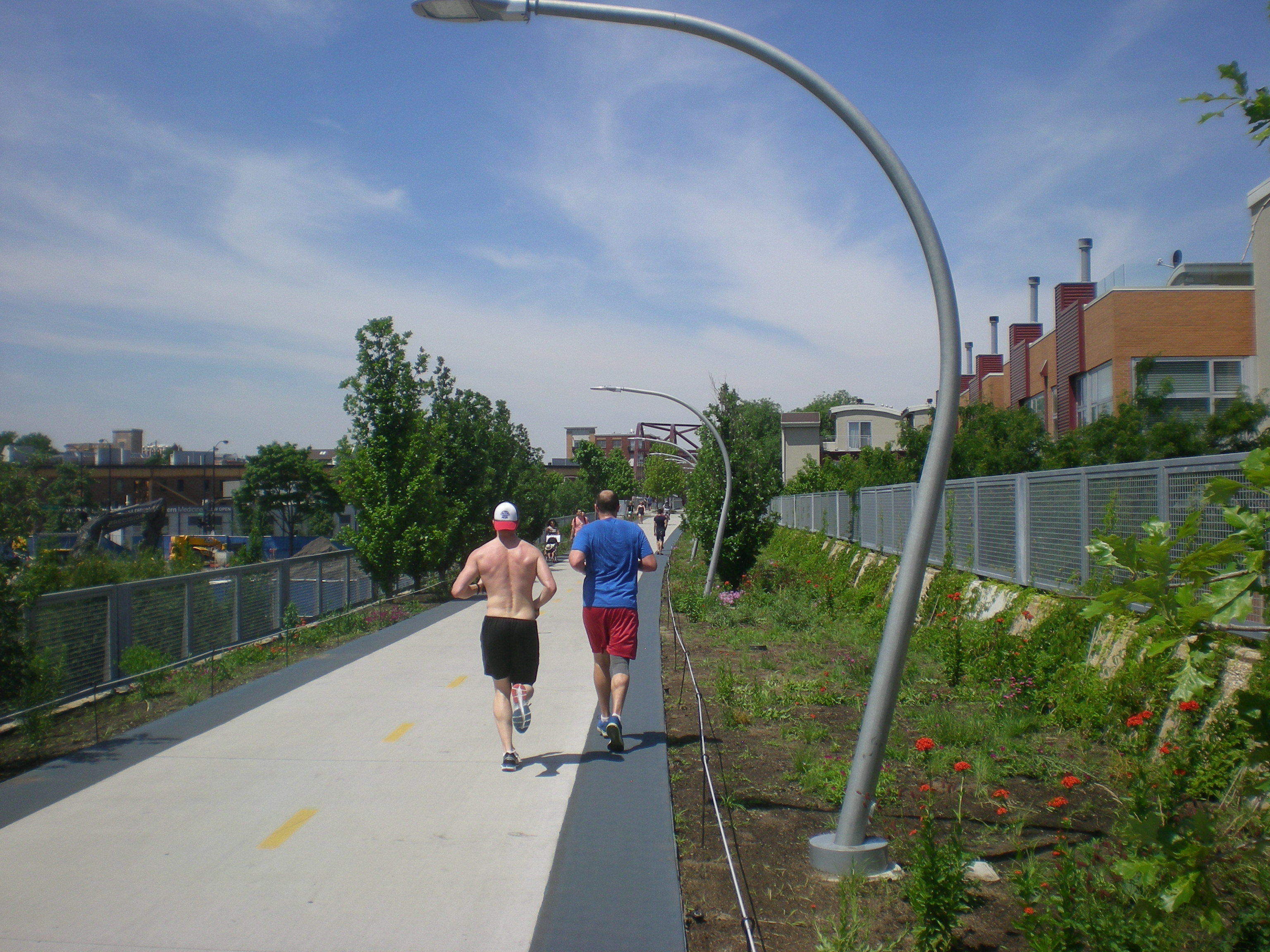
The 606 is east-west trail with a few kinks and smooth curves here and there, but mostly conforming to the direction of Bloomingdale Ave. below, which itself is part of the Chicago grid. So when we arrived at the Humboldt Blvd. entrance on Saturday, we had the choice of east or west. Humboldt Blvd. is roughly two-thirds of the way toward the west terminus. We decided to go east. Lots of other people were doing the same.

606As you can see, the landscaping still isn’t up to bourgeois standards, but I figure as the years go by, planting will be done, and the trailside will be greener in future Junes. In some places, small trees will become larger trees. Various sources tell me there are 200 species of plant along the trail.

Where the trail passes over Washtenaw St., there’s an “environmental sentinel.”

The 606It’s also apparently the mid-point of the trail, 1.35 miles in either direction. Nice to know. Also nice that the planners resisted Lincoln Chafee’s call for metrification of the trail. (Well, I made that up.) But why “2015 2115”? Is there a time capsule we don’t know about planted here, waiting for the 22nd century?

Volunteers in yellow shirts stood near the entrance ramps, ready to give out information. I got a map from one of them.

606 on 6-06The trail passes under the El — the line that goes to O’Hare from downtown — near Milwaukee Ave.

OLYMPUS DIGITAL CAMERAMighty steel holds up the El. Just what you want if you’re on a train flying overhead. Or underneath the train, for that matter.
Blue LineJust east of that point is the trail’s bridge over Milwaukee Ave., which a major northwesterly spoke road, as opposed to the grid roads. Spoke roads in Chicago were often Indian traces in earlier times.

Milwaukee Ave Bridge“At Milwaukee Avenue, where an arched bridge has served as the public centerpiece to the park during its construction, that story is told horizontally instead of vertically,” Chicago magazine says. “Dolomitic limestone boulders — from the formation that underlies Chicago, the limestone that architects Walter Netsch and Bruce Graham used as an anchor for their Inland Steel Building in one of the city’s herculean efforts to rise above the swamp — lead up towards the trail.”

The majority of the $95 million cost to build the 606 came from a $50 million Federal Congestion Air Mitigation Quality grant. Another $20 million was raised through private fundraising and $5 million came from local government, with ongoing fundraising for further improvements.

I’ve seen people grousing about the cost, especially the fact that the federal government paid so much of it (and I get what I deserve for reading comments sections). Sure, it’s an outrage that the government devoted roughly (very roughly) 0.00016 percent of its annual budget on an investment that’s going to generate large amounts of new value, in a measurable way for private property owners in the area, and in a less tangible but still important way for anyone who uses the trail. You know, spending for the common good.
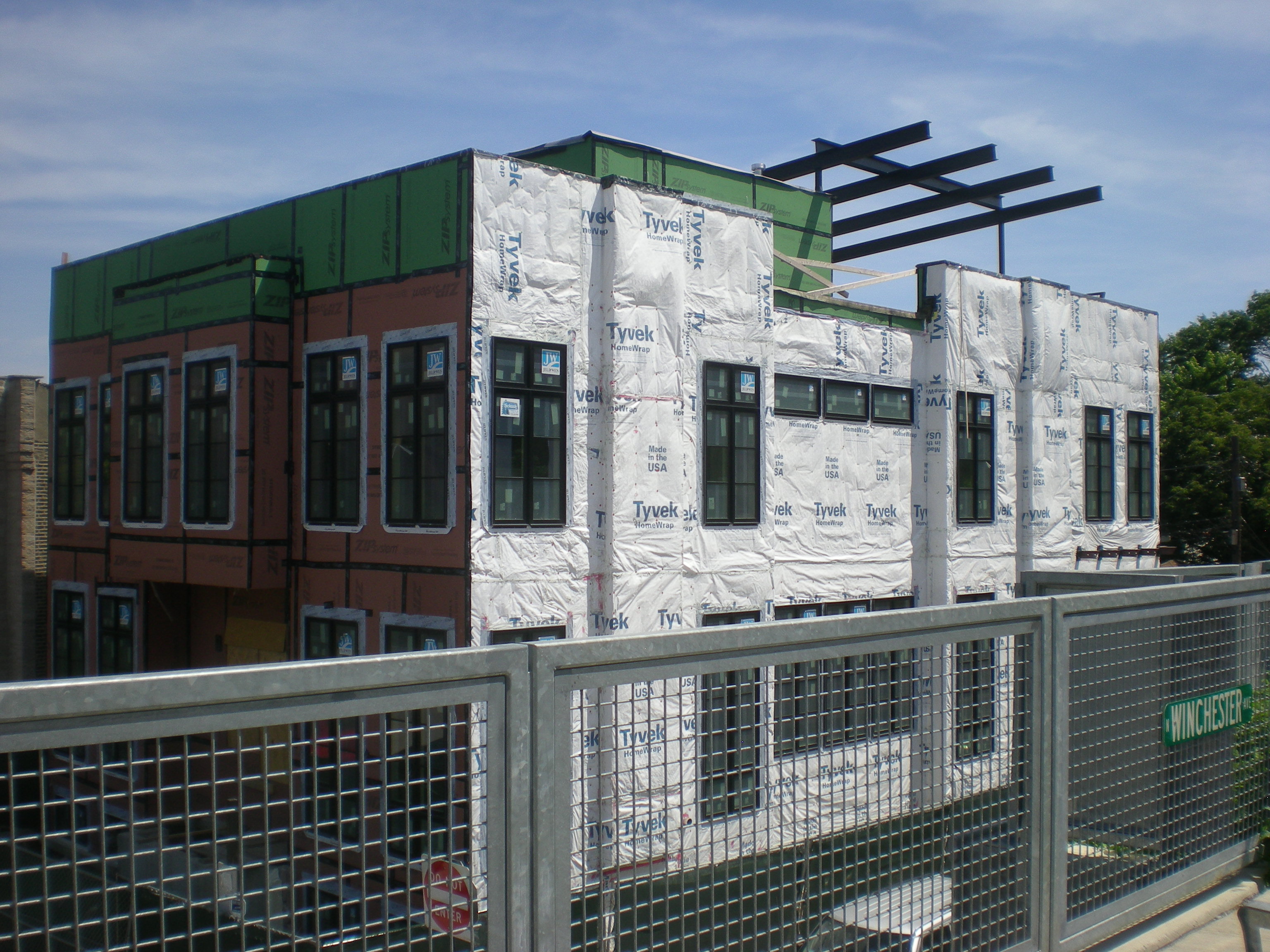
New residential properties have already been developed in anticipation of the trail, and more are coming. Some examples are in the background here, east of Milwaukee Ave.

606 pix OLYMPUS DIGITAL CAMERAIf the High Line’s any indication, existing retailers will also benefit, and there will be new ones sprouting near the trail.

We made it as far east as Damen Ave., within sight of the dome of St. Mary of the Angels, which I want to see the inside of sometime, then we went back the way we came. So we walked about half of the trail. That leaves the rest for another time.

The 606 on 6-06

What a weekend in the wider world: the first Triple Crown winner since the Carter Administration, a daring prison break by dangerous inmates, and a solar sail unfurls in space. I didn’t know Bill Nye was CEO of the Planetary Society, but I suppose it helps fundraising to have a Science Guy at the top spot.

Here in metro Chicago on June 6, 2015, the 606 opened to the public, and we were there. Usually I don’t bother with opening nights or premieres or the like, but somehow I wanted to be on the 606 on the very first day. Call me a sucker for quality-of-life urban infrastructure.

606The 606, also known at the Bloomingdale Trail, is a new linear park fashioned from 2.7 miles of an abandoned elevated rail line on the near Northwest Side of Chicago, linking the easterly neighborhoods of Wicker Park and Bucktown with Humboldt Park and Logan Square to the west. The line handled freight for decades, serving the factories that used to be in these parts of town. Even before most of the factories closed, trucks had usurped the role the freight line used to play.

As Edward Keegan writes in Crain’s Chicago Business, “Completed in 1913, the 606’s underlying structure elevated the Chicago, Milwaukee and St. Paul Railway freight trains above Bloomingdale Avenue to prevent the frightfully frequent pedestrian deaths of the time. Railroad use dwindled through the 1980s and 1990s, and these four neighborhoods were left with a daunting bit of early-20th-century infrastructure that defied easy demolition. Massive, parallel concrete walls, 7 to 10 feet thick at their base — held earth between them to lift double railroad tracks a full story above surrounding streets. It was a great engineering feat, but the east-west wall separated neighborhoods.”

The thing to do in the early 21st century, then, was to give it the High Line treatment, that is, redevelop it into a linear park, though the end result isn’t exactly the same. “The overall design is remarkably matter of fact,” Keegan notes, and I agree. “A concrete path — 10 feet wide with 2-foot-wide, soft-edged borders on each side for runners — winds the 2.7-mile length of the park. While the bounding walls of the old superstructure are mostly parallel, the designers deftly move the path from side to side and up and down to the extent possible to provide as interesting a path as possible for its users.

“Brooklyn-based landscape architect Michael van Valkenburgh chose more than 200 species of plantings that appear within the park. Due to its east-west configuration and length, Chicago’s lake effect will be evident each spring as certain species, including serviceberries [what?], will take as much as five days to bloom progressively from west to east. But don’t head out to the 606… and expect too much from the landscaping. Plantings are generally quite young, spare and even scraggly in places.”

Some of the benches weren’t finished either. In short, there’s still work to be done on the trail, but even so the warm, sunny day on Saturday make for a good walk, despite the intense crowd of other walkers and bicyclists. The crowd seemed to be in a good mood, which always helps.

In the early afternoon, we drove into town and parked near Humboldt Blvd., which passes under the 606. At the time there was a street festival on Humboldt Blvd. on either side of the 606 featuring music, food, booths of various sorts, and free 606 souvenir buttons.

Ann & Lilly on the 606, June 6, 2015Soon we made our way to the long ramp just east of the boulevard and walked up it to the trail. Then we headed east, occasionally posing for pictures along the way.

Spring Flowers ’15

Lilacia Park, May 9, 2015

The Lombard park sports a wealth of lilacs, of course, such as this Hyacinthiflora lilac.Lilacia Park, May 9, 2015But also tulips, such as “Antoinnette.”Lilacia Park, May 9, 2015And “Mona Lisa.”Lilacia Park May 2015And “Burgundy Lace,” a fringed tulip.Lilacia Park May 2015Also, good old crabapple trees.Lilacia Park, May 9, 2015This character showed up to entertain. I think. Or maybe he just likes to dress up. Thing 1 and Thing 2 weren’t around.Lilacia Park, May 9, 2015I took some of the pictures and Ann took others.

“Agora”

As far south as you can go in Grant Park, near the corner of Michigan Ave. and Roosevelt Rd., there’s a permanent sculpture installation called “Agora,” by the Polish sculptor Magdalena Abakanowicz.

“Agora” includes iron figures that look like this from one angle.

Agora, May 1, 2015And like this from another.

Agora, May 1, 2015They look alike at first glance, but actually the texture of the iron is different on each one. There are 106 of them.

Yeah, it's a little creepyThey’re roughly in two groups, but some of them are at a distance from the rest. Abakanowicz cast them at the Srem Foundry in Poland from 2003 to ’06.
The work also seems to attract the attention of roving bands of Segwayers.

Grant Park, May 1, 2015As I looked at the half-figures, I thought, they seem really familiar. Where have I seen them before, or at least something similar?

Nasher Museum, 2013The Nasher Sculpture Center in Dallas in ’13, that’s where, which has another grouping of cast-iron figures by Abakanowicz. The headless halves were in long lines instead of milling around like at an agora.