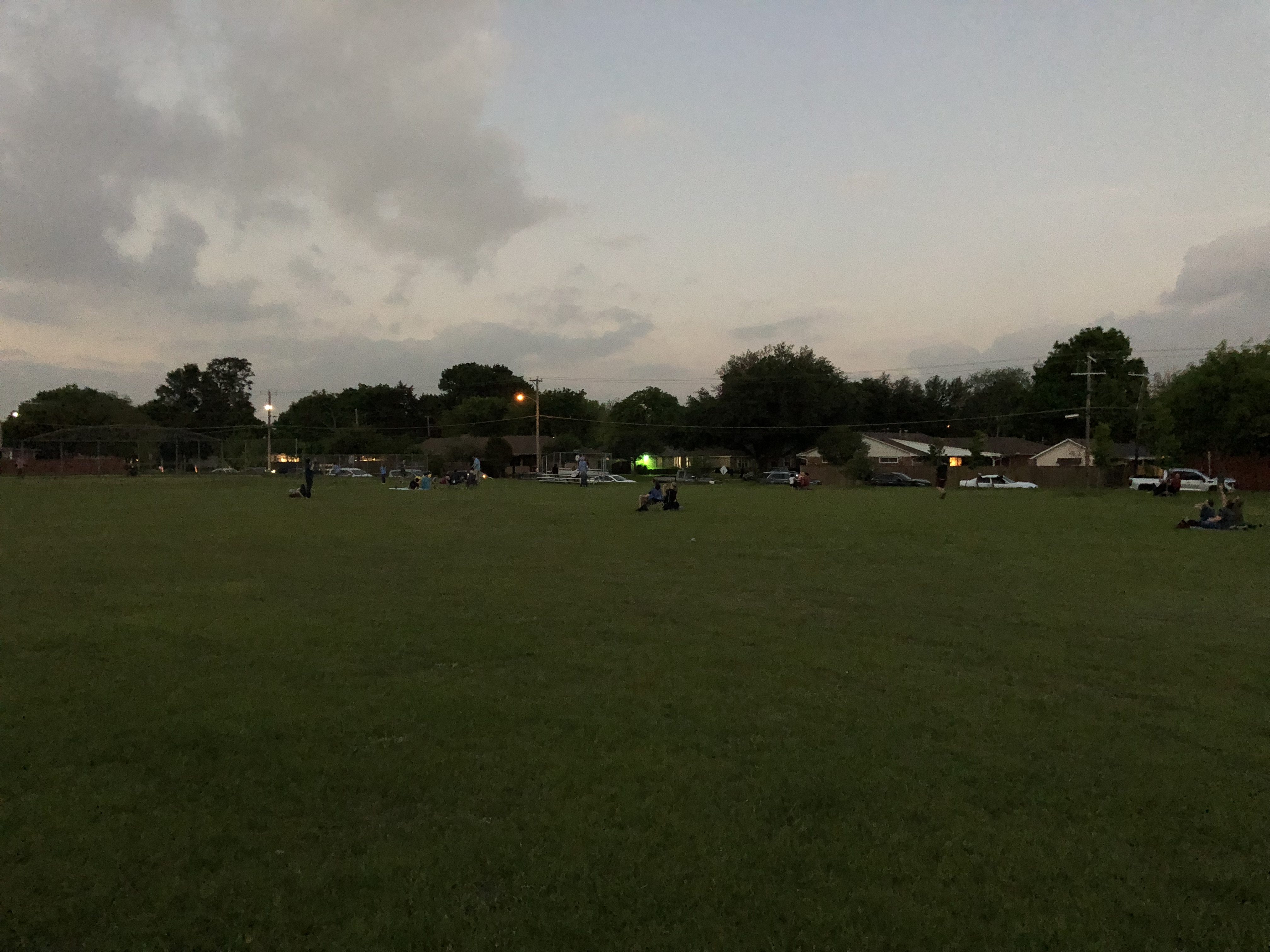
OLLU & Elmendorf Lake Park

Despite the cold, we had about 40 kids show up yesterday to collect sweets, maybe half again as many as the busiest Halloweens of the past, though I don’t count every year. We ran through an entire box of full-sized candy bars plus some other smaller confections. Almost all of the kids came before dark, which has been the case for many years now. Another example of widespread nervous parenting that’s pretty much entrenched, I figure. When I was that age, we went out after dark in our Invisible Pedestrian costumes and we liked it.

Most of the costumes this year were buried under coats, but I have to say the best of ’23 was a tallish kid in no coat and a white-and-red full-body chicken outfit, complete with a comb as prominent as Foghorn Leghorn’s. The costume might well have been warm enough for him to go without a coat. The color scheme reminded me of Chick-fil-A right away.

I’m just old enough to remember sometimes receiving baked goods and fruit on Halloween; those vanished by about 1970, victim of the lurid nonsense stories about razor blades in apples, poisoned cakes and chocolate Ex-Lax being given to kids. We found the thought of that last one pretty funny, actually.

This morning we woke to about an inch of snow destined to melt later in the day. A small preview of winter.

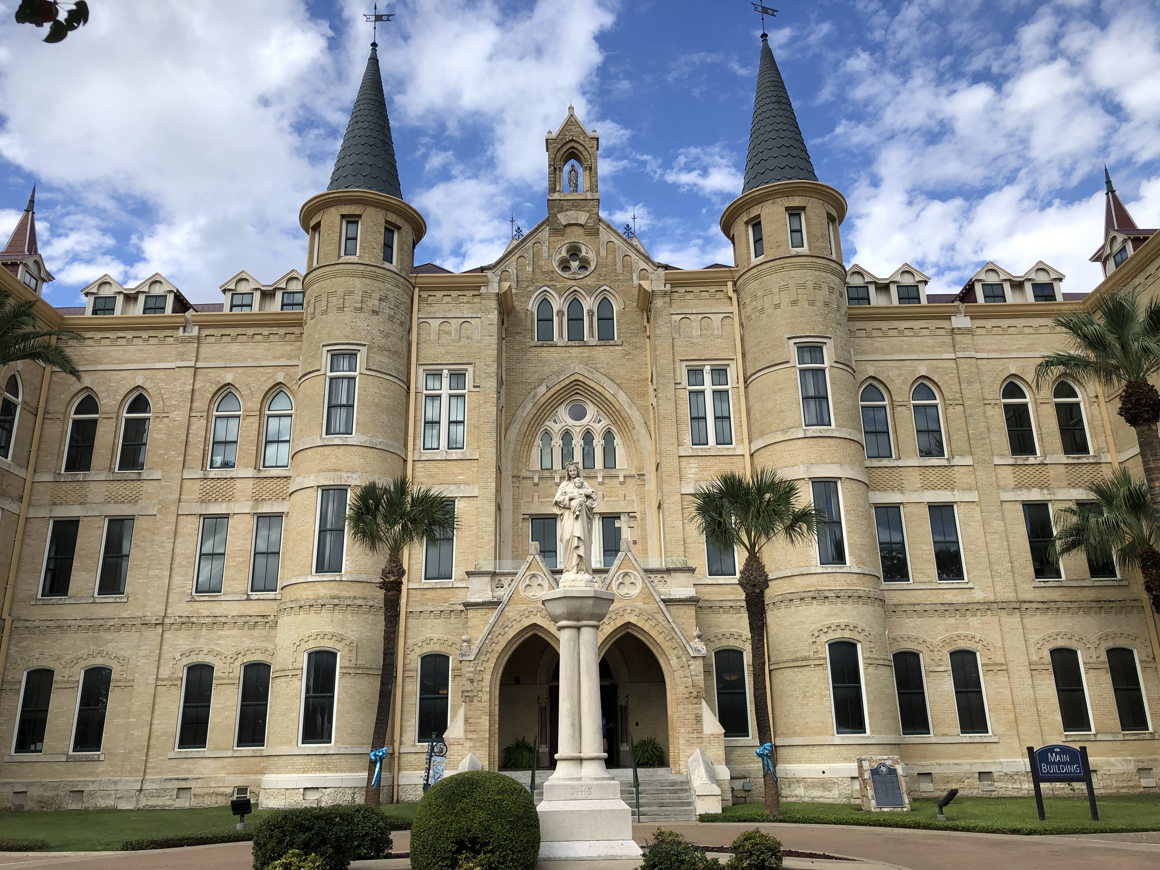
The cold is an unpleasant contrast to South Texas last week, where it was hot for October. (Temps have fallen there since then, I heard.) Just after noon on Saturday, I headed over to the campus of Our Lady of the Lake University, OLLU. I’d heard of the school for a long time, but my knowledge of it never rose above the level of hazy.

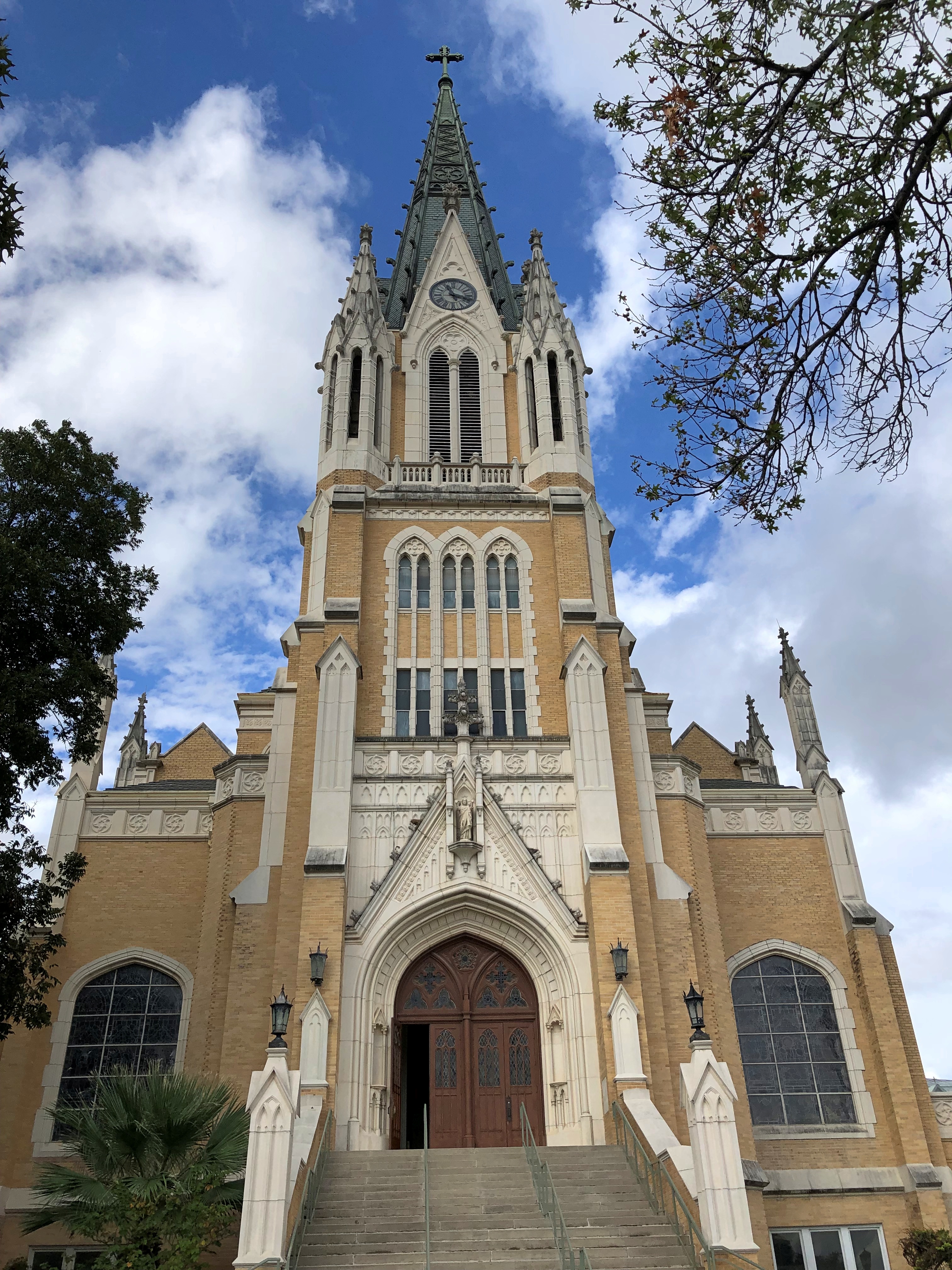
Main Building, the sign says. A name refreshing in its simplicity. The building’s a little more intricate.OLLU OLLU

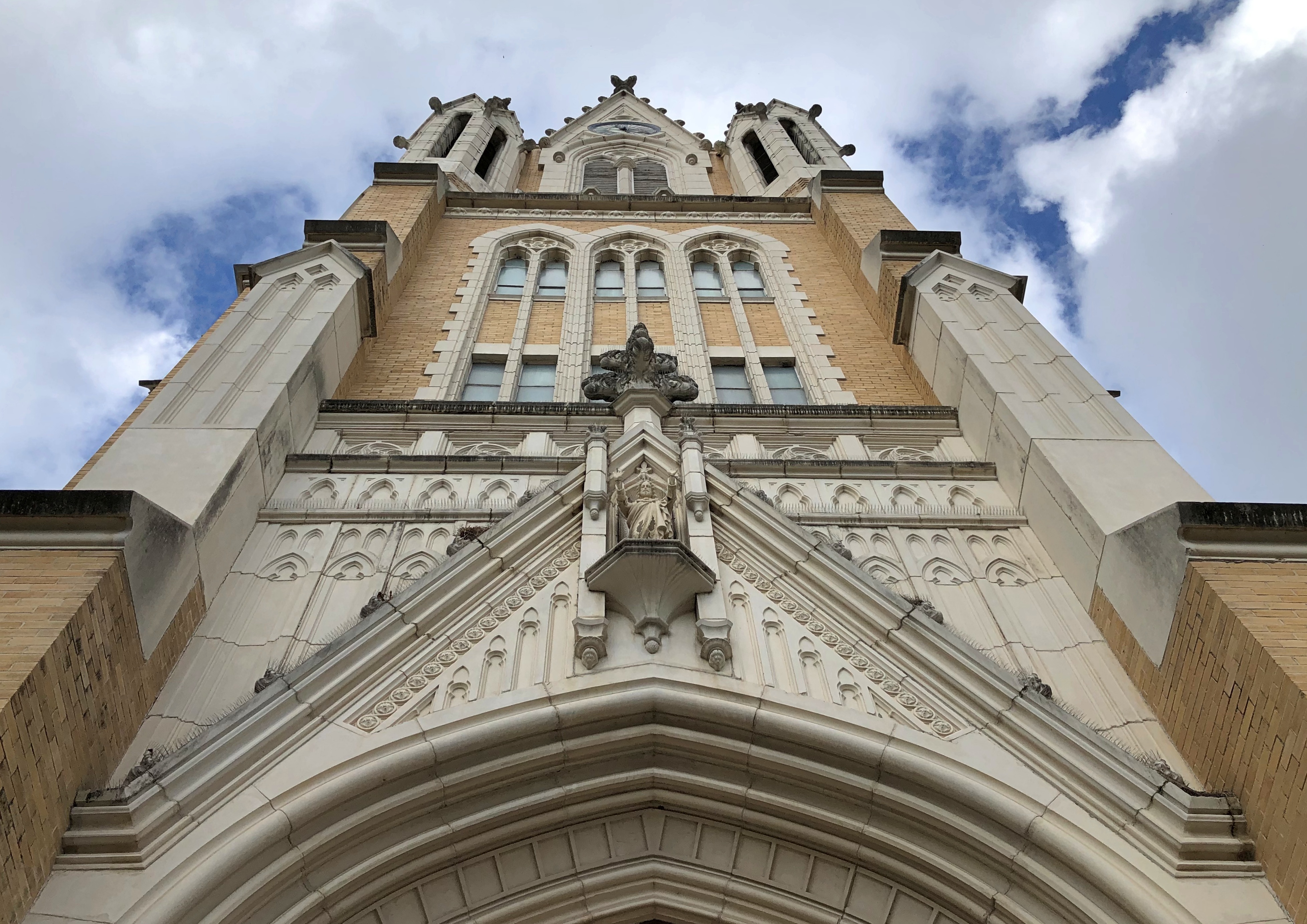
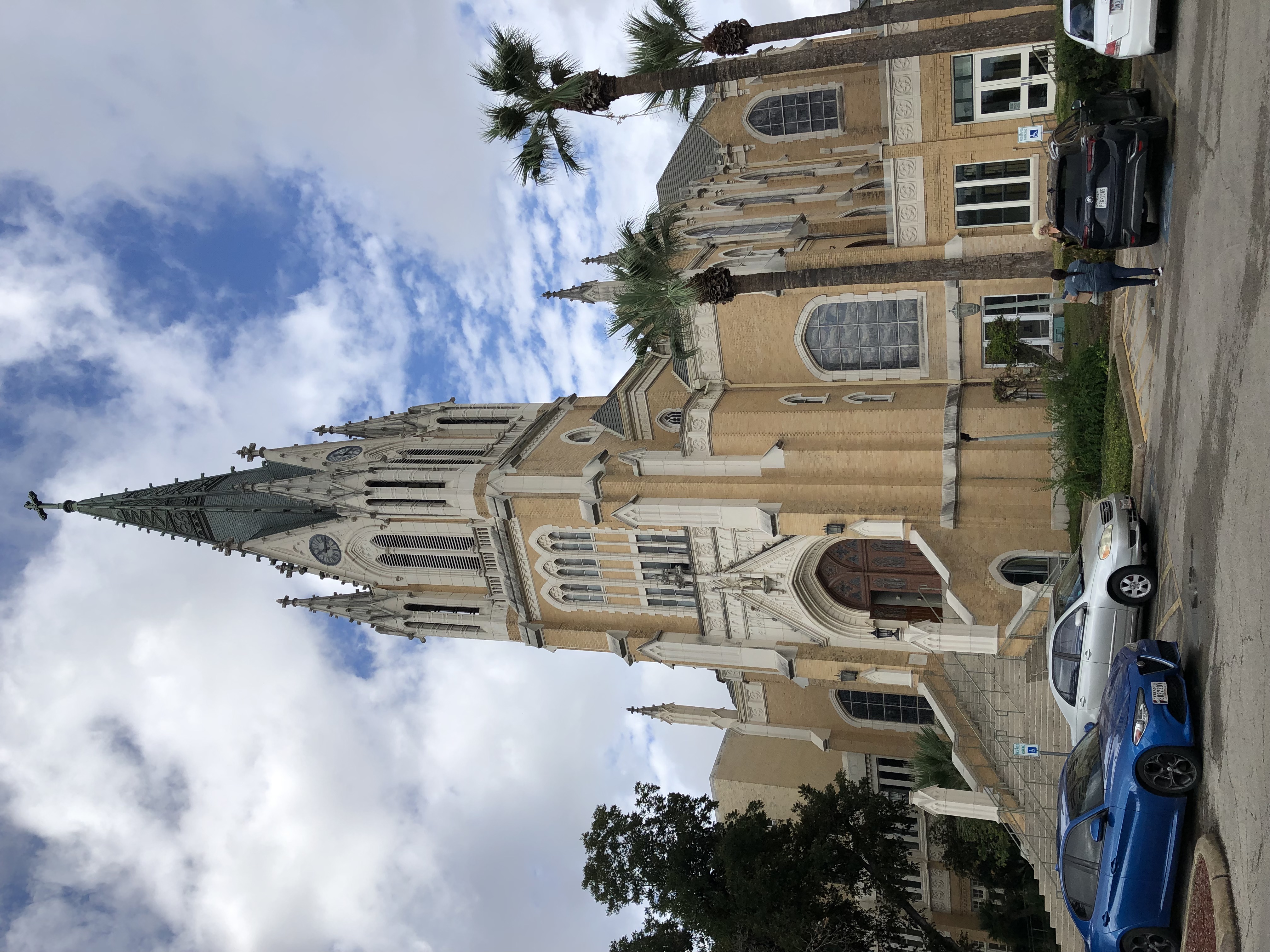
Mere steps away is Sacred Heart Chapel.OLLU OLLU
OLLU

The school recently marked the chapel’s centennial. At your feet at the entrance, a date.OLLU

“The English Gothic chapel was the vision of Mother Florence Walter, Superior General of the Congregation of Divine Providence from 1886-1925,” says the university web site. “In 1895, she looked down from Prospect Hill at a swath of wilderness and declared, ‘One day we will have a chapel here. And its spires will be seen throughout the city of San Antonio.’ ”

That must have a good day for the superior general. Funding the chapel took 11 years, but eventually the Sisters, who had founded the school in 1895, were able to hire a renowned architect, Leo Dielman, to design the chapel. A prolific architect of sacred space – more than 100 churches to his credit – Dielmann had his funeral in 1969 at Sacred Heart Chapel.

When I went in, a funeral was going on. I gazed in for only a moment from the very back of the nave. Looked like this, except for the sacrament pictured.

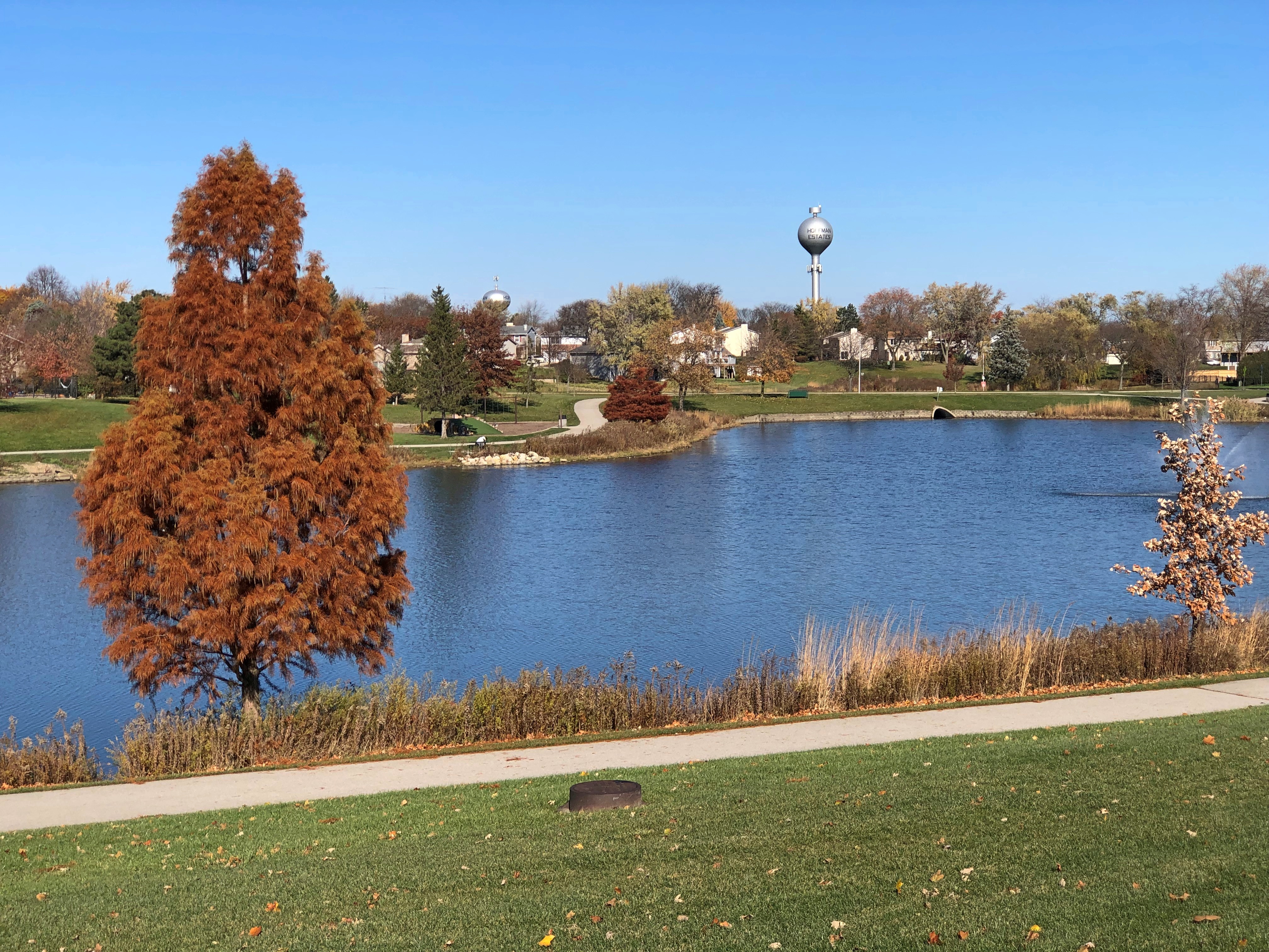
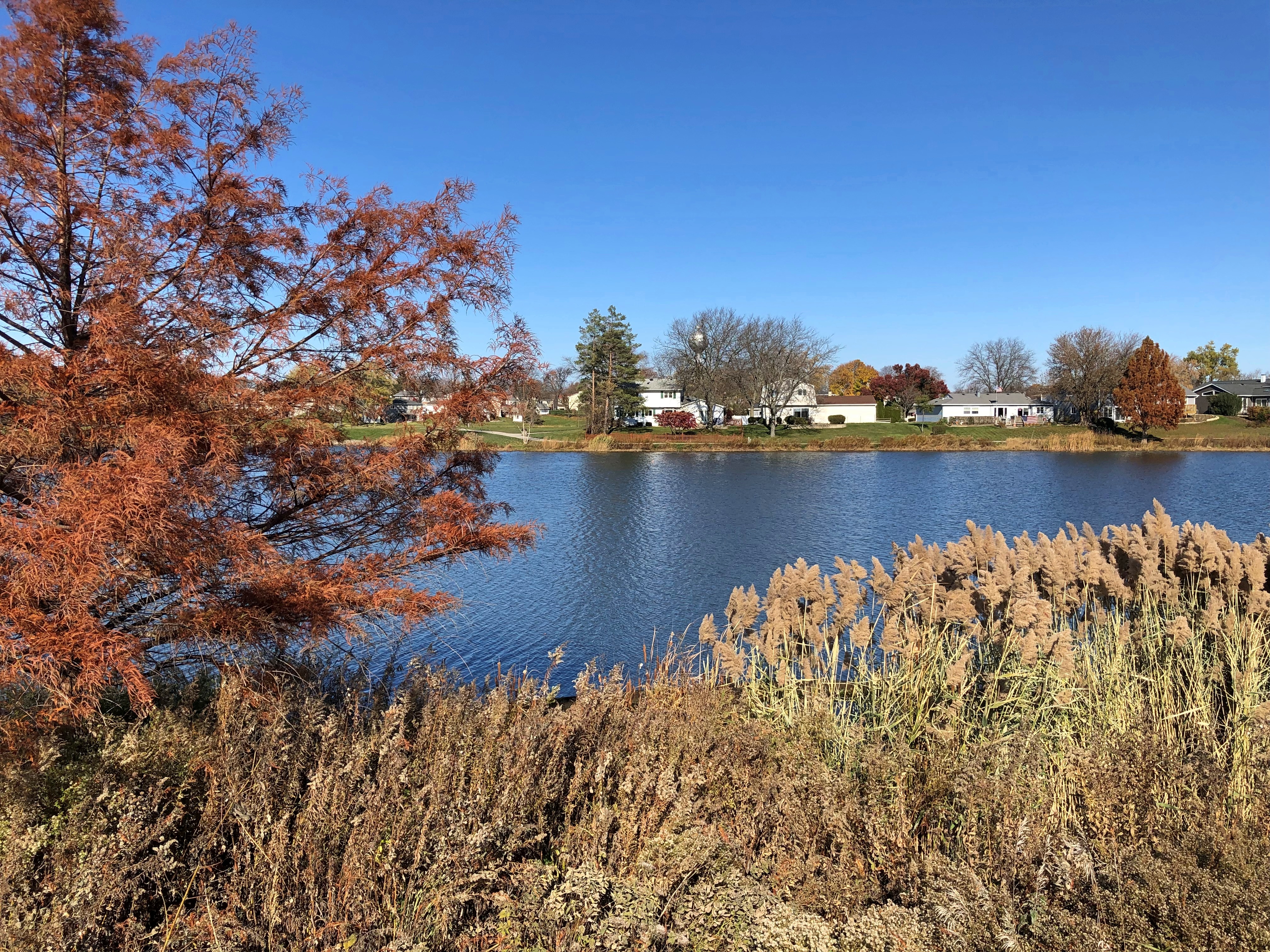
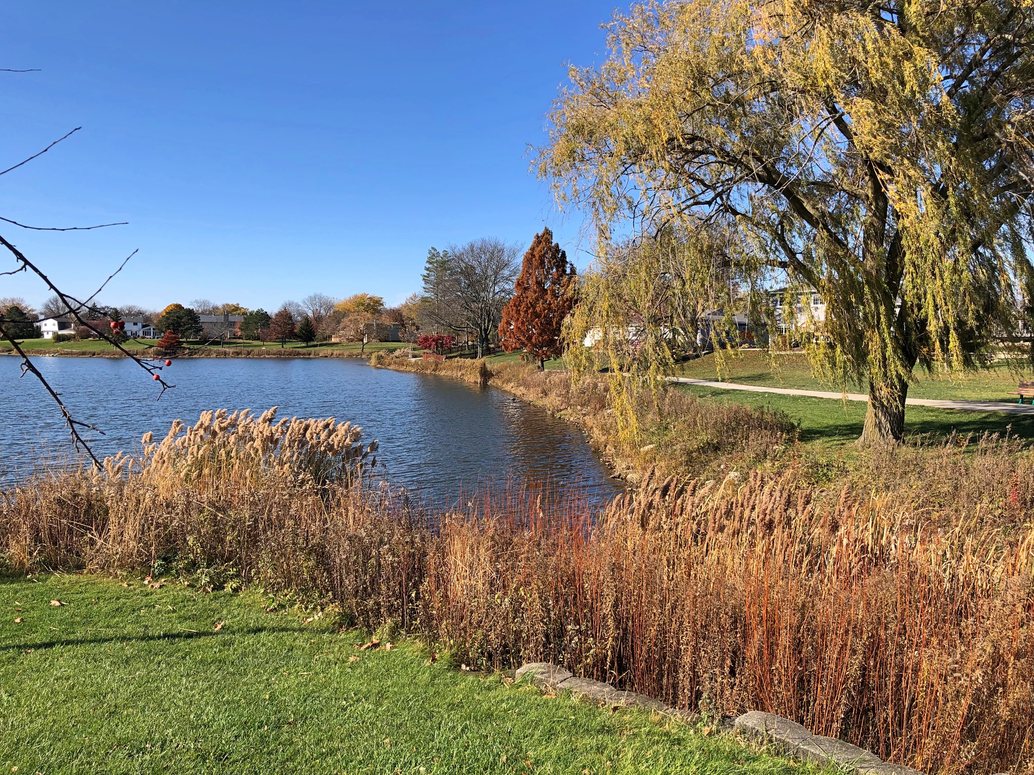
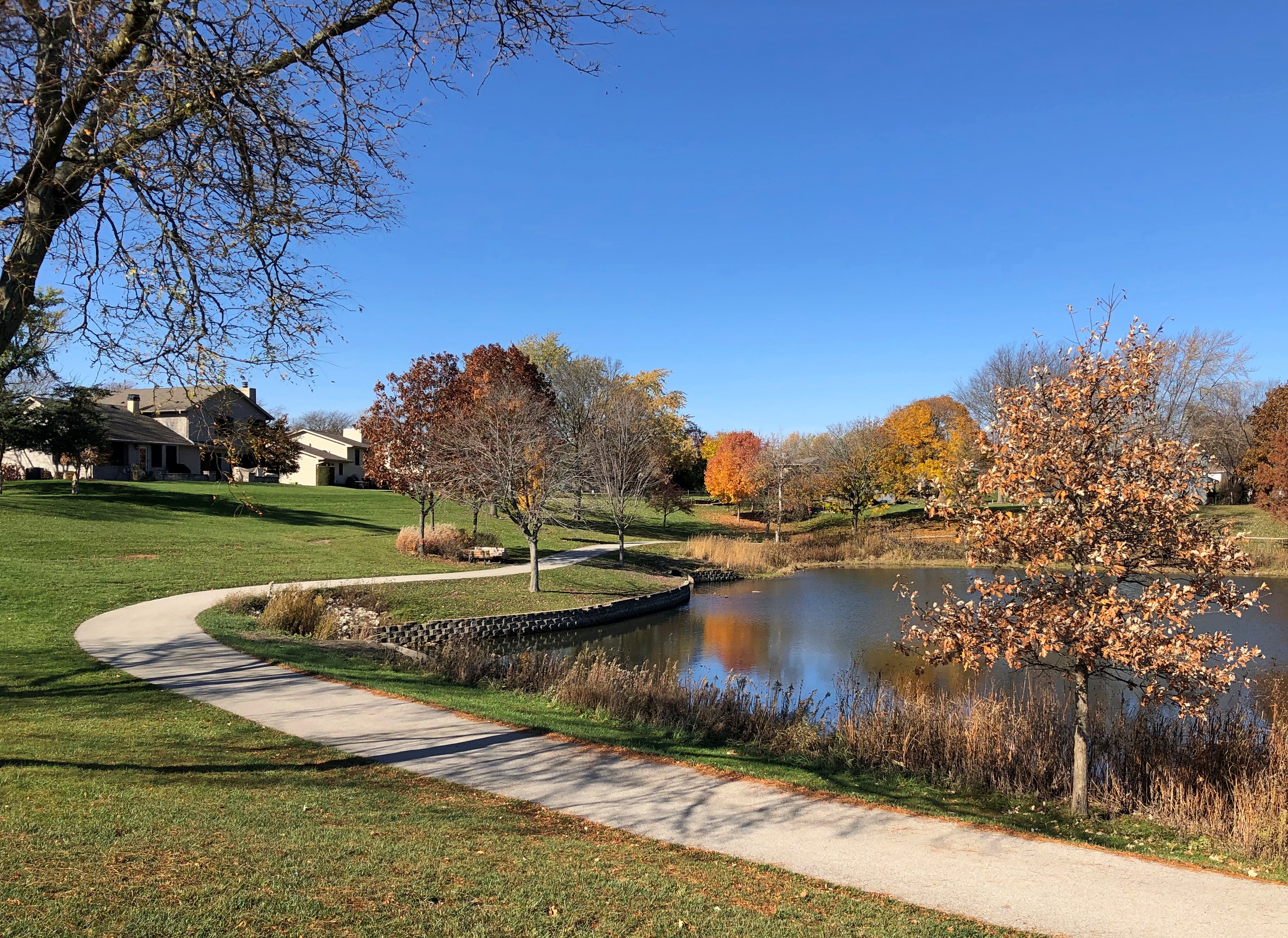
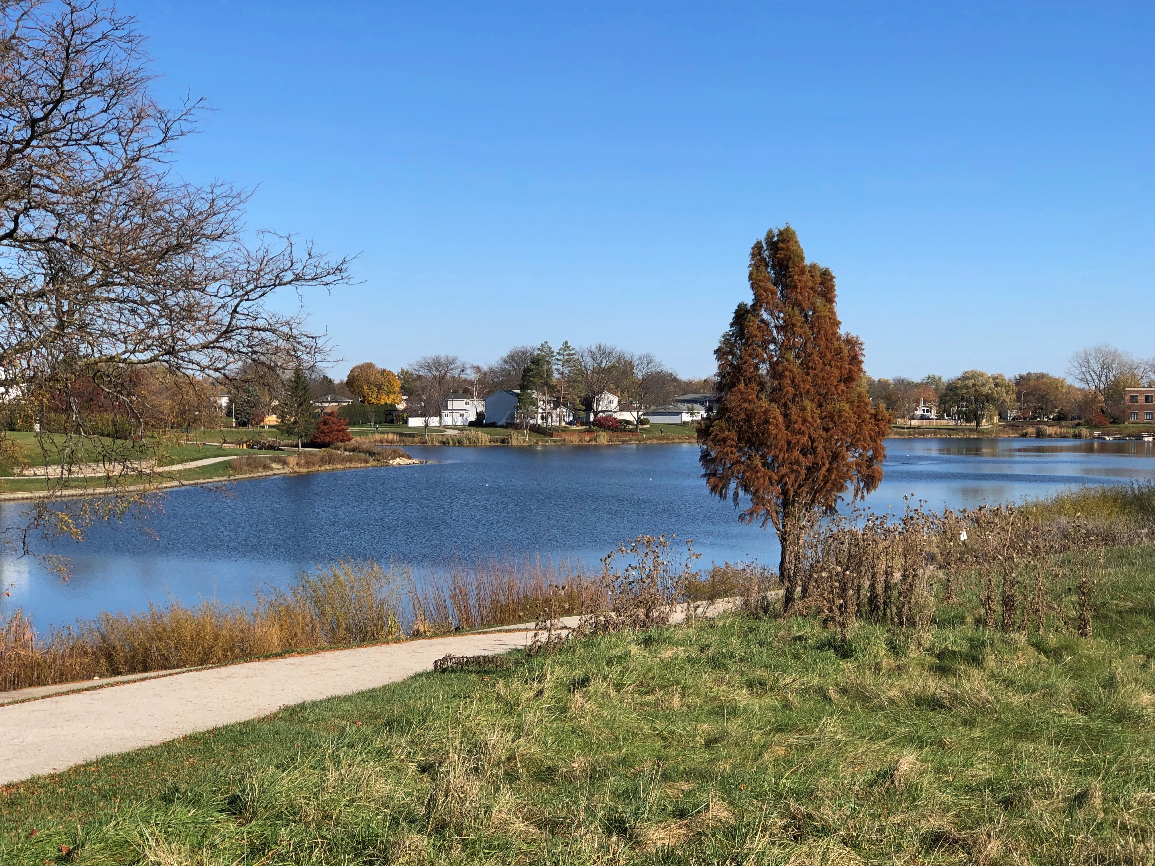
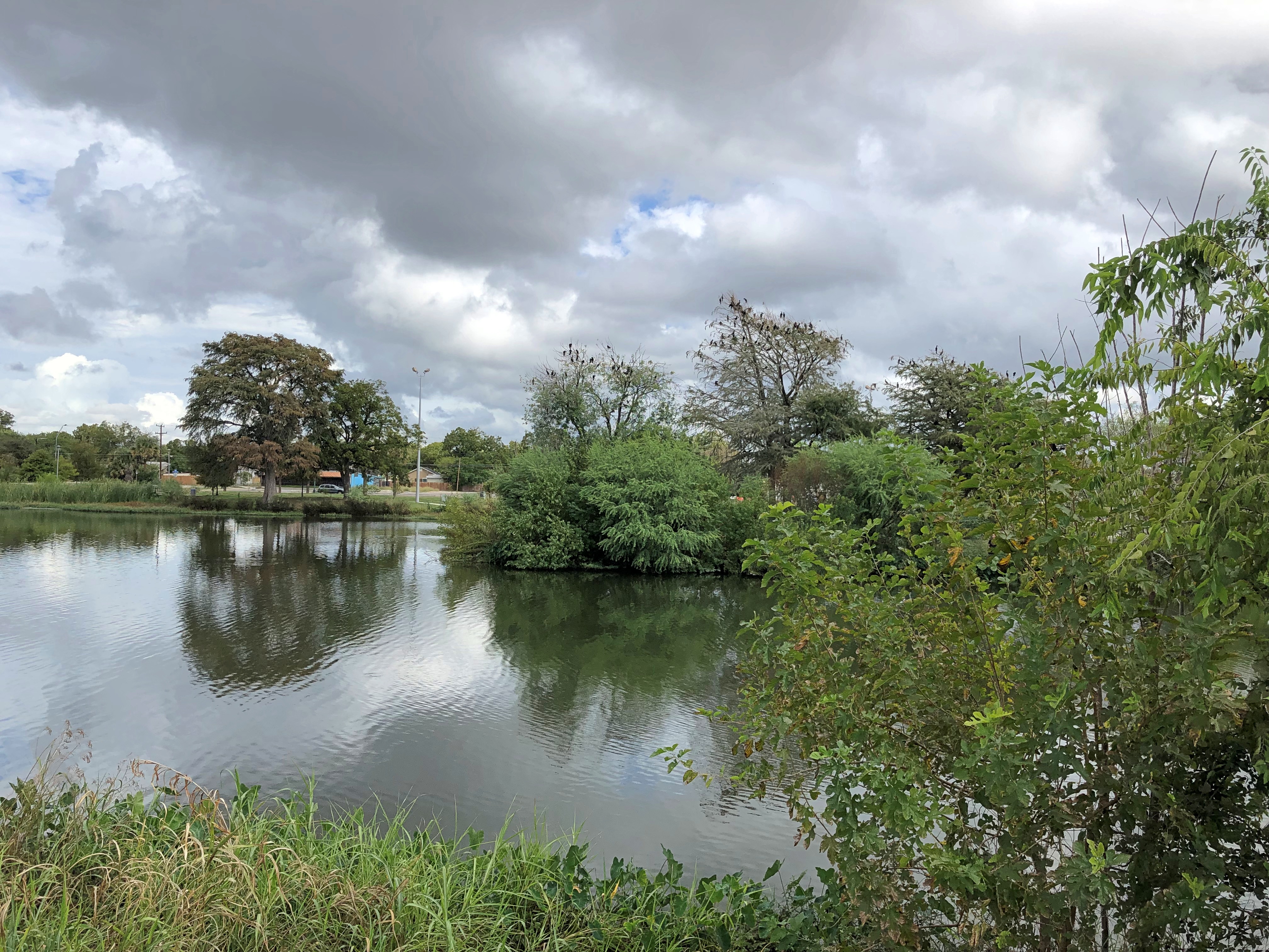
OLLU borders Elmendorf Lake Park, with walking trails ringing a small manmade lake, created by the damming of Apache Creek. I took a walk. When the sun periodically came out from behind the clouds, it felt like it was about 90 F. It was a sweaty walk. Needed that hat I’d left in Illinois.

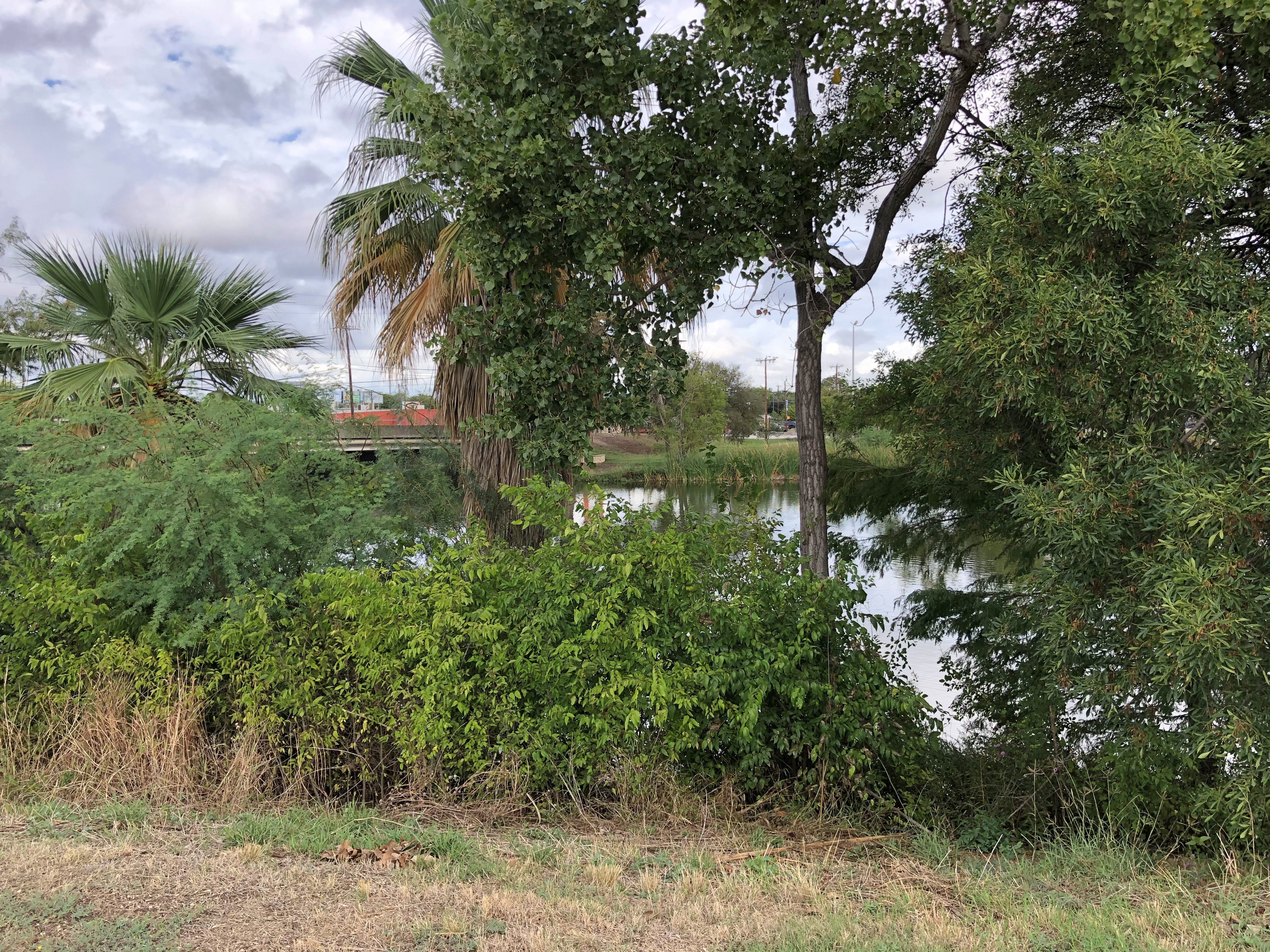
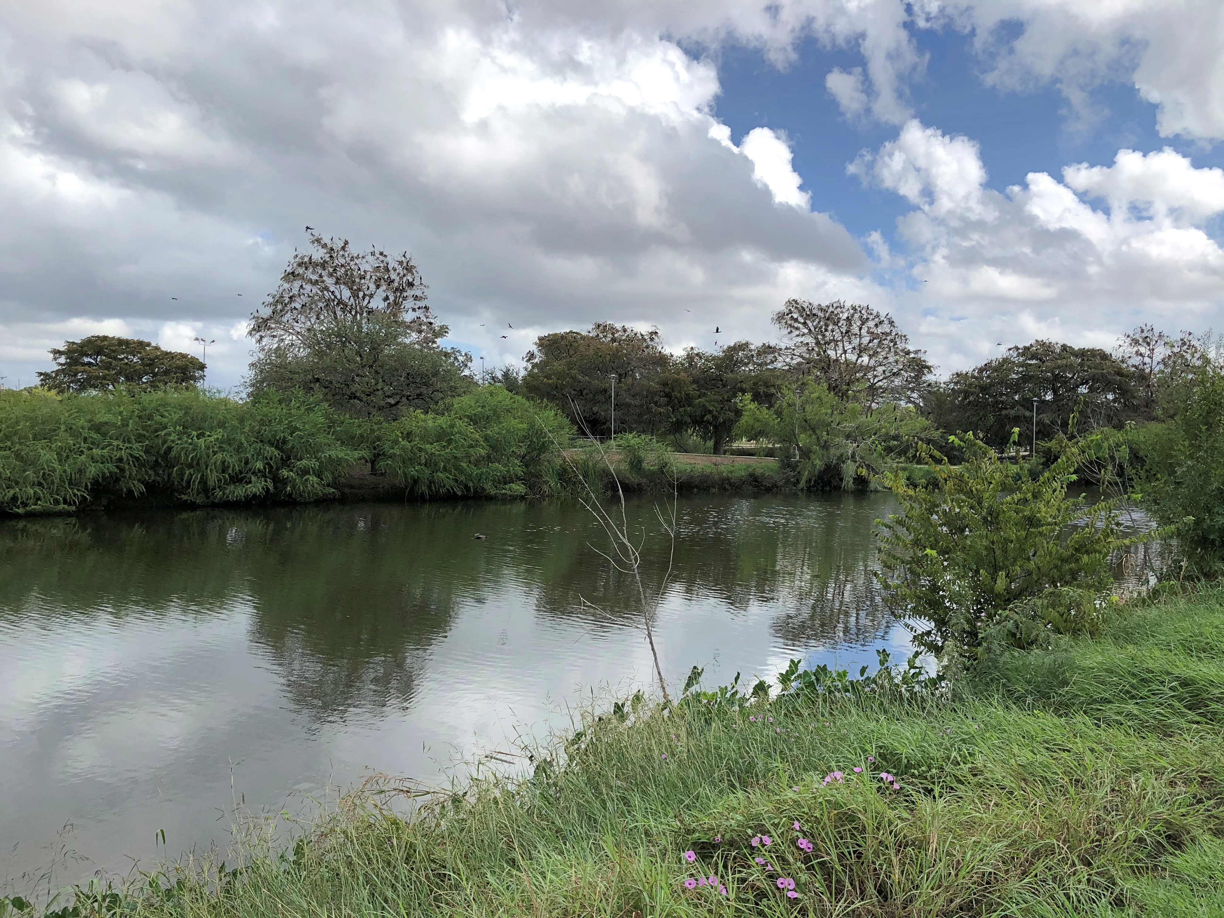
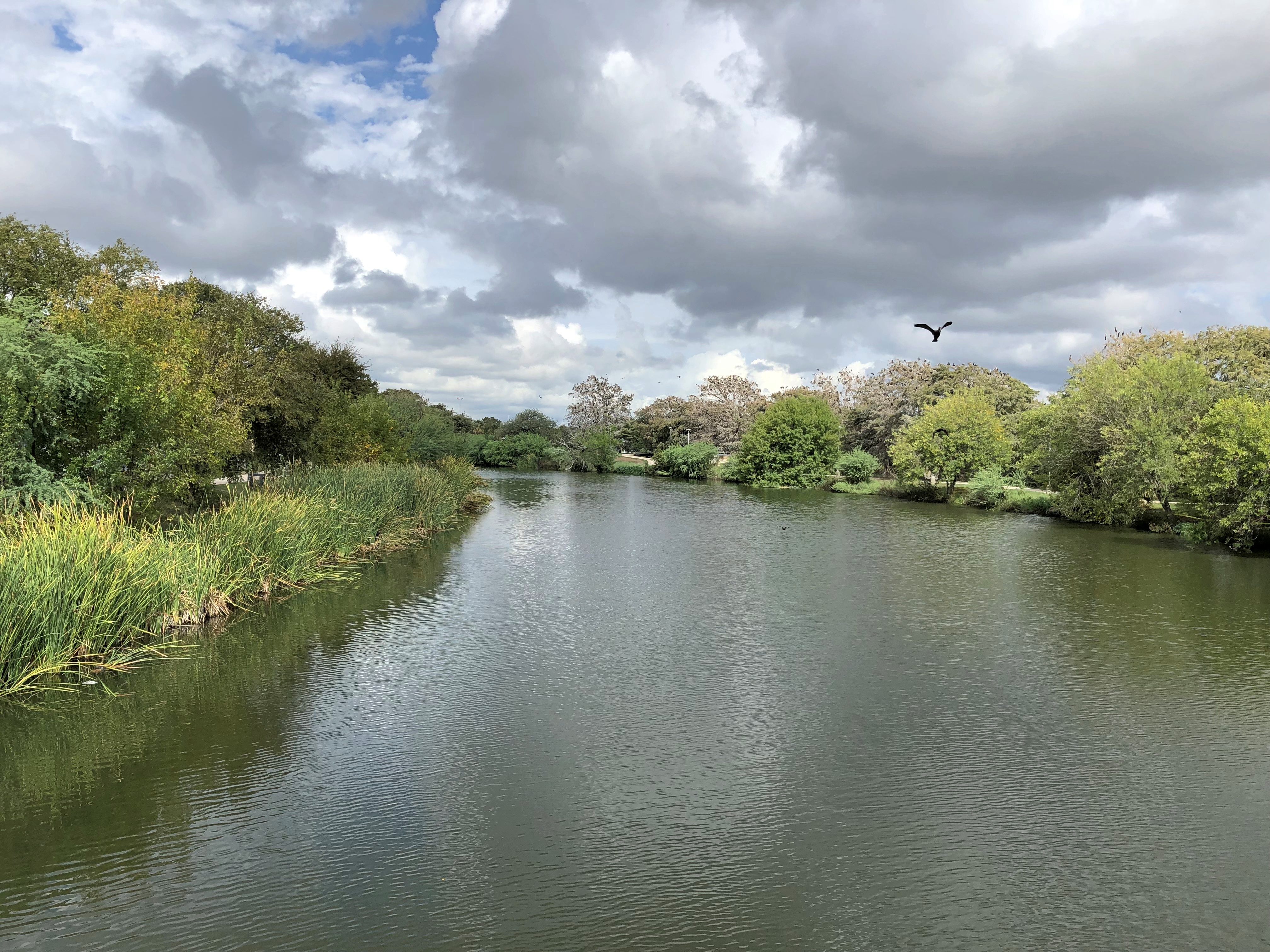
Thick foliage luxuriates on the lakeshore.Elmendorf Lake Park Elmendorf Lake Park Elmendorf Lake Park Elmendorf Lake Park

Almost no one else was around on what, compared with South Texas temps only a few weeks and months earlier, was merely a warm day. A Saturday at that. The place gave out no sense of being avoided out of fear for one’s person; just ignored. A few recreational fishermen stood on the shore, angling. One was in a small boat. That was all.

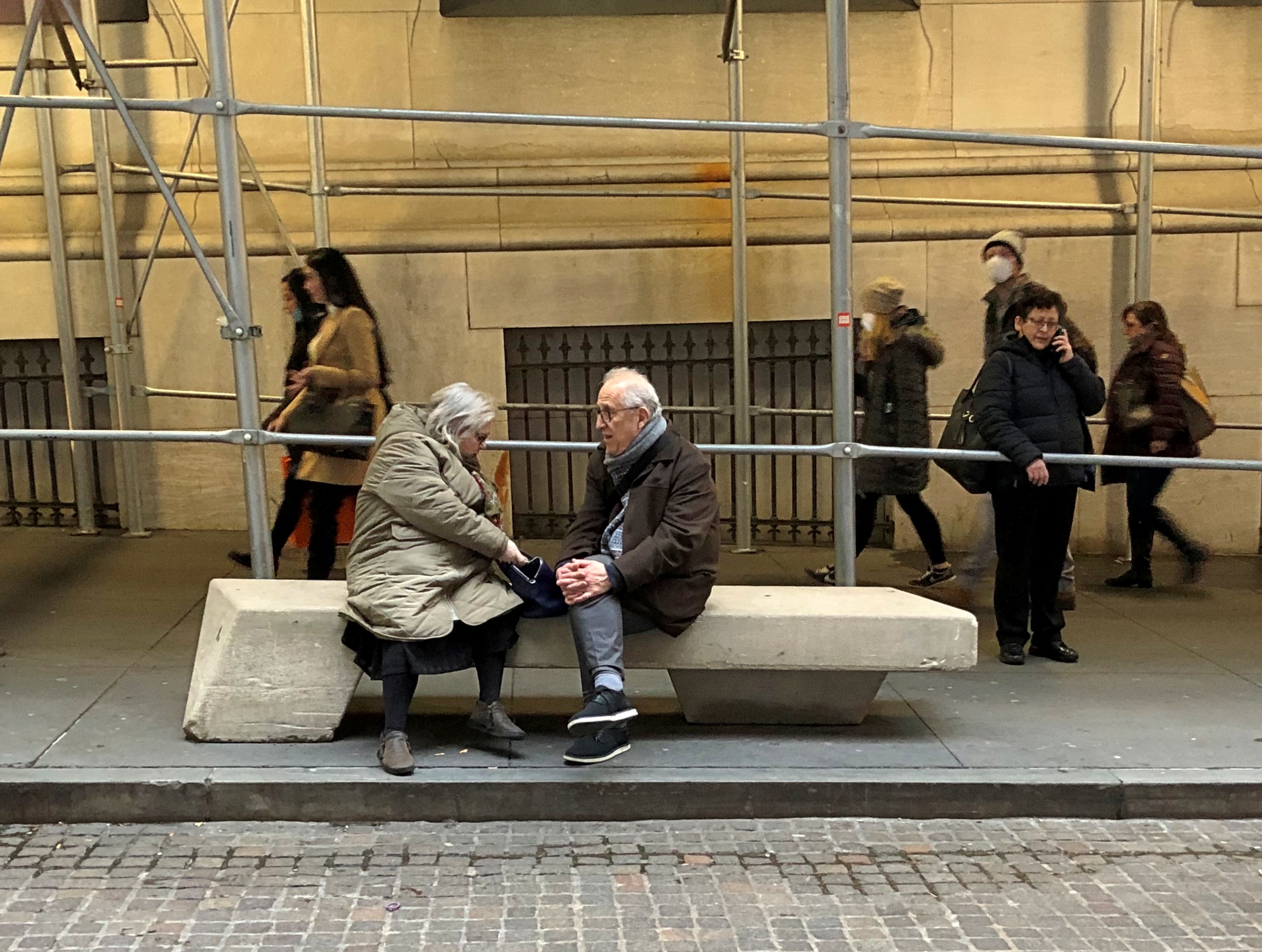
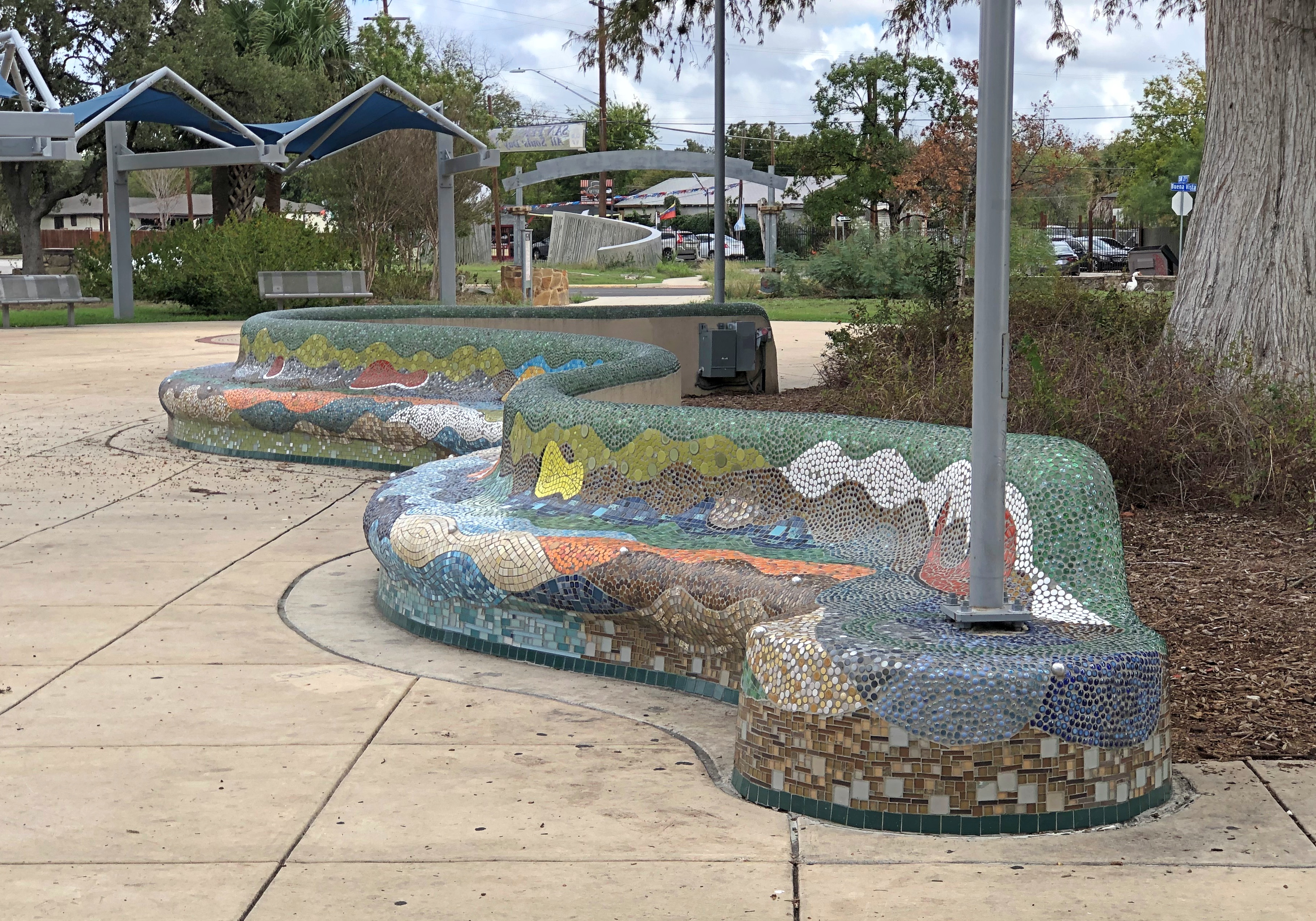
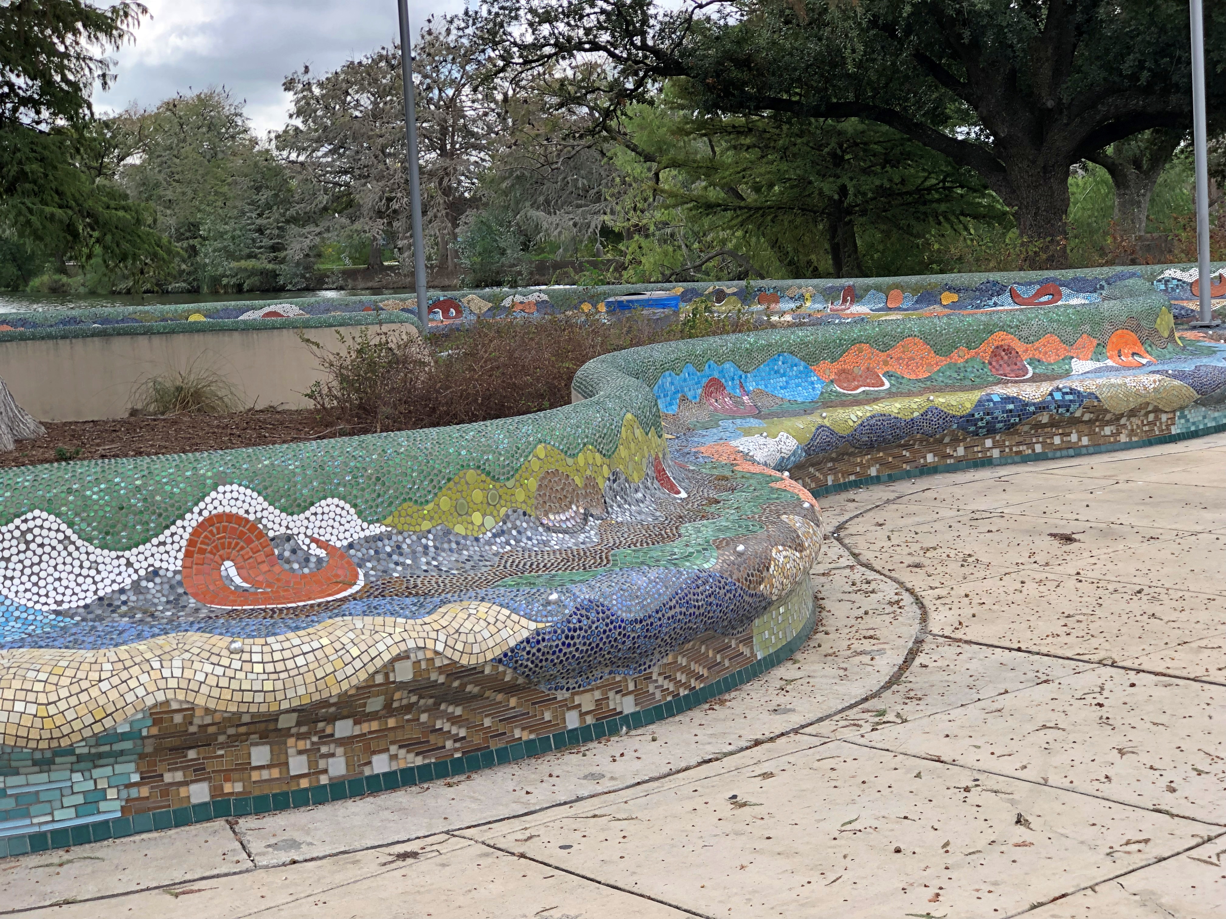
Another, more hard-surface part of the park includes benches. Parc Güell sorts of benches, but without the crowds.Elmendorf Lake Park Elmendorf Lake Park

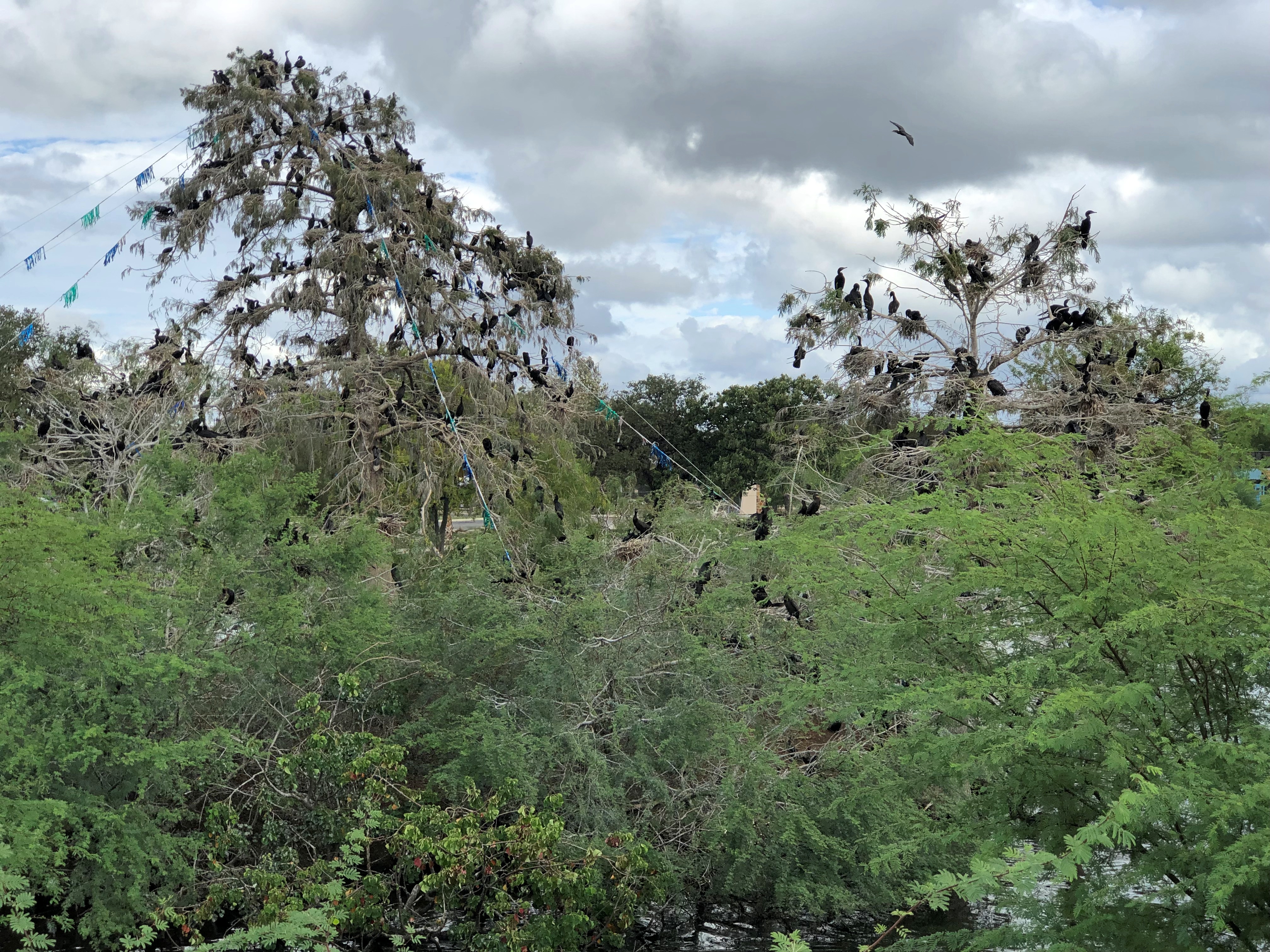
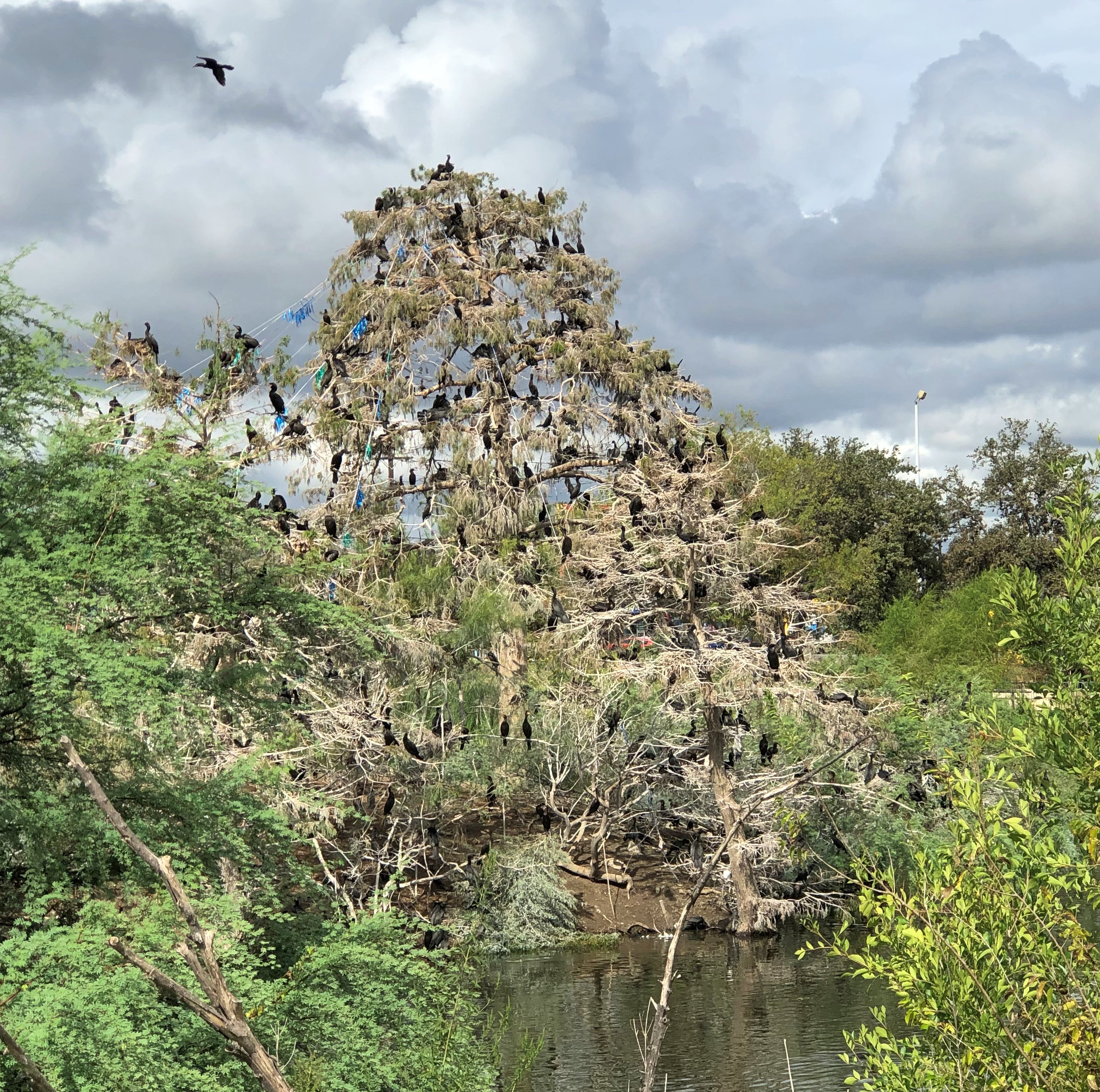
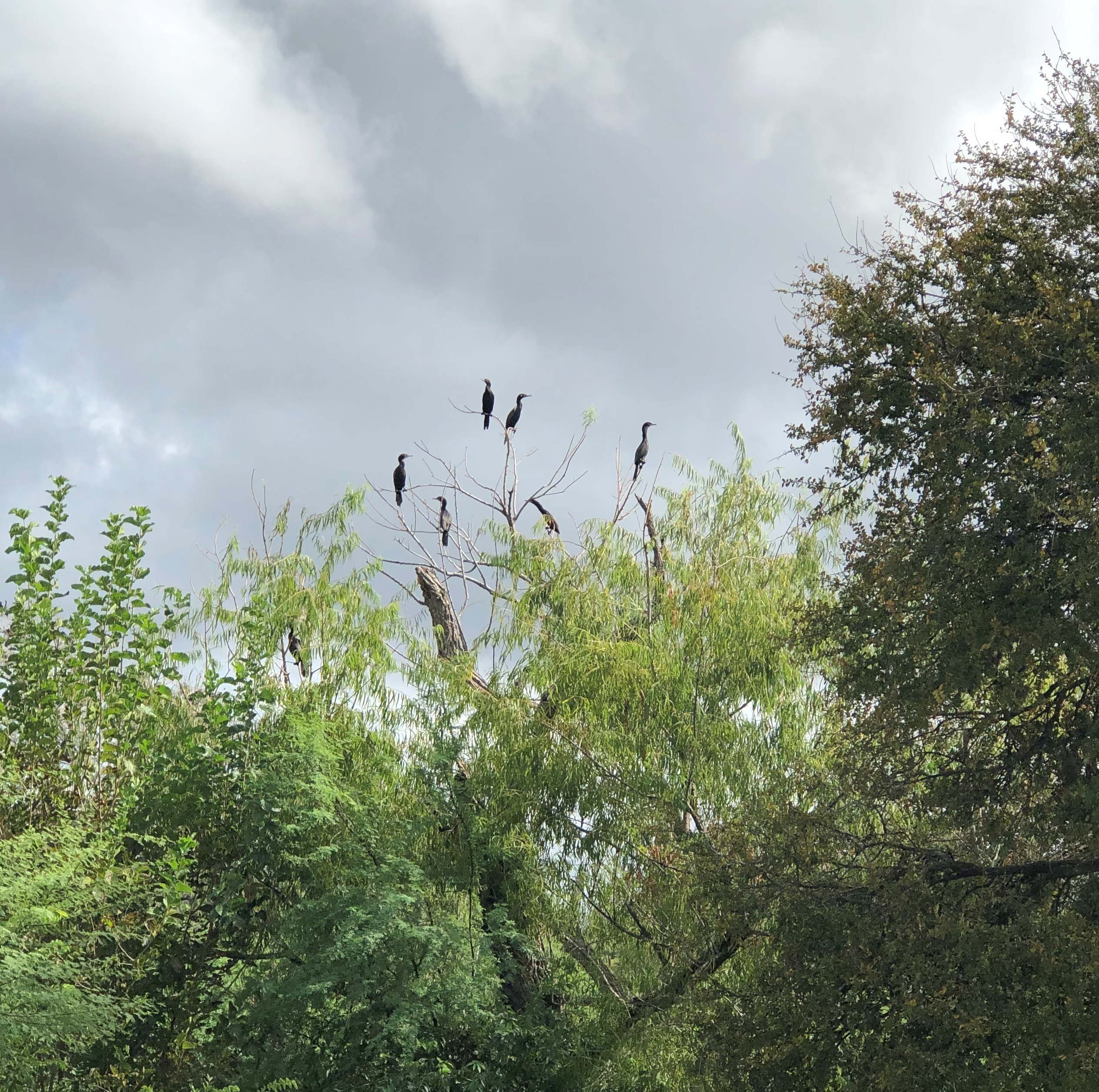
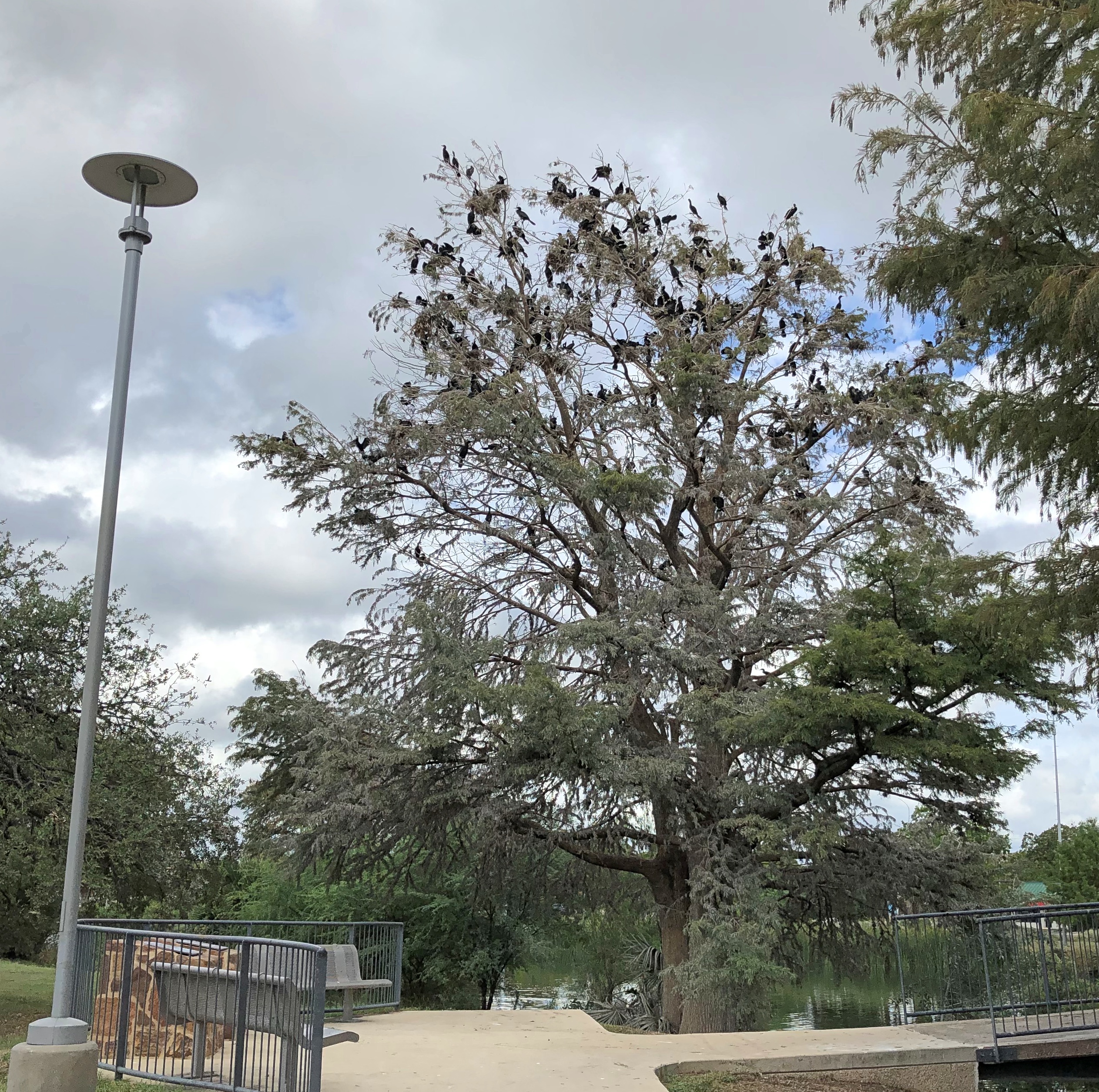
No human crowds, that is. Birds were another matter. An astonishing number of birds occupied a handful of the trees in the park, ca-ca-ca-ca-ing with a resounding volume, especially on a small island I saw later is called Bird Island. Thinking on it, their Hitchcockian vibe might keep some people away. A lot of people.Elmendorf Lake Park Elmendorf Lake Park Elmendorf Lake Park

Birds looking something like herons with completely black plumage. I couldn’t place them, but my bird knowledge is pretty meager. Crows? They look leaner of build than crows. But what do I really know about crows?

I do know enough not to walk under them. A few of the bird-occupied trees were along the path of my walk, so I took minor detours to avoid any direct bombardment. I passed through the park without being the target of any droppings.Elmendorf Lake Park

I thought of a Red Skelton TV sketch featuring his characters, seagulls Gertrude and Heathcliff (I had to look the names up, but not that fact that he did those characters). One of the birds noted that the beach below was very crowded. The other responded, “There’s no sport in that.” Odd what sticks with you after more than 50 years.

Along North Avenue, Chicago (Buildings)

By Saturday, the high heat of last week had disappeared, leaving too nice a day to spend too long at the Art Institute. So to return to meet Yuriko after her cake class near Humboldt Park, I took the El from the Loop to Damen station, got off and walked westward for about half an hour along North Avenue, instead of transferring to a bus.

I began at the North-Damen-Milwaukee intersection. The former Noel State Bank at 1601 N. Milwaukee Ave., I’m sorry to say, is now a former Walgreens, with the excellent building boarded up and slightly forlorn.

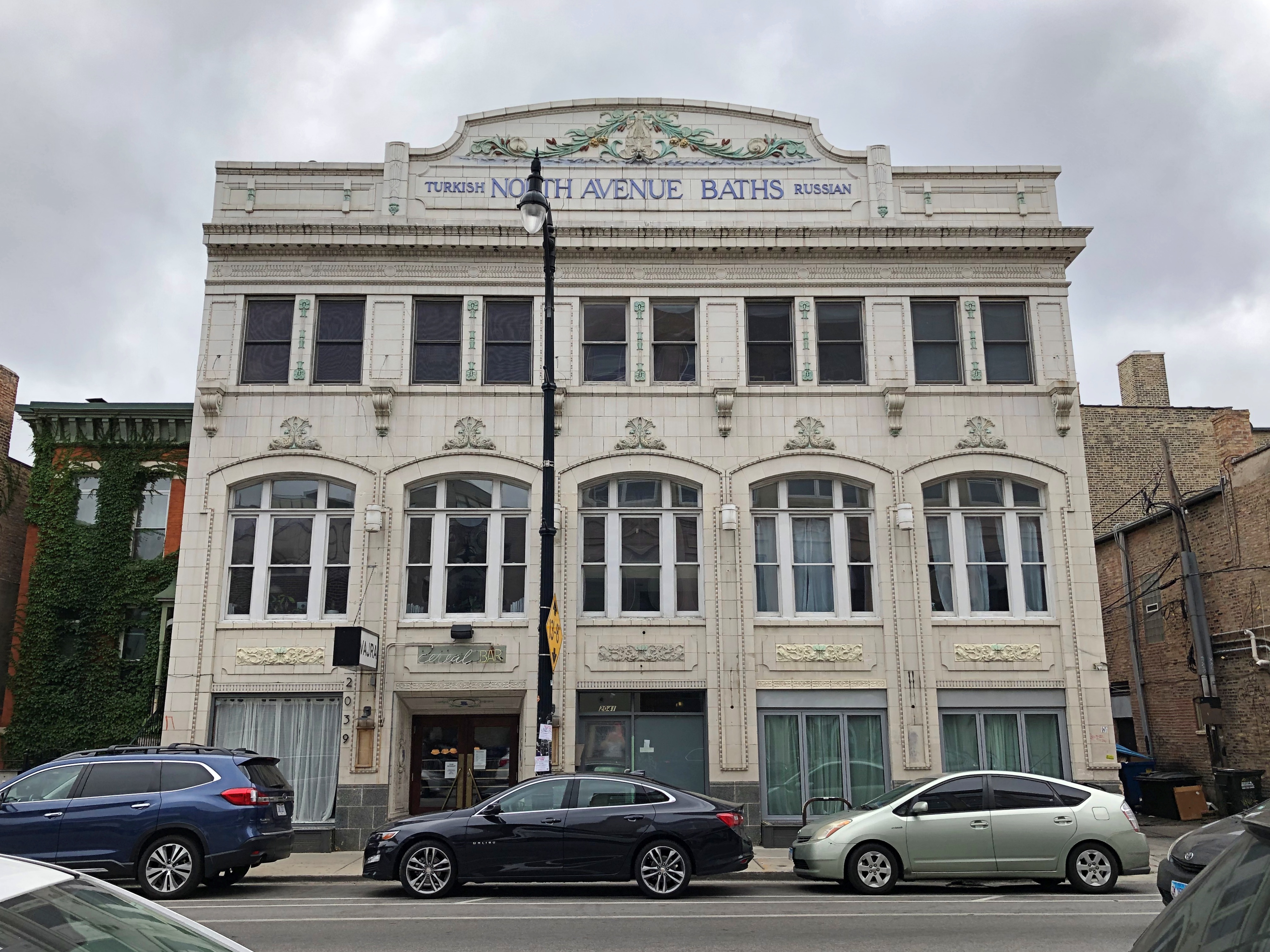
The handsome former North Avenue Baths (2041 W. North Ave.) has been home to a number of restaurants since its redevelopment some decades ago.North Avenue, Chicago

I didn’t investigate closely, but a spot called Vajra seems to be the first-floor occupant now, offering Indian and Nepalese food.

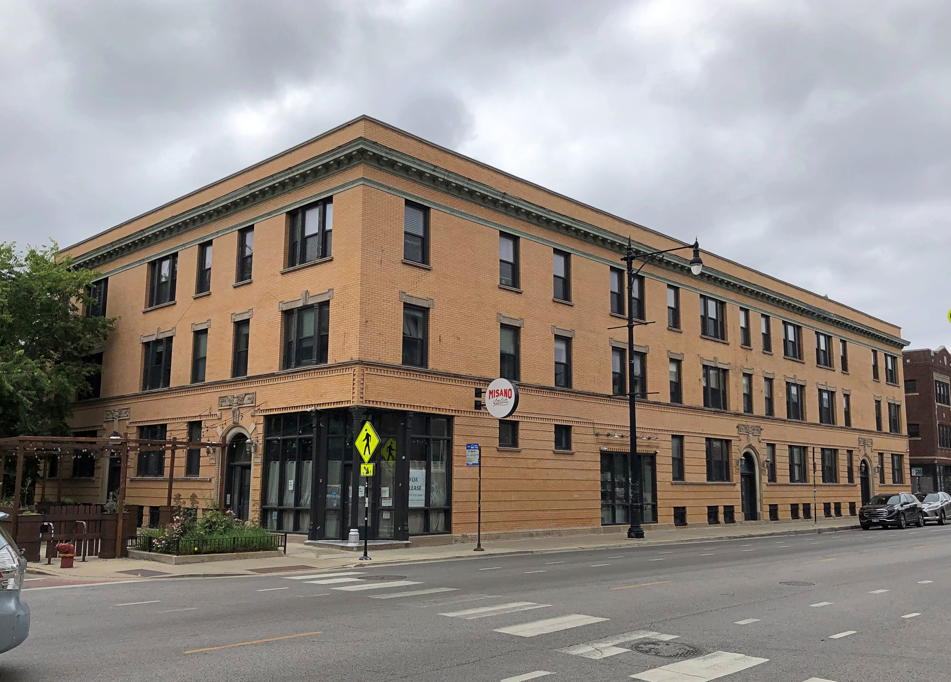
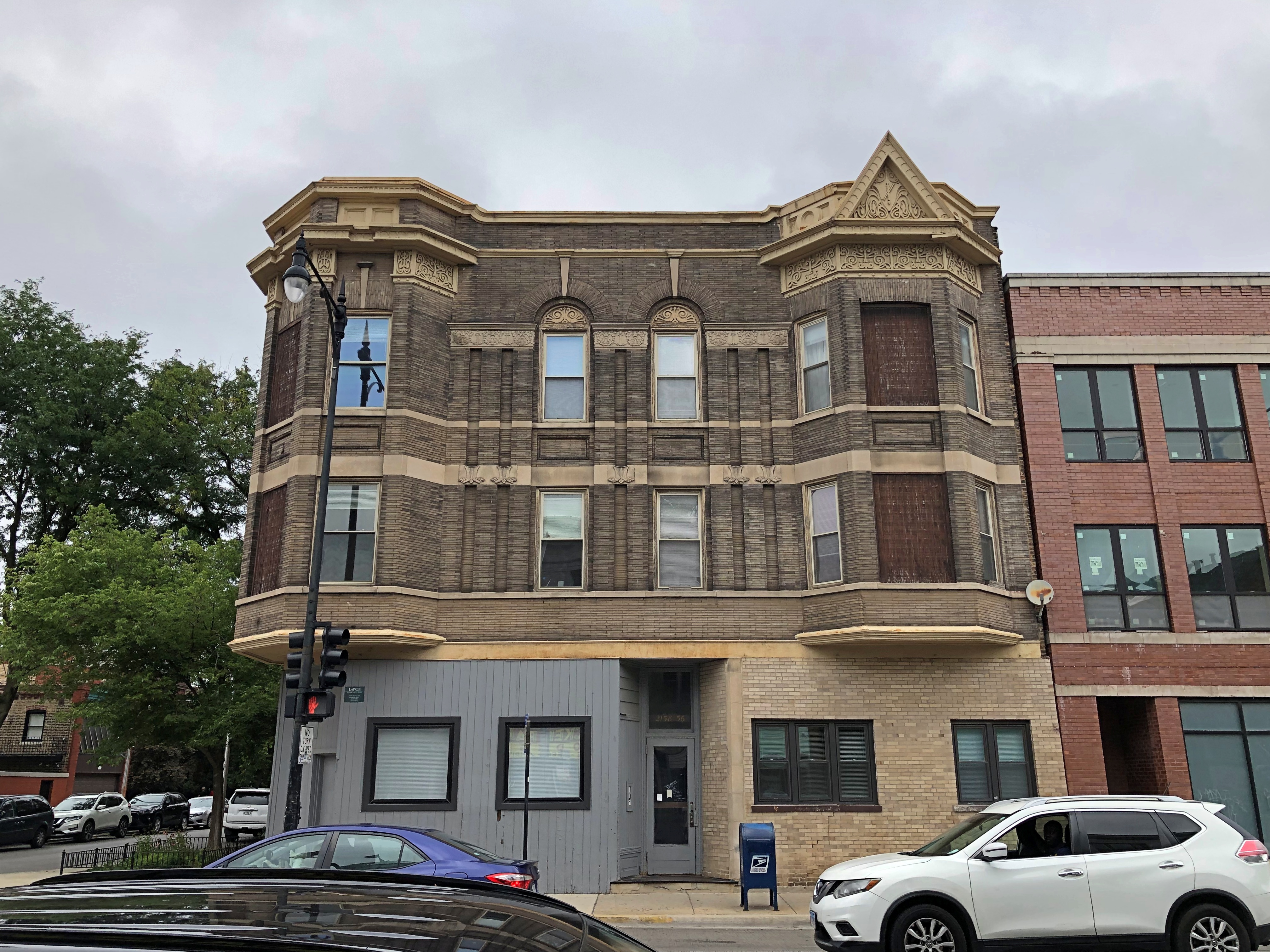
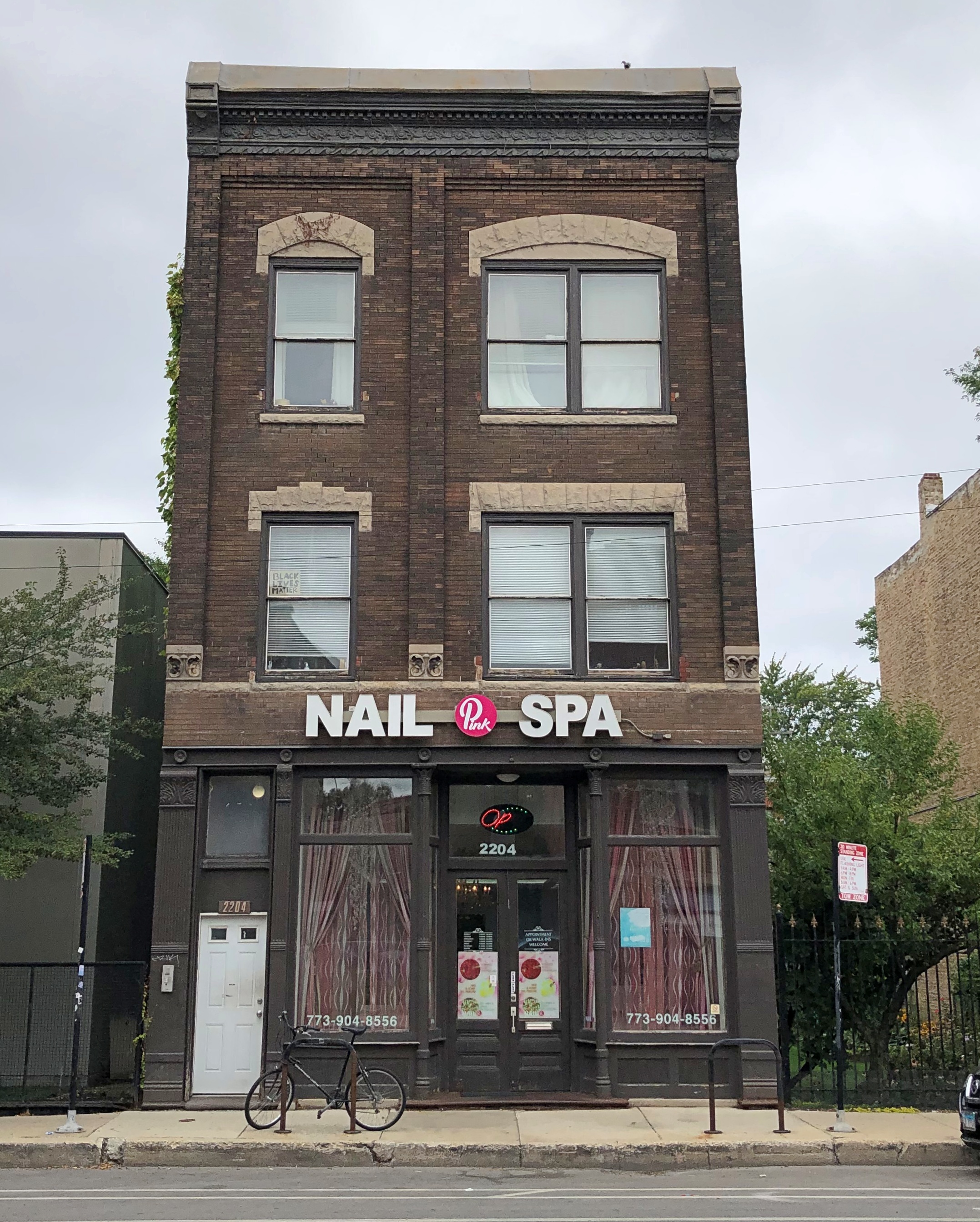
Continuing west. A slow parade of ordinary, but interesting buildings.North Avenue, Chicago North Avenue, Chicago North Avenue, Chicago

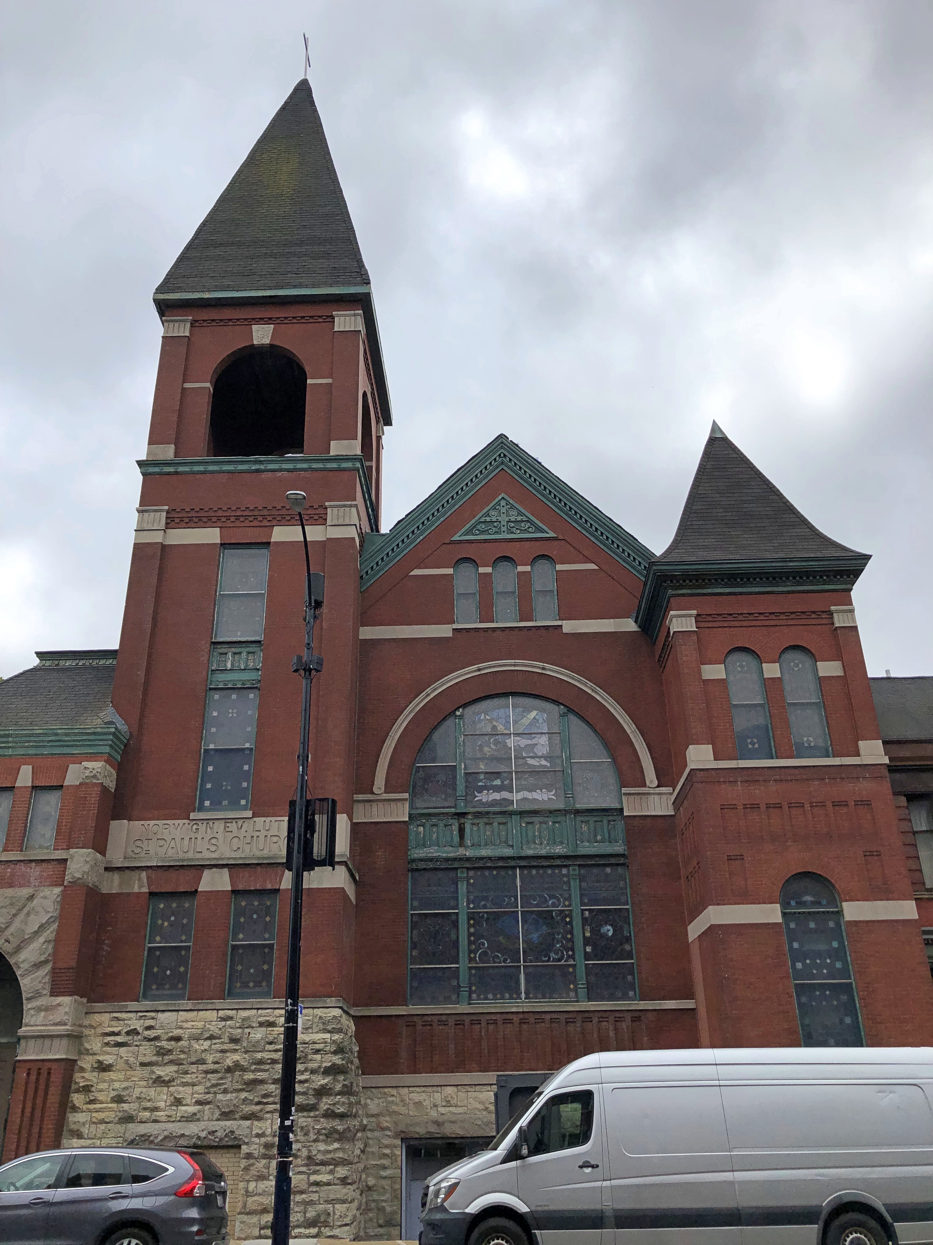
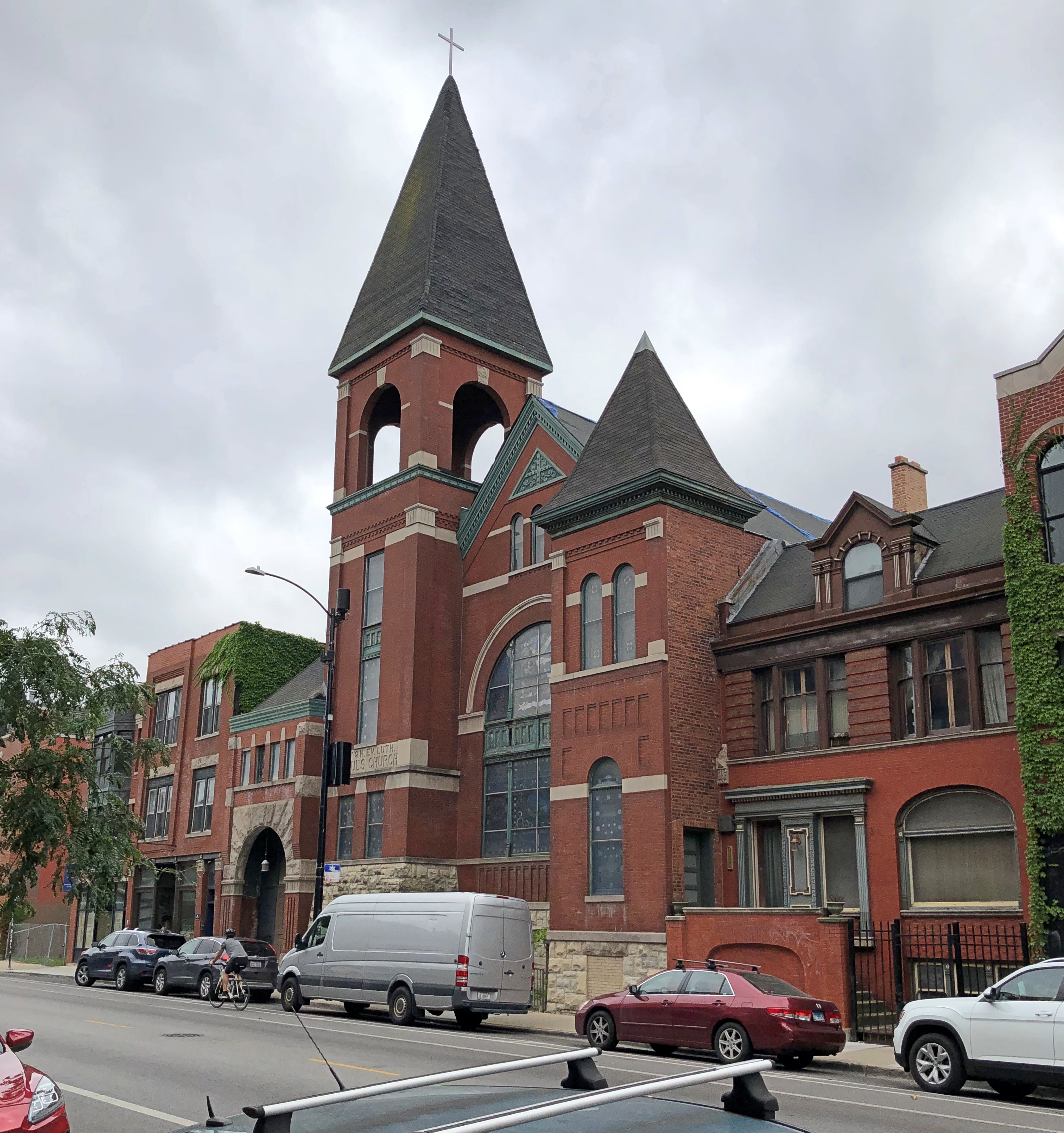
An intriguing former church.North Avenue, Chicago North Avenue, Chicago

At one time, it was St. Paul’s Norwegian Evangelical Lutheran Church (2215 W. North Ave.), as indicated on the building itself. As indicated online, it has been stuck in redevelopment limbo for some time now.

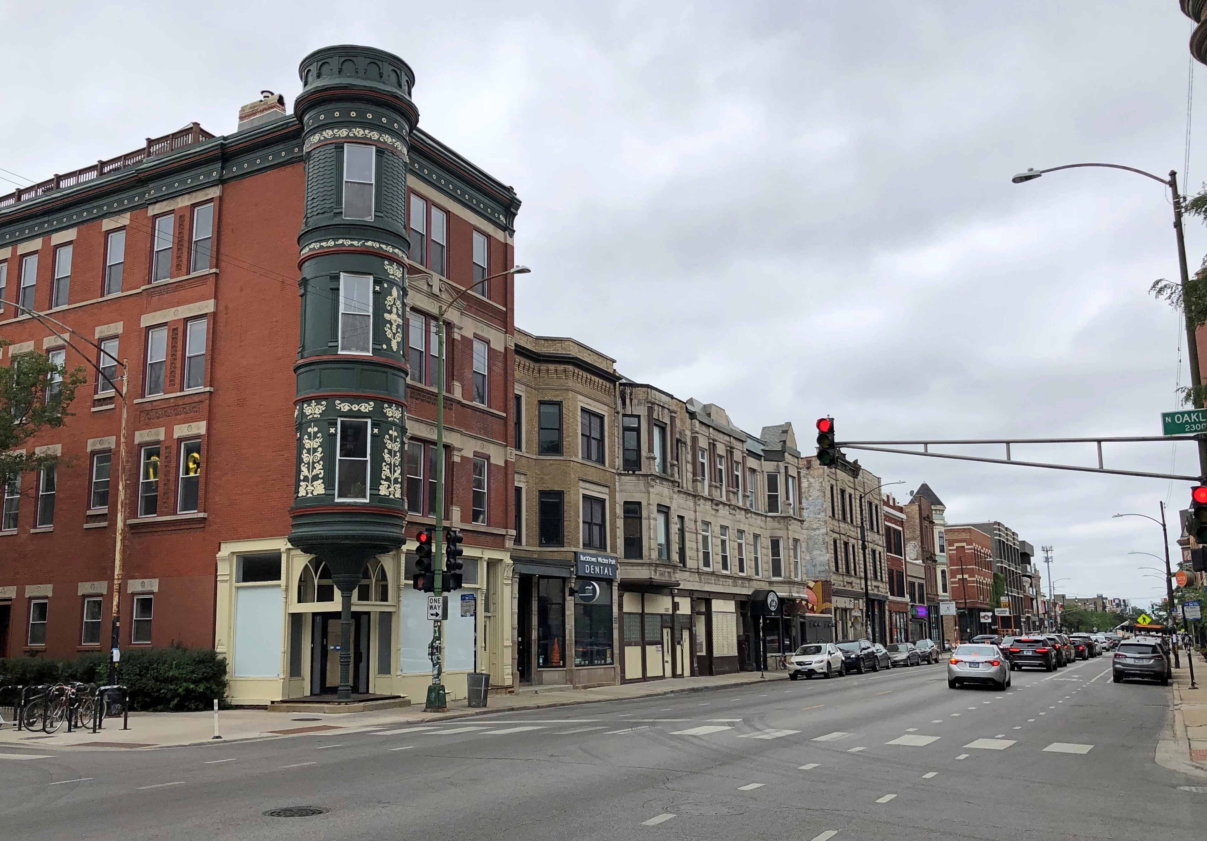
Oakley and North Ave. Oddly enough, Google Maps refers to Oakley as a boulevard south of North, but an avenue north of North.North Avenue, Chicago North Avenue, Chicago

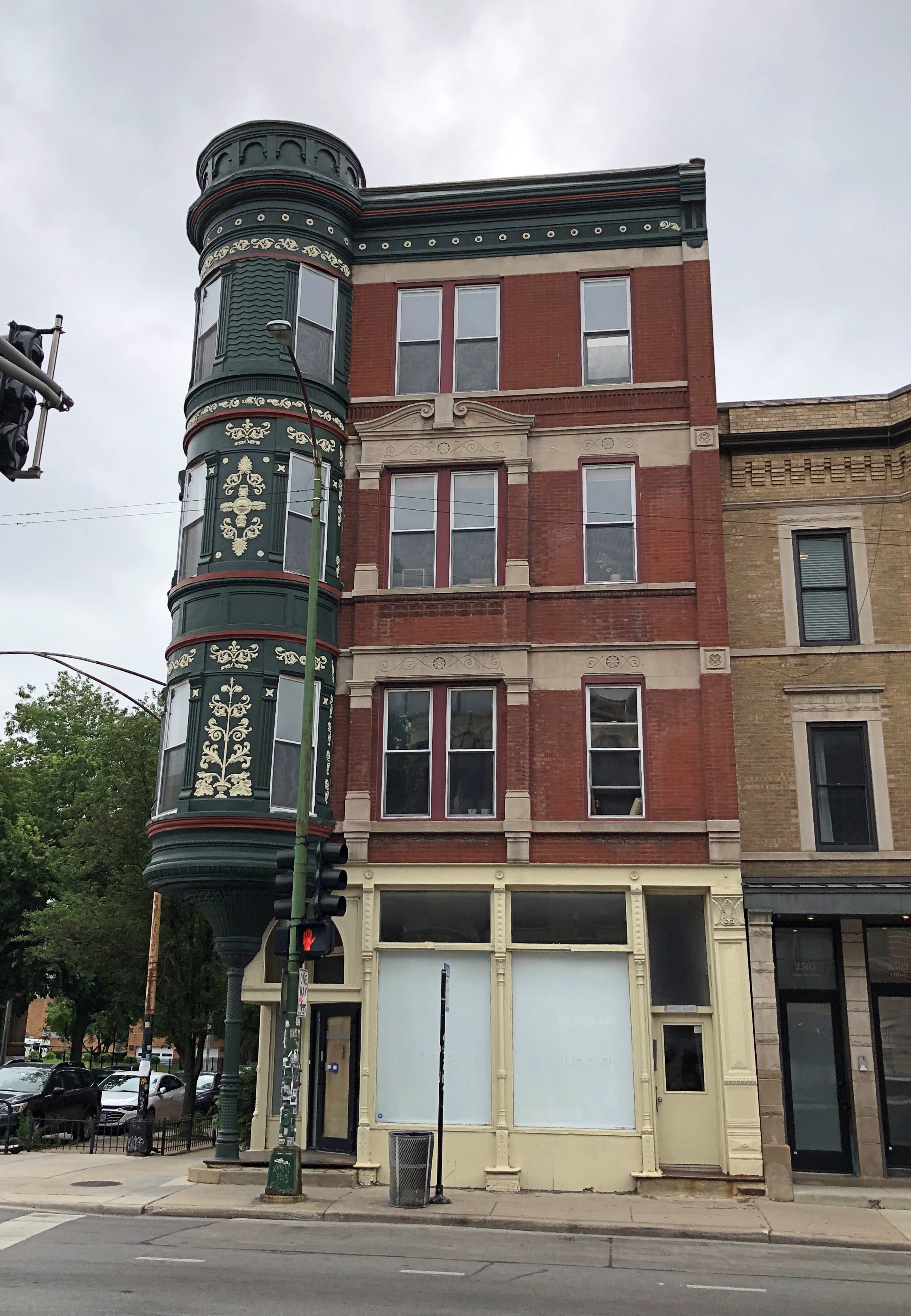
Smaller structures, some with redevelopment potential.North Avenue, Chicago North Avenue, Chicago North Avenue, Chicago

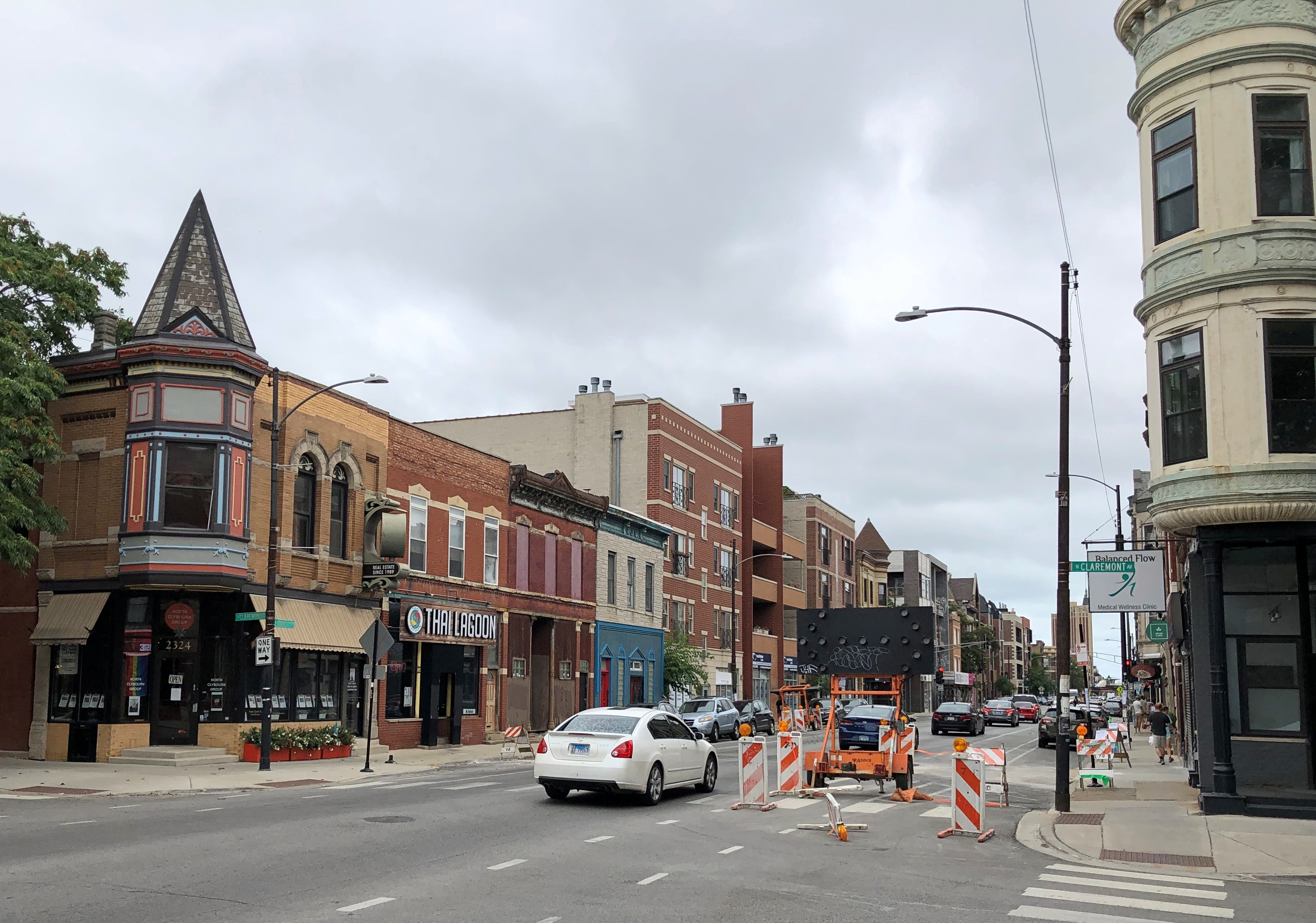
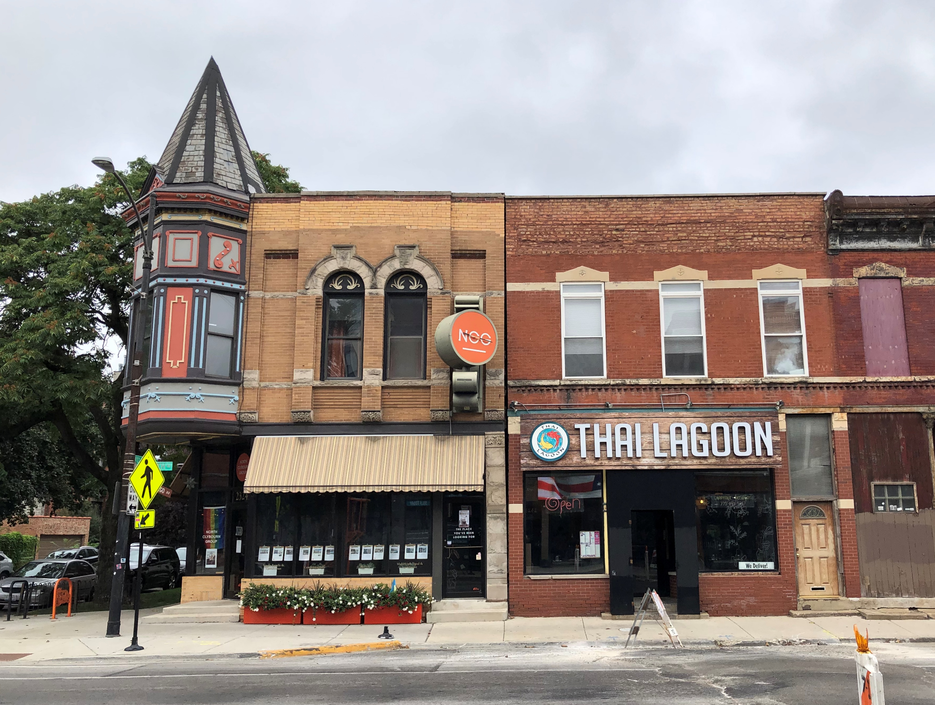
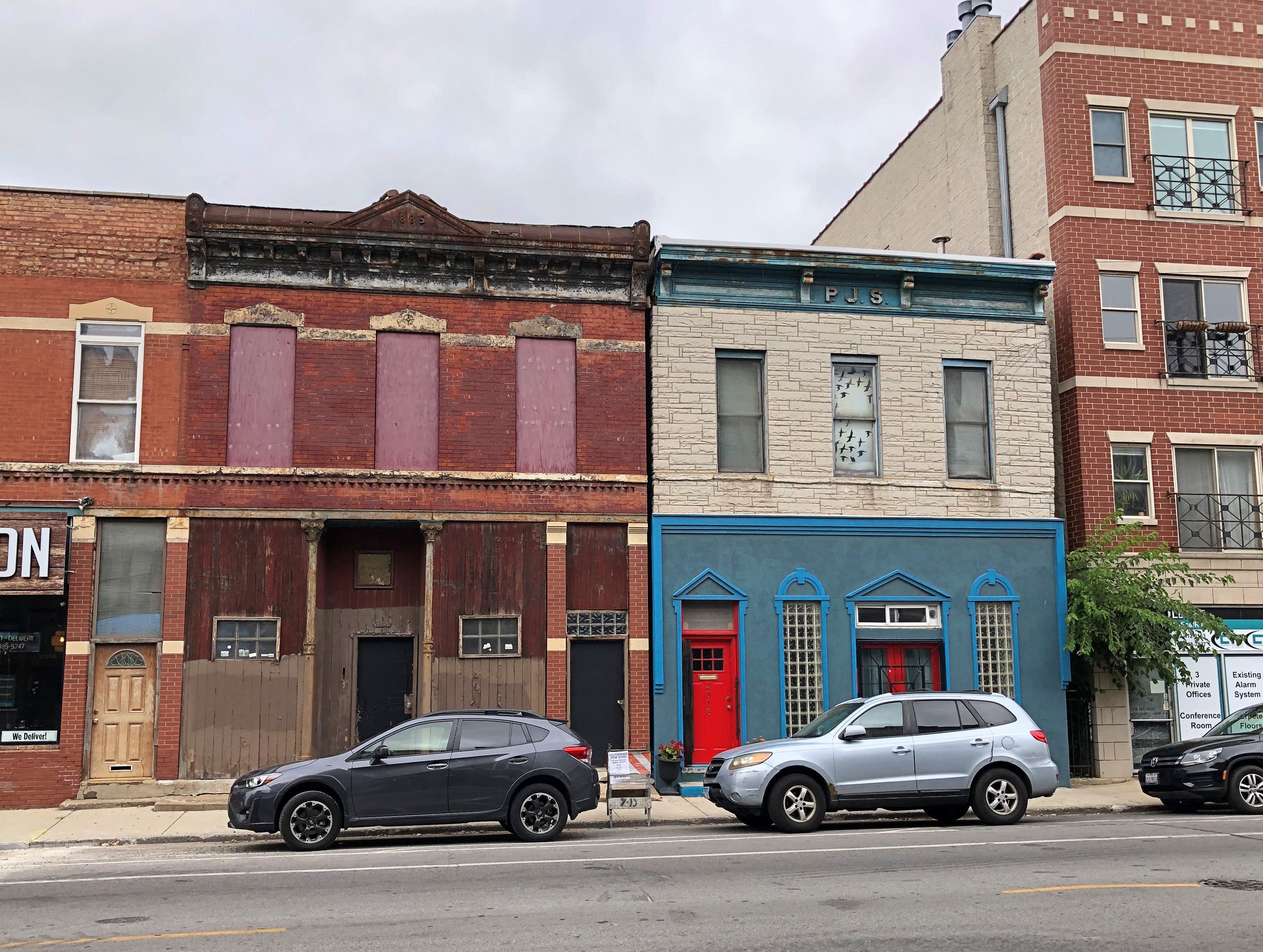
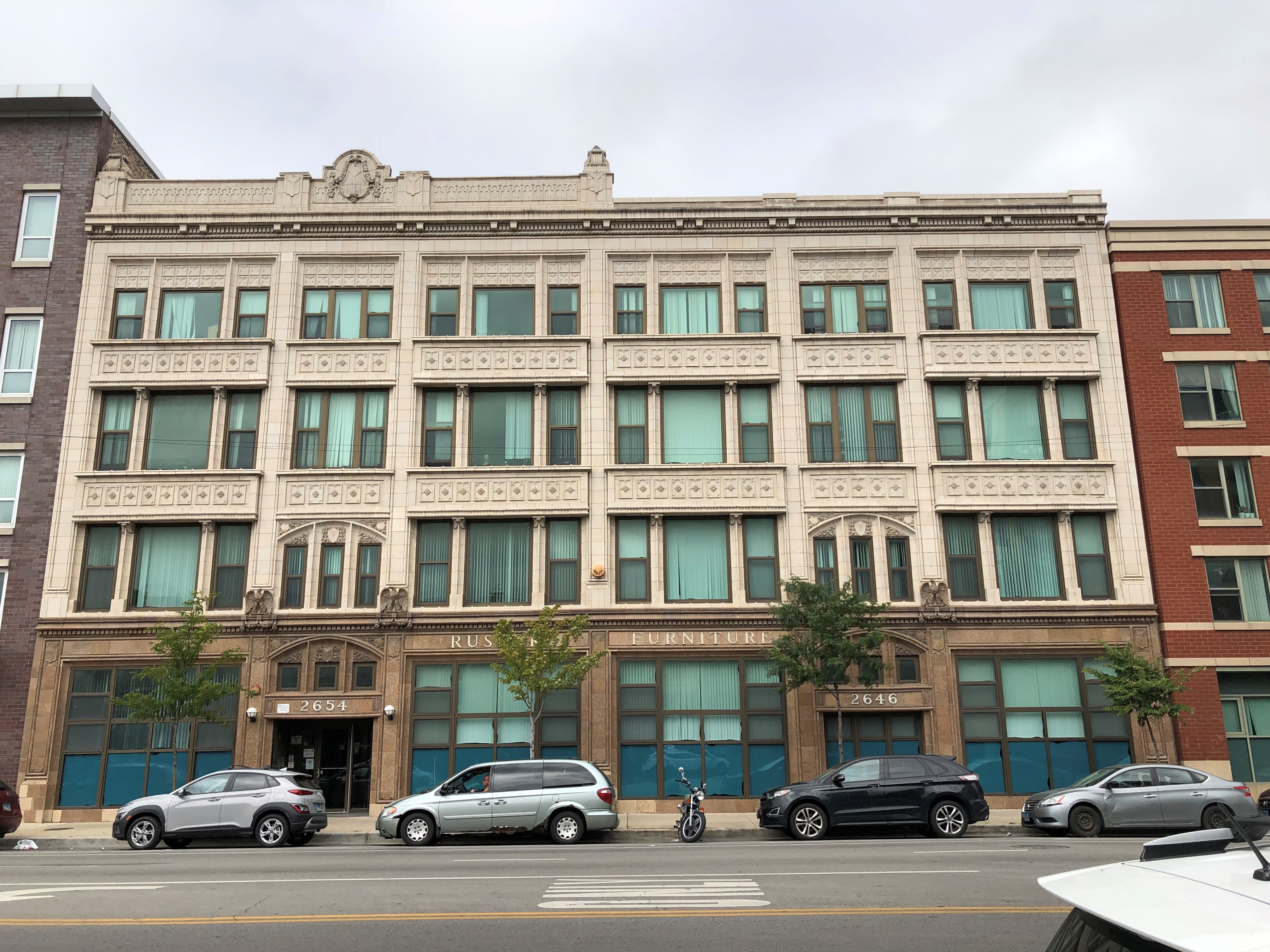
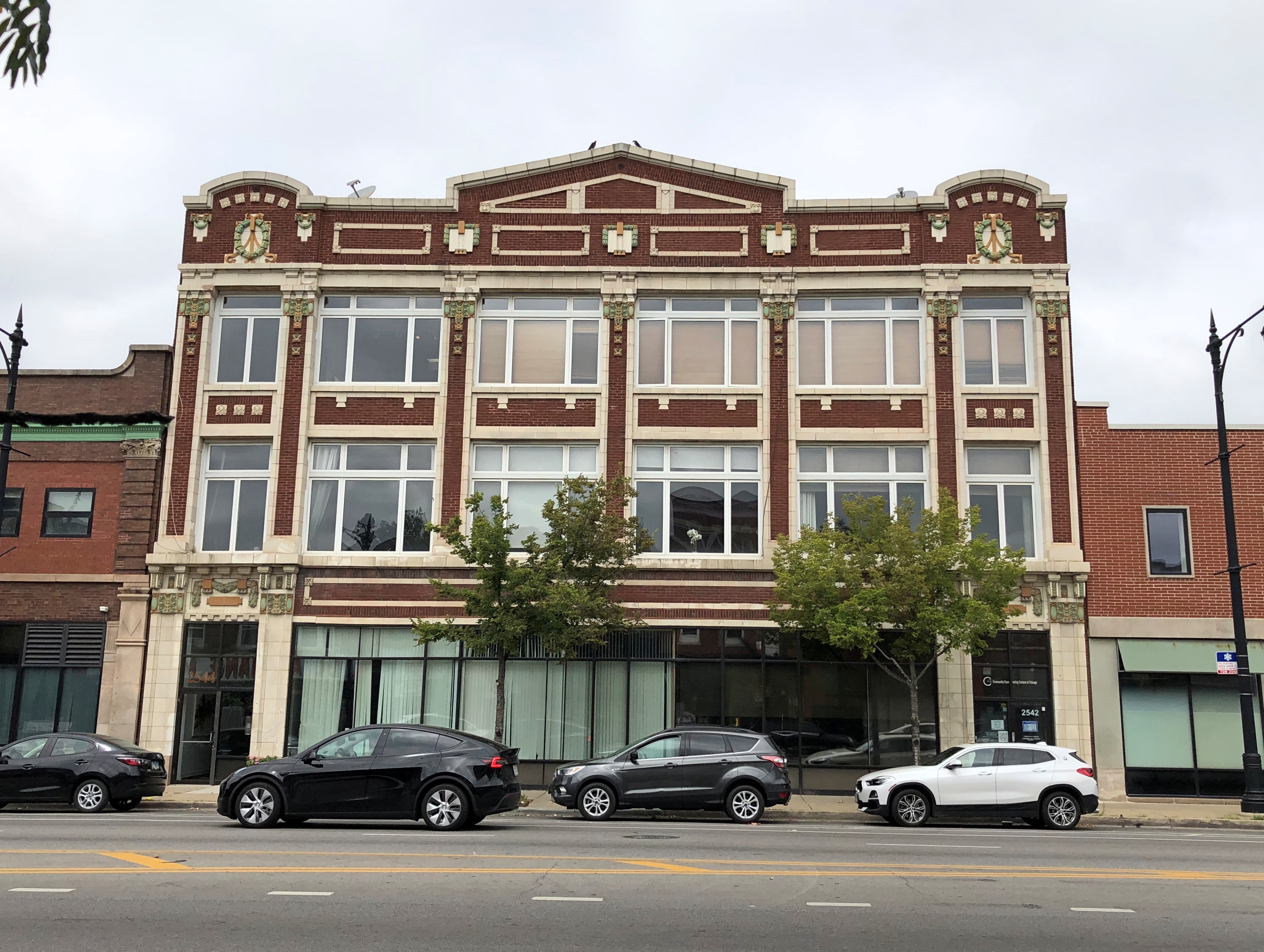
Someone spent some money on both 2542-44 W. North Ave. and 2646-54.North Avenue, Chicago North Avenue, Chicago

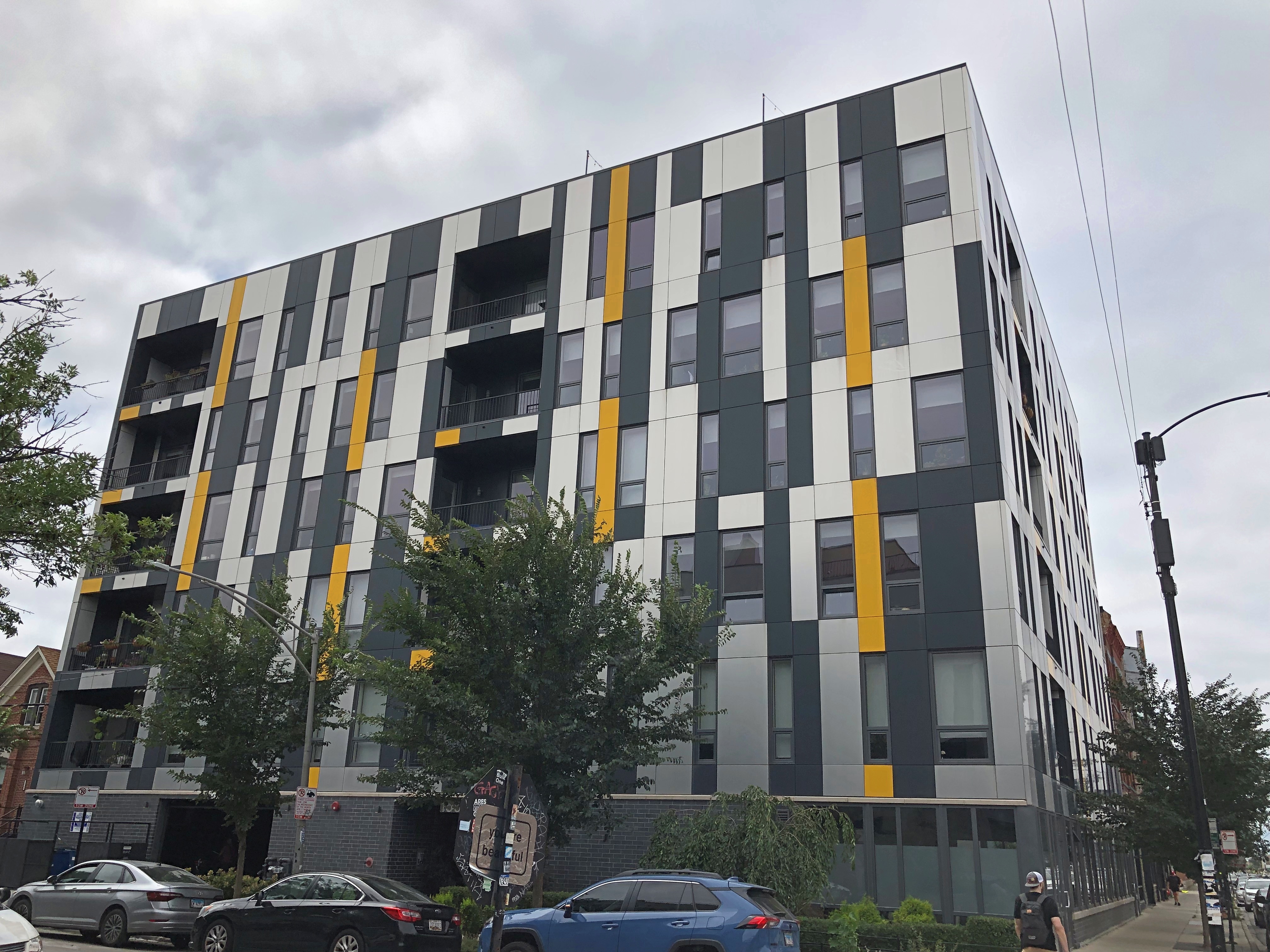
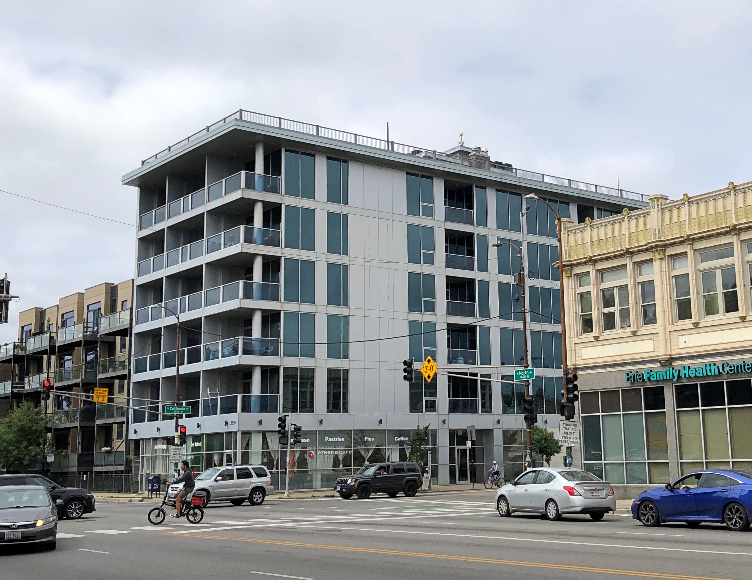
Further west are newer developments, rather than redevelopments.North Avenue, Chicago North Avenue, Chicago

I spent some time with Google Street View, whose images of the site go back to August 2007, when whatever had been there had been razed, but the apartments weren’t in place. By March 2009, four stories had been finished — or at least the building skin was finished. At that moment, I’m sure construction had ground to a halt.

By June 2011, the developers had found the money to add another floor, which suggests to me that the interior probably wasn’t finished in 2009, either. The first-floor retail was vacant for a long time, with Be Kids Cafe appearing only by July 2019. Not good timing, but who knew?

“This is one of the few cafe/kids activity spaces in the city that is both fun for kids and great for parents,” said an early 2020 review. “Nicely made Metric coffee drinks, chill spot for parents to hang, and awesome climbing gym for kids.”

Metric coffee? Coffee by the kilo, I guess. A brand I didn’t know, but what I know about coffee brands would barely fill a cup.

Now the Etheria Cafe occupies the spot, opening early last year. It doesn’t actually sound all that different.

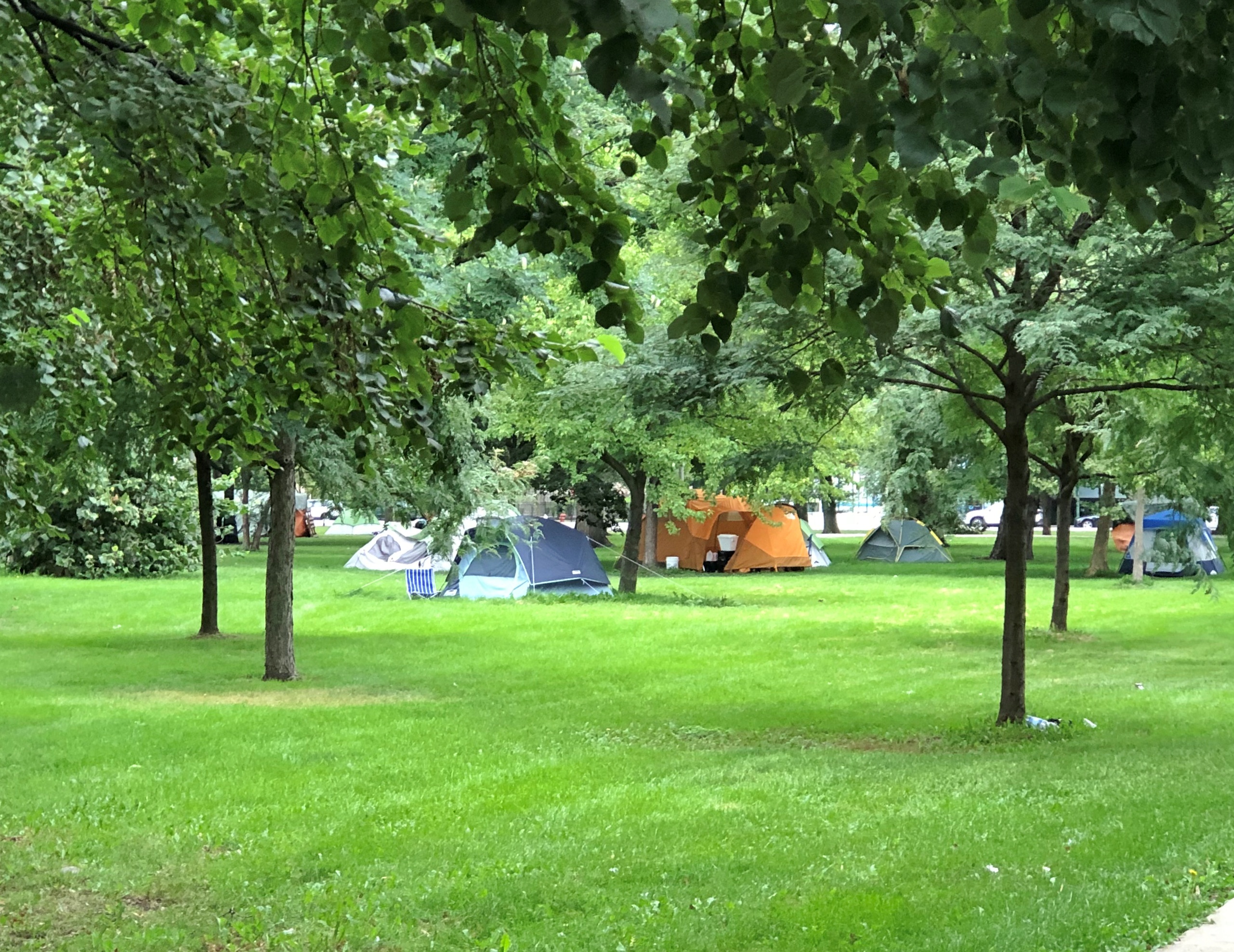
The corner is across from Humboldt Park which, sad to relate, has seen its homeless population rise even in the few months since we last visited.Humboldt Park, Chicago Humboldt Park, Chicago

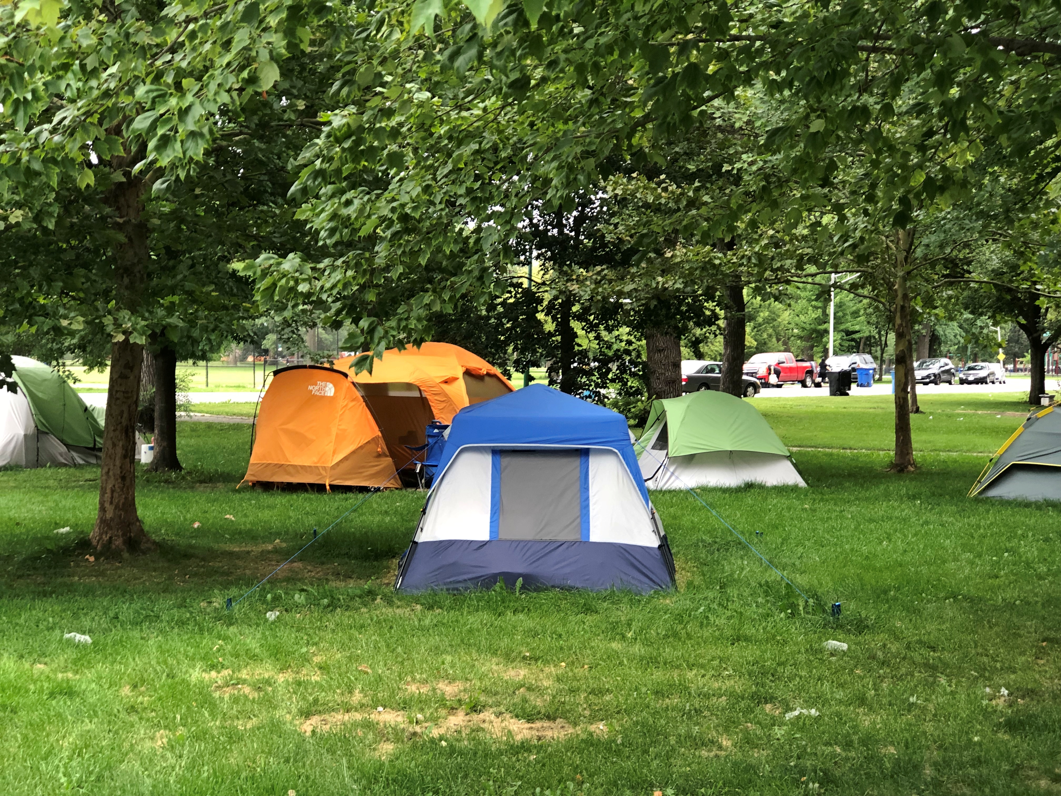
Not a tent city, exactly, more like a village: 40 or so unfortunates, according to local reporting.

Agawa Canyon Park

Been a fairly mild summer so far, at least here in northern Illinois, but we might actually hit 100 degrees F. later this week. Topped 90 today.

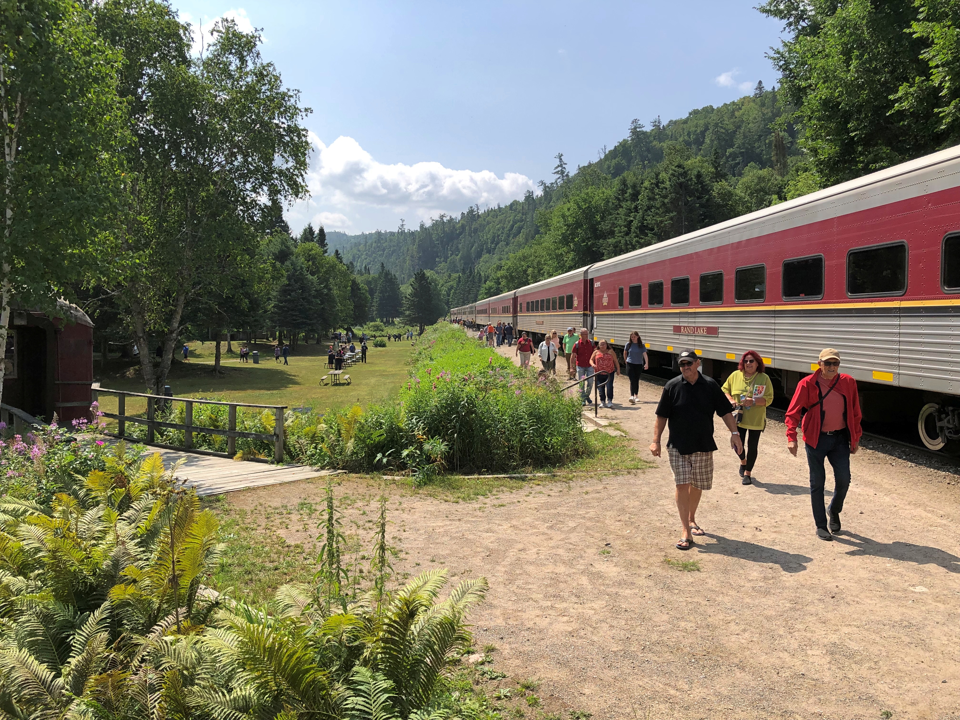
I spent two nights in the Canadian Sault Ste. Marie early this month. My goal during my single day in town, August 4: ride a train away from town, through scenic parts of the Algoma District of Ontario to Agawa Canyon Park, nearly 130 miles round trip. I’ve known about the place for over 20 years, since I read this 2000 article by Chicago Tribune staffer Toni Stroud. Agawa Canyon

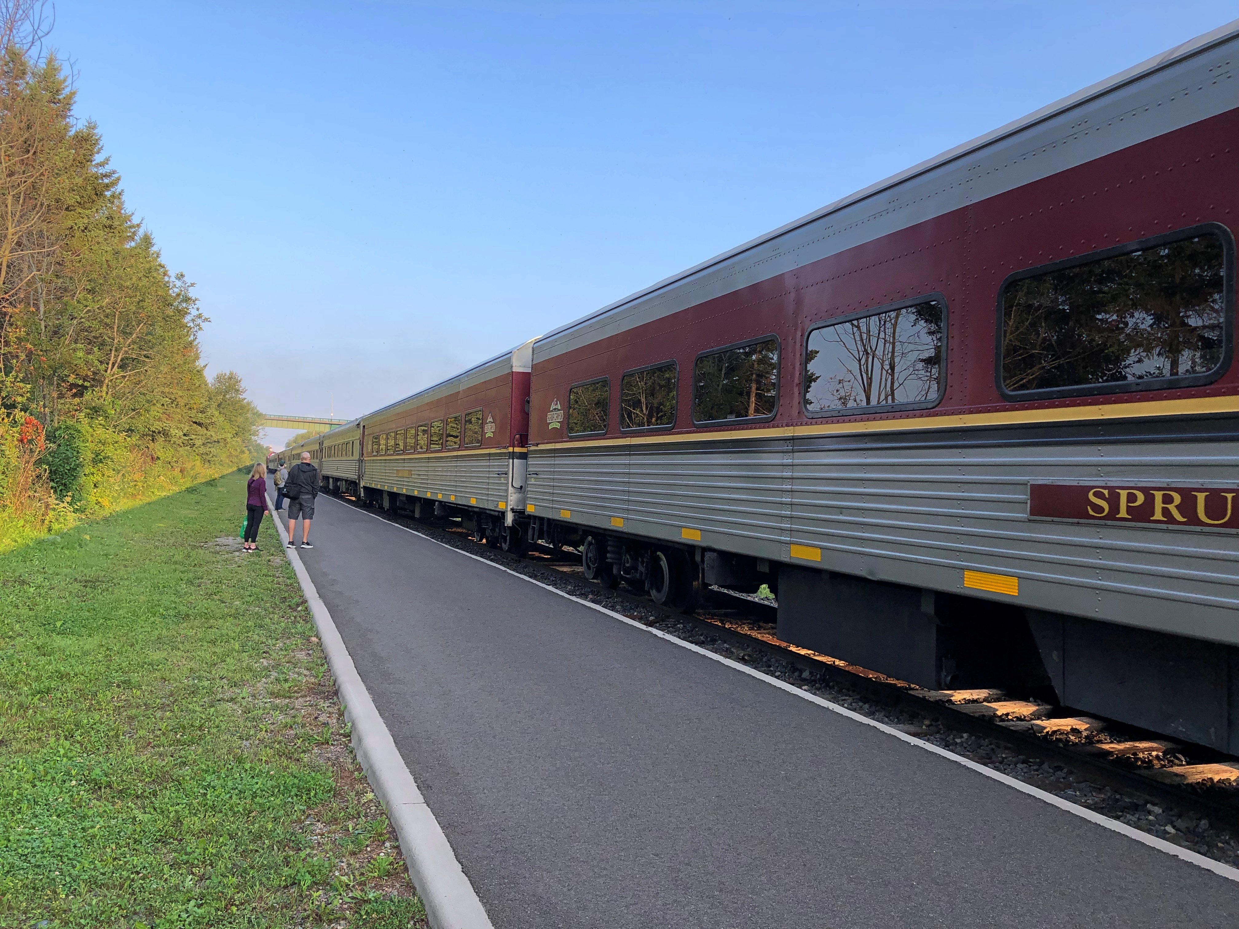
The Agawa Canyon Tour Train leaves from a station in Sault Ste. Marie early in the morning. To be exact, 8 a.m. I was there to catch it.Agawa Canyon Tour Train

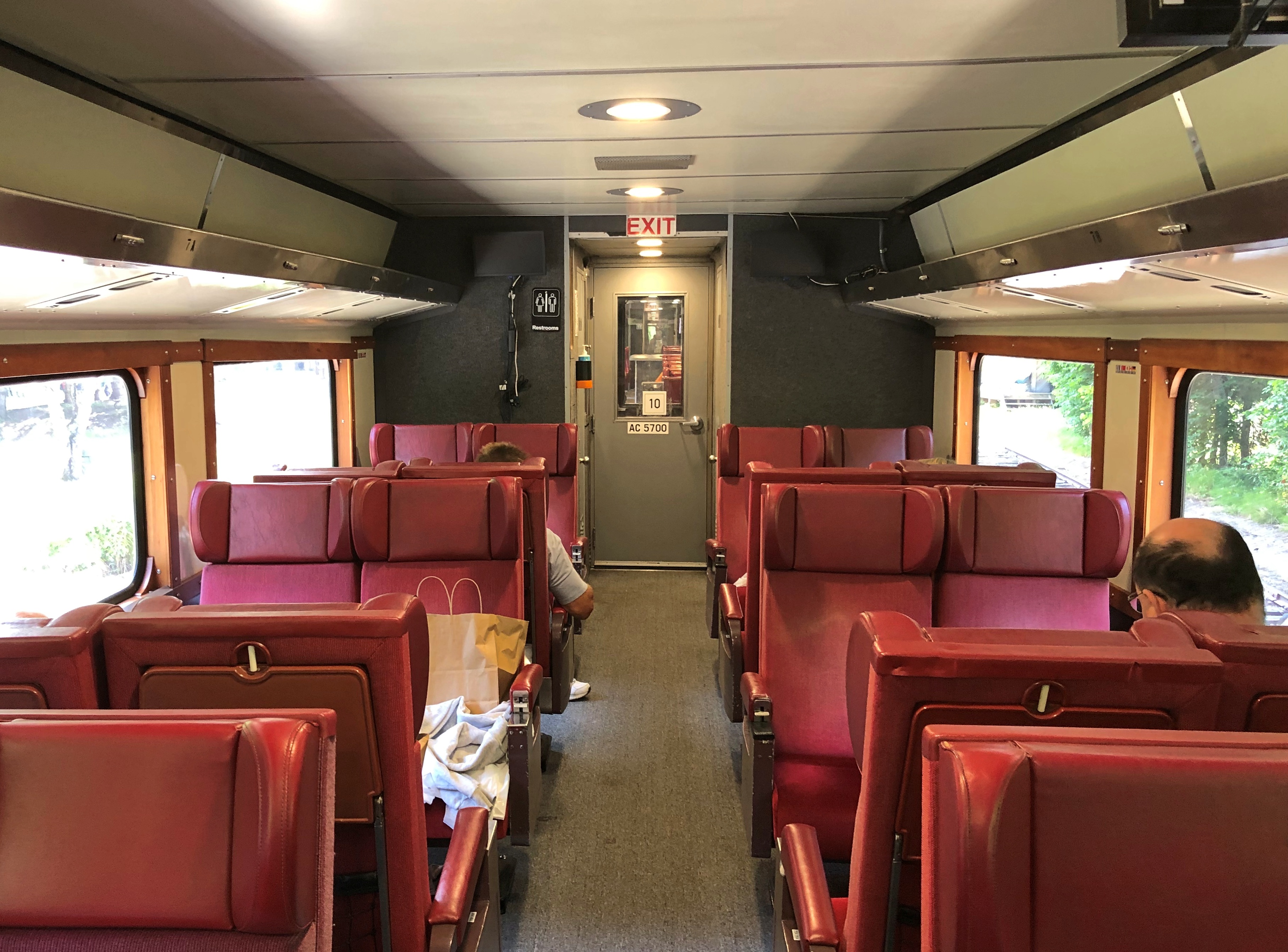
I’d booked in advance, concerned that it would be a full train. Turns out I could have shown up, at least that Friday, and bought a ticket. My car wasn’t empty, but it could have held several times as many people without issue.Agawa Canyon Tour Train

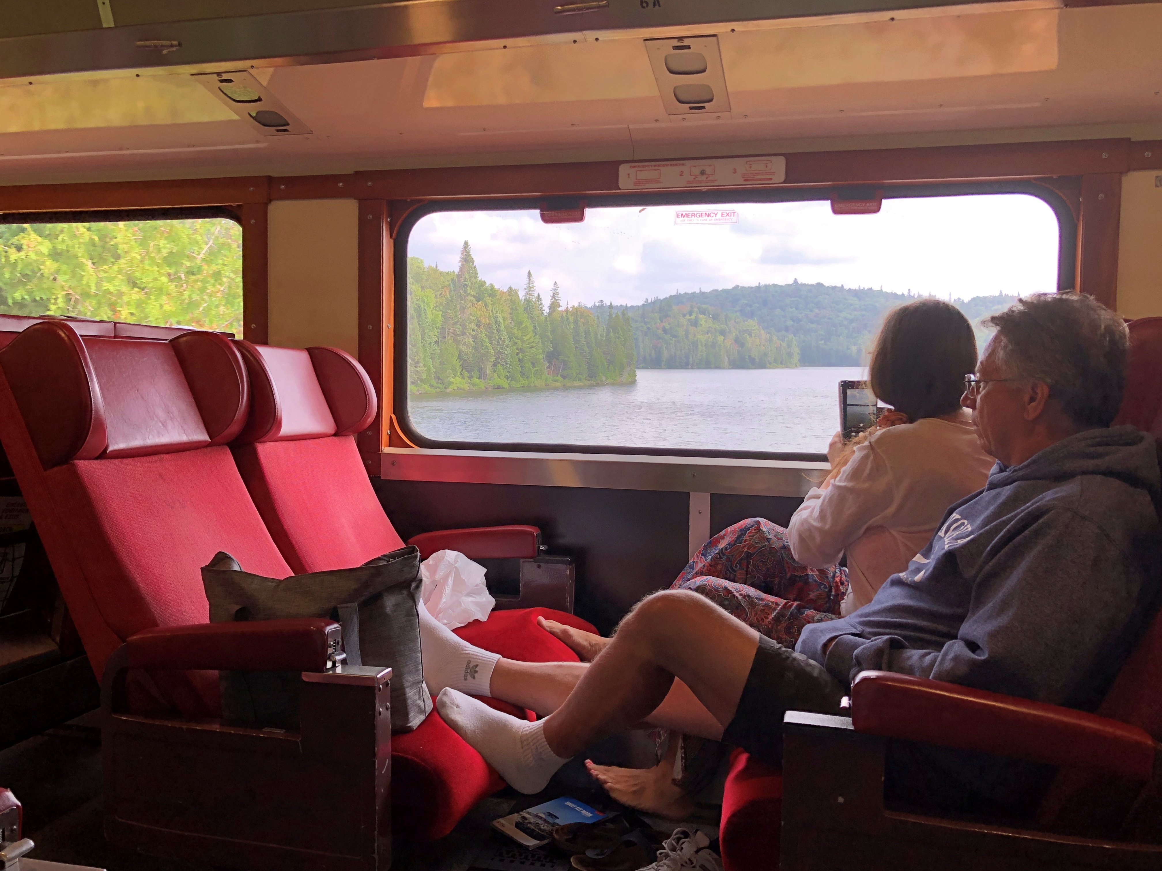
The light load meant that I had a four-seat section all to myself, which made for a comfortable ride, especially when I felt like propping up my feet.

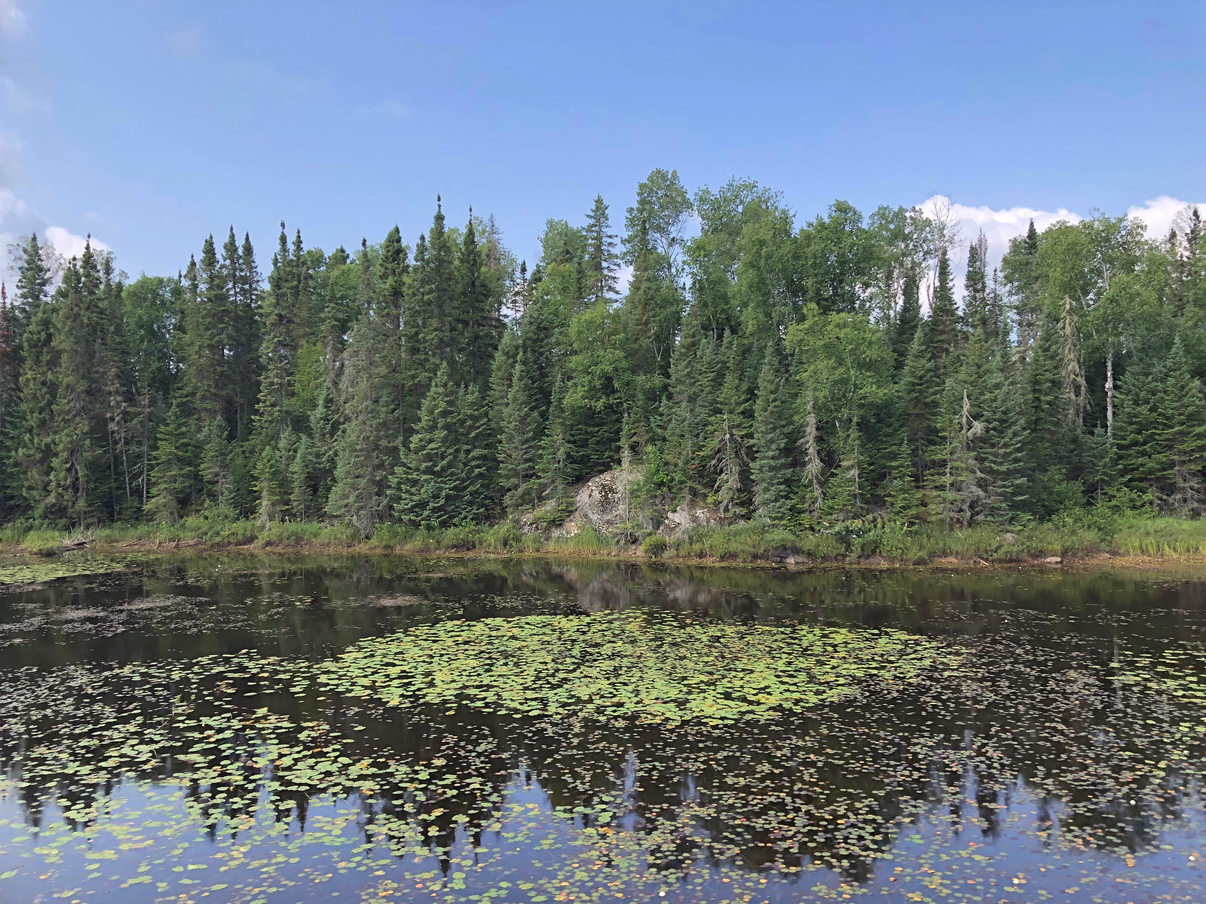
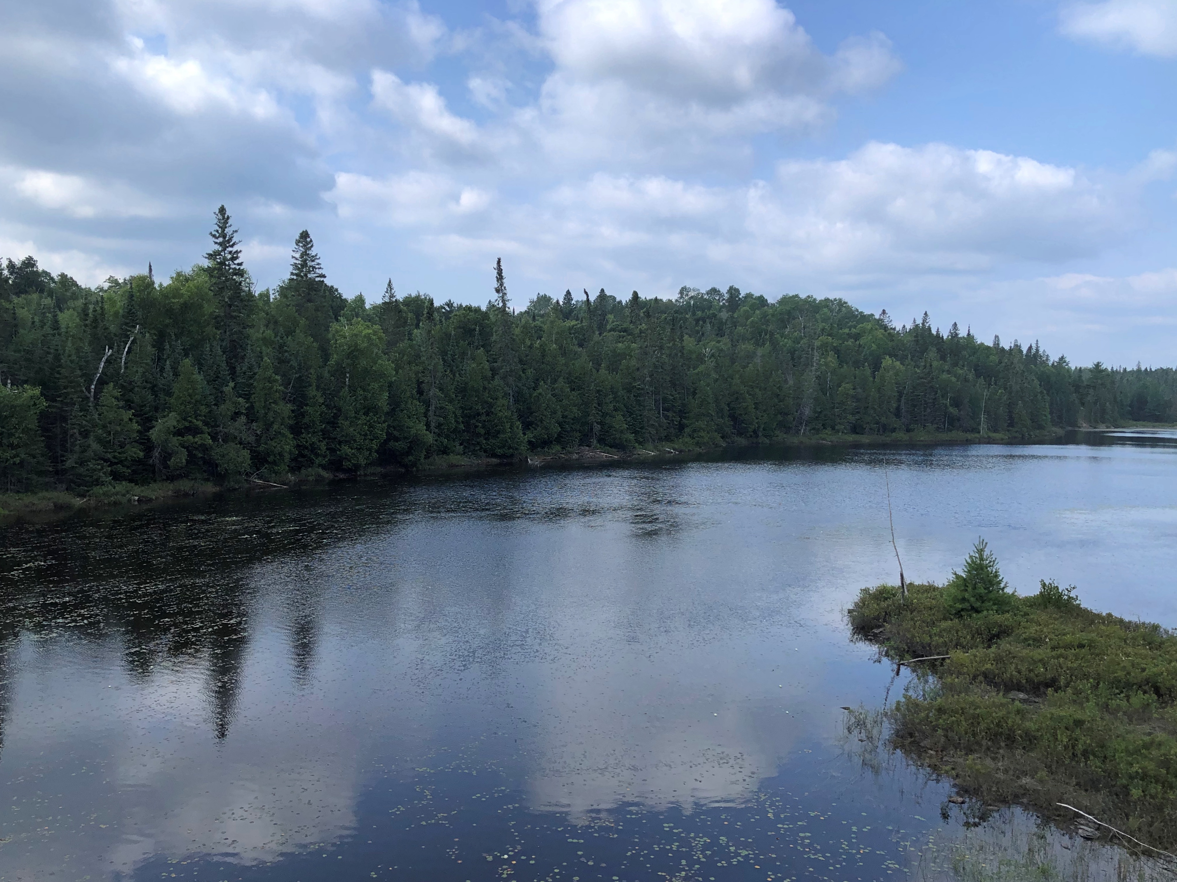
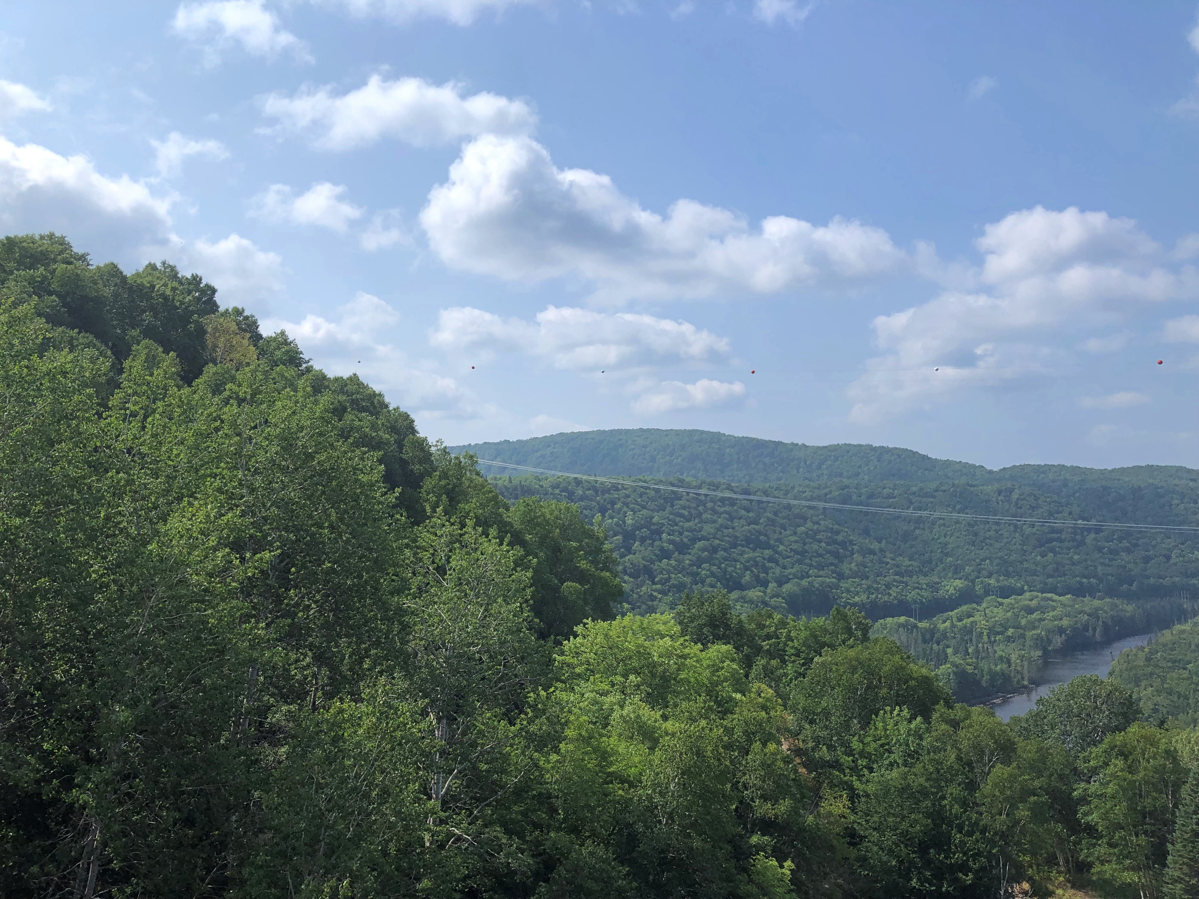
The ride to the canyon is about four and a half hours. The thing to do on the way is watch the countryside roll by.Algoma District, Ontario Algoma District, Ontario Algoma District, Ontario

And listen to the periodic narration, which offered information about the lakes and rivers we passed, the forests around us, and the trestles the train crossed – as high as 130 feet in the case of one that’s about 1,500 feet long, an arc that makes it seem like the train’s tonnage is gliding over tree tops.

We also heard about the history of the region, and the line, the Algoma Central, which was built as a working RR to facilitate mineral extraction and other commerce. The line goes all the way the Hearst, Ontario, well beyond the Agawa Canyon, and indeed is still a working line, though I understand the tourist run is a separate entity these days.

Somehow, I wasn’t surprised to find out that Stompin’ Tom Connors recorded a song about the line, “Algoma Central 69.” I’m beginning to think that if it’s distinctly Canadian, he did a song about it.

I’d read conflicting opinions about whether the right or the left side was better for watching the scenery. Conflicting, I decided, because there didn’t really seem to be a better or worse. Each side had its share of sights. I’m sure the couple across the way from me had just as good a view as I did. They got to put up their feet, too.Algoma District, Ontario

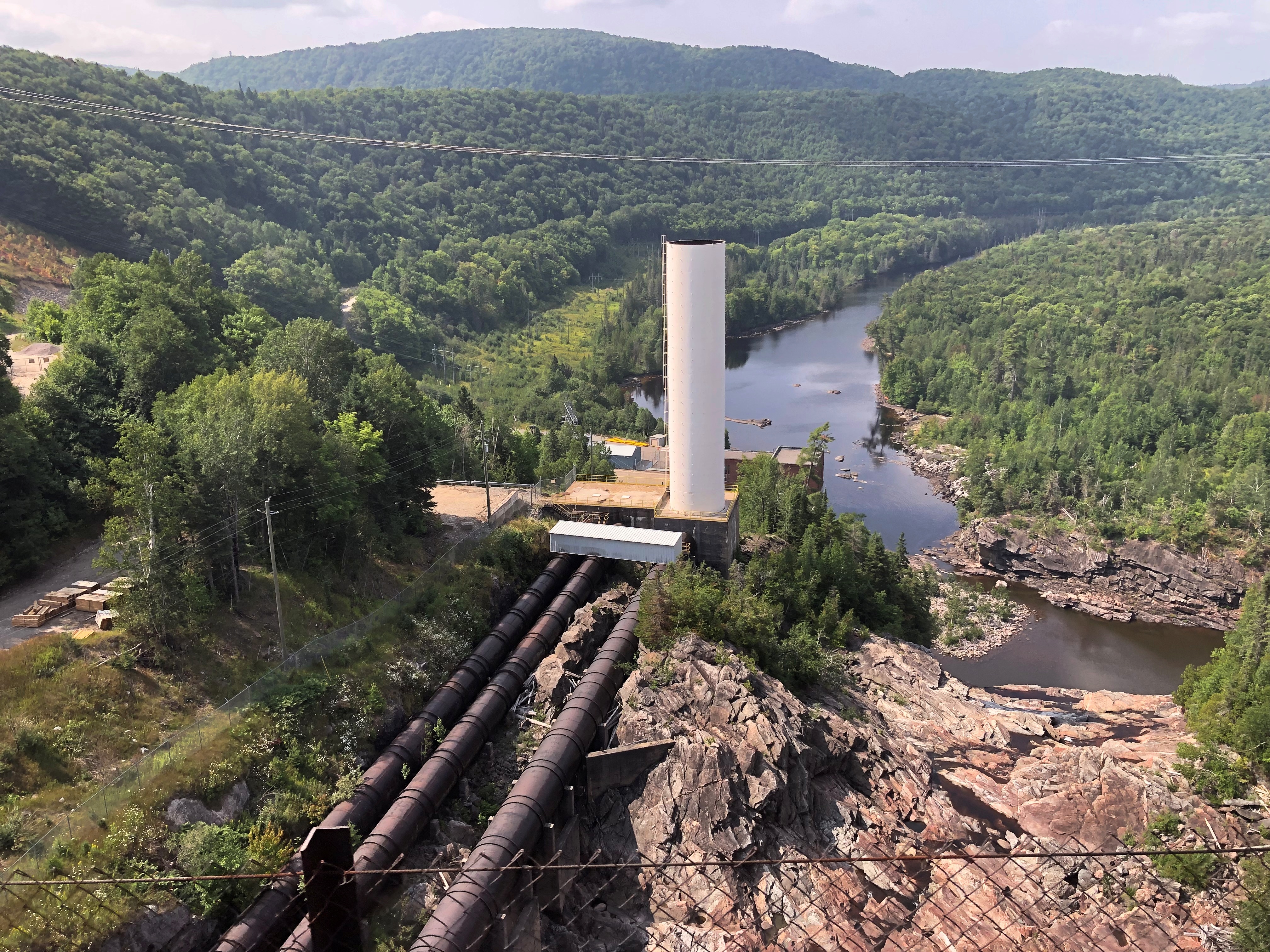
Contrary to what I expected, the train doesn’t pass through total wilderness. There aren’t any towns along the way, but there is a scattering of houses and cabins, and the tracks cross a number of roads, paved and unpaved. You also come within sight of this bit of infrastructure.Algoma District, Ontario

Still, most the region is undeveloped, rugged and tree covered, especially the further you go, and watered by a variety of rivers headed for Lake Superior, such as the Batchewana, Chippewa and Goulais. There are many lakes, including the amusingly named Mongoose Lake. No definite reason for the name is known, according to the narration, which pointed out that the Group of Seven came to the shores of Mongoose Lake and many other places in the region roughly 100 years ago to paint landscapes.

Tourist officialdom in Ontario promotes the Group fairly extensively. I started seeing memorials at some of the locations they painted soon after entering Canada – signs resting on an artist’s easel, with folding seats next to them, as seen here.

“The group presented the dense, northern boreal forest of the Canadian Shield as a transcendent, spiritual force,” the Canadian Encyclopedia avers. “Their depictions of Canada’s rugged wind-swept forest panoramas were eventually equated with a romanticized notion of Canadian strength and independence. Their works were noted for their bright colours, tactile paint handling, and simple yet dynamic forms.”

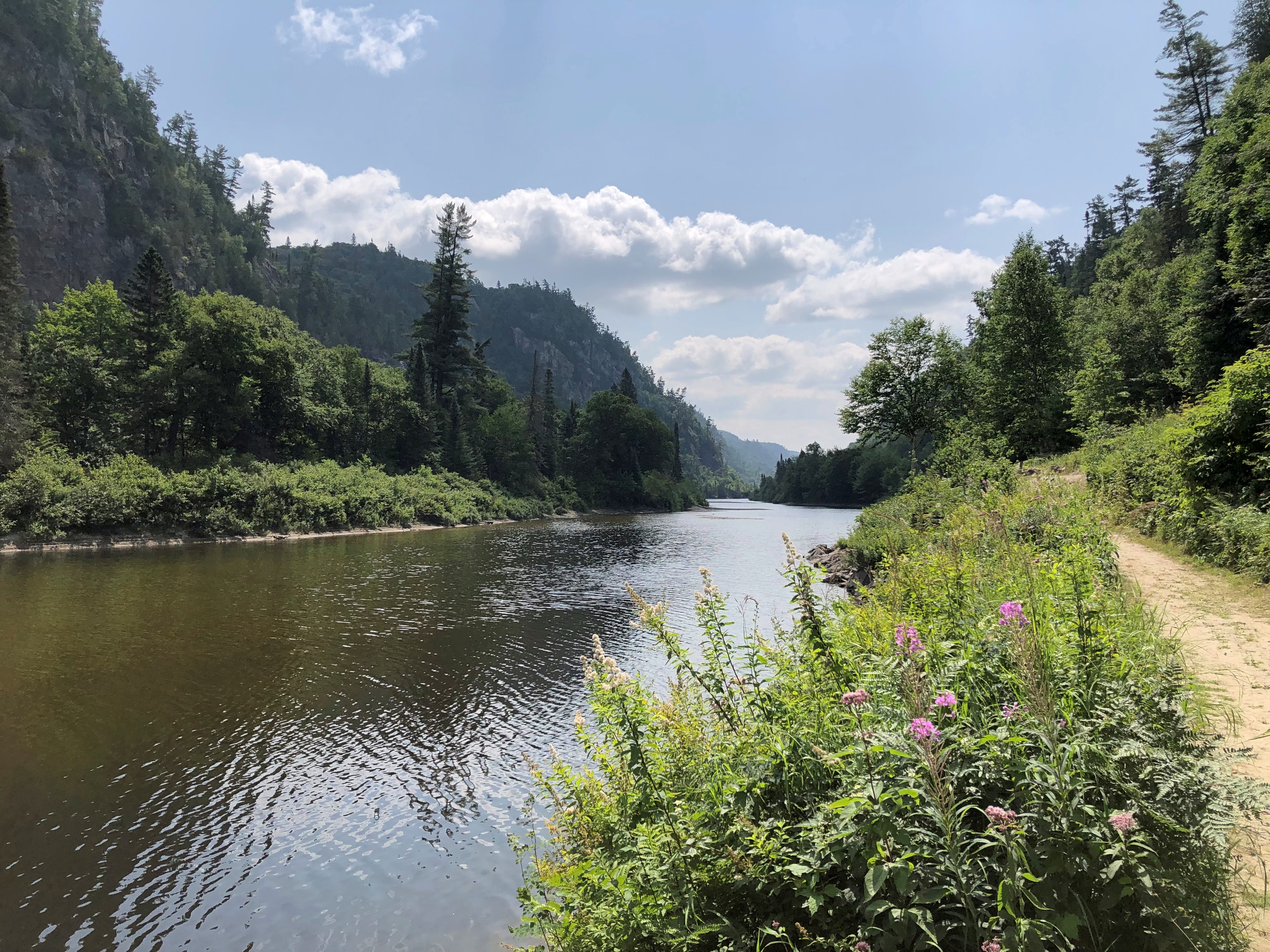
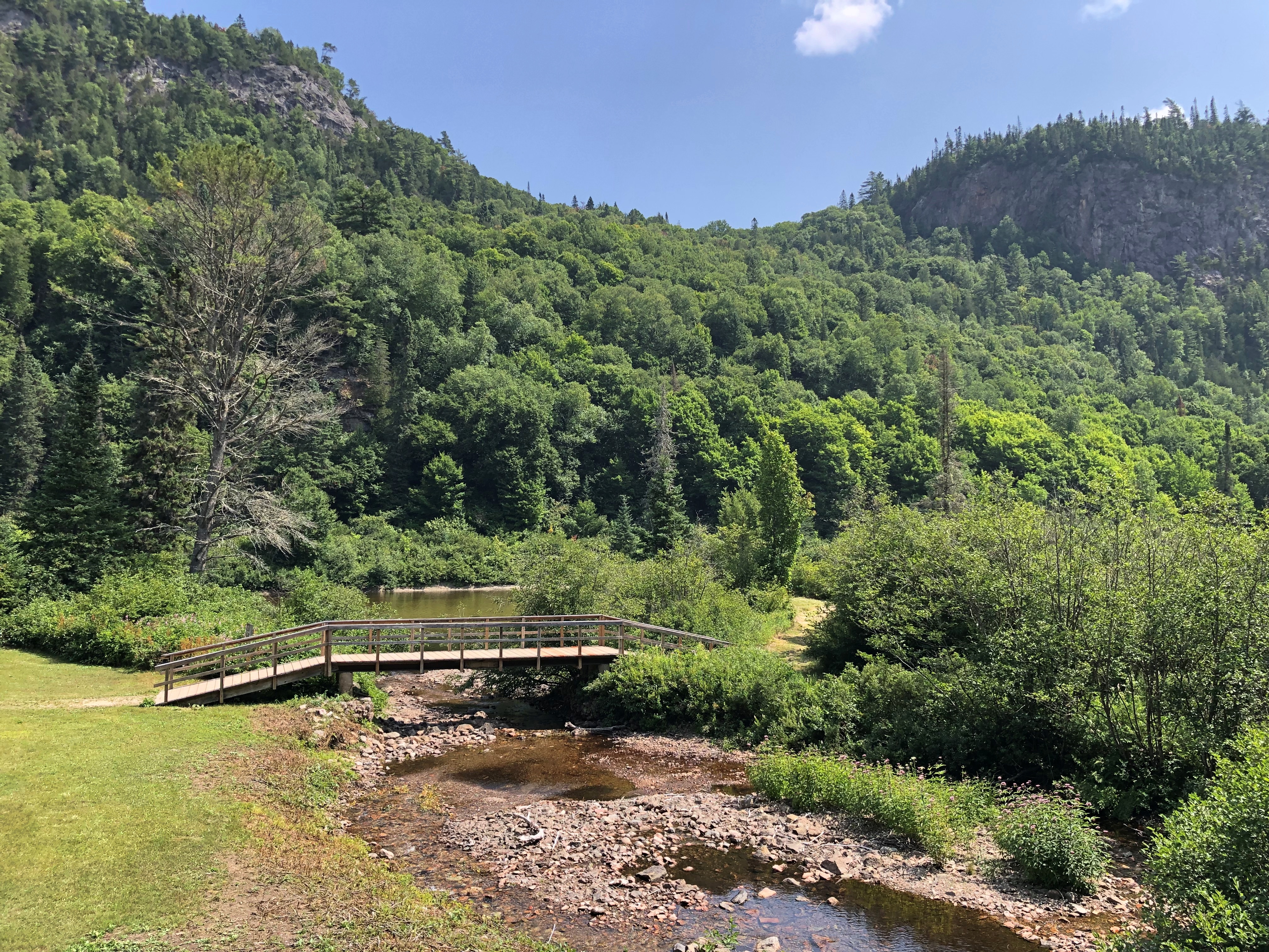
Toward the end of the outbound journey, the train drops some hundred feet into Agawa Canyon, carved by the river of that name. Once the train stops, out you go. You have about an hour and a half to look around the canyon, with the option of walking along the river or climbing some hundreds of stairs on a trail for an overlook.Algoma District, Ontario
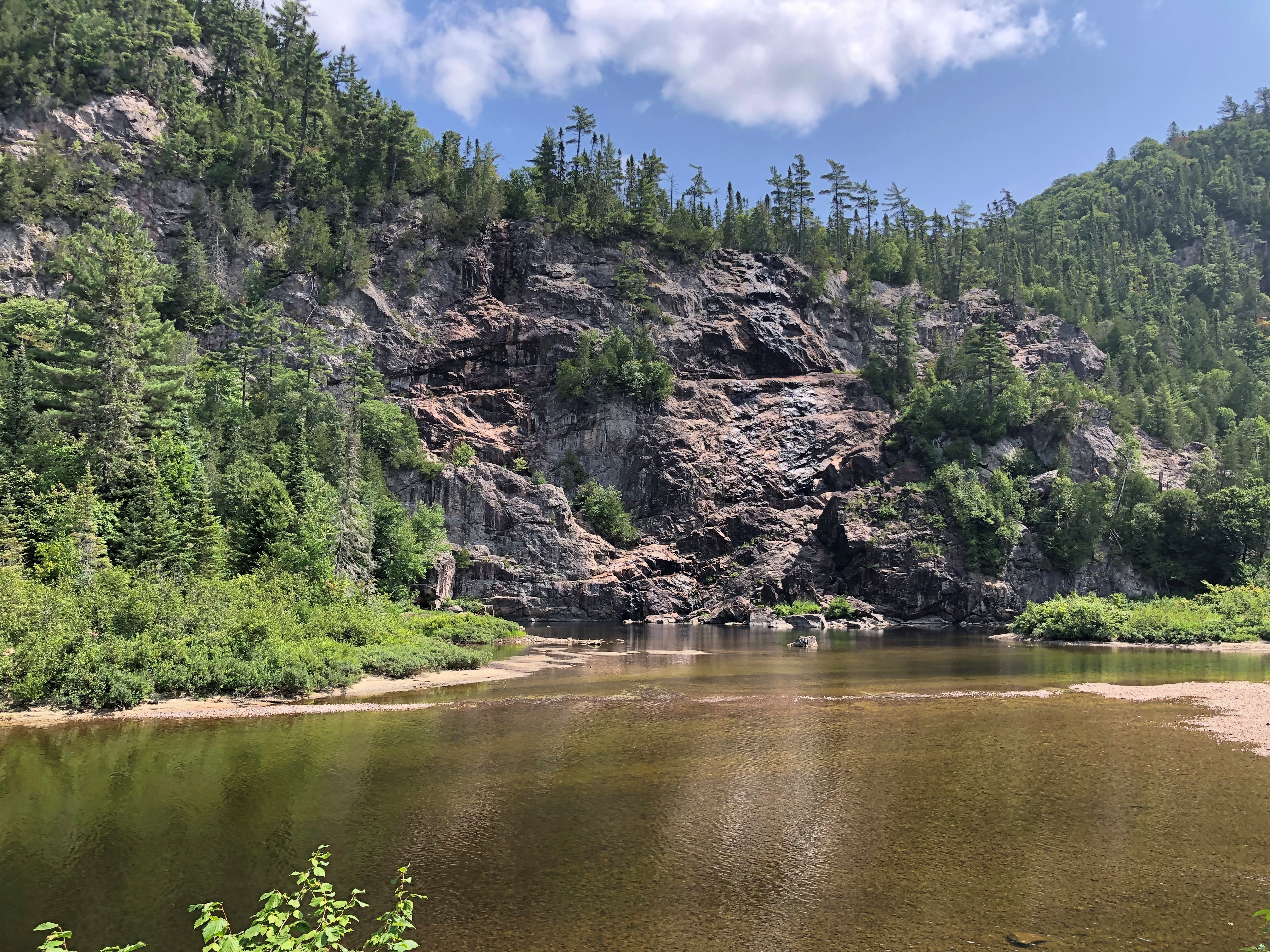
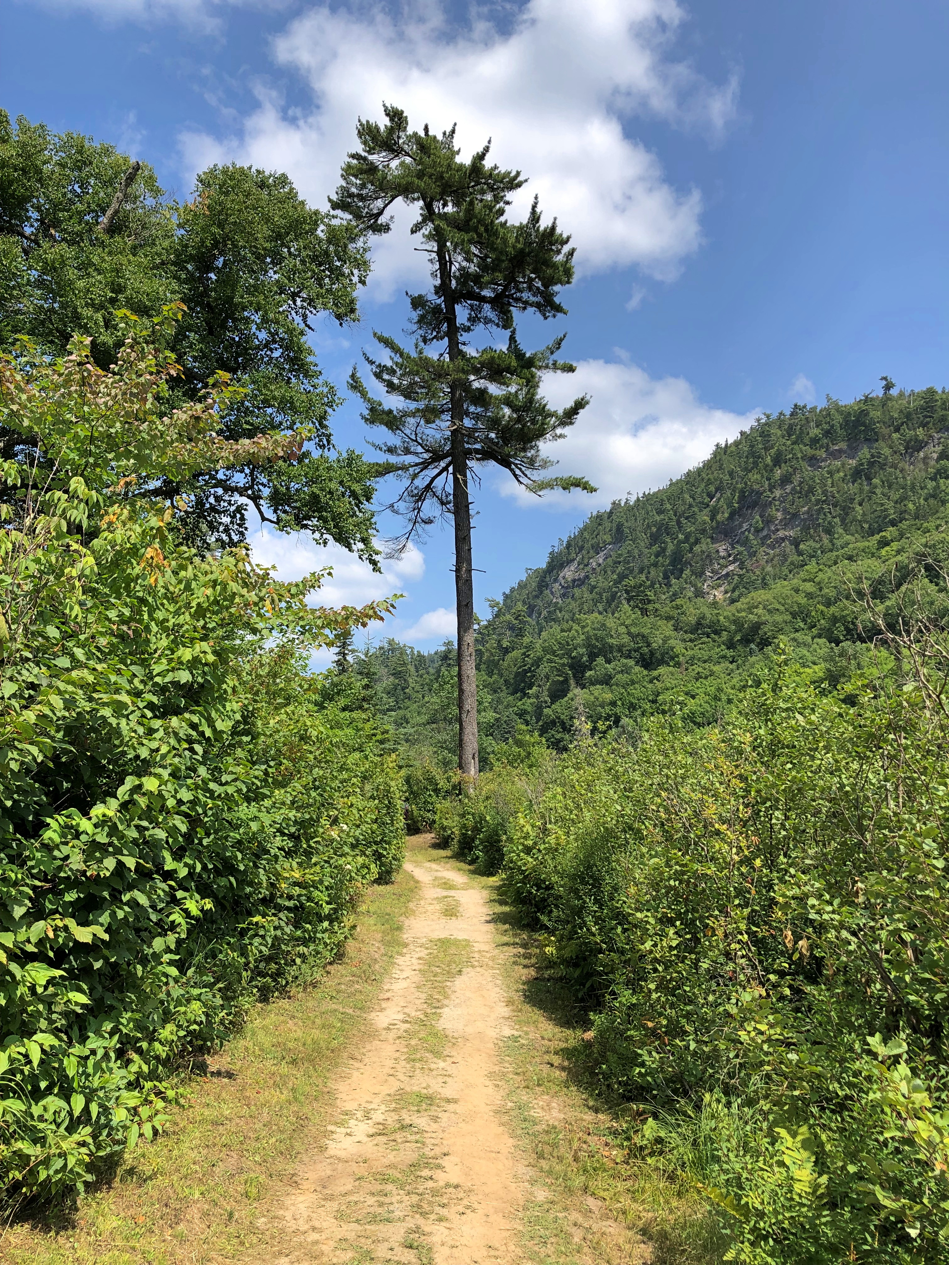
I picked the riverside trail. It’s a pretty place.Agawa Canyon, Ontario Agawa Canyon, Ontario Agawa Canyon, Ontario Agawa Canyon, Ontario

But more than that.

“The packed dirt of Agawa Canyon’s Talus Trail is level most of the way,” wrote Stroud, and it’s still true. “It is interrupted at intervals only nature understands, by tree roots here and there. Rocks that crumbled once upon a time from the canyon walls — 575 feet above in places — are all but submerged by an undergrowth of ferns, saplings and moss.

“In half an hour, this single woodland walk takes in two forest zones. Agawa Canyon lies in the transition area where the northern Boreal Forest, with its spruce, balsam fir, white birch and trembling aspen, overlaps the Great Lakes/St. Lawrence Forest of sugar maples, eastern white pines and yellow birch.”

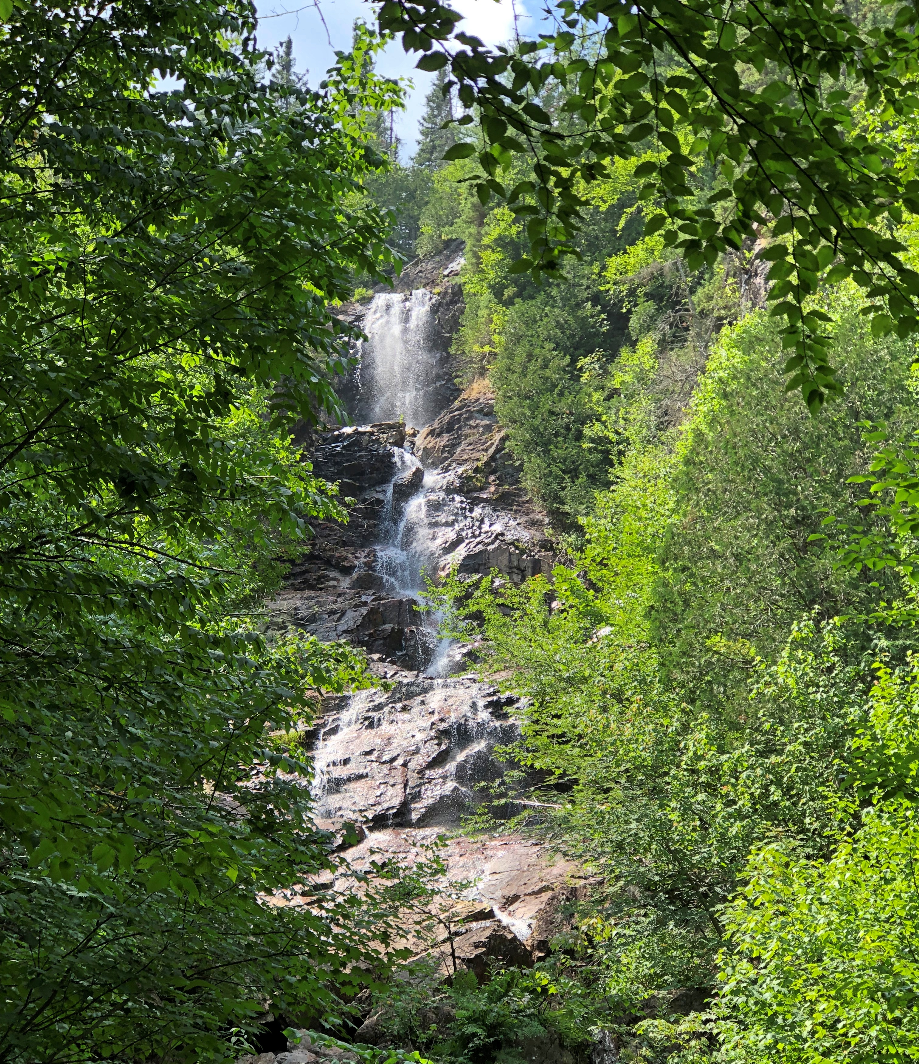
Bridal Veil Falls, one of the canyon’s featured sights, proved to be a mere trickle in early August. For whatever reason, much more water cascaded over the cliff at the Black Beaver Falls.Agawa Canyon, Ontario

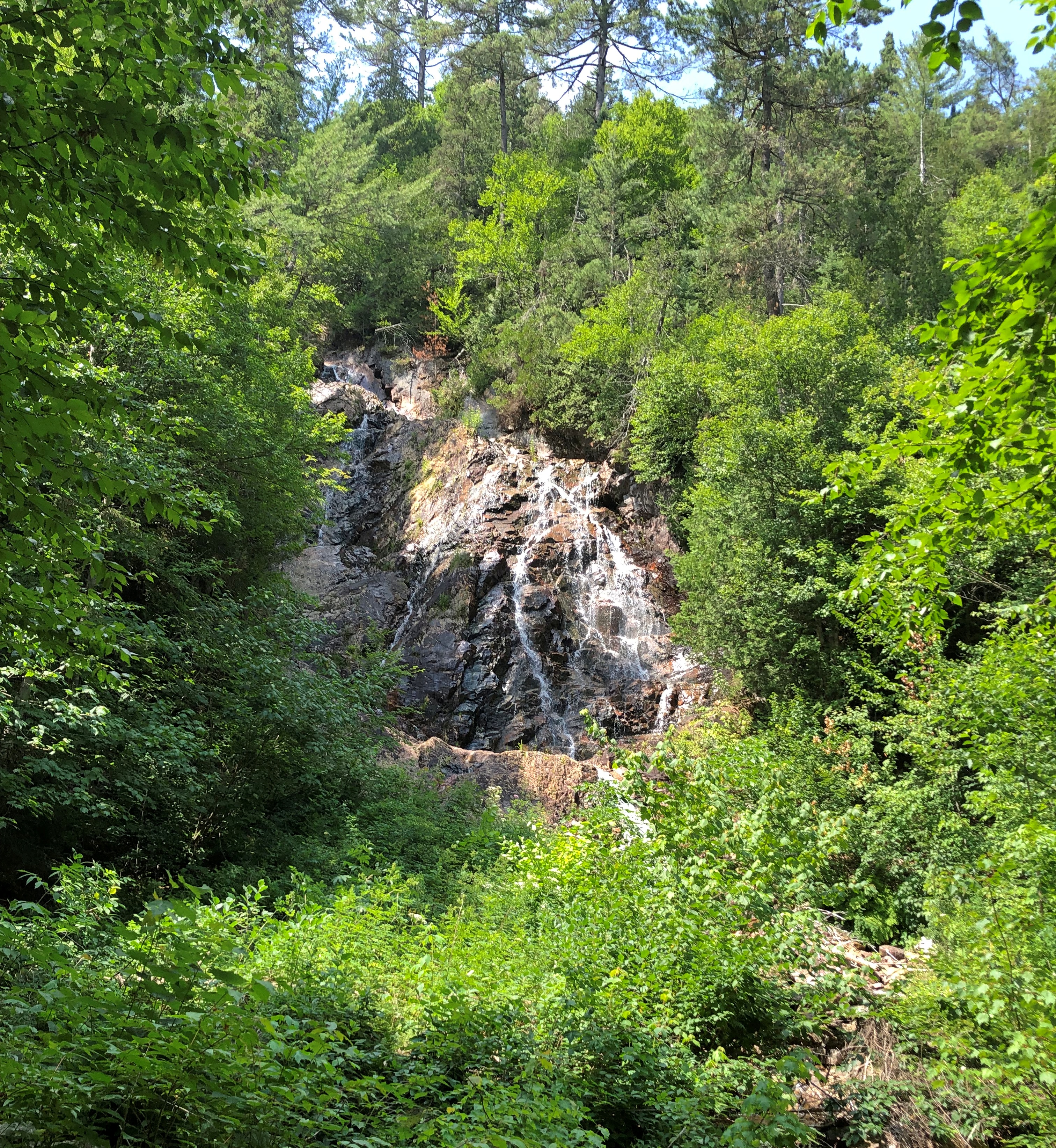
At the smaller Otter Creek Falls as well.Agawa Canyon, Ontario

Perhaps I ought to call this trip Ontario Waterfalls ’23, considering how many of them I saw. The appeal is aesthetic, but much more, I think – though I’m not quite sure what. The power? How a fall evokes untamed nature, even if engineers control the flow upstream? The pleasure of seeing foamy water?

After an hour and half in the canyon, the train begins the four-and-a-half hour journey back to Sault Ste. Marie. There isn’t much narrative on the return, and mostly people nap or play games or whatnot. I read, though sometimes still looking out the window.

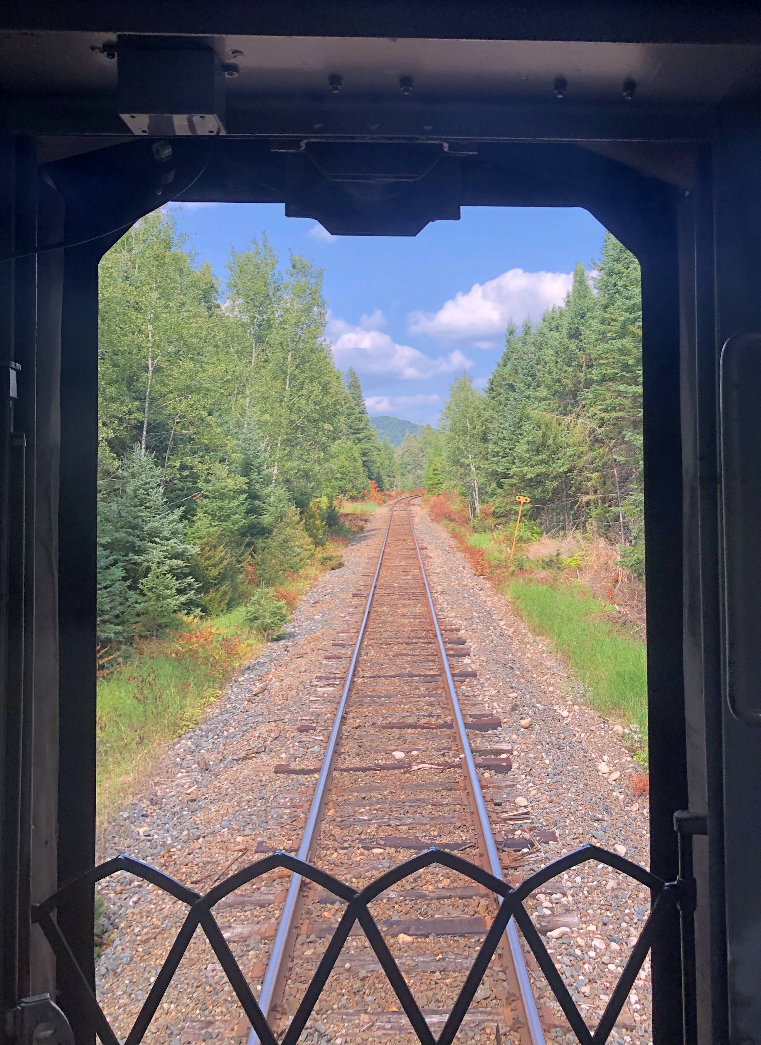
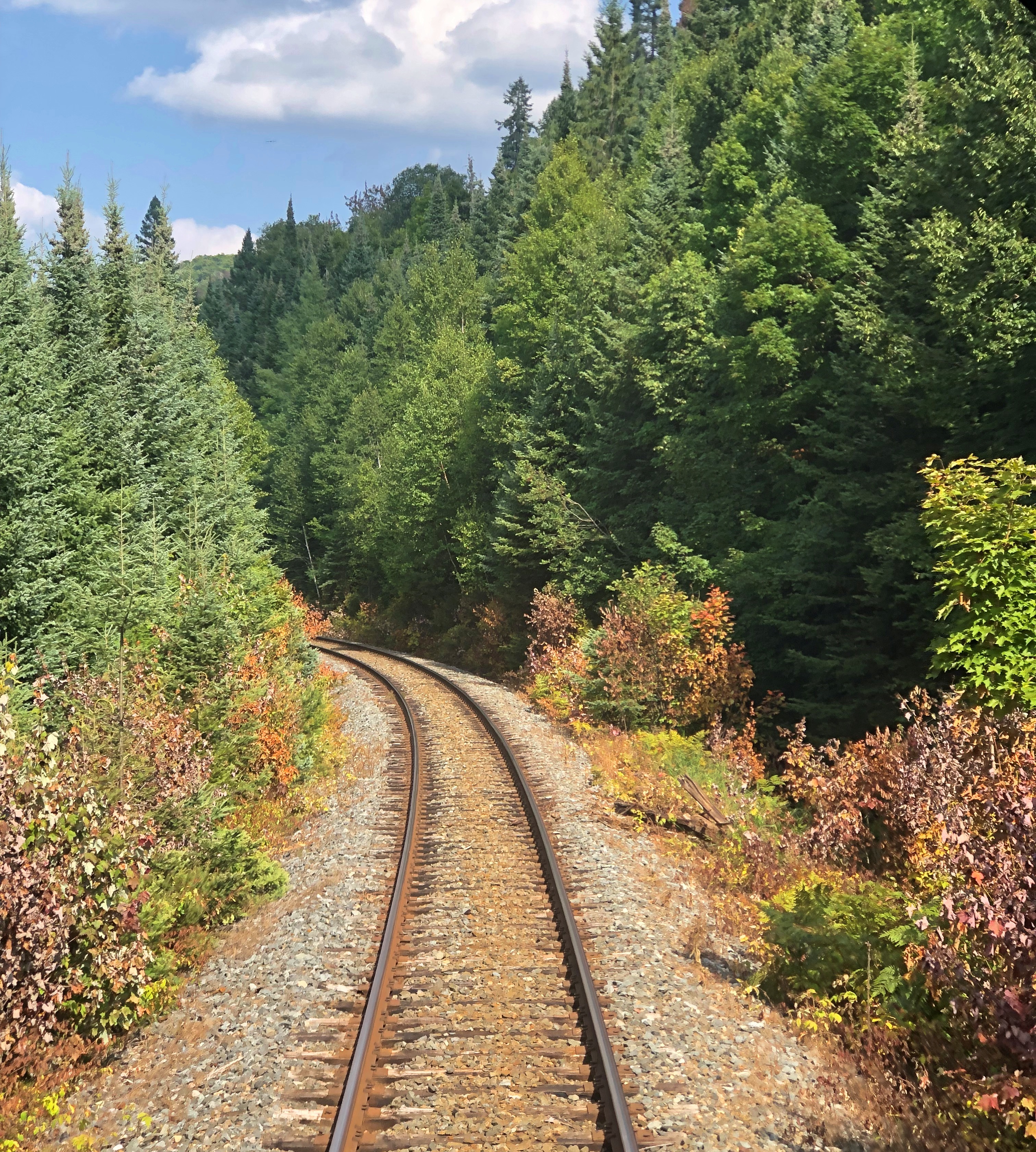
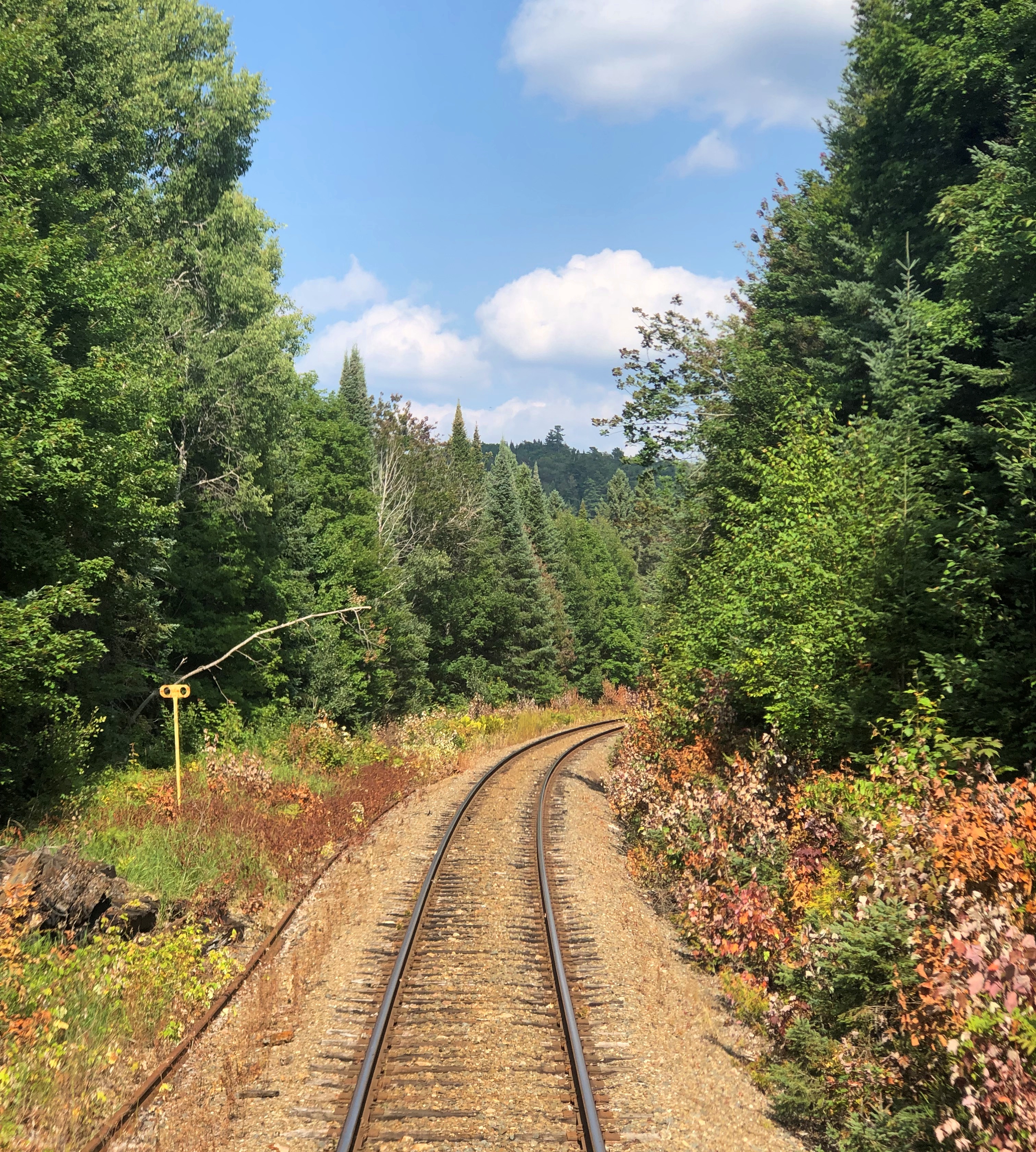
My car was the last of 10, so I could also go to the rear and see the tracks receding as the train moved along, something I couldn’t do on the way in.Agawa Canyon Tour Train Agawa Canyon Tour Train Agawa Canyon Tour Train

It was a little mesmerizing, that view.

Turtle Creek Parkway, Tanks and White Line Frankenstein

Tooling along one of southern Wisconsin’s two-lane highways a week ago Friday, the radio station I happened to be tuned into – I’m not giving up terrestrial radio on road trips – introduced a new song by Alice Cooper, with a few words from the artist himself. That got my attention. Alice Cooper, shock rocker of my adolescence, is still making records?

He is, at the fine old age of 75. I never was a big fan of his, except of course for “School’s Out,” but I was glad to hear that all the same. Keep on keeping on, old guy.

For my part, I kept on driving, passing the greens and golds of high corn and the utilitarian buildings that support farming, intersections with gravel roads, hand-painted signs and, now and then, another vehicle. It was an obscenely pleasant July day, clear and warm and not nearly as hot as much of the rest of the country.

The new song came on. Title, “White Line Frankenstein.” Remarkable how consistent Alice Cooper has been through the years. What does he sound like, now that he’s a senior shock rocker? Sounds a lot like young Alice Cooper. A good showman finds something that works and sticks with it, and there’s no arguing his showman abilities.

About half way through the song I was inspired to pull off to the side of the road near where a rail line crossed the road, and take pictures.rural Wisconsin rural Wisconsin rural Wisconsin

Missed the last half of the song, but oh well.

Near Beloit, Wisconsin – close to the town of Shopiere, but not in any town, is a spot called Turtle Creek Parkway, a Rock County park. At four acres, it’s the rural equivalent of a pocket park, with its star attraction across a field next to Turtle Creek: the Tiffany Bridge, or the Tiffany Stone Bridge, vintage 1869, which as far as I know is still a working railroad bridge. (Tiffany is another nearby town.)Tiffany Bridge, Shopiere Tiffany Bridge, Shopiere

More than 20 years ago, I visited the bridge, accompanied by small child and pregnant wife. It wasn’t a park then, just a wide place in the road to stop. Enough people must have stopped there for the county to get a hint, I guess, and acquire and develop the land by adding a boat launch on Turtle Creek, a small rental event building, and a small parking lot.

Regardless, it’s hard to take a bad up-close picture of the structure.Tiffany Bridge, Shopiere Tiffany Bridge, Shopiere Tiffany Bridge, Shopiere

Just a hunch: the arches are too sturdy to destroy in a cost-effective way, so it abides.

Rather than return to the Interstate right away, I headed out from Shopiere onto the small roads where I eventually heard about Alice Cooper. Not long before that encounter, I spotted a tank in the hamlet of Turtle, Wisconsin.Turtle, Wisconsin

Another former Wisconsin National Guard tank, an M60A3.Turtle, Wisconsin Turtle, Wisconsin

It’s part of a plaza honoring veterans of the area. Interesting to run into another tank in southern Wisconsin so soon after the last one. I decided to keep an eye out for tanks on the rest of the drive, and sure enough I spotted more as the drive progressed.

Kansasville Wisconsin Veterans Memorial Wayside Park

A run of sunny days lately. The early cicadas are bleating and the early crickets are singing, and while the firefly population has been slender this year, they’ve made their high-summer presence known at dusk recently. Much of the nation is hot, we are warm by day, cool at night.

Kansasville, Wisconsin is an unincorporated community in the Town of Dover, in the southeast part of the state, not to be confused with the Village of Dover, which is not too far away, but still in a different county.

Along the highway Wisconsin 11 a few miles east of Burlington is the Kansasville Wisconsin Veterans Memorial Wayside Park. A nearby VFW post, Gifford-Larsen Post No. 7924, maintains the park.Kansasville Wisconsin Veterans Memorial Wayside Park

“Post 7924 is named in honor of Master Sergeant Elmer (Bill) Gifford who was killed in action on 19 February 1944 and Sergeant Einar Larson Jr. who was killed in action on 15 January 1945 at Halten, France,” says the post’s minimal Facebook page.
A tank astride the corn.Kansasville Wisconsin Veterans Memorial Wayside Park Kansasville Wisconsin Veterans Memorial Wayside Park Kansasville Wisconsin Veterans Memorial Wayside Park

“Initially produced in 1960, over 15,000 M60s were built by Chrysler and first saw service in 1961,” says the Federation of American Scientists Military Analysis Network. “Production ended in 1983, but 5,400 older models were converted to the M60A3 variant ending in 1990.”

Looks like this particular tank’s last stop before resting on wayside park concrete was the Wisconsin National Guard, once upon a time.

Chrysler, incidentally, sold sold Chrysler Defense to General Dynamics over 40 years ago, and as General Dynamics Land Systems, the entity makes tanks even now in Ohio.

40 mm anti-aircraft guns.Kansasville Wisconsin Veterans Memorial Wayside Park

I’m not as keen to look up its details, but I will say that it is pointing the wrong direction if there’s an attack from Illinois, whose border is only a few miles to the south.

A bit of rust, a hint of impermanence.Kansasville Wisconsin Veterans Memorial Wayside Park Kansasville Wisconsin Veterans Memorial Wayside Park

A handsome piece of mobile artillery.Kansasville Wisconsin Veterans Memorial Wayside Park Kansasville Wisconsin Veterans Memorial Wayside Park

“To be prepared for war is one of the most effectual means of preserving peace.” — President George Washington, First Address to a Joint Session of Congress (State of the Union), 1790.

Wehmhoff Jucker Park

An easy stroll from downtown Burlington, Wisconsin, is Wehmhoff Jucker Park.Fox River, Burlington Wisconsin

Interesting name. Wehmhoff appears elsewhere in or near town: Wehmhoff Square Park, Wehmhoff Woodland Preserve and Wehmhoff Mound. The Burlington Historical Society posted a 1919 article that mentions both names in passing, but provides little other detail, except that a Mr. Wehmhoff was a jeweler 50 years earlier, and that in the late 1860s or early ’70s, “Miss Emma Jucker, about to marry E. Wehmhoff, sold her millinery business to Mrs. Williams.”

Perhaps the park land was once theirs. Anyway, the people are long gone. A few of the names linger.

The park is on either side of the Fox River, connected by a bridge.Fox River, Burlington Wisconsin Fox River, Burlington Wisconsin

That’s the same Fox River that generally runs along the western edge of metro Chicago, meeting the Illinois River near Ottawa. (Not the one in Canada.) A path runs next to the river for a ways in Burlington, which I followed for a ways.Fox River, Burlington Wisconsin Fox River, Burlington Wisconsin

That’s not the Fox River that flows into Green Bay, and gives a nickname to the Fox Cities of Wisconsin. You’d think at least one of them could be called something else, maybe some version of a Native name, but it didn’t work out that way.

Parc Güell

It has happened to me in a lot of places over the years, and I can’t quite account for it. In various parts of the United States, but also in Europe and Australia – anywhere I might blend in with a crowd, including places where I don’t speak the language. What happens: a stranger asks me directions. It happened in Barcelona, too, during our return from Parc Güell (Güell Park), down a fairly steep slope in the Gràcia district.

This street wasn’t our actual path, but branches off from it and gives some idea of the hill you need to climb – partly assisted by an outdoor escalator at one point – to reach the park.Barcelona 2023

It was a neighborhood of political graffiti as well. A whiff of old Barcelona, I guess. Much of it in English for some reason.Barcelona 2023 Barcelona 2023

While coming down the slope, Yuriko had gotten somewhat ahead of me, so I was walking alone for a few moments. A woman with some small children in tow asked me directions to the park in Catalan (or Spanish). I was able to point in the direction I’d come and say “park,” which conveniently is the same in all the relevant languages. She seemed happy to hear it, and I was certain I’d given her some correct information.

Parc Güell is a large place, though only a section of it includes architectural elements by Antoni Gaudí. The city has charged admission to that section for the last 10 years or so.

“[Industrialist and Gaudí friend] Eusebi Güell entrusted Gaudí with the project of making an urbanization [sic, neighborhood] for wealthy families on a large estate he had acquired in the area popularly known as Muntanya Pelada,” the park’s web site (machine translated) says. “Its situation was unbeatable, in a healthy environment and with splendid views over the sea and the Plan de Barcelona.

“In October 1900, the land began to be leveled and the works went at a good pace. On January 4, 1903, a description published in the Yearbook of the Association of Architects stated that the two pavilions at the entrance, the main staircase, the shelter or waiting area, the external fence, the viaducts and part of the large esplanade, as well as the water evacuation system [sic, were complete? Under way?]”

In any case, only two houses were ever sold, so as a new neighborhood, the place was a failure. Eventually Güell’s heirs sold the would-be development to the city. The common-area work that Gaudí did remained, to great acclaim in future years.

A path from the entrance leads to a large esplanade, or perhaps best called a terrace, originally planned as a place for outdoor shows.Parc Güell

An undulating bench marks the edge of the esplanade.Parc Güell Parc Güell

It offers a sweeping view of Barcelona, plus other Gaudí structures in the park.Parc Güell Parc Güell

It’s a popular place.Parc Güell Parc Güell Parc Güell

Gaudí collaborator Josep M. Jujol did the bench mosaics.Parc Güell Parc Güell

Stairs lead down from the esplanade, which is supported by 86 columns that form the Hypostyle Hall. It was supposed to have been a sheltered marketplace.Parc Güell Parc Güell

From there, the Dragon Stairs. The figure is actually a salamander, I’ve read.Parc Güell Parc Güell

At the base of the stairs is the Porter’s Lodge, which houses exhibits about the 19th- and 20th-century history of Barcelona. Its interior walls are bright colors.Parc Güell

Other parts of the park include the paths and viaducts that Gaudí designed. We did some wandering.Parc Güell Parc Güell

I was reminded a bit of Brackenridge Park in San Antonio, but the similarities aren’t really that deep.Parc Güell Parc Güell

Lush bursts of flowers adorn parts of the park.Parc Güell Parc Güell Parc Güell

Springtime in Barcelona. There’s a romcom in there somewhere. Probably not a very good one, but how many are?

El Born & Parc de la Ciutadella

The first lines of the search results for the El Born district of Barcelona, sampled this morning:

El Born is sandwiched between Via Laietana and Barceloneta and is served by the metro stops Barceloneta and Jaume 1 which are on the same line. Las Ramblas and…

El Born brings to Greenpoint and NYC a taste of tapas y platillos from Spain and has a focus in Barcelona, where the owners are from.

A local’s guide to El Born district of Barcelona. The 26 best hotels, museums, bars, restaurants, shops and guided tours of El Borne for 2023.

Located in between the Gothic Quarter and the Ciutadella Park, El Born is one of Barcelona’s trendiest and most popular neighborhoods.

Once home to Barcelona’s affluent merchants, noblemen, and artisans, El Born is now one of the hippest, liveliest, and most creative…

That last line is from a site called “travel away” (no caps), which looks like an Afar knockoff, and the headline is “A Curated Guide to El Born, Barcelona.” Of course it’s curated. You must visit that perfect tapas place that serves unique craft sangria, or you’ll come down with a bad case of FOMO. (We had tasty tapas and swell sangria during our Catalonia holiday, but not in El Born.)

Anyway, you can’t just wander around to see what you can see, can you?

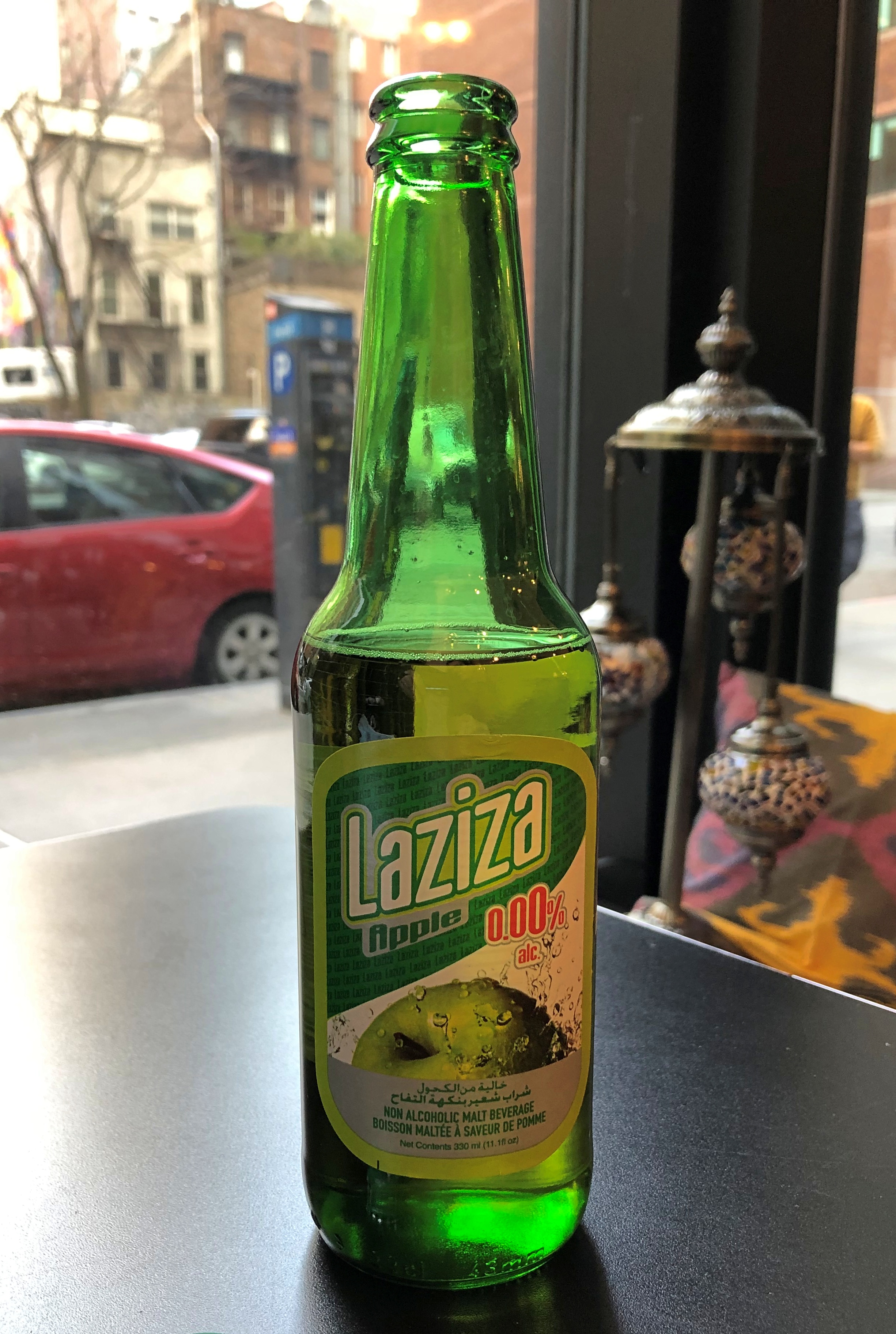
Of course you can. I wasn’t hip enough to know that El Born is trendy, but we were intrigued by our surroundings as we ambled along the mostly pedestrian thoroughfare Passeig del Born, where we acquired a drink and snacks to eat on a bench.El Born

The soda in question. All the way from Hamburg. We’d never heard of it, so we gave it a go. Now I can’t remember what it tasted like, so it must have been neither that good or particularly bad.

At one end of the passeig is a large plaza featuring an imposing cast-iron structure.El Born Centre El Born Centre

That’s El Born Centre de Cultura i Memoria. The main part of the inside was free to walk into; just follow the rules.El Born Centre

The El Born Centre was once a large public market (Mercat del Born), and the first cast-iron structure of its kind in Barcelona, dating from 1876.El Born Centre El Born Centre El Born Centre

I was inspired to take a few black-and-whites.El Born El Born

I should have take more of those in Barcelona, which has a lot of good contour for monochrome. Ah, well. The iron framework over our heads wasn’t the only thing to see at El Born Centre. Beneath the ground-floor walkways is an archaeological site with a connection to Barcelona’s bloody past.El Born El Born

A neighborhood once existed here, as it becomes clear staring down on the ragged wall stubs and stones. In 1714, after the Principality of Catalonia capitulated to Bourbon forces toward the end of the War of Spanish Succession, the victors leveled the neighborhood to build the Ciutadella (citadel) and its security esplanade, presumably to help keep the Catalans in line. Well over a century later, after the hubbub in ’68 (1868, that is) the city assumed control of the site and eventually built the market on a relatively small part of it.

Much later, the ruins were uncovered, and archaeological investigations proceed. Sources tell me the ruins of 60 houses in 11 separate blocks can be found in El Born’s archaeological site.

We exited from the opposite end of El Born Centre that we entered, and from there a short street leads to the sizable Parc de la Ciutadella (Citadel Park), which is the use 19th-century Barcelona had for most the former military facility. Good choice. It’s a grand place for a stroll. Or just to hang out.Parc de la Ciutadella Parc de la Ciutadella

A water feature. Reminded me a little of Chapultepec Park in Mexico City.Parc de la Ciutadella Parc de la Ciutadella

Plus an assortment of monumental structures. Such as the Catalonian parliament building.Parc de la Ciutadella

A thing called Castell dels tres Dragones, which seemed to be closed for repairs. Later (as in, today) I learned that Lluís Domènech i Montaner designed it. We’ll come back to him. He did something much more amazing that we saw later.Parc de la Ciutadella

A Catalan gazebo. Note the difference in detail from Castilian gazebos. Catalans are reportedly fiercely proud of their gazebo heritage.Parc de la Ciutadella

We were too tired to climb these stairs, but we did admire the work from some distance.Parc de la Ciutadella

That’s the Ciudadela Park Cascade, which as far as I can tell doesn’t honor anything specific, but was built in the late 19th century to celebrate Barcelona’s revival. And in time for the Universal Exhibition of Barcelona in 1888, which is yet another place to visit once that time machine is up and running (and 1929, too).

The park, like Jackson Park in Chicago and Hemisfair is San Antonio, owes much of its modern shape to a long-ago world’s fair.

Irish Greens

Our hotel in Dublin was on a street of Georgian townhouses, and as far as I could tell it was created from an amalgam of at least two such structures. One of the city’s two tram lines runs down the street, with a stop a two-minute walk away from where we stayed.

St. Stephen’s Green was about five minutes away on foot in the other direction. Often enough we’d forgo part of the tram ride for a stroll through the greens of the park on cool and bright May mornings.St Stephen's Green St Stephen's Green

“This nine hectare/22-acre park, in Dublin City Centre, has been maintained in the original Victorian layout with 750 trees, extensive shrub planting with spring and summer Victorian flower bedding,” says Visit Dublin.

A Victorian-era creation. Of course. The site had been open land long before that, such as a marshy commons for centuries, then essentially a private green as its perimeter developed. In the 1870s, Baron Ardilaun acquired the land and donated it to the Dublin Corporation (the city). I had to look him up and the baron turned out to be – yet another Guinness, Arthur Edward, son of the renovator of St. Patrick’s Cathedral. Another good use for beer money.

Part of the landscaping includes water features.St Stephen's Green St Stephen's Green

History wasn’t done with St. Stephen’s Green after it became a city park. In 1916, the green figured in the Easter Rising.

“The rebels dug trenches, probably at the four entranceways and other places – the written sources aren’t very specific about where they were,” University of Bristol reader in archaeology Joanna Brück told Irish Central.

“There has been debate over whether it was a strategically good location to take over or not,” she said, but in any case their presence at the green wasn’t any more successful than anywhere else that week for the rebels.

Decimus Burton

Decimus Burton

Toward the end of our visit, we made our way to another Dublin greenspace, one much larger (707 hectares/1,750 acres) in the western reaches of the city: Phoenix Park.

Though as a distinct tract of land, the park has a long history – site of an abbey that Henry VIII squelched, a royal hunting park – it took its modern form during the Victorian era (I’m sensing a pattern here). None other than Decimus Burton gave the park its current form.

I’d call him the Frederick Law Olmstead of the British Isles for his many parks, but actually Burton was a little earlier, and designed many structures as well. Still, as landscape designers, they’re clearly in the same league.Phoenix Park, Dublin Phoenix Park, Dublin Phoenix Park, Dublin

That afternoon also happened to be the warmest one during our visit, which added to the pleasure of the walk. We didn’t get that far, considering how large Phoenix Park is, but we made it to the gazebo near the zoo. An Irish gazebo, which are distinctive since independence for not having sides. Go ahead, look it up.Phoenix Park, Dublin

A picturesque water feature, with trees and bushes and birds to go with.Phoenix Park, Dublin Phoenix Park, Dublin Phoenix Park, Dublin

A scattering of memorials, such as that of Seán Heuston.Phoenix Park, Dublin

I didn’t know who he was, though I noticed that his name is attached to a nearby tram stop as well. I figured he died for independence. Yes, indeed. Led men in 1916 and met his end at Kilmainham Gaol not long after.

Not far away from Heuston is an example of de-memorialization.Phoenix Park, Dublin

The plinth remains, surrounded by trees that were obviously planted for the purpose of obscuring the site. There is still carving on the plinth, however, which is only partly readable, but I figured it out. Once upon a time (1870-1956), a statue of George William Frederick Howard, 7th Earl of Carlisle, stood there. He was Palmerston’s Lord Lieutenant of Ireland for a couple of stints in the mid-19th century, and his statue wasn’t a relic of the Victorian era that at least some Irish cared to keep. It was bombed.

The obelisk honoring Arthur Wellesley, 1st Duke of Wellington, on the other hand, still stands tall in Phoenix Park, despite him being born into the Protestant Ascendancy.Phoenix Park, Dublin

After all, Wellington was a Dubliner who gave Napoleon his final bum’s rush from the world stage, and supported Catholic Emancipation besides.Phoenix Park, Dublin

The bronze used for the plaques, on all four sides, is from cannons captured at Waterloo.

One reason I wanted to visit Phoenix Park was that I’ve known about it for so long, since ca. 1980. One day at the Vanderbilt Library, I discovered a microfilm collection of decades of The Times of London, which maybe went all the way back to the paper’s founding in the 1780s. Flipping through it more-or-less at random provided a fascinating pastime for me, because that’s the kind of interest in history I have (not a disciplined one of a scholar).

Completely by chance I came across a flood of column inches for days and days in the spring of 1882 about what would be called the Phoenix Park Murders. I had to look up the location of Phoenix Park, and more about the murders, and never forgot.

Our afternoon walk in the park was long, interspersed with rests on benches, of which there are too few, and sometimes by reclining on the ground. Such as on this daisy-covered slope.St Stephen's Green St Stephen's Green

Better, it occurred me on that sunny day in Ireland, to be pushing down the daisies than pushing them up.