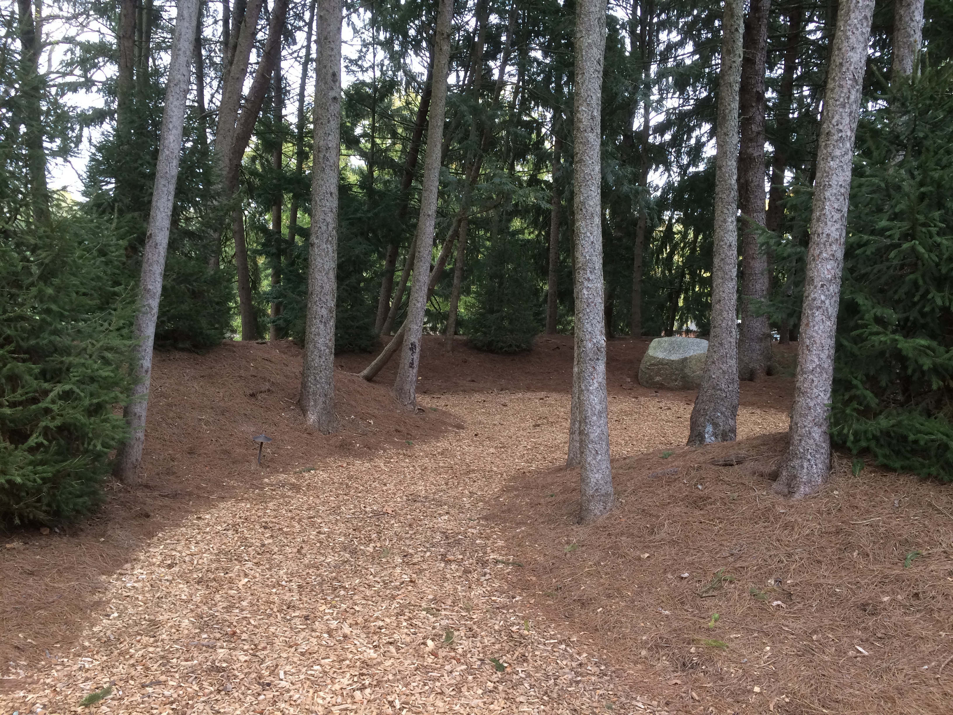
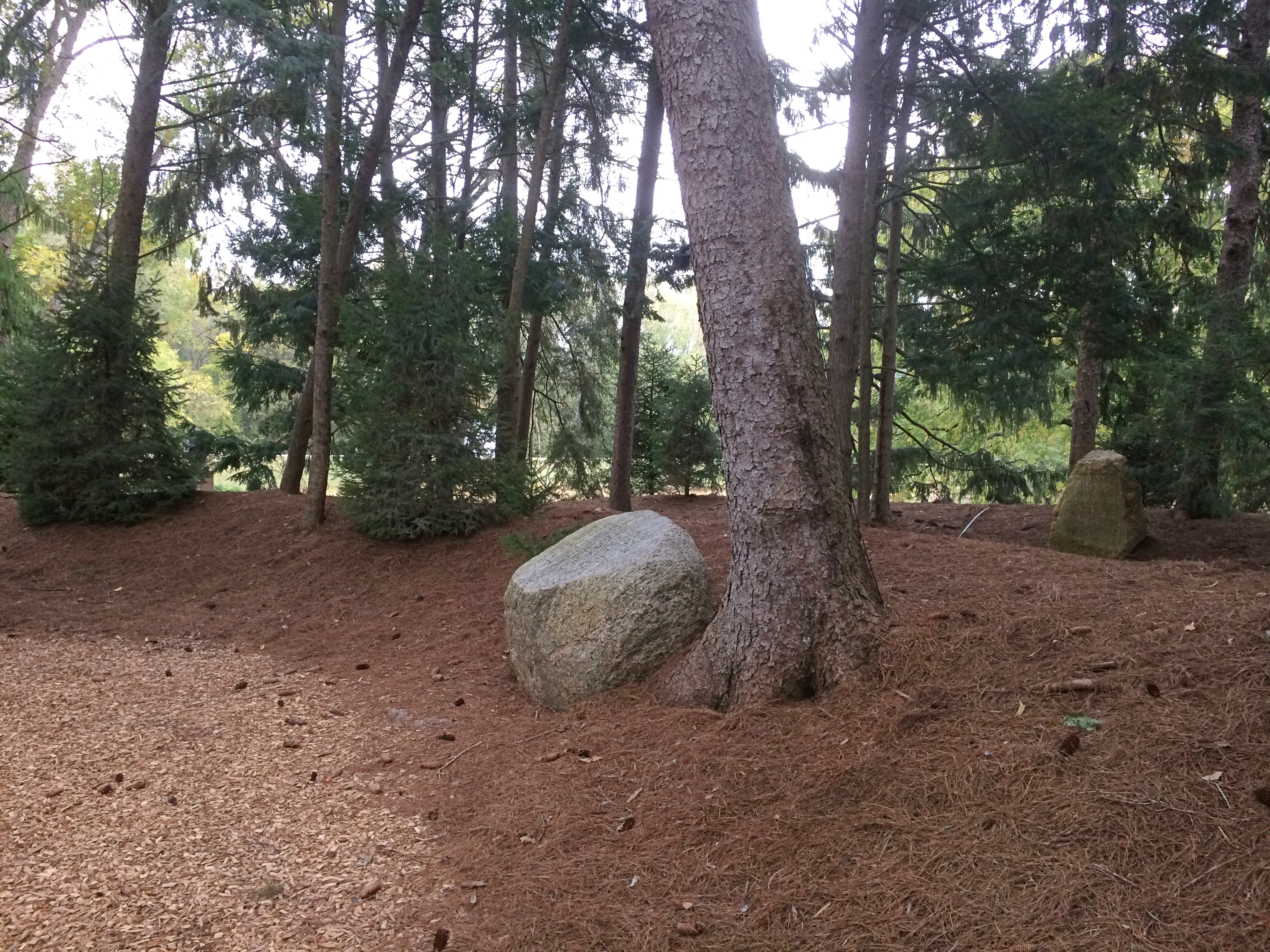
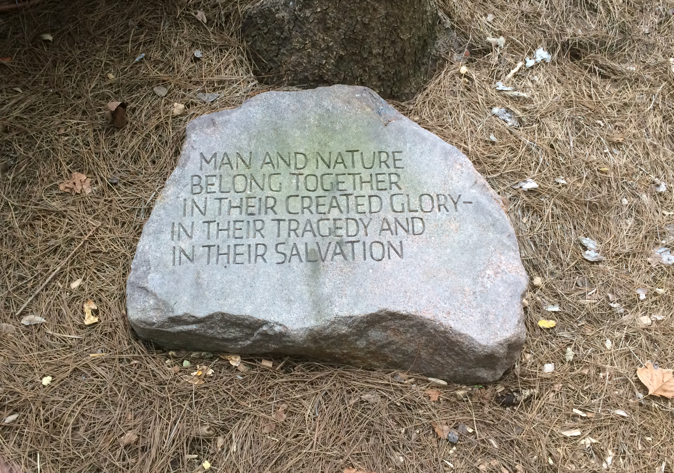
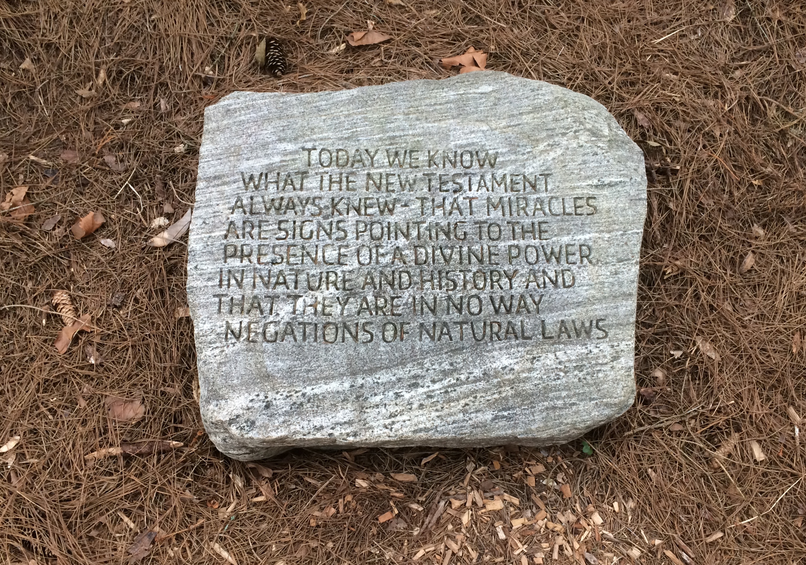
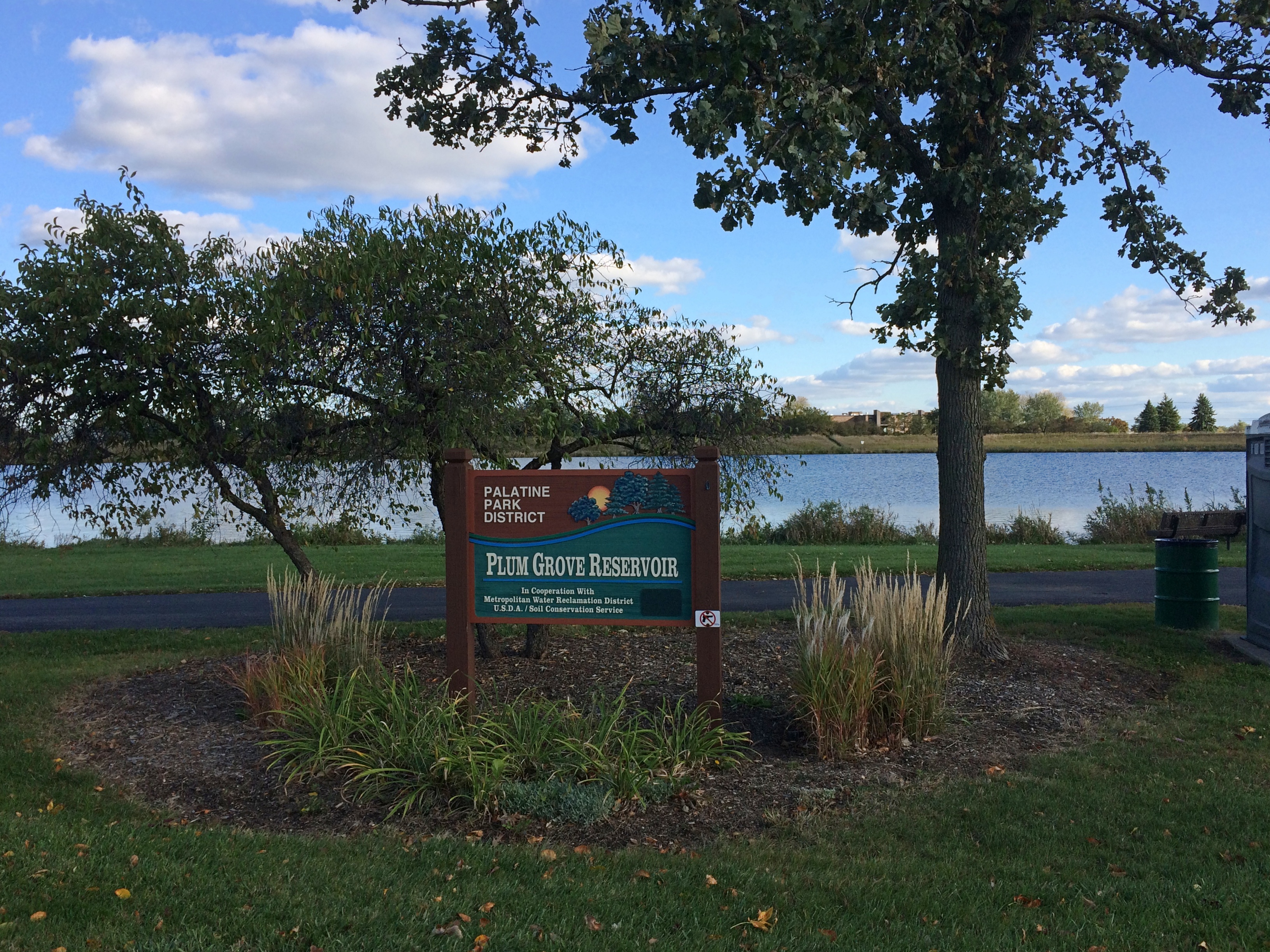
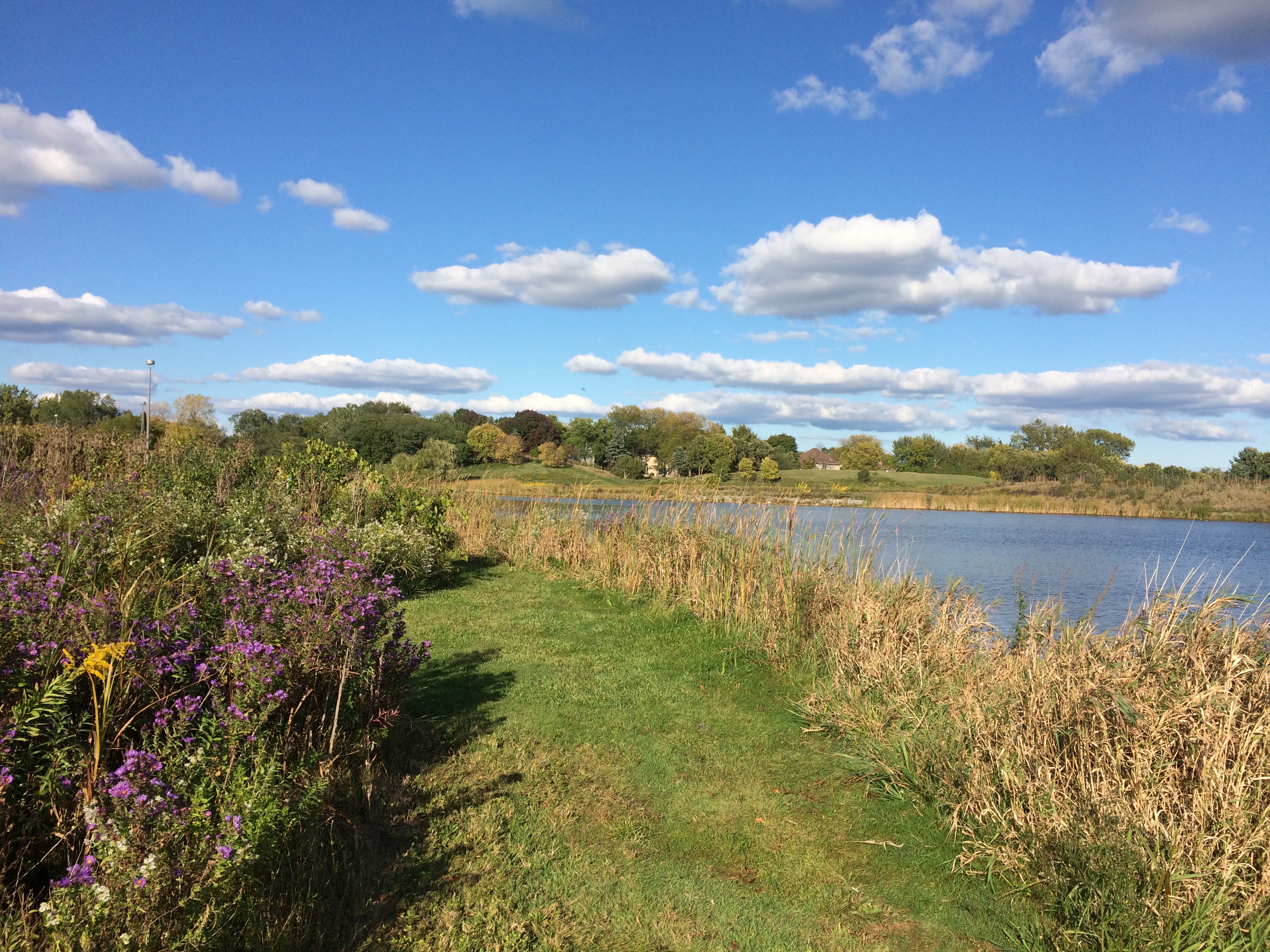
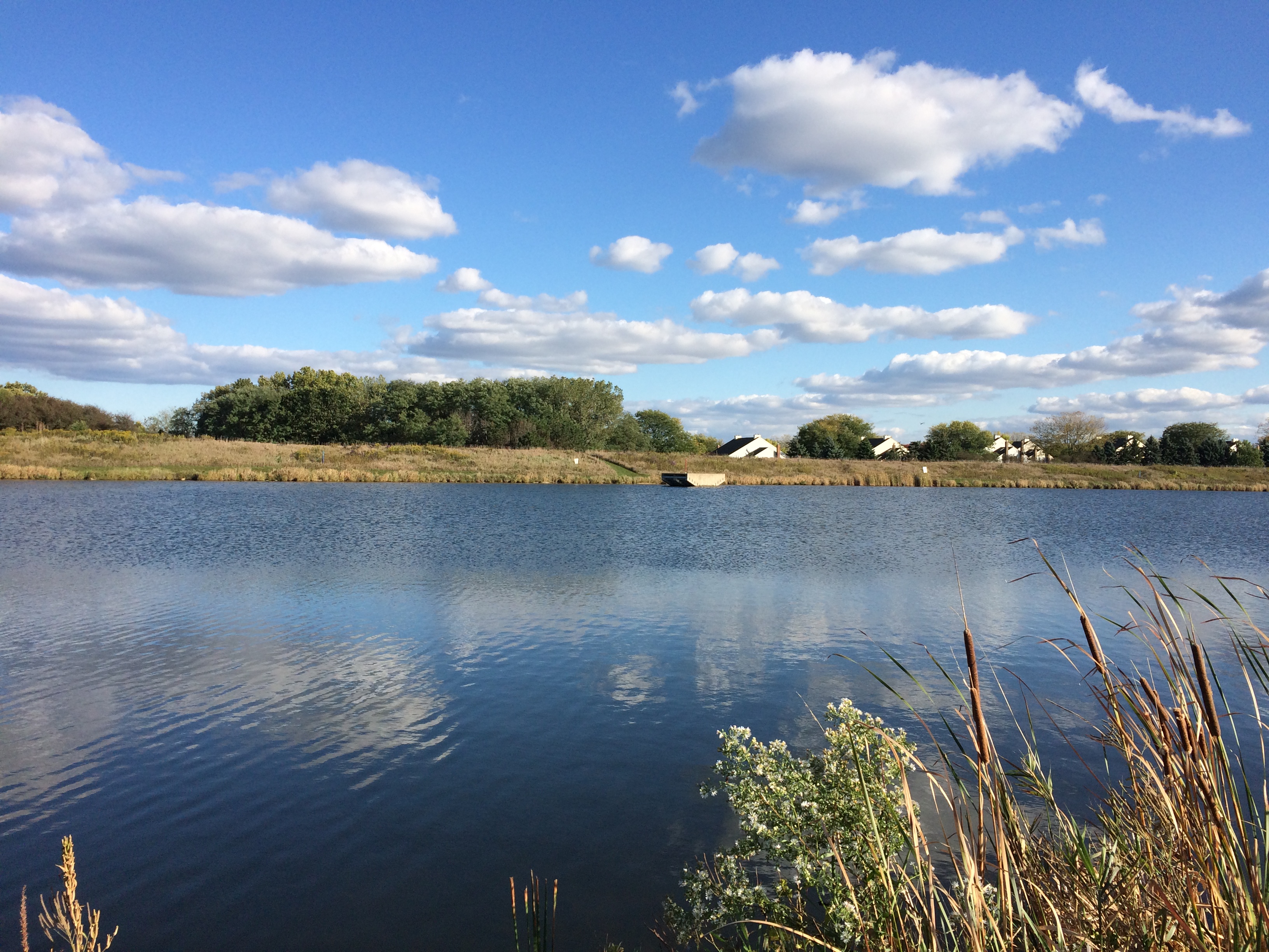
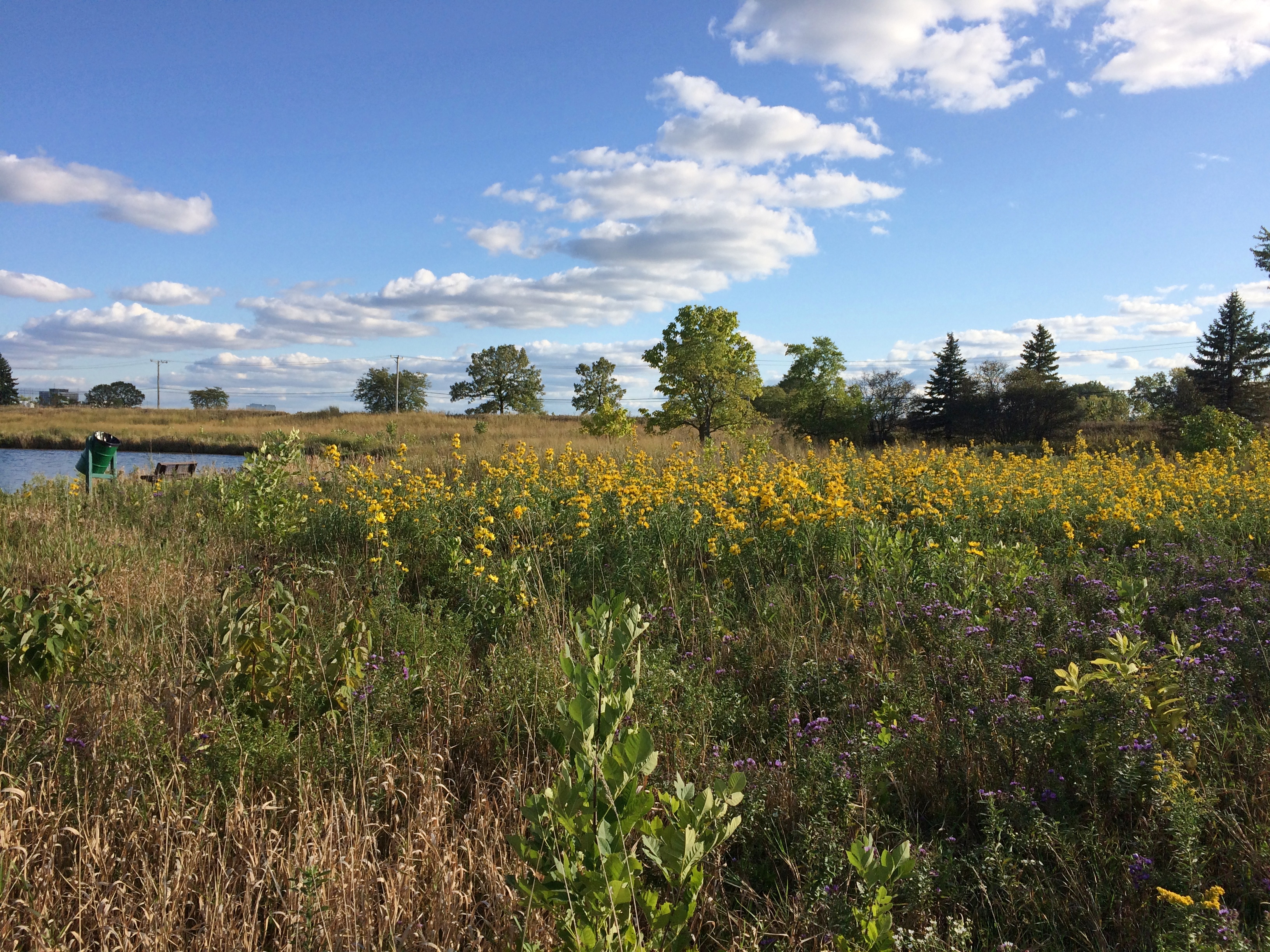
Gray Farm Park & Conservation Area

On Saturday, we had high heat and wall-of-water thick humidity. I woke to a bit of thunder on Sunday morning, followed mostly by drizzle. By Sunday afternoon, sunny conditions were back, but not so much heat. Or humidity. Chamber of commerce weather, as an old colleague of mine used to call it.

Today was a little hot for ideal c-of-c weather, but I like it. Cicadas have returned in the late afternoons, followed by just a hint of crickets after dark. We still have fireflies.

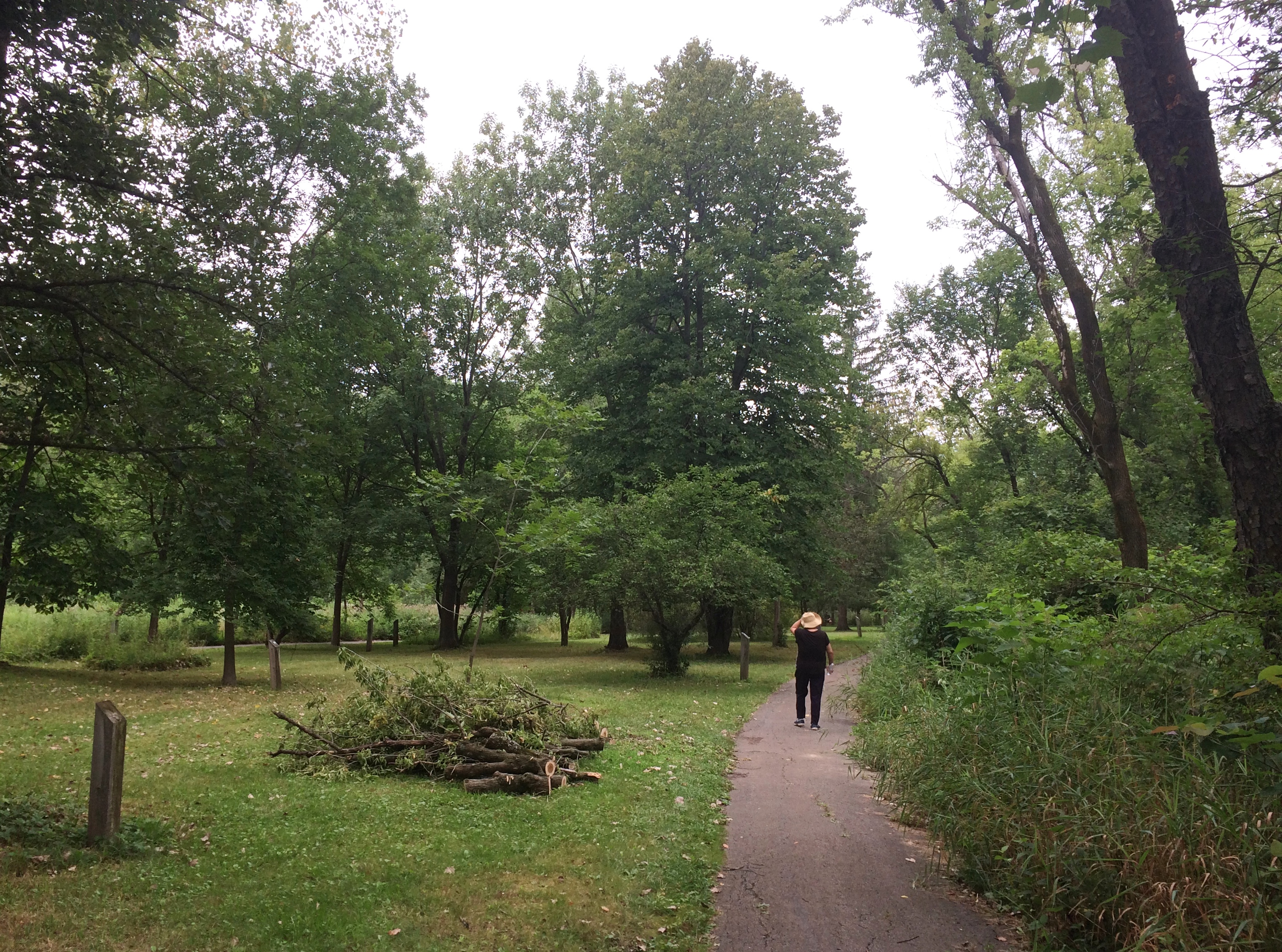
One late afternoon last week we went to Gray Farm Park & Conservation Area, which is 47 acres tucked away off any main street here in the northwest suburbs. Even though it has a large water feature, I expect it’s mostly unknown except to nearby residents.
Gray Farm Park & Conservation I know about it because I troll maps. The only kind of trolling I do. We entered the park from Cloverdale Lane, and then walked as far as the elementary school.
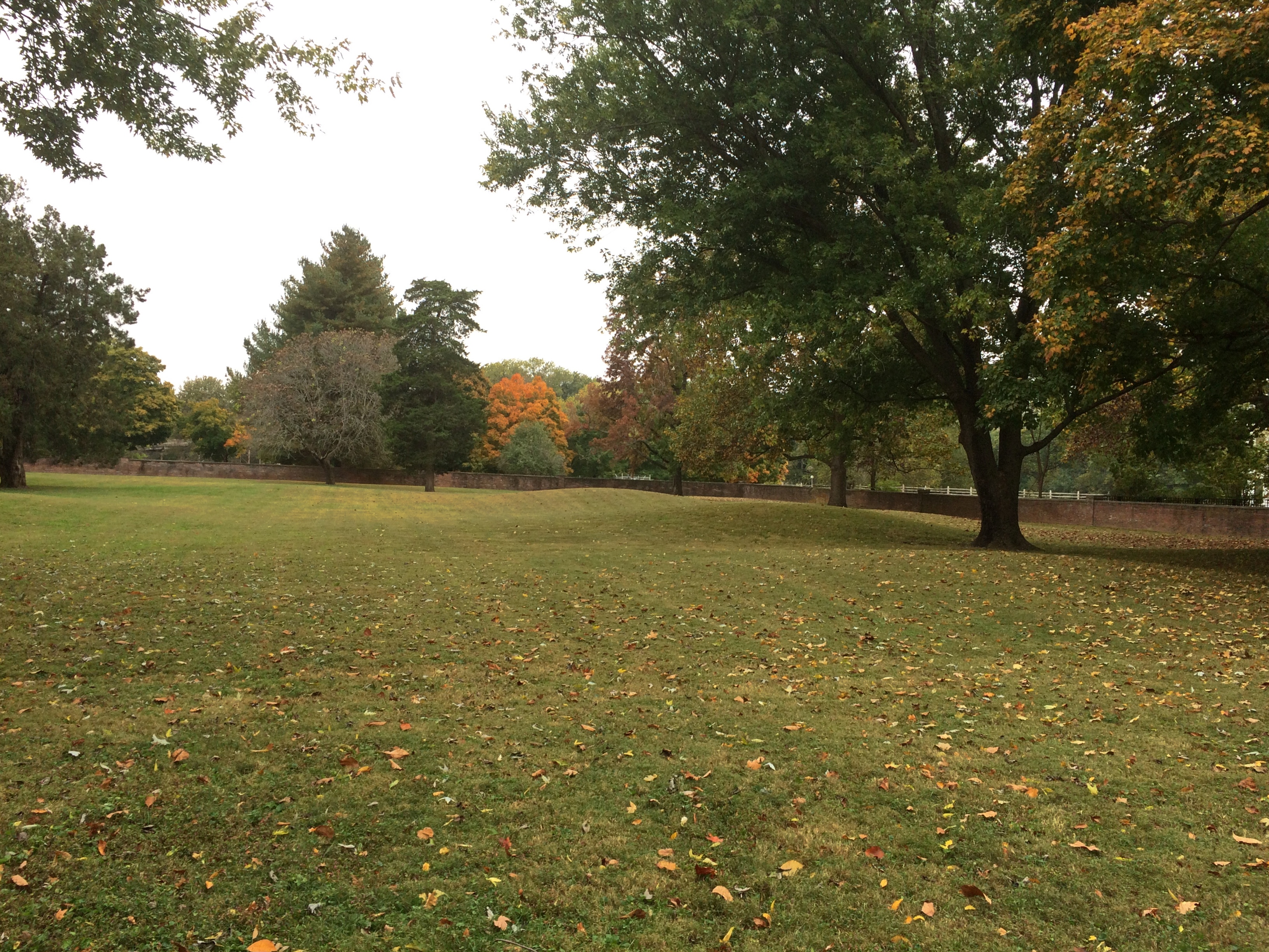
Gray Farm Park & Conservation AreaMuch of the park is an open field, though some is a long pond edged by metal bracing.
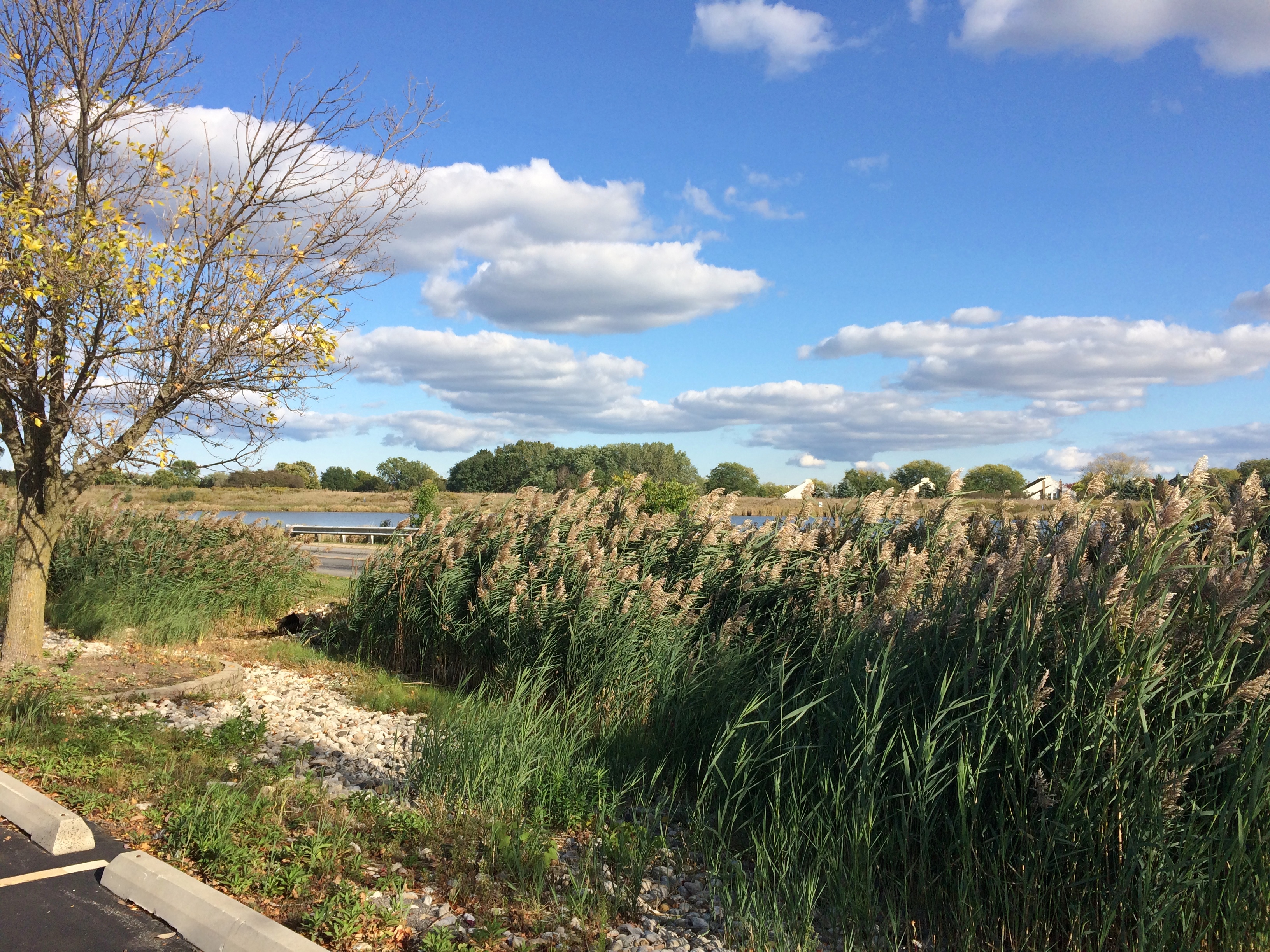
Gray Farm Park & Conservation Gray Farm Park & Conservation The conservation area — which is mostly large open-water cattail marsh — is behind tall grass this time of year.
Gray Farm Park & Conservation Though if you look carefully enough, you can find a path through the tall grass just behind the nearby elementary school. The path leads to a boardwalk.
Gray Farm Park & Conservation The boardwalk dead ends before long, but it does offer a view of the much larger pond — the cattail marsh. A grassy view, but a view all the same.
Gray Farm Park & Conservation AreaI’ve read that Gray Farm is a good place for bird watching. But my impulse to watch birds doesn’t go much beyond, hey, that’s an interesting-looking bird. What’s it called? I don’t know either. Never mind.

Beavers Attack! Olde Schaumburg Centre Park

Tucked off a busy northwest suburban street is Olde Schaumburg Centre Park. We were there not long ago just before sunset. Here in July, days are noticeably shorter, though not that much shorter yet.
Beavers Attack! Olde Schaumburg Centre ParkThough modest in scope, Olde Schaumburg Centre Park is a pleasant green space in the summer, and a lush wetland and wildlife preserve besides. The focus is a pond. That’s the wetland part of the equation.
Olde Schaumburg Centre ParkThere are trails and a gazebo. Schaumburg wouldn’t be a proper suburb without a public gazebo.
Olde Schaumburg Centre ParkPlus flourishes of flowers.
Olde Schaumburg Centre ParkAs for being a wildlife preserve, we saw clear evidence of beavers in the area.
Olde Schaumburg Centre ParkDoing what beavers do. Gnaw marks appeared on other trees, though no others were toppled. Does the village consider beavers a nuisance? They do seem to be attacking park trees, which take a long time to grow, but then again they might be a protected species in these parts.

The animals are a village concern, because the park is village property, not part of the Schaumburg Park District — something I didn’t realize until recently, despite all the years I’ve driven past the park.

The park is also part of a formally designated area called Olde Schaumburg Centre, which is an historic district: the OSC Overlay District, established in 1978. Much information about that and early Schaumburg has been published by the village community development department.

In the mid-19th century, the small farm village that would become a major Chicago suburb was known as Sarah’s Grove. Later, German farmers came in numbers, and Schaumburg schall et heiten!

The name Sarah’s Grove lingers. The subdivision across the street from in Olde Schaumburg Centre Park is called Sarah’s Grove, and so is a park district park near the subdivision.
Sarah's Grove ParkIt too focuses on a water feature, but without many trees or thickets.
Sarah's Grove ParkThough no one was there at that moment, I see people fishing at the pond pretty often.

Nike Park, Addison

What do I get for reading the likes of Atlas Obscura? Ideas about obscure places to go. Or to stop if I’m already nearby, because naturally some places are worth seeing, but not worth going to see, to paraphrase Dr. Johnson.

Not long ago I was near Nike Park in west suburban Addison, so I dropped by. It’s accessible via a short street tucked between two light industrial properties and lined with trucks, and as a park, it isn’t much to write about. At about seven acres, the park has a small baseball field, playground, picnic table and a portable toilet.

There’s also this.
Nike Park Addison
To quote Atlas Obscura: “Once part of a larger Nike Missile complex (Nike C-72), the Nike Park land was given over to the Addison Park District after the missiles, launchers, and most of the equipment was removed, and the site decommissioned.

“Unfortunately, no evidence of the launch site exists any longer, as it now part of the Fullerton County Forest Preserve. The radar installation and control tower located on the northwest end of the base, however, still stand in what is now Nike Park…”

As a Cold War relic, worth seeing, but not going to see, I’d say.

Effigy Mounds National Monument

Another holiday weekend, another pop up to Wisconsin for a short spell. Actually, Wisconsin and a small slice of Iowa — that being the main goal of the trip: Effigy Mounds National Monument, which is mostly in Allamakee County, Iowa’s northeastern-most county.
Effigy Mounds National MonumentThe 50-hour trip took us to Madison on Thursday evening to spend the first night, and from there to Prairie du Chien, Wisconsin and environs, where we stayed from late morning Friday to early afternoon Saturday. We returned home late Saturday afternoon, in time for Vietnamese takeout dinner at home — and to hear a July 4 neighborhood blasting of fireworks like none I’ve heard before.

Why Effigy Mounds and Prairie du Chien? Because I’ve seen those places on maps for years. I’ve read about them as well, of course, but spots on a map can be alluring in a way no mere textual description is. Come here, the spots say; come see what’s here.
Also, the rolling, verdant Driftless Area is a special place. I’ve only come to appreciate it in recent years.

A road trip at this moment in history is necessarily different than before. Gone for now are casual meals at restaurants picked on a whim, visits to intriguing local museums or wandering down busy small-town shopping/tourist streets and spending time in their specialty stores.

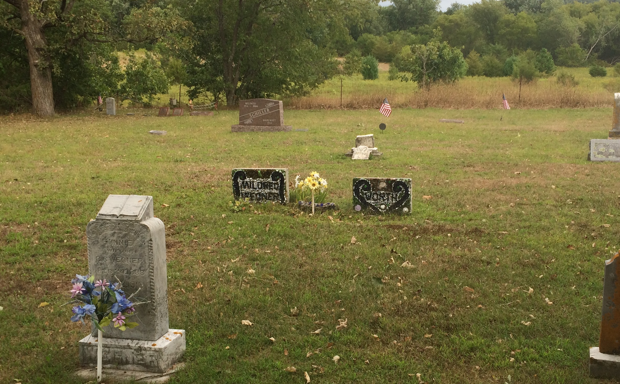
Now the trip means takeout — from the only Chinese restaurant in Prairie du Chien, for example — finding places where few people go (such as cemeteries) and generally spending your time outdoors, as we did on the trails of the national monument and a Wisconsin state park.

Or staying in your room. It so happened that on Friday night, some high school-vintage friends (two in this picture) invited me to a social Zoom, and I managed to figure out how I could attend using my phone. We had a good time.

We arrived at Effigy Mounds NM early Friday afternoon. Temps were high, about 90, and we were warned on a sign that the trail from the (closed) visitors center to the first fork involved a rise of about 350 feet.

I can’t say I wasn’t warned. Up we went.
Effigy Mounds National Monument
The shade moderated the heat some. I wore a hat — one I’d bought at Joshua Tree NP in February, where it was just as sunny but not as hot. I had water. I made progress through the winding green tunnels, resting often. Yuriko was soon far ahead.
Effigy Mounds National Monument
Eventually I could tell I was near the crest of the hill.
Effigy Mounds National Monument
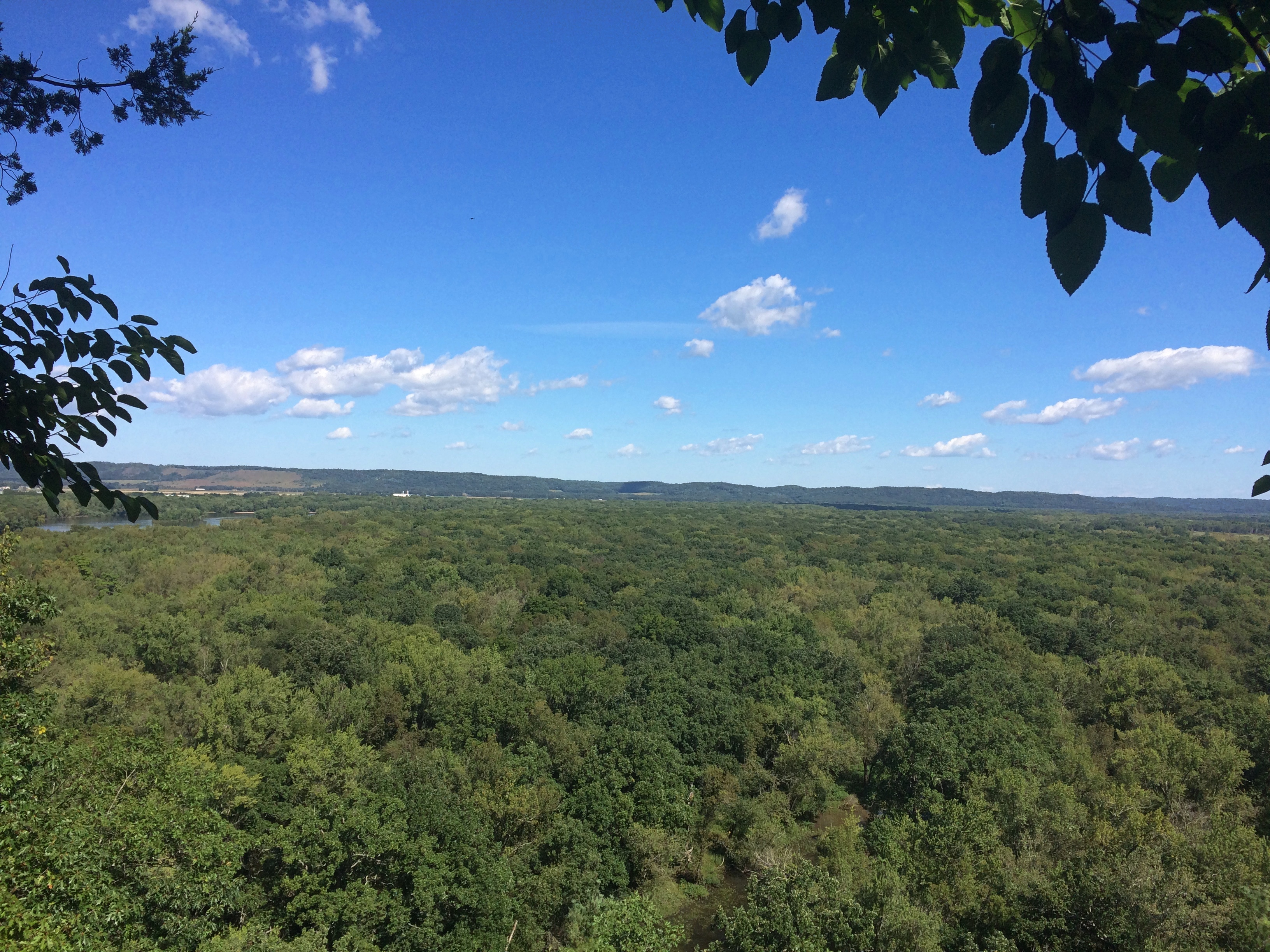
I don’t need a sign to tell me that. By that point, I was well tired. Just another thing I should have done 20 (30) years ago. Still, the vista was worth the effort: a view of the Mississippi, looking southeast, from a spot called Fire Point. Prairie du Chien is in the distance.
Effigy Mounds National Monument
Due east: party boats gathered on the river for July 3.
Effigy Mounds National Monument
Besides a nice vista, Fire Point featured a collection of mounds. Larger —
Effigy Mounds National Monument
— and a row of smaller ones.
Effigy Mounds National Monument

Something inspired the peoples who lived here to reshape the ground into recognizable forms. Recognizable, but you need to squint a little. Not nearly as recognizable in simple photos, unfortunately.

Not far from Fire Point is Great Bear Mound. Probably best visible from above, though park management helpfully trimmed the grass to make the shape a little easier to see from ground level, and you do see it — but it’s also good to bring a little historical imagination to the task. (As it is even in highly visible places.)Effigy Mounds National Monument - Big BearI expect these mounds survived farming and other depredations of the 19th century because the land was too steep to farm or even harvest timber. President Truman created the monument, which protects 206 mounds, in 1949.

“The Late Woodland Period (1400-750 B.P.) along the Upper Mississippi River and extending east to Lake Michigan is associated with the culture known today as the Effigy Moundbuilders,” notes the NPS. “The construction of effigy mounds was a regional cultural phenomenon. Mounds of earth in the shapes of birds, bear, deer, bison, lynx, turtle, panther or water spirit are the most common images…

“The Effigy Moundbuilders also built linear or long rectangular mounds that were used for ceremonial purposes that remain a mystery. Some archeologists believe they were built to mark celestial events or seasonal observances. Others speculate they were constructed as territorial markers or as boundaries between groups.”

Why did Moundbuilders build mounts? The answer is dunno even among modern experts. They had their reasons. The mists of time are pretty thick in the hills of the Driftless Area.

Fabbrini Park

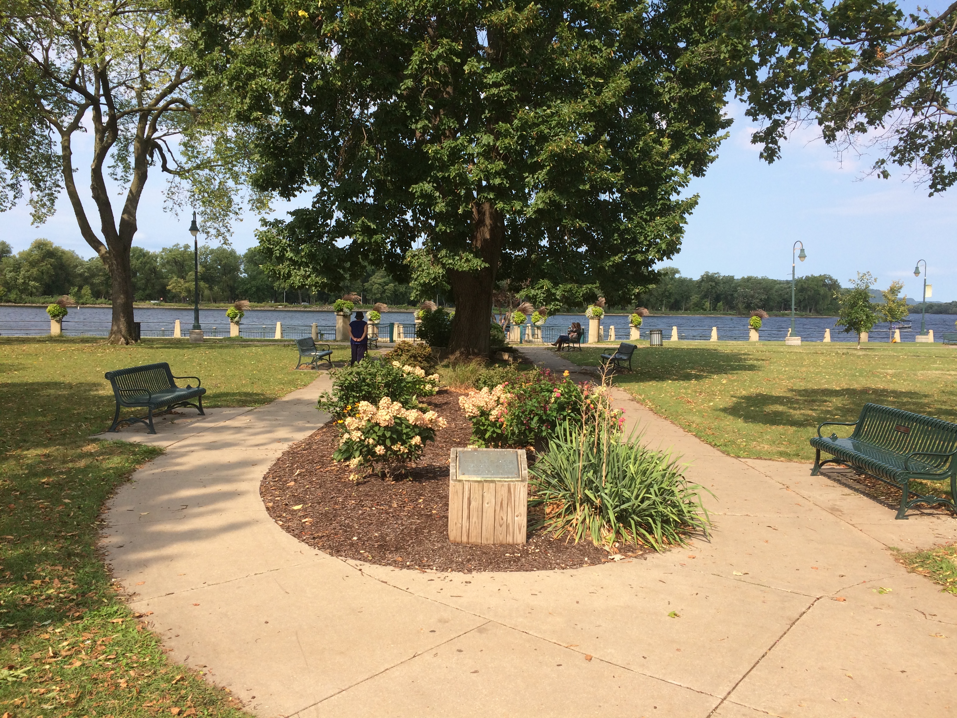
Yesterday after dinner we headed over to Joseph L. Fabbrini Park for a walk around its large ponds. As part of the Hoffman Estates Park District, it isn’t that far from where we live, but even so we go there only about once a year.

When the girls were smaller, we took them to this park more often, for its extensive playground equipment. It was known as Highpoint Park back then. When was the name changed? Who was Fabbrini? A plaque on a boulder near the park entrance, facing away from the setting sun when I saw it, told me: 2015 to answer the first question; a founder of the park district for the second.
Fabbrini Park
Besides the playgrounds and a walking/running path around the water features, the park also features a soccer field and a softball field, a place for volleyball, and tennis courts and pickleball courts. Lilly pointed out the pickleball courts. It isn’t anything I’ve ever played, or was more than vaguely aware of, but she played it in school.

Naturally, I had to look it up later. I didn’t get much further than this site. It tells us — breathlessly — that “as the fastest growing sport in the United States and gaining momentum around the world, you’ve either become hooked on Pickleball or are about to be!”

Nah. Beyond the sports facilities are nice views of the ponds.Fabbrini Park

Fabbrini Park

Fabbrini Park
As the path takes you around. We walked a total of about 1.8 miles around both ponds.
Fabbrini Park
Enormous trees tower over the ponds in some places. Willows, especially.
Fabbrini Park
The dog was more interested in flora closer to the ground.
Fabbrini Park
A light snack for her.

Spring Valley Flowers, June ’20

After dinner yesterday, we went to Spring Valley (in full, Spring Valley Nature Center & Heritage Farm). Temps had been about 90 during the afternoon, but were down by early evening. Our goal was the peony field. It blooms only for a few days.

Plenty of other flora along the walk to the field. No surprise this time of year.We arrived at the field to find not many peonies blooming just yet. But there were some in front of the nearby cabin.
We saw many more buds ahead of a full bloom.Spring Valley PeonyGuess the ants get some sustenance from the flower, without bothering it too much.

Salado Creek Greenway, February 2015

Late February’s a good time to visit South Texas. Five years ago, during a trip to San Antonio, I was even able to enjoy some outdoor greenery. Just budding, but there.
I took a walk along part of the Salado Creek Greenway.

Salado Creek Greenway San Antonio

Any day in February when you can wander out in the non-freezing air is a good one. At least for us Northern Hemisphere, Temperate Zone dwellers. Roughly above the 40th parallel, that is. How’s that for overqualifying? Never mind, it was a good walk.

Salado Creek Greenway San AntonioSalado Creek Greenway San Antonio

Salado Creek Greenway San Antonio

Speaking of latitude, the Tobin Trailhead of the Salado Creek Greenway is —

Salado Creek Greenway San Antonio

— at exactly 29.51512 N (and 98.42812 W).

Millennium Park Skating Rink ’19

Walkabouts in Chicago aren’t so bad in December as long as temps hover above freezing and the wind isn’t too strong. Those are the conditions we had over the weekend, so we spent a while downtown. Took a look at the Millennium Park Christmas tree.
Millennium Park ChicagoWe wandered past the skating rink, just below the Bean.
Millennium Park Chicago

The rink is also in shadow of much larger structures.
Millennium Park ChicagoEarlier, on a street a few blocks to the west, a family asked me directions to the Bean. I think I gave them good directions. I’m glad that even in the age of Google Maps — a really good urban navigation aid — people are still asking other people for directions.

Divers Michigan Bridges

Since the air was still warm and we had a dog with us, much of the recent Michigan trip involved outdoor destinations. The first of these was a modest yet remarkable park outside Battle Creek, the Historic Bridge Park in Calhoun County. The park is on the North Branch of the Kalamazoo River, near where it passes under I-94. I’ve driven by many times without a clue that it was there.
The riverside part of the park is pretty.
Historic Bridge ParkBut it was the historic bridges, assembled here from other parts of Michigan, that we came to see. A superb collection of Machine Age structures, but that didn’t dawn on me until I’d walked over some of them. Such as the 133rd Avenue Bridge, originally located in Allegan County and built in 1887.
Historic Bridge ParkA bridge originally on the Charlotte Highway in Ionia County, built in 1886.
Historic Bridge ParkThe 20 Mile Road Bridge, originally in Calhoun County, dating from 1906.
Historic Bridge ParkThe Gale Road Bridge from Ingham County, built in 1897.
Historic Bridge Park“The park allows metal truss bridges that have become insufficient for their original location to be preserved for their historic and aesthetic value…” says HistoricBridges.org. “Historic Bridge Park is the first of its kind in the entire United States.”

“The restoration of the metal truss bridges in the park was directed by Vern Mesler with the support of Dennis Randolph, former Managing Director of what was then called the Calhoun County Road Commission.

“They carried out the restoration with an unprecedented attention paid to maintaining as much of the the original bridge material as possible, and exactly replicating any parts that required replacement. For example, during restoration, failed rivets on the bridges were replaced with rivets, not modern high strength bolts. The bridges in Historic Bridge Park represent some of the best metal truss bridge restoration work to be found in the country.”

The park also features a sizable iron sculpture.
Historic Bridge ParkA nearby plaque says “Historic Bridge Park Sculpture Project, 2002.” Sculptor, Vernon J. Mesler, who must be the Vern mentioned above, and the fellow who did this specialized article.

A cool bit of work.
Historic Bridge ParkHistoric Bridge ParkIn Midland, Michigan, about a block from Main Street, is the Tridge.
Midland TridgeMidland TridgeIt’s a three-way bridge where the Chippewa River flows into the Tittabawassee River, first opened in 1981 and renovated a few years ago, which might be why it looked fairly new. The brainchild of the nonprofit Midland Area Community Foundation — note the tri-bridge-like drawing over its name — the local Gerace Construction erected the structure, information about which is at its web site.

This kind of Y bridge isn’t that common, though there are some here and there in the world, including two others in Michigan, in Brighton and Ypsilanti. Maybe Michigan has an affinity for odd vectors. This is the state of the Michigan left, after all.

At the Dow Gardens in Midland, a pedestrian bridge over St. Andrews Rd. connects the gardens proper with the Whiting Forest, a later addition to the garden.

One of the attractions of the Whiting Forest is its canopy walk. At 1,400 feet long, Dow Gardens assets that it’s the nation’s longest canopy walk. While technically not a bridge — or at least it’s a bridge to nowhere — the walkway does get as high as 40 feet above the ground. There are no stairs to climb. The walkway starts at ground level and rises gradually as it meanders through the forest.

Whiting Forest Canopy WalkWhiting Forest Canopy WalkWhiting Forest Canopy WalkThe view from the end of one of the three arms of the canopy walk.
Whiting Forest Canopy WalkSome views from below.
Whiting Forest Canopy WalkWhiting Forest Canopy WalkThe skies at that moment were overcast and there had been a little rain earlier, but nothing violent. Bet the canopy’s a thrilling spot to find yourself during an intense thunderstorm. I’m sure people would do it, if Dow Gardens would let them go there, which I’m sure it doesn’t.

The Lost Lincoln Park Cemetery

Back again on September 3 after the long weekend. But not long enough. They never are.

That southern Lincoln Park used to be a cemetery in Chicago’s earliest days, before the apotheosis of the man from Springfield, wasn’t news to me. I’m pretty sure I read about it during my own early days in Chicago.

The last burial there was in 1866, and soon the graves were moved to “rural” cemeteries like Graceland. Except that bones still turn up from time to time in this part of the park. Wonder if that’s common knowledge among the recreational sports players in the park. Signs posted nearby explain these things, but who reads them?
City Cemetery Chicago-Lincoln Park nowCity Cemetery Chicago-Lincoln Park nowActually, more than signs. Not far from the Chicago History Museum is the sole remaining mausoleum from the cemetery period, the Couch Tomb.

Couch Tomb ChicagoIn “Hidden Truths: The Chicago City Cemetery and Lincoln Park,” artist Pamela Bannos notes the following about the Couch Tomb: “As a part of Hidden Truths, I have asserted that the Couch family tomb is the oldest structure left standing in the Chicago Fire zone. This stone vault has stood in place since it was built on-site in 1858.

“It was this conspicuous vestige from the City Cemetery that initiated this project. During informal polling of friends and acquaintances living in Chicago, I was surprised to learn that many who exited Lake Shore Drive, driving through Lincoln Park, had not noticed the family mausoleum.”

Ira Couch was an early Chicago millionaire who died in 1857. He’s likely in the tomb, along with family members, though that isn’t quite certain. A discussion of that question and much more are included in the Hidden Truths web site.

Most intriguing is why the tomb is still there. Bannos’ best guess, and I will go along with it, is that it was too expensive to move. Plant a few trees around it and before long, no one notices. That’s exactly what has happened.