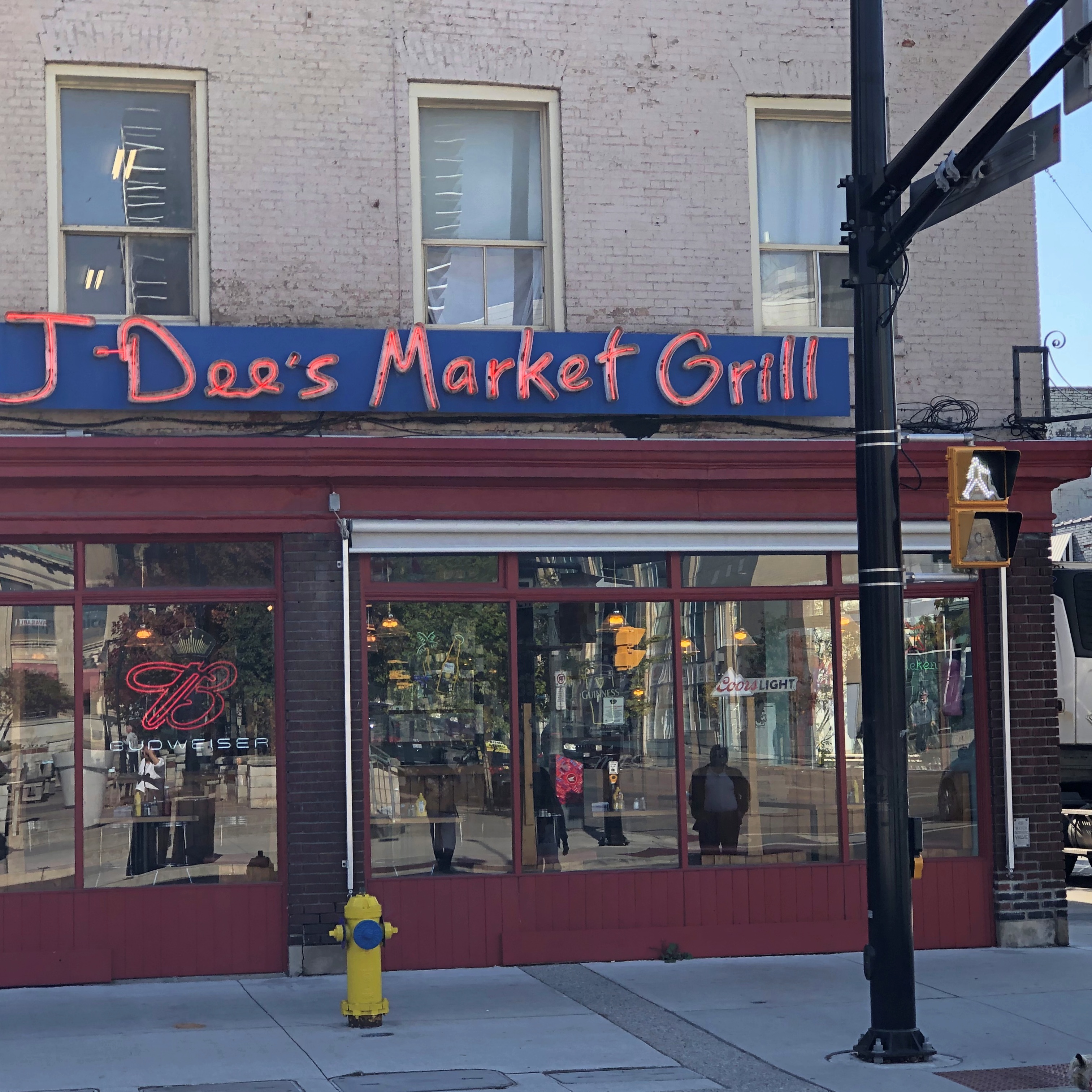
Thursday Leftovers

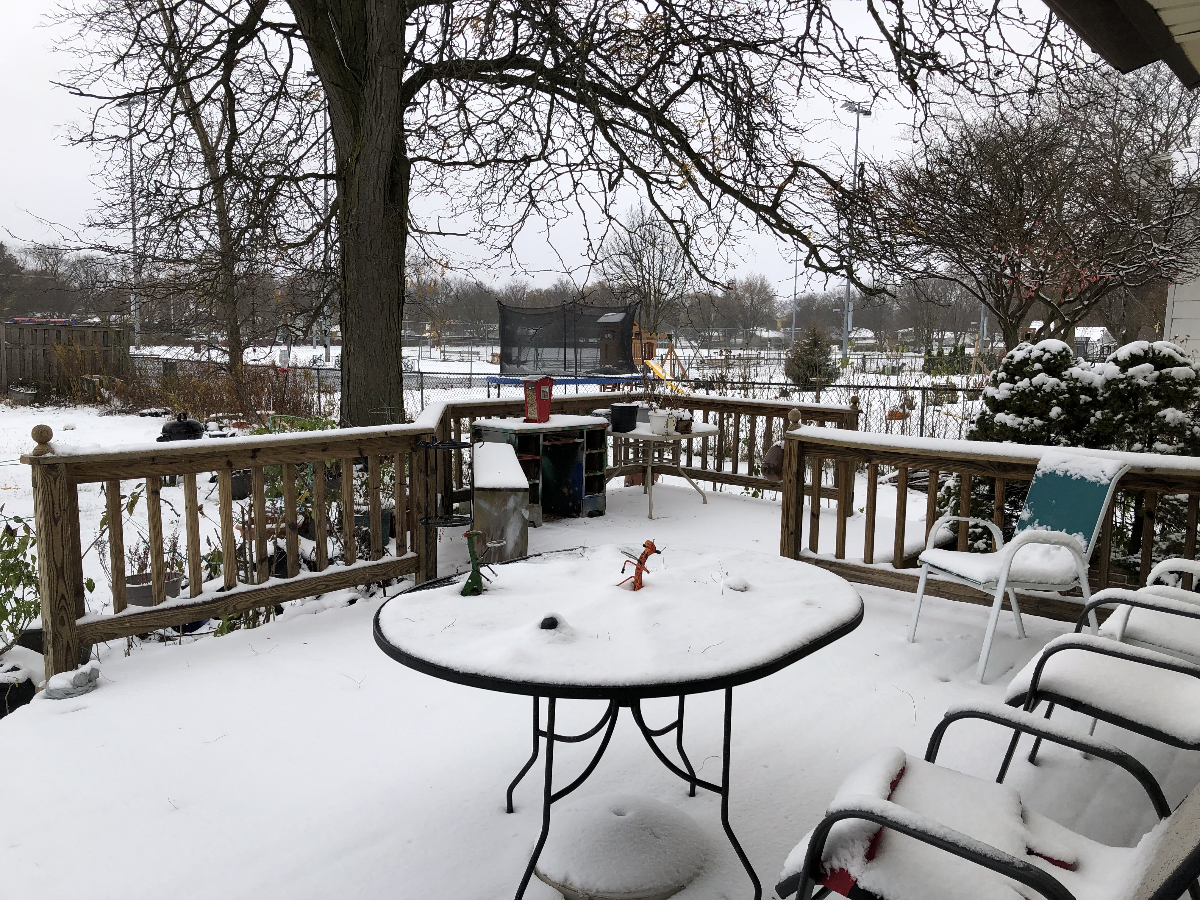
Sure enough, a dusting of snow stuck overnight. It won’t last, but what does?

Regards for Thanksgiving. Back to posting around December 1, which can claim to be the start of winter, in as much as a single day can.

The figgy pudding Yuriko made on Sunday. Much of it is gone now, but Ann will be able to sample it when she’s back for the holiday. Bet she’ll be glad for the opportunity.

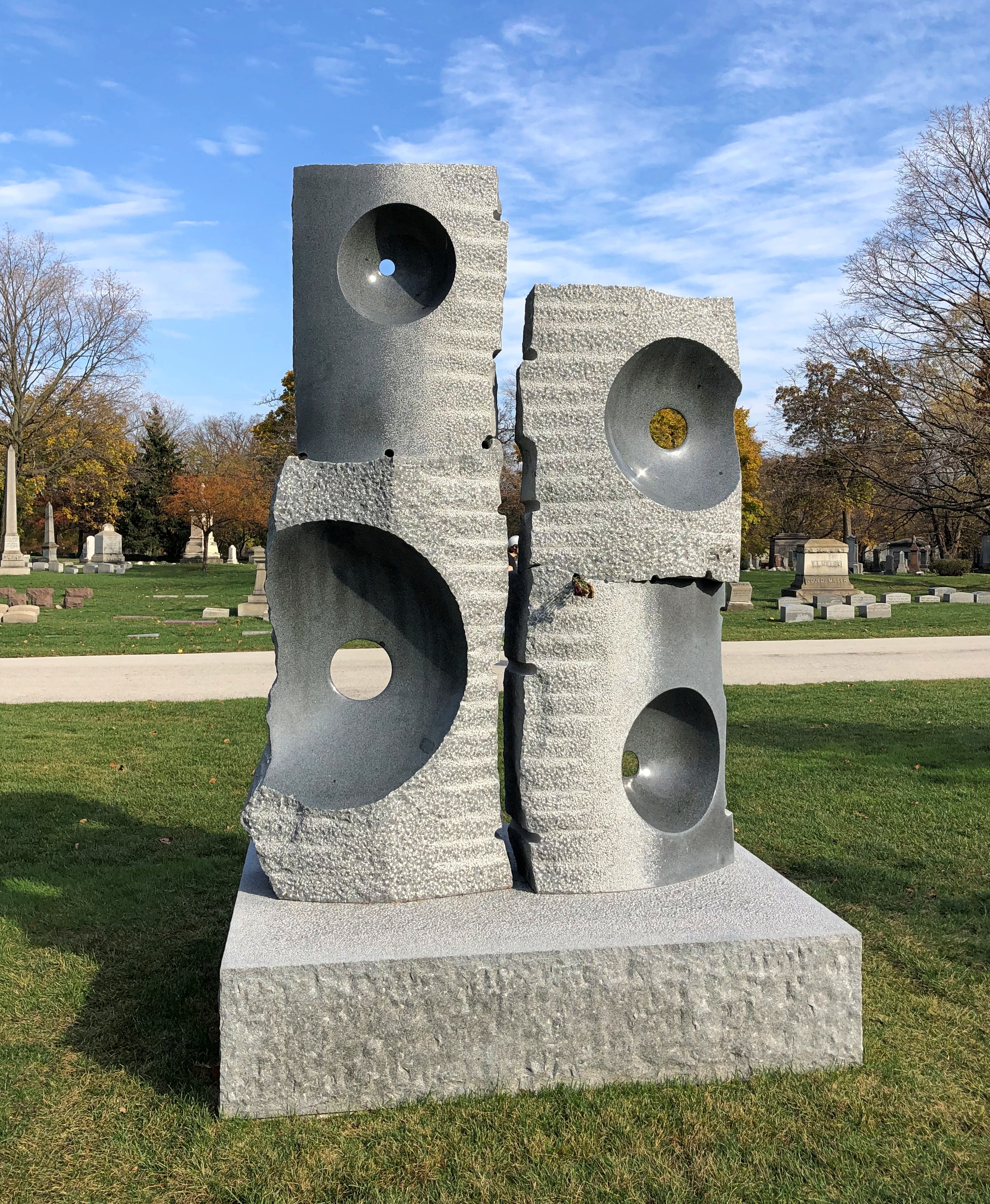
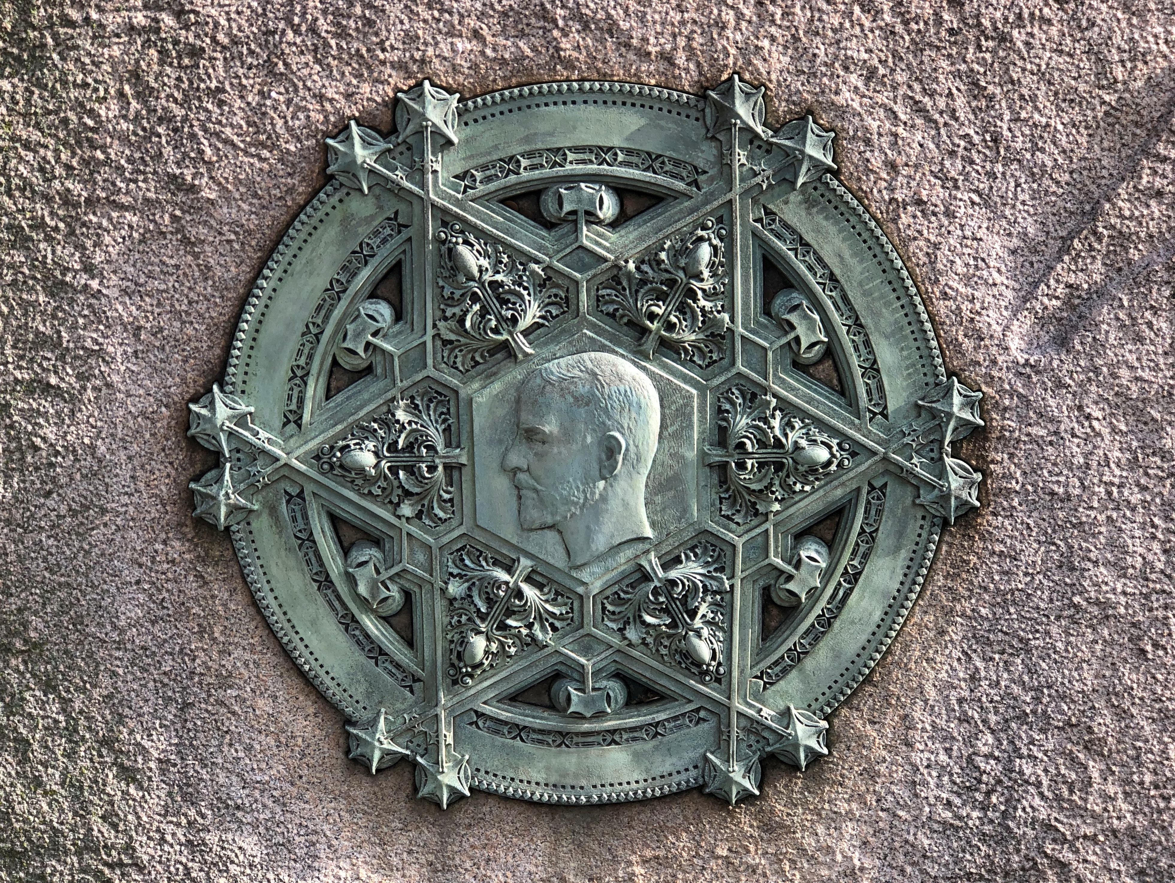
A stone at Graceland Cemetery last Sunday.Graceland Cemetery, Chicago

No name on it, except “Asano,” which I take to mean this is a work of Hiroyuki Asano, not a stone memorializing him, since he seems to still be alive. Maybe he’s planning ahead for his presence in Graceland, which I believe in the undertaker biz would count as “preneed.” (Pre-need?)

Or it could be a memorial for someone who didn’t want their name on it. That’s unusual, but not unknown: Erma Bombeck’s boulder in Dayton comes to mind. Or, the person who commissioned Asano’s piece at Graceland is also still alive, details to be added later.

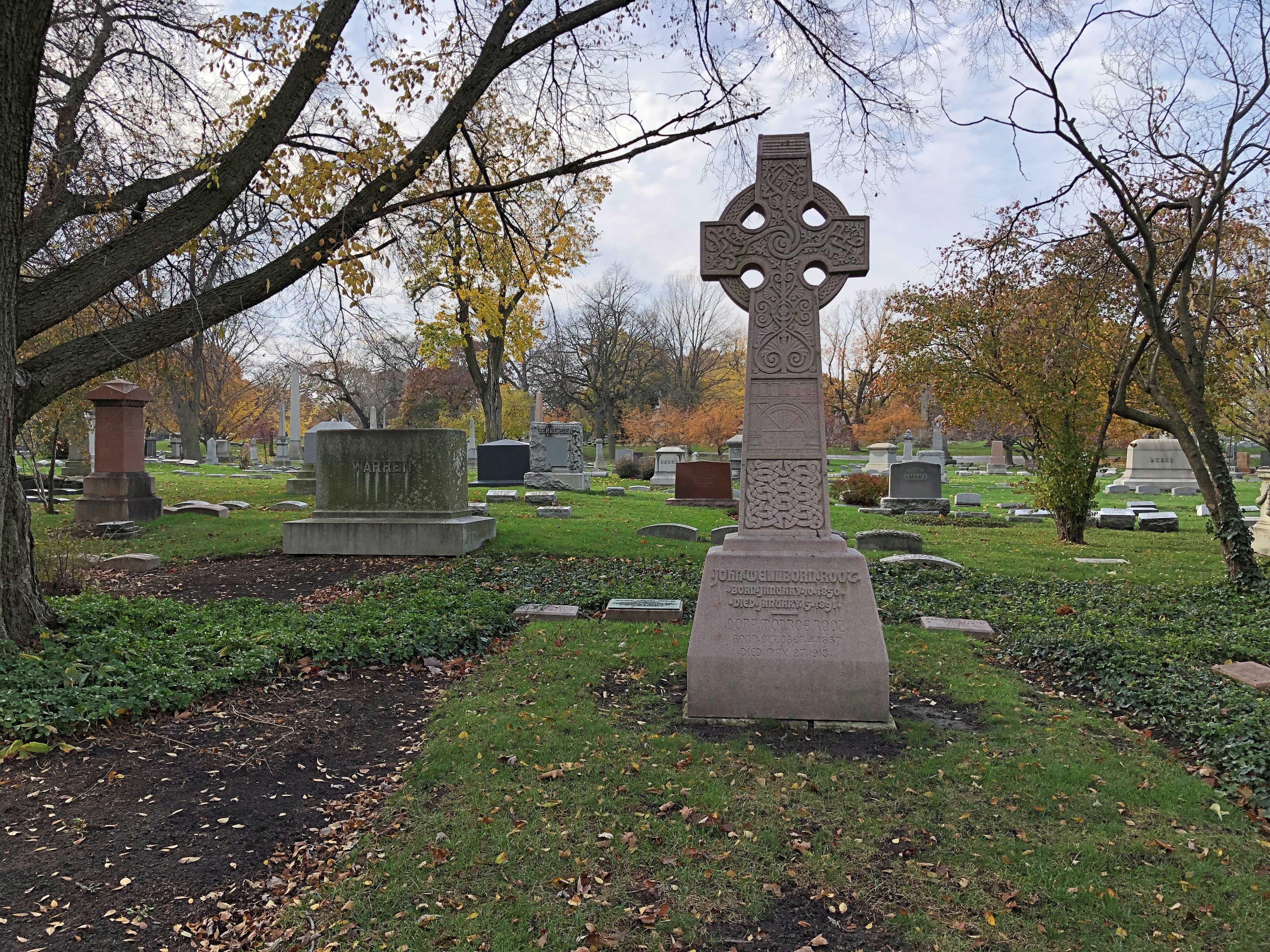
John Welborn Root, Chicago architect (d. 1891). Forgot to post him.Graceland Cemetery, Chicago

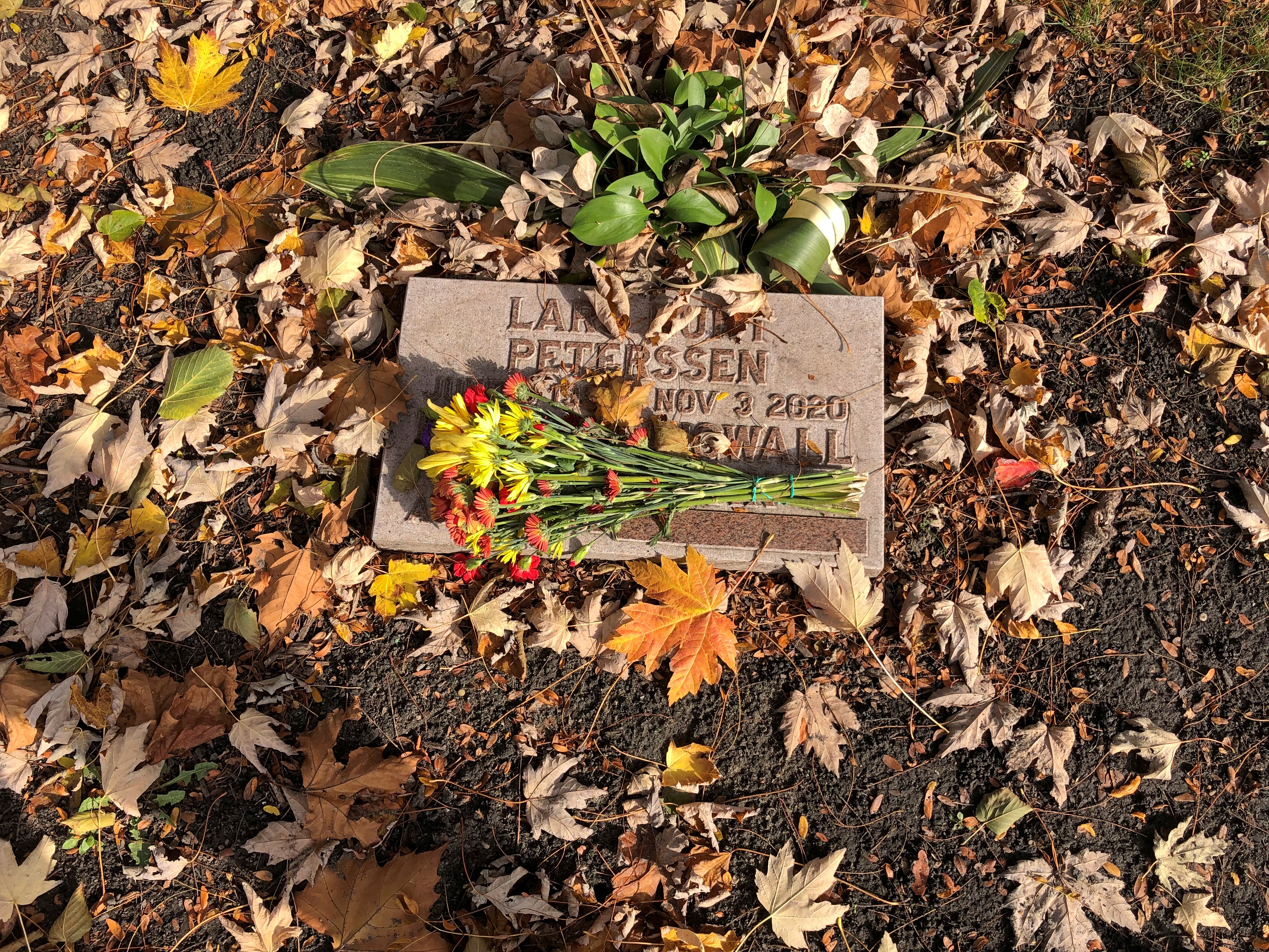
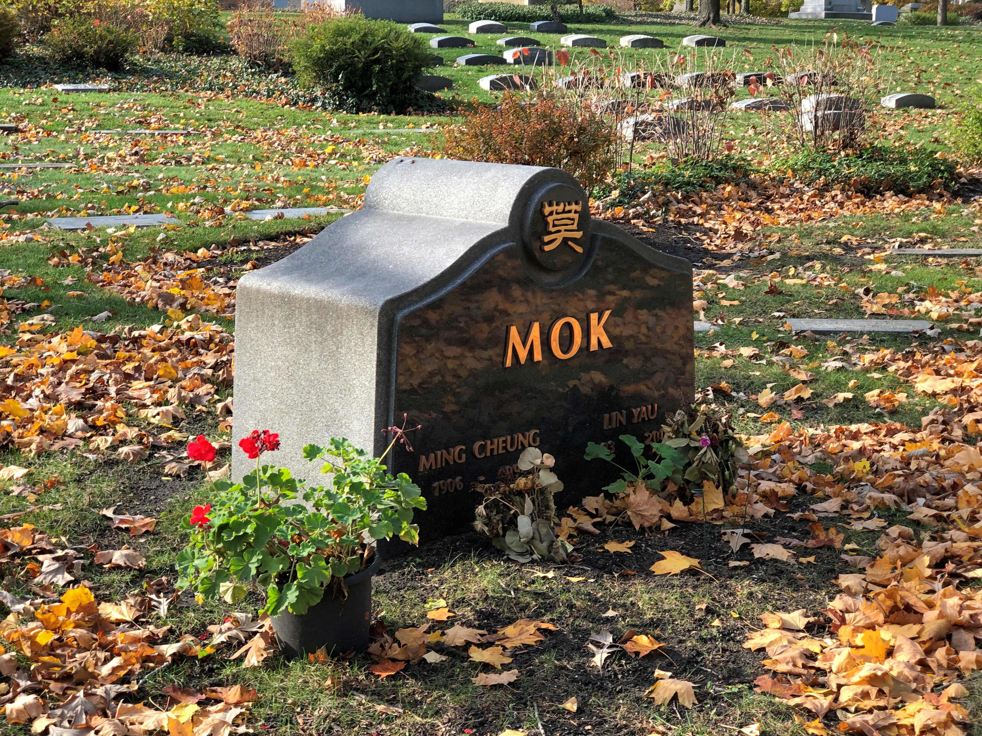
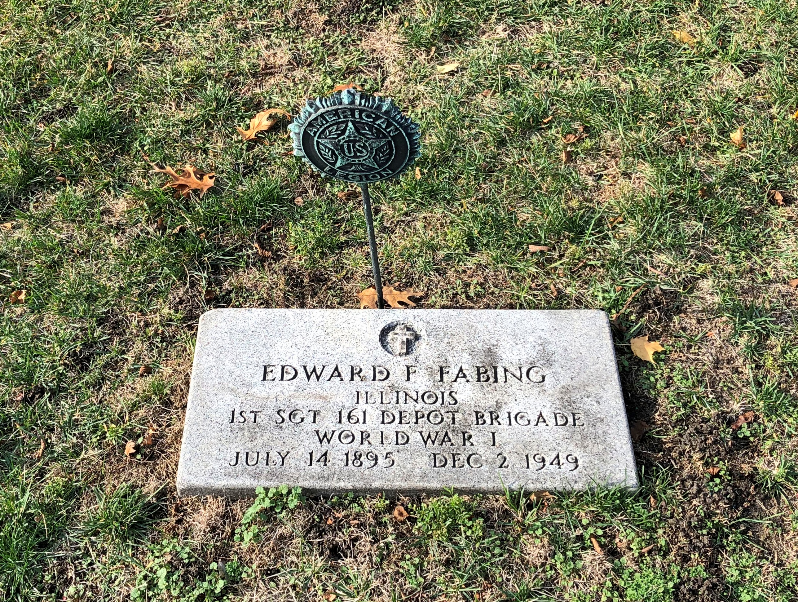
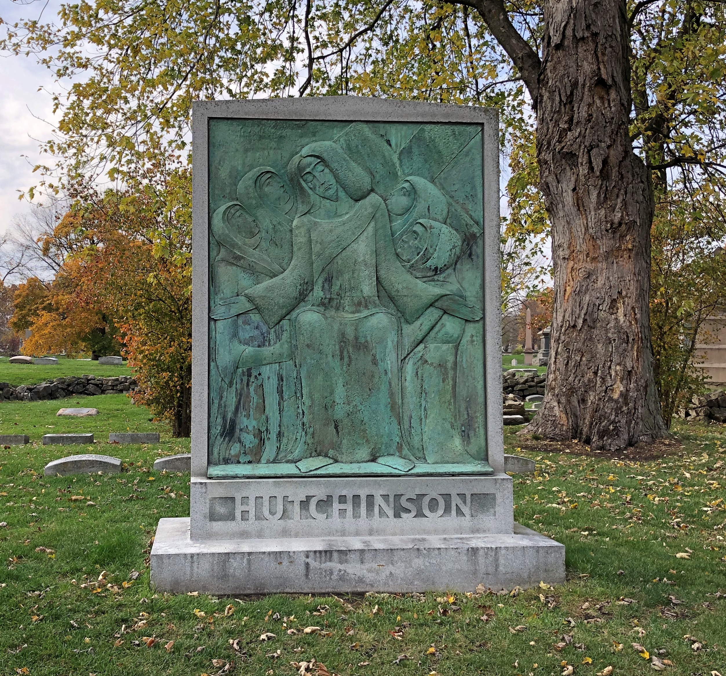
In my efforts to see stones for well-known people, I also almost forgot to take a look at more ordinary folk. Almost, but not quite.Graceland Cemetery, Chicago Graceland Cemetery, Chicago Graceland Cemetery, ChicagoGraceland Cemetery, Chicago

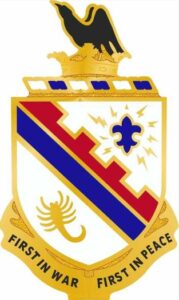
FamilySearch tells me (footnote numbers removed; but there were eight of them for a single paragraph) about the 161 Depot Brigade. It also features the unit patch, which is to the right.

Secretary of War Newton Baker authorized Major General Samuel Sturgis to organize the 161 Depot Brigade, an element of the 87th Division (National Army). It was later detached and placed directly under Camp Pike, Arkansas, as an independent unit.

The brigade filled two purposes: one was to train replacements for the American Expeditionary Forces (AEF); the other was to act as a receiving unit for men sent to camps by local draft boards. During most of 1918, the brigade was commanded by Brigadier General Frederick B. Shaw.

A different sort of memorial, in a different place – a nearby park that we visit often. We’d noticed Jake “The Snake” Popp’s bench before. Looks like people who remember The Snake fondly decorated his bench for the fall.

In the same park, a lamppost, ready to do its job.

On the post, a sign says it is a product of Traditional Concrete Inc., of Menomonee Falls, Wisconsin. Guess that name stresses the long-lasting — and traditional — material that goes into the company’s product, which is fine. But if I started a lamppost company, it would be Fiat Lux Inc.

Graceland Cemetery: The Stones

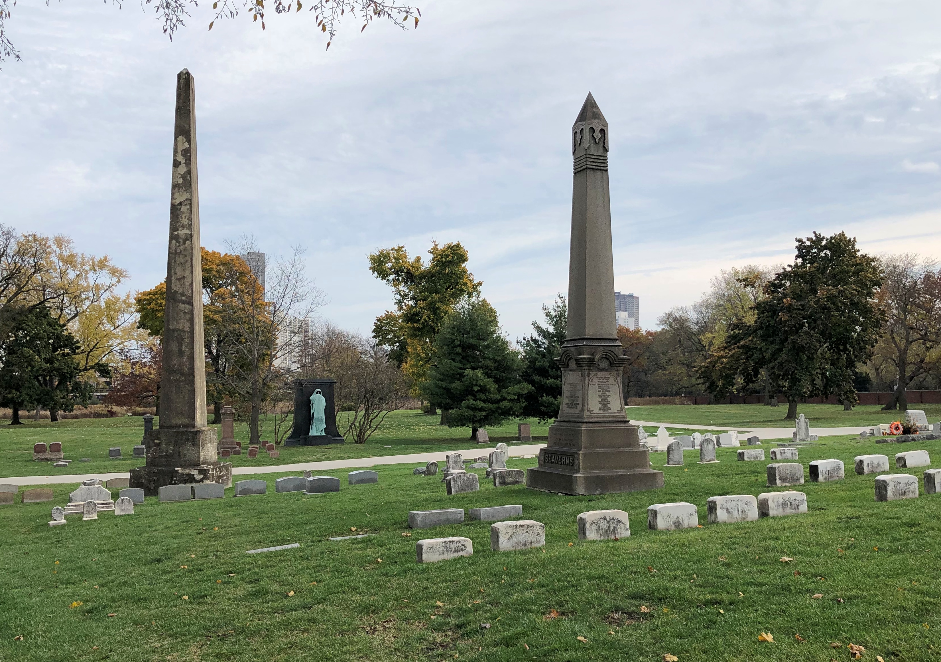
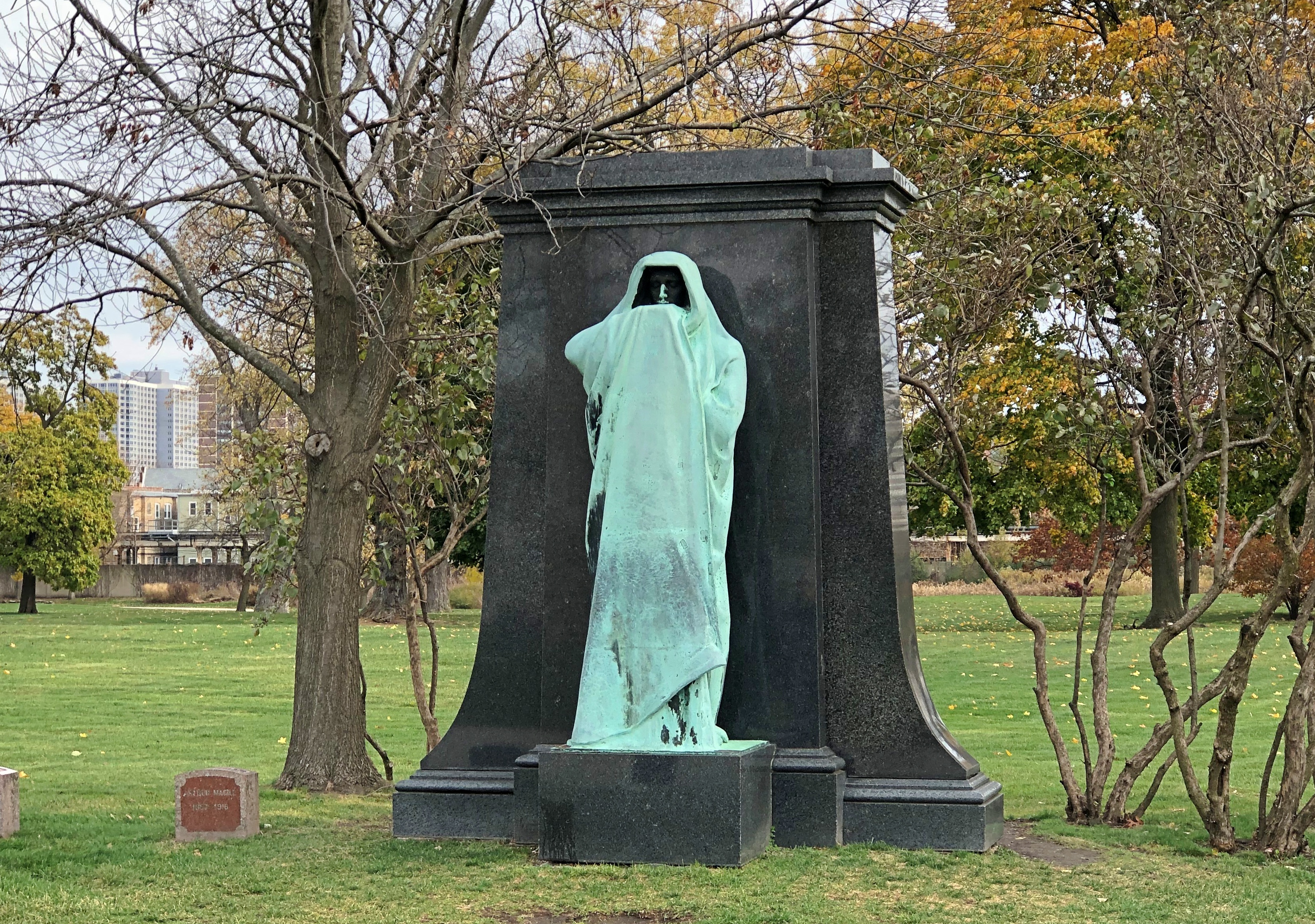
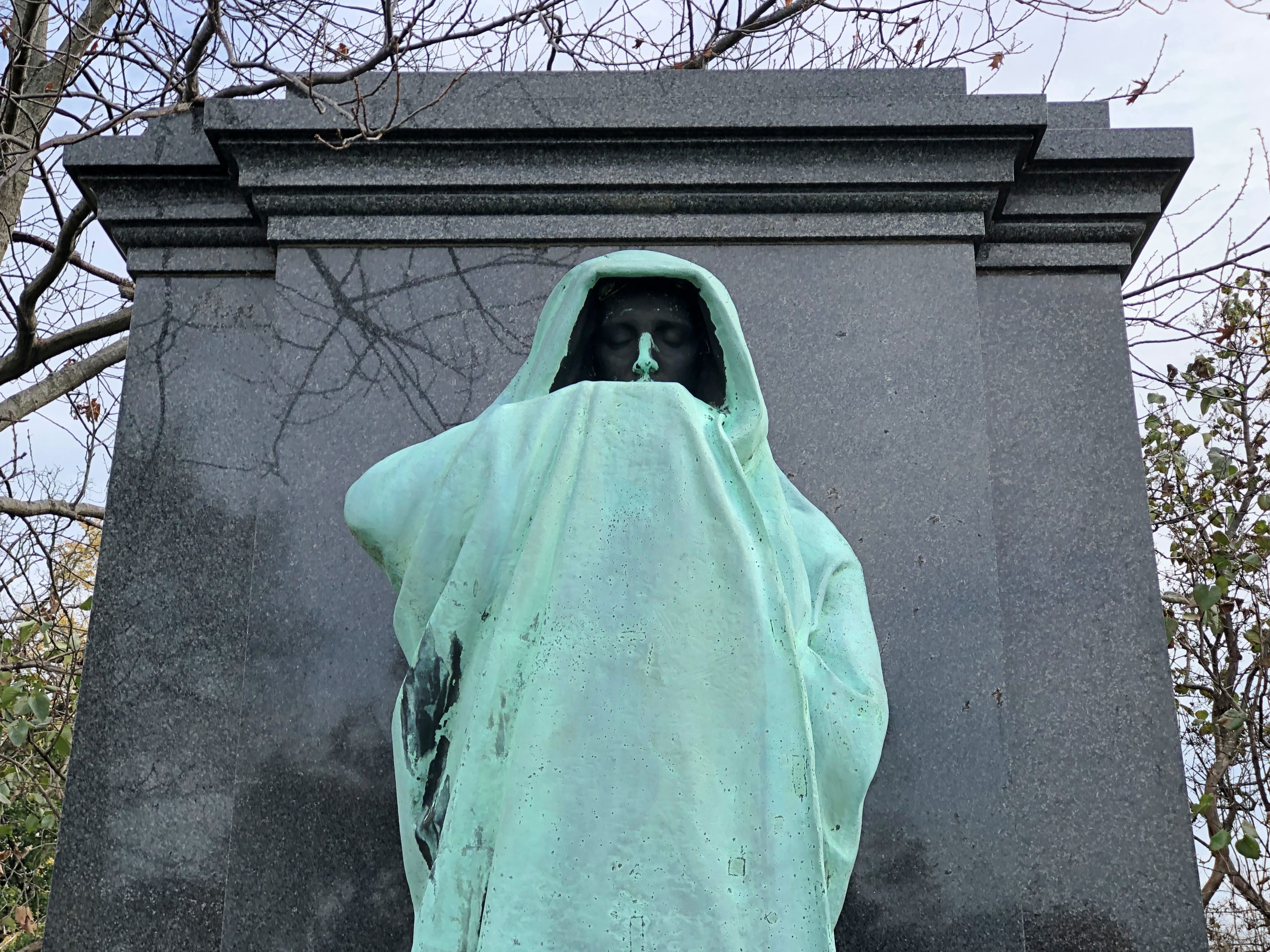
No point in burying the lead (haw, haw): among all the memorials at Graceland Cemetery in Chicago, Dexter Graves’ stone surely gets the most attention. For one thing, it stands out at a distance.Graceland Cemetery, Chicago Graceland Cemetery, Chicago Graceland Cemetery, Chicago

Safe to say that the memorial, including a haunting bronze figure called “Eternal Silence,” is better known than Dexter Graves himself. Graves was a Chicago pioneer, settling in the area in 1833, when the place was little more than a marshy spot near the Chicago River. He died in 1845, with reinternment and the memorial coming much later at the behest of an elderly son of his, who is buried there too – in 1909, by which time Chicago was a vast metropolis that probably would have astonished Graves.

Lorado Taft created the sculpture, and while I made images of it standing alone, soon a small group of French tourists came by for a look, including posing with it for pictures. Since the work is near the cemetery’s only entrance, I came back again before I left for another look, and that time an American couple, about my age, were there. The woman asked me whether I’d also seen “Fountain of Time” down in the Hyde Park neighborhood. Happily, I was able to tell her I had, including the quote that goes with it, “Time stays, we go.”

I also recommended “The Eternal Indian,” out in Ogle County, which she said she hadn’t seen. I forgot to mention – it would have been showing off anyway – seeing his “Alma Mater” in Champaign, the memorial he worked on in Mount Carroll, Illinois, his sculptures in the Fern Room of the Garfield Park Conservatory or the Fountain of the Great Lakes at the Art Institute. That’s just a scattering. To see more of Taft’s work, you have to pay attention elsewhere in Illinois, Indiana, Kentucky (in Paducah, I wasn’t paying attention), Washington, DC, Colorado, Michigan, Louisiana, Pennsylvania, Kansas and probably other places.

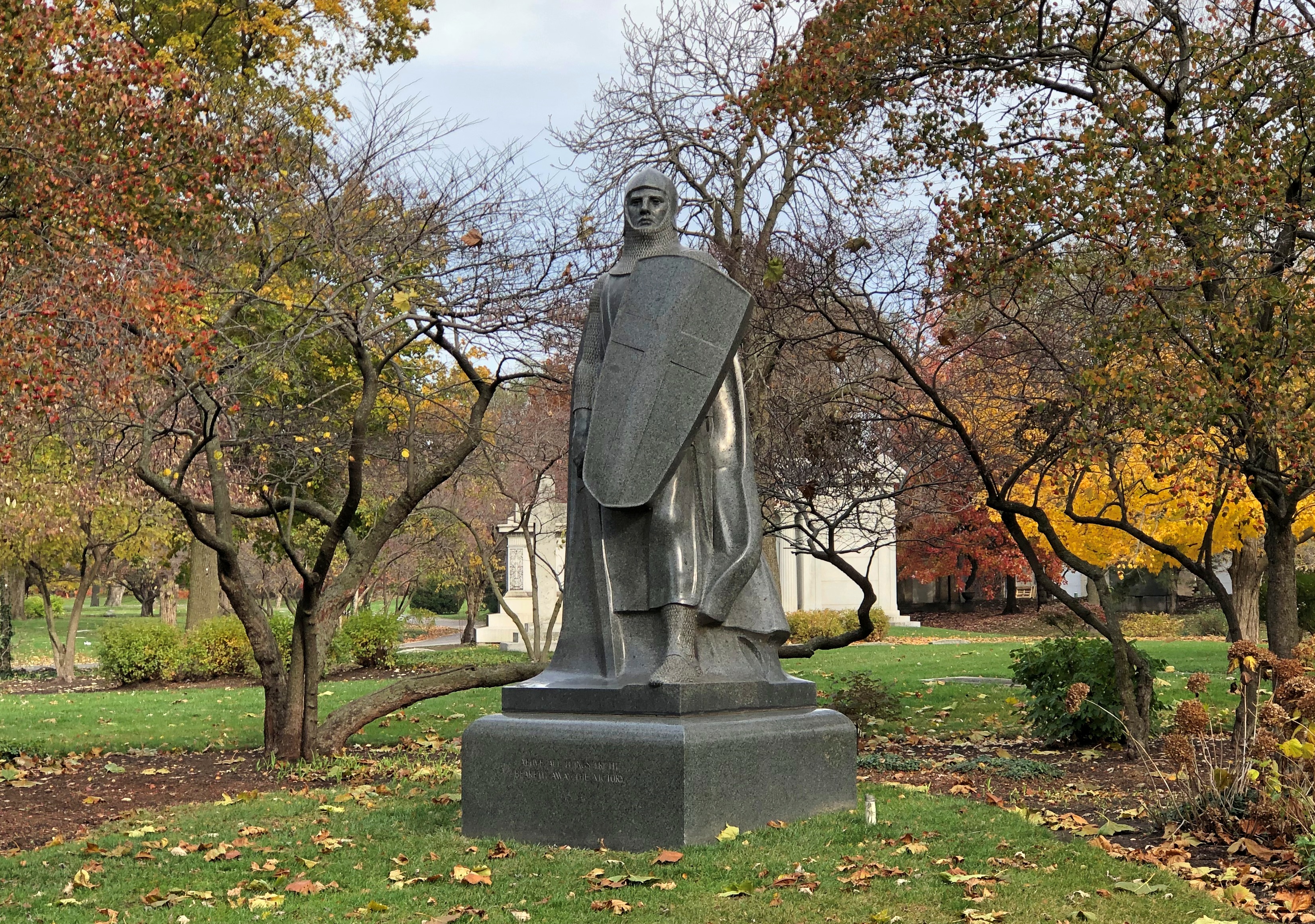
Also, you can see “The Crusader,” which is Graceland, marking the grave of Victor Lawson (d. 1925), one-time publisher of the Chicago Daily News. Lorado Taft did that too, though later in his career, 1931.Graceland Cemetery, Chicago

When was the last time a newspaper crusaded about anything? Not recently, private equity owners don’t like it.

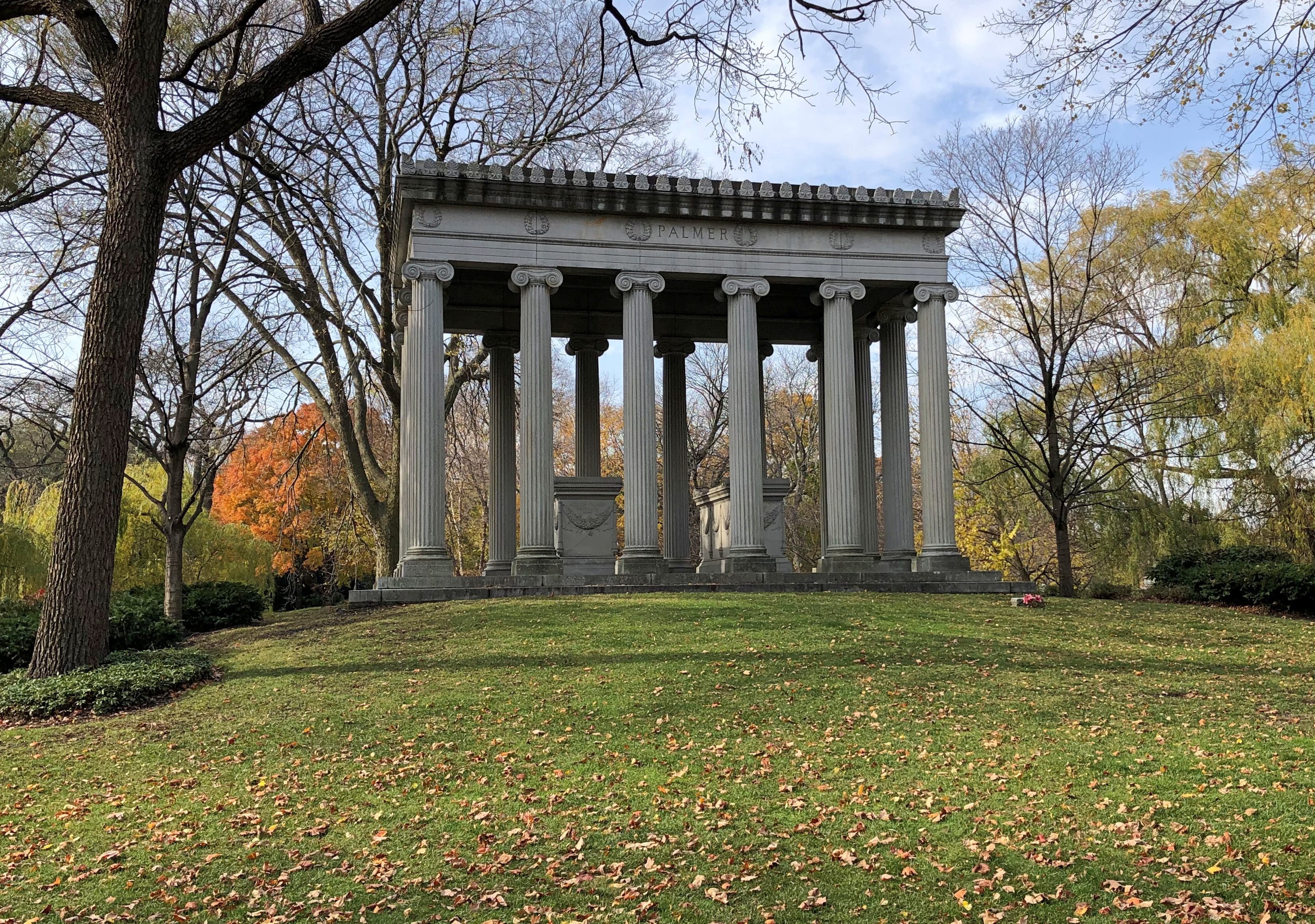
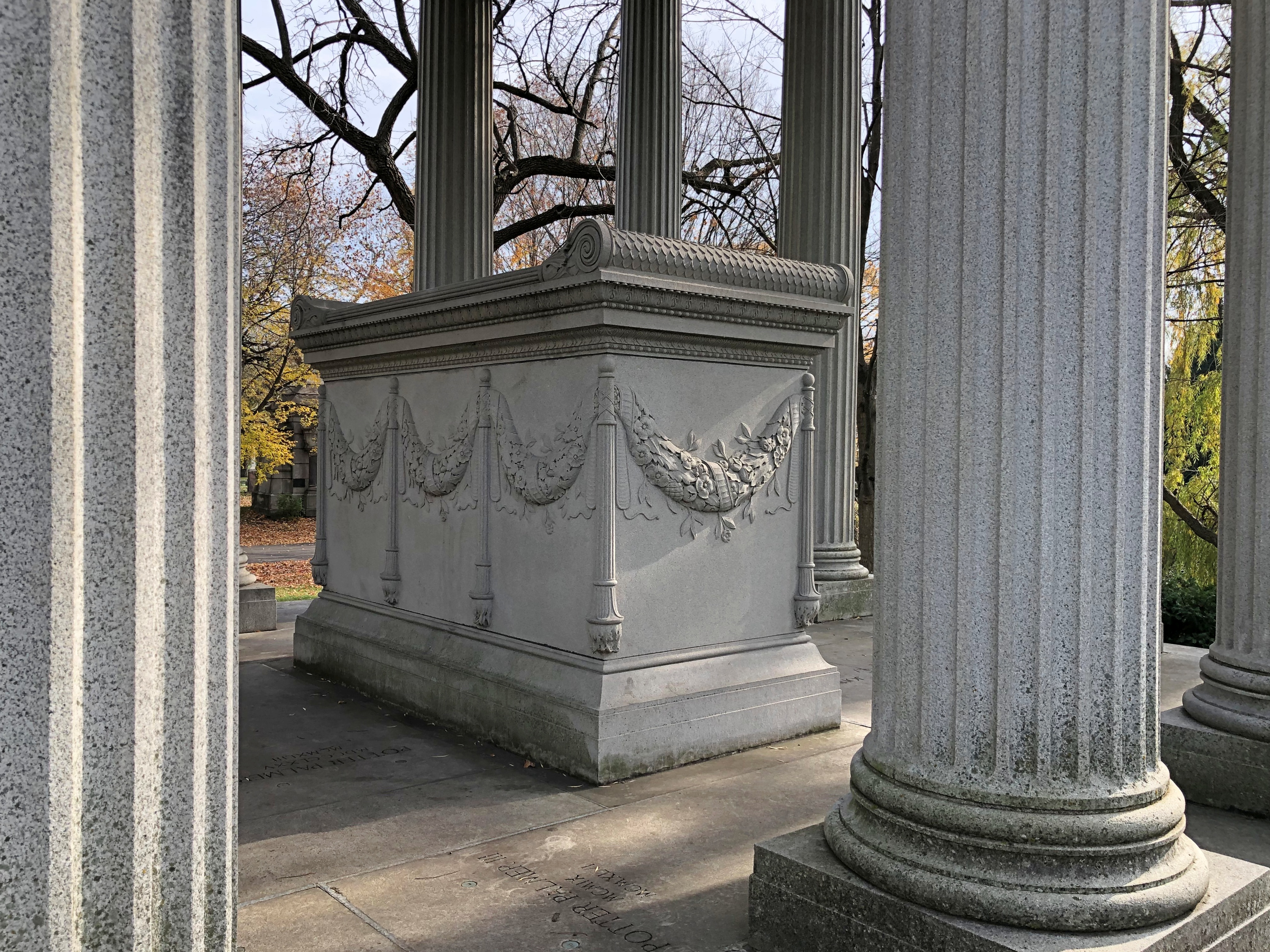
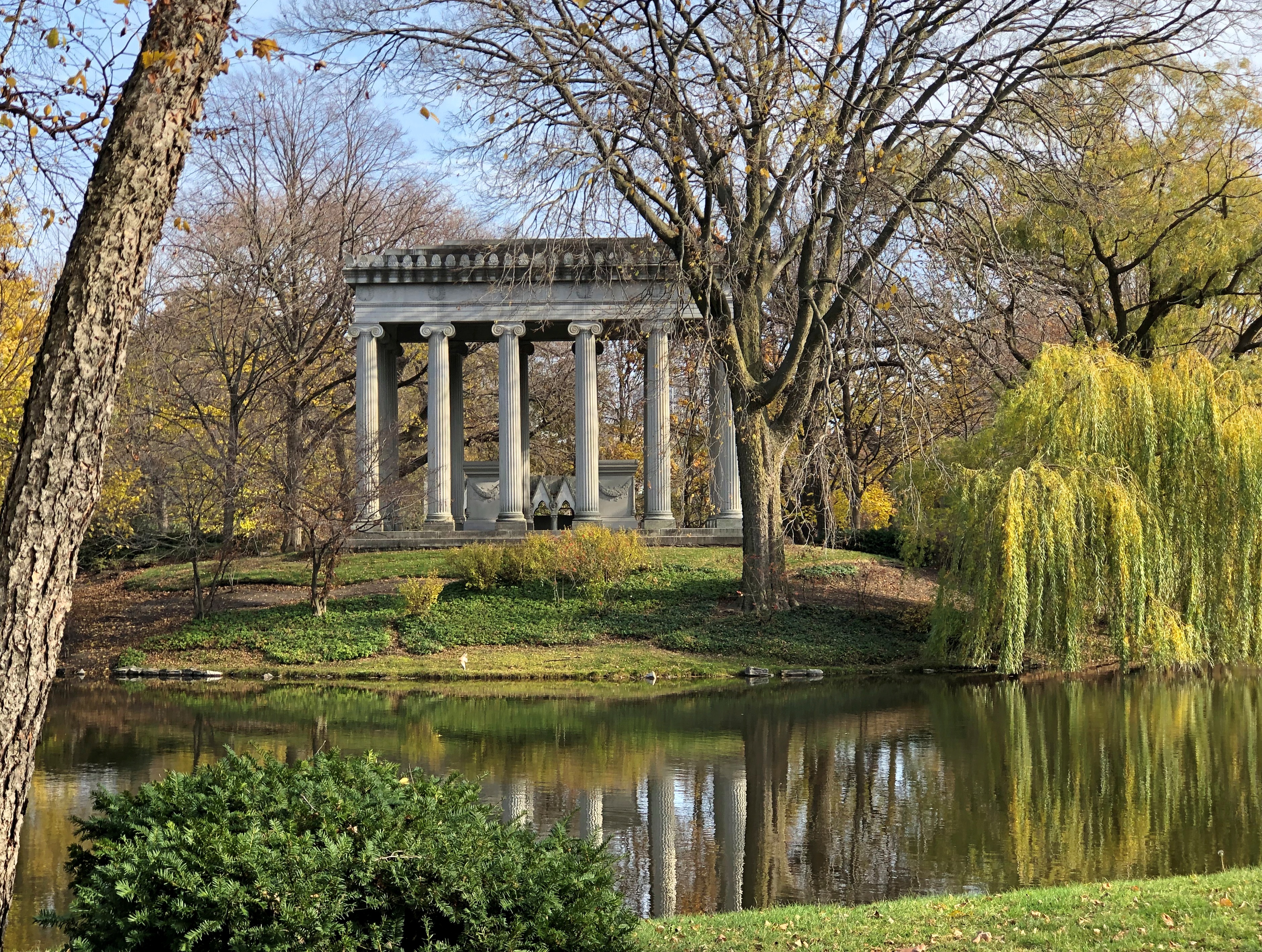
Assorted business tycoons, moguls and robber barons repose in Graceland, without a cent to their names these days. But in their day, they or their immediate heirs had big bucks to spend on big memorials. None is bigger than retailer and hotelier Potter Palmer (d. 1902).Graceland Cemetery, Chicago Graceland Cemetery, Chicago

That kind of dough will also buy you a picturesque waterfront location.Graceland Cemetery, Chicago

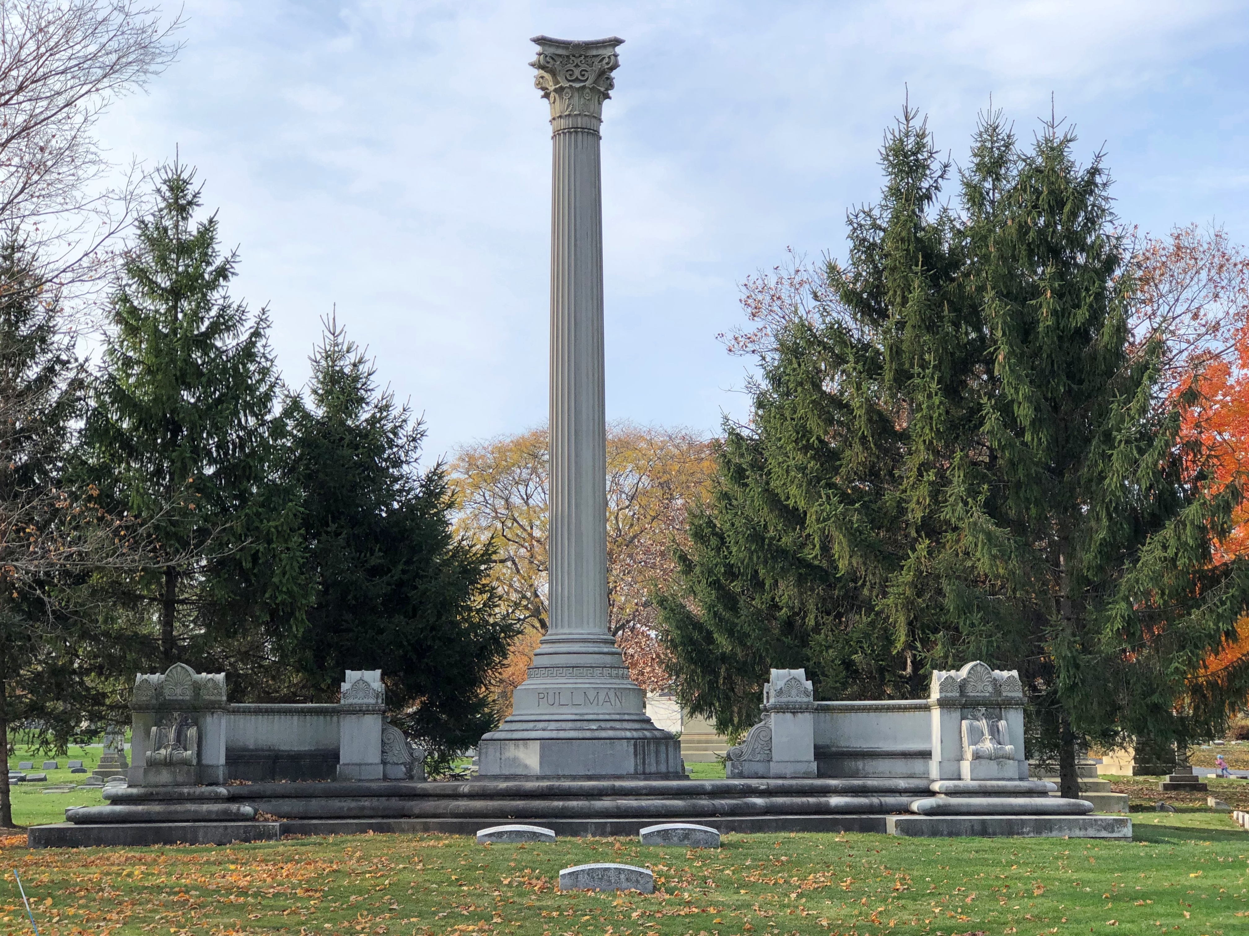
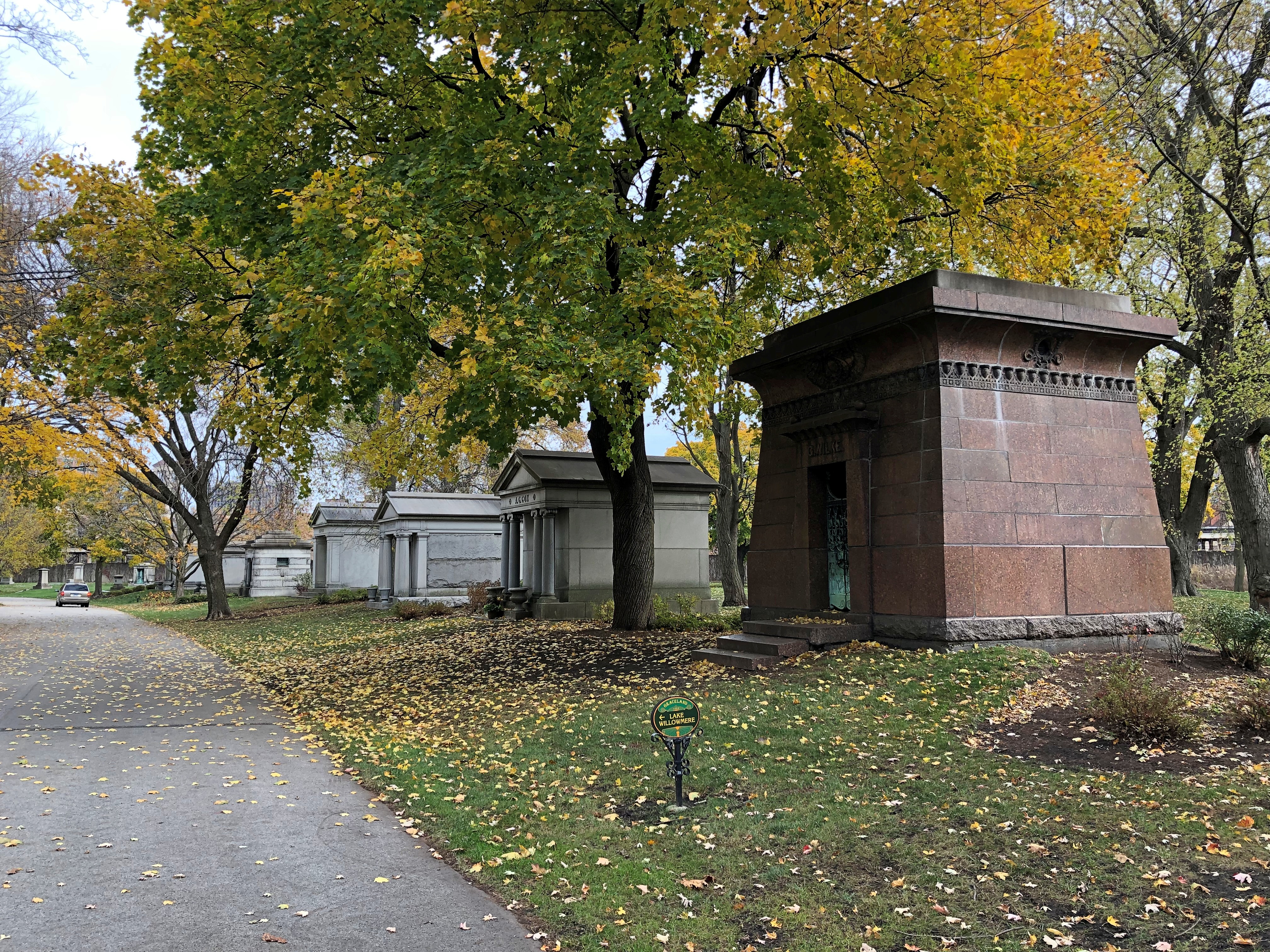
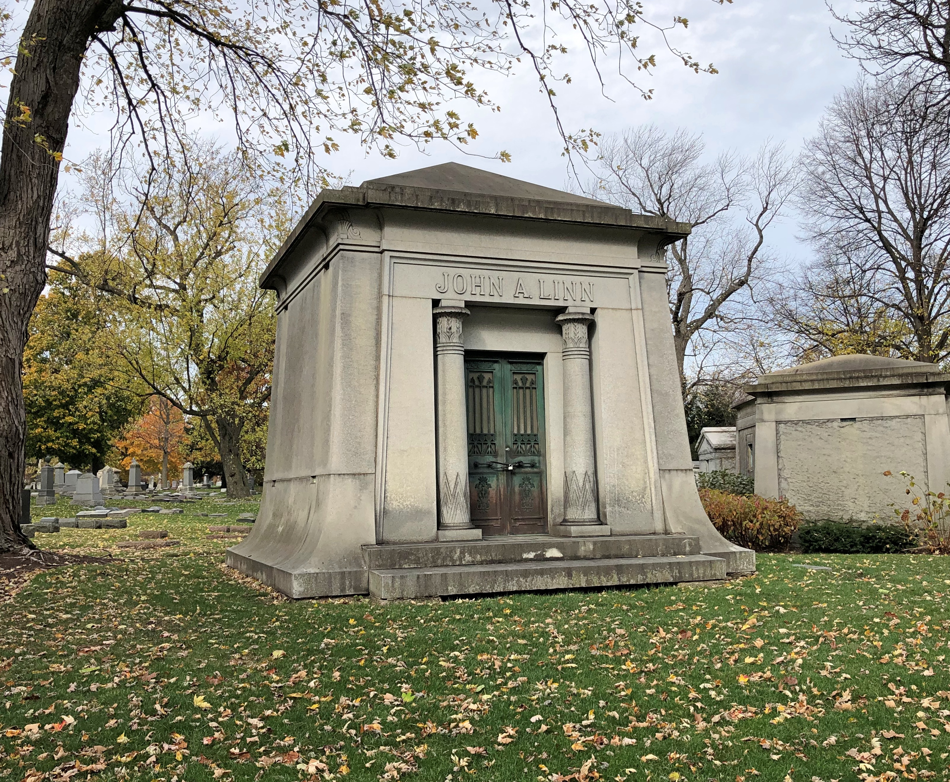
I have to say the Palmer tomb is quite a presence, standing out even among many other large tombs, of which there are many. Such as that for George Pullman.Graceland Cemetery, Chicago

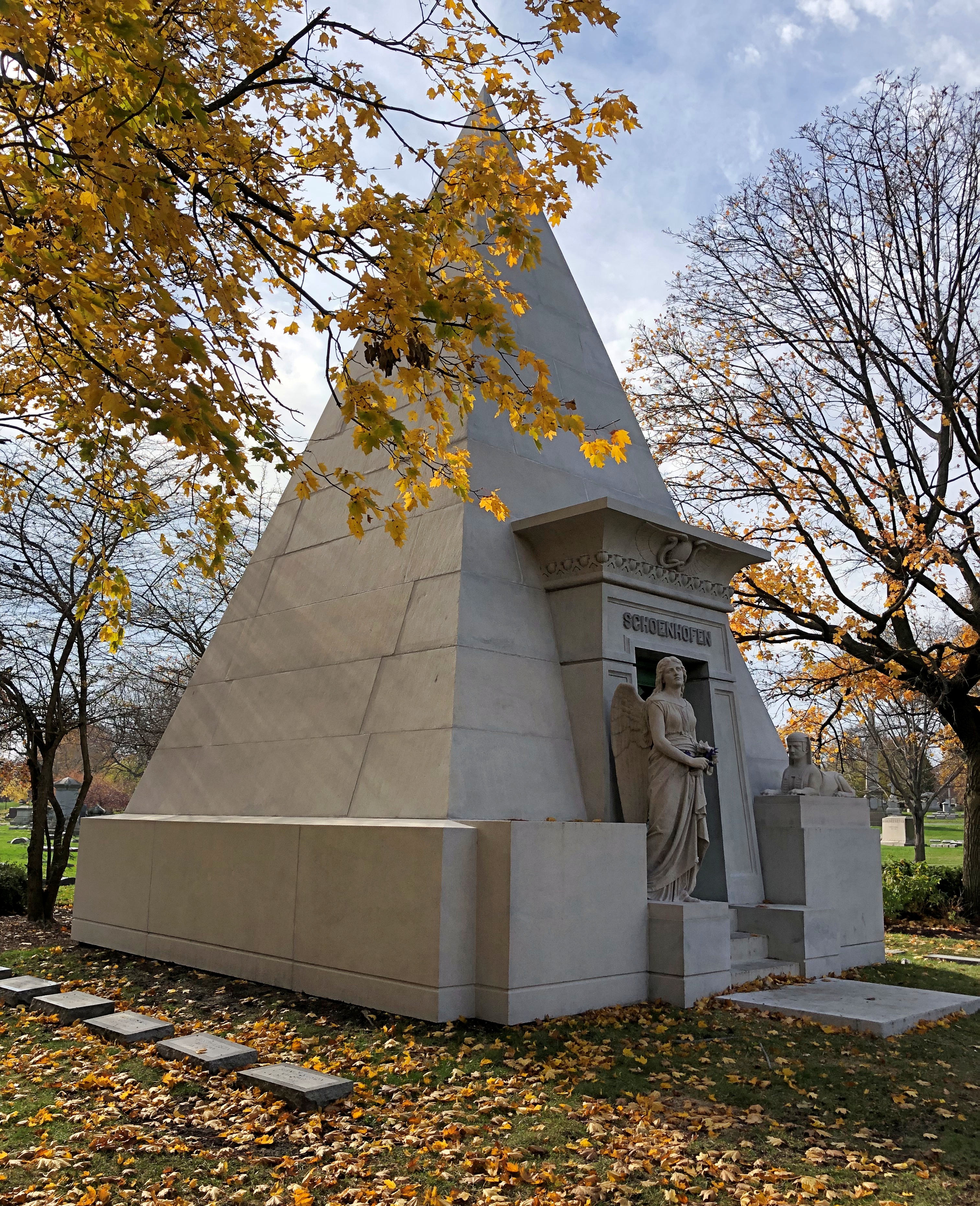
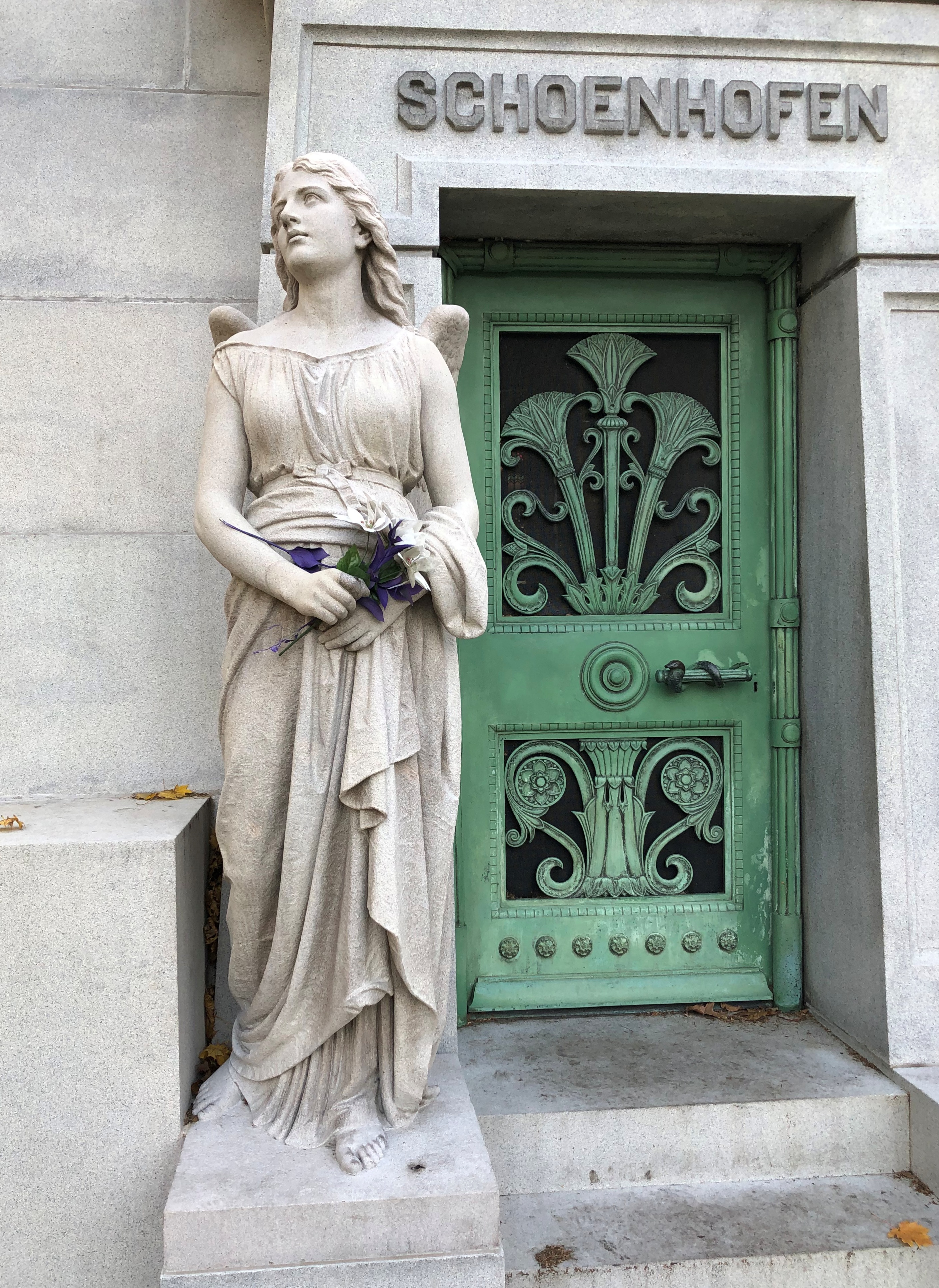
The pyramid of 19th-century beermaker Peter Schoenhofen.Graceland Cemetery, Chicago Graceland Cemetery, Chicago Graceland Cemetery, Chicago

Others.Graceland Cemetery Graceland Cemetery Graceland Cemetery
Graceland Cemetery

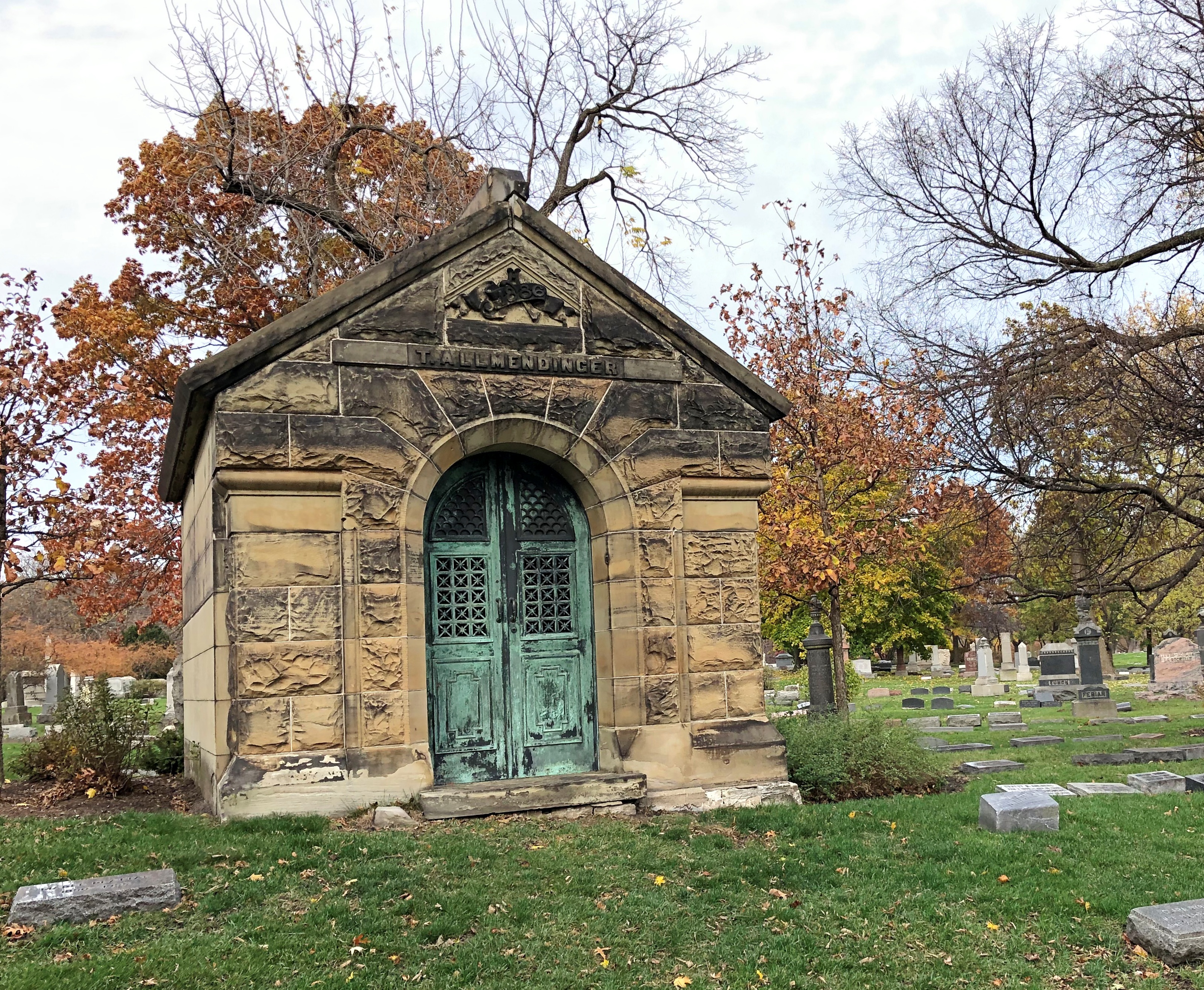
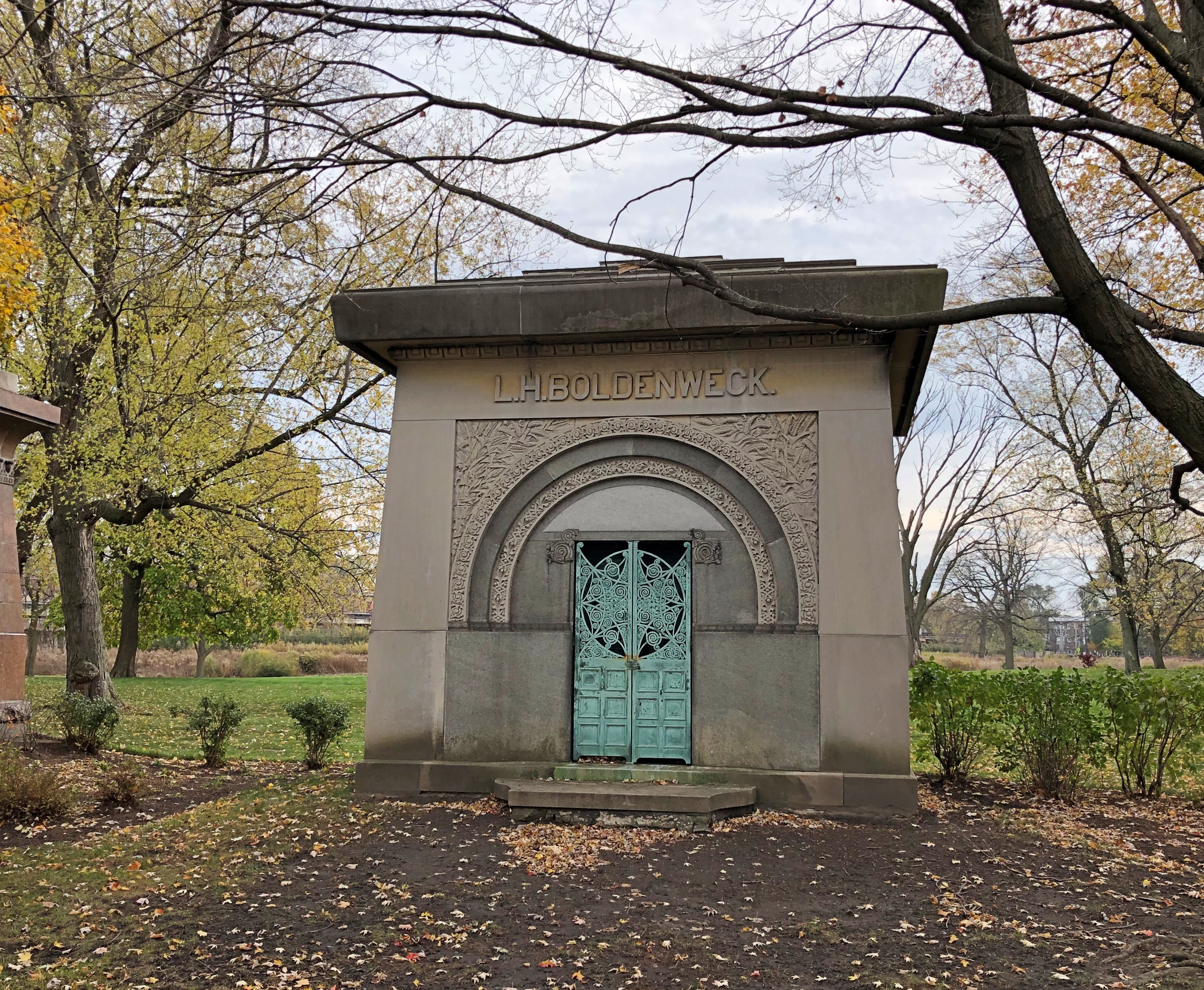
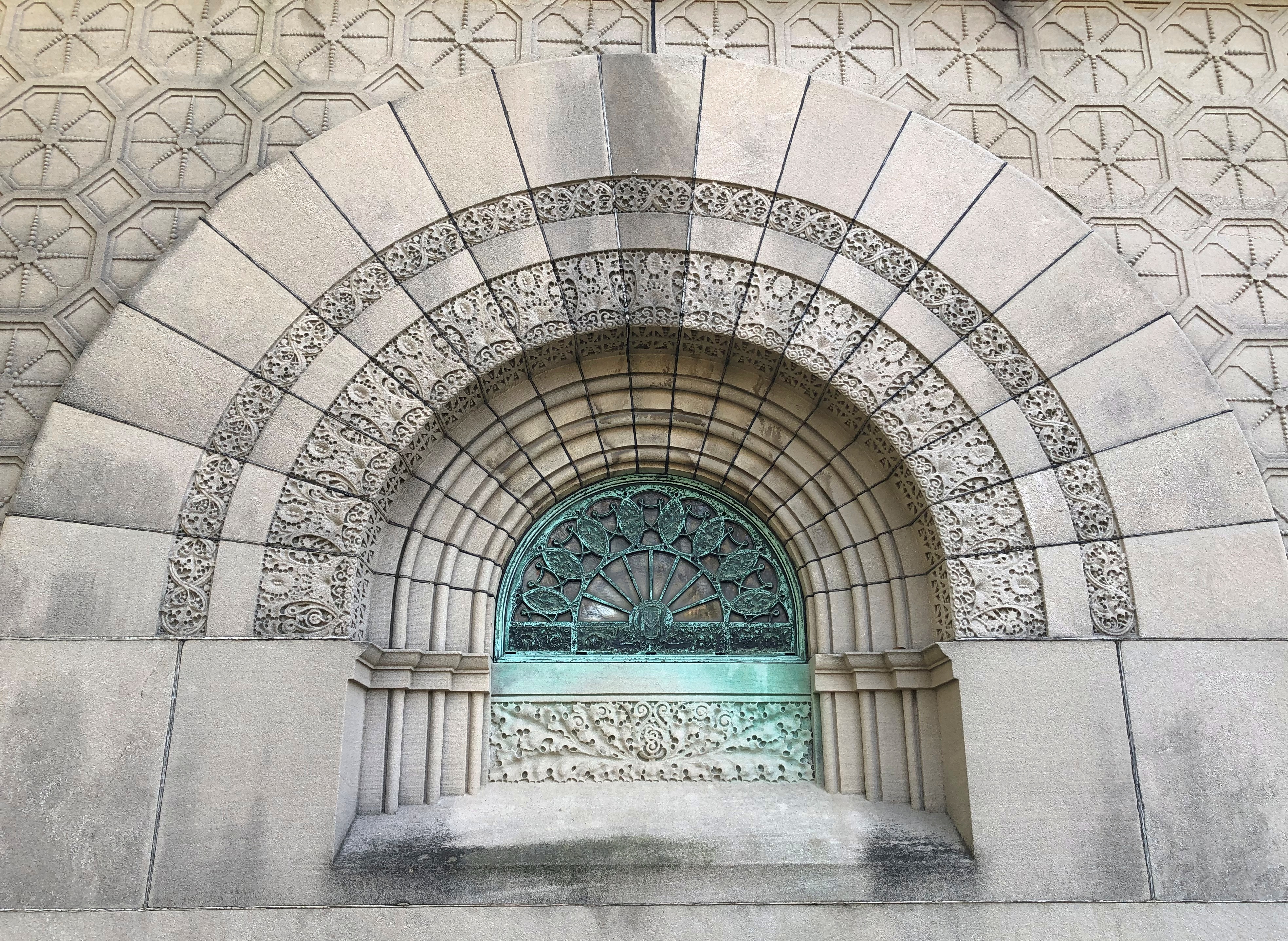
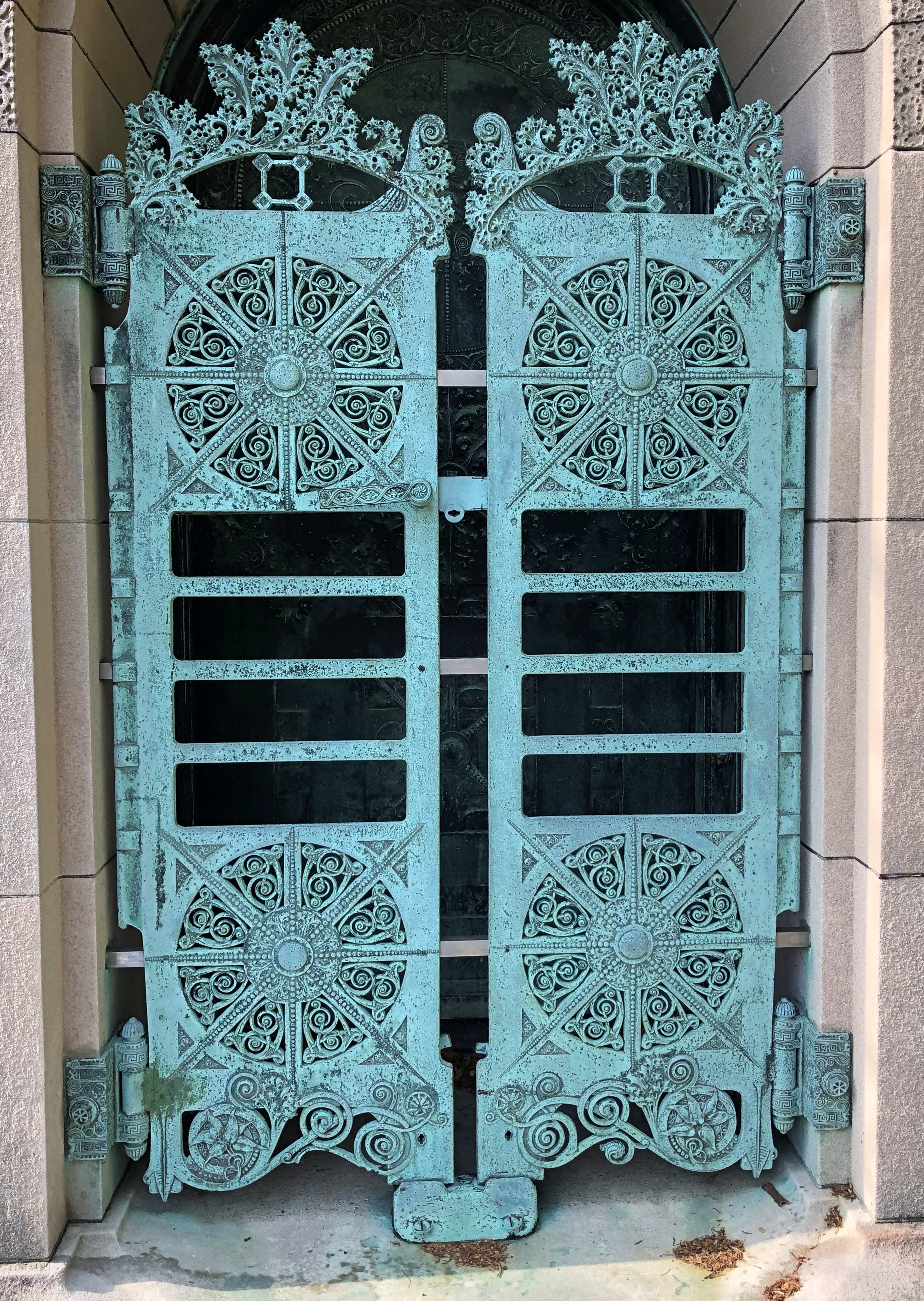
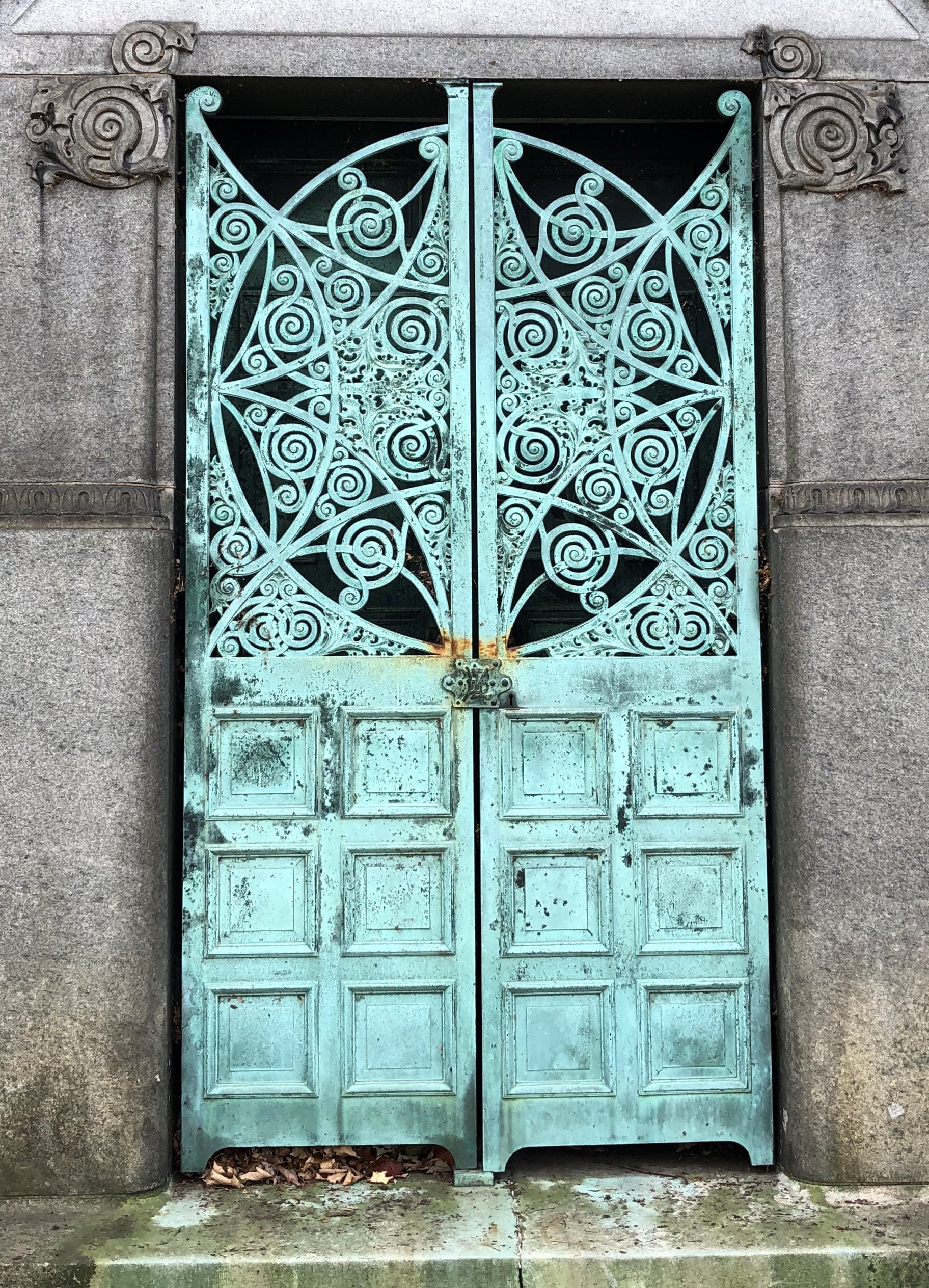
The cemetery’s stone- and metalwork curls and is otherwise shaped in ways remarkable to see. How can these hard materials be persuaded to take those shapes? By the rare skill of the artisans, as long gone as the captains of industry inside the tombs.Graceland Cemetery, Chicago Graceland Cemetery, Chicago Graceland Cemetery, Chicago Graceland Cemetery, Chicago

A small building stands near the entrance of Graceland, including a patio with iron tables and chairs, a few of which were occupied when I visited, since the day was just warm enough for that. Inside the building, heated this time of year, visitors can rest on a bench, go to the bathroom, watch a video about the cemetery and, just as important, pick up a free paper map that guides you to the graves of some (but hardly all) of the well-known permanent residents.

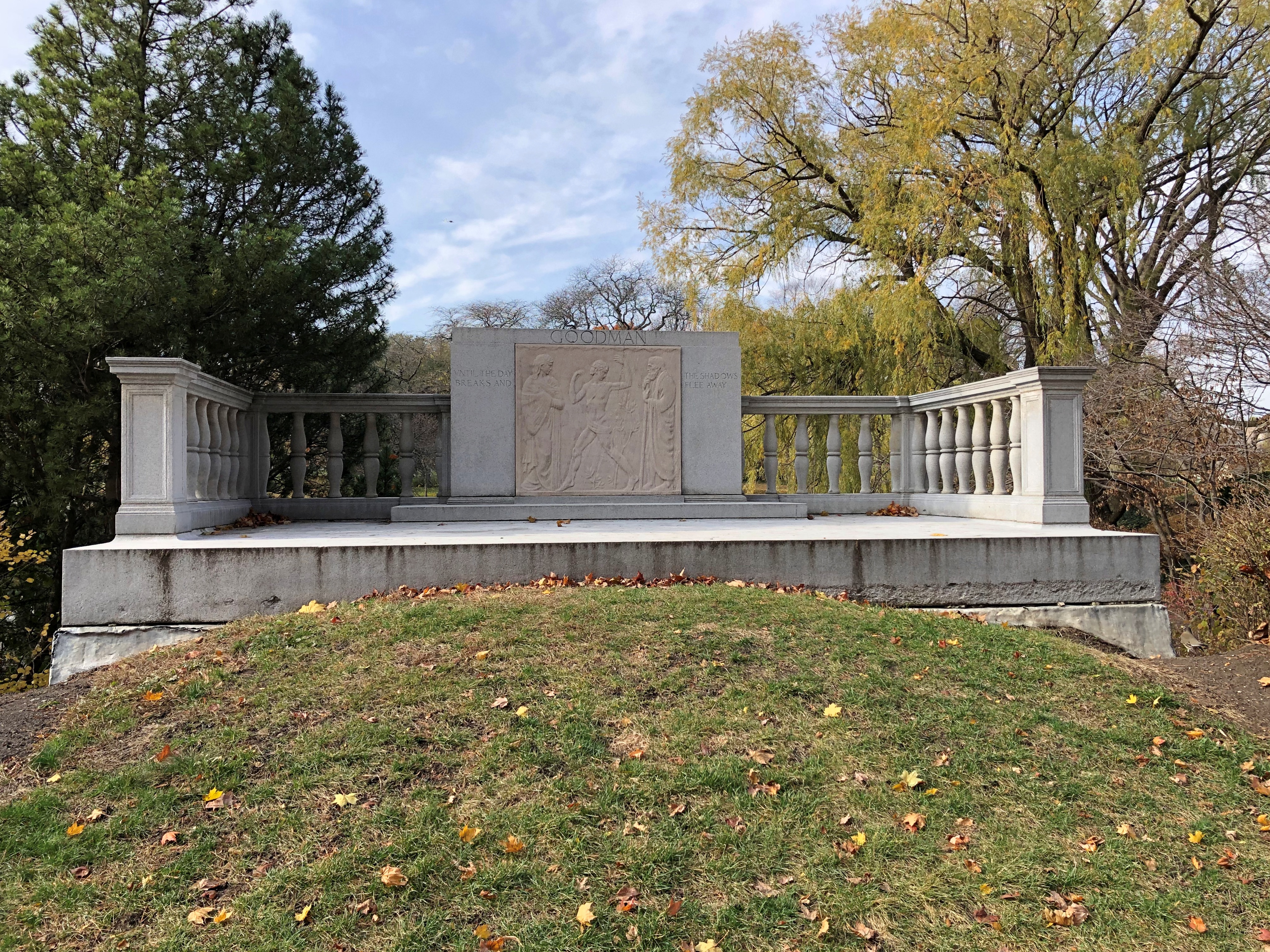
Not every grand cemetery has that amenity, but when you find one, that ups the visit into a kind of treasure hunt, if you want. A look for the famed stones, like at Hollywood Forever in Los Angeles with its movie stars or Forest Home in Milwaukee with its brewers. My idea of a good time, but I’m eccentric that way. Besides some of the stones mentioned above, the map takes you to lumber baron and Goodman Theatre patron William Goodman.Graceland Cemetery, Chicago

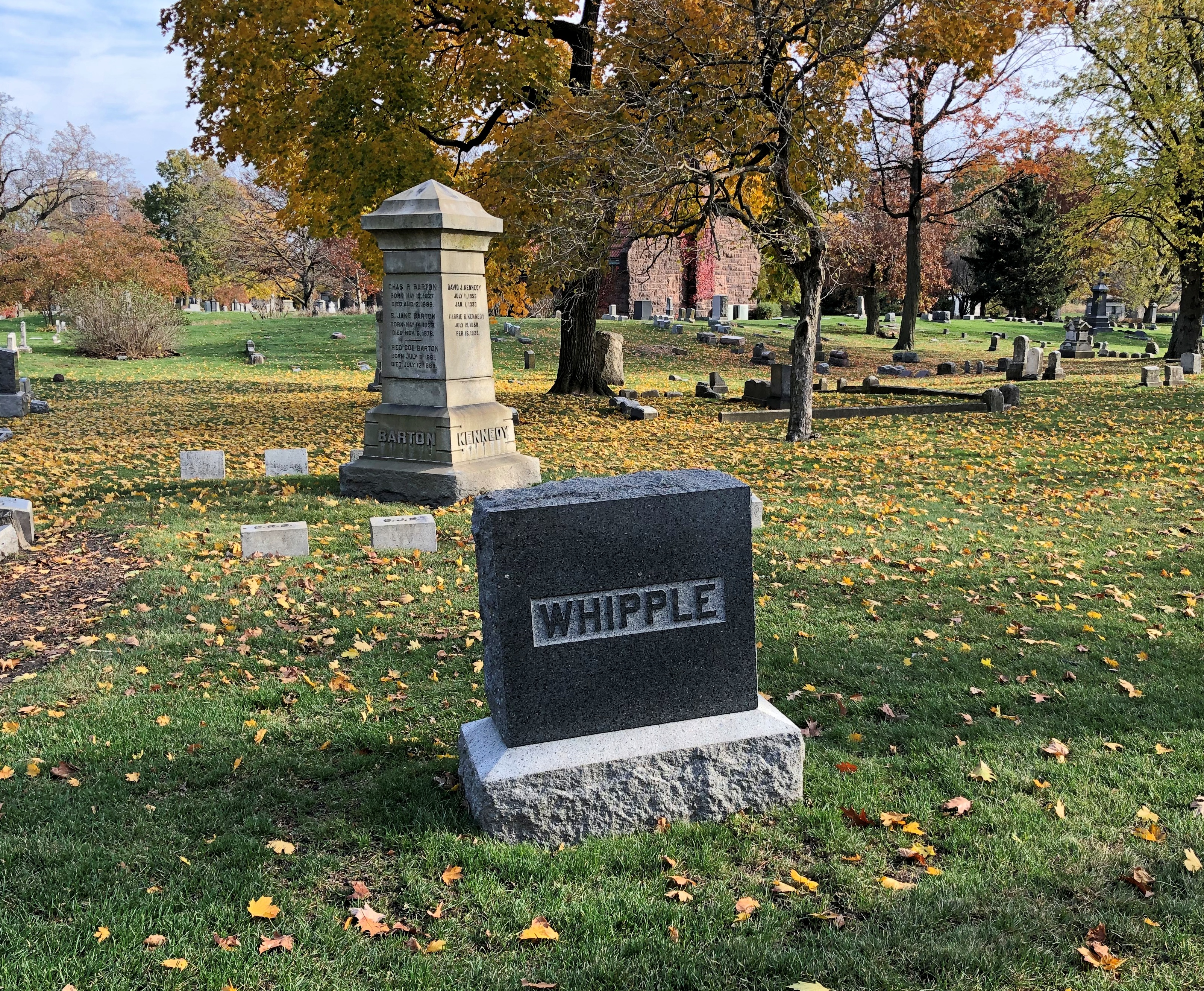
And Mr. Whipple.Graceland Cemetery, Chicago

He’s not actually on the map, probably because the memorial isn’t for the person obsessed with toilet paper, since he was fictional. Even so, I understand he received treatment for his OCD, retired from the grocery business and lived with his daughter in Florida until his death in 2007.

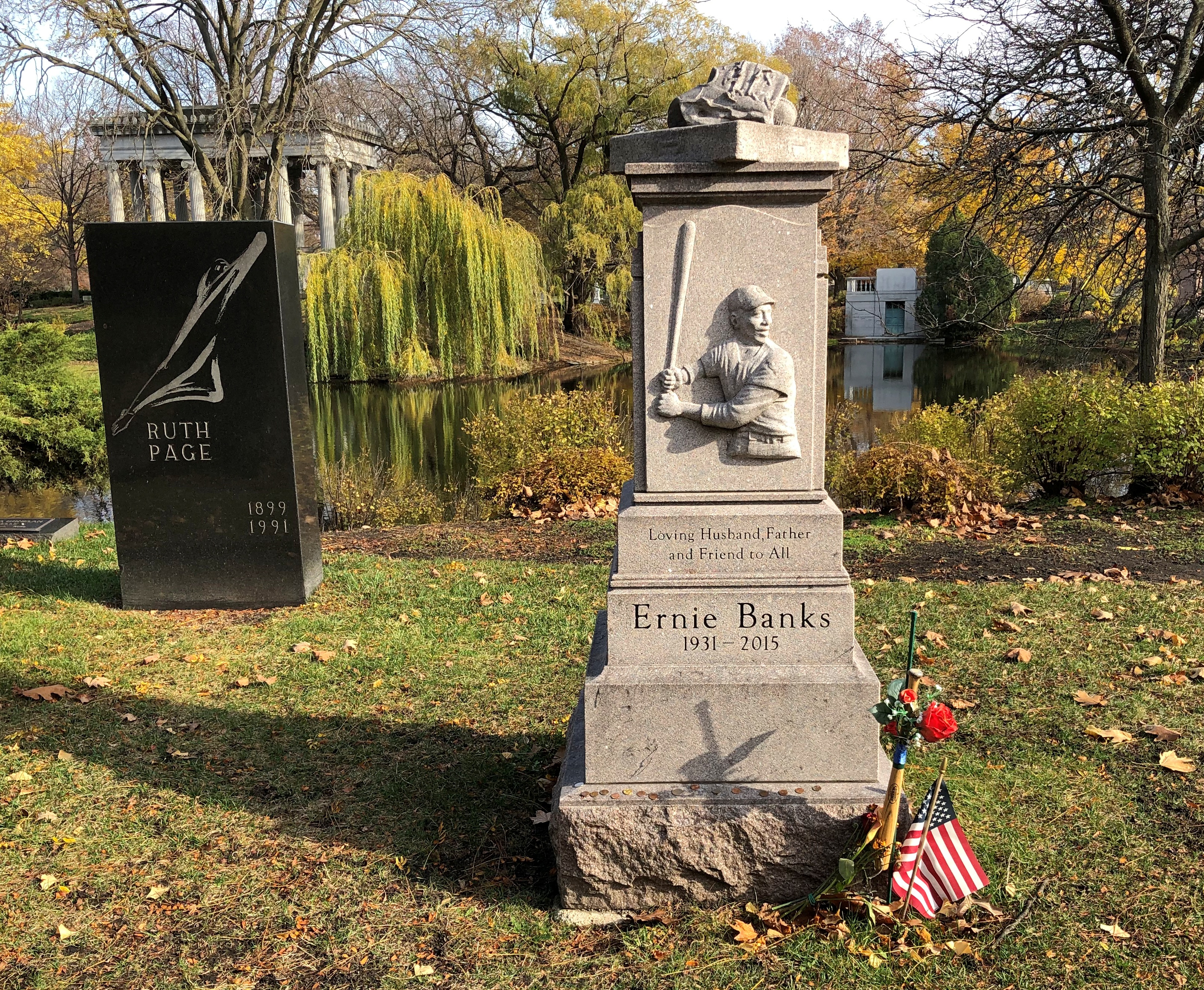
MLB star Ernie Banks, “Mr. Cub,” and the first black player for the Cubs. Nearby is dancer Ruth Page.Graceland Cemetery, Chicago

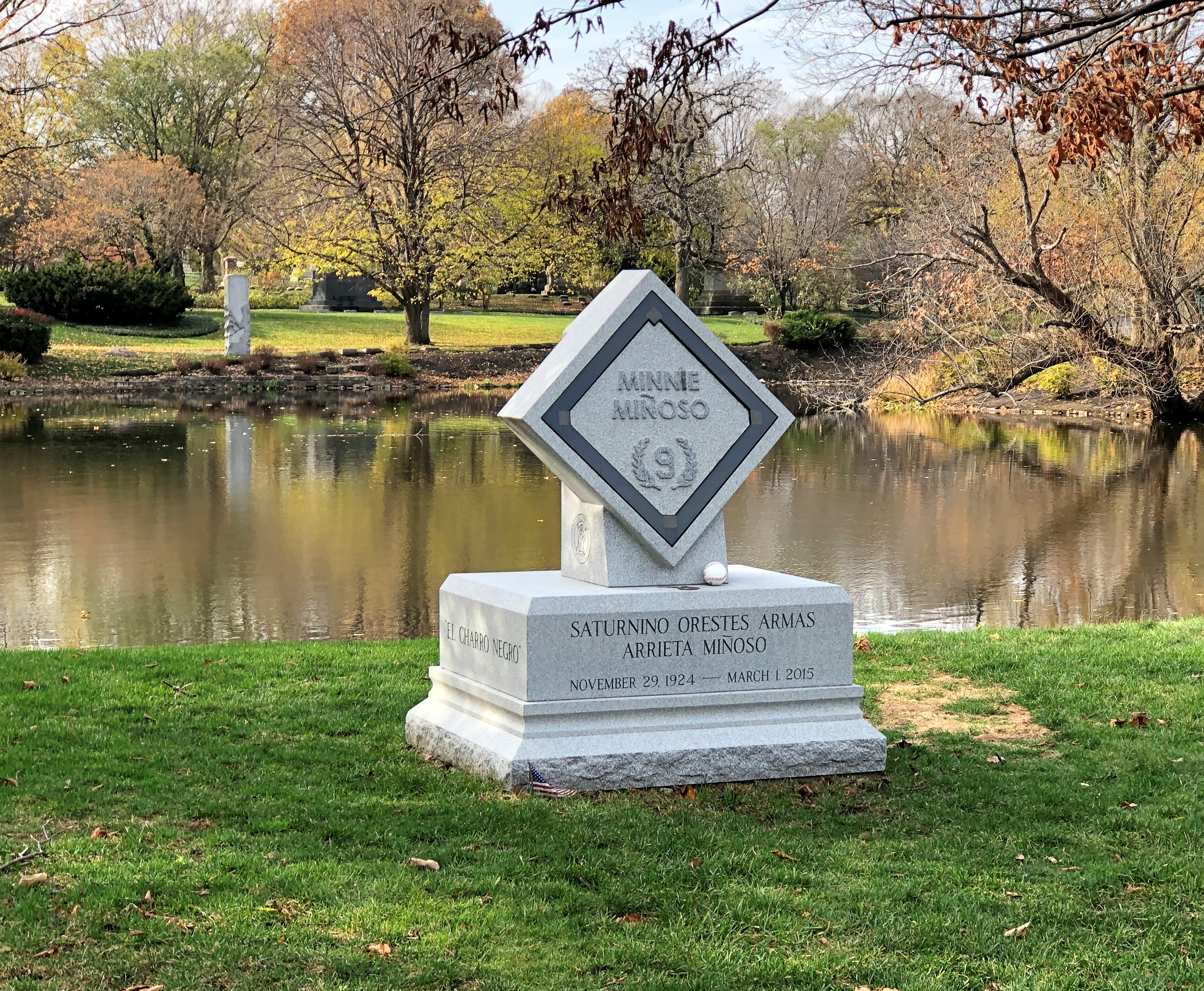
Minnie Miñoso, a fairly recent stone. In fact, I read that it was erected only this summer. Graceland is still an active cemetery, with more open land than I would have thought.Graceland Cemetery, Chicago

I had to look him up; among other things, he was the first black player for the White Sox. The Cuban Comet, he was called, which sounds like something invented by a sports reporter pounding print on his old typewriter.

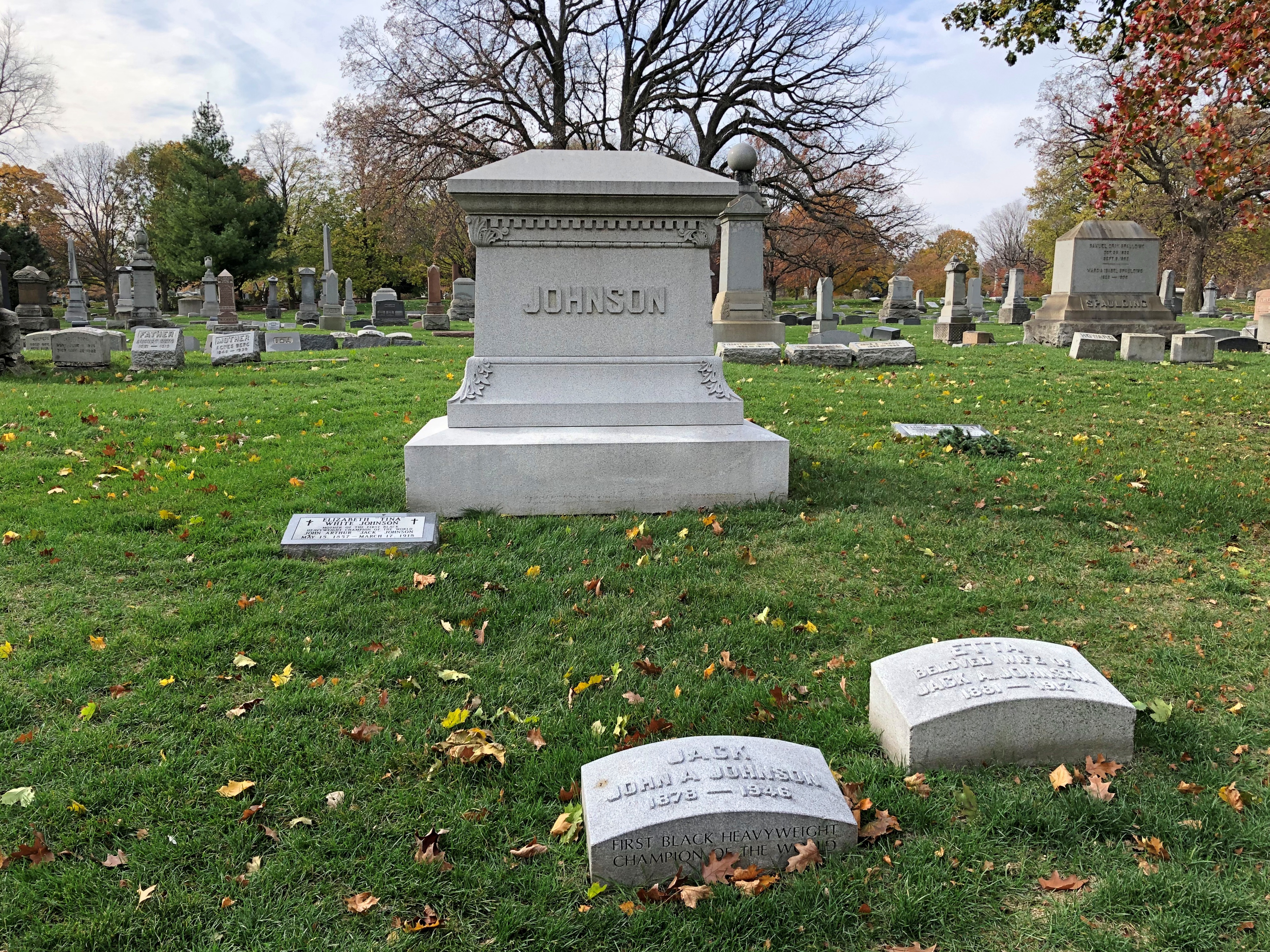
Heavyweight prizefighter Jack Johnson, the Galveston Giant, famed for upsetting racists in the early 20th century.Graceland Cemetery, Chicago

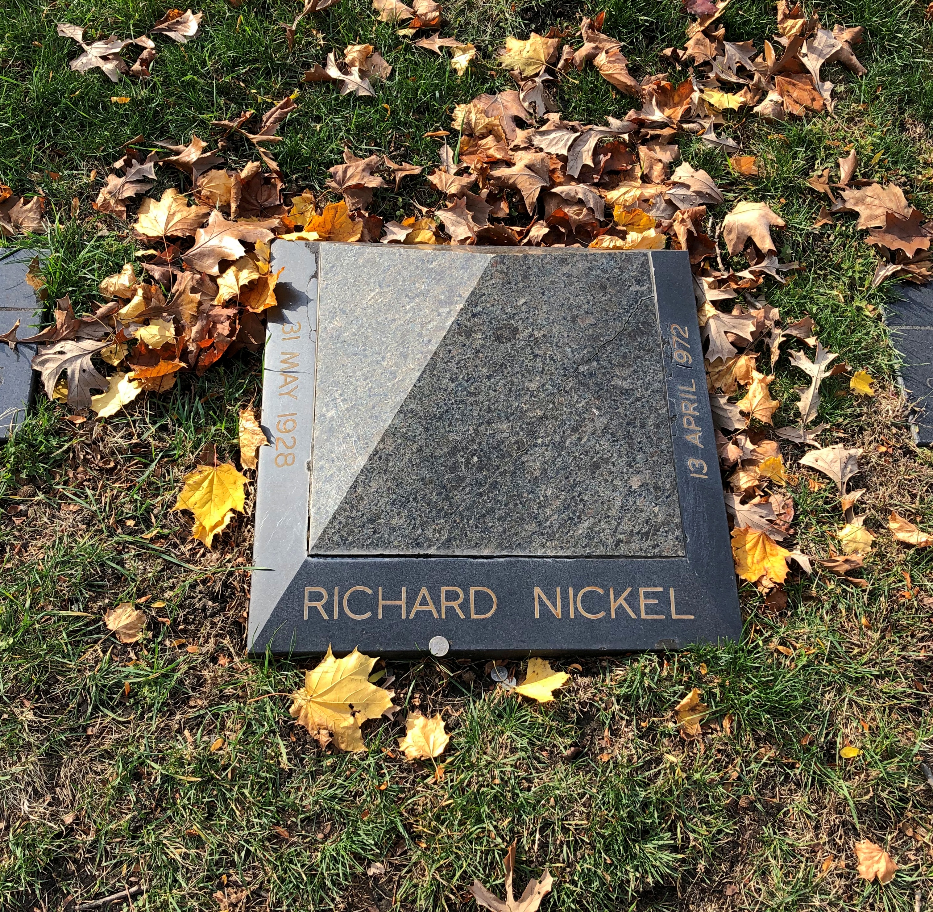
The small pyramid of architectural photographer and preservationist Richard Nickel, a favorite of mine in Chicago history.Graceland Cemetery, Chicago

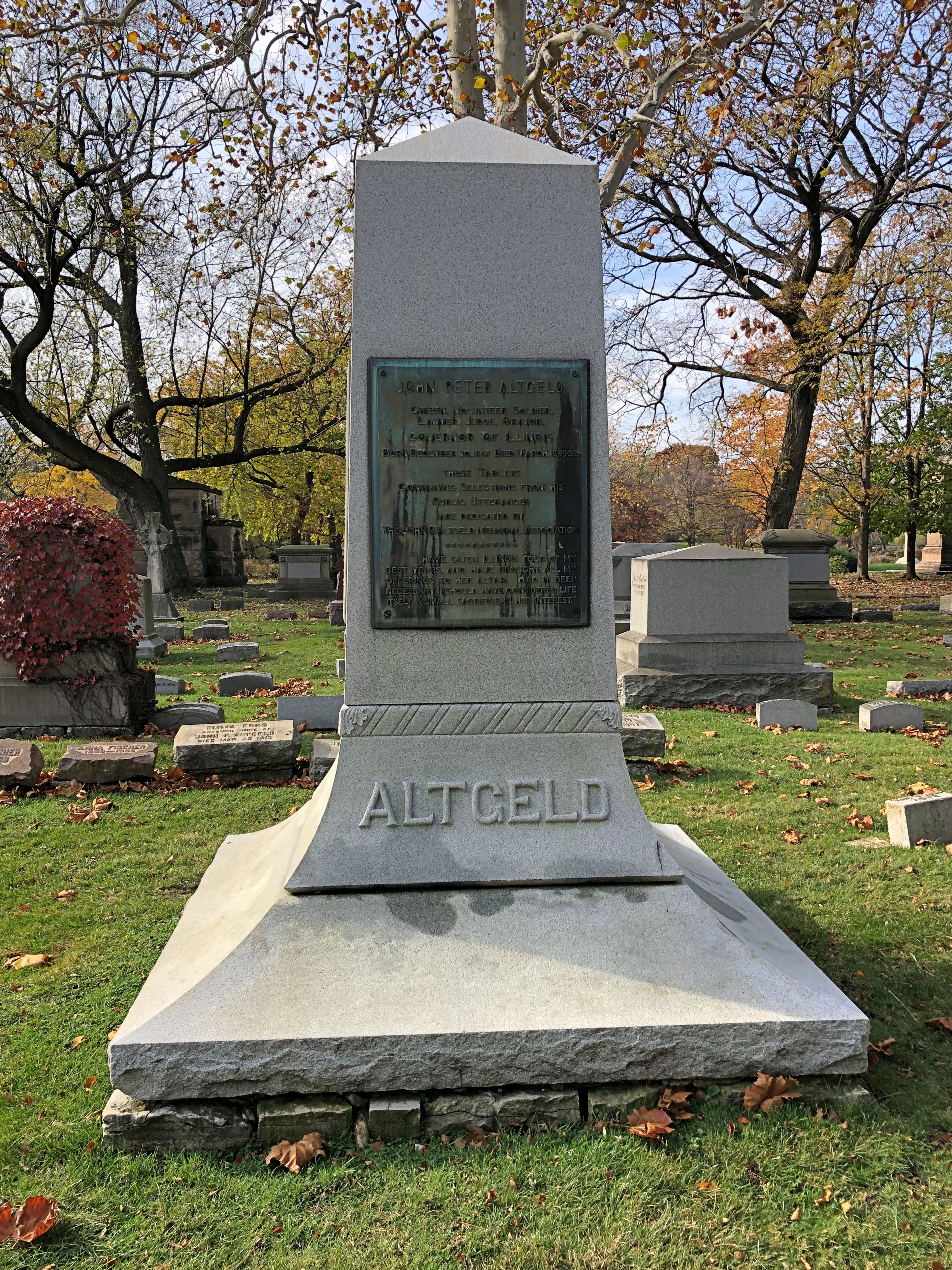
Gov. John Peter Altgeld, another favorite but from Illinois history, who knew that pardoning the surviving men convicted in the Haymarket bombing would probably cost him the governorship, as indeed it likely did. It was that or preside over a miscarriage of justice, he believed.Graceland Cemetery, Chicago

Chicago is a city of architects; Graceland is a necropolis of architects. I didn’t see them all – missed Burnham on his island, for example – but I got a good sample.

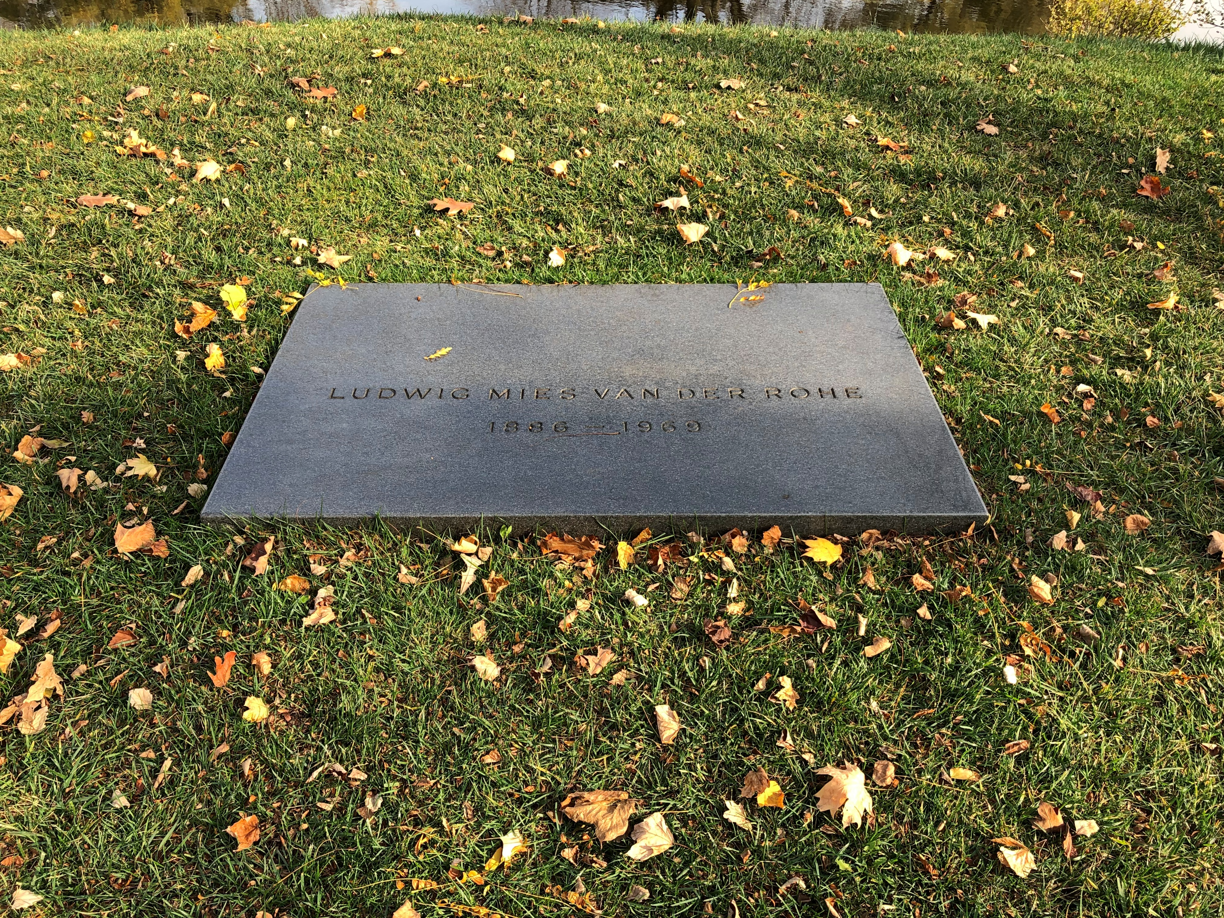
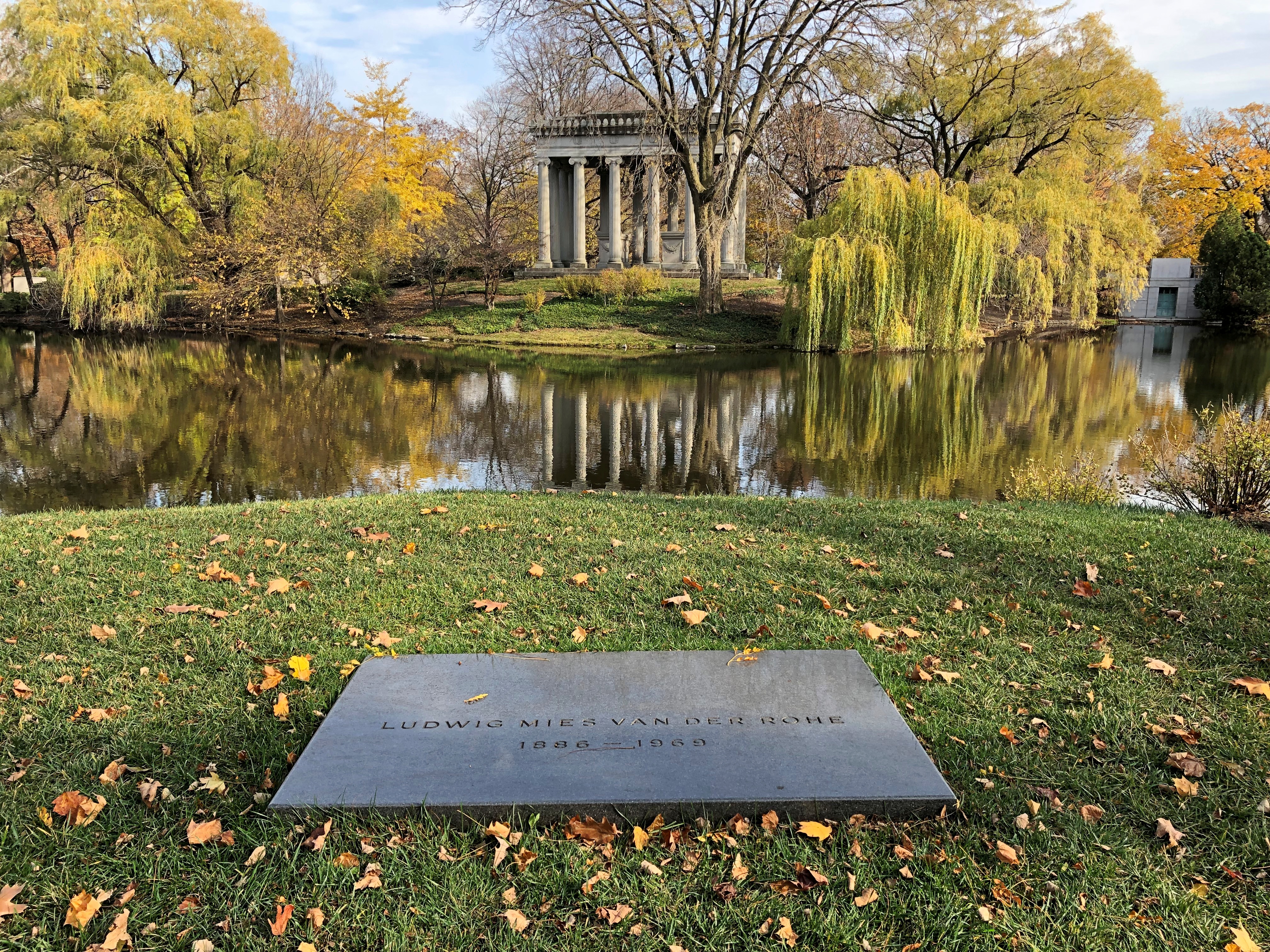
Including Mies van der Rohe. For him, a flat black spare Miesian sort of memorial.Graceland Cemetery, Chicago

But he has a splendid view.Graceland Cemetery, Chicago

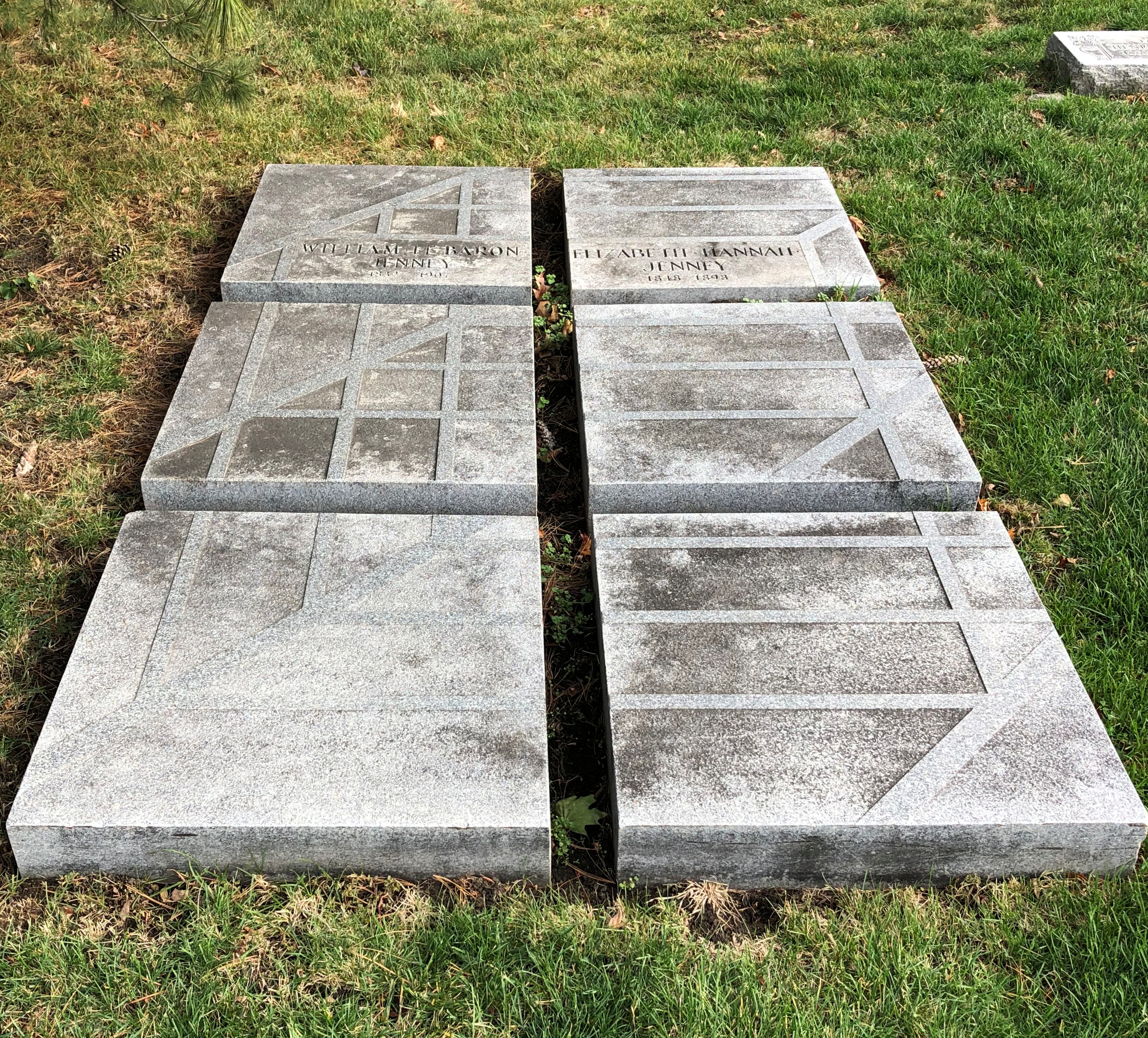
William LeBaron Jenny.William LeBaron Jenny

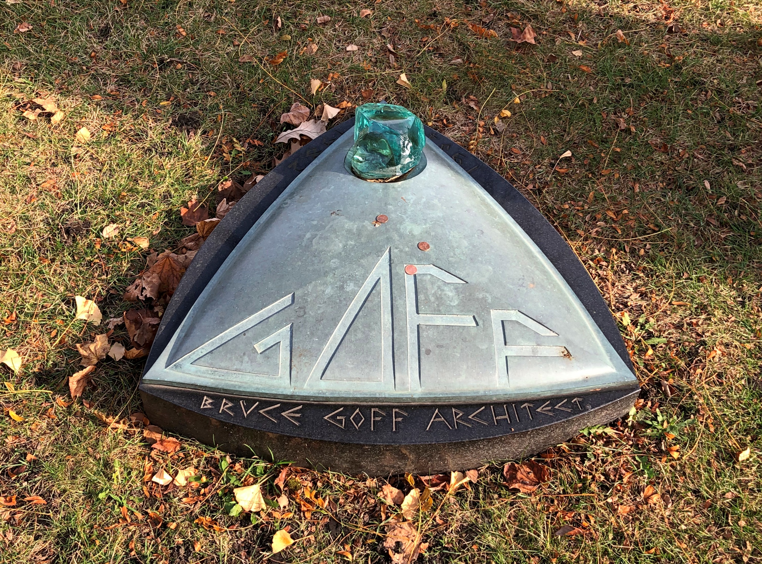
Bruce Goff.Bruce Goff grave

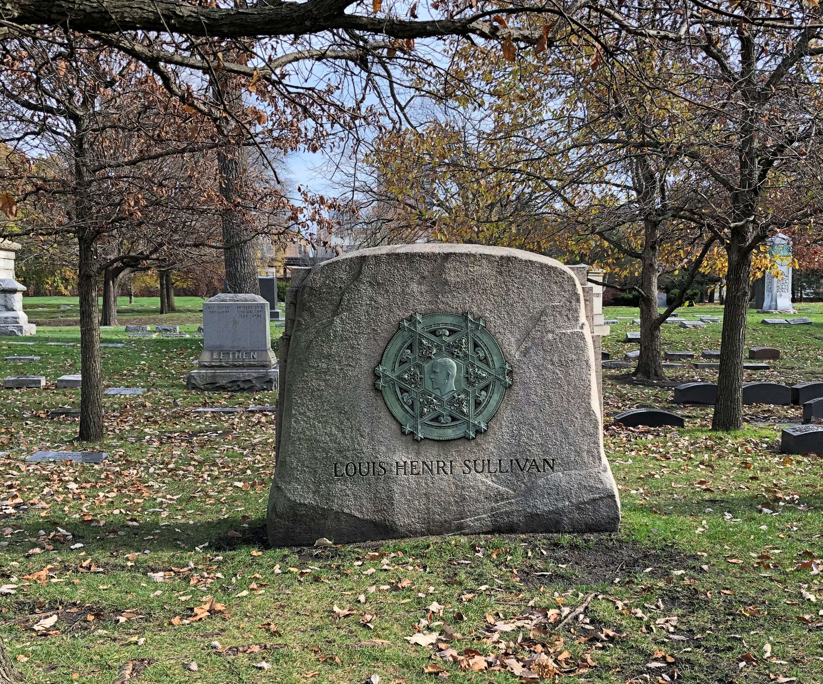
Louis Sullivan.Graceland Cemetery, Chicago Graceland Cemetery, Chicago

Talk about teasing a rarefied shape out of base metal. In this case, the work’s designer at least is known: Thomas Tallmadge (d. 1940), who is also at Graceland.
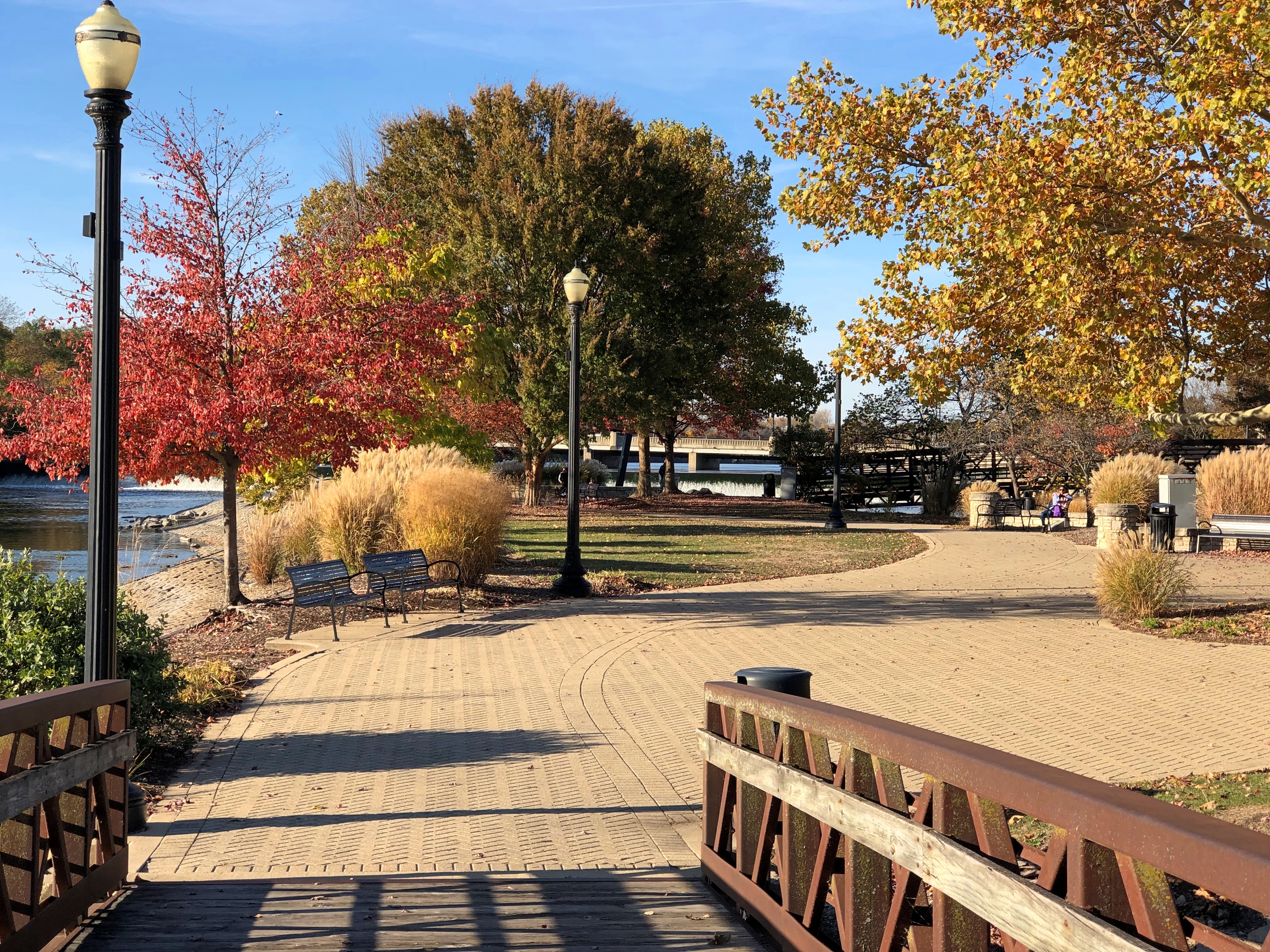
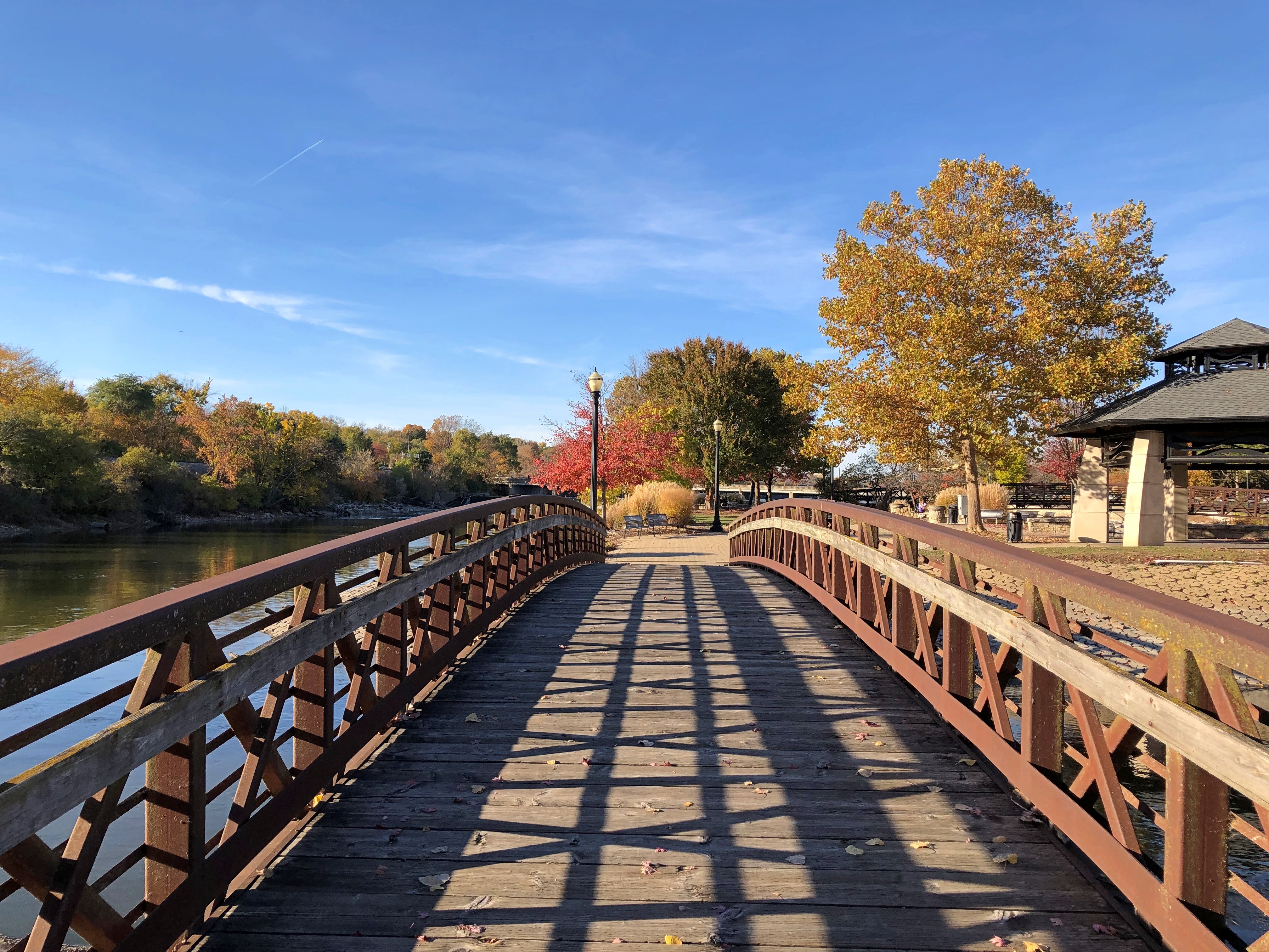
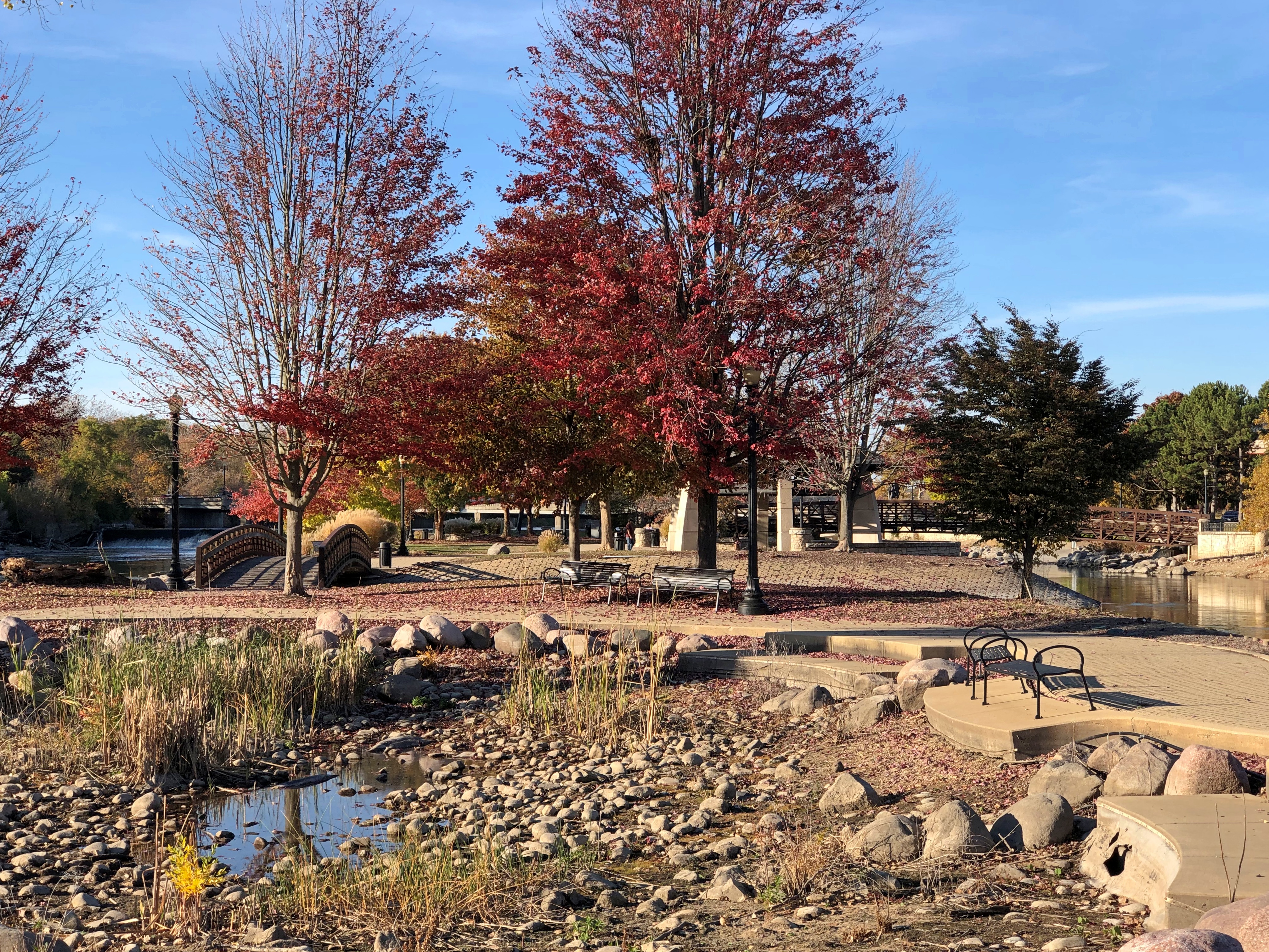
Walton Island Park, Elgin

During a cloudy but not rainy period early this afternoon — heavy rain came later — I wandered over to the polling place at the school where Lilly and Ann both spent their elementary school years and voted there. I’d considered voting early at a different location, but when I stopped by about a week ago, the line was long. So Election Day voting it is, once again. My 12th presidential election.

Assuming he voted in all of them, how many for Jimmy Carter, our centenarian president? Assuming also that he voted absentee when necessary, especially during his time in the Navy. He turned 21 on October 1, 1945, but there’s a twist: Georgia lowered its voting age to 18 in 1943, thus enfranchising the young Carter for the 1944 election.

That would be 21 presidential elections, 1944 to 2024, inclusive. Not many people get to vote in many more than that.

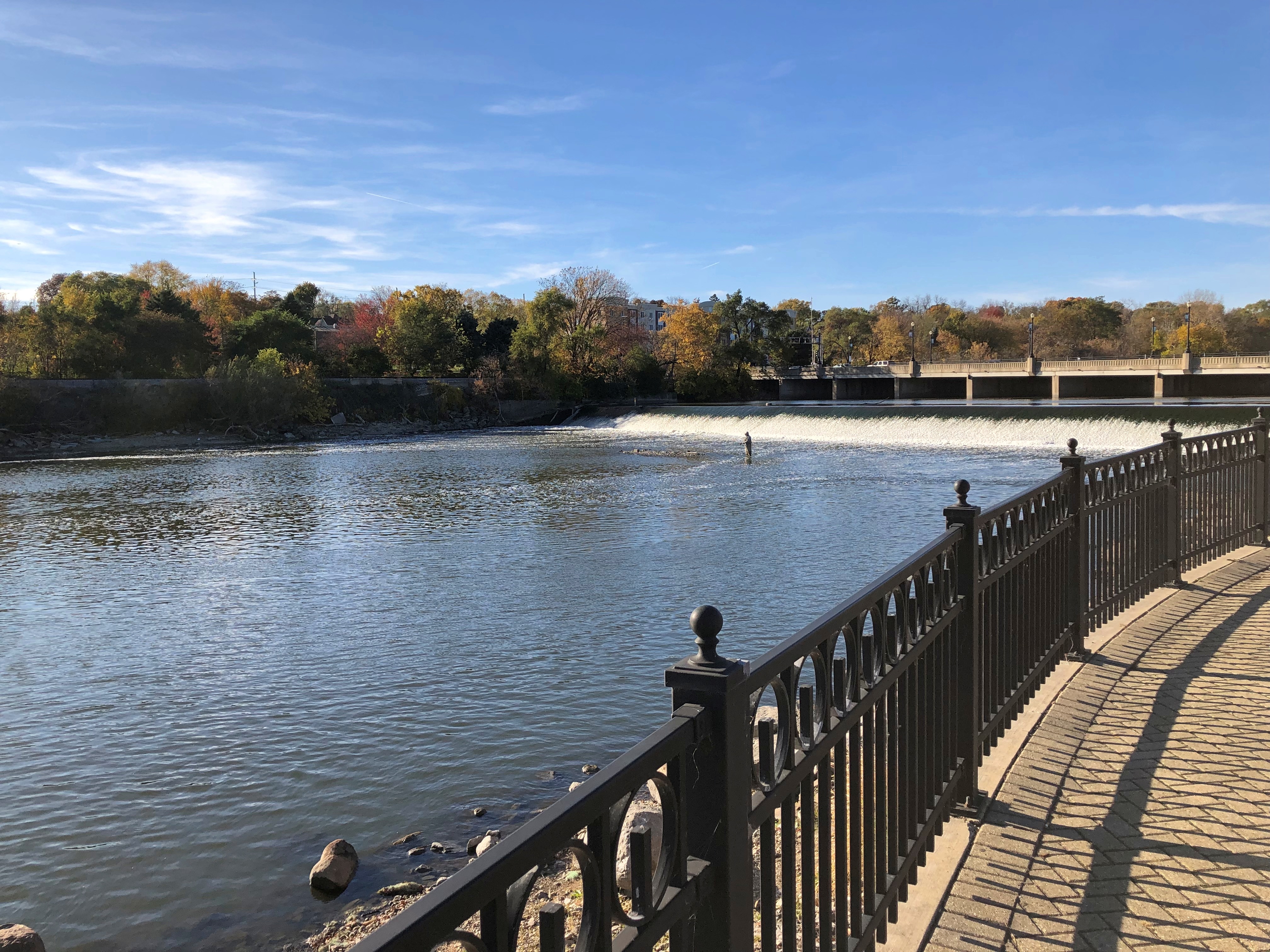
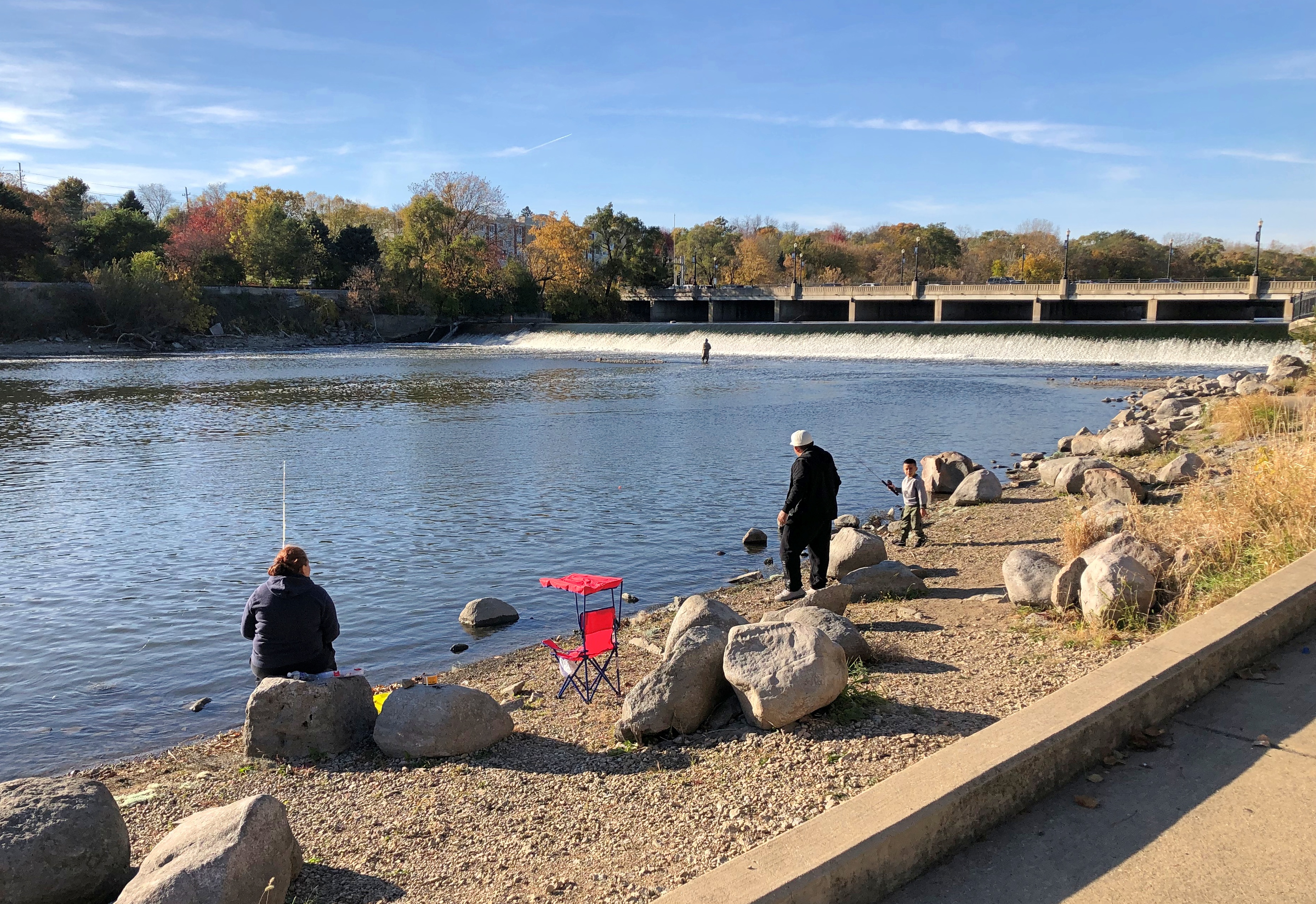
After visiting the Gail Borden Library in Elgin a week ago Sunday, we walked over to the banks of the Fox River, which isn’t far.Fox River, Elgin Fox River, Elgin

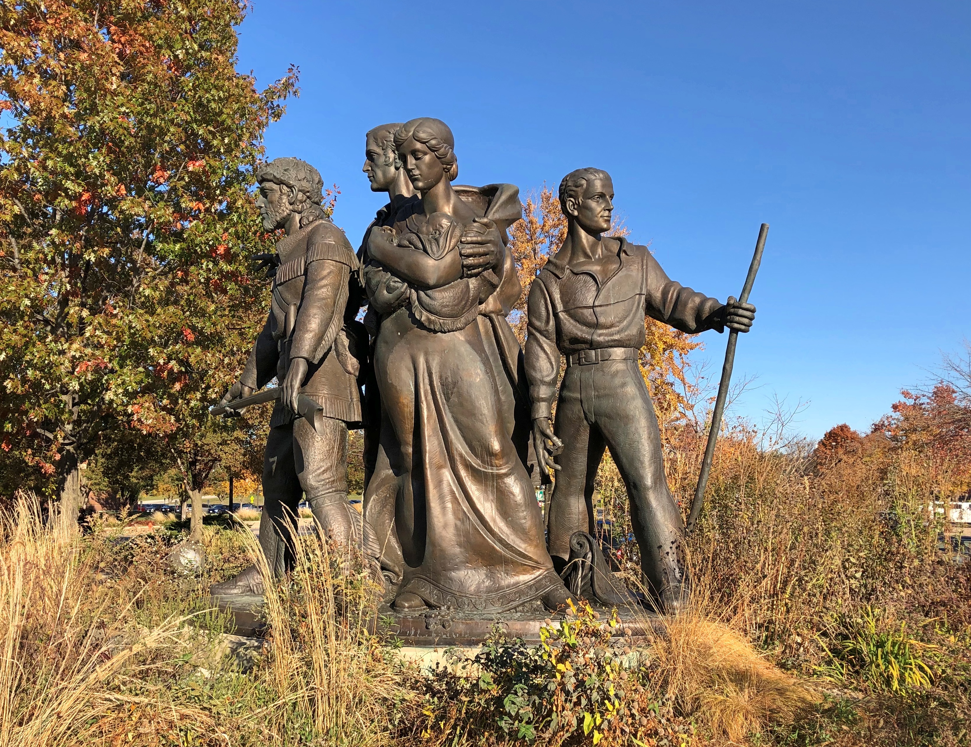
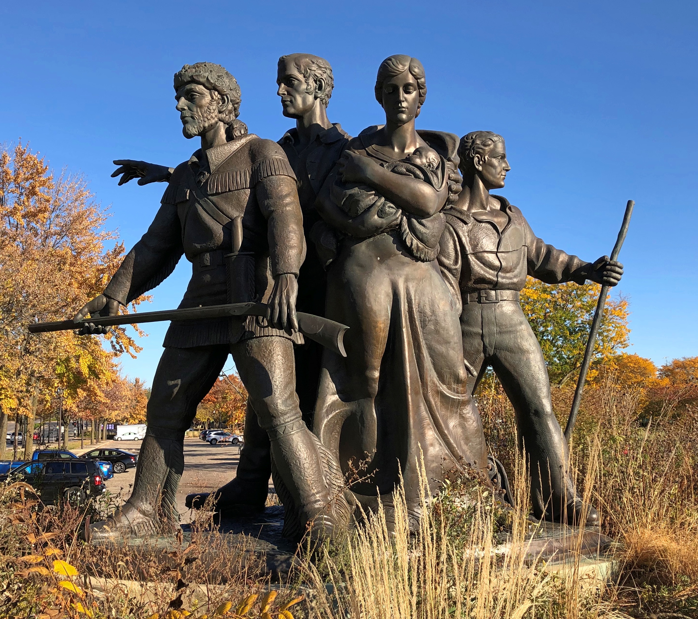
Facing the river, specifically the Kimball Street and Dam, are pioneers in bronze.Fox River, Elgin Fox River, Elgin

There are enough of these kinds of statues that they represent a memorial genre, I think: Doughty Pioneers. Other recent examples (for me) include Nacogdoches and Bandera, Texas, and there are ones closer to home. The Elgin pioneers, under the name “Pioneer Family Memorial” (2001), were created by Elgin artist Trygve A. Rovelstad, though cast posthumously, since he died in 1990.

He also designed the Elgin Centennial half dollar, a numismatic curiosity from 1936. It was sold to help fund Rovelstad’s pioneer memorial in Elgin, but it clearly wasn’t enough, since the thing wasn’t finished for 65 years.

A lot of commemorates were minted in 1936, such as for the Texas Centennial, Daniel Boone Bicentennial, Arkansas Centennial, Wisconsin Territorial Centennial, Long Island Tercentenary (which sounds like the 300th anniversary of it becoming an island), and coins honoring such places as Elgin, but also Cleveland, Columbia, SC, Lynchburg, Va., and York County, Maine, among others.

The Oregon Trail Memorial, Cincinnati Musical Center and the San Francisco-Oakland Bay Bridge got halves that year, too. Whoever successfully lobbied an important Congressman for one, got one, sounds like.

The bronze pioneers are near Walton Island Park, a man-made feature in the Fox River accessible by footbridge from the east bank. Like the Elgin half dollar, it too dates from the 1930s, when the local chapter of the Izaak Walton League – an organization named for the Compleat Angler fellow that’s still around – led the effort to enlarge a mud bank in the river by dredging the bottom and using the fill.

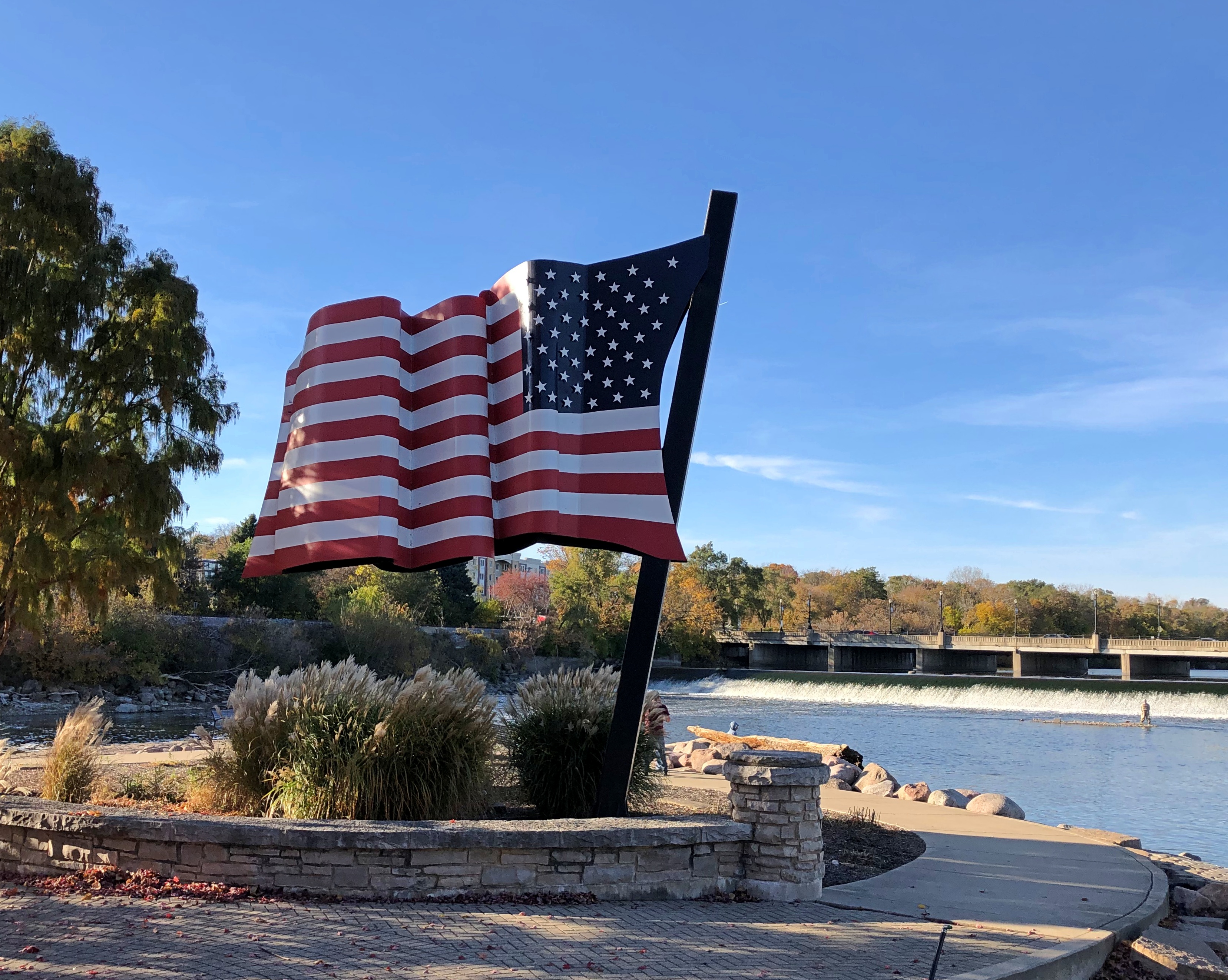
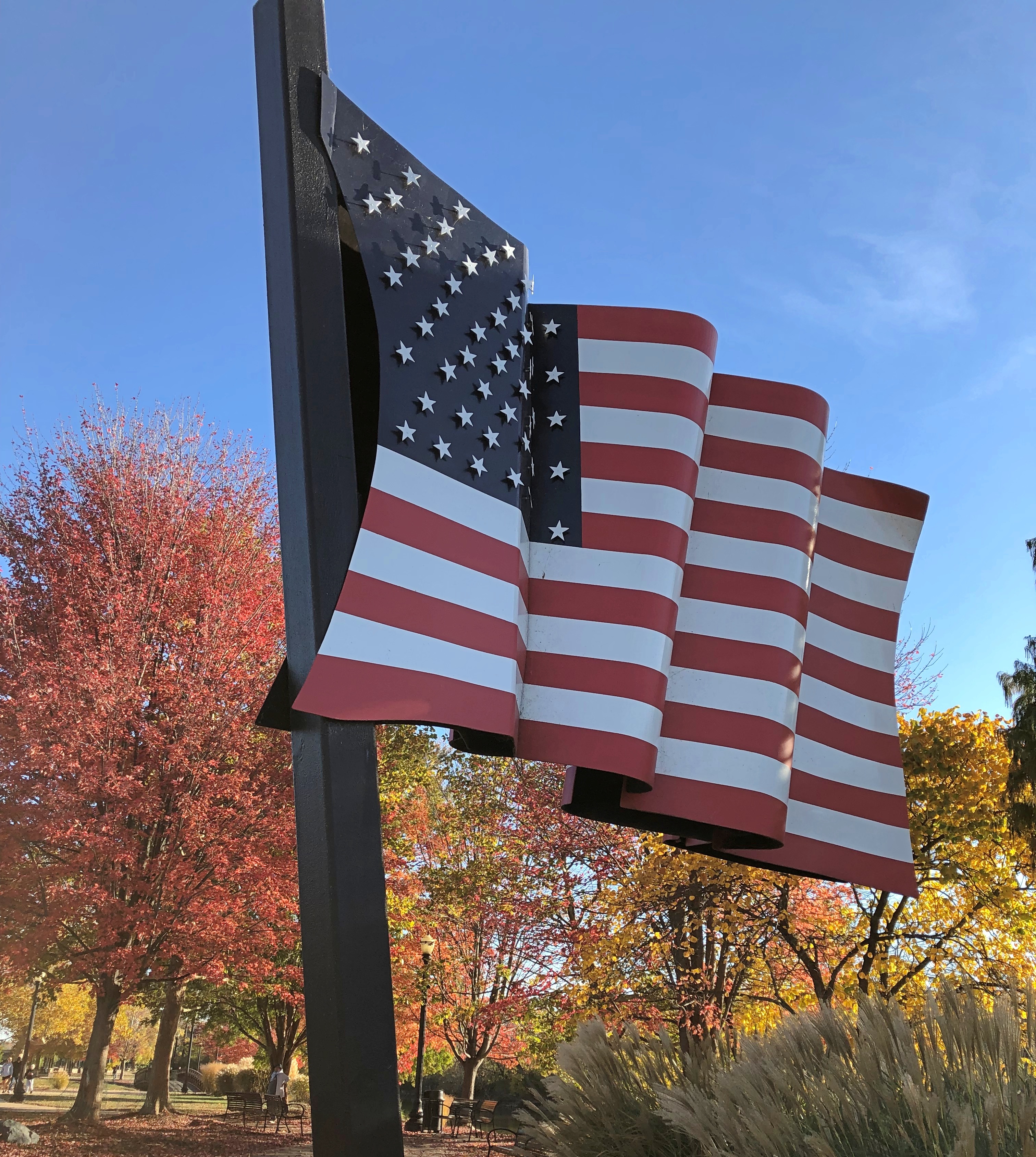
A flag sculpture is at the north tip of the island.Walton Island Park, Elgin Walton Island Park, Elgin

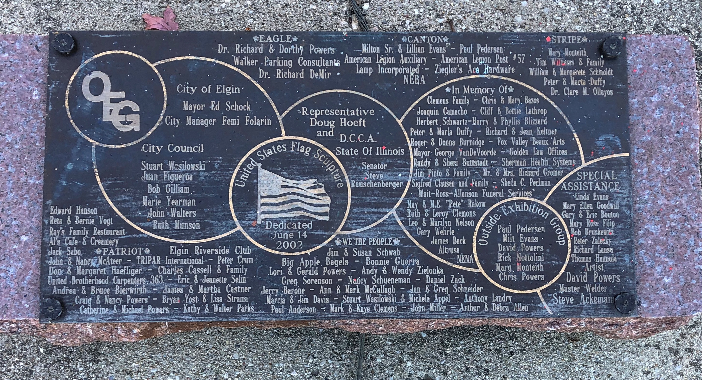
Dedicated on Flag Day, 2002. With one of the busier dedication plaques I’ve seen (but not as busy as the Norwegians in America).Walton Island Park, Elgin

The rest of the park is mostly a short stroll.Walton Island Park, Elgin Walton Island Park, Elgin Walton Island Park, Elgin Walton Island Park, Elgin

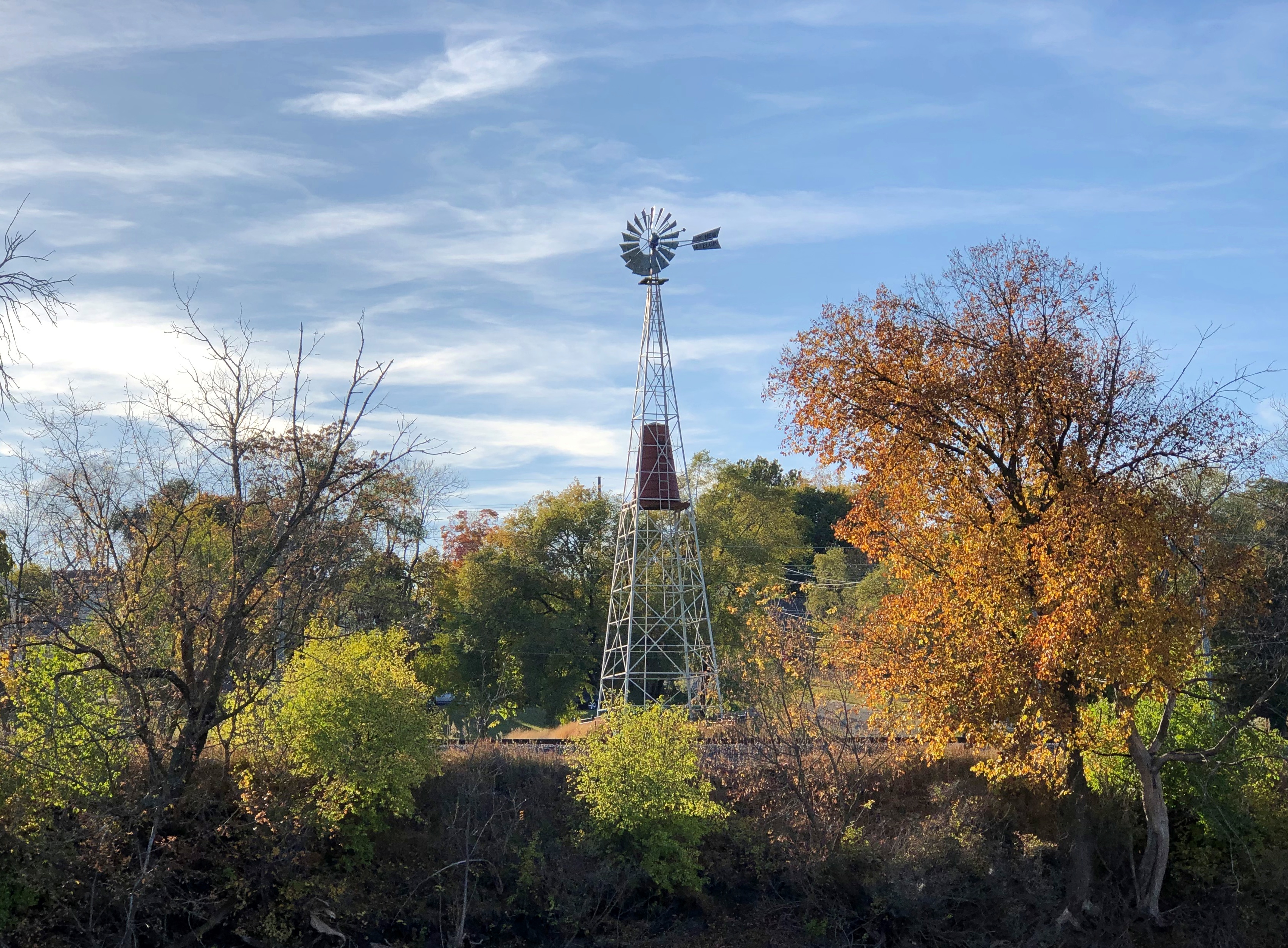
With good views of either side of the Fox. Such as the west bank.Elgin, Illinois windmill

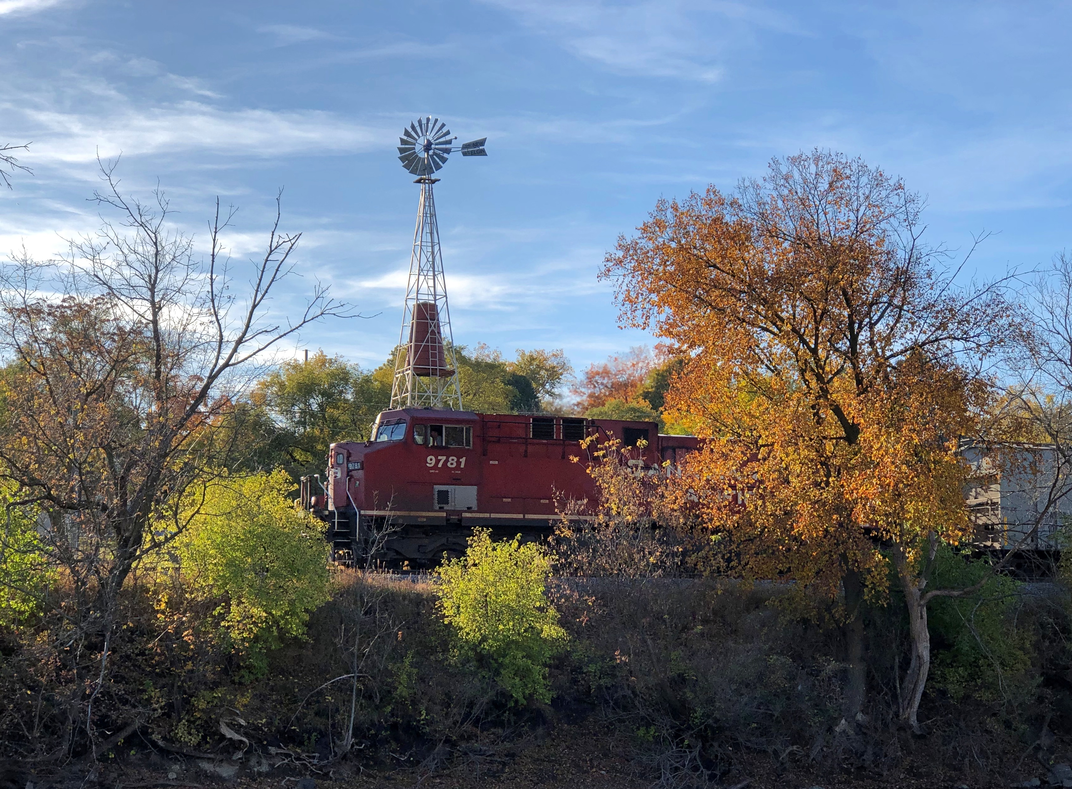
A windmill. We didn’t go over to look at it, but I looked into it later. I’ve driven the nearby road (Illinois 31) any number of times, and must have seen it, but I guess it didn’t register. When I saw it from Walton Island, I thought I was seeing it for the first time.

For some extra drama, a freight train rolled by.Elgin, Illinois windmill

“A recent multi-year project for the Elgin Area Historical Society involved relocating and restoring a long-forgotten urban windmill built in 1922 by the Elgin Wind, Power and Pump Co.,” explains the Elgin History Museum.

“On September 7, 2013 the windmill was fully restored and now stands proudly at the site of its creation in Foundry Park off Route 31 in Elgin. The park was once the site of the Elgin Windmill Company, where the windmill was originally built.”

Community Ofrenda – Ofrenda Comunitaria

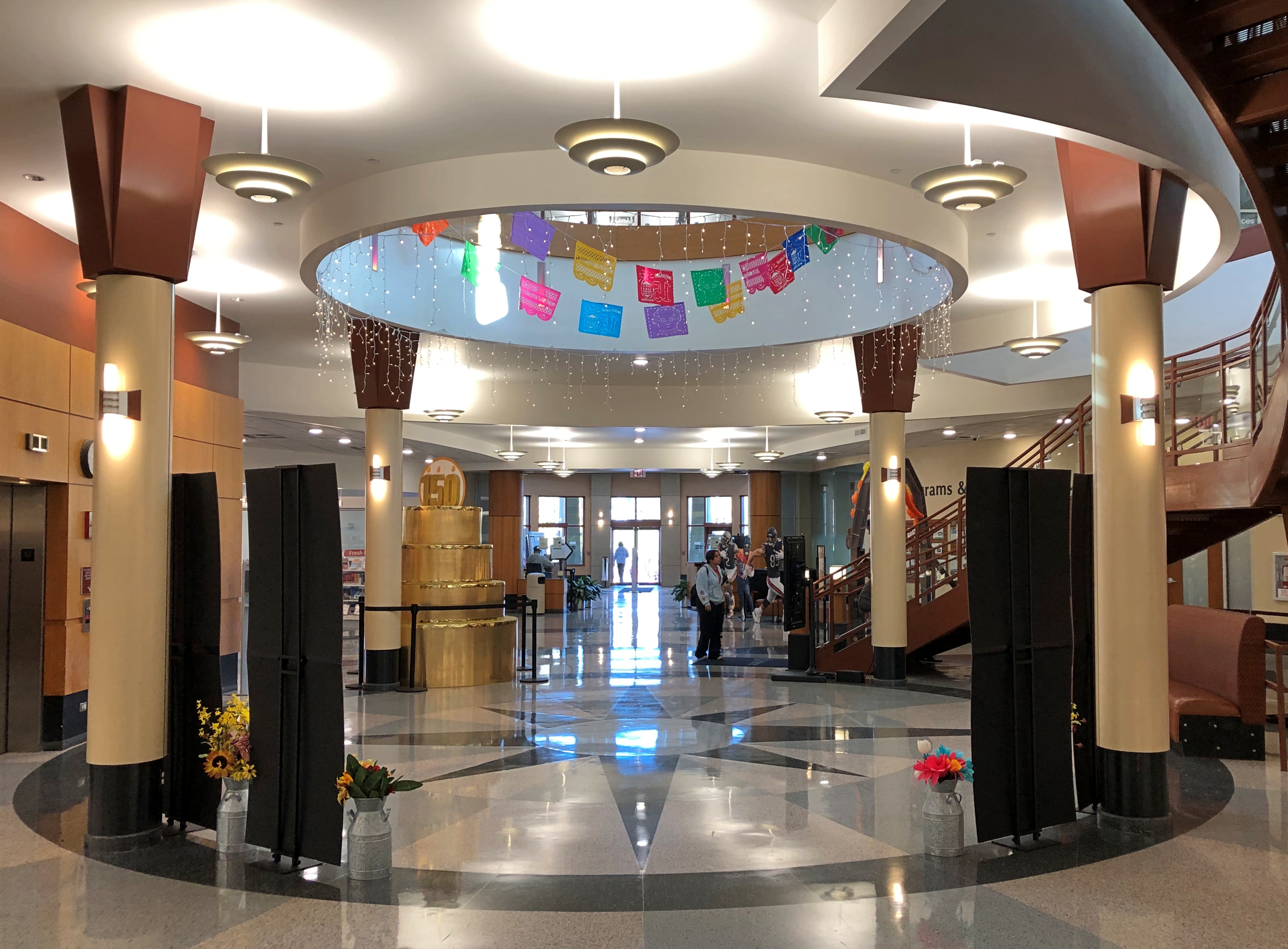
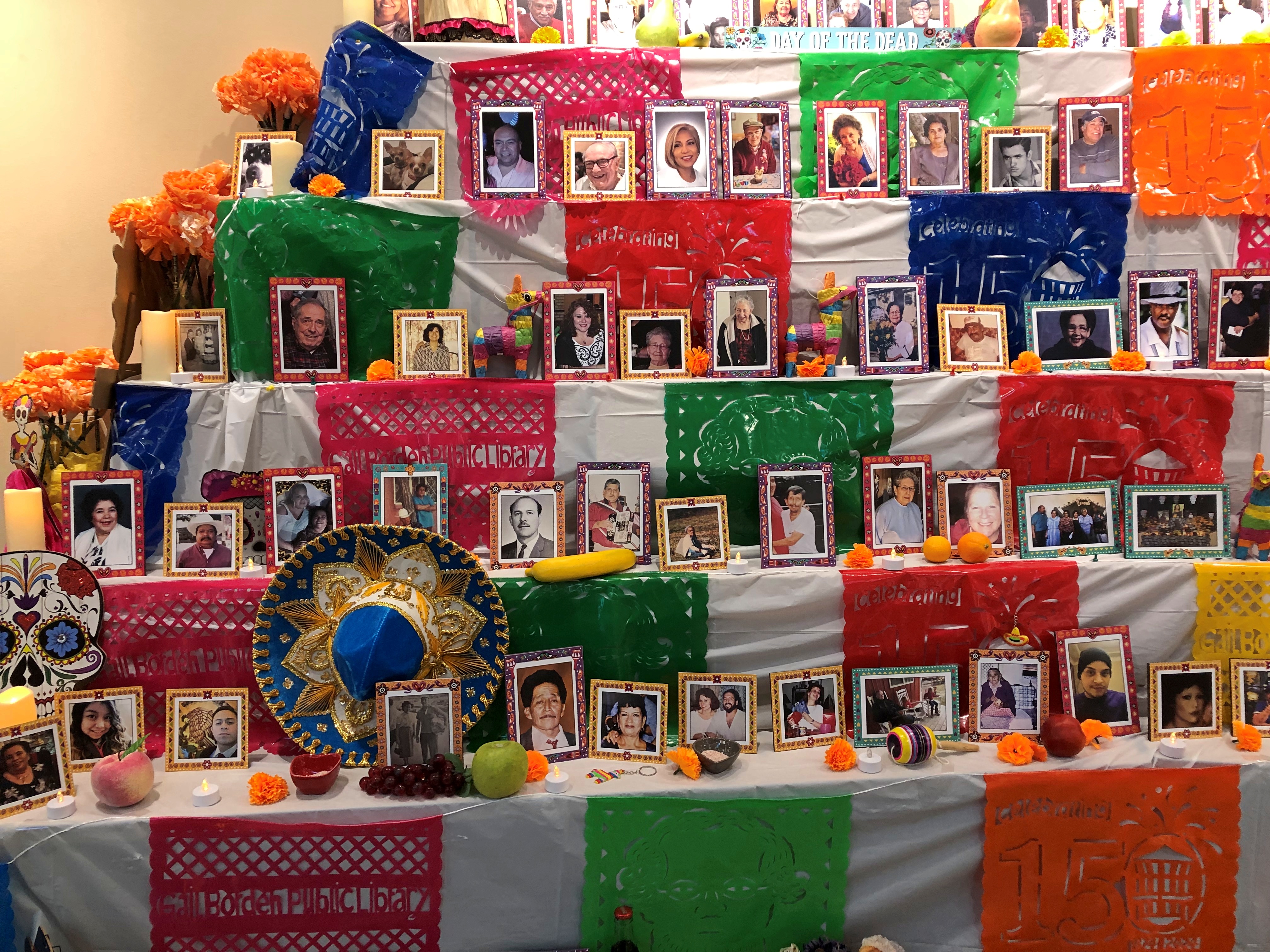
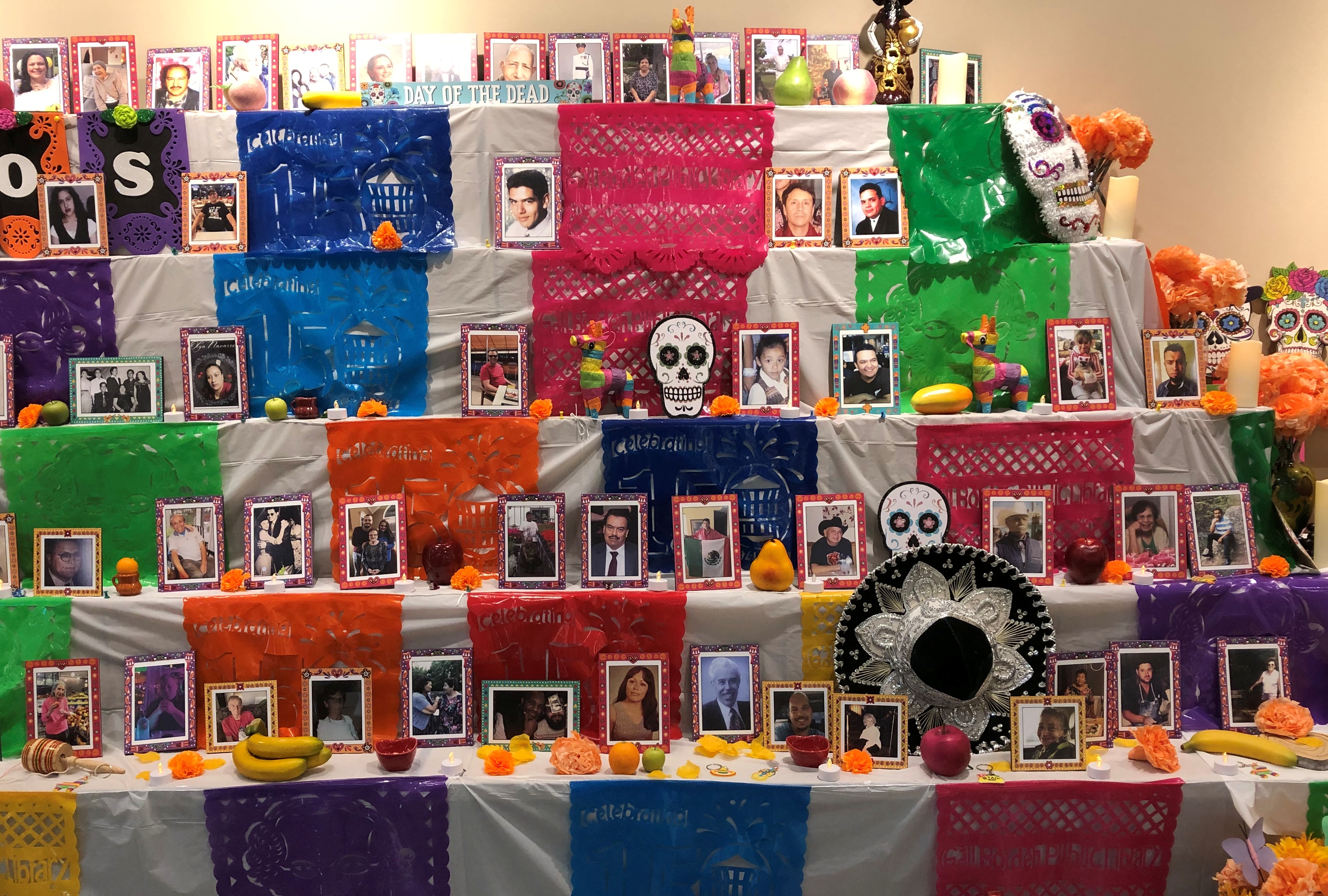
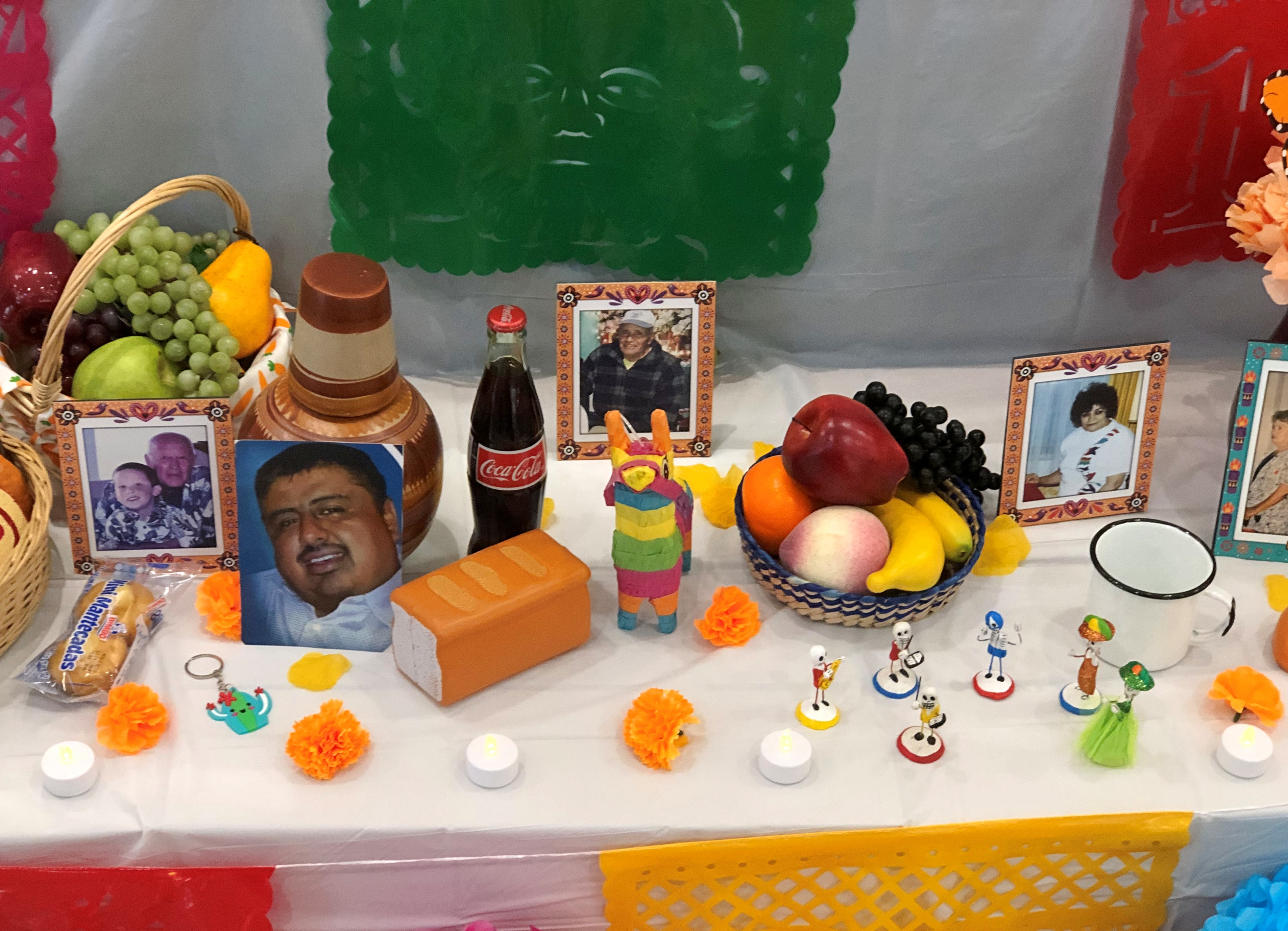
A week ago Sunday we visited the main branch of the Gail Borden Public Library District, a mid-sized, newish building near the Fox River in far west suburban Elgin, Illinois. First time at that library. Quite impressive, looking like a place where people want to go, looking for some specific information, or just to see what they could see.

Inside the front entrance the space opens up into a round, which functions as a hub for the rooms that are the library’s spokes.Community Ofrenda – Ofrenda Comunitaria

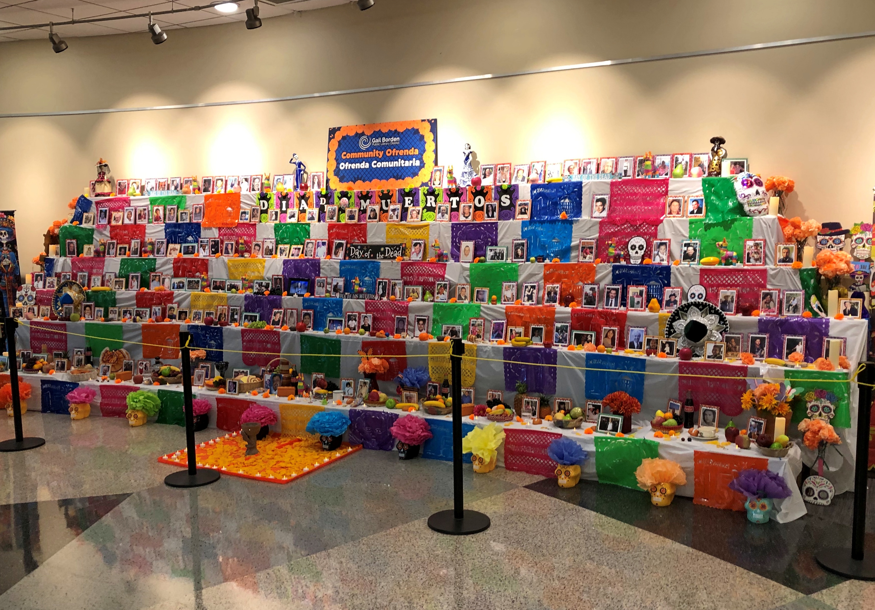
Prominent against a wall was the Community Ofrenda – Ofrenda Comunitaria.Community Ofrenda – Ofrenda Comunitaria Community Ofrenda – Ofrenda Comunitaria Community Ofrenda – Ofrenda Comunitaria

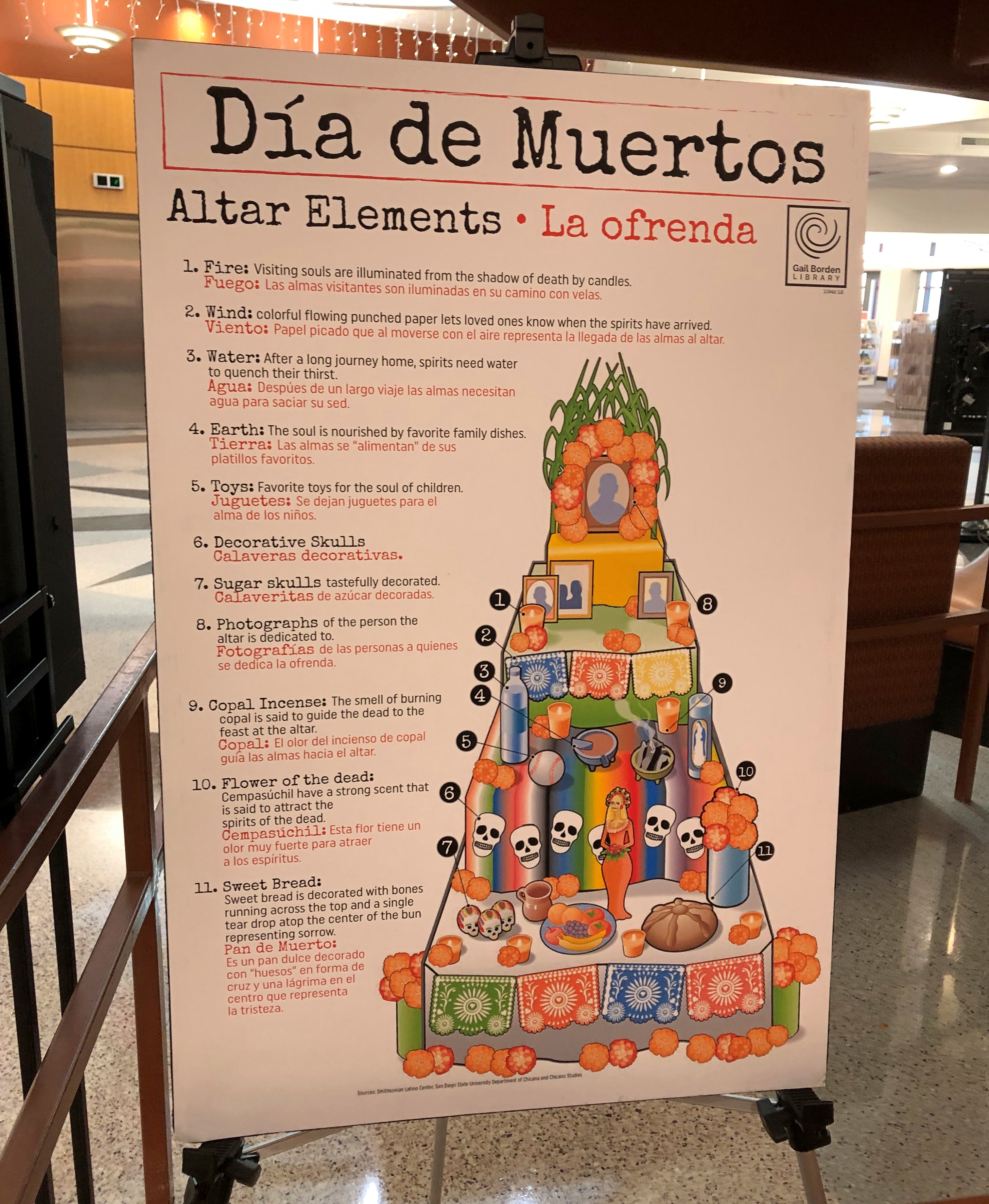
A helpful nearby sign.Community Ofrenda – Ofrenda Comunitaria

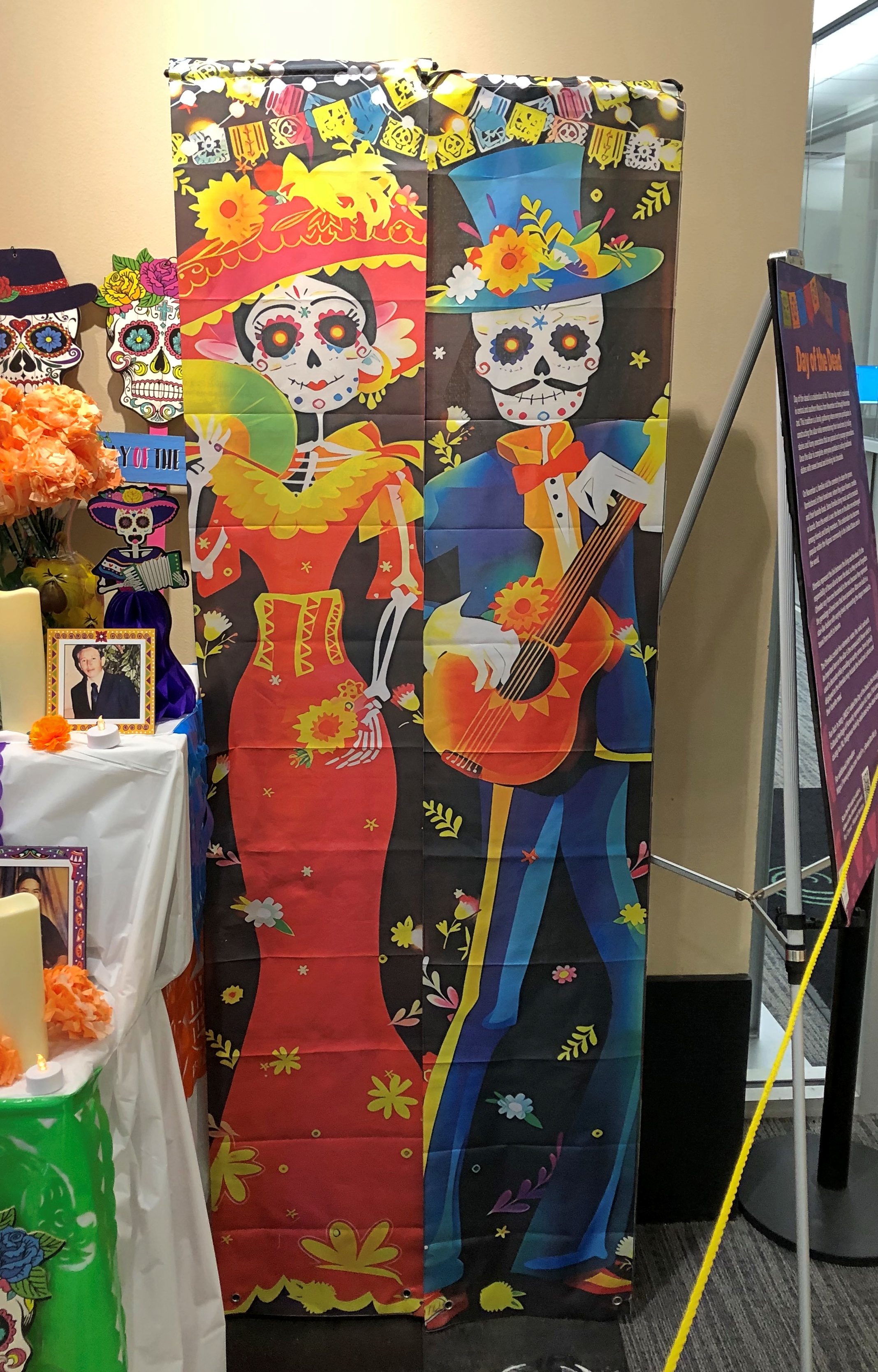
Calaveritas decorativas. That’s a good thing to know, the Spanish for the multitudes of decorative skulls in the worlds.The faces of Día de los Muertos. The faces of Día de los Muertos.

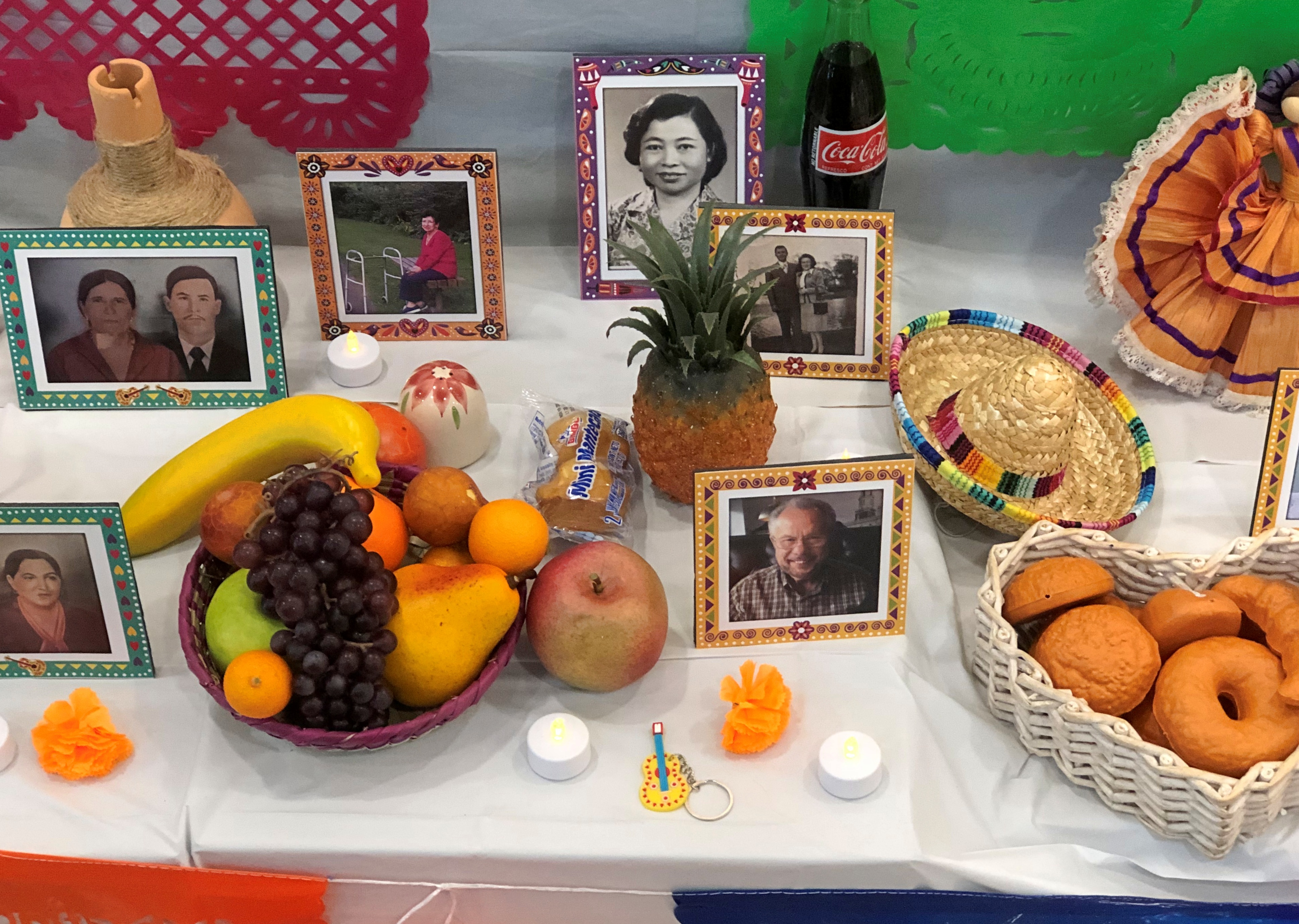
Details.The faces of Día de los Muertos. The faces of Día de los Muertos. The faces of Día de los Muertos.

The faces of Día de los Muertos.

London Town

Things you can do in London: walk along the Thames; visit Covent Garden; and see St. Paul’s Cathedral. We did all of those things in the original London, once upon a time.

Earlier this month, we managed two out of three in London, Ontario. The cathedral was closed. Some other time, maybe, since you can drive from metro Chicago to the Canadian London in about six hours, provided traffic snarls on the highways just south of Lake Michigan aren’t any worse than usual and you don’t encounter a testy Canadian border guard, as I did on Canada Day all those years ago, for the most thorough border-crossing inspection I ever received, before or since.
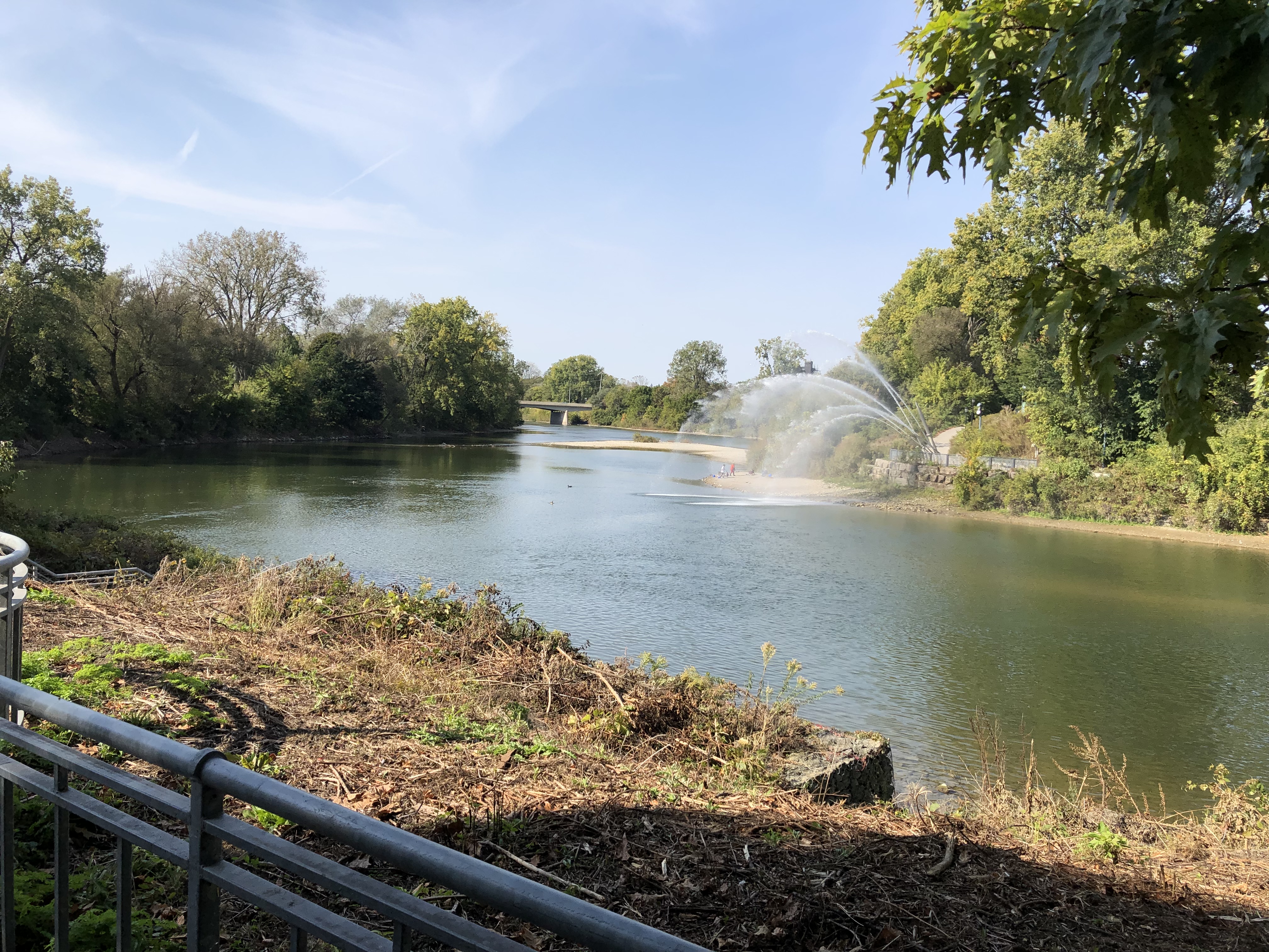
The Thames as it passes through downtown London. The banks are mostly parkland.London Ontario, Thames River London Ontario, Thames River

Actually, that point is the meeting of the North Thames and the Thames, locally known as the Folks. The river is called as La Tranche in French and Deshkaan-ziibi in Ojibwe, Antler River.

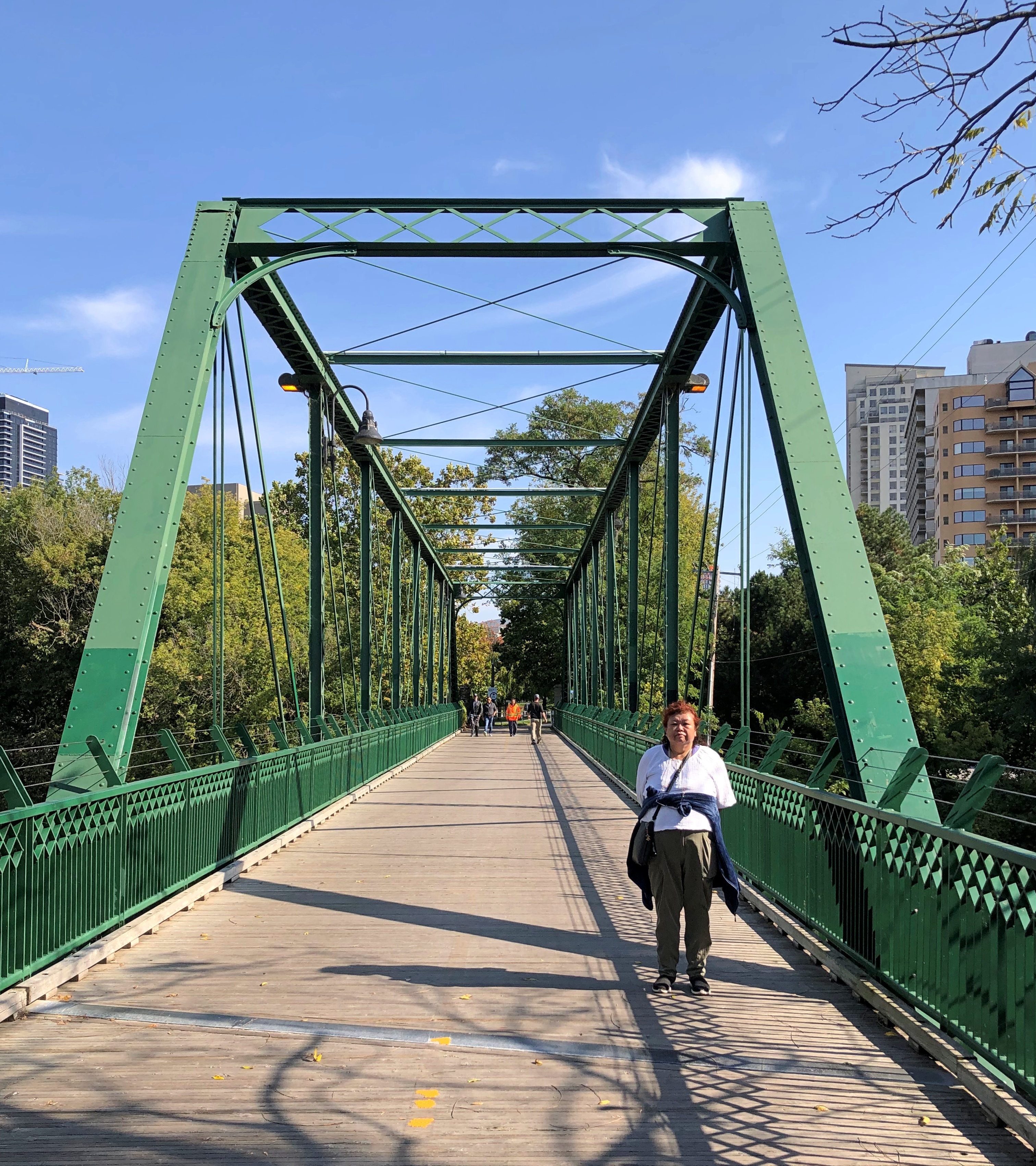
The King Street pedestrian bridge connecting the banks.London Ontario

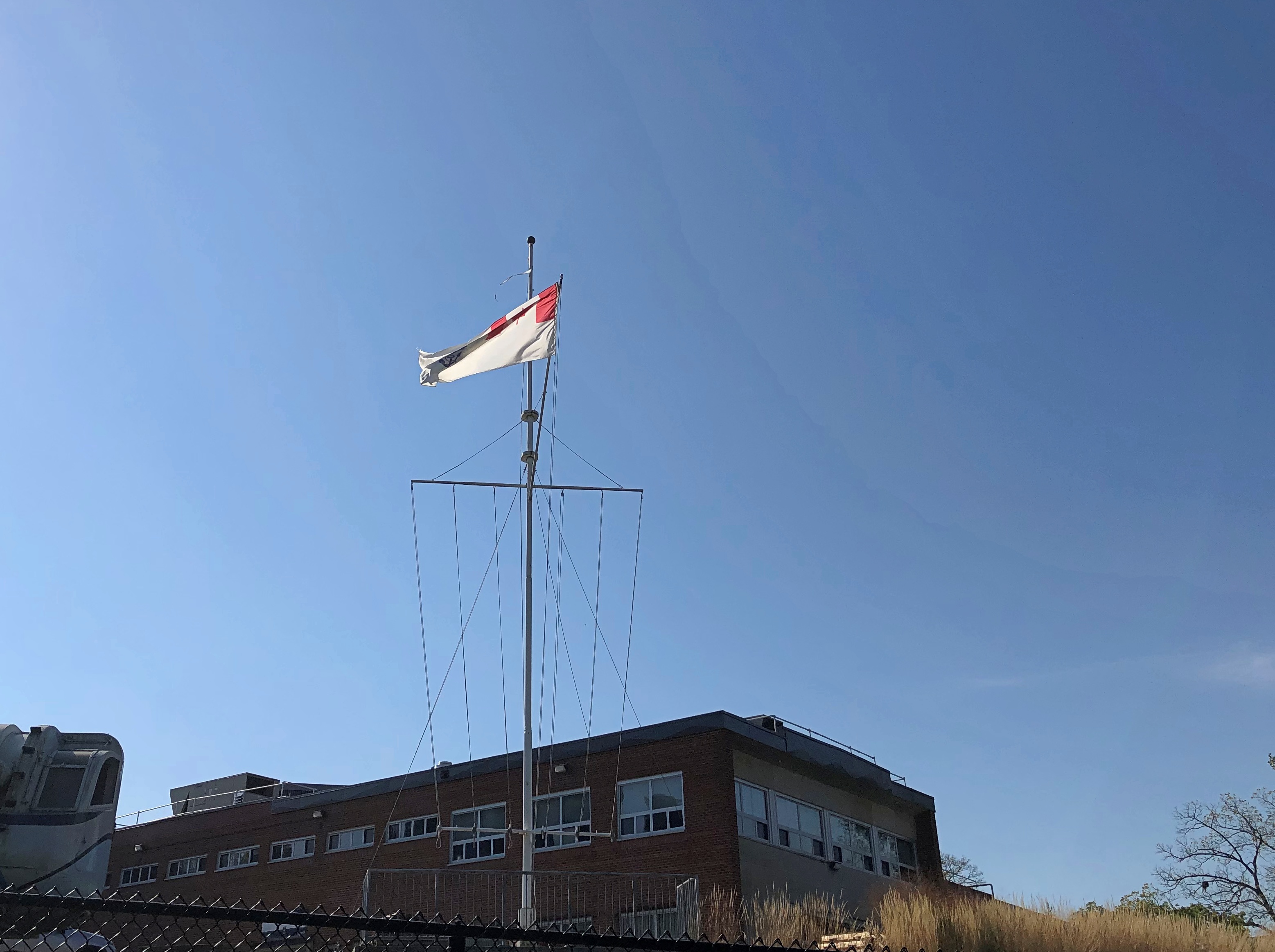
Near the Folks is the HMCS-NCSM Prevost, flying these colors – the Canadian Naval Ensign, if I understand correctly.London Ontario

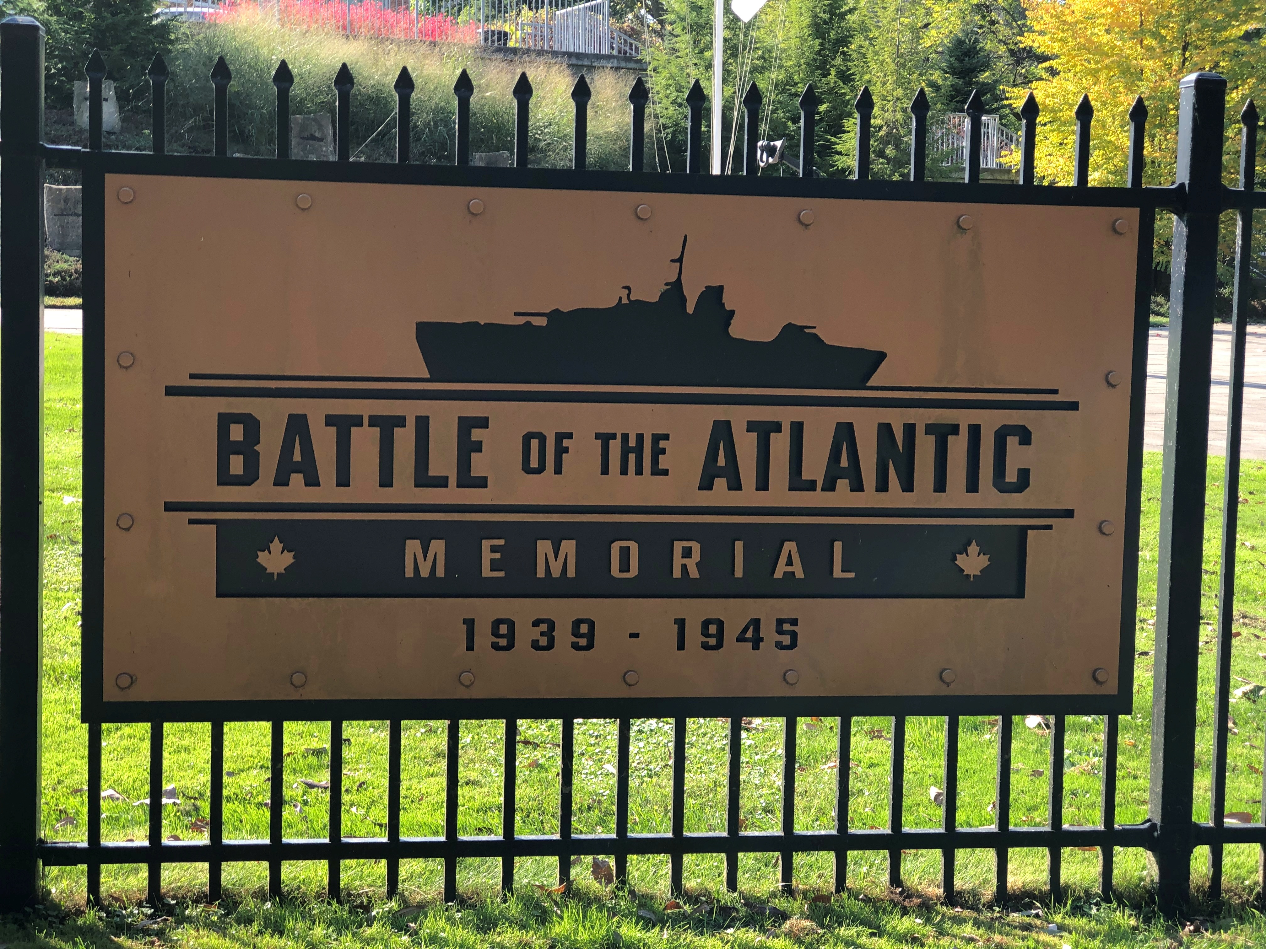
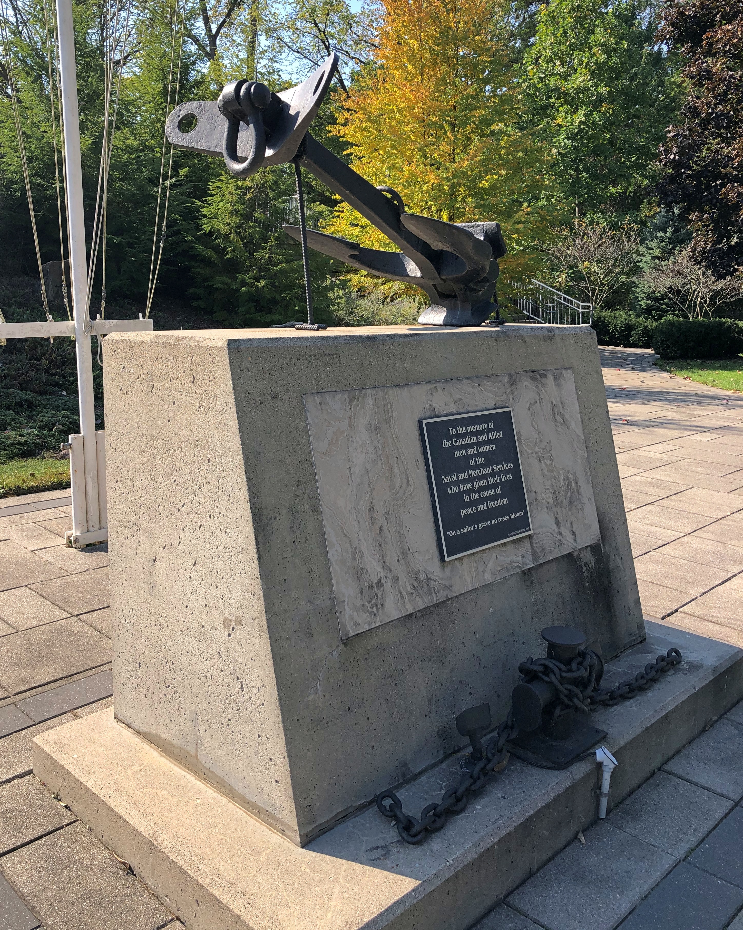
All that is a fair amount to unpack: the ensign is flying on land because the Prevost is a stone frigate, a naval facility on land. HMCS is His Majesty’s Canadian Ship, of course, but this being Canada, it is also NCSM, Navire canadien de Sa Majesté. The site is a training and recruiting center for the Canadian Navy, and also home to the Battle of the Atlantic Memorial. Another sign is in French, but I only made a picture of the English.London Ontario London Ontario
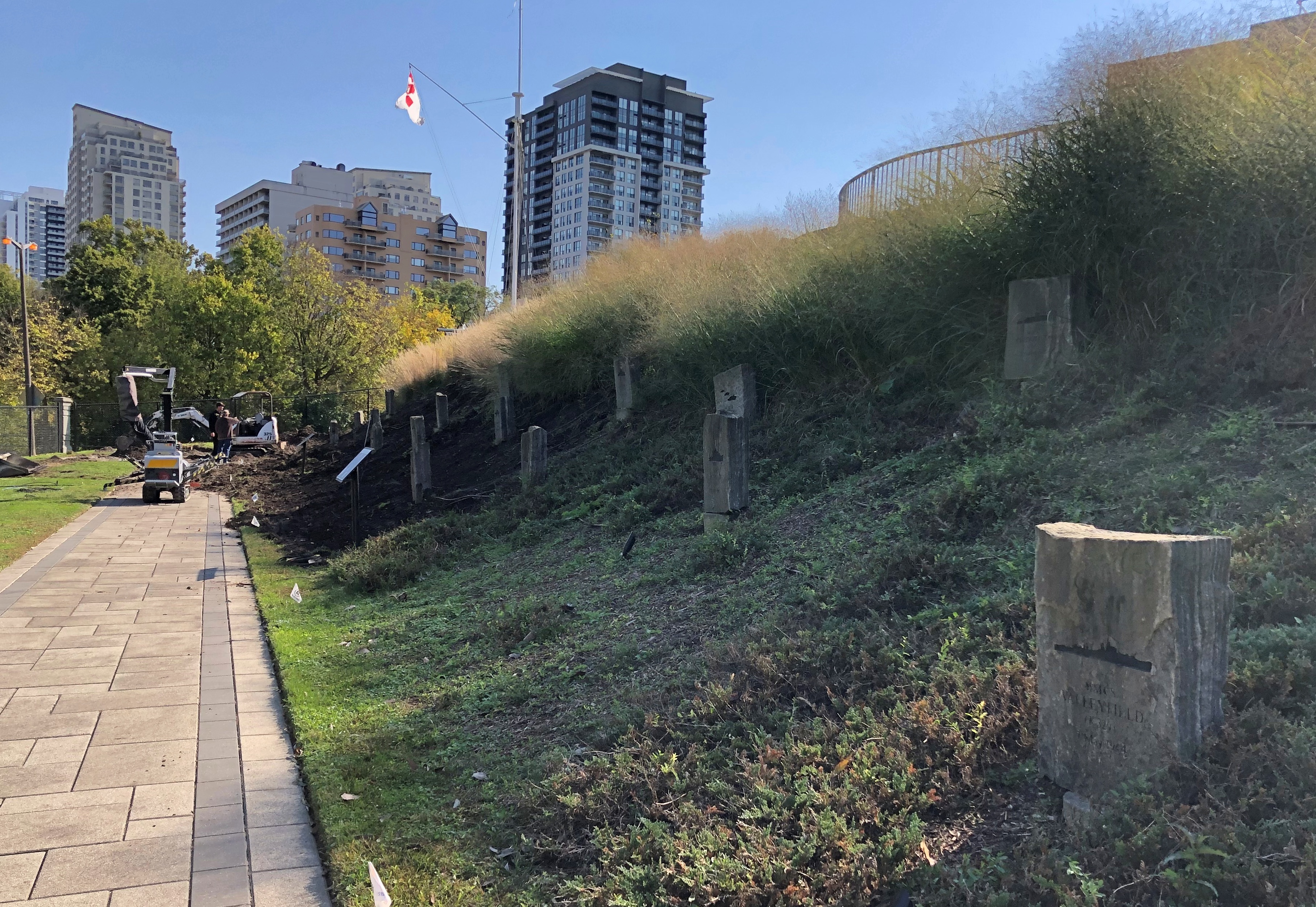
The memorial is still under construction, according to the London Free Press, and it looked like it, with memorial stones being put into place on a small slope. Dedication will be next May, on the 80th anniversary of the end of that battle, which lasted until the Germans surrendered.London Ontario

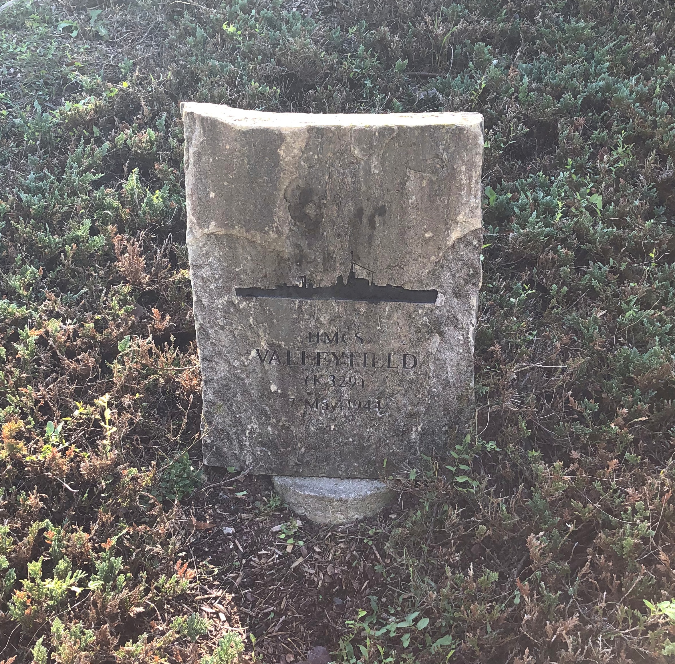
I decided to look up one of the ships memorialized: the HMCS Valleyfield.London Ontario

Commissioned in December 1943. Torpedoed and sunk May 7, 1944, with the loss of 125 Canadian sailors in the gelid North Atlantic.

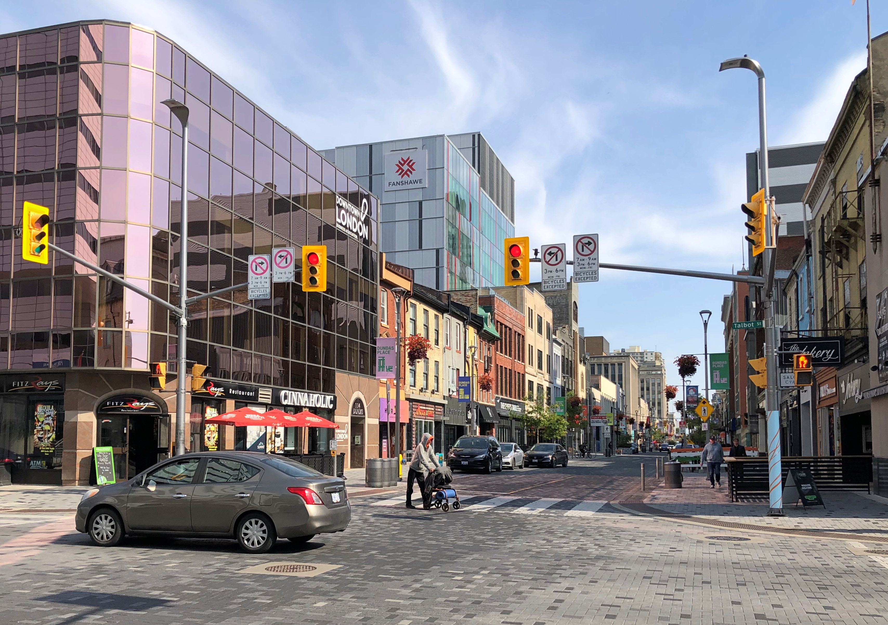
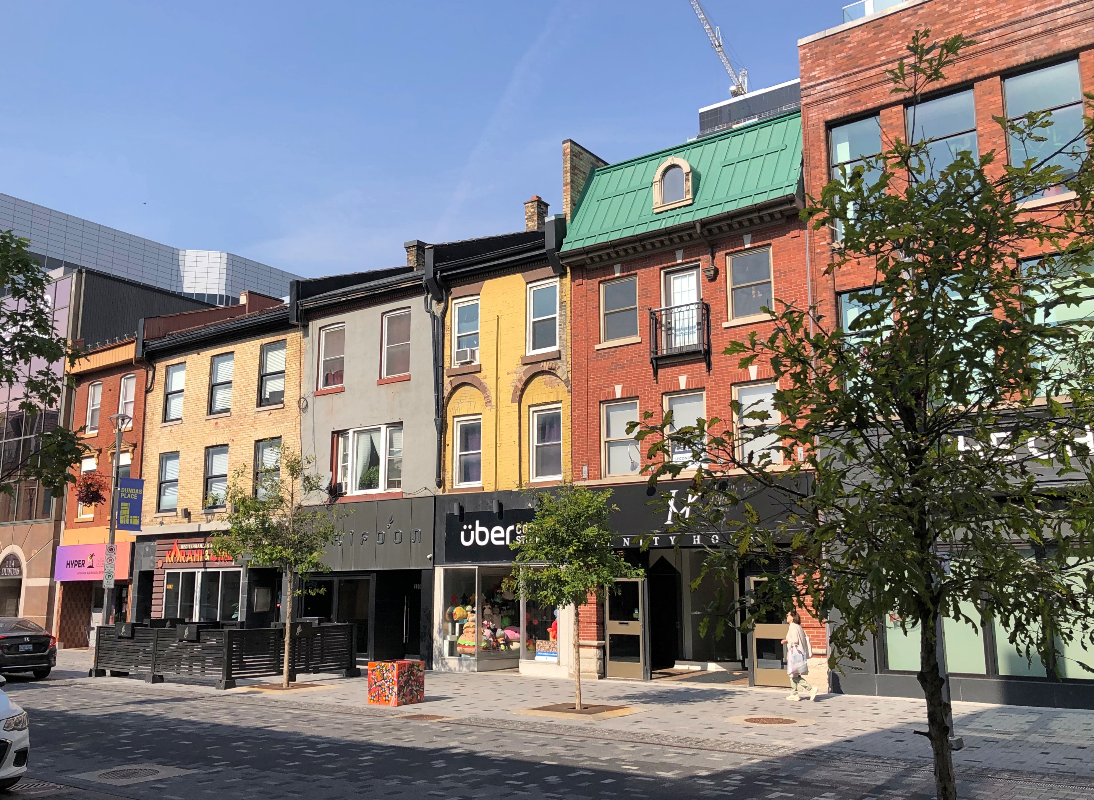
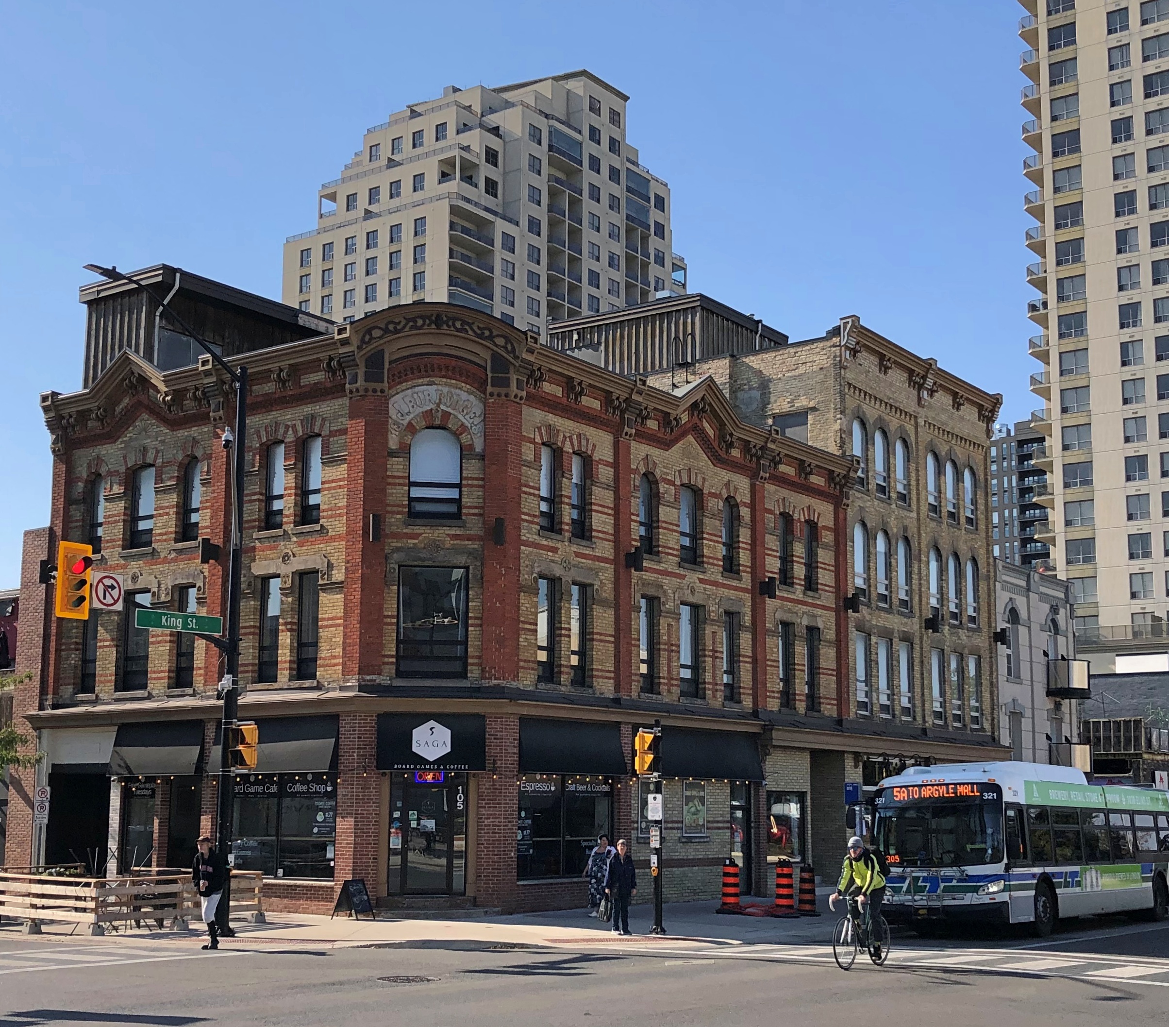
After the riverside, we took a short walk through downtown, especially Dundas St.London, Ontario London, Ontario London, Ontario

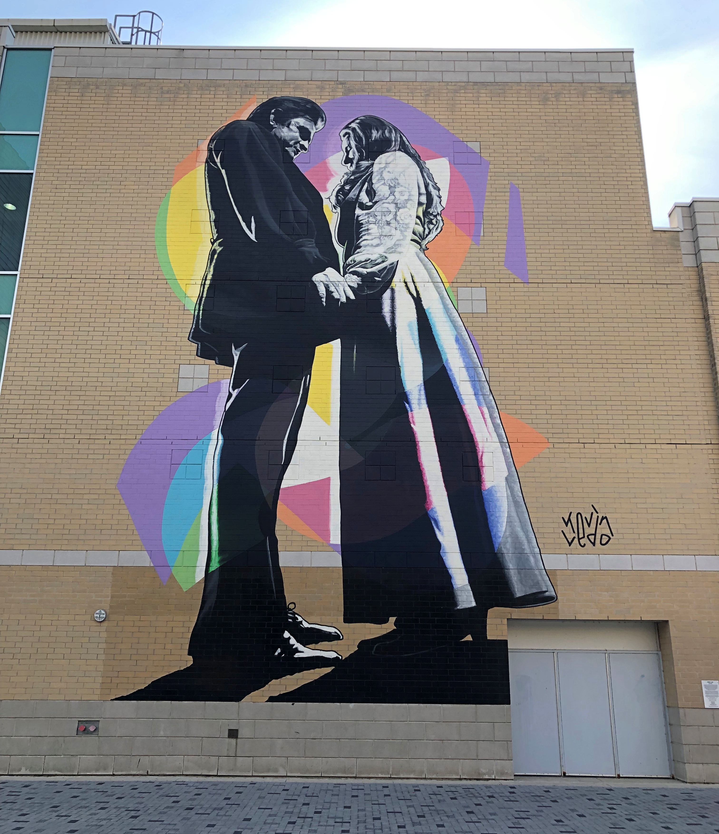
An unexpected mural on that street.Johnny and June, London, Ontario

“Johnny and June” by Kevin Ledo, a Montreal artist, and completed only in 2023. (If you want to see a large Ledo mural depicting a young Alex Trebec, go to Sudbury, Ontario.)

The mural, on the side of London’s Budweiser Gardens sports-event venue, is impressively large, at 45 feet tall and 20 feet wide. Larger than life, certainly. A nearby sign says it commemorates the moment on February 22, 1968, when Johnny Cash proposed to June Carter on stage during a concert in London.

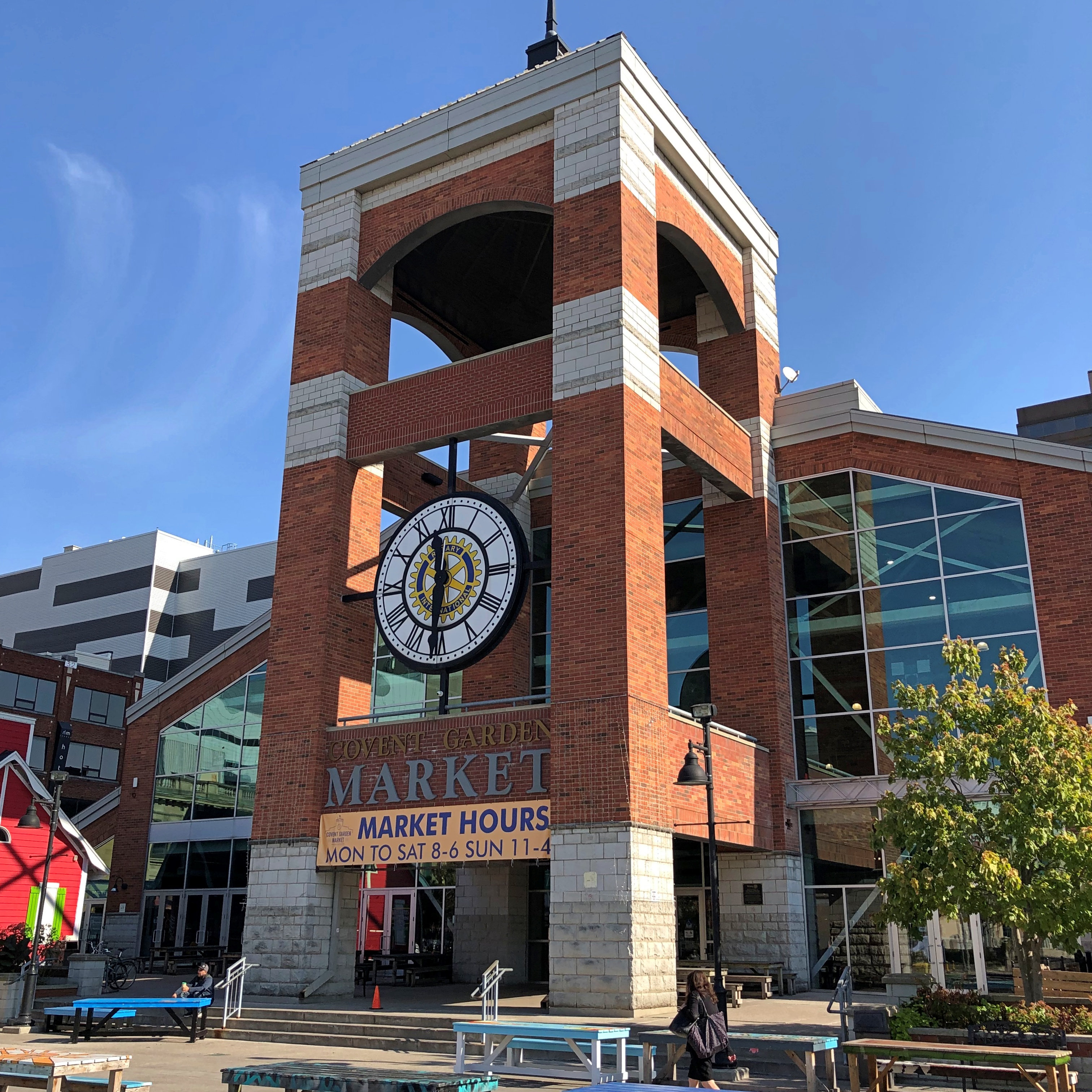
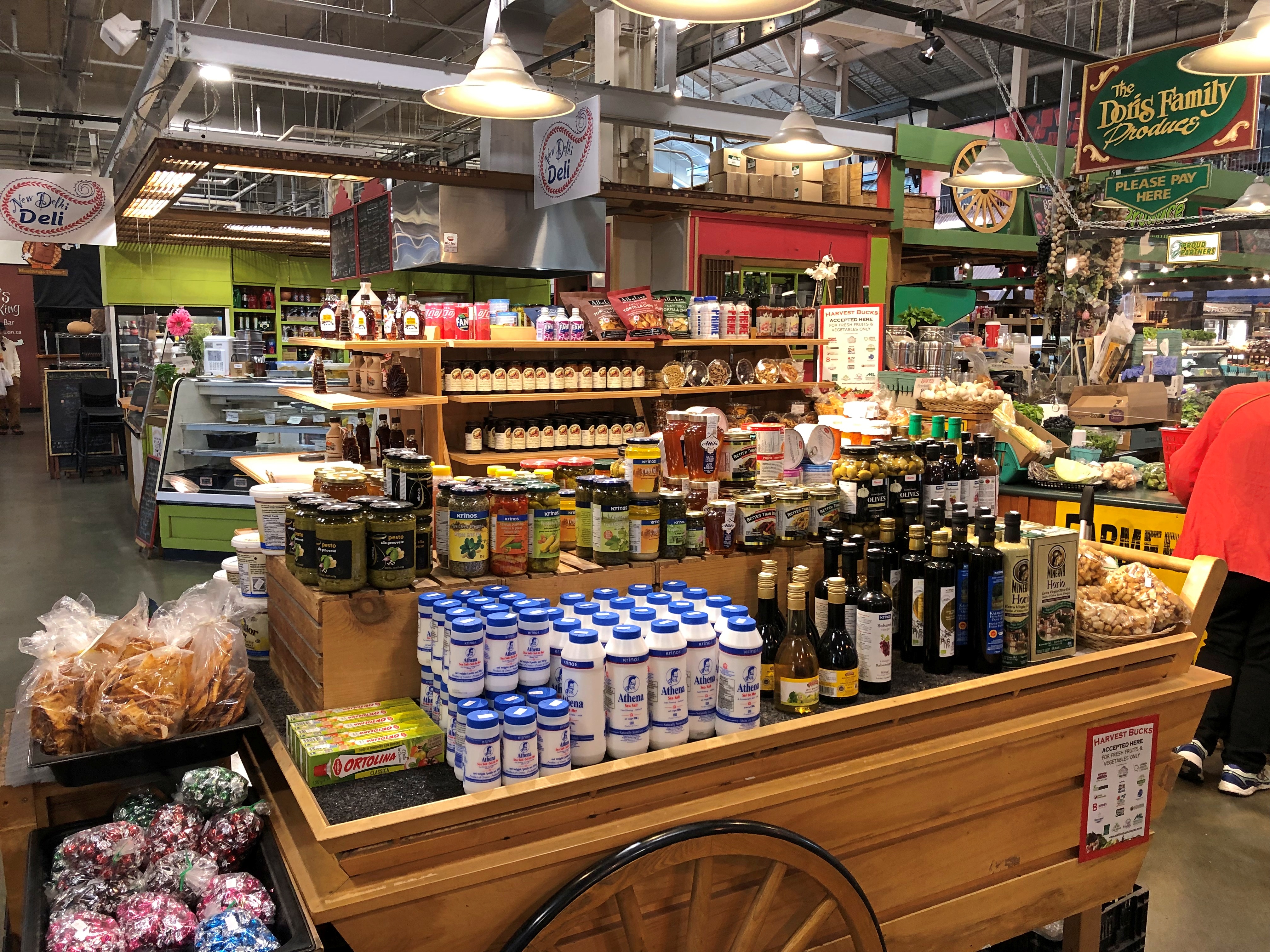
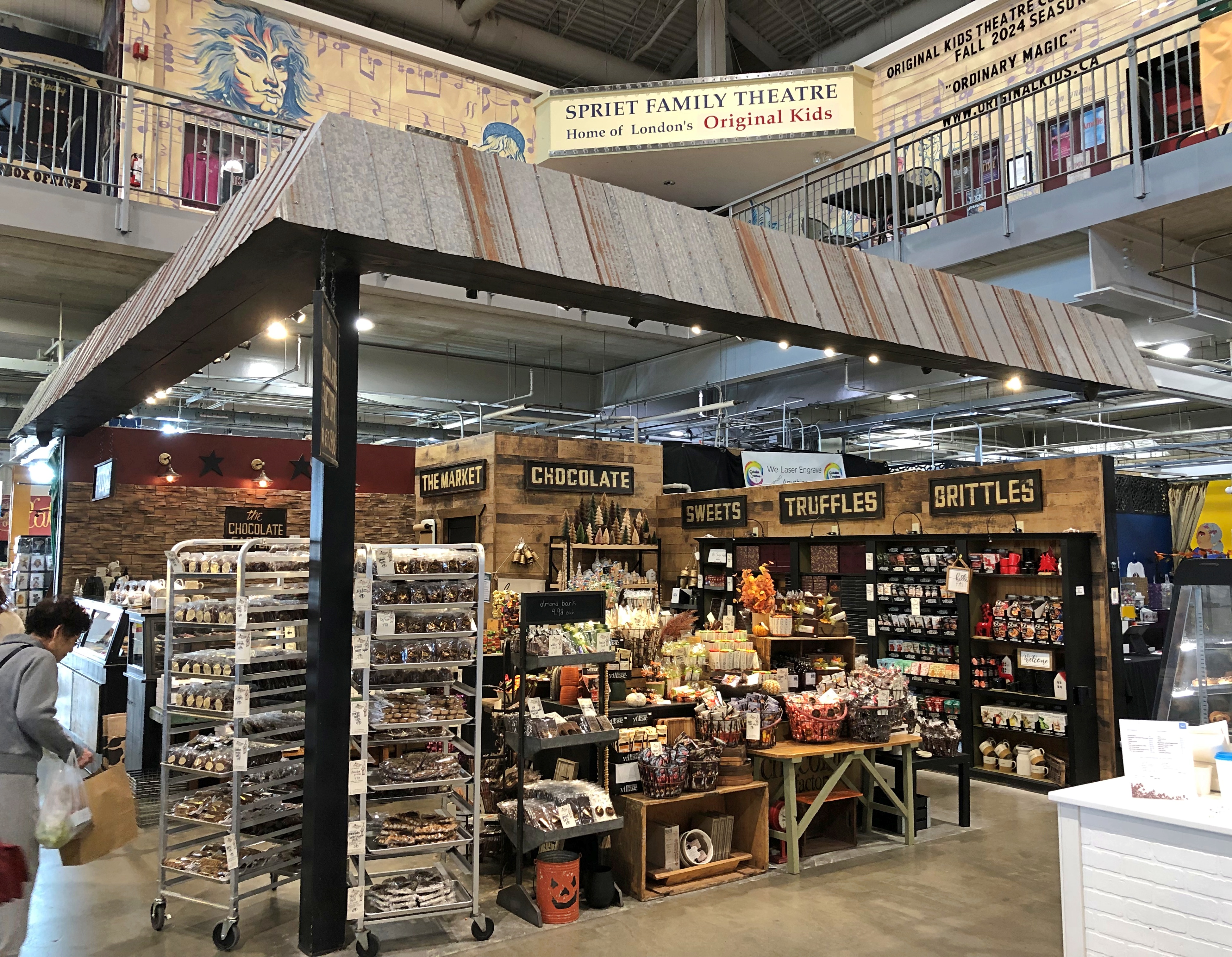
As for Covent Garden, that’s where we had lunch. Site of a public market since 1845, though I expect things have been cleaned up some since then.Covent Garden, London, Ontario Covent Garden, London, Ontario

Not quite as grand as the one in the larger London, but well worth the stroll to look at the shops, and find an eatery. We ate at a Brazilian place. Don’t see too many of those in food halls. Most satisfying.Covent Garden, London, Ontario Covent Garden, London, Ontario Covent Garden, London, Ontario

Lots of goods. Is there a Canadian content requirement?London, Ontario London, Ontario

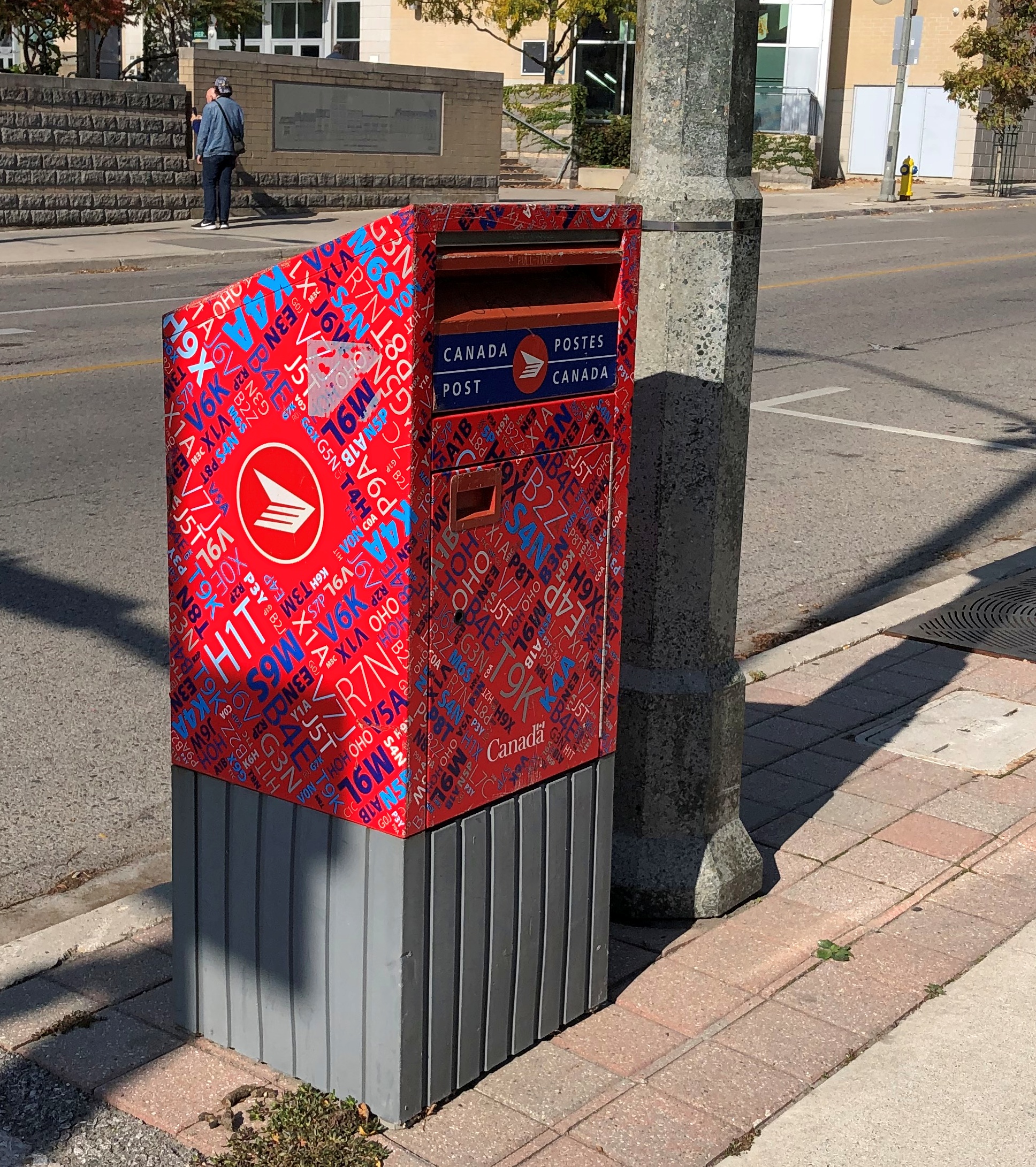
A few more London details, near Covent Garden. We didn’t see on foot the part of town I found more intriguing, which we drove through: the area around Western University (a.k.a., University of Western Ontario, enrollment more than 40,000). Might be a good place to look around if we ever take that trip to the Stratford Festival, which is practically down the road from London.London, Ontario London, Ontario London, Ontario

I have to like a place with a name like that.

Wiarton Willie and His Hometown

Look at that point-of-interest spot on the map, I said to no one in particular. I think Yuriko was in the bathroom right then. Wiarton Willie, I said. And that is?
I didn’t look it up. But I knew we were going that way, south from the tip of the Bruce Peninsula at Tobermory on the two-lane Ontario 6, so we could find out. The town of Wiarton, Ontario was our first stop, late on the crisp and clear morning of October 10.
Wiarton’s on the Georgian Bay side. Willie has a lake view in a municipal park, but he is positioned looking away.Wiarton, Ontario

The plaque says that Willie was carved from Adair Dolomtic Limestone by Dave Robinson, and erected in 1996 on the occasion of the 40th anniversary of Groundhog Weekend celebrations in Wiarton, Ontario, pop. about 2,000. He honors the live groundhogs used in the annual ceremonies. “Willie Rising” is the formal name of the work.

Punxsutawney might have the best-known Groundhog Day celebrations — and certainly be depicted (by Woodstock, Illinois) in the best movie ever likely to be made about the holiday — but it isn’t the only place that touts the predictive talents of a series of marmots during a wintertime festival. Wiarton does, too. At one time an albino groundhog served as the living centerpiece of the fest, though more standard groundhogs seem to be tasked with forecasting these days.

One year, the Willie of the time died just before the festival, so the organizers held a public funeral instead, putting a lookalike stuffed rodent in a tiny casket, since the recently passed Willie reportedly smelled too bad for the role. Apparently some of the festivalgoers were miffed, but if you asked me that shows some imagination on the part of somebody — an urge to do something just a little out of the ordinary. In the hands of a competent scriptwriter, there’s probably a pretty good Groundhog Day comedy in that story.Wiarton, Ontario

Here’s a rabbit hole: or rather, a groundhog burrow: The Adair in Adair Dolomtic Limestone is a trademark held by Arriscraft, which is a unit of the stone products group of General Shale, the North American subsidiary of the expansion-minded Wienerberger AG, a leading multinational manufacturer of brick, headquartered in Vienna. The stone itself was quarried locally, since there are quarries near Wiarton. But the ultimate bosses are shadowy German-speaking billionaires.

The shore at Wiarton.Wiarton, Ontario Wiarton, Ontario Wiarton, Ontario

Not far away is the main street, Berford Street (Ontario 6), and its collection of handsome buildings of a certain age.Wiarton, Ontario Wiarton, Ontario Wiarton, Ontario

The taller buildings came in at no more than three stories.Wiarton, Ontario Wiarton, Ontario Wiarton, Ontario

Most had stores on their first floors, and people were out and about on the sidewalks, going about their business at such places as Beer Store, Peninsula Imprint, Bluewater Dental, Sullivan’s Butcher Shop, Coral’s Caribbean Cuisine, KW Real Estate Centre, Lost Art Espresso, Sunshine Drugs, Wiarton Emporium (thrift store), Cannabis Grey, Royal Bank of Canada, Ashanti Cafe, and more – a mix of ordinary retail and some that probably depend more on day-trippers from larger cities.

An active, walkable town, in other words, the kind planners dream about, but which are hard to conjure up from a set of plans.Wiarton, Ontario

Canadian Thanksgiving weekend was about to start.Wiarton, Ontario

From what I saw and heard, mostly on the radio, turkey feasts and family gatherings are common aspects of the holiday. That’s all very well, but I think we have a better deal: three holidays, plus a de facto holiday thrown in to make four days, on the leading edge of Christmas. Thanksgiving is a three-day weekend in Canada, and that’s that.Wiarton, Ontario

Over the door of the Royal Canadian Legion in Wiarton. Memoriam eorum retinebimus, we will remember them.Wiarton Ontario

Nearby artwork in the town with the same message.Wiarton Ontario

We should remember them, too. We, as in Americans. Not only have there been no hostilities along the border since the War of 1812 (not counting fishing spats), we and the Canadians have been comrades in arms ever since, when the times call for it.

Bruce Peninsula National Park: The Sand

Clambering around on rocks, even the kind that don’t require any technical skills, takes energy, so lunch was the next order of business after our hike along the shore of Georgian Bay last Wednesday. We spotted a food truck outside the park, on Ontario 6, called the Hungry Hiker. That seemed fitting.Hungry Hiker, Tobermory

It had a Bigfoot theme. That seemed odd.Hungry Hiker, Tobermory

During our travels in the U.S. West, especially Montana-Idaho-Washington state, we noticed many roadside Bigfoot depictions, including this one in metro Seattle, in front of a place in Edmonds where we had lunch one day.Bigfoot, Edmunds, Wash.

The Hungry Hiker Bigfoot was the only one we saw in Canada. Whimsy on the part of the owner, maybe, which also included some of the menu items, such as the Sweaty Yeti, a chicken sandwich with a sweet glaze. We ordered one, but not The Big Foot, which was a foot-long hot dog. Sasquatch theme or not, the Hungry Hiker’s food was satisfying.

Next stop: Singing Sands Beach at Bruce Peninsula NP. The park includes more than one section, with the beach on the other side of the peninsula, facing Lake Huron proper.Singing Sands Beach, Bruce Peninsula NP

Nice. A big, almost empty beach. In mid-summer, it’s probably overrun. In October, there were only a few people and a frolicking dog.Singing Sands Beach, Bruce Peninsula NP

Behind the beach, a fen.Singing Sands Beach, Bruce Peninsula NP Singing Sands Beach, Bruce Peninsula NP

I don’t know a fen from a bog or a marsh, even though I’ve seen a fen, but that’s what the sign said. It also informed us that resident in the area is the Massasauga rattlesnake (Sistrurus catenatus), “Ontario’s only venomous snake.”

I didn’t know Ontario had any venomous snakes either, much less a rattler. We were further assured that they are small (not a good thing) and shy (better), so they are likely to avoid you. Also, they are endangered, so gardeners in, say, suburban Toronto aren’t at much risk. Canada ≠ Australia, despite some historic similarities. As we tromped along, none were to be heard.

A short trail wandered into the trees near the beach, past a couple of creeks meeting Lake Huron.Singing Sands Beach, Bruce Peninsula NP Singing Sands Beach, Bruce Peninsula NP

The trail was a loop, returning by way of grasslands and more beach, which was a little rocky at that point.Singing Sands Beach, Bruce Peninsula NP Singing Sands Beach, Bruce Peninsula NP Singing Sands Beach, Bruce Peninsula NP

We still had some afternoon left – a warmish day in October isn’t to be wasted – so we went to the BPNP visitor center, back on the Georgian Bay side, to climb the observation tower.Bruce Peninsula NP Bruce Peninsula NP

Nice views, though not as much fall color as we’d expected. I could feel the tower shake just a little in the wind, which wasn’t a pleasant sensation. I’m still up for climbing towers for the vistas, but find myself a bit more unnerved by the experience than I used to be.Bruce Peninsula NP Bruce Peninsula NP

We still weren’t quite done. We drove the short way to Big Tub Harbour, which isn’t part of the national park, but rather part of the town of Tobermory.Big Tub Harbour, Ontario

The thing to see there is the lighthouse.Big Tub Harbour, Ontario Big Tub Harbour, Ontario

Still a working light, so no climbing, unlike others. Not as storied as the Lighthouse of Alexandria or even the Eddystone Light, but good enough on a windy afternoon in Ontario.

Riverfront Park, Spokane

Until we took a stroll through Riverfront Park in Spokane, I’d forgotten about Expo ’74. Turns out the park is a legacy of that world’s fair.Riverfront Park, Spokane

I’ve enjoyed visiting world’s fair legacies over the years, beginning with the many times I visited Hemisfair Plaza in San Antonio, but also the Expo ’70 Commemorative Park in Osaka, the Biosphere in Montreal, the Unisphere in New York, the Space Needle in Seattle, the Palace of Fine Arts in San Francisco, Forest Park in St. Louis, the Parthenon in Nashville, the Museum of Science and Industry in Chicago, and even the Eiffel Tower, if you want to go back that far. If the Crystal Palace had been still standing, I’d have gone to see that.

I’m sure I heard about Expo ’74 at the time, but it was in distant Spokane, which I’d only ever seen on maps. With no likelihood of a visit, I probably didn’t give it much thought at 13. Or afterward. Not until 50 years after the event, on August 25, 2024, when we decided to spend a few hours in downtown Spokane before heading to Seattle.Riverfront Park, Spokane

A river runs through it. Namely, the Spokane River, which is a tributary of the mighty Columbia. (Every time I write about that river, I will use “mighty” just as “stately” always comes before Wayne Manor.) The Spokane roars around an island, formerly known as Canada Island, and still called that according to Google Maps, dividing the upper falls.Riverfront Park, Spokane

In 2017, the Spokane Parks Board decided that “snxw meneɂ” (sin-HOO-men-huh), a Salish word, would be a more fitting name. Salmon People, to render it in English. Once upon a time, the Salish caught salmon there.

The river travels over a small dam, then to the lower falls.Riverfront Park, Spokane Riverfront Park, Spokane Riverfront Park, Spokane

Back in the late 19th century, the area was industrial.

The location wasn’t quite as valuable for industry by the 1960s, so it was picked as the site for the world’s fair, whose formal name was the International Exposition on the Environment, Spokane 1974. Some 5.6 million people showed up for it, compared with 6.3 million for HemisFair in 1968 (and I was among those).

The legacy park.

A pleasant place to stroll on a summer Sunday. Lots to see, such as site of the former U.S. Pavilion.Riverfront Park, Spokane

The handsome Washington Water Power Co. building, dating from 1907. Not actually in the park, but highly visible from the park.Riverfront Park, Spokane

A reminder of long-ago native inhabitants of the area.Riverfront Park, Spokane

For even better views of the river, there’s a sky ride. Its course parallels the river near the lower falls, and then turns around and comes right back, taking 20 or so minutes.Riverfront Park, Spokane

We took a ride. Of course we did. That’s how I was able to take photos of the lower falls, posted above.

South Dakota Dash ’24

The first day of the trip was a slog from Illinois through Wisconsin and most of southern Minnesota. The second day, August 19, we woke up in Luverne, Minnesota and went to bed in Sundance, Wyoming. Less of a slog, mainly because we stopped a few places in South Dakota along I-90.South Dakota flag

First of all, Sioux Falls. How can you stop in Sioux Falls and not see the falls?Sioux Falls Falls Park Sioux Falls Falls Park

Hard to believe, if you crop things right, you’re in a city of around 200,000. Sioux quartzite, it’s called.Falls Park, Sioux Falls

Once a hub of water-power industries — the ruins of a mill are on the grounds — these days the falls travel through the municipal Falls Park. Sioux Falls has thoughtfully erected an observation tower on top of a rise in the park, for better views.Sioux Falls Falls Park

Naturally, we went to the top, for the view of the falls, downtown Sioux Falls, and – off in a different direction – a major Smithfield meat processing plant. Sioux Falls isn’t just about credit card HQs, the result of a race-to-the-bottom concerning usury laws. It still has industry, too.Sioux Falls Falls Park

Before leaving town, we sought out the Cathedral of St. Joseph, a work by Emmanuel Louis Masqueray (d. 1917), another of those famed architects mostly lost to time. Among other things, he was chief of design at the 1904 St. Louis world’s fair (one of the four fonts of the modern world).Sioux Falls Cathedral St. Joseph Sioux Falls Cathedral St. Joseph

It was open. Not all city churches can say that on a Monday.Sioux Falls Cathedral St. Joseph Sioux Falls Cathedral St. Joseph

Nice. Westward on I-90, at one of the rest stops, we found a much smaller religious structure, though elegant in its simplicity.wayside chapel, South Dakota wayside chapel, South Dakota


It too was open.wayside chapel, South Dakota

Lunch that day was in the burg of Kennebec, SD (pop. 281), which happened to have a place, Benji’s Diner, with a distinctive ag-town vibe, and serious meat on the menu.

It’s a little hard to tell, but there’s beef under that sea of gravy, and I found it mighty filling. Signs on the highway promote the SD beef industry and beef eating on principle, and they get no argument from me.

We took a look around town. When I saw this, I concluded that every town, no matter how small, has one of these murals as a little expression of civic pride. Seems that way, anyway.Kennebec, SD

Kennebec is the Lyman County seat. Lyman County Courthouse, Kennebec South Dakota Kennebec South Dakota Kennebec South Dakota

The built environment isn’t just buildings.Kennebec South Dakota Kennebec South Dakota

Despite our large lunch, we managed to stay awake for the drive to Wall, SD, stopping for a few minutes at Wall Drug and then Badlands National Park, where we spent a few hours. That decision factored heavily into what happened next in Wyoming, more about which later. Enough to say that by the end of the day, we were in Sundance, Wyo.

But we weren’t done with South Dakota. For reasons I won’t bore anyone with, especially myself, we had to backtrack the next day to take care of a minor issue with the car, so it wouldn’t be major later on. For that, we went to Rapid City, which we had bypassed the day before. I’m glad we got to go, because the mechanical issue didn’t actually take long to deal with, which left us with time to see a bronze James K. Polk.Rapid City presidents

Plus U.S. Grant, Franklin Roosevelt, and Calvin Coolidge, among other U.S. presidents at street corners in downtown Rapid City that I managed to see.Rapid City presidents Rapid City presidents Rapid City presidents

“When a local man noticed people interacting with a temporarily placed statue of President Lincoln outside the Hotel Alex Johnson [in downtown Rapid City], an idea sparked. This man was Don Perdue, and he came up with the idea to put a president on every corner in Downtown Rapid City,” explains Visit Rapid City.

“It took a lot of convincing, a lot of fundraising, and hours of research before it started. In 1999, Perdue proposed the idea to the city as a way to honor the legacy of the American Presidency. The project was approved and in 2000 the first four presidents were unveiled: George Washington, John Adams, Ronald Reagan and George H.W. Bush… Over the next ten years, a group of local artists worked to create and place all 40 of the remaining statues.”

I didn’t have time to see all of them. Or the inclination. It was in the low 90s F. that day, so I only wanted to spend a few minutes seeking them out, while Yuriko more rationally waited in our air conditioned car.

She was willing to get out and look at Rapid City’s older attraction a few minutes later, however: Dinosaur Park. I later checked with my brother Jim. He said he does indeed remember, a little, our family’s visit to the park in 1960, before I was born.Dinosaur Park, Rapid City

There’s a good view of Rapid City from atop the park’s hill.Dinosaur Park, Rapid City

But you’re up there to look at wire-mesh-frame dinosaurs with concrete skins, originally dating from the 1930s but obviously maintained into our time and (maybe?) tinkered with a little to more closely match current thinking about dinosaurs.Dinosaur Park, Rapid City Dinosaur Park, Rapid City Dinosaur Park, Rapid City

Even better, I learned that the park was originally a WPA project, consciously designed to draw tourists to Rapid City with something distinctive. Of all the various WPA projects one can encounter, this has to be unique among the lot.

US 14, Yellowstone to Sheridan, By Way of the Bighorn Mountains

I have no images made during the best drive of the trip, only a vivid memory of the ten minutes or so, after dark and after driving most of the day last Friday, that we traversed a part of US 14 not far west of Sheridan, Wyoming, in the Bighorn Mountains.

That’s only a small section of the road, and it isn’t even the highest point in the Bighorns. All those curves came as we headed down from Granite Pass, which is more than 9,000 feet above sea level.

I know that mountain driving isn’t for everyone (such as Yuriko). But talk about a way to be in the moment. If you aren’t in the moment, you have no business driving such a switchback-y route. There you are, applying just the right amount of pressure on the brakes, edging the wheel just in the right direction, as the winding track unfolds ahead, each moment unlike the last. It’s almost as if you aren’t pressing those brakes or tipping that wheel. You and the machine are.

For bonus points, flip off your brights just the instant you’re aware of an oncoming car, and back on again the instant it passes. I did that too, but only two or three times, since it wasn’t a crowded road. More traffic would have raised the stress level a lot and harshed this particular buzz for me.

One more detail, for most of the twists and turns, and unique to our transit of the mountains: “All I Wanna Do” was on the radio at that moment, coming in clear despite our location. Somehow, that added to the experience, though I can’t call it a driving song. Still, it’s one of best capture-a-moment songs I know of.

Earlier in the day, we headed east from Yellowstone on US 14/16/20 – as we went eastward, the other two higher numbers eventually disappeared – and found it to be more of a straight road. Sometimes the drive revealed scenery equal of anything in a national park, rolling through the Absaroka Range and Shoshone National Forest, and, after passing through Cody, Wyoming, the Bighorn Basin, as an approach to the Bighorn Mountains. Part of of road is the Buffalo Bill Cody Scenic Byway.

Browns and dry yellow predominated. Just east of Yellowstone, you’re among the impressive Absarokas. They lent their name to a lesser-known new state movement in the 1930s. Lesser-known to me, anyway.US 14 Bighorn Mountains US 14 Bighorn Mountains

The mountains receded and the road passes through a broad valley.
US 14 Wyoming

Wait, what was that?US 14 Big Boy US 14 Big Boy

The Wapiti Big Boy, the Cowboy State Daily calls it, after the valley, and the nearest town.

“ ‘Big Boy restaurants were everywhere (at one time), and I’ve always wanted to have a Big Boy and celebrate what’s great about the Big Boy,’ said James Geier, who owns the Wapiti Big Boy statue and the land it now calls home,” CSD reports.

“ ‘I’m a sculptor and have a design business,’ he said. ‘My art and the placement of Big Boy was really all about wanting the conversation to go on, whether you’re a tourist going through the world or a local.’ ”

The road then passes Buffalo Bill Reservoir. A manmade lake on the Shoshone River. Once upon a time, William Cody owned much of the land now covered by the lake.US 14 Buffalo Bill Cody Lake US 14 Buffalo Bill Cody Lake

Beyond that is the town of Cody, where we tarried to buy barbecue and eat it in the main city park for dinner. I can recommend Fat Racks BBQ. Its pulled pork, specifically.

Heading into the Bighorn Mountains east of Cody.US 14 Bighorn Mountains US 14 Bighorn Mountains

By that time, the light was fading, and soon enough we were driving in the dark, though the road was well marked by reflectors, and illuminated by our headlights. Once we emerged from the twists, the drive to the motel in Sheridan was only about 20 more minutes, so the downward grade on US 14 essentially capped off a capital day of driving.