Daily Leader Mosaics, Pontiac

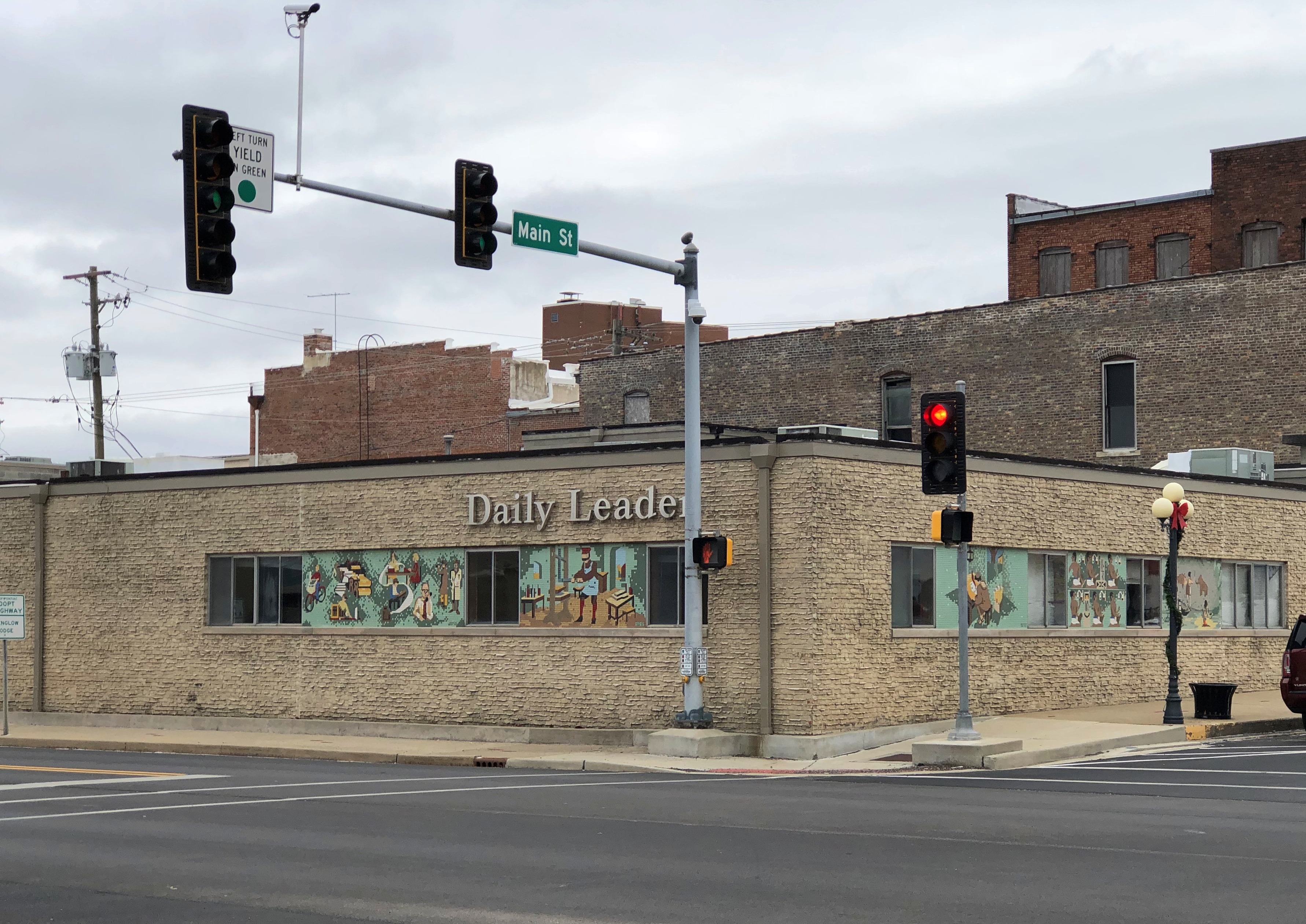
At the corner of West Howard and North Main Street in Pontiac, Illinois, is an unassuming building.Daily Leader, Pontiac, Illinois

The building itself didn’t catch my attention on Saturday morning before I ducked out of the numbing cold into the Route 66 museum across the street, nor did the glad fact that Pontiac still appeared to have a newspaper.

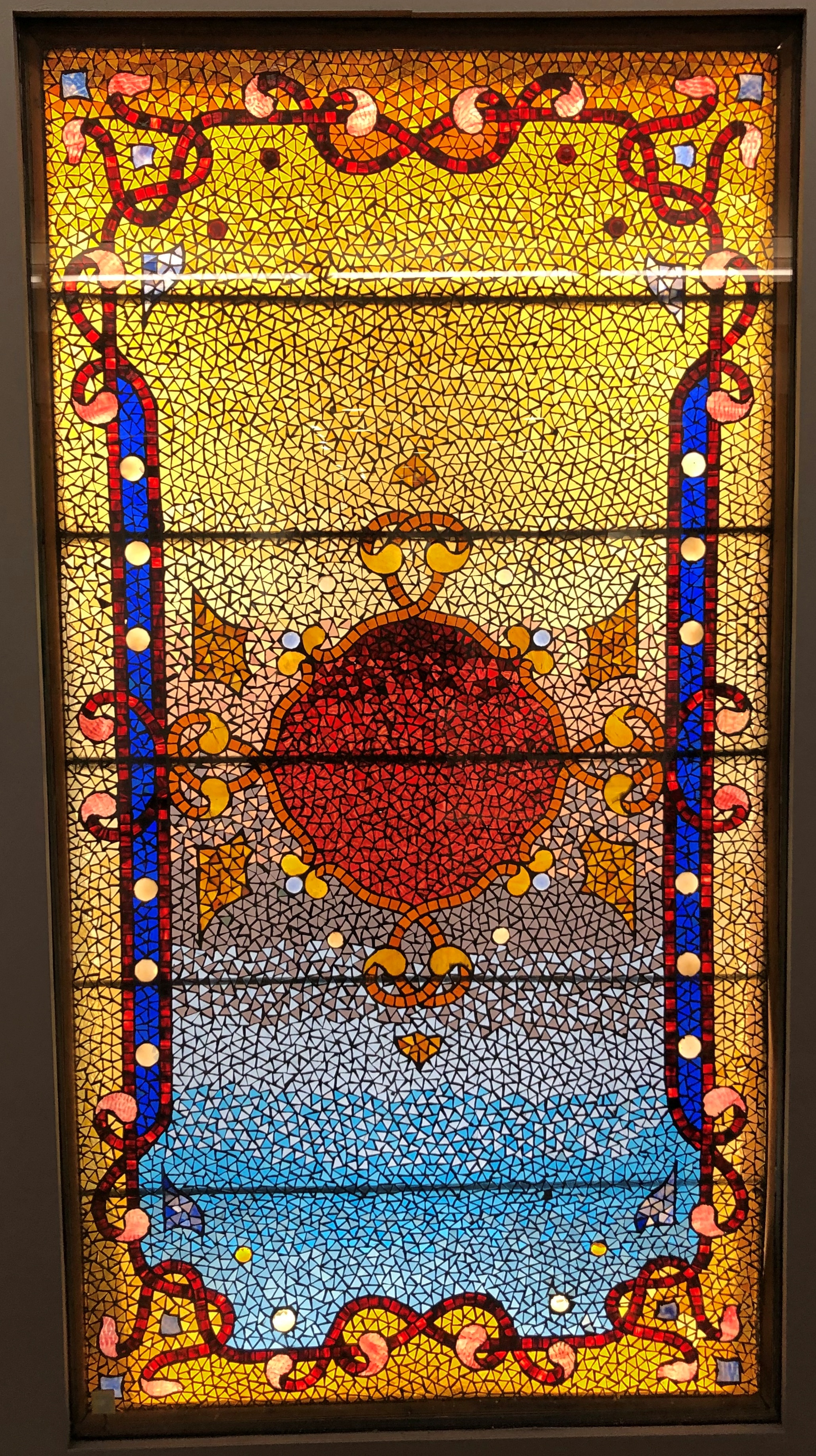
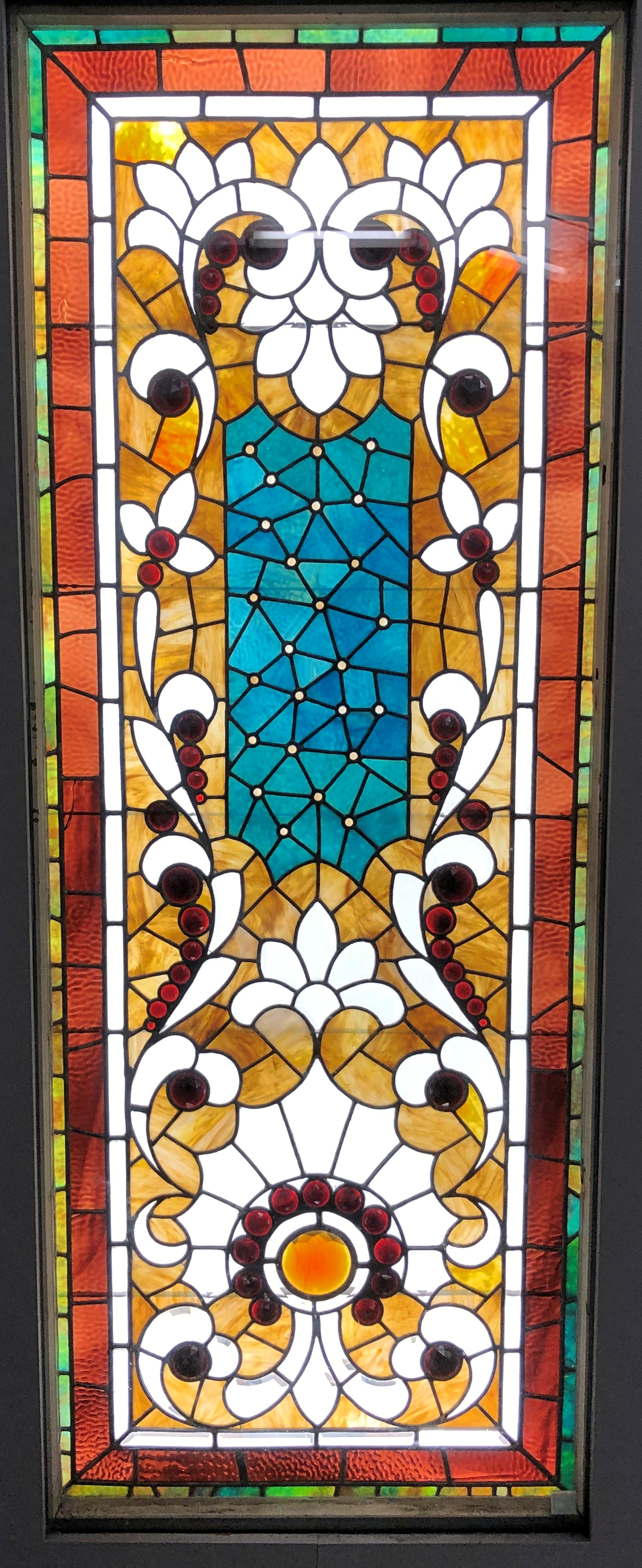
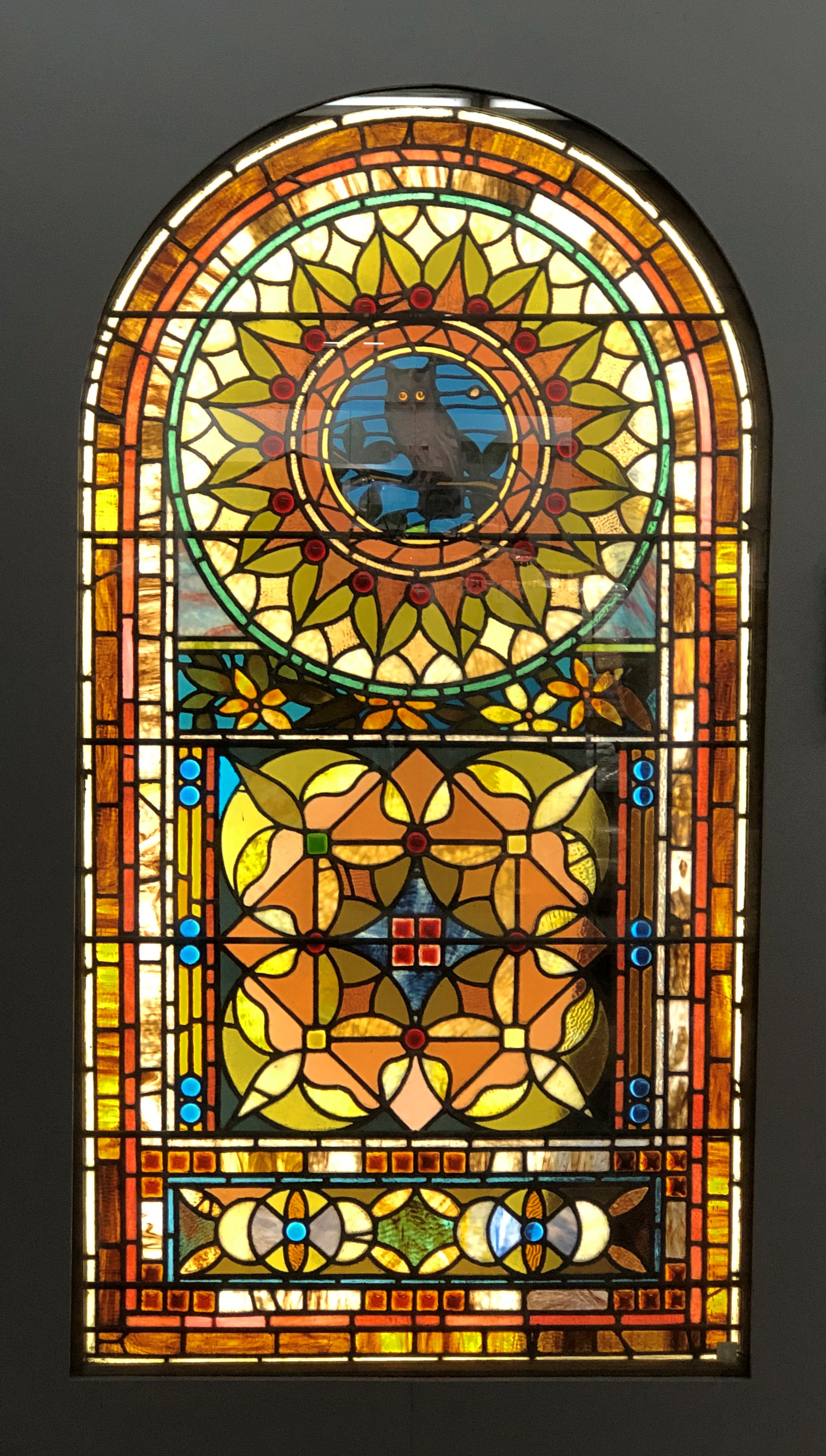
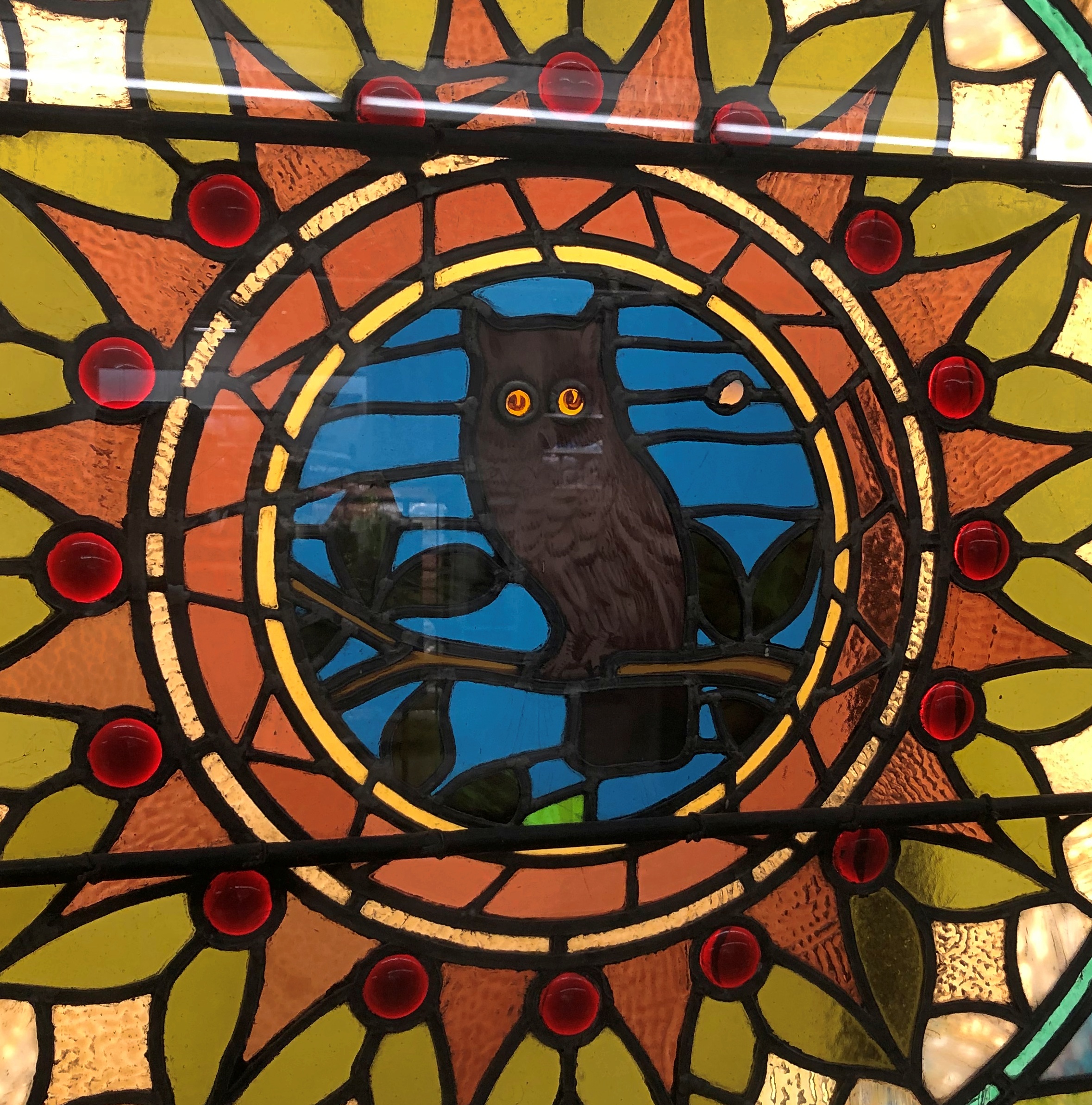
Rather, there seemed to be small murals on the walls. I went to take a closer look. Turns out they aren’t murals, but mosaics. Five all together.

They are part of the Daily Leader building, to go by the name on the wall. Except I have reason to believe that the paper, which is a Gannett asset, moved a few blocks away recently and a furniture retailer bought the building. That is what this item published by the Illinois Press Association says.

“For the first time since 1968, the Daily Leader has a new home,” the association reports. “As of Wednesday morning, July 13, the Leader office moved approximately four blocks to the northeast, to 512 N. Locust St. The Leader building on North Main Street was put up for sale earlier this year and purchased by Wright’s Furniture on May 13.

“The Pontiac Sentinel was begun as a weekly newspaper in 1857 and the Pontiac Weekly Leader arrived on the scene in 1880. In 1896, the weekly became a daily and the Daily Leader was born.”

One nit to pick: there’s no date on the item. You’d think that would be an important thing for an organization like the association to include, so I’ll assume it’s just an oversight. Happens to everyone.

But I do know it’s from this year, since July 13 was a Wednesday this year, and the story mentions 2019 as being in the past. Still, you shouldn’t have to rely on internal evidence to date a news story.

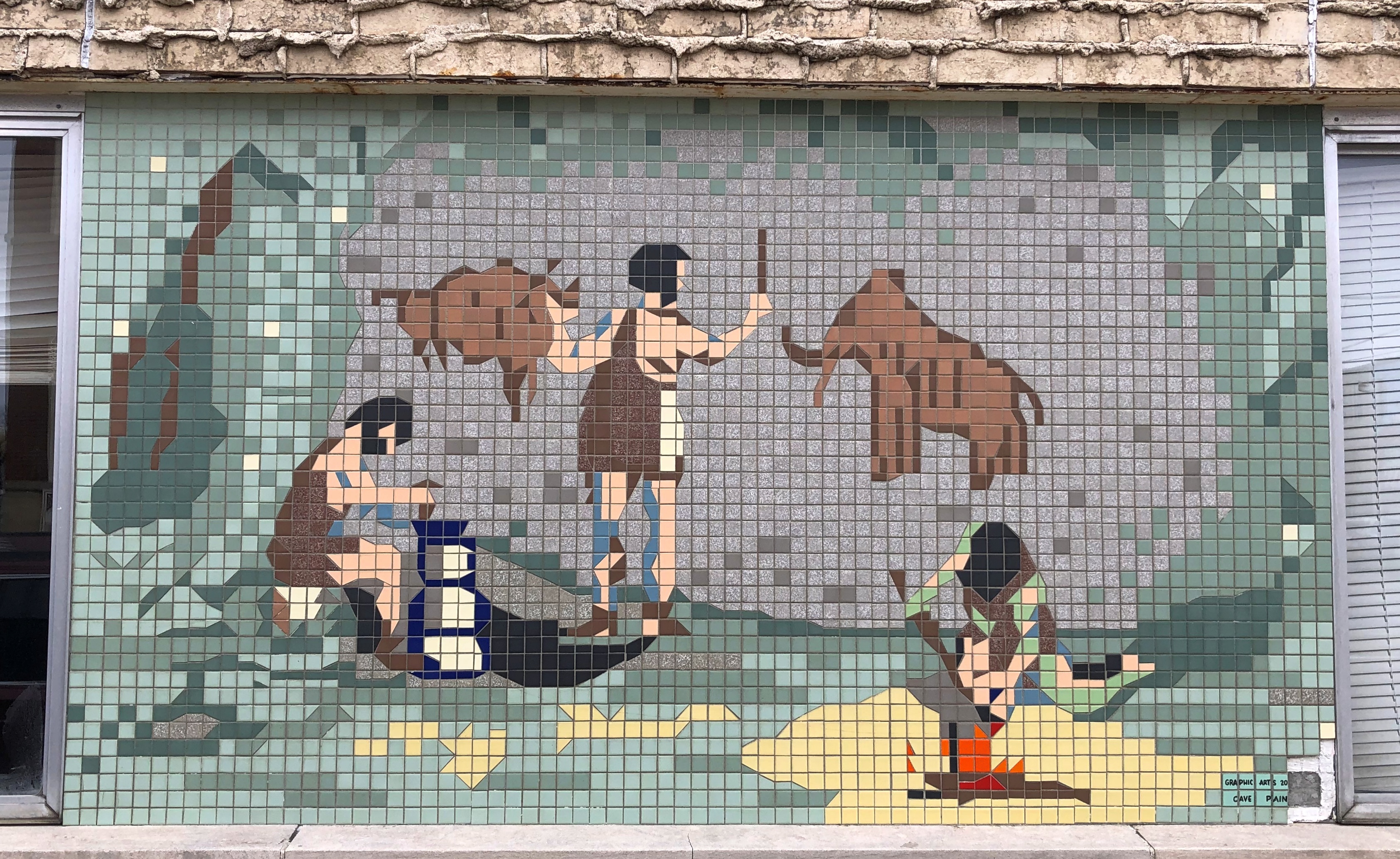
The mosaics taken together have a theme, the history of the graphic arts. This is the first of the mosaics as they proceed chronologically around the building’s two street-facing walls, beginning with cave dwellers and their art.Daily Leader mosaics, Pontiac, Illinois

Ceramic tiles (tesserae) were put in fully regular x-y grids form the images, though within many of the squares, irregular shapes are cut to fit each other, as long as it serves the purpose of creating the overall image. The more I look at the mosaics here in the warmth of my office, the more I like them.

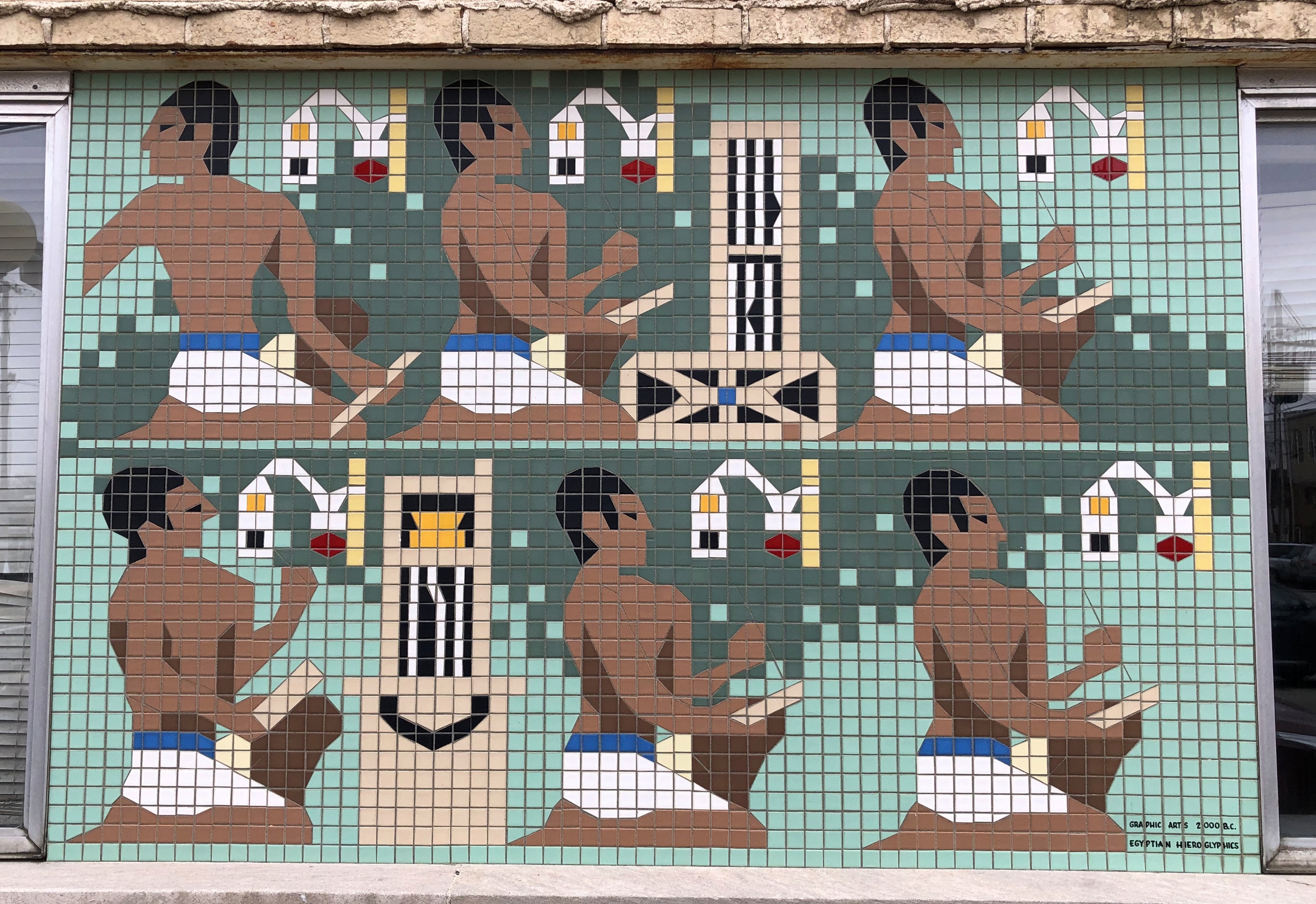
Next, the scribes of ancient Egypt.Daily Leader mosaics, Pontiac, Illinois

Each mosaic has a caption at the bottom. This one, for example, says:

Graphic Arts 2000 B.C.
Egyptian Hieroglyphics

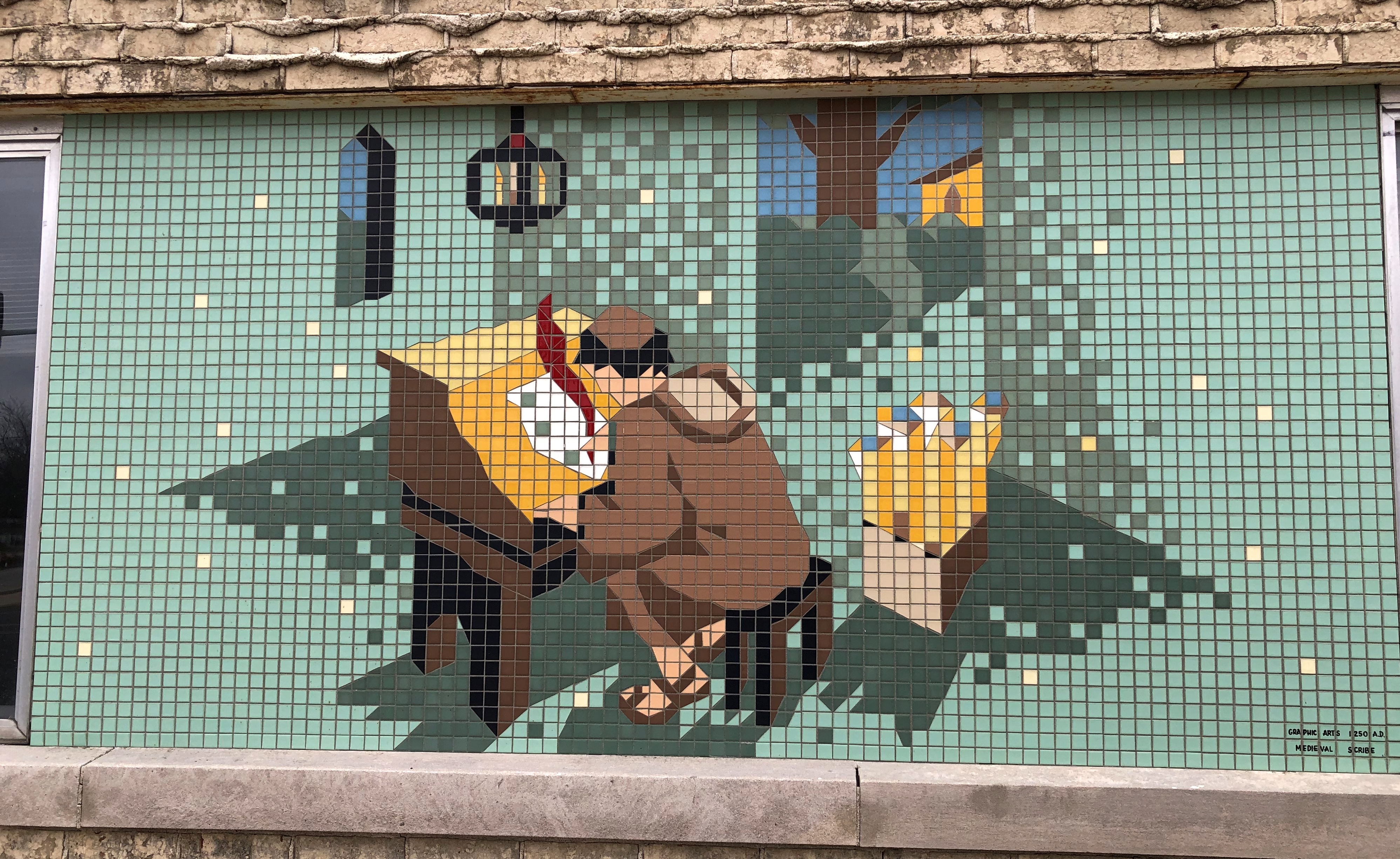
Next, a medieval scribe.Daily Leader mosaics, Pontiac, Illinois

Notice the detail. Seems simple, until you spend time looking at it. A lamp with candles hangs overhead; shadows lie more-or-less believably around the room; his hair is short but unkempt; the sandals are well depicted; the quill has a pleasing wave; the base of the desk and the bench are in matching dark colors; the top of the desk and paper, along with the contents of the box the right — scrolls? — are in matching light colors; the door is an oddly large part of the image, until you realize it leads the viewer past bushes and a tree to a building with a pointed window, like the room’s window. I can’t help but think that’s a church window.

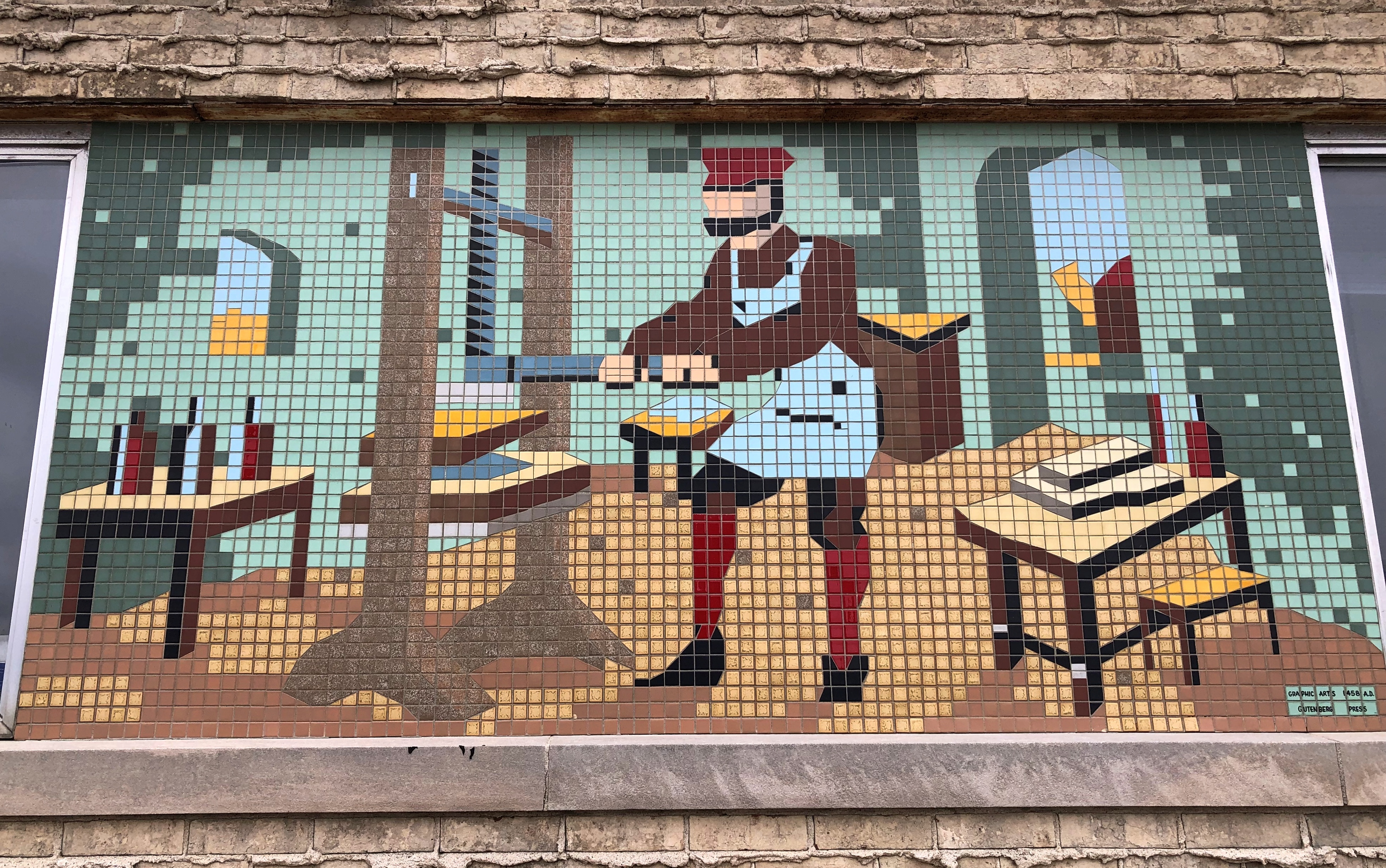
Next, Gutenberg is making printing by hand obsolete.Daily Leader mosaics, Pontiac, Illinois

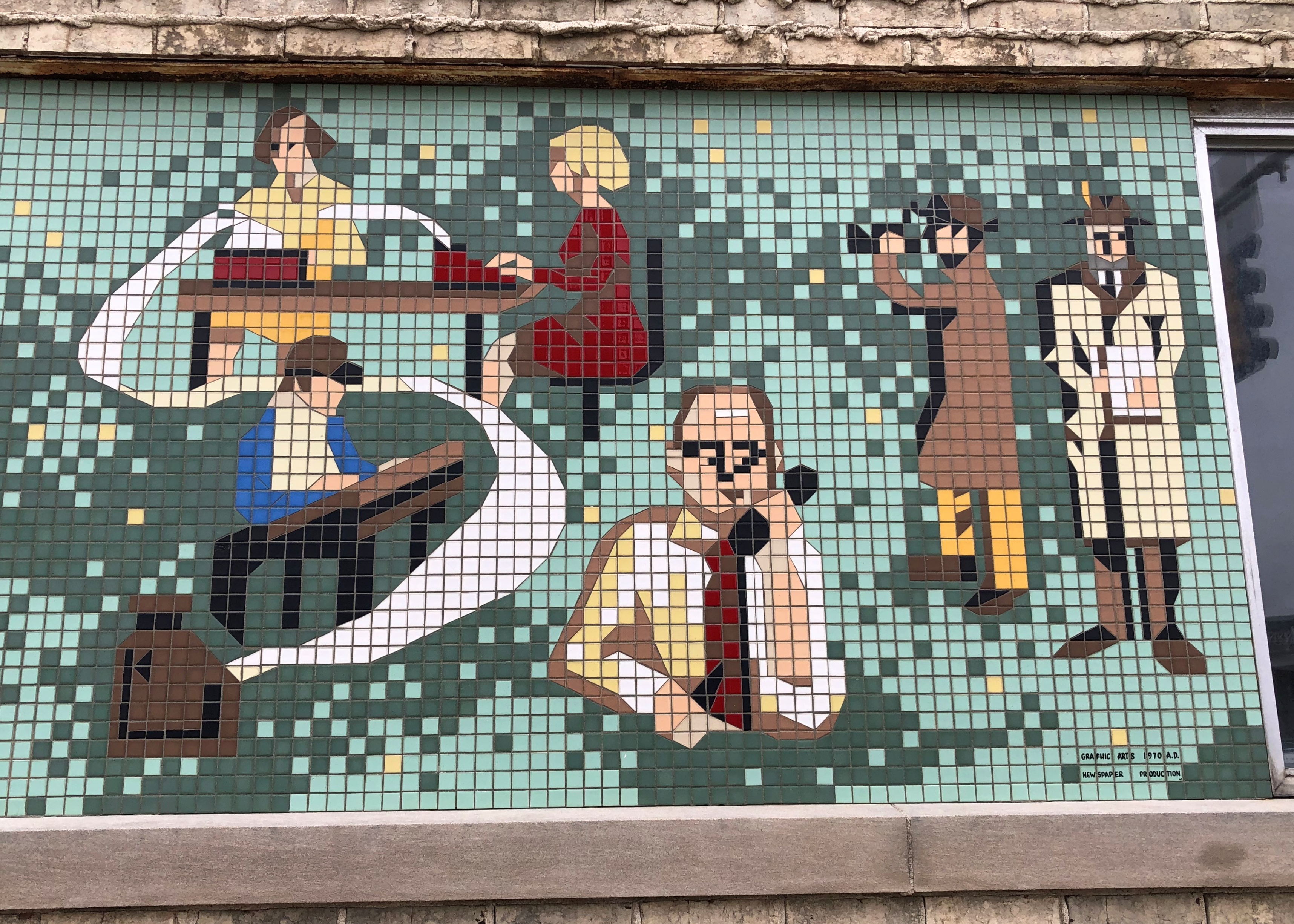
The end mosaic, which is on the north face of the building, is longer than the others. This is a detail. It depicts the modern newspaper office. Modern, as in 1970.Daily Leader mosaics, Pontiac, Illinois

I assume that date can stand in for the year the art was created. Let’s say ca. 1970, since I didn’t see a date or an artist’s name, though I didn’t inspect every inch of the mosaics as the wind blew the only direction it blows in winter — in my face.

I never worked for a newspaper professionally, but the characters remind me of the first jobs I had working for paper magazine publishers. To the right, a reporter making notes and another taking photos. Yet another reporter makes a phone call.

The news is thus gathered and then prepared for the press. I like to think the woman at the typewriter is a reporter too — women were entering the ranks of journalism in numbers by 1970, like in other professions — but she might have been intended as a typist.

From there, the text goes to a human typesetter. At my first writing job in Nashville in the mid-80s, we had two typesetters, youngish women back in their own room, though the editors consulted with them often enough about the text. They could be fun, smoking their cigarettes and accumulating coffee cups on nearby flat surfaces and bantering with the staff when they weren’t otherwise fixated on their jobs, which involved screen concentration and flying fingers.

At my next job, the typesetting job was automated by a typesetting program simple enough even for me to use, and I never again worked with human typesetters.

After the typesetter, who had created long strips of glossy paper with text — galleys — the layout man took over, waxing the backs of the galleys and placing them on thin cardboard sheets to create mocked-up pages, which in turn would be photographed for the presses. Man, I haven’t thought about the process in years.

At my second job, the layout man was old, opinionated, and sometimes prickly, having seen and (more likely) heard enough working with Chicago journalists to harden his character. There was a hint of cynicism in everything he said, and often enough much more than a hint. He was probably smarter than he let on. He didn’t smoke and had contempt for those who did. I suspect he drank and had contempt for those who didn’t. After my time, I understand he took retirement, and was replaced by computer programs.

All in all, the mosaics were quite a find on a casual walk. But that’s why I take them.

Centennial Olympic Park, Atlanta

Remarkably, the election seems to have been anticlimactic. So far, anyway. Probably the best outcome to be hoped for, two sumo wrestlers huffing noisily to a draw.  I did my little part, voting about two hours before the polls closed, because it had been a busy day at work, and every time I considered voting early during the last few weeks, I thought, nah.

Even more remarkably, we had lunch on the deck today. This evening at about 8, I sat out there in a light jacket under the waning moon and Jupiter high in the sky, and comfortably drank tea and ate a banana-flavored Choco Pie.

For anyone who’s interested, the International Olympic Committee created a report called “Over 125 years of Olympic venues: post-Games Use.” I can’t speak to the organization’s exact motives in producing such a document, but it seems to be a way to assert that most host cities weren’t stuck with too many white elephants after the Games.

Maybe so. The report notes that of the permanent venues used in both Summer and Winter Games from 1896 to 2018 — there were 817 all together — 85 percent are still in use. Many of those, if not most, already existed when the Games came to town, however.

Those 15 percent of unused venues are what tend to get attention. Or rather, a fraction of them.

“Of the 15 per cent of permanent venues not in use (124 venues), the majority (88 venues) were unbuilt or demolished for a variety of reasons,” the report says, using that charming British style for spelling out % and unbuilt as a verb.

“Some had reached the end of their life, some were destroyed during war periods or in accidents, while others were replaced by new urban development projects or were removed for lack of a business model. The remaining venues not in use are closed or abandoned (36 venues).”

Those last ones would be fodder for urban explorers and editorialists who want to discuss the deleterious impact of the Games on urban spaces. Tellingly, the report notes that Los Angeles isn’t going to build any new venues for ’28.

“The ‘radical reuse’ concept also applies to the training facilities and the Athletes’ Village,” it says.

Guess the IOC is going to have to live with the fact that cities are now hesitant to build spiffy new facilities that mostly benefit the IOC.

Here are photos of some of those abandoned sites. The ones that surprise me are the abandoned swimming pool and amphitheater from the ’36 Games. Sure, those were the Nazi Olympics, but the main stadium has been maintained by a more benevolent German government, why not the pool?

I took a look at that stadium — Olympiastadion — during a walkabout in West Berlin in 1983. That’s only one of two former Olympic sites that I can remember visiting. The other was a facility for the 1976 Montreal Games, the Centre Aquatique, where we went swimming in 2002.

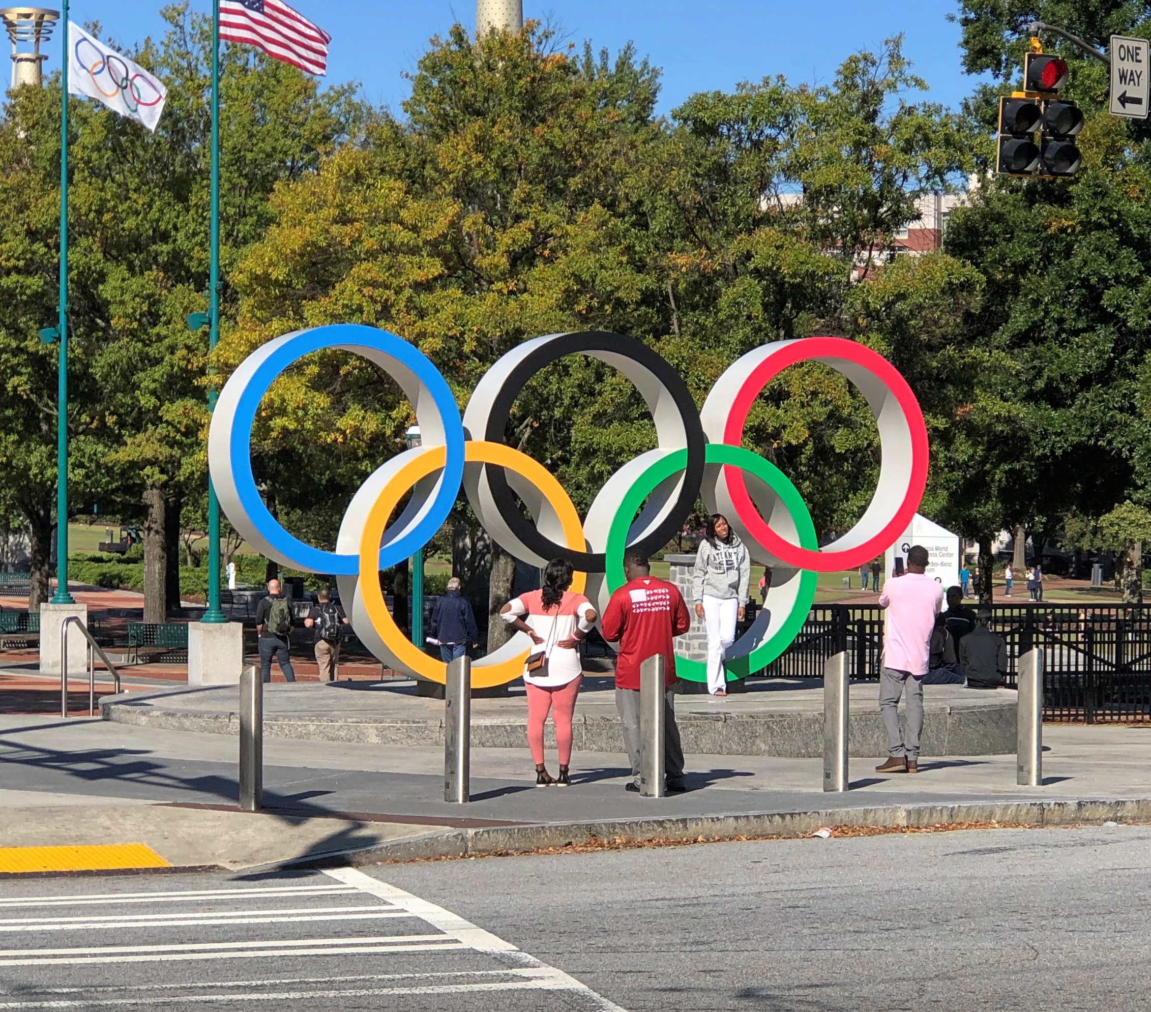
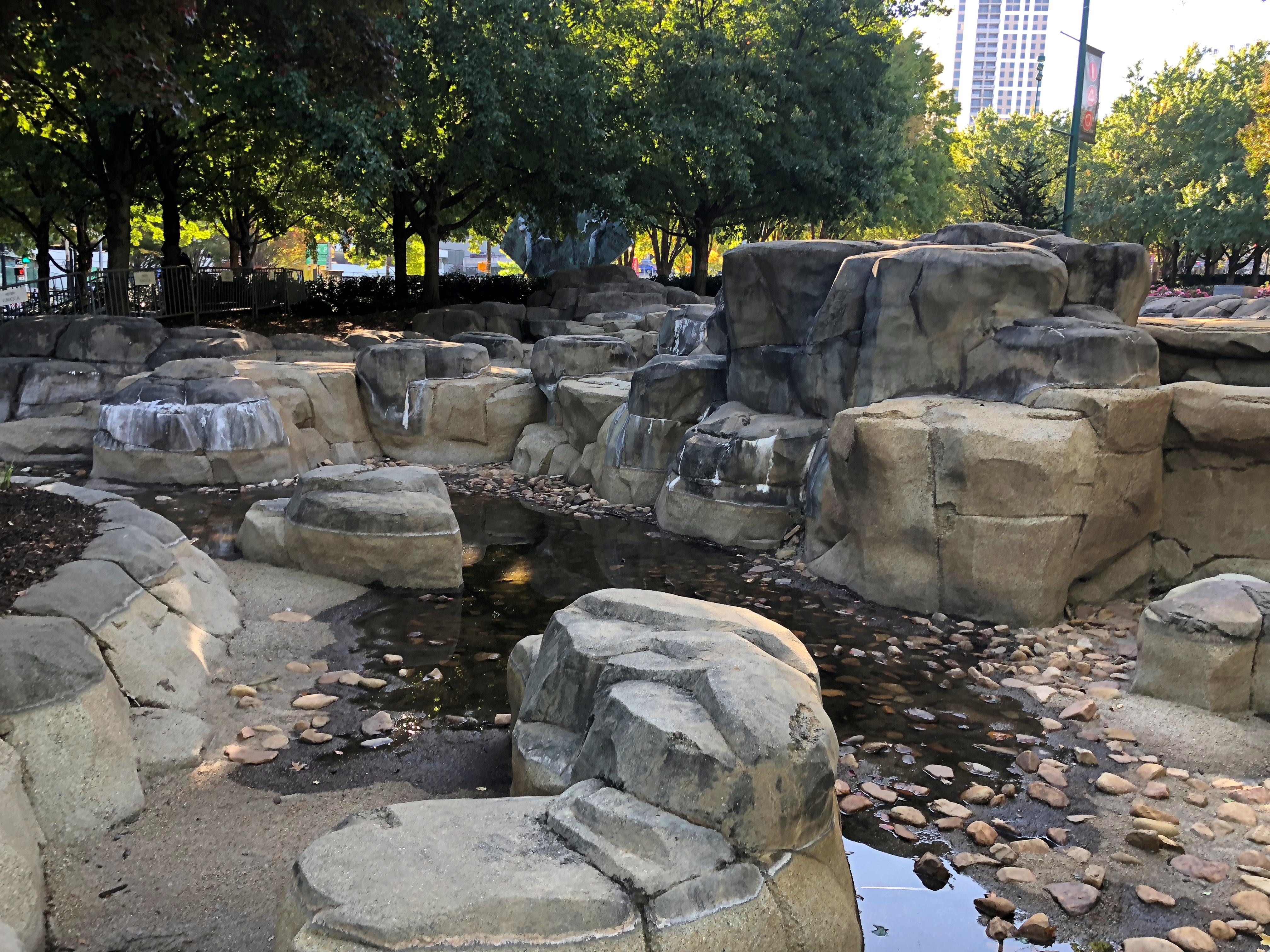
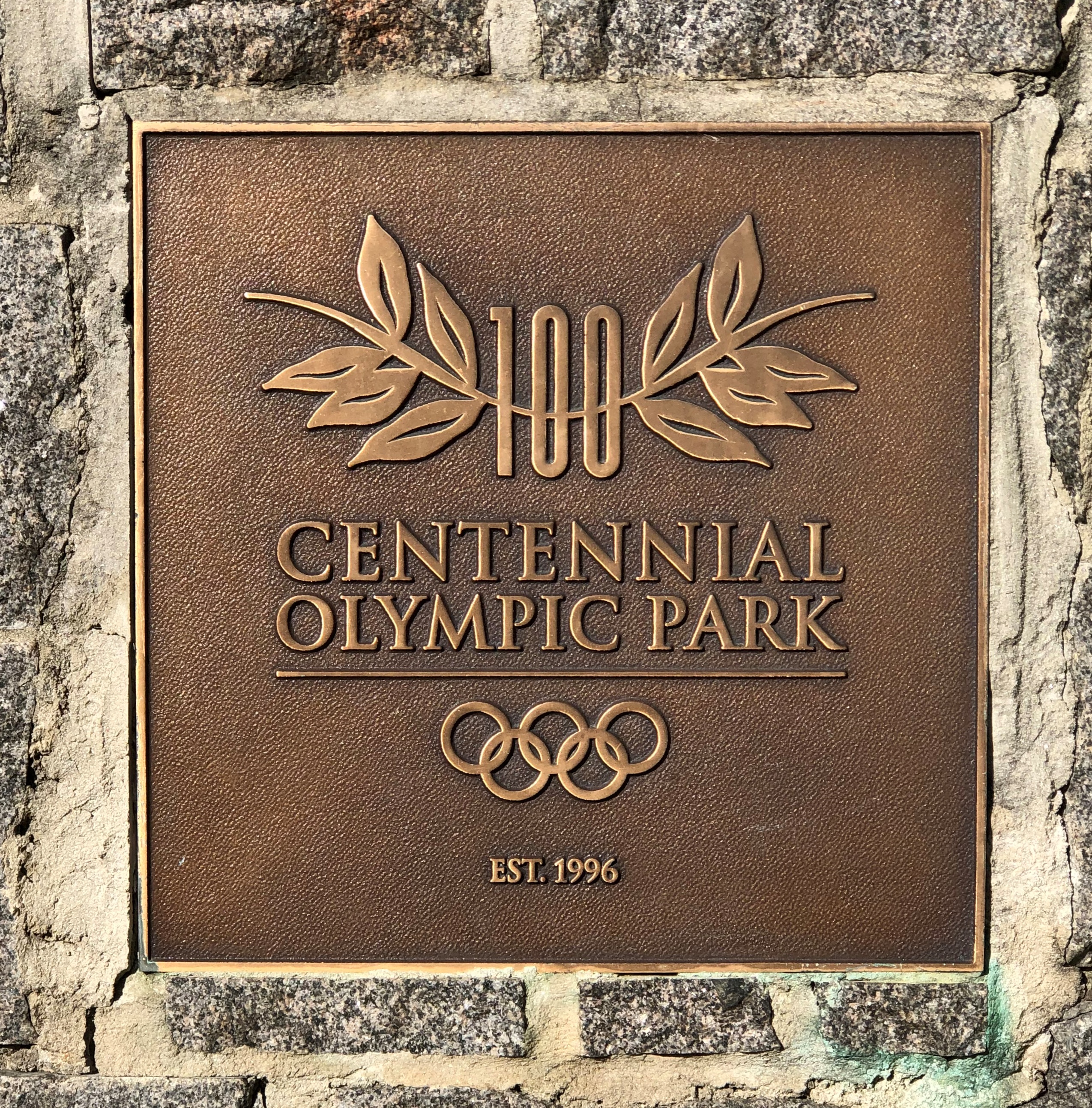
I had these places in mind when I strolled through Centennial Olympic Park in downtown Atlanta. Its origins are on display.Centennial Olympic Park, Atlanta
Centennial Olympic Park, Atlanta

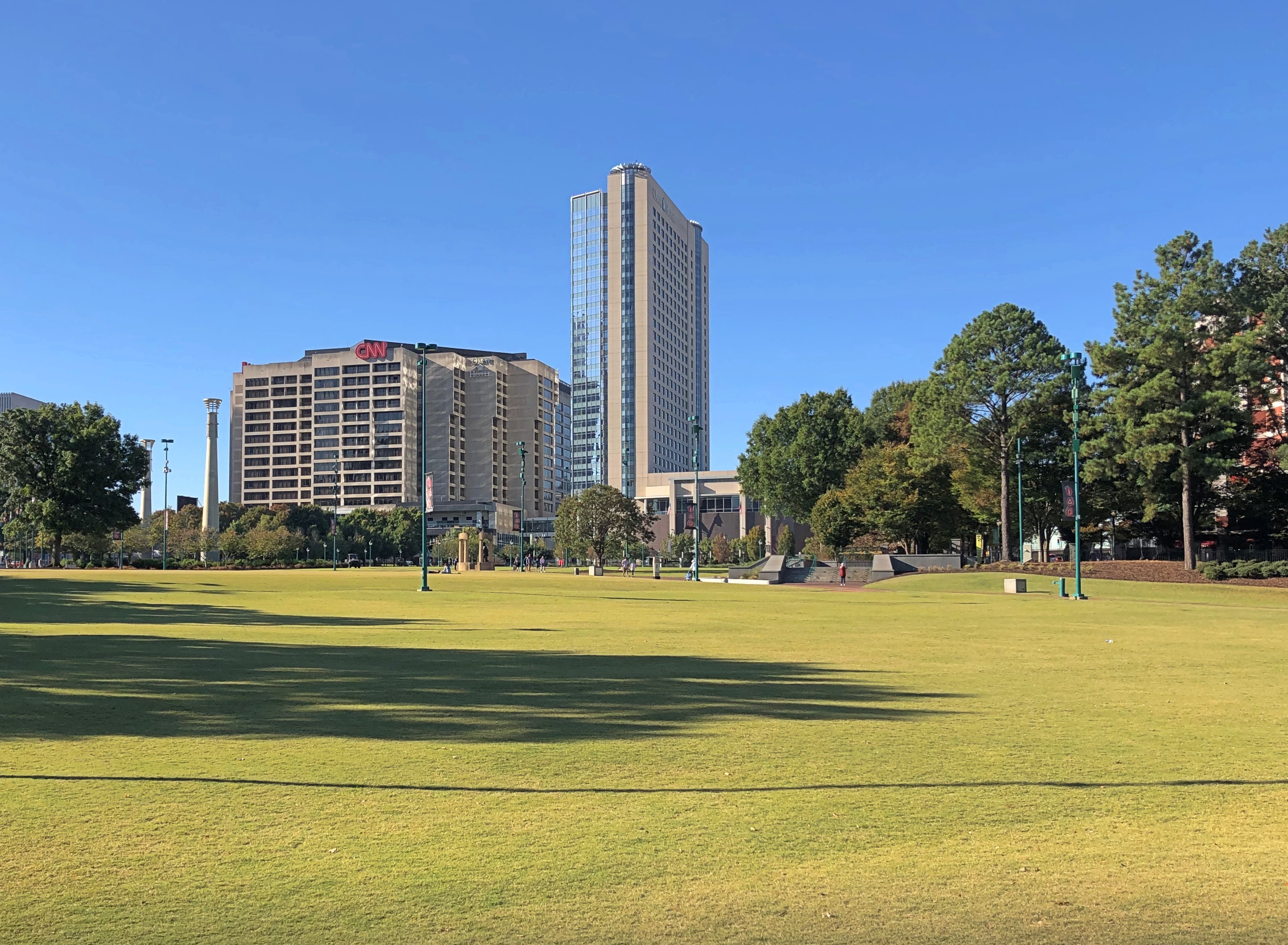
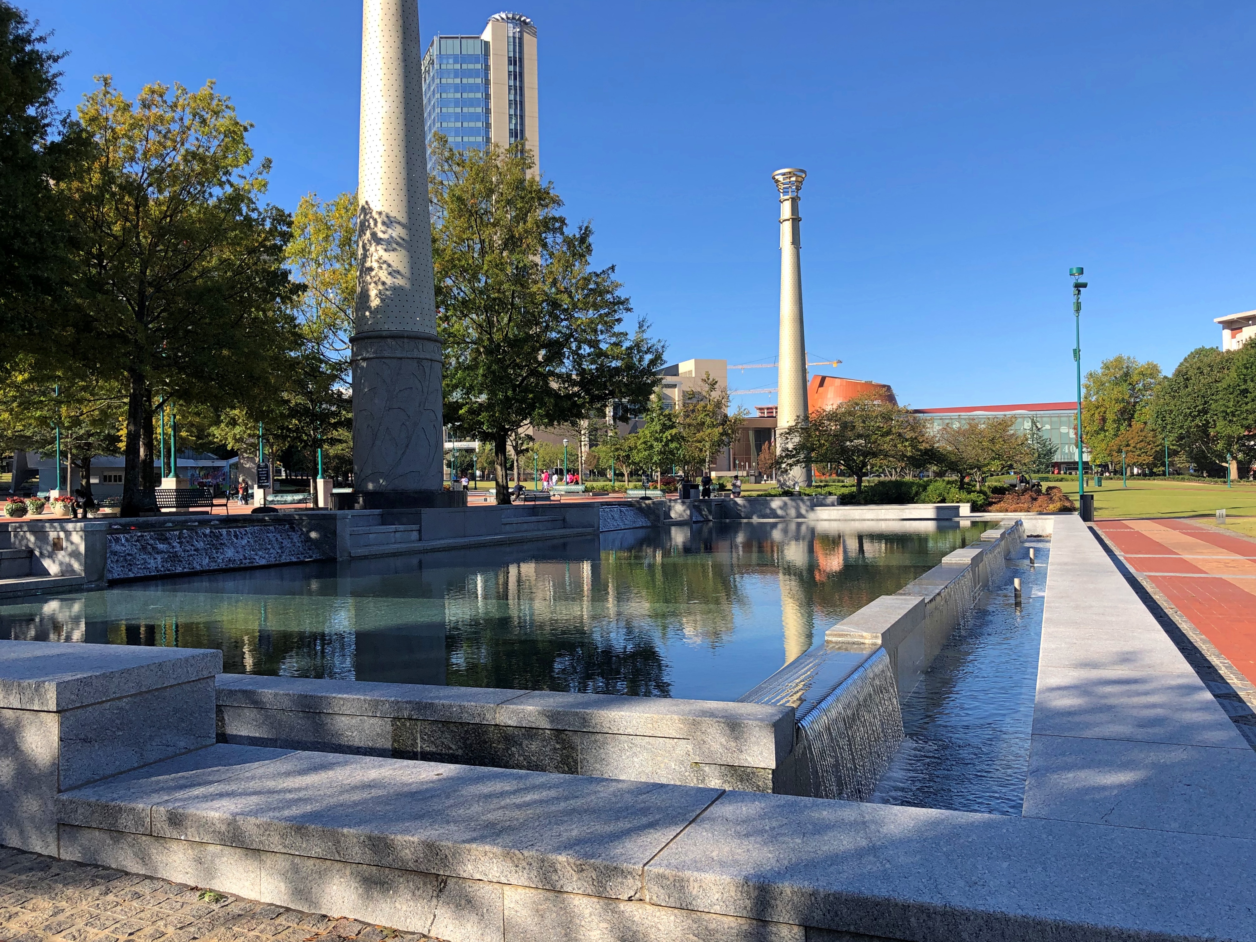
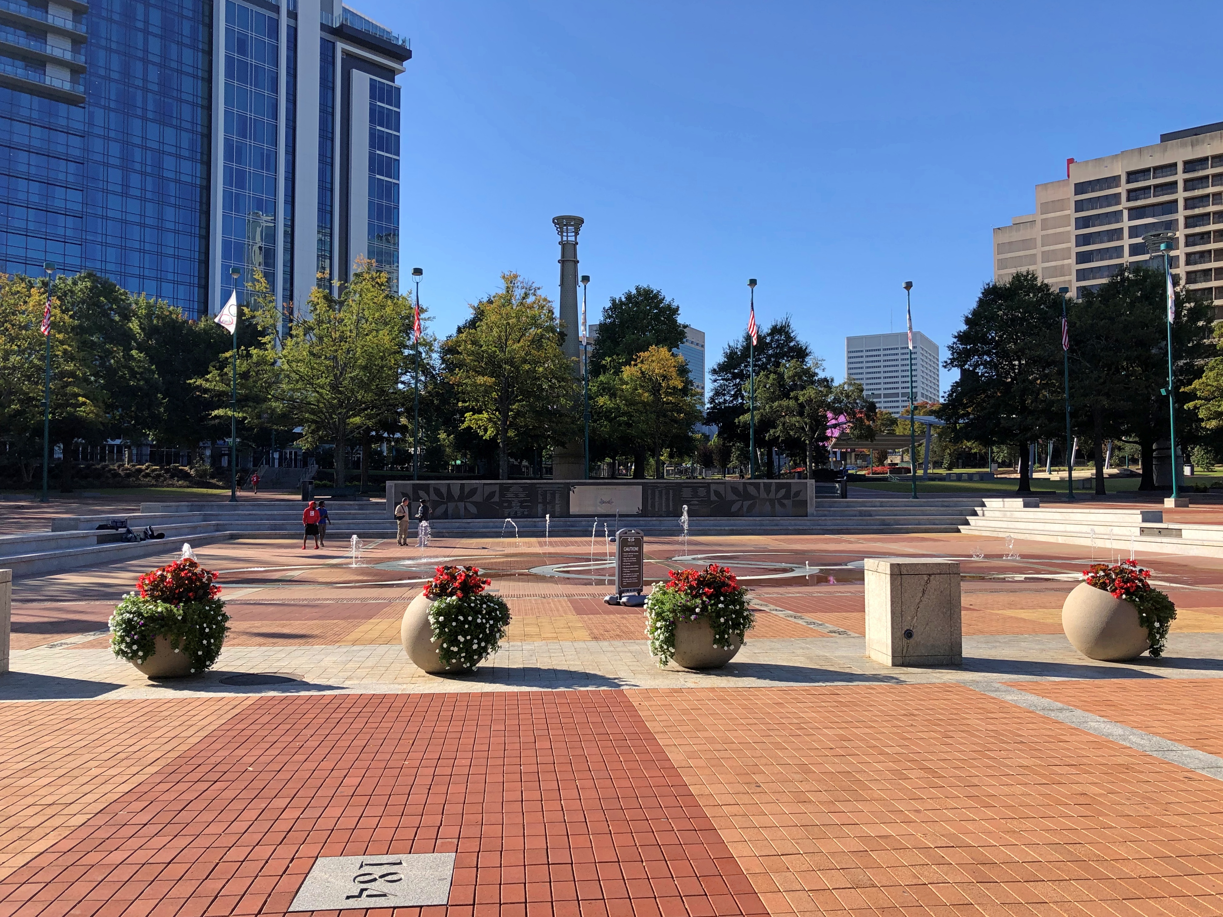
The 21-acre park actually isn’t listed in the IOC report, because no sporting activity took place there. Rather, it was intended to be a gathering spot for visitors and spectators, and then a city park once the Games were over, and so it is. A pleasant place to wander on a warm weekend morning.

The park includes green space.Centennial Olympic Park, Atlanta

Water features and plazas.Centennial Olympic Park, Atlanta Centennial Olympic Park, Atlanta Centennial Olympic Park, Atlanta

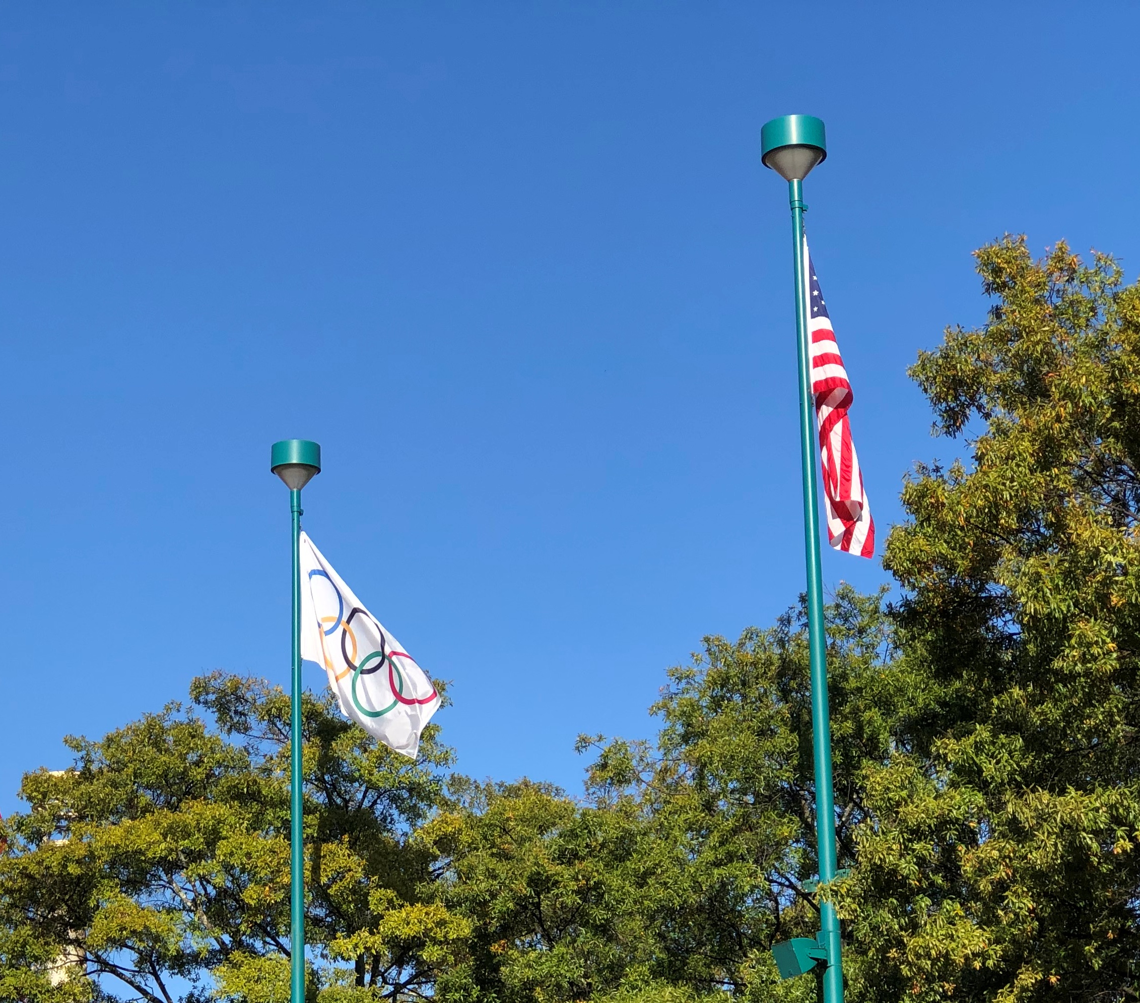
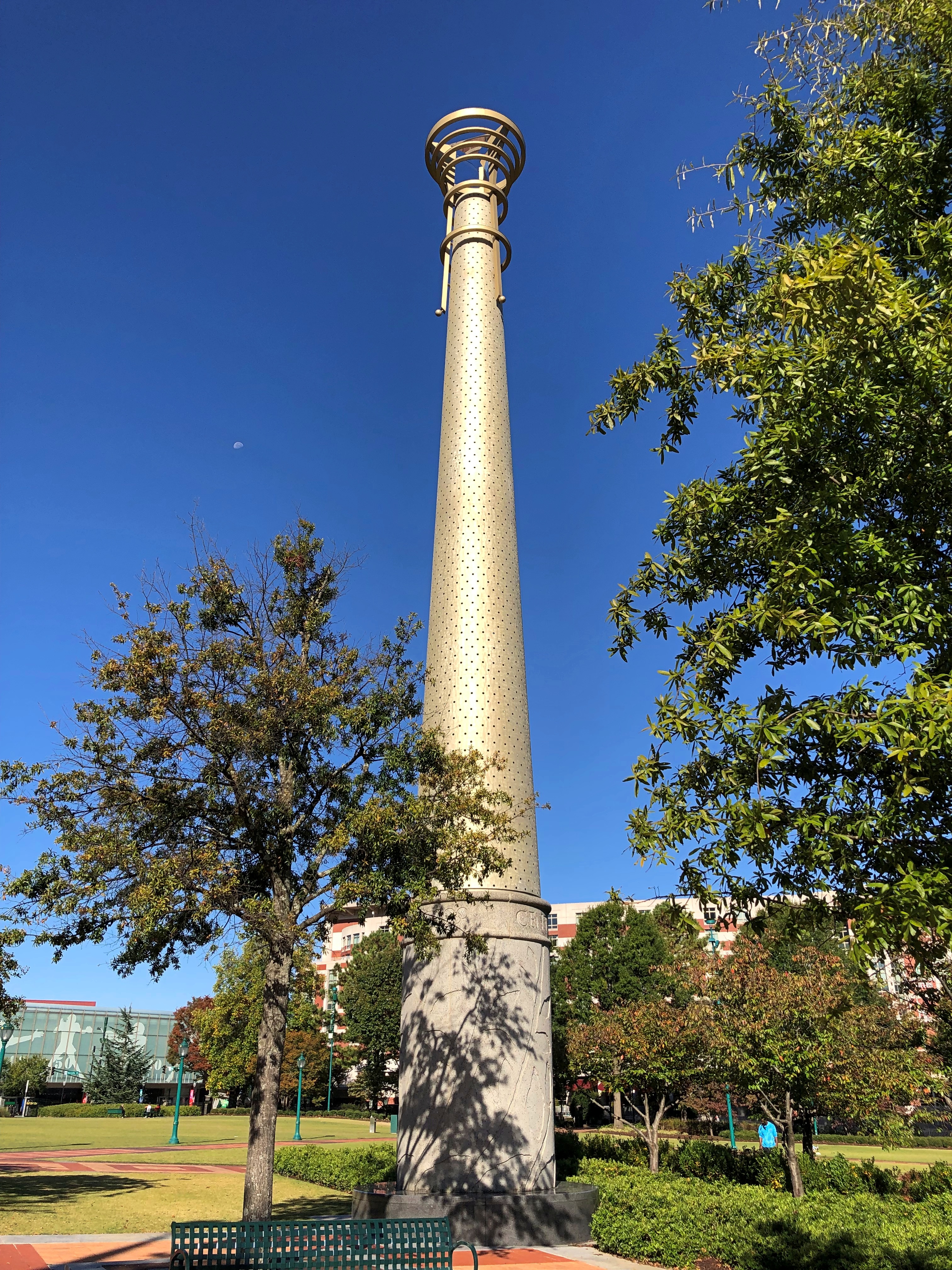
Some structures left over from ’96.
Centennial Olympic Park, Atlanta

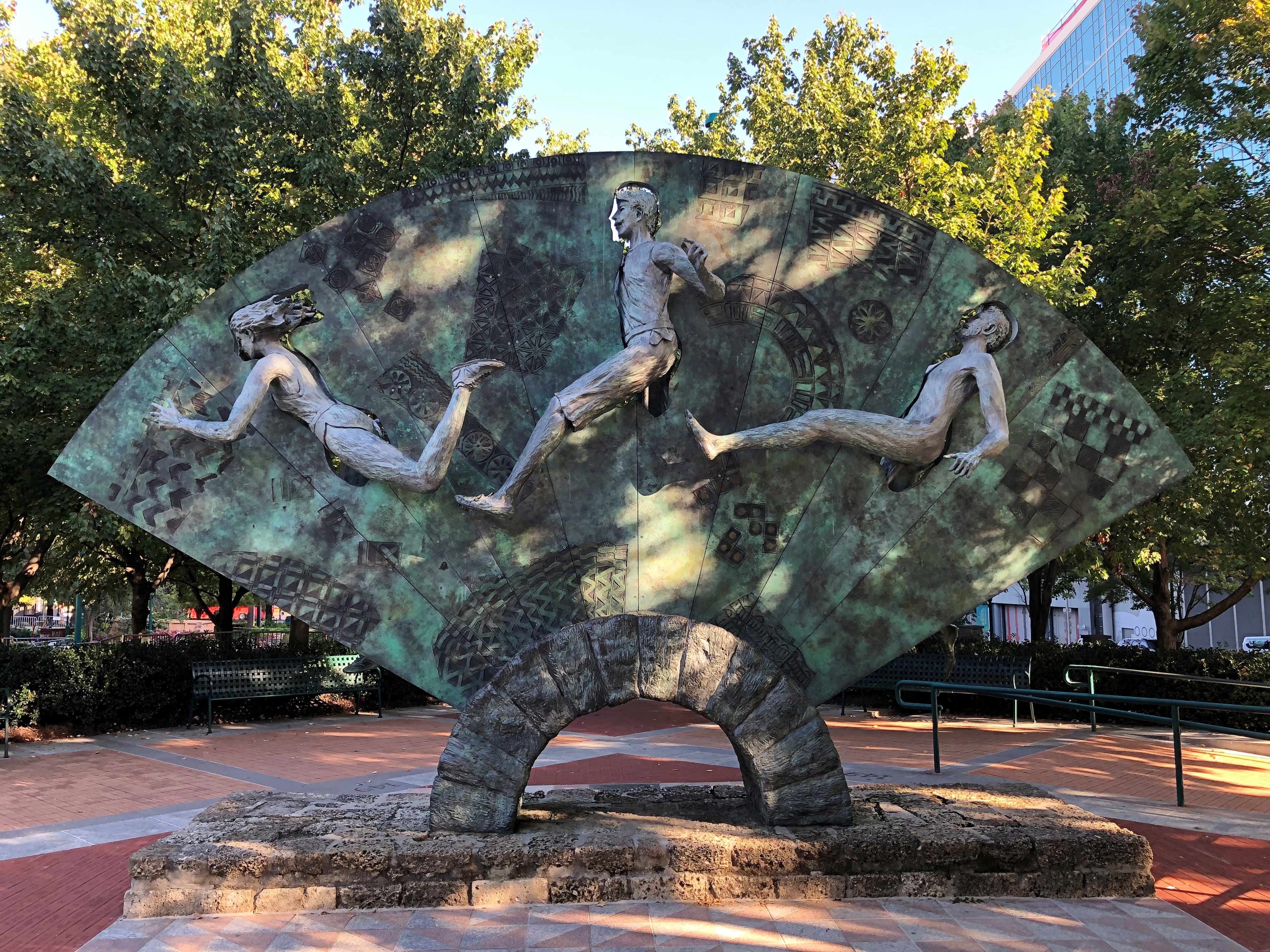
Sculpture from that same year.Centennial Olympic Park, Atlanta

“Tribute” by Greek artist Peter Calaboyias, depicting (right to left) an ancient Olympic athlete, a participant in the first modern Games in Athens in 1896, and an Atlanta Games participant.

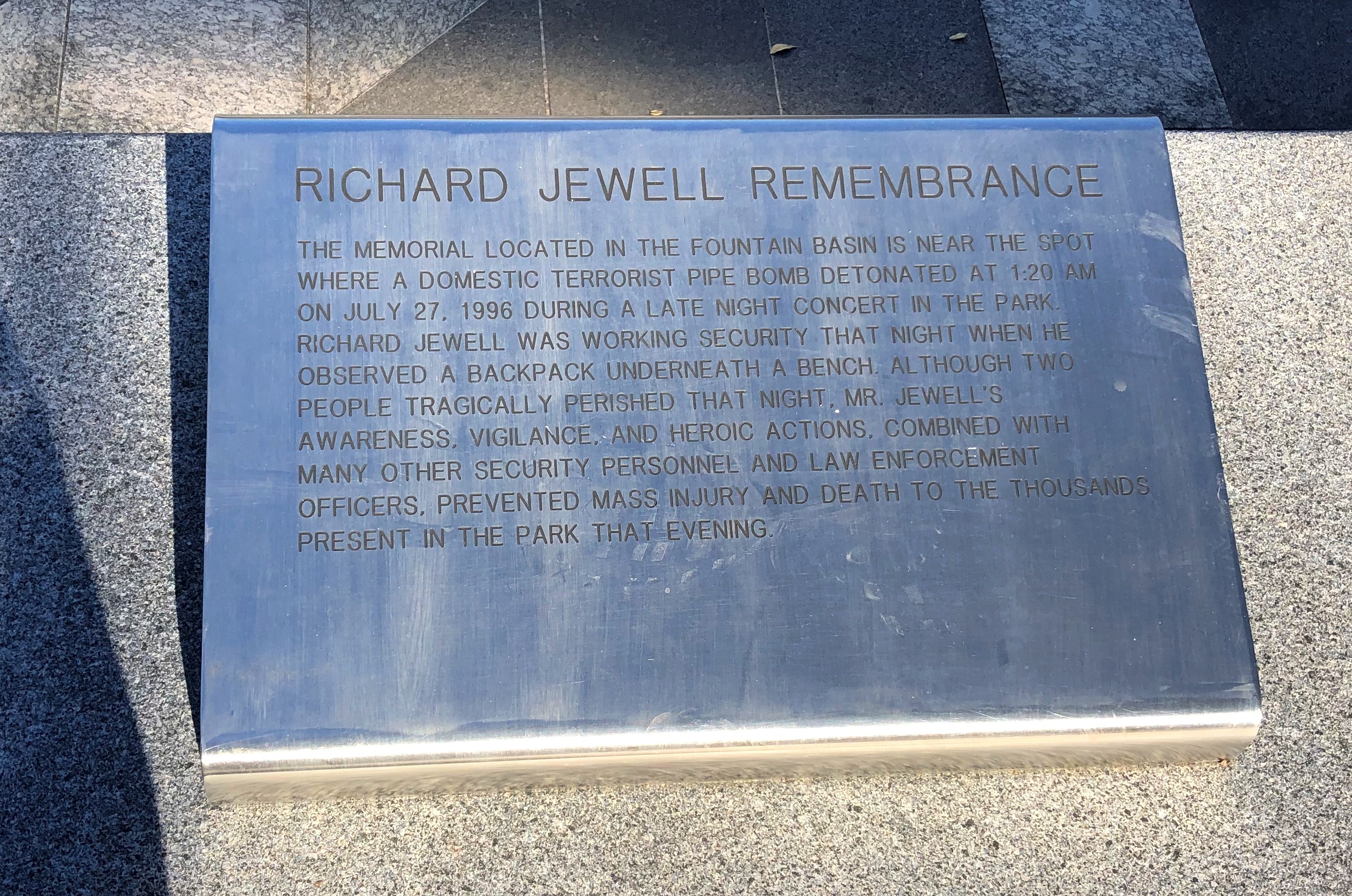
Poor old Richard Jewell has a memorial too.Centennial Olympic Park, Atlanta, Richard Jewell

Dedicated only in 2021. About time, I’d say.

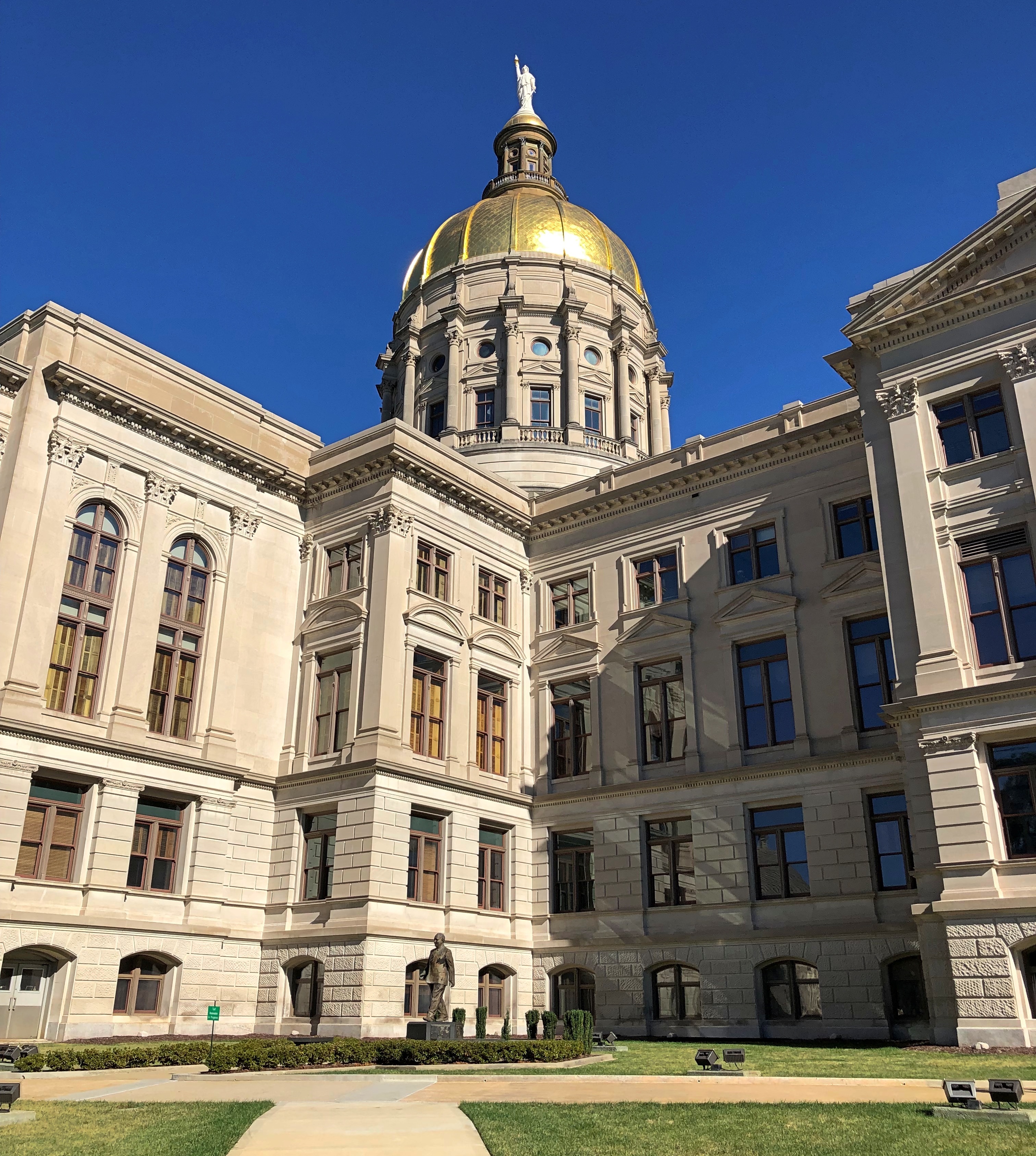
The Georgia State Capitol

It’s been a good year for visiting U.S. capitols. Four all together: Utah, Nevada, California and most recently, Georgia. I believe that makes about 40 exteriors over the years, about 30 of which I’ve ventured inside, and not counting two provincial parliaments in Canada. Not sure about a few of those, because memory is an uncertain thing.

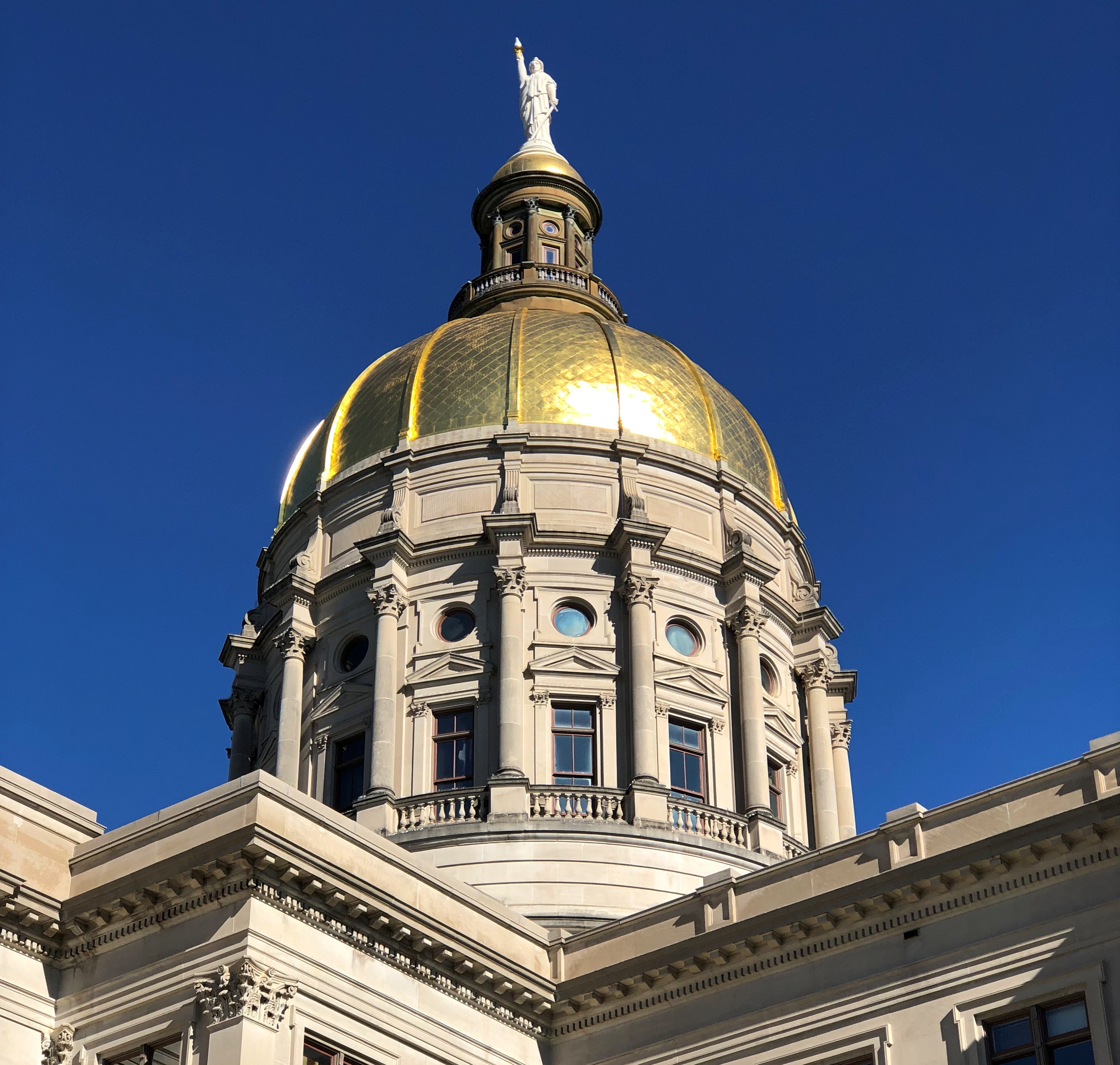
The Georgia State Capitol is in the thick of downtown. It has an impressive dome.Georgia State Capitol Georgia State Capitol

The painted copper statue that looks so small from the ground is known as Miss Freedom, dating from 1889, only a year after the capitol was completed. It’s about 26 feet tall, weighs over 1600 lbs. and is wearing a Phrygian cap, a detail one has to read about to know.

Fittingly, gold leaf from near Dahlonega, Georgia, adorns the dome. One of these days, I need to visit that place, to take in the historic mint. I’d toyed with the idea this time, but stuck around Atlanta instead during the day or so after the conference. The capitol was the first place I went when I had some free time.

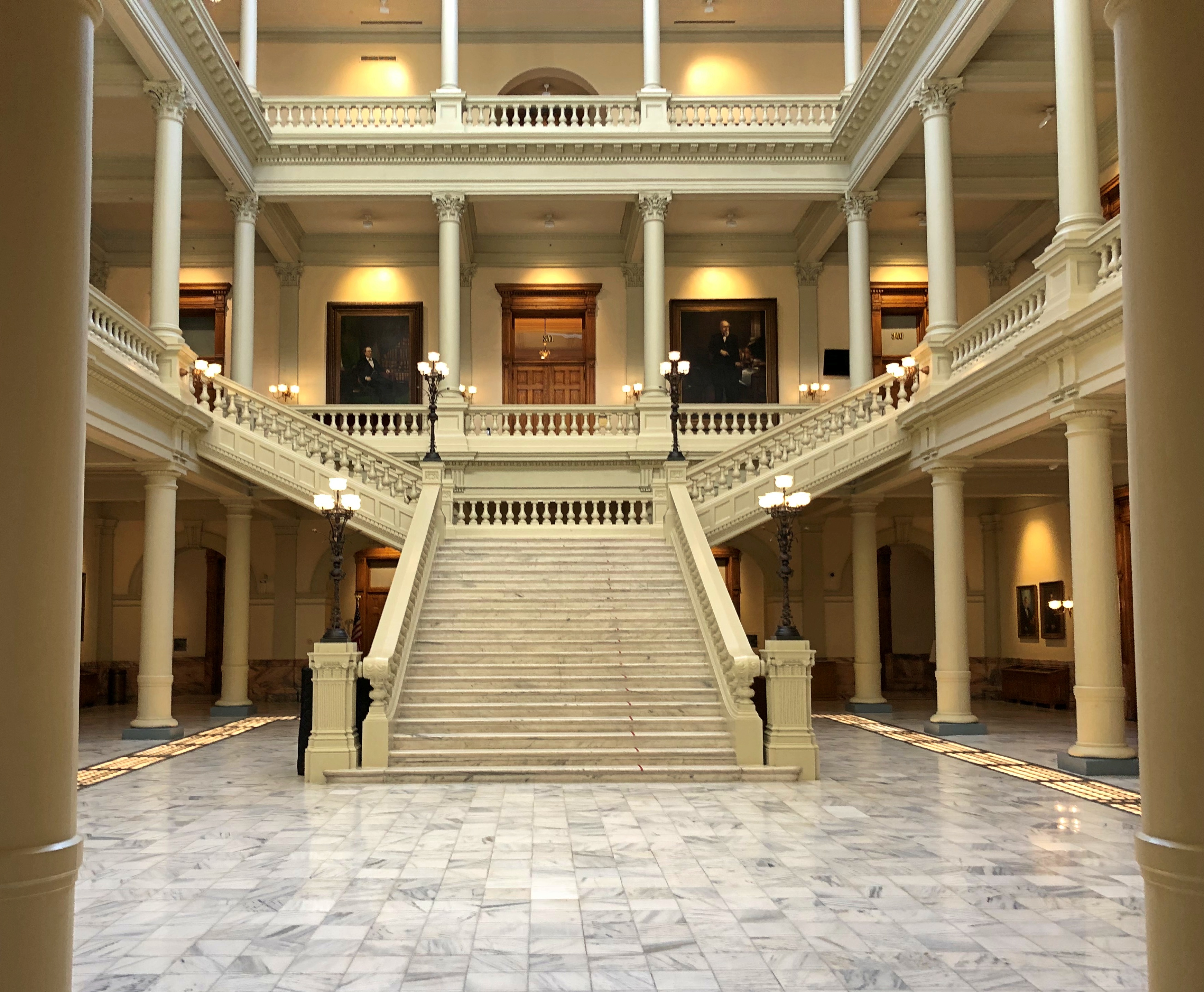
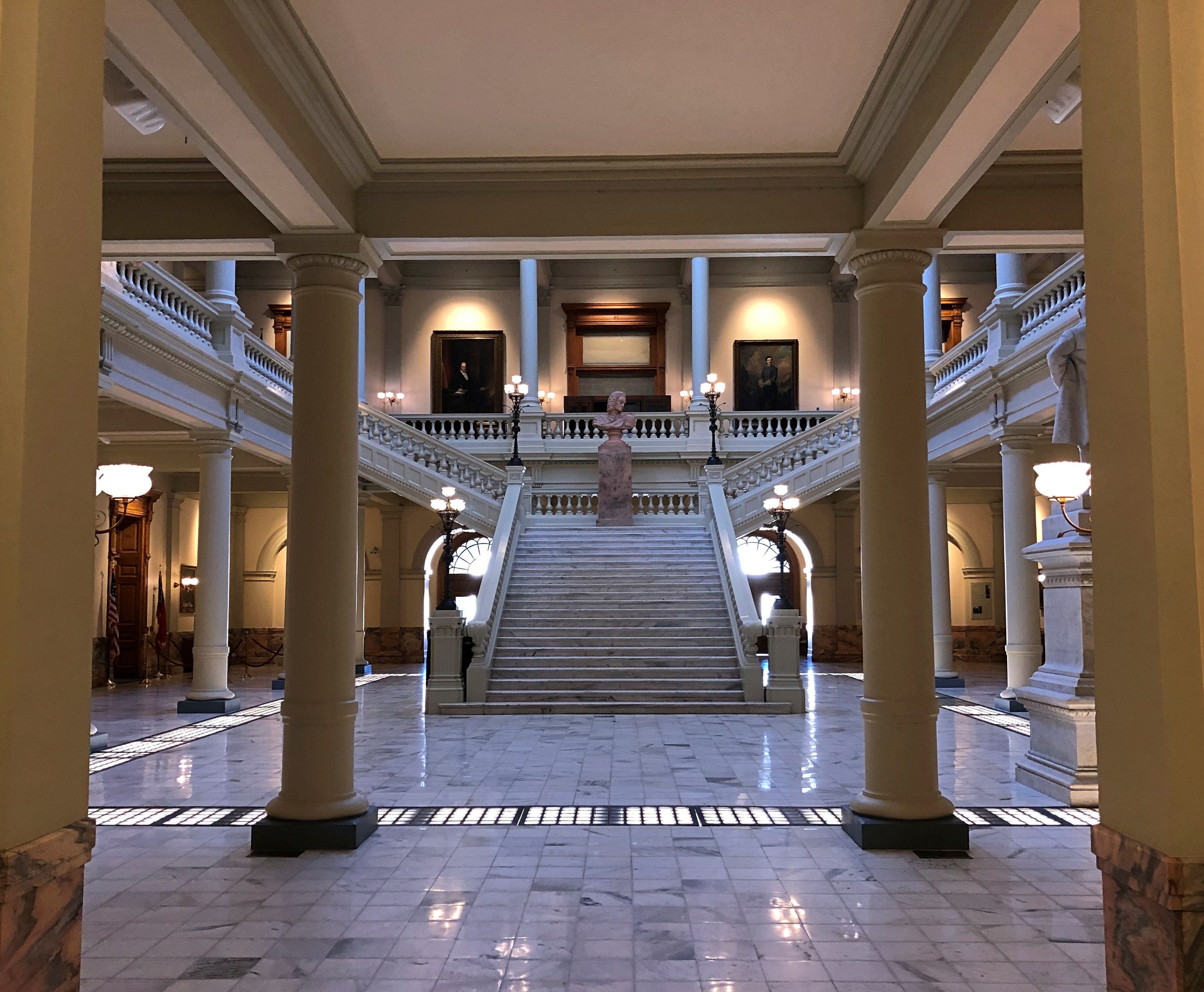
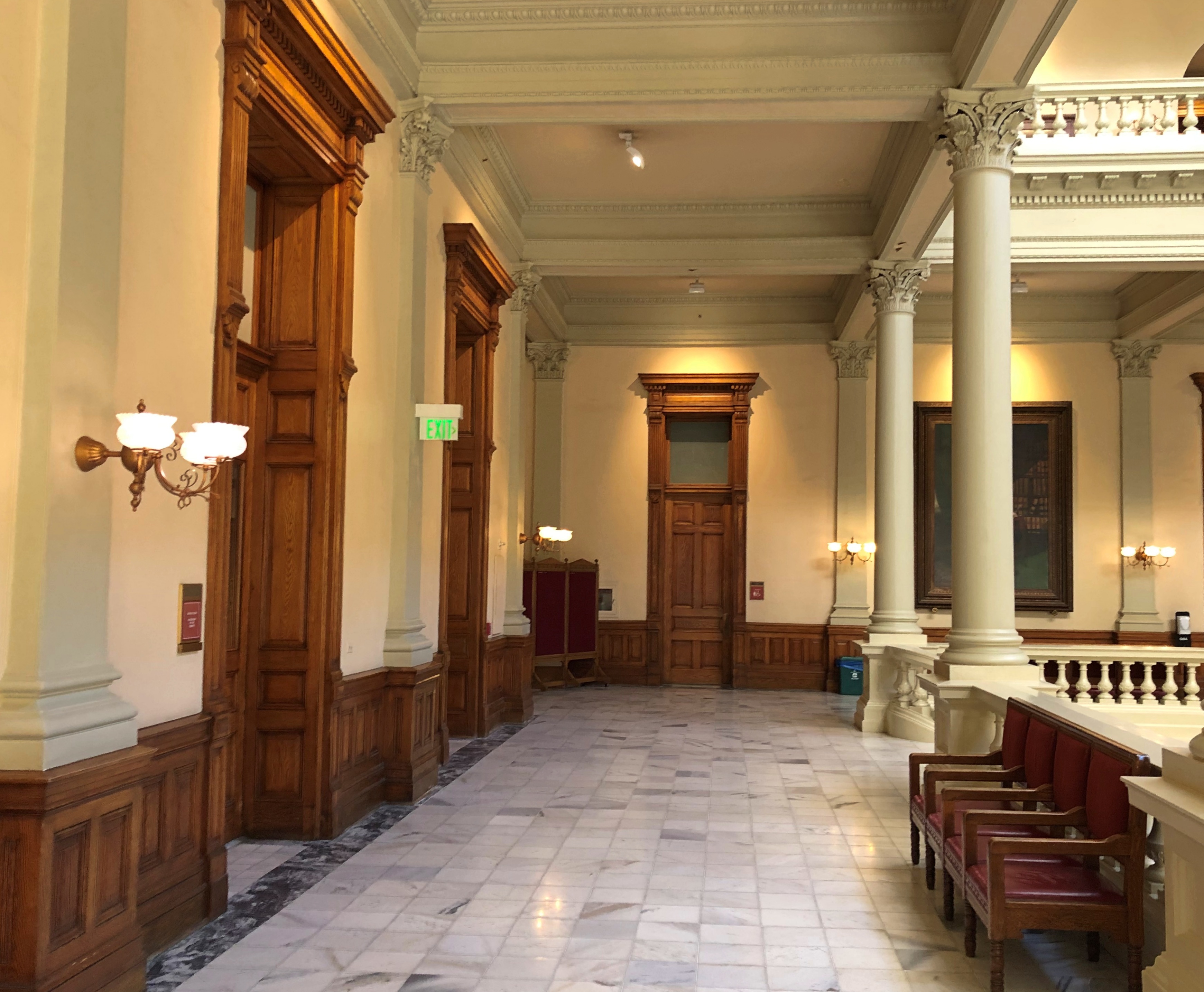
The legislature isn’t in session now, and besides, a capitol is an office building — and a lot of people don’t work as much as they used to in offices. So the place was practically deserted. I wandered around the quiet marble halls, a design by Willoughby J. Edbrooke and Franklin Pierce Burnham of Chicago, no less. Georgia State Capitol Georgia State Capitol
Georgia State Capitol

The rotunda. Plain, but still worth a look.Georgia State Capitol

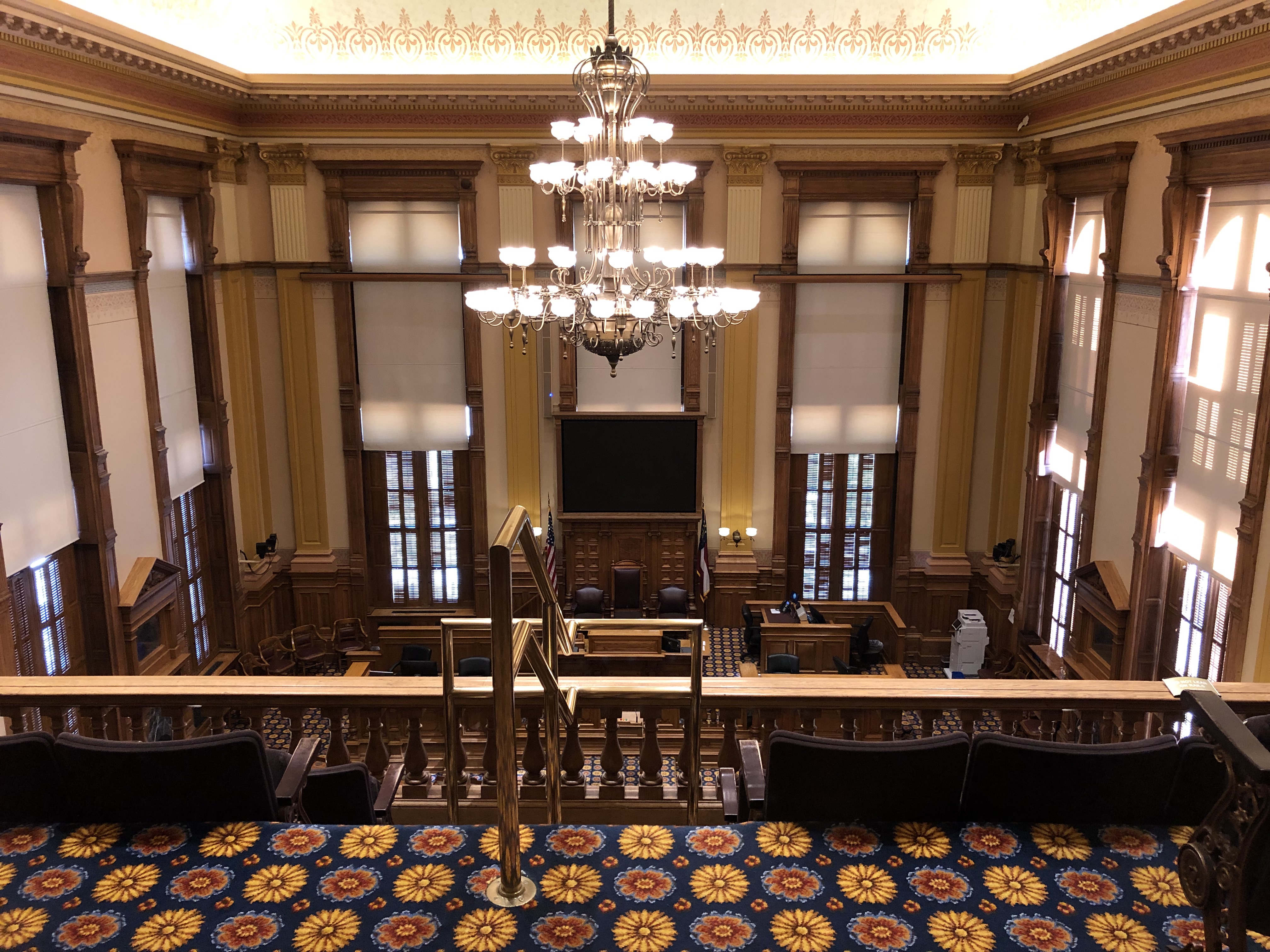
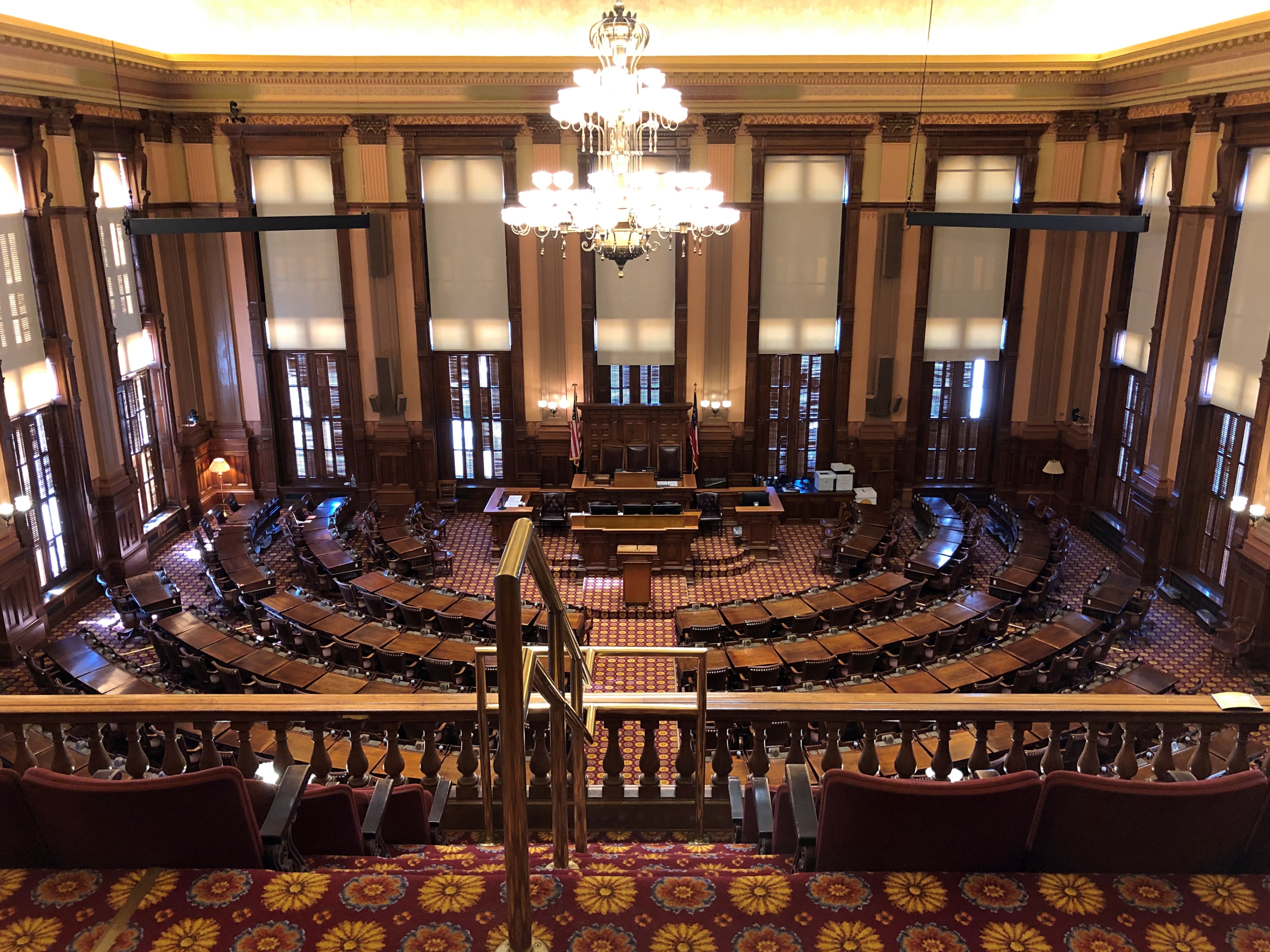
The chambers. Closed, but with nice big windows to peer through.Georgia State Capitol
Georgia State Capitol

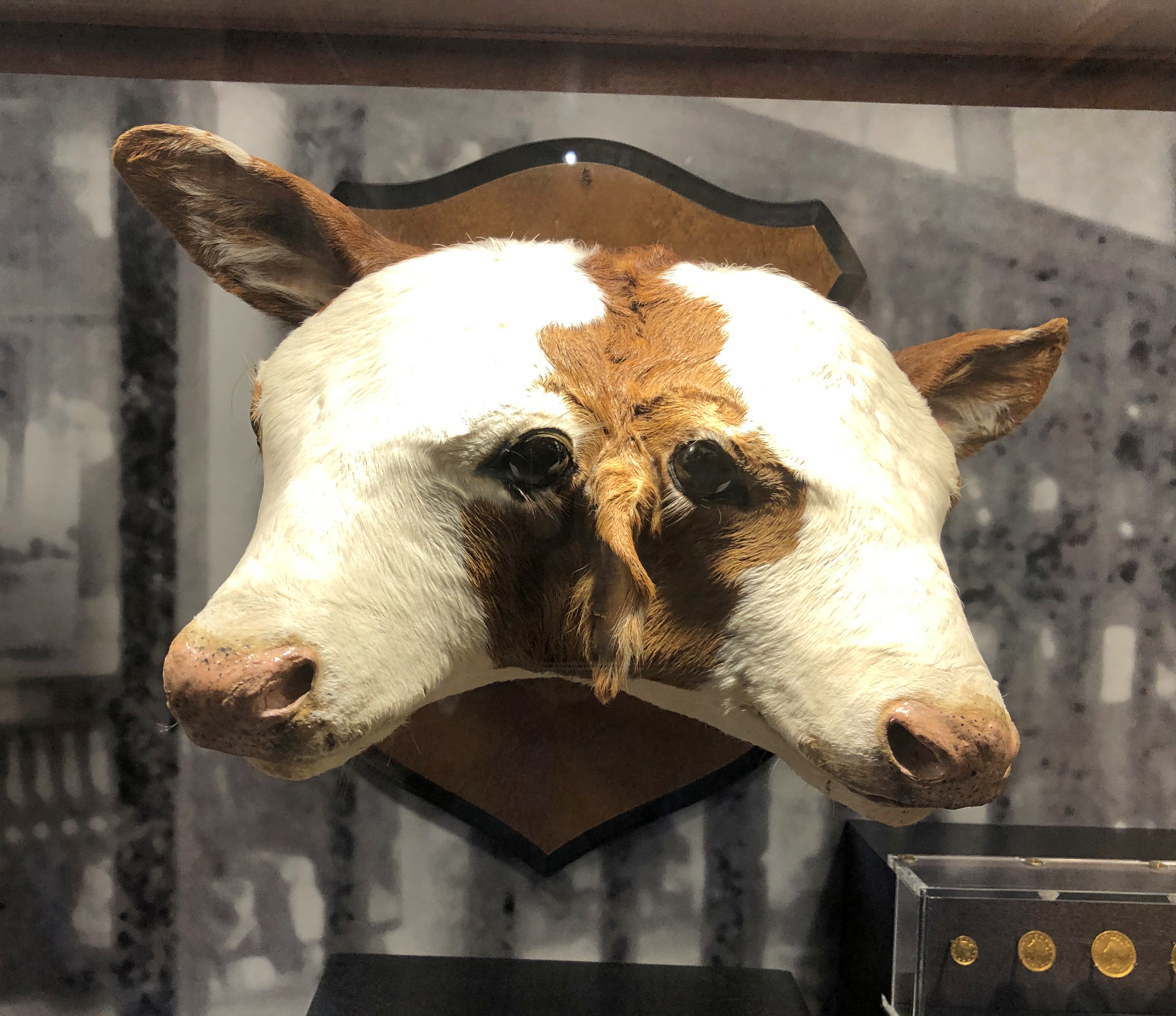
The capitol also has a museum aspect to it, as many capitols do. Including something I’d never seen before in any capitol. Or anywhere that I can remember. A two-headed calf.Georgia State Capitol two-headed calf

The unfortunate beast was born in Palmetto, Georgia in 1987, a nearby sign said. Other curiosities were on display at the capitol, too, but none quite so curious.

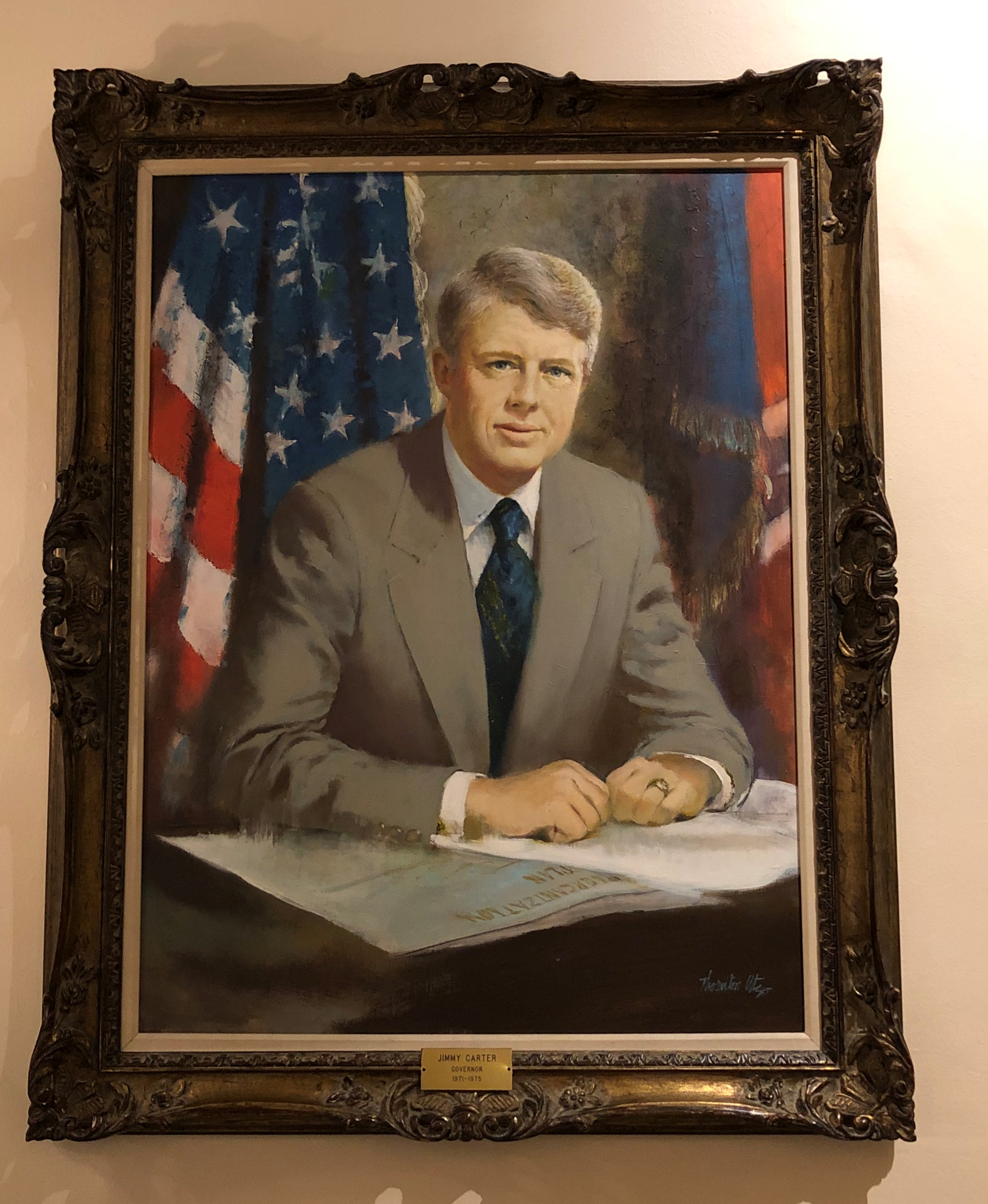
Or maybe this is.Georgia State Capitol, Jimmy Carter

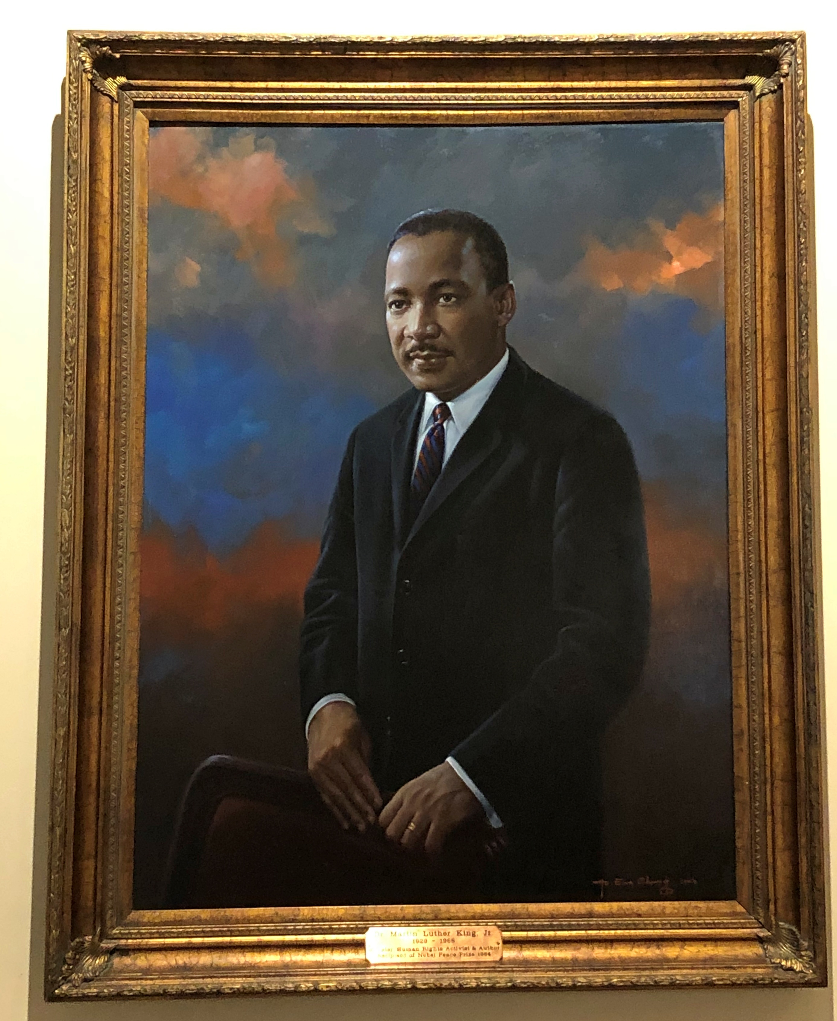
It took me moment to realize it was Jimmy Carter, as governor. That isn’t quite the face the nation outside Georgia got to know in the late ’70s. Also, it’s odd that there’s no mention that Gov. Carter went on to, you know, some other office. Even the California capitol acknowledged that Ronald Reagan was more than governor for a spell.

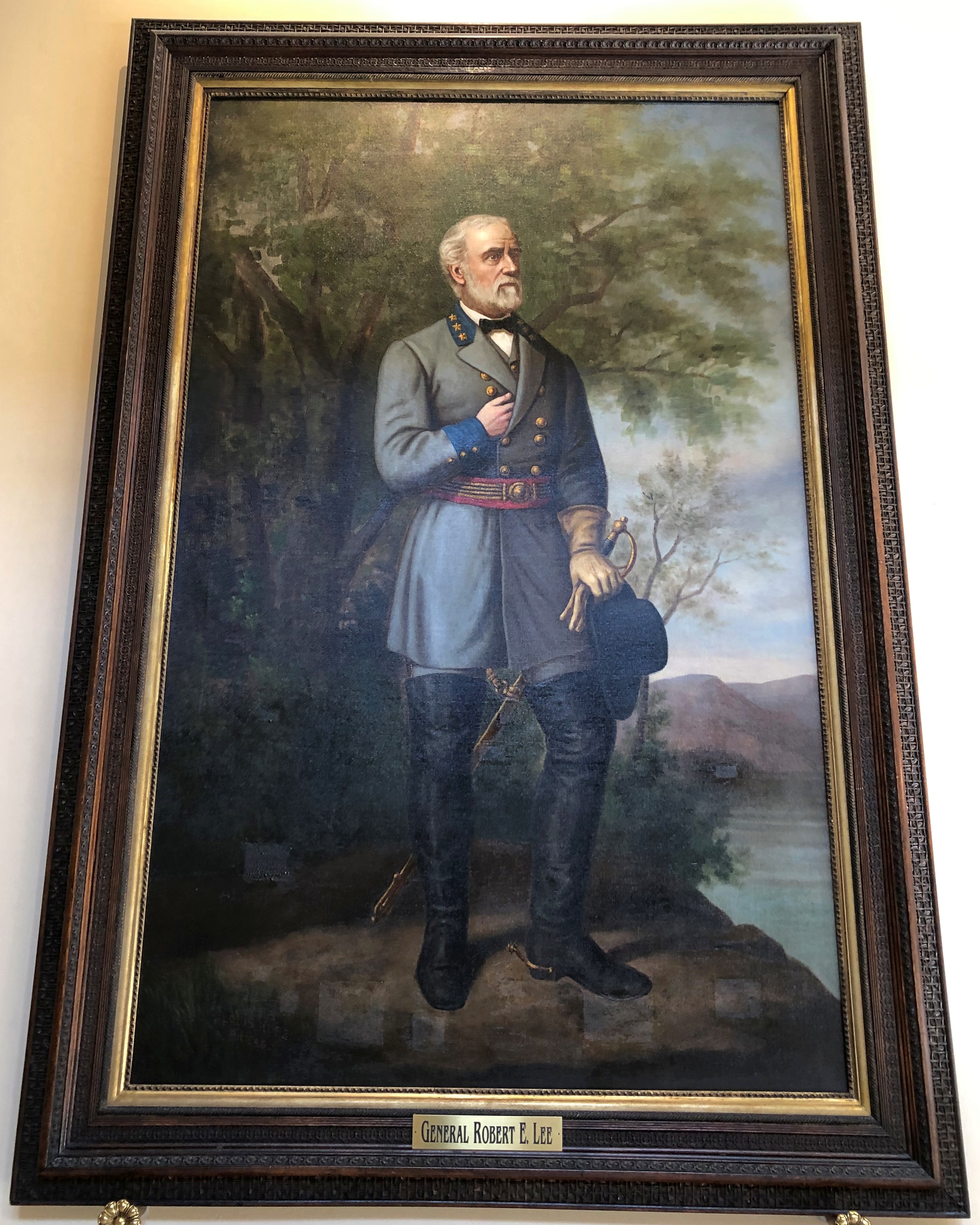
Besides Jimmy, there’s a decided mix of other historic personages on display, some too famous to need naming. A chronological posting:Georgia State Capitol
Georgia State Capitol

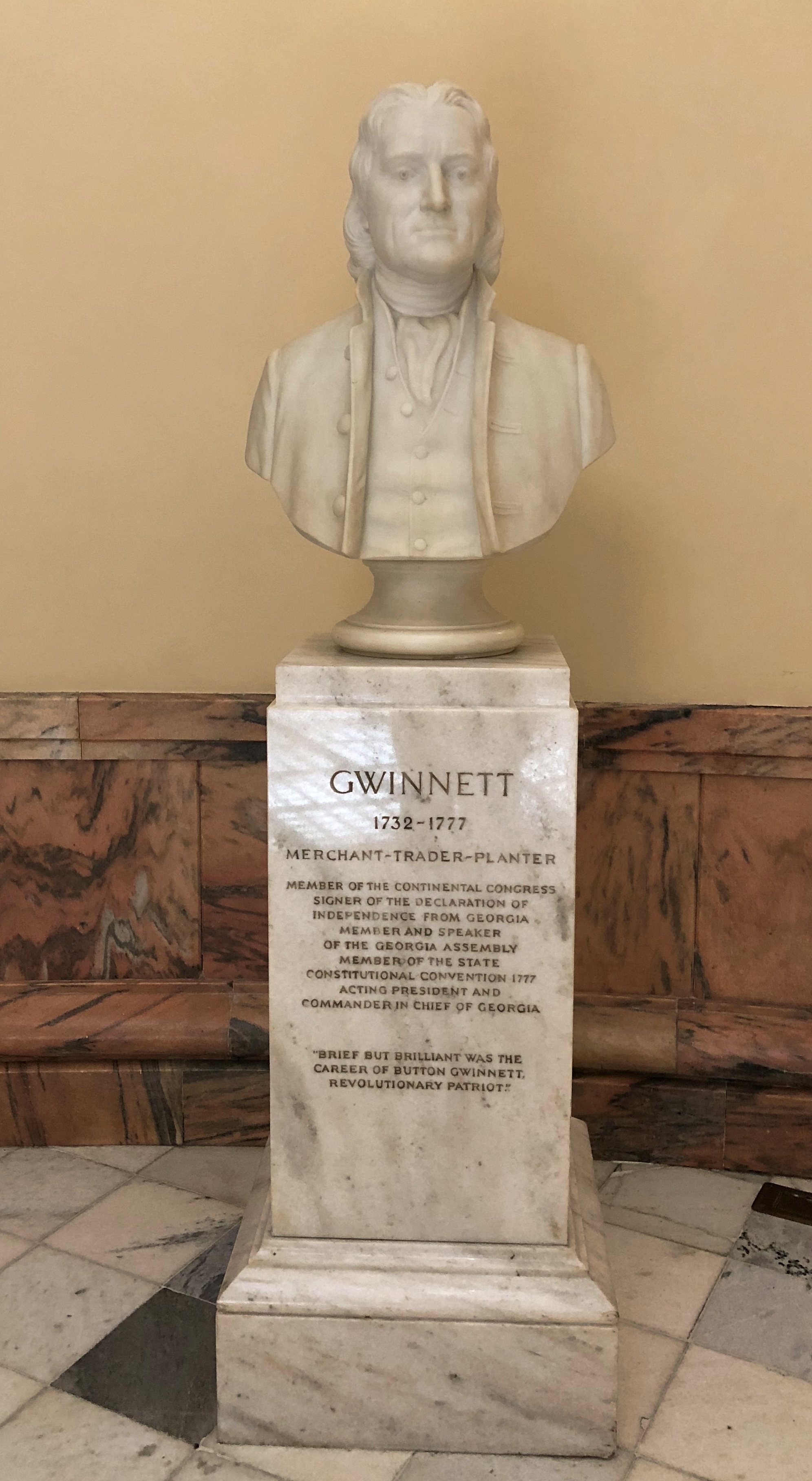
Interesting, but I was more delighted to find Button Gwinnett. Not only has this been a year for visiting capitols, but for Button sites too.Georgia State Capitol Button Gwinnett

“Brief but brilliant was the career of Button Gwinnett, Revolutionary Patriot,” the bust says, emphasis on brief.

Guess I need to visit the Button Gwinnett House someday, to really be a complete Button tourist. Or was it really his house?

Golden West Nuggets

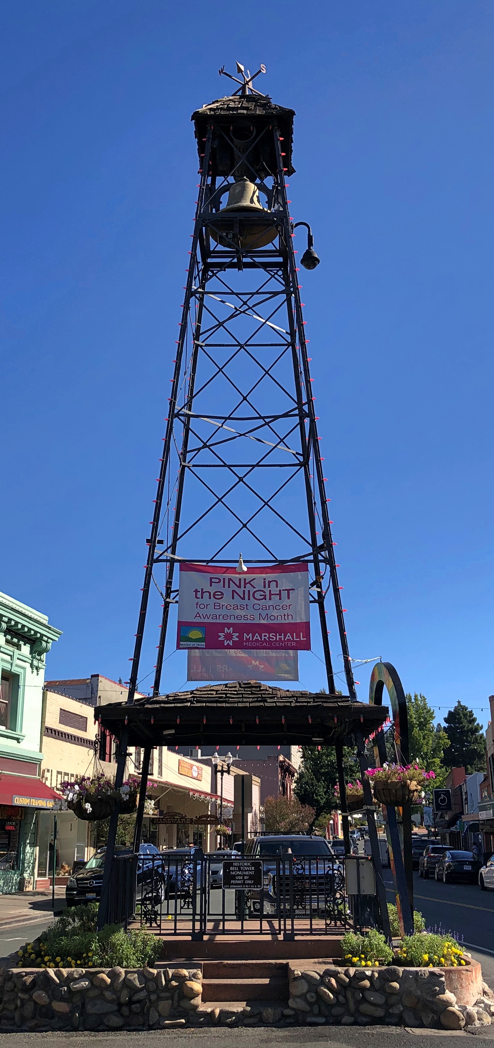
This is the kind of detail that keeps the built environment interesting. A visible part of an alarm system of some earlier vintage, operable or not.Placerville, California
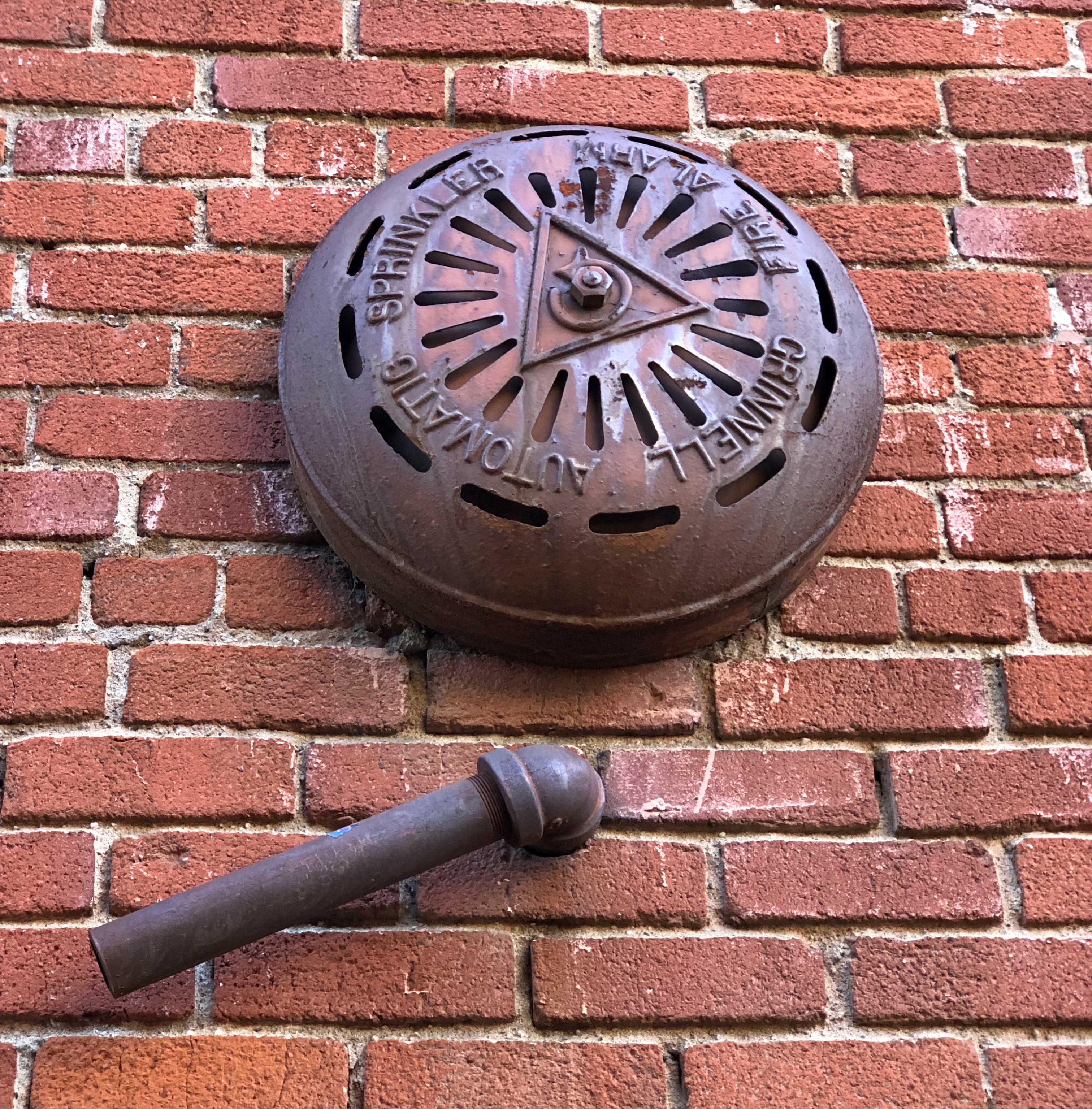
To be found in Placerville, California. You can also take a look at a small tower of some vintage in that town.Placerville, California Placerville, California
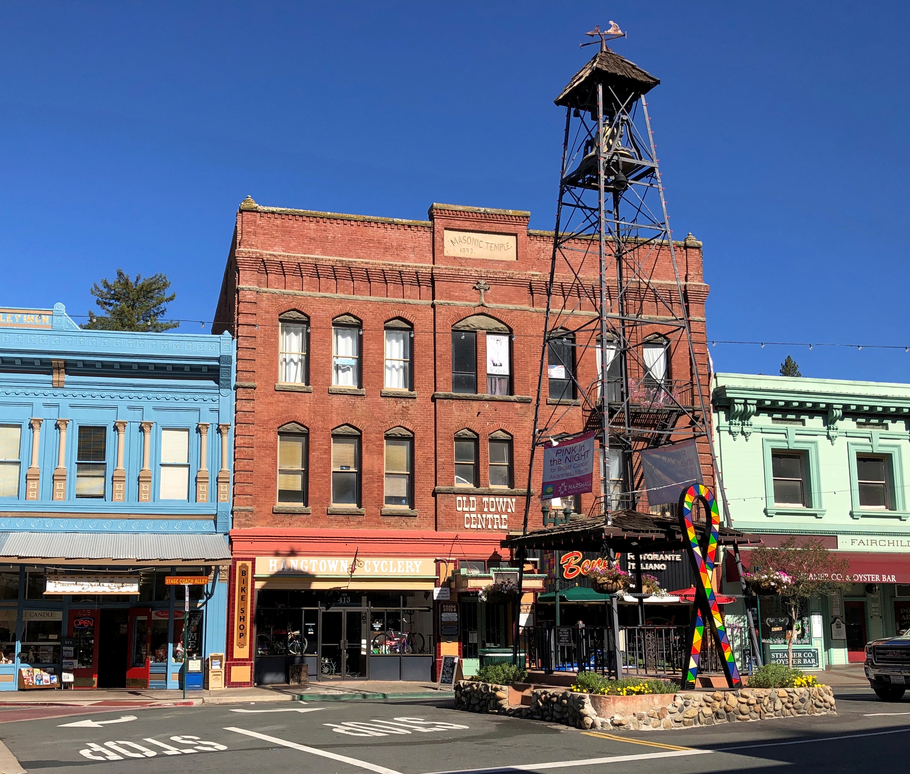
Placerville’s old bell tower. For use in the pre-electronic communication days, with a ring meaning something’s going on, come quick.

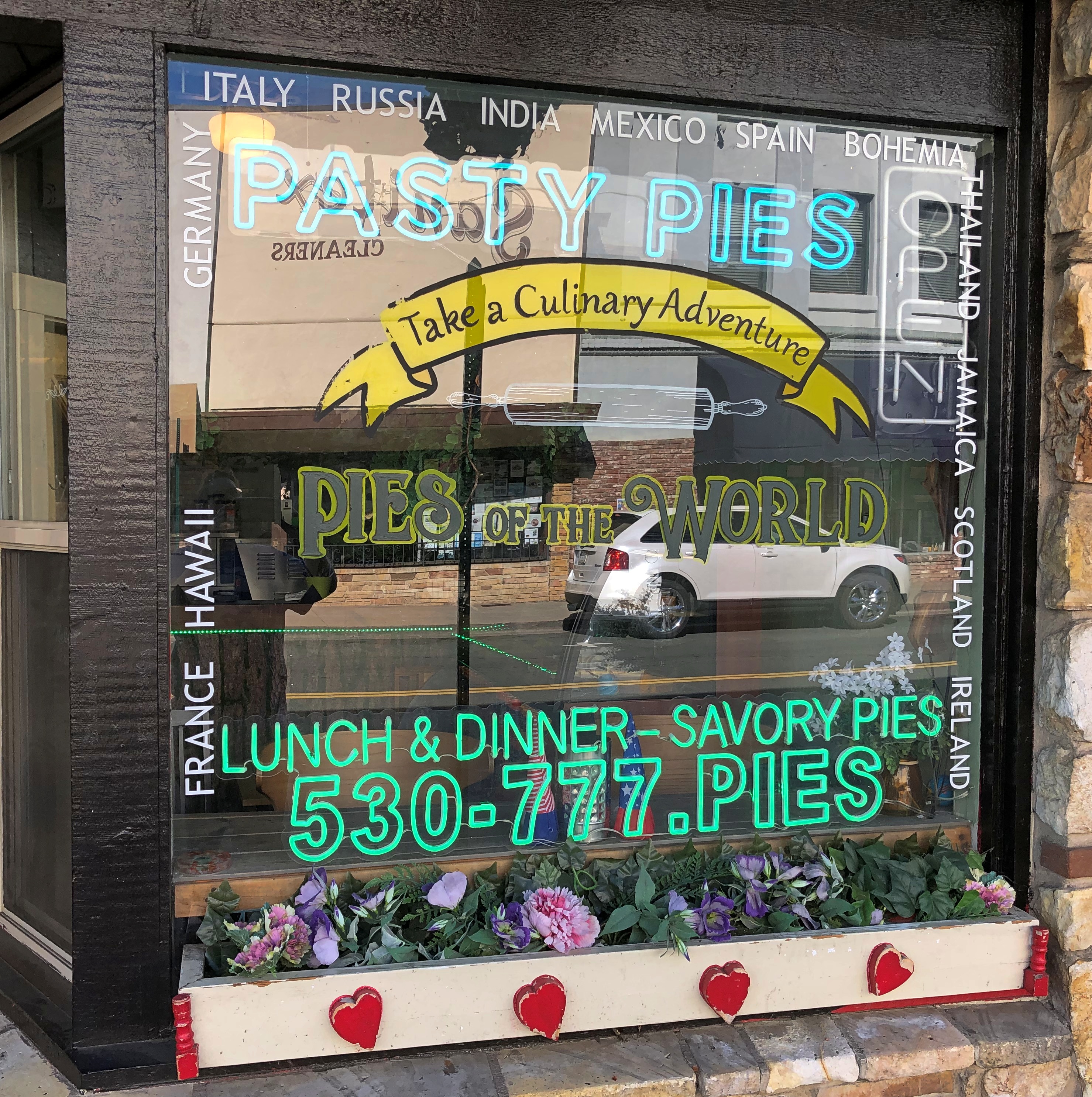
Wish I’d been hungry in Placerville, but no.Placerville, California
Some miles away, a Coloma plaque. I’m a fairly regular reader of plaques.
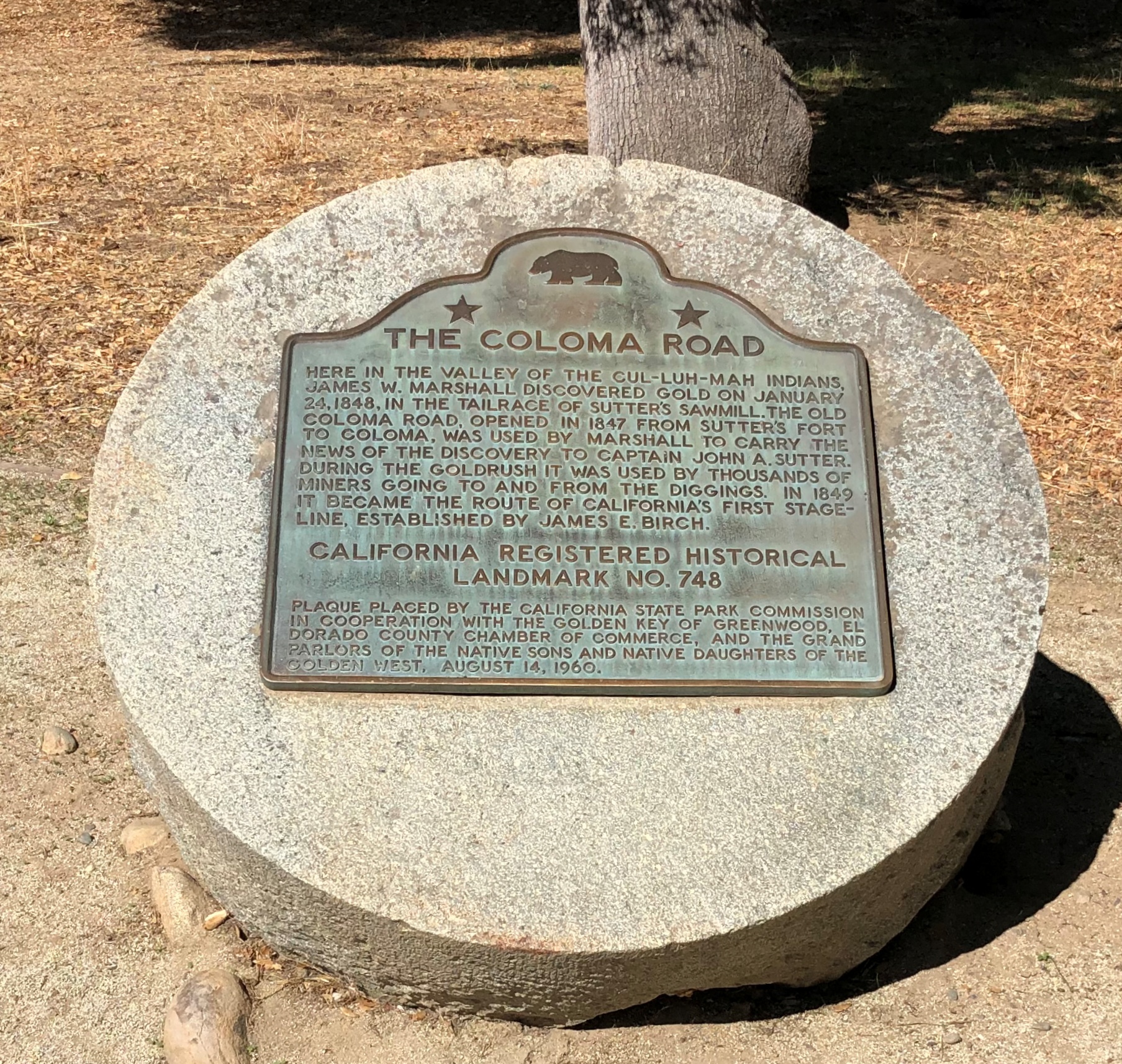
Another. I could post nothing but plaques, but that would be more granular than I want to be.
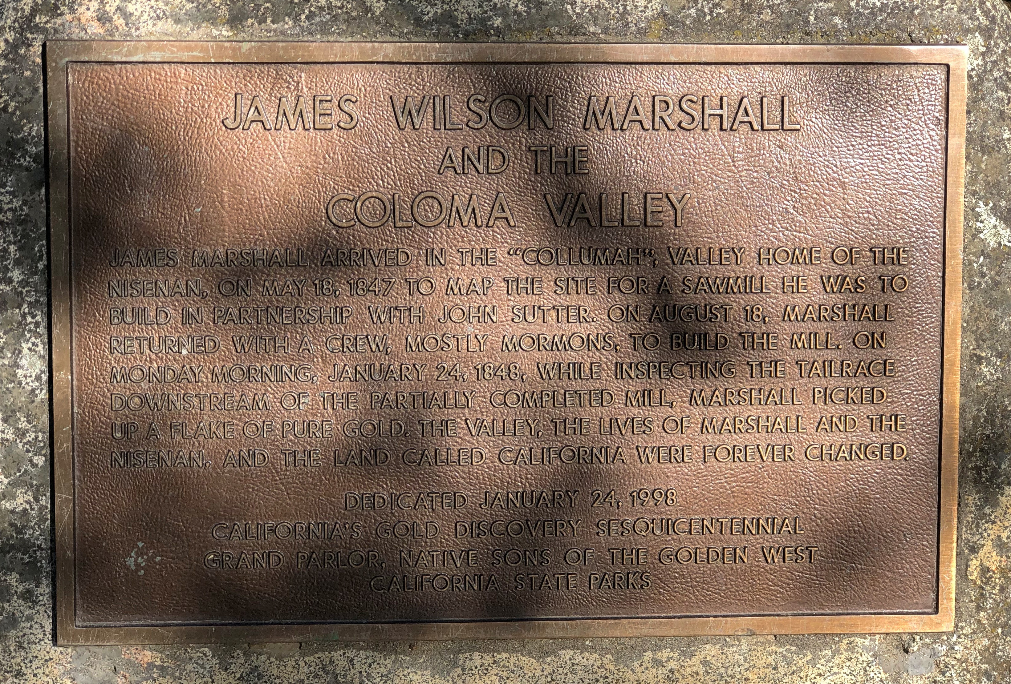
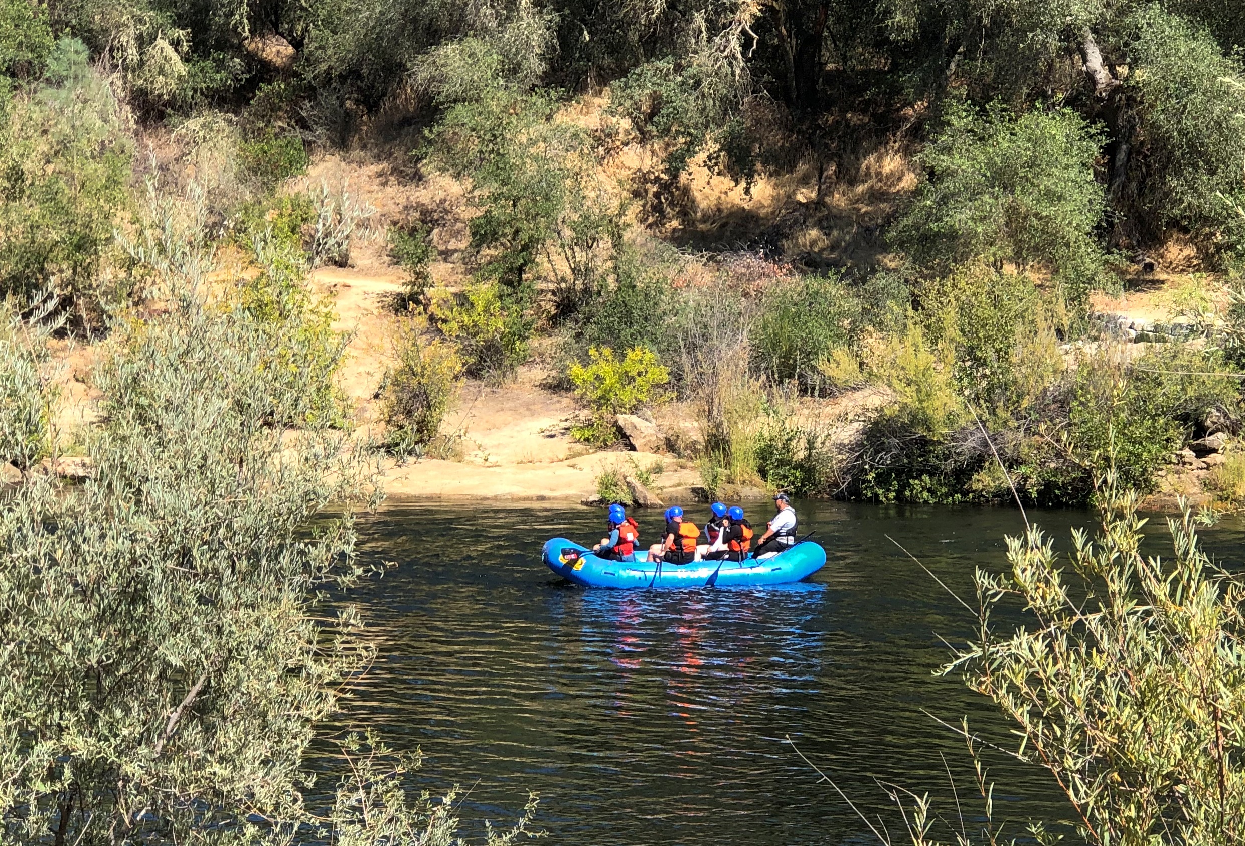
It’s a good-looking part of California anyway.Coloma Valley, California
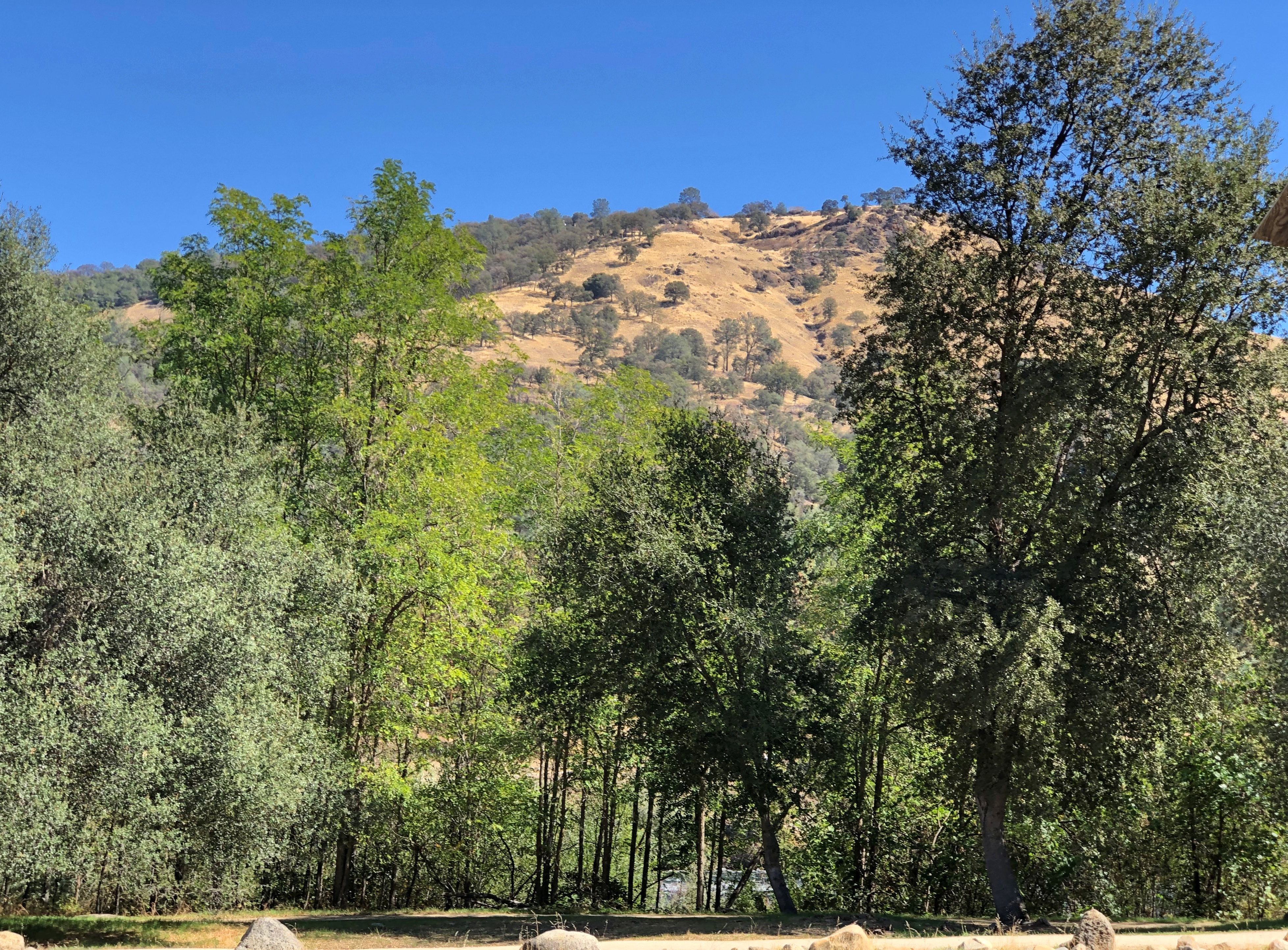
With recreational opportunities.Coloma Valley, California

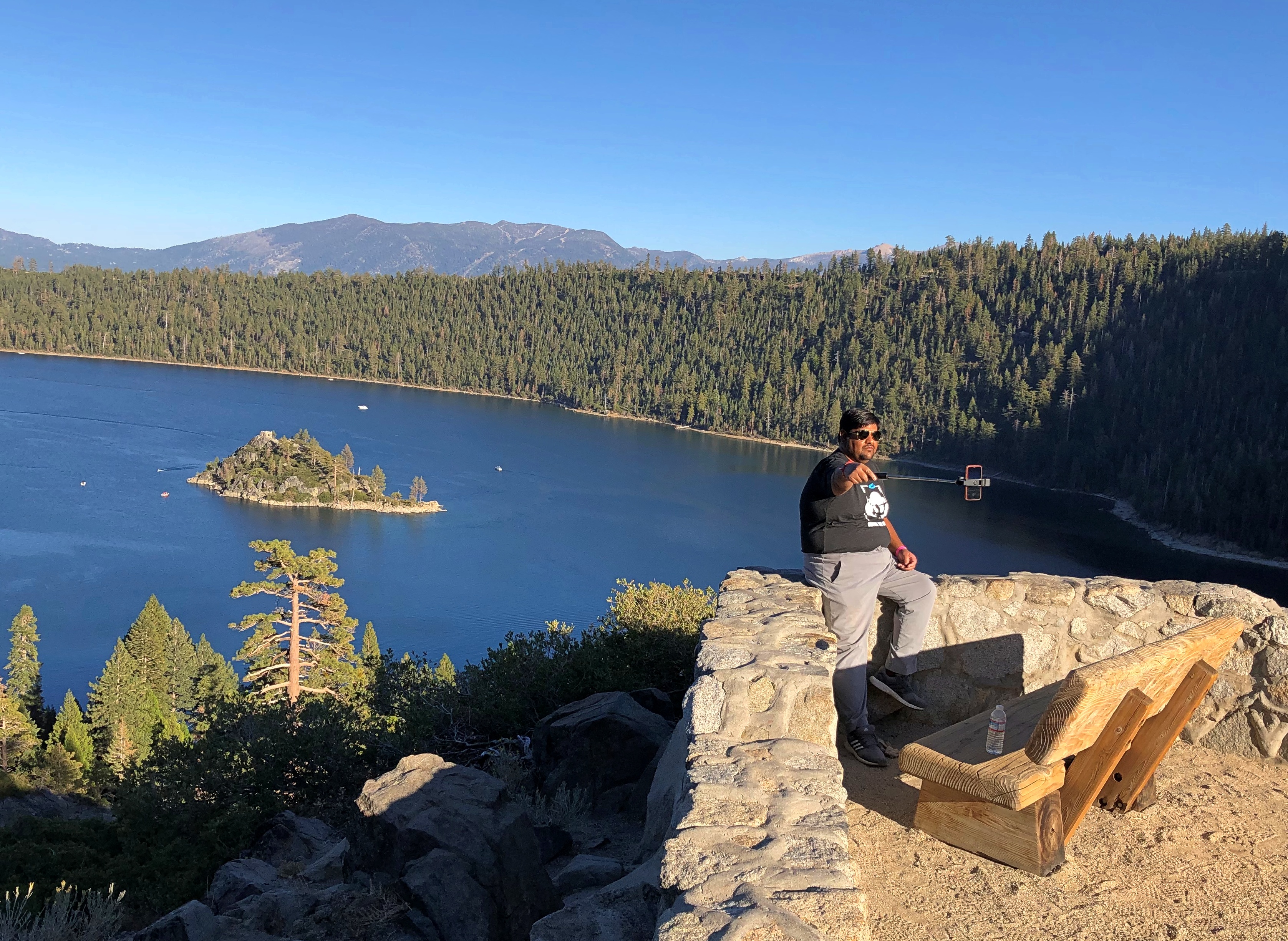
Mark Twain on Lake Tahoe (from Roughing It): “At last Lake Tahoe burst upon us, a noble sheet of blue water lifted some 6,000 feet above the level of the sea, and walled in by a rim of snow-clad mountain peaks that towered aloft a full 3,000 feet higher still.

“As it lay there with the shadows of the mountains, brilliantly photographed upon its surface, I thought it must surely be the fairest picture the whole earth affords.”

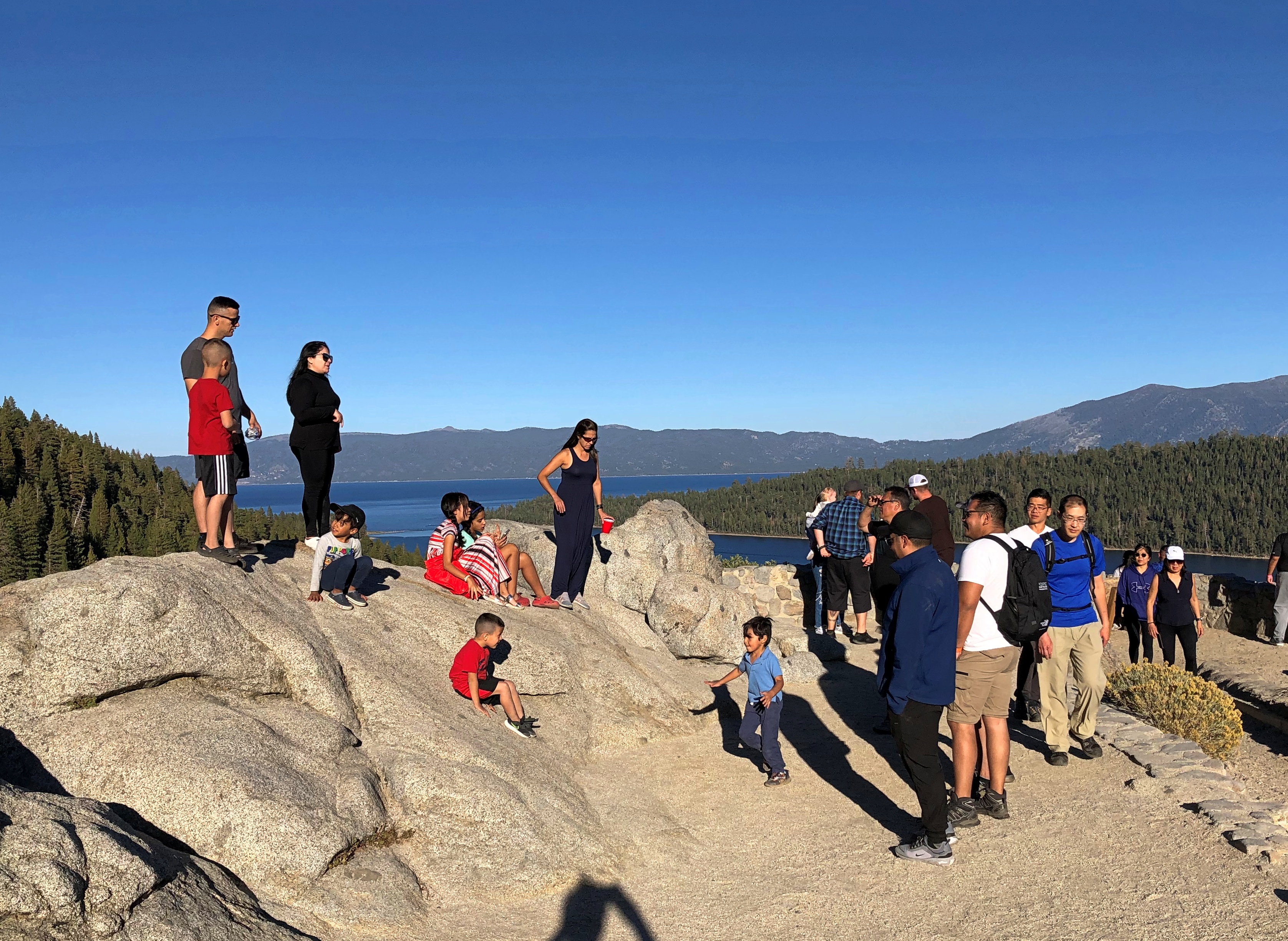
Enjoyable vistas for sure. It was good to see other people there.Lake Tahoe 2022 Lake Tahoe 2022
I had breakfast my first morning in Reno at a restaurant for old people — except that’s me now, isn’t it? But on a weekday mid-morning, I was one of the younger patrons. Decent food, though a touch expensive (a contagion from California, no doubt, plus the inflation du jour).

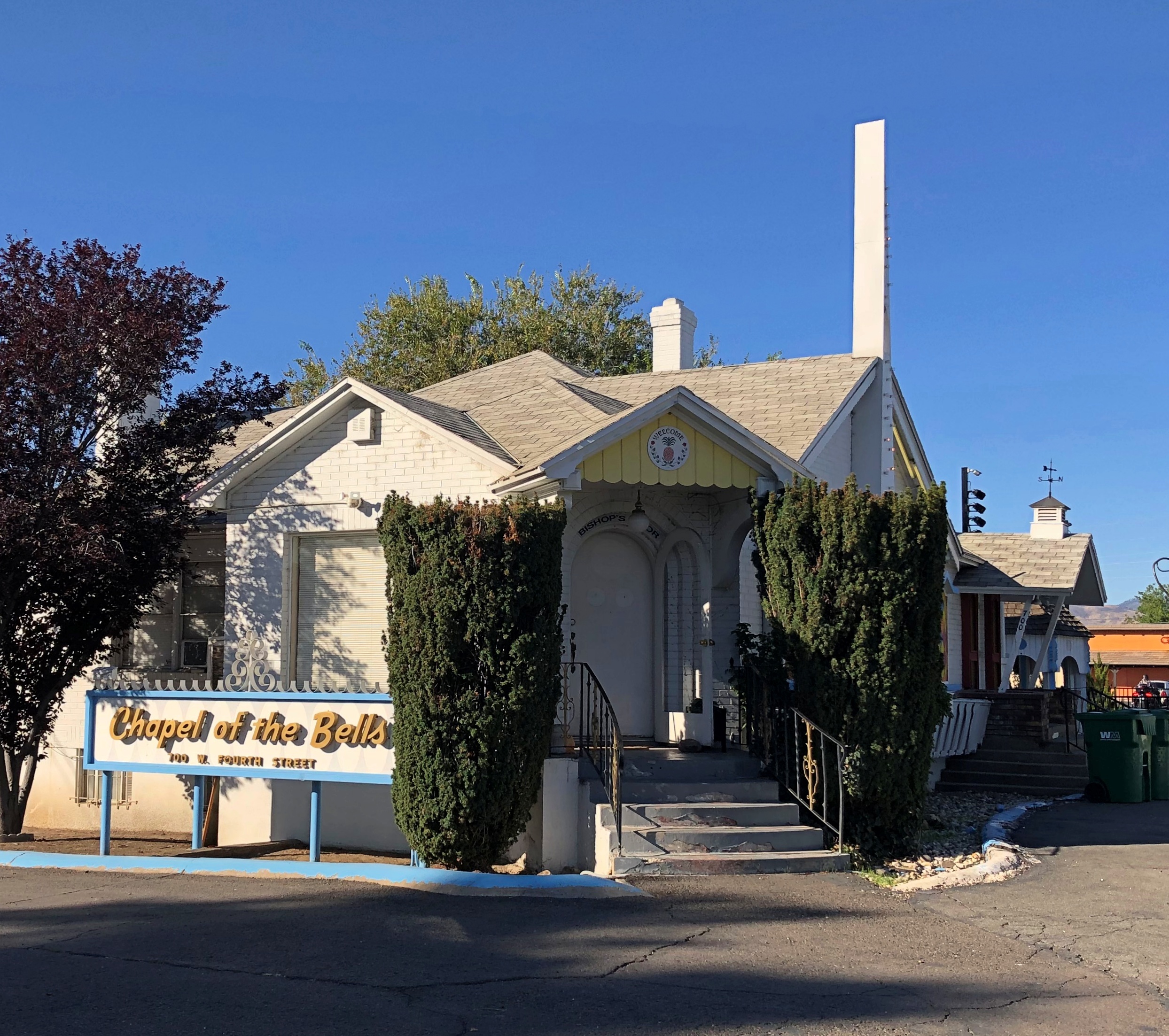
After I finished, I went out to leave, but noticed a sign I had to see, not far away. I took a closer look.Reno
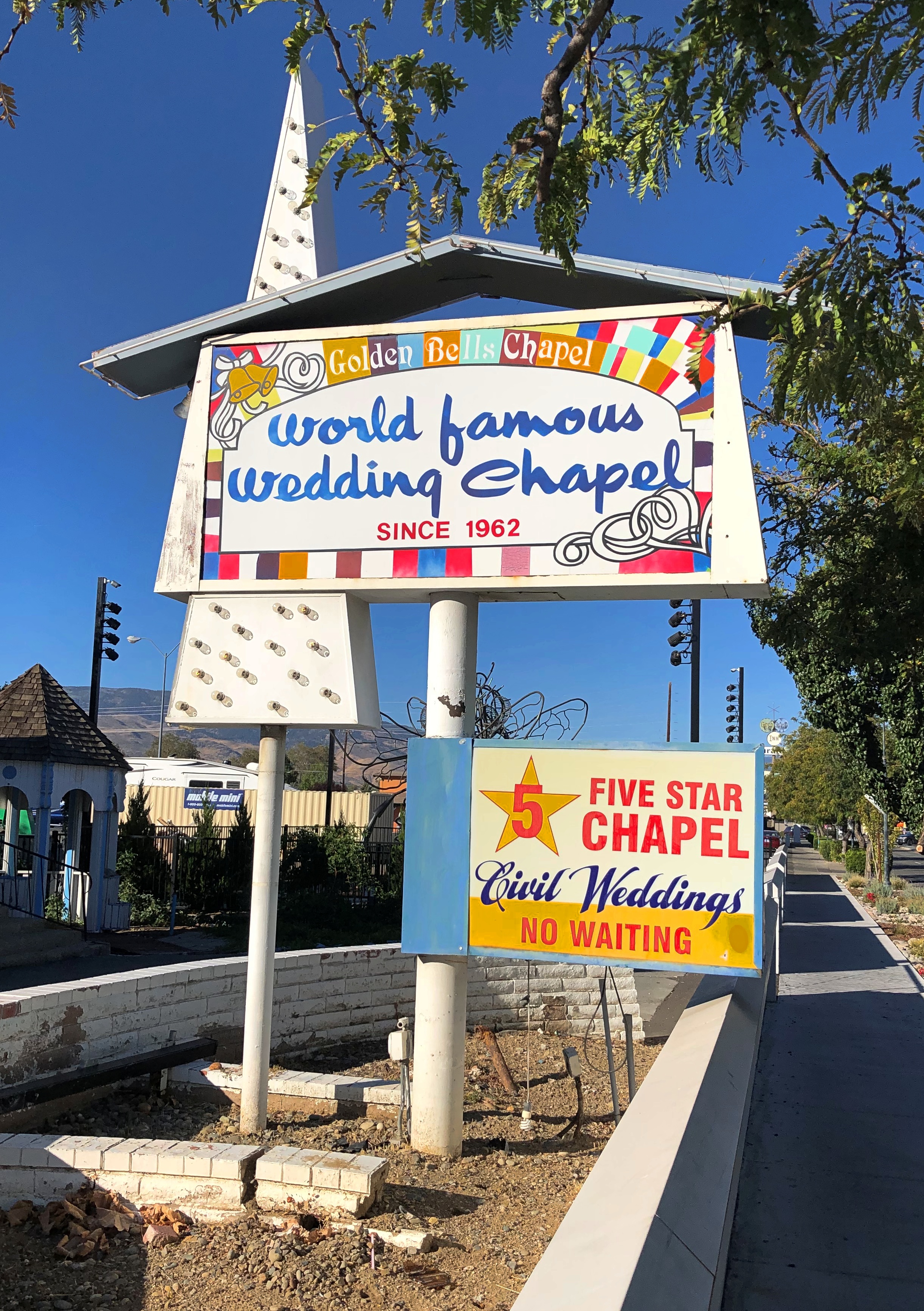
reno

Not in the market, but someone must be. If that isn’t local color, I don’t know what is.

When serendipity is with you on the road, that kind of sighting leads to others. That’s what happened that morning in Reno. This was nearby the wedding chapel.Burning Man art in Reno
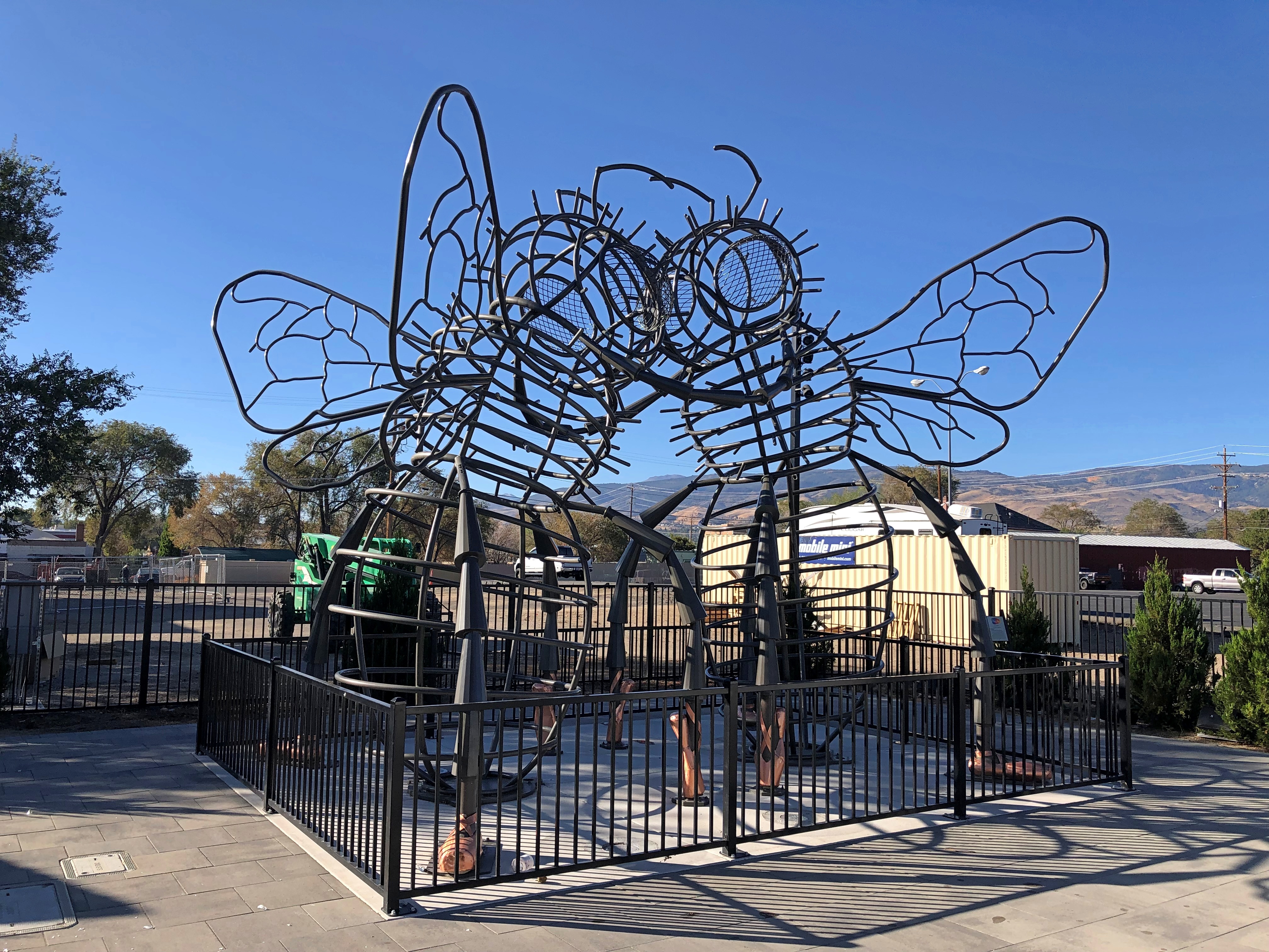
“Bee Dance” by Andrea Greenlees (2019), according to its sign, which also said it was created at Burning Man that year.

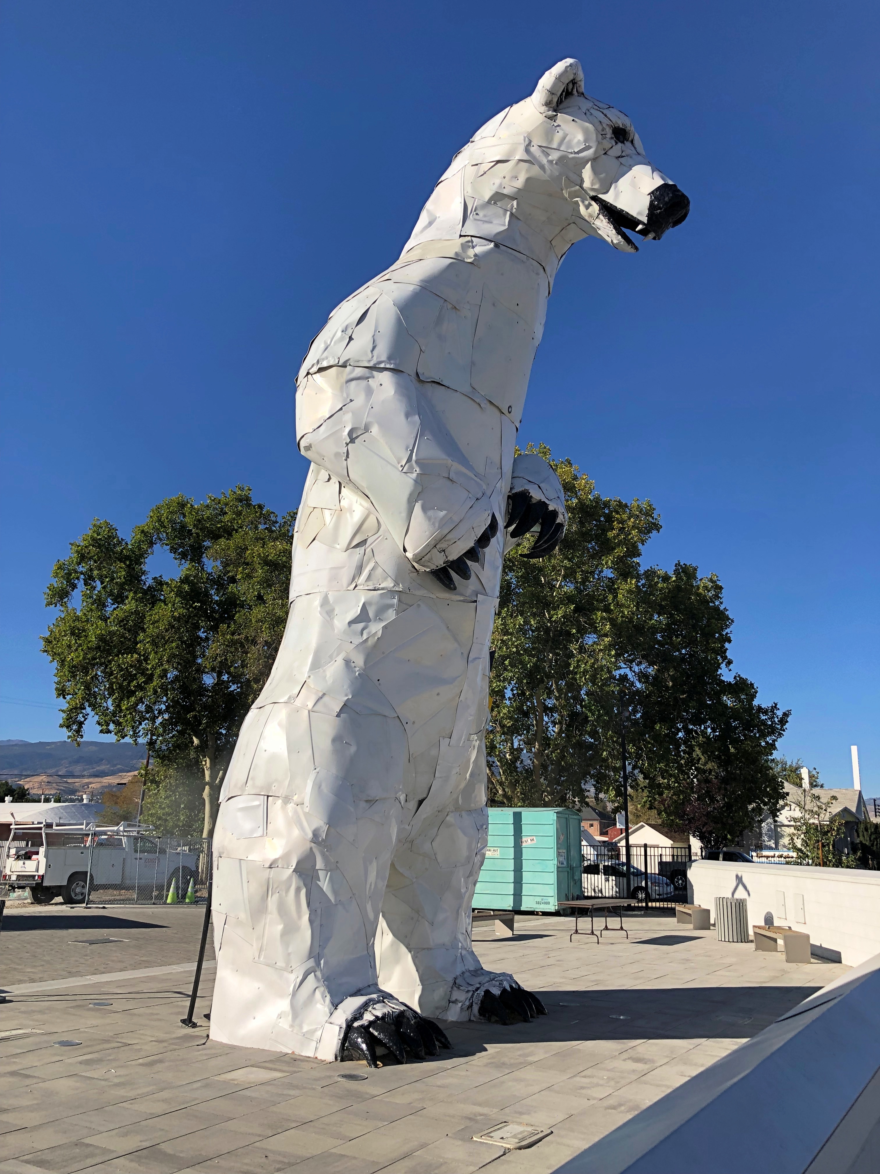
On the next block — all this was on West Fourth Street in Reno — was a closed off place called Glow Plaza, an outdoor event space that only opened this year. Well, open for concerts on the weekends. It wasn’t open for me to look around, though there was some construction going on at an adjacent site (probably new apartments), so maybe that restriction was just temporary.

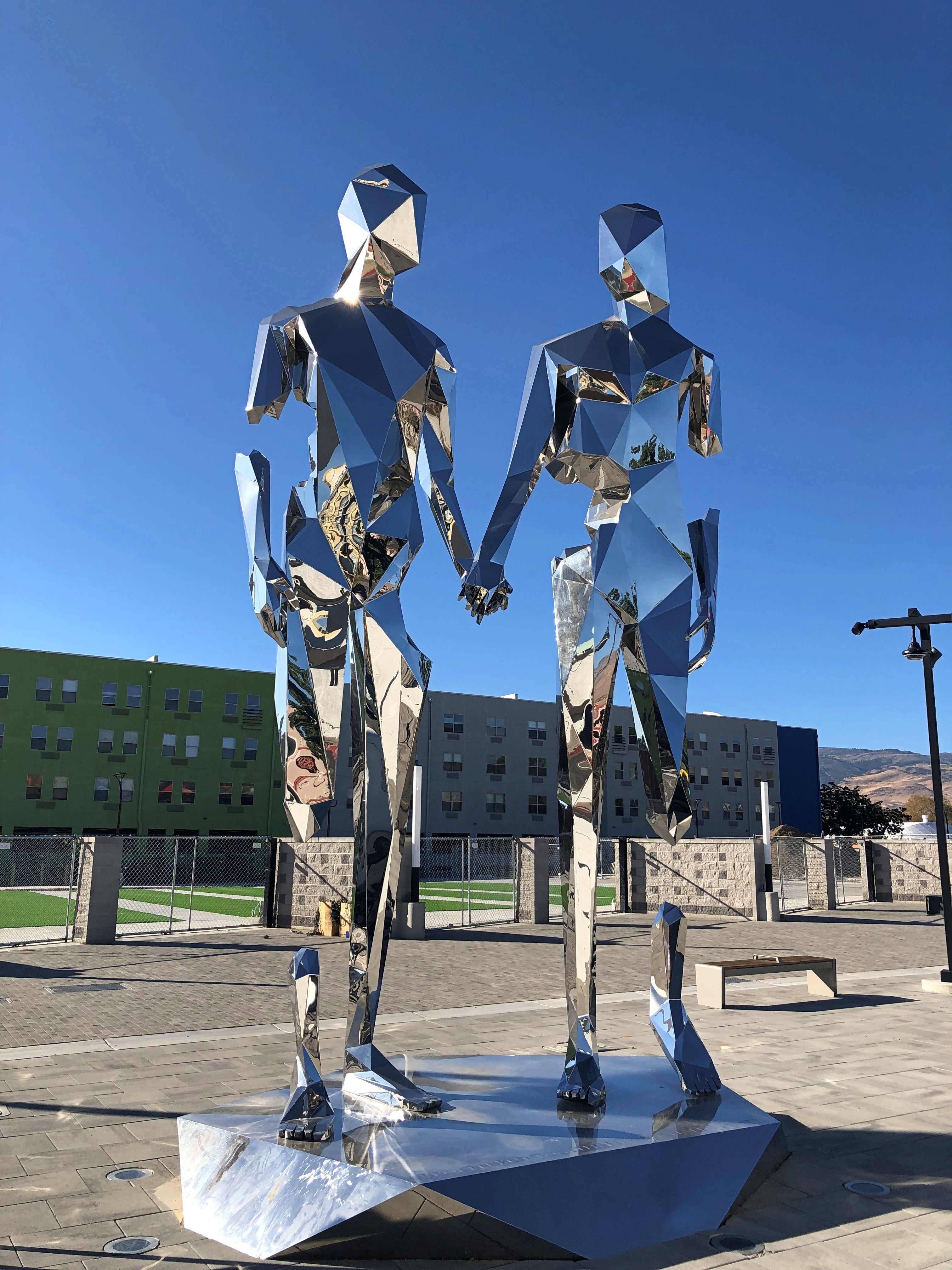
Anyway, I got a look from the sidewalk. New-looking sculptures.Reno polar bear Reno art
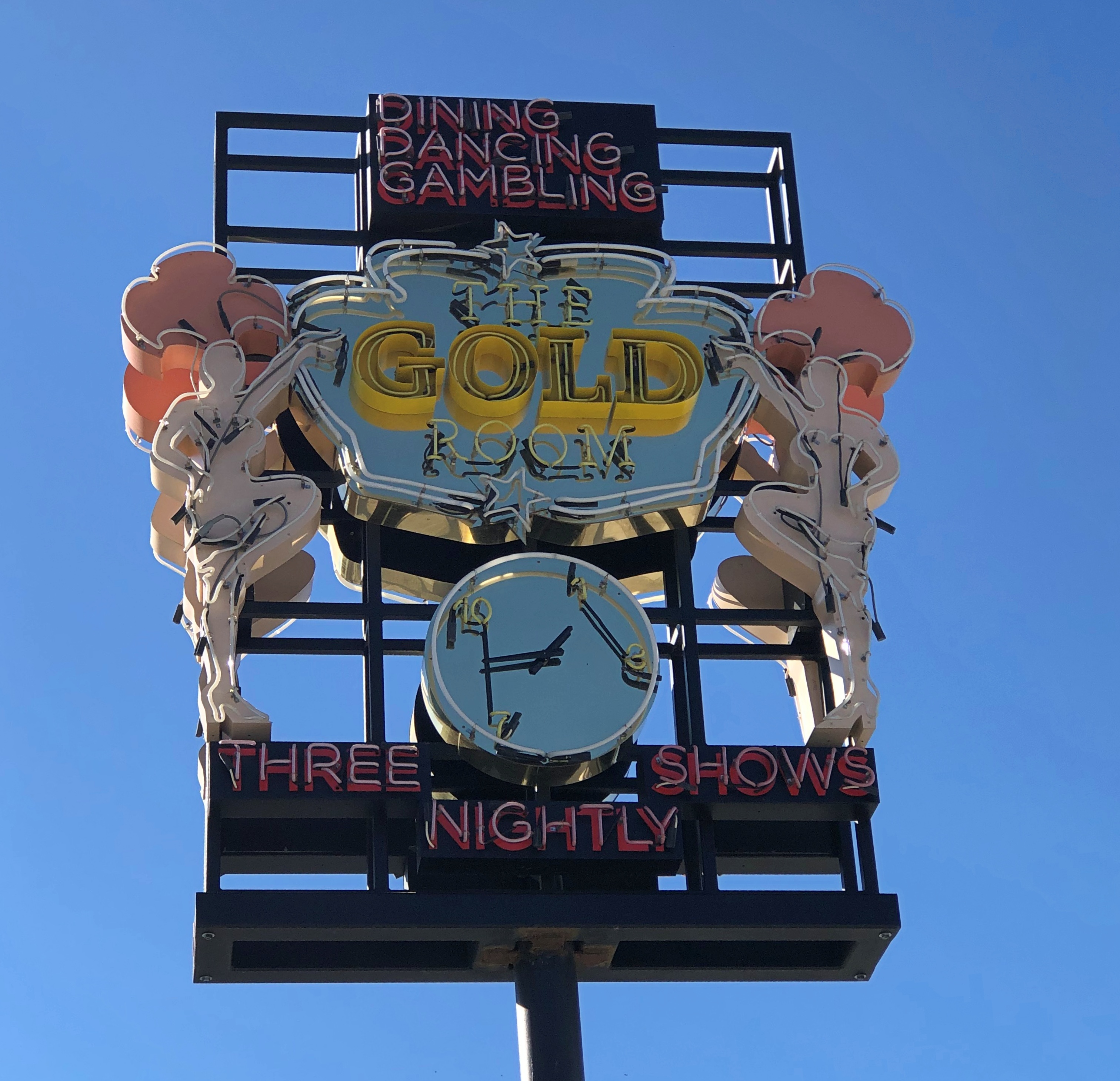
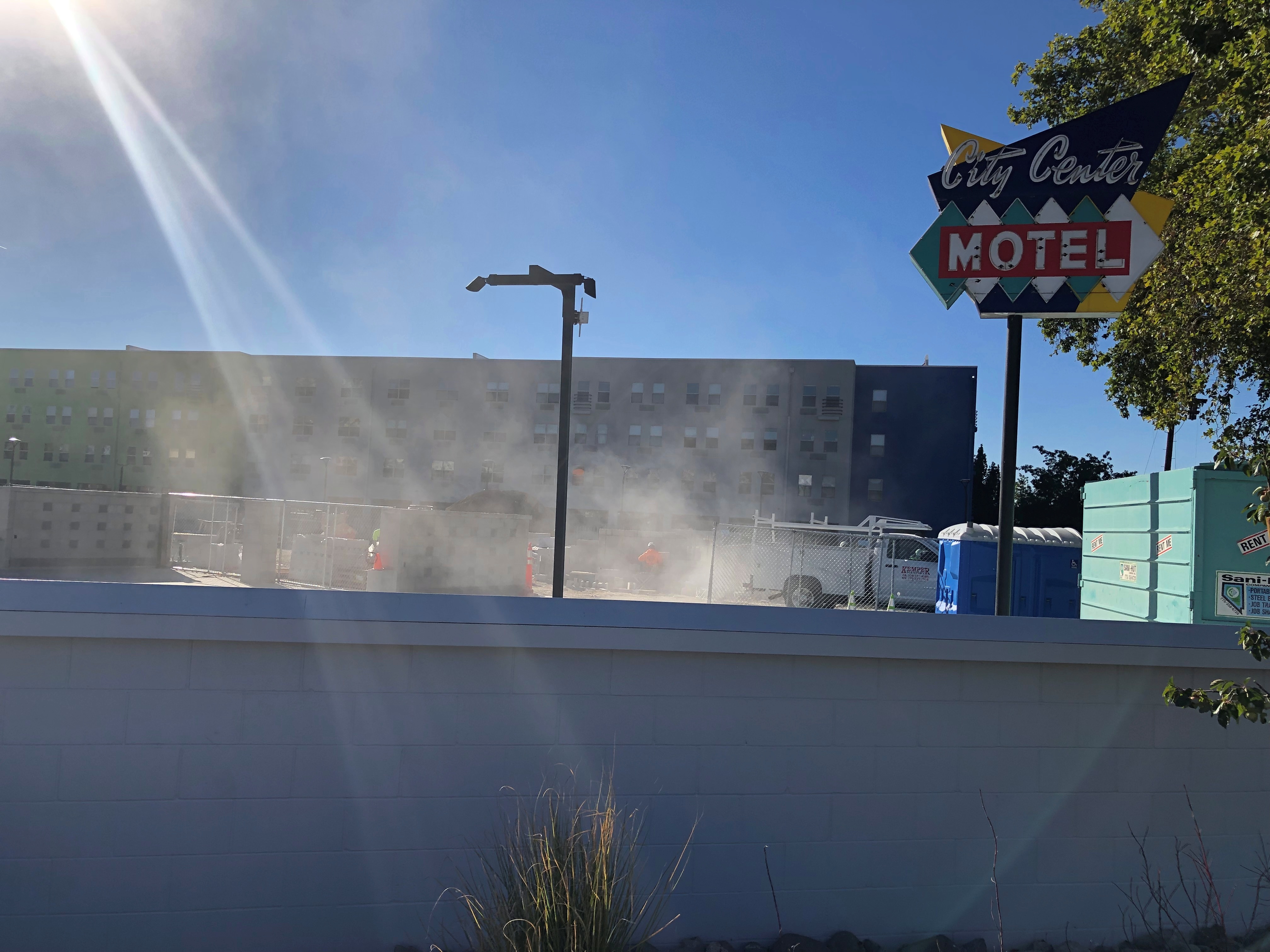
Including vintage Reno neon, or maybe close-replica homages.Reno neon Reno neon
Speaking of apartments, this property in downtown Reno has the look of a 2010s adaptive reuse. I checked, and it is. It used to be a motel. The loss of an SRO property? Maybe, but I didn’t know there was much of that left.The Mod, Reno
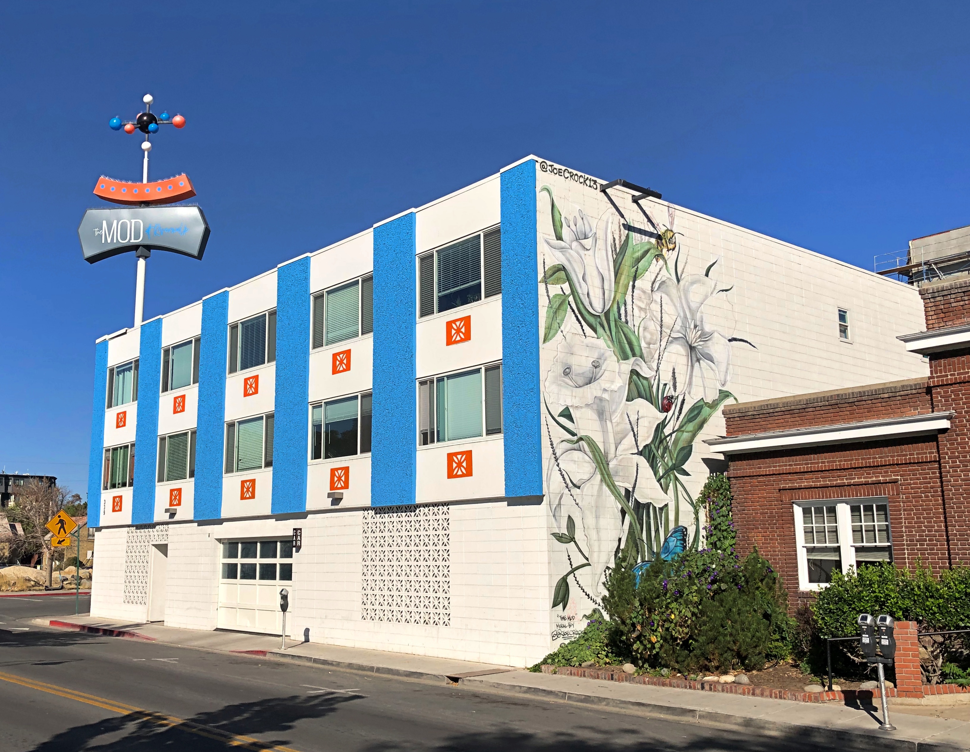
Now it’s an “upscale micro-unit living facility,” to borrow a phrase from Northern Nevada Business Weekly. I checked again, and its rents range from $1,100 to $1,700 (the low end of the range is for about 250 square feet).

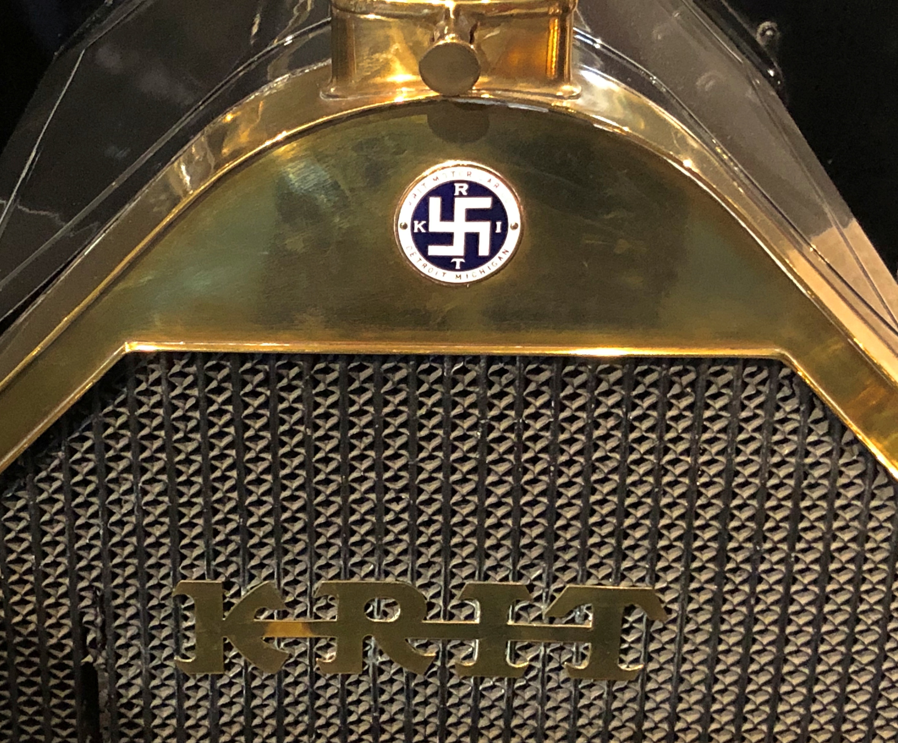
Could have done an entire posting of name plates on vintage cars at the National Automobile Museum. The familiar and the less familiar.National Automobile Museum, Reno National Automobile Museum, Reno

That last one’s an attention-getter. You can find it on a Krit Motor Car Co. auto, made years before jackbooted lowlifes shanghaied the symbol.

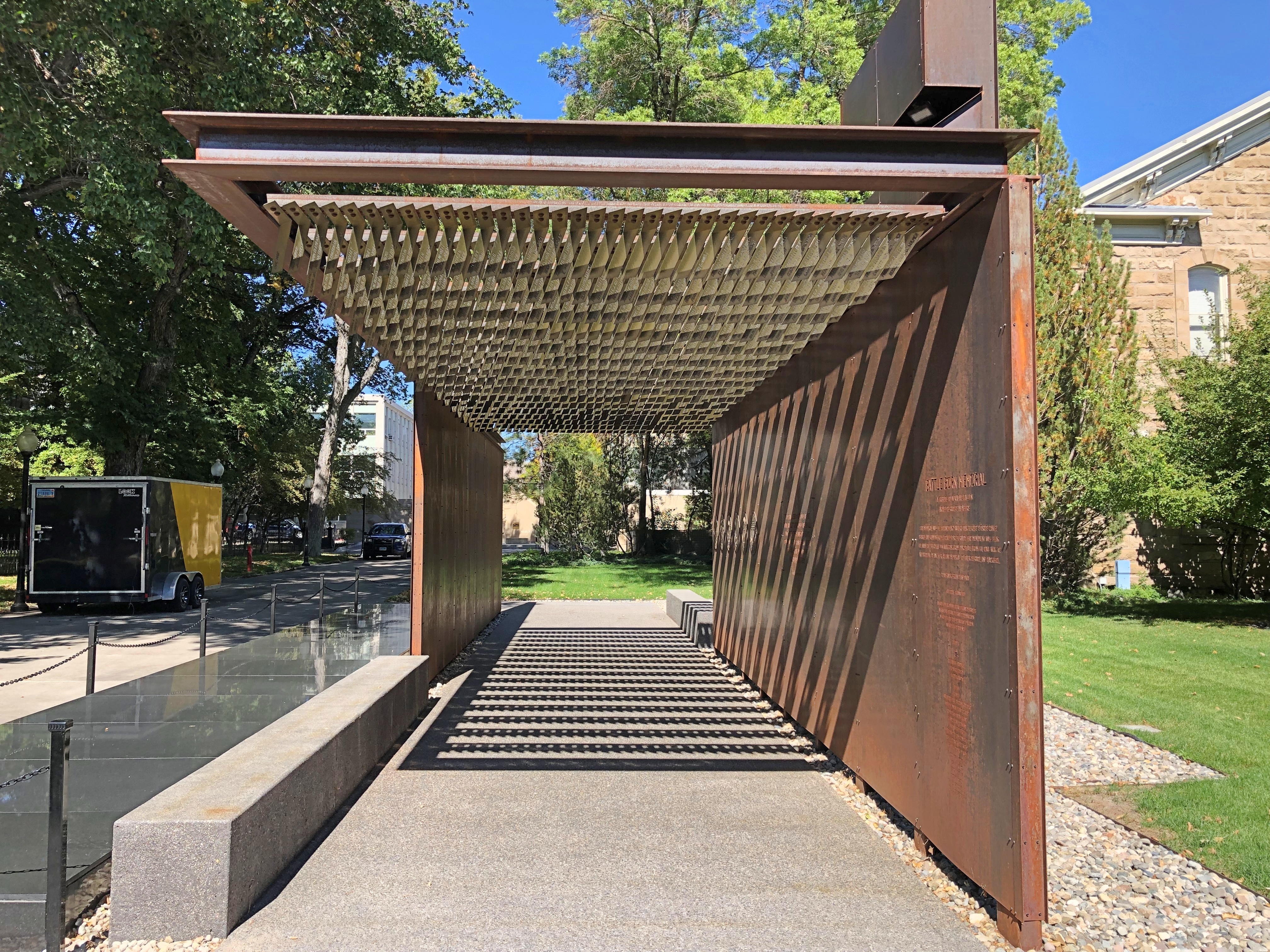
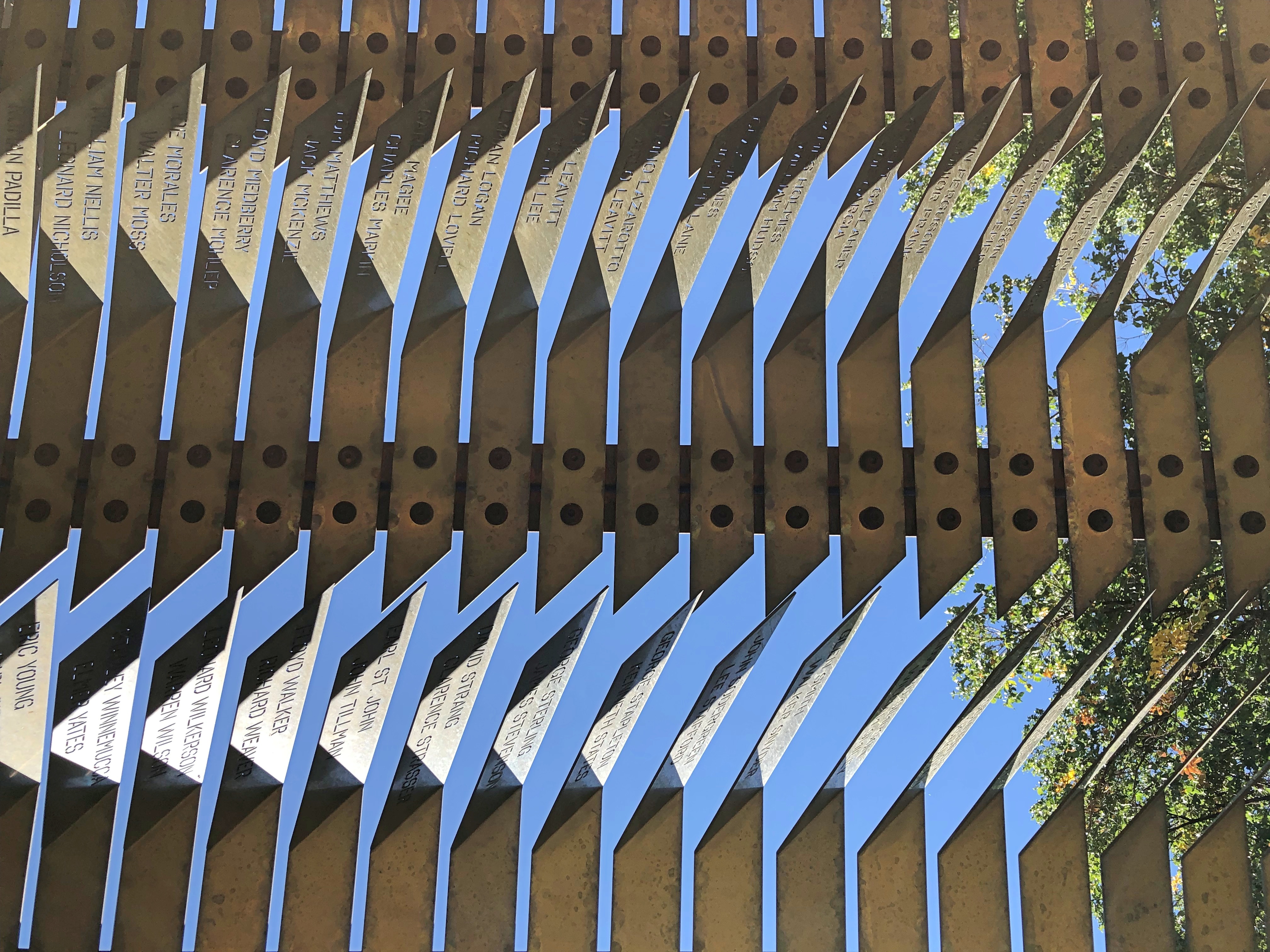
The Battle Born Memorial in Carson City, dedicated to fallen soldiers from Nevada.Battle Born Memorial, Carson City, Nevada Battle Born Memorial, Carson City, Nevada
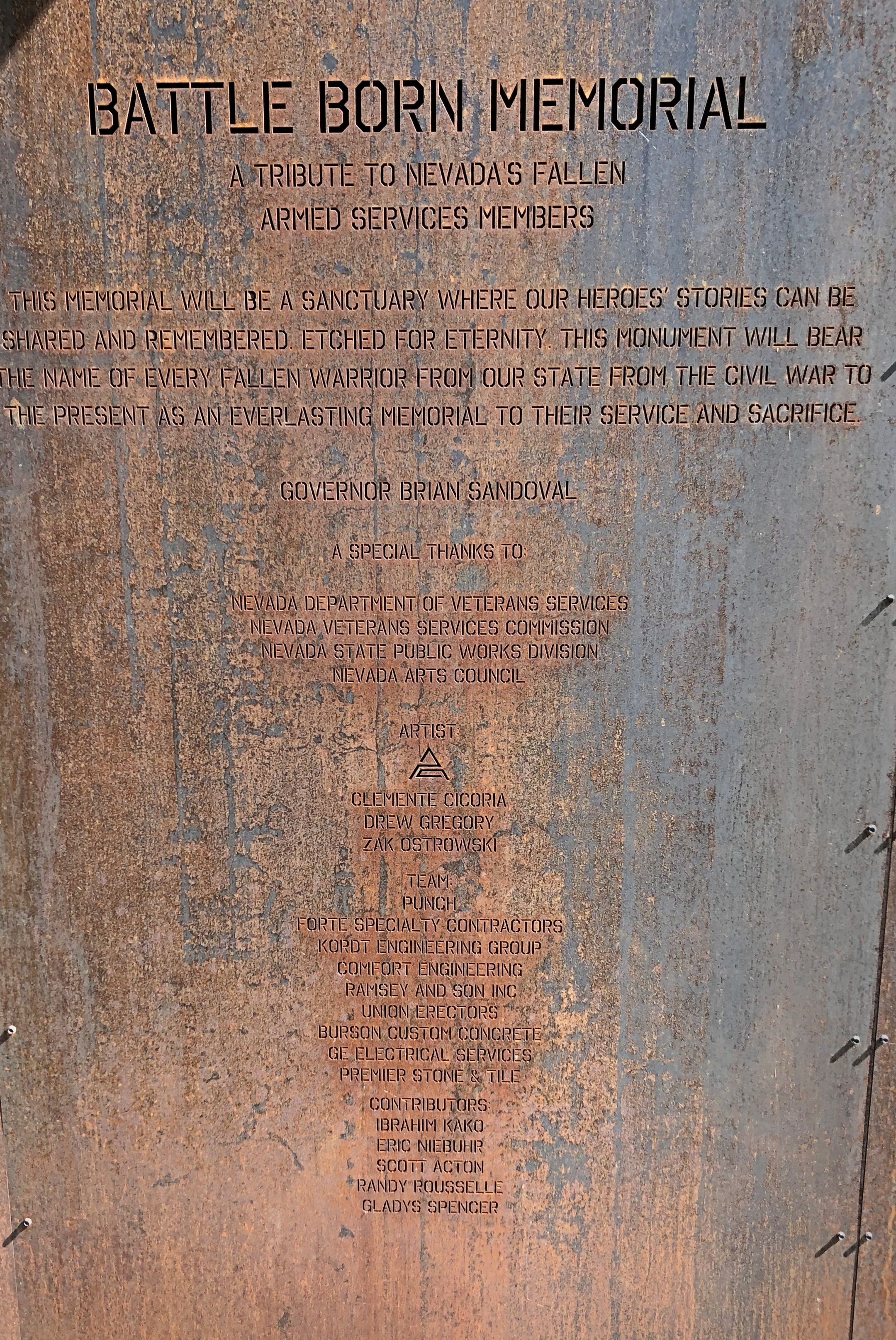
At first I thought, iron? True, iron is at the heart of modern war. But as soon as I was inside, and looked up, I realized how fitting the material is. A remarkable memorial.

Especially when you gaze up at it.Battle Born Memorial, Carson City, Nevada

The names of the fallen are inscribed there.Battle Born Memorial, Carson City, Nevada Battle Born Memorial, Carson City, Nevada
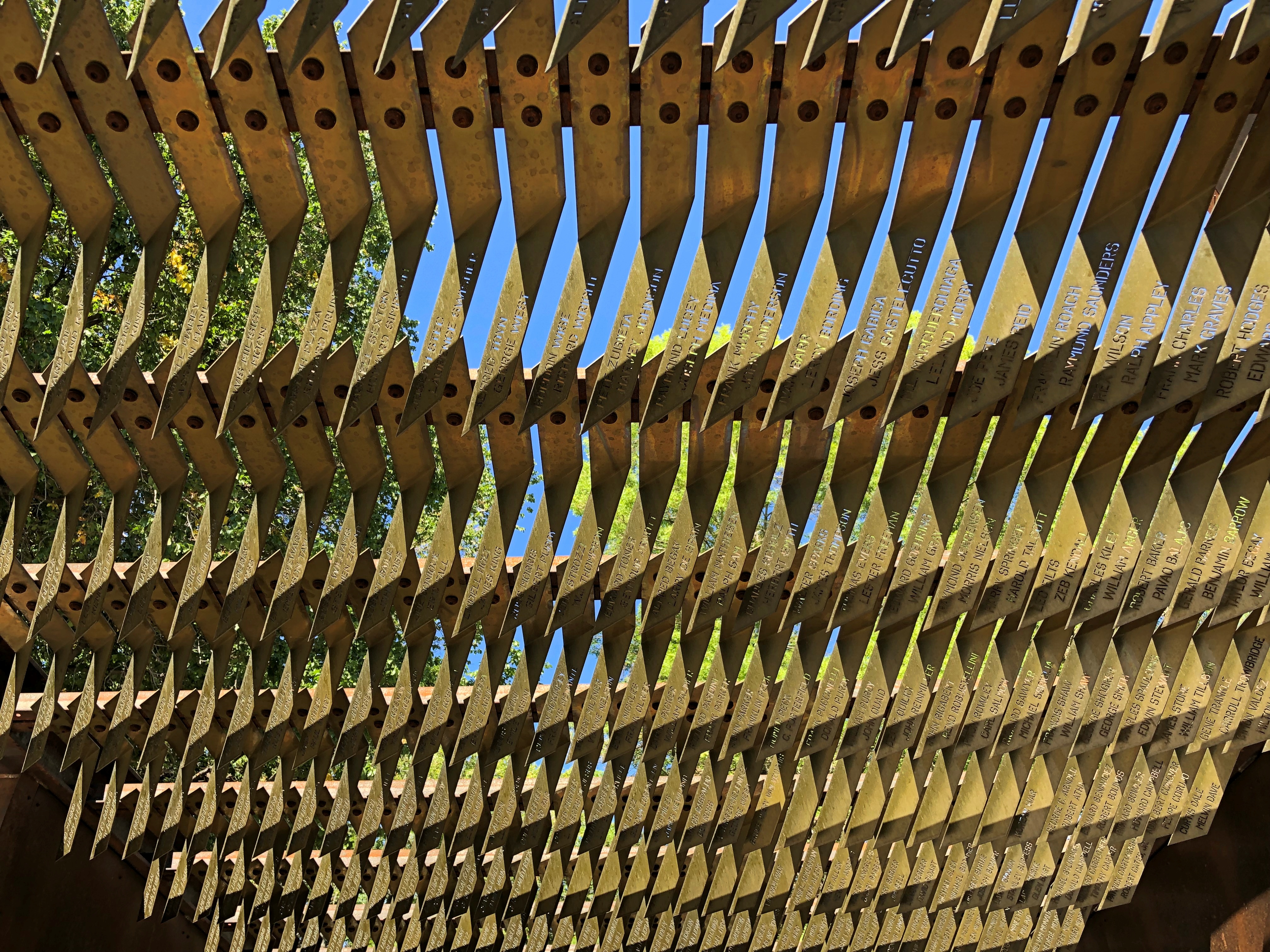
Eight hundred and ninety-five names, I understand. Punch Architecture did the design, which was completed in 2018.

Later I looked up Battle Born. I didn’t know that was a nickname for Nevada. Everyone’s heard Silver State, but not Battle Born State. I puzzled on that a while, but eventually realized that when Nevada entered the union (1864; Lincoln needed another two Senators), it joined the fight, as a state, to keep that union together.

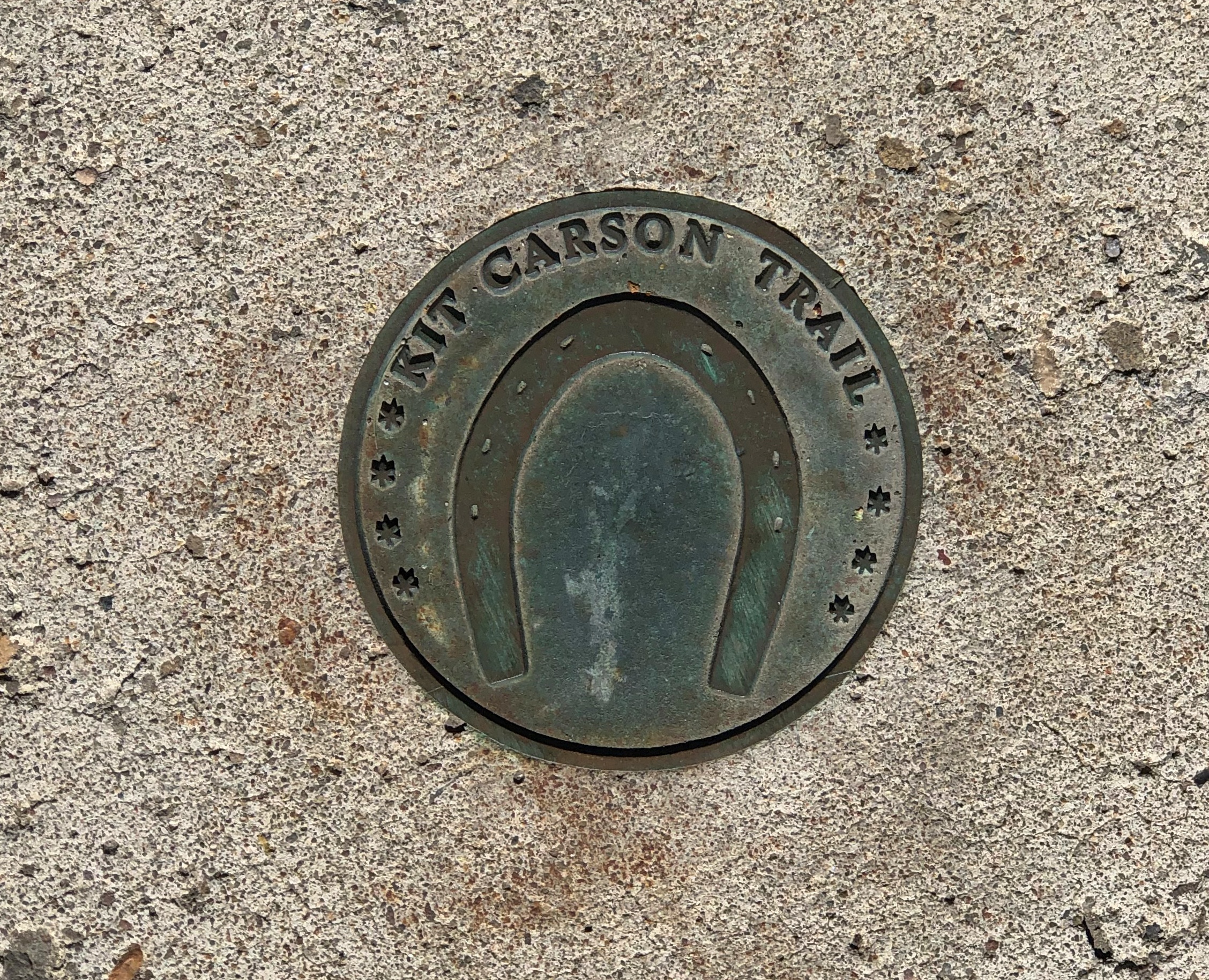
A much smaller metal-work, underfoot in Carson City. Good to know I’ve been on the Kit Carson Trail.Carson City, Nevada
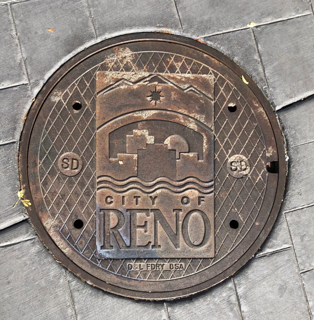
Underfoot in Reno.Reno, Nevada

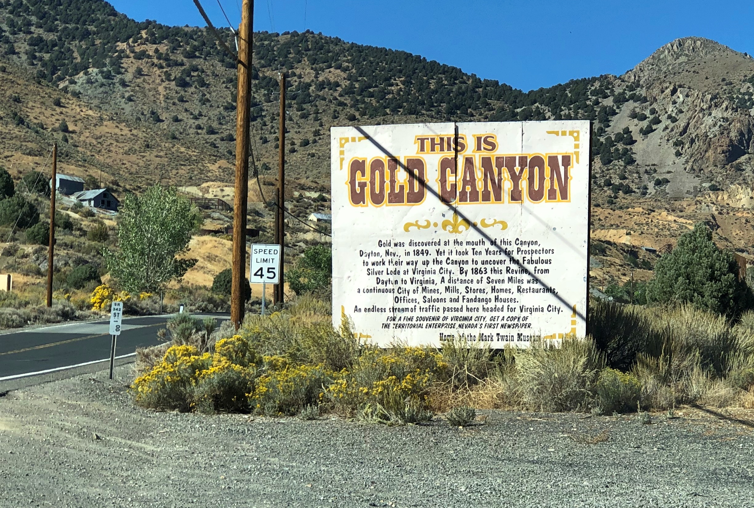
On the road to Virginia City.Gold Canyon, Nevada

The drive out from Virginia City to I-580 is along Nevada 341, and it’s a winding drop of a drive through arid landforms. This snip from Google maps illustrates the winding-est part of the road, called Geiger Grade Road at that point. The entire drop is from more than 6,100 feet above sea level at Virginia City to Reno’s 4,500 feet.
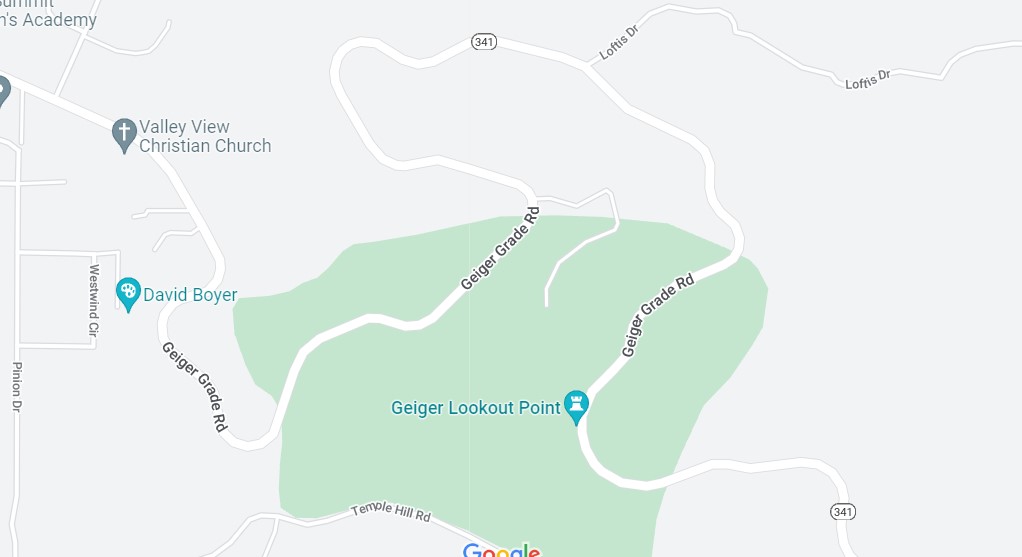
Light traffic on a sunny weekday afternoon. A fine drive if you’re paying attention. Almost car commercial driving.

This instead of a real map.Donner Memorial State Historic Park
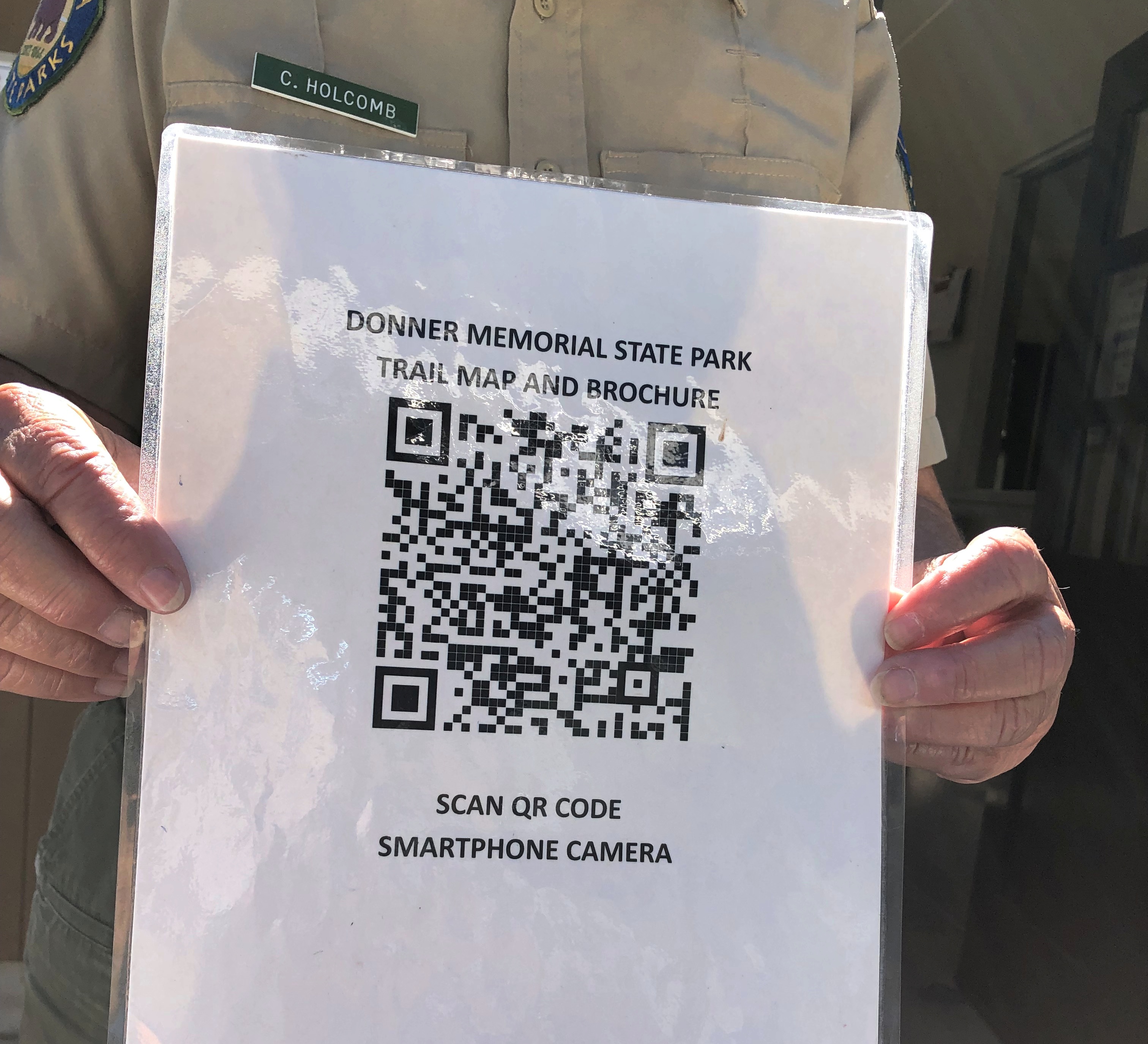
No, California. Don’t do this. It’s false economy. I don’t know how, I just know that it is.

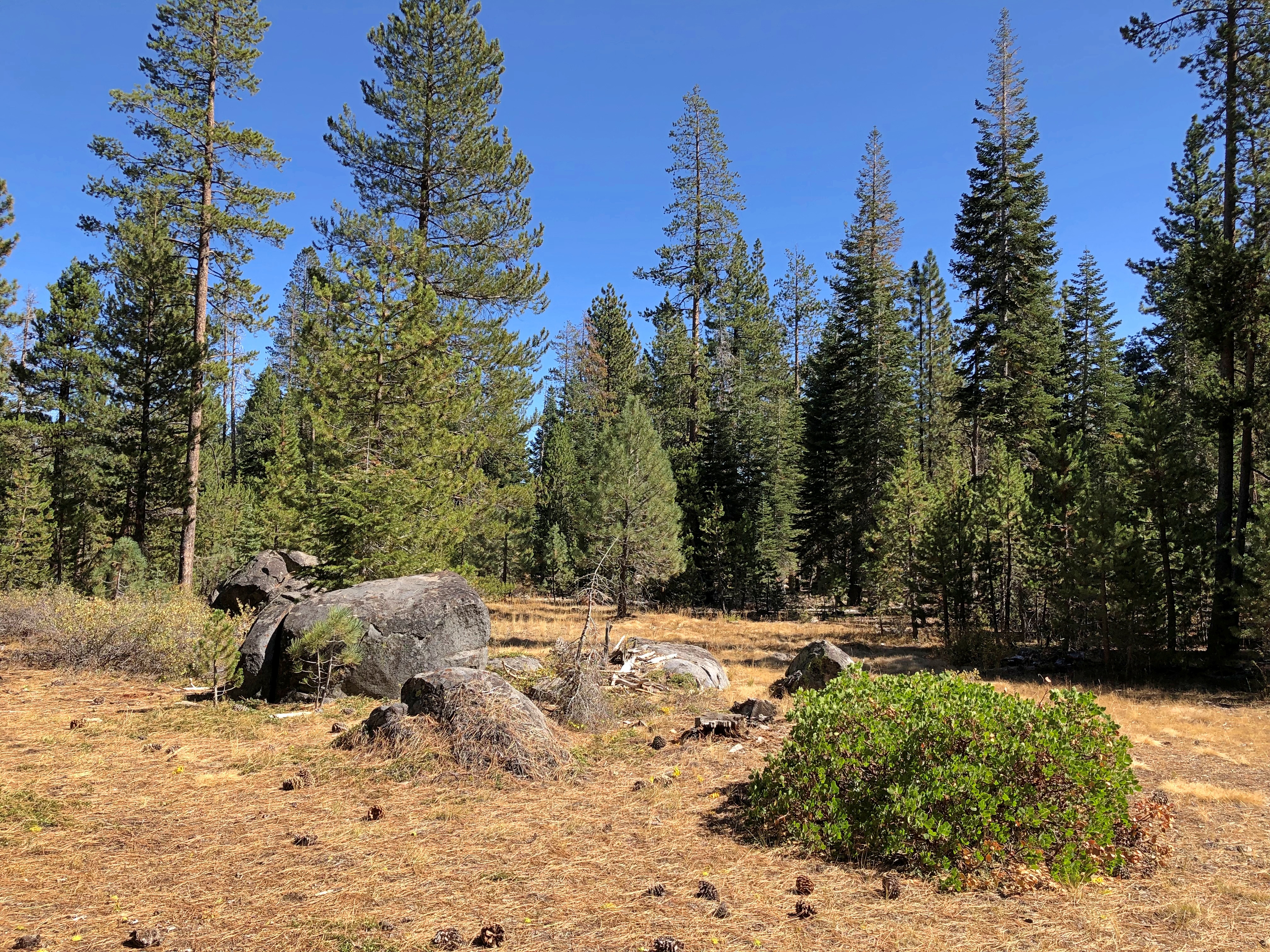
I figured out my way around without a gizmo map. I even found a spot a few hundred yards from a parking lot, and a little off a nearby trail, where I could sit in the sun for a few minutes, and listen to only faint sounds. Almost as quiet as Joshua Tree or Big Bend NPs.Donner Memorial State Park
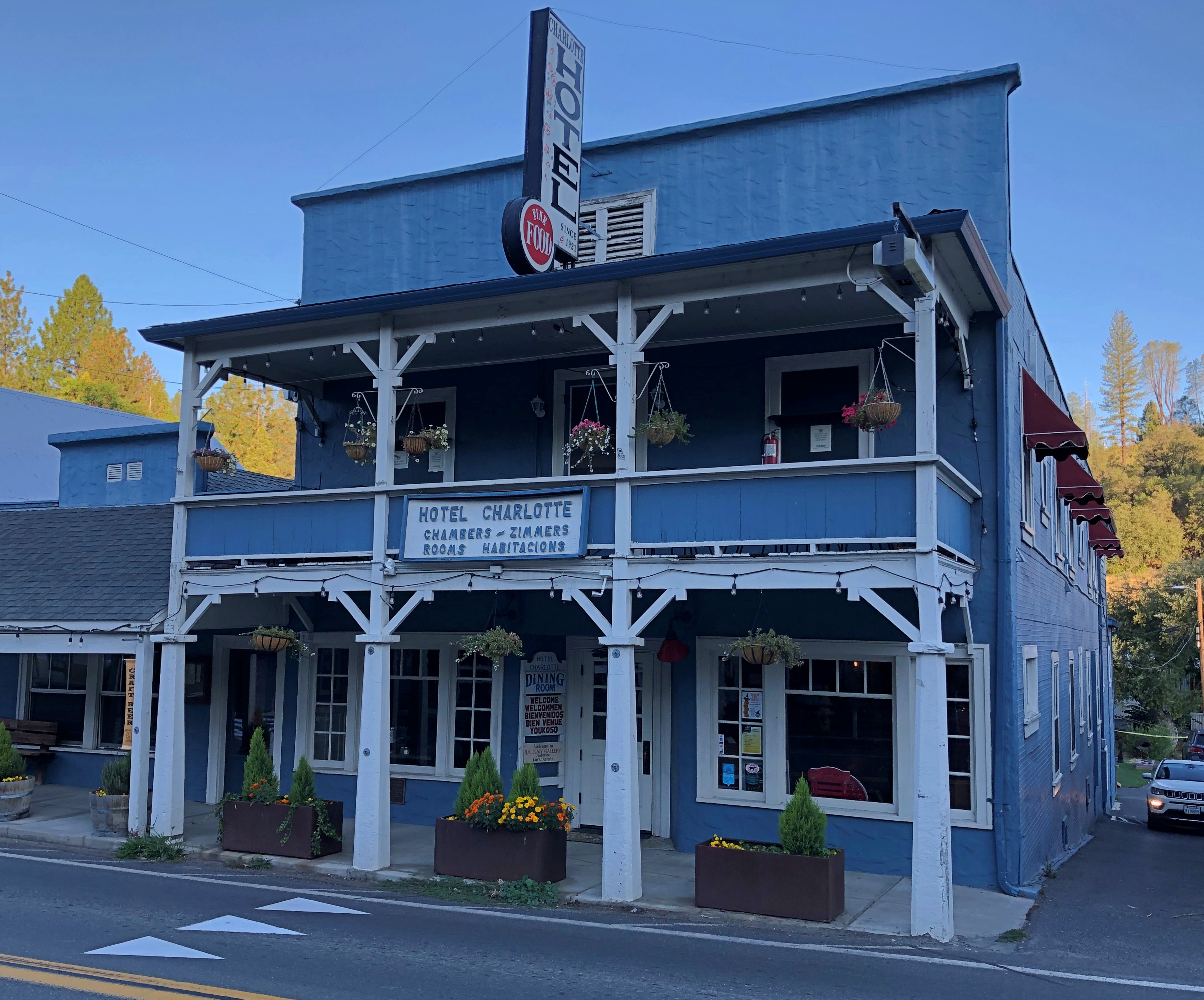
The Hotel Charlotte in Groveland, California. Now a hundred years old, it’s the kind of place that gives you a brass key, and lets you know there’s a fee for replacing it. Basic and comfortable, though the most expensive place I stayed on this trip; you’re really paying for near access to Yosemite NP.Groveland, California
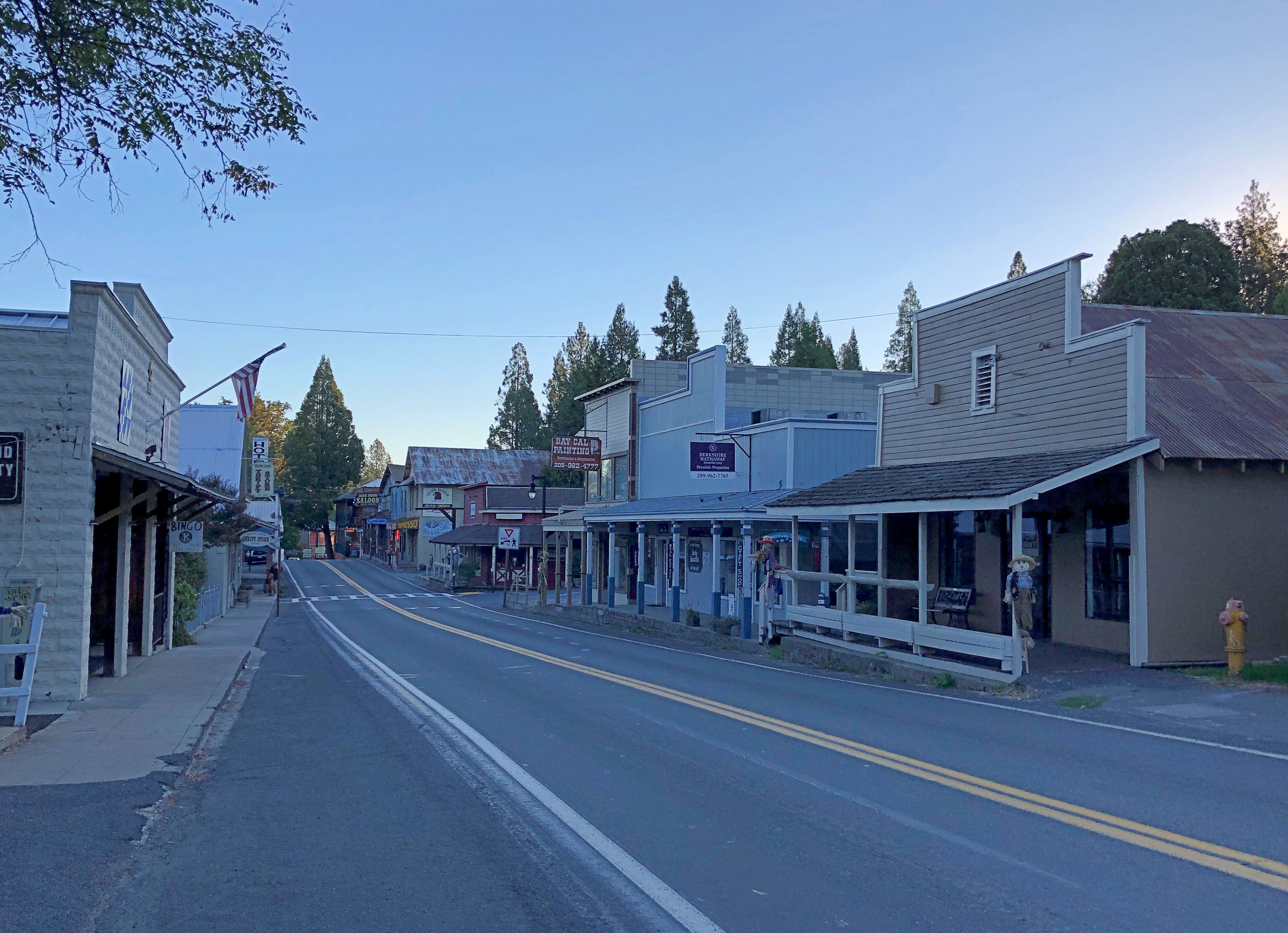
Main Street in Groveland (California 120), just after dawn.Groveland, California
A few more images. Such as in Sacramento.lumpia truck Sacramento

I had to look up lumpia: spring rolls found in the Philippines and Indonesia. And northern California, it seems. Too bad I wasn’t hungry. Also, it was closed. Not long after, I saw a Balinese restaurant in Old Sacramento. Still wasn’t hungry. Damn.

I was driving to the last place I was going to stay in Sacramento on the late afternoon of October 7, and I got a little turned around, wandering some neighborhood streets before the inevitable moment when I pulled over to consult Google Maps.

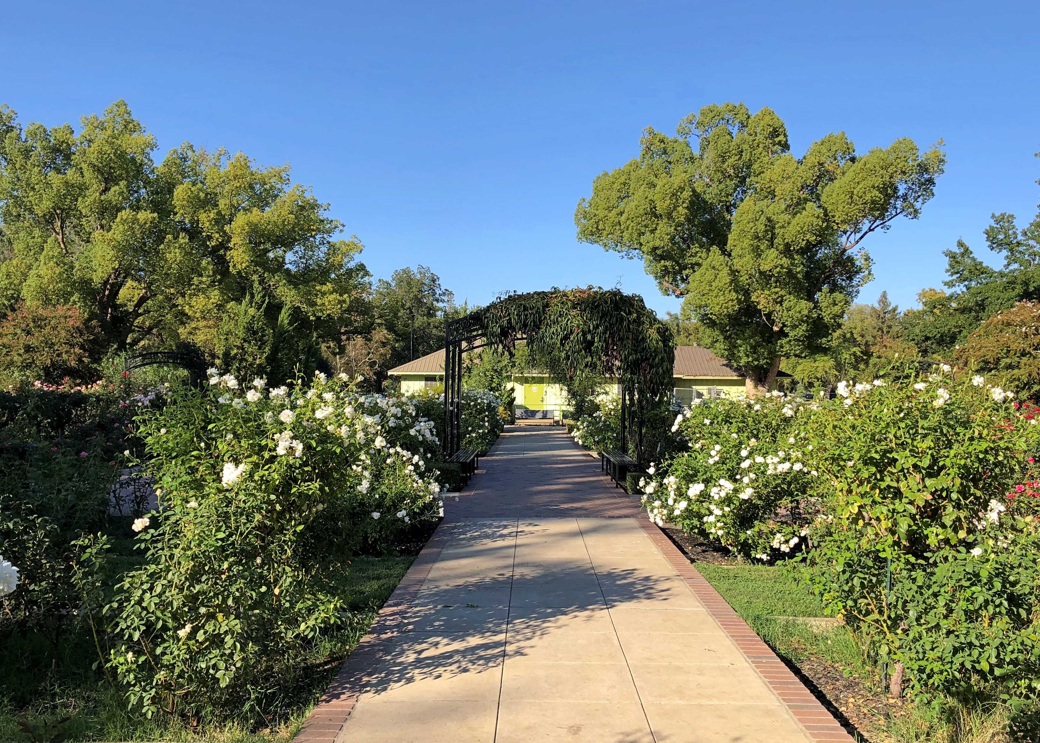
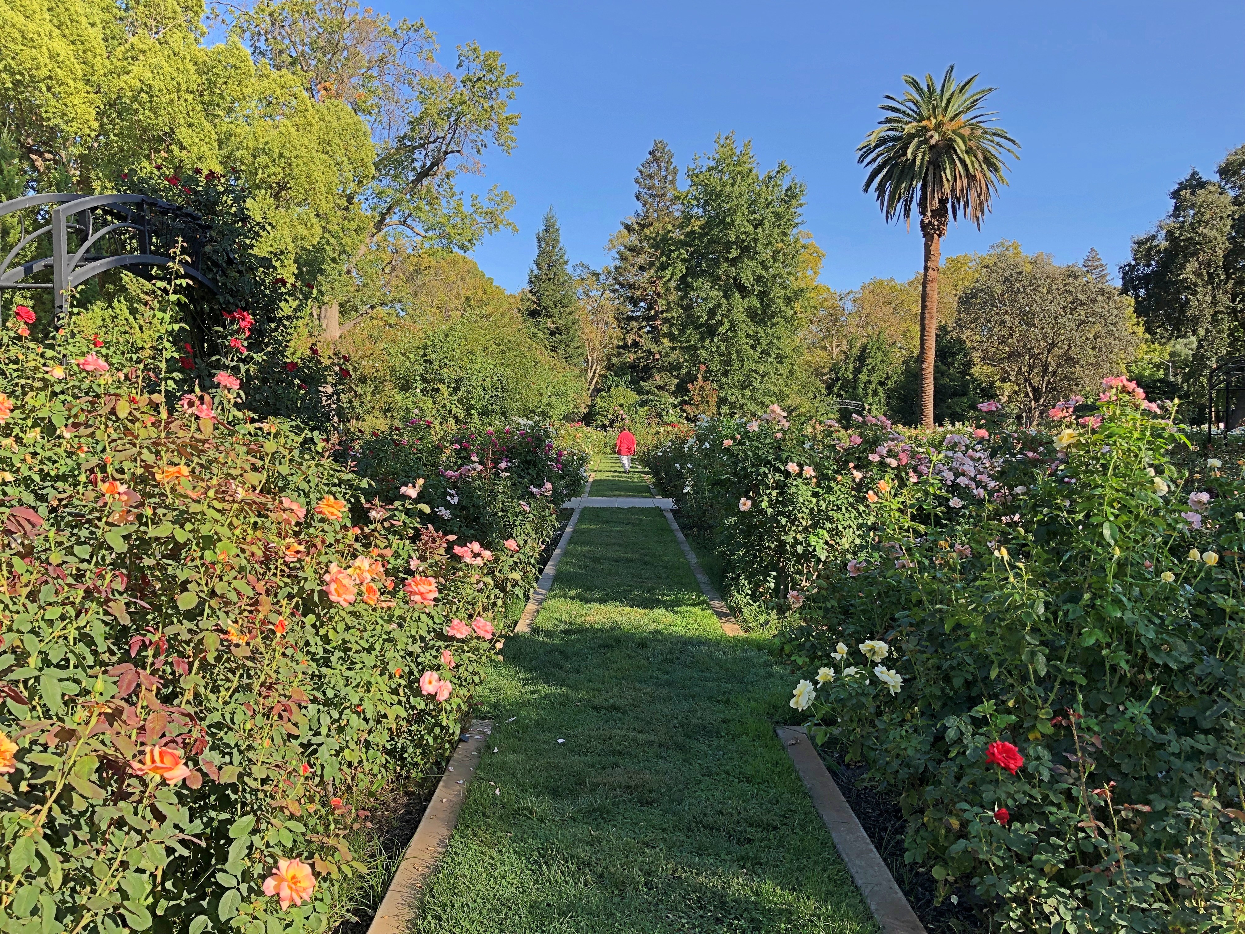
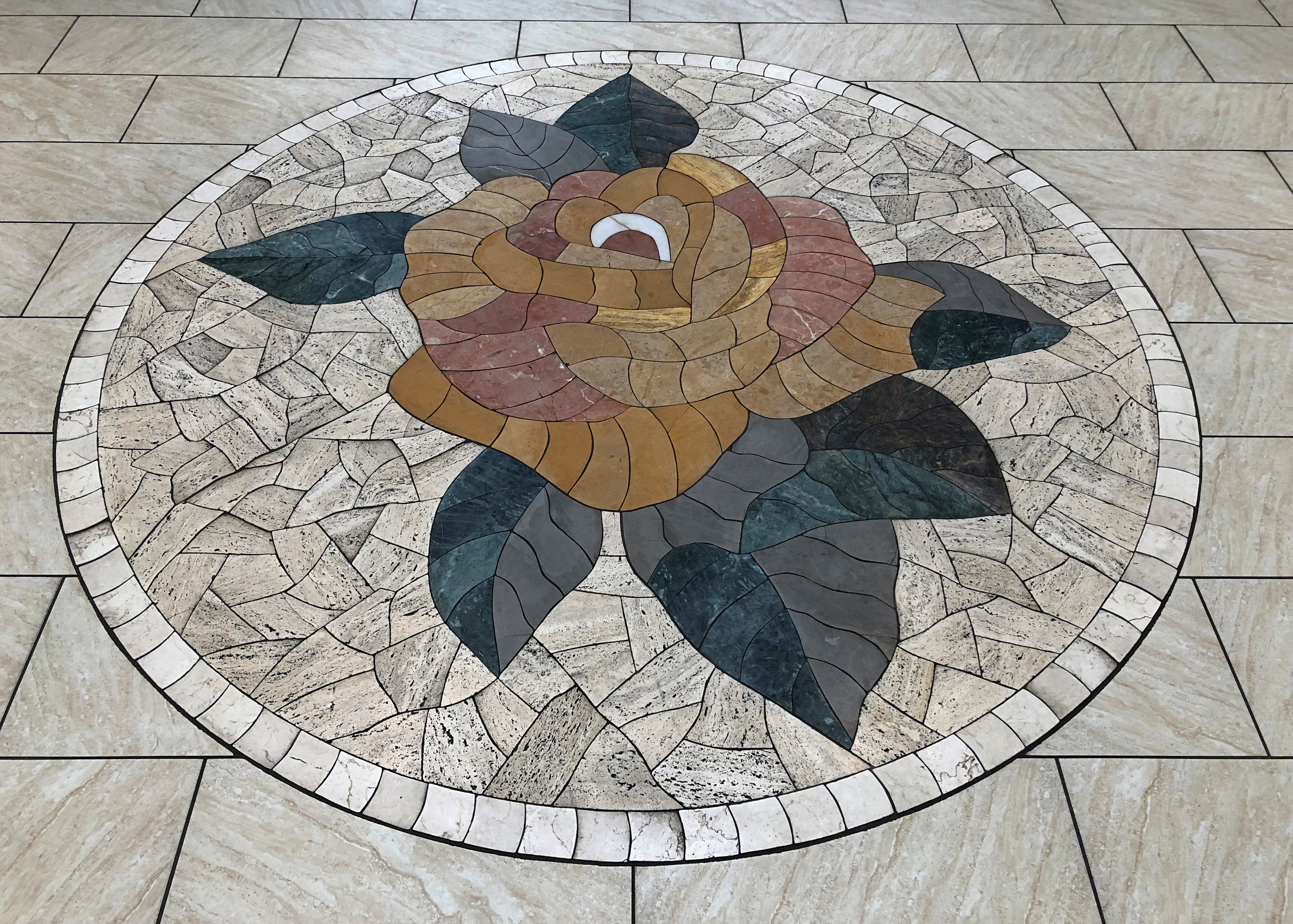
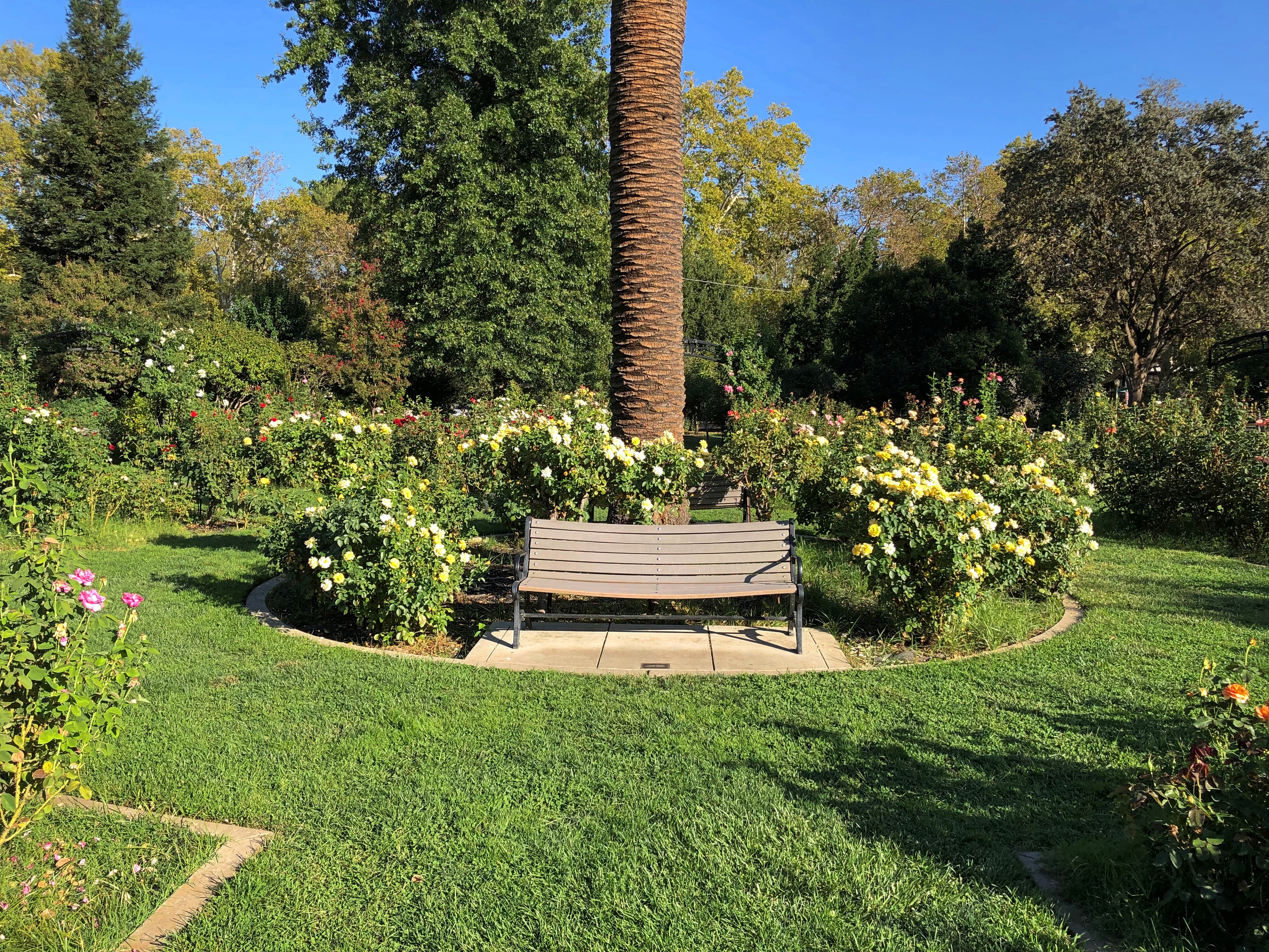
I chanced on this place.McKinley Rose Garden, Sacramento
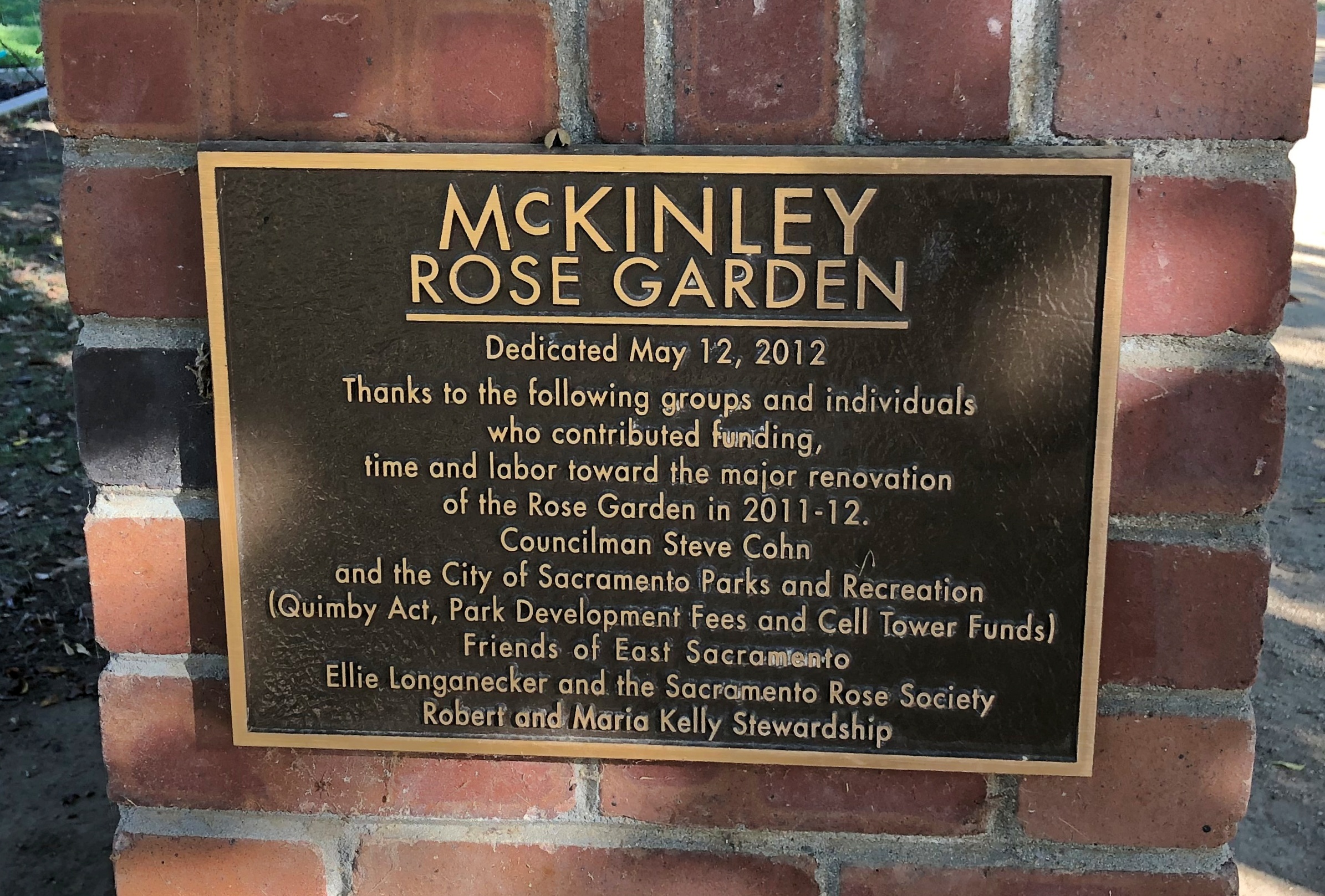
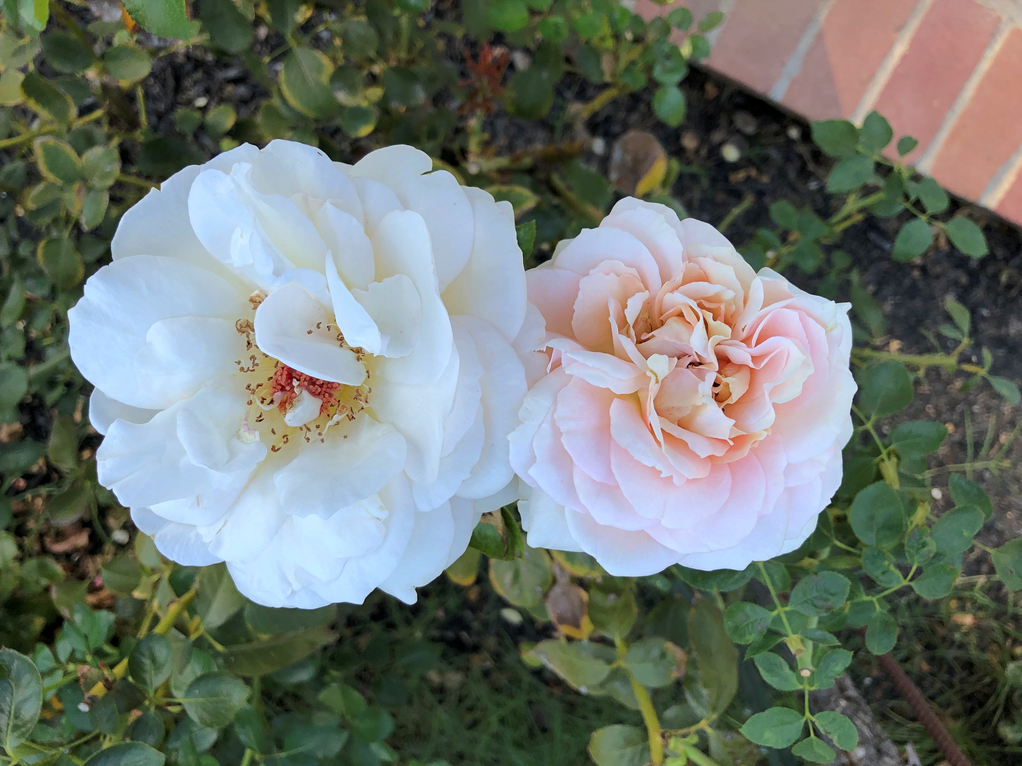
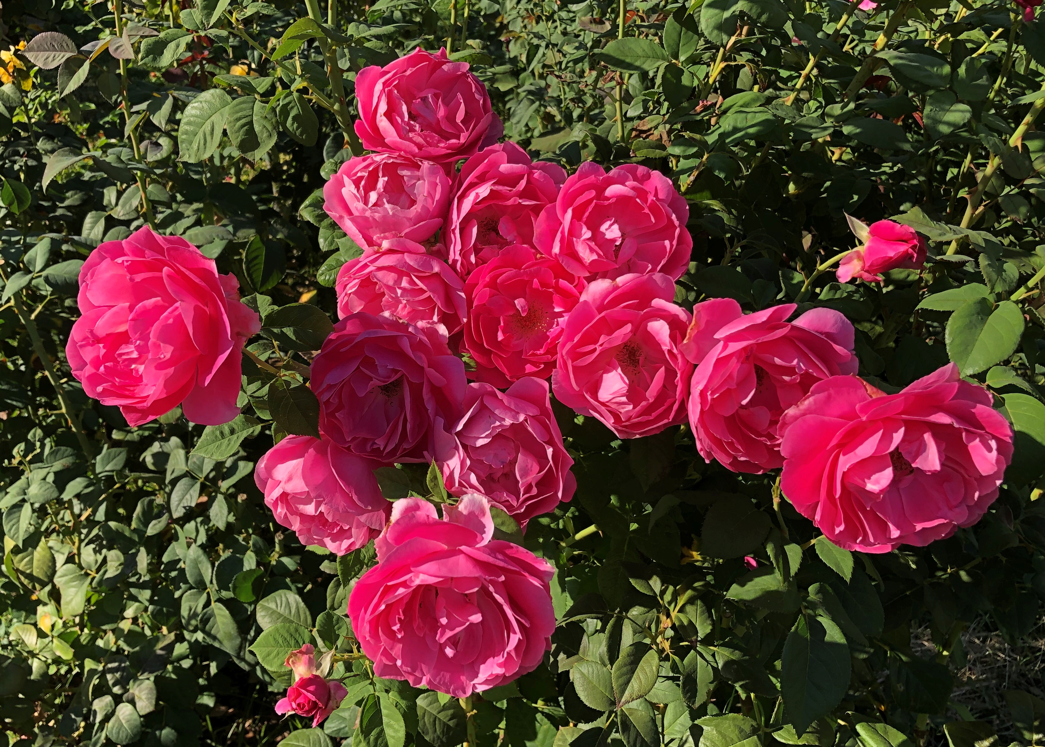
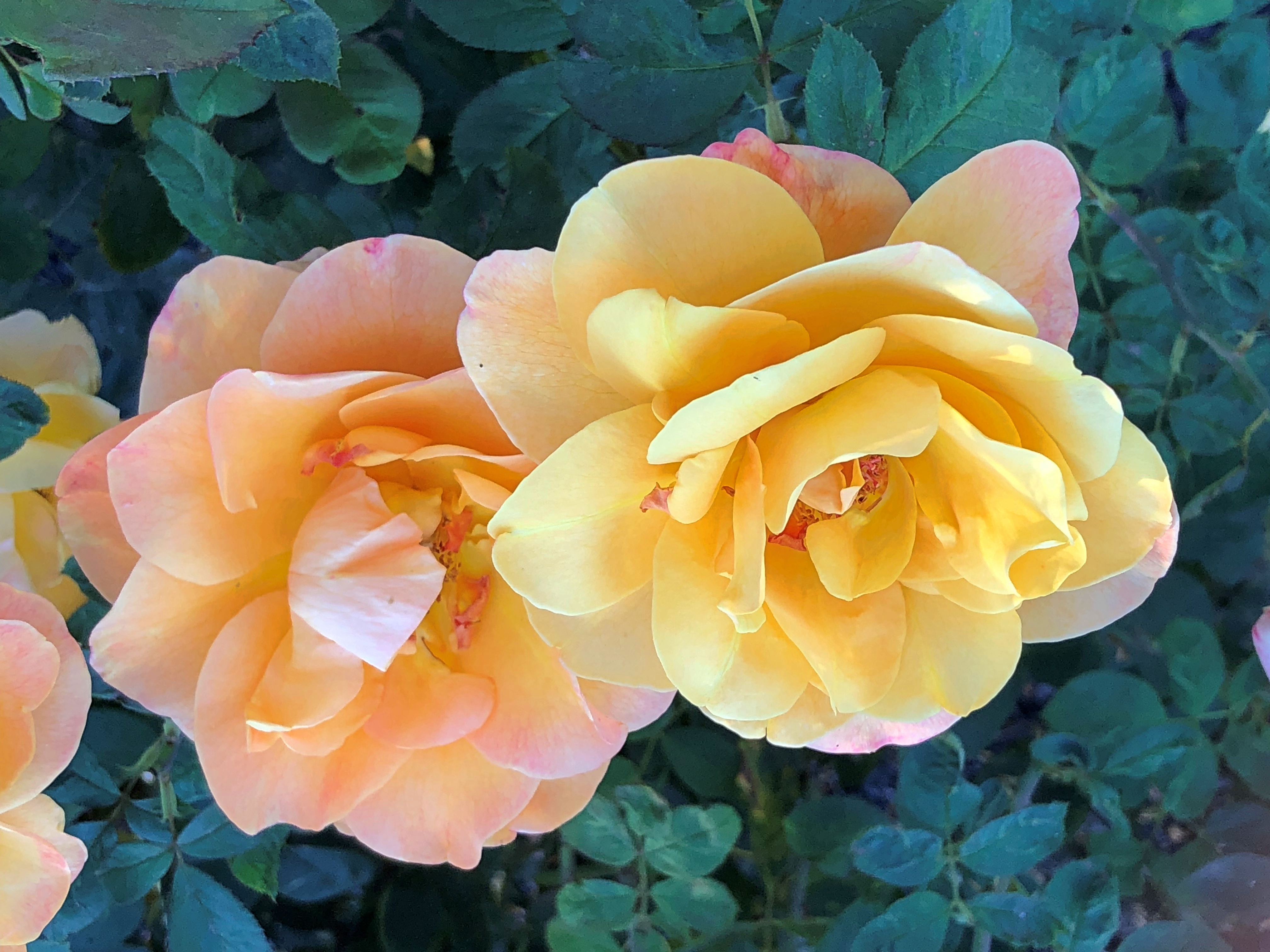
What a garden it is.McKinley Rose Garden, Sacramento McKinley Rose Garden, Sacramento McKinley Rose Garden, Sacramento

An extravaganza of roses.McKinley Rose Garden, Sacramento McKinley Rose Garden, Sacramento McKinley Rose Garden, Sacramento

Go in the garden and ask the rose its meaning.
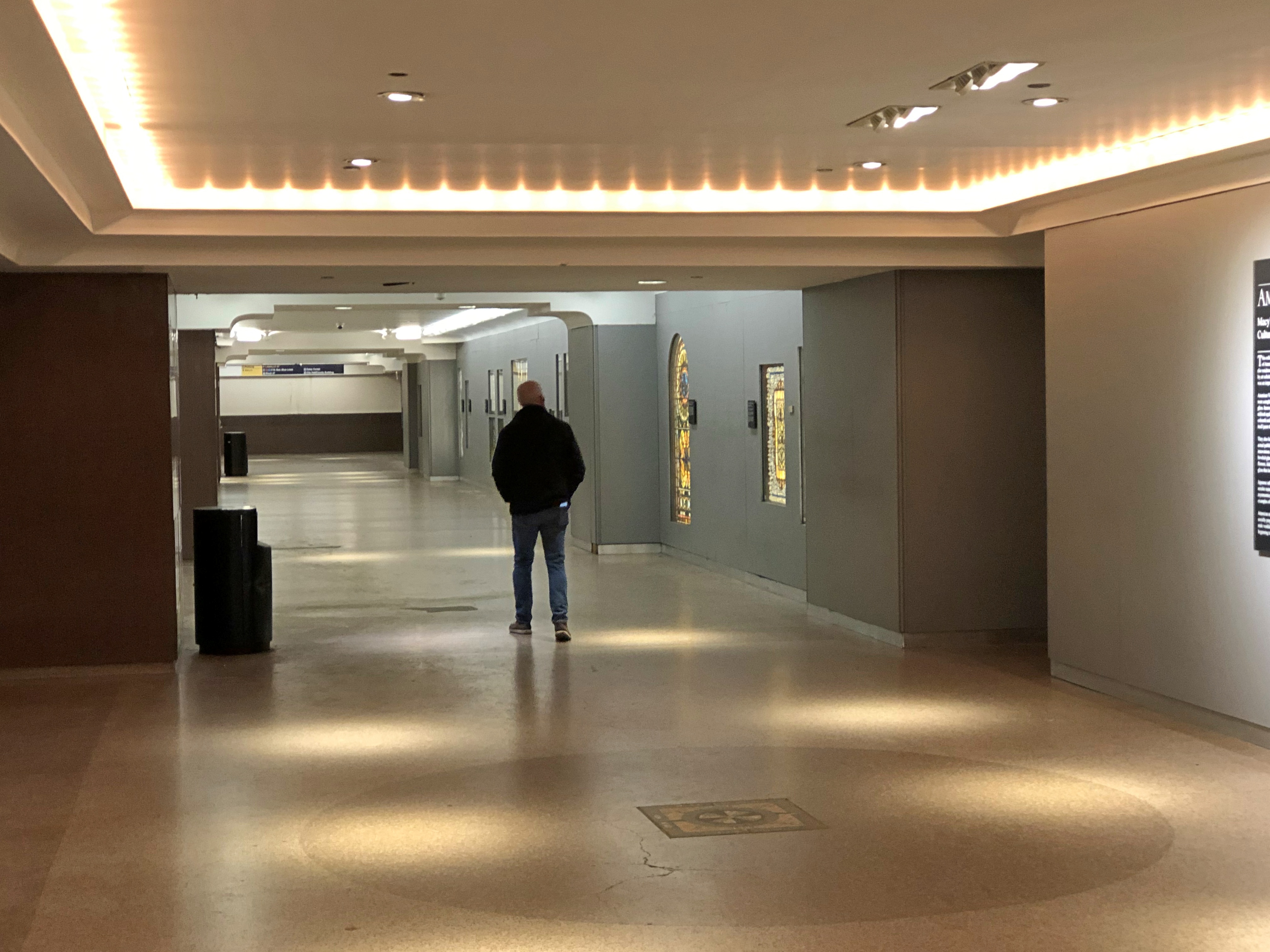
Capitol Mall & Old Sacramento Stroll

One place to go from the California state capitol is down Capitol Mall, a boulevard that generally heads west-northwest from that building to the Sacramento River three-quarters of a mile or so away.

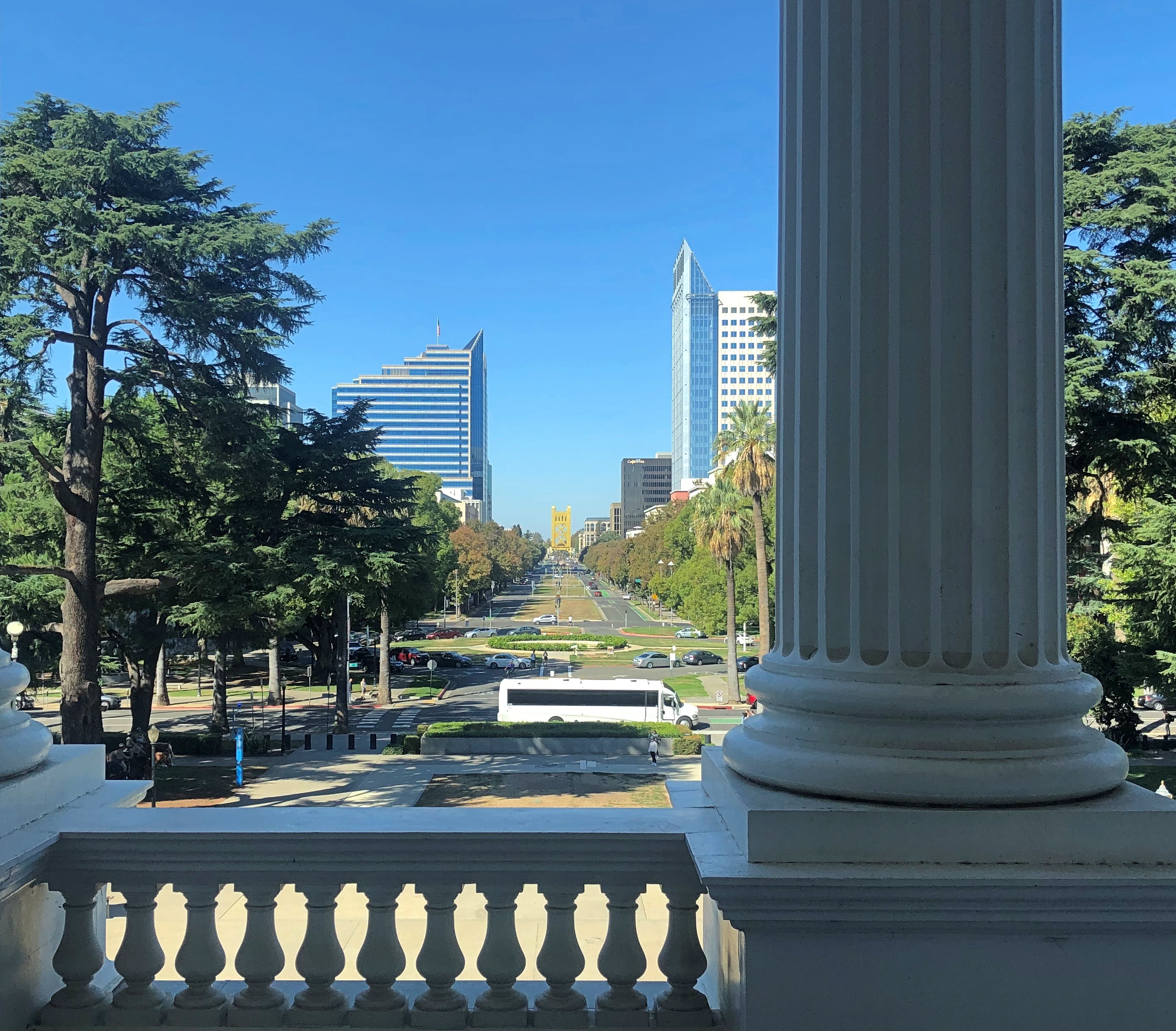
The view down the Mall from the capitol.Capitol Mall, Sacramento

The yellow-gold structure in the distance is Tower Bridge, which I decided was my destination that afternoon, on my last full day in California. The day was very warm, but I had a hat (acquired at Joshua Tree NP) and a bottle of water.

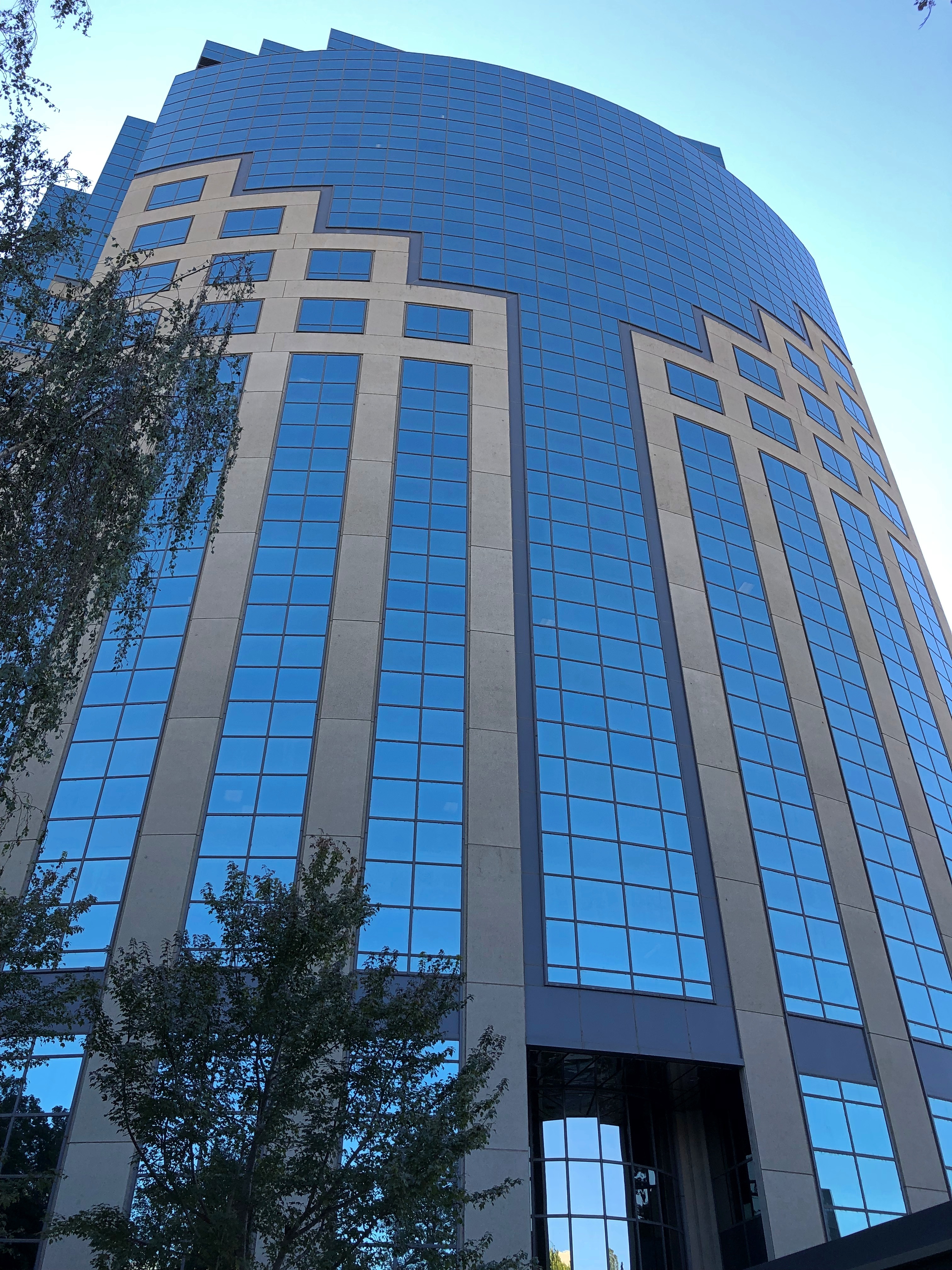
U.S. Bank Tower (621 Capitol Mall), an HOK glasswork, rises 25 stories over the street, making it the second-tallest building in the city.U.S. Bank Tower Sacramento

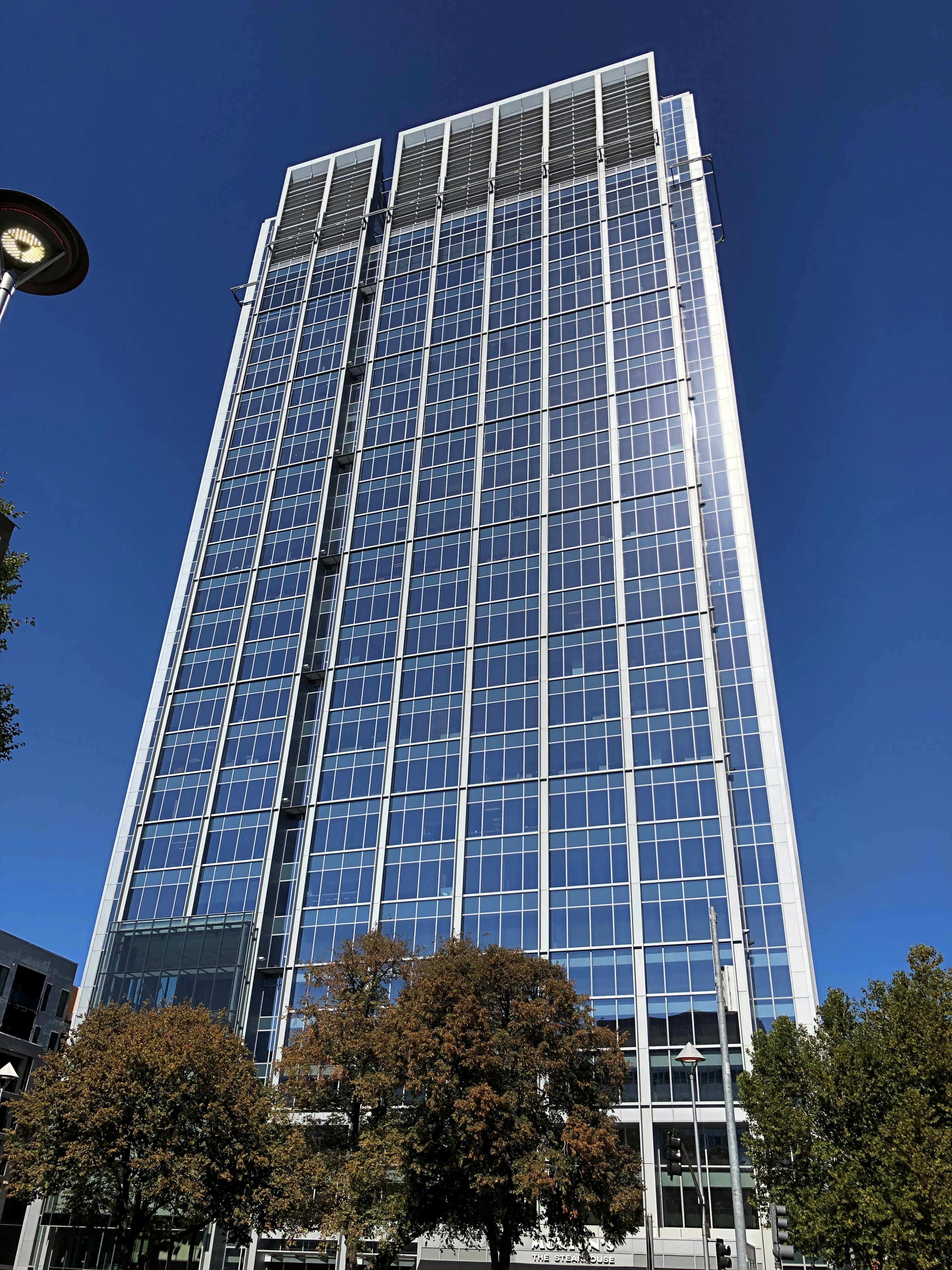
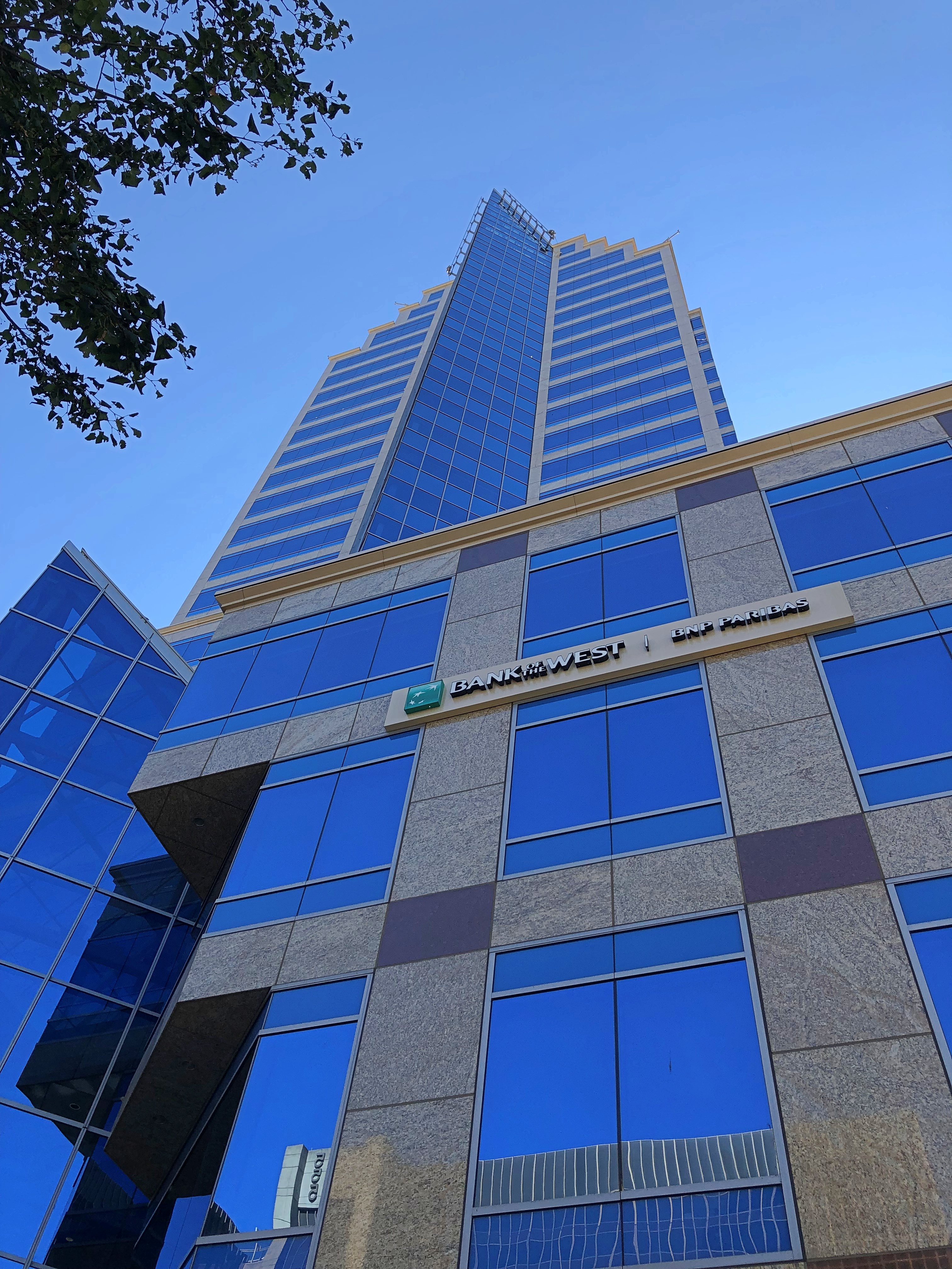
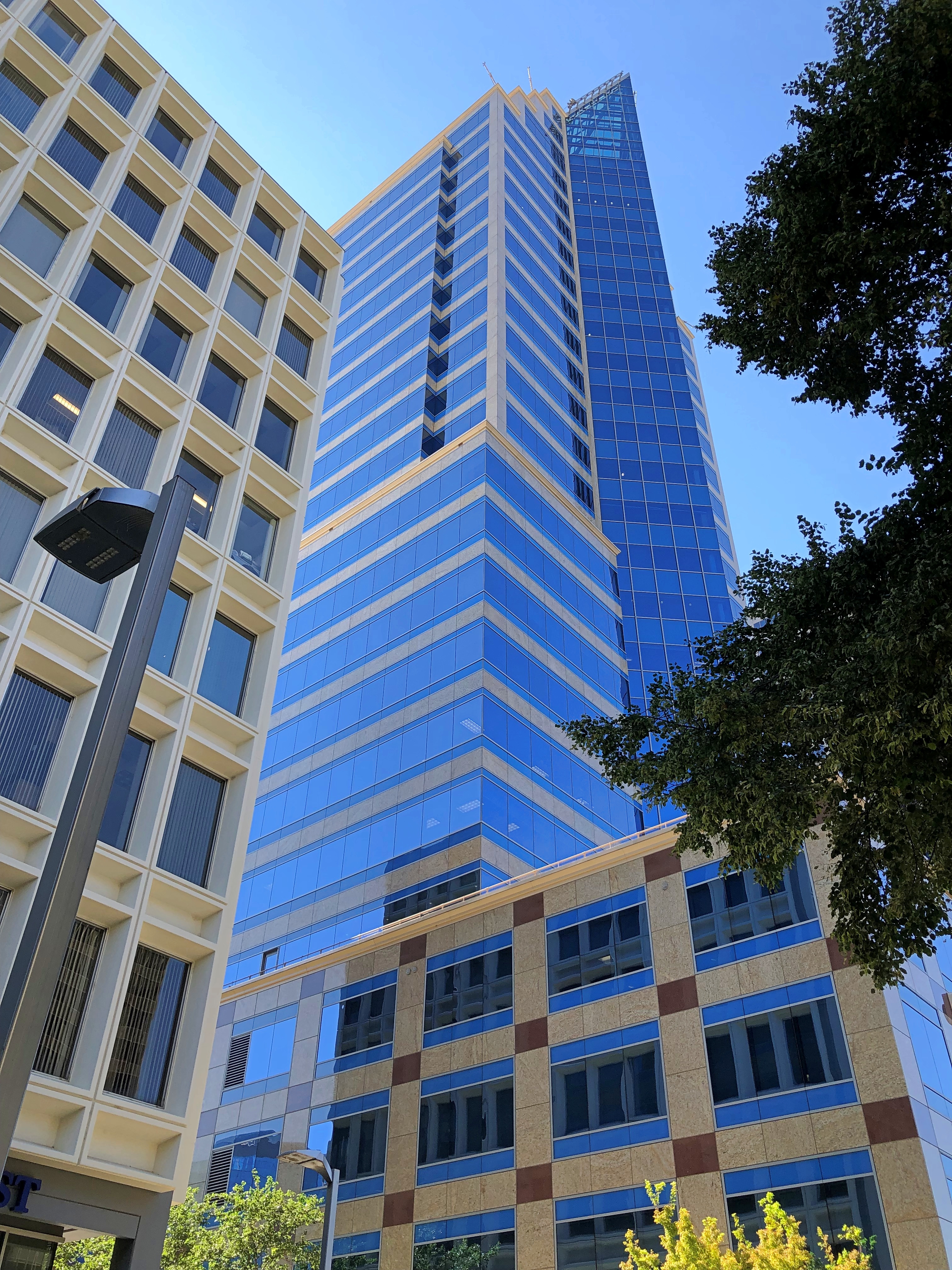
I liked the blue tones of Bank of the West Tower, 500 Capitol Mall, designed by E.M. Kado and started construction in 2007, just ahead of the panic.

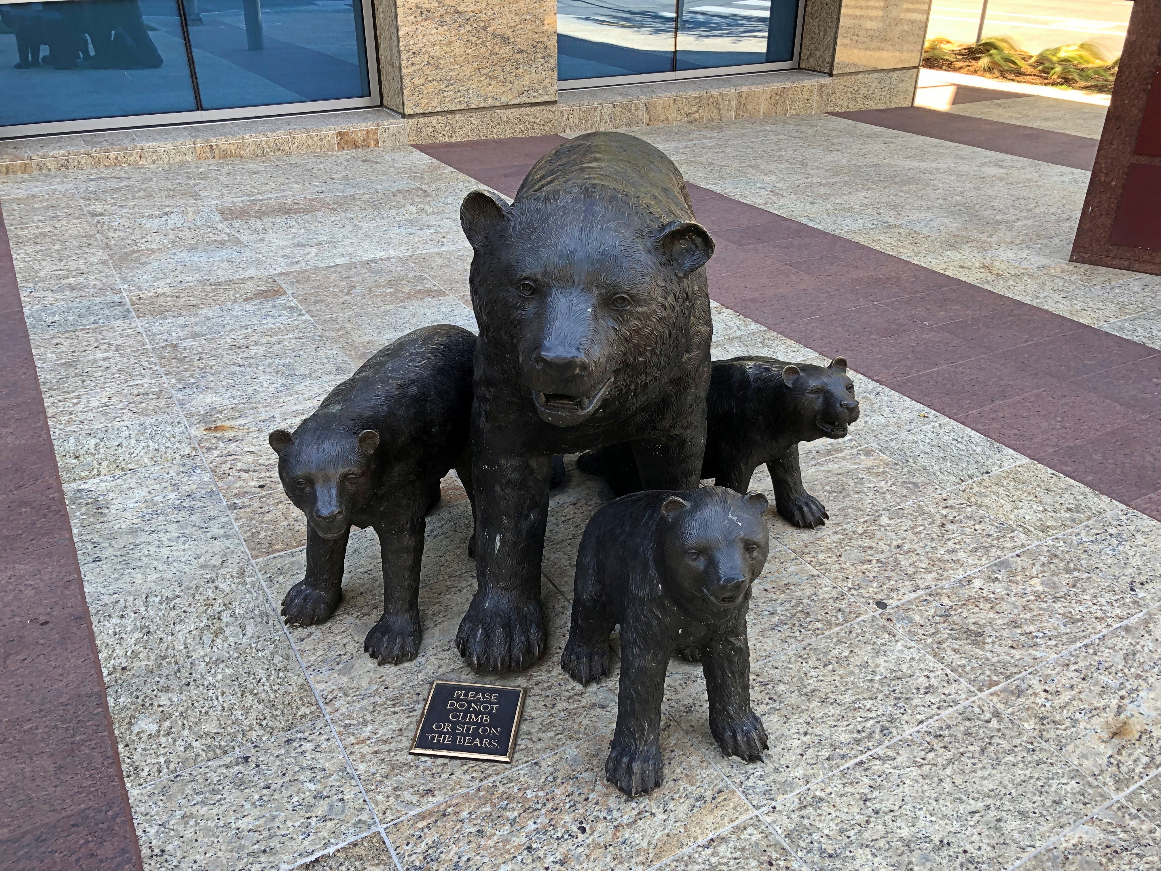
There are bears in front.Bank of the West Tower

Another excellent styling, I thought: Emerald Tower, 300 Capitol Mall, an ’80s building designed by DMJM (pronounced Dim-Jim). It was a go-go decade for office development, after all, and this was one of the fruits of that era.Emerald Tower, Sacramento

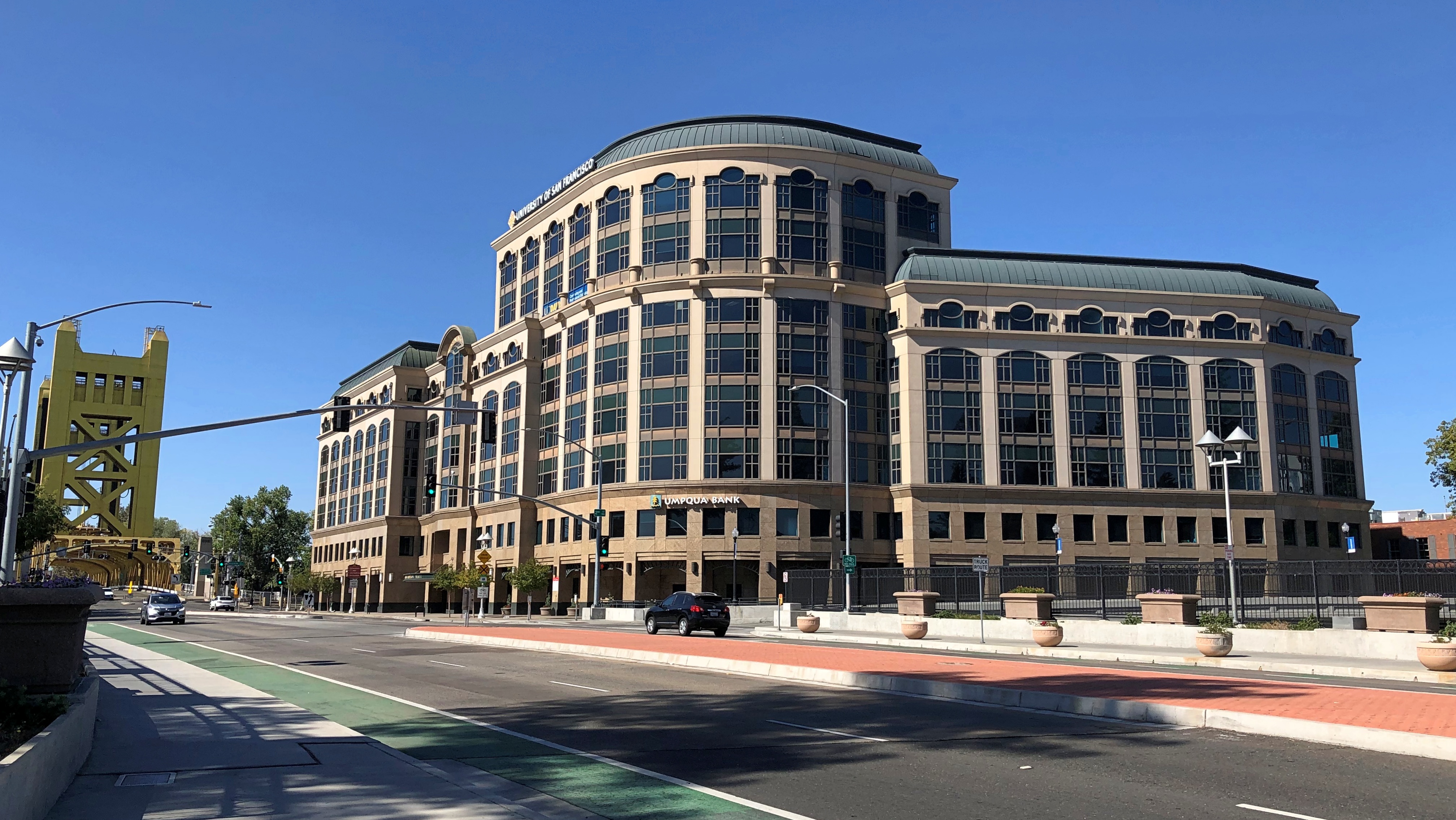
Soon the Tower Bridge was well within view, near One Capitol Mall.One Capital Mall, Sacramento

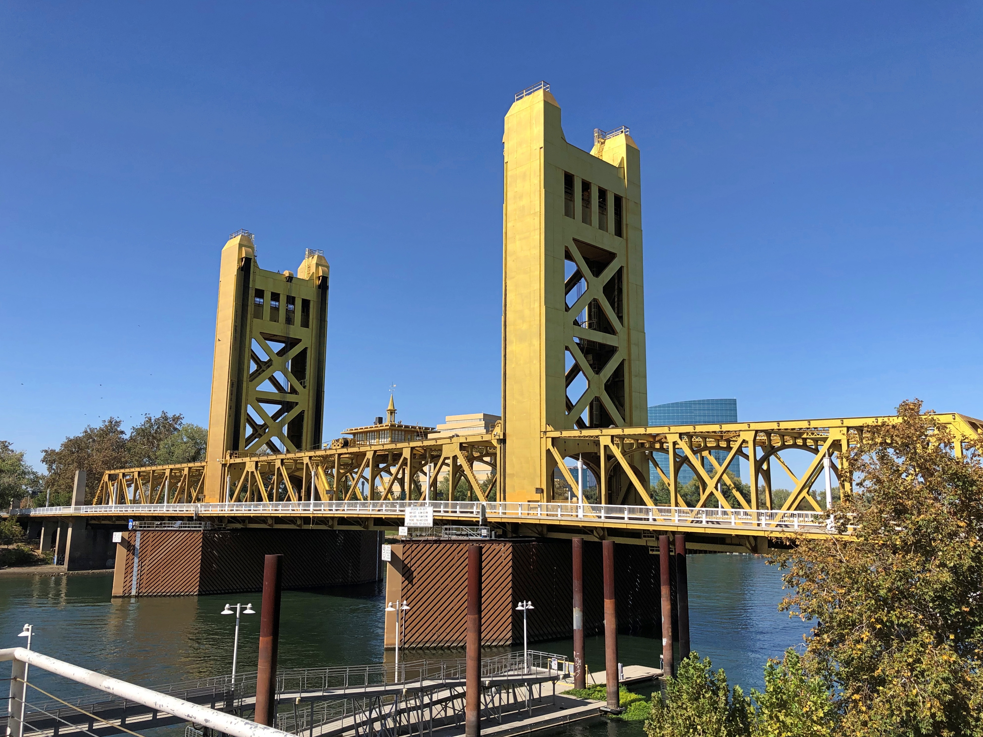
An excellent bridge.Tower Bridge, Sacramento

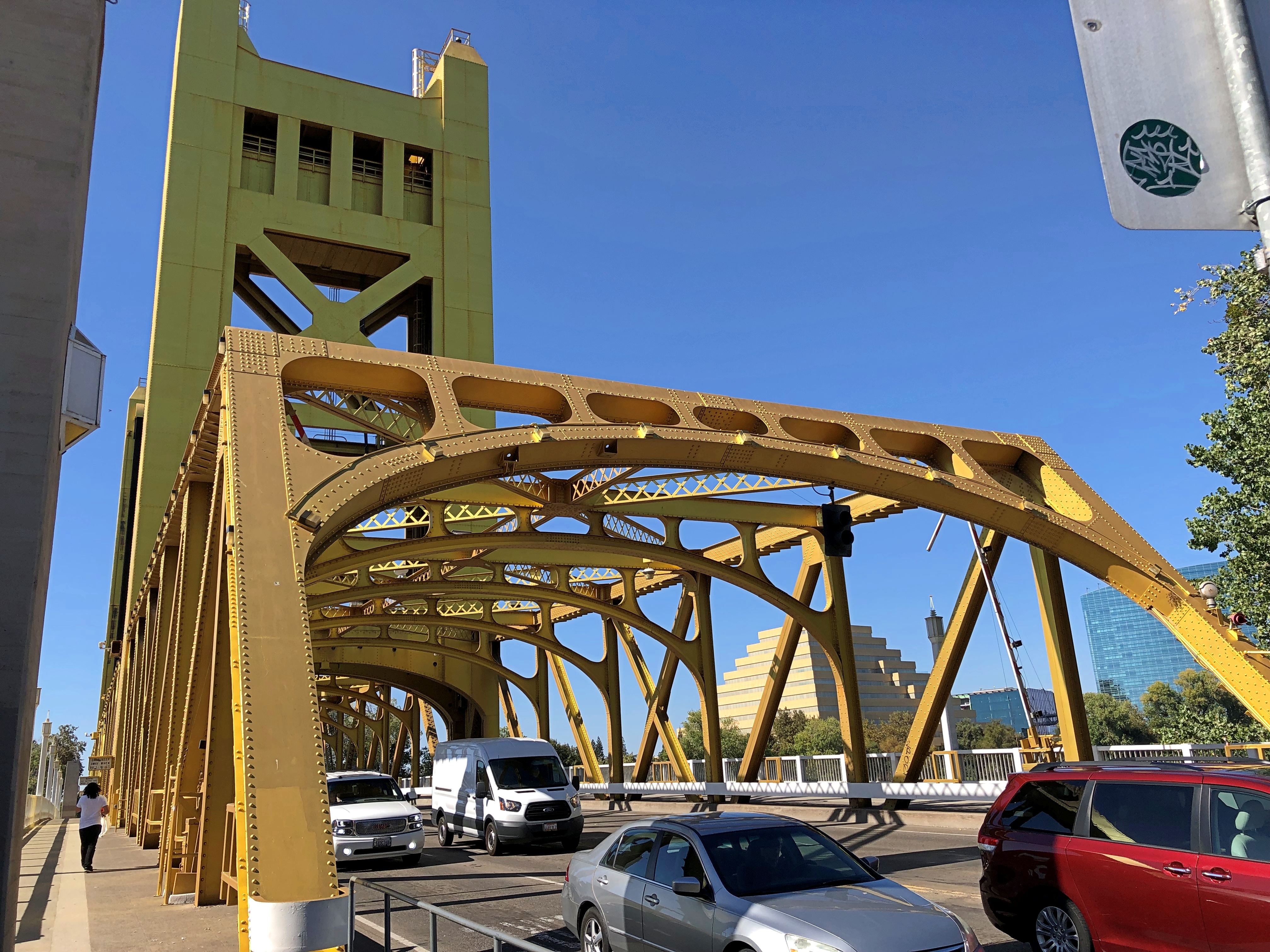
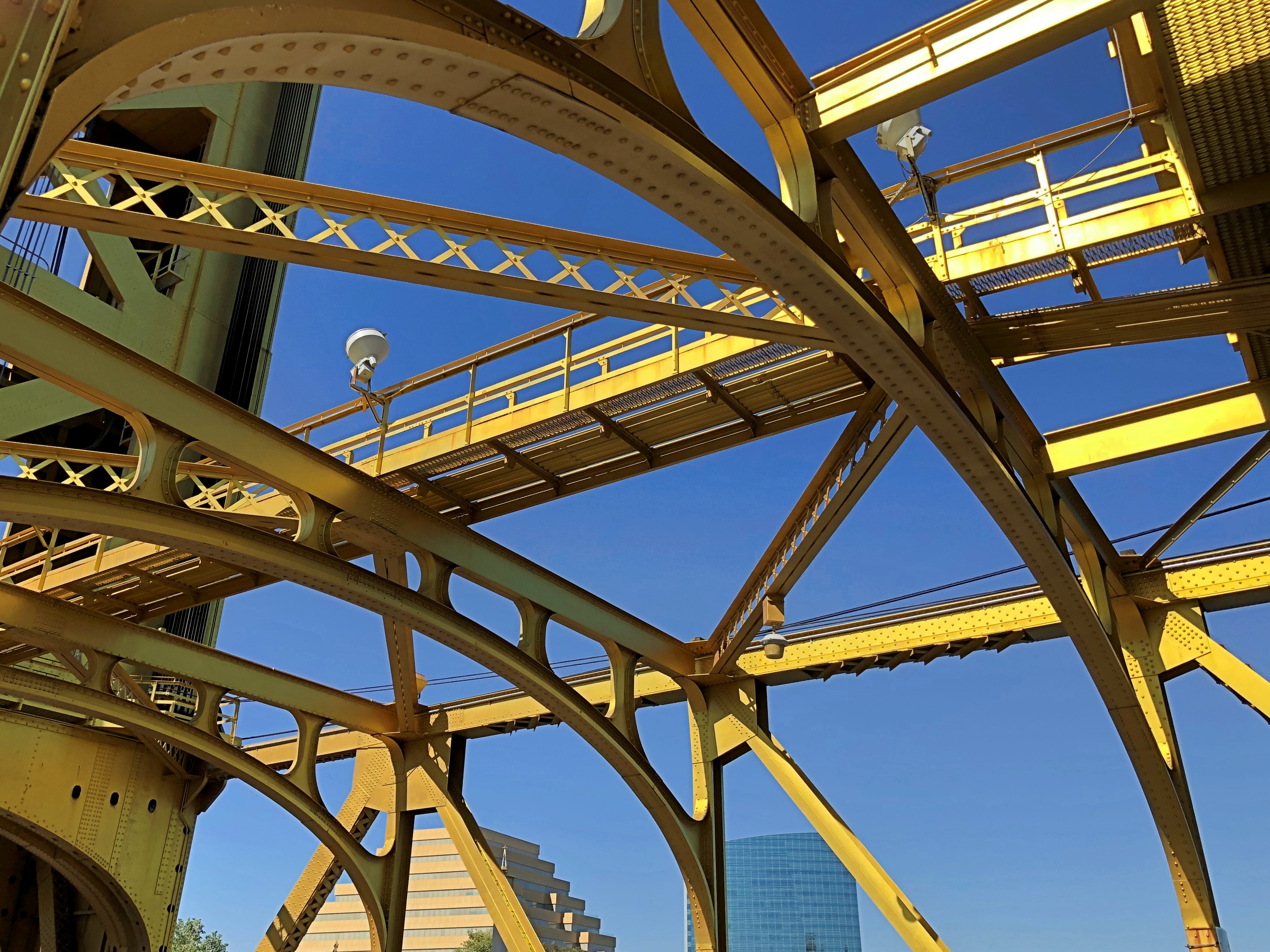
Built in the 1930s, the distinctive golden color is actually much newer than that: 2002.Tower Bridge, Sacramento Tower Bridge, Sacramento

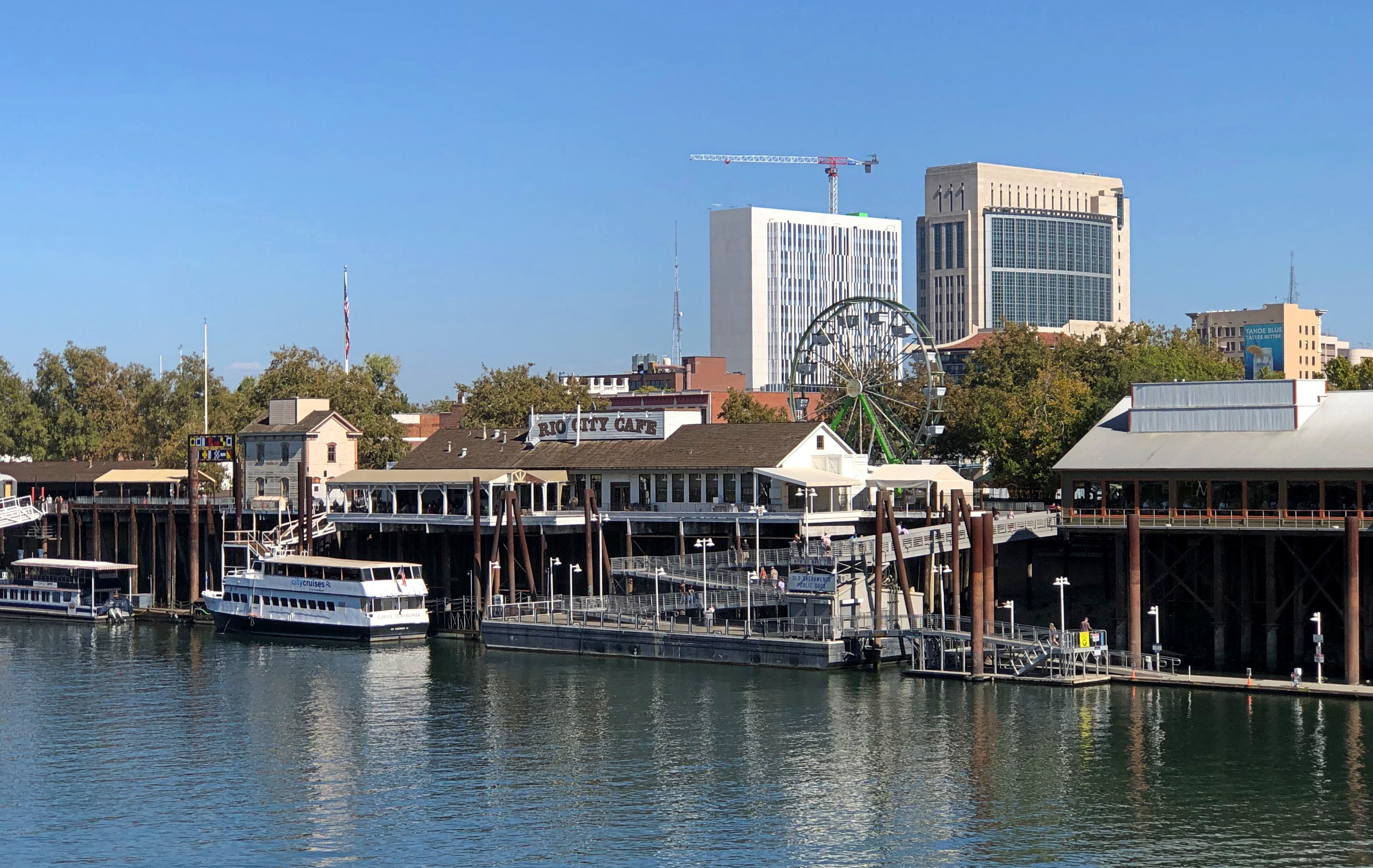
I wanted to walk across it — walk across bridges when you can — and so I did, even though as a vertical lift bridge, there was a chance I’d be stuck on the other side for a while. But I made it across and back without the lifting-bridge alarm bells sounding, and I even got a view of Old Sacramento on the riverfront.Old Sacramento State Historic Park

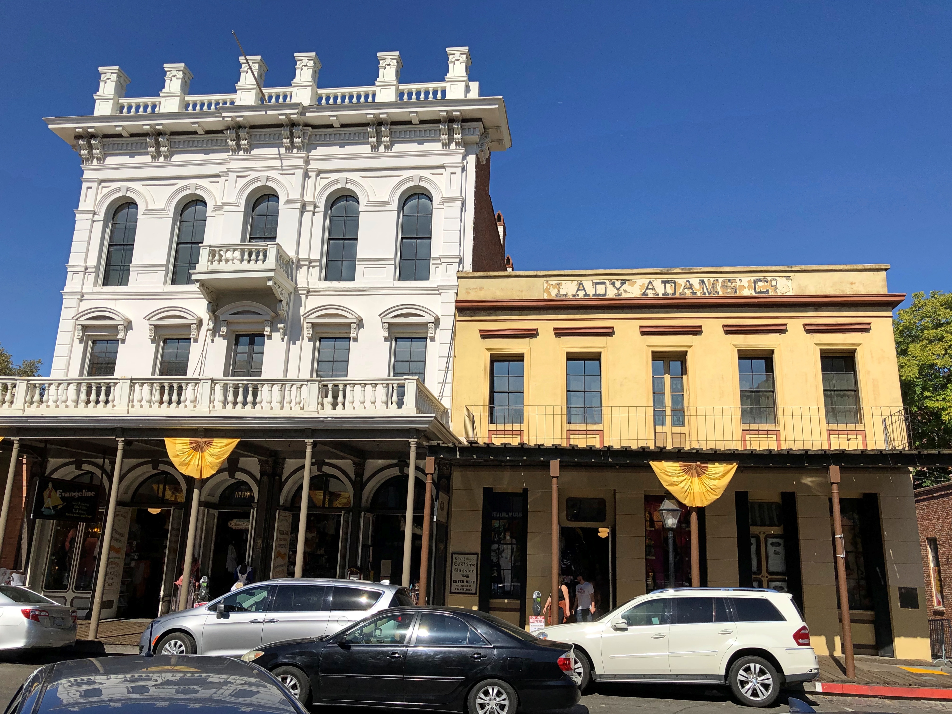
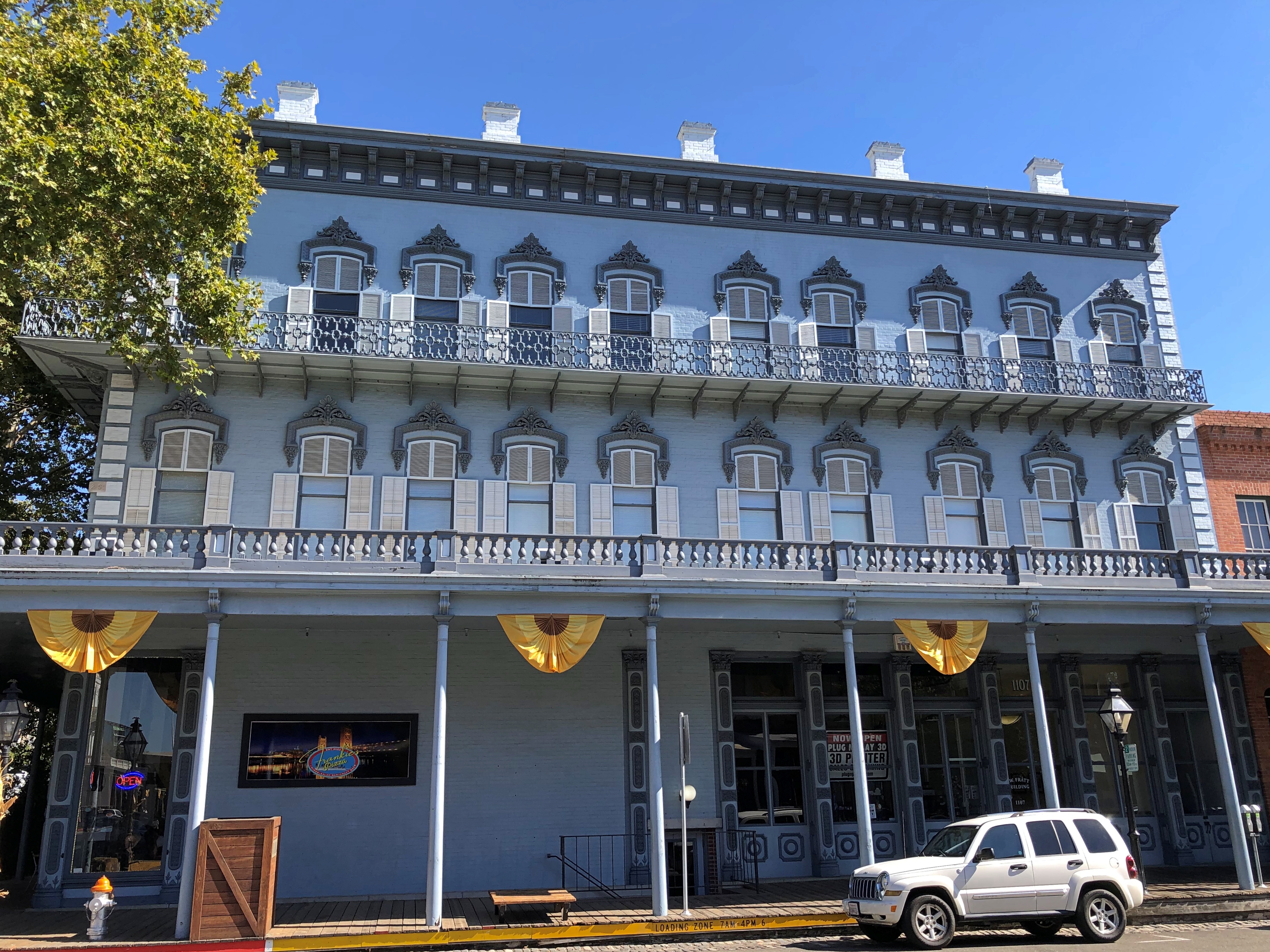
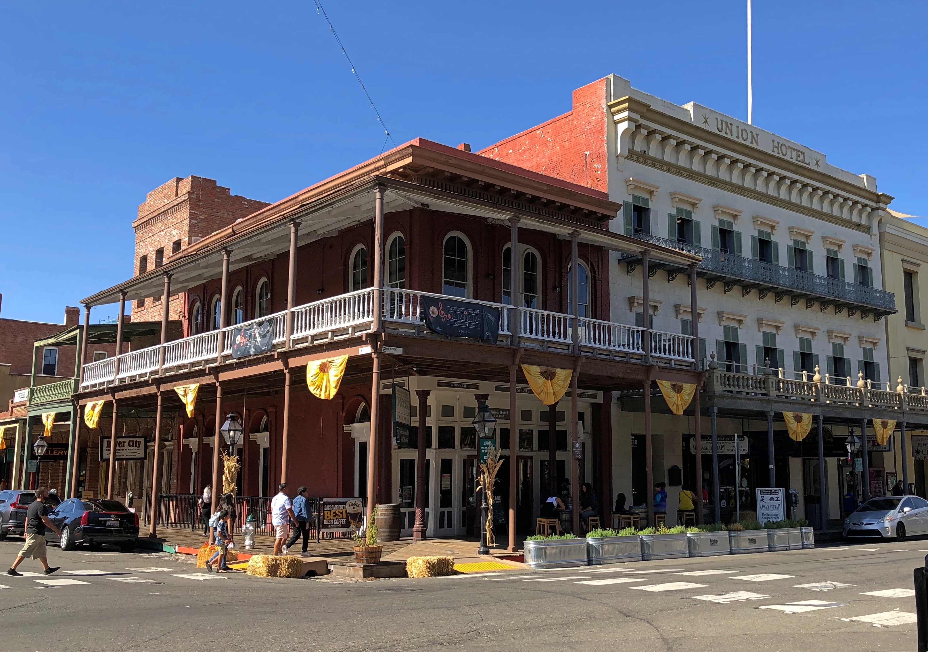
In full, Old Sacramento State Historic Park. It’s a renovated tourist district these days, with restaurants, shops and a few museums, but of course it was a working riverfront in the 19th century. Actually, I suppose it’s merely doing a different kind of work in our time.Old Sacramento State Historic Park Old Sacramento State Historic Park Old Sacramento State Historic Park

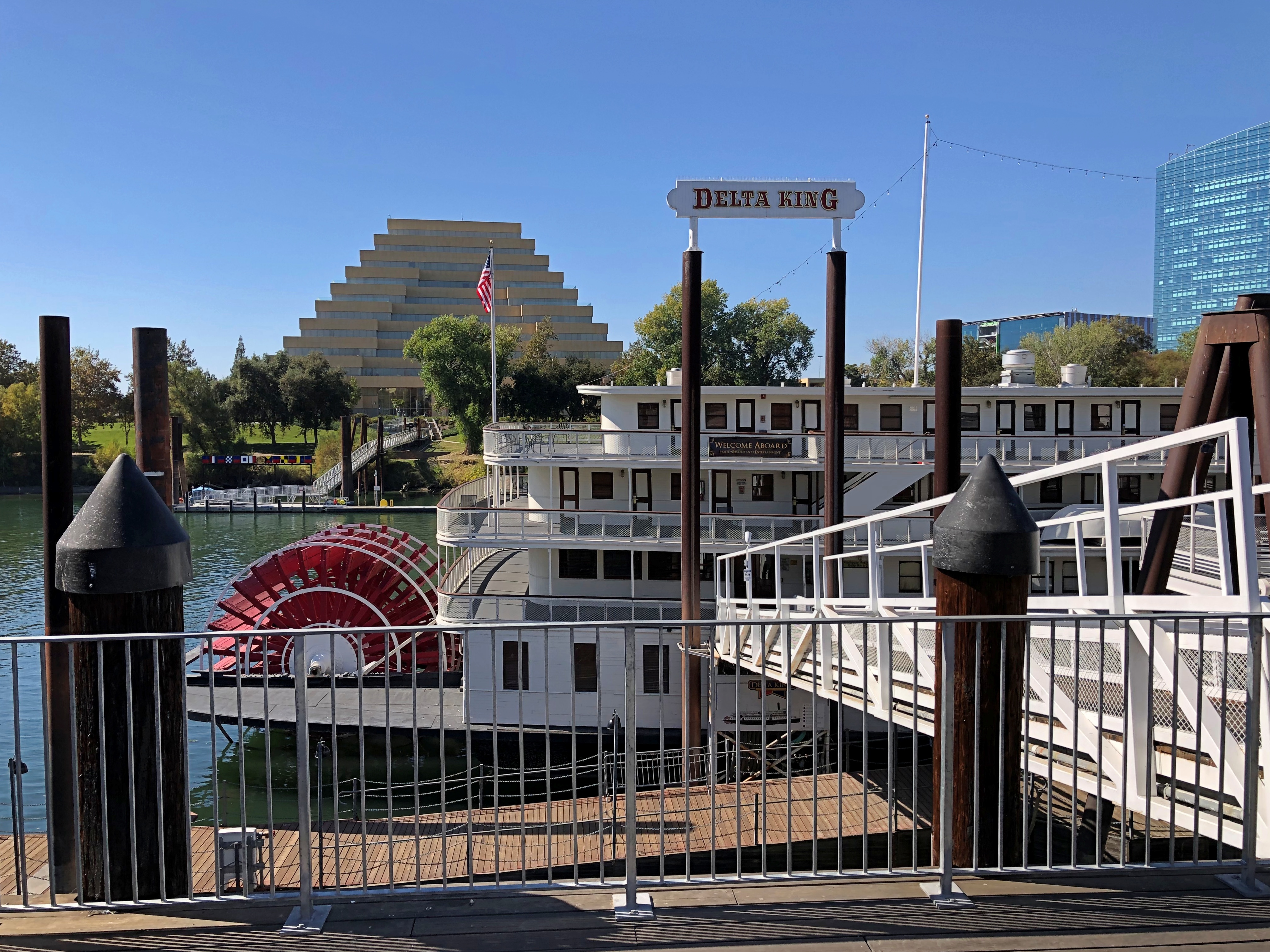
Not to forget the good ship Delta King, built in 1927 and docked at Old Sacramento.Delta King

Except it isn’t really a ship anymore, but a floating hotel with restaurants and a theater. Popular as a wedding venue, too.

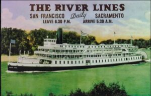
Delta King used to ply the Sacramento River to San Francisco and back as a passenger ferry. After its days as a ferry were over, it suffered the usual period of neglect and shifting ownership, but was renovated closer to our time. It’s a remarkable story.

The California State Capitol

Halloween looked the part this afternoon: cool and misty, almost clammy. By dark, 22 kids had come by. Twenty-two in ’22. We gave away full-sized candy bars.

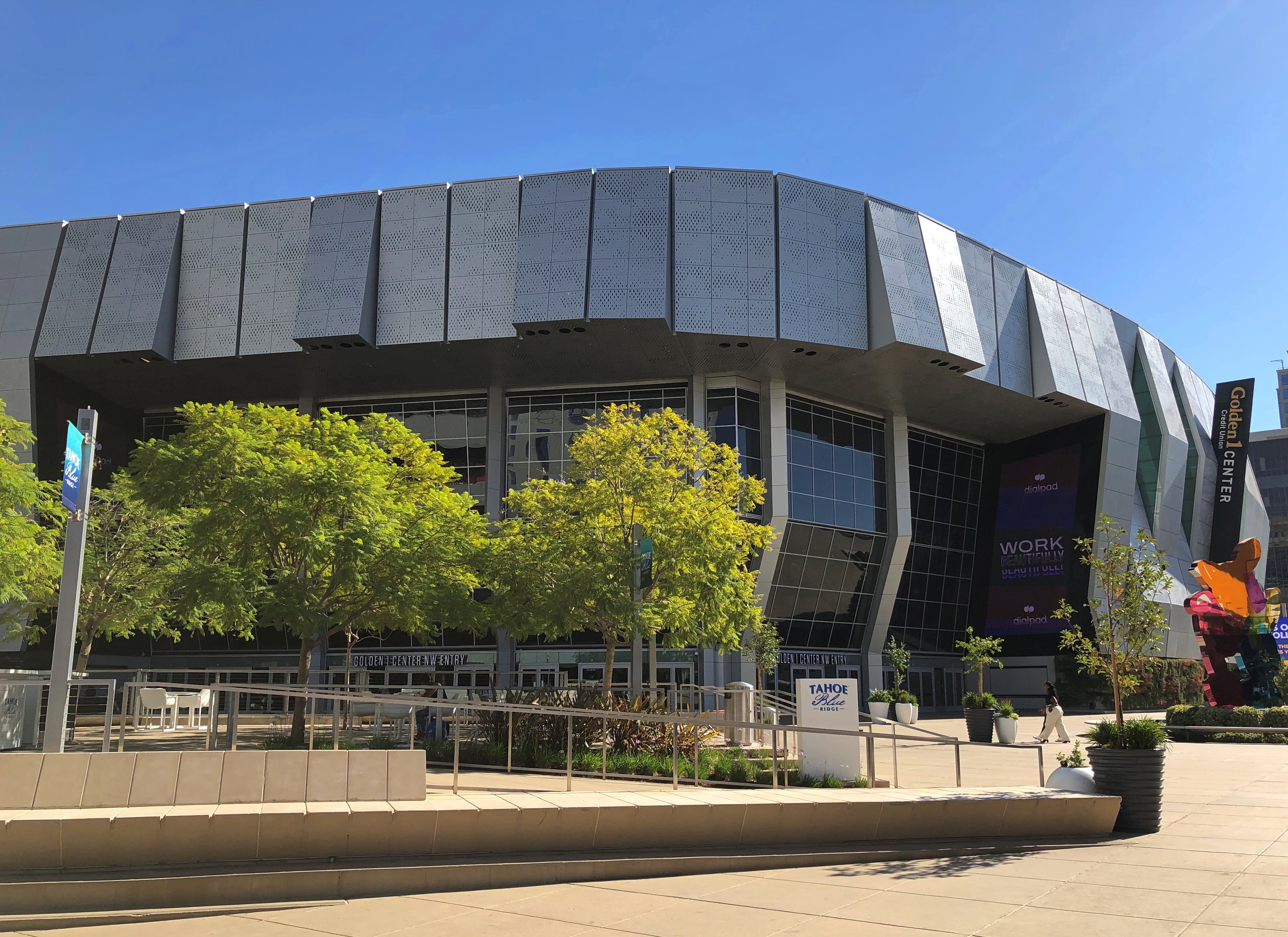
This isn’t the California State Capitol.

Such is the zeitgeist that someone, somewhere could claim that it is, and that nefarious persons — lizard people, even — are up to no good inside, and it would have some chance of being believed, at least by a fraction of the population.

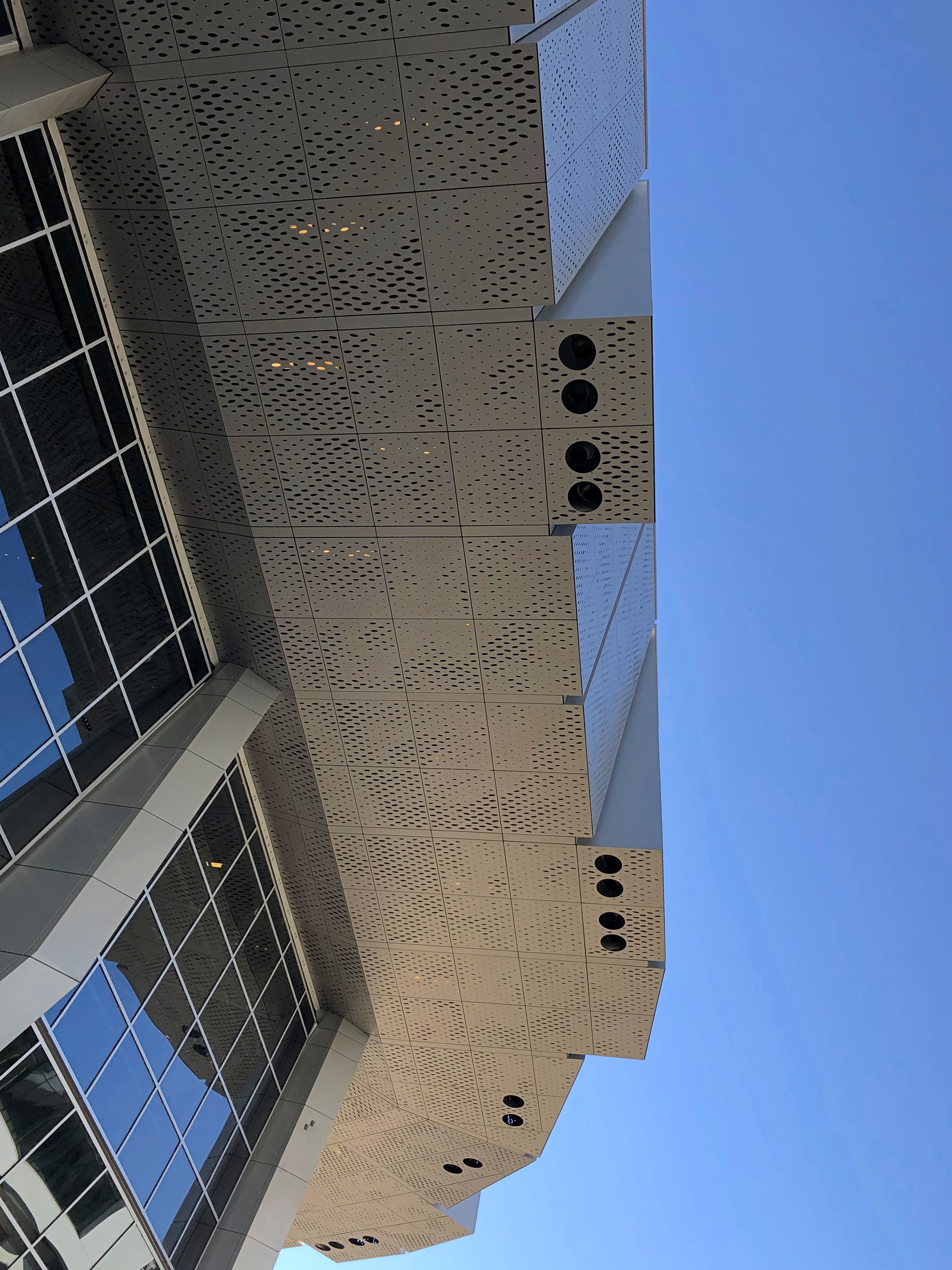
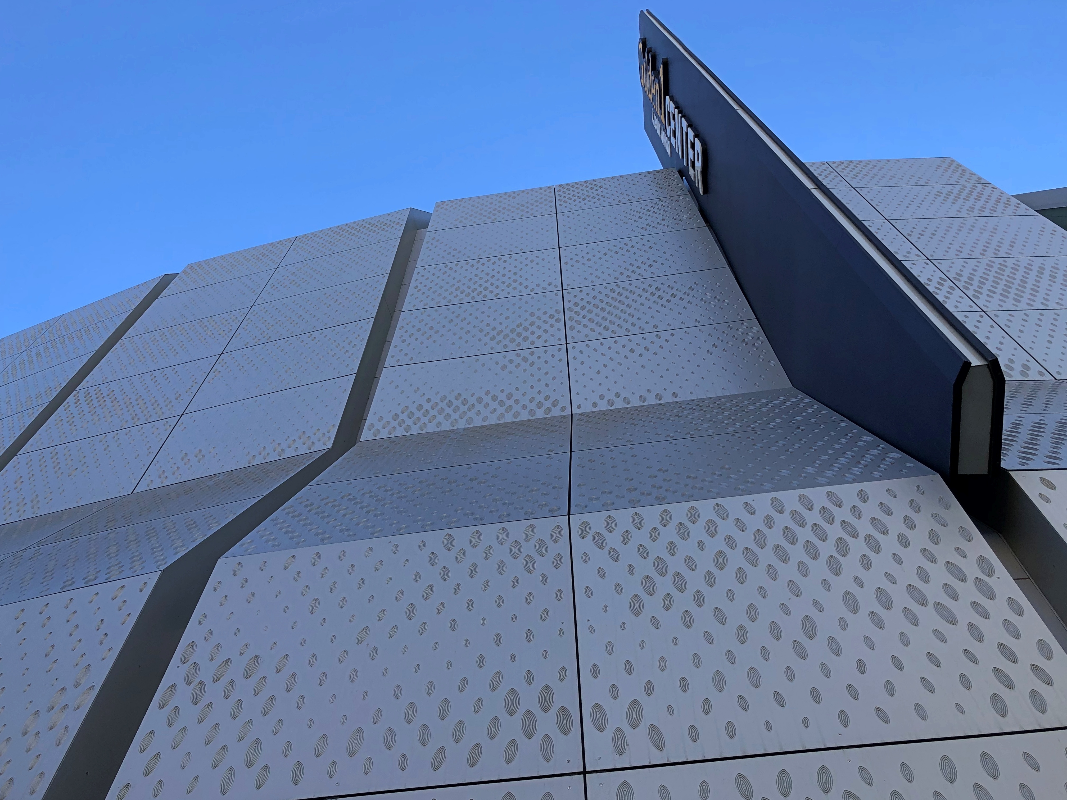
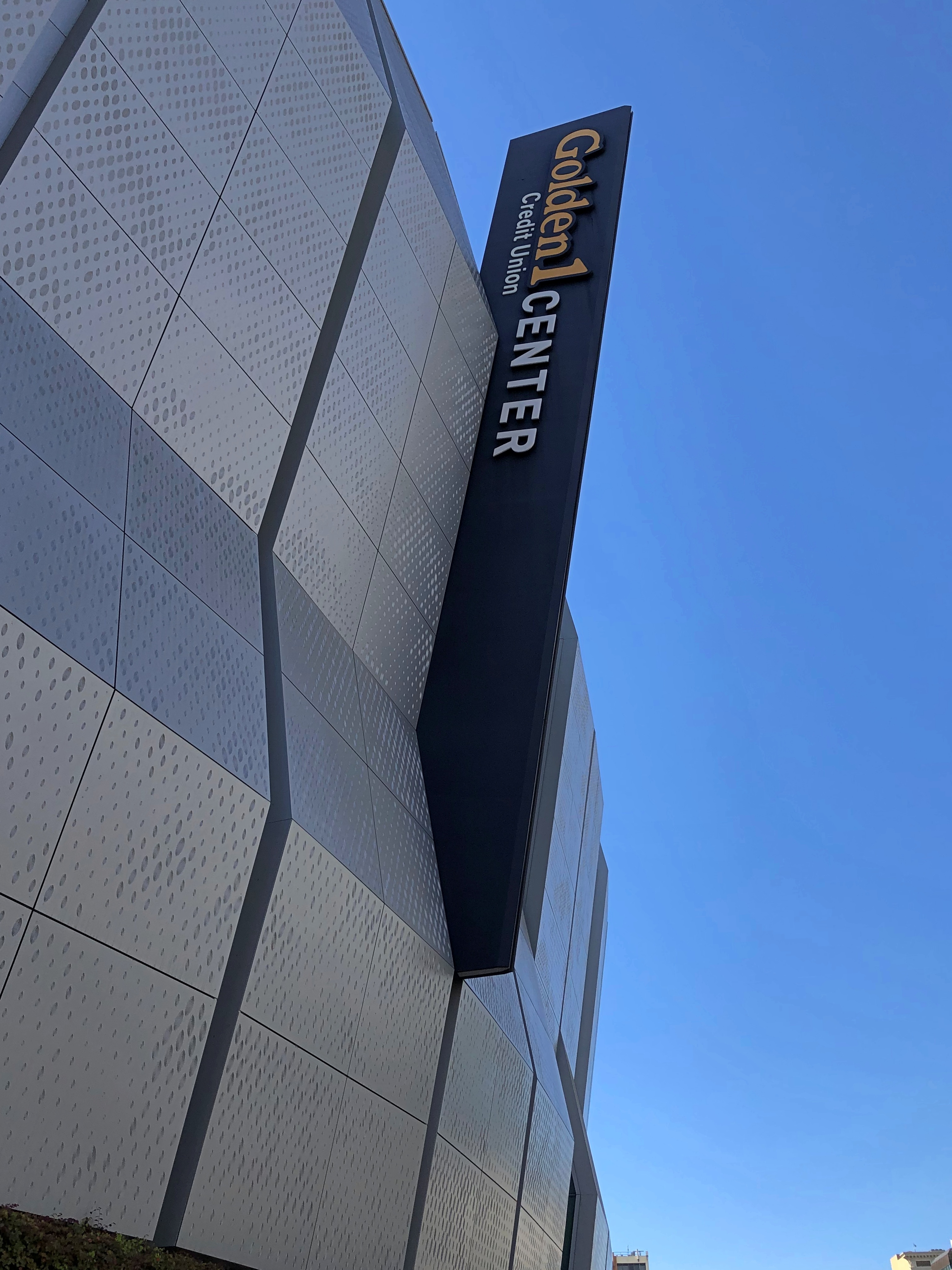
I won’t be that person. That’s the Golden 1 Center. It happens to be in Sacramento too, and I happened to see it. I will say that it has some interesting detail.Golden 1 Center Golden 1 Center Golden 1 Center

Design by AECOM and Mark Dziewulski Architect, the arena was completed only in 2016 and is home of the Sacramento Kings, a team originally formed 99 years ago as the Rochester Seagrams. The development of Golden 1 Center was a “long-running and convoluted… drama,” according to the Sacramento Bee.

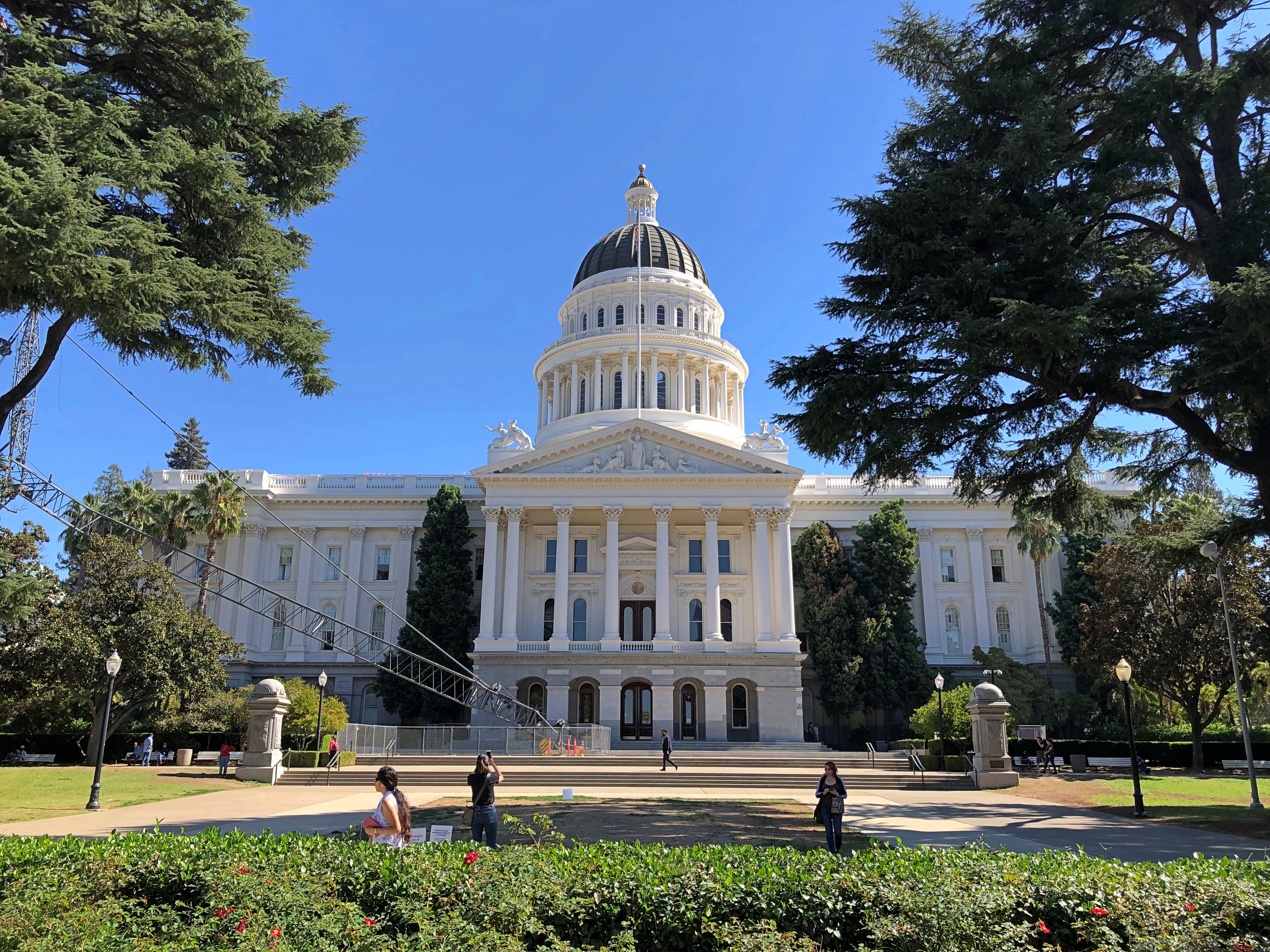
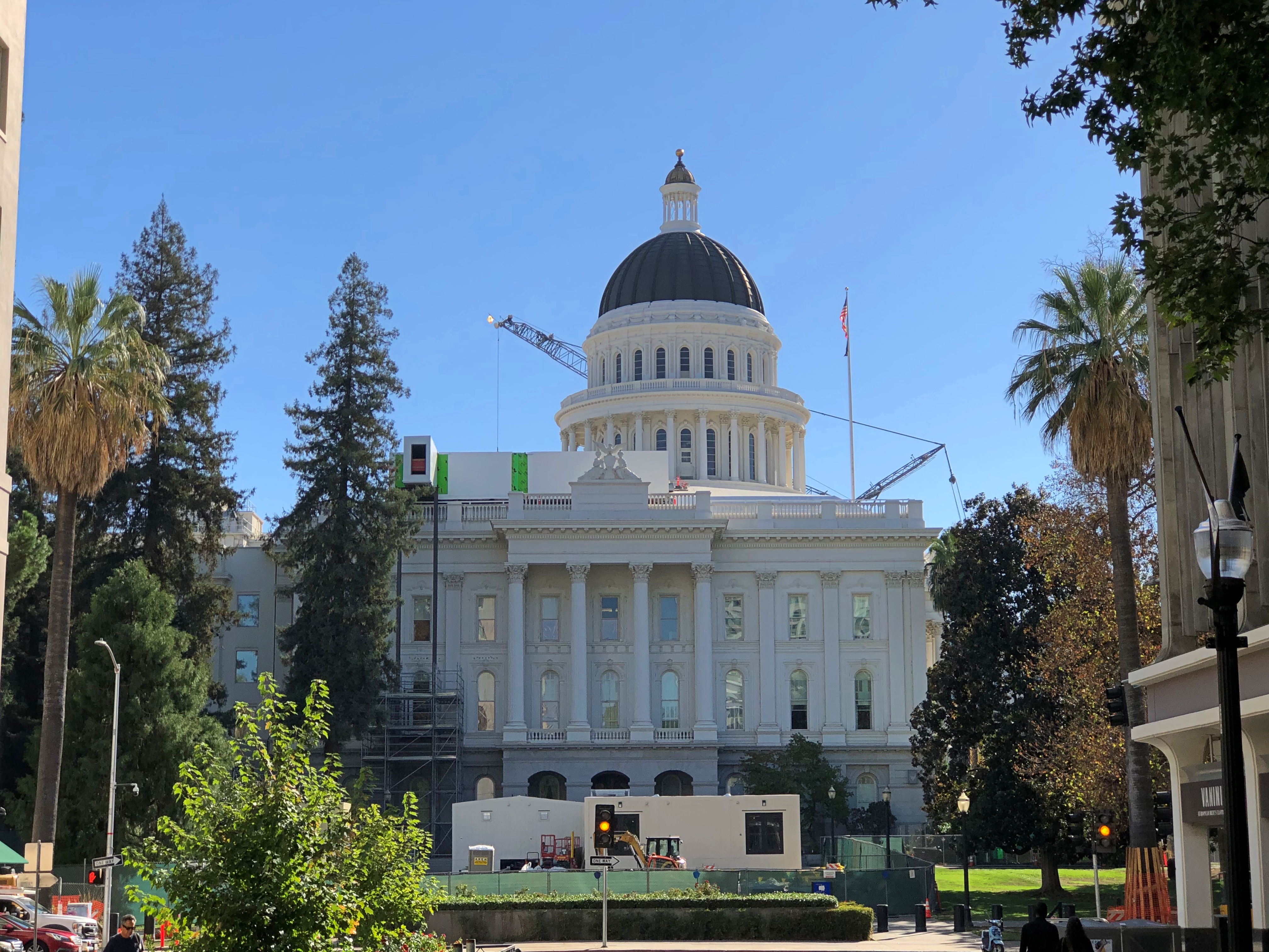
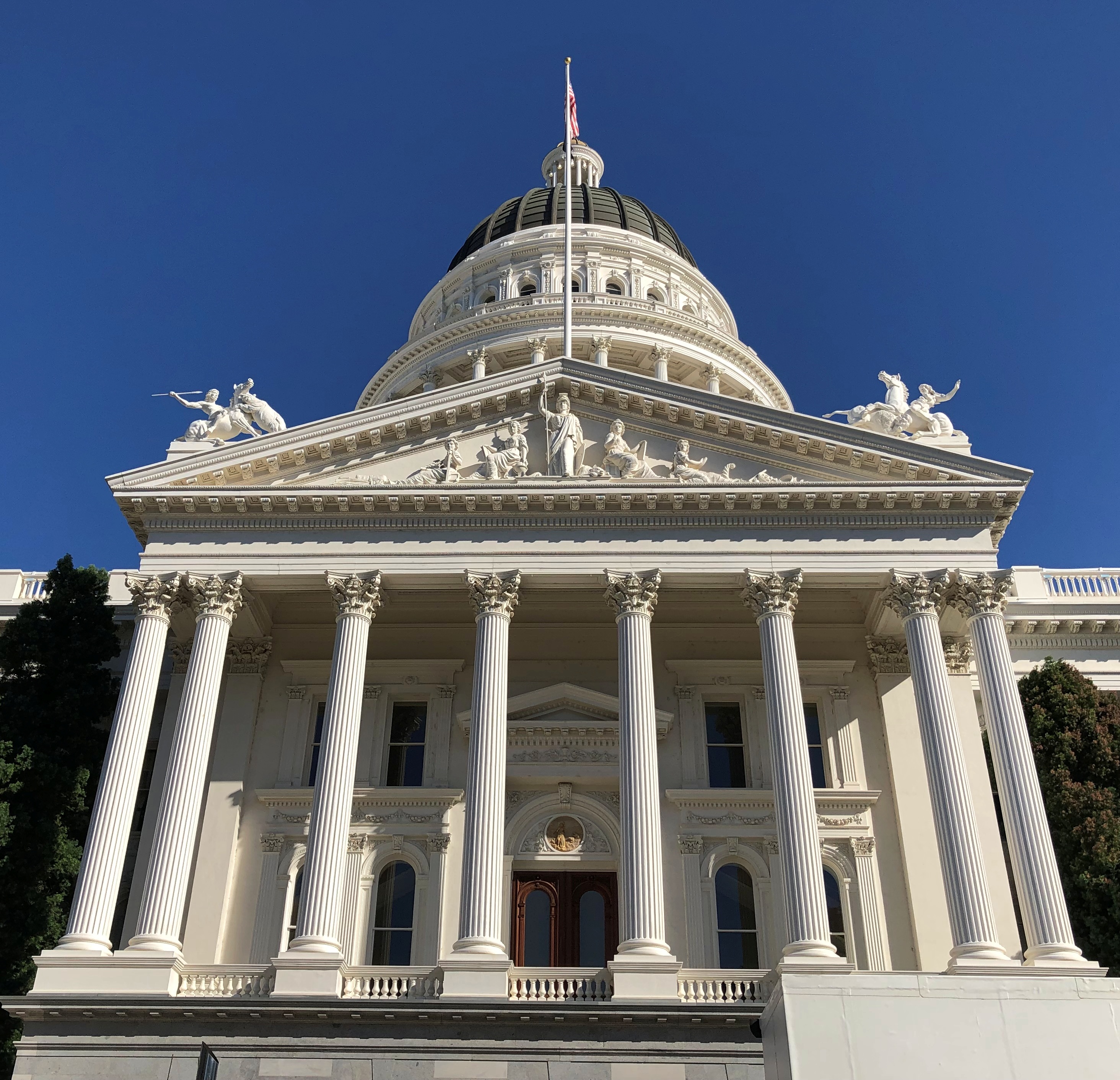
Anyway, this is the state capitol of California. It has interesting detail of its own.California State Capitol California State Capitol California State Capitol

San Francisco architect Reuben S. Clark, clearly inspired by the U.S. Capitol, designed the building, which was constructed between 1861 and ’74. Sacramento had been state capital since 1854, apparently picked as a midway point between where the action was in early U.S. California, namely the Sierra Nevada gold fields to the east and the port of San Francisco to the west.

The building is currently undergoing renovation. The park behind the capitol, which takes up many whole city blocks, was entirely closed off by a temporary wall (ah, that’s where the lizard people are scheming).

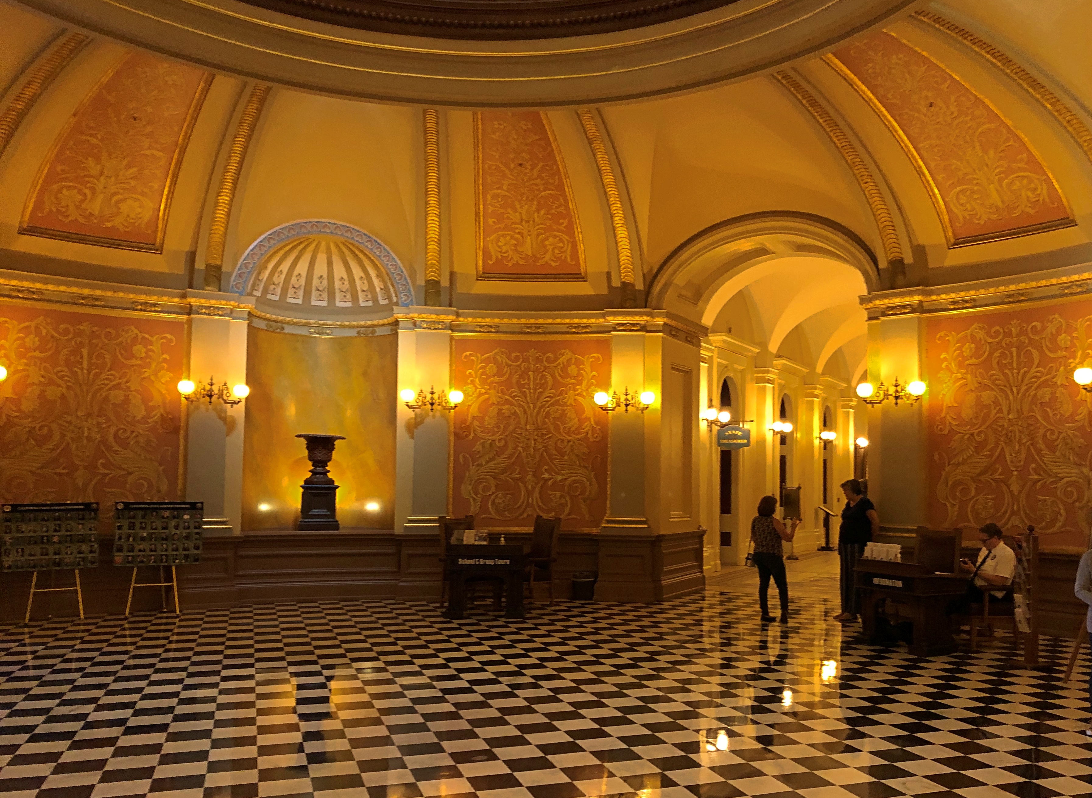
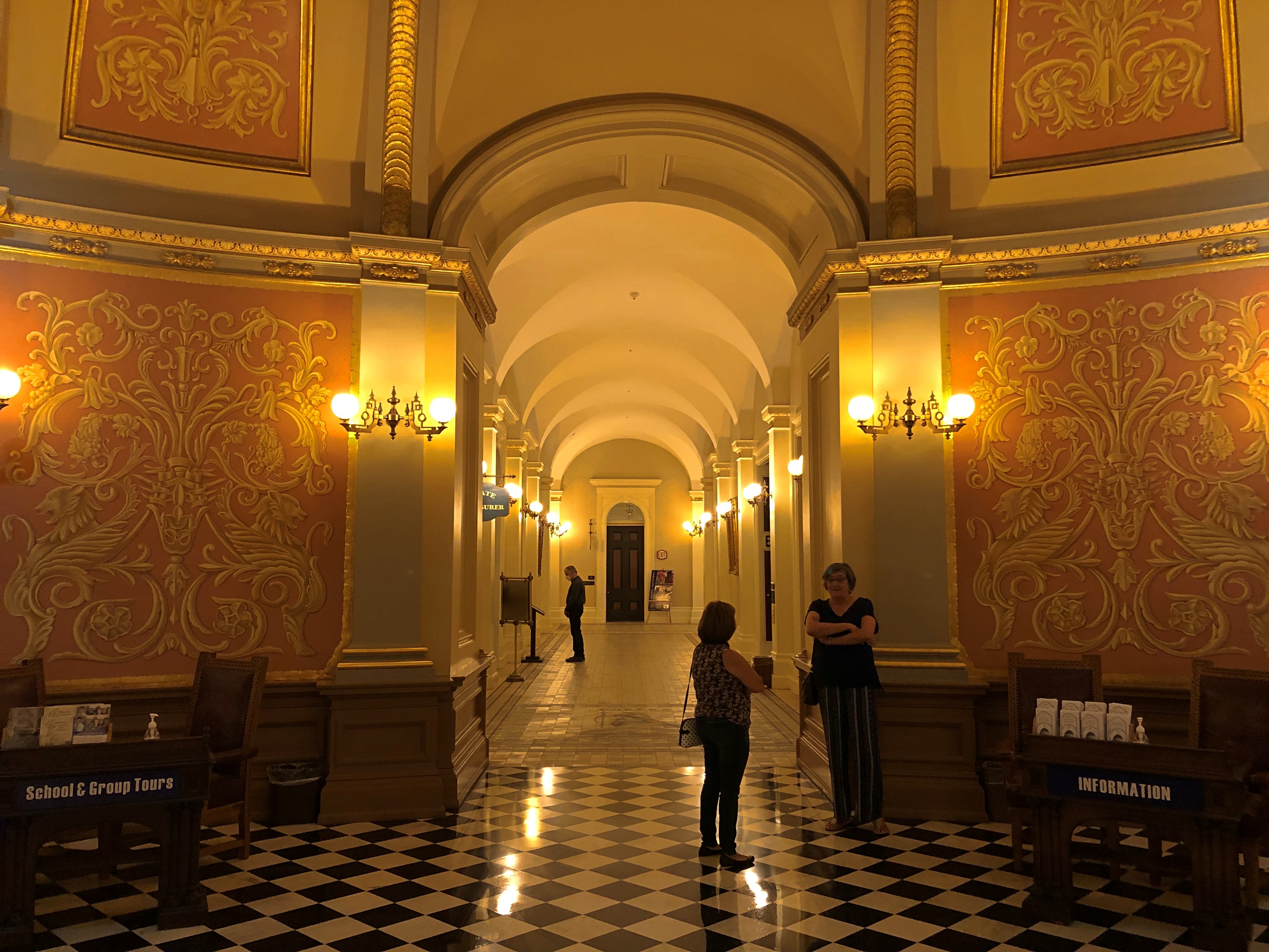
Too bad. I hear it’s quite a park. But Lilly and I could get into the capitol itself, via a temporary covered walkway through a construction site, and through metal detectors.California State Capitol California State Capitol California State Capitol

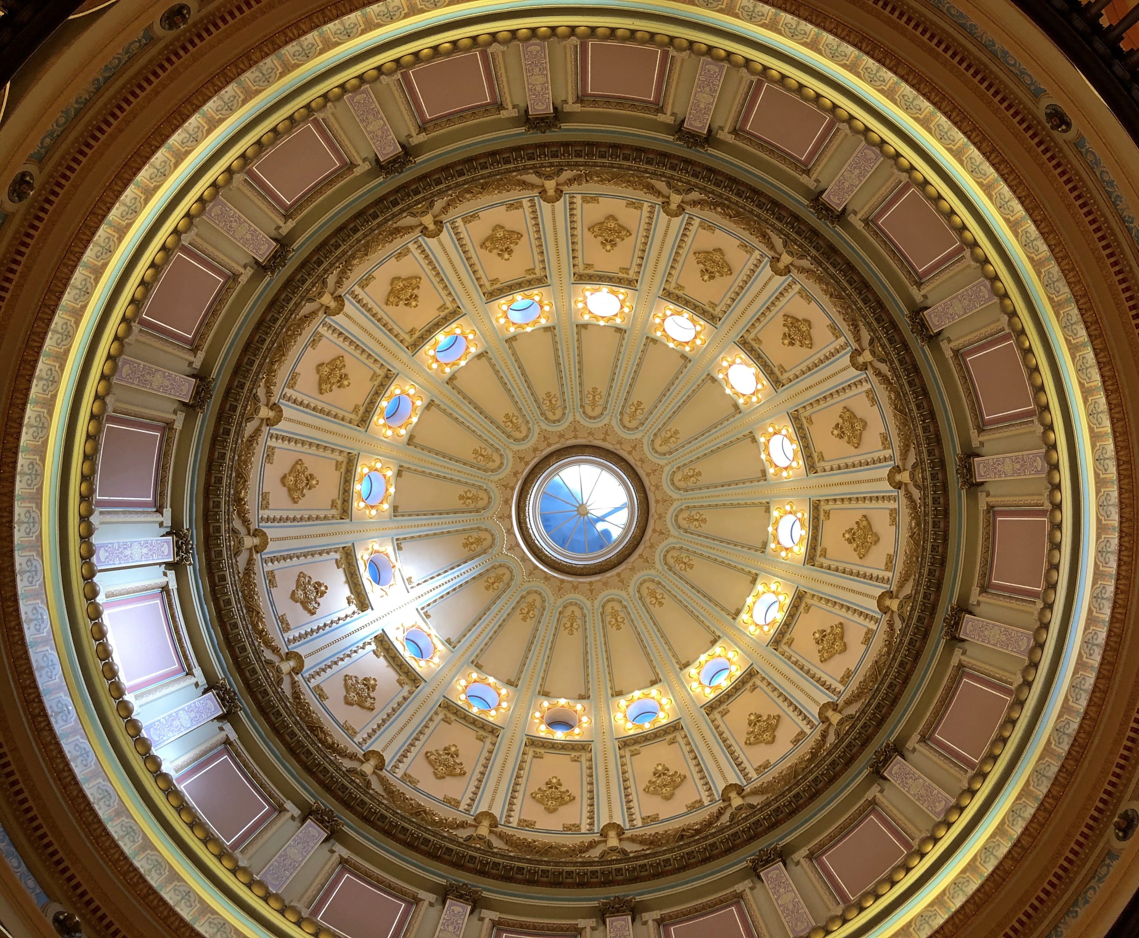
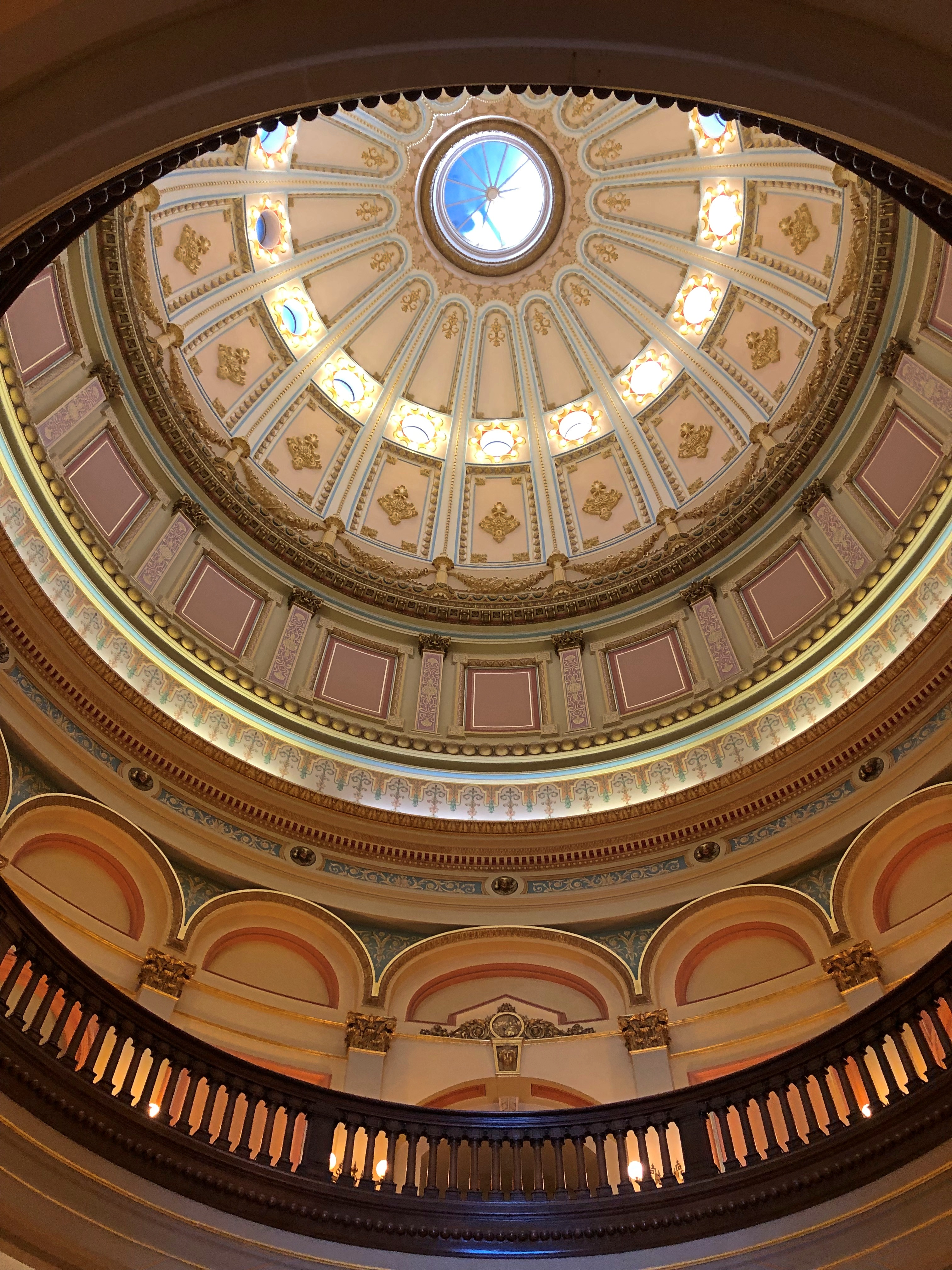
If there’s a rotunda, the thing to do is look up at it.California State Capitol California State Capitol

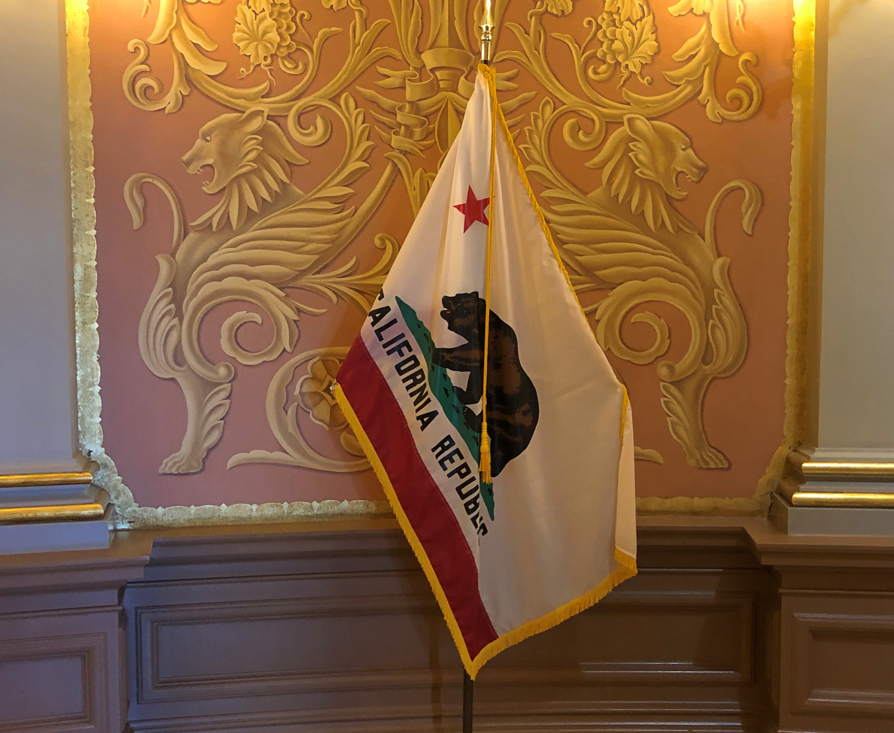
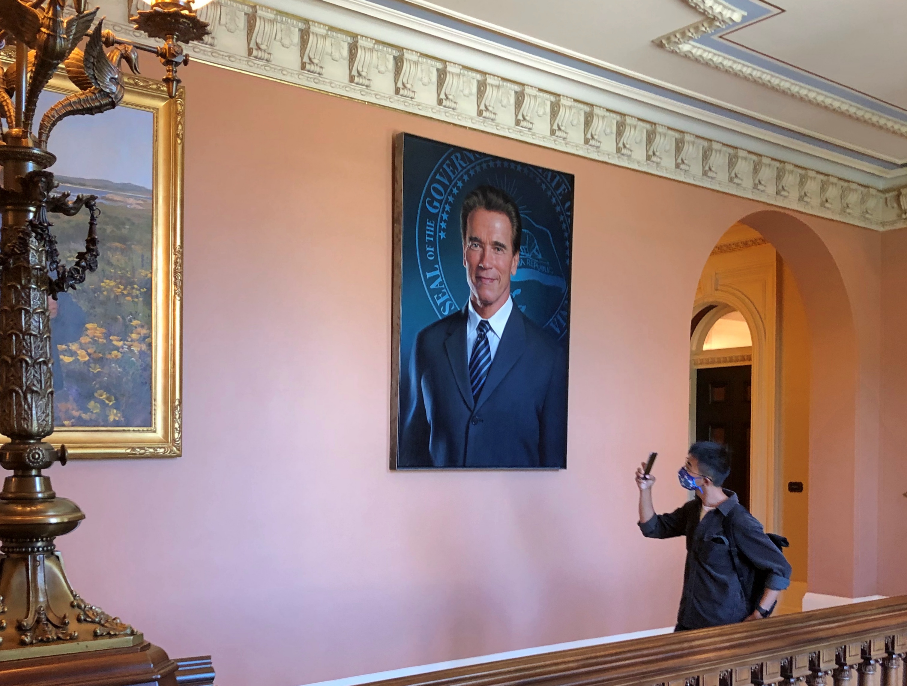
State capitols tend to feature portraits of governors, and California is no different. Some are more recognizable than others, though I imagine even Arnold’s fame will fade over the coming decades.California State Capitol

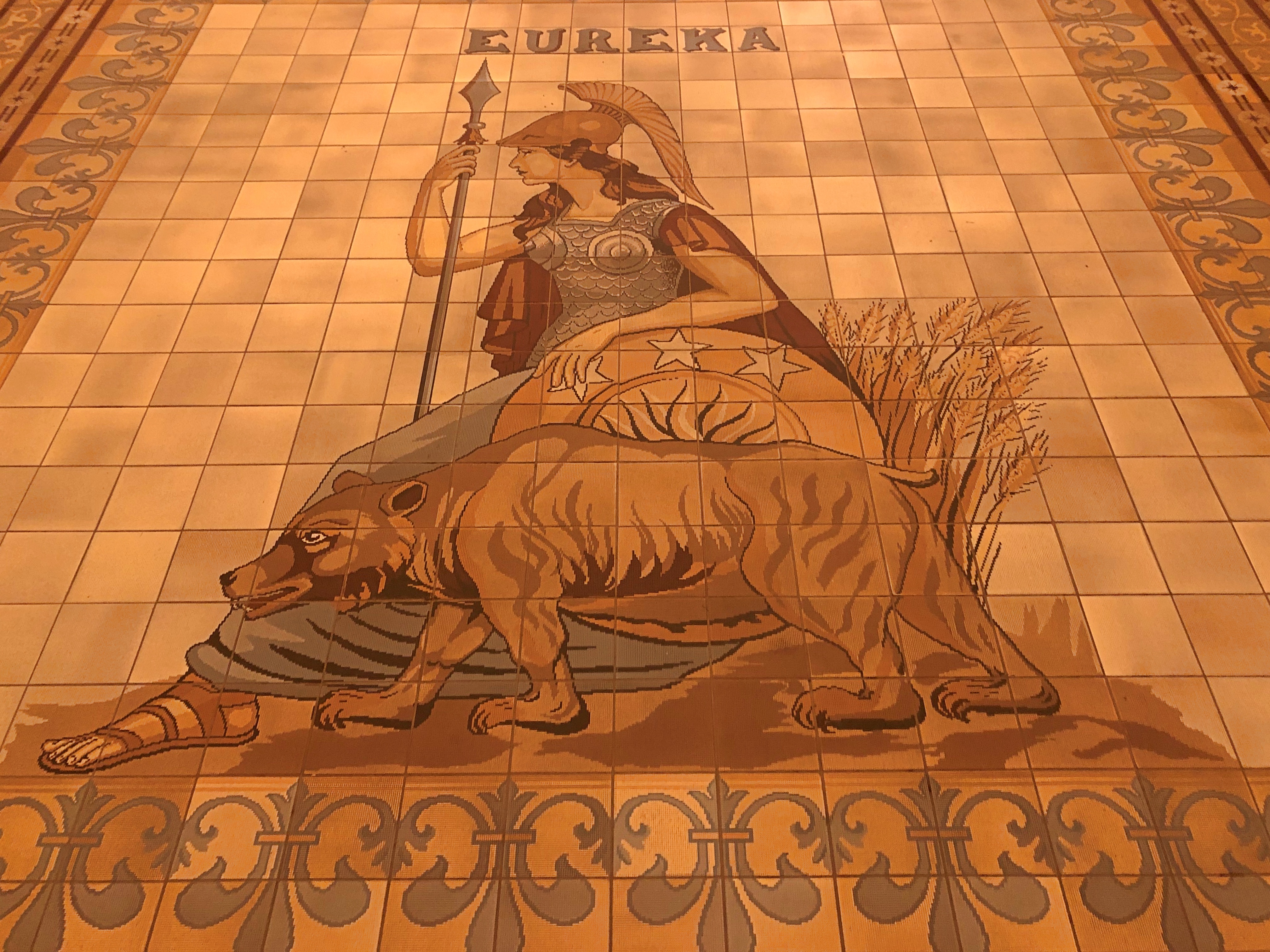
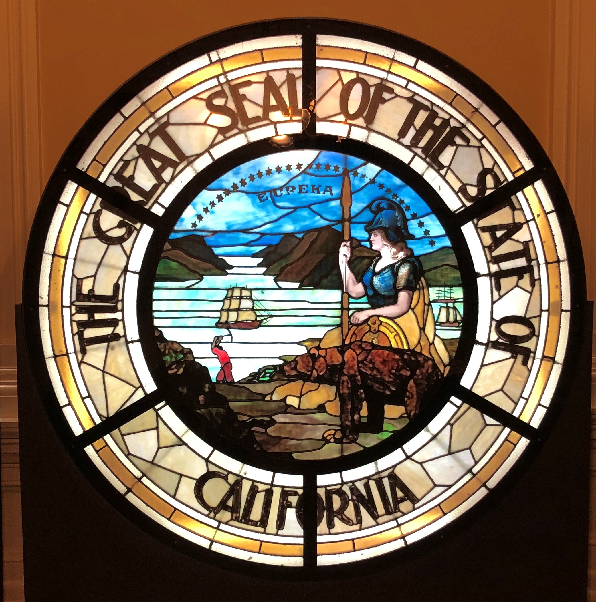
On the other hand, Minerva isn’t likely to fade from her fame among classicists, eccentrics and a few schoolchildren.California State Capitol California State Capitol

Minerva and not Athena because the signs with this depiction of state seal (mounted in the capitol) called her Minerva, and besides, Athena has been associated with another place for thousands of years.

A few other details about the seal. The bear is a California grizzly which, despite being important to California symbolism, was hunted to extinction. There are 31 stars, the state being the 31st to join the union. A miner toils for gold, and ships connect California to the rest of the world in the early days.

Why Minerva? She was born fully an adult from Jupiter’s brow. As for California, it was born fully a state, skipping territorial status.

Donner Memorial State Park

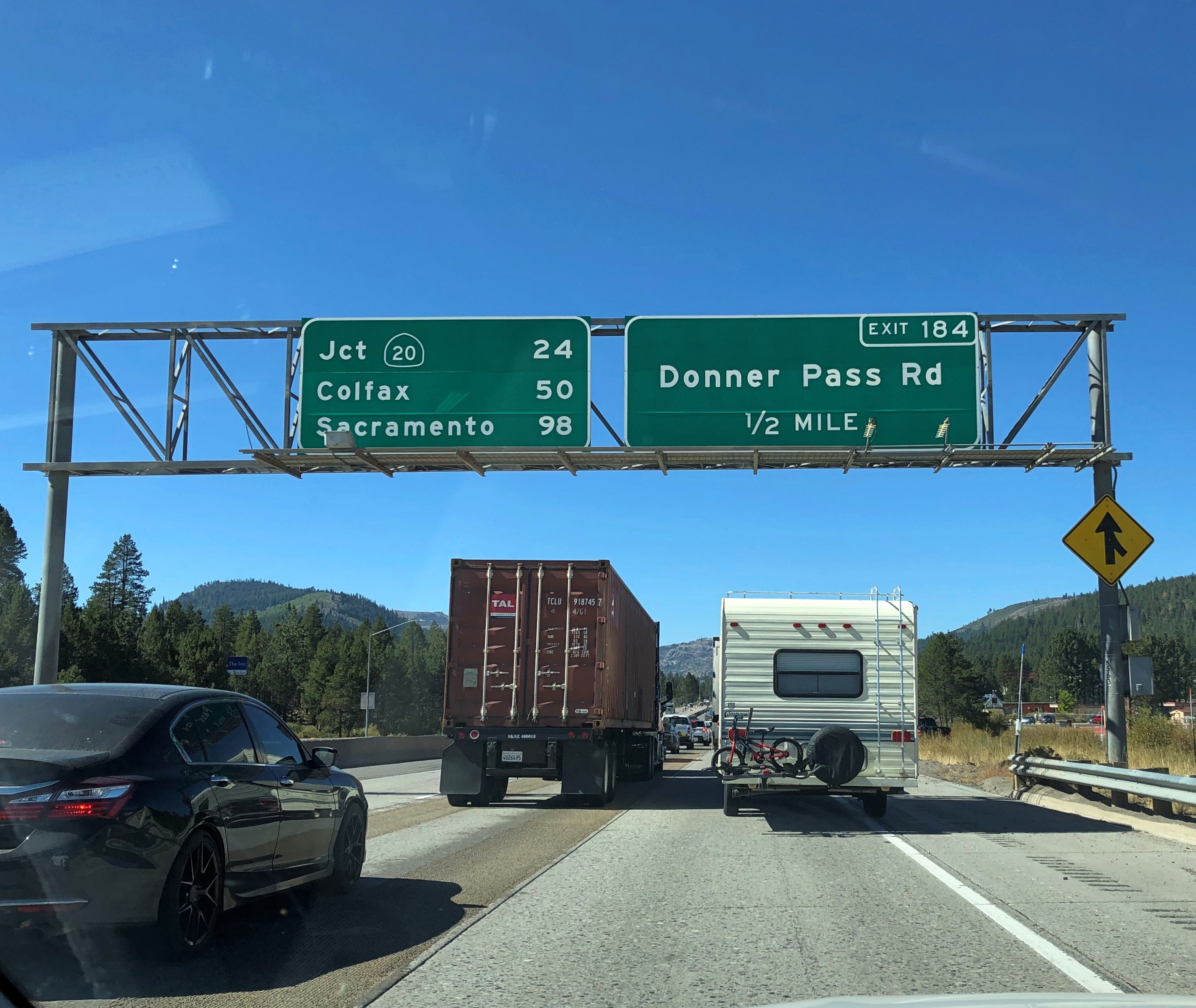
Crossing the Sierra Nevada near the Donner Pass is fairly easy in our time, if you have a motorized vehicle, as I did earlier this month when I drove from Reno back to Sacramento. I-80 takes you right across.

Unless, of course, traffic is heavy enough to come to a standstill. Then you might have time to take pictures.I-80 near Truckee, California

Still, you’ll face nothing like the impediments that the Donner Party encountered in the winter of 1846-1847. Their story is well known; accounts of desperate days and cannibalism have a way of piquing people’s interest.

The Donner Party’s agony is, in fact, much better known than (say) the journey of the Stephens-Townsend-Murphy Party, led by mountain man Caleb Greenwood, who in 1844 were the first successful wagon train to cross the pass. They didn’t have an easy time of it, but they made it.

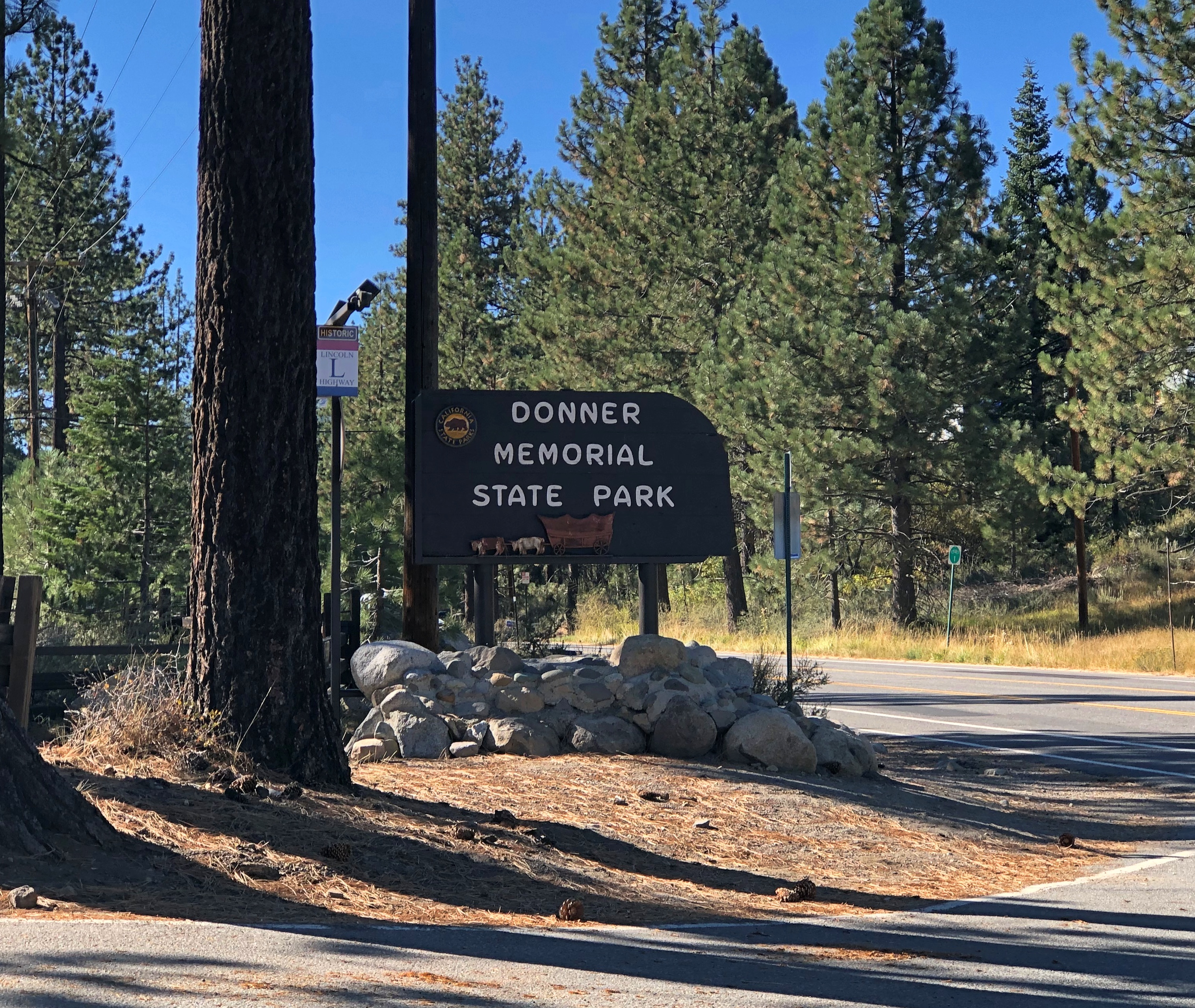
I didn’t know about Donner Memorial State Park till I visited this part of the country, since I’d forgotten exactly where the Donner Party had encountered their ordeal. But when I saw the state park on the map, as well as everything else named for the Donners, I realized that it was here.

The park is just off I-80 not far west of the California-Nevada line. I resolved to go take a look.Donner Memorial State Park

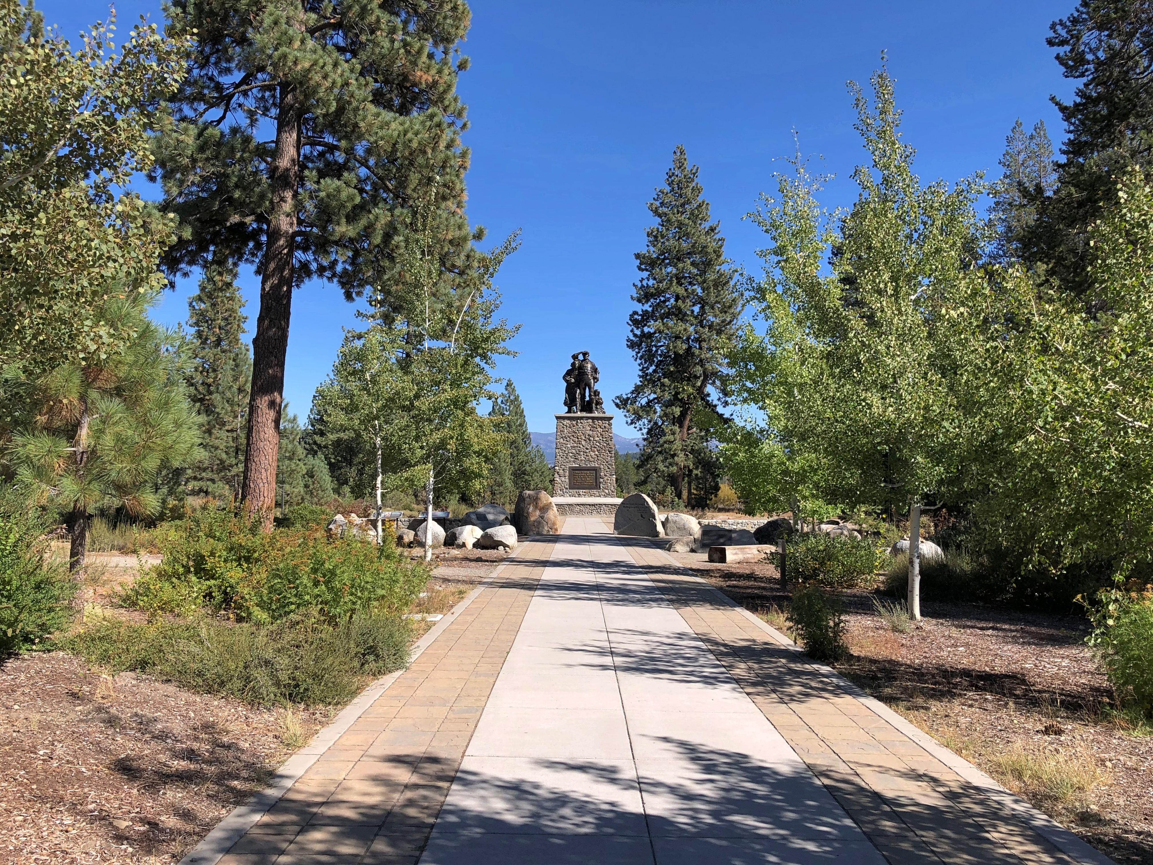
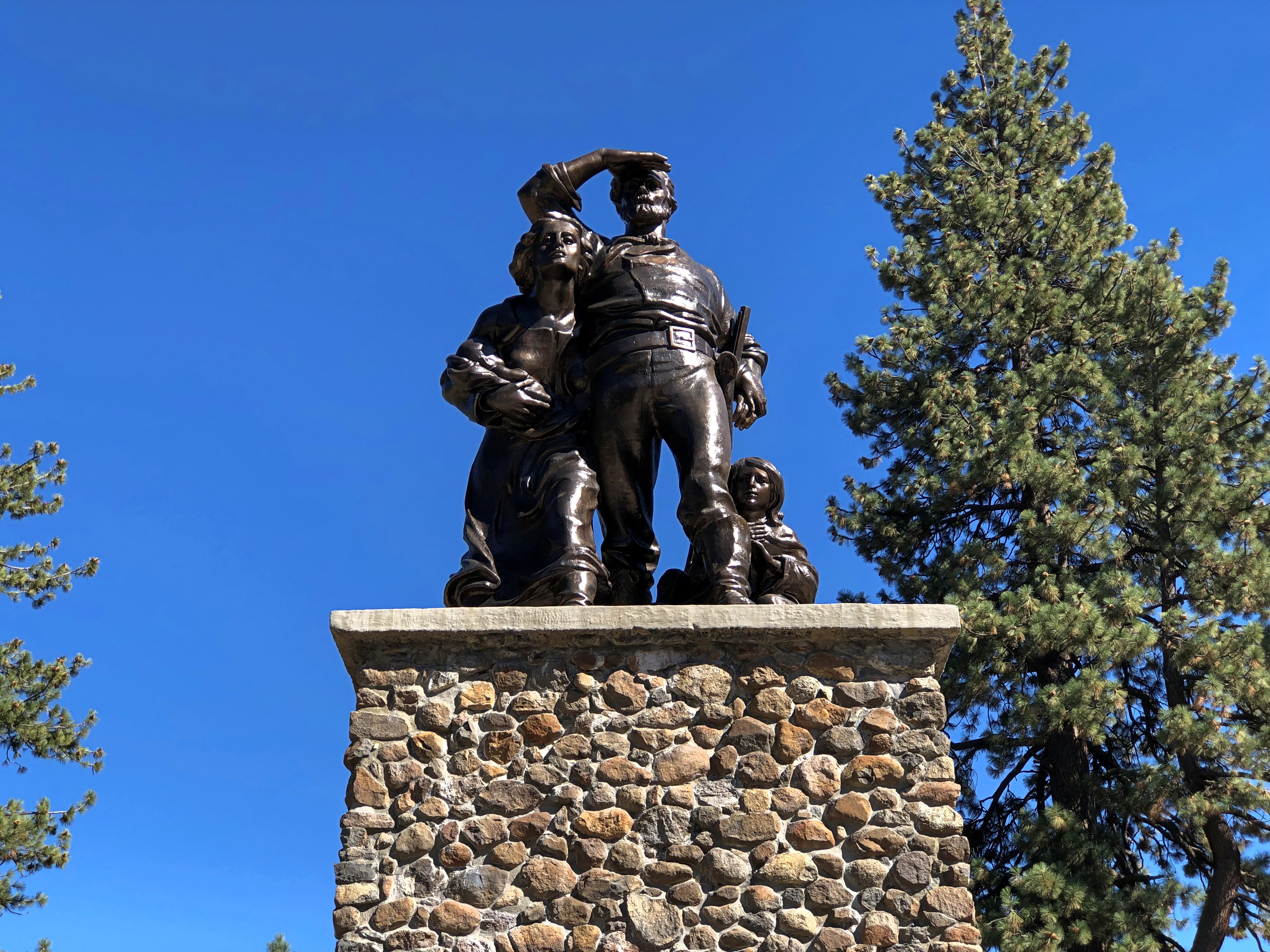
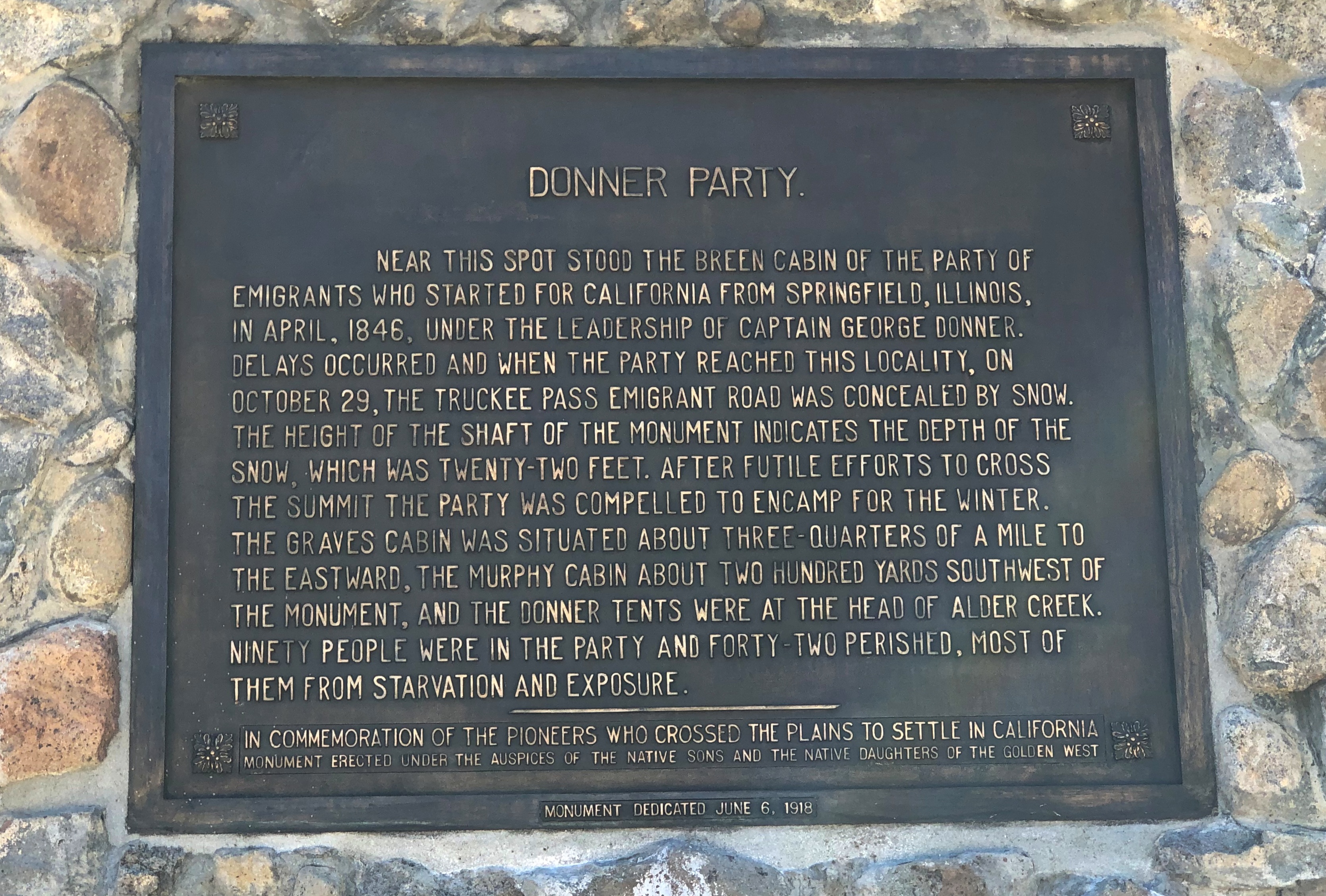
As a memorial park, I expected a memorial. This one isn’t far from the entrance.Donner Memorial State Park Donner Memorial State Park

One of its plaques notes that the height of the memorial’s plinth is 22 feet — which was the depth of the snow that trapped the wagon train.Donner Memorial State Park

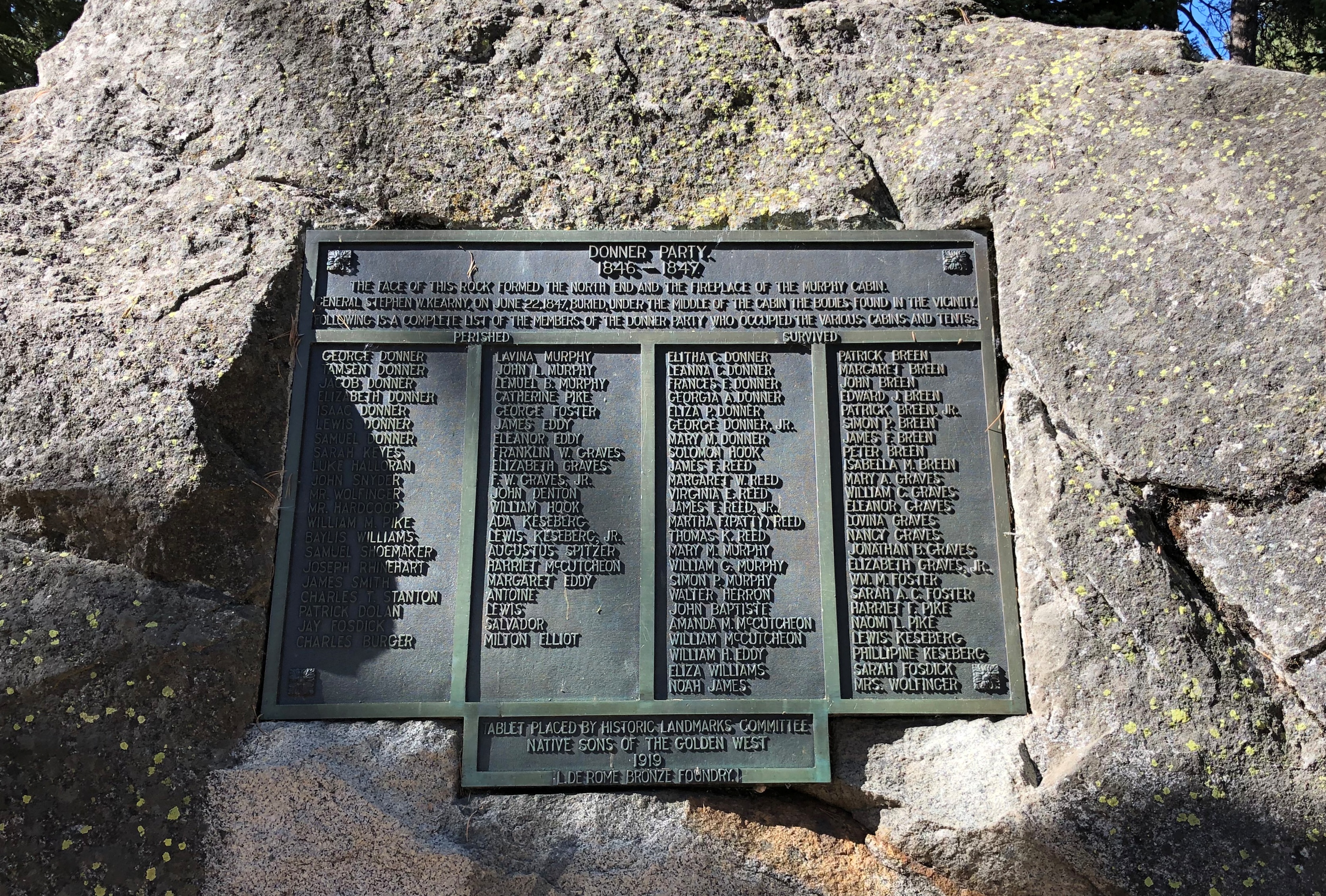
That isn’t the only plaque in the park honoring the Donner Party. Along one of the park trails is another plaque listing all of the members. Those on the left two columns died that winter. Those on the right two columns survived.Donner Memorial State Park

Both memorials are the work of the Native Sons of the Golden West, installed even before the state park was established in 1928.

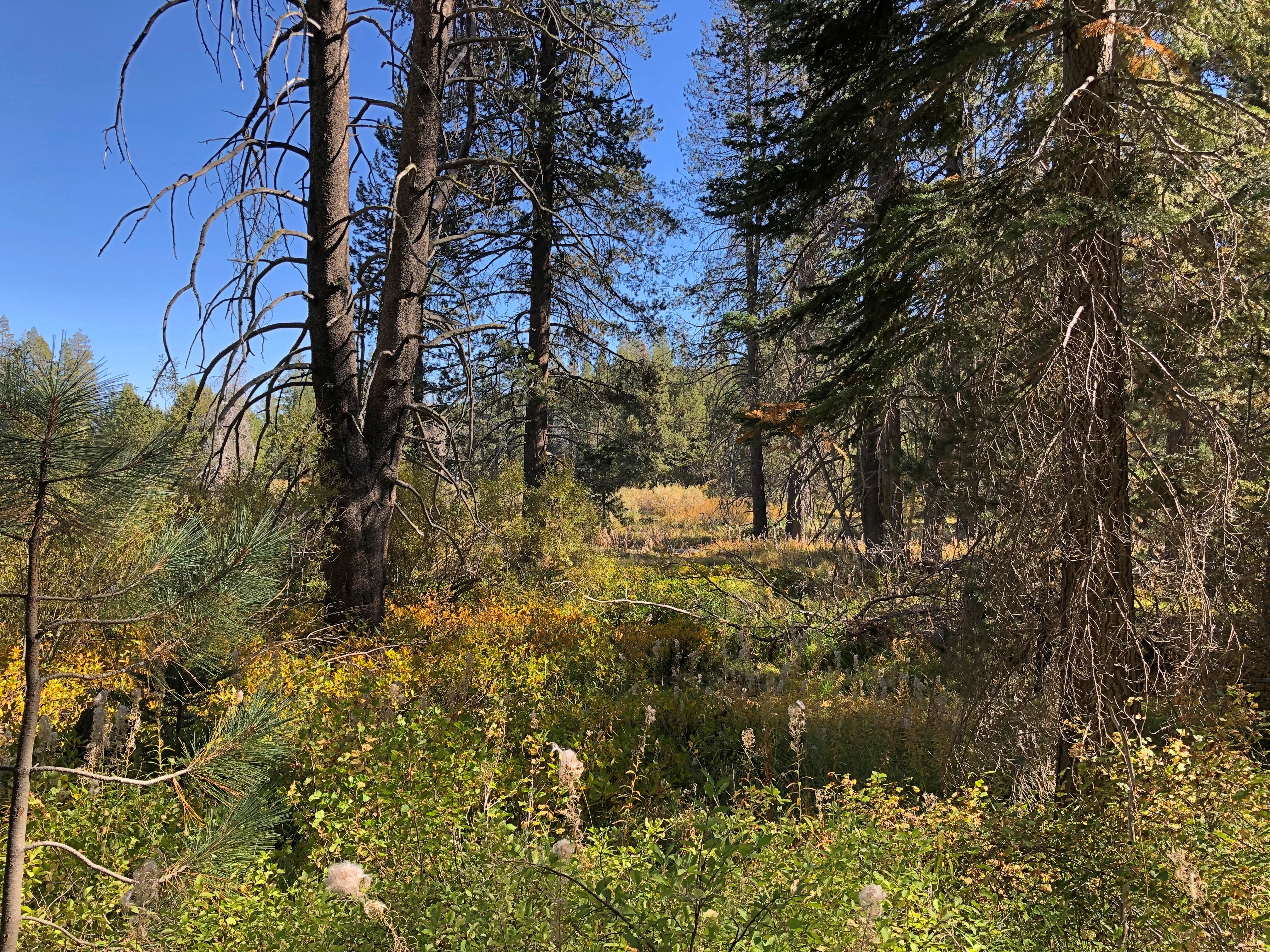
At nearly 3,300 acres, the park is much more than the memorials. I took advantage of some of the trails, passing through nice scenery.Donner Memorial State Park Donner Memorial State Park Donner Memorial State Park

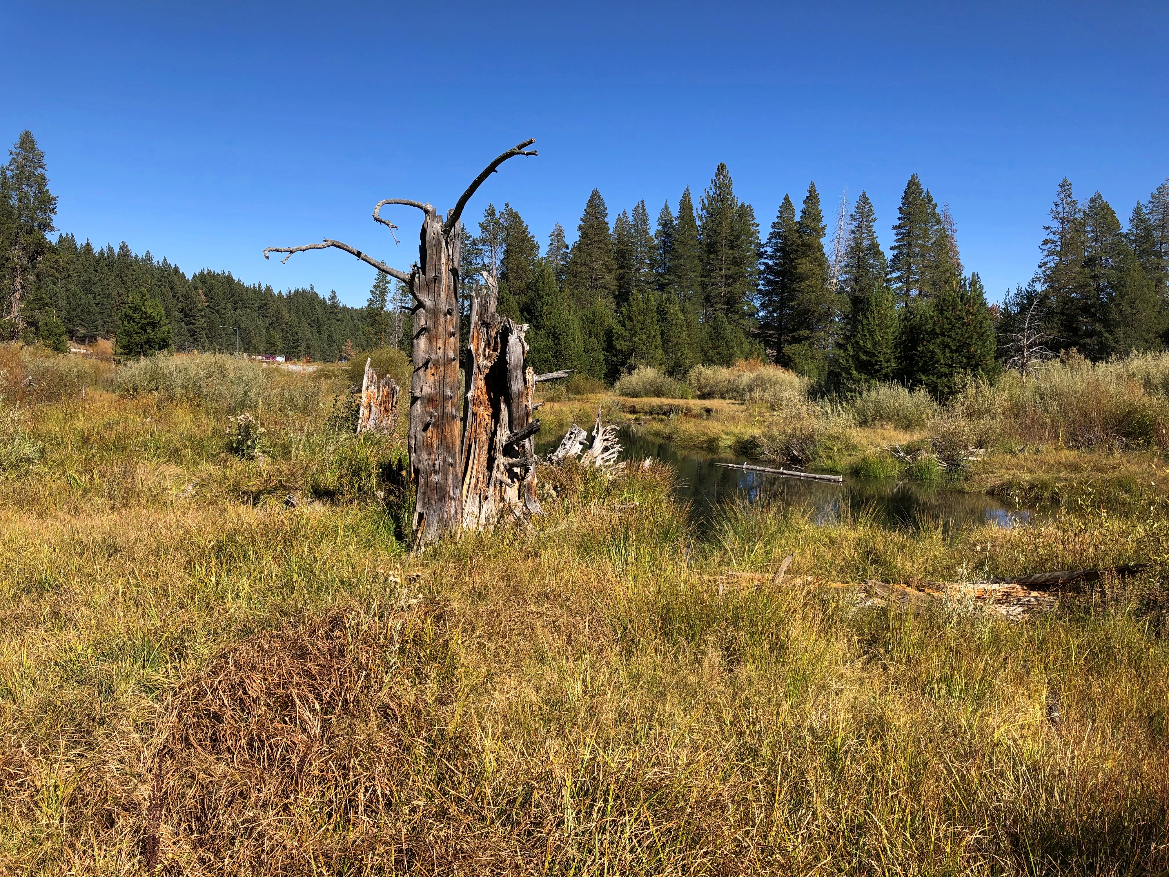
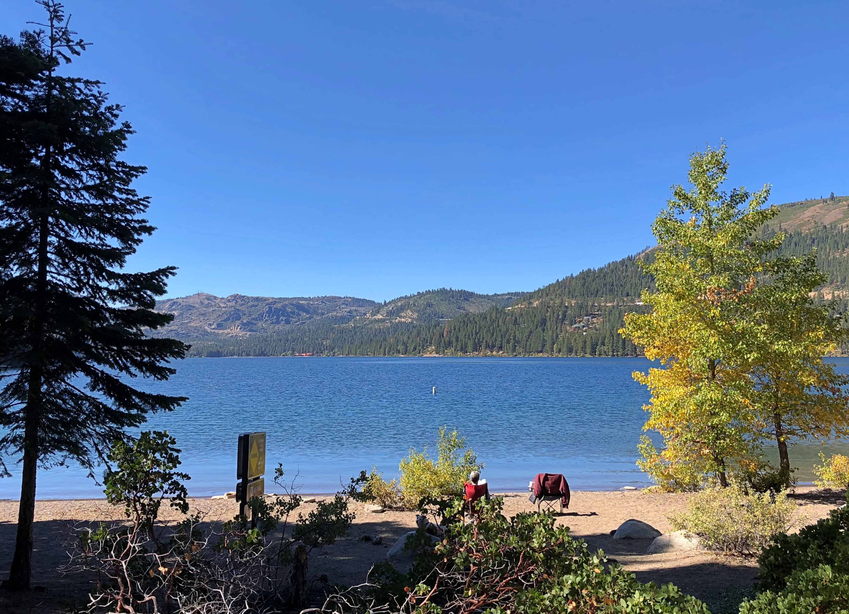
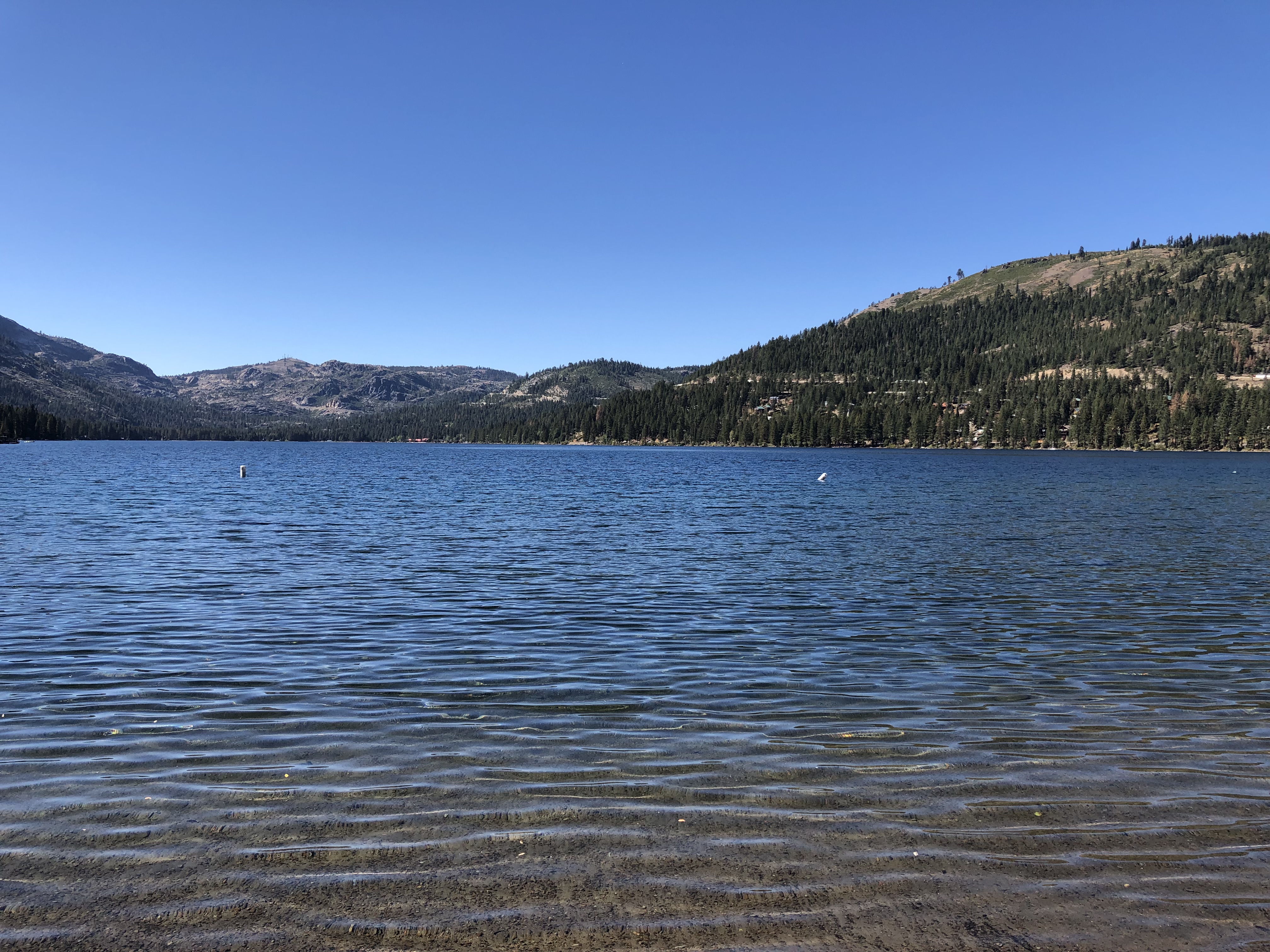
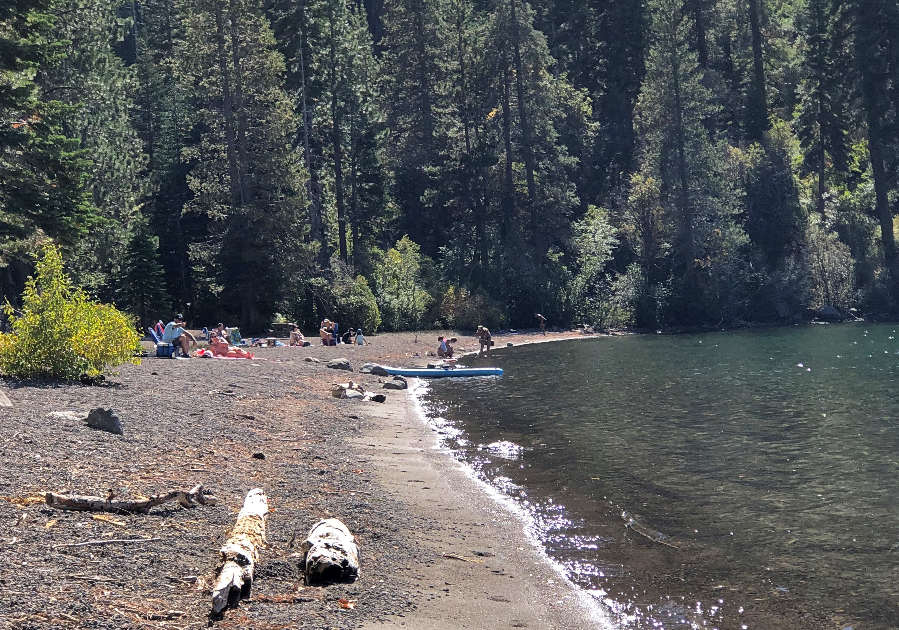
Though not nearly as sizable as Lake Tahoe, Donner Lake is a fine alpine lake in its own right. Only a few people were around.Donner Lake Donner Lake Donner Lake

It was really pleasant at Donner Lake that day, October 4, clear and in the mid-70s Fahrenheit. Hard to image a late October day when the area was buried by snow, but they say the luckless Donner Party encountered an early snow that year. Then again, I just checked, and the evening temps in nearby Truckee are already dropping below freezing every day.

Virginia Street, Reno

Before I left Reno on October 4, there was one more thing I wanted to do: take a walk along Virginia Street, a major thoroughfare. In the end, I walked two sections of it, one downtown and featuring the well-known Reno sign, the other in Midtown.

Might as well begin with the sign. The structure across Virginia Street is actually called the Reno Arch. To split hairs even more, this is the third Reno Arch, installed in 1987 to replace the 1963 version, which itself replaced the 1926 original.

The daytime Arch.
Reno Arch

Plenty of bulbs on the underside. Quite a glow come nighttime.Reno Arch

What’s that on the side of the Whitney Peak Hotel, overlooking Virginia Street? A climbing wall.Downtown Reno - Virginia Street

A set of climbing walls, actually, some toward the upper reaches of the tall building. When I first walked by it, a man was climbing on the lowest wall, but by the time I returned to take a picture, he was gone.
Downtown Reno has a clutch of what you might call Las Vegas-class casino-hotels, though diehard Reno partisans — are there such? — might chafe at the comparison.

Such as the Eldorado Resort Casino.Downtown Reno - Virginia Street

More modest gaming ventures populate much of the downtown Virginia Street, such as Cal-Neva, Horseshoe and what must be the first fully robotic casino, Siri’s Casino. Or is that name just a (happy?) coincidence?Downtown Reno - virginia street Downtown Reno - Virginia street Downtown Reno - Virginia street

South from that point are some examples of municipal Reno. Like the Washoe County Courthouse.
Downtown Reno - Virginia street

The Pioneer Theater Auditorium. If you guessed 1967, you’re right.
Downtown Reno - Virginia street

Back at the Truckee River.Truckee River Truckee River

The stretch of Virginia Street through Midtown Reno is a different animal: smaller buildings, local nongaming businesses — though entertainment focused, some of them — and a number of murals. New-looking for the most part, because we’re in an unacknowledged age of mural painting nationwide, commercial and otherwise.Midtown Reno Murals Midtown Reno Murals Midtown Reno Murals

Some you might call vernacular murals, if you’re in an academical frame of mind.
Midtown Reno Murals

Every block, there were more pro murals.Midtown Reno Murals Midtown Reno Murals Midtown Reno Murals

Just a small sample, but they made for a good walk. That and the fact that few other people were around in the late weekday morning — Midtown’s prime time is clearly weekend nights — and even few cars, owing I suppose to the little in biggest little city.

Reno Riverwalk

It isn’t Vegas, but Reno is part of the national tapestry too. Somehow it wouldn’t have been the same had the prisoner shot a man in Omaha or Biloxi or Yonkers. Then again, if the crime was in Reno, what was he doing in a California state prison? Best not to nitpick great song lyrics too much.

Also, I’m just old enough to remember talk of Reno as a divorce capital. That was already a dead letter by the time I knew much about it, but there were still mentions in movies and on TV. Come to think of it, Betty Draper went to Reno to divorce Don in 1964, I believe.

On the morning of October 3, I arrived in downtown Reno for a look around, parking in a space near the Truckee River, which runs through the city. A riverwalk along its greener-than-expected banks has been developed since the 1990s.

I was eyeing the parking meters, those petty tyrants of auto placement.

“No one checks those,” a man walking a small dog told me. “I’ve lived in that building for four years, and I’ve only seen anyone checking them twice.”

He pointed toward a mid-rise a block or so away.

“I see, thanks,” I said. “Looks like a nice building.”

“Yeah, on the outside.”

This began a discussion of apartment rents in Reno, with the elderly (75, he later said) black gentleman taking the lead in the conversion. After all, he lived around here and paid those rents. The long and short of it: The Rent Is Too Damn High.

Worse, he said he’d left California to get away from high rents. They’d followed him to Reno, where rents had no business being high. And yet, here we are.

He didn’t mention any industry numbers, but he didn’t have to. I can look those up – at least, averages. In Reno, the average apartment rent stands at $1,520/month these days, up from $1493/month a year ago, according to the Nevada State Apartment Association.

After he went on his way, I turned my attention to a stroll along the river.Truckee River, Reno Truckee River, Reno Truckee River, Reno

A bit of seasonal color for early October. When I was there, the leaves were just a touch non-green, like at home.Truckee River, Reno

Can’t have a riverwalk without some public art. I’m pretty sure that’s an important element of contemporary placemaking theory. Impressive, but no information about the artist. Birds liked it too.Truckee River, Reno

“Dual Nature” by Cecilia Lueza (2011).Truckee River, Reno

The descriptively named “Daring Young Man on the Trapeze” by Ric Blackerby (2004).Truckee River, Reno

By coincidence a few days later, I saw most of It Happened One Night on TV in our room. I hadn’t seen it in about 30 years. I appreciate even more now, as a gold standard for romantic comedies. Romcom confections made in our time should be half as good.

Then there was the scene in the bus when the riders broke out in song.
If only intercity bus rides were really like that. If only life were like that. The scene must have done wonders for the sale of the 1932 recording of the song by Walter O’Keefe, another busy and widely known entertainer who has been completely forgotten.

Marshall Gold Discovery State Historic Park

Drive east from Sacramento on U.S. 50, and you will find yourself in Placerville, California. In its early mining days, the town had a different name that the current, more tourist-oriented town doesn’t shy away from.Placerville, California Placerville, California

Due process was for fancy-pants Eastern lawyers, it seems. Still, when it all happened more than a century and a half ago, mob justice adds to the colorful history of a place.Placerville, California

NDGW and NSGW? Native Daughters and Sons of the Golden West, respectively. Sibling organizations known for memorializing and plaque-placing in the Golden State. This wouldn’t be the last time I encountered their work. Members need to be born in California, and have included such notables as Richard Nixon and Earl Warren over the years.

Whatever its history of frontier justice, Placerville offers a pleasant stroll in an upper-middle tourist street in our time. I spent a few glad minutes in the labyrinth of books. How could I pass that up?Placerville, California

Go further east from Placerville, and you’ll find Marshall Gold Discovery State Historic Park.Marshall Gold Discovery State Historic Park

The park occupies much of the town of Coloma, California. By the time I got there, just before noon on October 2, the air was dry, sky clear, and temps nearly hot. The terrain reminded me a good deal of the Texas Hill Country: scrubby and brown and hilly, but appealing all the same.Marshall Gold Discovery State Historic Park Marshall Gold Discovery State Historic Park

The park includes a reconstruction of the sawmill where James Marshall saw those golden flecks in the winter of 1848. The structure, anyway, since I don’t think including a 19th-century industrial saw (steam powered by this time?) was in the reconstruction budget.Marshall Gold Discovery State Historic Park Marshall Gold Discovery State Historic Park

There’s a stone-wall memorial on the actual site of the mill, not far away on the handsome American River.Marshall Gold Discovery State Historic Park Marshall Gold Discovery State Historic Park

I was surprised to learn that the river is only about 30 miles long, but enough to provide Sacramento with most of its drinking water, assuming enough snowmelt every spring.
James Marshall has a memorial in Coloma, but you have to climb a hill to reach it. Or drive a short, winding road that happens to be a very short California state highway.James Marshall Memorial
The work of the NSGW again. In fact, the first memorial the org ever erected, in 1890, when the memories of Forty-Nine were still living memories for many. Marshall wasn’t among them. The honor was posthumous for him, and he reposes underneath the structure.
Still, nice view he’s got of the rolling and formerly gold-laden territory.Marshall Gold Discovery State Historic Park

Not quite as far up the hill are a number of historic structures and an old cemetery. One is St. John’s, a Catholic church that held services until about 100 years ago, but where you can still get married.Marshall Gold Discovery State Historic Park - St John

John Marshall’s cabin.Marshall Gold Discovery State Historic Park - Marshall's Cabin

Even more interesting, I thought, was a more-or-less intact mining ditch, countless of miles of which were dug in the effort to tease yellow metal from the indifferent earth. Later, many were (or still are) used for irrigation. I don’t think this one is; it’s just a gash in the earth.Marshall Gold Discovery State Historic Park - Marshall's Cabin

The hillside cemetery.Marshall Gold Discovery State Historic Park - cemetery Marshall Gold Discovery State Historic Park - cemetery Marshall Gold Discovery State Historic Park - cemetery Marshall Gold Discovery State Historic Park - cemetery

Ashes to ashes, dust to dust, gold-bearing earth to gold-bearing earth.