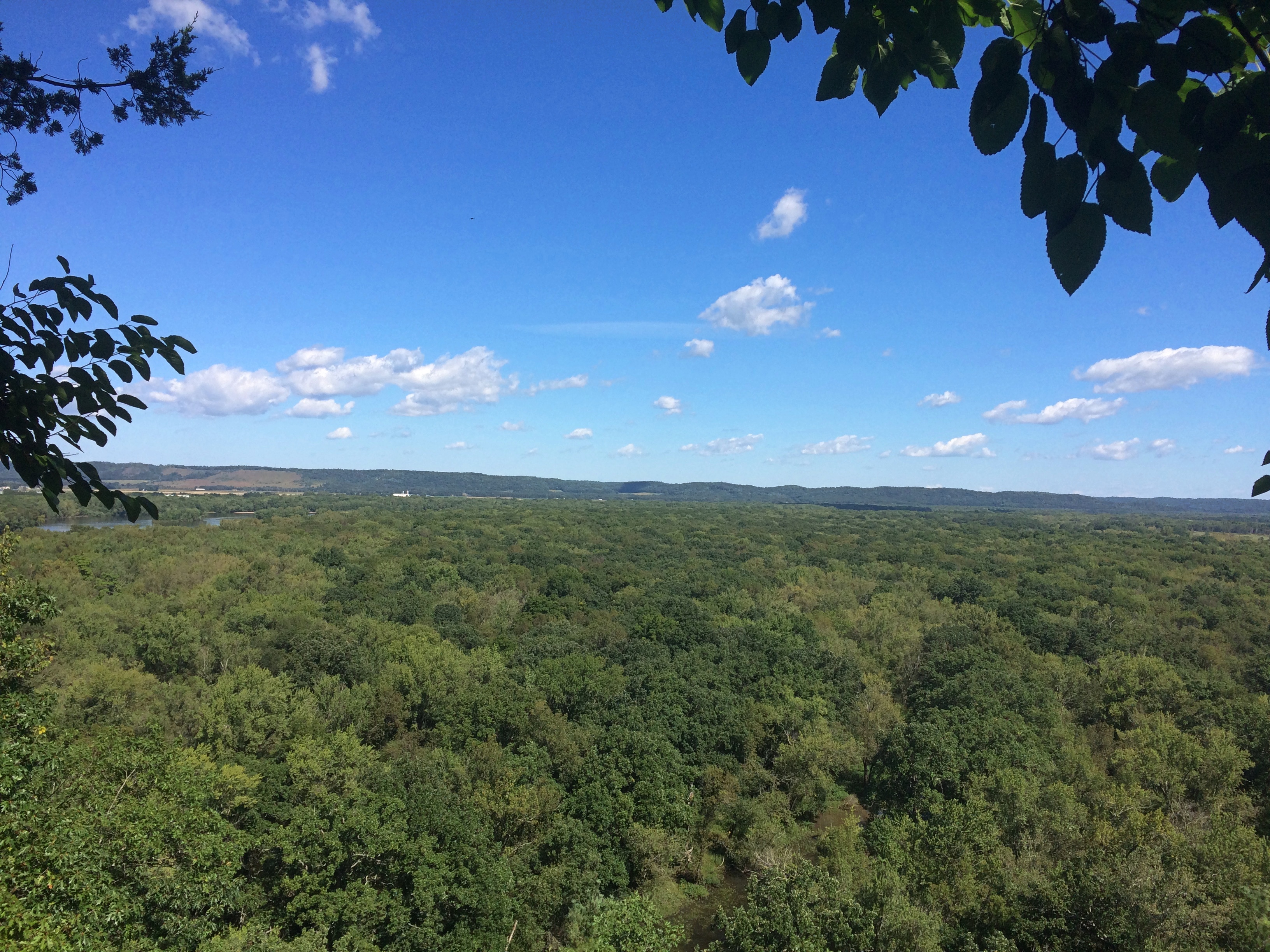
Matthiessen State Park

Thanksgiving dinner this year wasn’t quite as conventional as other years: lamb shank with homemade macaroni and cheese (a complex mix of cheeses by Ann) and barbecue-flavored beans. The bread was traditional: the cheapest brown-and-serve rolls I could find. I didn’t forget the olives.

Last summer, on the way back from New Buffalo, Michigan, we bought some grape juice at St. Julian Winery, and had one of those bottles to drink with our Thanksgiving food. All in all, a pleasant meal, not a vast feast.

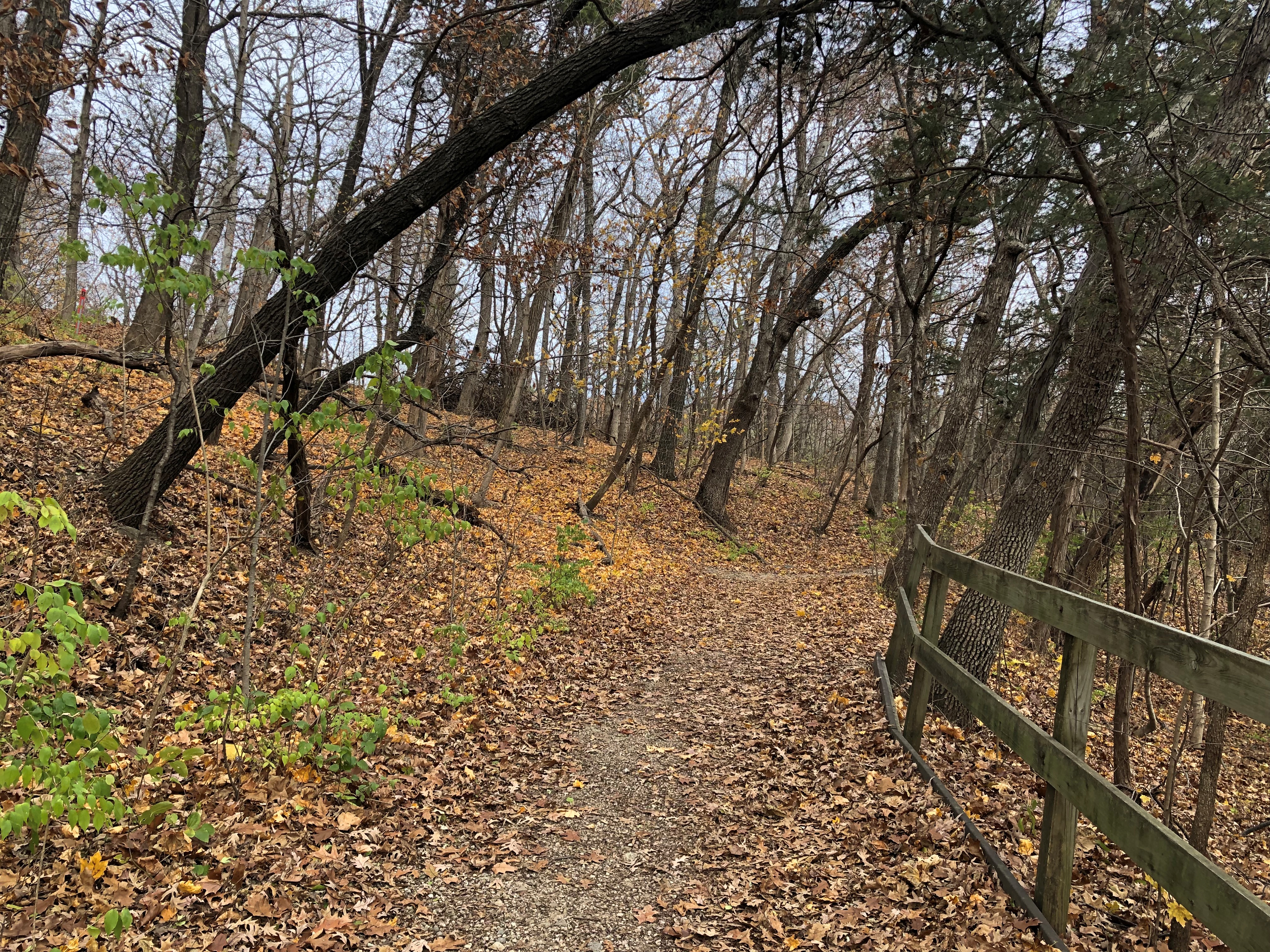
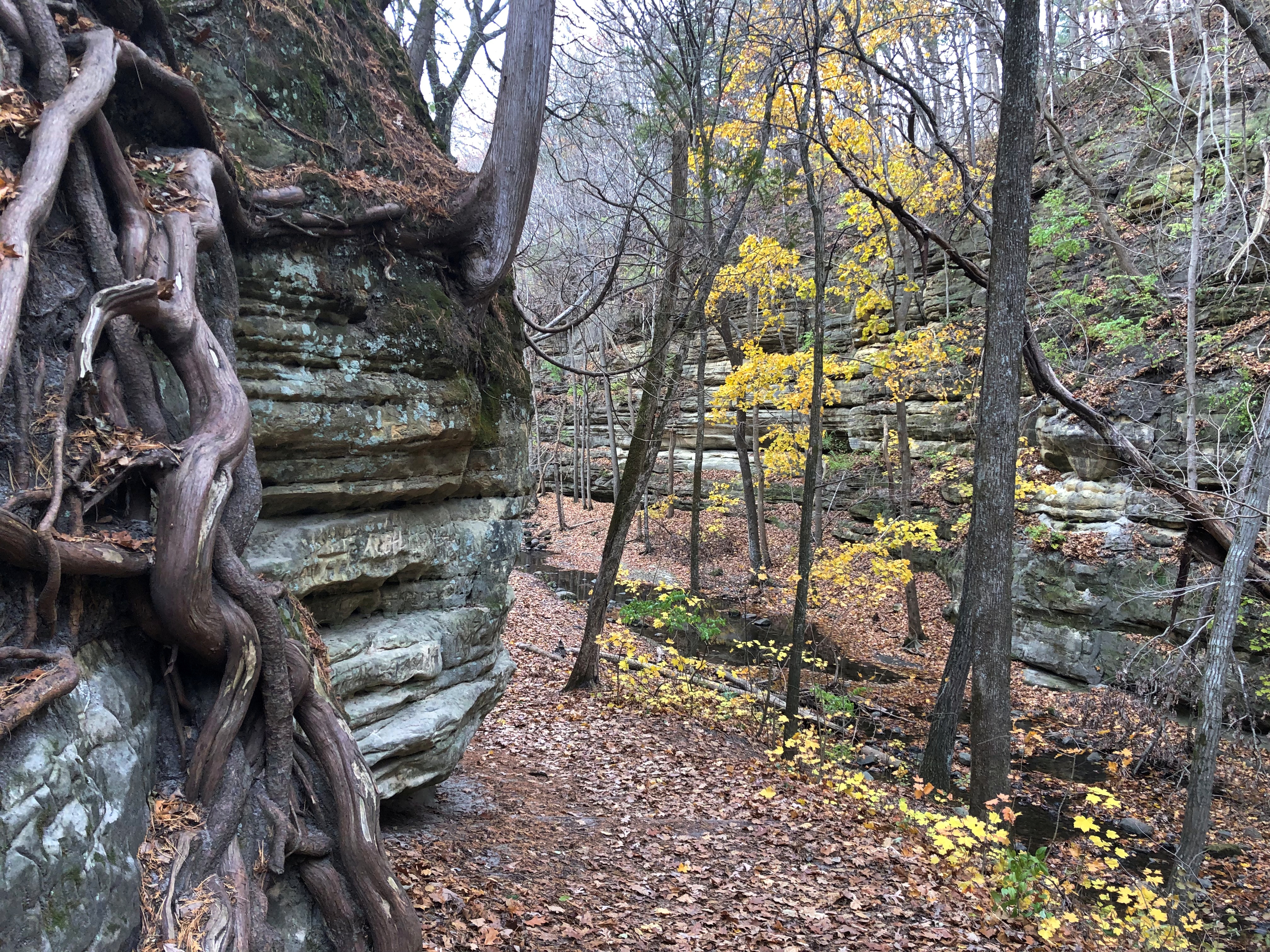
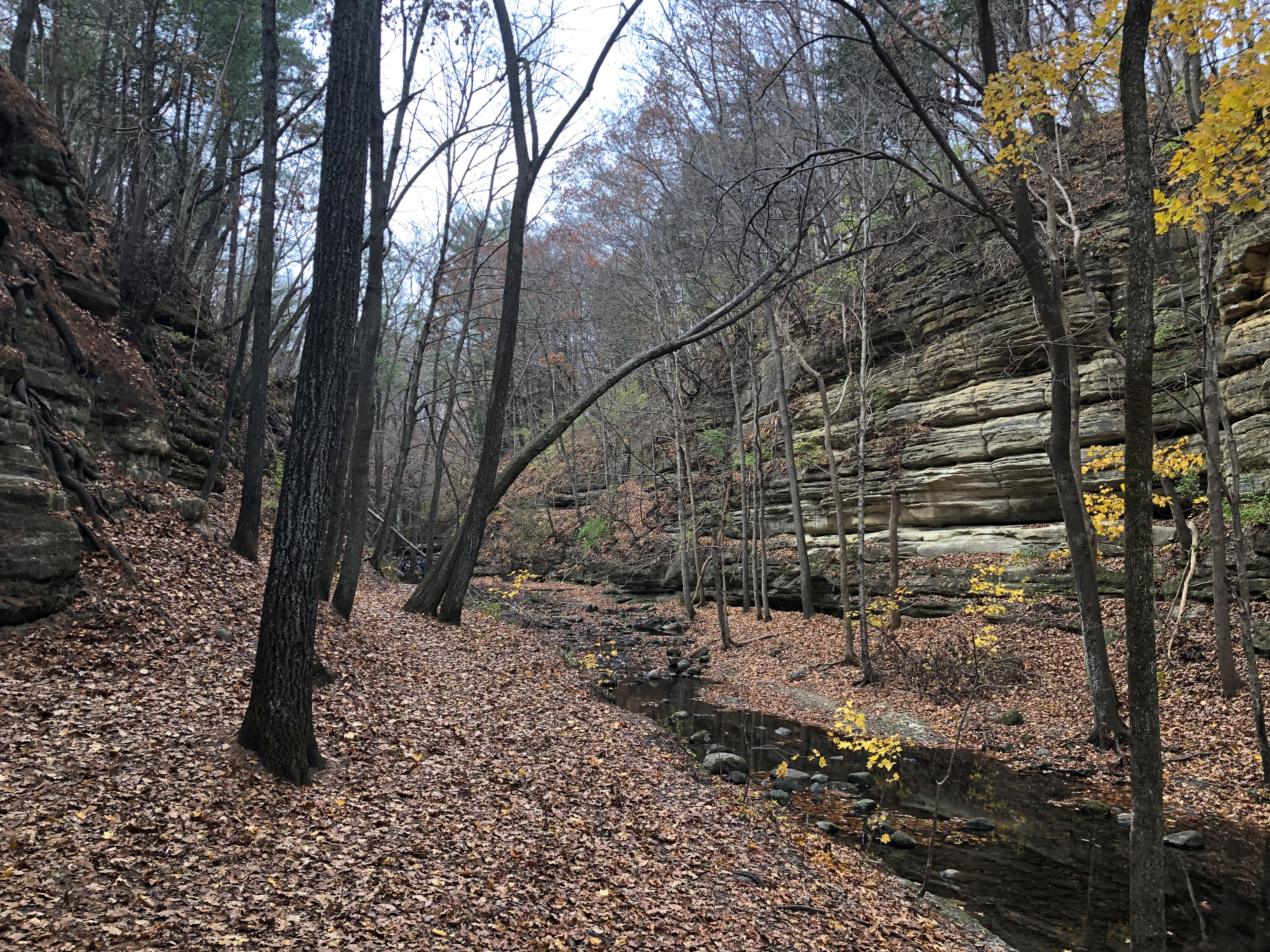
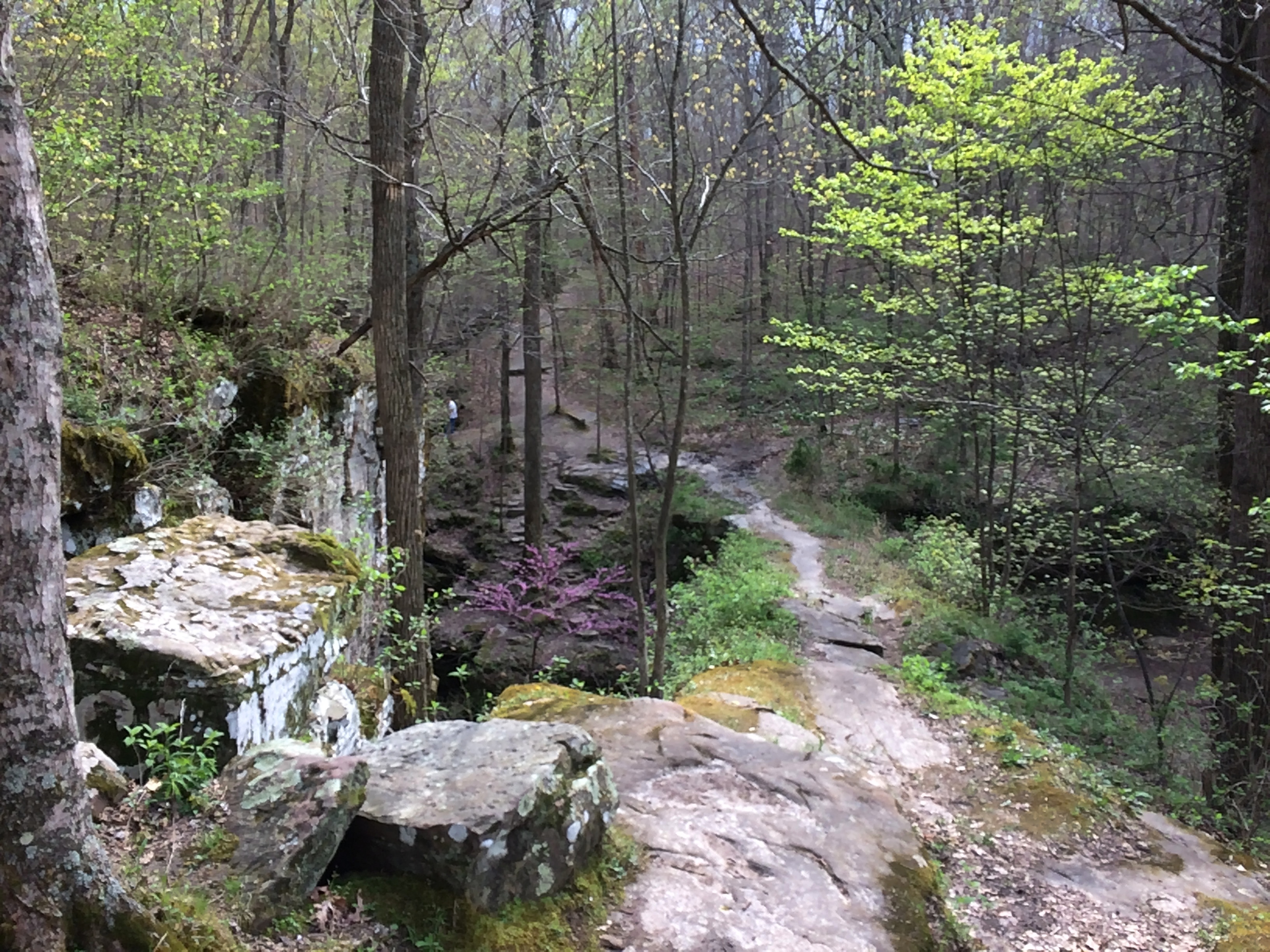
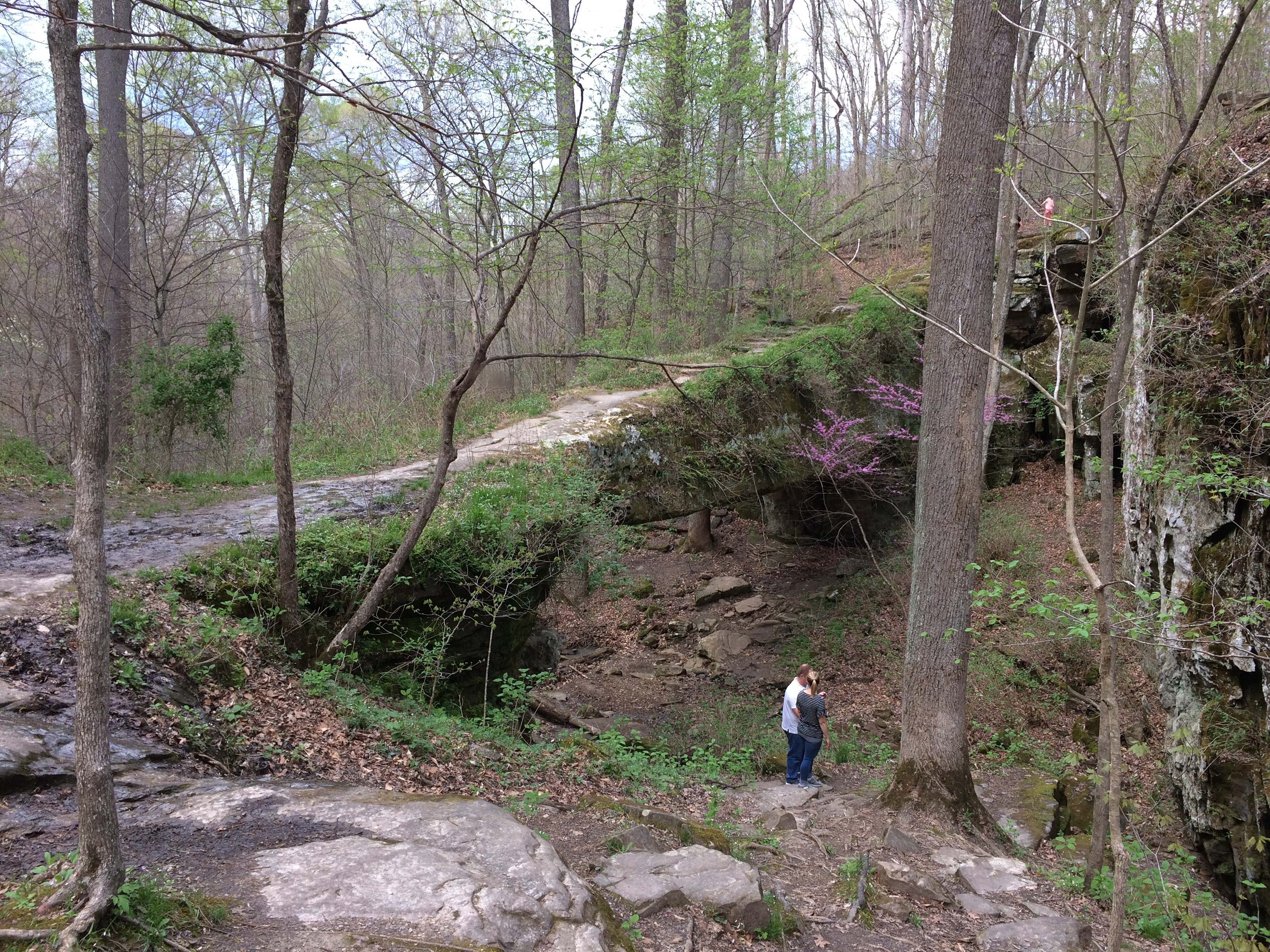
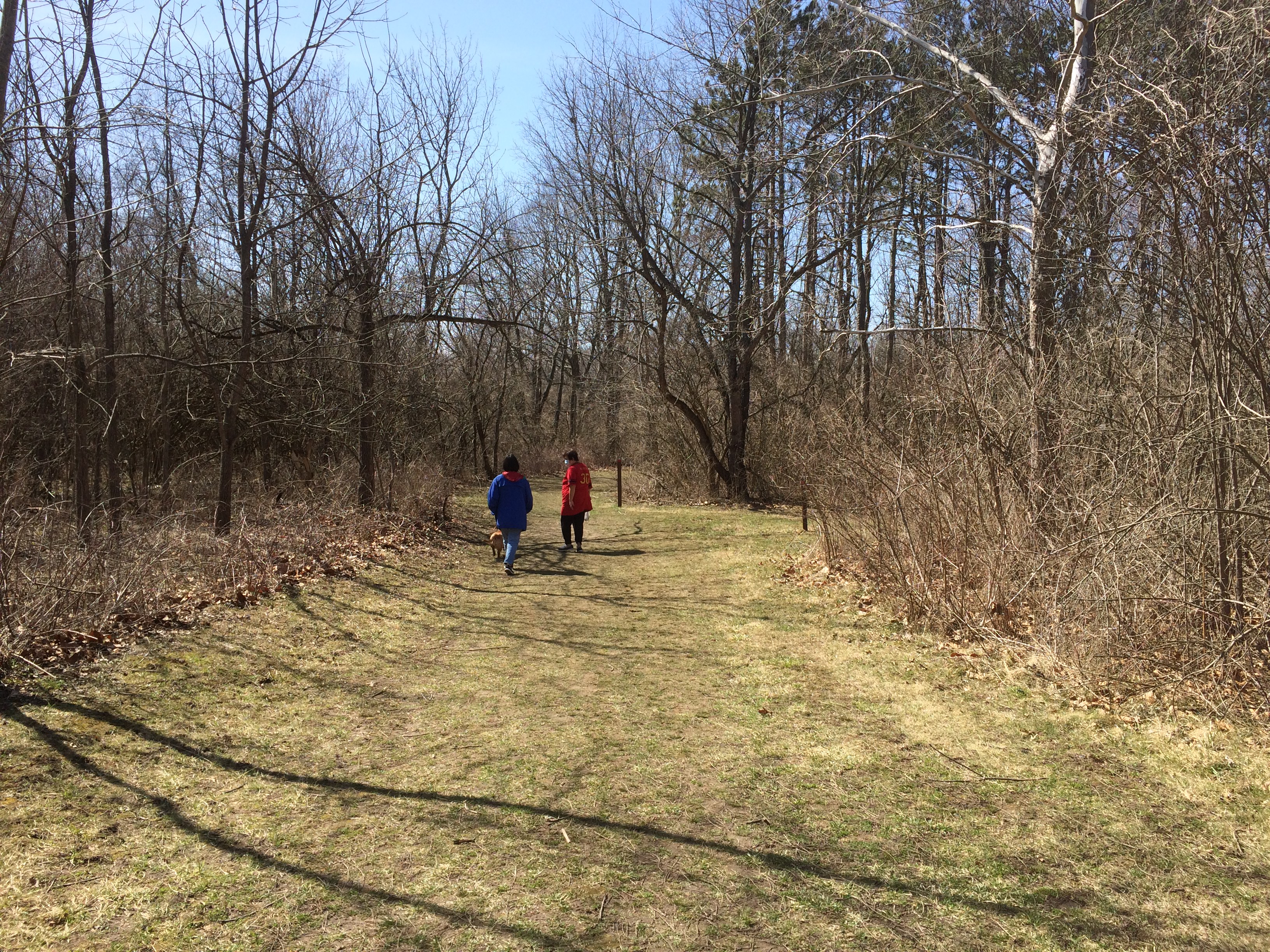
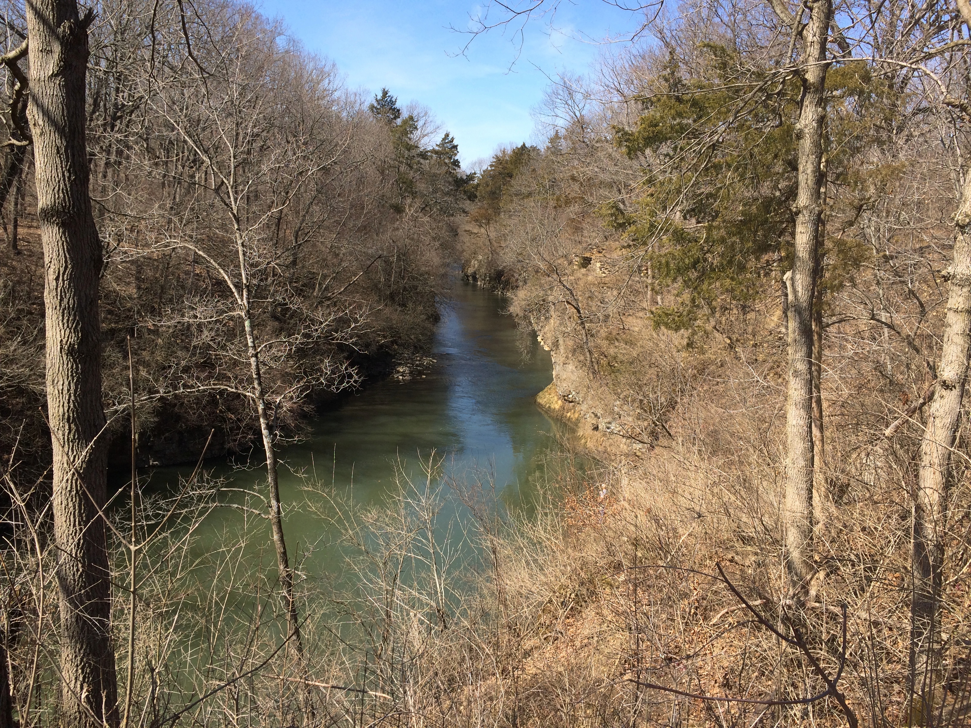
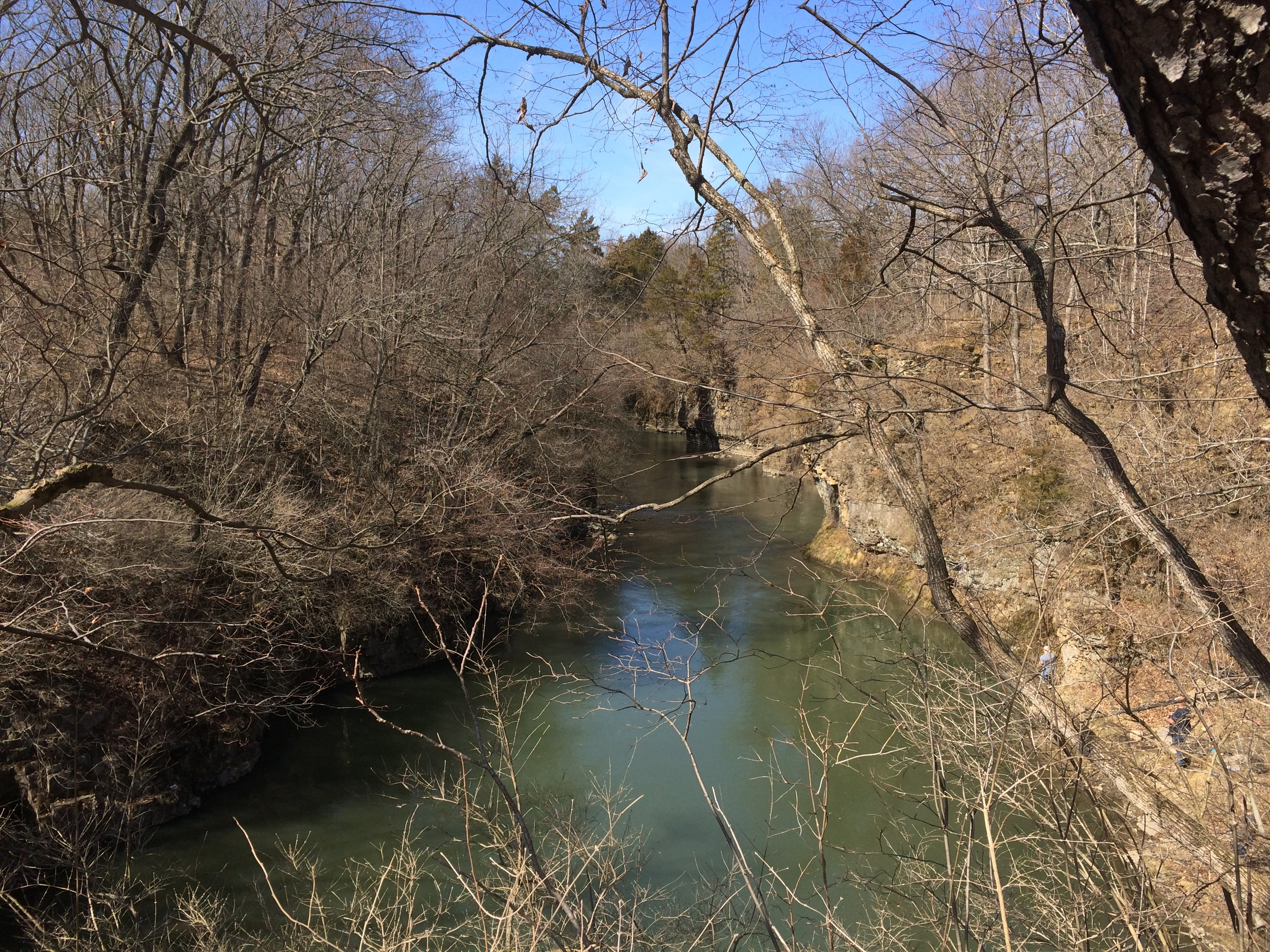
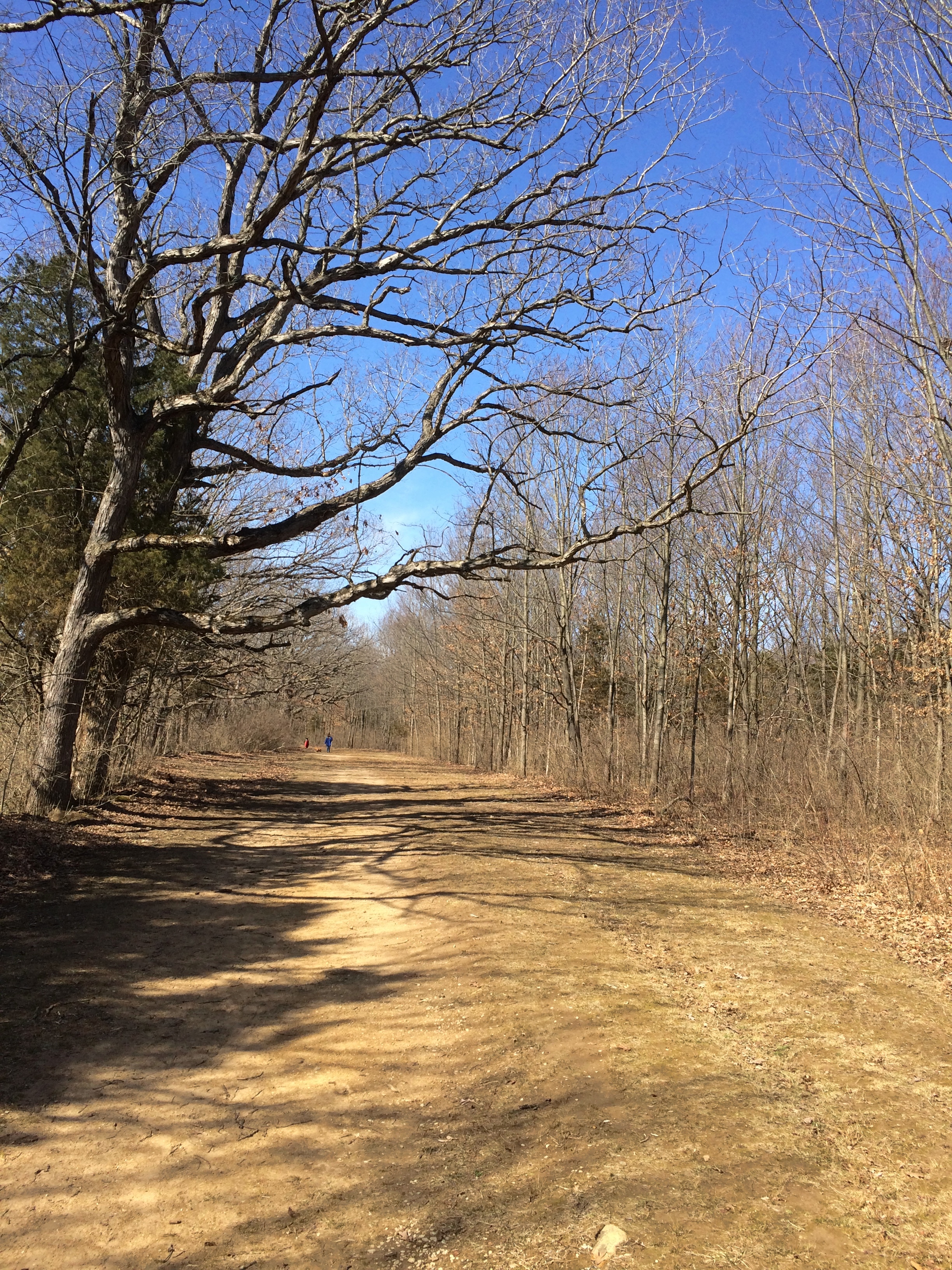
On Friday, we drove down to Matthiessen State Park, just south of the Illinois River in La Salle County and not far from the better-known Starved Rock State Park. The 1,938-acre Matthessen is a more modest park, but has a good set of trails along, and down in, a winding ravine formed by a creek.

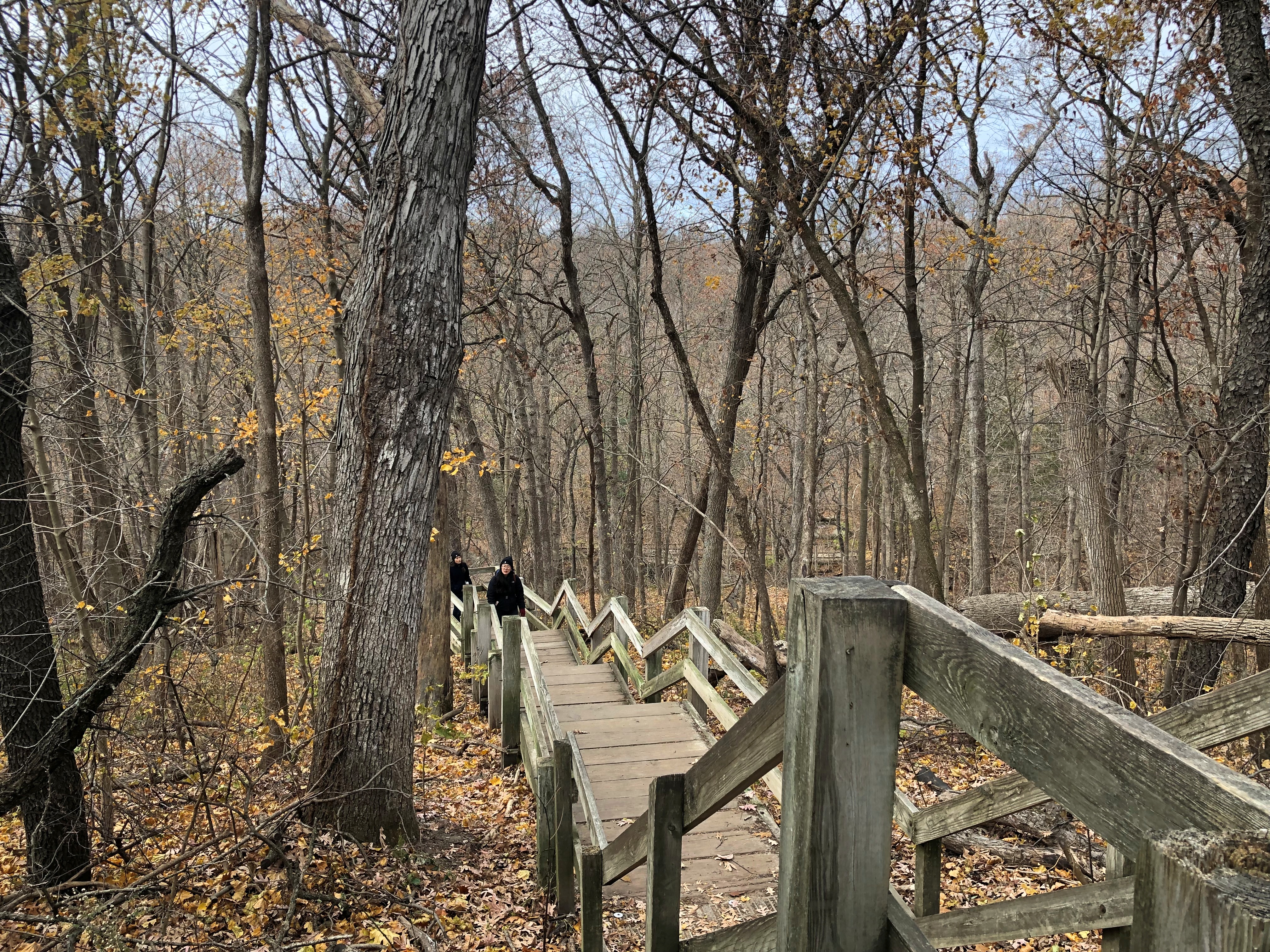
To get to the ravine, you need to go down.Matthiessen State Park

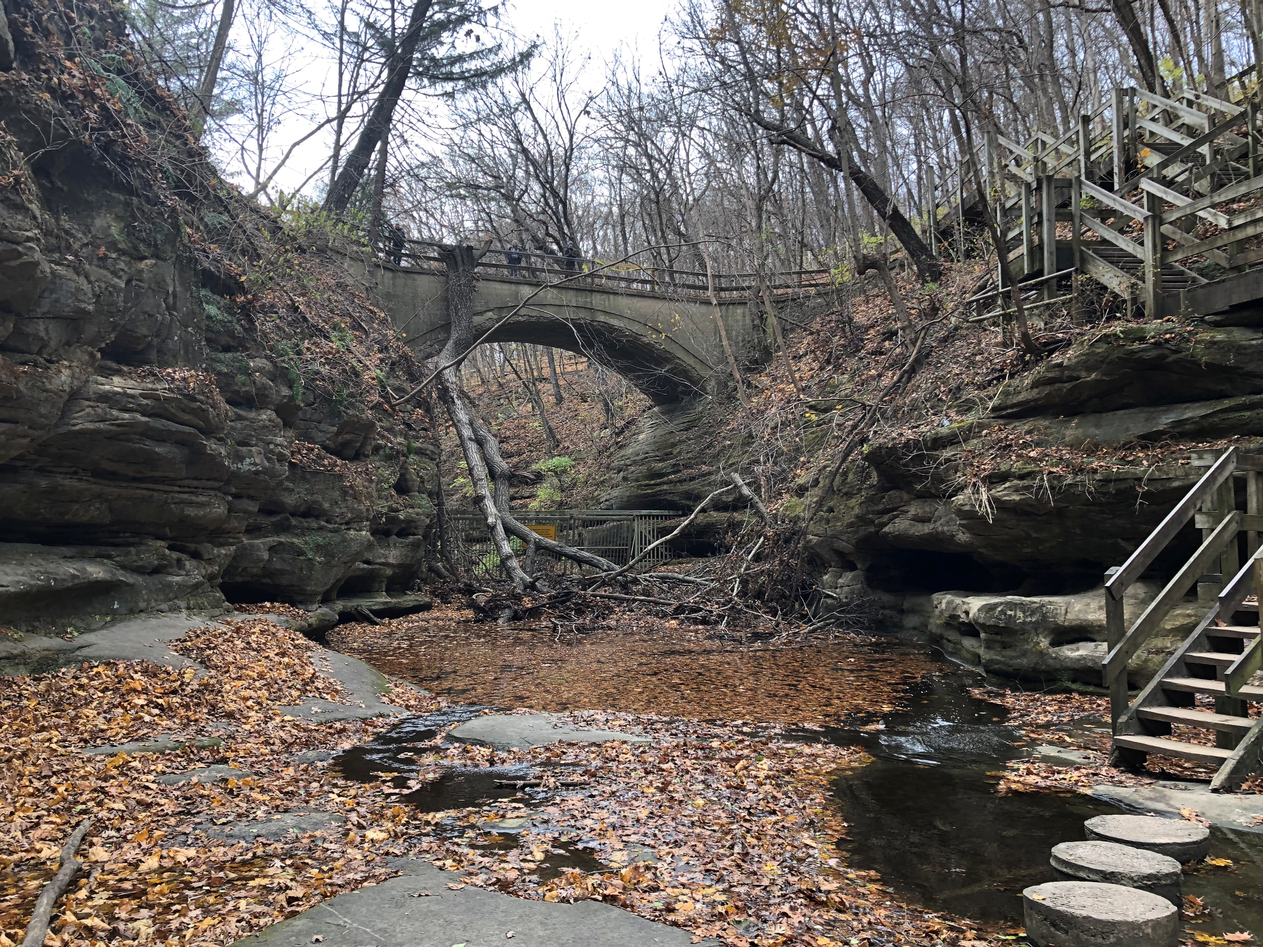
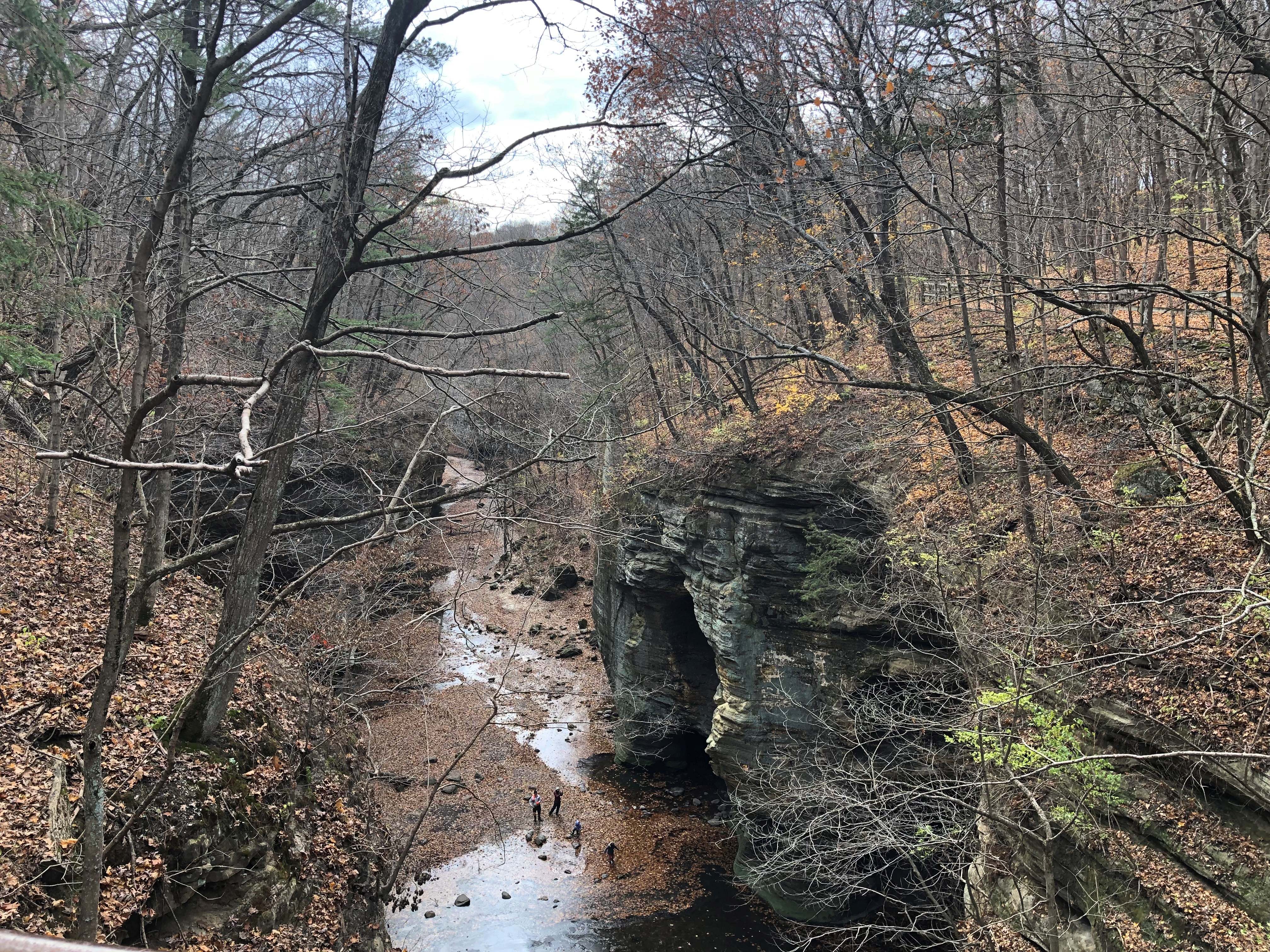
Those stairs lead to a bridge over one part of the ravine. Nice view from the bridge. For perspective, note that there are people at the bottom.Matthiessen State Park

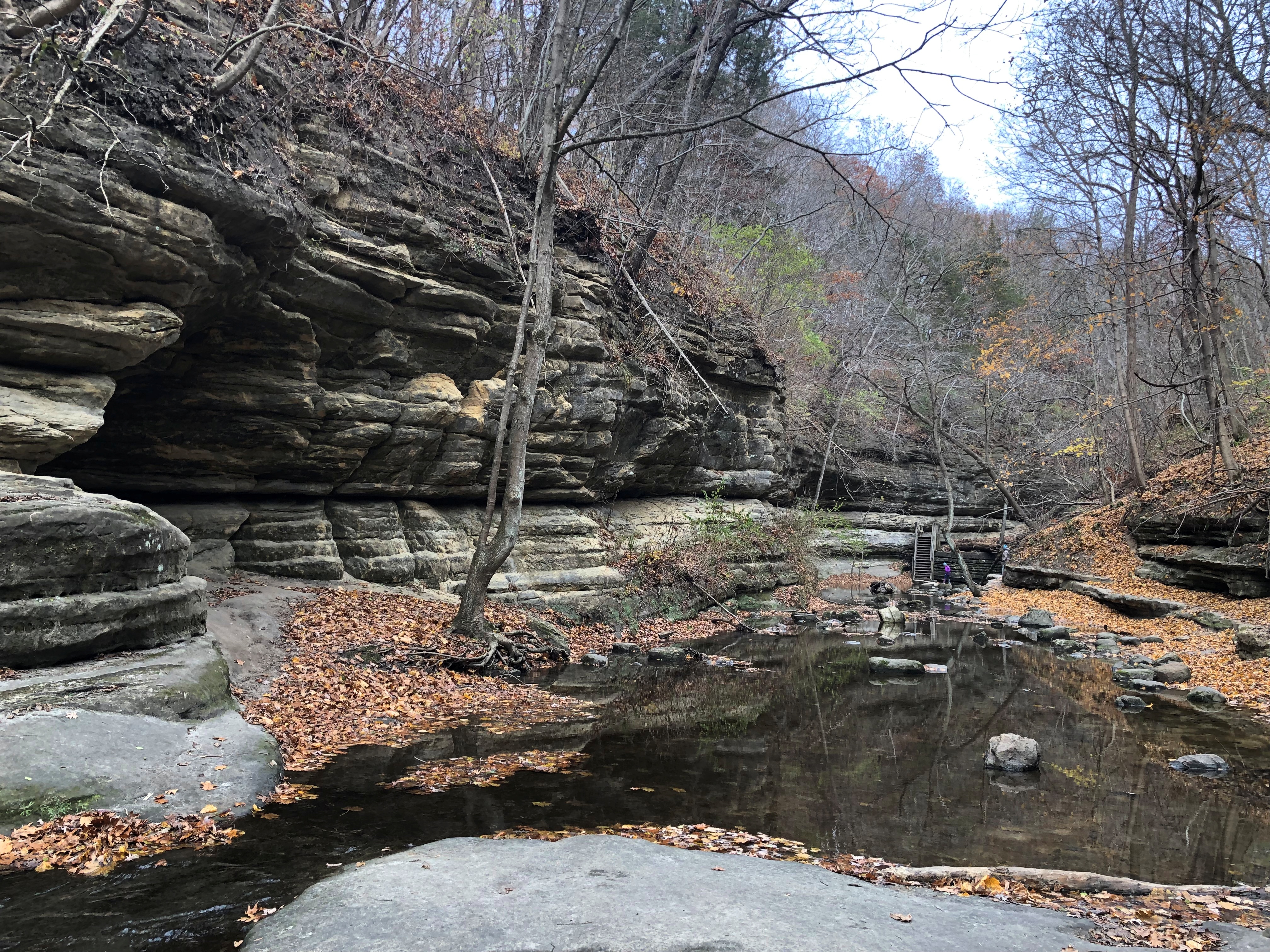
The bottom is accessible by another set of wooden stairs.Matthiessen State Park
Matthiessen State Park

Though a few degrees above freezing, there were patches of thin ice here and there on the surface of the creek, which I poked with my walking stick, watching it break into fragments.

On to the other part of the ravine, which we reached by taking this path, then a different set of stairs. Matthiessen State Park
Matthiessen State Park

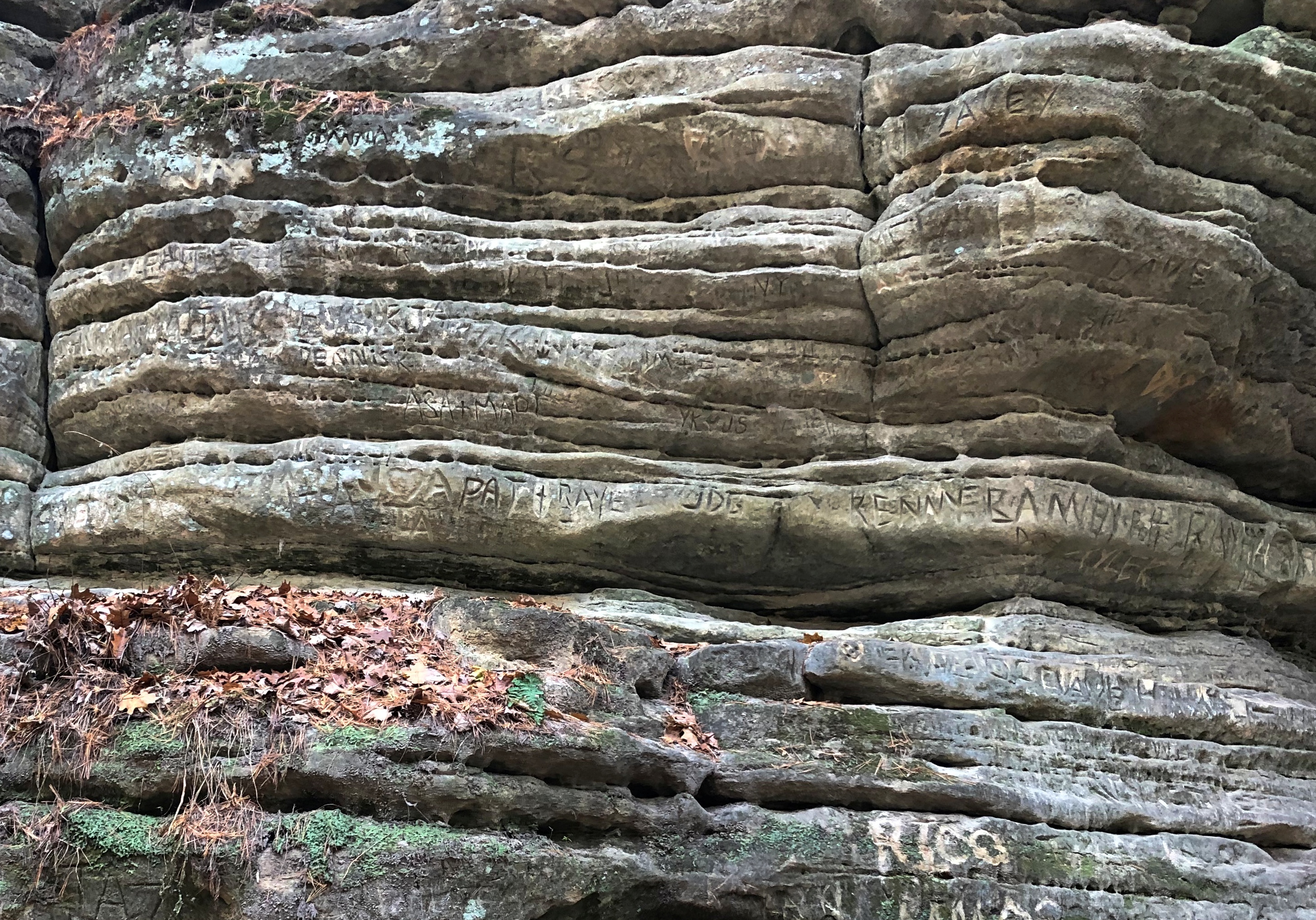
A short section of ravine wall is marked by generations of carvings in the sandstone.
Matthiessen State Park

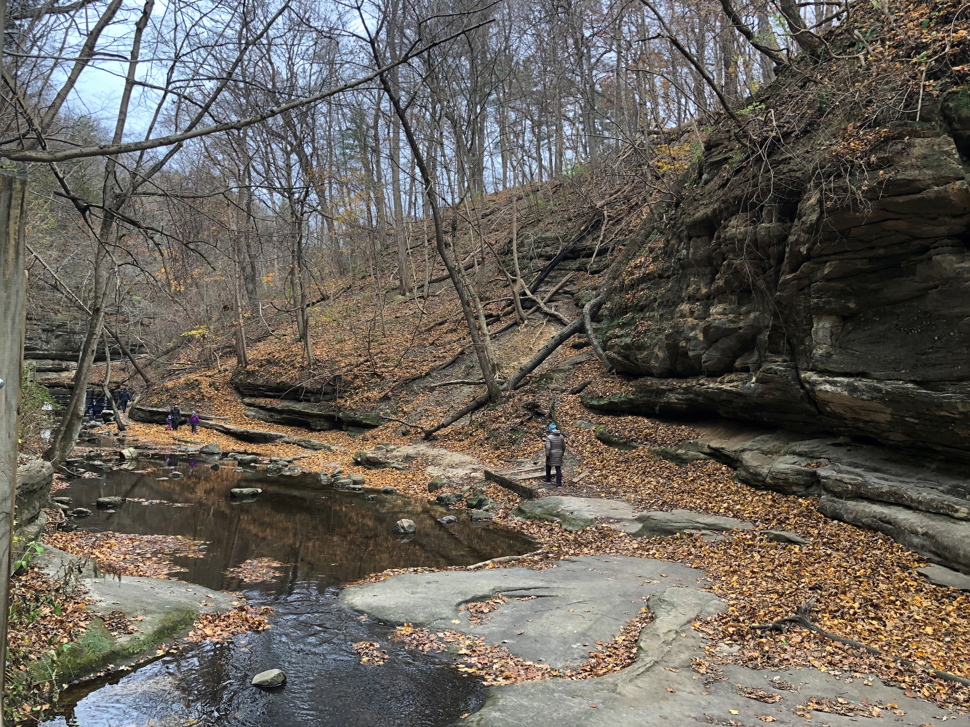
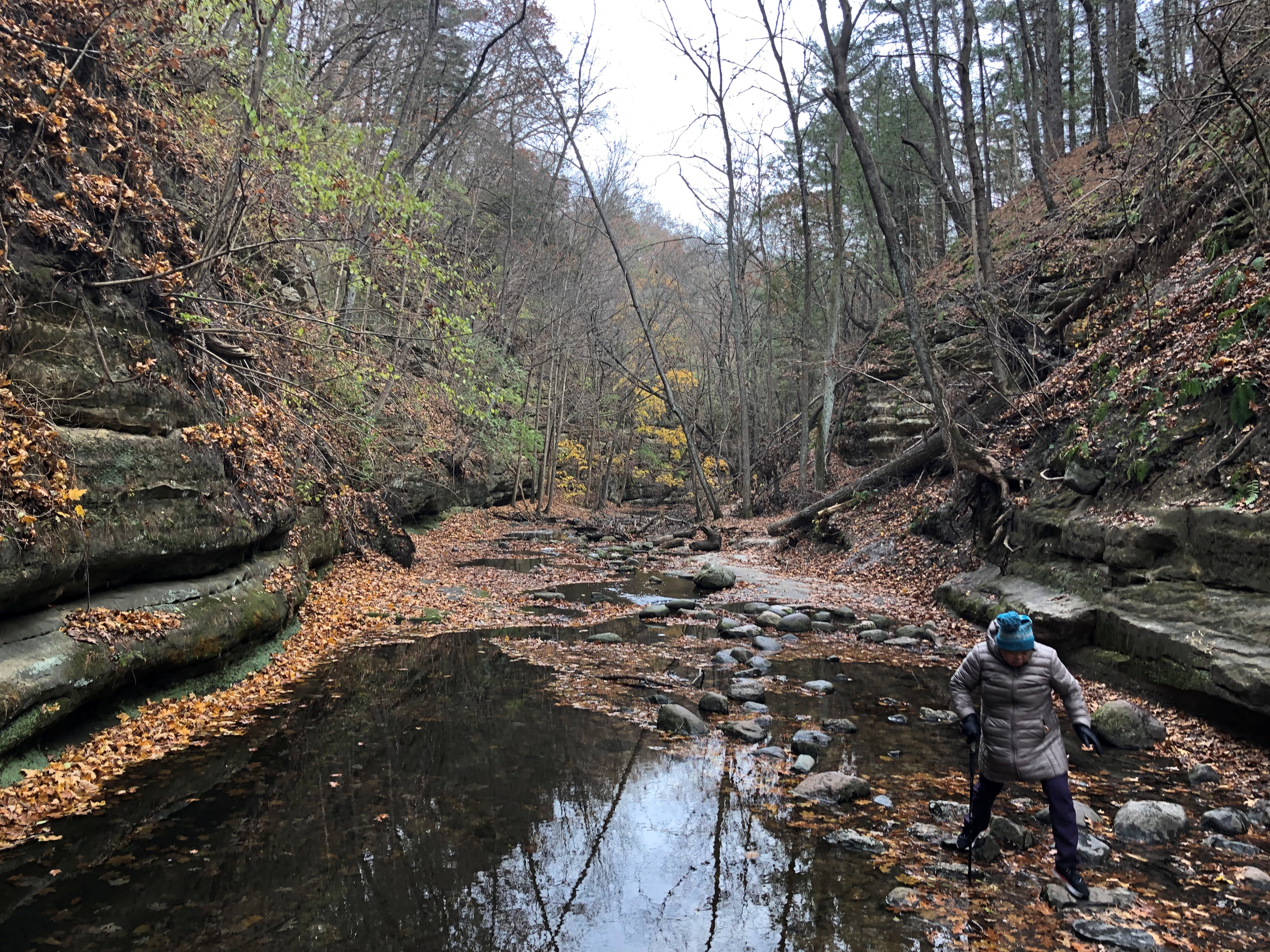
The trail sometimes meant crossing on stones over the shallow creek. A misstep into the creek would have meant uncomfortably wet shoes, at least.
Matthiessen State Park

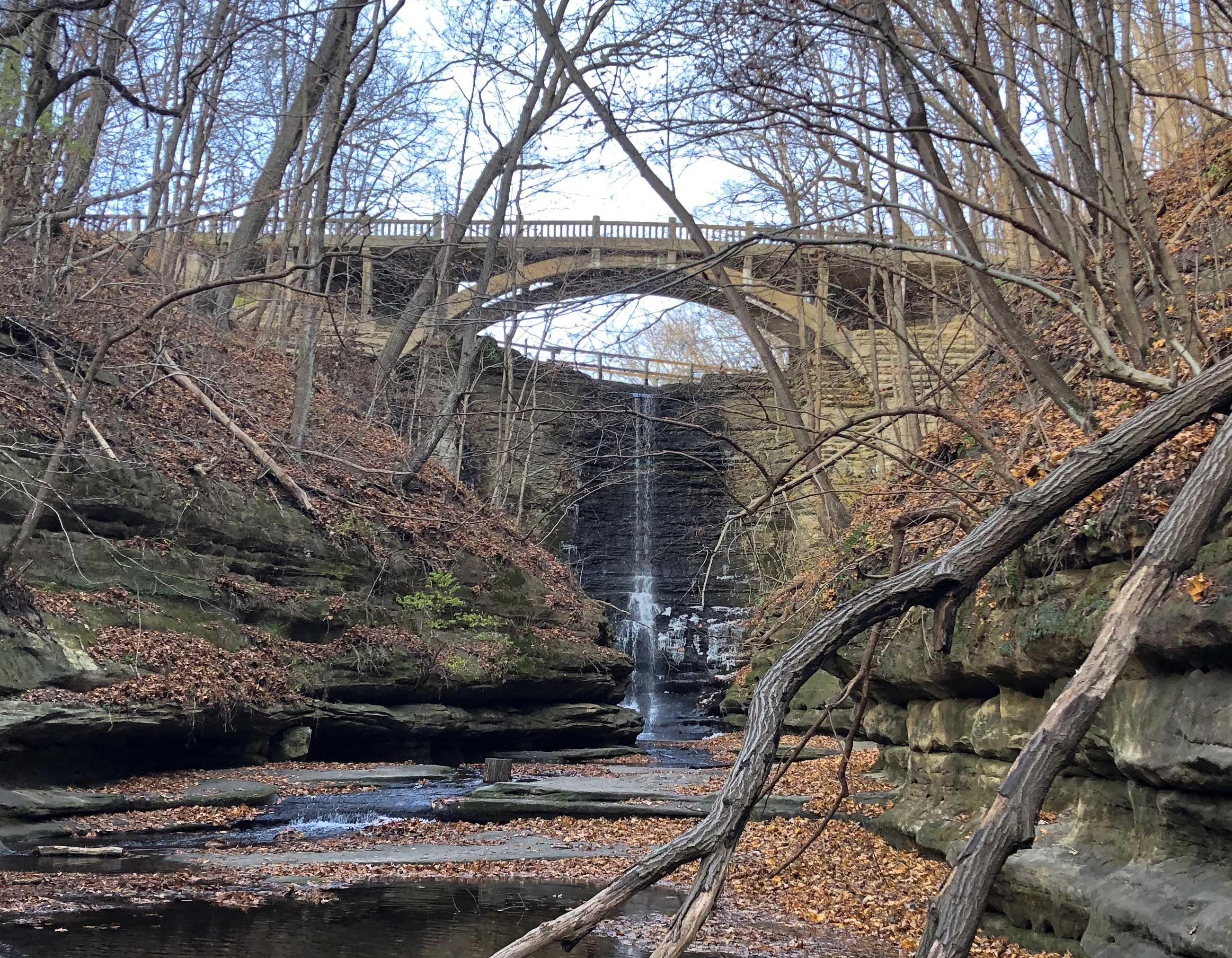
Before long, there’s another bridge and a waterfall formed by a dam that creates Matthiessen Lake. Another set of stairs, not visible in the picture, leads up to the bridge. We did a fair amount of stairclimbing at the park.
Matthiessen State Park

Still, a good walk, even on a chilly day, especially since there was little wind down in the ravine.

The park is named for Frederick William Matthiessen (d. 1918), whose land it used to be, with later additions by the state. He was the other zinc baron of 19th-century La Salle County, along with Edward Carl Hegeler, whose house we toured a few years ago.

Along the Niagara Gorge

What’s within walking distance of Niagara Falls State Park if you want a (relatively) inexpensive lunch? There’s a food court in an ugly building, but also Zaika Indian Cuisine, Taste of Nepal and Punjabi Hut on streets near the park, all of which speak to fairly recent immigration in this corner of western NY. When honeymooners visited Niagara in the early 20th century, or even most of the rest of the century, those were surely not options. We had the buffet on Saturday at Punjabi Hut, which was pretty good.

Afterwards, we spent a little more time at the park riding the Niagara Scenic Trolley, whose route was shortened during the pandemic, and then headed north by car on the Niagara Scenic Parkway. The road is fairly short — 18 miles or so — and goes from the town of Niagara Falls to Lake Ontario, but it is definitely scenic, except for the section that passes by the New York Power Authority plant on the river. Just north of the falls the parkway follows the river fairly closely.

The road was known as the Robert Moses Scenic Parkway until about five years ago. Looks like Confederate memorials aren’t the only ones getting the boot these days. So are those honoring urban planners with a taste for neighborhood-impinging expressways. (And what’s to become of this state park on Long Island? Time will tell.)

North of the town of Lewiston, the parkway still follows the river, but at a remove of a mile or so. It’s pretty enough, but I understand that the Niagara Parkway on the Canadian side, which follows the river quite closely, is the prettier drive. But one goes where one can go.

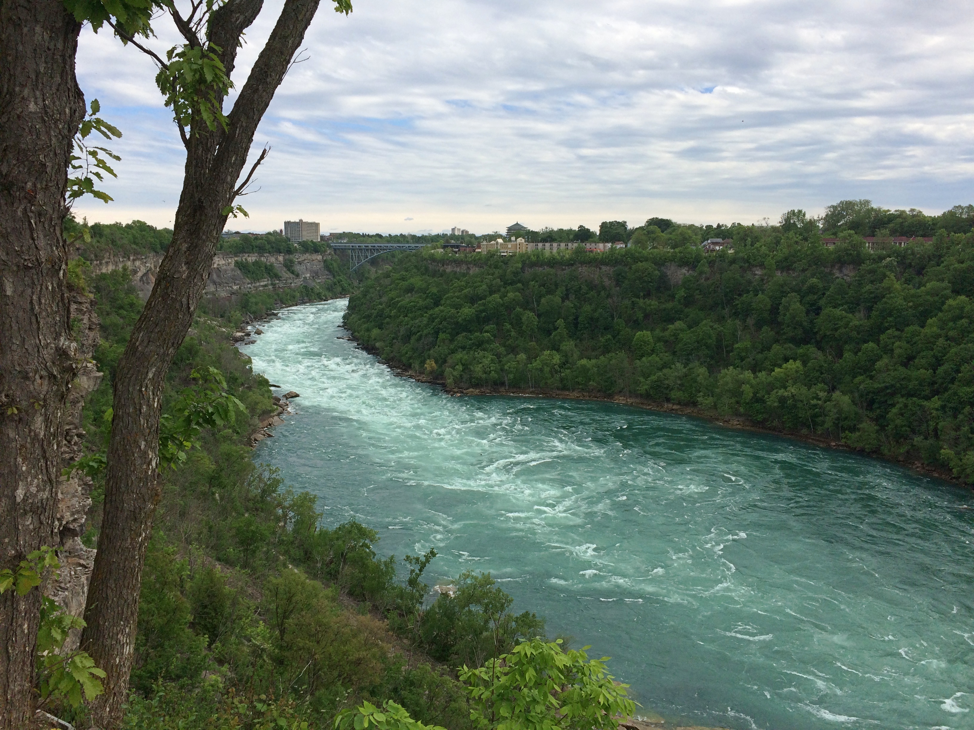
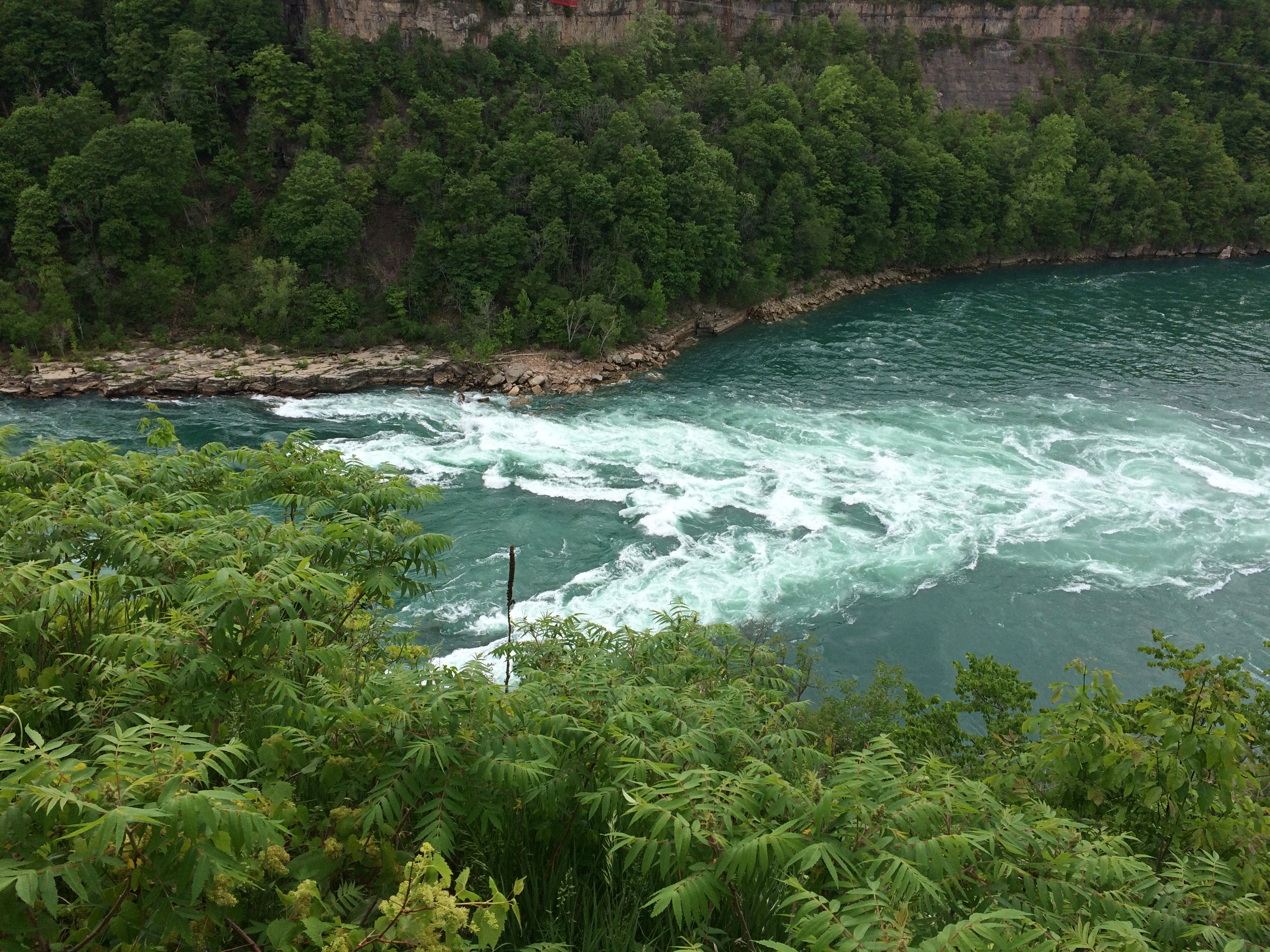
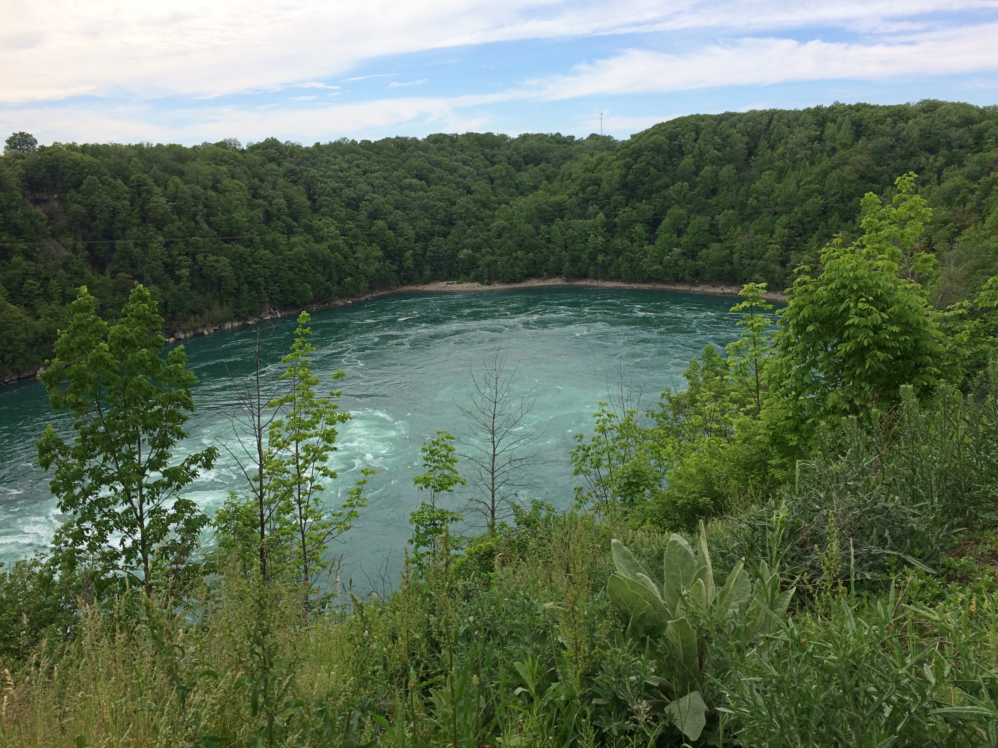
First stop: Whirlpool State Park. The intense current of the Niagara River rushes to this point and forms a enormous whirlpool at a bend. Been quite a while since I’ve had a good look at a natural whirlpool which, despite the name, looks like a choppy patch of water rather than the thing you see in a drain.

The view upriver. In the distance is the Rainbow Bridge. As I’ve said, nothing is very far from anything else in this part of New York state.Niagara Gorge

The flow into the whirlpool.
Niagara Gorge

The whirlpool.
Niagara Gorge Whirlpool

It doesn’t look like a particularly safe place for boats, but that doesn’t keep tourists from venturing there under the command of “highly skilled captains.” I’d hope so. I don’t know whether the jetboats are running now. We didn’t see any. The cable car that dangles over the whirlpool, the Whirlpool Aero Car, and which launches from the Canadian side, looked immobile, still shut for the pandemic.

Then there’s the story of Capt. Joel Robinson, skipper of the Maid of the Mist in 1861, who shot the Niagara rapids and whirlpool. Niagara Falls Info tells the story:

“In 1861, due to a financial crisis and the American Civil War, the Maid of the Mist was sold at public auction to a Canadian company. The deal would go through if the boat could be delivered to Lake Ontario. To get to Lake Ontario, the Maid of the Mist had to be navigated through the Great Gorge Rapids, the Whirlpool, and the Lower Rapids.

“On June 6th 1861, 53-year-old Captain Joel Robinson undertook this risky mission along with two deck hands…[McIntyre and Jones]. With both shores lined with onlookers, Captain Robinson and crew rode the Maid of the Mist into one of the world’s most wild and dangerous whitewater rapids.

“The first giant wave that struck the boat threw Robinson and McIntyre to the floor of the wheel house. It also tore the smoke stack from the boat and Jones was thrown to the floor of the engine room. The tiny boat was now at the mercy of the massive waves crashing against it. The boat was carried at approximately 63 km/h through the rock strewn rapids. Soon the Maid of the Mist was propelled into the Whirlpool where Captain Robinson was able to regain control of the boat.

“Captain Robinson had great difficulty maneuvering the Maid of the Mist from the grip of the Whirlpool… The 5 kilometre journey through the rapids and the Whirlpool was well executed, although they lost the smoke stack. Captain Robinson was the first person to accomplish the impossible [obviously not, just difficult] task of taking a boat through the dangerous waters.

“The frightening experience of this journey caused Captain Robinson to give up a career that he loved. He retired into near seclusion and died two years later at the age of 55.”

In modern terms, sounds like he suffered from PTSD. In 19th-century terms, I figure people said he was spooked by the ordeal. No mention of the aftermath for the deck hands.

Not long after visiting Whirlpool State Park, we spend a while in the pleasant town of Lewiston, New York, whose equally pleasant riverfront isn’t at the top of a gorge, but at river level. Not far from the river is the Freedom Crossing Monument, an ensemble of bronzes by Susan Geissler commemorating those escaped slaves who crossed into Canada.Lewiston, NY
Elsewhere in Lewiston is the variously named Earl W. Brydges Artpark State Park, or Earl W. Brydges State Artpark, or simply the Artpark, a venue for summertime musical entertainment. It also includes some other standard features of a park, such as playground equipment and picnic tables, as well as an Indian mound. I expect there haven’t been any events there in more than a year, but maybe that will pick up soon.

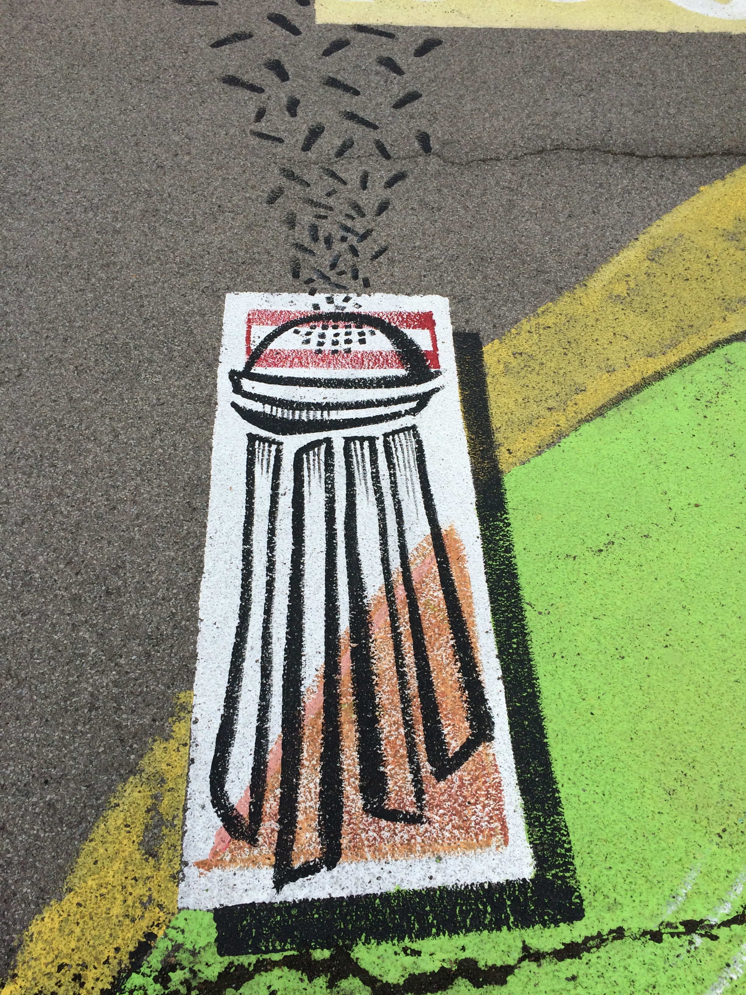
All very interesting, but what struck me was the parking lot. It’s large and undistinguished except for the paintings on its surface. When I pulled into the lot, I took them for children’s chalk drawings, maybe left over from a kids’ event, but soon I noticed they were paintings, and extensive in scope across the lot.Lewiston, NY Artpark parking lot art

More parking lots such be decorated like this.Lewiston, NY Artpark parking lot art Lewiston, NY Artpark parking lot art Lewiston, NY Artpark parking lot artThe end of the line for the Niagara Scenic Parkway is near Old Fort Niagara State Historic Site, which overlooks the mouth of the river on Lake Ontario. The fort itself, which is ringed by an iron fence, was closed by the time we got there. But the rest of the grounds were open. While Yuriko napped in the car, I looked around.

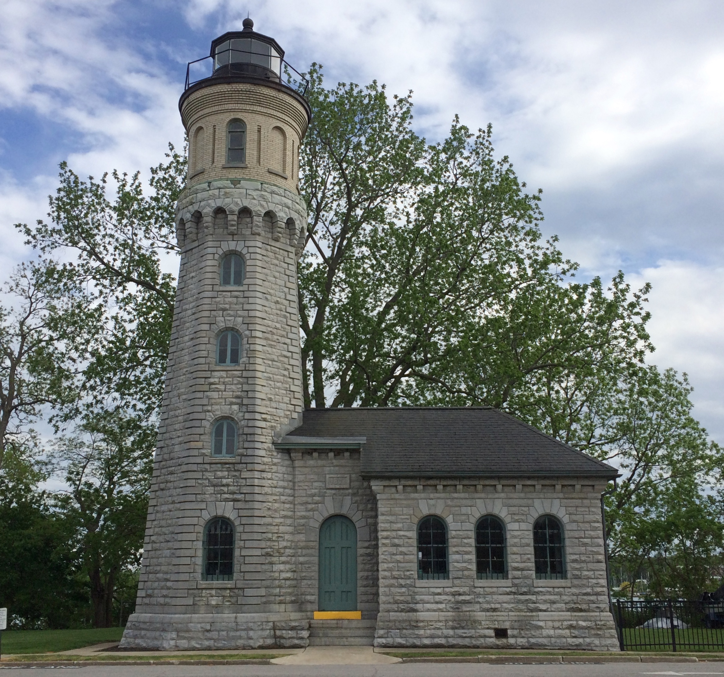
The Old Fort Niagara lighthouse.
Old Fort Niagara lighthouseThis particular light dates from 1871, but the fort had more primitive lights much earlier than that, ca. 1781, which count as the first lights on the Great Lakes.

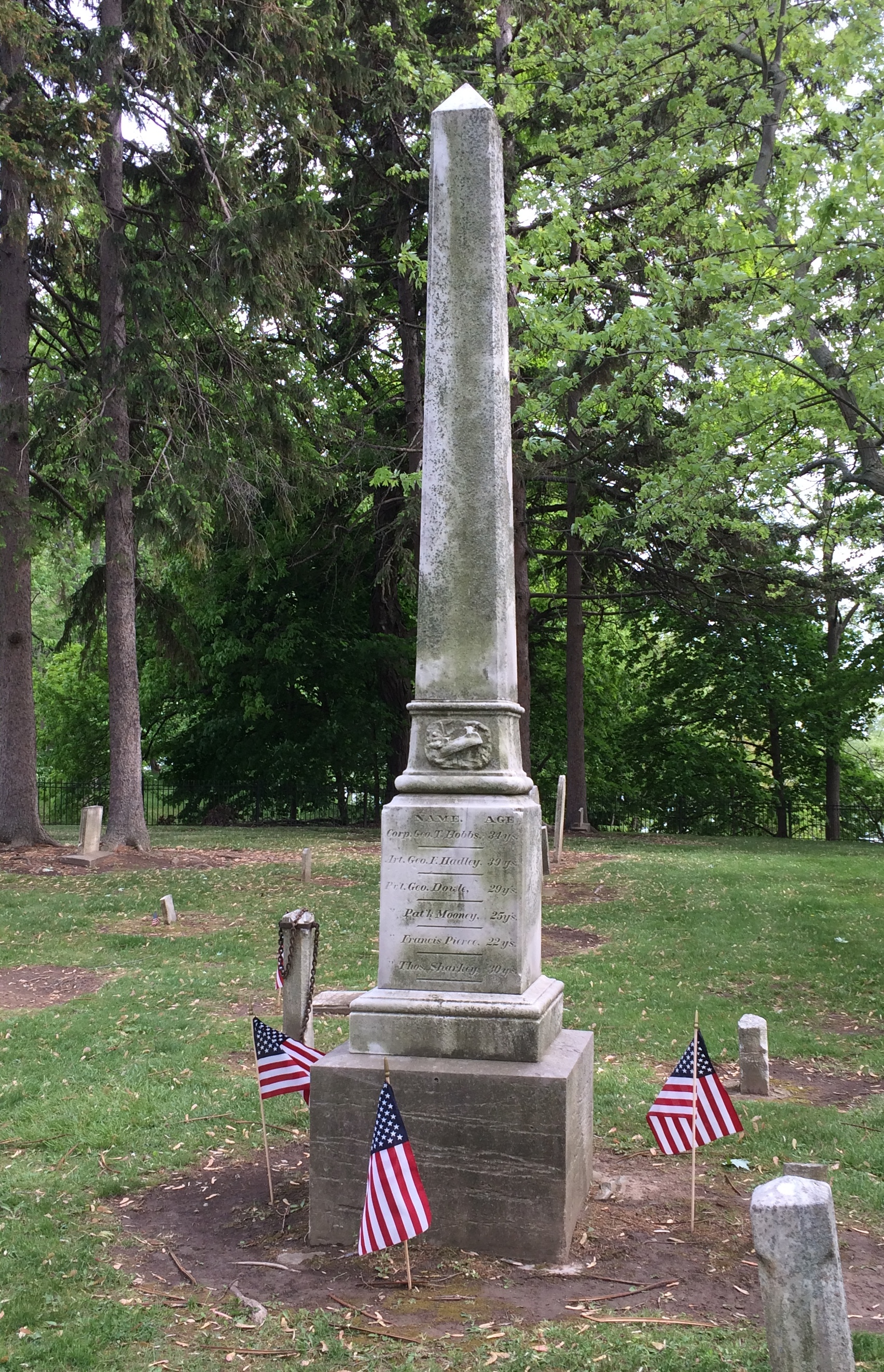
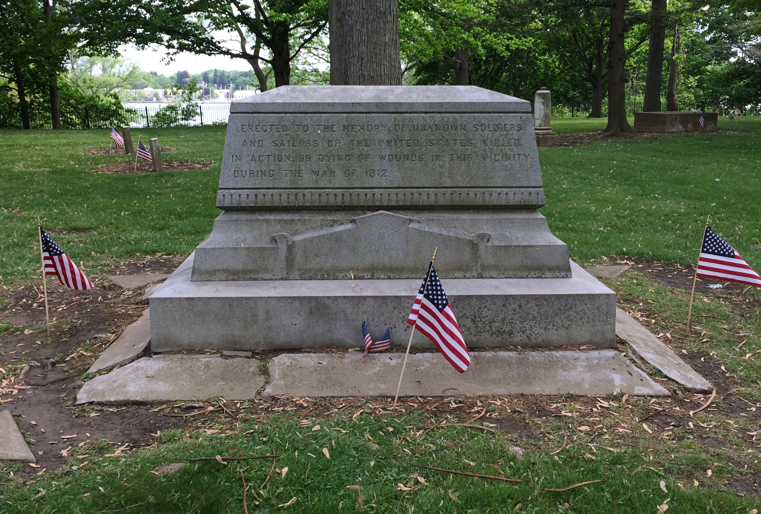
The old fort also has an old cemetery.Old Fort Niagara cemetery Old Fort Niagara cemetery Old Fort Niagara cemeterySmall, but a dignified spot for those who died during here the War of 1812. The fort was scene of a bloody bit of business during that dimly remembered war. Good to see that the stones were ready for Decoration Day.Old Fort Niagara cemeteryErected to the memory of unknown soldiers and sailors of the United States killed in action or dying of wounds in this vicinity during the War of 1812.

Niagara Falls State Park

Something I didn’t know until I visited there on Saturday: Niagara Falls State Park in New York is considered the oldest state park in the nation, established in 1885 as the Niagara Reservation. Creation of the park was an early success for Progressivism, spearheaded by Frederick Law Olmsted. Him again. The wonder is that he isn’t more widely known for his terrific landscape artistry, which anyone can see.Niagara Falls State Park
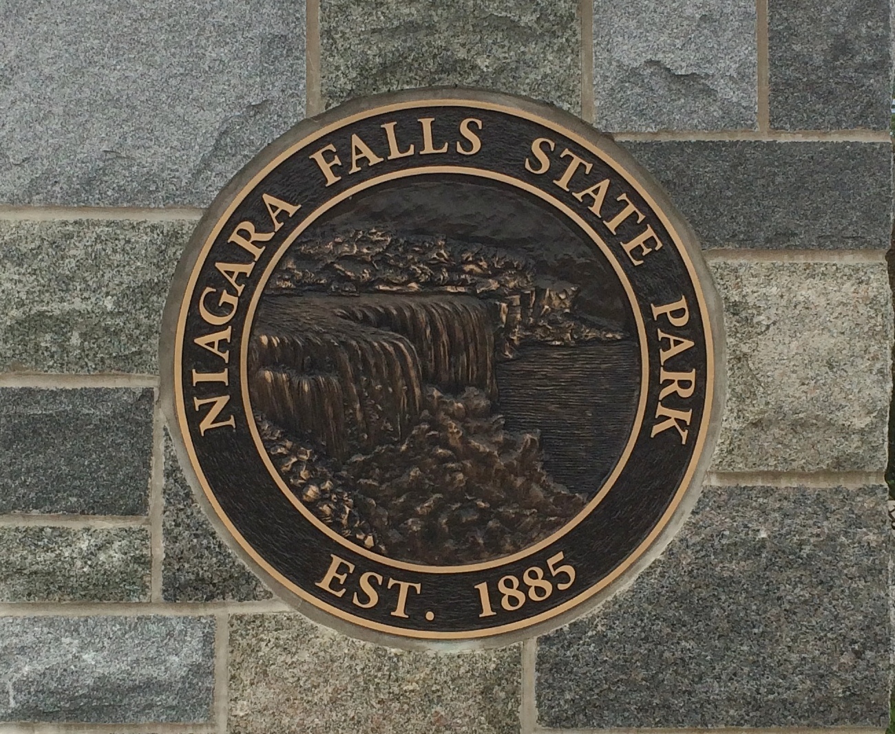
A victory for the Progressive movement because, as I’ve read, before that private landowners around the falls monopolized access. You’d think that wouldn’t be much of an issue in the 19th century, but the falls have been a tourist attraction for a long time. In the park we saw a sign that noted that on his grand tour of the U.S. in 1825, Lafayette came to see the falls. But the real tourism boom began after the falls became a public place with easy access.

We arrived on Saturday around 9 a.m. and found a place to park right away in lot no. 1. Good thing, too, since later in the day we noticed a long line of cars waiting to park. Even that early there were a fair number of people in the park, but by early afternoon the place was mobbed.

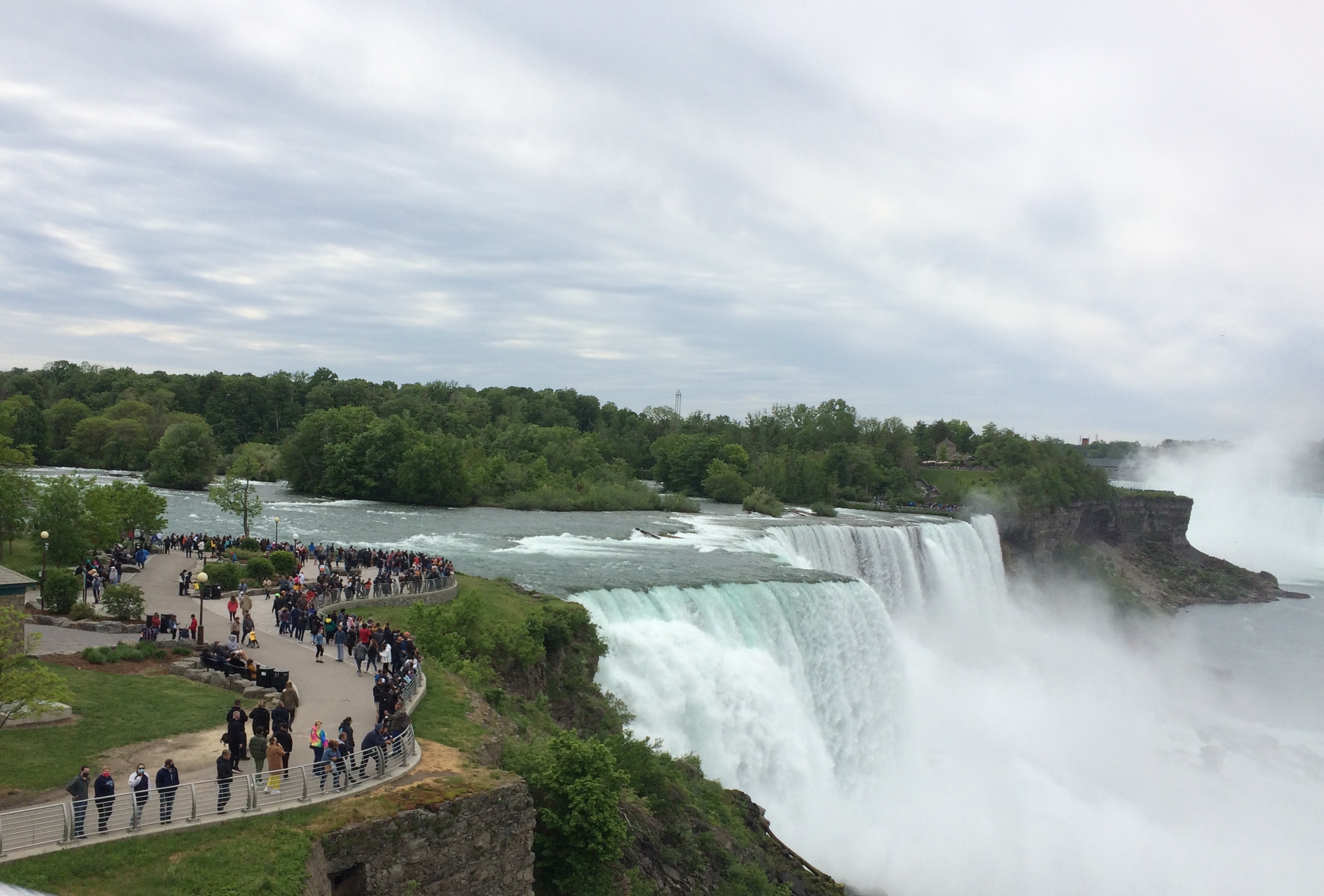
It didn’t matter once you’d ditched your car. The park holds crowds well because it’s large, encompassing a long stretch of shore along the Niagara River upriver and downriver from the falls, and the islands that divide the falls into three: the relatively small Bridal Falls, the mid-sized American Falls, and the mighty Horseshoe Falls, most of which is Canadian.Niagara Falls

Created at the end of the last ice age 12,000 years ago or so, the falls have an estimated existence span of another 50,000 years. So we’re witnessing a geological blip. How many countless mighty cataracts of this kind have come into being only to erode away over the billions of years of liquid water on Earth? And what about crashing falls on other worlds?

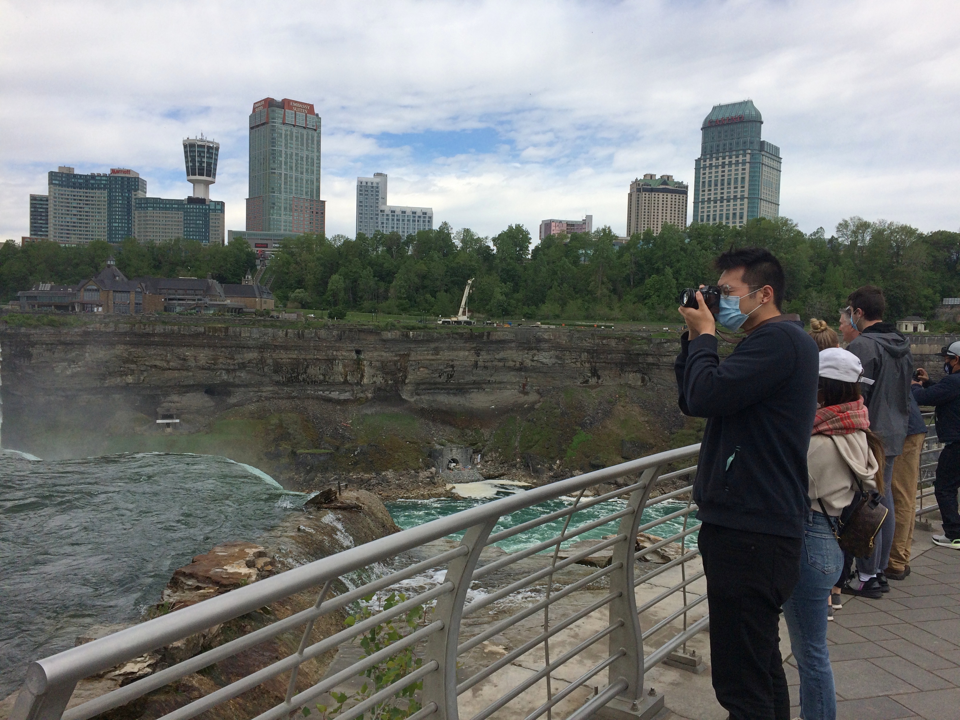
From the U.S. side, your first view is of the American falls, looking to the south. The buildings in the background are part of the town of Niagara Falls, Ontario. This is a shot with the tourist infrastructure edited out.Niagara Falls State Park
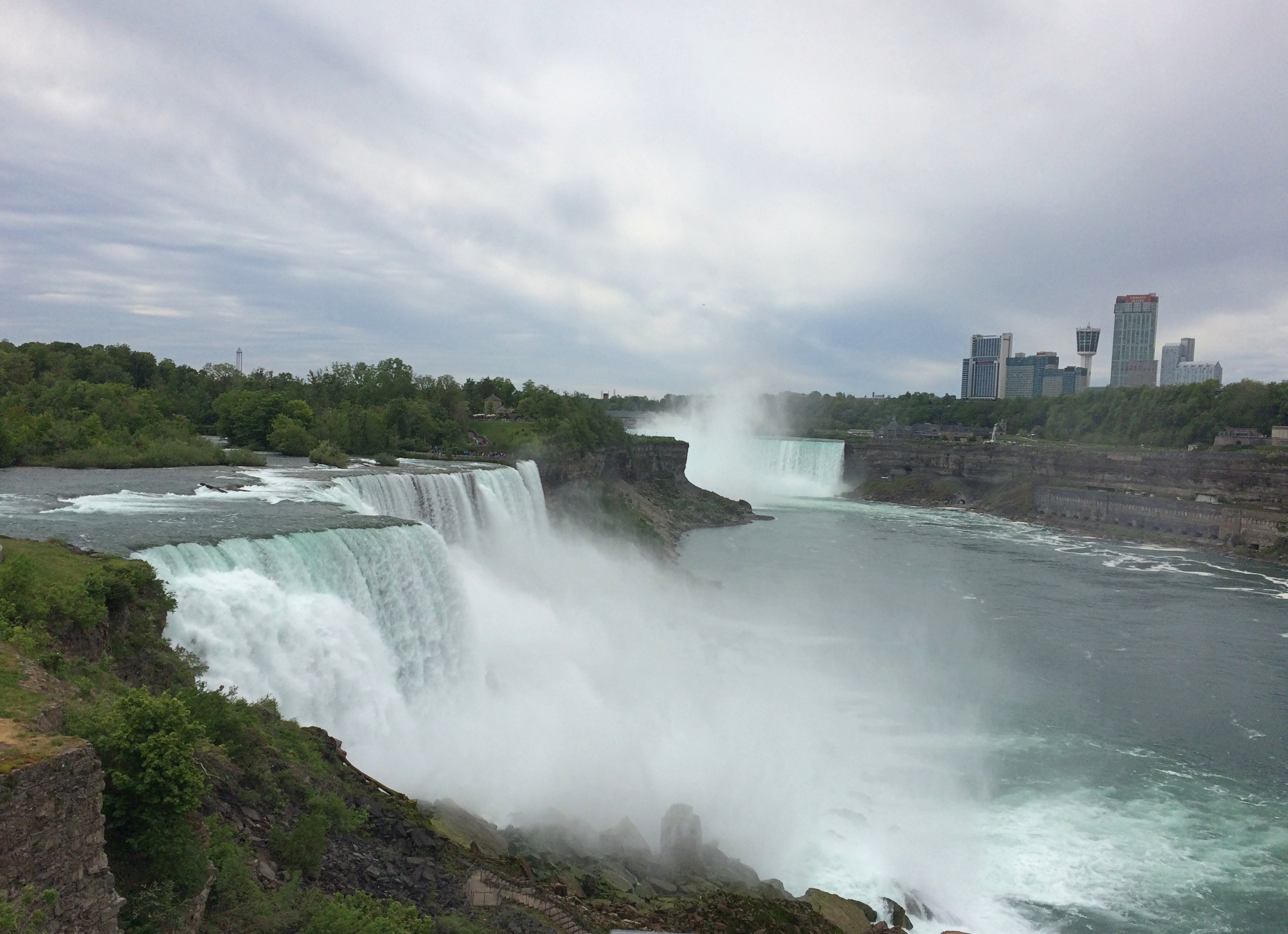
Left in.
Niagara Falls State Park

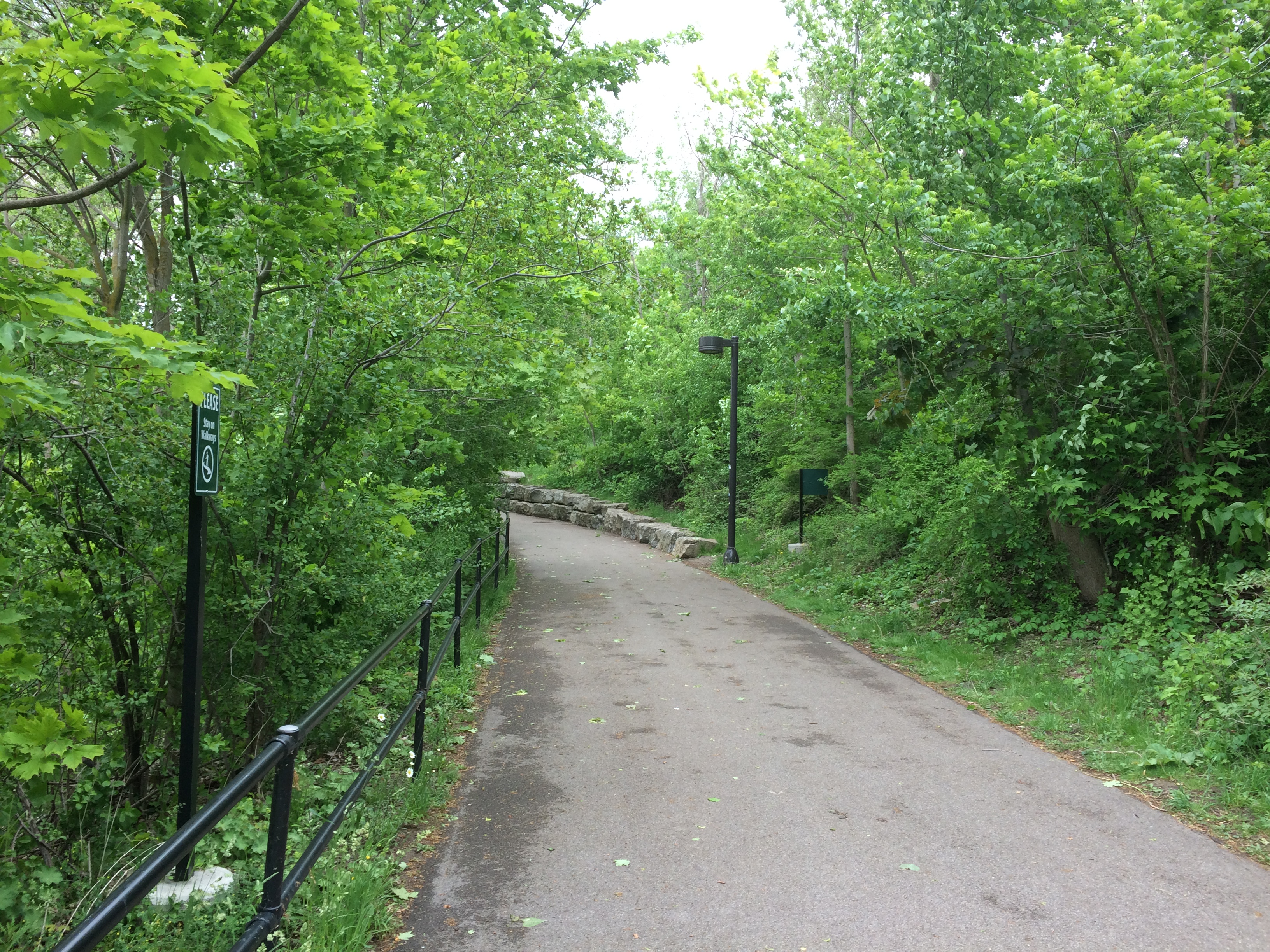
Bridges cross from the shore upriver a bit to Goat Island, the main island in the channel. For a few moments, you can forget you’re surrounded by the intensity of the Niagara River.
Niagara Falls State Park Goat Island

But not for long. More views of the American Falls are easily found. Looking north over the drop, with the Rainbow International Bridge in the background, seeming not nearly as high as it is.Niagara Falls State Park Goat Island
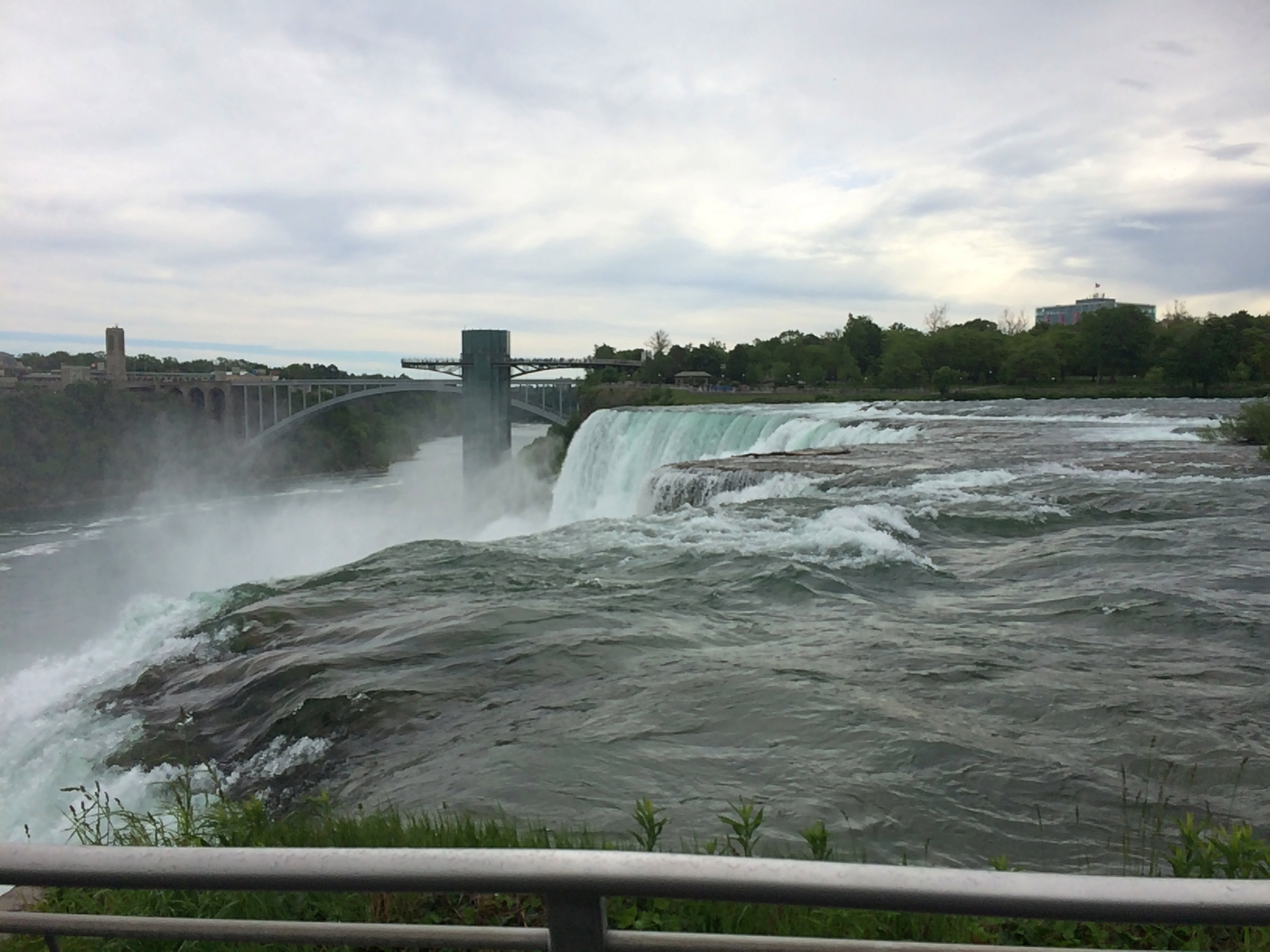
Spray. It wouldn’t be the last time.
Niagara Falls State Park Goat Island

A curiosity on Goat Island: a statue of Tesla.
Niagara Falls State Park Goat Island

“Gift of Yugoslavia to the United States, 1976,” the Tesla Memorial Society of New York says. “Nikola Tesla designed the first hydroelectric power plant in Niagara Falls. This was the final victory of Tesla’s Alternating Current over Edison’s Direct Current. The monument was the work of Croatian sculptor Frane Krsinic.”

A standing Tesla was installed on the Canadian side more recently, in 2006, according to the society. More about Tesla and Niagara is here.

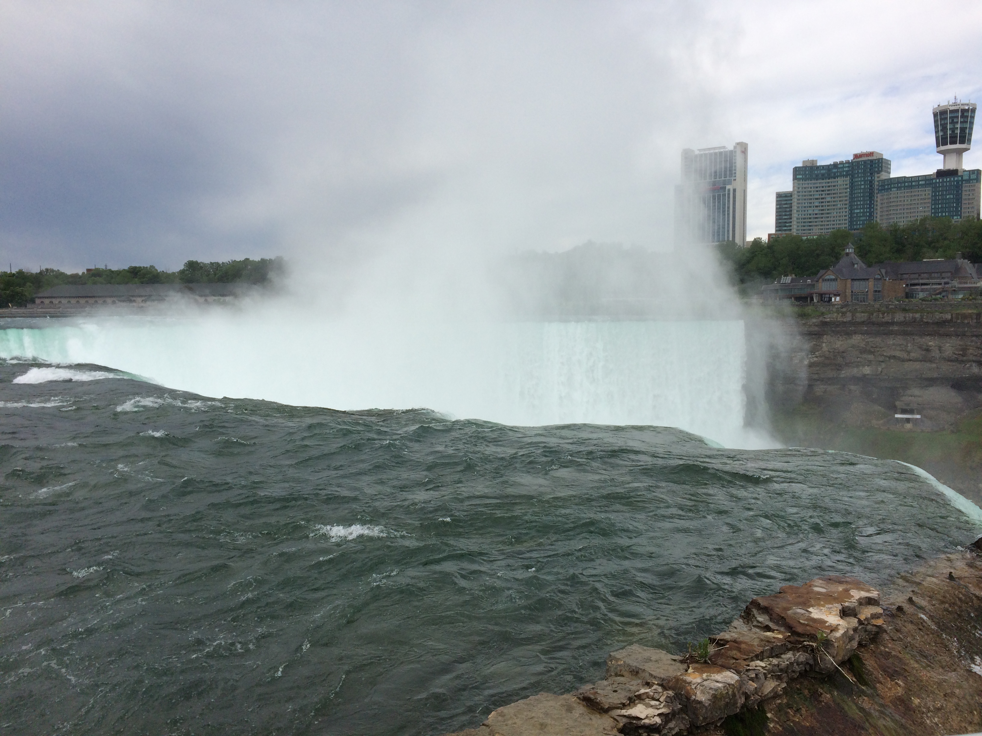
Go far enough on Goat Island and you’ll reach Terrapin Point, which offers a view of Horseshoe Falls, which is what most people think of when they think of Niagara Falls. It’s wider than the other falls combined, and drops more water, as much as 90% of the 100,000 or so cubic feet of water per second that flows over the three falls during the summer. The rate is controlled by engineering, and is lessened at night and during the spring and fall, when fewer tourists are around, so that more of the flow can be used to generate electricity at those times.
Niagara Falls State Park Goat Island

Naturally, lots of people were gathered to take a look. And pictures.Niagara Falls State Park Goat Island Niagara Falls State Park Goat Island Niagara Falls State Park Goat Island

There’s a good view of the Canadian side from there as well, when the mist doesn’t obscure it. Looks like there’s reconstruction going on over there, near the edge. I remember standing next to the Horseshoe Falls at that point 30 years ago, and it looks like that observation deck is missing for now.

The Canadian town looks more prosperous than the U.S. town from that vantage, and indeed it is for various reasons. Sad to say, beyond the tourist enclave, Niagara Falls, New York is another one of the small cities of the industrial North that has seen better times.
Niagara Falls State Park Goat Island

Canada, as it happens, was still mostly closed to visitors over Memorial Day weekend, which would be an ordinary weekend there. Later in the day, we saw the entrance to the Rainbow Bridge on the U.S. side, and only one lane for traffic was open, and no one was in it.

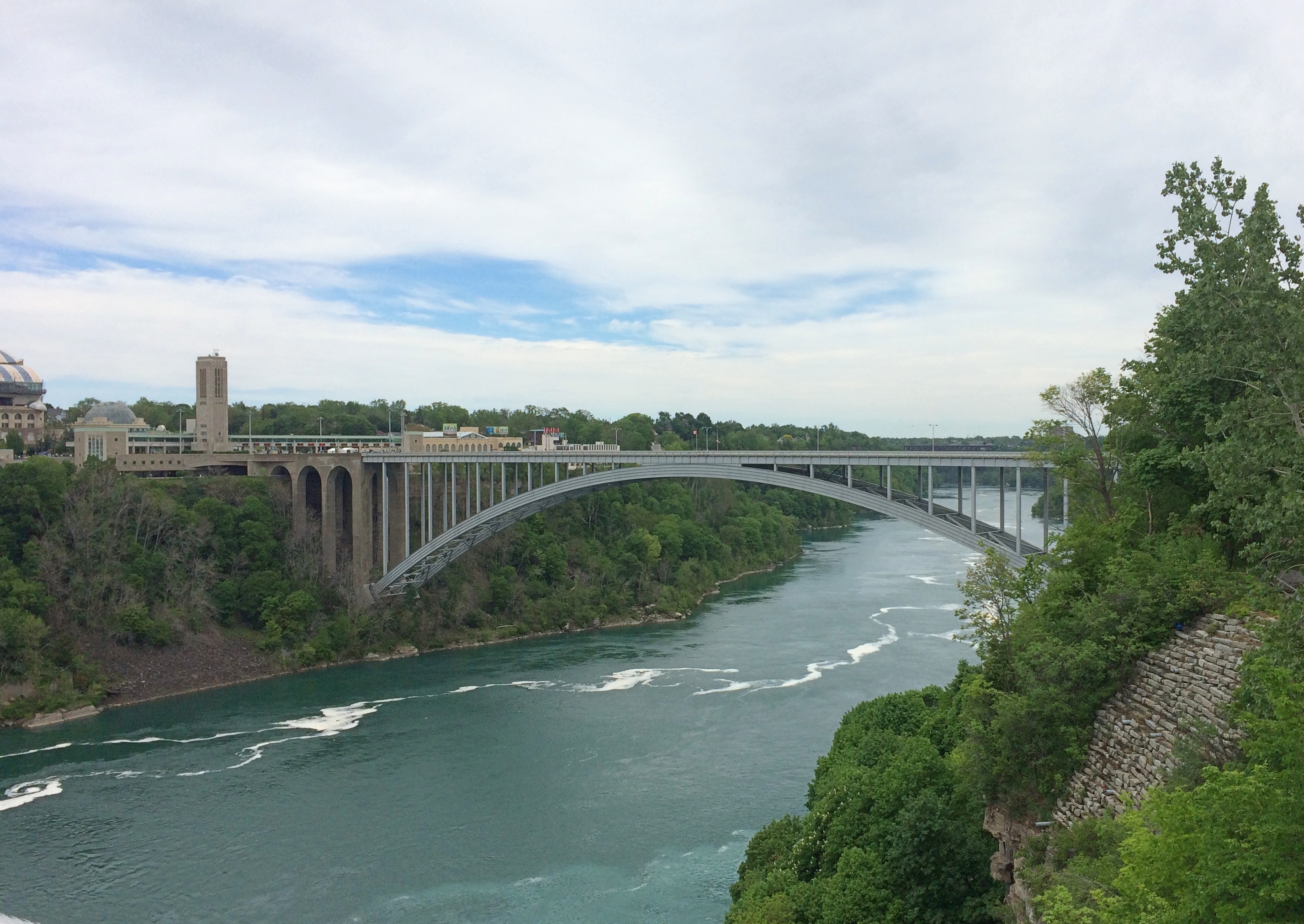
The bridge is visible from Terrapin Point, since it isn’t far downriver from the falls. A striking bit of work across a gorge.
Rainbow Bridge

After our Goat Island wander, we wanted to do the Maid of the Mist boat ride. That was something I skipped in ’91, and wasn’t expecting much more than a ride along the river with a nice view of the bottom of the falls, to complement the views of the tops. We waited in line about half an hour to get on one of the two boats, which made me think of waiting around for a ride at Disneyland. A thing that you do as a tourist. I grumbled a little about the price. I didn’t realize what was ahead.

This is one of the boats, the James V. Glynn. We rode on the other one, the Nikola Tesla. Him again. Mr. Glynn is a long-time Maid of the Mist chairman.Maid of the Mist 2021

Tourists have been riding Maid of the Mist boats since 1845, another indication of how long tourists have been coming to Niagara Falls, though intermittently until 1885 and every year since then. The boats were steam and then diesel powered and now, as the company is eager to point out, all-electric with no emissions, launched into service only last year. As people get on and off, the boats are recharged at the dock.

The company gives you bright blue thin plastic ponchos and off you go, for a 20 minute or so trip. It isn’t the quantity of the time aboard that counts, but the quality. First you pass by the American and Bridal Falls, which are impressive in their flow and in the huge boulders piled at the bottom.Maid of the Mist 2021
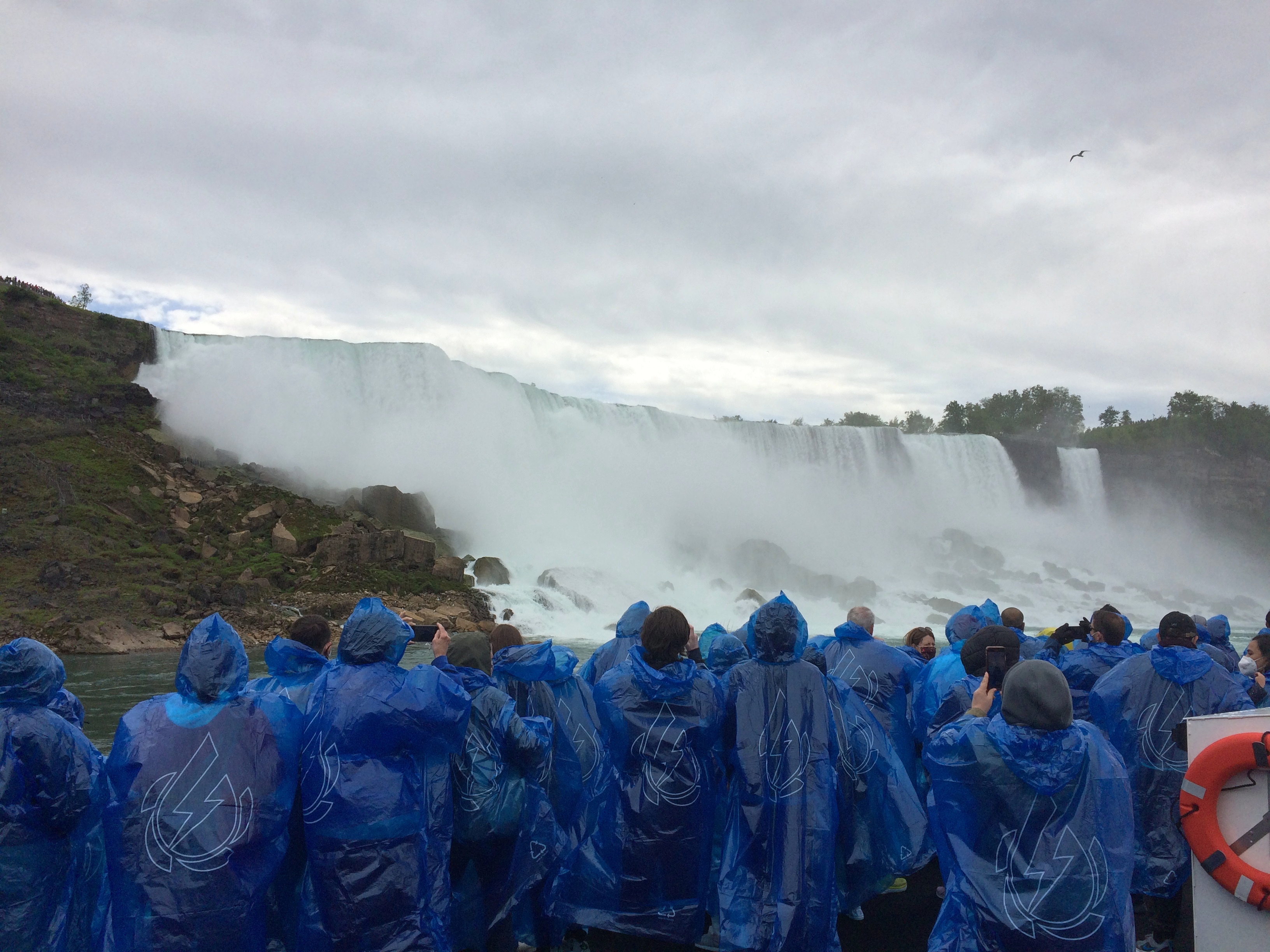
The ship then passes into the curve under Horseshoe Falls. I didn’t think it would get as close at it did. The roar is enormous. The spray is continuous. The curving walls of water, taller than walls of water should be, fill your senses. The place is enthralling. I haven’t been as captivated by a natural phenomenon (well, partly engineered) since I saw the total eclipse a few years ago.

No wonder people have been paying for over a century and a half for this little boat ride. It was worth the effort to get to Niagara Falls, all by itself, and all of the $25.25 each to be escorted under the spectacular cataract.

I wasn’t in the mood to take pictures during most intense moments, like during the eclipse. Except one.
Maid of the Mist 2021One of three or four selfies I’ve taken since that concept was popularized. Hit the nail on the head with that one.
Shuffle Off To Buffalo

Just back yesterday evening from 72 hours in Buffalo. Roughly. Not quite 72 hours over Memorial Day weekend and not quite all in Buffalo, though we were in the Buffalo-Niagara Falls MSA the whole time.

Three days isn’t enough to drive to Buffalo from northern Illinois and spend a worthwhile amount of time. Like Pittsburgh, that would be a four-day venture. So we flew. First time since early 2020. Except for mandatory masking at the airports and on the planes, everything was about the same as it used to be, including holiday-weekend crowds. One of our flights was on a Boeing 737 MAX-8, and clearly we lived to tell the tale.

We, as in Yuriko and I, arrived late Friday night and made our way to Amherst, New York, a Buffalo suburb, where we stayed. We were up early the next morning to spend most of the day at Niagara Falls State Park. I was fulfilling a promise I made in 1996, when we arrived at the falls in March to find the American Falls still frozen. I told her we’d come someday when the liquid was moving again, and so we did.

That wasn’t the whole first day. I discovered that nowhere is very far away from anywhere else in this corner of New York state by driving north along the Niagara Gorge, stopping at Lewiston and Fort Niagara, and then returning to Amherst.

On Sunday, we weren’t up quite as early, but we made it to downtown Buffalo in the morning for a walkabout. As promised by various sources, the city has some first-rate architecture, most especially Buffalo City Hall. Late in the morning, after a brief stop at Tim Horton’s — they’re everywhere in metro Buffalo — we toured the Theodore Roosevelt Inaugural National Historic Site, formerly the Ansley and Mary Wilcox home.

Lunch that day was on Main Street at the Anchor Bar, which specializes in Buffalo wings and claims their invention, but in any case the joint didn’t disappoint. Afterward, Yuriko napped in the car while I spent time looking around Main Street, which includes Buffalo’s theater district and Saint Louis Roman Catholic Church.

Also, this mural.Keep Buffalo A Secret
Created by local t-shirt designer David Horesh and painter Ian de Veer, it’s highly visible when you’re traveling southbound on Main.

Could it be that current Buffalonians might not want millennials, or more importantly, tech-industry millennials with high incomes, to show up in droves to drive up prices for everyone else? Maybe. Not sure Buffalo has the tech ecosystem, as they say in the biz, to support such an influx. Then again, in the vicinity of the mural are places probably supported by people with at least some disposable income, such as Just Vino, the House of Masters Grooming Lounge, Hair to Go Natural, and Fattey Beer Co. Buffalo.

I had a mind to visit Delaware Park afterwards, since a Frederick Law Omstead park is always worth seeing, but we ended up sampling it merely by driving around it. Looks like a nice place to while away a warm afternoon.

By that time, Sunday afternoon, it was fairly warm in greater Buffalo. Rain had clearly fallen the day before we arrived, and cool air arrived afterward, taking temps down into the low 50s early Saturday, when we got to Niagara Falls. Did that matter? No. It wasn’t cold enough to freeze anything.

On Monday I got up early and visited the splendid Forest Lawn Cemetery, permanent home of President Fillmore and Rick James, among many others. Later, we drove to Lockport, New York and spent some time along the Erie Canal. As long ago as elementary school, I heard about the Erie Canal, but had never seen it. We also took a tour of one of the manmade caves near the canal, where rapid water flows formerly powered local industry.

Back in Buffalo for a satisfying lunch at Lake Effect Diner, housed in a chrome-and-neon diner car dating to 1952. Then we drove south via surface streets to Lackawanna, where you can see the Basilica of Our Lady of Victory, our last destination for the trip.

Why Buffalo? There was that promise to visit the falls, of course. But I also wanted to see Buffalo. My single previous experience there had been a quick drive-through in 1991 after I saw Niagara Falls for the first time, from the Canadian side. Every city of any size has something interesting. A lot of smaller places do as well. So we shuffled off to Buffalo.

Talimena National Scenic Byway & The Former Heavener Runestone State Park

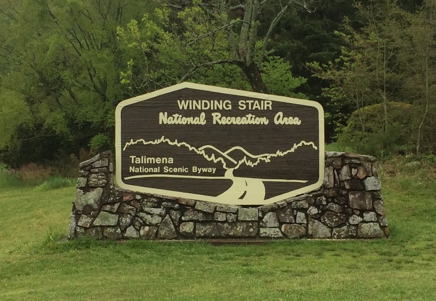
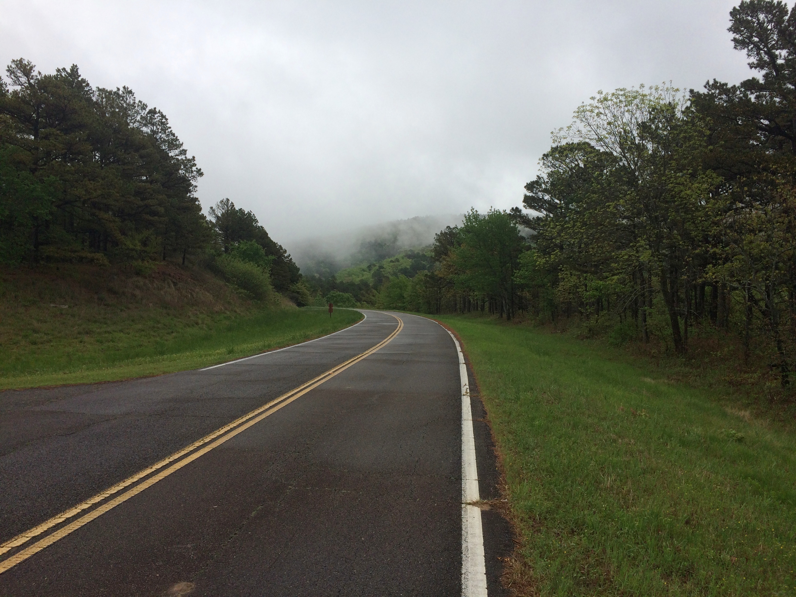
Oklahoma isn’t known as much of a nanny state. So in retrospect it’s no surprise that the U.S. 271 entrance to Talimena National Scenic Byway, which is a two-lane road through the Winding Stair National Recreation Area, was wide open on April 16, a gloomy, drizzly day with the mountains shrouded in clouds.

Talimena National Scenic Byway

Some other jurisdiction might have put up barricades to protect drivers from their own foolish impulse to drive the road no matter what, but Oklahoma doesn’t roll that way.
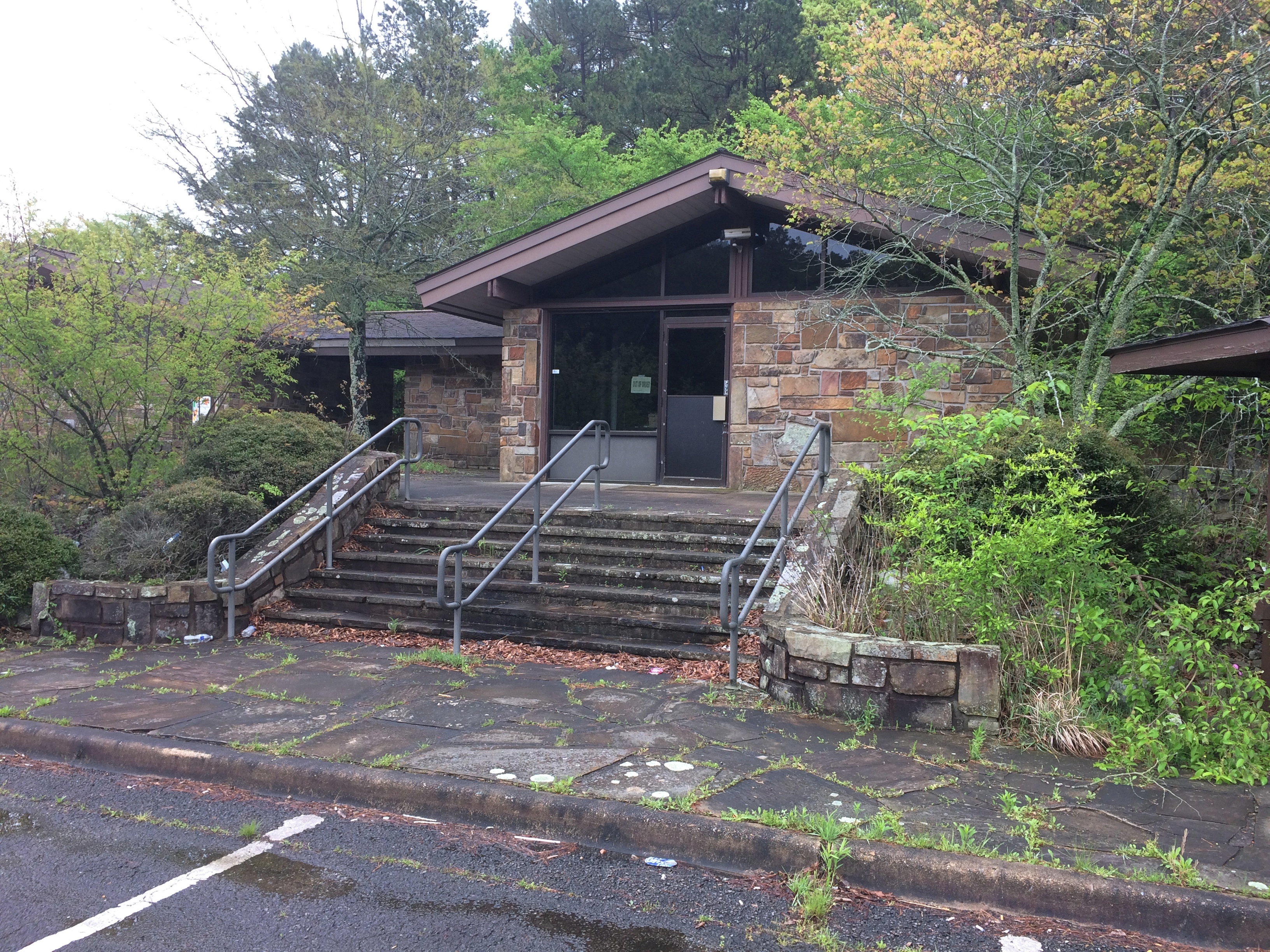
Besides, the facility at the entrance was abandoned. I did see signs for a recreation area headquarters in the nearest town, Talihina, so I supposed the rangers or rangers-equivalent moved there.
Talimena National Scenic Byway

I was eager to drive the byway for two reasons. One, it’s a national scenic byway. In my experience, that generally means some good driving on the offing. Some car-commercial driving.

Also, the poetry of that name: Winding Stair Mountains. Even if they really are fairly small mountains, that’s a name and a place on the map that has intrigued me for a long time.

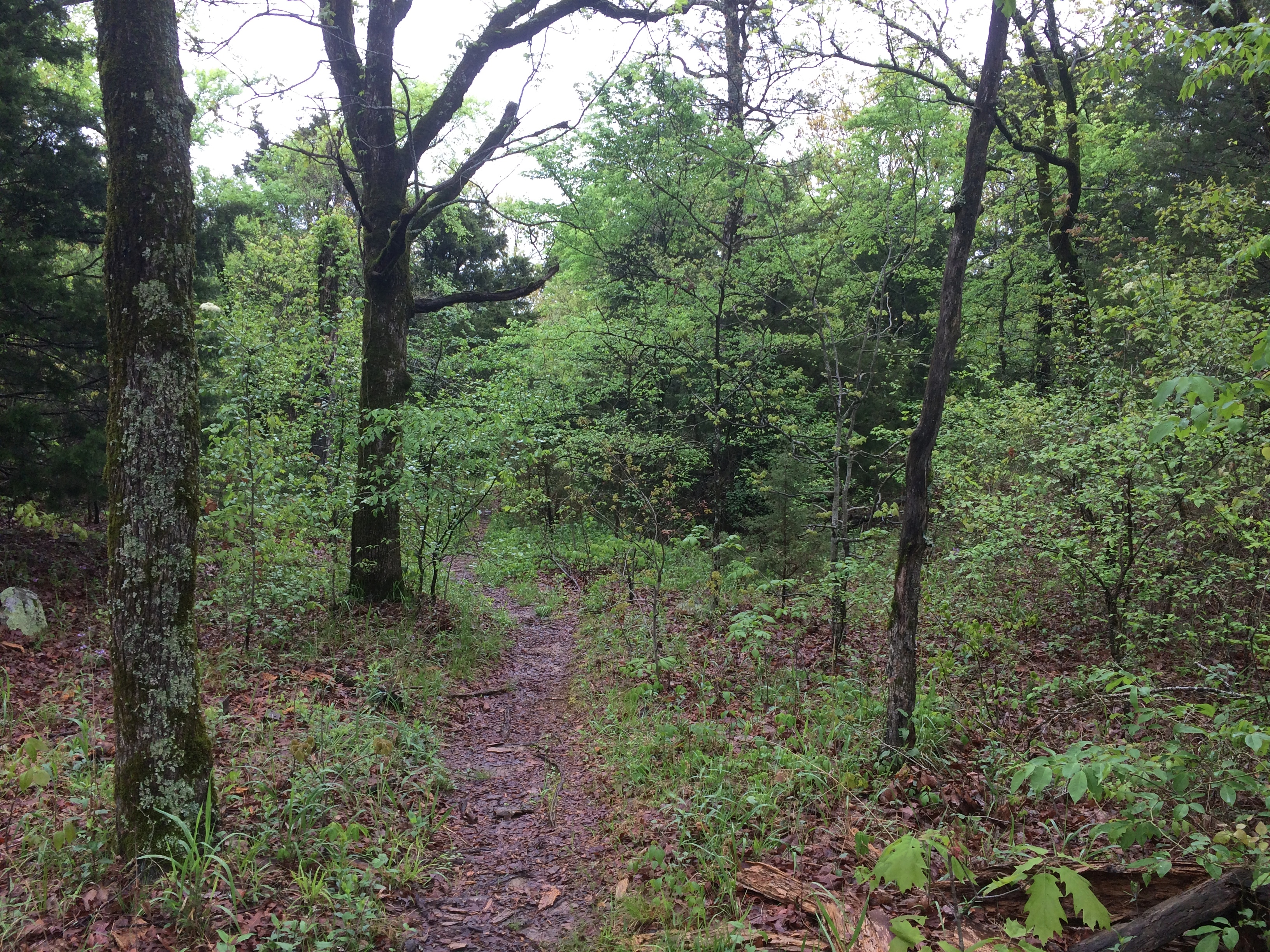
I stopped at an historic marker a short ways from the entrance that told me that the Ft. Smith-Ft. Towson Military Road once crossed the Winding Stair Mountains at that point, but it wasn’t the basis of the modern road, part of Oklahoma State Highway 1, which was completed only in 1969. I took a short walk in the nearby forest. The road also traverses a western section of Ouachita National Forest.
Talimena National Scenic Byway

Then I took a look at the road ahead.
Talimena National Scenic Byway
I wasn’t discouraged. I figured there might be patches of fog to drive through. Also, I’d seen two cars enter the road ahead of me.

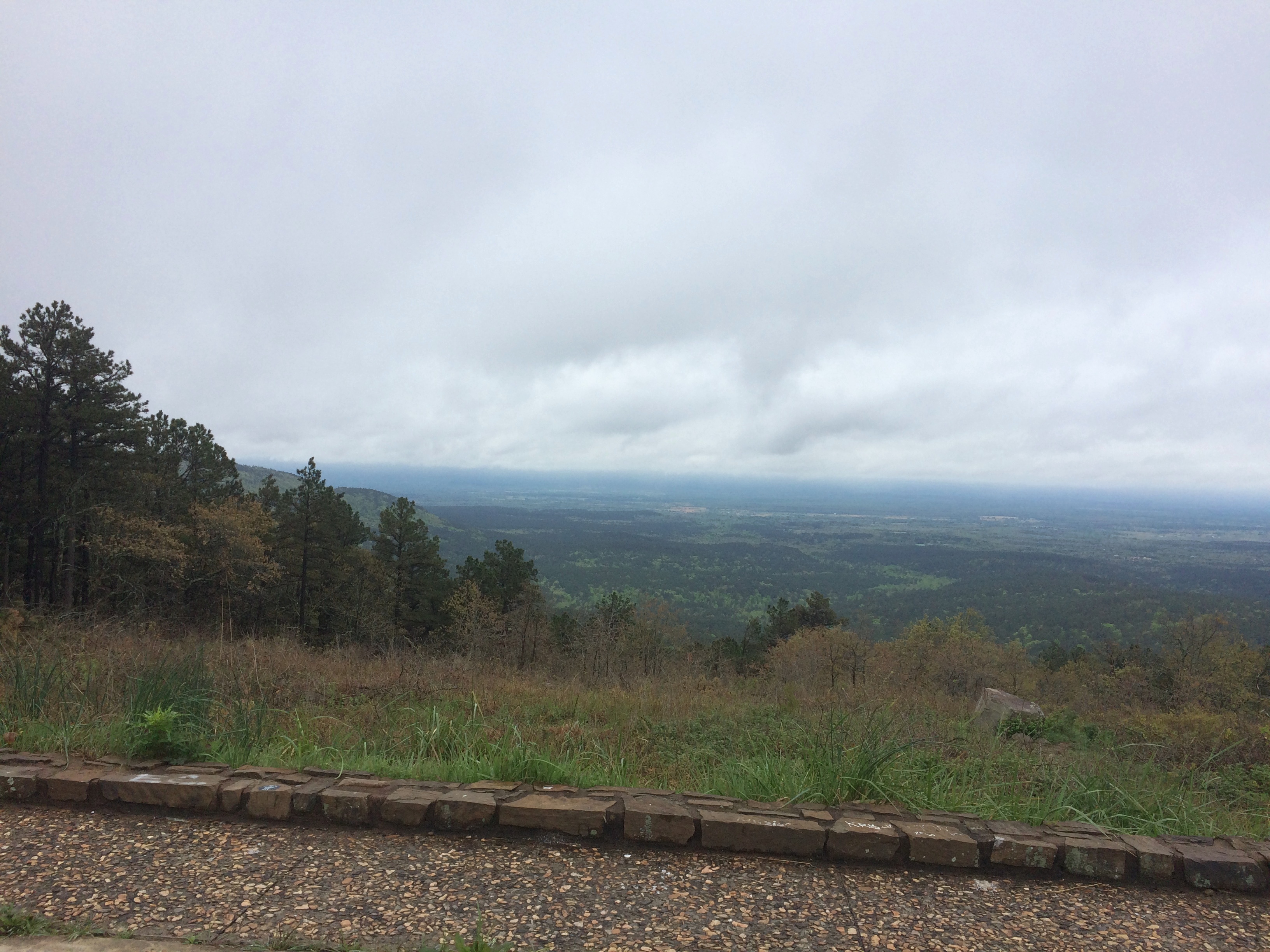
The first few miles were gorgeous indeed, with places to stop that looked like this.
Talimena National Scenic Byway

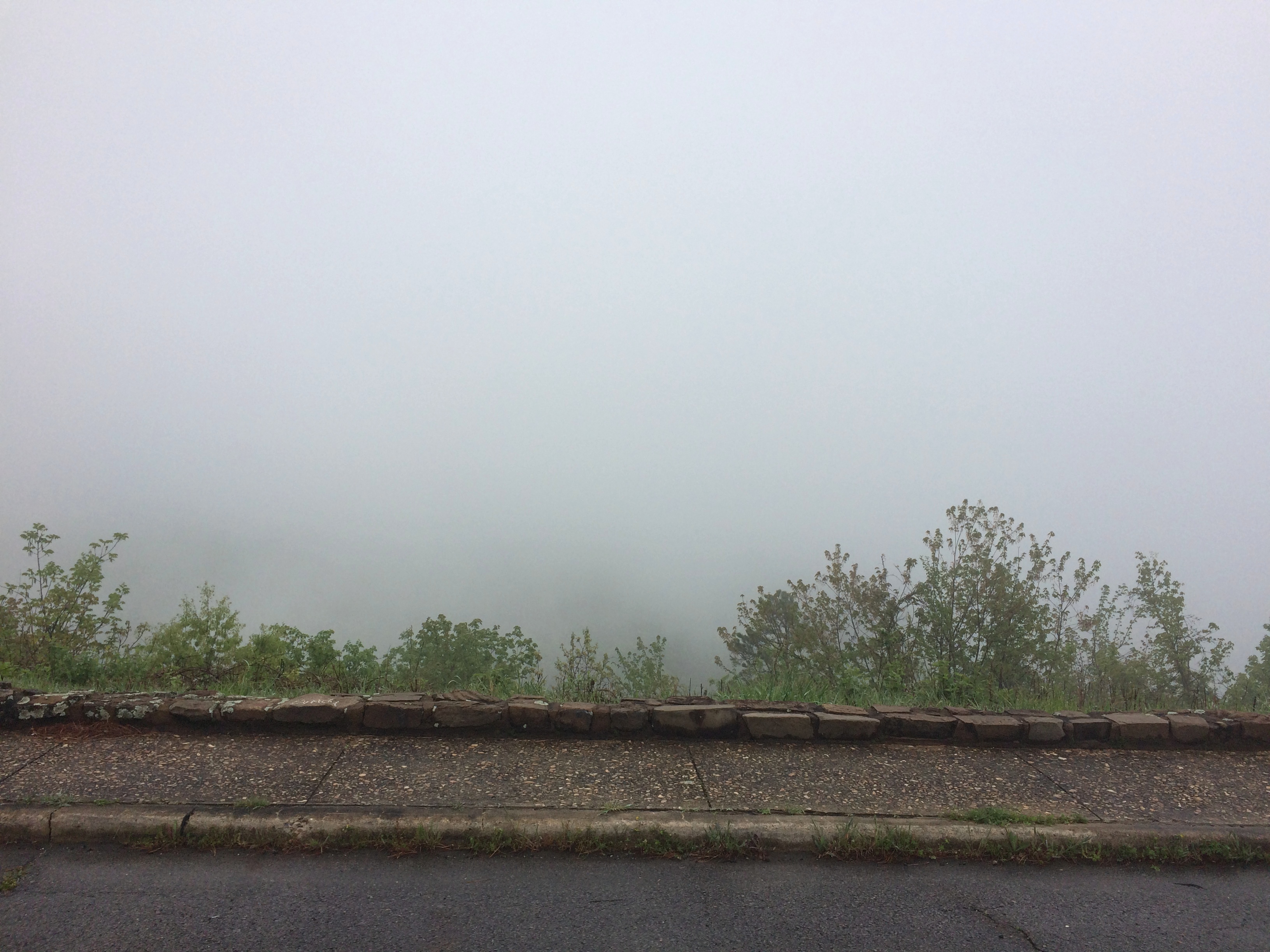
Pretty soon, though, the fog turned thick. I took it slow, about 30 mph, but even so the hazard of the drive was top of mind. I could see maybe 10 feet ahead, on a road that wound around and climbed and dropped — with steep drops into ditches sometimes off one or the other shoulder.

Mostly, I knew that if something appeared in the road ahead of me, such as an animal or worse, a stopped car, I might easily hit it. I don’t think I was risking death or even injury myself that much, just highly inconvenient damage to my car and maybe legal problems.

Now the views off to the side of the pullouts in the road looked more like this.
Talimena National Scenic Byway

Yet the way — only about 12 miles on the section I wanted to drive — wasn’t entirely foggy. Sometimes I’d see the fog thin out ahead of me, suddenly, and even more suddenly, clear away completely. The beauty of the surroundings was suddenly clear as well, passing through a contoured forest of wet pine, oak, flowering dogwood and more.

As it happened, I encountered no one else on the road during my drive, neither cars nor motorcycles nor deer, and then headed north on U.S. 59. Take that route and before long you pass through Heavener, Oklahoma, where you see signs for Heavener Runestone Park. Or, and I think not all of the signs have been changed, Heavener Runestone State Park. Even the likes of Atlas Obscura still calls it a state park.

The place hasn’t been a state park for 10 years. Supposedly recession-era budget cuts are to blame, but I suspect that the park had embarrassed the state long enough, maybe since its founding in 1970.

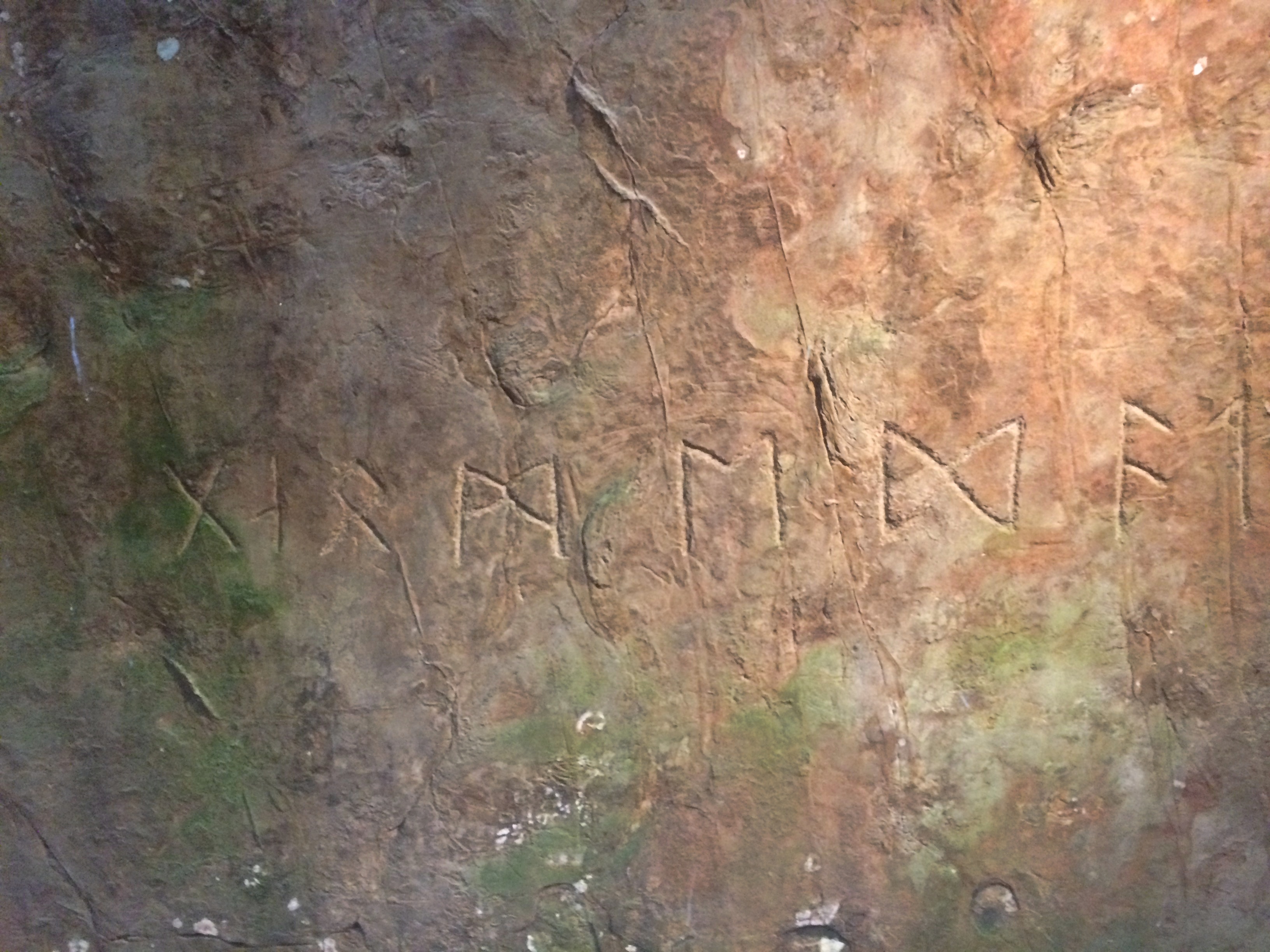
At some point in the past, someone carved runes into a sandstone boulder near Heavener. A local woman, one Gloria Farley, did her own research in the 1950s and determined that Norsemen had shown up in the future Oklahoma during the golden age of Vikings getting around (ca. 1,000 years ago), carved the runes, and then went on their way. Without leaving any other trace.

Apparently Gloria had friends in state government, and so 55 acres were made into a state park, its centerpiece being the rock, with a shelter built to protect it from the elements and vandals.Heavener Runestone Park

The boulder and its runes are behind glass inside.
Heavener Runestone Park
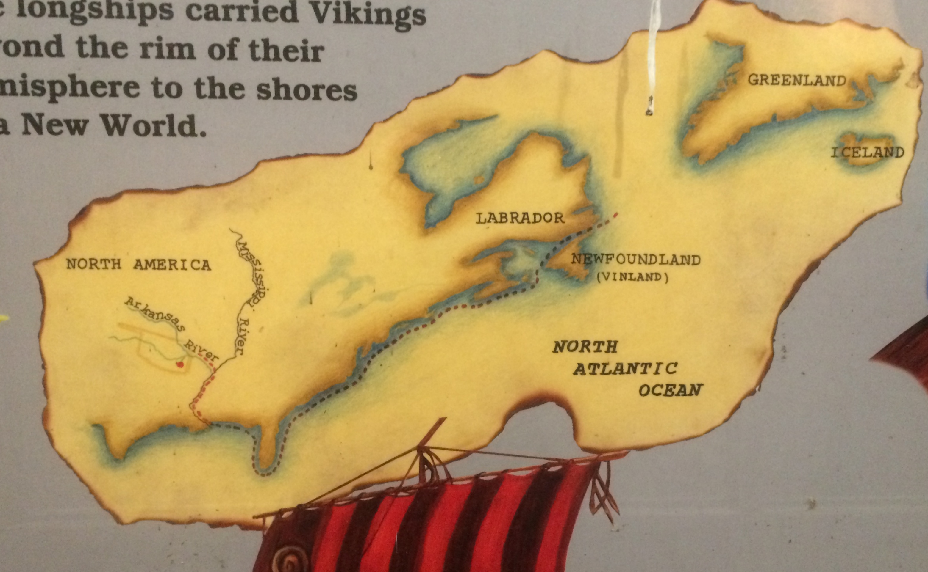
Signs near the glass case carry on the fantasy that Vikings visited Oklahoma.
Heavener Runestone Park

These days the park belongs to the town of Heavener and is overseen by a nonprofit. I did my little bit to support it, since there is no admission, by buying some postcards in the shop. (Also to support the manufacture of postcards in general.)

I don’t care that the place was founded on a fairly obvious hoax, maybe done by an Scandinavian immigrant in the 19th century with a peculiar sense of humor. In fact, that makes it more interesting, just as the faux Lincoln family log cabin does the Lincoln Birthplace National Historical Park.

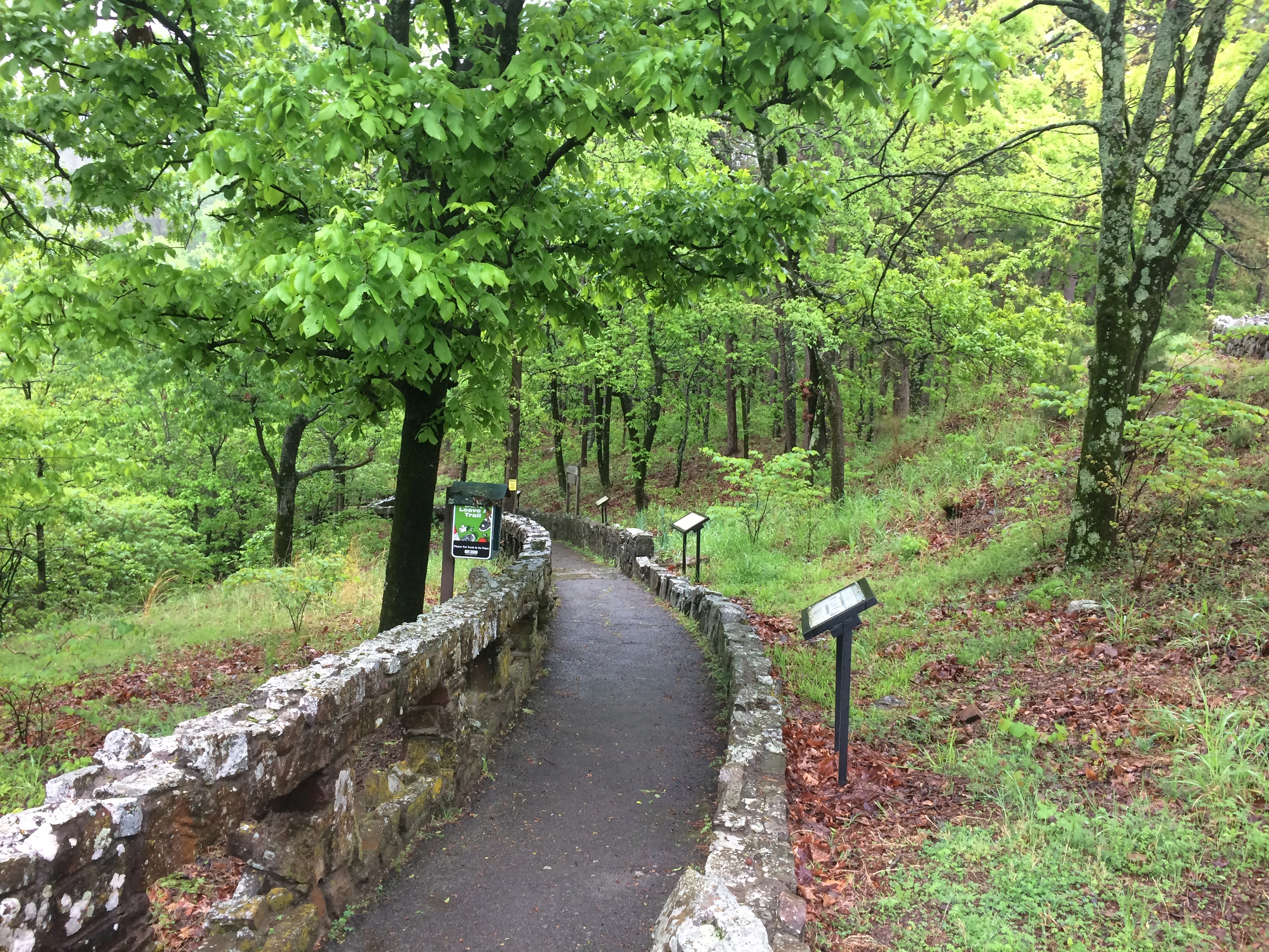
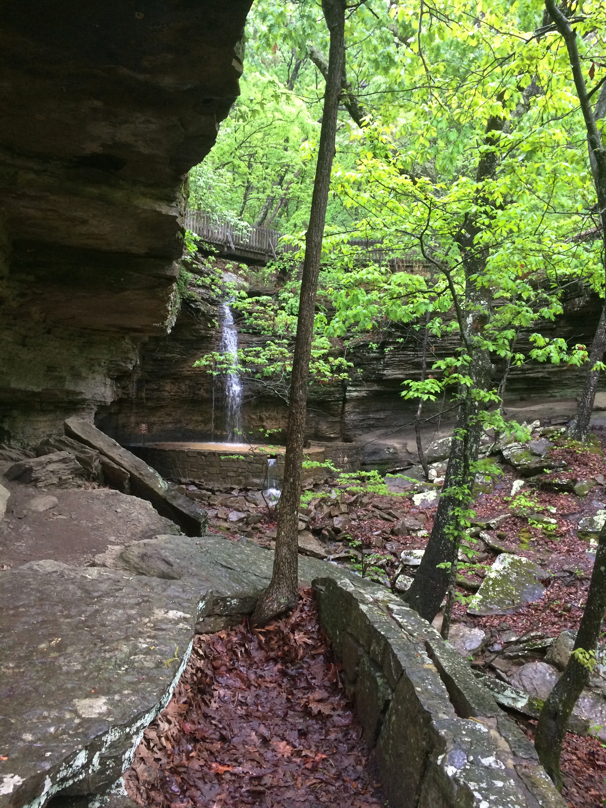
Besides, the loop to and from the Heavener Runestone, a path along the side of Poteau Mountain, is a good walk, even if wet with recent rain when I was there.Heavener Runestone Park Heavener Runestone Park Heavener Runestone Park Heavener Runestone Park

It’ll never be a World Heritage Site, unless some wickedly serious paradigm shift happens, but even so the non-state park preserves, in a pleasant green spot, an eccentric vision.

Southern Illinois Going and Coming Back

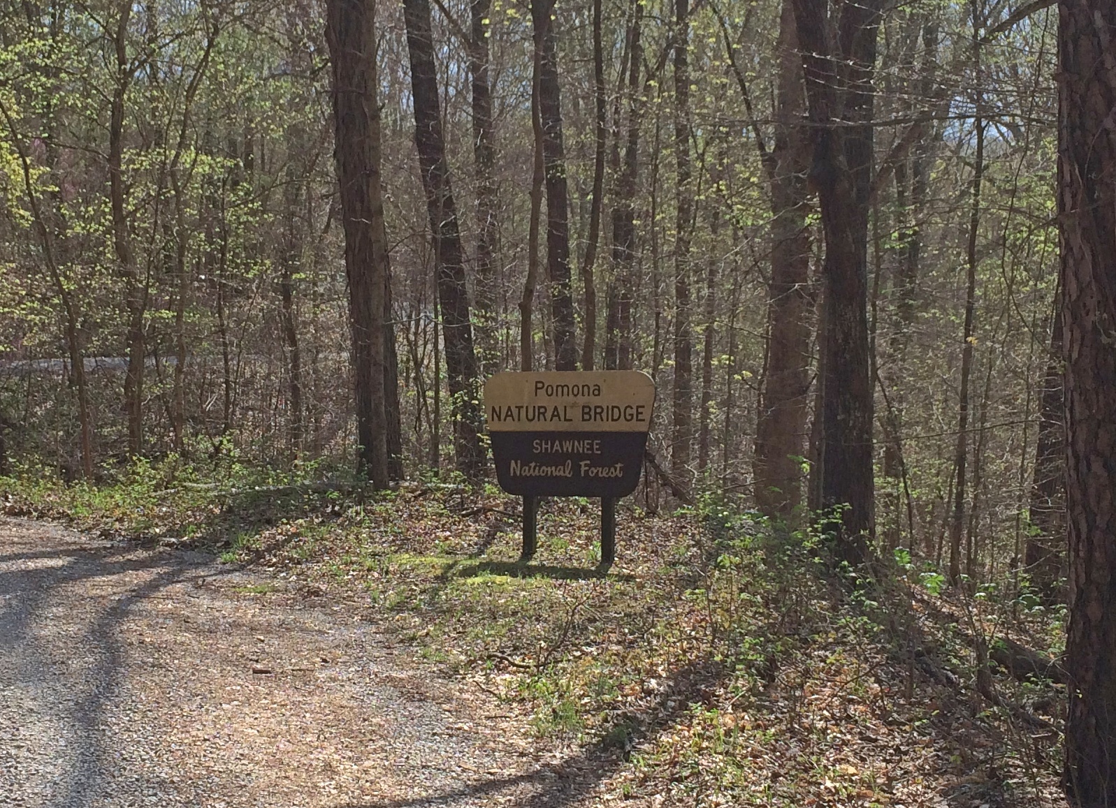
I spent the first 24 hours of my recent trip, as well as the last 18 hours or so, in southern Illinois. Not far from Carbondale, in Shawnee National Forest, is Pomona Natural Bridge, which is the first place I went after a drive down from metro Chicago.
Pomona Natural Bridge
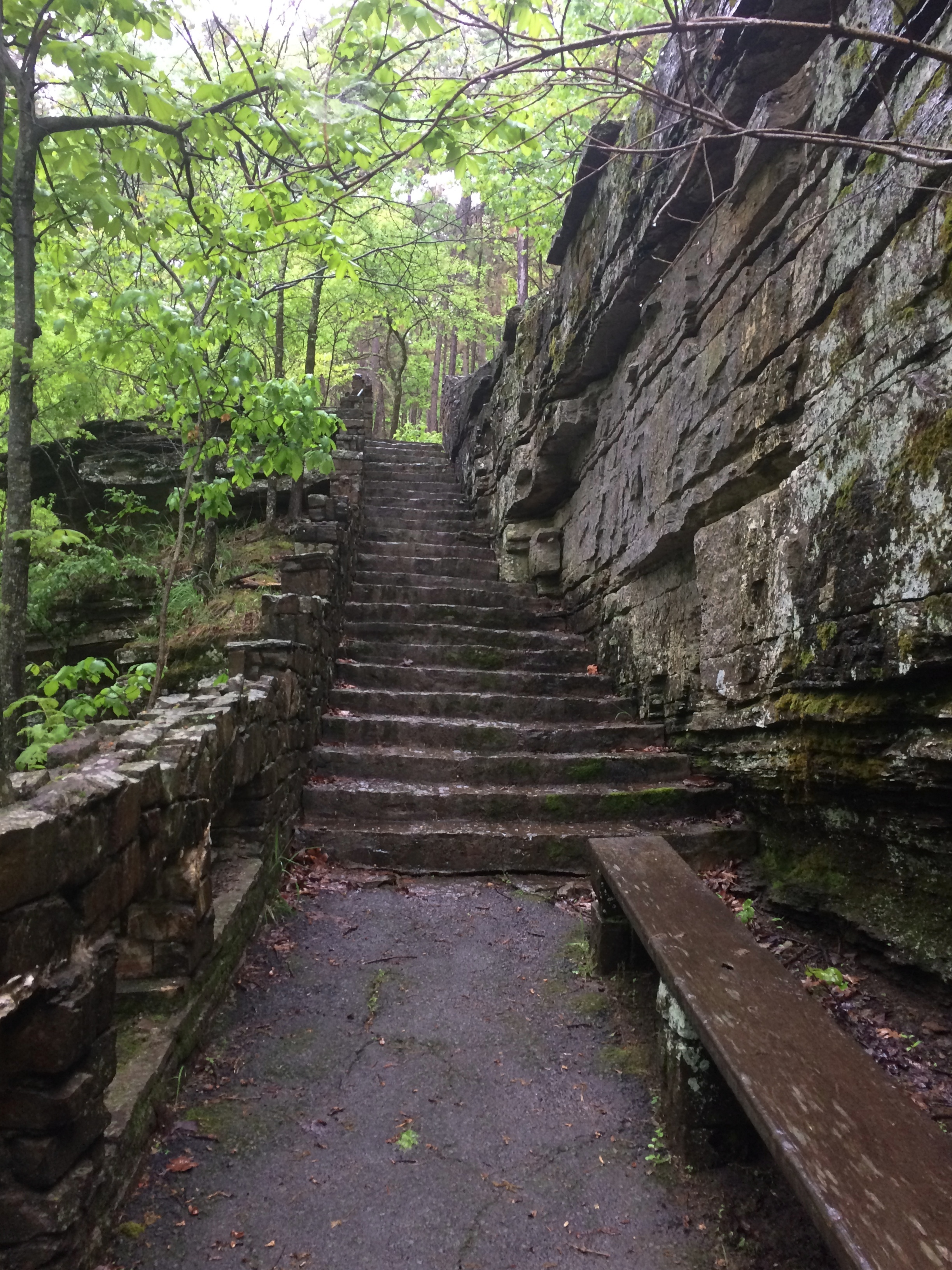
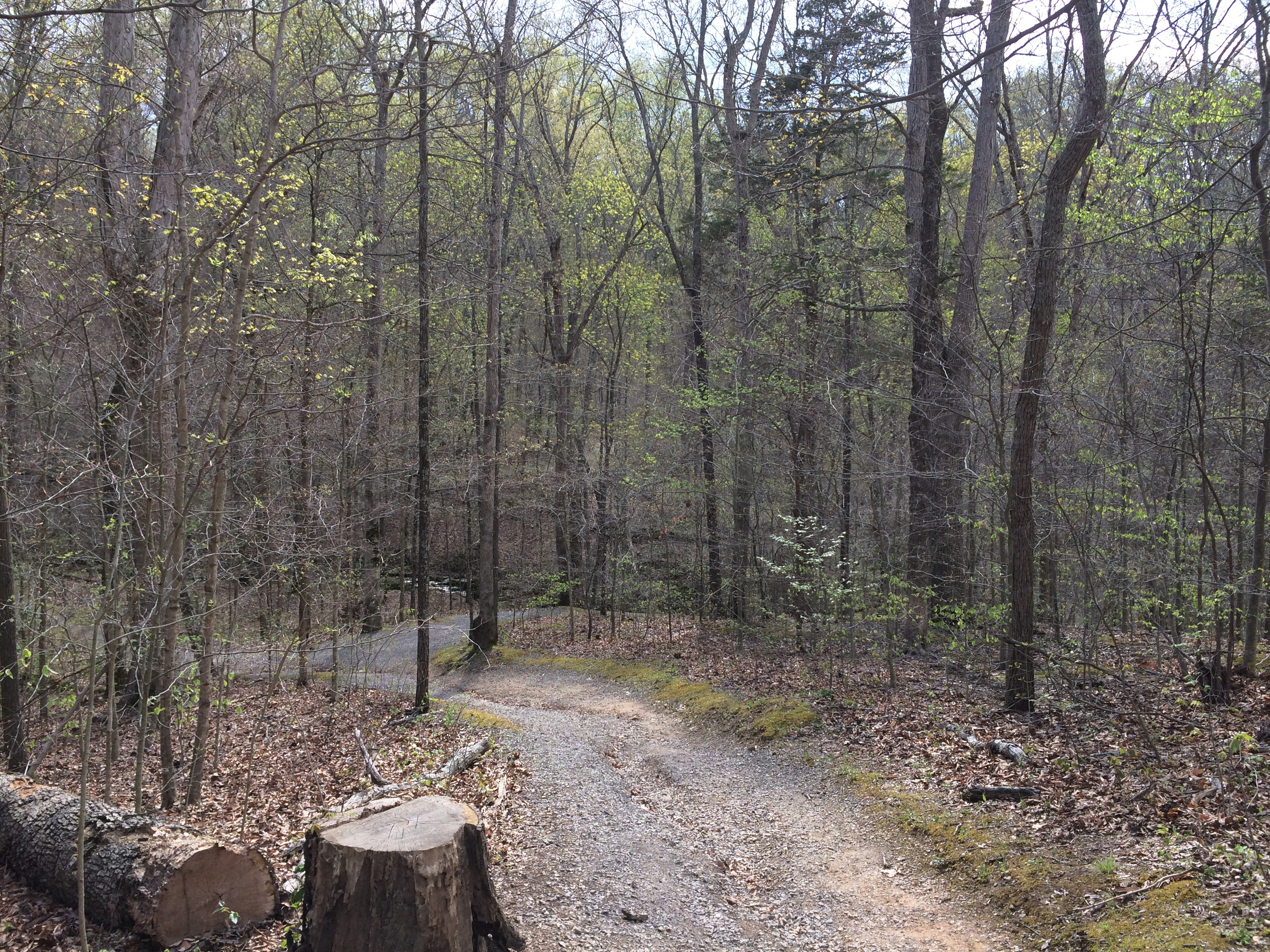
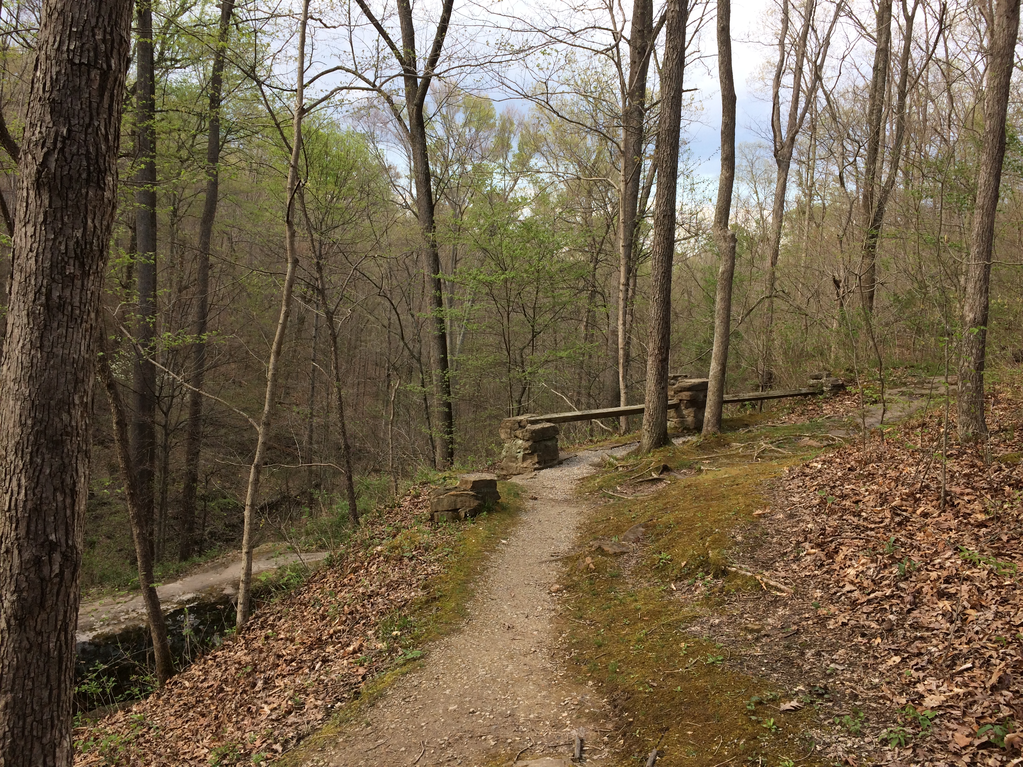
The official trail is a short loop from the parking lot to the natural bridge.Pomona Natural Bridge Pomona Natural Bridge

The trail goes over the top of the bridge.
Pomona Natural Bridge
Which looks like this from another angle. You can climb steps down to under the bridge, and that’s what I did.
Pomona Natural Bridge
Though a short trail, the drop to under the bridge is a little steep, and I navigated it carefully, testing my new hiking shoes and walking stick in the field. They proved useful.

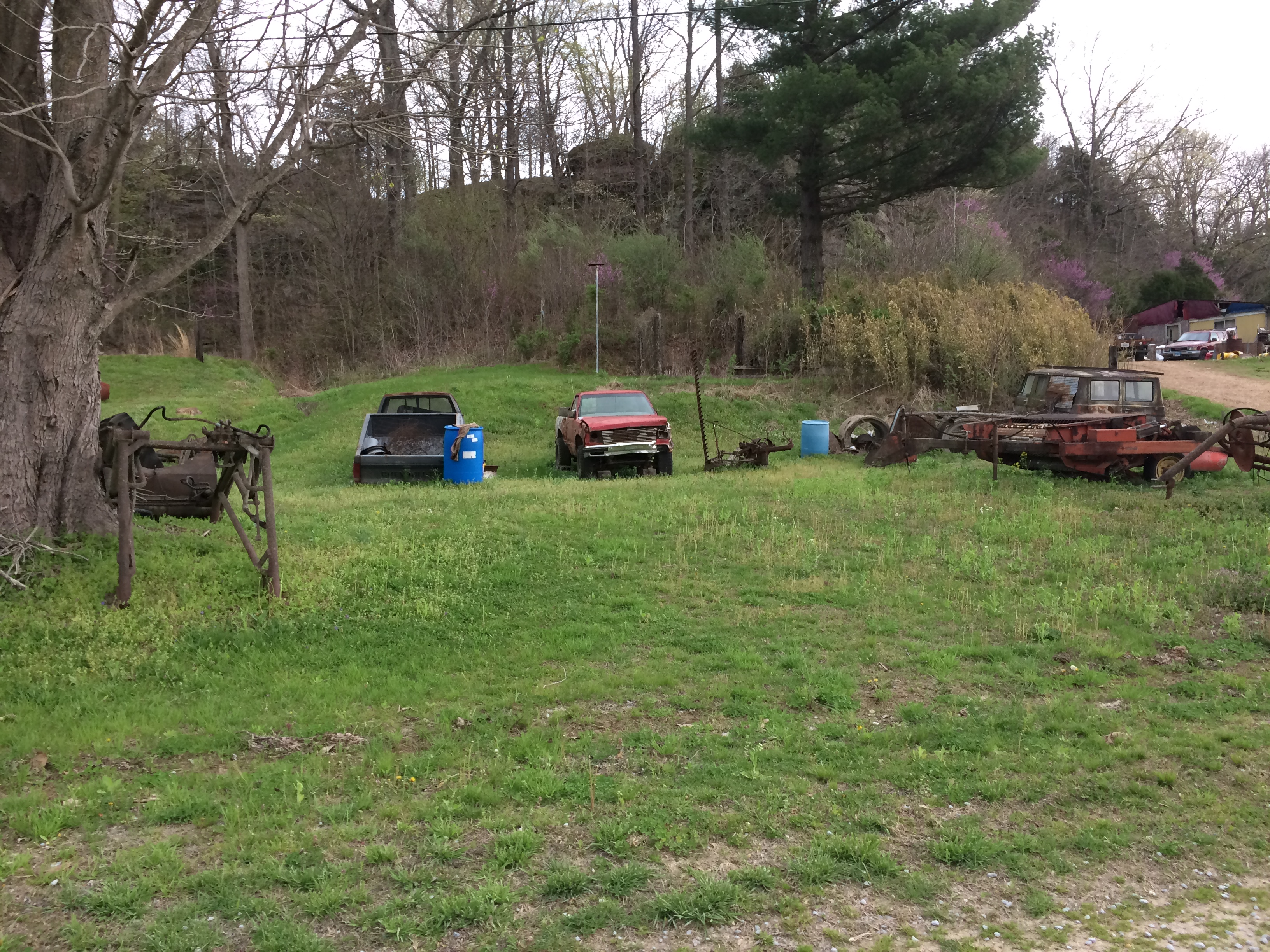
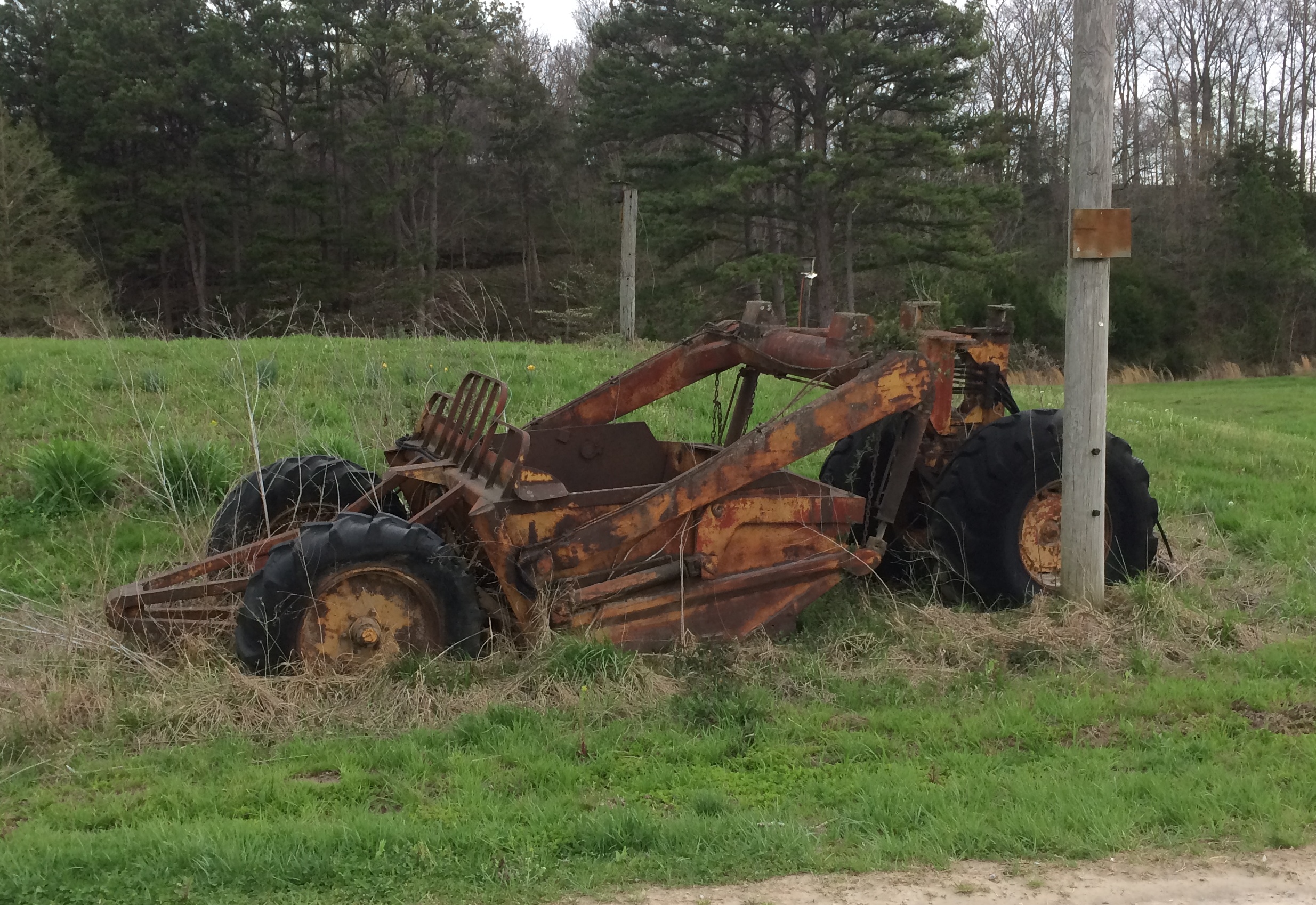
The road to the natural bridge passes some farms, complete with an array of rusting equipment, available any time for spare parts.near the Pomona Natural Bridge near the Pomona Natural Bridge

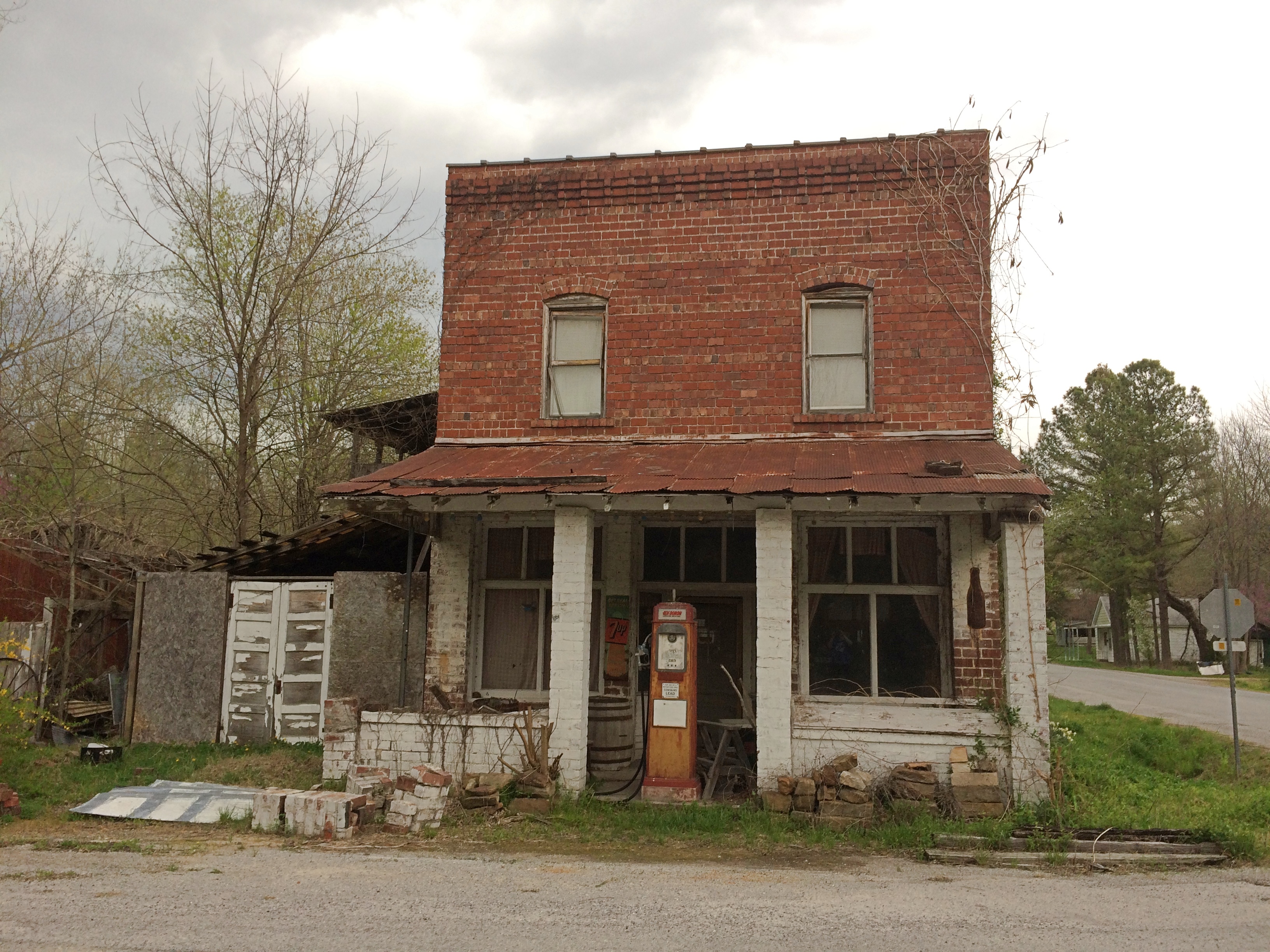
This building, forgotten by time, stood next to a crossroads.near the Pomona Natural Bridge near the Pomona Natural Bridge

The next morning, April 10, I drove south, eventually passing through the ruin that is Cairo, Illinois, pop. 2,000 or so, a town that never became St. Louis or Cincinnati or even Cape Girardeau or Quincy, despite its location. One hundred years ago, more than 15,000 people lived there.

Sure, it’s still technically a functioning municipality, and the houses off the main street show that people still call Cairo home, but the main street was like a little piece of the early ’80s Bronx had landed here in low-lying southern Illinois: a parade of empty lots, rubble, recently burned structures, and otherwise vacant buildings, with a scattering of intact buildings, mostly part of one level of government or another, including the handsome public library. Mine was the only moving car, and I saw only two pedestrians.

I acquainted myself with a number of small towns on this trip, also including New Madrid, Mo., Clarksdale and Vicksburg, Miss., Paris, Tex., Van Buren, Ark., and Belleville, Ill., all at least a little more prosperous than the forlorn Cairo.

At the confluence of the Ohio and Mississippi rivers is the 191-acre Fort Defiance State Park, known as Camp Defiance during the war. When I passed by, the park was closed by high water. Too bad. I wanted to see the confluence.Defiance State Park, Illinois Defiance State Park, Illinois Defiance State Park, Illinois

On the night of April 17, I arrived in Belleville, my last stop before returning home. The next morning I strolled along the town’s well-to-do main street, which is populated by restaurants, one-off retailers, and law and other professional offices. No one else was around.

Before leaving town, I stopped at the Cathedral of St. Peter.Cathedral of St Peter, Belleville Cathedral of St Peter, Belleville Cathedral of St Peter, Belleville Cathedral of St Peter, Belleville

The original church was completed in 1866, but in 1912 the building nearly burned to the ground. Rebuilding gave it a Gothic style patterned after the Exeter Cathedral in Devon, though its vaulted ceiling isn’t as elaborate.

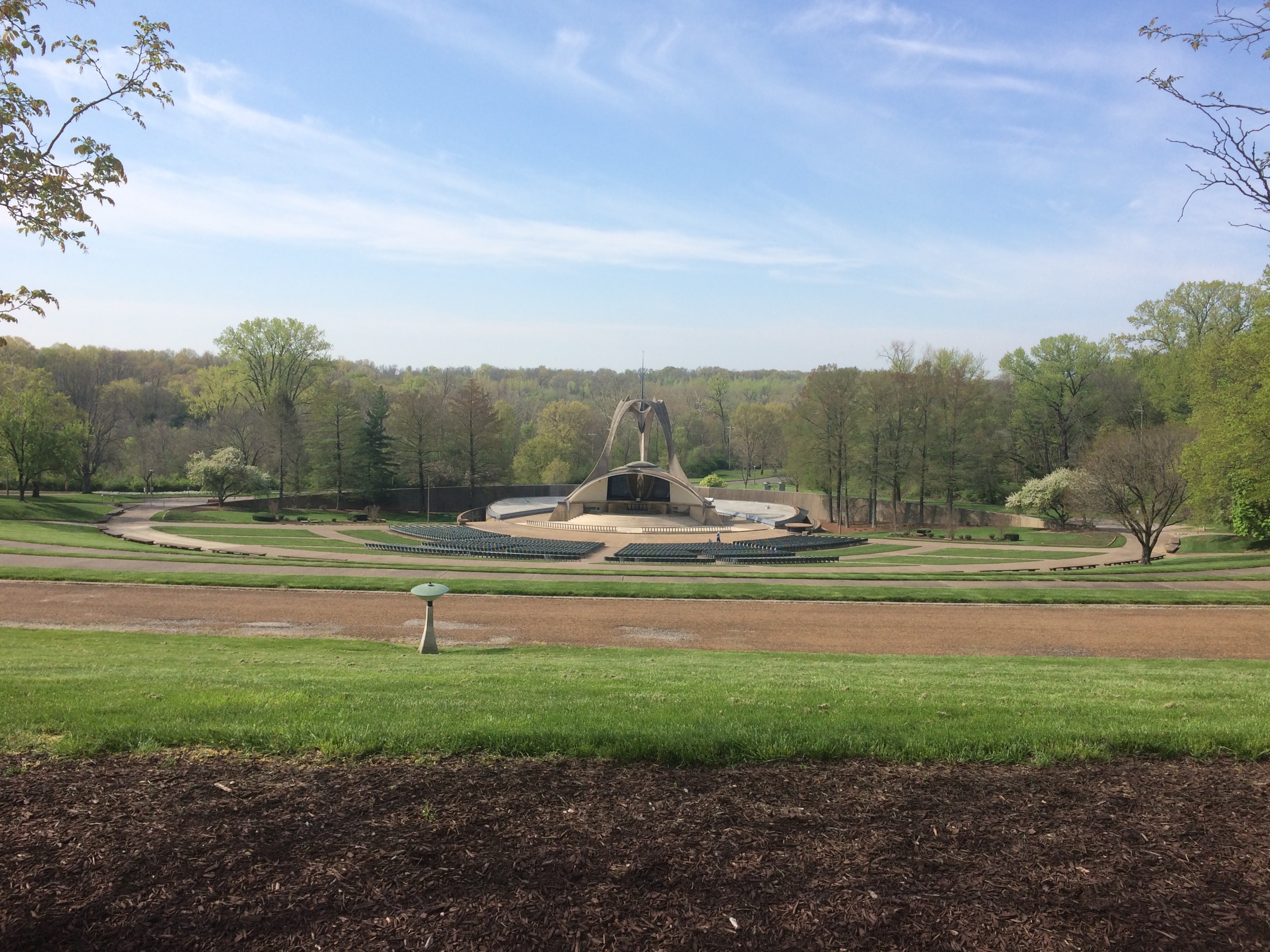
A few miles away is the National Shrine of Our Lady of the Snows, a complex featuring not only a large shrine, but also a church, Lordes-style grotto, gardens, conference center, gift shop, residence hall, restaurant and hotel.

The shrine as seen from the slope in front of it.National Shrine of Our Lady of the Snows

National Shrine of Our Lady of the Snows

National Shrine of Our Lady of the Snows

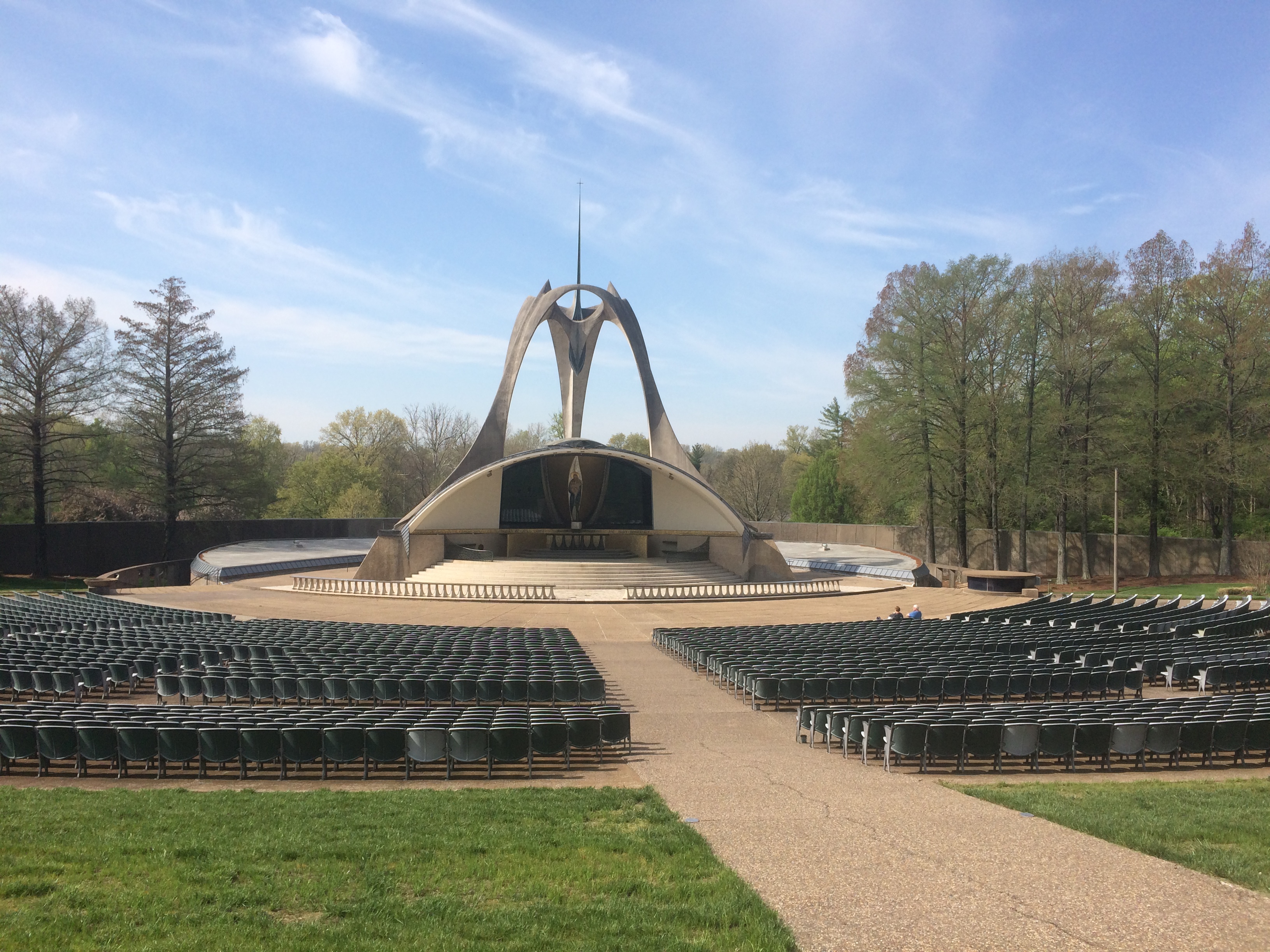
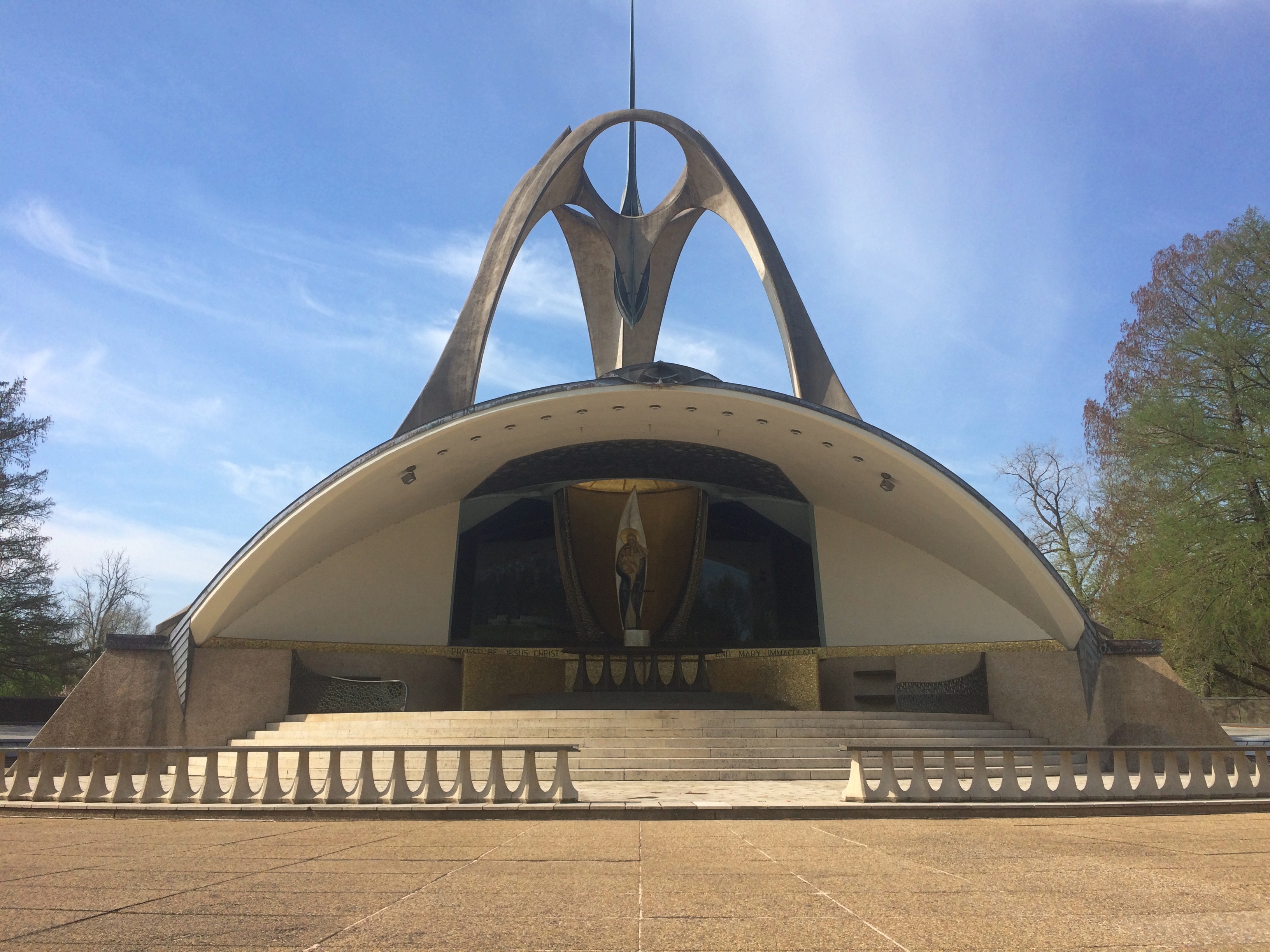
The design screams 1960 and sure enough, there’s a cornerstone with that date on it. Construction began in 1958 and finished that year, with a design by one Richard Cummings, a 1952 Washington University graduate who worked at the St. Louis firm of Maguolo & Quick at the time.

“It is easily the most Space Age-fabulous building in the region,” asserts Built St. Louis. “Seated at the bottom of a hill that forms a natural amphitheater, the main shrine of Our Lady of the Snows is a complex arrangement of curved forms and overlapping, intertwined spaces, a sort of High Googie architectural style.”

At the back of the shrine are some fine mosaics. Always good to find mosaics.

National Shrine of Our Lady of the Snows

At the top of the slope is Millennium Spire, a work installed in 1998.National Shrine of Our Lady of the Snows

National Shrine of Our Lady of the Snows

The shrine is a project of the Missionary Oblates of Mary Immaculate, whom I’ve run across before in San Antonio, location of their school of theology. No Space Age-fabulous structures there that I recall.

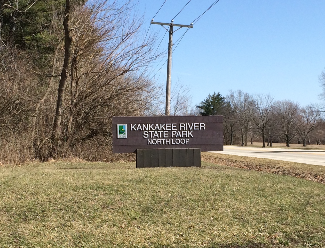
Kankakee River State Park

Late Sunday morning we headed south once more, dog and all, to walk on paths under clear skies and through warm air. March has provided some good weekends so far.

But first we had lunch in the car at a small park in Bourbonnais, Illinois, bought from the drive-thru of a delightful place called Niro’s Gyros, across the road from Olivet Nazarene University. We would have eaten at the park shelter, but it was warm enough for al fresco to be pleasant only out in sun, not in the shade.

Nero’s Gyros would be funnier, but I guess the owner’s name is Niro or something like it. I ate a gyro, and Niro does right by them. Yuriko had a Philly cheesesteak and Ann some Italian sausage, and were well satisfied too.

Then we went to Kankakee River State Park, a few miles away. I first went there in the late ’80s, but we visited most recently — not that recent, really — when Ann was small enough to play on the swing set like this.
So it’s been a while. Most of the 4,000-acre park includes both banks of the Kankakee for 11 miles or so, but not quite all of it. Yesterday we picked a part of the park that doesn’t follow the Kankakee River, but rather a tributary called Rock Creek.
Kankakee River State Park
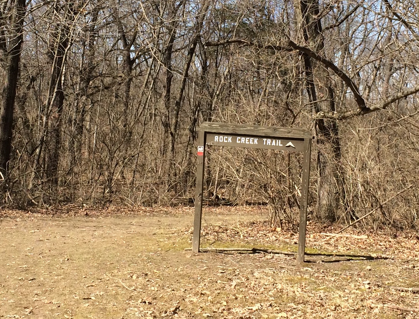
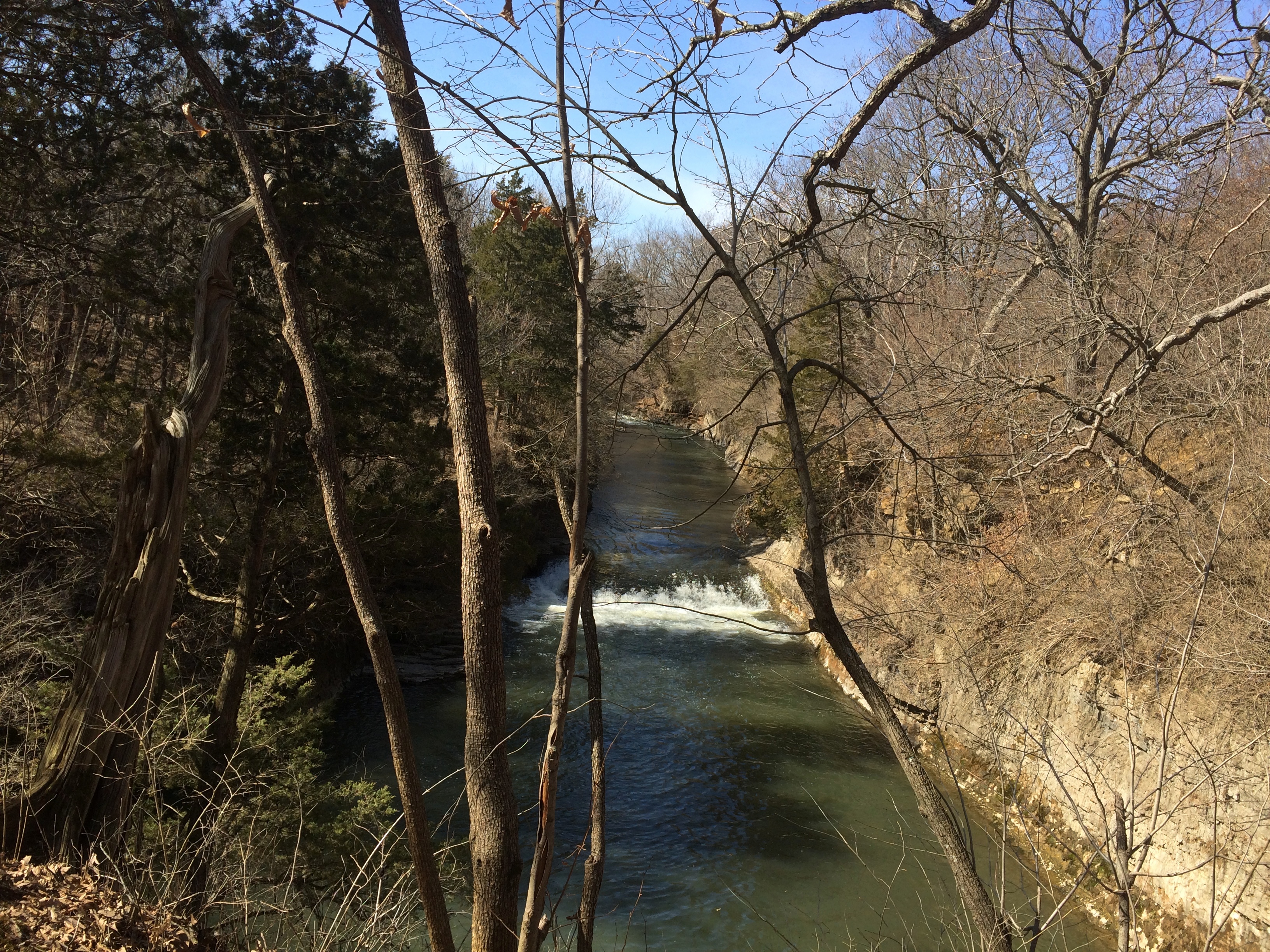
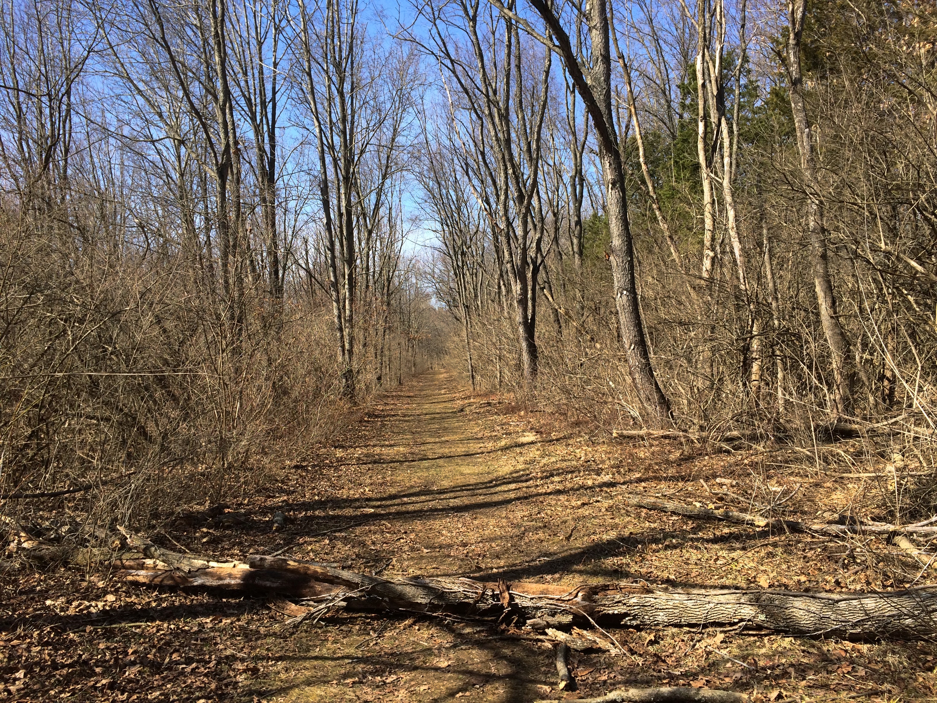
That part of the park has one thing to recommend it: a trail that follows the creek, then loops around through the forest back to the parking lot. One source puts it at two miles, but it didn’t feel that long. It might be two combined with another loop trail to the north, but never mind. We had a good walk.Kankakee River State Park, Rock Creek Trail

Kankakee River State Park, Rock Creek TrailWhen I said the trail follows Rock Creek, what I meant was that it follows a bluff about 30 feet above the creek. There were paths to climb down to the creek, but we didn’t bother with anything more than taking in some of the views.Kankakee River State Park, Rock Creek Trail Kankakee River State Park, Rock Creek Trail

It’s one of the wider trails I’ve been on lately, at least the part paralleling the creek.
Kankakee River State Park, Rock Creek Trail
At one point is a view of a waterfall.
Kankakee River State Park, Rock Creek Trail
Niagara it ain’t, or even some of the wonderful falls in the UP, but as I told Ann, who knows, in 50,000 years it might be a mighty waterfall.

The trail, as mentioned, looped away from the creek and passed through wooded territory back to the start. Nice and smooth, with most of the mud dry. Very pleasant.
Kankakee River State Park, Rock Creek Trail
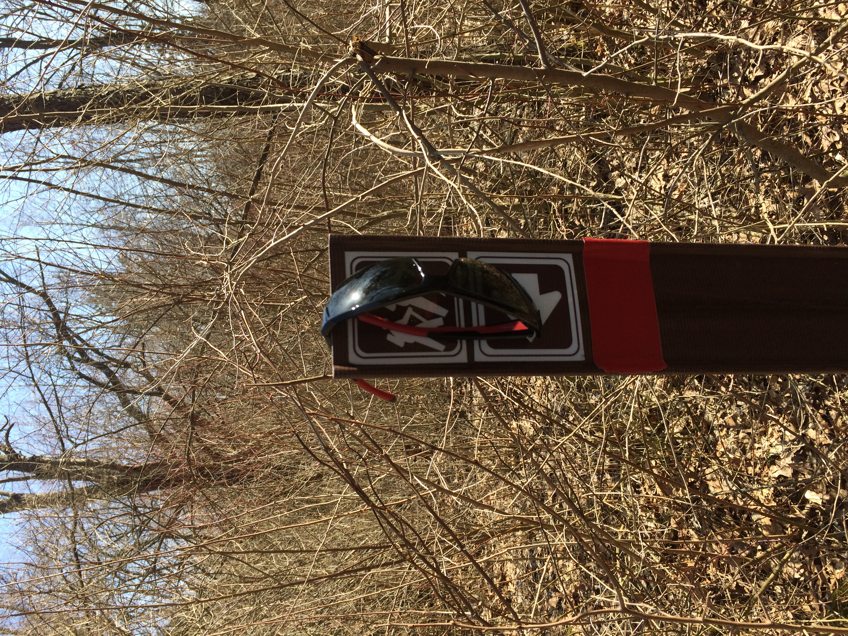
The only curiosities along the way were manmade. Sunglasses.
Kankakee River State Park, Rock Creek Trail
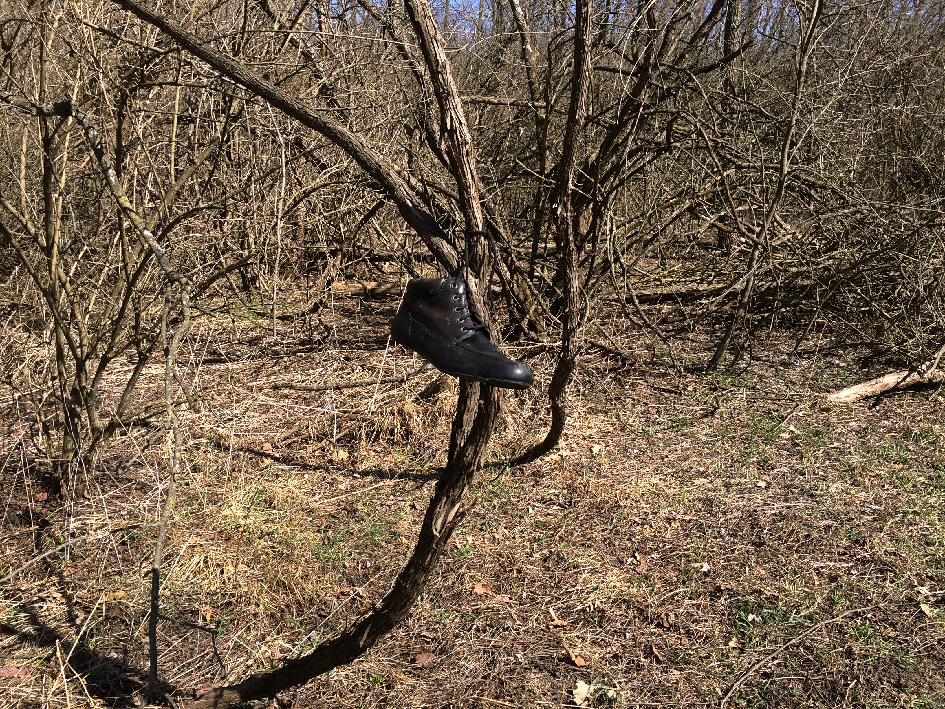
A shoe.
Kankakee River State Park, Rock Creek Trail
I can see some one dropping the sunglasses, and someone else putting them on the sign. But the shoe? A nice-looking one, too. Put there just to make passersby wonder why it was put there? If so, it succeeded momentarily.

Cave-in-Rock State Park

Snow this morning. It didn’t stick, but it did remind us all of the cold months to come.

At the beginning of 2020, works published in 1924 finally entered public domain in the U.S. The Center for the Study of the Public Domain noted some of the better known works now available to all.

“These works include George Gershwin’s ‘Rhapsody in Blue,’ silent films by Buster Keaton and Harold Lloyd, and books such as Thomas Mann’s The Magic Mountain, E. M. Forster’s A Passage to India, and A. A. Milne’s When We Were Very Young.”

Plenty of obscure works are now available as well. One I have in mind is The Outlaws of Cave-in-Rock by Otto A. Rothert, published in 1924. Rothert (1871-1954) was secretary of the Filson Historical Society in Louisville, and apparently took a strong interest in regional history

The Outlaws of Cave-in-Rock can now be found in Google Books. I haven’t read it all, but I have sampled some of it. Such as the first few paragraphs.

“This book is intended to give the authentic story of the famous Cave-in-Rock of the lower Ohio River… and to present verified accounts of the most notorious of those highwaymen and river pirates who in the early days of the middle West and South filled the Mississippi basin with alarm and terror of their crimes and exploits.

“All the criminals herein treated made their headquarters at one time or another in this famous cavern. It became a natural, safe hiding-place for the pirates who preyed on the flatboat traffic before the days of steamboats….

“A century ago and more, its rock-ribbed walls echoed the drunken hilarity of villains and witnessed the death struggles of many a vanished man. Today this former haunt of criminals is as quiet as a tomb. Nothing is left in the Cave to indicate the outrages that were committed there in the olden days.”

The book also tells the tale, in four chapters, of the exceptionally murderous Harpe brothers (or cousins), a bloody story deftly summarized by the late Jim Ridley in the Nashville Scene some years ago. Enough to note here that the Harpes and their women roamed western Tennessee and Kentucky around the beginning of 19th century, murdering and robbing as they went, but especially murdering.

They spent some time among the blackguards at Cave-in-Rock, but were forced to leave after they threw a man bound to a horse to his (and the horse’s) death off the cliff’s edge above the cave for fun. Even river pirates have their standards.

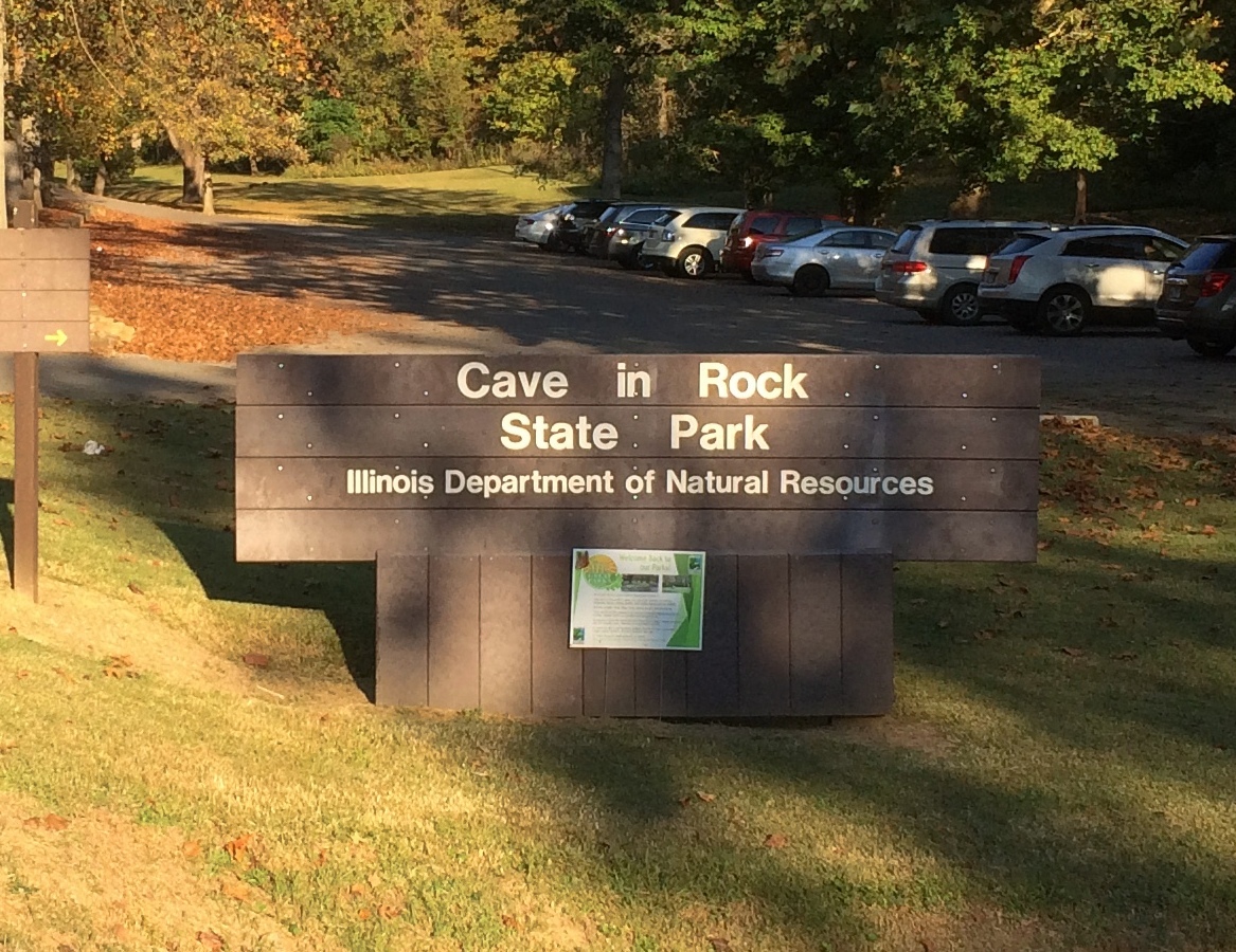
In our time, and in fact since 1929, the cave has been the central feature of Cave-in-Rock State Park. Not quiet as a tomb, quiet as a minor tourist attraction. It isn’t part of Shawnee National Forest, but some of the national forest lands are nearby. Note the sign isn’t a stickler for hyphens.Cave-in-Rock State Park

The park is near the small town of Cave-in-Rock, Illinois, which is walkable distance to the south from the park. We arrived at the park on the afternoon of October 11.

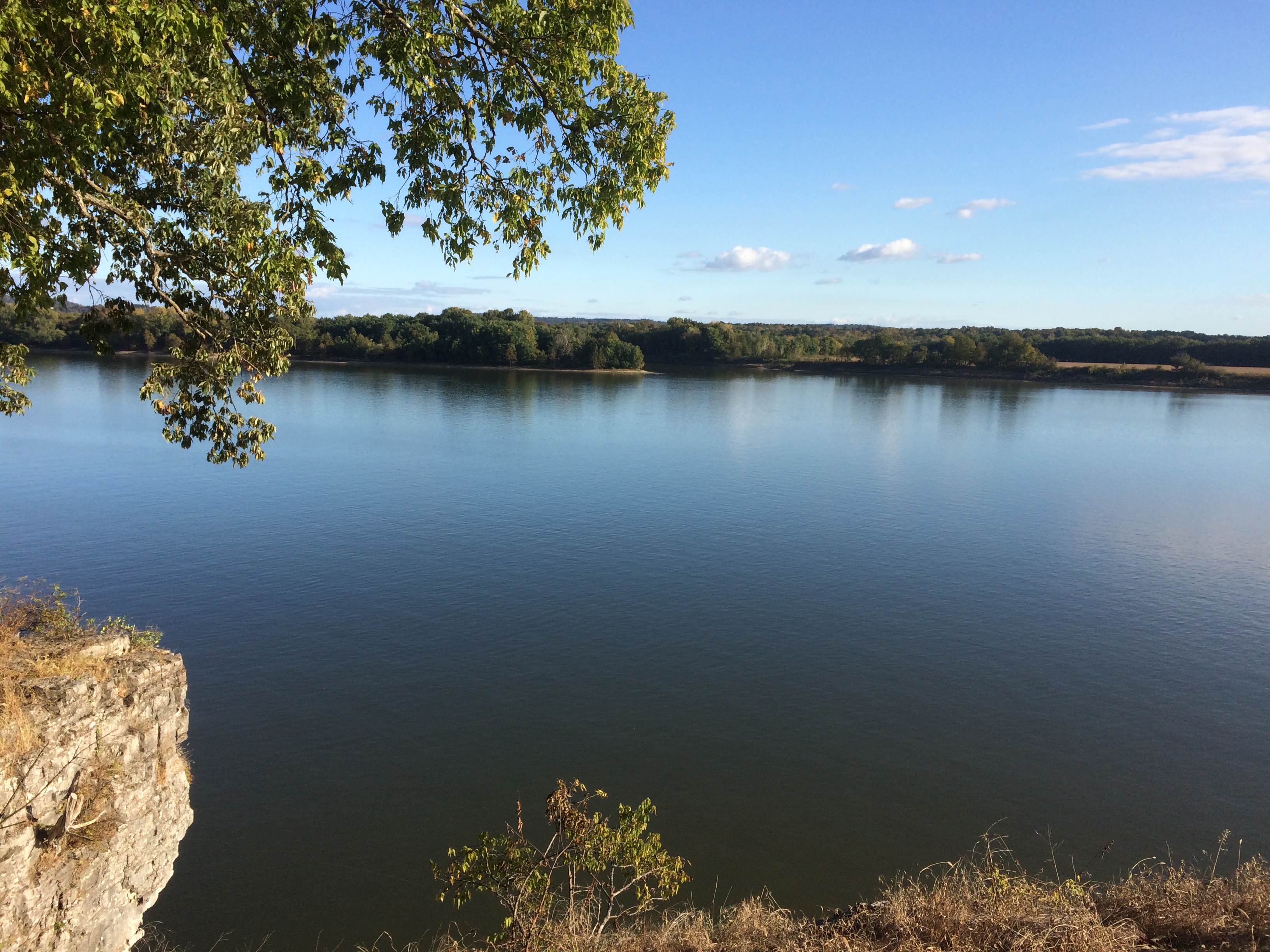
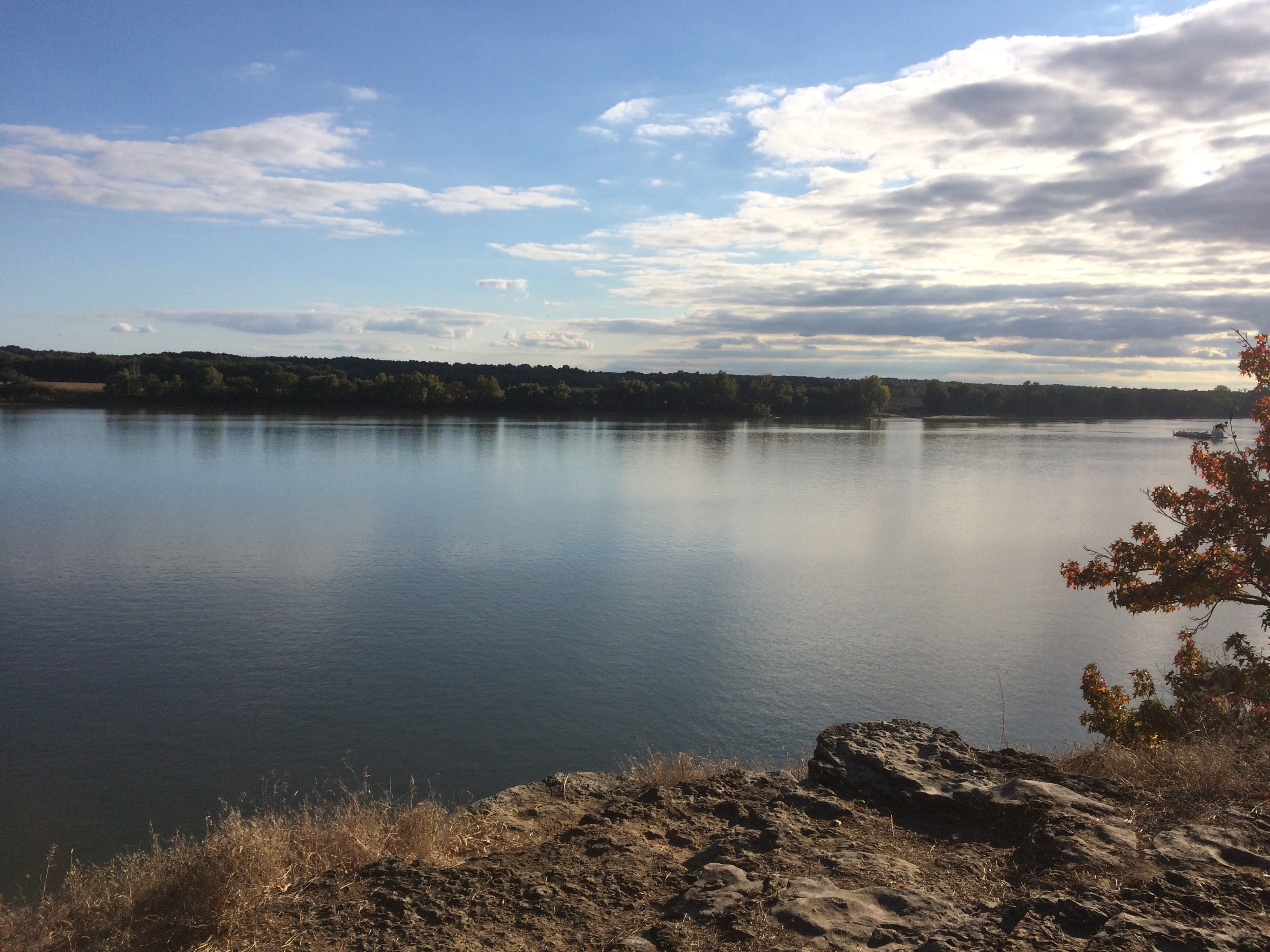
You park in a small lot and climb 50 or so steps uphill, to a crest overlooking the Ohio River, sporting picnic shelters and tall trees. Views from the crest, looking across to Kentucky.Cave-in-Rock State Park Cave-in-Rock State Park

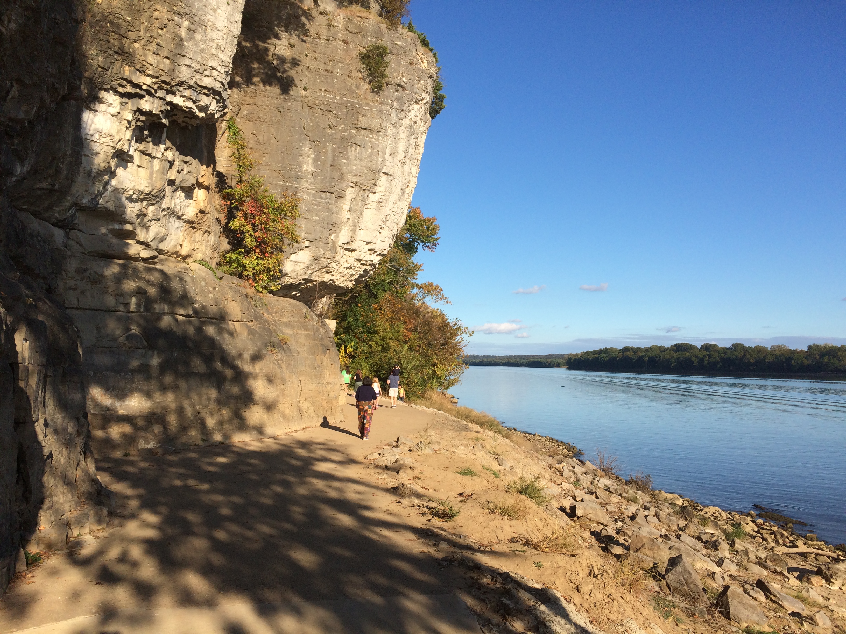
From the crest, you go down more stairs most of the way to the river’s edge. The cave entrance is under a high cliff and a few feet higher than a small beach on the river.
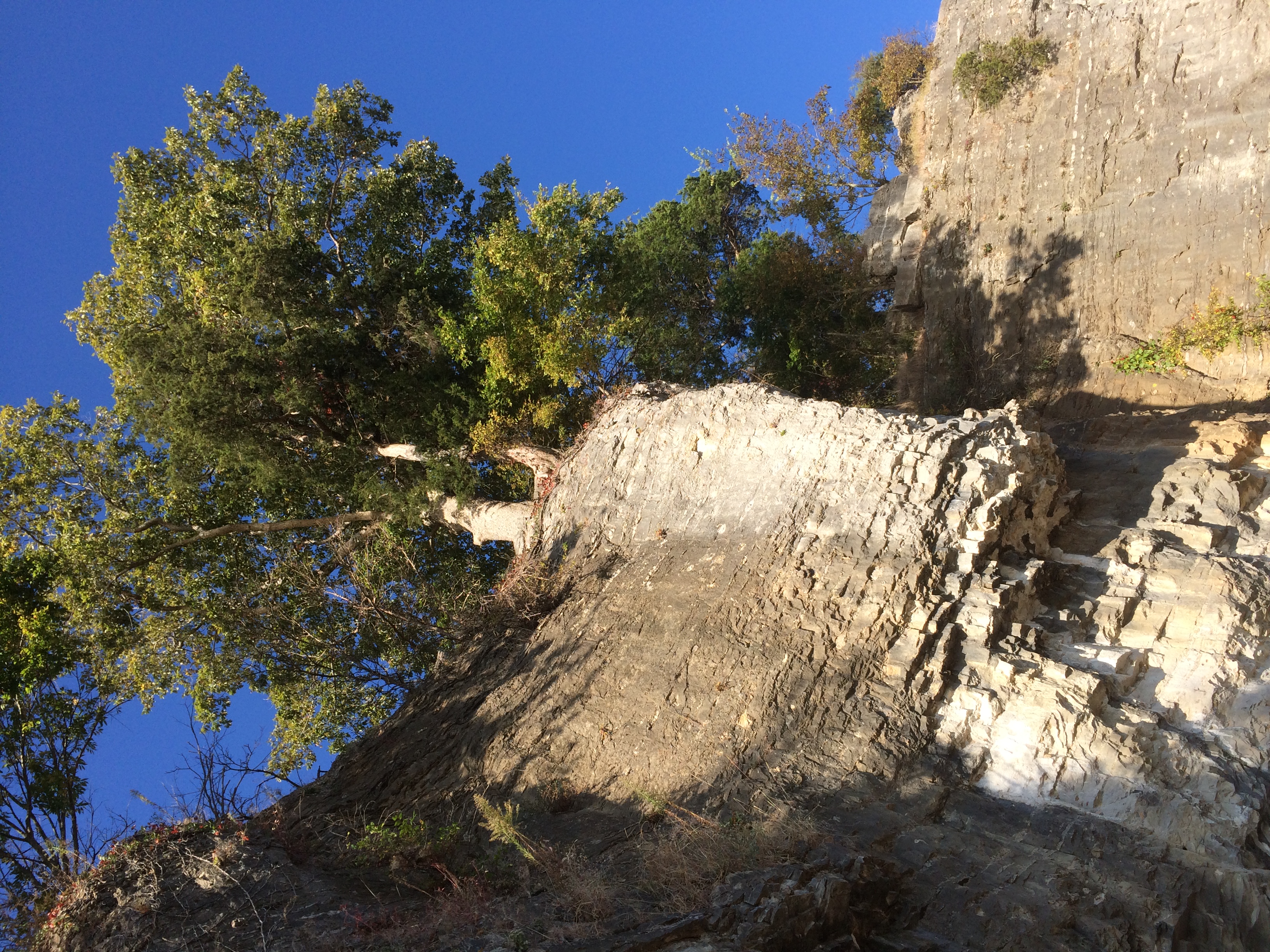
Cave-in-Rock State ParkLooking back up at some trees lording over the edge of the cliff.
Cave-in-Rock State Park

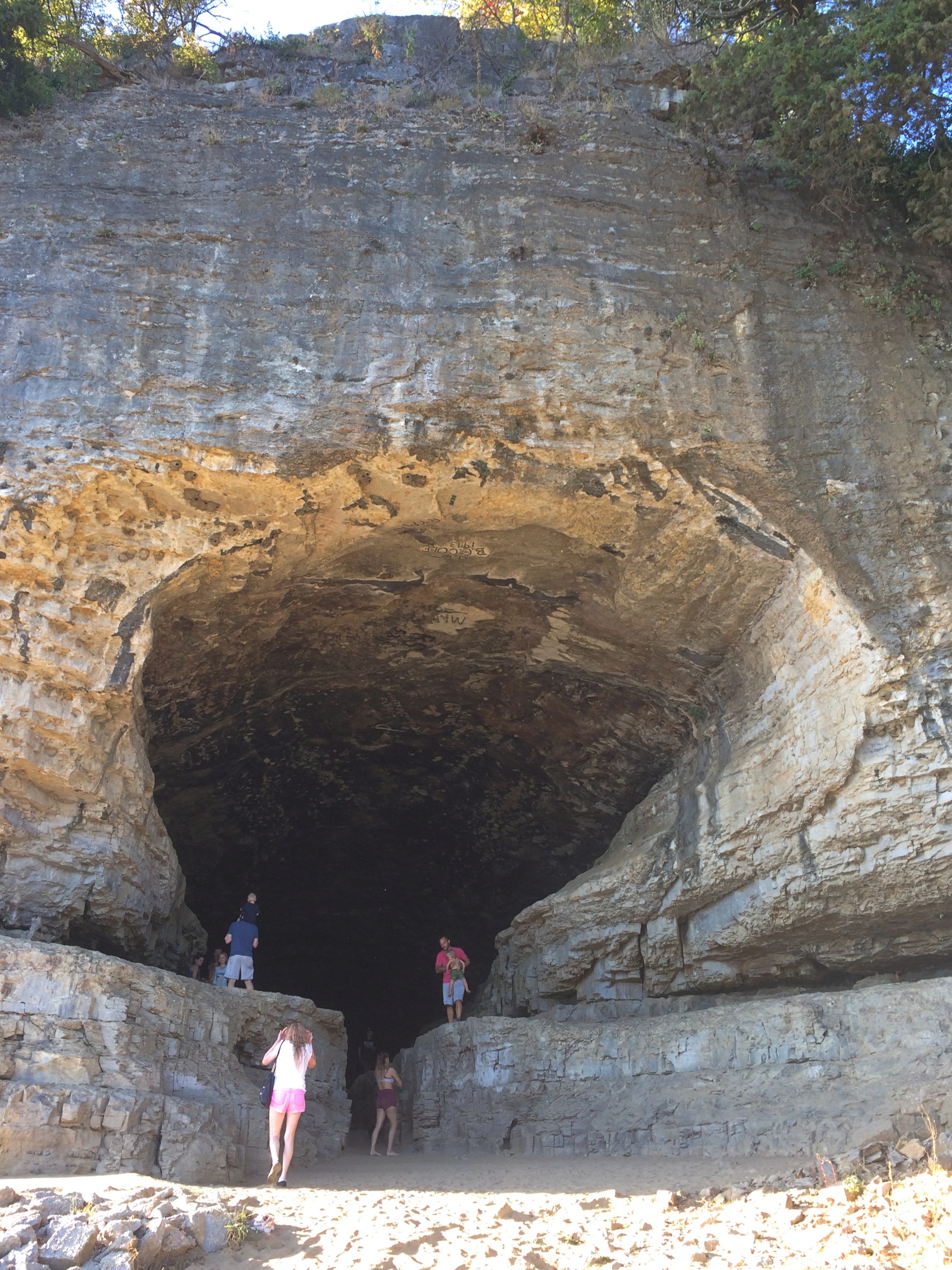
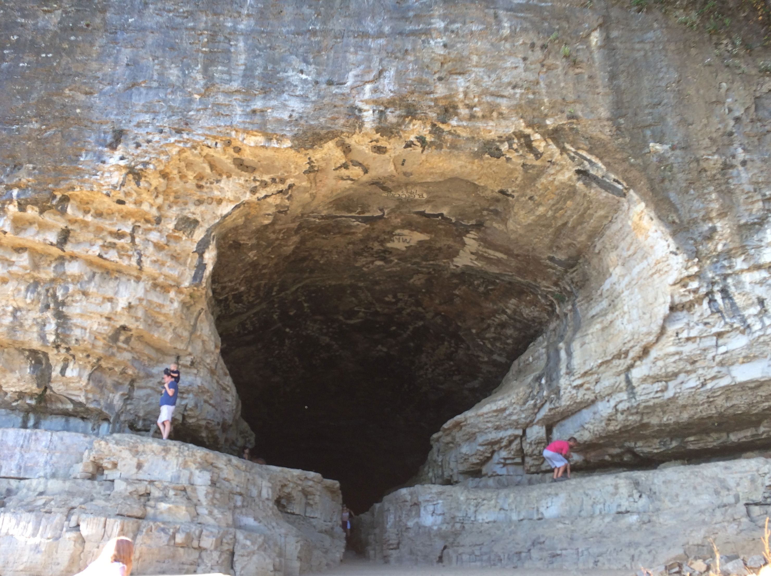
A few more steps and you’re in front of Cave-in-Rock. It’s an apt name.

Cave-in-Rock State Park Cave-in-Rock State Park

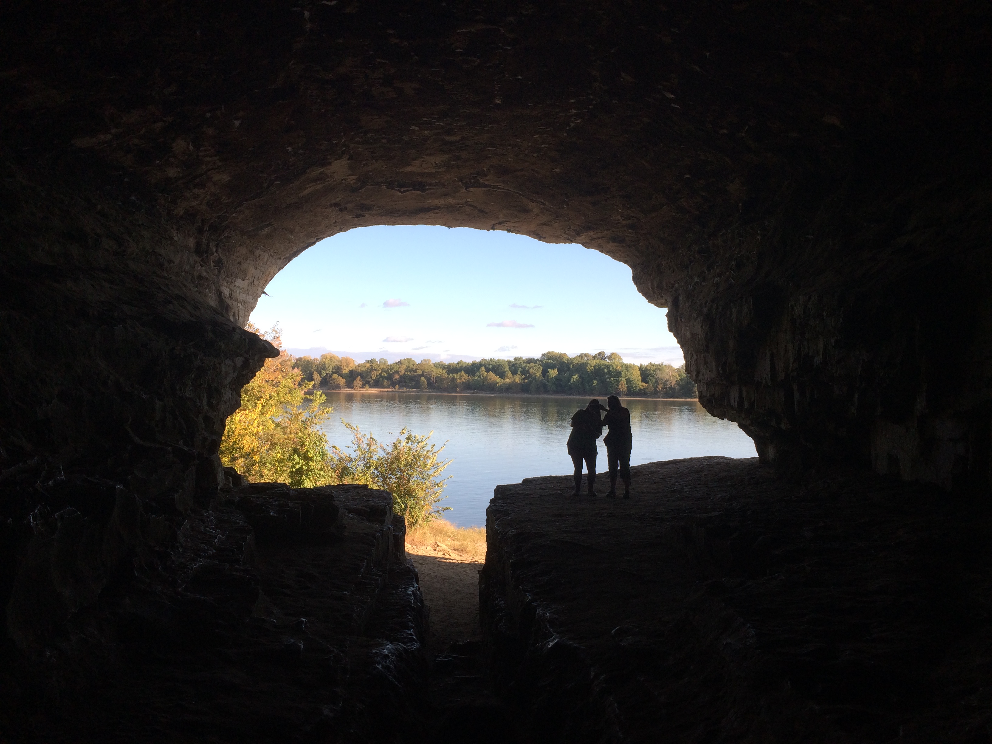
Soon you’re inside, looking out.
Cave-in-Rock State Park

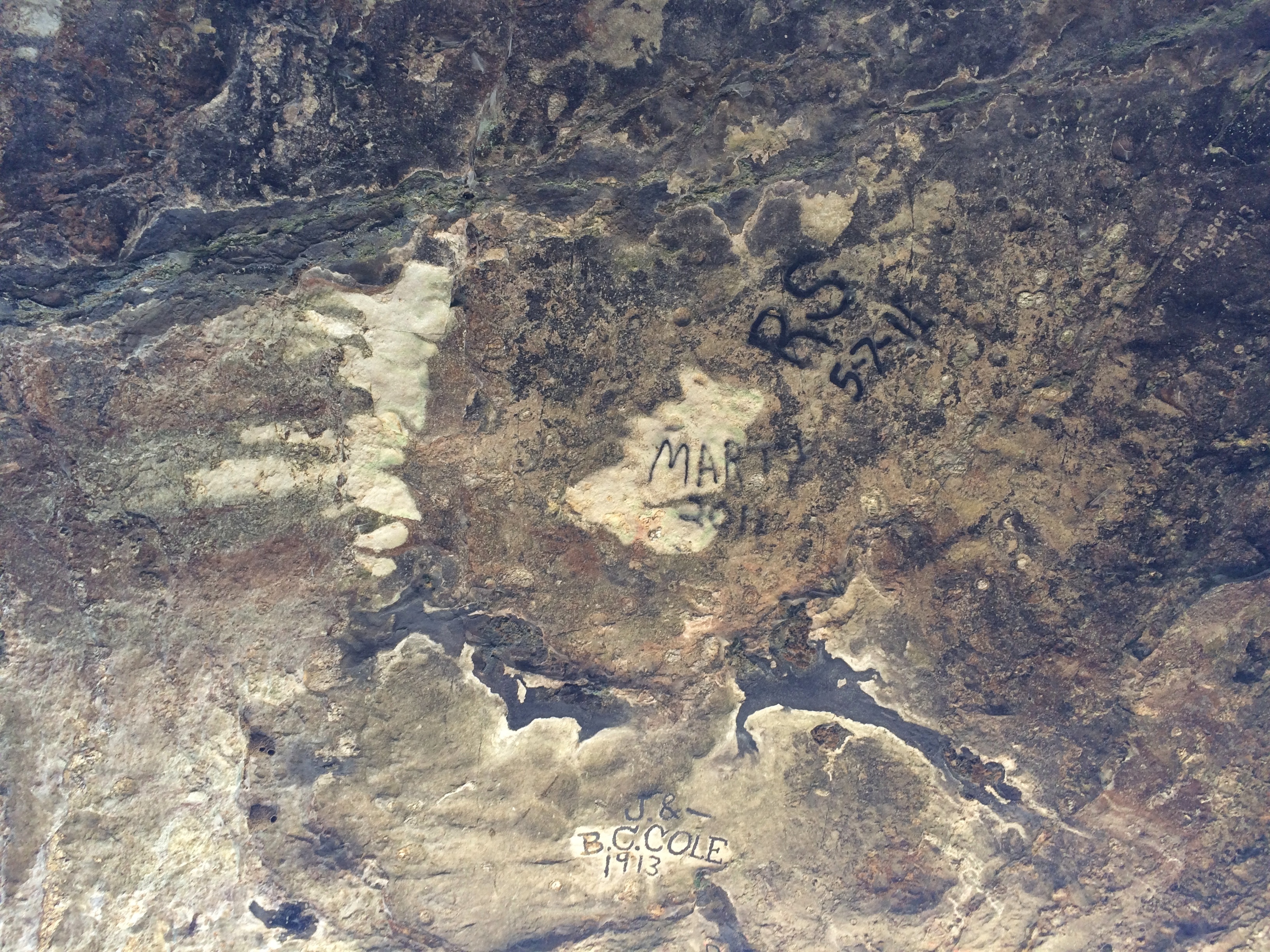
It doesn’t go too far back, at least not that I know of. Graffiti, mostly painted signatures, is prominent on the roof of the cave.
Cave-in-Rock State Park

J. & B.C. Cole were here in 1913, pre-park and probably dangling from a rope over the cliff edge. The more recent Marty and R.S. were here in 2011, and probably had rappelling gear.

Two Wisconsin Vistas: Granddad Bluff Park & Tower Hill SP

On Tuesday night late, a storm blew threw, bringing rain and fall-like temps, and leaving Wednesday wet and cool and gray. Today wasn’t quite so cool, but still not summer-like. It will be warm again, but this is our first taste of fall.

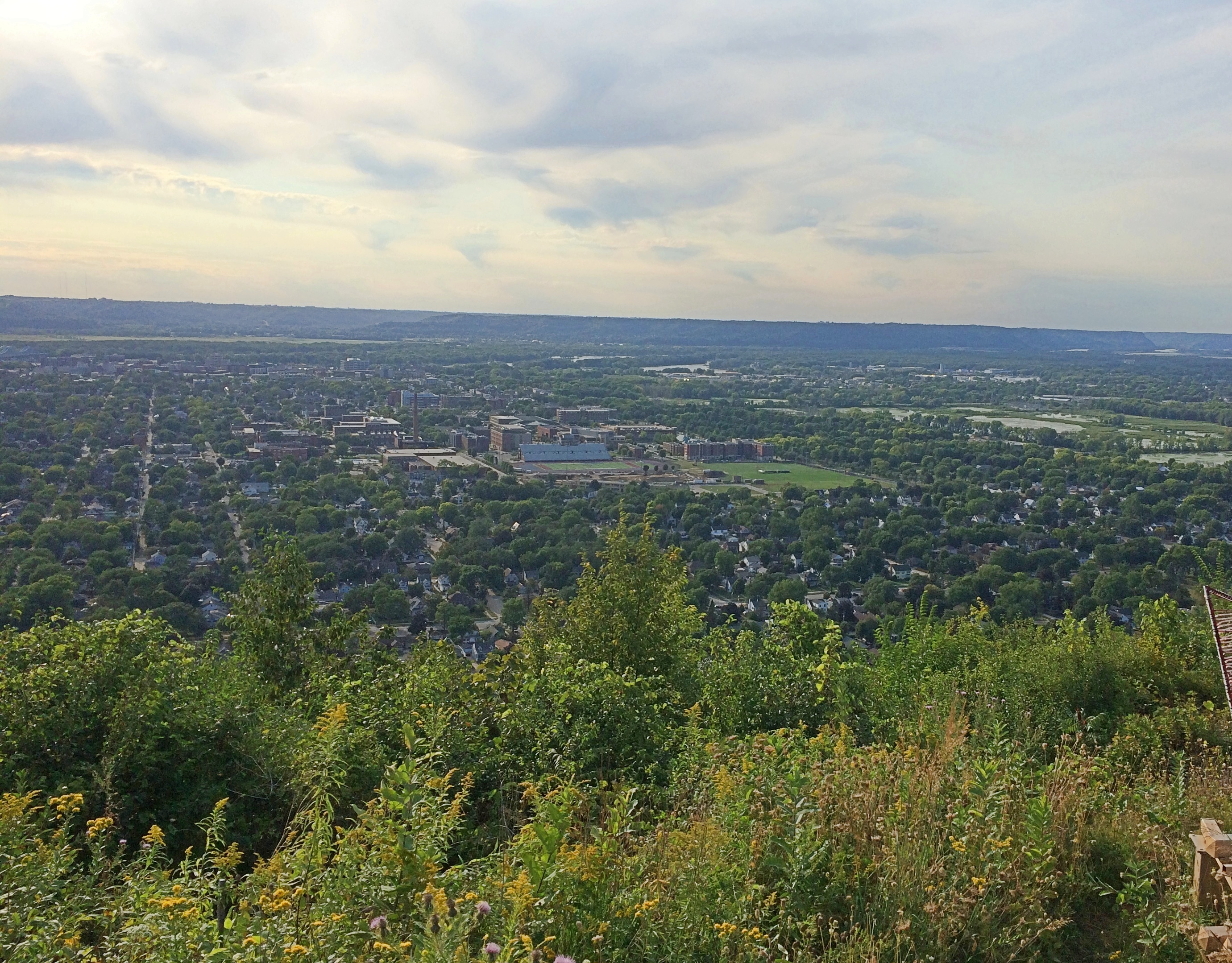
Late Saturday afternoon, we made our way to Granddad Bluff Park in La Crosse. Unlike some of the other vistas we’ve taken in recently, you can drive most of the way to the overlook at Granddad Bluff. From the parking lot, it’s a short walk to the edge of the bluff.

Granddad's Bluff

Granddad's Bluff

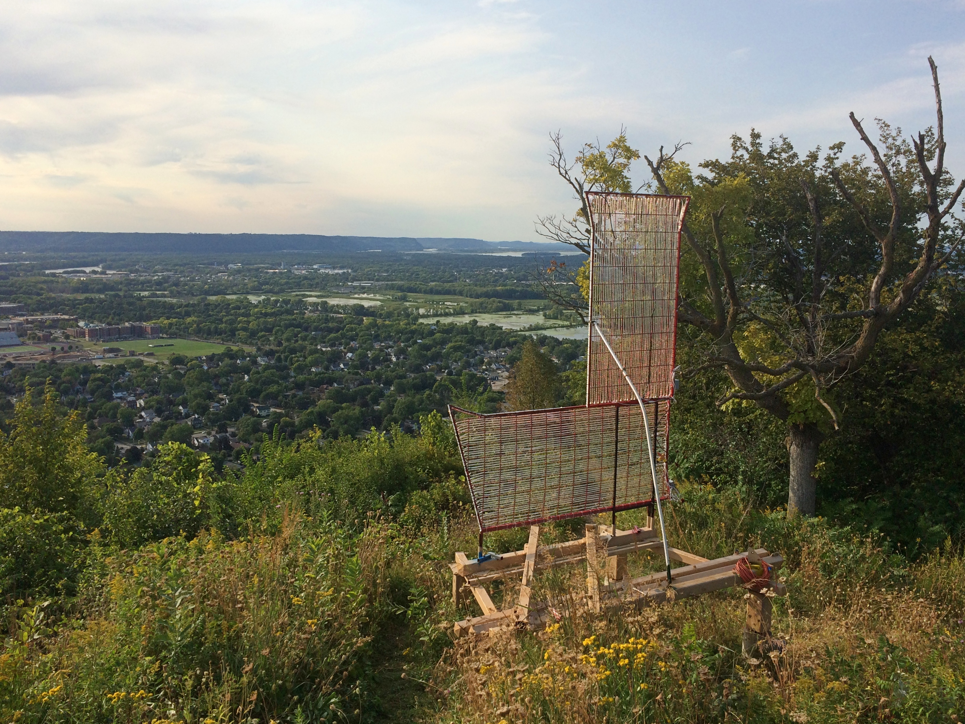
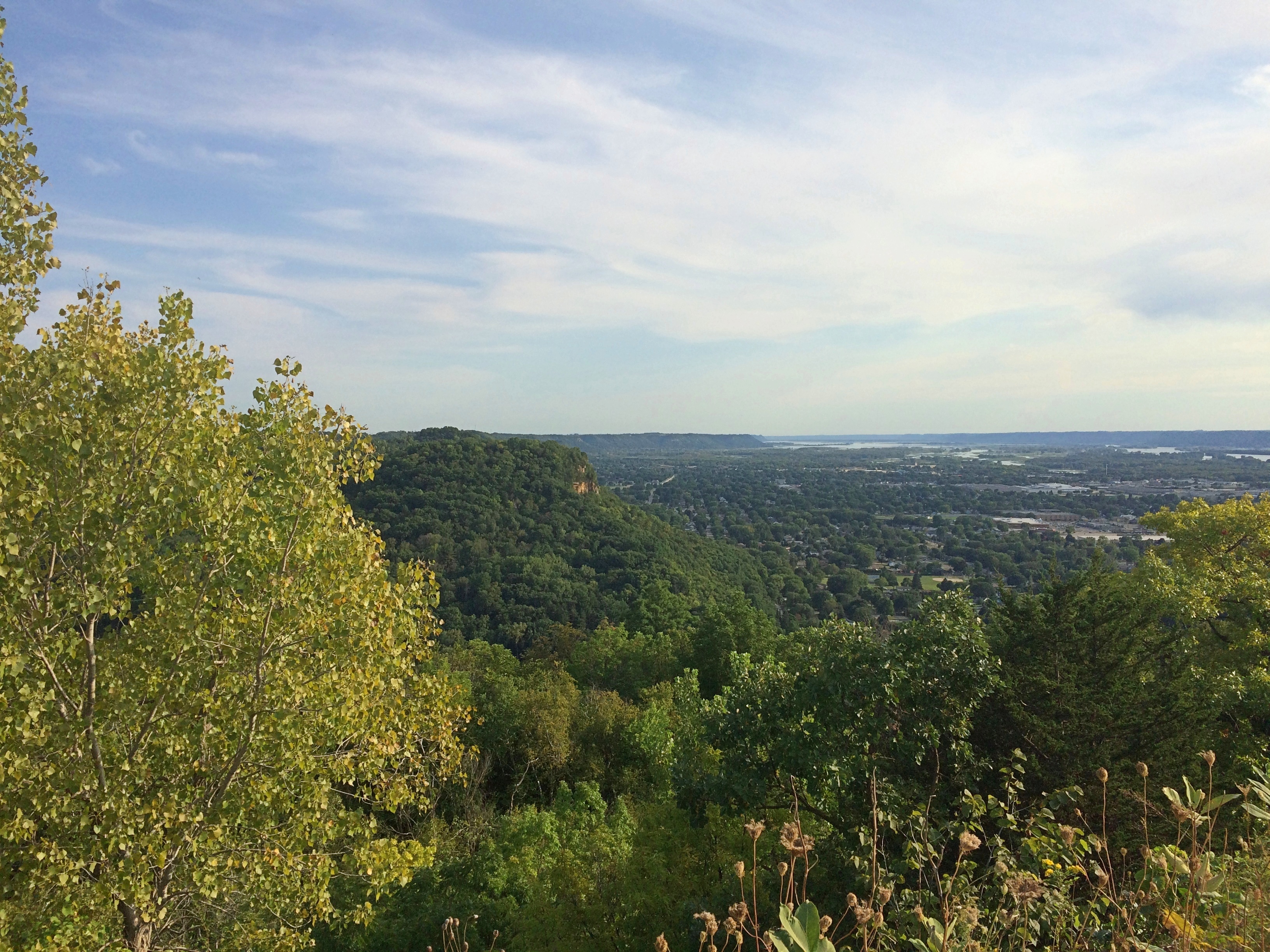
Not sure about that L. I suppose it stands for La Crosse. I didn’t see any other letters to spell out the name, Hollywood Sign-style.Granddad's BluffGranddad's BluffGranddad's BluffNice views. La Crosse spreads out to the west of the bluff. The city, pop. 51,000 or so, mostly hugs the Mississippi just south of where the Black River joins it.

I’d have guessed that roving Frenchmen founded the place, but apparently not. Lt. Zebulon Pike passed this way in 1805 and called the area Prairie La Crosse, but the town wasn’t founded until 1841 when a New Yorker named Nathan Myrick showed up.

“Myrick found a partner [and] in Nov. 1841, borrowed an army keelboat and a stock of trader’s goods, and poled up the Mississippi River to Prairie la Crosse (now La Crosse, Wis.),” explains the Clark County History Buffs. “There they built a cabin, the first in La Crosse, and became successful in the Indian trade…”

I have my own tenuous connection to La Crosse, even though last weekend was the first time I’d more than passed through the town. La Crosse is the first place I ever saw in Wisconsin, back in 1978 as our bus rolled through, probably on I-90 at the northern edge of town. I remember being impressed by the rolling hills after traveling through so much Midwestern flatland.

We buzzed through in 2005 on the way to Yellowstone, and I thought then it would be good to visit La Crosse someday. The day happened to be September 5, 2020, first with a look from Granddad Bluff.

The bluff was a source of quarried rock in the 19th century, but as a lookout and prominent local feature, La Crosse residents have reportedly always been fond of the place. So much so that more than 100 years ago, when they believed a new owner was doing to destroy it for stone, a wealthy local resident arranged for the city to acquire it for a park.

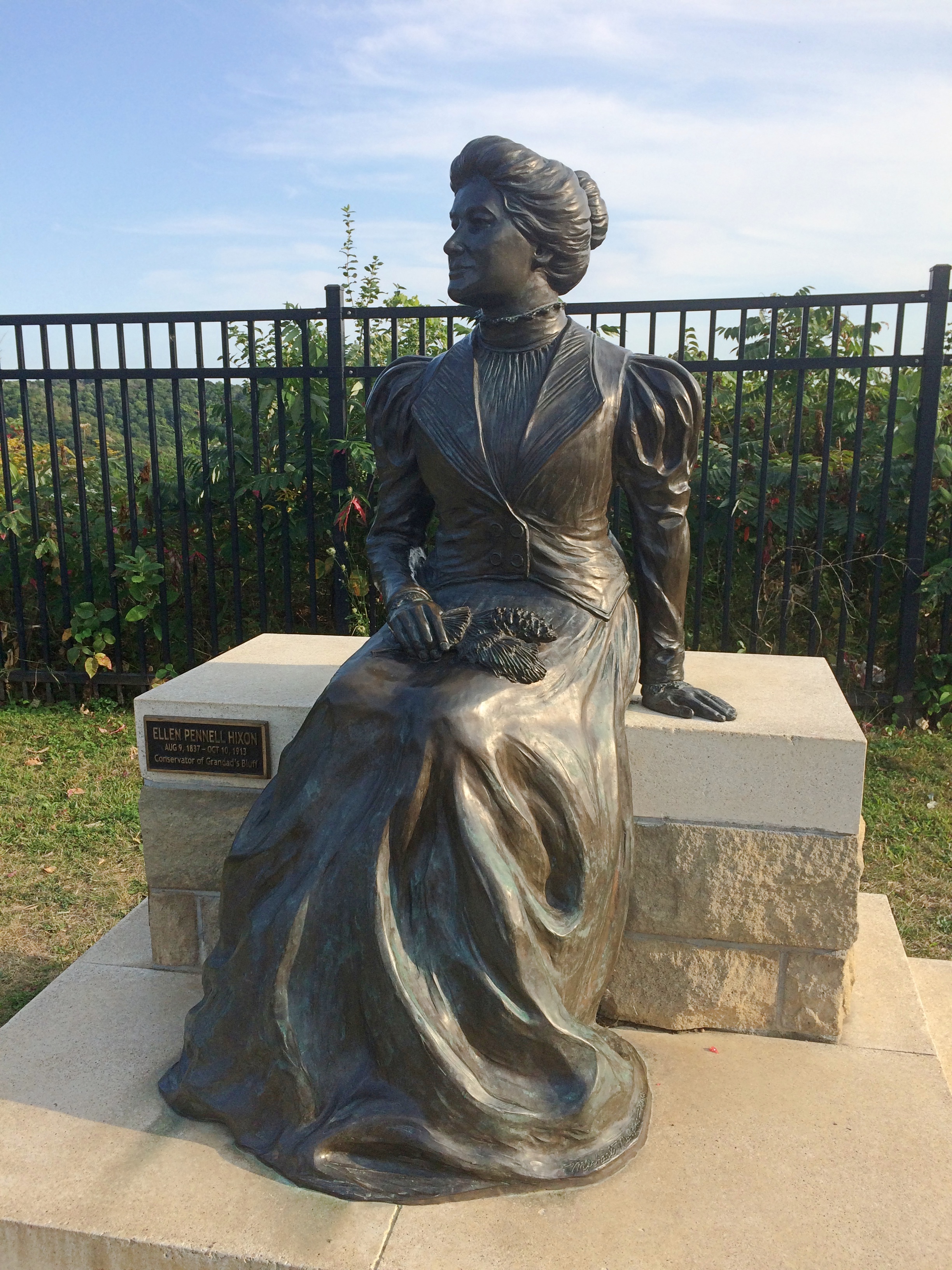
Here she is in the park: Ellen Hixon, depicted in a bronze by Wisconsin artist Mike Martino.Granddad's Bluff Ellen Hixon statue“A subscription was organized and Ellen P. Hixon, encouraged by two of her sons, Frank and Joseph, donated $12,000 to start the fund,” a sign near the bronze says. In current money, that’s more than $310,000. She was the widow of a local lumber baron, Gideon Hixon. Their house is now a museum, which is only open in a limited way now.

“About twenty other local benefactors and companies then contributed another $3,000 to purchase adjacent lands and to fund roads and other improvements. By 1912 the Hixon family was able to transfer title for the property to the city for use as a public park, and the bluff was saved.”

Good for her. As legacies go, Granddad Bluff’s a pretty good one.

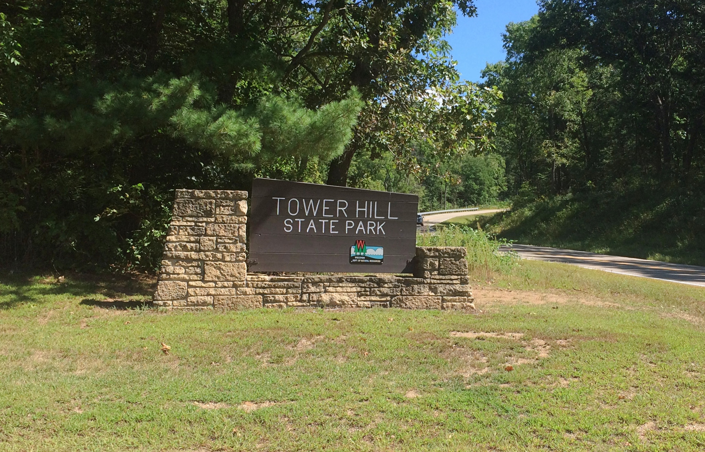
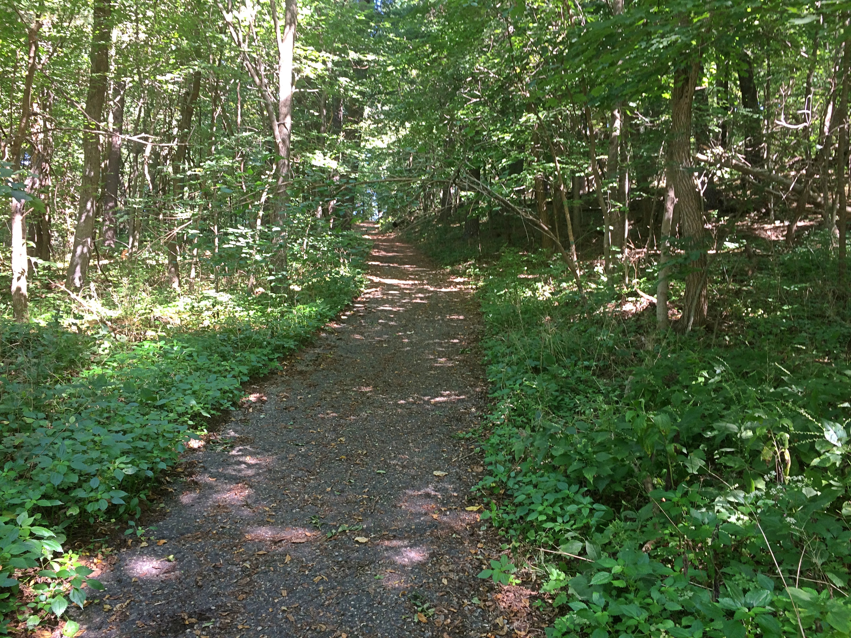
Earlier in the day, we stopped briefly at Tower Hill State Park near Spring Green, Wisconsin, which is better known for Taliesin.Tower Hill State Park

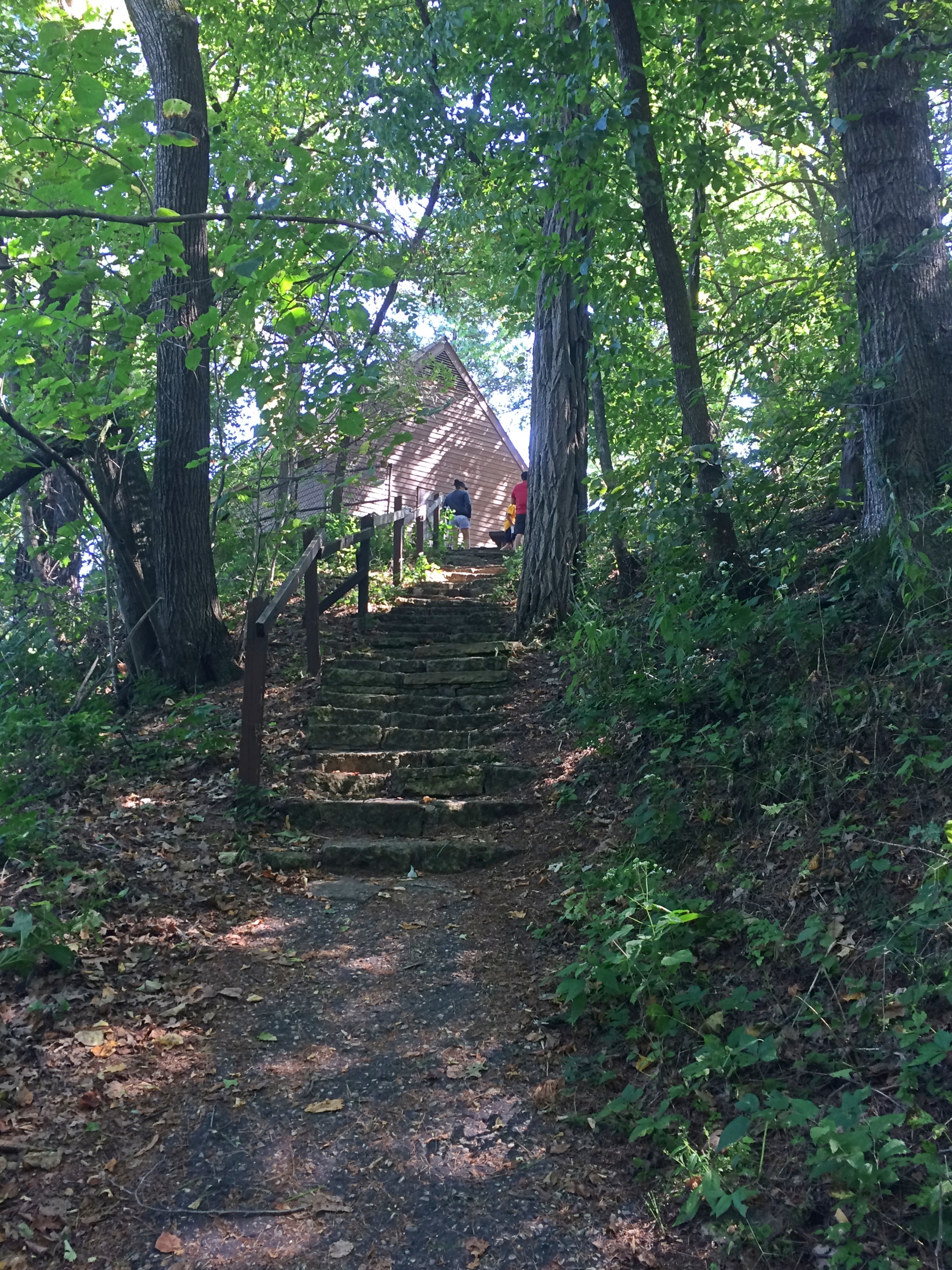
It too offers a good vista, but you have to climb a hill to see it.
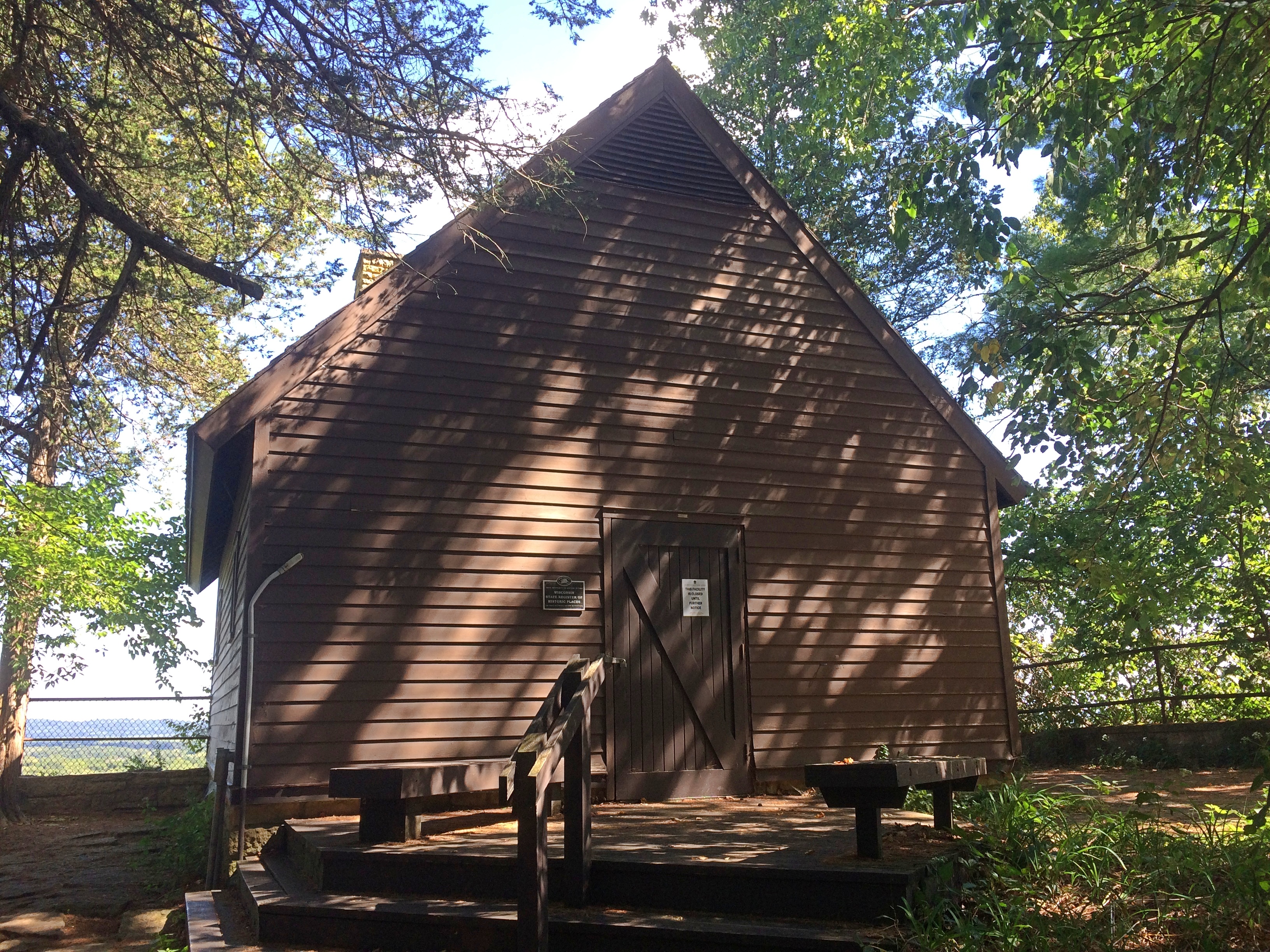
Tower Hill State ParkAt the top of the bluff is a reconstruction of the Helena Shot Tower. It’s closed for now.
Tower Hill State ParkTower Hill State ParkIn the early 1830s, a Green Bay businessman named Daniel Whitney had the shot tower built for the manufacture of lead shot. Molten lead dropped from a height forms into globes on the way down, which harden when hitting a pool of water below.

You’d think such an operation would do serious business during the Civil War, but it was closed by then. Later Jenkin Lloyd Jones, who was Frank Lloyd Wright’s uncle, developed a retreat on the site. His widow gave it to the state of Wisconsin, which created the park in the 20th century and had the shot tower rebuilt.

The view from near the shot tower is toward the Wisconsin River.
Tower Hill State ParkWorth the climb, which wasn’t nearly as exhausting as Devil’s Lake SP or Starved Rock SP or Wyalusing SP or Effigy Mounds NM. Been quite a summer for climbing hills, now that I think about it.

Thursday Bits & Bobs

Some unusually cool days this week. I’m not sure whether that had anything to do with what happened at about 7:45 pm on Wednesday out on our deck. I was sitting out there, decompressing from a day of work and other tasks, when I saw a dark blob hit one of our deck loungers. Twack!
Two cicadas. Noiseless, though the cicadas have been doing their twilight bleating for a few weeks now. Crickets are also singing after dark, though maybe not as strongly as they will closer to their seasonal demise. By Thursday morning, when I next checked, the cicadas were gone.
Happy to report there’s a thin mosquito population this year, at least around here. Flies have taken up the slack. Seems like one gets in the house every day through the back door, including some of the metallic-colored ones that used to fascinate me as a kid.

Also in the back yard: blooming hibiscus. Could be Hibiscus syriacus. I can also call it rose of Sharon, though I understand that’s applied to other flowers as well.
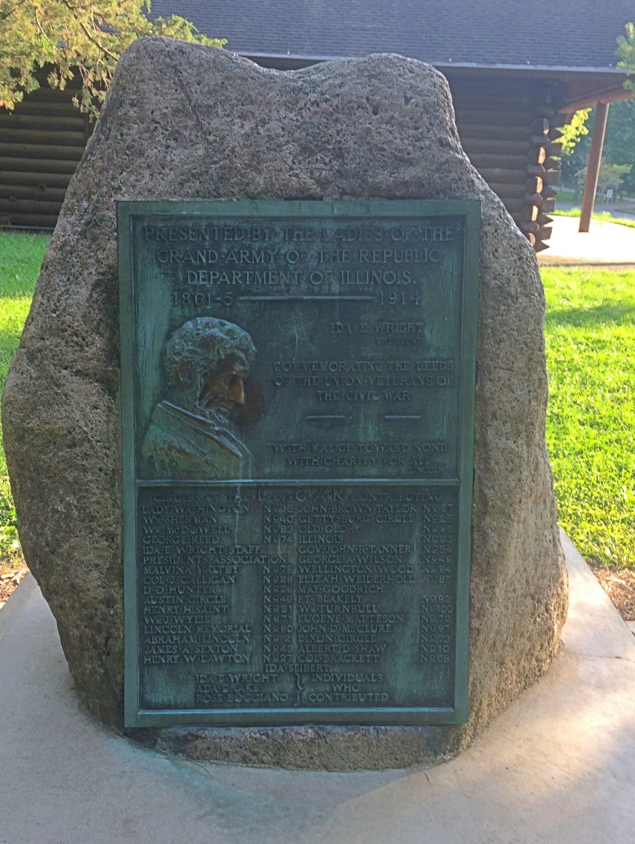
At Starved Rock State Park recently, I spotted his plaque near the lodge. Looking its century-plus age, including countless touches of Lincoln’s nose.
GAR Ladies plaque Starved Rock State Park“Commemorating the deeds of the Union veterans of the Civil War,” it says. The Ladies of the Grand Army of the Republic erected it in 1914. Looks like the Ladies, who are still around, were trying to keep up with the Daughters.

Chronicling a lot of violence, but also a thing of great beauty.

Our most recent episode of Star Trek: “A Piece of the Action.” I suggested it as one of three options — an action/adventure story, or one of the show’s tendentious eps, or comedy. Ann picked comedy. I’d forgotten how much of a hoot “Action” is, with the high jinks gearing up especially after Kirk and Spock got into pseudo-gangster duds and Shatner hammed it up.

Oh, my, listen to that. My my my.