One Cadillac Ranch & Two Stonehenges

Driving out of Amarillo toward the west I got the impression that the city comes to an end at Soncy Road, a major north-south street. City to the east, open fields to the west. Looking at the city on Google maps, I see that impression isn’t absolutely accurate, but it’s pretty close.

I was going that way to see the Cadillac Ranch. Because that’s a thing you see while passing through Amarillo, like you might mosey over to the Eiffel Tower while visiting Paris for the first time. Google Maps simply calls it the Cadillac Ranch, as does my Michelin atlas. Curiously, my Rand McNally atlas calls it Stanley Marsh’s Cadillac Ranch.

The Cadillac Ranch isn’t far out of town, just south of one of the I-40 feeder roads, which is the former U.S. 66 at the point, so it counts as a Route 66 site for enthusiasts of that road. You can park off the feeder and see the installation from that vantage.

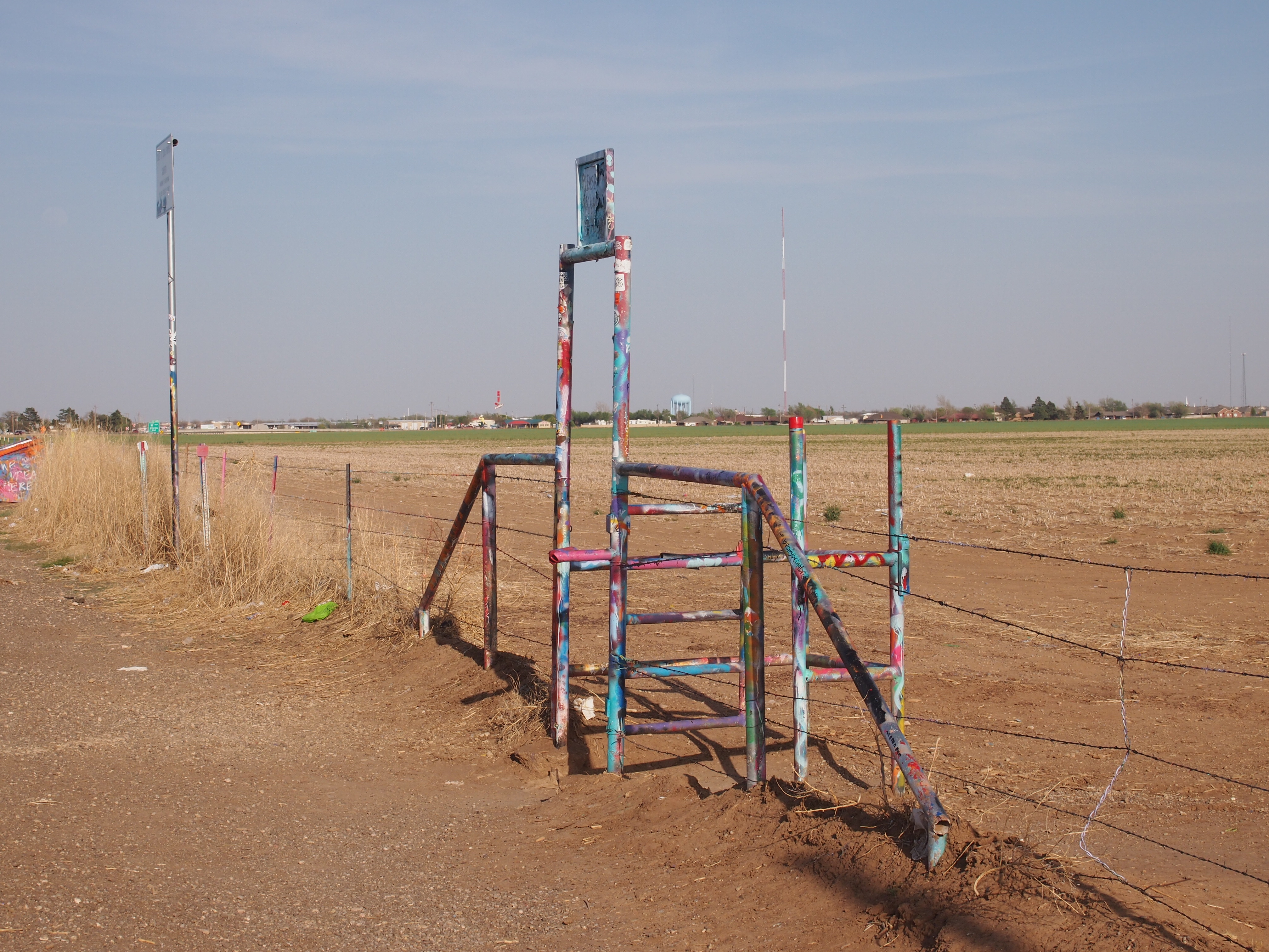
The Cadillac Ranch field is fenced with barbed wire, but not to worry. Visitors can go through a graffiti’d gate.

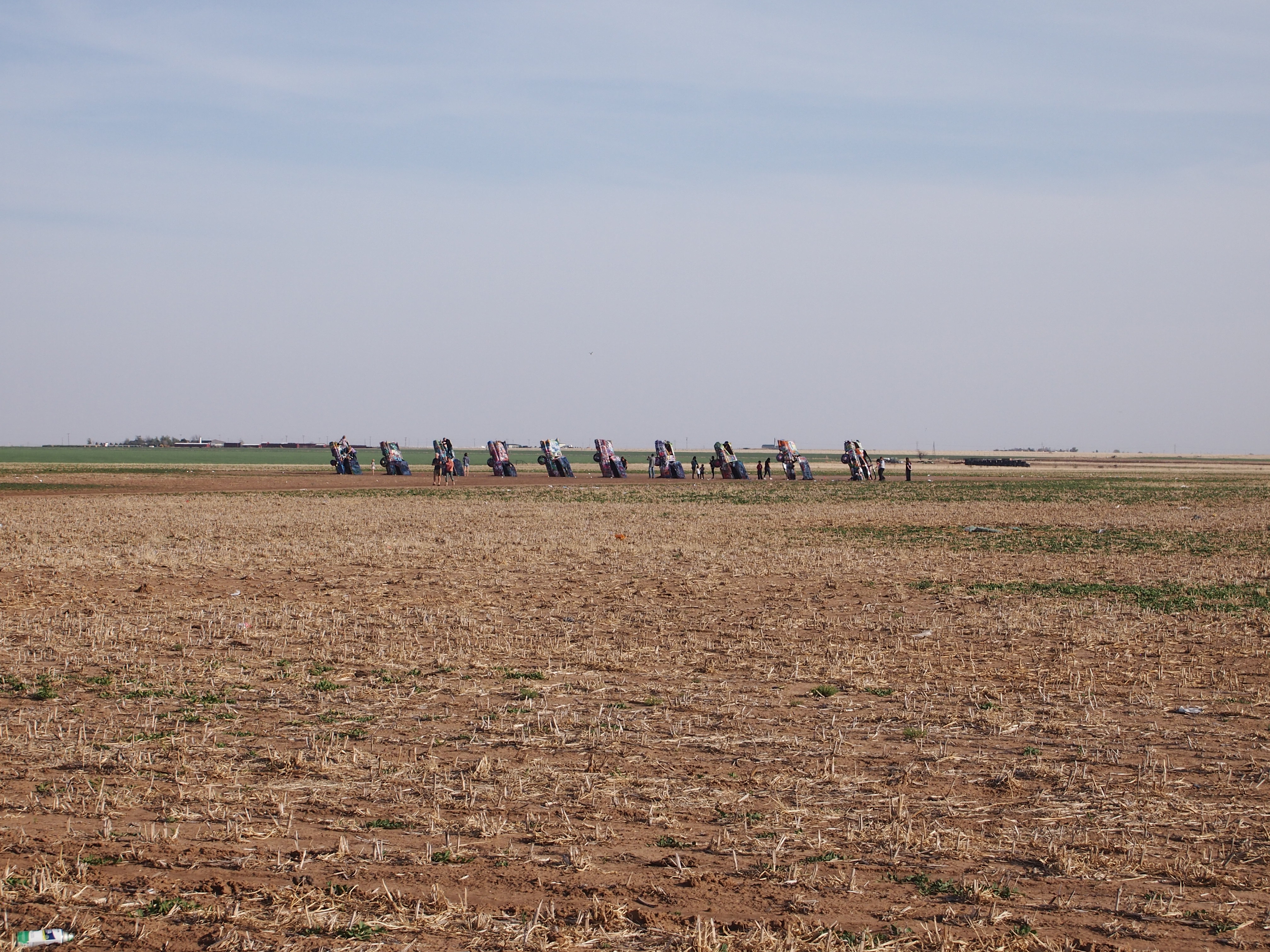
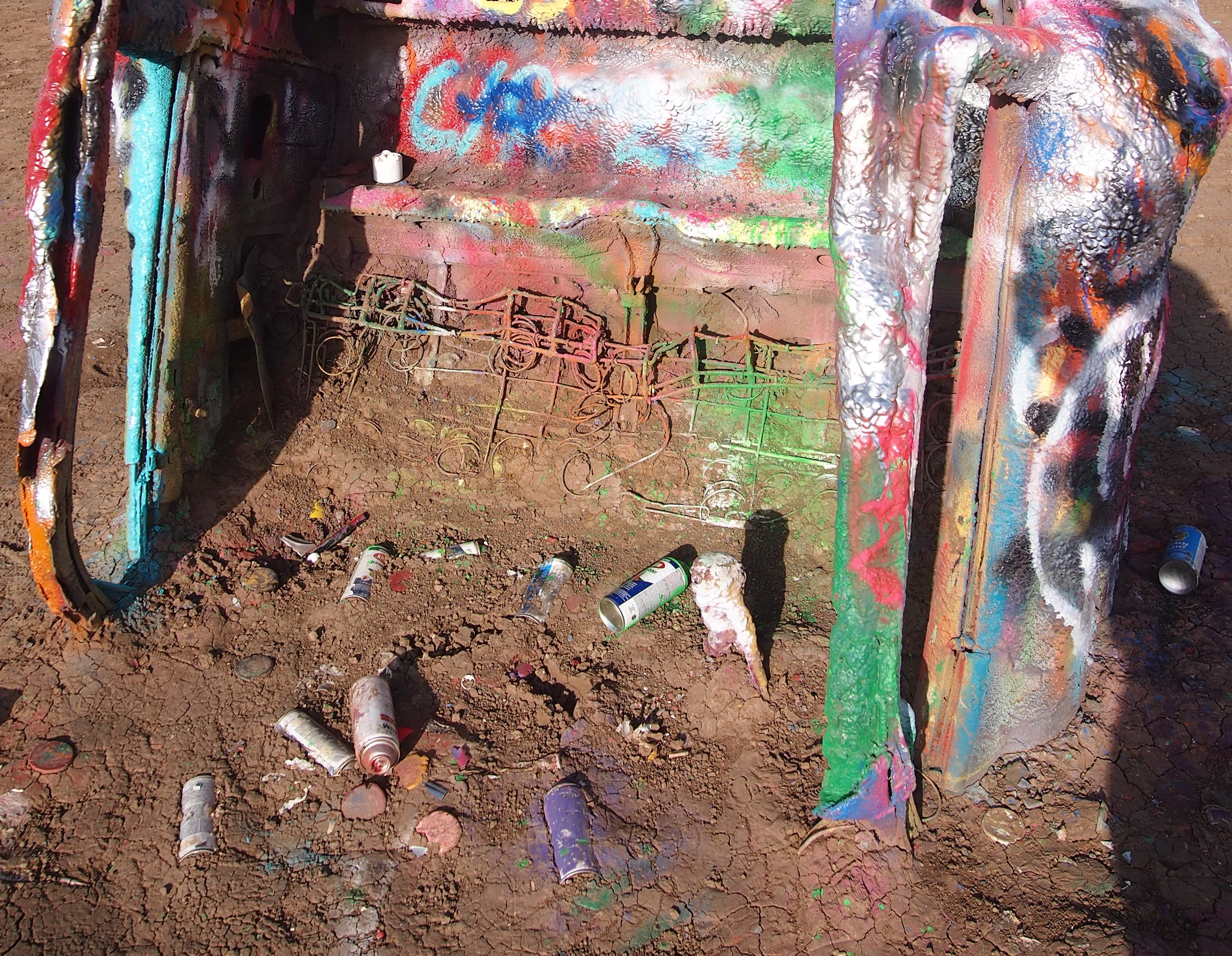
You walk right up to the 10 cars buried at an angle in the Panhandle soil and join everyone else looking at them or spray painting them.
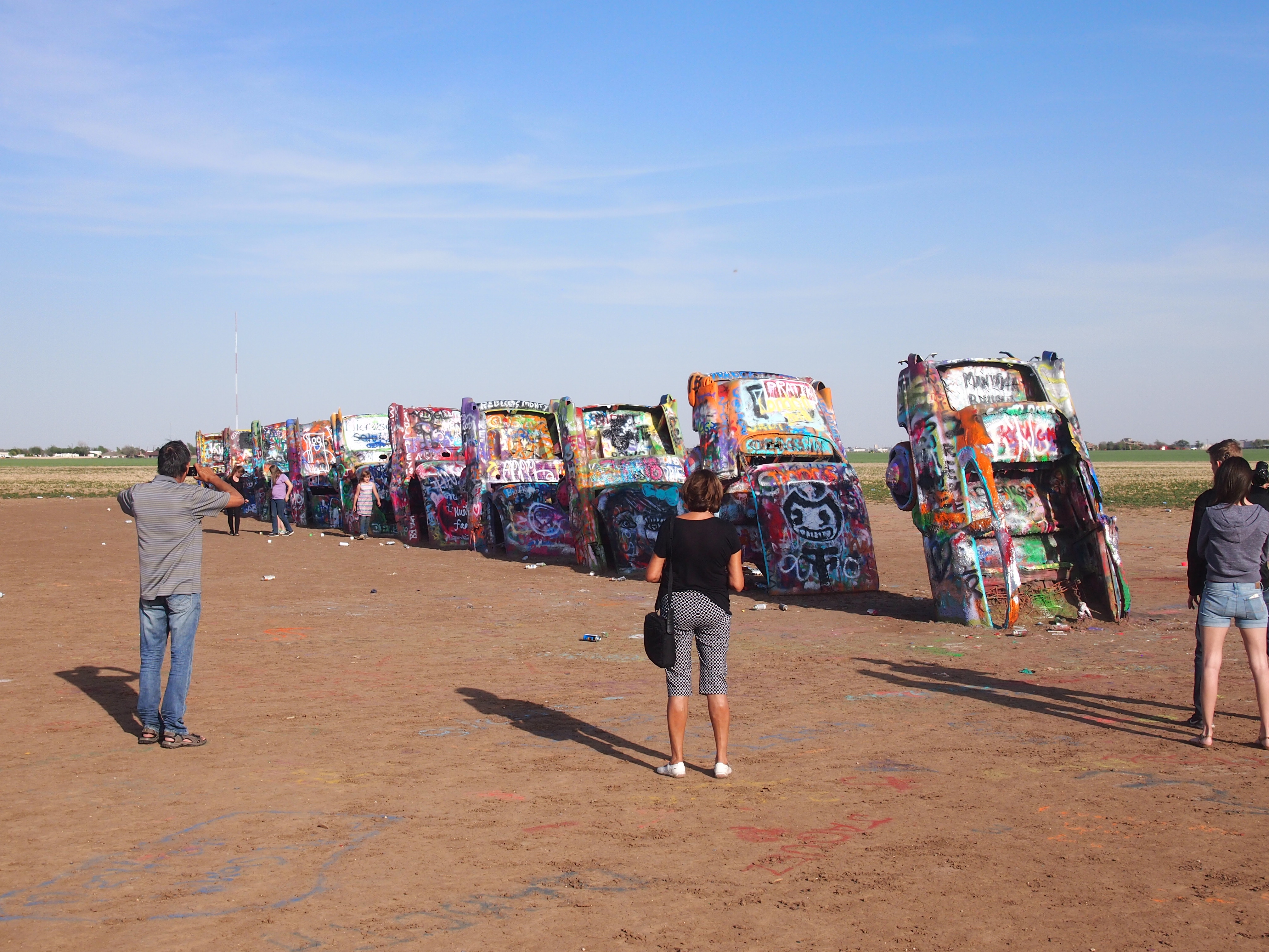
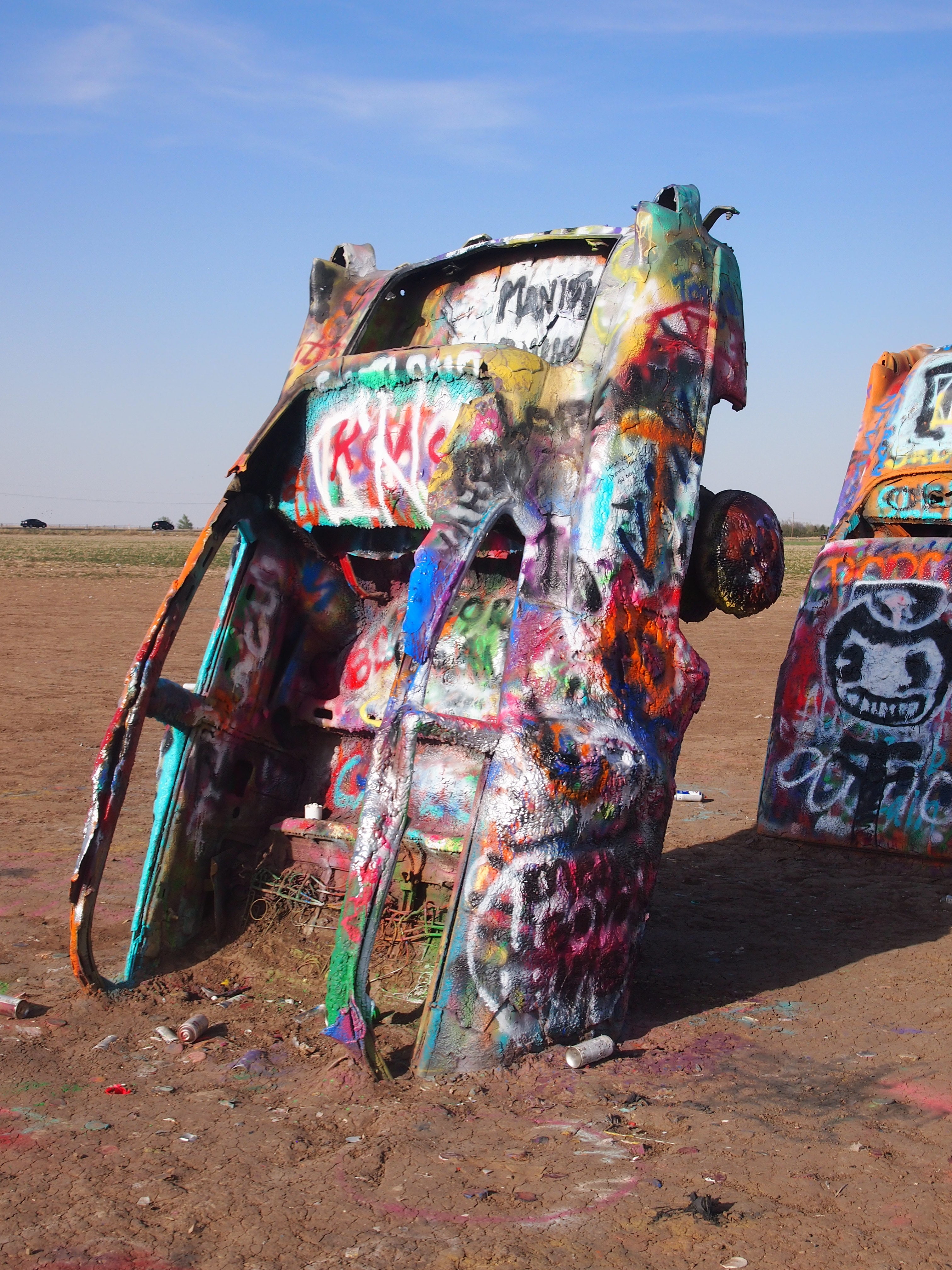
Roadside America, the authority on attractions of this kind, says that “Cadillac Ranch was invented and built by a group of art-hippies imported from San Francisco. They called themselves The Ant Farm, and their silent partner was Amarillo billionaire Stanley Marsh 3. He wanted a piece of public art that would baffle the locals, and the hippies came up with a tribute to the evolution of the Cadillac tail fin.

“Ten Caddies were driven into one of Stanley Marsh 3’s fields, then half-buried, nose-down, in the dirt (supposedly at the same angle as the Great Pyramid of Giza). They faced west in a line, from the 1949 Club Sedan to the 1963 Sedan de Ville, their tail fins held high for all to see on the empty Texas panhandle. That was in 1974….”

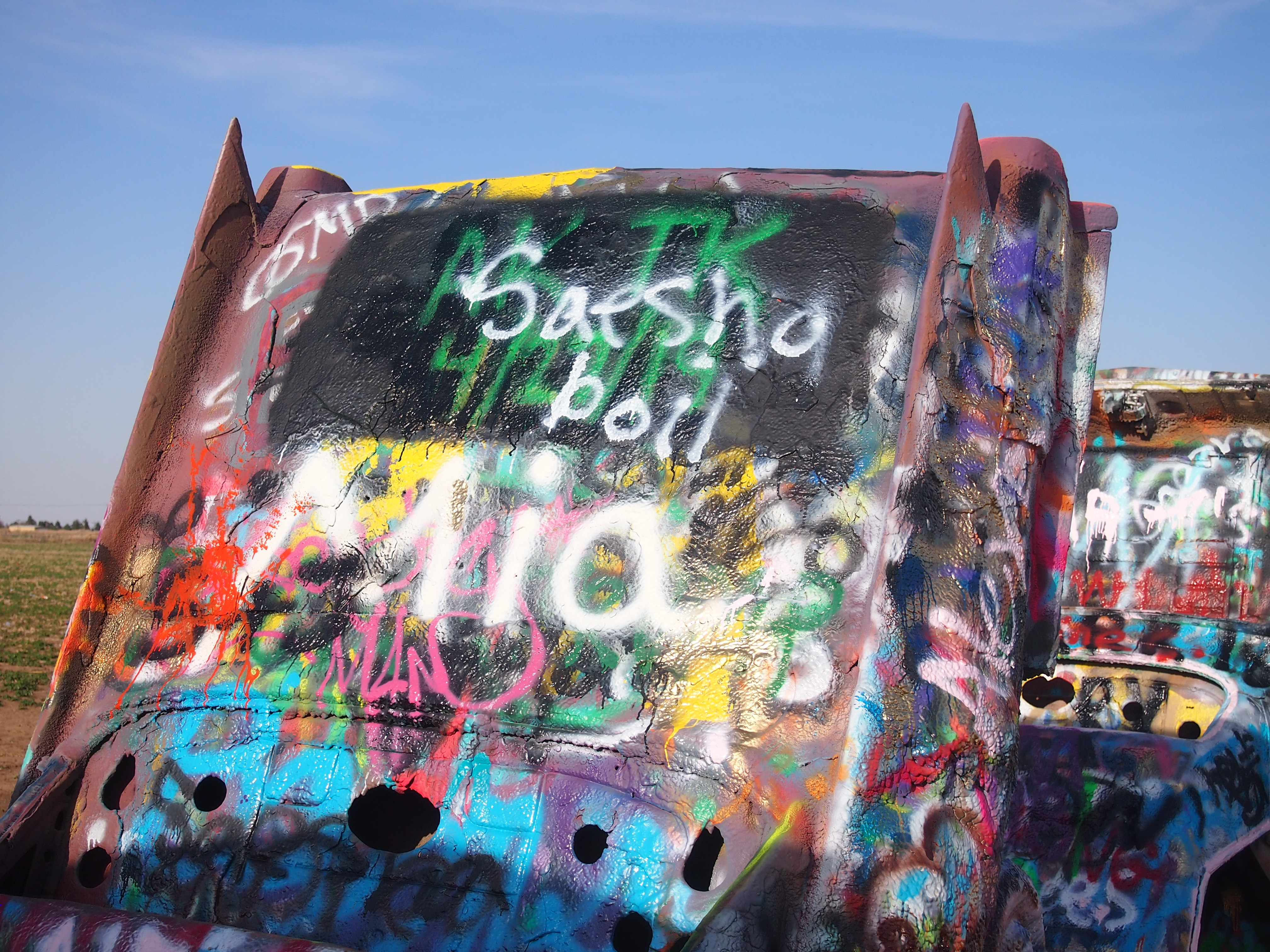
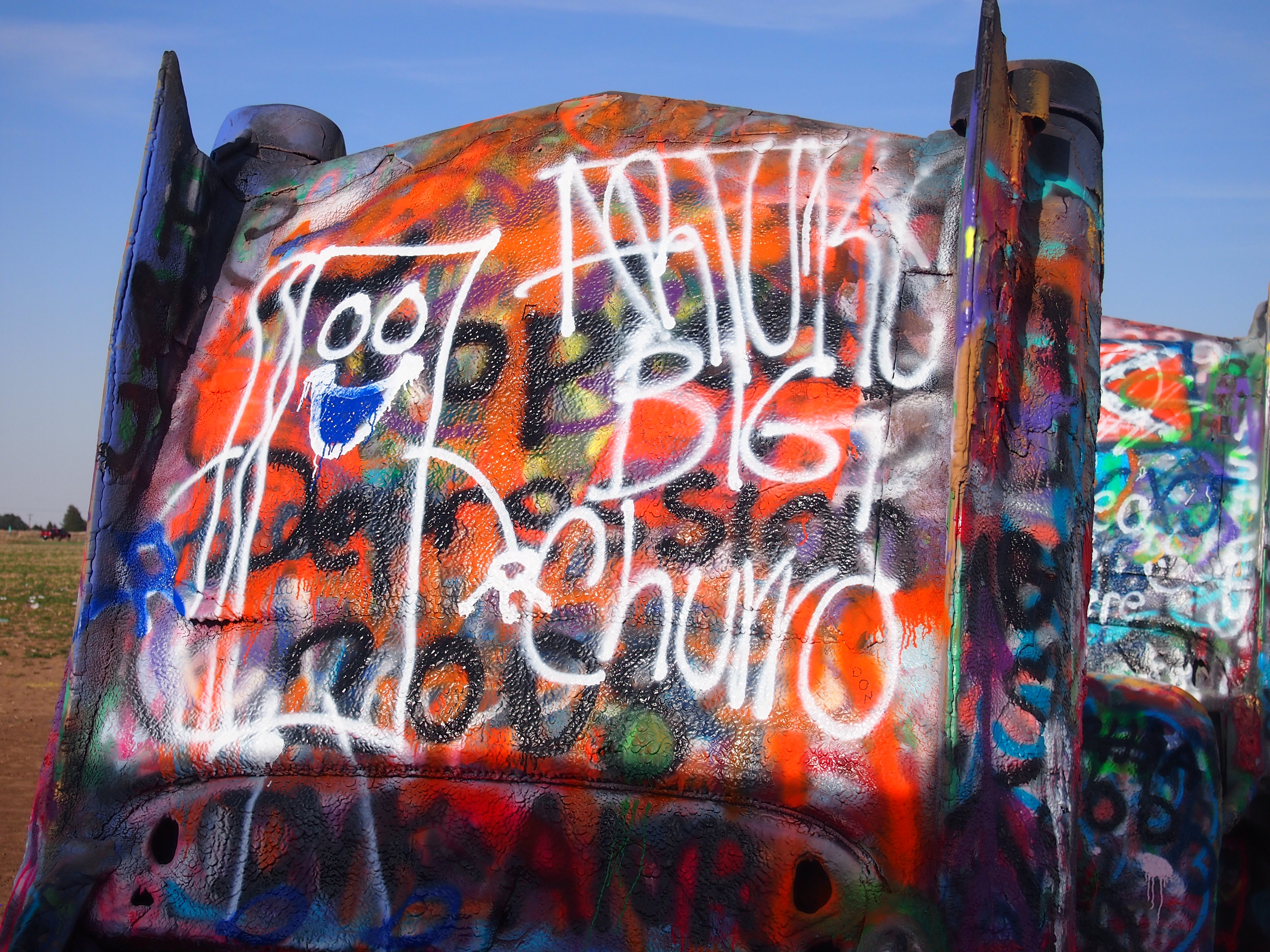
Since then, the cars have been falling apart, but more importantly covered and re-covered ad infinitum with spray paint. The images I took on the afternoon of April 27, 2018 depict how it looked then — a look that I figure is almost as fleeting as cloud formations.

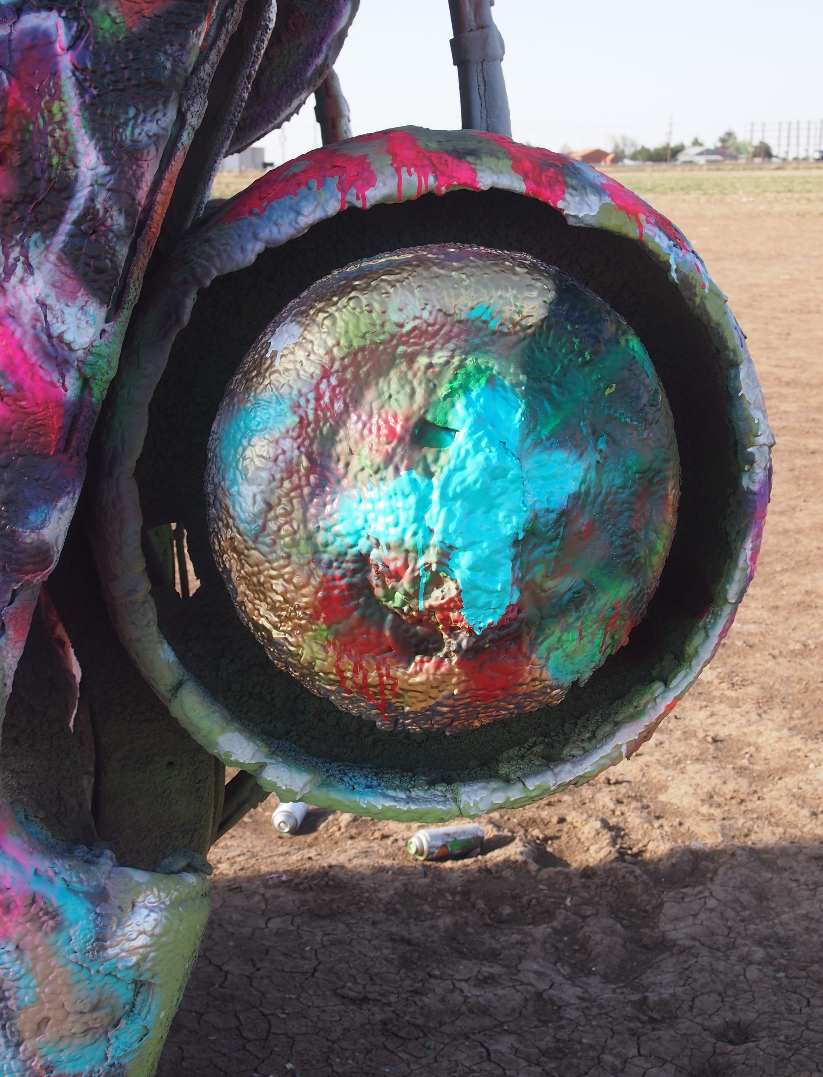
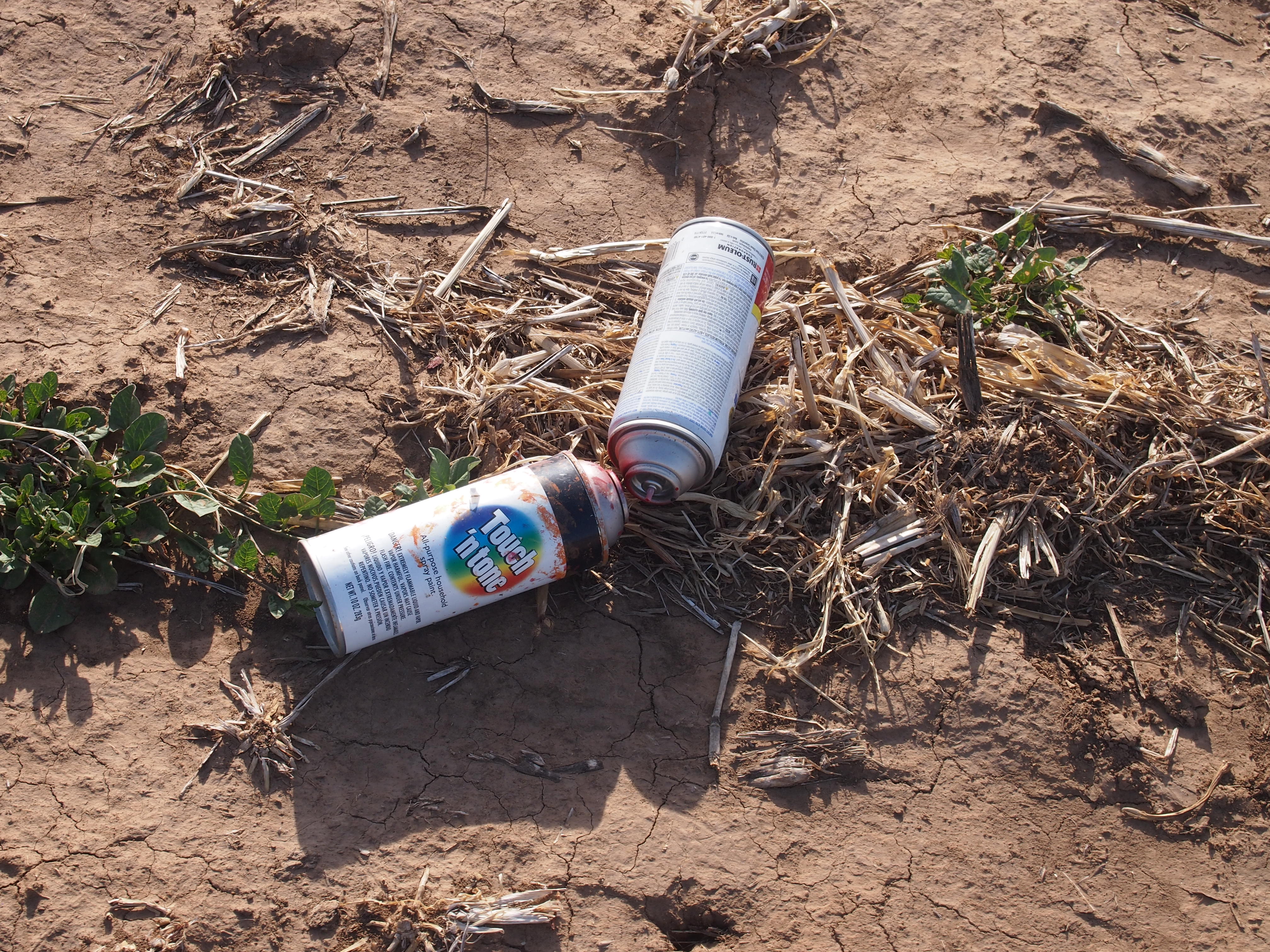
Note also that plenty of people don’t bother taking their spray cans with them when they leave.

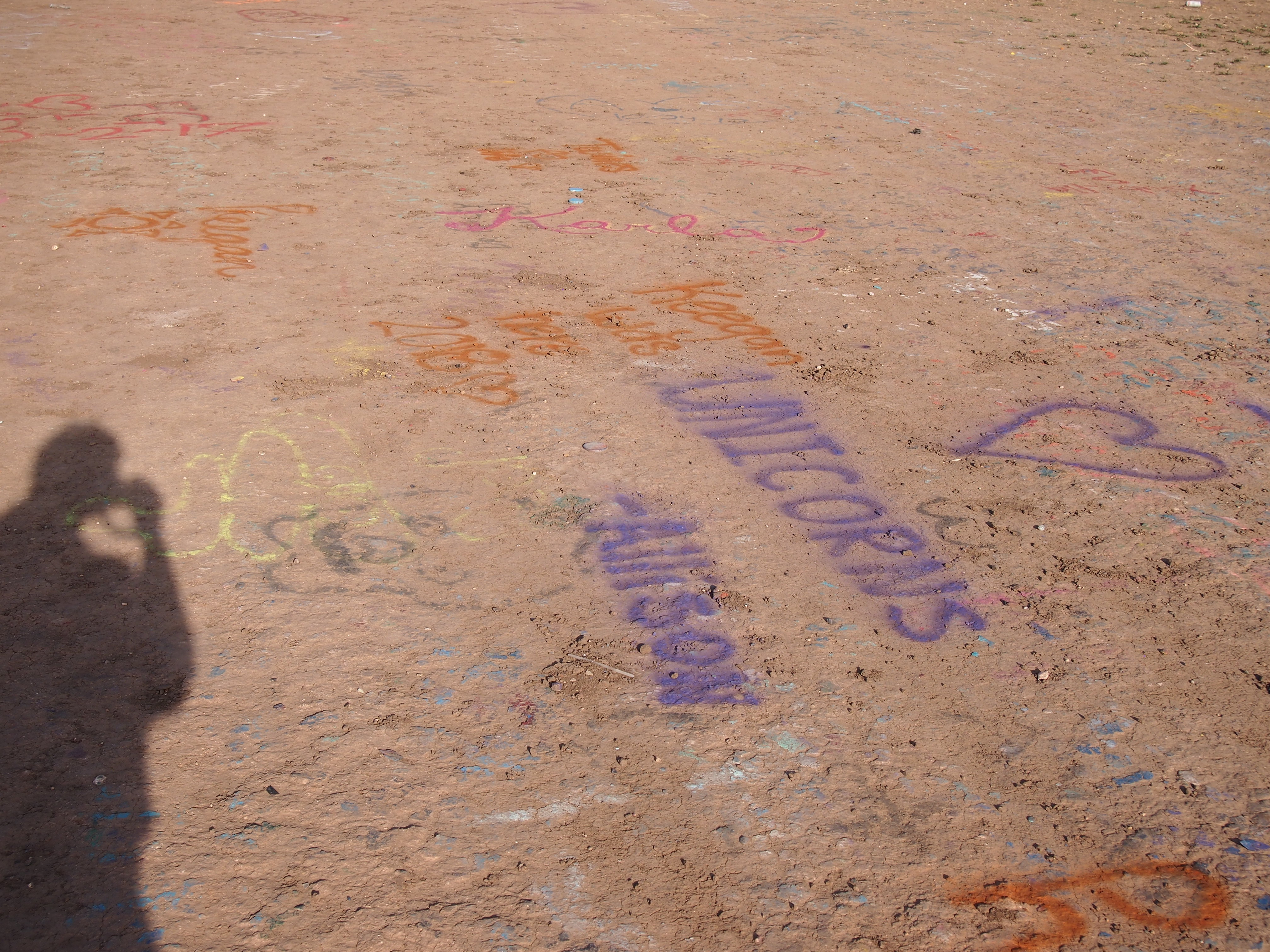
The cars weren’t the only surface on which people paint.
Besides being a roadside oddity, I liked the Cadillac Ranch because there’s nothing else to go with it — no visitors center, no gift shop, no exposition signs, not even anything to tell you what the place is called or who created it.

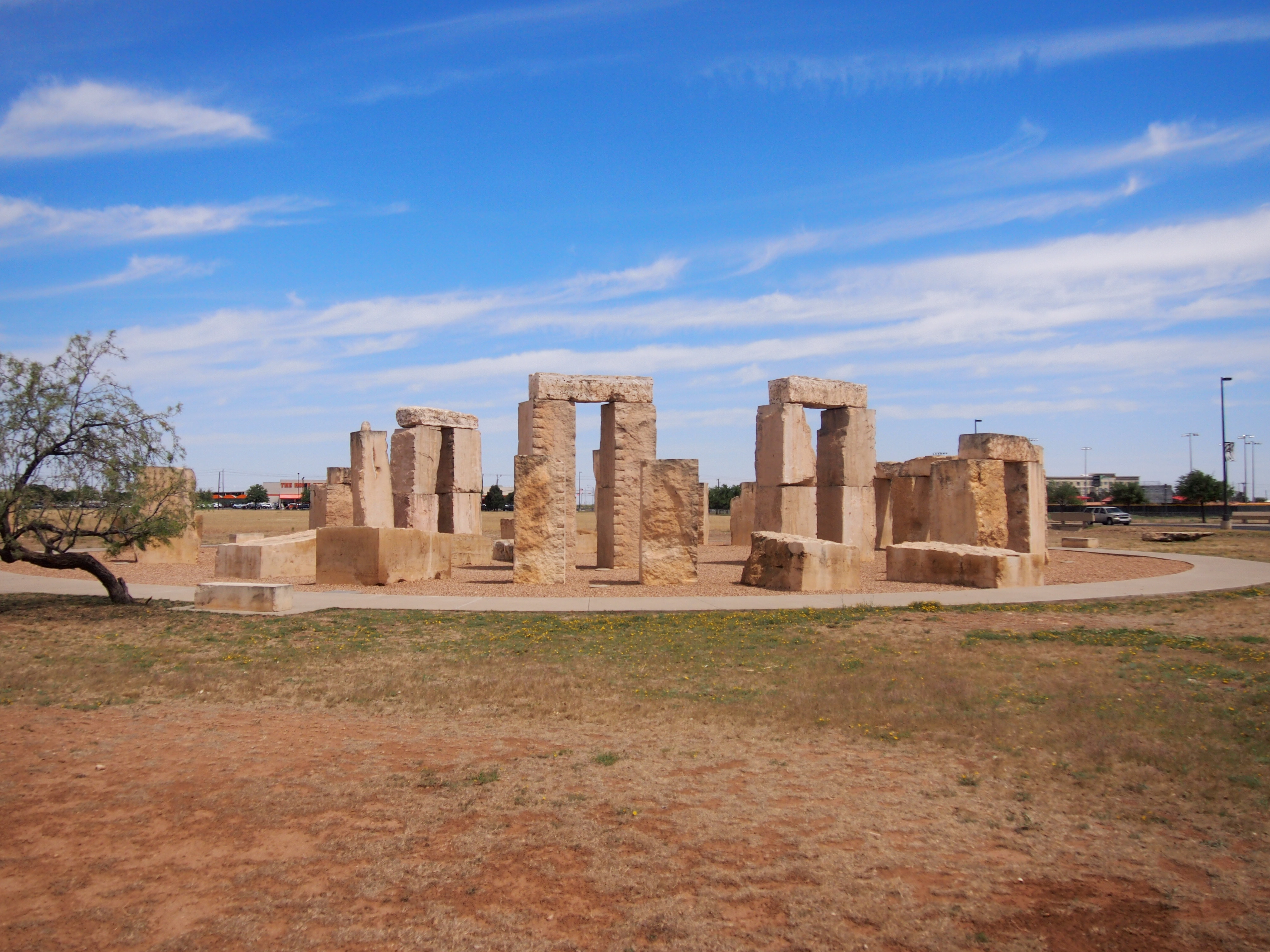
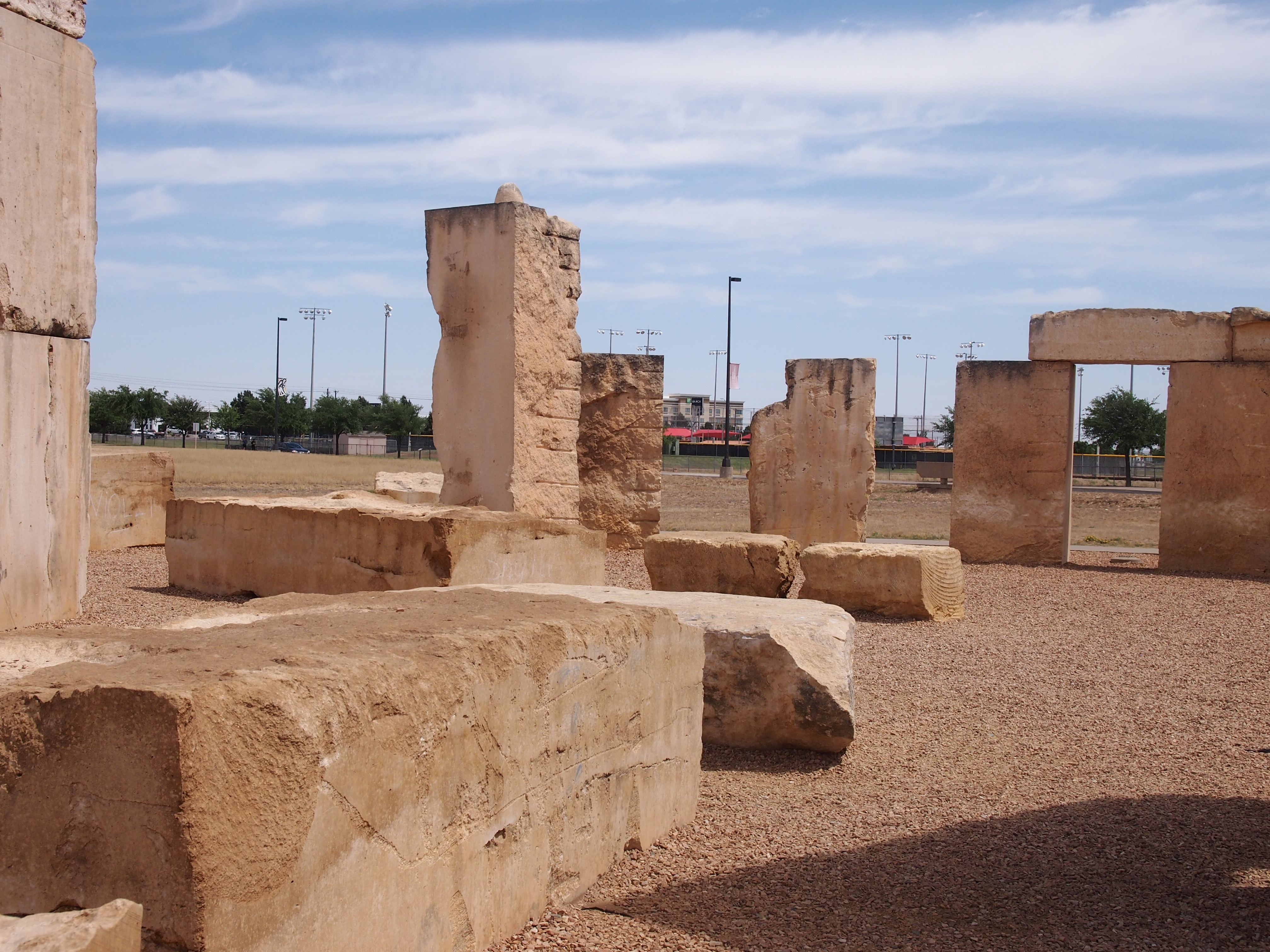
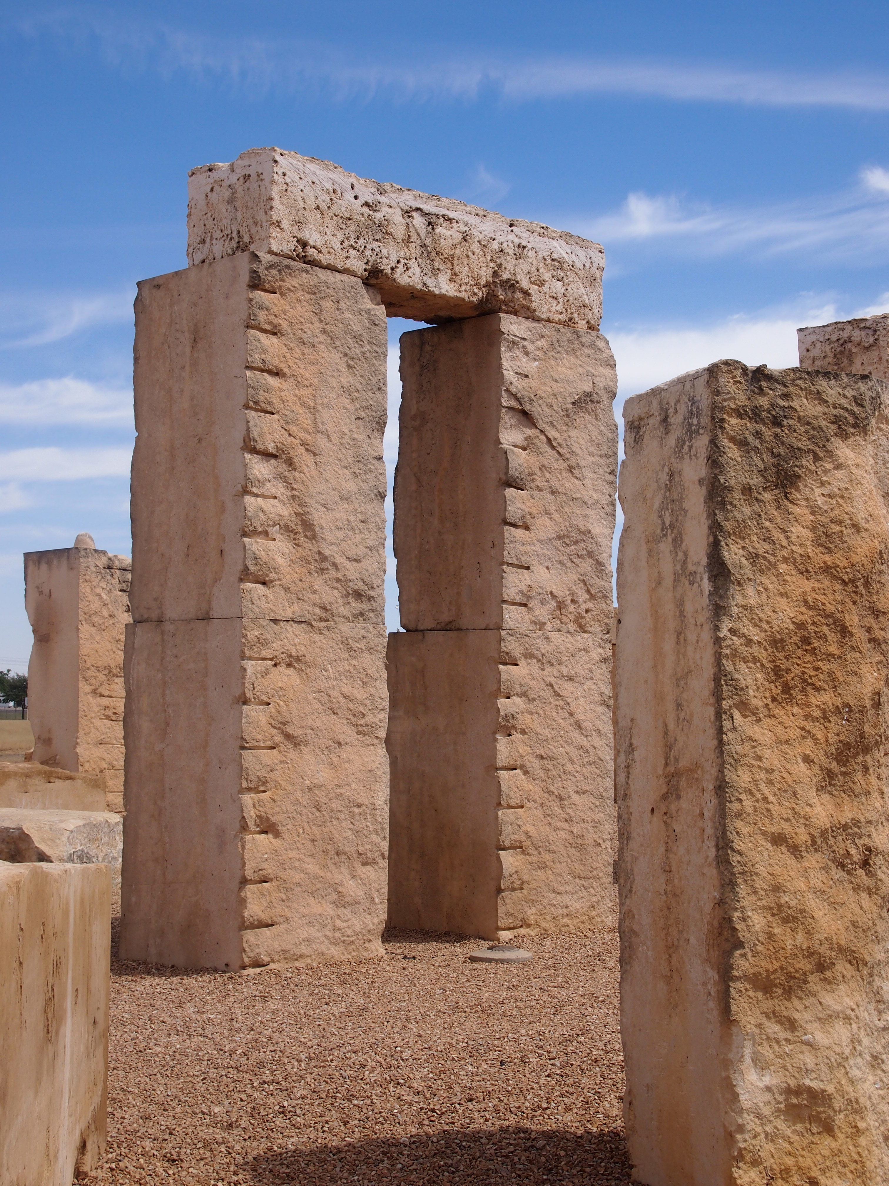
My recent peregrinations also took me to two other places with upright objects installed in the ground, both Stonehenge replicas that I spent a few minutes looking at. One, completed in 2004, was at the University of Texas of the Permian Basin in Odessa.

Unlike the original, visitors are free to get as close as they like to the Permian Basin Stonehenge and even touch the stones. Spray painting would probably be discouraged as rank vandalism, however.

Roadside America again: “Made of limestone slabs up to 19 feet tall and 20 tons apiece, Permian Basin Stonehenge is slightly shorter than the original, but it’s exact in horizontal size and astronomically accurate. Although a plaque in front of the ‘henge claims that the replica is ‘as it appears today in England,’ that’s not exactly true.

“The slabs are blocky leftovers donated by a quarry, so they’re approximations, not duplicates; the Stonehenge stands in a circle of reddish Texas gravel, not the green Salisbury Plain; and the Heel Stone, which marks the summer solstice, had to be stuck in the ground across a street.”

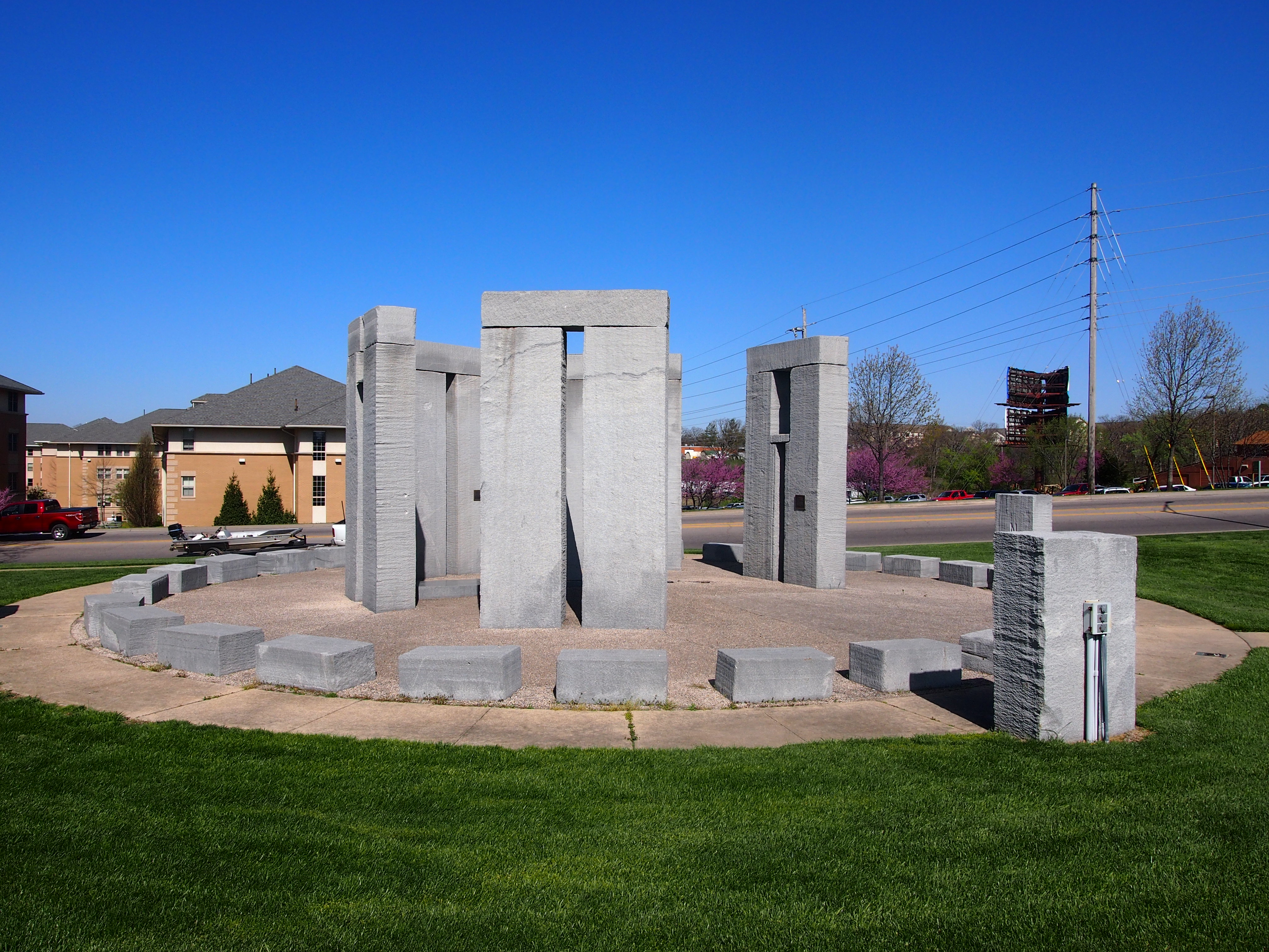
On the last day of my trip, I stopped briefly in Rolla, Missouri, and got a breakfast sandwich at Hardee’s. Not far away was the Missouri University of Science and Technology’s Stonehenge replica. What better place to sit and eat your breakfast sandwich?

It’s a half-sized granite replica. Not a commanding presence, but worth a look. Once more to the Roadside America well, which says the replica was built in the 1980s to “showcase the stone carving capabilities of [the school’s] High Pressure Water Jet Lab.”

Palo Duro Canyon State Park

Last Friday, I drove from Amarillo to Palo Duro Canyon State Park. It took only about 30 minutes: south on I-27 and then east on Texas 217, which ends when you get to the park entrance. Until very close to the entrance, it’s easy to look around and think, “Canyon? There’s a canyon around here? How is that possible?”

People — ignorant people, that is — are known to think “Texas is flat.” Some of it is, though, such as the Panhandle near Amarillo. A steppe’s a steppe. I’d read that Palo Duro was quite the canyon, but until I got there, it was a little hard to picture, driving down a mostly empty two-lane highway through terrain devoid of rises.

That’s just an example of my ignorance. If I’d done any kind of research beforehand, I would have found out that Palo Duro Canyon is enormous. Park literature calls the canyon the “second largest” in the United States, and a look at Google Maps, using the satellite image function, supports that idea, at least in terms of square miles of canyon floor.

The Grand Canyon is certainly deeper, and actually more grand — that’s in the name — but as the runner up among major U.S. canyons, Palo Duro is quite impressive. Here’s the kicker: the state park, even at 20,000 acres, is only a fraction of the entire canyon, which is about 120 miles long and averages six miles wide. The rest is private ranchland and maybe not much different than in previous centuries

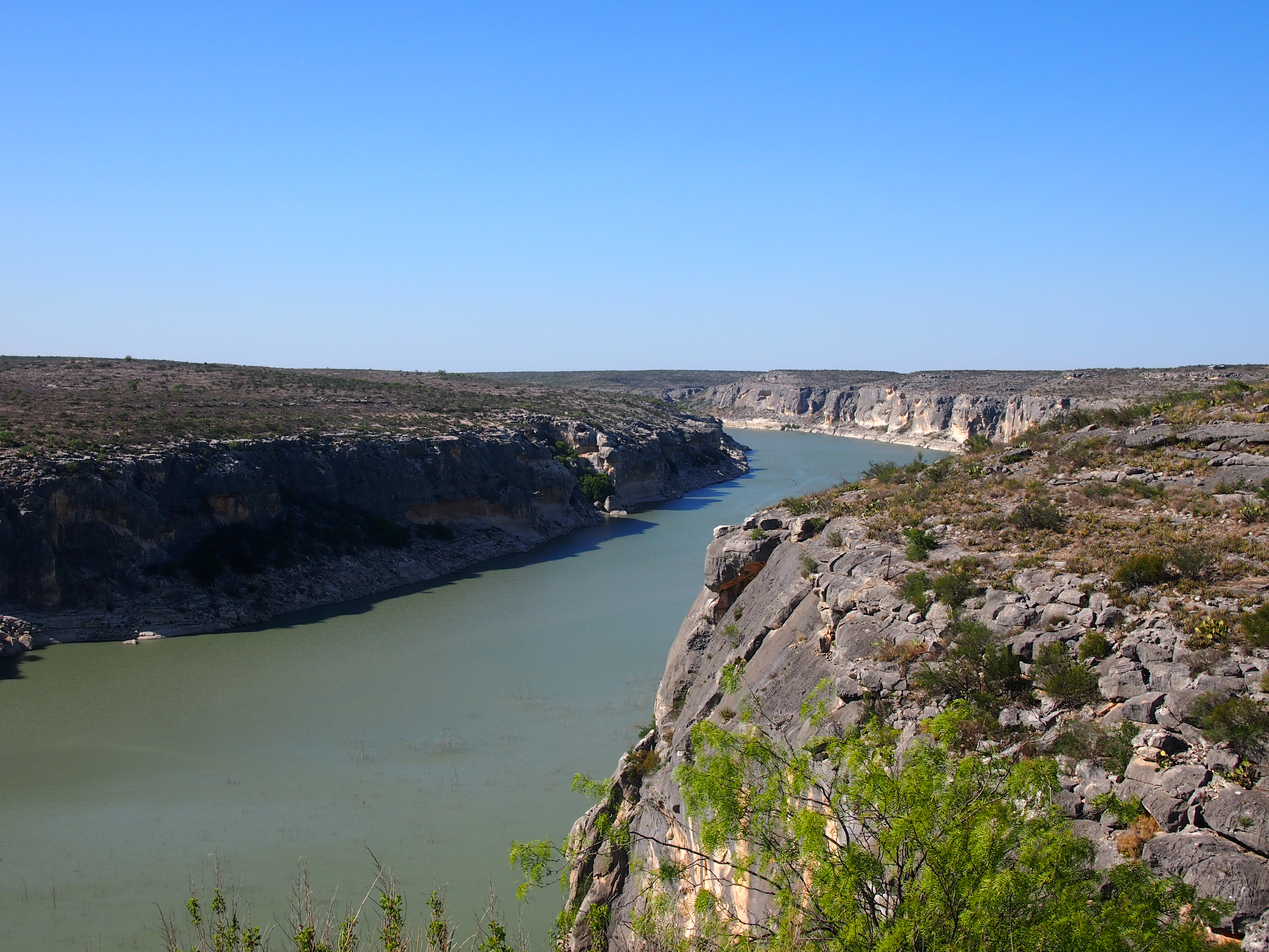
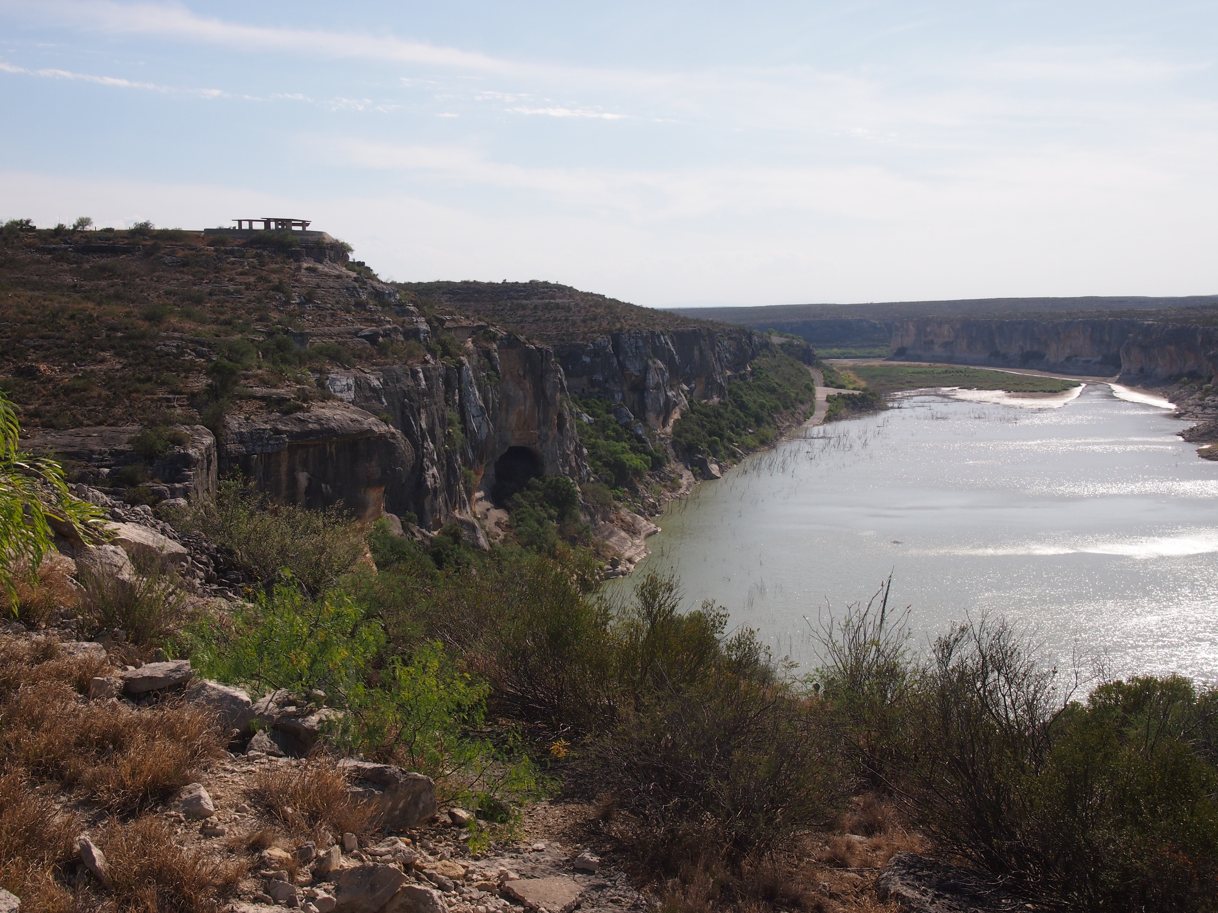
You pay your entrance fee, a reasonable $5, and pretty soon you’re overlooking the sweep of the canyon, a long irregular groove carved in the flatness of the Texas Panhandle.

Made not by a mighty river like the Colorado, but one with a less formidable name, the Prairie Dog Town Fork of the Red River. Unlike the bigger canyon in Arizona, visitors to Palo Duro SP have the option of driving to the canyon floor, 800 or so feet down. That’s because the CCC built a road into Palo Duro once upon a time, along with other structures.

So I drove in. I also got out and walked. Not on the longest of trails available, but a few miles on shorter ones.

I liked the Rojo Grande Trail. Rojo all right, in places. At least the kind of red you get in rocks.

Along with views of the canyon walls.

Plus plenty of semiarid-region flora and even a little fauna (a rabbit, in my case). Also, the occasional mark of man, besides the works of the CCC and the Texas Parks & Wildlife Department.

All along the park road, drivers are warned about flash flooding. There seemed little risk when I was there, but the potential is real.

Almost 40 years ago, heavy rains flooded the canyon, killing four people. According to the sign, water crested at 21 feet above the nearby low water crossing. Hard to imagine that much water gathering in a place that seems so dry, but nature’s capricious. Best to stay out of her way if possible.

Fort Davis National Historic Site

The town of Fort Davis, which I later learned is unincorporated despite being the county seat of Jeff Davis County, Texas, has an example of an historic site worth seeing, though probably not worth going to see: Fort Davis National Historic Site. I was there a week ago, after visiting McDonald Observatory.

The place was a military post from 1854 to 1862 — Confederate the last of those years — and again from 1867 to 1891 as part of the string of forts in the region to protect emigrants, mail coaches, and freight wagons.

Fort Davis National Historic Site had about 60,900 visitors last year, putting it at 278th out of 377 Park Service units. About an hour wandering around the grounds was enough to see the standing buildings, ruins, a handful of exhibits, and the sizable parade ground.

Without this sign, there’s little to tell you that the old San Antonio-El Paso Road passed this way.
The odd thing to me is that when Fort Davis was re-established after the Civil War, the U.S. Army kept the name. Sure, Jefferson Davis had been Secretary of War in the 1850s. But from the point of view of the United States government, he had done some questionable things since then. Maybe it’s just an example of bureaucratic inertia.

The McDonald Observatory

He died a good many years before I was born, and in fact I’d never heard of him until last week, but I have to like William Johnson McDonald of Paris, Texas. In life, he made a considerable fortune, but that’s not his distinction. Rather, in death McDonald left behind money enough to found the McDonald Observatory in far West Texas.

That’s a fine use for the fortune of a childless man. Maybe McDonald would look into the night sky there in Paris — and it was probably still pretty dark in that town in the early 20th century — and think that mankind needed to find out more. Build better telescopes, see further.

In full, the facility is the University of Texas at Austin McDonald Observatory, completed in 1939 and which now has telescopes on Mount Locke and Mount Fowlkes, near Fort Davis. Unlike Big Bend, I wanted to visit the observatory when I was young. That was the kind of youngster I was. In the spring of 1979, I think, a high school friend and I wanted to go, but found out there was a six-month waiting list. Or at least that’s what I seem to remember happened. We shelved the idea.

So for me it had to wait until the spring of 2018. The day after I visited Big Bend, I drove from Marathon to Fort Davis and then up the winding two-lane road into the mountains. Actually, pretty much every road in West Texas has two lanes, except I-10, but anyway I arrived at the observatory in time for the 11 a.m. tour, which is supposed to include a look at the two major telescopes and a look through one of the smaller scopes at the Sun.

Except that the Sun wasn’t to be seen. After clear skies and temps near 90 F. the day before, a front blew in overnight. When I went to bed that night, my room at the Marathon Motel & RV Park was about as dark and quiet as a place can be. Occasionally a train would roar by, which was pretty loud but not that often, and from time to time, dogs barked in the distance. That was it.

I woke at 4 or 5 a.m., while it was still very dark, to a constant whoosh of wind outside. Not the winds I’m used to at home, which can be loud and strong, but tend to subside for a few minutes at a time. This West Texas wind was constant. I fell asleep to it, and a few hours later, at dawn or so, it still was blowing with the same intense regularity. A little more sleep — that’s how I tend to sleep — and after that, the blow was still blowing the same.

With the wind came clouds, a little drizzle and much cooler temps. By the time I got to the observatory, I was in some clouds. So much fog that at first I could barely see the observatory buildings.

Instead of a look at the Sun, our guide showed us images of the Sun in the visitors center’s small auditorium, and talked about it and other stars. He was an informative young man, an astronomy enthusiast who happened to get a job in public affairs at McDonald. As usual with these things, I already knew a fair amount, but not everything.

I didn’t know, for instance, that UY Scuti is now the largest known star, at about 1,700 times larger than the Sun’s radius and 21 billion times the volume. Enough at least to engulf the the entirety of Jupiter’s orbit. Luckily, it’s at a safe distance of 9,500 light years or so. A near neighbor in galactic terms, but not really that near.

The tour first took us to the Harlen J. Smith Telescope, named after the observatory director who oversaw its construction. The scope is under the dome at some distance from the visitors center.

Under the dome, it’s a commanding presence.

The instrument was a creation of the space race. “McDonald Observatory’s new director, Harlan J. Smith… convinced NASA to build one of those new telescopes at McDonald,” the observatory web site says. “The telescope brought new life and prestige to the observatory, helped recruit top young faculty members, and established McDonald as key player in the exploration of the Solar System.

“Planning began in 1964, and construction was completed in 1968 on Mount Locke. Built by Westinghouse for about $5 million, the new telescope was then the third largest in the world. Weighing in at 160 tons, it had a fused silica mirror 107 inches (2.7 m) wide that gave it a light-gathering power one-quarter million times greater than the unaided eye. It began regular observations in 1969.”

The Harlen was also where a laser was first set up to bounce a beam off the reflector that Armstrong and Aldrin left on the Moon, measuring the distance between Earth and Moon down to some ridiculously small (in inches) margin of error. If that’s not a cool factoid, I don’t know what is.

The final stop was at the Hobby-Eberly Telescope, completed in 1997, which is under this dome.

“It was designed specifically for spectroscopy, the decoding of light from stars and galaxies to study their properties,” the observatory says. “This makes it ideal in searching for planets around other stars, studying distant galaxies, exploding stars, black holes and more.

“The telescope’s mirror looks like a honeycomb. It’s made up of 91 hexagonal mirrors. To make good observations, the 91 segments must be aligned exactly, to form a perfect reflecting surface. The mushroom-shaped tower to the side of the HET dome contains a laser-alignment system that works to keep the segments in proper alignment. The mirror segments form a reflecting surface that is 11 by 10 meters.

“However, the HET is known as a 9.2-meter telescope because that’s how much of the mirror is actually in use at any given time. This makes the HET, scientifically speaking, the third largest telescope in the world.”

As I was leaving, the Sun came out. The afternoon cleared up and the night was fairly clear back in Marathon. Hope the astronomers got to collect their data from the dark West Texas sky that night.

Big Bend National Park

When I was young, I was a fan of the Texas highway maps produced by the Texas Highway Department (these days TexDOT), which were published annually and usually available at highway rest stops, though I think one year in the early ’70s I wrote to the department, and it mailed me one.

I admired those maps, unconsciously at that age, for good reasons. They were precise, easy to understand, useful and aesthetic, everything you need in a map. I found the color scheme for the cities and towns particularly fascinating. The largest cities were yellow. Mid-sized cities were green and large towns were brown. Or maybe those last two were the other way around; I don’t have an old map in front of me. To my thinking, that’s a brilliant way to depict population centers by relative size.

My 7th-grade Texas History teacher, the prickly Mrs. Carico, taught us map-reading skills one day using Texas highway maps. Imagine any teacher doing that now. I think I already knew most of what she said, though I did learn from her the difference between red mileage numbers (marked with red arrows) and black numbers that didn’t use arrows.

She didn’t care for the yellow-green-brown system, though I don’t remember why. Maybe because the national forests in East Texas and Big Bend National Park in West Texas were a slightly different shade of green. But I never found that confusing.

It’s probably from those maps that I got my first notion of Big Bend. There it was, hugging the Rio Grande, far from most everything else, thrusting into a remote part of Mexico, marked by the brown smears that denoted mountains on the map. A few roads went there. A few towns were nearby — but not that near. Somehow that place was a national park.

But I didn’t feel an aching need to go there. In 1972, when we took a family vacation to Carlsbad Cavern National Park, we could have just as easily have gone to Big Bend, but we didn’t, and the thought never occurred to me. In 1980, when I drove to El Paso from San Antonio, a little creativity on my could have resulted in a day in Big Bend, but it didn’t occur to me. In the 1990s, reports of his visits to the park by my brother Jay were interesting, but it seemed even further away than ever from my vantage in the Midwest.

Last year, I planned to go with Jay and Lilly, but circumstances prevented it. This year, I decided it was time, though by myself. So on April 24, 2018, in mid-morning, I found myself at the park entrance.

The road from the town of Marathon to the park entrance, U.S. 385, was a lonely one. I was almost by myself on the way down that morning. According to the National Park Service, Big Bend isn’t a top 10 national park by visitors. It isn’t even in the top 25.

In 2017, it was 41st out of 60 national parks, and 130th out of all of the 377 units of the NPS (Gates of the Arctic NP is last among national parks, unsurprisingly). A lot people probably have the same feeling about Big Bend that I had for many years: I’m sure it’s scenic, but it’s far away.

Glad I made the effort. It’s well worth the drive.

Those views were even before I got to the main places I visited in the park, such as the Chisos Mountains.

The Ross Maxwell Scenic Drive winds south to the Rio Grande, through the Chihuahuan Desert landscape.

Ross Maxwell was easily the most scenic drive I’ve taken since the Icefields Parkway in the Canadian Rockies. What is it about mountains, wet or dry?

Though it was very warm — upper 80s F., I’d say — I had a hat, sunscreen and water, so I took some walks. One was down into a shallow valley to the former Homer Wilson ranch, to see the abandoned buildings.

No one else was on the trail, going there or back. It was on this short hike that I appreciated the quiet of the park. In a city, or the suburbs, the din of traffic is always coming from all directions, strongly or faintly, except maybe right after a large snowstorm.

In the remote Chihuahua Desert, if you hear a car, it’s a single car, and it goes away. Mostly you hear the wind, birds, and your footsteps, until you stand still. Listening for traffic and not hearing it was as much a pleasure as drawing in air without any hint of pollution.

I also spent time on foot in the Chisos Basin, but the best walk by far was into Santa Elena Canyon on the Rio Grande. At that point, the limestone cliffs of the canyon are 1,500 feet high and as majestic as anything I’ve seen in nature. Photos do the massive shapes little justice, but I took some anyway.

The trail led a short way into the canyon, and up some hundreds of feet. I was exhausted by the time I got up into it, but the view of the Rio Grande from that vantage was some compensation. Sure, let’s build a wall here.

When I got back to the river, I took off my shoes and put my feet in. Cool but not cold, and it felt good.

The Trans-Pecos & Llano Estacado

Back on April 14, I headed for Texas by car. I spent most of following two weeks in that state, arriving home today. Along the way, I drove 3,691 miles and change.

The main event was the wedding of my nephew Dees and his betrothed Eden on April 21 at Hummingbird House, a gorgeous outdoor wedding venue just south of Austin in the full flush of a Texas spring. An actual warm and green spring, unlike the cold and still brown spring I left in Illinois.

Rain had been predicted for the day, as it often is this time of the year, and there was an indoor pavilion just for that circumstance, but the Texas spring accommodated the bride and groom and wedding party and all the guests by not raining. If fact, the sun came out just before the ceremony, which was picturesque as could be.

I was remiss in taking pictures of Dees and Eden or anyone else, except for a few shots of my family.They’d flown to Austin the day before the wedding, in time for the rehearsal dinner, which was a pizza party in Dees and Eden’s back yard. The logistics of my family getting to Austin were a little involved, but everything worked out.

As for me, I’d spent most of the week before the wedding with my brother Jay in Dallas, arriving in Austin the Thursday before the wedding. The morning after the wedding, a week ago now, Yuriko, Lilly and Ann and I drove to San Antonio, where we all visited my mother and brother Jim. They flew back home that evening, leaving me to drive back to Illinois.

I wanted to return a different way than I’d came, especially since I had the week off from work (the week before the wedding was a work week). So I didn’t pick the most direct route home.

Namely, I drove west from San Antonio to Marathon, Texas, a town of a few hundred people in West Texas whose main distinction is its proximity to Big Bend National Park, which I visited last Tuesday. There are many impressive things to see there, but I was most astonished by the cliffs on the Rio Grande that form Santa Elena Canyon.

The next day I went to the Trans-Pecos towns of Alpine, Marfa and especially Fort Davis. Not far from Fort Davis is the McDonald Observatory, which I’ve had a mind to visit for years. It was cloudy and misty and a little cold when I got there, but that doesn’t matter when you’re looking at impressive telescopes. In Fort Davis itself, I visited the Fort Davis National Historic Site.

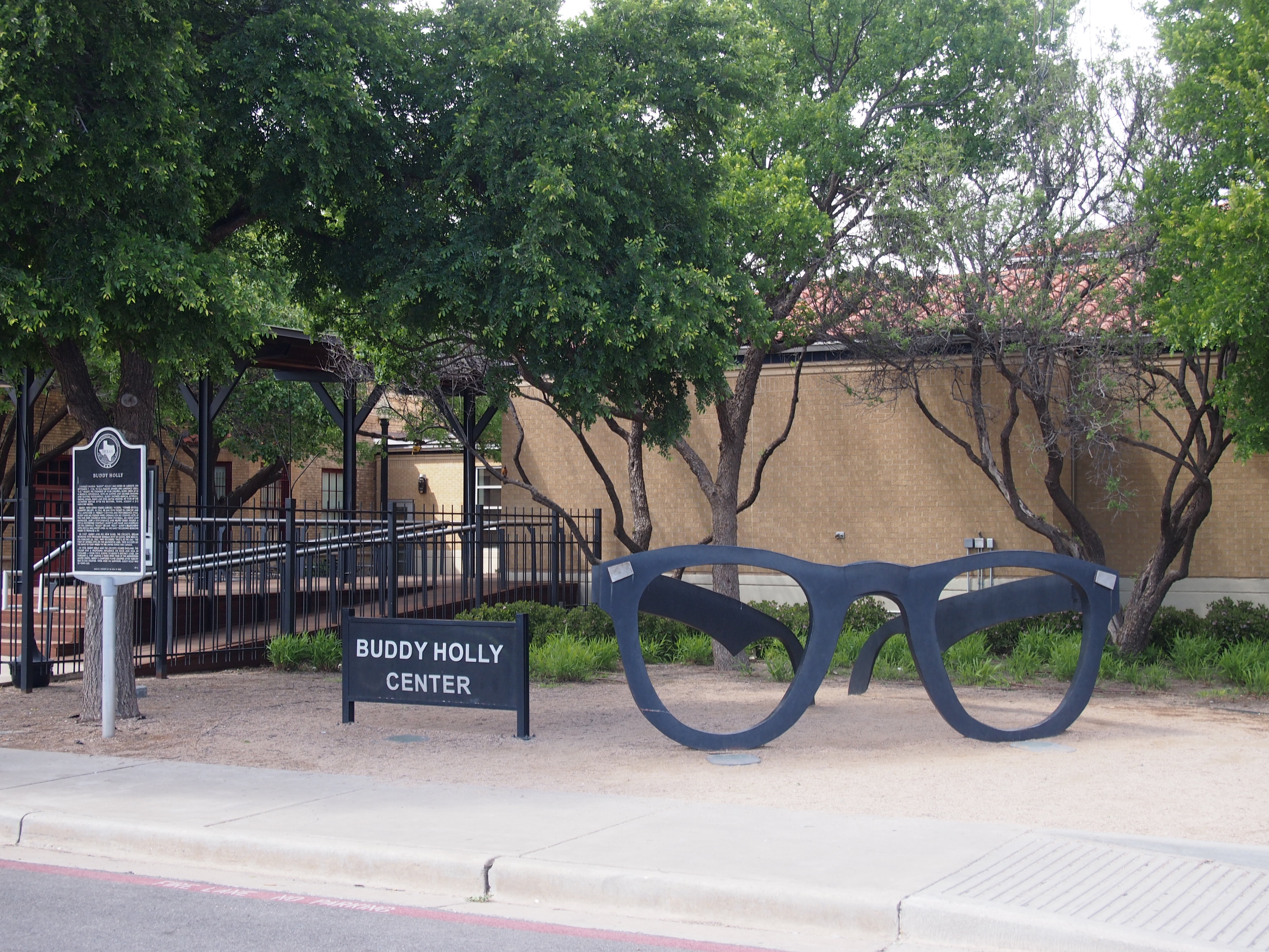
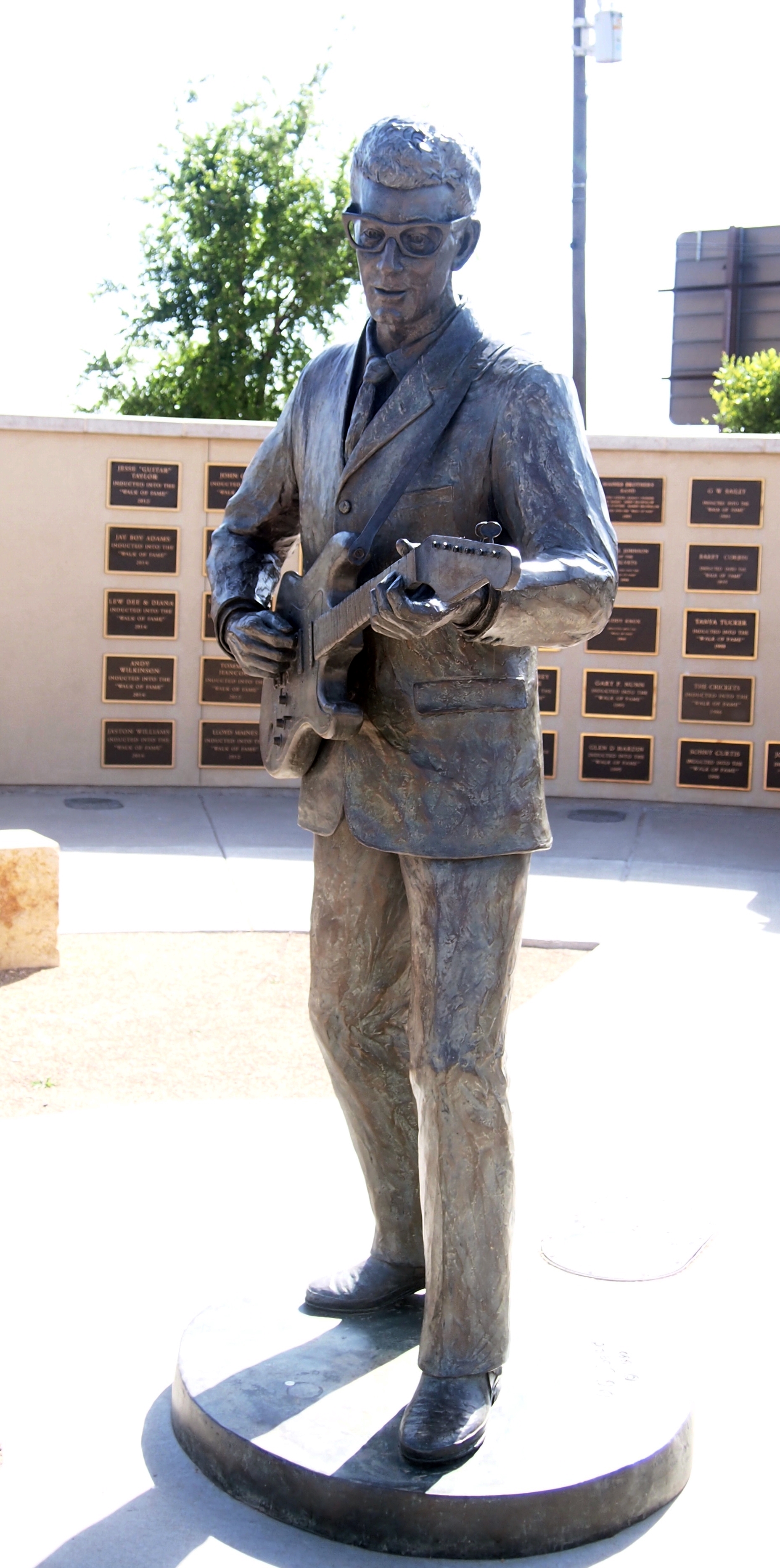
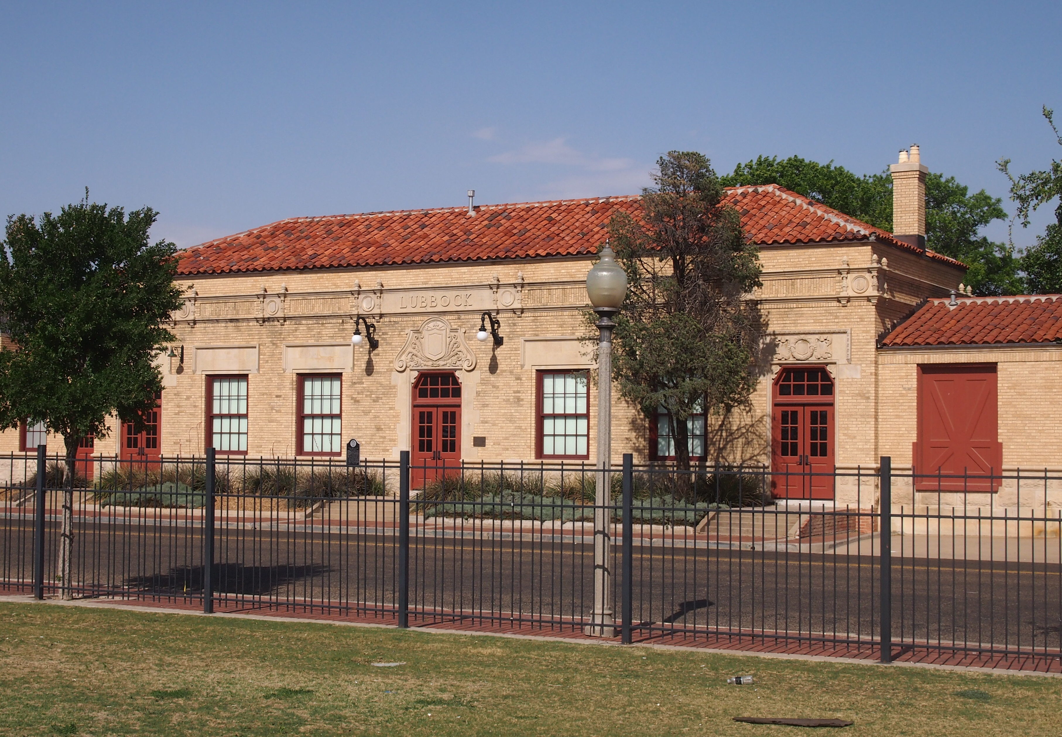
The next day, I drove north, through Midland-Odessa and Lubbock and finally to Amarillo, a shift in scenery from the desert of the Trans-Pecos to the high plains of the Llano Estacado. Along the way I made a few stops: the Presidential Archives and Leadership Library in Midland and the Buddy Holly Center in Lubbock.

While in Amarillo, a city I had not seen since a brief visit in 1979, I took the opportunity on Friday to see Palo Duro Canyon State Park, which is about 30 minutes outside of town. It’s a great unknown among natural areas in Texas and, for that matter, the United States.

I had enough time that day after visiting Palo Duro — the days are getting longer — to drop by and see the Cadillac Ranch, famed oddball tourist attraction, which is on the western outskirts of town.

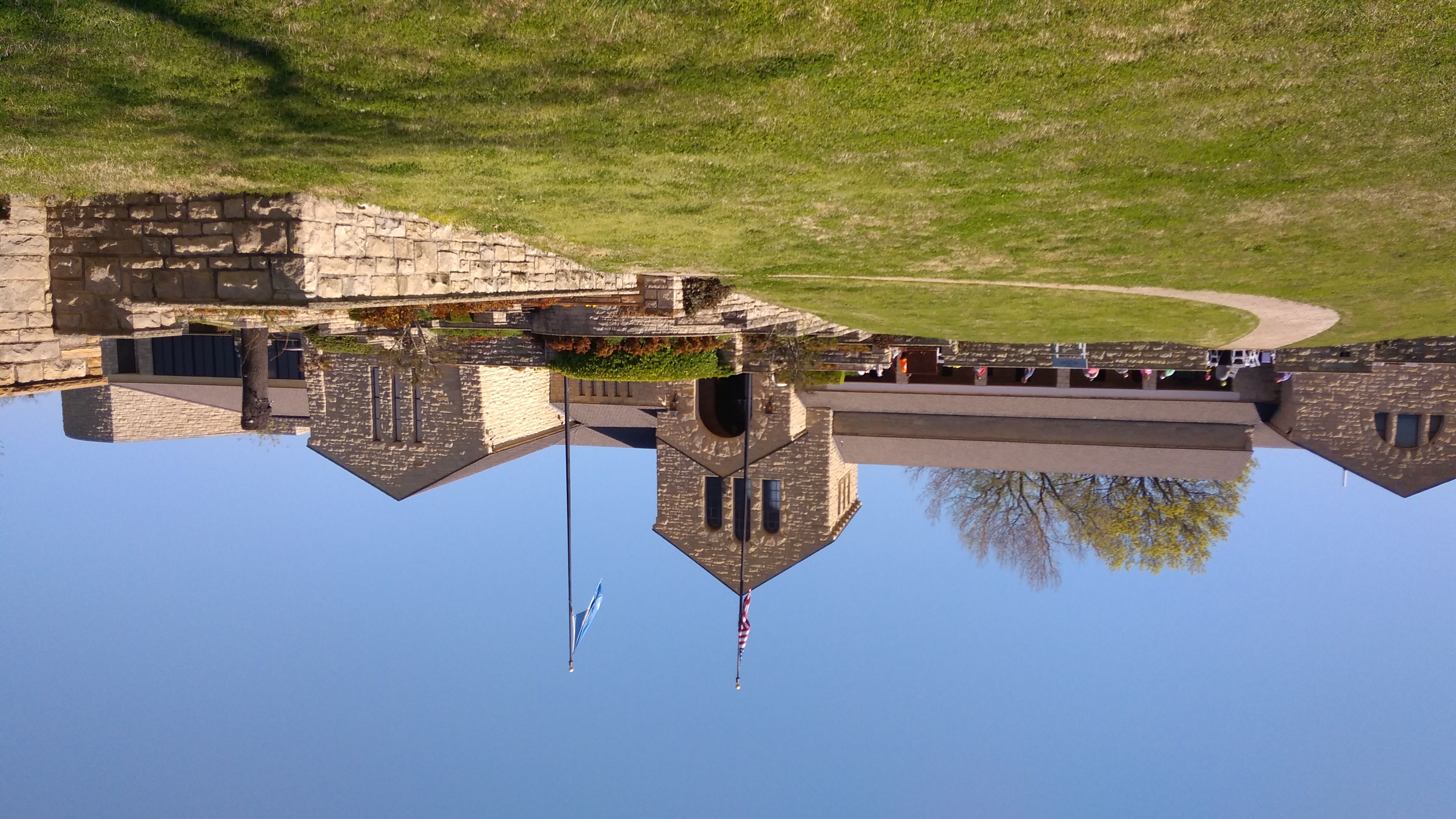
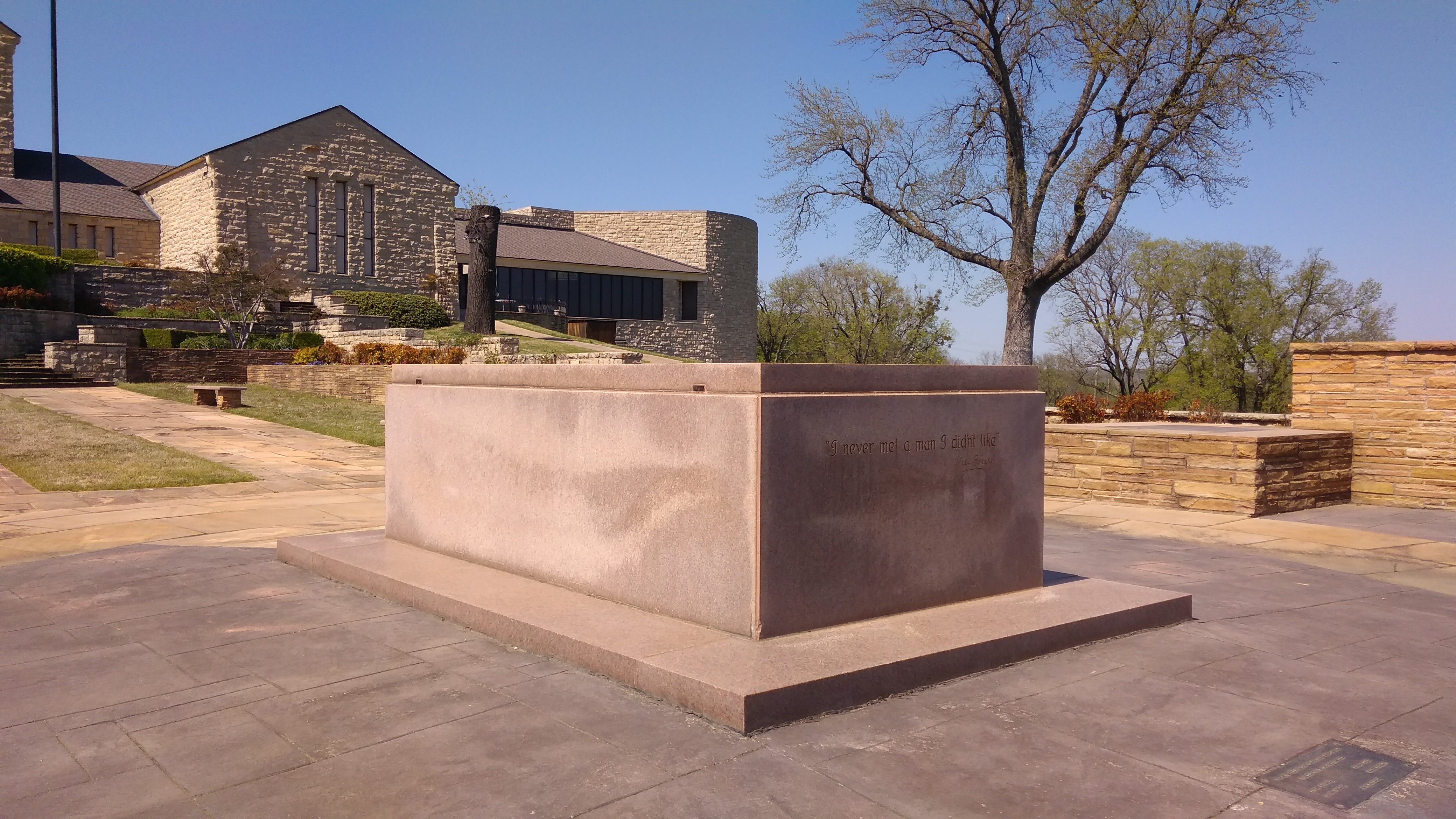
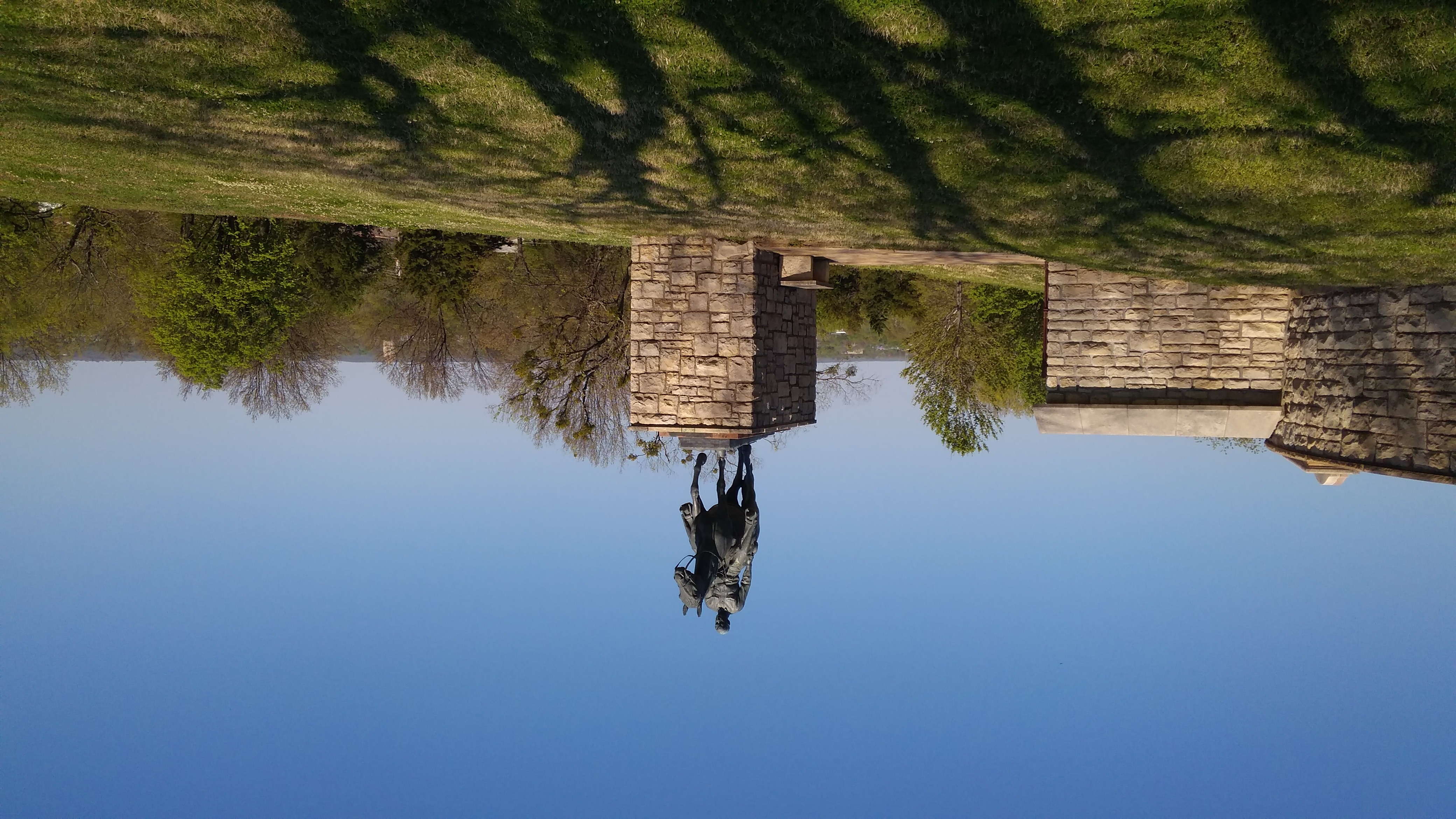
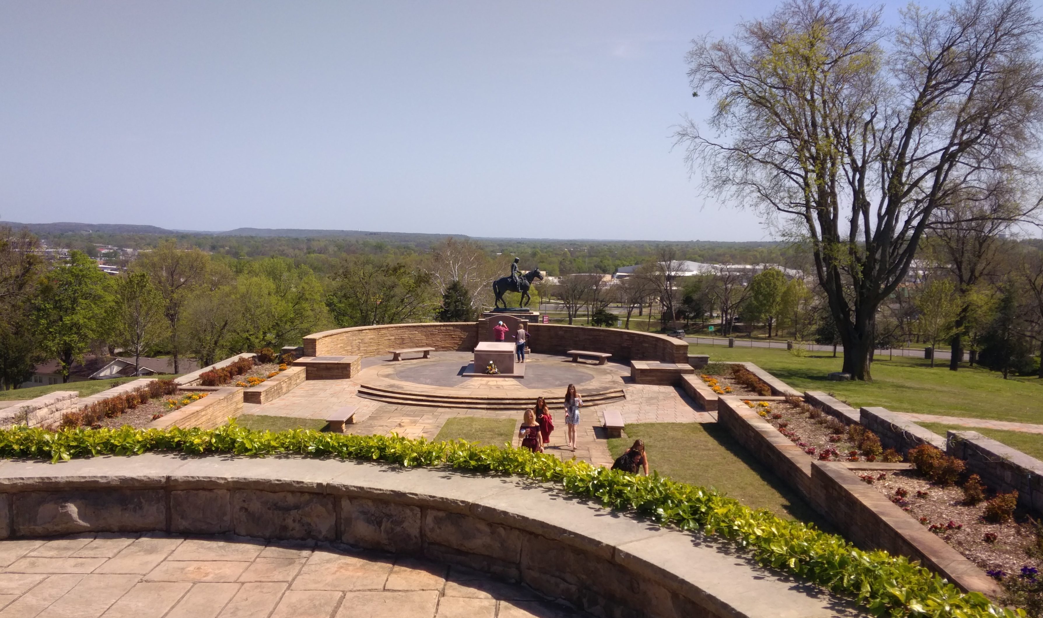
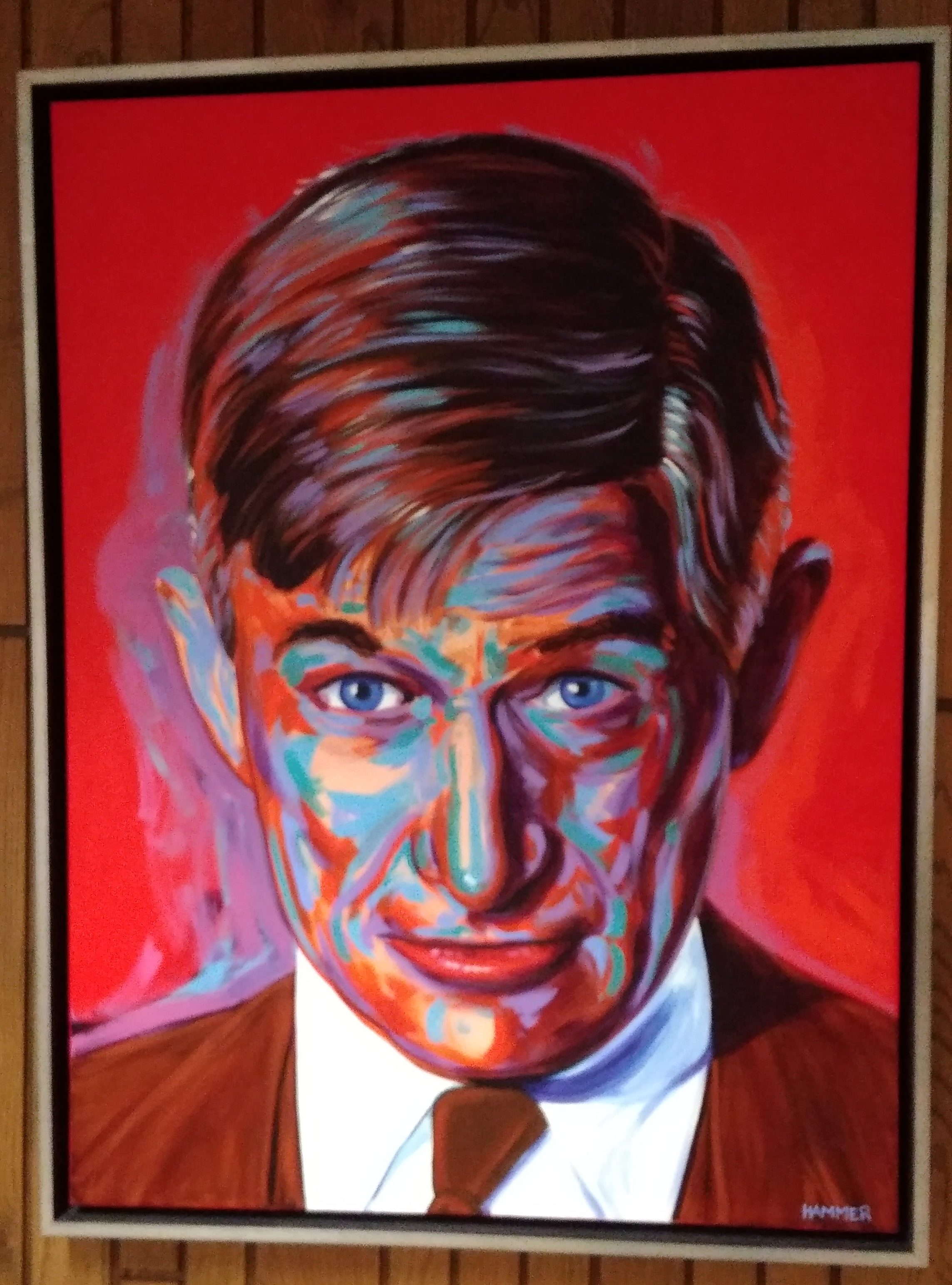
This weekend was a long drive home: Amarillo to Lebanon, Missouri, on Saturday (I’d stopped in Lebanon the first day out, on the way to Dallas), and Lebanon to home in metro Chicago today. Tiring, but I did squeeze in two more sites. In Claremore, Okla., on Saturday, I saw the Will Rogers Museum. Not bad for an entertainer who’s been dead more than 80 years.

Today I stopped just outside St. Louis and took a walk around the Cahokia Mounds State Historic Site. Not bad for a culture that’s been gone for about 800 years.

San Antonio Missions National Historical Park, Before It Was a World Heritage Site

In late March 2013, the girls and I went to San Antonio. I’m always glad to show a bit of the town to them, and the visit included some of the missions, which are collectively San Antonio Missions National Historical Park. A couple of years later, they became a World Heritage Site, the first in Texas.

At Mission Concepción.

In full, Mission Nuestra Señora de la Purísima Concepción de Acuña, founded by Franciscans, with work on the current structures started in 1731.
A little more than a century later, it was the site of the little-known Battle of Concepción in the Texas Revolution.
Mission San Jose.

In full, Mission San José y San Miguel de Aguayo, with construction starting in the 1760s, and restored by the WPA in the 1930s.

I forget where Lilly got the small piñata. I think eventually the dog destroyed it.
It’s still an active church.
Mission San Juan Capistrano.
The church building had just been renovated the year before, which accounts for its newish, rather than long-weathered look.

Much of the grounds is open, with a few other ruins.
We didn’t make it to Mission Espada, and I haven’t been back that way since. Maybe one of these days.

GTT 1990

I’m pretty sure this is on the Texas side of the Texas-Louisiana border on I-20, not far west of Shreveport, in February 1990. As part of my long move to Japan, I moved my meager possessions from Chicago to Dallas that month, stopping along the way in Nashville and central Mississippi.

The site had the Six Flags Over Texas, a common enough display at Texas borders and elsewhere in various forms, and probably some kind of welcome center that’s probably been redeveloped since then. I haven’t been back that way since.

I can’t quite read it, but the road sign seems to say that the exit to Waskom, Texas, is nearby, which would definitely put it on the westbound side of I-20. (I’m fairly certain this earlier Texas border picture was taken along I-10). Not sure what inspired me to take a picture at that place and that time, but I did, and I’m glad of it. Not every moment documented by camera needs to be associated with some kind of peak experience, which are elusive anyway.

We Don’t Care, We’re the Phone Company (Or, I Ain’t Afraid of No Phone Cops)

There’s a fair amount of clutter in my mother’s house, which is characteristic of my family, but not at the level of hording. For instance, no one saved all of the phone books that have come to the house over the years. But there was one tucked away in a cabinet that I came across last week.

This one.

The Southwestern Bell Telephone Directory for San Antonio, published in September 1967. With a model of the Tower of the Americas prominent on the cover, rising above a model of HemisFair, which would run during in 1968. When the directory was published, the tower was still under construction.

Why was the directory saved? Maybe as a kind of souvenir of that world’s fair. Or because it was the first phone book we got when we moved to San Antonio, which was in the summer of ’68. Since phone books used to be published annually, we would have gotten a ’67 edition.

The back cover advertises the Bell System Exhibit at the fair with a painting that looks as 1967 as can be.

Those skyride cars are the artist’s fancy. The actual skyride cars, which I remember because they lingered at the site of the fair for years afterward, looked more like these.

Naturally, I had to spend some time looking between the covers. Just turning to any random part of the white pages — people named Green, in this case — you see the following.
Name, address and an alphanumeric for a phone number, though a few of them are all numeric. So I’m not imagining things when I remember being taught as a seven-year-old, after we moved to San Antonio, that our new number began with TA4. At some unremembered moment in the ’70s, that became 824.

I looked up the parents of a few people I knew in high school. Interestingly, none of them yet lived in the houses I would remember them being in, which would be about 10 years later. Also, per custom of the time, only the man of the house was listed.

Something else that’s gone: this is the white page listing for all of the Handy-Andy grocery stores in San Antonio in 1967.
Twenty-eight all together, and there were probably more in smaller towns in South Texas. My grandmother traded — interesting old-fashioned choice of verbs — at the one on 5930 Broadway. The store gave away coffee and little doughnuts. She’d drink some coffee, I’d eat some doughnuts. After moving to town, my family frequented the one at 1955 Nacoghoches all through the ’70s and ’80s.

These days, there are zero Handy-Andy supermarkets. In the struggle for regional grocery dominance, HEB won. The 1955 Nacoghoches location is now an HEB, and probably some of the others are as well. This article tells about the last gasp of Handy-Andy.

On to the yellow pages. Actually, all of the pages are fairly yellow, considering that the book is now more than 50 years old. Anyway, here’s an industry that isn’t what it used to be.
This industry is flourishing as ever. But the terminology has changed.
And there were house ads in the phone book. Direct dialing was a relatively new thing in 1967, I understand. Definitely cheaper than paying human operators, but DDD as a shorthand for it never caught on.
Here’s something for those of us who remember the difference between person-to-person calls and station-to-station calls, which was relevant into the ’70s. I see that the Phone Company (always caps, always) was encouraging station-to-station.
I can only speculate why. Person-to-person calls were more expensive, so you’d think the Phone Company would want people doing that.

But there was a way to game the system, if you only wanted (say) your family to know that you’d arrived somewhere safety. You’d call person-to-person and ask for someone that didn’t exist, or maybe yourself. The person who answered would know it’s you, but say that person you asked for wasn’t there. In that case, there was no charge for the person-to-person call.

I don’t ever remember doing that, but I know people did (and who probably weren’t afraid of the Phone Cops). By contrast, station-to-station was guaranteed revenue for the Phone Company.

Birm-Tex ’17

Before spending the last week in San Antonio visiting family, I spent about 36 hours in Birmingham, Alabama, during the first weekend in December. I went there to visit my old friend Dan, whom I hadn’t seen in about 18 years.
That’s too long, as the Wolf Brand Chili man said. See your old friends if you can, because we’re all mortal. I was also fortunate enough to become reacquainted with his wife Pam, whom I’d only met once, more than 20 years ago.

Dan and I had a fine visit, talking of old times and places — we’ve known each other 36 years — but not just that. He grew up in Birmingham and has lived there as an adult for a long time, so he was able to show me around and tell me about the city’s past and about recent growth as an up-and-coming metro. In this, he’s quite knowledgeable.

I’d heard something about that growth, but it was good to see some examples on foot and as we tooled around hilly Birmingham in Dan’s Mini Cooper, which was also a new experience for me. Not to sportiest version, he told me — he’d traded that one for this one he now drives — but it had some kick.

On the morning of Saturday, December 2, we first went to Oak Hill Memorial Cemetery, very near downtown Birmingham, and the city’s first parkland-style burial ground. Dan told me he’d never been there before. Not everyone’s a cemetery tourist. But he took to the place, especially for its historic interest, and he even spotted the names of a few families whose descendants he knows.

From there we drove to Sloss Furnaces, which, as the postcard I got there says, is “the nation’s only 20th-century blast furnace turned industrial museum.” Iron mining and smelting made Birmingham the city that it is. So it was only fitting that we went to Vulcan Park as well, to see the mighty cast-iron Vulcan on his pedestal on a high hill overlooking the city.

Toward the end of the afternoon, I suggested a walk, and so we went to the Ruffner Mountain Nature Preserve, which has 14 miles of hiking trails. More than that, the earth there is honeycombed with former mines, all of which are now sealed. But we got to see the entrance of one of them, dating from 1910.

After all that, we repaired to Hop City Beer & Wine Birmingham, a store that has an enormous selection of beer and wine in bottles, as well as a bar with a large draft selection, where we relaxed a while. Had a cider and a smaller sample of beer that I liked.

Along the way during the day, we also visited Reed Books, a wonderful used bookstore of the kind that’s increasingly rare: owned and run by an individual, and stacked high with books and other things, with only marginal organization. I bought Dan a copy of True Grit, which he’d never read.

We drove through some of Birmingham’s well-to-do areas, sporting posh houses on high hills and ridges along roads that I could make no sense of, twisty and web-like as they were. Luckily, Dan knew them well.

In downtown Birmingham, we also drove by some of the historic sites associated with the civil rights movement, including the new national monument. According to Dan, it would take a day to do the area right, so we didn’t linger. I got a good look at the 16th Street Baptist Church, the A.G. Gaston Motel, where King and others strategized, and Kelly Ingram Park, where protesters were attacked with police dogs and water cannons.

During my visit, I ate soul food, breakfast at a Greek diner — Greek immigrants being particularly important to the evolution of restaurant food in Birmingham, Dan said — excellent Mexican food (mole chicken for me), and a tasty breakfast of French toast and bacon made by Dan and Pam. On the whole, we carpe diem’d that 36 hours.

In San Antonio, as usual, I was less active in seeing things, but one sight in particular came to me. On the evening of Thursday, December 7, I looked out of a window at my mother’s house and saw snow coming down. And sticking. “I’ll be damned,” I muttered to myself.

At about 7:30 the next morning, I went outside to take pictures. Nearly two inches had fallen, according to the NWS. The snow was already melting. A view of the front yard.

Of the back yard.

It occurred to me that hadn’t seen snow on the ground in San Antonio since 1973.