Bishop Hill State Historic Site, 1997

I’m sure there will be some chatter about the 25th anniversary of the death of Diana Spencer this week, but I won’t add to it, except to say we were out of town that Labor Day weekend.

Some years ago, I wrote: “We made it as far west as Iowa, briefly, but the main focus was getting to Nauvoo, Illinois, perched way west on the banks of the Mississippi. The first day [August 30, 1997], we stopped at a place called Bishop Hill, which itself was the site of a religious commune in the 1840s and ’50s, home to a good many Swedish immigrants that followed a charismatic Swede.

“Alas, he died [indeed, was murdered] and there was no one to take his place, unlike certain other cults that flourished around that time and later went to Utah, so they parceled out the commonly held lands to cult members in the 1860s. About a hundred years later, their descendants became interested in restoring some of the town’s buildings, which have their charms. The church was nice in a sort of plain way, and the hotel was a fine example of 1850s Midwest architecture.”

In our time (including 1997), Bishop Hill is a small town in Henry County, Illinois, and a few of its buildings constitute Bishop Hill State Historic Site. The name is an English version of the birthplace of sect founder Erik Jansson, who was from Biskopskulla parish in Uppland, near Uppsala, Sweden. There may be a hill at that place in Sweden, but I’m pretty sure there’s no hill at Bishop Hill in Illinois.

I took some pictures. It was still the days of film cameras, so only a few. Such as of Yuriko, who was large with child at that moment. The child will be celebrating her 25th birthday come November.
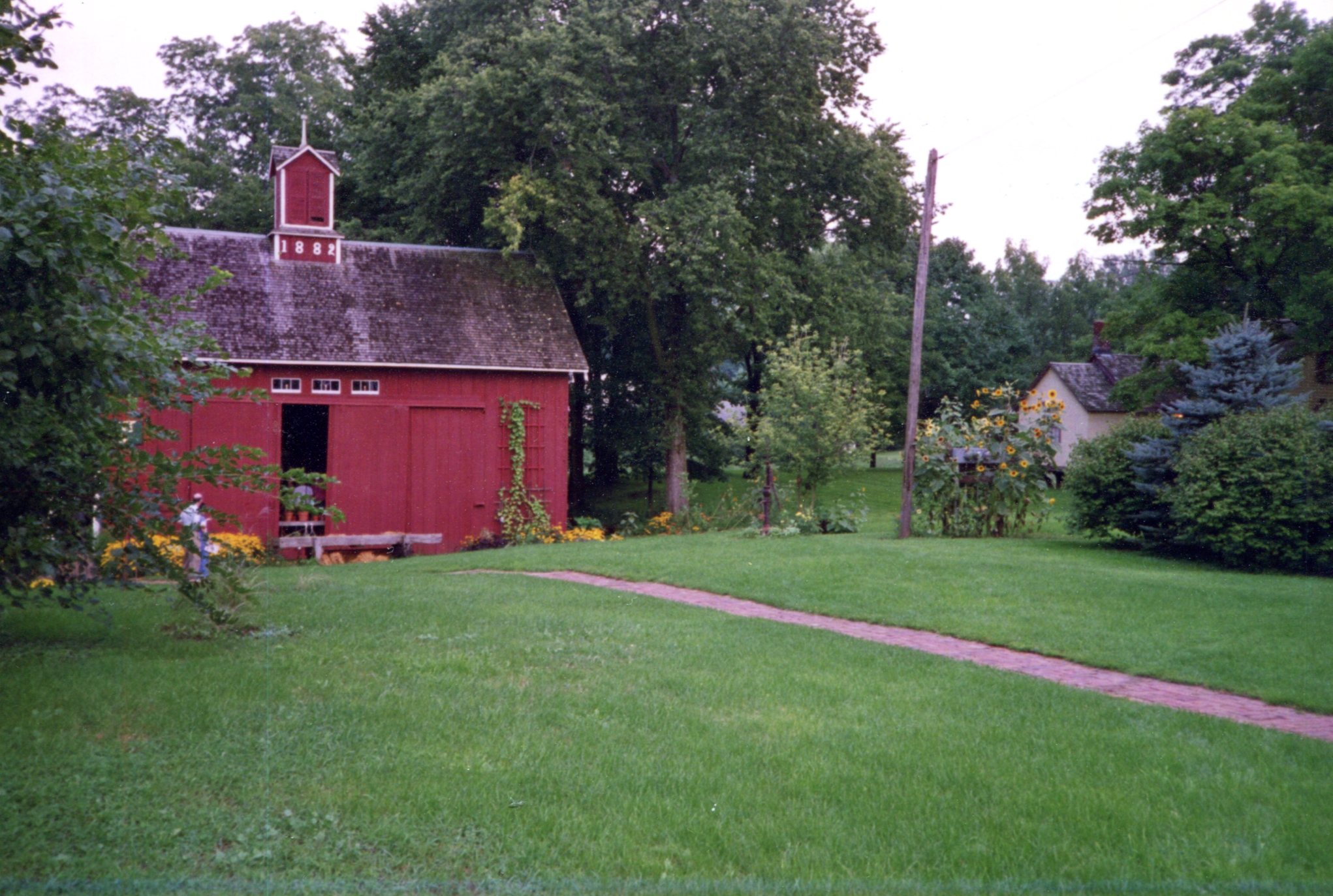
Bishop Hill, Illinois, 1997

Note the bed of brown-eyed susans. Late August is their time. The other day, we saw an enormous crop of them along the shore of Volkening Lake.

A local cat, who was large with tail.
Bishop Hill, Illinois, 1997

Next, I’m standing near one of the older buildings in town, though I don’t believe it’s part of the historic site. Someone used to sell beer there. Curiously, the same building can be seen in the image illustrating Bishop Hill’s Wiki page.
Bishop Hill, Illinois, 1997

Another view
Bishop Hill, Illinois, 1997

I won’t swear to it after 25 years, but I think we arrived too late in the day to see the interiors of most of the historic buildings. In any case, it was our last trip before full-blown parenthood.

Whitefish Point

After leaving Sault Ste. Marie around noon on August 4, we headed via small roads to Whitefish Point, a cape jutting from the Upper Peninsula into Lake Superior.

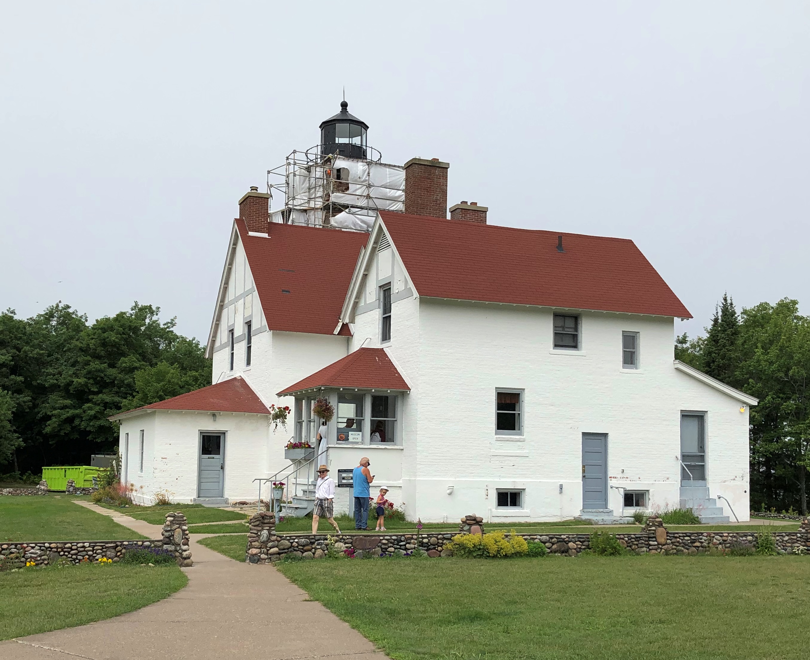
First stop en route, Point Iroquois Light, which overlooks the lake as it narrows to drain into St. Marys River. A light has been there since 1856, in response to the increased shipping through the recently opened Soo Locks. The lighthouse and keeper’s house are handsome structures, though the light was under scaffolding. I’ve encountered a fair number of such obstructed sights over the years.Point Iroquois Light

Nice view of Whitefish Bay, too.Point Iroquois Light

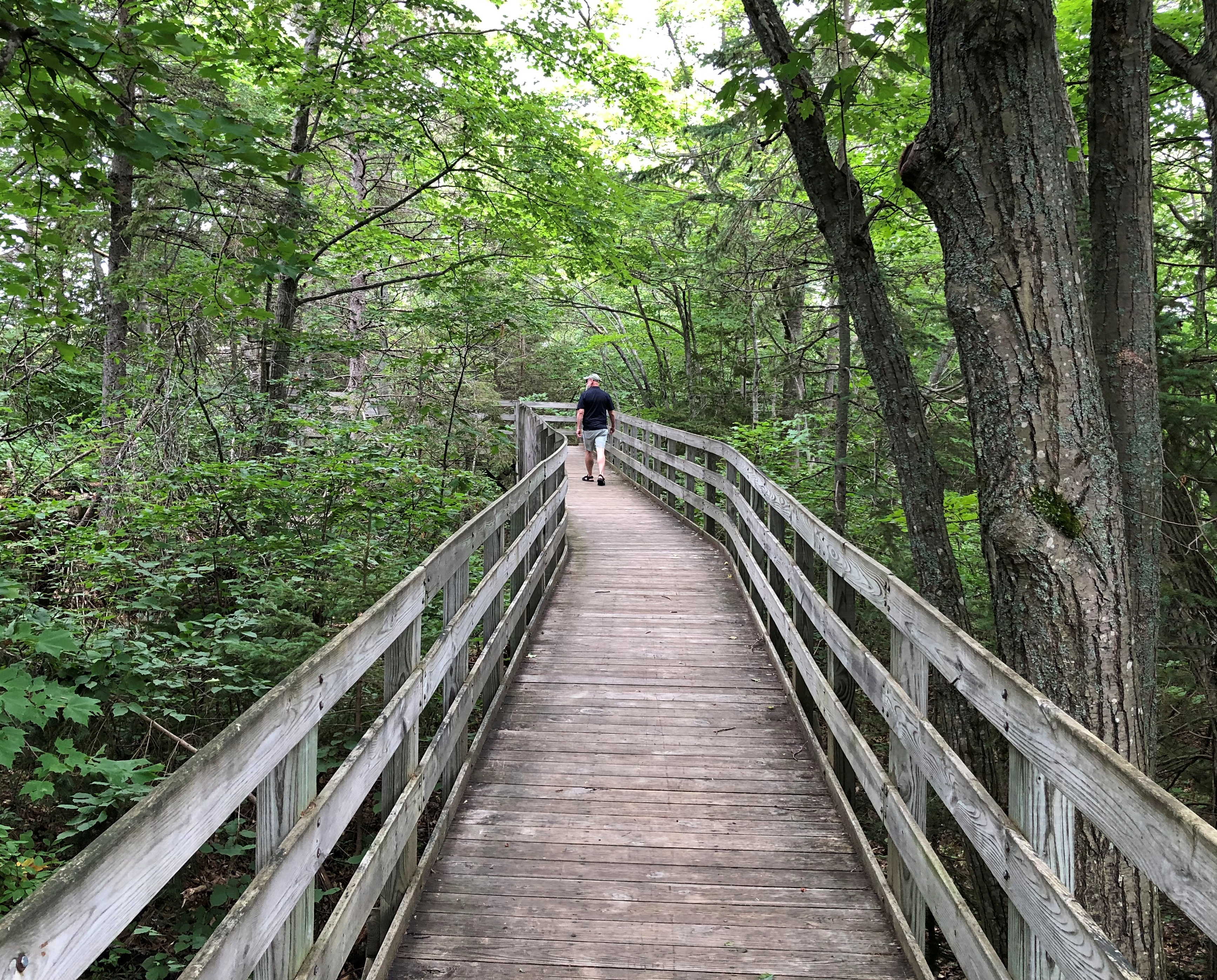
A good boardwalk walk.Point Iroquois Light Point Iroquois Light

We had lunch in Paradise. The UP town of that name, that is. We stopped there for lunch in 2006 and I’d like to say I had a cheeseburger. But the record says otherwise. Back then, I wrote: “I need to say I’ve been to Paradise. Paradise, Mich., that is, which is just south of Whitefish Point. In fact, I ate a whitefish sandwich in Paradise, and it was good, but not paradisiacal.”

I didn’t record the name of the restaurant in ’06, but I will this time, because it’s so much fun: Wheelhouse Diner & Goatlocker Saloon. (The owner(s) must have been in the Navy.) We ate in the back, in the saloon part, which looked pretty much like the rest of the place, with the addition of a bar. I had a whitefish sandwich again, because that’s the thing you do within spitting distance of Lake Superior, at least once or twice. I didn’t regret my choice.

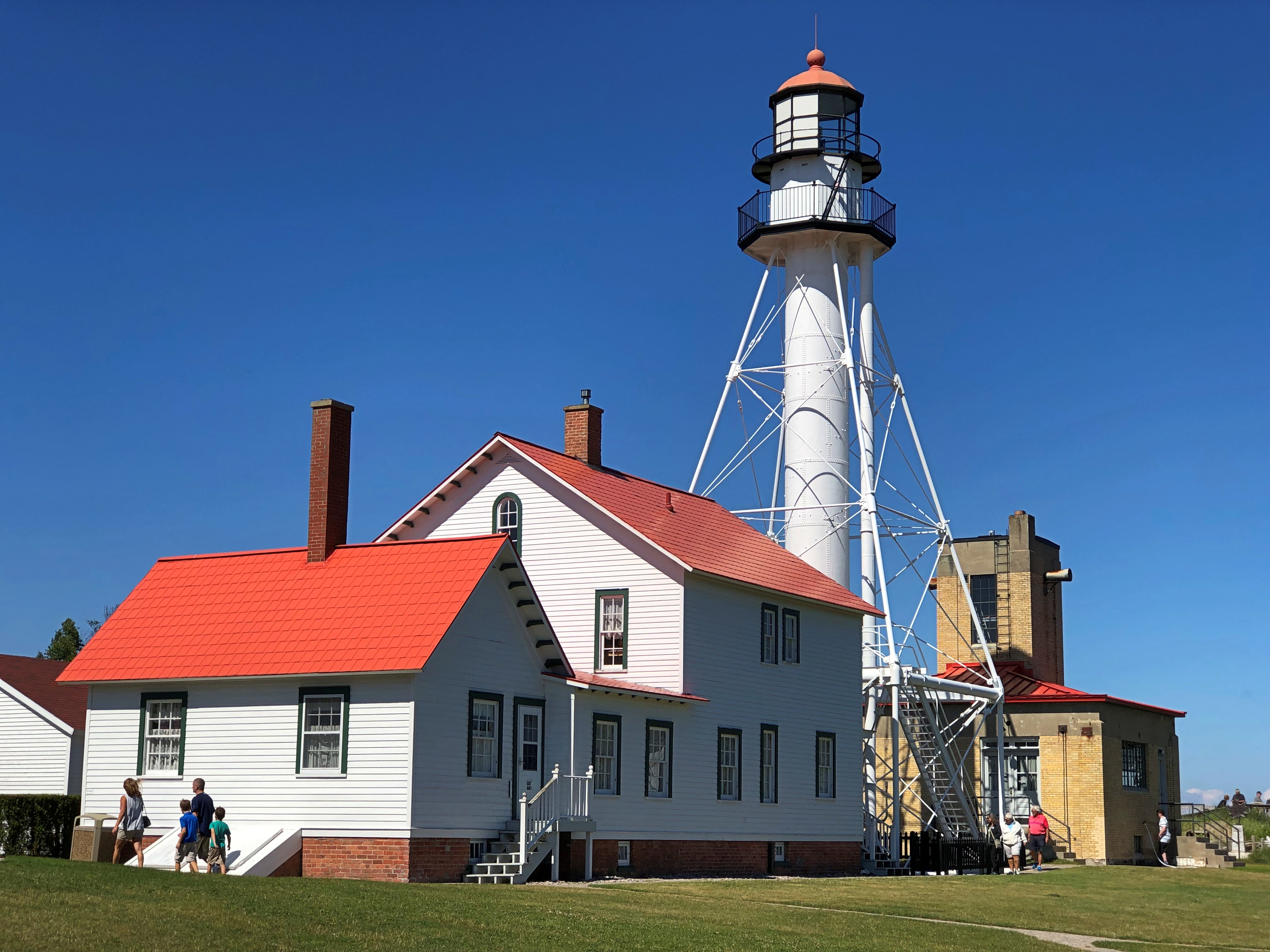
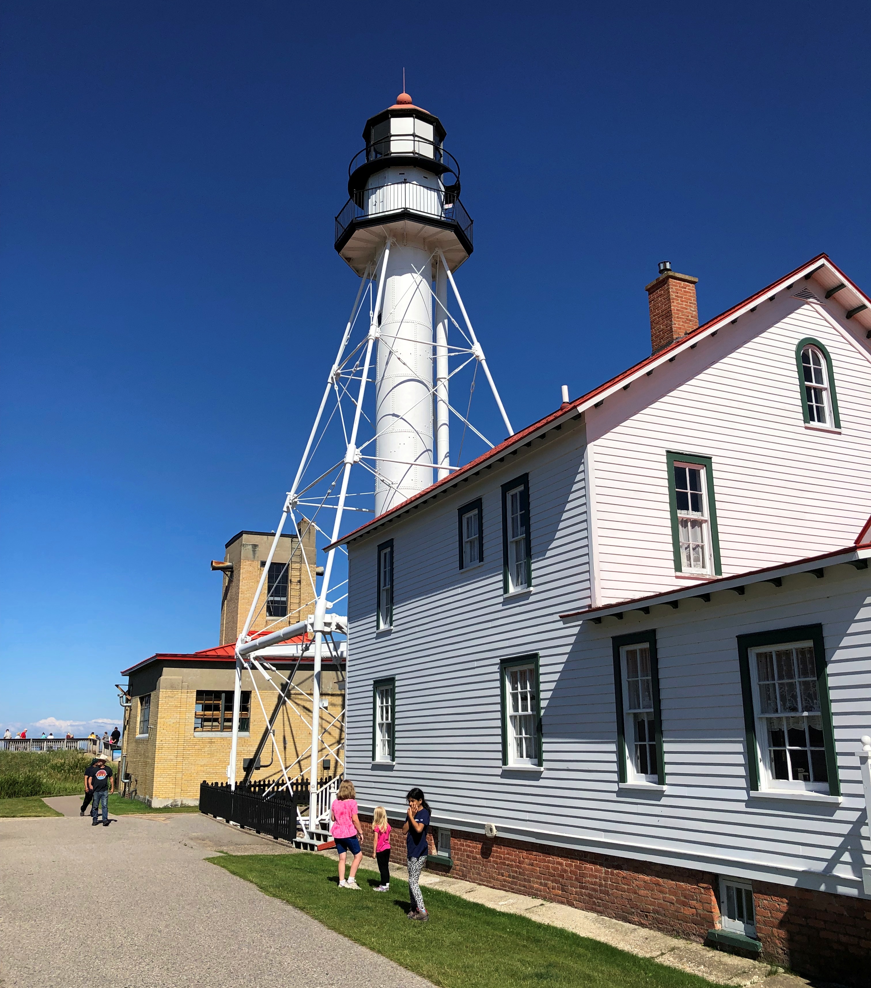
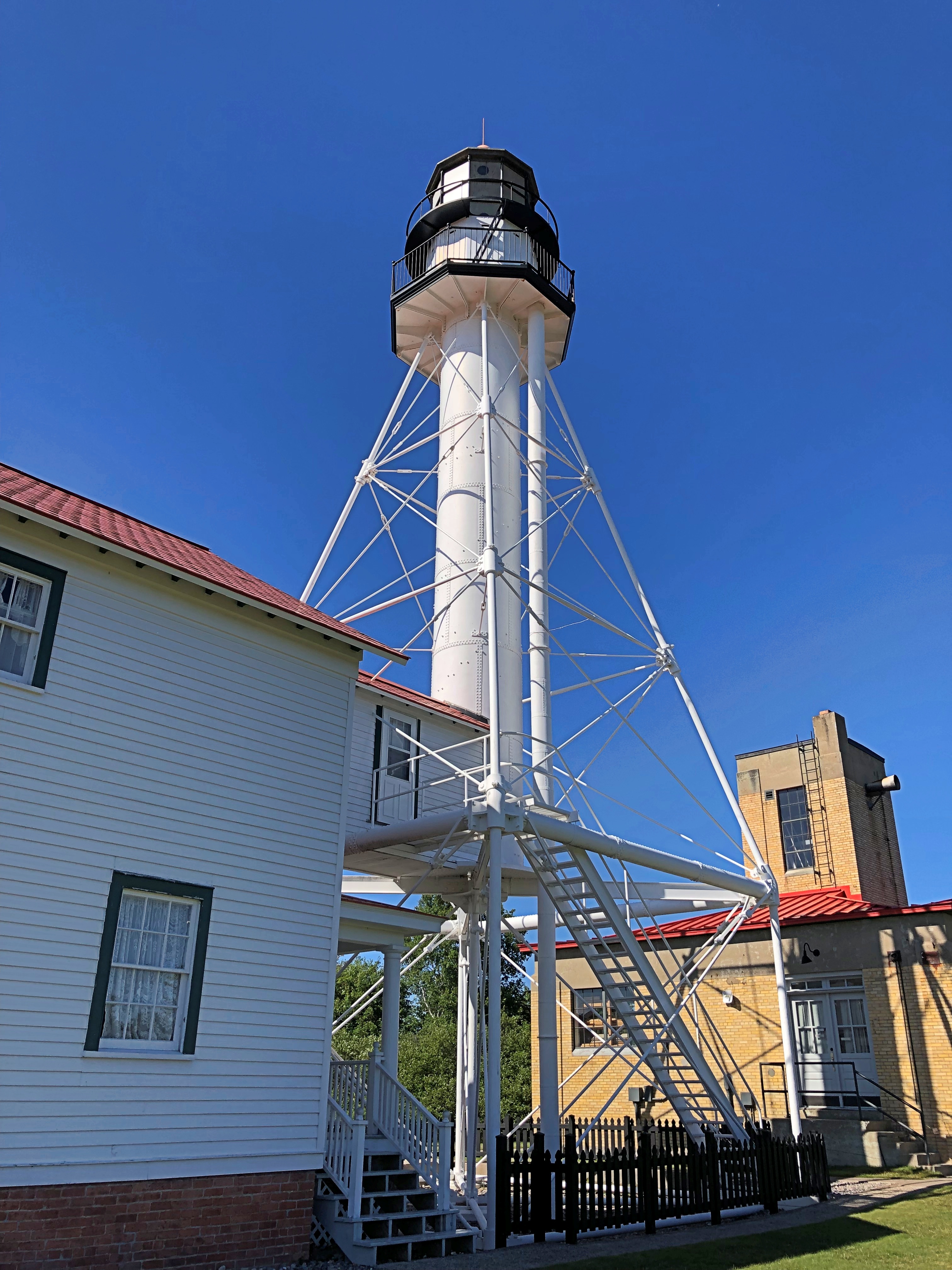
Same as 16 years ago — can it have been that long ago, and still be in the 21st century? — we headed up to Whitefish Point after lunch. The star of the point is Whitefish Point Lighthouse.Whitefish Point Lighthouse Whitefish Point Lighthouse Whitefish Point Lighthouse

The original light was built in 1849 as one of the first ones on Lake Superior and, as the lake’s epithet at this point attests — “Graveyard of the Great Lakes” — it was badly needed.

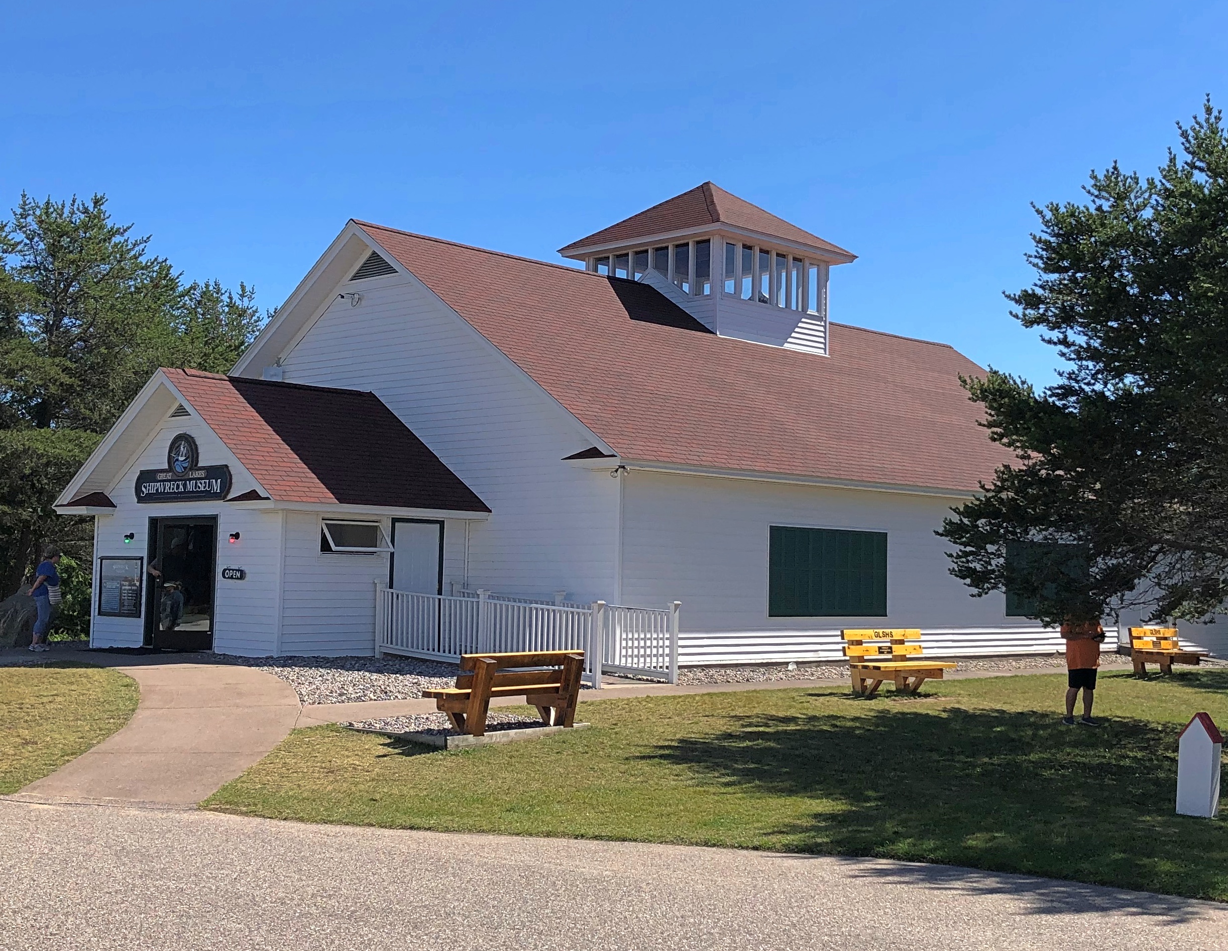
It’s also a fitting location for the Great Lakes Shipwreck Museum.Great Lakes Shipwreck Museum

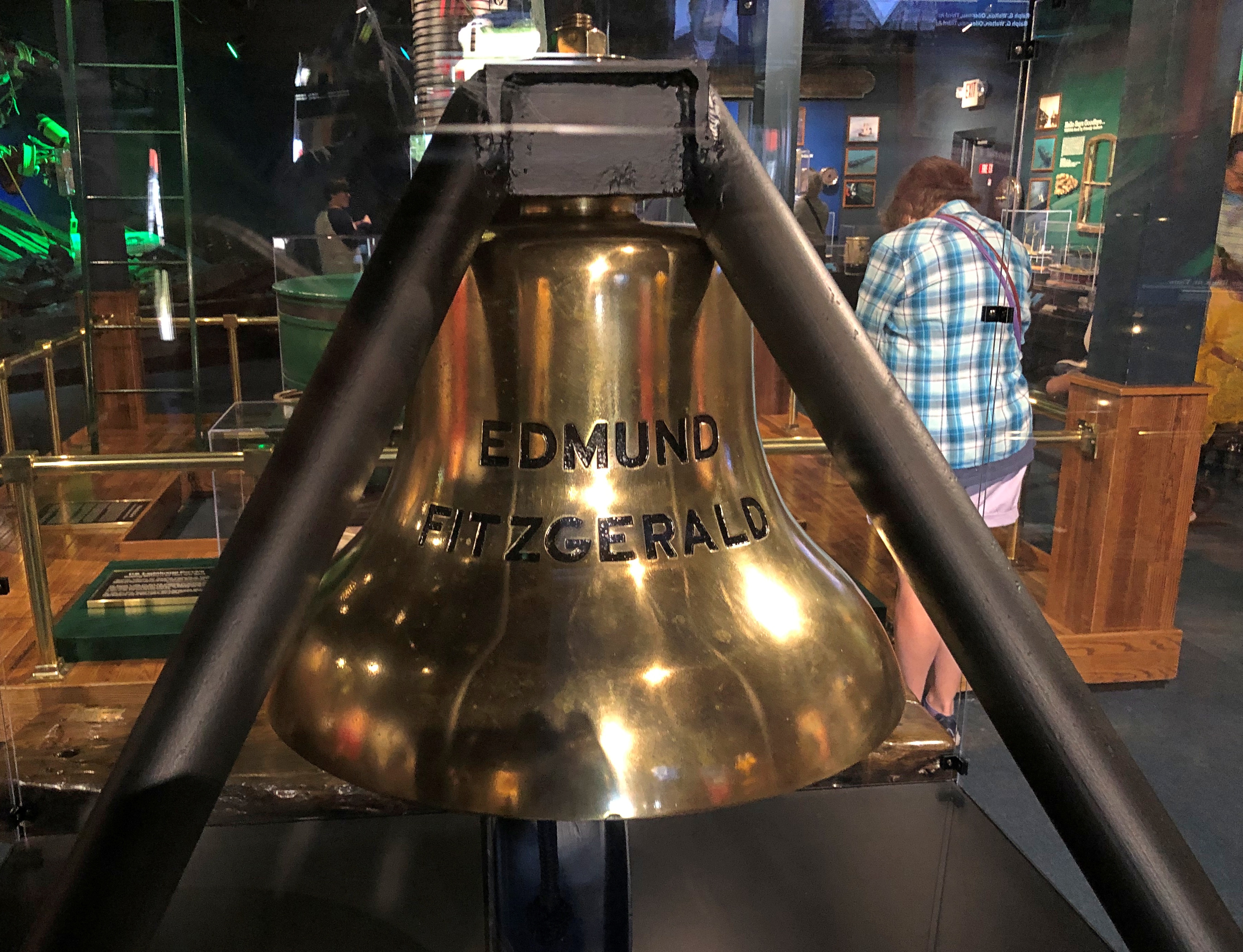
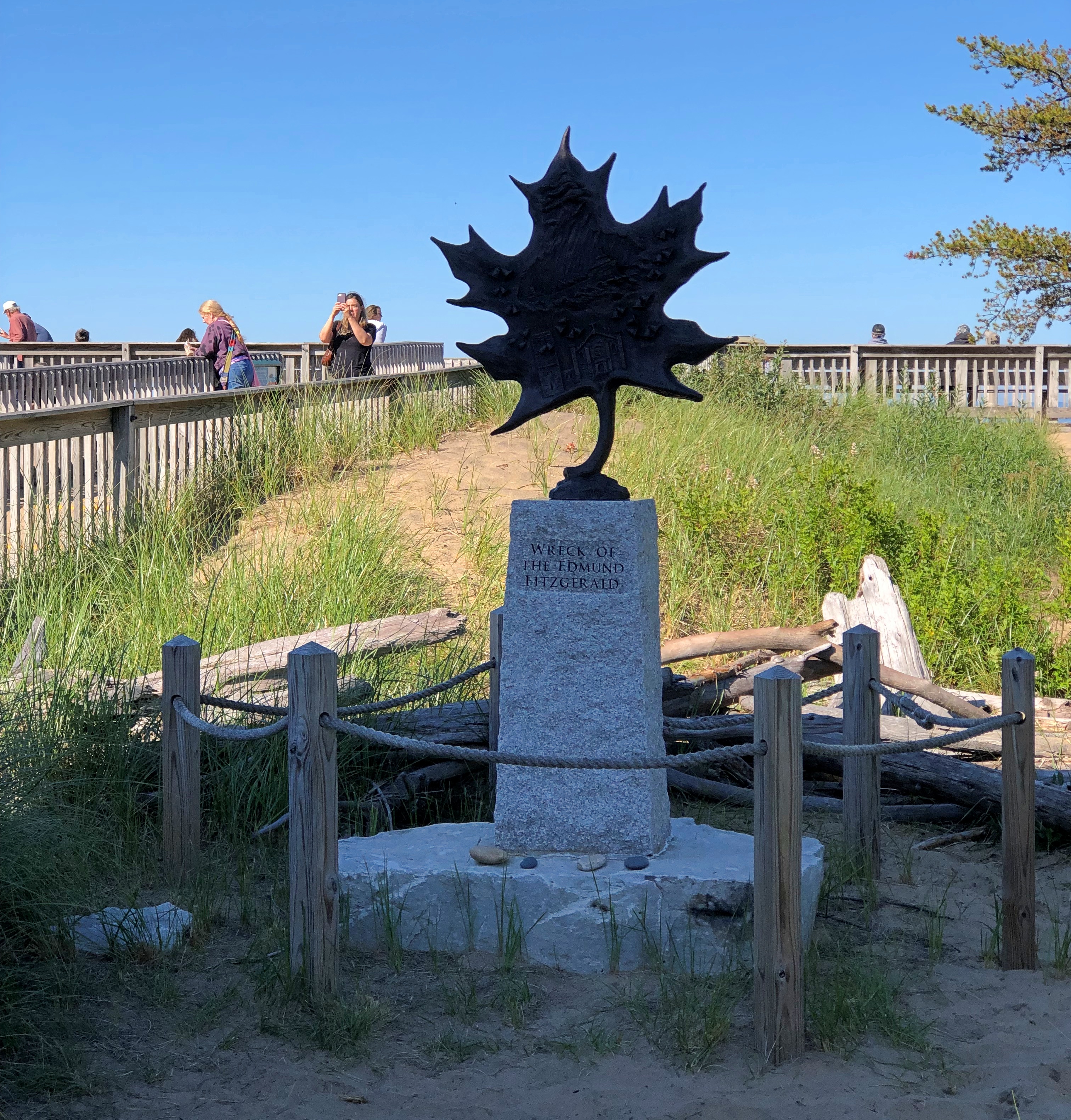
The museum doesn’t seem to have changed much since I wrote: “Front and center inside the Great Lakes Shipwreck Museum is the bell from the Edmund Fitzgerald… It’s hard to imagine the violence necessary to sink a ship big enough to carry 26,000 tons of cargo, but there she lies, in two pieces, on the bottom not far from Whitefish Point.

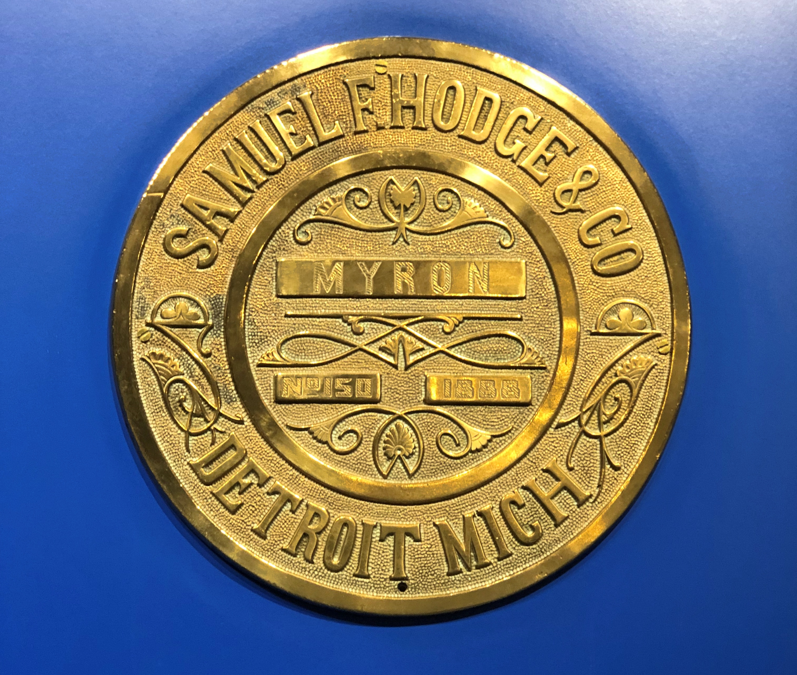
“But it was not an Edmund Fitzgerald museum. Along three walls were other stories of other wrecks, most costing some lives, and most so long ago that there’s no living memory of them — the Comet, Vienna, Myron and Superior City, just to name a few. Among the artifacts from these wrecks were the nautical things you’d expect, such as a ship’s wheel, anchor chains, or steam engine gages.”

Like the name plate from the Myron, lost in a November gale in 1919.Great Lakes Shipwreck Museum

“More poignant were bits of flotsam like bottles, dishes, a candelabra and even a bar of soap in its late 19th-century packaging. Some of the museum’s benches were made from wooden planks from wrecked ships, with their name carved in it.”

This time it struck me how many ships sank after collisions with other ships. Radar was a real game-changer, but even so, it couldn’t prevent every wreck.

Such as that of the Edmund Fitzgerald, with all the modern equipment of 1975. The ship’s bell, retrieved from Superior’s ice-water mansion in 1995.Great Lakes Shipwreck Museum

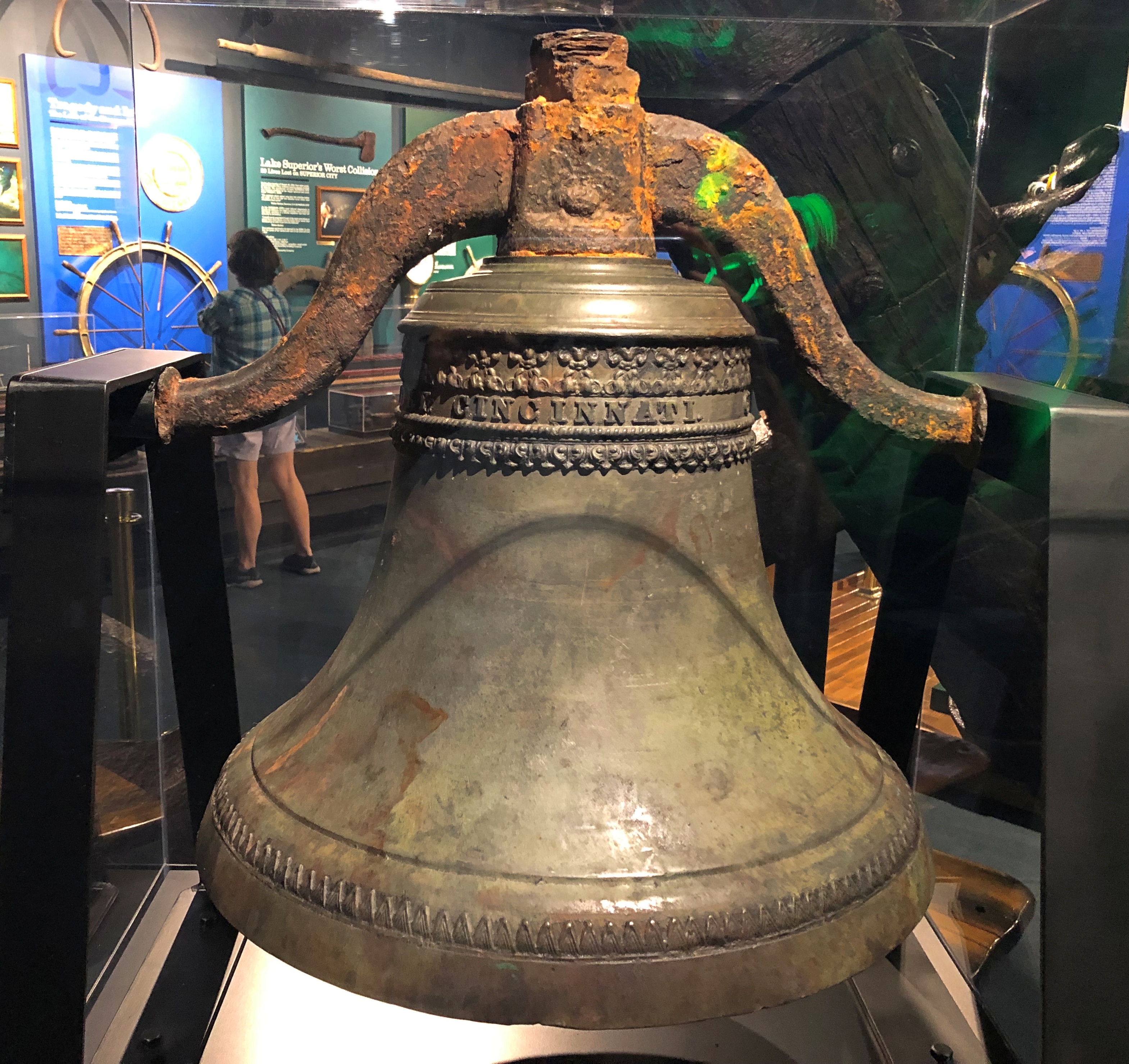
The Big Fitz bell isn’t the only ship’s bell in the collection. Another was from the schooner Niagara, which sank in 1897.Great Lakes Shipwreck Museum

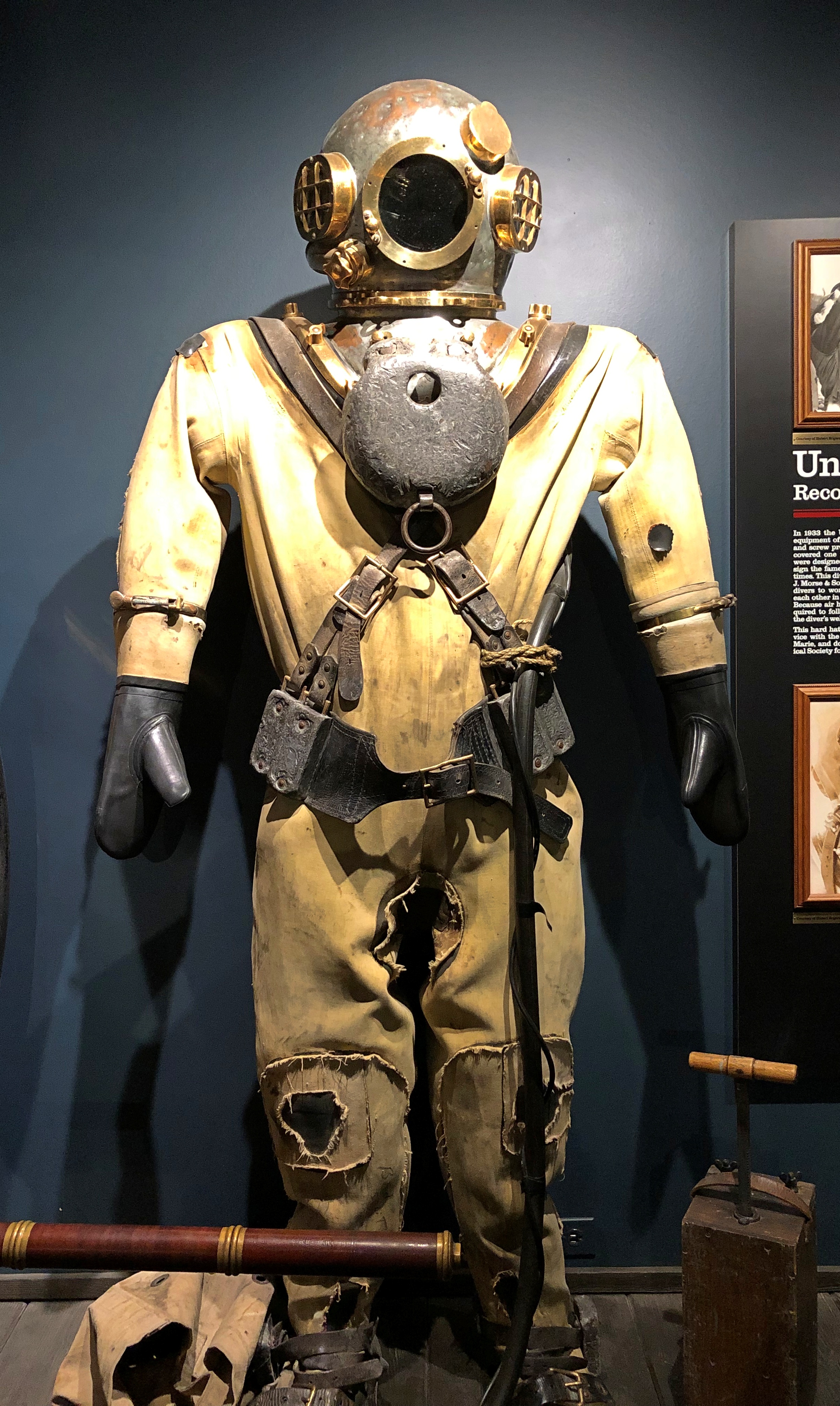
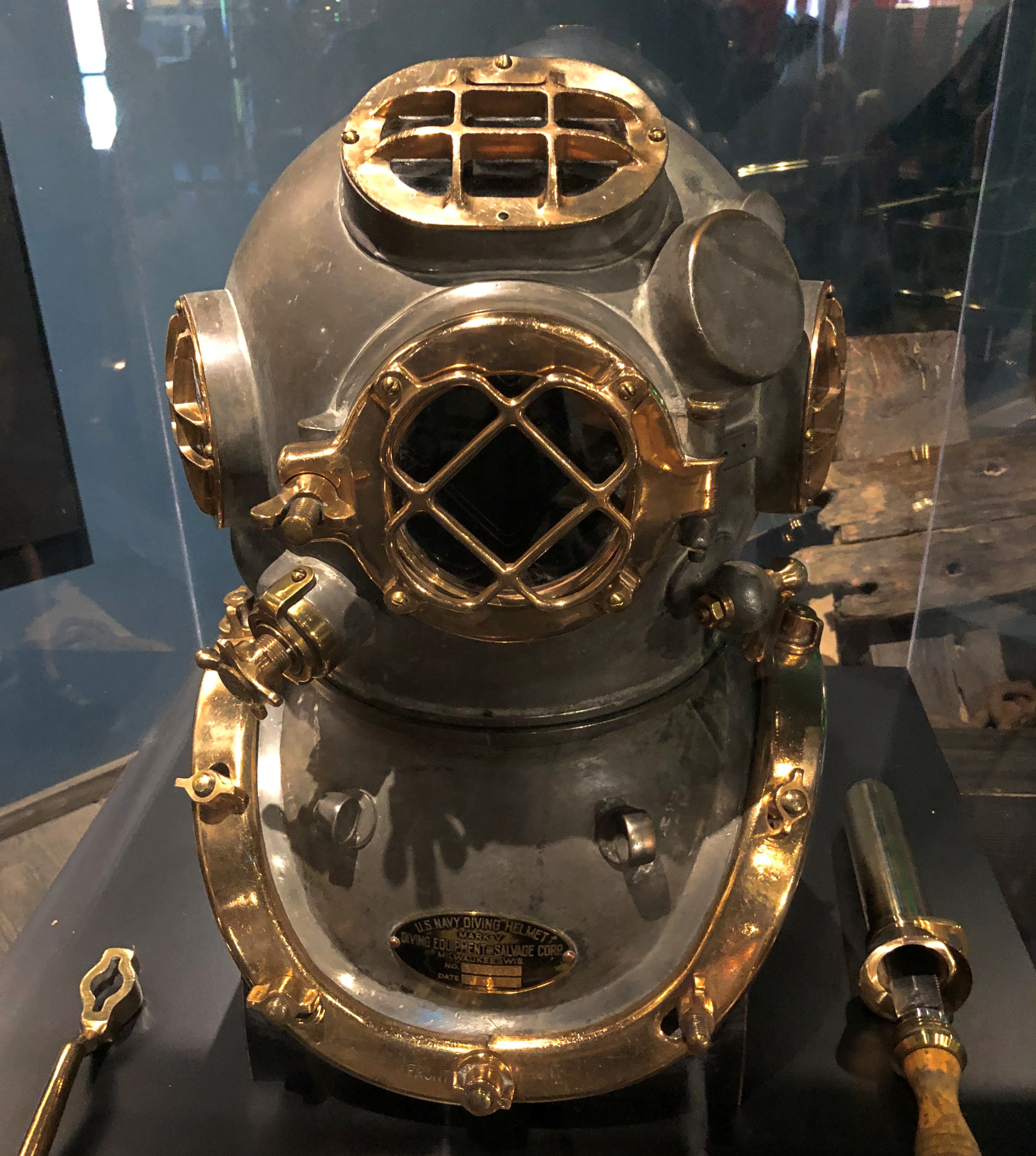
And how does one go looking for such artifacts? At least in the old days? Amazing that divers could do anything at all encased in such bulk.Great Lakes Shipwreck Museum Great Lakes Shipwreck Museum

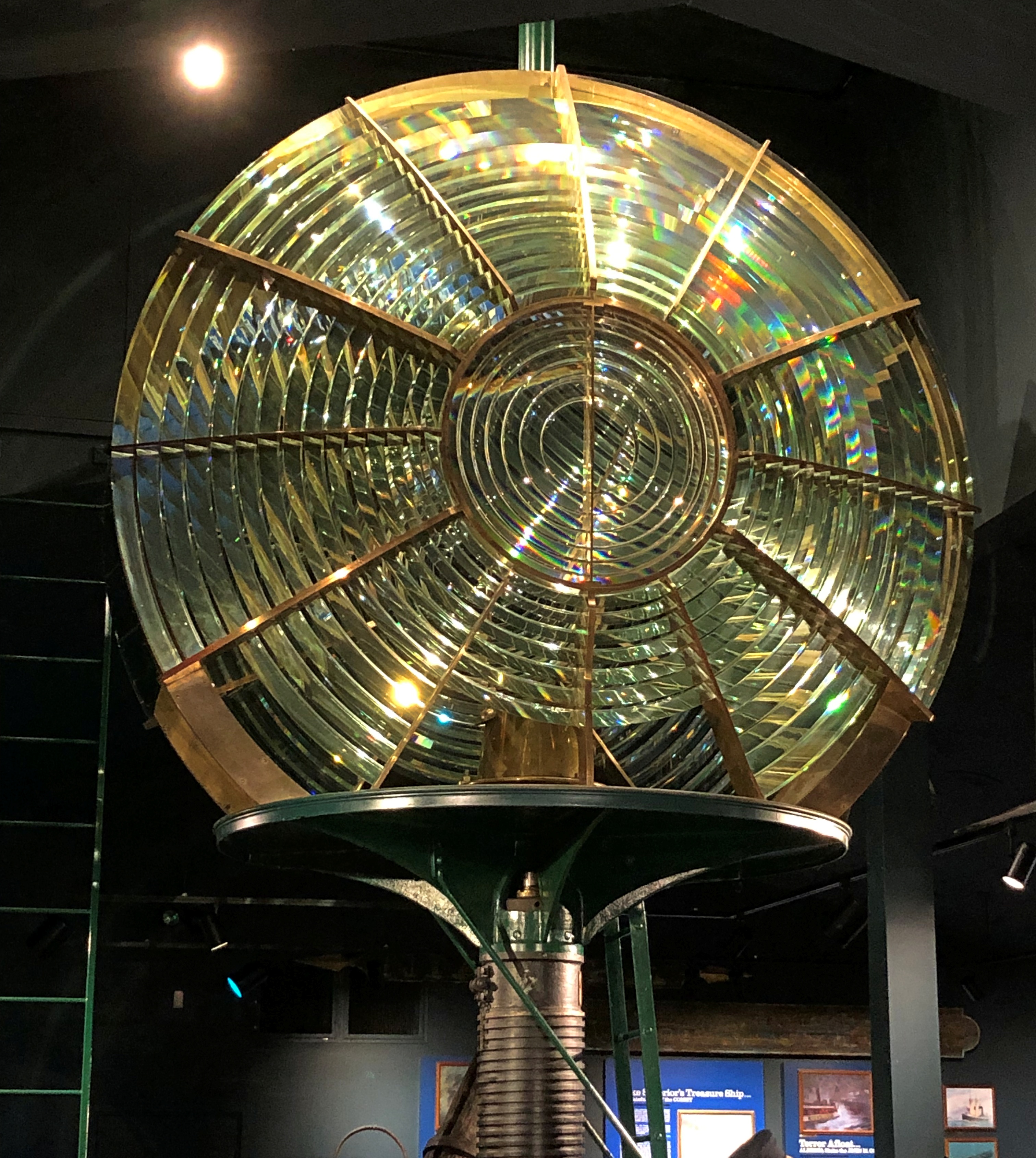
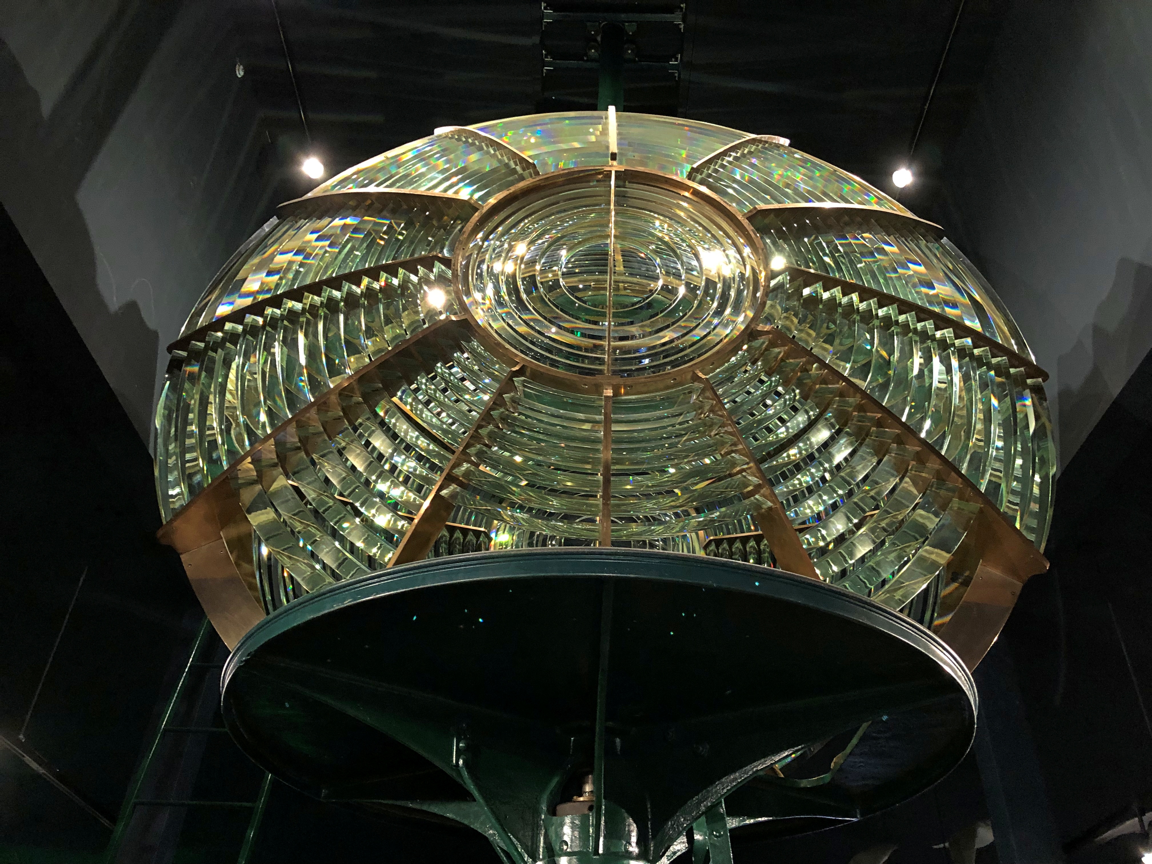
All these things evoke history and loss, as they should. But I think none of the items are as cool as the museum’s Fresnel lens. Years ago, I wrote:

“Hanging near the ceiling was a second-order Fresnel lens, formerly the bright eye of a lighthouse elsewhere in Michigan but since retired… Meant to magnify light, and representing an important technical advance in the 19th century, a Fresnel lens is also an astonishing piece of glasswork.”

Yes, indeed.Great Lakes Shipwreck Museum Great Lakes Shipwreck Museum

“At first its overall resemblance to a human eye strikes you, but the more you look at it, the more the glassy curves and grooves and nodes emerge into an ensemble of glass pieces, arrayed like soldiers on parade.”

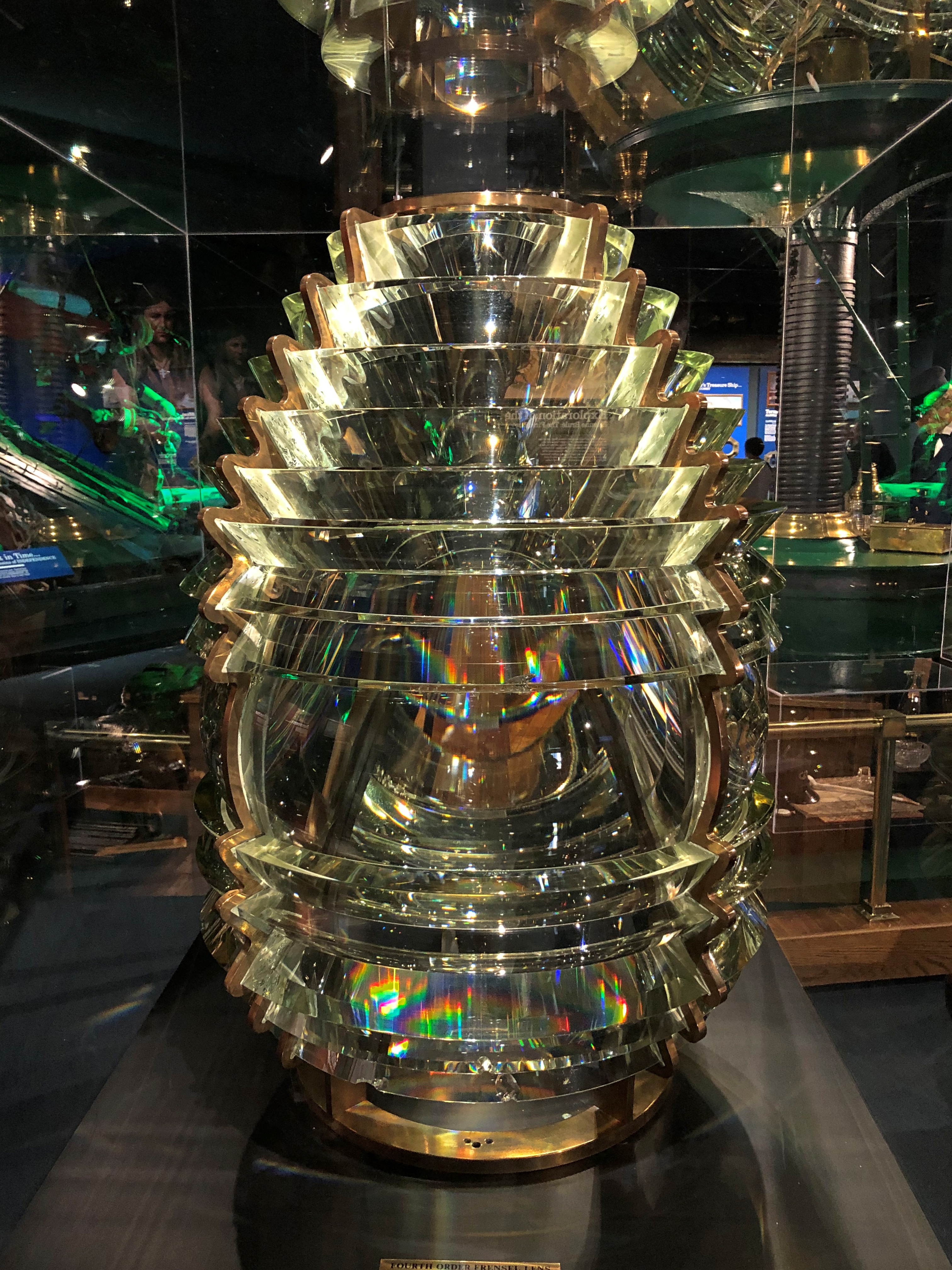
The museum also has a smaller, fourth-order lens.Great Lakes Shipwreck Museum

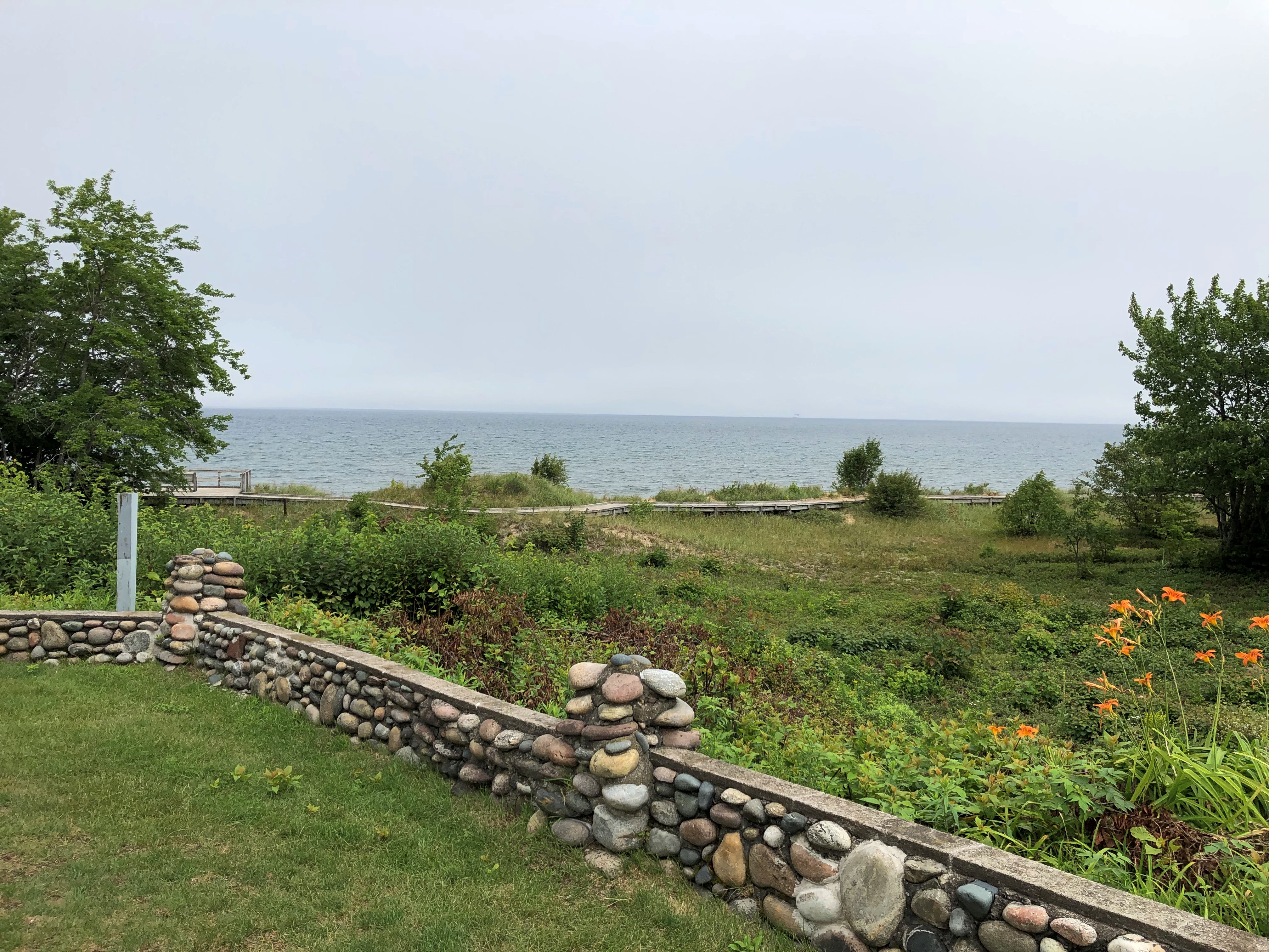
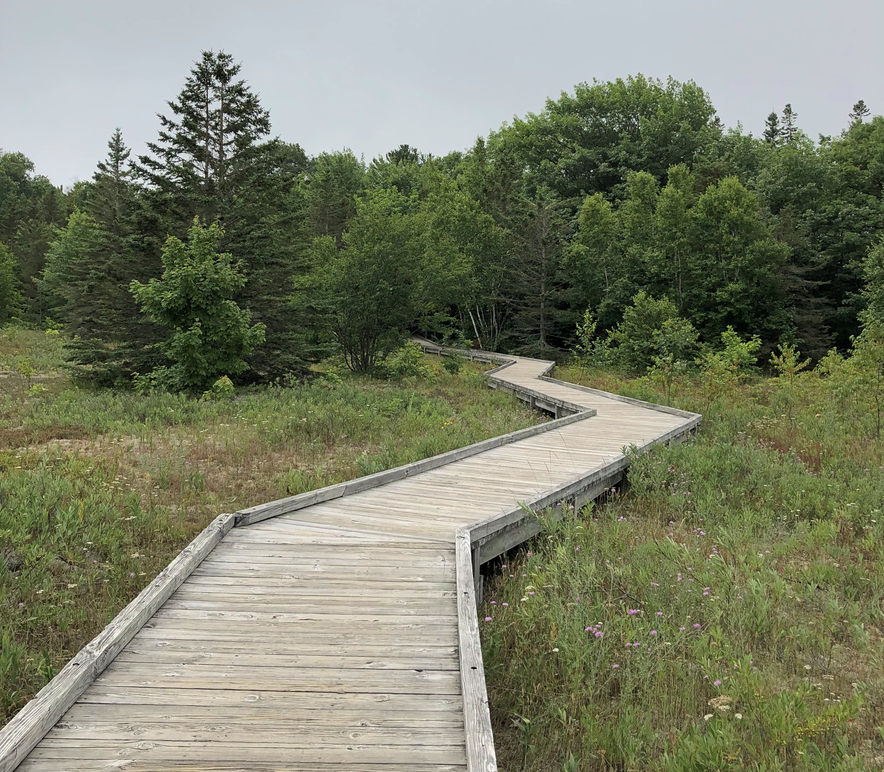
Before we left, we took a look at the shore, accessed by a boardwalk.Whitefish Point
Whitefish Point Whitefish Point

Sobering the think of all the wrecks off in that general direction.

Mackinac Island Walkabout, Part 2

Open up the Fibber McGee’s closet of Mackinac Island, and countless turtles come tumbling out.

By “open up,” I mean Google the term “Mackinac Island turtle” and the references come fast and thick: Lore of the Great Turtle, a book published by Mackinac State Historic Parks; Great Turtle Park; Great Turtle Kayak Tours; Great Turtle Toys of Mackinac Island; the Great Turtle Drop, which happens on New Year’s Eve; the Great Turtle Half Marathon & 5.7 Run/Walk; Great Turtle Brewery & Distillery; Great Turtle Creations of Mackinac Island; Heart of the Great Turtle Island – Gchi Mshiikenh Deh Minising Project; Turtle Fudge; the Great Turtle Sunset Voyage; and Great Turtle Lodge.

The association with turtles goes a long ways back, long before the appearance of Europeans in this part of the world.

“Mackinac Island is a shortened version of the Native American name pronounced Michilimackinac,” says the island’s web site. “The Anishinaabek people named this area and Mackinac Island Michilimackinac, meaning place of the great turtle.

“Why great turtle? They thought that Mackinac Island, with its limestone bluffs, looked like a giant turtle rising out of the water.”

Dig around a little more, and more emerges.

Writing in 1896 in a book called Mackinac, formerly Michilimackinac (isn’t the Internet Archive a fine thing?), one John R. Bailey had this to say:

“Michilimackinac is claimed to be derived from the Indian words Michi, ‘great,’ and Mackinac, ‘turtle,’ from a fancied resemblance to a large mud turtle; also from the Chippewa Mi-chi-ne Mau-ki-nouk, the two meaning ‘the place of giant fairies.’ [Henry] Schoolcraft says there is another meaning besides ‘great turtle.’ It also means ‘spirits,’ or ‘fairy spirits.’ The spirits were want to take the form of a turtle and become ‘turtle spirits.’ ”

All that goes to explain this sight, at the Gate House restaurant on Cadotte Ave. on the island.Mackinac Island
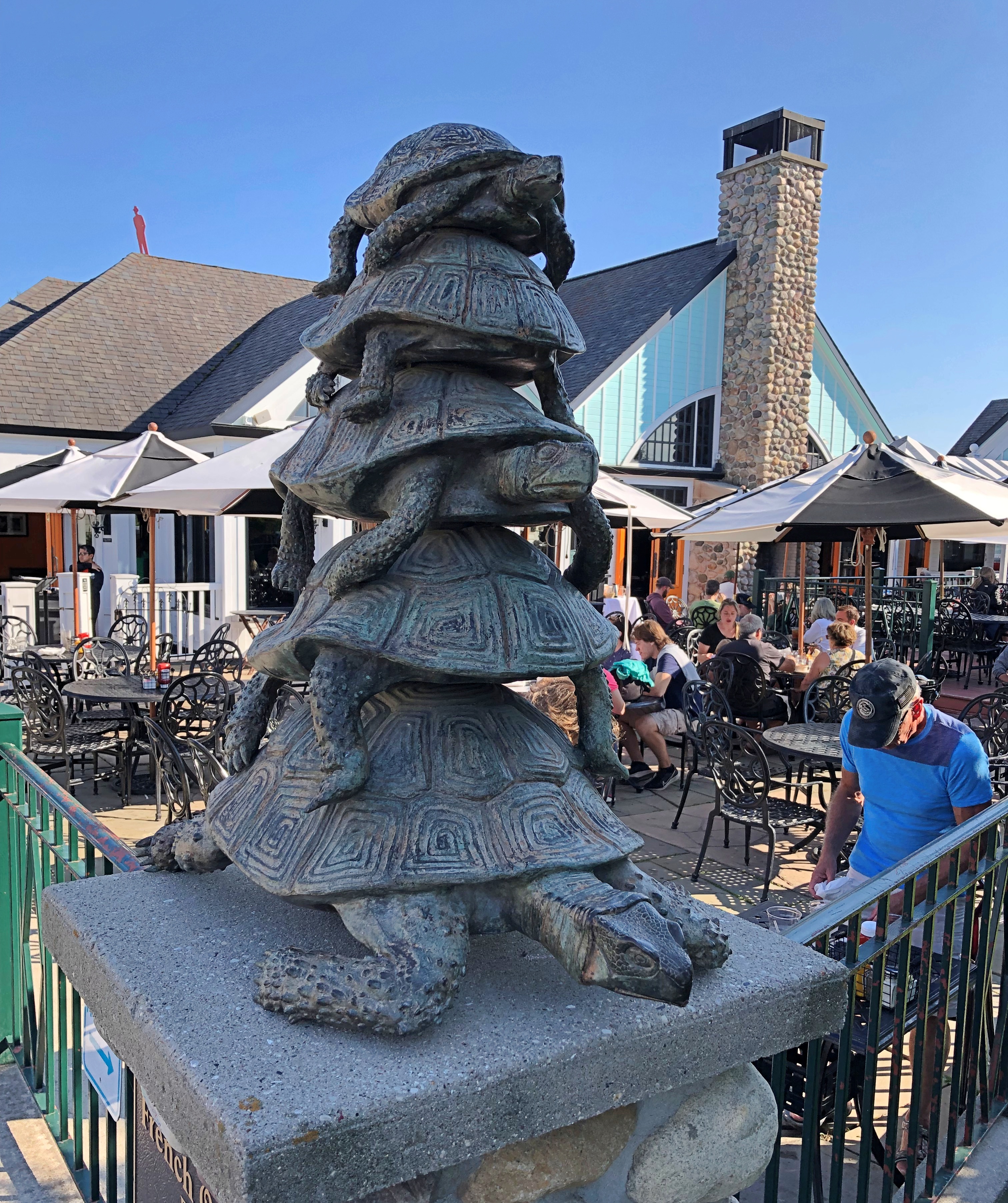
While wandering around on the hilly territory of central Mackinac Island, we contacted Gate House by phone for reservations. They offered us a slot for an hour later, or about enough time for us to walk there after a detour through one of the historic cemeteries. Such is scheduling in non-motorized Mackinac.

We wanted to avoid Main Street, so after descending from the highlands, we walked along Market Street instead, just a block inland from Main. A lot of people were on that street, but not as many as the mob on Main.Market Street Mackinac Island
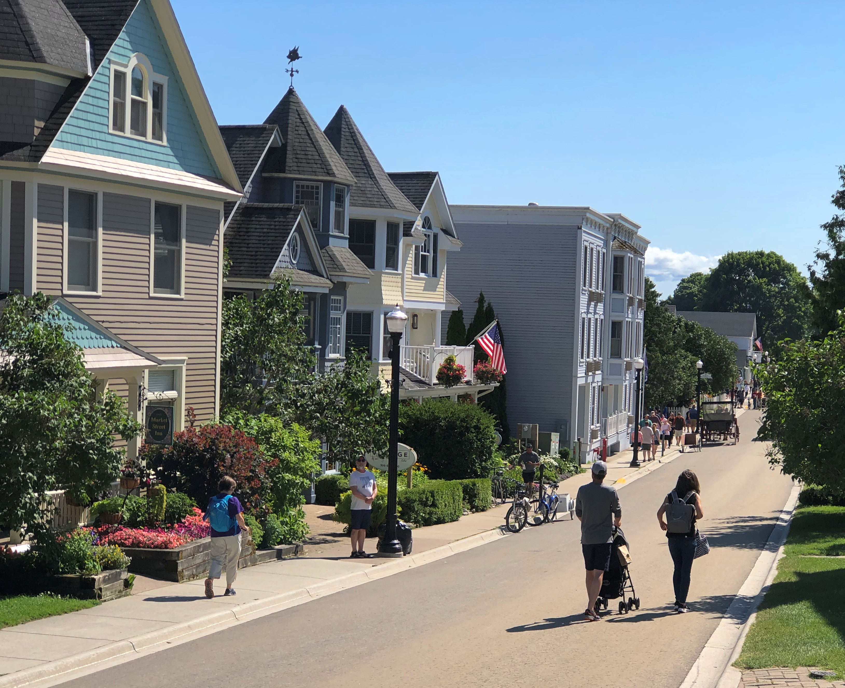
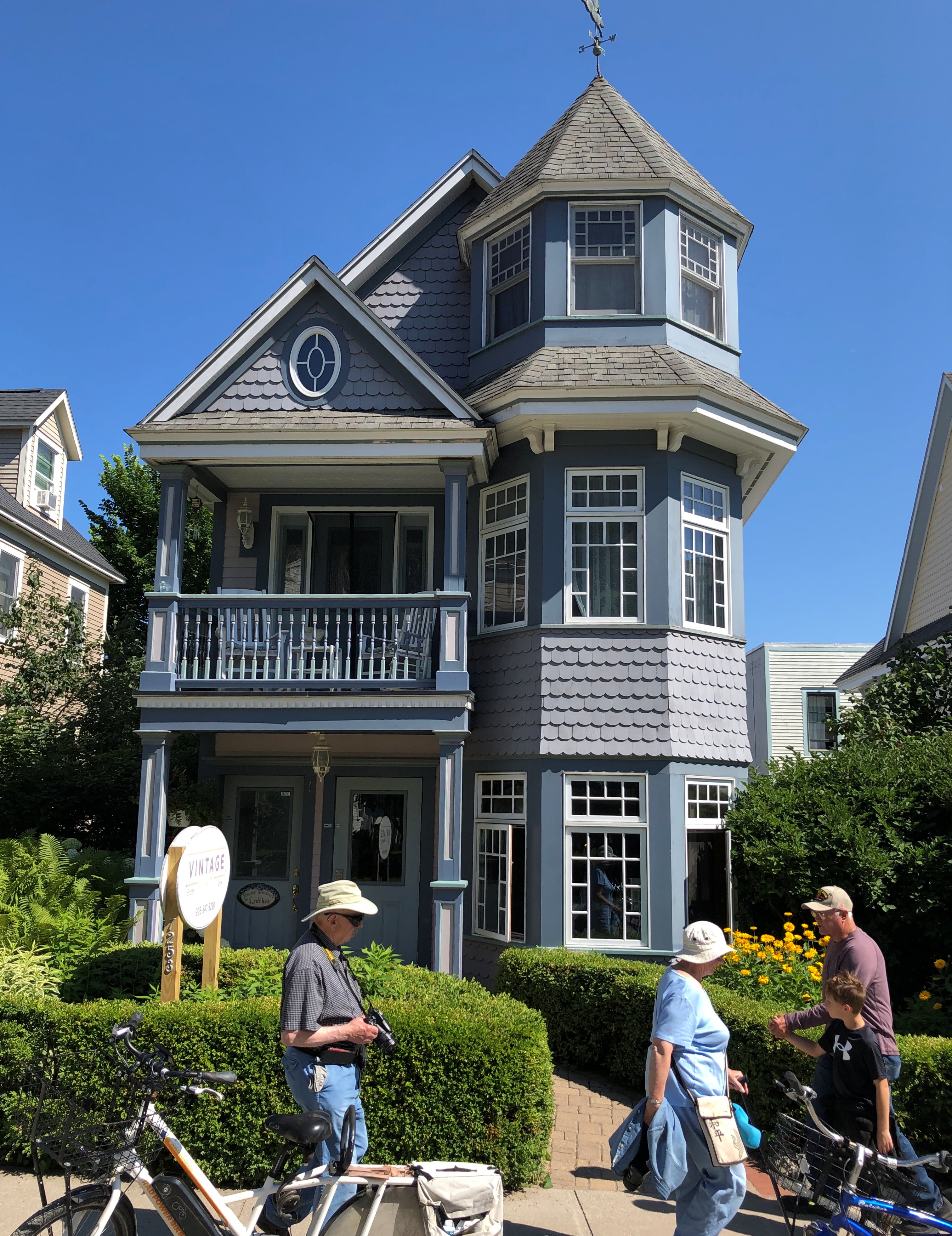
The street is lined with many fine structures, originating during the great age of private development on the island in the late 19th and early 20th centuries.Market Street Mackinac Island Market Street Mackinac Island Market Street Mackinac Island
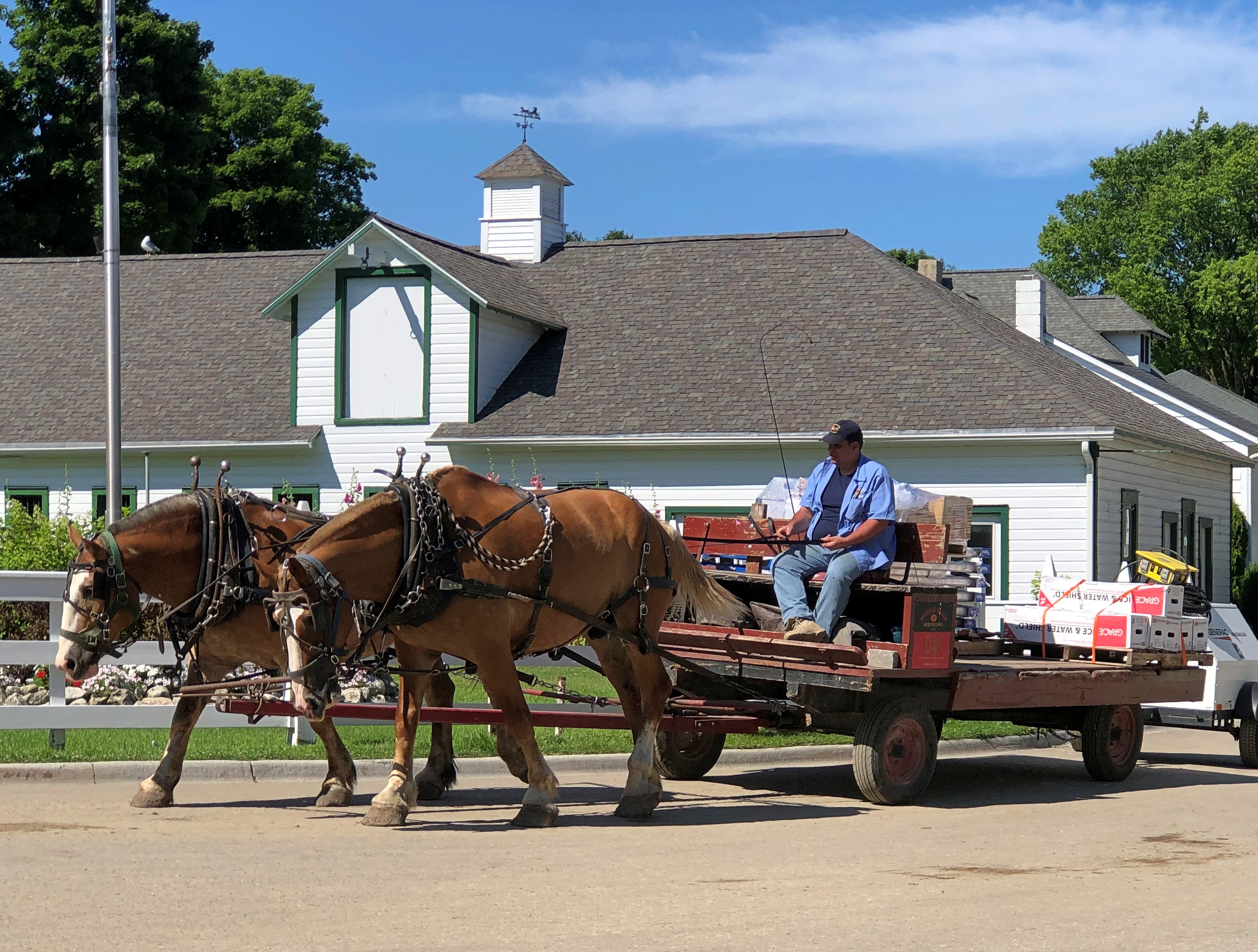
Traffic wandered along. Pedestrians and bicyclists, of course, but also no small number of horse-drawn carriages. Including something none of us had ever seen before: a horse-drawn UPS wagon.
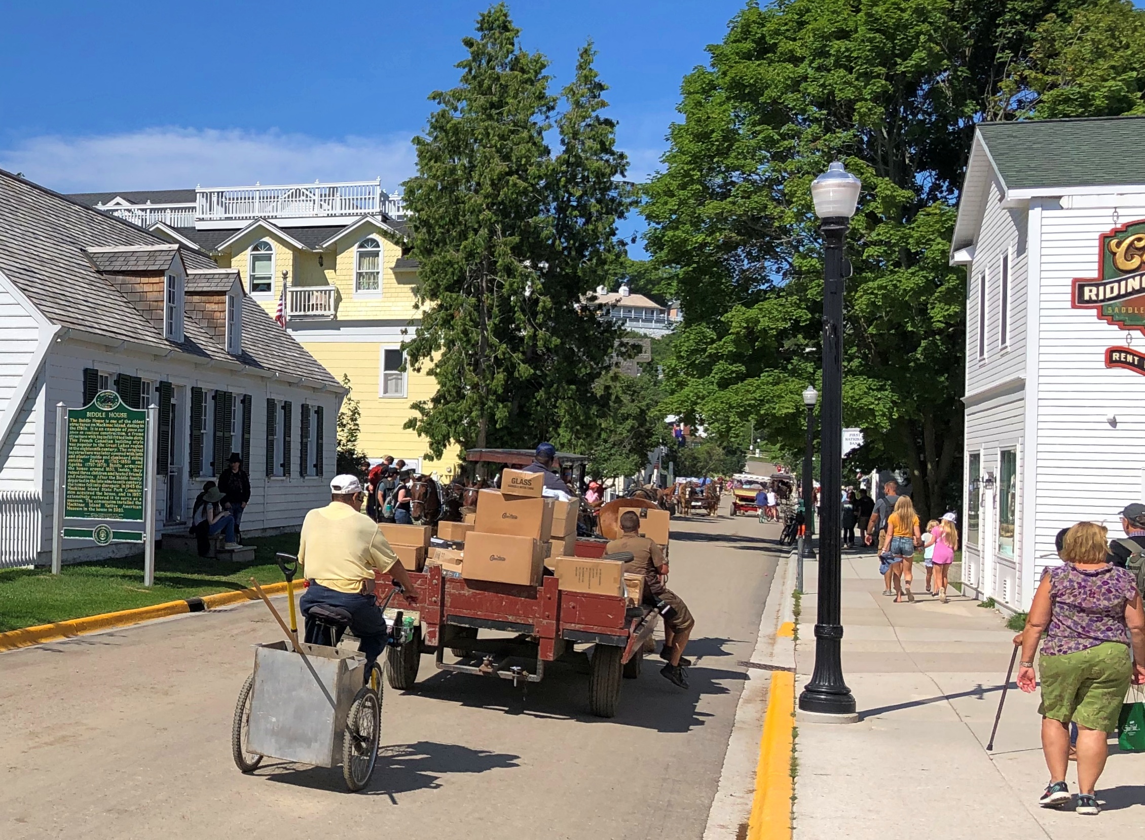
Market Street Mackinac Island

As we had our lunch — really an early dinner — al fresco at Gate House, I couldn’t help but notice the difference in aural texture of a busy non-motorized road compared with what we are used to, here in the lingering age of the gasoline-powered internal combustion engine. The intermittent clop-clop-clop was actually pleasant, though of course the horses sometimes leave less pleasant mementos of their passing by.Market Street Mackinac Island
Late lunch-early dinner was pleasant as well, though at island prices. I had the walleye.

Almost across the street from Gate House is the Little Stone Church. We took a look after our meal was done. It isn’t that big, definitely made of stone, and looks like a church (as it is; Congregational). Unfortunately, it was closed.
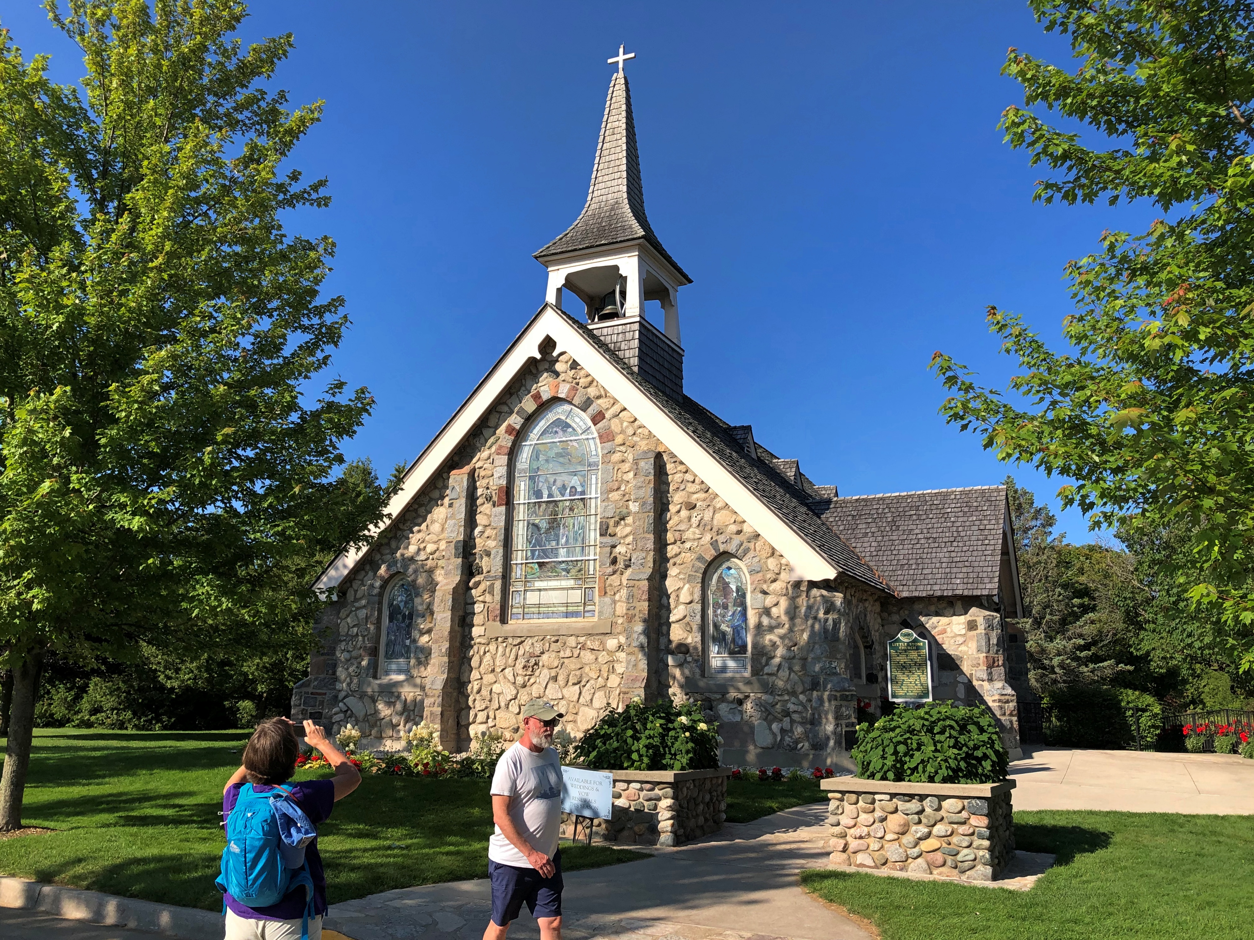
Little Stone Church Mackinac Island

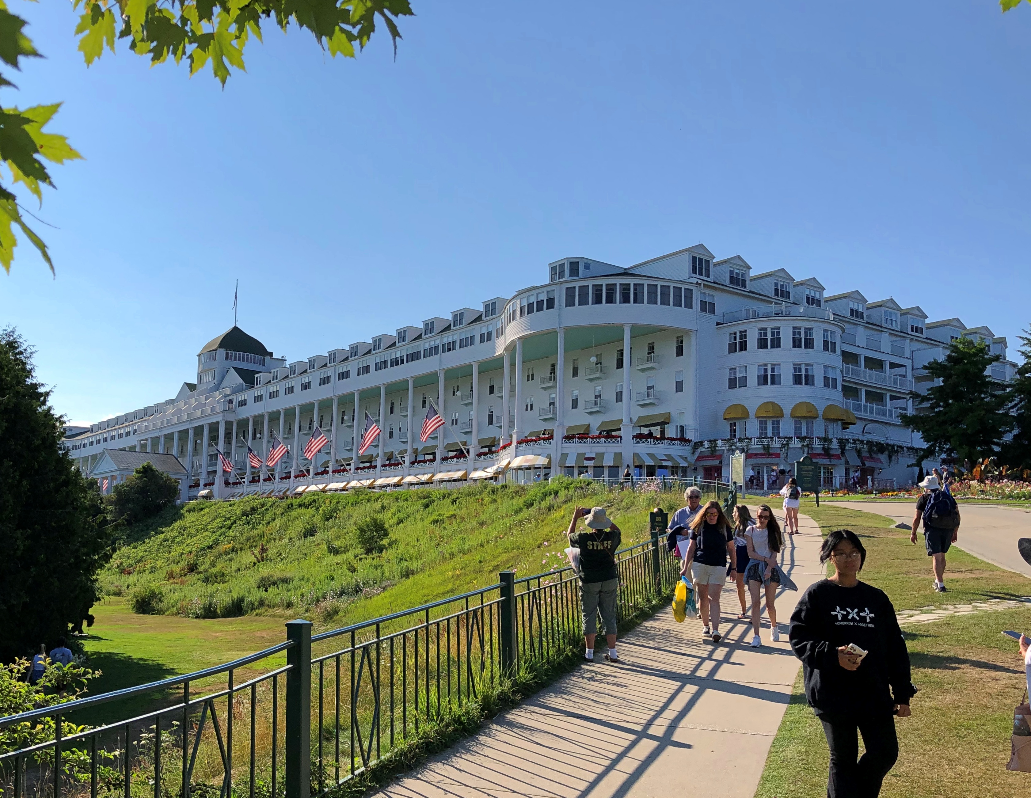
Within sight of the church is the much more famous Grand Hotel. We took a stroll in that direction.Grand Hotel Mackinac Island
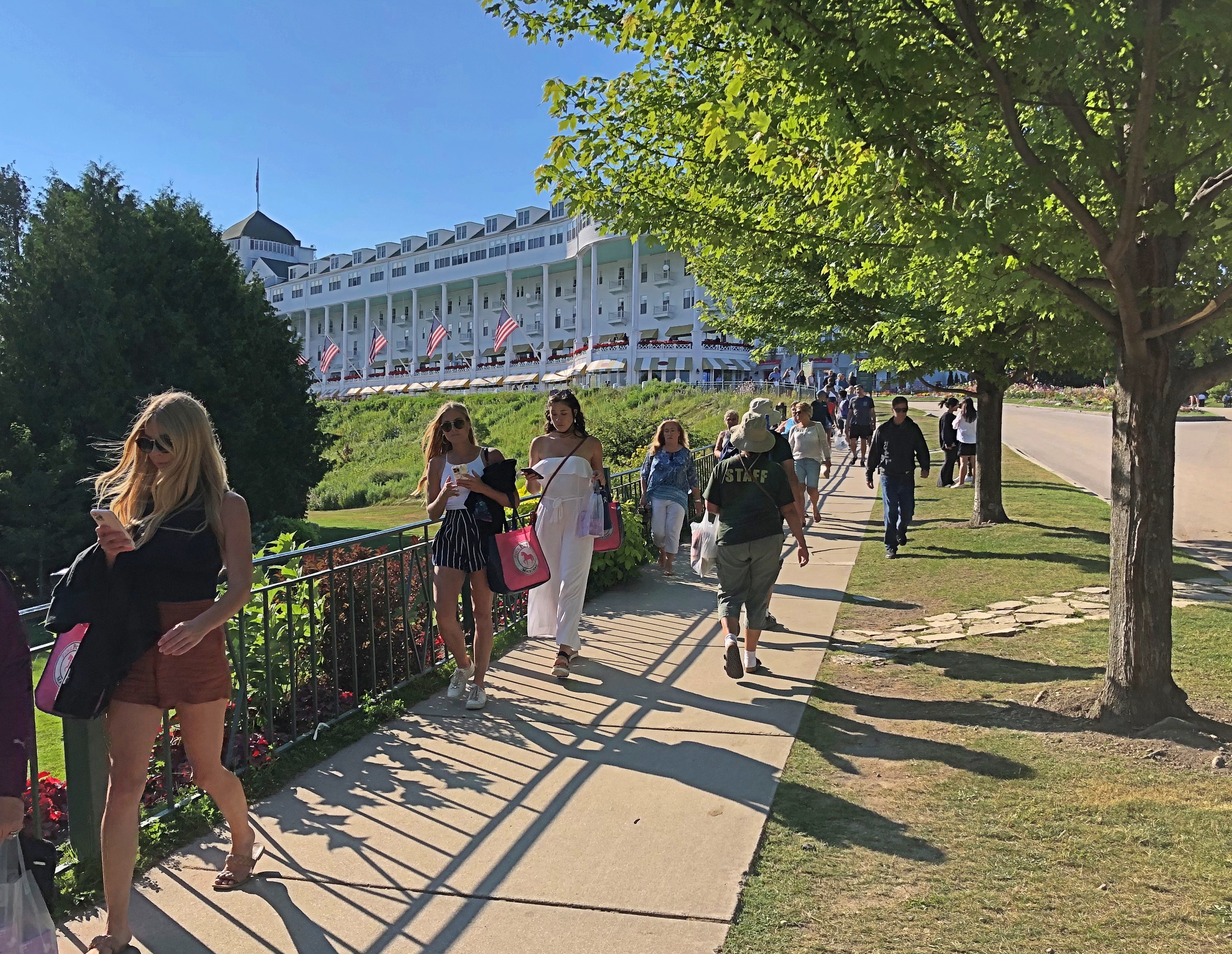
Grand indeed.Grand Hotel Mackinac Island

And trolling for social media mentions.
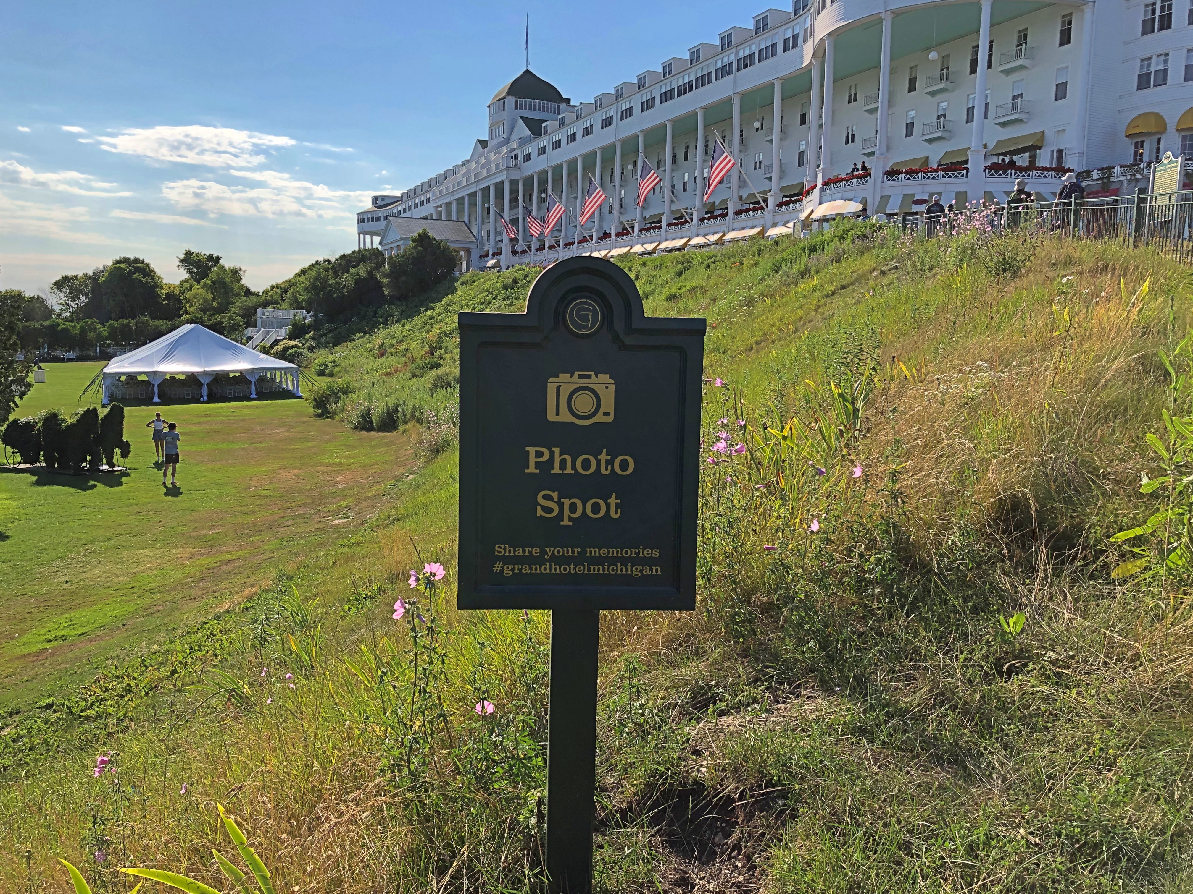
Grand Hotel Mackinac Island

The porch is said to be the world’s longest, and a special enough place that it charges admission. We would have paid, but as it turned out we’d arrived just as a dress code went into force on the porch, and none of us were dressed for it. So we went for ice cream at the shop under one end of the porch. A good treat, at island prices.

A sign memorializing a lesser-known conference that happened here. It wasn’t Bretton Woods, but the hotel will take what it can get, historically speaking.Grand Hotel Mackinac Island
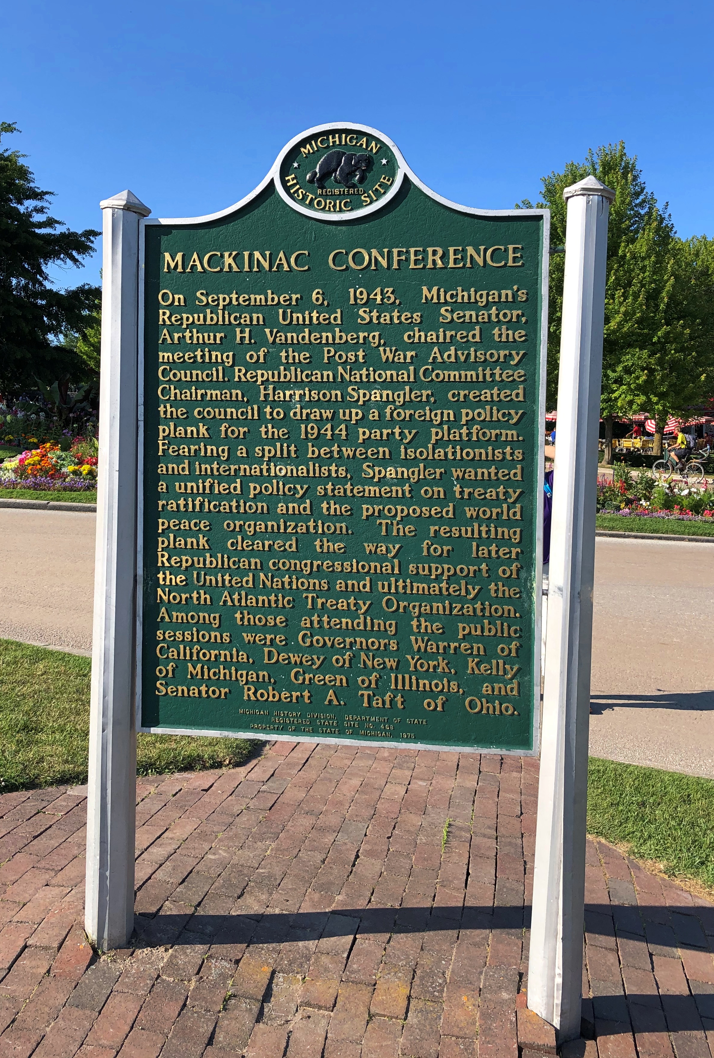
The hotel dates from 1887, back when railroads built hotels. In this case, a joint development Grand Rapids and Indiana and the Michigan Central RRs, as well as the Detroit & Cleveland Navigation Co., a Great Lakes steamship company of yore. These days, the Grand Hotel is owned by KSL Capital Partners, a private equity investor.

Though the porch was off limits, we hoi polloi could take a walk on the street below. Up close, one notices that the hotel paint is peeling, and in places needed more than a little touch up. Could be that, like the Golden Gate Bridge, the structure is always being painted, at least in the warmer months.Grand Hotel Mackinac Island
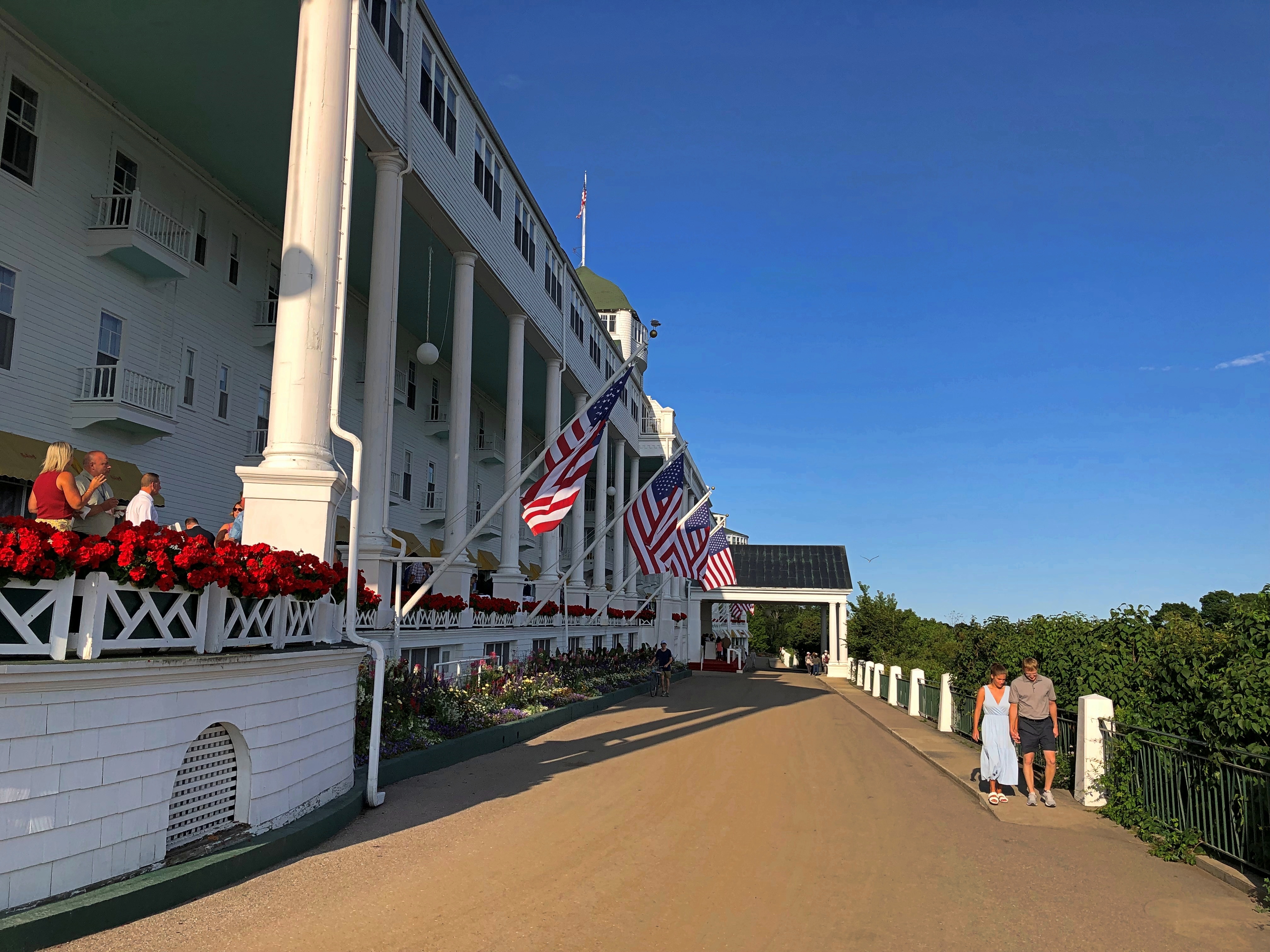
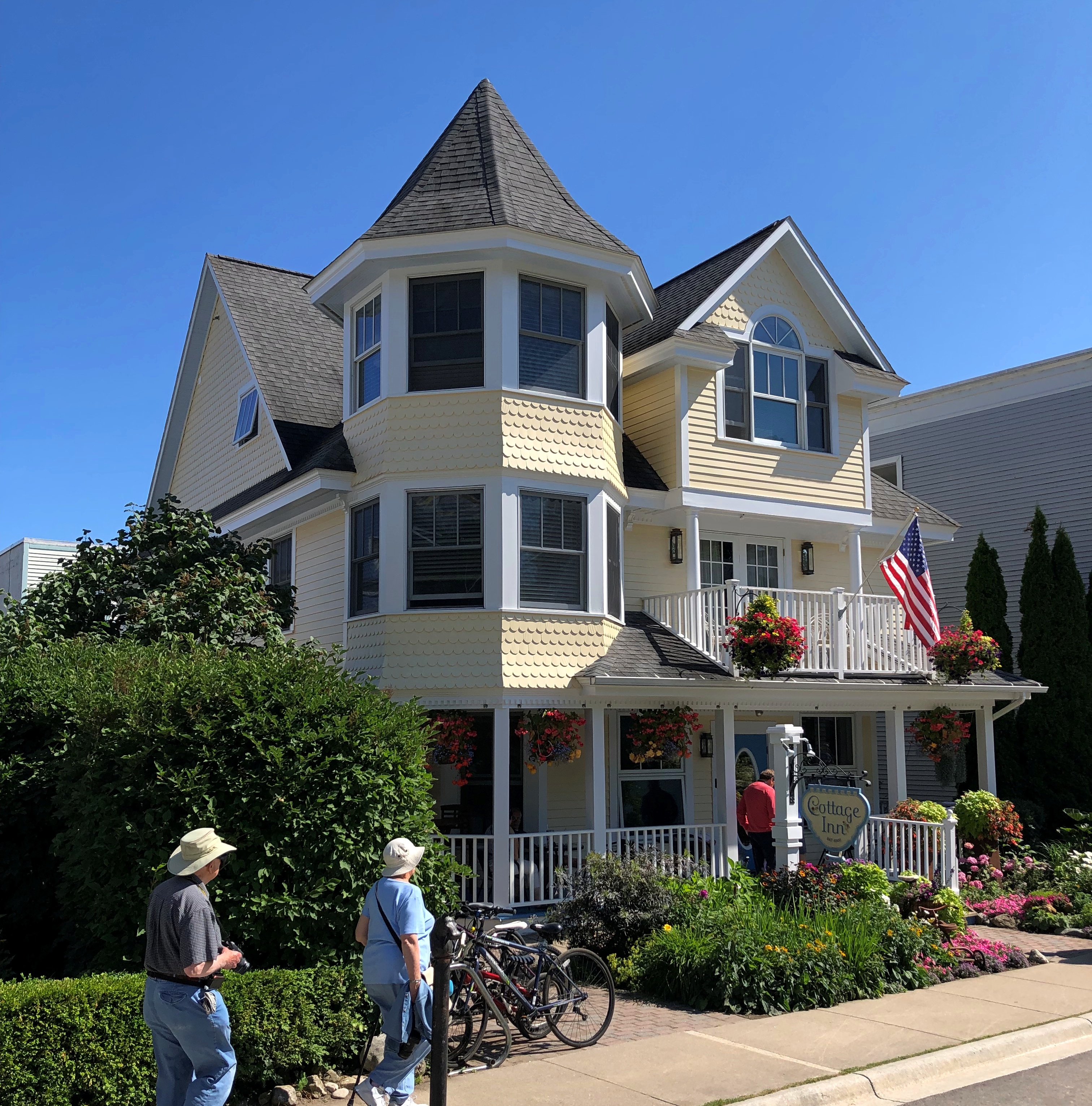
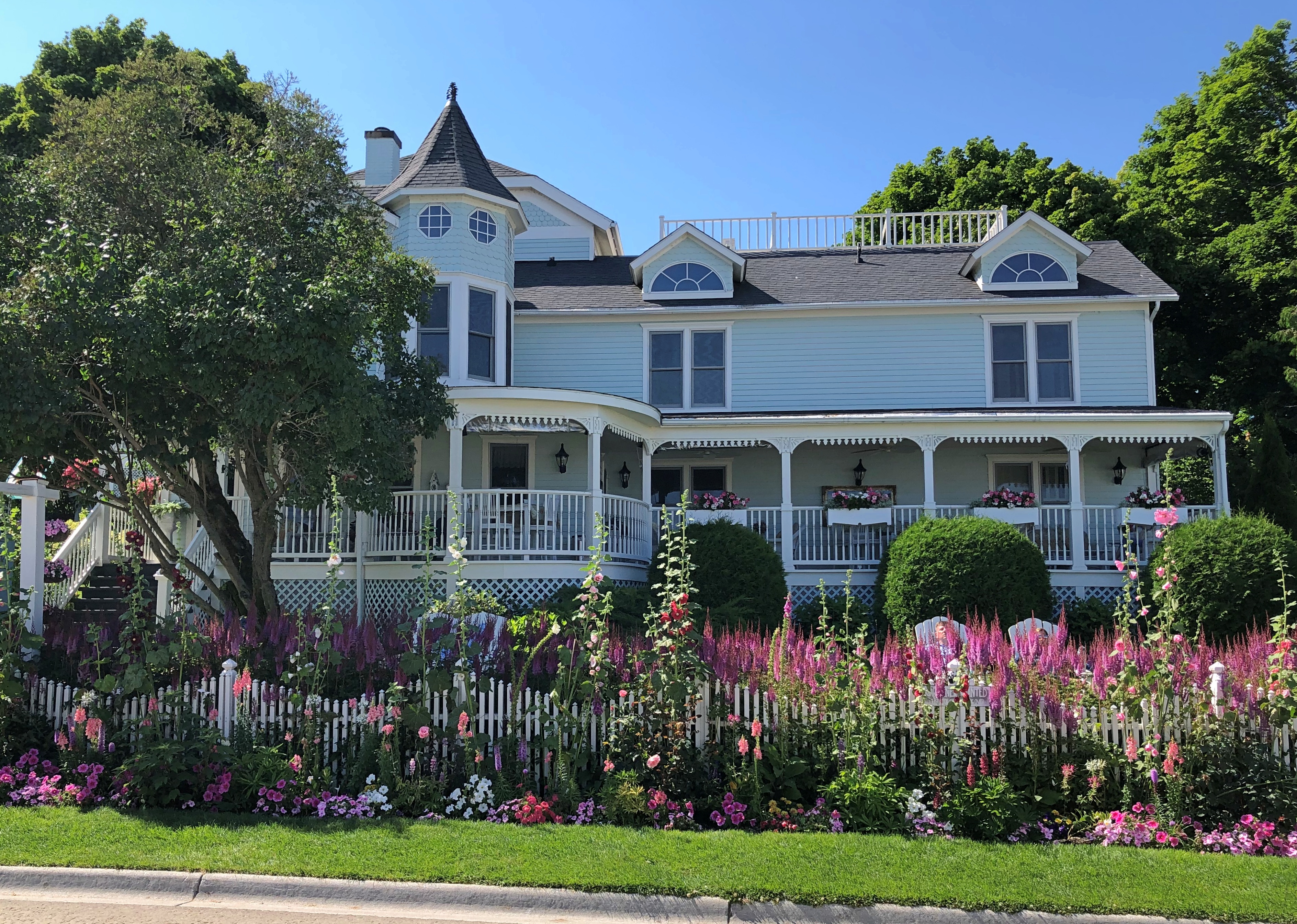
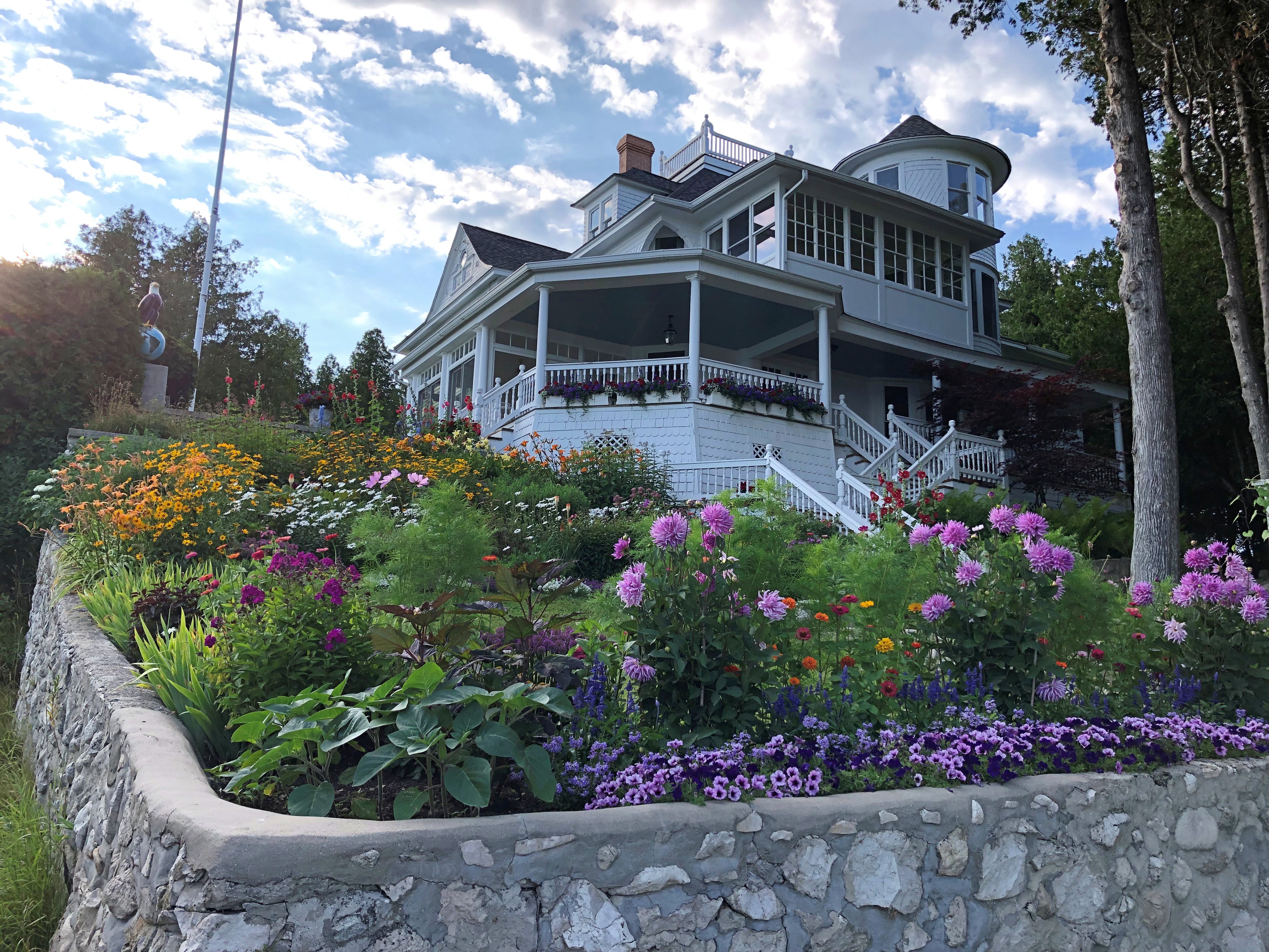
From the hotel, we followed a street lined with fine old houses — the summer “cottages” of the wealthy of 100-plus years ago. Of course, if you owned one now, you’d be wealthy, at least on paper. Mackinac Island  Mackinac Island  Mackinac Island
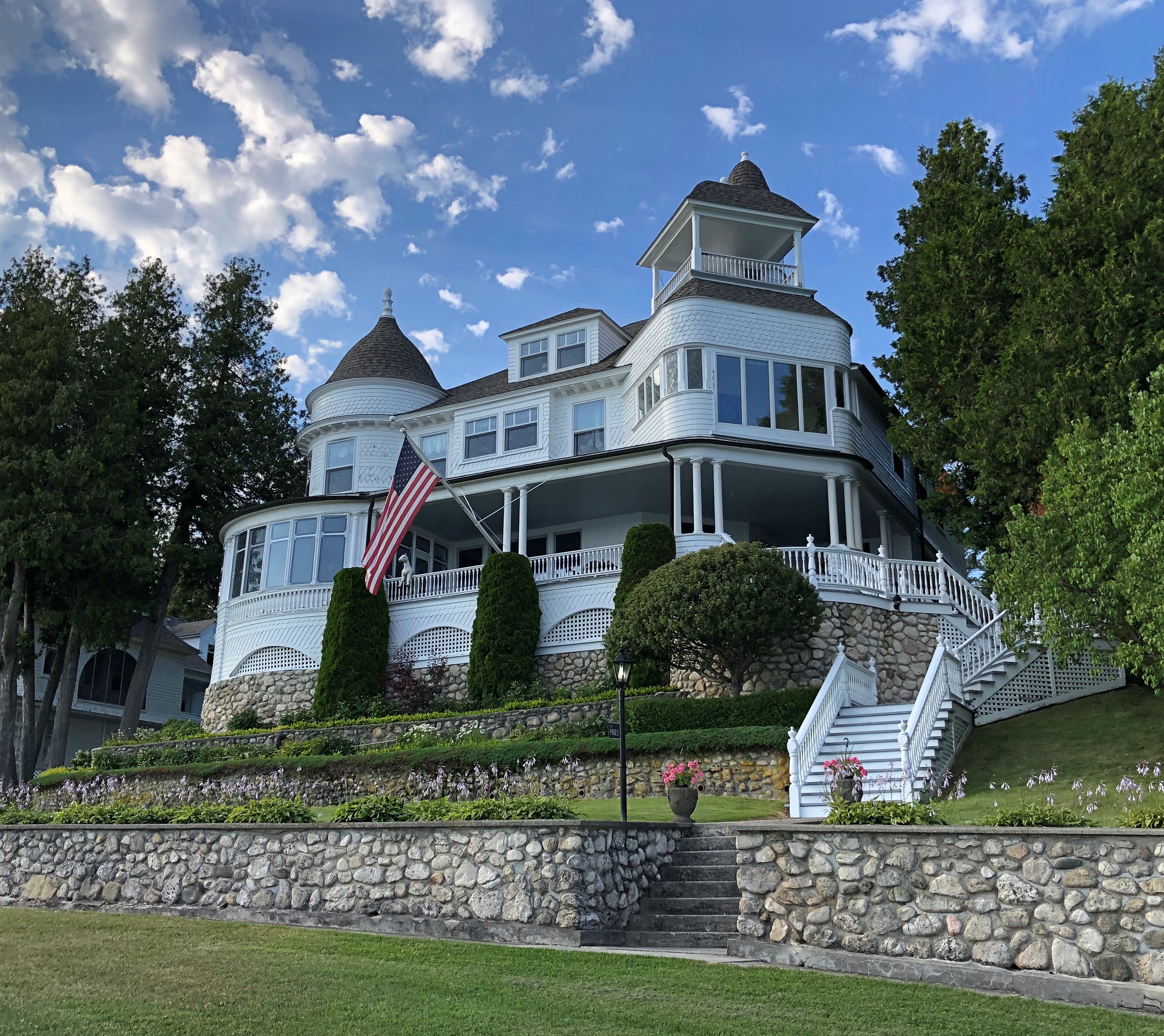
Soon the street changes into a bluff-side path, with good views. We followed it a while. Mackinac Island
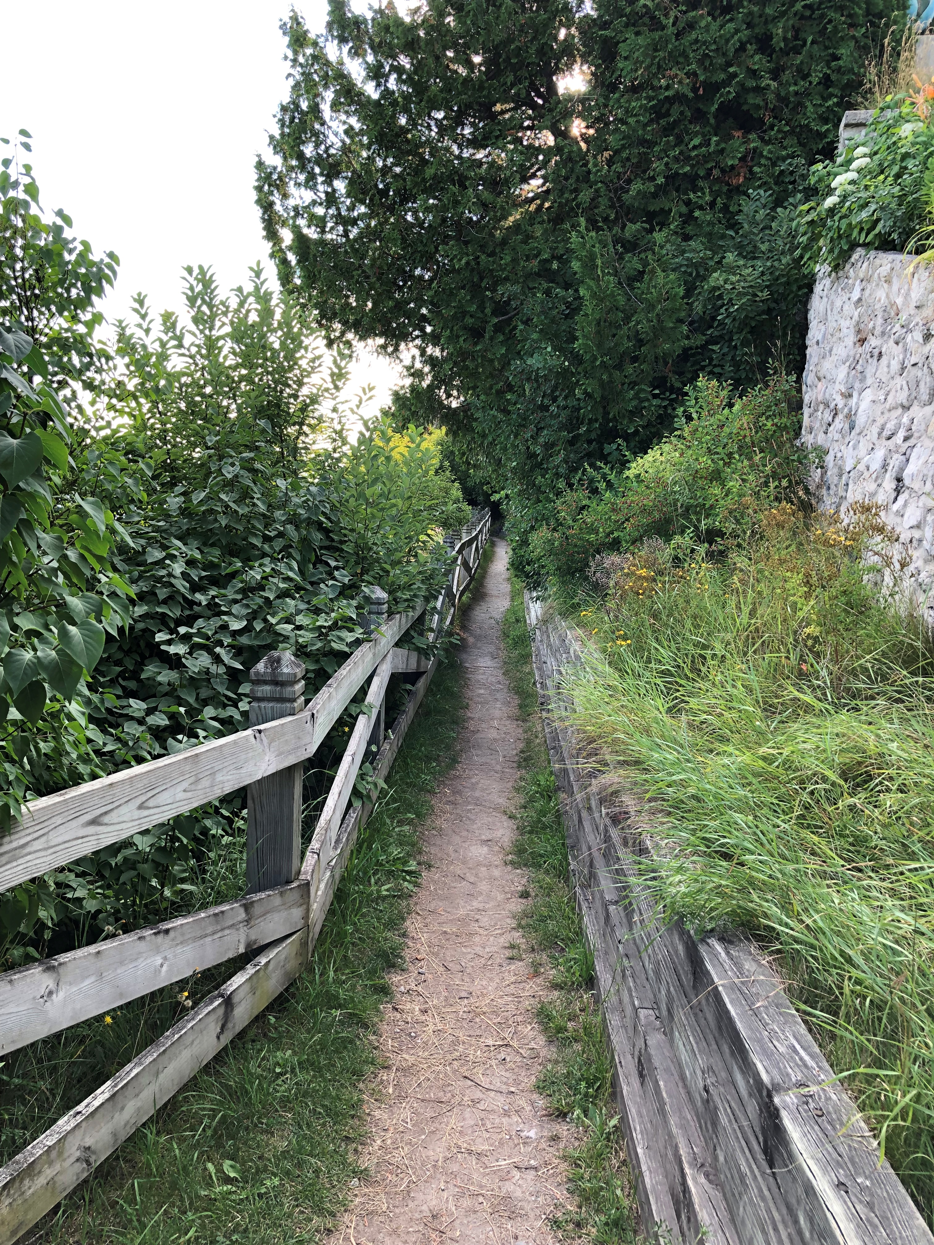
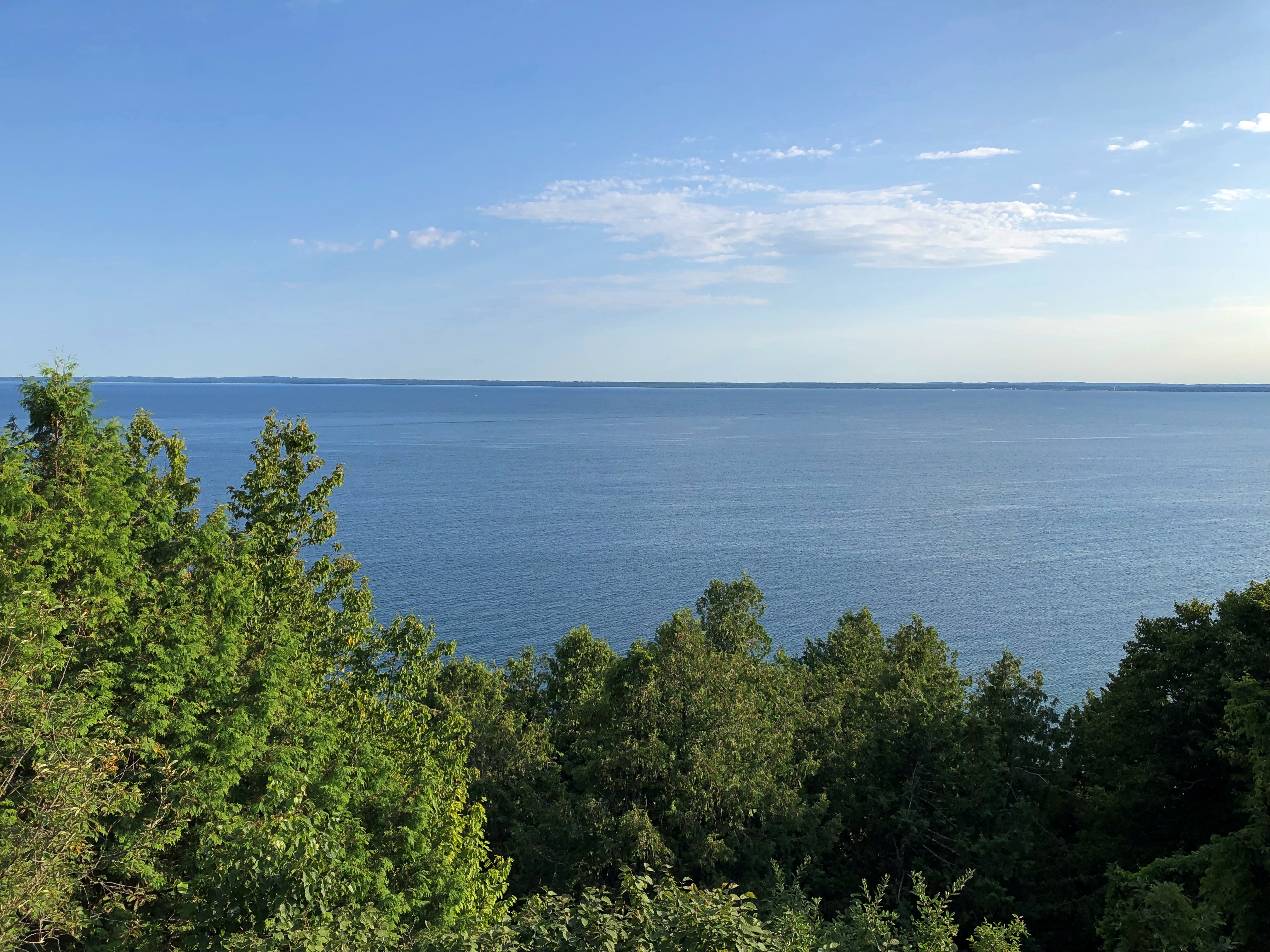
 Mackinac Island

Eventually, wooden stairs led down to the road that circles the island, and we walked back to Main Street via that road to catch the ferry back to the mainland. We made occasional stops on the rocky shore of Lake Huron. Mackinac Island
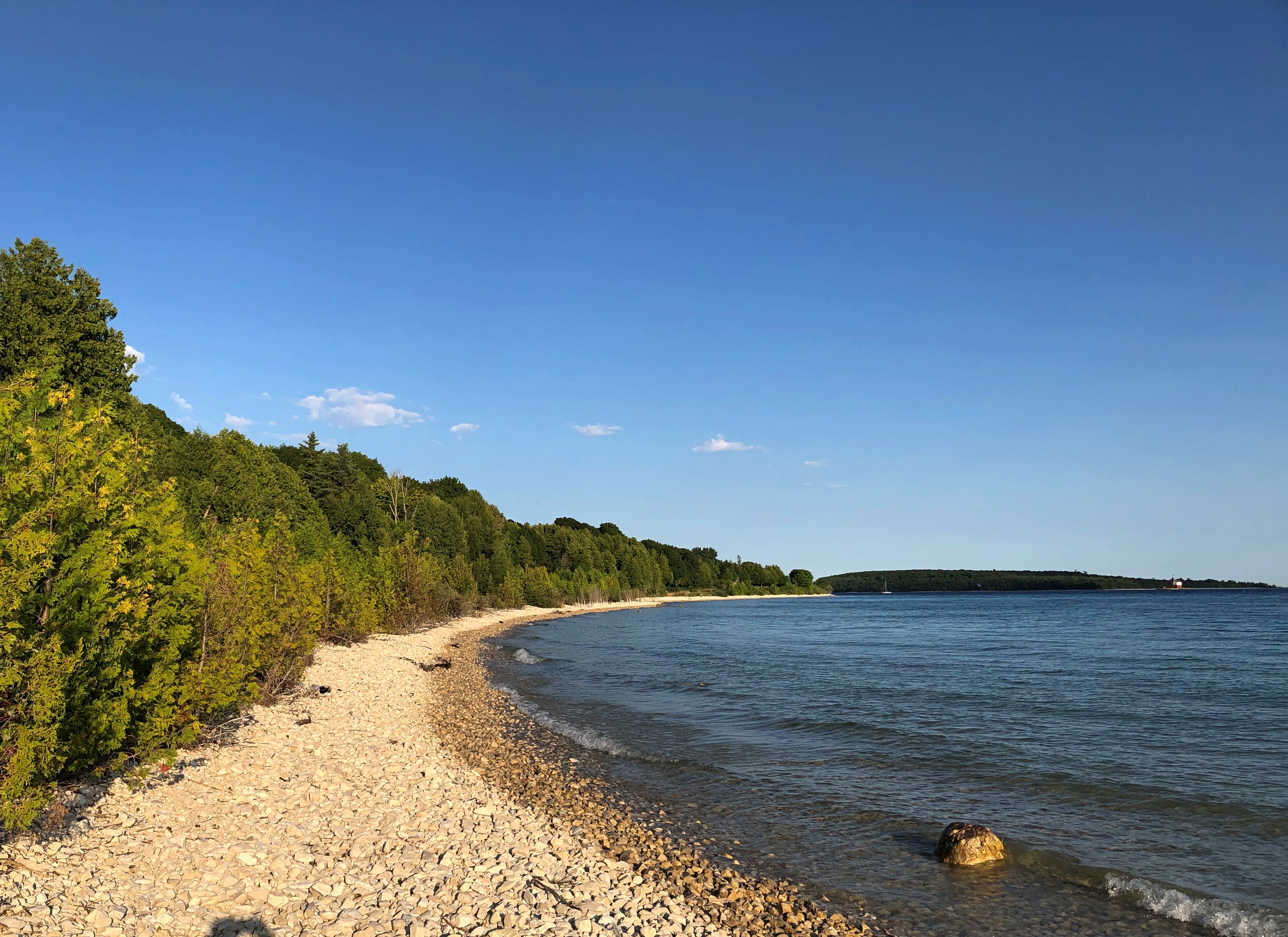
If there’s a next time, maybe I’ll rent a bicycle. But Mackinac Island is a perfectly fine walking destination.
Fort Mackinac

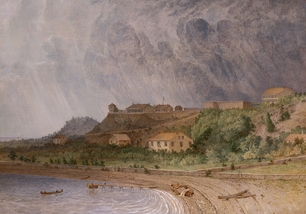
In 1780, the British commander at Fort Michilimackinac, which had been a French post on the mainland south shore of the Straits of Mackinac until the British had won it in the Seven Years’ War, decided to build a more defensible fort on Mackinac Island (and perhaps, one with a shorter name). He picked a bluff overlooking the lakeshore.

Fort Mackinac, Michigan by Seth Eastman

“Fort Mackinac, Michigan” by Seth Eastman (1872)

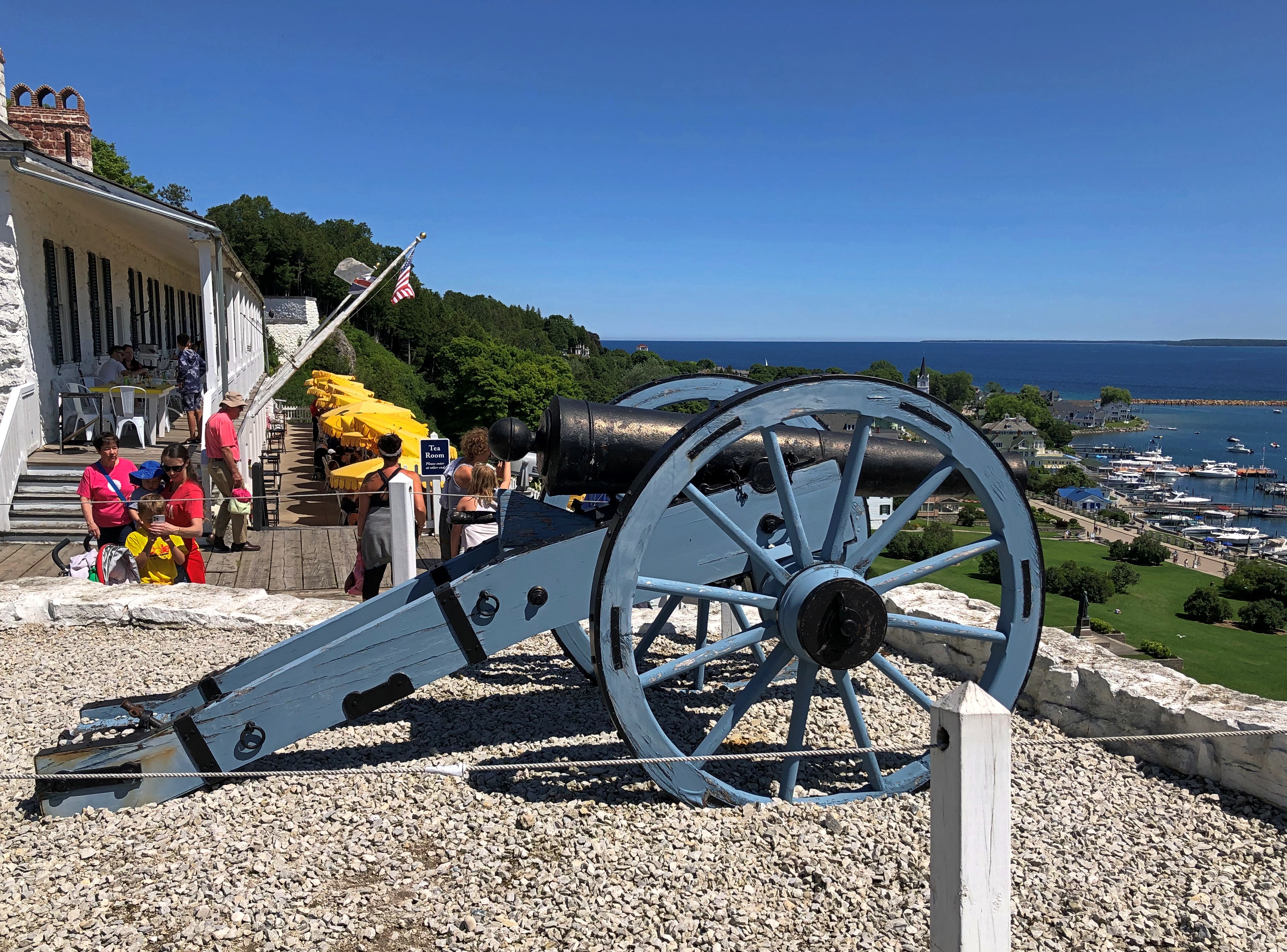
The fort stands there to this day, though in somewhat different form: a tourist attraction. As a tourist, I was duly attracted.Fort Mackinac

Note the Boy Scout. Turns out in visiting Mackinac Island, we were visiting a presidential site. It’s a slightly convoluted story, but well relayed by the island’s web site.

These days, a group of Boy and Girl Scouts raises and lowers about two dozen American flags across Mackinac Island each day during the summer. They also act as guides at the fort. The fellow at the entrance wasn’t the only one we saw.

He was the only one I talked to, however. Tried to, that is. I asked him why Boy Scouts were at the fort, and perhaps a career involving public interaction isn’t in his future, because he sputtered a few unintelligible words and looked at me as if I’d tried to talk to the guards at Buckingham Palace.

So I had to learn later that the flag-raising and other duties started “in 1929 when then-Michigan Gov. Fred Green commissioned eight Eagle Scouts from around the state as honor guardsman on Mackinac Island,” the island’s web site says.

The governor’s summer residence, by the way, is on Mackinac Island, very near the fort, though the house didn’t begin that function until 1944. We walked past it on the way to the fort.

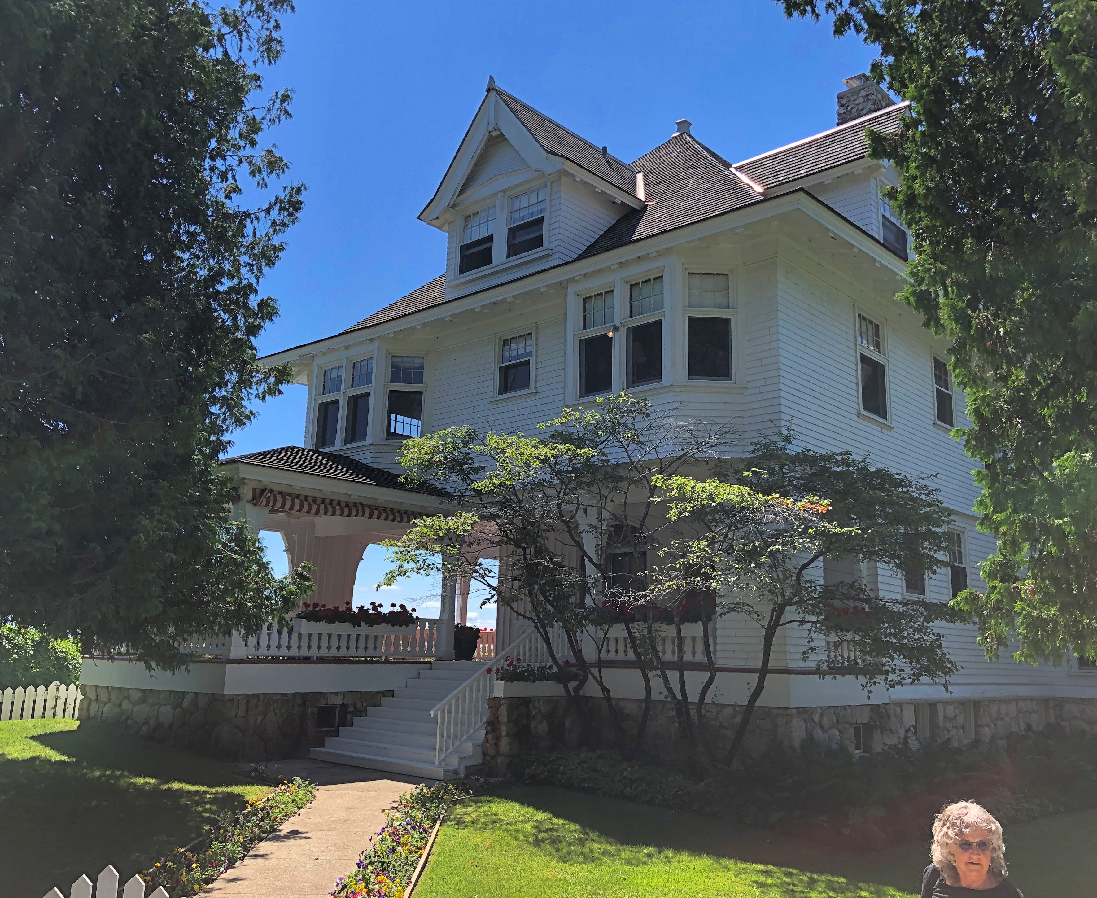
Its formal name is the Lawrence A. Young Cottage, dating from 1902. Young was a successful Chicago attorney who had it built as his summer home.

The presidential connection? In 1929, one of the charter group of scouts tapped by Gov. Green was none other than Gerald R. Ford.

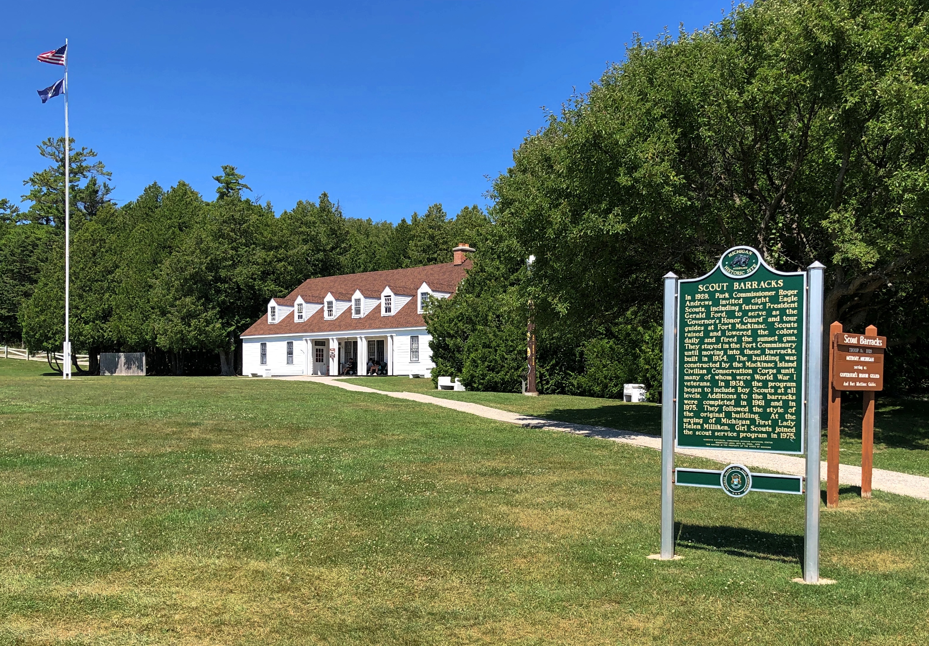
The scout barracks aren’t far from the fort, either. We passed those after we left the fort.

Inside the fort.Fort Mackinac Fort Mackinac

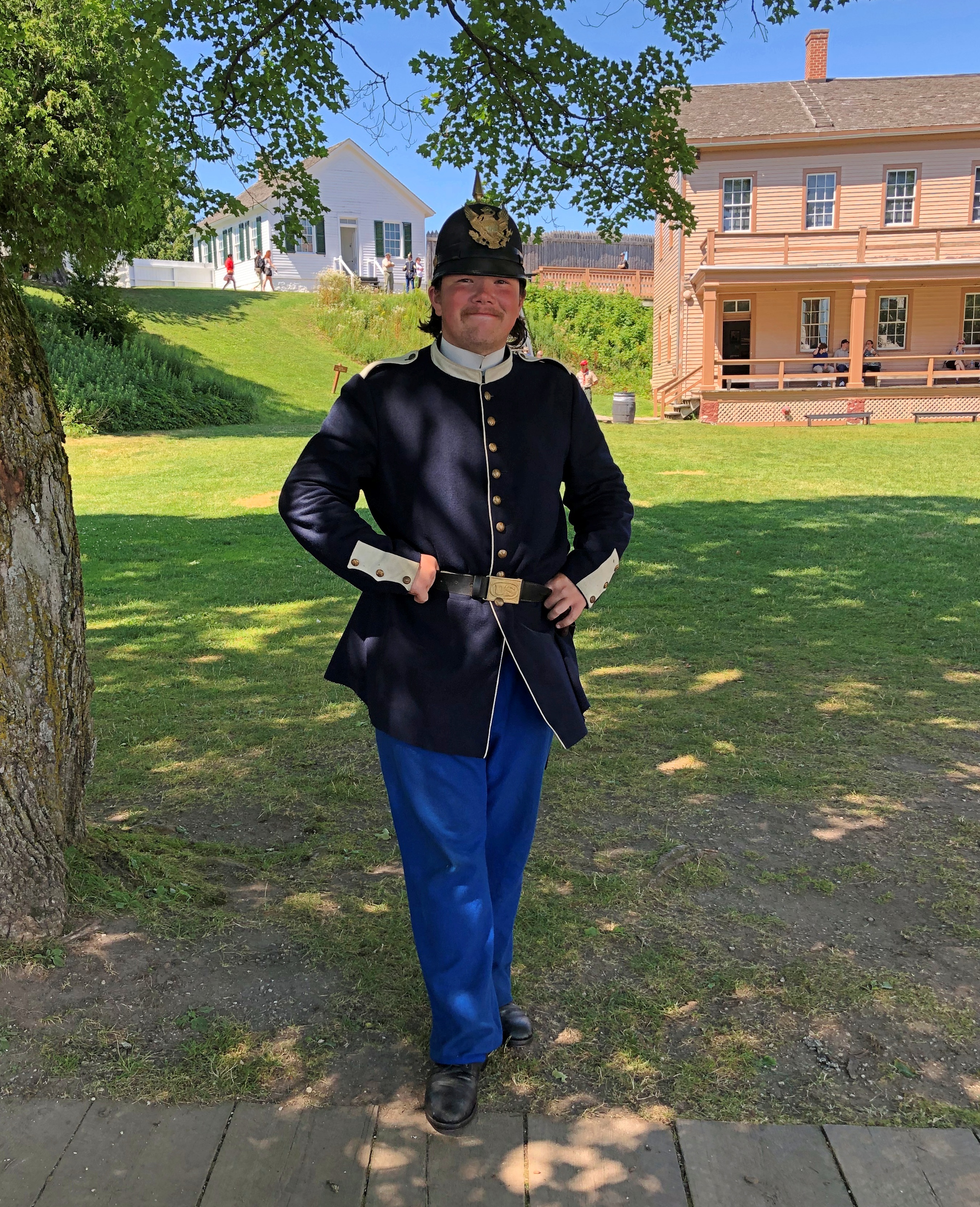
Besides the scouts, there were a handful of somewhat older folk in costume. I told this fellow he was wearing a capital uniform.Fort Mackinac

Unlike the scout, he was talkative, and able to tell us in some detail about the uniform, though I think he was a little confused about my use of the term “capital” to mean “fine” or “excellent.” An apt term for a spiffy 19th-century uniform, if you asked me.

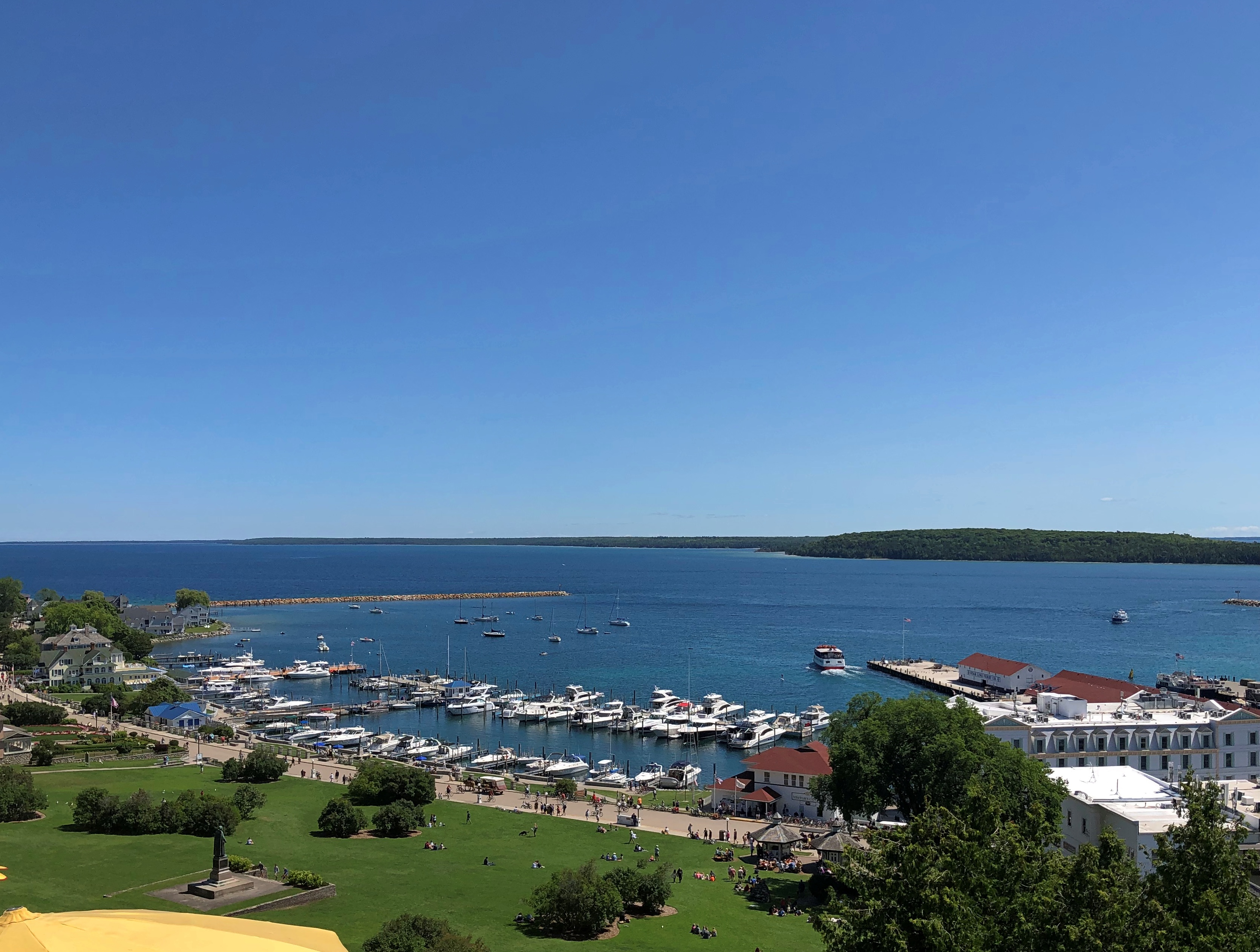
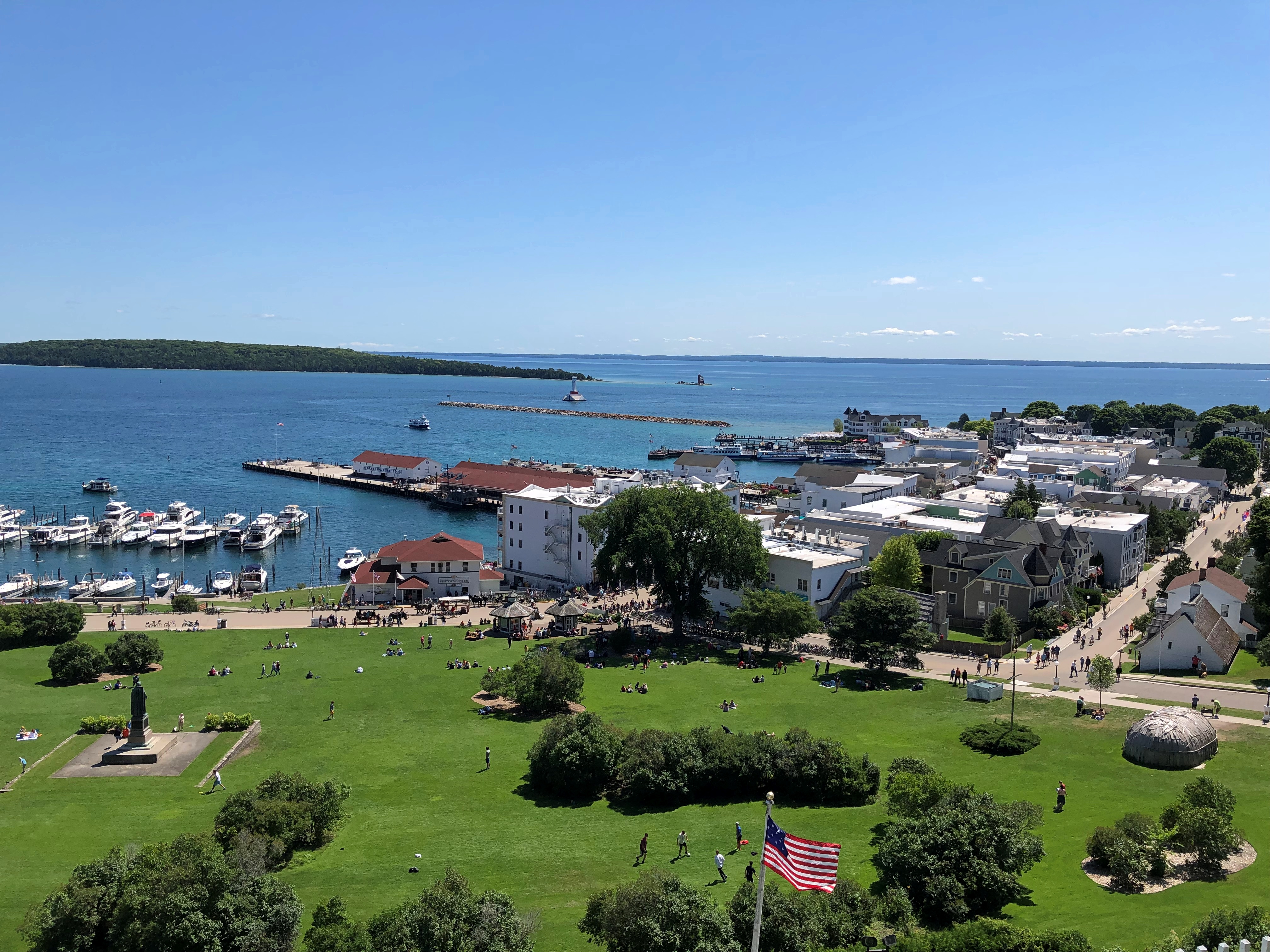
There are some terrific views from the fort, as a pre-modern fort would have.Fort Mackinac Fort Mackinac Fort Mackinac

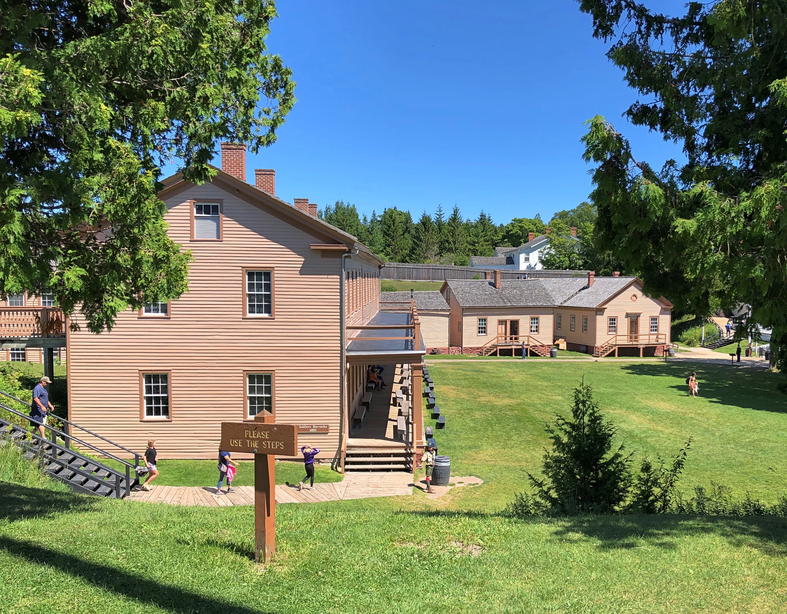
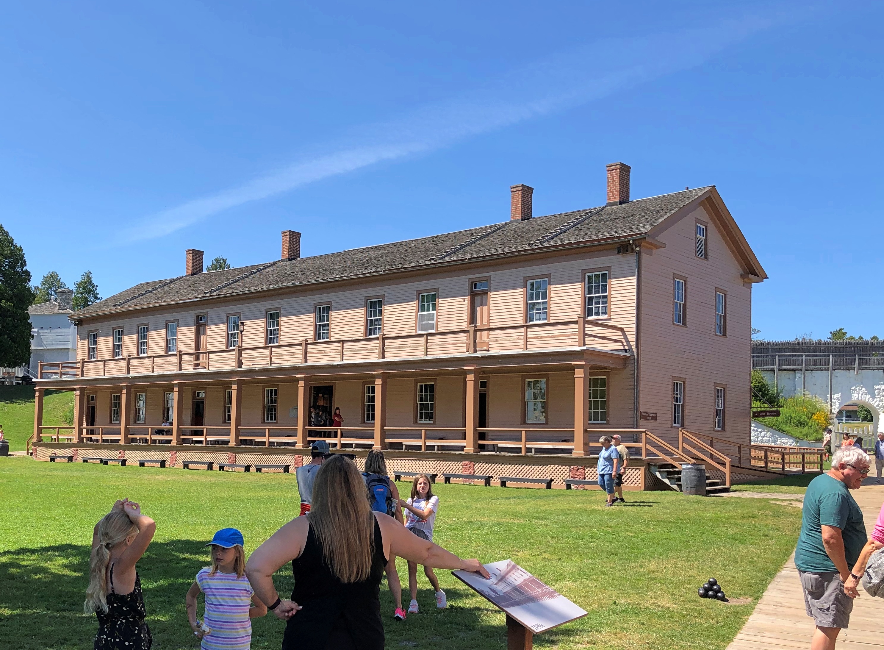
The historic buildings include the post HQ, bathhouse, soldiers barracks, officers quarters, post hospital, a storehouse, guardhouse and more. The rooms were stocked with artifacts and expository signage. More modern spaces included a light-meal restaurant taking advantage of those terrific views, a gift shop and bathrooms (authentic 19th-century Army latrines wouldn’t go down well with the museum-going public, I figure).

The fort is, I’ve read, one of the few surviving more-or-less intact from the Revolution and War of 1812, when it saw action. Later, as British Canada receded as any kind of threat, Mackinac’s usefulness as a military post did as well, but it lingered as U.S. Army property until 1895.

By that time, much of Mackinac Island had been designated as Mackinac National Park. Astute NPS observers might object that no such park exists, and they’d be right. Created in 1875 as the second national park, Congress dissolved it in 1895 and turned it over to the state of Michigan, which created its first state park that same year out of the same territory, including the now-decommissioned fort.

After I saw the fort, I read the story of its U.S. commander in 1812, one Porter Hanks. Lt. Hanks surrendered the fort without a fight, as he was hopelessly outnumbered. He and his men were paroled by the British forces. Wiki, which seems to be reasonably sourced, picks up the story:

“Lieutenant Hanks made his way to Detroit and the American military post there. Upon his arrival, superiors charged him with cowardice in the surrender of Fort Mackinac. Before the court martial of Lieutenant Hanks could begin, British forces attacked Fort Detroit. A British cannonball ripped through the room where Hanks was standing, cutting him in half and killing the officer next to him as well.”

That’s one way to get out of a court martial, but surely not how Lt. Hanks would have wanted.

Light Years Ahead

Fifty-three years ago, Armstrong, Aldrin and Collins were on their way to the Moon, an occasion to recall each July, not only for those who remember, but also those who do not. Not long ago, I happened across this remarkable video about a very specific, and well known interval of only a few minutes in that mission: the Eagle’s final approach to the lunar surface.

More specifically, the video is a lecture about what the guidance computer was doing and why during those fraught minutes, including a lot of detail that isn’t that well known. Posted by the National Museum of Computing, I was skeptical I would make it all the way through. I was wrong.

One Robert Wills, a software engineer with a clear enthusiasm for the computing that made the Apollo missions possible, tells the tale in simple enough terms — but not too simple — that a non-specialist like me can understand much of it, if not everything. No mean feat, as attested by the non-trivial number of teachers and professors who cannot do so.

I knew a fair amount of the story, but hardly all of it, and the video filled in a lot that I didn’t know. That should be the goal of any video with any claims to being educational, I believe.

The Dixie

We arrived in North Webster, Indiana, not long after 11 a.m. on July 3. We stopped there because the night before, I read the Atlas Obscura item about the Dixie.

“Steamboats first began sailing on the Webster Lake as early as 1902,” the item explains. “In 1914, Captain Joseph Breeck began operating a 65-foot, wooden-hulled sternwheeler named the Dixie, which today is the oldest of its kind still in operation.

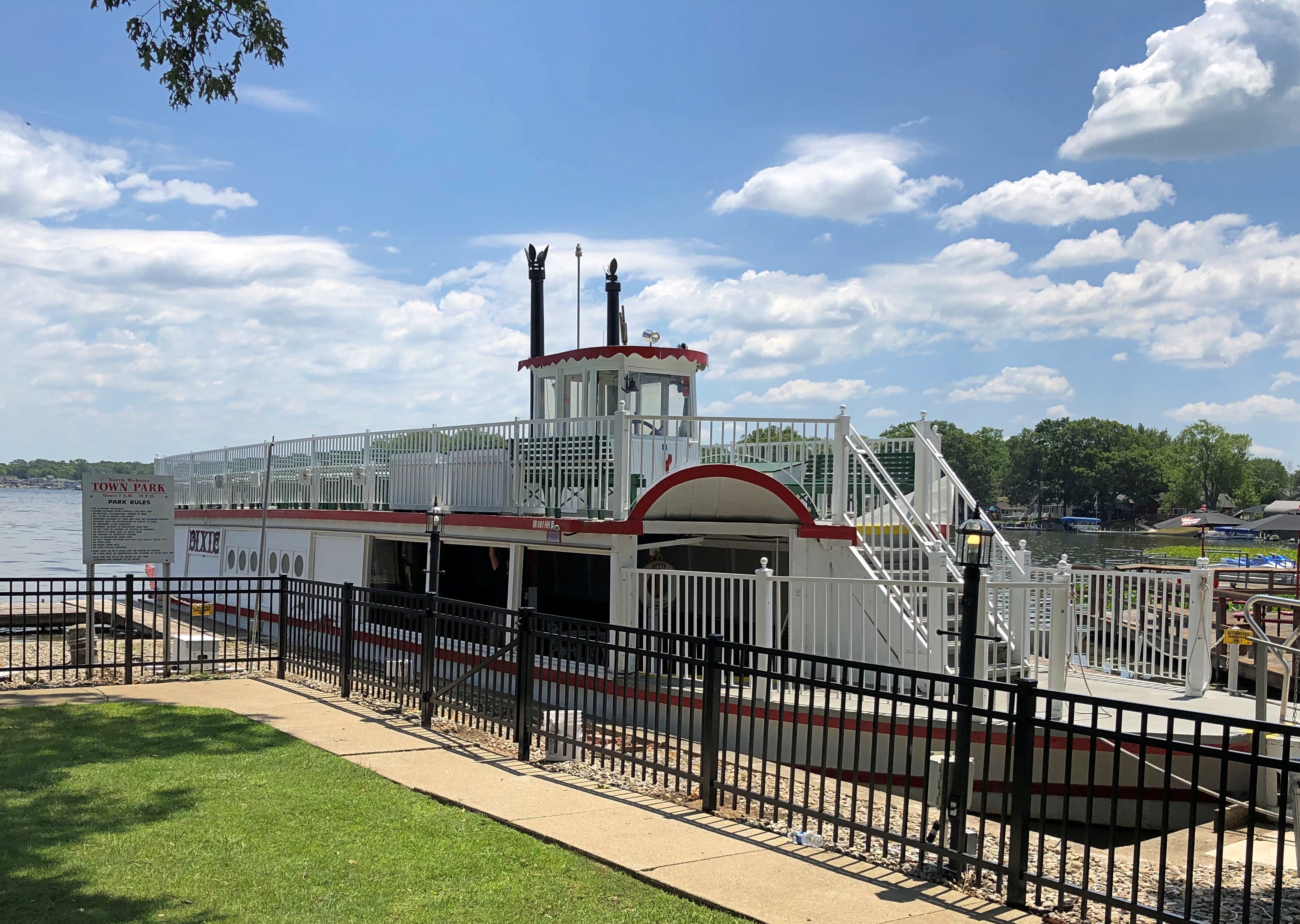
“The original Dixie was later replaced by Captain Breeck with the current 76-foot steel-hulled Dixie in 1929, and he continued to operate the ship until his retirement in 1939.”Dixie Sternwheeler, North Webster, Indiana

Eventually, in the early 21st century, a nonprofit acquired the vessel, renovating and updating it, paid for in large part through local donations. Now it makes tourist runs on Webster Lake in the summer months. We caught the 1 p.m. sailing.

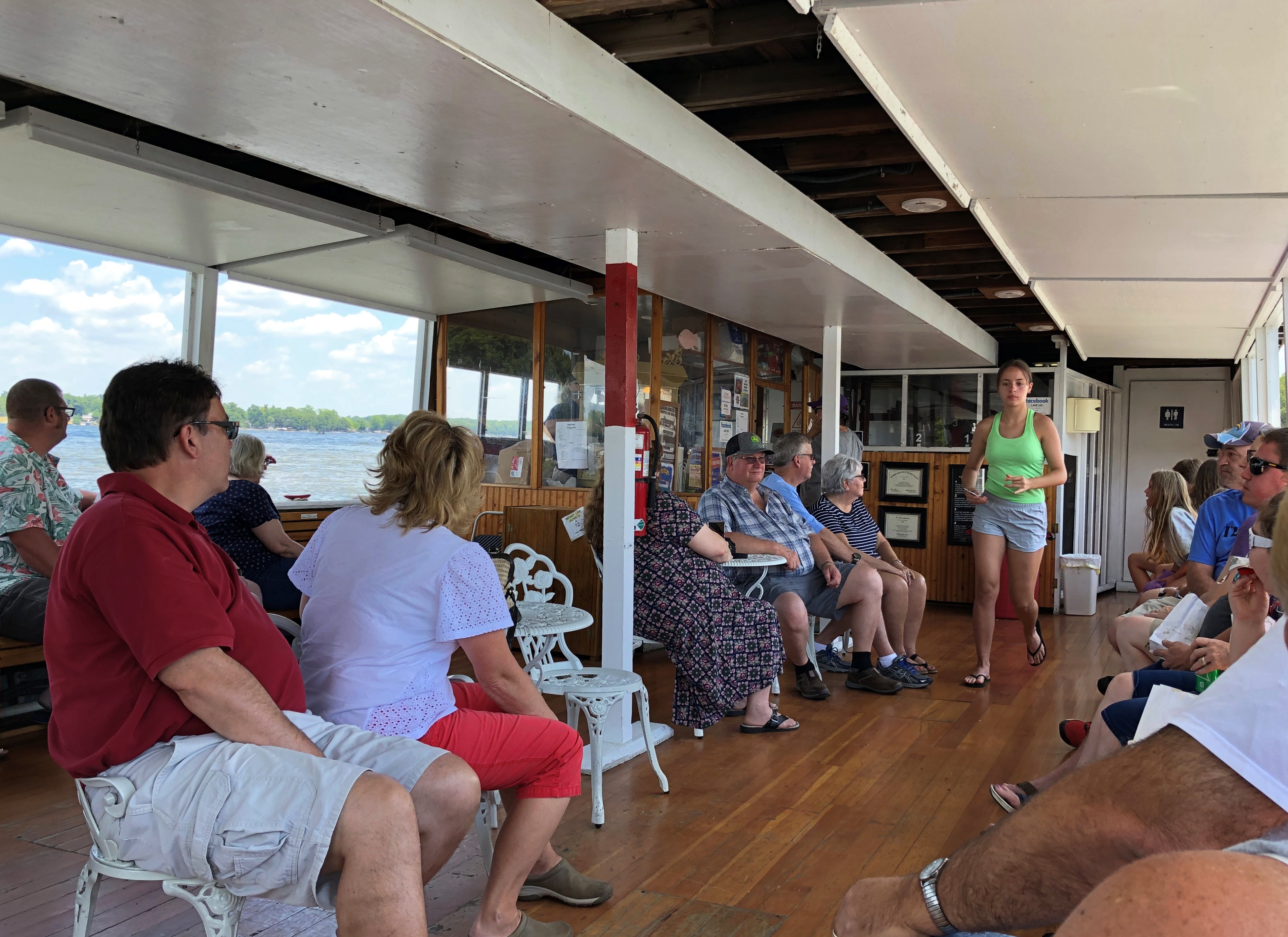
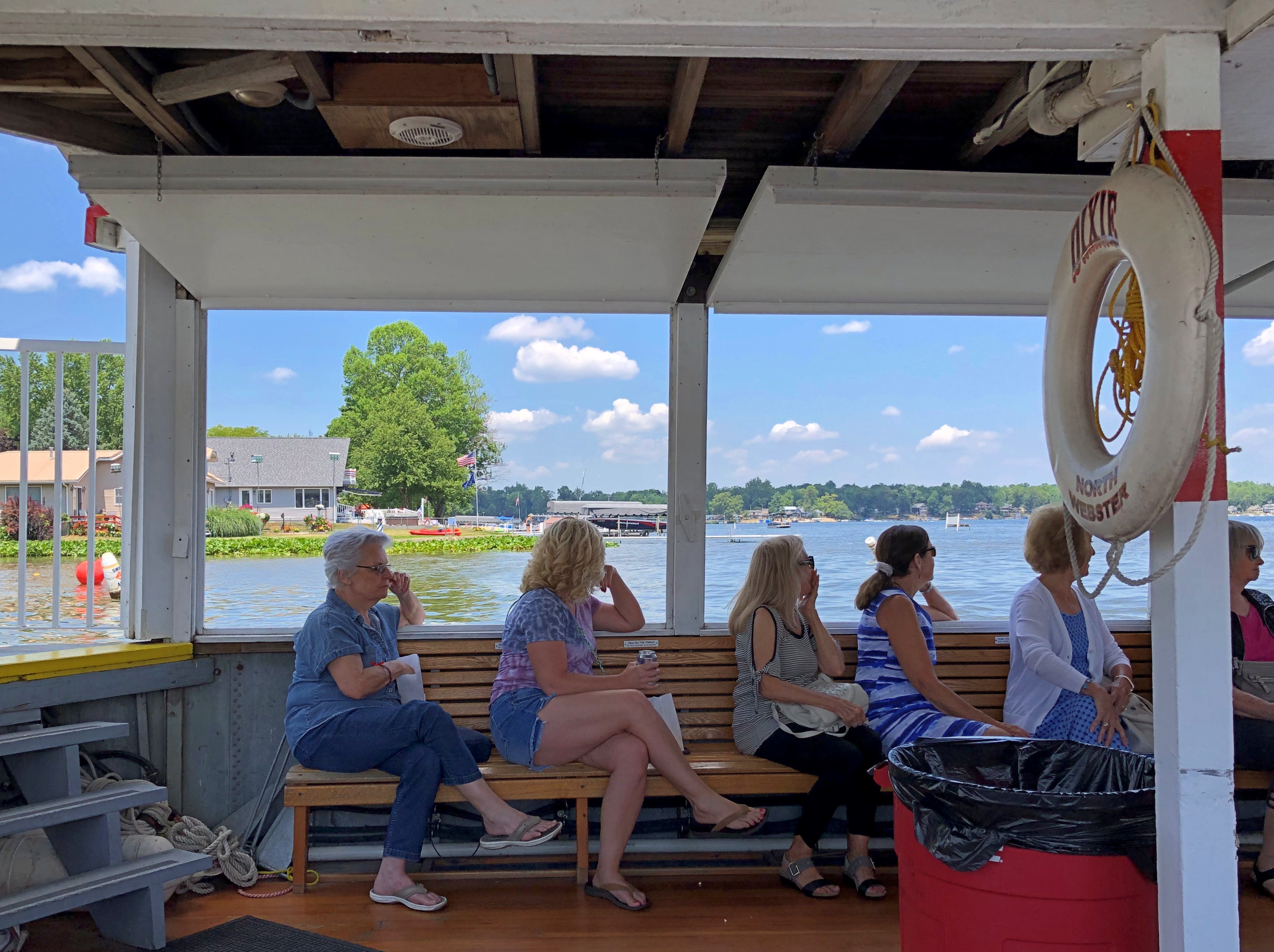
The day was clear and very warm, perfect for a lake outing. Dixie wasn’t packed, but a fair number of people rode on both lower and upper decks. Tickets were a bargain: $7 for adults. Good for the nonprofit — it isn’t out to gouge tourists.Dixie Sternwheeler, North Webster, Indiana

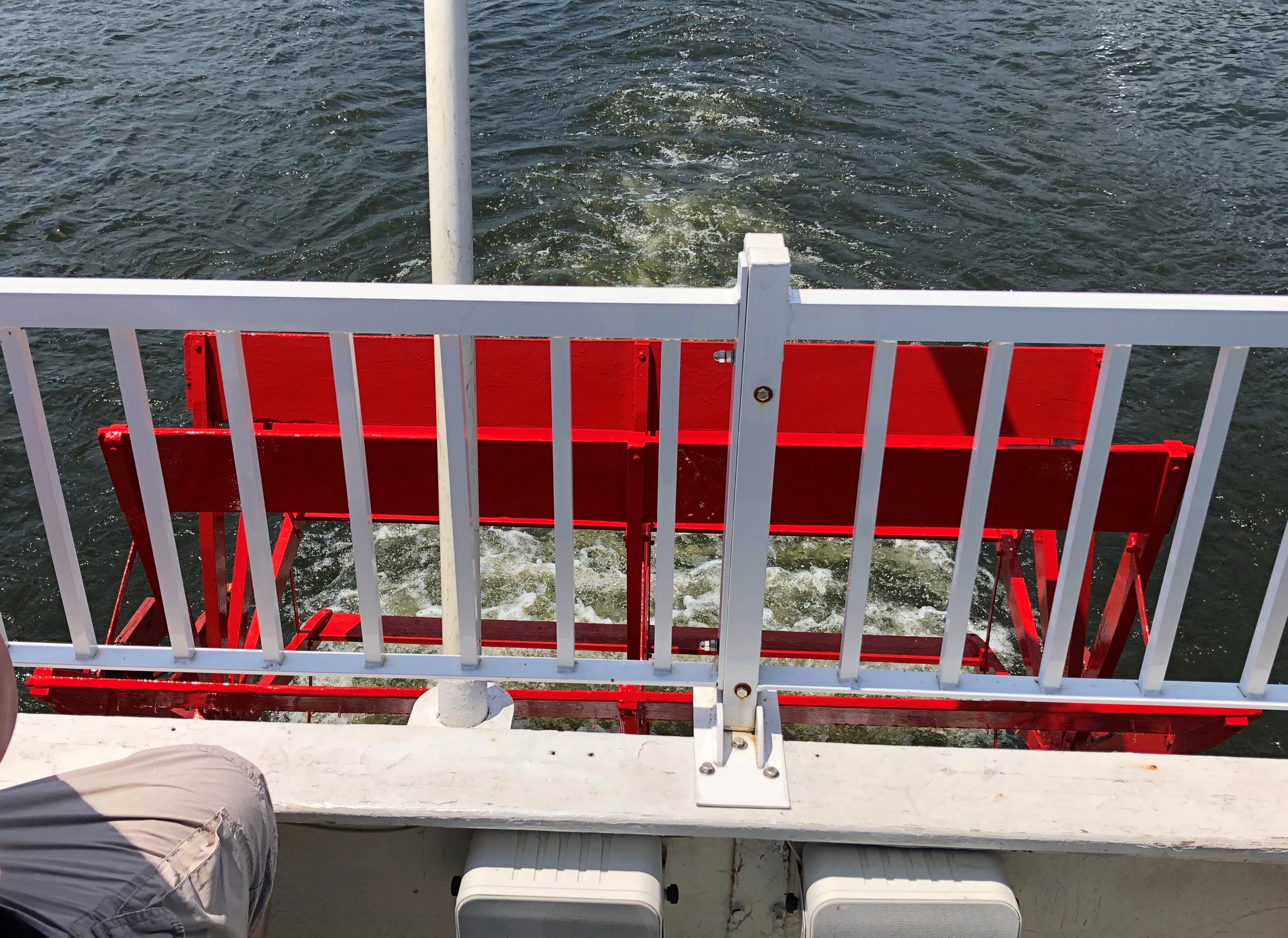
Dixie is a sternwheeler, and here’s the wheel. At the stern.Dixie Sternwheeler, North Webster, Indiana

A moment before I took that picture, a boy of about six was standing at the rail, looking down at the wheel. His mother encouraged him to leave, though I hadn’t said anything to her. I was ready to wait my turn.

“He’s fascinated by the wheel,” she said.

“I bet he is,” I said approvingly, but I don’t think she heard me. Managing a small child can be distracting. But if that was his first ride on a sternwheeler, I hope she made note of it on his ticket, and that the family is packratish enough so that he finds it sometime in the 2070s.

As tour boat patter went, Dixie’s taped program was well crafted — a voice talking about the ship, the lake and the surrounding land, with some interludes of peppy but not overwhelming banjo and guitar instrumentals. More actual history than you get on some tours, but not an overload. No intentionally bad jokes, either, but some good detail, especially describing the earlier days of the Dixie.

Capt. Breeck wasn’t a tour operator. He was master of a small working ship, crossing the lake in clement weather to deliver cargo and packages, as well as passengers, such as womenfolk visiting the stores in the town of North Webster. Dixie also carried groceries that it sold, and for a while the captain — clearly a jack of some trades, anyway — operated a small smithy at the back of the vessel.

His successors eventually evolved into tour operators as the surrounding farms gave way to postwar pockets of resort-like development. By now at least three generations have taken rides, including first dates of later married couples, and people taken by their grandparents who are now taking their grandchilden.

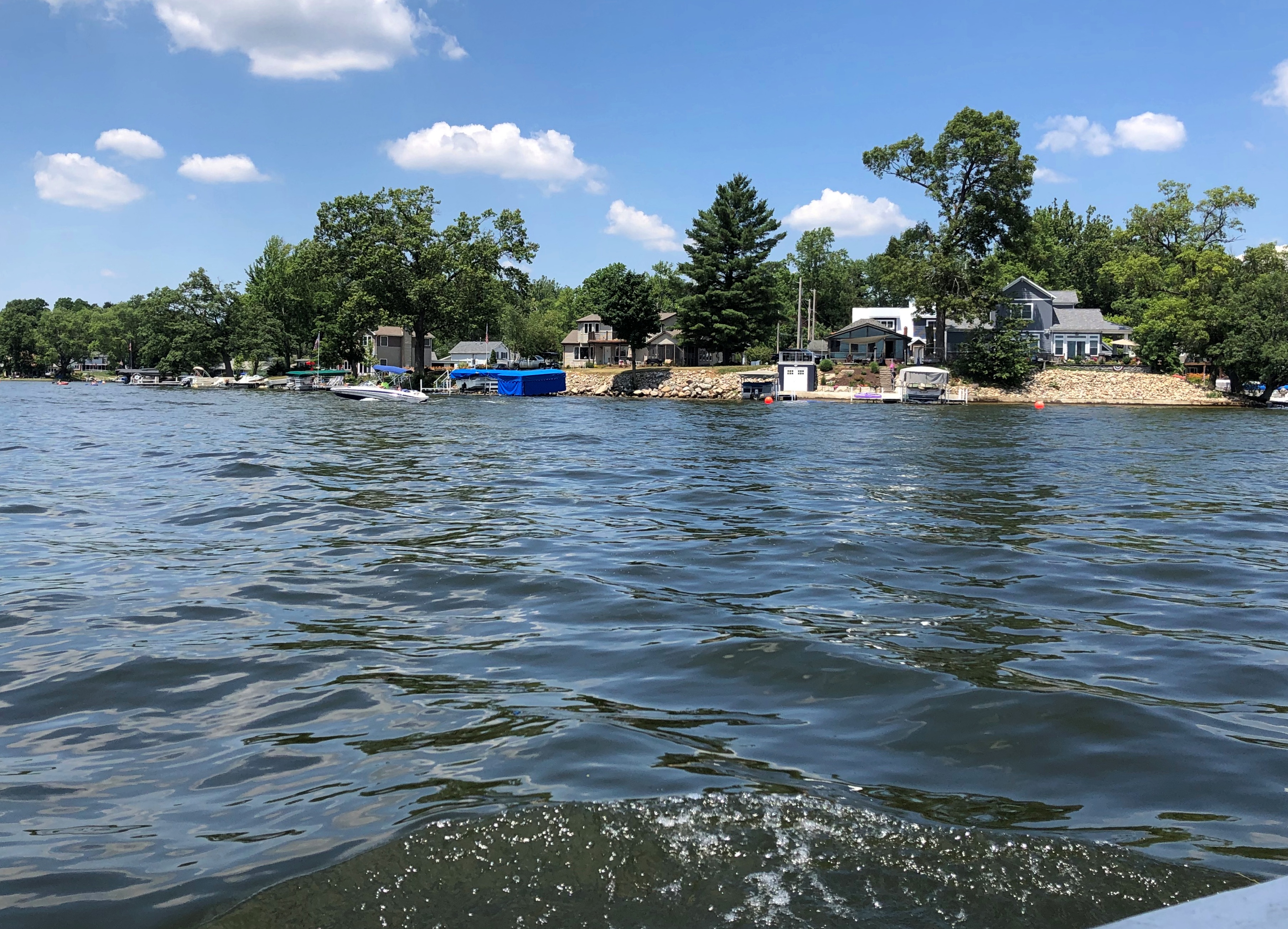
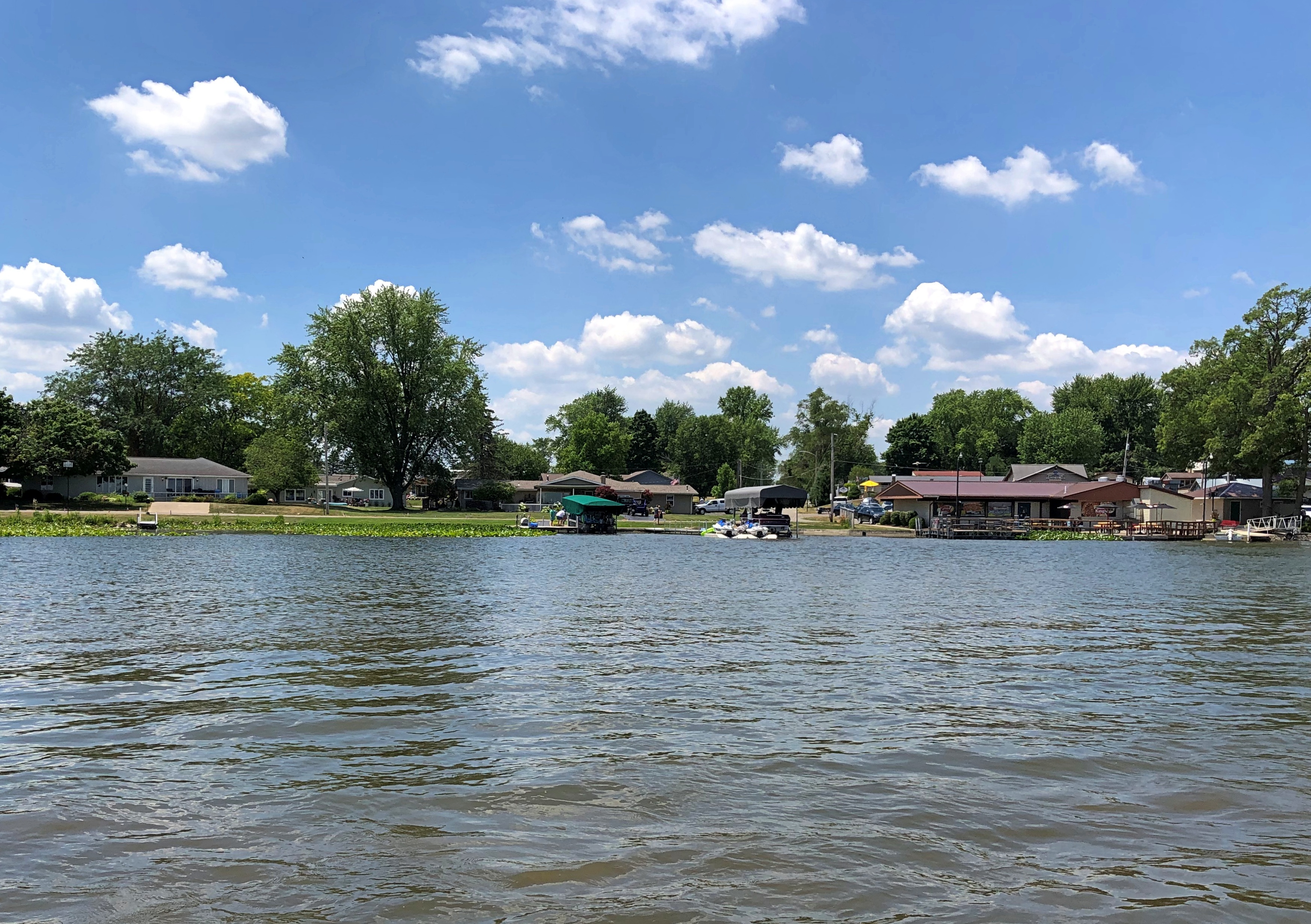
Got some views from both decks.Dixie Sternwheeler, North Webster, Indiana
Dixie Sternwheeler, North Webster, Indiana

The presentation’s detail about the shoreline is a bit of a blur — the boat docked here or there sometimes, the captain had his house at this other place, that island in the middle of the lake is owned by some notable Indiana family. The names came and went: Fisherman Cove, Miller’s Landing, Stumpy Flats, Weimer’s Landing.

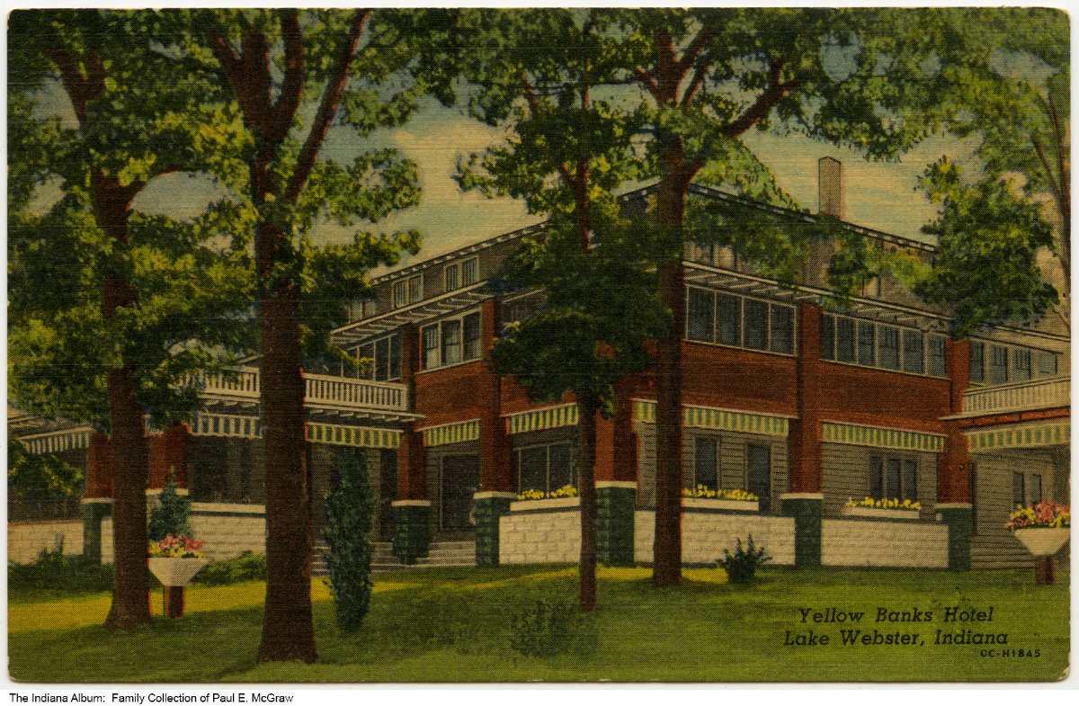
But my ears perked up during the talk about the two sizable hotels that used to be on the lake. One was the Yellow Banks Hotel.

“A very grand hotel, built in 1902,” says the Dixie web site. “The original hotel and its wooden rowboats were painted yellow… This was a scheduled stop for the Dixie until the early 1960s. In the late 1960s the hotel changed owners and fell into disrepair. It briefly became an Italian restaurant (Novelli’s) in the late 1970s, but was dismantled in 1980. Dillinger and his gang stayed at the Yellow Banks Hotel, probably in October 1933 or April 1934.”

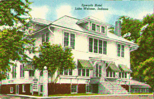
The Epworth Forest Hotel (from the web site).

The Epworth had an outdoor amphitheater. “The Dixie would pickup passengers in this protected cove on windy days,” the web site continues. “In 1955 the Dixie began hosting Epworth Forest’s production of Showboat. Once per year the Dixie became the stage for this off-Broadway play.

“By 1964 the cast and production became too large for the boat. From 1964 through 1980, the Dixie would simply deliver the cast of Showboat to this amphitheater for their annual performance. By 1981 the new owners of the Dixie had cancelled this tradition.”

Both of these hotels were cancelled, too, in the way things are usually canceled, not as the result of some moral outrage, but rather by the course of business. By the late 20th century, the economics of even a small resort area like Webster Lake meant that single-family homes, short-term rentals and condos became the norm along the shore.

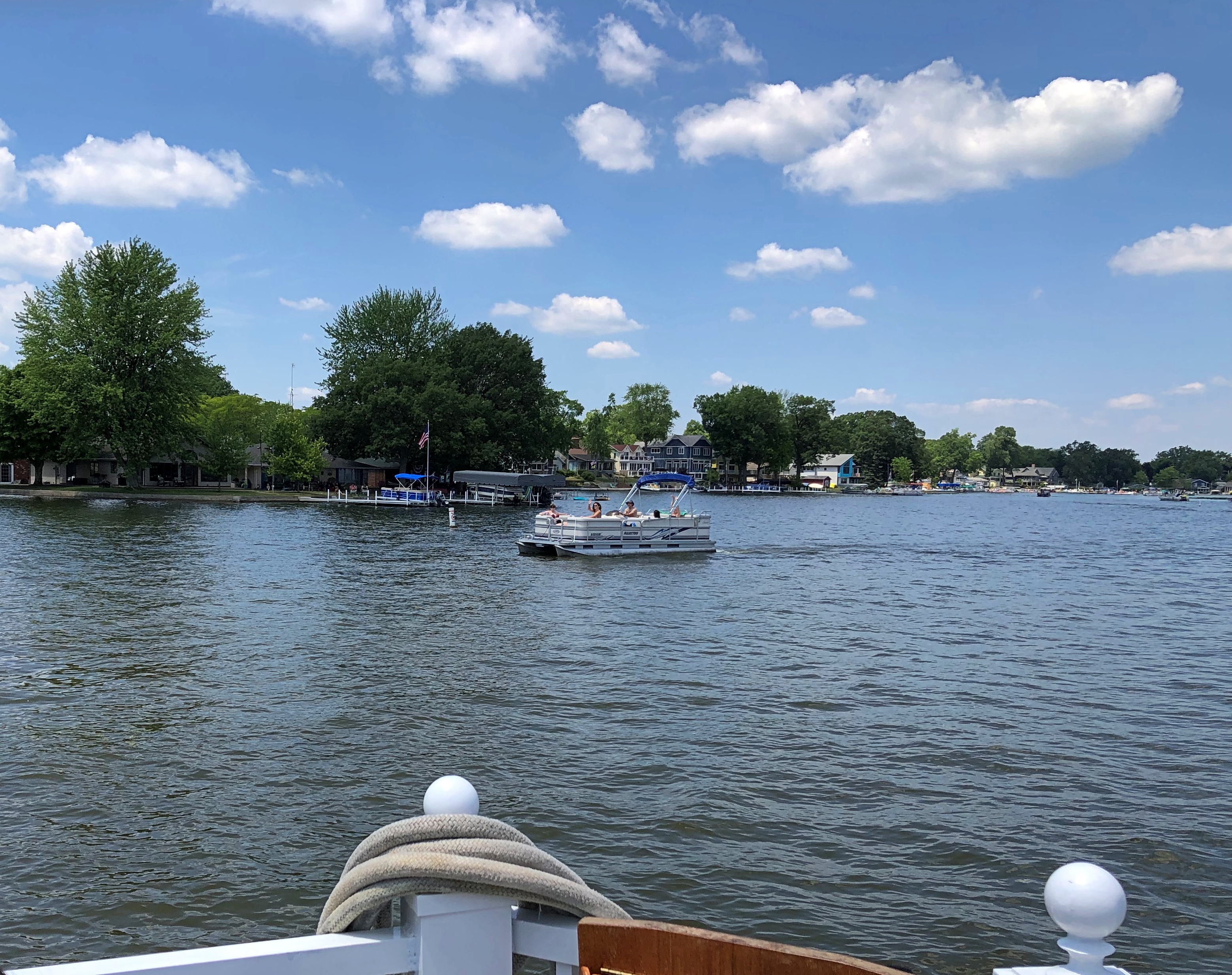
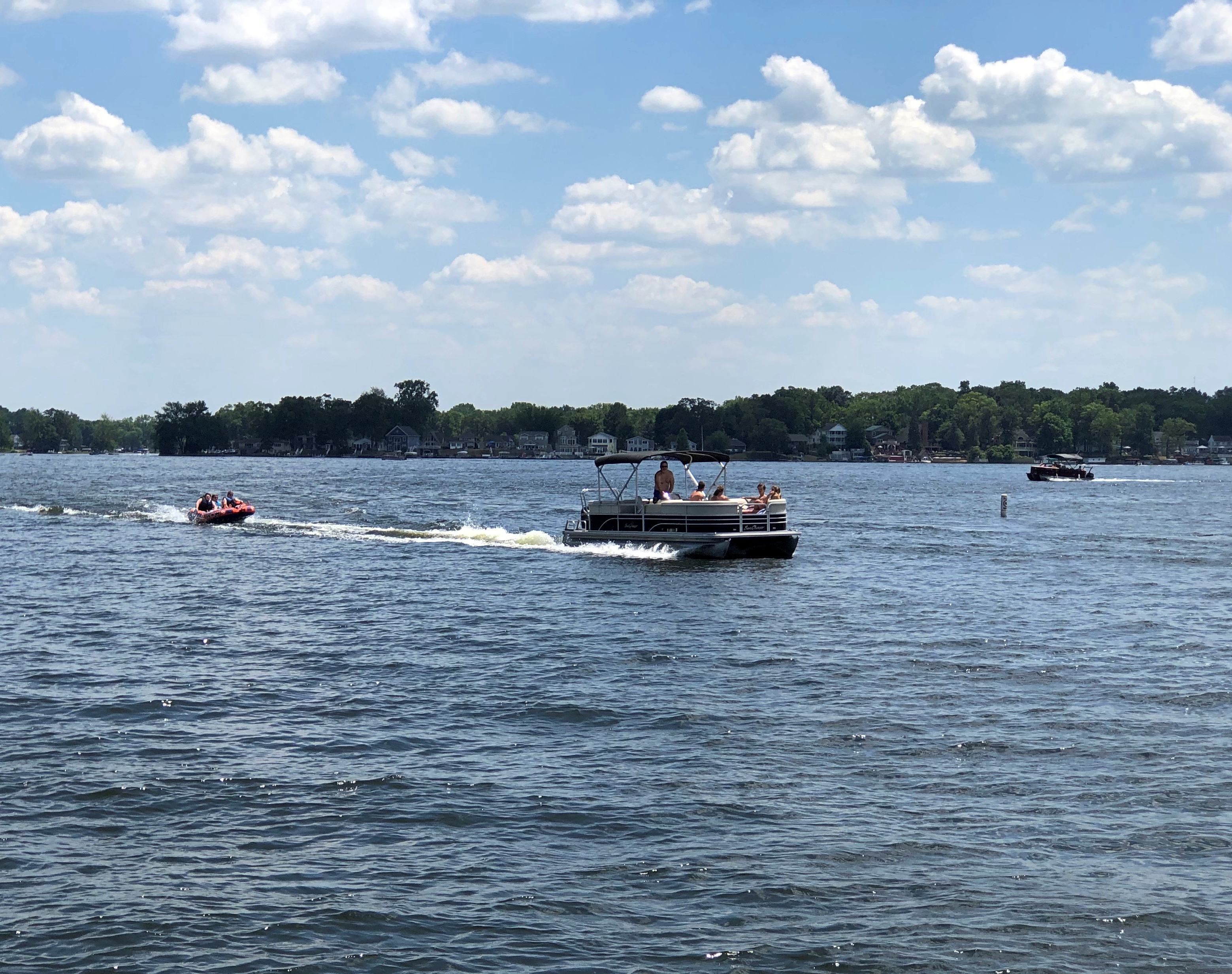
Plenty of other watercraft were in the lake on that second day of the Independence Day long weekend. We got a lot of waves from passersby, and most everyone on the Dixie waved back. Us too.Dixie Sternwheeler, North Webster, Indiana Dixie Sternwheeler, North Webster, Indiana

I was out and about throughout the hour and a half or so the tour lasted, though I spent most of my time on the lower deck. My deck companions across the way didn’t, as far as I noticed, get up and move about.Dixie Sternwheeler, North Webster, Indiana Dixie Sternwheeler, North Webster, Indiana

They did shift a few times, though.

Lindenwood Cemetery & Johnny Appleseed Park

I didn’t see the grave of Art Smith in Fort Wayne early this month. I wasn’t looking for it, because I’d never heard of Art Smith. Only after reading about Lindenwood Cemetery a few days ago, and some time after I visited there, did I find out about him.

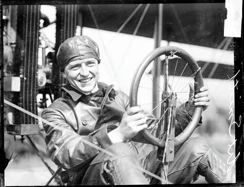
Along with a fun pic.Art_Smith_(pilot)_1915

Art Smith, early aviator, Bird Boy of Fort Wayne. In 1915, he took Lincoln Beachey’s job as a exhibition pilot at the Panama-Pacific International Exposition, after Beachey carked it in San Francisco Bay. Smith himself had a date with aerial death, but that was later, while flying the mail in 1926. He’s been at Lindenwood ever since.

An aside to that aside. According to Wiki at least, Smith was one of only two men trained to fly the de Bothezat helicopter, also known as the Jerome-de Bothezat Flying Octopus, which was an experimental quadrotor helicopter.

That tells me that among those magnificent young men and their flying machines — you know, early aviators — Smith must have been especially crazy even in that fearless bunch, whatever his other skills as a pilot or virtues as a human being.

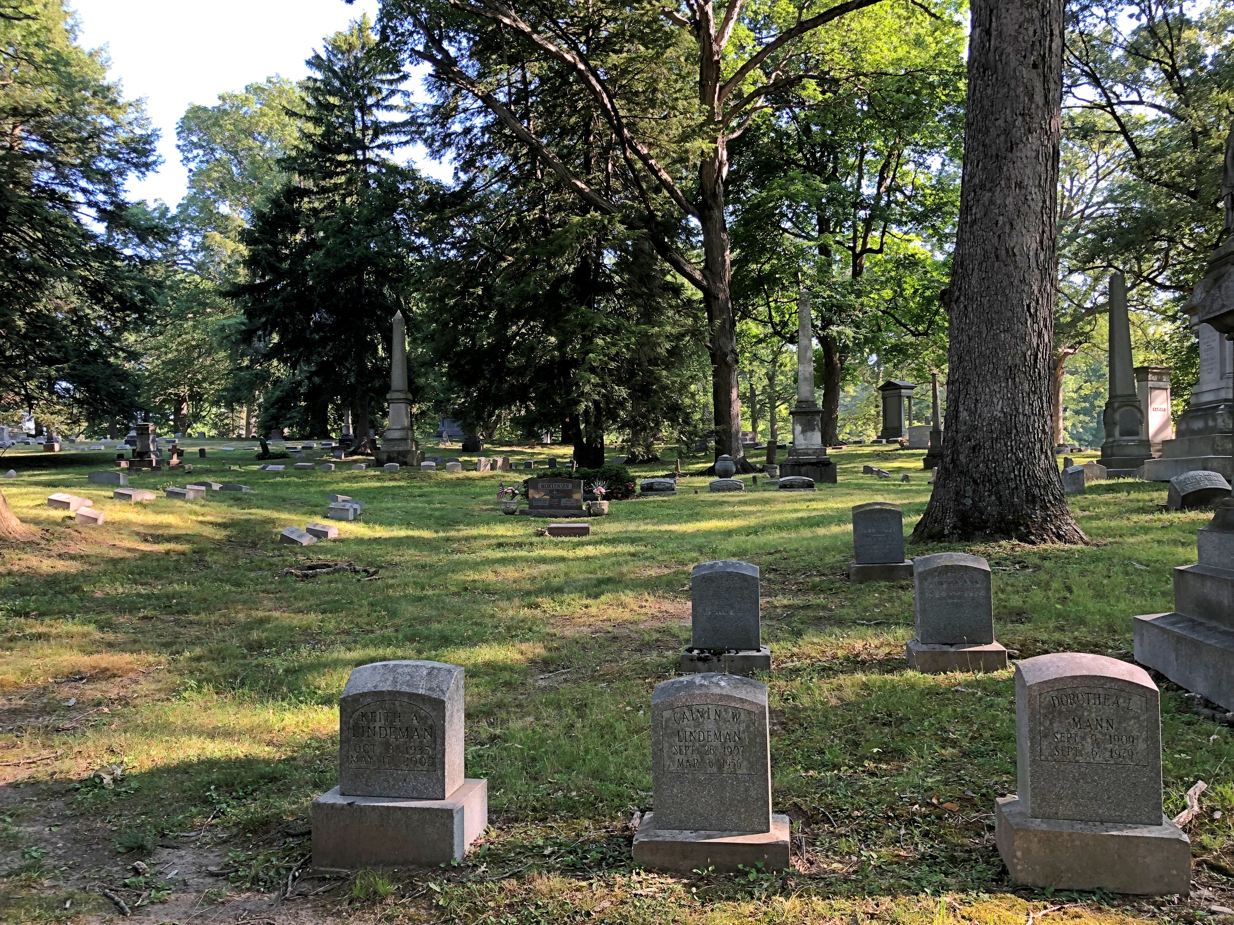
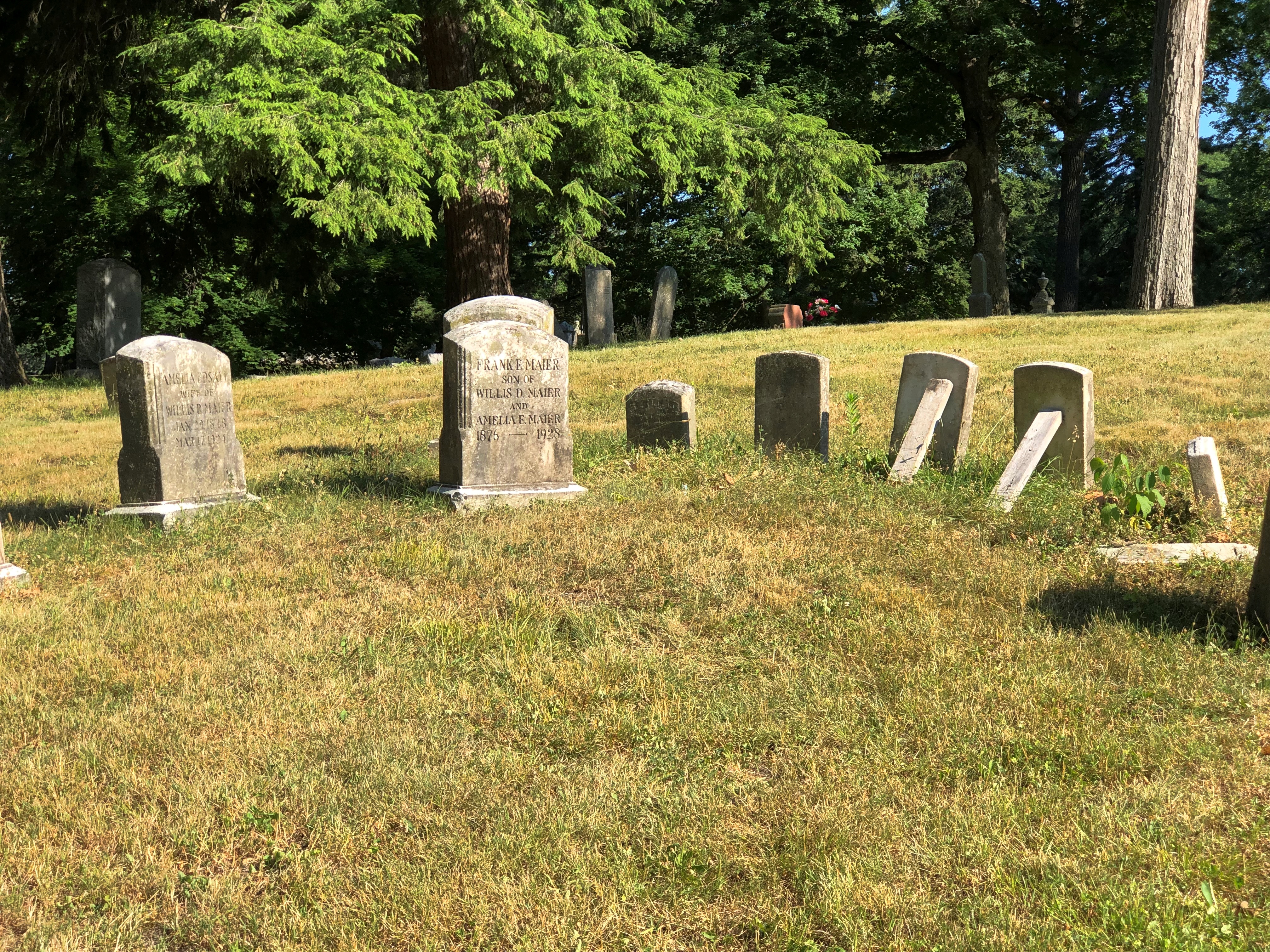
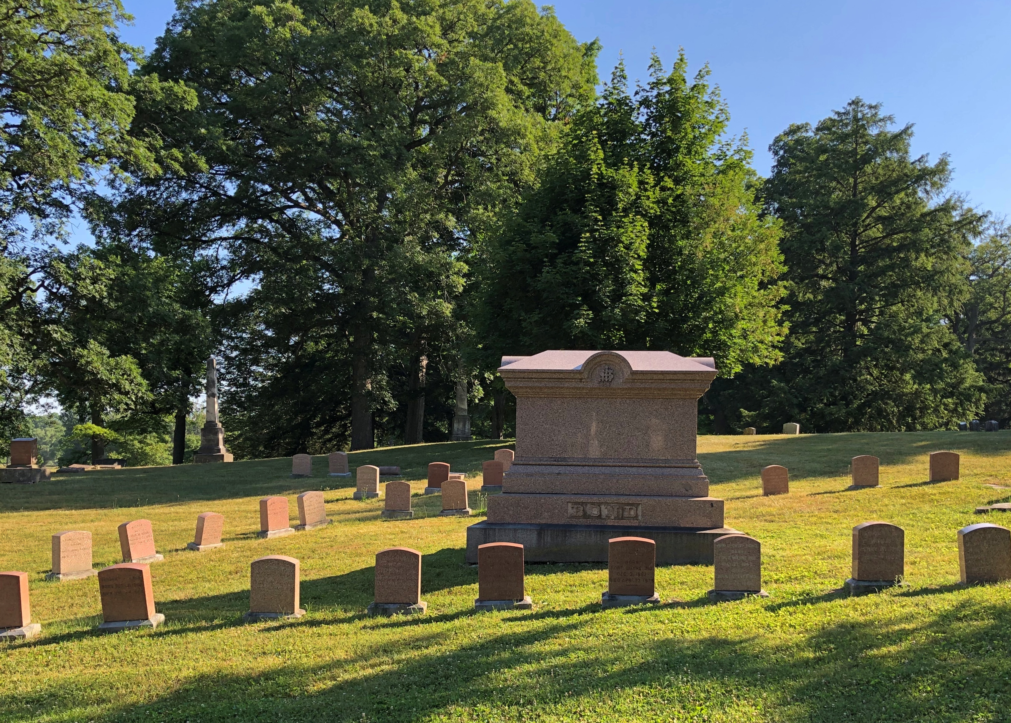
Lindenwood Cemetery dates from 1859, and is the Fort Wayne’s Victorian cemetery. It looks the part. All together about 69,000 people rest there, and at 175 acres, it’s one of the larger cemeteries in Indiana. As usual, I arrived in the mid-morning, by myself.

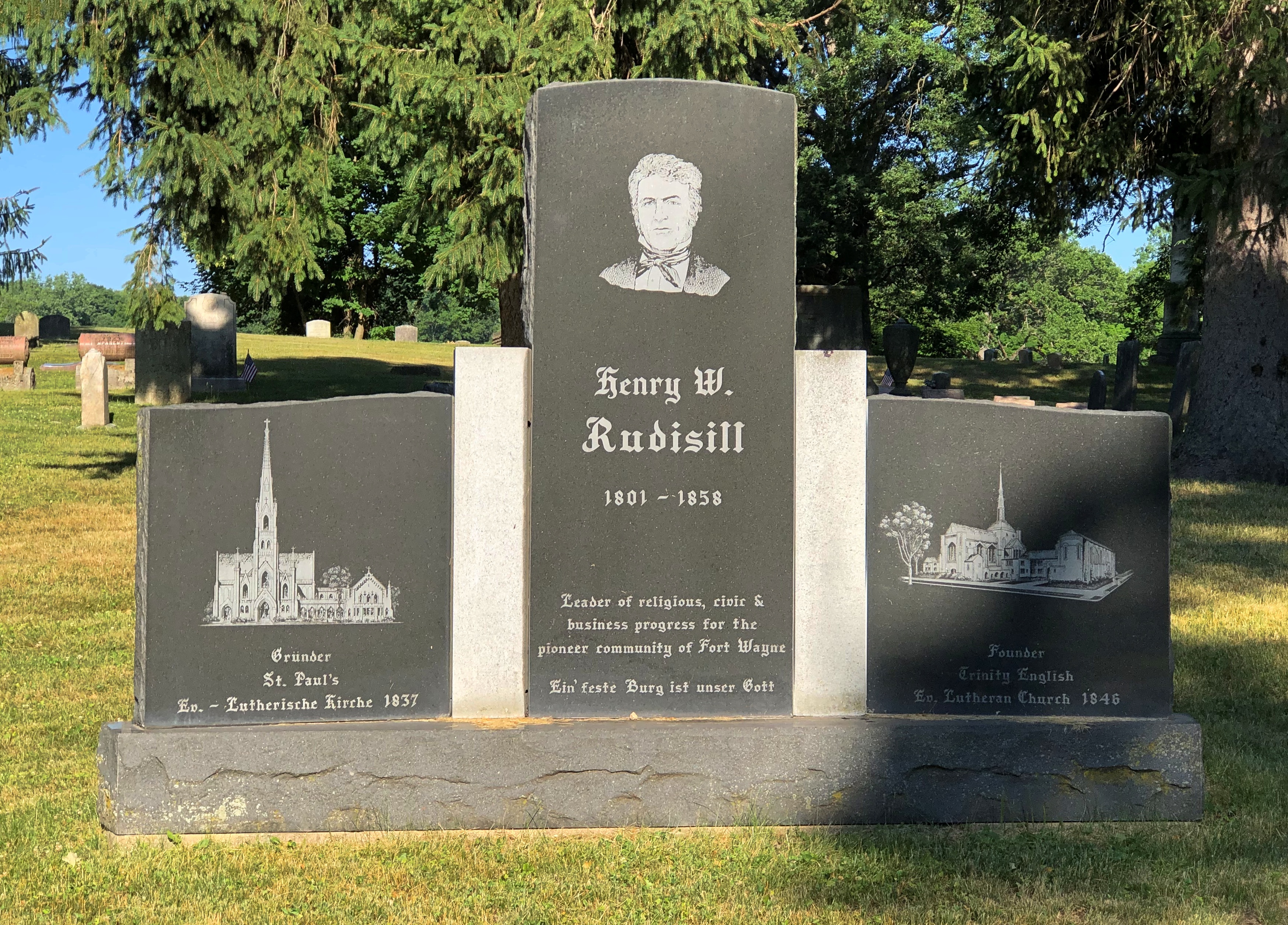
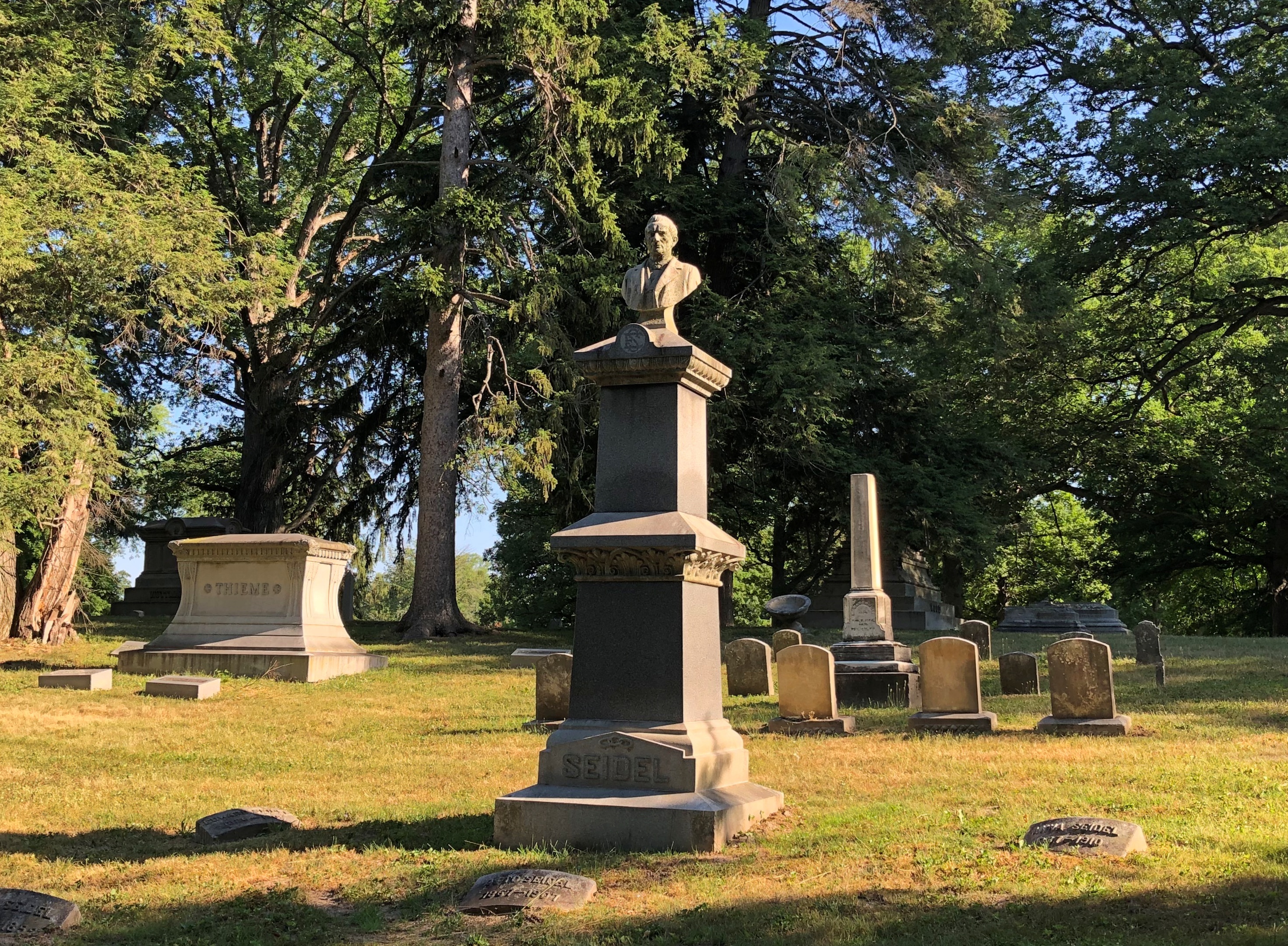
I did see one noteworthy burial soon after arrival. That is, the memorial itself seemed to make that claim. He founded two churches, so the claim seems to have some merit.Lindenwood Cemetery, Fort Wayne

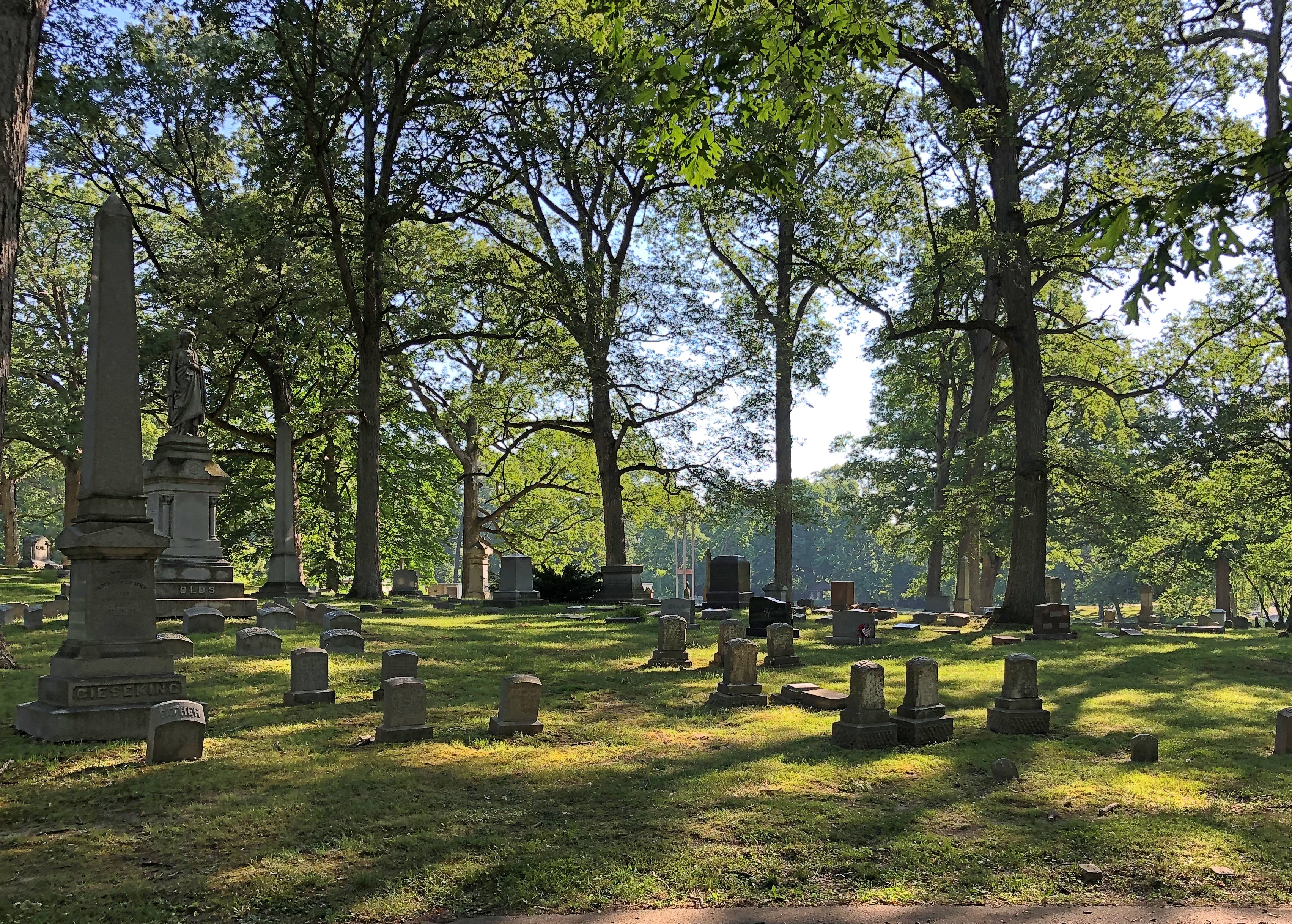
It’s a forested area, as I’m sure was intended.Lindenwood Cemetery, Fort Wayne

With open spots.Lindenwood Cemetery, Fort Wayne Lindenwood Cemetery, Fort Wayne

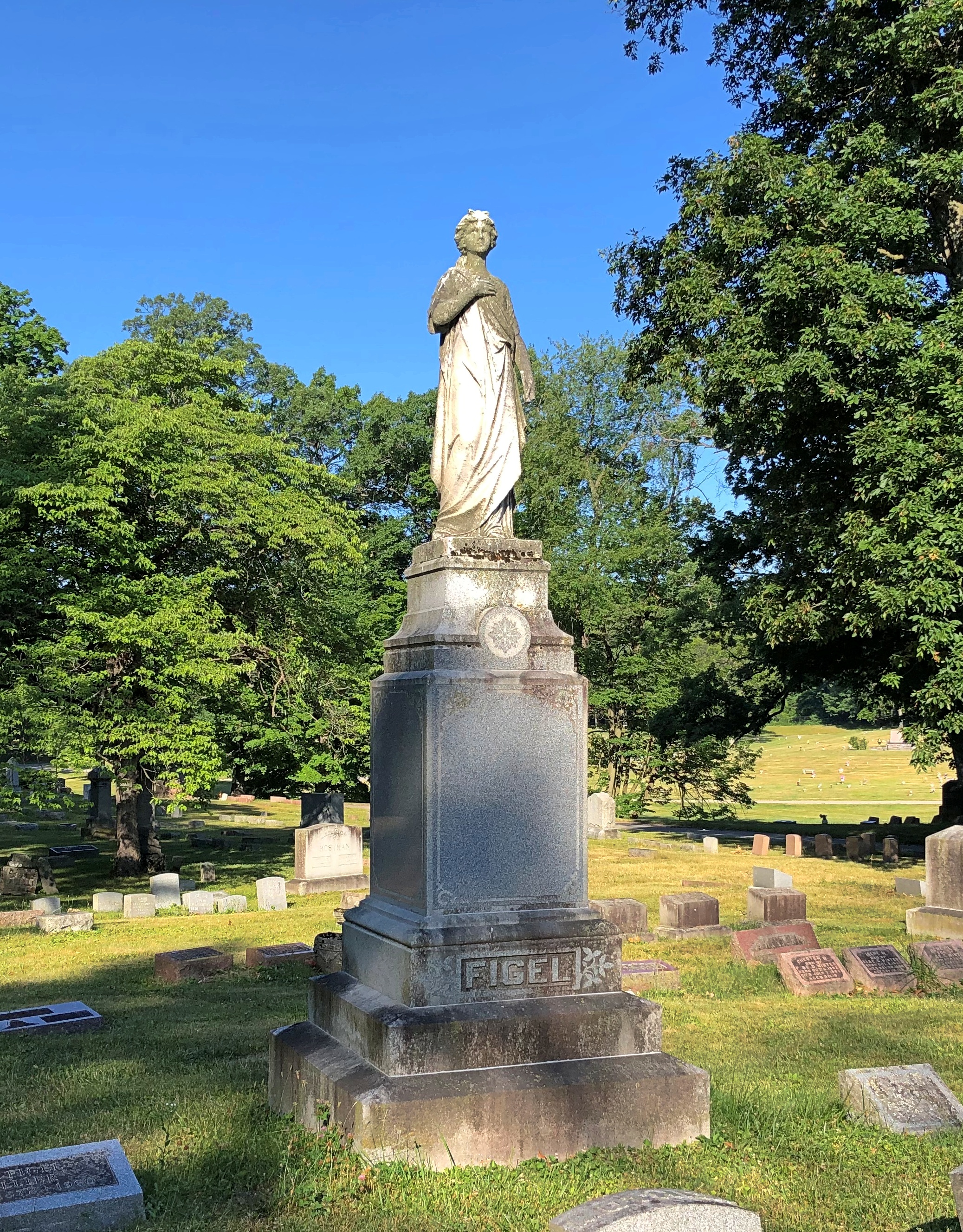
A scattering of funerary art.Lindenwood Cemetery, Fort Wayne Lindenwood Cemetery, Fort Wayne

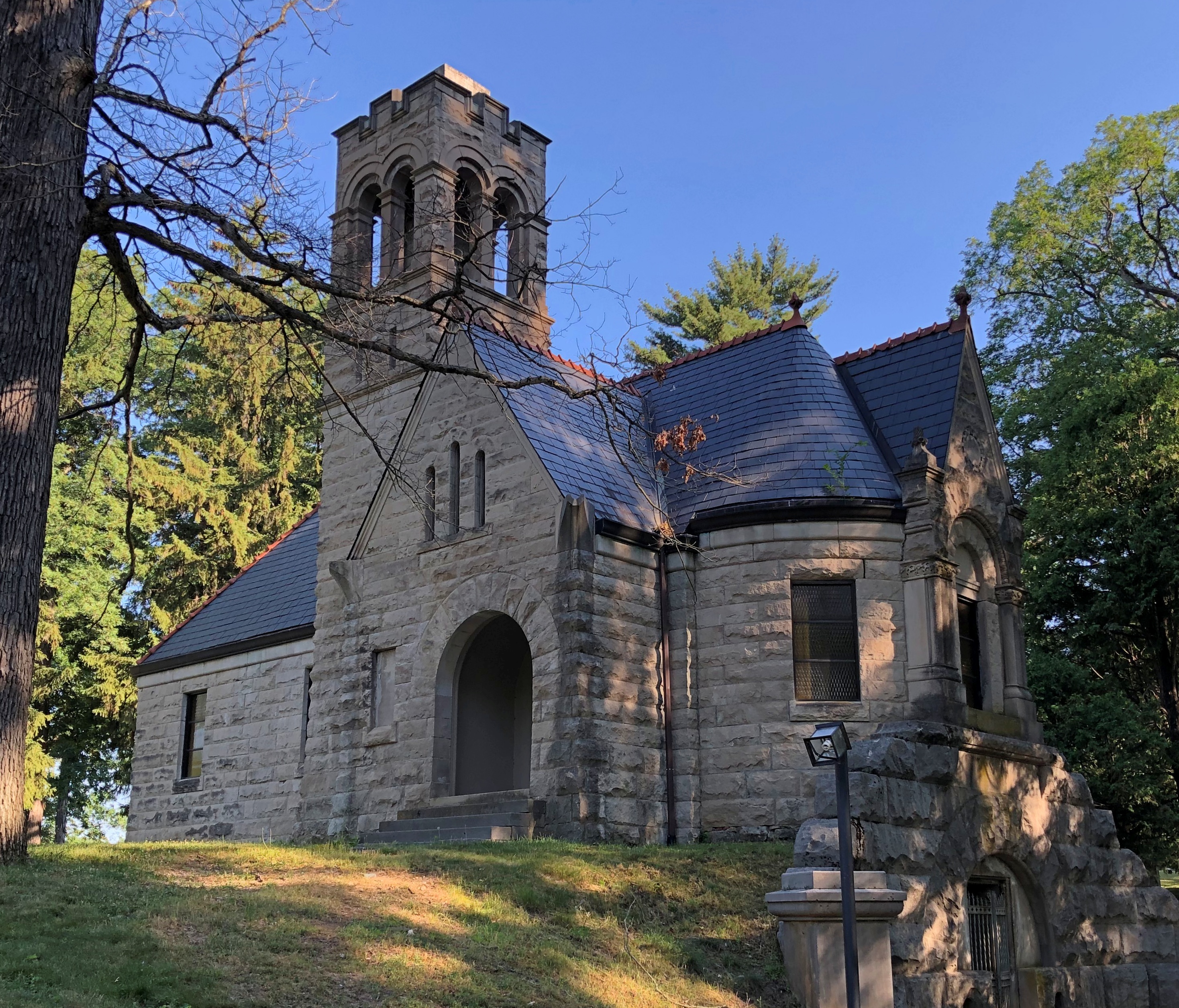
A chapel.Lindenwood Cemetery, Fort Wayne

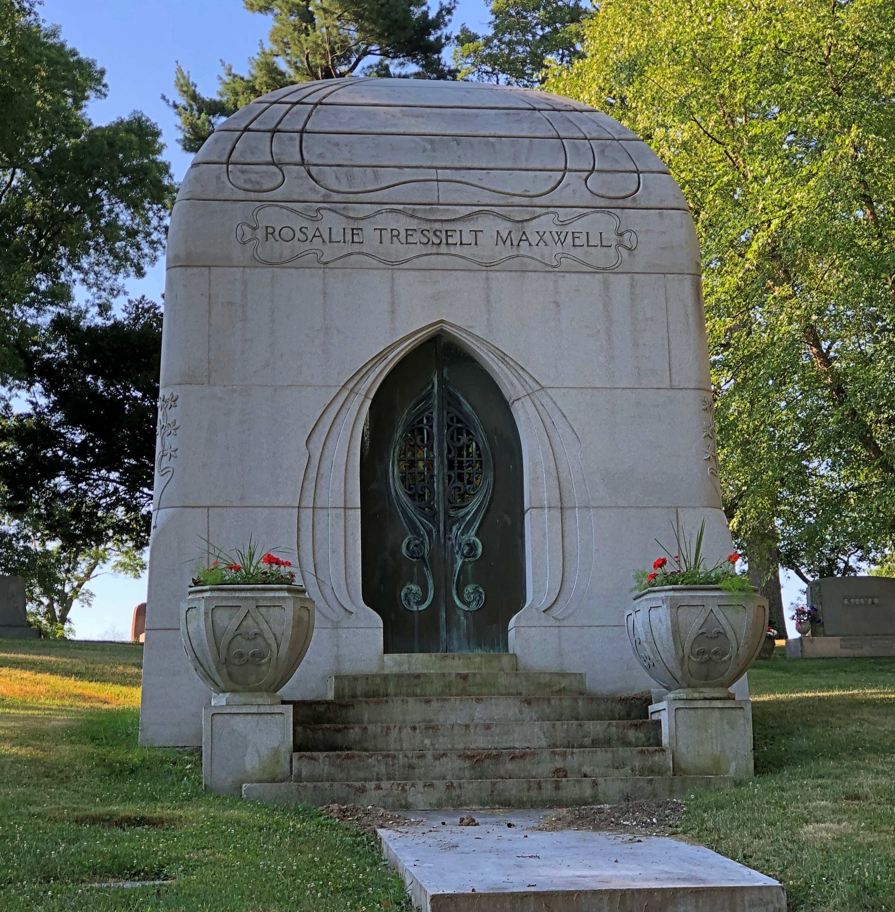
An occasional mausoleum. I’ve never seen one quite like this one.
Lindenwood Cemetery, Fort Wayne

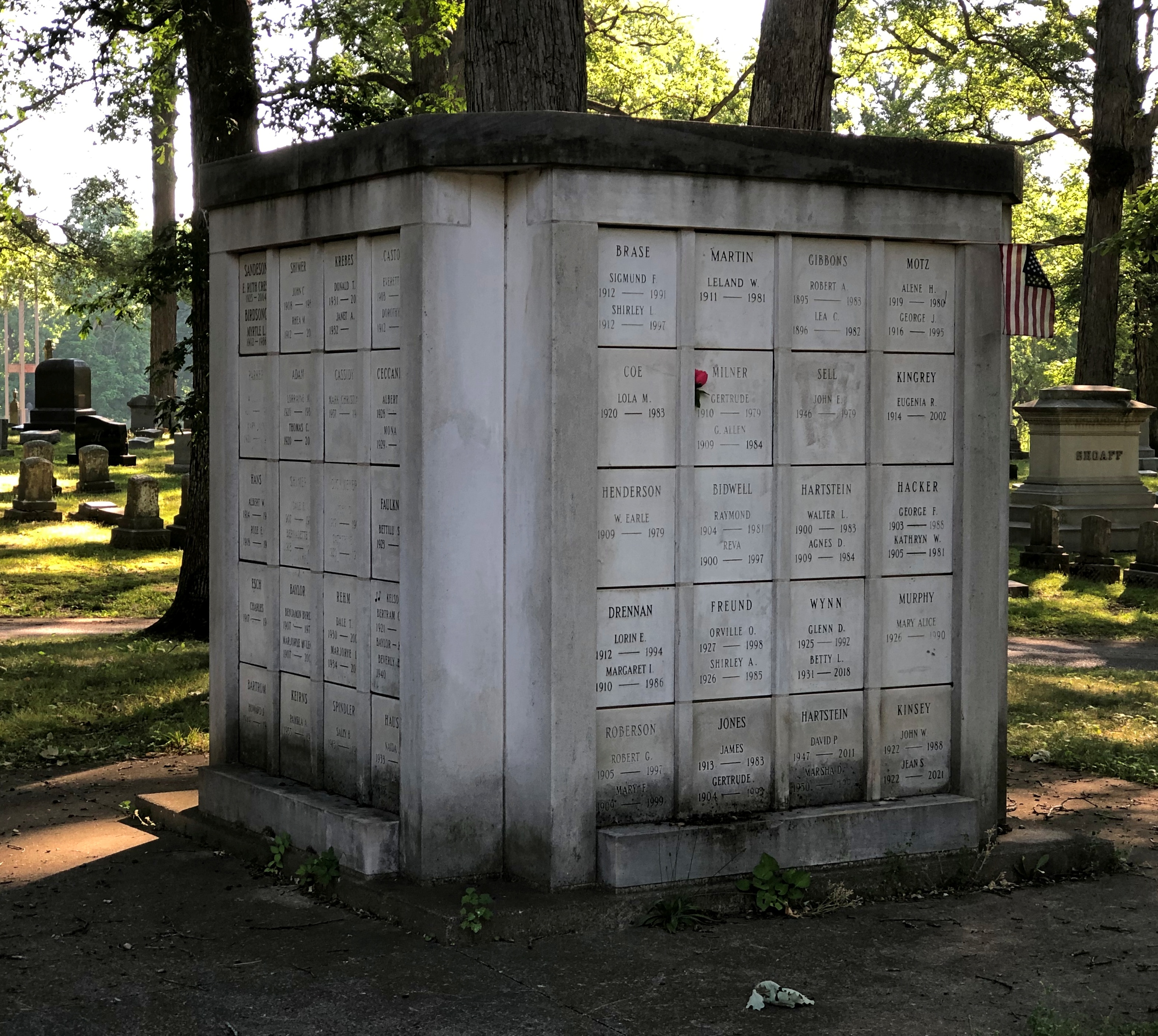
An apartment block necropolis? I hadn’t seen one quite like that, either. A more modestly priced option, probably, at least at one time.
Lindenwood Cemetery, Fort Wayne

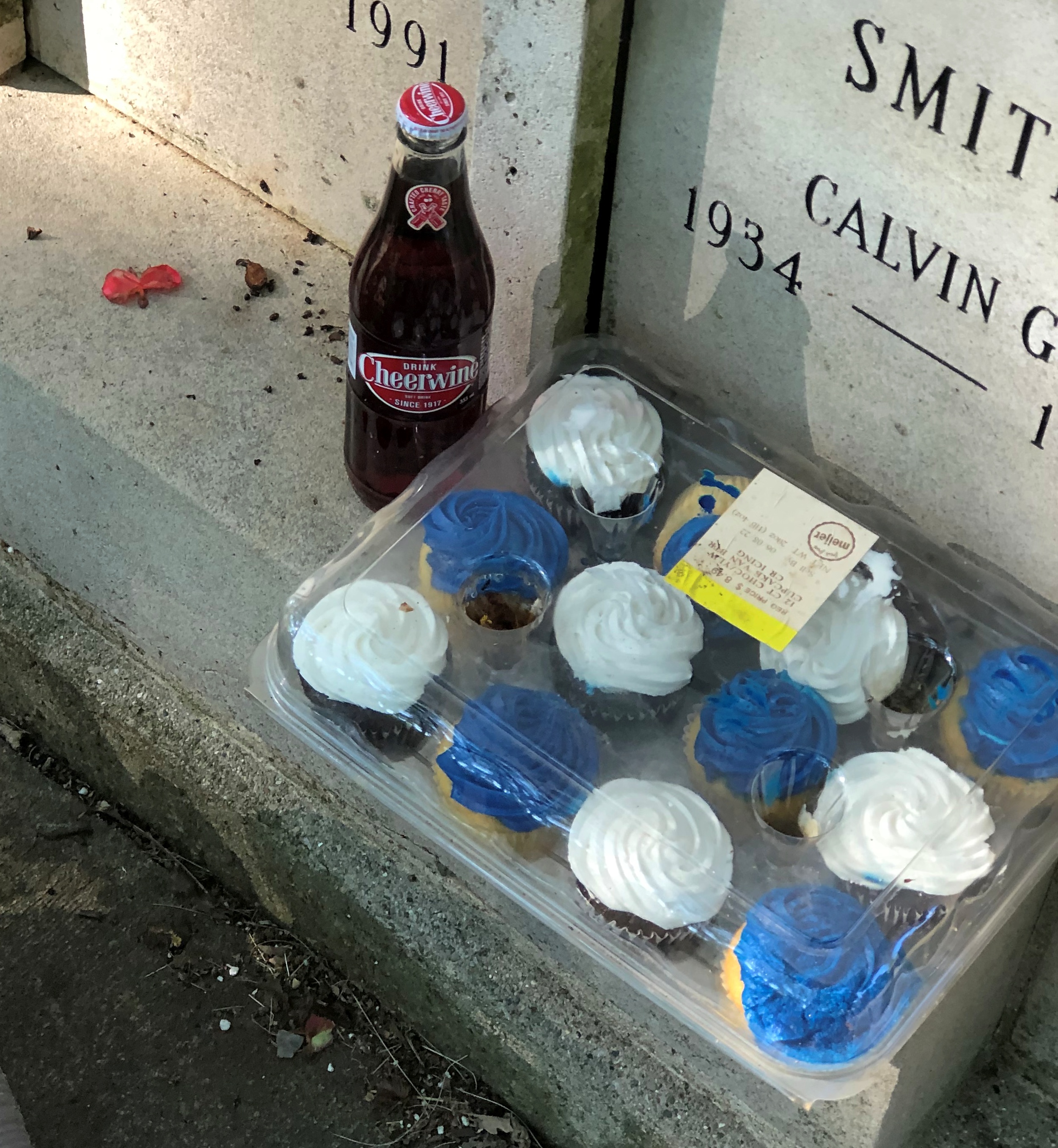
Calvin Smith (1934-88) is remembered by someone. Someone who brings treats, including the North Carolina soda Cheerwine.Lindenwood Cemetery, Fort Wayne - Calvin Smith

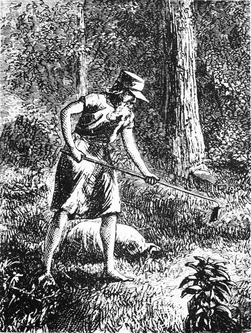
Which brings me to Johnny Appleseed, promoter of cheer cider. Hard cider, that is, something elided over in school stories about the career of John Chapman, or at least the ones I heard.

A contemporary image.

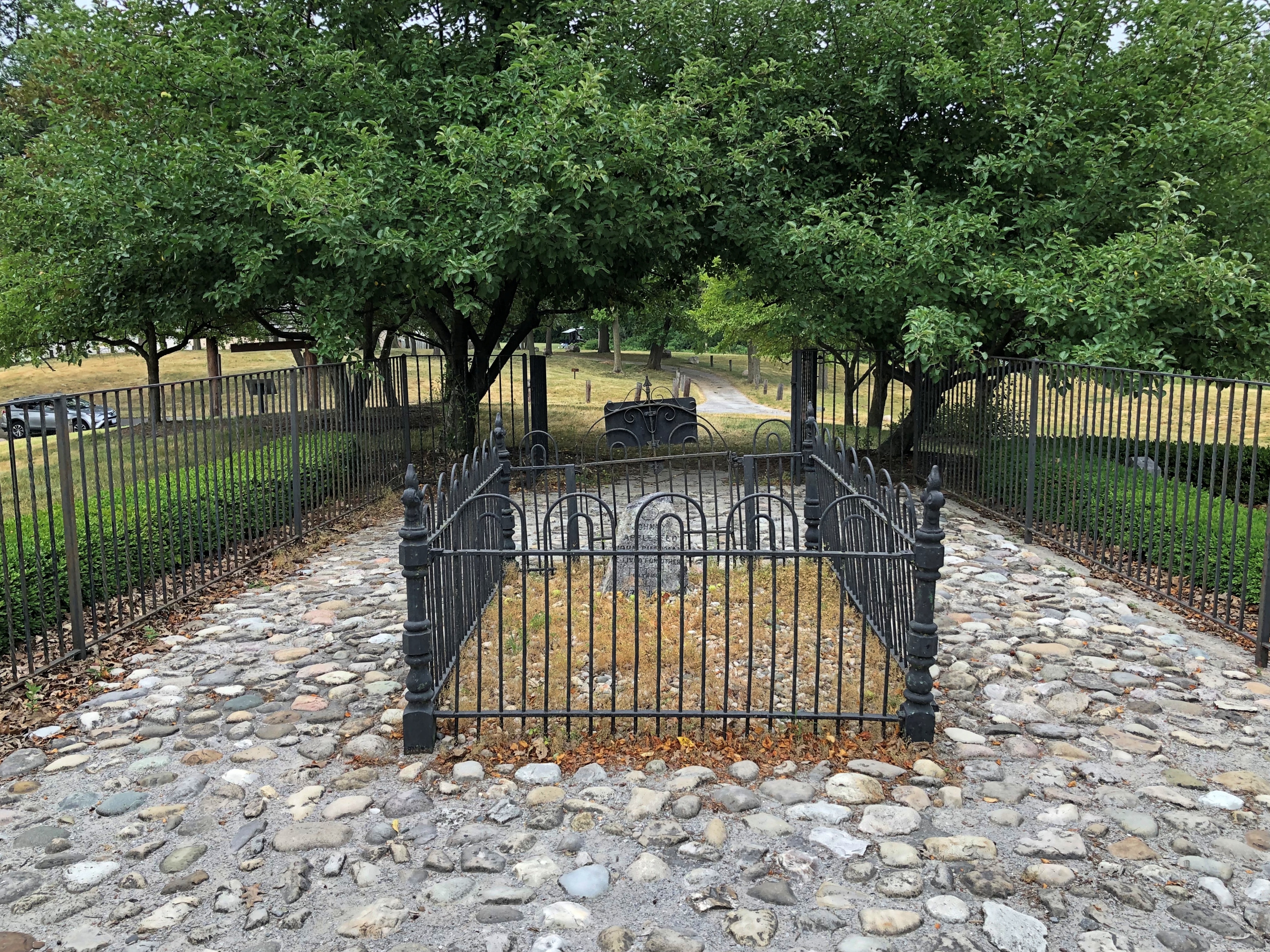
He too is buried in Fort Wayne but not, befitting his reclusive reputation, among the crowds at Lindenwood. This is Johnny Appleseed we’re talking about. He has his own park.

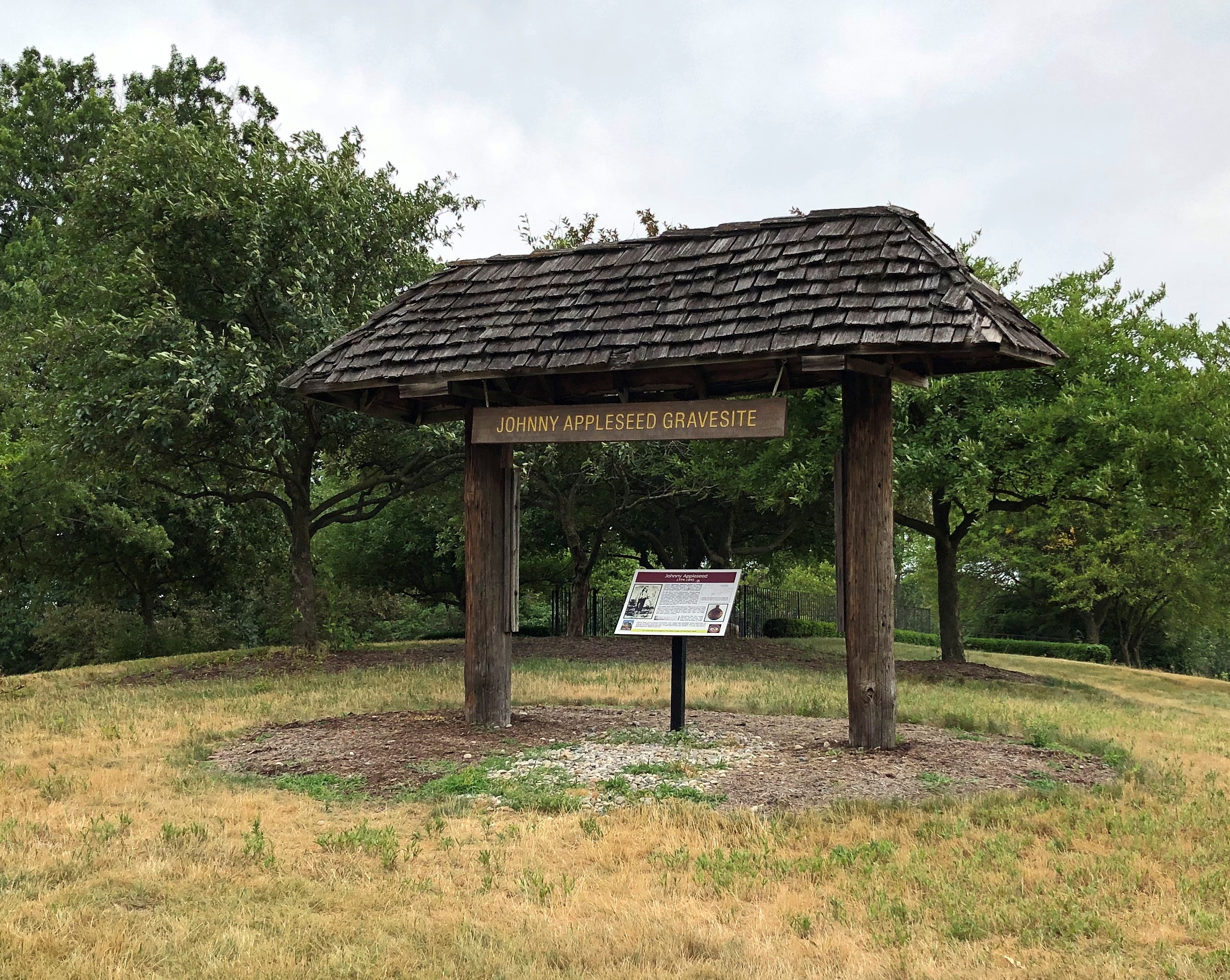
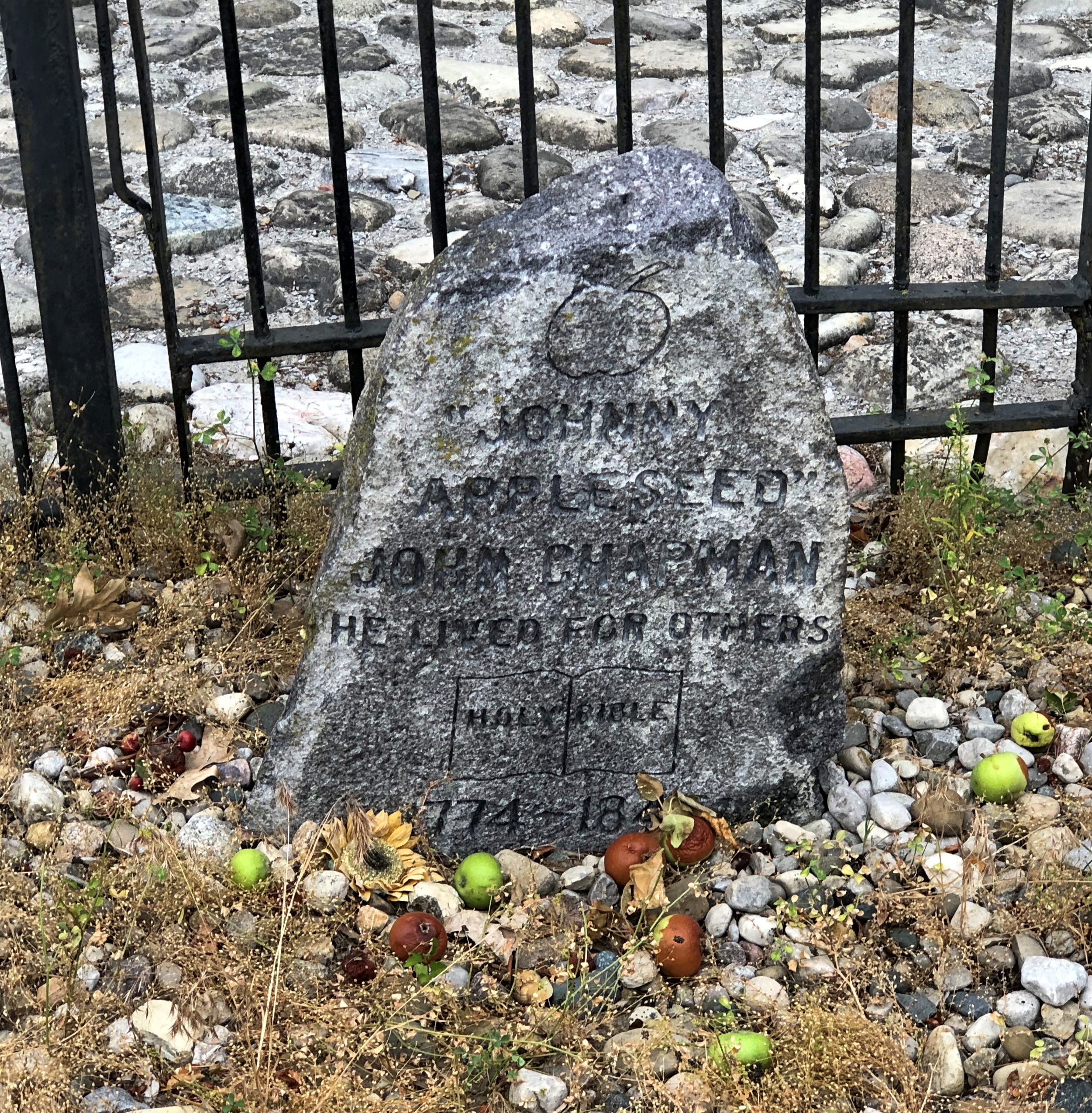
When I realized I was driving near his grave on Saturday evening before sunset, I took a detour to Johnny Appleseed Park, most of which features standard-issue municipal facilities, such as ballfields and picnic tables and sheltered event spaces. But one section includes Johnny’s grave.Johnny Appleseed Grave

That’s not actually the gravesite, but rather a sign about Johnny Appleseed. The nurseryman reposes on top of the hill behind the sign.Johnny Appleseed Grave

I read the sign and learned a thing or two. I didn’t know, for instance, that Chapman was also a missionary for the Swedenborgians.Johnny Appleseed Grave

“Johnny

Appleseed”

John Chapman

He lived for others

Holy Bible

1774-1845

It took me a moment to notice the apples scattered around the stone. Then I noticed the apple trees planted around it. Nice touch.

Art Show at Naper Settlement

Parking in downtown Naperville on a sunny summer Sunday takes a little time, featuring as it does slow drives through a few full parking lots and passing by other lots that look full, while navigating the crooked grid of streets and keeping an eye out for a free flow of pedestrians.

I’ve been on worse parking treks. Before too long, we found a spot at Naperville Central High School, whose lot was open and no charge. To reach the riverwalk from there, you have to go around Naper Settlement, an open-air museum covering 12 acres and featuring historic buildings from the vicinity.

Unless you go into the museum, which we didn’t particularly want to, since we’d been there before. September of ’09, when we attended a pow-wow.

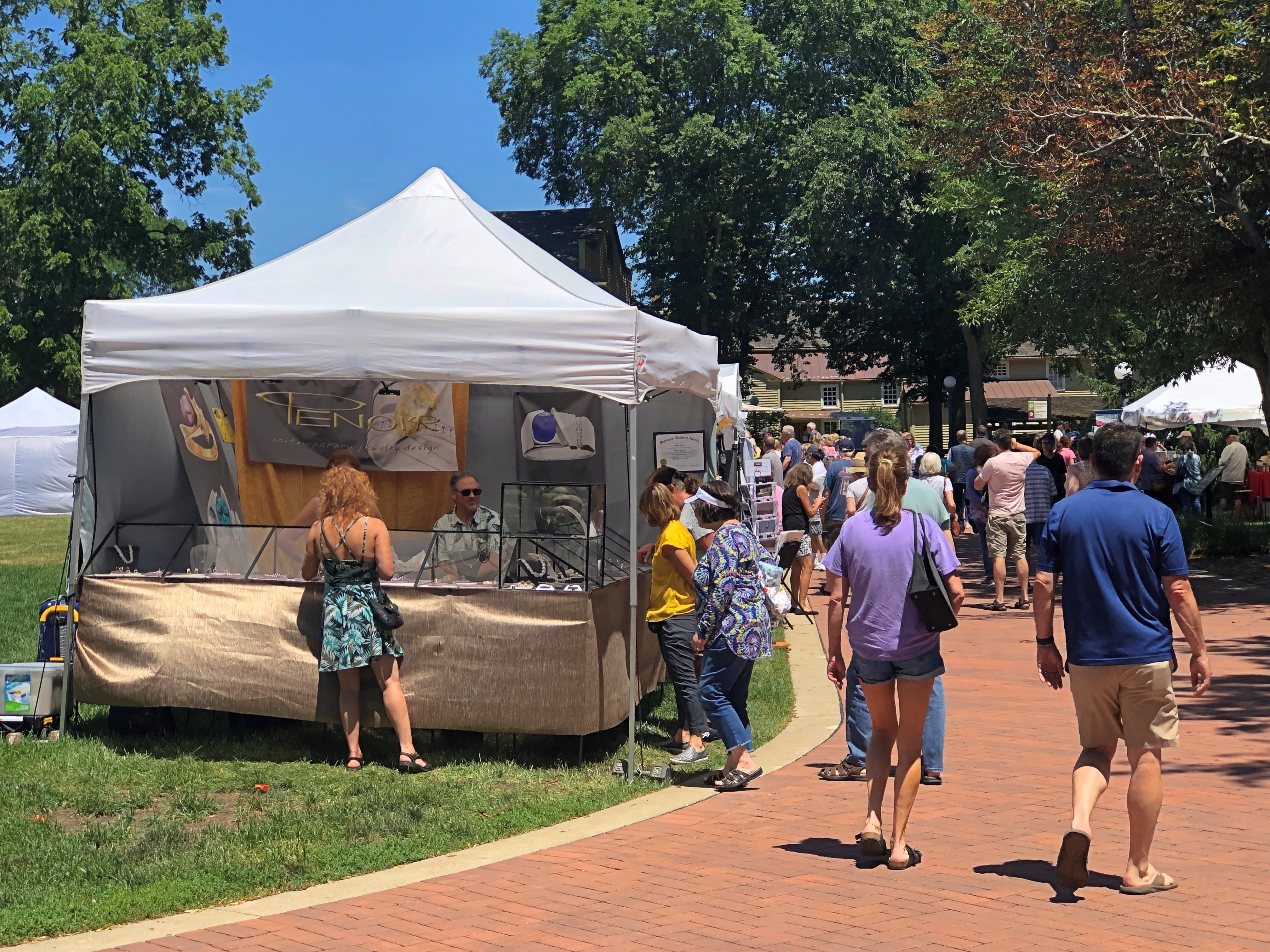
Then we found out that an art show was going on, with no admission to the grounds. So we popped in for a look-see.Naper Settlement Art Show Naper Settlement Art Show

“Since 1959, the Naperville Woman’s Club has presented a free art fair in the summer,” the Naper Settlement web site says. “The longest continuously running art fair in Illinois, this event brings a weekend of art and artistry to Naper Settlement in a free, fun, and family-friendly environment.” My italics.

Some nice work was for sale. We managed not to buy anything, remarkably enough.Naper Settlement Art Show Naper Settlement Art Show

In that first pic, he’s selling ceramic graters. Not something I would have thought of.

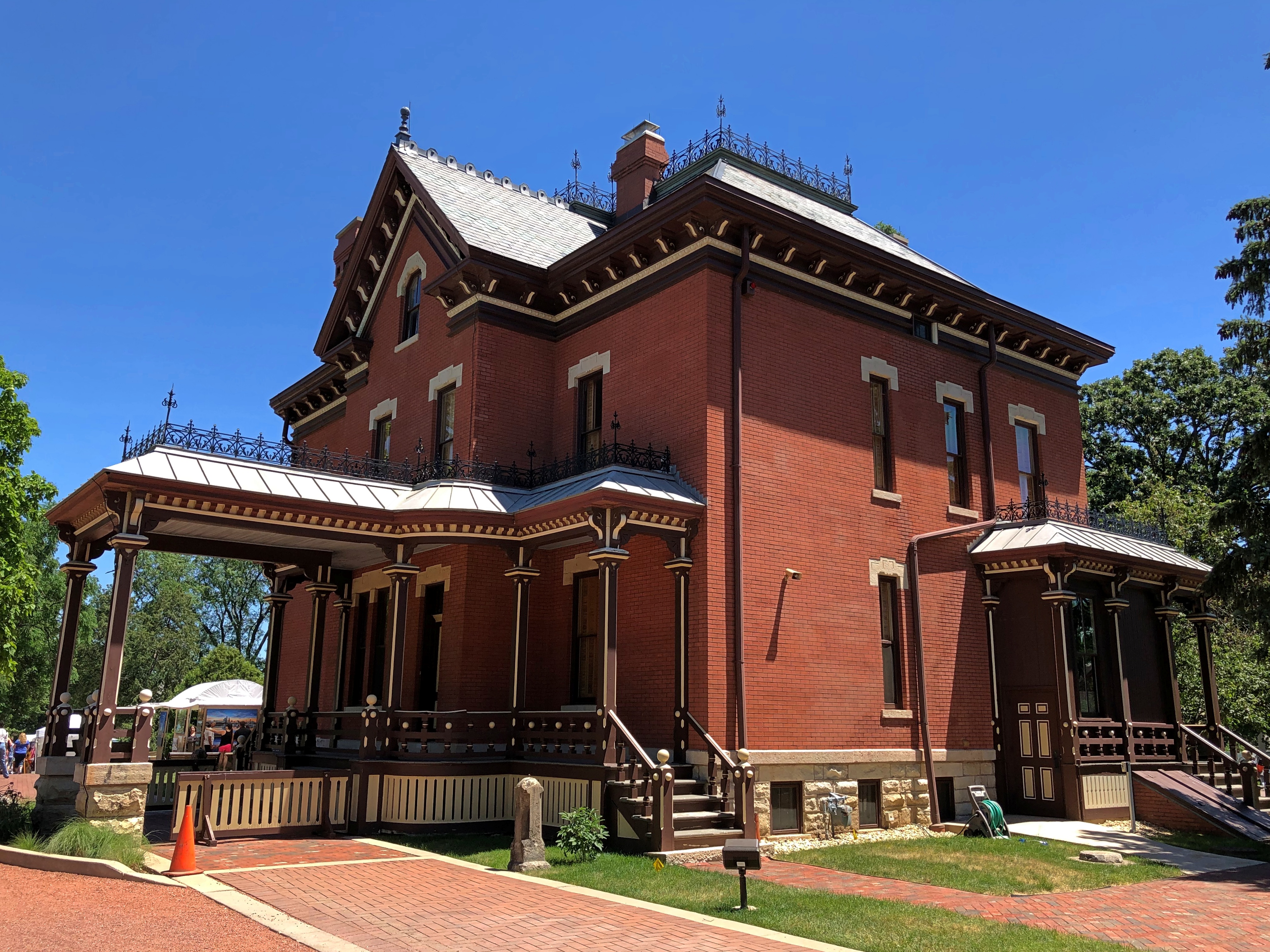
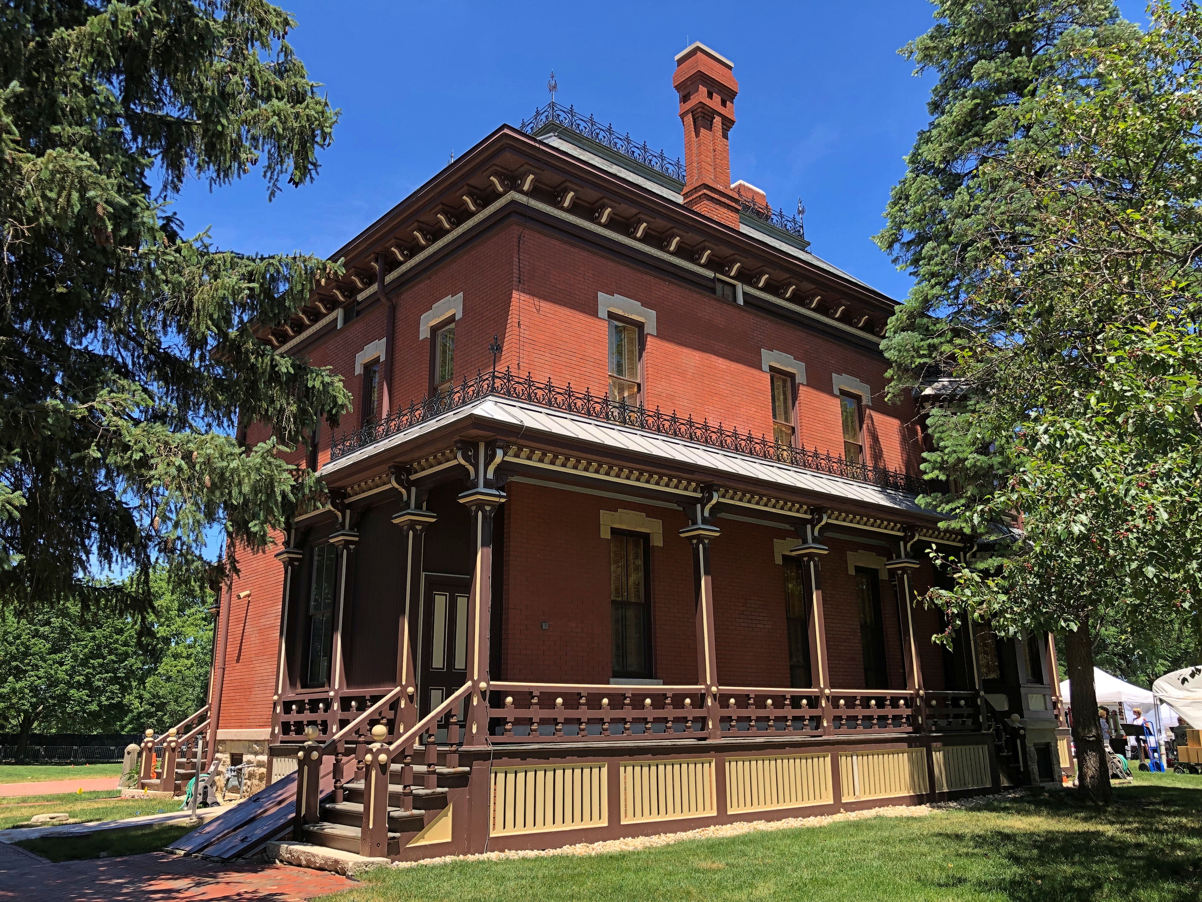
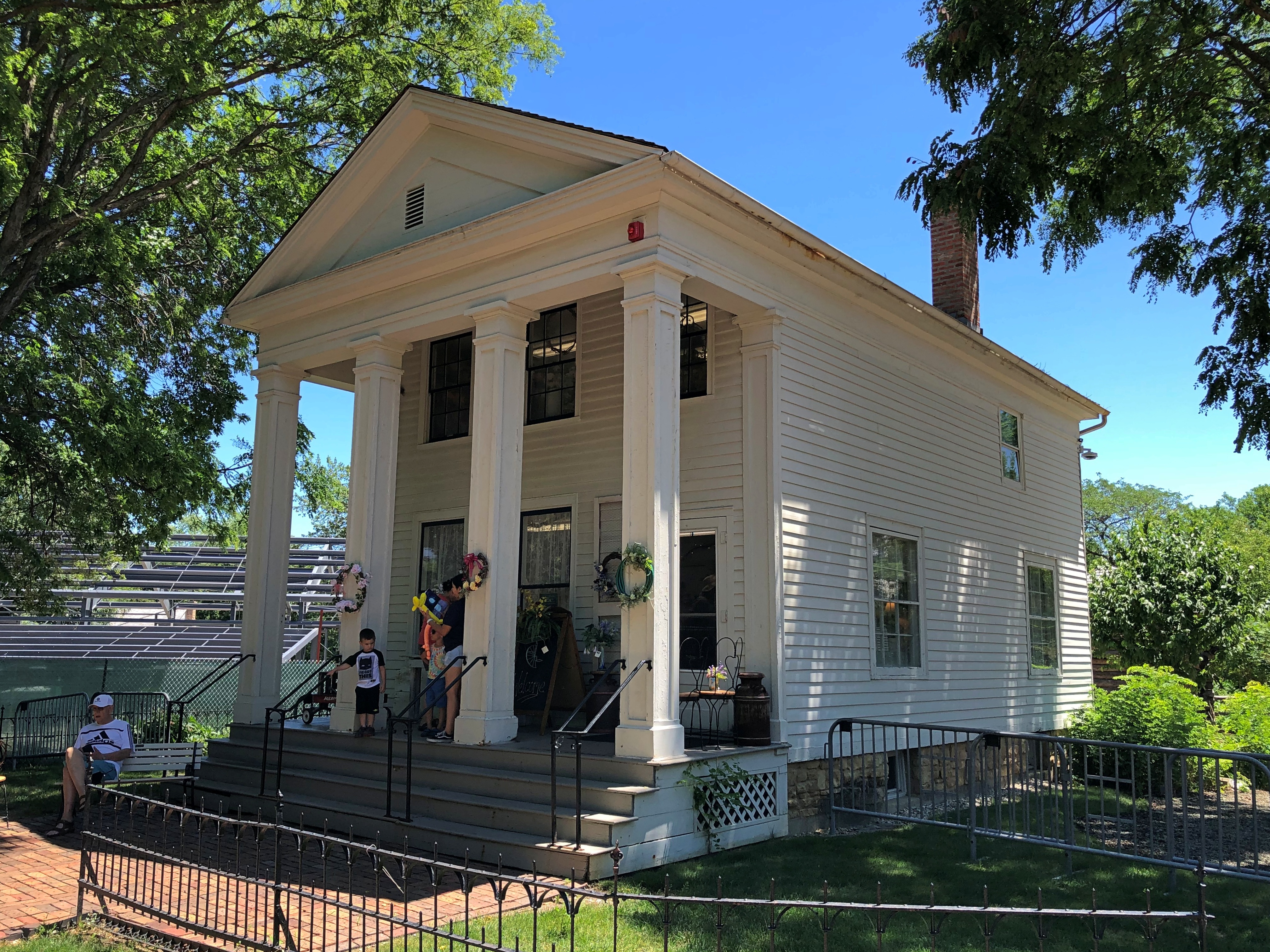
I was more interested in taking a look at the buildings, even though most of them were closed. The crown jewel of the museum, of course, is the handsome Martin Mitchell Mansion, which we toured those years ago. I didn’t remember much about Mitchell — just that he made money in bricks, many of which are evident in the house, and that his daughter was a dwarf who willed the property to the city.Naper Settlement Naper Settlement

The Daniels House.Naper Settlement

Hamilton C. Daniels (1820-97) doctored in 19th-century Naperville. Wonder whether, toward the end, old doc Daniels was still a miasma man or he came around to germ theory.

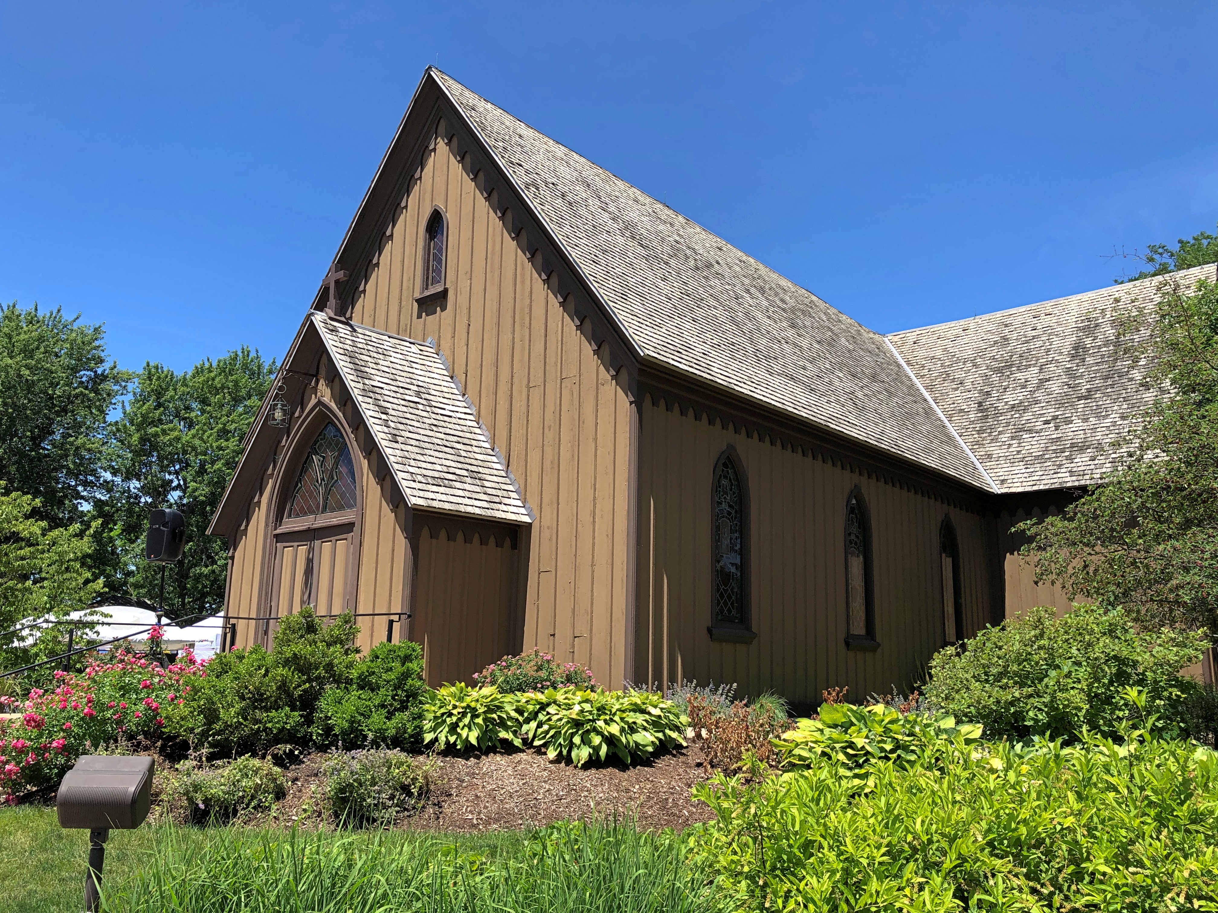
The Century Memorial Chapel.Naper Settlement

Formerly St. John’s Episcopal in Naperville, dating from 1864.

The museum also has some nice gardens.
Naper Settlement

Speaking of gardens, there was a special display of Victory Gardens. Boxes honoring the originals, anyway, and individual service members.Naper Settlement Victory Garden Boxes Naper Settlement Victory Garden Boxes

Something I learned from the signage: In 1943, seven million acres of Victory Gardens were planted, producing 40% of the nation’s fresh produce that year.

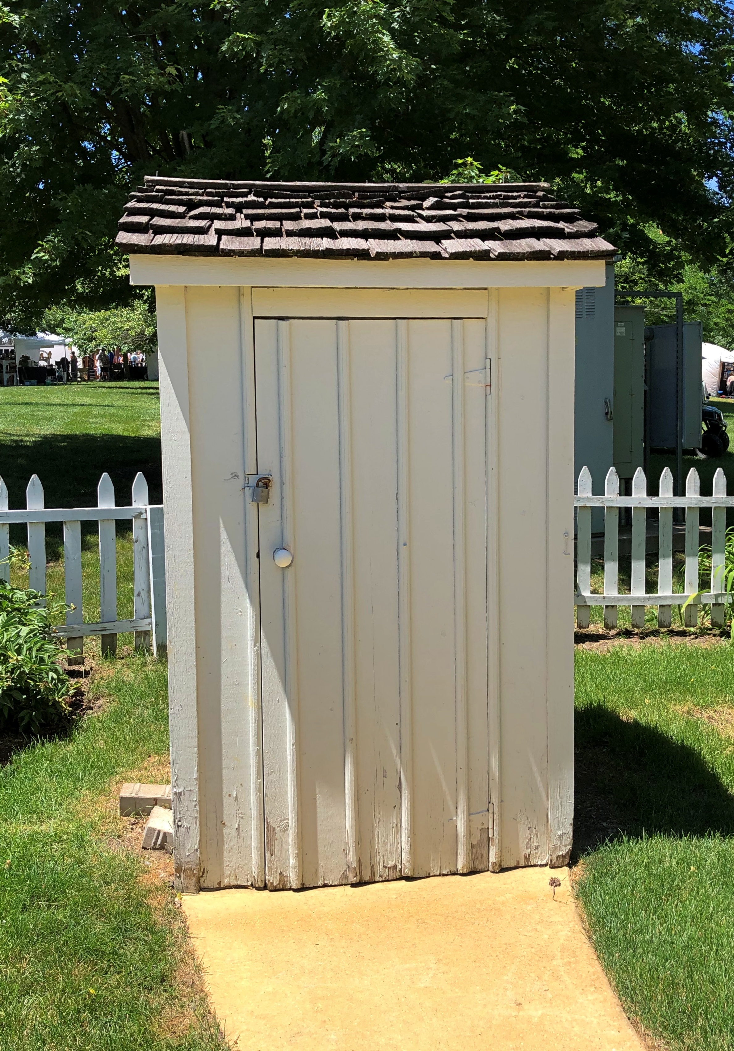
One more structure, though there are 30 all together on the grounds: the Murray Outhouse.
Naper Settlement outhouse

How many outhouses in the world are named? There have to be others, but there couldn’t be that many.

Down in Galveston, Up in Yellowstone

Back to posting on Tuesday, since of course Juneteenth is a holiday. I just found out that since last year, there’s been a mural in Galveston commemorating the issuance of General Order No. 3 by (Brevet) Maj. Gen. Gordon Granger, who would be wholly obscure otherwise. The artist, Reginald C. Adams, is from Houston.

Something to see if I ever make it back to Galveston, which is more likely than, say, Timbuktu. But I don’t believe I’ll go to Galveston in the summer again.

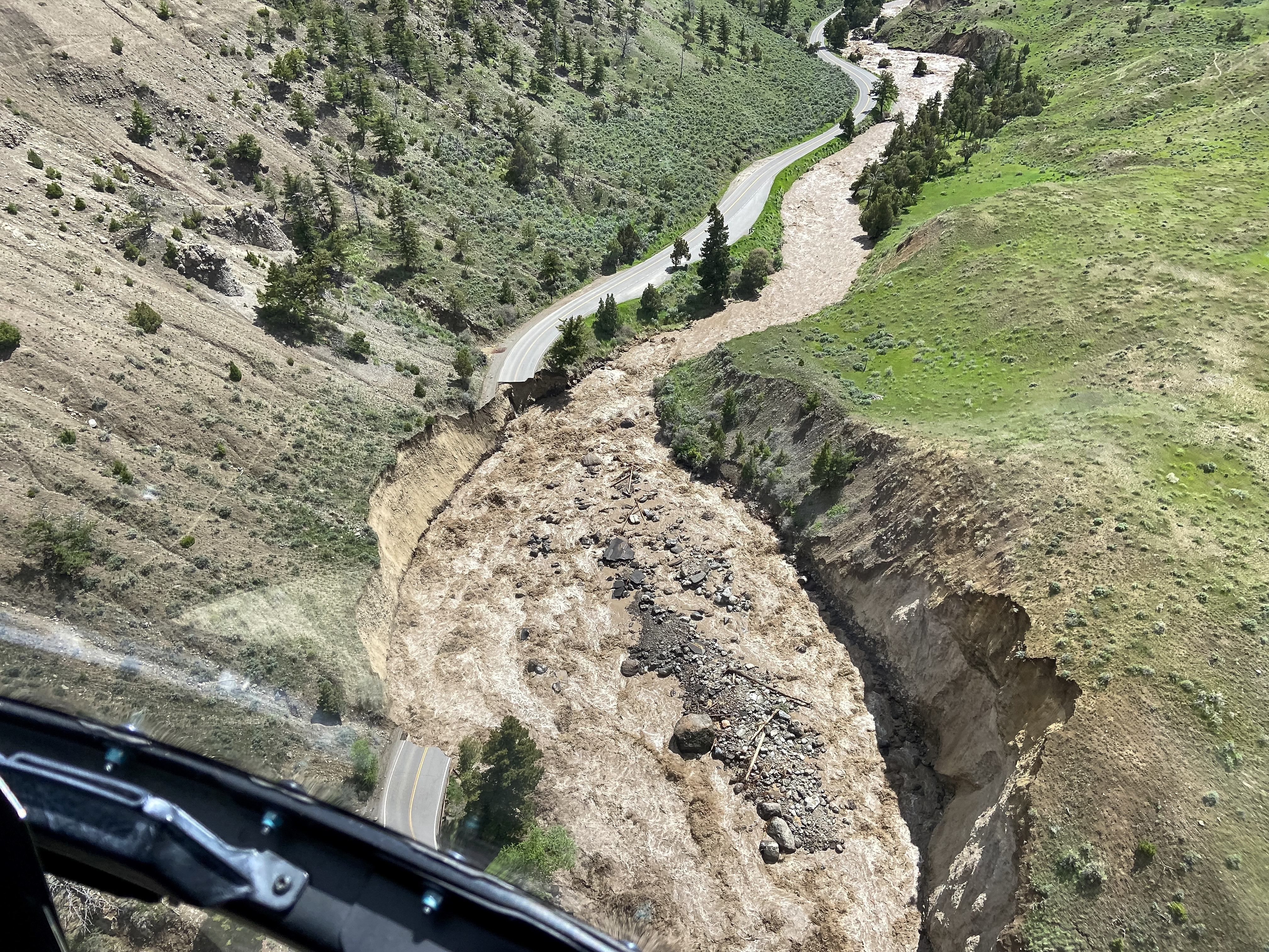
I downloaded a National Park Service image (and thus public domain) today of the road near the north entrance of Yellowstone NP, showing the damage from the recent flooding. Damn.Yellowstone NP flood 2022

Many more pictures of the flooding in the park and in Montana are here, along with a story about the curious absence of the governor of Montana.

“Aerial assessments conducted Monday, June 13, by Yellowstone National Park show major damage to multiple sections of road between the North Entrance (Gardiner, Montana), Mammoth Hot Springs, Lamar Valley and Cooke City, Montana, near the Northeast Entrance,” the NPS says. “Many sections of road in these areas are completely gone and will require substantial time and effort to reconstruct.”

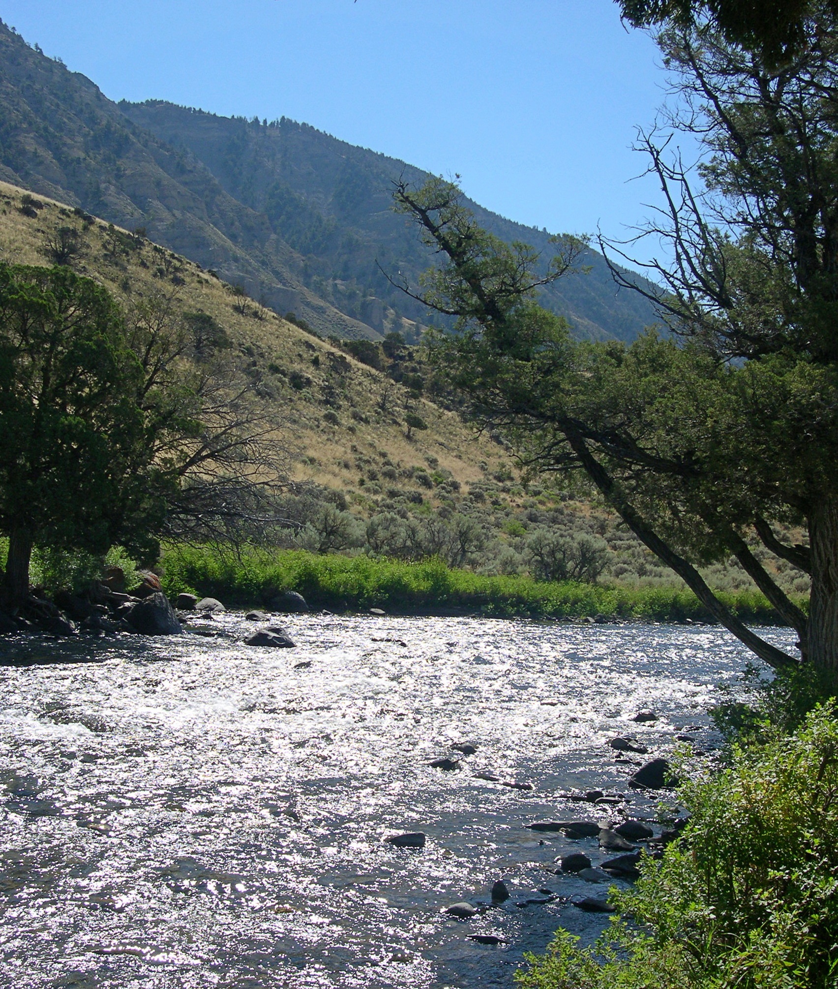
No doubt. We entered the park at the north entrance back in ’05 and spent some time in that part of Yellowstone. The Gardiner River was much more peaceful then.Gardiner River 2005

“Just south of the park’s north entrance, there’s a parking lot next to the Gardiner River. Just beyond the edge of the lot is a path that follows the edge of the river, under some shade trees,” I wrote at the time.

“The river is very shallow at that point, with a cold current pushing over piles of very smooth stones… piles of rock moderated the current a little, so that you could sit in the river and let it wash over you. It wasn’t exactly swimming, but it was refreshing.

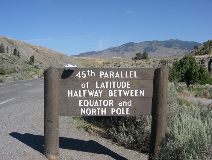
“Along the road, just at the entrance to the parking lot, there were two signs: ENTERING WYOMING and 45TH PARALLEL of LATITUDE HALFWAY BETWEEN EQUATOR and NORTH POLE.”

Wonder if that sign is still standing.

Colorado Plateau ’22 Leftovers

I’ve changed the name of this trip. What, doesn’t everyone name their trips? No? Anyway, Colorado Plateau ’22 is better than the ridiculous NV-AZ-UT 22, which looks like a part number in a tool-and-die factory.

But not quite all on the Colorado Plateau. Just outside Las Vegas, maybe five or so miles from where  that city finally peters out on I-15 toward Los Angeles, is Seven Magic Mountains.Seven Magic Mountains Seven Magic Mountains Seven Magic Mountains

Magic, maybe, mountains no, at least not in any literal sense. An art installation by Ugo Rondinone, a Swiss artist.

We only passed through Zion NP, stopping only for a few minutes on the side of the road.Zion NP Zion NP Zion NP

Near the entrance.Zion NP

At the entrance.Zion NP

A different entrance: Grand Staircase-Escalante National Monument. A small bit of the vastness of the place, more than 1.8 million acres.
Grand Staircase-Escalante NM

I knew that was a road I wanted to drive a little ways at least, to check out the views. My instincts were right.Grand Staircase-Escalante National Monument Grand Staircase-Escalante National Monument Grand Staircase-Escalante National Monument Grand Staircase-Escalante National Monument

When we were nearly in Page, Arizona, we stopped for a few minutes at a viewpoint over Lake Powell. I was flabbergasted by how low the lake looks.Lake Powell 2022 Lake Powell 2022

And so it is. The lowest level since the lake was built. Lake Mead is low as well, so much so that (possible) mob hit victims have been discovered. Apparently the idea of draining Lake Powell to fill Lake Mead is being entertained by officialdom, I read, though it’s hard to know how seriously.

The cookers at Big John’s Texas Barbecue in Page.Big Johns Texas Barbecue Page Arizona Big Johns Texas Barbecue Page Arizona

Man, Big John made some mean ‘cue in those cookers.

The Lake Powell Motel, also in Page, where we stayed. For the second time. We were there in 1997. A one-minute walk to Big John’s.Lake Powell Motel

When we stayed there 25 years ago, the property was called Bashful Bob’s Motel. Sometime in the 2010s, new ownership changed the name and spent a fair amount renovating the interiors so that they are pretty nice two-bedroom apartments. Back in the late ’90s, the rooms were old, but pleasant. I wonder if I have the ’97 bill somewhere to compare rates. Maybe.

Also, it’s clear that the owners had to renovate to compete with the numerous chain hotels in the town. Bashful Bob didn’t a lot of that kind of competition in the old days, just  smaller properties, a few of which linger still in Page.
Red Rock Motel Page Arizona

The Red Rock started as housing for workers building Glen Canyon Dam, built in 1958 by the Bureau of Reclamation. Actually, I suspect Bashful Bob’s started out that way as well.

In Moab, Utah, we stayed at the Apache Motel. We found it a most pleasant place to stay, and with a touch of movie history to it.Apache Motel Moab Utah Apache Motel Moab Utah
Clean, comfortable, not particularly cheap or expensive, feeling very much like a ’50s motel, though with a few modifications. The motel doesn’t let you forget that the Duke stayed there when filming movies nearby. Other stars did too.Apache Motel Moab Utah

One more feature at Temple Square in Salt Lake City: the Handcart Pioneer Monument.
Handcart Memorial

More Mormons in metal: The centerpiece of the This is the Place Heritage Park, which is on a hill at the edge of the city, where B. Young reportedly told his followers This is the Place, as in, to settle. We dropped by for a short look.This is the Place This is the Place

At the base of the memorial are six figures depicting important in the history of this part of Utah who weren’t Mormons, such as a couple of fur trappers, a chief of the Shoshone, plus adventurers and explorers.

Including this fellow, John C. Fremont.
This is the Place, John Fremont

That’s my presidential site for the trip. Ran for president in ’56, after all.