Immaculate Conception, St. Matthew’s & Other Fairbanks Churches

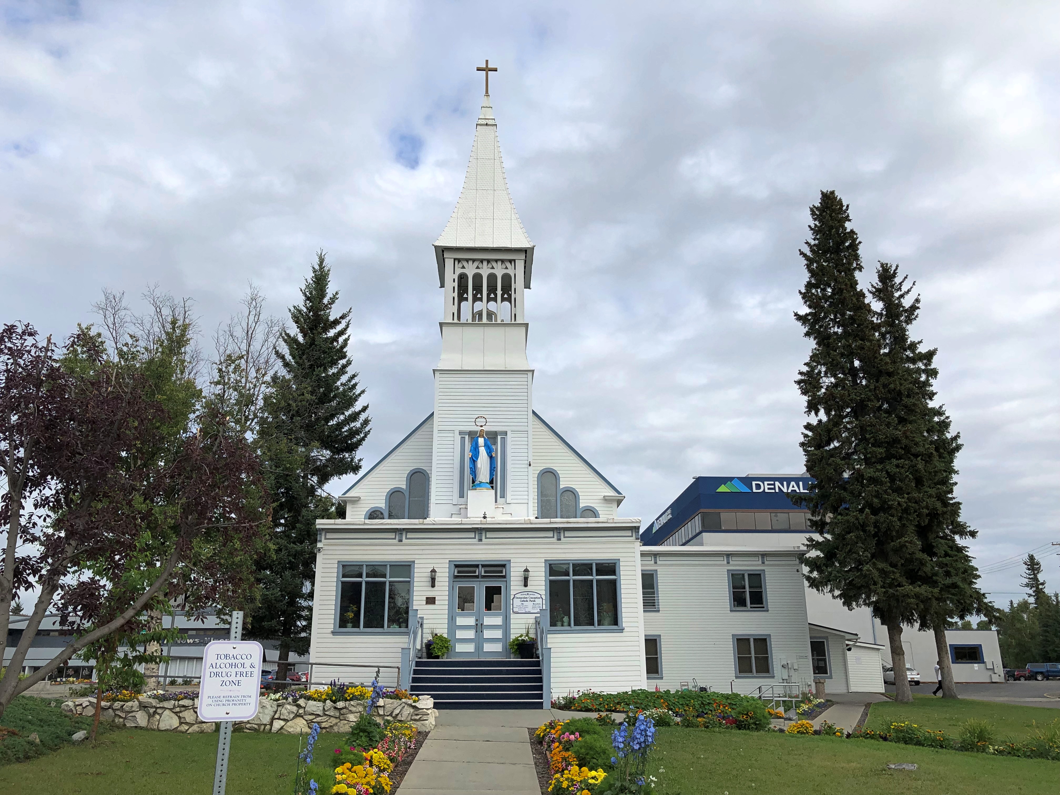
On the Chena River across from Fairbank’s Golden Heart Plaza is Immaculate Conception Church, built by Father Francis Monroe, S.J. early in the city’s history (1904) south of the river, but moved to its present position (north of the river) across the frozen Chena in the winter of 1911-12. Modern moving techniques weren’t available, so townspeople were taking bets as to whether the building would actually make it across.

Immaculate Conception Church, Fairbanks

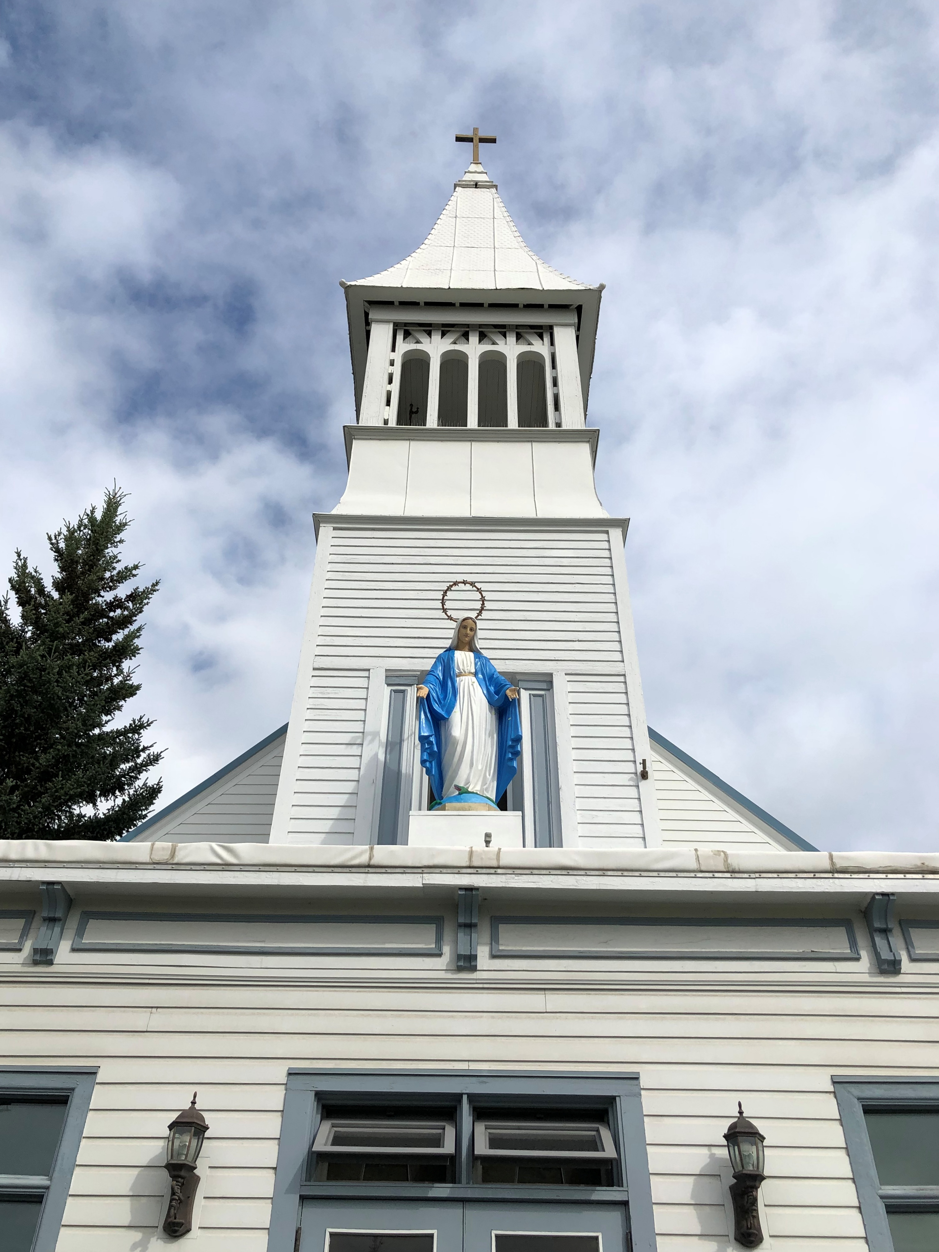
Immaculate Conception Church, Fairbanks

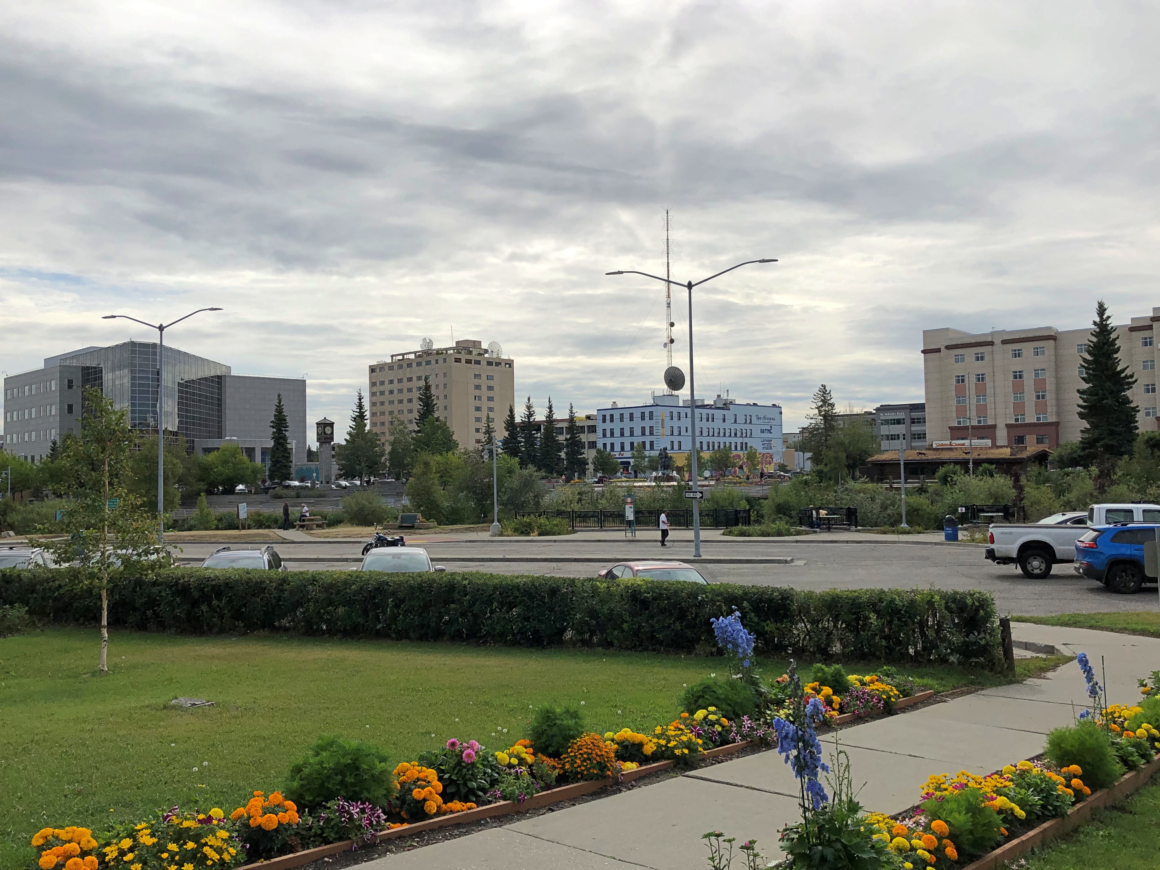
The view of downtown from the church.

Downtown Fairbanks

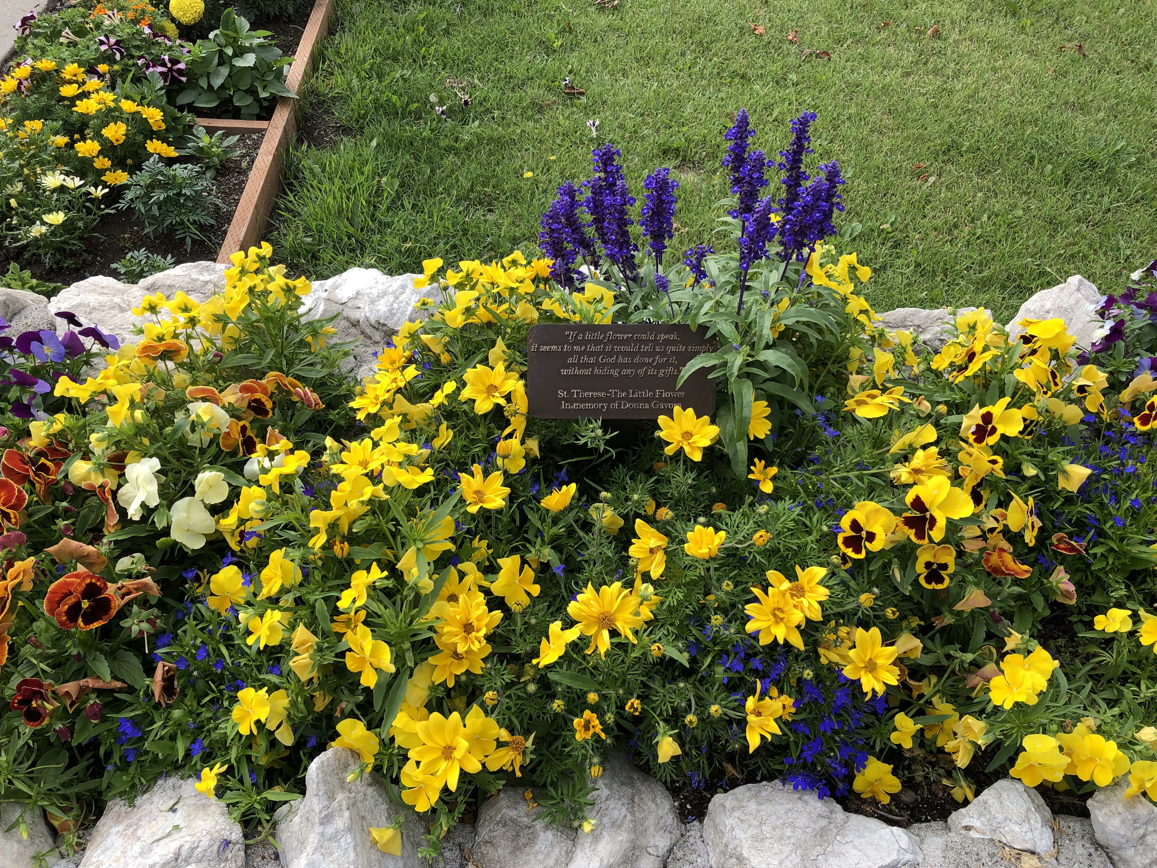
Nice flowerbeds, too.Immaculate Conception, Fairbanks

Immaculate Conception is the oldest Catholic church in the interior of Alaska, and at one time counted as a cathedral. That title and the seat of the Diocese of Fairbanks is elsewhere these days, at Sacred Heart Cathedral, which I drove by but didn’t stop at.

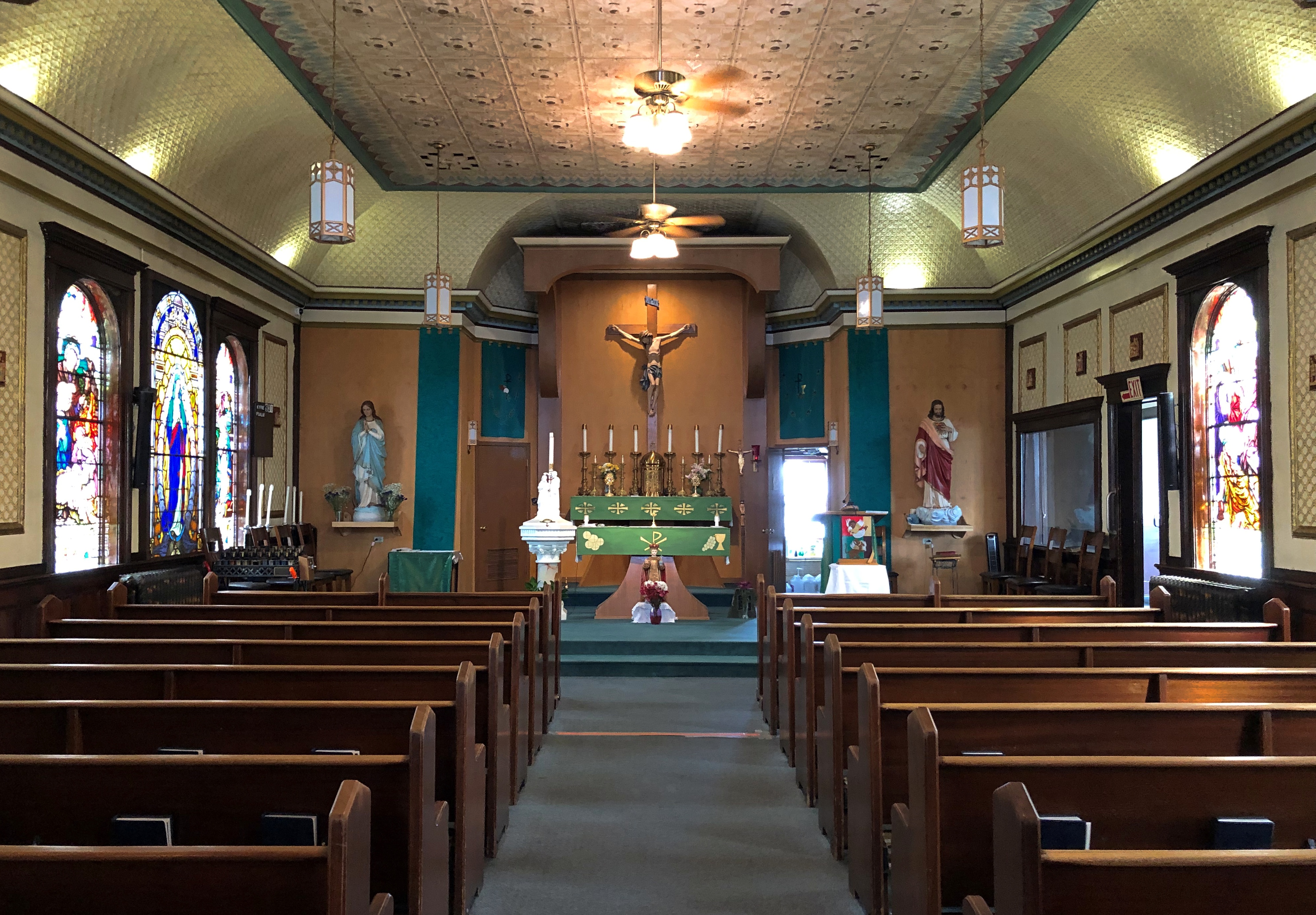
I was glad to find the church open.
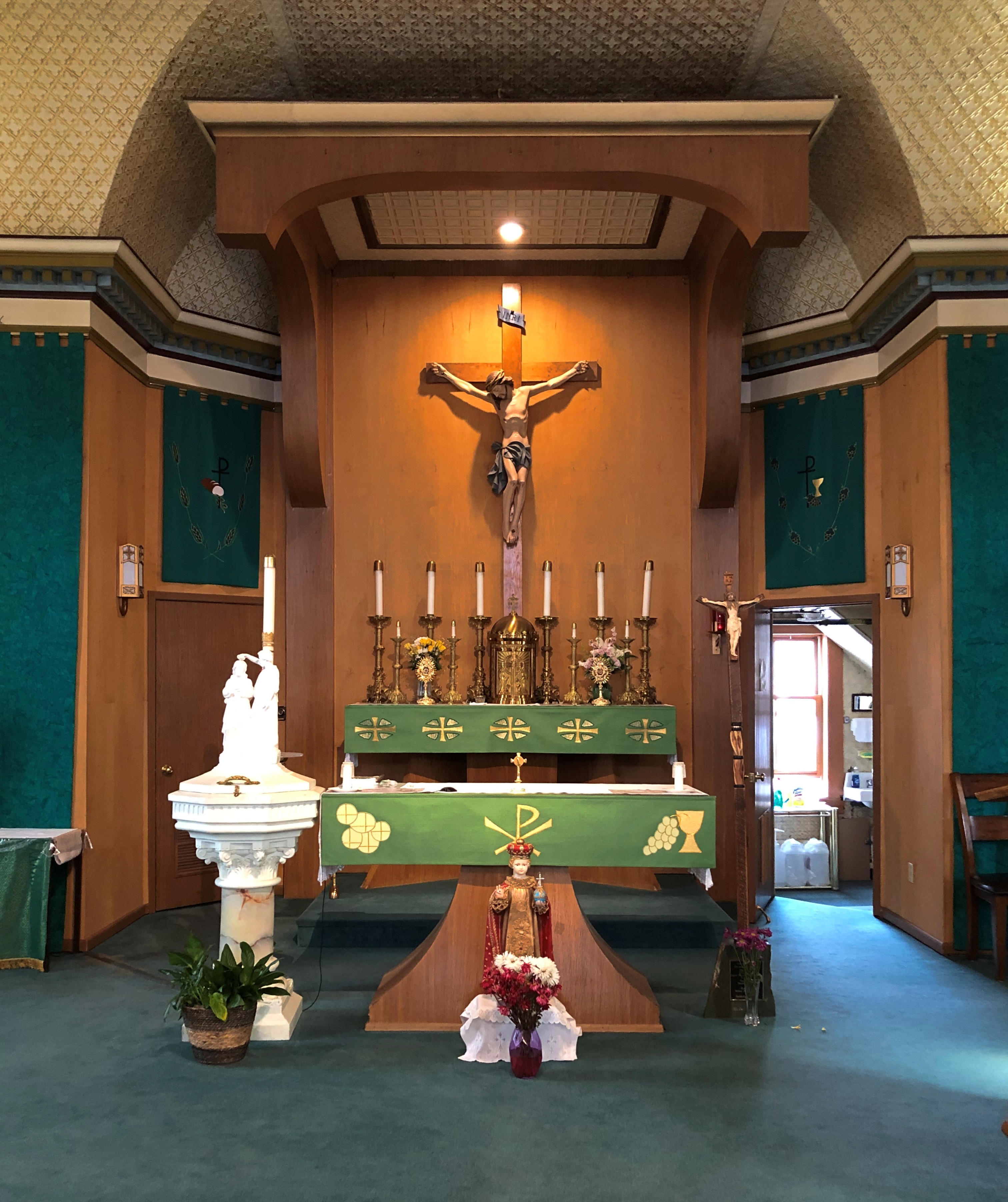
Immaculate Conception Church, Fairbanks

That was the only Fairbanks church I ventured inside of, but I did stop for a look at a few other exteriors, such as First United Methodist, just outside downtown.
First Methodist Church, Fairbanks

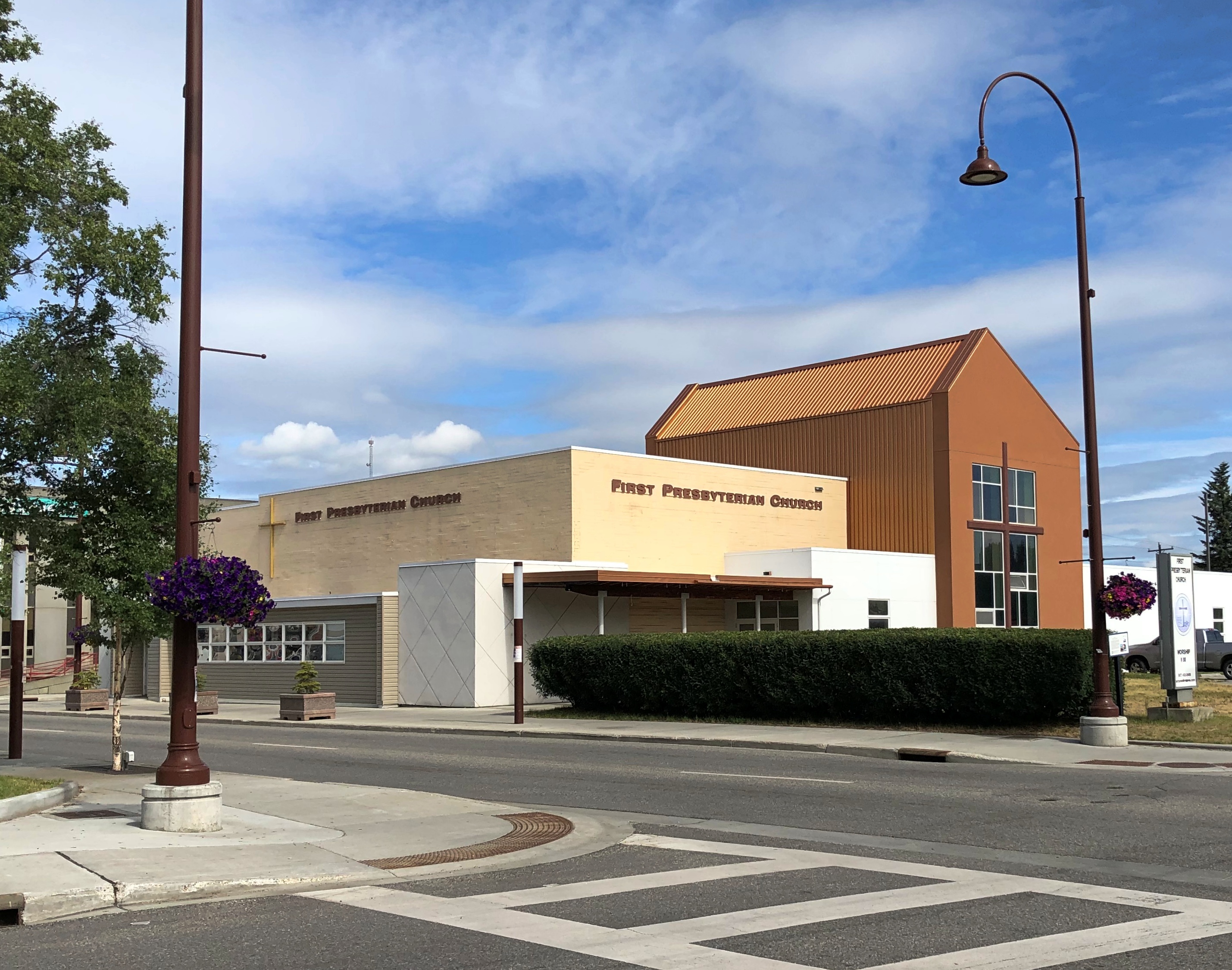
The more modernist First Presbyterian, not far from city hall.
First Presbyterian Church, Fairbanks

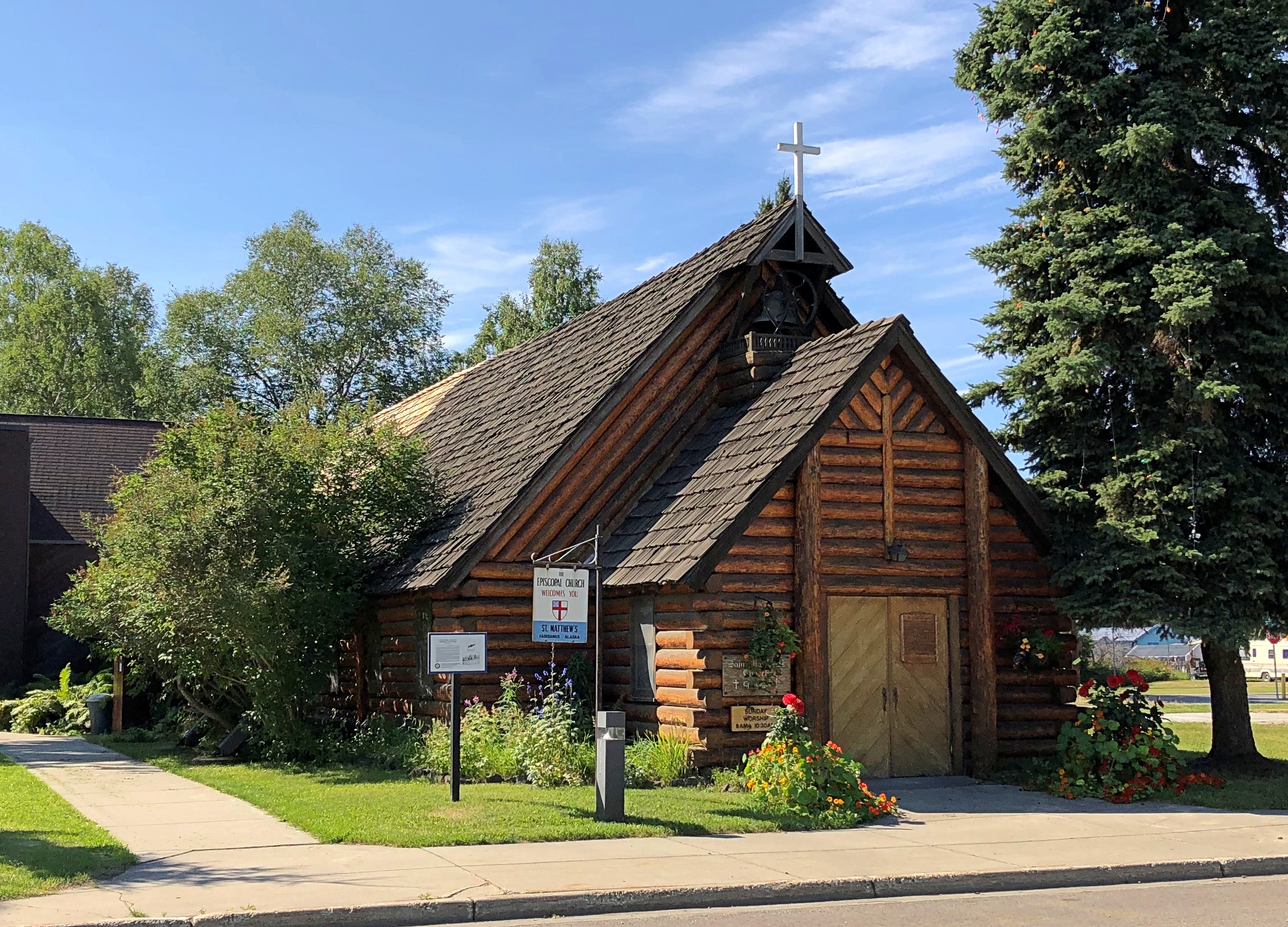
And the Episcopalian St. Matthew’s, founded in 1904.St. Matthew's Episcopal, Fairbanks

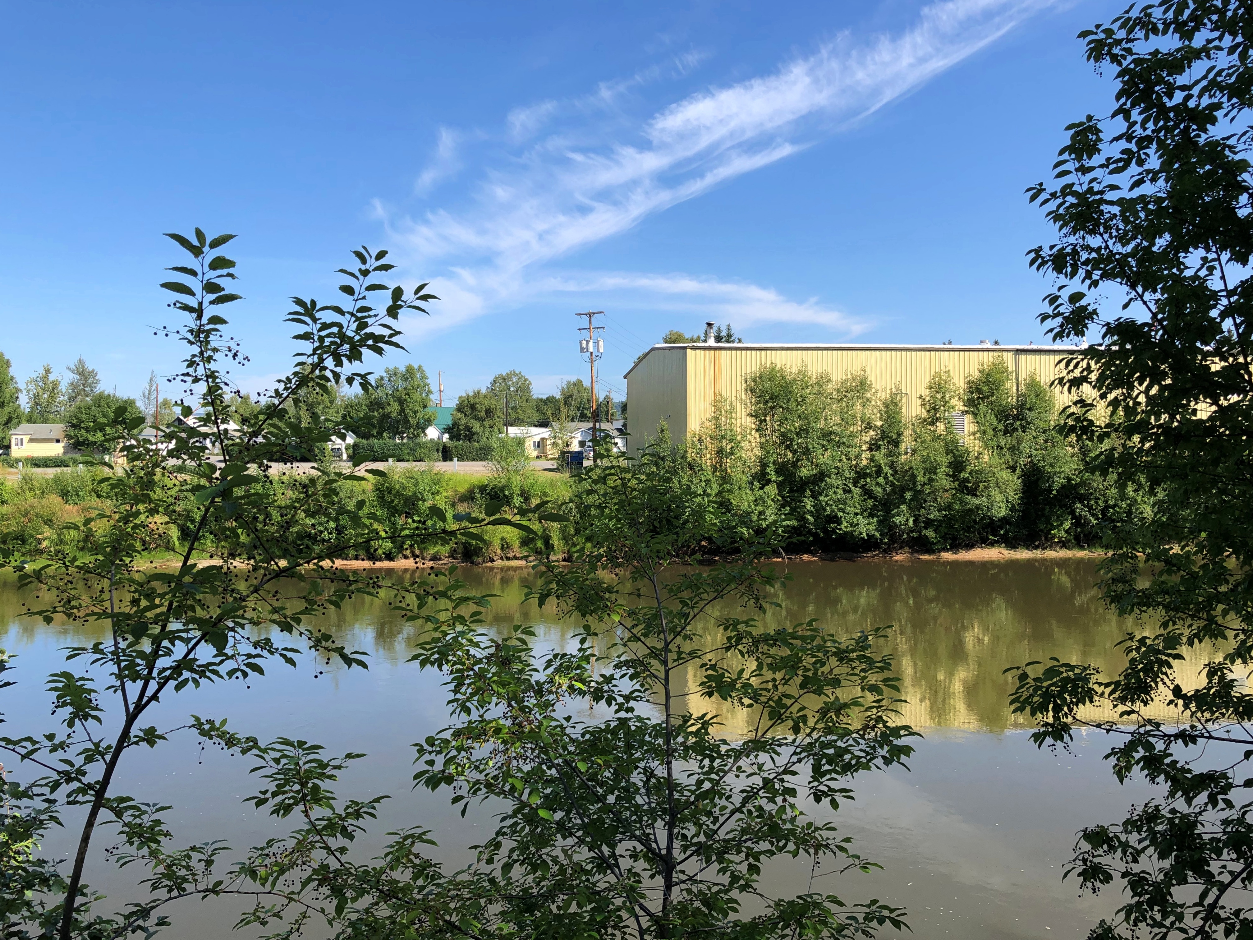
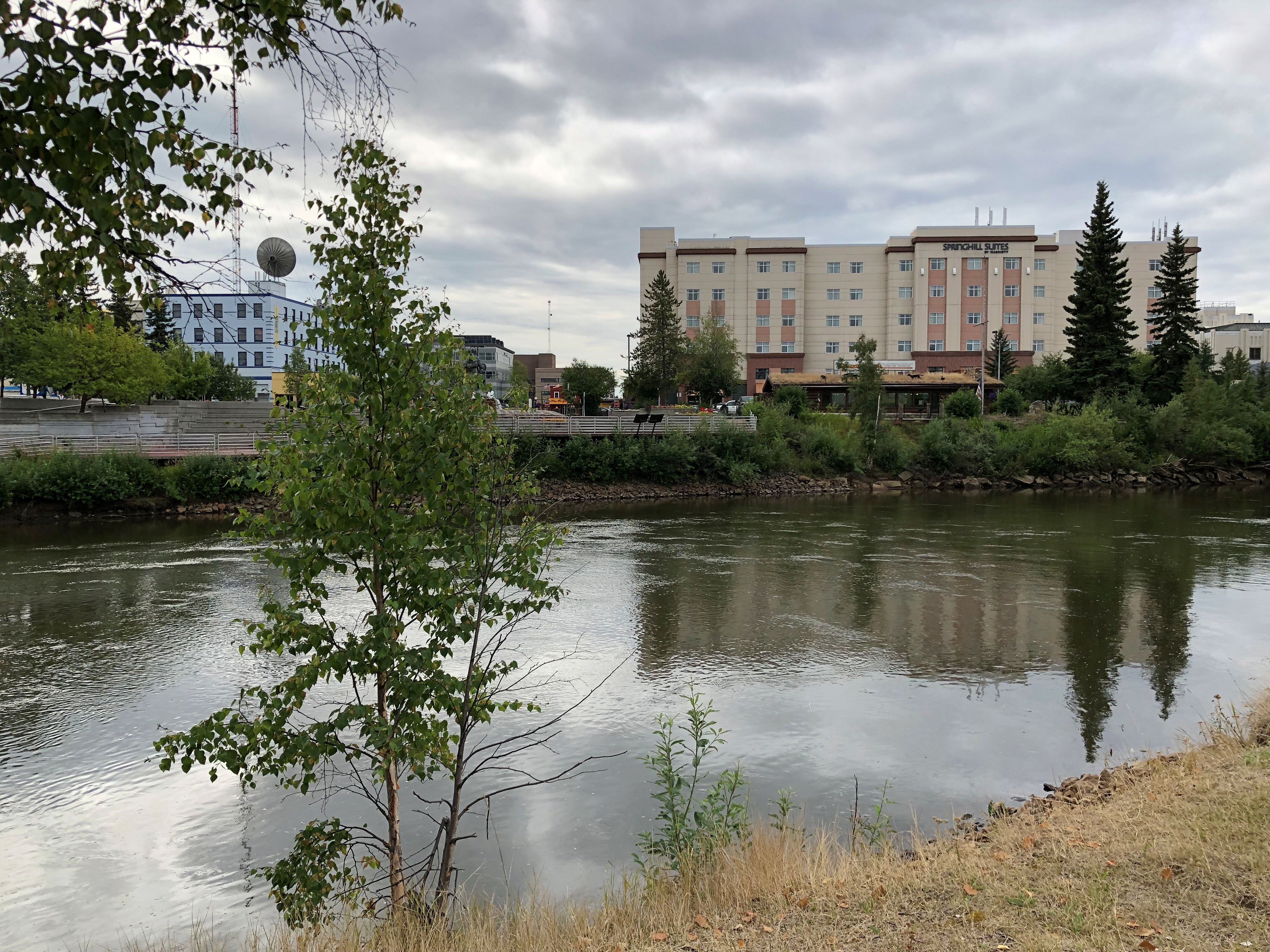
“St. Matthews is one of the three oldest churches in Fairbanks, located on First Avenue, across the street from the Chena River,” the church web site says. (South of the river.) The view of the Chena at that point:Chena River, Fairbanks

“The original church building burned in 1947, but the great wooden altar and other carvings were saved, and were replaced with the present St. Matthew’s Church building. First services in the new church were held Christmas Eve, 1948. Its congregation numbers about 1,200, over half of which are Alaskan Native. The Lord’s Prayer is prayed nearly every Sunday (if a speaker is present) in the Gwitch’in, the Athabaskan language, as well as in English.”

The church also has a deep and unexpected (to me, anyway) connection with the first ascent of Mt. Denali. The Episcopal Archdeacon of Alaska and the Yukon, Hudson Stuck, held the first service at St. Matthew’s on October 16, 1904.

Less than nine years later, in the spring of 1913, Stuck led the first expedition to summit Denali, or McKinley, as it was known at the time. Three other men were with him: “Walter Harper, the youngest at age twenty, half Alaskan Native, fit and confident; Harry Karstens, thirty-four, calmly competent from his years in the Alaskan backcountry; and Robert Tatum, twenty-one, the greenest member of the team,” the Daily Beast notes.

The final push came on June 7. “They had launched this expedition eight weeks earlier, enduring bitter cold, severe altitude, and the loss of key supplies to a campfire…

“How did an Episcopal Archdeacon, well into middle age by the standards of the time, come to find himself in the freezing final summit push on the highest, coldest peak on the continent? The answer lay in two equally potent forces, woven into his being. Just as strong as Hudson Stuck’s belief in doing good — “I am sorry for a life in which there is no usefulness to others,” he once wrote — was his love of wild places.

“For Stuck, Alaska was a place where his physical and spiritual aspirations, his goals for himself and for his mission, could be united into a single purpose. ‘I would rather climb Mount McKinley than own the richest gold mine in Alaska,’ he claimed. He was not alone in his desire.”

A fascinating tale about someone I’d never heard of. Stuck was not, however, the first to the summit that day. He tapped Walter Harper for that honor.

“Harper was born in late 1892 and was the son of a Koyukon-Athabascan mother, Seentaána, and a legendary gold prospector father, Arthur Harper,” the NPS says.
“Walter was raised by his mother and was fluent in Koyukon-Athabascan. Tanana was his home village and he eventually attended the Saint Mark’s Mission school in Nenana before becoming a guide for Missionary Hudson Stuck. Stuck’s faith in Harper as a skilled guide and outdoorsman eventually led to his participation in the Denali summit expedition.”

Harper might well have become an important figure in the Alaska Territory, but he had the great misfortune to be aboard the Princess Sophia in October 1918, which sank en route from Skagway to Vancouver after striking Vanderbilt Reef, with the loss of all 350-plus souls — another story I’d never heard.

Two Fairbanks Cemeteries

Bound to miss the Perseids again tonight. A thunderstorm is supposed to roll through tonight — third night in a row here — and besides, metro Chicago is no place to see celestial phenomena very well, except maybe a bright moon or planet.

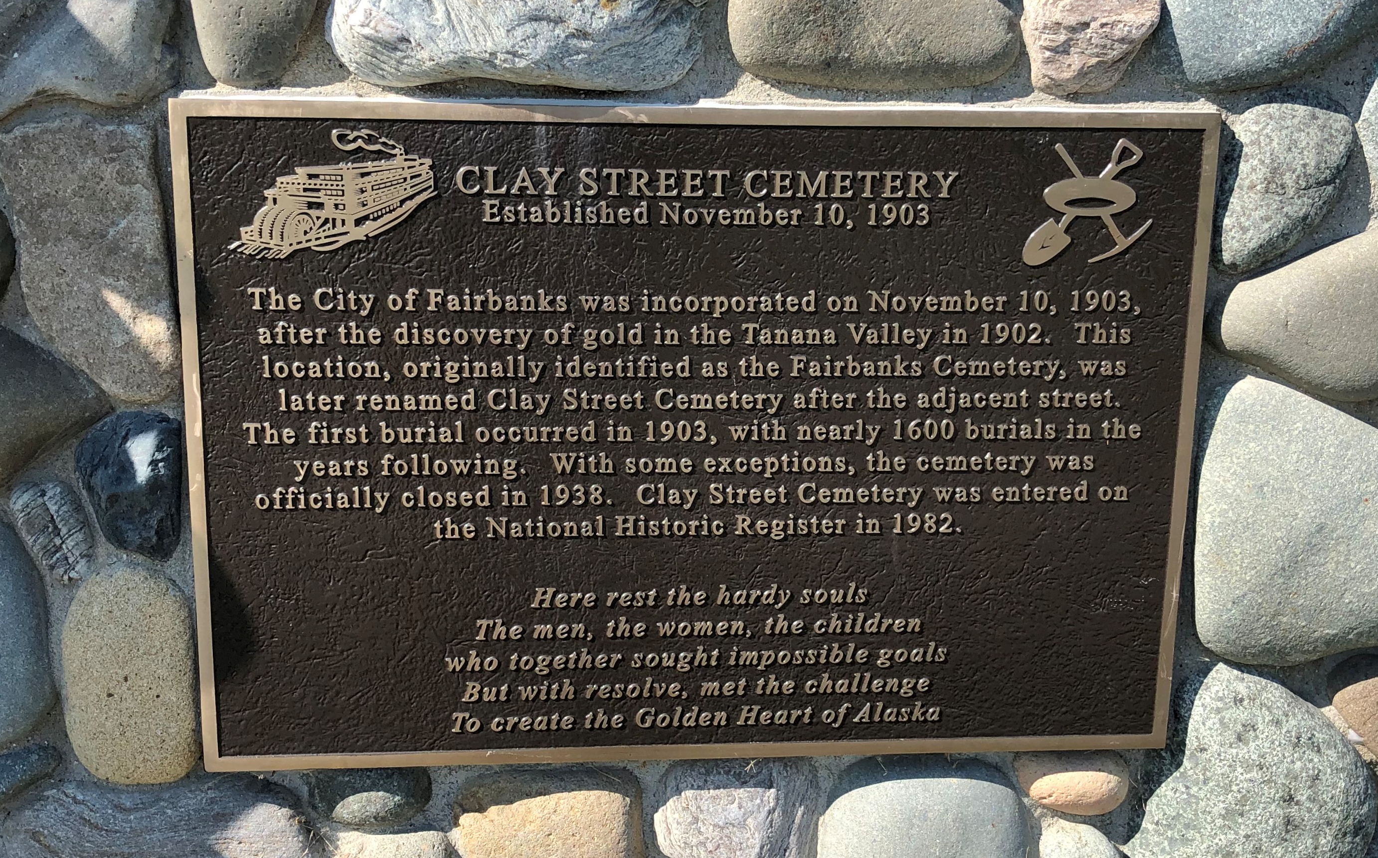
I visited two major Fairbanks cemeteries during my late July visit, in reverse chronological order. First I went to Birch Hill Cemetery, founded in 1938 as an alternative to Clay Street Cemetery closer to downtown, which was founded simultaneously with the settlement itself in 1903.

As the name implies, Birch Hill is on a hill. In our time, the hill overlooks the Steese Highway, where it meets the Johansen Expressway. At that particular junction are such major retailers as Home Depot, Costco, Fred Meyer, REI and Walgreen’s, so the traffic is relatively heavy and the cemetery relatively noisy. You get used to that.

Though they aren’t on this interesting list, I imagine that those Home Depot and Costco locations are the northernmost of the respective chains.

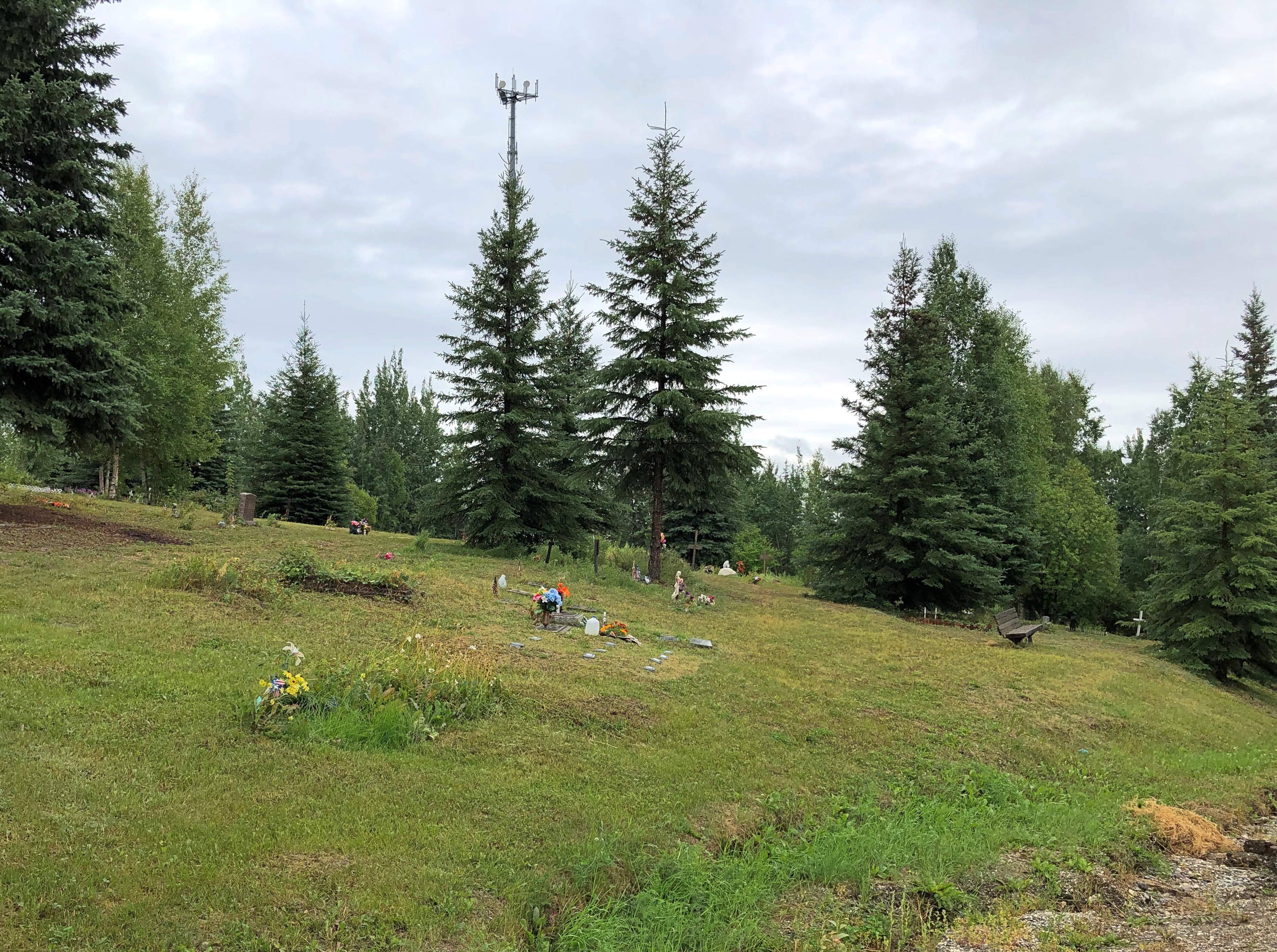
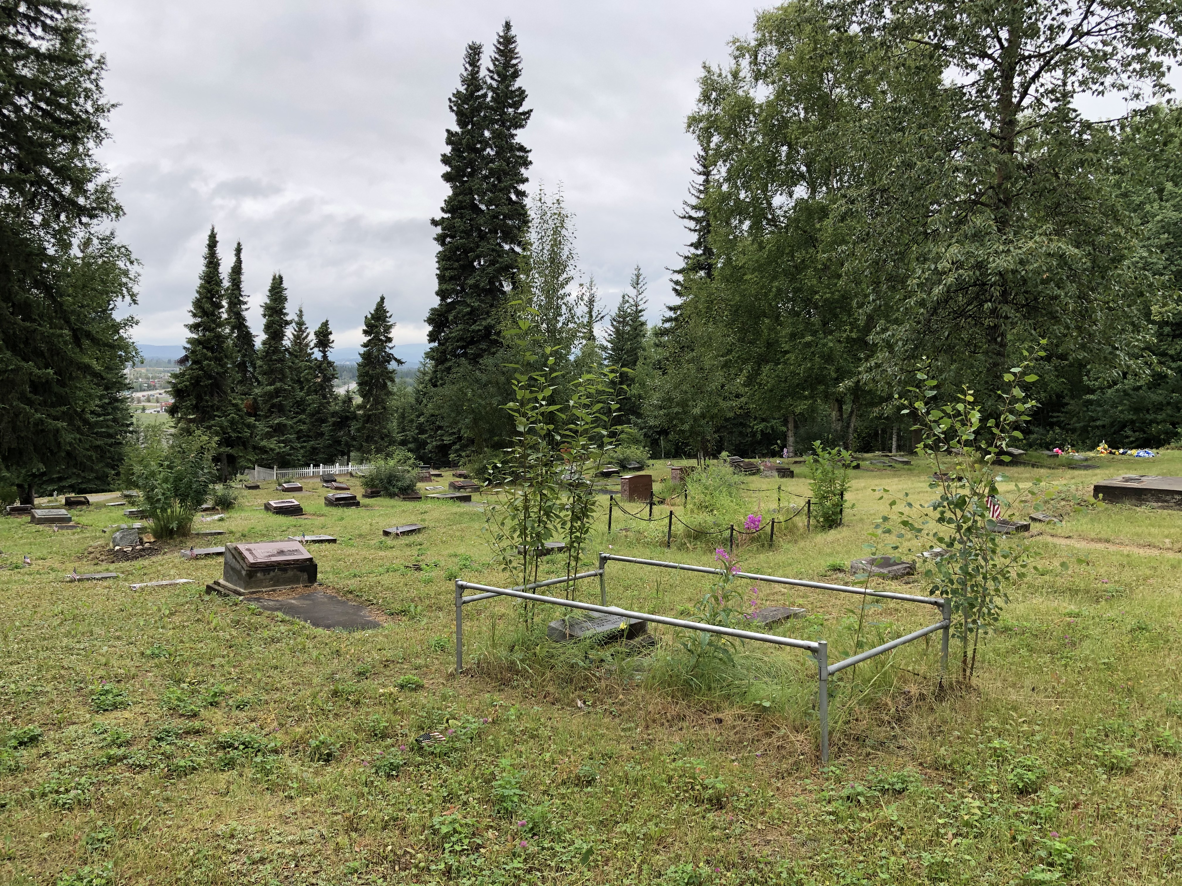
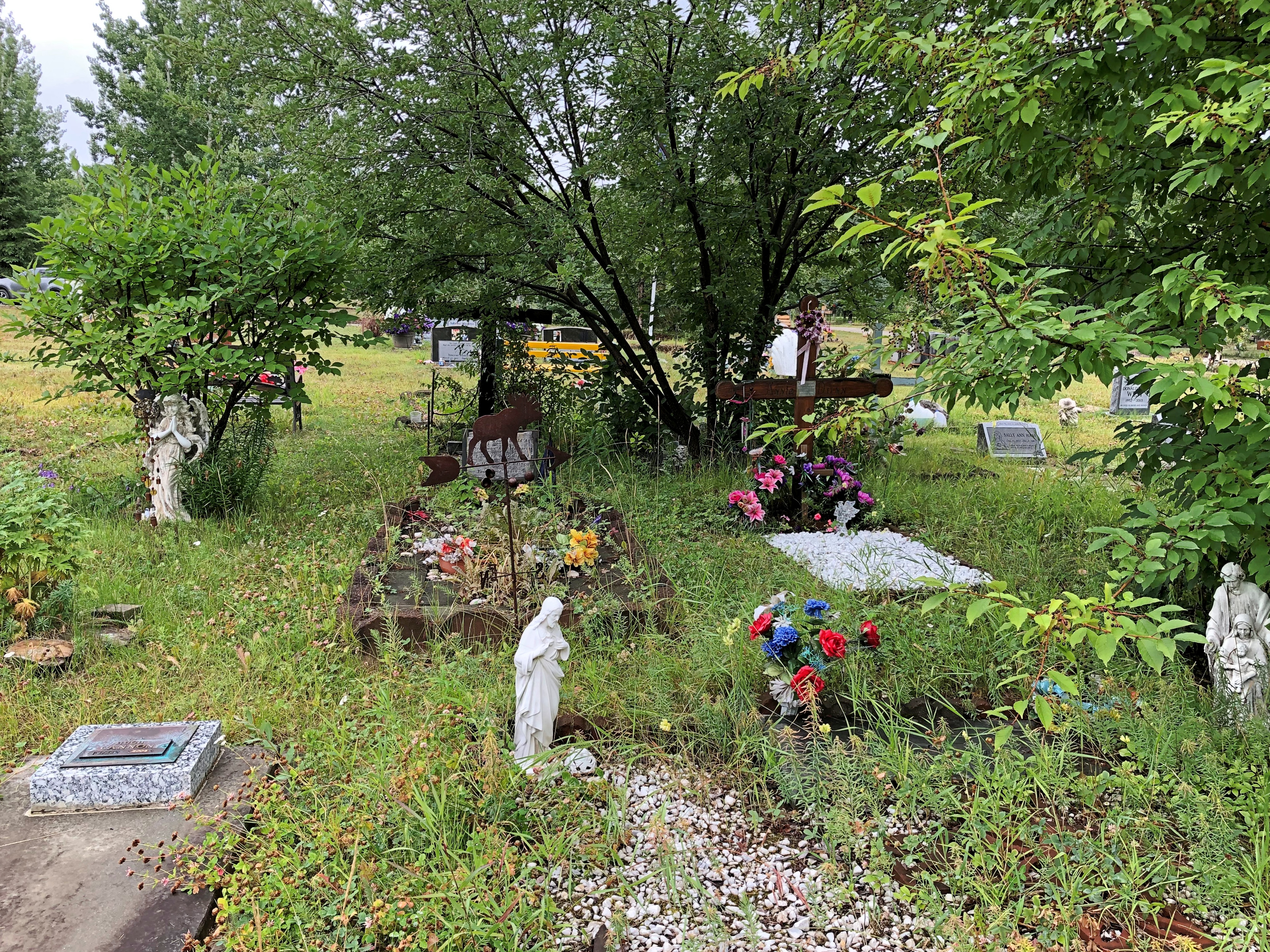
I tromped around Birch Hill for a good half hour.Birch Hill Cemetery, Fairbanks

Birch Hill Cemetery, Fairbanks

Birch Hill Cemetery, Fairbanks

Birch Hill Cemetery, Fairbanks

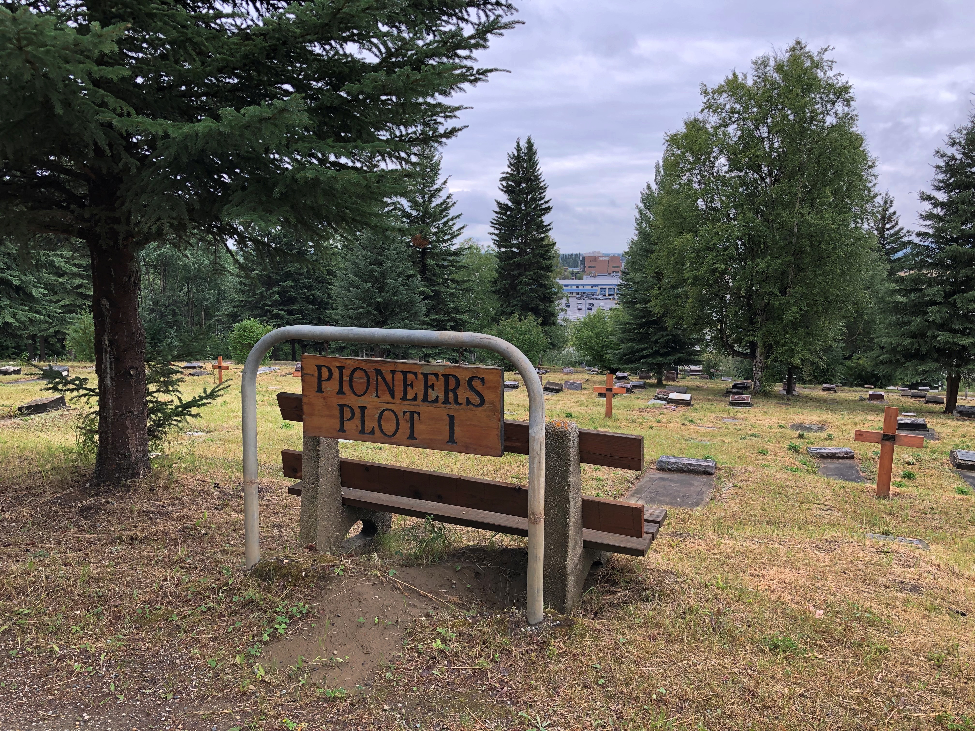
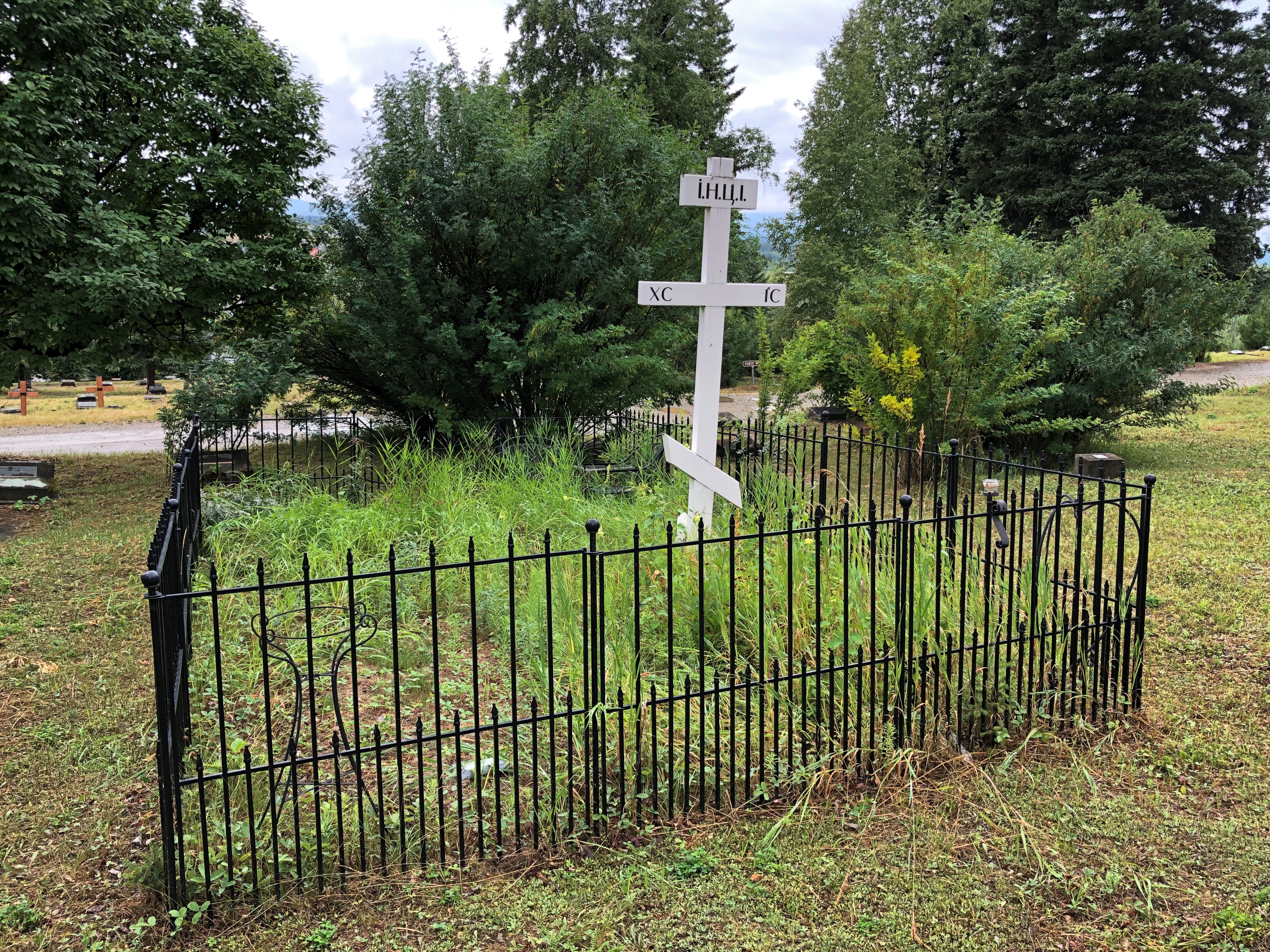
The cemetery included a number of special sections, such as Pioneers Plot 1.
Birch Hill Cemetery, Fairbanks

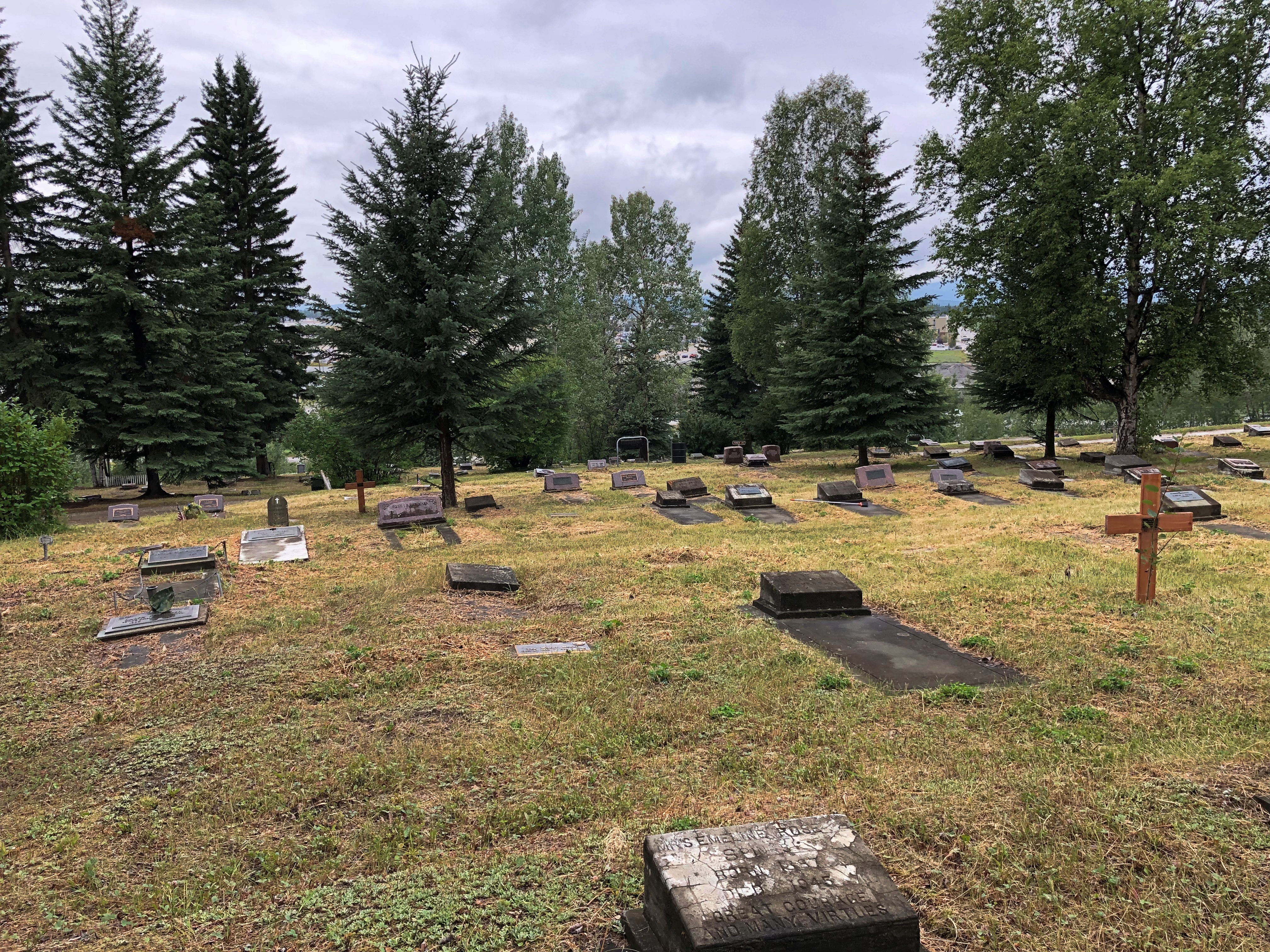
In that section, there (unsurprisingly) are old stones.
Birch Hill Cemetery, Fairbanks

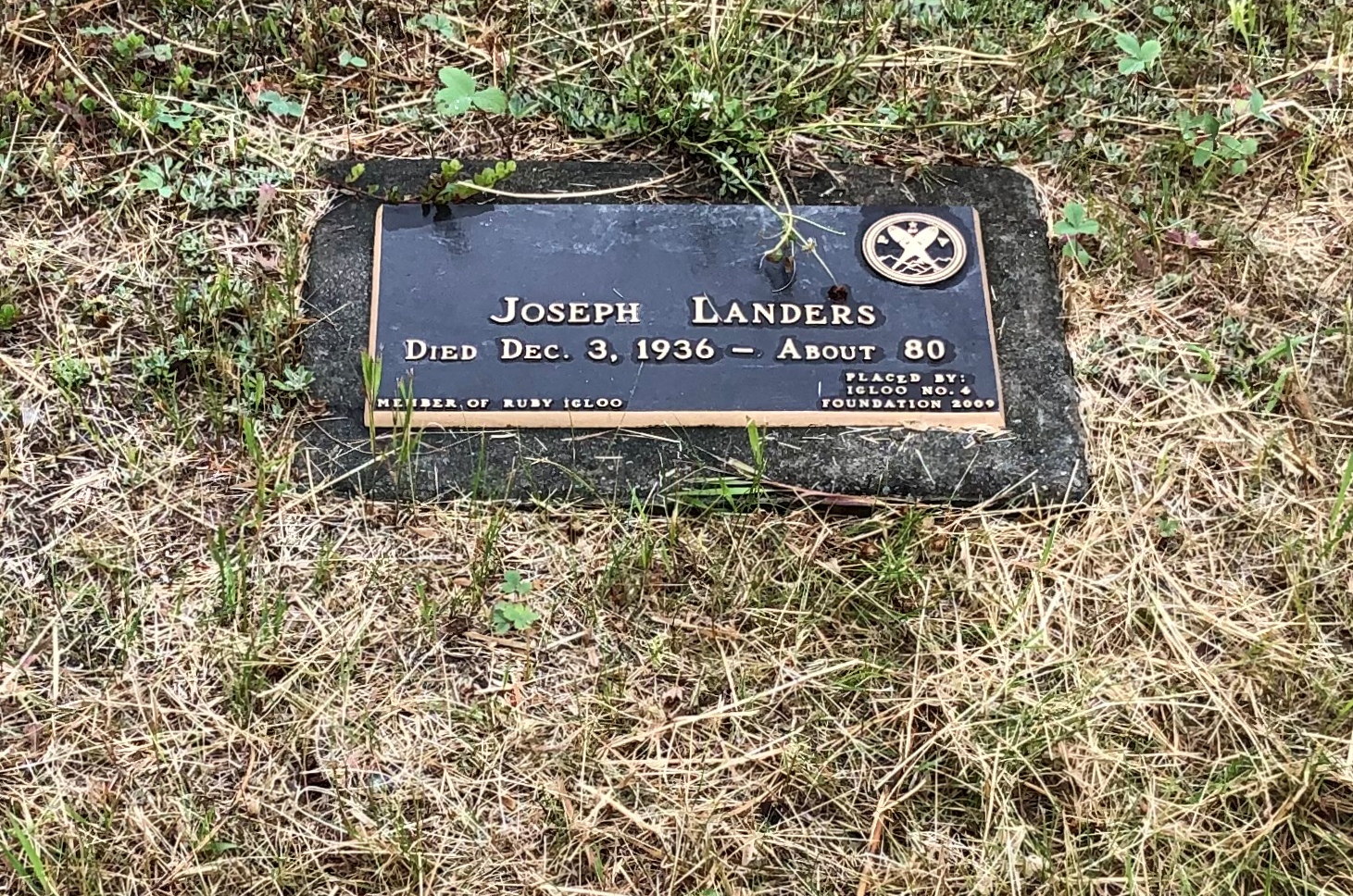
And newer markers for people who came to Fairbanks in its pioneer years, such as one Joseph Landers, who died “About 80” in 1936. He might have come when he was about 50 already; couldn’t have been too much earlier. Must have been a tough old bird.
Birch Hill Cemetery, Fairbanks

The memorial, which is obviously newer than 1936, says it was put there by Igloo No. 4. Eh? I looked it up. That’s the Fairbanks lodge of the the Pioneers of Alaska.

The Pioneers’ web site says: “[The organization was] first organized in Nome on February 14, 1907, with the mission:

To preserve the names of Alaska’s pioneers on its rolls;
To collect and preserve the literature and incidents of Alaska’s history;
And to promote the best interests of Alaska.”

That seems to include fixing plaques to Alaska pioneer graves, presumably unmarked or whose markers had been ravaged by the northern climate. There were others besides Mr. Landers in Pioneer Plot 1.

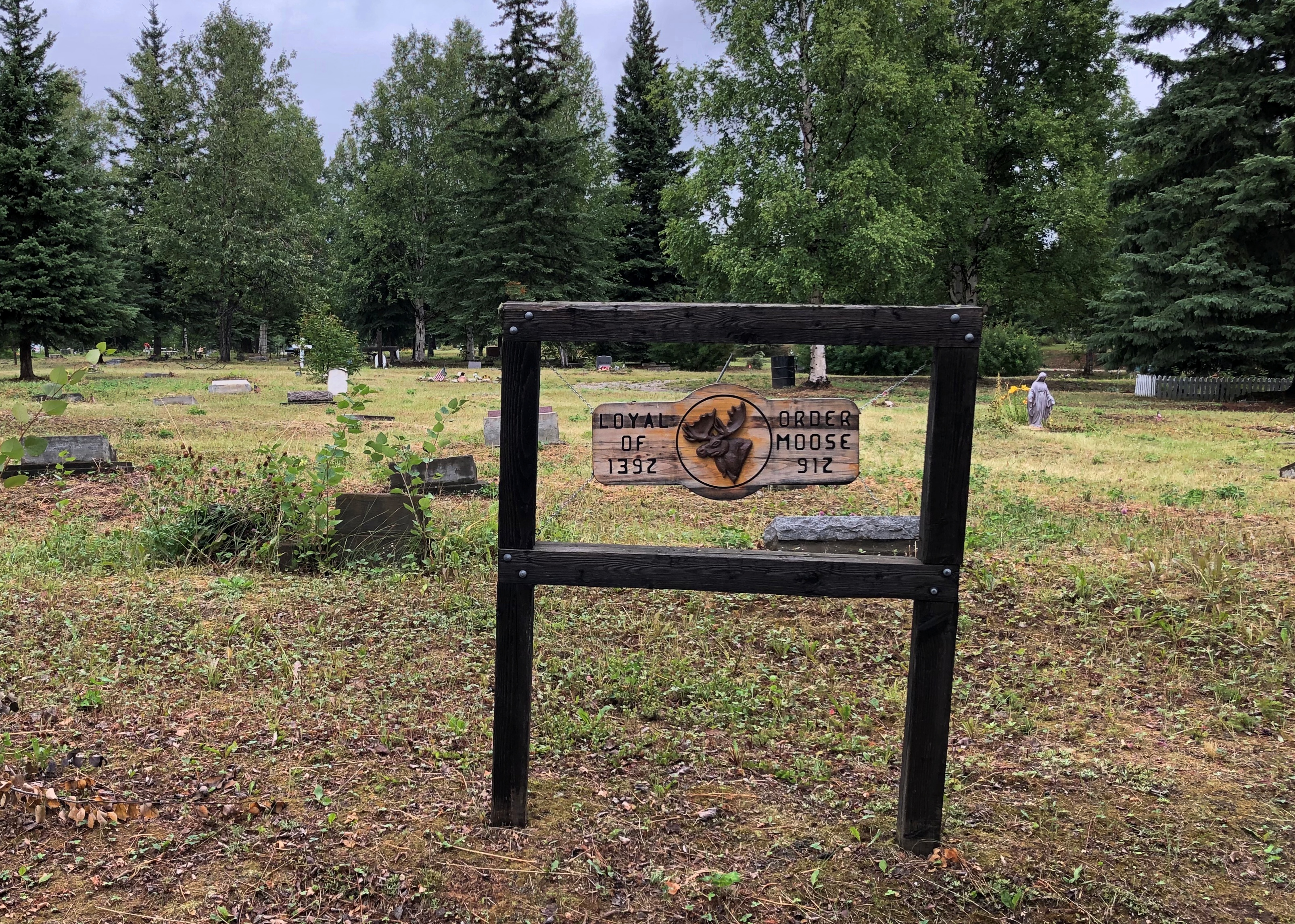
Loyal Order of Moose are on the hill, too.
Birch Hill Cemetery, Fairbanks

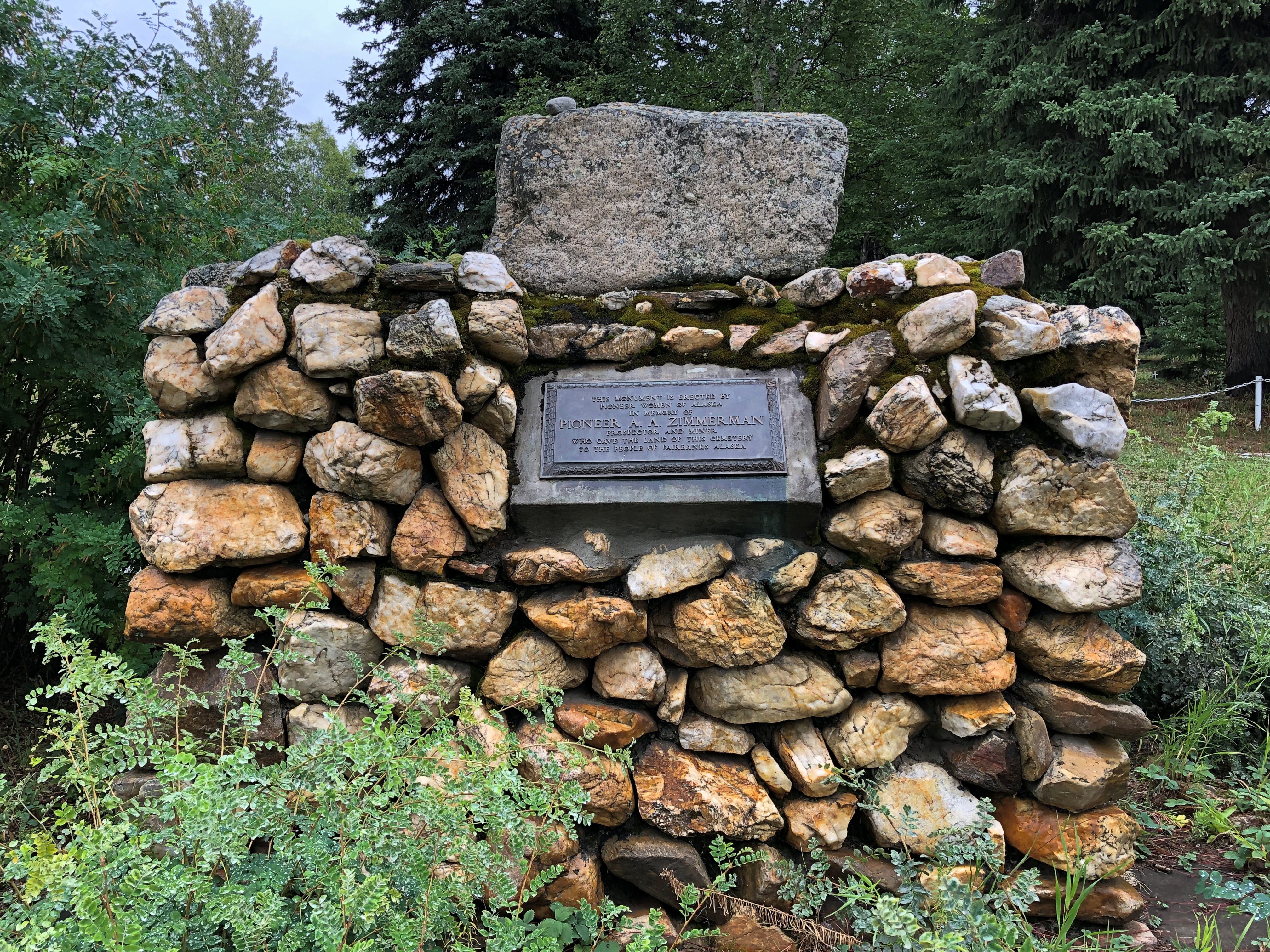
Along with unusual gravesites whose honorees may or may not have belonged to a fraternal organization, such as A.A. Zimmerman, whom the plaque says donated the land for the cemetery.Birch Hill Cemetery, Fairbanks

Birch Hill Cemetery, Fairbanks
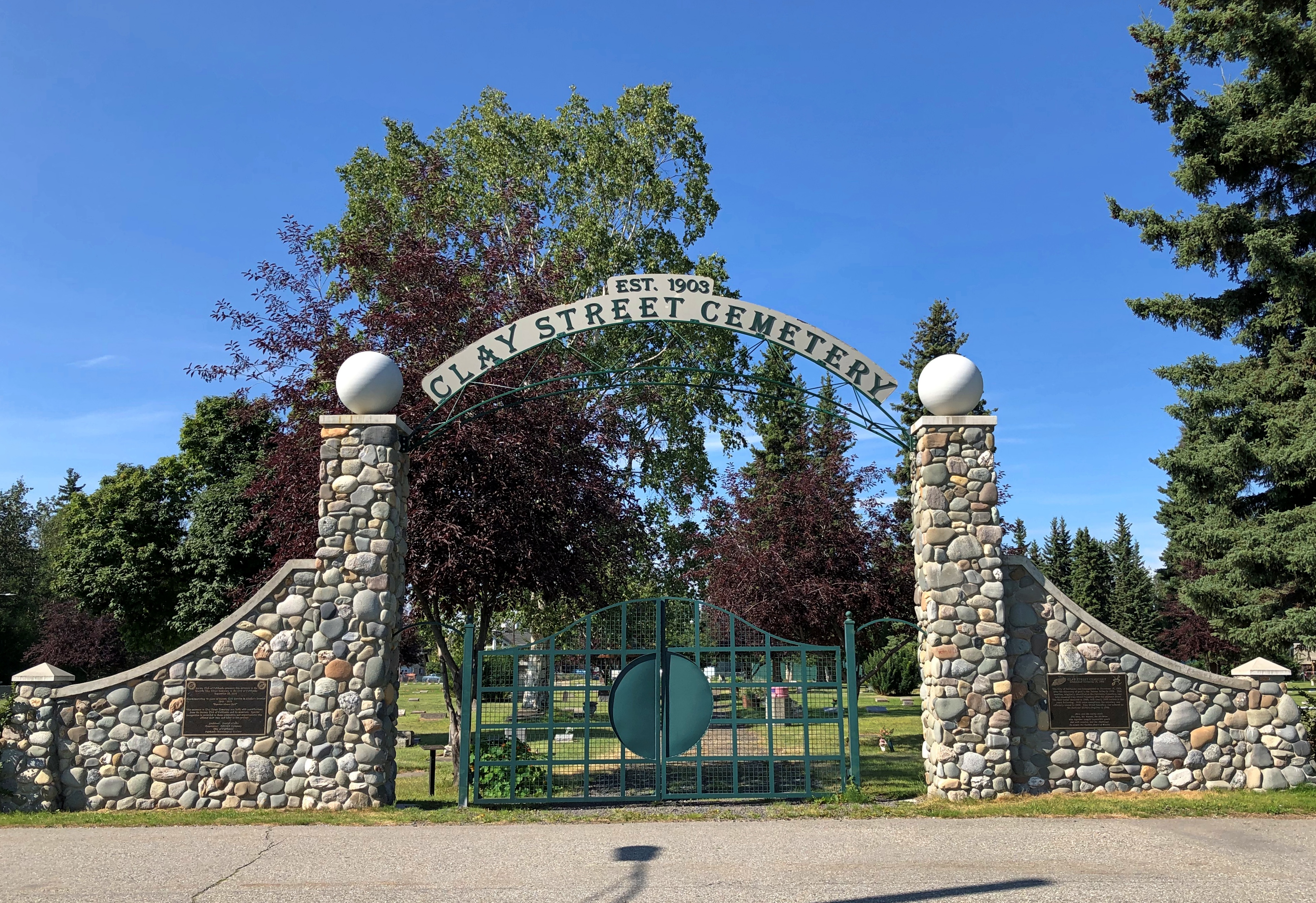
A few days later, I made my way to the Clay Street Cemetery, which is tucked away in a residential neighborhood near downtown Fairbanks.
Clay Street Cemetery, Fairbanks

Clay Street Cemetery, Fairbanks

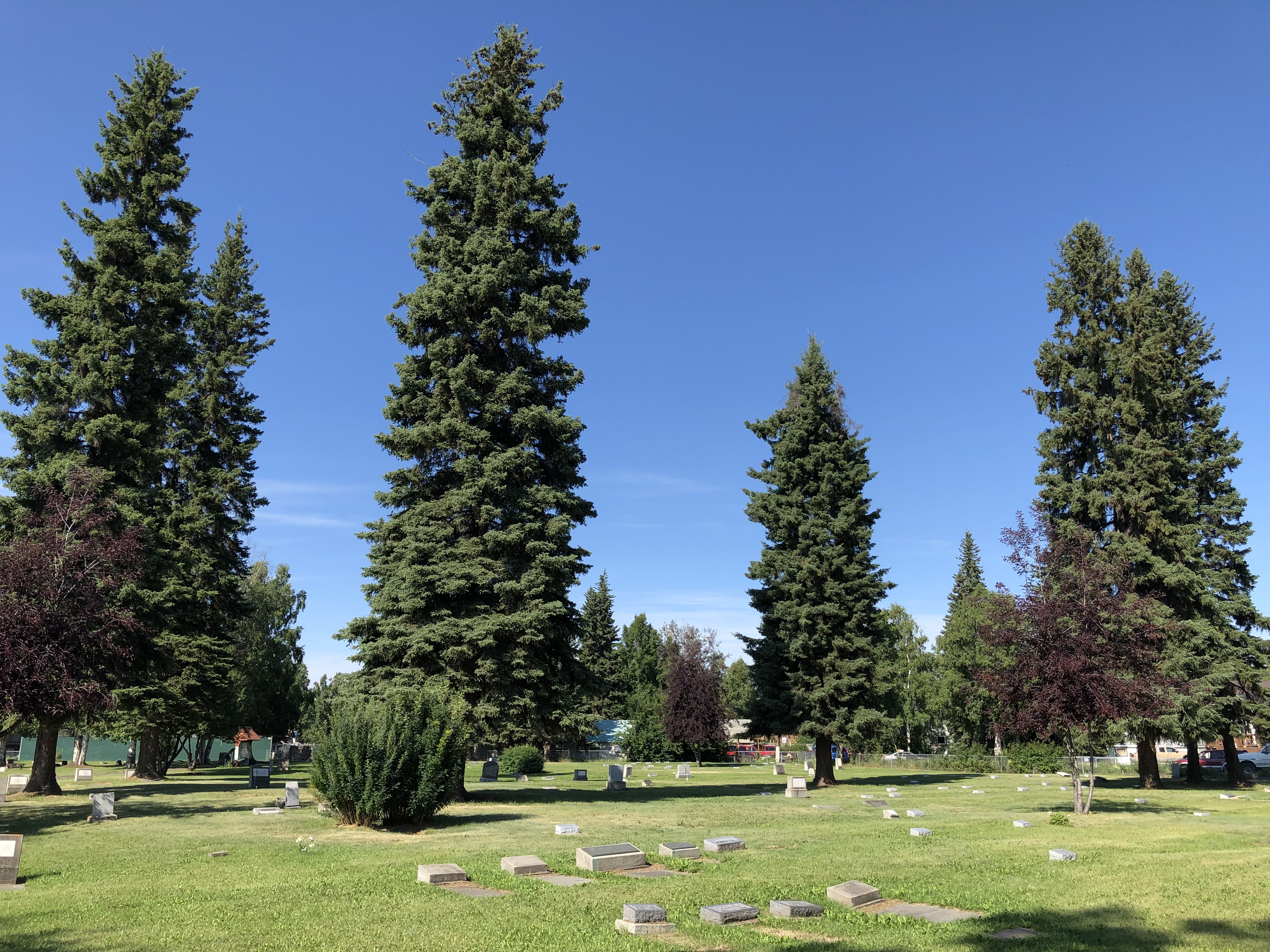
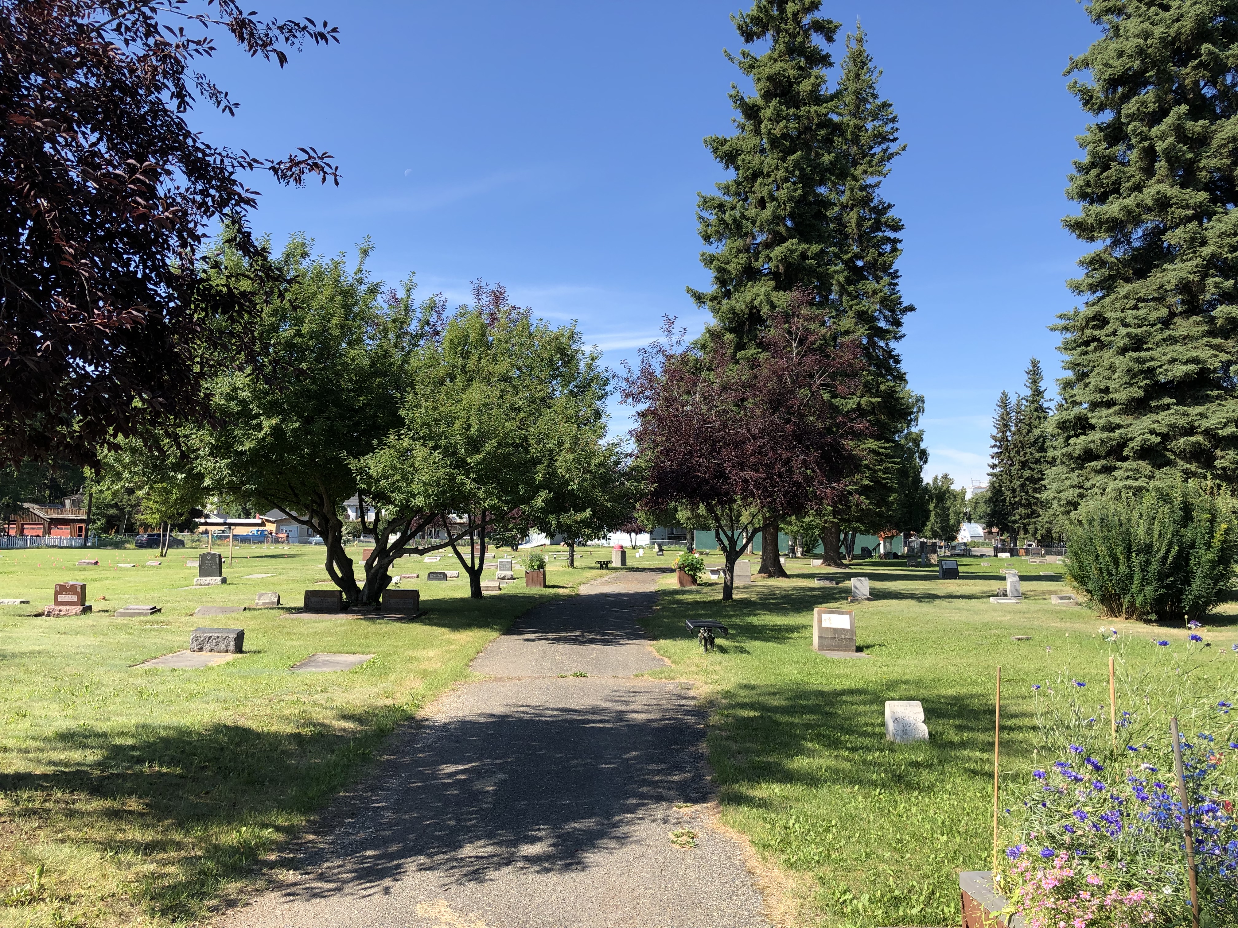
It’s a flat parcel, but not without its charms.Clay Street Cemetery, Fairbanks

Clay Street Cemetery, Fairbanks
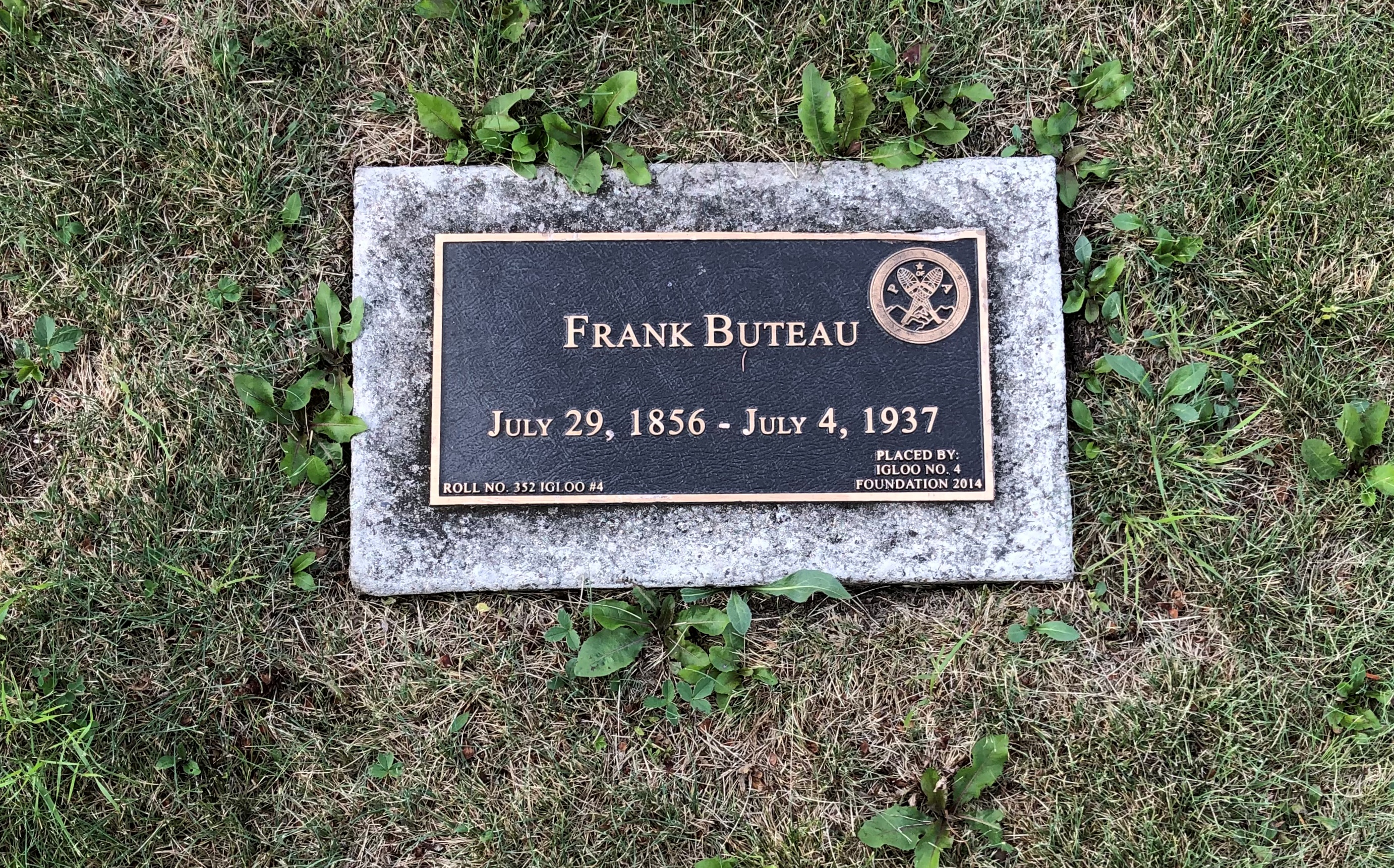
Igloo No. 4 put in a few memorials here, too.
Clay Street Cemetery, Fairbanks

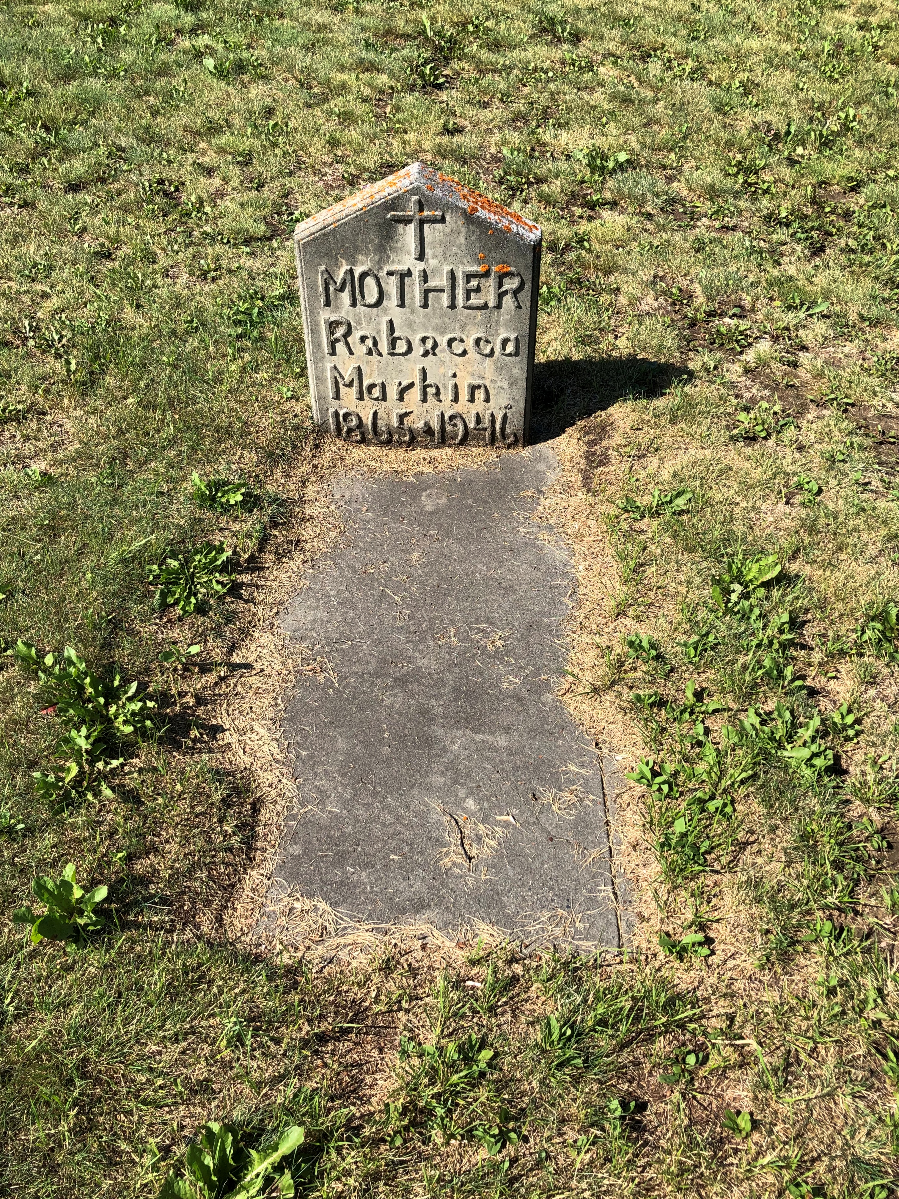
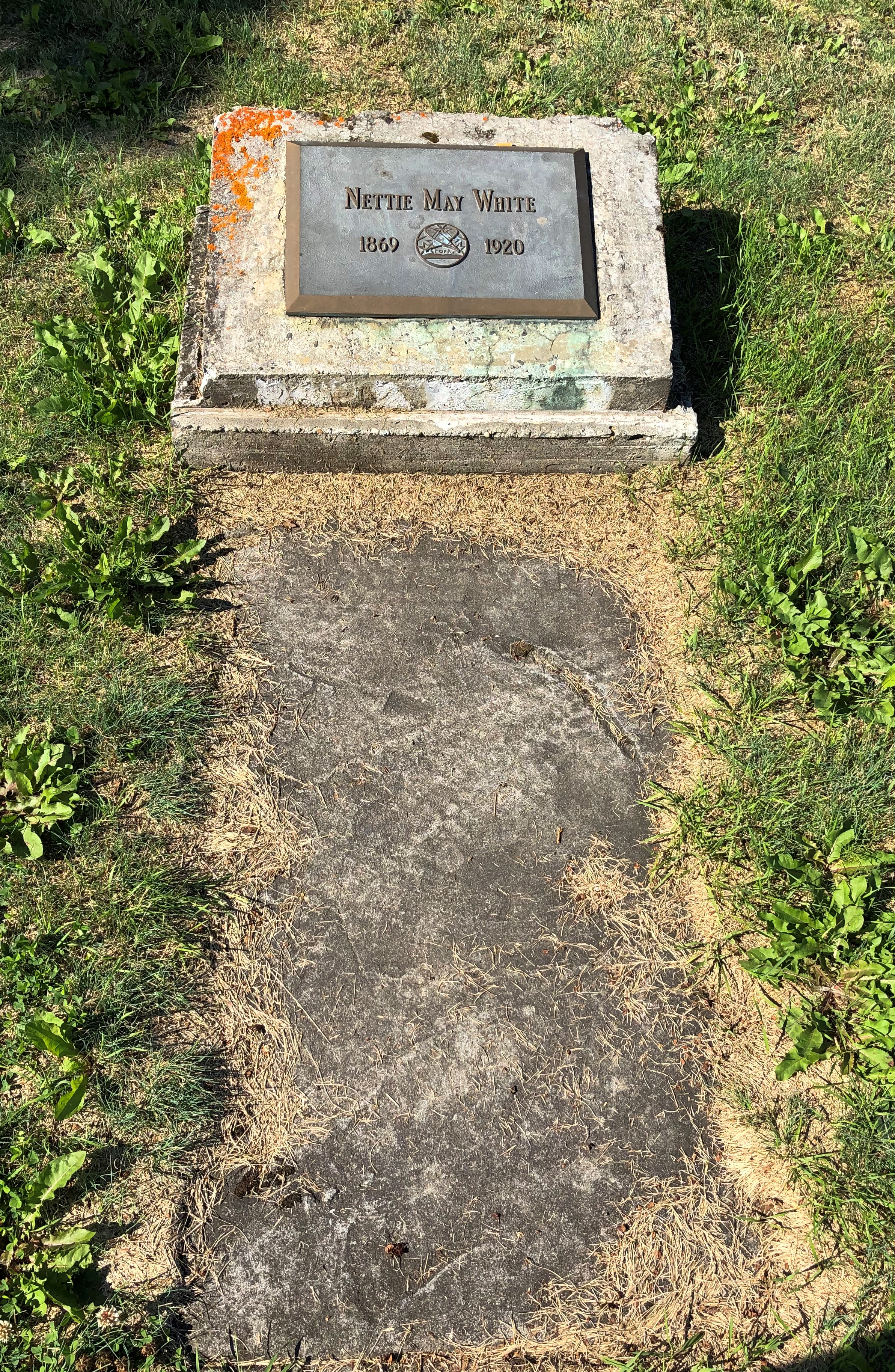
Other individual graves. Pioneer women, in these cases.
Clay Street Cemetery, Fairbanks

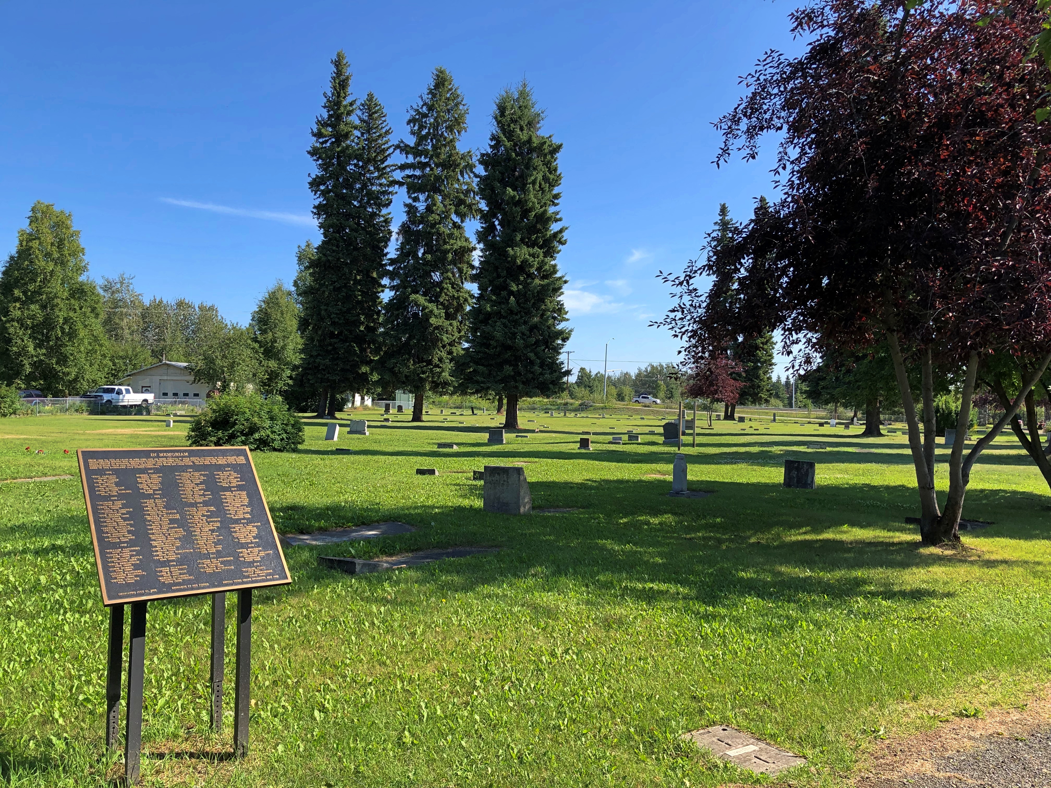
This plaque, dedicated in 2002, lists 89 men, mostly buried in the cemetery, who died in gold mining accidents near Fairbanks from 1905 to 1918.
Clay Street Cemetery, Fairbanks

“Underground mining was dangerous during this pioneer era,” the plaque says. “Most died from cave-ins, falling down shafts, being struck by material while in a shaft, and gas asphyxiation. The miners were often young, single, foreign-born ‘pick and shovel’ laborers. They were far from home.”

Alaska 3, Nenana & Warren Gamaliel Harding

One way to get from Fairbanks to the entrance of Denali NP is to ride the Alaska Railroad. In fact, that was the original route for tourism into the interior of Alaska, though I suspect from the 1920s to the early ’70s, most people came up from the port of Seward to access the grandeur of McKinley NP, as it was then known.

I considered taking the train down from Fairbanks myself — the wonderfully named Denali Star. That would have been a cool ride. But the pandemic bollixed up its schedule. Last year, the passenger trains didn’t run. This year, at least as I planned things back in April, service was more limited than it had been before 2020, such that I couldn’t make the train work for me logistically.

That’s how, on July 28, I came to be in a rental car heading west and then south from Fairbanks on the route Alaska 3. I picked the car up at the airport in Fairbanks at noon that day. Along with the other documents, the rental company gave me a list of proscribed roads.

Mostly gravel roads. During my ride on the Dalton Highway the day before, the driver told us that if you look closely, you’ll notice that a lot of cars and trucks in Alaska have cracked windshields. Insurance typically doesn’t cover that kind of damage, since gravel roads tend to dish it out too regularly.

The list is interesting for another reason, in that it gives names instead of route numbers. Most Alaska highways, it seems, are known by their names rather than numbers. I asked the bus driver on the Dalton whether that road had a number, and he had to think before he told me. It’s Alaska 11, but no one calls it that, and I didn’t see any signs along the way using the number.
In Fairbanks and a little ways south, I also drove on Alaska 2, but the signs called it the Steese Highway (not to worry, I was well south of Mile Post 81).

Later I learned that Alaska 2, the Steese, is the Alaskan portion of the Alaska Highway. I smile at the thought that I’ve driven on the Alaska Highway, even if only about 12 miles of it between Fairbanks and the town of North Pole.

As for the road between Fairbanks and Denali NP, its name is the George Parks Highway, named for a mining engineer and governor of the Alaska Territory in the 1920s and ’30s. Remarkably, he lived to see his name attached to the road, since he died at age 100 in 1984.

I didn’t see too many signs calling it the Parks Highway, though. Mostly I saw the Alaska 3 signs, featuring the state name, the number, and the Big Dipper and Polaris, arrayed as they are in the northern sky and the Alaska flag. An excellent design, one that made me think, damn — I’m in Alaska. For miles at a time, those were the only signs I saw. The road the was remarkably free of most the signage you might see elsewhere: directional signs, mileage signs, billboards and so on.

Alaska 3 was mostly a two-lane shot through the boreal forest. The terrain between Fairbanks and Denali NP, which runs about 125 miles, follows the Tanana River, and then passes by the Minto Flats and the Tanana Flats, so it isn’t a mountainous crossing. I suppose that facilitated the road’s construction, completed only 50 years ago.

That isn’t a long drive, certainly not for someone who learned to drive in Texas. But it was mesmerizing in a way that few roads are. Traffic was light, so my eyes were able to wander sometimes from the road ahead to the forested expanse on either side.

The were a few directional signs. My favorite.
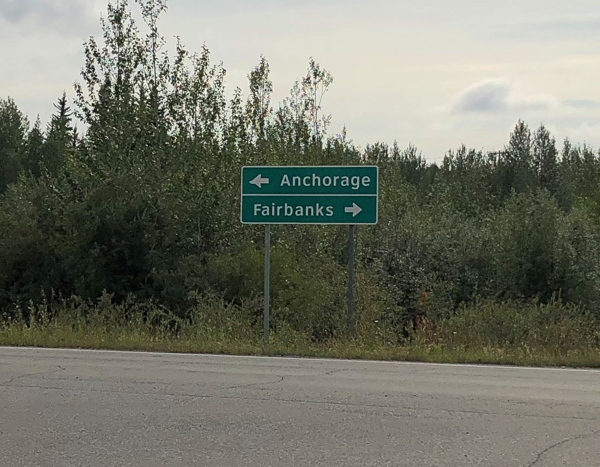
Alaska 3

That was at an intersection with Alaska 3 in the town of Nenana, the only settlement of any size (pop. 341) between suburban Fairbanks and the tourist town of Healy, just north of the entrance to Denali NP.

The road crosses the Tanana River at the town of Nenana, very near where the Nenana River — which I would see later, near the national park — joins the Tanana, on its way to the Yukon River.Nenana, Alaska
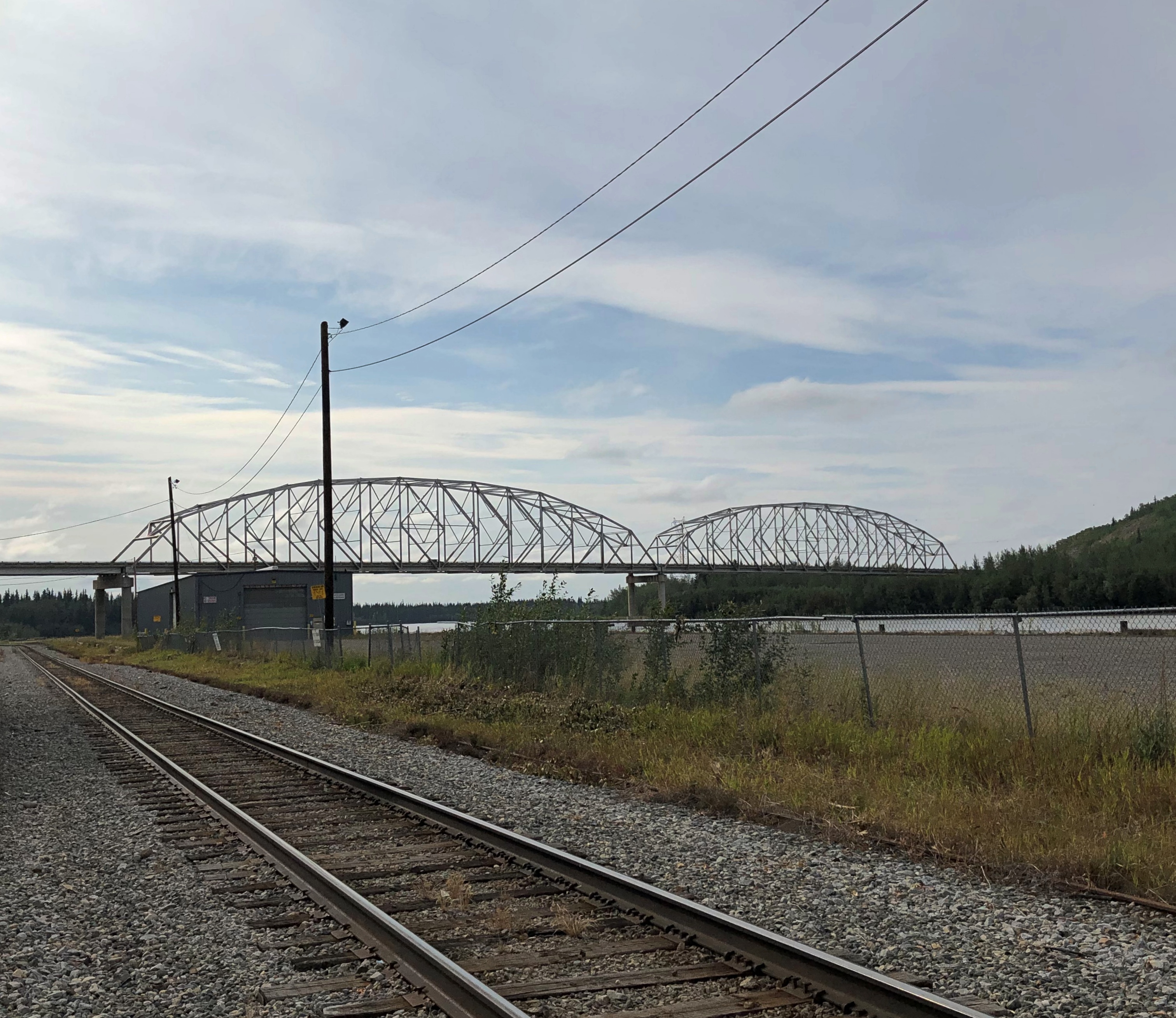
The other bridge in the town of Nenana (across the Tanana River) is the Mears Memorial Bridge, which takes the railroad across the river. More about that shortly.

Nenana seemed like a good place to look around. Near the highway is a cluster of tourist and memorial structures, including a boat out of water, the Taku Chief.Nenana, Alaska Taku Chief
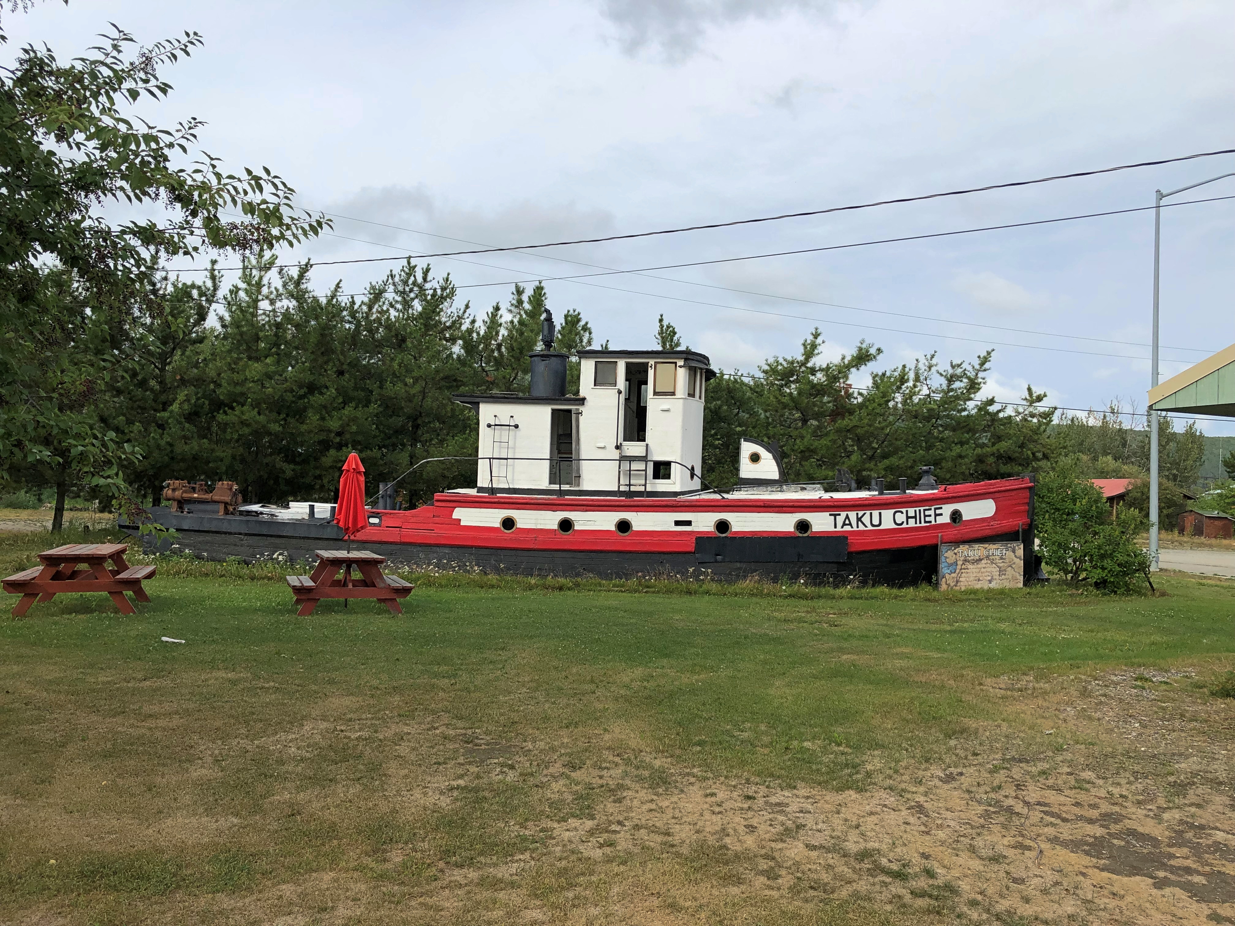
The nearby sign says: “The last commercial wooden tug to ply the Yukon and Tanana River Basins, the Taku began her career in 1938 in Southeast Alaska. After 7 years in service she was requisitioned by the CAA for use on the rivers of the Interior. In 1956, she joined the fleet of Yutana Barge Lines, and after a colorful history, the sandbars and sweepers finally took their toll. On July 18, 1978, she was condemned. She rests in her last port, Nenana, a tribute to the heartbeat of Alaska transportation.”

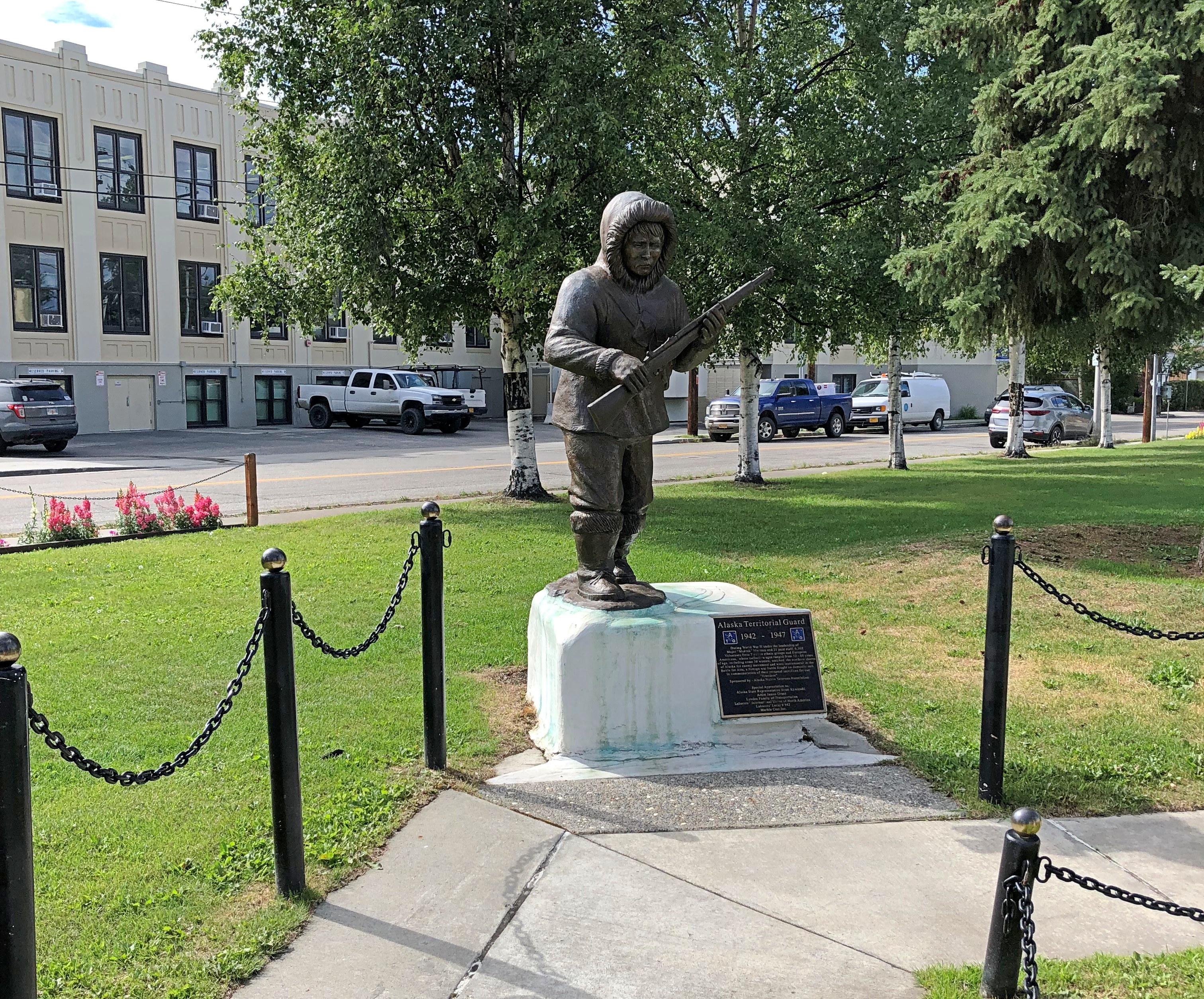
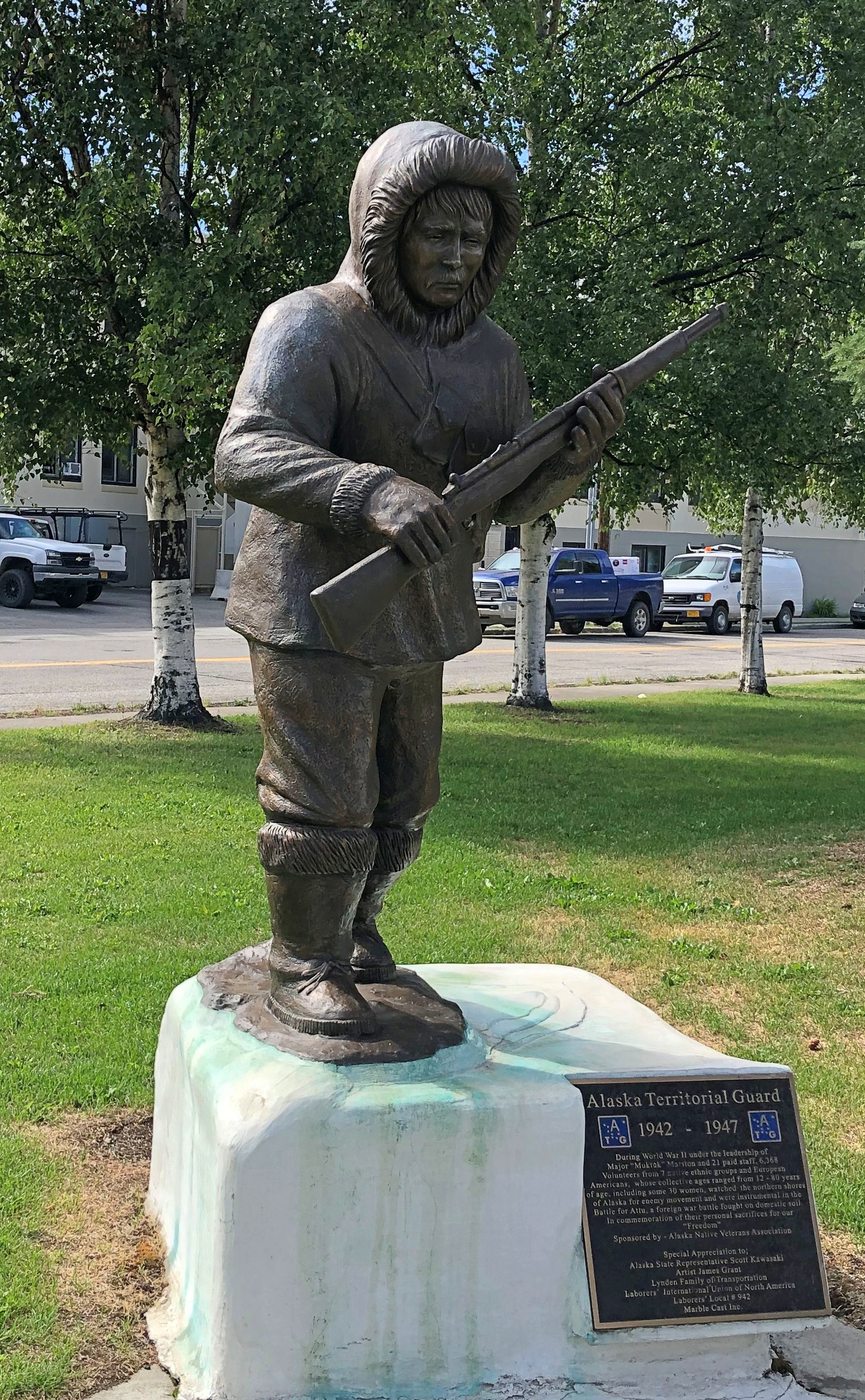
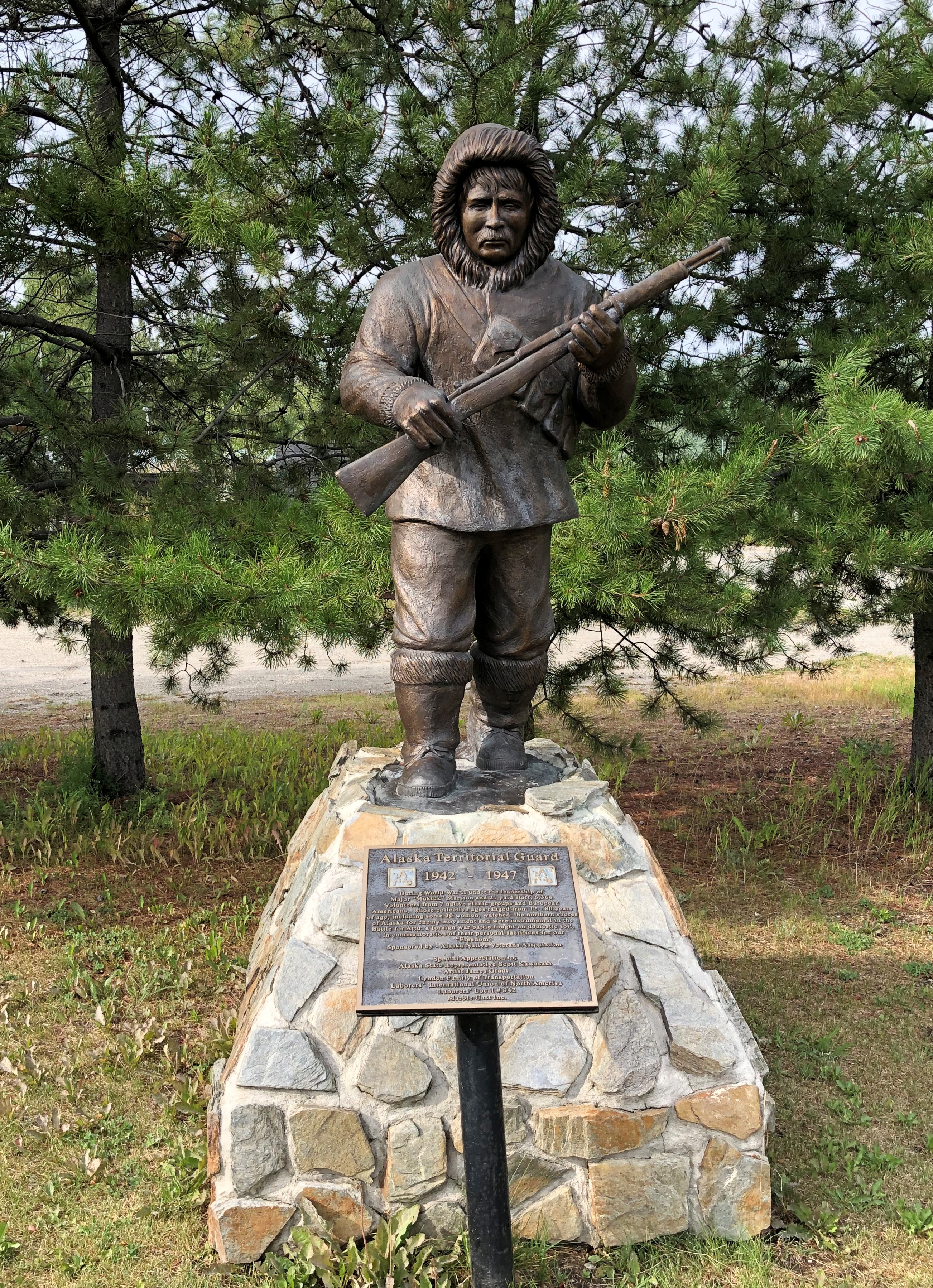
Near the ship is another casting of the James Grant work memorializing the Alaska Territorial Guard, 1942-47.Nenana, Alaska - Alaska Territorial Guard, 1942-47
The town’s main street (besides the highway) is A Street, with a scattering of houses, buildings, abandoned buildings and empty lots. The pandemic might have done in this business; or maybe it closed before then.
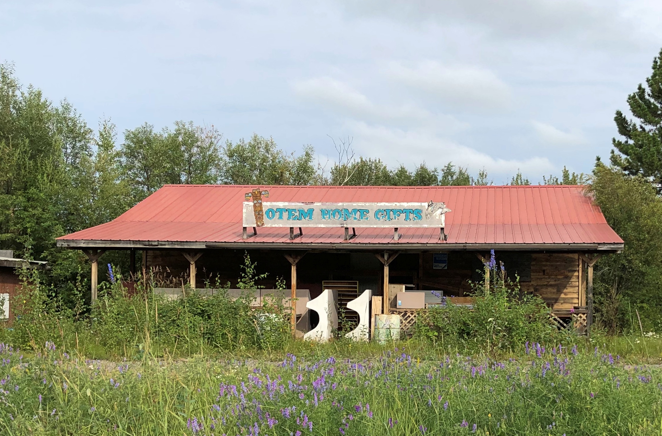
Tenana, Alaska

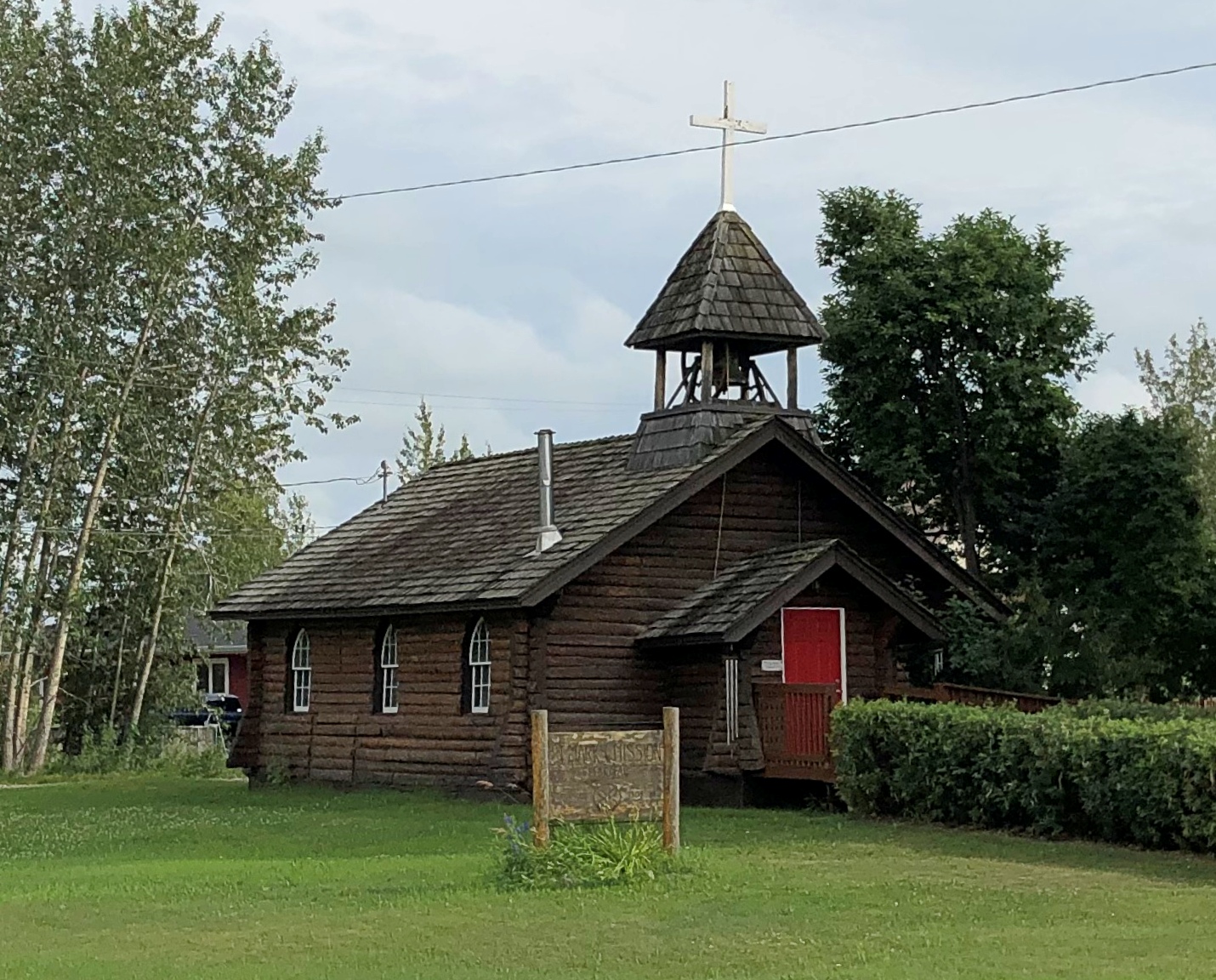
St. Mark’s Mission church.

Tenana, Alaska - St. Mark's

“The Episcopal Church, continuing work done by Episcopal and Anglican missionaries along the Yukon River, envisioned a series of missions throughout the Tanana basin to serve its Native population,” Sketches of Alaska says. “Eventually four missions were established: St. Barnabas at Chena Native Village, Luke’s at Salcha, St. Timothy’s at Tanacross (near Tok), and St. Mark’s at Nenana…

“The picturesque church is similar in design to other Episcopal mission churches throughout Interior Alaska — a log structure with gable front and bell tower. The 22-foot by 28-foot building is constructed of logs squared on three sides, with the bottom courses of logs flaring outwards. Gothic arched windows contain stained glass, and the building is topped by a shake roof.”

At A Street and Front Street near the Tanana River is a curious tower.Nenana, Alaska - tripod
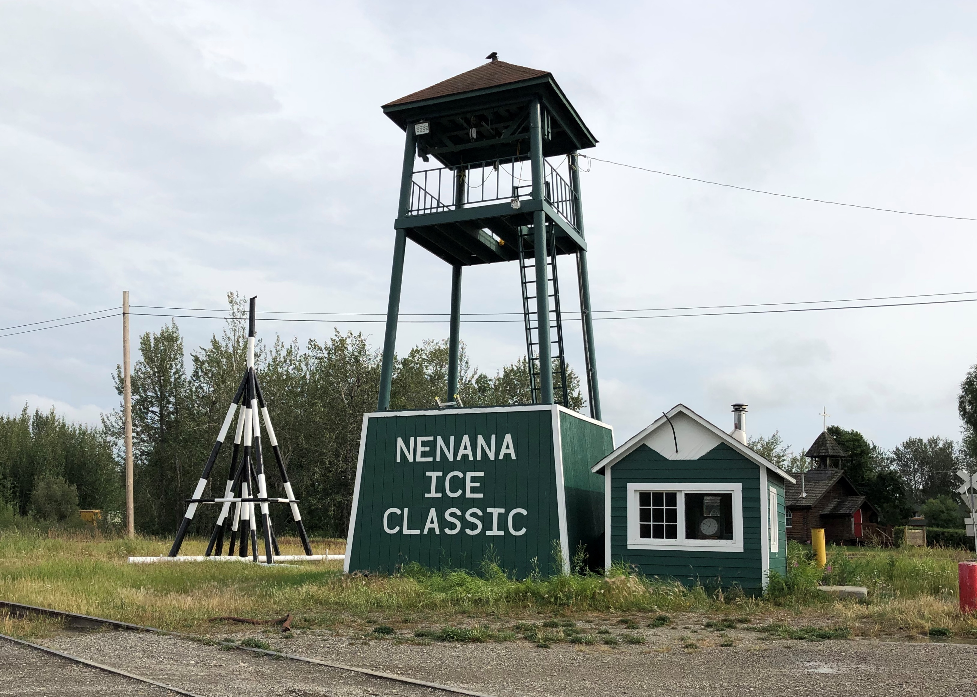
I didn’t look that up till I got home. I’d assumed it was some kind of winter sporting event, but no. Wiki: “The Nenana Ice Classic is an annual ice pool contest held in Nenana, Alaska. It is an event in which individuals attempt to guess the exact time the Tanana River ice will break up at Nenana.

“The ‘tripod,’ which actually has four supports, is planted on the river ice between the highway and railroad bridges in Nenana, 300 ft from the shore… A line is attached to the top of the tripod and once that end is anchored the other end is taken to the Ice Classic tower nearby on the banks of the river. Attached there to the clock inside the tower, when the ice goes out and moves the tripod 100 feet the line breaks and stops the clock.”

The pool is no small potatoes. According to the pool web site, the prize money in 2021 totaled $233,591. The clock stopped on April 30 at 12:50 pm and the prize was split among 12 winners. The rest of the funds generated by the pool go to local charities.

The Wiki photo of the tripod looked awfully familiar. Then I remember that I’d seen the tripod, standing next to the tower (and there was another one near the Taku Chief). There was nothing to explain what they were. Tourist photographer that I am, I took a picture of one of them anyway.
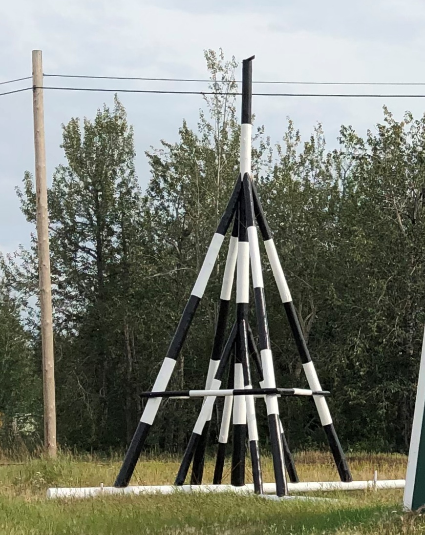
Nenana, Alaska - tripod
Finding out what it was produced a bit of mild amazement, here during the post-trip writeup. What a fun thing to learn about, like the Sopchoppy Worm Gruntin’ Festival. How often do we look at things on the road, or near home for that matter, without the slightest idea what they are?

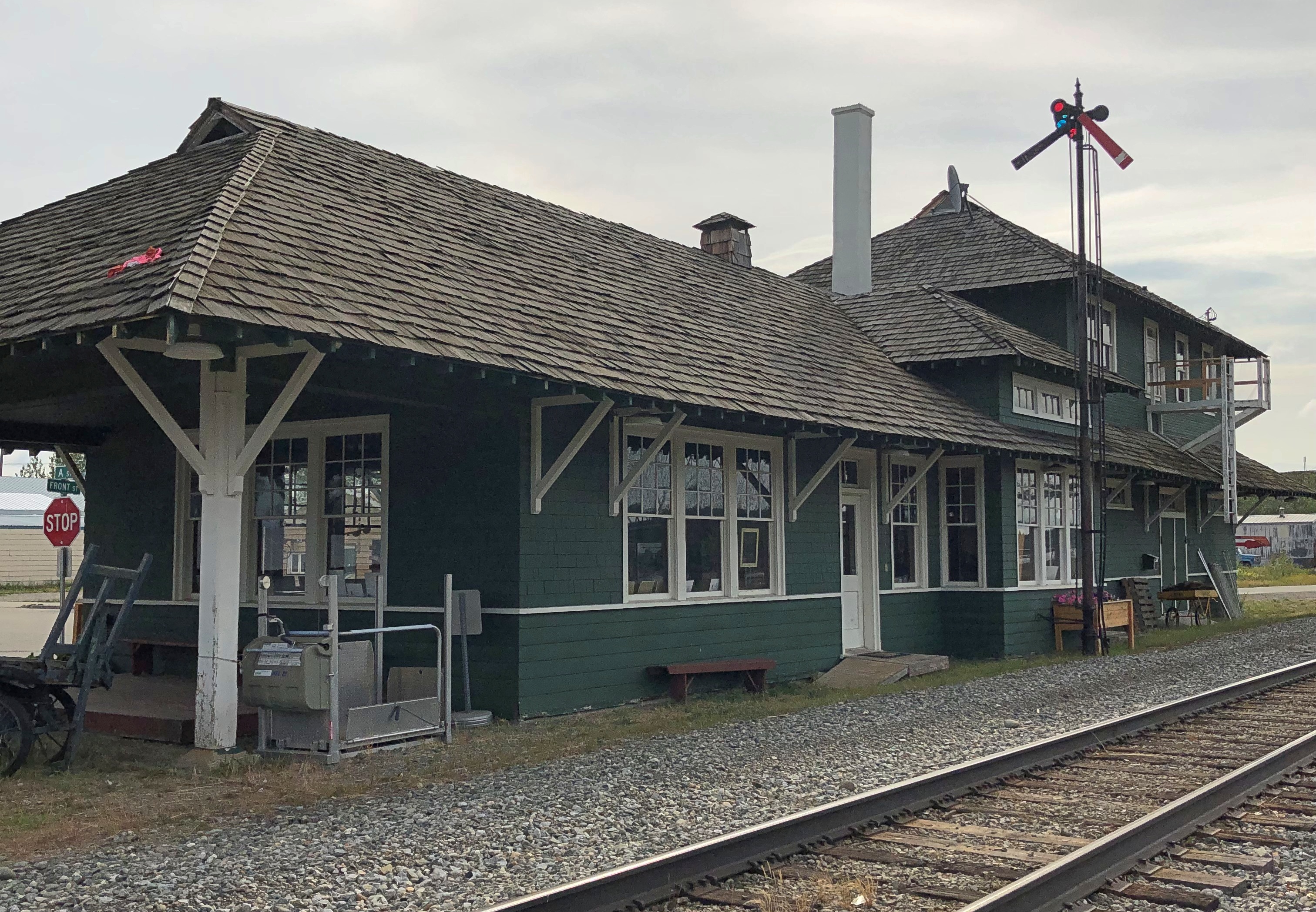
At the meeting of A Street and Front is the handsome Nenana depot, which still seems to be a stop on the Alaska Railroad, but it’s also the State of Alaska Railroad Museum. It was closed when I got there.Nenana, Alaska - depot
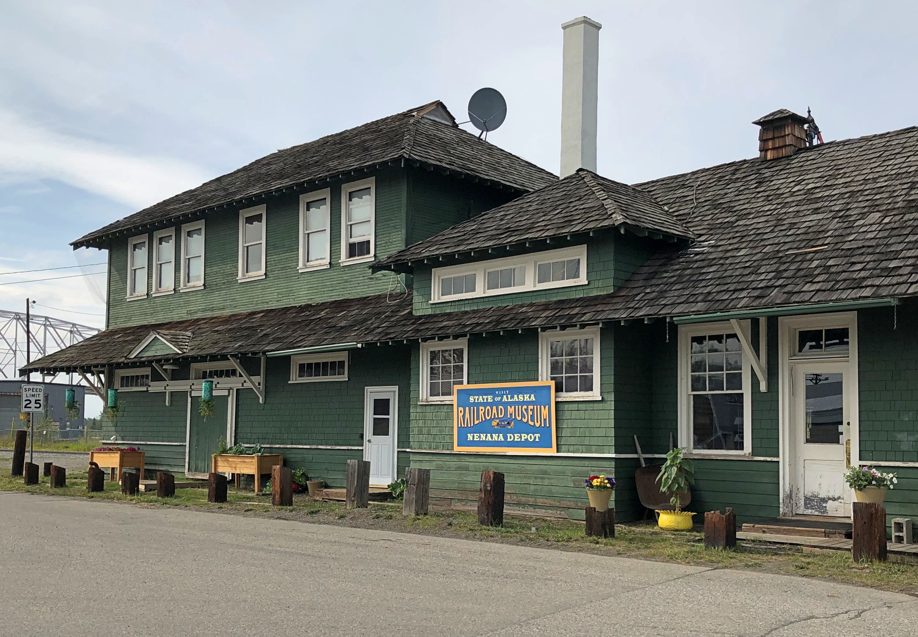
Nenana, Alaska - depot

Next to the depot is a plaque and, I assume, the same golden (colored) spike that Warren G. Harding pounded on July 15, 1923, to mark the completion of the railroad. The last part completed was the Mears Memorial Bridge.Nenana, Alaska - Warren Harding golden spike
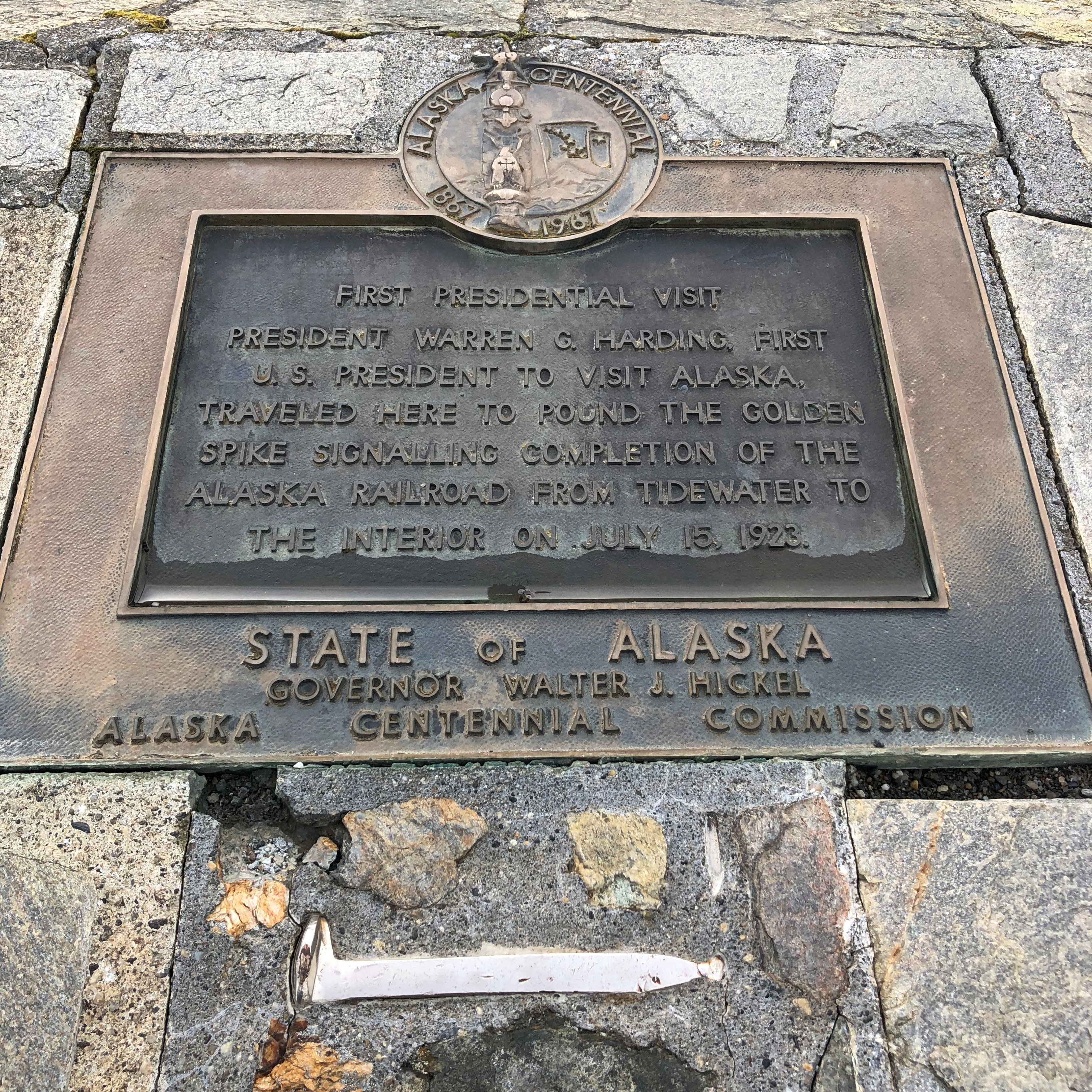
The Anchorage Daily News published an article a few years ago about presidential visits to Alaska. “The most ambitious trip to Alaska, by far, was Harding’s,” the article says. “He departed from Seattle on July 5, 1923, and returned to Vancouver, British Columbia, on July 16, 1923. During his tour he spoke in Metlakatla, Ketchikan, Juneau, Skagway, Valdez, Seward, Anchorage, Nenana and Fairbanks, among other stops.”
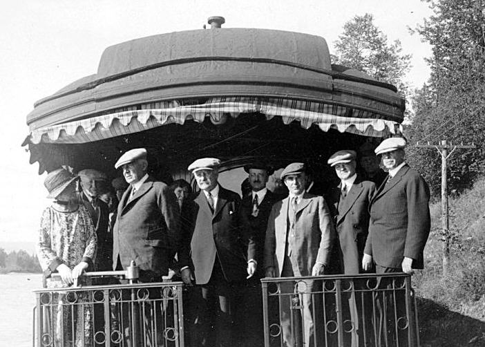
President_Harding_in_Alaska_on_Presidential_Train
At that moment, he was running out of days, though neither he nor the nation knew it. President Harding died in San Francisco on August 2, 1923, not long after his visit to Alaska.
Fairbanks Walkabout

When planning my trip to Alaska, I set up two tentpoles: the visits to the Arctic Circle and Denali NP. The marquee attractions, you might say. But I also wanted to see Fairbanks. More than Anchorage, considering Fairbanks’ position as the northernmost city of the nation and its intriguing origin as a gold rush camp.

The city clings to the Chena River, a tributary of the Tanana, which eventually empties into the Yukon River. Downtown Fairbanks is the spot on the Chena where the buildings are slightly larger and slightly closer together than elsewhere in the city, but by no stretch of the imagination is Fairbanks a dense place with tall buildings, even downtown.

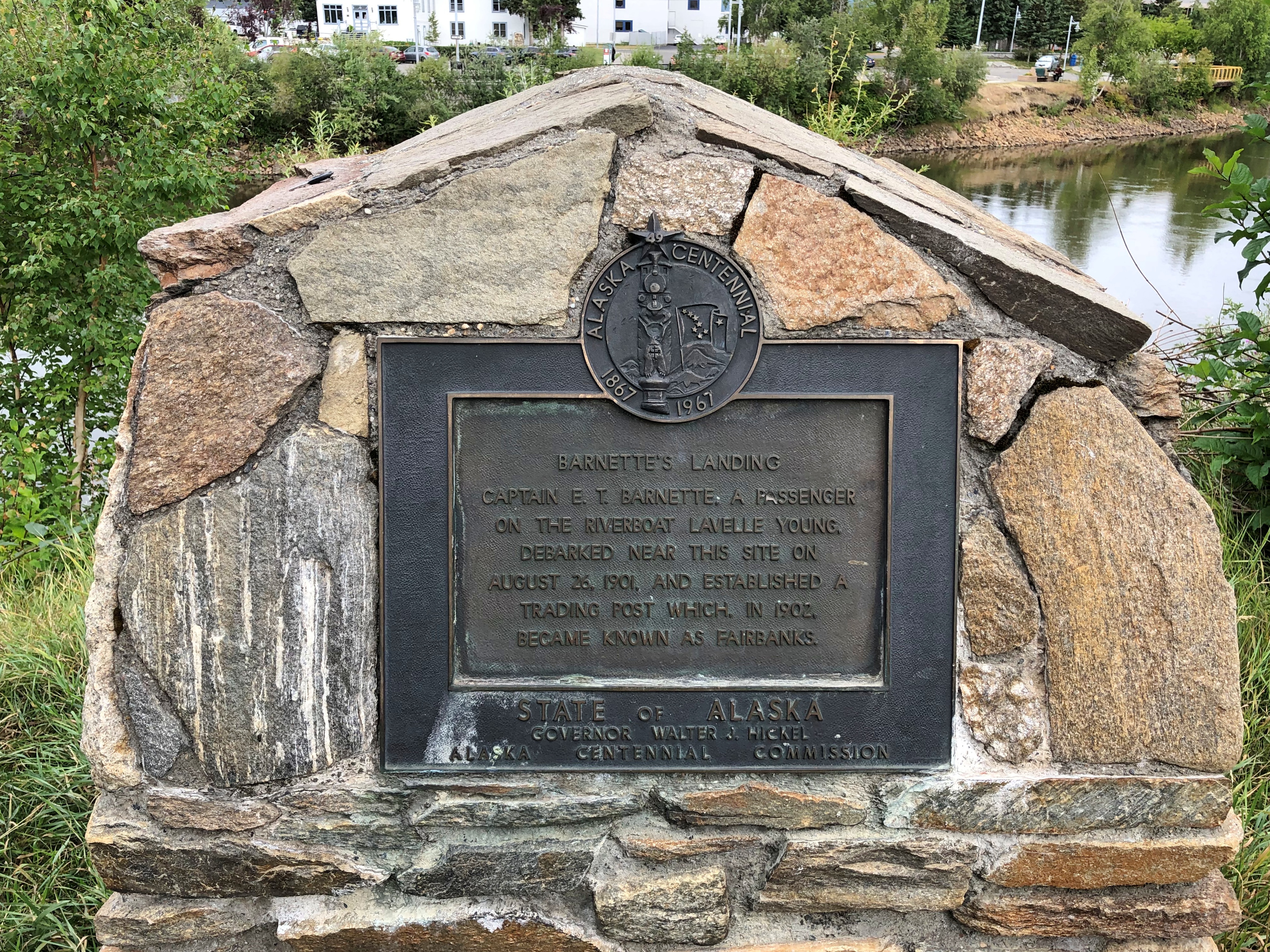
A plaque marks the city’s spot of origin, put up for the centennial of the Alaska purchase. It’s the site of where Fairbanks founder E.T. Barnette set up a riverside trading post in 1901, which prospered as gold seekers swarmed to the area. (These days, Barnette is a downtown street.)Fairbanks origin plaque
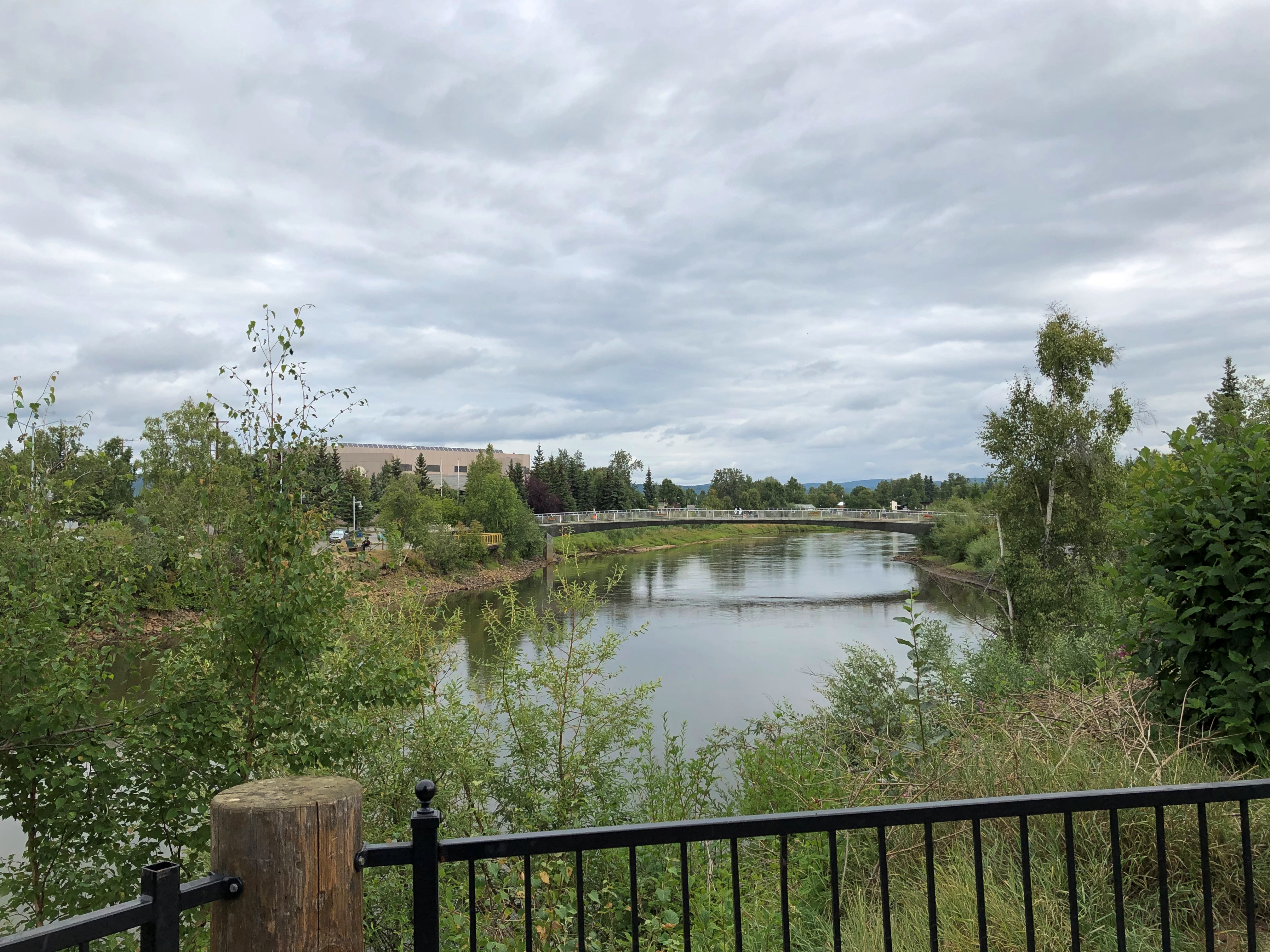
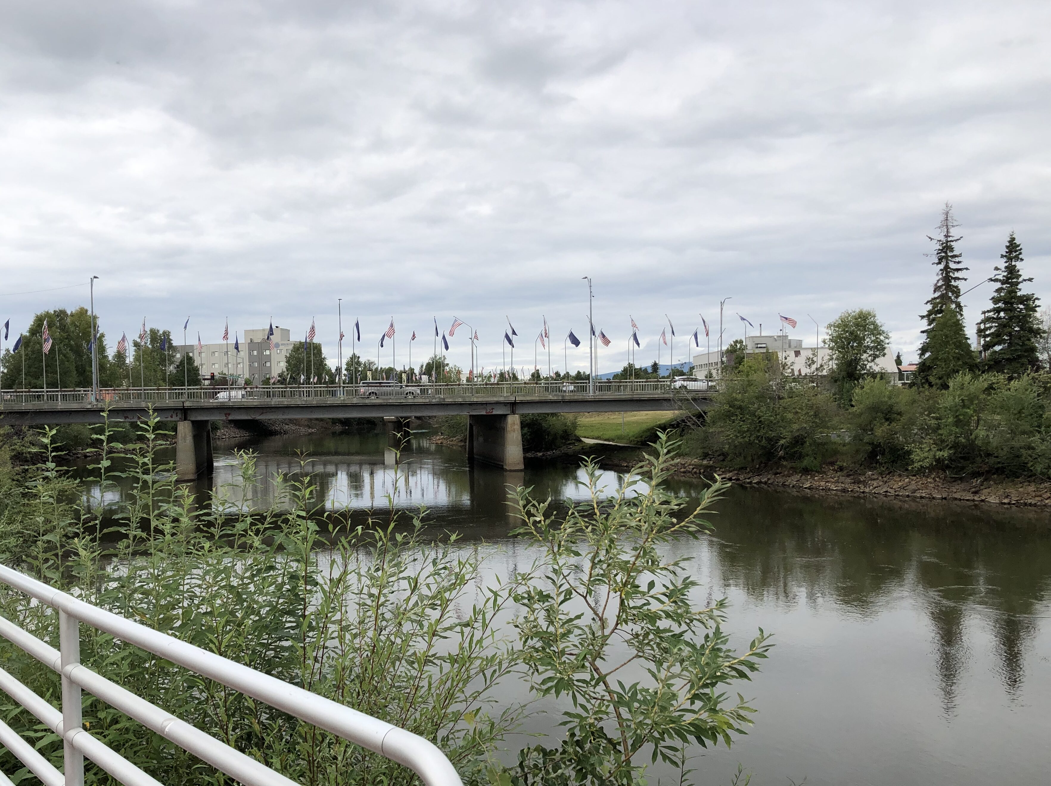
Views of the Chena at Fairbanks.Chena River Chena River Chena River

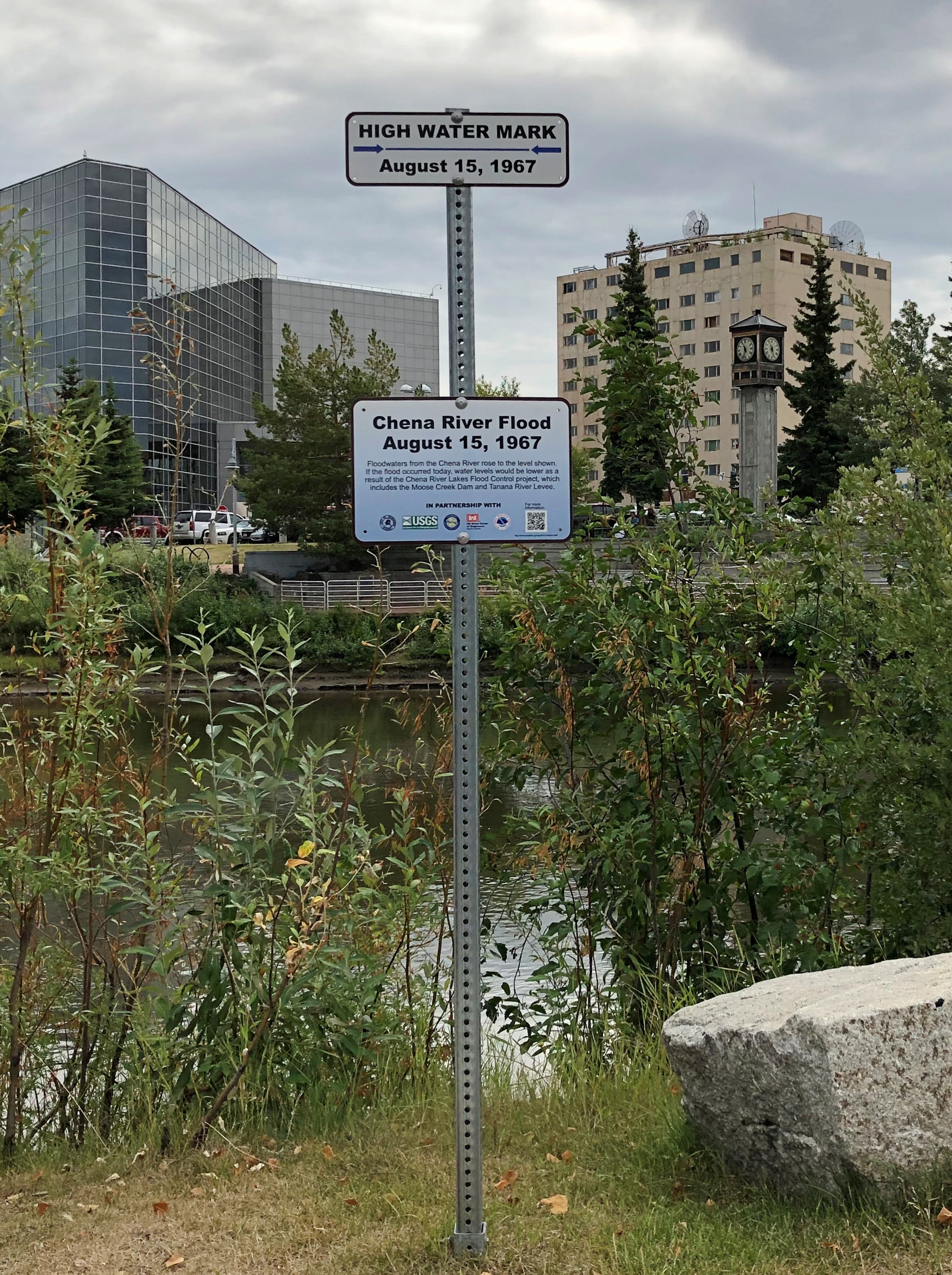
The high water mark for the flood of August 15, 1967. It was a whopper. Flood control infrastructure has been built since.Chena River flood 1967
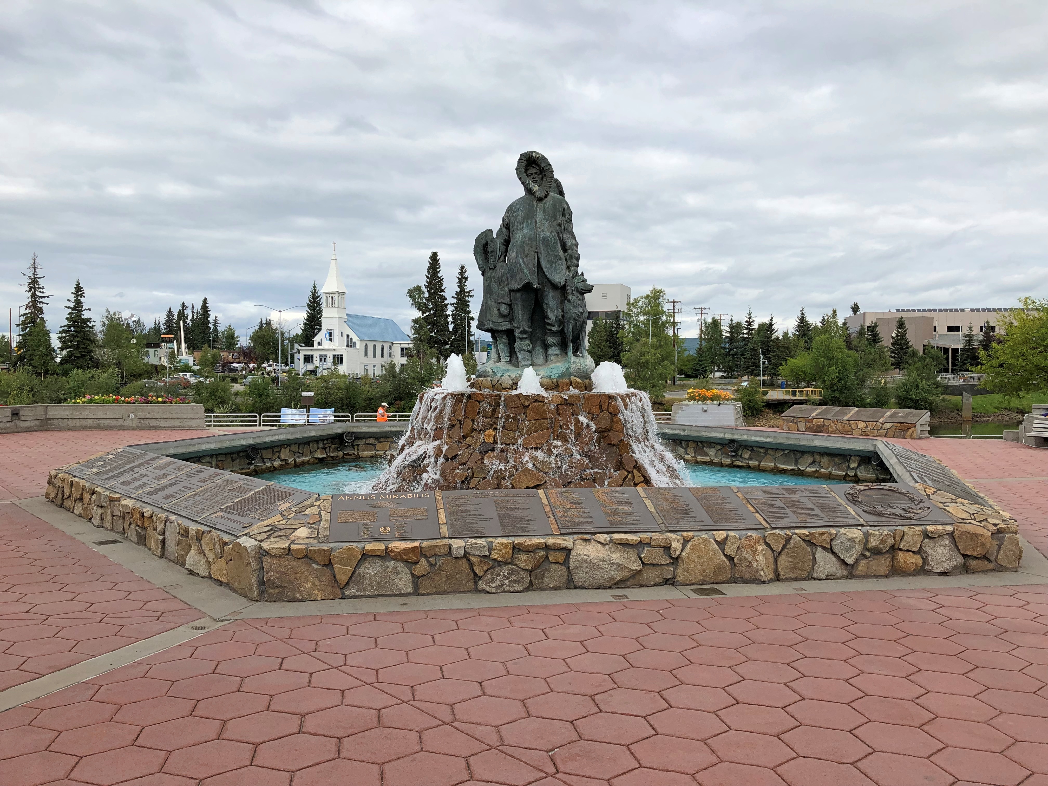
Smack on the south banks of the Chena is Golden Heart Plaza.
“Completed in 1986, Golden Heart Plaza is located where the center of gold-rush activity occurred,” notes the American Planning Association on its page on Great Places in America. Don’t know about great, but the plaza seemed pretty good.
“The decorative-concrete plaza features a ramp that leads directly down to the river, the literal and figurative heart of Fairbanks. The plaza boasts more than 70 bronze plaques that act as a permanent register of names of Interior Alaska families, organizations, and institutions, along with historical vignettes.

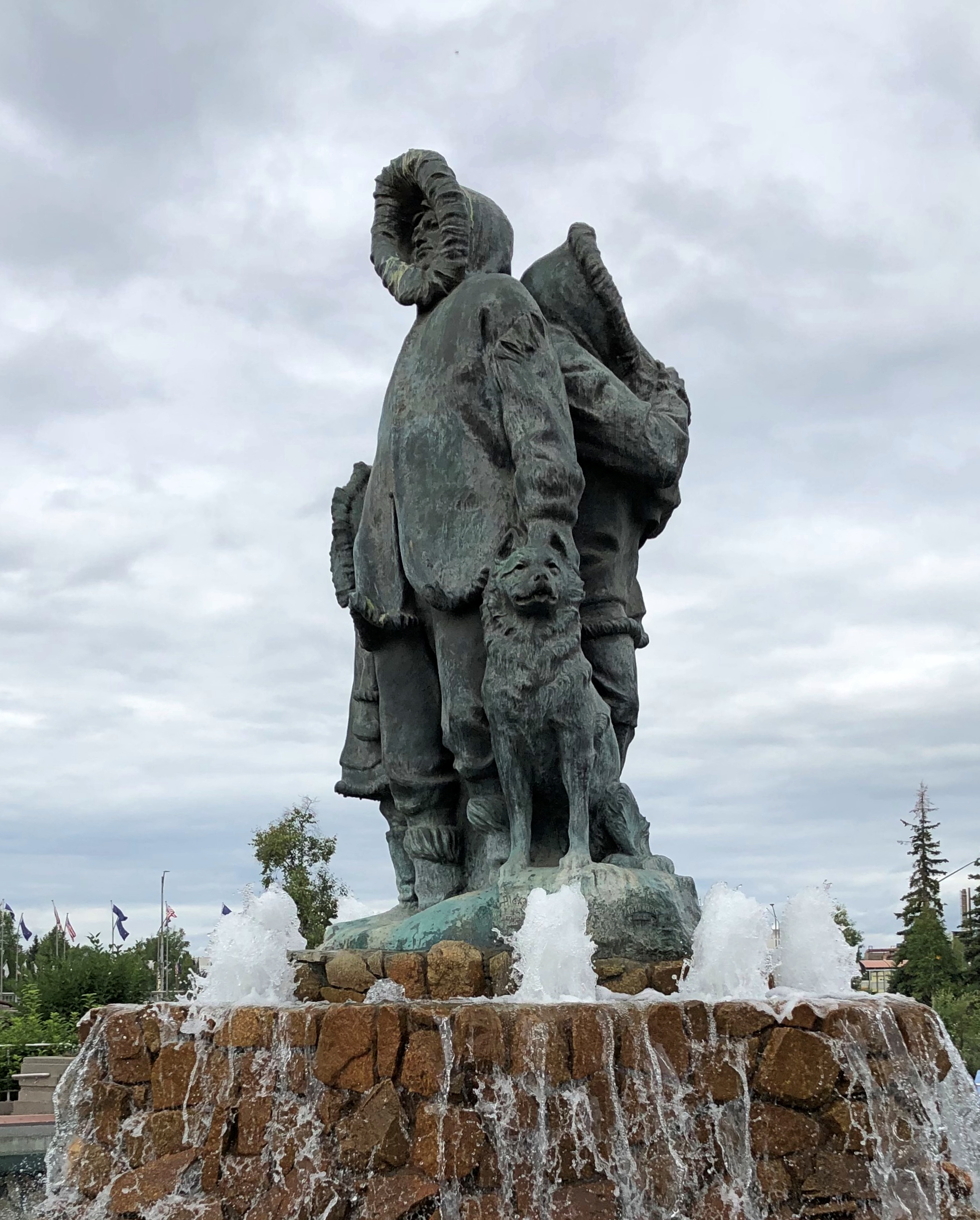
“The plaza’s central feature is a fountain statue, ‘Unknown First Family’ by Malcolm Alexander. Standing 18 feet high with water cascading over it into the surrounding pool, the statue has been dedicated to all the Alaska families of the past, present, and future.”

Cascading in the summer, anyway.

Golden Heart Plaza

Golden Heart Plaza
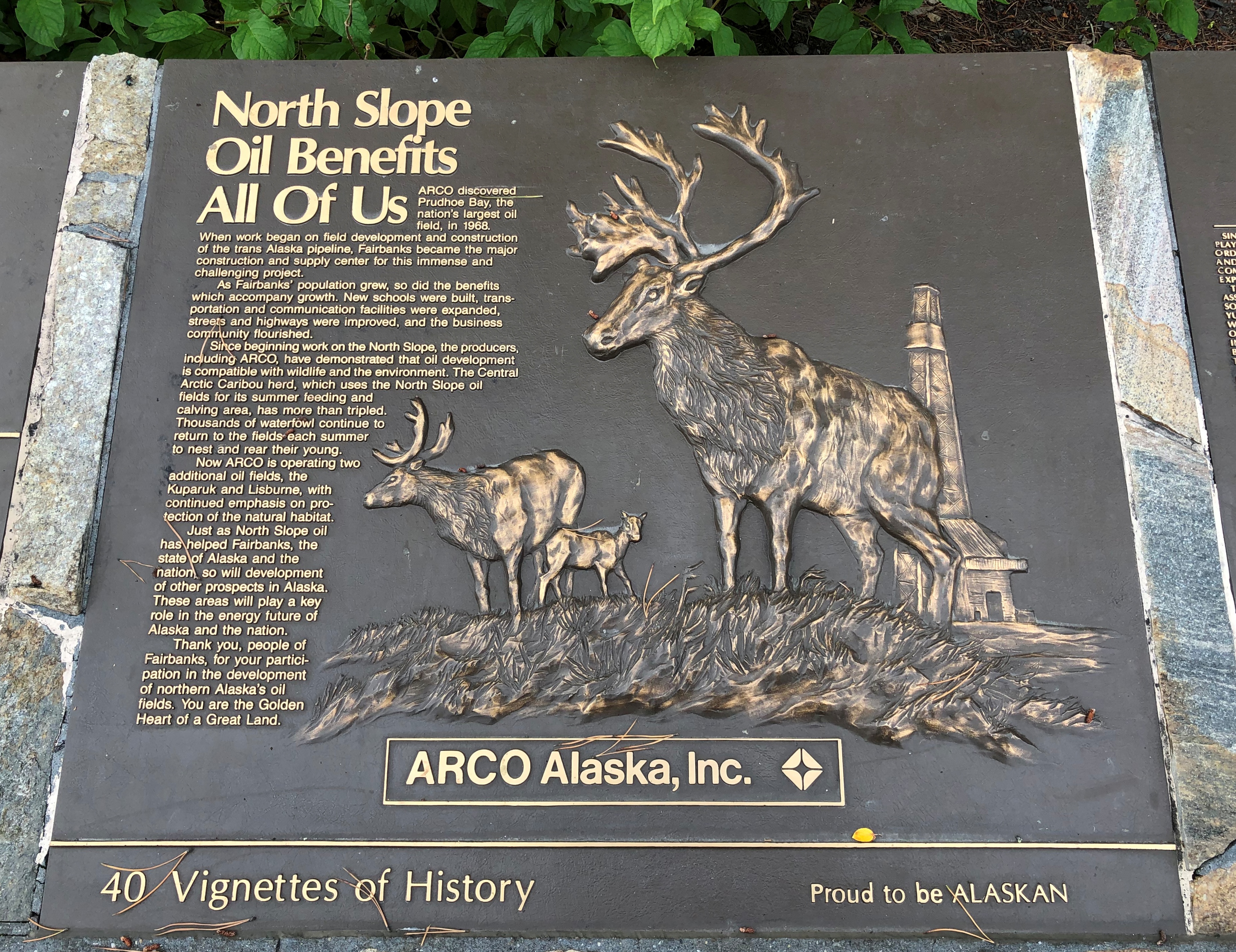
I read some of the many plaques. Some were straightforward history, others honored various organizations or groups of people, and yet others were corporate propaganda.
Golden Heart Plaza oil plaque

As I wandered around downtown, I took note of other public art. This is the “Interior Alaska Antler Arch,” made of more than 100 moose and caribou antlers, and a few skulls. A local artist and outdoorsman, Sandy Jamieson, put the arch together.Interior Alaska Antler Arch

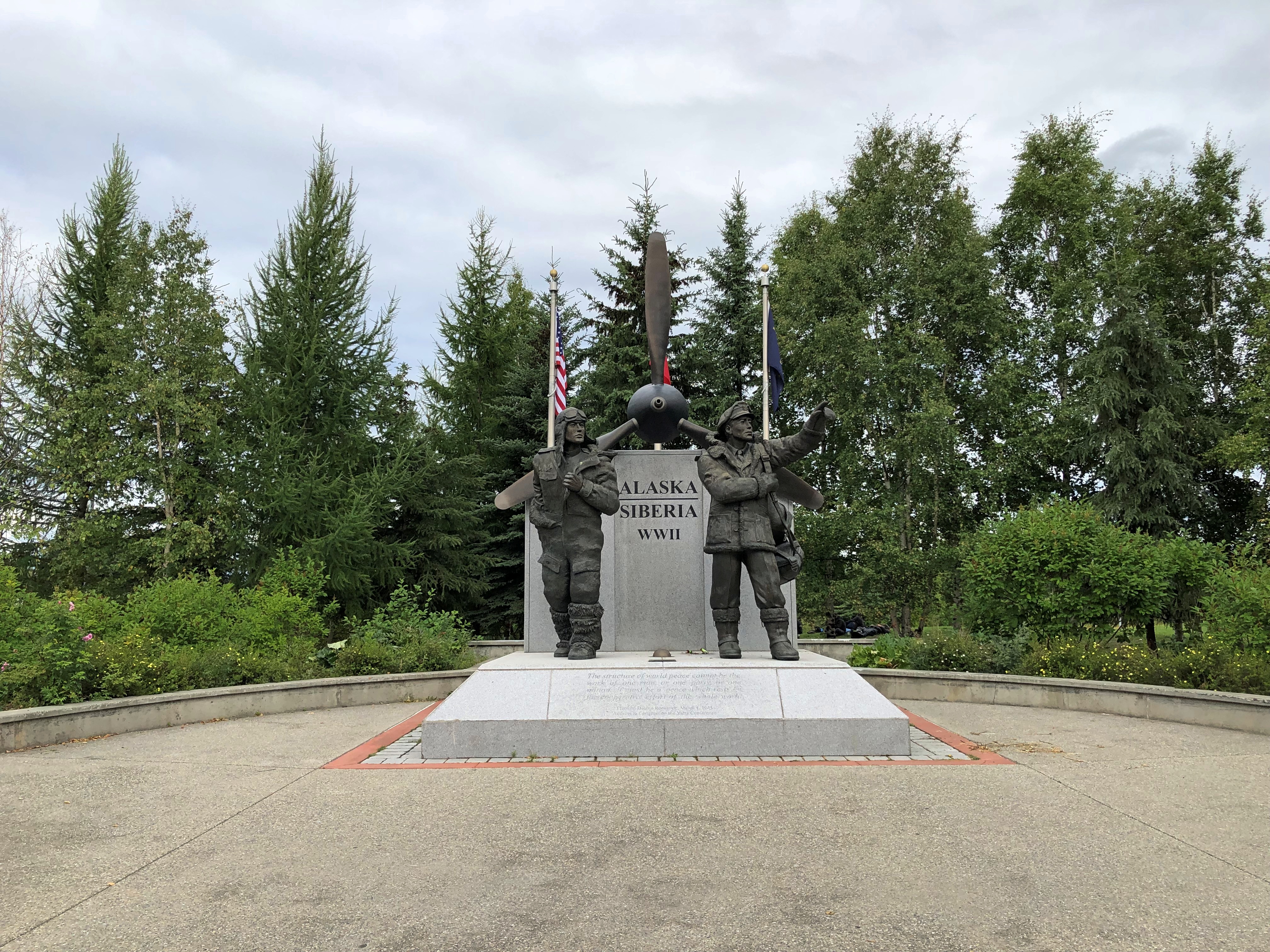
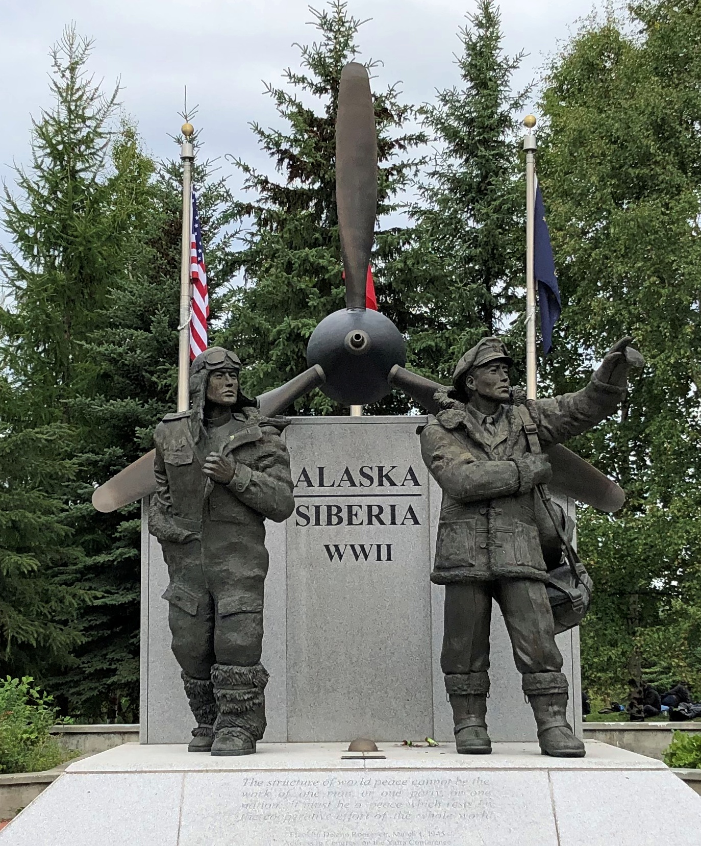
A memorial to the Alaska-Siberia Lend Lease Airway, designed and created by Alaskan sculptor R.T. Wallen and erected only in 2006.

Alaska-Siberia Lend Lease Airway memorial

Alaska-Siberia Lend Lease Airway memorial

One hears about the Murmansk Run, but that was only one of the four Lend-Lease routes to provide war materiel to the Soviet Union. Aircraft flew from North America via Alaska to Siberia and then on from there.

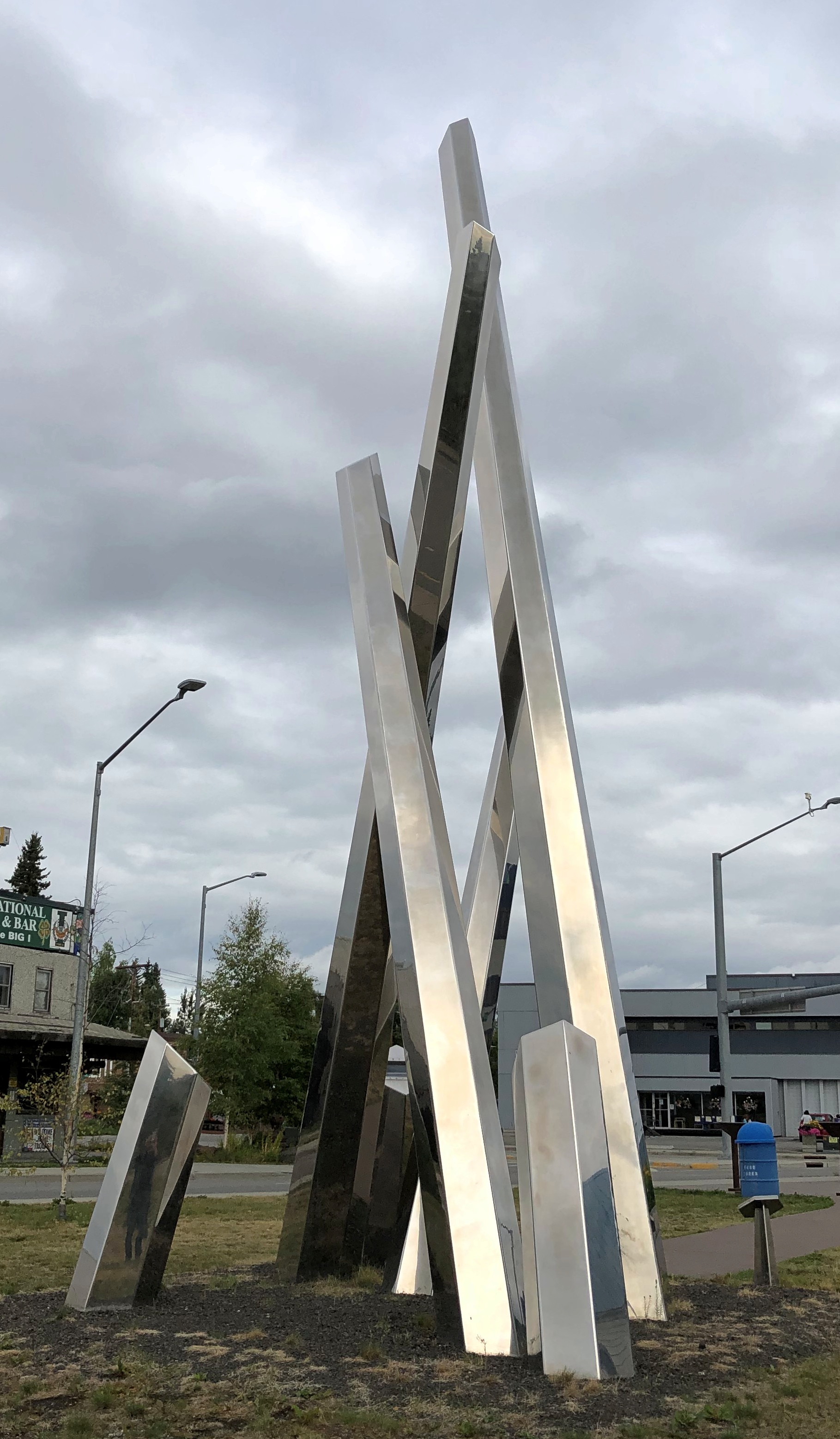
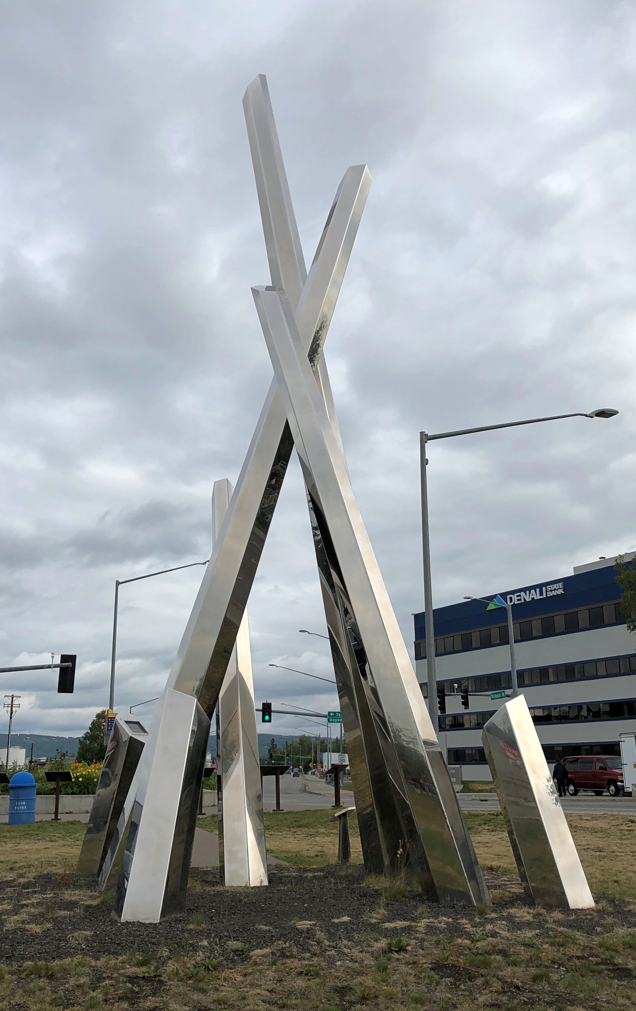
“Polaris.”"Polaris."

"Polaris."
“An arresting collection of crossing steel spires, ‘Polaris’ combines the ideas of ice, quartz, and the Aurora Borealis, the world-famous nightly electrical atmospheric phenomenon that Fairbanks, Alaska, is ideally positioned for,” says Atlas Obscura.

“Its longest spire points directly at the North Star. The artwork was designed and constructed by artists Michael Vandermeer and Cheryl Hamilton in Vancouver, Canada, and then transported to Fairbanks.”

A memorial statue to the Alaska Territorial Guard, 1942-47, by Athabascan artist James Grant.A memorial statue to the Alaska Territorial Guard

A memorial statue to the Alaska Territorial Guard
I also got a look at some downtown buildings (or near downtown), though not in any systematic way. Just whatever I thought interesting. For instance, no Denali for this bank.

Mt McKinley Bank

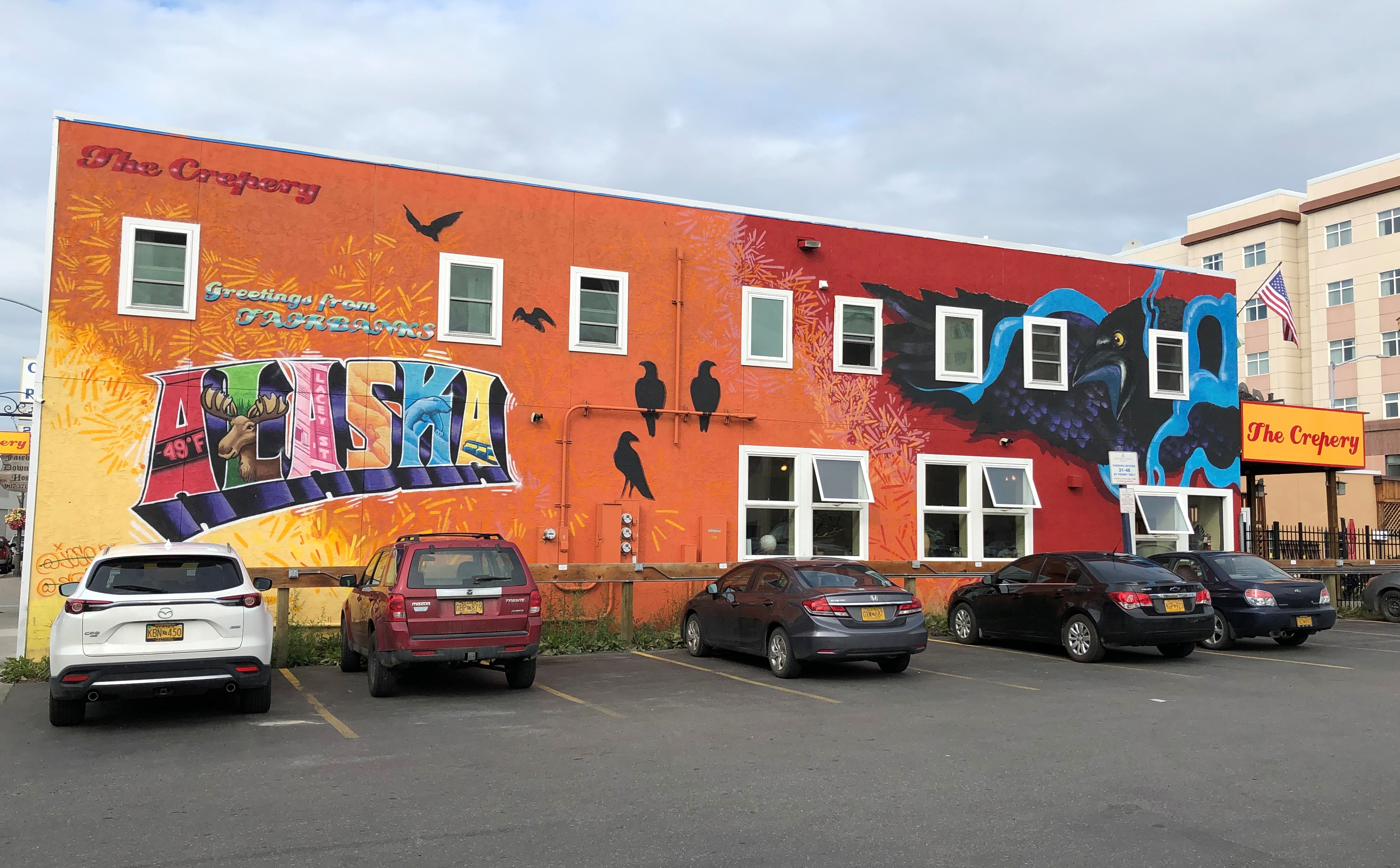
The mural on side of the Crepery, where I had lunch one day.
Crepery mural

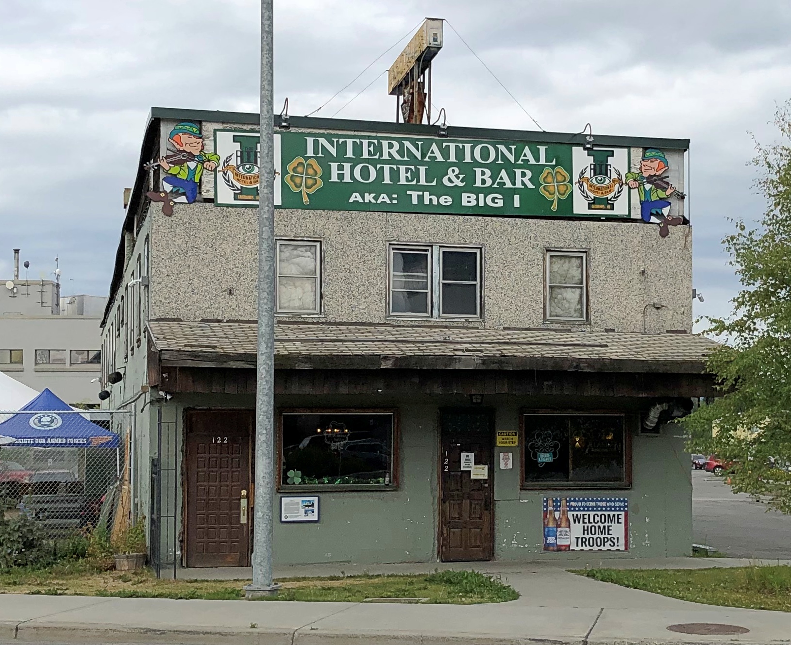
An Irish bar, far from Ireland.
The I Fairbanks

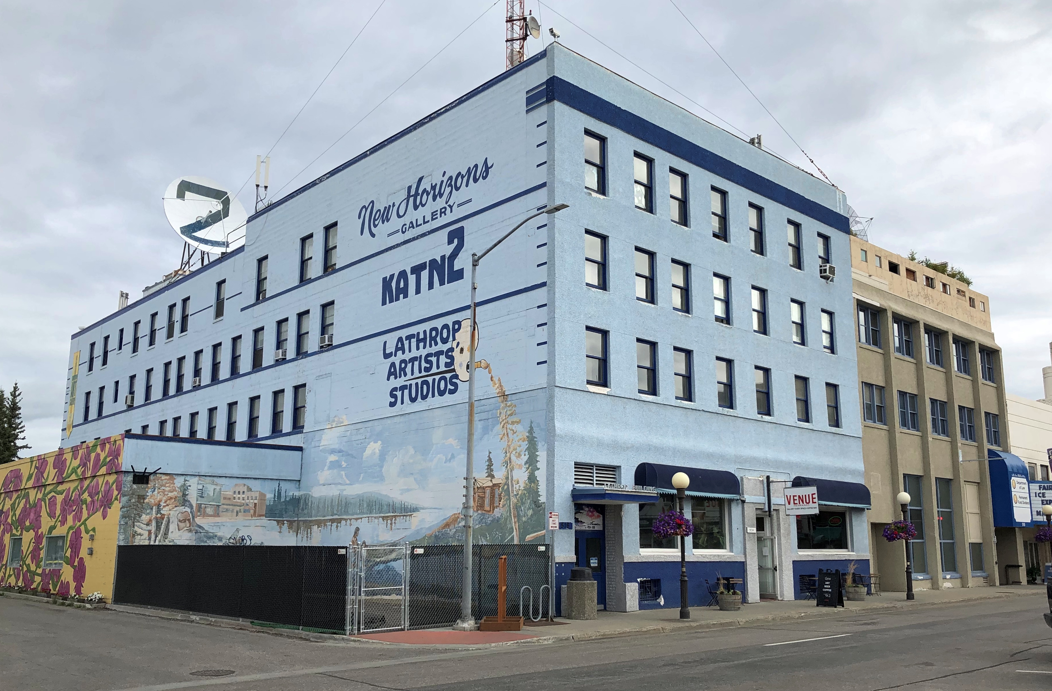
More.

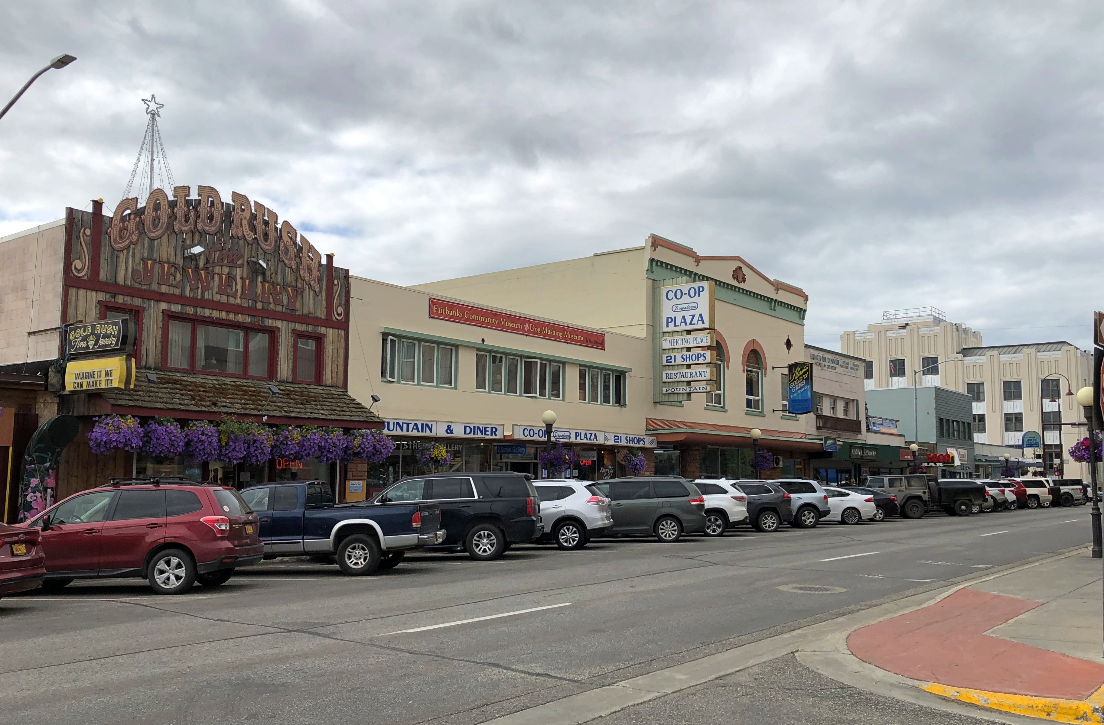
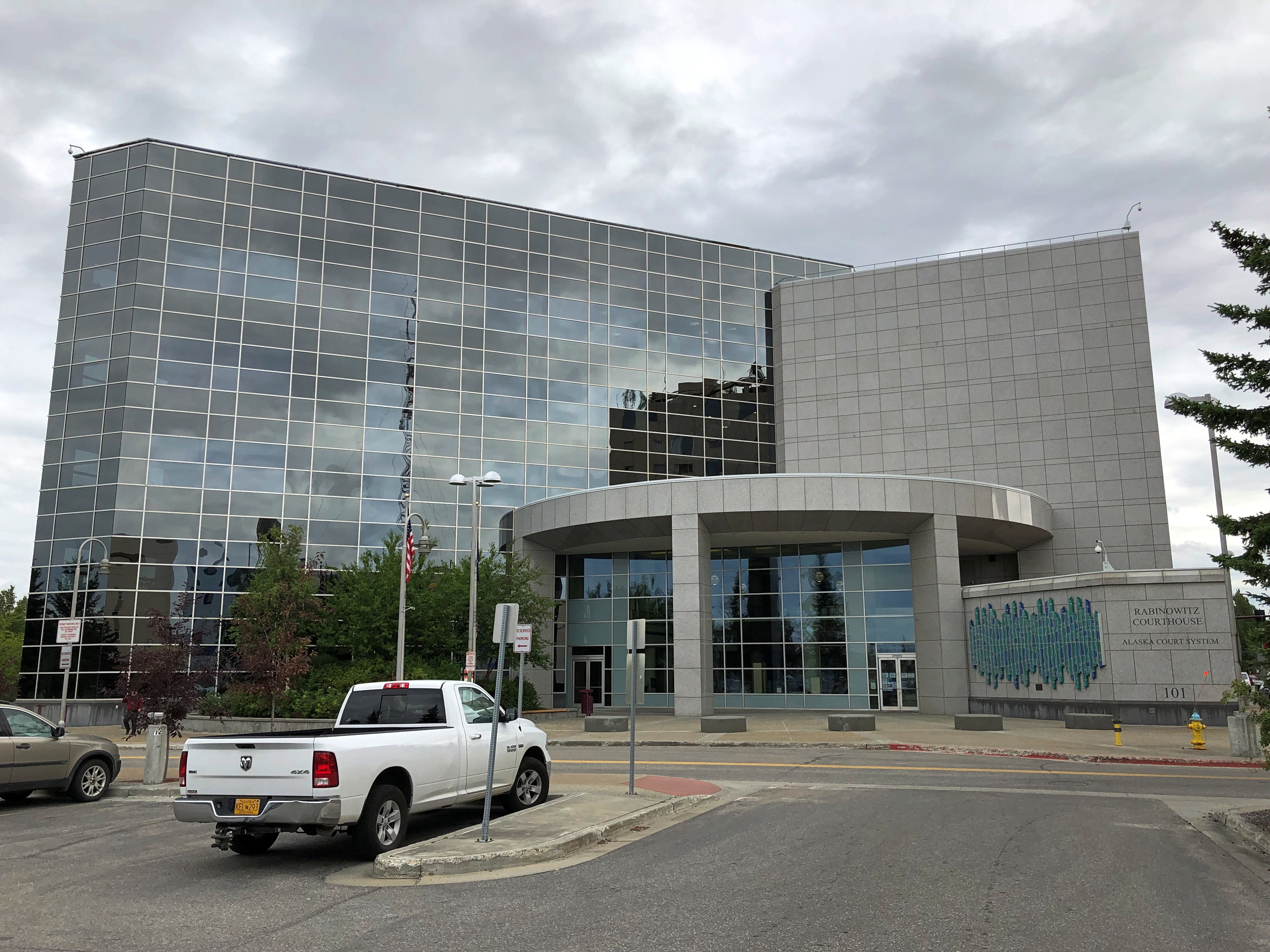
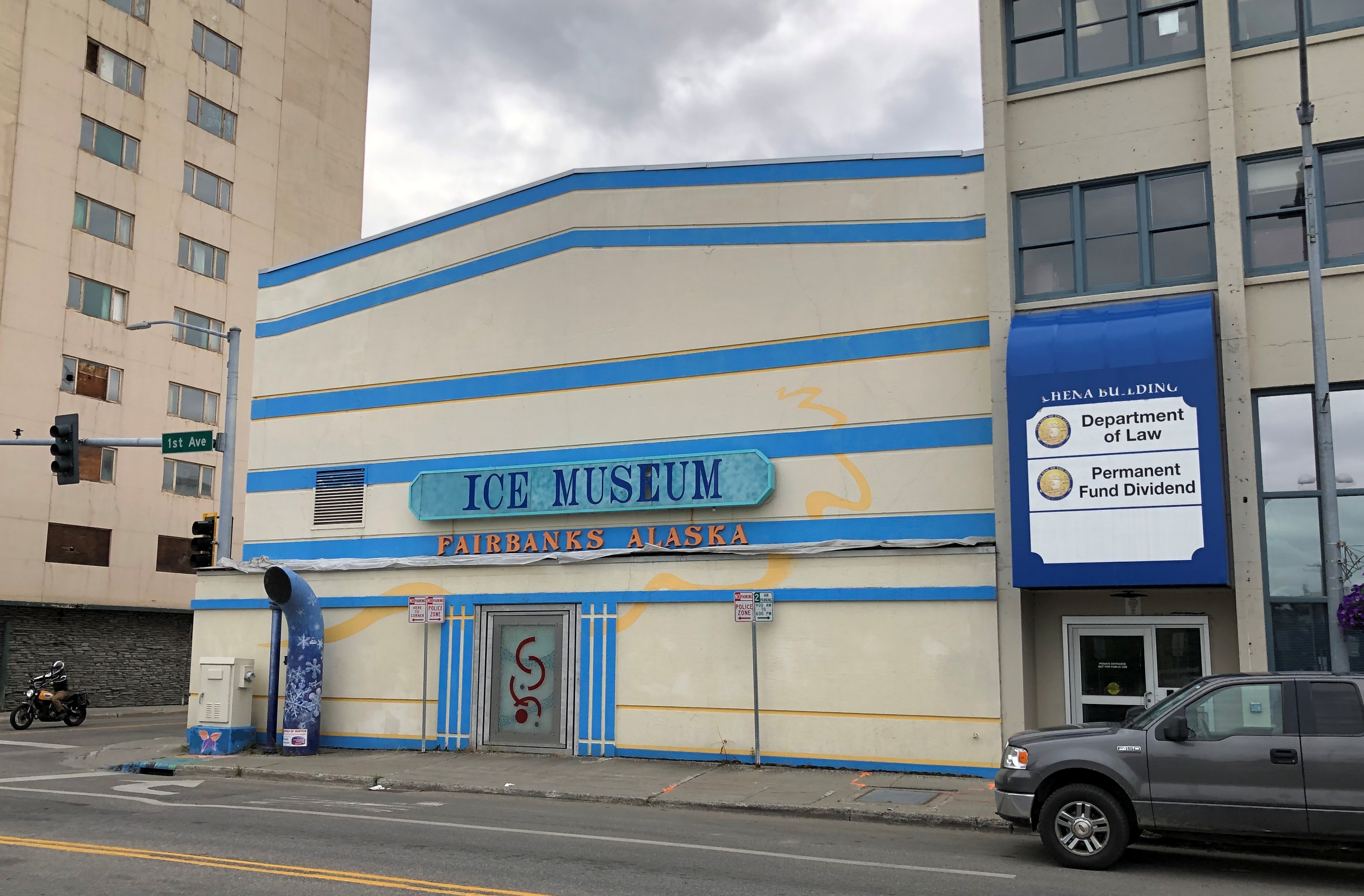
Downtown Fairbanks

Downtown Fairbanks

Downtown Fairbanks

I didn’t go.
Downtown Fairbanks

I thought it strange that a building this large was boarded up.
Downtown Fairbanks closed hotel

I didn’t look it up until I got home. It’s an abandoned hotel and the tallest building in Fairbanks. Looks to be 11 stories. Quite a story.

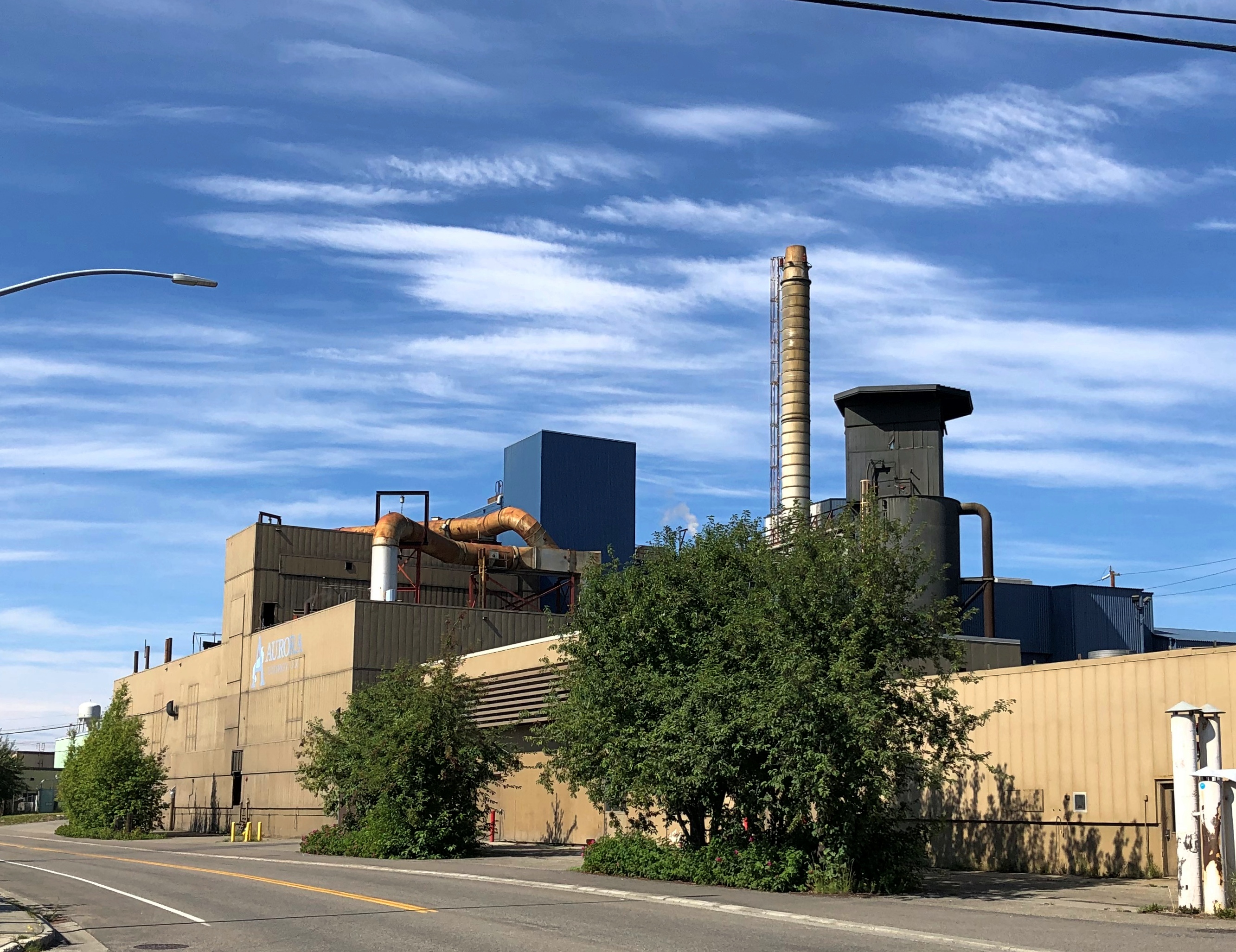
A couple more buildings, somewhat further from downtown, though still within walking distance of everything else I saw. First, a major riverside facility of Aurora Energy, an electric utility.Aurora Energy Fairbanks

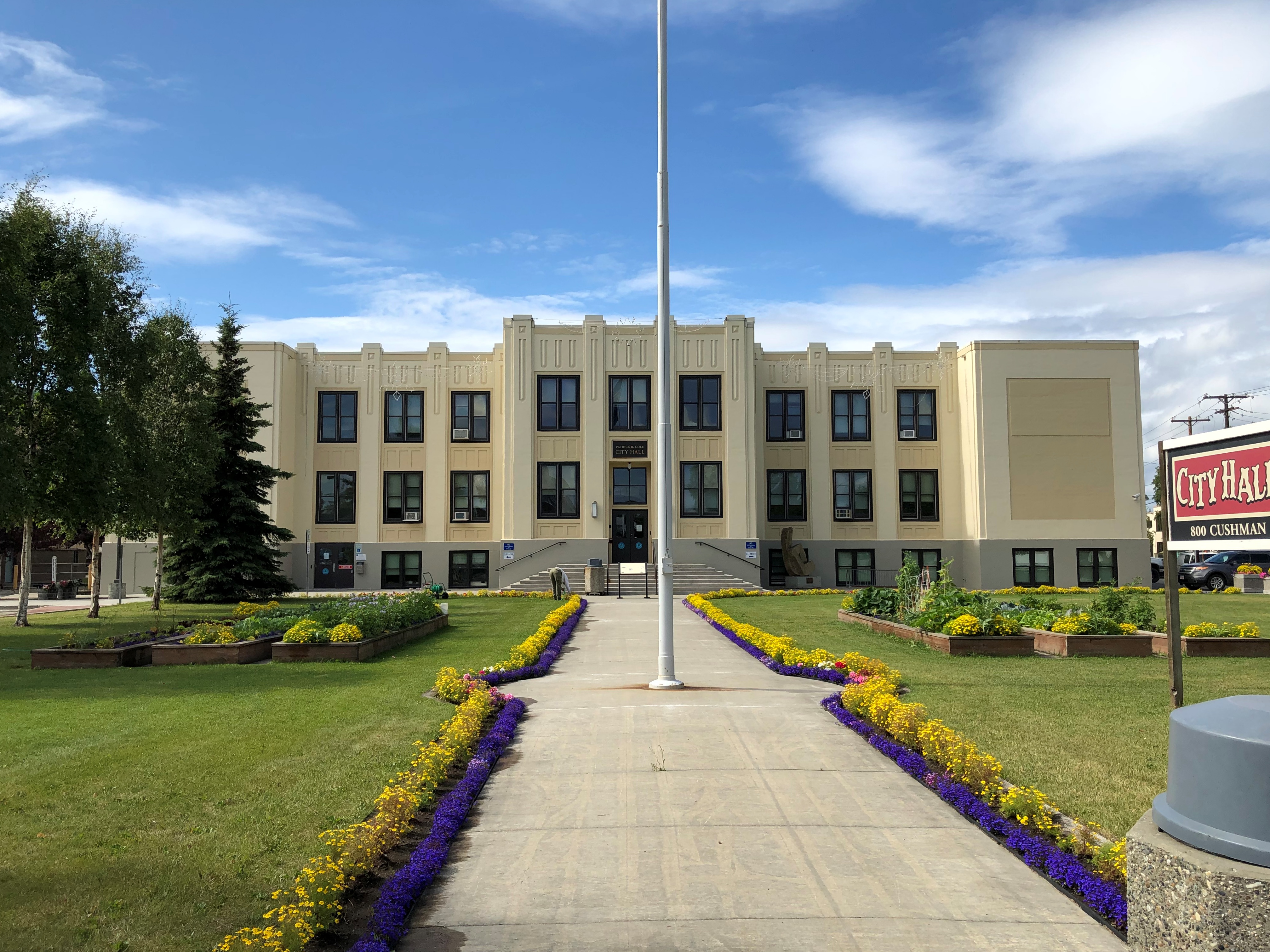
Fairbanks has a handsome deco city hall, designed by Tourtellotte & Hummel, who has offices in Boise and Portland, Oregon. Developed in the 1930s, it was a school for decades. Fairbank’s only school until 1951.

Fairbanks City Hall

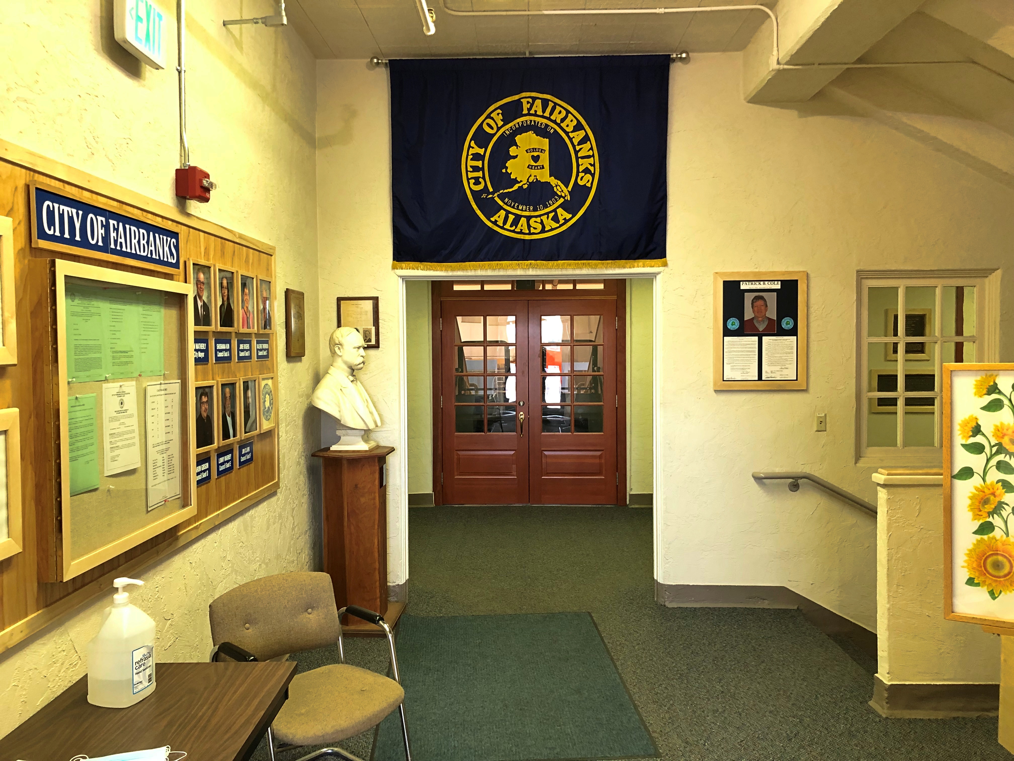
I went in. No guard or metal detectors. No one paid the slightest bit of attention to me. That was refreshing.

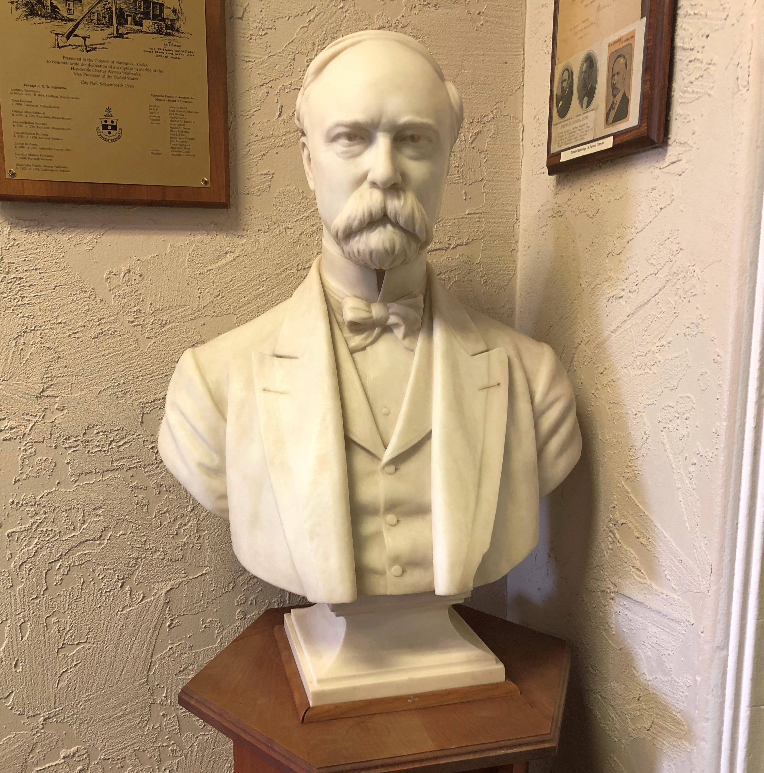
City Hall is one of Fairbank’s more aesthetic buildings, but that wasn’t the only reason I went in. A pamphlet I picked up on public art in Fairbanks tipped me off to artwork inside that I had to see. A bust by Franklin Simmons.Fairbanks City Hall
Fairbanks City Hall - Charles Fairbanks

It’s Vice President Charles Fairbanks.

Wednesday Debris

Warm days and cicadas at dusk. Back to posting around August 1.

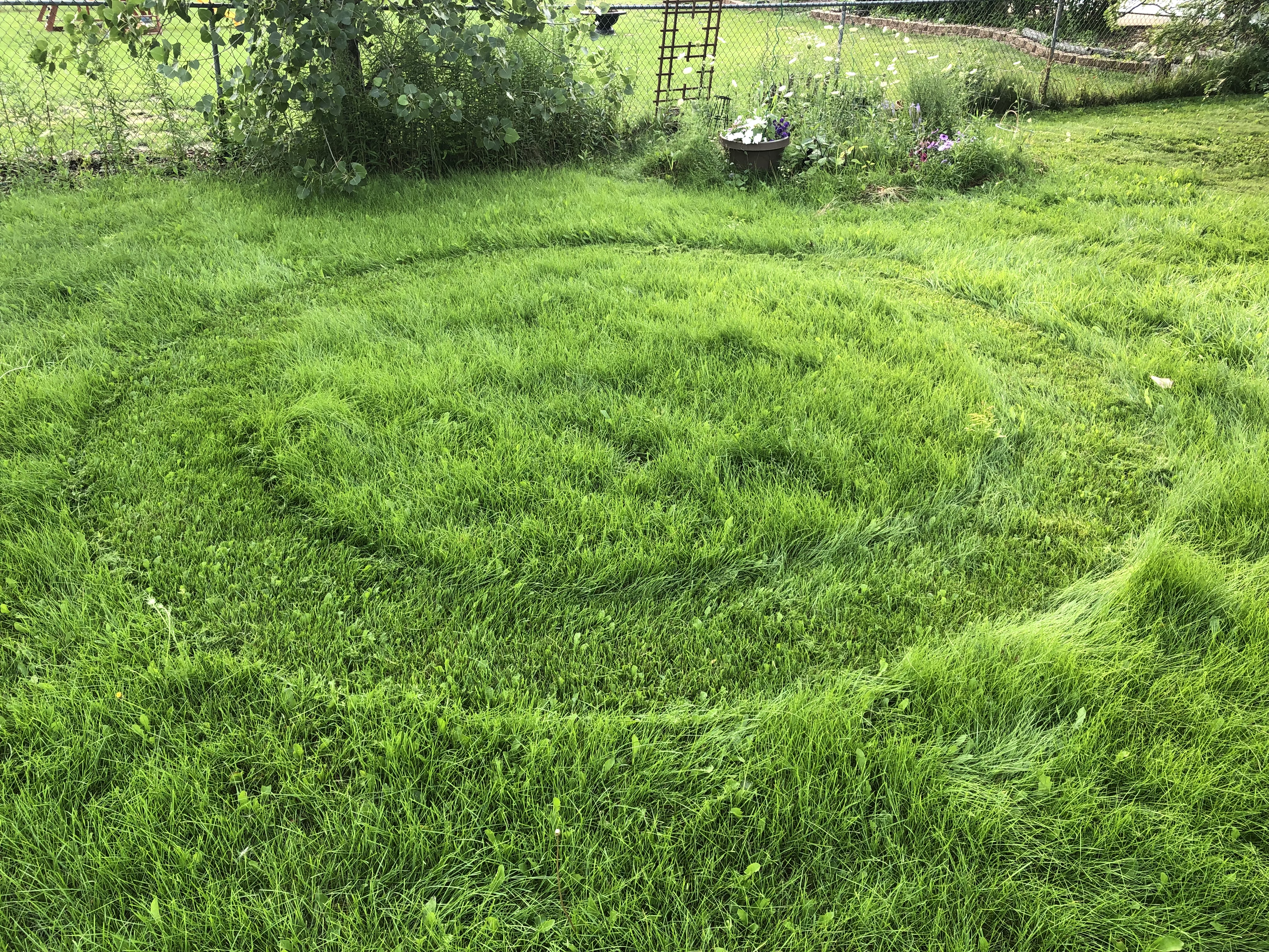
I saw this in my back yard yesterday.

Imagine my surprise. A lawn circle! The suburban version of crop circles. (In the UK, they’re called garden circles.) Clear evidence that space aliens visited.

Spotted in a northwest suburban parking lot the other day.
Color Me Green
I ought to look that up, but I don’t want to.

Dear streaming service that I subscribe to: When you send me an email with links in it, the links should not take me to this.

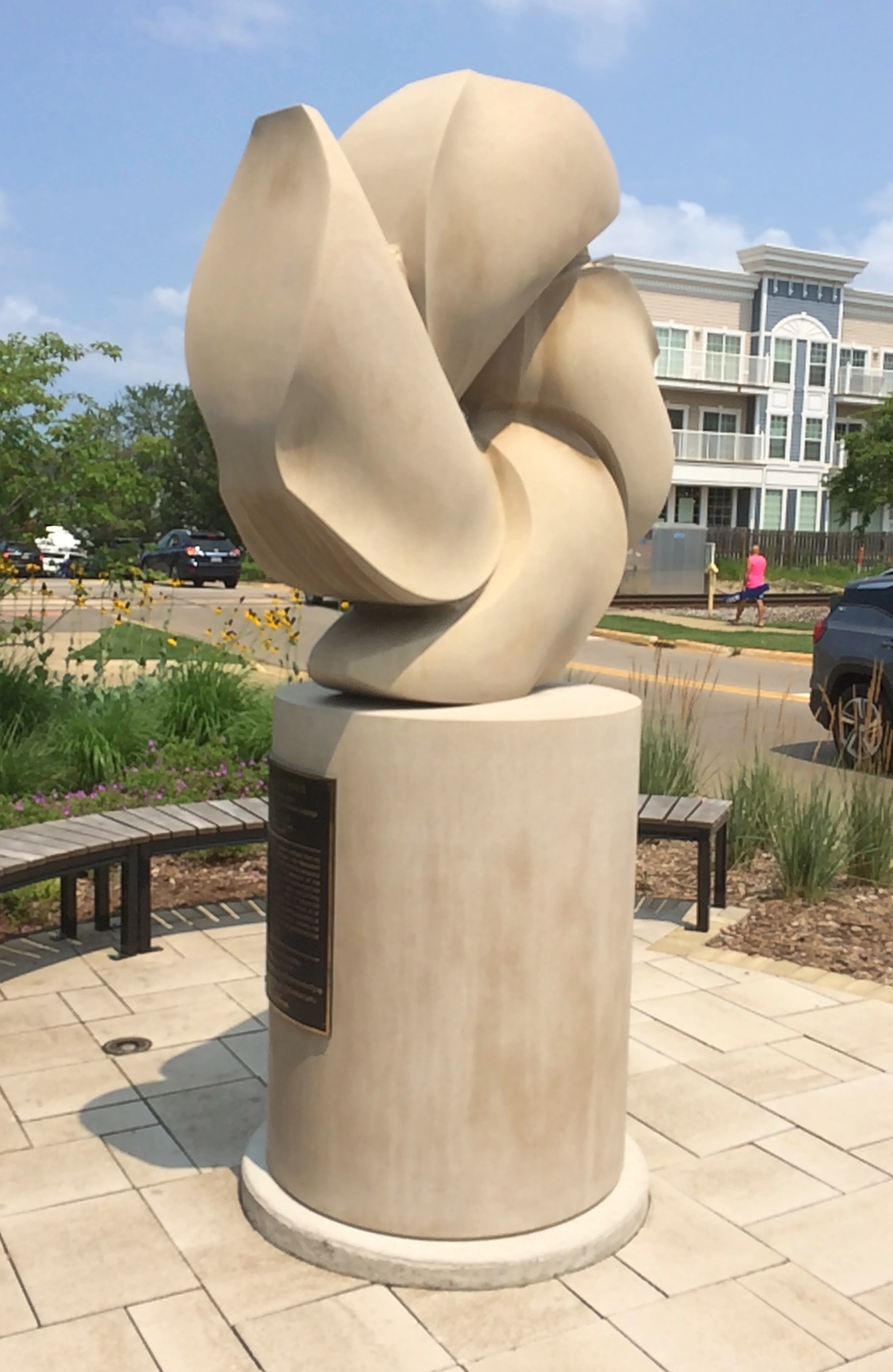
This statue was just east of the commuter rail station in New Buffalo.
"Gakémadzëwen," which is Potawatomi for "Enduring Spirit,"

“Gakémadzëwen,” which is Potawatomi for “Enduring Spirit,” by Fritz Olsen, dedicated only in 2018. The plaque says it was erected by the city of New Buffalo “in recognition of the generous contributions to the city by the Pokagon Band of Potawatomi.”

“The 1833 Treaty of Chicago established the conditions for the removal of the Potawatomi from the Great Lakes area,” says the band’s web site. “When Michigan became a state in 1837, more pressure was put on the Potawatomi to move west. The hazardous trip killed one out of every ten people of the approximately 500 Potawatomi involved.

“As news of the terrible trip spread, some bands, consisting of small groups of families, fled to northern Michigan and Canada. Some also tried to hide in the forests and swamps of southwestern Michigan. The U.S. government sent soldiers to round up the Potawatomi they could find and move them at gunpoint to reservations in the west. This forced removal is now called the Potawatomi Trail of Death, similar to the more familiar Cherokee Trail of Tears.

“However, a small group of Neshnabék, with Leopold Pokagon as one of their leaders, earned the right to remain in their homeland, in part because they had demonstrated a strong attachment to Catholicism. It is the descendants of this small group who constitute the Pokagon Band of Potawatomi Indians.”

Even so, it wasn’t until 1994 that Congress reaffirmed the federally recognized status of the Pokagon Band of Potawatomi. The band now owns some Michigan casinos, including Four Winds New Buffalo, which features 3,000 slot machines, 70 table games, four restaurants, bars, retail venues, and a 415-room hotel.

Got a boring email from Amazon the other day. It said:

Unfortunately, we weren’t able to cancel the items you requested and these items will soon be shipped. We apologize for the inconvenience.

You can track your package at any time. If you no longer want these items, you may refuse delivery or return them after they arrive. You can visit Your Orders to start a return.

There’s no style to that. How about:

Unfortunately, we weren’t able to cancel the items you requested and these items will soon be shipped. No force in the universe can stop an Amazon order once it is past the FailSafe Point.®

Not even the mighty Jeff Bezos can stay your package from its appointed delivery, even from his perch in space. You may refuse delivery or return them after they arrive. You can visit Your Orders to start a return.

Also from Amazon: One of our updates involves how disputes are resolved between you and Amazon. Previously, our Conditions of Use set out an arbitration process for those disputes. Our updated Conditions of Use provides for dispute resolution by the courts.

Well, well, well. The Wall Street Journal reported in June: “Companies have spent more than a decade forcing employees and customers to resolve disputes outside the traditional court system, using secretive arbitration proceedings that typically don’t allow plaintiffs to team up and extract big-money payments akin to a class action.

“With no announcement, the company recently changed its terms of service to allow customers to file lawsuits… The retail giant made the change after plaintiffs’ lawyers flooded Amazon with more than 75,000 individual arbitration demands on behalf of Echo users.”

This is the flag of Greater London. The officially approved flag of that political entity, I’ve read. It looks like it was drawn by a ten-year-old.

One more thing: National Geographic now asserts there is a “Southern Ocean,” hugging Antarctica below 60 degrees South. That’s a term that I know Australians have long used — I heard it from Australians in the ’90s, and saw the term on a sign at Cape Leeuwin — though I believe they mean the “waters south of us.”

Speaking of ten-year-olds, I understand that part of Nat’l Geo’s mission is educational, but a headline asking whether I can name all the oceans, as if I were that age?

Further Considerations About Sock Monkeys (And Long Grove Community Church & Cemetery)

Rockford, Illinois, is generally credited with creating the modern sock monkey, and more recently fiberglass sock monkeys were put on display there. There are even sock monkeys at the Midway Village Museum in Rockford.

So how is it Long Grove is getting a sock monkey museum? I’ve only done cursory research, the kind the subject deserves, and I haven’t found a connection. I like to think the Long Grove museum will be run by a breakaway sock monkey faction, rivals of the sock monkey orthodoxy in Rockford, but that’s just me amusing myself.

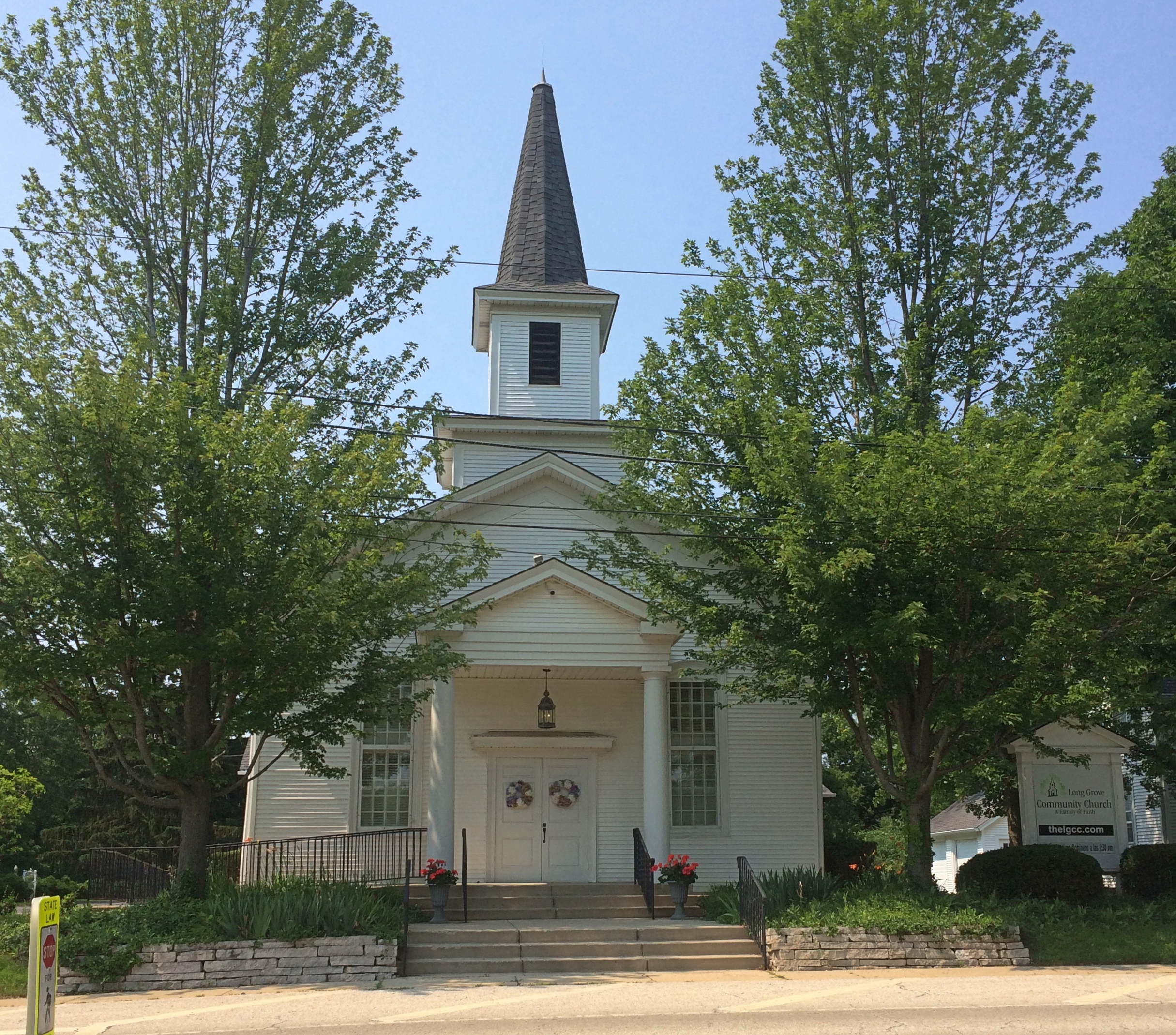
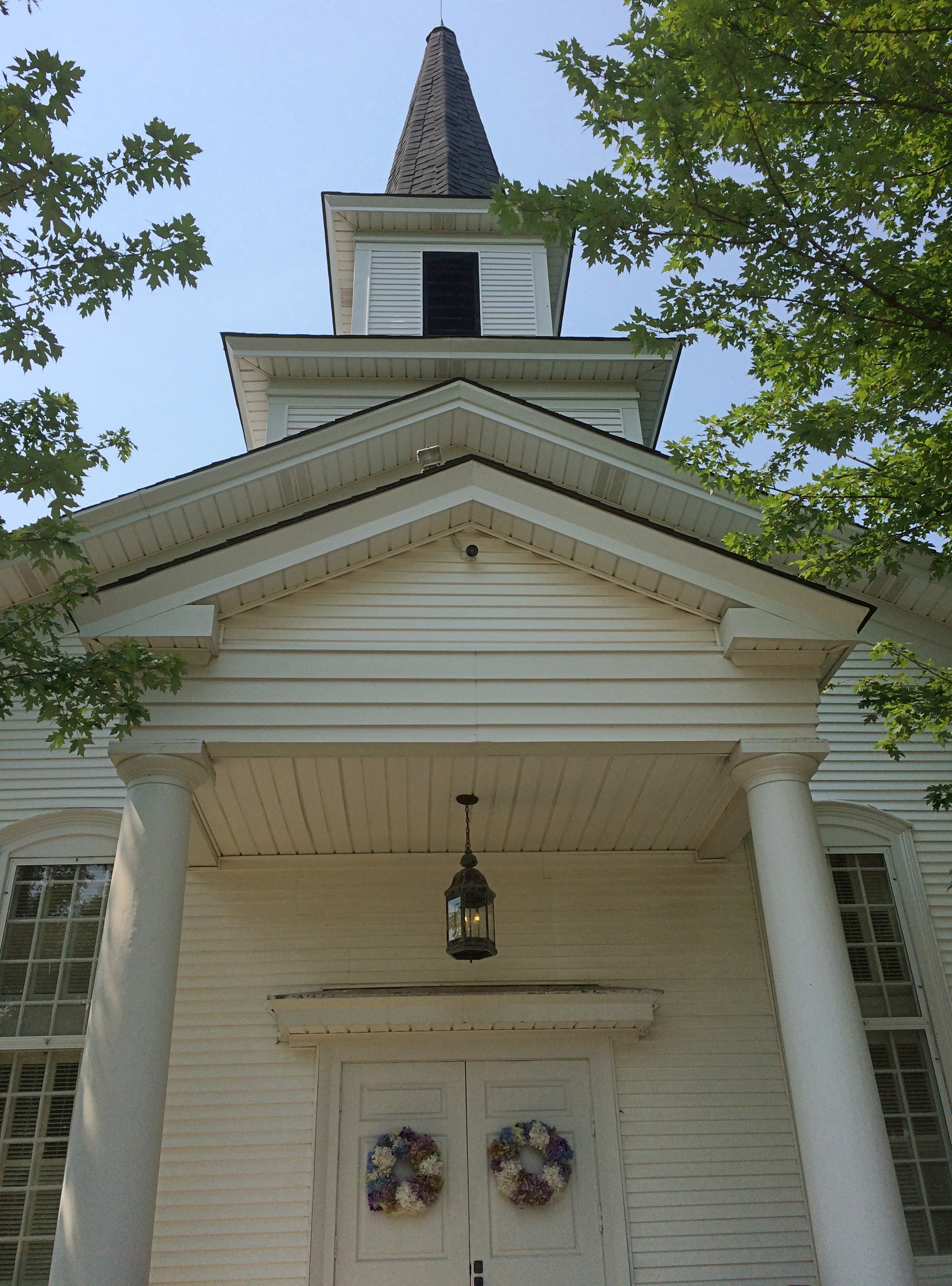
A short distance from Long Grove’s historic downtown is Long Grove Community Church, which is historic in its own right, built by Evangelical German immigrants in the 1840s.Long Grove Community Church

Long Grove Community Church
“With a new century, came many changes,” the church’s web site says, referring to the 20th century. “The church widened her circle of ministry to include local people who were not German-speaking. Two denominational mergers took the church away from her Evangelical roots.

“By 1950, the church had grown so small that the denomination recommended the doors be closed. But God gave the people a vision. Instead of closing their doors, they built Sunday School rooms for children. As people migrated from the city to the suburbs, the area grew and so did the church. By the late 1960s, we had transitioned from a small rural church into a suburban church.”

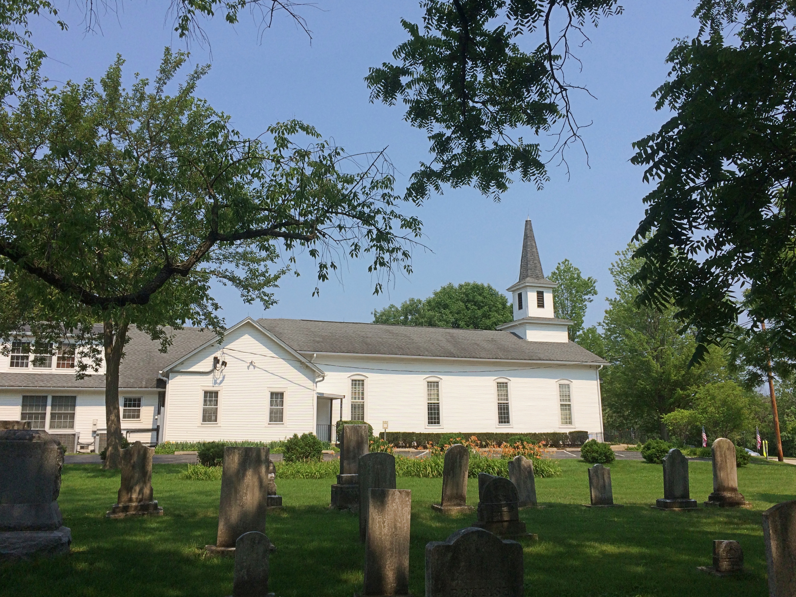
The Long Grove Cemetery is next to the church.

Long Grove Community Church

Long Grove Illinois Cemetery

Long Grove Illinois Cemetery

There isn’t much information on line about this cemetery, despite its clear historic aspects.Long Grove Illinois Cemetery

But I don’t need a web site to tell me it’s another of the many cemeteries in the Chicago area with immigrant German stones, many dating from the 19th century.

The Edsel & Eleanor Ford House

Major thunderstorm last night, especially around 10:30, when I had a mind to take out the trash. Soon my phone started making a racket. It was sounding a tornado warning. That and the lightning and the heavy rain persuaded me to postpone my outdoors task until around midnight, when the storm had blown over. Naperville, a good ways to the south, had the worst of it.

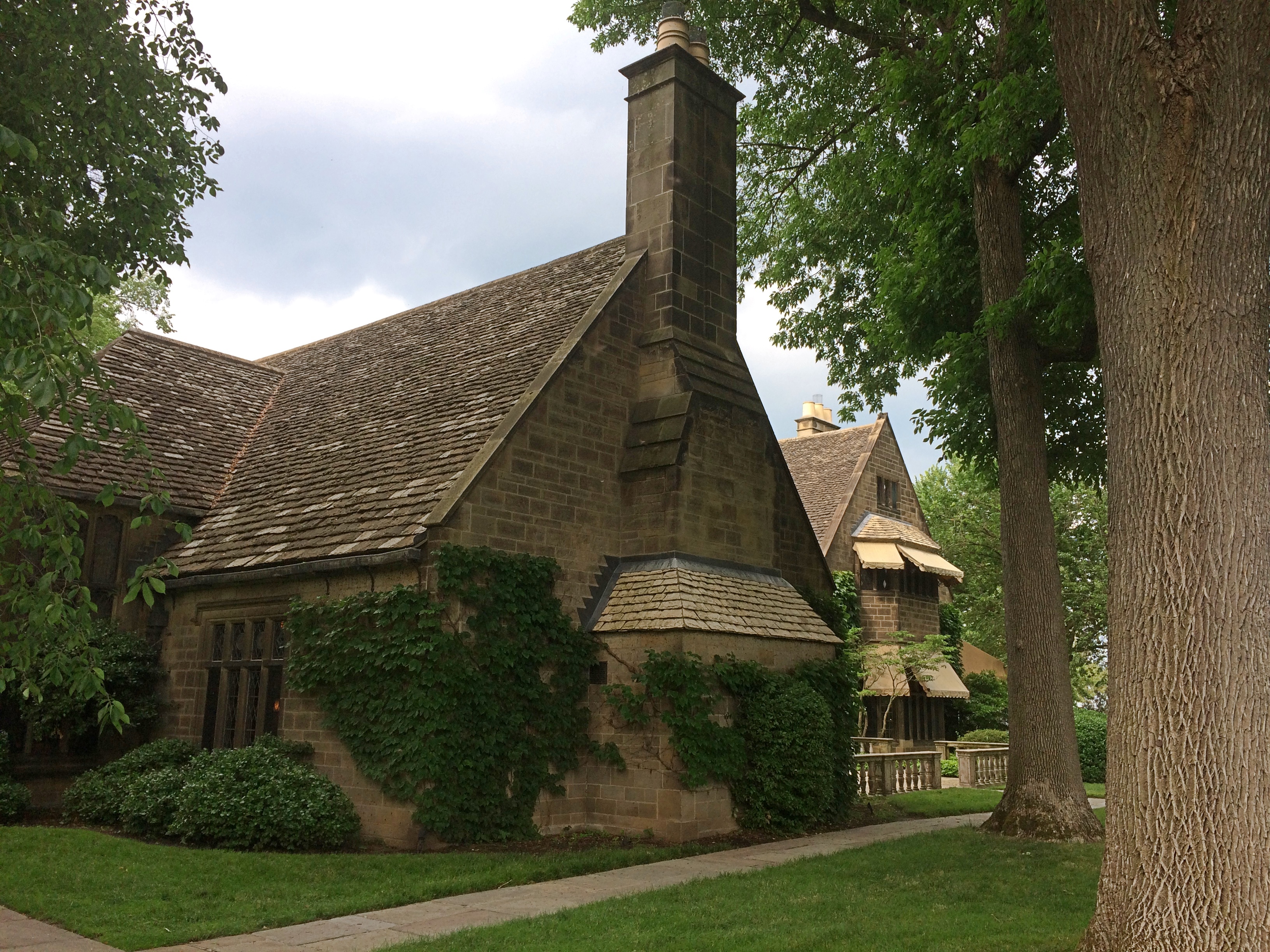
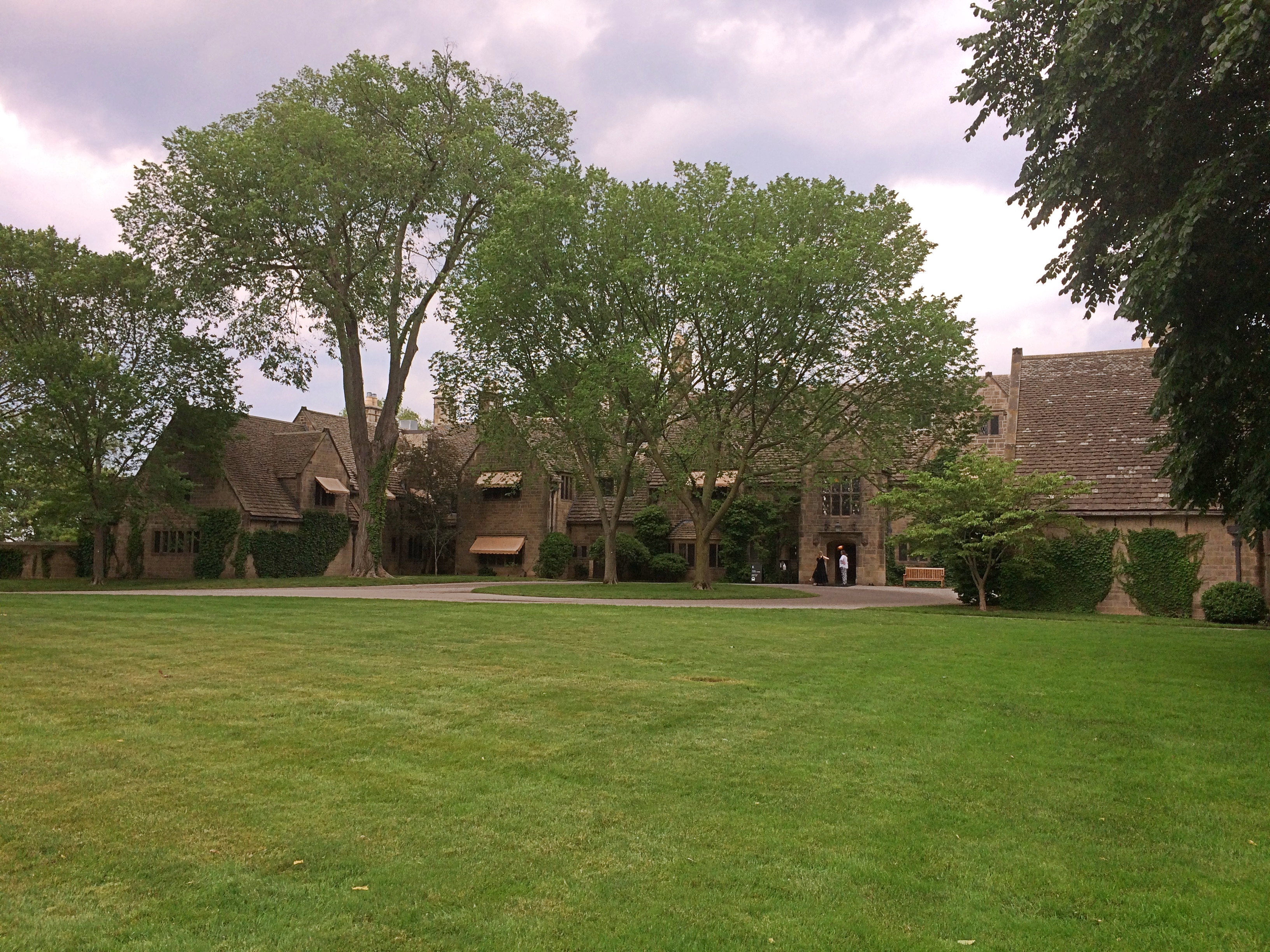
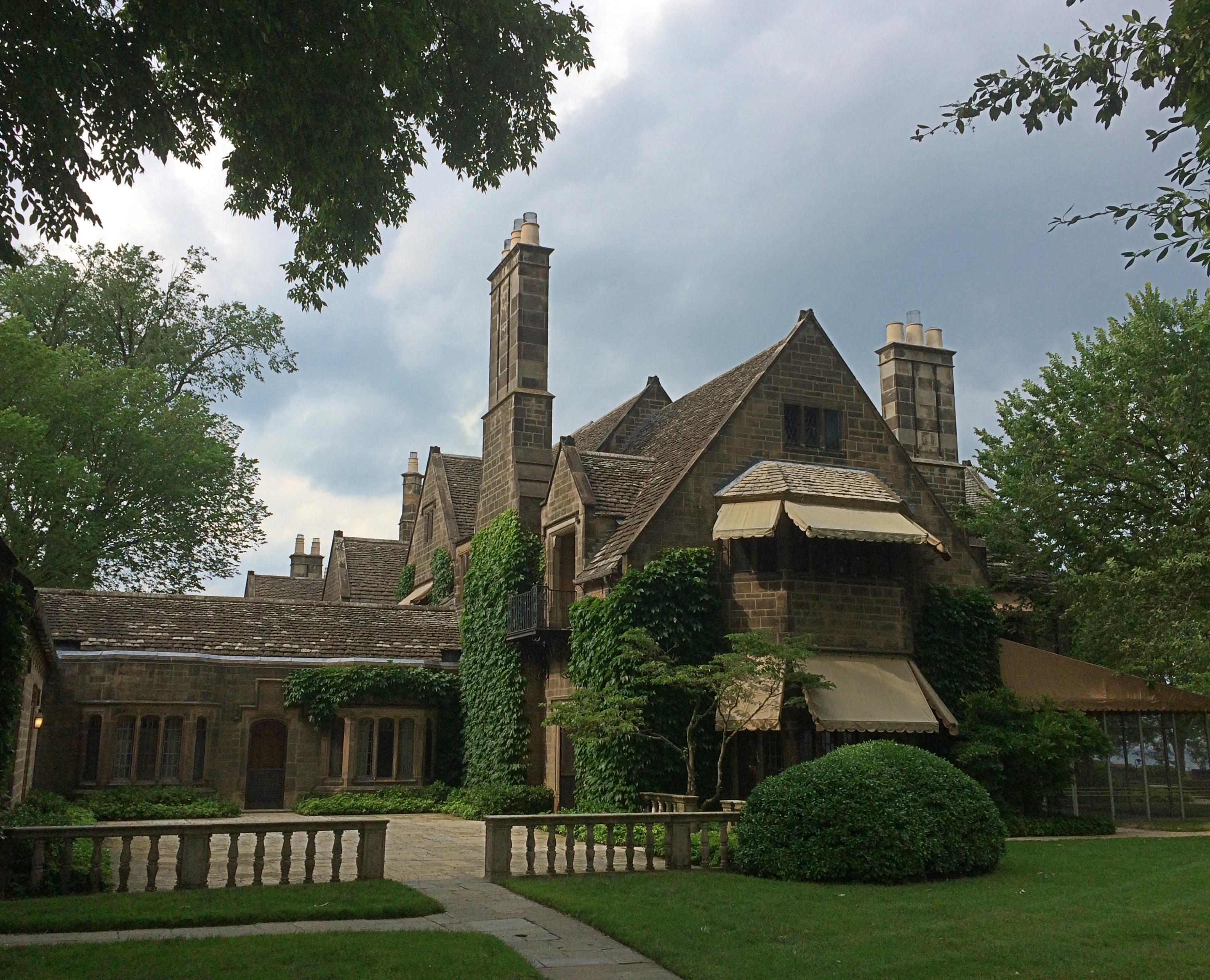
Last Friday afternoon in greater Detroit, we made our way to Grosse Pointe Shores to see the Edsel & Eleanor Ford House, a 20,000-square-foot mansion on the shore of Lake St. Clair completed in 1928. The Fords hired Albert Kahn, who seems to have done everything in metro Detroit, to design the place.Ford House, Michigan

Ford House, Michigan

Ford House, Michigan

The Fords had liked the cottages they’d seen in England, especially in the Cotswolds, including such features as stone roofs, vine-covered walls and lead-paned windows. Not only did the Ford House design reflect English inspiration, the Fords had paneling, fixtures and other bits and pieces of Old England brought over for installation in the new mansion, back when that sort of thing was possible.

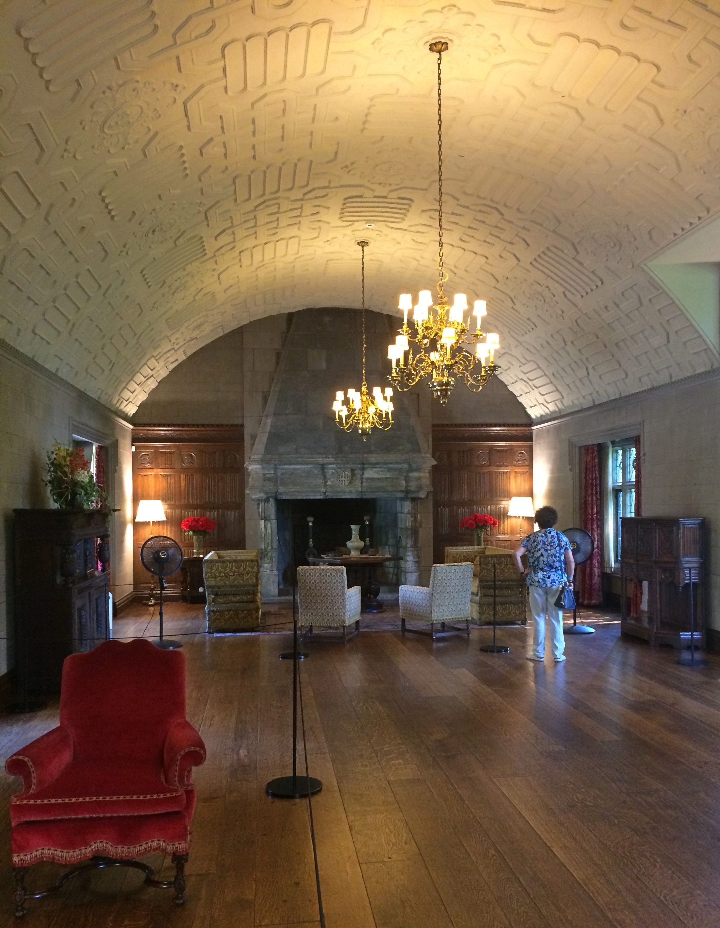
All in all, a handsome set of rooms to wander through. Such as barrel-vaulted Gallery, the largest room in the house. Sizable events were (and are) held here.Ford House, Michigan
“The Gallery… is paneled with sixteenth-century oak linenfold relief carved wood paneling,” notes Wiki. “Its hooded chimneypiece is from Wollaston Hall in Worcestershire, England; the timber-framed house had been demolished in 1925 and its dismantled elements and fittings were in the process of being dispersed… [the] barrel-vaulted ceiling for the Gallery was modeled on one at Boughton Malherbe, Kent, England.”

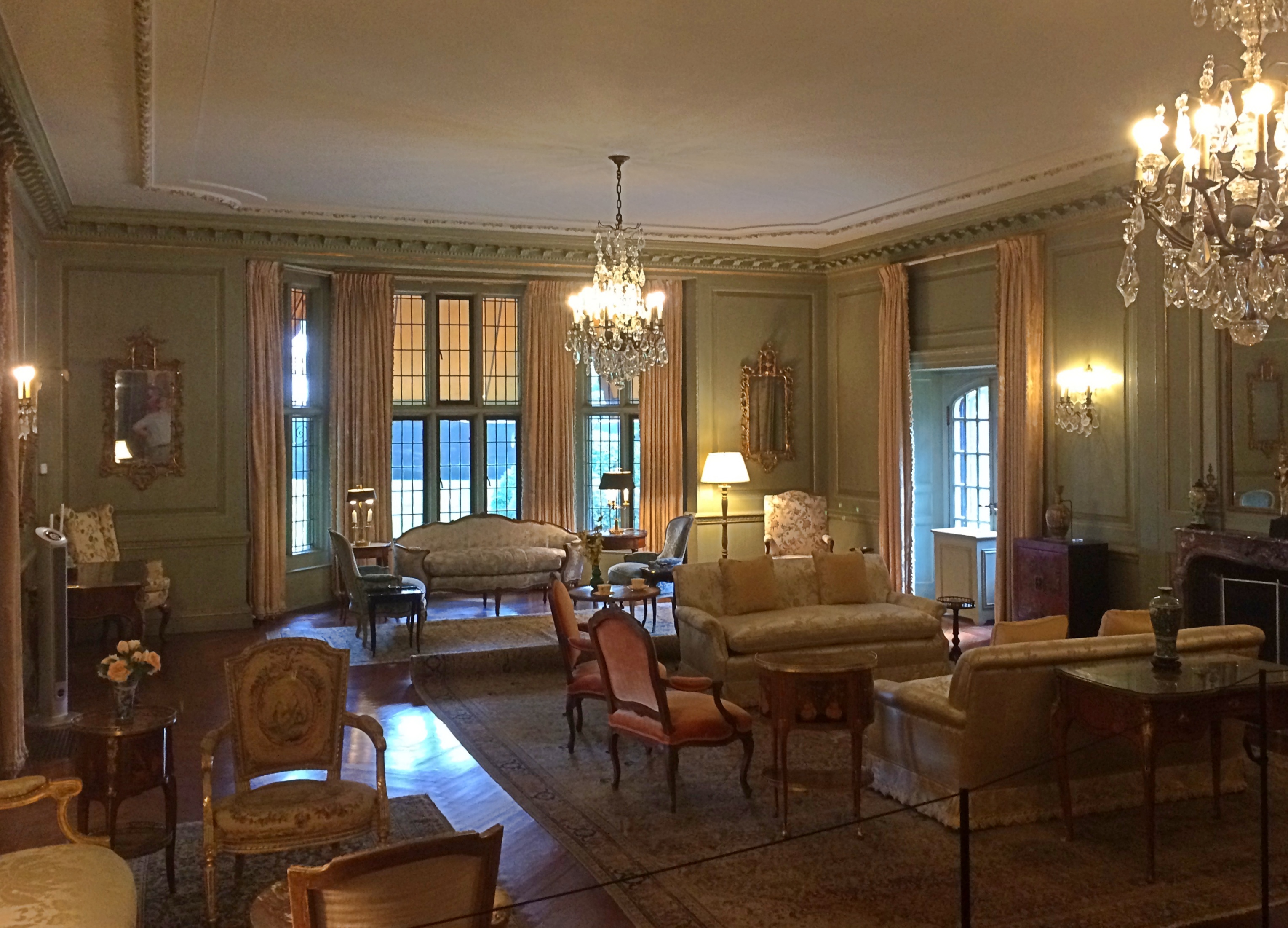
A handsome living room. Too handsome ever to be a living space, I think, and no doubt clutter wasn’t allowed, or at least the staff made sure it disappeared.
Ford House, Michigan

This looks more livable: an upstairs art deco bedroom, one of the more modern rooms designed by Walter Dorwin Teague. You can imagine leaving newspapers and magazines and books lying around in a room like this, with a globe or two sitting around as well. Not visible in my picture are the number of radios the Fords had built into various pieces of furniture.

Ford House, Michigan
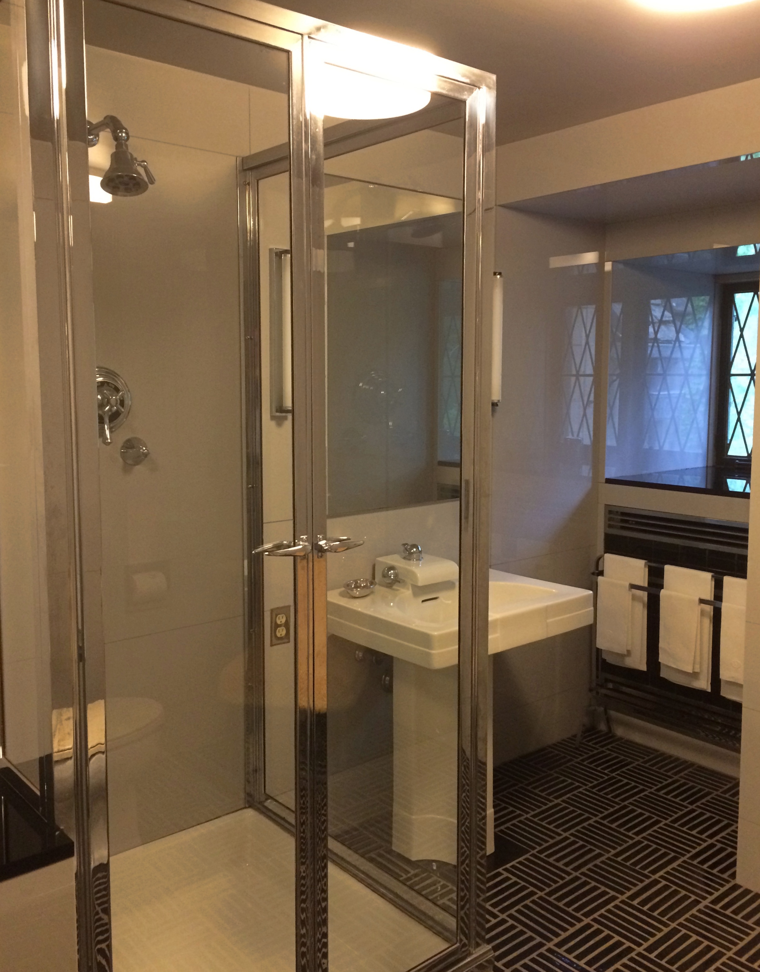
An attached complementary bathroom.

Ford House, Michigan

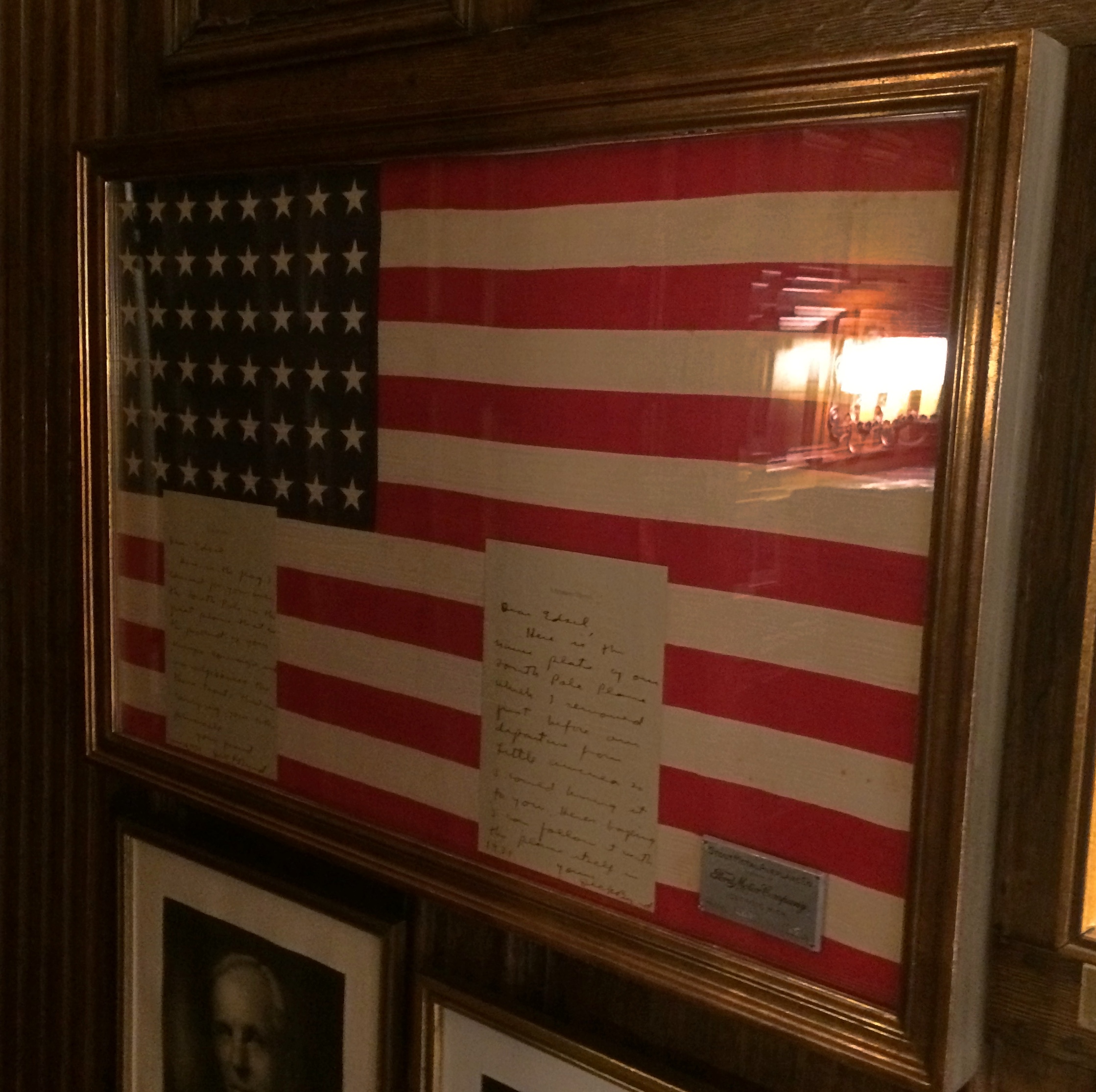
In Edsel Ford’s private office, I noticed a flag behind glass.
Ford House, Michigan

Adm. Byrd had taken the flag with him on his flight over the South Pole, and gave it to Ford — who had supported Byrd’s expedition, besides being the president of the company that built his airplane, a Ford trimotor — along with a handwritten letter. In another part of house is a flag Byrd took with him on his North Pole expedition.

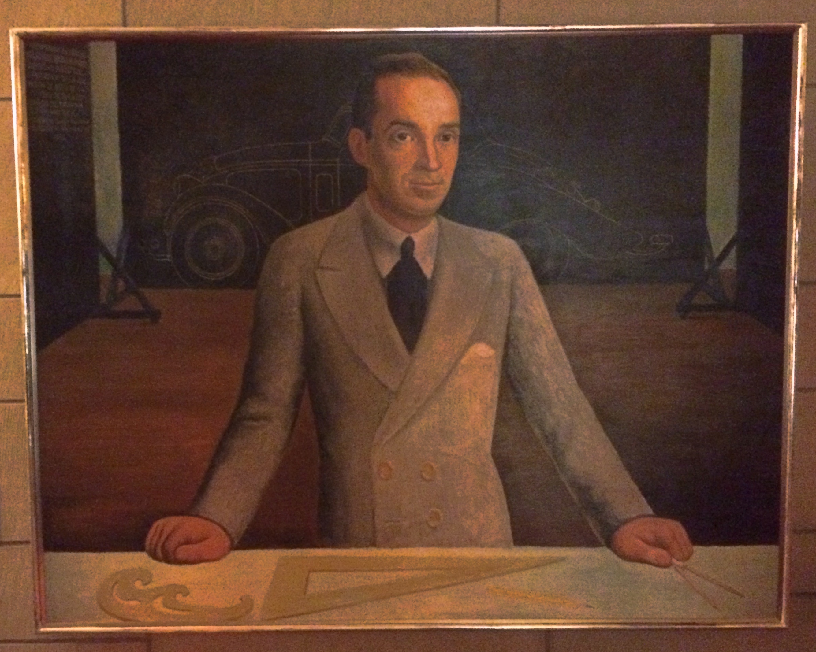
One more item inside the house: a copy of a portrait of Edsel Ford by Diego Rivera. The artist wasn’t so much of a red that he wouldn’t take money from a leading captain of industry.Ford House, Michigan

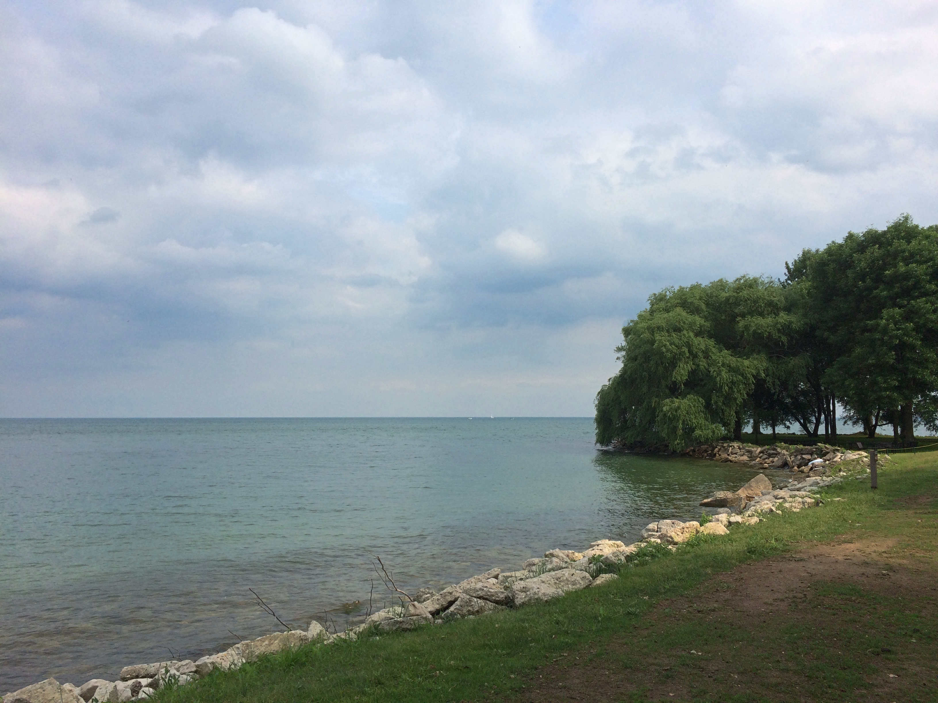
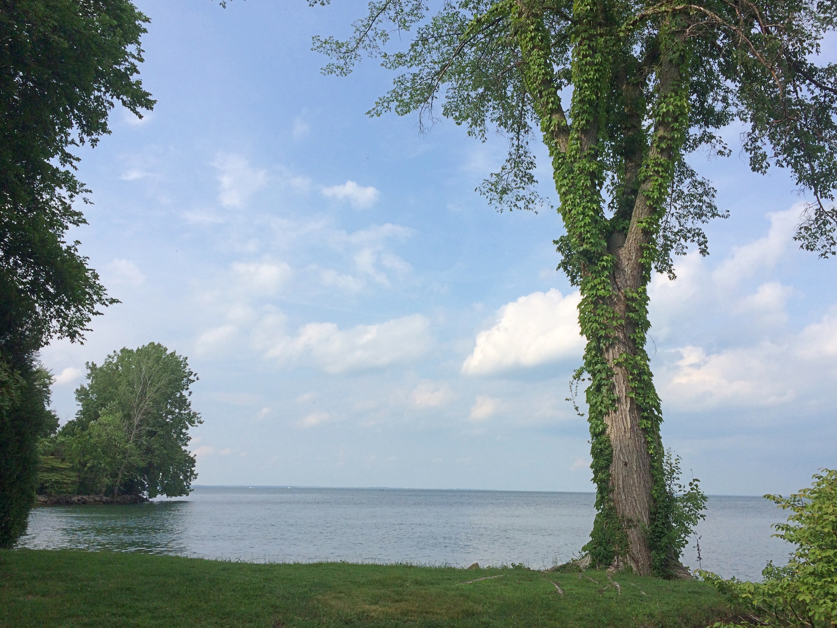
Outside, as you’d expect, the house has an expansive view of the lake.Ford House, Michigan Ford House, Michigan Ford House, Michigan

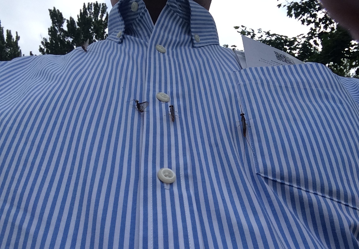
Plus swarms of mayflies, some of which decided to land on my shirt. They didn’t bite or do anything but appear in large numbers in my vicinity.

Ford House, Michigan

We asked a Ford House worker about them, learning that they’re known locally as fishflies. This is their high season, when they are most likely to swarm.

Juneteenth ’21

What do you know, Juneteenth’s a federal holiday. I have to say that I made a correct prediction on that score. But it wasn’t really that hard to guess. Anyway, I welcome it, and in fact have tomorrow off.

August-like heat has returned here in northern Illinois, though it looks like next week will cool off a bit after possible rain, as summers tend to do in the North. We could use the rain.

So far much of June has been more like summer down South: early and sustained heat, though not quite as bad as all that, since we haven’t hit 100 F yet. The high was supposedly 90 F today, and it felt like that outside. I had a simple lunch of a sandwich and a banana today out on the deck, make tolerable by the deck umbrella, which cut at least 10 degrees out of that high for me.

An HVAC tech, who has been looking after our air conditioning and heating for years now — I don’t remember how I found his company, it’s been so long — came by the other day for the annual check of the AC. Our antediluvian AC, whose mechanicals were assembled in the 20th century.

It’s a miracle it’s still running, the tech said (I’m paraphrasing). Got my fingers crossed that this won’t be the summer it gives up the mechanical ghost. We shall see. Years ago we bought a central AC unit for our small, postwar-vintage house in the western suburbs, not because the old one failed, but because the house didn’t have one. Imagine taking a new house to market these days without AC. Bet that’s a nonstarter even in a place like Fairbanks.

The Erie Canal

On our last day in metro Buffalo, we drove to Lockport, New York, late in the morning to see the Erie Canal. Even in my South Texas elementary school, and in U.S. history classes later, we heard about the Erie Canal. It probably was of special interest to my high school U.S. history teacher, the estimable former Wobbly Mrs. Collins, who grew up in Buffalo. Yuriko, on the other hand, heard nothing about it in Japanese schools; no reason she would.

I’ve heard the songs, too. The oft-recorded one about the loyal mule (which Bruce Springsteen does wonderfully, paying homage to Pete Seeger). The more fun one is about drunkenness among bargemen (and -woman), which I expect was true enough to life in the early days of the canal. The obscure Yellow Jack version, incidentally, used Lockport as a backdrop for the video.

Despite all that, I’d never gotten around to seeing the canal with my own eyes. So it was time. Naturally, we visited only the smallest slice, since the canal stretches more than 360 miles.

Lockport’s an interesting spot on the canal because it originally had five locks, which is unusual enough to have its own name: Flight of Five Locks, to allow the canal to cross the Niagara Escarpment. For the 1820s, I expect it was state-of-the-art engineering.

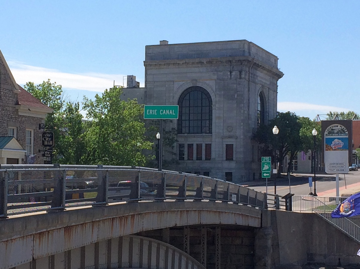
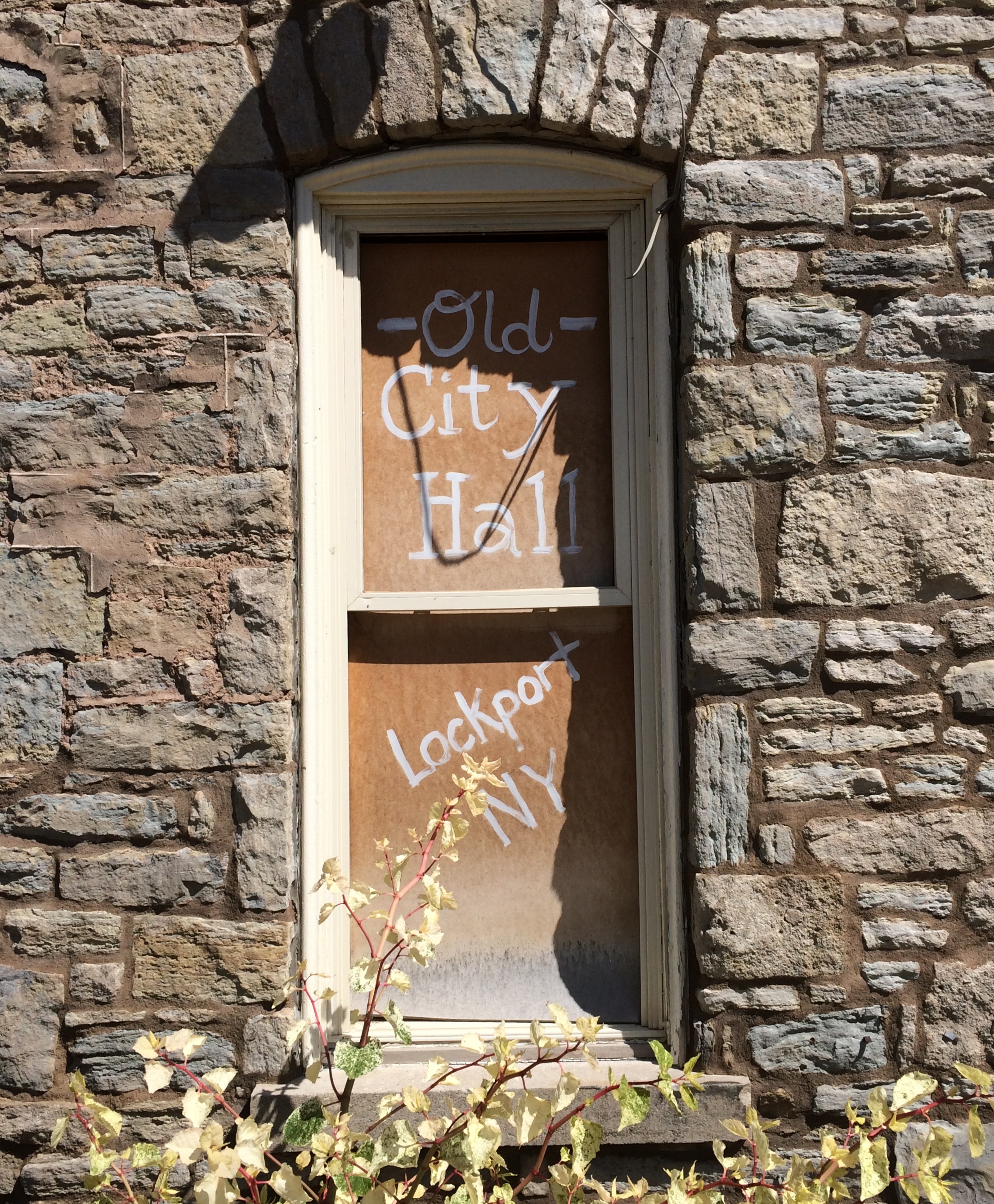
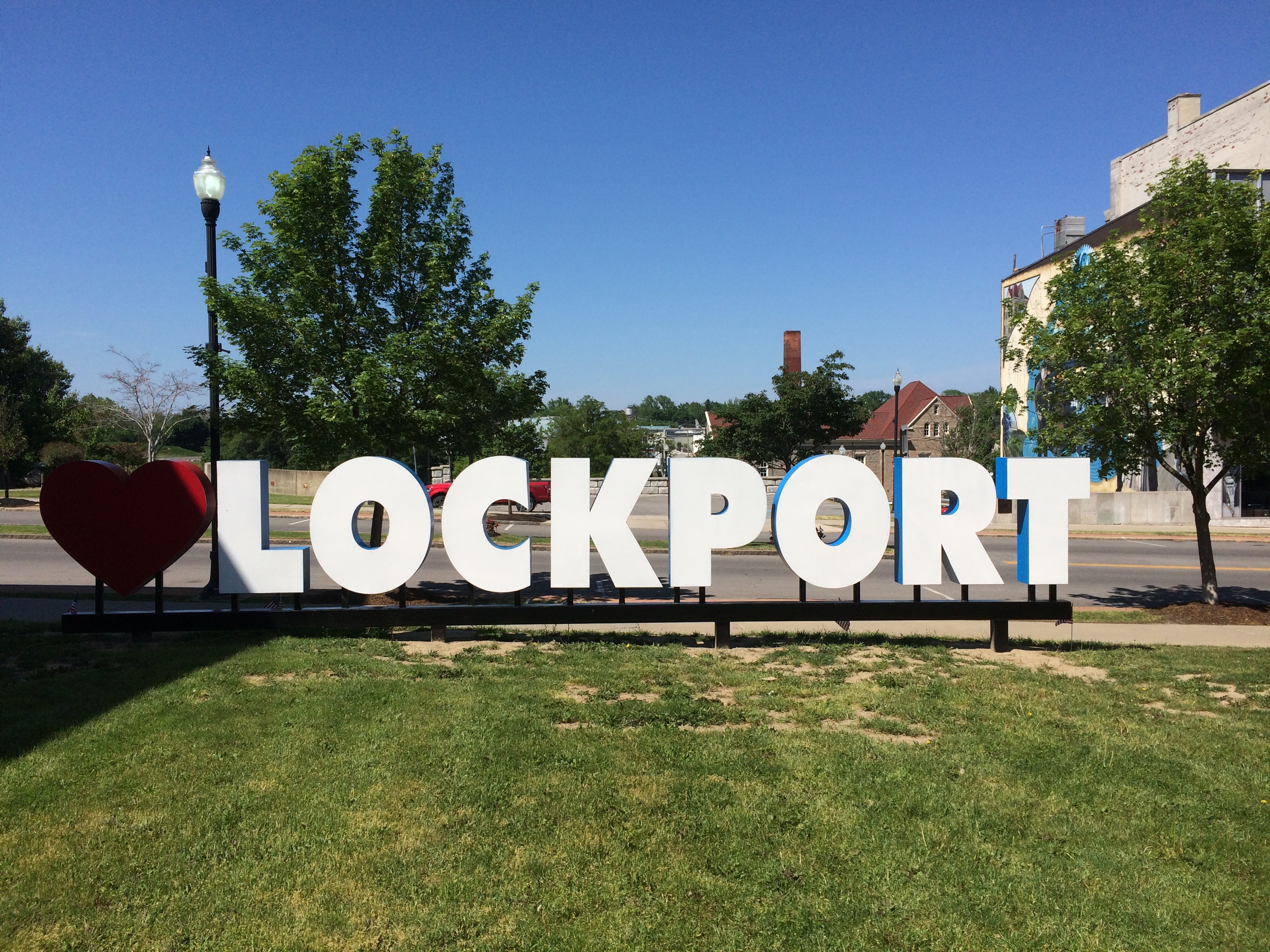
We got there at about 10:30 and knew we were in the right place.Erie Canal, Lockport NY

There were other signs as well.Erie Canal, Lockport NY Erie Canal, Lockport NY

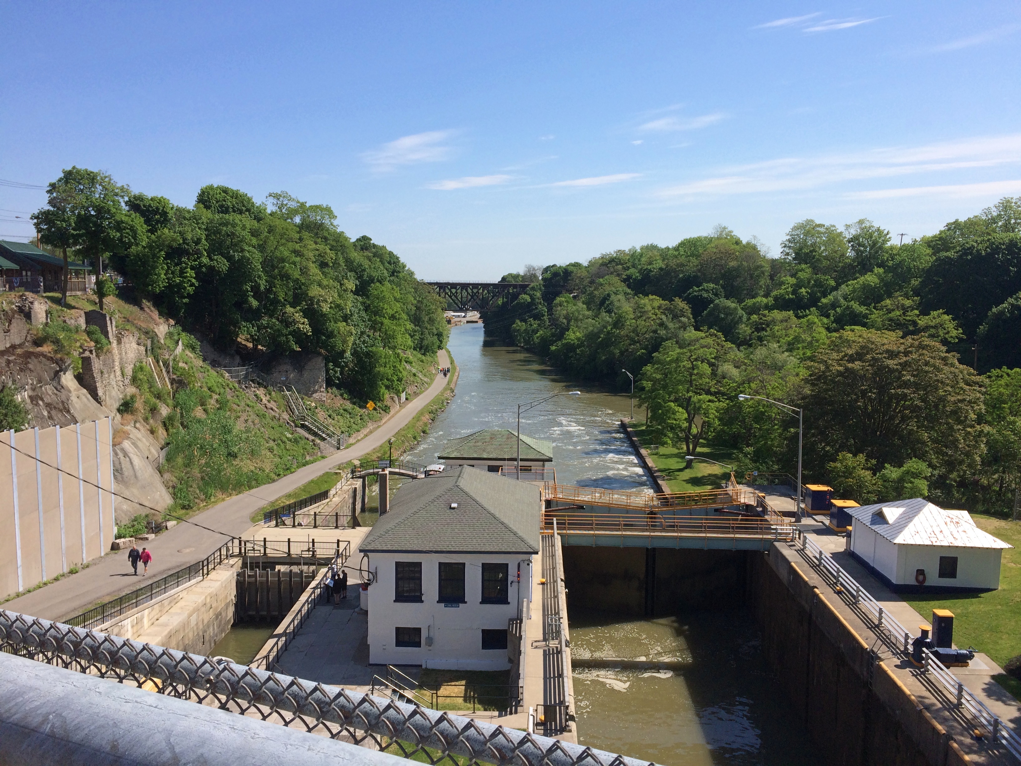
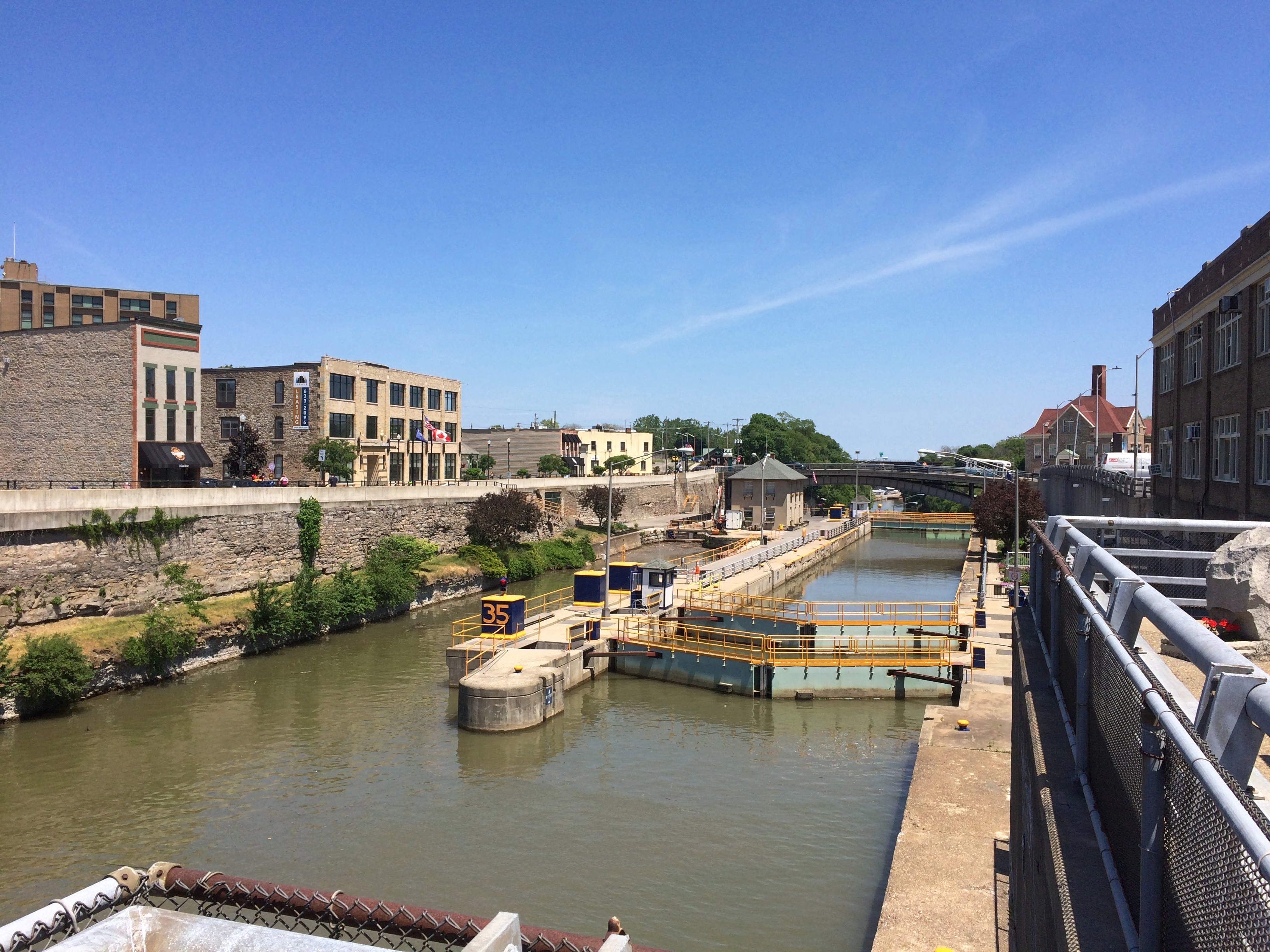
Looking east, from the bridge over the locks.Erie Canal, Lockport NY
As usual, an historic site isn’t as simple as somewhere or something that magically hasn’t changed since its most interesting period. In structure, and certainly a lot of other details, the canal as we saw it isn’t how the 19th-century bargemen would have.

To the left in the picture is the original canal locks, the five of the name. It’s a narrow passage compared to the wider channel on the right, which involves two locks covering the same distance as the older five locks. In the early 20th century, the state of New York upgraded its canals, including the Erie, to form the New York State Barge Canal system. That’s when wider channel was built, no doubt state-of-the-art in its time.

Such a change made for much faster commercial movement on the canal. Of course that’s an obsolete virtue now, though the wider canal still makes for the more expeditious movement of pleasure craft, which are all that use the waterway anymore. The last commercial vessel to ply the Erie Canal, or rather that branch of the NYS Barge Canal system, was the Day Peckinpaugh, which quit service in 1994. Later than I would have thought.

Apparently there was (in effect) a Day Peckinpaugh class of ships on the NY canals. “After her 1921 maiden voyage, she was followed by over a hundred similar motorships on the Barge Canal,” notes the Waterford Maritime Historical Society. A lot more about the ship, at first unimaginatively called the Interwaterways Line Incorporated 101 and built to traverse the Great Lakes as well, can be found here.

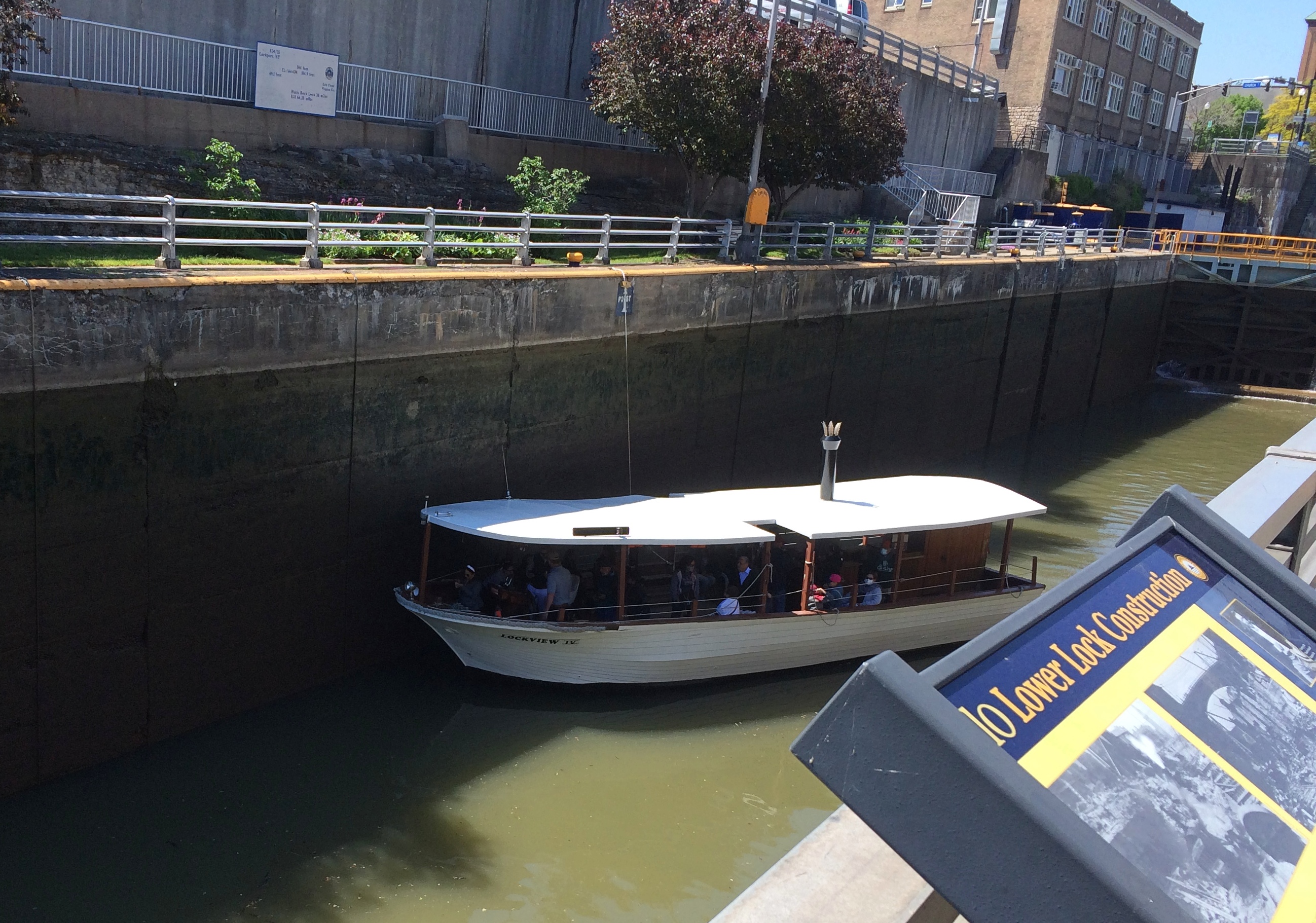
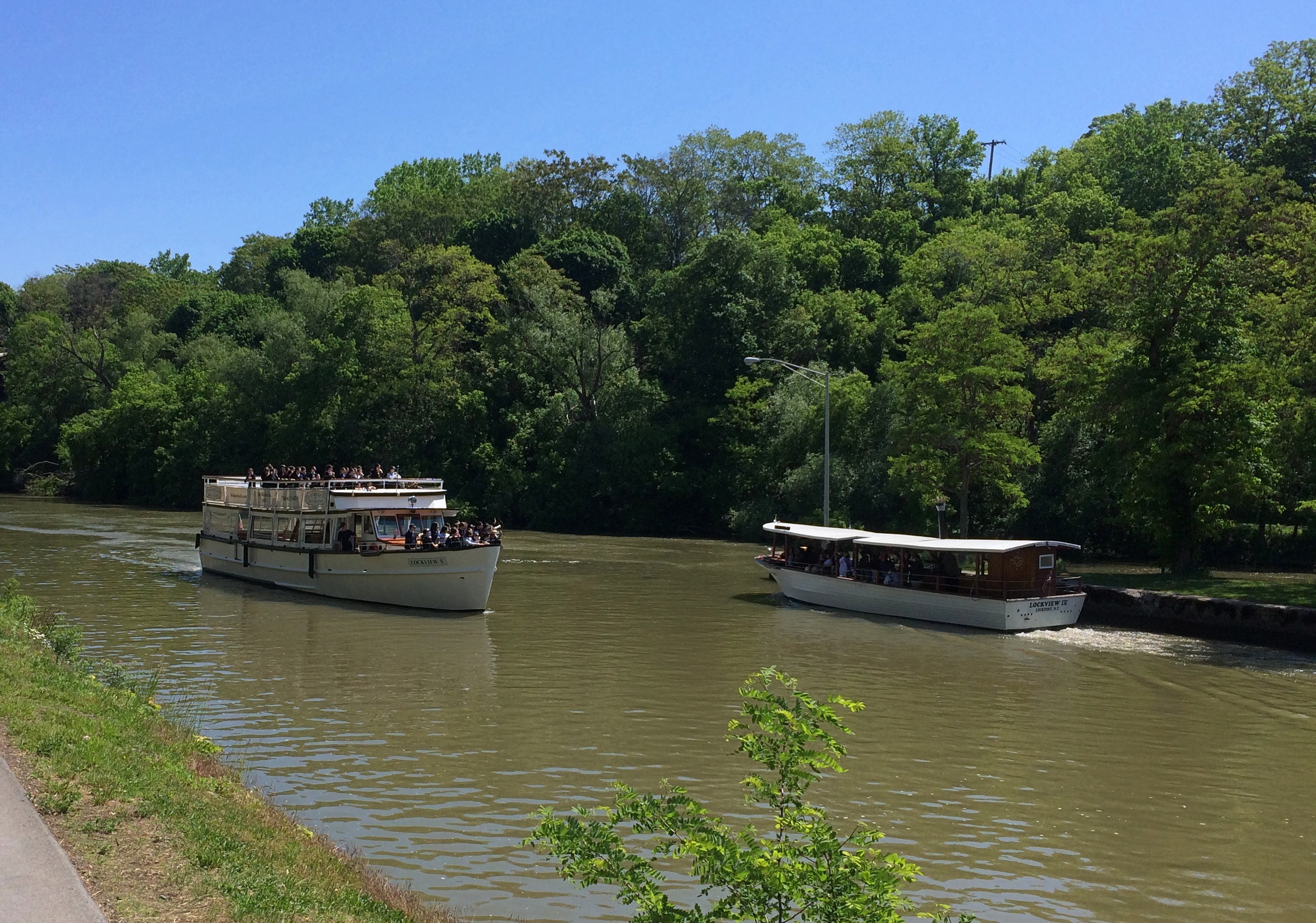
We took a tour that started with a walk along the canal. Here is one of the two locks filling or draining, I forget which.Erie Canal, Lockport NYMore boats.
Erie Canal, Lockport NY

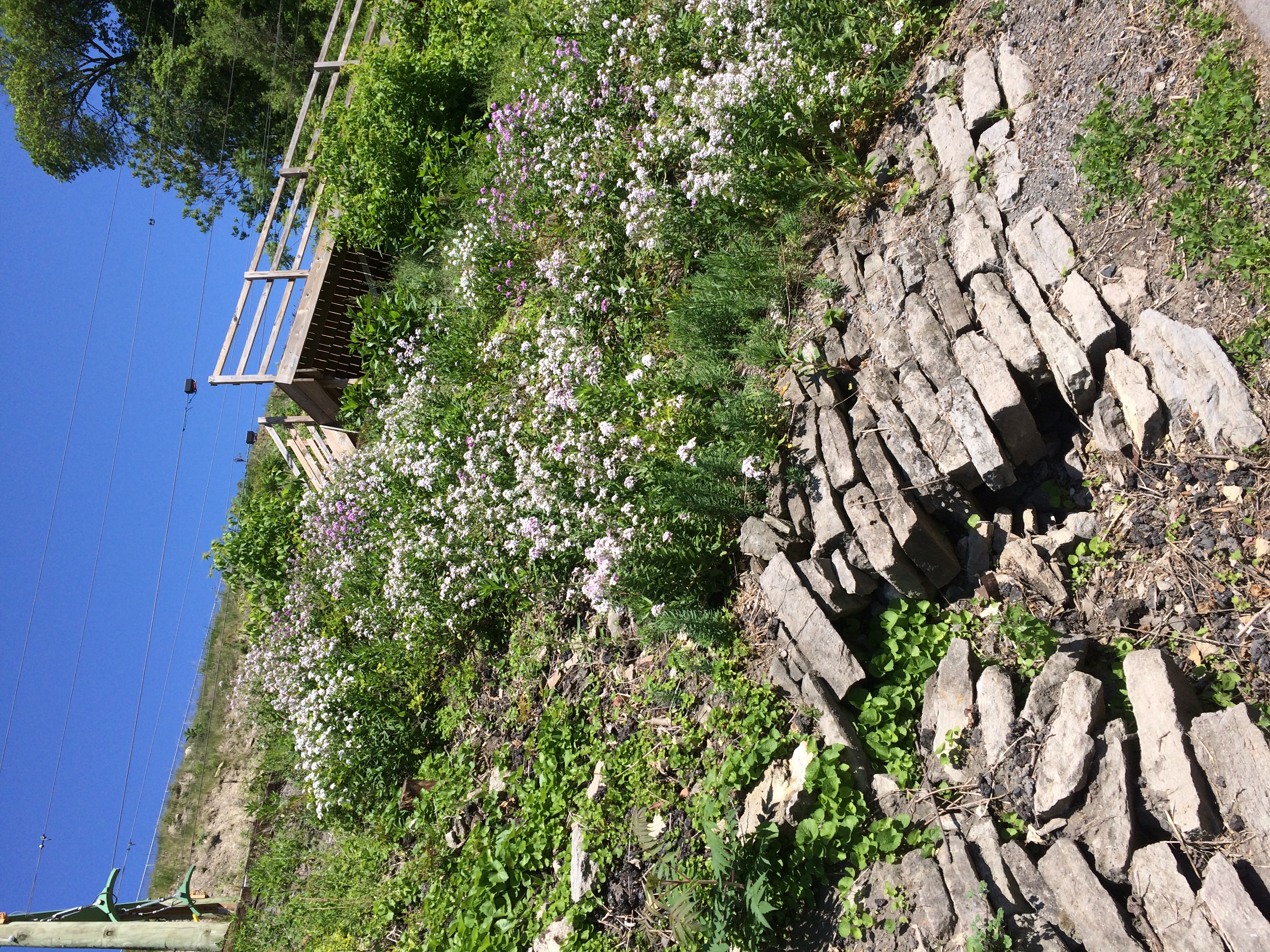
The hill side.Erie Canal, Lockport NY Erie Canal, Lockport NY

The “Upside-Down Bridge.” It’s a railroad bridge over the canal in Lockport, build just before the canal was improved.
Erie Canal, Lockport NY

“This bridge is a multi-span railroad bridge built in 1902 by the prolific and noteworthy King Bridge Company of Cleveland, Ohio,” says HistoricBridges.org. “The main span which crosses the river is a Baltimore deck truss. The bridge was referred to as the ‘Upside-Down Bridge’ because as a deck truss, it looks like a through truss positioned upside-down.”

Erie Canal, Lockport NY
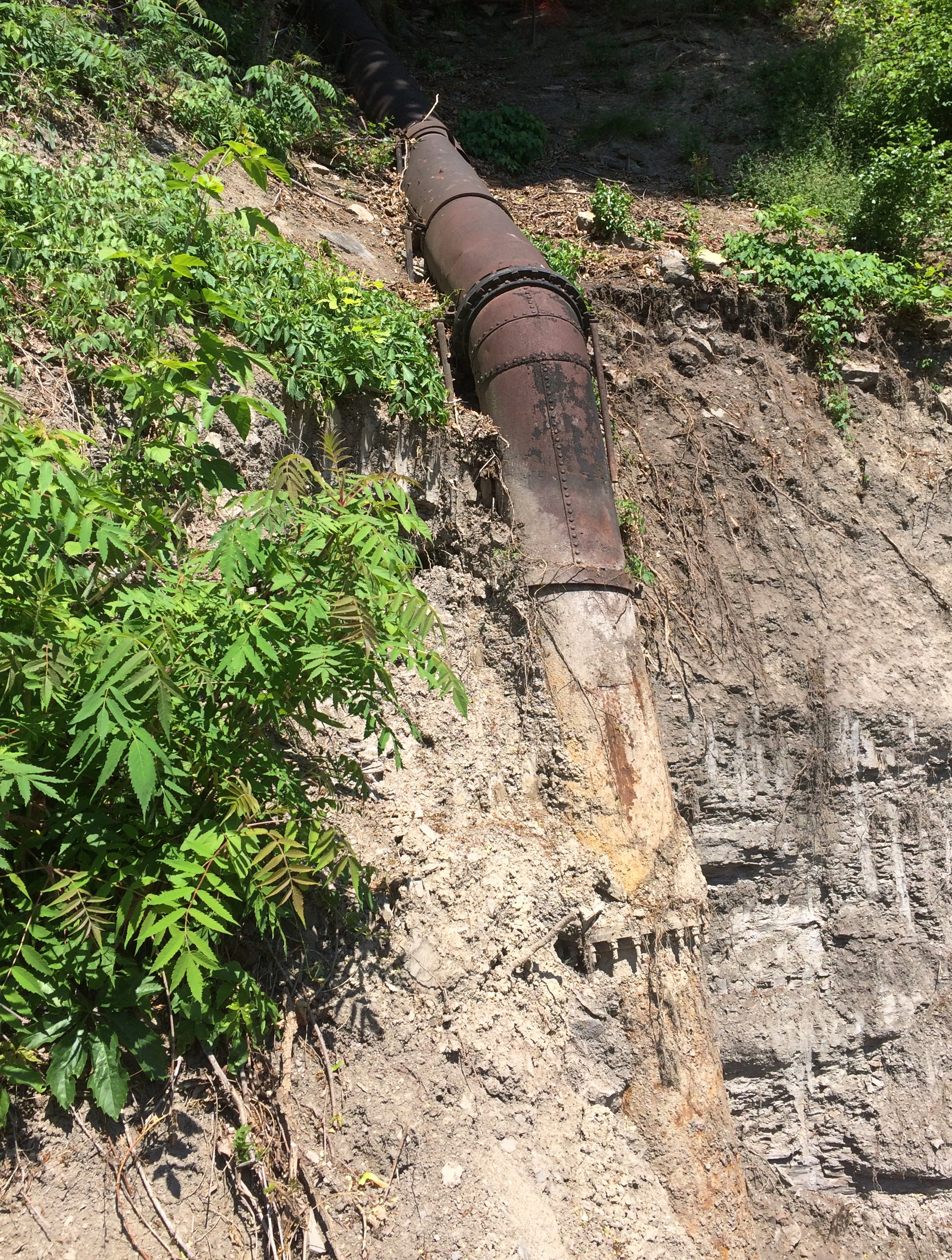
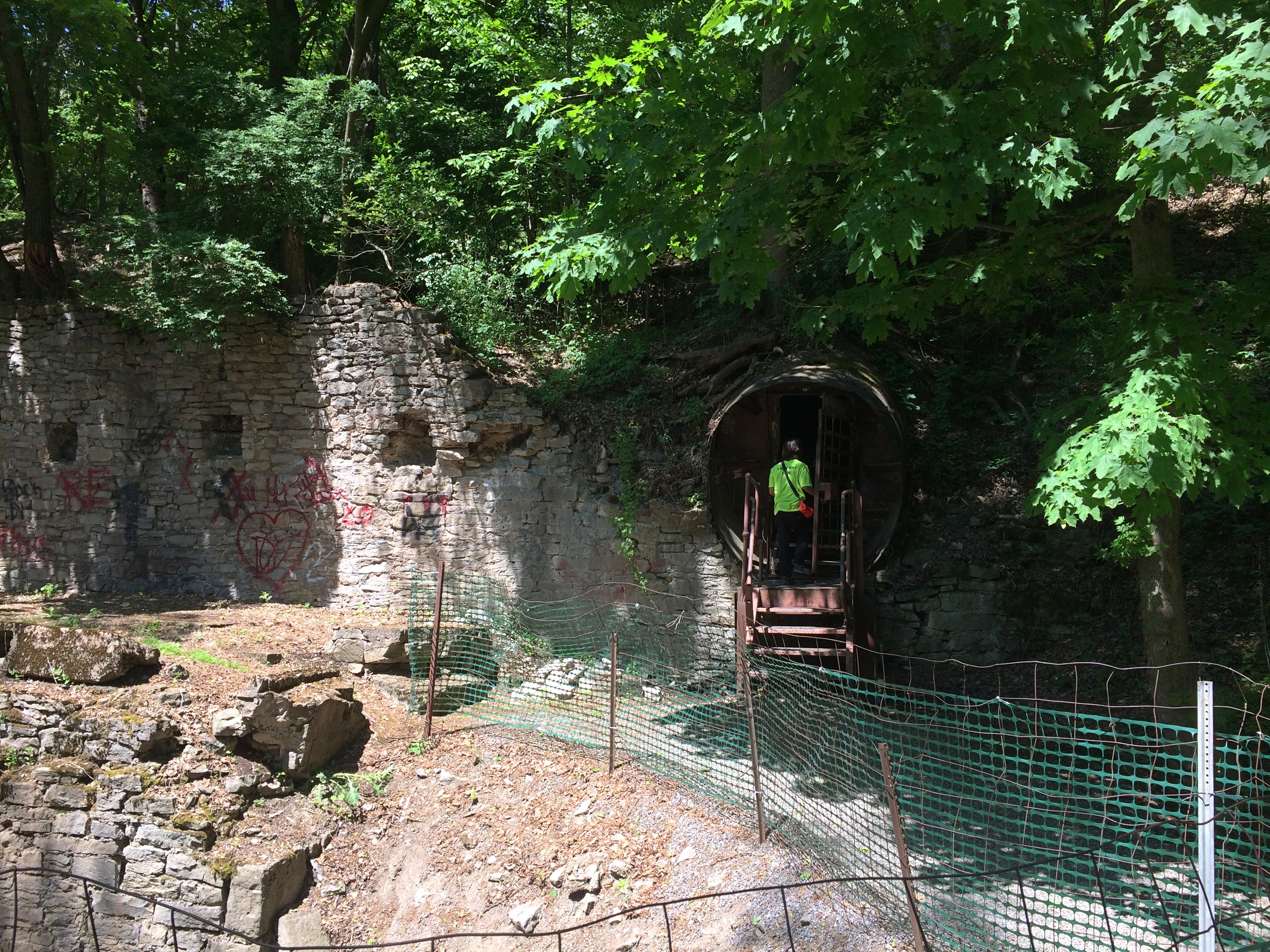
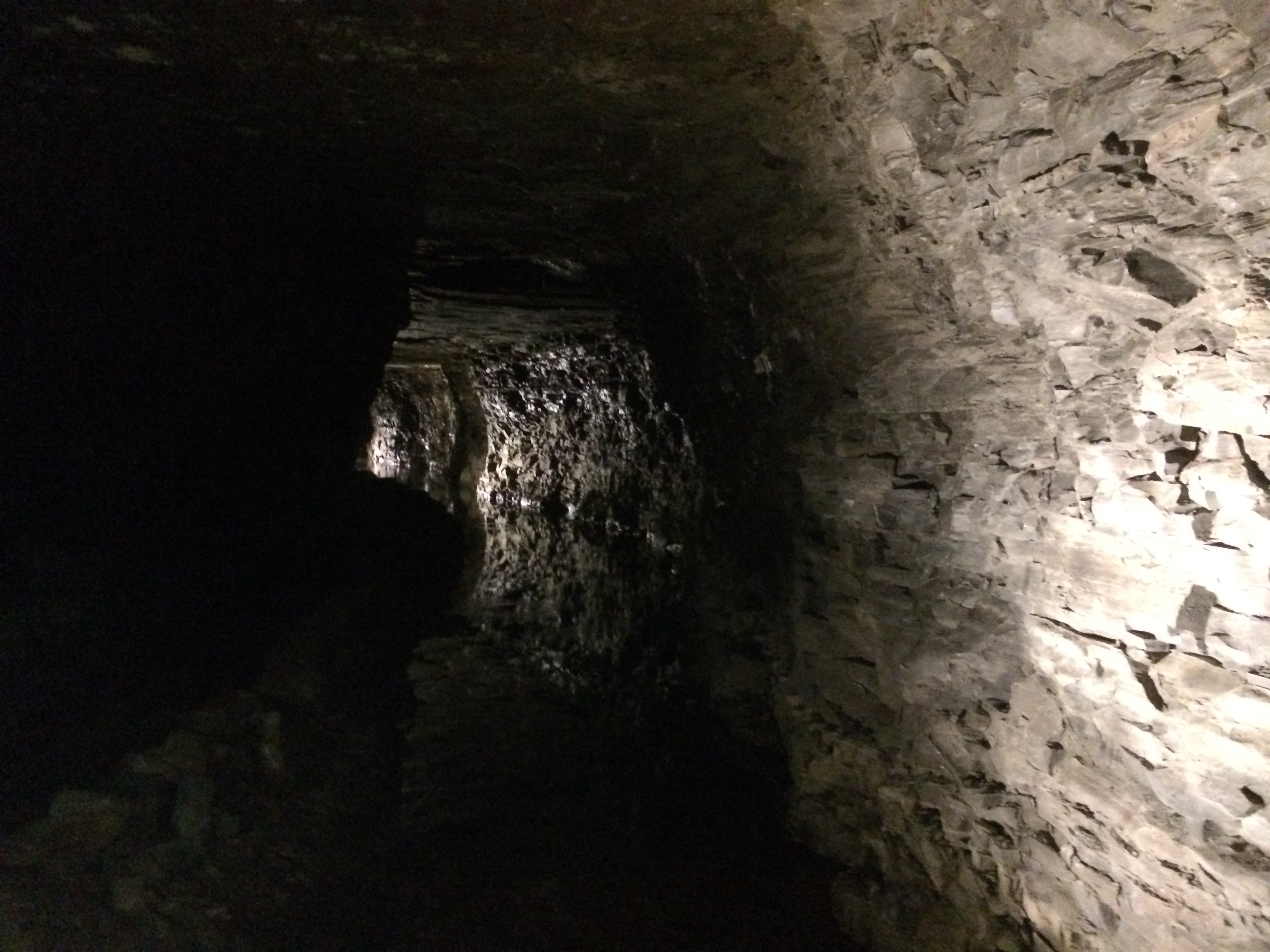
Near the bridge, the tour turned into a man-made cave in the hill, a water tunnel (hydraulic raceway) built in the 19th century using muscle power, hand tools and black powder.
Erie Canal, Lockport NY

The raceway used to power local industry, opening for tourists in 1977. That happened, it seems, because the natural cave in the limestone under Lockport proved disappointing in the 20th century, and possibly a locus of fraud in the 19th century.

It was dark in there.Erie Canal, Lockport NY
The tour also involved a short boat ride in part of the tunnel that’s partly flooded still. A novelty, certainly, but not for anyone even a little claustrophobic. I figure they stay away from commercial caves anyway.

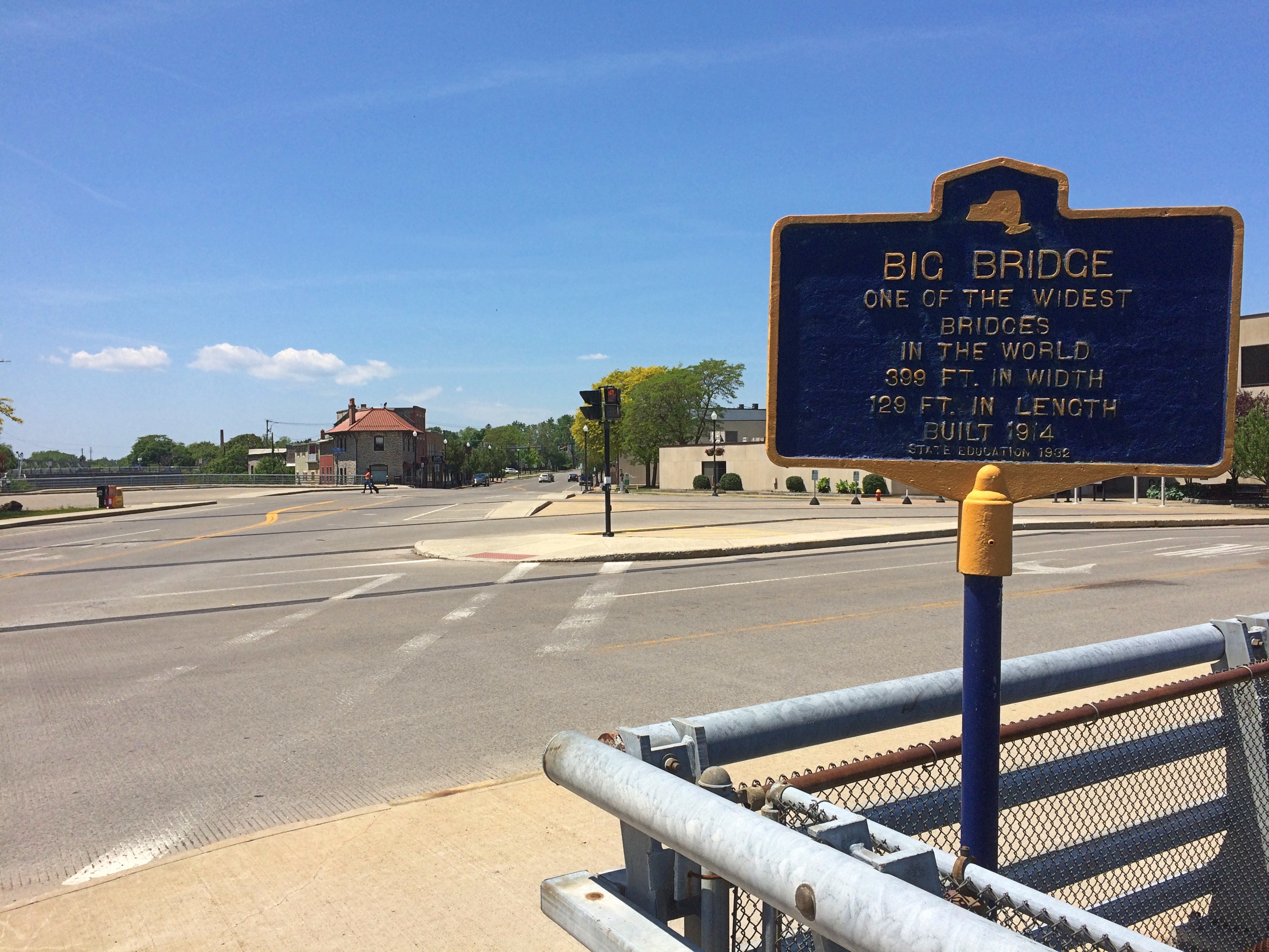
Out in the sun again, we looked around town a little more. The west entrance of the locks is visible from Big Bridge.
Erie Canal, Lockport NY

A sign near Big Bridge (built 1914) claims that at 399 feet, the bridge over the canal at that point is one of the world’s widest. Maybe so, but it’s completely undistinguished in every other way.Erie Canal, Lockport NY
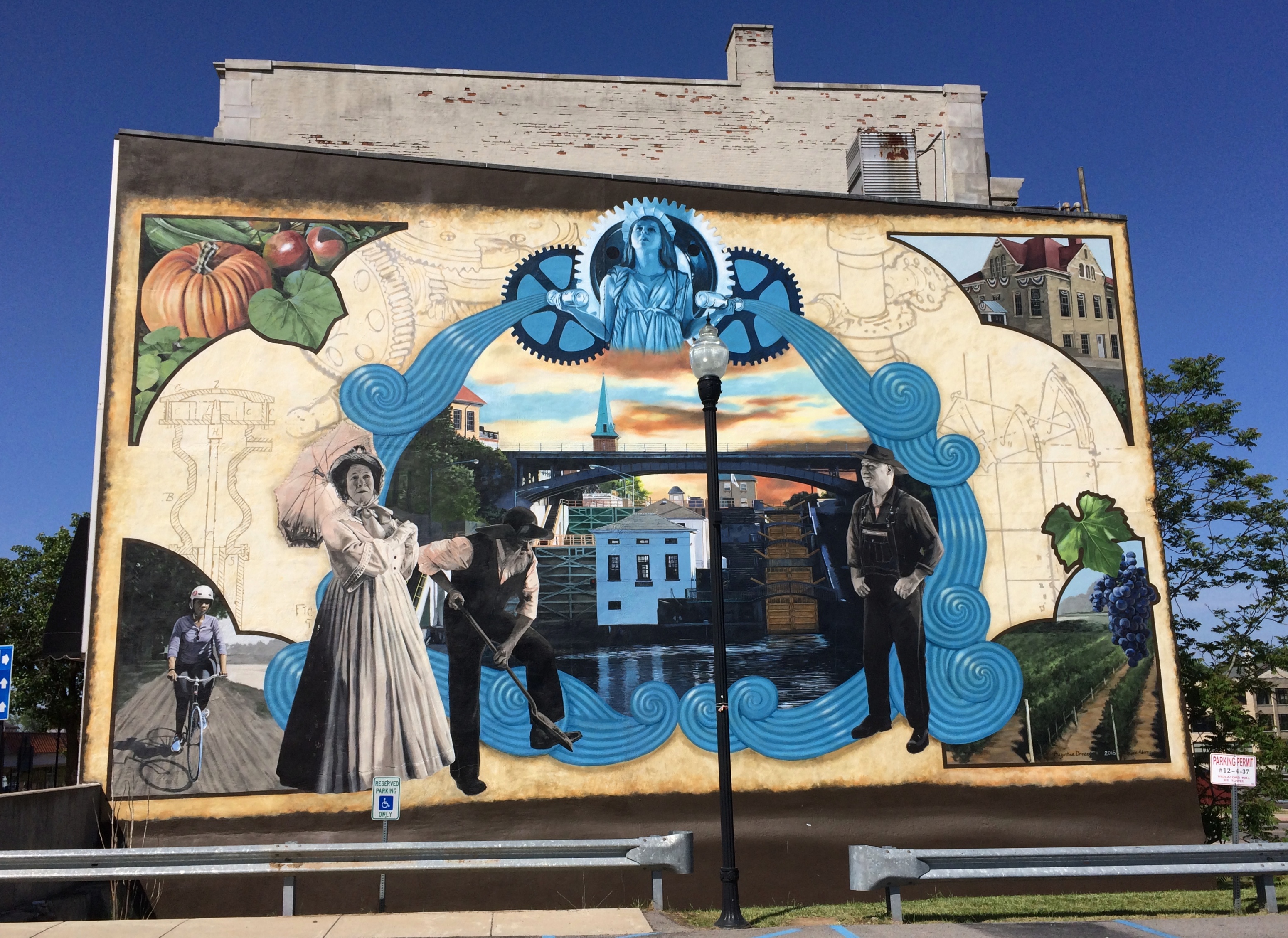
One more sight in Lockport.Erie Canal, Lockport NY mural
A fairly recent (2015) mural called “Guardian of the Waters” by Augustina Droze and Bruce Adams. Its plaque says: “The mural is inspired by the history and engineering marvel of the Flight of the Five Locks, which opened a path to the West, inspired inventions that changed the world, and gave rise to the city of Lockport, NY.”

Theodore Roosevelt Inaugural National Historic Site

Theodore Roosevelt Inaugural National Historic SiteQuoted in the pamphlet that the National Park Service gives out at the Theodore Roosevelt Inaugural National Historic Site on Delaware Avenue in Buffalo is a characteristic TR thing to say:

“It is a dreadful thing to come into the Presidency this way; but it would be far worse to be morbid about it. Here is the task, and I have got to do it to the best of my ability; and that is all there is to it.”

On September 14, 1901, the site was the house of Ansley and Mary Wilcox, friends of Theodore Roosevelt, when he took the oath of office there as 26th President of the United States. TR had hurried there from the Adirondacks when word came that President McKinley was dying.

We arrived ahead of lunch on May 30. One docent and two other staff members were there. That was all. The docent thus gave us a personal tour of the house, which is part house museum and part museum devoted to TR and his presidency.

It’s a handsome mansion, typically of those that used to stand on Delaware, though in a little need of paint these days.
Theodore Roosevelt Inaugural National Historic Site

Delaware Avenue, once Buffalo’s Millionaire’s Row, is still characterized by large houses, many of which are now office buildings for attorneys and accountants and such. There are also places where mansions probably used to be, but which were lost to time. Directly across the street from the former Wilcox house is a chain pharmacy.

TR stands in bronze on the grounds. The work is surprisingly new, completed only in 2015 by sculptor Toby Mendez.
Theodore Roosevelt Inaugural National Historic Site

Photography was allowed inside, and while I’m not always inclined to take pictures inside house museums, I wanted to take one of the room in which TR took the oath. Most of the items are period-specific but not actually owned by the Wilcoxes.
Theodore Roosevelt Inaugural National Historic Site

“No definite plans had been made for swearing him in,” Wilcox wrote, “and it had not even been settled where this should be done. The first suggestion had been to take him directly to Mr. Milburn’s house, there to be sworn-in, but this had been objected to as unsuitable, while the body of the president was lying in the house. So he was asked to go to my house to get lunch, and immediately at arriving and being equipped with borrowed clothes, more appropriate than his traveling suit, he insisted on starting for Mr. Milburn’s house, to make a call of sympathy and respect on the family of the dead president. This was done, and by three o’clock he was at my house again…

“The room [the library], not a large one, was far from full, and at the last moment, the newspaper men, who were eager for admission, were all let in, but were prohibited from taking any photographs…

“The new President was standing in front of the bay window on the south side of the room. Others had fallen back a bit when Mr. [Elihu] Root spoke. After his response, Judge [John] Hazel advanced and administered the oath… The written oath, which Judge Hazel produced…was then signed. Then President Roosevelt made the announcement of his request to the cabinet to remain in office. The whole ceremony was over within half an hour after the Cabinet had entered the house, and the small company dispersed, leaving only the six Cabinet officers with the President, who at once held an informal session in the library.”

The Wilcoxes died in the early 1930s, and afterwards the house was used as a restaurant until the 1960s, when it was in danger of demolition, as so many historic structures were at the time. Fortunately, the citizens of Buffalo didn’t let that happen, and 50 years ago the house opened as a museum.

Visiting this particular national historic site made me wonder how many there are. Quite a few, Wiki tells me: 87, most of which (76) are National Park Service units, with 11 as affiliate areas, though I’m not sure what that distinction might mean on the ground.

How many have I visited? Only 14, counting the latest one, though I’m not entirely sure about two of them. Clearly I need to get out more.