Other Sweet Drives, Part 2

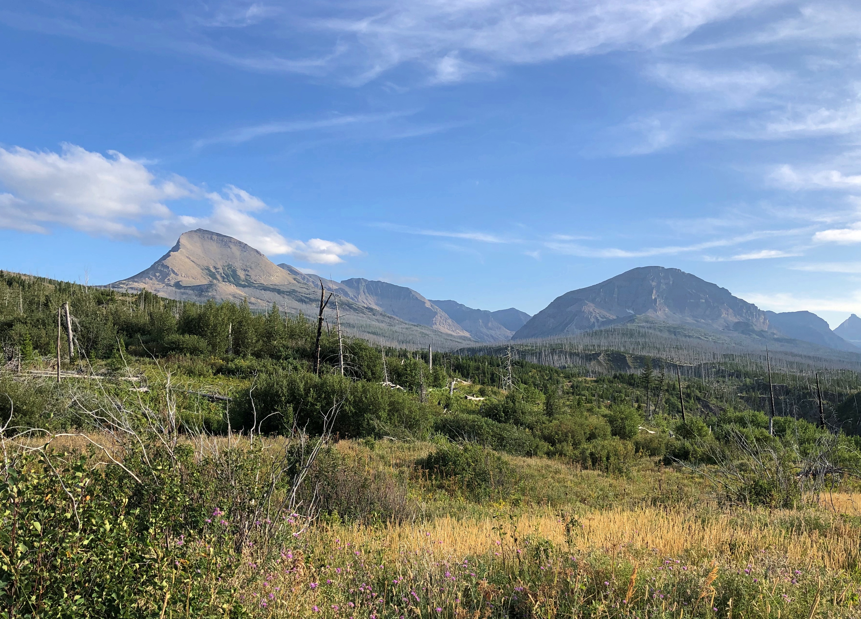
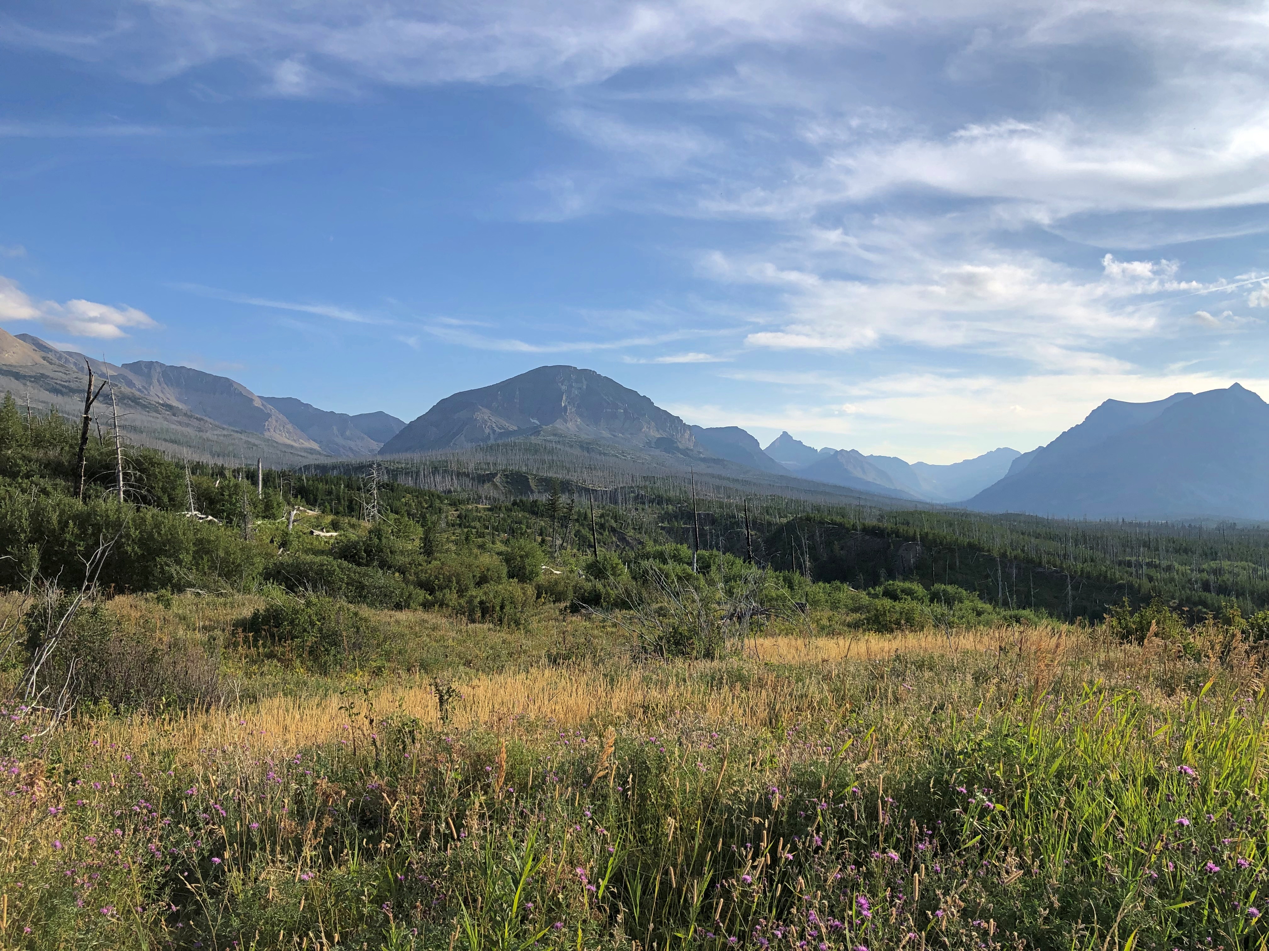
It’s one thing to expect a scenic drive experience and then experience it. That can be outstanding, such as driving on the Going-to-the-Sun Road through Glacier NP. (Which has a remarkably poetic official name for a government project.)

Then there’s the class of excellent drives you were not expecting. Such as the Moki Dugway, to cite an example from a previous trip. Or the following road.
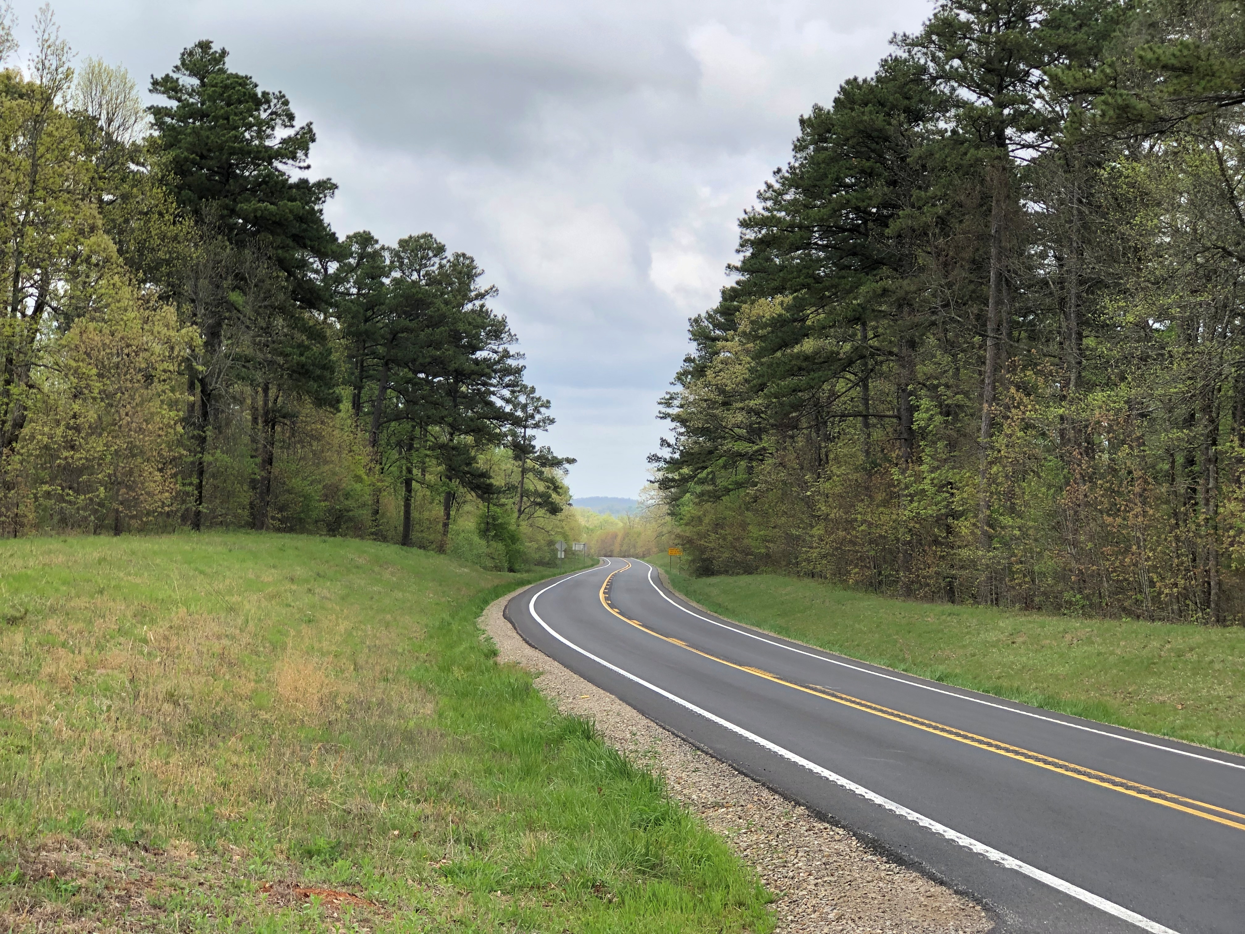
Washington 155

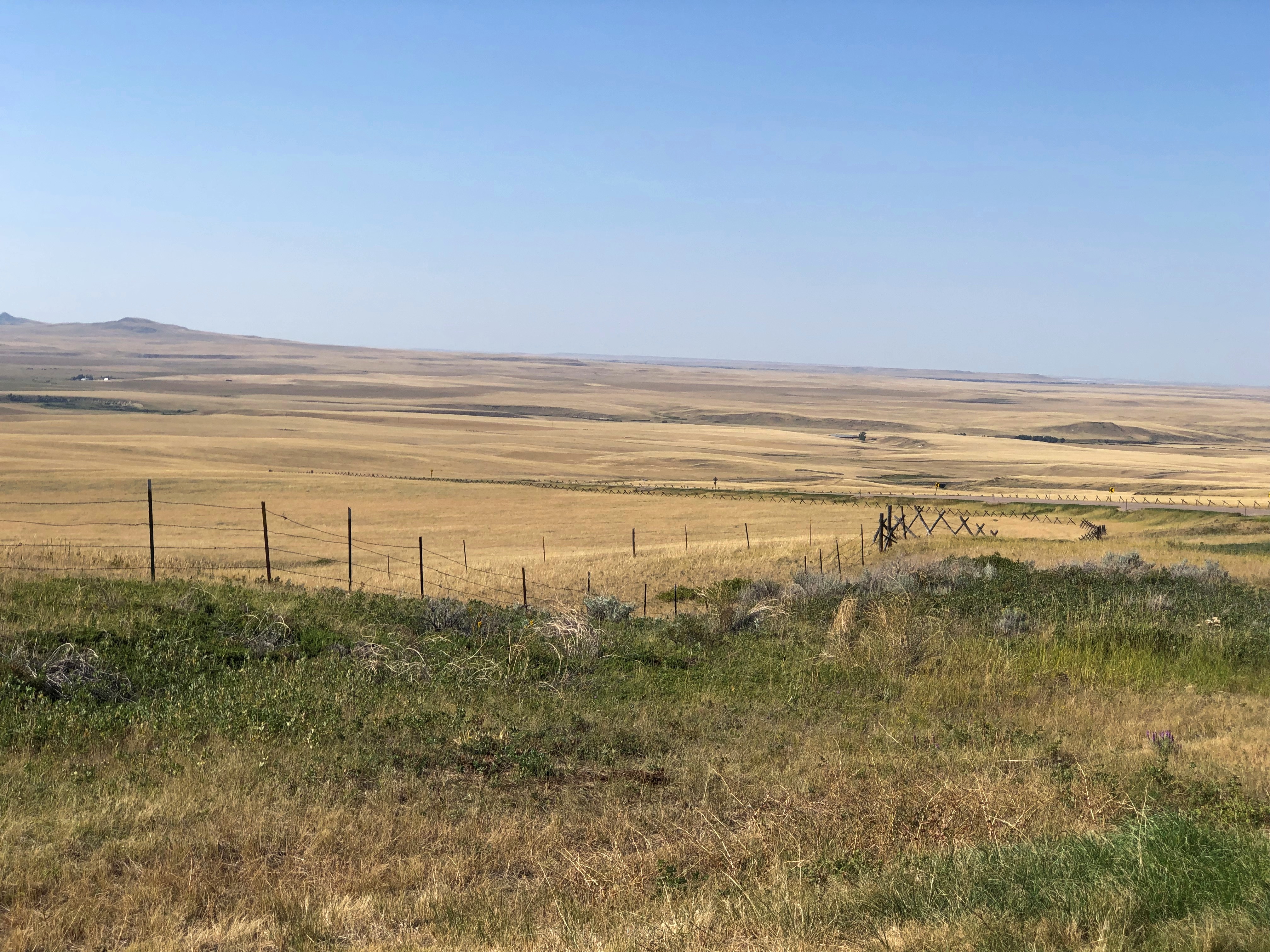
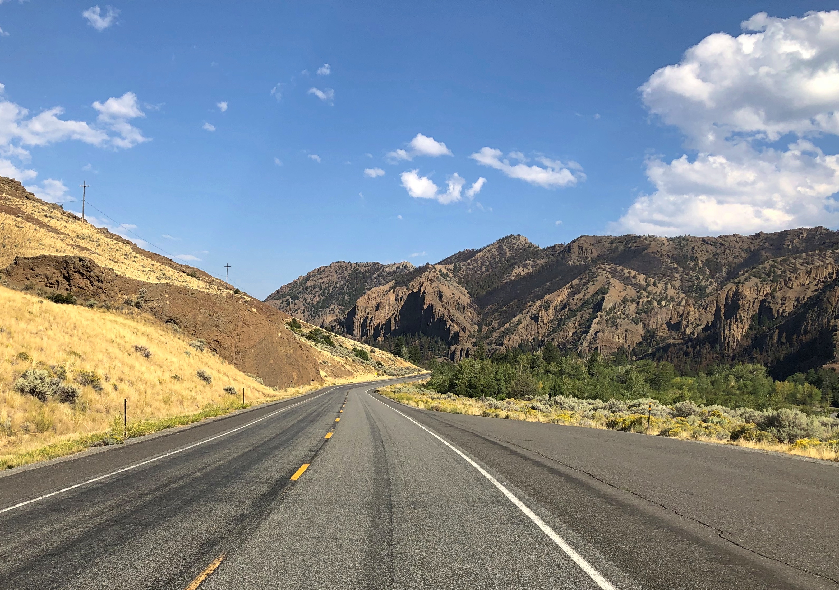
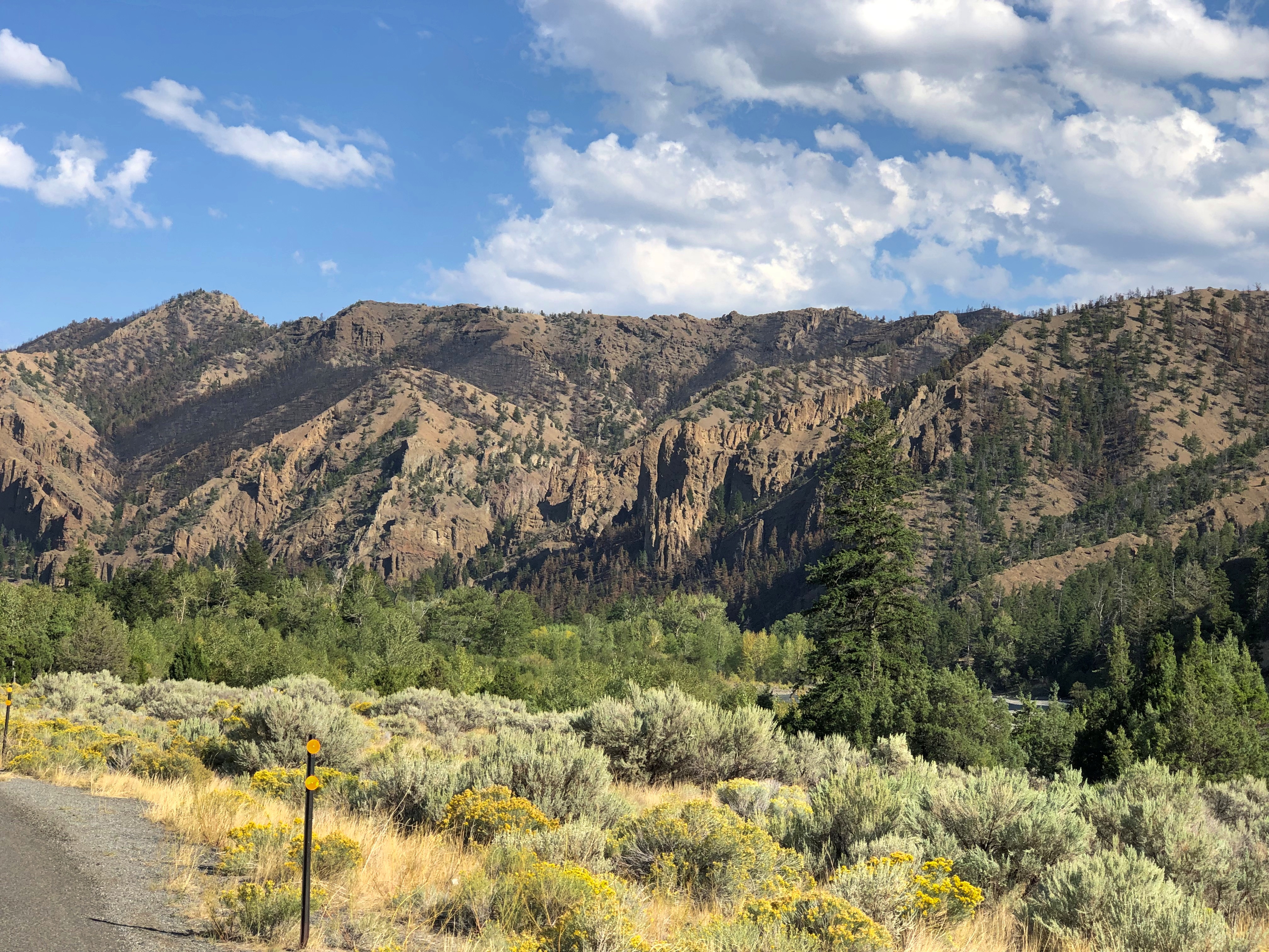
From the Grand Coulee Dam and the adjacent town of Grand Coulee southwest to the town of Coulee City, which isn’t near the dam, is about 30 miles on a highway known as Washington 155. I wasn’t expecting much.

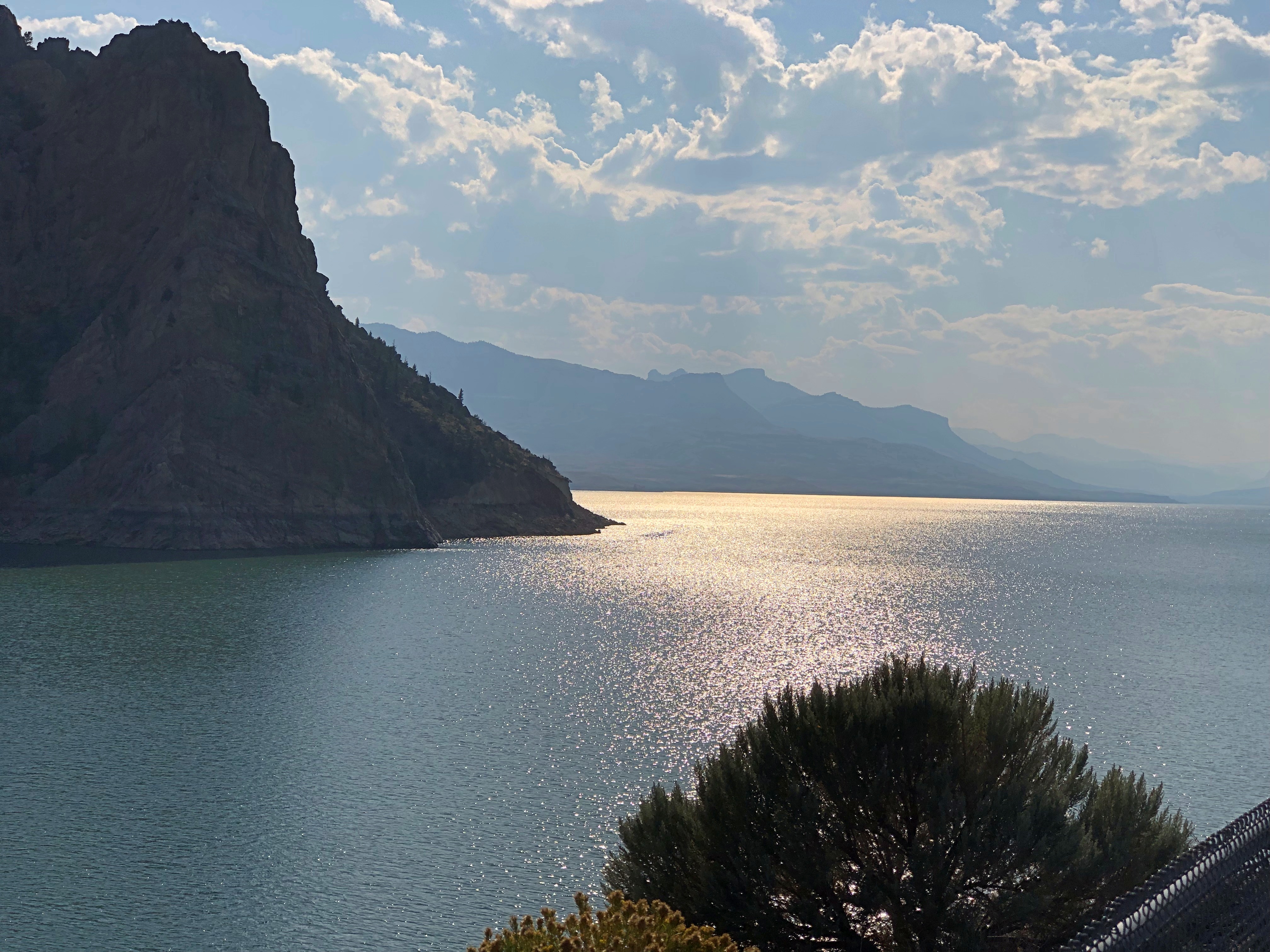
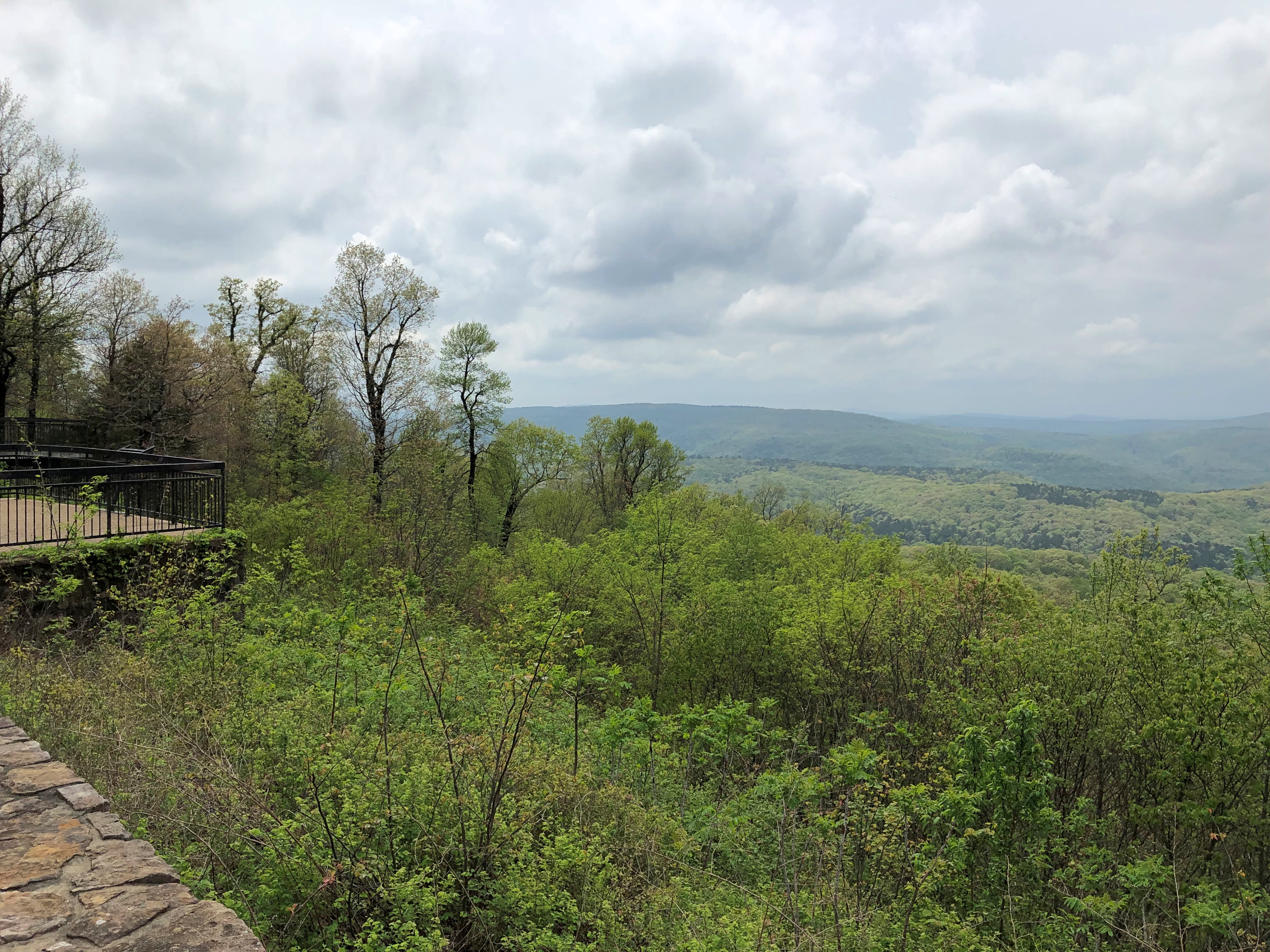
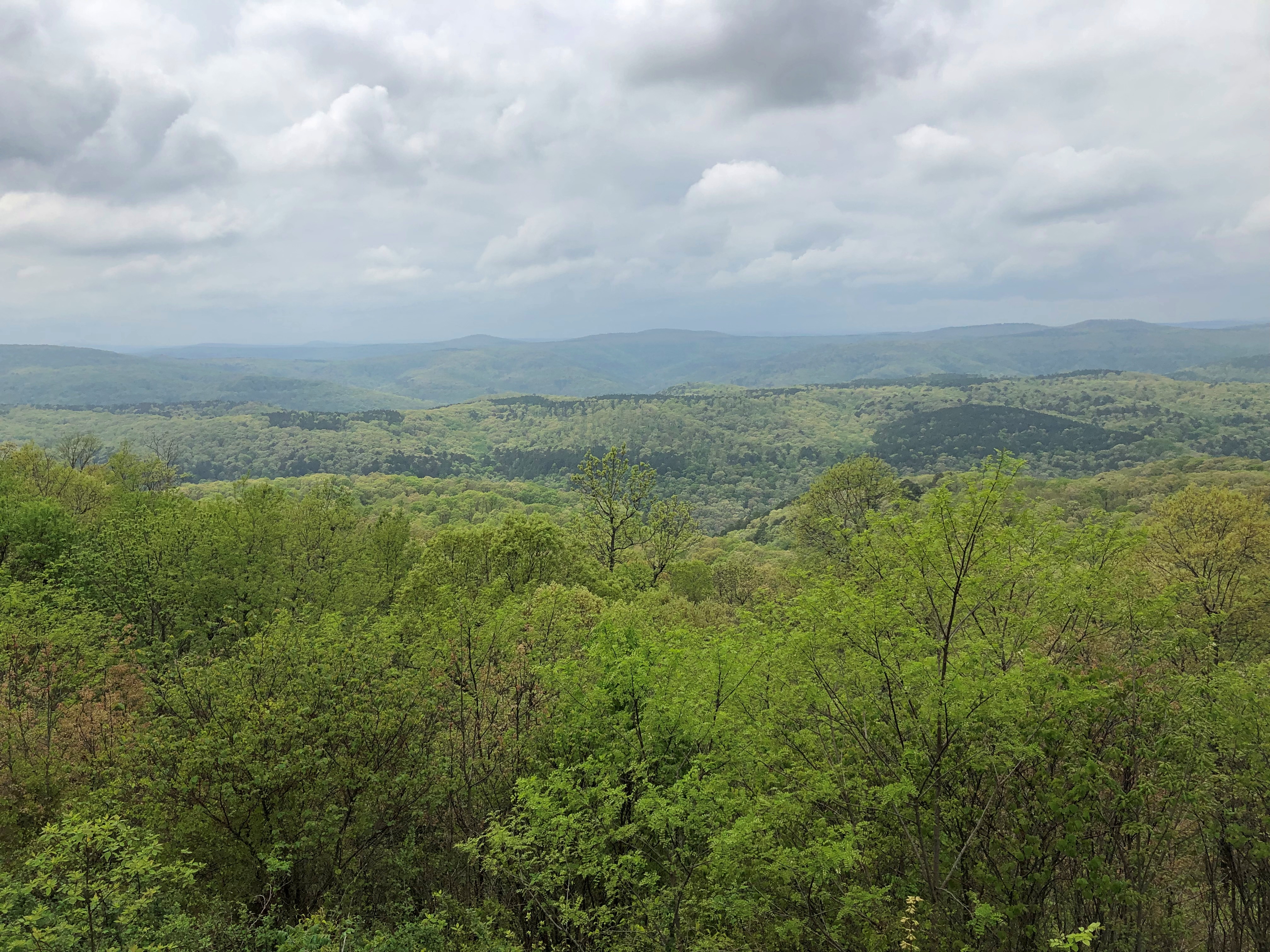
Immediately you launch into arid, rocky country, and soon high cliffs appear, facing a long lake most of the way. The road runs between the cliffs and lake. Off to the right headed in our direction is the narrow Banks Lake, part of the massive Columbia Basin Project to create power and capture water for crop irrigation. Beyond the lake were some mountains, but in the distance.

Reading about it later, I discovered that the lake, while manmade, doesn’t dam any river, much less the Columbia. The lake submerges part the formerly dry Grand Coulee with water pumped in from Roosevelt Lake, the much larger body of water formed by the Grand Coulee Dam.

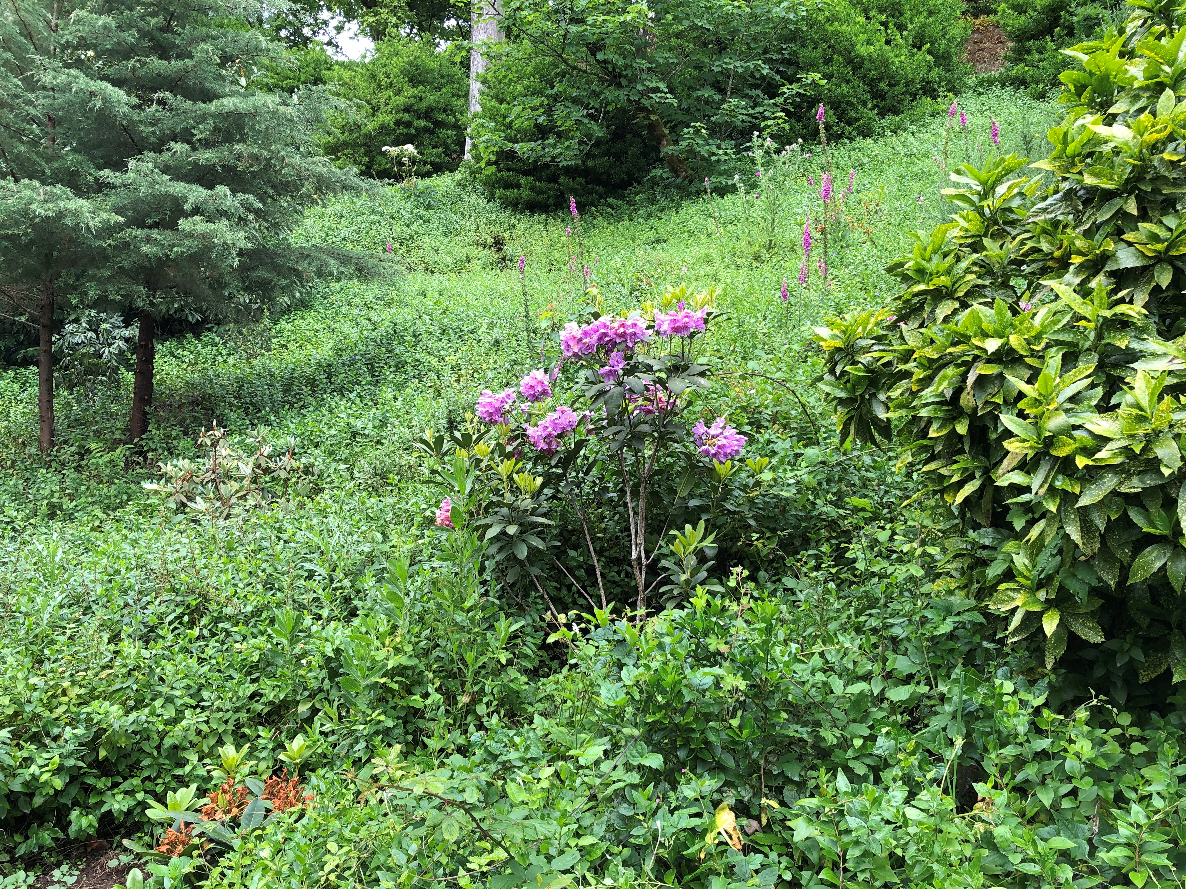
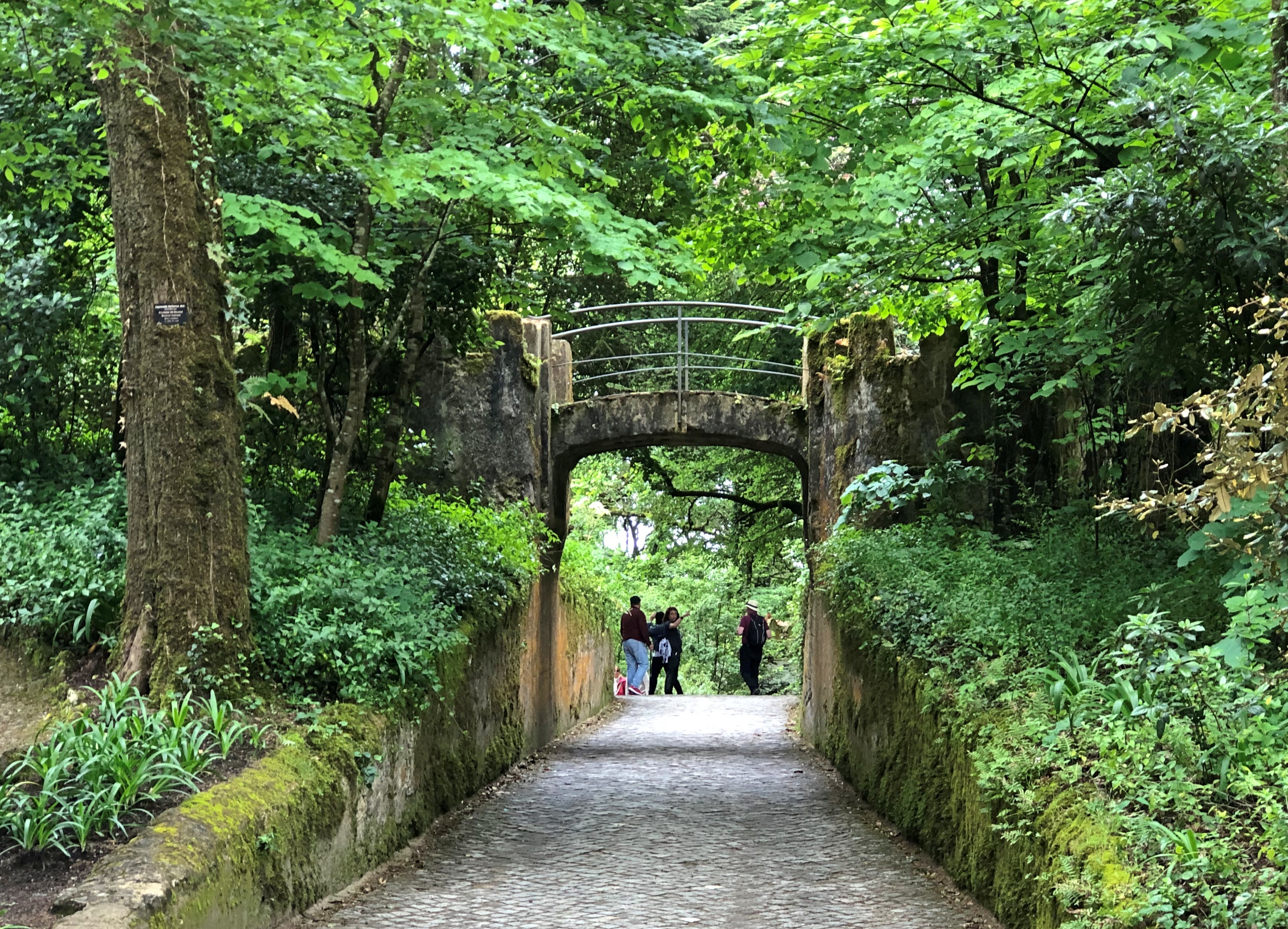
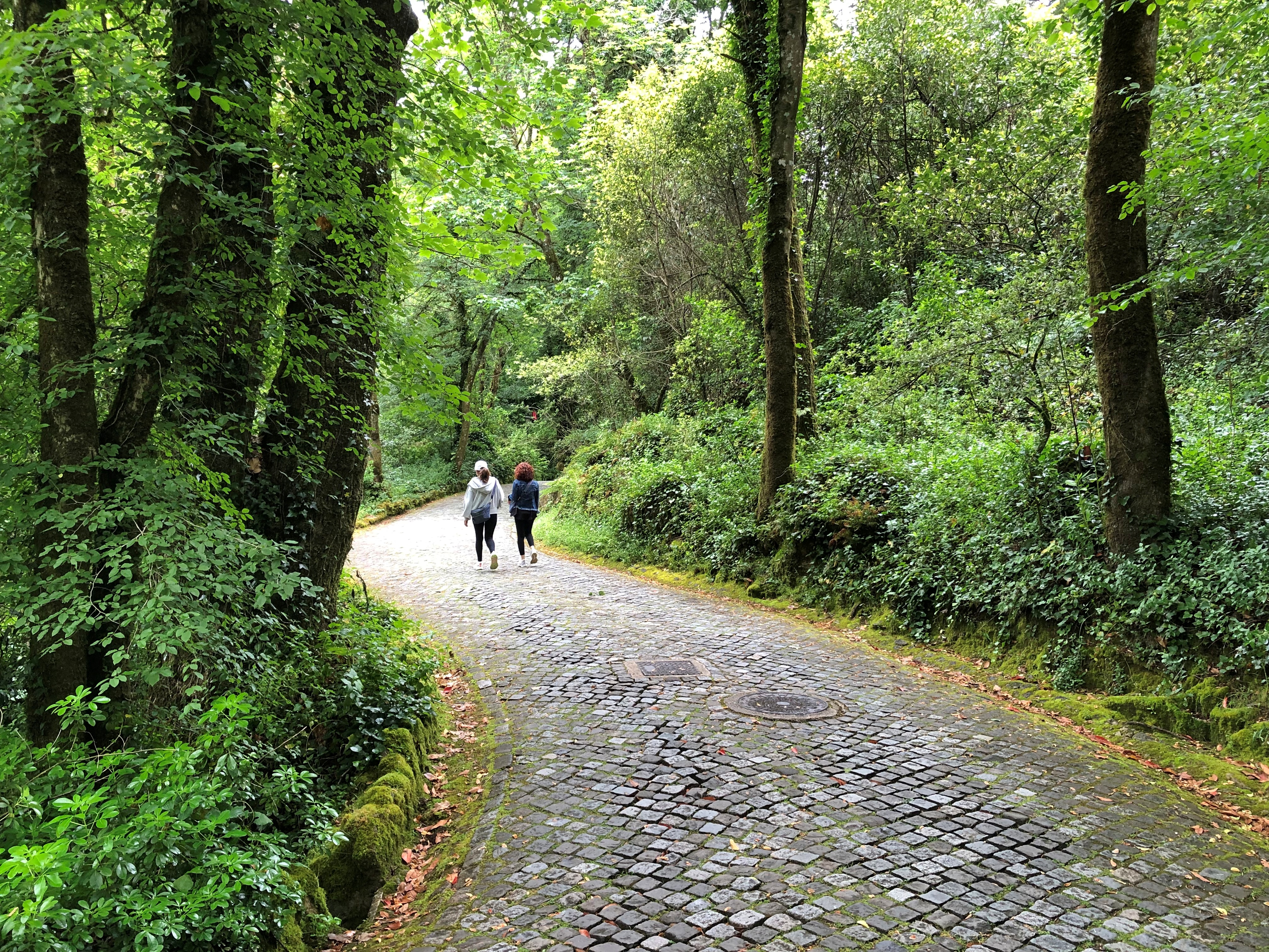
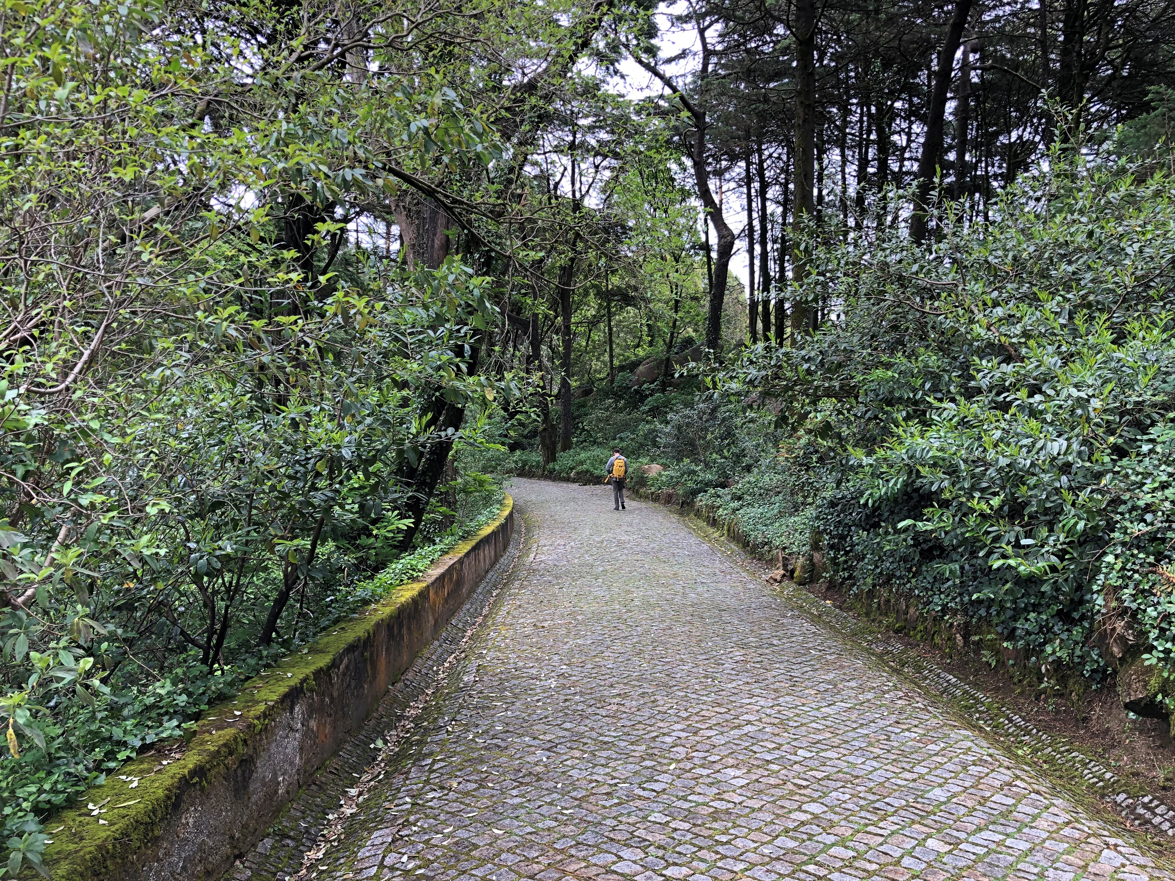
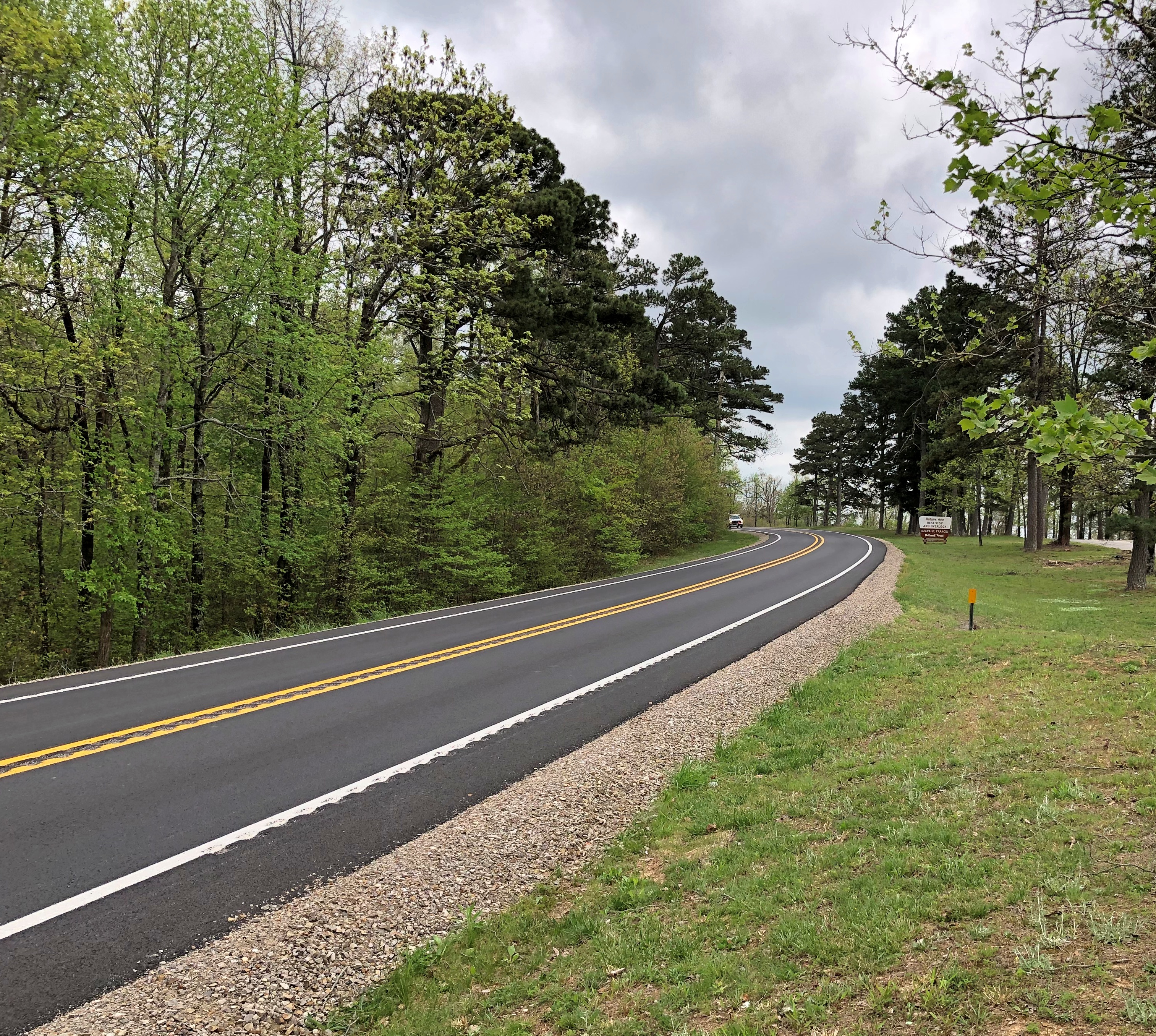
All that was nice enough to look at, but nothing like the towering black cliffs to the left of the road. Walls of black stone, crumbling in many places, devoid of much vegetation, inspiring to contemplate. Closer to the town of Grand Coulee, the road briefly cuts through two rock walls, one of them part of the impressive Steamboat Rock State Park. At least I’m pretty sure that’s what the road does. It’s a little fuzzy even about a week later, but a good kind of fuzzy.

Mostly I have images of a highway in the shadow of dark cliffs, but all brightly lighted by the late summer sun, and the (apparently) moving forms of the rocks themselves. No two sections of the cliff were quite alike.

This series of images, though going the opposite direction as we did, conveys a bit of the scenery.
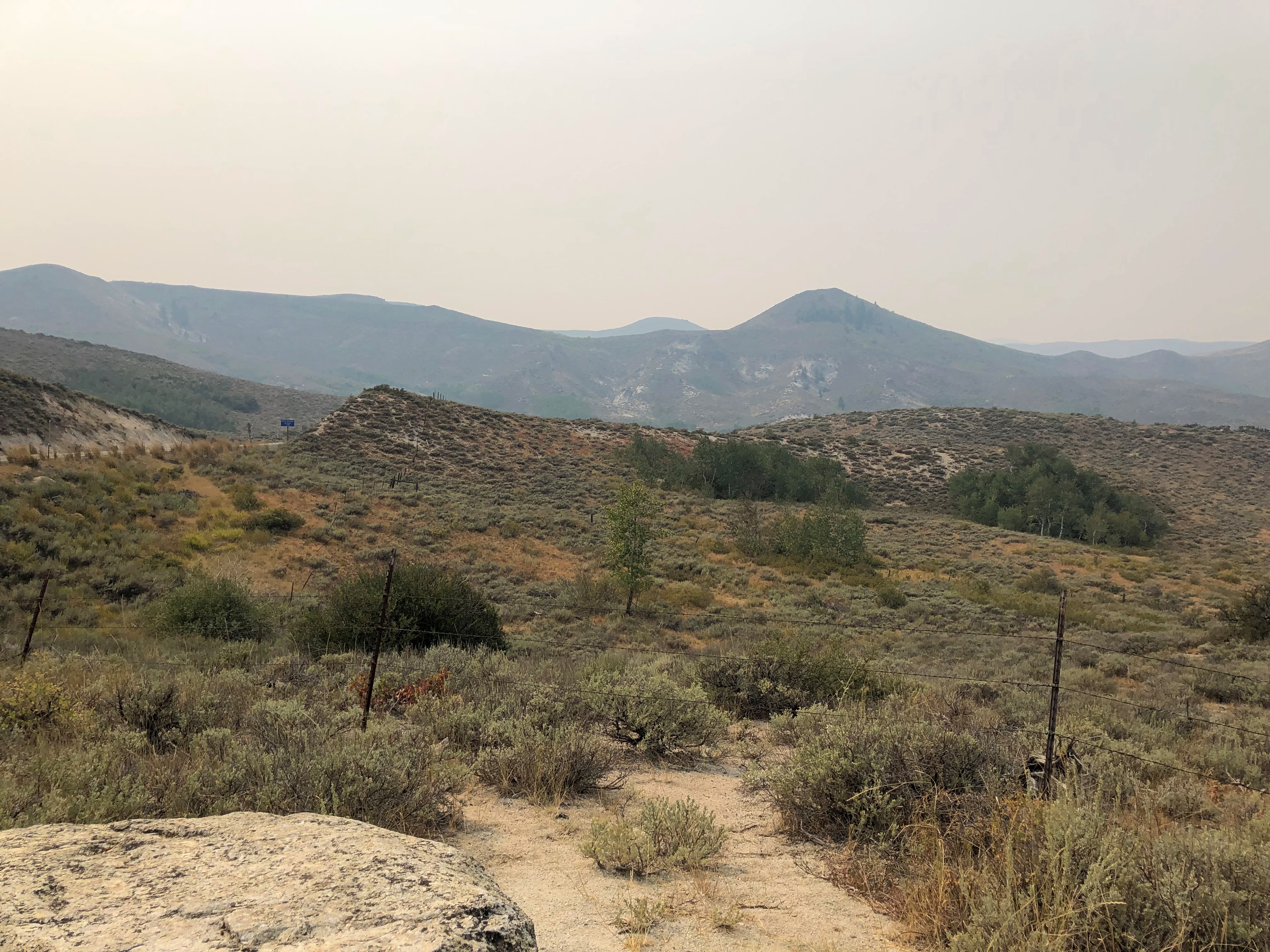
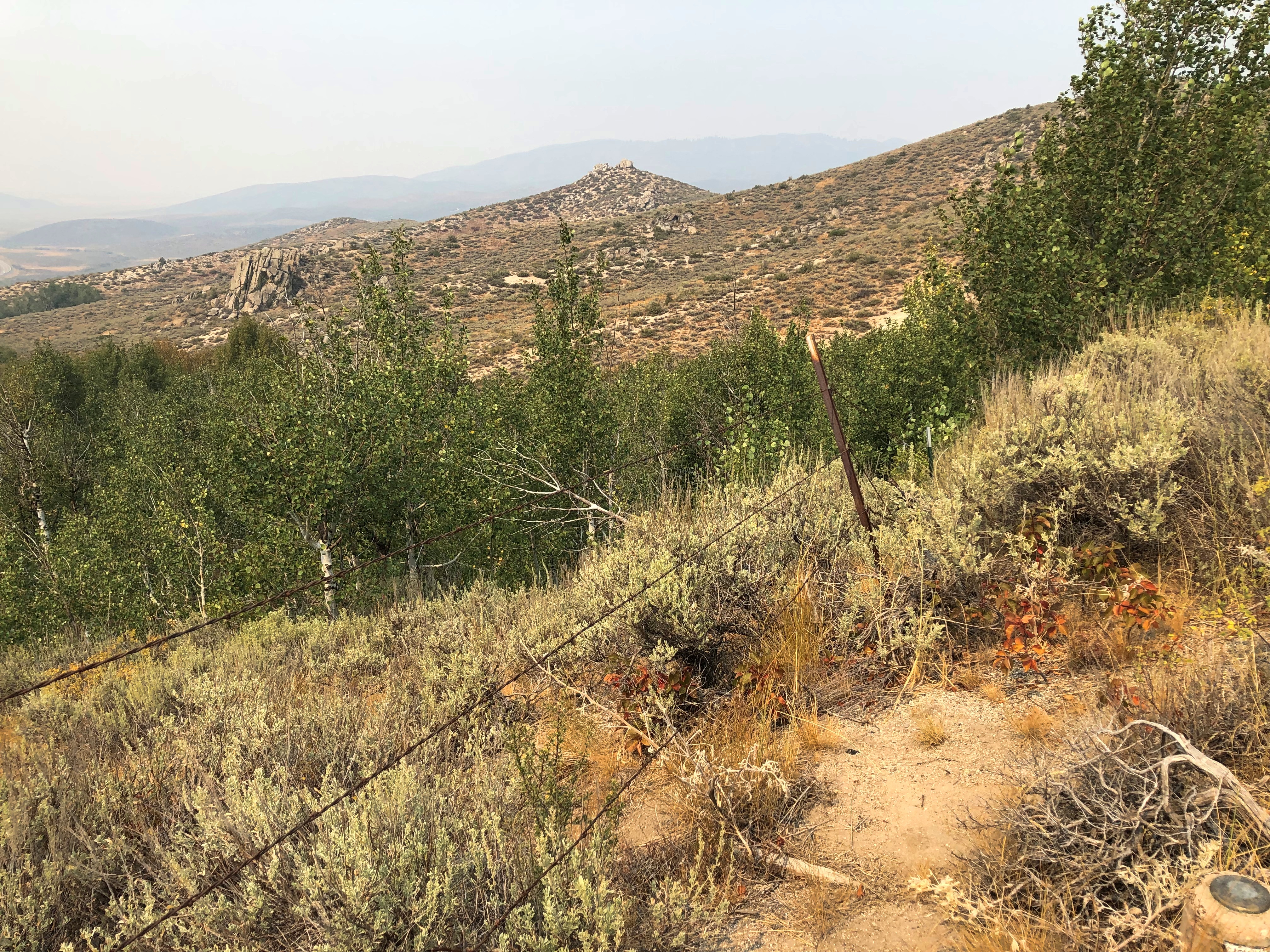
US 20 East of Boise

If you’re going to cross Idaho from Boise across the Snake River Plain, at least by car, you can take I-84, which generally follows the river and passes through the most populated sector of the state, with Boise, Mountain Home, Twin Falls, Pocatello, Blackfoot and Idaho Falls as beads on that particular string.

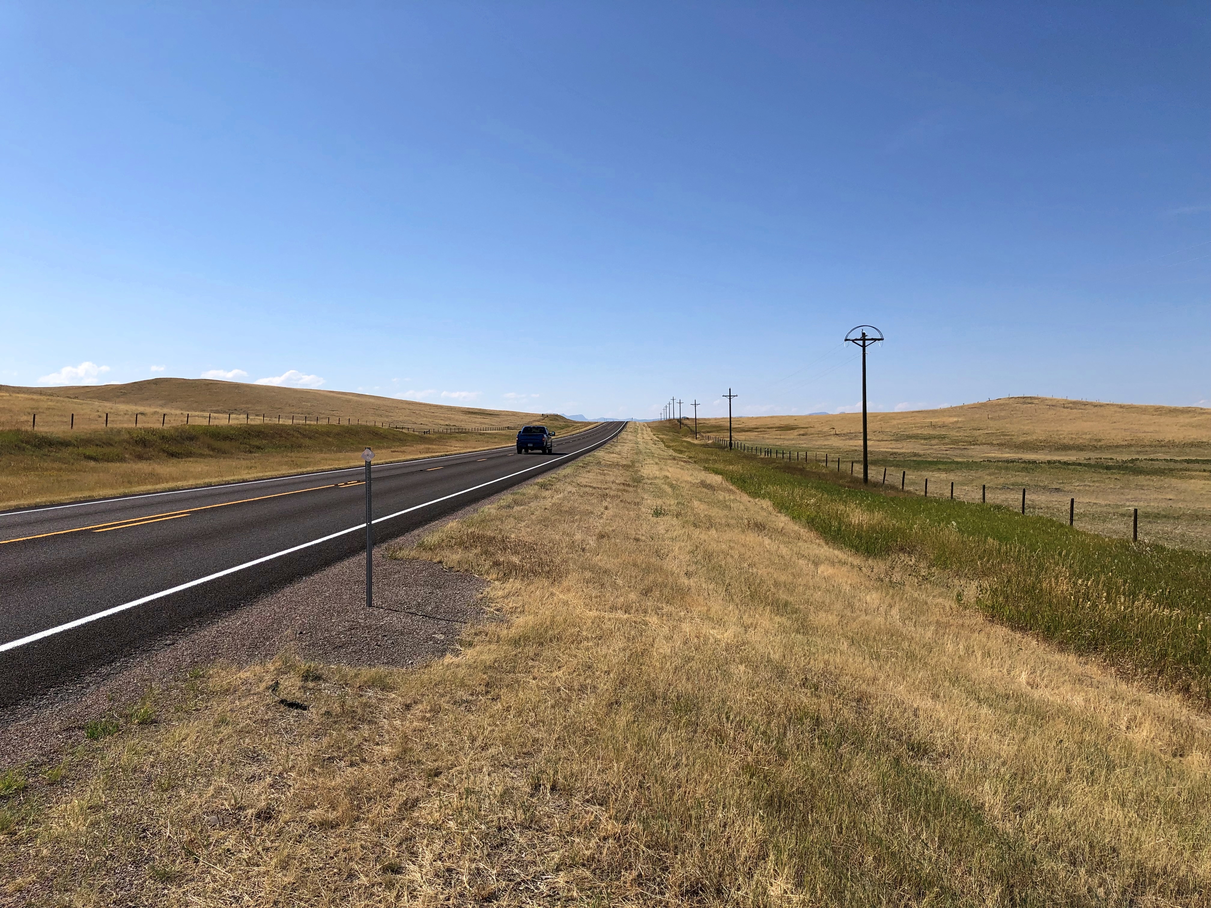
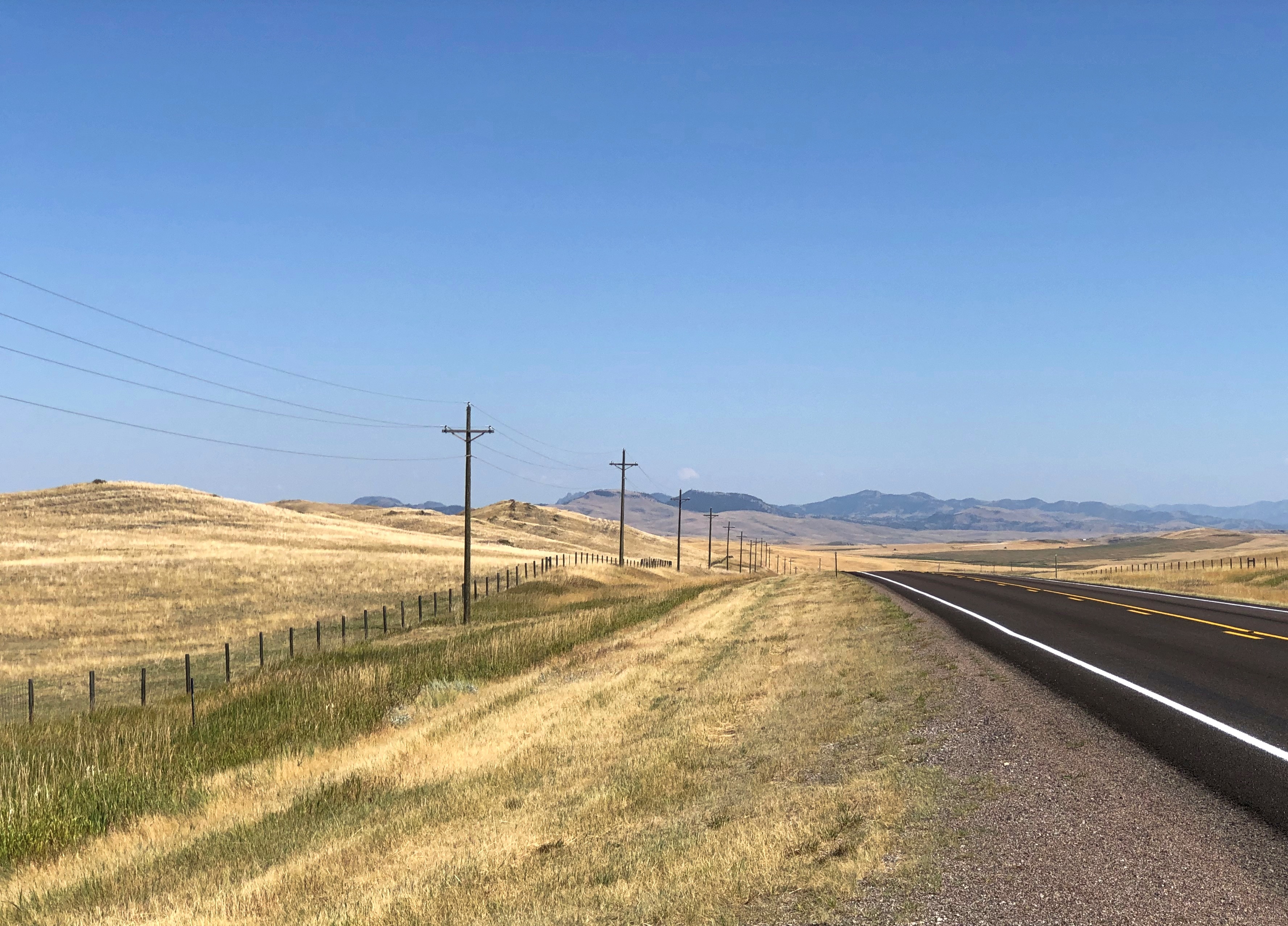
Or you can take I-84 to Mountain Home, and then head east on US 20 across to Idaho Falls. That’s what we did. Good old US 20, a road to Boston in that direction, if you want to go that far. In Idaho, it’s a road through dry, hilly, sparsely populated territory.

This summer, with the haze of a not-too-distant wildfire.US 20 east of Mountain Home US 20 east of Mountain Home US 20 east of Mountain Home

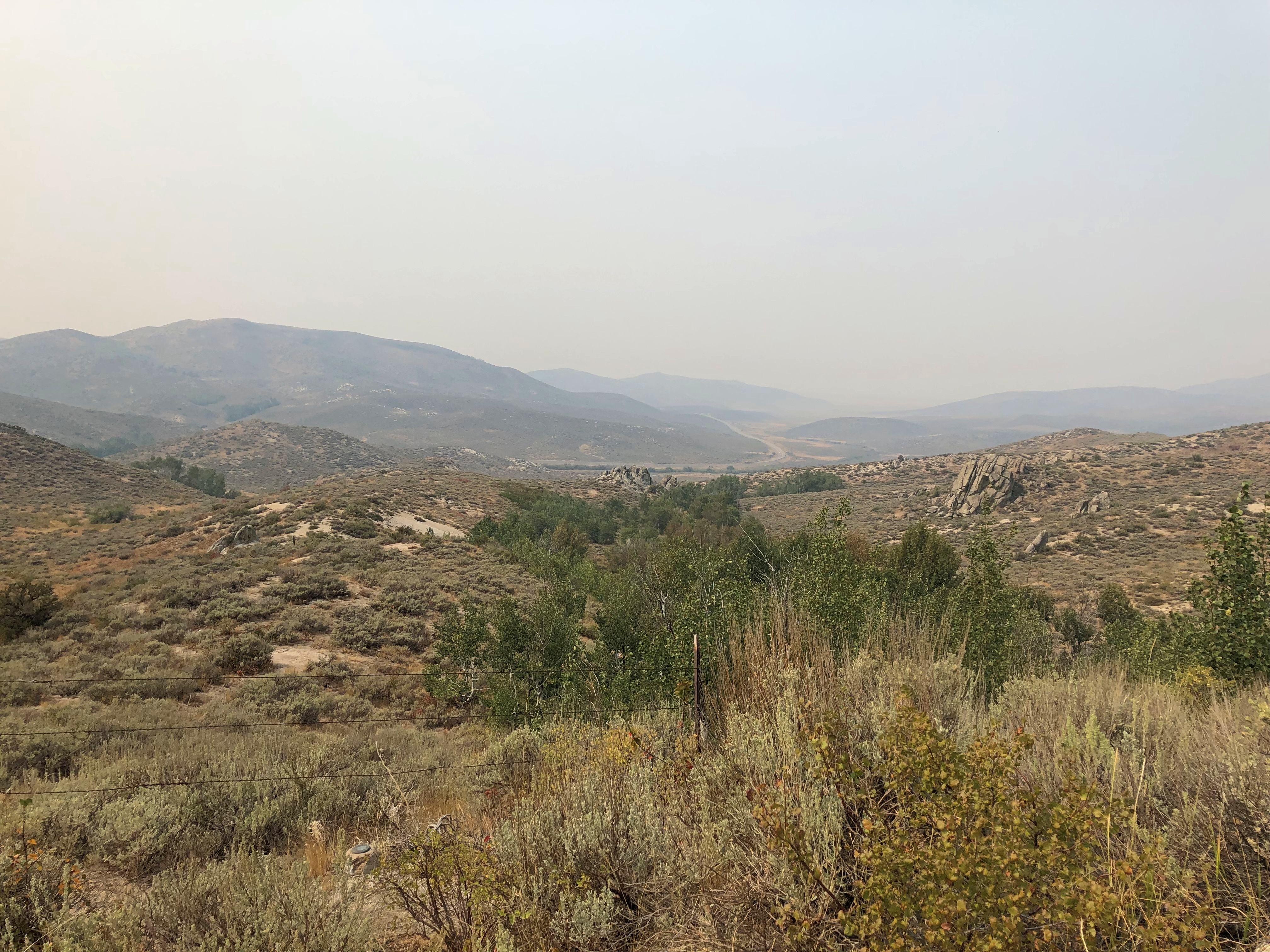
An Idaho State Highway survey marker of considerable age. No doubt built to last. ID Highway Survey Marker

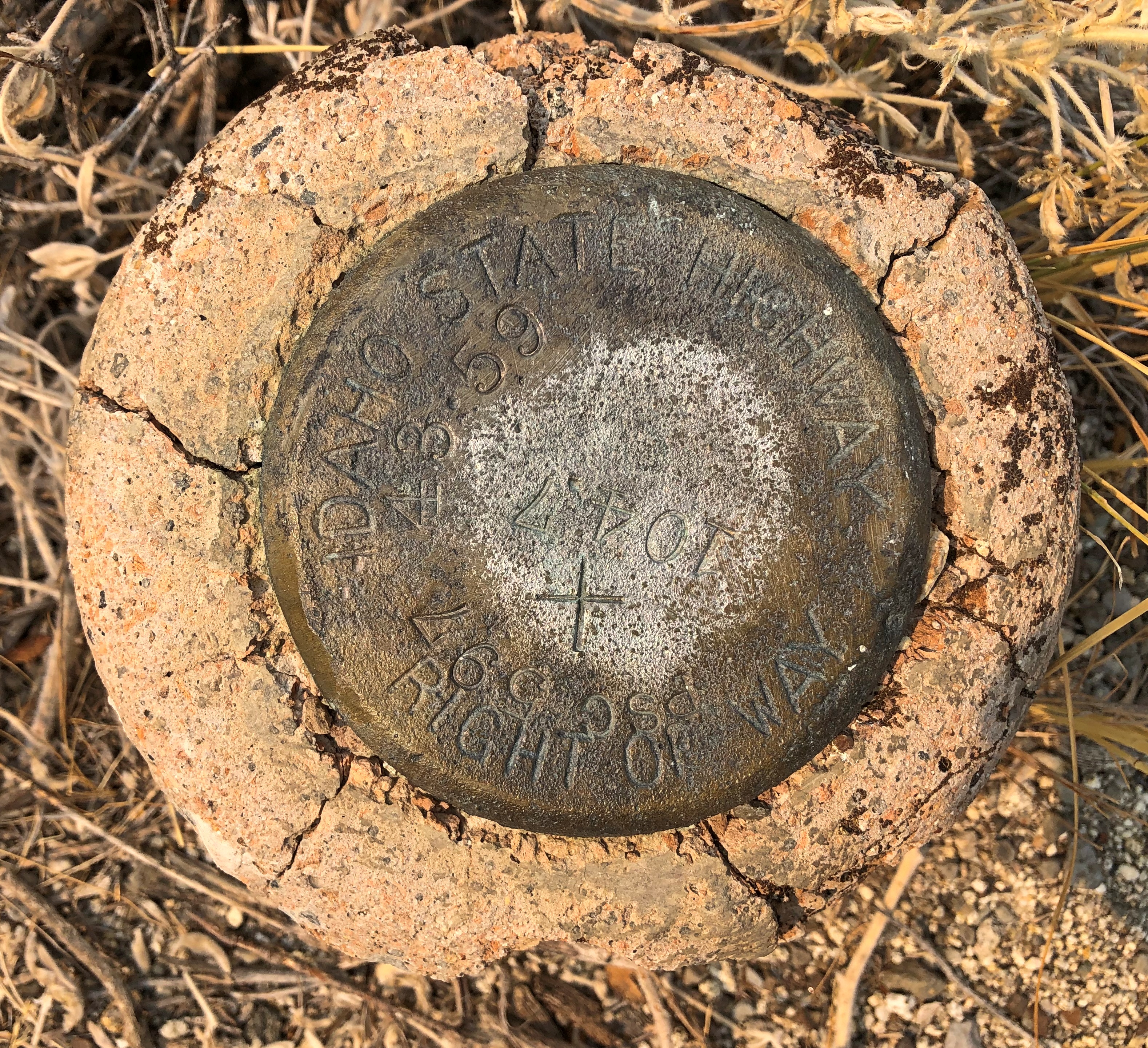
The route was, I suspect, a state highway originally, only later (in the 1940s) becoming part of the US system. Or maybe even US routes had to bear these markers, at least in Idaho. The answer is in some paper files in storage somewhere.

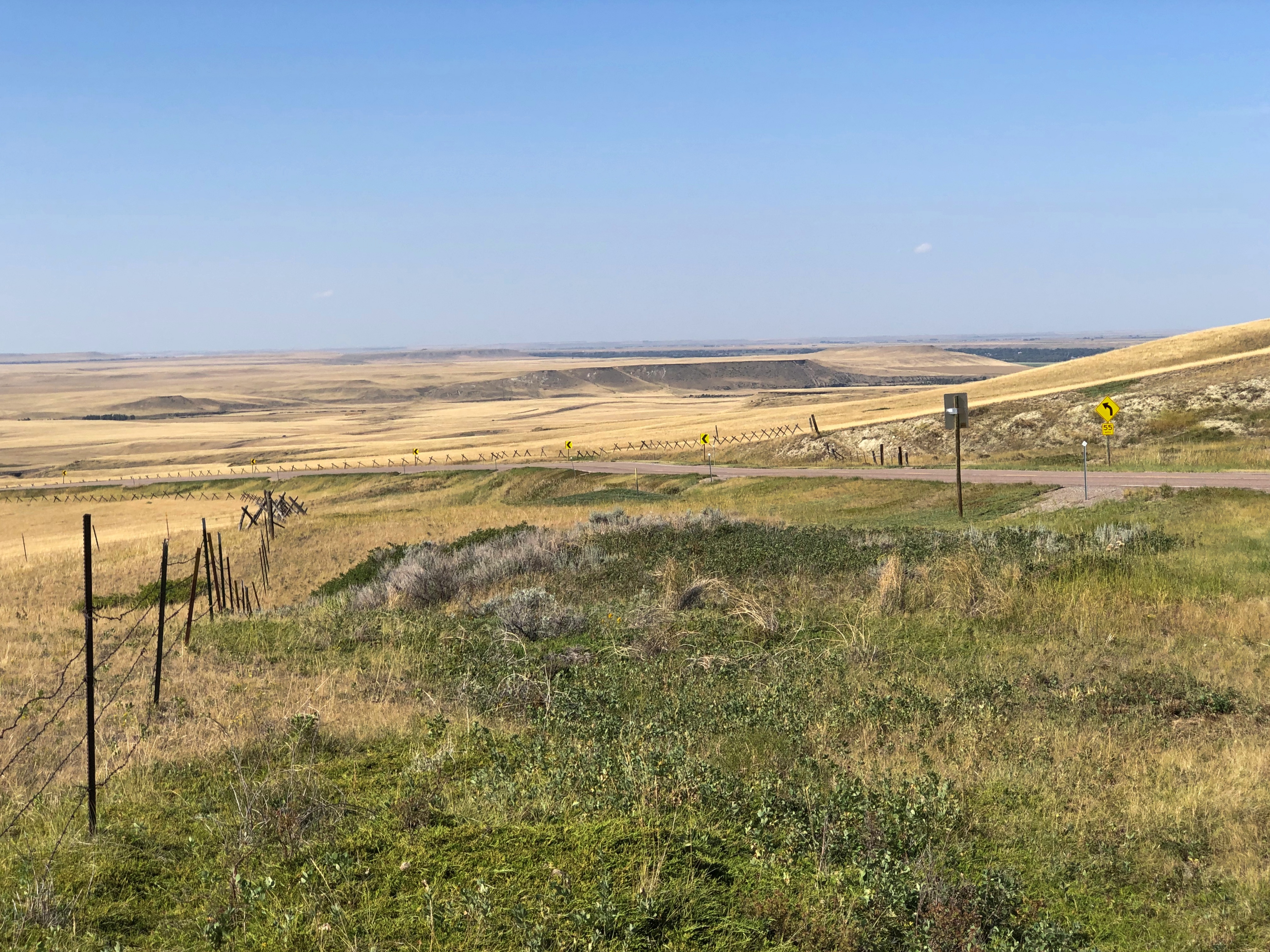
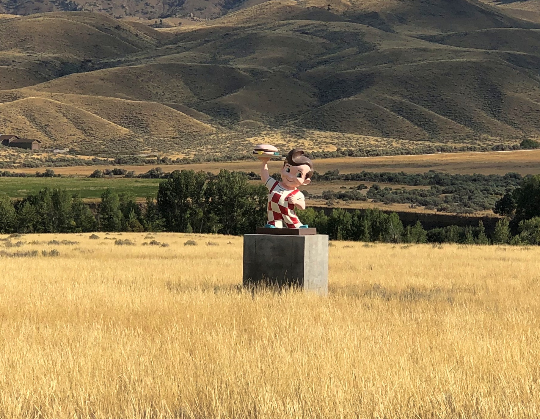
US 20 in Idaho also connects with the entrance, and only paved driving, in Craters of the Moon National Monument. East from there, the road goes through flatter country, including a few small towns, such as Arco (pop. 879), which has the distinction of being the first town to be lighted using atomic power, in 1955, by the nearby National Reactor Testing Station, now the Idaho National Laboratory. Also, the Butte County HS senior class paints its graduation year on the side of a high hill near the town. Since the 1920s, so that’s a lot of numbers. They were so distracting I pulled over for a moment to look at them,
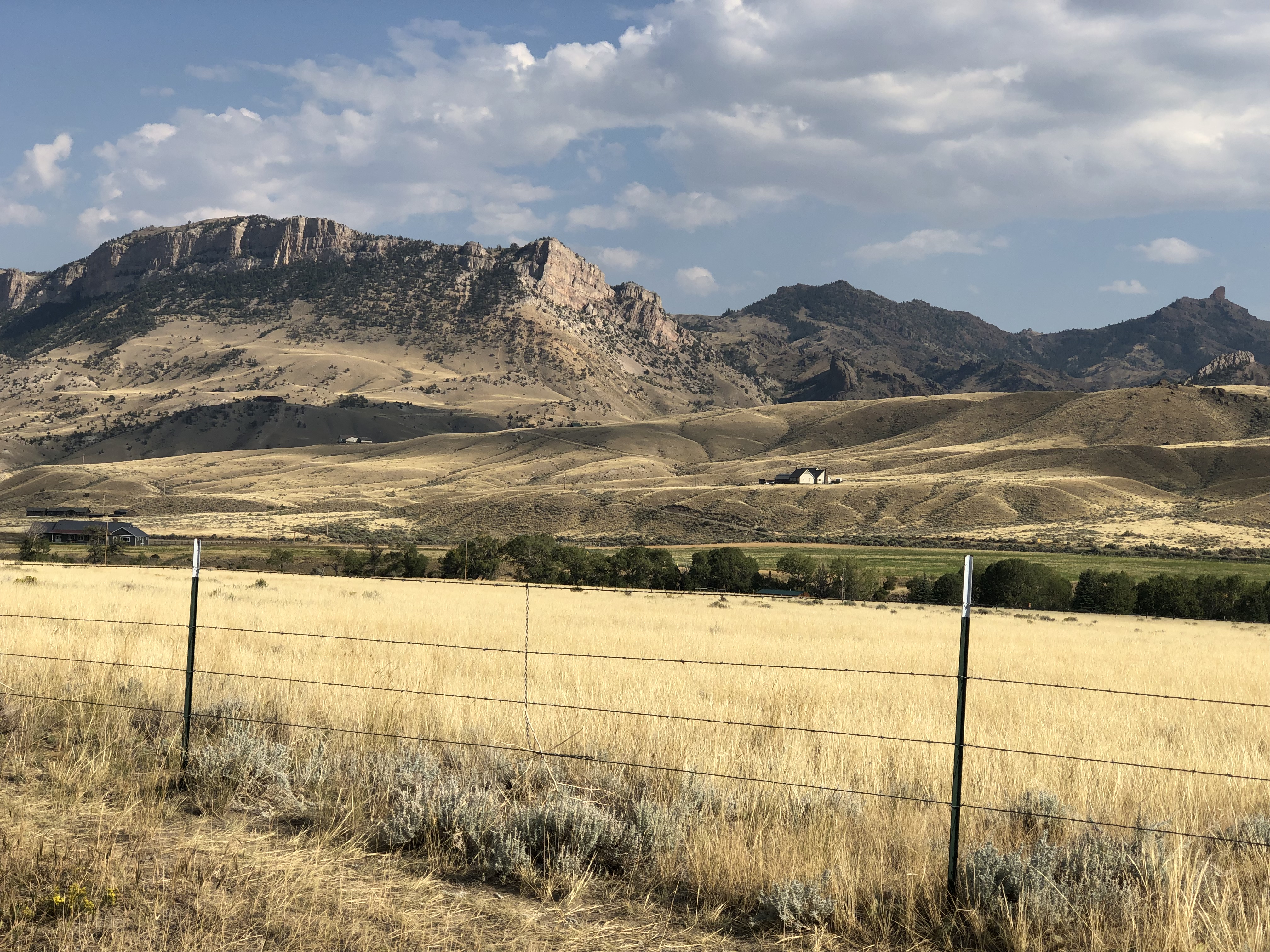
Teton Pass Highway

Back in June, a section a winding mountain road, Wyoming 22, collapsed. The road’s eastern terminus is in Jackson, Wyoming, tourist hub and wealth magnet. The western terminus is at the border with Idaho, where the road becomes Idaho 33, which takes you to Victor, Idaho, just a few miles west of the border. For simplicity, I’ll call both sections the Teton Pass Highway.

I read about the collapse at the time, since I knew we might go that way, and promptly forgot about it when we set off and, more importantly, when we booked a place to stay in Victor, for the same reason anyone stays (or lives) in Victor: the avoid the high costs of Jackson. I’m glad to say WYDOT had the stretch open by the time we first drove there, on September 4, though it was a slow spot, with a lot of construction equipment still active on and near the road.

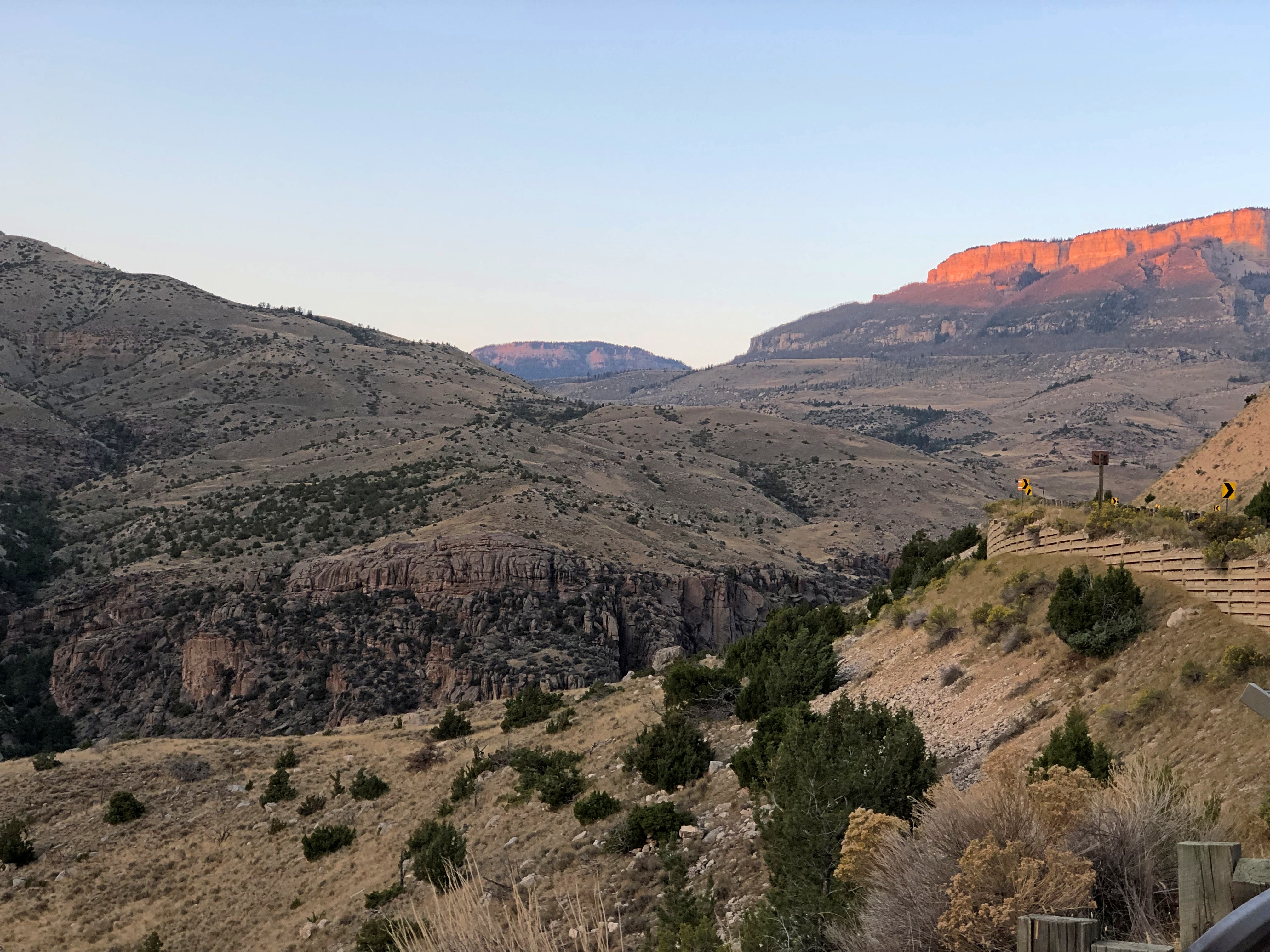
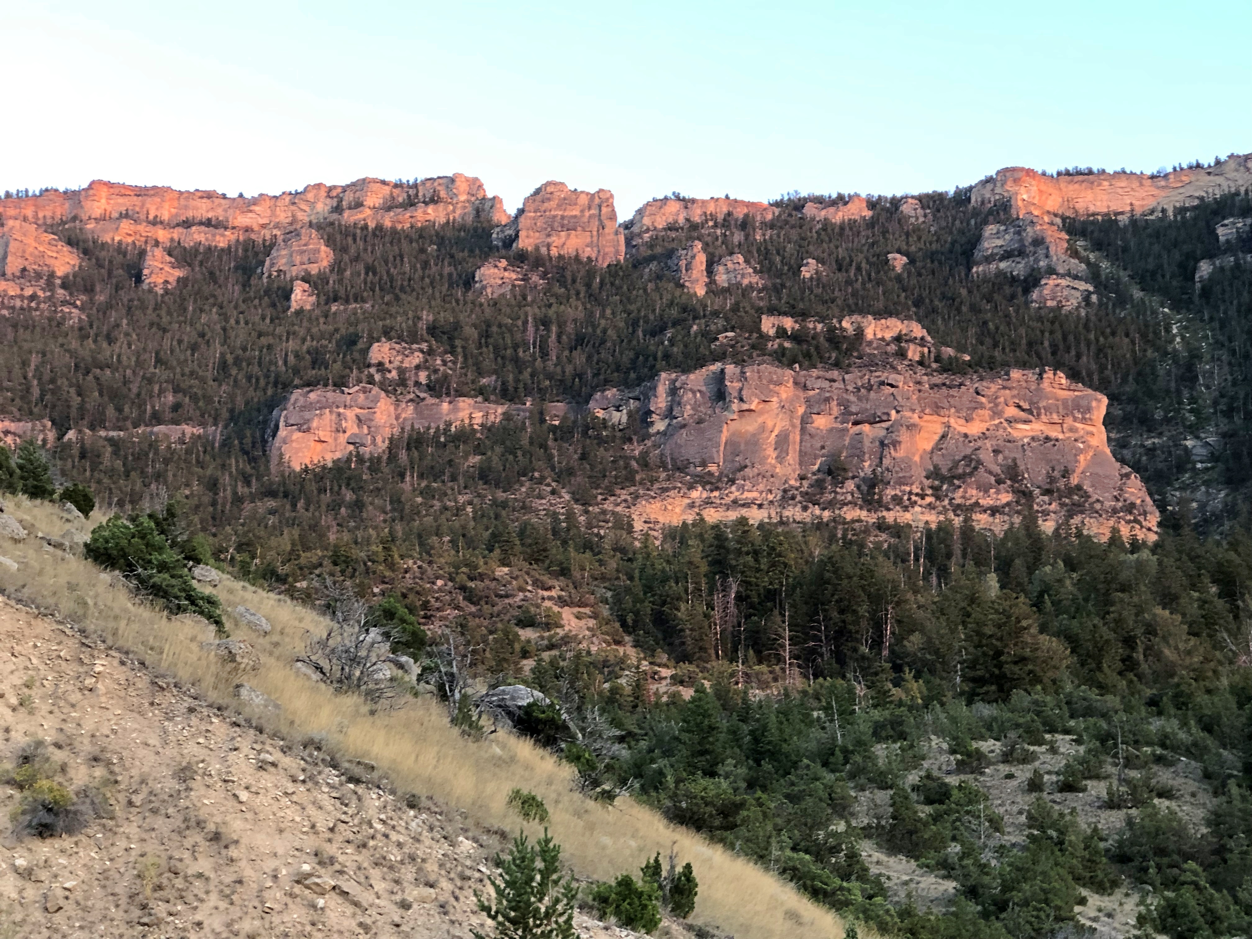
The Teton Pass Highway is an exercise in climbing a steep grade (signs say 10%) and then rolling down another one. You and your machine, that is. Our engine growled fairly hard, but nothing sounding like it was being overtaxed. There are some winding stretches on the highway, but they aren’t that numerous. Traffic is fairly thick. So on the whole, it isn’t the best of scenic drives.

But if you stop at the pass itself, elevation 8,431 feet, you get your first glimpse of the Grand Tetons. First ever for us.Teton Pass Sept 2024

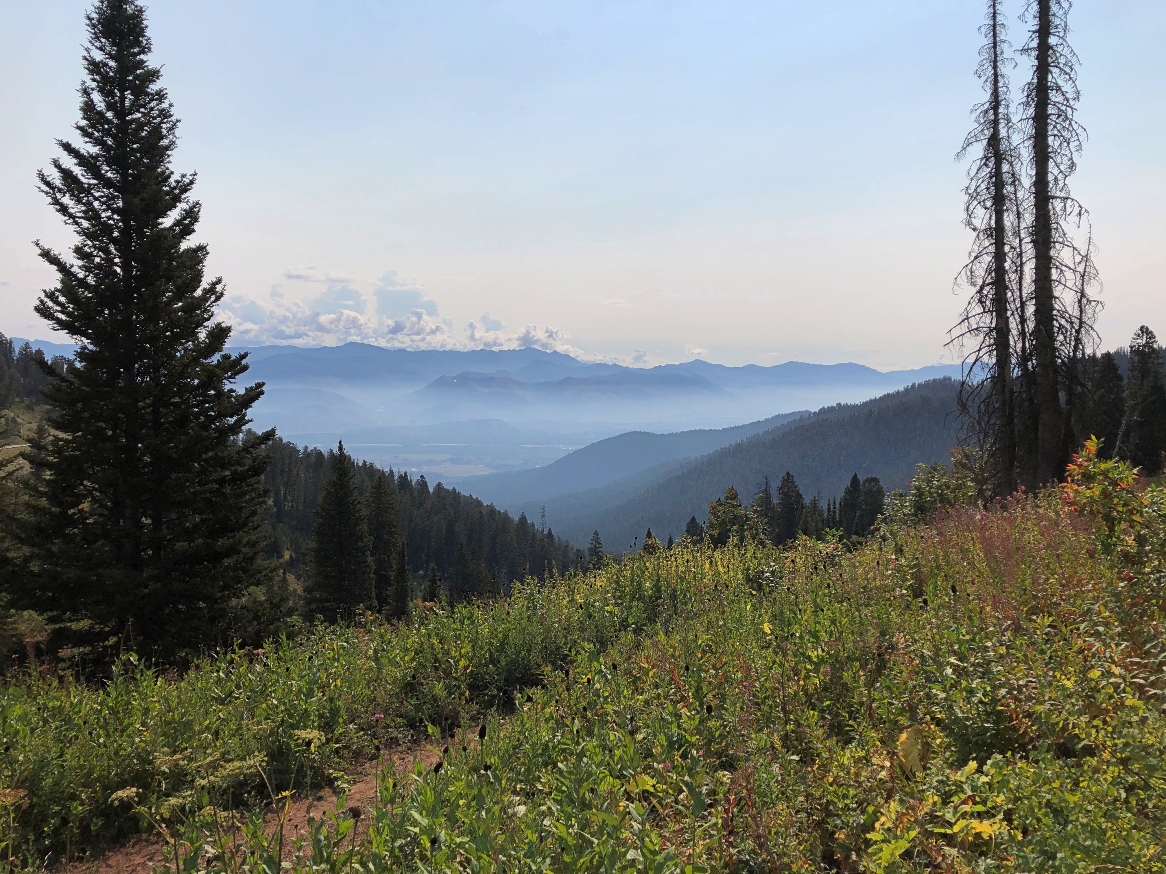
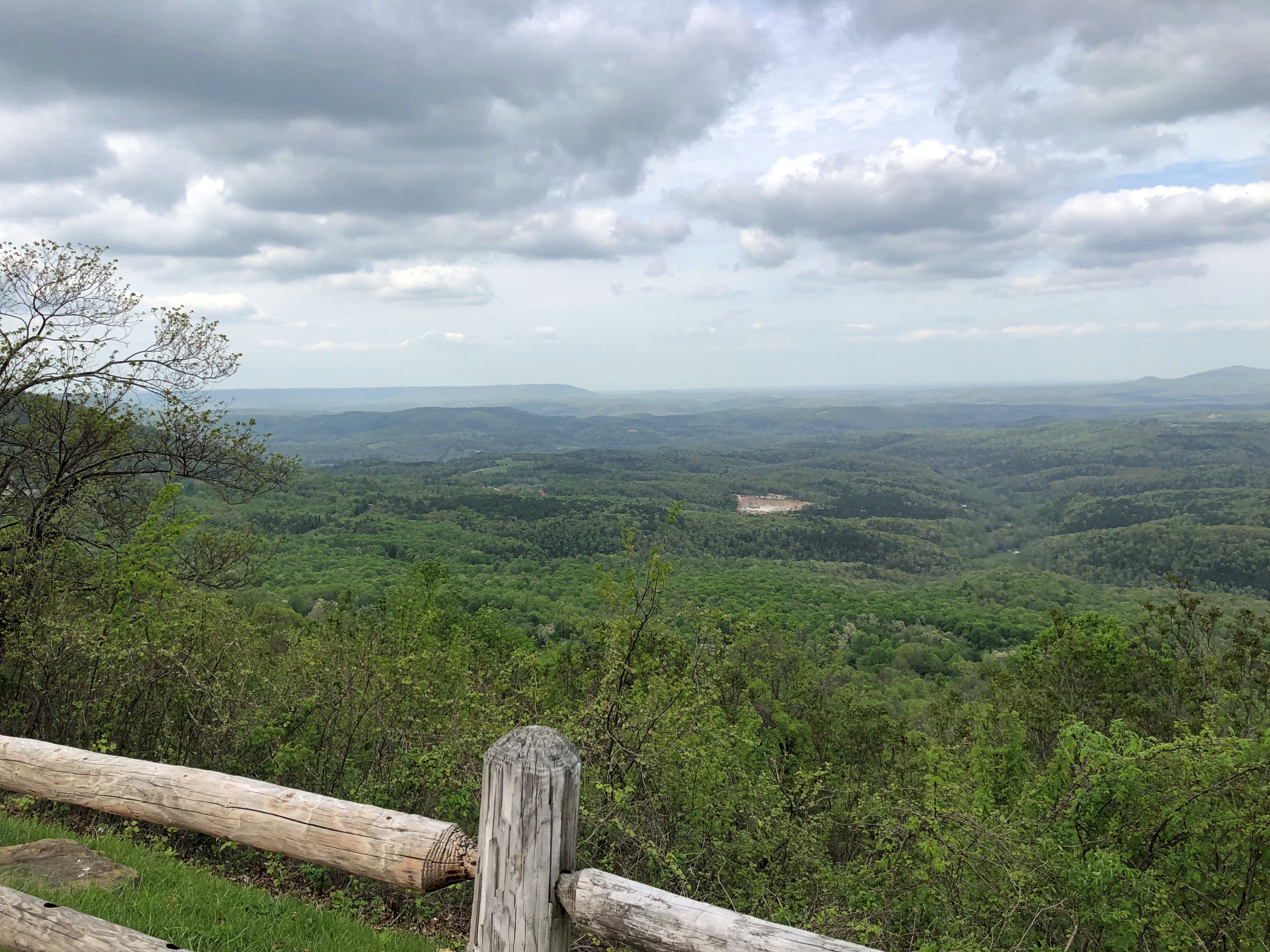
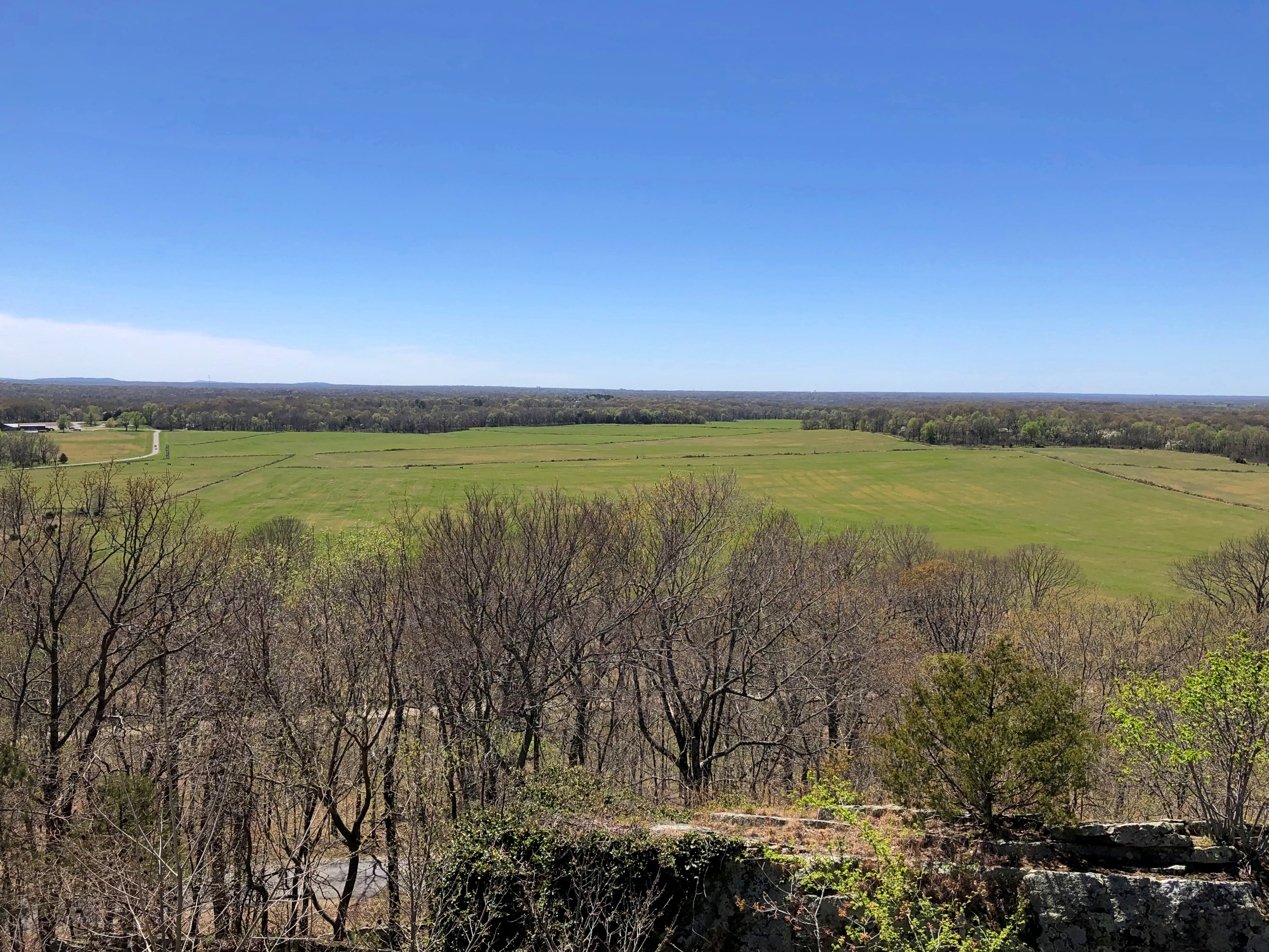
Honorable Mention: I-84 in Eastern Oregon

After paralleling the Columbia River, eastbound I-84 dips sharply to the southeast, taking a route between the Blue Mountains and the Wallowa Mountains in parts of Wallowa-Whitman National Forest. Not that I knew those names when we were barreling down that mostly empty, very black blacktop. But I could see them along the way. The mountains, that is: some of the yellowest mountains I’ve ever seen, with some brown blended in, but also a healthy dose of gold.

Other Sweet Drives, Part 1

Our trip to the West wasn’t just about driving. But it’s the West, after all. Driving was the keystone of the trip, and sometimes the icing on the cake.

North from Helena, Montana on US 287 & US 89

Helena, Montana, and its surprising charms fade pretty quickly into scrubby, arid high hills north of town on I-15. That day, August 22, was bright as summer, but not blazing hot. That Interstate will take you to the Montana towns of Great Falls and Shelby, and on to one of those border posts with Canada that closes for the night after 10 pm.

We weren’t going there. Destination: a campground just outside the east entrance of Glacier National Park. So soon we left the Interstate for US 287, a main road through Lewis and Clark County and then Teton County, and which passed through the most golden brown territory I’ve ever seen.

Many signs were up in Montana and Wyoming warning one and all about the extreme dryness and the high risk of wild fire, and I believed them. Still, no roads were closed, so we went on. We drove past a lot dry grasslands, much of which was probably for grass crops, just a cigarette flicked out of a pickup away from a dangerous inferno. But a what a great color.North of Helena

That the photos barely capture.North of Helena

US 287 ends at the Teton county seat, Choteau, from which you take US 89 north. The dry grasslands continued, looking less like cropland, so dry even cattle are scarce.North of Helena

A steppe, yes?North of Helena

Yes. But with mountains growing larger, off to the west, the further north we went. Off in that direction, that is, west – was the beginning of the Mountain West, the foothills and low ranges marking the beginning of the Rockies. By the time we got to St. Mary’s, an entrance on the east side of Glacier NP, the mountains were lording over the flatlands, just off in the distance, and getting closer all the time.near Glacier NP near Glacier NP

All in all, a fairly low stress, high scenic value road. At times we were the only car, and only humans, within sight, though that’s something of an illusion. There are people around, just not that many.

US 14, Yellowstone to Sheridan, By Way of the Bighorn Mountains

I have no images made during the best drive of the trip, only a vivid memory of the ten minutes or so, after dark and after driving most of the day last Friday, that we traversed a part of US 14 not far west of Sheridan, Wyoming, in the Bighorn Mountains.

That’s only a small section of the road, and it isn’t even the highest point in the Bighorns. All those curves came as we headed down from Granite Pass, which is more than 9,000 feet above sea level.

I know that mountain driving isn’t for everyone (such as Yuriko). But talk about a way to be in the moment. If you aren’t in the moment, you have no business driving such a switchback-y route. There you are, applying just the right amount of pressure on the brakes, edging the wheel just in the right direction, as the winding track unfolds ahead, each moment unlike the last. It’s almost as if you aren’t pressing those brakes or tipping that wheel. You and the machine are.

For bonus points, flip off your brights just the instant you’re aware of an oncoming car, and back on again the instant it passes. I did that too, but only two or three times, since it wasn’t a crowded road. More traffic would have raised the stress level a lot and harshed this particular buzz for me.

One more detail, for most of the twists and turns, and unique to our transit of the mountains: “All I Wanna Do” was on the radio at that moment, coming in clear despite our location. Somehow, that added to the experience, though I can’t call it a driving song. Still, it’s one of best capture-a-moment songs I know of.

Earlier in the day, we headed east from Yellowstone on US 14/16/20 – as we went eastward, the other two higher numbers eventually disappeared – and found it to be more of a straight road. Sometimes the drive revealed scenery equal of anything in a national park, rolling through the Absaroka Range and Shoshone National Forest, and, after passing through Cody, Wyoming, the Bighorn Basin, as an approach to the Bighorn Mountains. Part of of road is the Buffalo Bill Cody Scenic Byway.

Browns and dry yellow predominated. Just east of Yellowstone, you’re among the impressive Absarokas. They lent their name to a lesser-known new state movement in the 1930s. Lesser-known to me, anyway.US 14 Bighorn Mountains US 14 Bighorn Mountains

The mountains receded and the road passes through a broad valley.
US 14 Wyoming

Wait, what was that?US 14 Big Boy US 14 Big Boy

The Wapiti Big Boy, the Cowboy State Daily calls it, after the valley, and the nearest town.

“ ‘Big Boy restaurants were everywhere (at one time), and I’ve always wanted to have a Big Boy and celebrate what’s great about the Big Boy,’ said James Geier, who owns the Wapiti Big Boy statue and the land it now calls home,” CSD reports.

“ ‘I’m a sculptor and have a design business,’ he said. ‘My art and the placement of Big Boy was really all about wanting the conversation to go on, whether you’re a tourist going through the world or a local.’ ”

The road then passes Buffalo Bill Reservoir. A manmade lake on the Shoshone River. Once upon a time, William Cody owned much of the land now covered by the lake.US 14 Buffalo Bill Cody Lake US 14 Buffalo Bill Cody Lake

Beyond that is the town of Cody, where we tarried to buy barbecue and eat it in the main city park for dinner. I can recommend Fat Racks BBQ. Its pulled pork, specifically.

Heading into the Bighorn Mountains east of Cody.US 14 Bighorn Mountains US 14 Bighorn Mountains

By that time, the light was fading, and soon enough we were driving in the dark, though the road was well marked by reflectors, and illuminated by our headlights. Once we emerged from the twists, the drive to the motel in Sheridan was only about 20 more minutes, so the downward grade on US 14 essentially capped off a capital day of driving.

NYC ’83 Debris

After returning from Europe in mid-August 1983, I spent about 10 days in New York City, a kind of coda to the longer trip. Expenses were low, since I was house sitting – apartment (co-op?) sitting in Greenwich Village – for Deb, a woman I’d met in Germany, while she was on the Jersey shore with her parents. A place New Yorkers went in August, Deb said, because their analysts were out of town. I think she was only half-joking.

If I were a different person, I would have spent late nights at the likes of CBGB, the Palladium, Danceteria, or the Peppermint Lounge (or the Village Vanguard or the Bitter End, for that matter), staggered back to Deb’s apartment, and slept most of the day. That would have been quite the time and place for that kind of activity. But no: I didn’t take a stronger interest in live music in small venues until I lived in Nashville for a few years, and I never did latch on to the alcohol or cocaine components of those kinds of nights. So any stories I’d tell about the NYC club scene 40 years ago would be necessarily made up.

I did a lot of walking. Mostly Manhattan, but one day I walked across the Brooklyn Bridge and spent some time in that borough. I also made it up the Bronx.

The zoo was a little run down in those days, but nothing like the south Bronx territory I saw from the #5 IRT. The zoo guide above, looking at it now, is a model of compact information, unfolding to offer a good map of the zoo’s 265 acres on one side, and on the other side, other information about the zoo, and the various trails in the facility one could follow to see different kinds of animals: the Wild Asia Trail, Africa Trail, Reptiles and Apes, Bird Valley Trail, etc.

I see that elephant and llama rides were available for an extra fee in those days. I wonder if that’s still the case.

Back in Manhattan, there was always Art to see.

Note the adult admission price: $3. Or the equivalent of about $10 these days. And what is the adult rate as of 2024? $30. That’s just gouging, MoMA. You have no excuse.

Vistas. I don’t remember what I paid, but the ESB price now is absurd. I’m glad I’ve already been there. 

I went to the top of the Empire State Building at night, and marveled at the glow of the city, but also at just how many vehicles on the street below were yellow cabs. I was at the World Trade Center observation deck during the day; a lost view.

Camden Hills State Park, 1995

Somewhere in our boxes of physical prints are some from Maine in August 1995. At some point, I scanned one of them.Camden Hills State Park, Maine

The view looks toward the town of Camden, and out into West Penobscot Bay. Camden Hills State Park surrounds the town, and we camped there, though not exactly at this vista. I don’t think so, anyway.

I don’t remember a lot about Camden Hills SP, but even so I was reminded of that place when I found out that August 4 is a free day at all national parks, reportedly in honor of the anniversary of the passage of the Great American Outdoors Act four years earlier.

Not because Camden was a national park – obviously not, it was a state park – but because it was close to Acadia National Park, which hugs the coast of Maine just a little further to the east. The visit to Camden was a weekend trip, so there wasn’t another day for Acadia, though we knew it was there. No worries, we’ll visit later, was the thinking.

So far that hasn’t happened. Maine was close in 1995; now it’s a little far. But still possible. I did a count and among the actual national parks (not other kinds of park service units) in the Lower 48, I’ve visited 26 out of 51. None of those was on a free day, including August 4, 2024. Major events that day including mowing the lawn and sweeping out the garage.

Sintra: Pena Palace

Sizable rain and cool air to welcome June on the first day of the month. But June in northern Illinois isn’t one for too much cool air, and temps came in very pleasant today. That means deck time.

I’m glad we saw the interior of Pena Palace (Palácio da Pena), up in the hills of Sintra. Otherwise I wouldn’t have made the acquaintance of this fellow.Pena Palace

A little context.Pena Palace

It isn’t too often you see grotesques that are that grotesque. Looks like that tree growing from his head gave him a screaming headache, and those fish tails for legs couldn’t be that comfortable, either.

He’s just a cast member at Pena Palace, which is an eclectic riot, a hilltop thrust of colors and fanciful towers.  There are more than a few visitors on any given weekday in the spring.Pena Palace Pena Palace Pena Palace

Looks like a crunch, but it was anything but an ugly crowd. They were in a good mood. They’d come because they heard this is a place worth going to see. It is? Yes. Yes it is. They knew they wouldn’t be disappointed, except for those (few?) who are disappointed in everything.

It’s best, I think, to start by looking up at the palace, which luckily is how all visitors approach the architectural extravaganza.It's best, I think, to start by looking up at the palace, which luckily is how all 21st-century visitors approach the architectural extravaganza. Pena Palace May 2024 Pena Palace May 2024 Pena Palace May 2024

The palace was built on the site of a ruined monastery, abandoned since – you guessed it, the 1755 earthquake. Surviving elements of the monastery were incorporated into the palace design, especially the cloister.Pena Palace May 2024 Pena Palace May 2024 Pena Palace May 2024

In other parts of the palace, you see kingly things. Such as the king’s office.Pena Palace May 2024

The king’s dishes.Pena Palace May 2024

The king’s state-of-the-art telephone.Pena Palace May 2024

The king being Carlos, sometimes styled Carlos I, though he was the only one of that name in Portugal. Carlos came to the throne in the late 19th century. His grandfather Ferdinand II got the ball rolling on development of the palace earlier in the century, tapping mining engineer, explorer of Brazil, and amateur architect Wilhelm Ludwig von Eschwege to design it, but Carlos was the last king to spend much time there.

Wiki lists Carlos’ cognomens as The Diplomat; The Martyr; The Martyred; The Oceanographer; The Hunter; The Painter King; The Obese. Quite a selection. Martyr points to Carlos’ fate, gunned down in Lisbon by anti-monarchists in 1908, along with his son and heir-apparent, Luís Filipe. It was a dangerous time for monarchs. And, as it turned out, a dangerous time for monarchy itself in Portugal.

The king might have had all those things above, but the queen – Queen Amelia, Carlos’ wife – had a terrace built for her. It probably got as crowded on the terrace during occasional events at the palace as it does now, but everyone would have been more formally dressed at those long-ago, long-forgotten gatherings.Pena Palace May 2024 Pena Palace May 2024 Pena Palace May 2024

When you take in the view, you forget about the crowds.Pena Palace May 2024 Pena Palace May 2024

The monastery chapel also survived to be incorporated into the palace.Pena Palace May 2024 Pena Palace May 2024

Inside are marble and alabaster works attributed to one Nicolas Chantereine, a French artist who did well for himself in 16th century Iberia.

There’s always more detail, especially in stone — more exuberant detail, wherever you look.Pena Palace Pena Palace Pena Palace Pena Palace

Wonder how often or whether Carlos wandered around the palace, with no crowds around, pondering the detail. Maybe as a way not to think about affairs of state or what to do about the rising tide of republicanism.  Was there so much even he would discover bits he hadn’t noticed before? I can’t say for sure, but that’s entirely possible.

Sintra: Parque de Pena

Forty minutes west by train from the sweeping 19th-century Rossio Railway Station, formerly Lisbon’s main train station, is the municipality of Sintra, which is at the end of one of the lines from Rossio. The cost to get there is modest, €2.30 each way, plus €0.50 one-time for a magnetic card, and the trains come often, since it counts as a commuter line.

Like any modern city, Lisbon sprawls out from its center, including in the direction of Sintra, and people used a number of the intermediate stops. But maybe nine out of ten riders on the mostly full train to Sintra were tourists going to the end of the line. Or at least that happened mid-morning on May 16, a Thursday, when we joined them.

Besides suburban-ish districts – which in a Euro-context means apartment blocks and small shops close to stations – we passed an inordinate amount of graffiti on the way. Every manmade surface you could see from the train window seemed to be covered with it – concrete walls, signs, small towers and other fixtures. Mostly tedious signature-style graffiti, not depictions of any kind, though if you spend enough time in greater Lisbon, you can find enough of that. Either a few Portuguese graffiti makers have a lot of time on their hands, or many young (I assume) Portuguese try their hand at it. Or, for all I know, Portugal attracts taggers from around the EU.

As a settlement, Sintra isn’t a function of modern sprawl. People have been in the Sintra hills since Paleolithic times. More recently (on a scale that includes the Paleolithic), members of the Portuguese upper class, whatever the form they’ve taken over the centuries, made the place their own. That includes, most importantly for the purposes of attracting travelers, Portuguese royalty. The kings are gone, but their visible legacy lives on in the form of palaces and other structures, which packs ’em in, in our time.

One in particular is an enormous draw: Pena Palace.

“Around 1840, Ferdinand II turned a ruined monastery into a castle in which Gothic, Egyptian, Moorish and Renaissance elements were displayed,” UNESCO gushes just a bit about the palace, since the district is another of Portugal’s World Heritage Sites.

“He surrounded the palace with a vast Romantic park, unparalleled elsewhere planted with rare and exotic trees, decorated with fountains, watercourses and series of ponds, cottages, chapels and mock ruins, and traversed by magical paths. He also restored the forests of the Serra, where thousands of trees were planted to supplement the oaks and umbrella pines which made a perfect contribution to the romantic character of the Cultural Landscape of Sintra.”

Pena Palace is quite the sight, even from below.Palace Pena

We got to that view via a municipal bus that circles the hills, stopping at the train station and then a number of sights, and which comes every few minutes; and then a small bus belonging to the palace for a few euro more, to climb up the steep hill toward the palace. There were lines for each of these modes, but not a lot of waiting, so efficient is modern Sintra at shuffling around tourists.

One thing we’d been warned to do – I had been warned, via online guide sights – was reserve a time for the palace. I made no attempt to do so until the evening before, when the only tours available online were the last ones of the day. We weren’t sure we’d still be in Sintra then, so we didn’t book for then. A tramp around the grounds and a look at some of the other sights ought to be enough, we figured. But we did ask at the palace ticket counter around 11 if anything was available that day. Yes, 2:30, she said.

So we got to see the palace. But not before we had time to visit the garden – forest – Romantic greenery around the palace. The Parque de Pena. Which meant going down, since the palace is on a hilltop. Down lush hillsides.Palace Pena Park Palace Pena Park

But not always down.Palace Pena Park Palace Pena Park

Note the handful of people. This was in great contrast to the crowds waiting to get into the palace. Later, we also waited to get into the palace, so I don’t begrudge their massing at that place. Just pointing out that not far away, the crowds are gone.

Signs pointed to a number of features and how many meters you had to walk to reach them. We picked the High Cross. That name might have been a hint of the climbing that was to come. Admiring natural beauty might be a precept of the Romantic movement, but none of the Romantic poets (that I know of) dwelled much on how accessing said beauty might involve a tiring walk. Unless the original title was “Lines Written a Few Miles above Tintern Abbey, and Boy Am I Tired.”Palace Pena Park

The climb was entirely worth it, I have to add. Eventually the path narrows and you reach the cross.Palace Pena Park Palace Pena Park

Later, when we had a view from the palace, we saw that the cross is at the highest point in these hills. As such it offers good views, though partly obscured by foliage and that day by haze.

Looking back at Lisbon.Palace Pena Park

The Atlantic Ocean’s out that way, I think.Palace Pena Park

Returning meant going down hill from the cross but eventually uphill again, to reach the palace. The visitor center cafeteria was open, and we had time to eat and especially drink before our mid-afternoon tour. It was a satisfying repast. We had no bad meals in Portugal, not even at a tourist cafeteria.Portuguese tea and coffee

It was cool and cloudy the day we visited Sintra, but climbing the hills was still thirsty work.

Arkansas 7, Up To & Including the Hidden Ruins of Dogpatch USA

We bought some roses to plant the other day and they turned out to be produced in Tyler, Texas. They were found at a major retailer here in Illinois, so that means the Tyler rose industry isn’t completely gone. I already knew that from reading about it, but it was good to see the fact confirmed in the form of stems and thorns.

My idea of a good driving road.Arkansas 7 Arkansas 7

Everything you need – hills, greenery, occasional small towns and roadside views, a winding aspect – and nothing you don’t – much traffic, especially large trucks.

I created the images when I wasn’t driving, of course, but at a wayside stop along Arkansas 7, a mostly two-lane highway crossing north-south through the state that’s scenic most of the way, and in fact an Arkansas Scenic Byway. We picked up the road where it meets I-30 at Caddo Valley on April 14, and took it into Hot Springs. The next day, we headed north along the road, through the Ouachitas and the Ozarks, parts of which are designated Ouachita National Forest and Ozark-St. Francis National Forest.

North of Russellville, which was the only place with much traffic, the lush scenery kicks into an expansive high gear. The old saw is that you can’t eat scenery, and while that’s literally true, the underlying notion that scenery is a worthless frill strikes me as an affront to one of life’s better pleasures. At least for those of us fortunate enough to live above subsistence poverty.Arkansas 7 Arkansas 7

South of the small town of Jasper is a feature called the “Arkansas Grand Canyon.” Called that by the scattering of businesses along the way who would like you to stop, anyway. Geographically, it’s the Buffalo River Canyon. Grand, maybe not, but impressive. Met my periodical quota for vistas.Arkansas 7 Arkansas 7

Passersby left their mark. Maybe in some future time, it’ll be considered historic and thus protected.Arkansas 7 Arkansas 7

Another roadside perch. I wasn’t sure if this counted as the “Grand Canyon,” but it hardly mattered. Scenery to flavor the drive.Arkansas 7 Arkansas 7

Arkansas in the breeze.

We stopped at the Ozark Cafe in Jasper (pop. 547) for a latish lunch. Decent grub and idiosyncratic decor, including mountain musicians outside and a wall nearly full with characters from Li’l Abner inside. That comic never did much for me, but it’s always good to see local color.Ozark Cafe, Jasper, Ark Ozark Cafe, Jasper, Ark

The cafe is across the street (still Arkansas 7) from the Newton County Courthouse. Another solid legacy of the WPA.Newton County (Ark) courthouse Newton County (Ark) courthouse

Up the road a piece from Jasper is a site that Google Maps calls Dogpatch to this day. Intrigued, I looked into it, finding that Dogpatch USA, a Li’l Abner theme park, used to be there. It operated longer than I would have thought, from 1968 to 1993. This is all you can see of it now, from Arkansas 7.Dogpatch USA 2024

“Dogpatch USA is a classic American roadside attraction,” wrote one Rodger Brown, who visited during the park’s last summer in ’93.

“It’s a basket of cornpone and hillbilly hokum in a beautiful Ozark mountain setting. Nearby is a waterfall, limestone caverns, and a spring that flows clear and steadily into a creek that has powered a gristmill for more than 150 years. There are rides and gift shops, and at the heart of the park is a trout farm where visitors can catch and cook rainbow trout, ‘the gamest of all inland fish.’ The decor is bumpkin kitsch. The faux-illiterate signs along Dogpatch’s macadam footpaths read like a Po’ Folks menu: ‘Onbelievablee delishus Fish Vittles Kooked fo’ Sail.’

“Dogpatch opened in 1968, but its history, in a generous sense, begins about a hundred years earlier…. in 1900, the word ‘hillbilly’ first appeared in print, toting on its wiry back a croker sack full of iconography — squirrel rifles, corn cob pipes, floppy felt hats, feuds, a degraded language, and depraved life… Out of this crashing surf where industry and the marketplace met the mountains, Li’l Abner was born.

Li’l Abner was the first comic strip to star mountaineers as main characters, but [creator Al] Capp’s hillbilly compote was certainly not unique. His versions of hillbillies were consolidated forms drawn from a widespread tradition of mountaineer caricatures: there’s the voluptuous rag-clad ‘tater sack sexkitten; the grizzled corn-cob pipe smoking visionary crone matriarch; the lay-about ineffectual pappy; and the clodhopping oblivious proto-Jethro Li’l Abner, the all-American country boy — part Alvin York and Abe Lincoln, a little Sambo in whiteface, and Paul Bunyan with a drawl.

“Li’l Abner first appeared in 1934, two years after the publication of Erskine Caldwell’s Tobacco Road, and within a few years the cartoon was a contender with Dick Tracy, Blondie and Little Orphan Annie as America’s number-one comic strip.”

Dogpatch USA isn’t a welcoming place these days, and it’s impossible to see the ruins without trespassing.Dogpatch USA 2024

Those signs say construction, but there was no visible evidence of any such thing. The place needs to be stabilized for some ruin tourism, I reckon. I’d pay (a little) to see what’s left of the bumpkin kitsch and faux-illiterate signs.

Pea Ridge National Military Park

I’ve been told that I visited Pea Ridge National Military Park when I was small, four or five years old, during my family’s short vacation in the Ozarks in the mid-60s. Went to Branson, Mo., on that trip as well, when it was merely a minor lake resort and not Las Vegas designed by Ned Flanders.

I don’t remember any of that. I have wisps of other memories, which would be my very first travel memories, but I’m not sure how reliable they are. Maybe that was the trip when billboards for a place called Villa Capri Motel gave my brother Jim giggle fits, because he insisted that it was pronounced “Villa Crap-Eye,” or when he was similarly amused by Skelly gas stations, which became “Skeleton” gas stations, but I’m not sure.

I do remember visiting the future Crater of Diamonds State Park in Arkansas, which would have been a private tourist attraction in those days. The allure of diamonds got through even to a small child (good work, De Beers), but of course we didn’t find any, and the only impression I have now is that it was a hot, dusty, boring field.

When we arrived at Pea Ridge on April 7 around lunchtime, I was essentially seeing it with new eyes. So was Yuriko, who’d never heard it. No surprise, since it isn’t one of the more famed Civil War battles. I expect many Americans, maybe most, haven’t heard of it either. Not necessarily a big deal. Go through a list like this and be impressed by just how many battles there were.Pea Ridge National Military Park

A one-way road circles the 4,300 acres of the battlefield, with signs to explain what happened where in March ’62. About 27,000 men on both sides clashed there, including some hundreds of Cherokee and other Indian cavalry fighting for the Confederacy, or rather, against the United States. They were fully acknowledged as part of the fighting force at the small museum at the visitors center, though perhaps not with as much detail as this article.

Unlike other, more famed battlefields – such as Vicksburg – the place isn’t chockablock with memorials or statues or the like. There are some cannons and restored fences, however.Pea Ridge National Military Park Pea Ridge National Military Park

The view from the East Overlook. The battlefield, I’ve read, is one of the better preserved ones, probably because growth has only come recently to this corner of Arkansas.Pea Ridge National Military Park

Elkhorn Tavern, which was once on the Telegraph Road, a thoroughfare name I find particularly evocative.Pea Ridge National Military Park Pea Ridge National Military Park

Much fighting took place nearby, and the building was pressed into service as a field hospital for a time. First it was captured by Union forces, then Confederates on the first day of the battle. Union forces took it back on the decisive second day, as the battle went their way.

“The Federals used the tavern as a military telegraph station until Confederate guerrillas burned it in 1863,” the NPS says. “The present building is a reconstruction.” Including, if you look closely, an animal skull on the roof — an elk, no doubt.

Centennial Park and the Vanderbilt Ramble

On Saturday the sun came up in Nashville and we weren’t there to greet it, having stuffed ourselves with hot chicken and beer the night before, and then engaged in conversation until fairly late. On the other other hand, we were there to see the sun set later that day from the roof deck.

Between those moments, we did a lot of walking. First we set out from our well-located short-term apartment along side streets past the site of our residence in the early ’80s, which was also the place we built an isolation tank for ourselves, then to Centennial Park, the crown jewel among Nashville parks.

On Saturday morning we merely crossed the park, where one of our number had been arrested for drinking beer in public 40-plus years ago, exiting it at the end (or beginning) of the short Elliston Place. We noted the buildings and businesses gone from that street – such as Rotier’s and its barbecue chicken without peer – and additions, none of any particular character.

The Elliston Place Soda Shop still serves tasty meat-and-threes, wonderful breakfasts, and incredible milkshakes, though in a larger location next door to its original site, where it reopened in 2021. The look is about right, a larger space but still a close homage to the original. The real test was the food, and the place passed with flying colors.

Then came the Vanderbilt Ramble: along sidewalks and across greens, past dorms and classrooms and other buildings, many tied to specific sets of memories: McGill Hall, Sarratt Student Center, the Main Library, Furman Hall, and 21st Avenue to the former Peabody Campus, where we noted that Oxford House had vanished, replaced by a parking garage still under construction; East Hall is still that and West Hall that; but Confederate Memorial Hall is merely Memorial Hall and the Social-Religious Building is named for some chancellor or other. Former Social-Religious has ten pillars out front, which to this day I believe stand for the Ten Commandments. On its expansive front steps, every day once upon a time, a blind student practiced his bagpipes. He wasn’t bad.

Further wanderings took us through Hillsboro Village, a storefront shopping district that existed 40+ years ago, though most of the shops are different these days. Returning to campus, we passed through the blocks of fraternity and sorority houses, once marked by regular streets, which are now pedestrian walkways. We had little to do with them in our student days, though one of us pledged ATO, which didn’t take. I noted the spot where I had a short springtime conversation with a tipsy future vodka billionaire. Indeed, besides going to the same junior high and high school as I did, he spent one year at VU.

The arboretum that is the Vanderbilt campus, including Peabody, was near peak coloration, a blaze of leaves in places. Many trees are enormous and stood well before anyone on campus today was born. The day was warm and campus alive with people, though never crowded anywhere. Students went about their weekend business, and paid no attention to the oldsters wandering by, with their collective recollections trailing behind them.

On Sunday afternoon, we spent more time in Centennial Park, legacy of a long-ago expo.Centennial Park

The temporary art building, a replica of the Parthenon, was rebuilt in the 1920s to be more permanent, and it abides. So does Athena inside.Centennial Park Centennial Park

She wears the world’s largest sandals, probably.Centennial Park

Though Steve and Rich had never seen her, Athena isn’t exactly new, having been completed by sculptor Alan LeQuire in 1990. I’ve visited a few times in the years since.

Much more recent (2016) is the Tennessee Women’s Suffrage Monument, also done by Alan LeQuire. None of us had seen it.Centennial Park Centennial Park

We visited a few other spots in the park, but forget to visit the new Taylor Swift Bench. Oops.