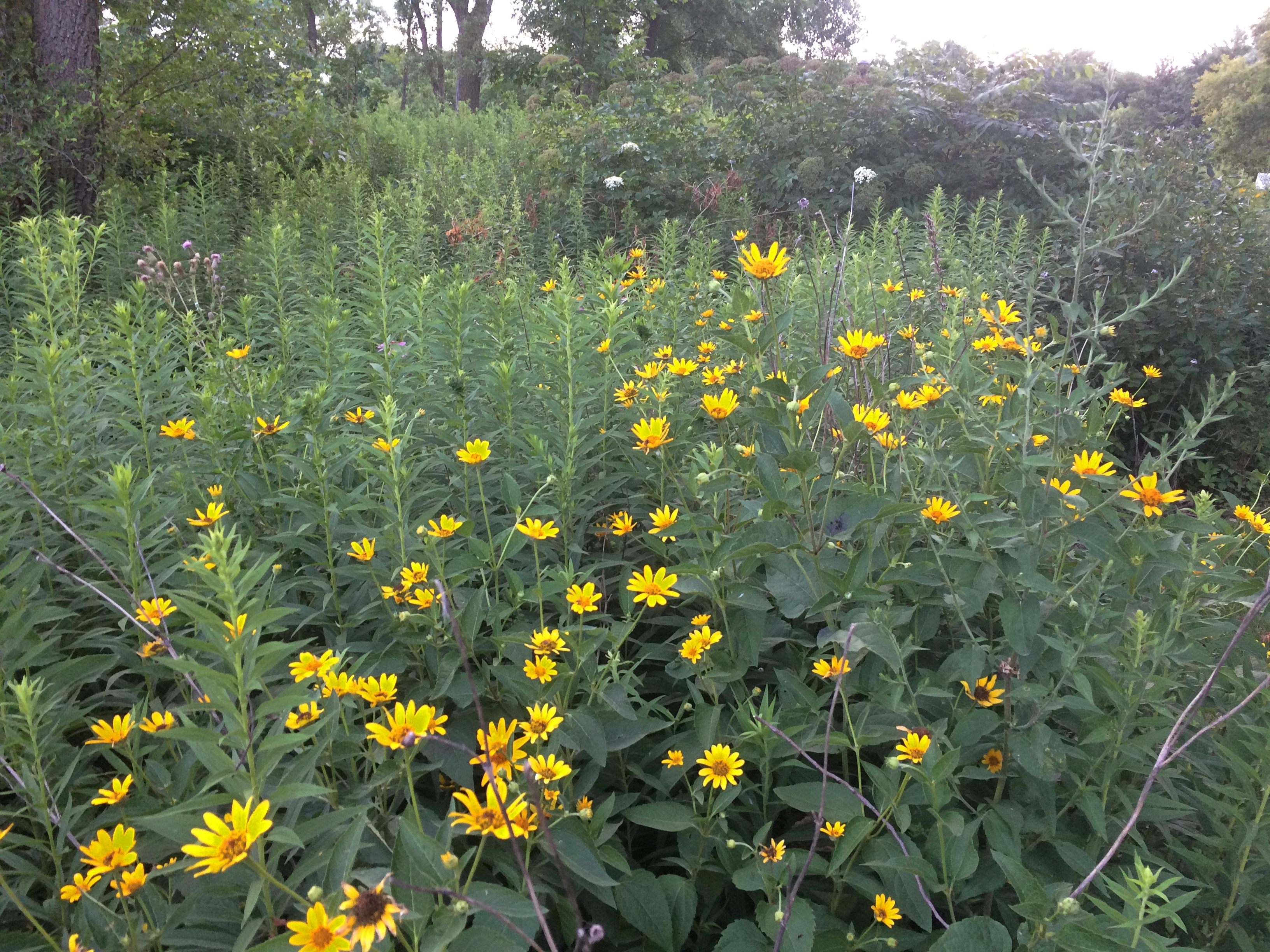
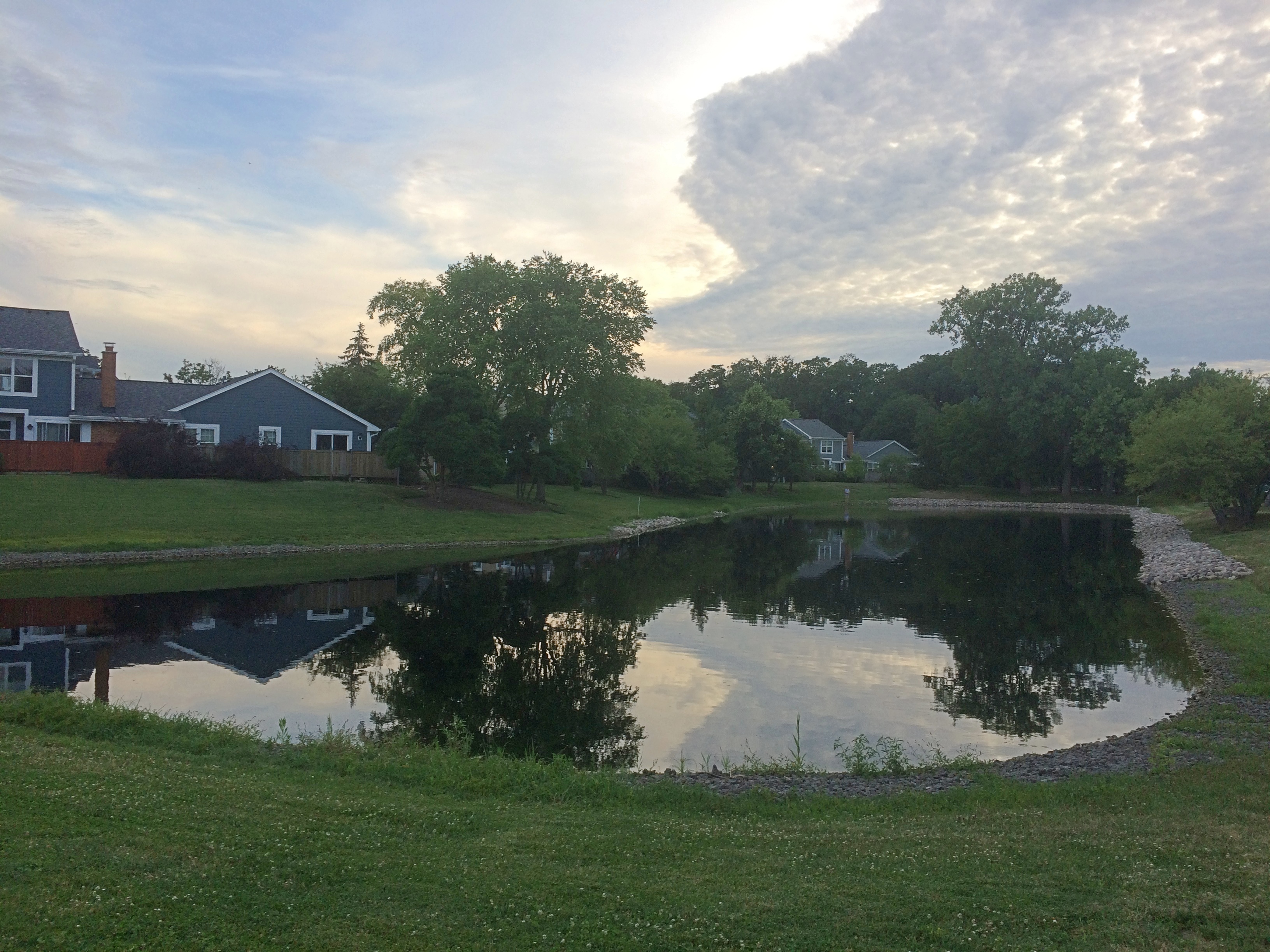
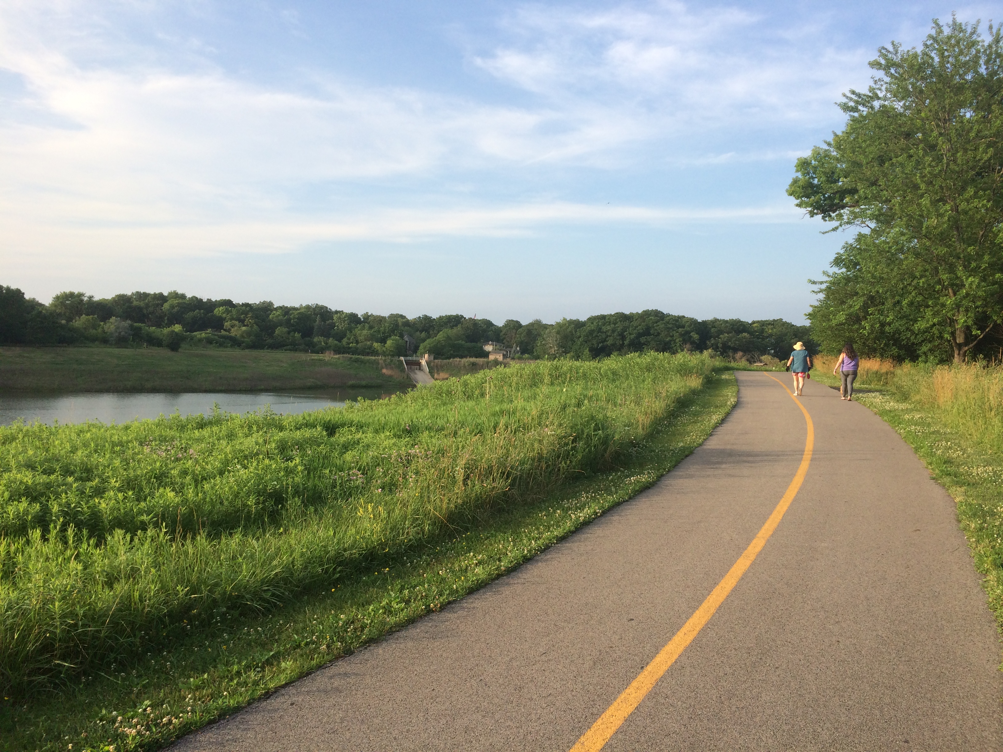
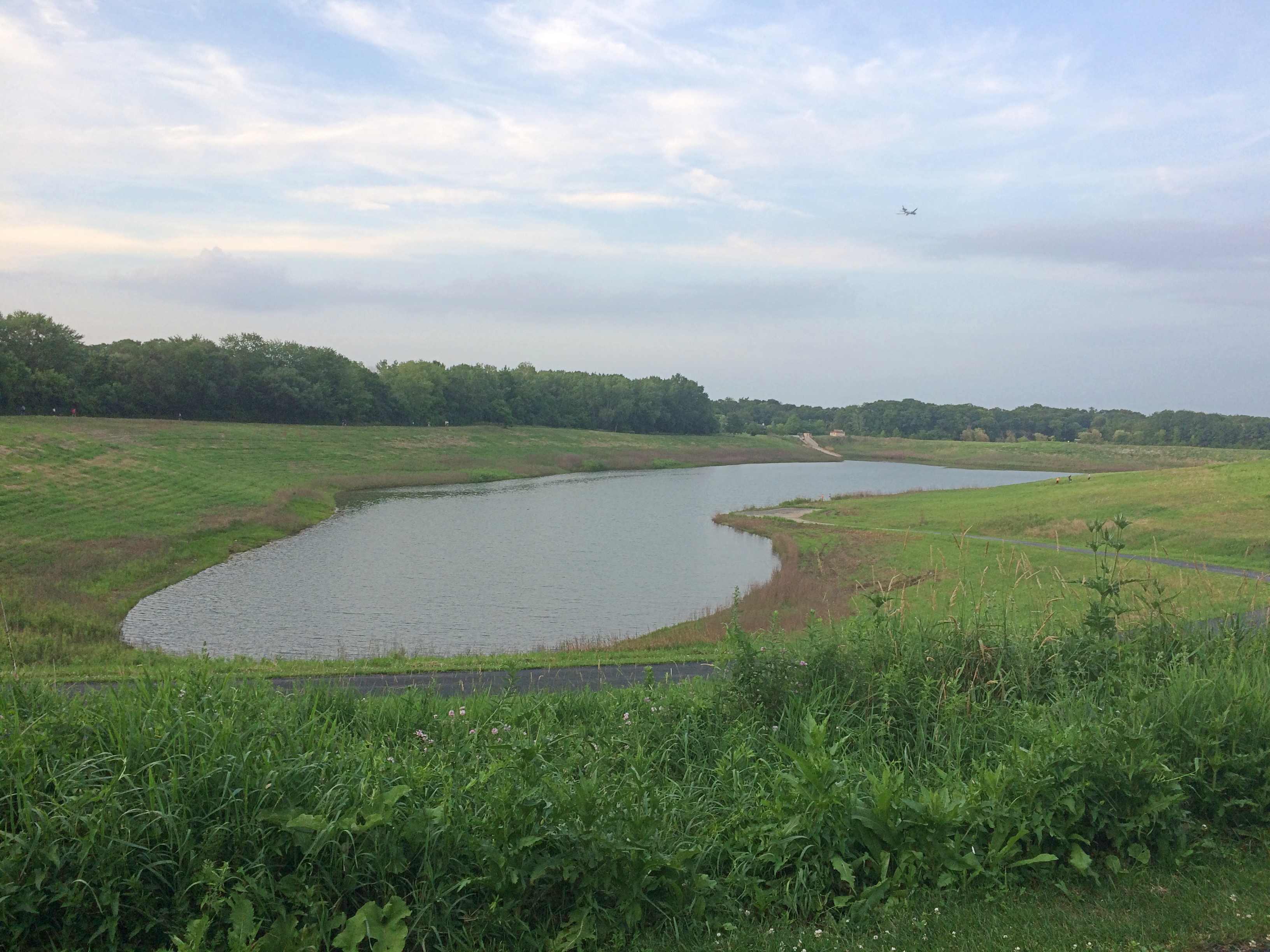
Jelke Creek Bird Sanctuary

One thing leads to another, especially on the Internet, and yesterday I found myself curious about the township as a unit of government. That led to a document published by the Census Bureau, which tells me (p. 80) that there are 1,431 township governments in Illinois, at least as of 2012. There are townships in one form or another in 20 of the several states, and in Illinois, 85 of the state’s 102 counties have townships within their borders.

I looked into townships when I found out that Jelke Creek Bird Sanctuary is a township park, not part of the Forest Preserve District of Kane County. Specifically, the sanctuary is overseen by Dundee Township, which occupies almost 36 square miles in the northeast corner of Kane County.

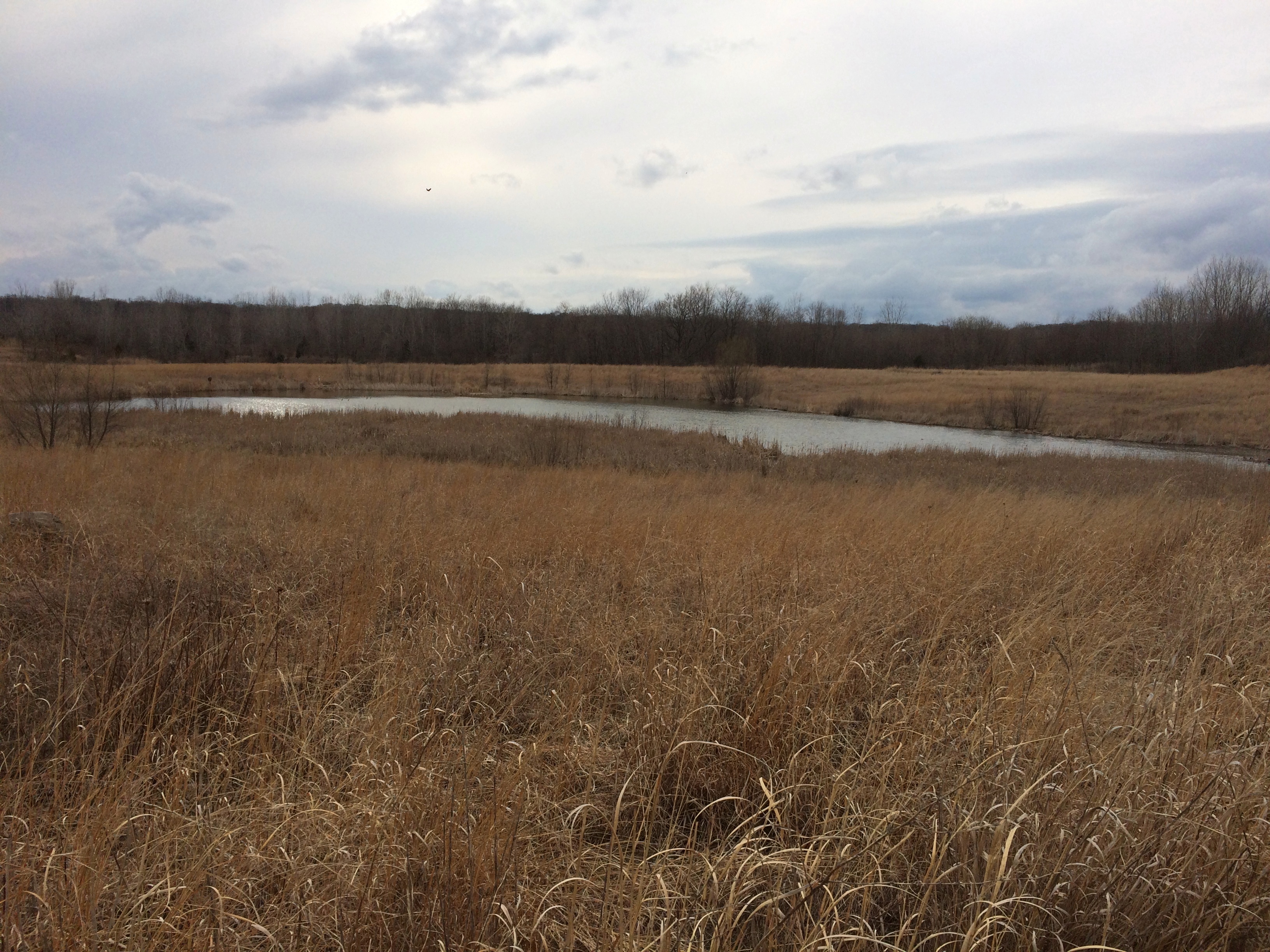
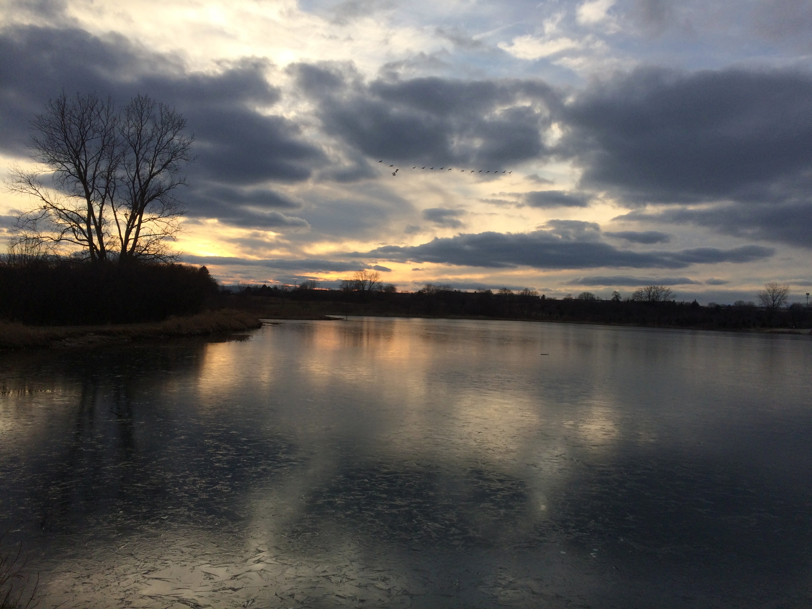
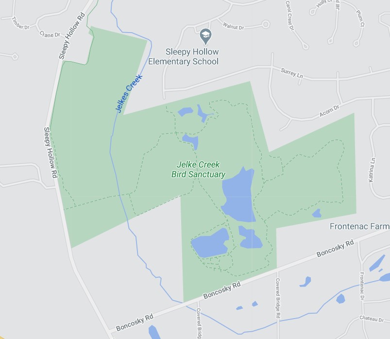
Last weekend was another divided one, at least as far as the weather was concerned. Saturday was pleasant and warm, while Sunday proved blustery and chilly. So on Saturday we headed mostly west and took a walk at Jelke Creek Bird Sanctuary. We took a loop through the property that didn’t happen to pass by Jelke Creek, which is a tributary of the Fox River and, of course, ultimately the mighty Mississippi.
Jelke Creek Bird Sanctuary

Why there? I found it by one of my usual techniques: scanning Google Maps.

The sanctuary is fairly new as a public space. “This open space site was formerly owned by Chicago Elmhurst Stone and the Schuetz family,” the township explains. “The property was purchased as two separate parcels in 2000 and 2001 with grants from IDNR’s Open Lands Trust program at a cost of $4,128,709. The site’s 244 acres are partially protected by an IDNR easement.”

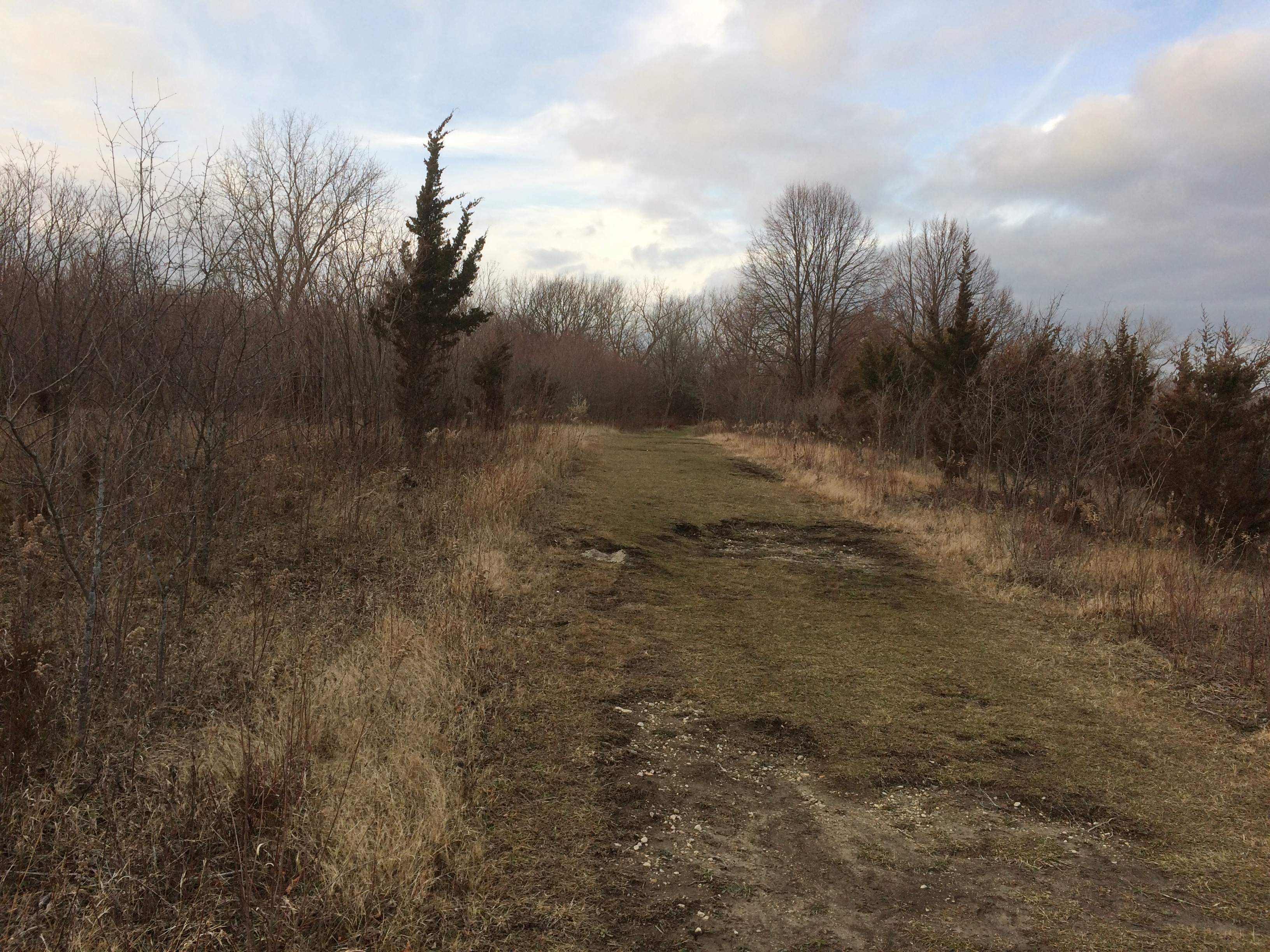
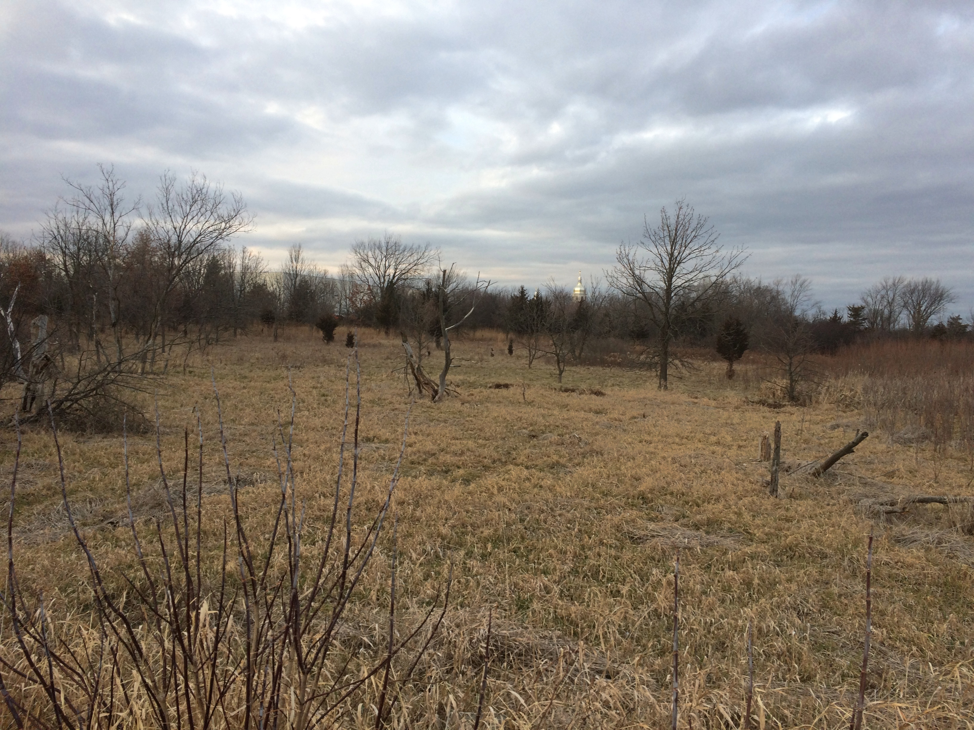
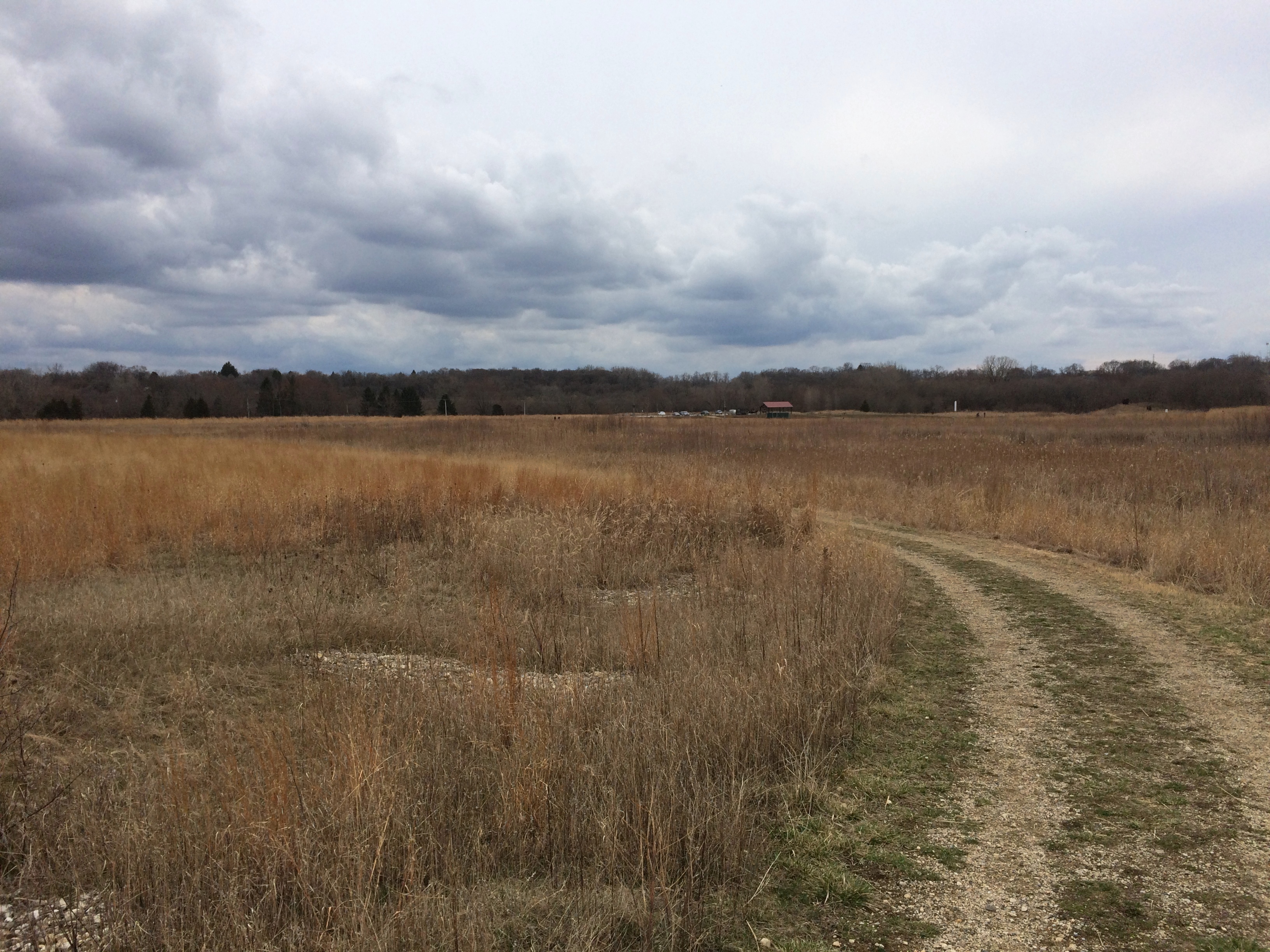
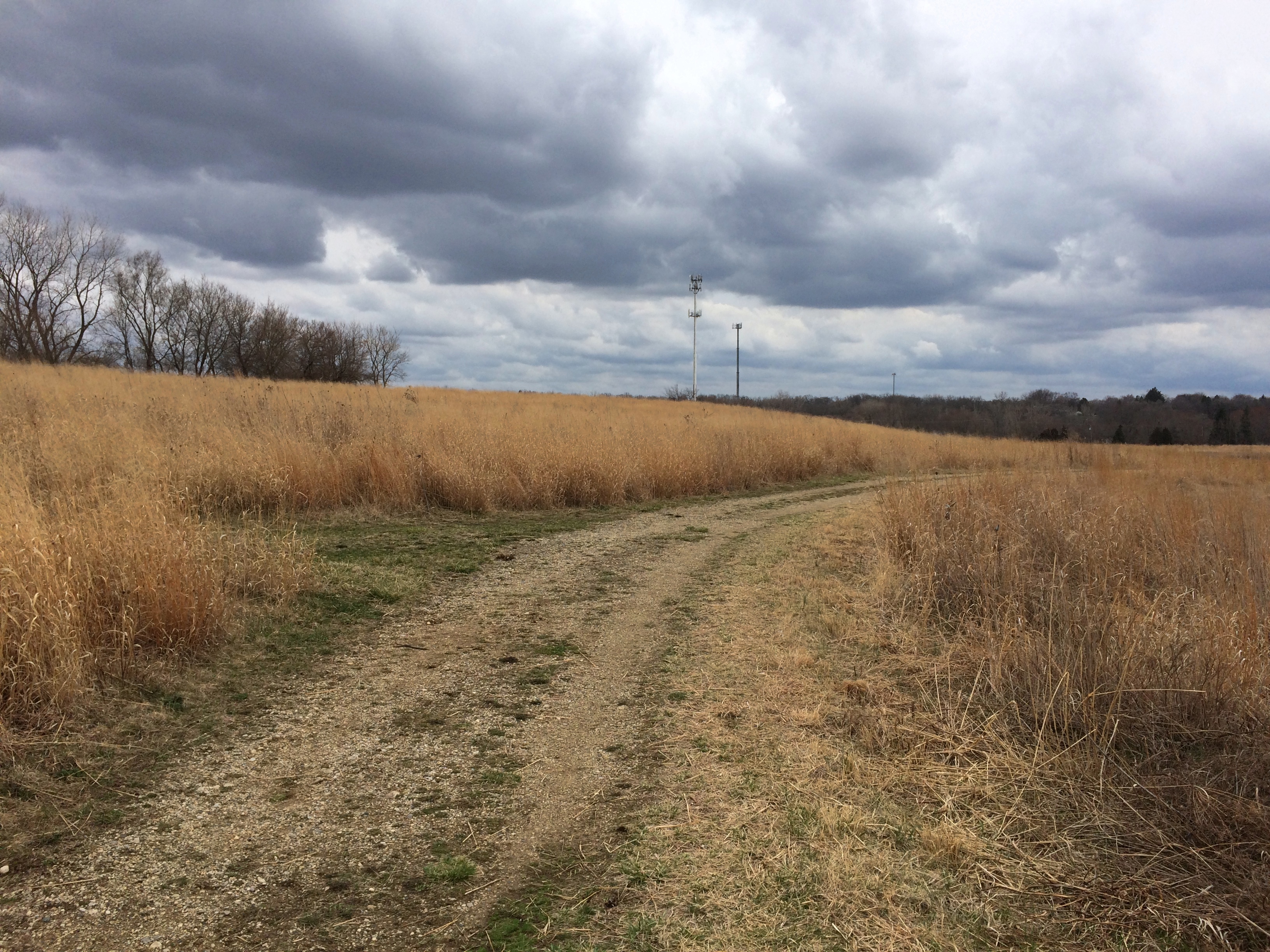
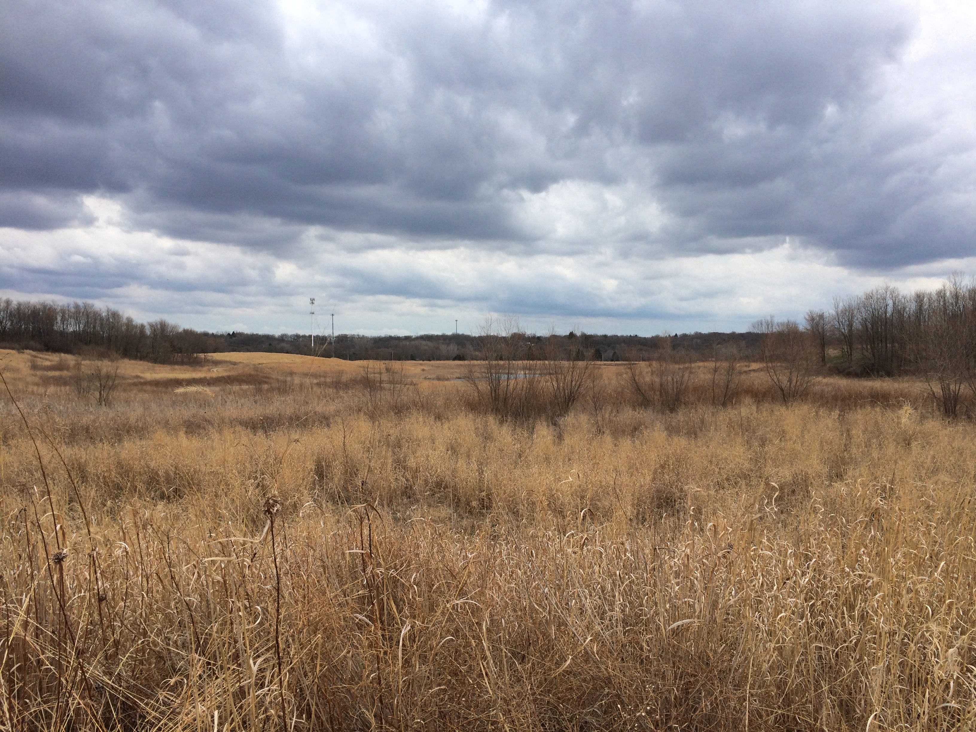
Saturday was a good day for a walk there. Summer would be less pleasant, since there isn’t a lot of shade along most of the trails.Jelke Creek Bird Sanctuary
Jelke Creek Bird Sanctuary

Jelke Creek Bird Sanctuary

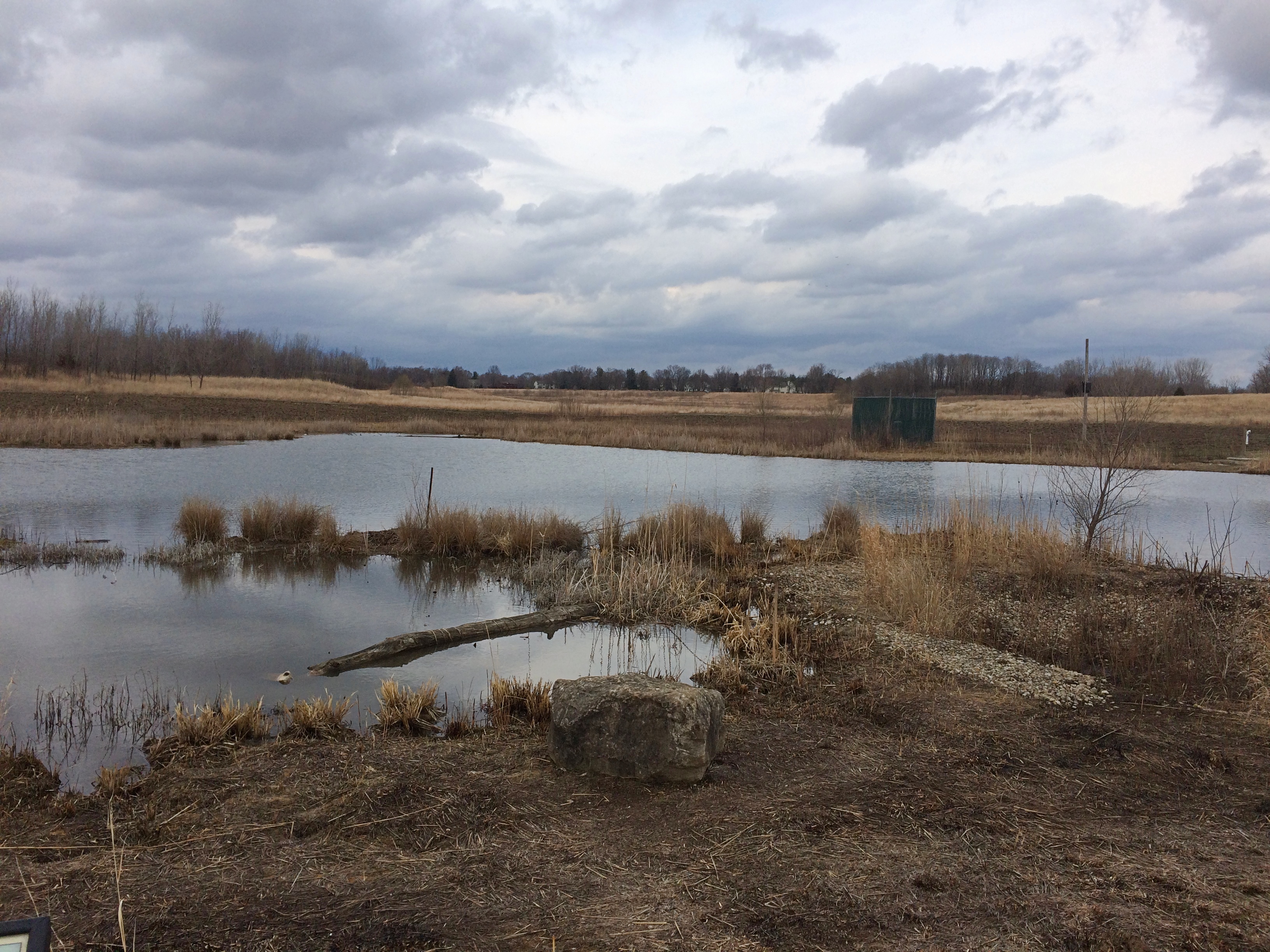
There are some water features. Mid-sized and small ponds. A few spots along the trails were muddy, but mostly they were dry.Jelke Creek Bird Sanctuary Jelke Creek Bird Sanctuary
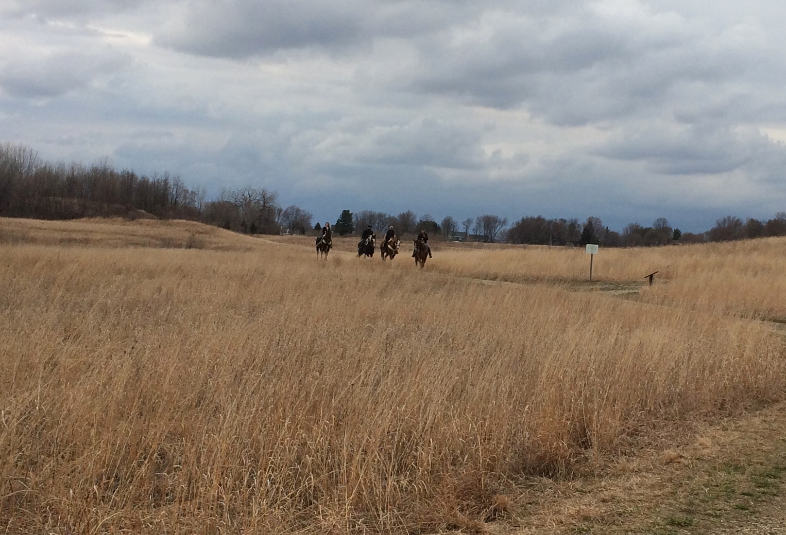
Not too many people were around, though at one point we did see four horses and riders. Not the Four Horsemen, fortunately.
Jelke Creek Bird Sanctuary
All together, we walked about a mile and a half, I’d say. The dog seemed to enjoy the walk too, including the opportunity to lap up a little muddy water. She wisely stayed clear of the horses.
Jelke Creek Bird Sanctuary
As for birds in the bird sanctuary, we heard some singing, but didn’t see more than a few sparrows and red-winged blackbirds. We passed by one small marshy spot and heard the croaking of frogs, which I took to be males in search of females for springtime action. As we got closer to the spot, the croaking tapered off. Maybe the frogs don’t like large animals eavesdropping on them. More likely, they’re as wary as small animals tend to be at the approach of something bigger.
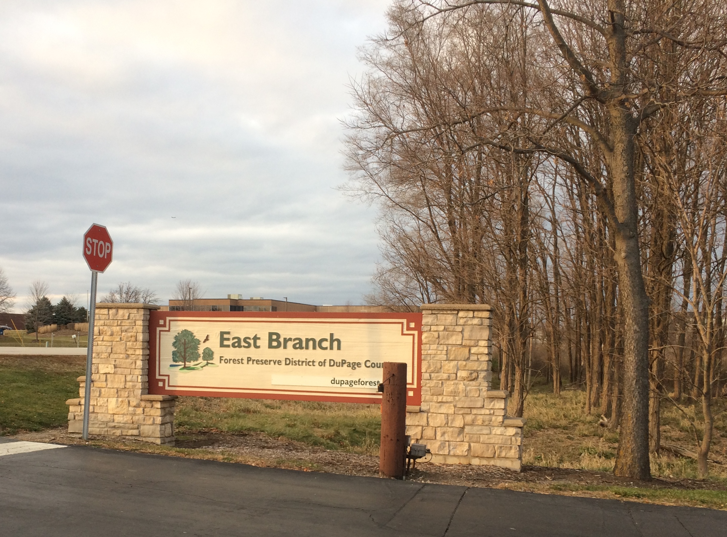
East Branch

We haven’t been in any restaurants or theaters or concert venues since March, and our membership at the municipal indoor pool long ago lapsed. On the other hand, we’ve been to a lot of green spaces this year, now brown as fall has vanished into winter, including city parks, state parks, and one national forest, monument and park each. But especially that kind of undeveloped land specific to Illinois: the forest preserve, a localized legacy of Progressive Era activism.

I wondered how many we’ve been to this year, so I made a count. Five visits to forest preserves we’ve been to before, and 10 new ones, variously in Cook, DuPage, Kane and Lake counties. I doubt that we visited more than one or two new ones a year before 2020. Fifteen is only a small fraction of however many hundreds of preserves there might be statewide, but I’m glad we’ve taken the walks, and plan to continue doing so next year.

On Saturday afternoon, we took a walk at East Branch, a 521-acre unit of the DuPage County Forest Preserve District in Glendale Heights. Temps were in the 40s. That’s warm enough for a forest preserve walk.
East Branch forest preserve“East Branch was previously used as farmland prior to the Forest Preserve District acquiring it in the early 1970s,” the district web site says. “During the 1980s, wetlands were created along the East Branch DuPage River as mitigation for the construction of Interstate 355.”

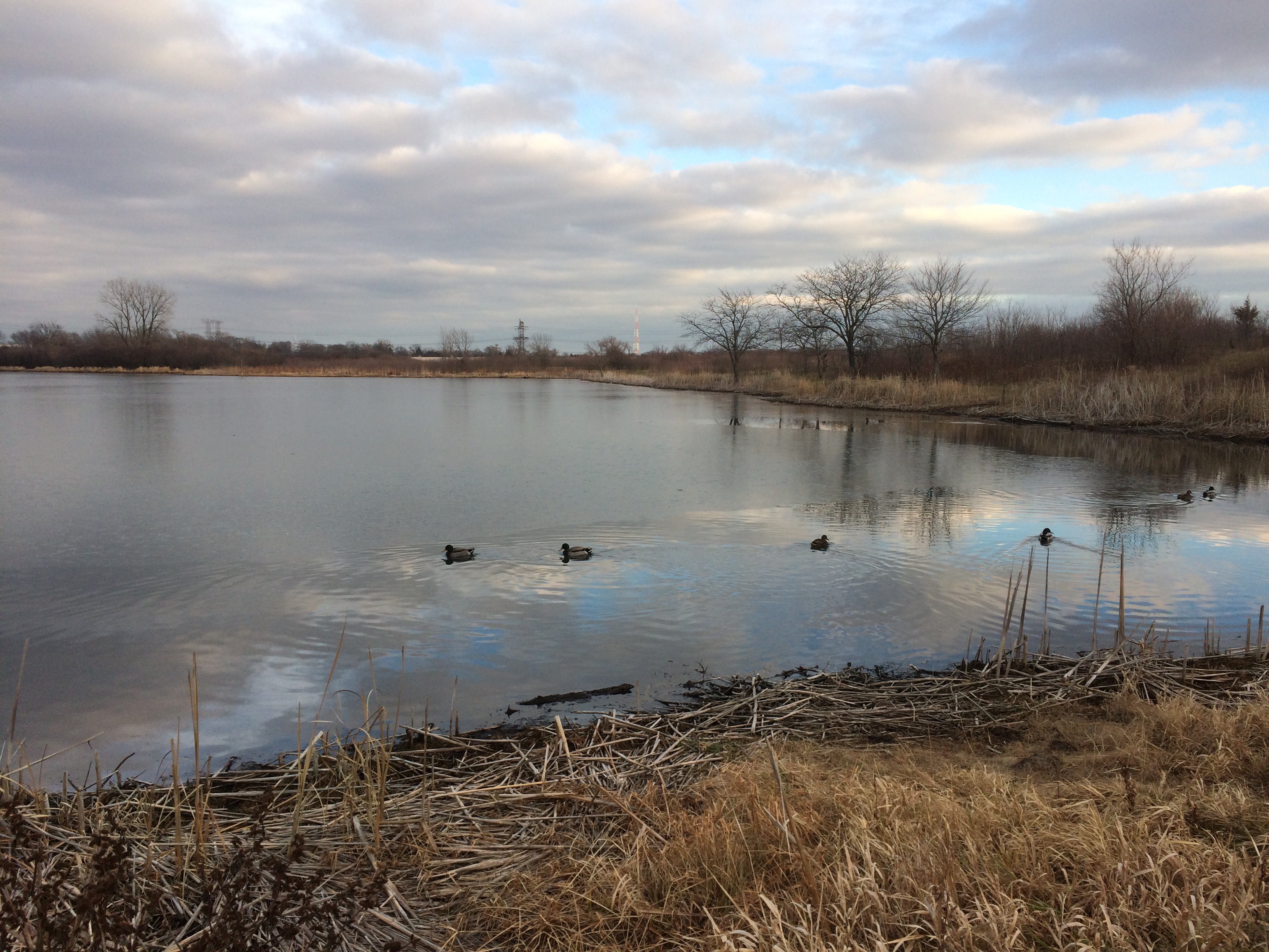
A trail from a small parking lot off Glen Ellyn Road leads to a small lake.
East Branch forest preserveIt’s called Rush Lake. The district asserts that it’s a good place to see waterfowl, and so it was. Ducks, at least.
East Branch forest preserveThe main trail circles around the lake, though sometimes a little ways from the shore. Hoofprints in the mud along the way meant horse riding is an activity there, but we didn’t see any riders. We saw two men with fishing poles, a woman walking a dog and a man simply walking around. That was all.
East Branch forest preserveIt was about an hour until sunset. The view to the west.
East Branch forest preserveThe view to the north.
East Branch forest preserveThe dome off in the distance is St. Andrew Ukrainian Orthodox Cathedral.

Dinosaurs of New York

Back in the days of paper letters and postcards, not every correspondence I started ended up in the mail. I have an entire file of letters and a few postcards that I didn’t finish and didn’t mail.

Usually that was for ordinary reasons, such as forgetting to complete it for months, by which time the news was stale. Only on rare occasions did I write a letter and think better of sending it because of its content, though I have a few insolent work memos of that kind.

I wrote a large postcard to a friend of mine in Illinois on August 27, 1983, while I was still in New York City. I think it got lost among the papers I had with me a few days later when I went to Nashville, and all these years later, I still have it.

Note the missing piece. I got as far as stamping the thing, but later removed it for re-use.

The printed text of the card says:

ALLOSAURUS (foreground) was a large, meateating dinosaur that lived during the Jurassic period of earth history, about 140 million years ago. This aggressive reptile, which preyed upon other dinosaurs, was about 30 feet long and probably weighed several tons when it was alive. Several individuals of CAMPTOSAURUS, a small, inoffensive, plant-eating dinosaur, are shown in the background.

Painting on Display
THE AMERICAN MUSEUM OF NATURAL HISTORY
NEW YORK, U.S.A.

I wrote, in part:

Dear R—

I have come to New York to learn such oddities as “August is Bondage Month,” which a simple advertisement in the window of the Pink Pussycat Boutique told me. [Remarkably, the shop is still there; give the people what they want, I guess.]

Since the long line to pass through customs at JFK [returning from Europe], I’ve shuffled first to the P’s house in New Rochelle, then S’s house in Stamford, Conn. Since last Friday (the 19th), I have been at D’s apartment while she is on the Jersey shore with her parents. This is a good arrangement. I’ve become acquainted with the Village and various other parts of the city.

This card, for instance, is an accurate portrait of Brooklyn, by the East River.

Handy Map of London

I have in my possession a Handy Map of London. This is supposedly a German version of similar vintage; mine is in English, but it looks just the same. Mine is dated 1986, so I’m certain I picked it up in 1988.

It isn’t my favorite map of London — that would be that marvel of aesthetic mapmaking, the Bensons MapGuide.

Still, the multi-page, folding Handy Map, published by John Bartholomew & Son Ltd. of Edinburgh, was indeed handy. That company, long since a unit of Harper Collins, is one of the storied Scottish mapmakers, as detailed here.

Interesting material in the Wiki description, though without citation: “John Bartholomew Junior was credited with having pioneered the use of hypsometric tints or layer colouring on maps in which low ground is shown in shades of green and higher ground in shades of brown, then eventually purple and finally white.

“It is his son John George who is attributed with being the first to bring the name ‘Antarctica’ into popular use as the name for the Southern Continent, and for the adoption of red or pink as the colour for the British Empire.”

By gar, someone invented those conventions. But they’re such strong conventions that you hardly think of a time when maps didn’t feature them.

The Handy Map folds out to reveal ten separate maps, nine of which are parts of Greater London, and all of which are color- and number-coded. Want to look for a particular place? The map makes that pretty easy. Even more so than Benson, I have to say.

The tenth map is a view of all of Greater London. As you’d imagine, it can’t be overly detailed, but it is good for orientation. I was looking at it the other day (for now the Handy Map is in the downstairs bathroom) and noticed an oddity on the Greater London map.

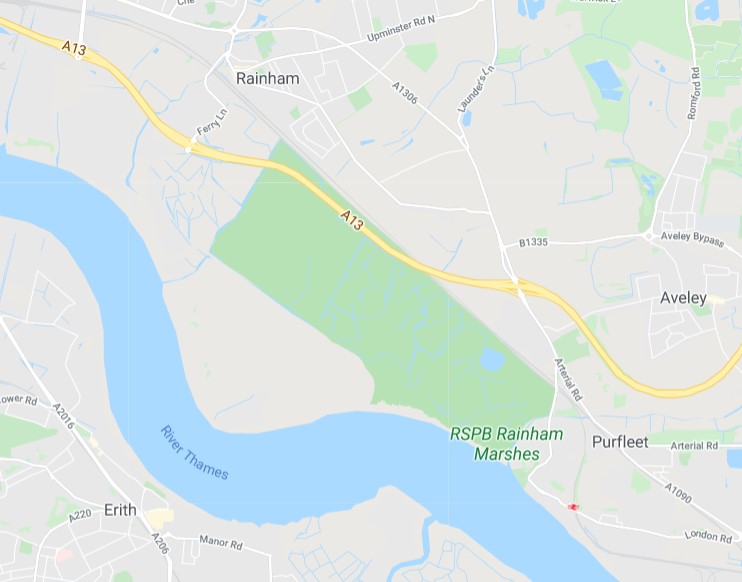
Toward the eastern edge of the map, just north of the Thames near a place called Purfleet, is a pink, long oval shape (like a race track) simply marked DANGER AREA.

What? It took me a few days to remember to check it out on Google Maps. In 1986, a danger area. In 2020, it’s the RSPB Rainham Marshes, also known as the Rainham Marshes Nature Reserve.
That would be, according to Google: “Bird-rich former marshland firing range with accessible boardwalks and a modern visitor centre.”

RSPB? The Royal Society for the Protection of Birds. The organization bought the land from the UK Ministry of Defence in 2000, opening it to the public in 2006. So danger area no more, unless you’re attacked by cetti’s warblers, little egrets or peregrine falcons. More about the marshes is here.

More about the organization is here.

“The RSPB was formed to counter the barbarous trade in plumes for women’s hats, a fashion responsible for the destruction of many thousands of egrets, birds of paradise and other species whose plumes had become fashionable in the late Victorian era,” its web site says.

“The organisation started life as the Society for the Protection of Birds (SPB), founded by Emily Williamson at her home in Manchester in 1889. The group quickly gained popularity and in 1891 it merged with the Fur, Fin and Feather Folk, to form a larger and stronger SPB, based in London.

“In its earliest days, the society consisted entirely of women and membership cost twopence. The rules of the society were:

“That members shall discourage the wanton destruction of birds and interest themselves generally in their protection

“That lady-members shall refrain from wearing the feathers of any bird not killed for purposes of food, the ostrich only excepted.”

Interesting that ostrich feathers were OK. If I felt like it, I could investigate why that was, but I have a hunch that ostrich farming was entirely too valuable before WWI to discourage, especially in South Africa. These days, leather is the main thing, with feathers just a sideline.

Thursday Bits & Bobs

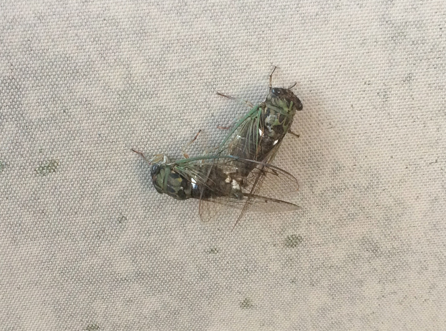
Some unusually cool days this week. I’m not sure whether that had anything to do with what happened at about 7:45 pm on Wednesday out on our deck. I was sitting out there, decompressing from a day of work and other tasks, when I saw a dark blob hit one of our deck loungers. Twack!
Two cicadas. Noiseless, though the cicadas have been doing their twilight bleating for a few weeks now. Crickets are also singing after dark, though maybe not as strongly as they will closer to their seasonal demise. By Thursday morning, when I next checked, the cicadas were gone.

Happy to report there’s a thin mosquito population this year, at least around here. Flies have taken up the slack. Seems like one gets in the house every day through the back door, including some of the metallic-colored ones that used to fascinate me as a kid.

Also in the back yard: blooming hibiscus. Could be Hibiscus syriacus. I can also call it rose of Sharon, though I understand that’s applied to other flowers as well.
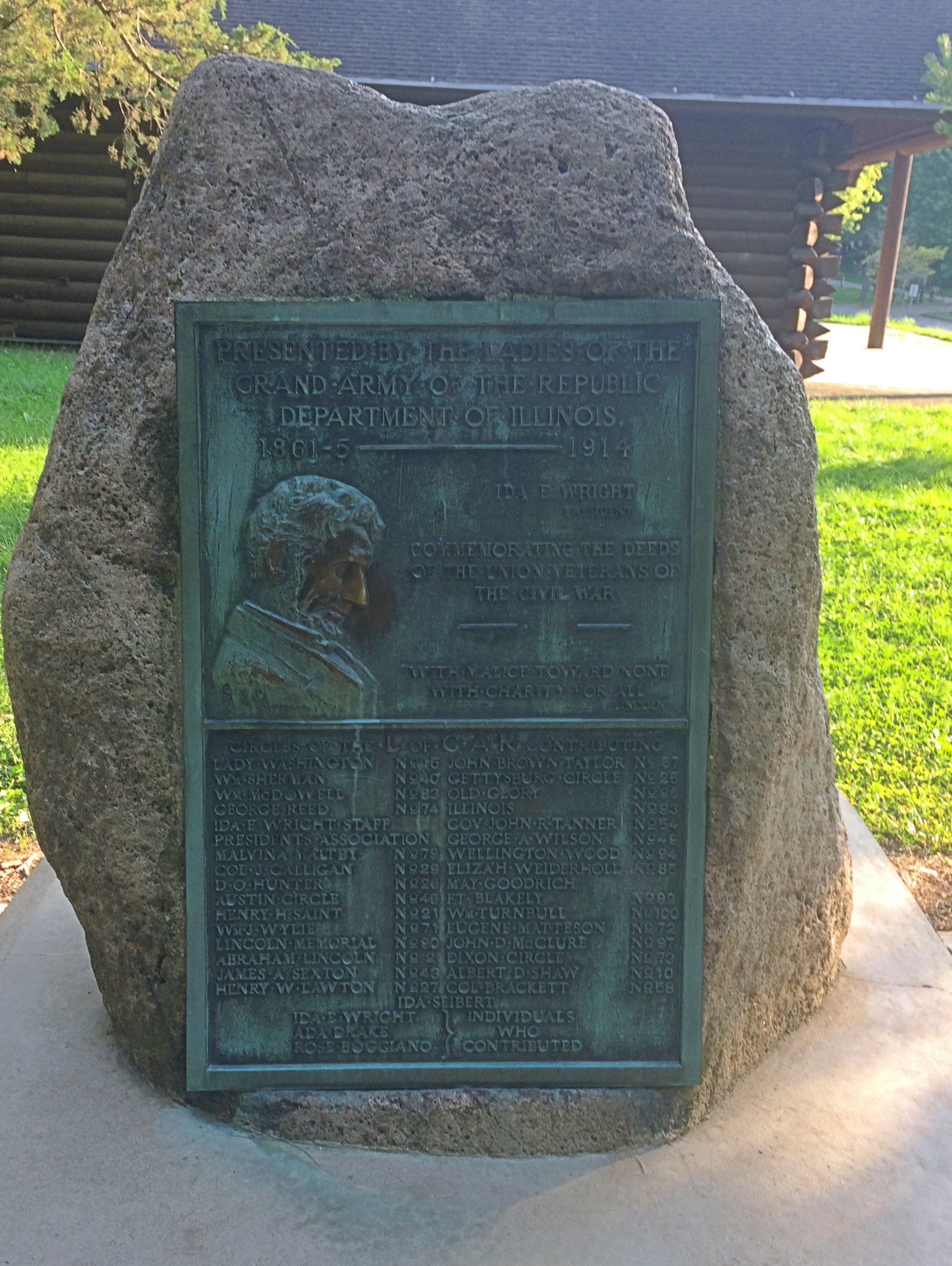
At Starved Rock State Park recently, I spotted his plaque near the lodge. Looking its century-plus age, including countless touches of Lincoln’s nose.
GAR Ladies plaque Starved Rock State Park“Commemorating the deeds of the Union veterans of the Civil War,” it says. The Ladies of the Grand Army of the Republic erected it in 1914. Looks like the Ladies, who are still around, were trying to keep up with the Daughters.

Chronicling a lot of violence, but also a thing of great beauty.

Our most recent episode of Star Trek: “A Piece of the Action.” I suggested it as one of three options — an action/adventure story, or one of the show’s tendentious eps, or comedy. Ann picked comedy. I’d forgotten how much of a hoot “Action” is, with the high jinks gearing up especially after Kirk and Spock got into pseudo-gangster duds and Shatner hammed it up.

Oh, my, listen to that. My my my.

Beavers Attack! Olde Schaumburg Centre Park

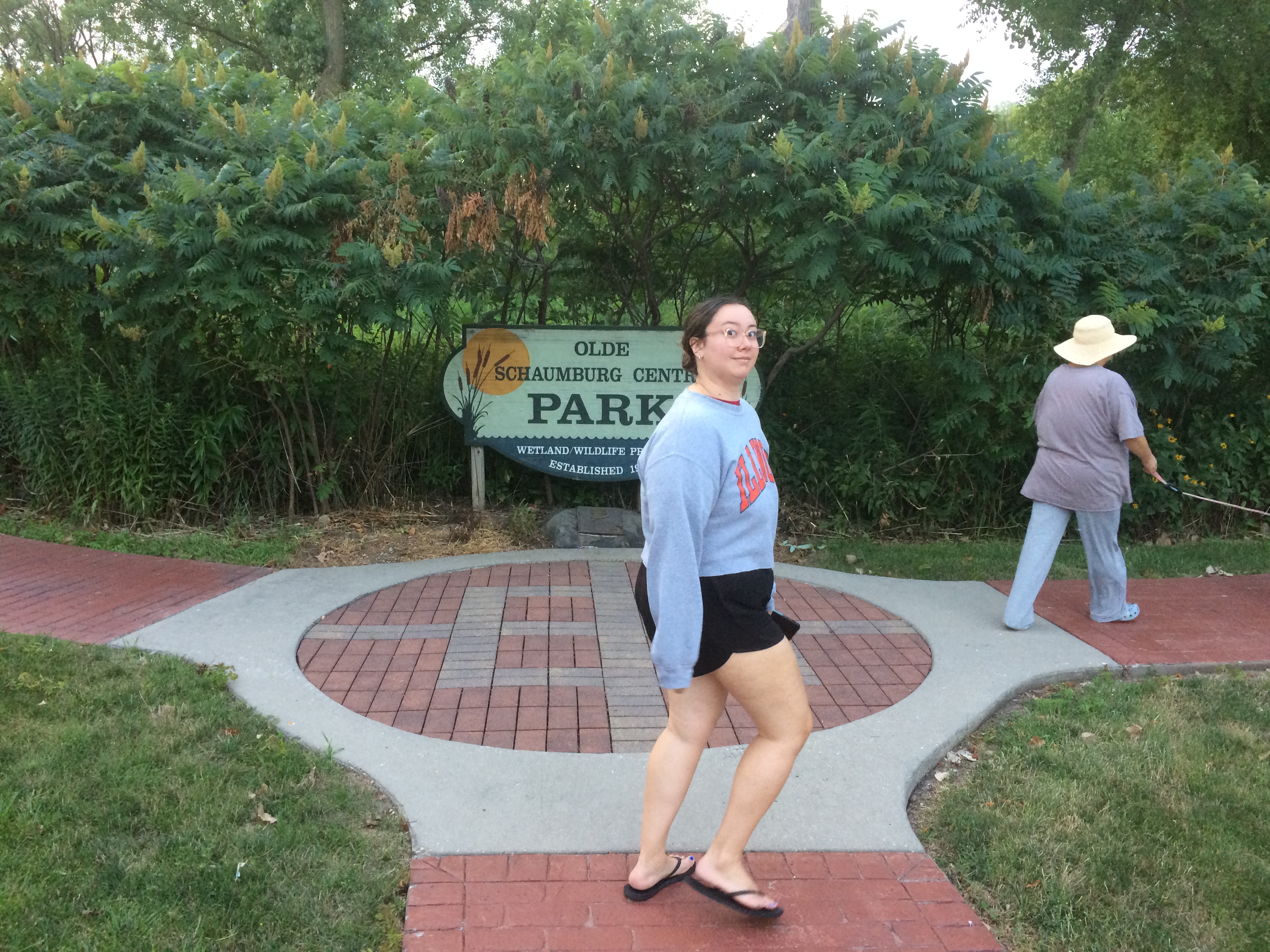
Tucked off a busy northwest suburban street is Olde Schaumburg Centre Park. We were there not long ago just before sunset. Here in July, days are noticeably shorter, though not that much shorter yet.
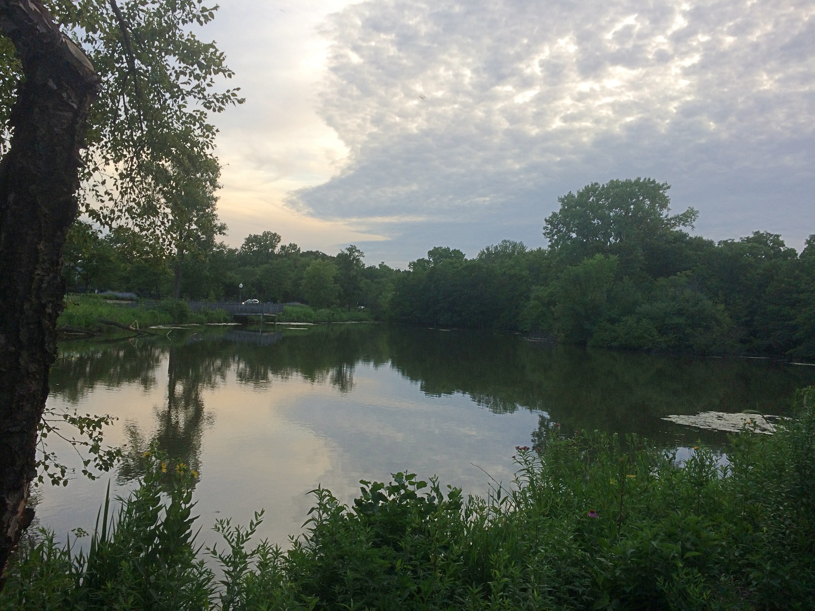
Beavers Attack! Olde Schaumburg Centre ParkThough modest in scope, Olde Schaumburg Centre Park is a pleasant green space in the summer, and a lush wetland and wildlife preserve besides. The focus is a pond. That’s the wetland part of the equation.
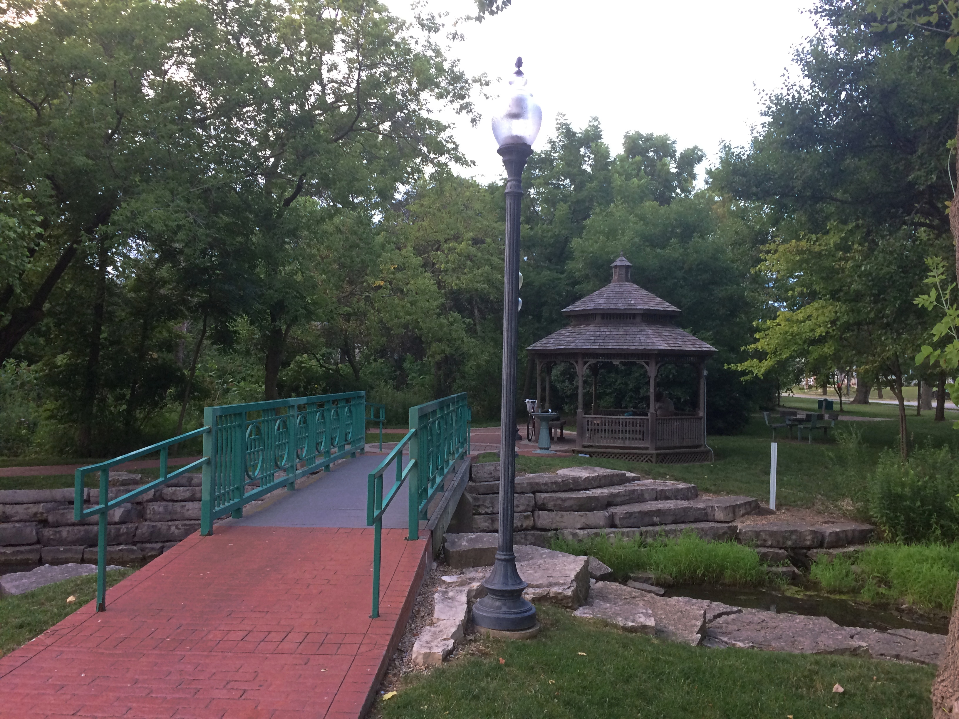
Olde Schaumburg Centre ParkThere are trails and a gazebo. Schaumburg wouldn’t be a proper suburb without a public gazebo.
Olde Schaumburg Centre ParkPlus flourishes of flowers.
Olde Schaumburg Centre ParkAs for being a wildlife preserve, we saw clear evidence of beavers in the area.
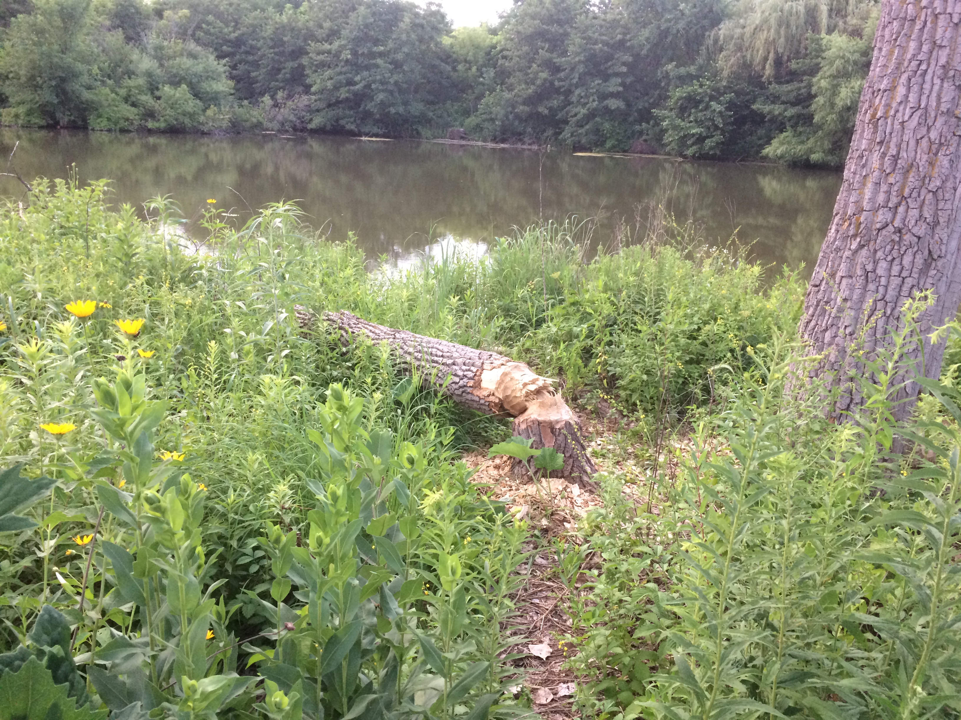
Olde Schaumburg Centre ParkDoing what beavers do. Gnaw marks appeared on other trees, though no others were toppled. Does the village consider beavers a nuisance? They do seem to be attacking park trees, which take a long time to grow, but then again they might be a protected species in these parts.

The animals are a village concern, because the park is village property, not part of the Schaumburg Park District — something I didn’t realize until recently, despite all the years I’ve driven past the park.

The park is also part of a formally designated area called Olde Schaumburg Centre, which is an historic district: the OSC Overlay District, established in 1978. Much information about that and early Schaumburg has been published by the village community development department.

In the mid-19th century, the small farm village that would become a major Chicago suburb was known as Sarah’s Grove. Later, German farmers came in numbers, and Schaumburg schall et heiten!

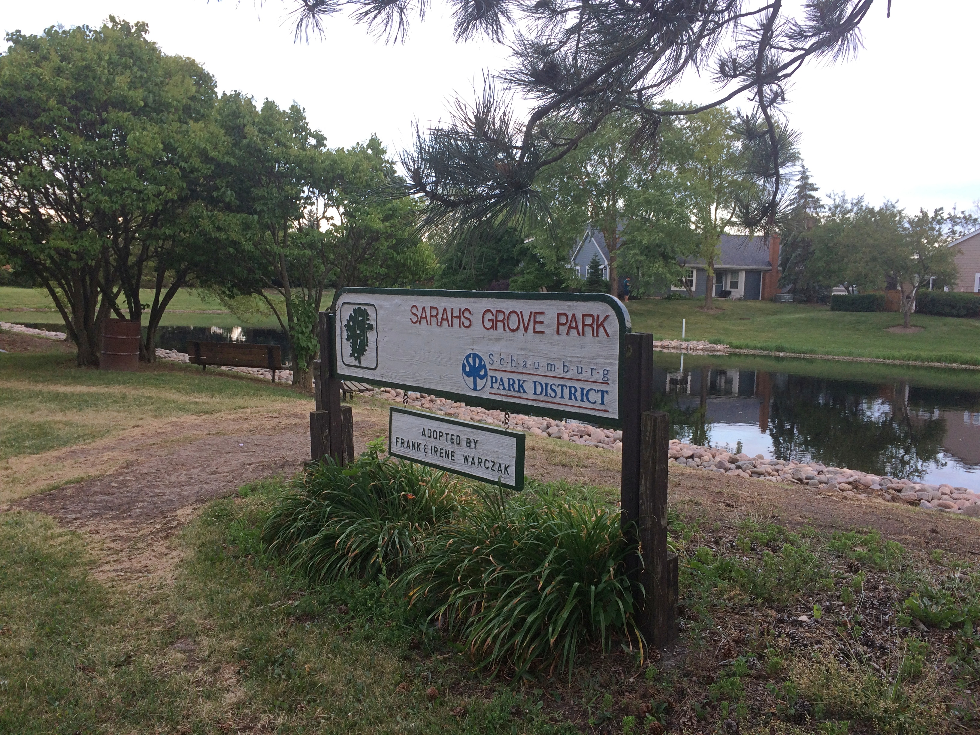
The name Sarah’s Grove lingers. The subdivision across the street from in Olde Schaumburg Centre Park is called Sarah’s Grove, and so is a park district park near the subdivision.
Sarah's Grove ParkIt too focuses on a water feature, but without many trees or thickets.
Sarah's Grove ParkThough no one was there at that moment, I see people fishing at the pond pretty often.
Canada Day 2020 &c

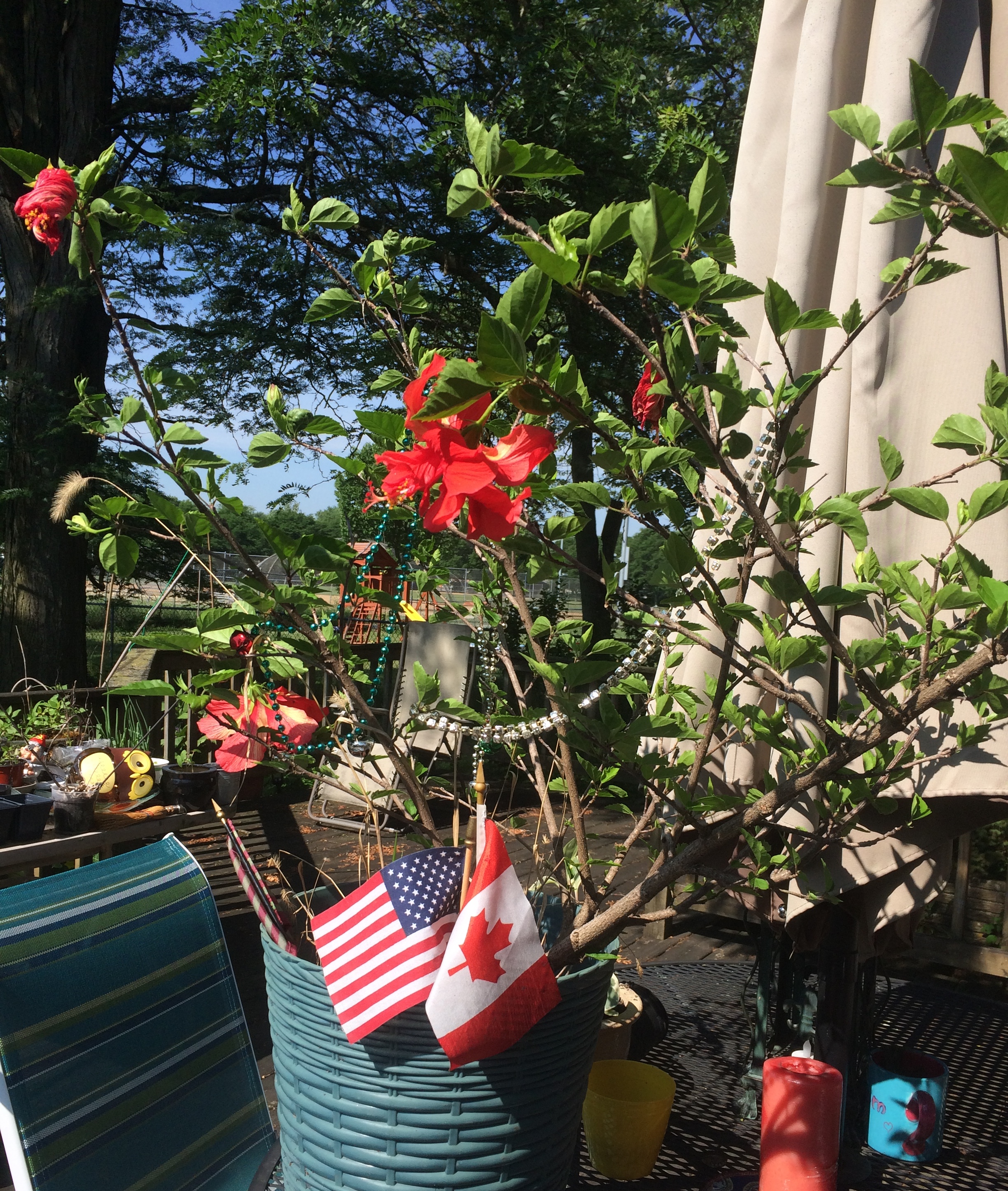
Back on July 6. Canada Day is here, after all, and Independence Day isn’t long from now (and also the 40th anniversary of the wide release of Airplane!). In honor of both holidays, I created a temporary display on my deck.

That calls for a U.S.-Canada holiday week: North America Independence Week. Better yet, we kick off the celebration with Juneteenth and end it with Nunavut Day (July 9) — a mid-summer mashup of independence and freedom celebrations.

Not much work gets done from ca. December 21 to January 3. No reason we can’t do the same at the polar opposite point in the calendar.

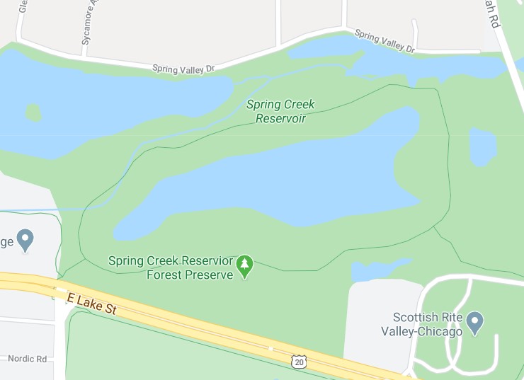
Early in the evening on the last day of June, we took a walk around Spring Creek Reservoir Forest Preserve in Bloomingdale, a small part (90 acres) of the Forest Preserve District of DuPage County. Access is from E. Lake St., which is a stretch of U.S. 20, which goes all the way from Massachusetts to Oregon or vice versa.

It’s a simple circle around the reservoir. The FP District says: “In presettlement times, the forest preserve was almost entirely woodland with a small slough. It was a gravel pit from the 1950s to the mid-1970s, when it became a reservoir. The Forest Preserve District acquired the reservoir in 1987 and additional parcels in 1999 and 2000.”

Not just a reservoir, but a place for runoff from Spring Creek — flood control for Bloomingdale, as evidenced by a small dam with a spillway at the north end of the reservoir. Further downstream, Spring Creek is called Spring Brook (according to Google Maps, anyway), which eventually merges with Salt Creek, a tributary of the Des Plaines River.Spring Creek Reservoir Forest Preserve

Spring Creek Reservoir Forest Preserve
Lush summer vegetation all along the way.
Spring Creek Reservoir Forest Preserve
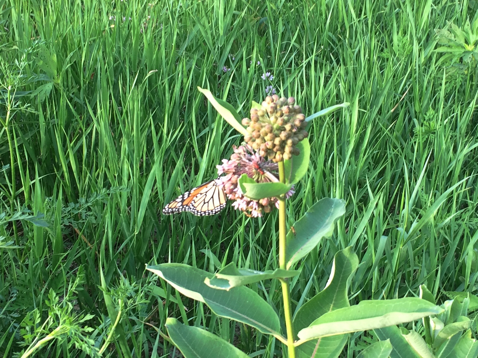
Spotted a monarch in the weeds.
Spring Creek Reservoir Forest Preserve
According to the info board, the path measures a shade more than a mile around. My gizmo, which measures steps, agrees.

A Summer Thursday

Tomorrow is Juneteenth, which I’ve thought should be a holiday for years. I still do. Odds are it might be in some soon year.

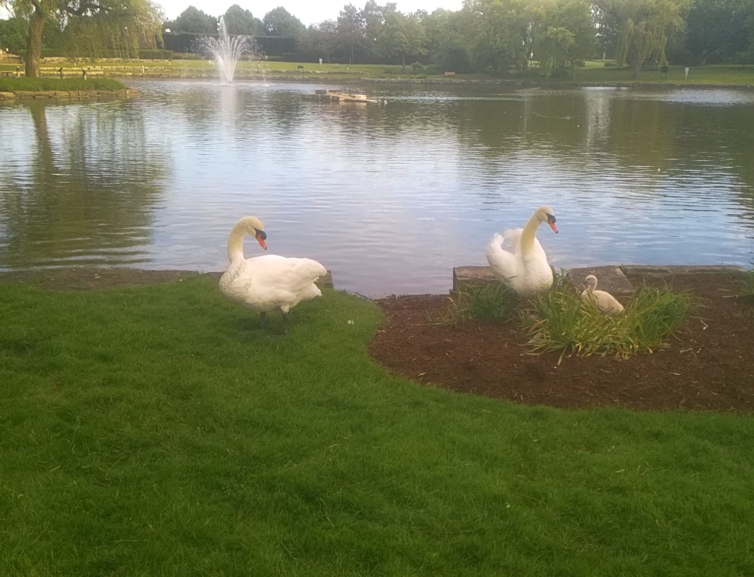
Summer pic: a trumpeter swan family, who can be found at a pond near where I live.

Dame Vera Lynn has died at 103. I didn’t know she was still alive. I might not have known about her before I first saw this, many years ago, but I certainly did afterward.

Deer Grove Forest Preserve

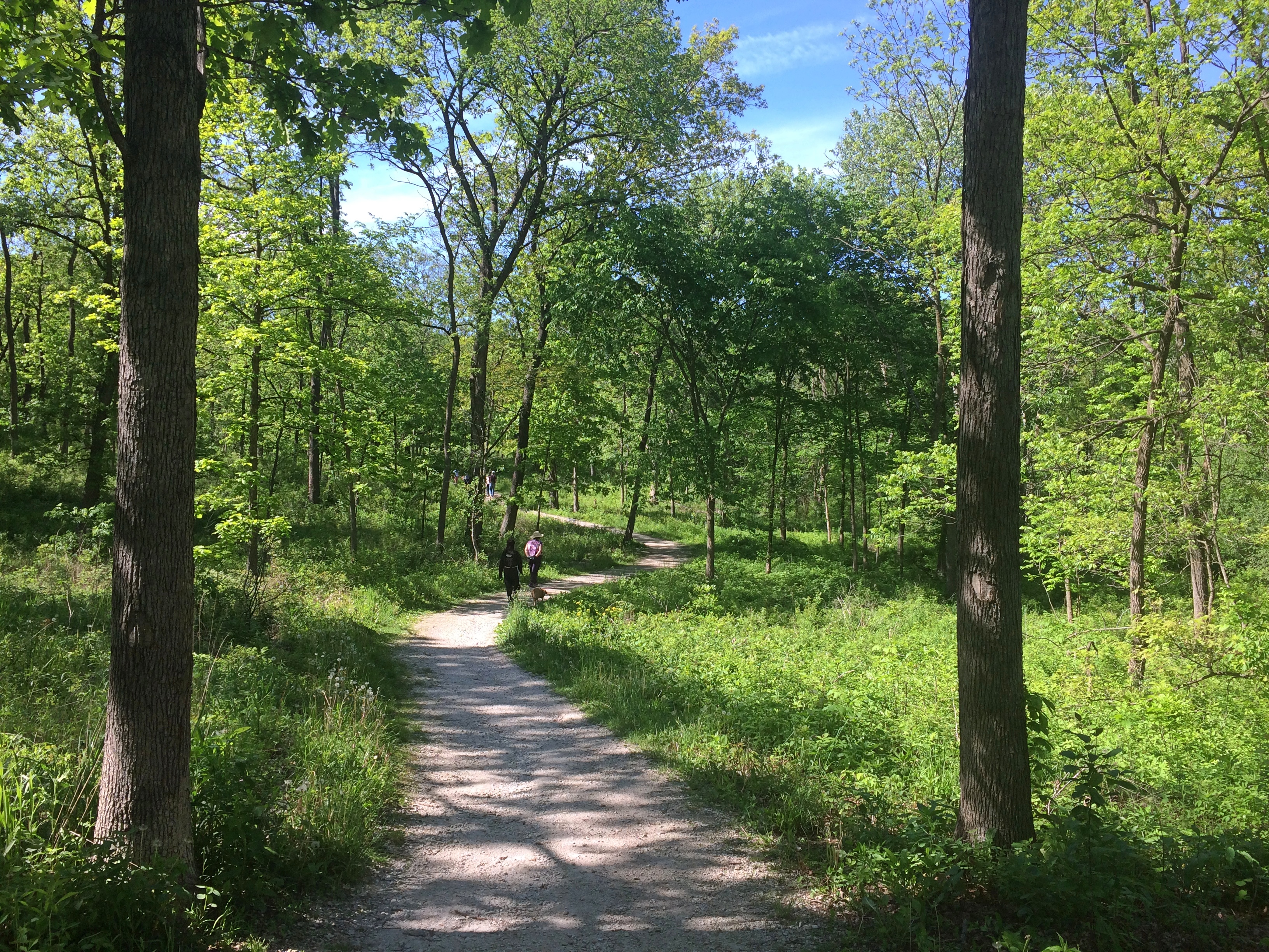
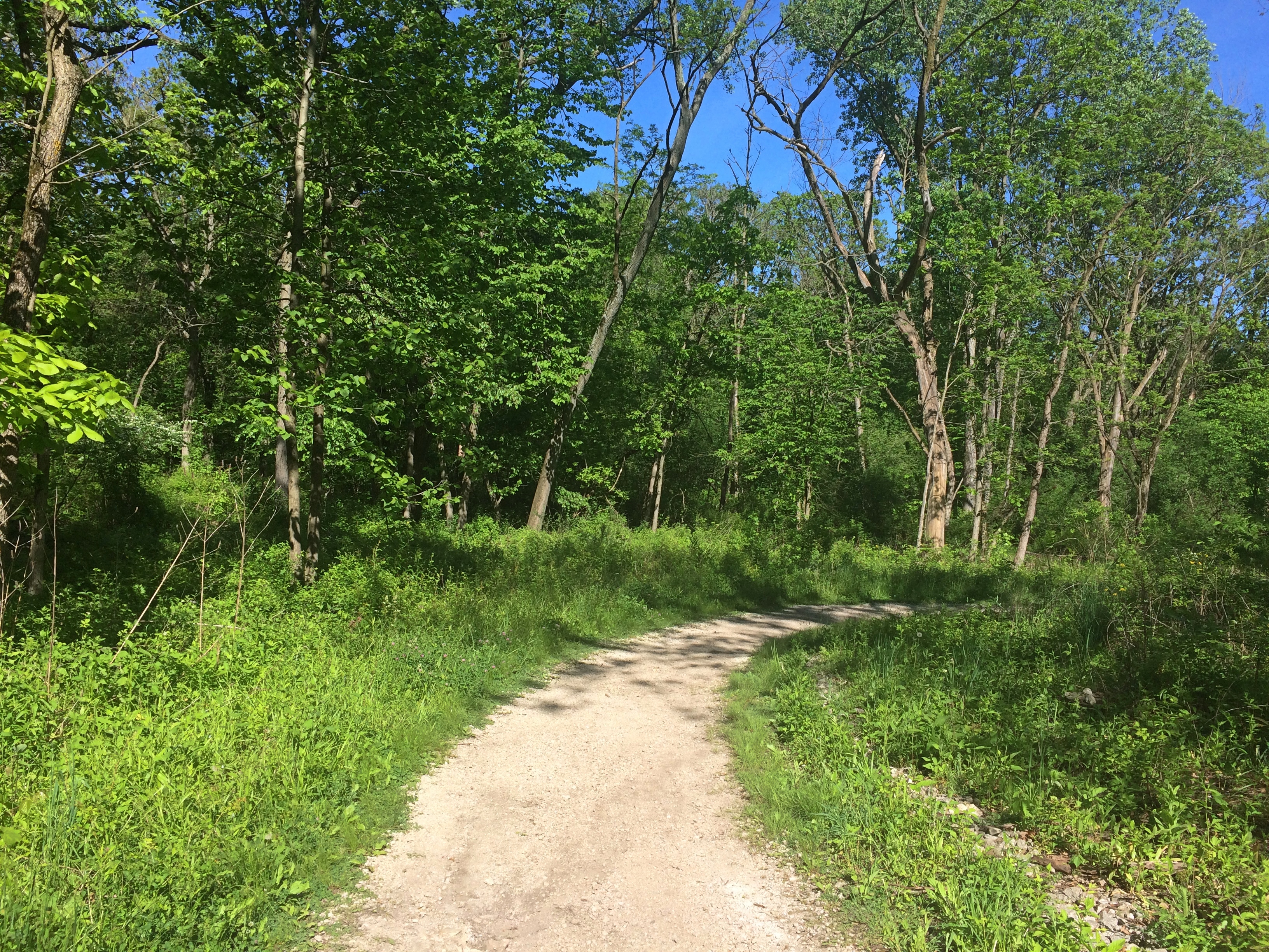
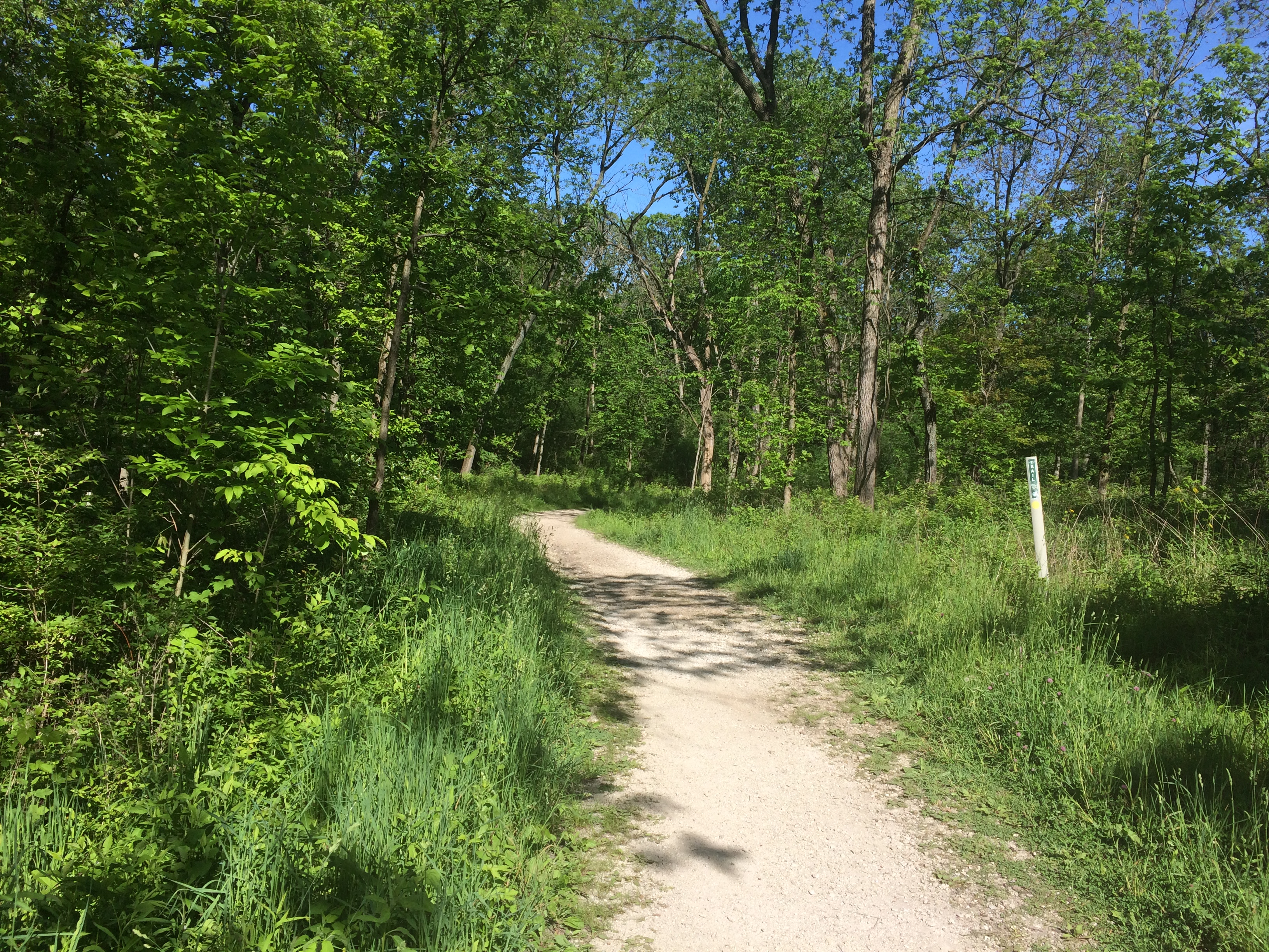
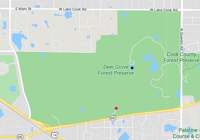
Another weekend, another forest preserve path where the problems of a wounded nation seem remote. The last day of May was clear and a little cool this year, good for a walk in the woods. Unlike last week, the path we took through Deer Grove Forest Preserve in Palatine, Ill., headed into a forest.Deer Grove Forest PreserveDeer Grove Forest PreserveDeer Grove Forest PreserveDeer Grove includes about 2,000 acres just south of the border between Cook and Lake counties — note Lake-Cook Road running along its northeastern edge.
Deer Grove Forest PreserveWe parked near the Camp Alphonse entrance, which I’ve marked with a small red dot. We walked roughly to the blue dot and came back the same way — a mile and a half, more or less.

The origin of the name Camp Alphonse isn’t readily available, but there’s also a nearby entrance called Camp Reinberg. This site at least lists Camp Reinberg as a temporary WWI camp, of which there many nationwide that left little trace. My guess would be that Camp Alphonse was one as well.

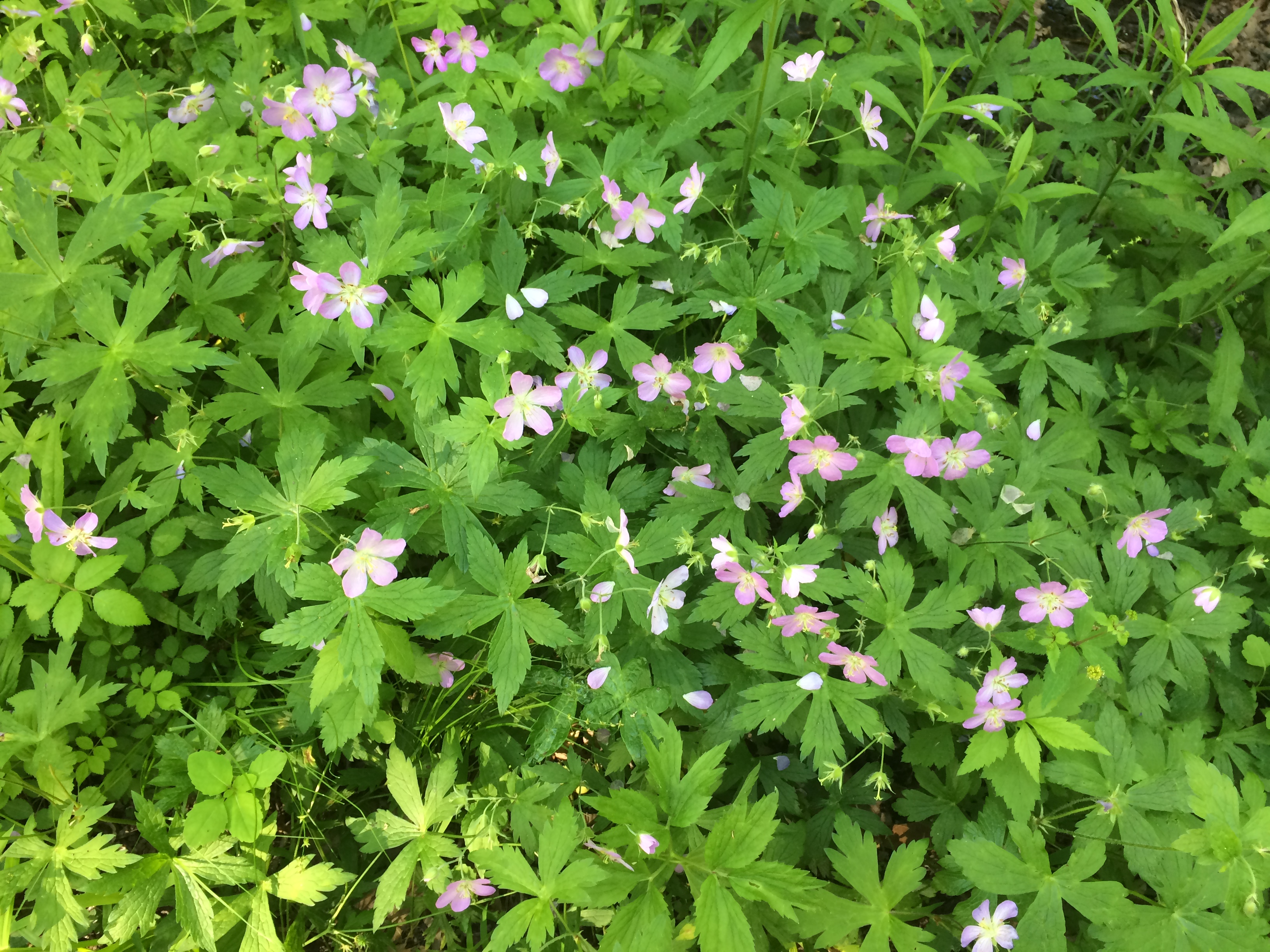
The woods were alive with spring greenery and lots of wildflowers.
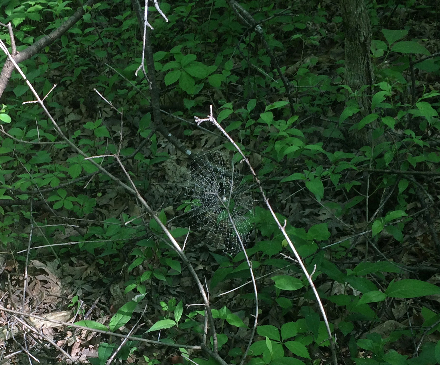
Deer Grove Forest PreserveAn elegant spider web.
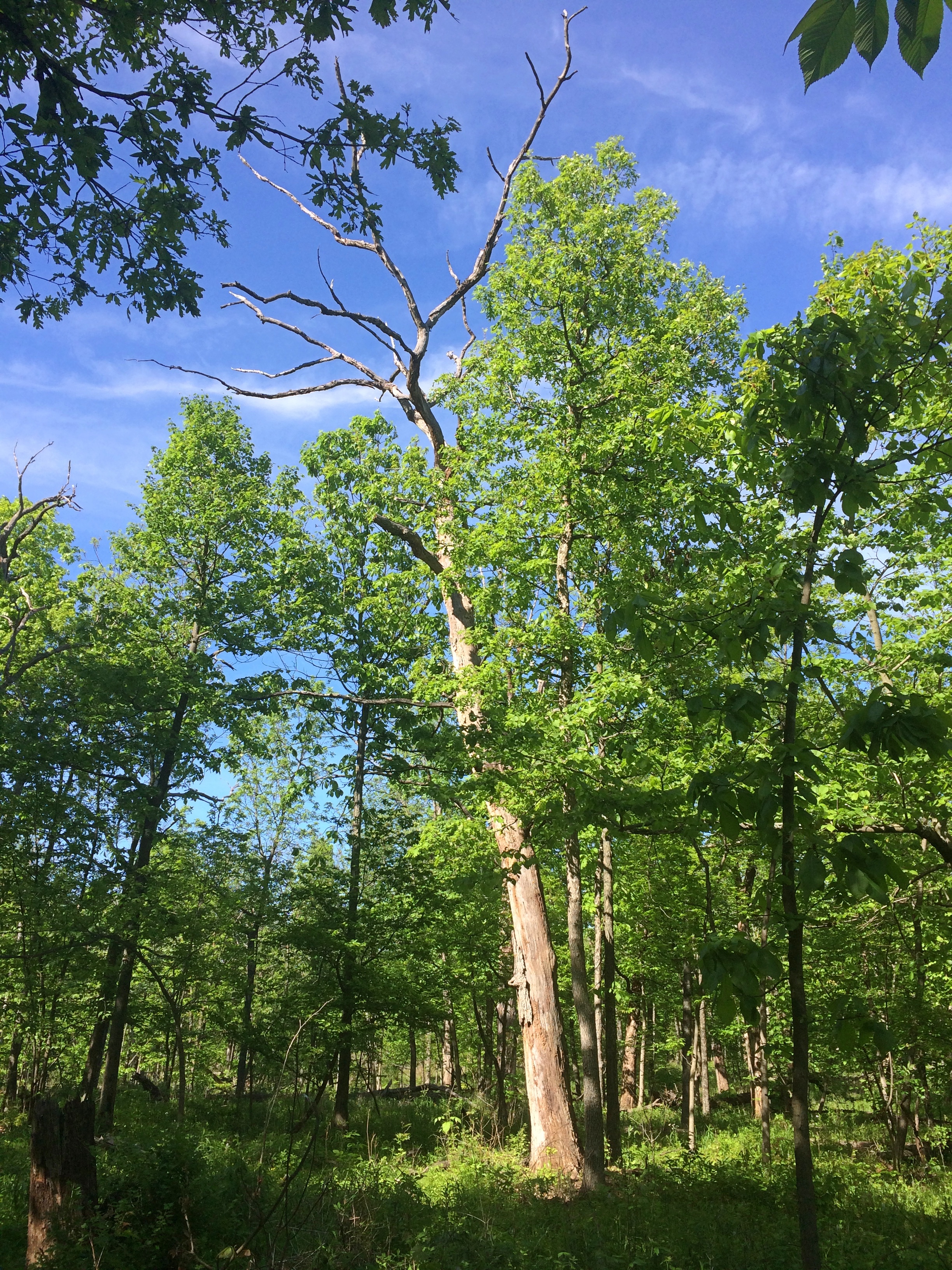
Deer Grove Forest PreserveA few dead trees still lording over the living ones.
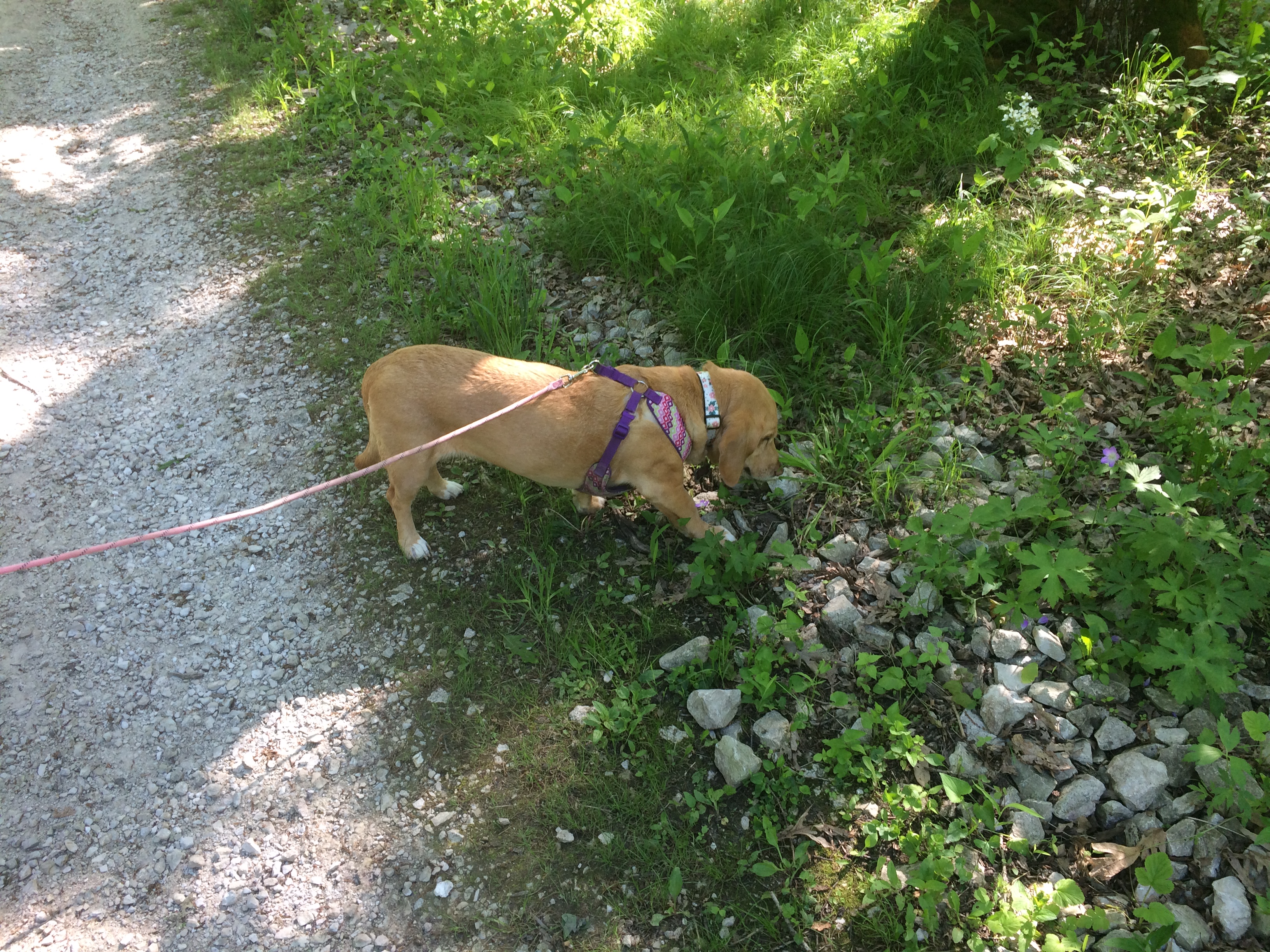
Deer Grove Forest PreserveThe dog had a good time too.
Deer Grove Forest PreserveSnacking on leafy greens the entire way.

Along Poplar Creek

Another Easter activity of ours: a long walk. Lots of people can say that. The pandemic has done more for getting people out on the sidewalks than anything I can think of, at least here in a suburb that has sidewalks.

Easter Sunday happened to be warmish this year, especially when compared to Easter Monday. By late in the evening on Monday, it was already down around freezing, headed for a morning low today of 28 F. Bah.

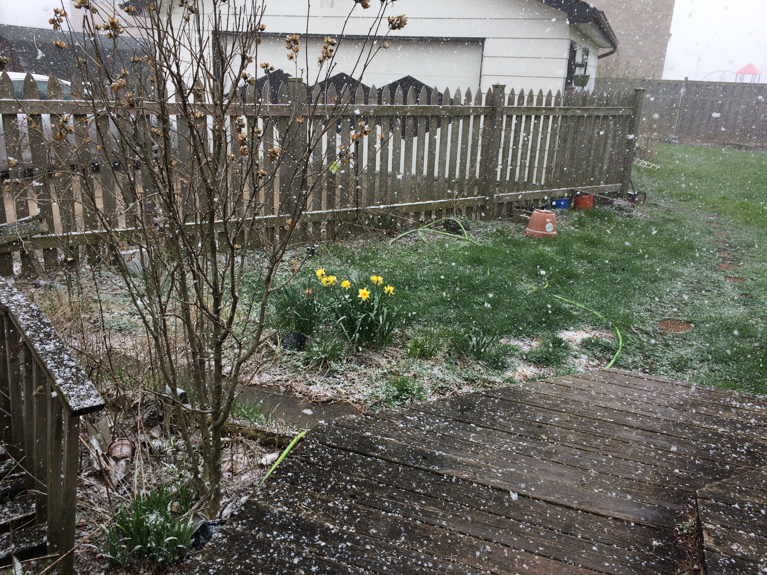
At about noon today, there was snow. At least it didn’t last long and it didn’t stick.

Back to Sunday. In the afternoon, we went to the Arthur L. Janura Forest Preserve, also known as the Poplar Creek Forest Preserve. All of us, including the dog.

That’s only one section of a much larger property, which is part of the Cook County Forest Preserve District. Fortunately the state hasn’t ordered such places closed, though various events in the district have been cancelled. Such an order would be nonsensical, considering how much social distancing you can do in such a large expanse, but some jurisdictions don’t seem to have much sense.

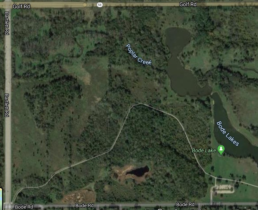
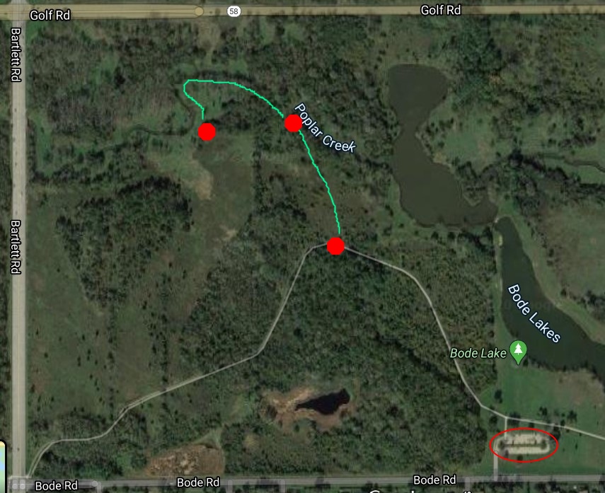
A modified version of the map.

We walked from the parking lot (circled in red) along the paved path (in white) until we got roughly to where I’ve put a red octagon. From there, we headed overland to the banks of Poplar Creek (the next octagon) and then followed the creek along its curve, reaching roughly the position of the third octagon. We returned more or less the same way. Looks long, but I don’t think the walk was more than a mile and a half round trip.

There on Poplar Creek, it’s hard to believe you’re in a metro area of 9 million or so — except for the traffic on Golf Road. Not visible, but audible, even if the sound is a little diminished in these pandemic days. The creek, fairly full from spring rain, gurgled along.

Poplar Creek is a tributary, ultimately, of the Fox River, which feeds the Illinois River. That in turn flows to the Mississippi. So the water we saw was destined, mostly, for that mighty river and the far-away Gulf.

The route was muddy and sometimes strewn with fallen branches and rocks. The grass and weeds and other foot-level plants are greening nicely, while the trees and bushes are getting their start, but haven’t caught up yet.

I think dog thoroughly enjoyed her walk, tramping through the mud, sniffing everything she could, and chewing on blades of grass when we paused. We didn’t have such a bad time either, momentarily away from shelter in place.