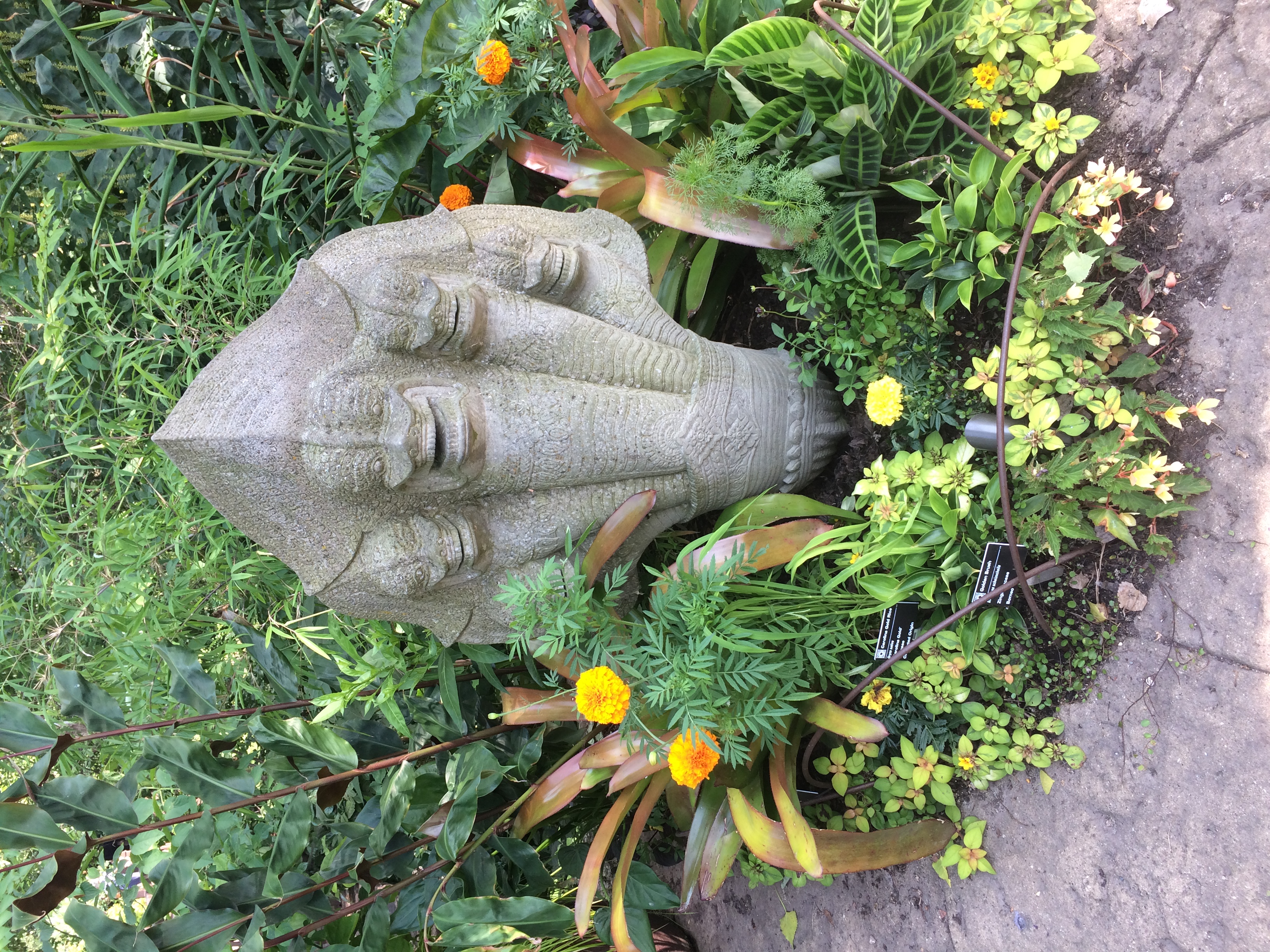
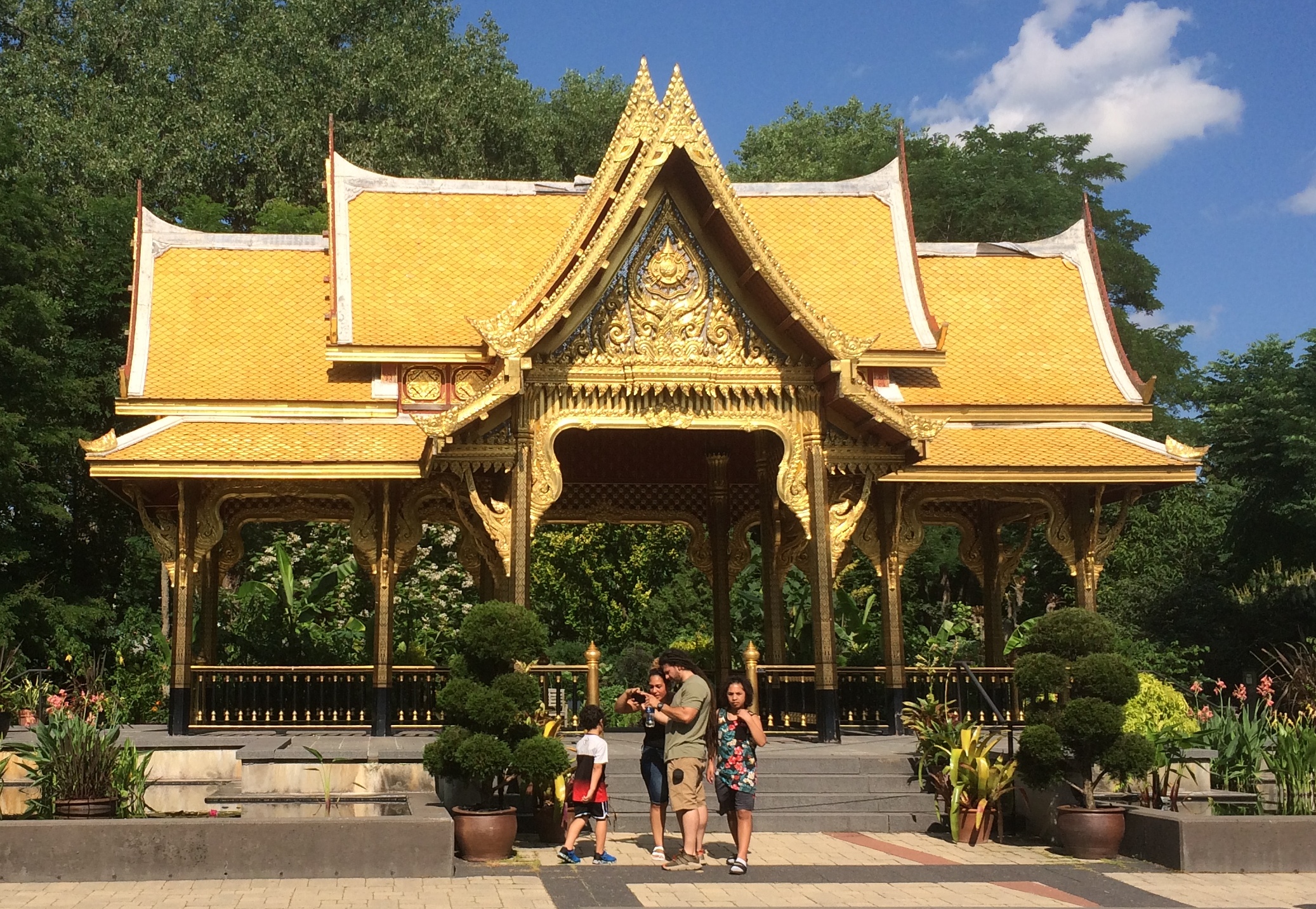
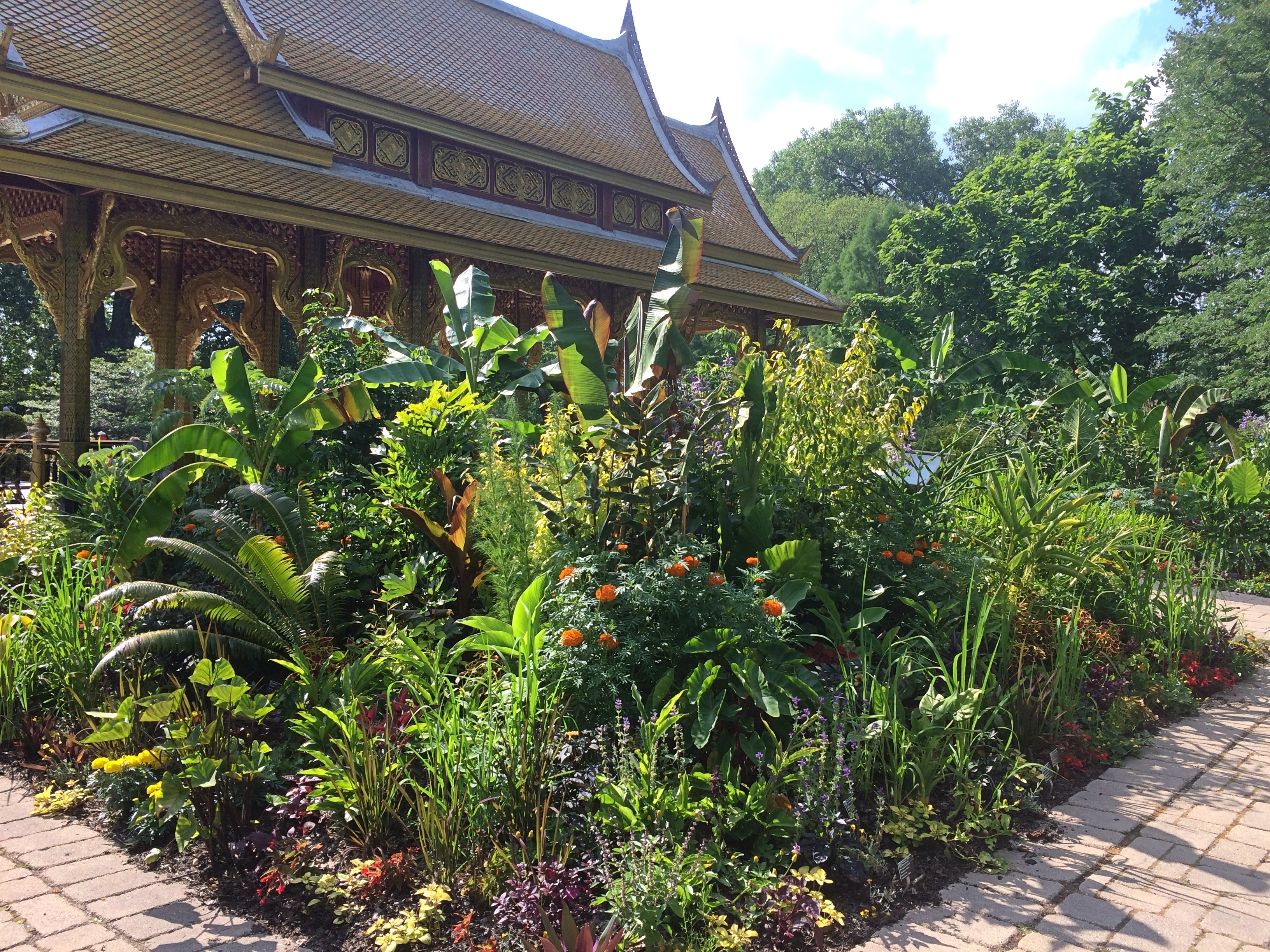
More La Crosse, Including Gambrinus

After everyone was awake last Sunday, we packed up to leave La Crosse. But there were a few more places to see on the way out, such as Riverside Park.Riverside Park La Crosse

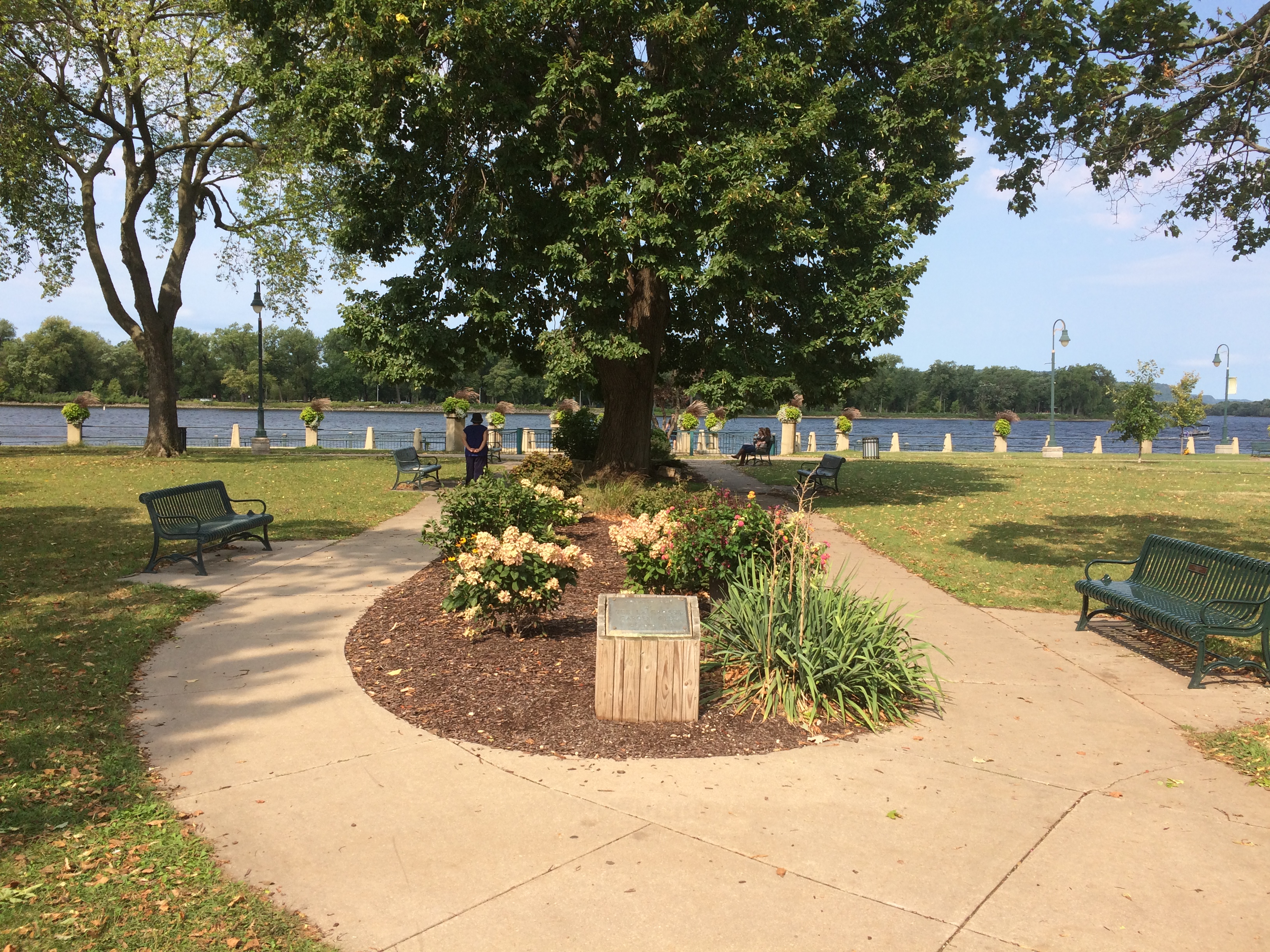
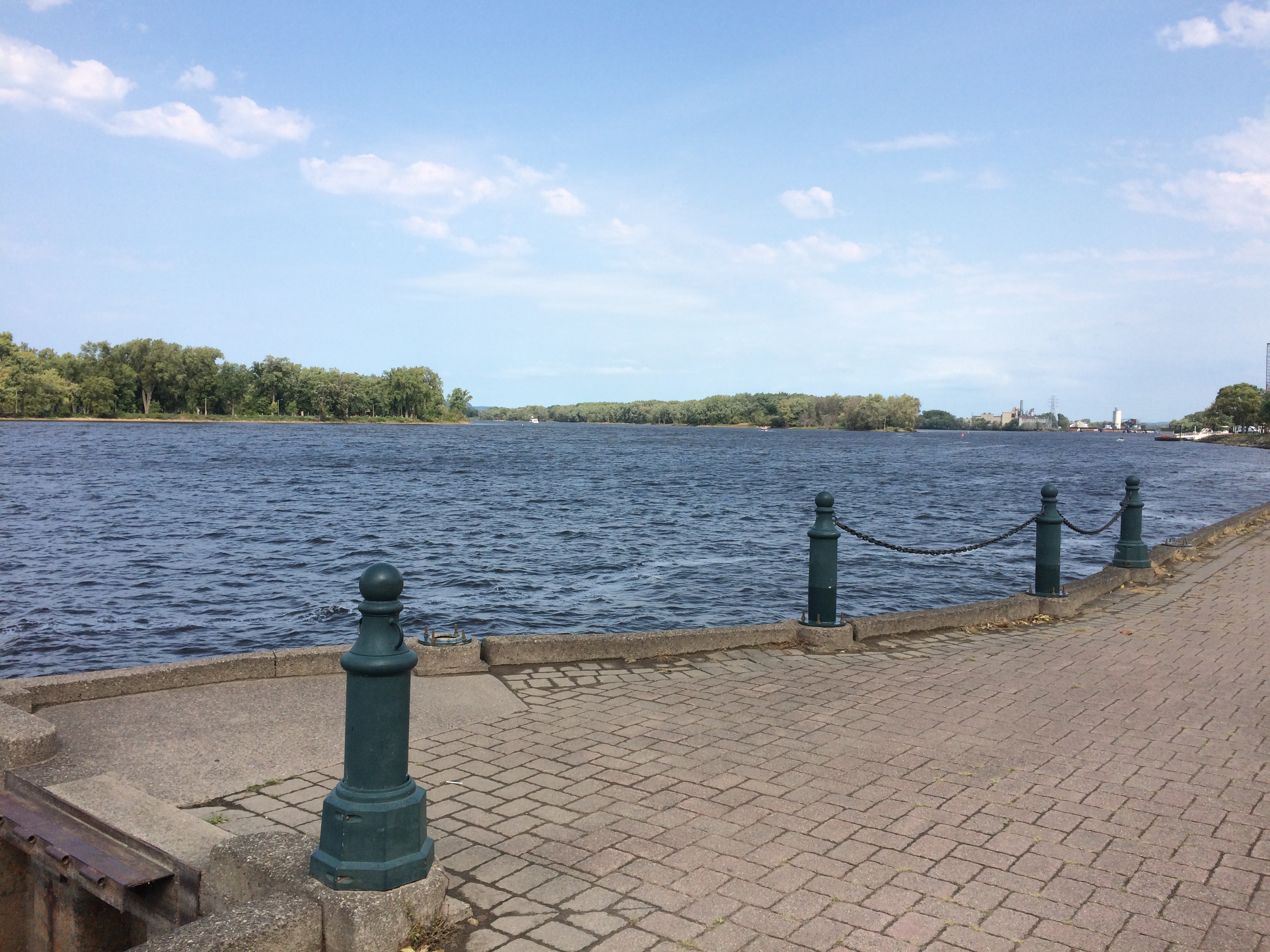
As the name says, it’s along the Mississippi.
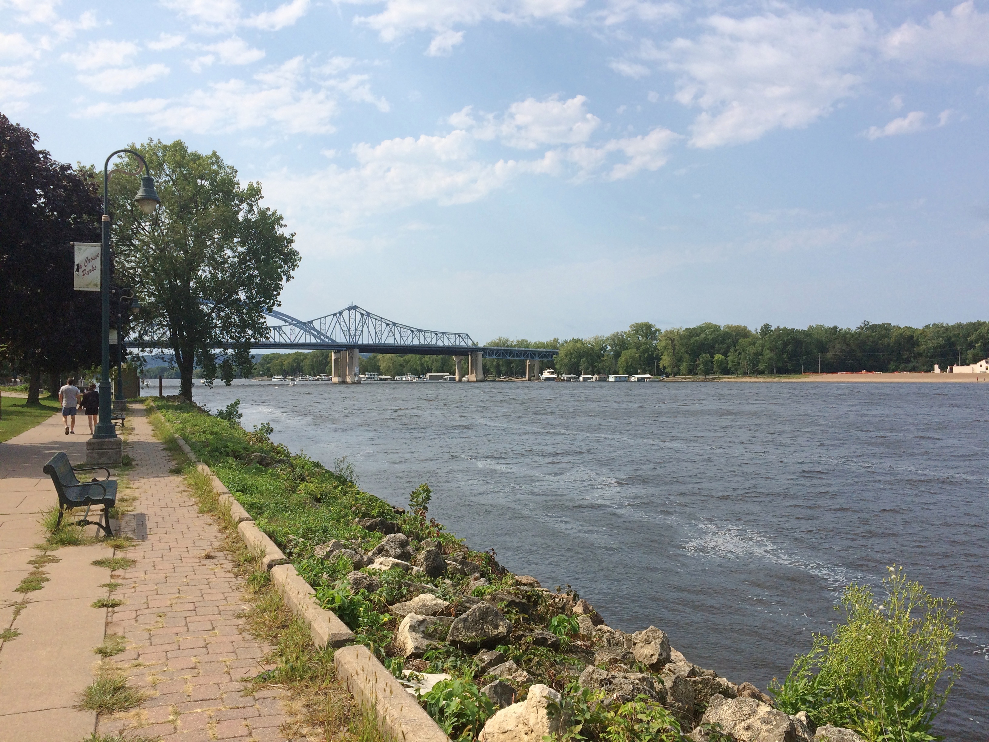
Riverside Park La CrosseLooking toward the bridge where U.S. 14 crosses between Wisconsin and Minnesota.
Riverside Park La CrosseA hyperpartisan had set up his table in the park, complete with flags and literature and, I expect, a willingness to talk about his candidate till the heat death of the universe. I didn’t talk to him any more than I would any other religious fanatic.
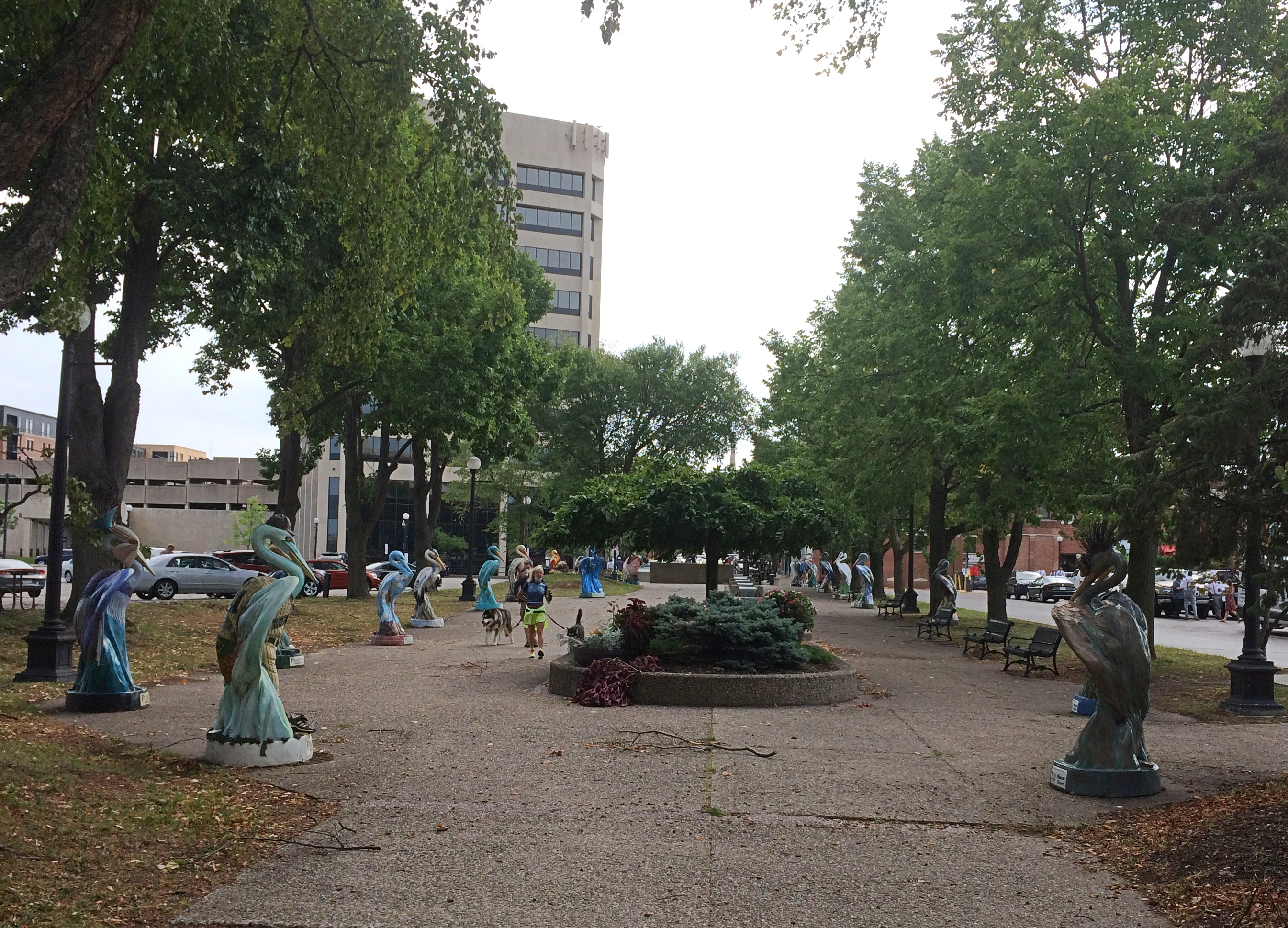
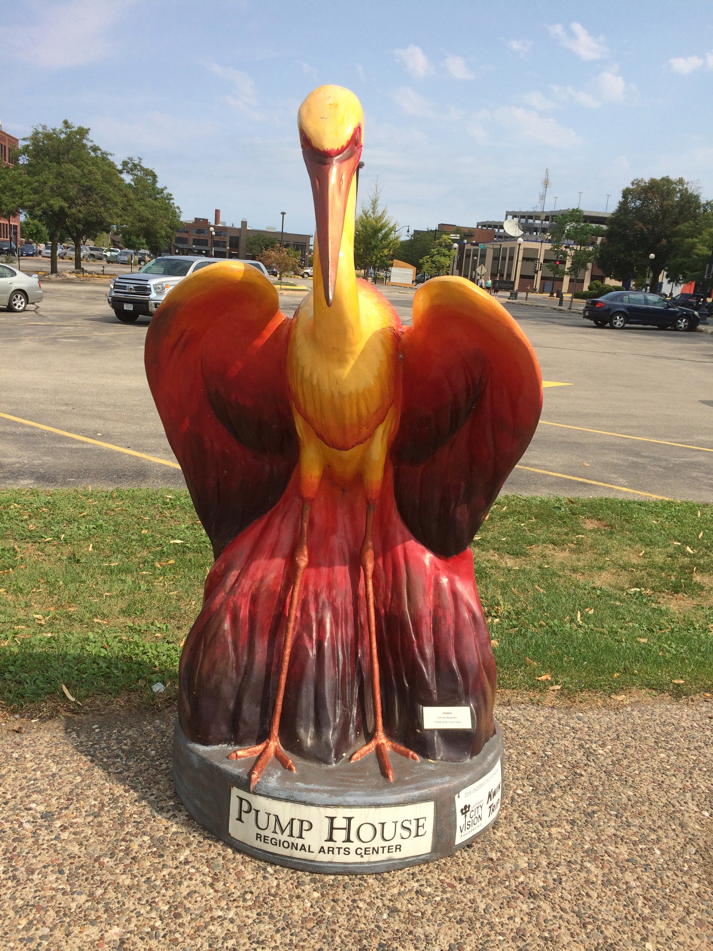
Riverside Park La CrosseNear the park is a pedestrian path into downtown, lined with heron statues.La Crosse heron statues

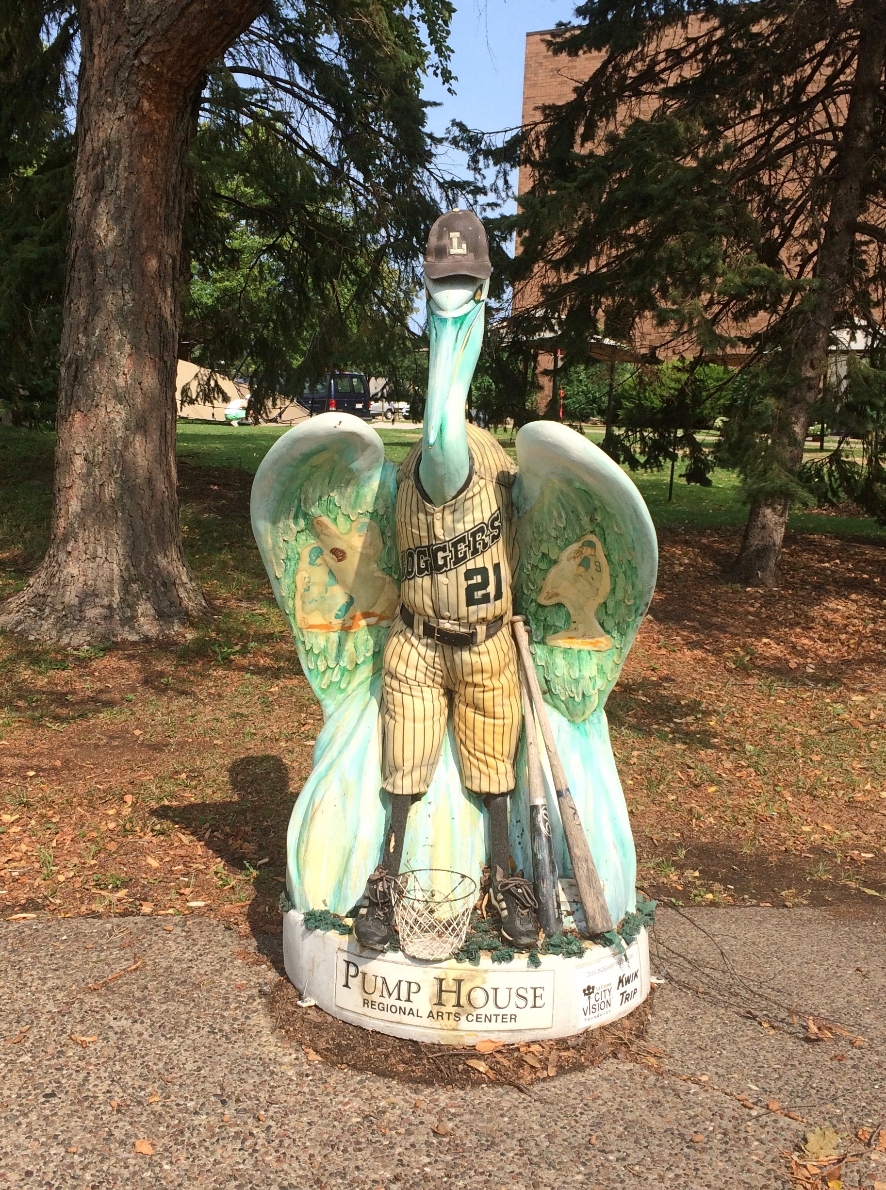
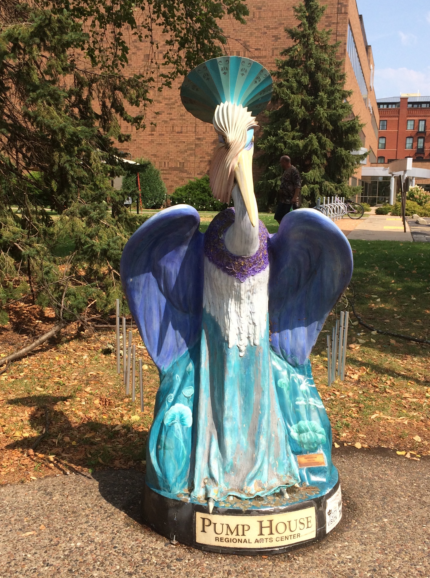
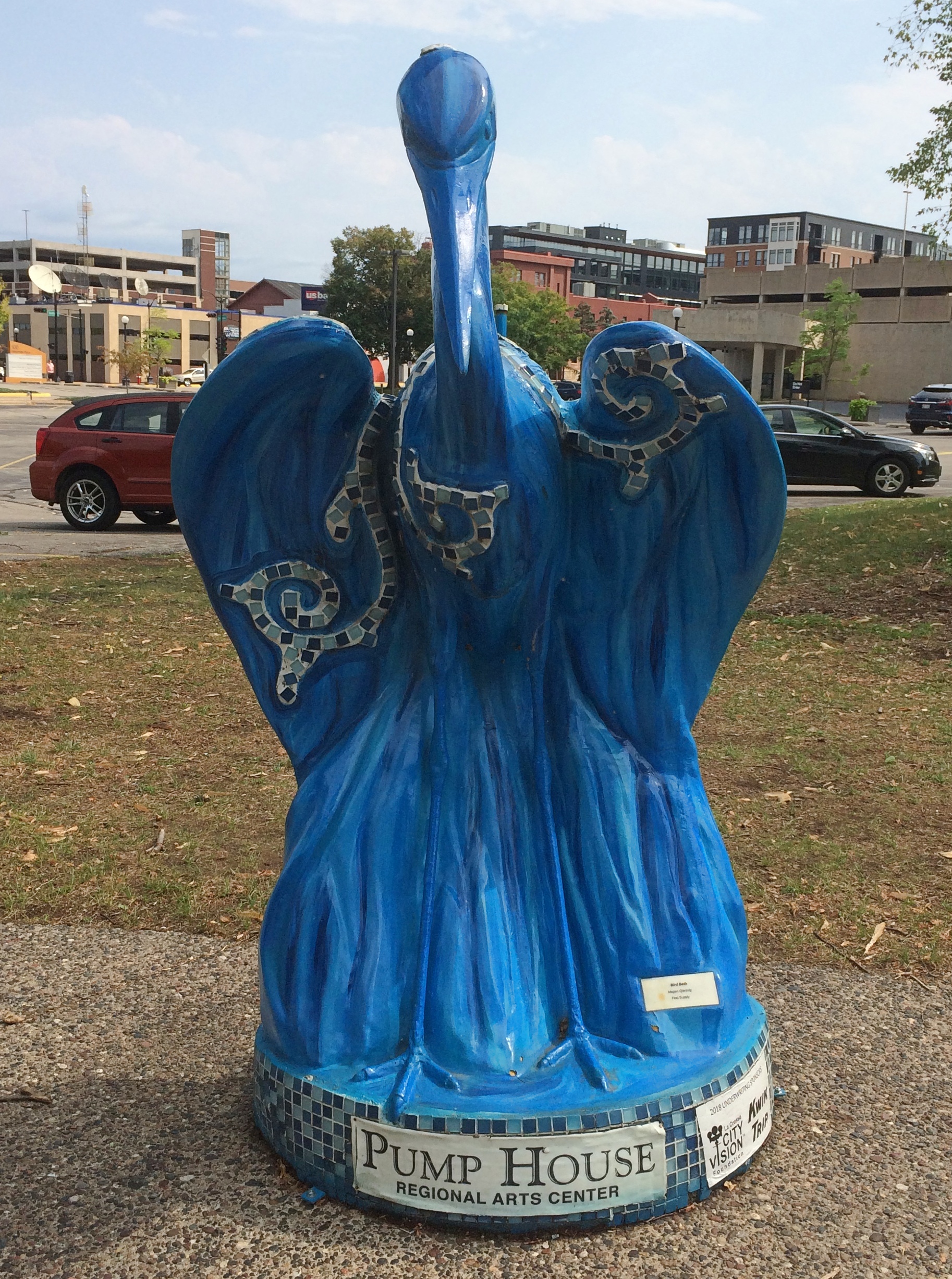
The birds were originally displayed in 2008, during the vogue for public displays of animal statues. Apparently the statue herons were returned to public display in La Crosse two years ago, a task overseen the Pump House Regional Arts Center, a local nonprofit.

A selection of da birds.
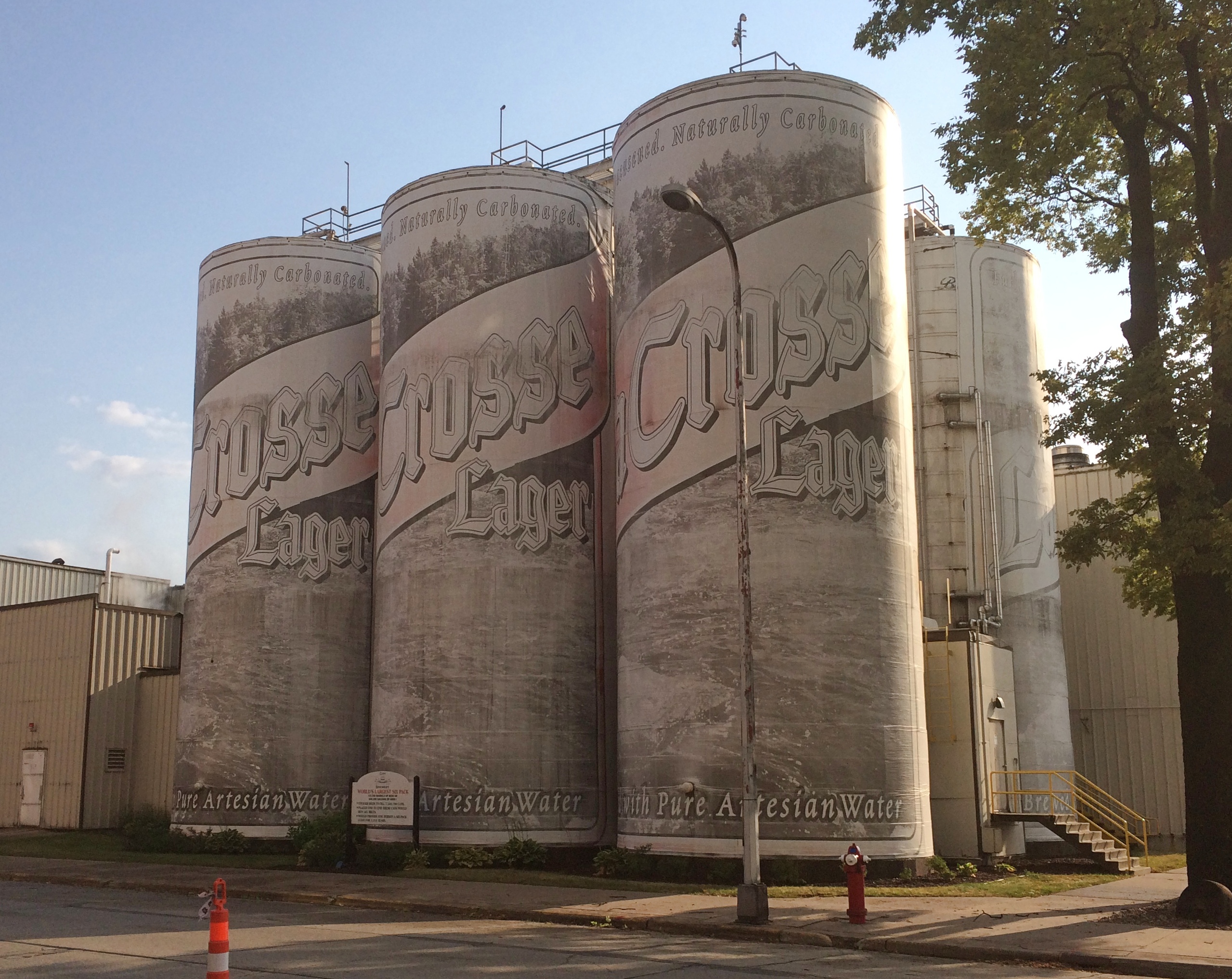
La Crosse heron statuesThe La Crosse Loggers are a team in the Northwoods League, a summer collegiate league.La Crosse heron statuesLa Crosse heron statues La Crosse heron statuesThere was one more place in La Crosse that I knew about that Sunday morning and didn’t want to miss. Namely, the World’s Largest Six Pack, which stands above 3rd Street S.
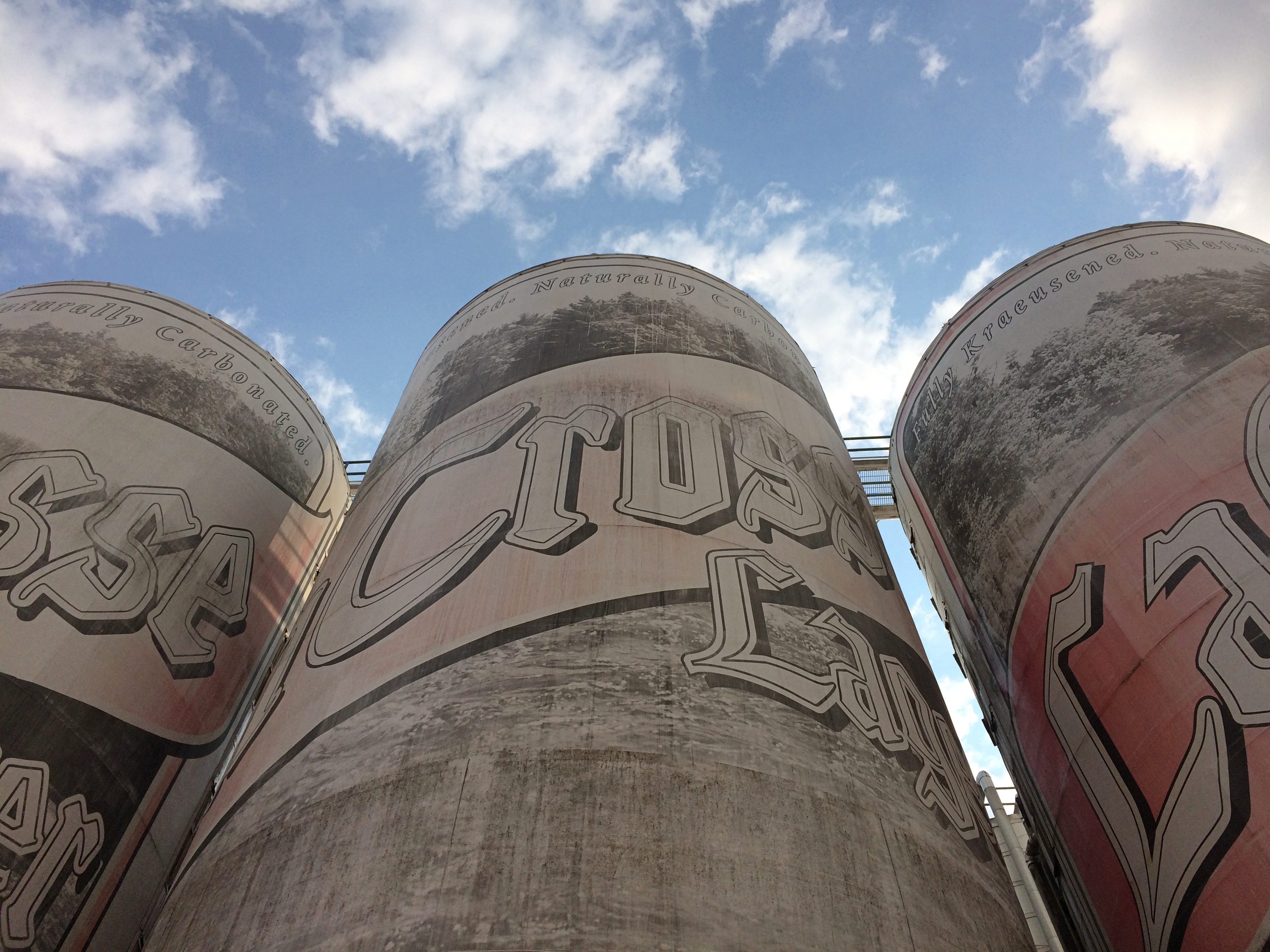
World's Largest Six Pack La CrosseRoadside America recalls its early years painted to resemble cans of Heileman’s Old Style Lager. These days, the six pack advertises La Crosse Lager, but apparently the effect wasn’t created by paint, but wallpaper.Namely, the World's Largest Six Pack, which stands above 3rd Street S.

A sight to see, but a little drab, though the morning light doesn’t bring out whatever color it has. Still, other paint jobs looked brighter. A place like this can’t hide from Google Images comparisons.

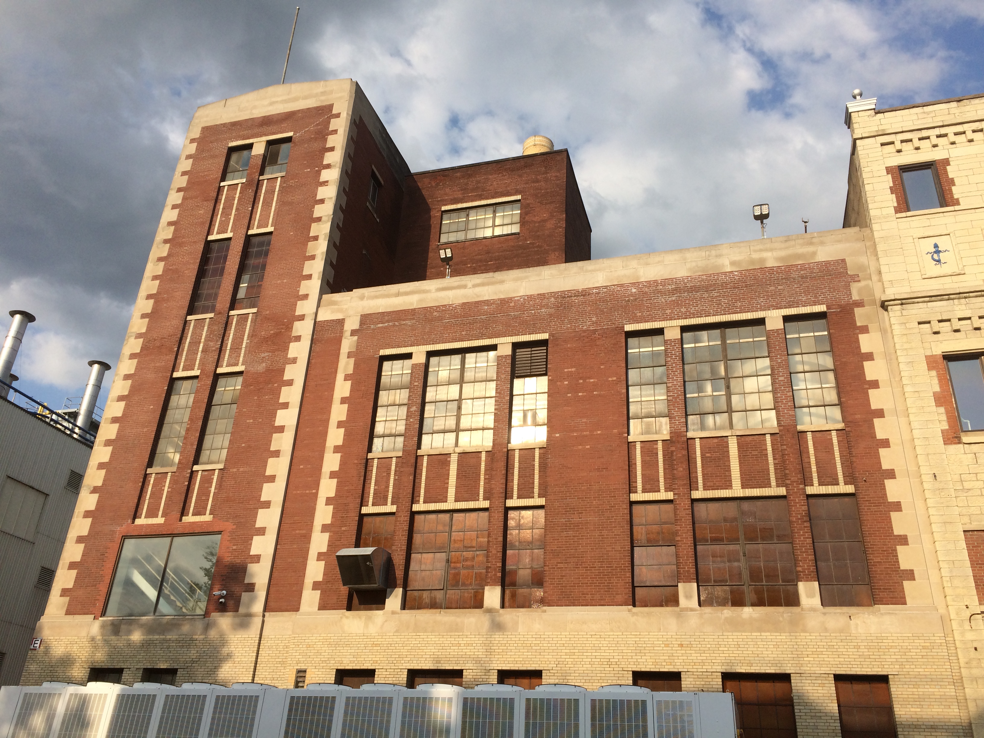
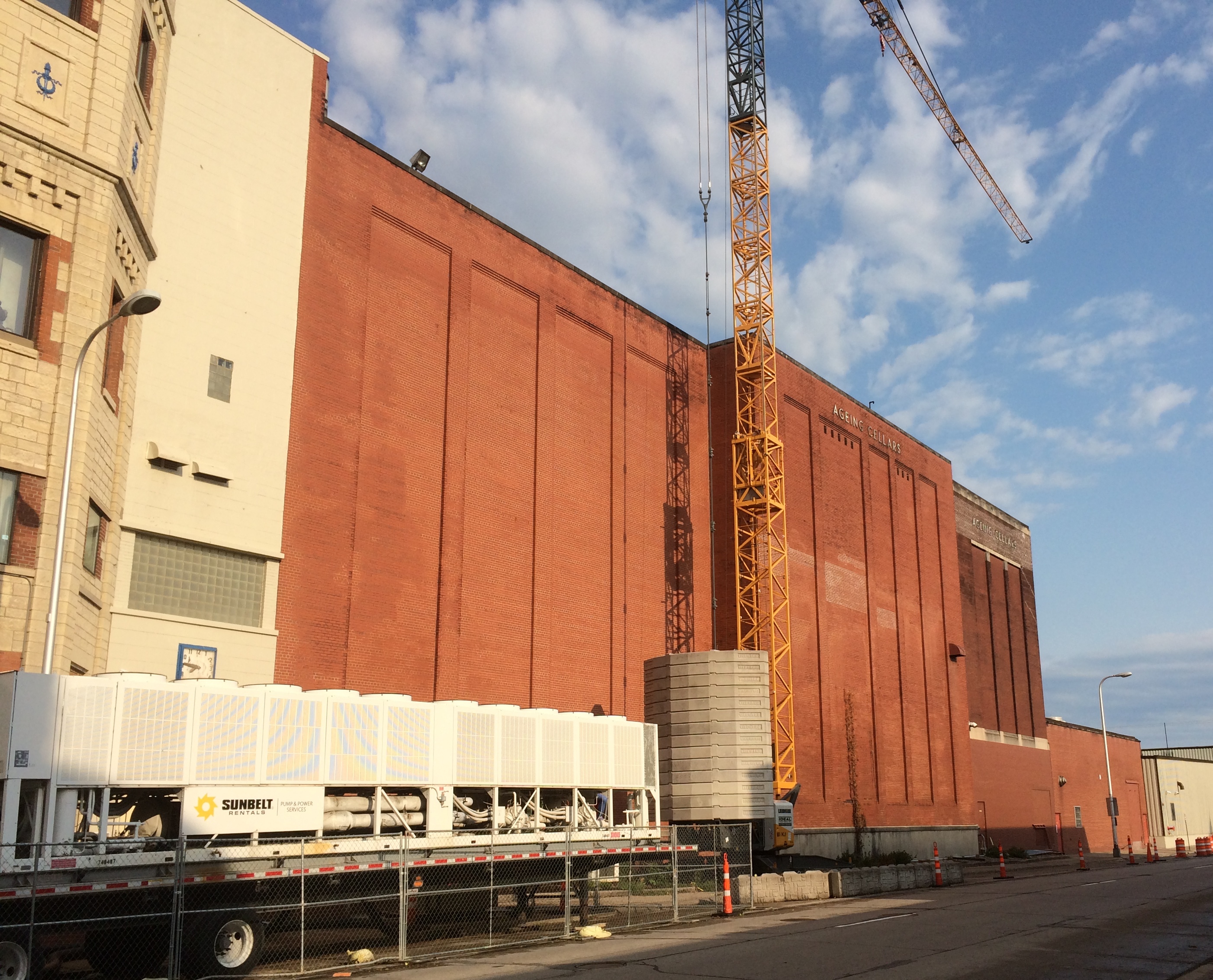
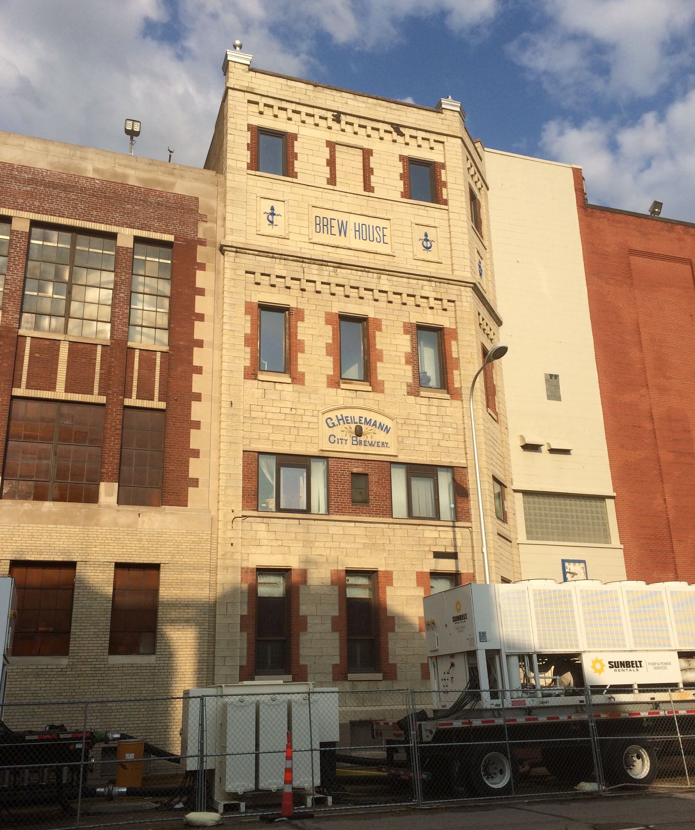
Across from the six pack, which are in fact for storing beer, with a capacity of 22,000 barrels (688,200 gallons), are other buildings in the brewery complex. Most notable is an earlier brew house, or at least its facade, which is easily more than a century old.
La Crosse Lager BreweryTo the left of the old facade (from my POV).
La Crosse Lager BreweryTo the right.
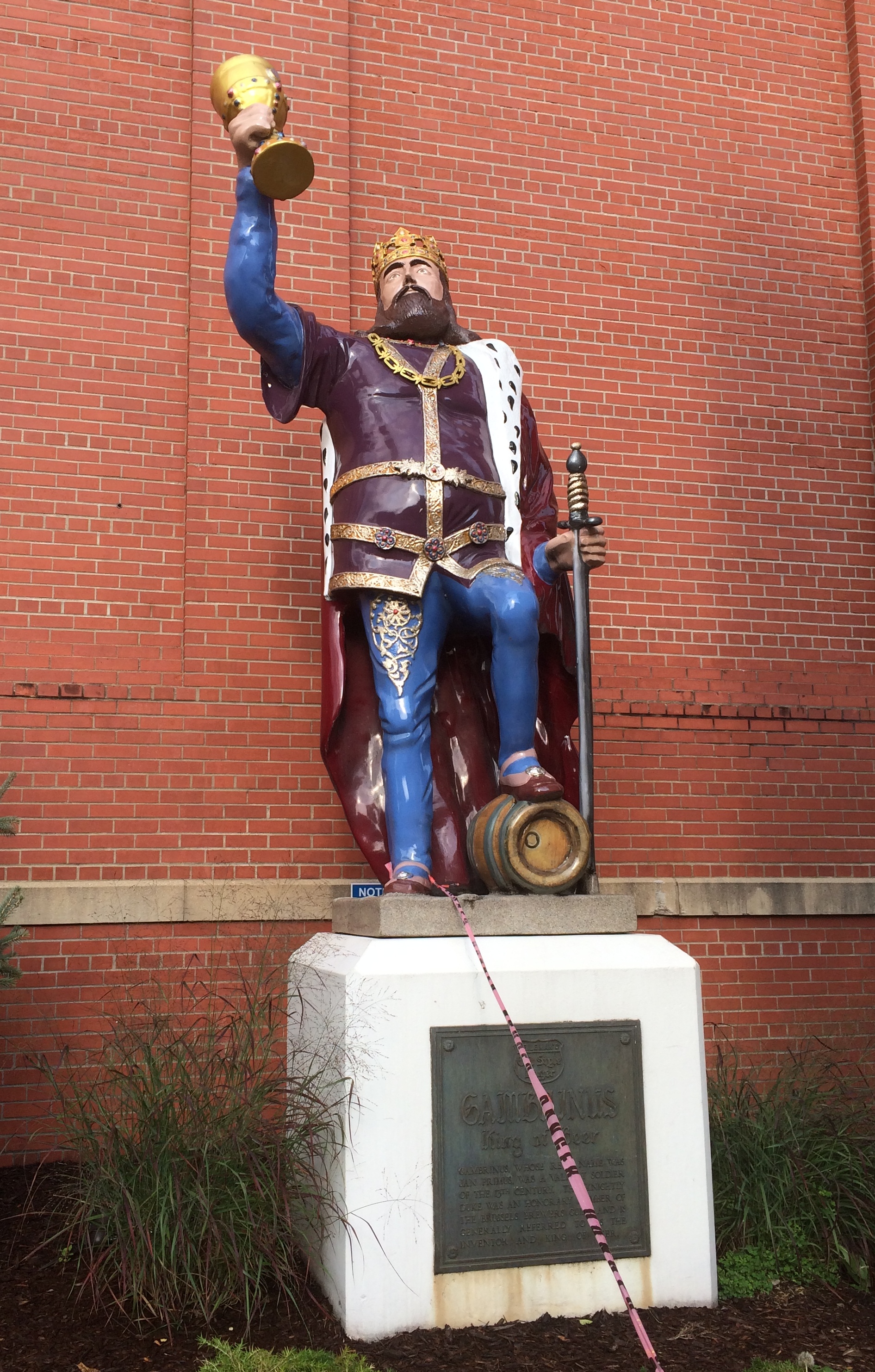
La Crosse Lager BreweryUnder that big brick wall, standing with his goblet held high, is Gambrinus.
La Crosse Lager Brewery GambrinusGood old Gambrinus. I didn’t know about that particular bit of Euro-lore growing up. I first saw him in Chicago, looking somewhat different but crowned and holding a vessel all the same.

La Crosse Walkabouts

Last Sunday I woke fairly early, because there are only a few good reasons for doing such a thing, such as catching a plane or looking around somewhere new while other members of your family sleep.

I drove to historic downtown La Crosse for a closer look. The first place I stopped was on 3rd Street S., across from The Library.
Downtown La CrosseThat was worth a chuckle. As far as I can tell from The Library’s web site, it isn’t a book bar — there are such things, I’ve heard — but an ordinary student bar, though the site is a little vague on that point.

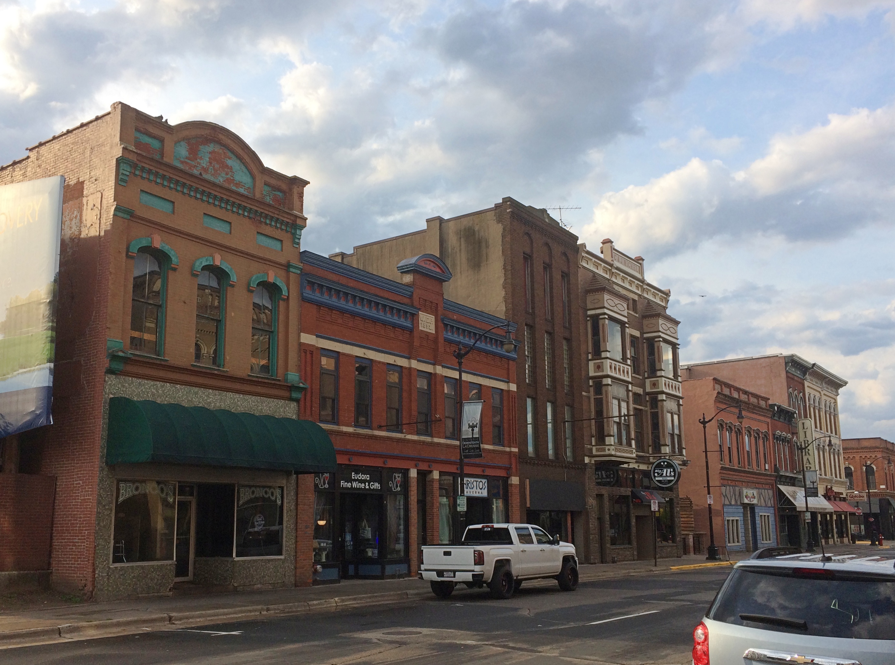
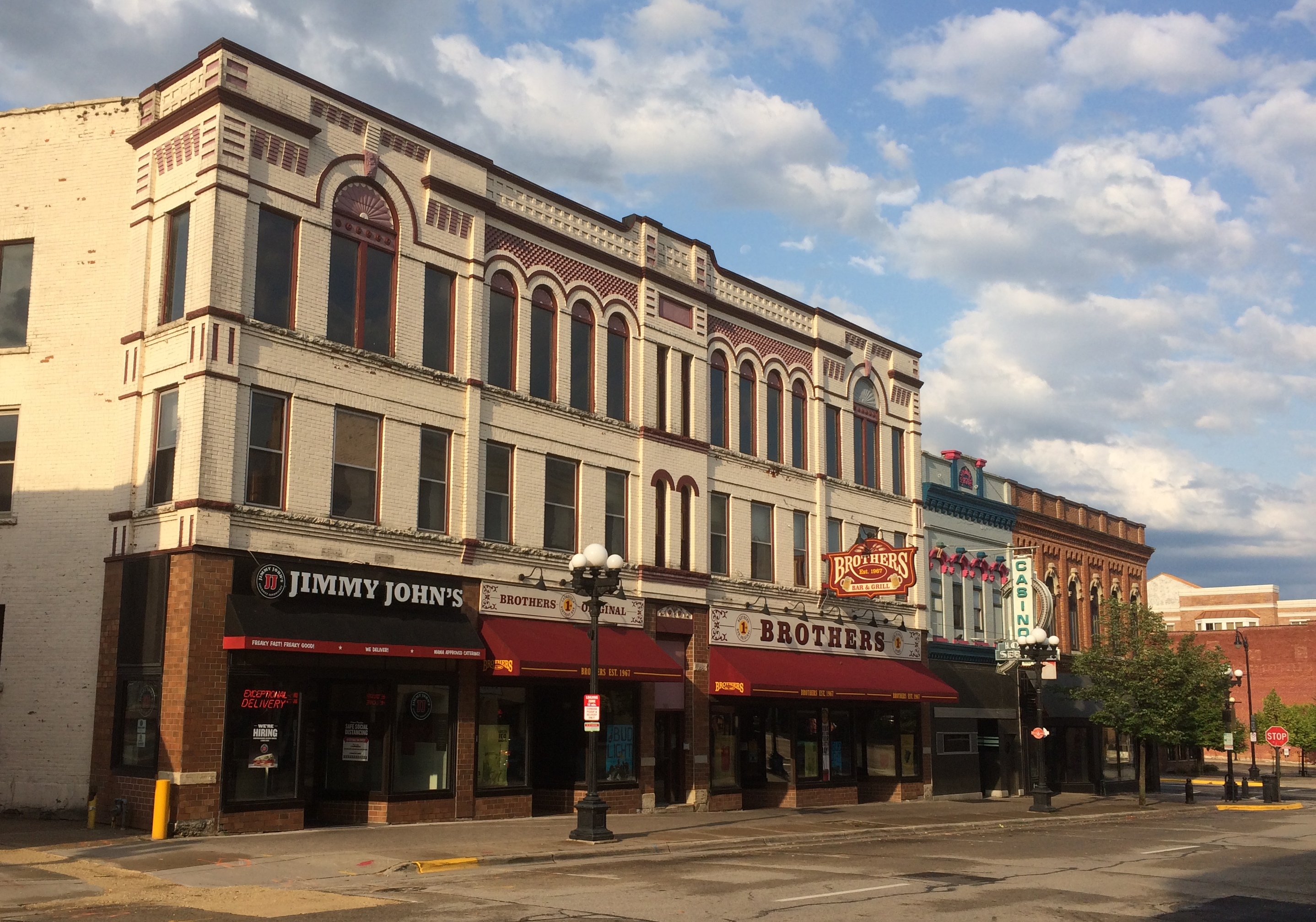
From there I walked around a square block of La Crosse’s handsome historic core, full of late 19th- and early 20th-century buildings that have found 21st-century uses. Besides bars — a fair number of those — there are restaurants, coffee shops, specialty shops, music venues and professional offices.

Such as along the east side streetscape on 3rd, between Main and Pearl.
Downtown La CrosseThe Rodolf Building the west side of 3rd., dating from the late 1860s and early ’70s.
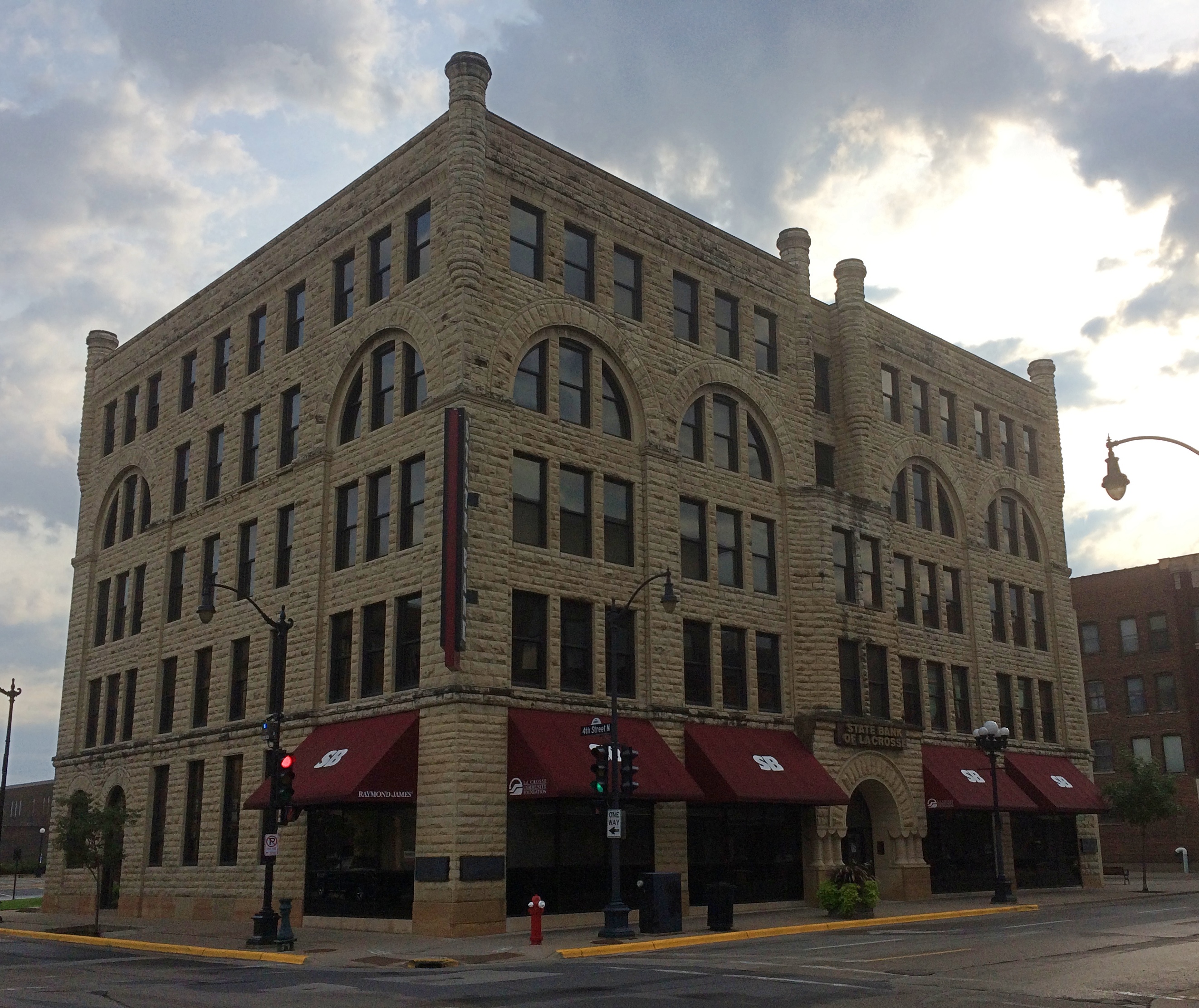
Downtown La CrosseThe State Bank of La Crosse on Main St., dating from 1885. It’s an impressive pile.
Downtown La CrosseThe streetscape along 4th St.
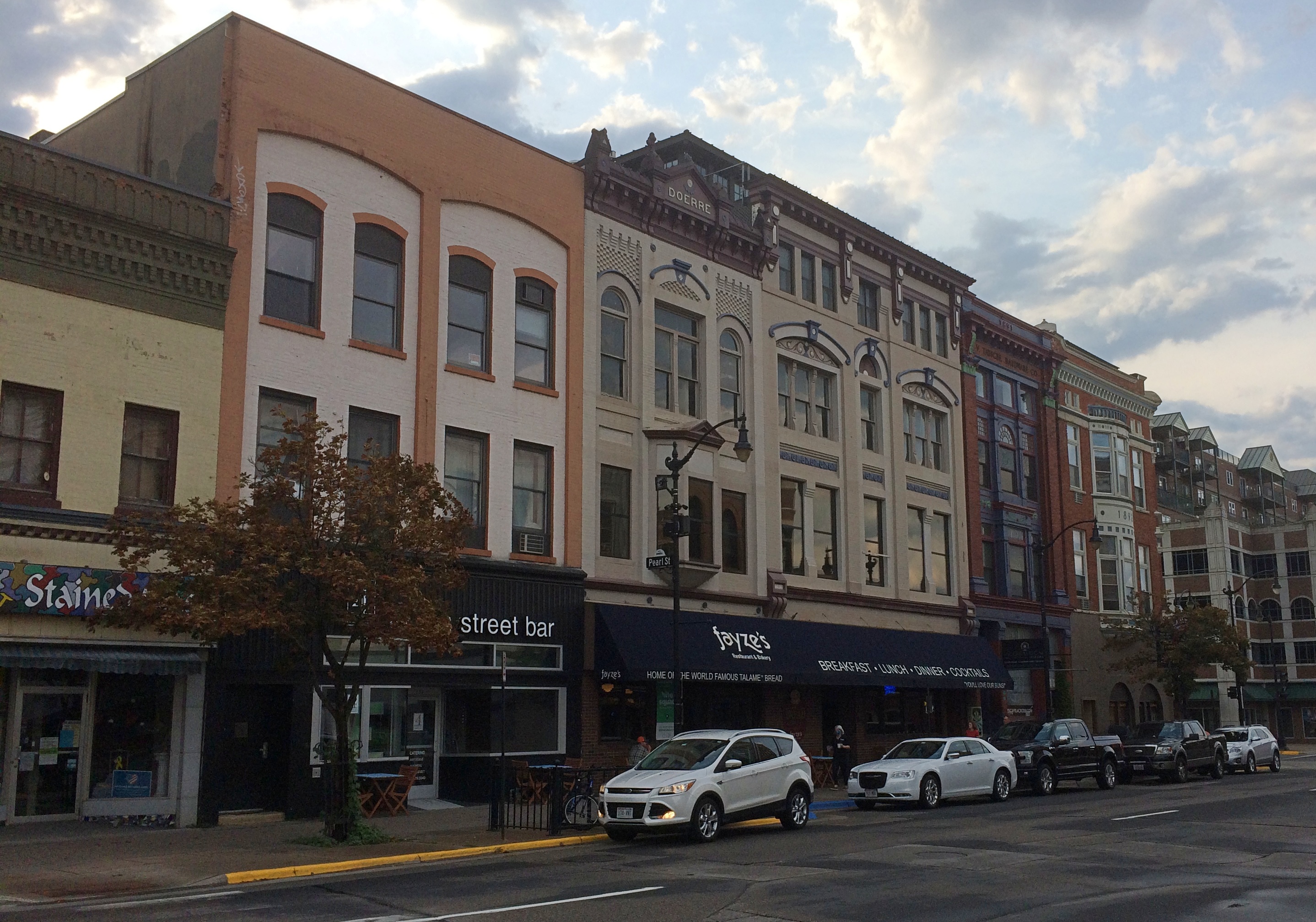
Downtown La CrosseAnd along Pearl St.
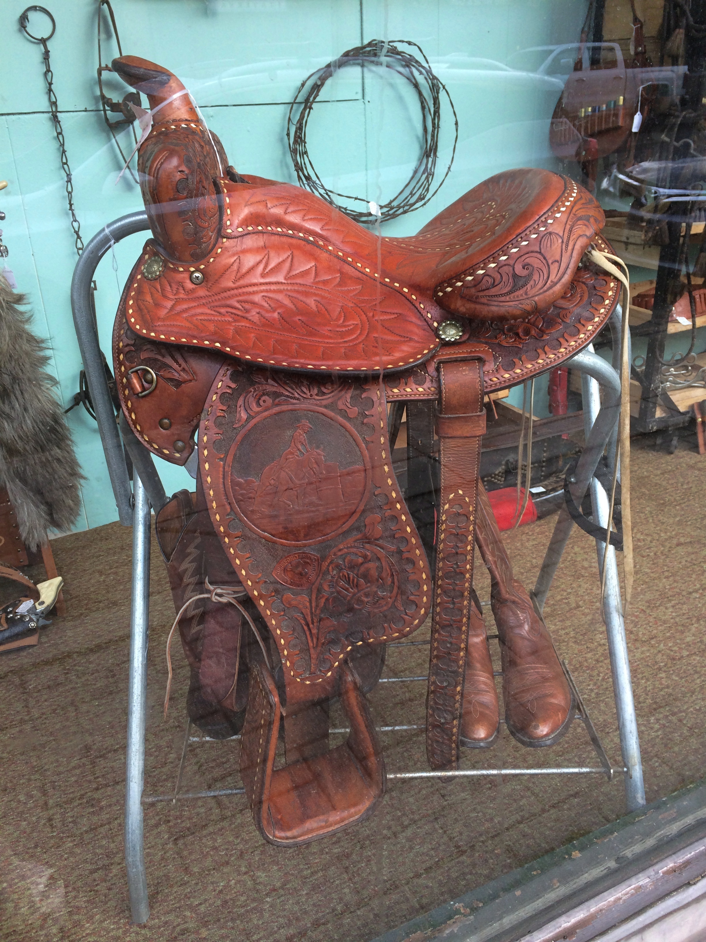
Downtown La CrosseThere are a variety of shops in the old buildings, including some unexpected ones. Such as a saddlery on 3rd.
Downtown La Crosse saddle shopThere’s a book store on Pearl that didn’t used to be a book store. According to the mosaic at the entrance, you could buy shoes there once upon a time.

Downtown La Crosse Arenz ShoesArenz Shoes had eight locations in the region as recently as the 1970s, but the last one, in Sparta, Wisconsin, is closing even now. The Pearl St. location was a shoe store from 1903 to 1992.

This promise of sustenance made me smile.

Downtown La Crosse FOODThat’s just a small sample of the charms of historic downtown La Crosse. Much more about the buildings is here, though unfortunately without any pictures.

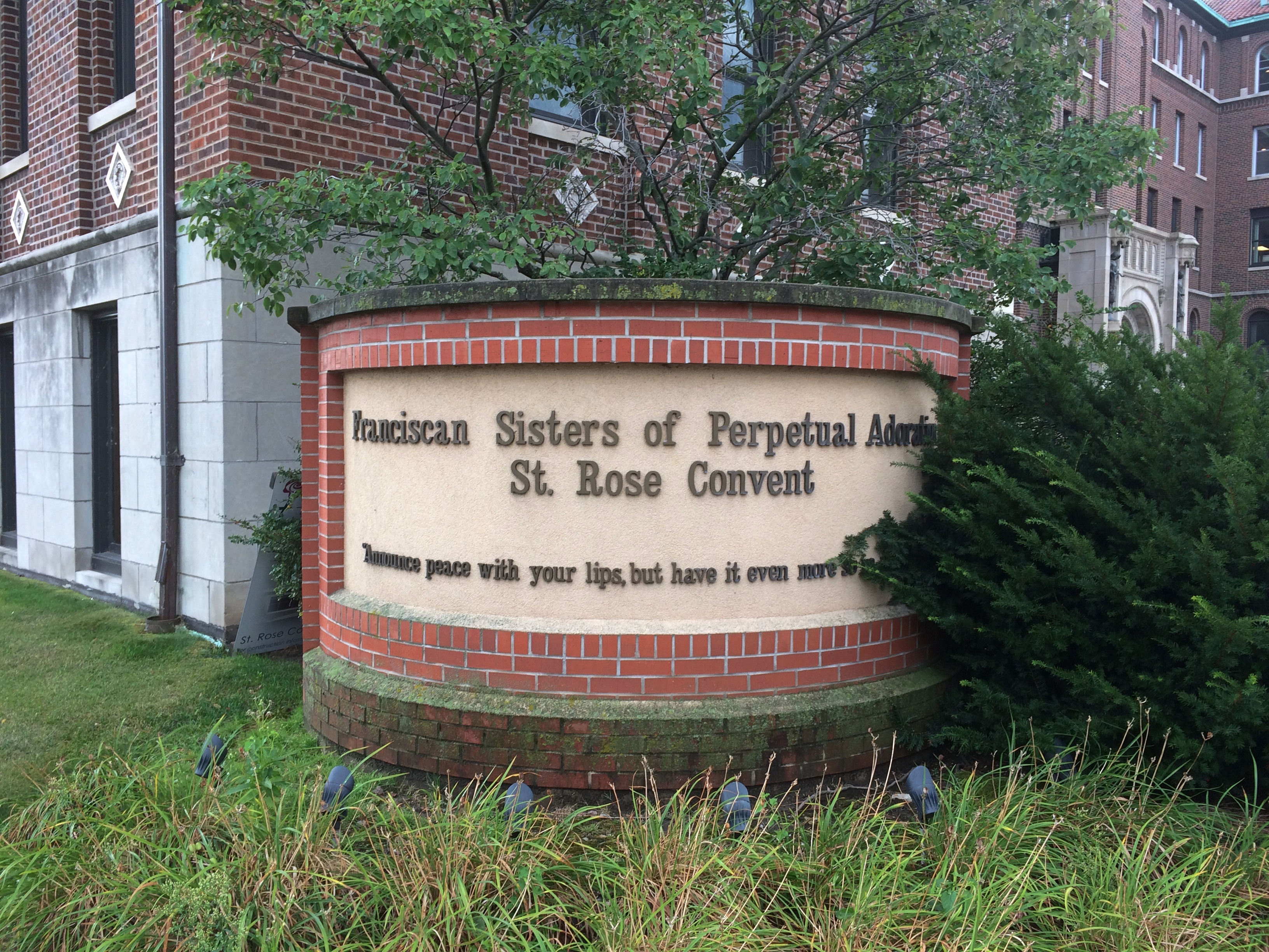
Next I drove east on Market St. until I came to St. Rose Convent and Viterbo University, which are adjacent. I stopped on Market and took another walk around a city block, through the university campus as well as near the convent.
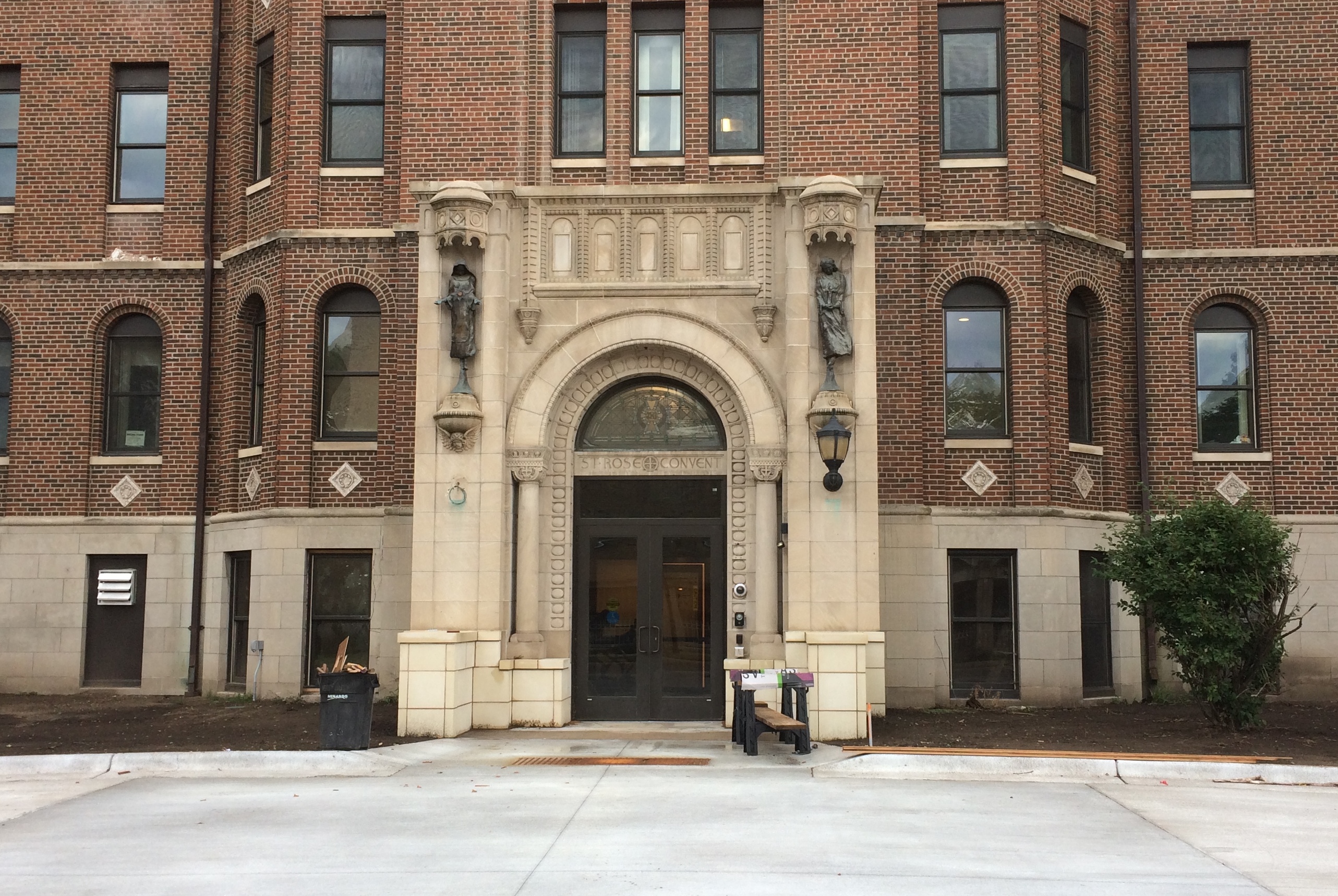
St. Rose Convent The entrance to the convent, looking like an academic building.
St. Rose Convent On a street called Franciscan Way — Viterbo is run by Franciscans — is San Damiano Chapel, which, as part of the university, I assume takes some inspiration from the church of that name near Assisi. It was closed.

Viterbo University

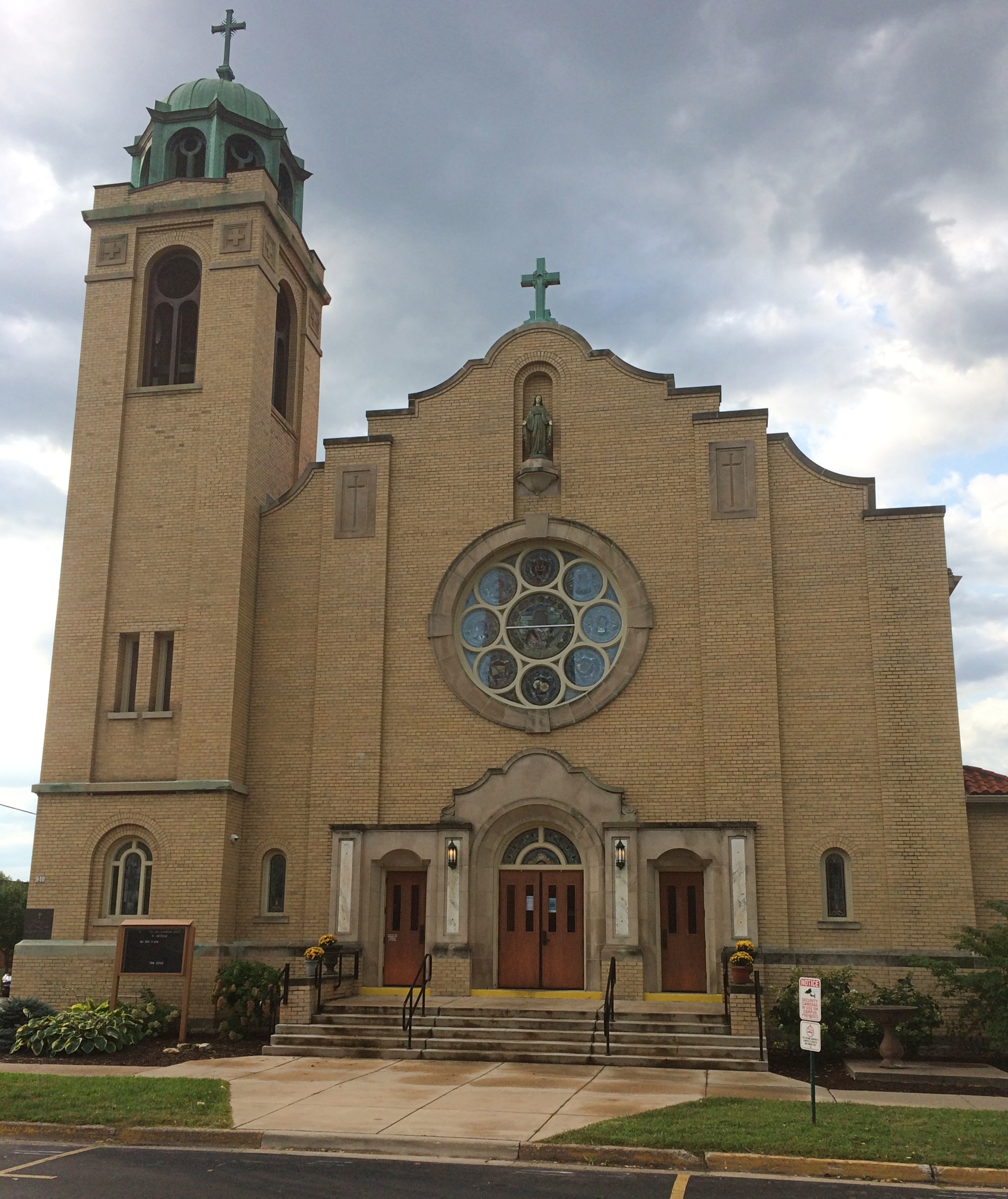
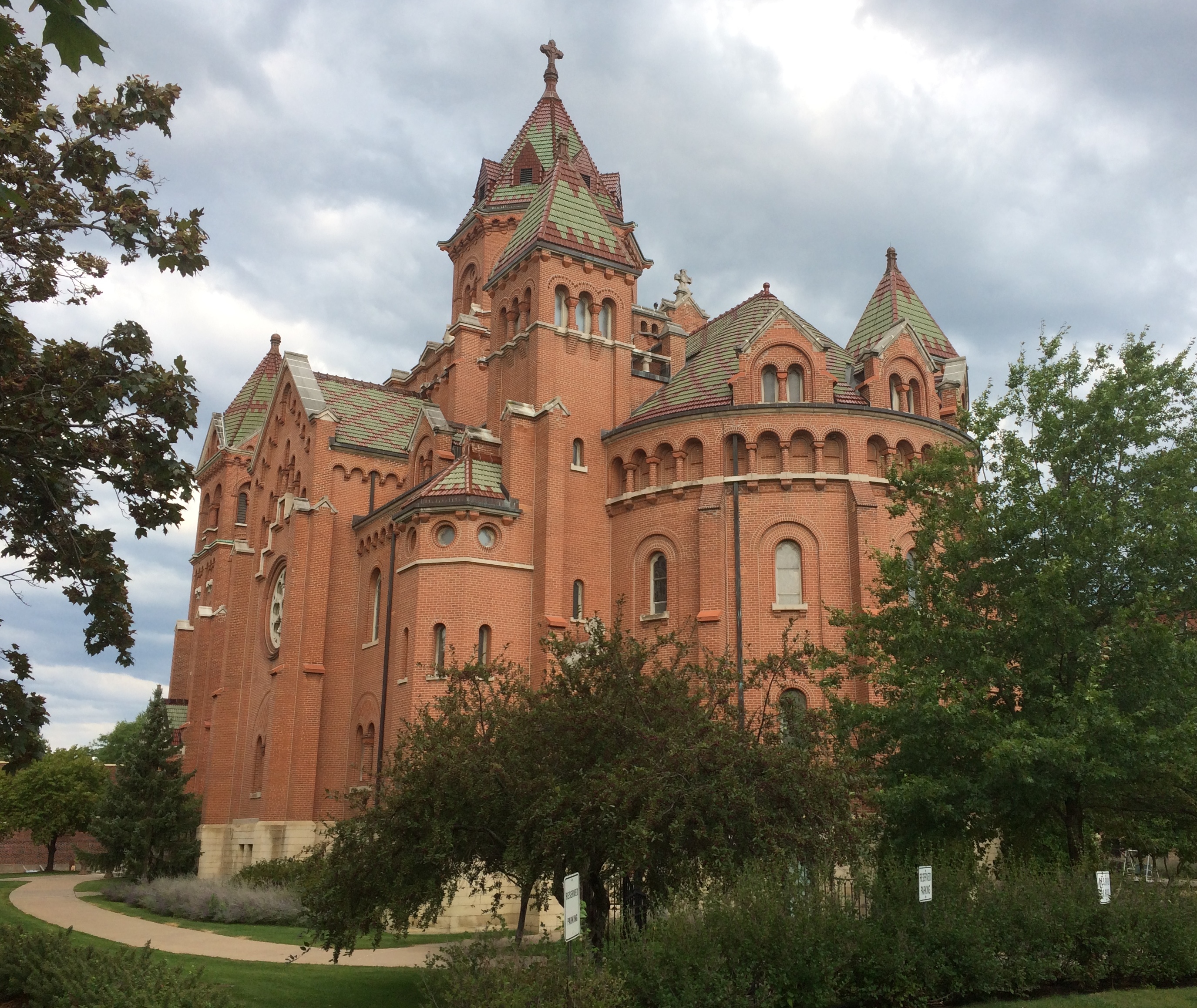
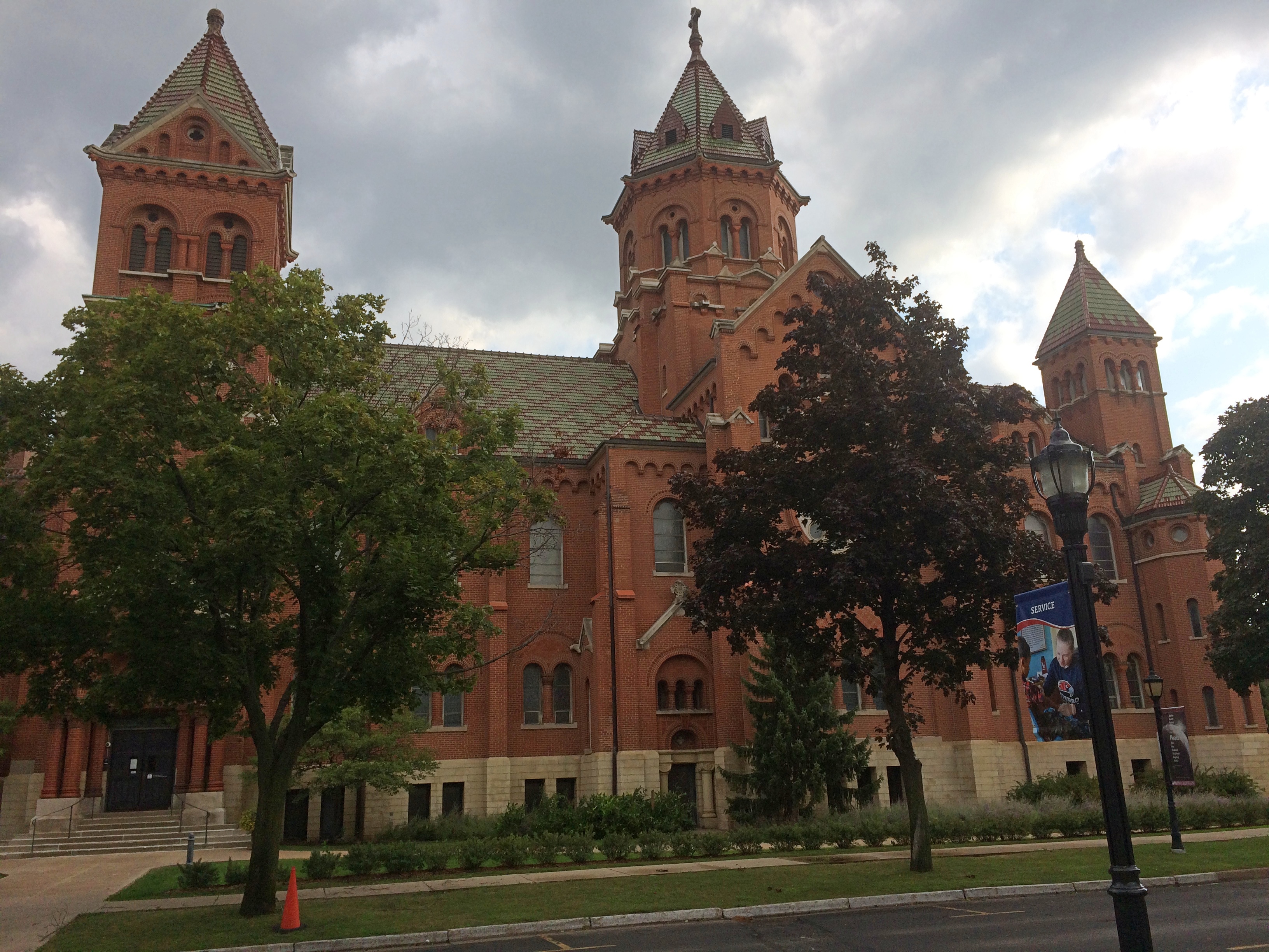
Down the block to the east is Mary of the Angels Chapel, which is part of the convent. The view from the west.
Viterbo UniversityThe view from the south.
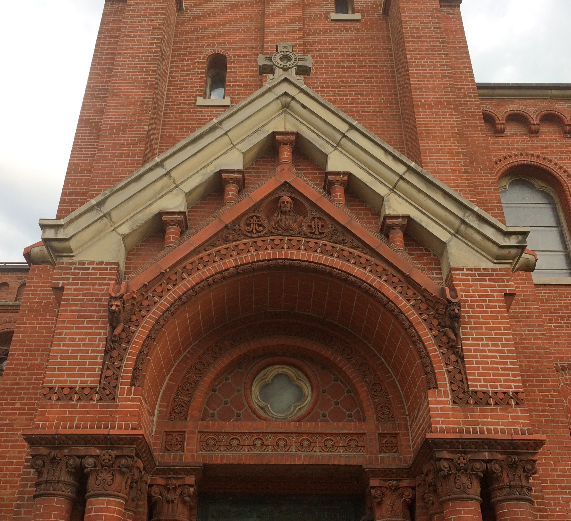
Viterbo UniversityAbove one of the entrances, maybe the main one. It too was closed.
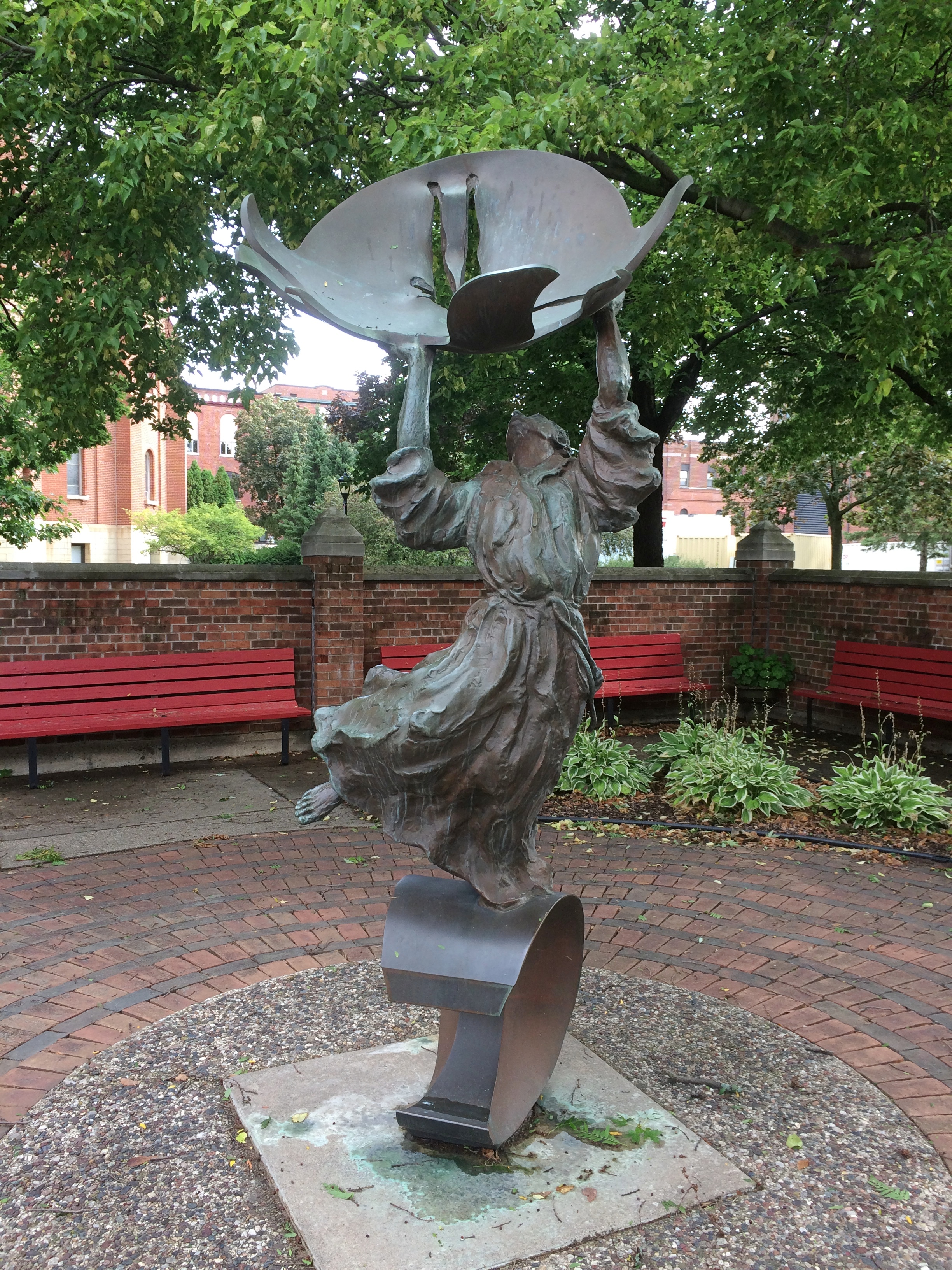
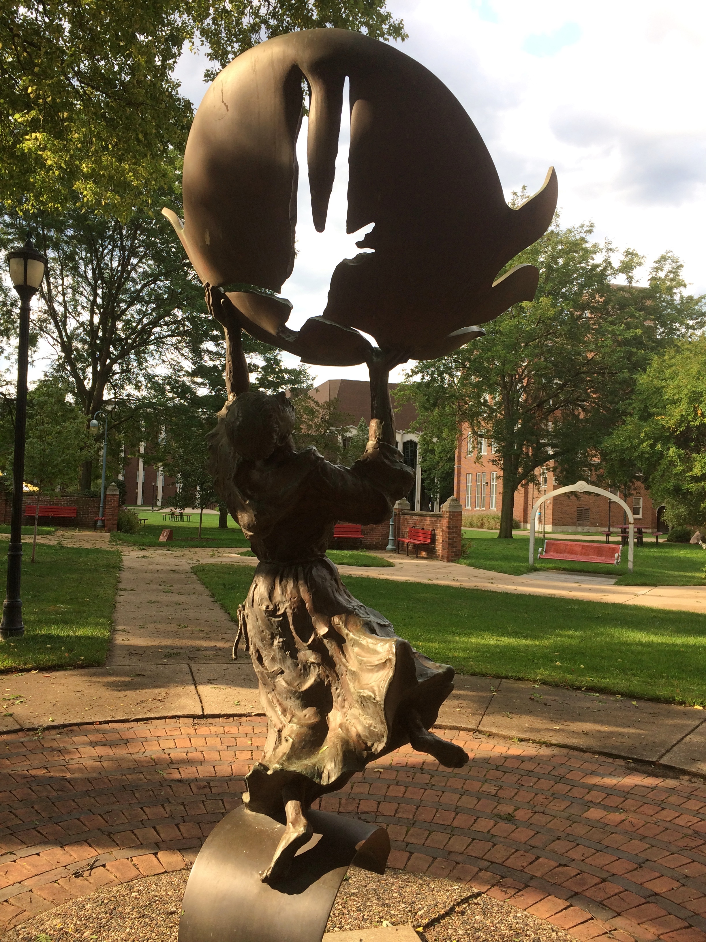
Viterbo UniversityThe campus features a number of statues, including “Dancing Francis,” by Paul Granlun.Viterbo University Dancing Francis

Viterbo University Dancing Francis

A work that’s still yet exudes motion. Francis inspires poses in motion. I didn’t realize until I read about this statue that Francis is depicted standing on a crescent moon.

Two Wisconsin Vistas: Granddad Bluff Park & Tower Hill SP

On Tuesday night late, a storm blew threw, bringing rain and fall-like temps, and leaving Wednesday wet and cool and gray. Today wasn’t quite so cool, but still not summer-like. It will be warm again, but this is our first taste of fall.

Late Saturday afternoon, we made our way to Granddad Bluff Park in La Crosse. Unlike some of the other vistas we’ve taken in recently, you can drive most of the way to the overlook at Granddad Bluff. From the parking lot, it’s a short walk to the edge of the bluff.

Granddad's Bluff

Granddad's Bluff

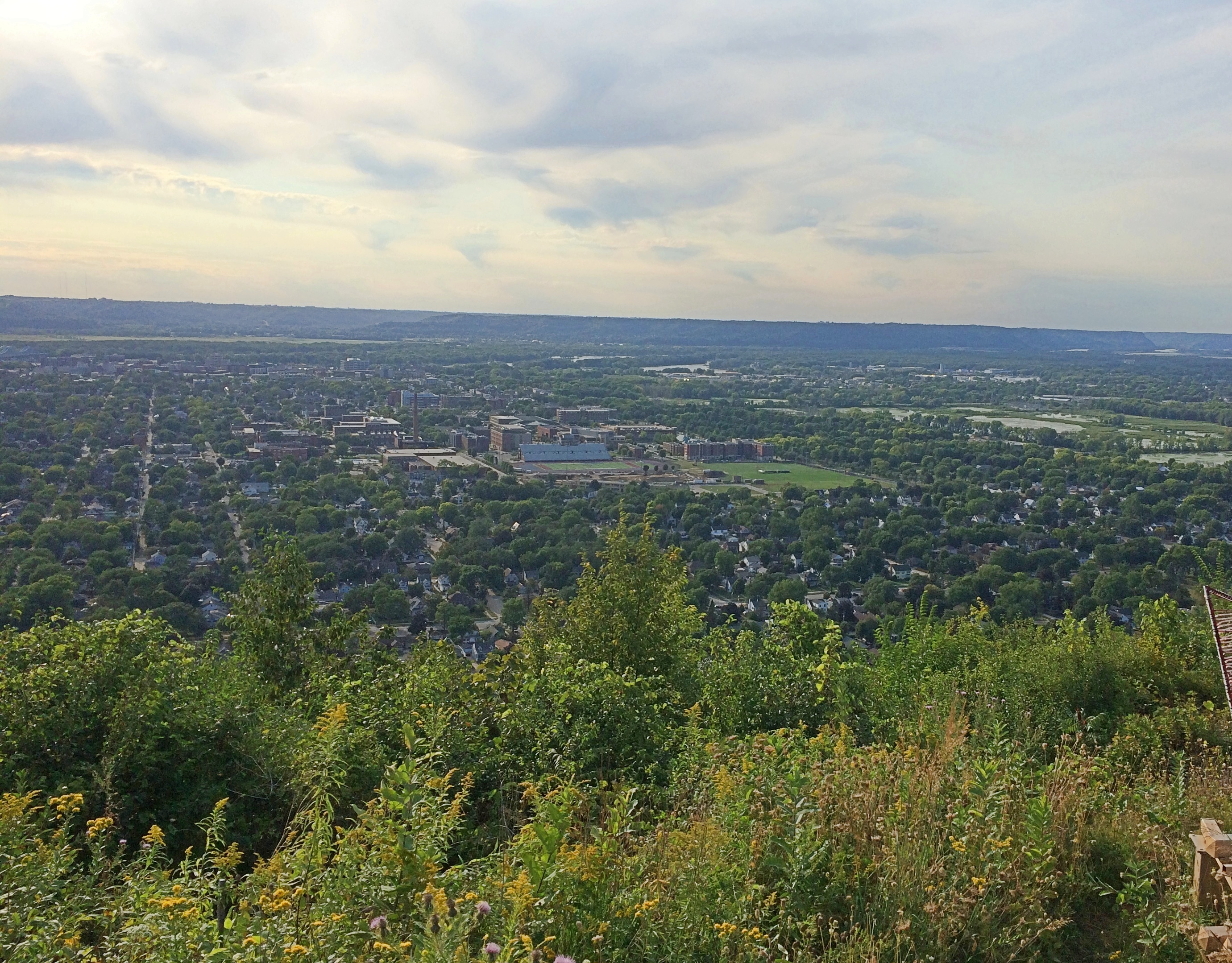
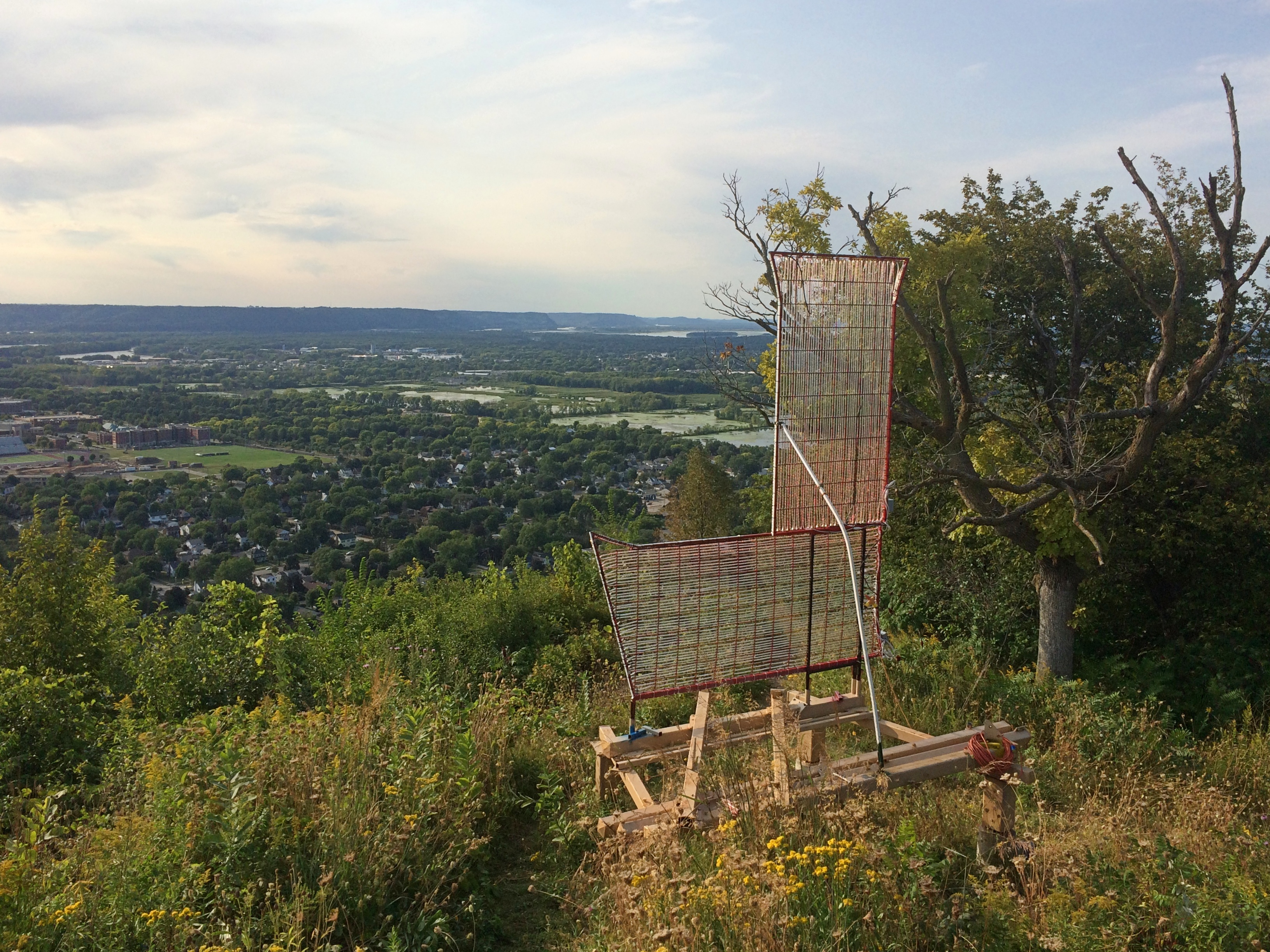
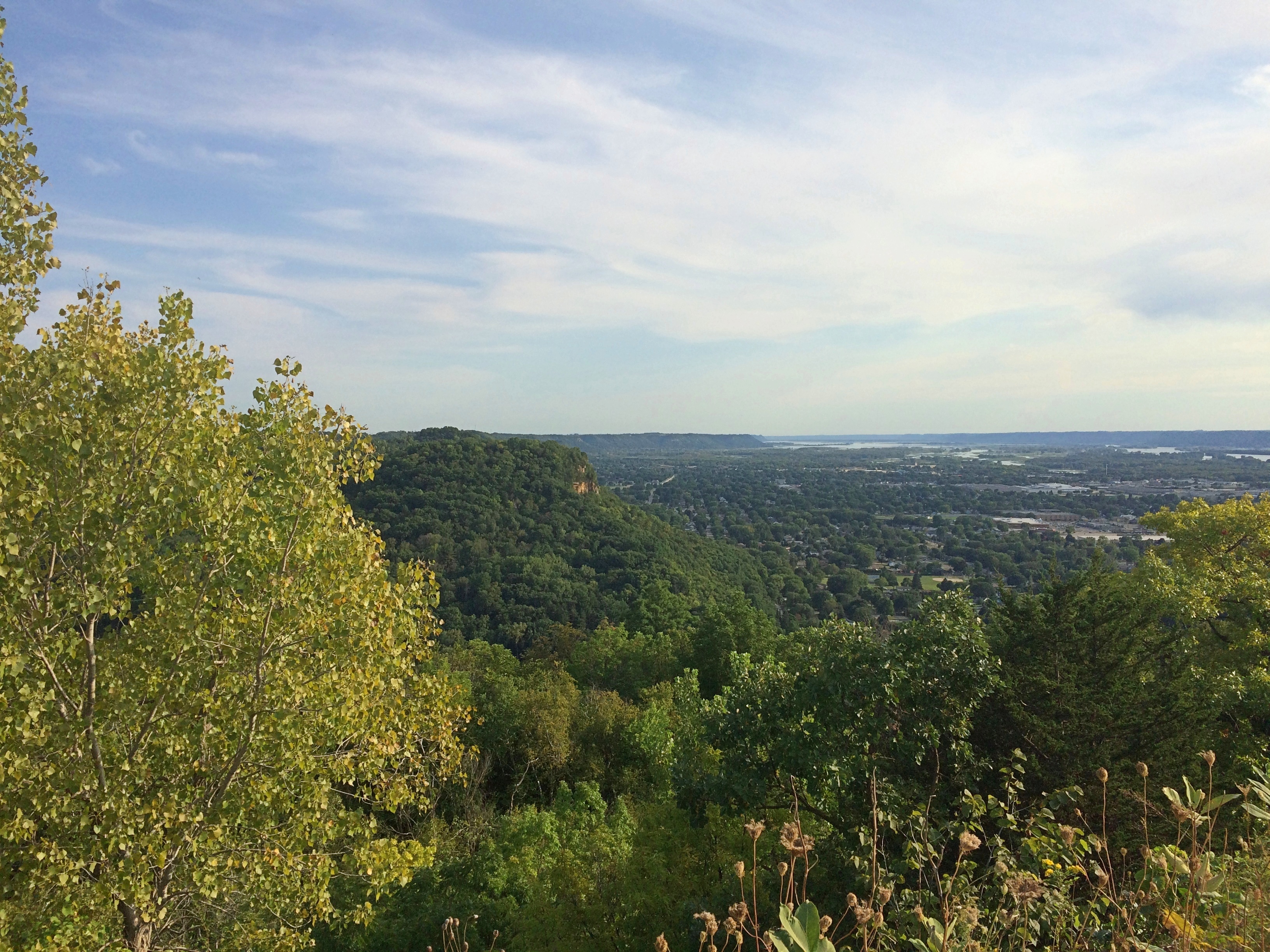
Not sure about that L. I suppose it stands for La Crosse. I didn’t see any other letters to spell out the name, Hollywood Sign-style.Granddad's BluffGranddad's BluffGranddad's BluffNice views. La Crosse spreads out to the west of the bluff. The city, pop. 51,000 or so, mostly hugs the Mississippi just south of where the Black River joins it.

I’d have guessed that roving Frenchmen founded the place, but apparently not. Lt. Zebulon Pike passed this way in 1805 and called the area Prairie La Crosse, but the town wasn’t founded until 1841 when a New Yorker named Nathan Myrick showed up.

“Myrick found a partner [and] in Nov. 1841, borrowed an army keelboat and a stock of trader’s goods, and poled up the Mississippi River to Prairie la Crosse (now La Crosse, Wis.),” explains the Clark County History Buffs. “There they built a cabin, the first in La Crosse, and became successful in the Indian trade…”

I have my own tenuous connection to La Crosse, even though last weekend was the first time I’d more than passed through the town. La Crosse is the first place I ever saw in Wisconsin, back in 1978 as our bus rolled through, probably on I-90 at the northern edge of town. I remember being impressed by the rolling hills after traveling through so much Midwestern flatland.

We buzzed through in 2005 on the way to Yellowstone, and I thought then it would be good to visit La Crosse someday. The day happened to be September 5, 2020, first with a look from Granddad Bluff.

The bluff was a source of quarried rock in the 19th century, but as a lookout and prominent local feature, La Crosse residents have reportedly always been fond of the place. So much so that more than 100 years ago, when they believed a new owner was doing to destroy it for stone, a wealthy local resident arranged for the city to acquire it for a park.

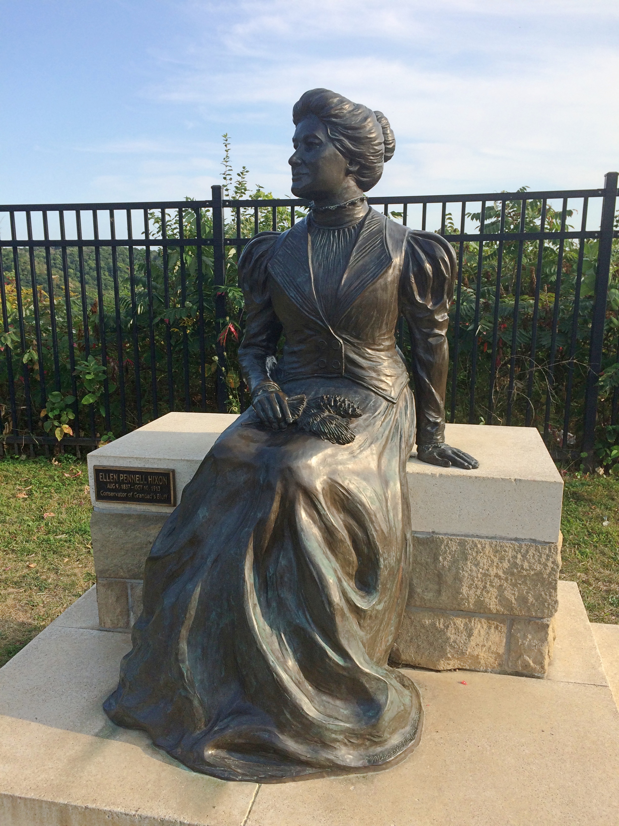
Here she is in the park: Ellen Hixon, depicted in a bronze by Wisconsin artist Mike Martino.Granddad's Bluff Ellen Hixon statue“A subscription was organized and Ellen P. Hixon, encouraged by two of her sons, Frank and Joseph, donated $12,000 to start the fund,” a sign near the bronze says. In current money, that’s more than $310,000. She was the widow of a local lumber baron, Gideon Hixon. Their house is now a museum, which is only open in a limited way now.

“About twenty other local benefactors and companies then contributed another $3,000 to purchase adjacent lands and to fund roads and other improvements. By 1912 the Hixon family was able to transfer title for the property to the city for use as a public park, and the bluff was saved.”

Good for her. As legacies go, Granddad Bluff’s a pretty good one.

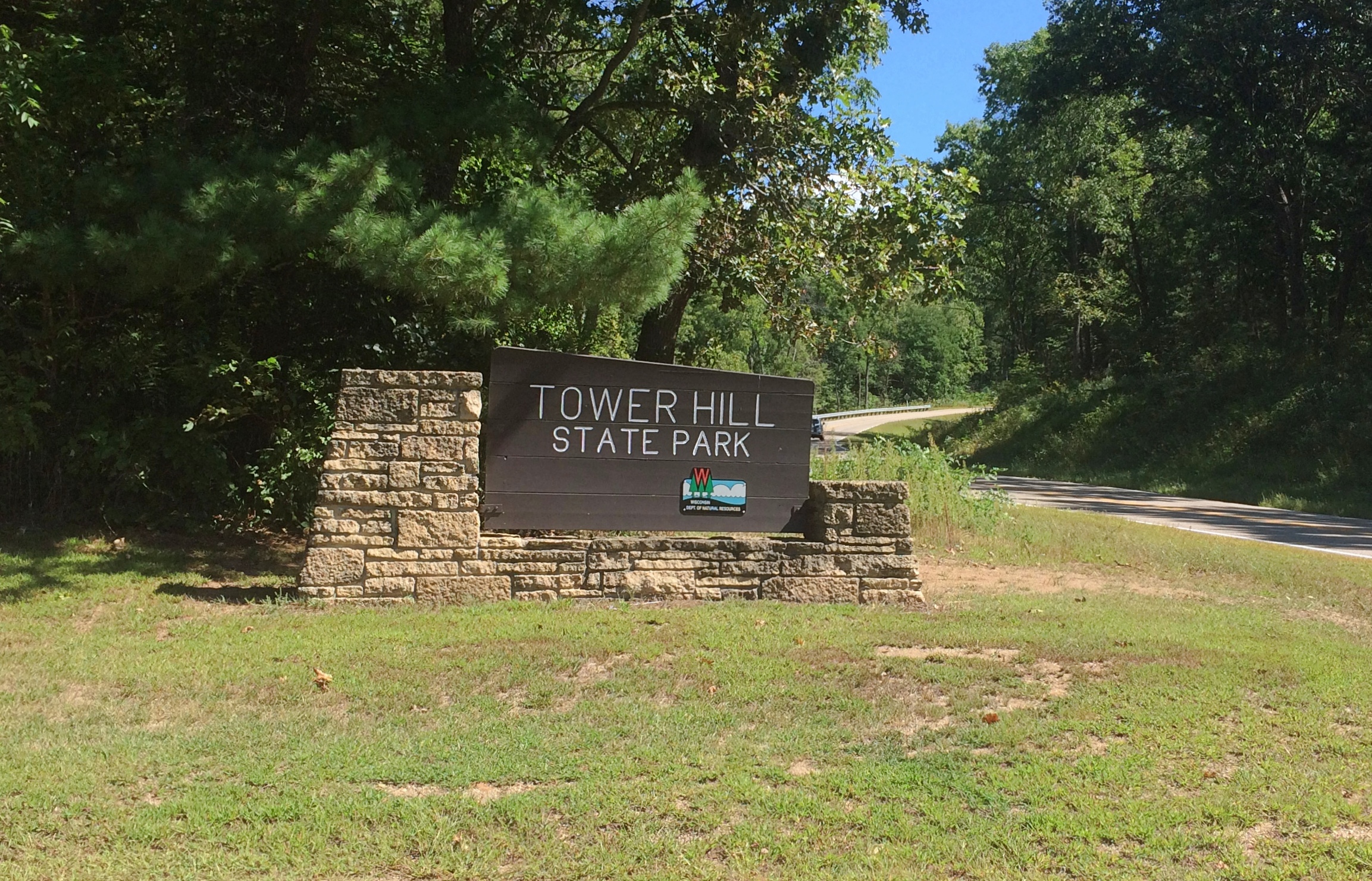
Earlier in the day, we stopped briefly at Tower Hill State Park near Spring Green, Wisconsin, which is better known for Taliesin.Tower Hill State Park

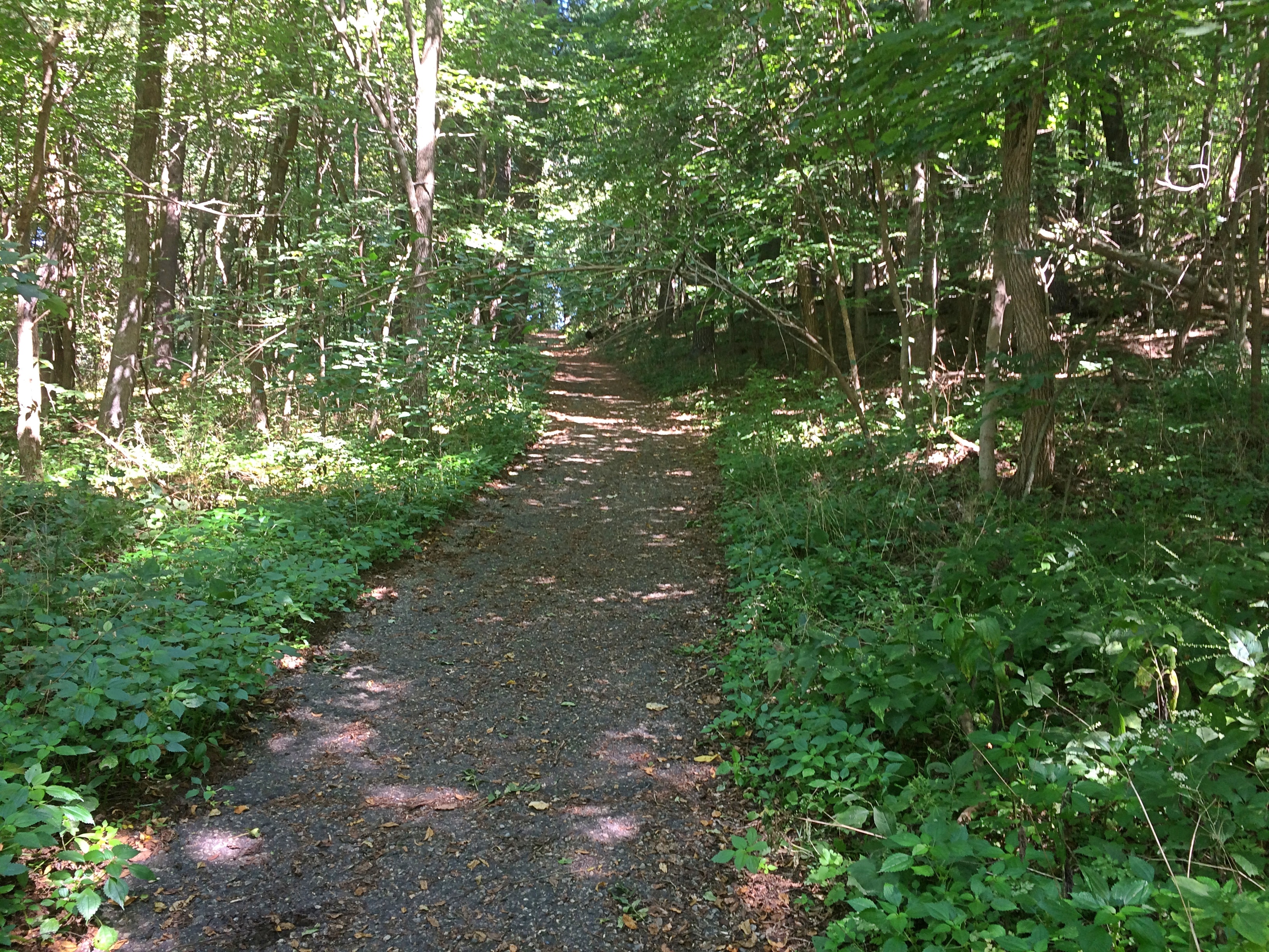
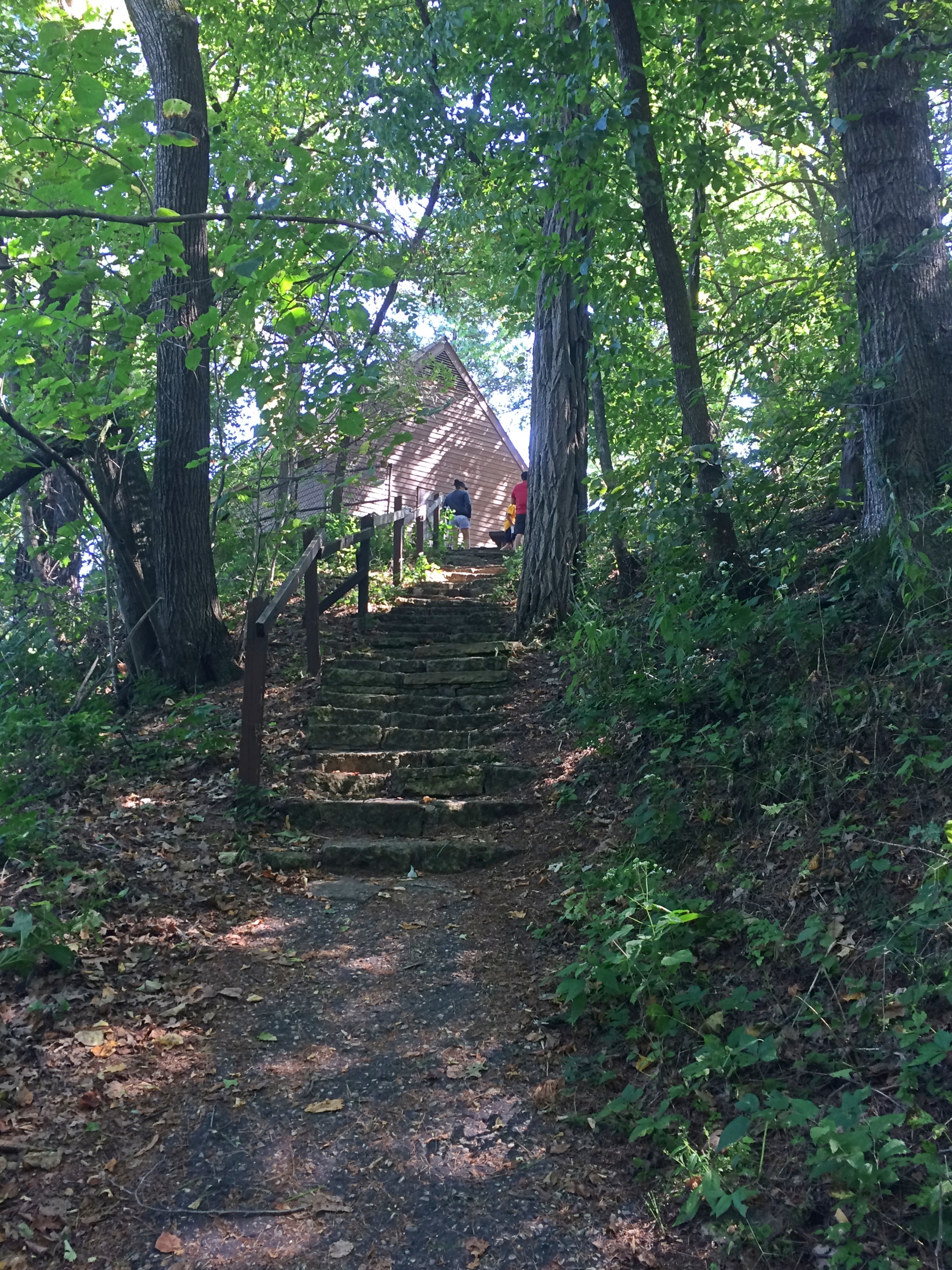
It too offers a good vista, but you have to climb a hill to see it.
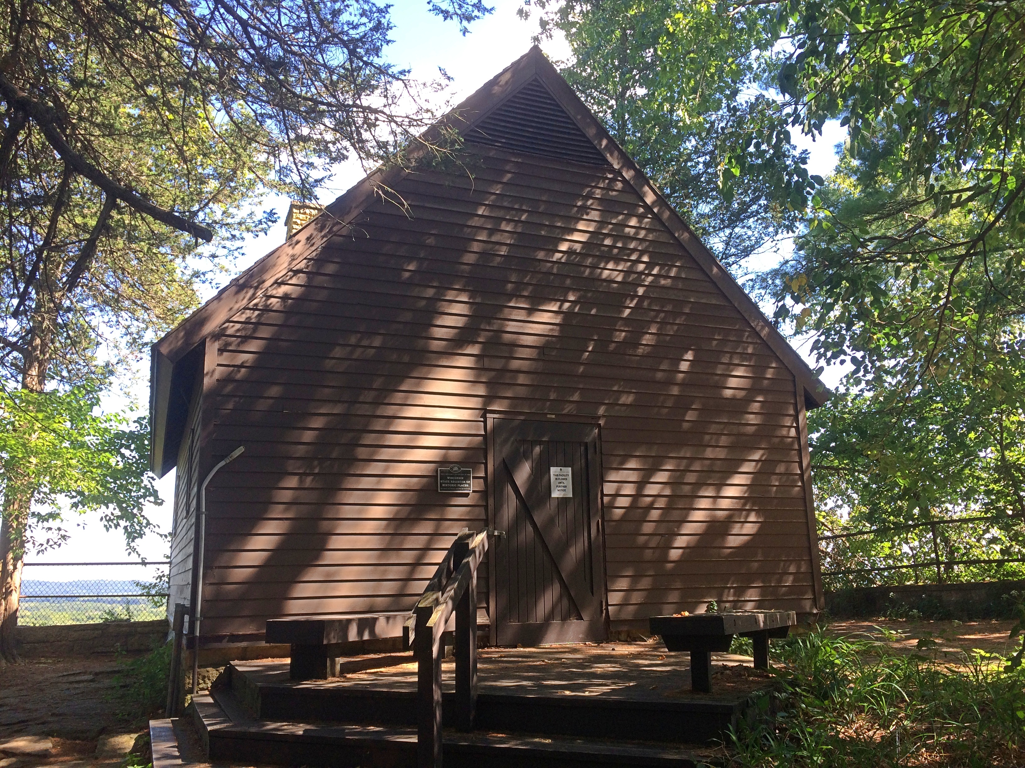
Tower Hill State ParkAt the top of the bluff is a reconstruction of the Helena Shot Tower. It’s closed for now.
Tower Hill State ParkTower Hill State ParkIn the early 1830s, a Green Bay businessman named Daniel Whitney had the shot tower built for the manufacture of lead shot. Molten lead dropped from a height forms into globes on the way down, which harden when hitting a pool of water below.

You’d think such an operation would do serious business during the Civil War, but it was closed by then. Later Jenkin Lloyd Jones, who was Frank Lloyd Wright’s uncle, developed a retreat on the site. His widow gave it to the state of Wisconsin, which created the park in the 20th century and had the shot tower rebuilt.

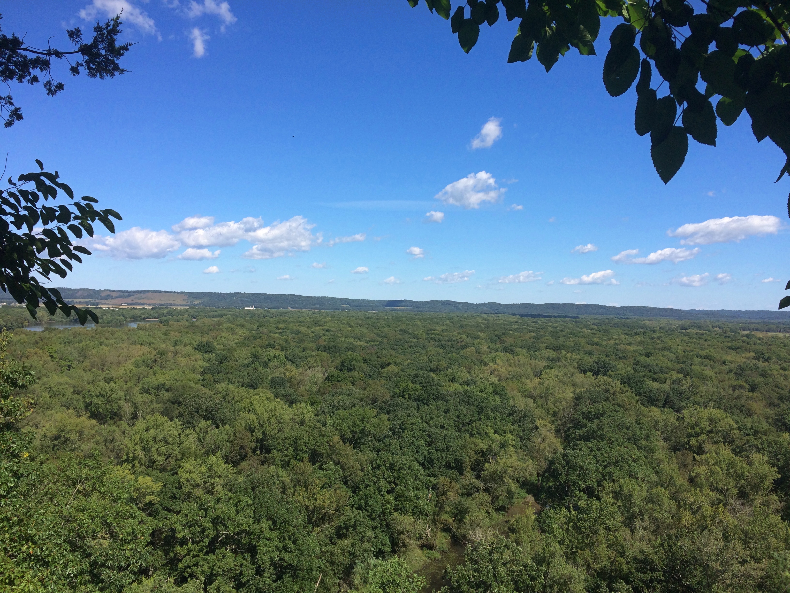
The view from near the shot tower is toward the Wisconsin River.
Tower Hill State ParkWorth the climb, which wasn’t nearly as exhausting as Devil’s Lake SP or Starved Rock SP or Wyalusing SP or Effigy Mounds NM. Been quite a summer for climbing hills, now that I think about it.

Shrine of Our Lady of Guadalupe, La Crosse

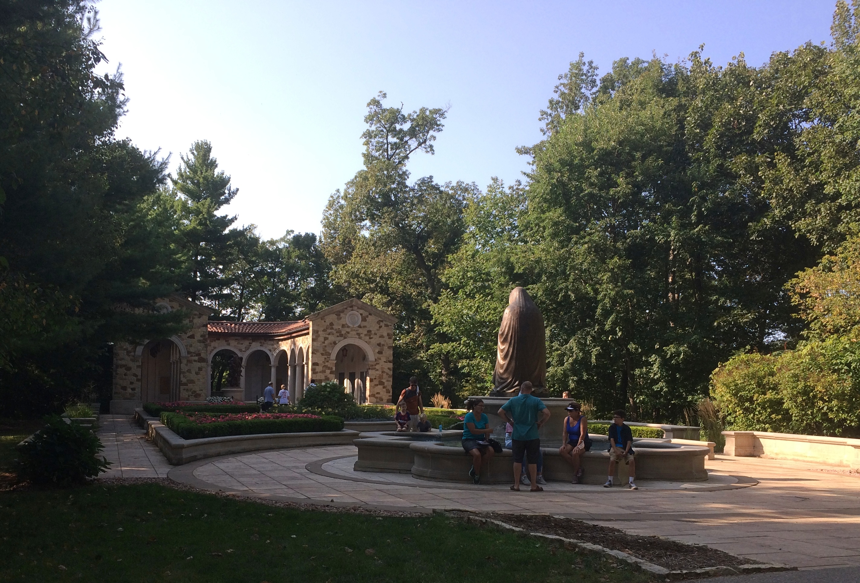
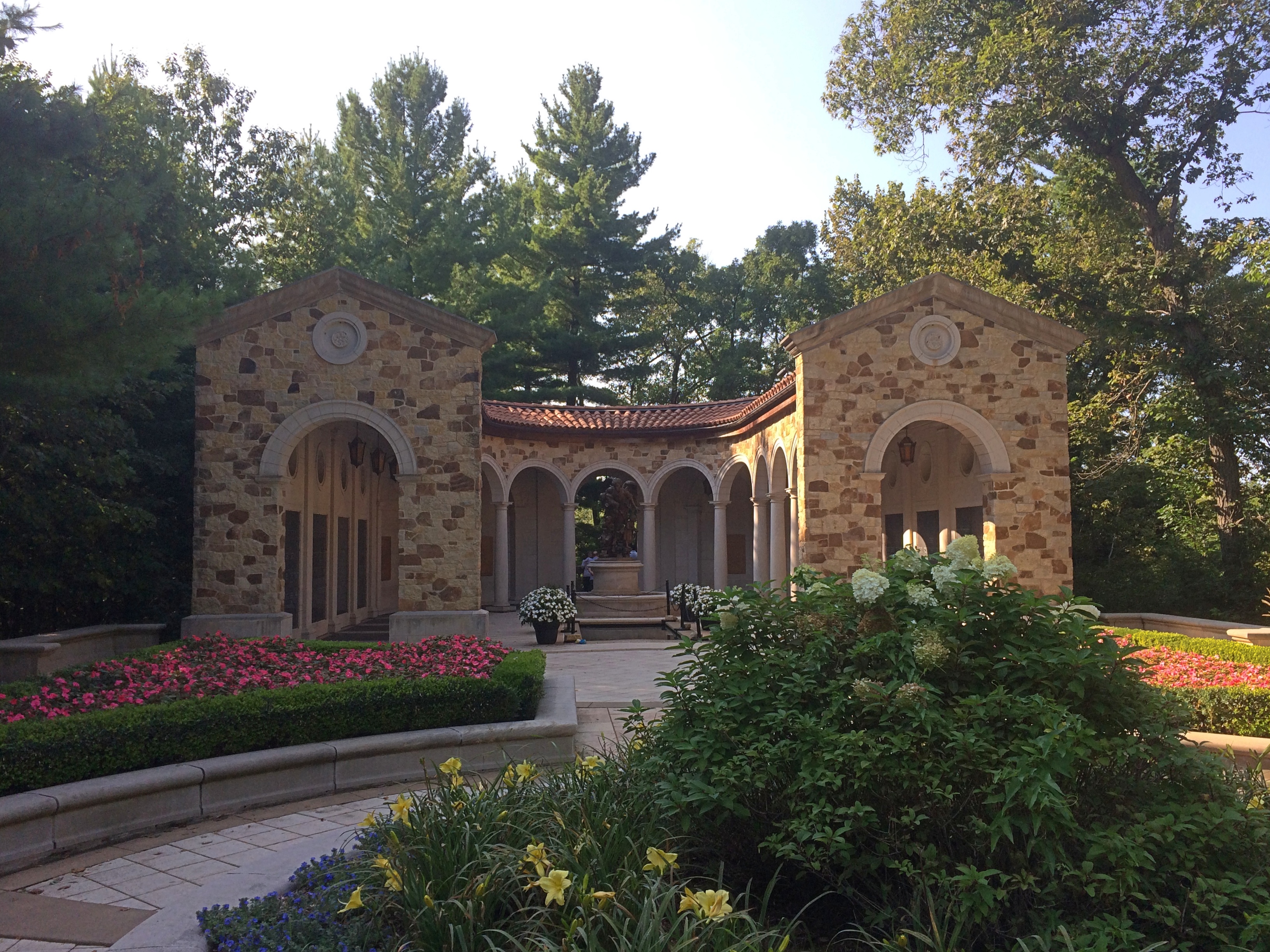
Turn off of U.S. 14 as you approach La Crosse, Wisconsin, from the east, and a small road goes a short way to the Shrine of Our Lady of Guadalupe. The shrine is no small affair, but rather a complex of buildings and sites, including a large shrine church, chapels, statues, memorials, devotion areas, the Stations of the Cross, a rosary walk, and a visitors center plus cafe and gift shop, mostly along a winding walking path through hilly, wooded territory.

Roughly 100 acres, I’ve read, and while it looks like a rural setting, according to Google Maps, the boundaries of the city of La Crosse reach down to the south like a dogleg to include the area around the shrine. Maybe the Diocese persuaded the City to annex the land, to facilitate city services.

Why La Crosse? As far as I can tell, because the former Bishop of La Crosse, lately Cardinal Raymond Leo Burke, really wanted a shrine. He asked permission of the Holy See, which agreed, though I like to think that at the bottom of one communique or another, the Vatican also said, you figure out how to pay for it.

Whatever the case, funds were obtained and construction began in 2004, with the shrine dedicated in 2008. So in the long history of Catholicism, the place is spanking new.

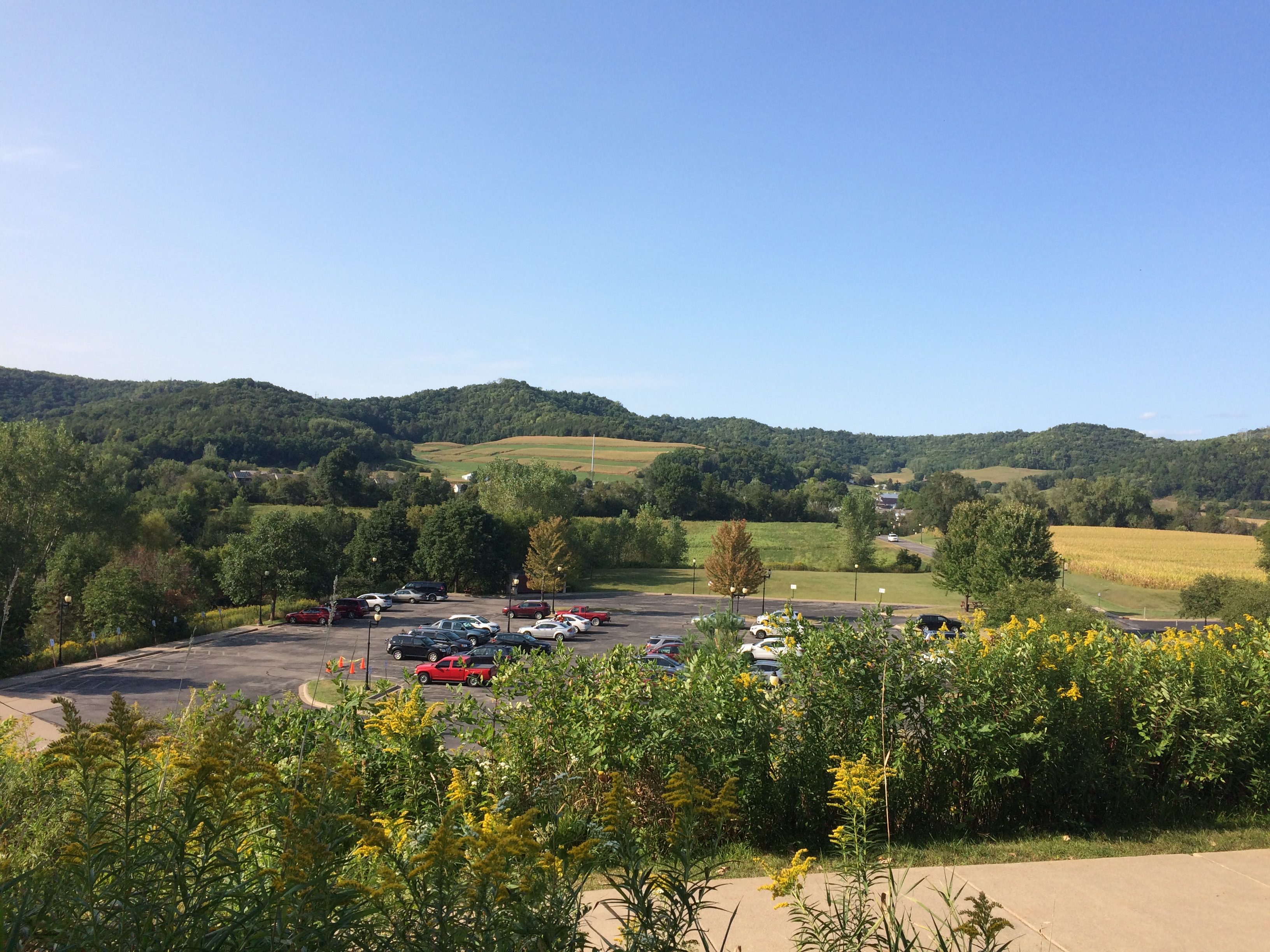
We arrived mid-afternoon on Saturday. Almost at once the curving path offers a nice view of the surrounding Driftless Area (and the parking lot).
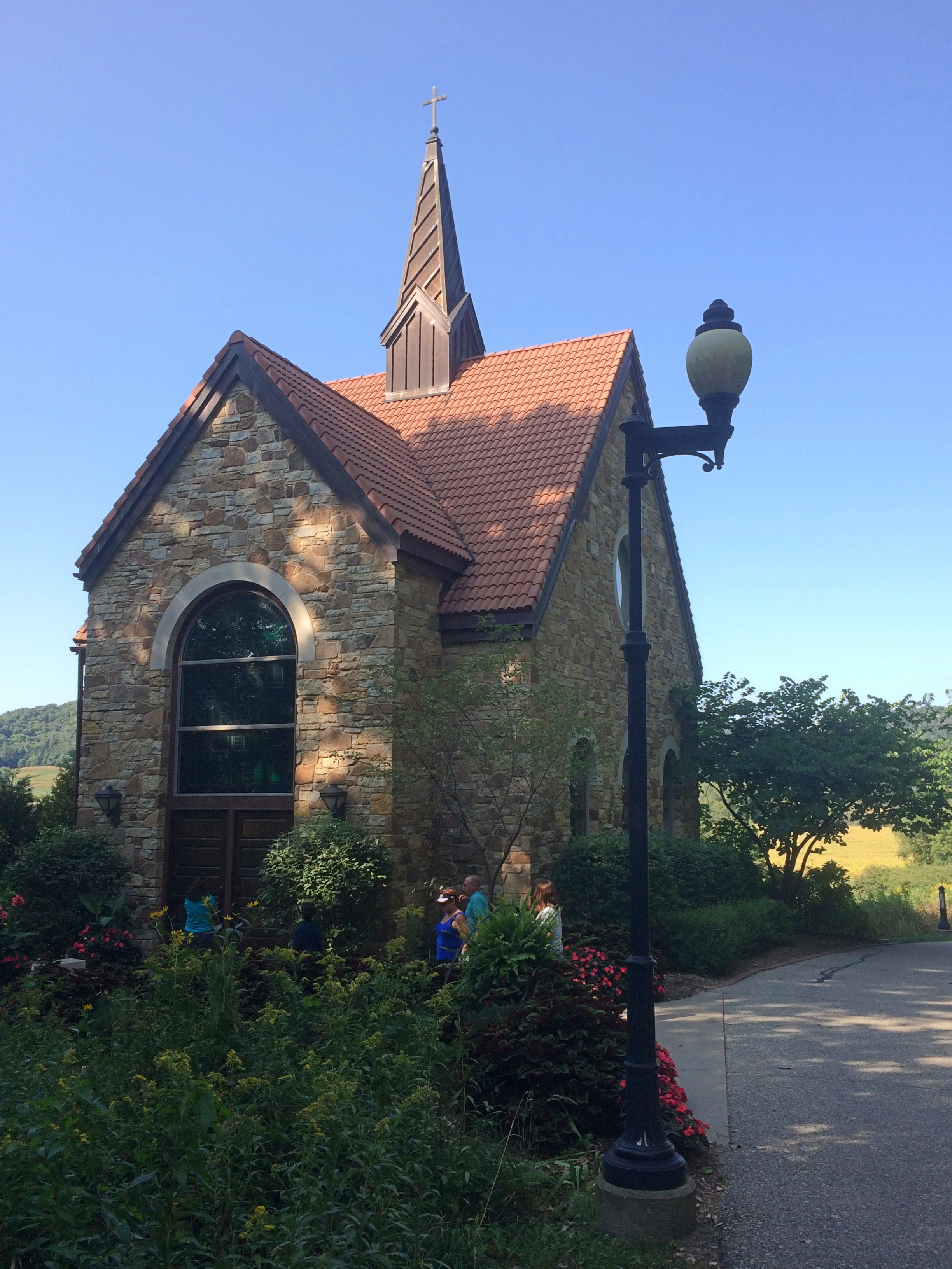
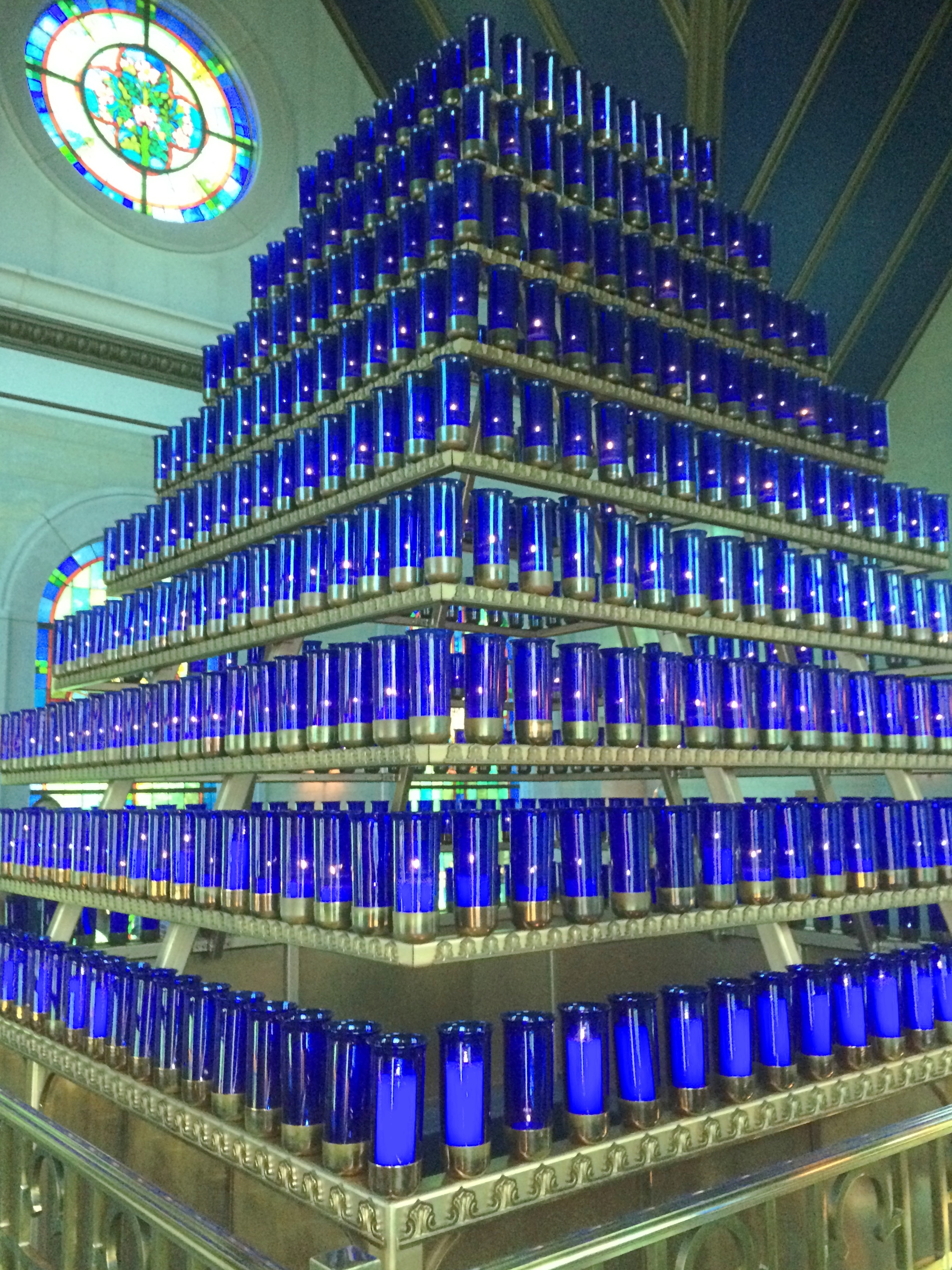
Shrine of Our Lady of GuadalupeThe first structure on the path is the Mother of Good Counsel Votive Candle Chapel, designed by the locally based River Architects, who have done a number of religious structures.
Shrine of Our Lady of GuadalupeI didn’t count them, but I’ve read there are 576 votive candles inside the chapel.
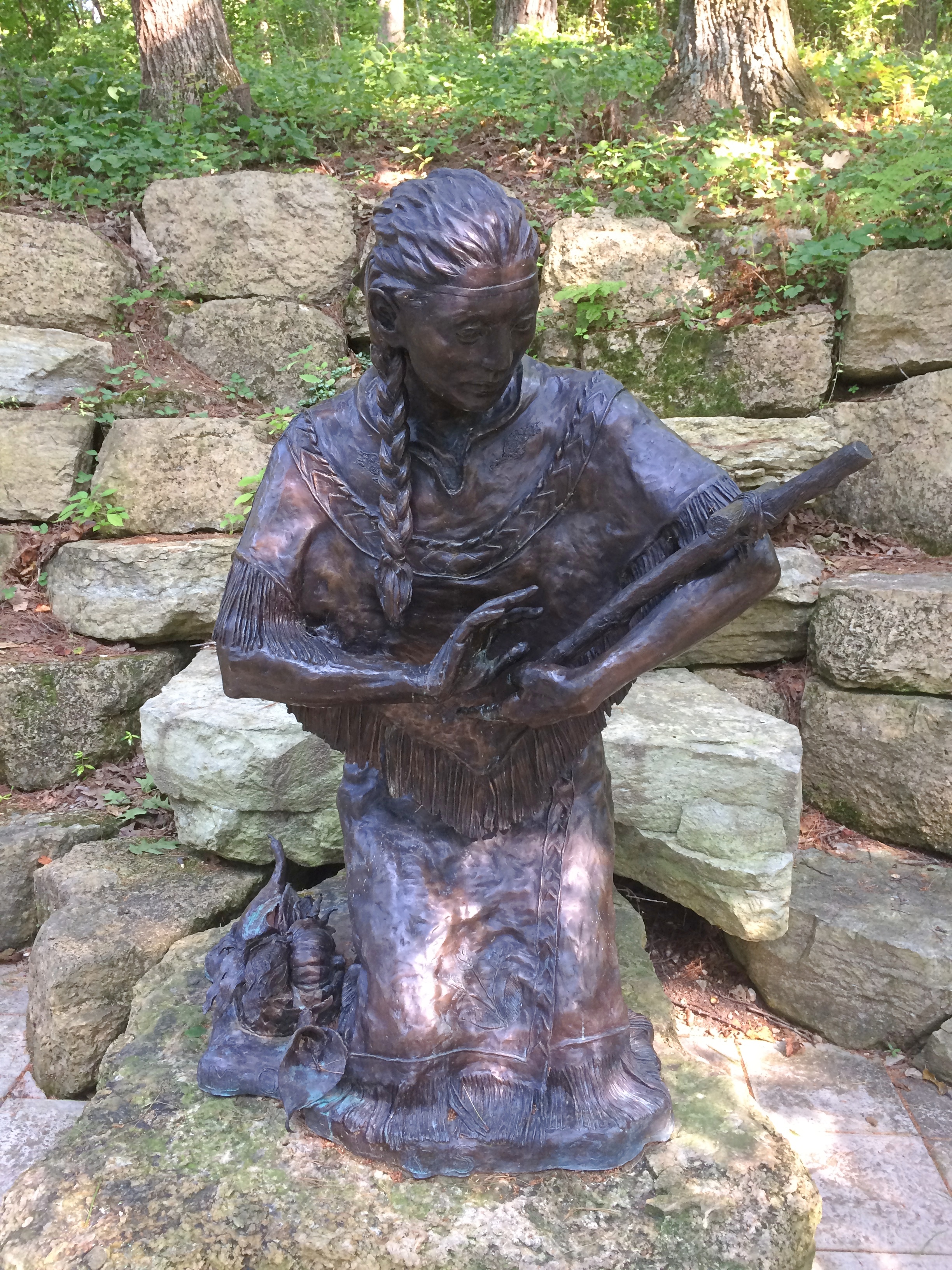
Shrine of Our Lady of Guadalupe votive chapelFurther along the path are devotional areas, including one featuring Saint Kateri Tekakwitha, Lily of the Mohawks, with a bronze by artist Cynthia Hitschler.
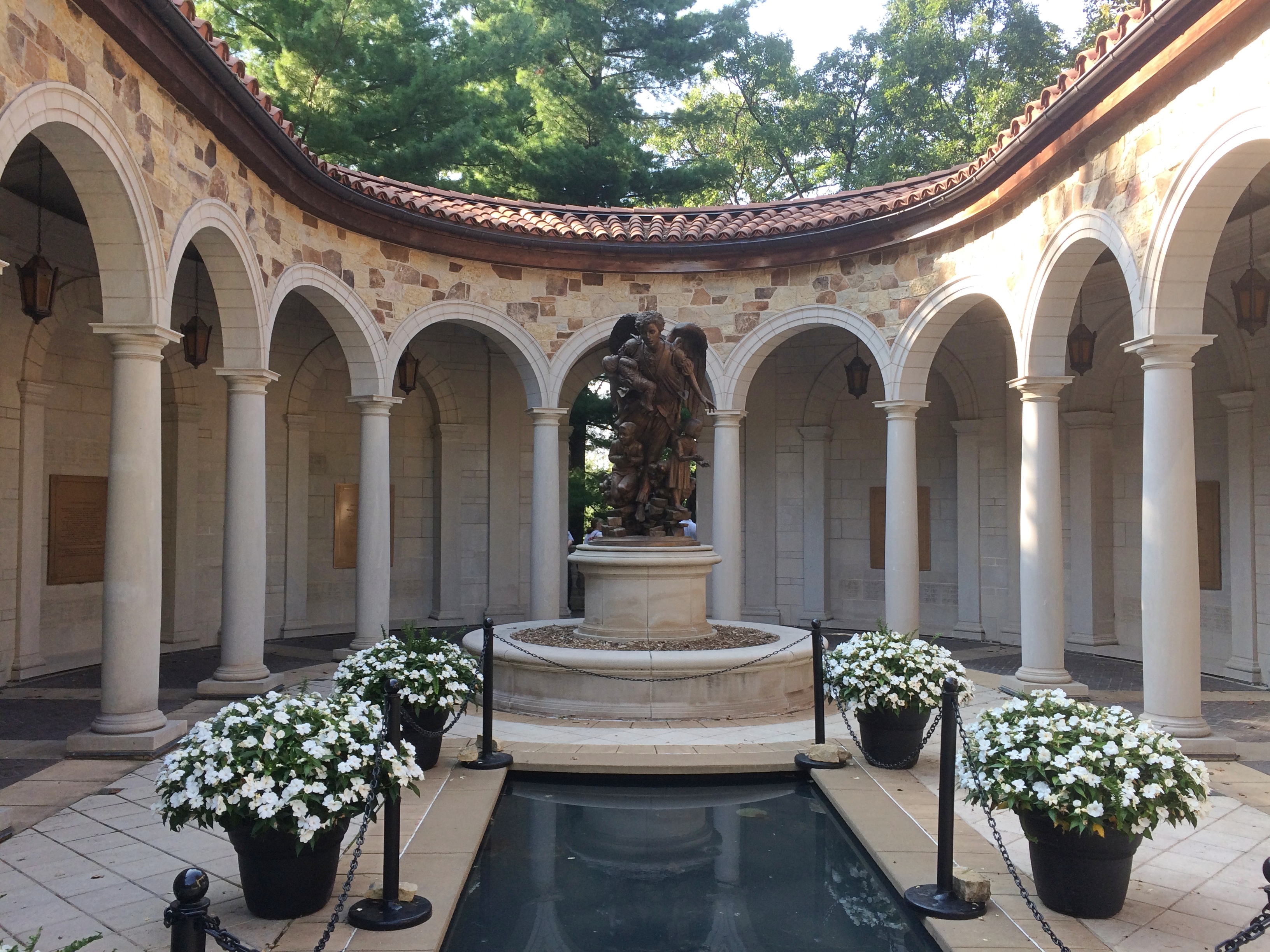
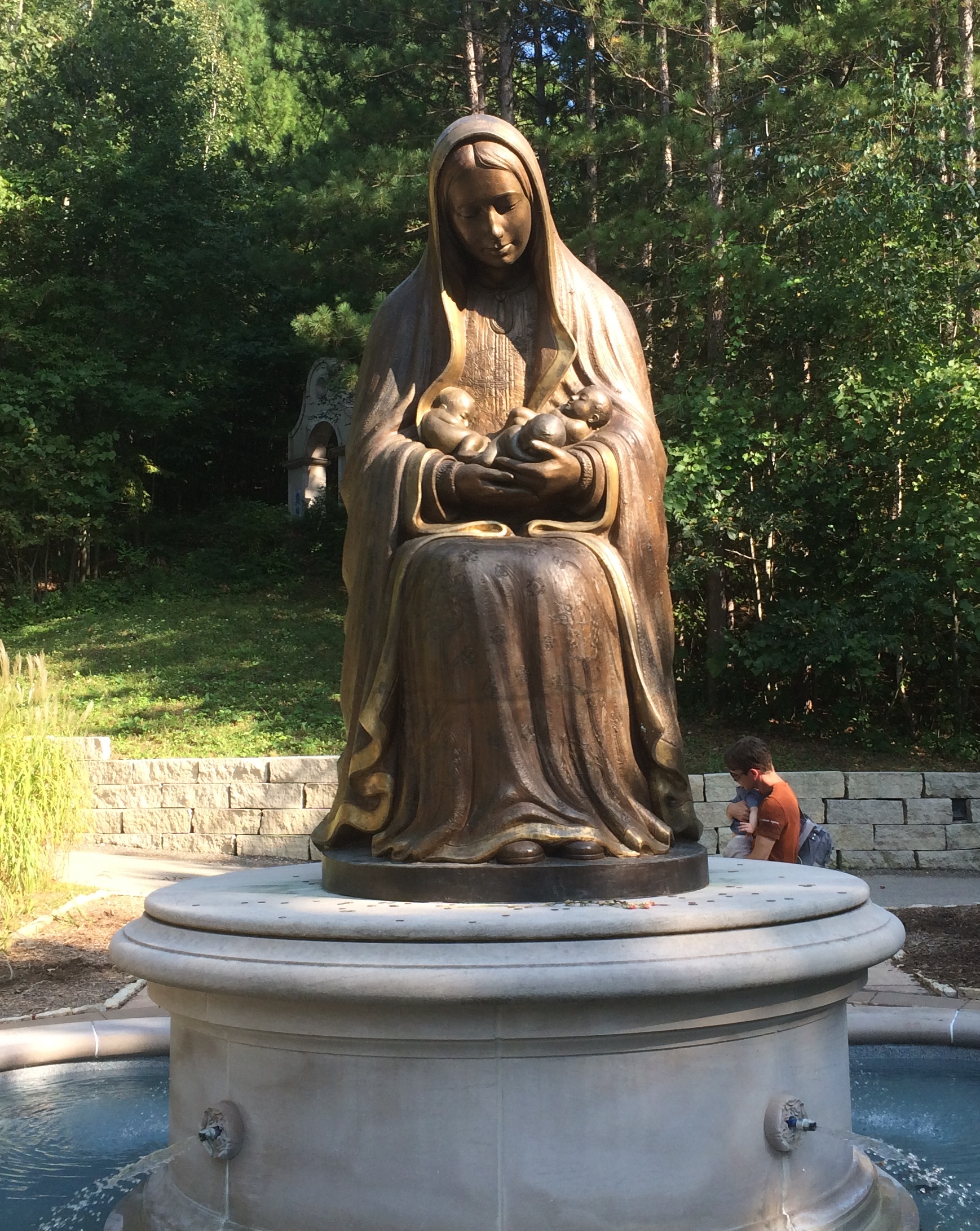
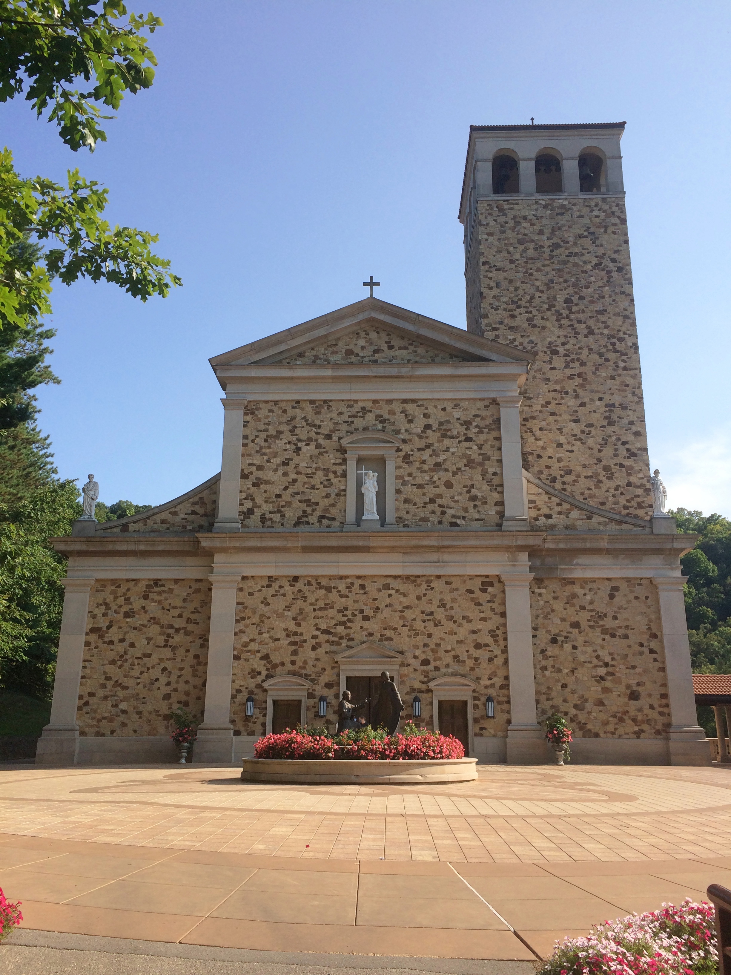
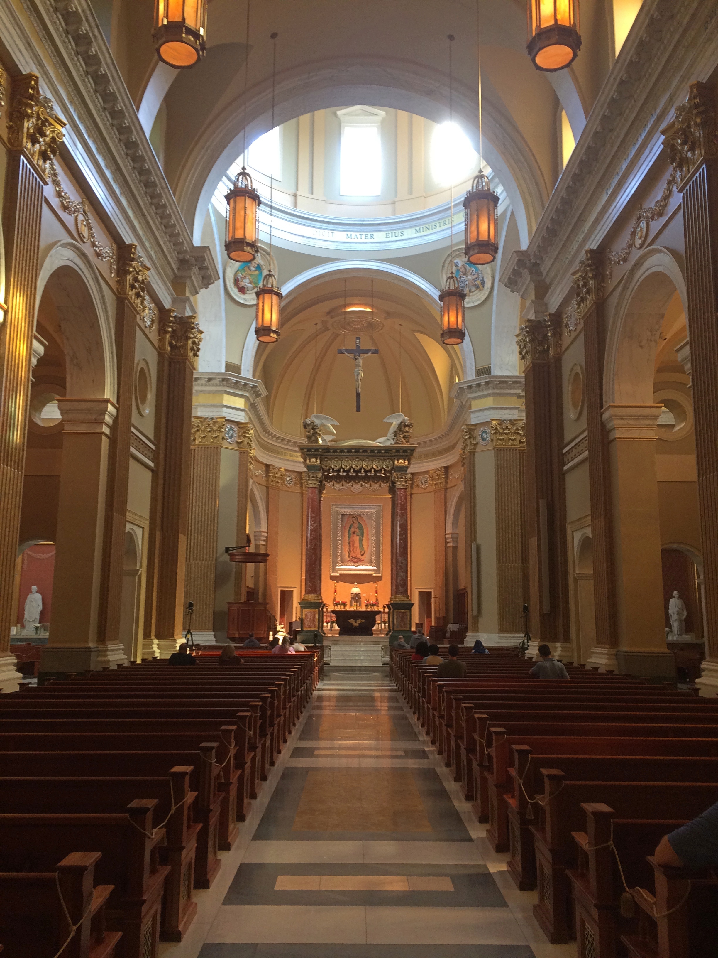
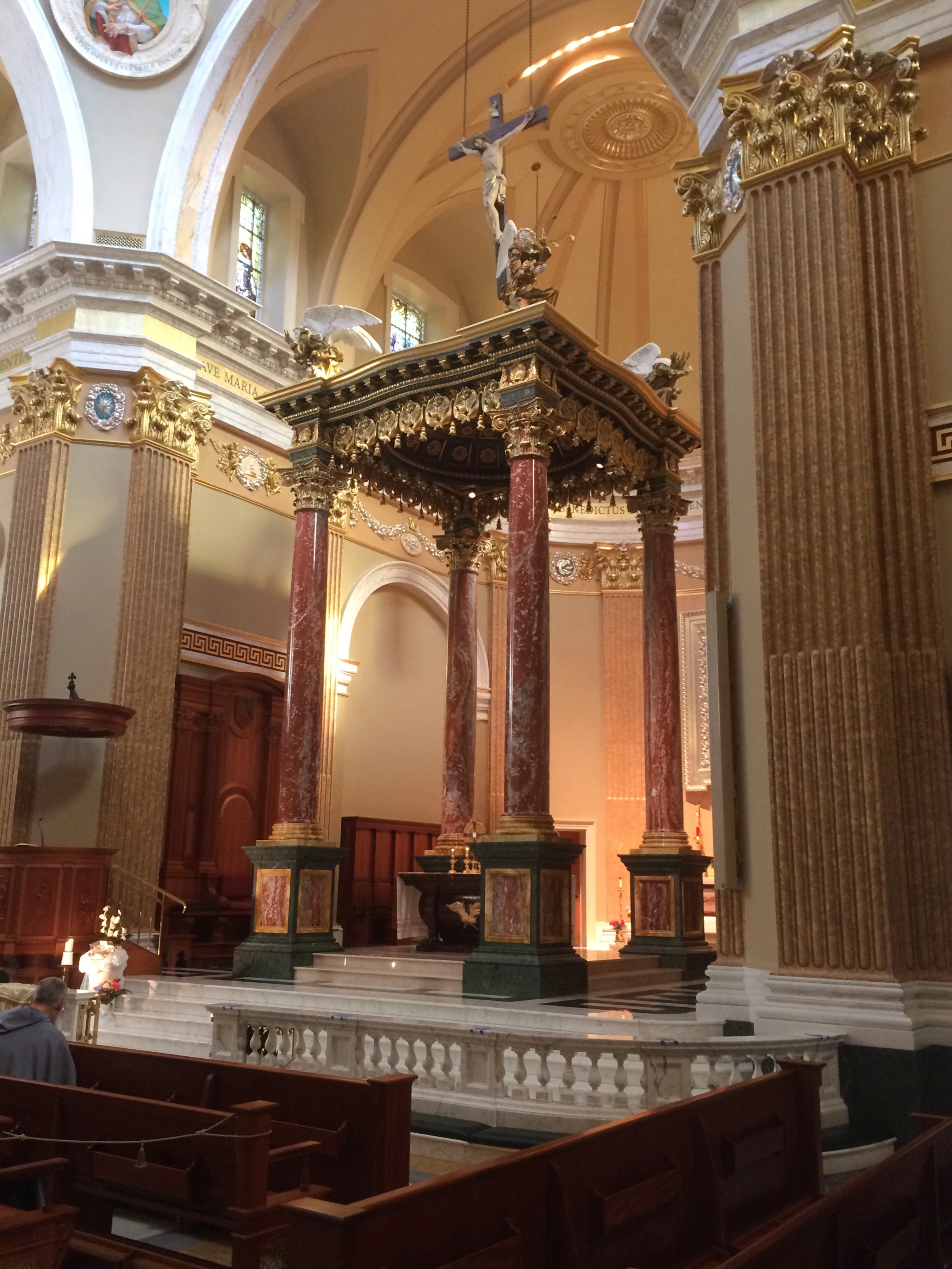
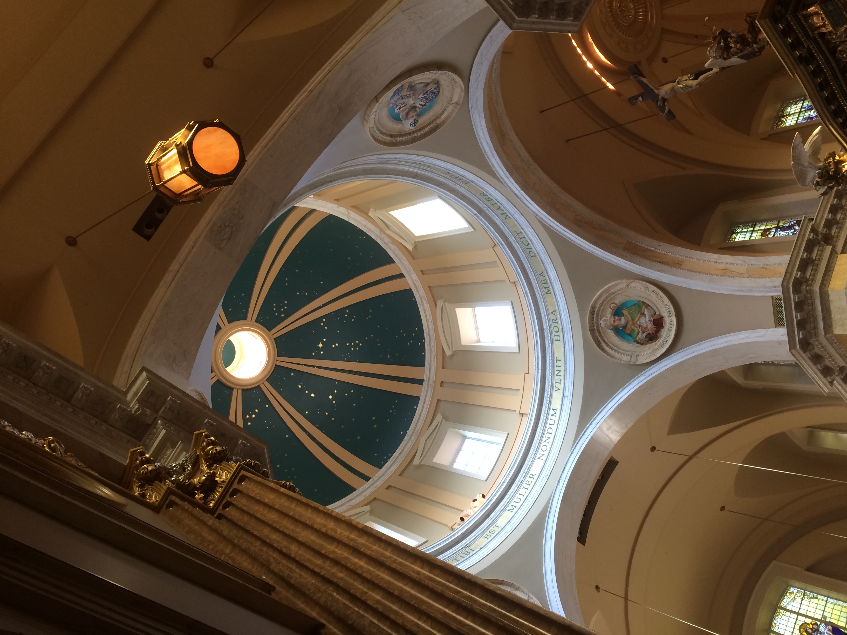
Shrine of Our Lady of Guadalupe Saint Kateri Tekakwitha, Lily of the MohawksAround a bend is the Memorial to the Unborn, also by River Architects.Shrine of Our Lady of Guadalupe Memorial to the UnbornShrine of Our Lady of Guadalupe Memorial to the UnbornShrine of Our Lady of Guadalupe Memorial to the UnbornShrine of Our Lady of Guadalupe Memorial to the UnbornNearby is a plaza fronting the Shrine Church, a design using stone from Minnesota and Wisconsin by Duncan Stroik, another specialist in sacred spaces. The interior takes inspiration from St. Mary Major in Rome.Shrine of Our Lady of Guadalupe Shrine ChurchShrine of Our Lady of Guadalupe Shrine ChurchShrine of Our Lady of Guadalupe Shrine ChurchShrine of Our Lady of Guadalupe Shrine ChurchOn the side walls are paintings, mostly of saints, along with reliquaries in glass cases under the paintings. I encountered one of Bl. Miguel Agustin Pro, S.J., with a reliquary containing one of his first-class relics, though the sign didn’t say what.
Shrine of Our Lady of Guadalupe Shrine ChurchI’d encountered him before, in wood, but without any relics.

La Crosse ’20

Last year for the Labor Day weekend, we headed east to the shores of Lake Huron. This year, we headed west to La Crosse, Wisconsin, which has its own water feature, the various channels of the Mississippi River.

The trip was structured like our visit to Prairie du Chien in July: Friday night in Madison, a slowish drive on U.S. 14 to La Crosse the next day, where we spent Saturday night, and then a somewhat faster return on Sunday afternoon, mostly on I-90. La Crosse was the destination, but we also stopped at various places along the way there and back.

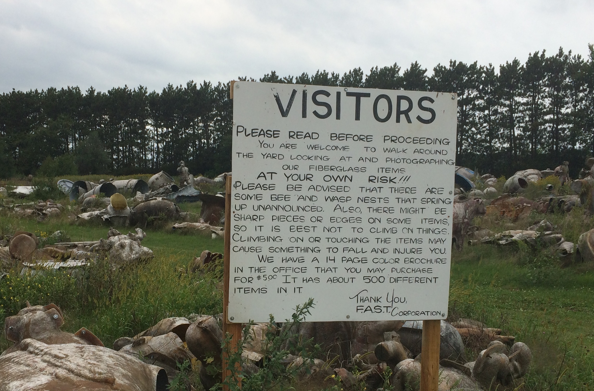
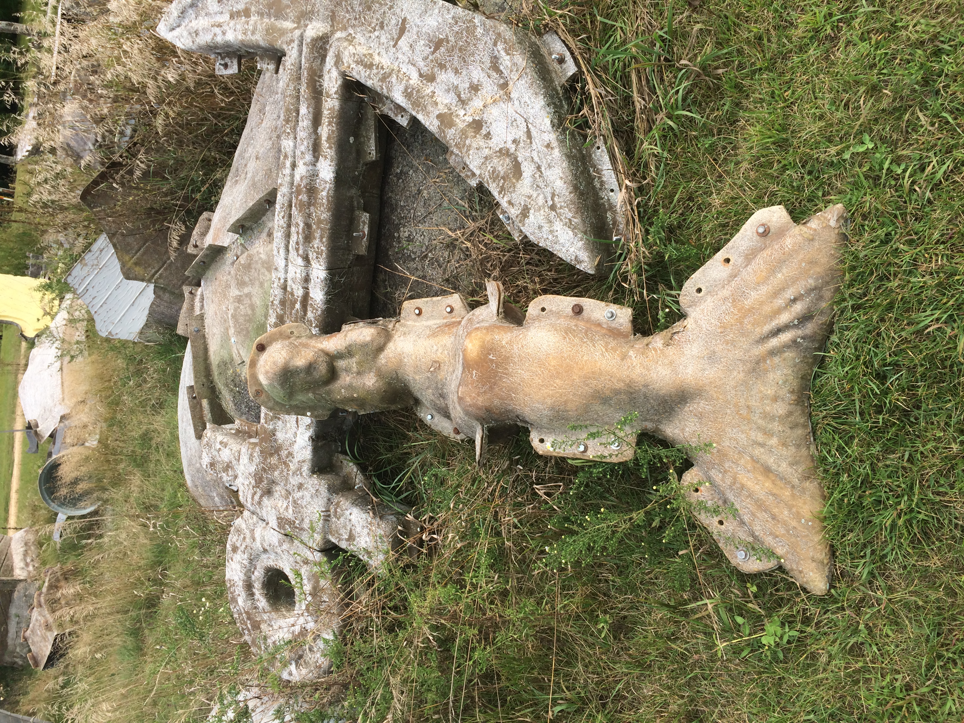
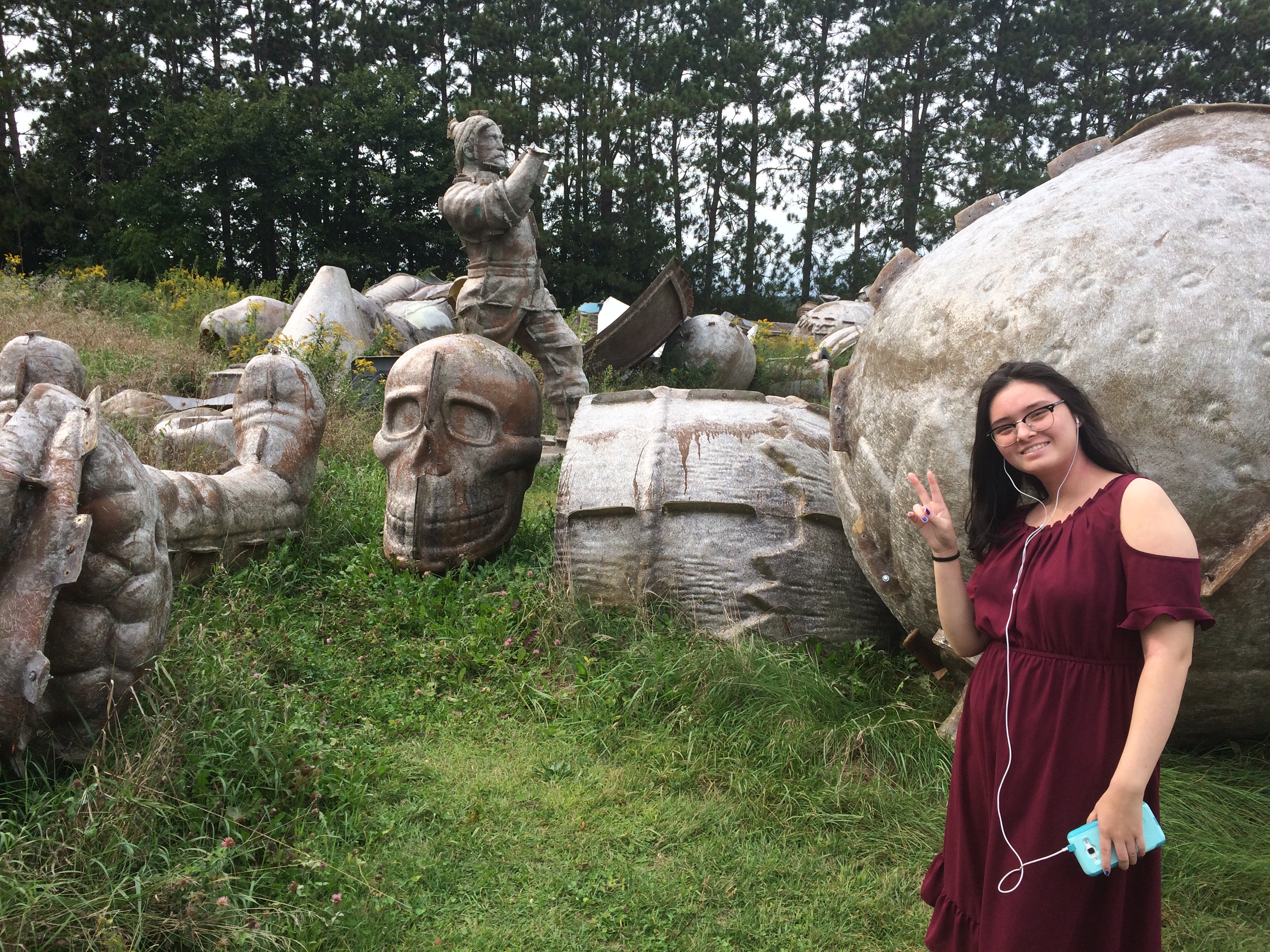
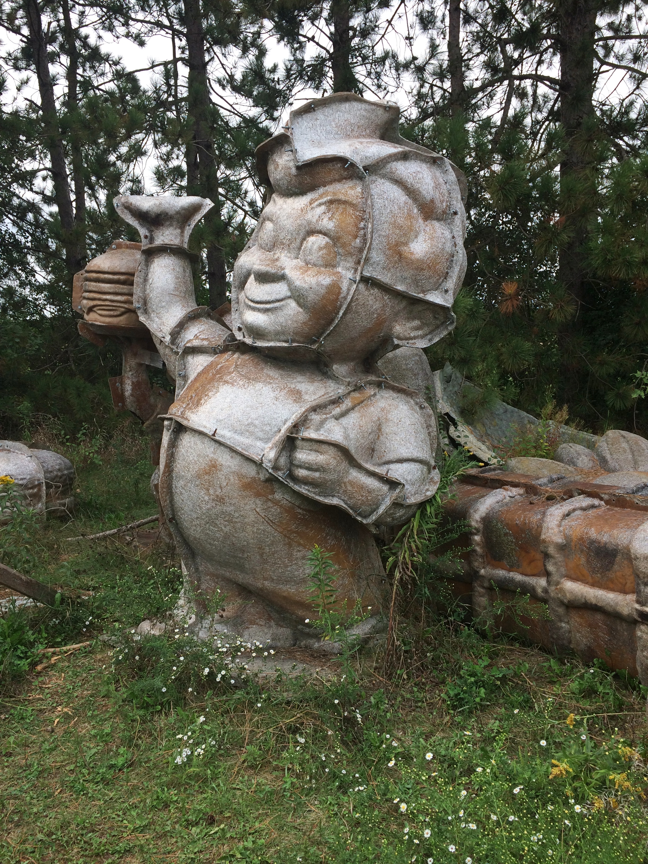
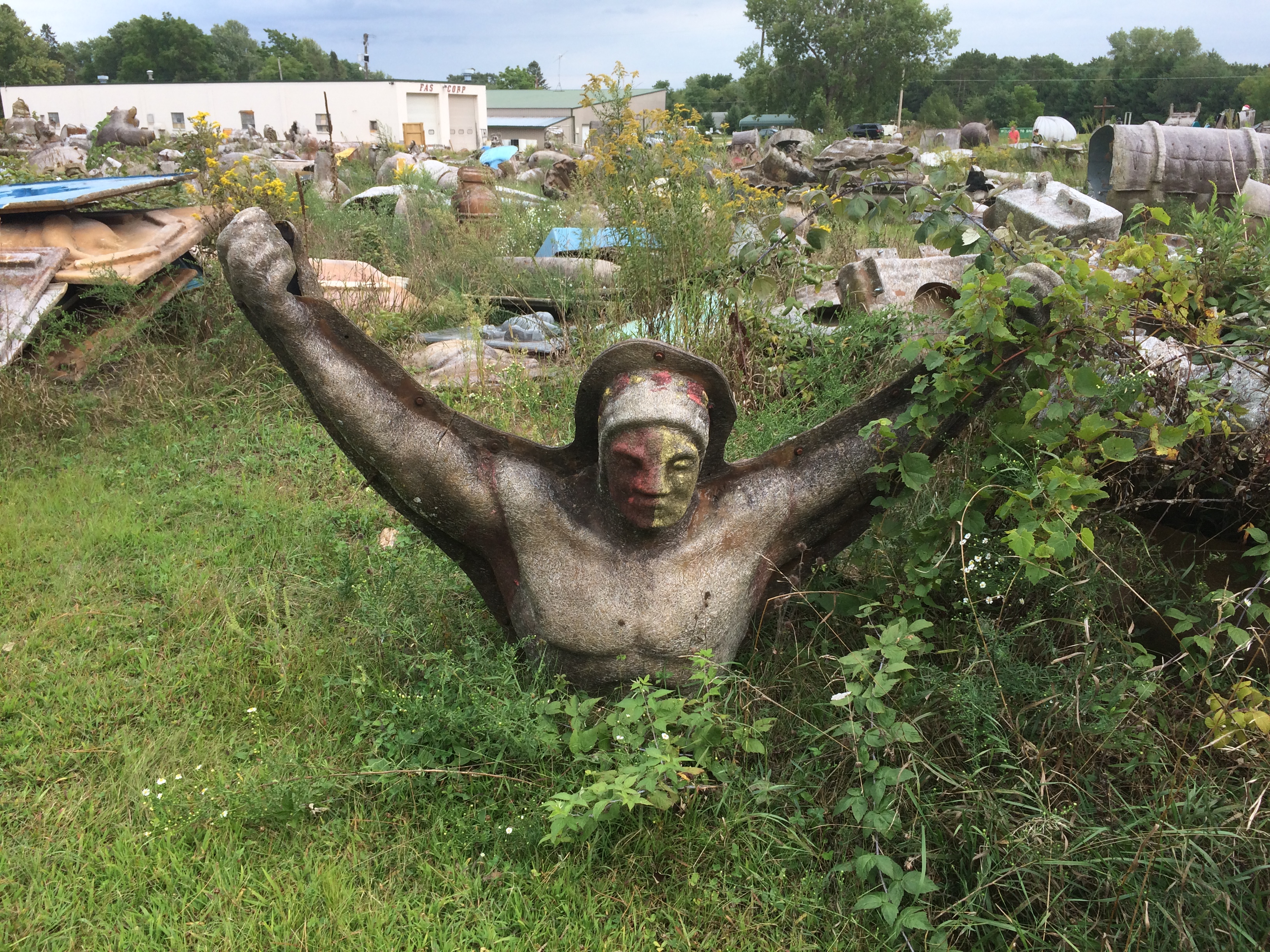
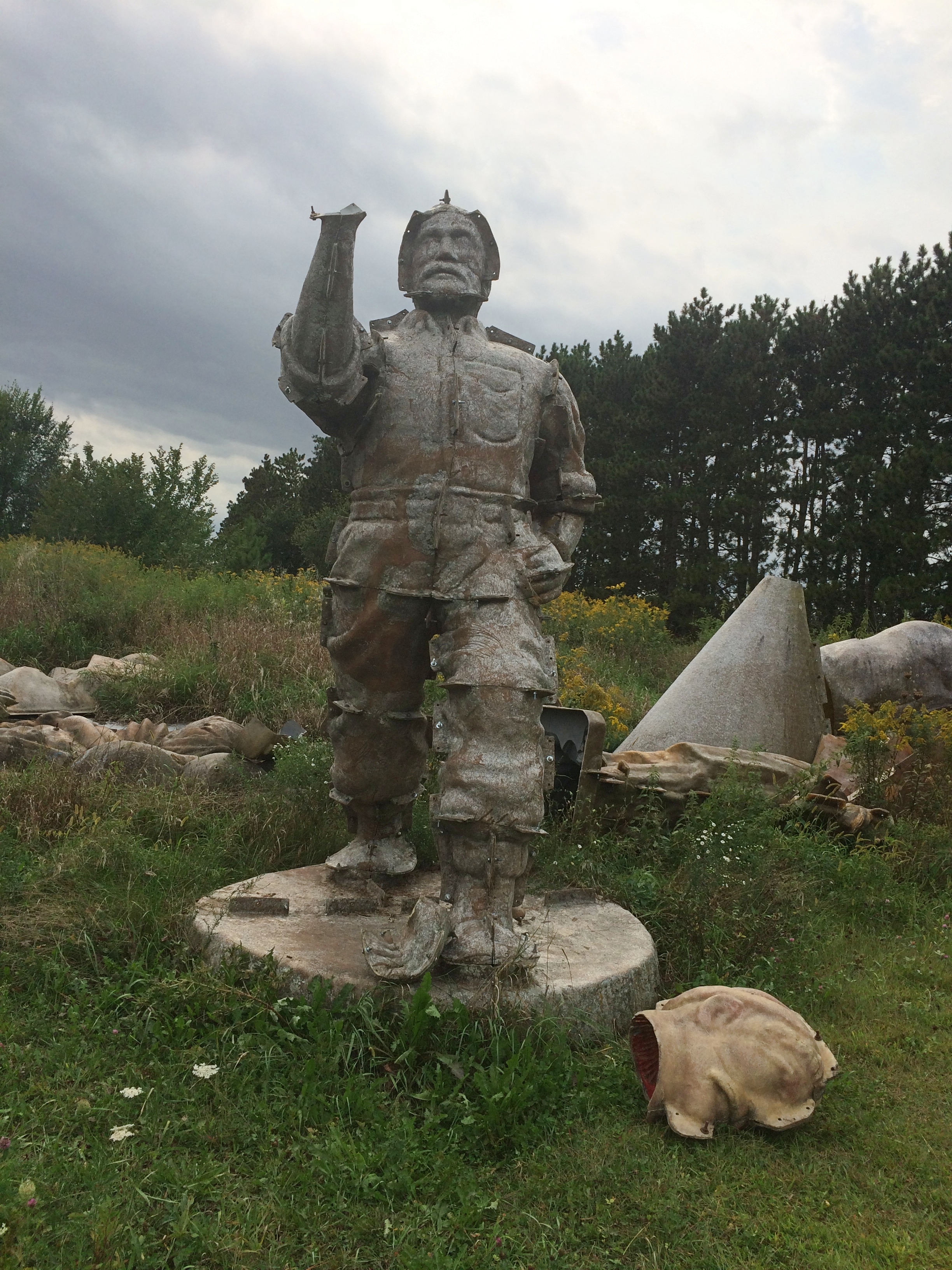
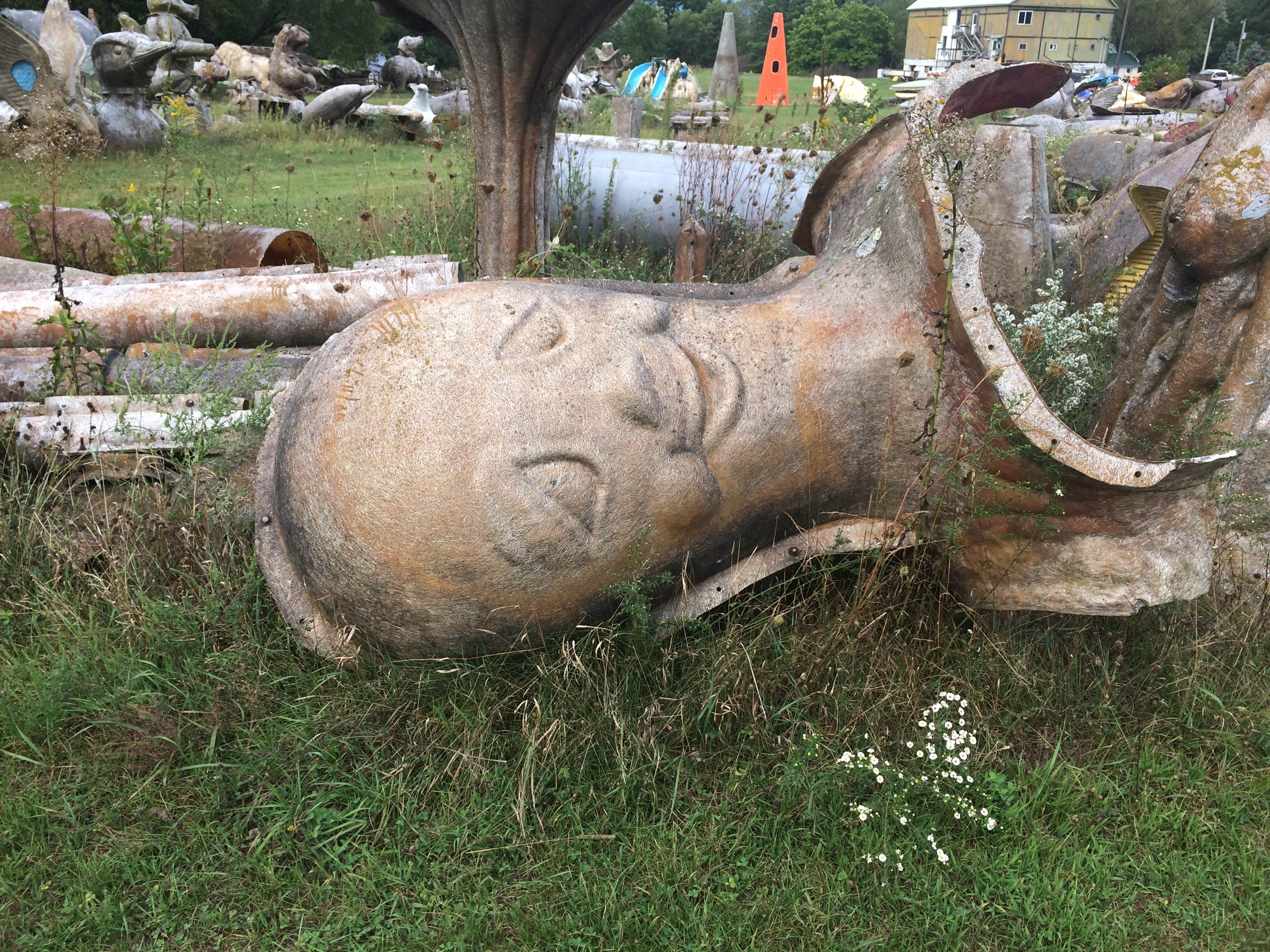
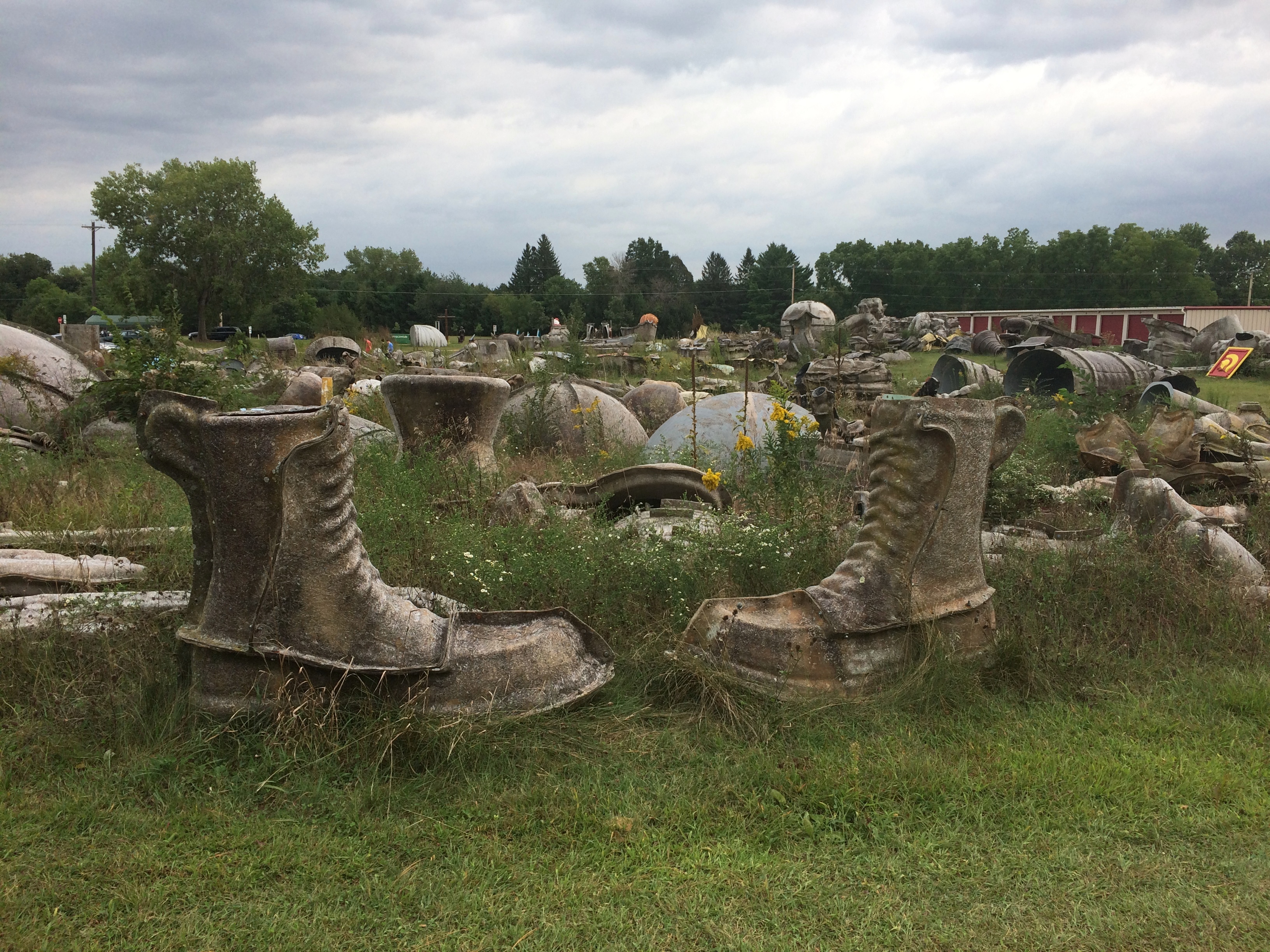
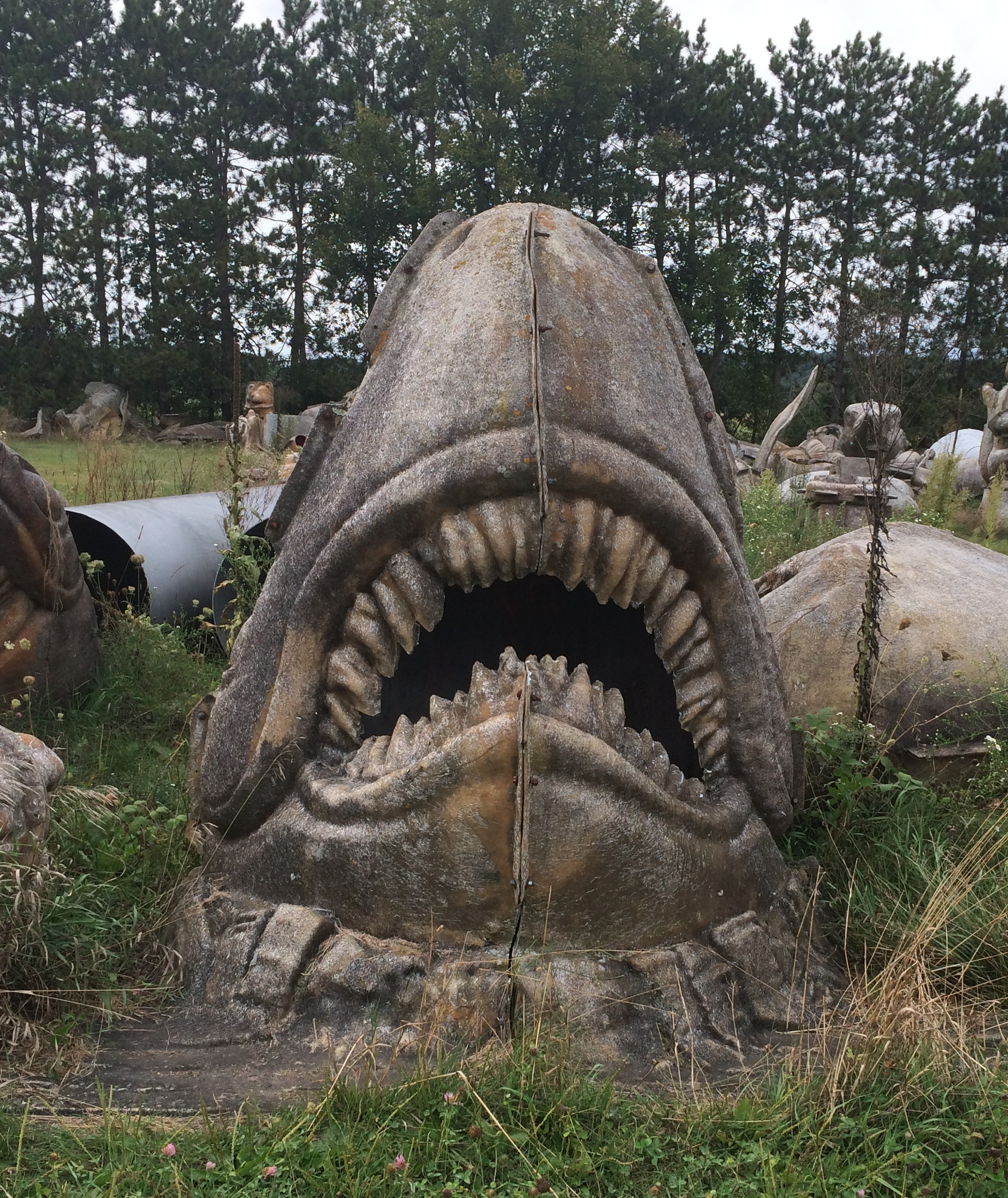
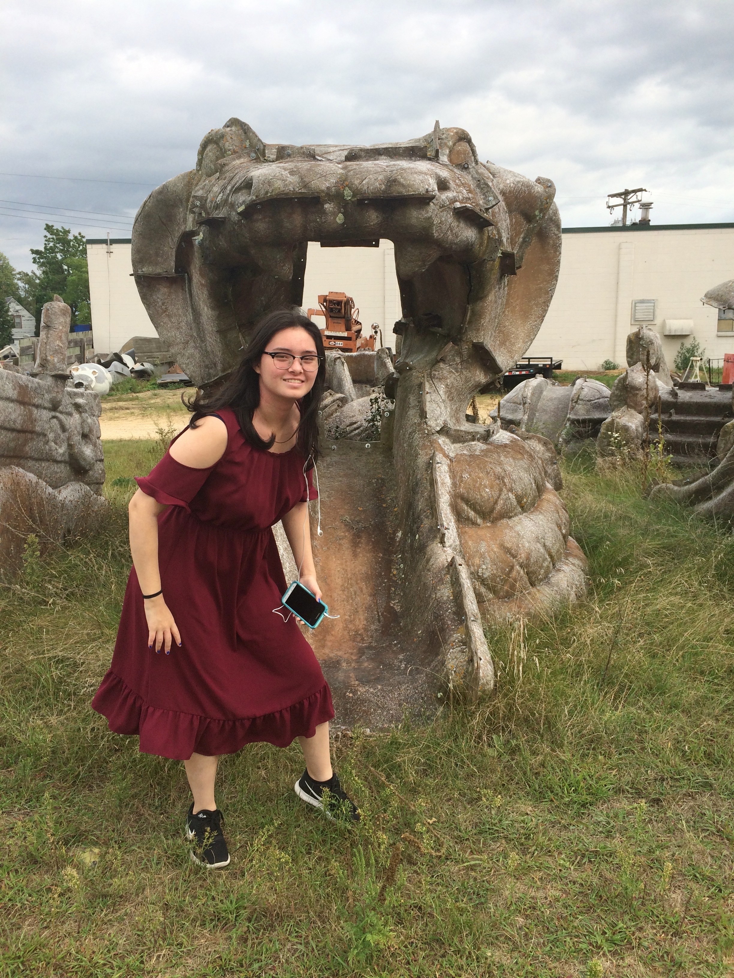
We visited a major Catholic shrine, looked down on La Crosse from a tall bluff, looked down on the Wisconsin River from another bluff, ate food obtained from drive-thrus more than once, swam in a hotel pool for the first time in ages, stopped at a large farm stand, slept on an island as a thunderstorm moved through the area, walked along the Mississippi, came very close to the border with Minnesota without entering that state, walked around downtown and a university campus, drove along an astonishingly beautiful Wisconsin Rustic Road northeast of La Crosse, spent time in the Bicycling Capital of America, and saw a couple of rural cemeteries, an installation of outsider art and the back lot of fiberglass statue manufacturer.

A good little trip. That’s what we can do these days.

I can report a number of changes in Wisconsin since July. Masks are now more emphasized, especially by businesses at their entrances, some citing local directives. More people seemed to be wearing them. Also, political yard signs have sprouted. It’s my impression that, simply in terms of signs, Trump has a slight edge in rural Wisconsin. But I also have to say there was no shortage of Biden signs in those rural stretches.

We stopped by whim a few places along U.S. 14. Such as at a historic marker just west of Mazomanie. The marker told us that a town had once prospered on the site.

VILLAGE OF DOVER
Beginning in 1844, nearly 700 settlers were brought into this area by the British Temperance & Emigration Society, organized the previous year in Liverpool, England. By 1850 Dover boasted a hotel, post office, cooper, blacksmith, shoemaker, wagon shop and stores. When the railroad chose Mazomanie for a depot site and made no stop in Dover, Doverites moved their houses into Mazomanie and Dover faded away to become a ghost town.

The site does look fairly undeveloped in our time, except for a small fence.
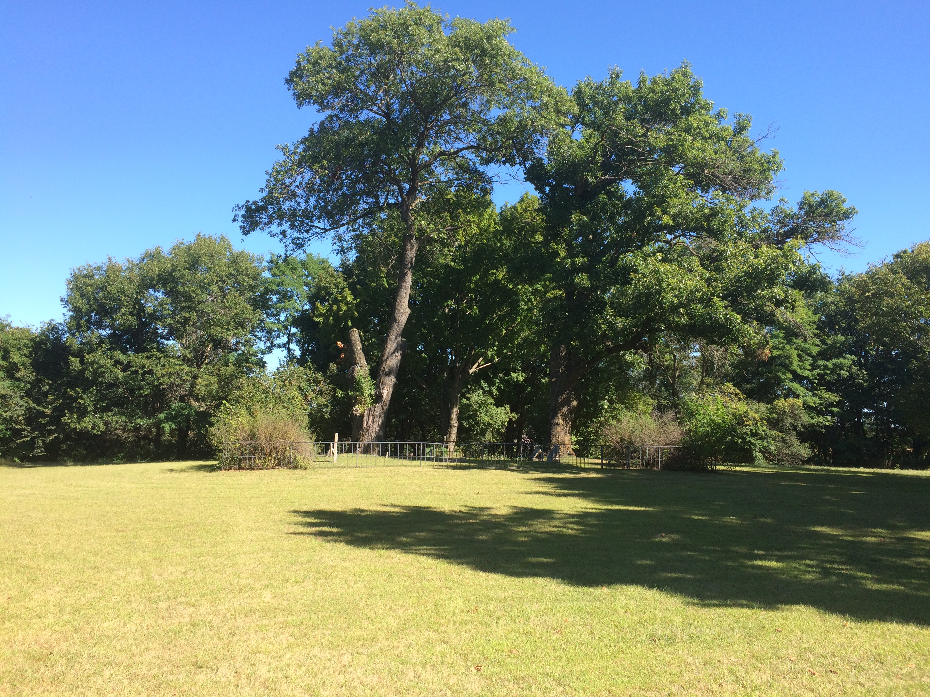
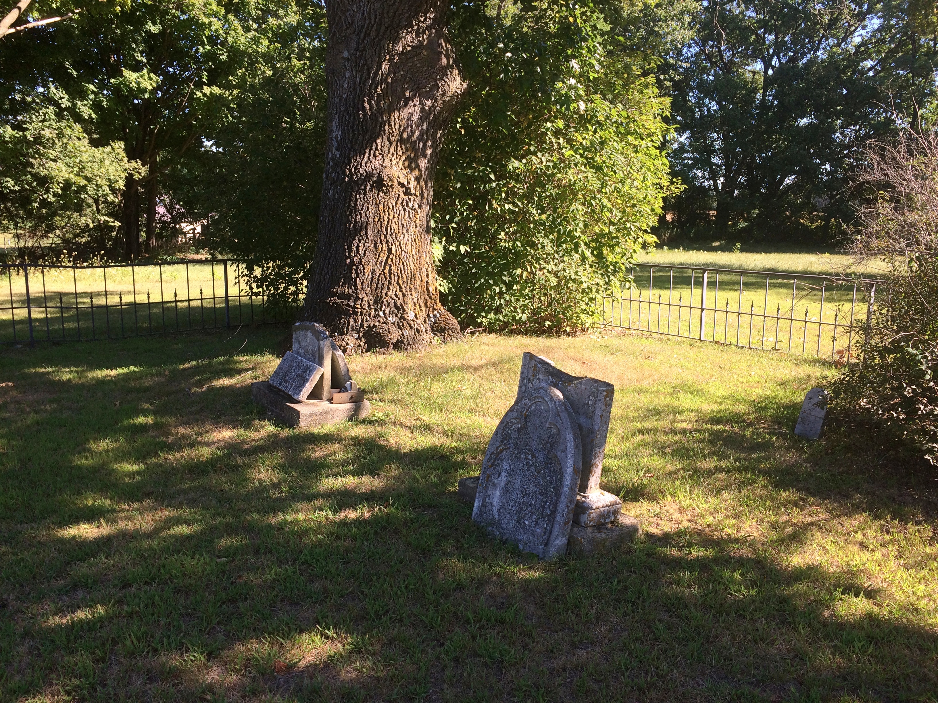
Dover, Wisconsin ghost townBehind the fence is something that the living residents of Dover probably never considered moving: a small slip of a cemetery.
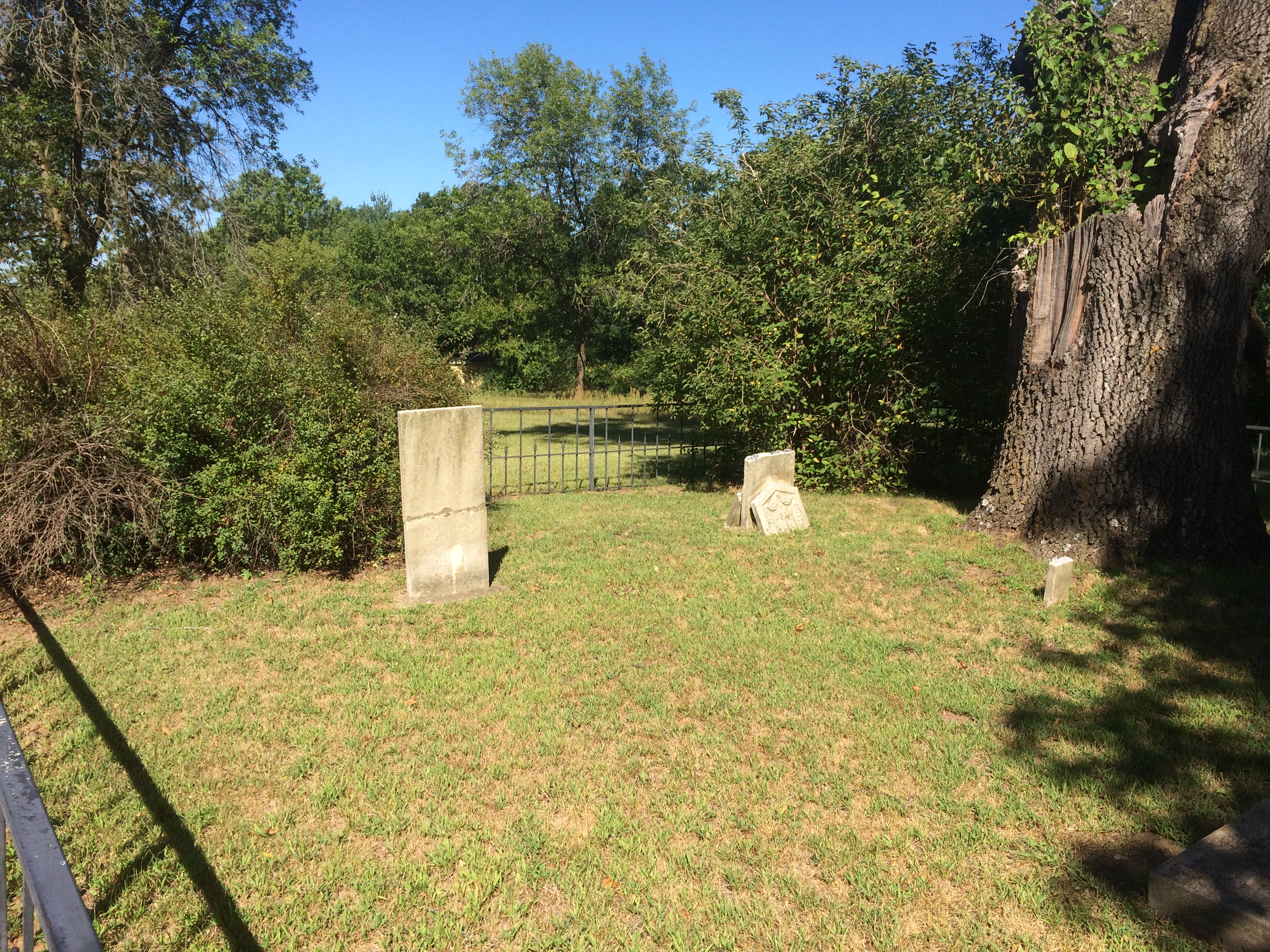
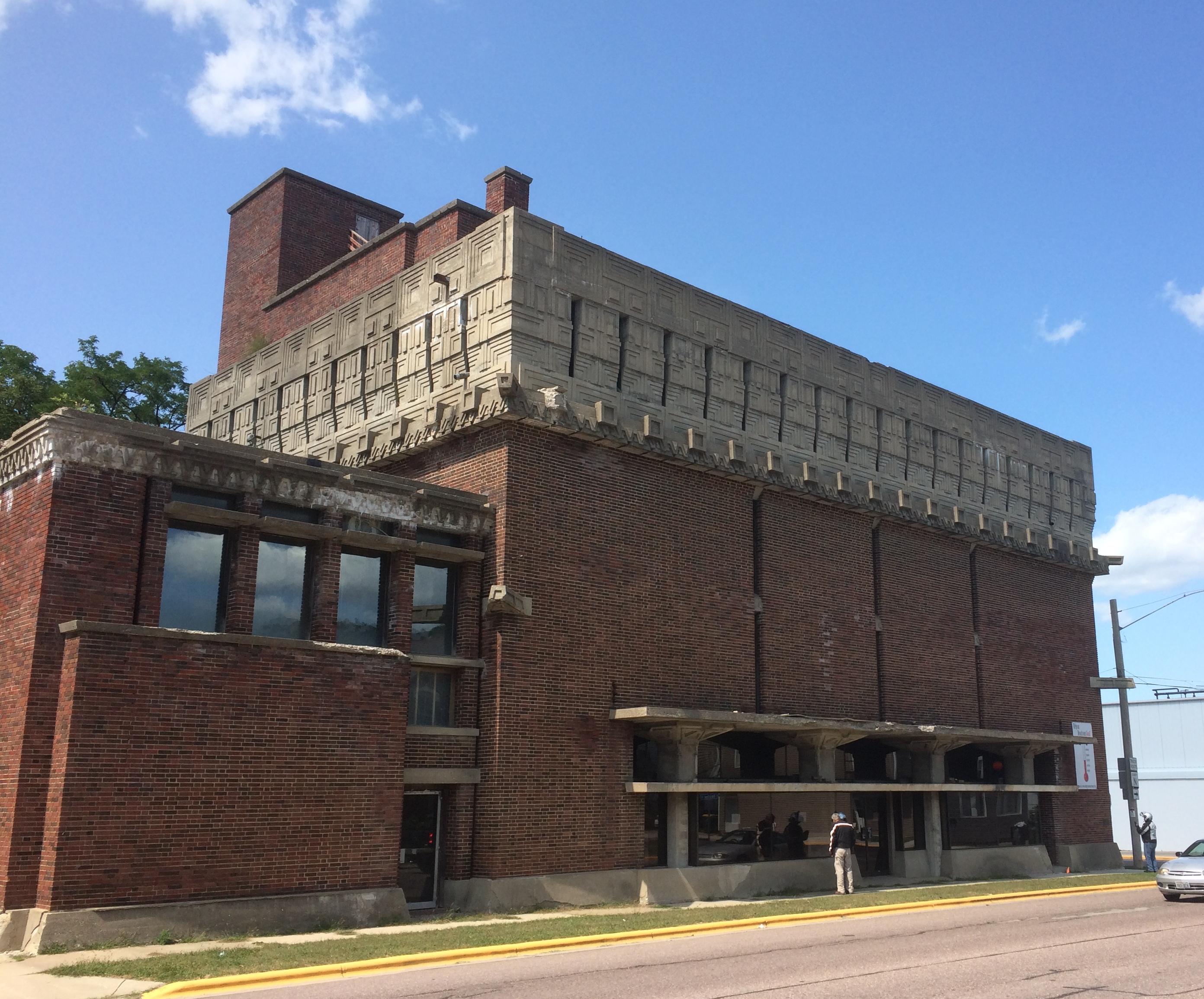
Dover, Wisconsin ghost town cemeteryDover, Wisconsin ghost town cemeteryIn Richland Center, seat of Richland County, we stopped for a few moments to take a look at the A.D. German Warehouse. It is an unusual-looking warehouse. The front:
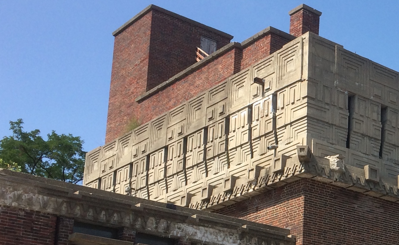
AD German Warehouse Richland CenterAD German Warehouse Richland CenterThe back, including a building with a sign that says it is an older A.D. German Warehouse.
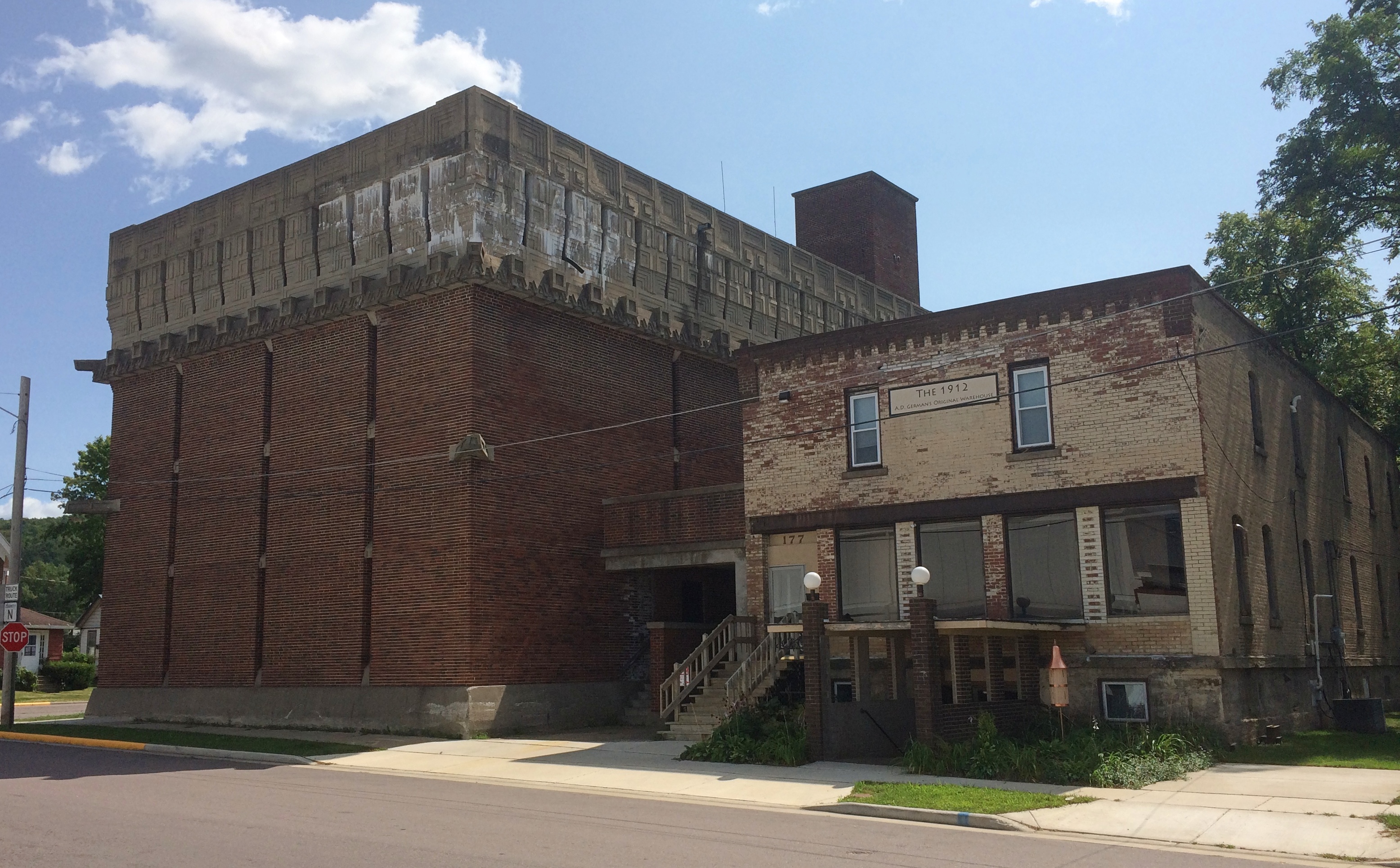
AD German Warehouse Richland CenterUnusual or not, the “new” A.D. German is known for one thing: being designed by Frank Lloyd Wright, and apparently his only warehouse.

“The A.D. German Warehouse is an impressive brick structure topped by a magnificent concrete frieze,” says Wright in Wisconsin. “Generally considered to resemble a Mayan temple, this avant-garde warehouse and attached music room was built for A. D. German’s wholesale grocery business.”

A Mayan temple. The thought amuses me no end. It also makes me re-imagine modern warehouse/distribution buildings, those absolutely utilitarian linchpins of the modern economy. What if some of them had splashes of ornament taken from different times and places? Some friezes from the Parthenon. A touch of a Babylon ziggurat. Or some Mayan elements.

But no. That isn’t the sort of society we live in. You want to spend money on what? Just build the damn thing.

Speaking of which: “Construction was stopped with the building unfinished in 1921, after spending $125,000, which exceeded the original cost estimate of $30,000,” Wright in Wisconsin continues. “It is the only remaining commercial structure designed by Wright that still exists from this time period.”

No wonder he didn’t do any other warehouse commissions. Yet I’m glad to say that an effort is under way to restore the thing. Never mind that it’s a Wright. The world is just a little better place for having a Mayan-flavored warehouse somewhere outside the homeland of the Maya.

On the outskirts of Richland Center, there is a field flying more than 300 flags.
merican Legion Veterans Memorial Park, Bayard de Hart Post 13It’s part of the American Legion Veterans Memorial Park, Bayard de Hart Post 13. Must be quite a sight when the wind is up. At the base of each flag is a stone plaque with the name and service details of a local veteran, living or dead.

There’s also a tank.
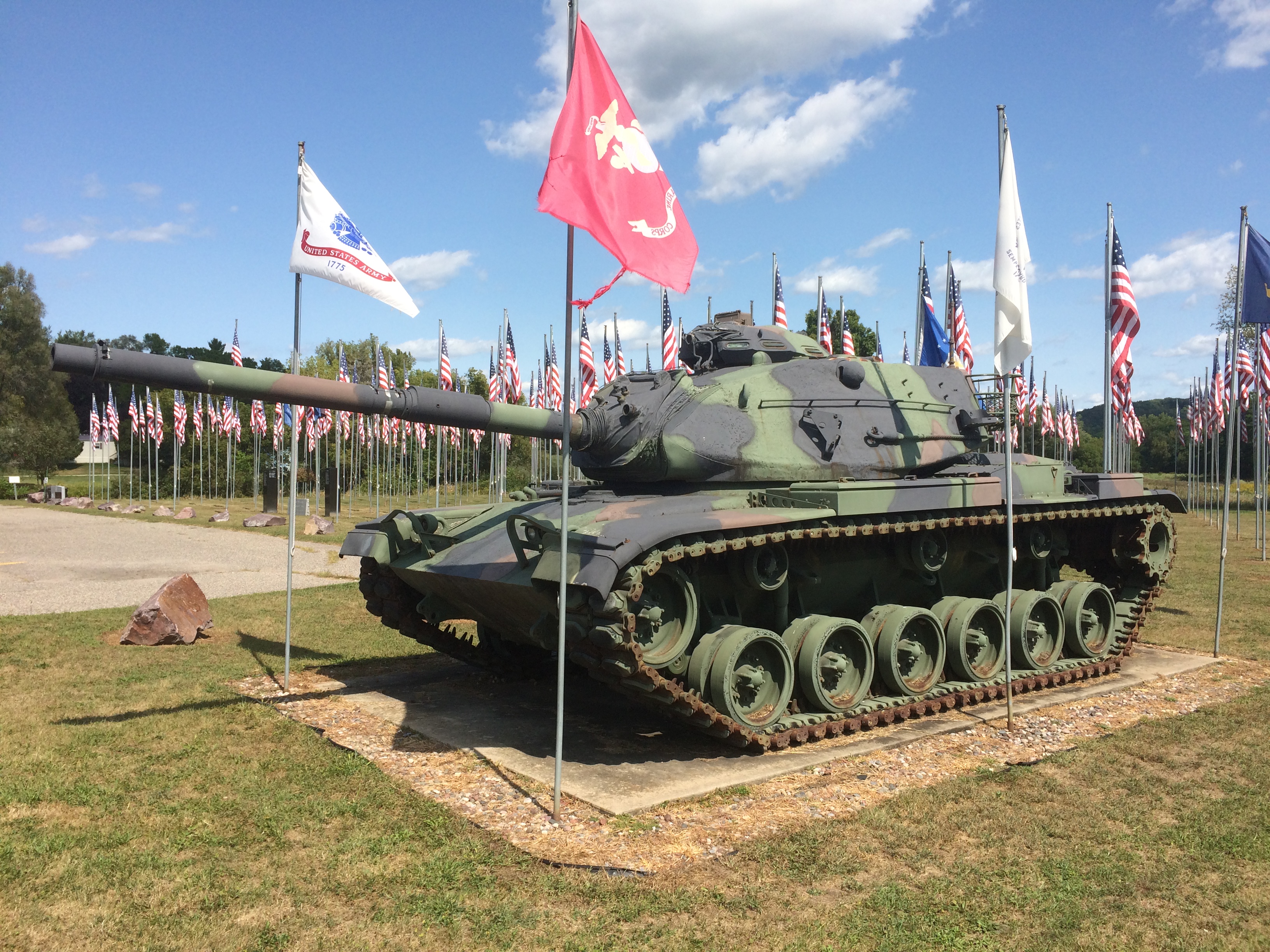
merican Legion Veterans Memorial Park, Bayard de Hart Post 13An M60 A3, a sign said, a kind of tank that last saw use in action (for the U.S.) during the first Gulf War.
Boscobel & Fennimore

Road trips aren’t just about the destination, but sights and oddities along the way. Recently in southwestern Wisconsin, for instance, we stopped in Boscobel, looking for takeout. We found it at Udder Brothers Creamery. How could we pass up a place with a giant cow? Also, a giant wild turkey?

Note that the turkey not only proclaims Boscobel as Wisconsin’s Turkey Hunting Capital, but as Birthplace of the Gideon Bible as well. We wanted to be on our way, so we didn’t investigate that further at the time.

But now I know: “The birthplace of the Gideons was the Central House Hotel on September 14, 1898, in Boscobel, Wisconsin,” says Wisconsin Historical Markers. “Traveling salesmen John H. Nicholson of Janesville, Wisconsin, and Samuel E. Hill of Beloit, Wisconsin, shared a room in the crowded hotel because of a lumberman’s convention.

“In Room 19, the men discovered that they were both Christians; they talked about starting a Christian traveling men’s association. The following May the two salesmen, joined by a third, William J. Knights, rekindled that idea, and on July 1, 1899, founded the Gideons.”

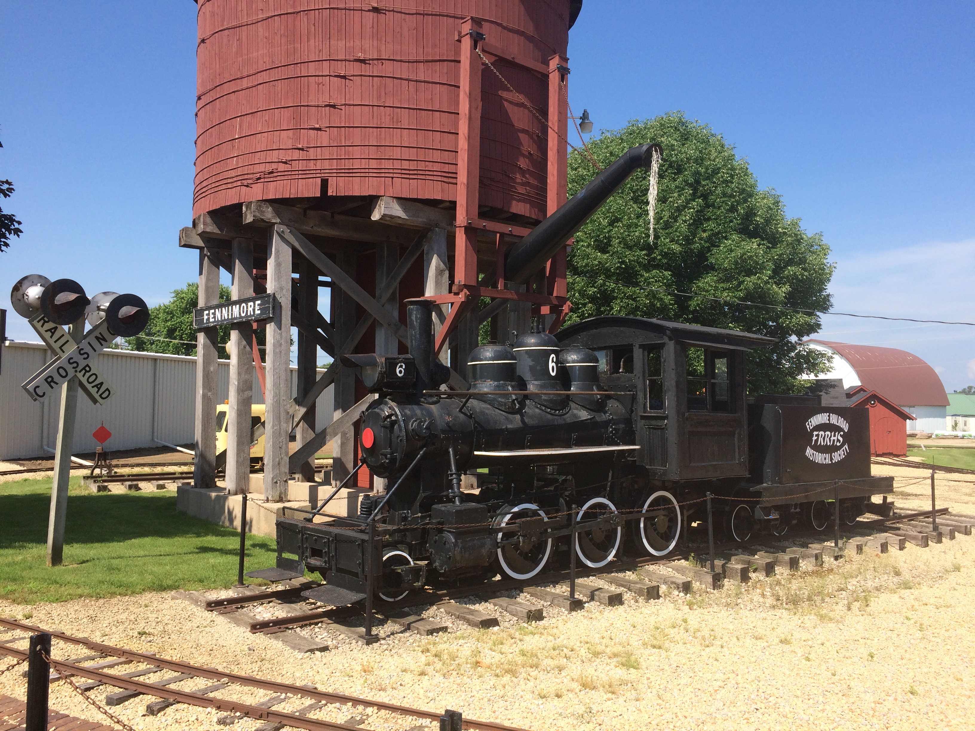
Dang. I should have at least found the plaque. Down the road from Boscobel is Fennimore, another Badger State burg we passed through. Hunger wasn’t the main consideration there, so we spent a little more time, especially at a small park featuring The Dinky.
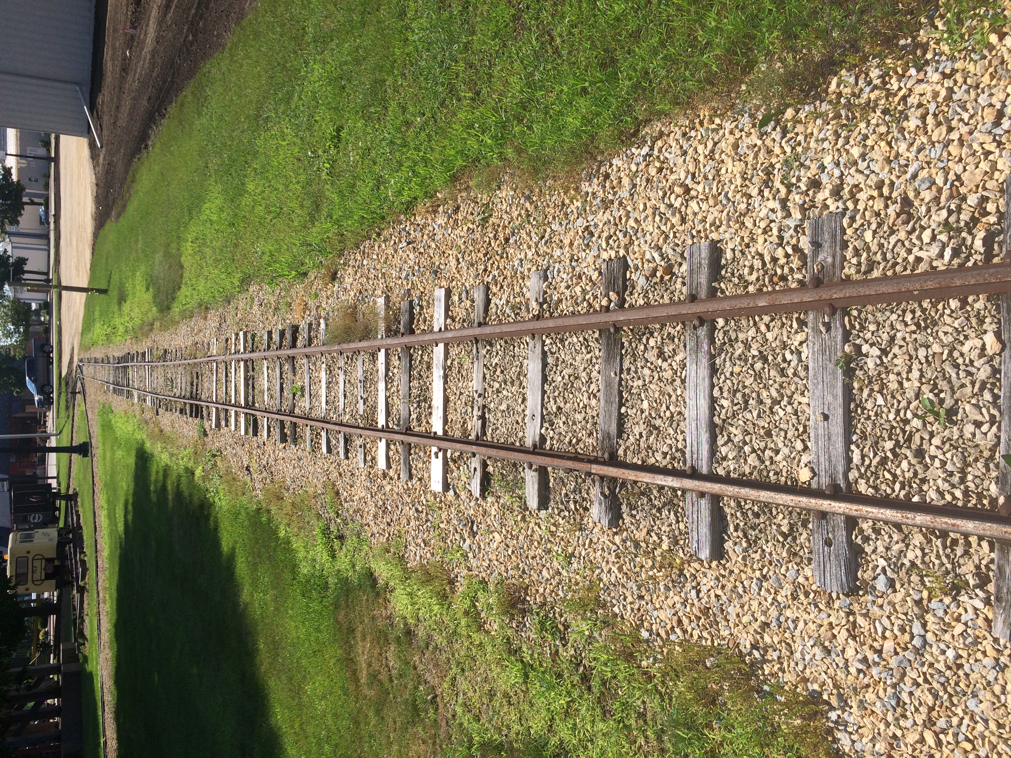
Fennimore, Wisconsin train
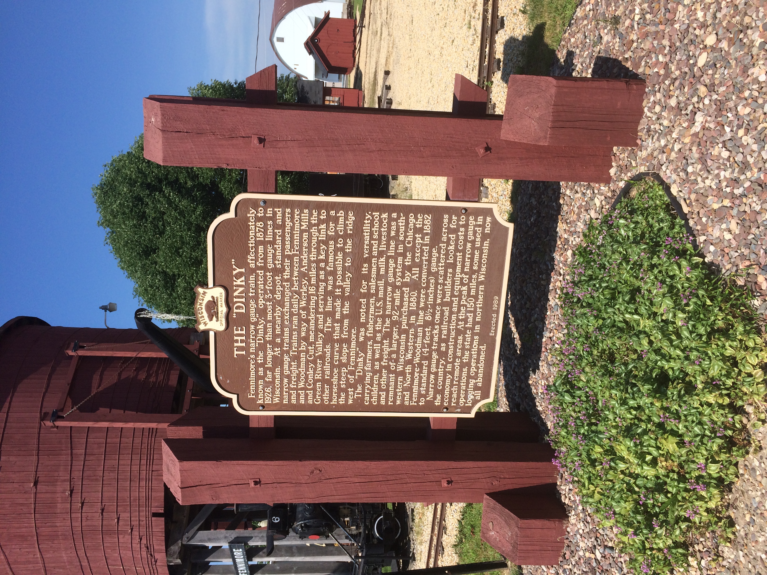
It’s a narrow-gauge (3-ft.) locomotive in operation from 1878 to 1926. “Trains ran daily between Fennimore and Woodman by way of Werley, Anderson Mills and Conley Cut, meandering 16 miles through the Green River Valley,” its historical marker says.
Fennimore, Wisconsin train
“At the peak of narrow gauge operations, the state had 150 miles, some used in logging operations in northern Wisconsin, now all abandoned.”
Fennimore, Wisconsin train
Narrow gauge, for sure.

Olbrich Botanical Gardens

High heat over the weekend, but come this morning, pleasant upper 70s F. Heat returns later in the week, I hear. That’s a northern summer for you.

On the way back from Prairie du Chien last week, we stopped briefly in Madison. Good old Madison — been going there since the late ’80s, and I think of it as the Austin of the North. Yet I don’t know it all that well.

This time we visited Olbrich Botanical Gardens, another spot in Madison I’d never seen. These days, its indoor components, especially the tropical conservatory, are closed. But the lush outdoor gardens are open to walk around for no admission.

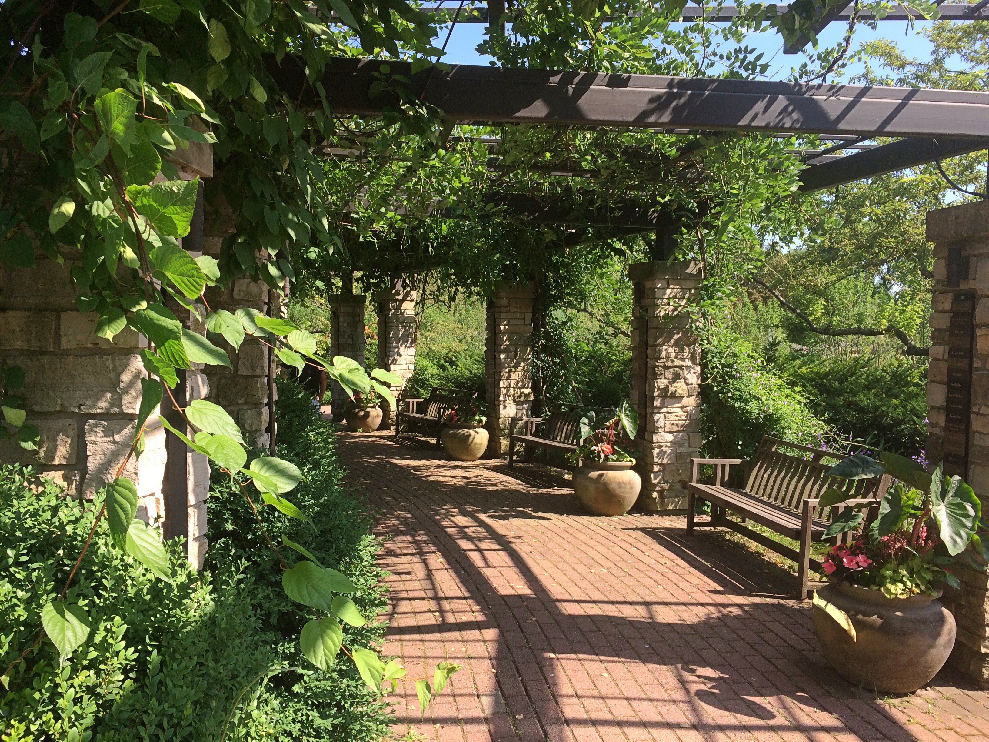
Olbrich Botanical Gardens

Olbrich Botanical Gardens

Olbrich Botanical Gardens
Like most botanic gardens, there were signs. But not that many, and mostly I didn’t bother with plant names. It was too hot to concentrate on that anyway.
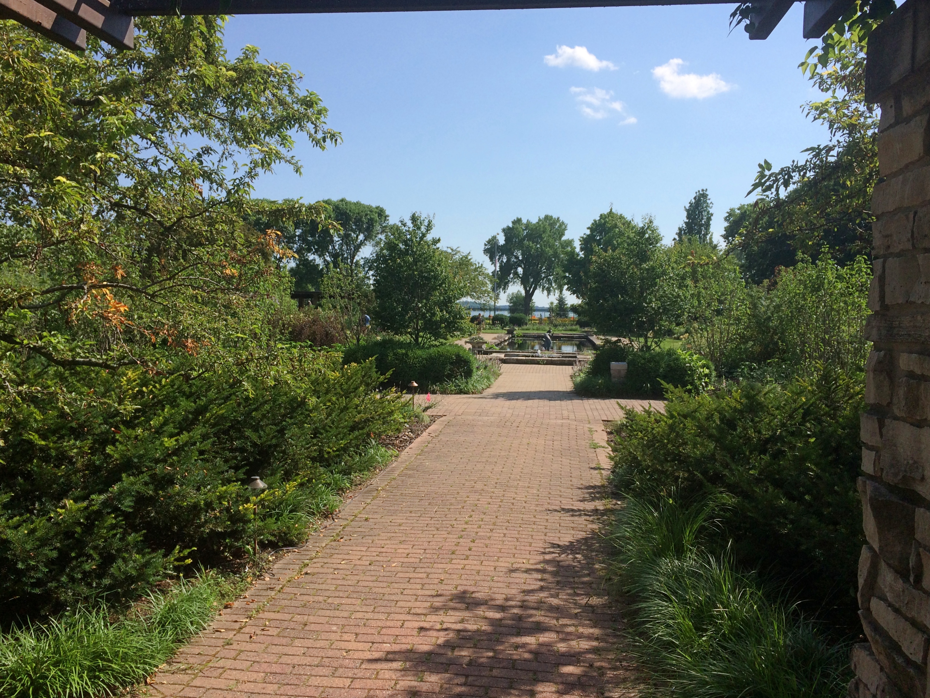
Olbrich Botanical Gardens

Olbrich Botanical Gardens

Olbrich Botanical Gardens
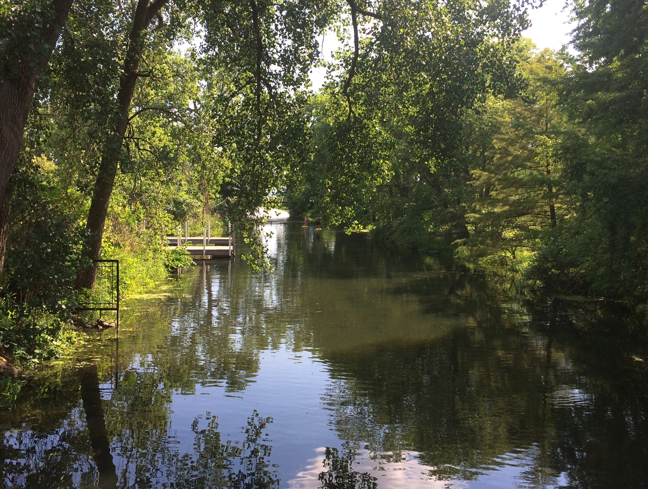
I hadn’t done much preparation for the visit, so I was pleasantly surprised when we crossed a water feature — Starkweather Creek, which flows into Lake Monona —
Olbrich Botanical Gardens
— and passed by some curious sculpture —
Olbrich Botanical Gardens
— and came to the Thai Pavilion and Garden.
Olbrich Botanical Gardens Thai Pavilion

Olbrich Botanical Gardens Thai Pavilion
“A pavilion, or sala, is a common structure in Thailand generally used as a shelter from rain and heat. Olbrich’s pavilion is more ornate than most roadside salas in Thailand and represents those found at a temple or on a palace grounds,” the garden web site says. “However, Olbrich’s pavilion is not a religious structure.

“The pavilion was a gift to the University of Wisconsin-Madison from the Thai Government and the Thai Chapter of the Wisconsin Alumni Association. UW-Madison has one of the largest Thai student populations of any U.S. college or university.”

I’d have never guessed that last fact. As I stood gawking at the thing, sun beating down on me, I felt just an inkling of being in Thailand again, near one of its impressive shiny structures, whose glint always seemed to accentuate the heat.

“The pavilion was built in Thailand, then disassembled and packed in shipping crates,” the garden continues. “The pavilion traveled seven weeks by sea, then by rail to Chicago, and to Madison by truck. Nine Thai artisans traveled to Madison to reassemble the pavilion after building it in Thailand. It took three weeks to reconstruct [in 2001].

“Amazingly, the pavilion is able to withstand the winter weather of Wisconsin with no protection because it is constructed of plantation-grown teak and weather-resistant ceramic roof tiles. The gold leaf, however, is delicate and not able to withstand the oils of the human hand.”

A pavilion and a garden, as the name says.

Olbrich Botanical Gardens Thai Pavilion

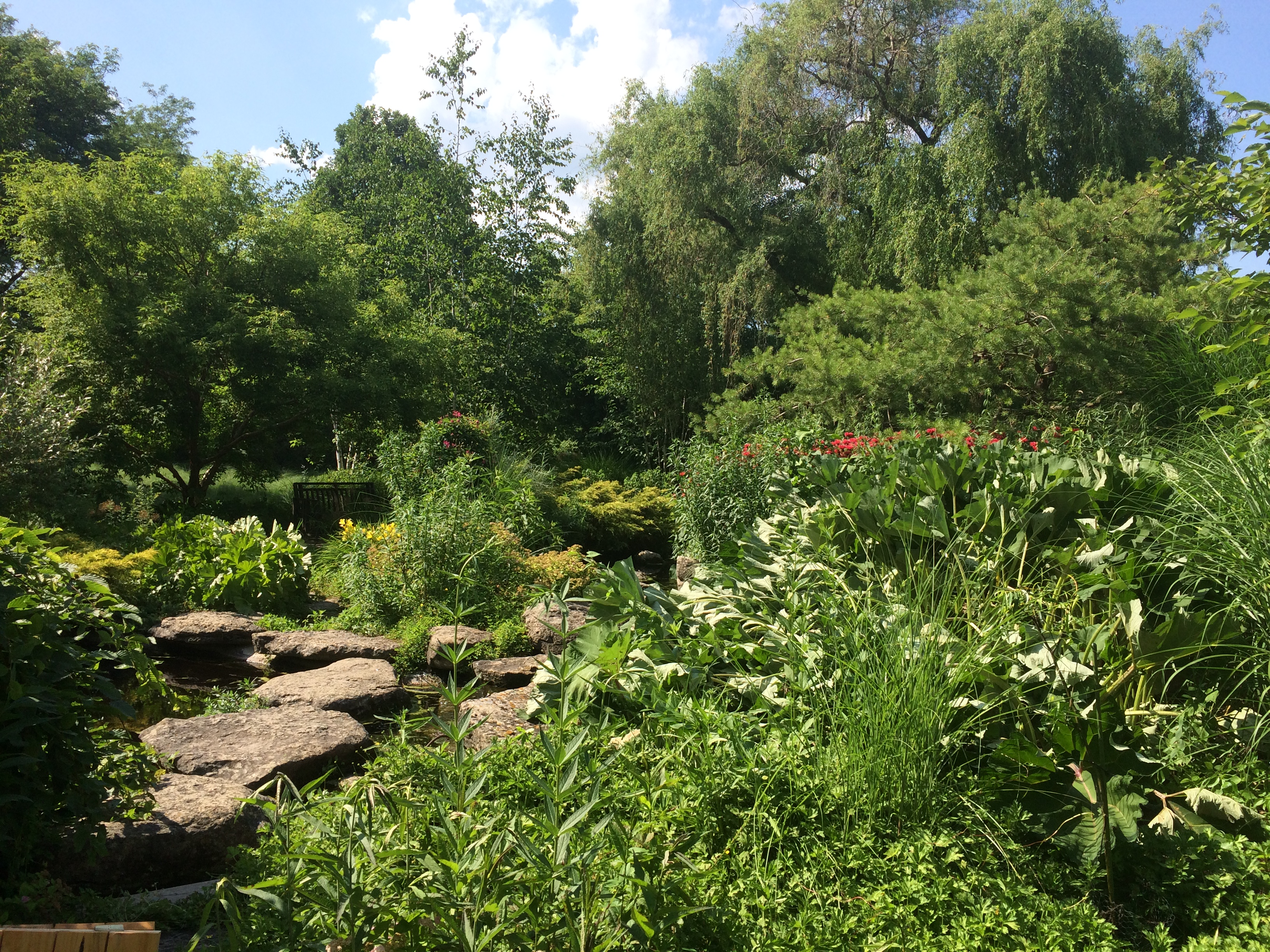
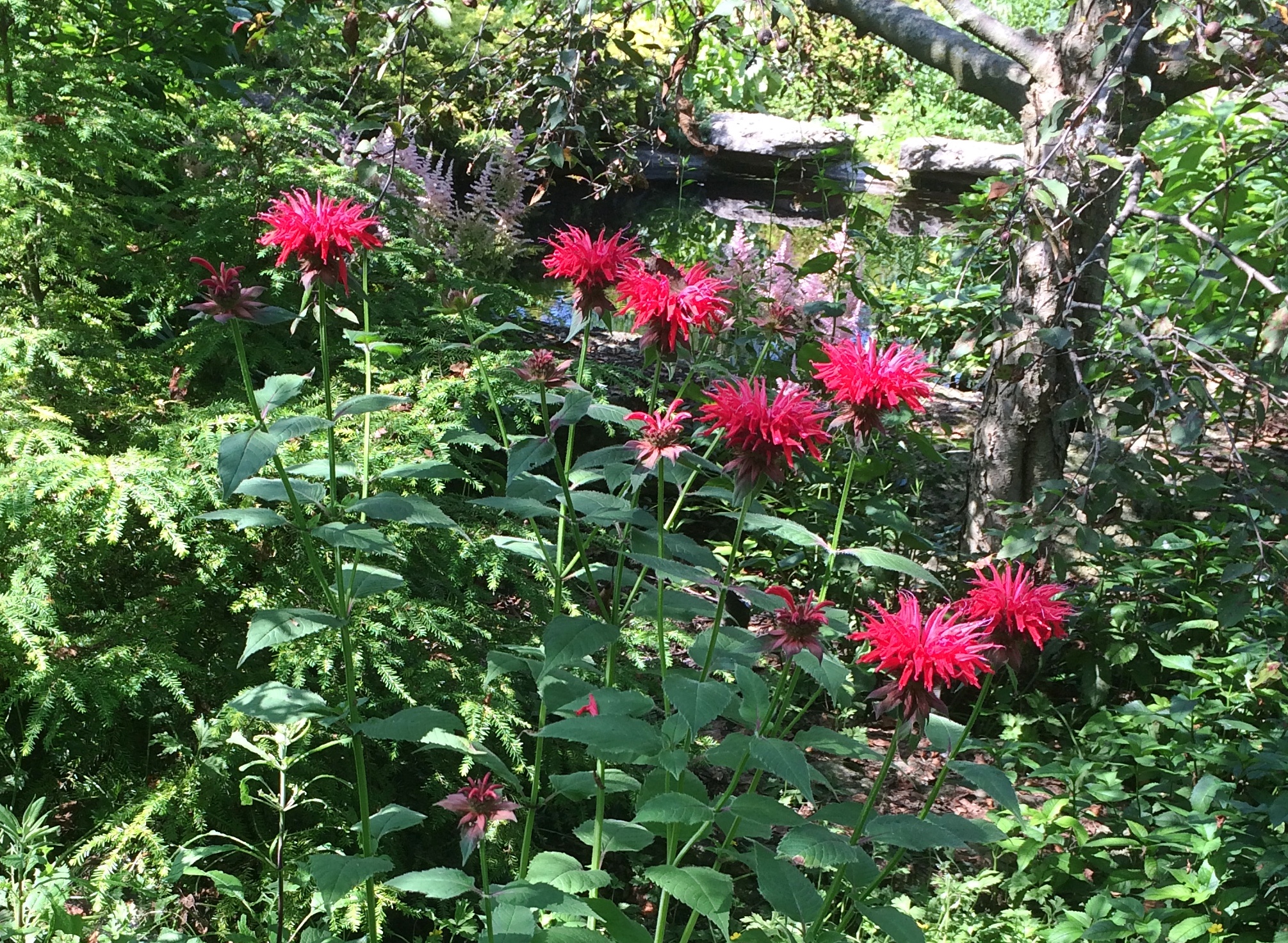
Remarkable simulation of tropical lushness, there in the distinctly non-tropical Wisconsin.

Prairie du Chien: Fort Crawford Military Cemetery, Trail of Presidents &c.

Not all road trips include visits to cemeteries or presidential sites, but I’m glad when they do. Our recent visit to the Driftless Area included both. On Saturday morning, I got up a little early to put gas in the car by myself. Yuriko knows what this means: I visit a local cemetery, too, if I can. She dozed on in the room while I drove a short distance to the Fort Crawford Military Cemetery, also known as the Fort Crawford Cemetery Soldiers’ Lot.

The entrance to the cemetery is a narrow patch of land in the residential section of mainland Prairie du Chien, with the burial ground at some distance behind an iron fence. Or maybe soldiers are buried in patch of ground, but I didn’t see any indication of it.
Fort Crawford Military Cemetery
“Fort Crawford Cemetery is located on the former site of the Fort Crawford Military Reservation in Prairie du Chien, Wisconsin,” says the National Cemetery Administration, which is part of the VA.

“There were two subsequent Fort Crawfords in Prairie du Chien during the 1800s. The original Fort Crawford, built in 1816, was situated adjacent to the Mississippi River. Repeated flooding led to its abandonment in 1826. Rebuilt on higher ground in 1830, the second incarnation of Fort Crawford operated until 1856.

“The first burials here were of the members of the 1st and 5th Infantry regiments stationed at the fort. The soldiers’ lot includes eight above-ground box-tombs that were likely erected by the regiments. The United States received the title for the lot in 1866. There are approximately 64 interments in the 0.59-acre soldiers’ lot…”Fort Crawford Military Cemetery
It’s sparsely populated.
Fort Crawford Military Cemetery
With some of the inscriptions practically illegible.
Fort Crawford Military Cemetery
Others were legible, but conveyed only anonymity. This looks like a latter-day stone, dedicated to an unknown. There were a sprinkling of these in the cemetery.Fort Crawford Military Cemetery

As I left, I spotted this near the entrance, attached to a boulder.
Fort Crawford Military Cemetery
Just goes to show you how thorough the Daughters were. A memorial so obscure that no one has called for its removal? Not so.

On St. Feriole Island, I happened across a presidential site of sorts: Trail of Presidents. Trees in honor of presidents, arrayed in two rows to form a path, and originally planted in 2014.Trail of Presidents
I expected a tree planted for every U.S. president, which would have been the standard approach. But in fact the trees only honor presidents who visited Prairie du Chien either in or out of office, and includes two presidents of other entities besides the United States. I was surprised.
The full and semi-literate text of the sign at Trail of Presidents is here.

The honored U.S. presidents include: Andrew Jackson, William Henry Harrison, Zachary Taylor, Millard Fillmore, James Buchanan, Abraham Lincoln, Ulysses Grant, James Garfield, Grover Cleveland, Benjamin Harrison, William McKinley, Woodrow Wilson, Calvin Coolidge, Herbert Hoover, Harry Truman, Dwight Eisenhower, John Kennedy, Richard Nixon, Jimmy Carter, George H.W. Bush, Bill Clinton and George W. Bush.

For instance, President Fillmore has a white oak.
Trail of PresidentsHis plaque explains that he passed through Prairie du Chien when he was vice president in 1849. I haven’t ever seen anything about the travels of Vice President Fillmore — and out to the spanking-new state of Wisconsin that year would have been far afield — but I assume there’s some source for this buried in Fillmore’s papers, or maybe local news accounts.
The non-U.S. presidents? One was him again. He was stationed here, after all.
Trail of Presidents

Also, curiously, Vicente Fox also has a tree, a red oak. “Vicente Fox attended Campion High School in Prairie du Chien in the 1960s,” the plaque says. “He then returned to Mexico.”

The last tree has been reserved for the next president to visit, so it isn’t too late for the most recent living officeholders.
One more Prairie du Chien sight I came across was overlooking the Mississippi, but not on St. Feriole Island. Rather, a statue of Marquette stands atop a tall column near the local chamber of commerce, and also not far from the bridge connecting Prairie du Chien with the town of Marquette, Iowa.
Prairie du Chien Marquette statue

Rev. James Marquette, S.J.
Who discovered the
Mississippi River
at
Prairie du Chien, Wisconsin
June 17, 1673
This monument was erected
with
The solicited contributions
of generous citizens
by
The Business Men’s Association
Of Prairie du Chien, Wisconsin
A.D. 1910
Fred Herber & Son Architects

Unusual to see him called “James,” which doesn’t sound very French. We’ve seen him honored elsewhere around the Great Lakes; Pere Marquette got around, back when muscle power (yours or an animal’s) was the only way to do it.

Prairie du Chien: St. Feriole Island

One thing I wanted to find out from our most recent road trip was how to pronounce Prairie du Chien, pop. 5,600 and seat of Crawford County, Wisconsin. Or more exactly, how to say the local version of Chien. However that turned out, it was bound to be more elegant than Dog Prairie.

Sure, I could have looked it up any time. The Internet overflows with such minutiae. But sometimes random web sites are wrong.

According to what I heard many times on local radio, this is correct. Prairie du SHEEN, as in a soft luster or the actors Martin and Charlie. Maybe the 17th-century Frenchmen who founded the place said it some other way, but that hardly matters.

Marquette Road (Wisconsin 35) is the commercial spine of the modern town, featuring chain stores, restaurants, motels, gas stations and other businesses. Residential Prairie du Chien is a few blocks on either side. Perpendicular to Marquette Road is a much shorter shopping/tourist street, Blackhawk Ave., sporting the likes of Bob’s Bar, Jim’s Bar, Cafe Hope, the Blackhawk and Rowdy’s (more bars), Something for Everyone (a thrift store) and Pete’s Hamburger Stand.

During the day on July 3, Blackhawk Ave., which we drove down a few times, was fairly busy. Among other things, a long line of people were waiting to buy takeout from Pete’s. Guess it’s a local favorite.

Much less crowded — not crowded at all — was St. Feriole Island, an island in the Mississippi that’s part of Prairie du Chien and just to the west of the rest of the town. We spent some time there looking around, both before and after we visited Effigy Mounds NM.

The island is prominent on this map, published in Madison, Wisconsin, in 1870.Note that the 1870 town isn’t connected to the rest of the world by a state highway system, but by a rail line and, more importantly, the Father of Waters. Also, what is now Blackhawk Ave. was then called Bluff St.

“Prairie du Chien had its beginnings on this island,” the town web site says. “It was the first location of Fort Crawford, which was involved in the War of 1812, and is the home of the historic Villa Louis mansion, the origin of which goes back to Joseph ‘King’ Rolette and Hercules Dousman, who made fortunes in fur trading and land dealings…

“This is where the industry that supported the city in the 1800s was located, so rail access was installed in 1890 [sic, the map clearly shows a rail line 20 years earlier, which still runs near the river]. After repeated floods and fires, the city was relocated to the mainland on the Wisconsin side, which was higher and far less prone to flood. Industry remained on the island, gradually closing down or moving to the mainland until well past World War II.”

The Mississippi River Flood of 1965 was apparently the final straw for the neighborhood. These days, the island is mostly St. Feriole Island Park, with sports and recreation facilities, a few historic structures, and a lot of open land, though still divided in part by a grid of streets.
St. Feriole Island
St. Feriole Island
We had lunch on Friday at one of the picnic tables with a view of the Mississippi.
St Feriole island
The Brisbois House is one of the park’s historic structures, dating from 1837 (though other sources put its construction in 1815).St. Feriole IslandIn any case, it isn’t open now. Neither is the Villa Louis, nor the Fur Trade Museum on the island.St. Feriole Island Villa LouisThe Mississippi River Sculpture Park on the island is open. Unlike most sculpture parks, which feature a variety of works by a variety of artists, this one includes only works by sculptor Florence Bird, which are depictions of people associated with the history of Prairie du Chien.

Such as the park’s most recent addition — less than a month ago — of a bronze of Marianne LaBuche, a frontier doctor (“community healer,” her sign says) of the early 19th century.St. Feriole Island
Also depicted: Julian Coryer, voyageur, though it looks like he’s between voyages.St. Feriole Island
A “Victorian lady.”
St. Feriole Island
Emma Big Bear, basketmaker.St. Feriole Island
Here’s Black Hawk (Ma-ka-tai-me-she-kia-kiak).St. Feriole Island Black HawkNote his medallion.St. Feriole Island Black Hawk
His plaque has been edited, either officially or unofficially, since 2005.
St. Feriole Island Black Hawk
Not sure what was blocked out or why. But these times make me attuned to statue revisionism, however minor.

Wyalusing State Park

On the morning of July 4, we left Prairie du Chien and drove a short distance to Wyalusing State Park, a thickly wooded Wisconsin property at the confluence of the Wisconsin and Mississippi rivers.

The first order of business at the park: a drive to a place called Henneger Point at the end of the winding and not-too-wide Cathedral Tree Drive. A fitting name, with massive maples and other trees towering over the road.

Before getting to the point, you arrive at the Spook Hill Group of mounds, looking very much like the ones across the Mississippi at Effigy Mounds NM, and more distinct in person than via photograph.
Wyalusing State Park spook moundsHenneger Point offered us a nice view of the river and Iowa across the way, behind a summer blaze of lilies.
Wyalusing State Park Henneger Point A picnic shelter stands close by. The sign on the shelter said it was closed, though I imagine enforcement is a mite spotty.
Henneger Point CCC. Has to be, at least originally. Later, I found out that CCC Camp Nelson Dewey #2672 existed in the park from 1935 to ’37. Men living there built park facilities and improved its roads and trails, so they probably did the shelter, though later in the day I noticed a Wisconsin Conservation Corps sign on a small bridge on a trail. That’s an existing nonprofit that does similar work as the CCC of old.

We walked a half mile or so along the wide Mississippi Ridge Trail, one of whose trail heads is at Henneger Point.
Mississippi Ridge TrailIn theory it’s suitable for bicycles, but we were absolutely the only ones on it. Talk about social distancing.
Mississippi Ridge TrailLater, we drove to the trail head of Sugar Maple Trail and did its 1.5-mile loop. The map didn’t warn us how steep it would be, though if I’d thought about it, I would have figured it out, since the trail loops down to near the river.
Sugar Maple Trail - Wyalusing SP
Only slightly down at first.
Sugar Maple Trail - Wyalusing SP
Then much further down, along the edge of a ravine cut by a creek-tributary of the Mississippi.
Sugar Maple Trail - Wyalusing SP
Going down wasn’t so bad, but I knew that meant we’d have to go back up. So we did.
Sugar Maple Trail - Wyalusing SP
Tiring, but not as tiring as the day before at Effigy Mounds, even though I believe the change in elevation and the ambient temperature were about the same. Steep and hot, respectively.

At one point along the cascading creek near the trail is a waterfall. Above the waterfall was a nice place to sit.
Sugar Maple Trail - Wyalusing SPElsewhere in the park is a memorial to the passenger pigeon, but I didn’t have the energy to seek it out after our long morning hike. Another time, perhaps. Until then, here’s Aldo Leopold on the passenger pigeon.