Yosemite National Park

This kind of national park review ends up on humorous lists: “Trees block views and too many grey rocks.” So we can chuckle at the philistines. Ha, ha.

Today I spent some time with Yelp one-star reviews of Yosemite National Park, and while I’m sure somebody actually posted the above as a genuine review (philistines are out there), that’s not what most of the one-star reviews were about. Rather, people were bitching about the management of the park, and specifically admissions and backcountry permitting.

Nothing untoward happened to us during our early October visit to Yosemite because of entrance snafus. But many — most? — of the one-star complaints have a ring of truth to them. Yosemite began requiring timed entry last year and did so this year (but not after September 30), and to be charitable, it sounds like there are still a few bugs in the system, plus genuine issues with rude or indifferent customer service. The permit system to climb insanely high rocks seemed poorly run too.

We call all mock government incompetence, can’t we? Or is it hard to run a major national park when it’s starved for funding?

When you arrive at the park — and get in effortlessly — all such questions melt away. Lilly and I arrived on the morning of October 6, 2022, at the Arch Rock Entrance and from there drove the winding two-lane road to the valley.Yosemite National Park

In the Yosemite Valley, it doesn’t take long to get to grandeur.Yosemite National Park Yosemite National Park

On the line separating the grass and the trees in this image, far to the right, are cars barely distinguishable as such. That’s where we parked. Grandeur wasn’t very far from there, either.Yosemite National Park

The path across the field, away from the parking lot, offered some more stunners.Yosemite National Park Yosemite National Park

After crossing one of the valley’s twin roads (one goes each way), we headed for the Lower Yosemite Fall.Yosemite National Park

Big rocks make smaller ones.Yosemite National Park

The fall.Yosemite National Park

The image doesn’t capture it too well, but there was a ribbon of water or two coming down the side of the cliff. Autumn isn’t the season if you want majestic water volume. Spring has been the season for that for millennia, but maybe not as much in recent decades.

Rocks and more rocks. Erosion in action.Yosemite National Park
Yosemite National Park

Mirror Lake sounded like another good destination, walkable from the valley floor. First, Tenaya Creek.Yosemite National Park

Along a road used as a walking path.Yosemite National Park Yosemite National Park Yosemite National Park

Just off the path further on — it was by now was a regular footpath — there’s a patch of cairns, if that term applies in America (and why not?). Temporary, human-arranged rock formations. But only a little more temporary than the rock and bolder piles calving from the surrounding cliffs.Yosemite National Park

Half Dome. Famed in accounts of the people who have climbed, countless photos and a 2005 U.S. quarter dollar. Ansel Adams’ ashes were scattered up there.Half Dome

If Google Images is to be believed, that’s a slightly unusual angle, but only slightly. I saw the feature from a few other places, and its granite heft never disappointed.

Mirror Lake, dead ahead.Mirror Lake, Yosemite

Dry.Mirror Lake, Yosemite Mirror Lake, Yosemite

The park shuttle bus had taken us from Yosemite Village to the trailhead for Mirror Lake. We returned to the trailhead and took the bus back to Yosemite Village, which really is a village with a small population (about 330), a school, clinic and post office, but also a complex of hotel rooms and museums and NPS service buildings, including park HQ.

Those buildings were the only places in the Valley that day that sported genuine crowds. Other trails and sights were well populated, but not to the point of distraction.

A handful of people, about 60, repose in Yosemite Cemetery, which is on the edge of the complex but has been a cemetery longer (since the 1870s) than any of the buildings in the village have been around.Yosemite Cemetery Yosemite Cemetery

“Some of those laid to rest here are well-known figures in the history of the park,” says the NPS. “Some spent their entire lives in Yosemite and are now almost forgotten. Others were visitors about whom very little was known, even at their time of their deaths. There are people who died here while on vacation, early settlers and homesteaders, old timers and infants, hotel proprietors and common laborers…”

One resident is James Hutchings (d. 1902), businessman, Yosemite settler and publisher of Hutchings’ Illustrated California Magazine, which put the Yosemite Valley on the map, at least in the minds of 19th-century Americans. And that’s not all.

“James Mason Hutchings, the first to organize a tourist party to visit Yosemite in 1855. Hutchings unknowingly made an enormous contribution by hiring John Muir to work at his sawmill in 1869,” the NPS notes.

Sadie Schaeffer, drowned in the rapids in July 1900, it looks like.
Yosemite Cemetery

A.B. Glasscock, died 1897, aged 53.
A.B. Glasscock, died 1987, aged 53.

Albert May, died 1881, aged 51.
Albert May, died 1881, aged 51

Walk on. By this time, the valley is catching afternoon light.Yosemite National Park

Yes indeed, we got a different view of Half Dome.Yosemite National Park
Yosemite National Park

Dry now, but it does get really wet around here. At least it did in 1997.Yosemite National Park

Late in the afternoon, we left by way of a roadside view of El Capitan. The road to the closest grove of the park’s giant trees had been closed, so big trees will have to wait in case I ever return. But I wasn’t going to miss the mass of El Capitan. The boss rock.

Not far from the road.
El Capitan

Further back. I walked about a quarter-mile and El Capitan still dominated the view.
Yosemite National Park

Closer.
Yosemite National Park

It’s virtually impossible to see them in the image, but there were climbers on the face of El Capitan. I watched for a few minutes, and they seemed to be on their way down. Bet that’s a good idea in the afternoon. Except, no. There are nighttime climbers.

Donner Memorial State Park

Crossing the Sierra Nevada near the Donner Pass is fairly easy in our time, if you have a motorized vehicle, as I did earlier this month when I drove from Reno back to Sacramento. I-80 takes you right across.

Unless, of course, traffic is heavy enough to come to a standstill. Then you might have time to take pictures.I-80 near Truckee, California

Still, you’ll face nothing like the impediments that the Donner Party encountered in the winter of 1846-1847. Their story is well known; accounts of desperate days and cannibalism have a way of piquing people’s interest.

The Donner Party’s agony is, in fact, much better known than (say) the journey of the Stephens-Townsend-Murphy Party, led by mountain man Caleb Greenwood, who in 1844 were the first successful wagon train to cross the pass. They didn’t have an easy time of it, but they made it.

I didn’t know about Donner Memorial State Park till I visited this part of the country, since I’d forgotten exactly where the Donner Party had encountered their ordeal. But when I saw the state park on the map, as well as everything else named for the Donners, I realized that it was here.

The park is just off I-80 not far west of the California-Nevada line. I resolved to go take a look.Donner Memorial State Park

As a memorial park, I expected a memorial. This one isn’t far from the entrance.Donner Memorial State Park Donner Memorial State Park

One of its plaques notes that the height of the memorial’s plinth is 22 feet — which was the depth of the snow that trapped the wagon train.Donner Memorial State Park

That isn’t the only plaque in the park honoring the Donner Party. Along one of the park trails is another plaque listing all of the members. Those on the left two columns died that winter. Those on the right two columns survived.Donner Memorial State Park

Both memorials are the work of the Native Sons of the Golden West, installed even before the state park was established in 1928.

At nearly 3,300 acres, the park is much more than the memorials. I took advantage of some of the trails, passing through nice scenery.Donner Memorial State Park Donner Memorial State Park Donner Memorial State Park

Though not nearly as sizable as Lake Tahoe, Donner Lake is a fine alpine lake in its own right. Only a few people were around.Donner Lake Donner Lake Donner Lake

It was really pleasant at Donner Lake that day, October 4, clear and in the mid-70s Fahrenheit. Hard to image a late October day when the area was buried by snow, but they say the luckless Donner Party encountered an early snow that year. Then again, I just checked, and the evening temps in nearby Truckee are already dropping below freezing every day.

Virginia Street, Reno

Before I left Reno on October 4, there was one more thing I wanted to do: take a walk along Virginia Street, a major thoroughfare. In the end, I walked two sections of it, one downtown and featuring the well-known Reno sign, the other in Midtown.

Might as well begin with the sign. The structure across Virginia Street is actually called the Reno Arch. To split hairs even more, this is the third Reno Arch, installed in 1987 to replace the 1963 version, which itself replaced the 1926 original.

The daytime Arch.
Reno Arch

Plenty of bulbs on the underside. Quite a glow come nighttime.Reno Arch

What’s that on the side of the Whitney Peak Hotel, overlooking Virginia Street? A climbing wall.Downtown Reno - Virginia Street

A set of climbing walls, actually, some toward the upper reaches of the tall building. When I first walked by it, a man was climbing on the lowest wall, but by the time I returned to take a picture, he was gone.

Downtown Reno has a clutch of what you might call Las Vegas-class casino-hotels, though diehard Reno partisans — are there such? — might chafe at the comparison.

Such as the Eldorado Resort Casino.Downtown Reno - Virginia Street

More modest gaming ventures populate much of the downtown Virginia Street, such as Cal-Neva, Horseshoe and what must be the first fully robotic casino, Siri’s Casino. Or is that name just a (happy?) coincidence?Downtown Reno - virginia street Downtown Reno - Virginia street Downtown Reno - Virginia street

South from that point are some examples of municipal Reno. Like the Washoe County Courthouse.
Downtown Reno - Virginia street

The Pioneer Theater Auditorium. If you guessed 1967, you’re right.
Downtown Reno - Virginia street

Back at the Truckee River.Truckee River Truckee River

The stretch of Virginia Street through Midtown Reno is a different animal: smaller buildings, local nongaming businesses — though entertainment focused, some of them — and a number of murals. New-looking for the most part, because we’re in an unacknowledged age of mural painting nationwide, commercial and otherwise.Midtown Reno Murals Midtown Reno Murals Midtown Reno Murals

Some you might call vernacular murals, if you’re in an academical frame of mind.
Midtown Reno Murals

Every block, there were more pro murals.Midtown Reno Murals Midtown Reno Murals Midtown Reno Murals

Just a small sample, but they made for a good walk. That and the fact that few other people were around in the late weekday morning — Midtown’s prime time is clearly weekend nights — and even few cars, owing I suppose to the little in biggest little city.

Virginia City

Bonanza started each week with a map on screen, and that was probably the best thing about that TV show. Not just any map, but an idiosyncratic depiction of the Cartwrights’ vast ranch Ponderosa, which straddled Lake Tahoe at some inexact moment in the 19th century.

Set illustrator Robert Temple Ayres (d. 2012) designed the original, “Map to Illustrate the Ponderosa in Nevada,” in 1959. I wasn’t a regular watcher of Bonanza, either in prime time or afternoon repeats, but I did know that map.
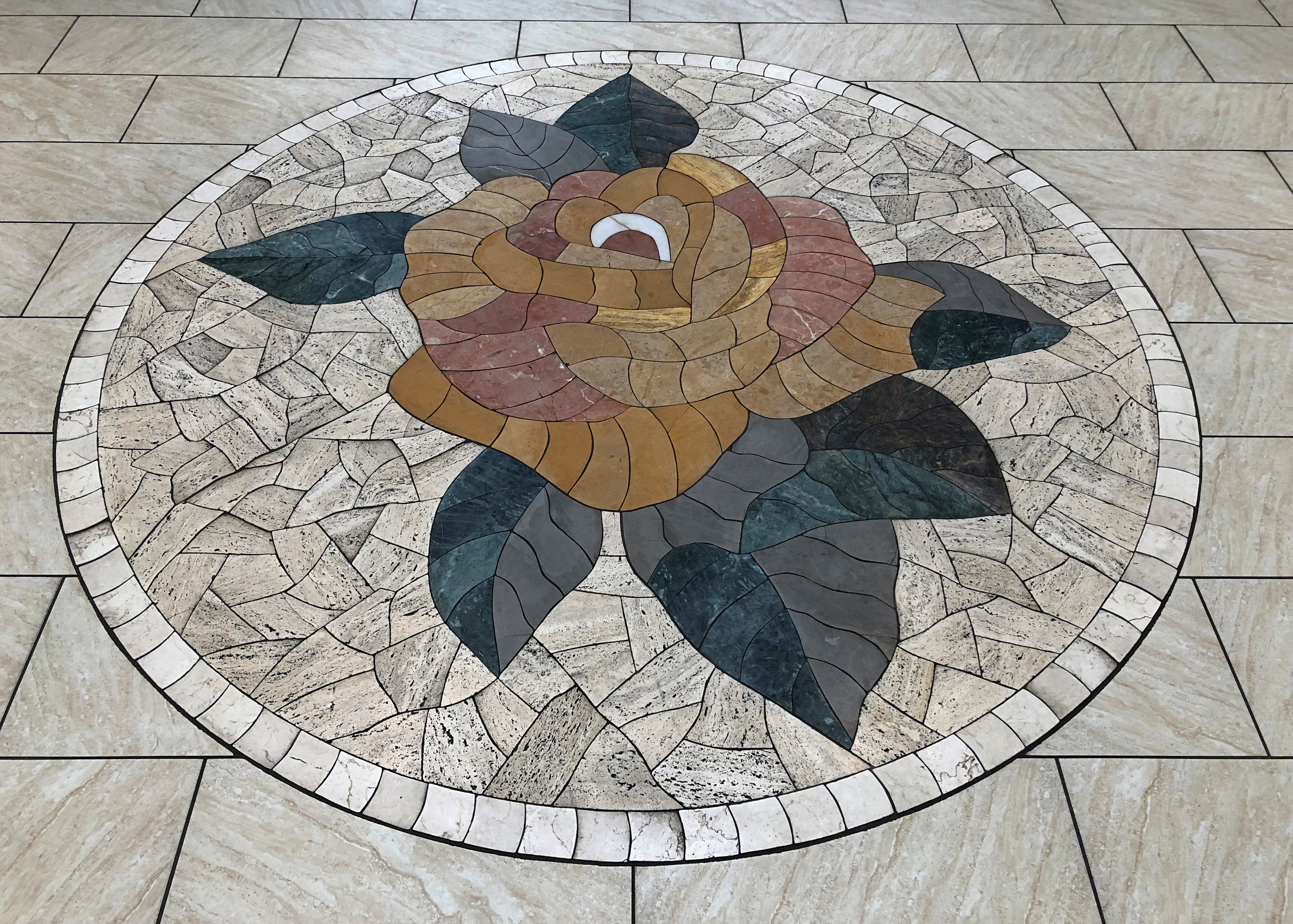
That show might have been the first time I ever heard of Virginia City, Nevada, which is featured prominently on the map, toward to top, because it is more-or-less oriented with the east to the top. Maybe Ayres was trying to tell us all something about the importance of Jerusalem. More likely, he needed to fit the map on horizontal TV screens.

Also, if I remember right, the Cartwrights were always going to town — to Virginia City — for one reason or another. After leaving Carson City on October 3 to return to Reno, I decided to go by way of Virginia City myself, which is on Nevada 341. The drive climbs into the Virginia Range, and the city sits on what used to be the Comstock Lode.Virginia City, Nevada Virginia City, Nevada

At less than 800 residents, the city is a town, nothing like its silver boom heyday in the 1870s, when there was a population of more than 25,000. The town you see now mostly dates from after 1875, when the original V. City burned down.

Local boosters haven’t forgotten that a young Samuel Clemens lived here for a while.Virginia City, Nevada

The main street is C Street.Virginia City, Nevada Virginia City, Nevada Virginia City, Nevada

You can stroll down C Street and visit the likes of the Fourth Ward School Museum, Cafe Del Rio, Virginia City Jerky, Wild Horse Gallery, Comstock Firemen’s Museum, Tahoe House (a hotel), Washoe Club Museum & Saloon, Garters and Bloomers, Grant’s General Store, Virginia City Mercantile, Red’s Old Fashioned Candies, Comstock Bandido (clothes), Palace Restaurant & Saloon, Silver Queen (another hotel), Bucket of Blood Saloon, Priscilla Pennyworth’s Emporium, Red Dog Saloon, The Way It Was Museum, Buzzard Creek Collectibles and much more.

The name of this place was particularly apt.Virginia City, Nevada

I hadn’t come to Virginia City to shop. Rather, I sought out St. Mary’s in the Mountains Catholic Church on E Street. Considering that the town is built on the side of a slope, it was a walk downhill to get there.St Mary's of the Mountain - Virginia City, Nevada
St Mary's of the Mountain - Virginia City, Nevada

Completed in 1870 and rebuilt after the fire in ’75. I was glad to find it still open for the day.St Mary's in the Mountains - Virginia City, Nevada St Mary's in the Mountains - Virginia City, Nevada St Mary's in the Mountains - Virginia City, Nevada

Nearby is the more modest St. Paul’s Episcopal Church. It wasn’t open.St. Paul's Episcopal Church Virginia City, Nevada

Nice view from next to the church, though. Note the gazebo. What was it Mark Twain said about gazebos? They’re the mark of civilization, even in rough-and-tumble Nevada? Well, maybe he didn’t say that.
St. Paul's Episcopal Church Virginia City, Nevada

Soon I visited Silver Terrace Cemetery, which is on the edge of town. You don’t have to go far to get there, but it is a bit of a walk once you’re at the entrance.Silver Terrace Cemetery, Virginia City. Nevada

Worth the effort. Finally, a cemetery with a distinctive local name. I’m glad its organizers didn’t pick Greenwood or Woodland or something else completely at odds with Nevada geography.Silver Terrace Cemetery, Virginia City. Nevada Silver Terrace Cemetery, Virginia City. Nevada

Not a lot of large memorials, or many trees, but the place has character. And some contour.Silver Terrace Cemetery, Virginia City. Nevada Silver Terrace Cemetery, Virginia City. Nevada Silver Terrace Cemetery, Virginia City. Nevada

“Very few of the adults entombed here are native to Nevada, which offers a window into the cultural melting pot that was drawn to the glamour of the largest silver strike in U.S. history,” Travel Nevada notes. Glamour? More likely, they wanted to get rich.

“Most of who worked the Comstock were immigrants… nobody famous is buried here, just those who devoted their lives to developing Comstock Lode.”

Carson City & The Nevada State Capitol

When visiting a place like Carson City, Nevada, you wonder how many other places are named after Kit Carson. That’s the kind of fleeting question that occurs to me, anyway, and sometimes I remember to look it up later.

I like the conciseness of Britannica on the matter, though it’s short on facts: “Carson’s name is preserved variously throughout the Southwest, including Nevada’s capital at Carson City; Fort Carson, Colorado; and Carson Pass in California.”

The National Park Service has naught to say about the mountain man’s naming legacy, so of course the place to go is Wikipedia. All easily checked facts, grouped in one place.

“Carson National Forest in New Mexico was named for him, as well as a county and a town in Colorado. A river and valley in Nevada are named for Carson as well as the state’s capital, Carson City. The Carson Plain in southwest Arizona was named for him.

“Kit Carson Peak, Colorado in the Sangre de Cristo range, Kit Carson Mesa in Colfax County, New Mexico, and Carson Pass in Alpine county, California, were named for him.

“Fort Carson, Colorado, an army post near Colorado Springs, was named after him during World War II by the popular vote of the men training there… Innumerable streets, businesses, and lesser geographical features were given his name.”

Apparently, so was Kit Carson Park in Taos, NM, and a recent move to change it was defeated for interesting reasons.

In Carson City, you can see the bronze Kit. He passed this way in the early 1840s, when he was guiding John C. Fremont.Carson City

The inscription: 1843-44, Kit Carson by Buckeye Blake, Commissioned by Truett and Eula Loftin. The Loftins, former casino owners in Carson City, donated the work to the state in 1989.

The statue is on the grounds of the Nevada state capitol, along with an unusual plaque imparting geographic information about Carson’s visits to the future state of Nevada.Carson City

Nearby is a man without any national fame, Abraham Curry.Abe Curry

His nickname locally is the “Father of Carson City.” Kit might have passed this way, but Curry stayed. Among many other things, he gave the state the 10 acres on which the capitol stands.

The capitol is a handsome structure, and wouldn’t look out of place as a county courthouse back east. If it were behind scaffolding.Nevada State Capitol

The landscaping is unusual for a capitol, which tend to be clear of trees. Not so for Nevada.Nevada State Capitol Nevada State Capitol

Designed by Joseph Gosling of San Francisco, who is known for a scattering of works. The capitol, completed in 1871, wasn’t always surrounded by trees, such as about 150 years ago.

Inside, no metal detectors, though there is a uniformed officer at the desk. There’s also a bronze of Sara Winnemucca Hopkins.Nevada State Capitol

There are a few of the design elements you see in U.S. capitols, but on the whole the capitol is restrained.Nevada State Capitol Nevada State Capitol

One space is given over to museum exhibits.
Nevada State Capitol

Featuring a number of artifacts you aren’t likely to see anywhere else.
Nevada State Capitol

This is Guy Shipler (1913-96), once dean of the capitol press corps. Good to see a journalist honored.Nevada State Capitol

The capitol is on N. Carson St. I took a stroll down that street and a couple of connecting streets. A number of state buildings cluster around Carson St. These days, this building houses the Nevada Department of Tourism.Carson City

Dating from 1891 as a federal edifice, it has variously been home to the Carson City Post Office, Land Office, Weather Bureau and U.S. District Court.

A few other Carson City buildings pleasing to the eye.Nevada State Museum Nevada State Museum

The Nevada State Museum includes this building, the former Carson City Mint. It was closed for Monday.Nevada State Museum

It’s important (to me) to list the coin types made there from 1870 to ’93. In silver: Seated Liberty dimes, 20-cent pieces, Seated Liberty quarters, half dollars, and dollars, Trade dollars and Morgan dollars. In gold: Half Eagles, Eagles and Double Eagles.

The National Automobile Museum

One upon a time, gaming businessman William Harrah owned a lot of cars, maybe more than any single individual ever. The dosh to put his collection together came from Harrah building a large hotel and casino empire in Reno and other places in the years after WWII. Sources put the number of vehicles at around 1,400, but maybe that’s an undercount.

Harrah died in 1978. Eventually, most of his cars were sold at auction, but a nucleus of the collection remained intact and formed the basis of the National Automobile Museum in Reno. Intrigued by the prospect of seeing them myself, especially with the impressive Fountainhead Antique Auto Museum in Fairbanks in mind, I arrived not long before noon on October 3.

Auto museums are a fairly new interest of mine, spurred by my good experience in Alaska last year. And why not? I like good airplane collections and historic trains, too. If I’m ever in southern Germany again, I’d look at the Zeppelin Museum as well, because how cool is that?

The scope of the Reno museum is wider than the one in Fairbanks, considering that it has cars from the dawn of automotive travel through close to the present day, as opposed to a collection that extends only until the end of the 1930s. Quite a lot to see, beginning with the beginning.National Automobile Museum

That’s an 1892 Philion. I’d never heard of it either, and for good reason: this is the only one. There only ever was one, since it was never intended to be mass produced. The story of its owner is just as interesting as any of the mechanical aspects of the vehicle.

Achille Philion, a French acrobat and showman in the U.S. who called himself the Great Equilibrist and Originator, acquired a steam-powered quadricycle and had it modified, even going so far as to register a few patents associated with early autos. He used the car to draw attention to his performances, which involved — well, let a poster tell the story. Nothing really to do with automobiles.

According to the plaque at the museum, the car changed hands a number of times after Philion sold it, and it even made an appearance in The Magnificent Ambersons.

Other early autos at the museum include the 1899 Locomobile, one of the first production autos in the U.S., and another steamer. Cool name.National Automobile Museum

An 1899 Winton.National Automobile Museum

Auto design and innovation progressed quickly in the ’00s. Pretty soon carmaker Thomas Motor Co. created a car that could drive most of the way around the world: The 1907 Thomas Flyer.National Automobile Museum

As far as I’m concerned, this was the centerpiece of the museum. Sure, there are also dozens of cars from early motoring, sleek pre-WWII machines, mid-century racecars, and the Batmobile driven by Adam West, among many, many interesting vehicles.

Nothing tops the Thomas.

This isn’t an example of just any 1907 Thomas. This is the car that won the 1908 New York to Paris Automobile Race, traveling 22,000 miles by land and sea over 169 days, despite there being very little in the way of infrastructure to support such a drive.

“After this victory, Thomas auto sales increased for a period; however, by 1912, the company was in receivership,” the sign at the museum says, and the car was sold during the bankruptcy proceedings.

William Harrah found it in the early 1960s, neglected and forgotten, and authenticated its participation in the race in a most amazing way, namely by bringing George Schuster, who had driven the car to victory in 1908, to Reno. Schuster was 91 at the time (he lived to be 99), and “during the dismantling of the Flyer, [he] witnessed cracks in the frame and repairs he had made during the race, proving its authenticity. The Thomas Flyer was restored to the condition [it was] when it finished the race.”

Elsewhere in the museum is this.National Automobile Museum

It shows the route of the race.National Automobile Museum

Accounts of the race say the prize for winning wasn’t money, but honor and glory — and “a trophy.” The plaque at the base says this globe was indeed presented to the Thomas Motor Co. by the organizers, so I guess this is it.

One more legacy of the race: it inspired The Great Race. Among silly early ’60s epic-long movies, it’s one of the more silly (and could have been trimmed by an hour with no loss).

Moving on to other fine machines of the pre-WWI period. A 1908 Brush (gas), a 1909 White (steam), and a 1912 Selden (gas), respectively.National Automobile Museum National Automobile Museum National Automobile Museum

Those were just part of the contents of one room. Other rooms had more recent vehicles. Such as these arrays.National Automobile Museum National Automobile Museum National Automobile Museum

Here’s a 1956 Mercedes-Benz.National Automobile Museum

“[It] has a 6-cylinder OHC fuel-injected engine developing 240 hp with an advertised top speed of 146 mph… The car was entered in the 1959 Bonneville Salt Flats Class D speed trials and set a new record at 143.769 mph,” the museum says. Those doors are referred to as “gullwing.”

A ’53 Hudson.National Automobile Museum

The Hudson line lasted only until 1957. By that time, the company was known as American Motors Corp., which had a future ahead of it that included the AMC Pacer. I didn’t have one, but a friend of mine in high school did, and I remember it fondly. Maybe more than he does.

A ’47 Volkswagen.National Automobile Museum

Uncomfortably close to its origins as the people’s car of National Socialism, but never mind. Another high school friend of mine had a ’73 Super Beetle, and occasionally he took that car to places where cars really weren’t supposed to go. What a gas.

The museum’s collection also includes a fair number of less-than-standard cars. Take the three-wheeled, piscine 1937 Airomobile, for example.National Automobile Museum

The only one ever built. “It failed to attract financial backing,” the museum explains drily.

Maybe the ultimate vehicular oddity is the 1934 Dymaxion.National Automobile Museum - Dymaxion

Looks something like a Volkswagen Microbus except, of course, for having three wheels and an even rounder contour. Bucky was trying to smash paradigms, but no go: only three prototypes were built — and this is the only one still in existence. Still, revisionist thinkers closer to our time admire the Dymaxion. Well, maybe. Fuller’s house design didn’t catch on either, but it is interesting to look at.

The museum also has an impressive cache of cars used in movies and TV shows, such as in The Green Hornet, a modified 1966 Imperial, one of two created for the show by car remodeler Dean Jeffries.National Automobile Museum

A close replica of the DeLorean put to such good use in Back to the Future. More gullwings.National Automobile Museum

And of course — what could be better? — a Batmobile (a modified 1966 Lincoln).National Automobile Museum

An original George Barris Batmobile, the museum says, and you can see Barris’ autograph inside, along with those of Adam West and Burt Ward.

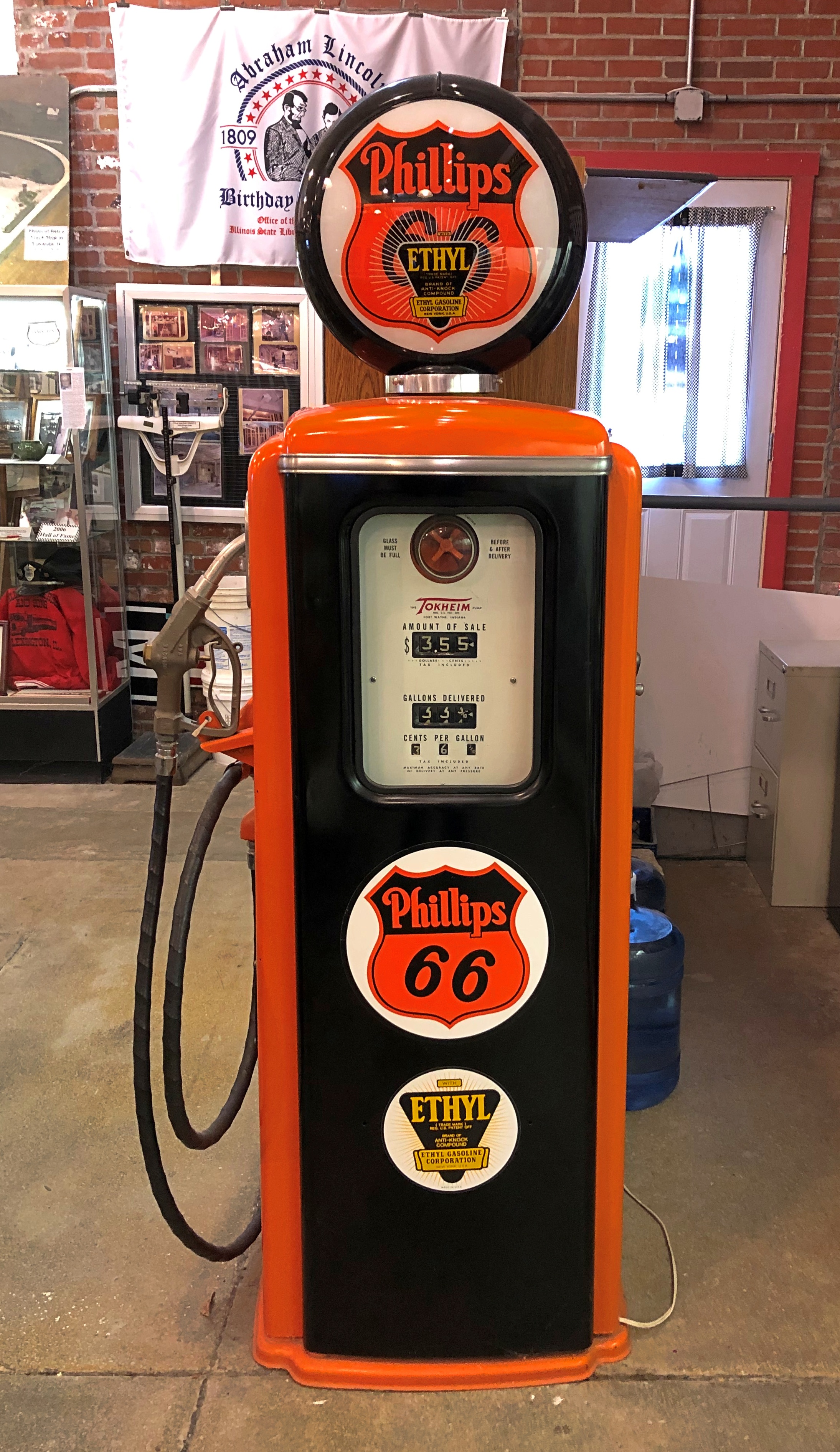
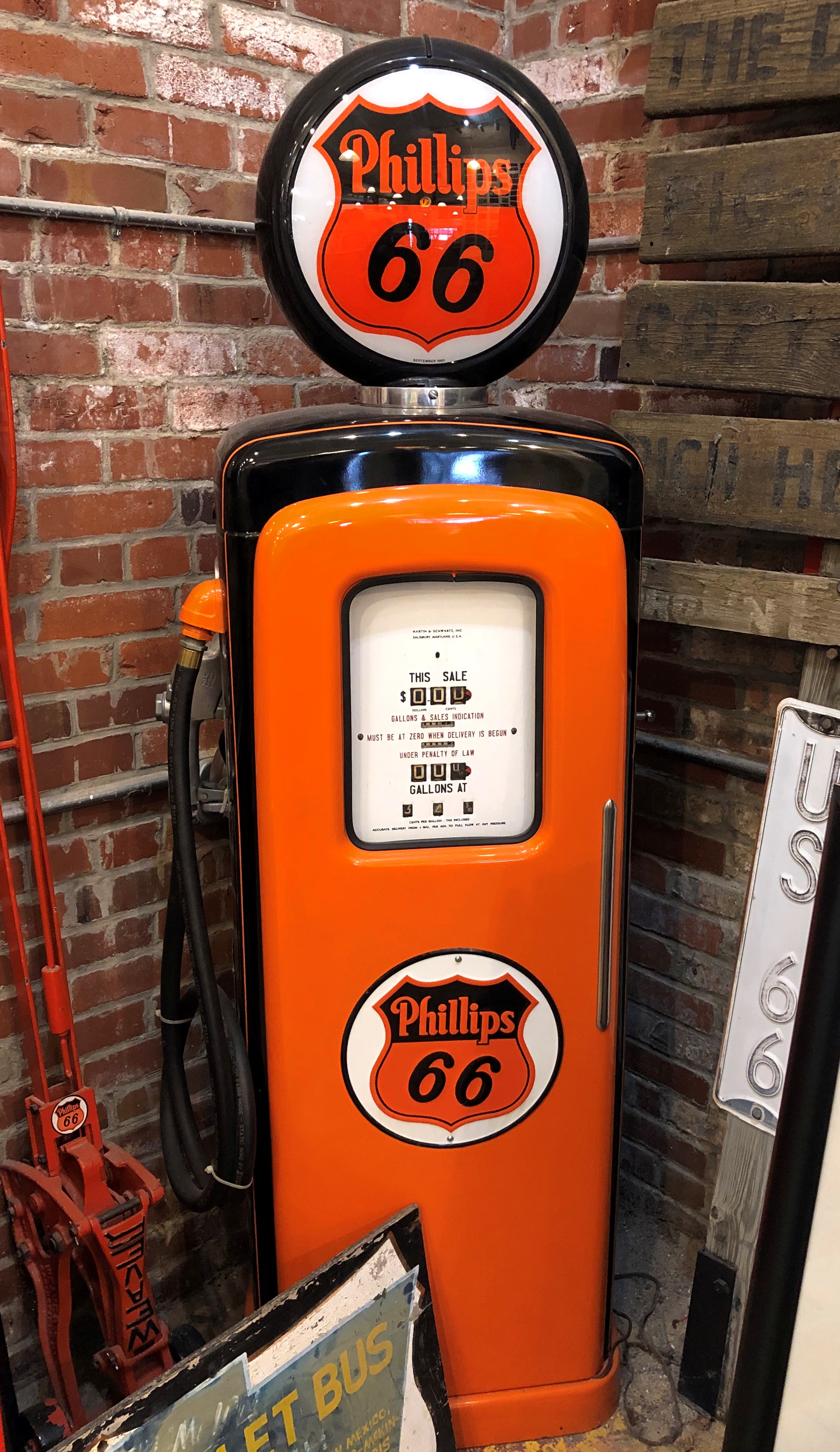
All together, the museum sports a fun lot of cars to see, even if you’re not too keen on all the technical specs. But I’d be remiss if I didn’t point out that its collection includes plenty of other other car-related items. My own favorite were a line of vintage gas pumps. Rare to see anything like them in situ, but not impossible. Modern gas pumps pale (stylistically) by comparison.National Automobile Museum - gas pump National Automobile Museum - gas pump National Automobile Museum - gas pump

After all, without gas, where are all those cars going to go? Unless they’re steamers. Imagine the advanced steamer tech we’d have now — we wouldn’t think a thing of it — if they’d caught on instead of internal combustion, or even developed in parallel.

Reno Riverwalk

It isn’t Vegas, but Reno is part of the national tapestry too. Somehow it wouldn’t have been the same had the prisoner shot a man in Omaha or Biloxi or Yonkers. Then again, if the crime was in Reno, what was he doing in a California state prison? Best not to nitpick great song lyrics too much.

Also, I’m just old enough to remember talk of Reno as a divorce capital. That was already a dead letter by the time I knew much about it, but there were still mentions in movies and on TV. Come to think of it, Betty Draper went to Reno to divorce Don in 1964, I believe.

On the morning of October 3, I arrived in downtown Reno for a look around, parking in a space near the Truckee River, which runs through the city. A riverwalk along its greener-than-expected banks has been developed since the 1990s.

I was eyeing the parking meters, those petty tyrants of auto placement.

“No one checks those,” a man walking a small dog told me. “I’ve lived in that building for four years, and I’ve only seen anyone checking them twice.”

He pointed toward a mid-rise a block or so away.

“I see, thanks,” I said. “Looks like a nice building.”

“Yeah, on the outside.”

This began a discussion of apartment rents in Reno, with the elderly (75, he later said) black gentleman taking the lead in the conversion. After all, he lived around here and paid those rents. The long and short of it: The Rent Is Too Damn High.

Worse, he said he’d left California to get away from high rents. They’d followed him to Reno, where rents had no business being high. And yet, here we are.

He didn’t mention any industry numbers, but he didn’t have to. I can look those up – at least, averages. In Reno, the average apartment rent stands at $1,520/month these days, up from $1493/month a year ago, according to the Nevada State Apartment Association.

After he went on his way, I turned my attention to a stroll along the river.Truckee River, Reno Truckee River, Reno Truckee River, Reno

A bit of seasonal color for early October. When I was there, the leaves were just a touch non-green, like at home.Truckee River, Reno

Can’t have a riverwalk without some public art. I’m pretty sure that’s an important element of contemporary placemaking theory. Impressive, but no information about the artist. Birds liked it too.Truckee River, Reno

“Dual Nature” by Cecilia Lueza (2011).Truckee River, Reno

The descriptively named “Daring Young Man on the Trapeze” by Ric Blackerby (2004).Truckee River, Reno

By coincidence a few days later, I saw most of It Happened One Night on TV in our room. I hadn’t seen it in about 30 years. I appreciate even more now, as a gold standard for romantic comedies. Romcom confections made in our time should be half as good.

Then there was the scene in the bus when the riders broke out in song.

If only intercity bus rides were really like that. If only life were like that. The scene must have done wonders for the sale of the 1932 recording of the song by Walter O’Keefe, another busy and widely known entertainer who has been completely forgotten.

Lake Tahoe

Lake Tahoe has long fascinated. Not necessarily for being a large alpine lake in the Sierra Nevada, elevation more than 6,200 feet above sea level, or as a relic of the last Ice Age, or for having the largest volume of any North American lake except for the five Great Lakes, though those interesting facts are surely of geographic importance. Or even for its reputation for scenic vistas which, I discovered myself in early October, is well deserved.

Rather, what fascinated me at a young age was the fact that the California-Nevada border cuts right across it (that border, incidentally, has a convoluted history otherwise). Even better, the bend in the line that contributes to both states’ distinctive shapes happens at a point in the middle of the lake. Do boats ever go out on Tahoe with their GPS, looking to float right on that imaginary geographical point? I like to think they do.

I took U.S. 50 west up into the mountains that day. Sacramento, where I started, is 30 feet above sea level. Eventually I reached Echo Summit, elevation 7,382 feet, where you can catch just the briefest glimpse of Lake Tahoe ahead and down more than a 1,000 feet – a perfect alpine blue like lakes in the Canadian Rockies.

But only glimpses, because if you’re driving U.S. 50 at that point, you’re snaking along a fairly busy two-lane highway with curves and drop-offs that demand your attention. Not a road for the easily spooked, but I liked it. There would be other mountain-meandering roads on this trip, cutting through thick forests or arid scrub and letting you dwell on your mortality if you’re so inclined.

First stop: Taylor Creek, and some nearby places, such as Tallac Point and Keva Beach.

The wayfinding could not be more straightforward.Lake Tahoe Lake Tahoe Lake Tahoe

The wide expanse of Tahoe. I’ll call it an honorary Great Lake. Crater Lake is deeper, so maybe it is, too. But I’ll have to see it first.Lake Tahoe Lake Tahoe

I’d have put my feet in the lake, except at that point — not really visible in my images — were some algae blooms: green, blobby and insalubrious looking. I wasn’t wrong to keep my distance.

“Nearshore algae blooms are a growing ecological threat to the lake – they seriously degrade water quality, make large areas of beach unpleasant with mats of decomposing algae, and for particular types of algae, can pose toxicity issues,” says the Tahoe Environmental Research Center of UC Davis.

A bit further north, at Inspiration Point on Emerald Bay, and up some feet from the shoreline.Lake Tahoe

The island in Emerald Bay: Fannett Island, apparently the only island in the entire 191 square miles of lake.Lake Tahoe, Emerald Bay Lake Tahoe, Emerald Bay Lake Tahoe, Emerald Bay

” A sparsely timbered, brush covered upthrust of granite that rises 150 feet above the water, Fannette Island was not always known by that name. During the past 100 years it has been known as Coquette, Fannette, Baranoff, Dead Man’s, Hermit’s, and Emerald Isle,” notes the California Dept. of Parks & Recreation.

The day’s best vista required a short climb. Really very short, and entirely worth the effort. Near Rubicon Point in D.L. Bliss State Park.Lake Tahoe Lake Tahoe

California 89 runs along the western shore of the lake, and I followed its winding, often scenic route to Tahoe City, then north to Truckee. Sometimes so scenic that the state neglected to include guardrails along some particularly steep stretches. Keep in your lane, or meet your maker. Obviously I kept to my lane.

At my last stop at the lake this time, I decided to put my feet in the clearer-looking water, at a pebble beach toward the northwestern shore.Lake Tahoe Lake Tahoe

Pebble and pine cones, that is.

Marshall Gold Discovery State Historic Park

Drive east from Sacramento on U.S. 50, and you will find yourself in Placerville, California. In its early mining days, the town had a different name that the current, more tourist-oriented town doesn’t shy away from.Placerville, California Placerville, California

Due process was for fancy-pants Eastern lawyers, it seems. Still, when it all happened more than a century and a half ago, mob justice adds to the colorful history of a place.Placerville, California

NDGW and NSGW? Native Daughters and Sons of the Golden West, respectively. Sibling organizations known for memorializing and plaque-placing in the Golden State. This wouldn’t be the last time I encountered their work. Members need to be born in California, and have included such notables as Richard Nixon and Earl Warren over the years.

Whatever its history of frontier justice, Placerville offers a pleasant stroll in an upper-middle tourist street in our time. I spent a few glad minutes in the labyrinth of books. How could I pass that up?Placerville, California

Go further east from Placerville, and you’ll find Marshall Gold Discovery State Historic Park.Marshall Gold Discovery State Historic Park

The park occupies much of the town of Coloma, California. By the time I got there, just before noon on October 2, the air was dry, sky clear, and temps nearly hot. The terrain reminded me a good deal of the Texas Hill Country: scrubby and brown and hilly, but appealing all the same.Marshall Gold Discovery State Historic Park Marshall Gold Discovery State Historic Park

The park includes a reconstruction of the sawmill where James Marshall saw those golden flecks in the winter of 1848. The structure, anyway, since I don’t think including a 19th-century industrial saw (steam powered by this time?) was in the reconstruction budget.Marshall Gold Discovery State Historic Park Marshall Gold Discovery State Historic Park

There’s a stone-wall memorial on the actual site of the mill, not far away on the handsome American River.Marshall Gold Discovery State Historic Park Marshall Gold Discovery State Historic Park

I was surprised to learn that the river is only about 30 miles long, but enough to provide Sacramento with most of its drinking water, assuming enough snowmelt every spring.

James Marshall has a memorial in Coloma, but you have to climb a hill to reach it. Or drive a short, winding road that happens to be a very short California state highway.James Marshall Memorial

The work of the NSGW again. In fact, the first memorial the org ever erected, in 1890, when the memories of Forty-Nine were still living memories for many. Marshall wasn’t among them. The honor was posthumous for him, and he reposes underneath the structure.

Still, nice view he’s got of the rolling and formerly gold-laden territory.Marshall Gold Discovery State Historic Park

Not quite as far up the hill are a number of historic structures and an old cemetery. One is St. John’s, a Catholic church that held services until about 100 years ago, but where you can still get married.Marshall Gold Discovery State Historic Park - St John

John Marshall’s cabin.Marshall Gold Discovery State Historic Park - Marshall's Cabin

Even more interesting, I thought, was a more-or-less intact mining ditch, countless of miles of which were dug in the effort to tease yellow metal from the indifferent earth. Later, many were (or still are) used for irrigation. I don’t think this one is; it’s just a gash in the earth.Marshall Gold Discovery State Historic Park - Marshall's Cabin

The hillside cemetery.Marshall Gold Discovery State Historic Park - cemetery Marshall Gold Discovery State Historic Park - cemetery Marshall Gold Discovery State Historic Park - cemetery Marshall Gold Discovery State Historic Park - cemetery

Ashes to ashes, dust to dust, gold-bearing earth to gold-bearing earth.

The Golden West ’22

Early this month, I ventured near the West Coast again, though to places in that vast region I’d never seen before. That is, parts of northern California, where you can see the likes of marching bears looking to sell you band merch, though you have to provide your own hallucinogens.Placerville, California

Across the border in Nevada, signs say howdy, come on in and enjoy games of chance that favor the house.Carson City, Nevada

This year’s travels have followed a specific design. The overarching goal was to travel with members of my family and by myself. Early in the year, the prospect of a bonus trip with old friends emerged, and toward the end of the year, the prospect of going somewhere for company business did as well.

That has all come to pass. In March, I went to Savannah with Ann. In May, the Colorado Plateau with Yuriko. In late July and early August, around Lake Michigan with old friends. In September, Jay came to visit me – but we also popped up to Milwaukee. Early this month, I went to California and Nevada, a trip I’ll call the Golden West because one’s trip ought to have fanciful names. Lilly joined me for part of the time.

Sacramento was the trip’s fulcrum. I flew in on October 1 fairly late and spent the first night there. The next morning, I headed east, following narrow roads across the Sierra Nevada, to the shores and vistas of Lake Tahoe, by way of the site where John Marshall found gold in 1848, an event he came to rue. At least he’s remembered: the place is called the Marshall Gold Discovery State Historic Park.

I spent two nights in Reno. My first morning in that town, October 3, I took a walk near the Truckee River, which I had no notion existed before coming to this part of the country – a feeling I had more than once during the trip, along with a few moments of ah – that happened there? Reno is also home to the National Automobile Museum, which takes a bit of a different approach that the one in Fairbanks, sporting a lot of interesting old vehicles, but also some not so old.

That afternoon I drove to Carson City. When I was young and started poring over maps, I found it curious that Carson City, by all appearances a small place, was capital of a large state like Nevada. Large in area, anyway, since it was later I’d learn about Nevada’s relatively small population. Later still – that is, now – Nevada actually isn’t that small in population, coming in at no. 32 among the several states with about 3.1 million people, ahead of the likes of Arkansas, Mississippi and Kansas, among others.

For its part, Carson City has a population of about 58,000 (that’s the MSA, third-smallest for a capital, larger only than the Pierre, SD, and Juneau, Alaska MSAs). Naturally I ambled over the state capitol for a look. The Nevada State Museum, which includes the former Carson City Mint, unfortunately wasn’t open. Cactus Jack pictured above, incidentally, greets Carson City visitors. I didn’t go in to that casino. Or any in Reno.

Virginia City was another thing I didn’t know about Nevada. It was a name on a map and I had the vague notion that it was little more than a ghost town, the residuum of long-finished silver mining. False. Silver mining did take place there in a big way, but now V. City lives on as a major tourist destination, the sort of place that has refurbished its vintage buildings into bars, restaurants, souvenir shops and small museums.

It occurred to me when visiting the site of the Comstock Lode in Nevada — V. City is built on top of it — that that was the silver part of the trip. The gold part had been on the the western slope of the Sierra Nevada in California. Silver and gold. Gold and silver. Either has a good ring to it.

The next day, I walked the colorful Virginia Avenue in Reno, and visited the Reno Art Museum before I quit town, heading back to Sacramento by way of the larger I-80, which allowed me to stop at Donner Memorial State Park. That place provided me a that-happened-here? moment. It isn’t called the Donner Pass for nothing, though I suspect the members of the party who didn’t survive would have taken a pass on posthumous fame, in exchange for making it across the mountains.

Fairly early on the morning on October 5, I picked up Lilly at the airport in Sacramento. Our goal for the day was a hotel in Groveland, California, near the entrance of Yosemite National Park, but we lingered for a look at the state capitol, and then headed south on California 99, a four-lane freeway through the San Joaquin Valley.

We stopped briefly along the way, feeling the heat and sensing the dryness of the place. California is in another drought, after all. Yet the crops grow there in abundance, at least as long as the ag industry has the political muscle to get the water it needs.

Back up in the Sierra Nevada, temps were also surprisingly warm – in the 80s most of October 6, the day we spent at Yosemite NP. I acquired and sent a number of postcards of Yosemite, because I’m a traditionalist that way. On some of them, I wrote that I was much impressed by the massive rock formations, but had no urge to climb any of them.

The next morning, we drove back to Sacramento, where I took Lilly to the airport. That left me with half a day more to kick around that city, which I did, leaving on the morning of October 8. The surprise for me in my last walk around Sacramento was the collection of impressive modernist and postmodernist buildings, especially along the Capitol Mall.

All in all, a good trip. I even got to meet a local, there in Reno, more about whom later. That’s the gold standard for an authentic travel experience, at least according to some lines of thought. That or “live like a local,” though that somehow always seems to mean visiting the right bars, but never (say) spending time stuck in traffic like a local would.