On Sunday Yuriko was at her occasional cake class creating some figgy pudding. That’s what I’m calling it, since fig is the star ingredient, along with cinnamon and nutmeg and other spices. I’m also calling it oishi, Japanese for delicious, a word we use a fair amount.
There is no Spam in the recipe, however. Just as well.
Class is in the city, and I am chauffeur on such days, driving to the Humboldt Park neighborhood. The benefit for me: I get to spend a few hours in Chicago. This time I used the time to visit Graceland Cemetery on the North Side, accessed by bus and then the CTA Red Line.
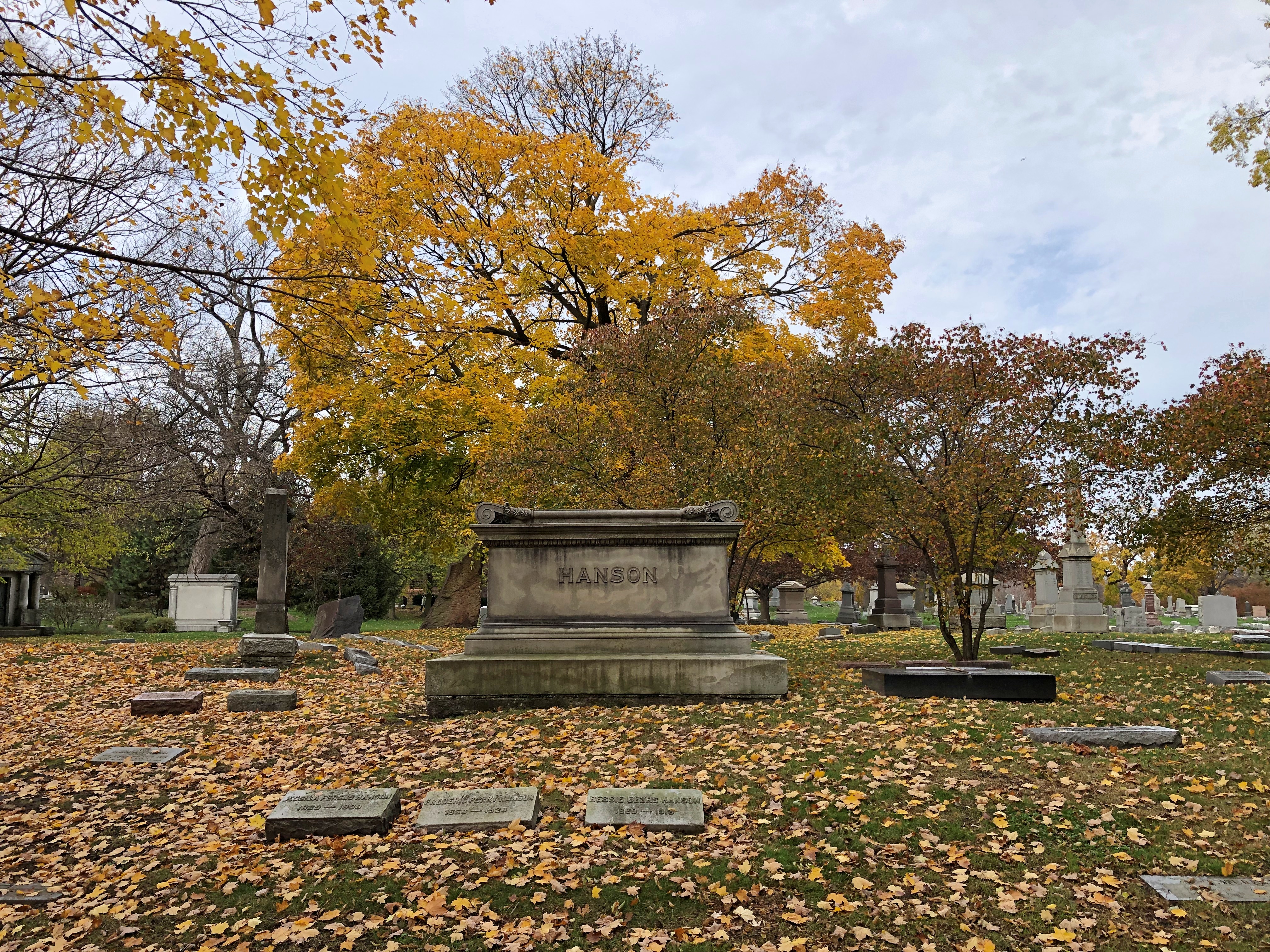
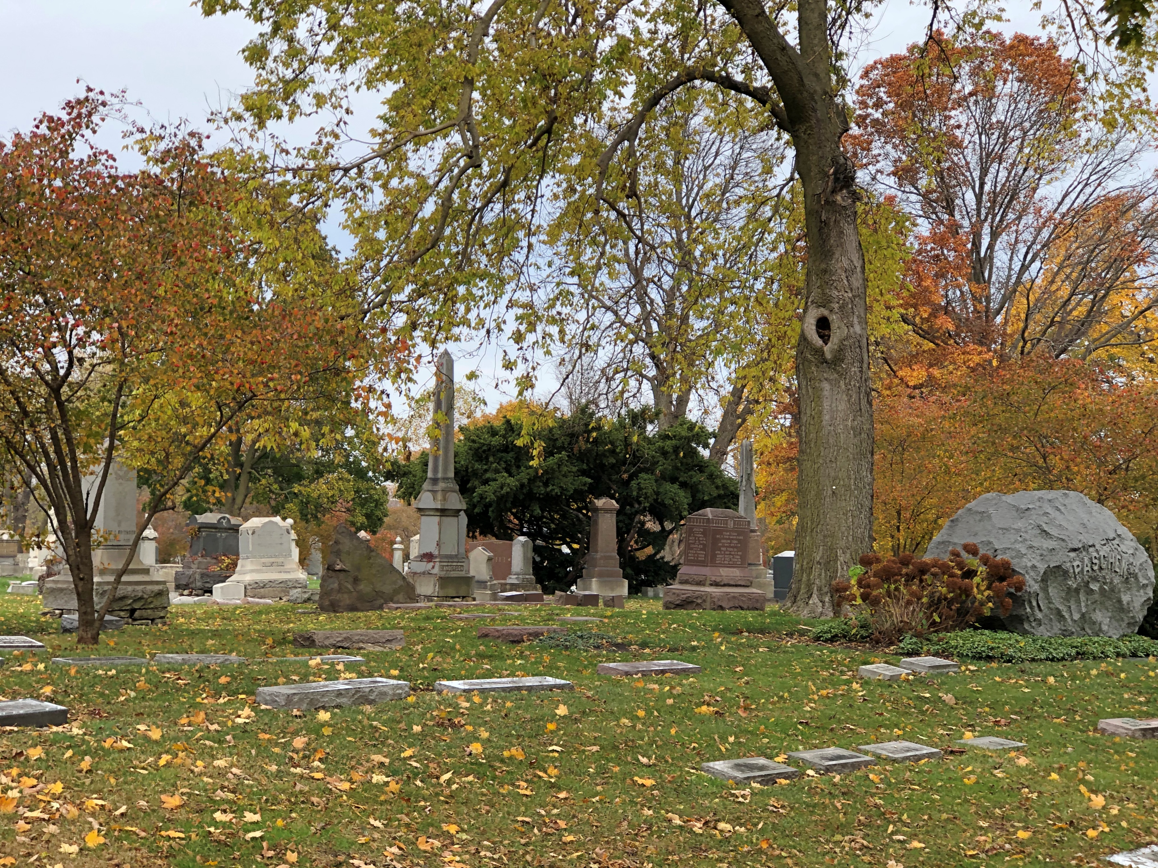
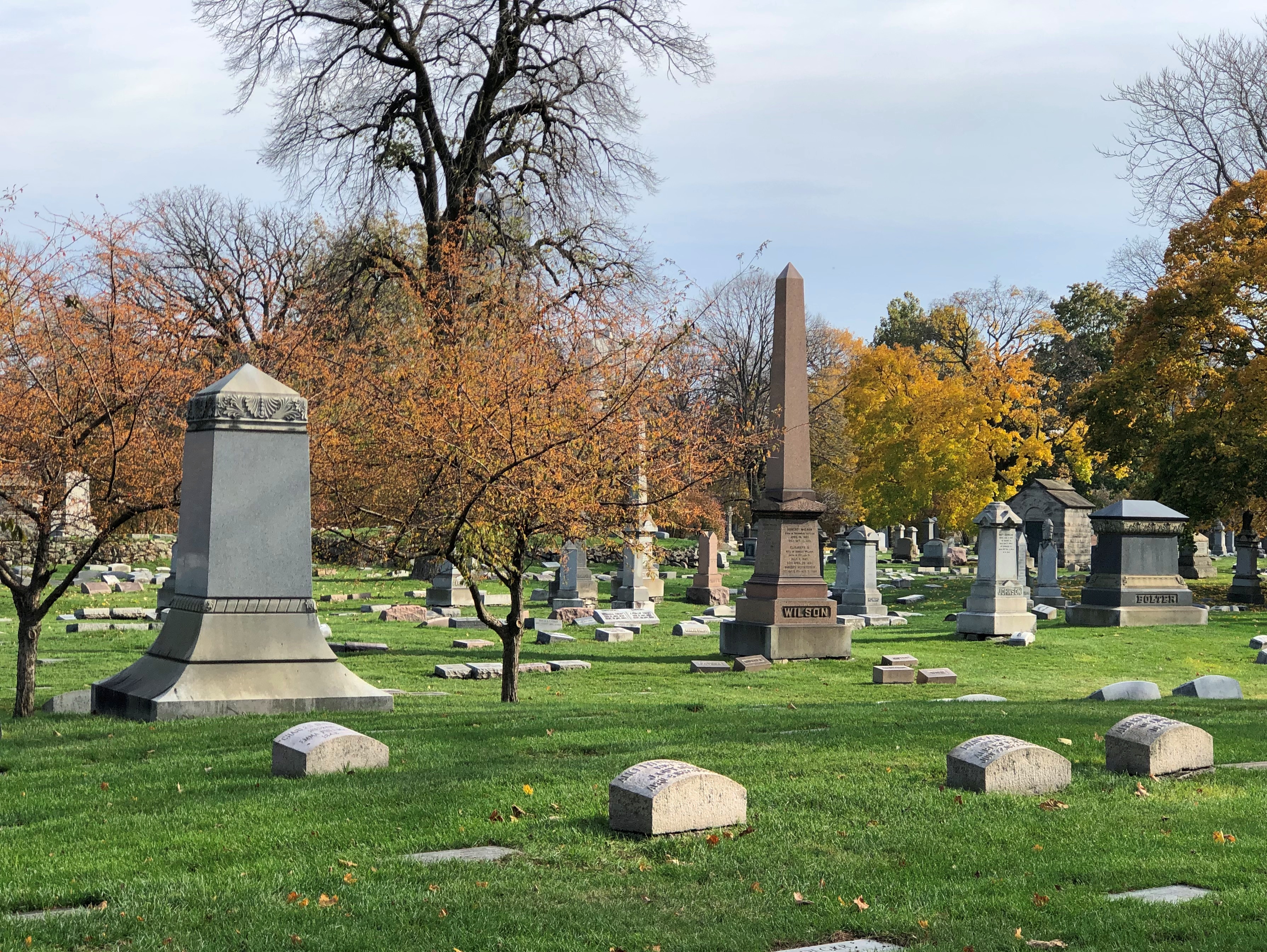
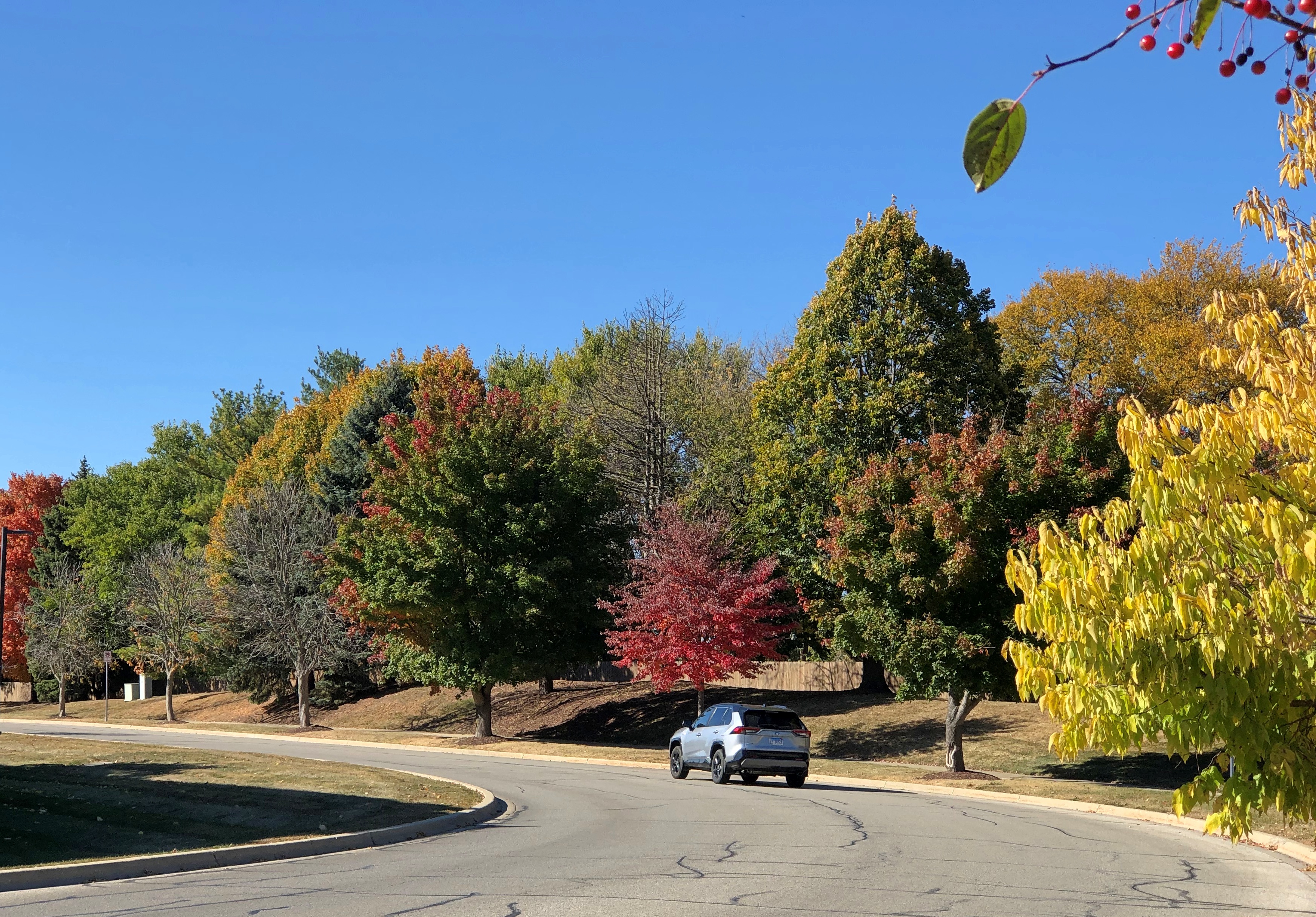
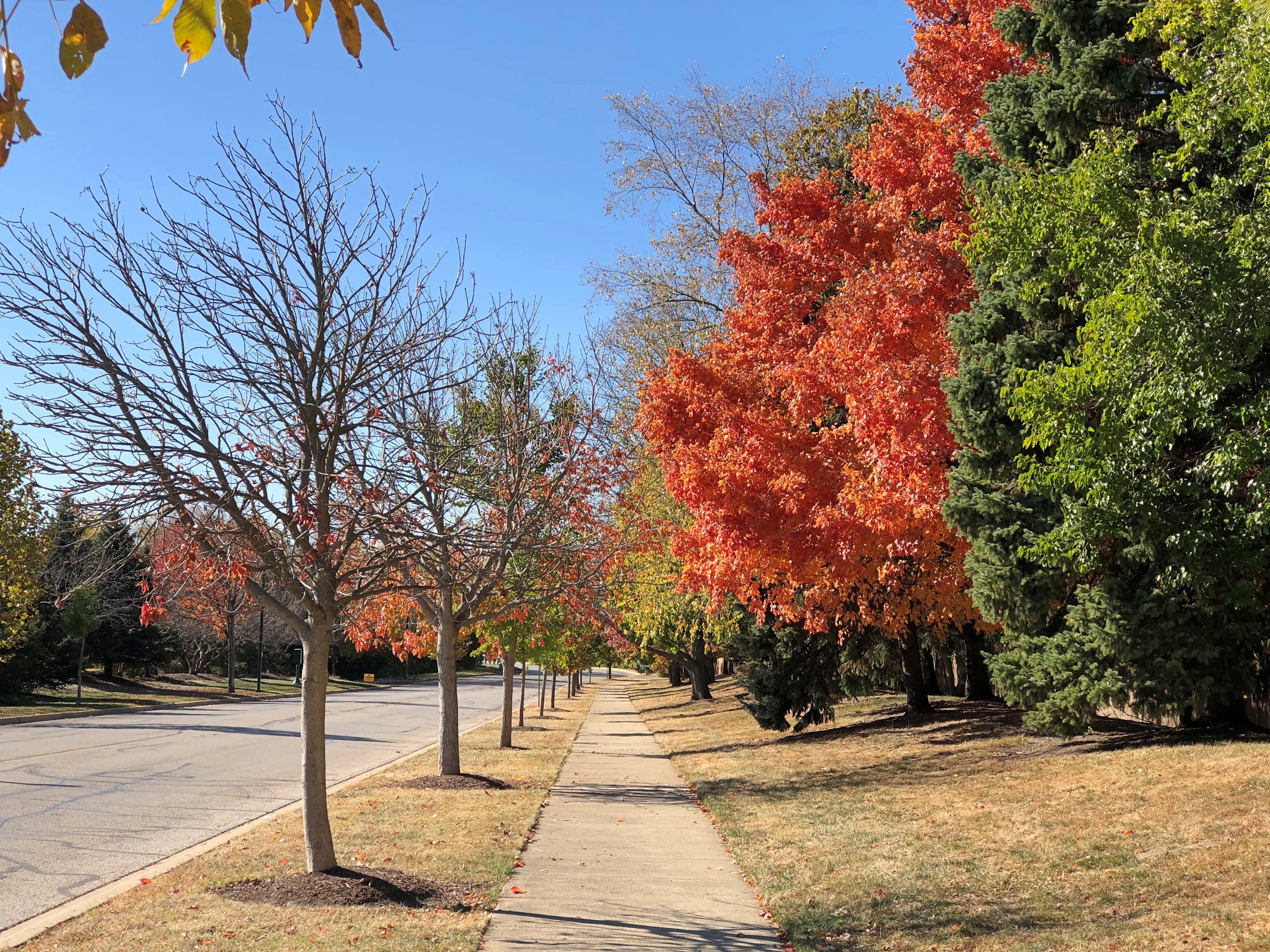
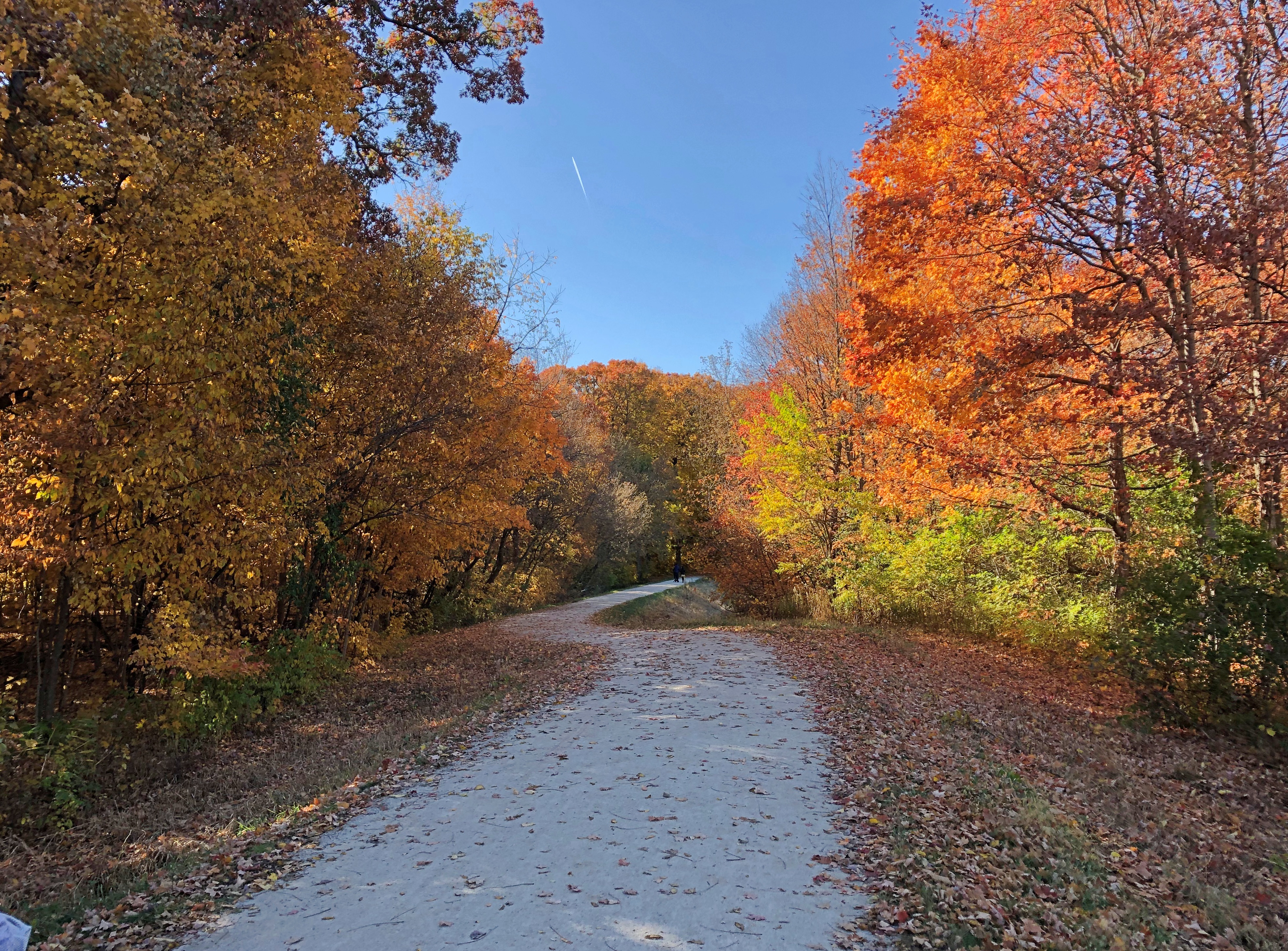
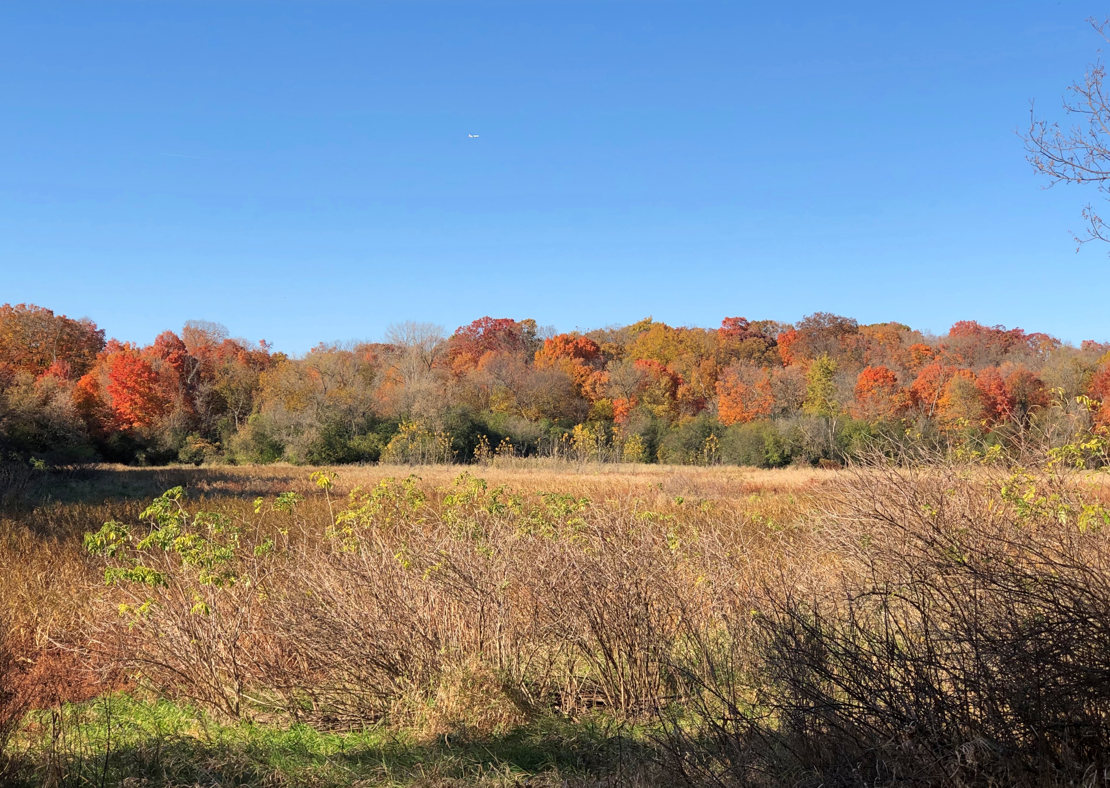
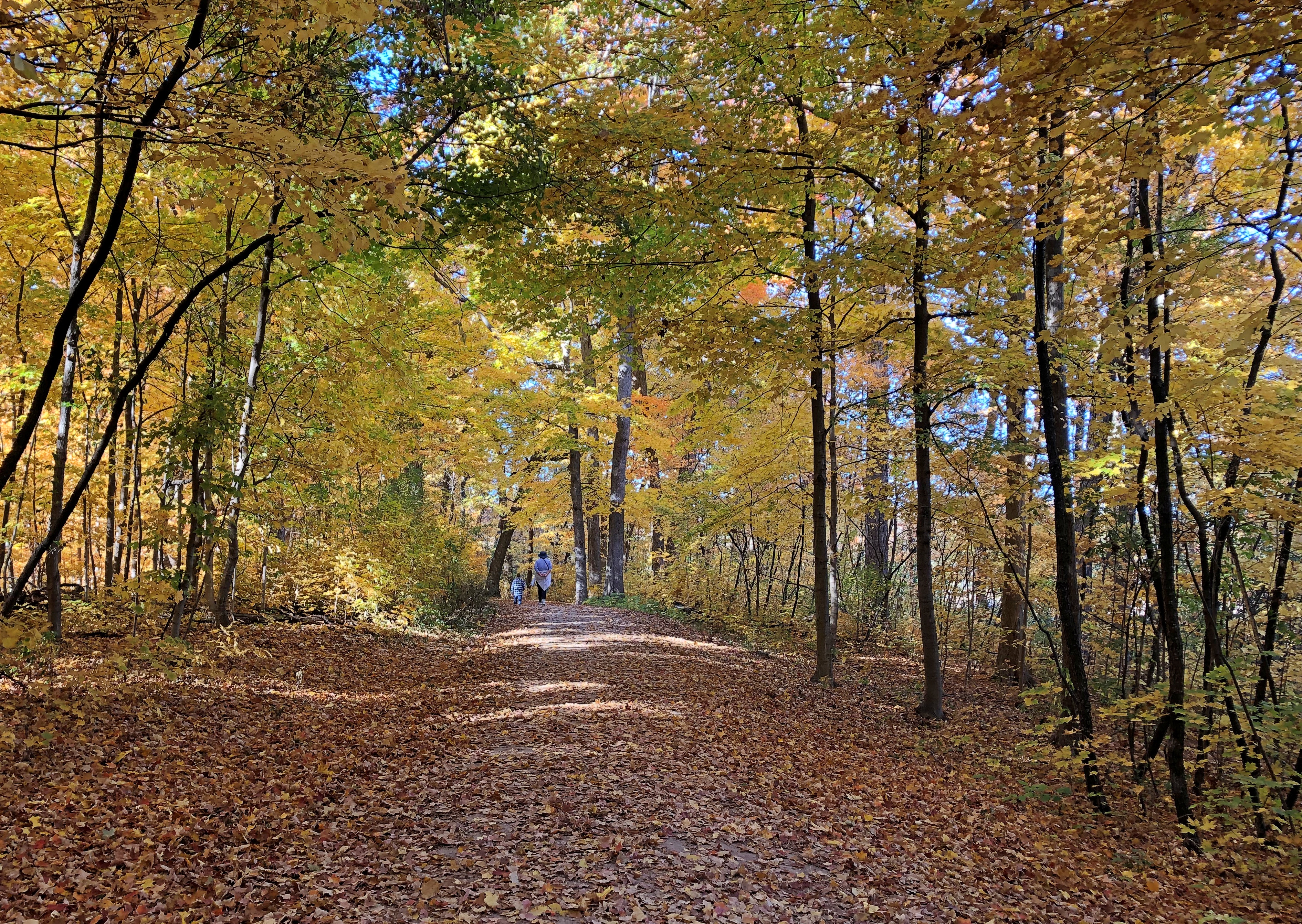
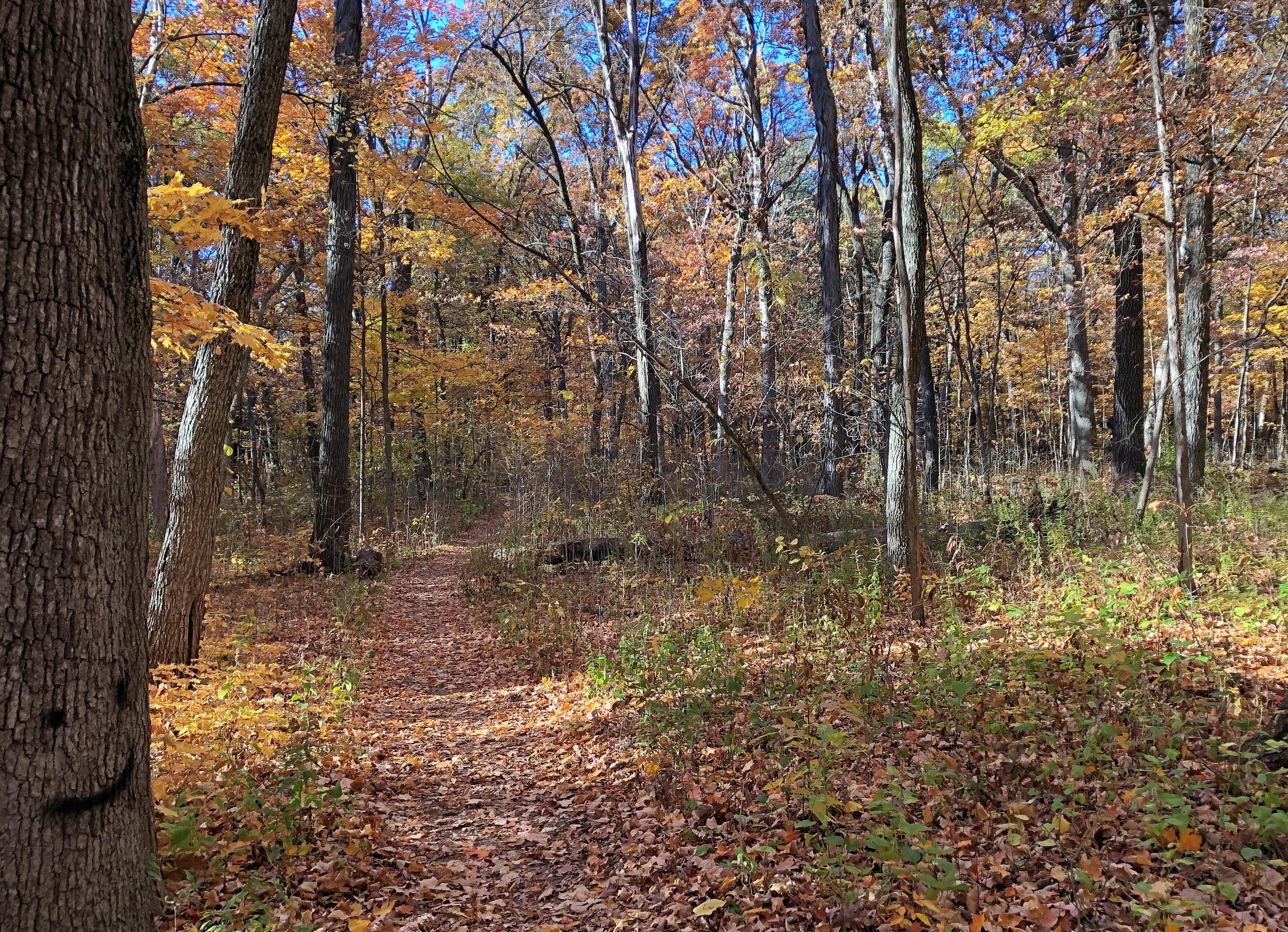
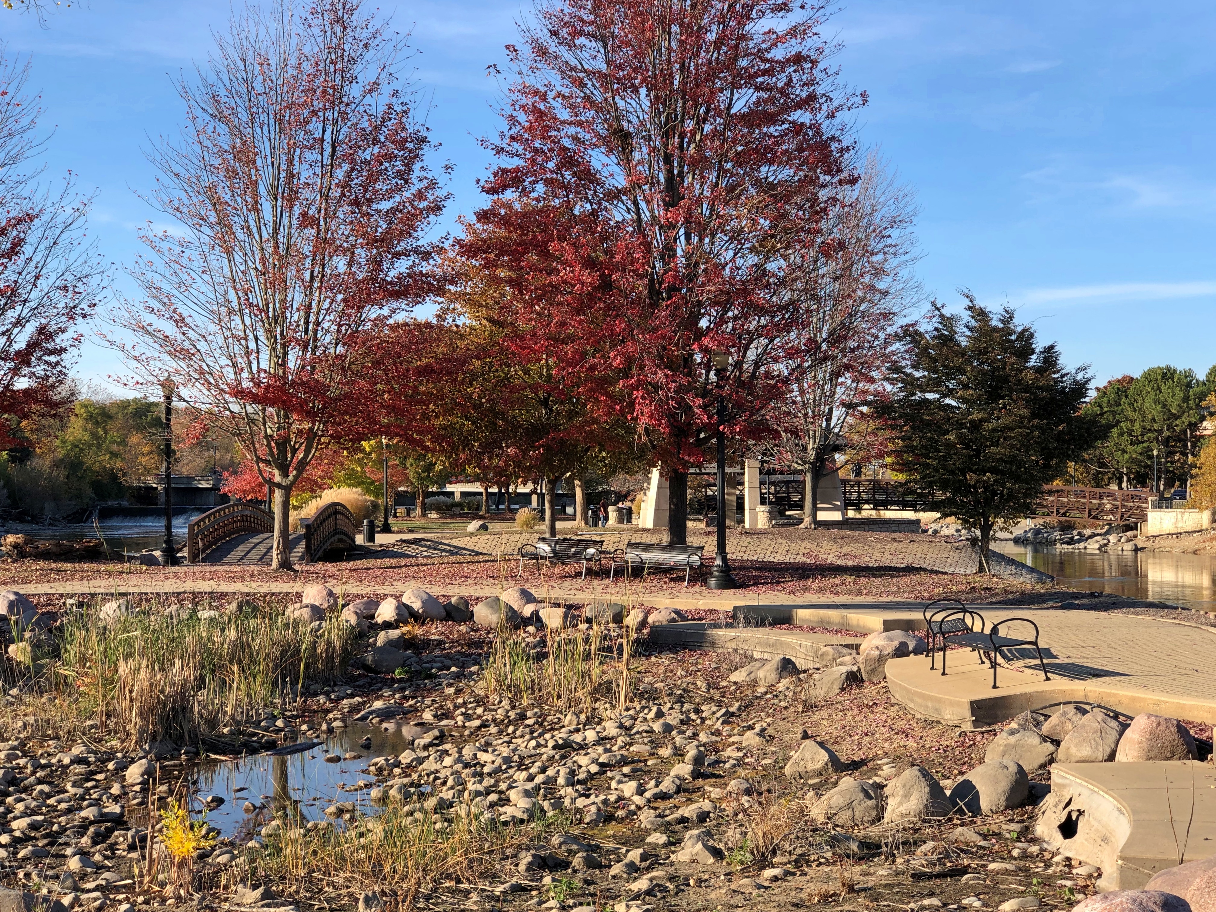
More color than I expected. The leaves are a little late in falling this year.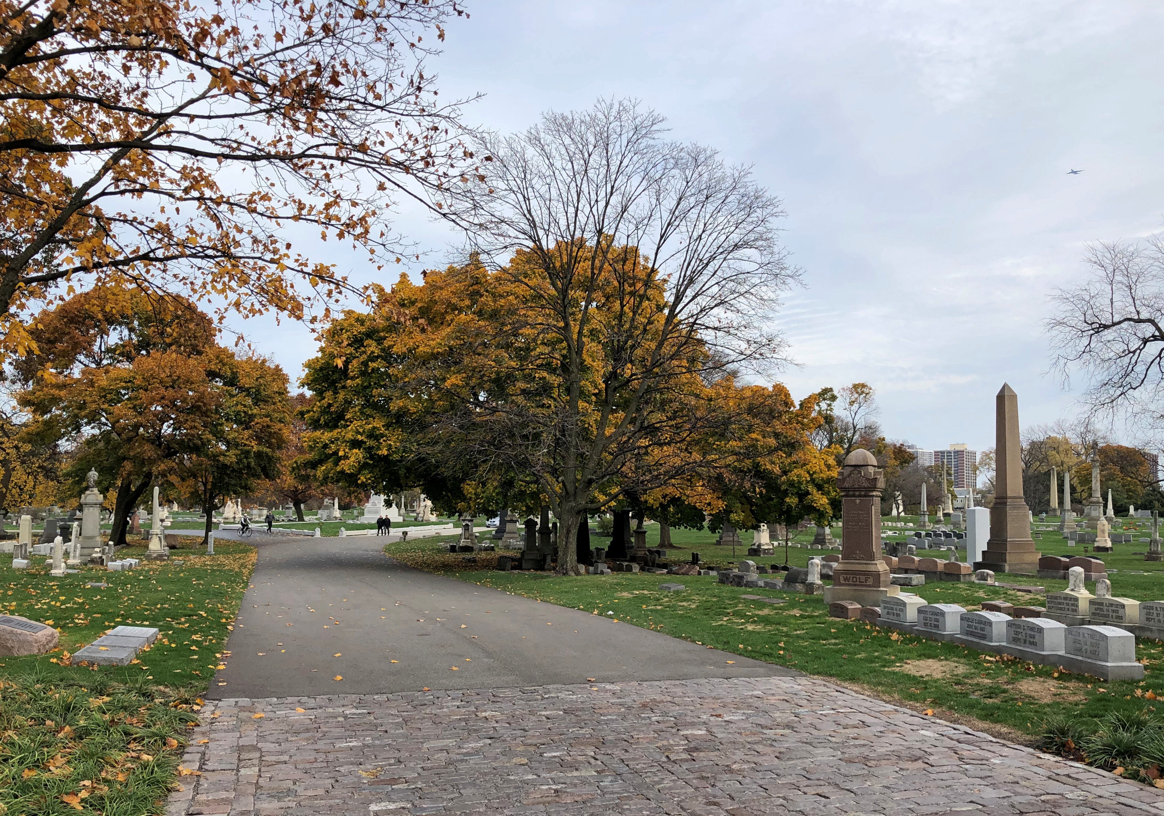

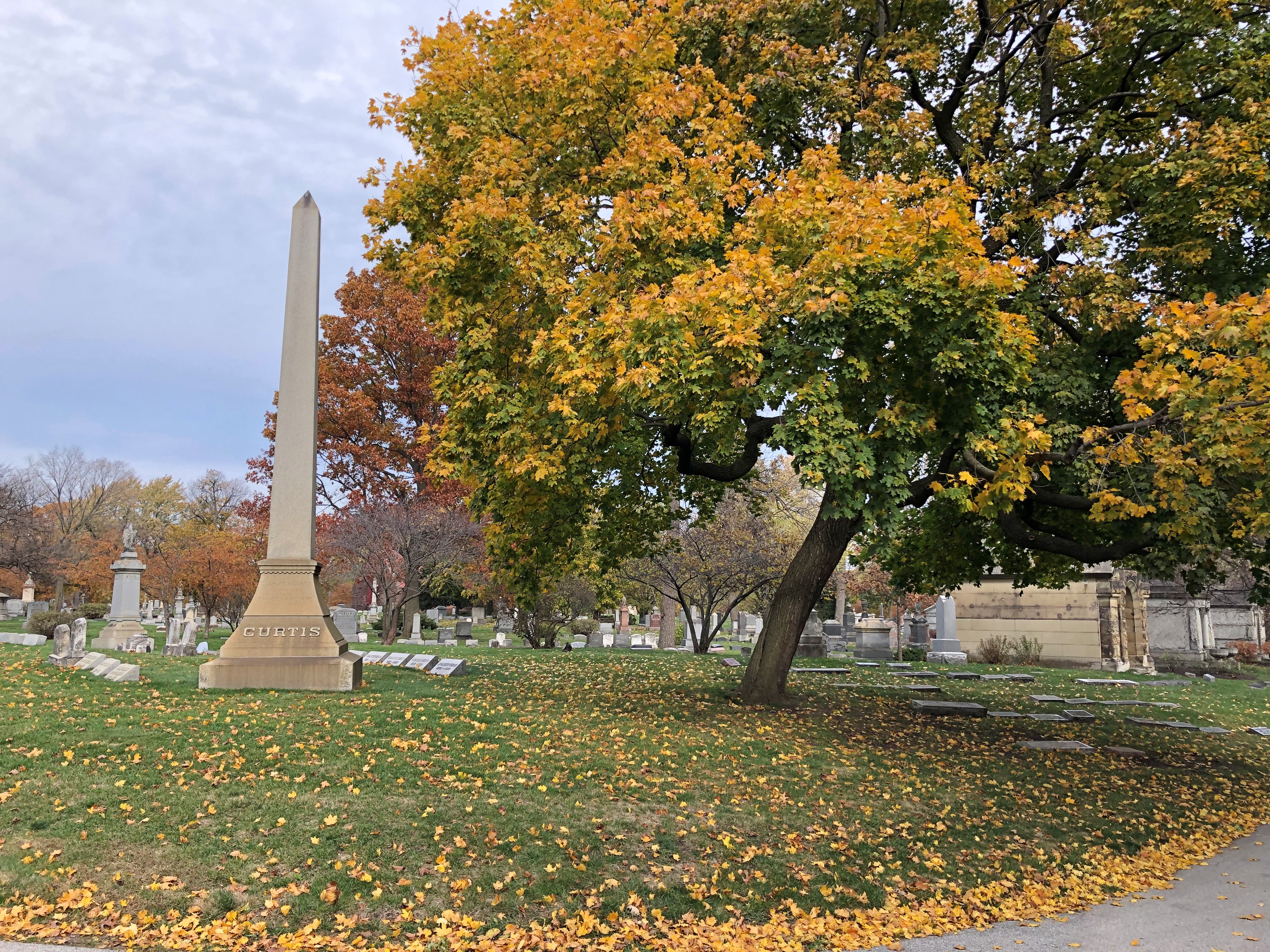
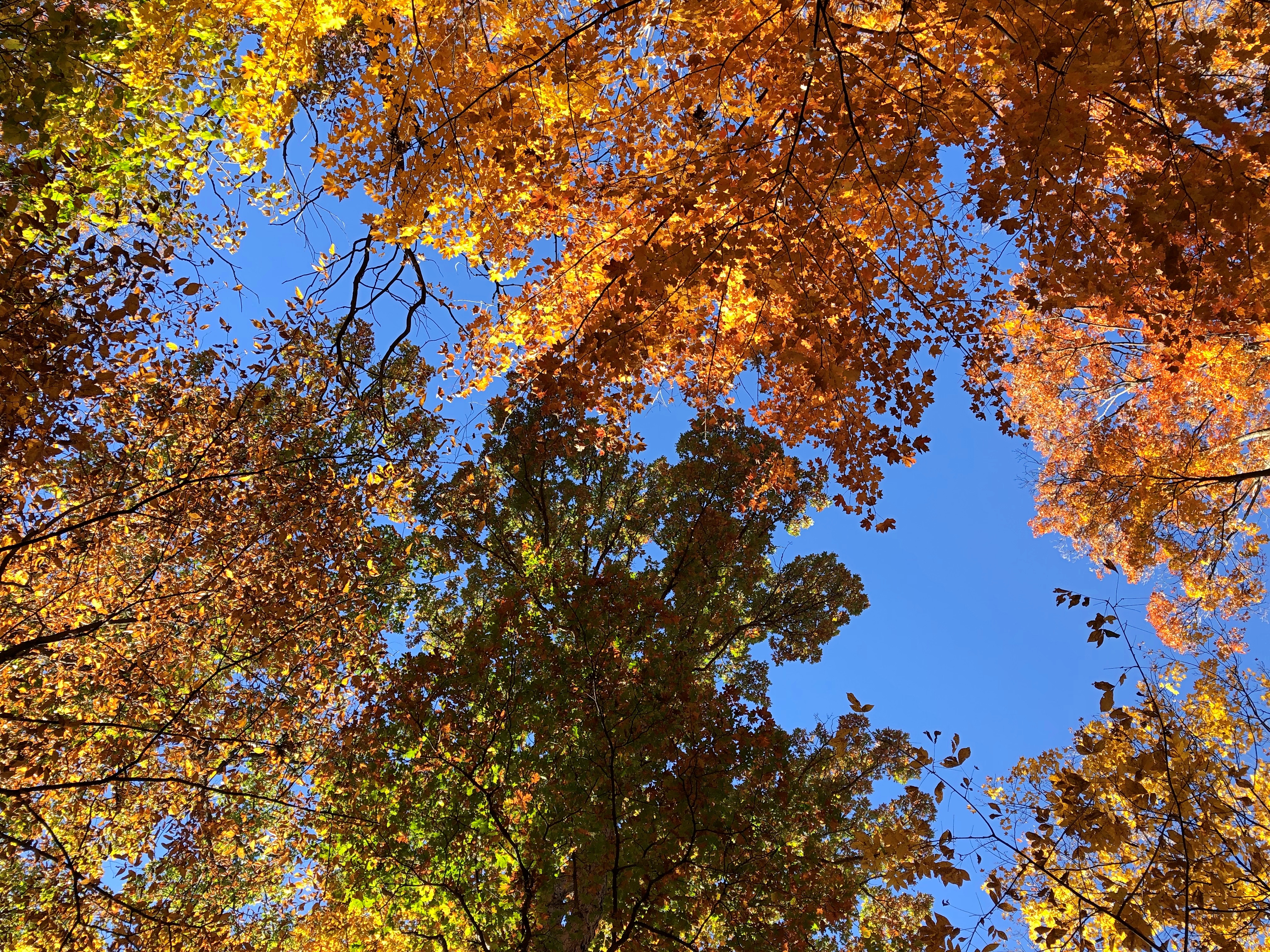
What can it signify? Natural variation in timing? A hint of climate woes? I can’t claim to be smart enough to know, but I do know that my hour-plus stroll benefited from the unexpected late colors. Graceland is a queen among cemeteries for its beauty, so any season will offer a display worthy of that status. Still, fall is special.
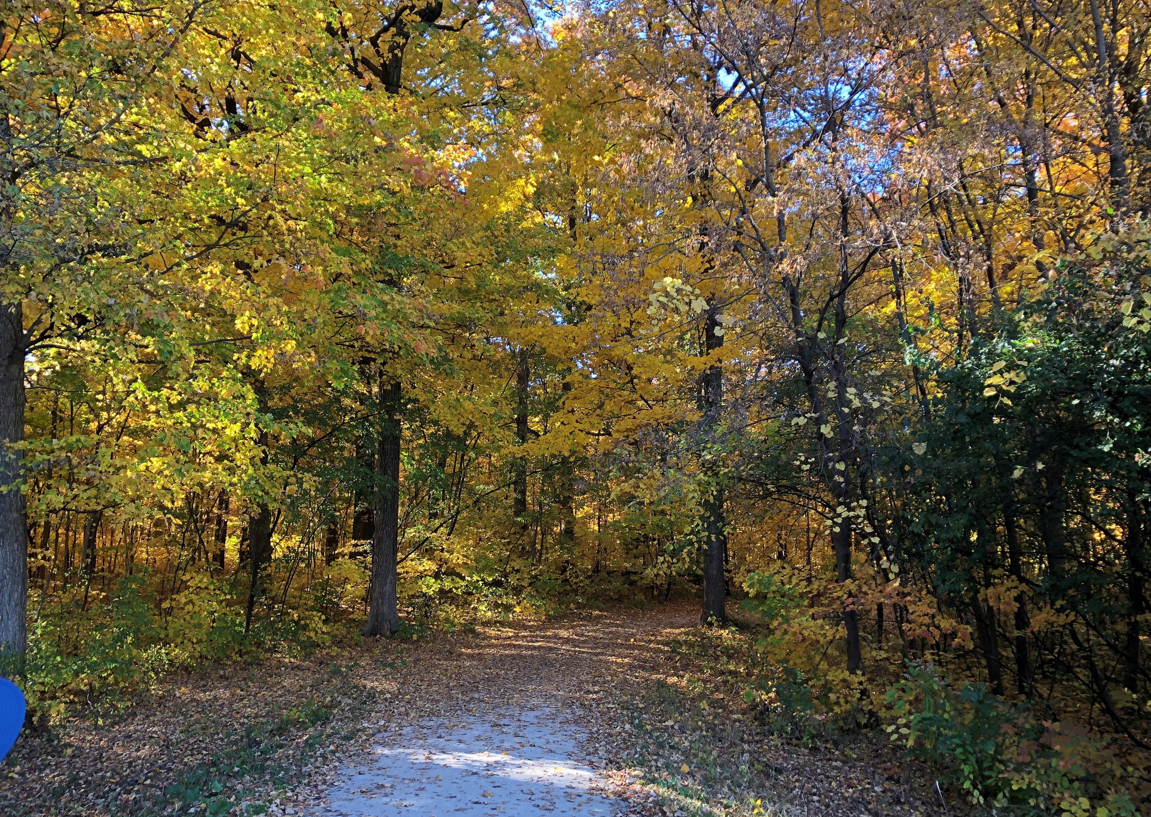
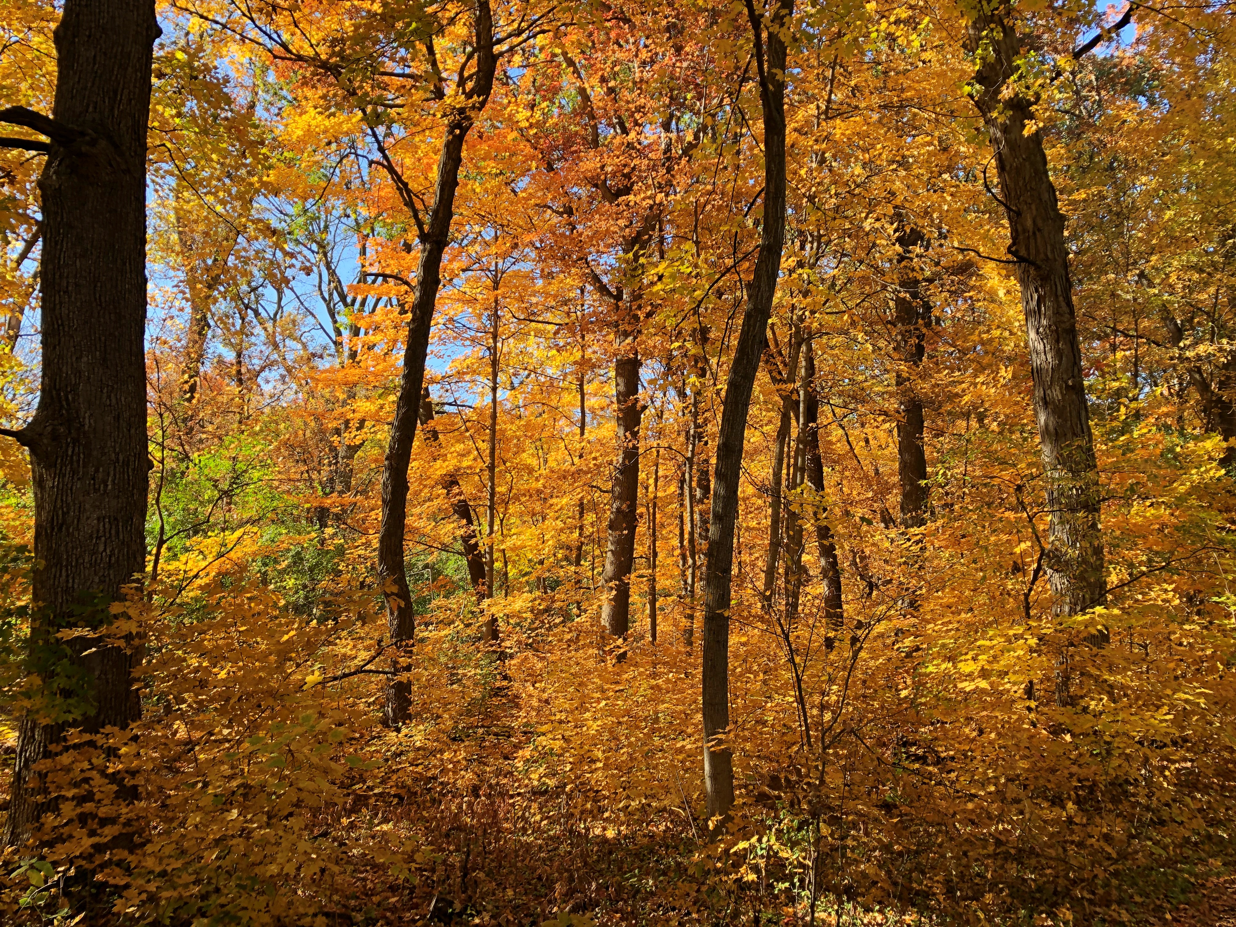
As an arboretum, Graceland has over 2,000 trees and scores of species.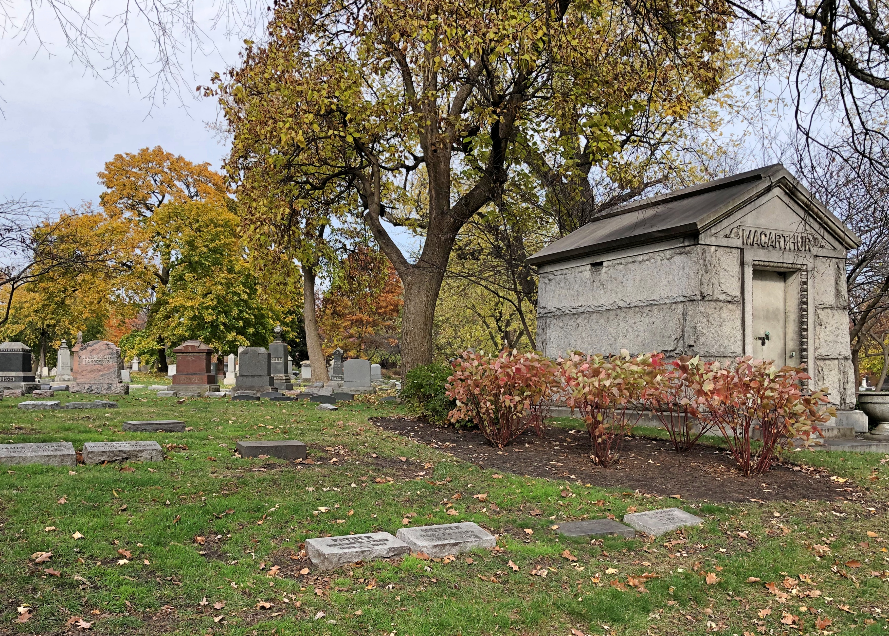
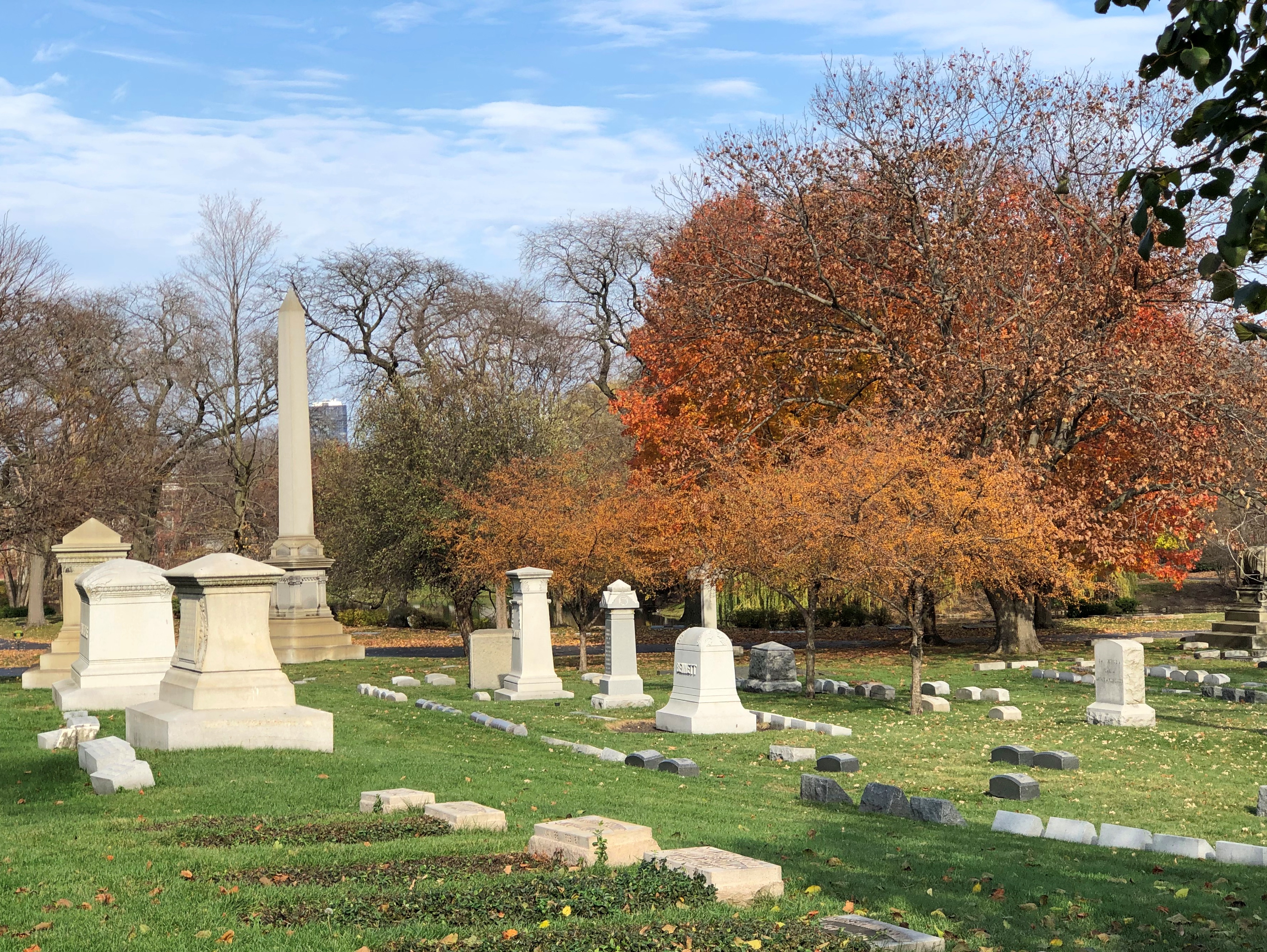
“In Chicago, as well as other major cities in America and Europe, cemeteries predated city parks as sites for pastoral strolls and quiet contemplation,” notes Chicago Garden: The Early History. “Thomas B. Bryan, a wealthy Chicago businessman and avid horticulturist, was the major force behind the creation of Graceland in 1860. Along with other investors [he] formed the Graceland Cemetery Company.
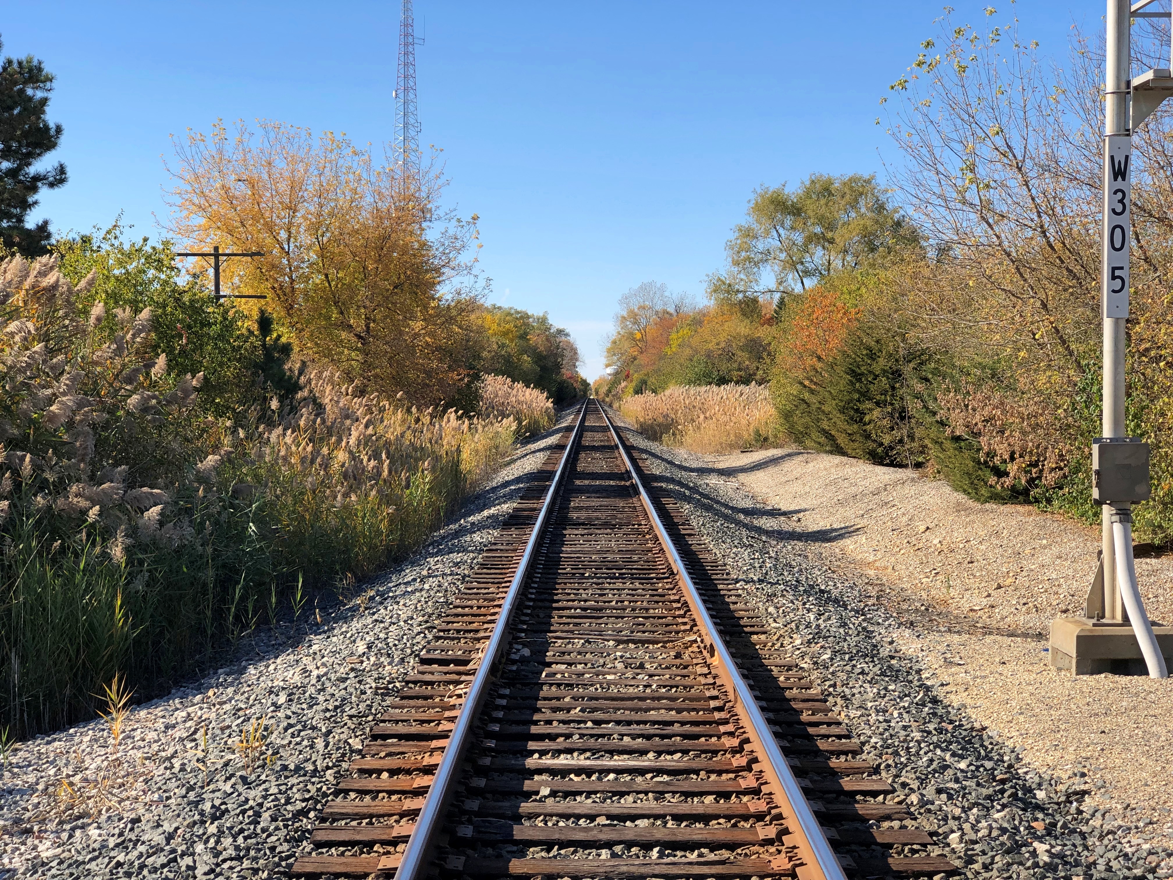
“Graceland’s location was ideal: readily accessible from Green Bay Road (now Clark Street) and later the Chicago and Evanston Railroad, yet far enough removed from the city to avoid health and sanitation issues. The company chose the high ridge area along what is now Clark Street, which was once an old Indian trail… In the sandy soil here, plants thrive better than in Chicago’s typical clay soil.”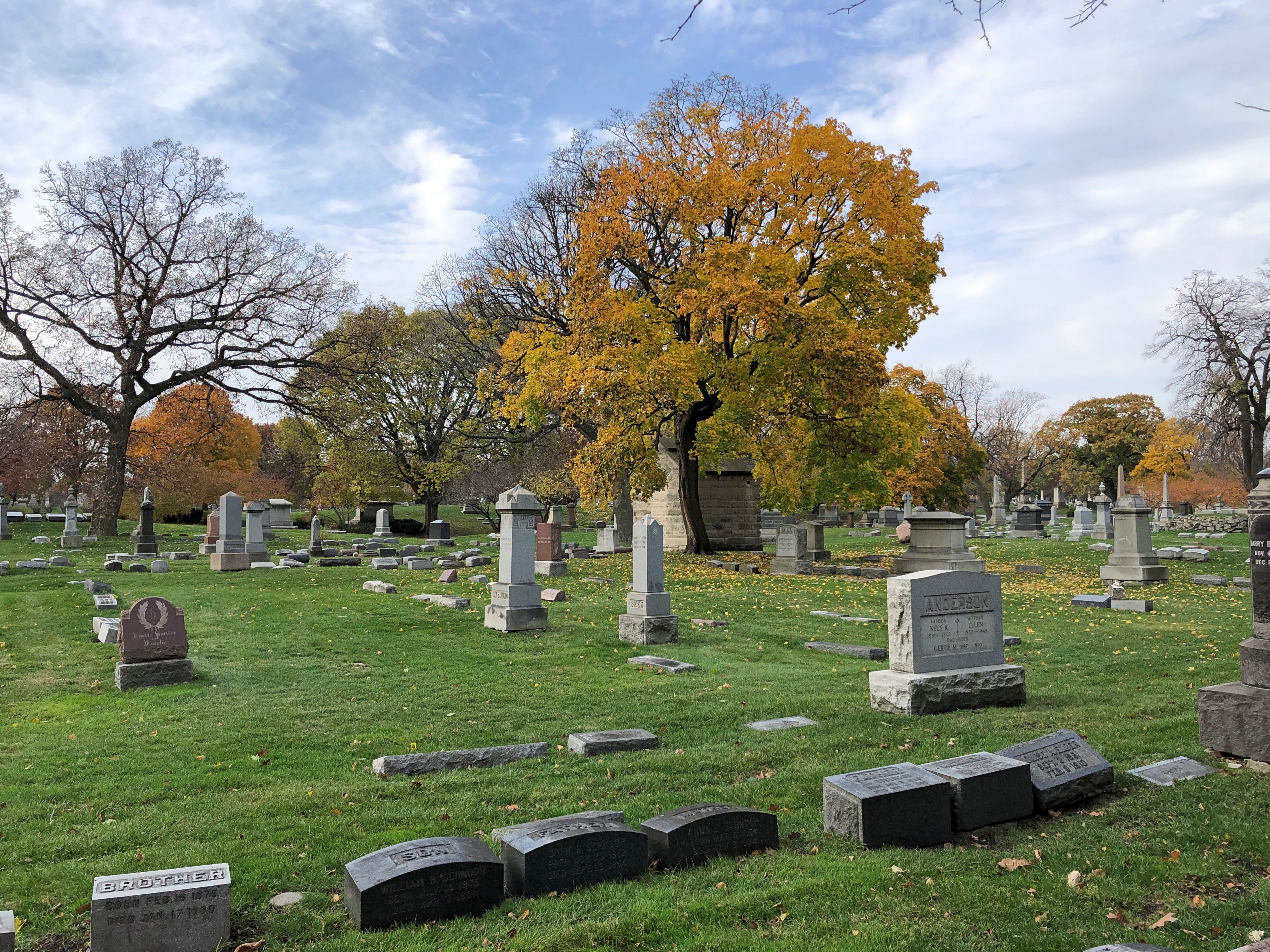
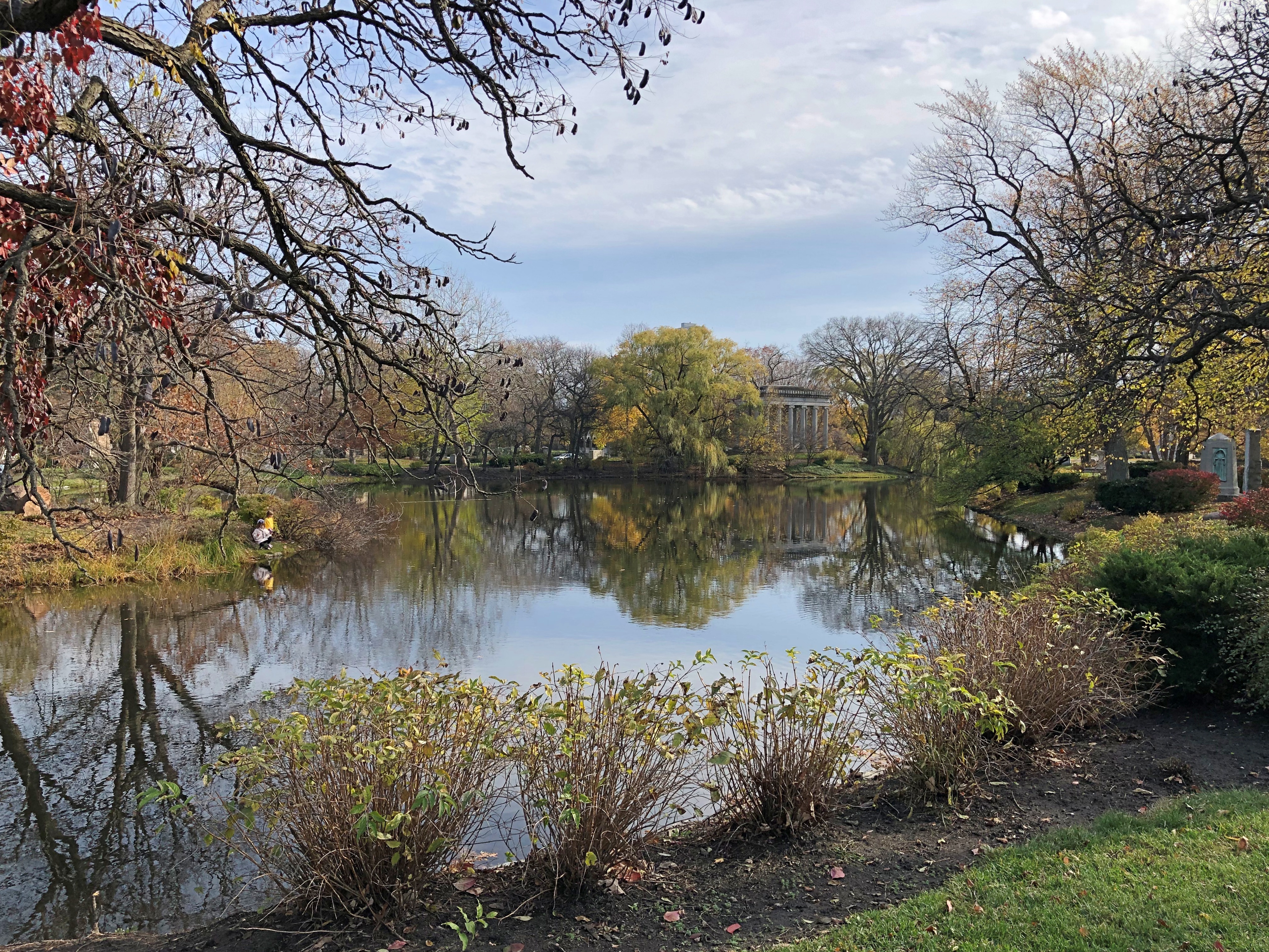
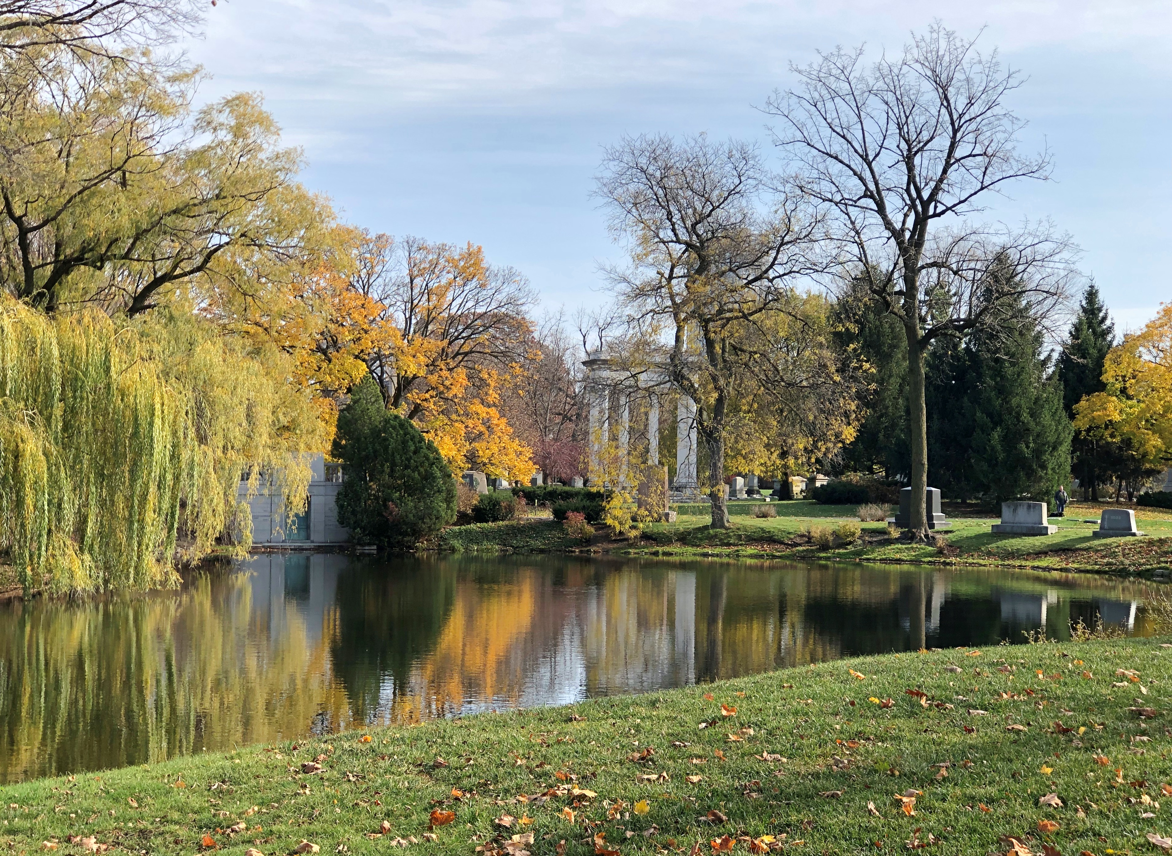
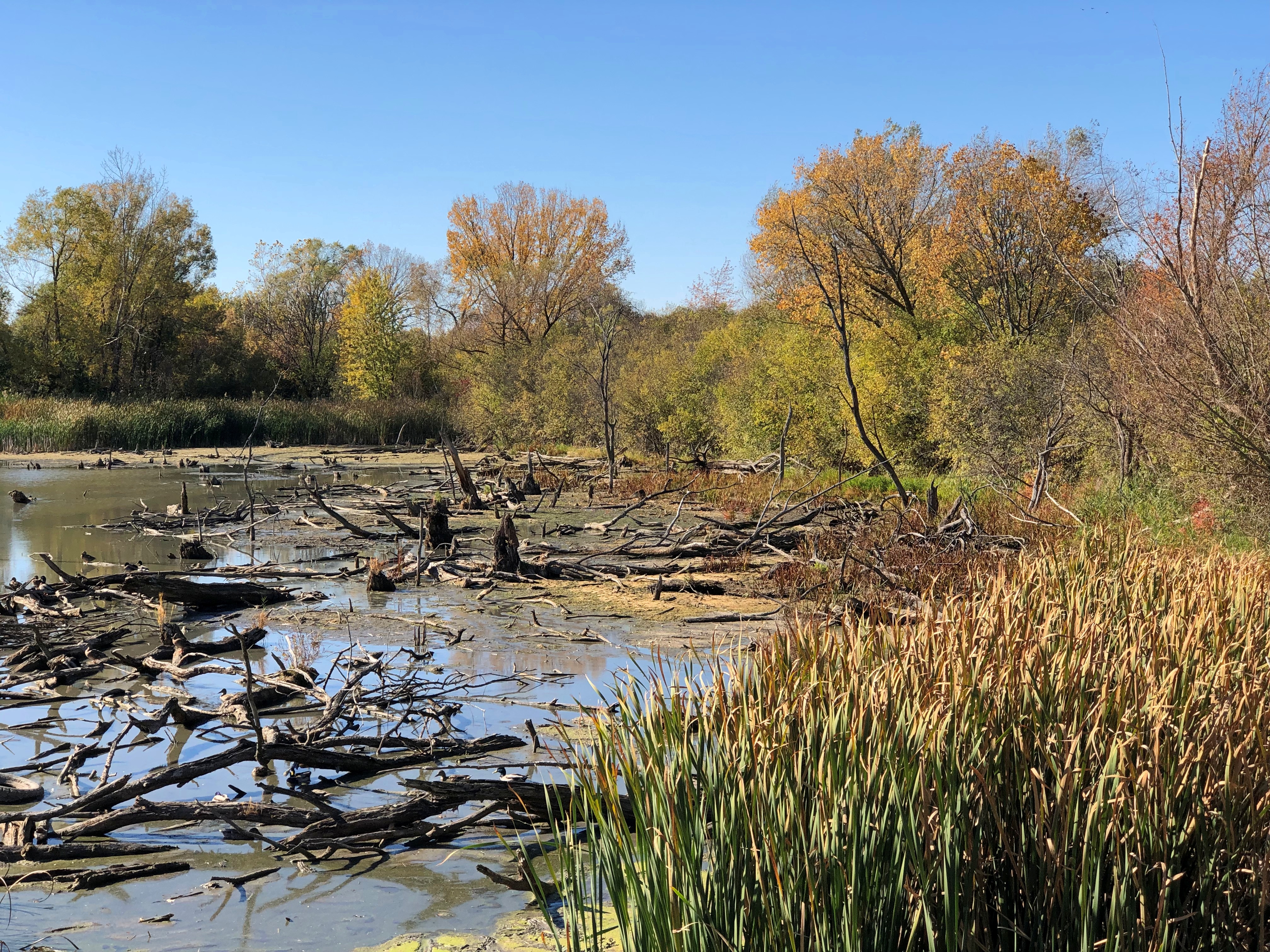
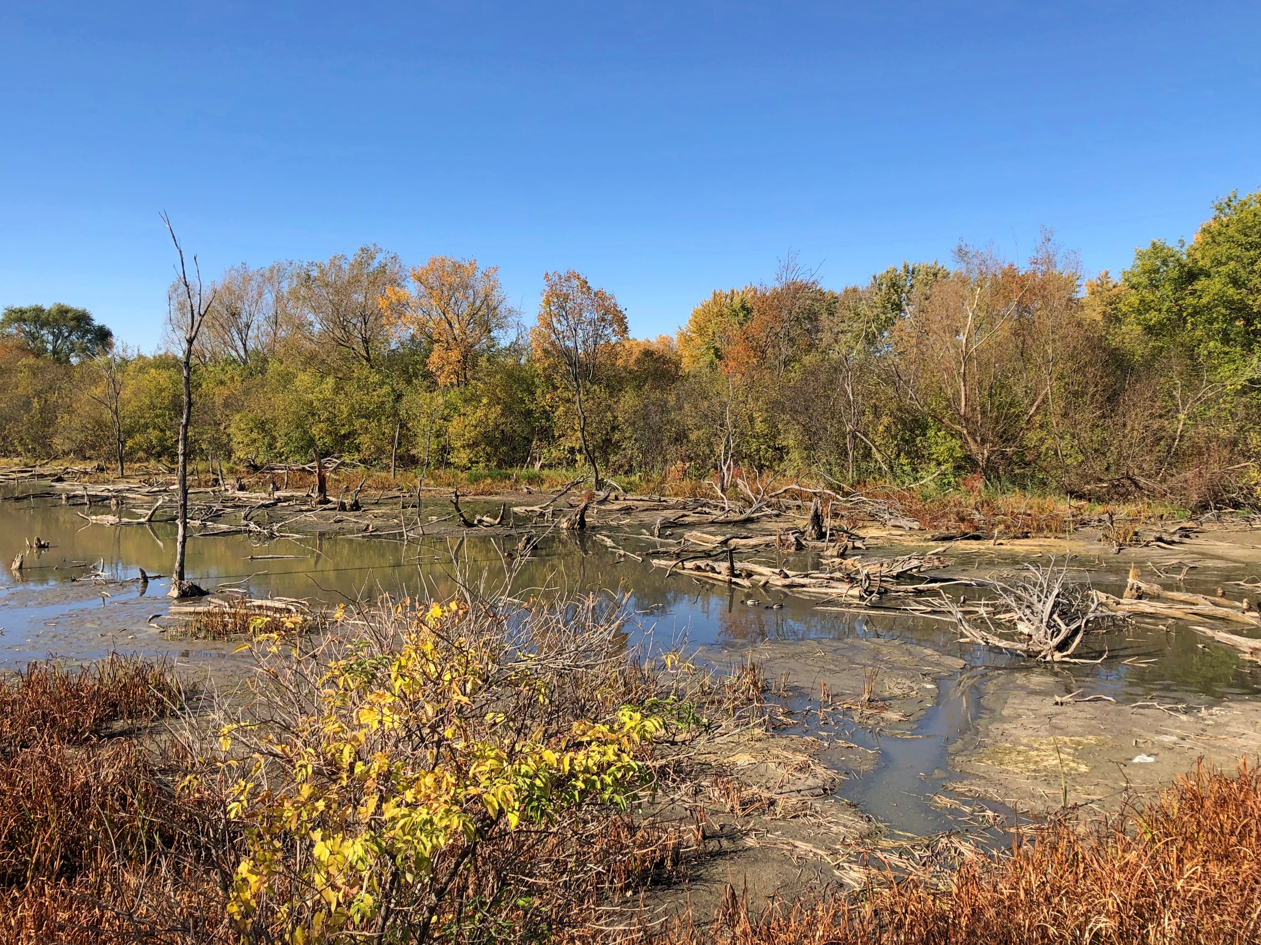
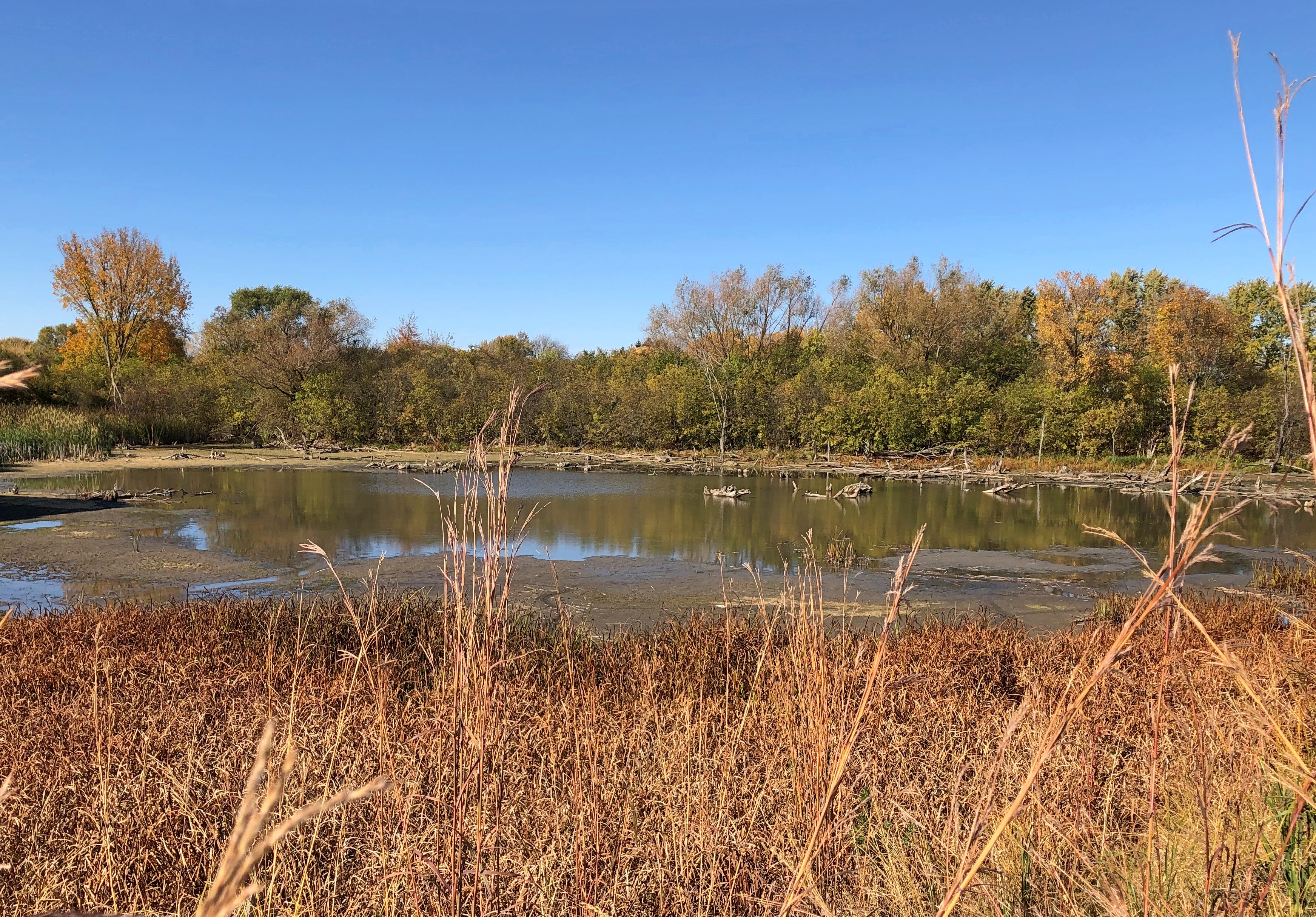
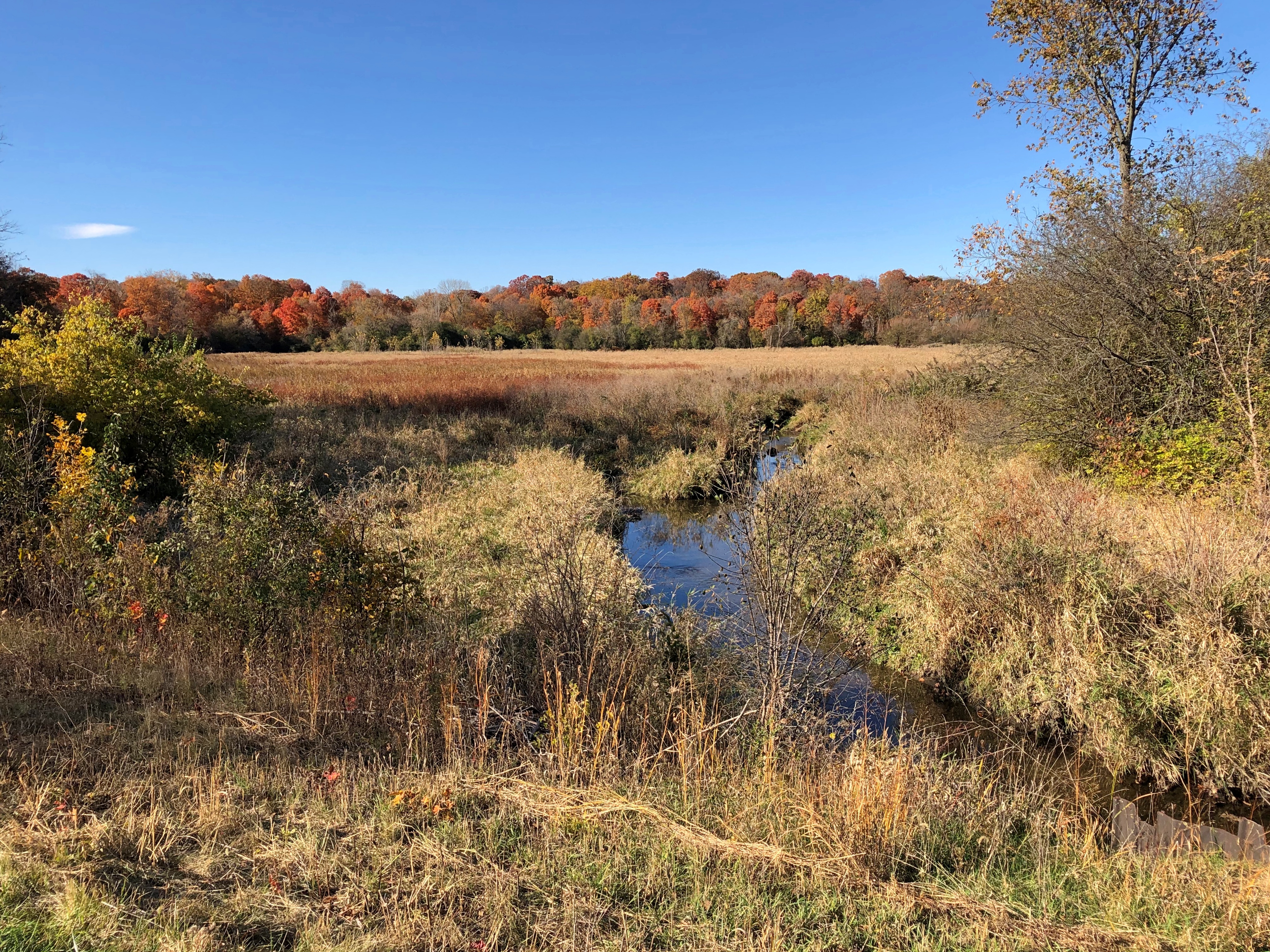
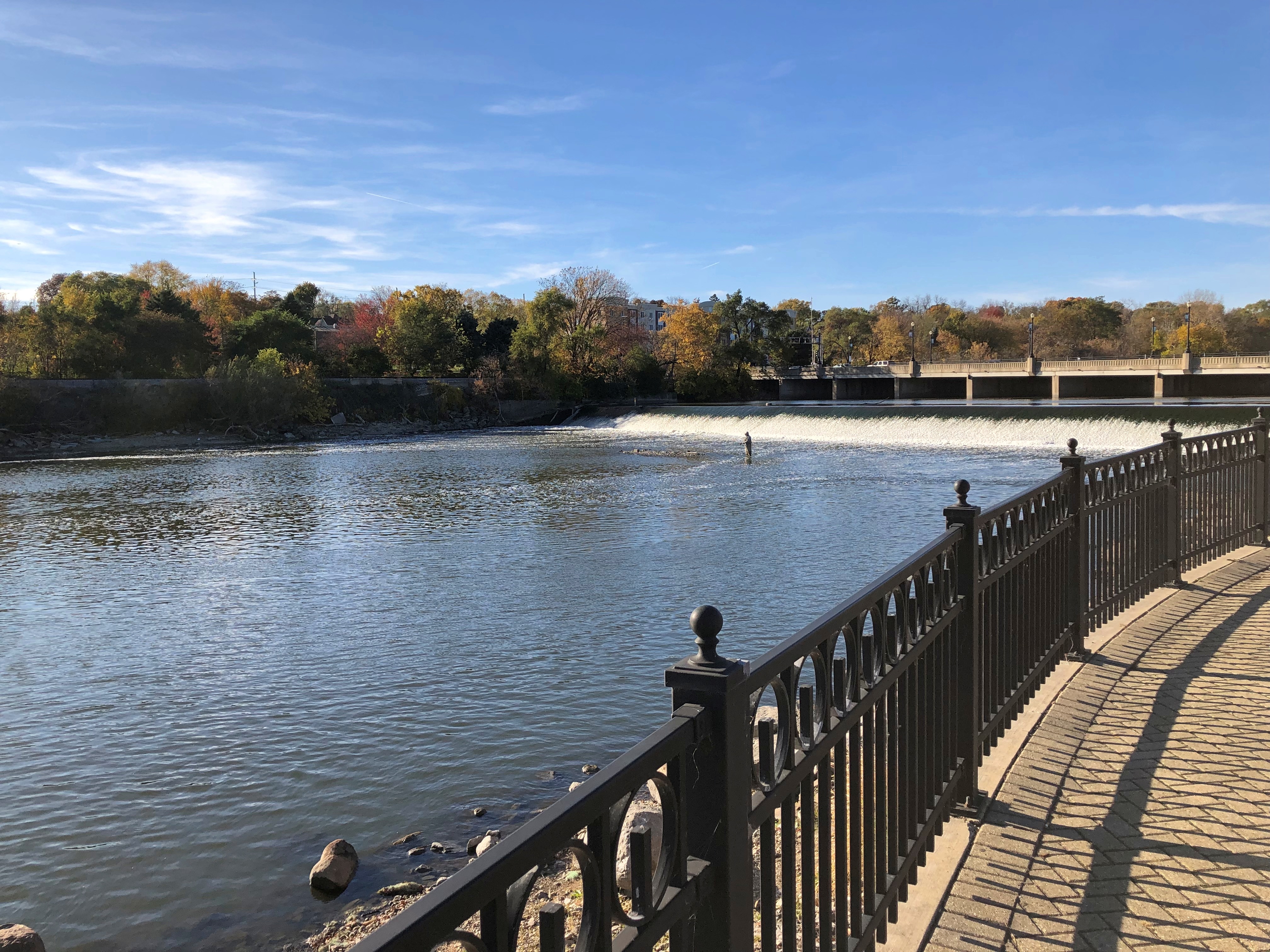
Water views. The map calls it Lake Willowmere.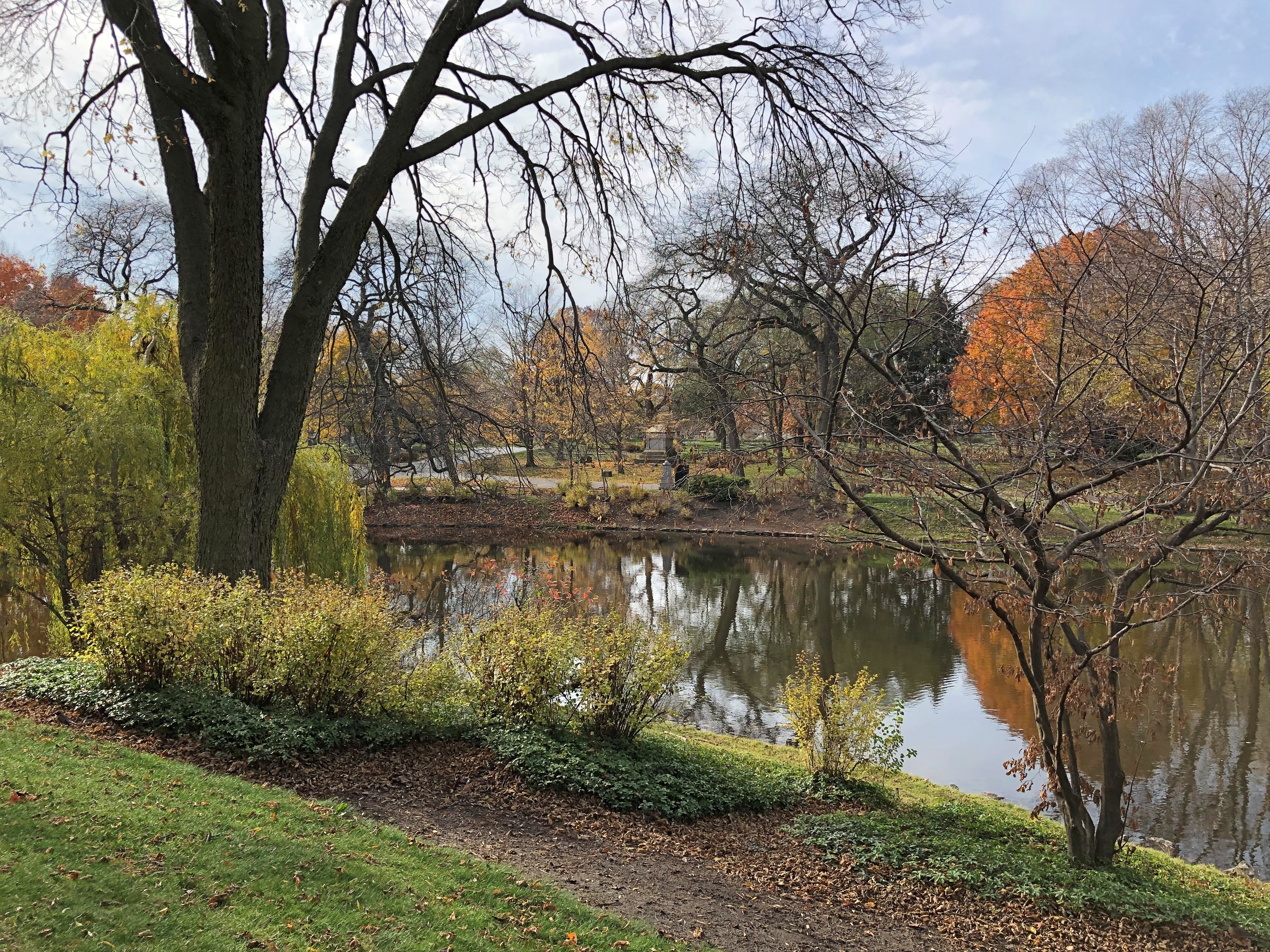
An ivy-covered stone. 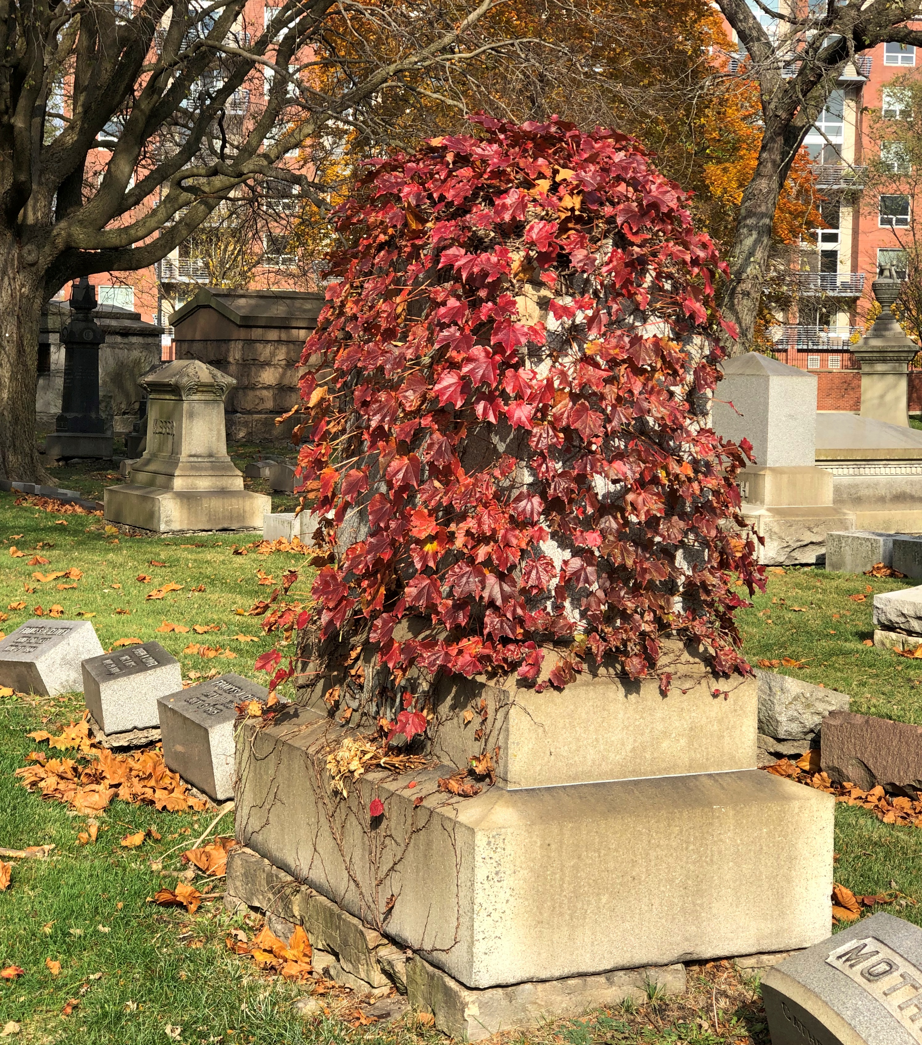
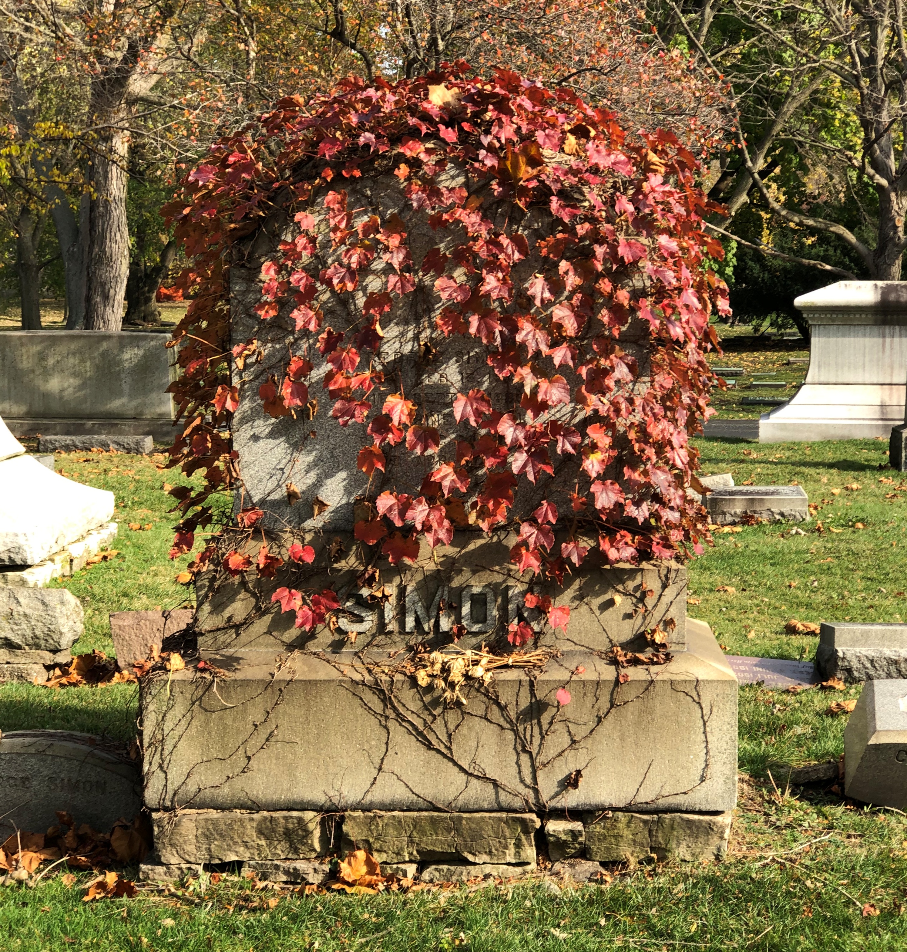
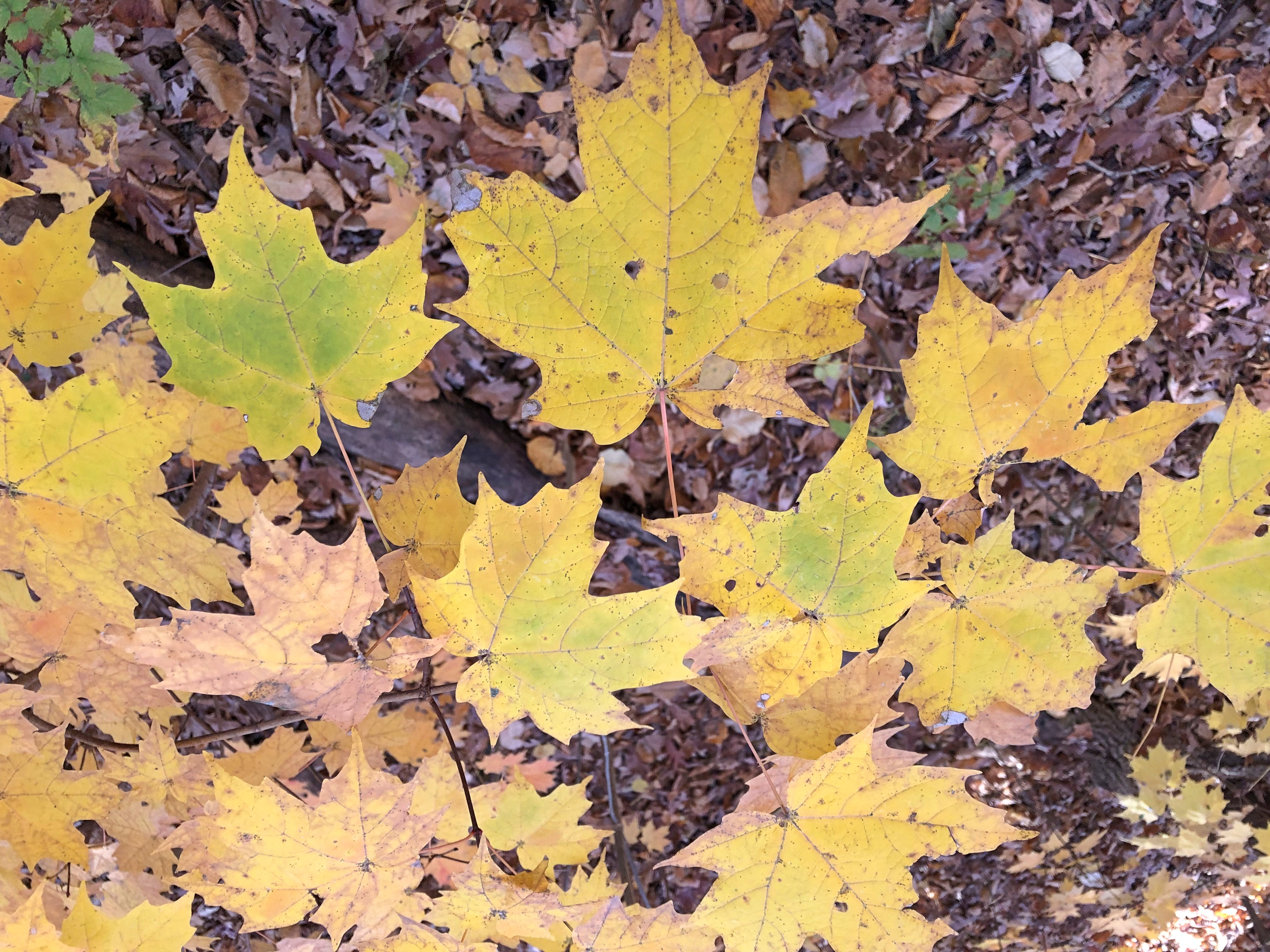
That can’t be an accident of nature, since the standard of lawn care is clearly pretty high at Graceland. Could be the Simons wanted it that way. Or still do. Anyway, the leaves are changing.
Coyote, looks like. 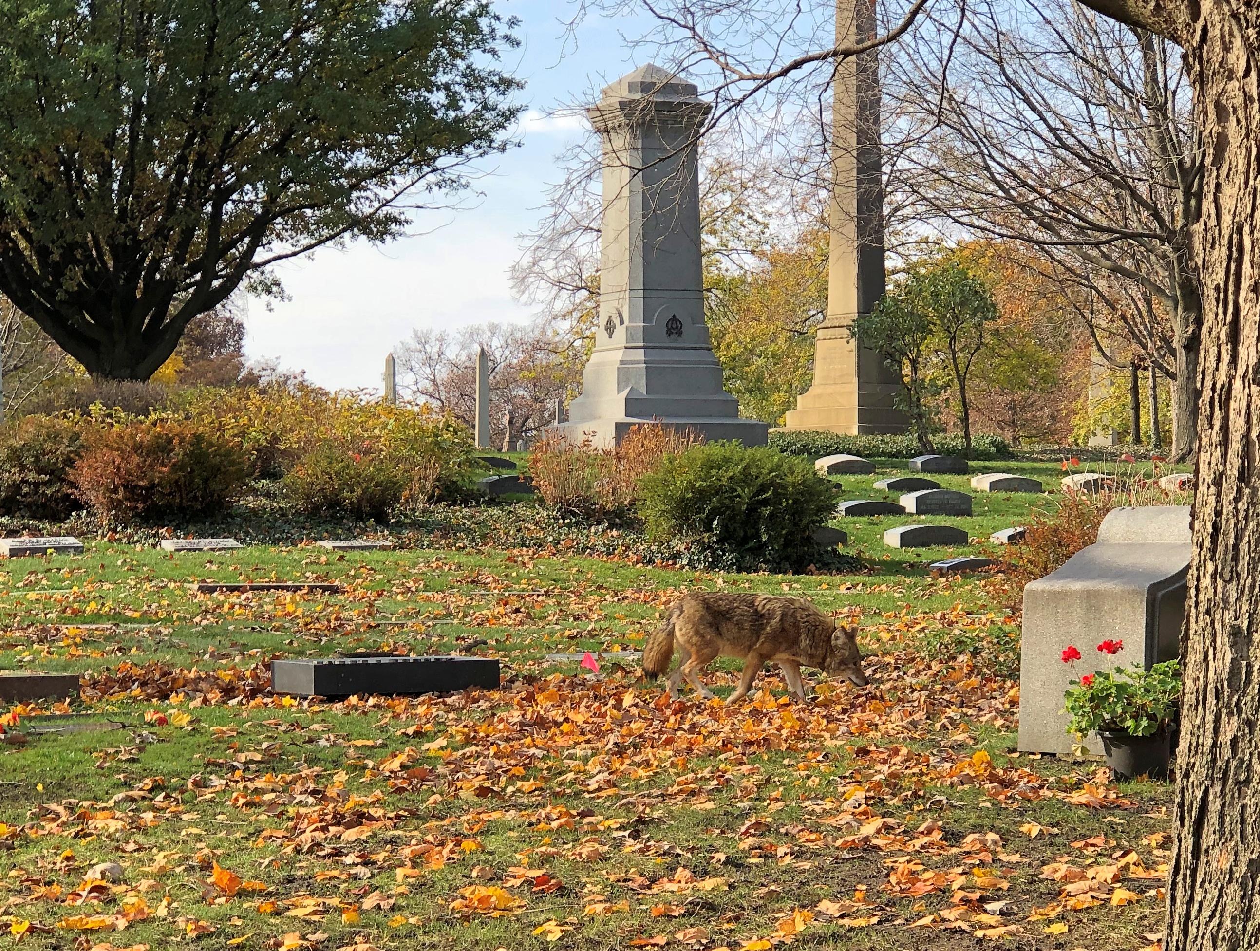
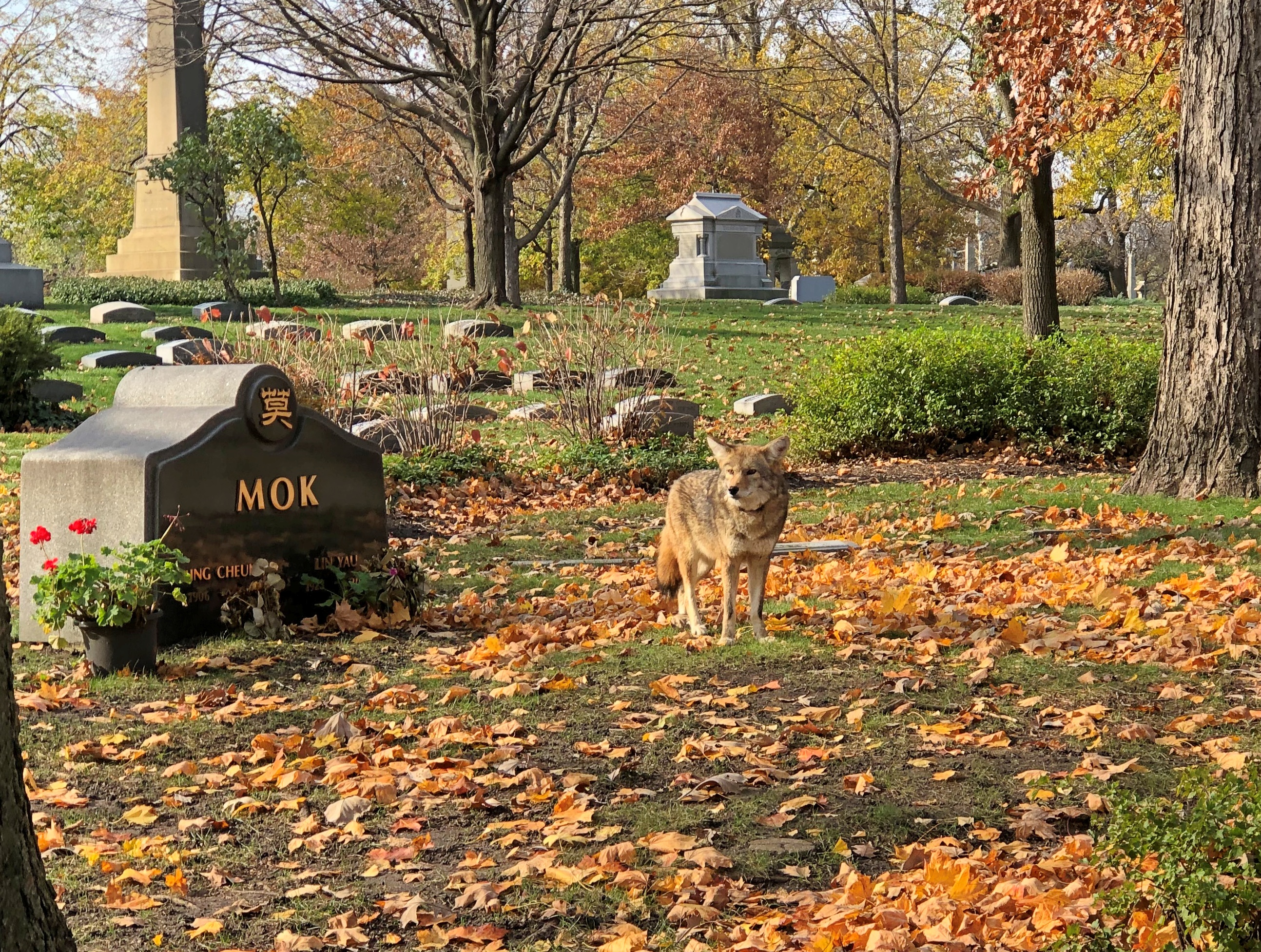
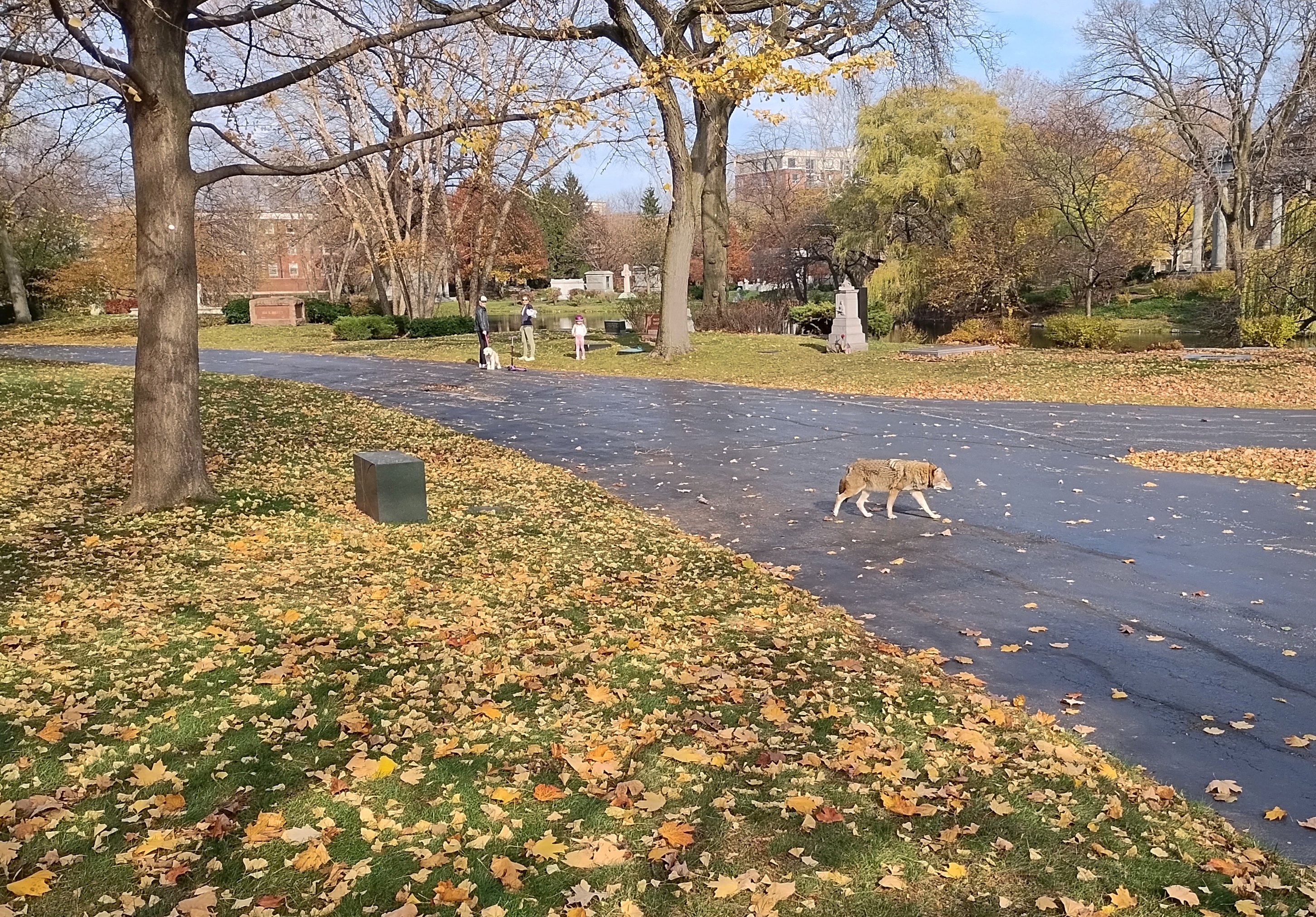
I didn’t get very close, but close enough, and he seemed nonchalant about being around humans. He just wandered on by. Urban Coyote: there’s an animation project in that for someone.
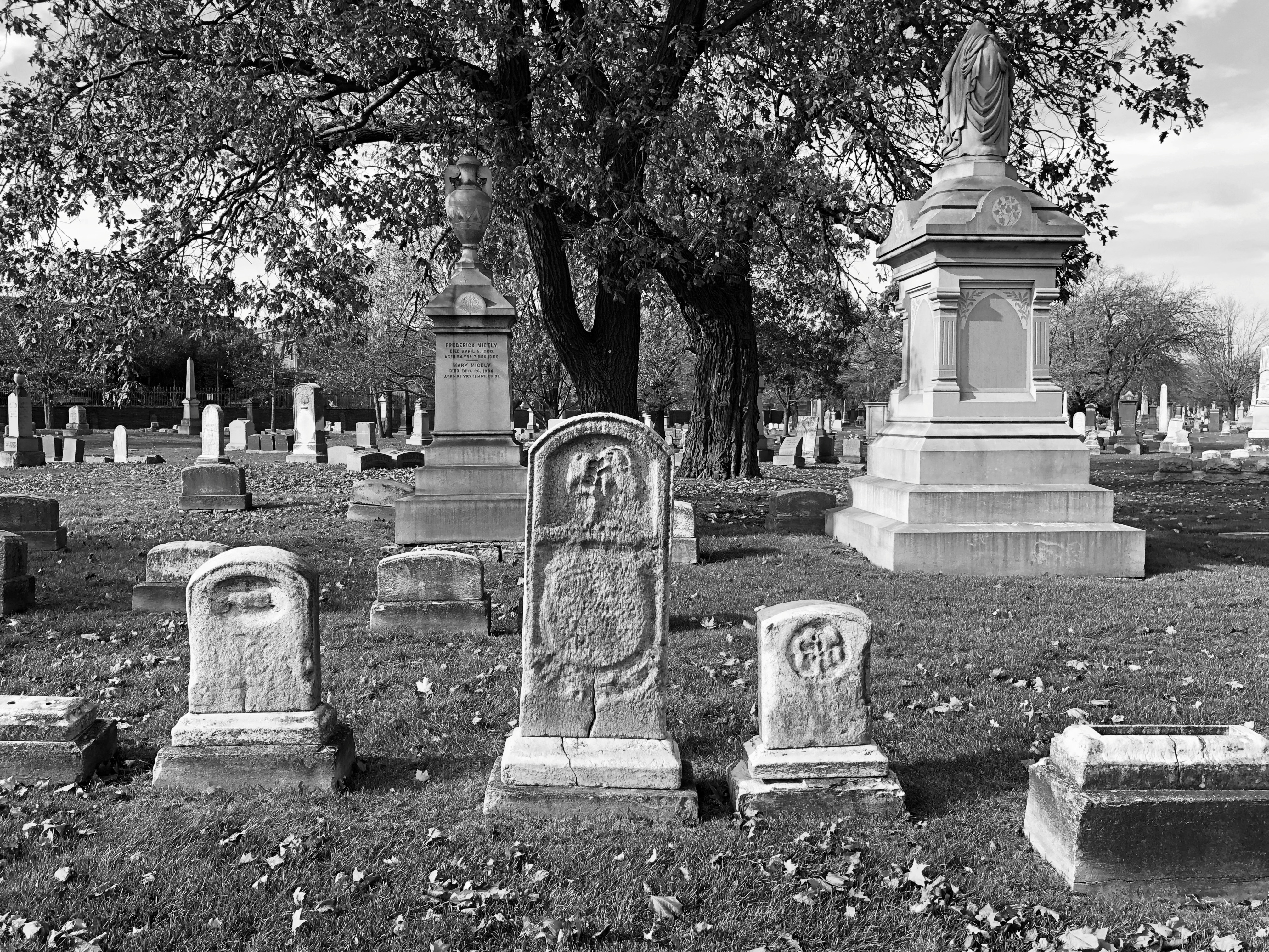
Color is good, of course. So is monochrome.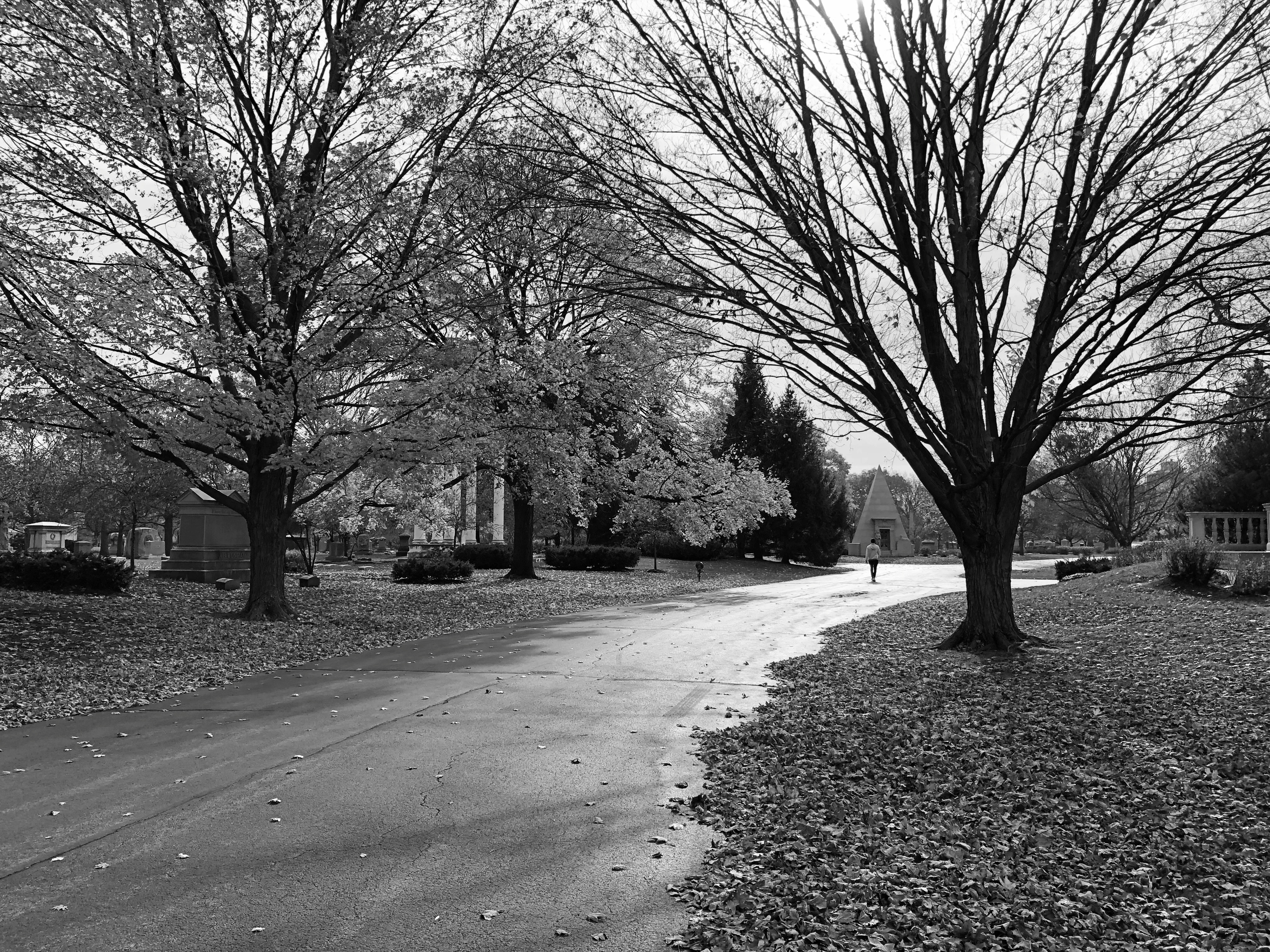
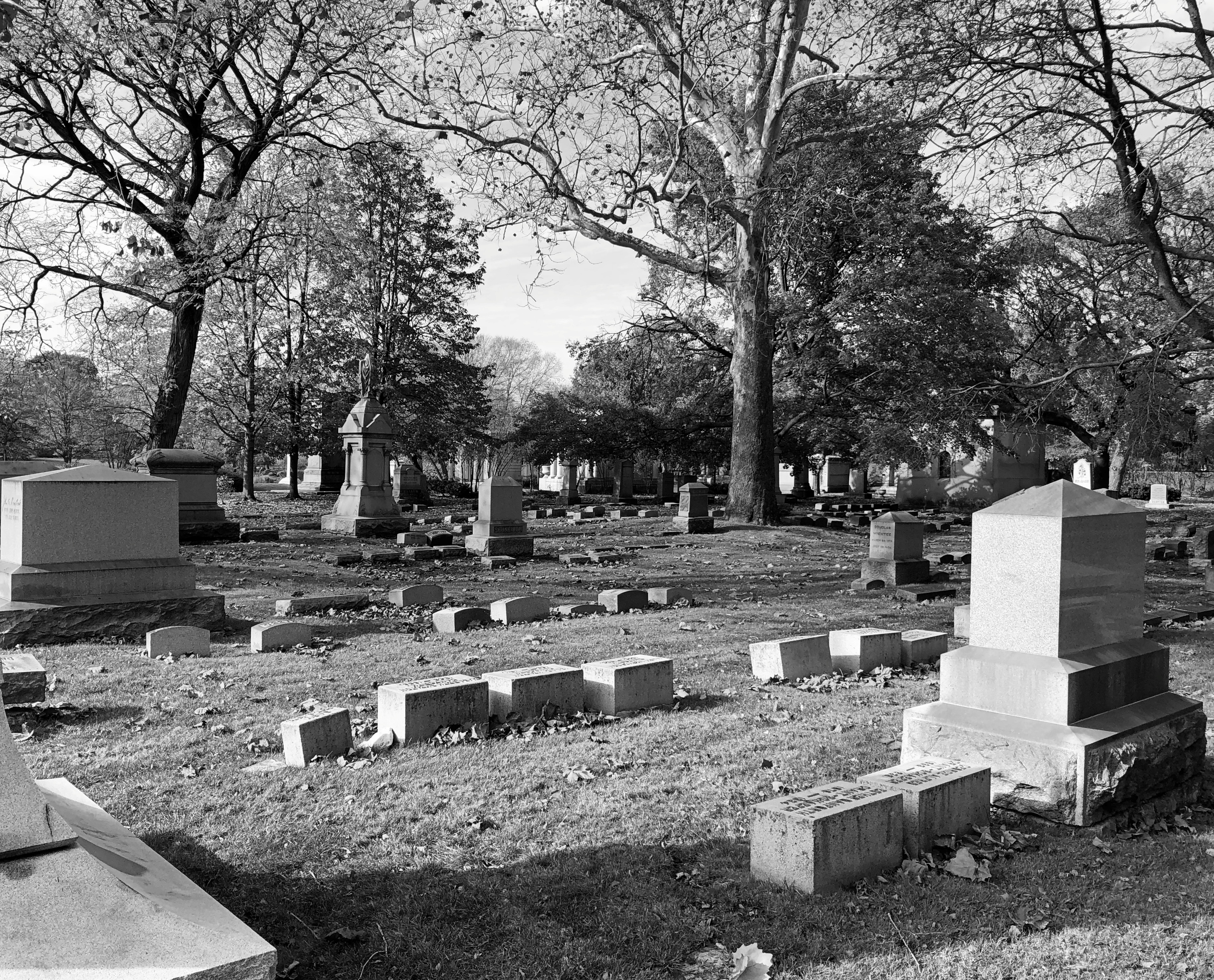
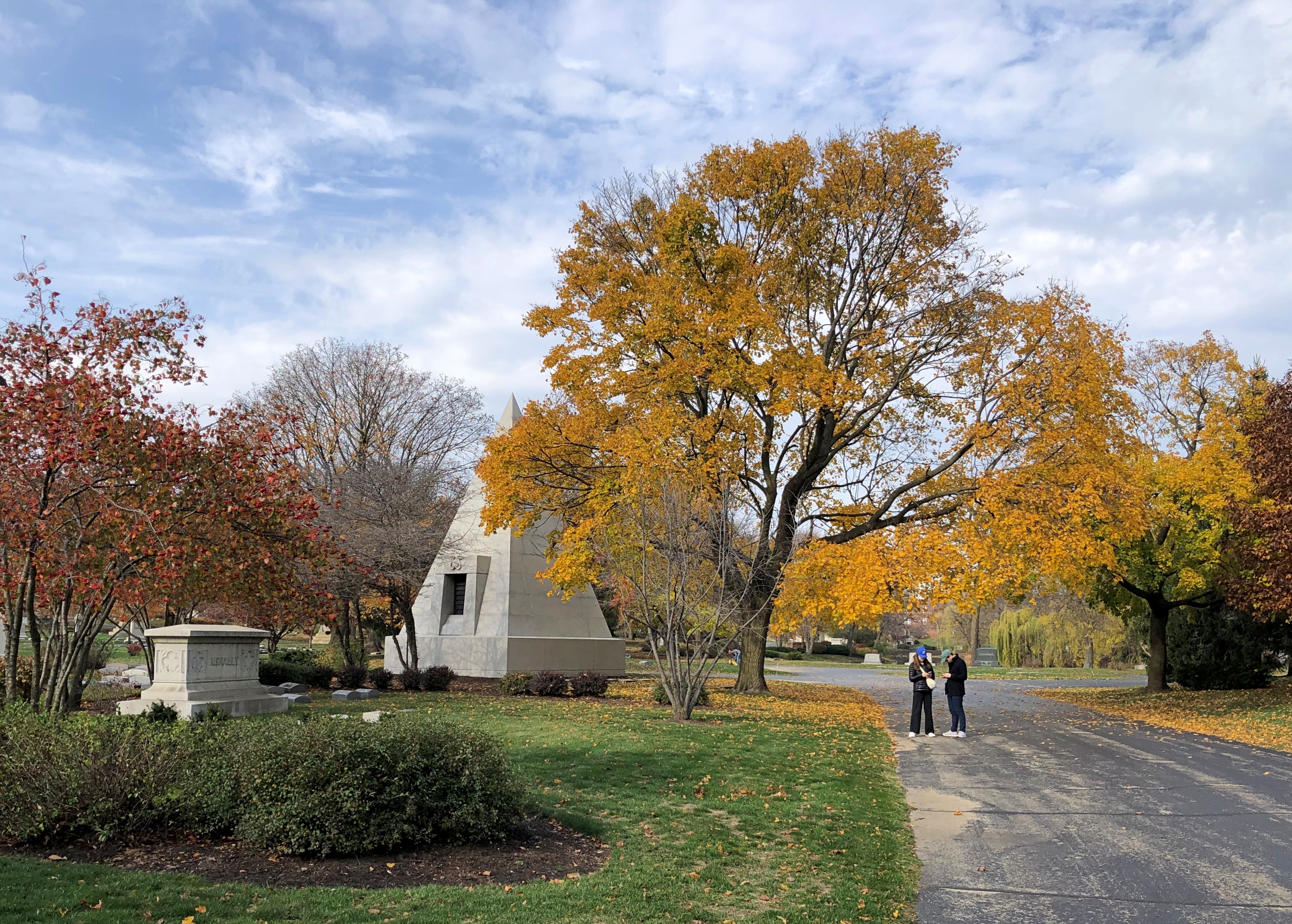
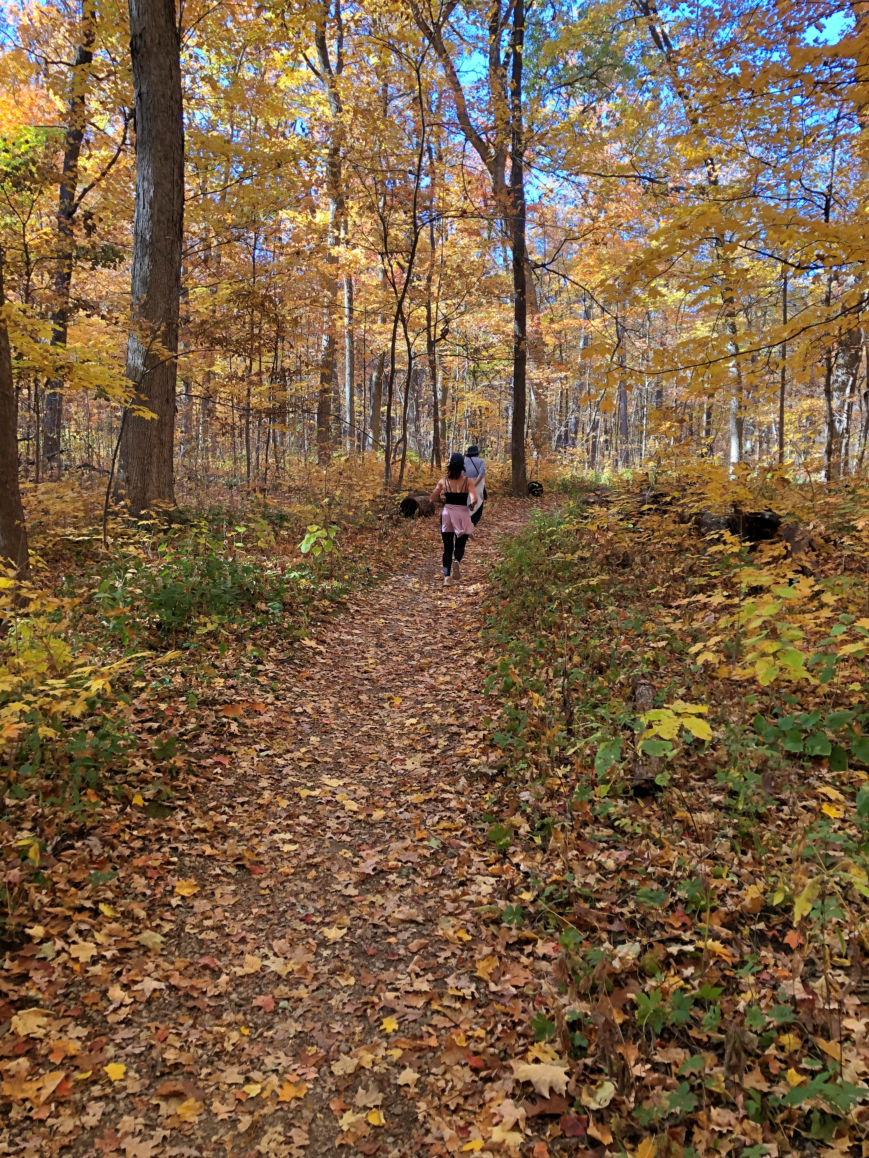
In our time and place, cemetery tourism isn’t much practiced. At many cemeteries, I’m the only living person around, except maybe for grounds keepers. Graceland stood out from most in that way. I saw maybe two dozen or so other visitors, including bike riders, dog walkers and a handful doing what I was doing: wandering the 121-acre grounds, taking it in.


