Craters of the Moon National Monument

Among the western states, Idaho’s got one of the more interesting shapes, the result of decades of negotiations, schemes and the arcane doings of Congress in the 19th century, which are summarized nicely in an article in Idaho magazine, though it could use a few more maps. Not every is happy with the current Oregon-Idaho border, though I’m not holding my breath waiting for a change.

Idaho’s flag is less interesting; another state seal.Idaho flag
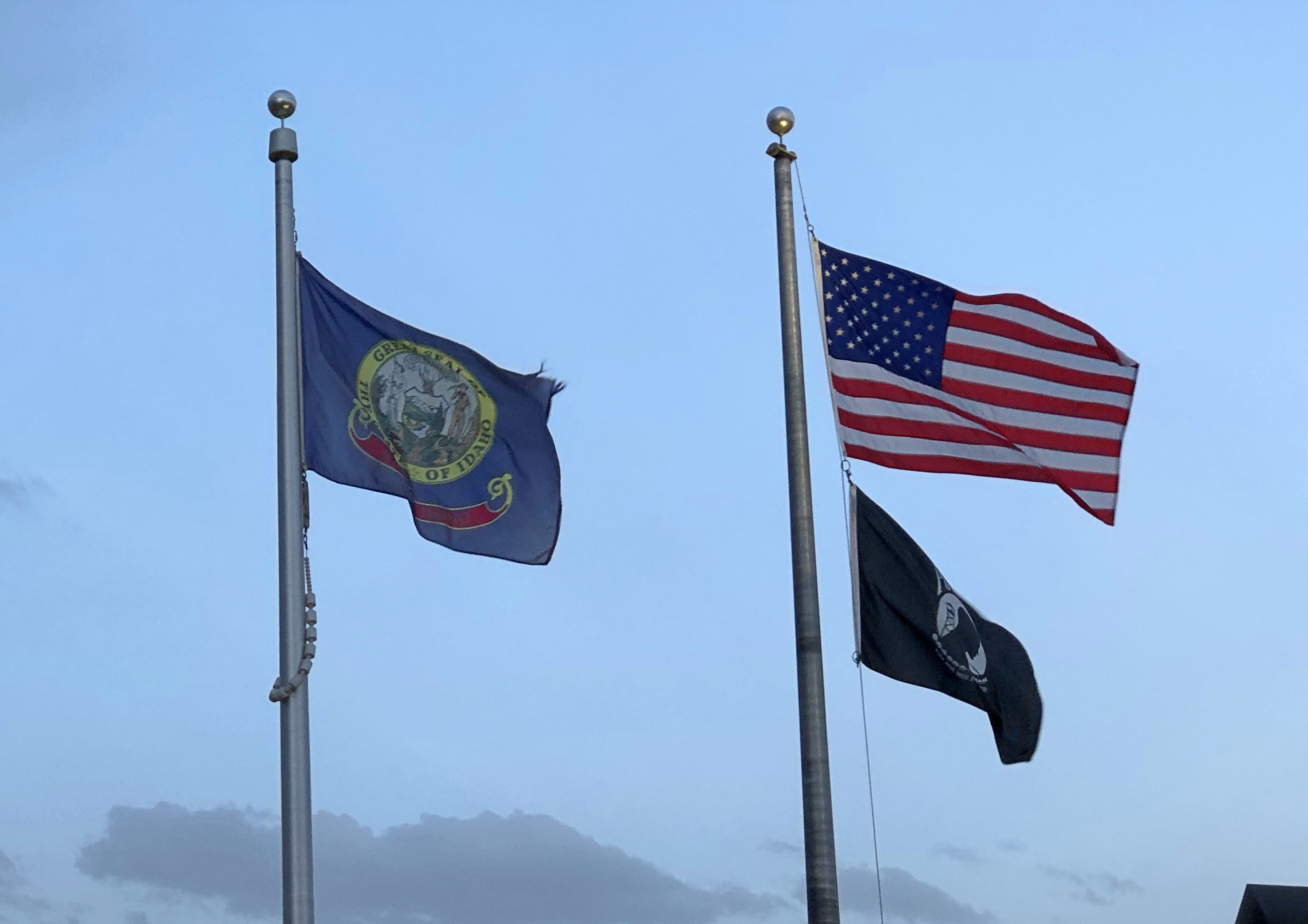
At least the seal has some Latin: Esto perpetua, let it be forever; it is forever. I assume that’s a wish for the existence of Idaho, or Idaho’s status as a state, not the seal or flag itself. New state flag designs for Idaho are kicking around on the likes of Reddit, but nothing official seems to be in the works yet. Pocatello has had a new flag since 2017, however, and it did need one.

We headed east from Boise on September 3. The easy way is on I-84. We drove to Mountain Home and then turned off on US 20, as previously mentioned. Go that way and you’ll eventually come to Craters of the Moon National Monument and Preserve. It’s a big blob on the map (753,000 acres) that has long intrigued me.Craters of the Moon National Monument
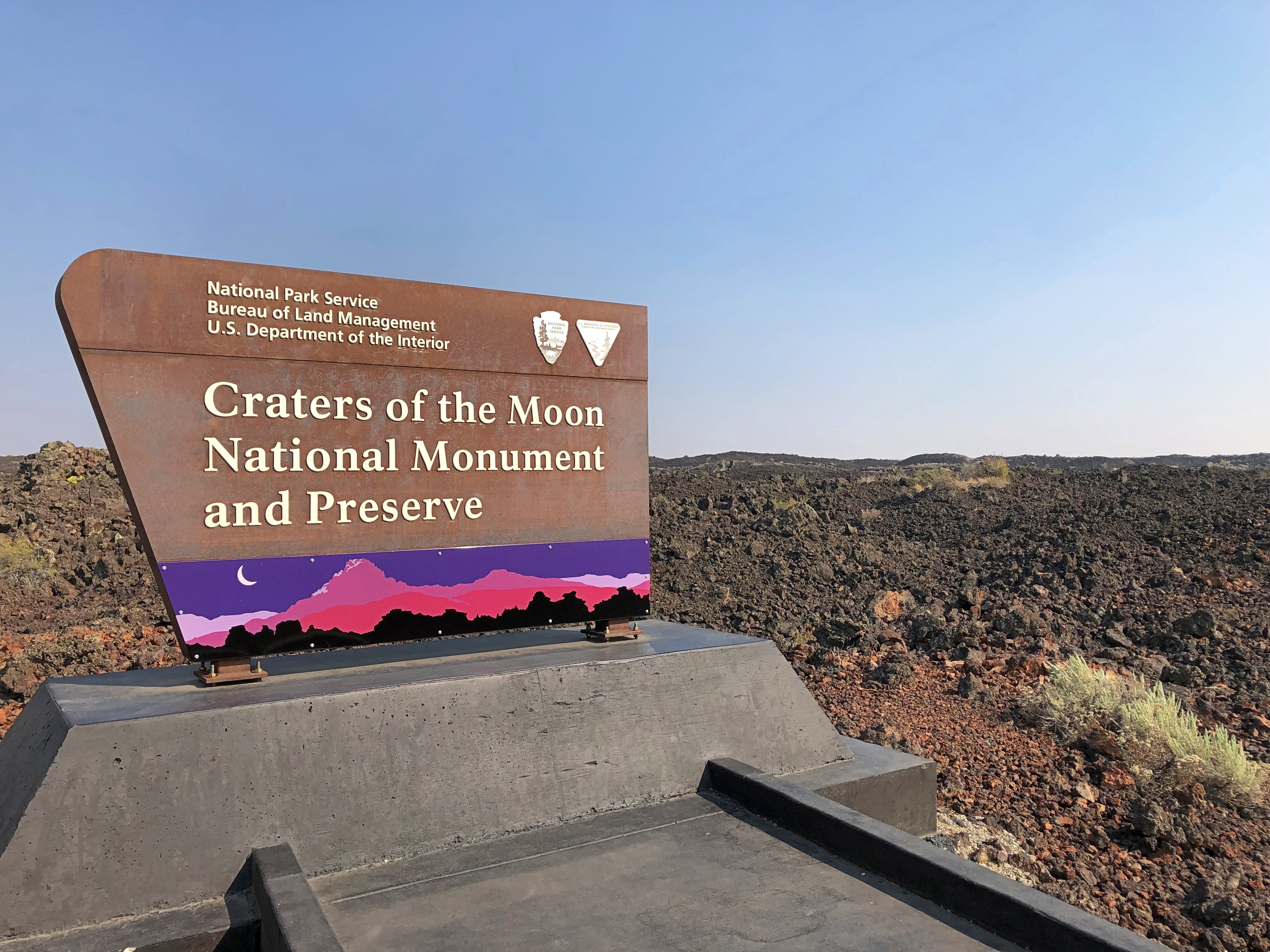
The monument was originally created in 1924 by President Coolidge partly due to the publicizing efforts of an interesting Idahoan, Bob Limbert, who explored the area, previously ignored as a wasteland, and wrote about it. President Clinton expanded Craters of the Moon greatly in 2000 and I’ve read that the Idaho legislature has asked Congress to make it a national park.

I’d be against it. Not that anyone has asked me, but it’s time to stop national park bloat. Sixty-three is more than enough. Sixty is fine, for that matter, a nice round number with ancient resonance. There’s nothing wrong with a place being a national monument. It’s an honorable old designation, the brainchild that most conservation-minded president, TR. I need to visit more of them myself: only 21 out of 134 so far, counting Craters of the Moon and Devils Tower.

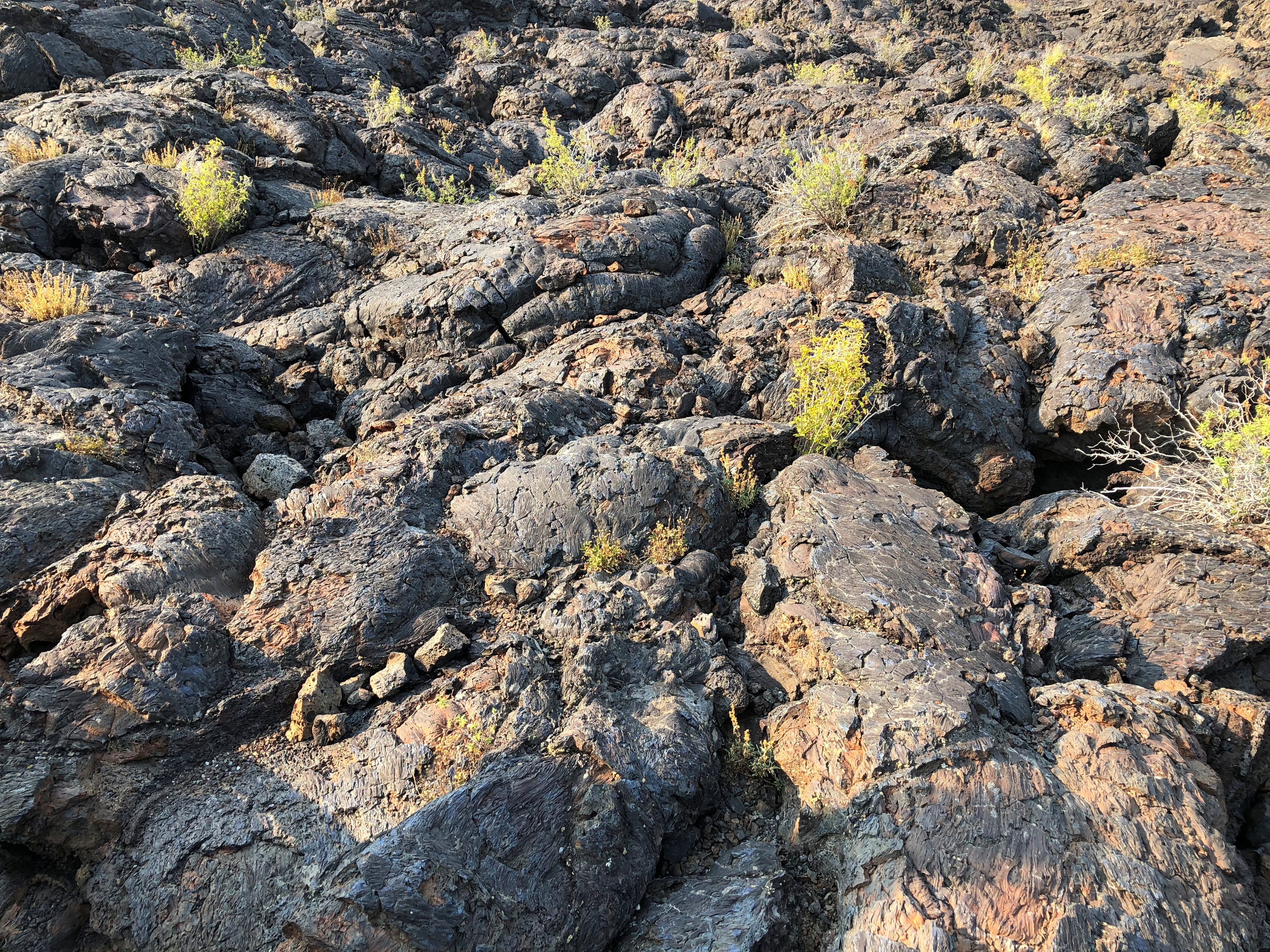
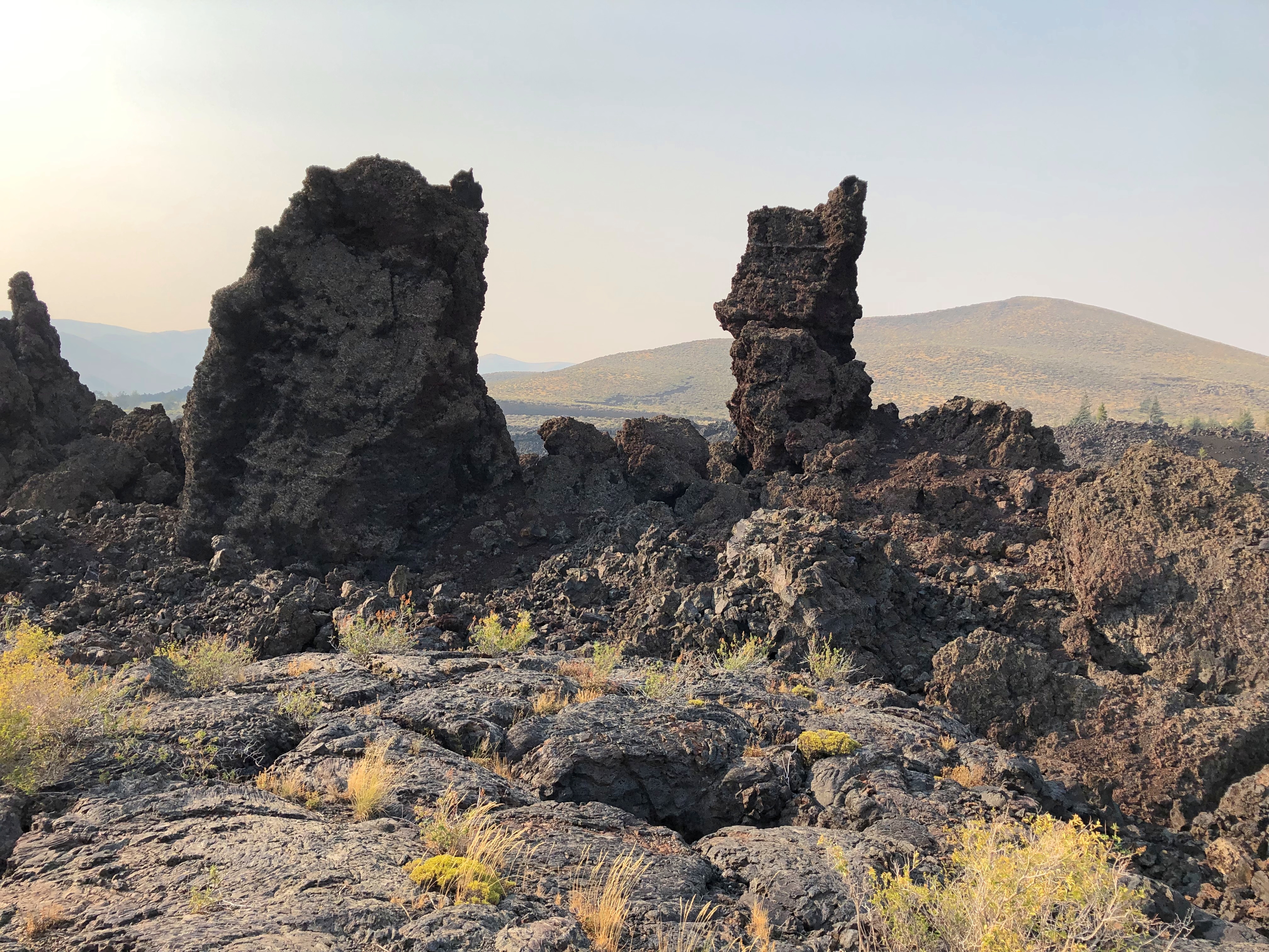
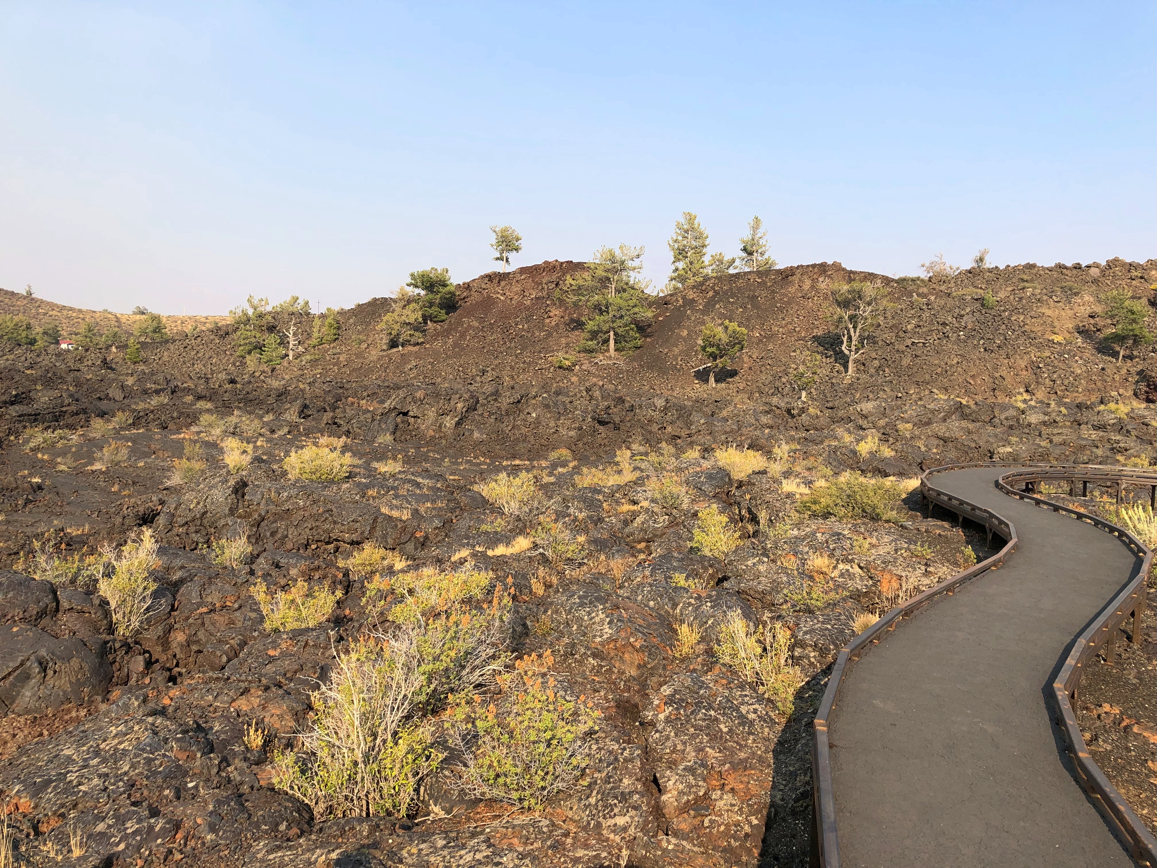
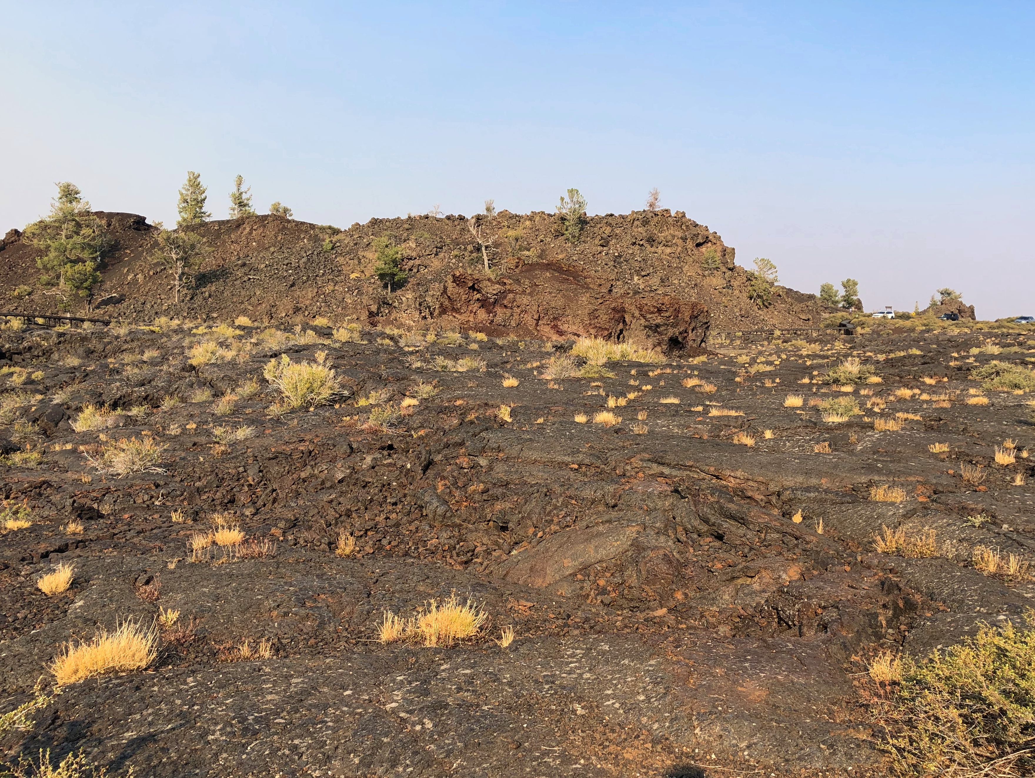
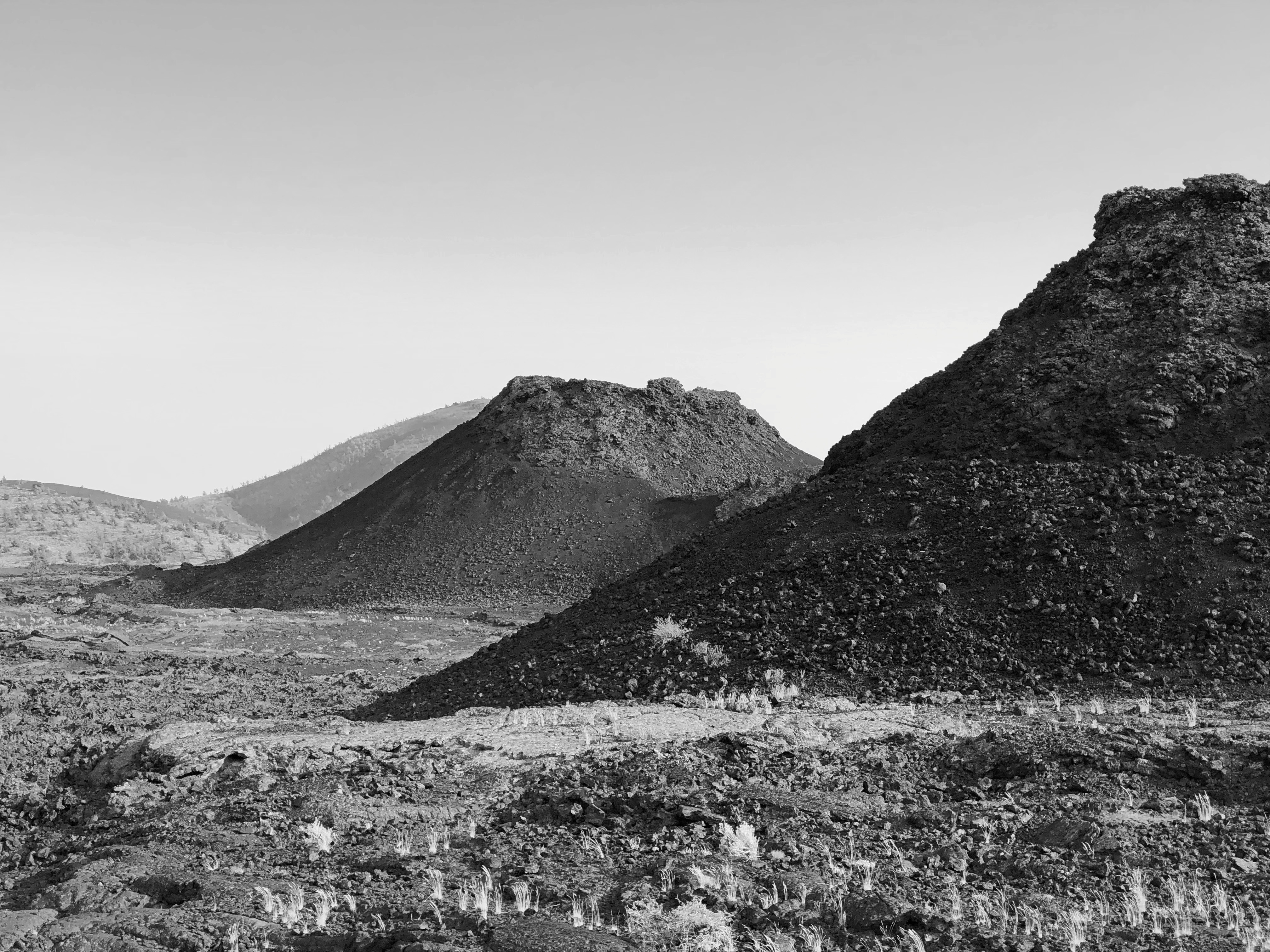
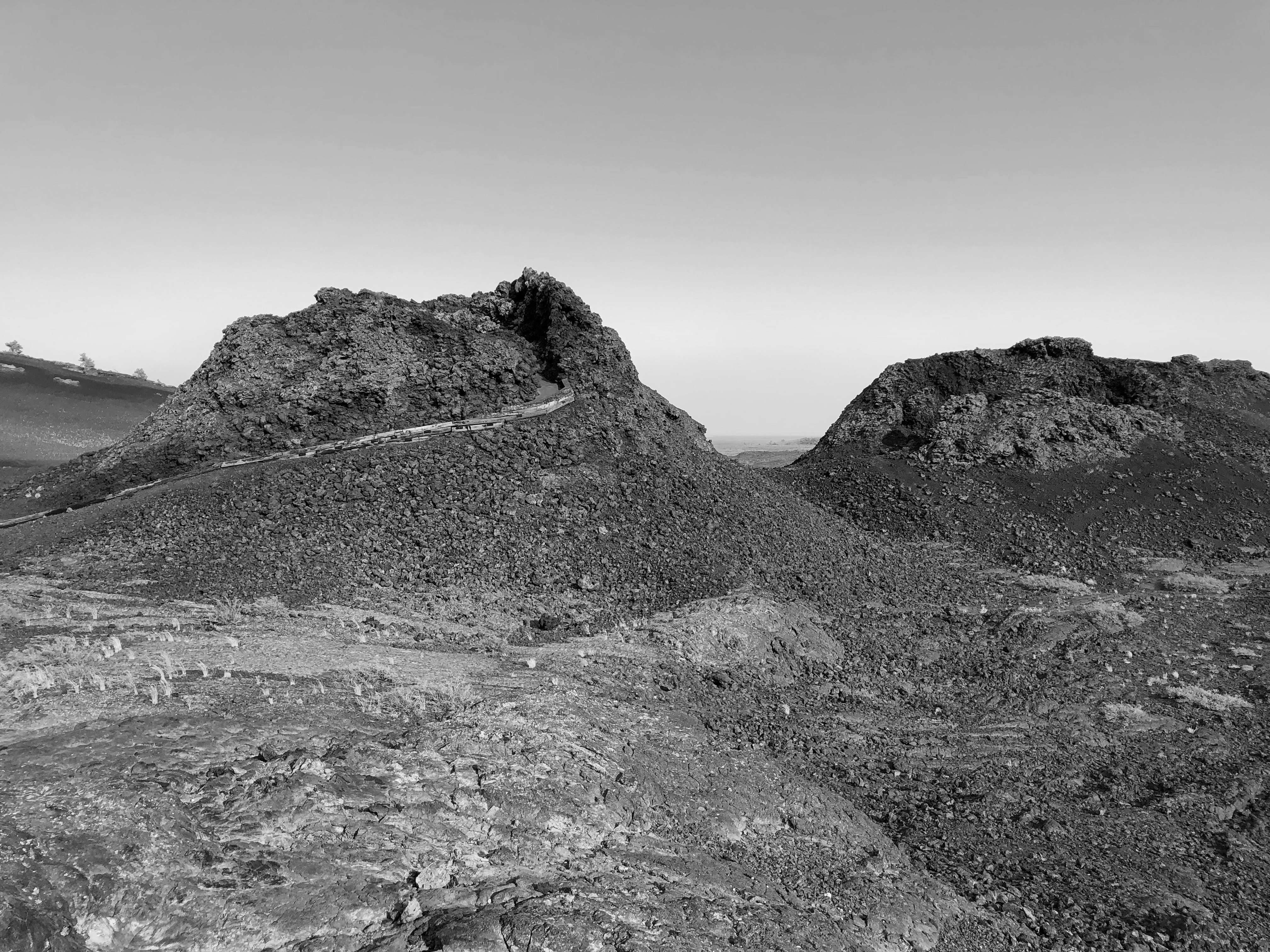
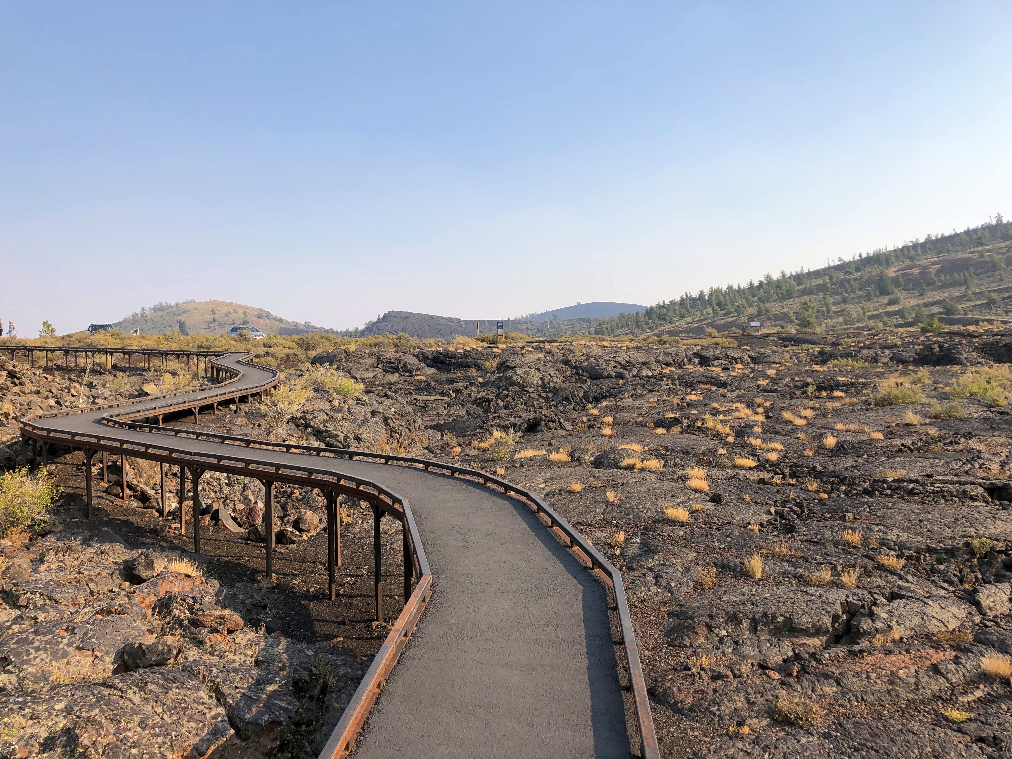
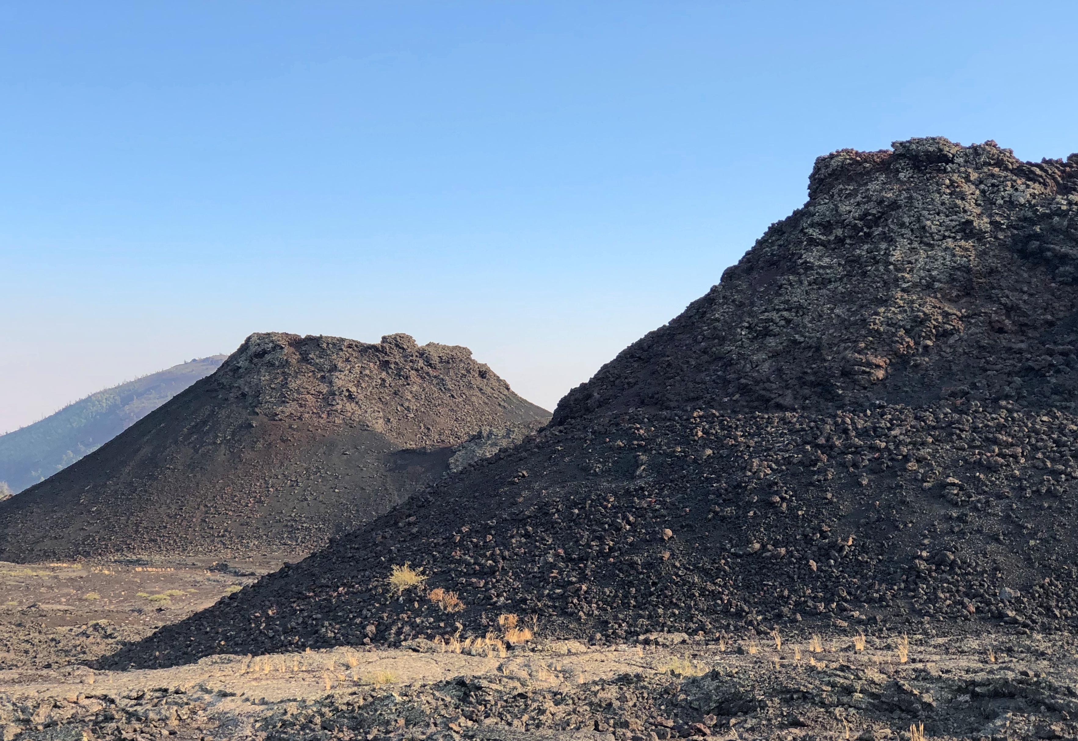
The part of Craters of the Moon accessible to casual tourists is only a sliver, but quite a sliver. One trail leads over the aftermath of ancient lava flows, and a road leads to cones.Craters of the Moon National Monument Craters of the Moon National Monument Craters of the Moon National Monument Craters of the Moon National Monument
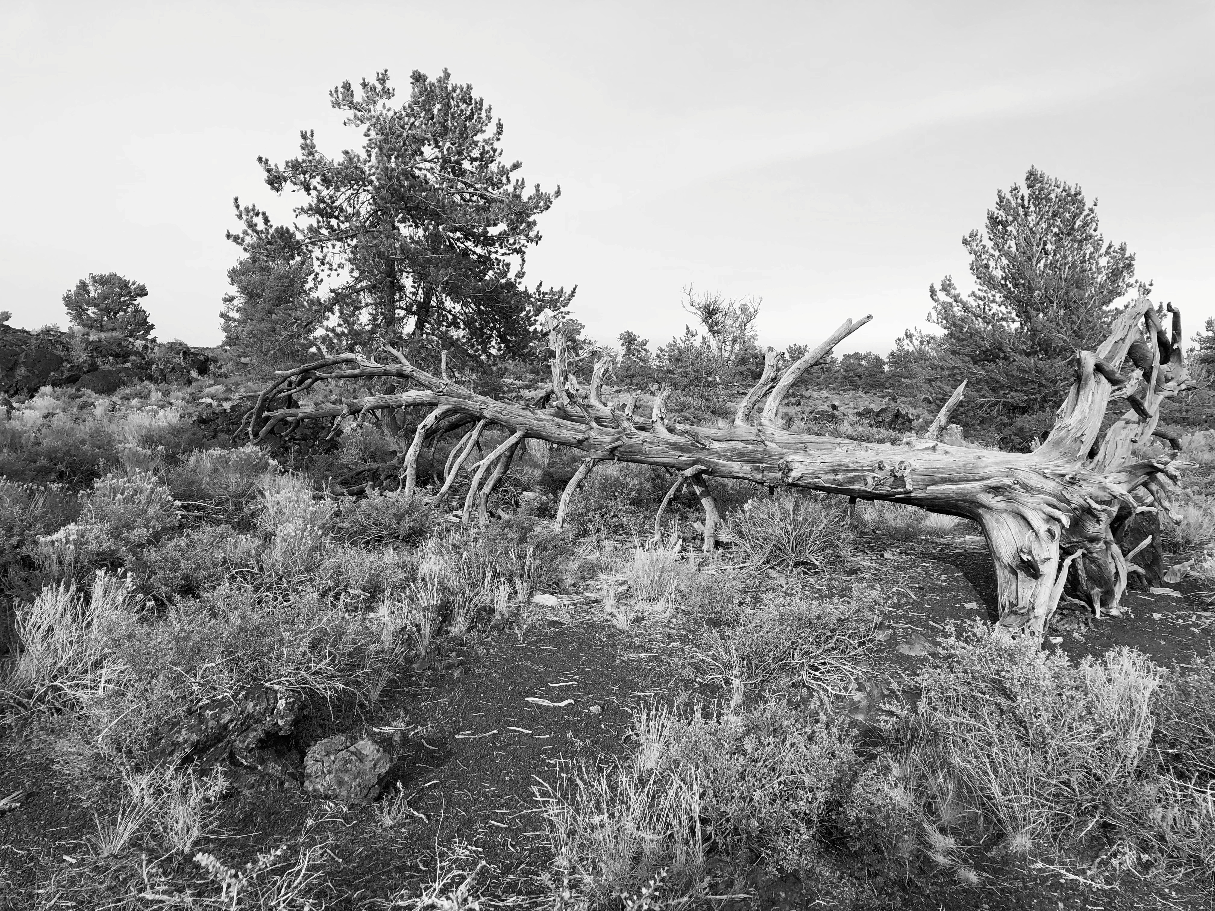
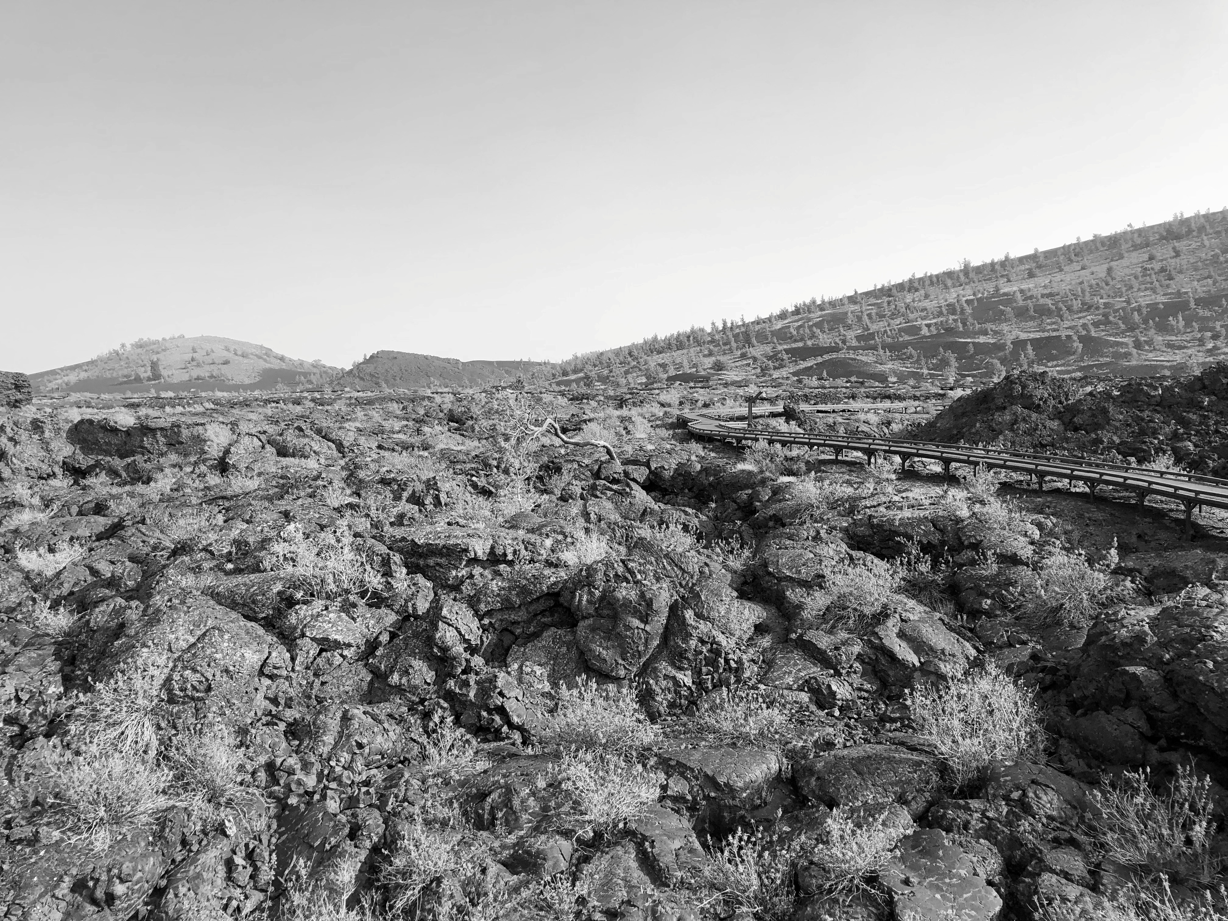
The terrain just cries out for a monochromatic treatment.Craters of the Moon National Monument Craters of the Moon National Monument
The day was warm enough to wear a hat and carry water, but not blazing hot. A scattering of other tourists were around, but nothing like the more popular trails of the national parks.

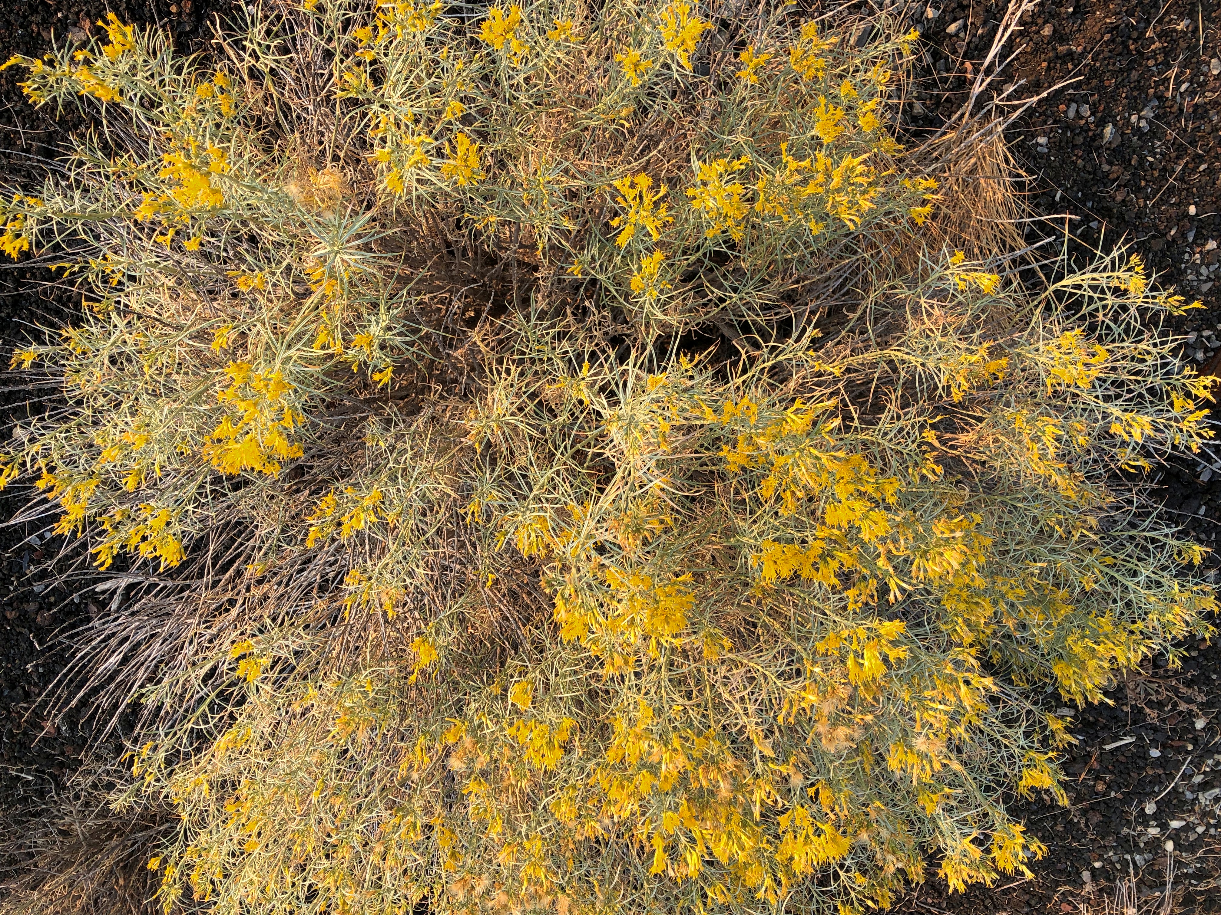
The place looks barren, but it isn’t so, since life adapts.Craters of the Moon National Monument Craters of the Moon National Monument Craters of the Moon National Monument
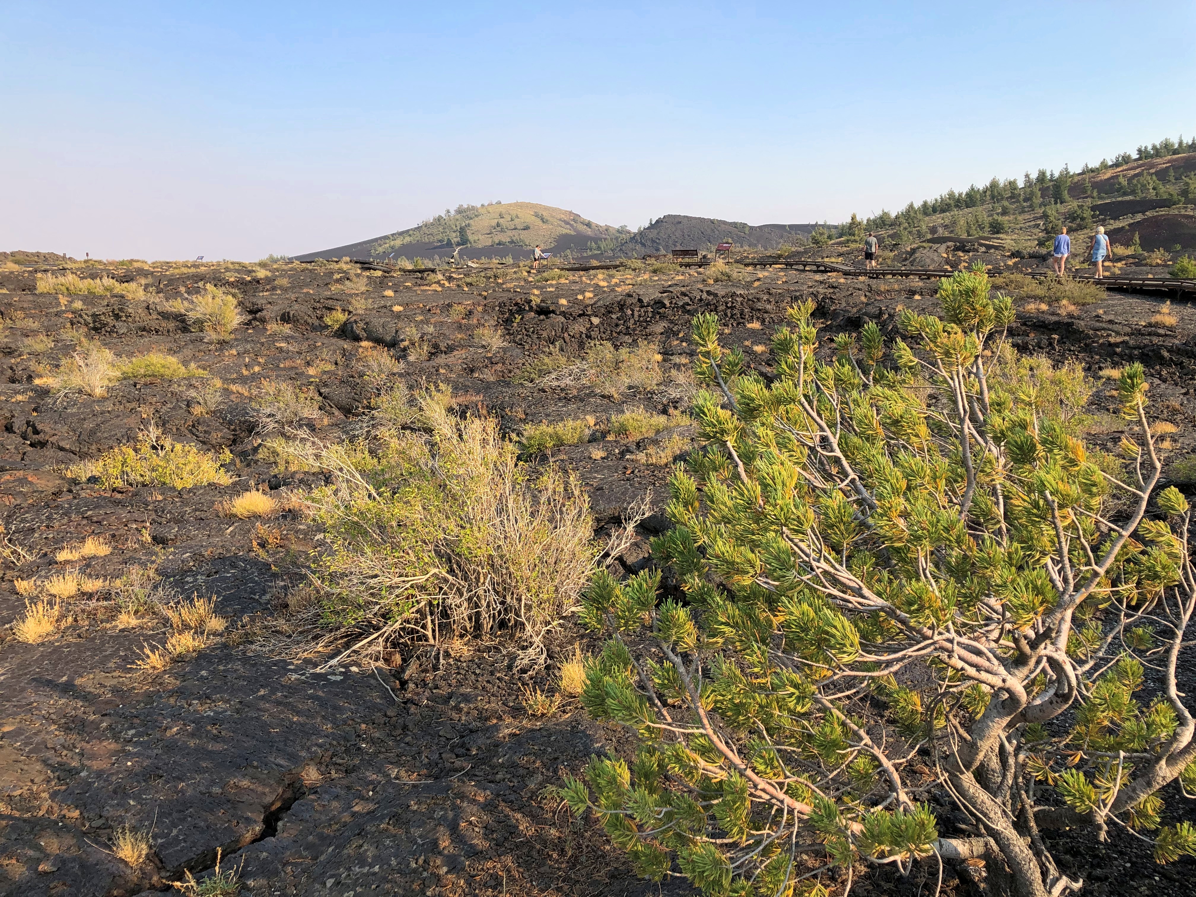
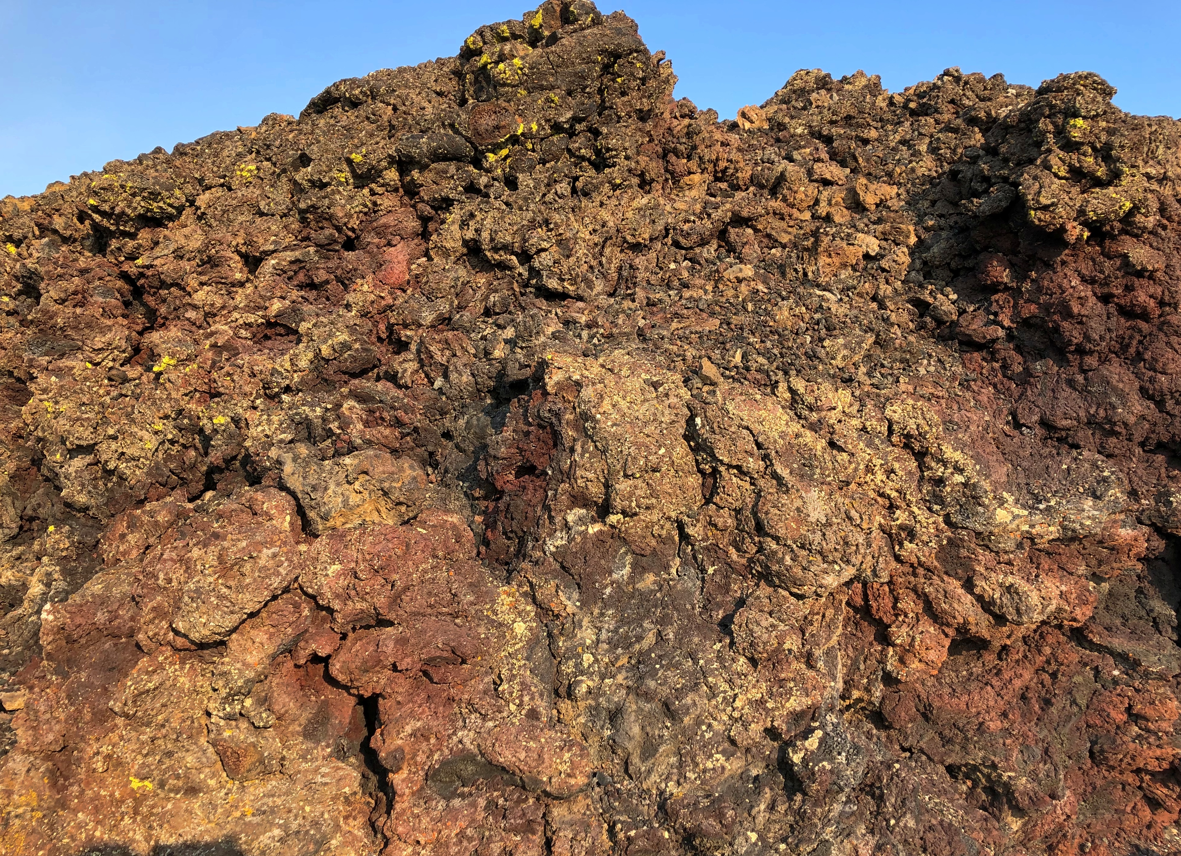
Except where it doesn’t. Yet.Craters of the Moon National Monument Craters of the Moon National Monument Craters of the Moon National Monument Craters of the Moon National Monument

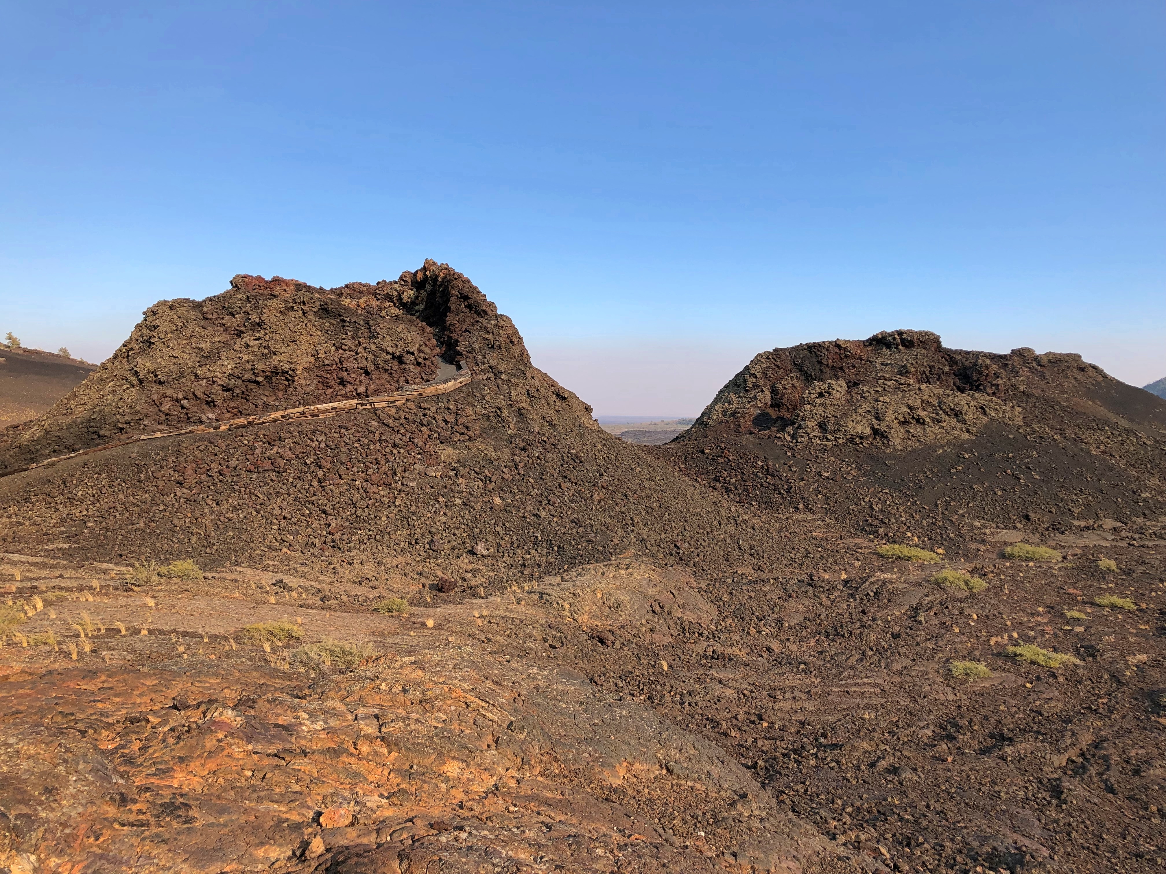
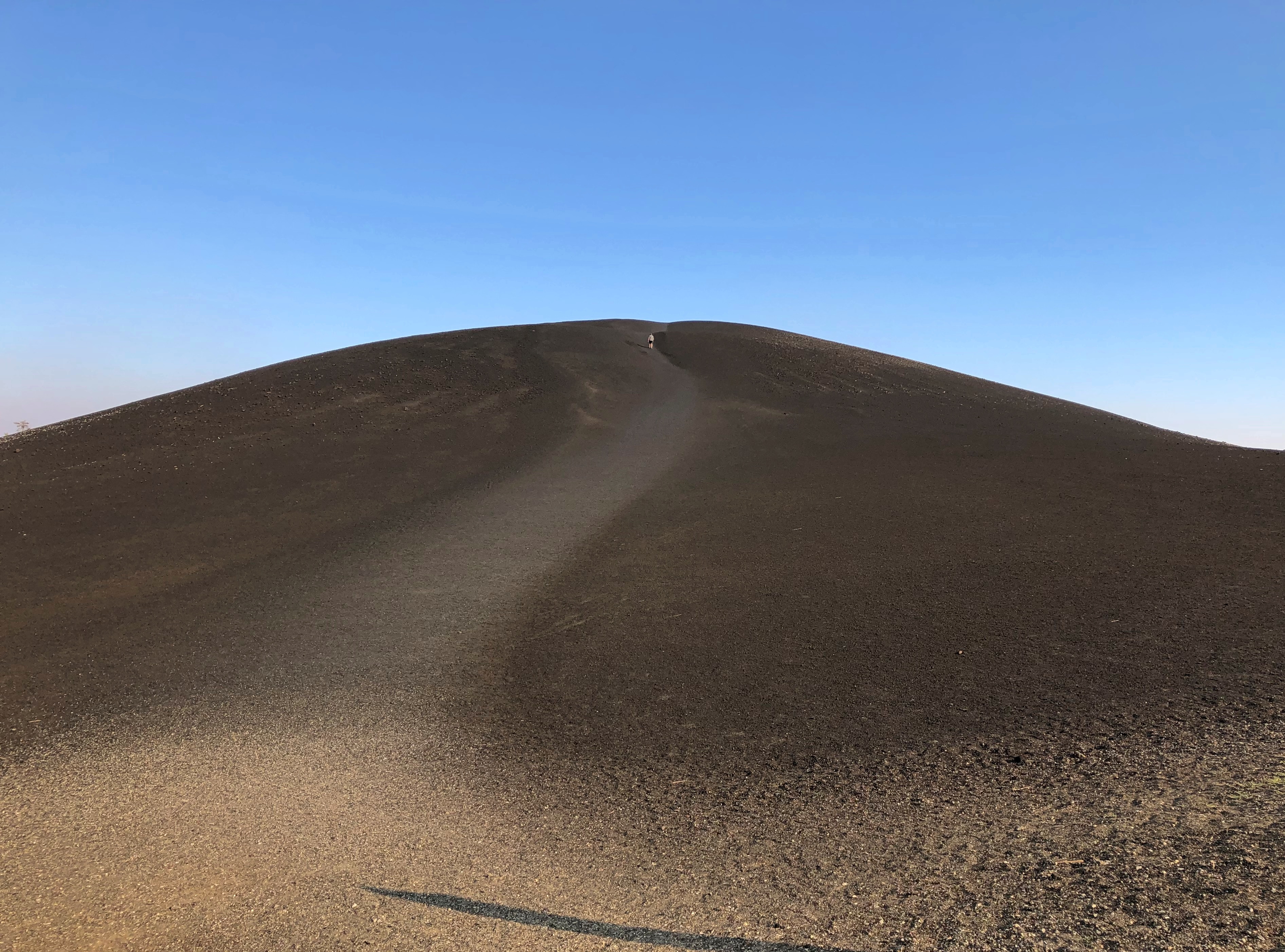
We decided not to climb the enormous black cone, but if you look carefully, you can see a fellow who did. Note the trail on one of the smaller cones. That we did climb, reaching a view of the maw of the cone, though it has a grate blocking the way, to limit the erosive effect of a constant trickle of people clambering down.

More monochrome.Craters of the Moon NM Craters of the Moon NM

“The craters of Craters of the Moon… are definitely of volcanic origin,” explains the NPS paper guide, noting also that the name dates from long before anyone knew what the actual craters of the Moon looked like, at least up close. I don’t think any of the Apollo astronauts were reminded of Idaho. No matter, the name’s got some panache.

“But where is the volcano? These vast volumes of lava issued not from one volcano but from a series of deep fissures – known collectively as the Great Rift – that crosses the Snake River Plain. Beginning 15,000 years ago, lava welled up from the Great Rift to produce this vast ocean of rock. The most recent eruption occurred a mere 2,000 years ago, and geologists believe that future events are likely.”

Not to be confused with the Great Rift Valley, over in East Africa. The Digital Atlas of Idaho calls it the Great Rift system, “a series of north-northwest trending fractures… The total rift system is 62 miles long and may be the longest known rift zone in the conterminous United States.”

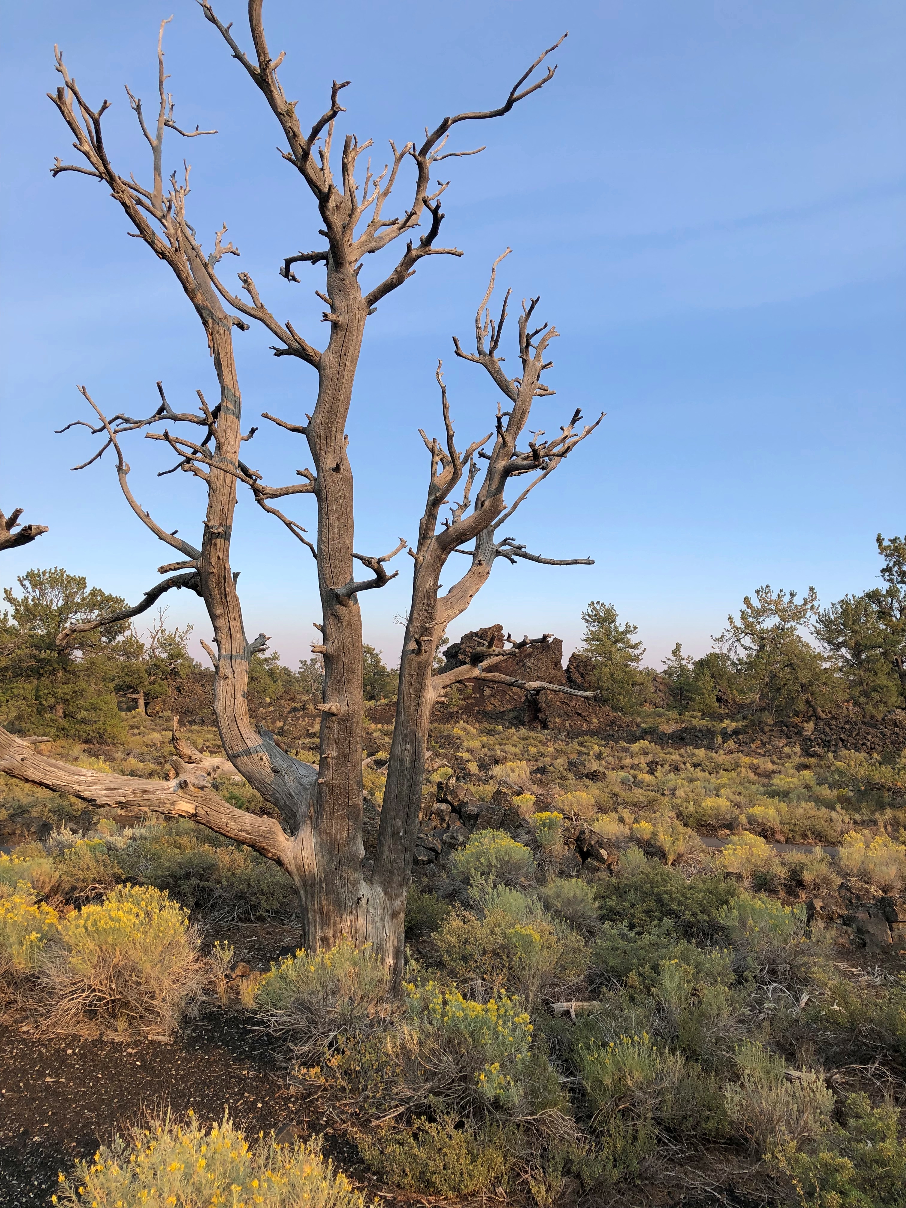
In other places, life has returned more robustly. There’s an easy trail through that as well.Craters of the Moon National Monument Craters of the Moon National Monument
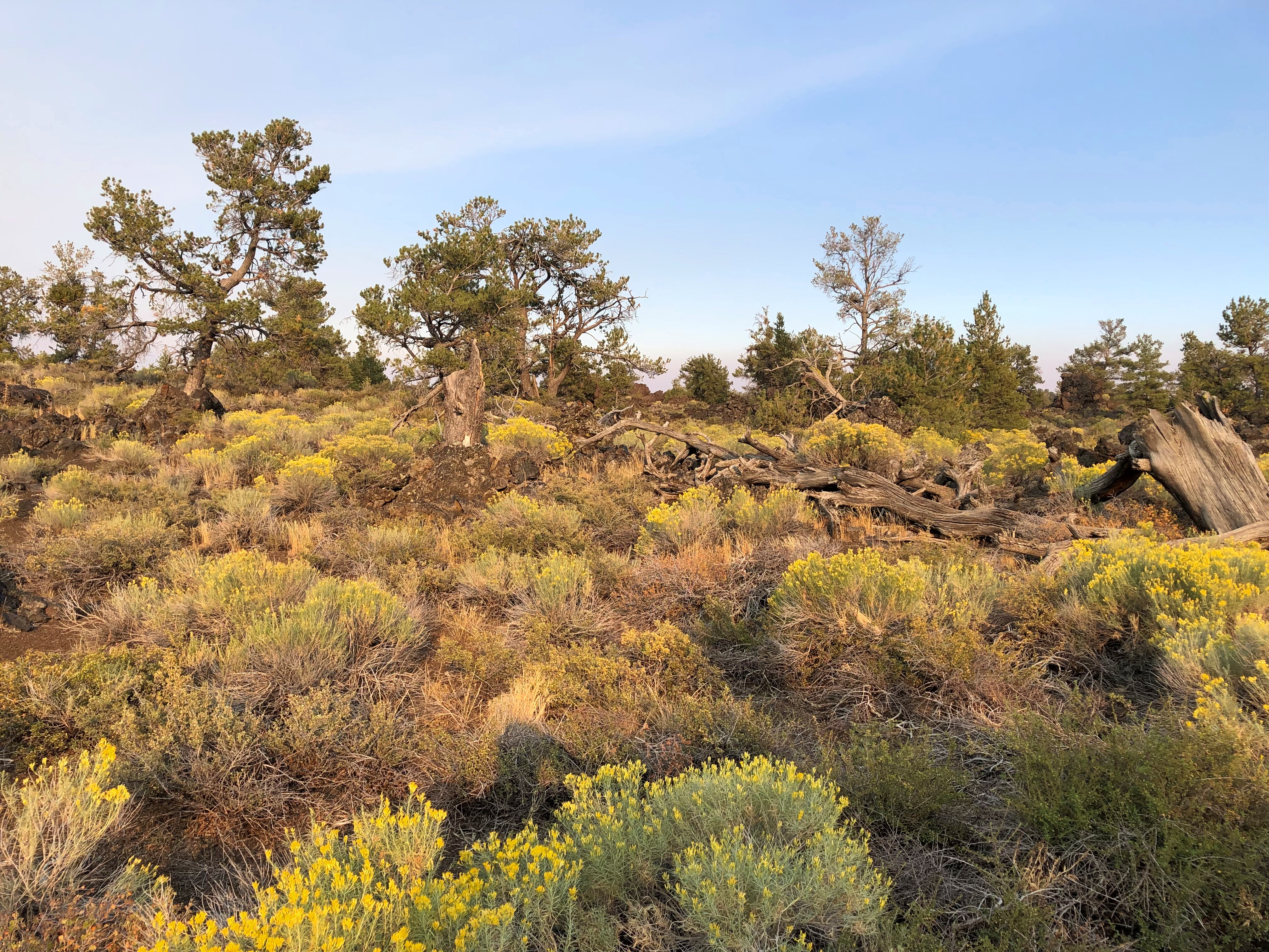
A difficult place for trees, looks like.Craters of the Moon National Monument Craters of the Moon National Monument
We spent longer than planned at Craters of the Moon, which meant that we didn’t get to Victor, Idaho, our next destination, until well after dark. No big deal, it was worth it, and the nighttime winding road was a smaller version of the twisty drive near Sheridan, Wyo., so not bad either.
The Idaho State Capitol & Bits of Boise

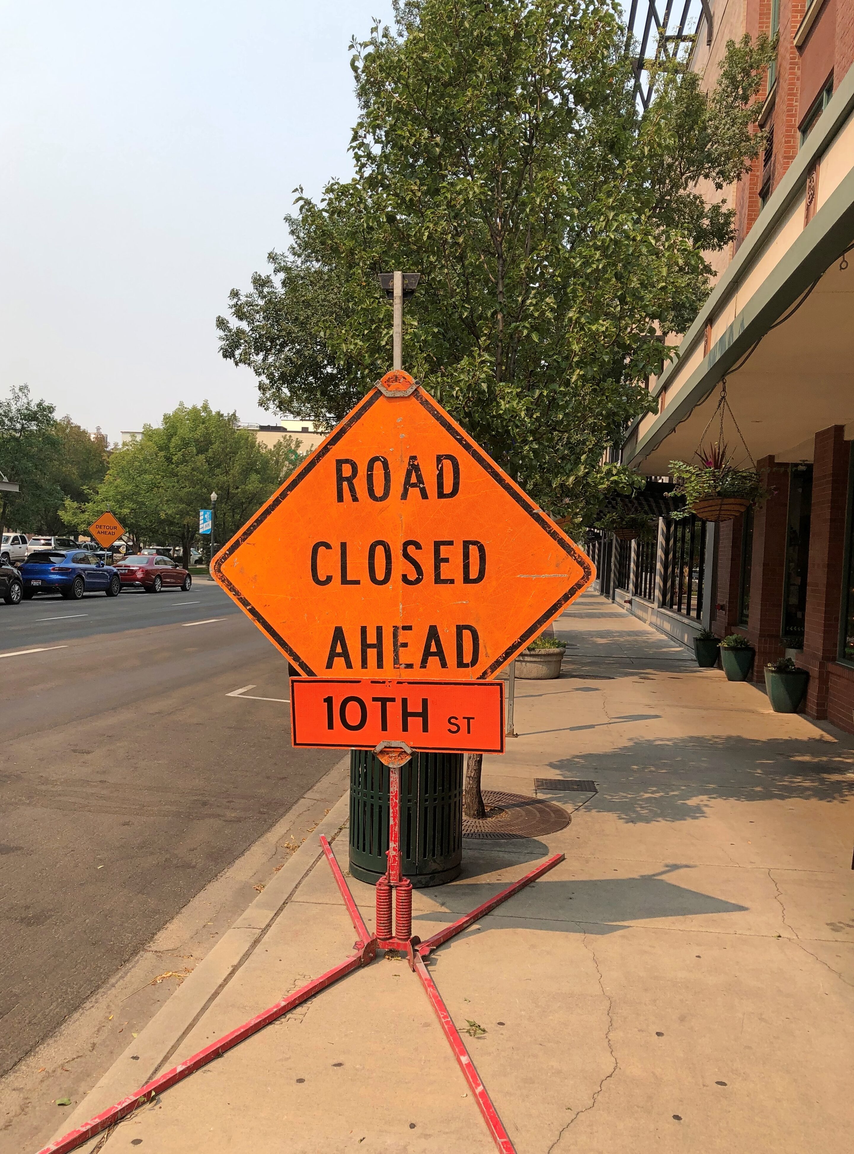
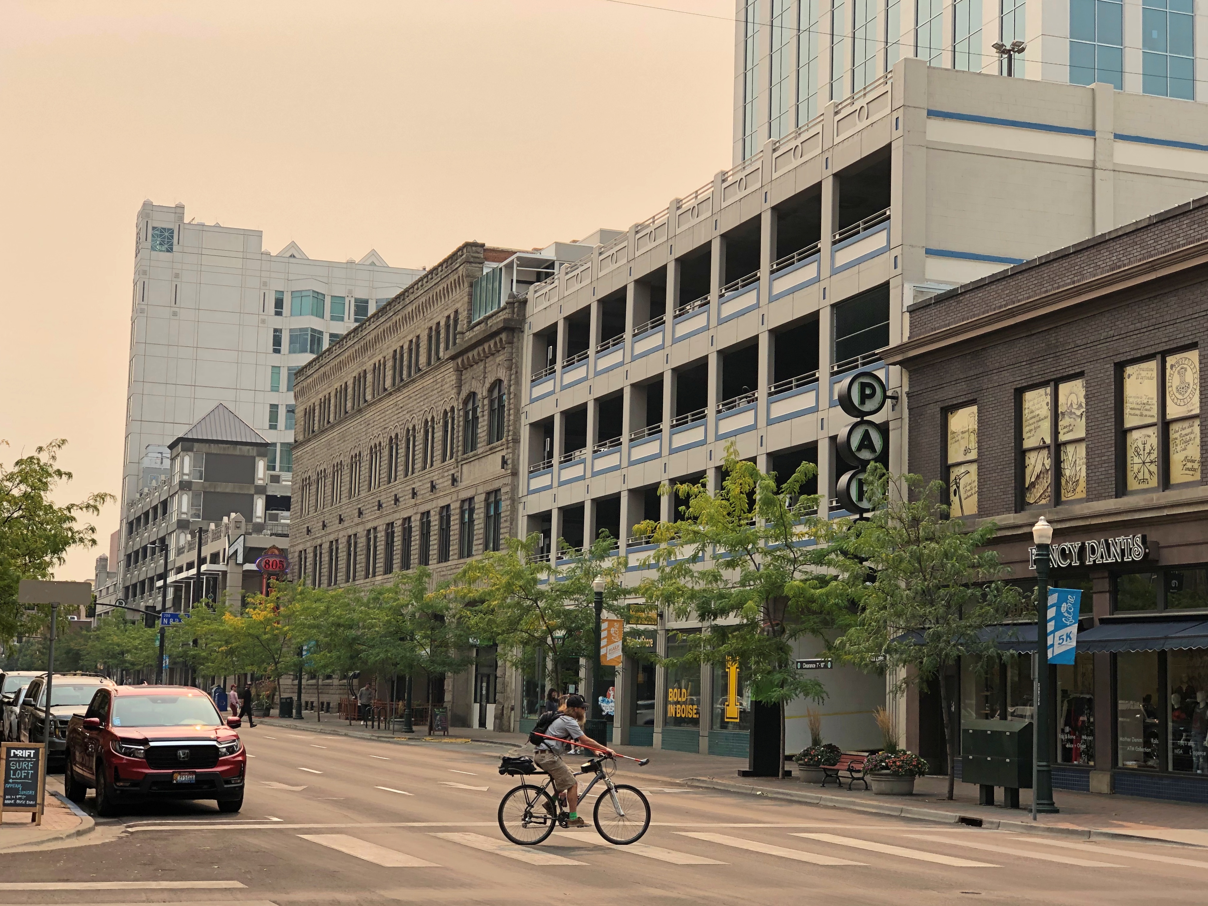
Boise is a growth town. I know that because the Census Bureau reported a population of about 235,600 in 2020, compared with 205,600 in 2010. Not only that, driving in downtown Boise was a pain in the ass last month, considering how many streets were closed for construction. That’s usually a growth indicator. Boise Idaho

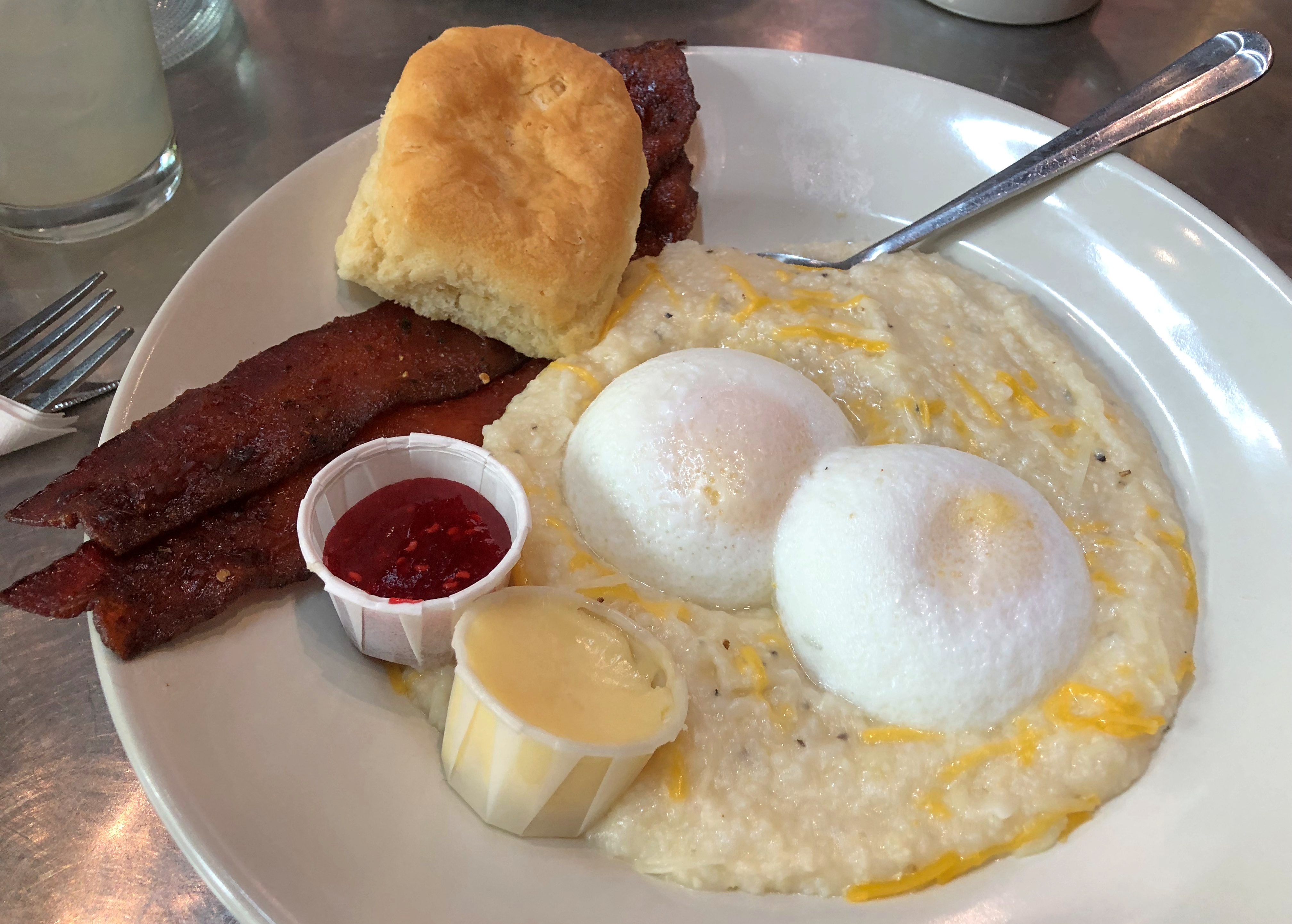
Adding to the irritation is the fact that many of downtown’s one-way streets (that are still open) go opposite of the way you want to go. But when you’ve found a place to park, and arrive at a restaurant like Bacon in downtown Boise, you forget all that. Nice tip before we left Seattle from Dan, who has spent some time in the area.Boise Idaho Bacon

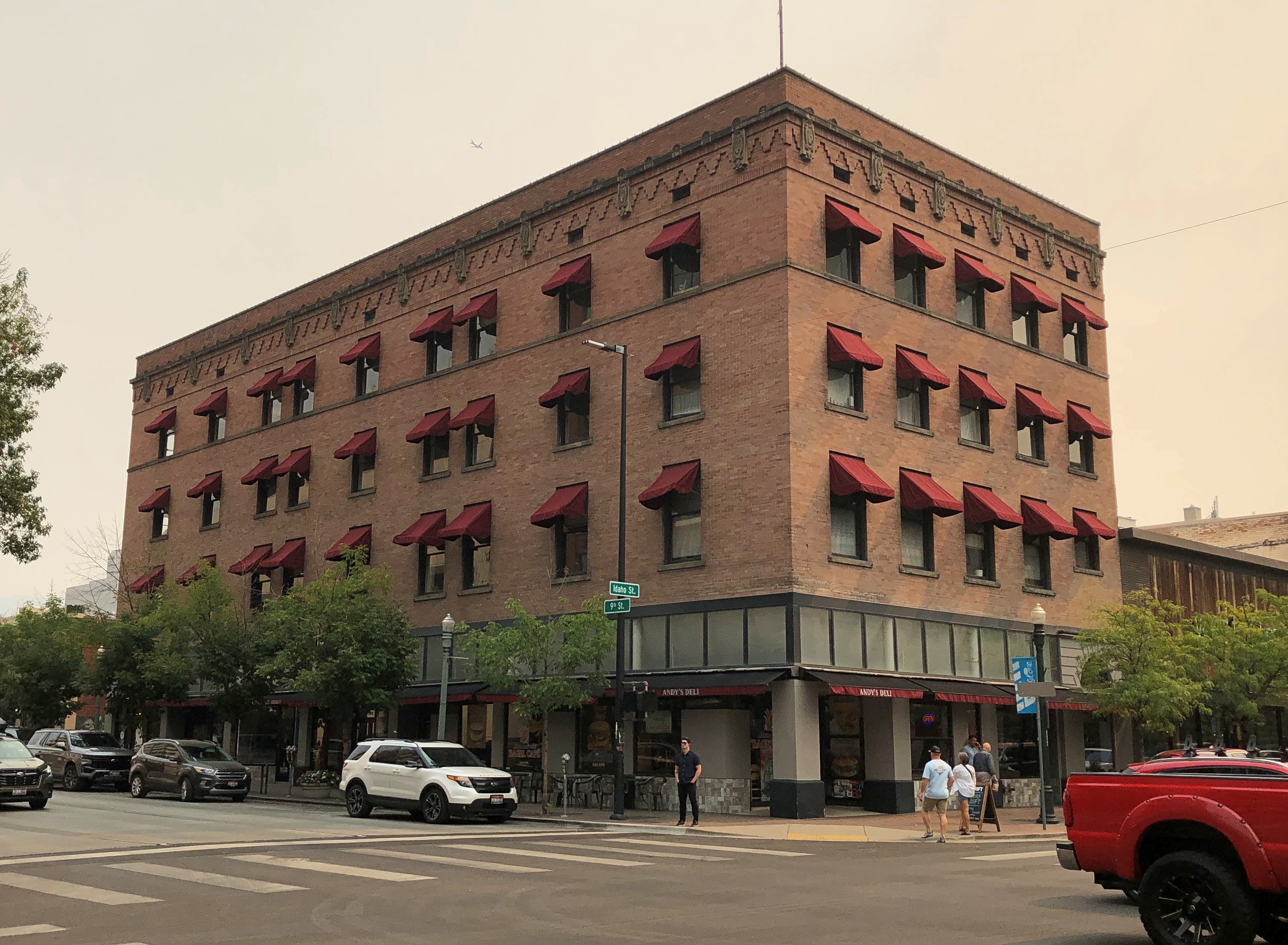
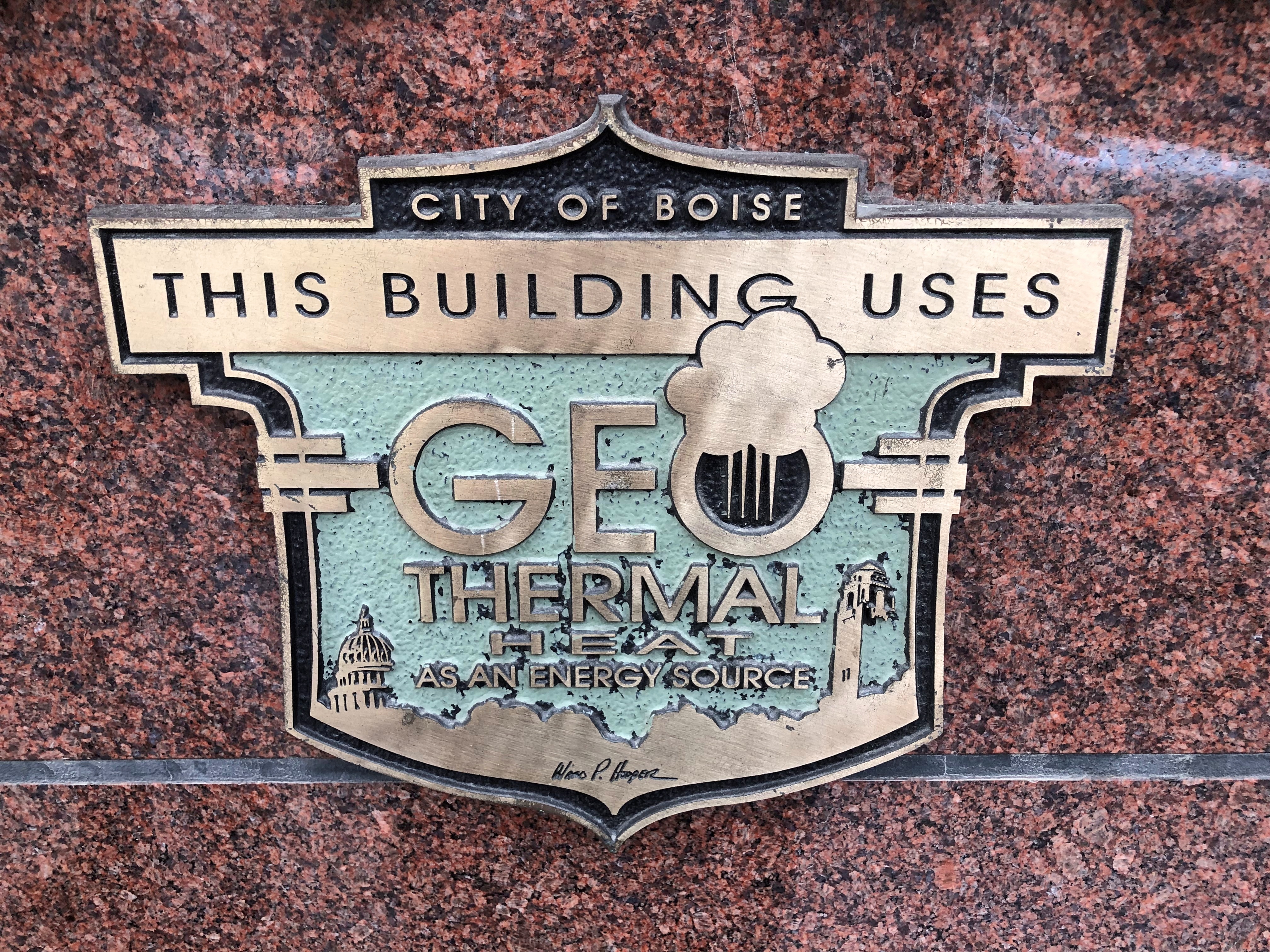
Maybe not good to eat in the long run, but in the short run, it makes you glad you spent the night in Boise and headed out for breakfast the next day. Also, downtown Boise looked interesting, especially on foot.Boise Idaho Boise Idaho Boise Idaho

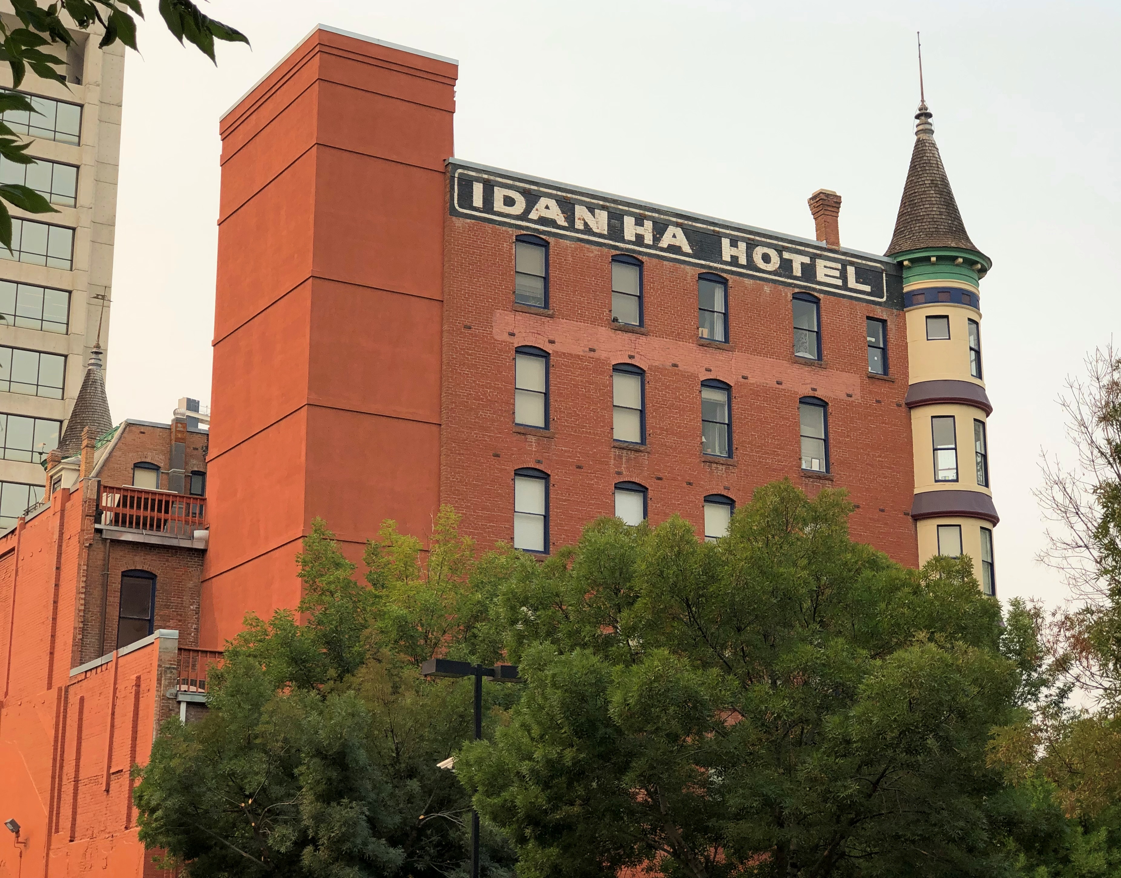
The former Idanha Hotel, which opened exactly at the turn of the 20th century – January 1, 1901 – and is now a multifamily residential property. Its architect, a Scotsman named W.S. Campbell, founded a firm in the late 19th century in Boise that’s still around: CSHQA.Idaho State Capitol

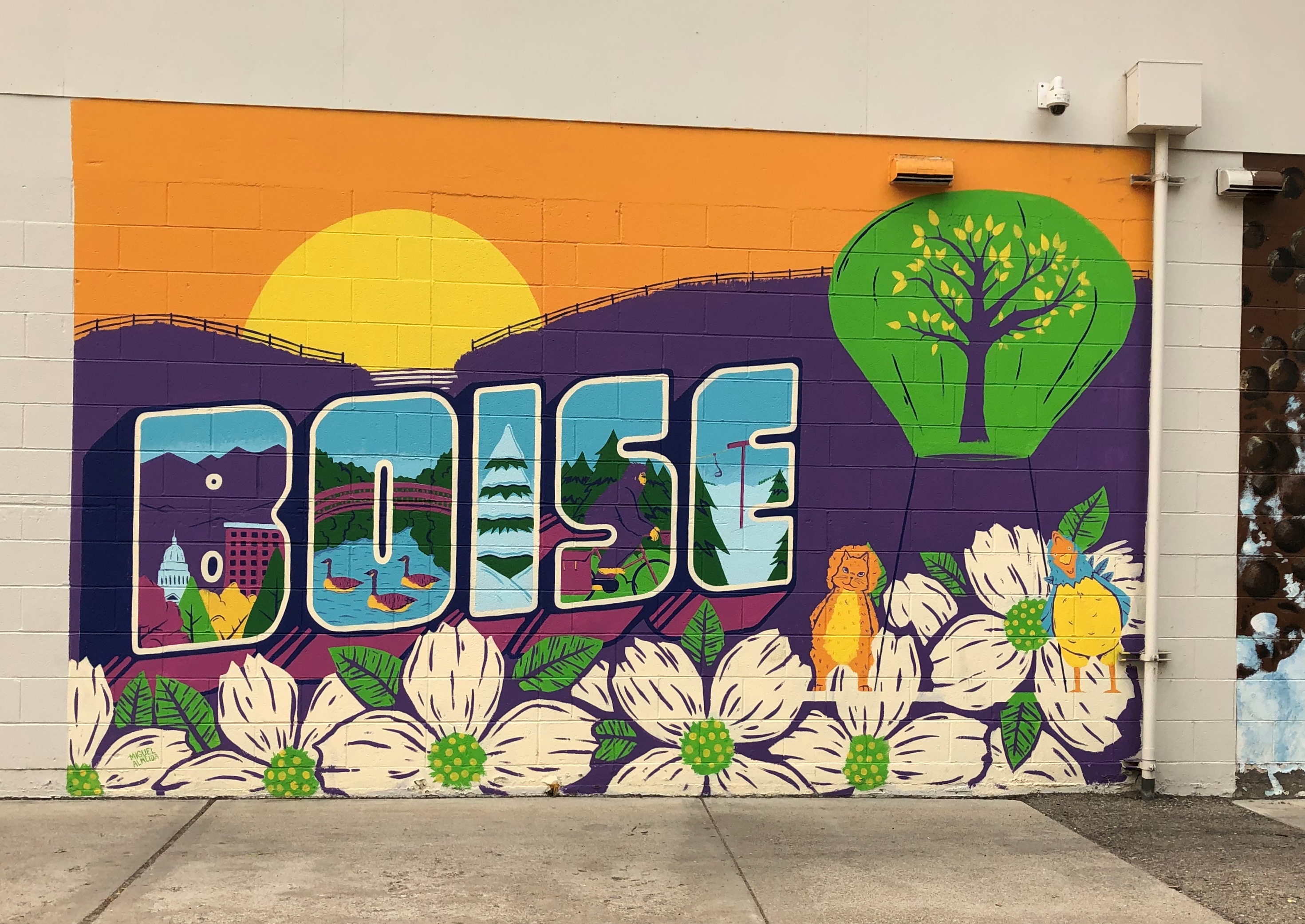
Everywhere has one of these murals, though usually they say, Welcome to…Idaho State Capitol

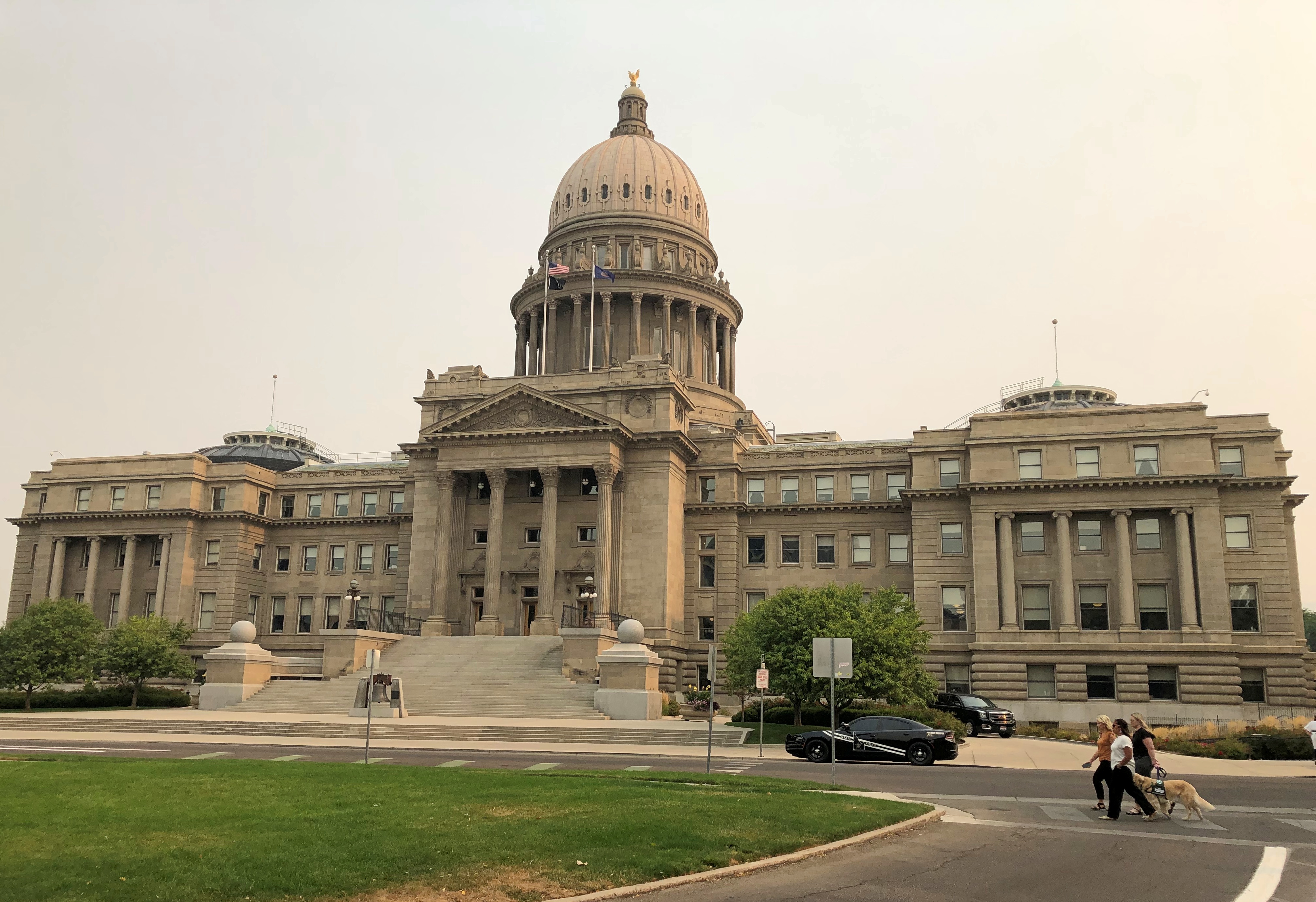
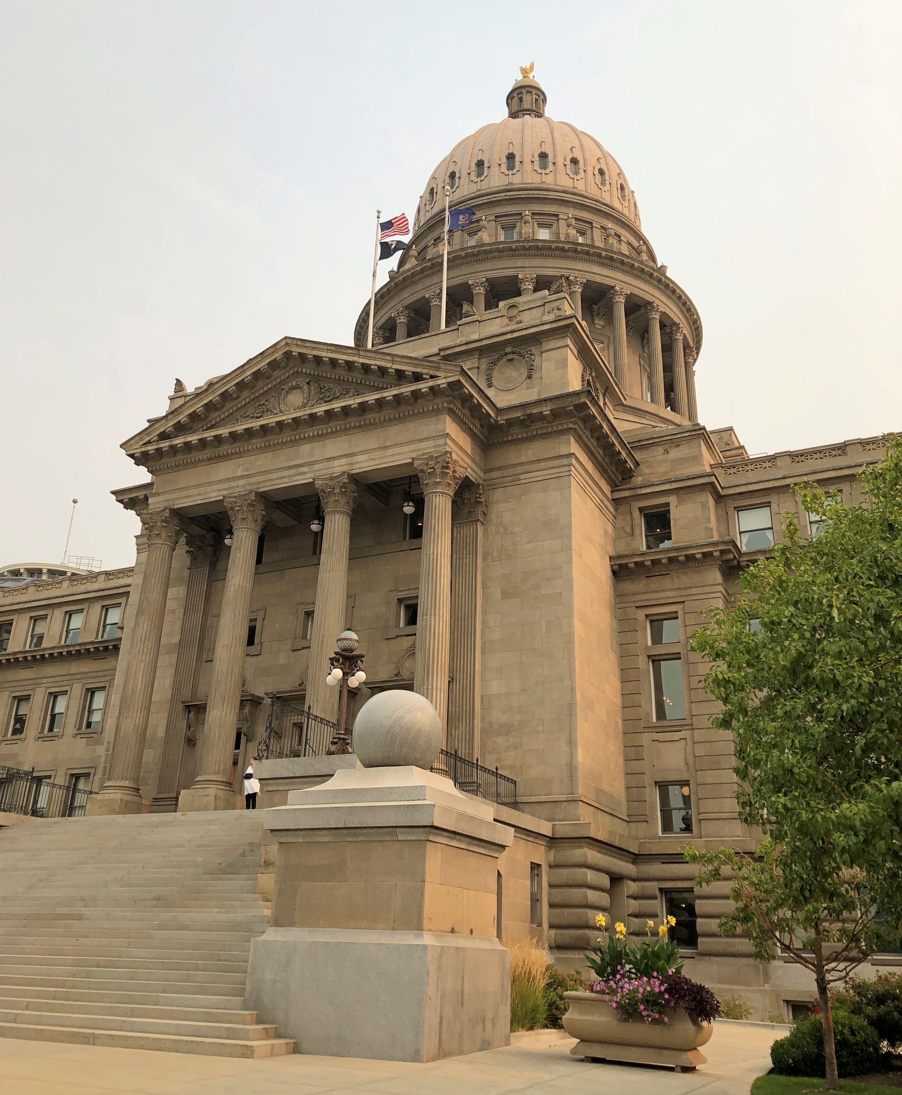
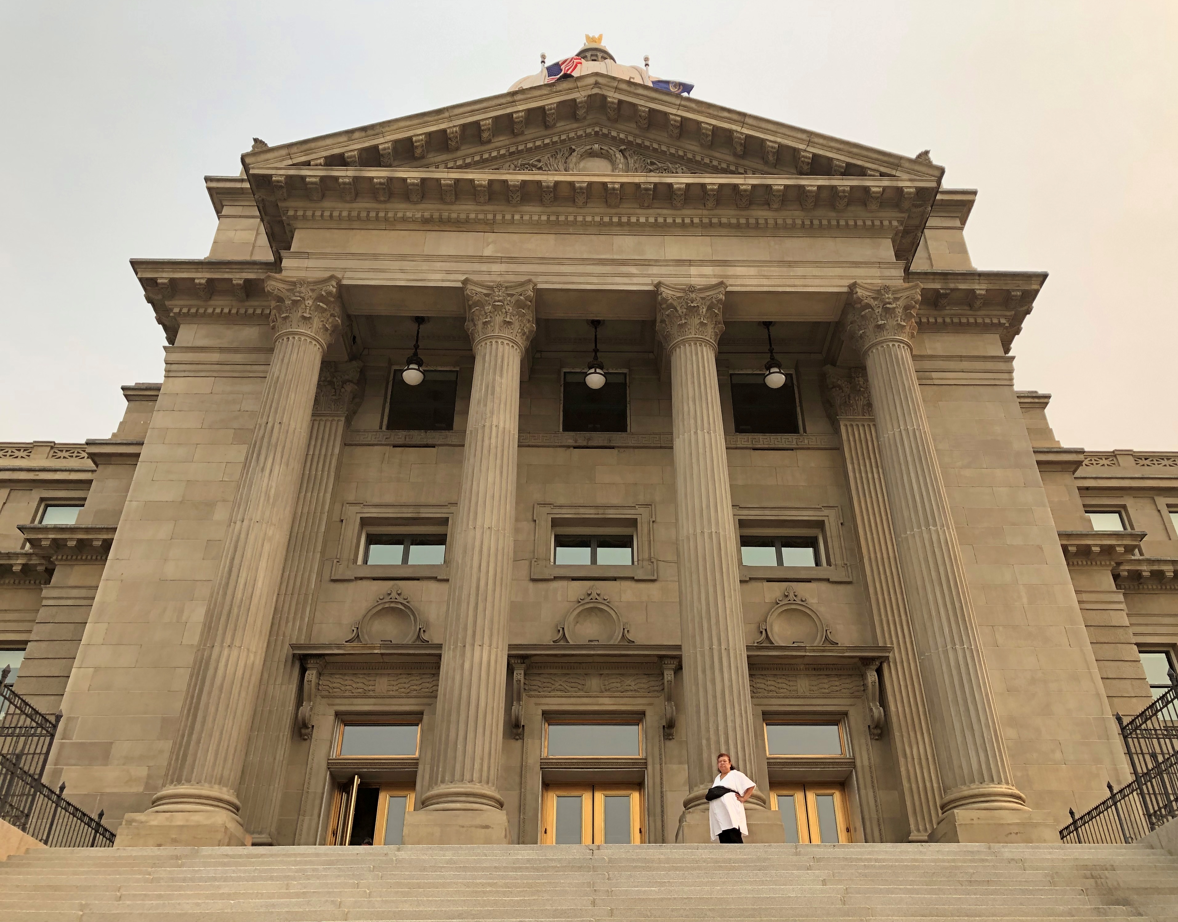
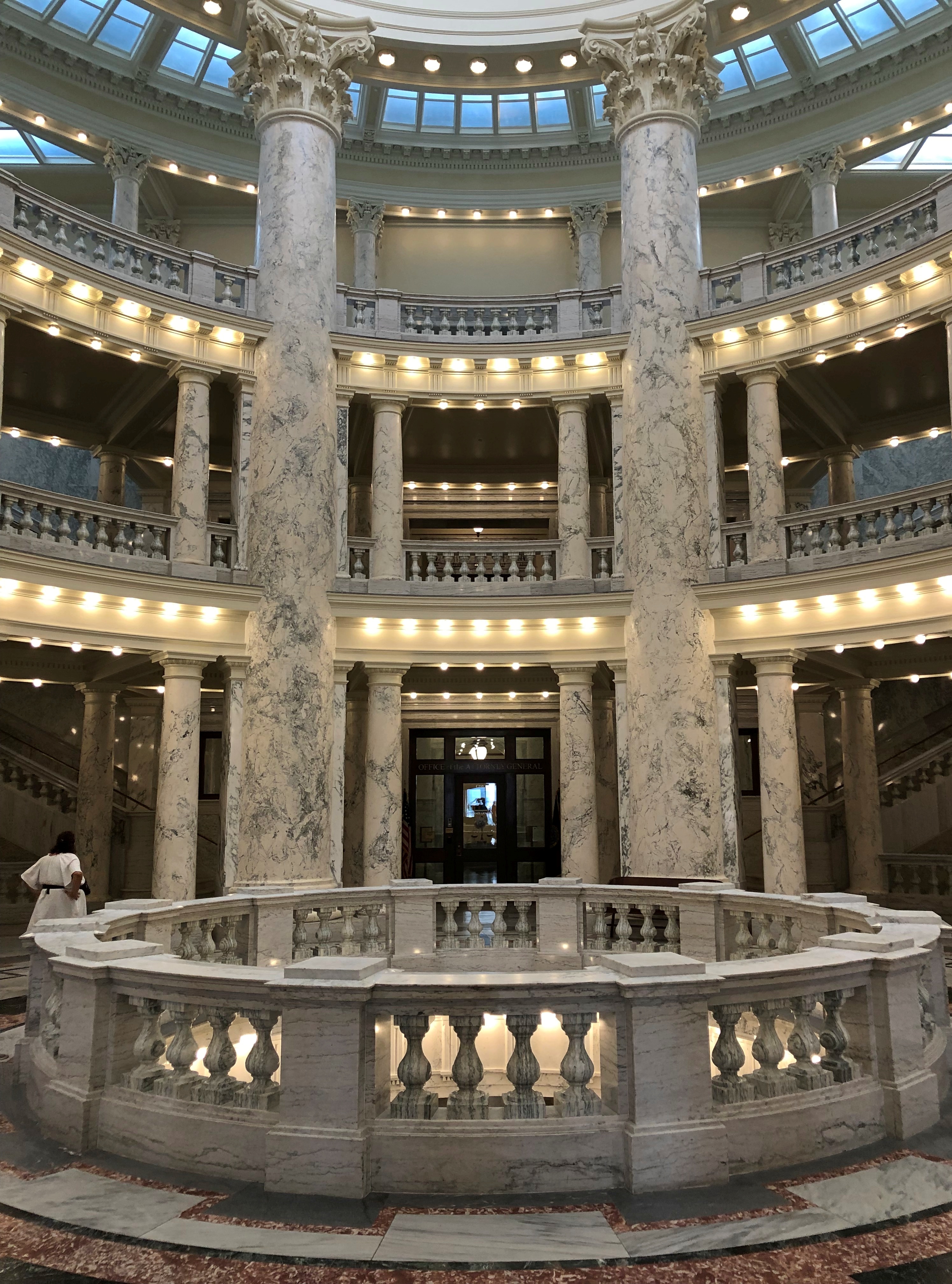
Eventually, by way of Boise’s unpredictable streets, we made our way to the Idaho State Capitol. I saw it briefly in ’89, but only from the outside. A grand edifice.Idaho State Capitol Idaho State Capitol Idaho State Capitol

Grand inside as well.Idaho State Capitol Idaho State Capitol Idaho State Capitol

John E. Tourtellotte & Co. designed the capitol, completing much of it in 1912, though the House and Senate wings came a few years later. Tourtellotte is another one of those architects of yore who did a lot of work.

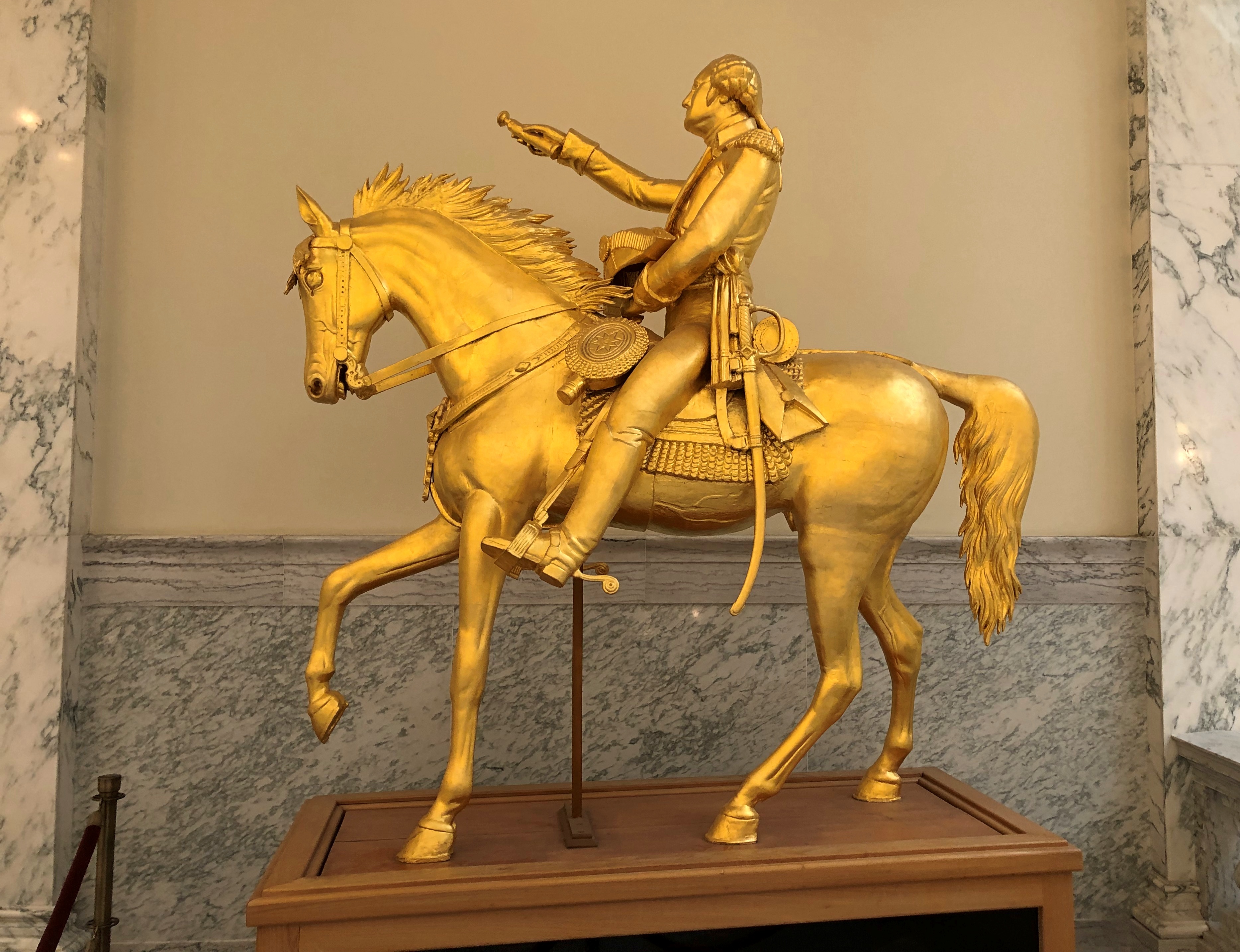
The Idaho State Capitol has a gilded Washington on a gilded horse.Idaho State Capitol

“Austrian immigrant [Charles Ostner] carved George Washington from a single pine tree,” the capitol web site says. “With a postage stamp to guide him, Ostner took four years to create his masterpiece. His young son was said to have frequently held a candle to light his workroom after darkness fell.

“Once completed, Ostner gave his rendition of our first president to the Territory in 1869. In return, Idaho’s leadership paid him $2,500.” Later, it was gilded and much later, restored.

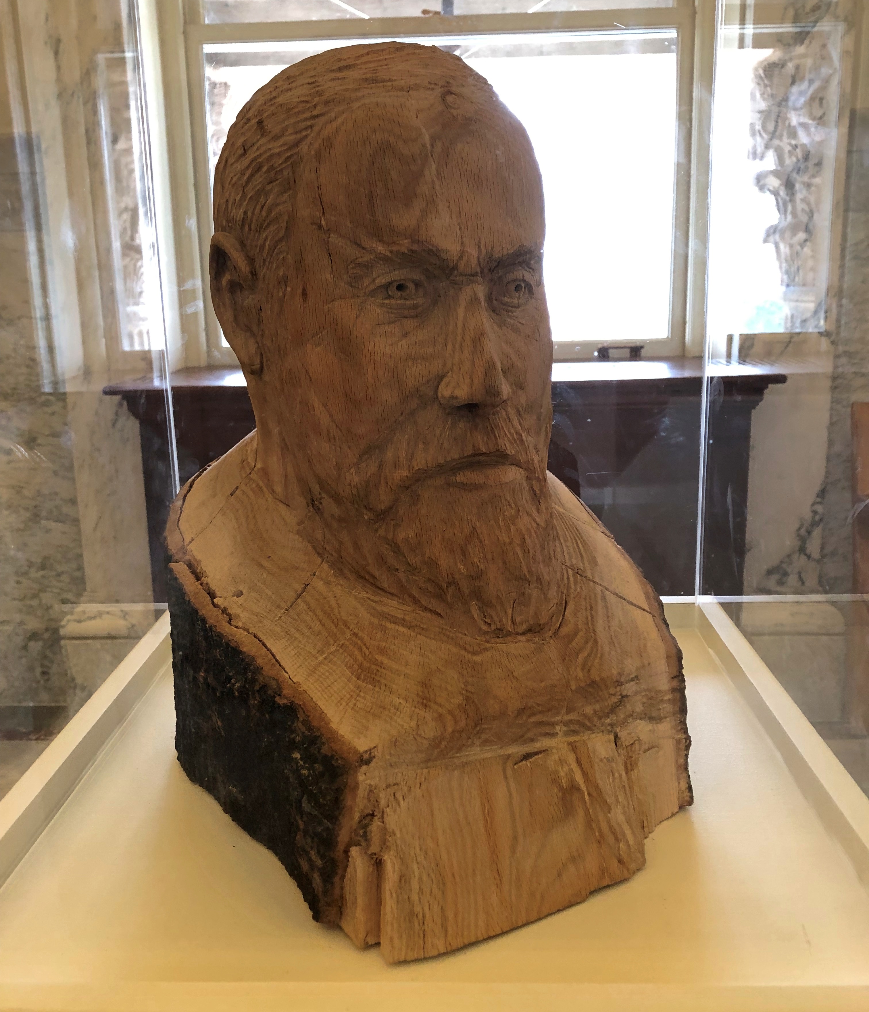
Any capitol can have an image of George Washington. But how many have a Benjamin Harrison?Idaho State Capitol

Idaho is, of course, another of the six Benjamin Harrison states, entering the union with his signature in 1890 as number 43, just days ahead of Wyoming. A nearby sign says the Harrison bust was carved in 2009 by one Steve Ussing using wood from a red oak planted by the president himself.

Other Sweet Drives, Part 2

It’s one thing to expect a scenic drive experience and then experience it. That can be outstanding, such as driving on the Going-to-the-Sun Road through Glacier NP. (Which has a remarkably poetic official name for a government project.)

Then there’s the class of excellent drives you were not expecting. Such as the Moki Dugway, to cite an example from a previous trip. Or the following road.

Washington 155

From the Grand Coulee Dam and the adjacent town of Grand Coulee southwest to the town of Coulee City, which isn’t near the dam, is about 30 miles on a highway known as Washington 155. I wasn’t expecting much.

Immediately you launch into arid, rocky country, and soon high cliffs appear, facing a long lake most of the way. The road runs between the cliffs and lake. Off to the right headed in our direction is the narrow Banks Lake, part of the massive Columbia Basin Project to create power and capture water for crop irrigation. Beyond the lake were some mountains, but in the distance.

Reading about it later, I discovered that the lake, while manmade, doesn’t dam any river, much less the Columbia. The lake submerges part the formerly dry Grand Coulee with water pumped in from Roosevelt Lake, the much larger body of water formed by the Grand Coulee Dam.

All that was nice enough to look at, but nothing like the towering black cliffs to the left of the road. Walls of black stone, crumbling in many places, devoid of much vegetation, inspiring to contemplate. Closer to the town of Grand Coulee, the road briefly cuts through two rock walls, one of them part of the impressive Steamboat Rock State Park. At least I’m pretty sure that’s what the road does. It’s a little fuzzy even about a week later, but a good kind of fuzzy.

Mostly I have images of a highway in the shadow of dark cliffs, but all brightly lighted by the late summer sun, and the (apparently) moving forms of the rocks themselves. No two sections of the cliff were quite alike.

This series of images, though going the opposite direction as we did, conveys a bit of the scenery.

US 20 East of Boise

If you’re going to cross Idaho from Boise across the Snake River Plain, at least by car, you can take I-84, which generally follows the river and passes through the most populated sector of the state, with Boise, Mountain Home, Twin Falls, Pocatello, Blackfoot and Idaho Falls as beads on that particular string.

Or you can take I-84 to Mountain Home, and then head east on US 20 across to Idaho Falls. That’s what we did. Good old US 20, a road to Boston in that direction, if you want to go that far. In Idaho, it’s a road through dry, hilly, sparsely populated territory.

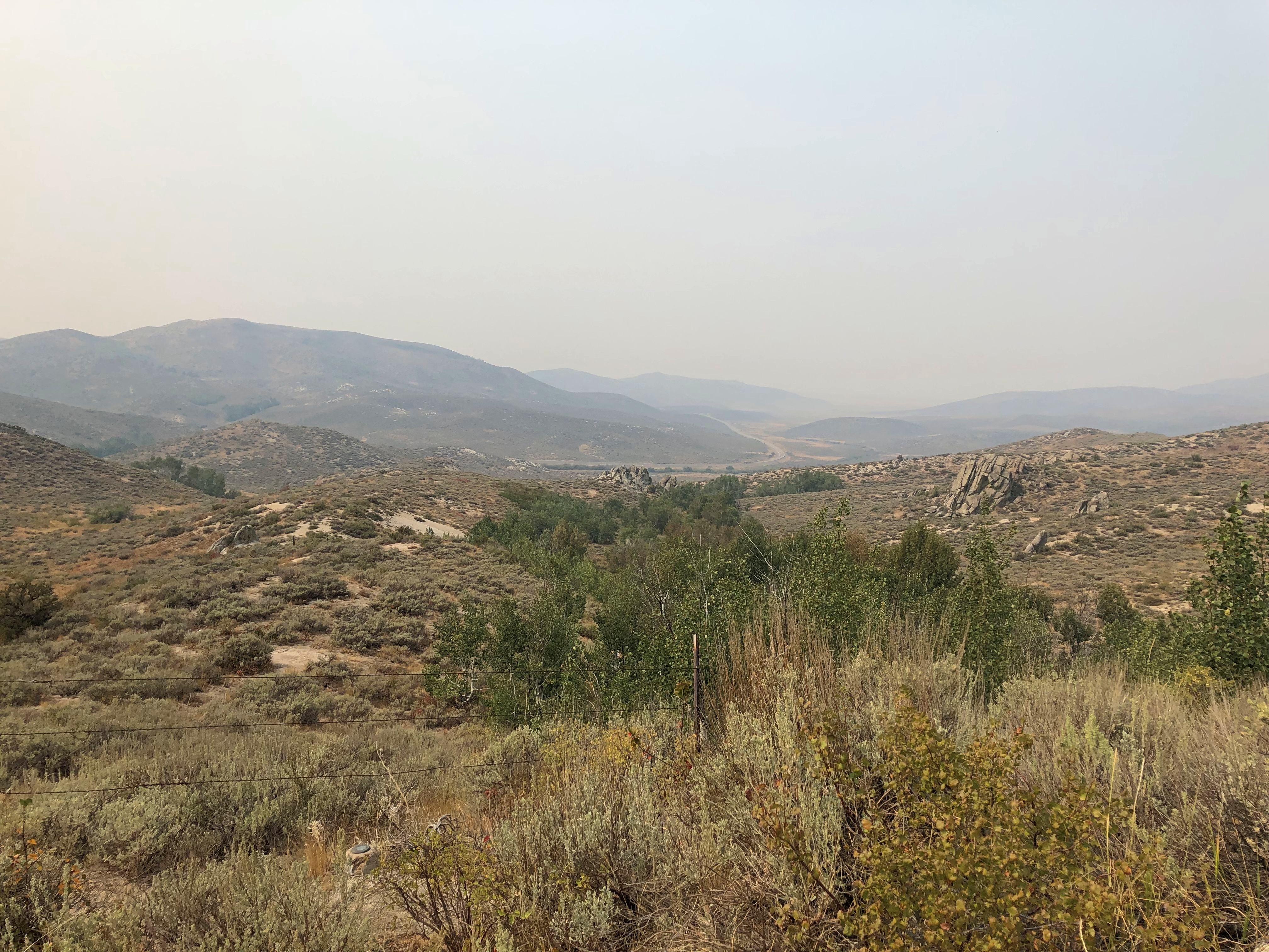
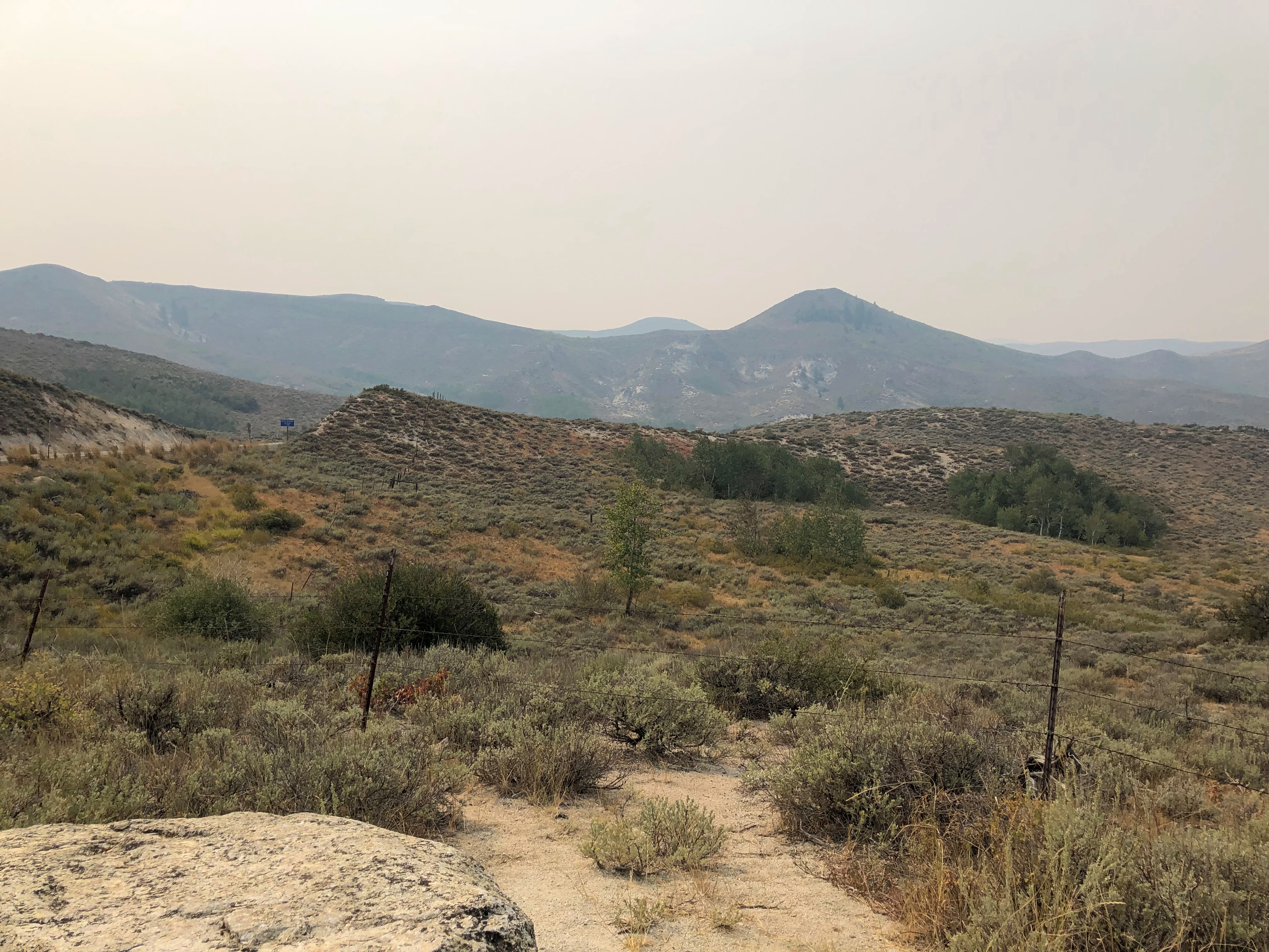
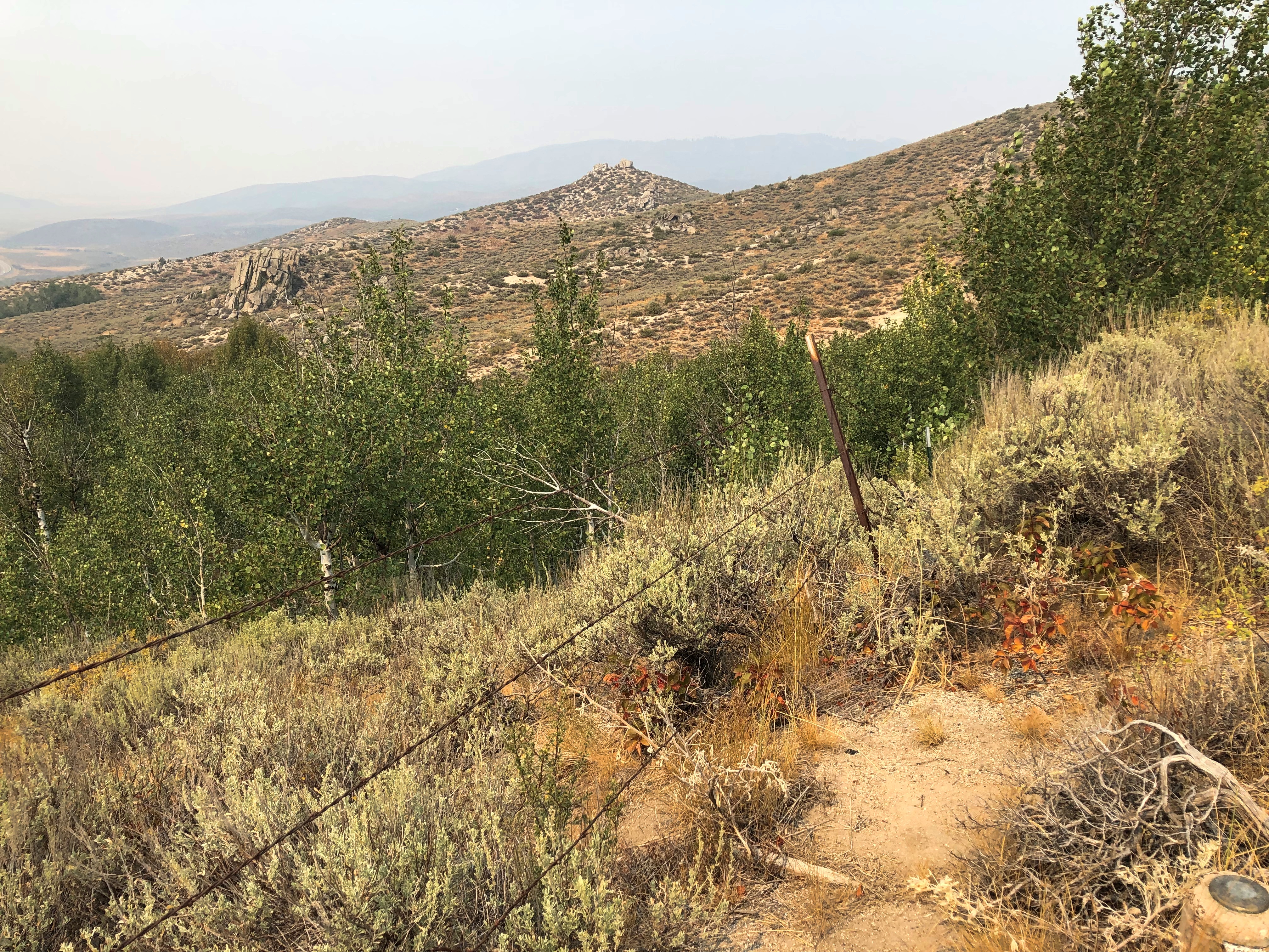
This summer, with the haze of a not-too-distant wildfire.US 20 east of Mountain Home US 20 east of Mountain Home US 20 east of Mountain Home

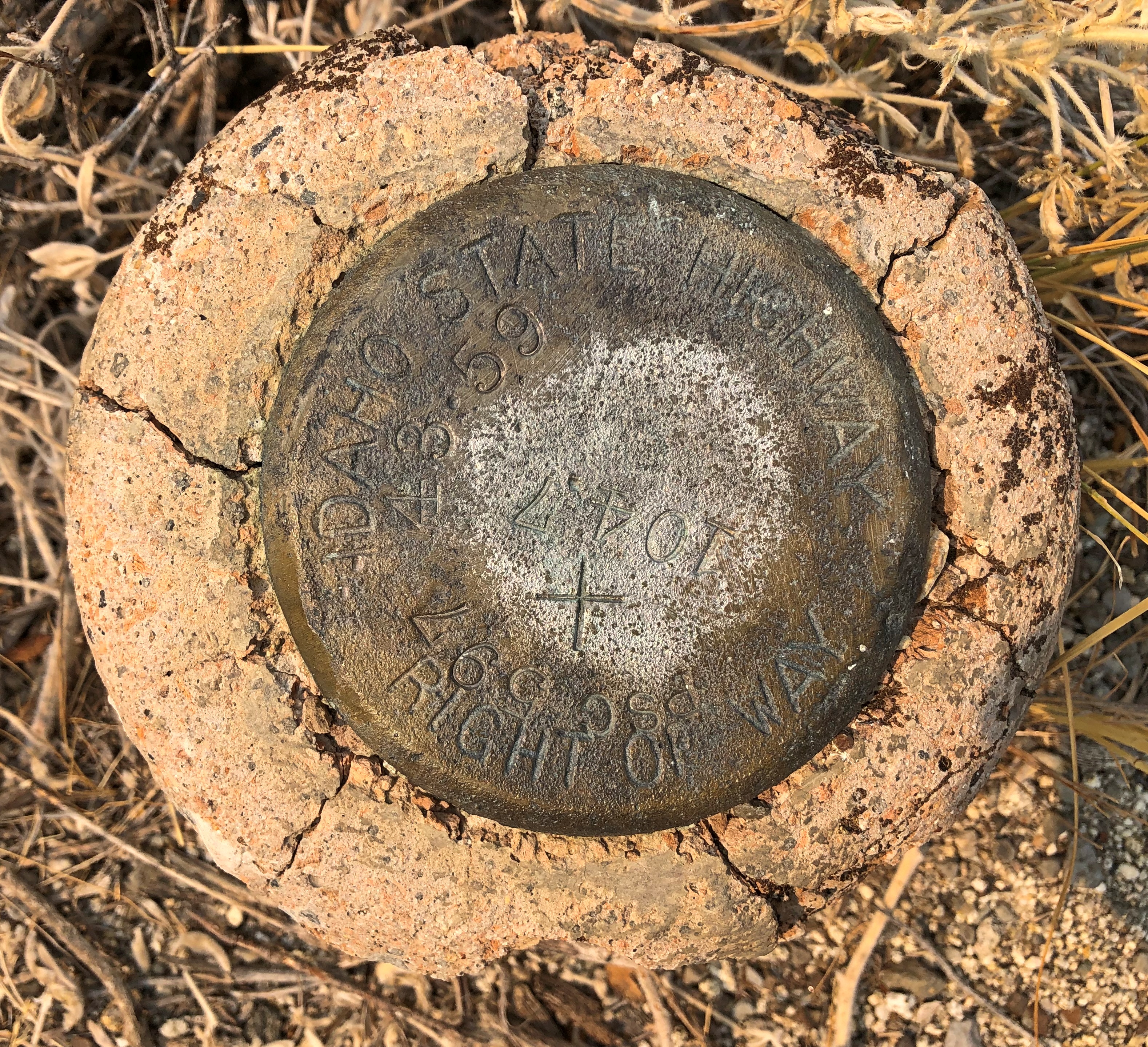
An Idaho State Highway survey marker of considerable age. No doubt built to last. ID Highway Survey Marker

The route was, I suspect, a state highway originally, only later (in the 1940s) becoming part of the US system. Or maybe even US routes had to bear these markers, at least in Idaho. The answer is in some paper files in storage somewhere.

US 20 in Idaho also connects with the entrance, and only paved driving, in Craters of the Moon National Monument. East from there, the road goes through flatter country, including a few small towns, such as Arco (pop. 879), which has the distinction of being the first town to be lighted using atomic power, in 1955, by the nearby National Reactor Testing Station, now the Idaho National Laboratory. Also, the Butte County HS senior class paints its graduation year on the side of a high hill near the town. Since the 1920s, so that’s a lot of numbers. They were so distracting I pulled over for a moment to look at them,

Teton Pass Highway

Back in June, a section a winding mountain road, Wyoming 22, collapsed. The road’s eastern terminus is in Jackson, Wyoming, tourist hub and wealth magnet. The western terminus is at the border with Idaho, where the road becomes Idaho 33, which takes you to Victor, Idaho, just a few miles west of the border. For simplicity, I’ll call both sections the Teton Pass Highway.

I read about the collapse at the time, since I knew we might go that way, and promptly forgot about it when we set off and, more importantly, when we booked a place to stay in Victor, for the same reason anyone stays (or lives) in Victor: the avoid the high costs of Jackson. I’m glad to say WYDOT had the stretch open by the time we first drove there, on September 4, though it was a slow spot, with a lot of construction equipment still active on and near the road.

The Teton Pass Highway is an exercise in climbing a steep grade (signs say 10%) and then rolling down another one. You and your machine, that is. Our engine growled fairly hard, but nothing sounding like it was being overtaxed. There are some winding stretches on the highway, but they aren’t that numerous. Traffic is fairly thick. So on the whole, it isn’t the best of scenic drives.

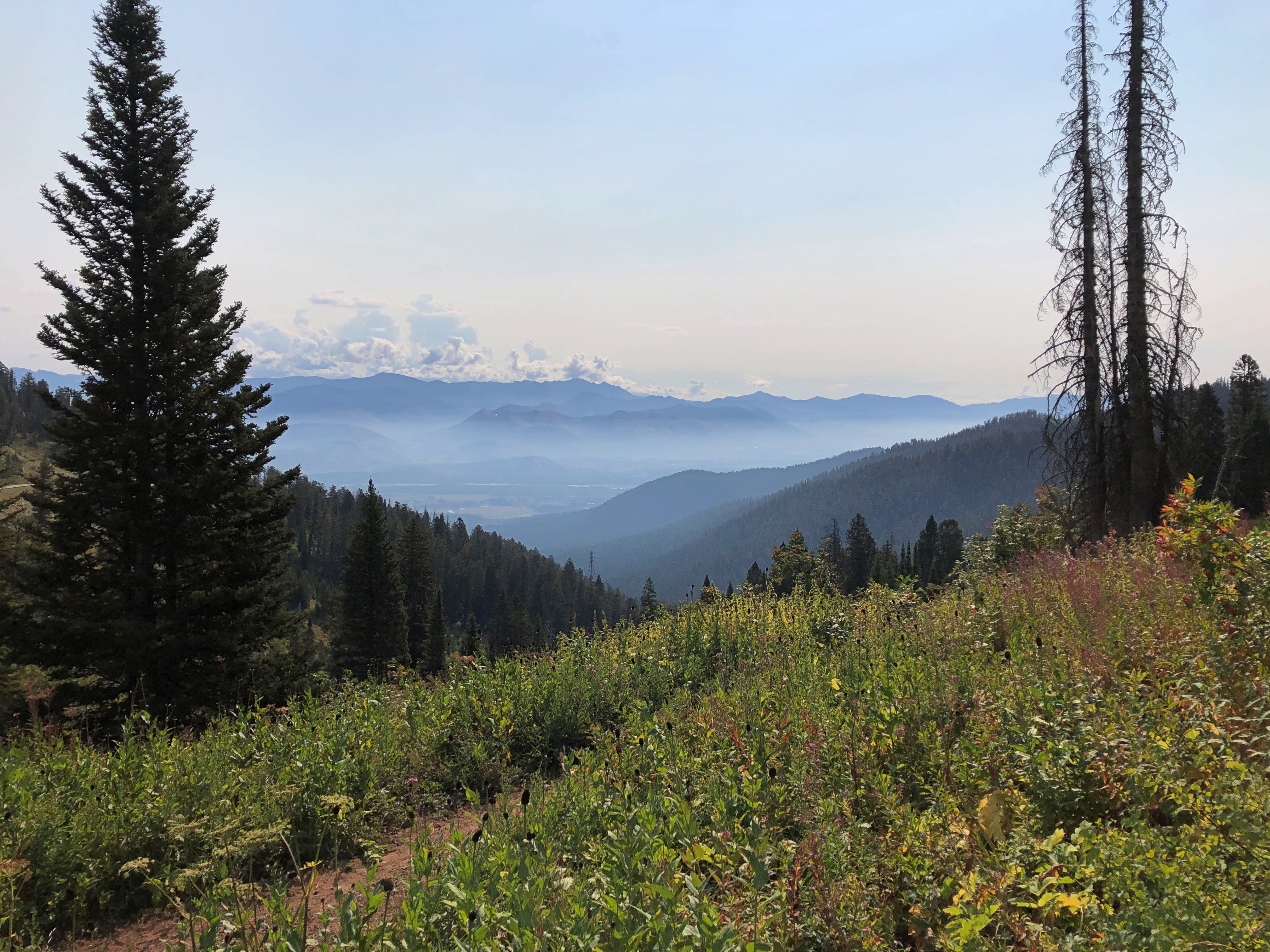
But if you stop at the pass itself, elevation 8,431 feet, you get your first glimpse of the Grand Tetons. First ever for us.Teton Pass Sept 2024

Honorable Mention: I-84 in Eastern Oregon

After paralleling the Columbia River, eastbound I-84 dips sharply to the southeast, taking a route between the Blue Mountains and the Wallowa Mountains in parts of Wallowa-Whitman National Forest. Not that I knew those names when we were barreling down that mostly empty, very black blacktop. But I could see them along the way. The mountains, that is: some of the yellowest mountains I’ve ever seen, with some brown blended in, but also a healthy dose of gold.